© 2024 Jaroš Obu
Photo gallery of Jaroš Obu
Cart
0
Items
Buy now
Askja 3.-4.8. 2019
Saturday, 03 August 2019
Heading east of Mývatn towards new volcanic adventures.
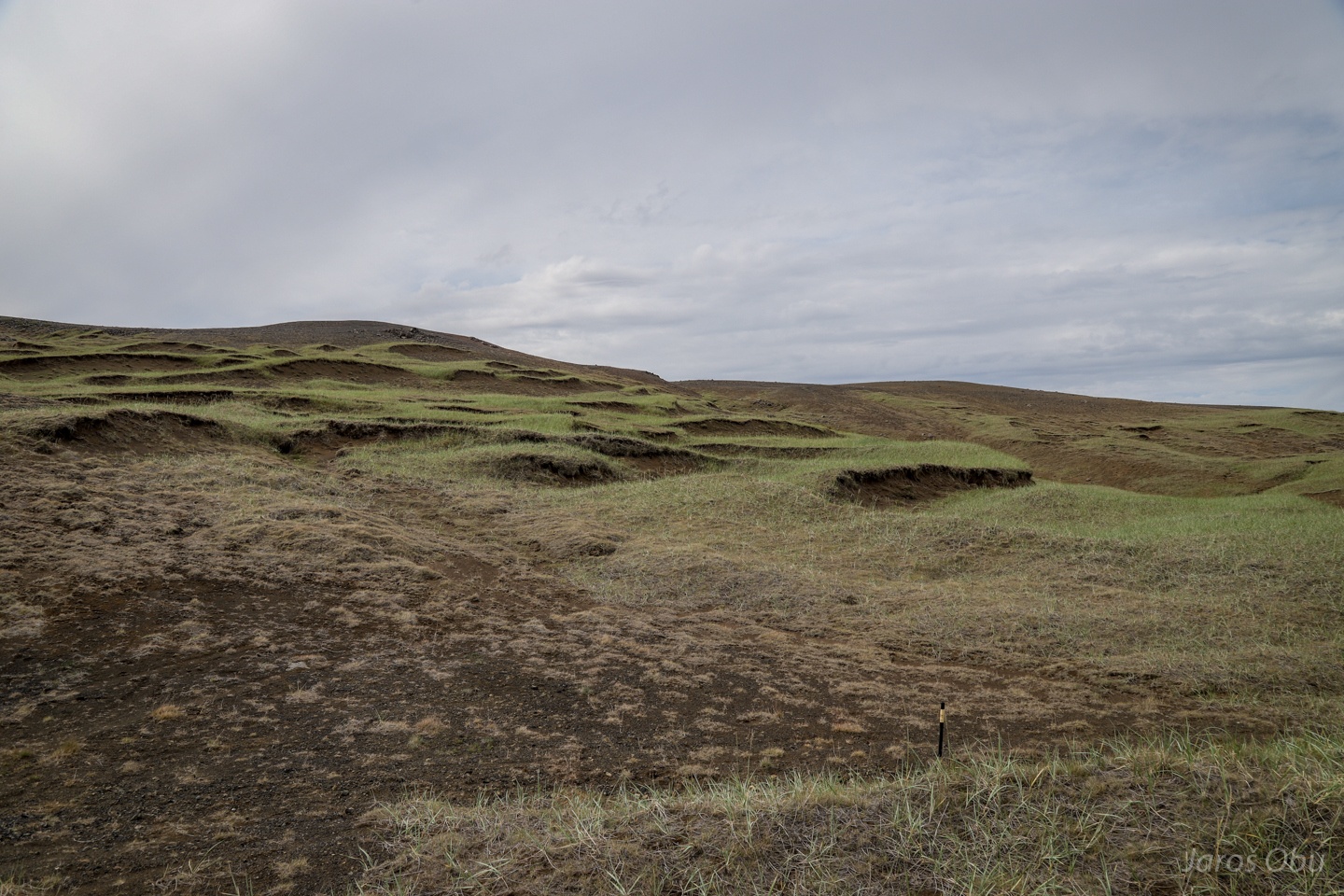
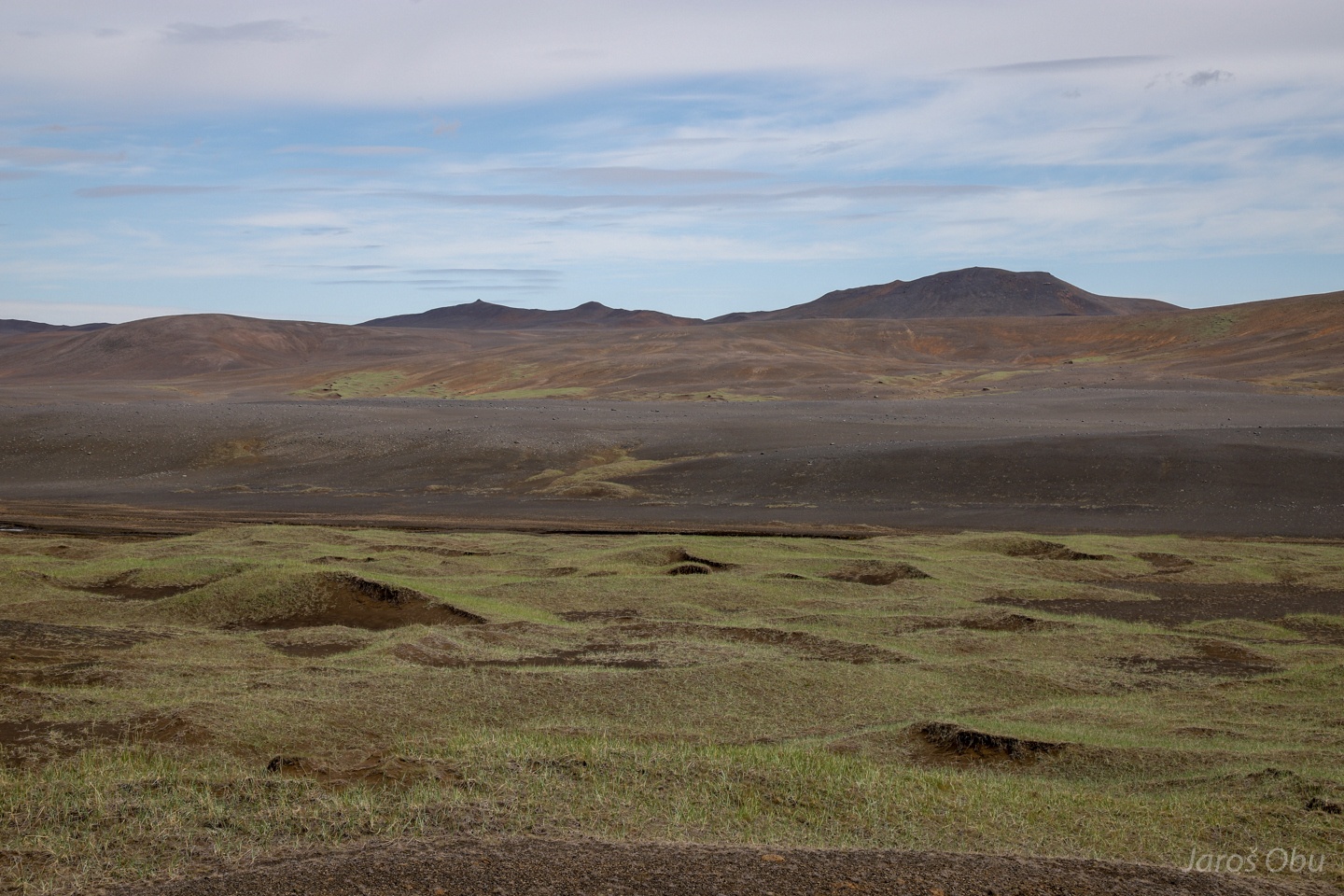
Sand dunes partly eroded and partly covered with vegetation.
Dimmafjallgarð Mountains.
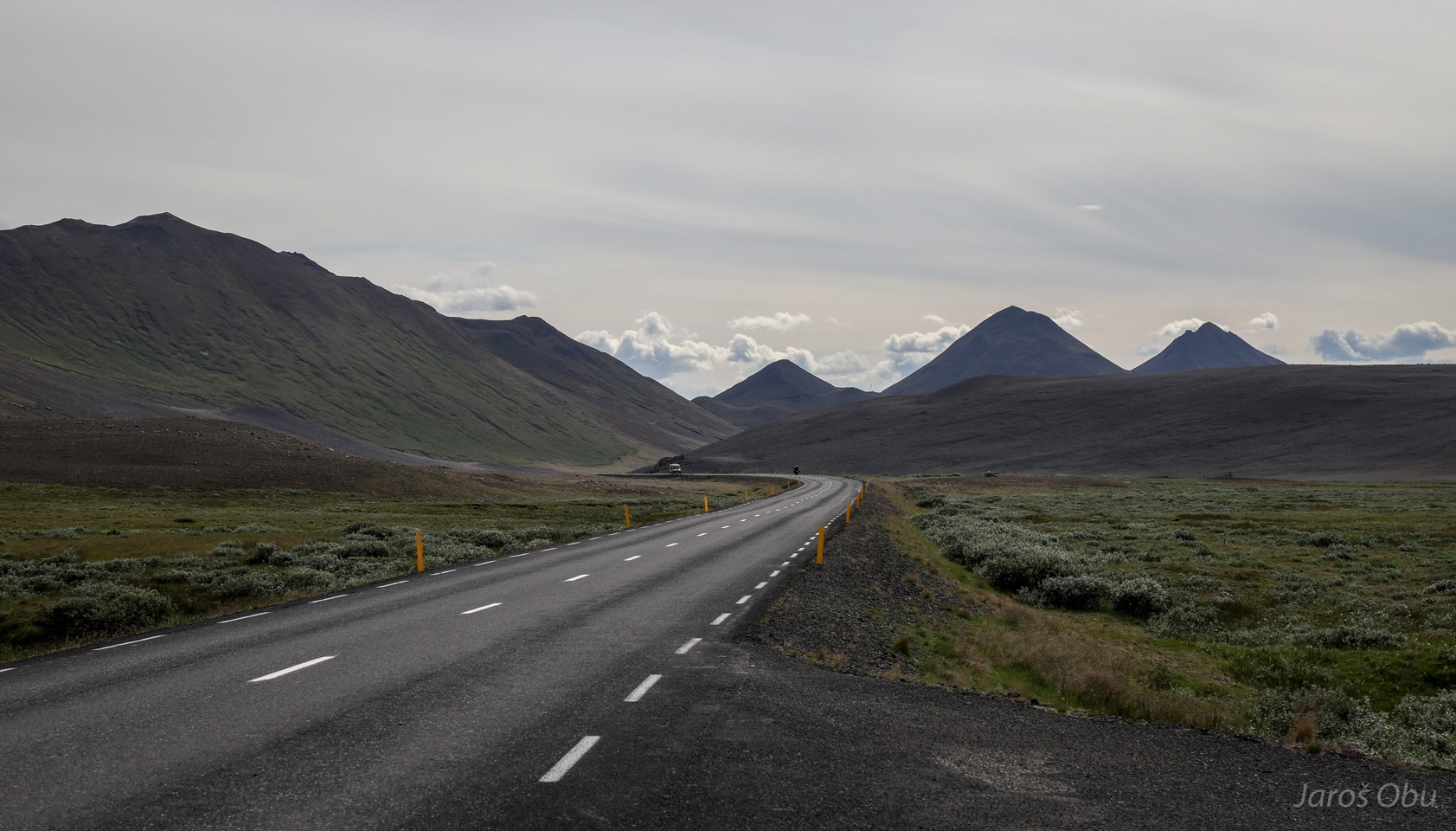
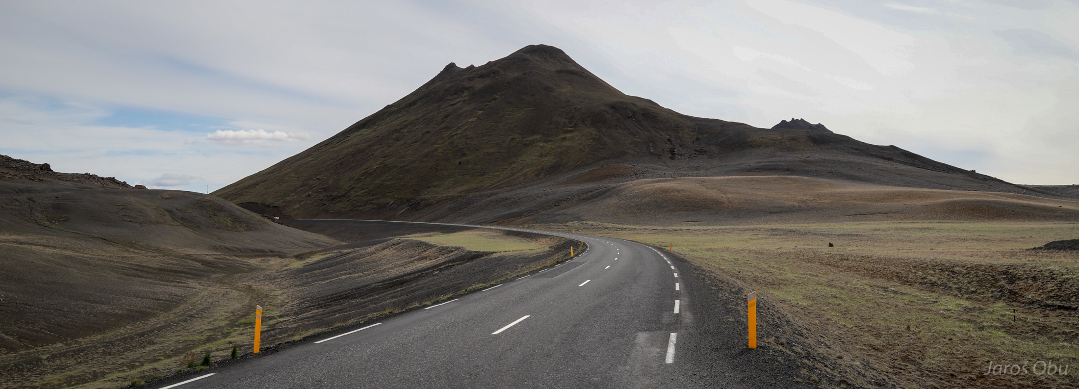
Patchy road and more of the volcanic mountains.
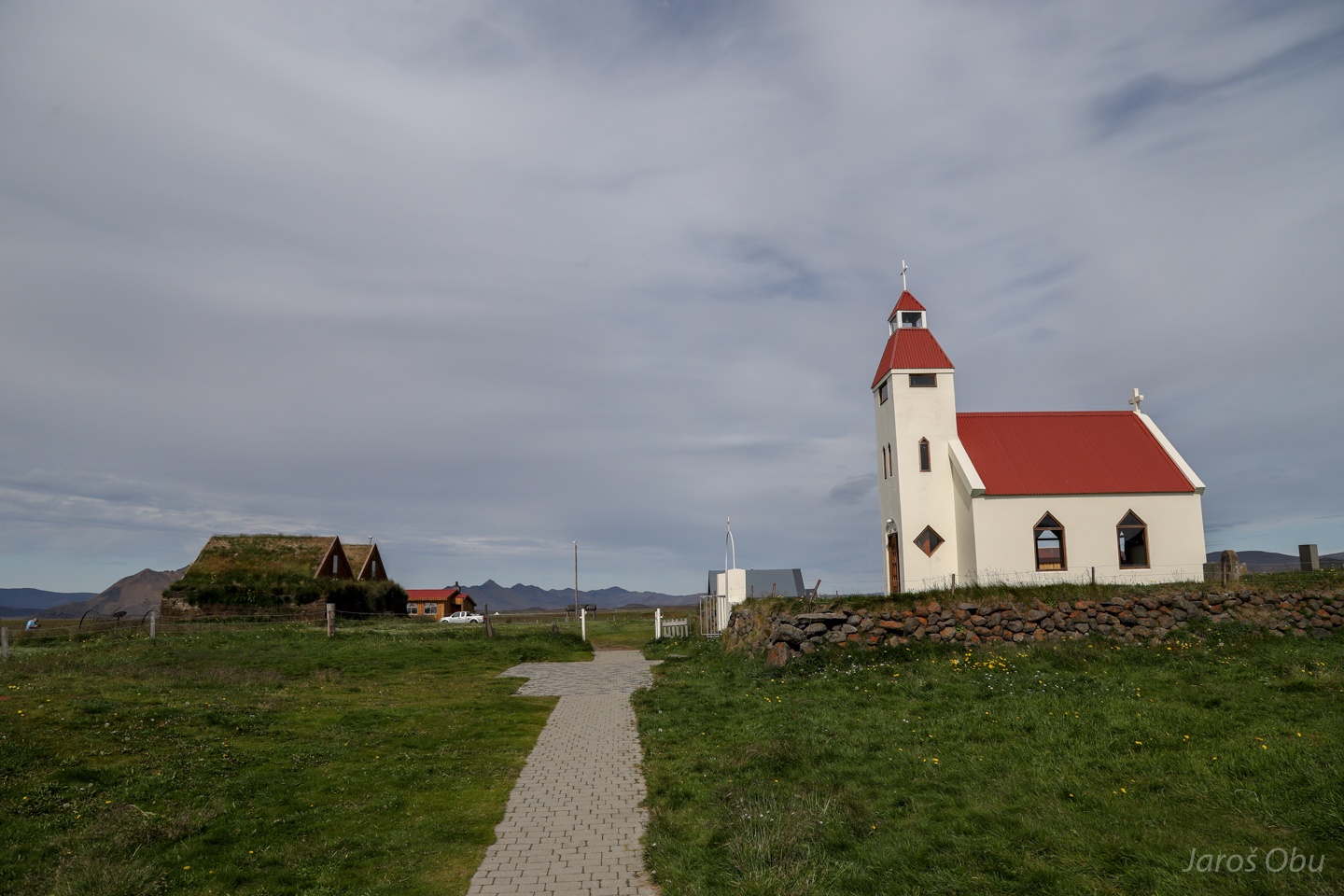
A small settlement called Möðrudalur along 901 road. The lowest temperature of -38.0 °C on Iceland was measured here in 1918.
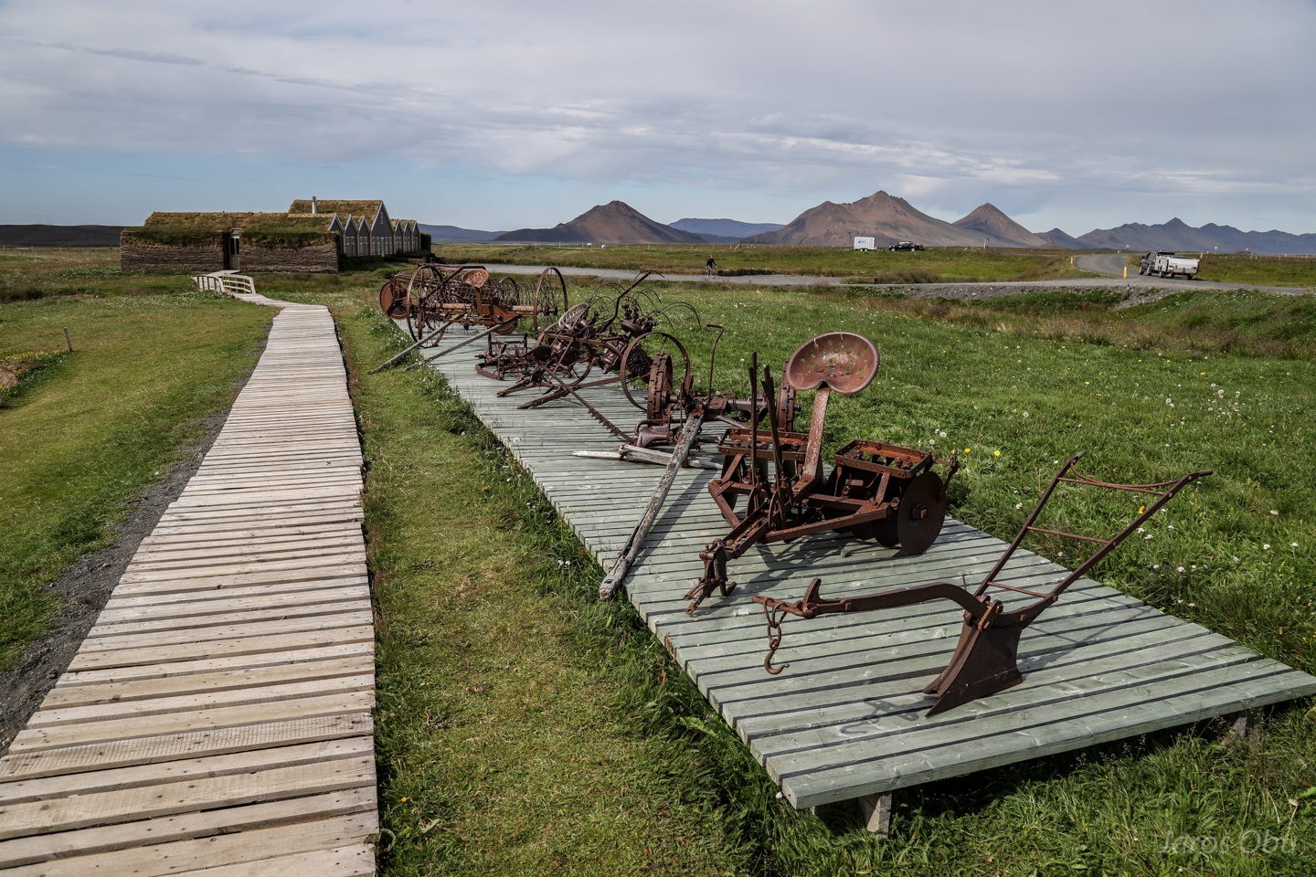
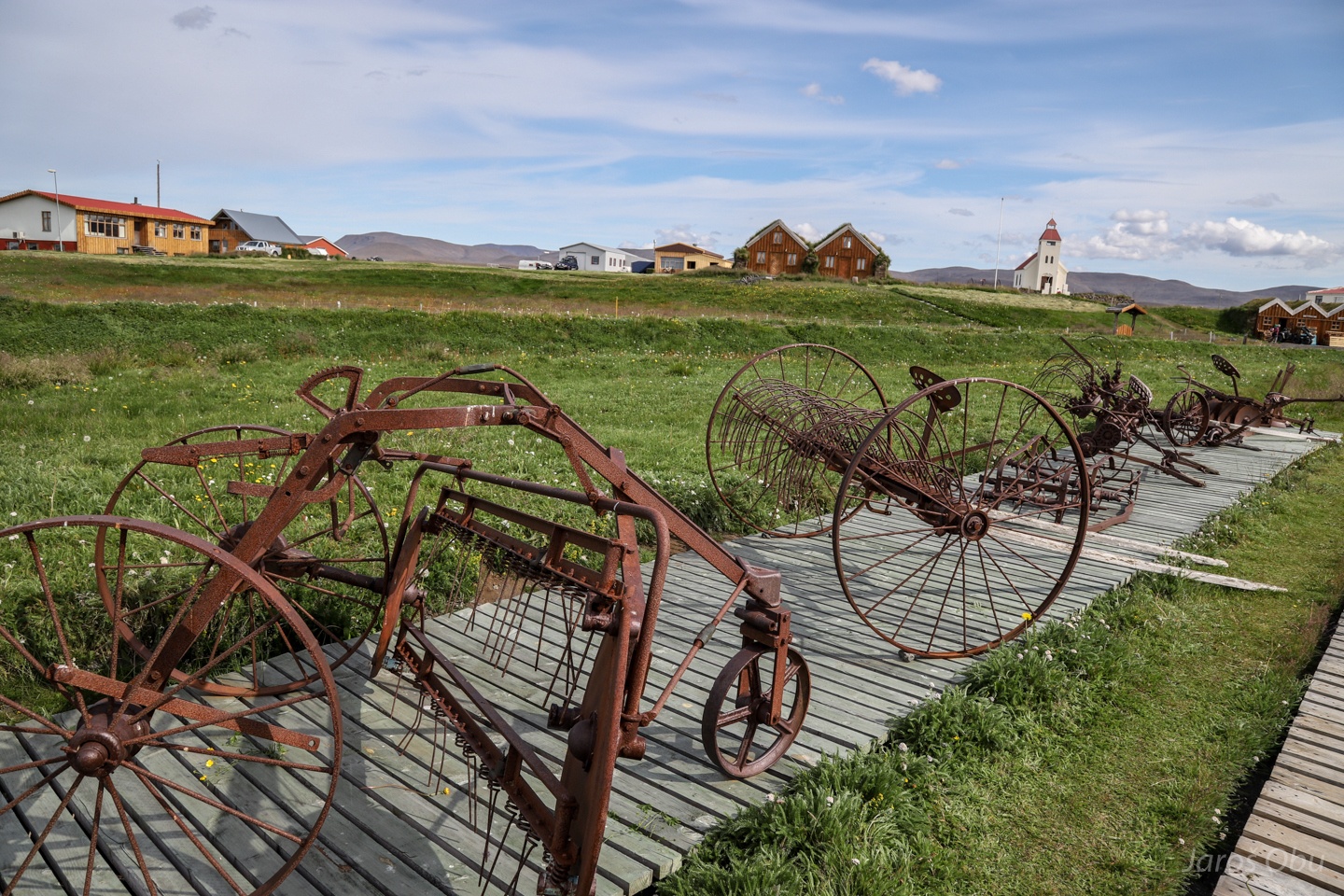
Icelanders seem to be very keen on creating small museums of their farming heritage.
These look like hay collecting devices.
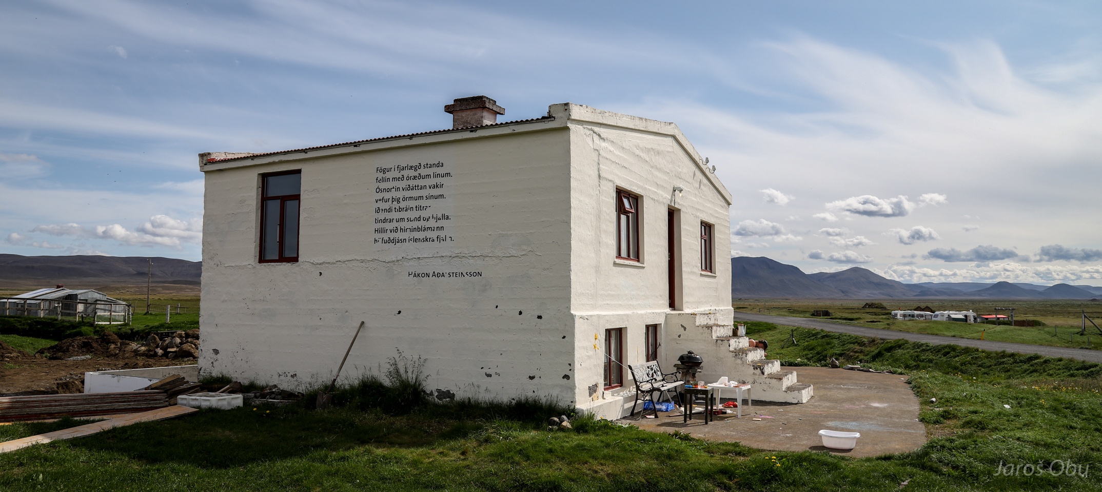
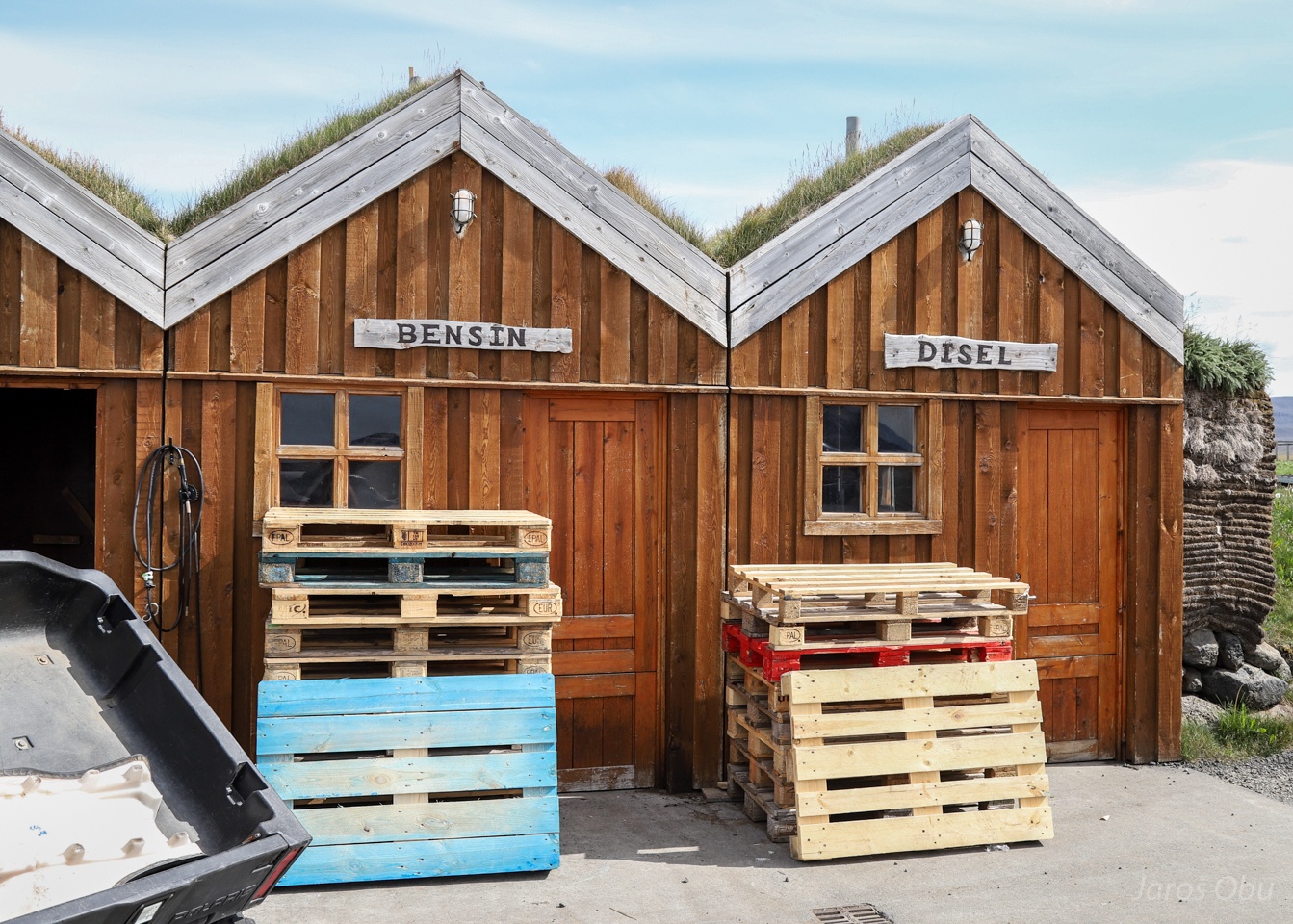
A petrol station?
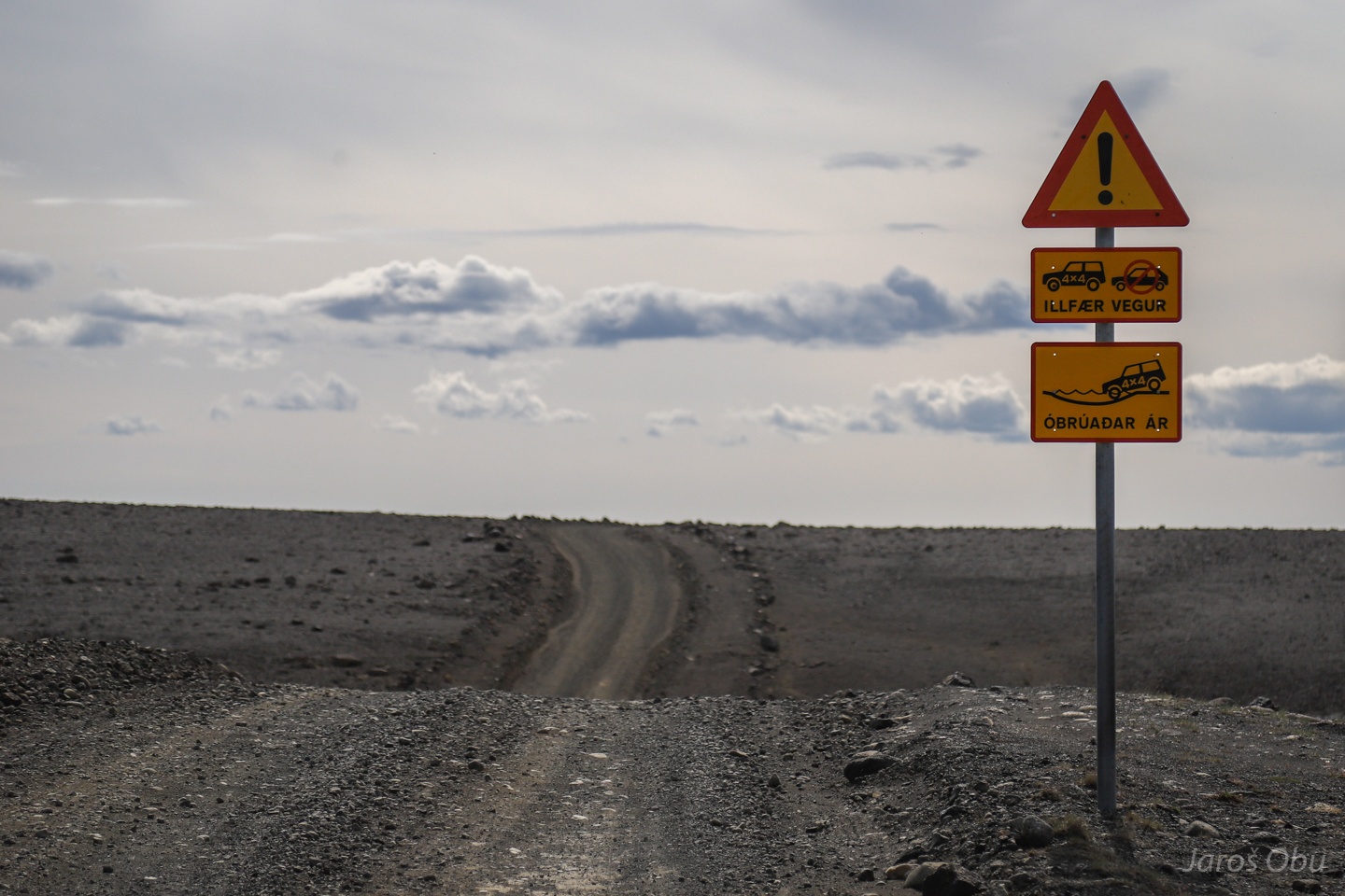
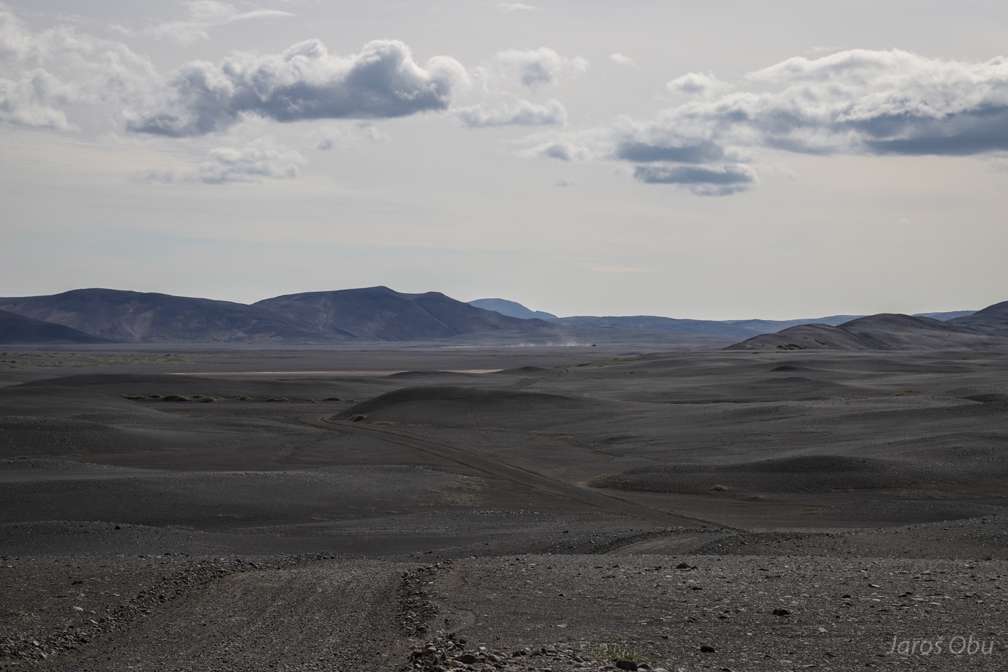
Entering a landscape that is very tempting for off-road driving.
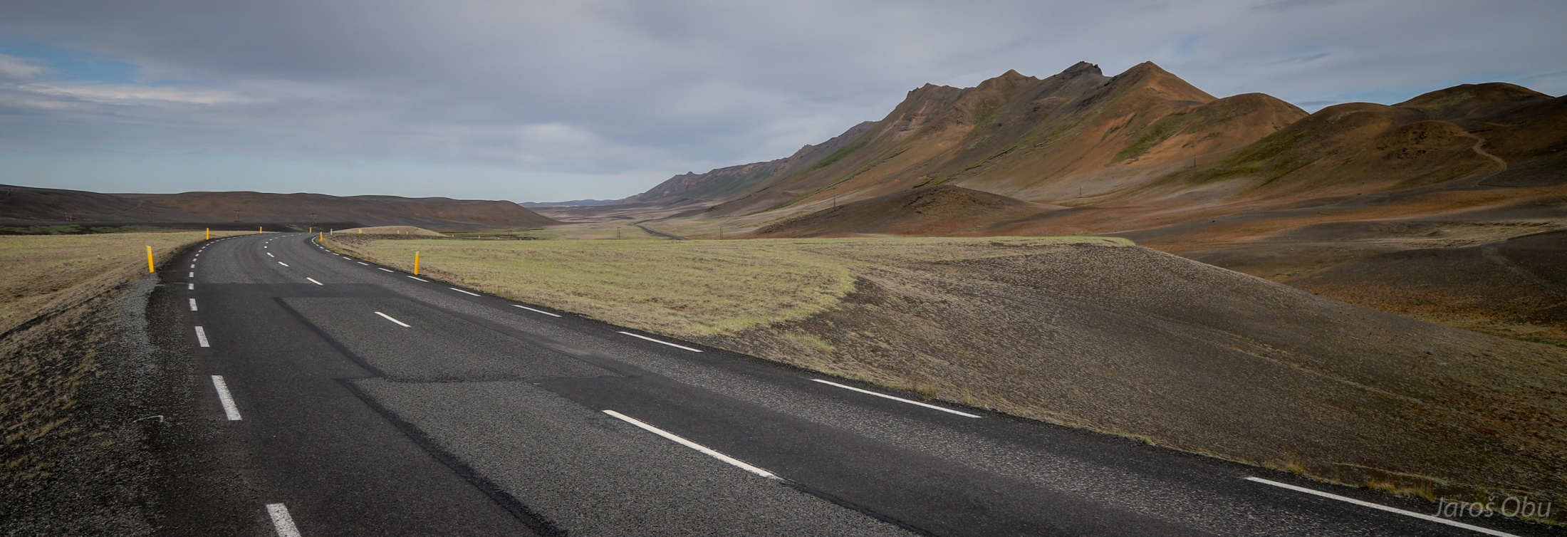
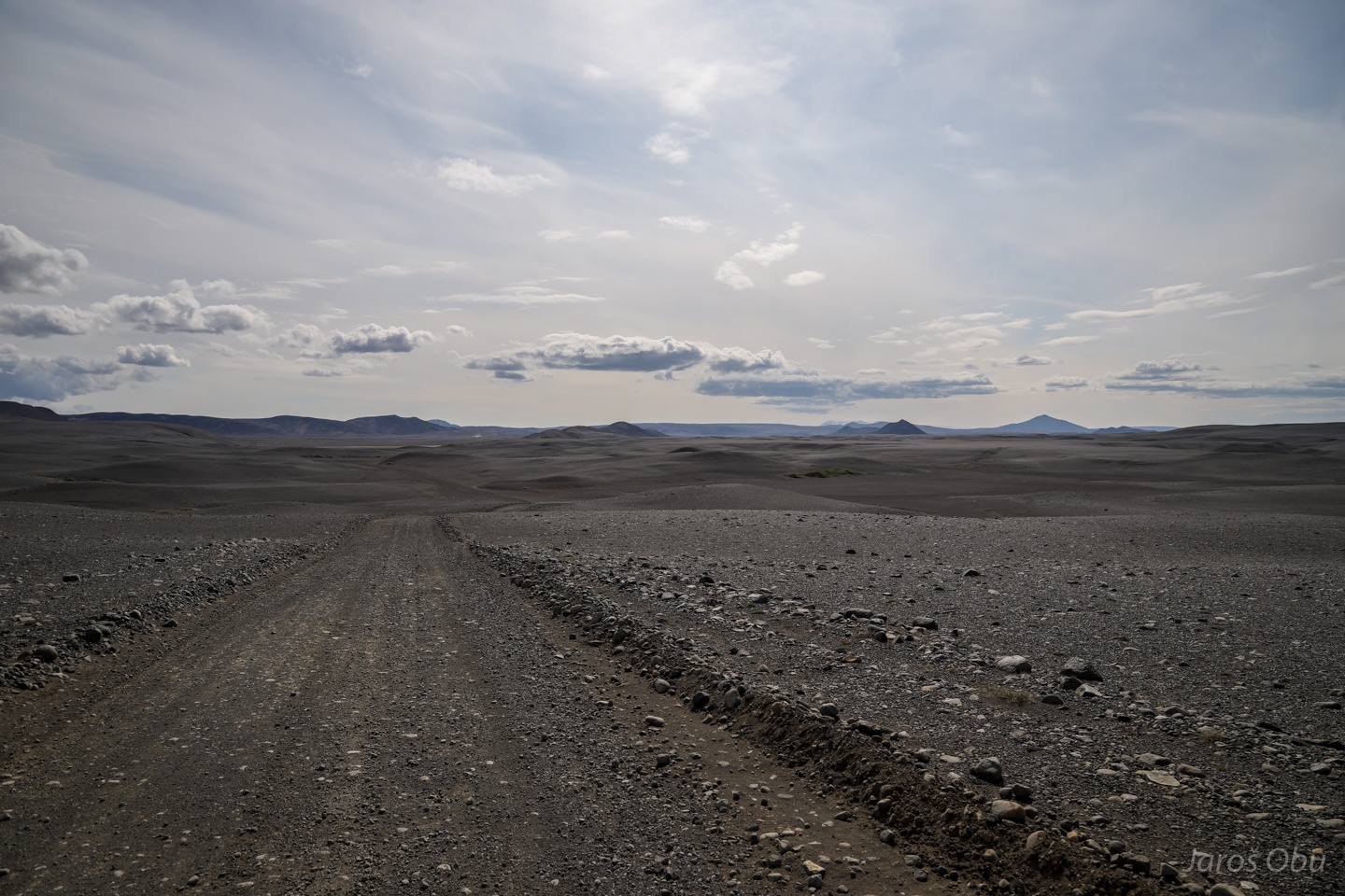
Mountain road ahead.
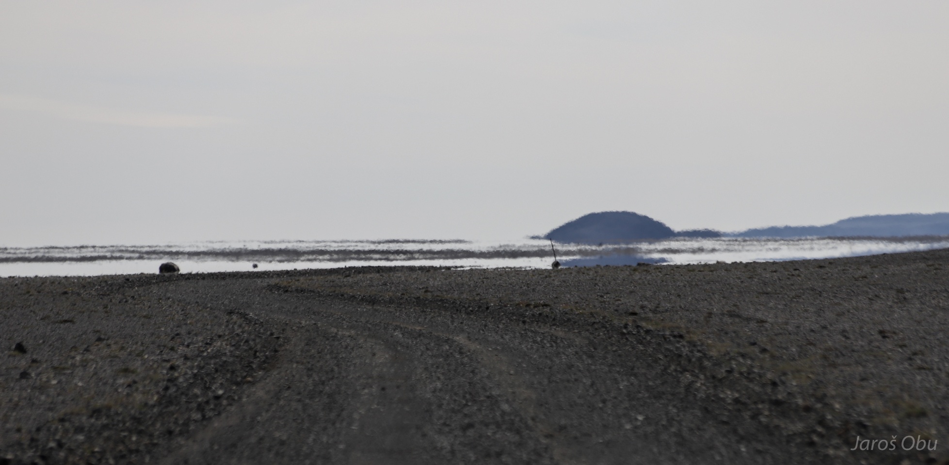
Not the kind of water that the sign on the previous photo was about. It is Fata Morgana.
The Fata Morgana lake turned into a Moon-like desert.
...
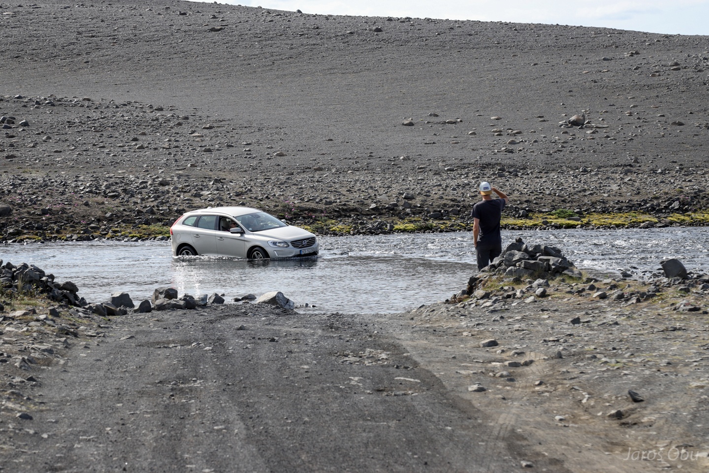
The real water to be crossed. It doesn't seem to be the wisest idea to cross it without a four wheel drive.
Another smaller ford to be crossed.
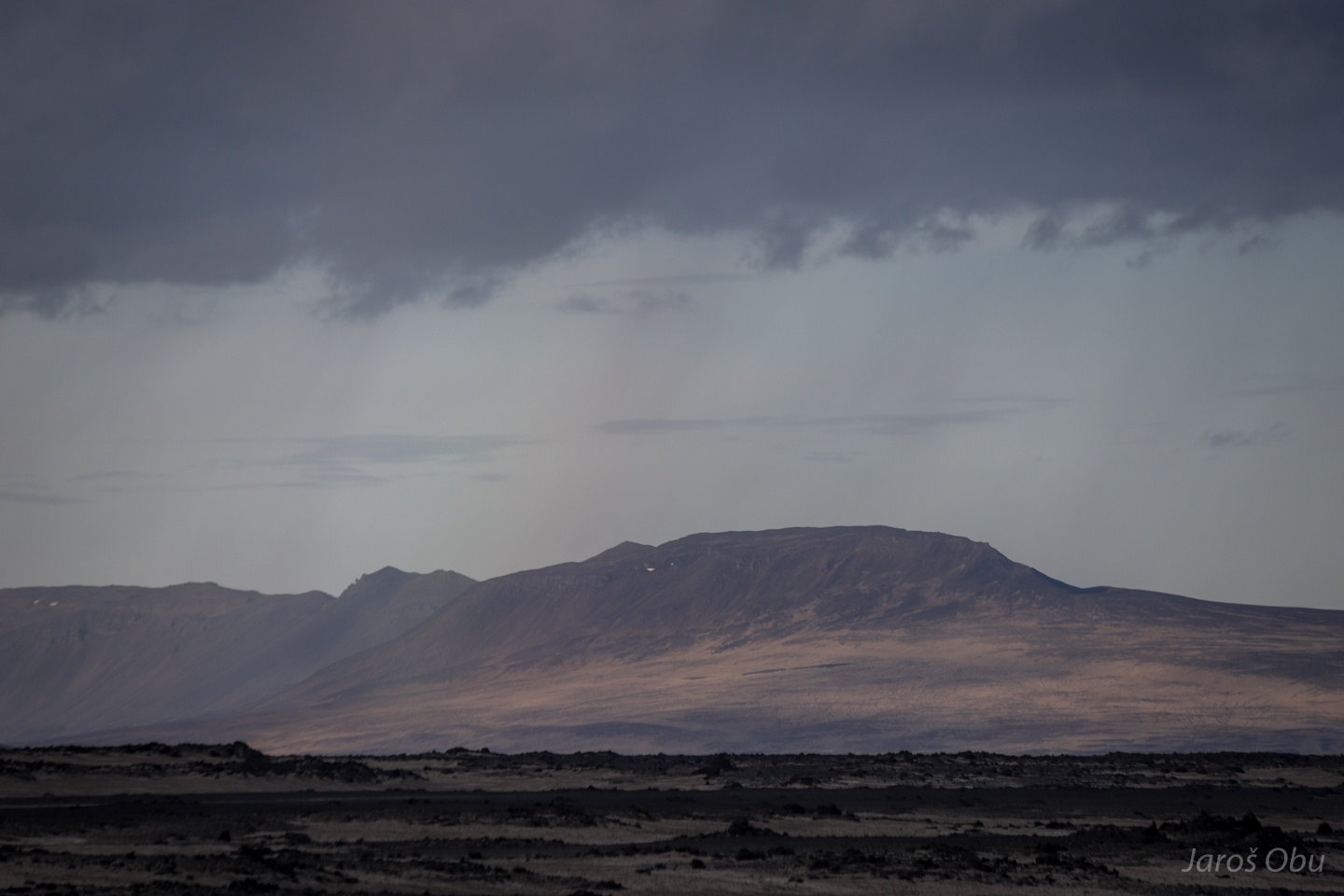
The landscape is turning in to brighter hues.
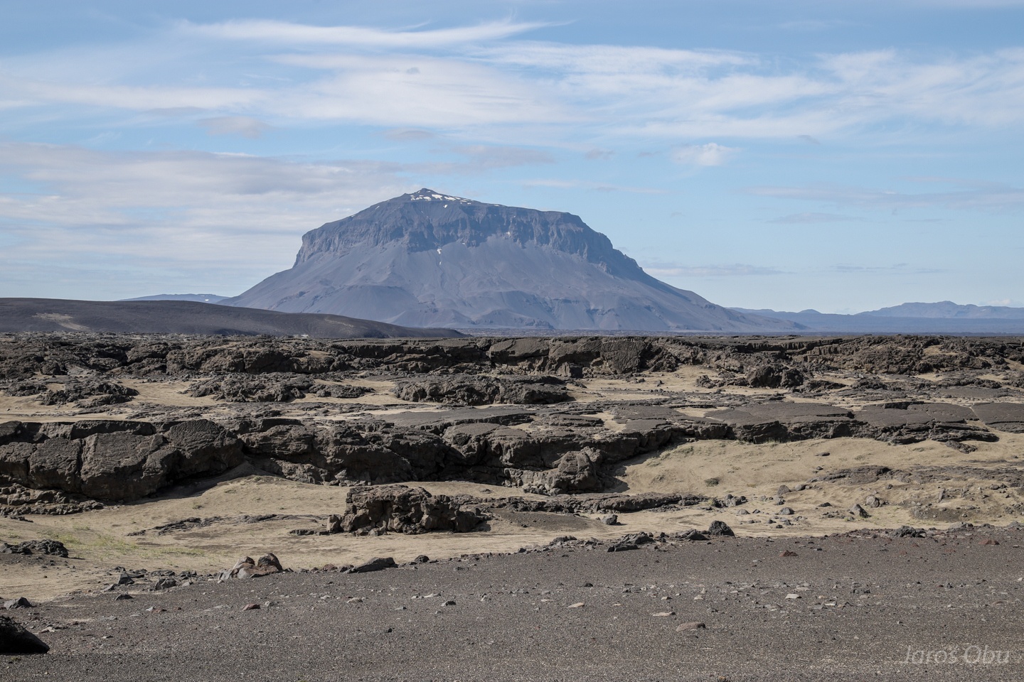
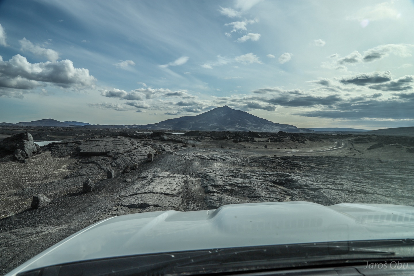
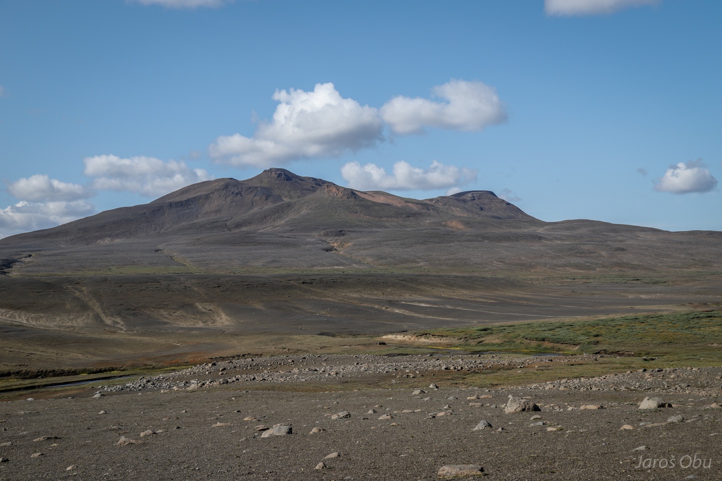
Herðubreið (1682 m) is one of the most distinct mountains in this part of the iceland. It formed by a volcanic eruption under a think ice cover and its flat-topped, steep-sided shape classifies it as tuya.
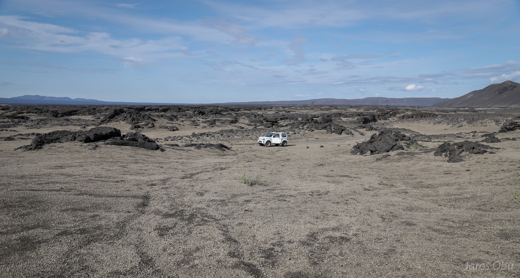
Time for lunch in the middle of the lava field.
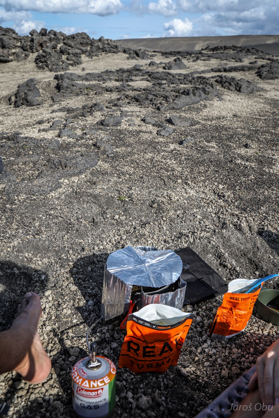
Making of Photographer's and his better half's afternoon snack.
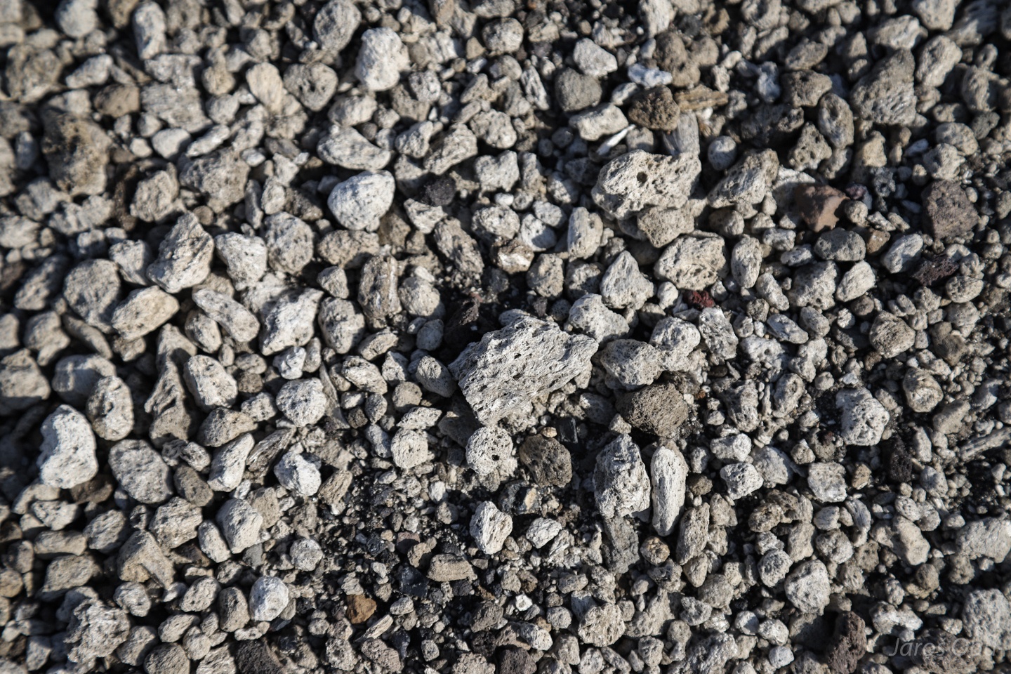
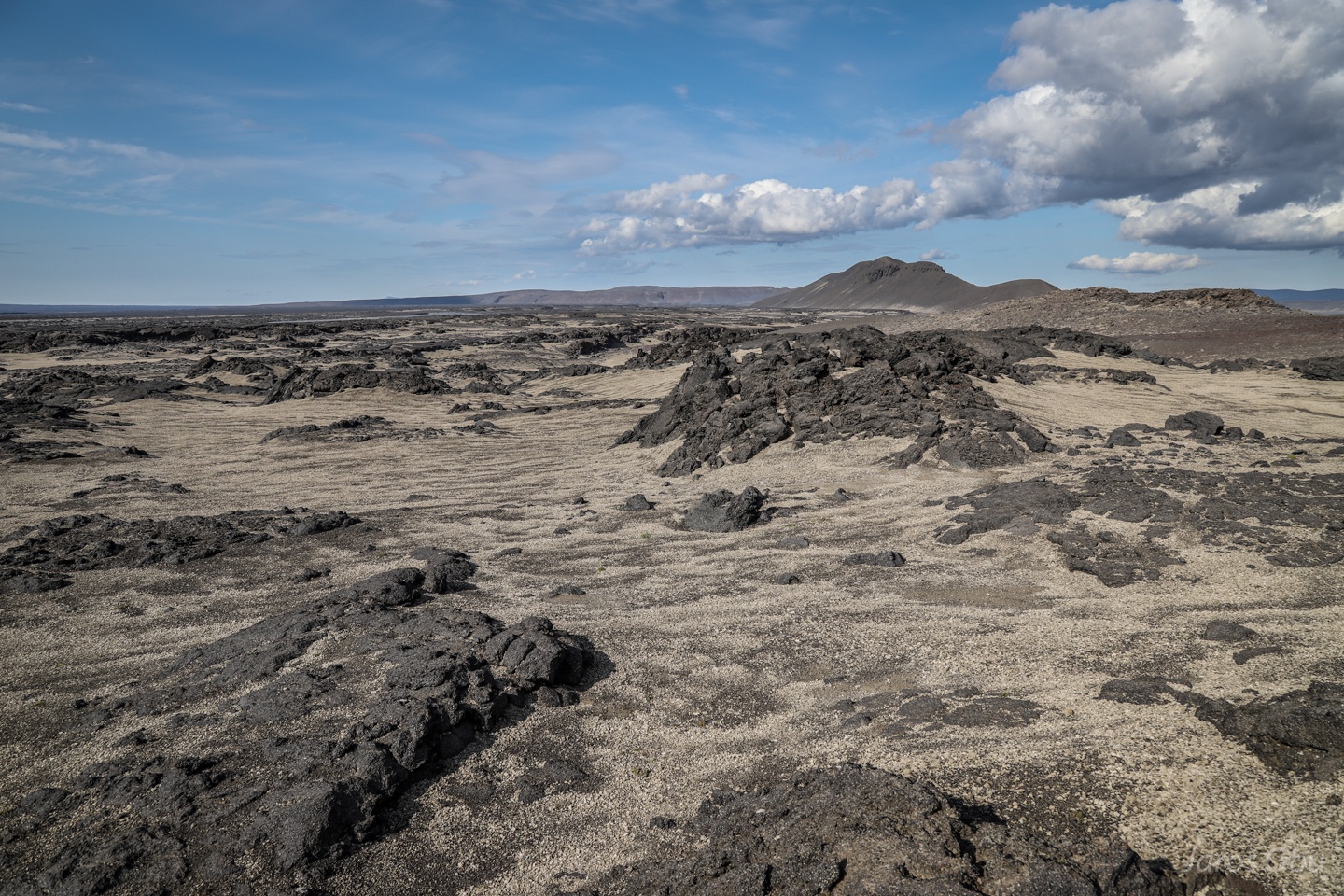
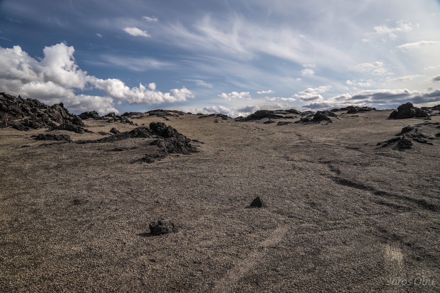
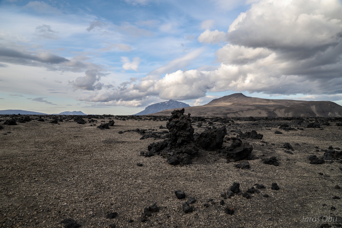
Highly porous pumice all around.
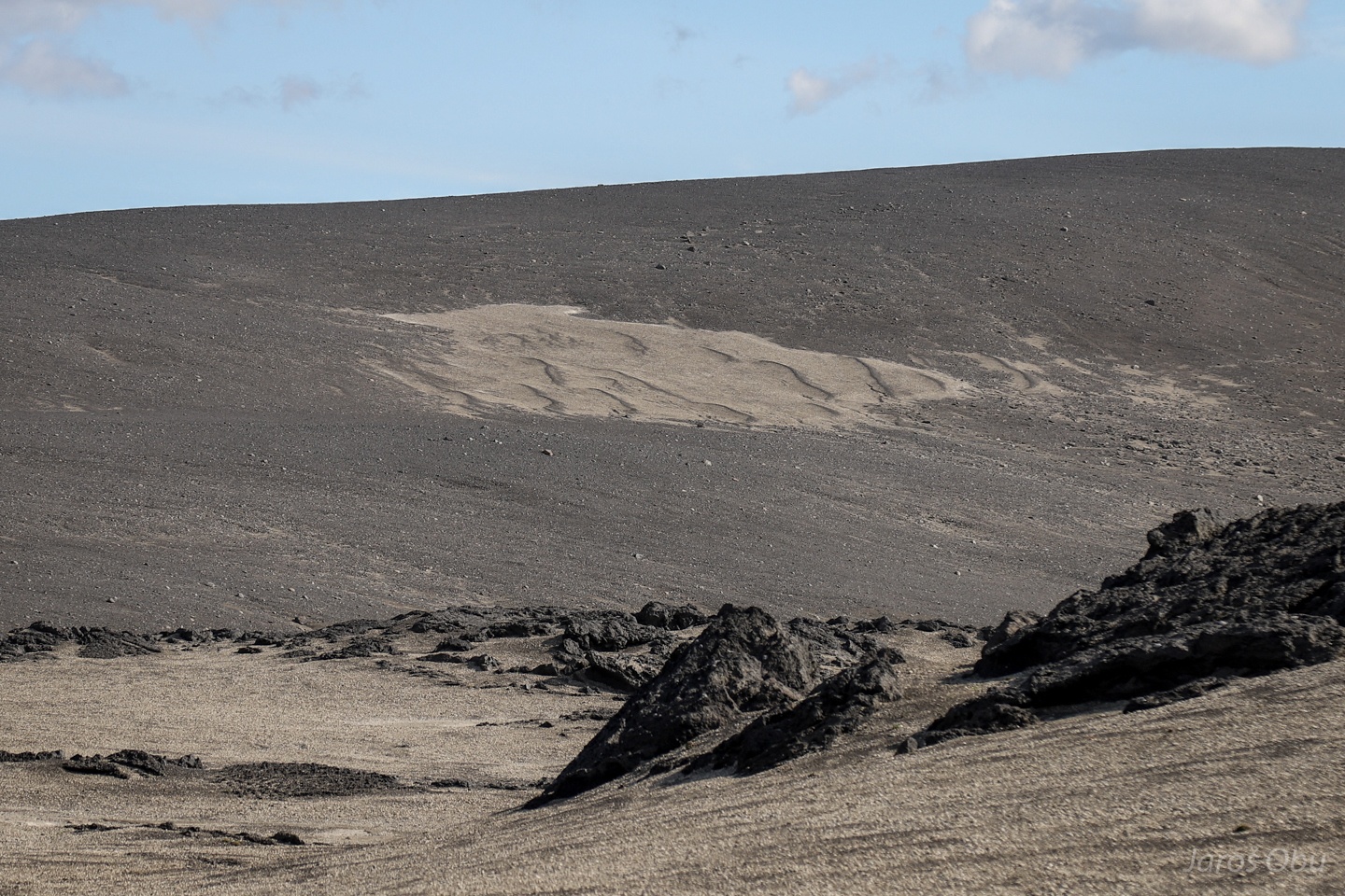
The pumice is light enough that it is carried around by wind and deposited in dunes.
Moon-like landscape.
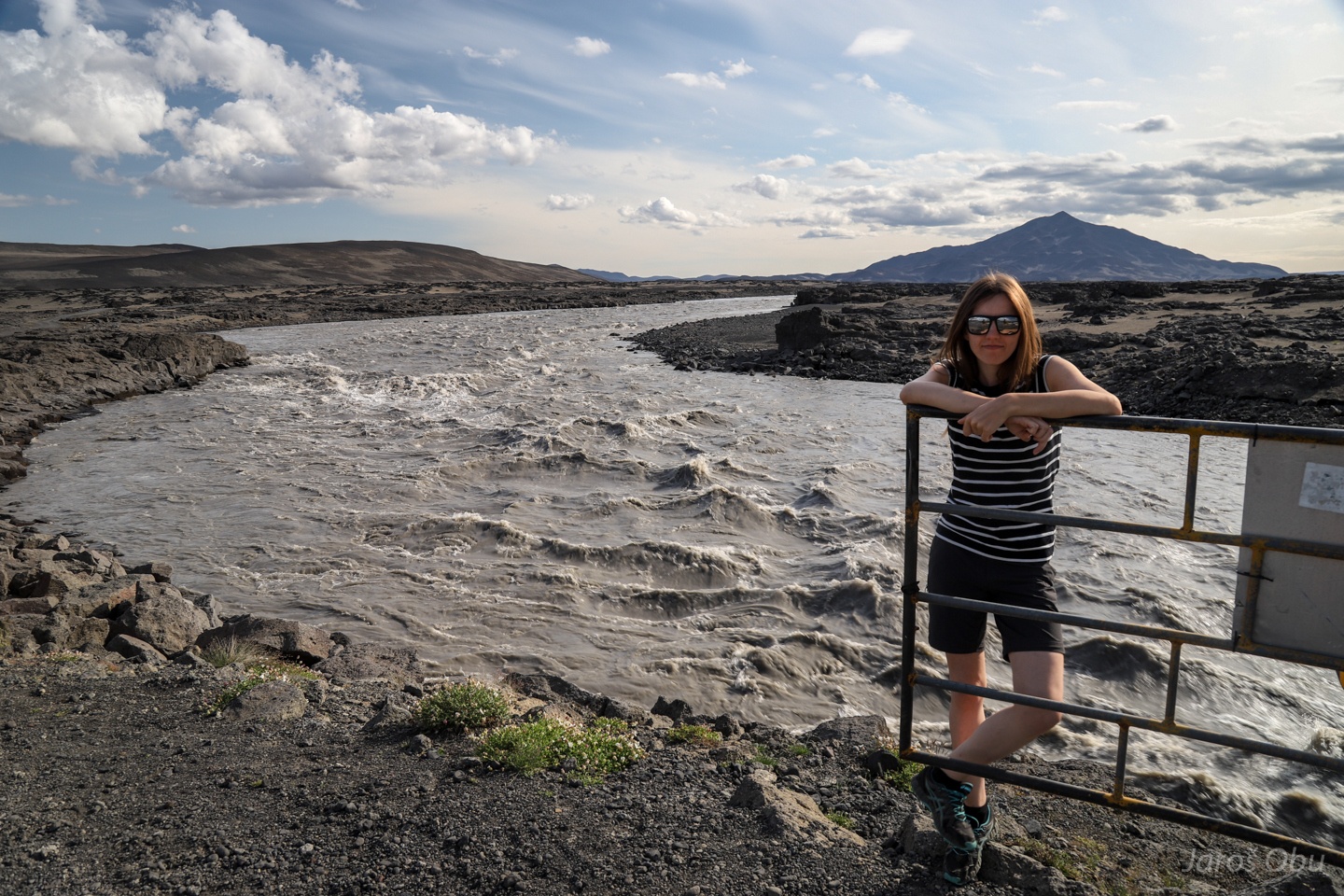
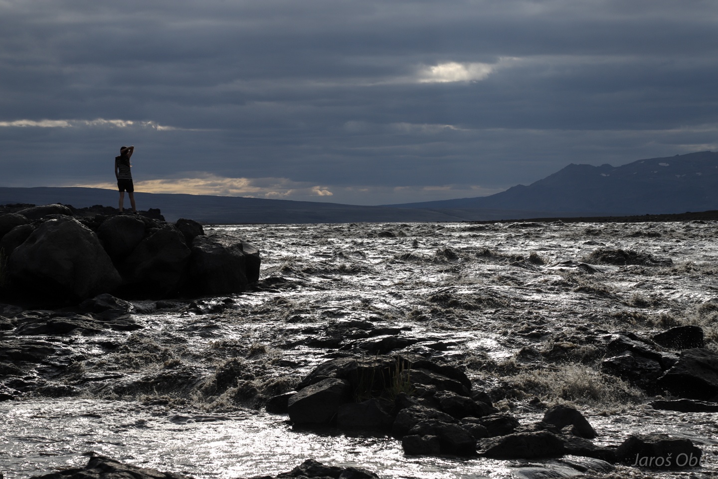
Justyna the gatekeeper and furious glacier meltwater coming from Vatnajökull.
Mostly not too bumpy road.
A bumpy stretch with driving on hardened lava.
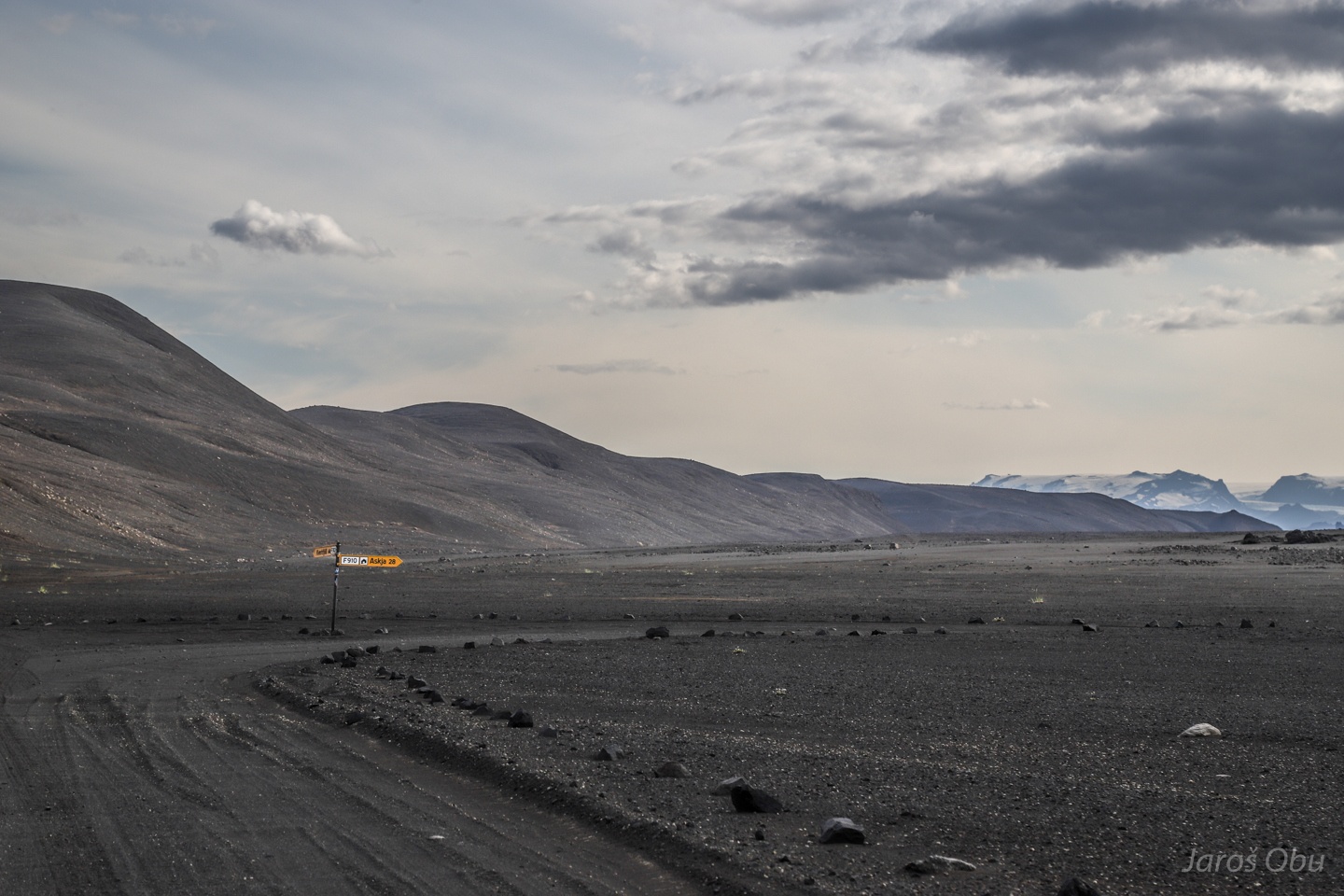
It took us 3 hours for approx 100 km ride. 28 km left to Askja.
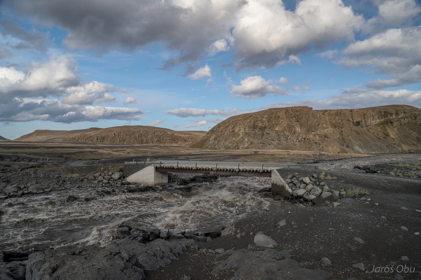
A bridge over the second branch of Jökulsá á Fjöllum river.
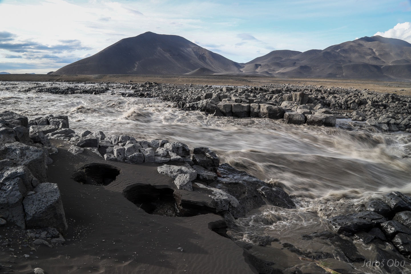
Even more furius water flow following strong glacier melt after a several days of air temperatures above 20 °C.
A sort of a measuring device.
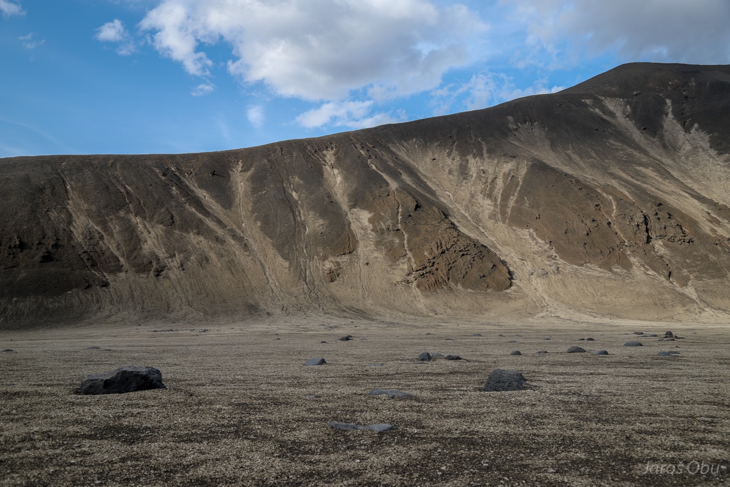
Initial stages of gully formation on slopes.
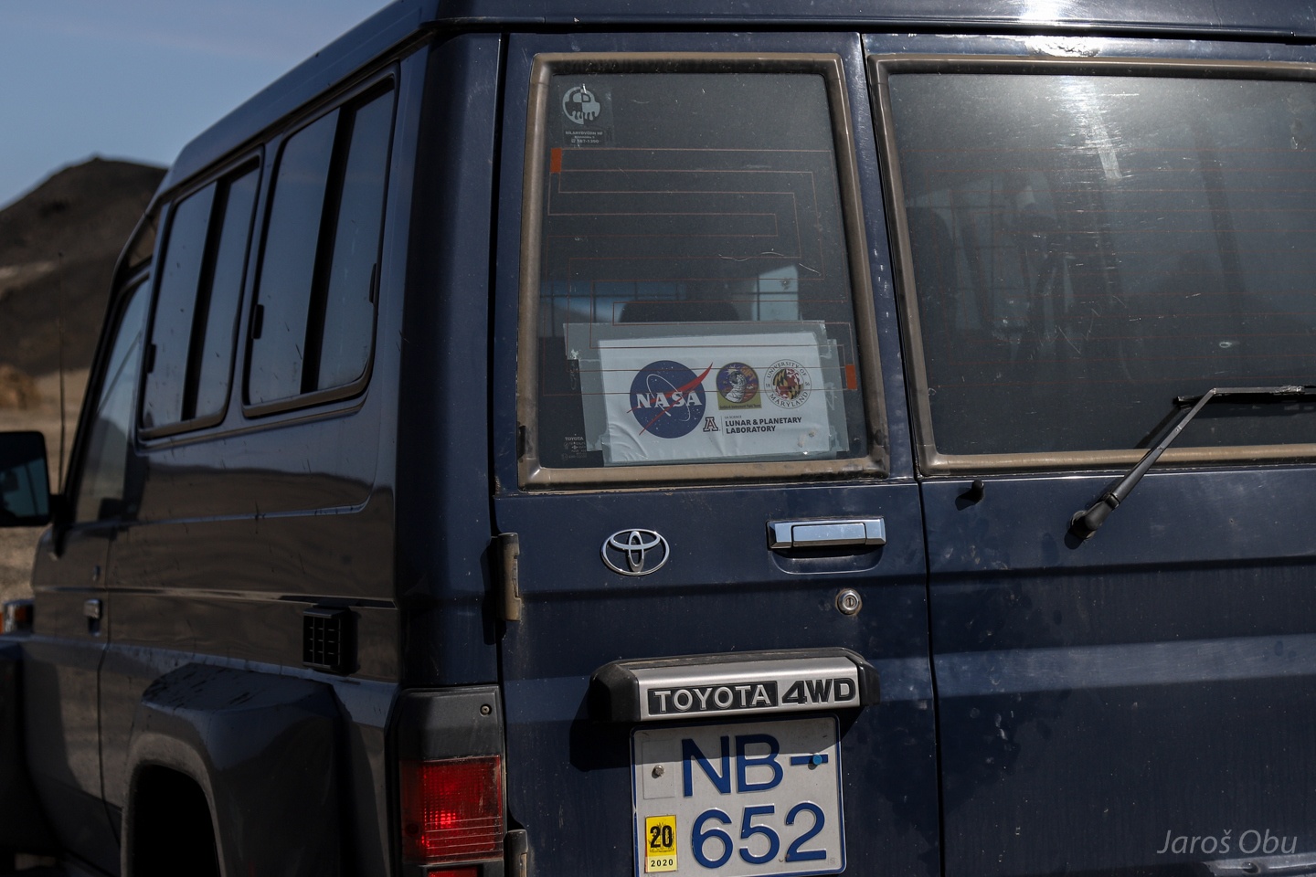
Nasa astronauts trained here in the sixties before flying to the Moon.
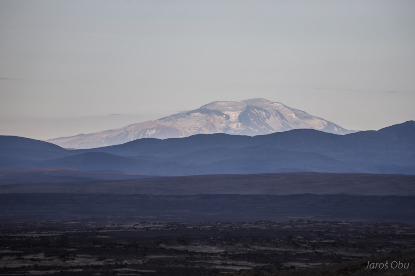
Vatnajökull from the northern side.
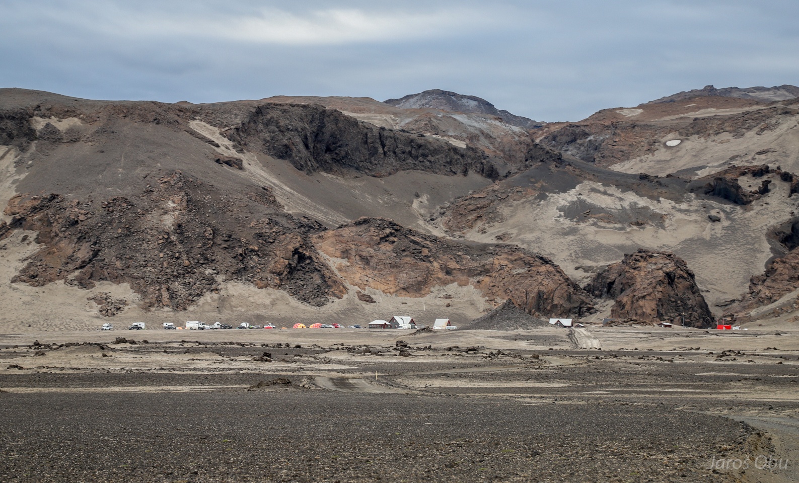
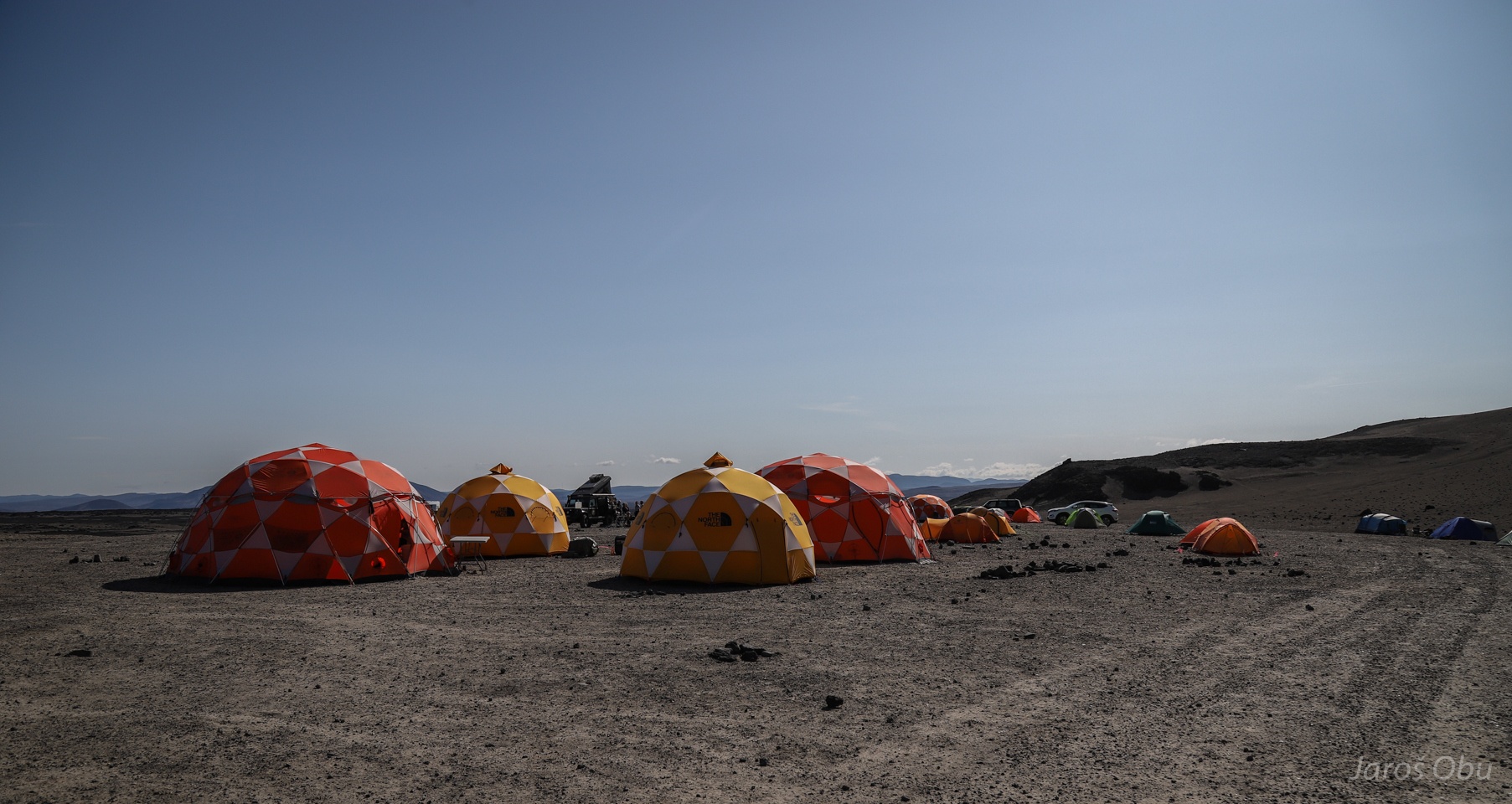
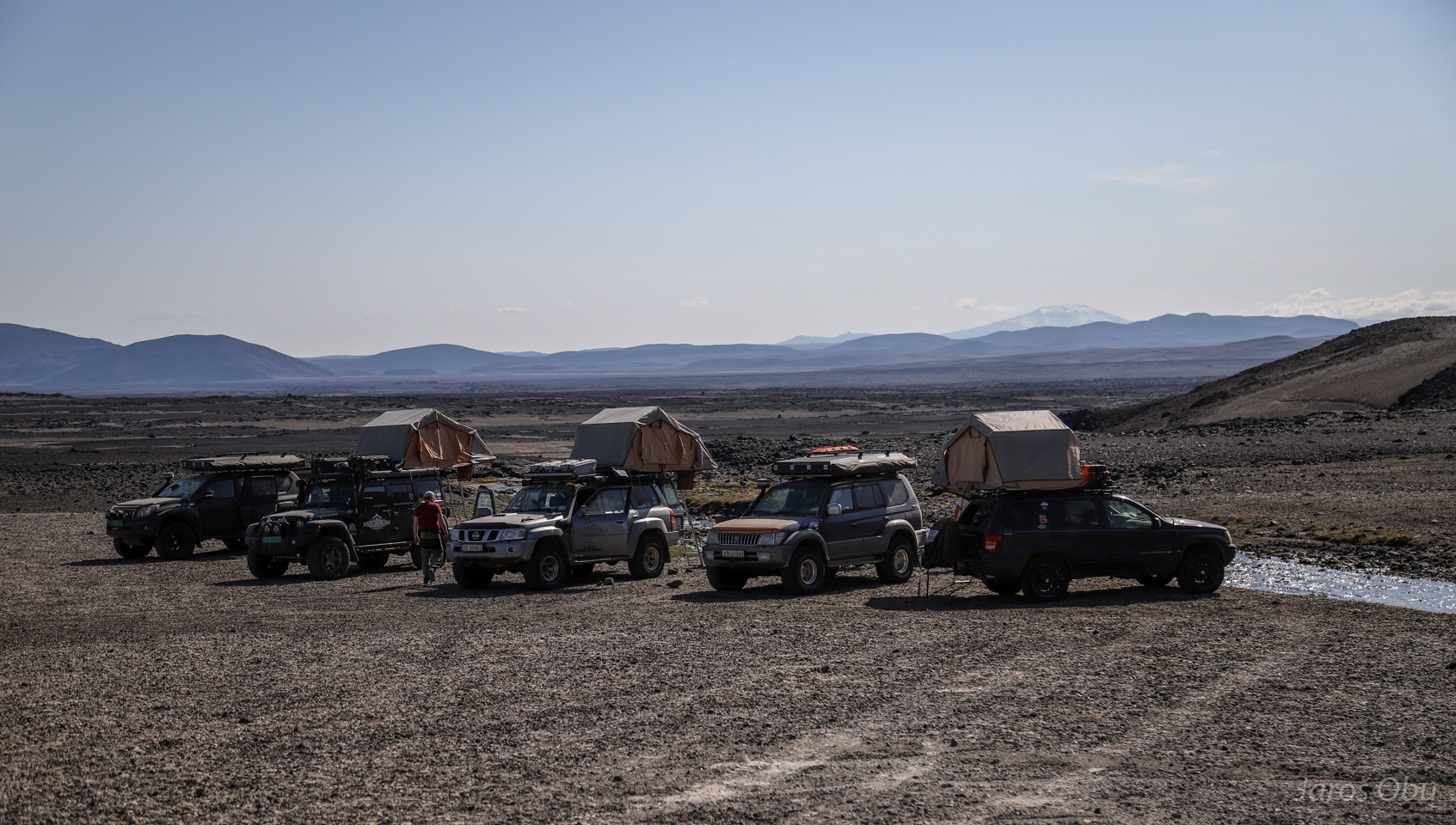
Arriving to Askja.
Ranger station and a campsite.
Snæfell mountain and glacier on the east.
Evening visit of the Askja crater.
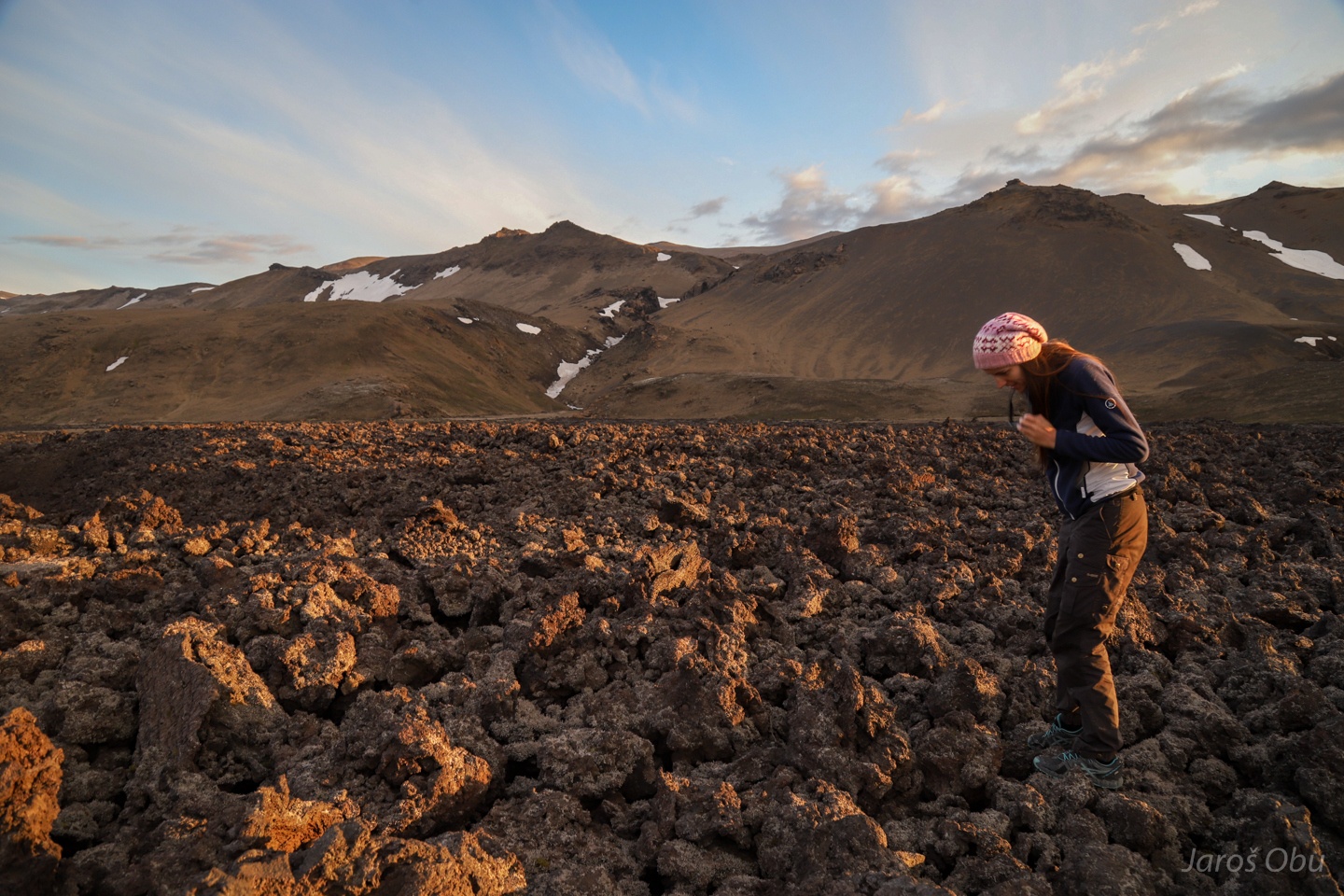
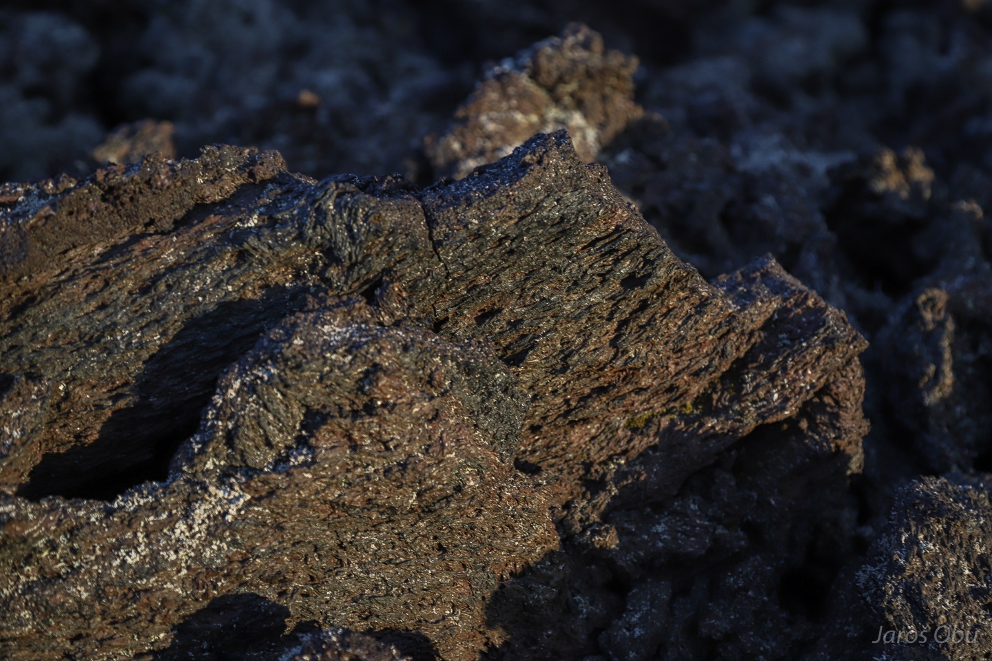
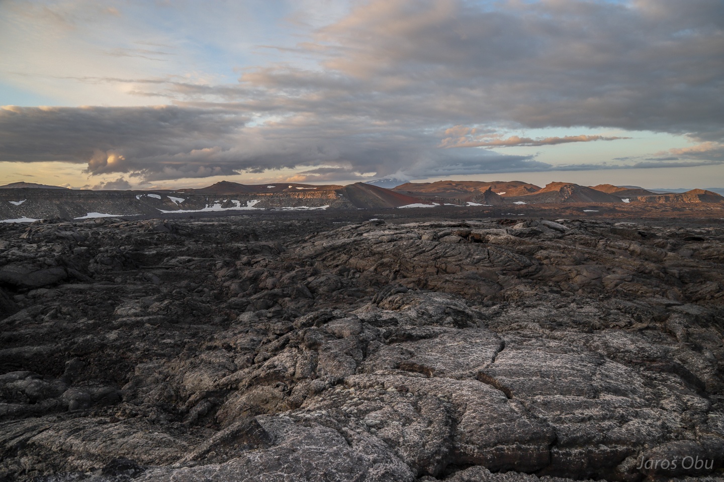
A plenty of A'a lava with broken lava blocks called clinker. Hawaiian name stands for a difficulty of hiking on this type of lava.
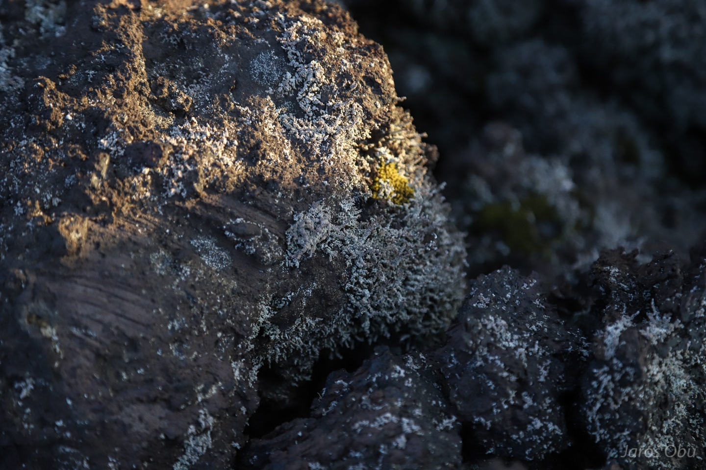
Lichens are the first to colonise these rocks.
Close-up.
Pahoehoe lava close to the crater.
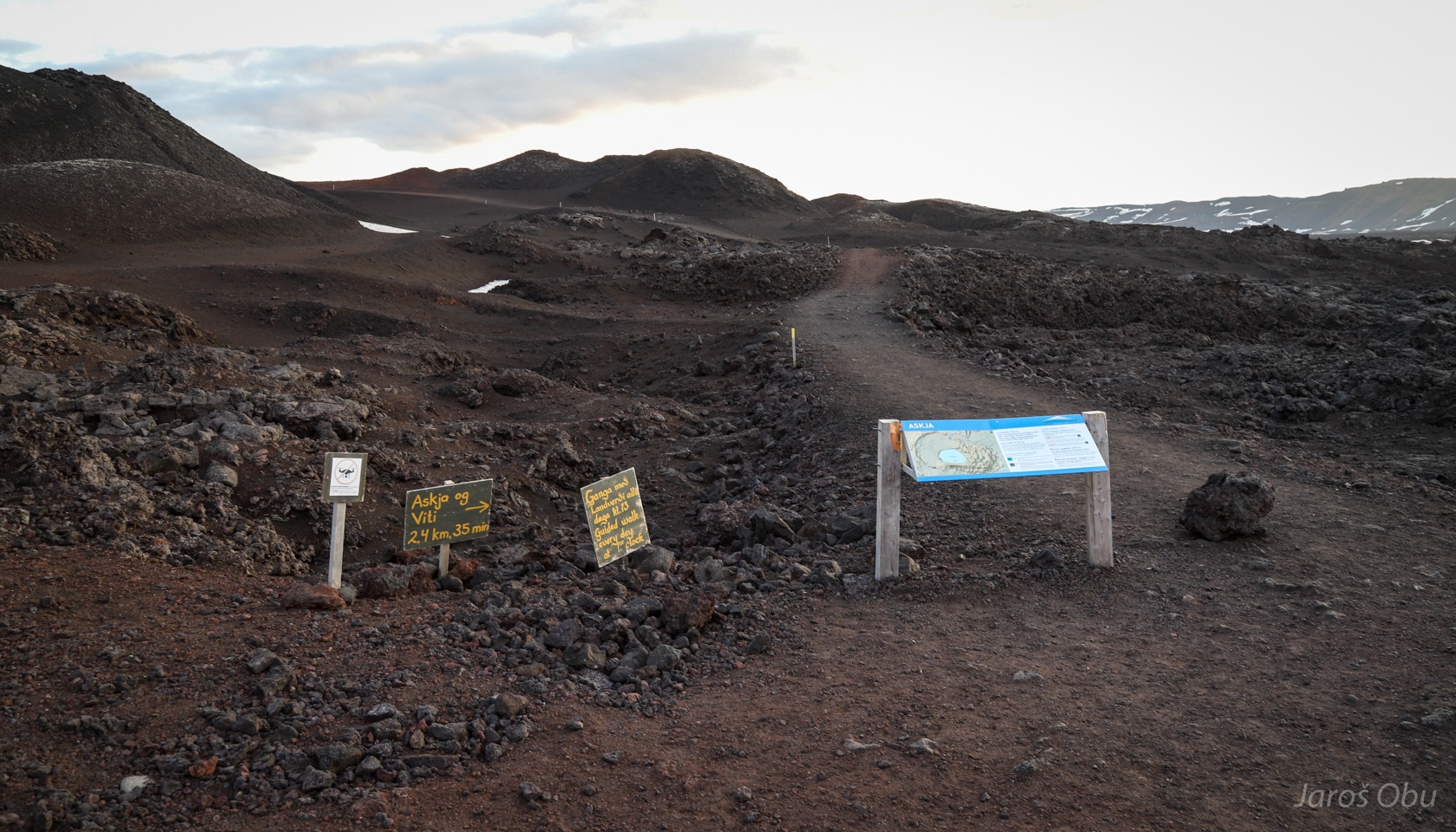
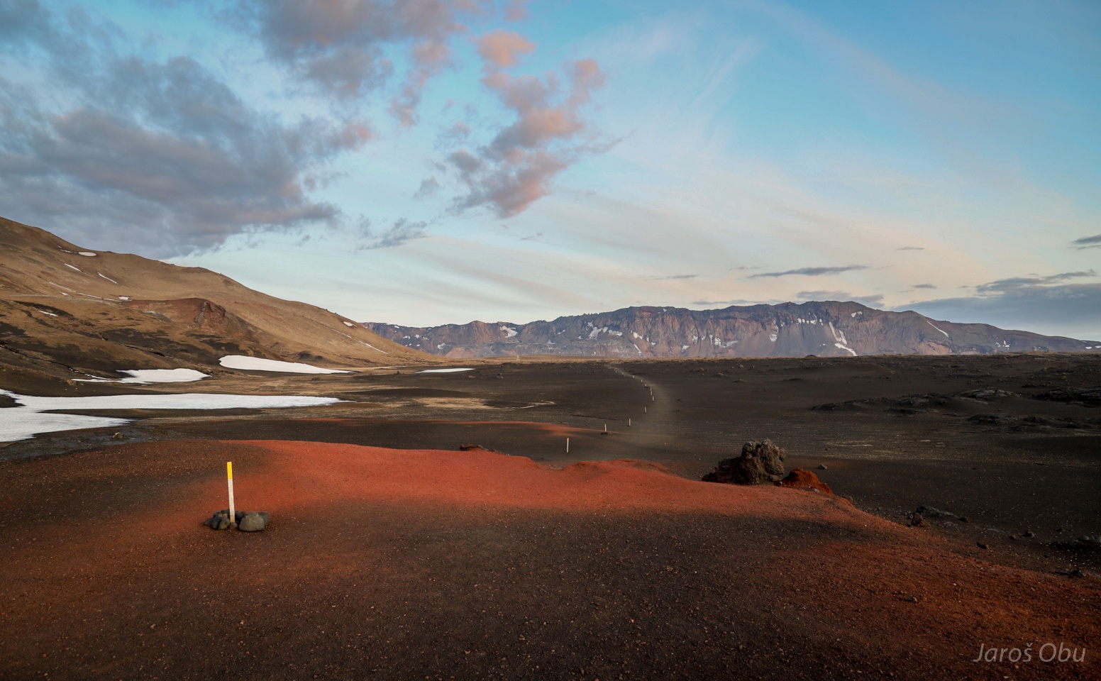
Hiking trail to the crater starts here.
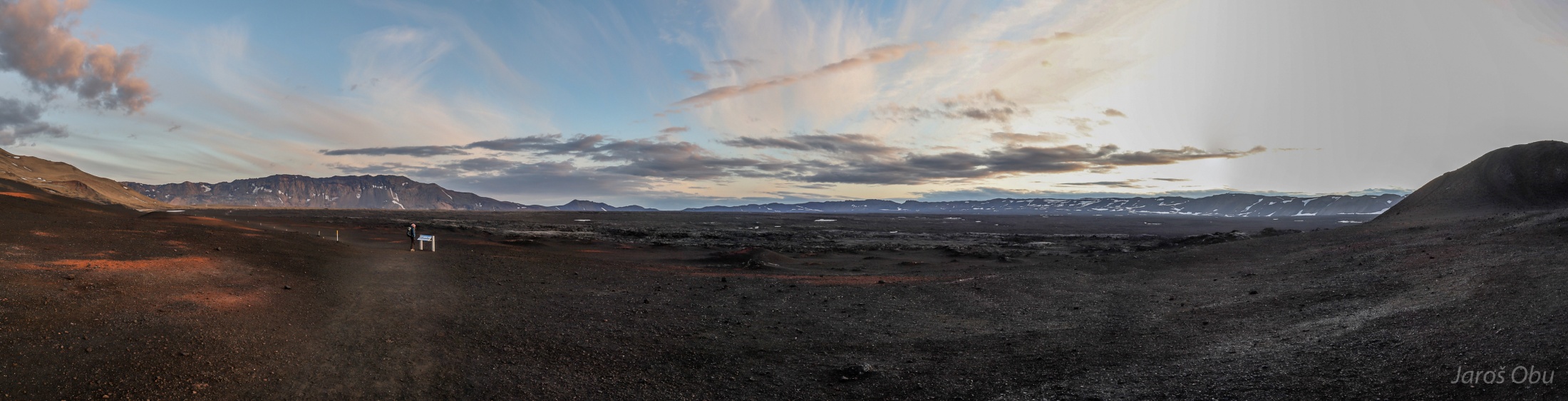
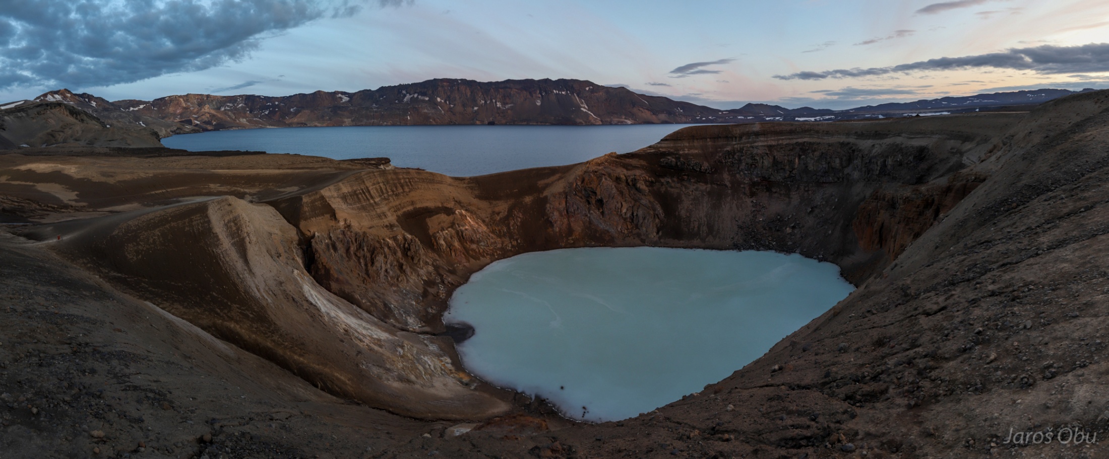
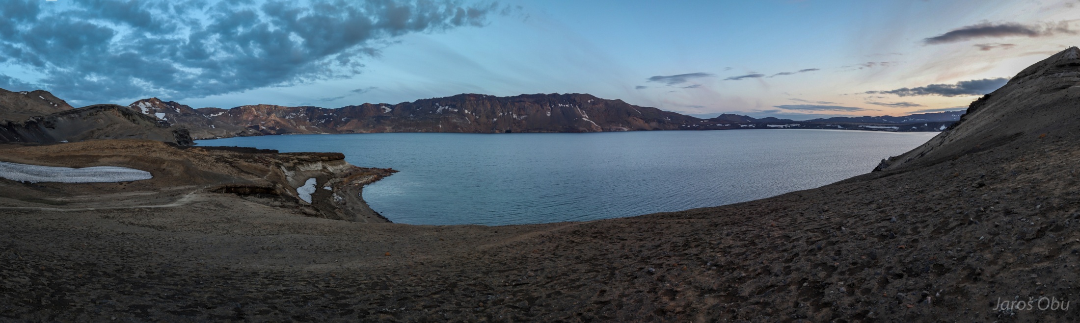
Panorama of caldera. It formed around 10 000 years ago with collapse of magma chamber following eruptions. The cadera was filled up slowly by several eruptions after it.
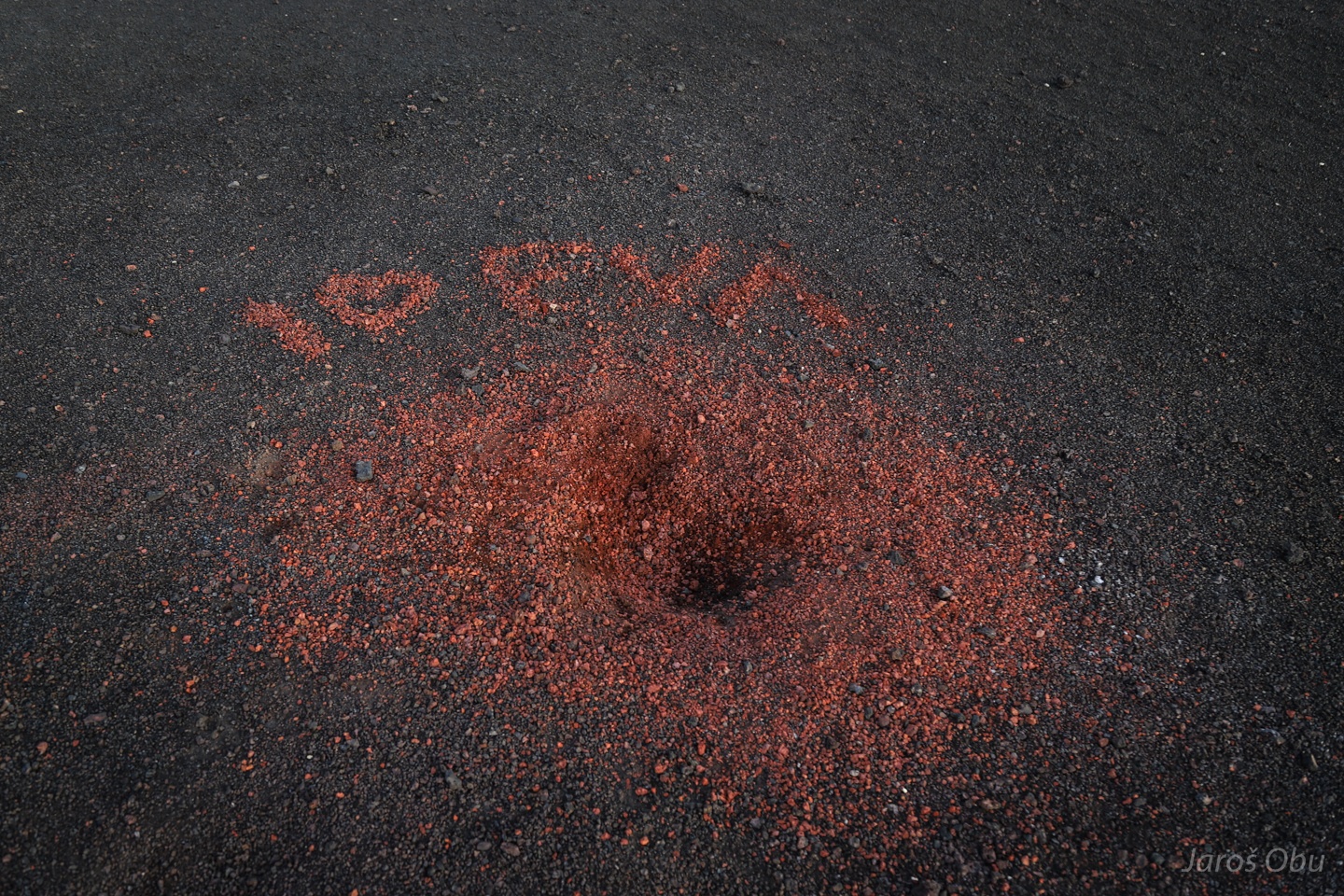
Eruption of love.
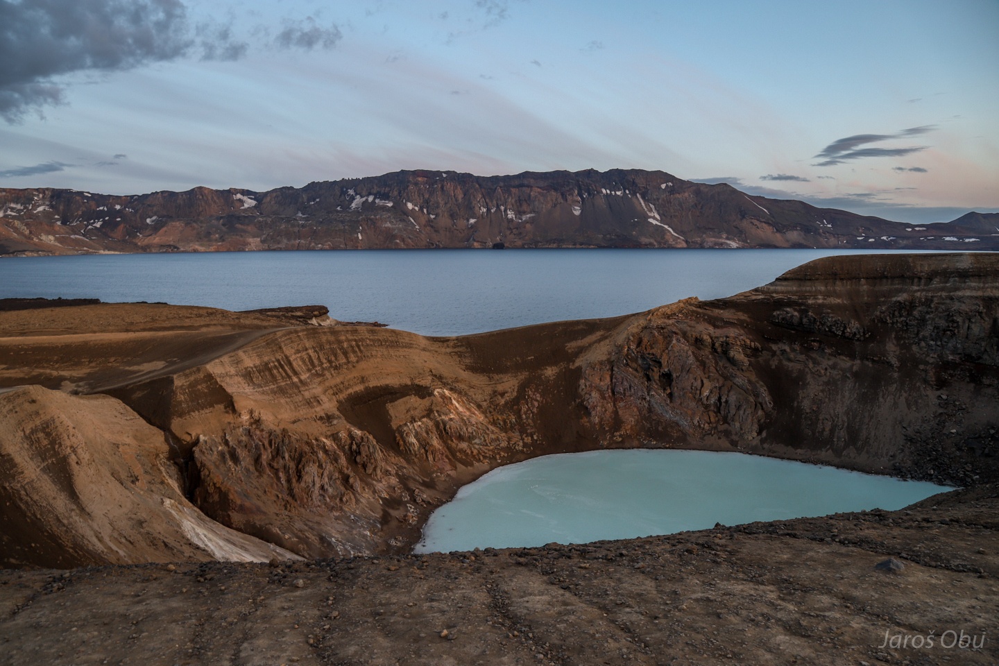
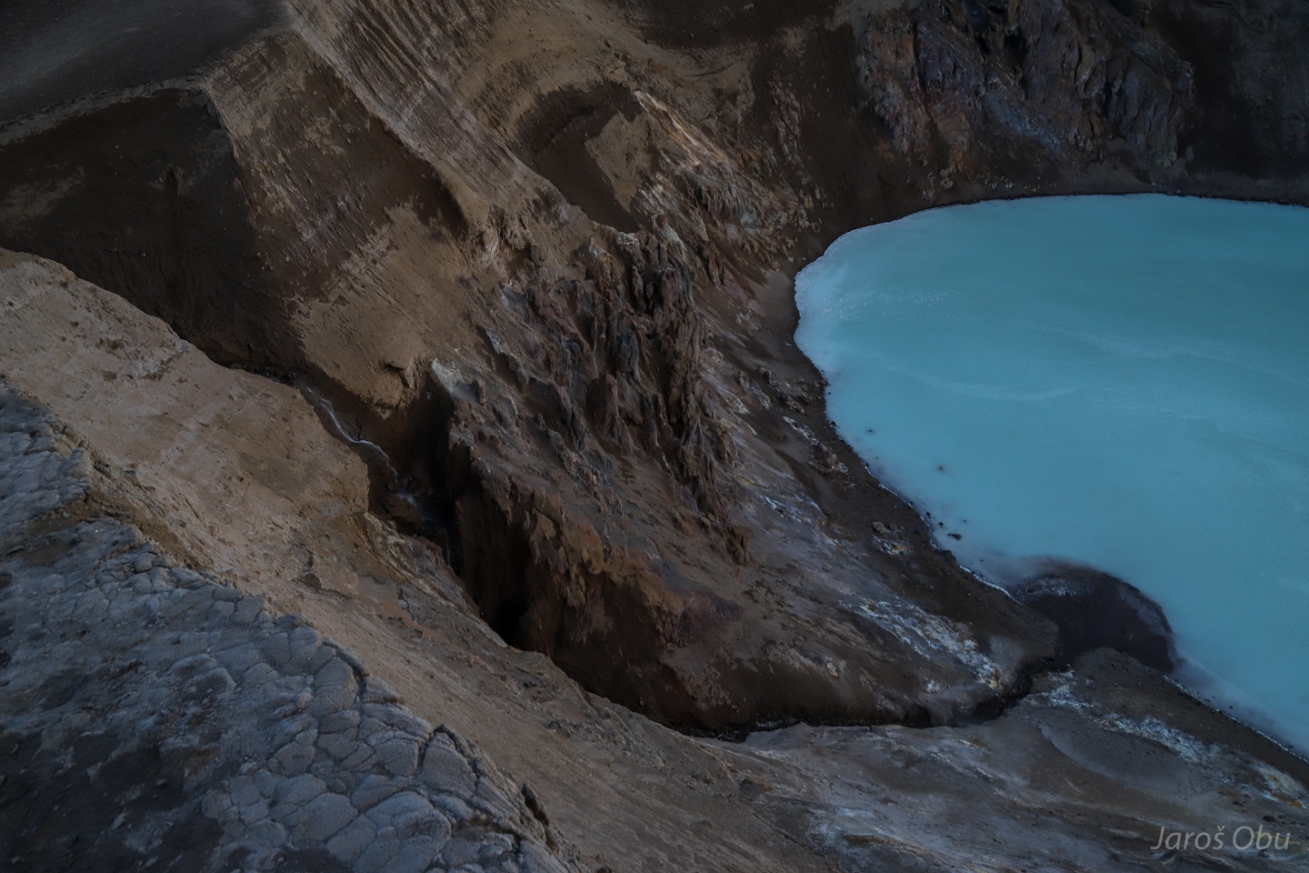
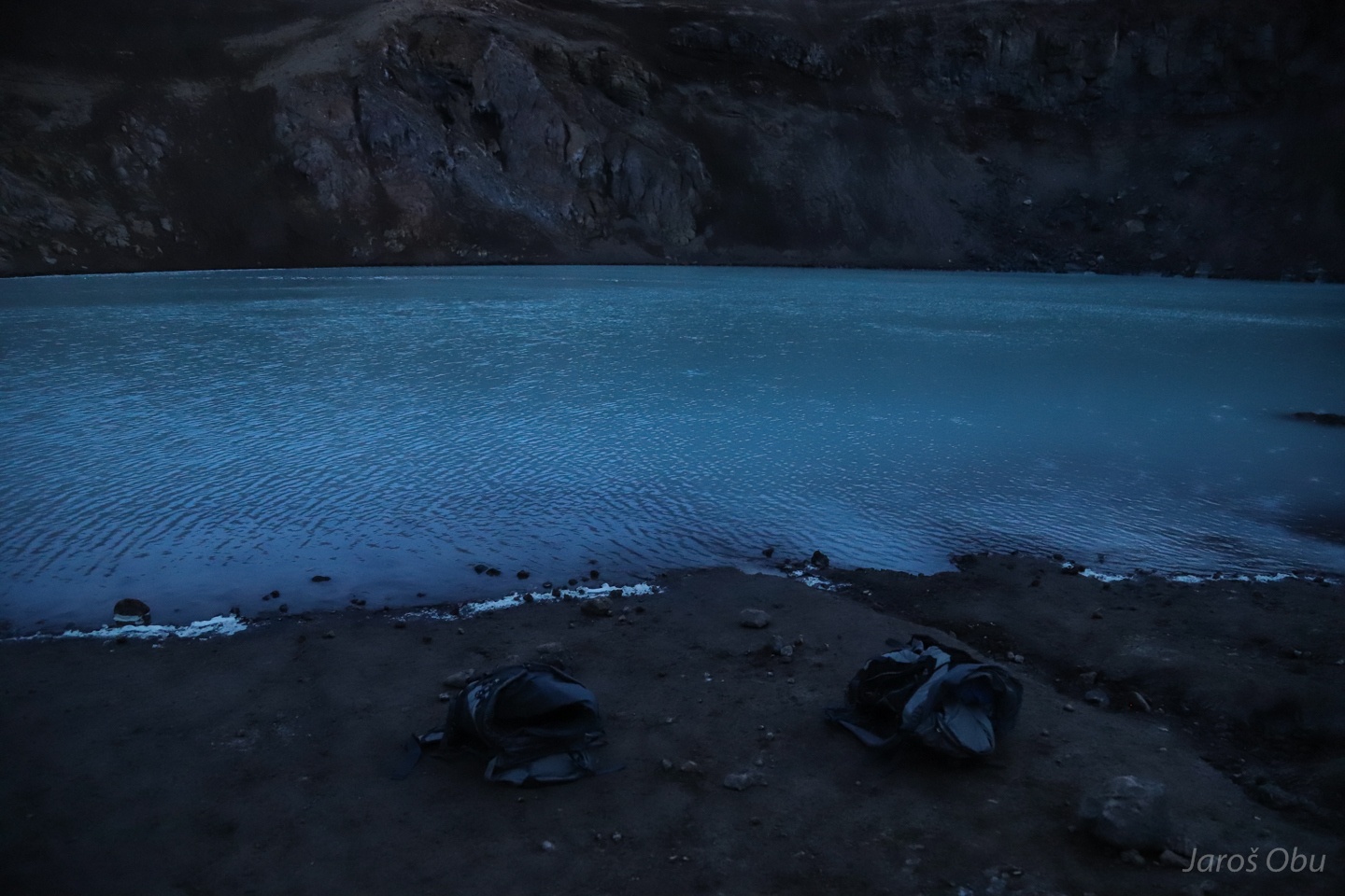
Víti geothermal lake and Öskjuvatn lake behind.
Viti formed as an explosion crater in 1875. The pale pumice from previous photos formed during this and several other explosion events.
Fresh delta forming in the lake.
Öskjuvatn formed the same year after magma chamber collapsed.
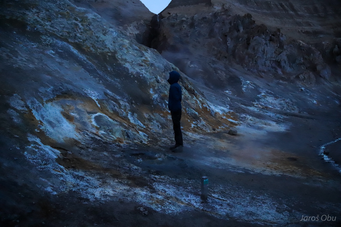
Justyna is warming up in the smoke coming from solfatara.
Evening bathing in bubbling water with around 25 °C.
Campsite on the Moon.
They are still doing some science here.
Six norwegians with six cars with snail houses on the top.
How to pimp a Suzuki Jimny.
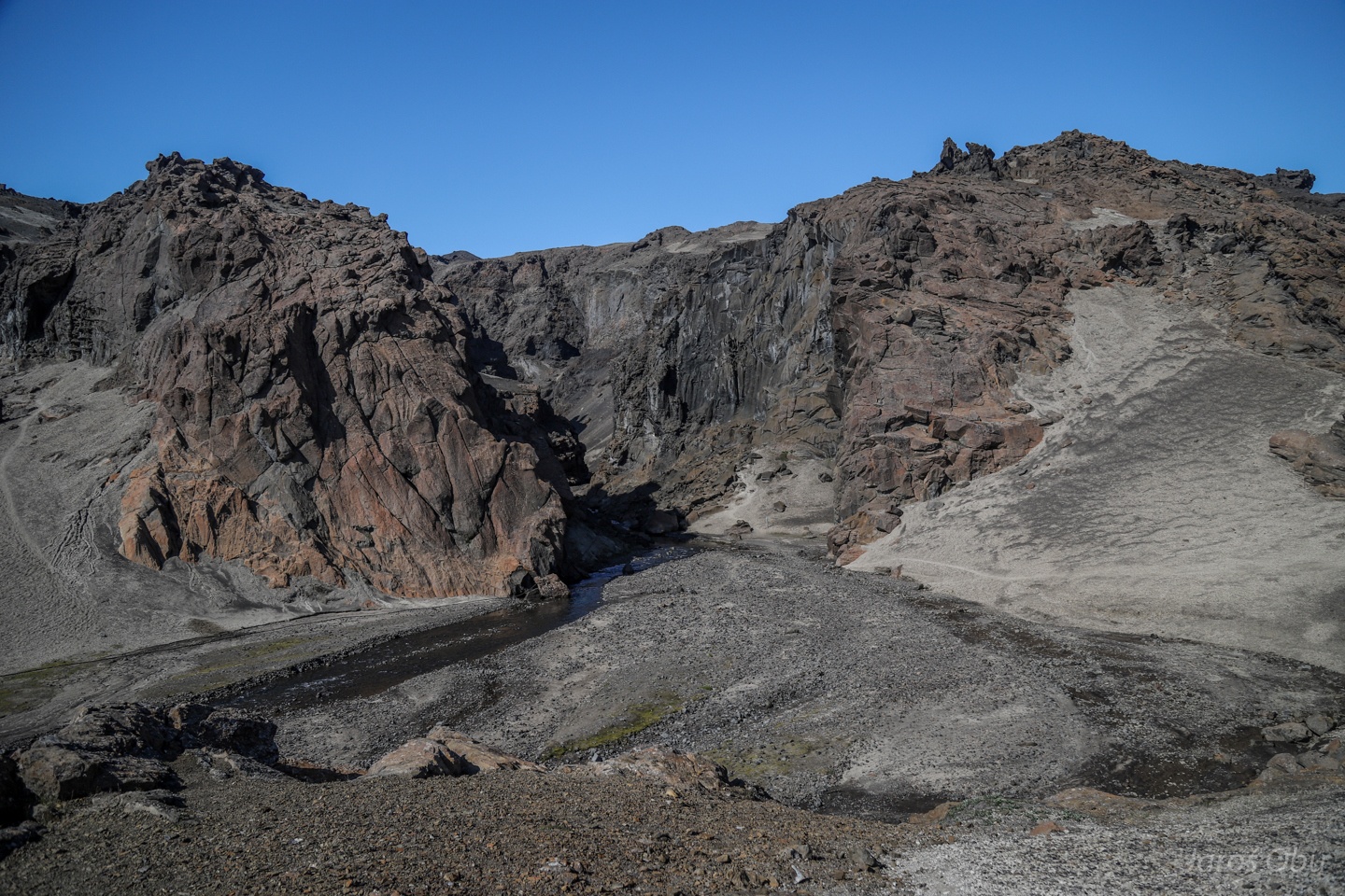
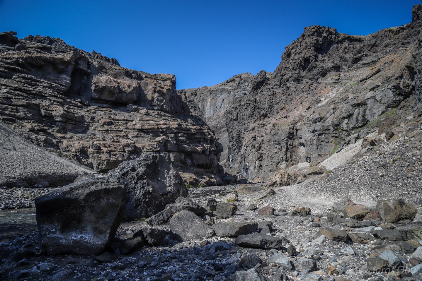
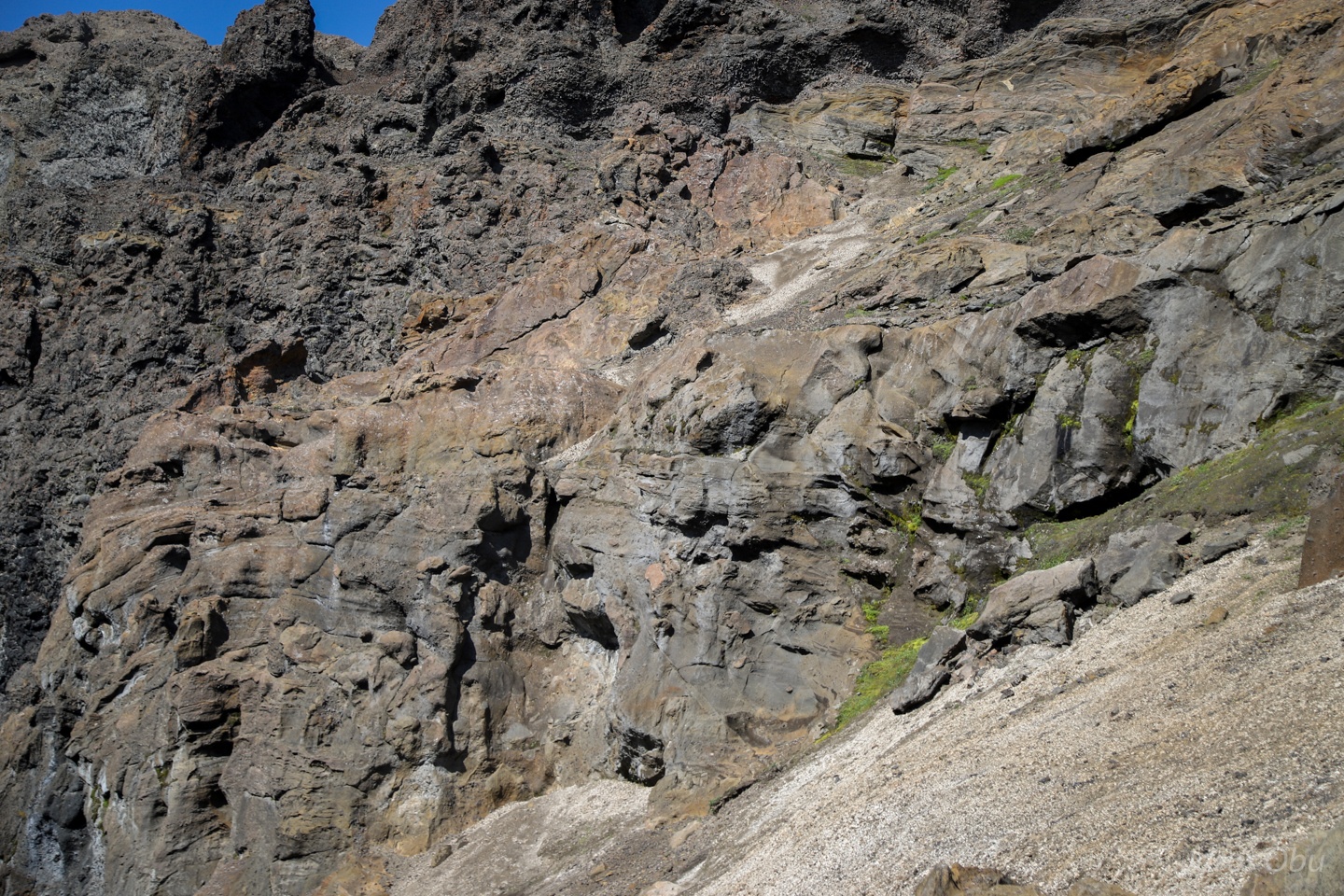
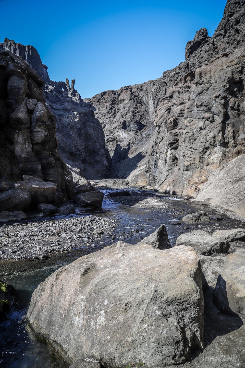
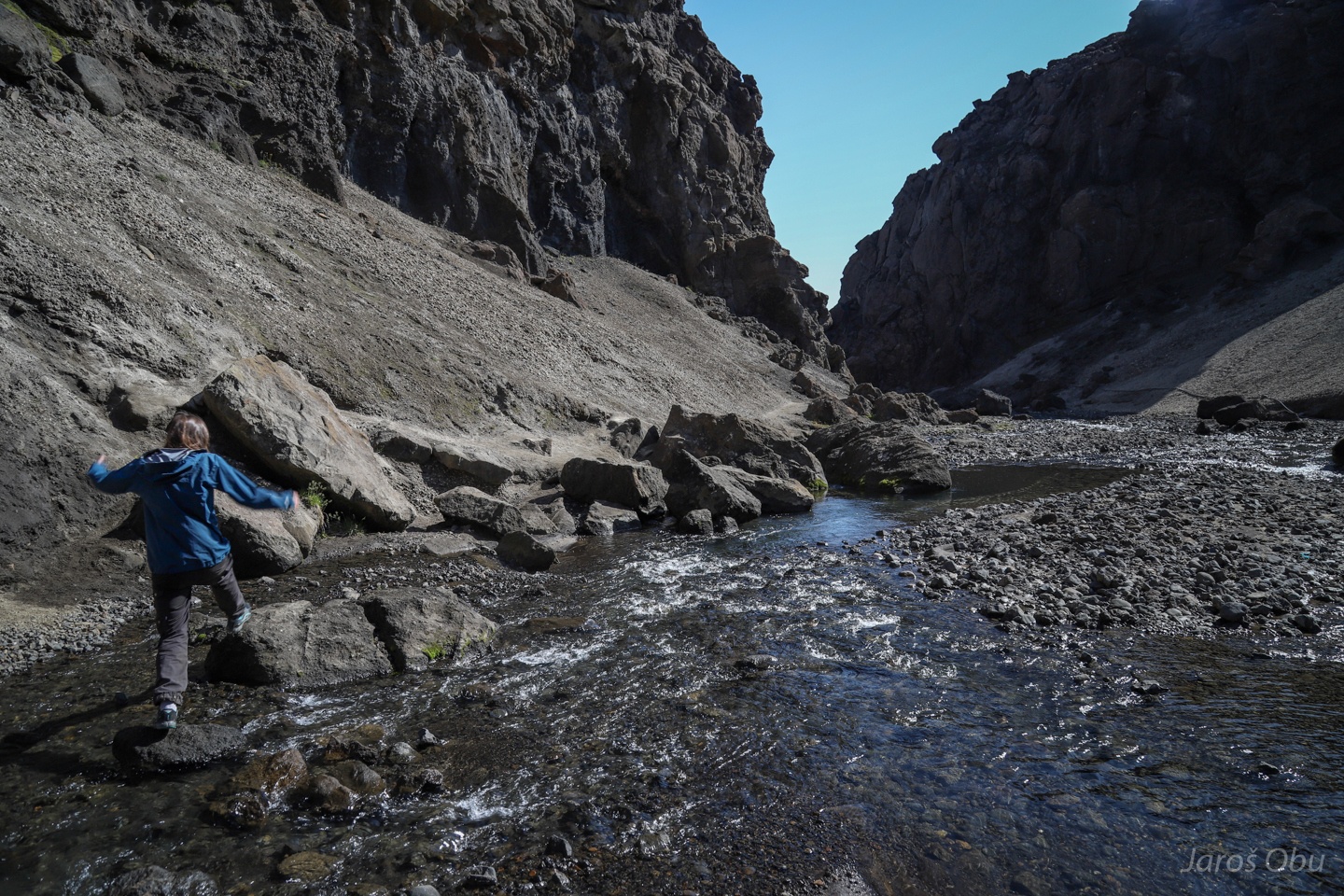
A quick peek in to the Drekagil Canyon.
Dragon Gully in translation.
Interesting basalt formations.
Peace brother: https://bit.ly/3209m2P
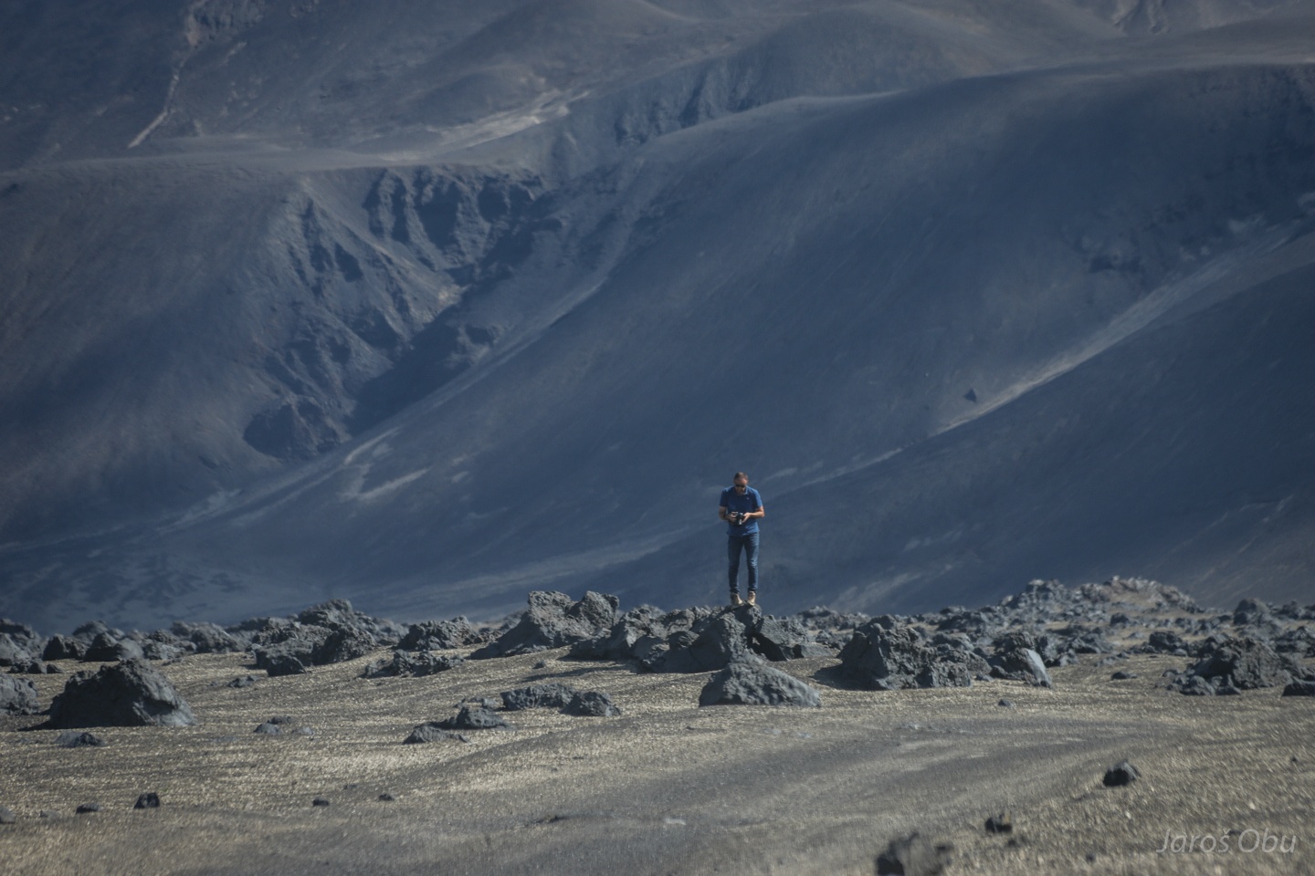
Making our way back.
An astronaut.
Slowly returning back on the Earth before turning in to Jökuldalur.