© 2024 Jaroš Obu
Photo gallery of Jaroš Obu
Cart
0
Items
Buy now
Besseggen 14.-16.8. 2020
Saturday, 15 August 2020
Again on Juvvas also this year but a month earlier.
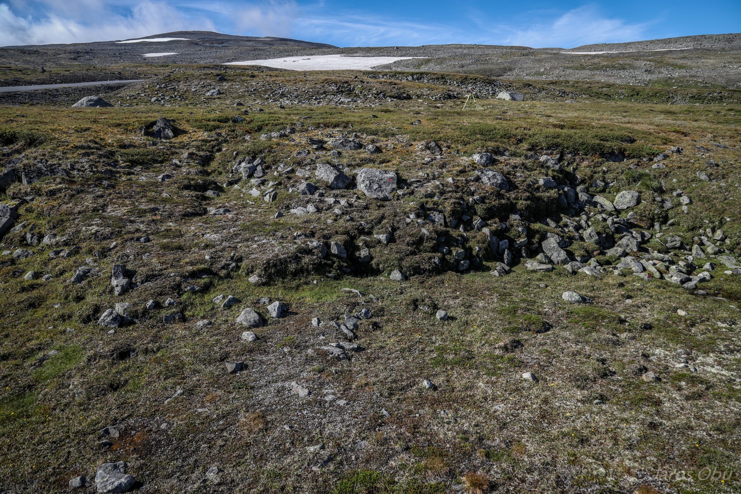
Measuring movements of solifluction lobes.
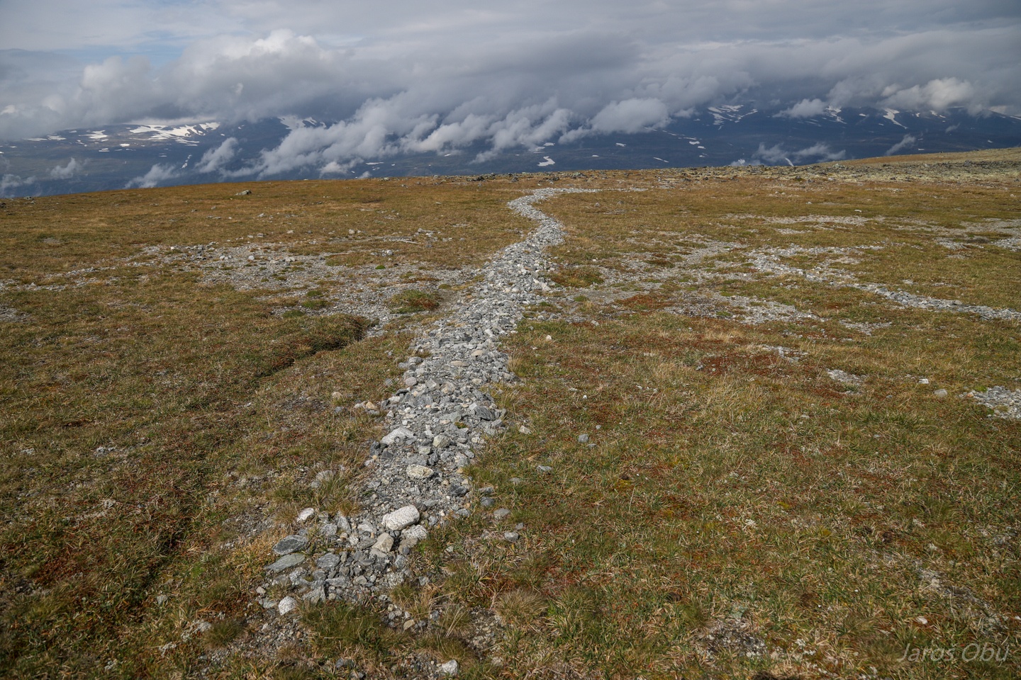
Interesting landform; gravel deposited in a form of a channel on rather flat surface.
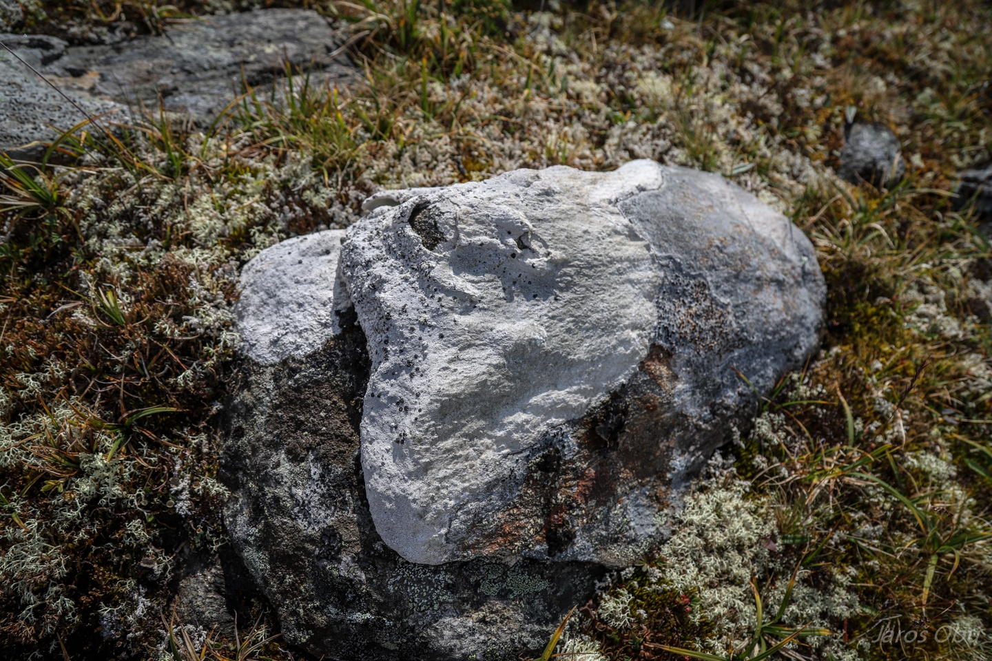
A nice example of rock weathering by lichens.
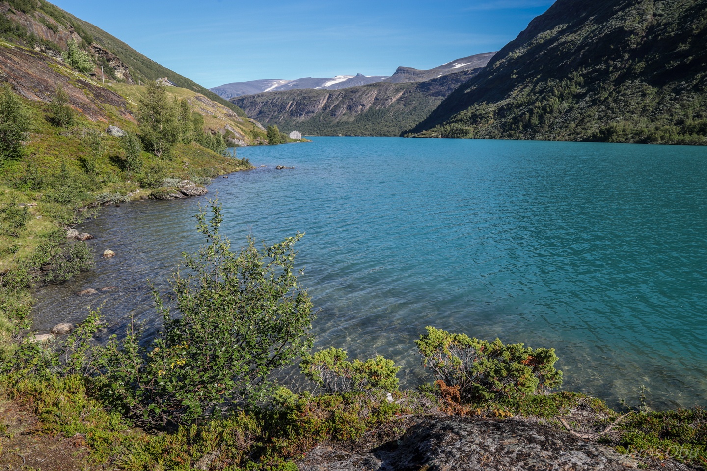
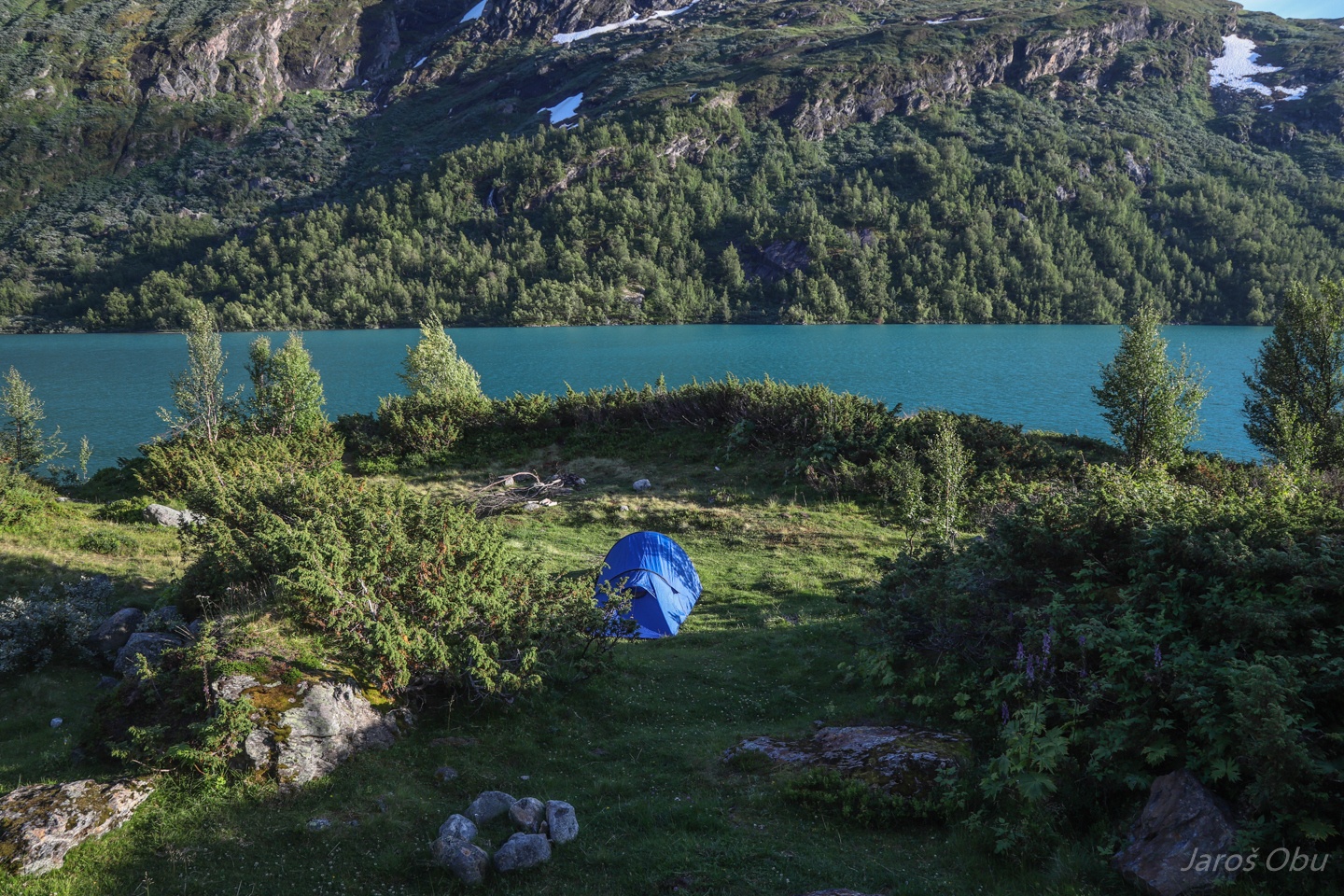
Getting a day of rest at Høydalsvatnet not far from Juvvass.
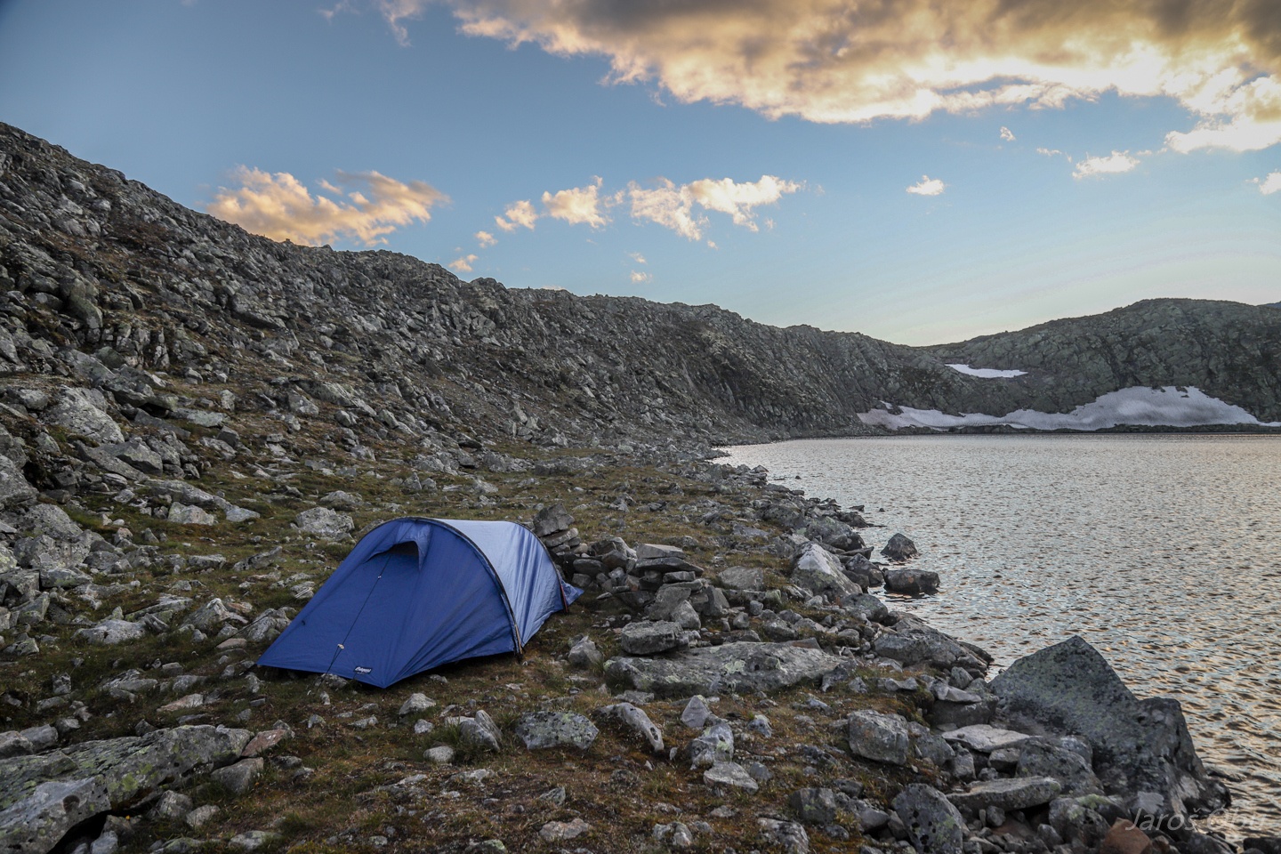
Nice camping spot at a lake that didn't seem to have many visitors.
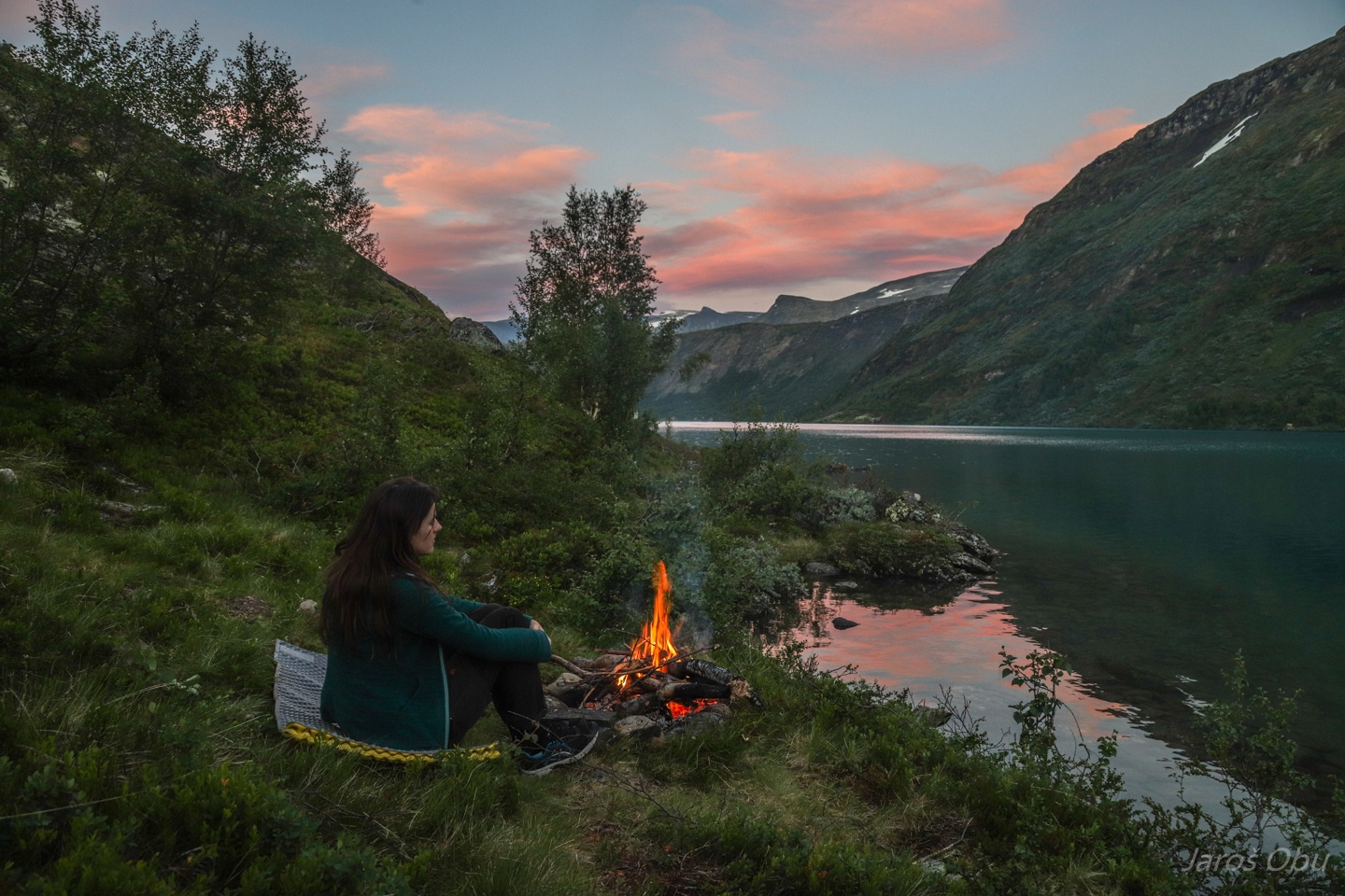
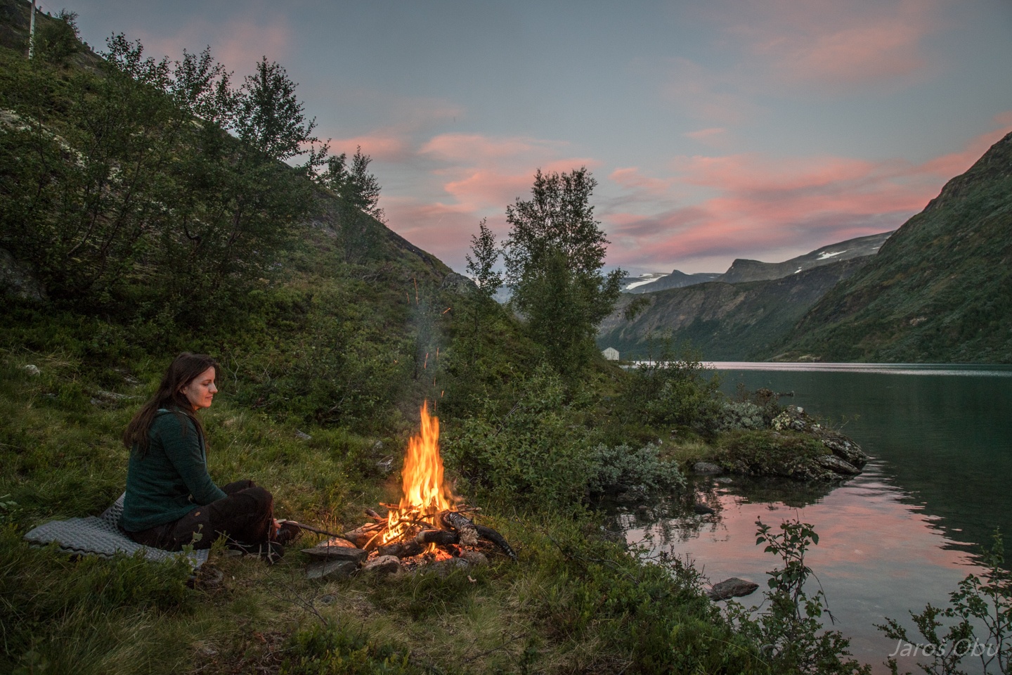
Evening by a campfire.
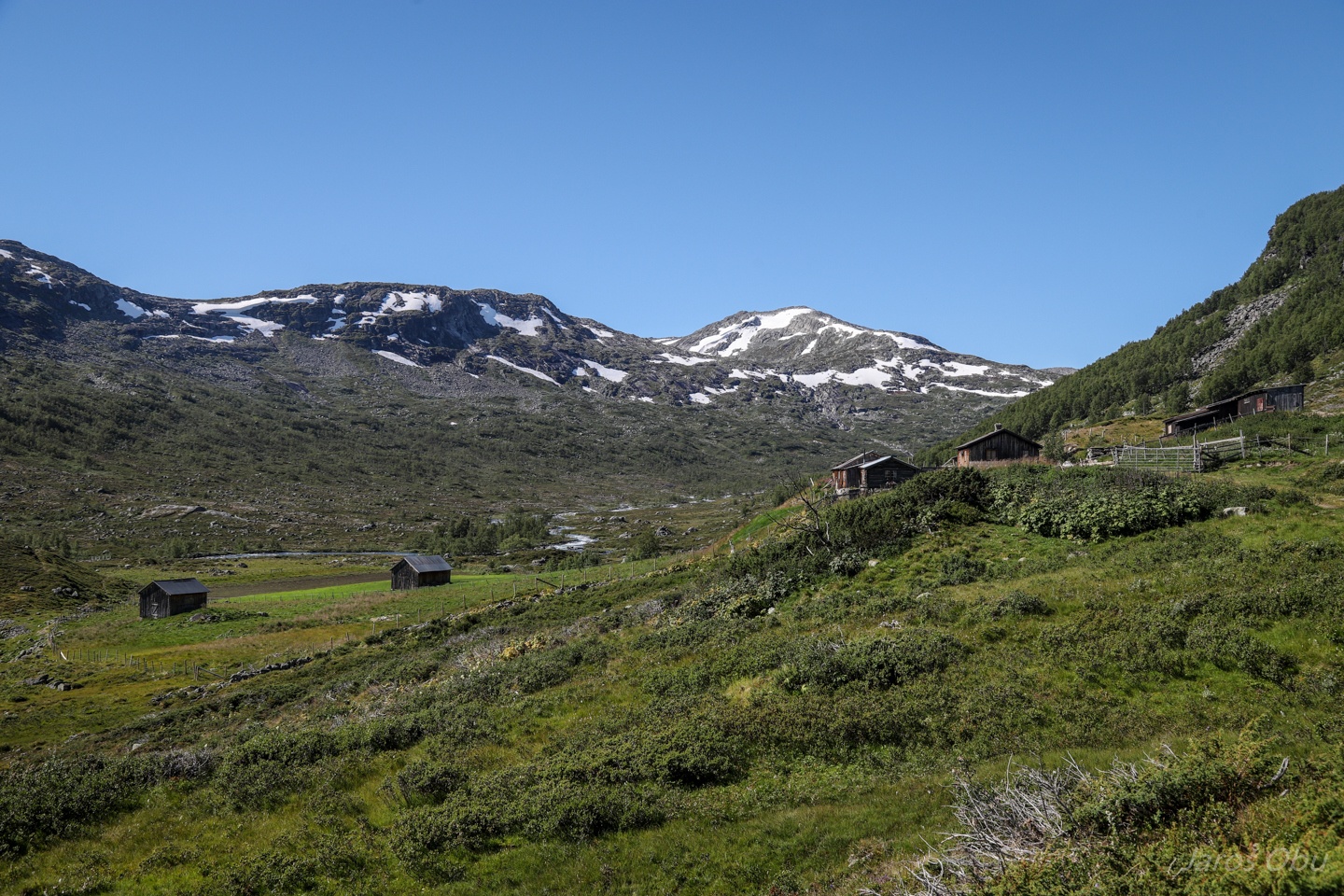
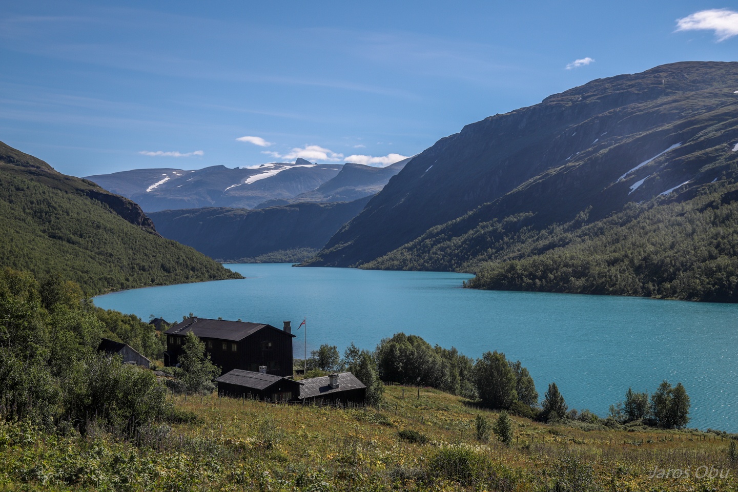
Høydalssæter at the beginning of the lake.
Look down the lake. Skardstinden (2374 m) is sticking out from the Dumhøe plateau in the background.
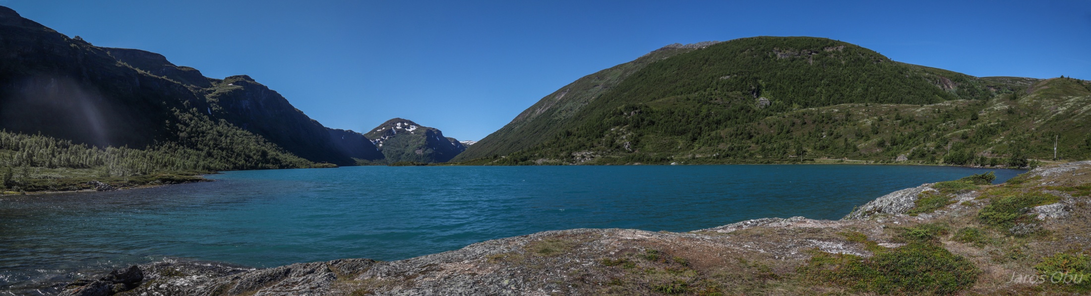
Panorama of the other side of the lake.
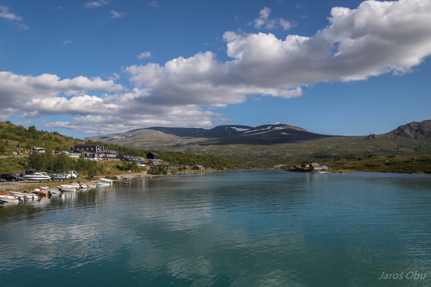
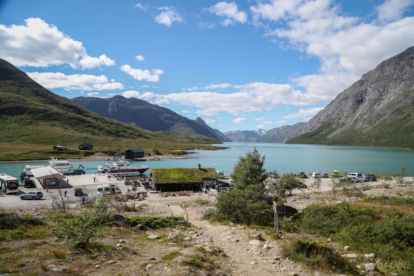
Already at Gjendesheim, on the other side of Jotunheimen.
Gjendesheim hut on the left.
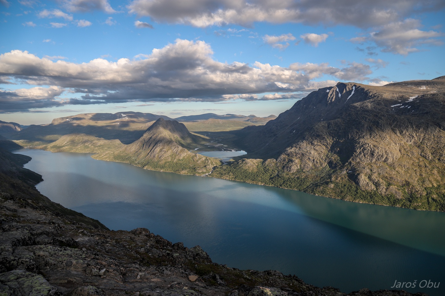
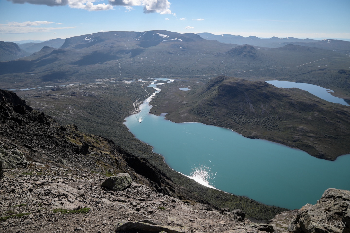
And the Gjende Lake stretching 18 km in to the Jotunheimen at almost 1000 m elevation.
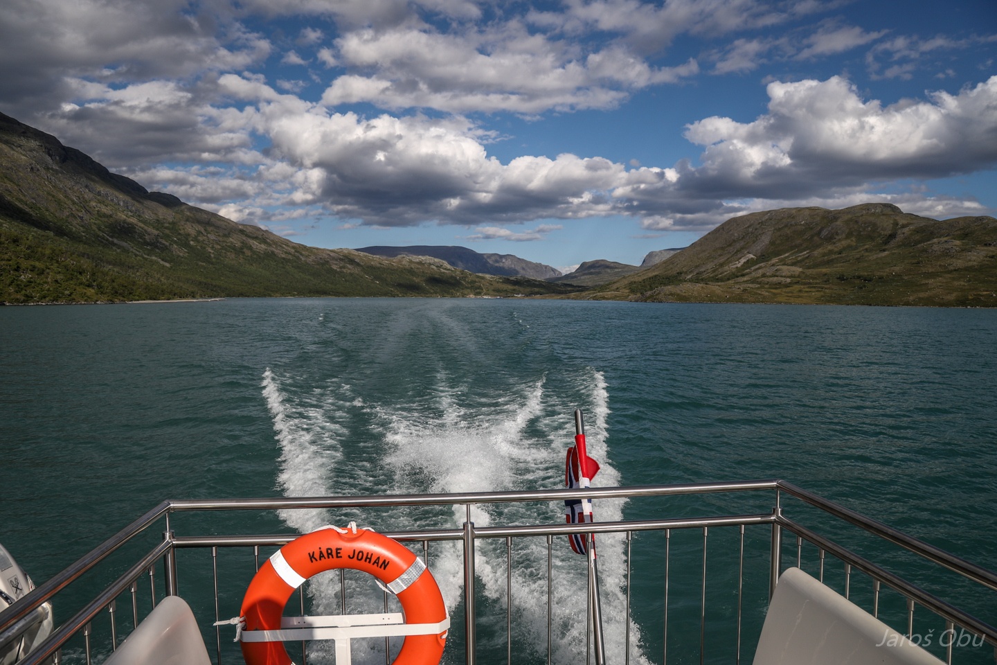
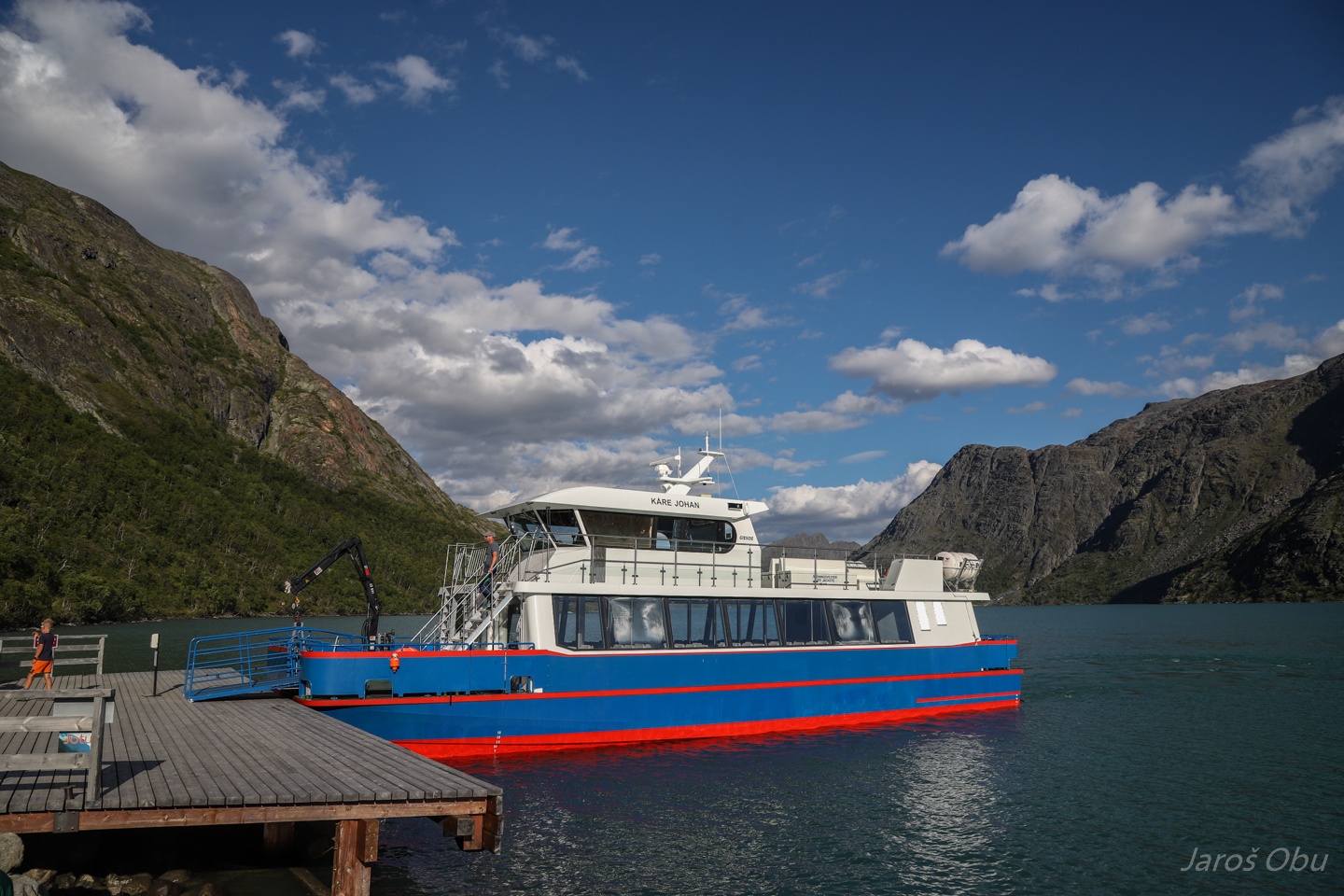
Kåre Johan is taking us to the middle of the lake.
To start a very popular and crowded hike of the Besseggen ridge here on the photo.
Besseggen ridge on the left and also quite popular and steep ridge Knutshøe on the right.
We arrived as the only passengers on board.
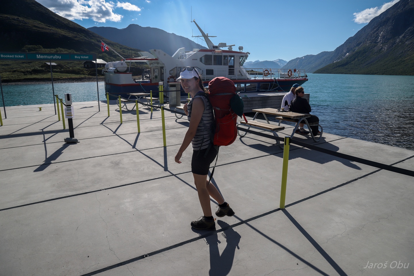
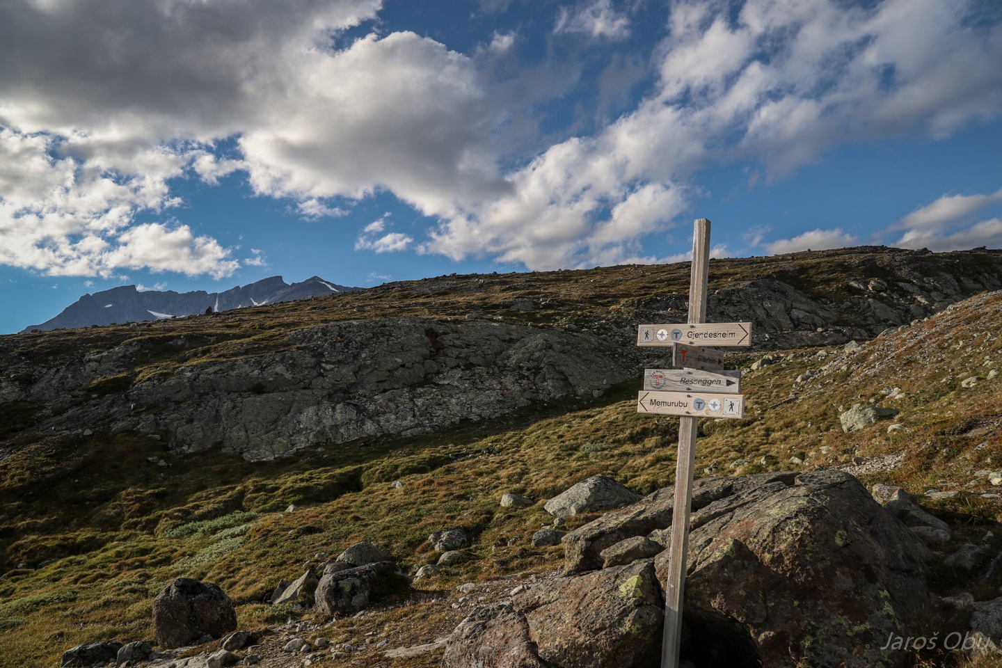
To Memurubu hut.
Where the hike starts.
Hai hai Justyna.
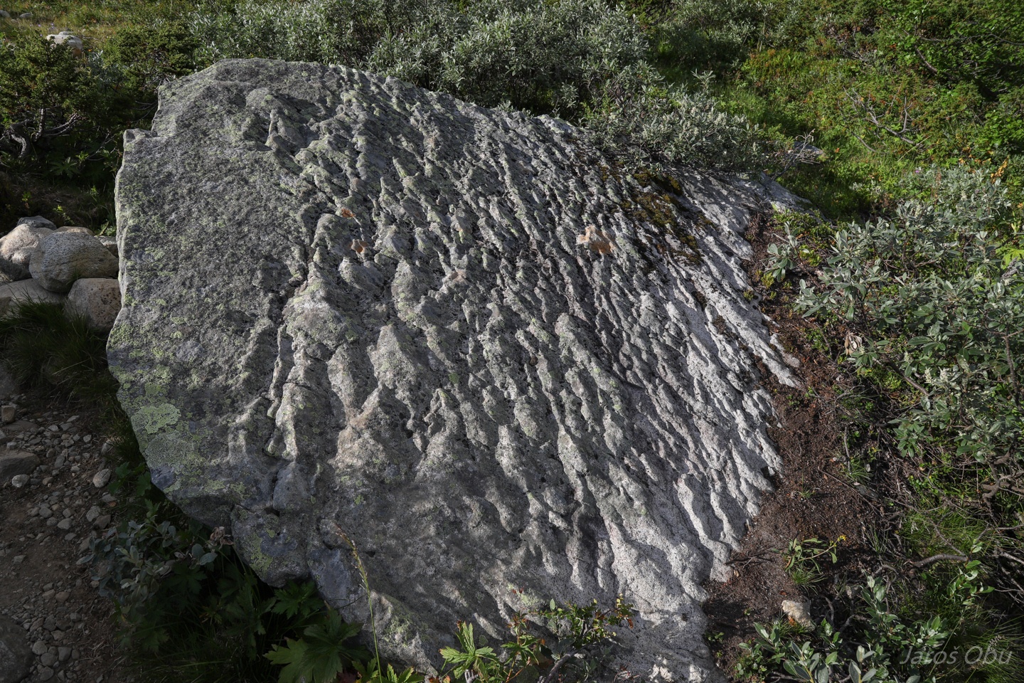
Interesting rock surface of which I don't know the origin.
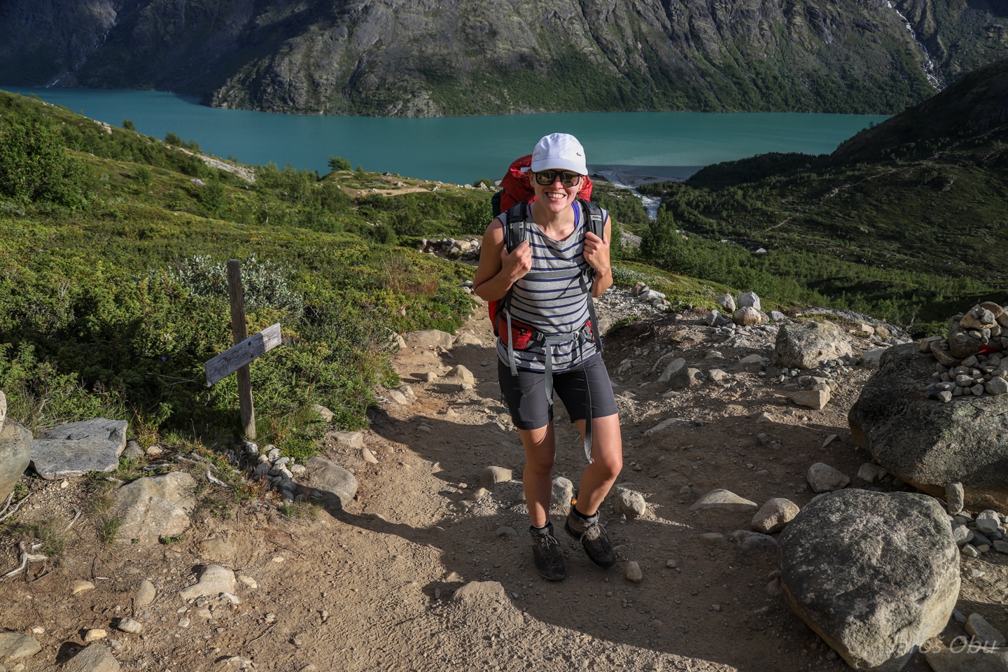
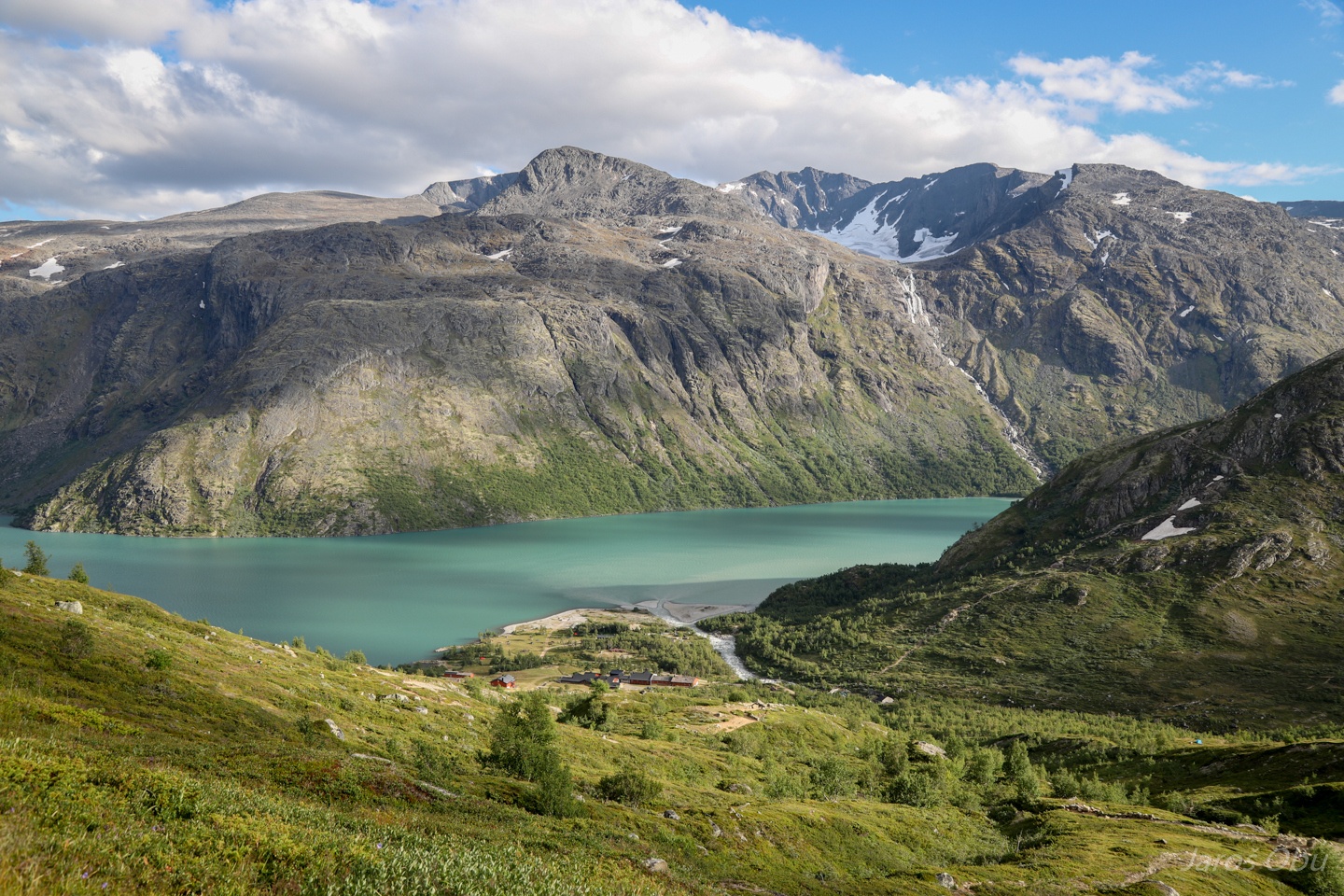
Memurubu hut below.
We chose afternoon hours when all the crowds are already done with the hike. Note the stream on the other side of the valley that is originating from the glacier.
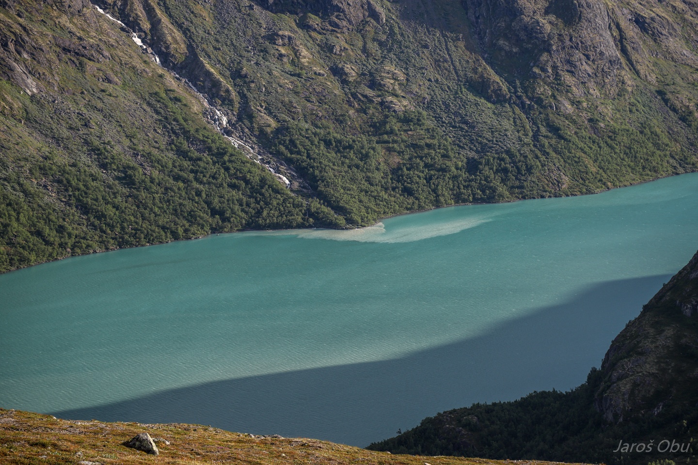
Rock flour in the murky water consists of silt-sized rock particles generated by glacier bedrock grinding. It is the one that is responsible for the turquoise lake colour.
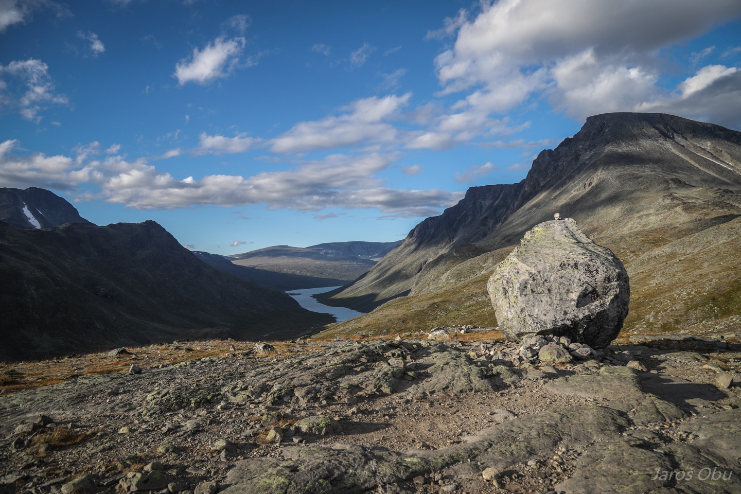
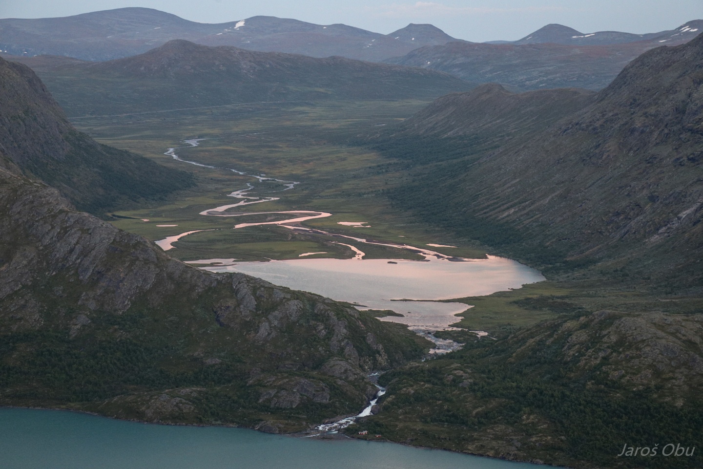
Memurudalen in the background.
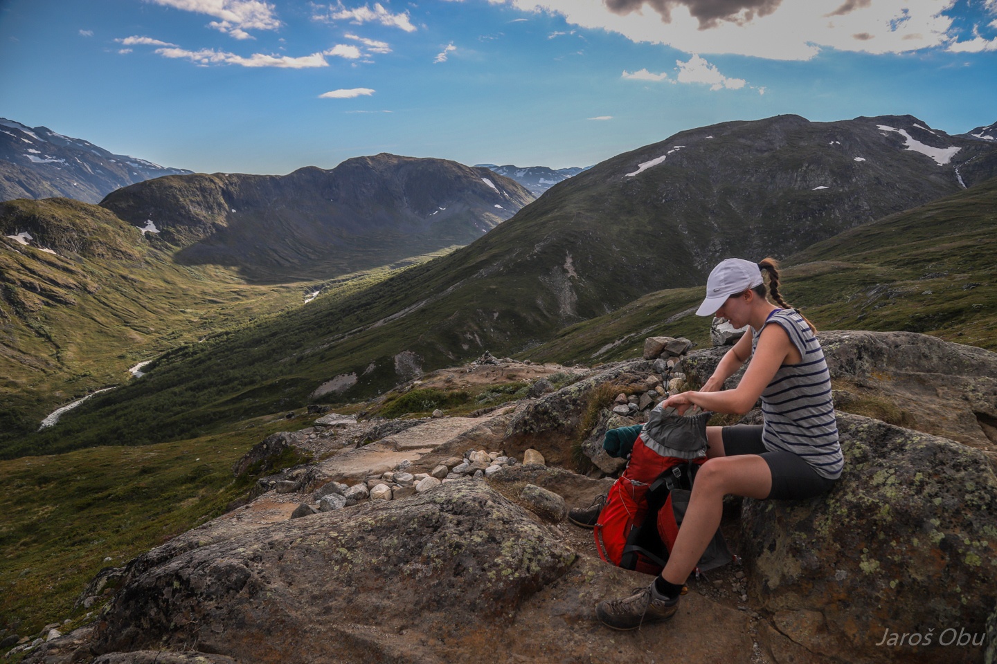
Approaching the crest where the trail levels out.
Back to Gjendesheim via Besseggen.
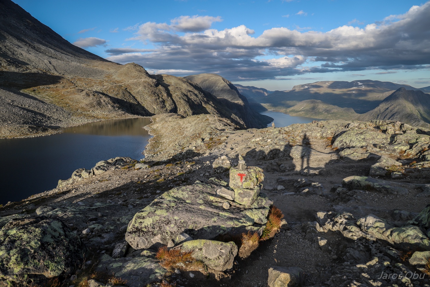
Nedre Russglopet valley.
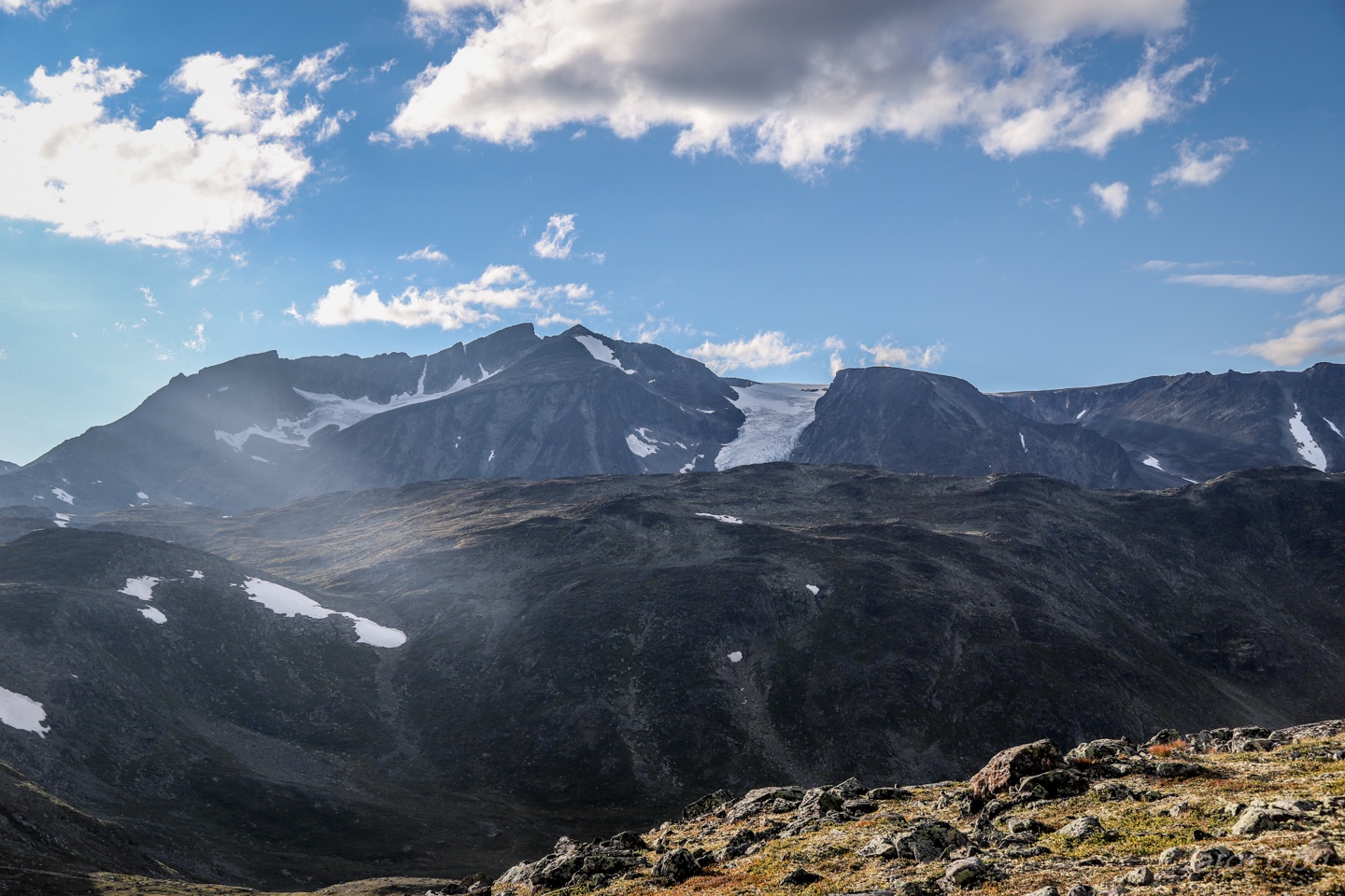
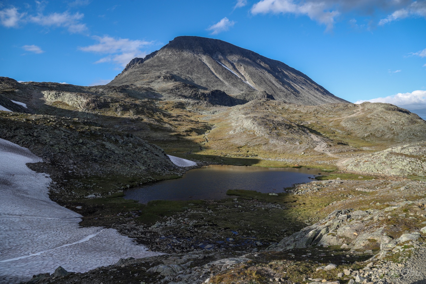
Surtningssue (2368 m) with its glaciers.
Passing by the Besshøe peak from the right side.
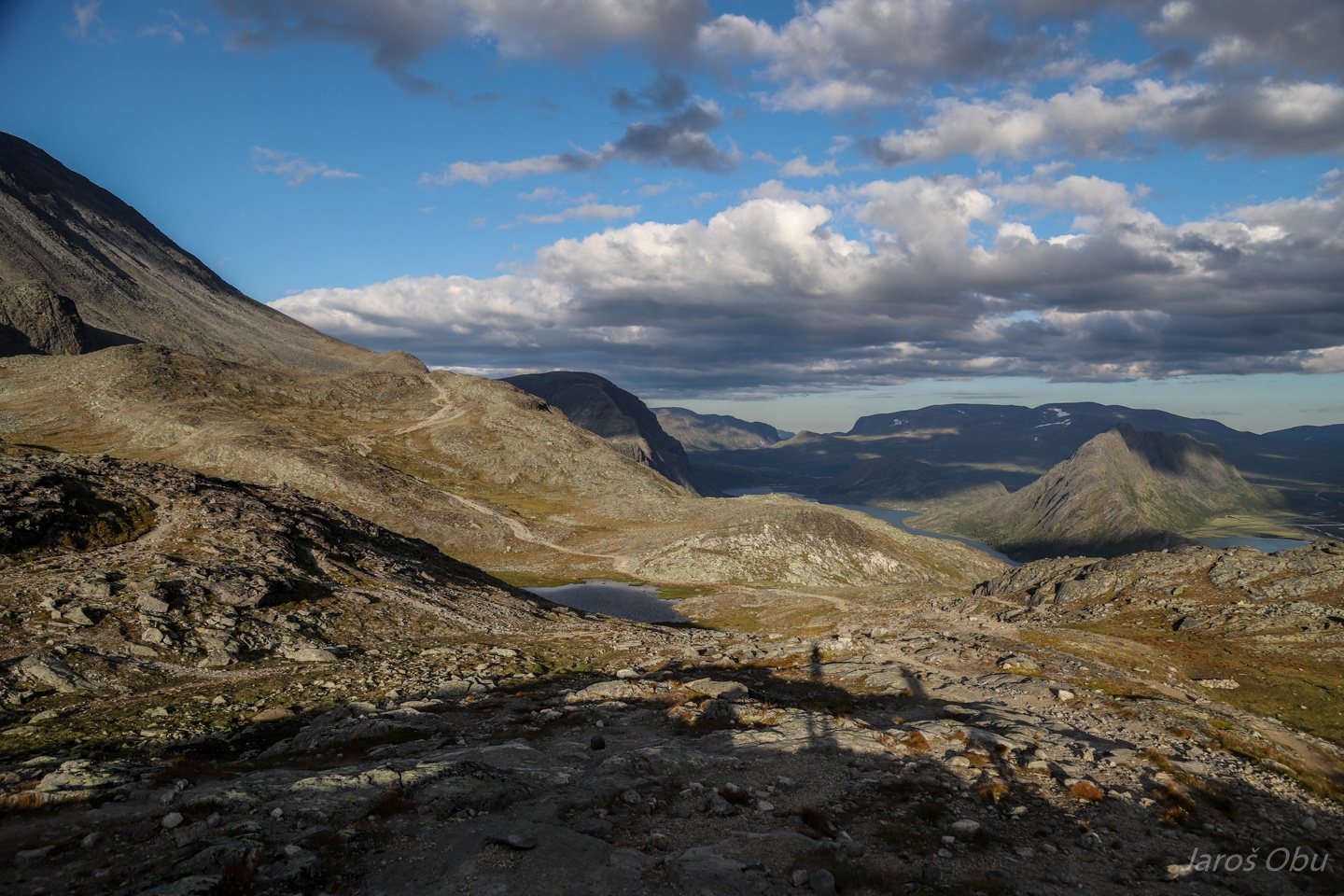
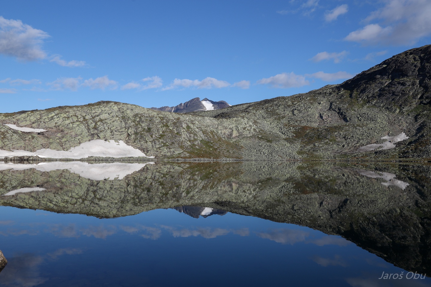
A lake, that is not the one that is our today's destination.
Bjørnbøltjønne, however is.
Knutshøe this time from above.
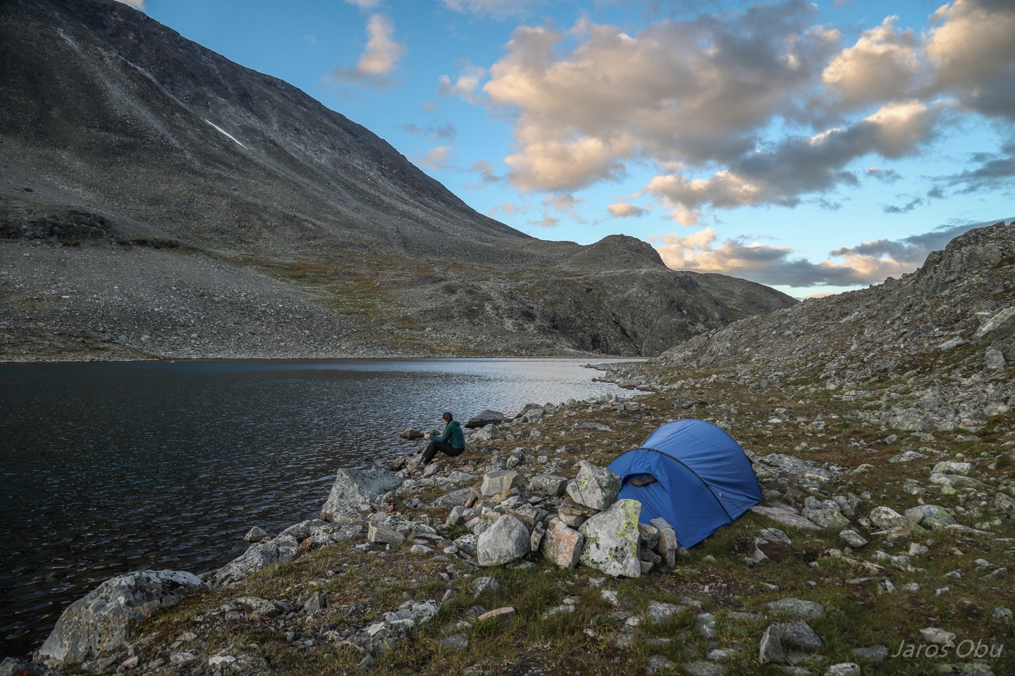
Pitching the tent by the lake.
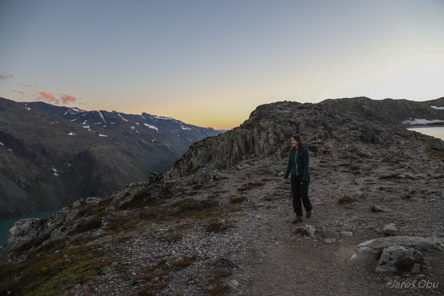
Heading to the other side to get a view of the other lake.
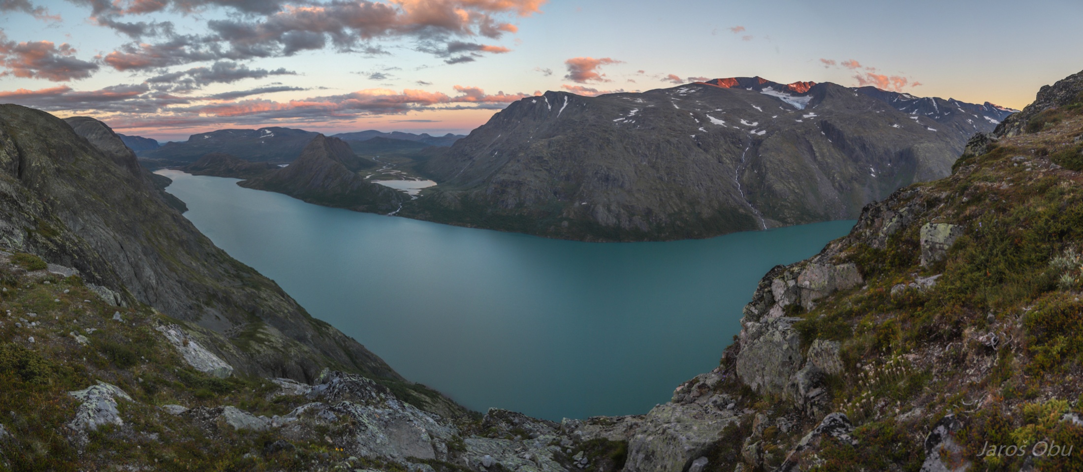
Panorama of Gjende Lake after the sunset.
Øvre Leirungen in a very interesting cirque where ice flowed upstream?
Waking up in a calm and clear morning.
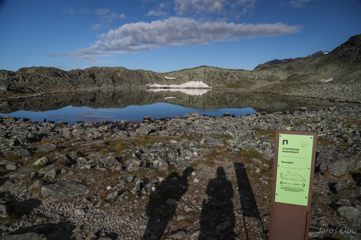
Board with recommendations for hikers saying: Enjoy your lunchpack. If you spent more than 4 hours from Memurubu you should turn around. Sorry, we don't have lunchpacks and already 14 hours passed since we started from Memurubu. What shall we do?
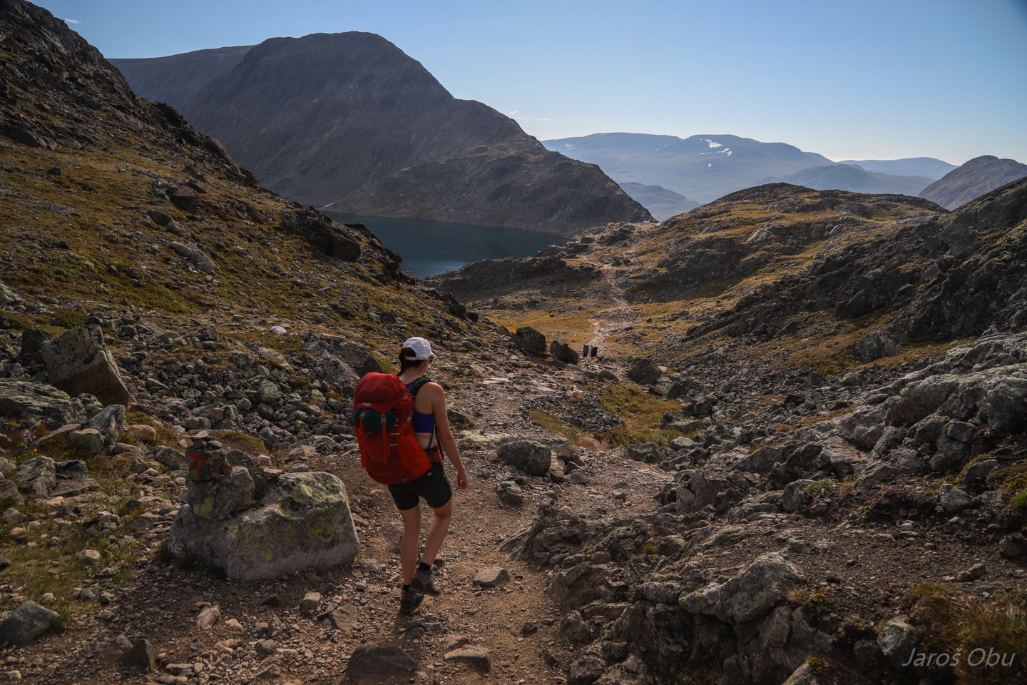
Bjørnbøltjønne now behind us.
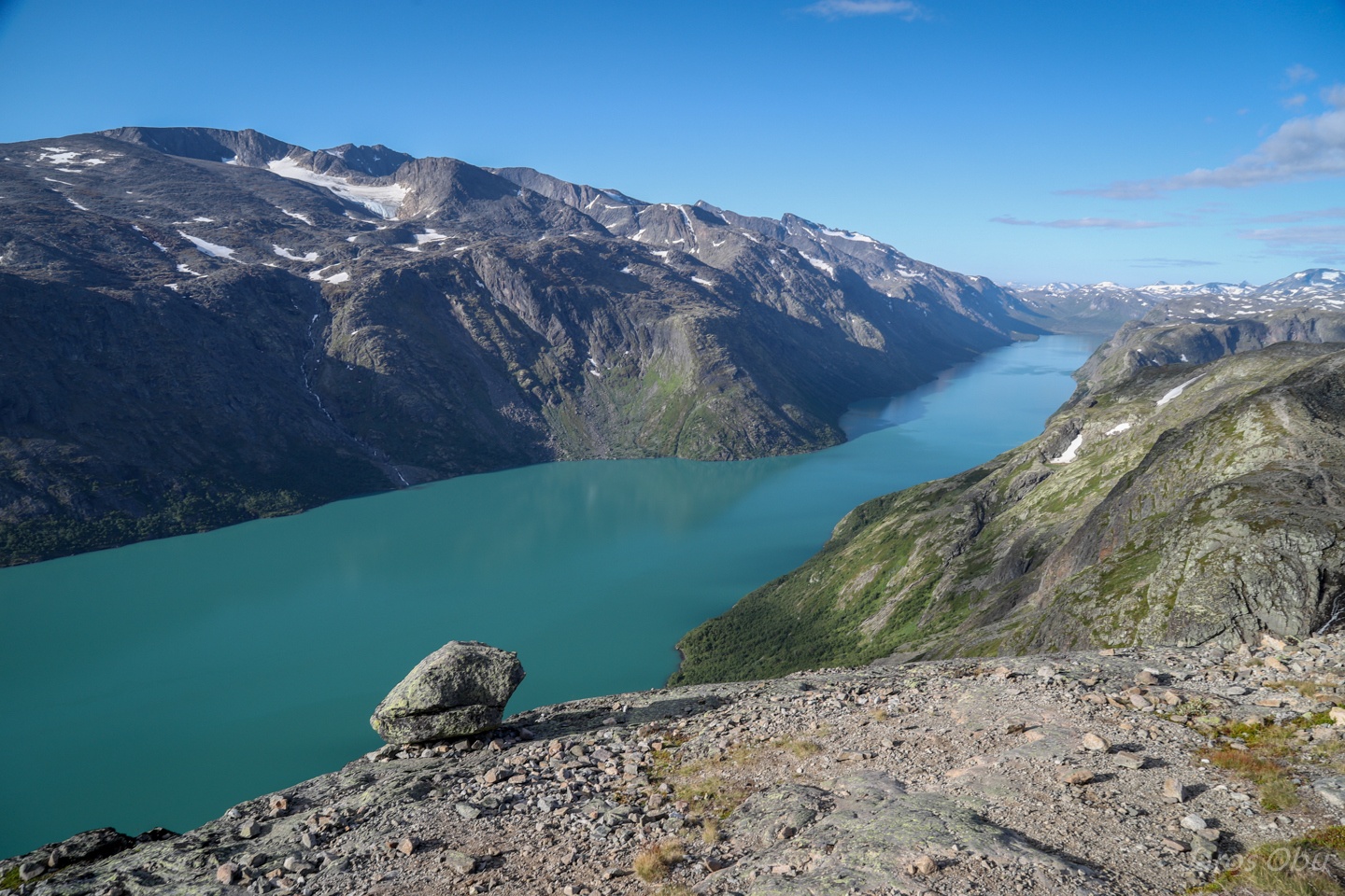
And turquoise Gjende still below us.
Slowly progressing towards Besseggen now visible in front of us.
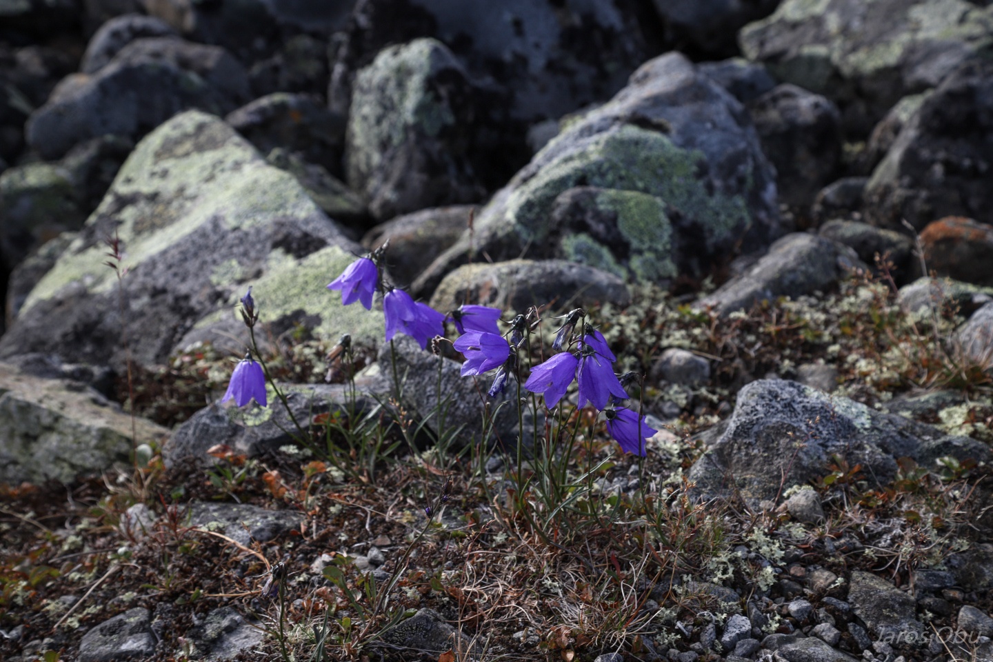
Bluebell, Campanula rotundifolia, blåklokke in Norwegian.
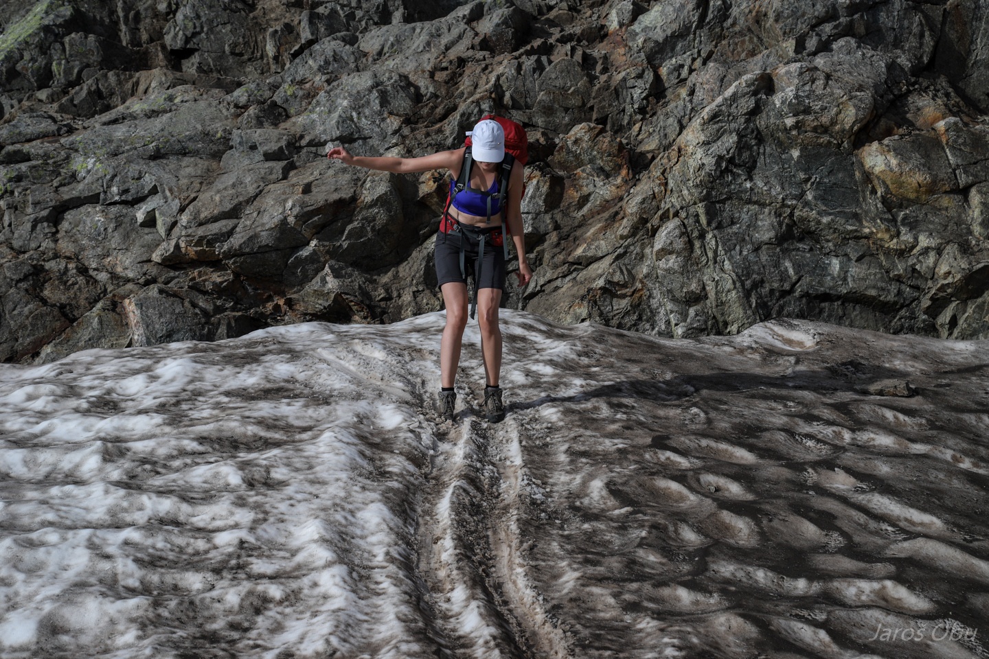
Some gliding inserts on a snow patch.
We have only seen now two hikers so far today, on otherwise very crowded trail.
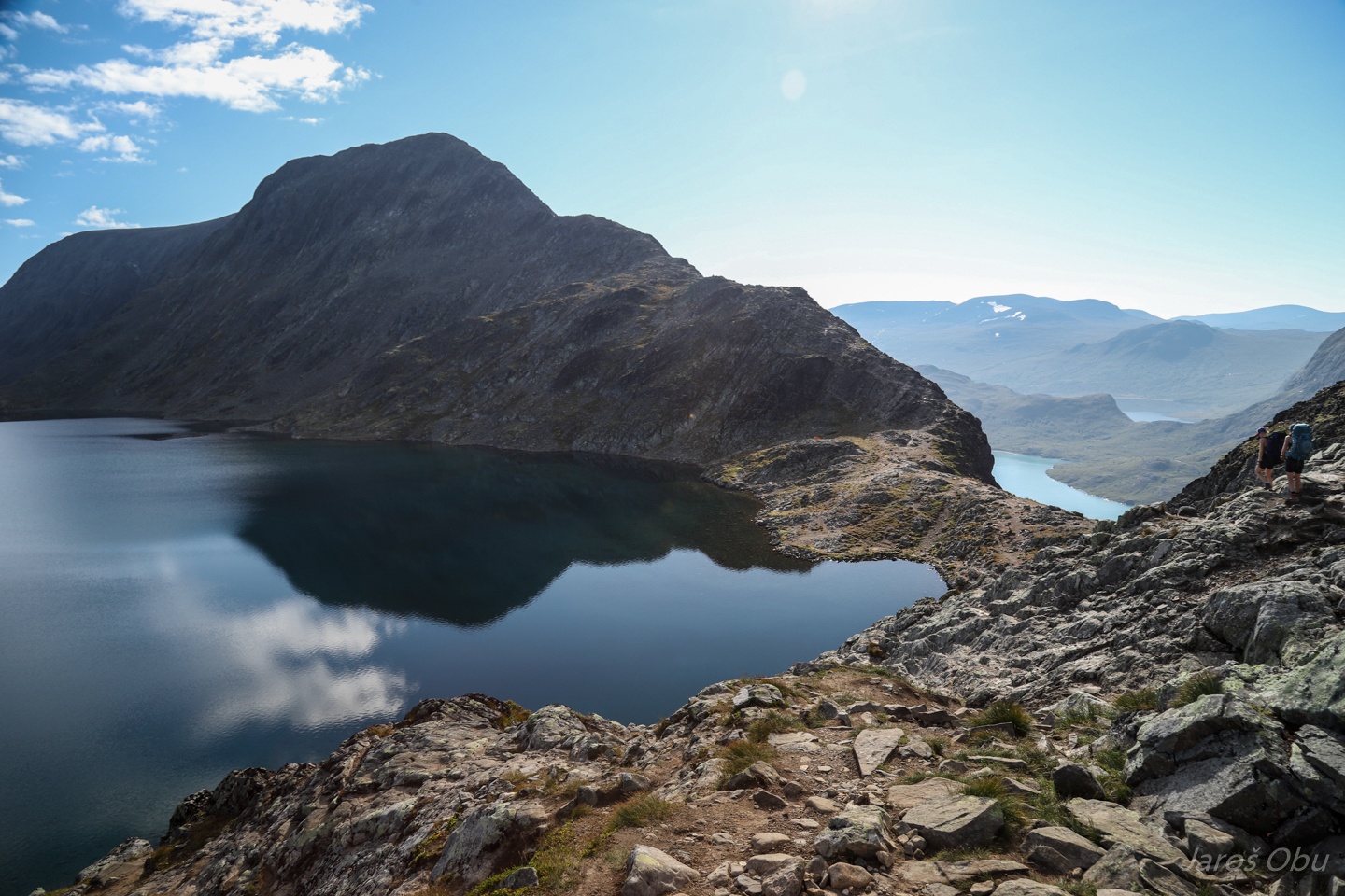
Bessvatnet with a rim at 1370 m, which is preventing the water to flow to the lake below.
More vegetation: Alpine Catchfly, Viscaria alpina (Lychnis alpina), Fjelltjæreblom in Norwegian
Pyramidal saxifrage, Saxifraga cotyledon, Bergfrue or Fjelldronning in Norwegian
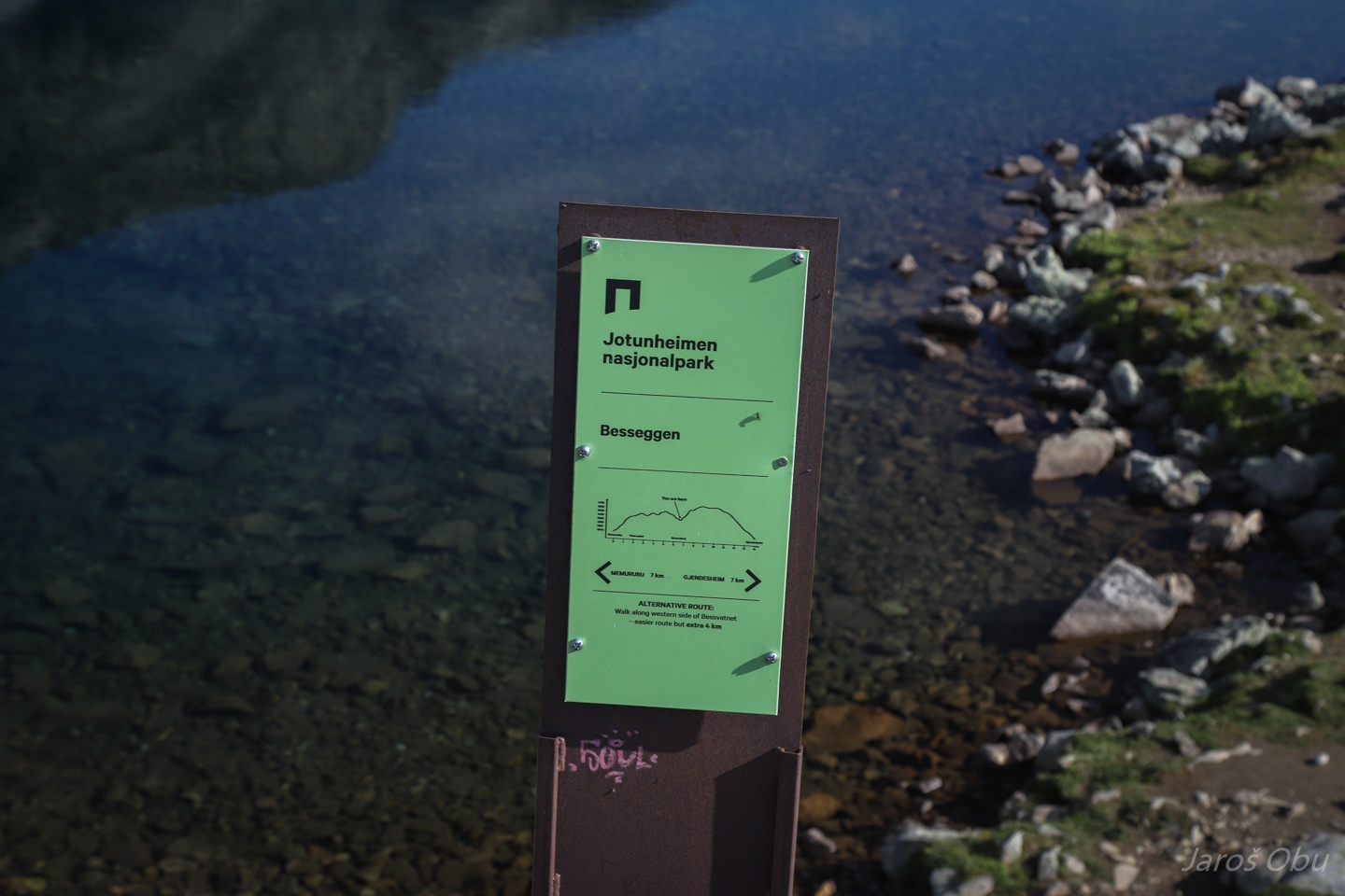
We are halfway now.
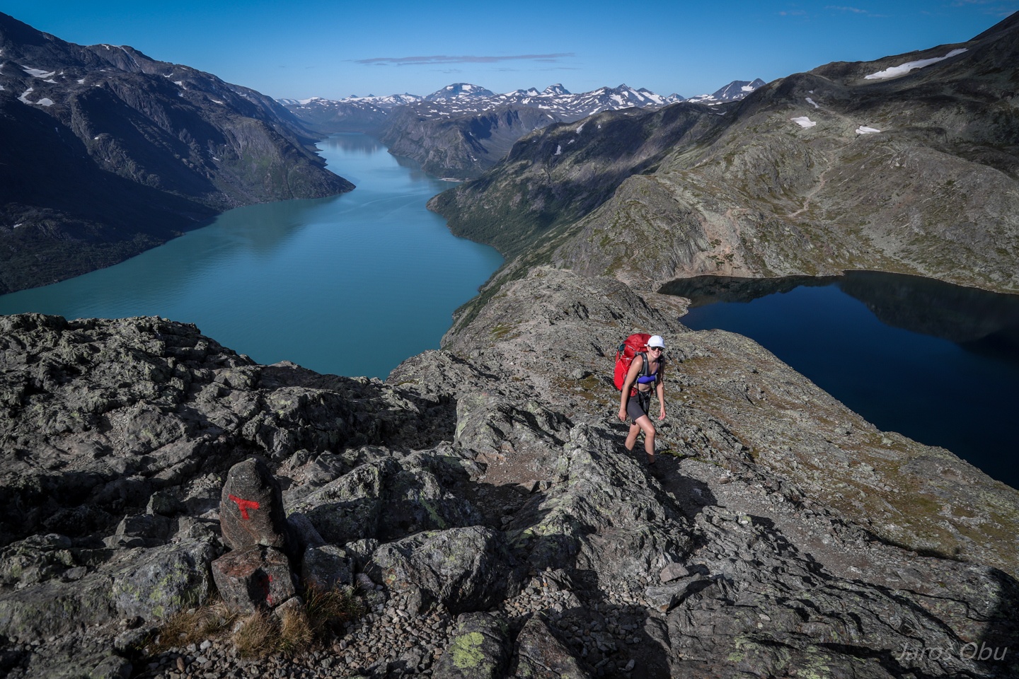
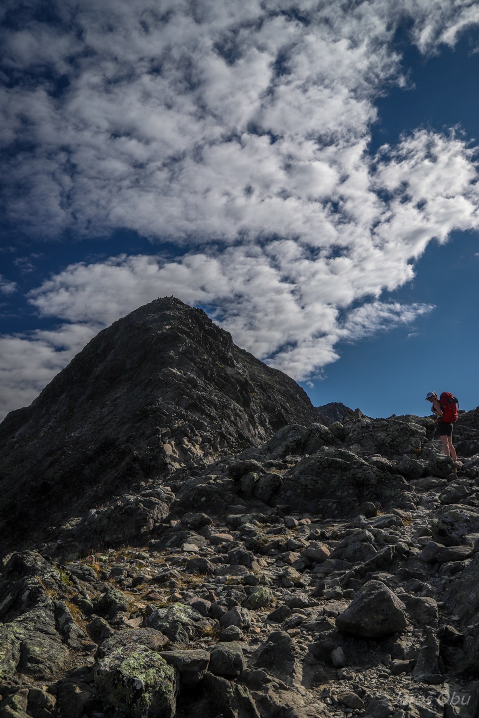
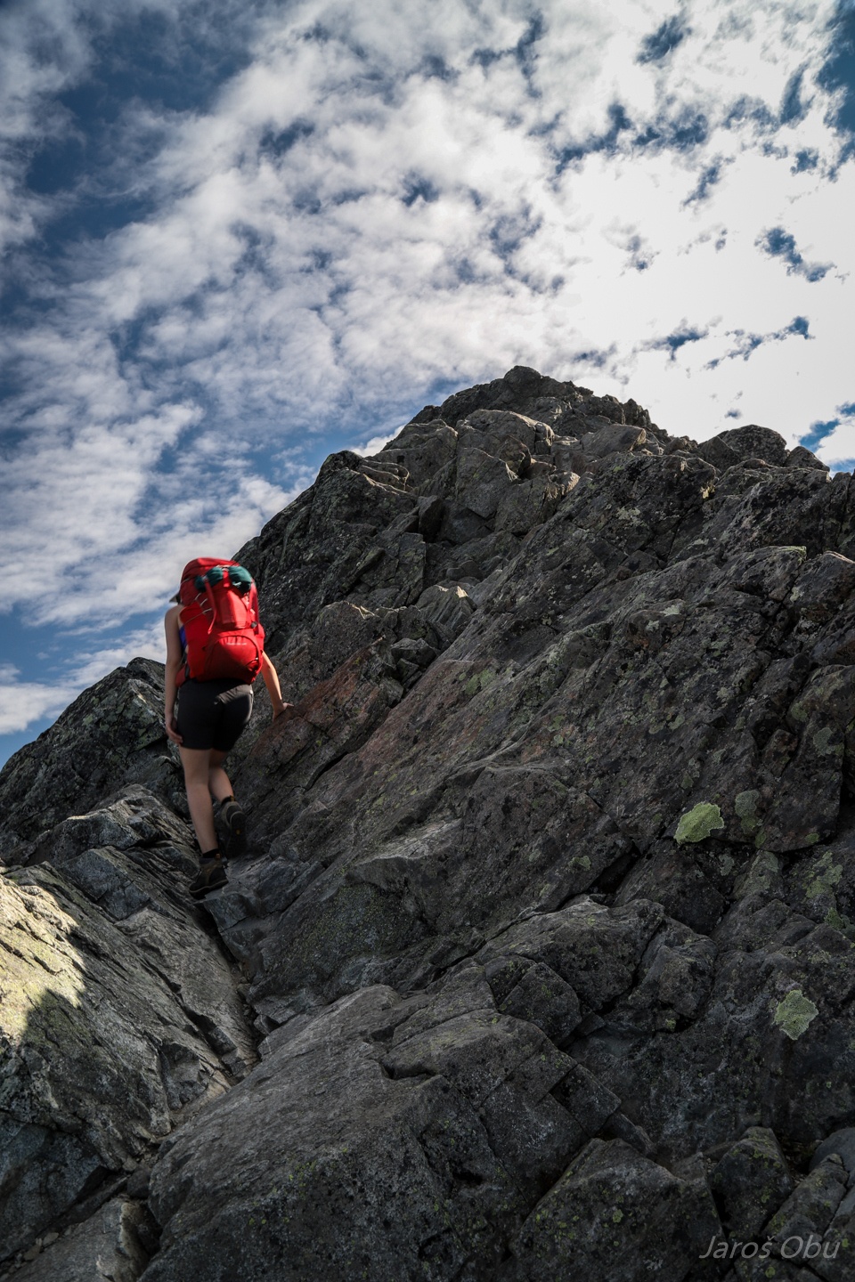
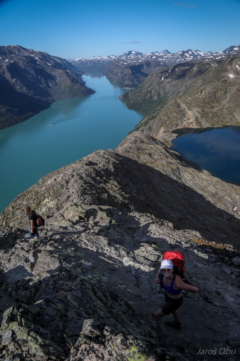
And starting the most exciting part.
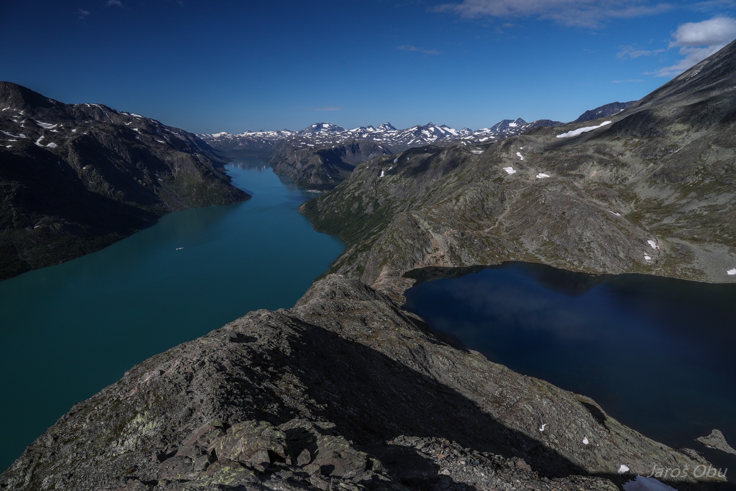
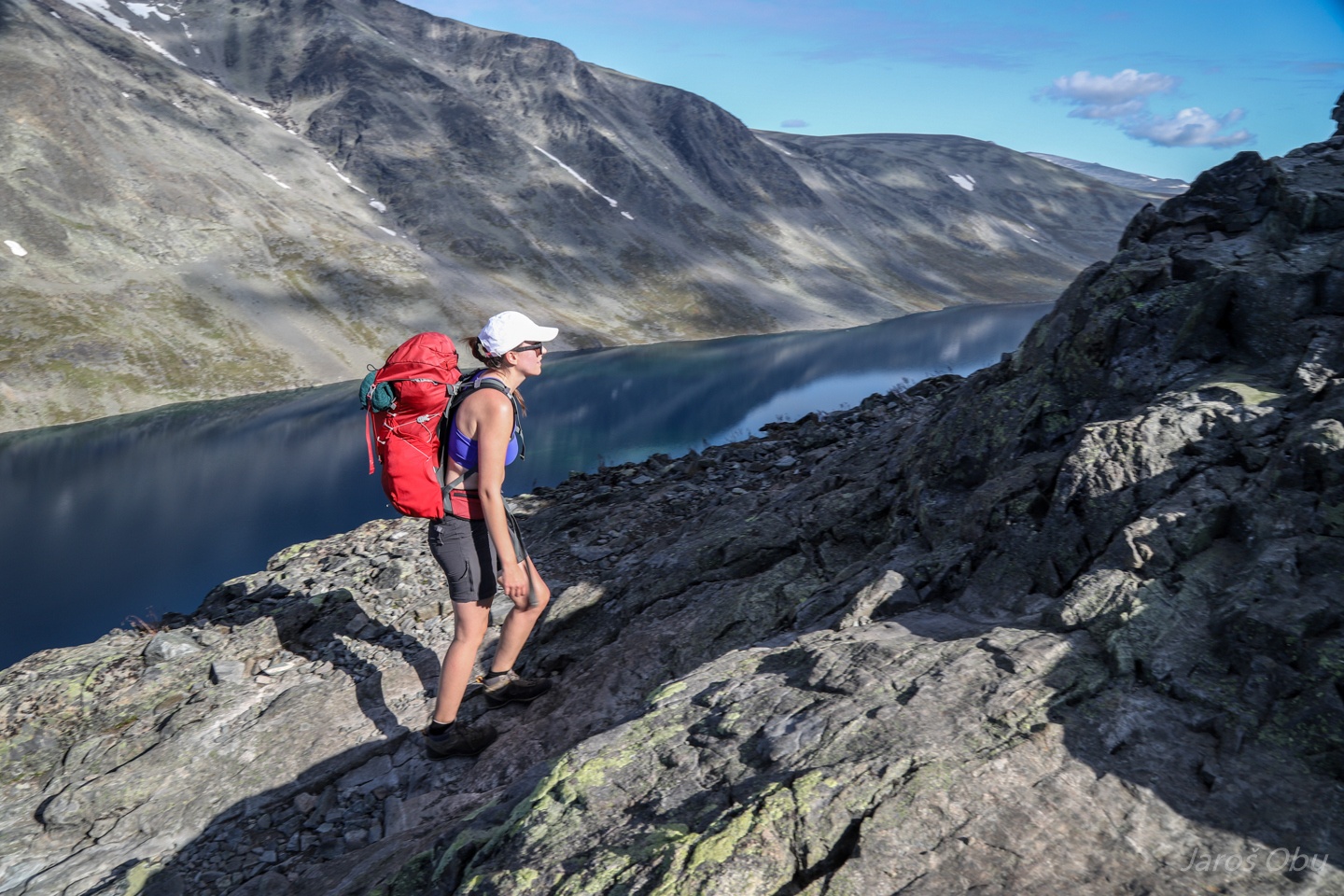
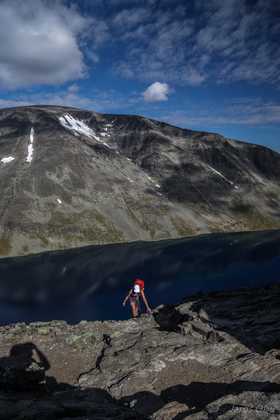
Besseggen ridge.
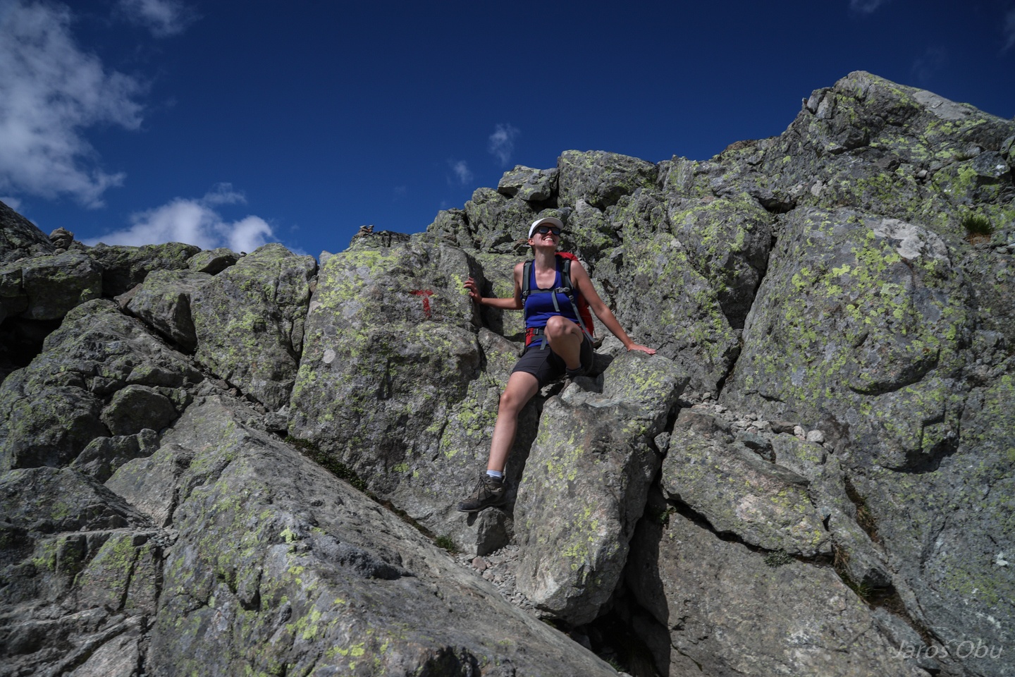
A bit of rock scrambling but far from being exposed.
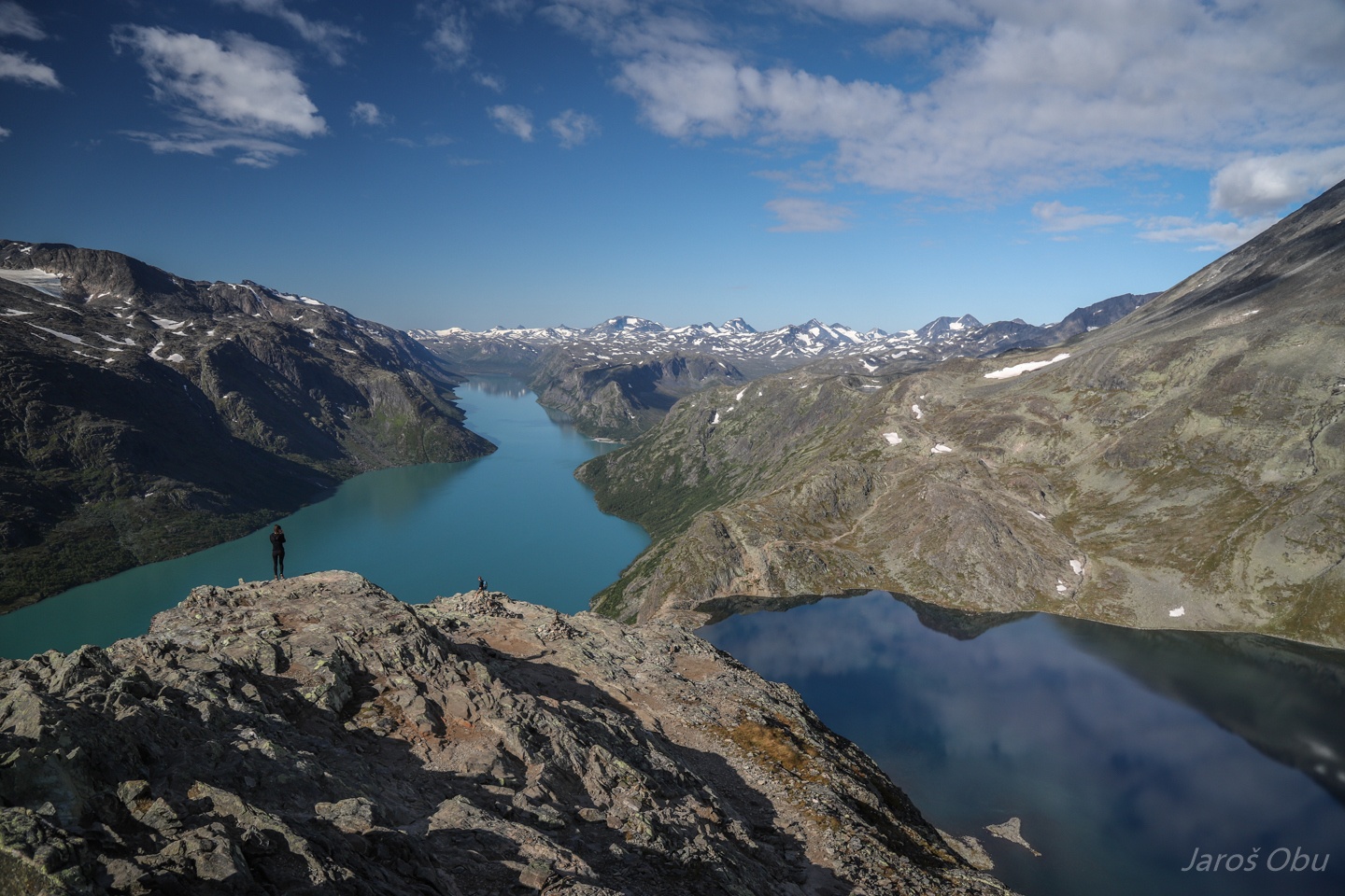
A look down the ridge. The boat on the lake is returning after delivering a crowd to Memurubu.
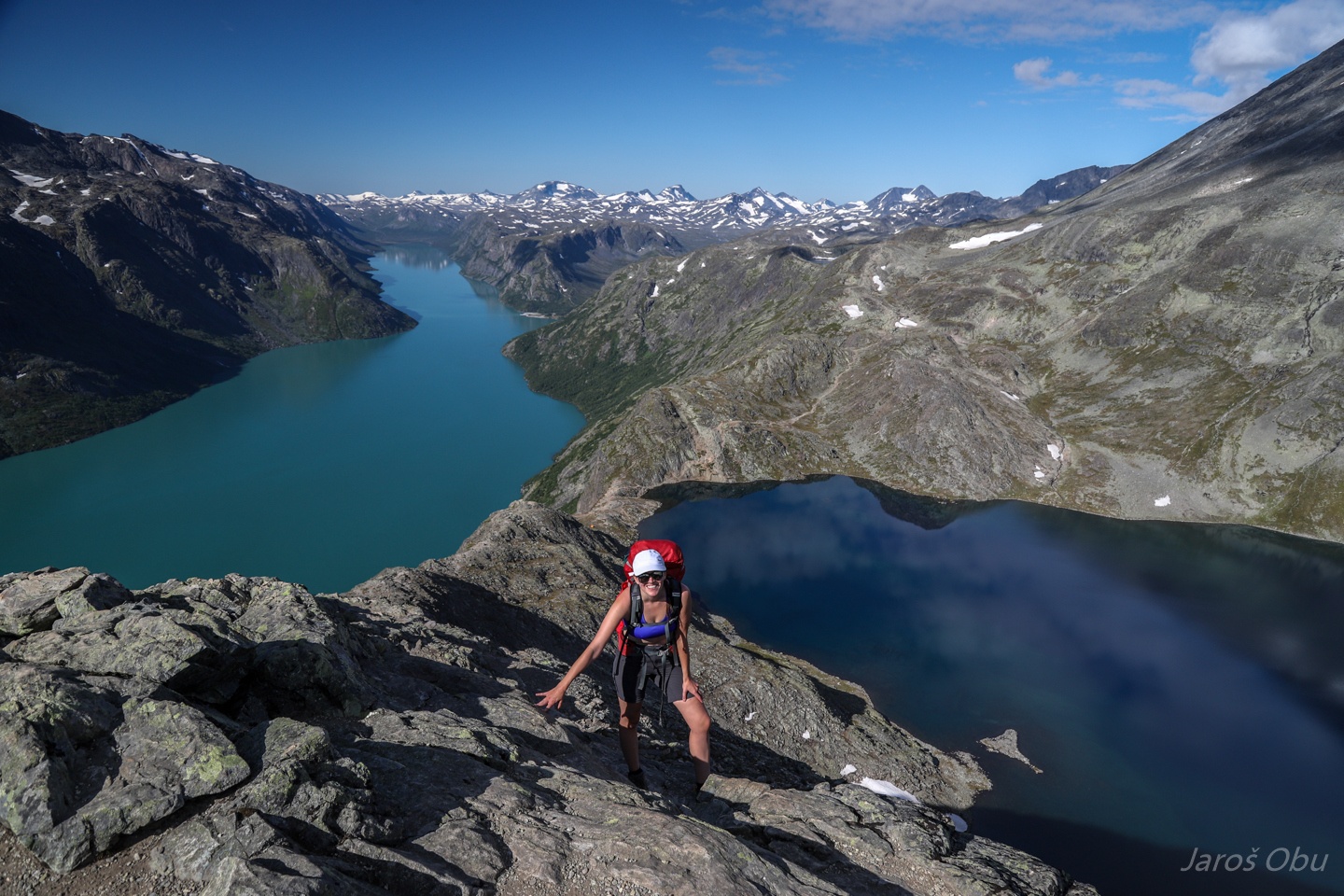
Having fun on the ridge.
Probably one of the most frequent hiking photo from Norwegian Mountains.
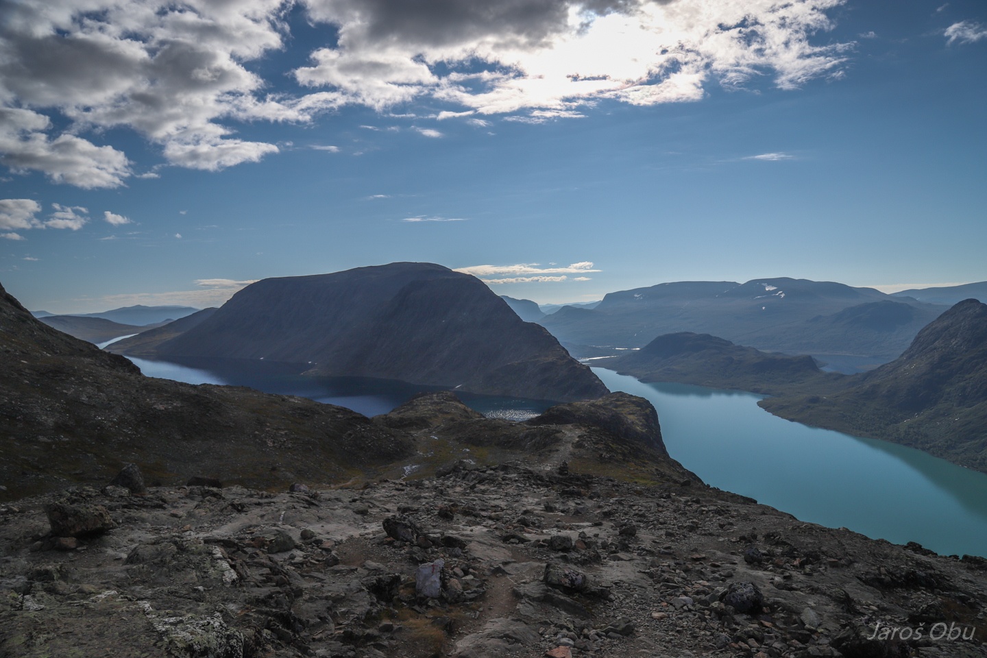
Bessvatnet has darker colour than Gjende because it is not fed by any streams containing glacier flour.
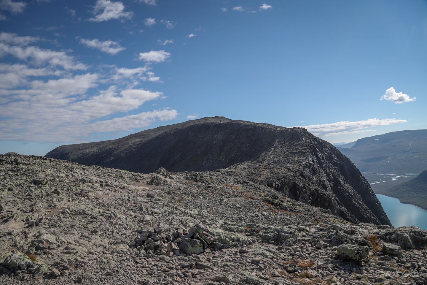
The hike continues to Veslfjellet , which is the highest point of the hike.
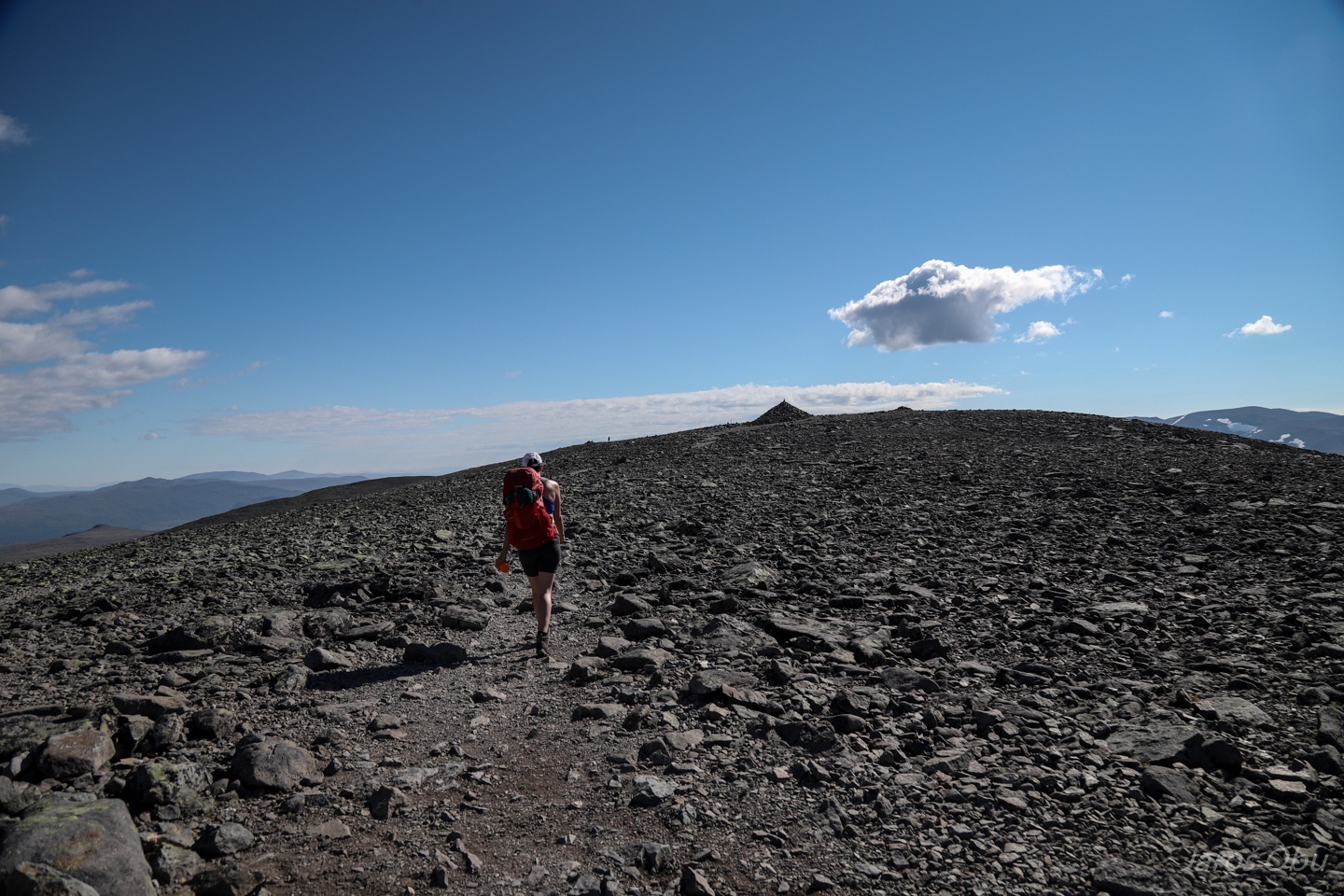
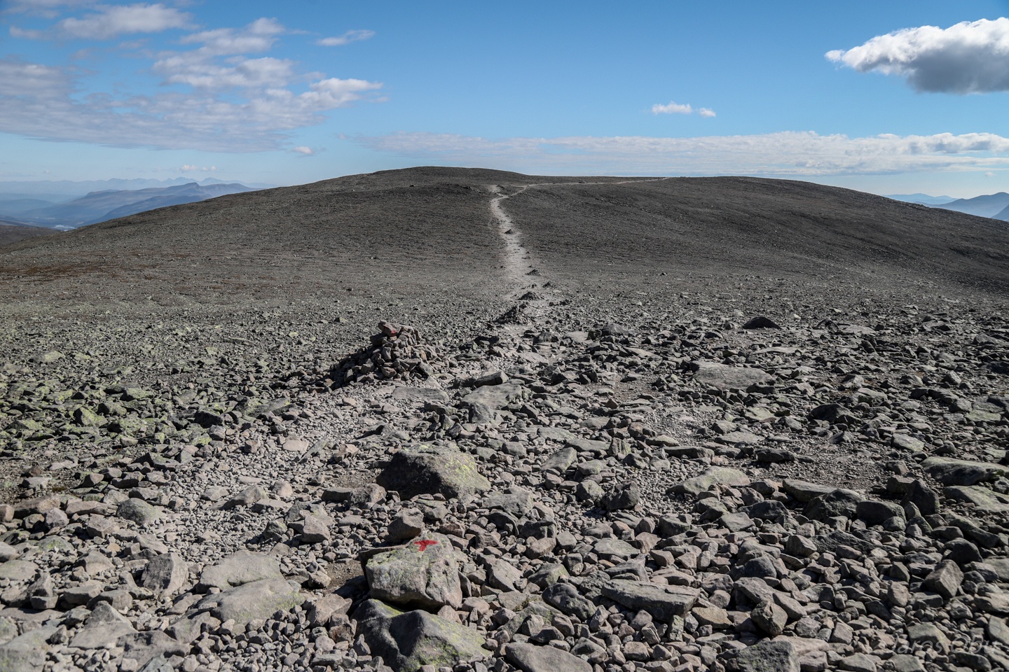
The path gets flat and boring.
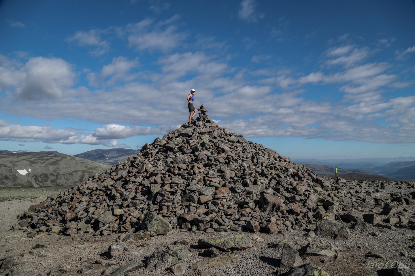
The summit of Veslfjellet (1743 m) ...
With a large pile of stones that was this time climbed by Frajer's better half.
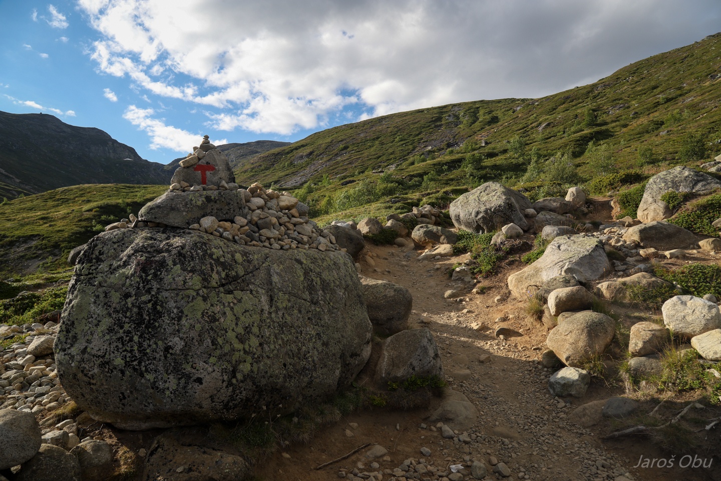
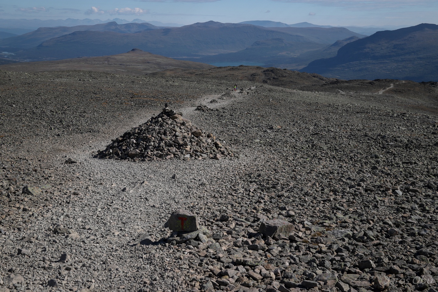
Small piles of stones along the path.
Starting the descent.
More piles of stones removed from the path.
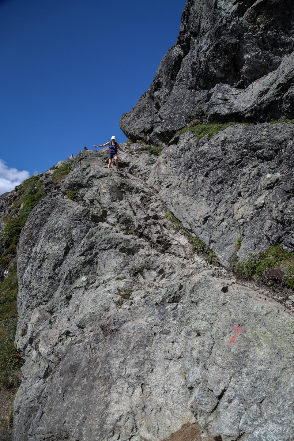
Some more rock scrambling.
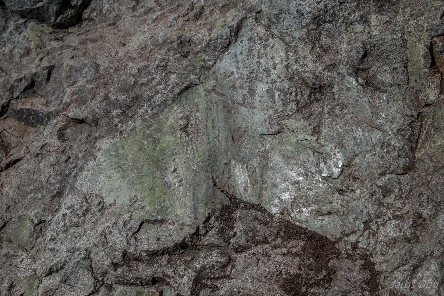
Interesting green mineral (fluorite?) on a fault plane in gneiss.
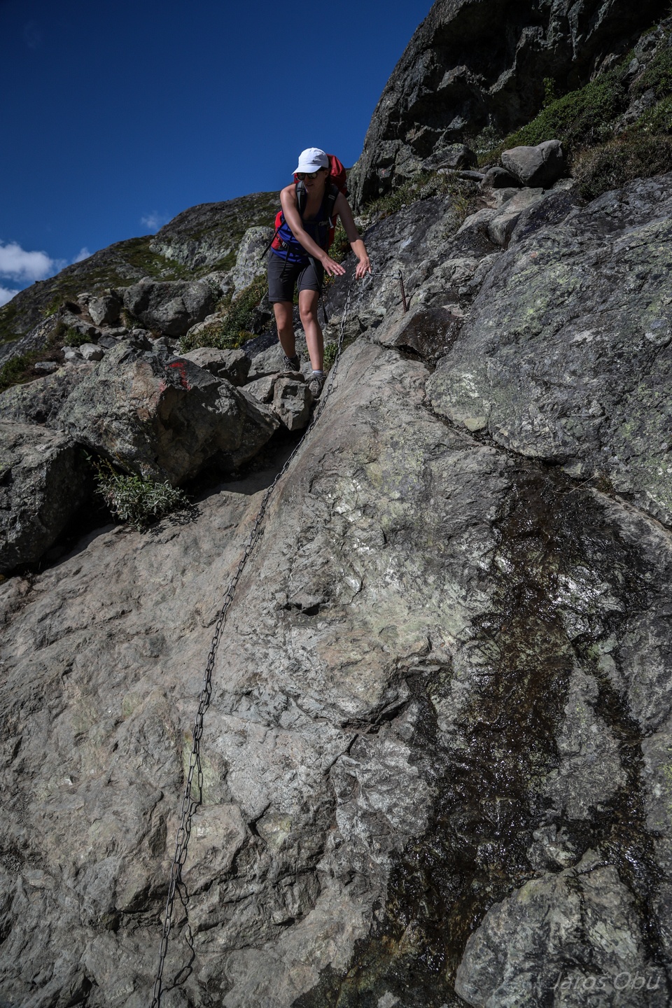
Probably the most challenging part of the hike.
...
The lake is apparently long enough that waves can generate littoral current that created this spit.
Ending the hike at Gjendesheim with a dip in the cold lake.