© 2024 Jaroš Obu
Photo gallery of Jaroš Obu
Cart
0
Items
Buy now
Death Valley National Park 23.-26. 12. 2016
Monday, 26 December 2016
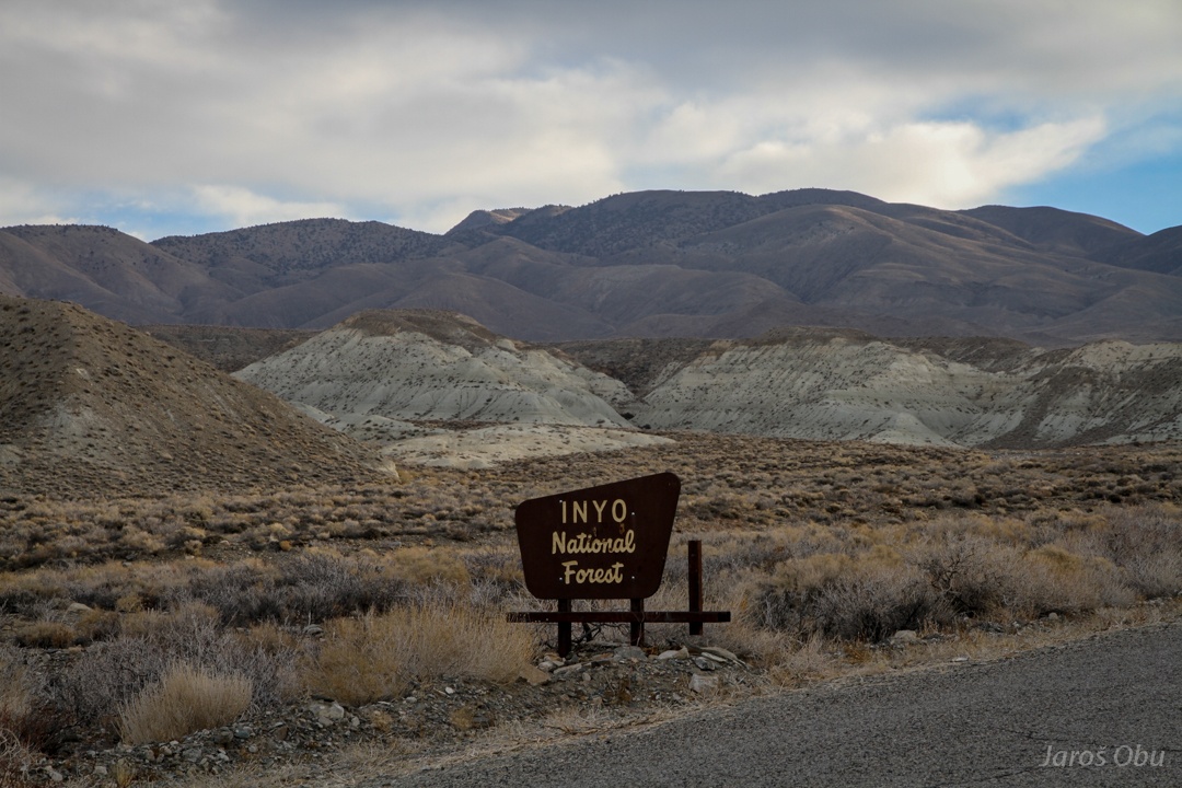
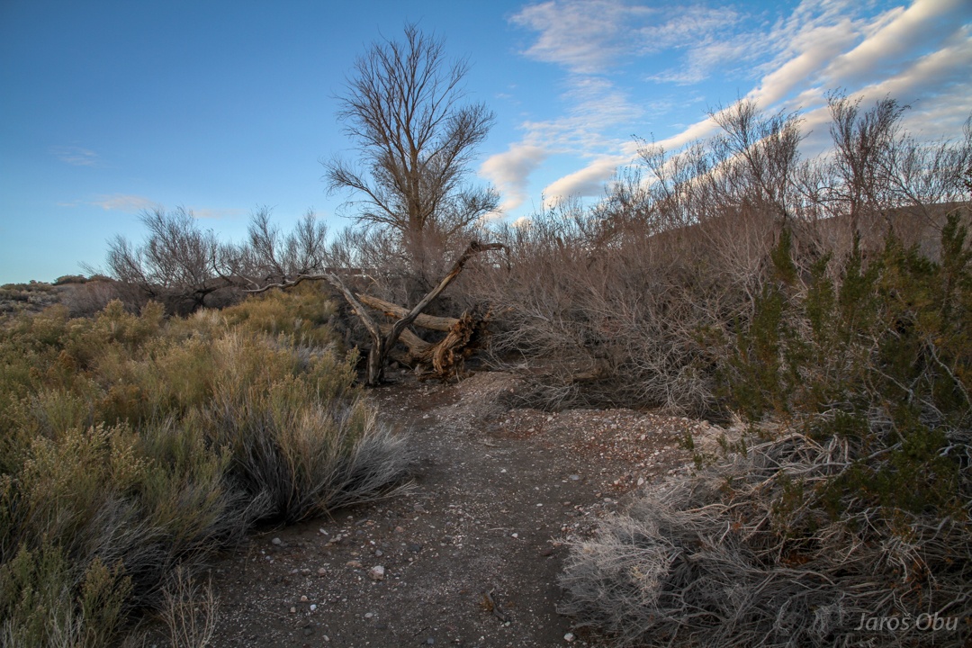
Entering a forest without trees on a way to Death Valley.
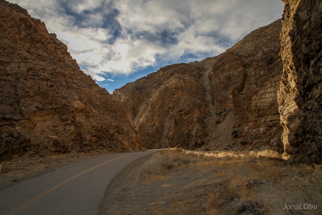
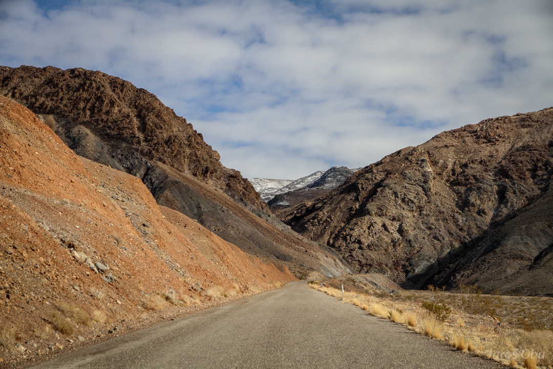
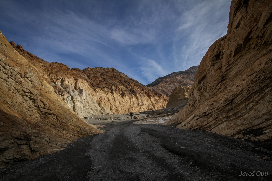
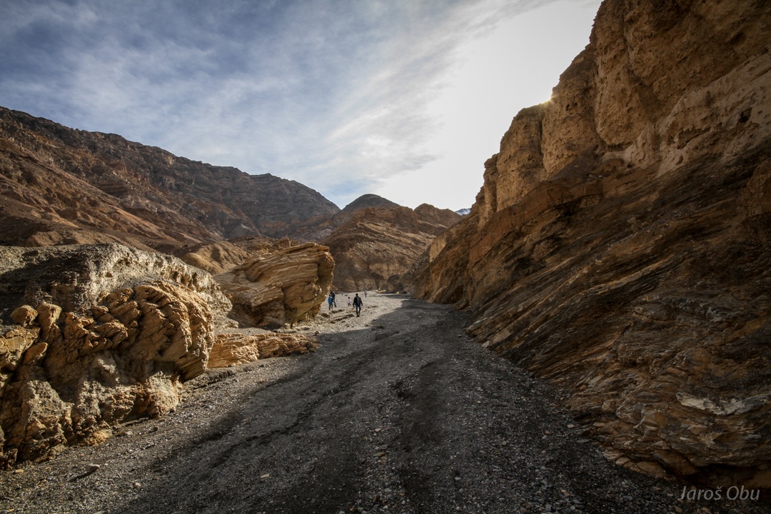
A gorge and no bridge over riverbed.
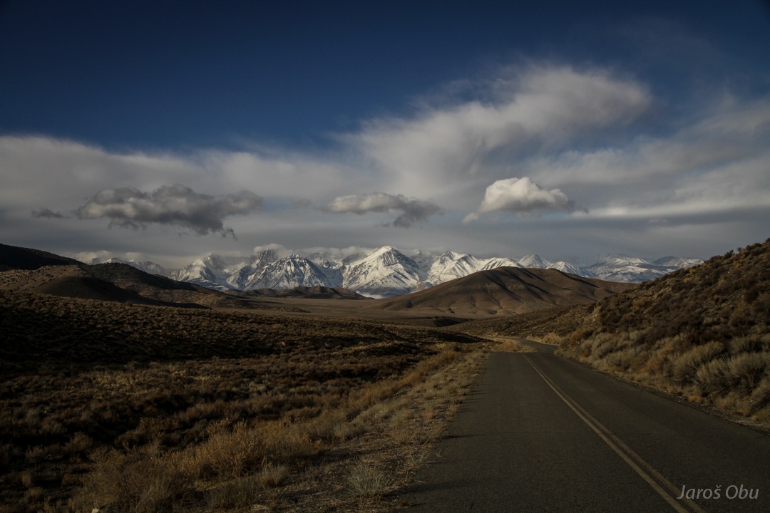
It was supposed to be a last look on eastern Sierra Nevada, but it wasn't.
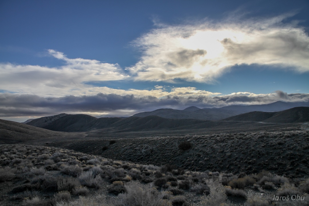
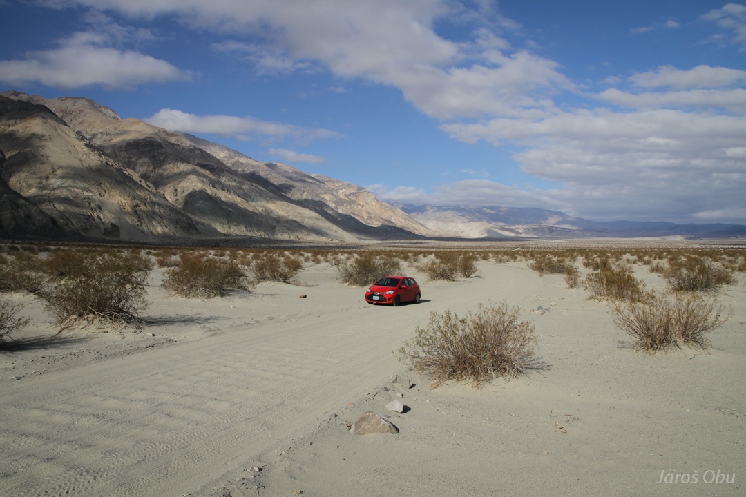
Since I was a day ahead of plan, I decided to check what is Saline Valley. The road didn't look too bad.
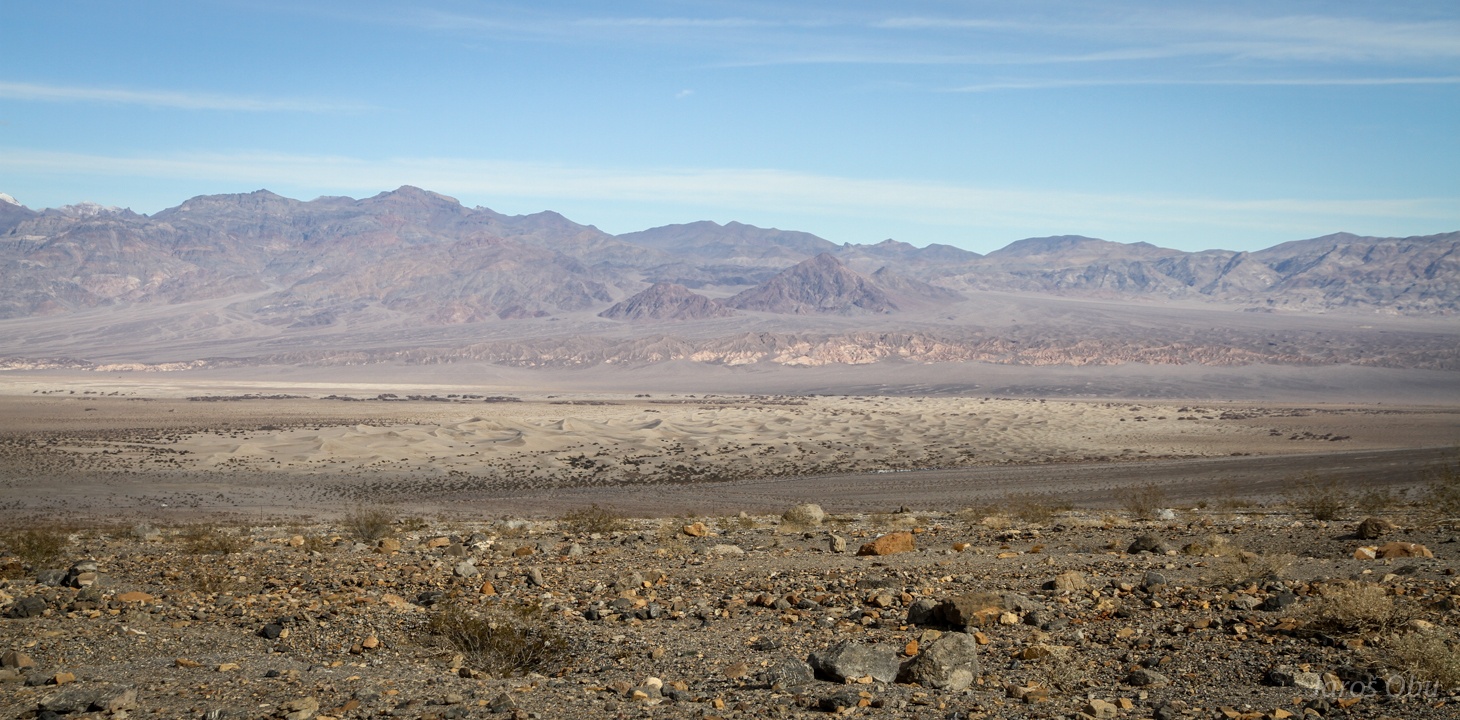
Desert landscape.
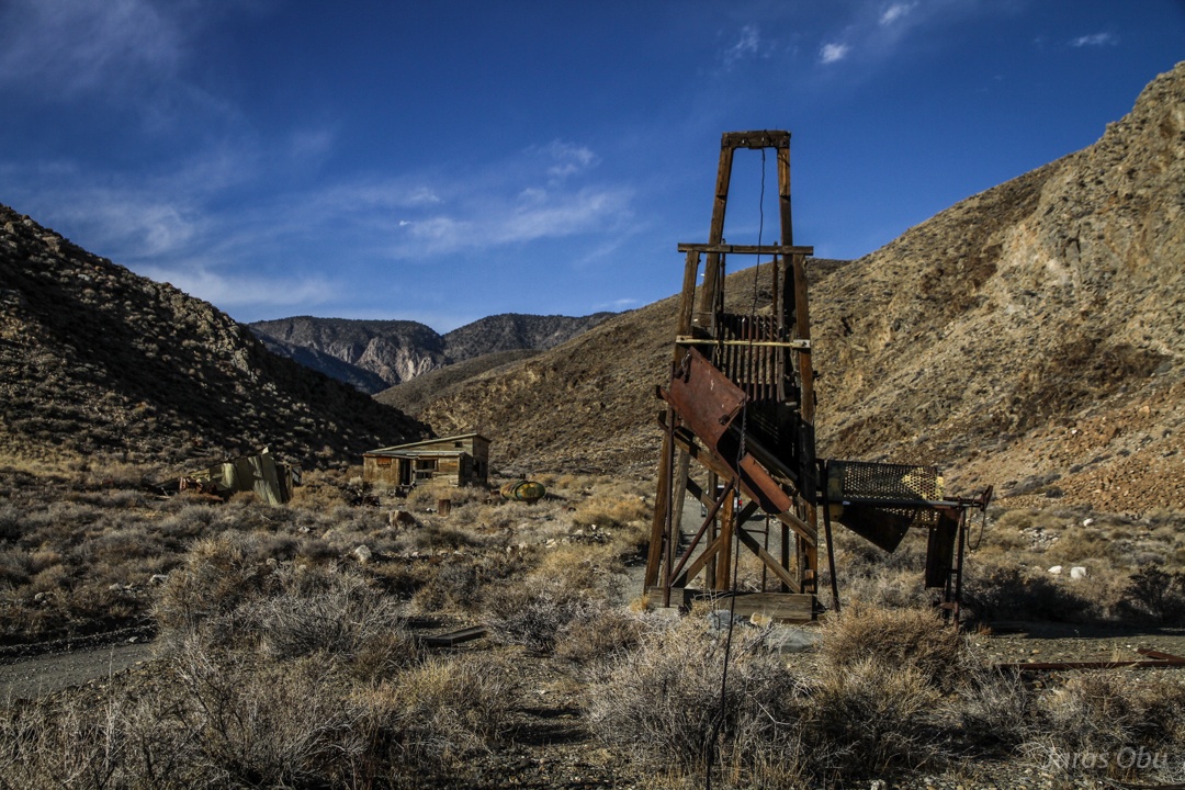
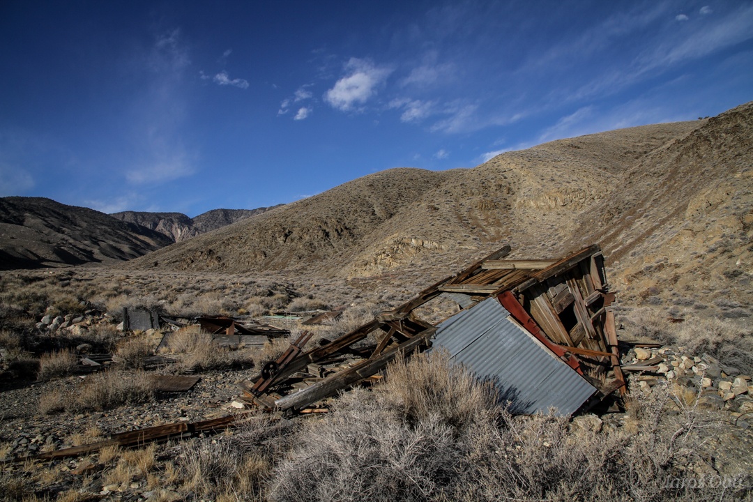
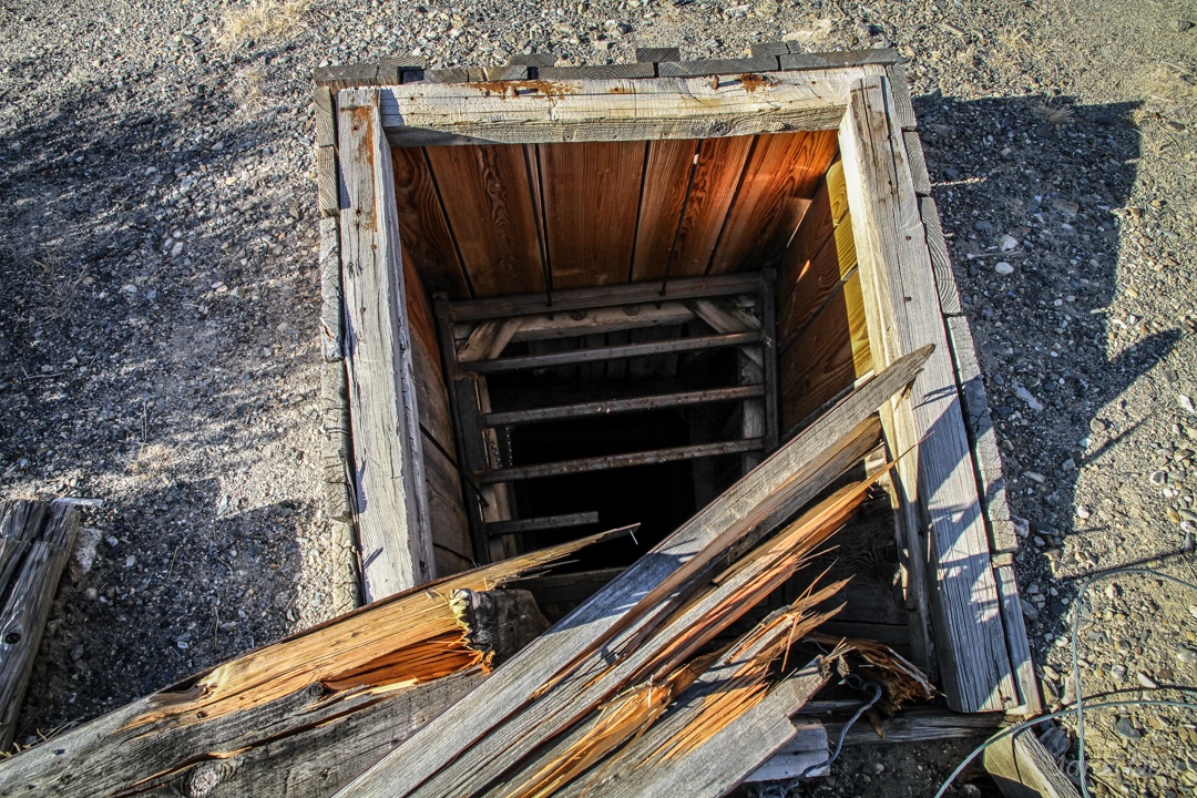
Some abandoned mines by the road.
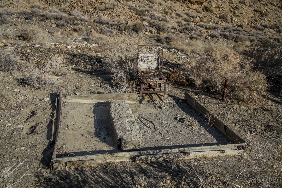
(Electric?) Steel chair.
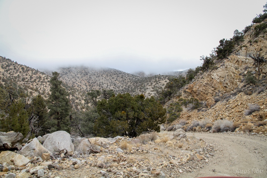
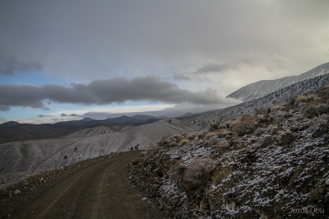
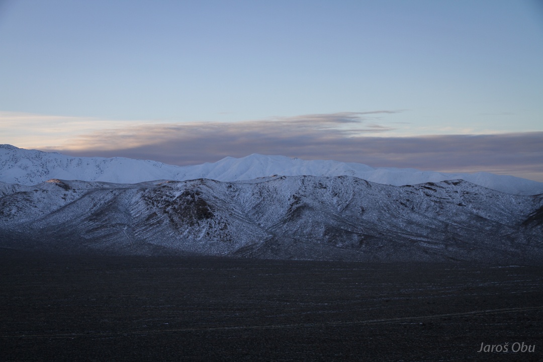
Pretty bad weather on the North Pass already.
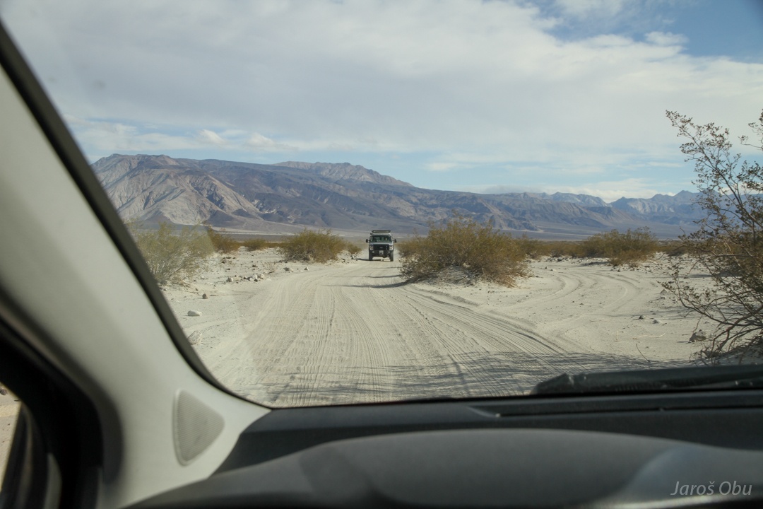
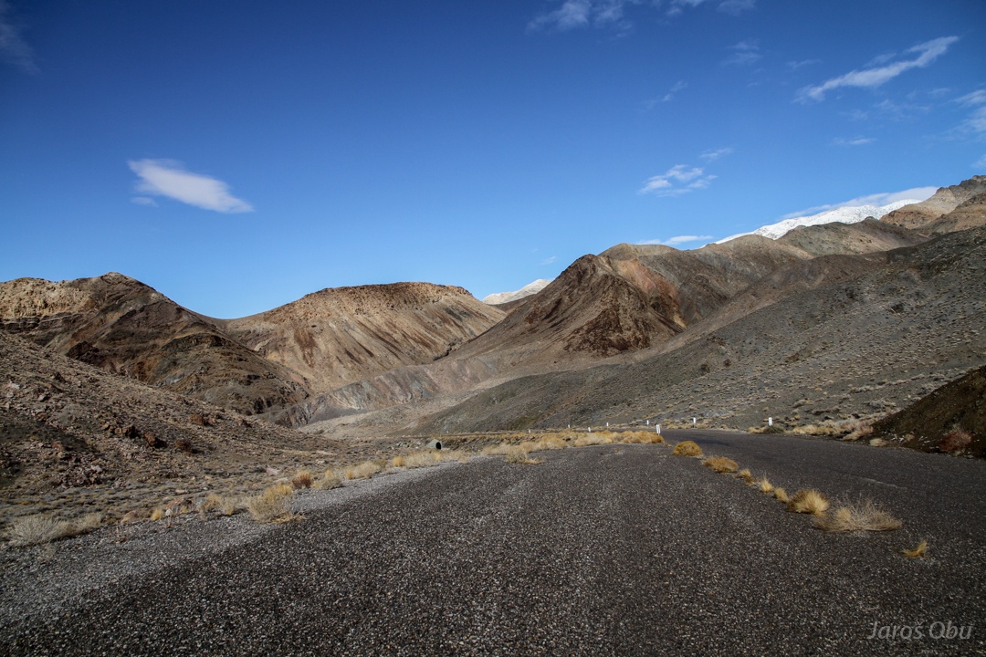
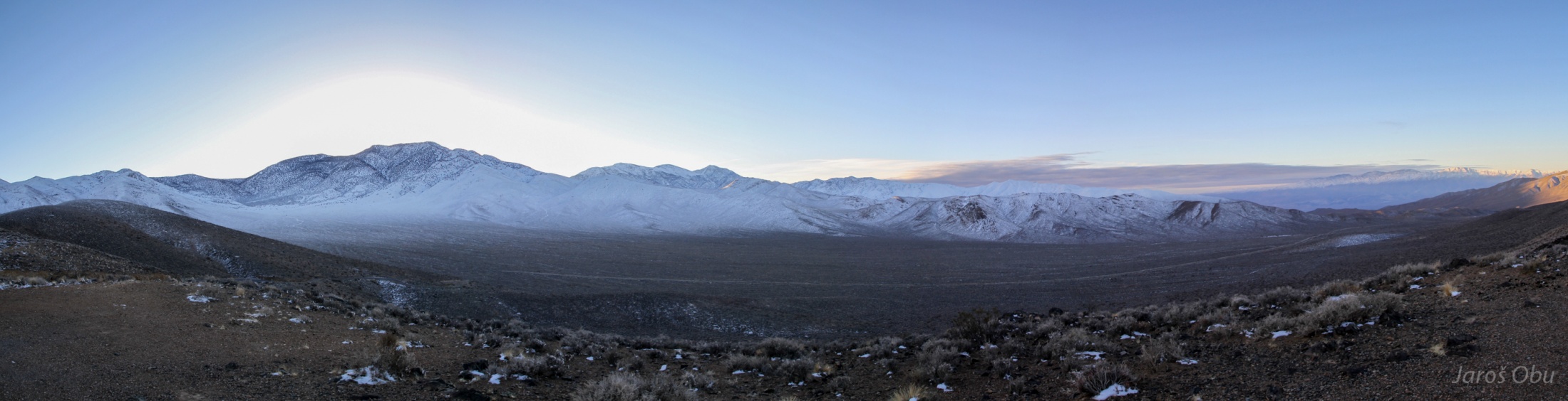
The Saline Valley and road, which is becoming worse and more gravelly.
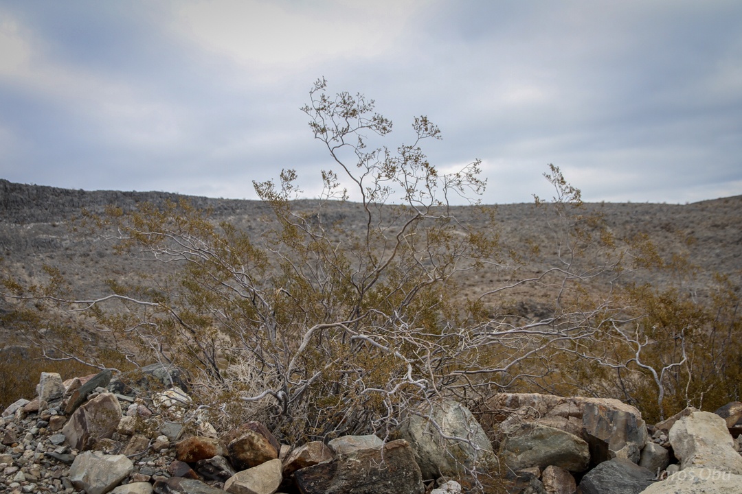
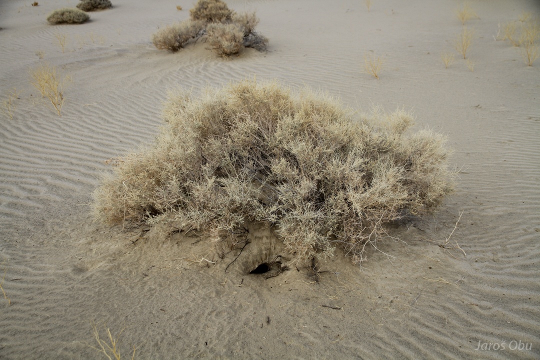
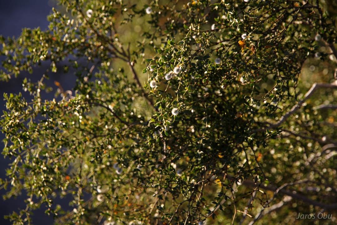
The sagebrush vegetation is replaced by creosote bush (Larrea tridentata).
Road goes through riverbed.
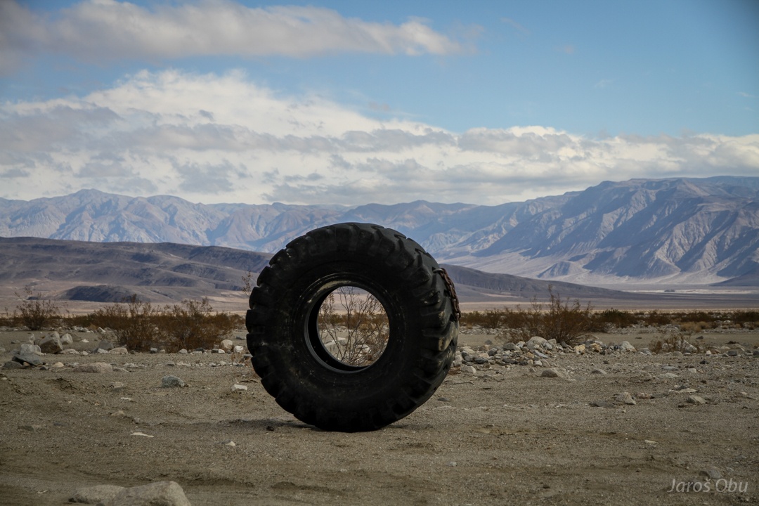
Mounting this tire might have been helpful.
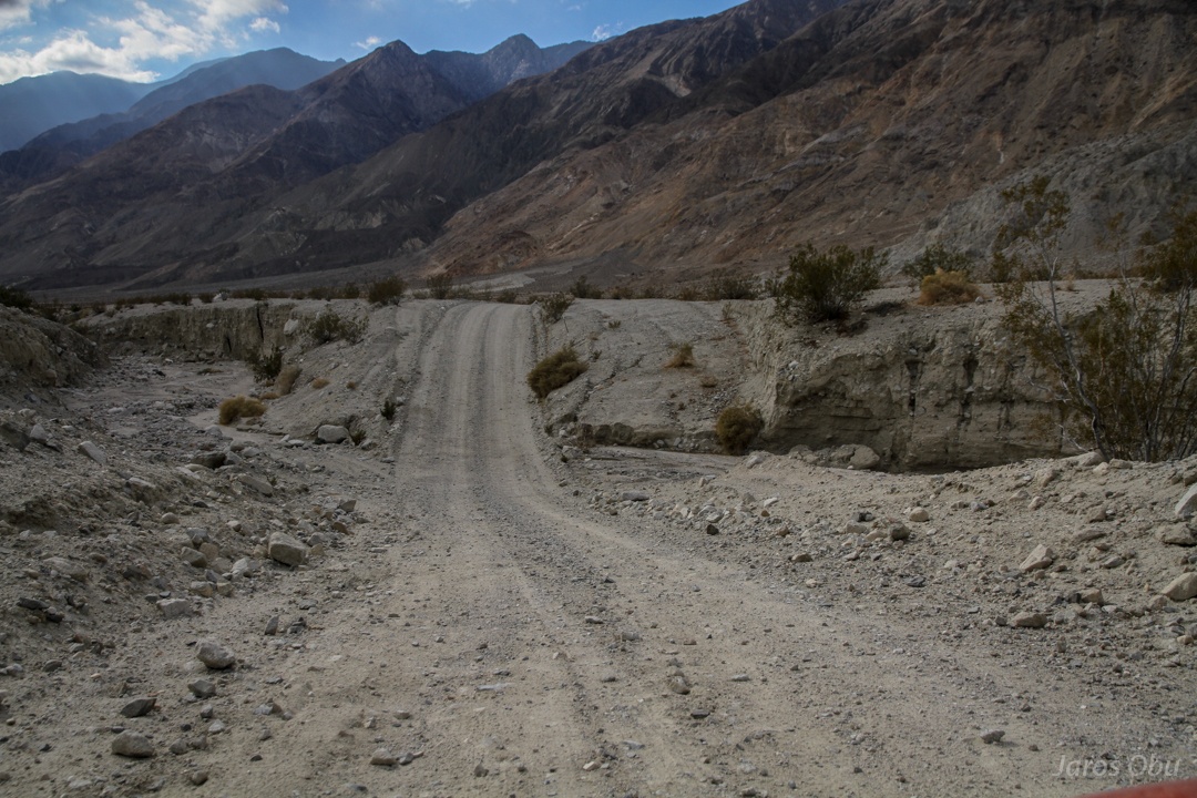
The hope that bumpy gravel road will turn into smooth sandy one was in vain. Small ripples made it even worse.
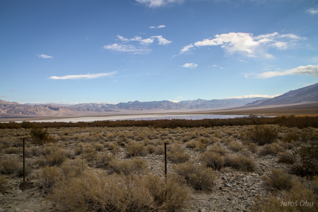
Remnants of salt tram by the Salt Lake, which were used to transport harvested salt to Owens Valley.
Once again the lake.
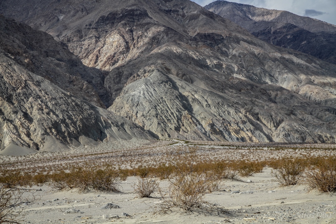
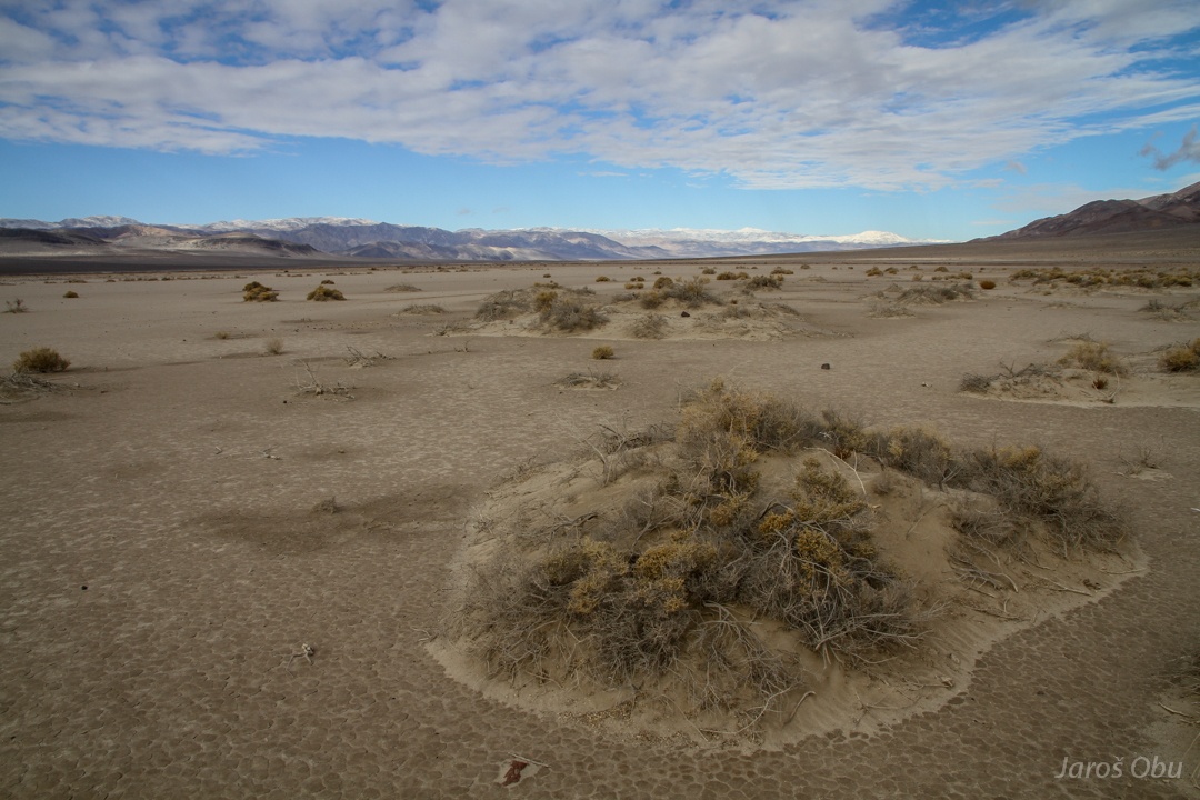
Despite the low precipitation, the running water is the most important landscape forming agent. Gully streams from mountains deposit a lot of material.
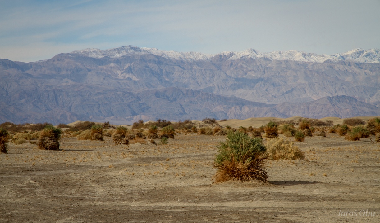
Alluvial fans cover most of the Valley floor. The spacing between creosote bushes decreases with increasing water availability.
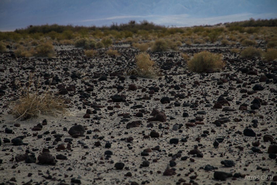
Stones of pumice in the middle of the valley. What brought here stones of such size?
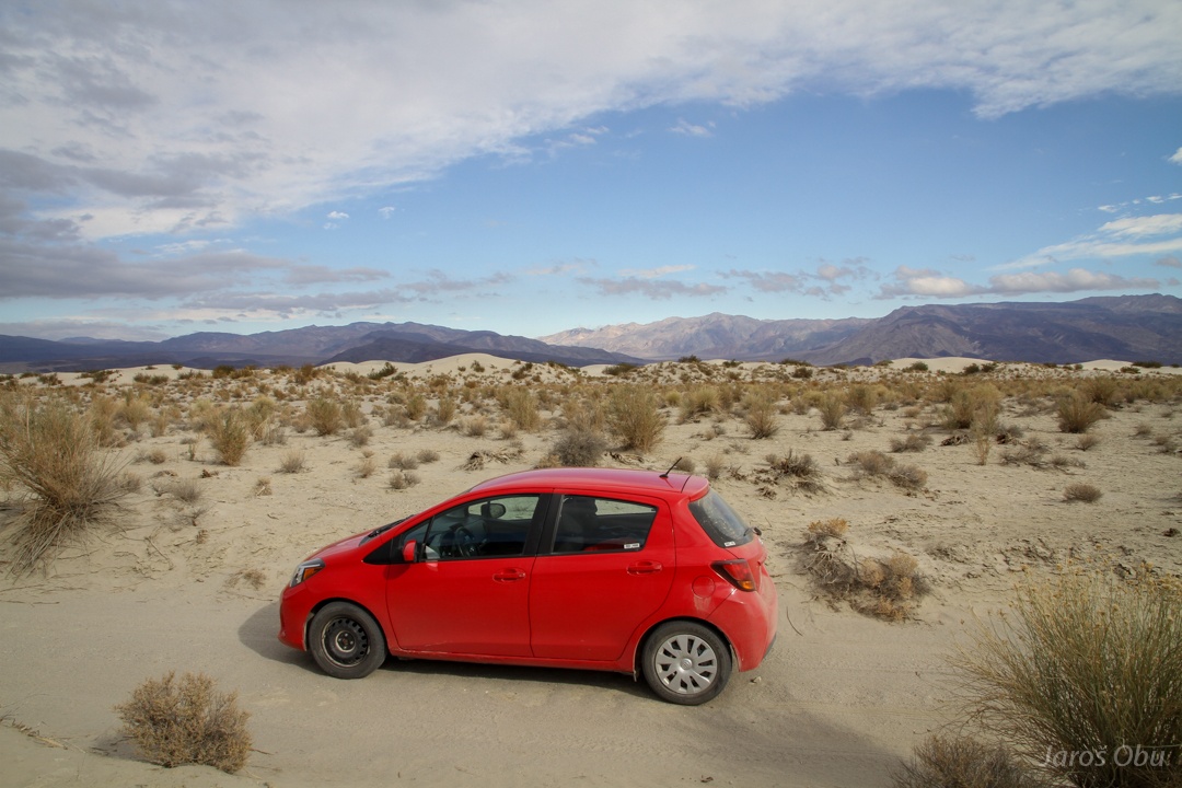
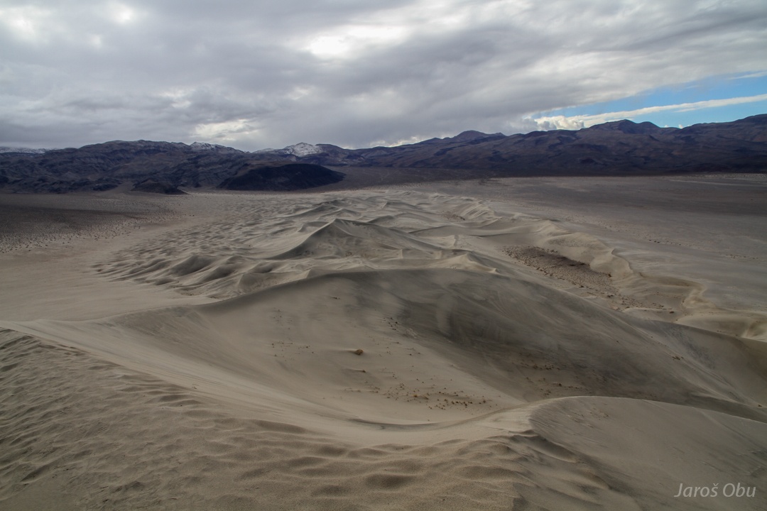
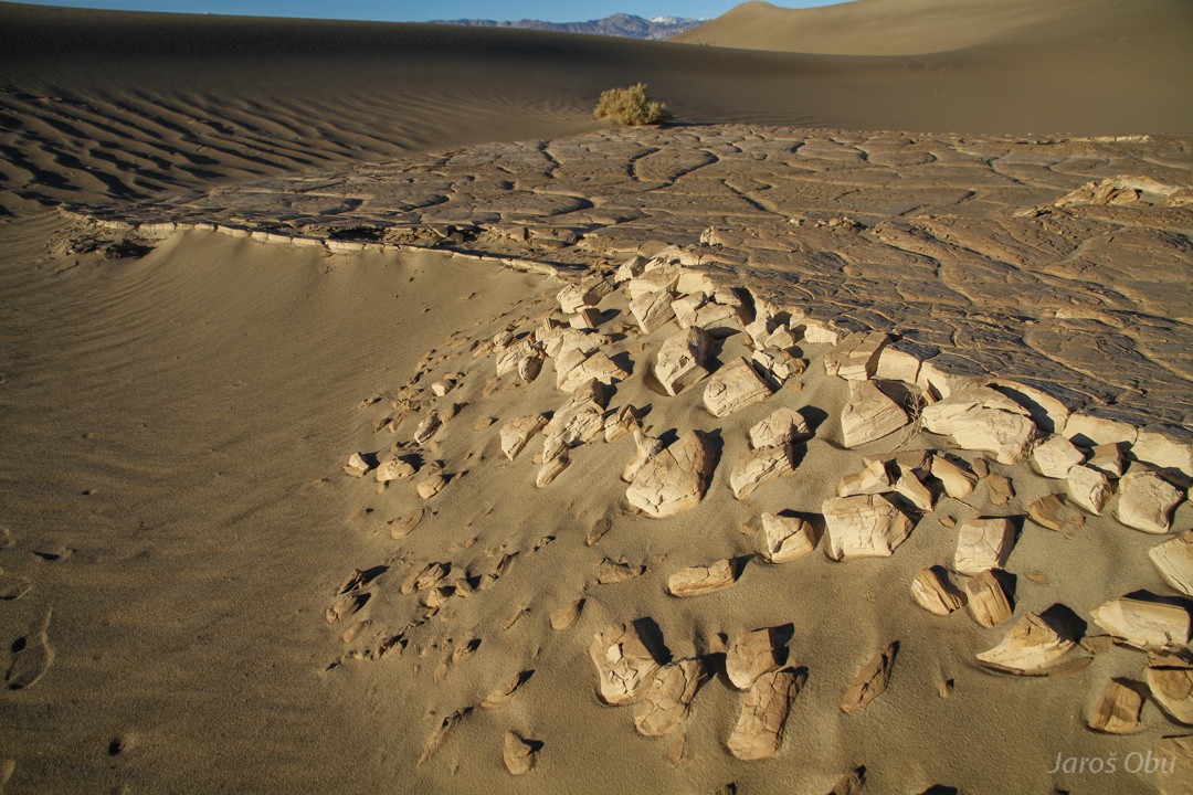
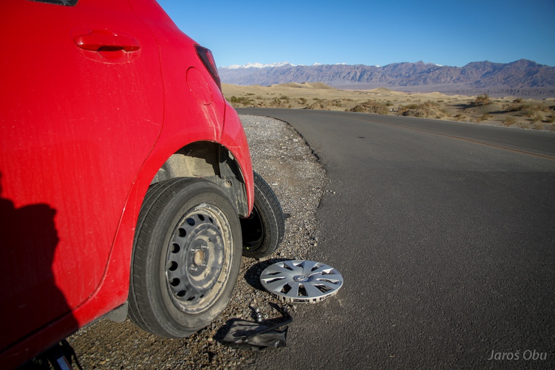
Lost a wheel cover during the bumpy ride. Nevertheless, quickly stopping by sand dunes.
Not particularly high but nice.
And continuing towards Warm Springs. Meeting more or less only four-wheel-drive cars.
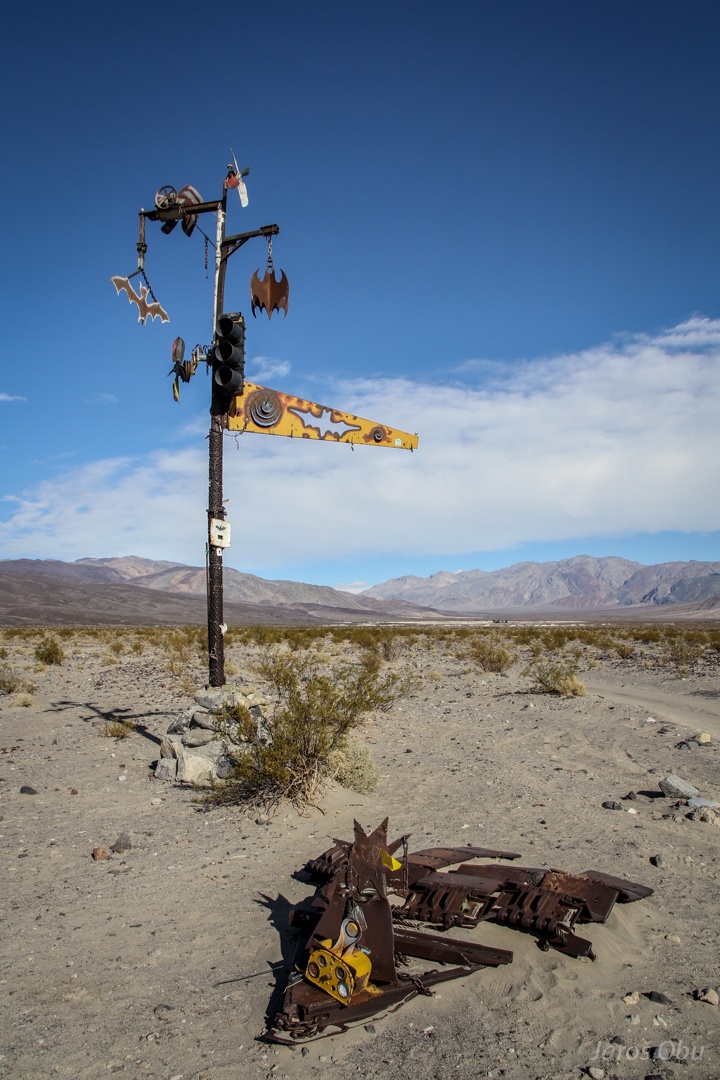
Interesting signposts.
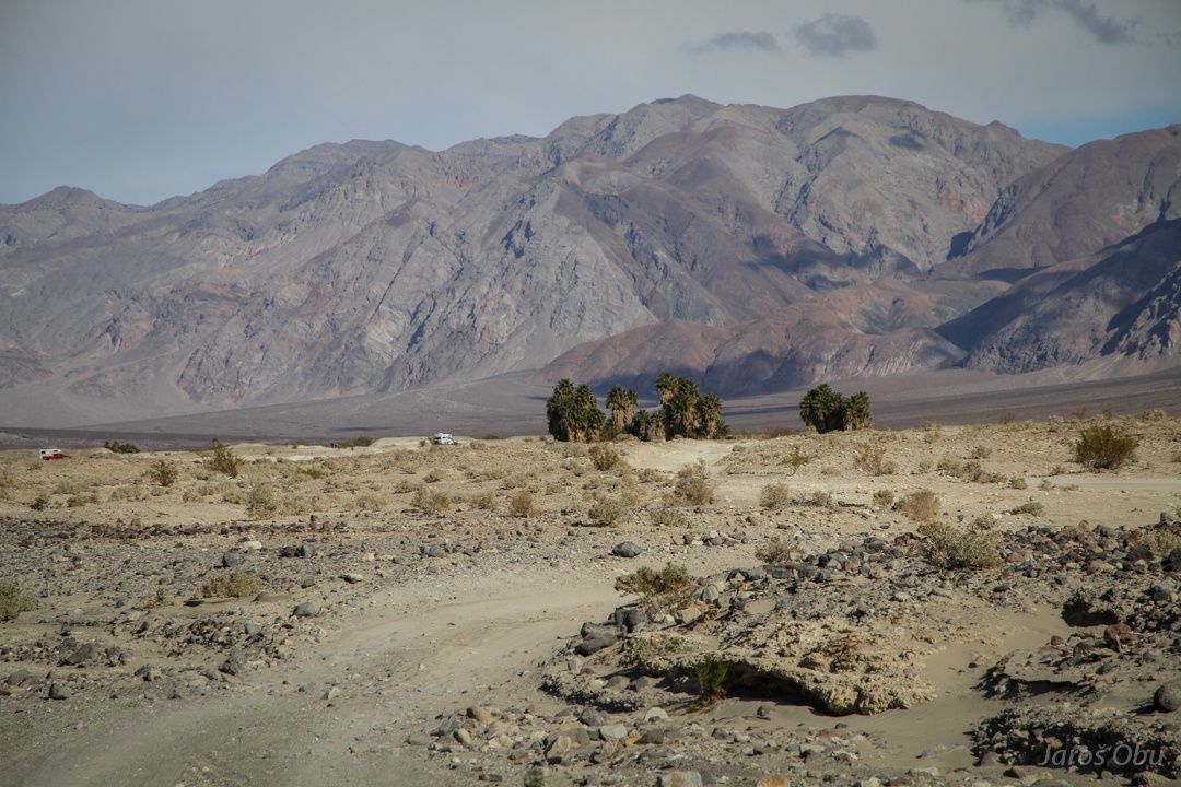
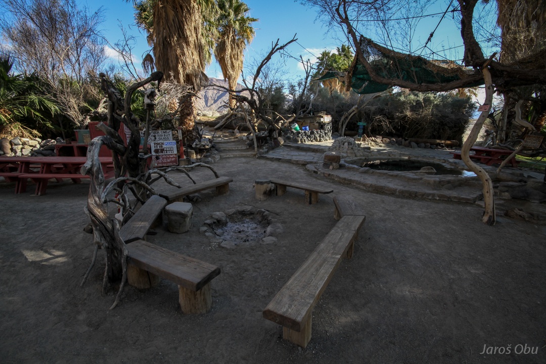
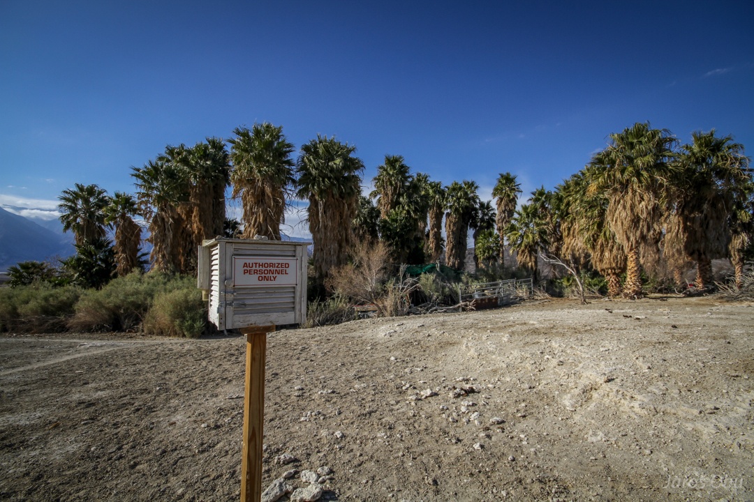
Almost non-drivable road. But the oases are now close.
... no worries, cannot drive fast with my small car. And also have no fire in my arms.
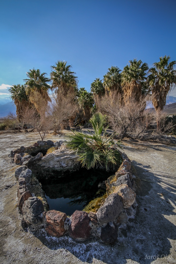
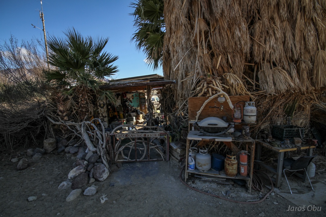
The water from springs is collected here.
And used for swimming pools at campground.
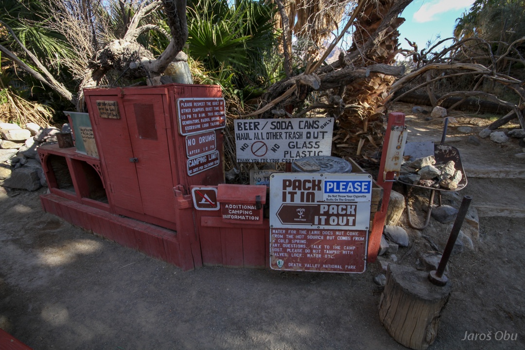
Campground host.
And camping instructions.
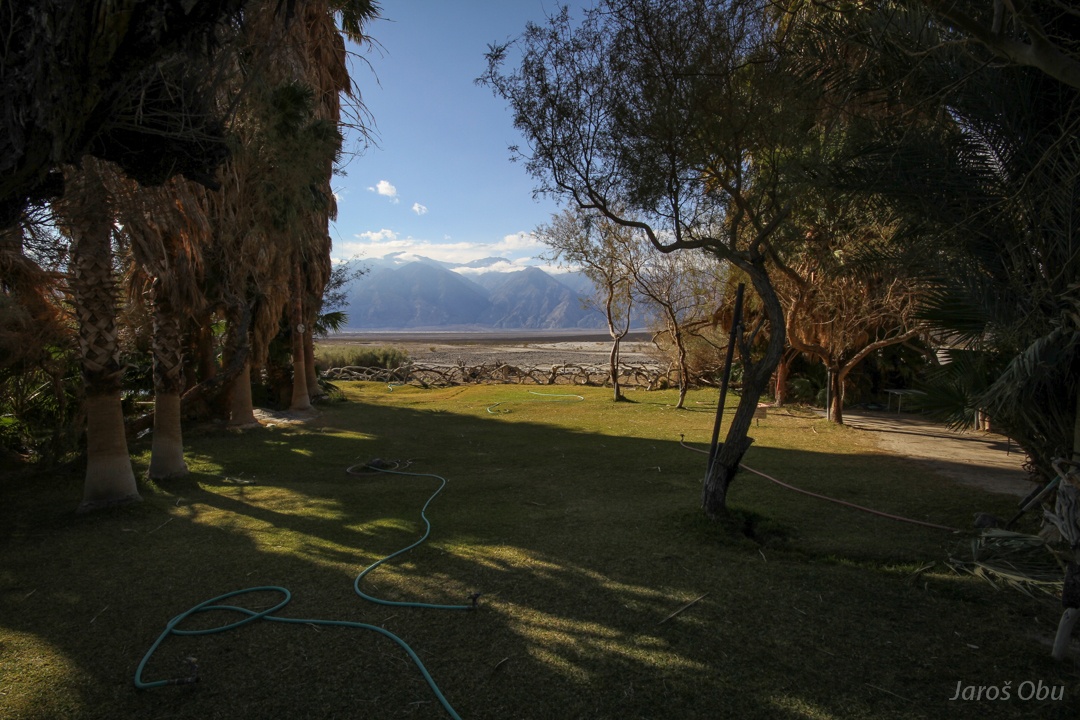
It seems to be enough water to maintain a lawn.
They even have a weather instrument shelter.
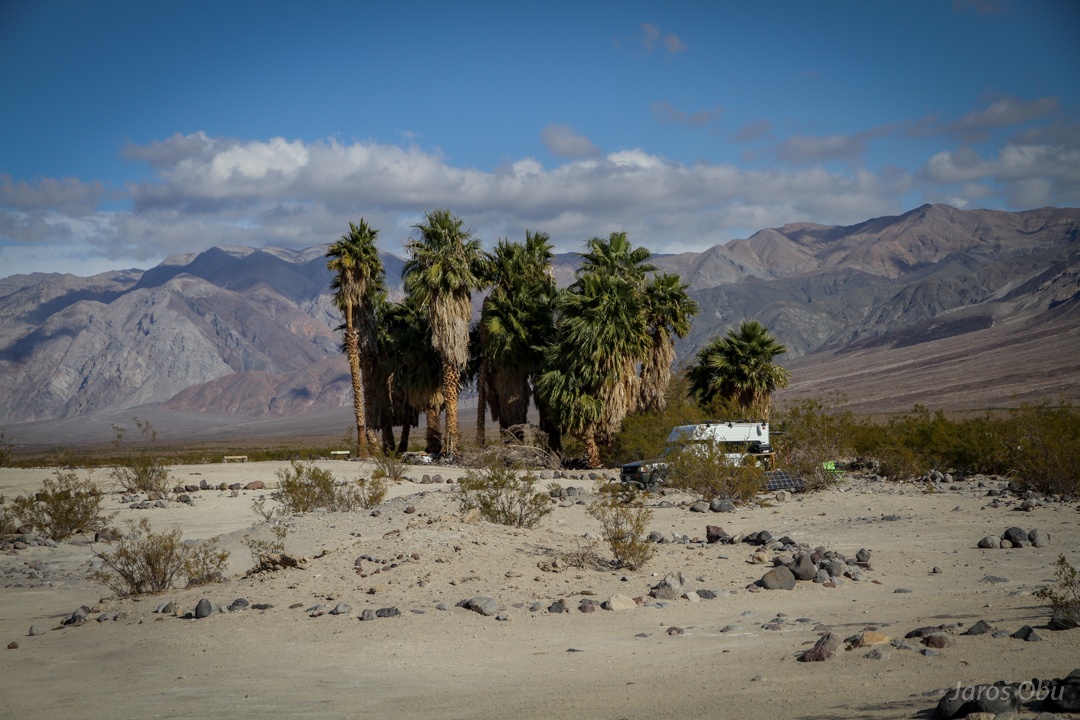
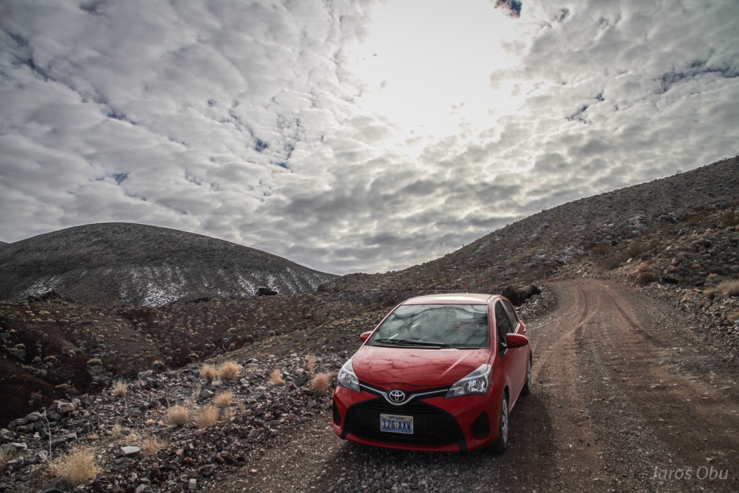
Middle Saline Valley Warm Springs slightly further up the road that eventually became too rough for my poor Toyota Yaris.
Water doesn't make it far before it dries out.
More springs.
I wish I could have stayed here for a night, but I underestimated the distance and road difficulty. The only way to continue was to go back to Big Pine to get more petrol. Before the snowstorm and before they close roads.
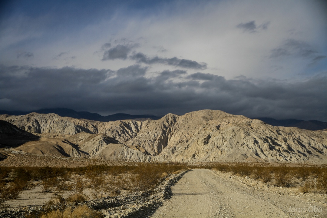
Hit the terrible road. Clouds are becoming slightly intimidating.
Interesting patterns on the hillslopes.
It indeed snowed higher up. But nothing terrible.
Snow shower has just ended.
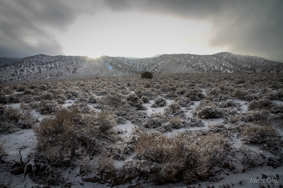
It looks like sagebrus is very effective at catching snow.
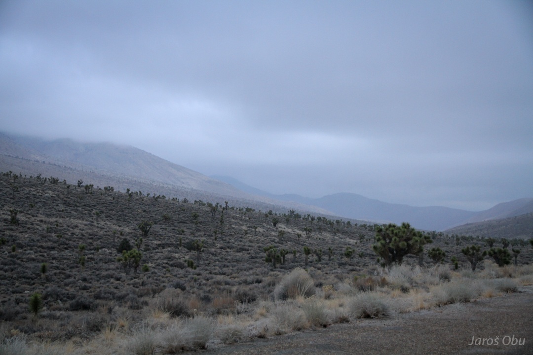
Also not much snow on the way back to Big Pine where I refueled the car and continued journey, as initially planned, to Eureka Valley. First joshua trees on the way.
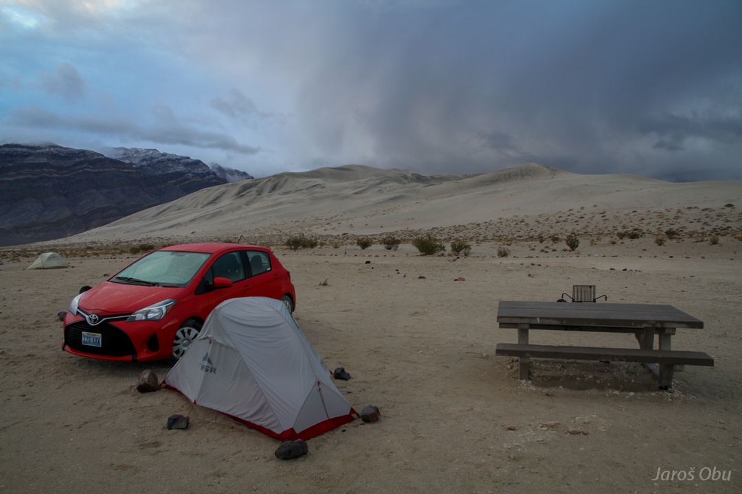
The storm eventually hit during night, when I was already in Eureka Dunes Dry Camp. The wind strength can be assumed from the stone size on tent pegs :) And I also found the wheel cover I lost!
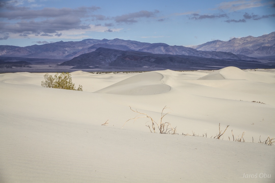
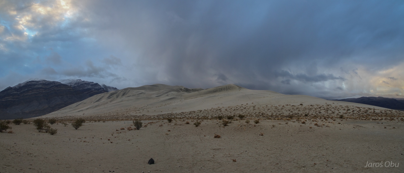
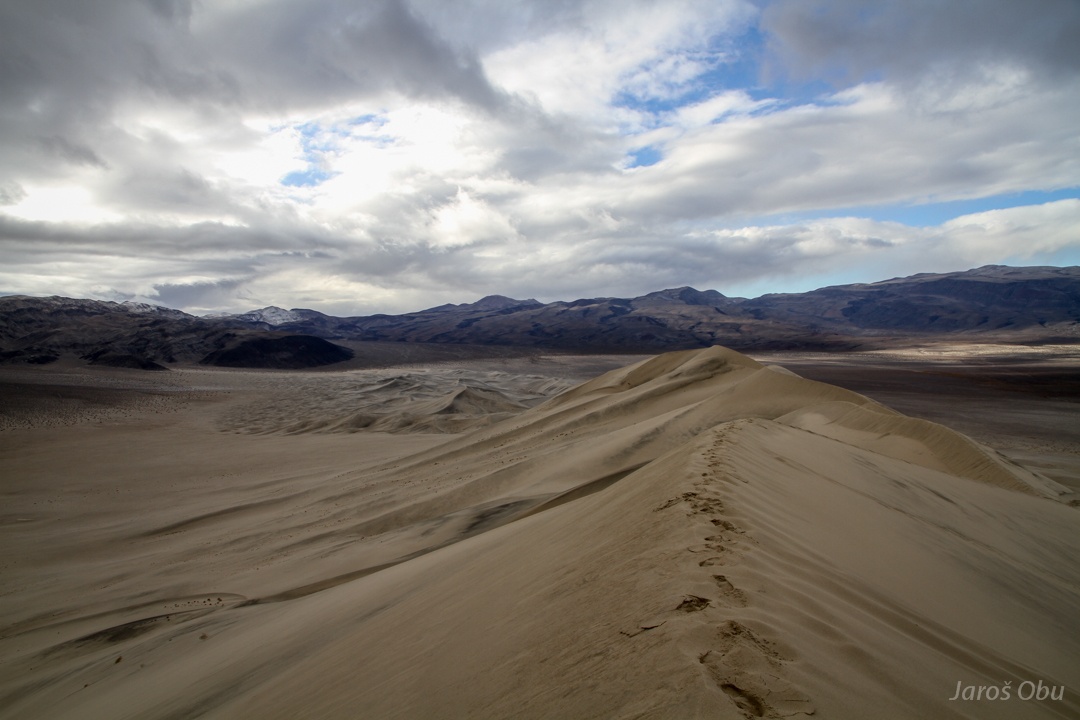
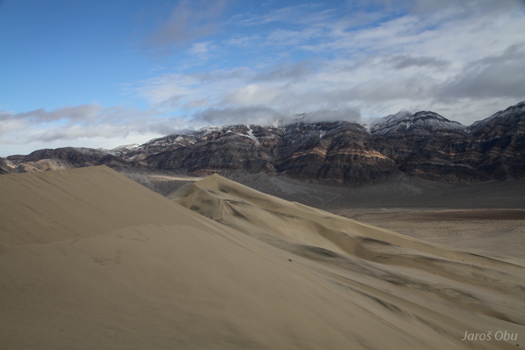
The Eureka Dunes rise up to 200 m height.
I imagined them as completely white, as I've seen on photos, so the black colour was quite shocking to me.
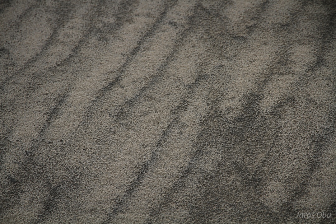
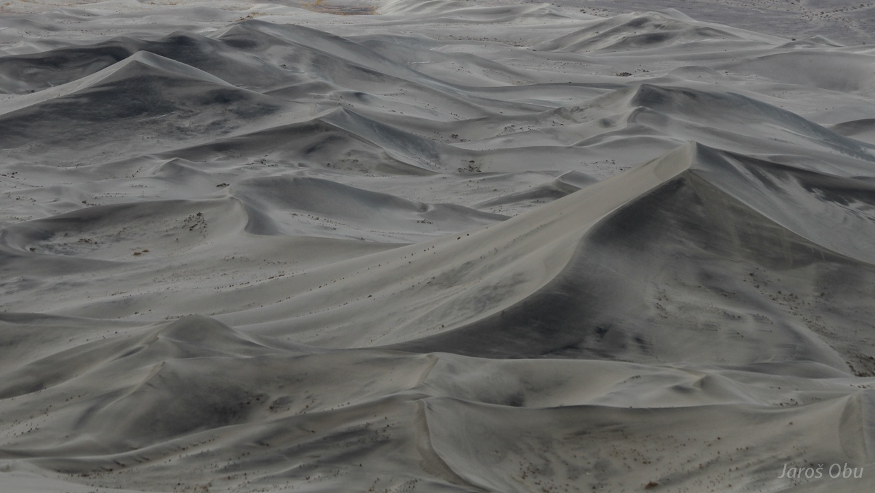
Ripples hadened because of the rain.
It looks like the black grains accumulate in layers. Is the sorting related to rain?
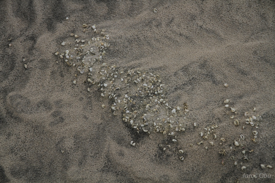
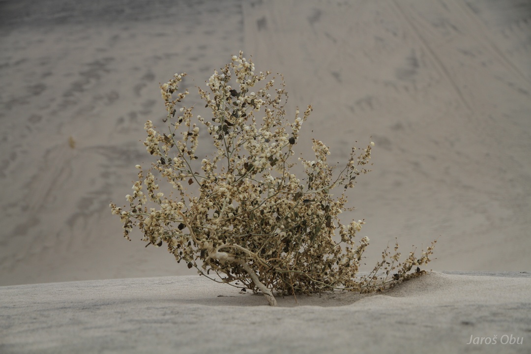
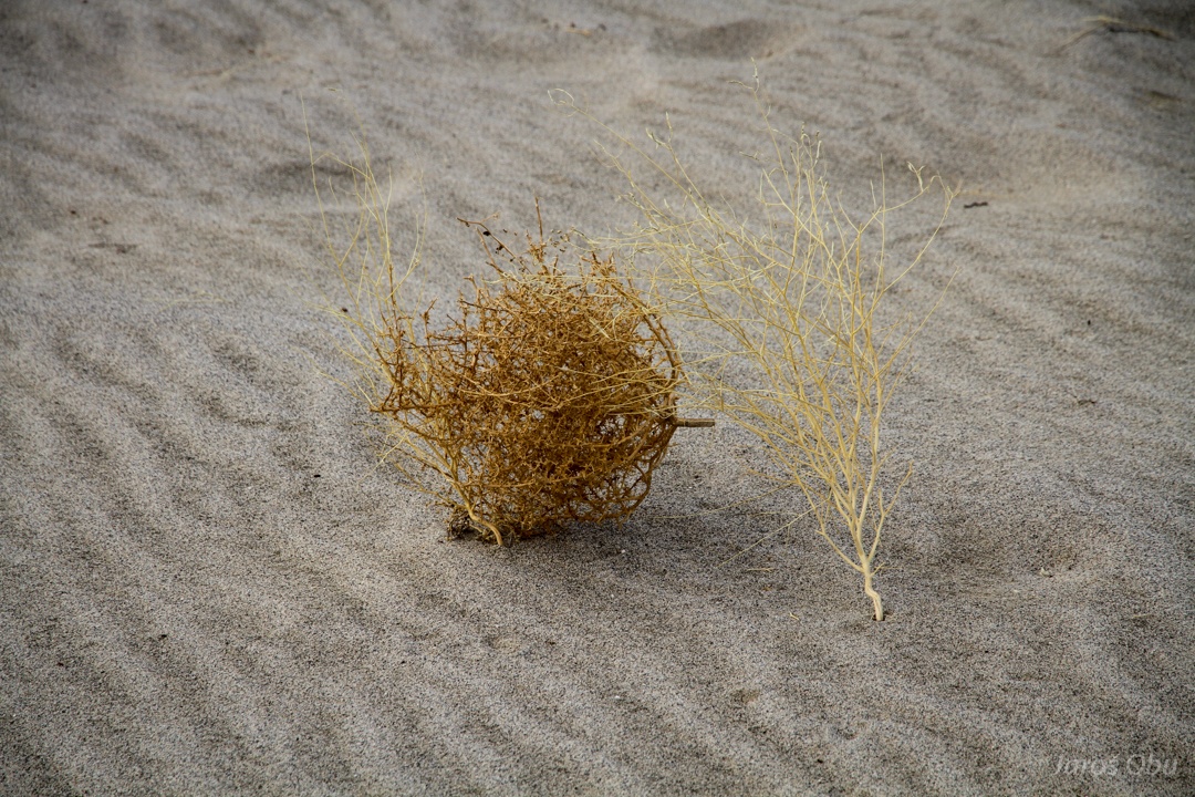
Seeds caught in the sand.
Probably from this plant that grows on the dune.
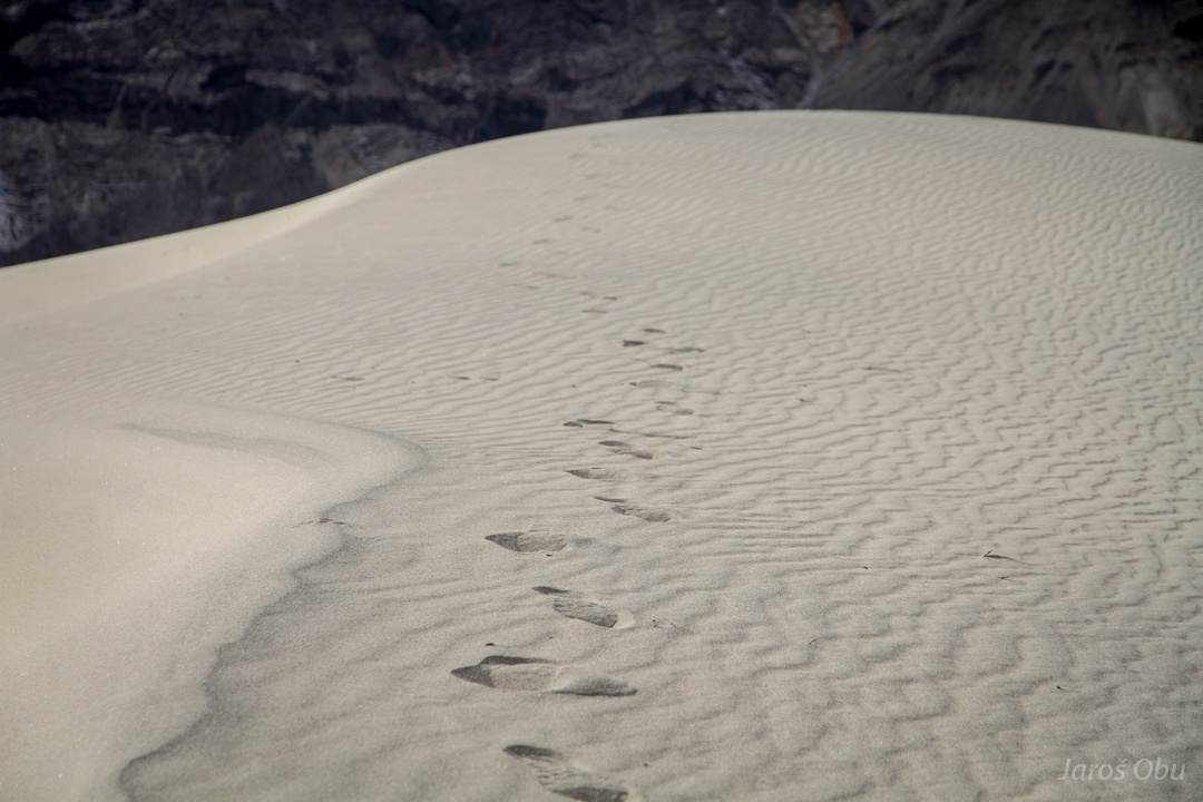
Walking was slightly easier because of few cm thick crust that still cracked while walking.
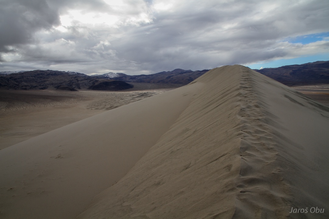
On the very top.
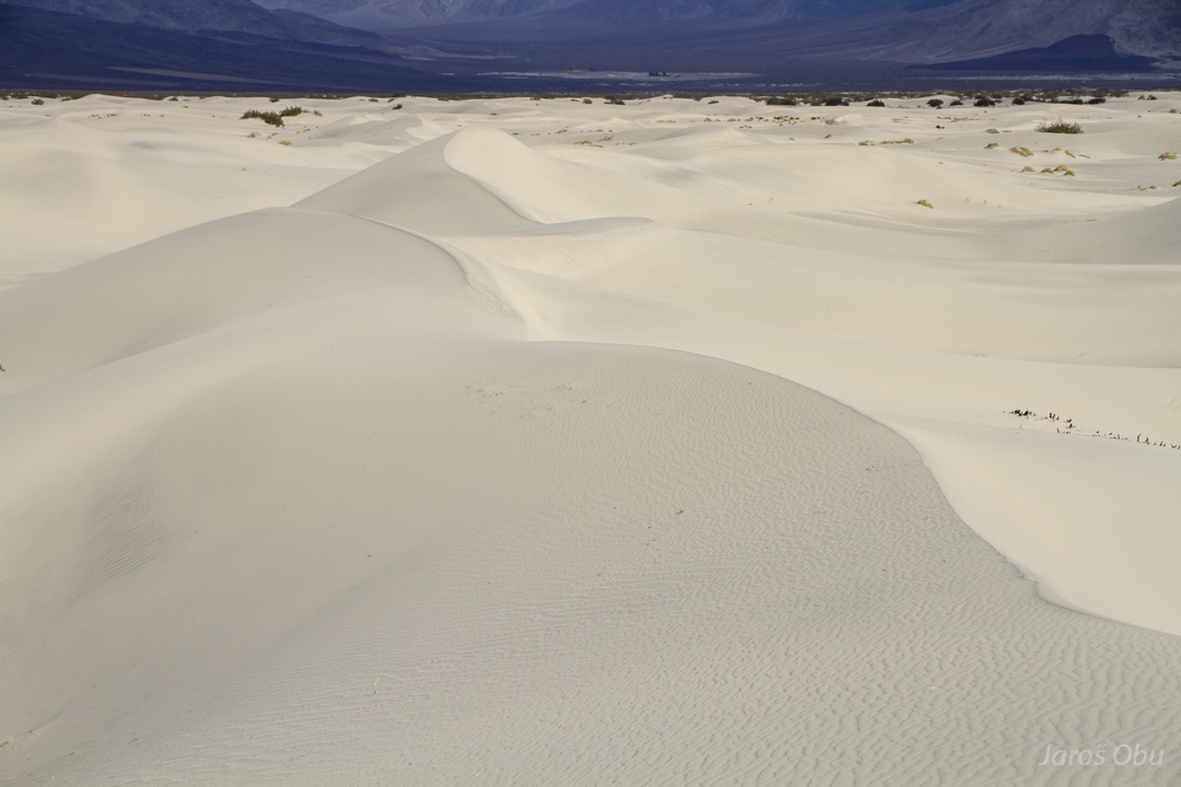
At least from far these star dunes look silky.
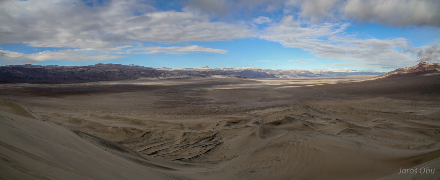
Eureka Basin. All basins here have no water outflov. All the sediment brought by river during flashfloods is accumulates in the basin. The finest particles can be blown away, but sand can only be moved by saltation and eventually accumulates in sand dunes.
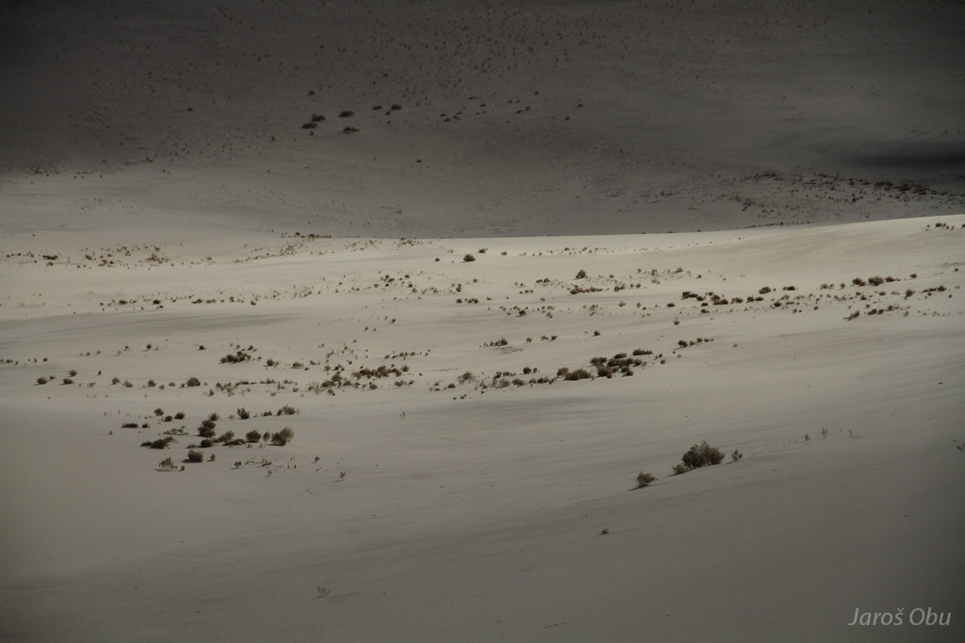
Vegetation can be found where the surface is slightly more stable.
Also many animals live underground and are active mostly during night.
It is probably the safest to dig a burrow under a plant, that does not move.
Here, the vegetation is catching saltating sand.
The dunes from far.
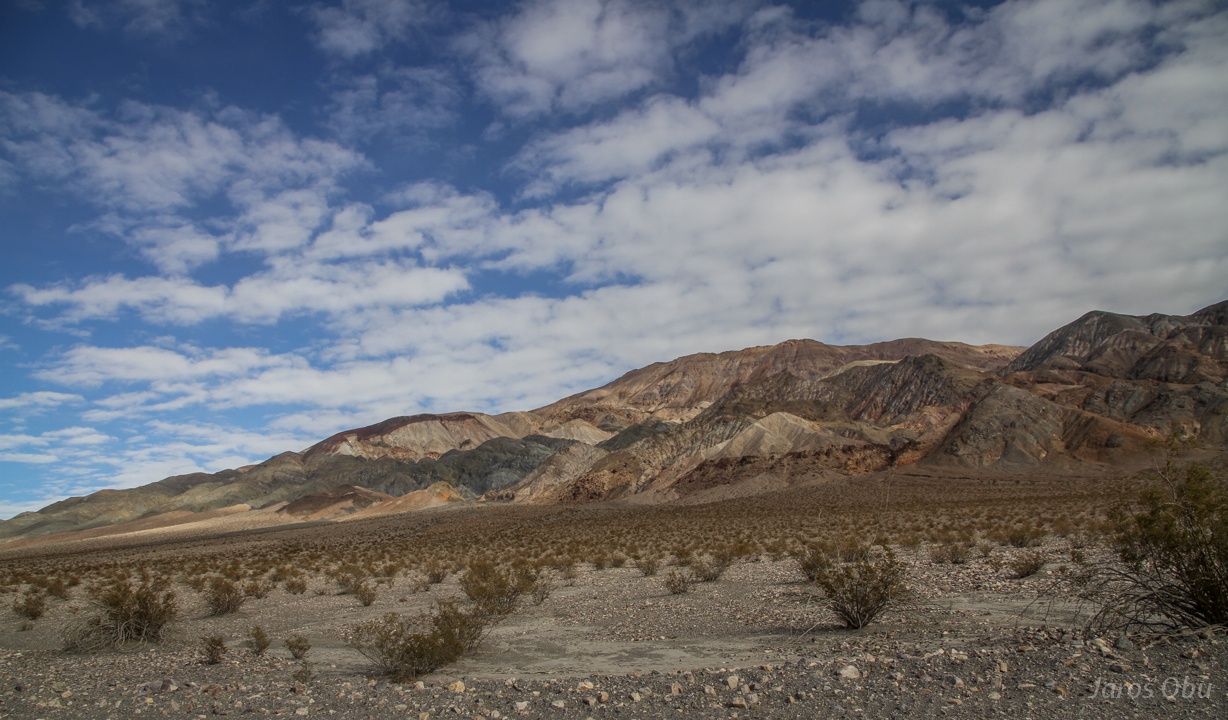
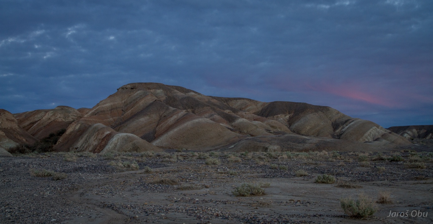
Colourful sedimentary rocks of Last Chance Range.
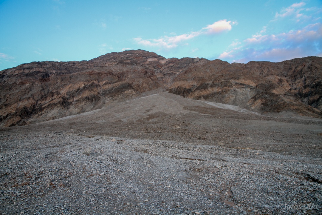
Crossing the Last Chance Range on a way to Death Valley.
It seems as somebody has been very desperate while giving name to these mountains ... and relieved after reaching Eureka Valley.
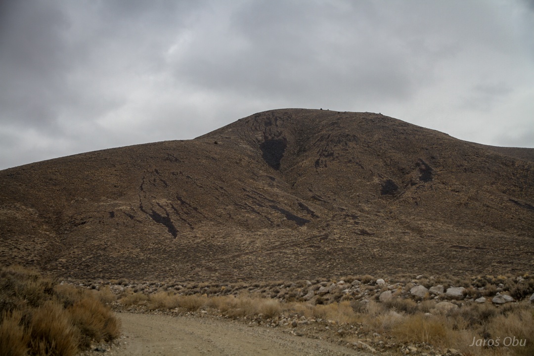
Abandoned sulfur mine.
More colourful mountains.
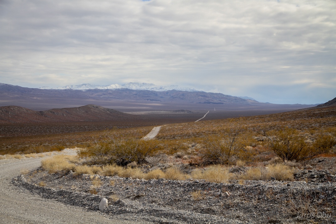
And the road is getting worse again.
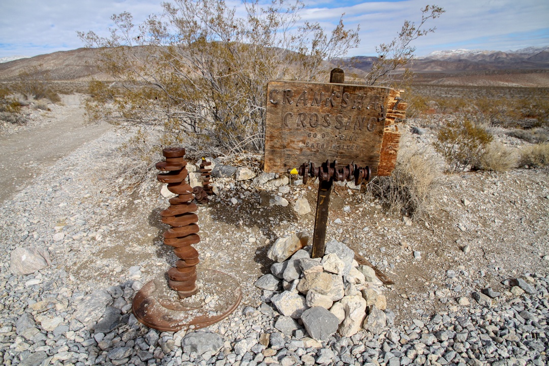
Crankshaft Crossing is a junction of roads from Eureka Valley, Death Valley, and Gold Point in Nevada.
Entering the Death Valley.
Beside creosote bush some succulents can be found here; silver cholla (Cylindropuntia echinocarpa).
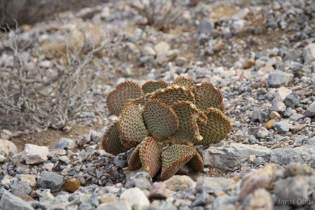
Beavertail cactus (Opuntia basilaris)
Unknown dead cactus.
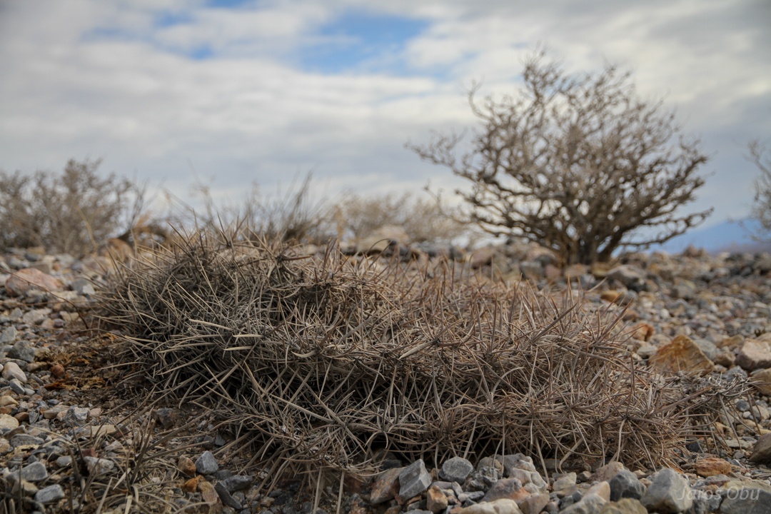
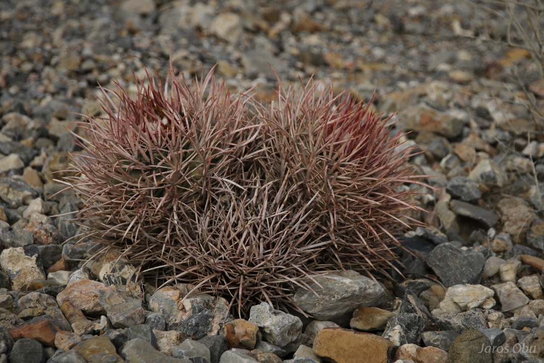
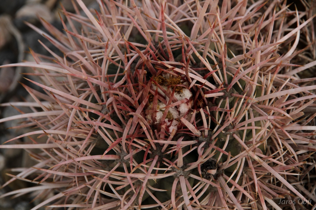
Cottontop barrel cactus (Echinocactus polycephalus)
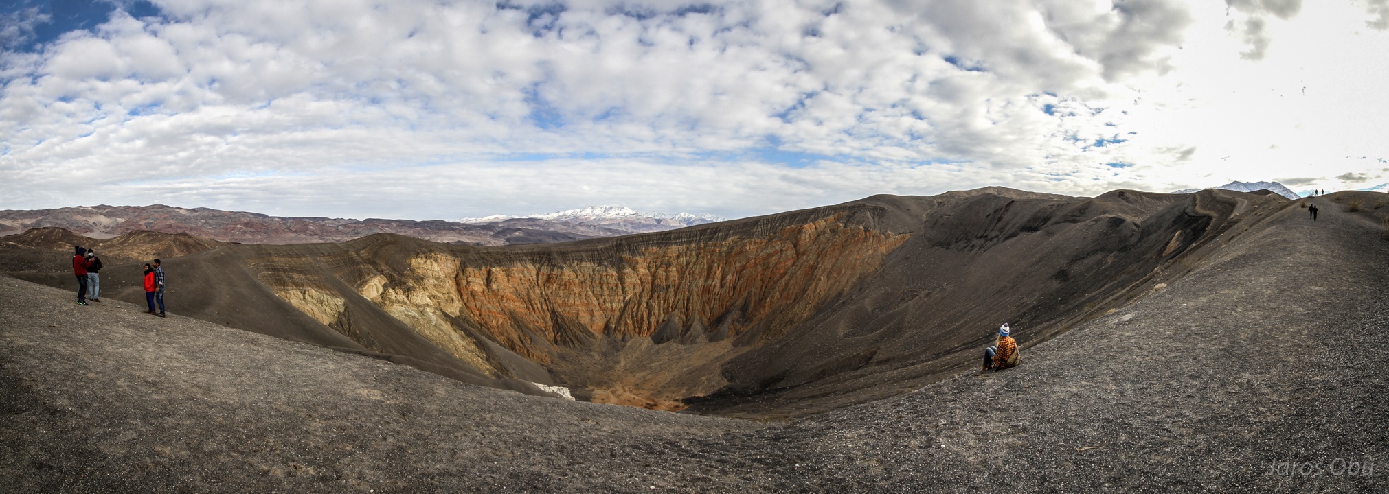
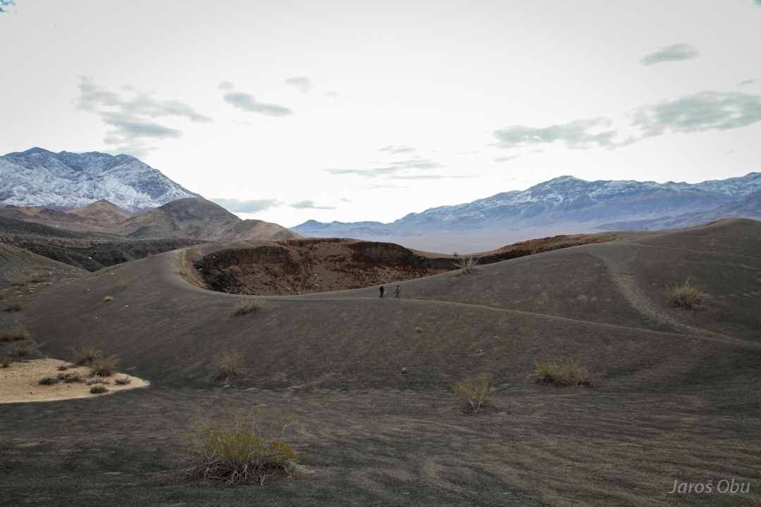
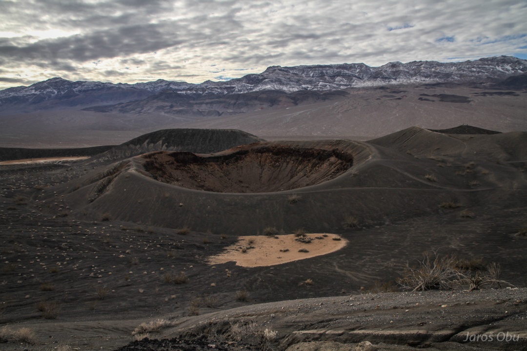
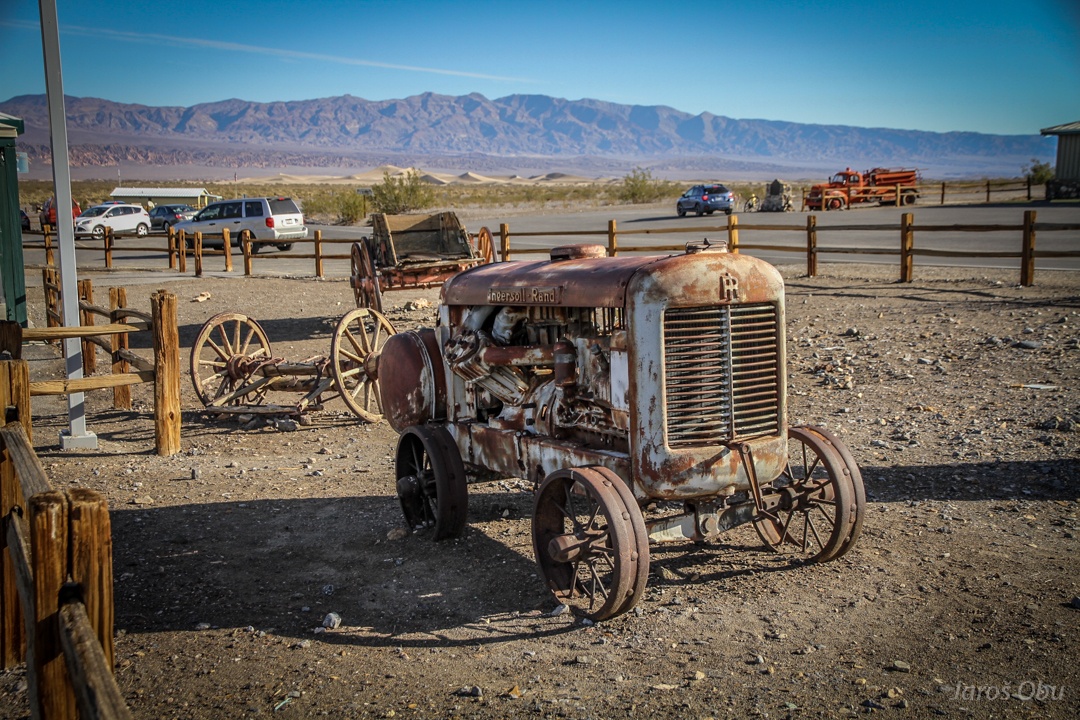
Ubehebe crater down the valley, where first tourists appeared.
This one would be slightly more painful to imitate than this one: http://bit.ly/2lJ0adP
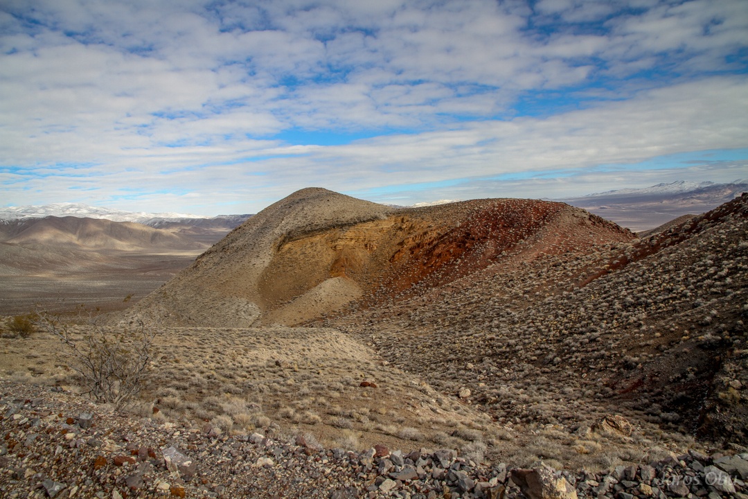
Smaller crater nearby.
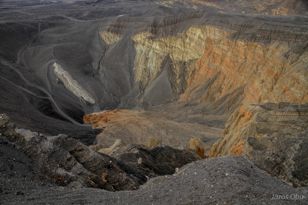
Sedimentary rocks in the crater show that it was only a steam eruption that happened around 2000 years ago. They call such such craters maars.
Several metres thick cinder and volcanic ash deposits are prone to erosion.
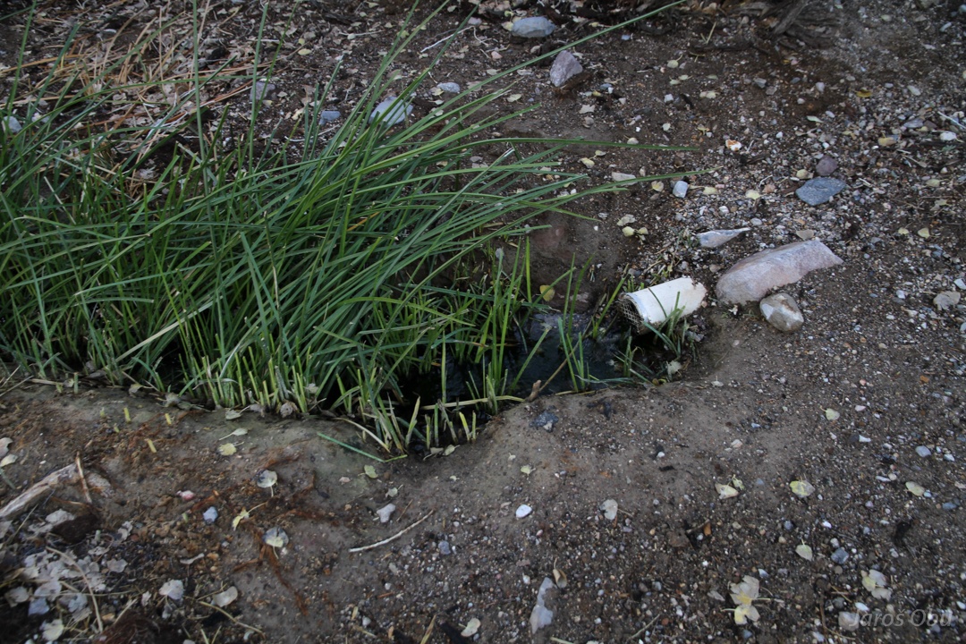
Lunchtime in Mesquite spring campground.
The spring.
And trees growing around.
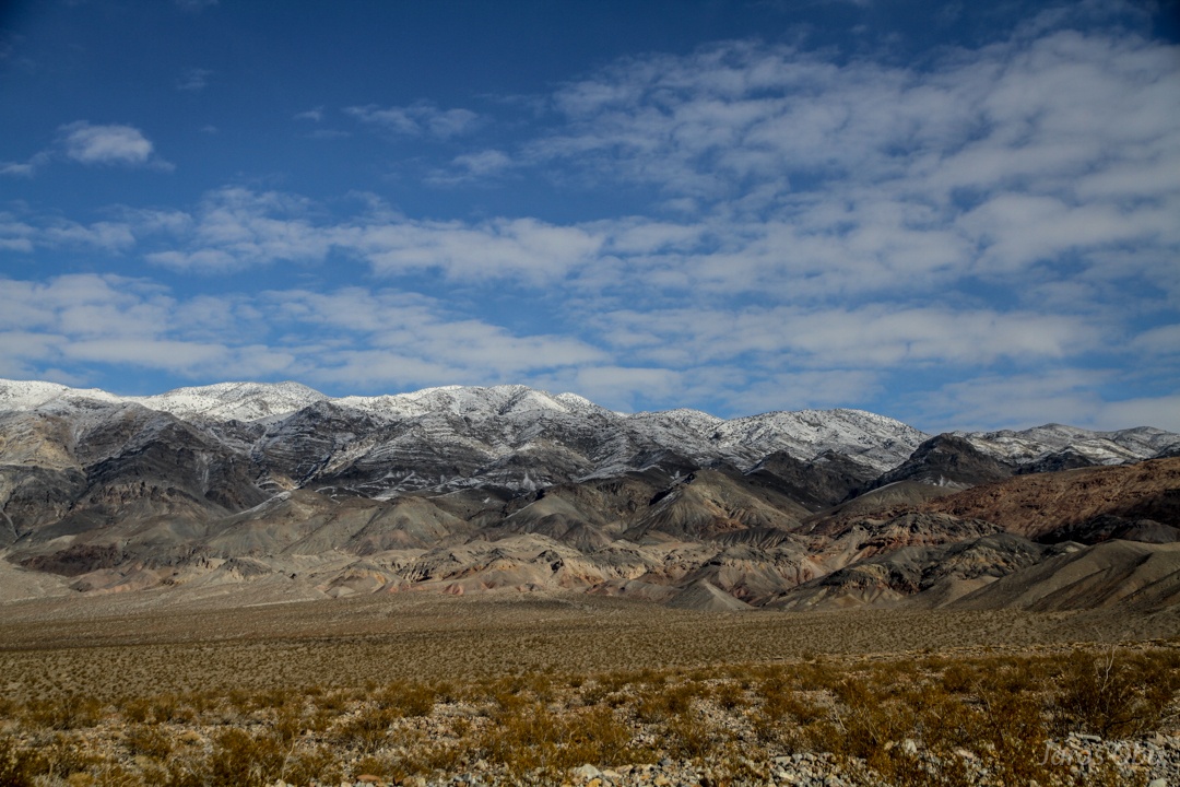
Grapewine Mountains reach 2600 m.
Evening colours of Mesquite flat.
A debris flow cone.
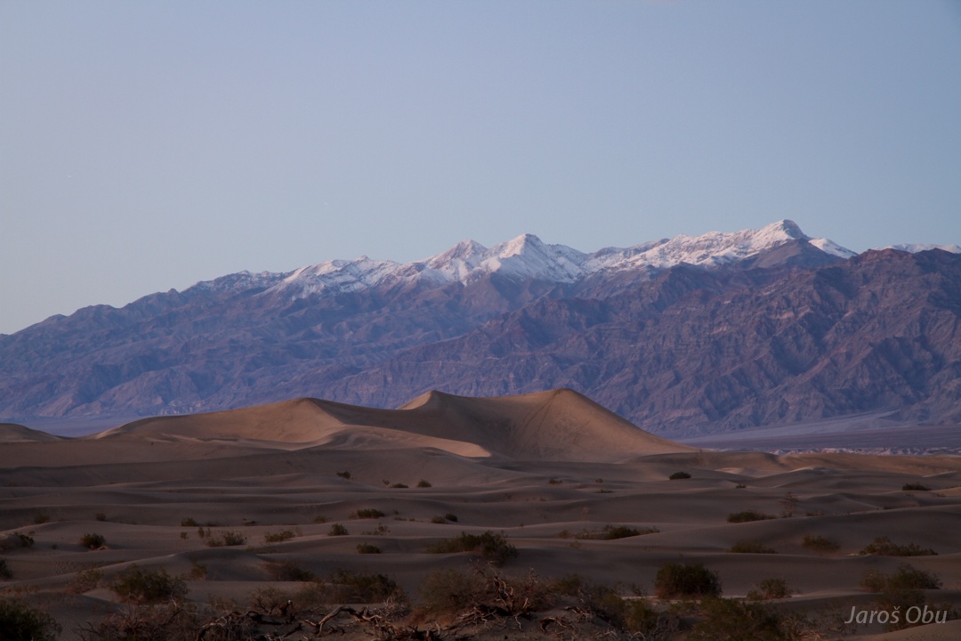
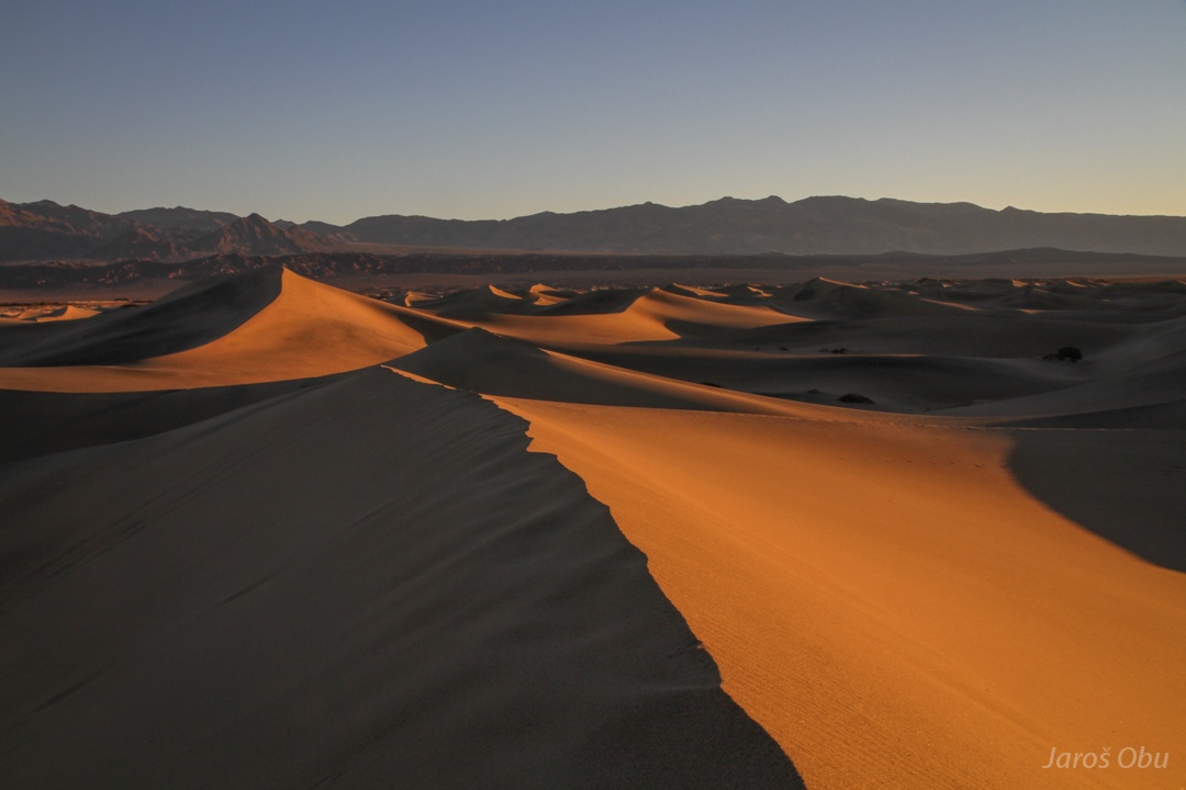
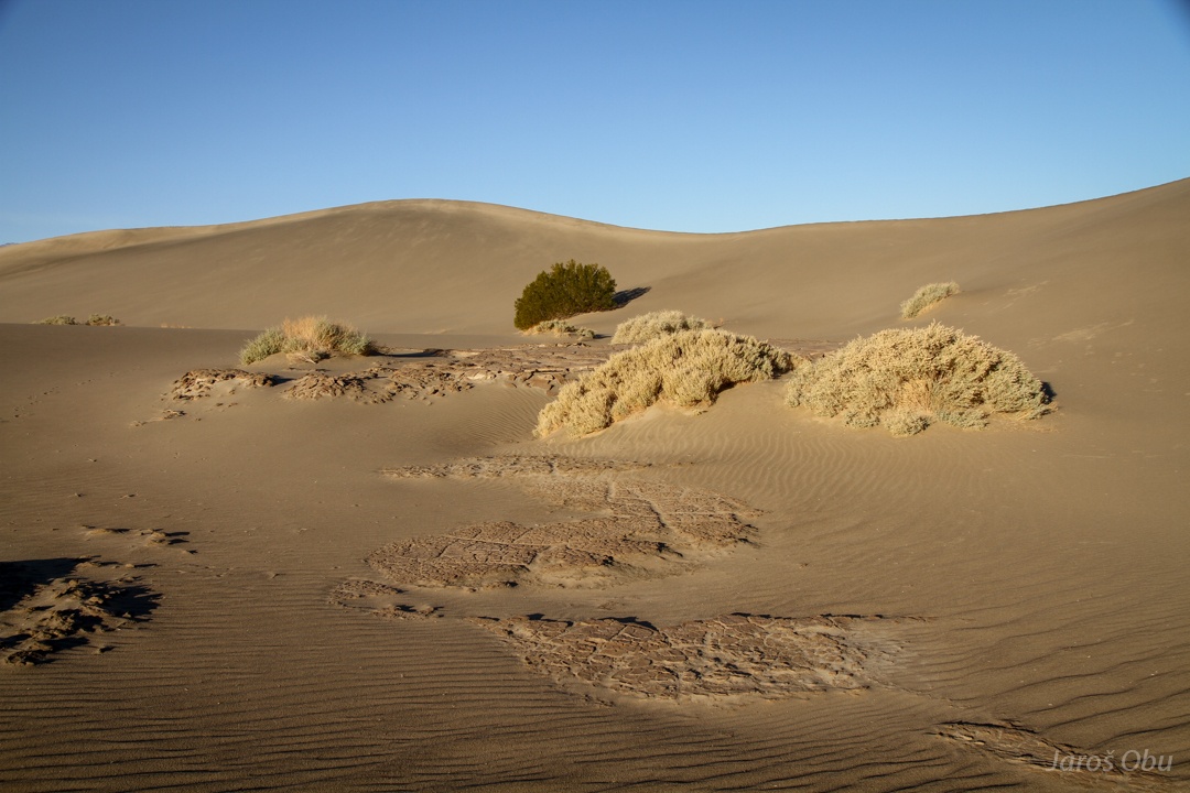
Mesquita Dunes at dusk.
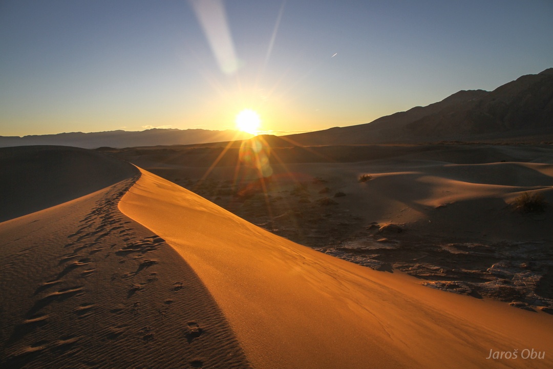
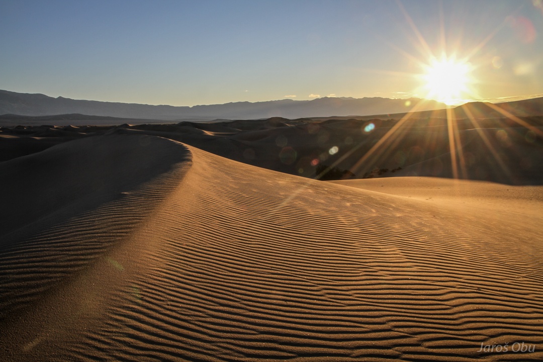
And at dawn.
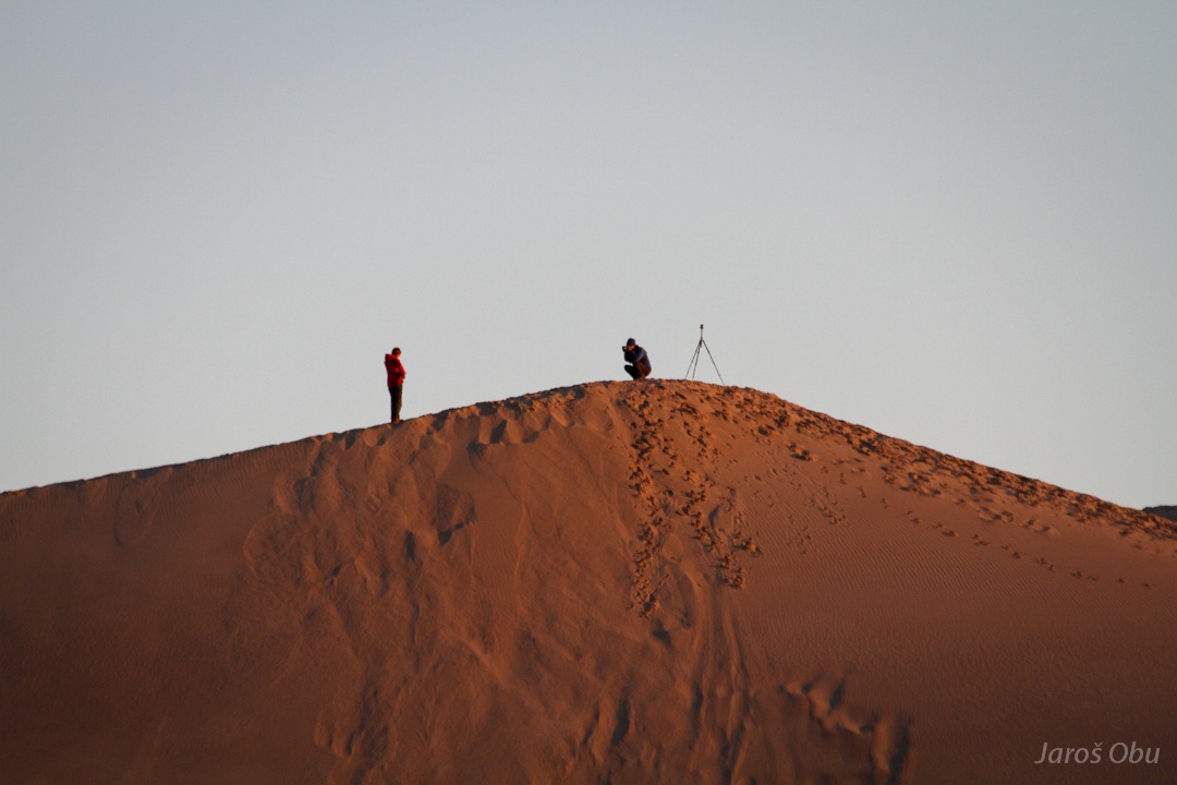
Waiting for the sunrise.
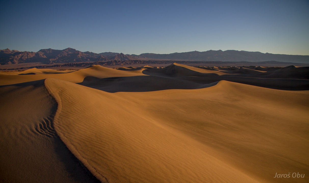
Between the dunes.
And on them ...
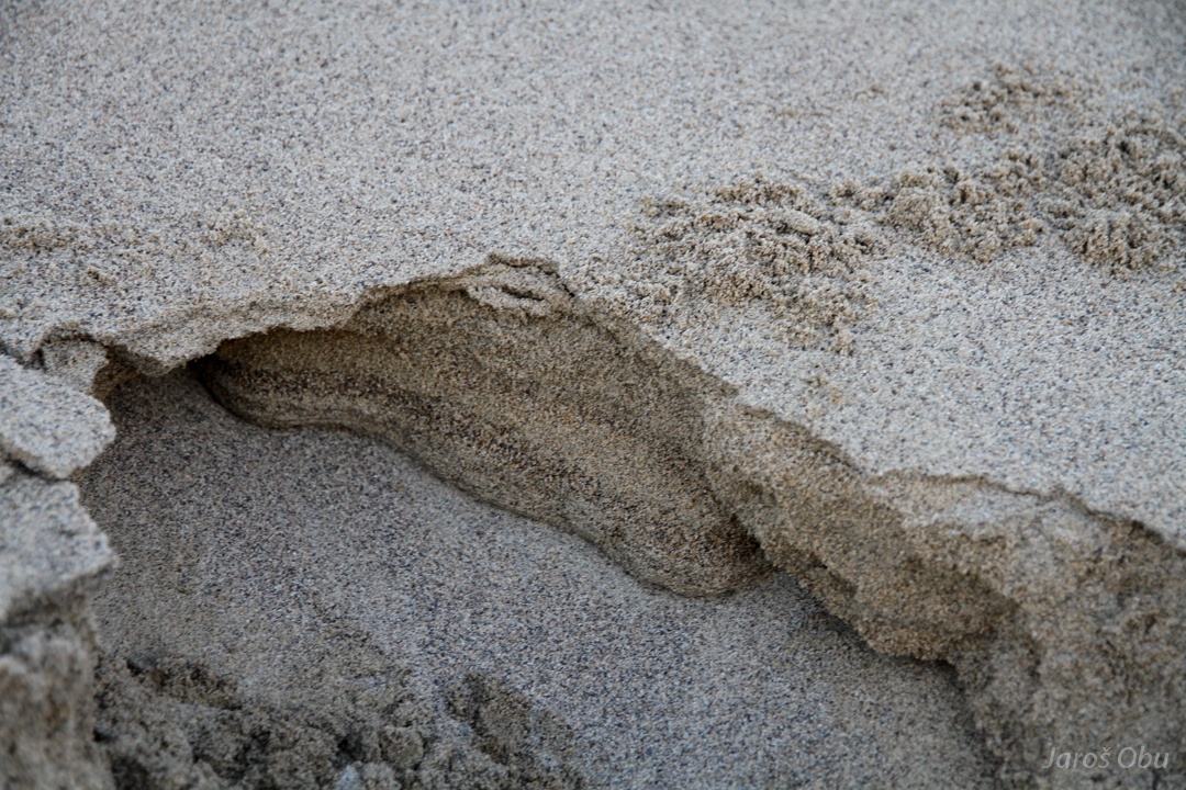
Walking was very easy this time. The hard layer from yesterday's rain was around 10 cm thick.
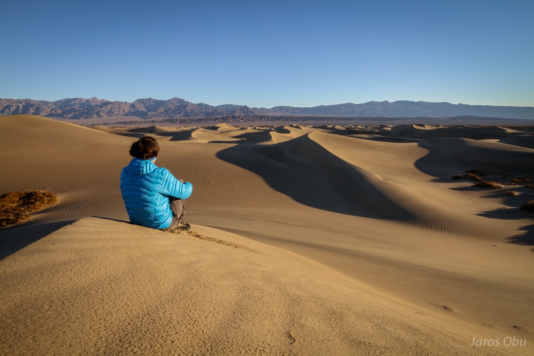
Self Portrait in eastern part, where dunes were less trampled.
Vegetation can be found in depressions between the dune crests.
Pickleweed (Allenrolfea occidentalis)
Creosote bush (Larrea tridentata)
Fine material seems to have been washed and accumulated at the bottom of depressions.
It doesn't look too thick.
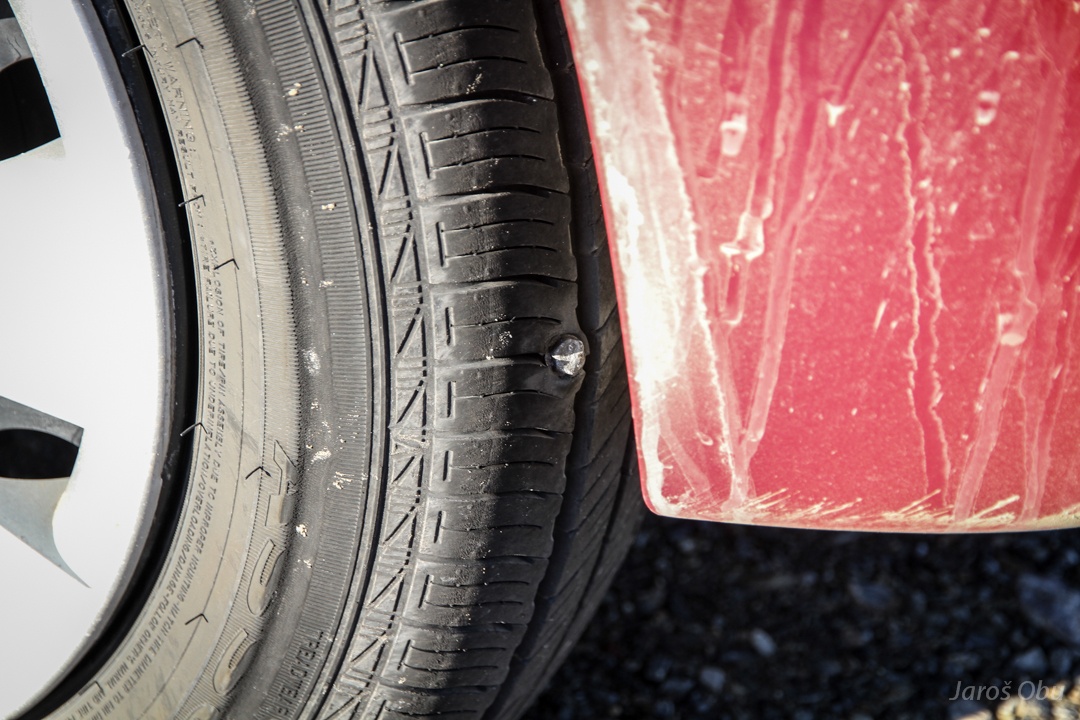
Driving on all the bad roads eventually took a toll. The screw must have been there for at least a day.
An the tire went flat. Luckily, I had to drive more or less only asphalt roads from now on.
Stovepipe Wells. At the beginning just tent outpost for travellers, now a tourist centre with hotels.
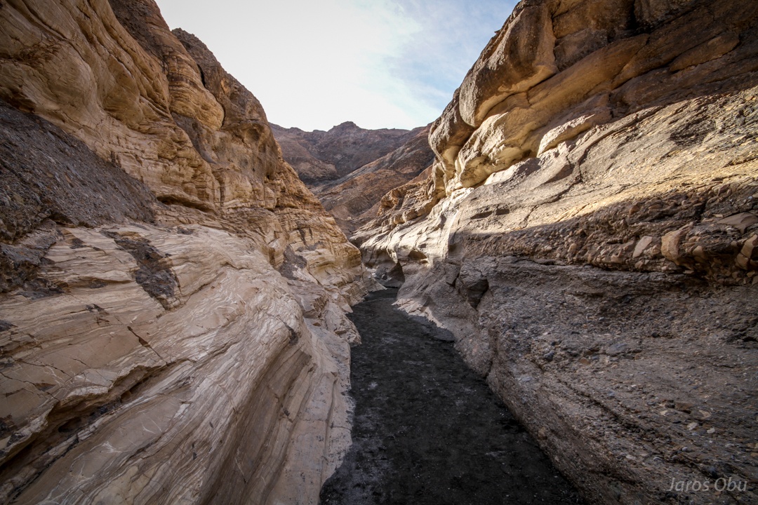
Mosaic Canyon nearby.
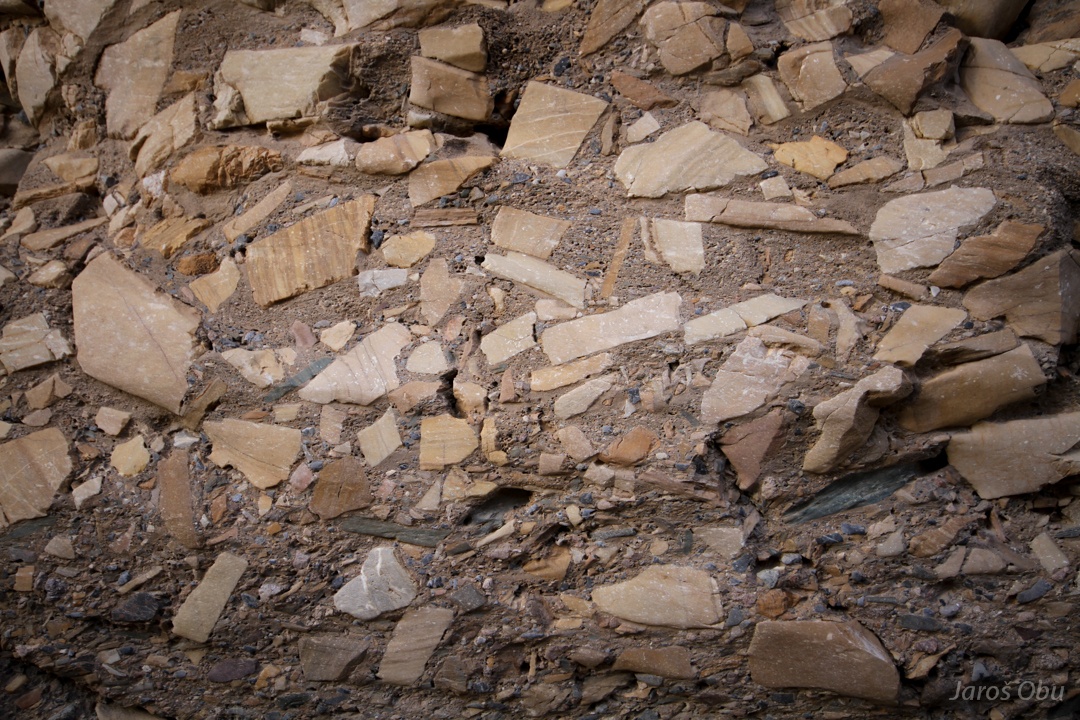
Breccia that probably gave the canyon its name.
A meander.
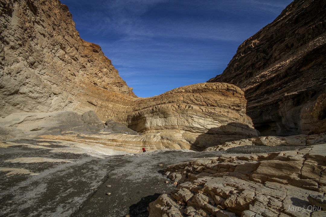
Above dolomite beds, the canyon becomes wider.
Desert holly (Atriplex hymenelytra) is one of the most drought and heat tolerable plant in this area.
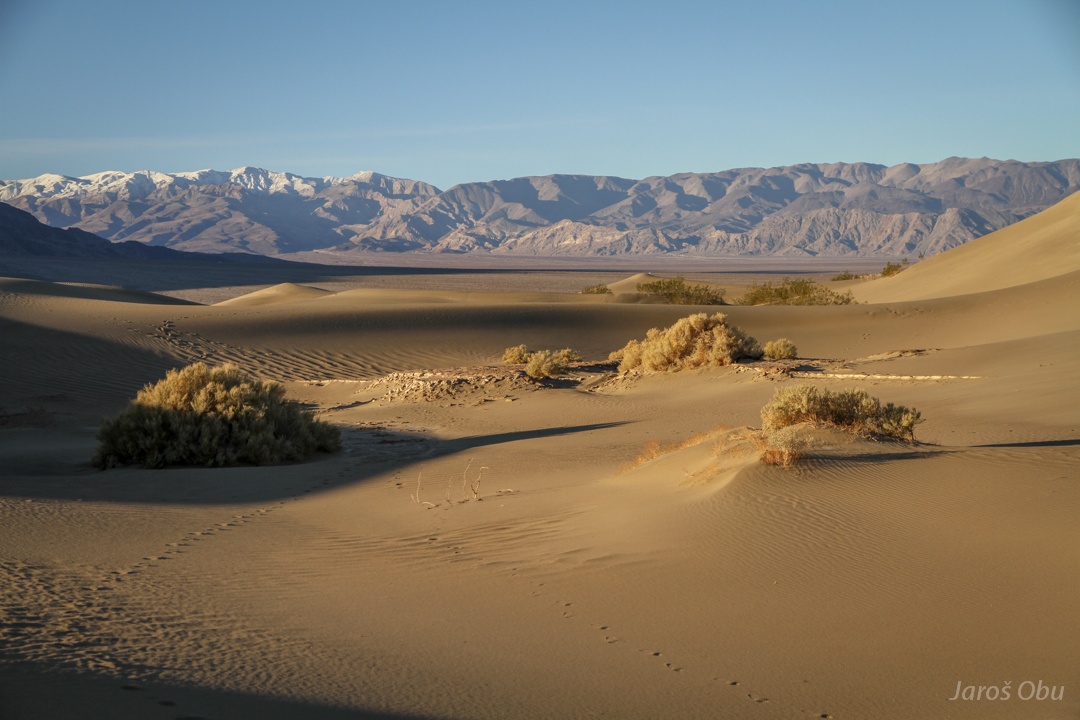
Mesquite Dunes from above.
Arrow weed (Pluchea sericea) close to the dunes, which they call a Devil's Cornfield.
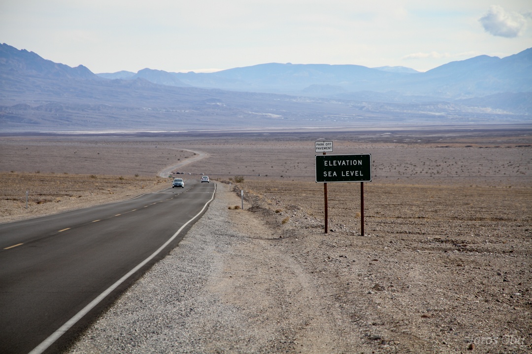
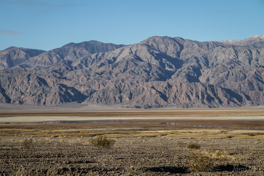
Driving south below the sea level.
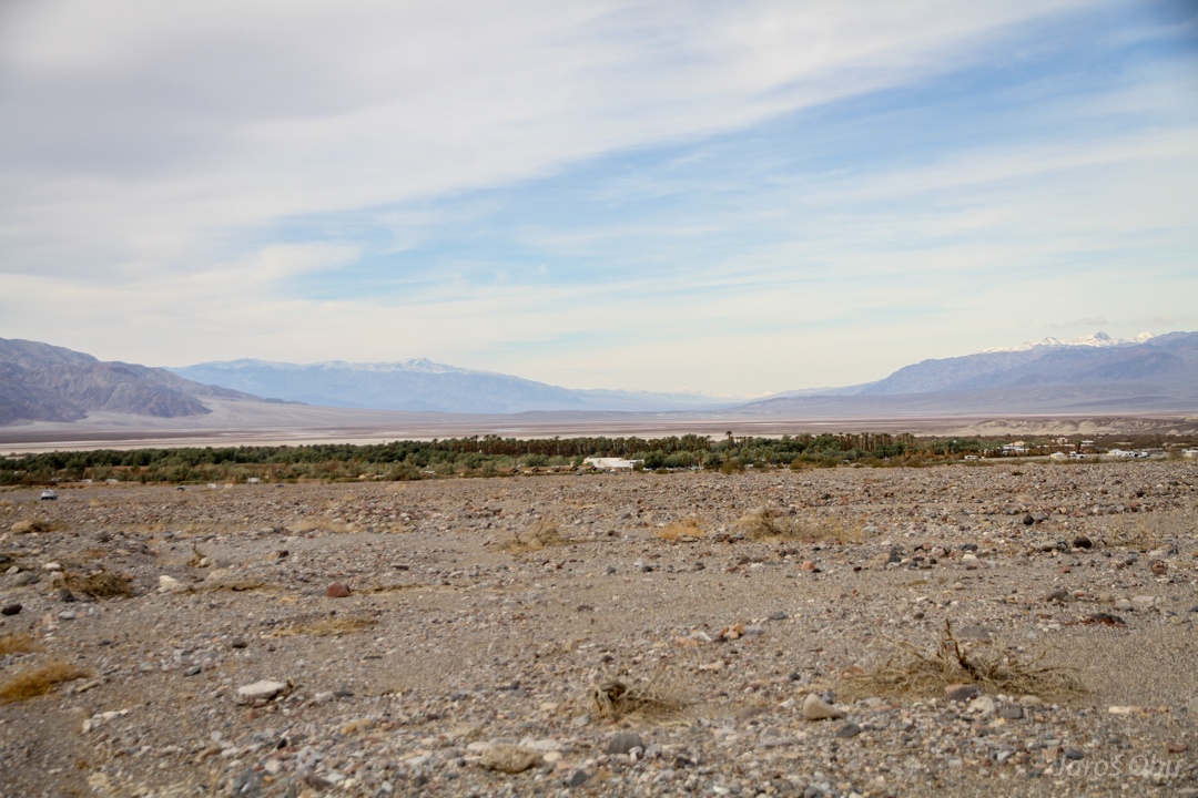
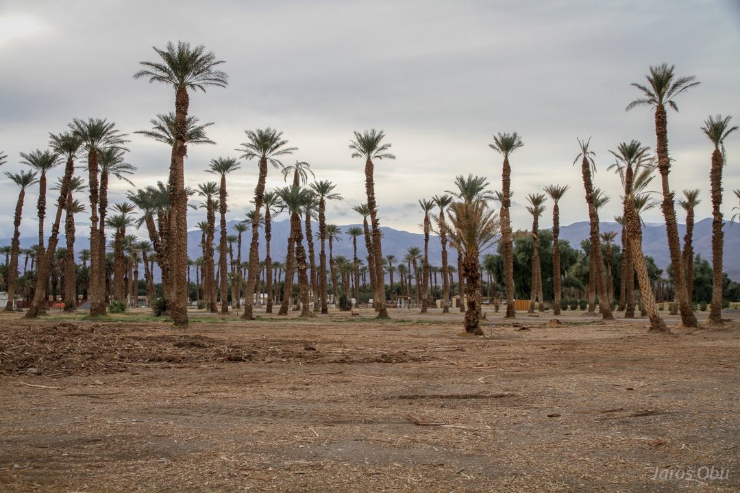
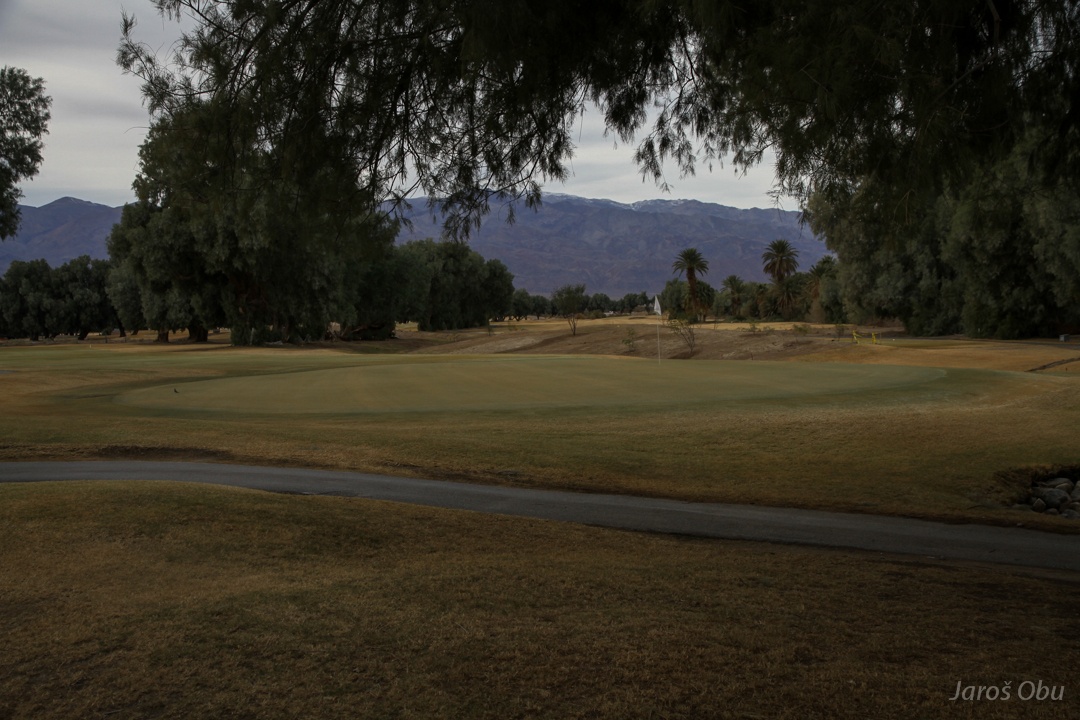
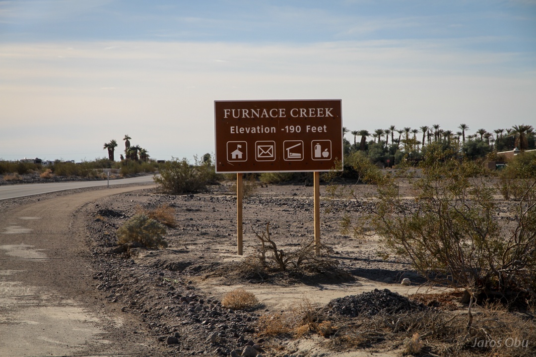
Furnace Creek Oasis.
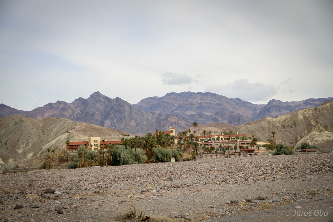
Furnace Creek Inn
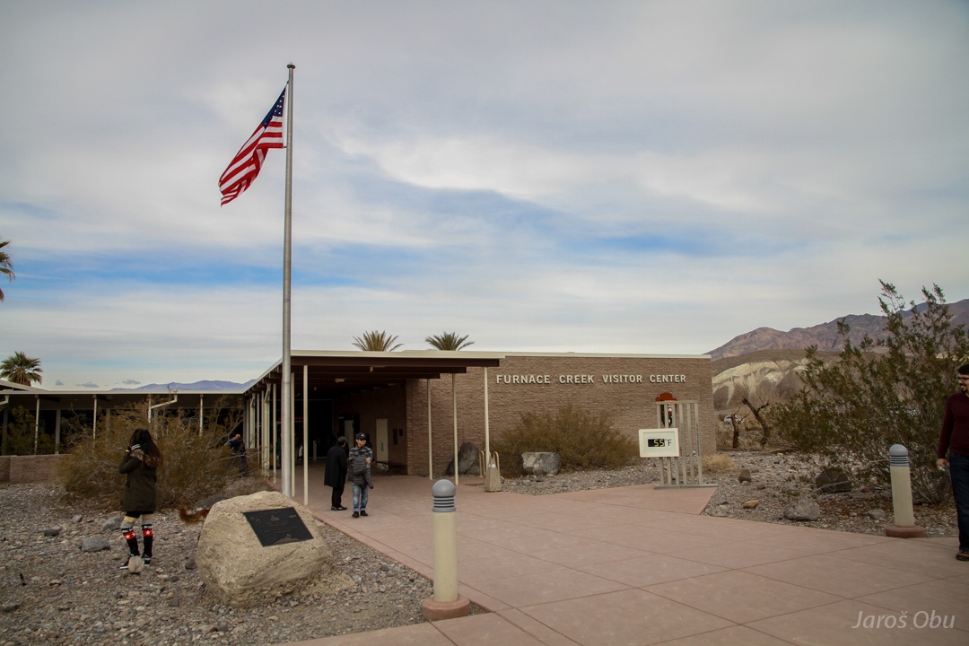
And the park visitor center.
Plenty of Palms.
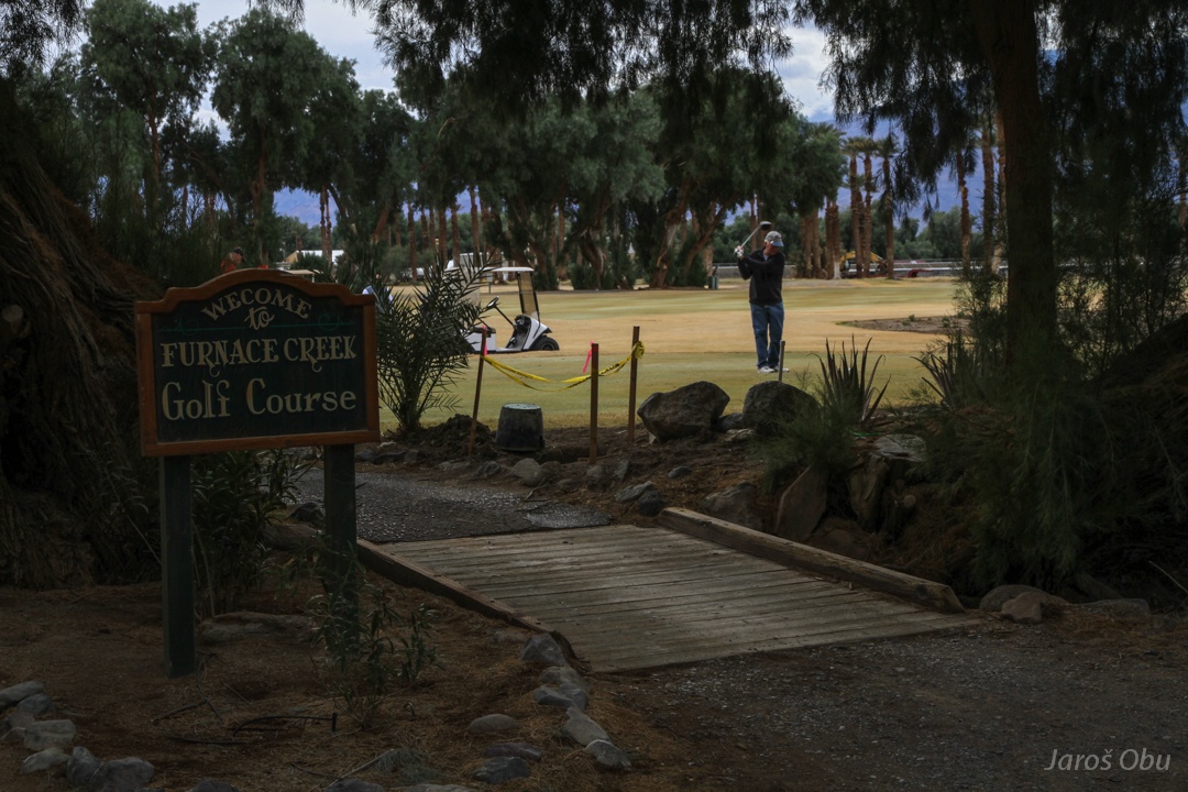
And a golf course in the middle of the hottest desert!
An excellent example of sustainable spatial planning and water use. What about turning the whole valley in an agricultural land?
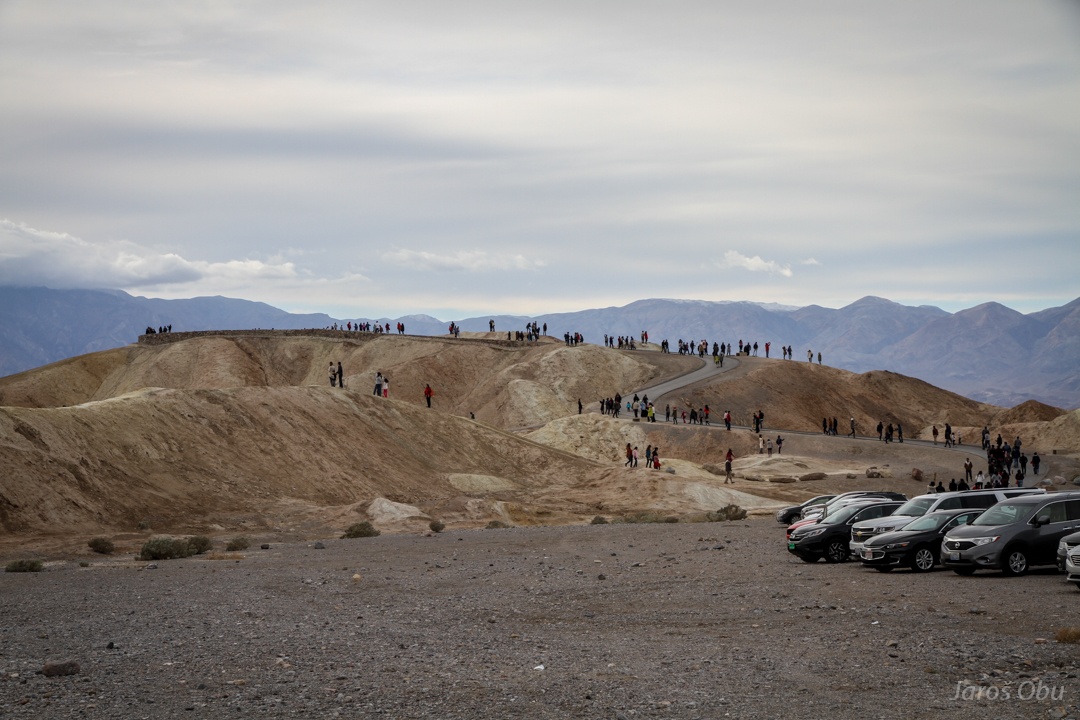
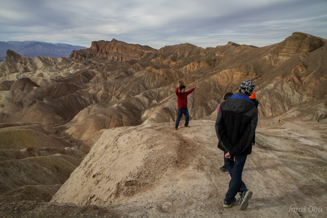
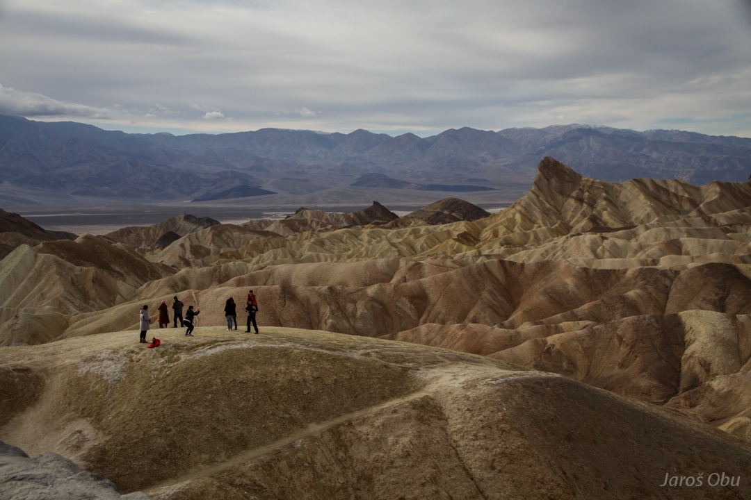
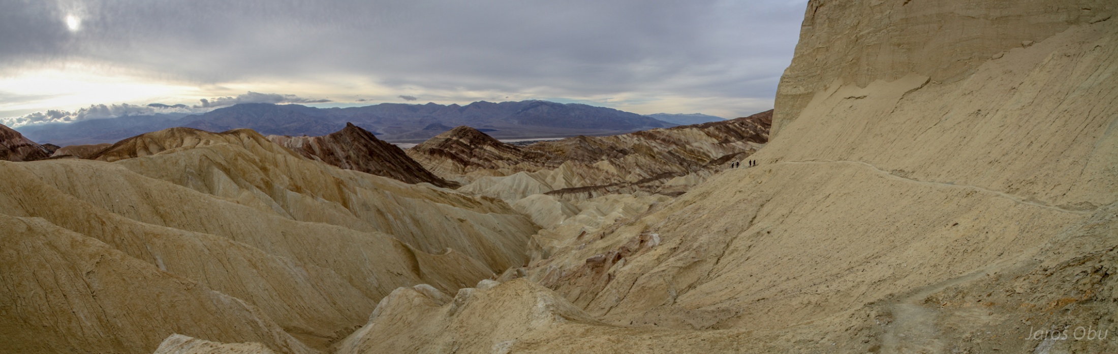
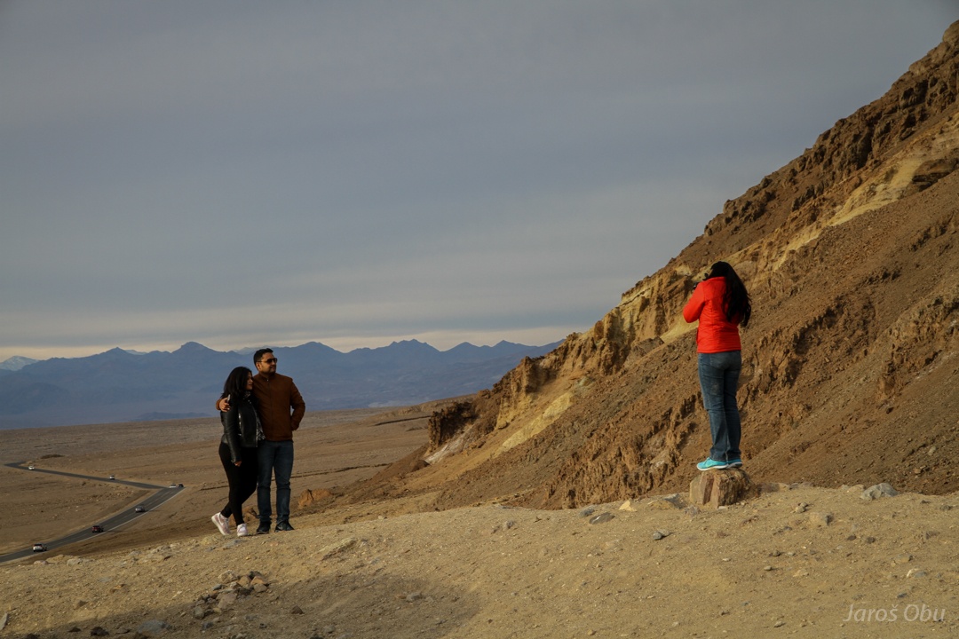
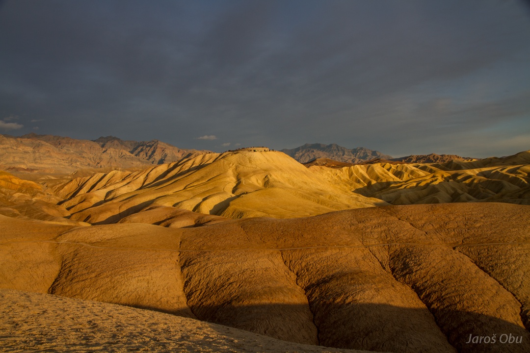
Zabriskie Point besieged by tourists.
Photo shooting in progress.
It is an X-mas day so people wear X-man's hats.
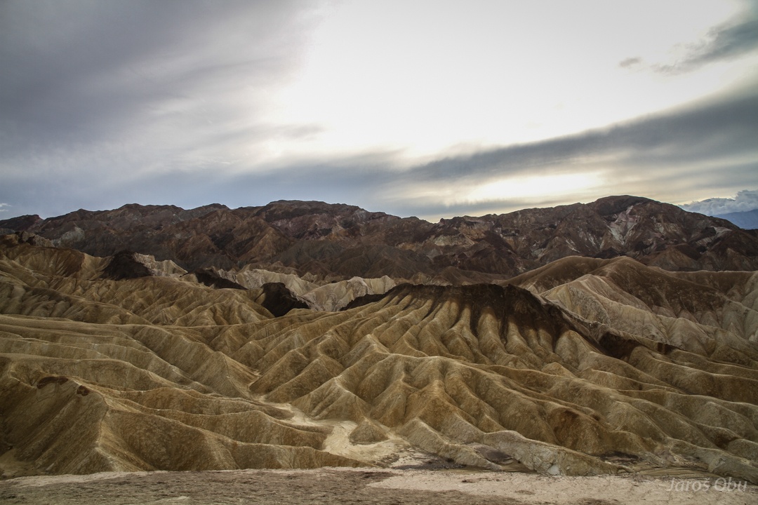
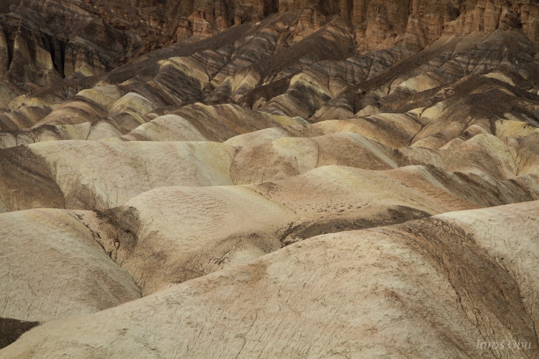
Soft, 5 million years old lake sediments erode very easily.
No vegetation that would prevent development of badlands.
A big river must be flowing here now and then.
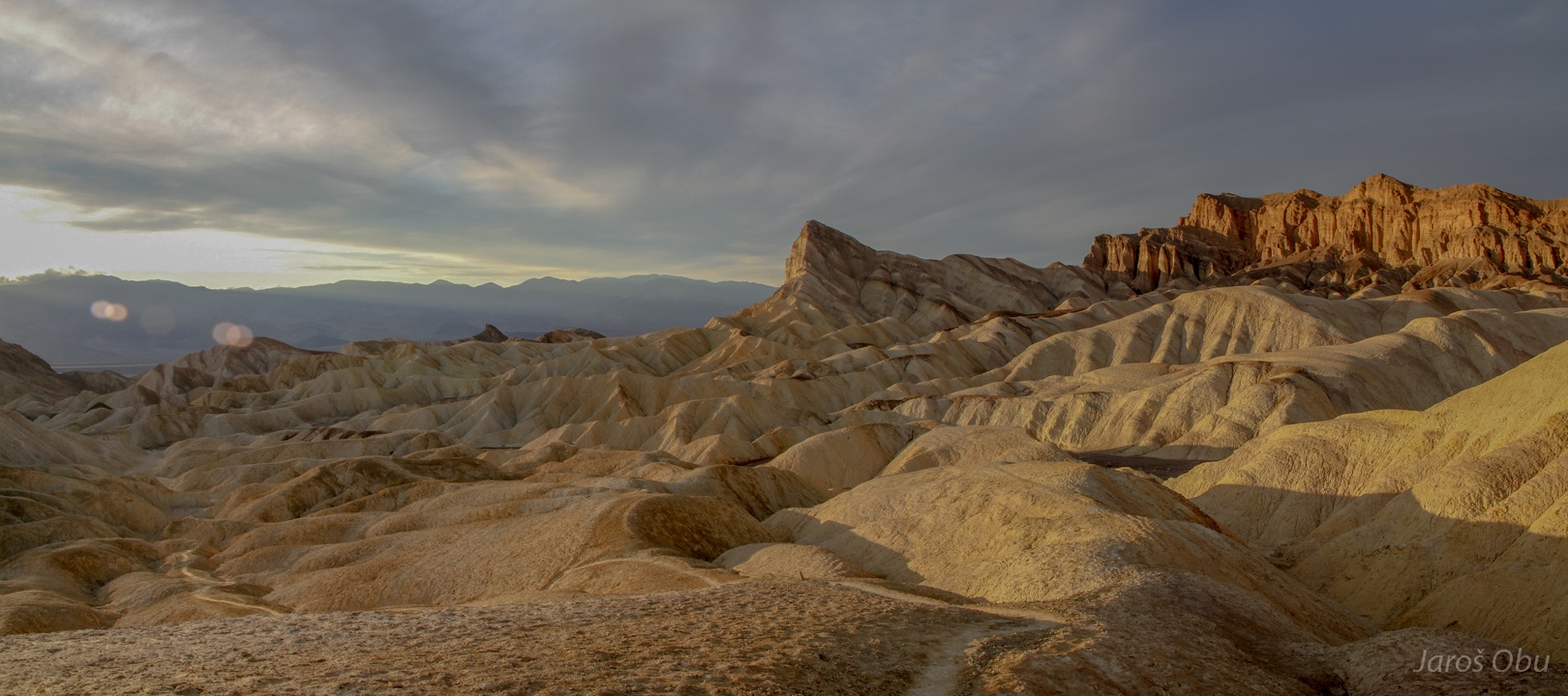
Lively colours of Death Valley
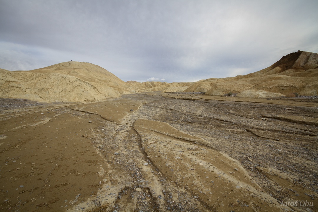
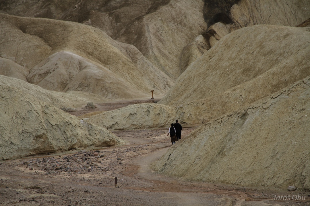
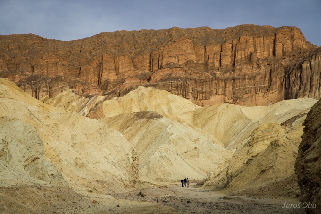
A trail goes through these badlands.
Only few people go hiking.
The muddy sediments don't look so nice from close.
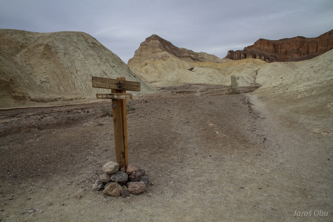
Golden Canyon close to the main valley.
Tourists in action at the entrance.
Returning back; Red Cathedral from the canyon.
More colourful gullies.
Catching the sunset light.
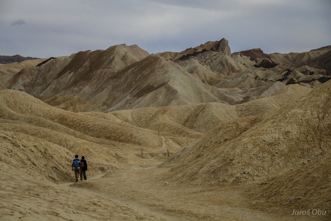
Zabriskie Point from the trail.
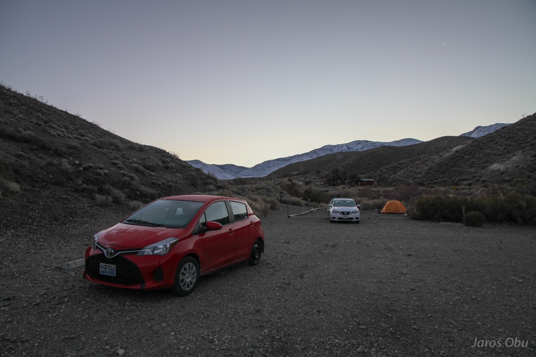
Freezing morning in Wildrose campground.
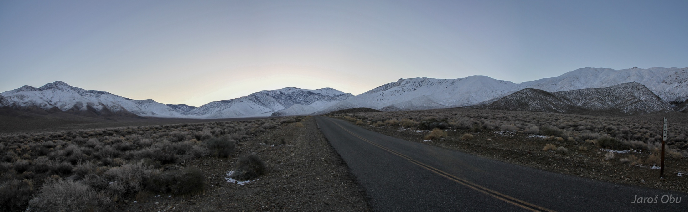
Panamint Range with the Telescope Peak (3368 m) on the very right of the panorama.
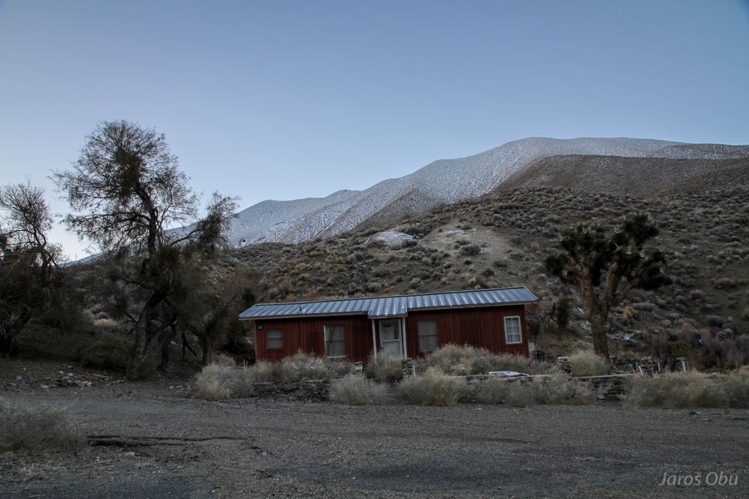
A cabin with joshua tree.
Sun is rising behind Wildrose Peak.
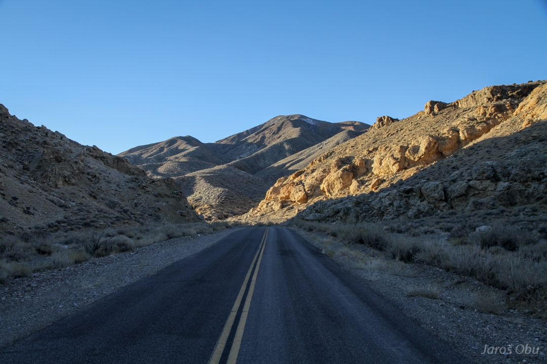
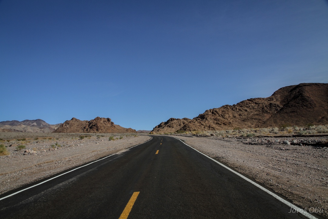
Straight road leading to Emigrant Canyon
A consequence of flash floods in October, when Scotty's Castle and several park roads were damaged.
Emigrant Canyon.
Back in the Valley.
It looks like there is some water flowing.
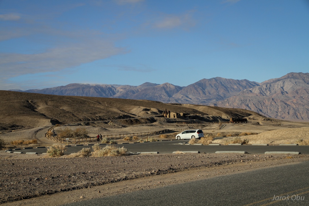
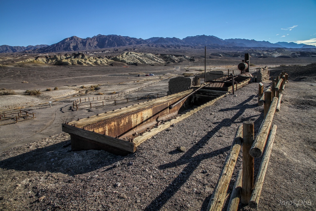
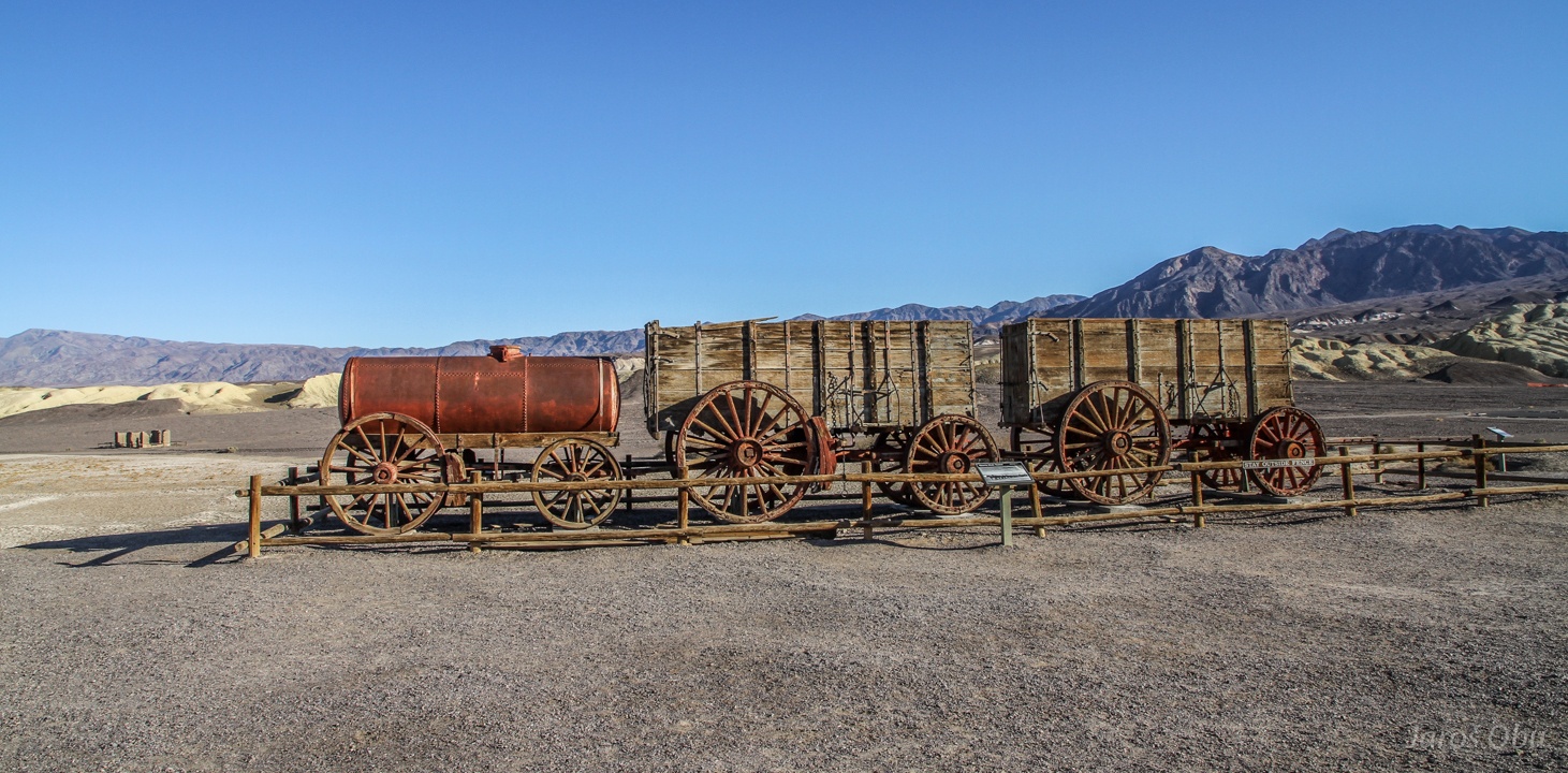
Harmony Borax Works. As they didn't find much gold or any other metals, they started mining salt minerals, called borax, in 1883.
They first refined borax from impurities before transporting it.
Remnants of steam boiler.
They were transporting borax south to the railway in Mojave desert with mules. They stopped production after just 5 years.
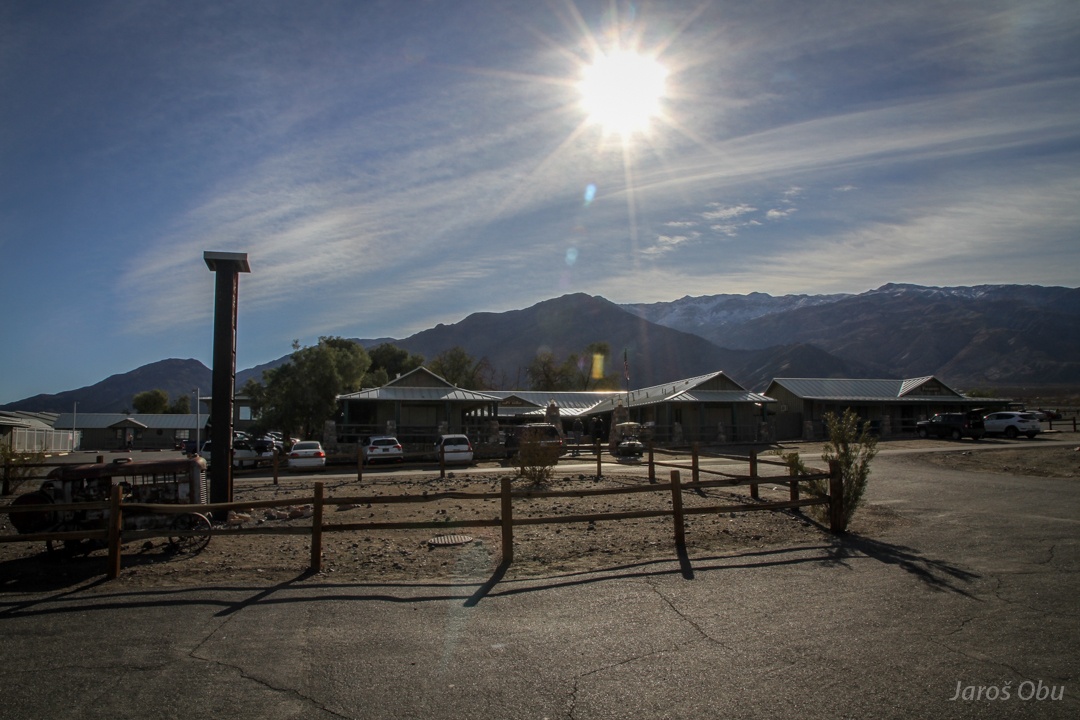
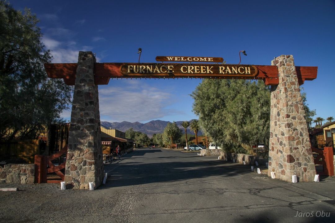
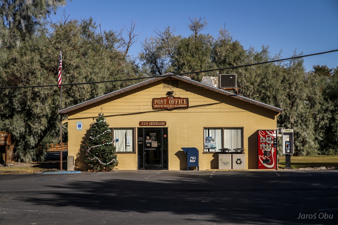
Back in Furnace creek. It has around 20 inhabitants.
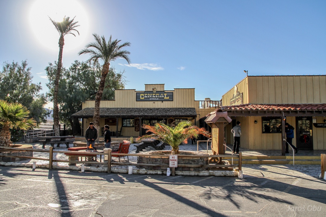
The Ranch with hotels and other facilities.
...
A shop.
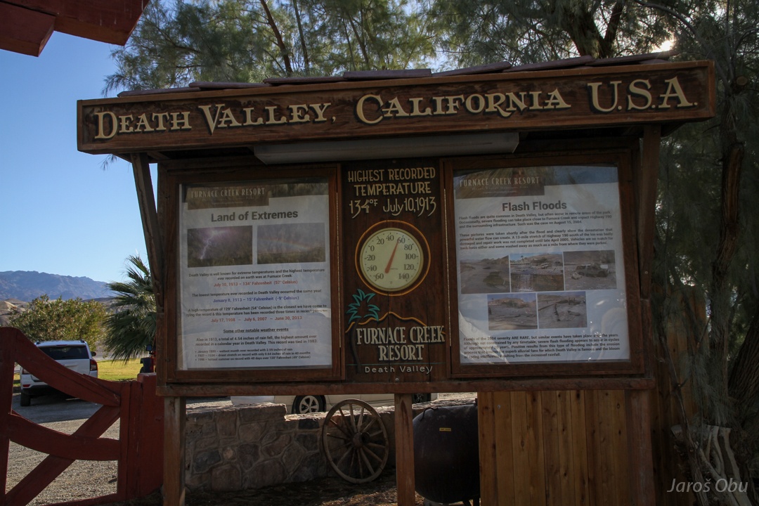
Here they measured what is supposed to be the world's temperature record.
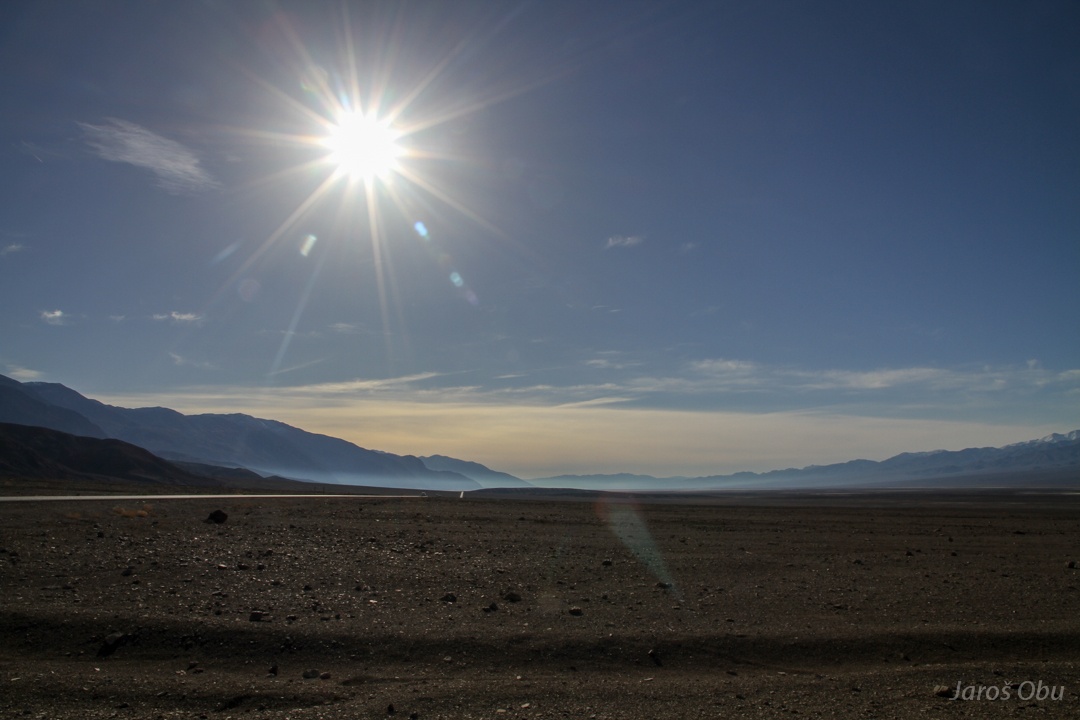
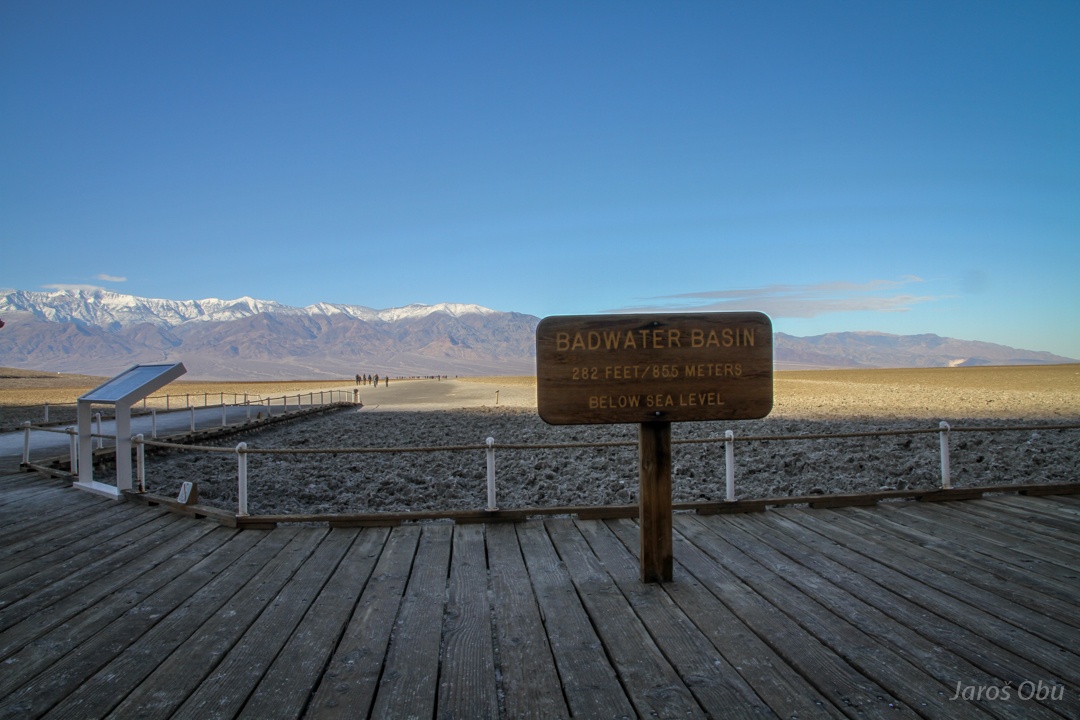
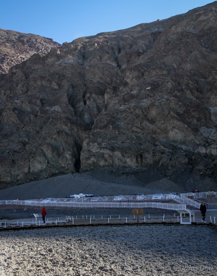
Continuing to the lowest part of the valley.
The lowest point with elevation of -85 m.
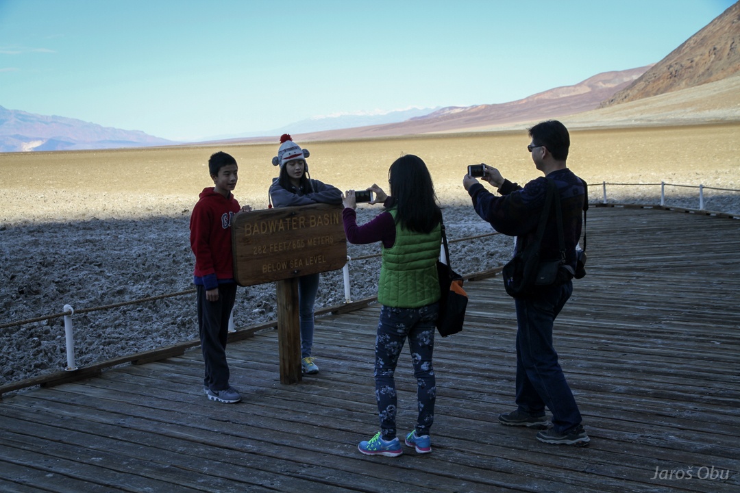
And with tourists.
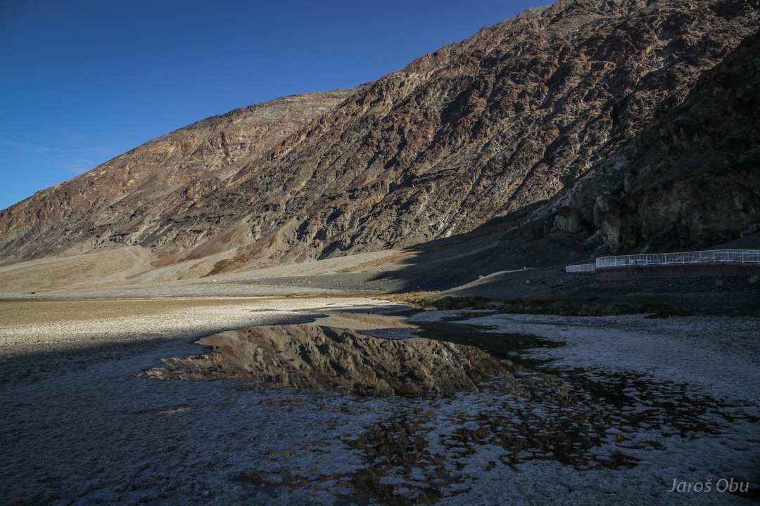
The water is present all year round and it is supposed to be a ground water spring.
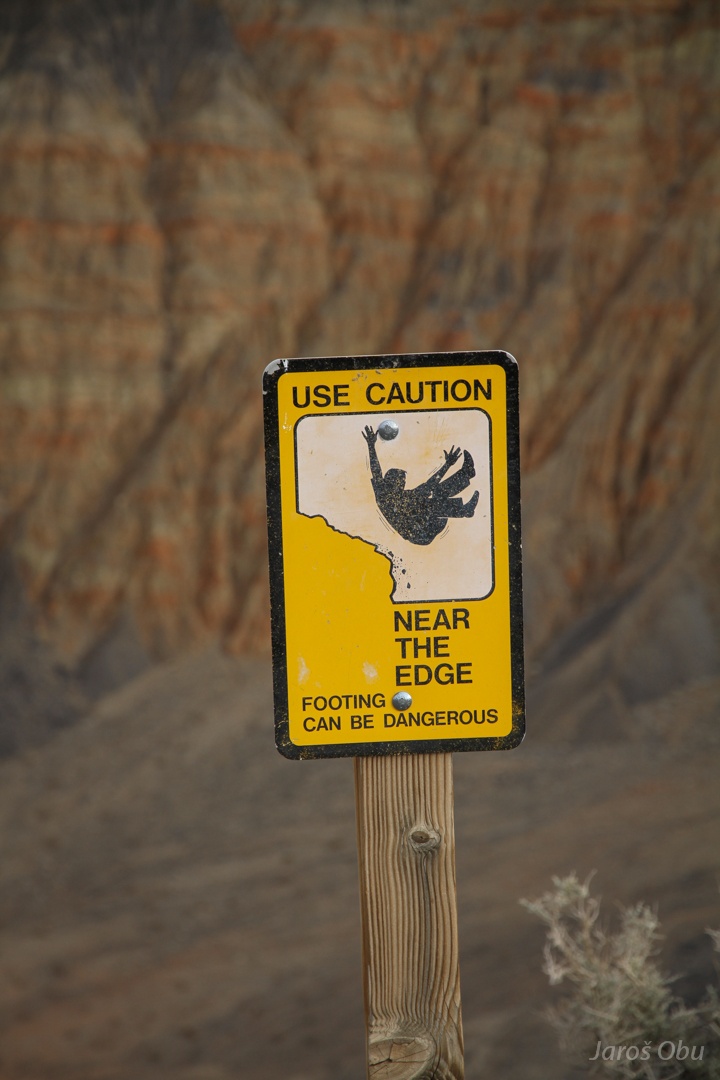
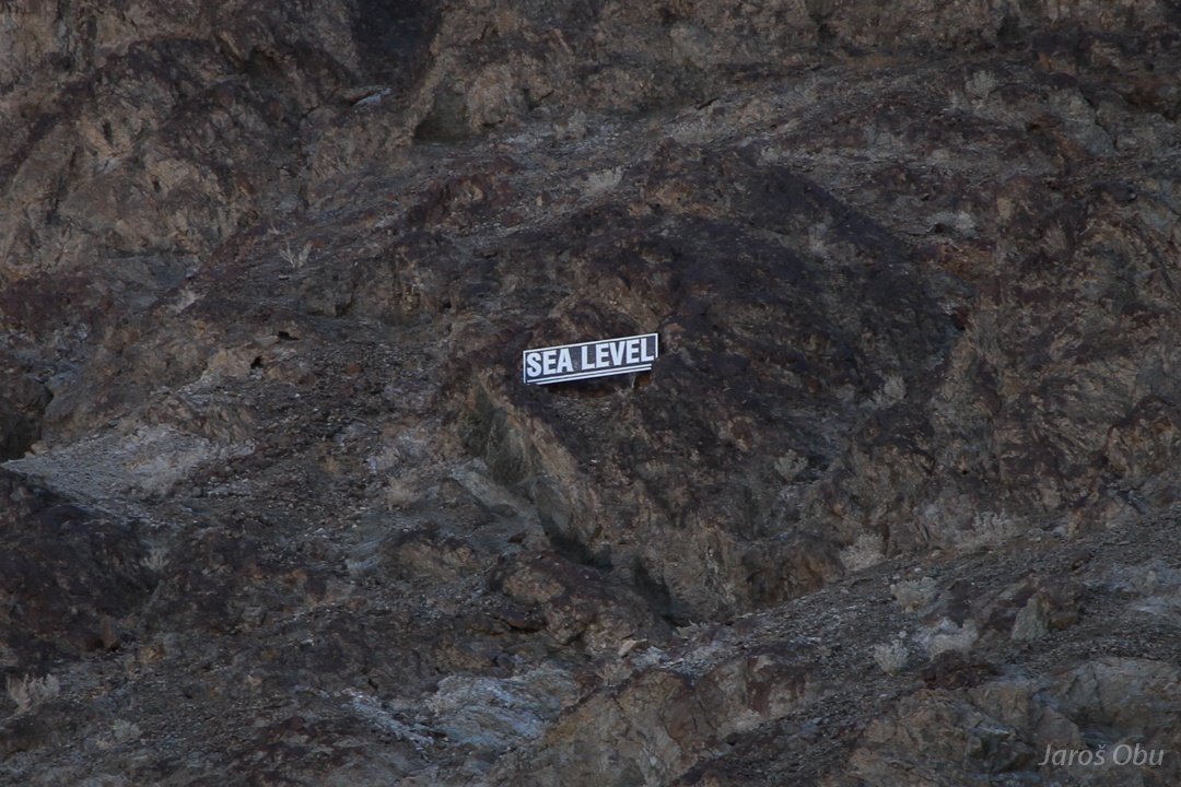
There is a small white plate up on the slope.
An this is what it says.
And a weather station below.
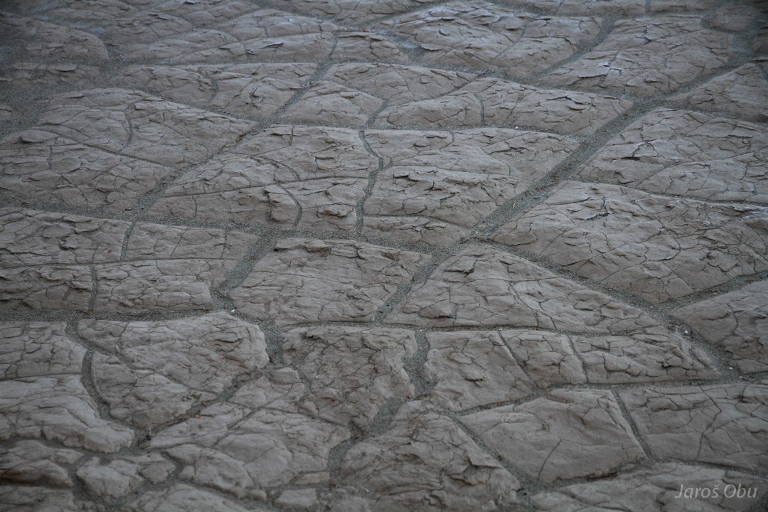
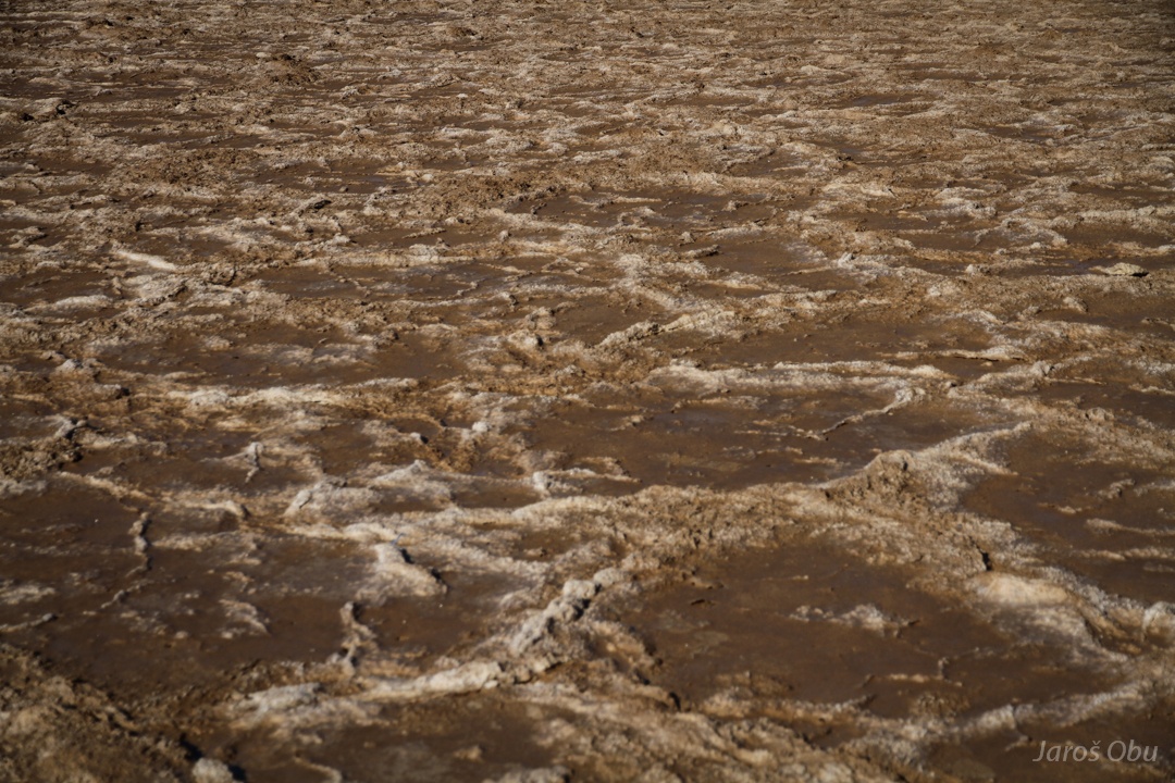
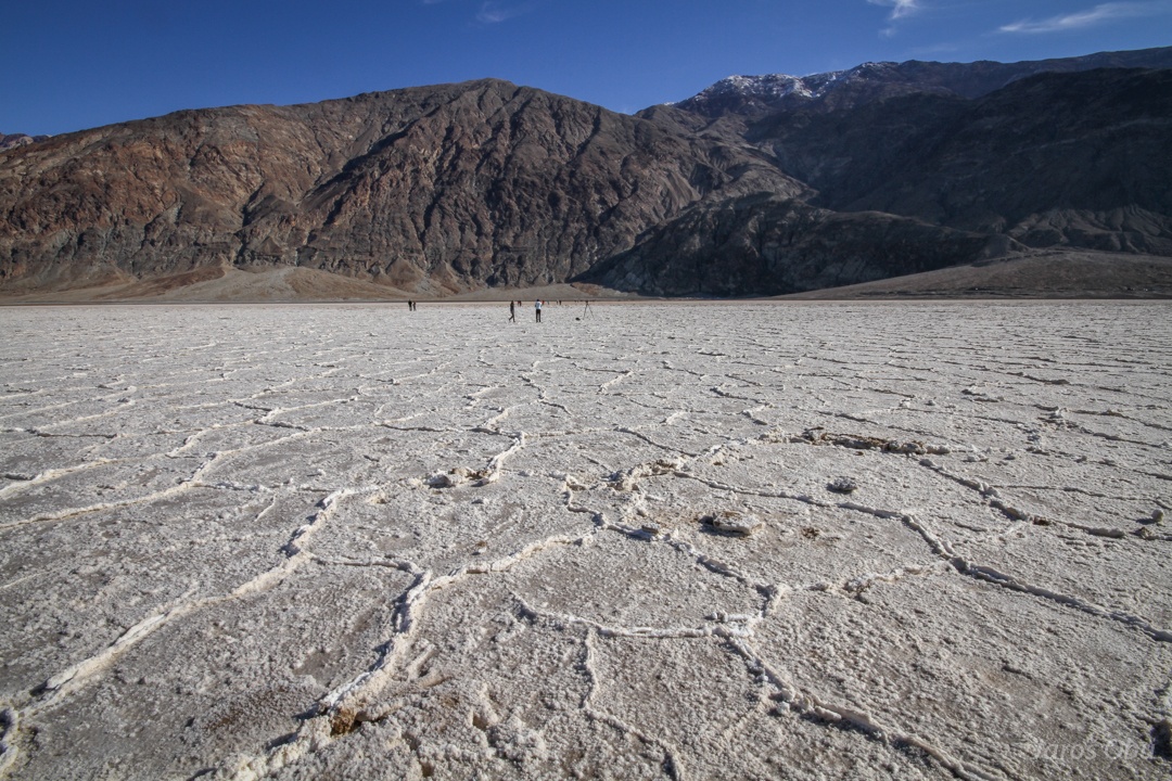
At first the polygons are dirty.
But towards the valley middle they become white.
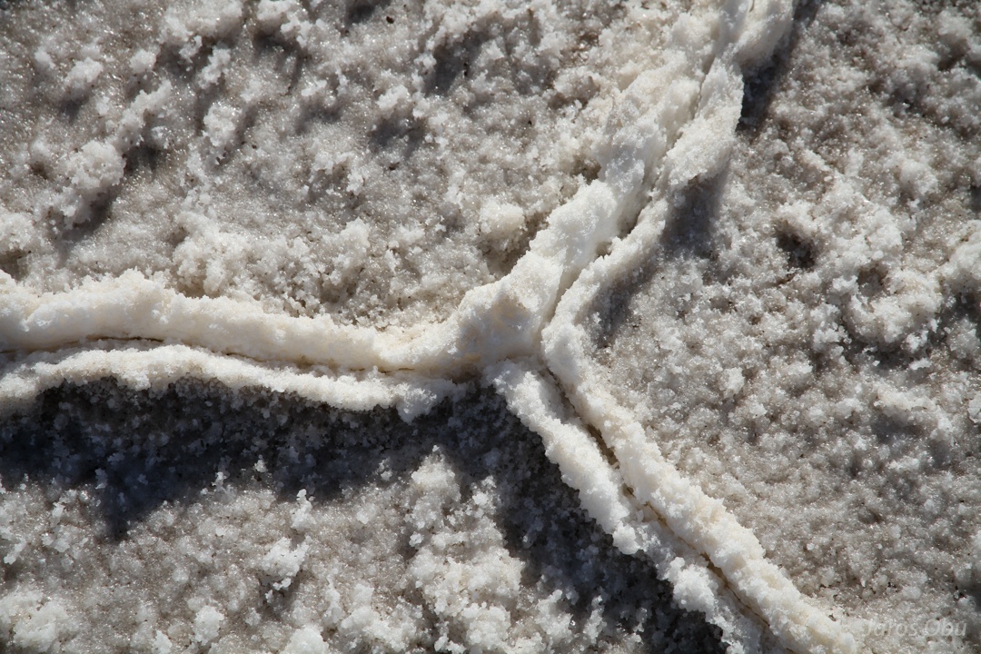
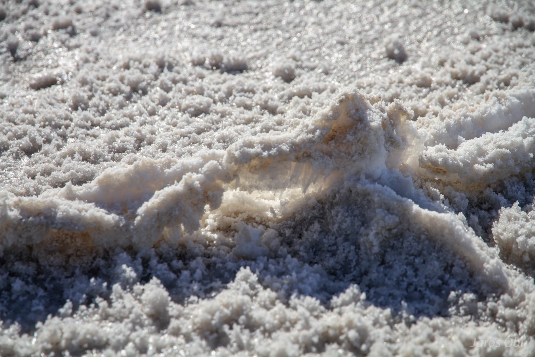
Salt stays on the surface when water from occasionally flowing streams evaporates.
When salt crystals are growing they push against each and form small ridges and salt polygons.
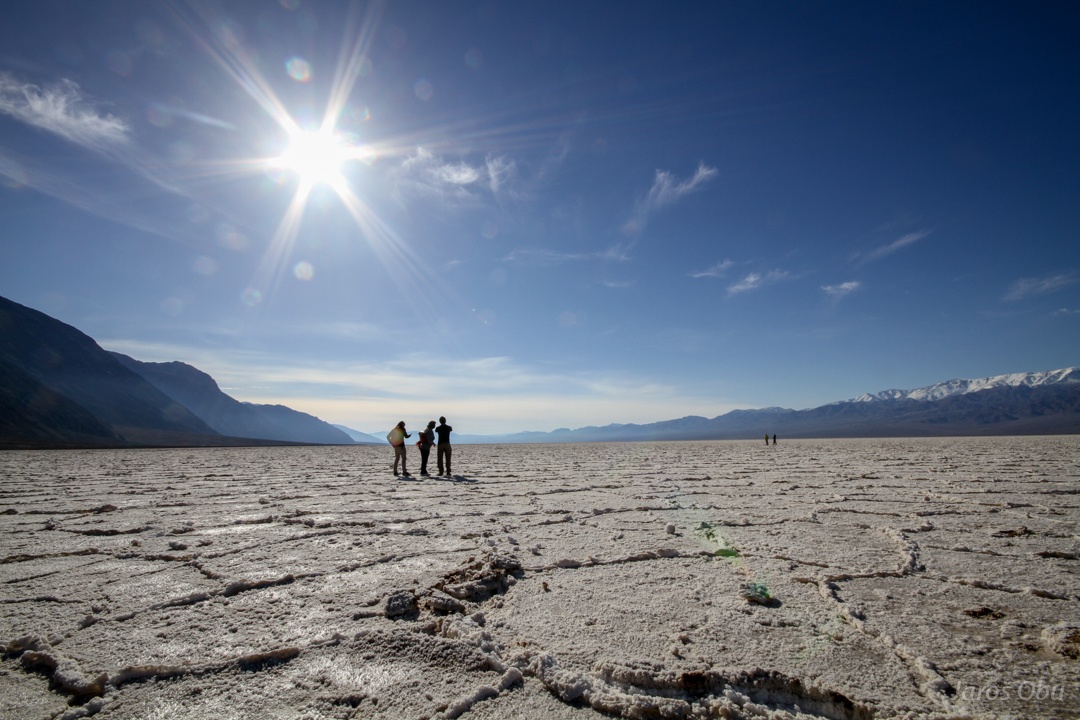
Salt polygons with Panamint Range, which rises above 3000 m, in the background.
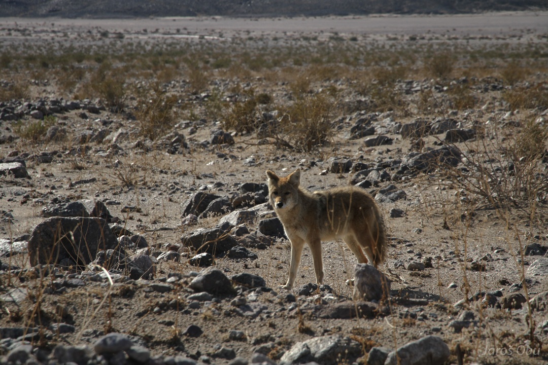
Coyote the beggar by the road going south.
You will not get any food from me.
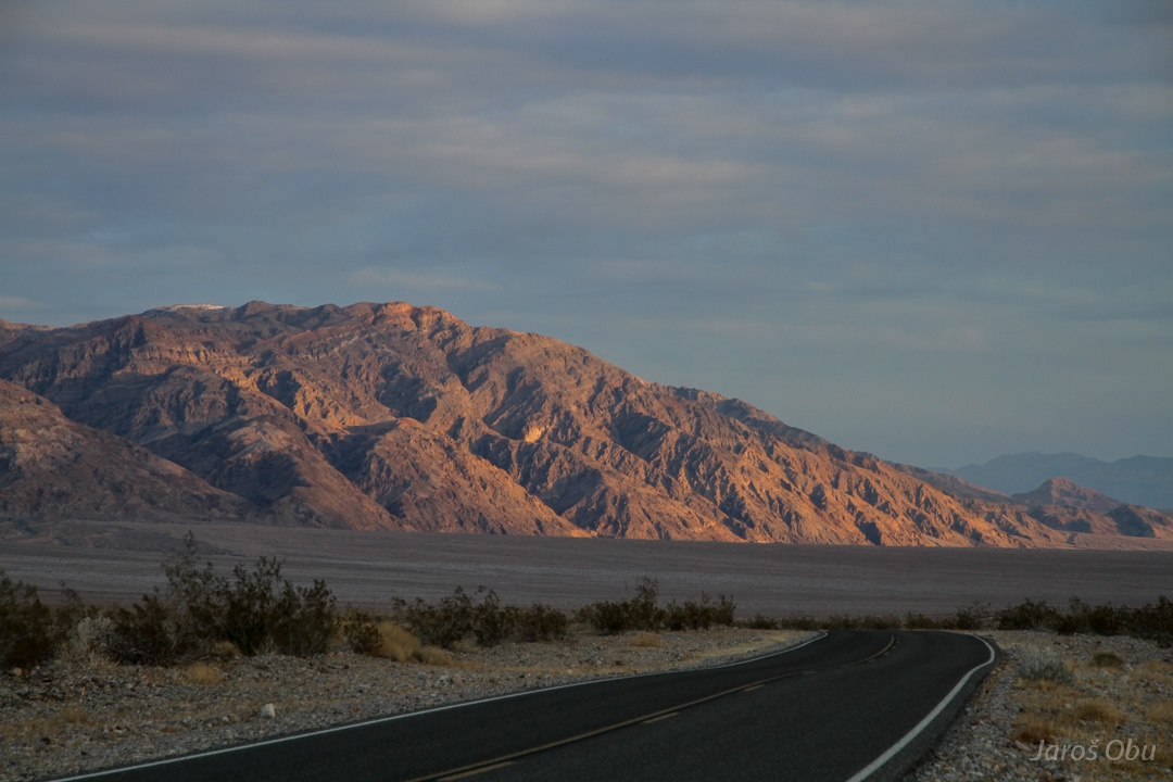
Leaving Death Valley over Jubilee Pass.
And heading towards Beaker to finally find a place where they could fix my tire.