© 2024 Jaroš Obu
Photo gallery of Jaroš Obu
Cart
0
Items
Buy now
Eastern Sierra Nevada 19.-22. 12. 2016
Wednesday, 21 December 2016
Crossing of Sierra Nevada ended in Nevada because of closed roads.
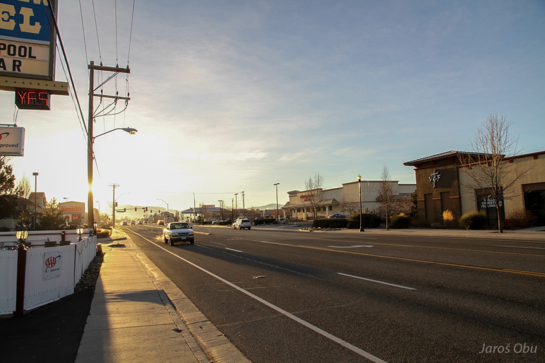
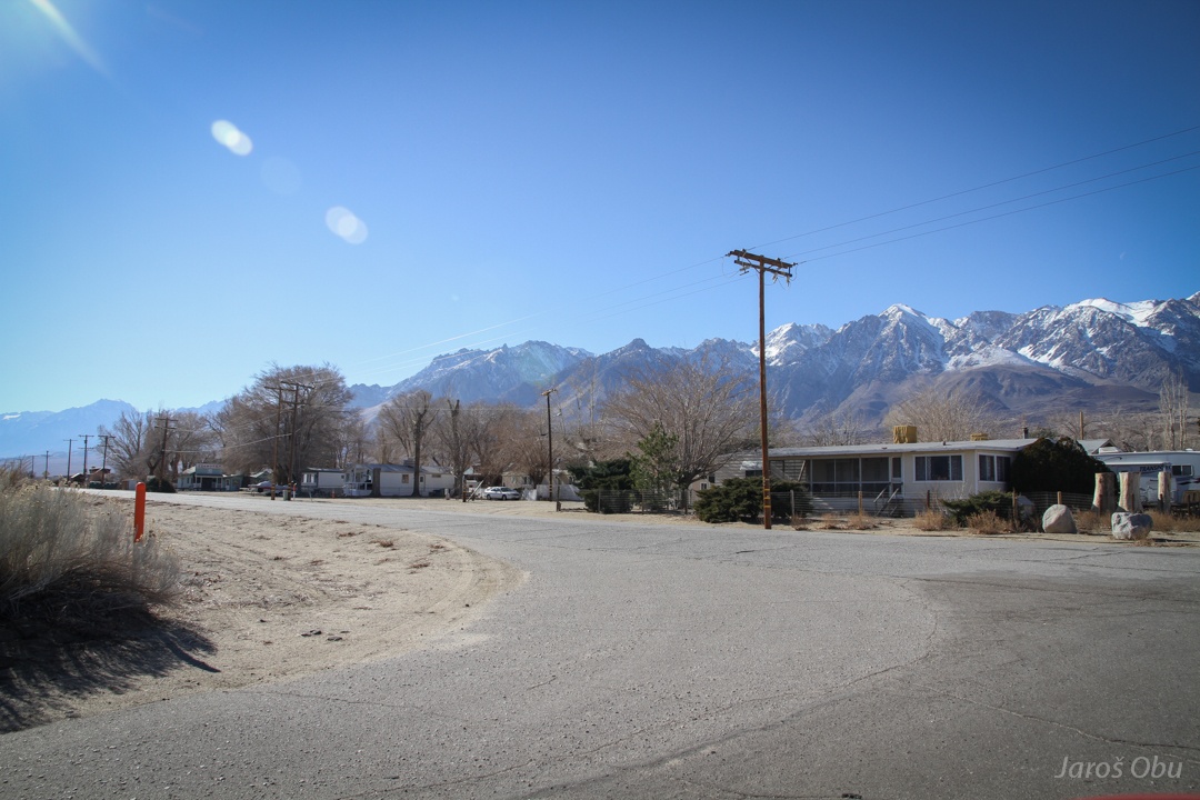
A cold morning in Gardnerville.
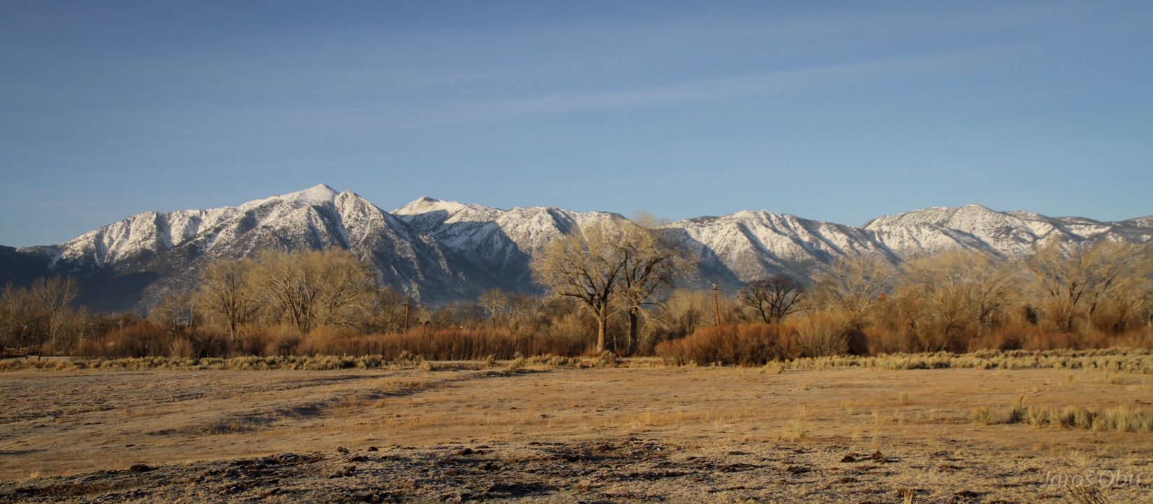
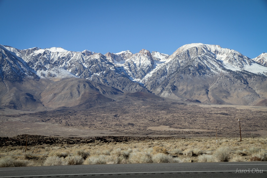
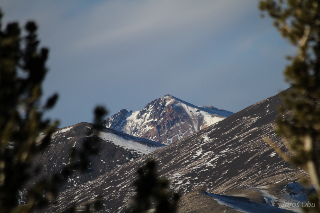
Jobs Peak (3241 m) and his Sister (3299 m) with semi-arid climate landscape.
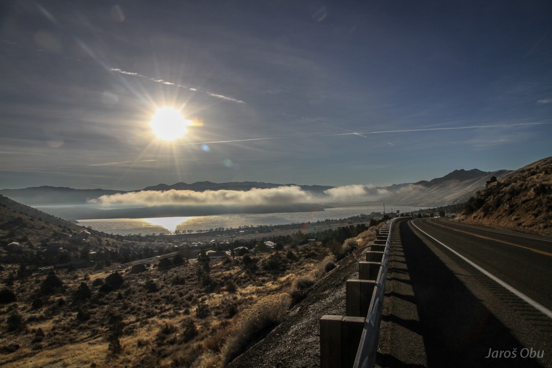
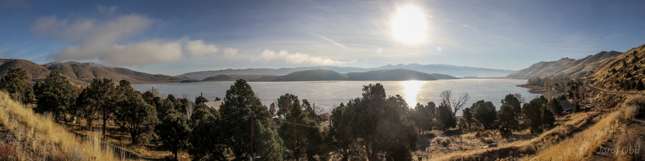
Topaz Lake with morning mists.
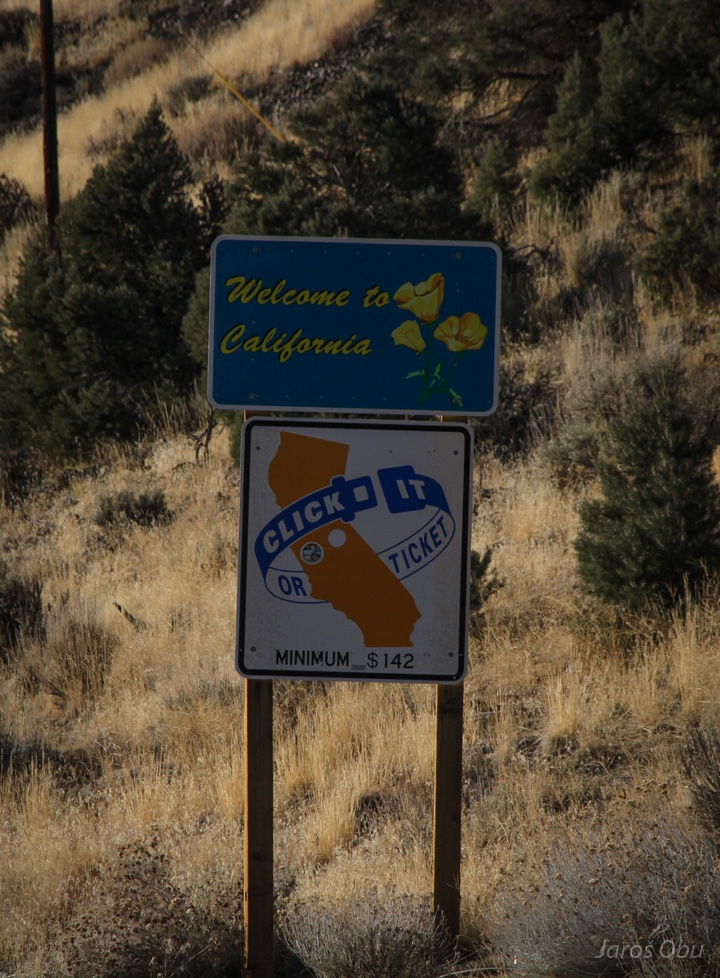
Leaving Nevada, the silver states, as it was written on my car licence plates.
And entering California.
:?
The lake.
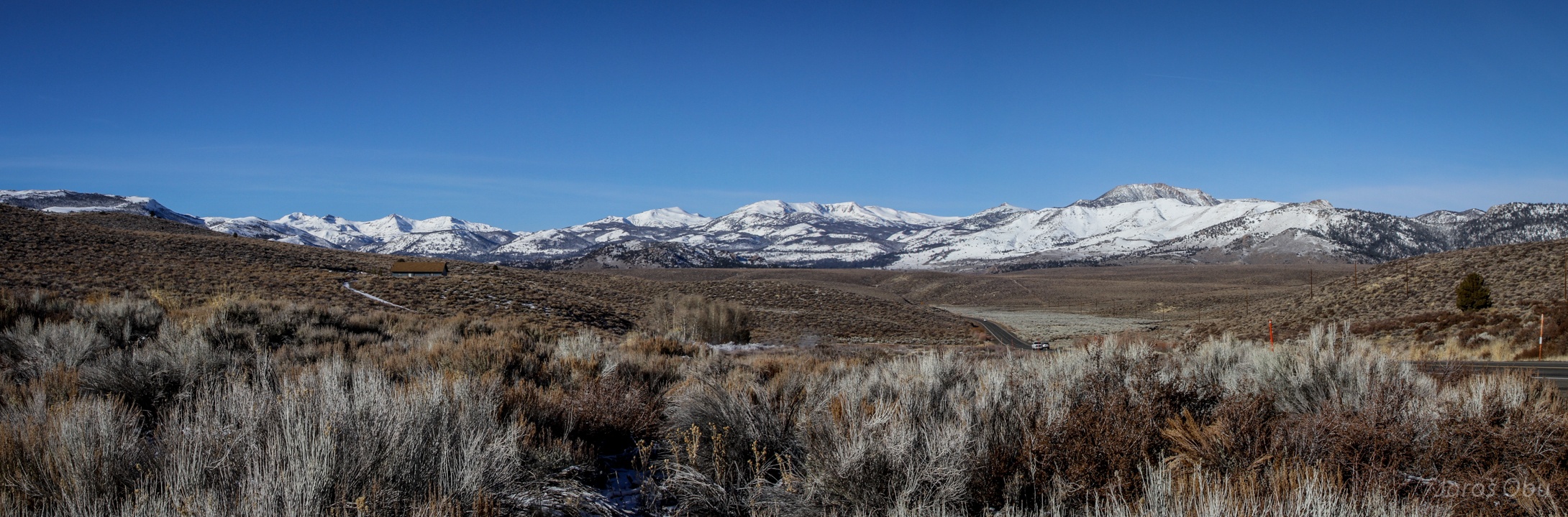
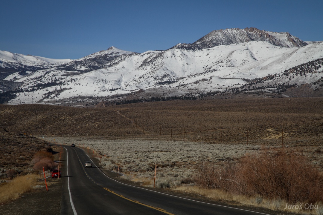
Driving south and slowly gaining elevation.
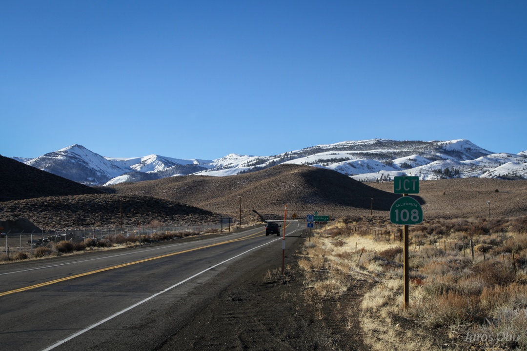
At Sonora Junction.
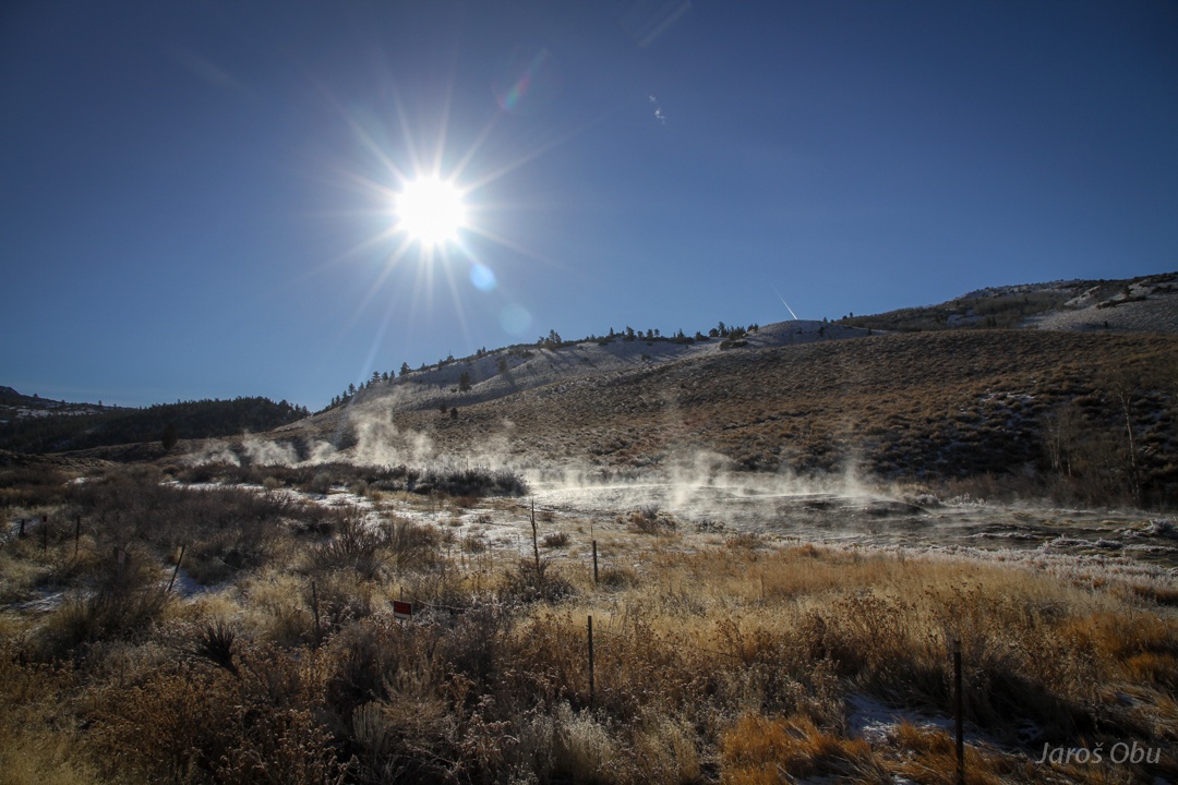
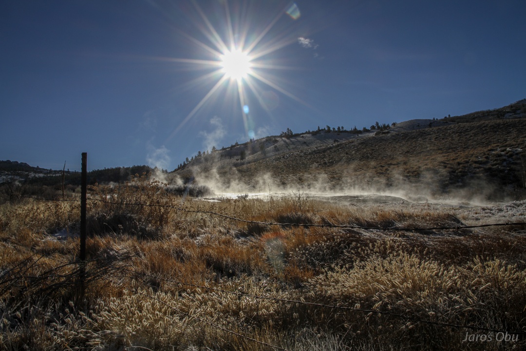
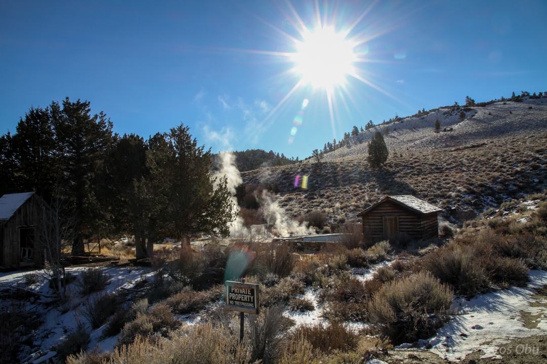
Fales Hot Springs.
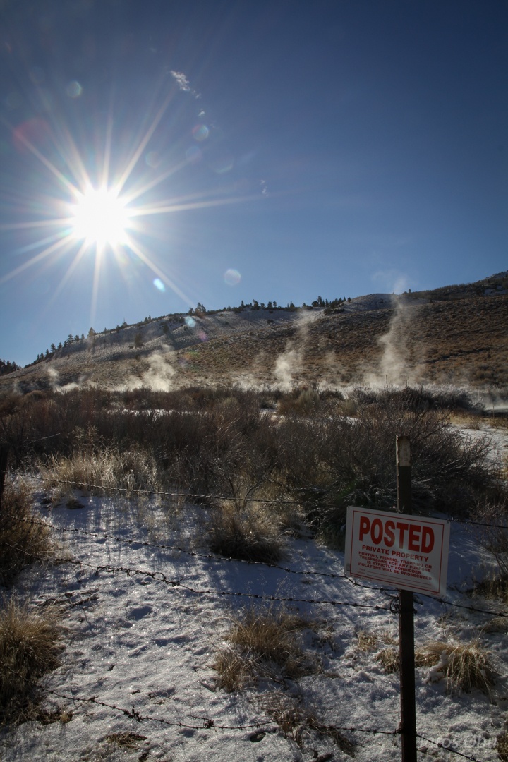
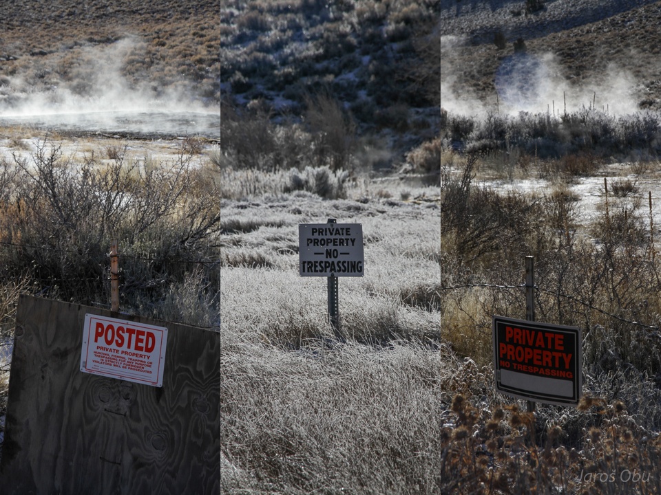
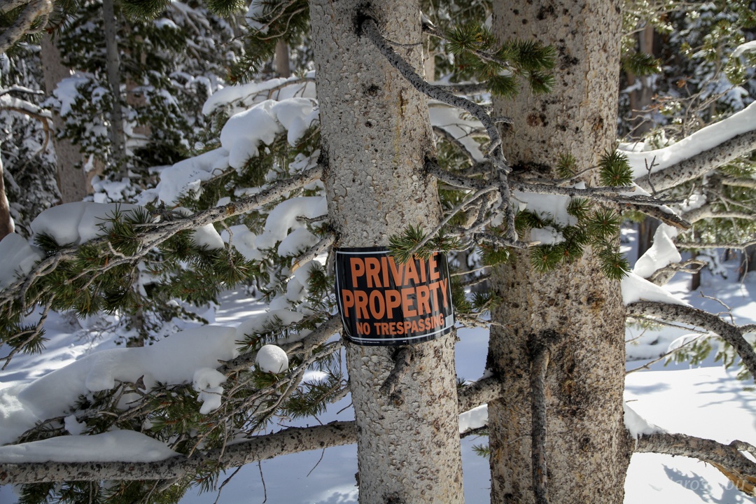
Fenced by a barb wire.
:S
OK, OK. I will not set my foot on your f***** holy private property.
It looks like you could go bathing before.
Sagebrush thrive in this high desert as it is well adapted to scarcity of water. They are scenthing this desert a distinctive smell.
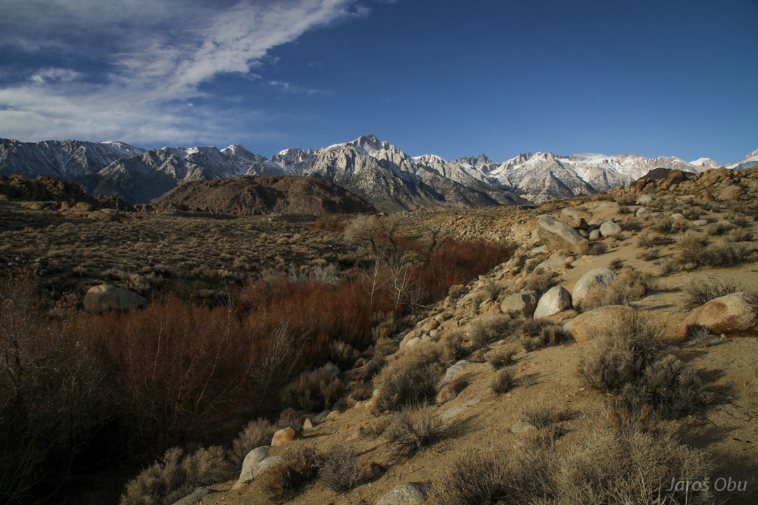
Snow starts on around 2400 m elevation.
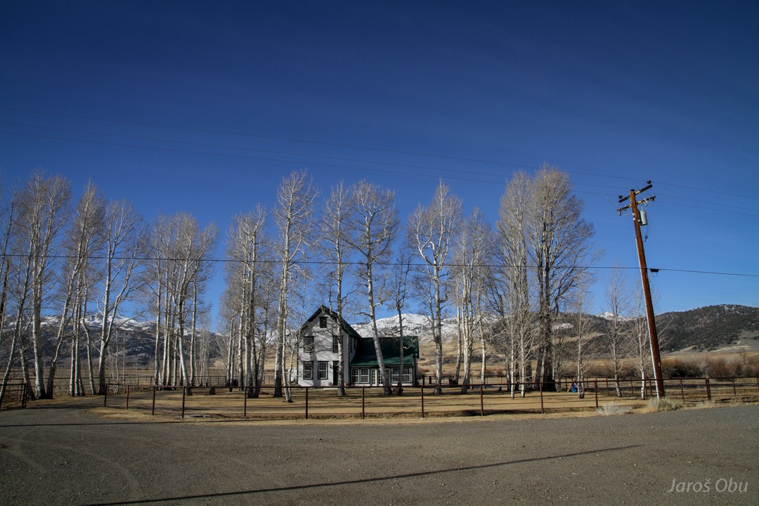
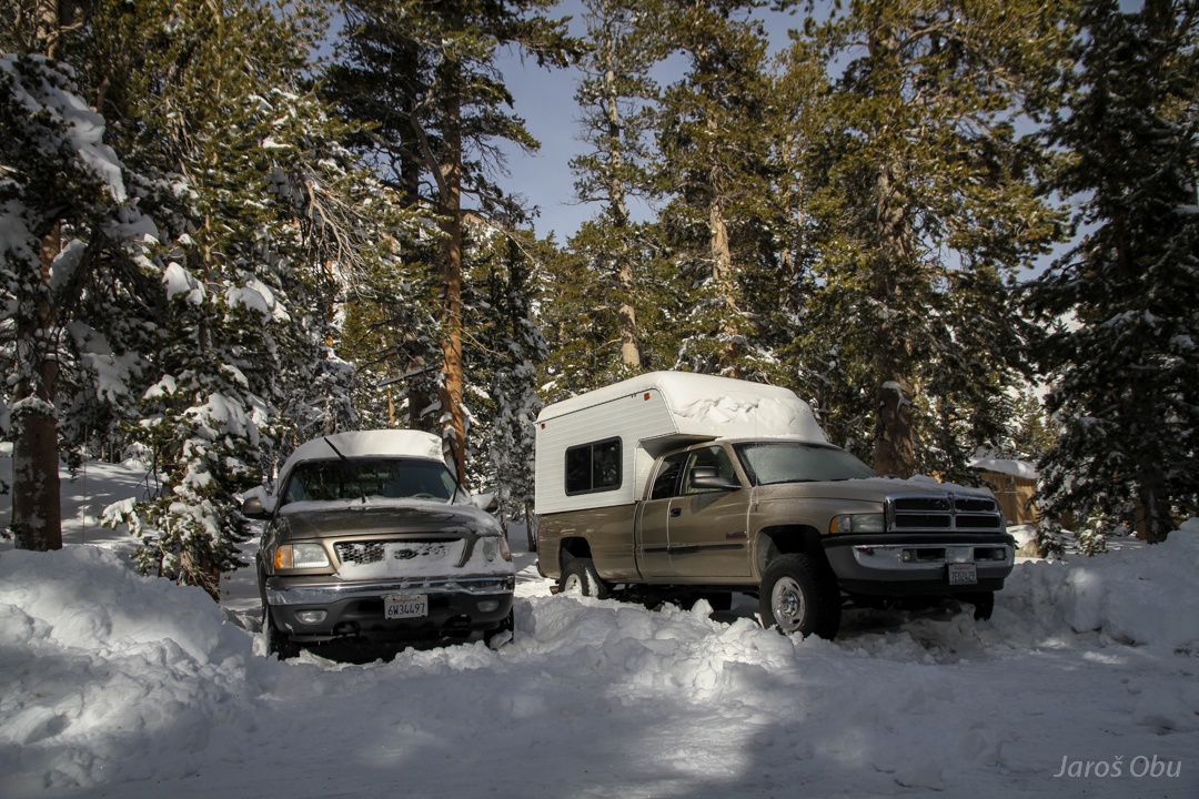
A house in the middle of the trees in the middle of drylands.
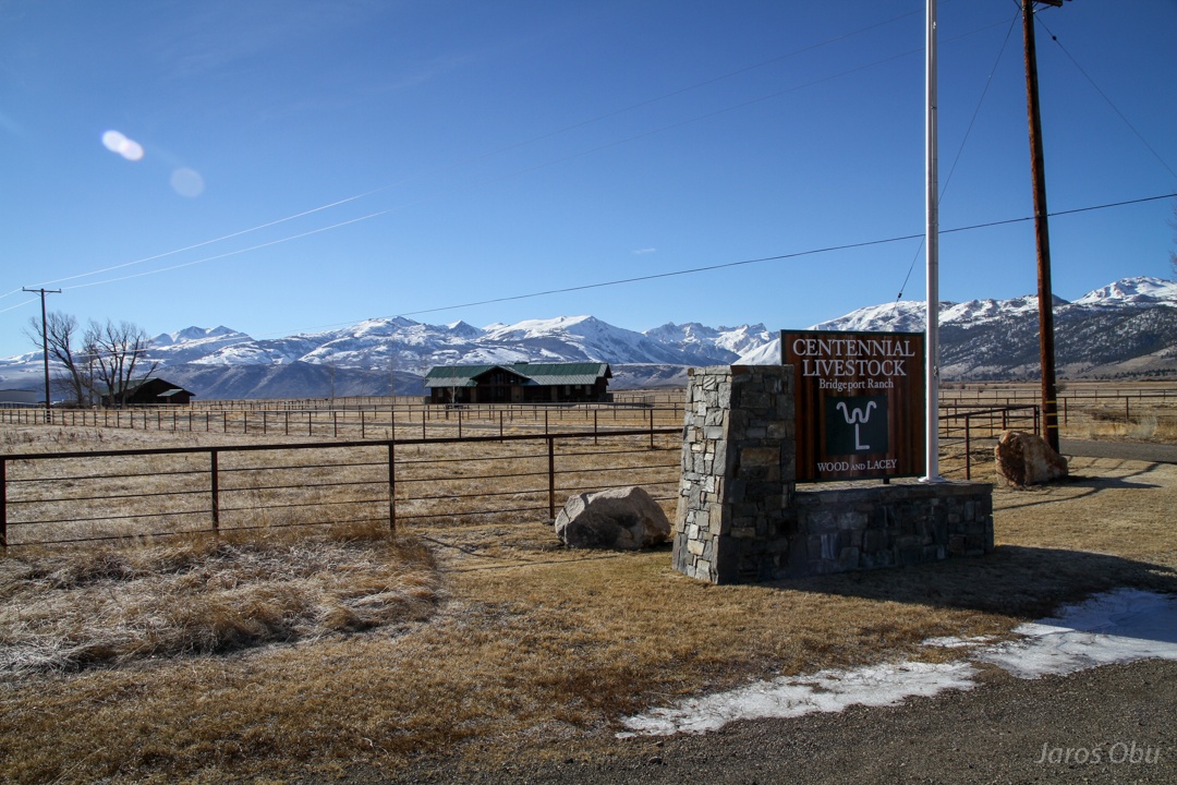
A farm by Bridgeport.
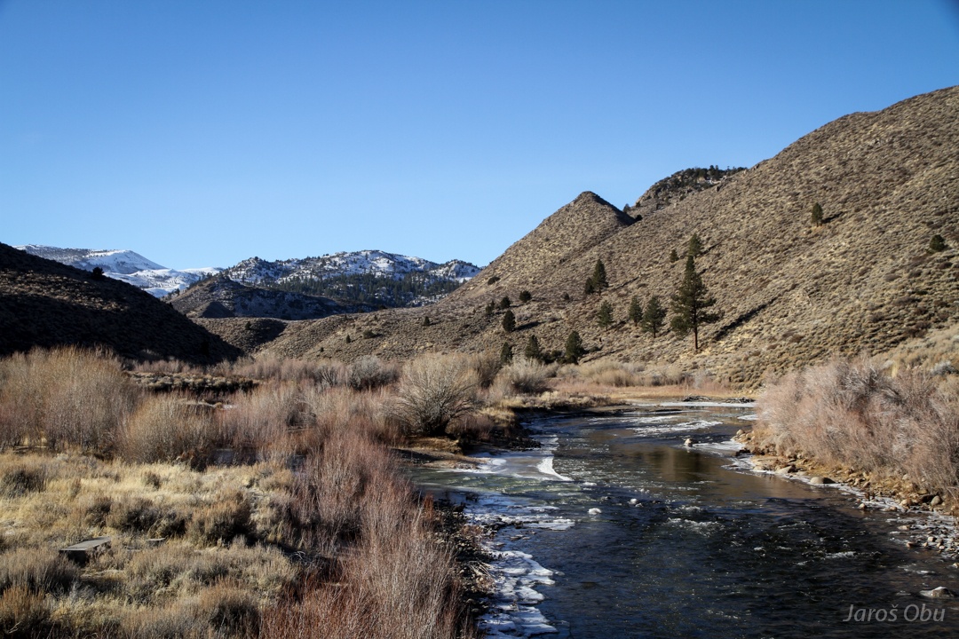
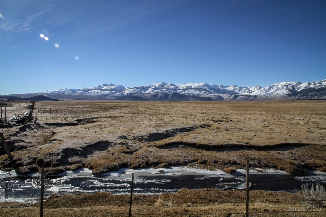
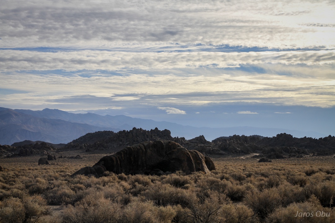
A frozen steppe.
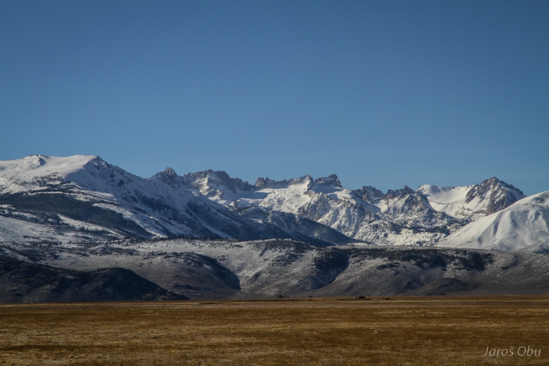
The Sawtooth Ridge with Matterhorn Peak (3742 m) on the left.
Close to Virginia Lakes.
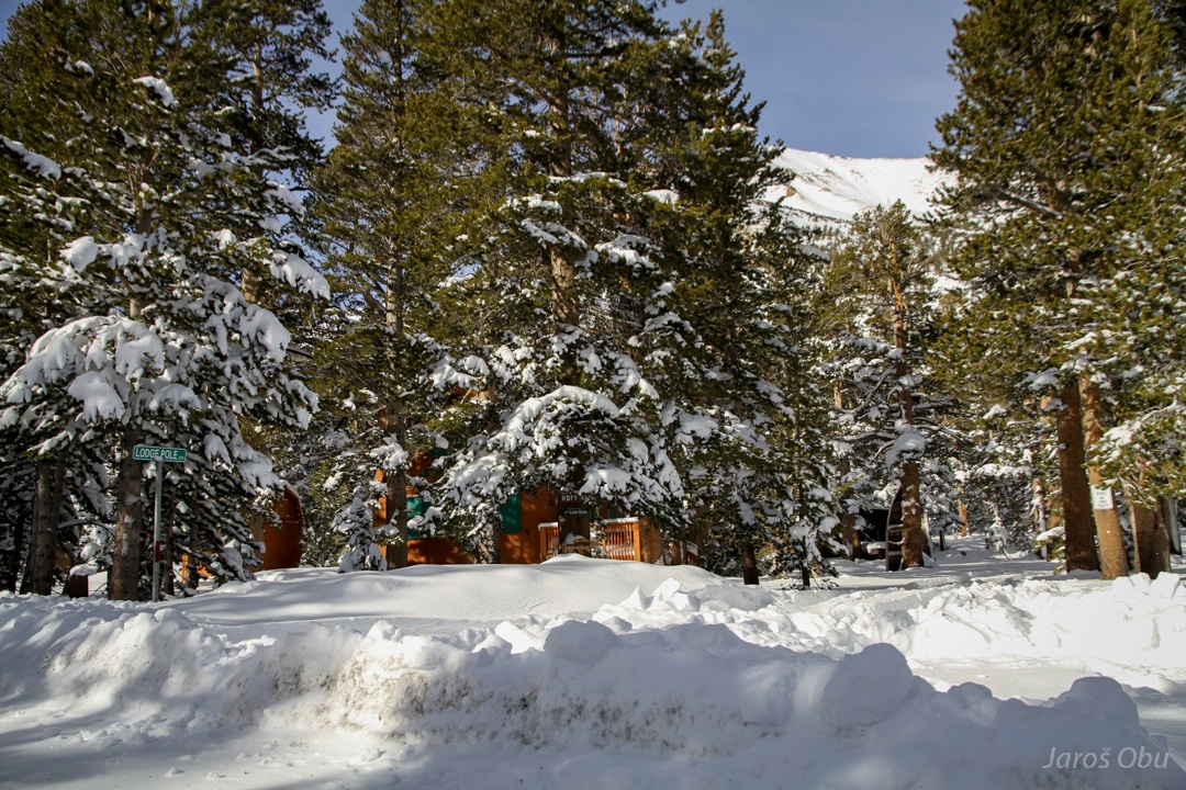
Some cabins and quite some snow.
:S
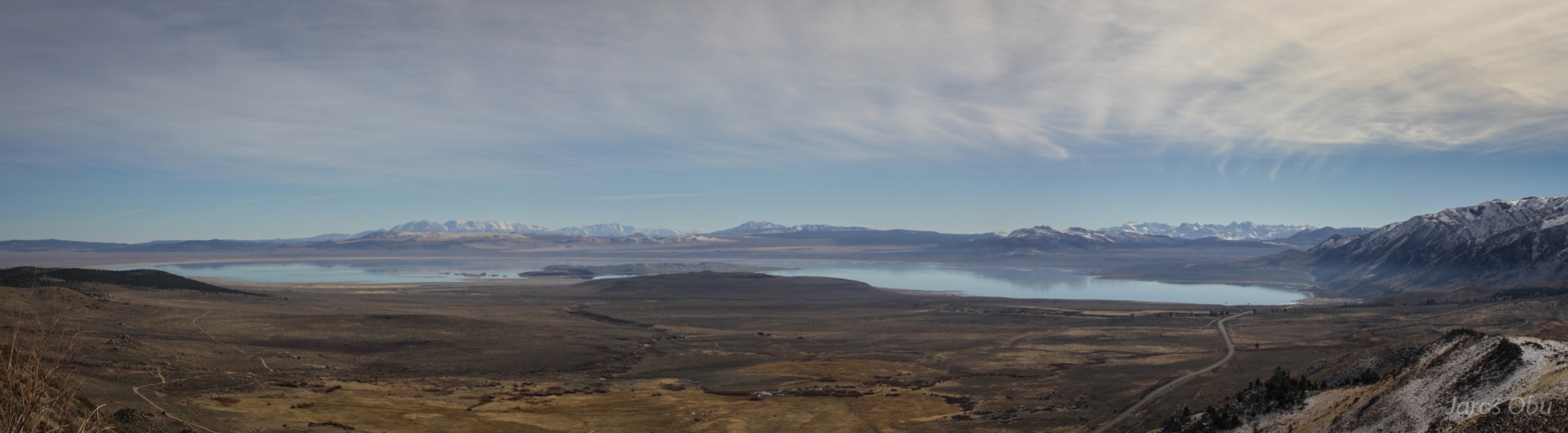
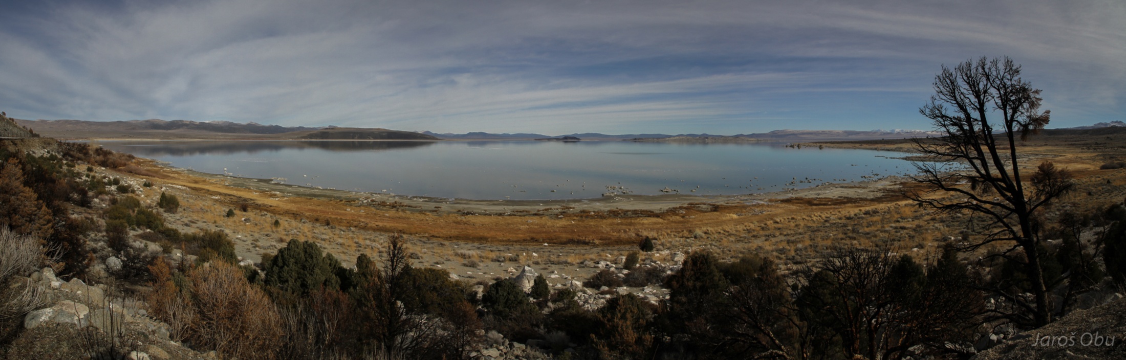
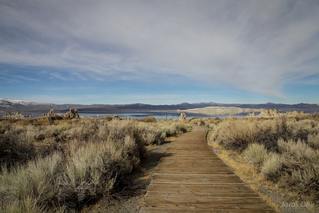
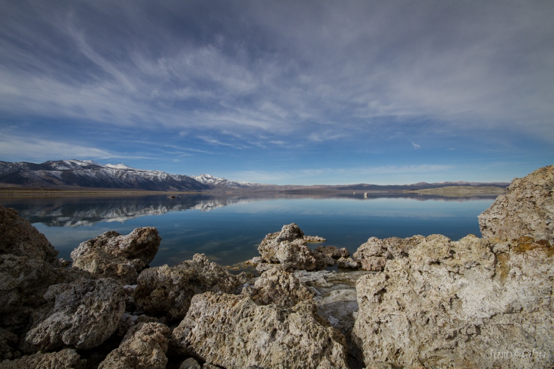
Mono lake nearby.
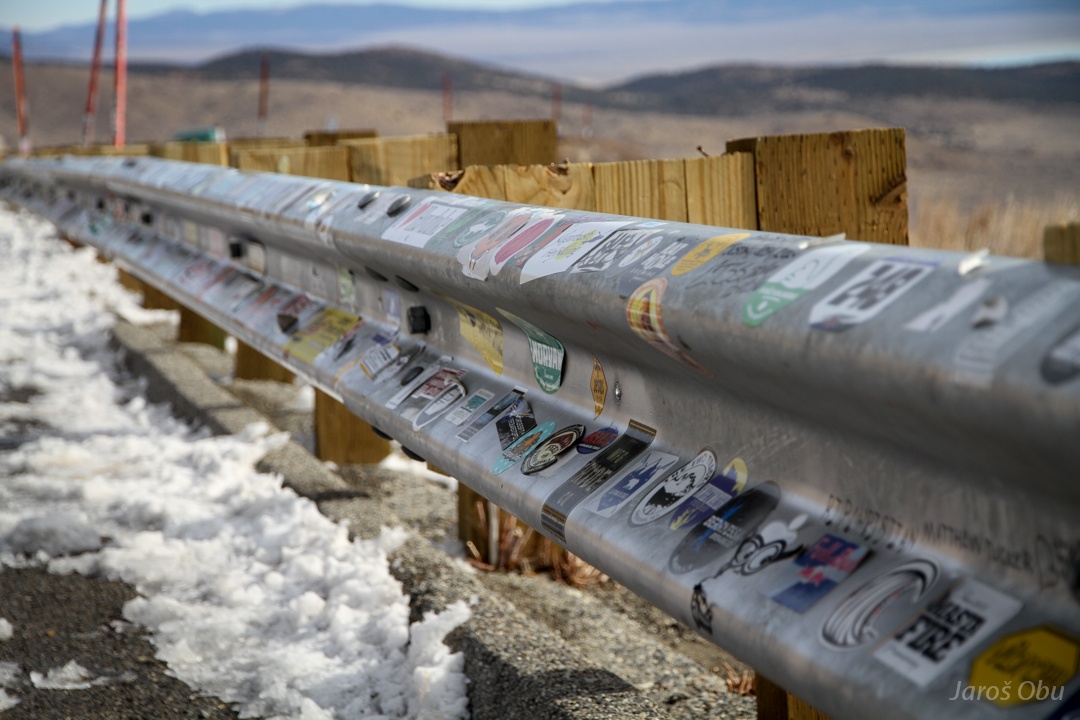
Fence with many stickers on the view pont.
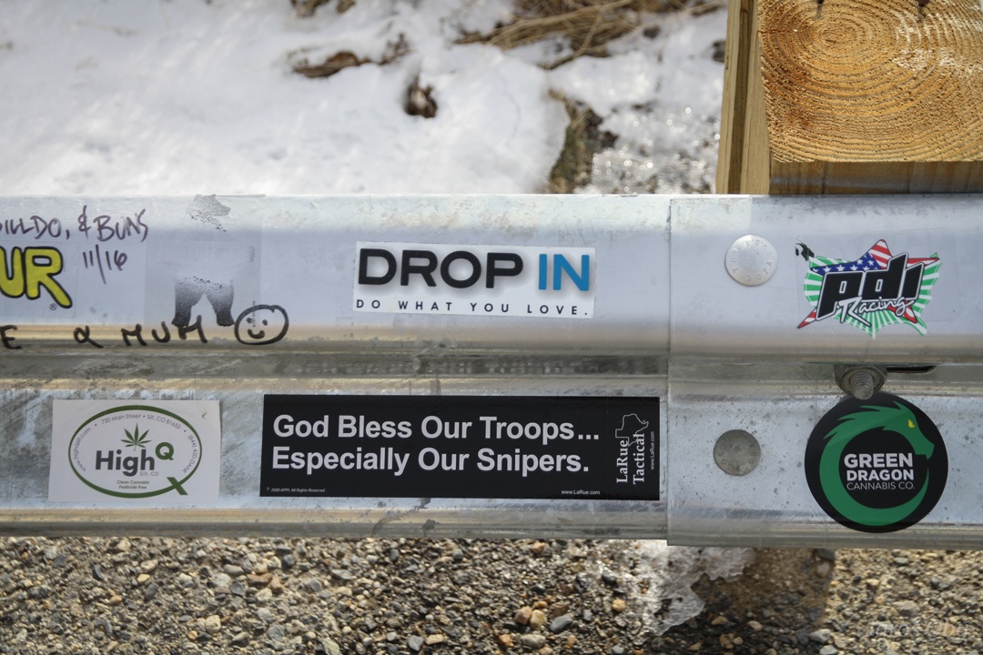
God bless America! Greend dragon cannabis :)
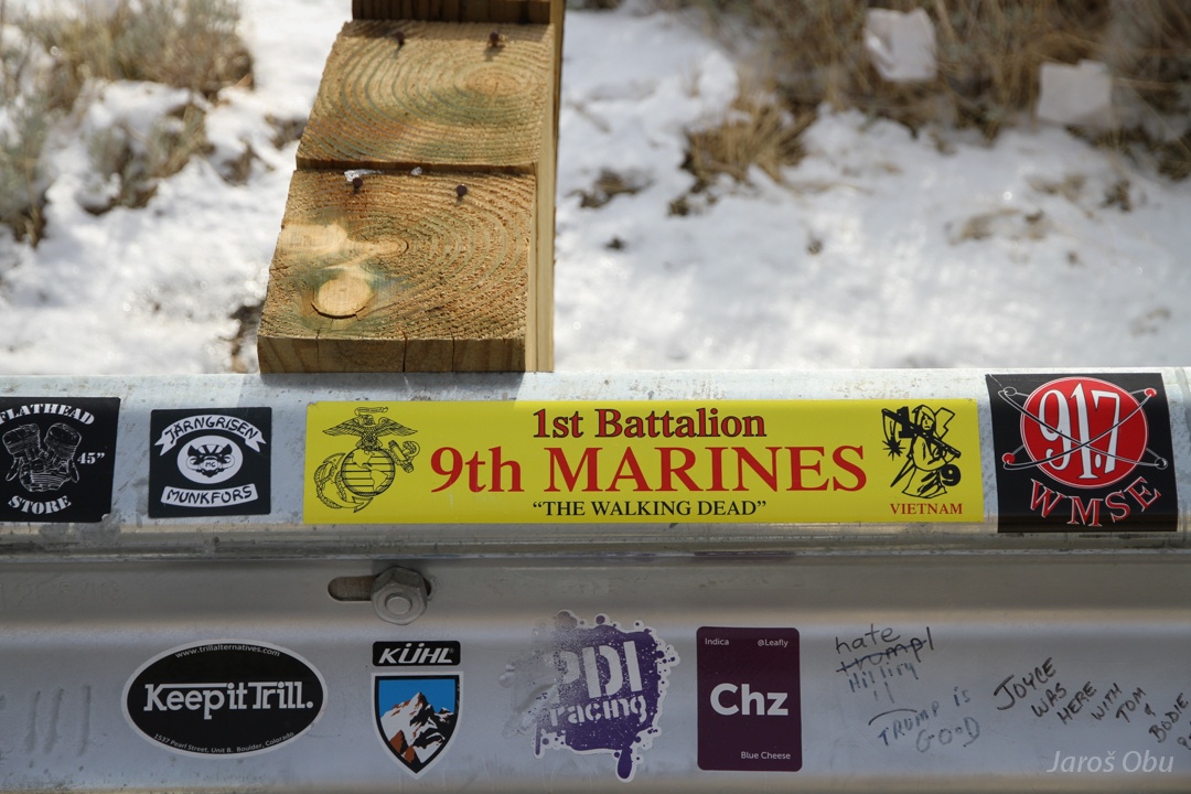
God bless the walking dead marines?
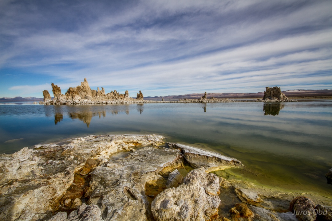
A volcanic island in the middle of the lake.
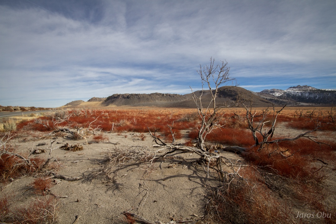
Another panorama with burned vegetation in foreground.
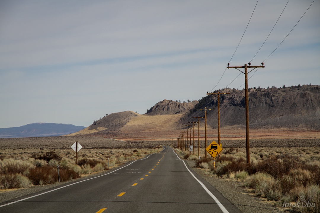
I can see only a straight road.
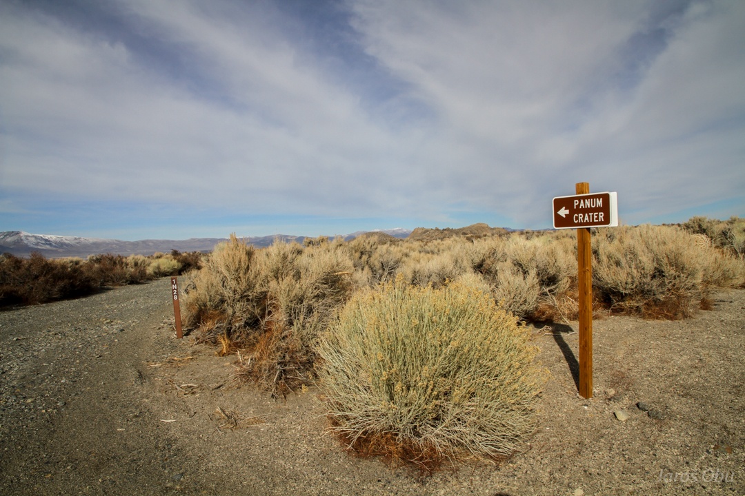
A crater by the lake.
The uplifting of Sierra Nevada was accompanied by many volcanic phenomena. Especially here in subsiding basins behind the highest peaks.
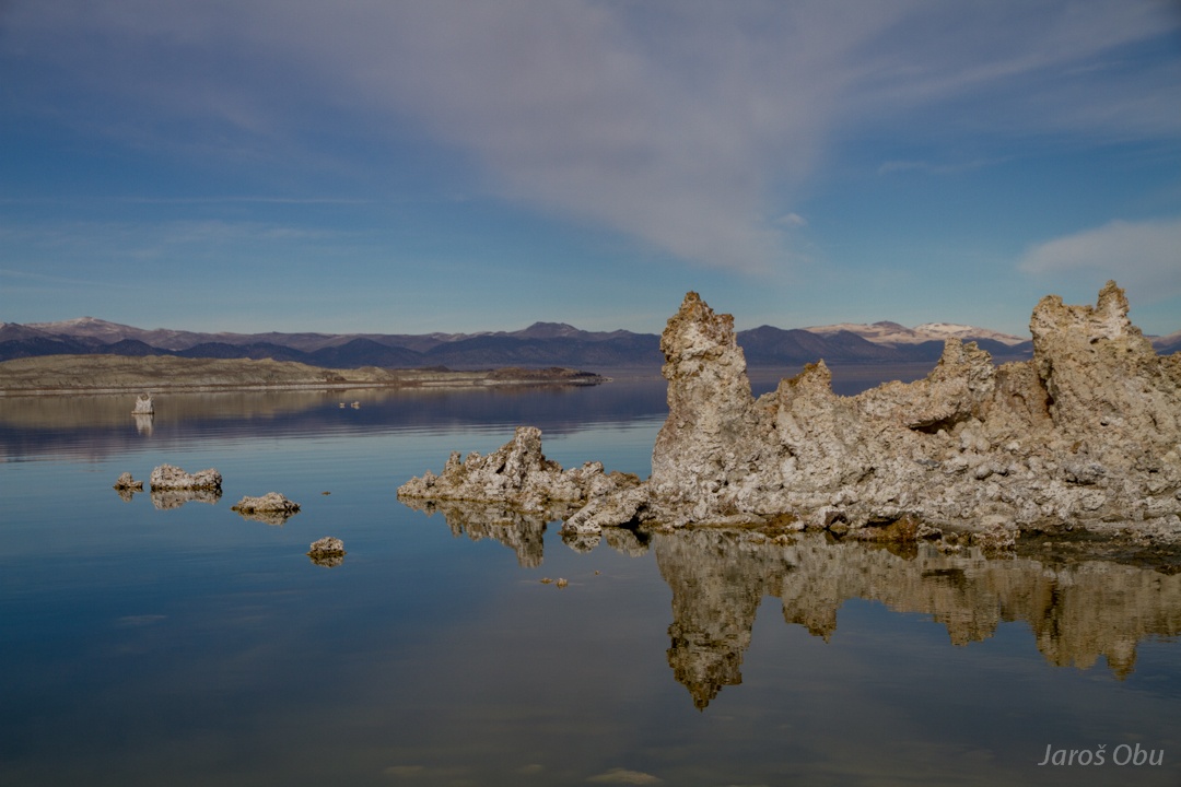
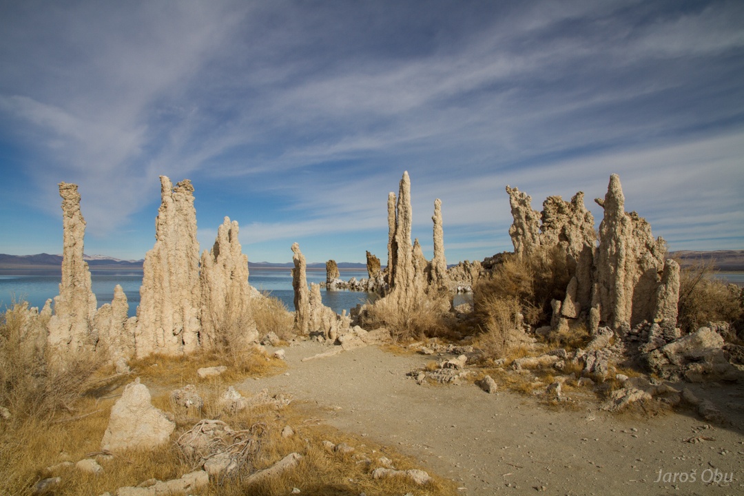
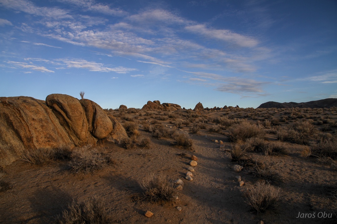
Small pinnacles on the south lake beach.
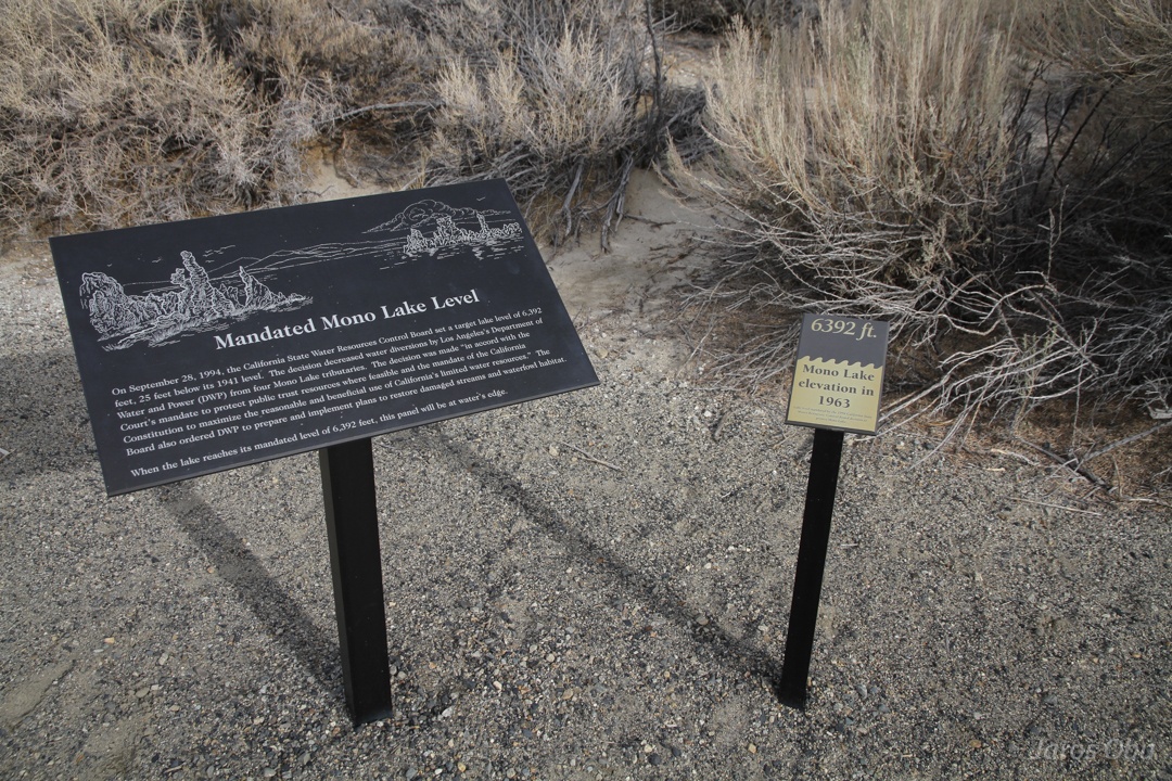
Lake level is decreasing because of water overuse from tributary streams.
Now it is far away.
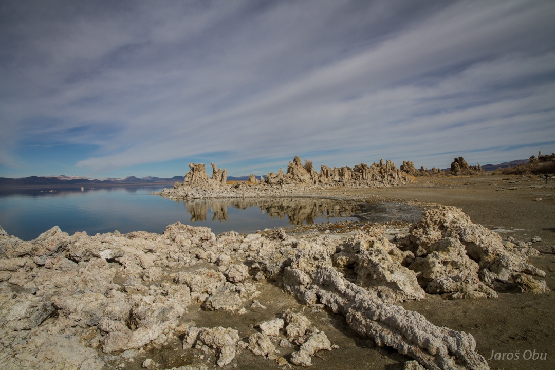
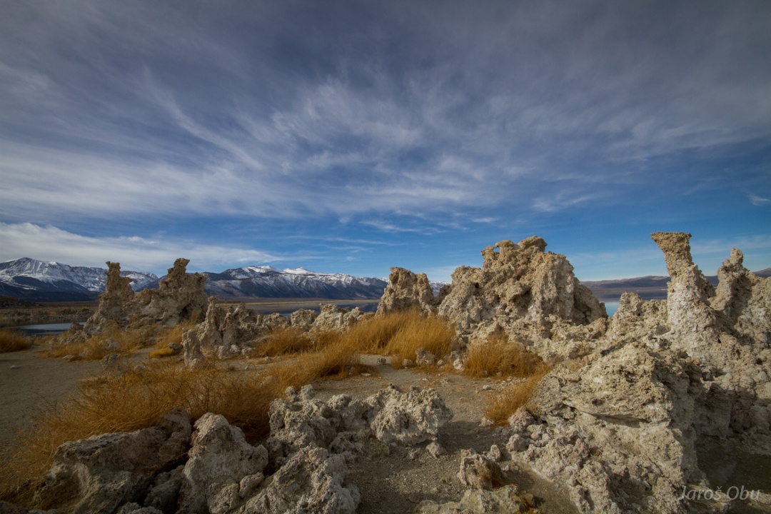
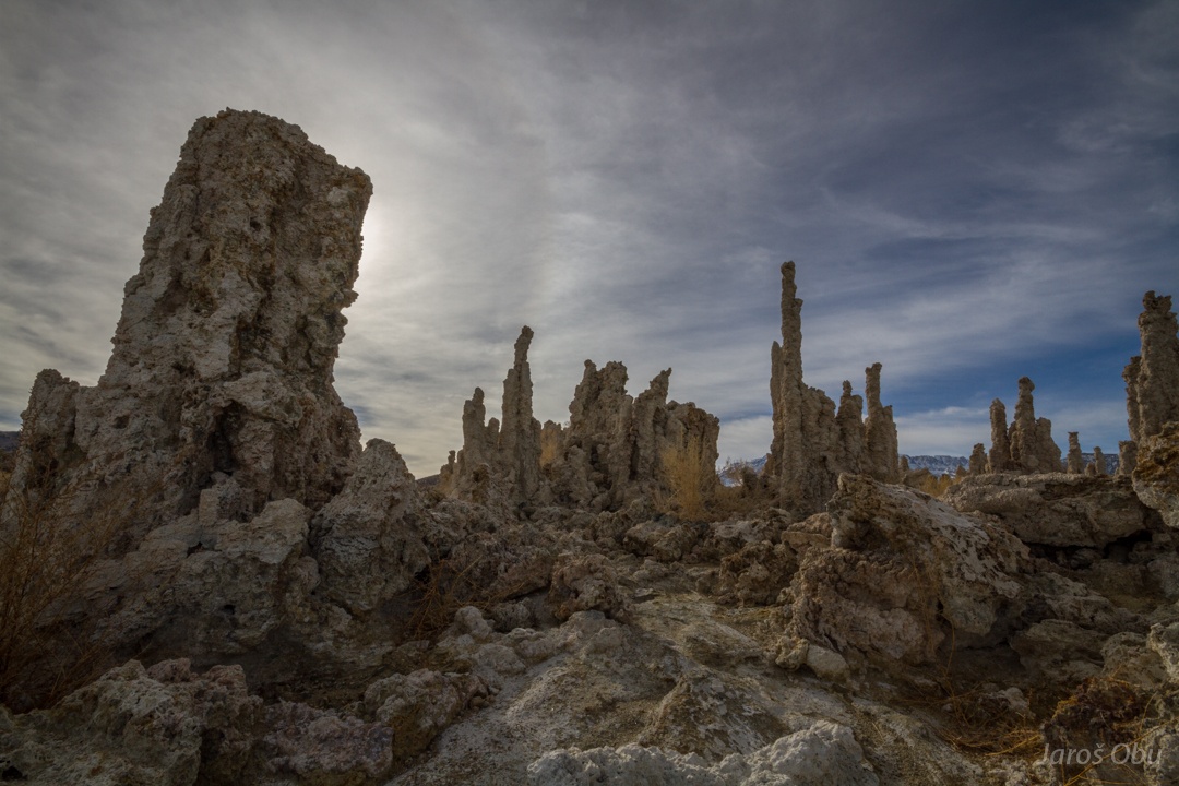
While water level was decreasing, these formations were exposed.
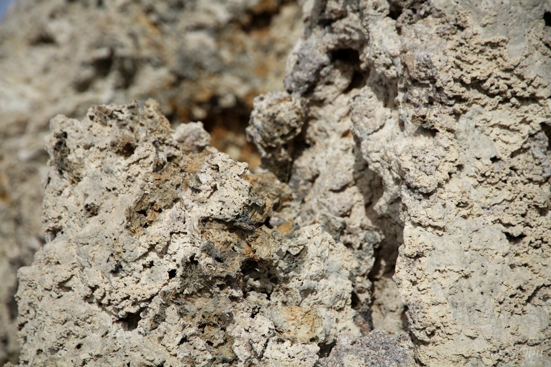
It is a tufa.
Columns formed when carbonate deposited from thermal water springs.
Lake is 2.5 times saltier than sea and has pH of 10. Only bacteria, algae and brine shrimps can survive in such environment.
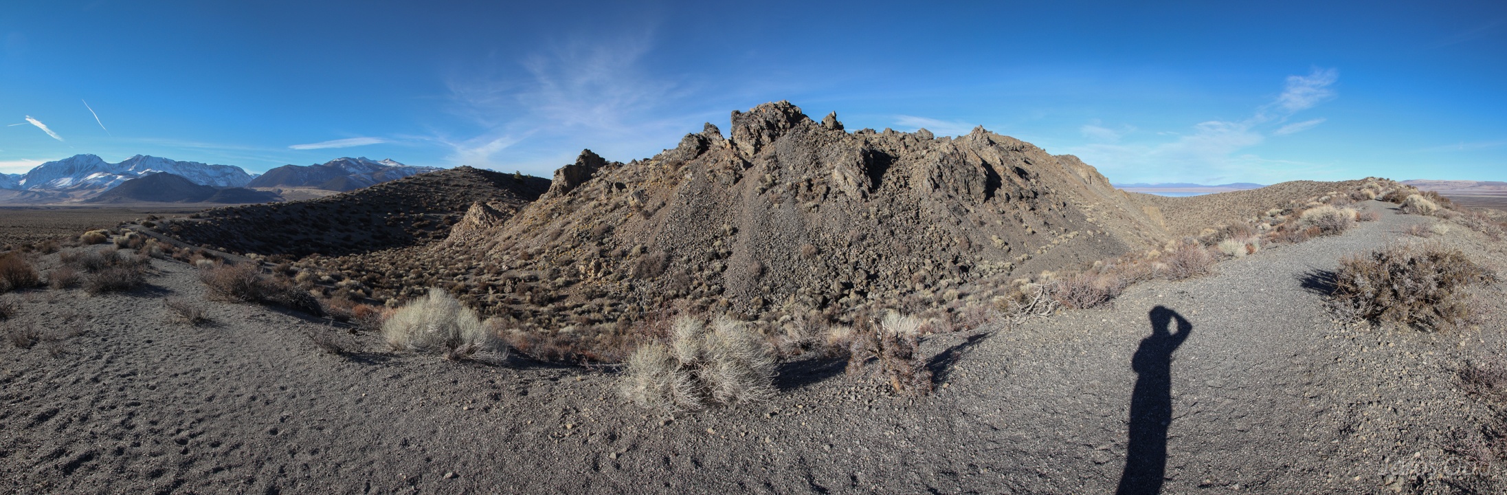
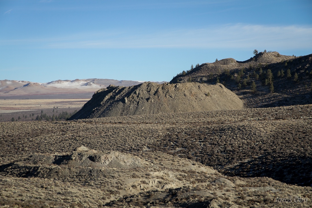
Many craters around.
Another, Wilson Butte.
And an obsidian dome.
When a viscous rhyolitic lava cools rapidly, it forms obsidian, also known as volcanic glass.
More hot springs, where people are fishing.
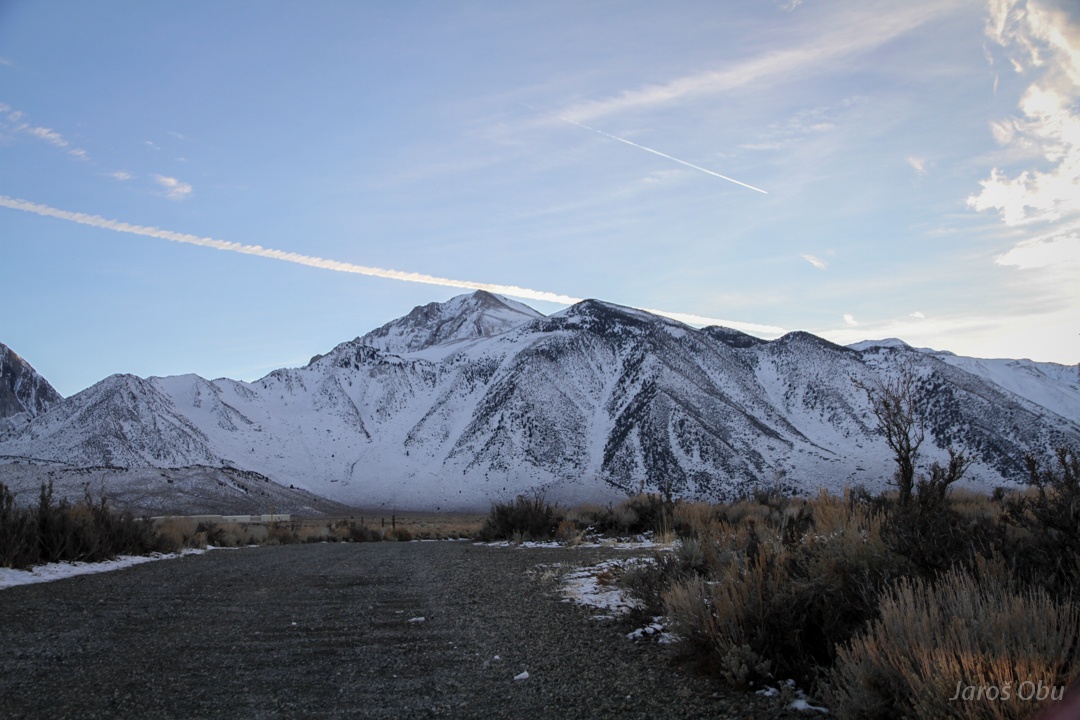
Mount Morrison
Laurel Mountain, close to Mammoth Lakes.
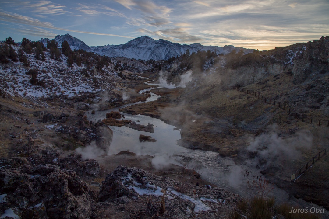
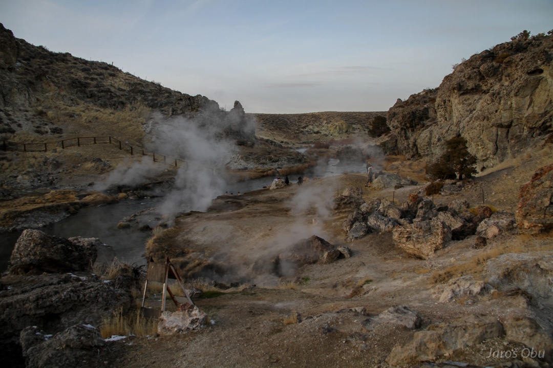
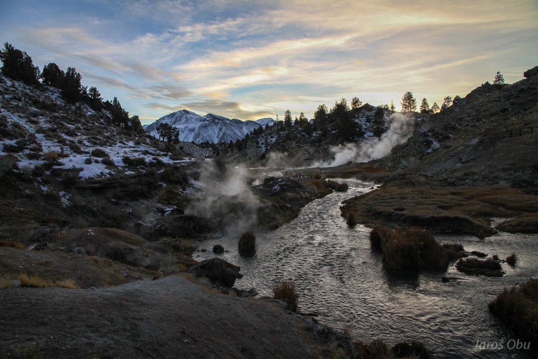
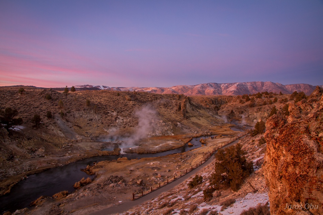
The Hot Springs. These are fortunately not fenced off.
Hot springs are the latest phase of volcanic activity.
The water that sinks in faults rises back after being heated.
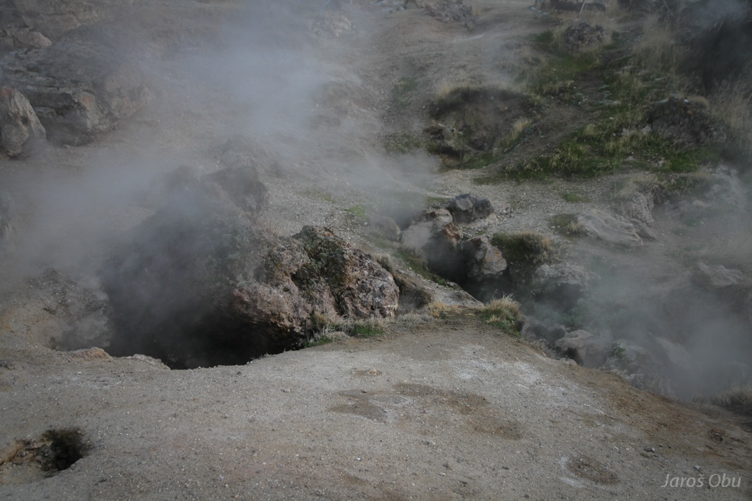
Steamy springs.
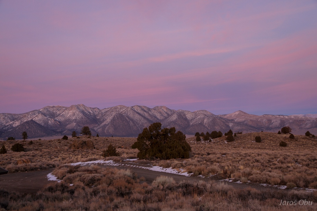
Wonderful sunset colours above White Mountains.
Time for bathing after the best evening light catch.
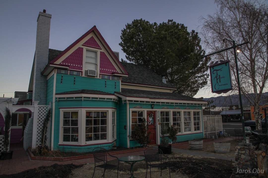
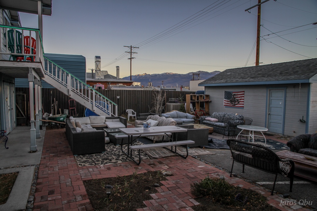
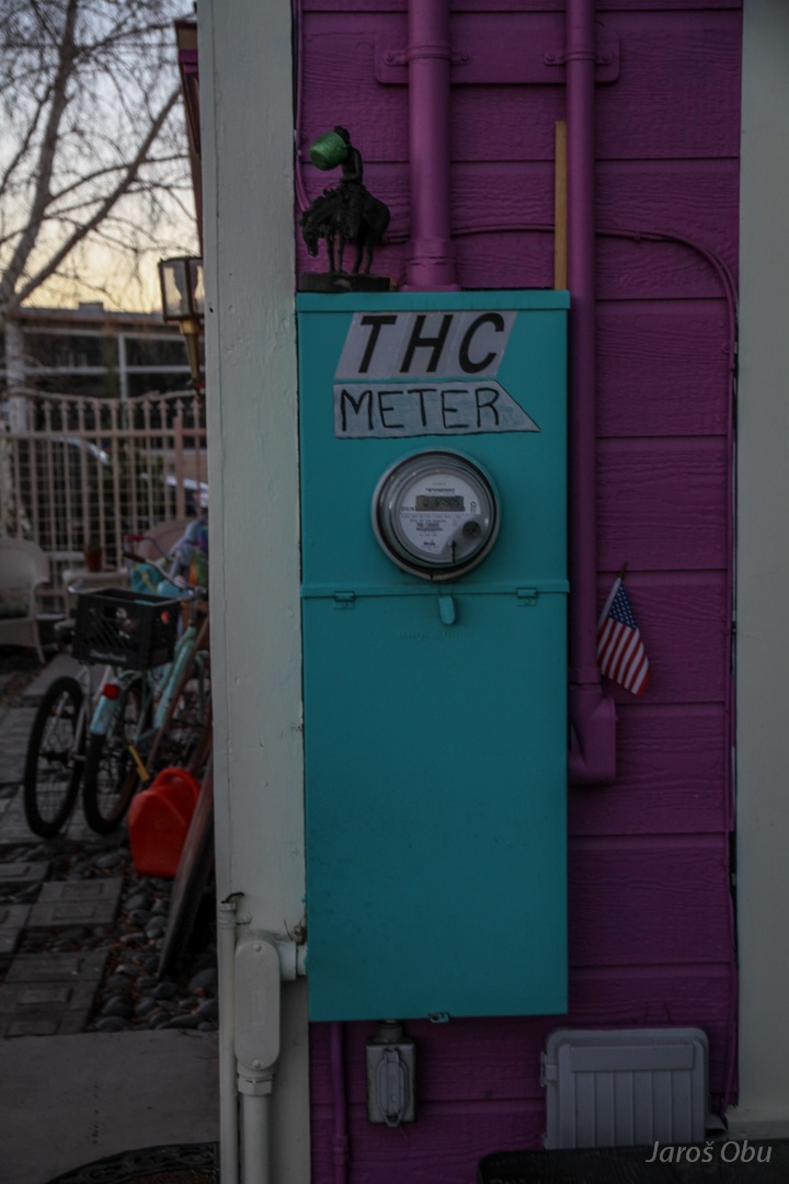
Welcome to The Hostel California - THC :) A very cozy climbing and mountaineering hostel in Bishop.
Despite the winter, there is a lot of comfortable spots for consuming The Substance that is legalised in California.
:)
:O
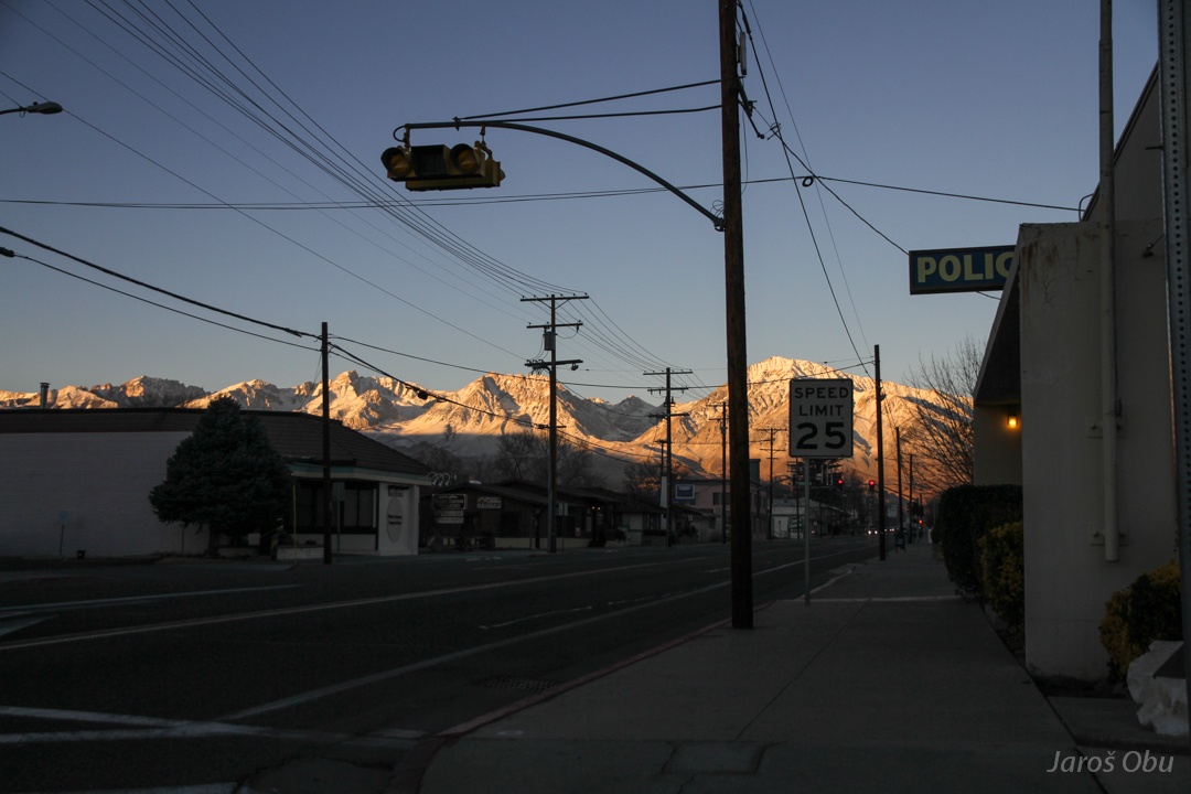
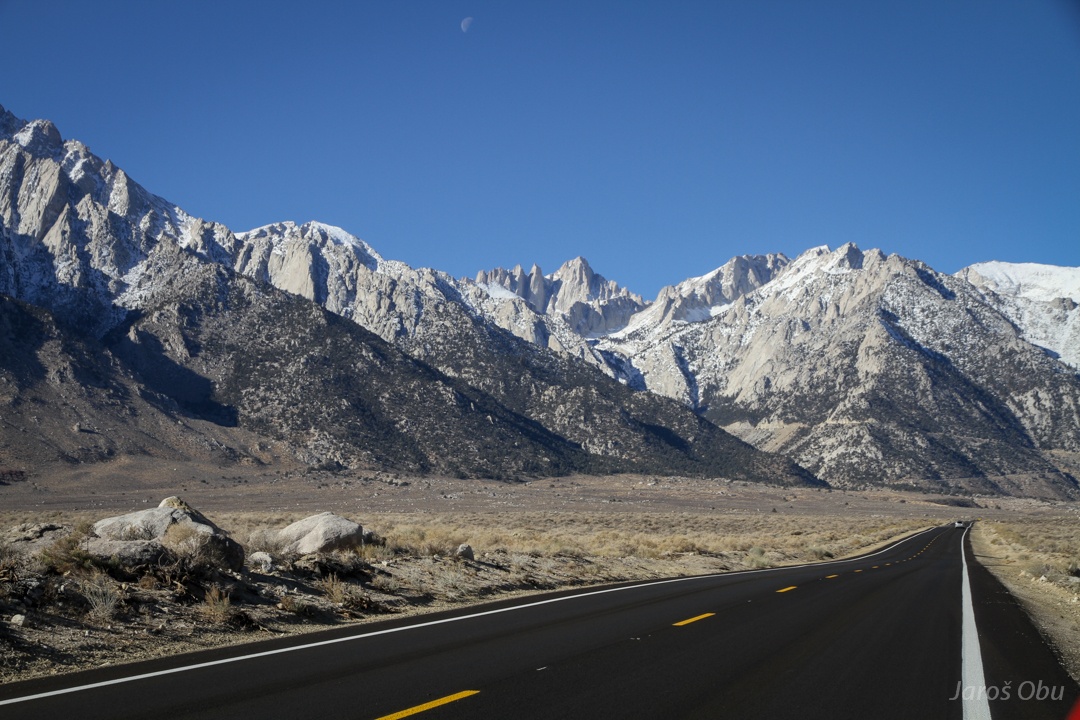
Leaving Bishop soon after the sunrise and heading further south to Lone Pine.
Sparsely vegetated Owens Valley.
The only and lonely pine in Lone Pine?
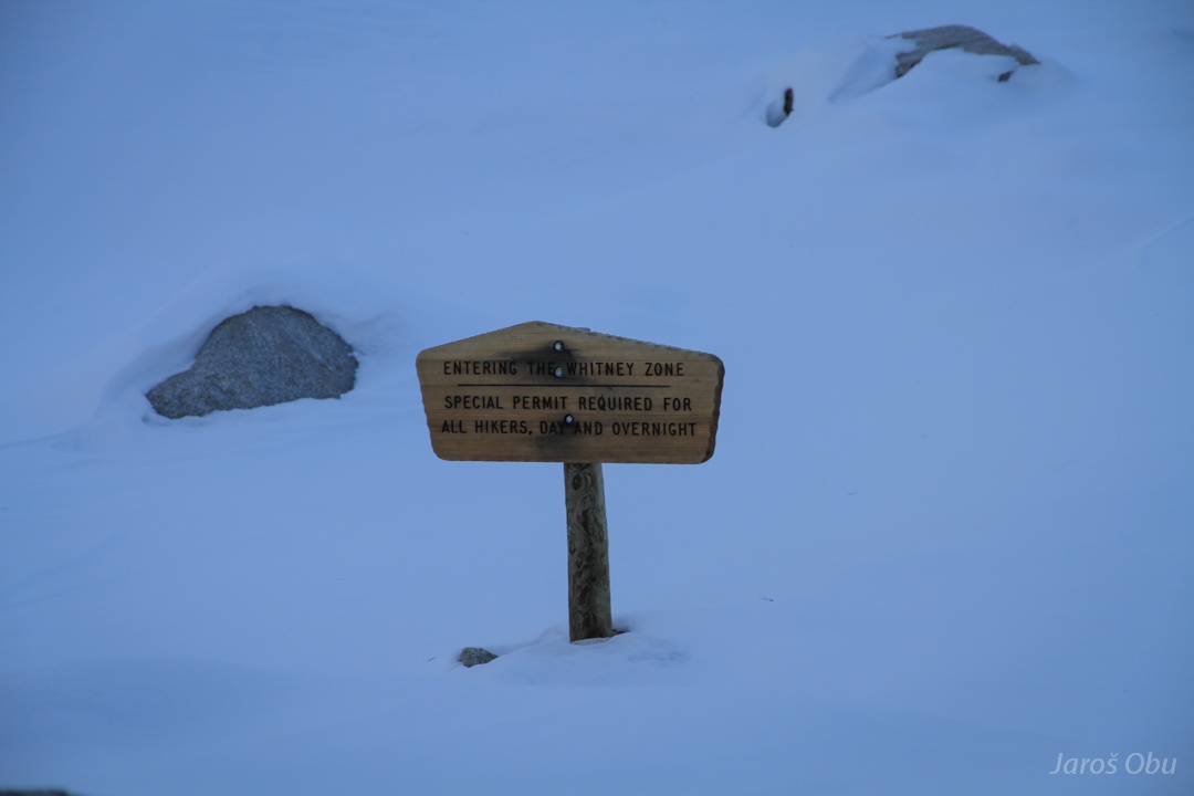
Going in the mountains after getting a permit and snowshoes.
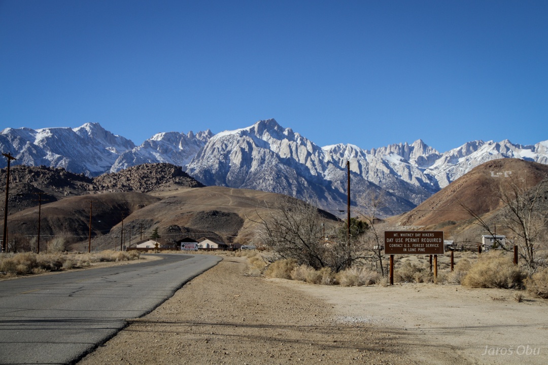
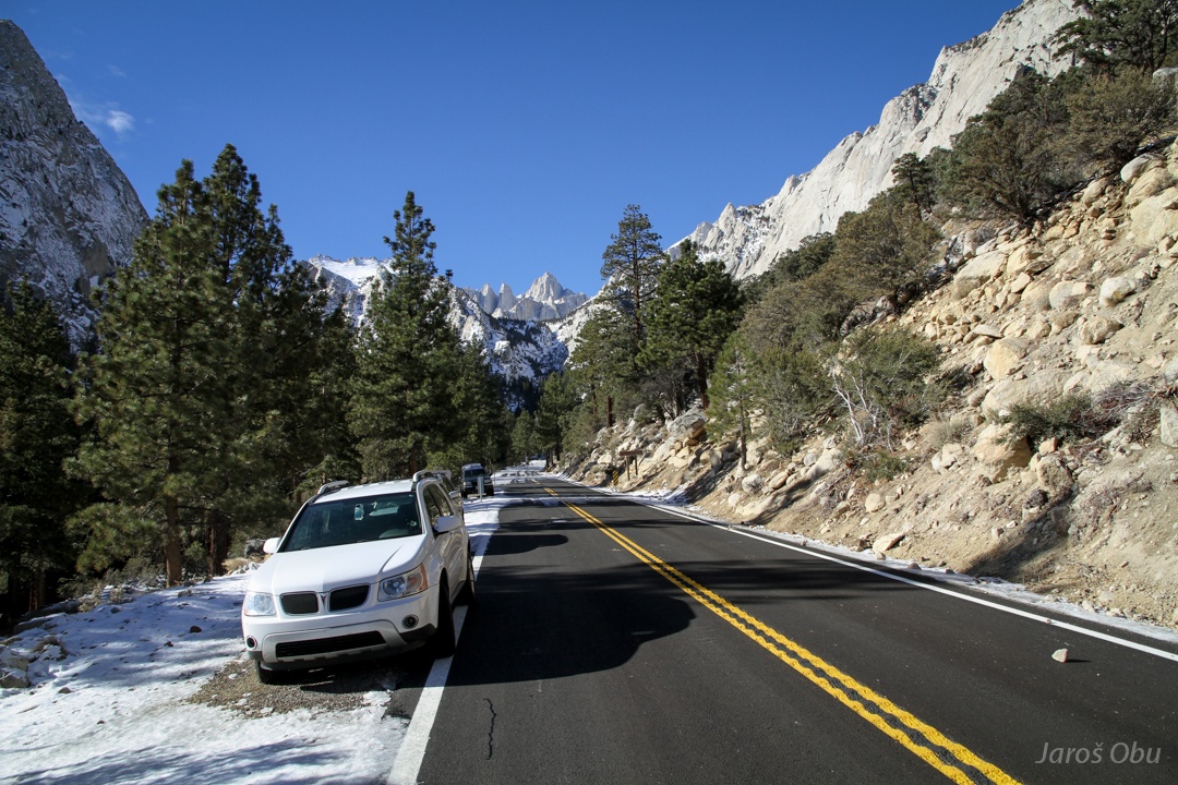
On the Whitney Portal Road. Mount Whitney, the highest peak of continental USA, in the middle.
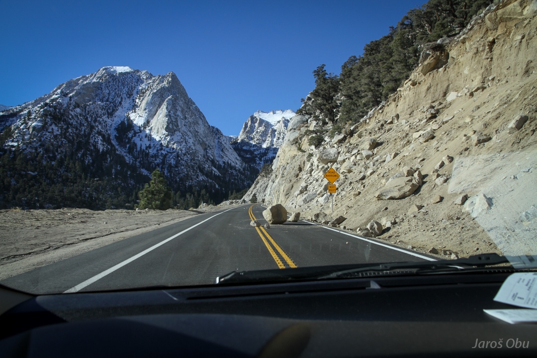
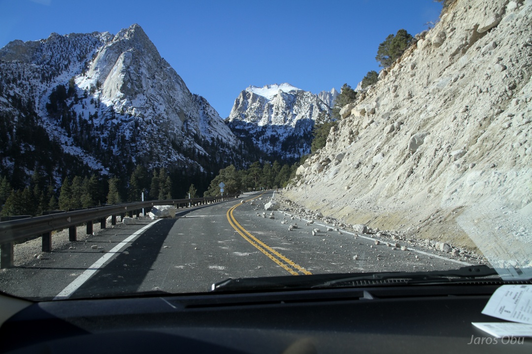
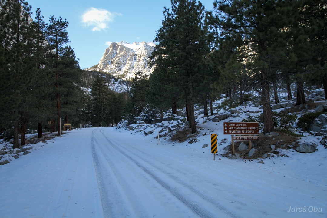
A completely new road, opened few months ago.
It looks like they forgot to protect slopes from rolling stones.
The Whitney Portal overlooked by Mount Whitney.
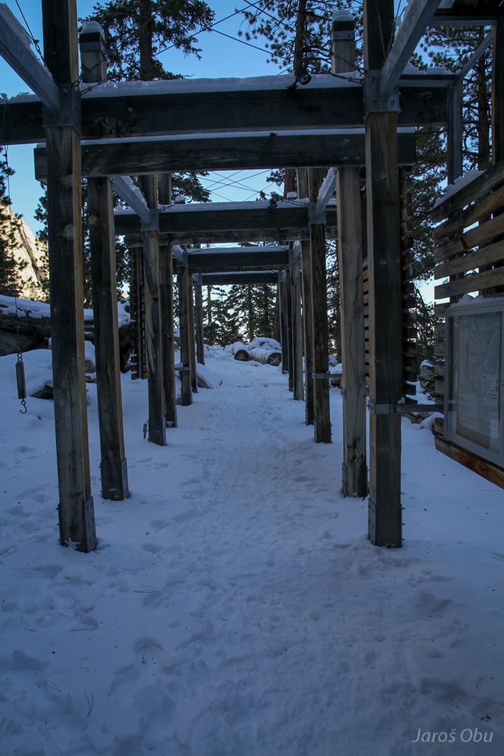
Some more walk to the trail starting point.
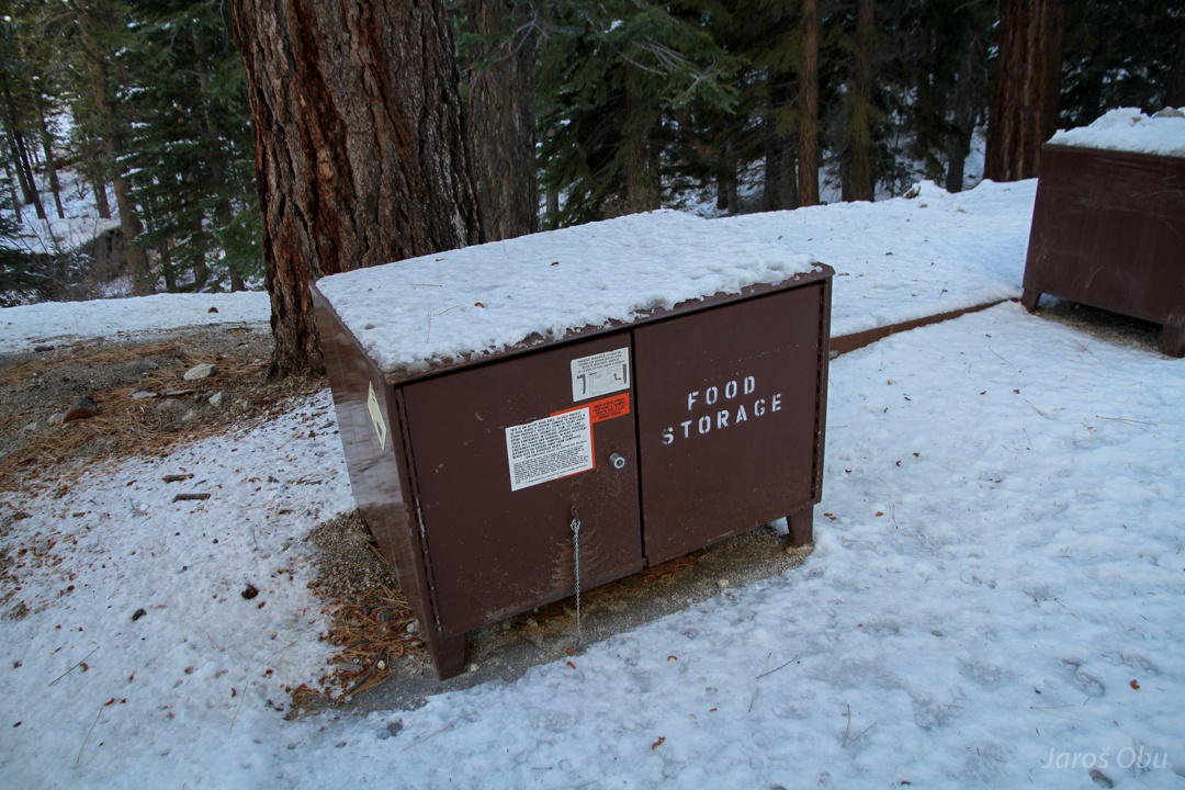
The country of black bear.
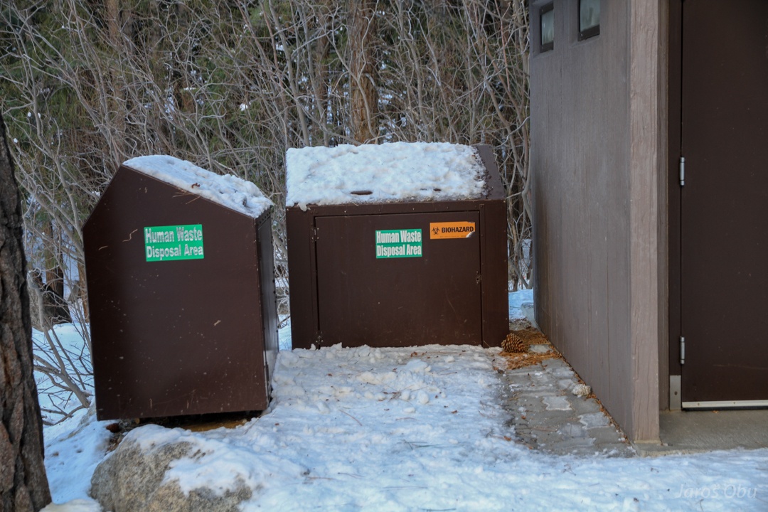
No solid human waste shall be left in the mountains. ... biohazard? Do you want to say that I'm a biological weapon?
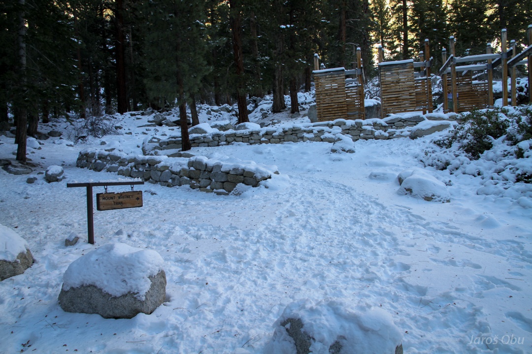
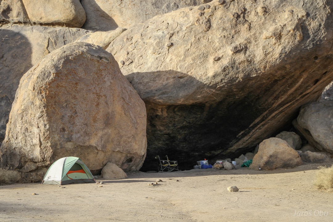
Here, the long and winding trail starts at 2500 m.
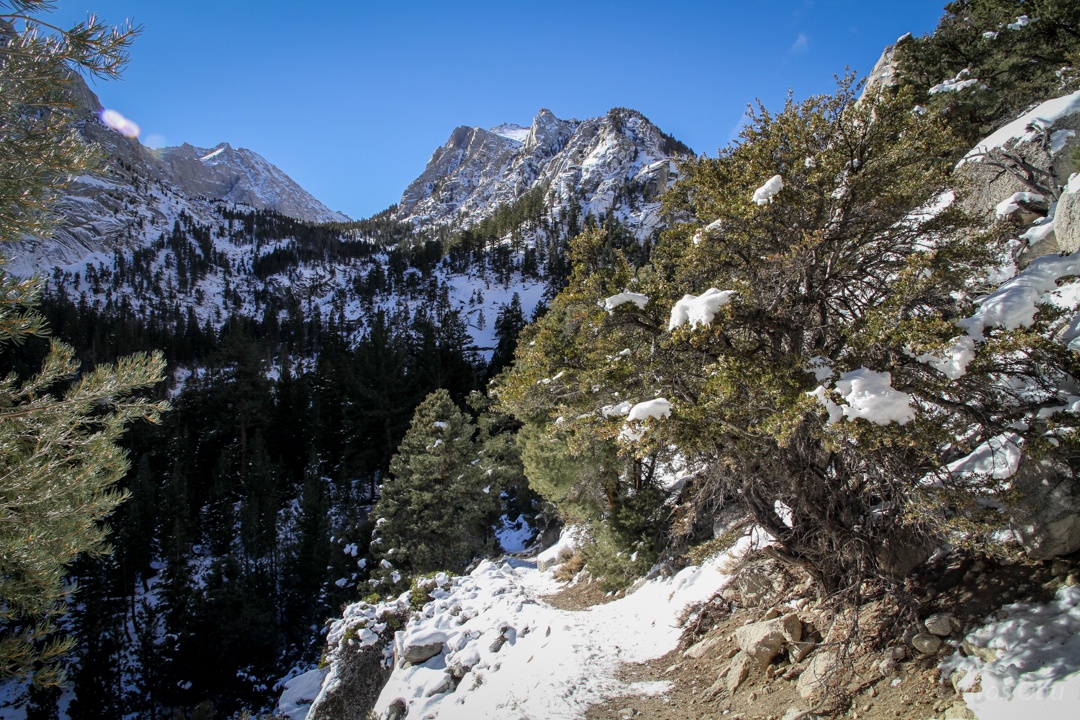
Warm afternoon weather and not much snow on south facing slopes.
Towards Lone Pine Like.
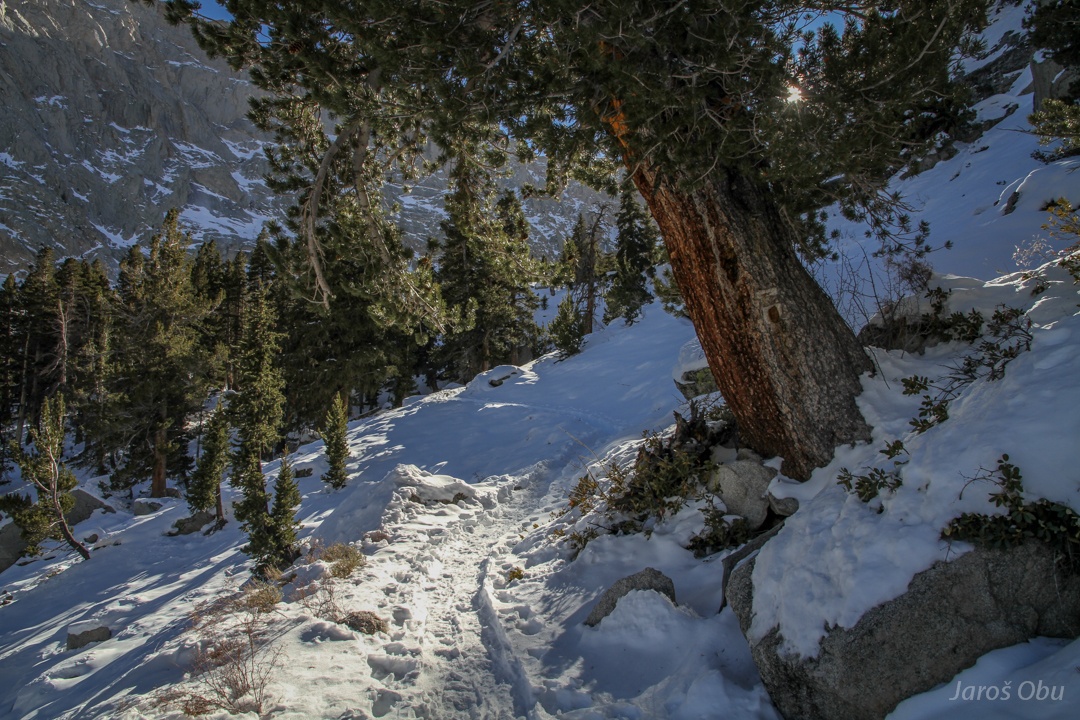
Passing by many jeffrey pine trees.
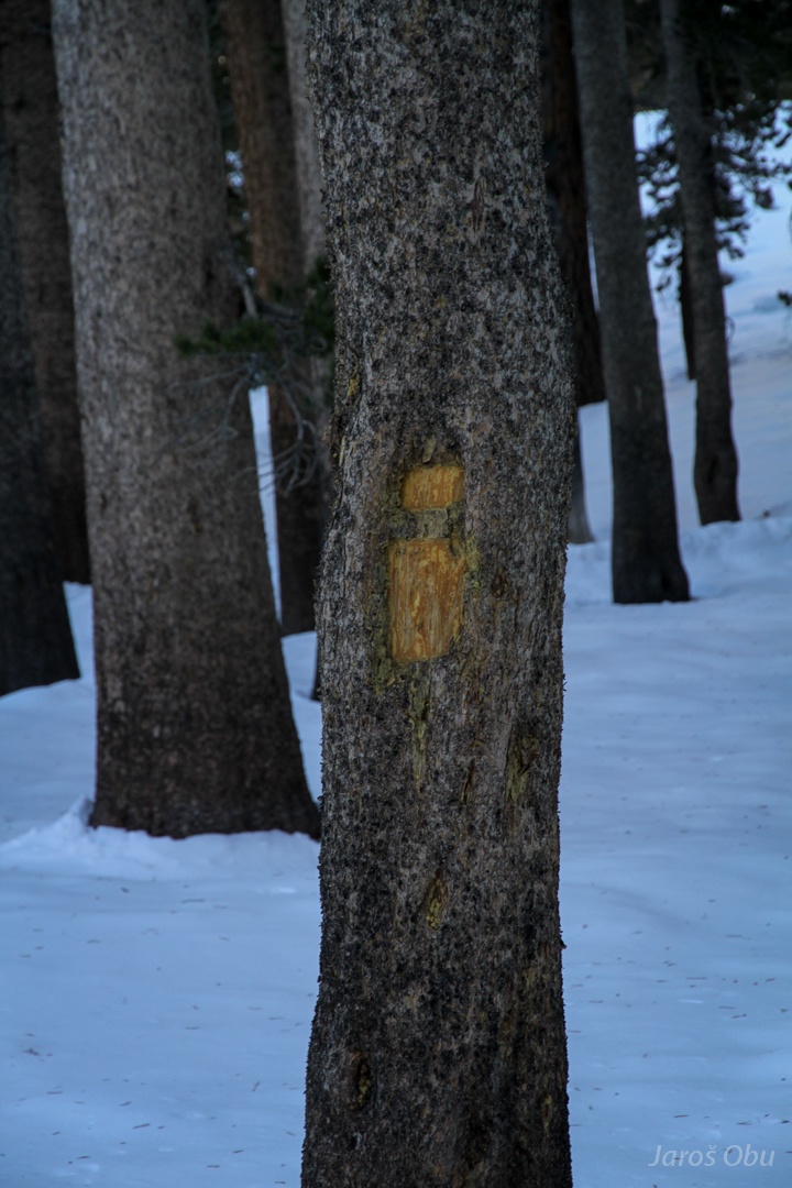
Engraved signs show where the trail goes.
Bighorn Park marshes.
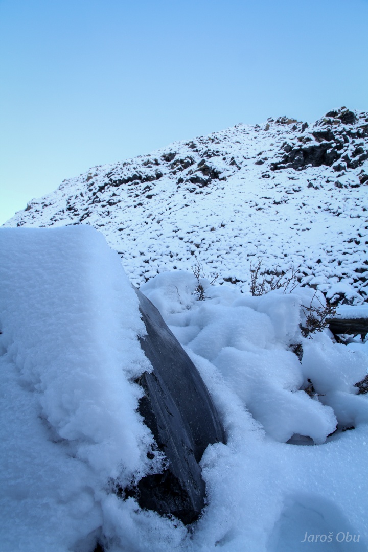
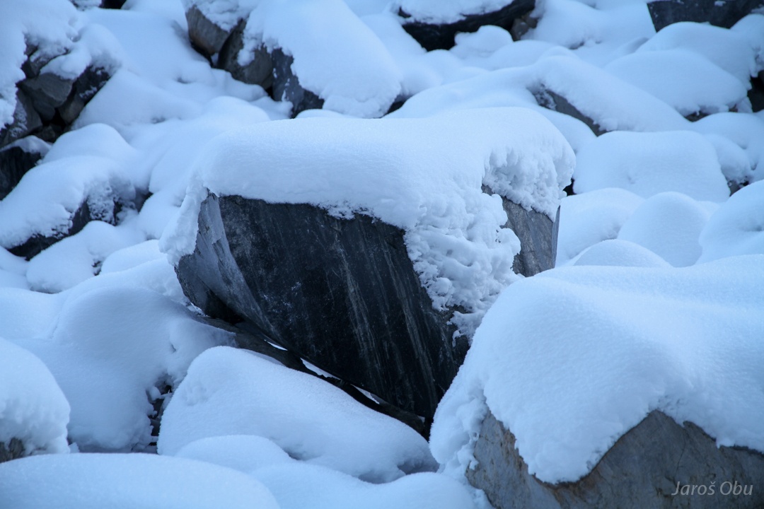
Around half a meter of snow was blown in these depressions.
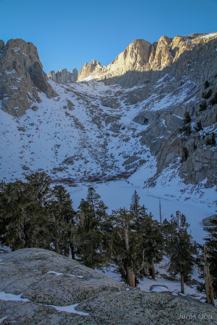
Only some side pinnacles of Mt Whitney are visible. Mirror Lake below.
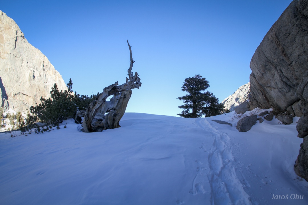
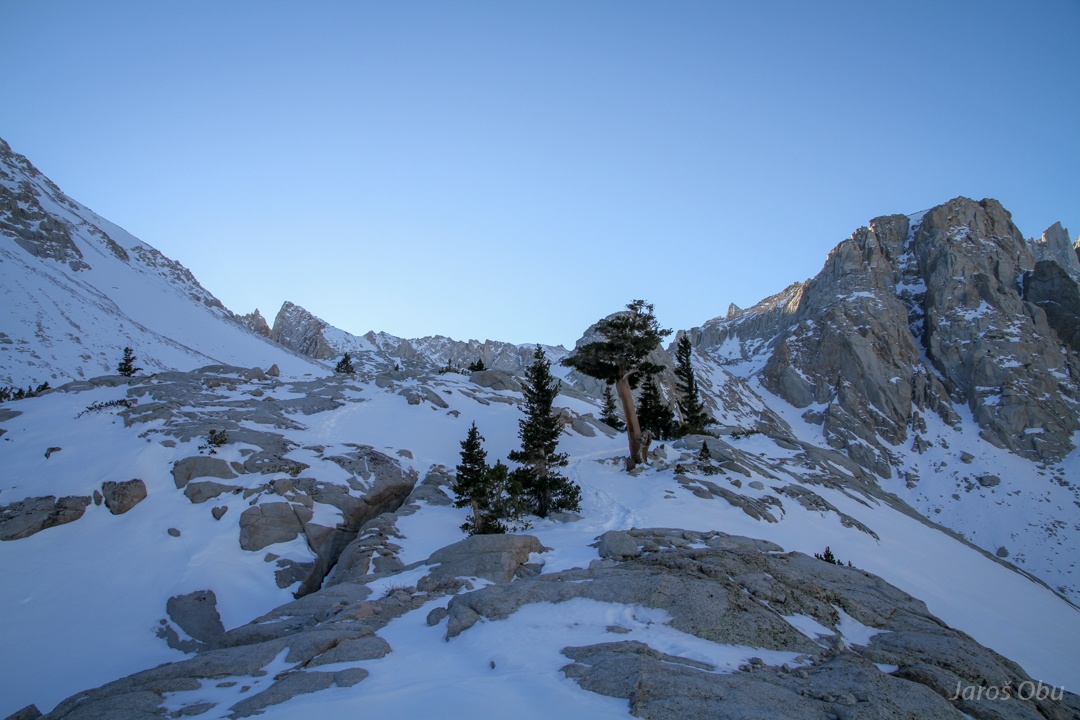
Reaching a treeline at 3300 m after for hours of hiking.
Whitebark pine.
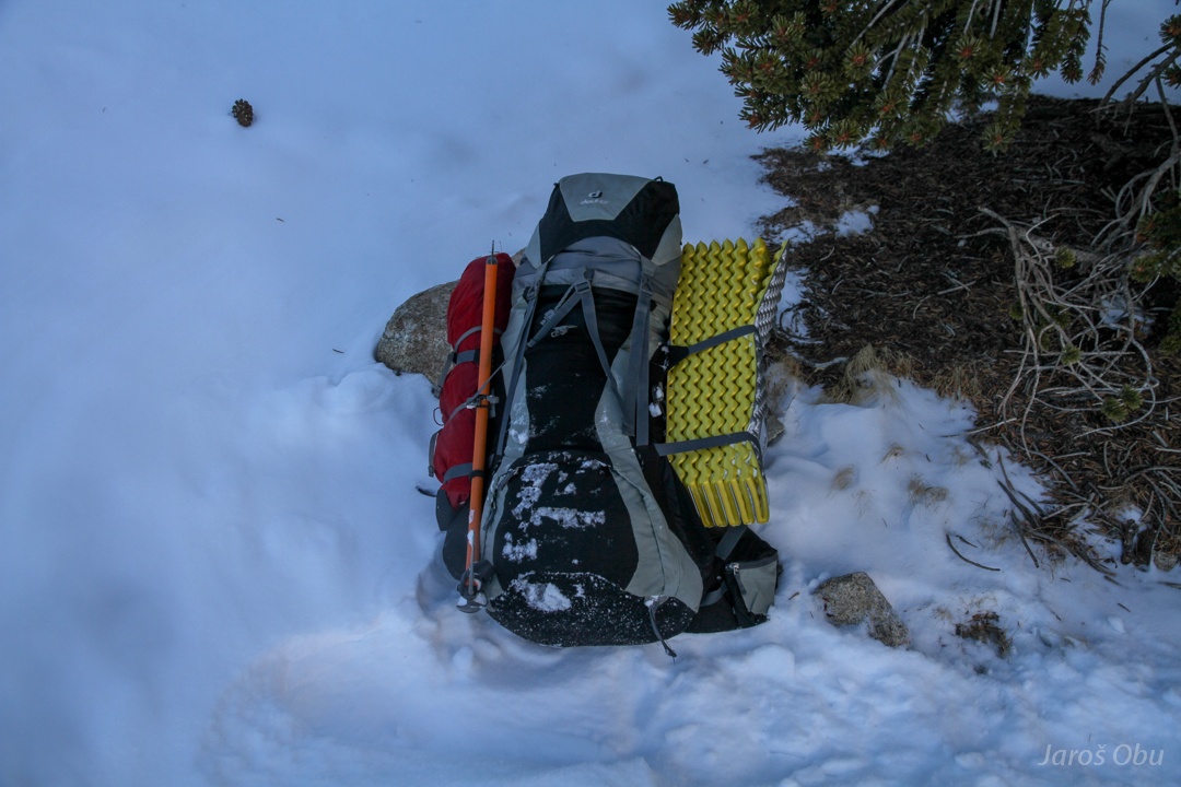
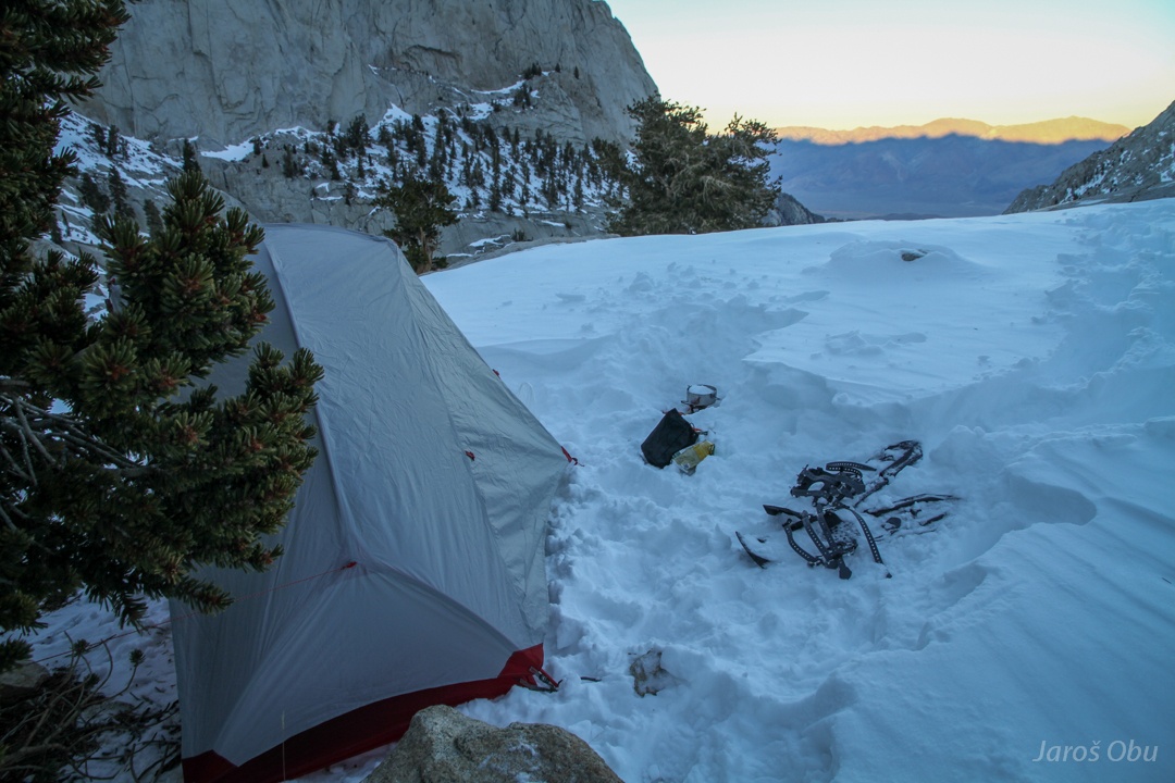
Fully loaded backpack.
And fully unloaded backpack.
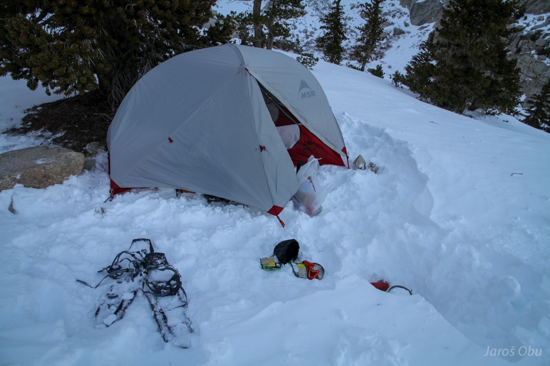
Melting snow for dinner.
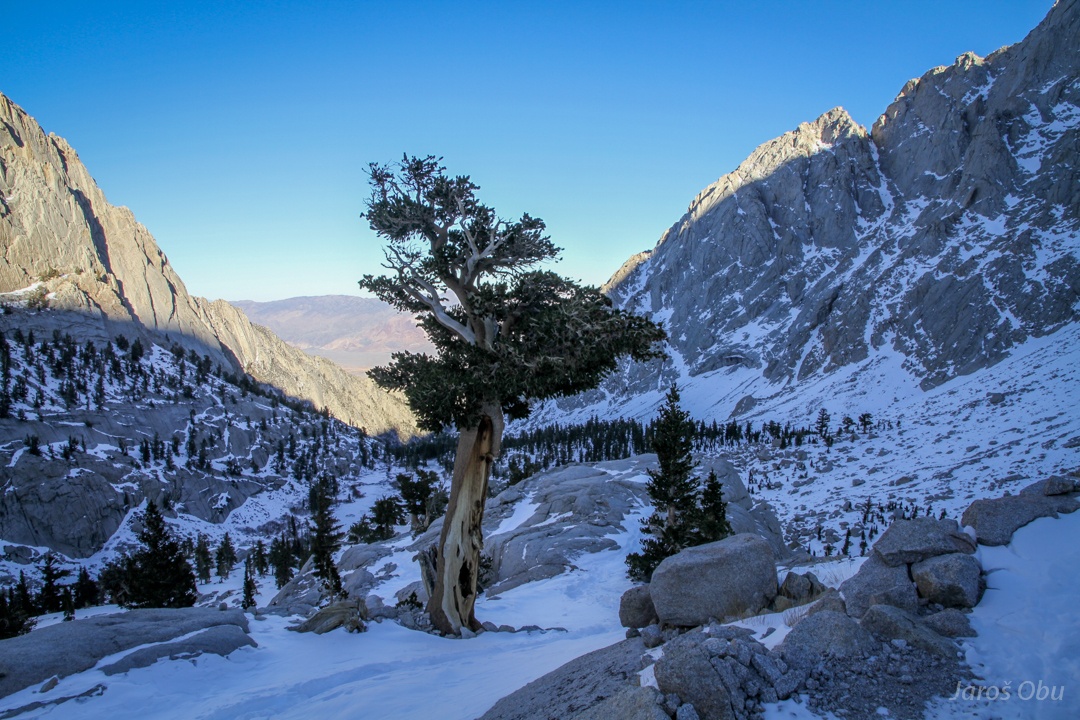
A bedroom with a view.
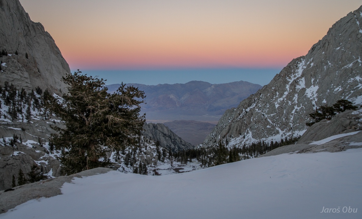
Already high above the treeline next morning after the daybreak.
This is supposed to be the Consultation Lake.
And gently rising trail still continues.
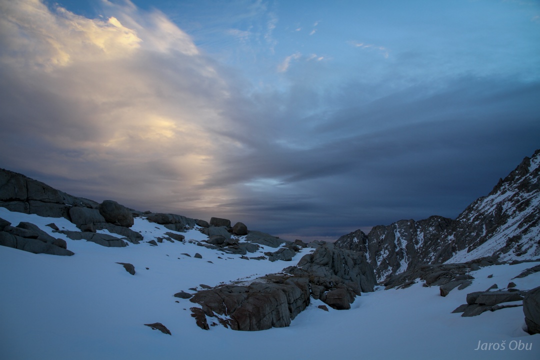
For few minutes, it looked like the weather will cleear up.
The rightmost peak shall be Mount Whitney.
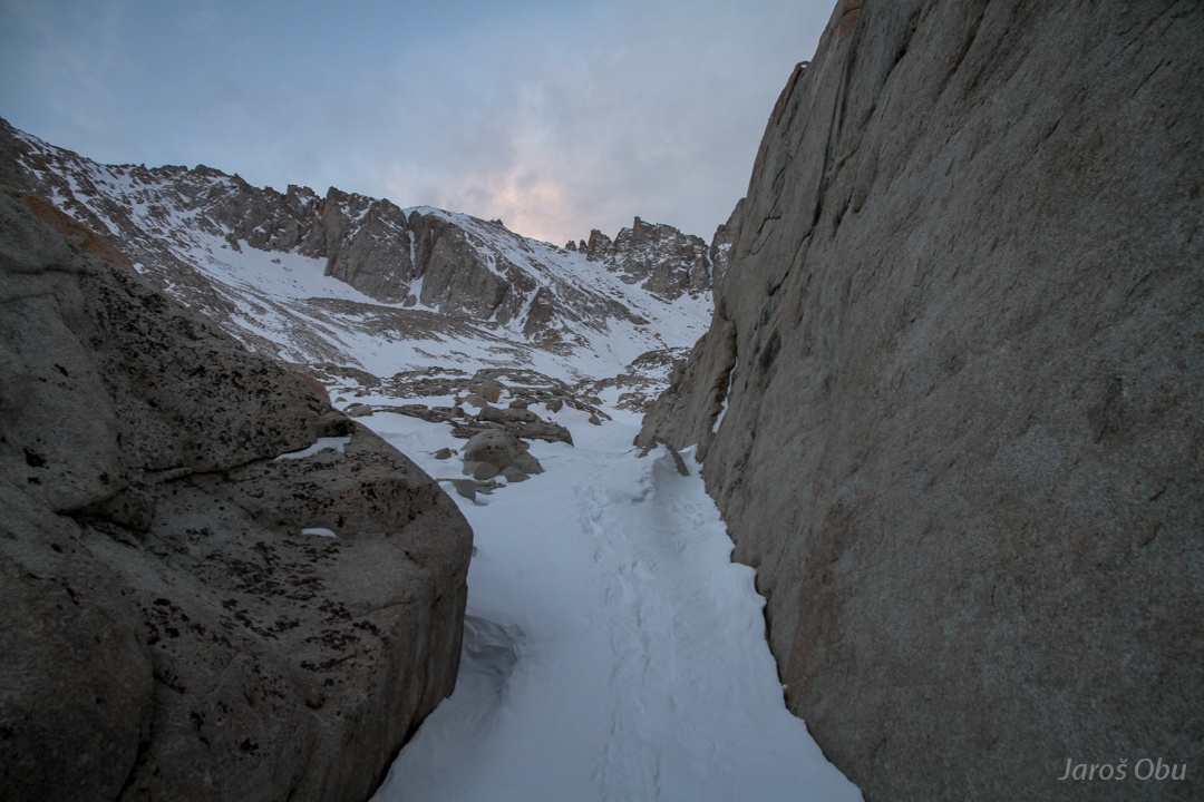
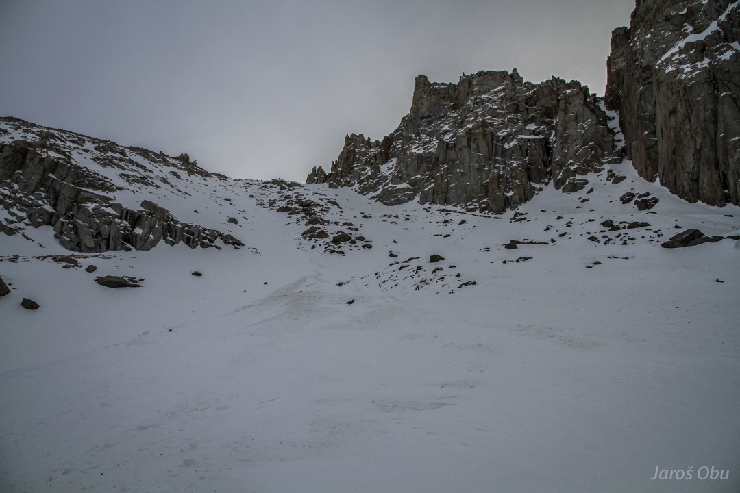
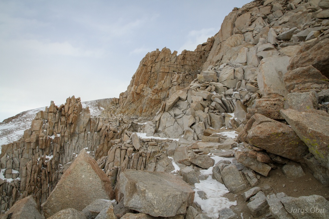
The steepest part of the trail ahead.
This is where the winding trail goes.
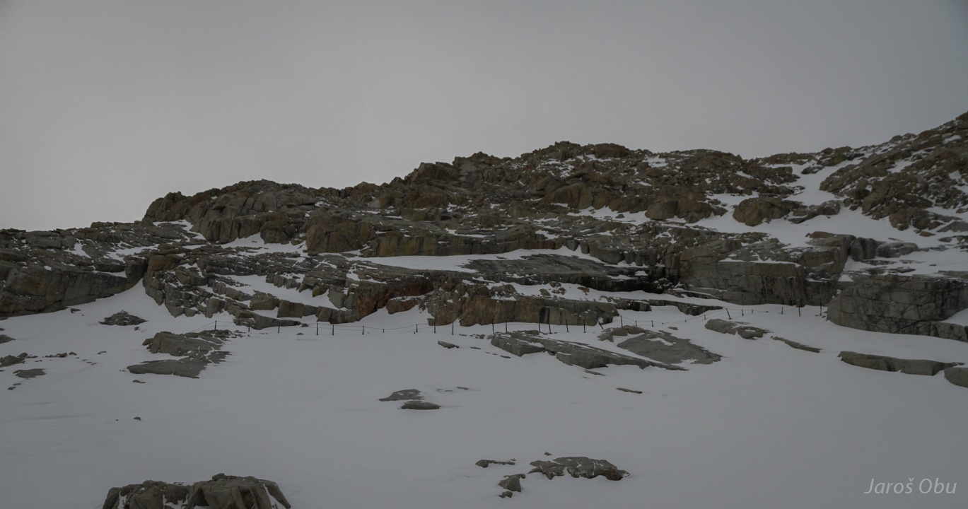
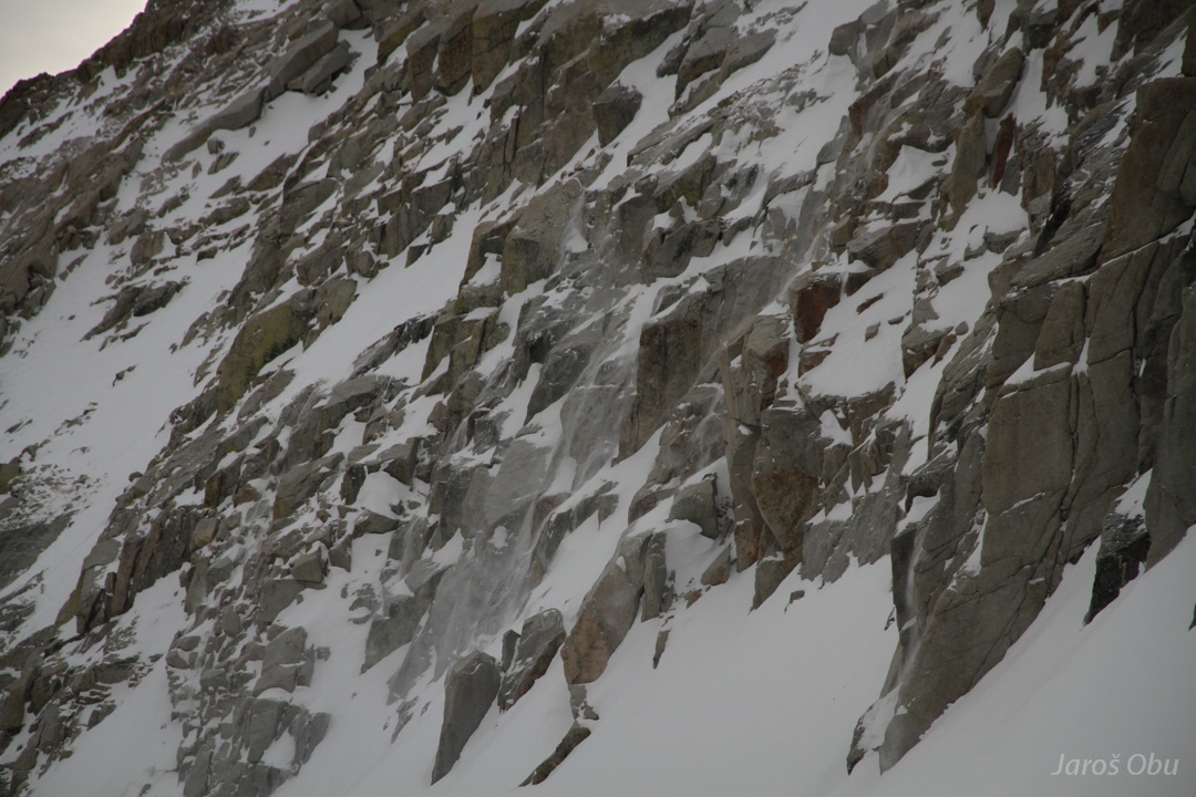
Avalanche traces from snow storm four days before.
Blowing snow.
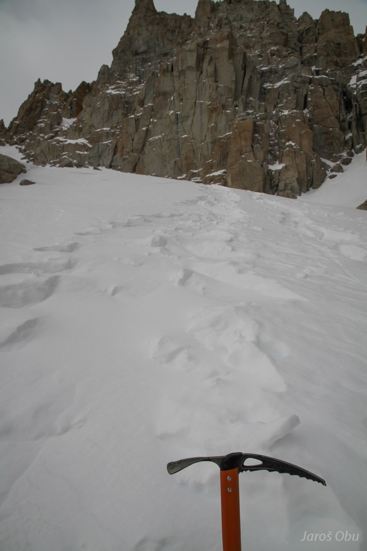
There goes the trail.
And here goes the shortcut.
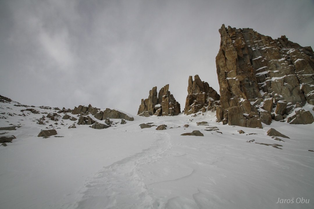
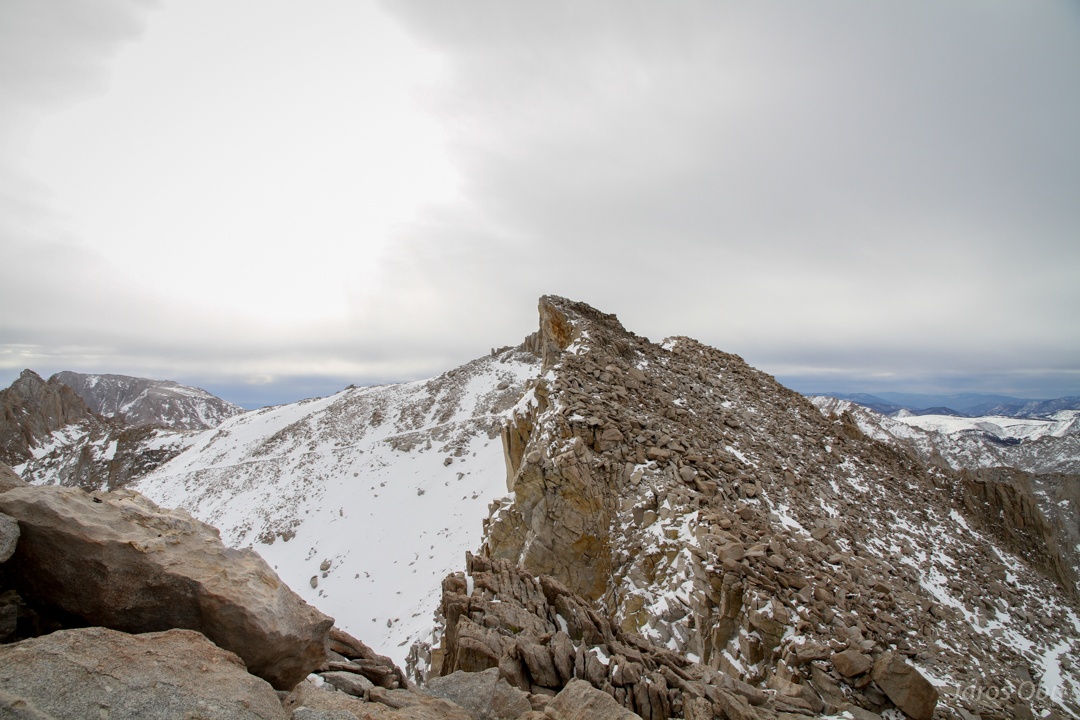
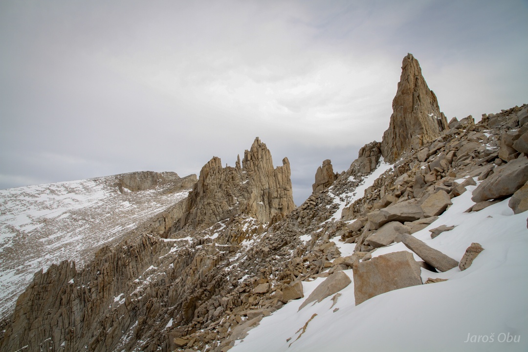
Almost reaching the first pinnacles.
A look down.
The pinnacles.
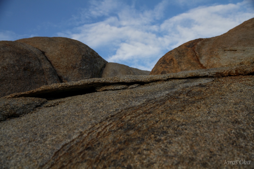
Interesting granite weathering.
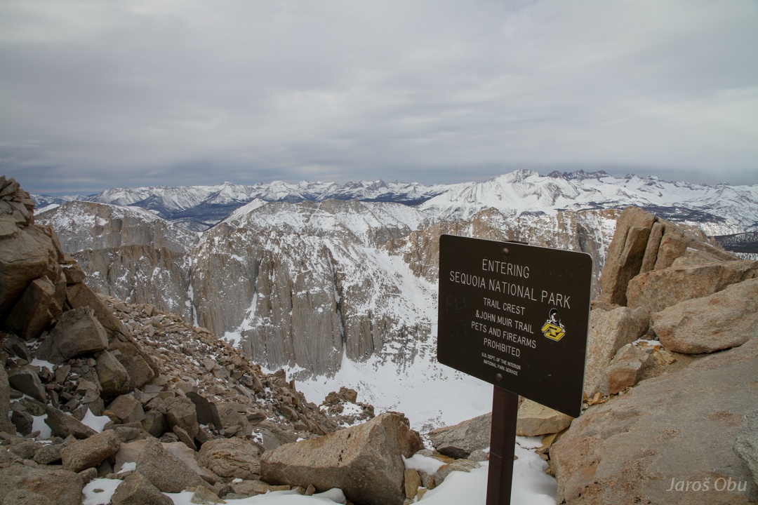
And reaching the crest and border to Sequoia National Park. But the big sequoia trees are still 40 km of air distance away behind all the mountains.
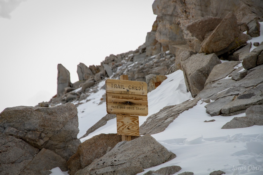
Trail crest at elevation of 4145 m.
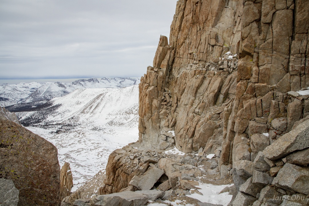
Chiseled-out-highway.
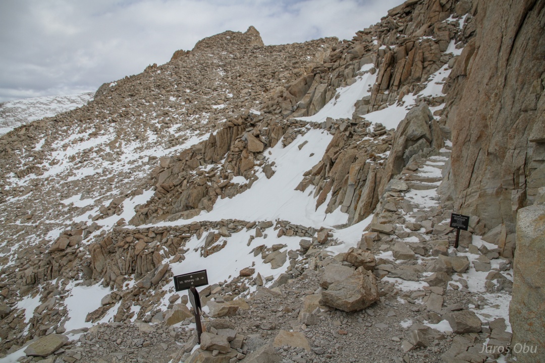
The trail from Sequoia park joins. 3 km left until the summit :S
The snow was almost completely blown away. Except on the path, of course.
Some sun rays that didn't last long.
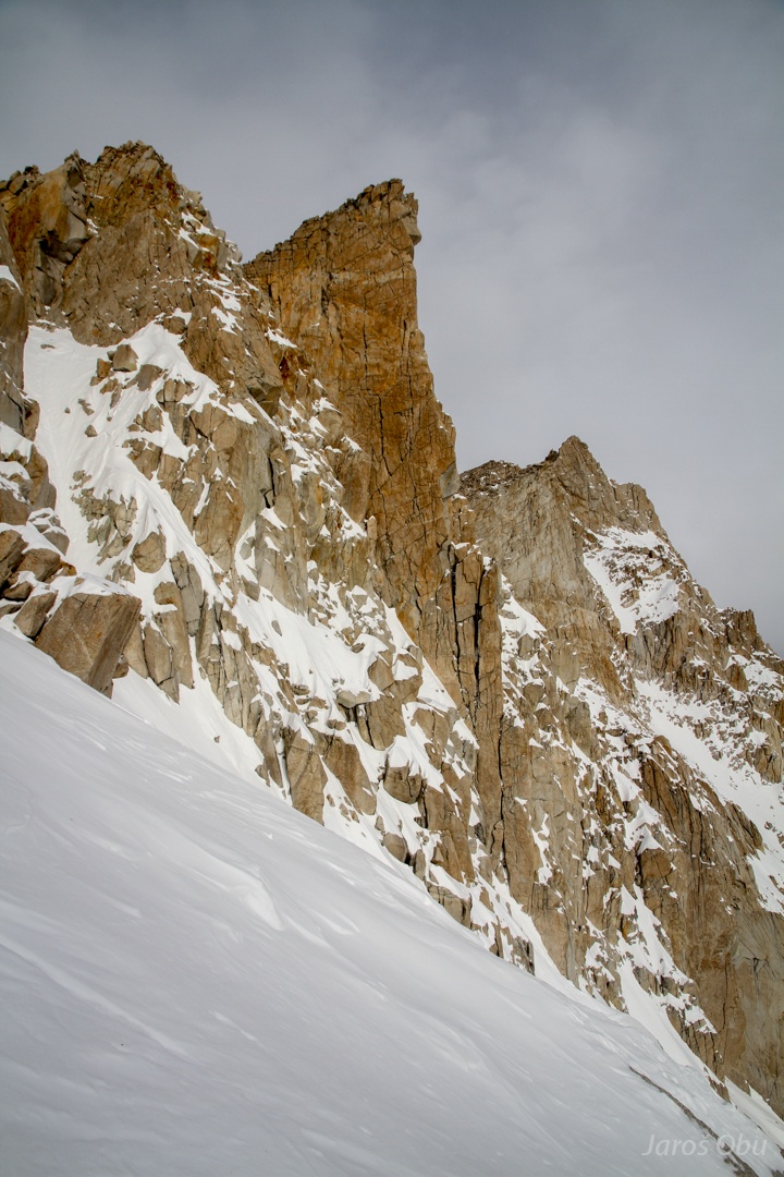
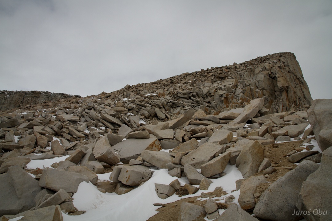
Big granite blocks all around.
One of the southmost pinnacles from Mount Muir.
More highway.
The summit is still very far.
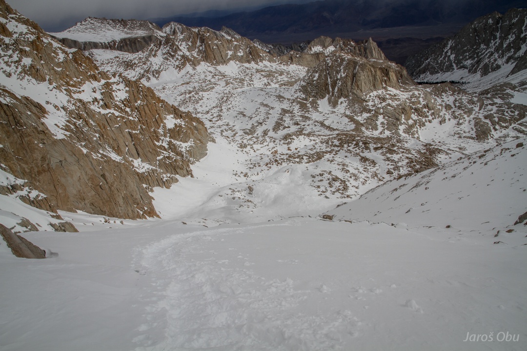
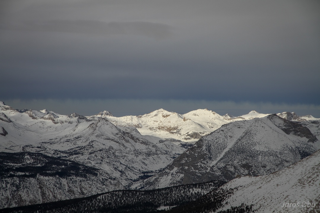
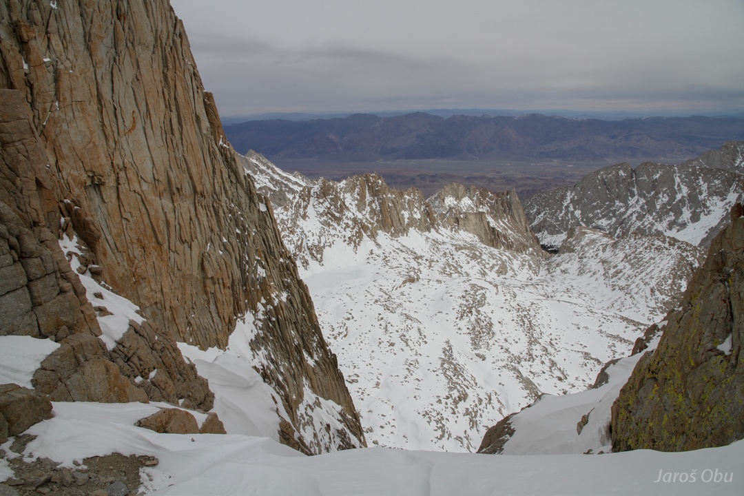
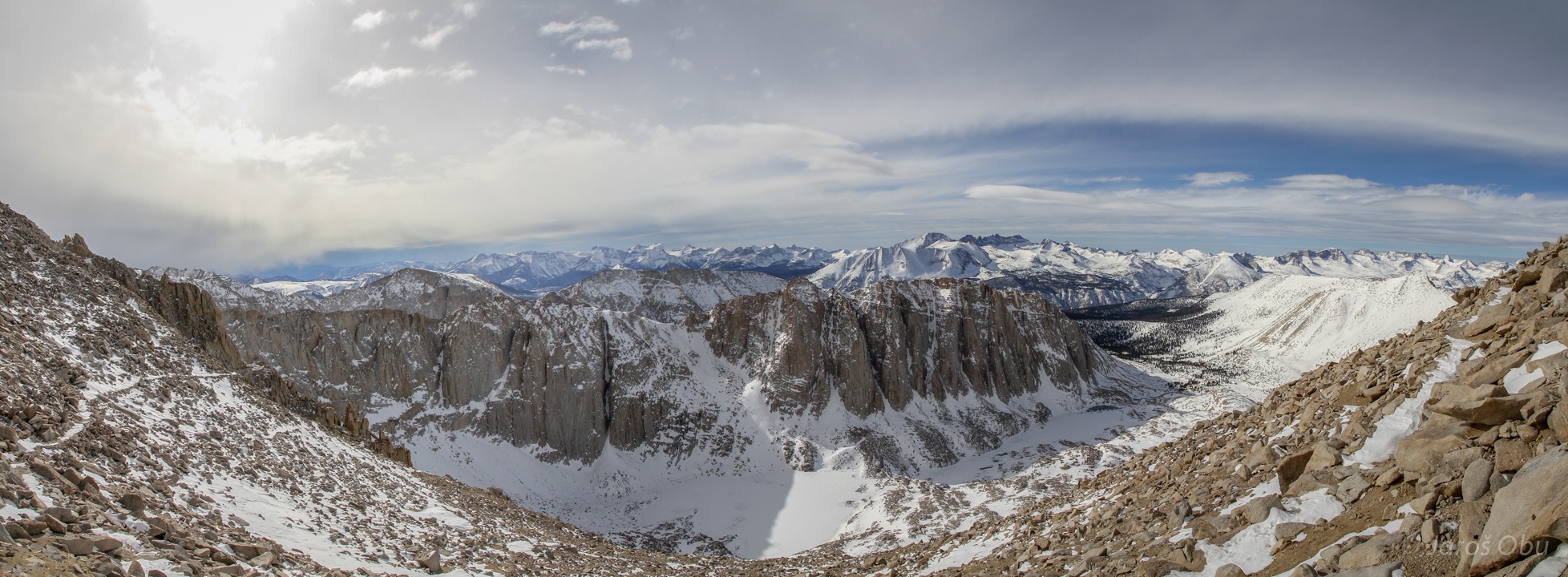
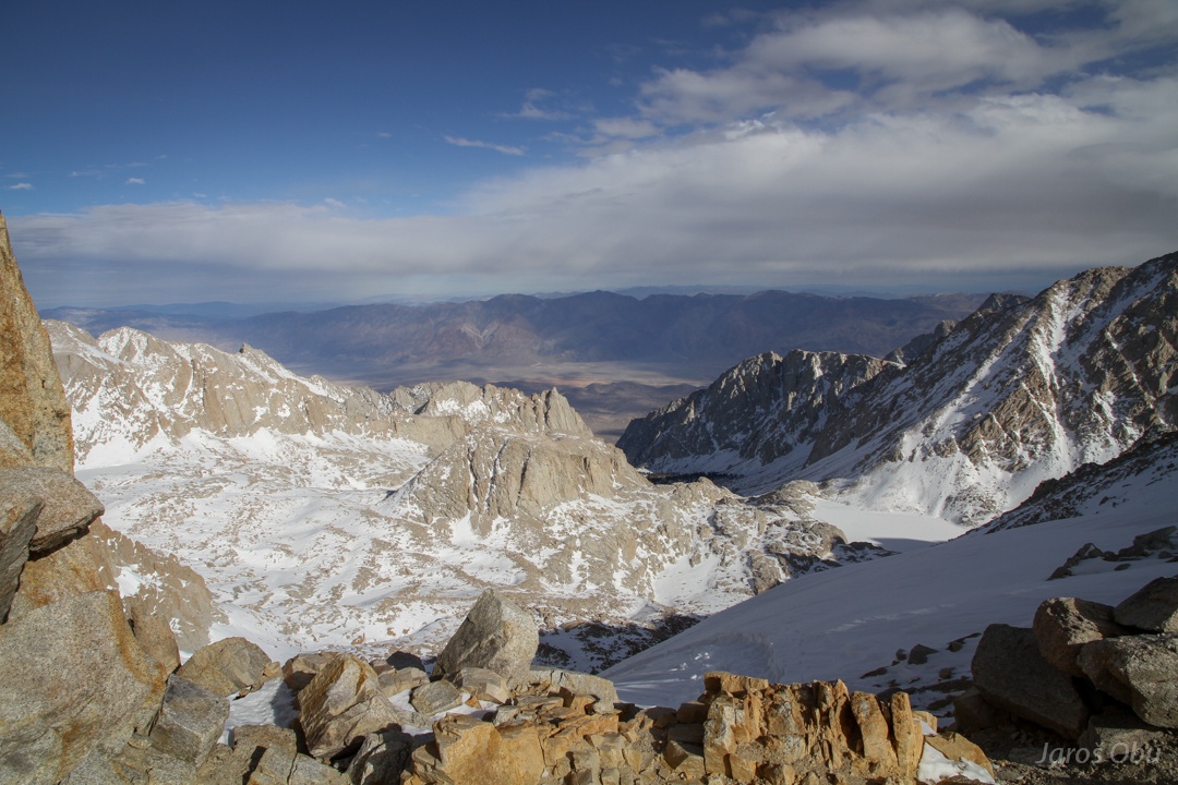
Glacier-shaped landscape above Owens Valley.
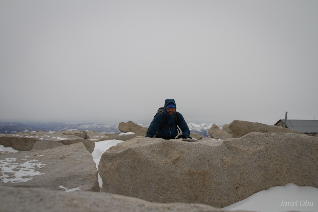
On the summit after 5 hours of hiking.
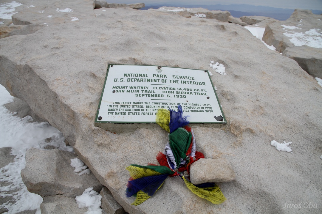
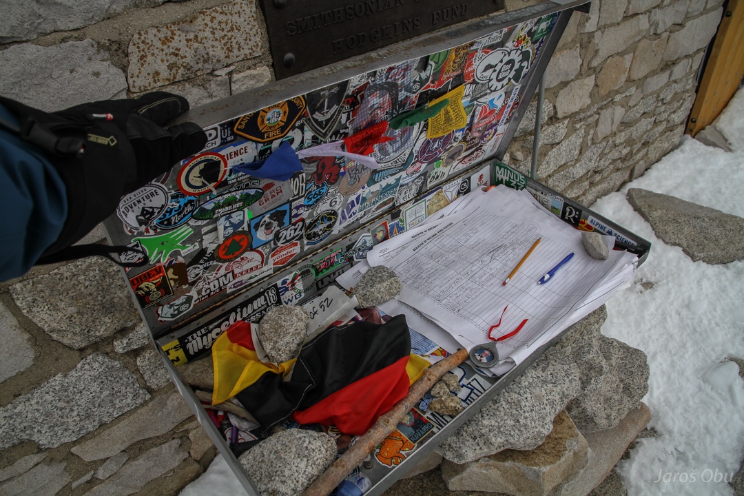
The official highest point of continental USA with 4421 m.
A proof that I've been there :) Quickly leaving the summit as it looked like it will start to snow soon.
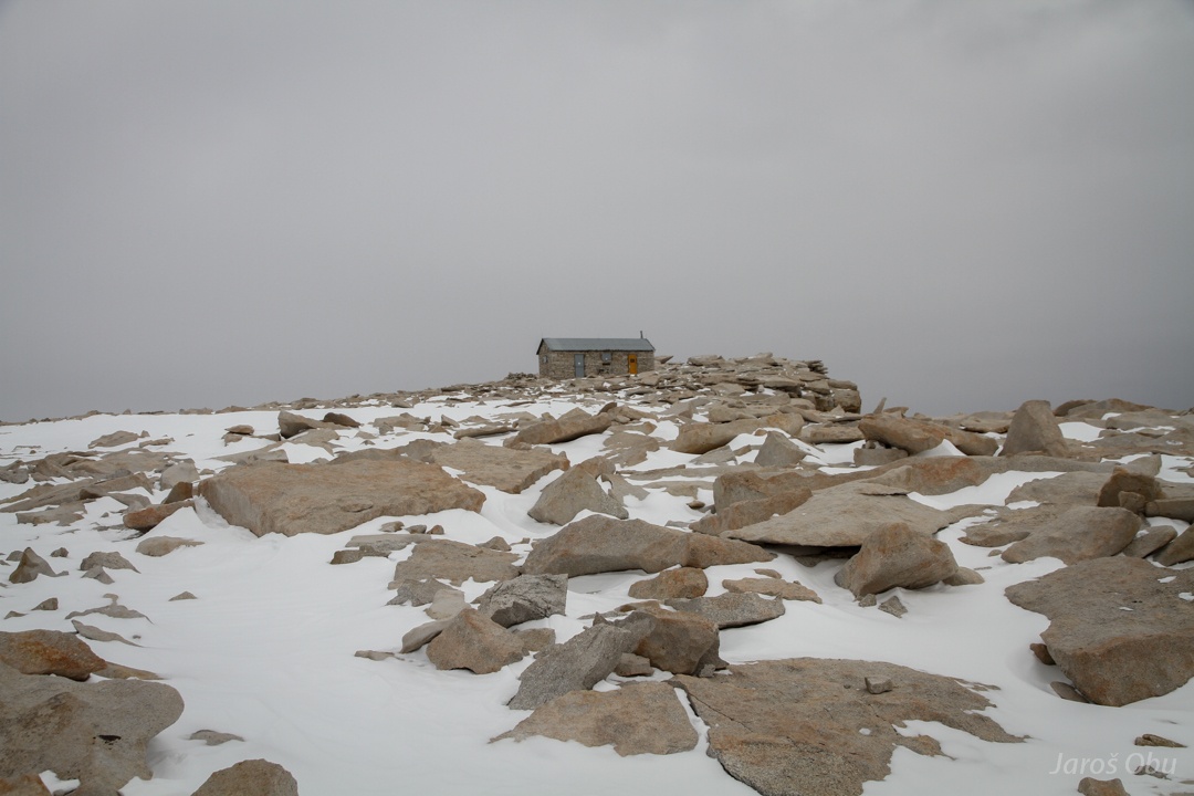
German flag? with register book. The shelter seemed to be closed.
Whitney Creek Valley.
Weather cleared up instead of snowing.
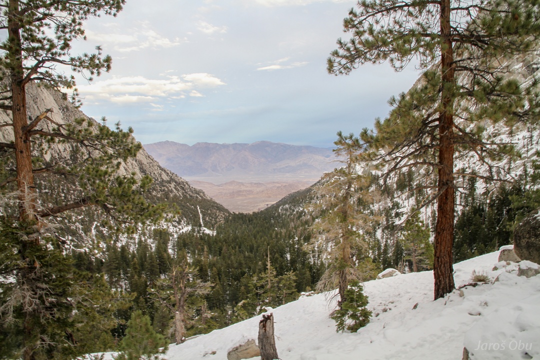
Back on the pass. Only 4 hours of daylight left of the shortest day of the year. But going down on snow is a lot of fun :)
Not much left until Whitney Portal.
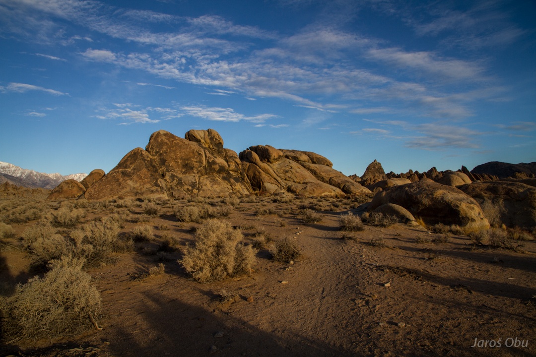
Next morning on Alabama Hills.
Here, 3000 m below Mount Whitney, the weathering of granite results in nicely rounded rounded rocks.
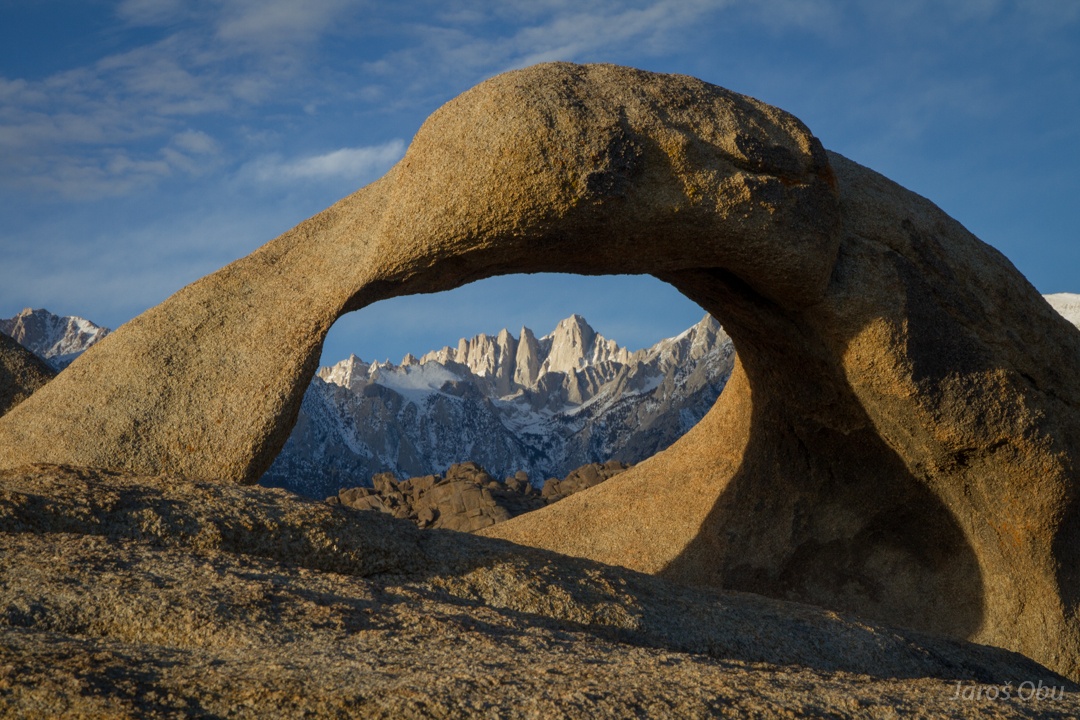
Mount Whitney as seen through Mobius Arch.
No need to go to Utah :)
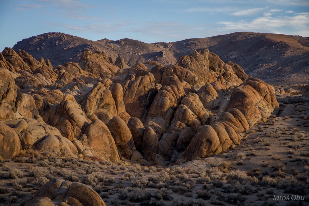
More egg-shaped rocks.
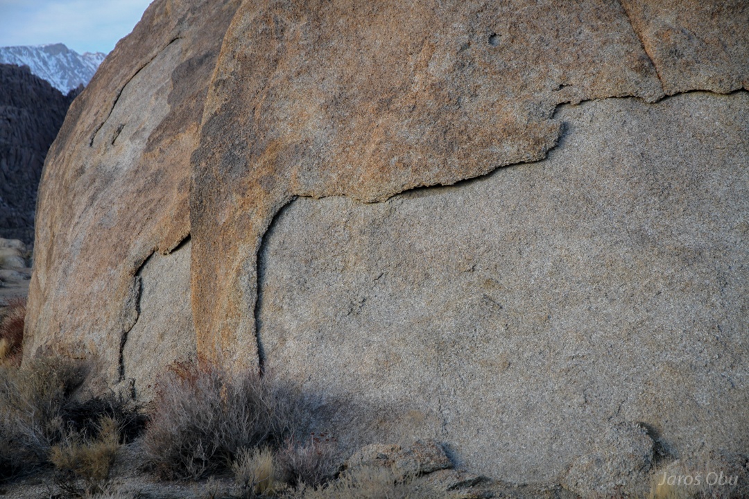
Exfoliation ...
peels off granite as an onion.
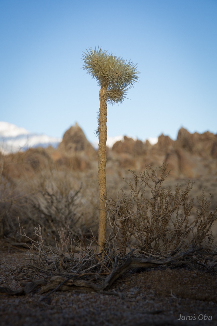
Desert vegetation.
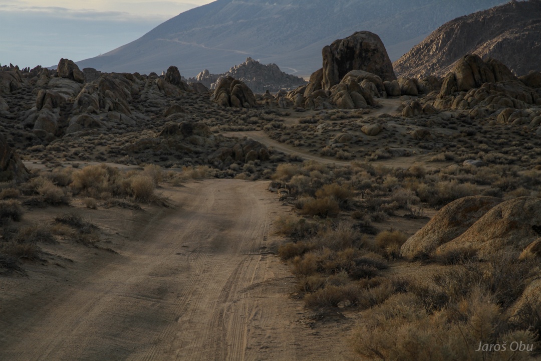
A footpath.
But a dirt road just around the corner.
Some decent vegetation only in riverbed of Lone Pine Creek.
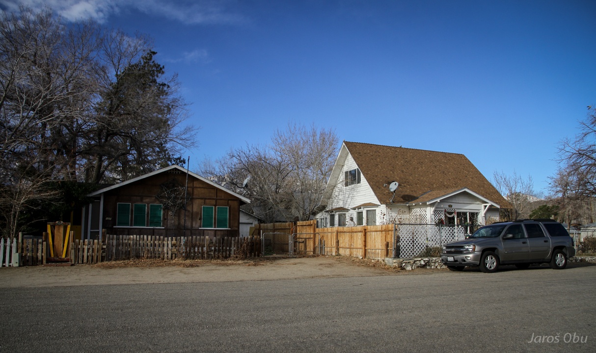
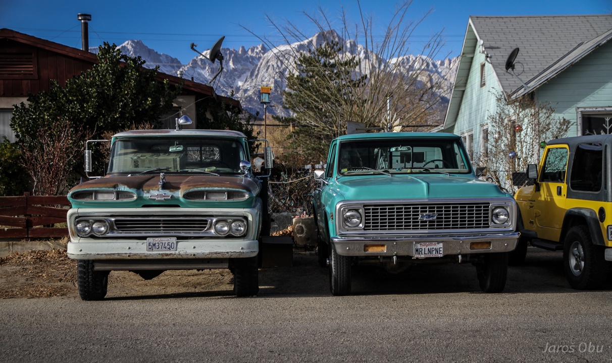
Back in Lone Pine. Many small houses but almost always with a big car in front of them.
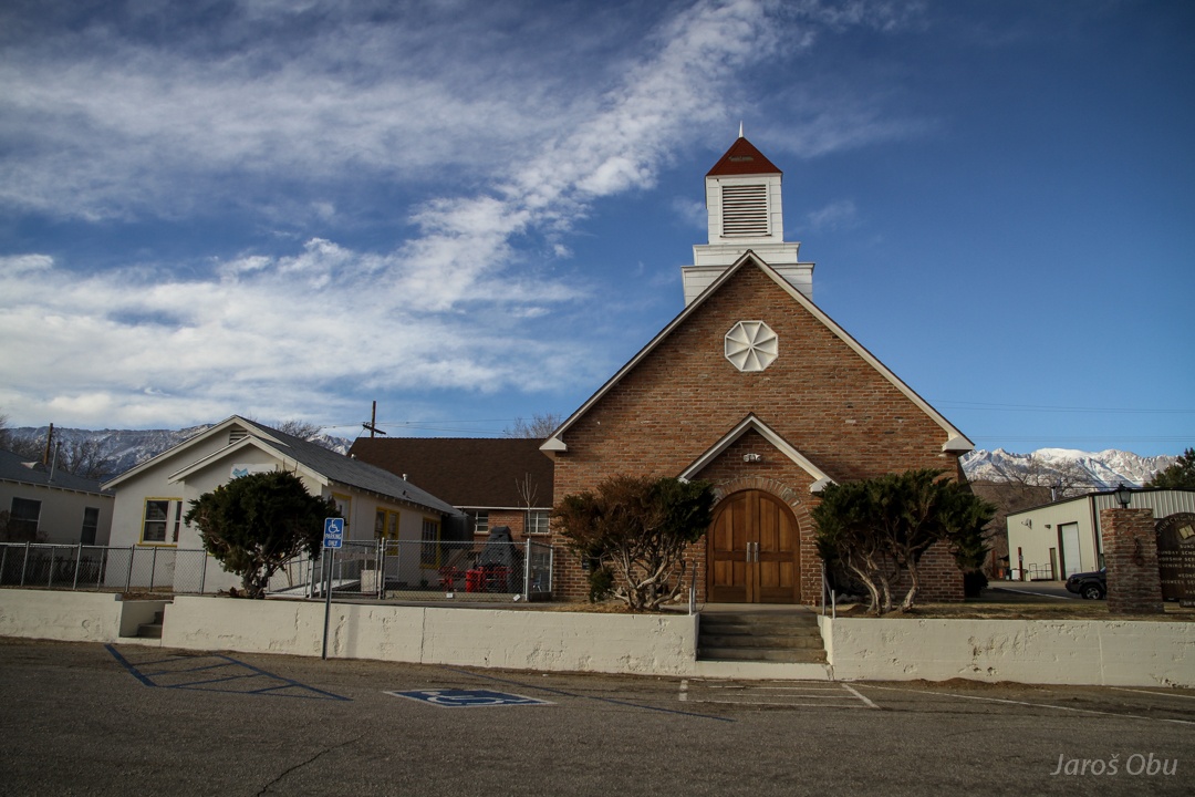
Church of Church of the Nazarene.
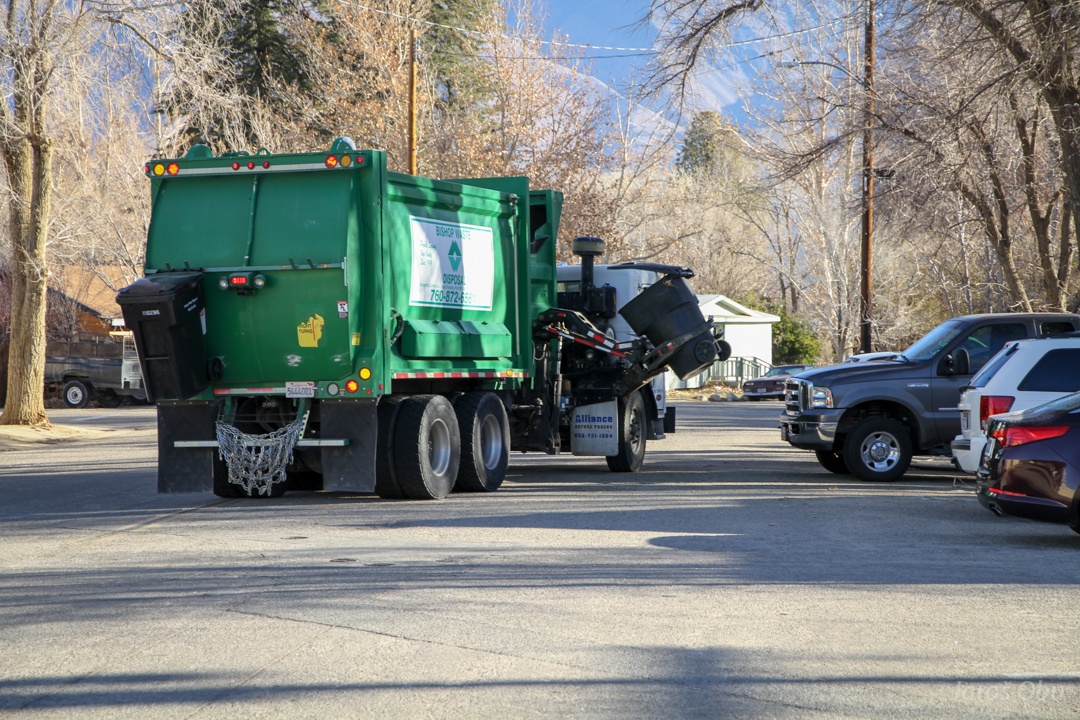
Picking up trash.
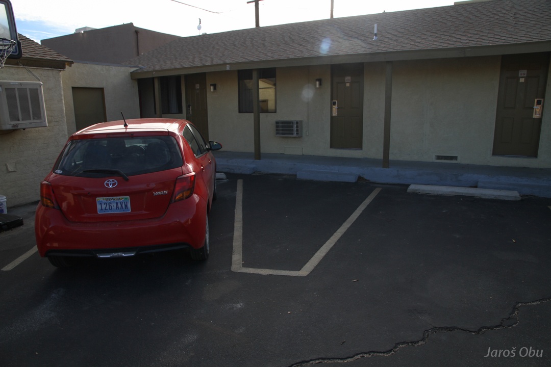
No hotels or hostels. Just motels, where you always have to be able to park your car in front the room. Why not making a super motel where you could park your car inside your room? :)
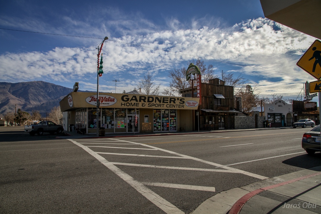
Lone Pine downtown.
Wild west buildings.
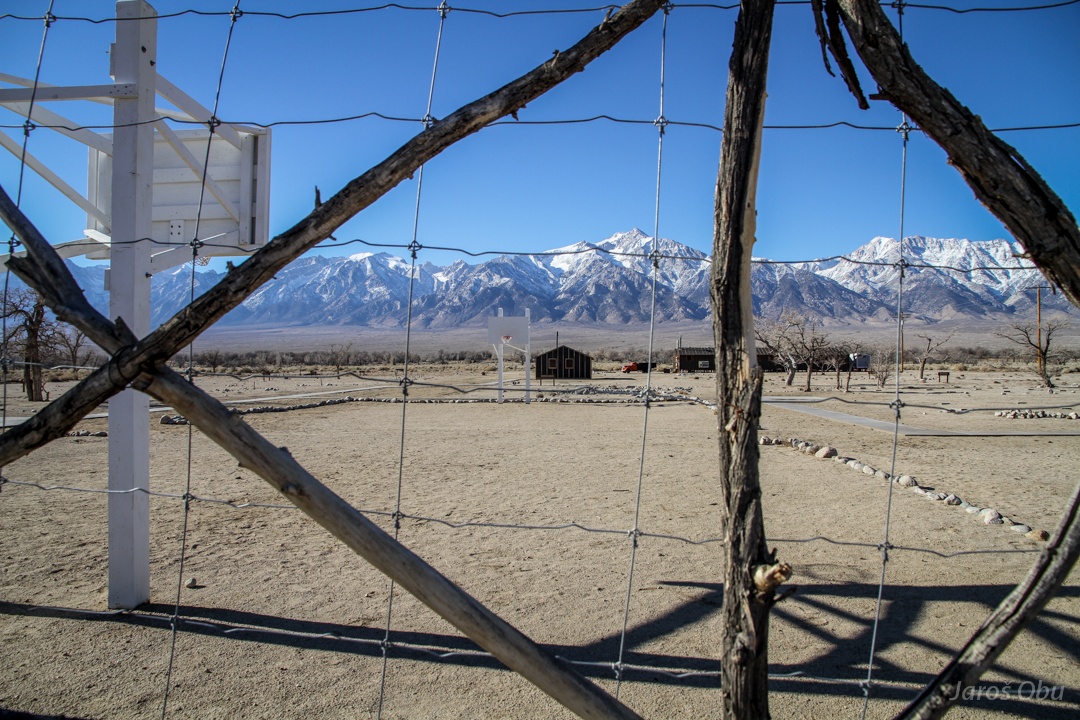
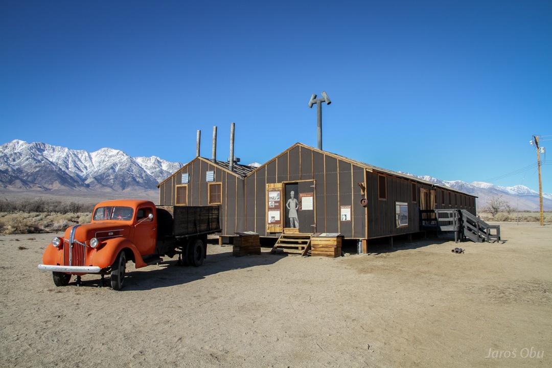
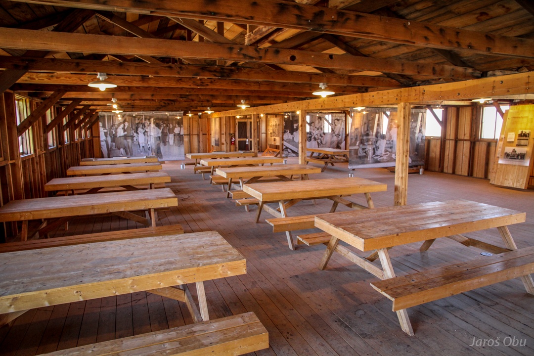
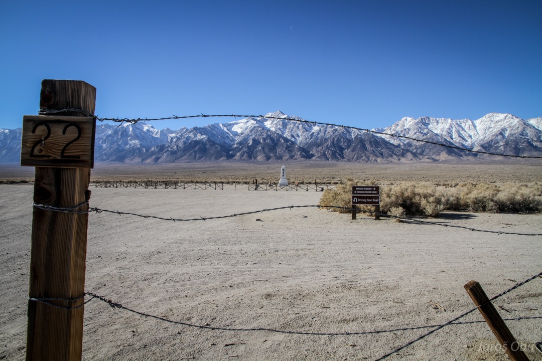
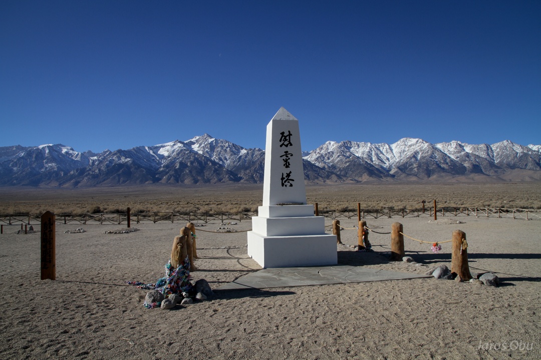
Manzanar camp north of Lone Pine. Up to 10 000 Japanese people, who were interned and lived and worked here during the Second World War.
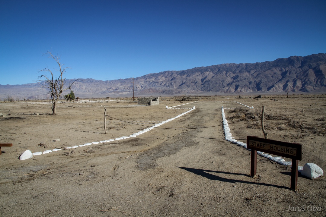
Some of the buildings were rebuilt for the museum.
Kitchen and dining room.
Only a cemetery was put outside the fence.
Graves
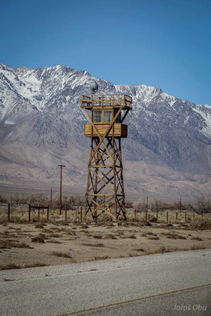
Watchtower.
Big alluvial fans below mountain. But here it looks like there is something more.
It looks like a volcano there threw up a bit.
American Aberdeen. Mostly trailers and small houses.
Continuing towards Bristlecone Pine Forest.
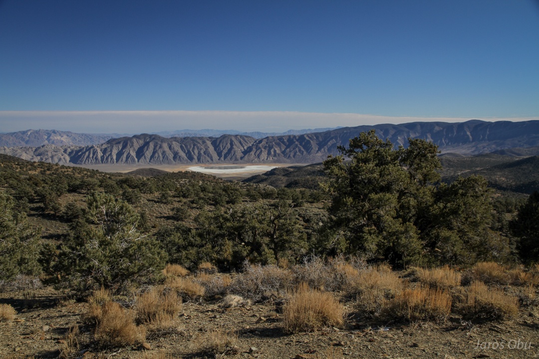
On this side of White Mountains a large system of endorheic basins (without any river outflow) begins.
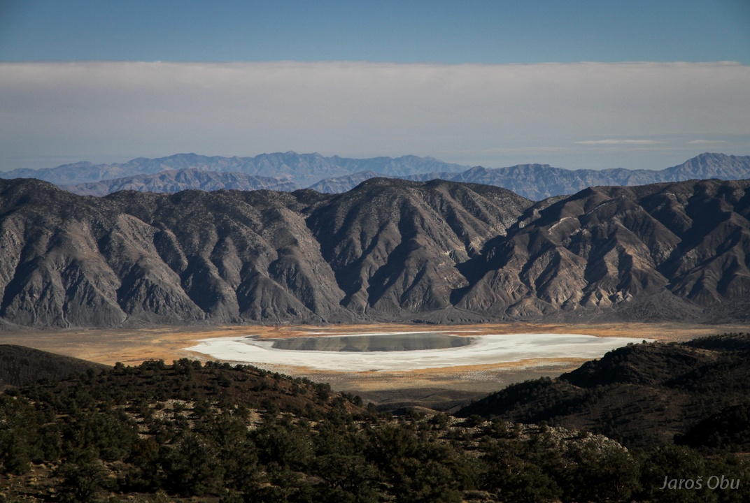
As a result many salty lakes and playas are present on the lowest parts. Deep Springs Lake is visible only few months a year.
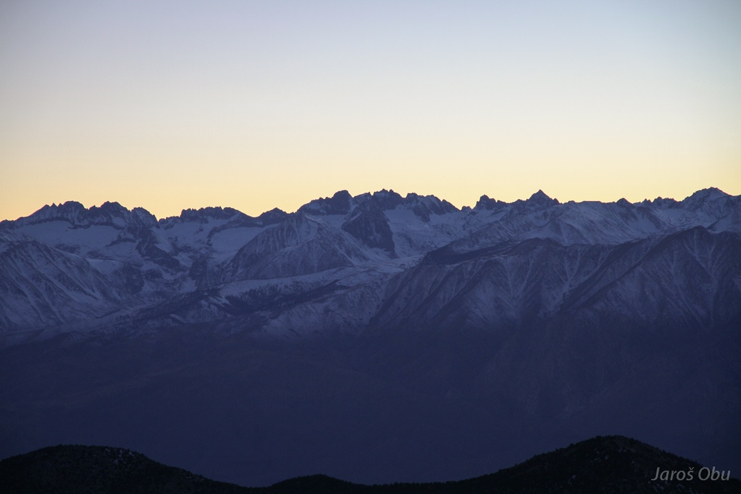
Sierra Nevada on the other side.
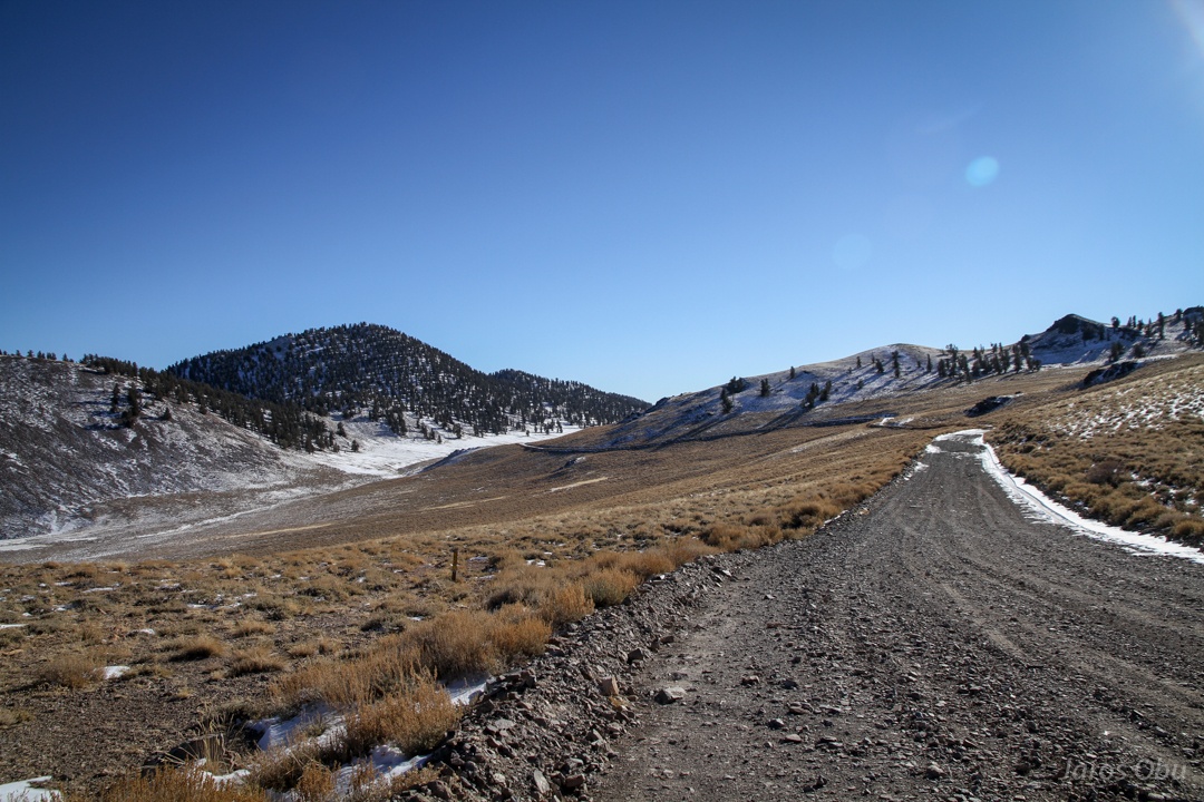
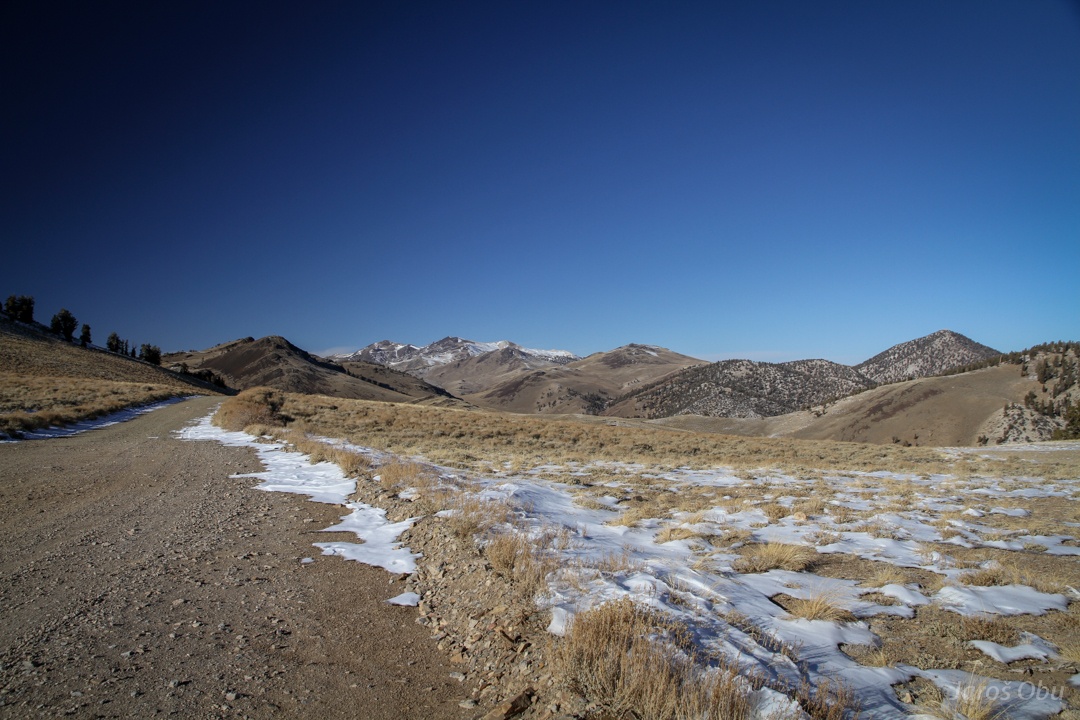
Dirt road rising above 3000 m elevation.
White Mountains.
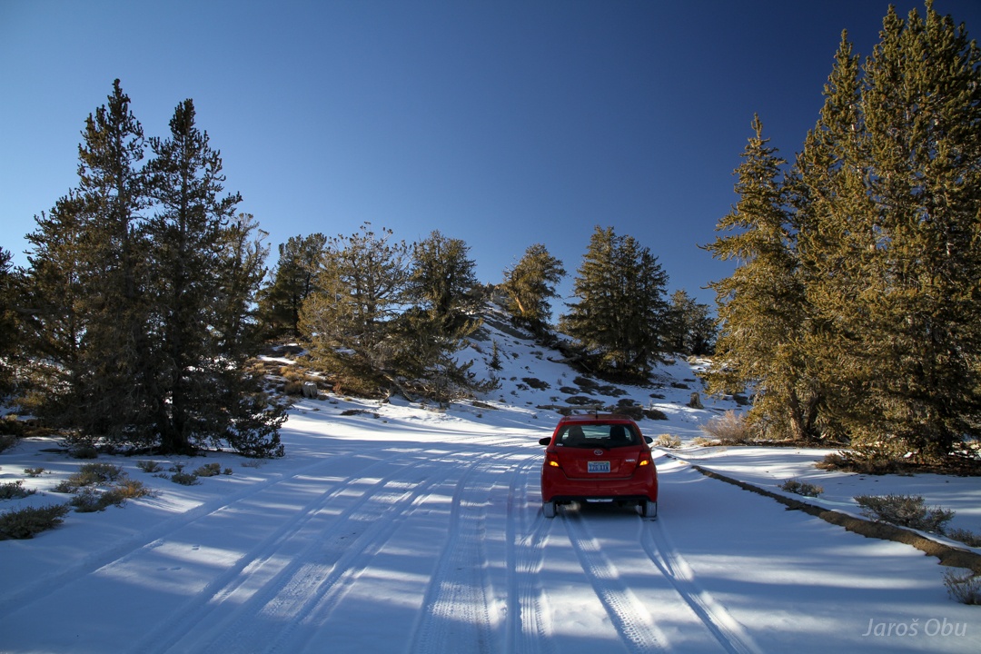
Testing winter tires at 3200 m.
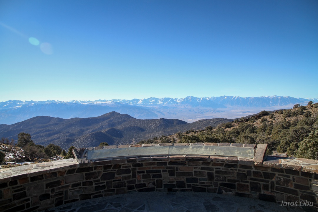
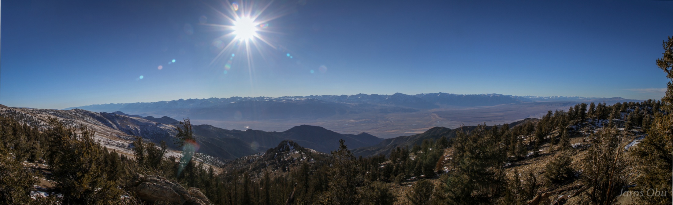
Panorama of Sierra Nevada and Owens Valley below.
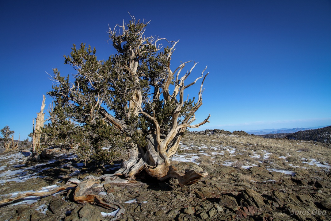
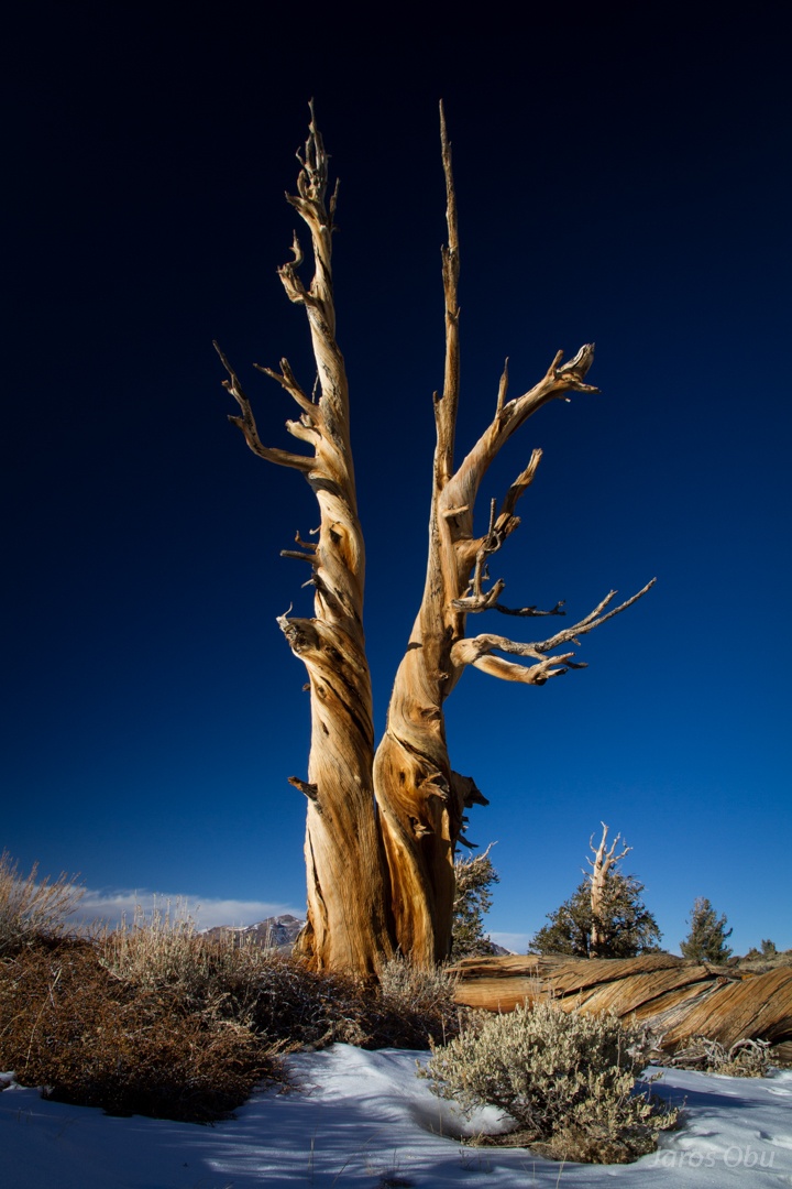
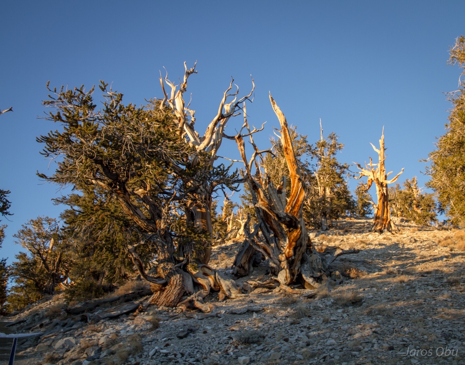
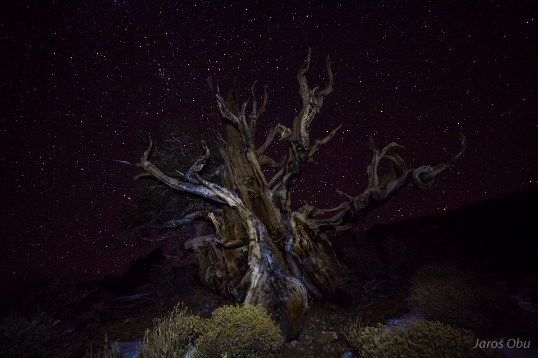
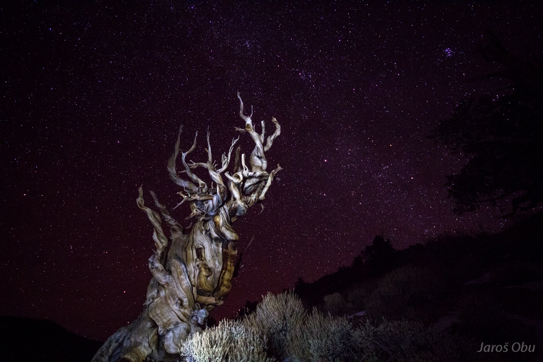
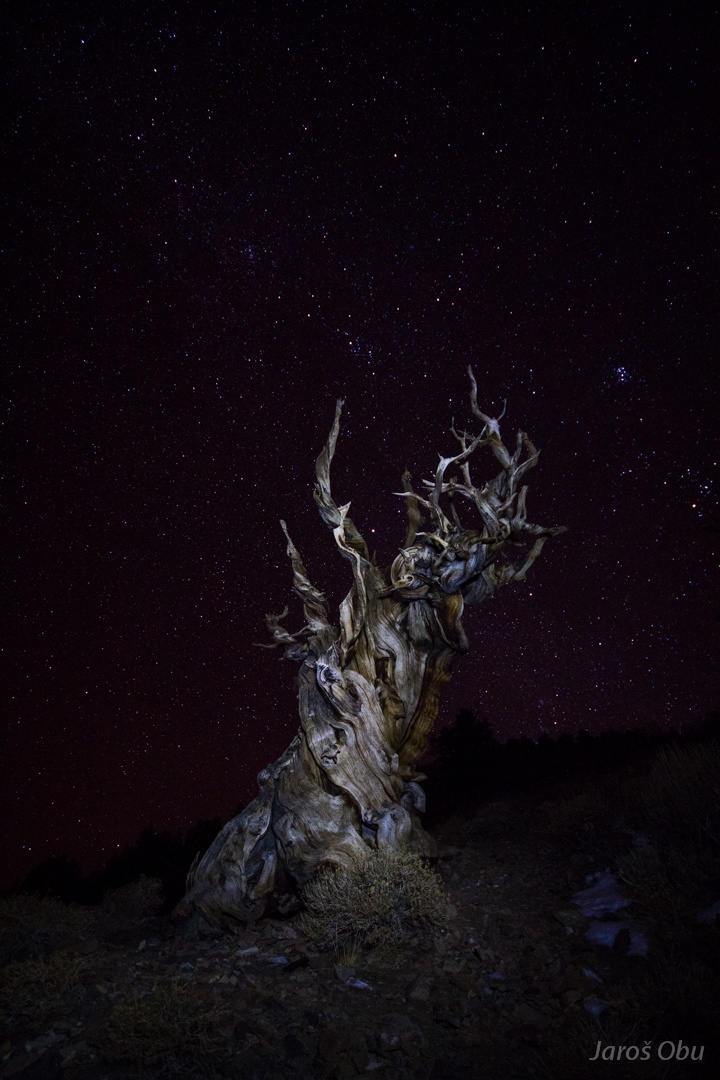
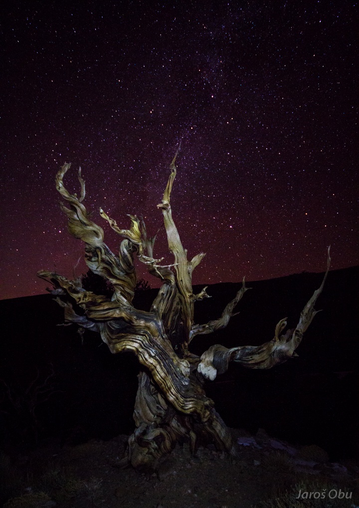
Here in this cold and dry environments the bristlecone pines (Pinus longaeva) thrive.
Because of very harsh conditions they grow very slowly and are very old.
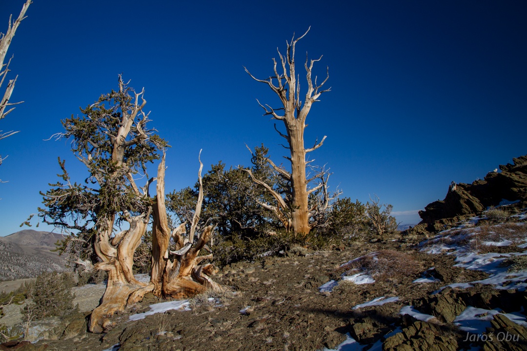
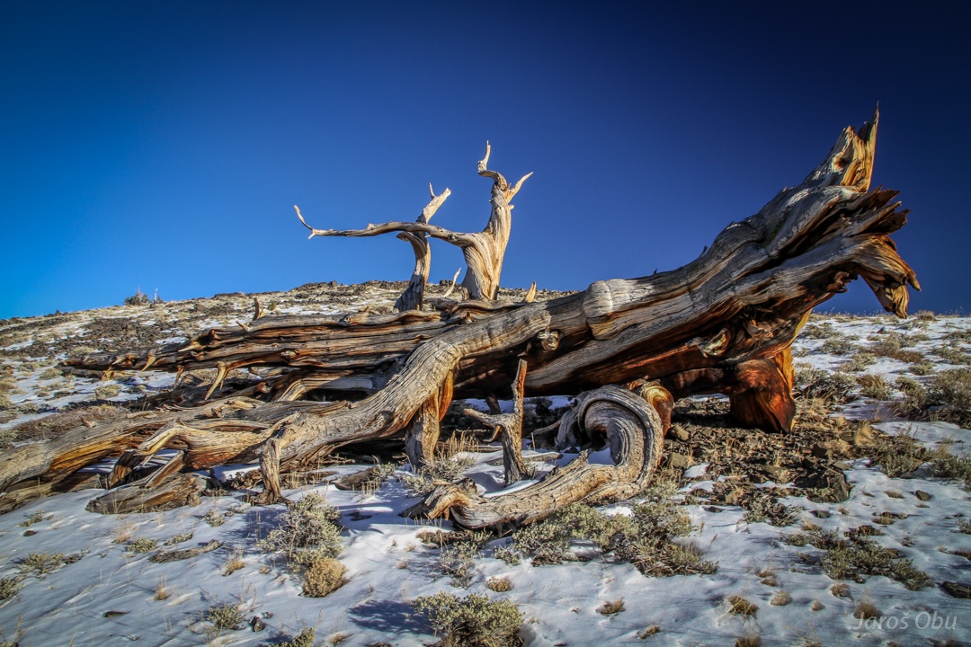
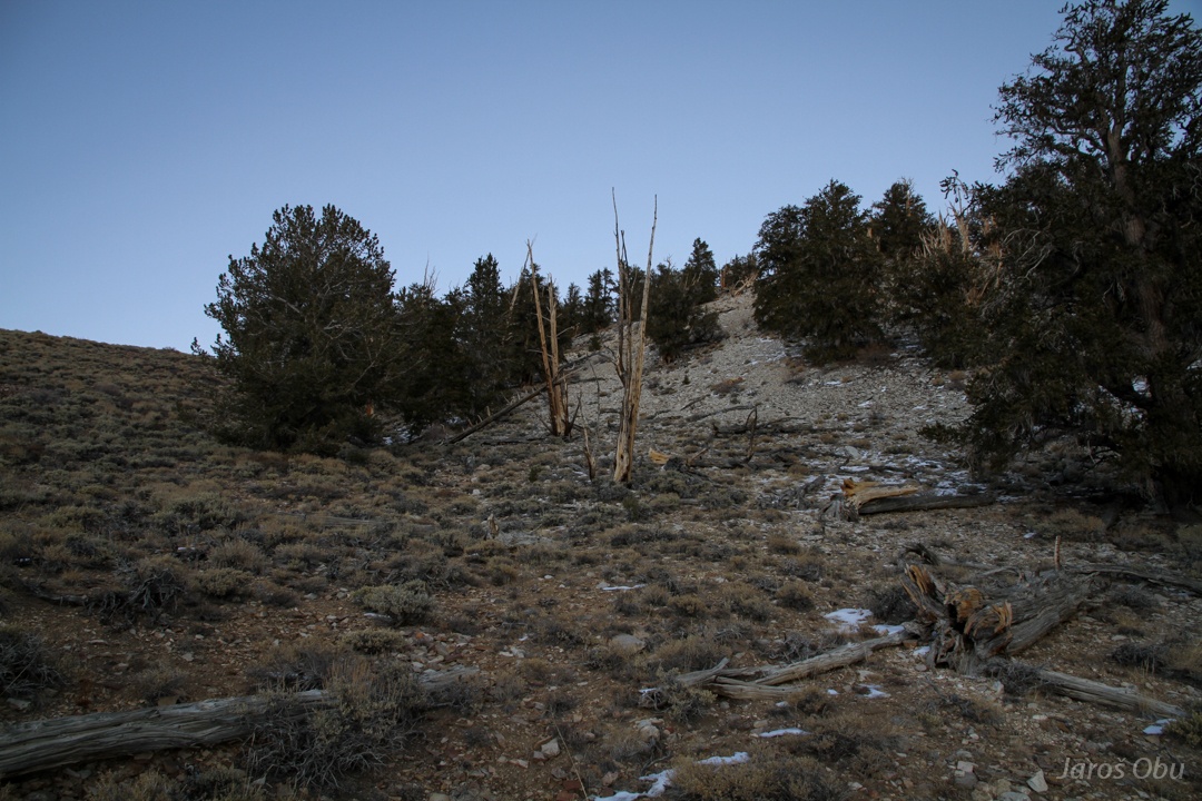
Already a dead one.
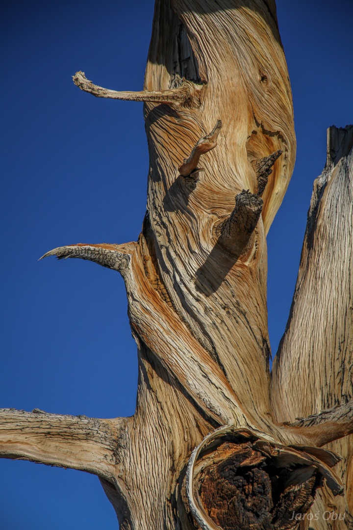
Very tough wood.
The highest peak of White Mountains reaches 4,344 m elevation.
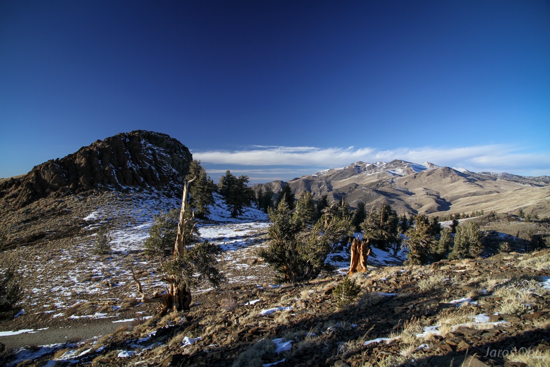
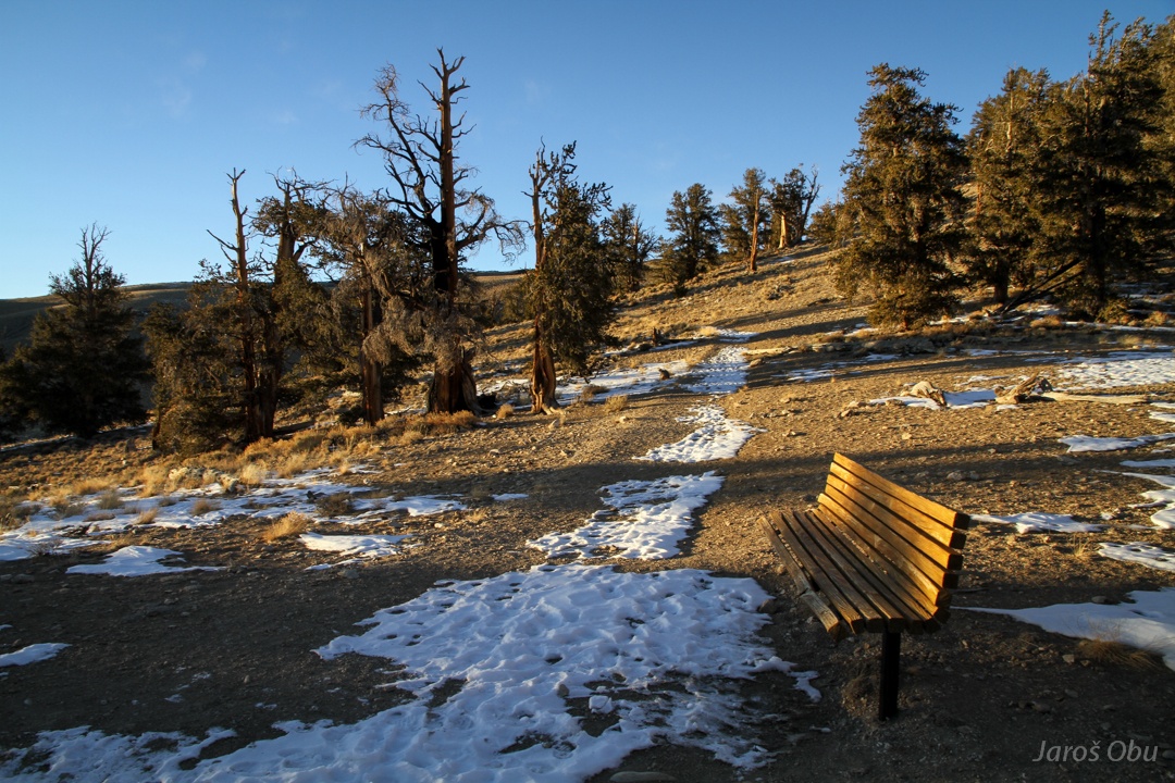
On Discovery Trail, which leads through some of the oldest pines. A lot of benches to take a rest since the trail is on such a high elevation.
Roots of these pines grow close to surface to capture as much moisture in these dry south facing soils before it evaporates.
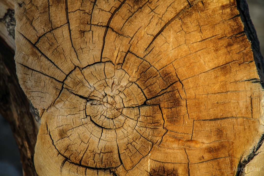
Wood of these extremely slowly growing pines is hard dense and resinous. This trunk has 3200 annual growth rings.
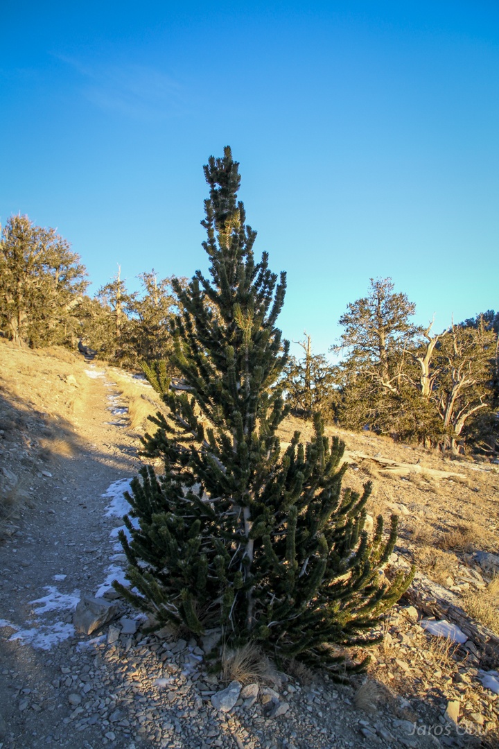
Very young, but still very old one.
These trees are so old that it is possible to see the amount of soil erosion. Here, the first tree roots are almost 1 m above the current surface which equals the thickness of removed soil.
One of these two was the first discovered tree to be older than 4000 years. The oldest known now is 5066 years, but the exact location is kept secret.
Steep slope on dolomitic bedrock.
Border between shale (on left) and dolomite (on right) shows clear differences in vegetation. Most of the birstlecone pines grow on inhospitable dolomite soils, where they don't have to compete with other plants.
Palisade Glacier somewhere under the snow. It is the southernmost glacier of Sierra Nevada.
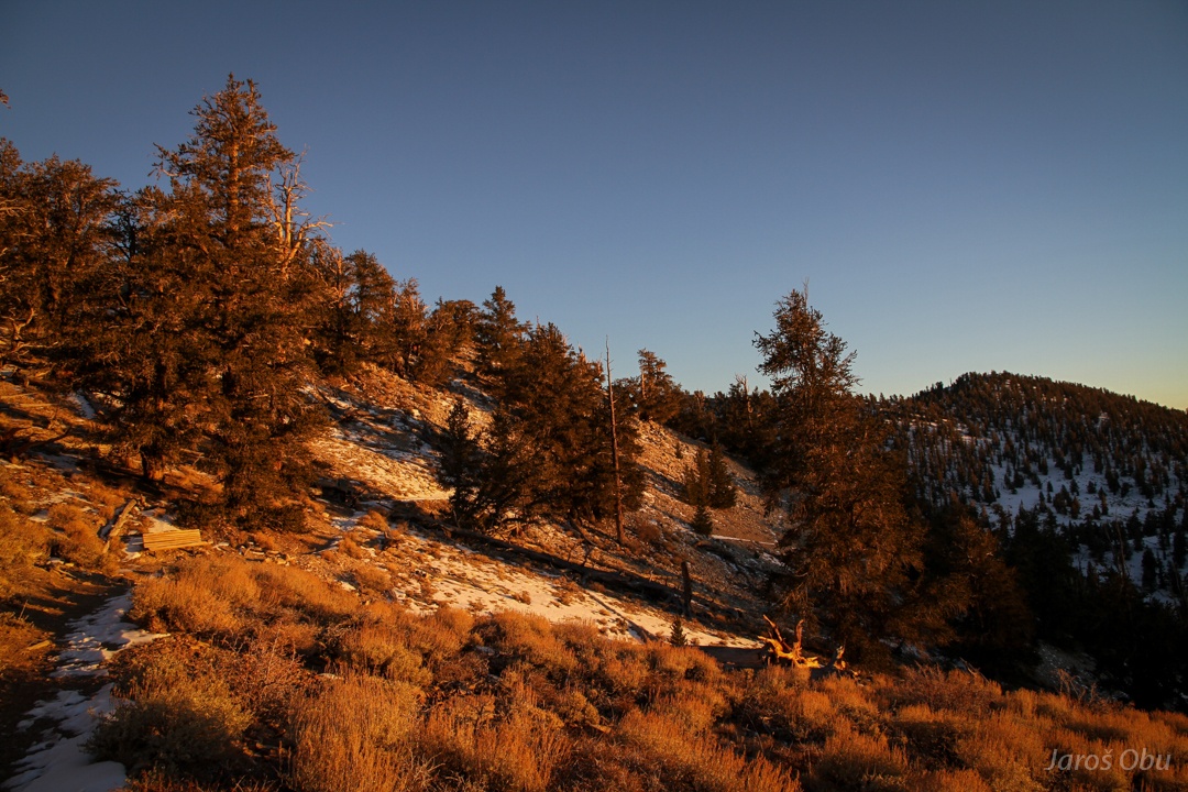
The forest in the last rays of light.
Few night shots of these methusalems.
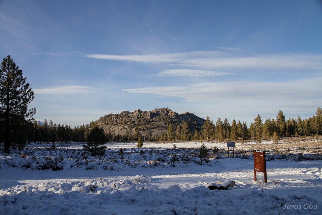
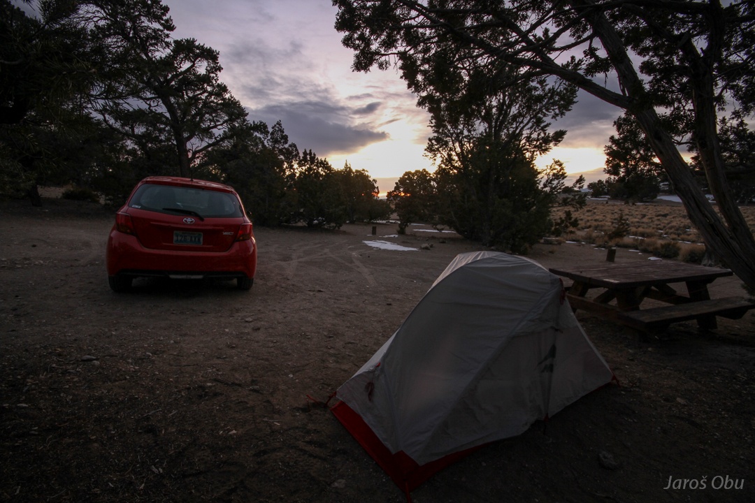
Next morning in Grandview campsite. Returning quickly back to Big Pine before the snowstorm arrives.
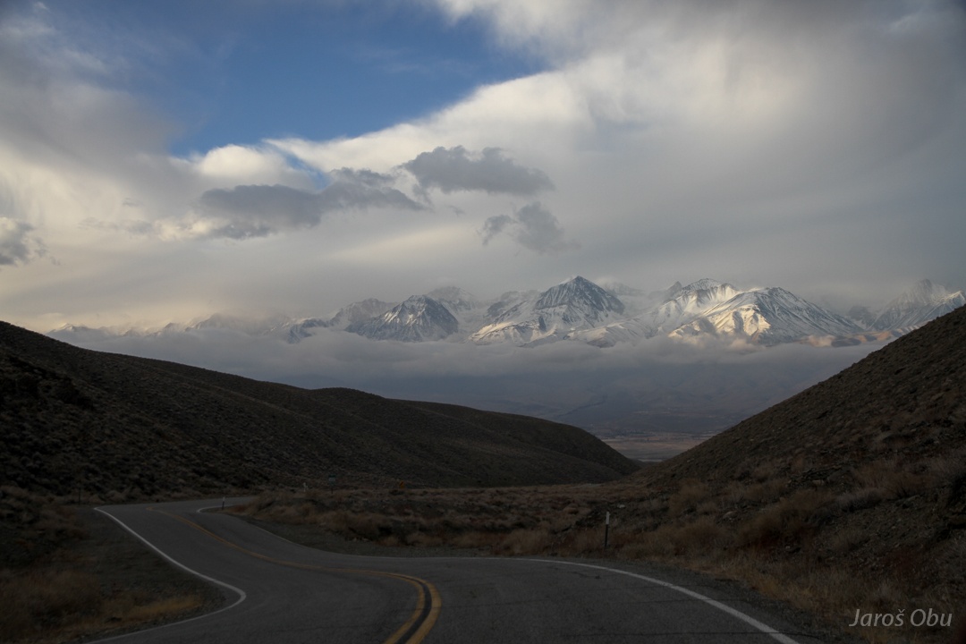
Shortly before turning on a road to Death Valley ... smelling brakes and probably typical foehn clearance above Owens Valley.