© 2024 Jaroš Obu
Photo gallery of Jaroš Obu
Cart
0
Items
Buy now
Ecrins Massif EUCOP excursion 29.6.-1.7. 2018
Saturday, 30 June 2018
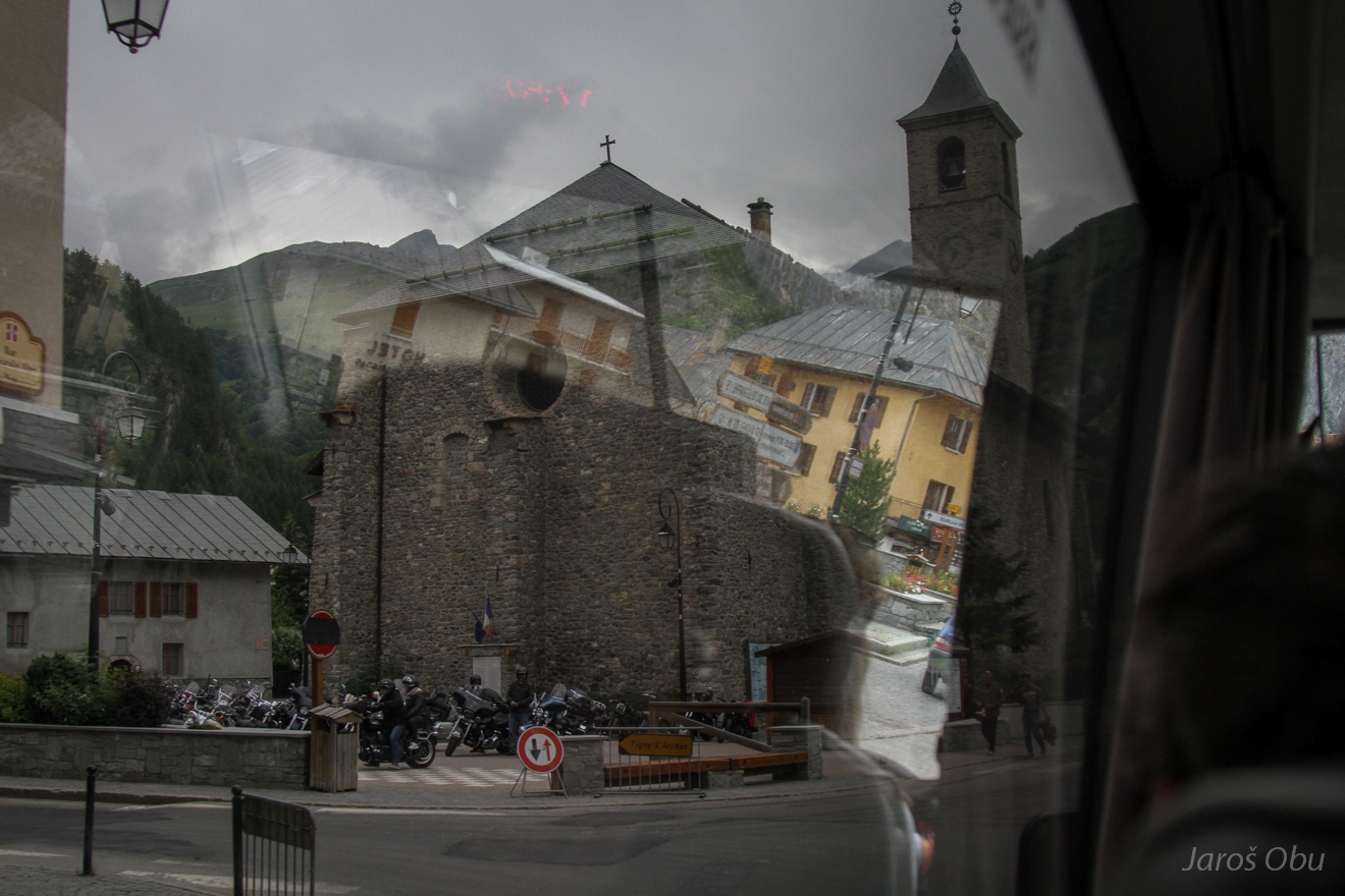
During the ride from Chamonix driving through a mountain village called Valloire.
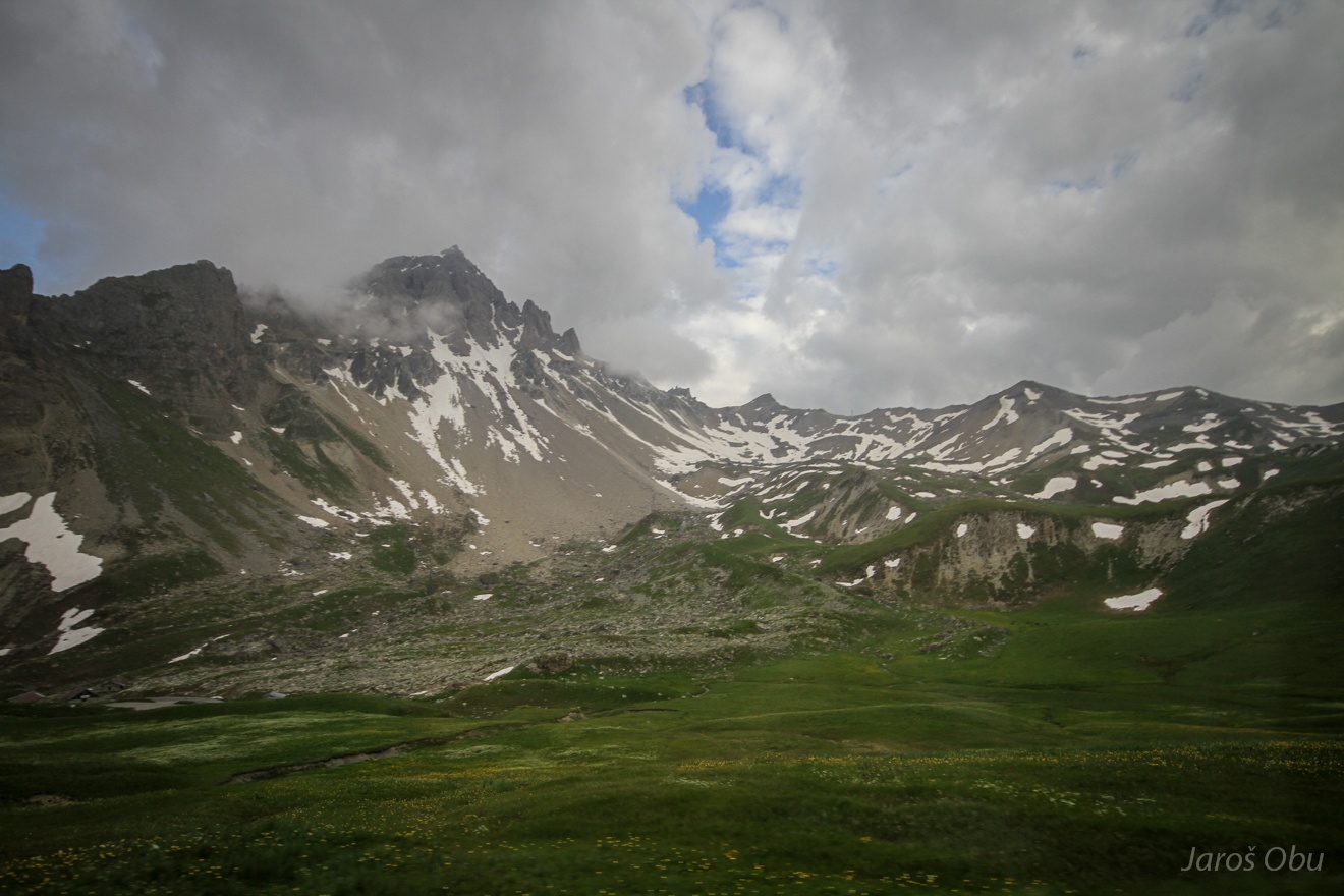
Up the Valloriete valley ...
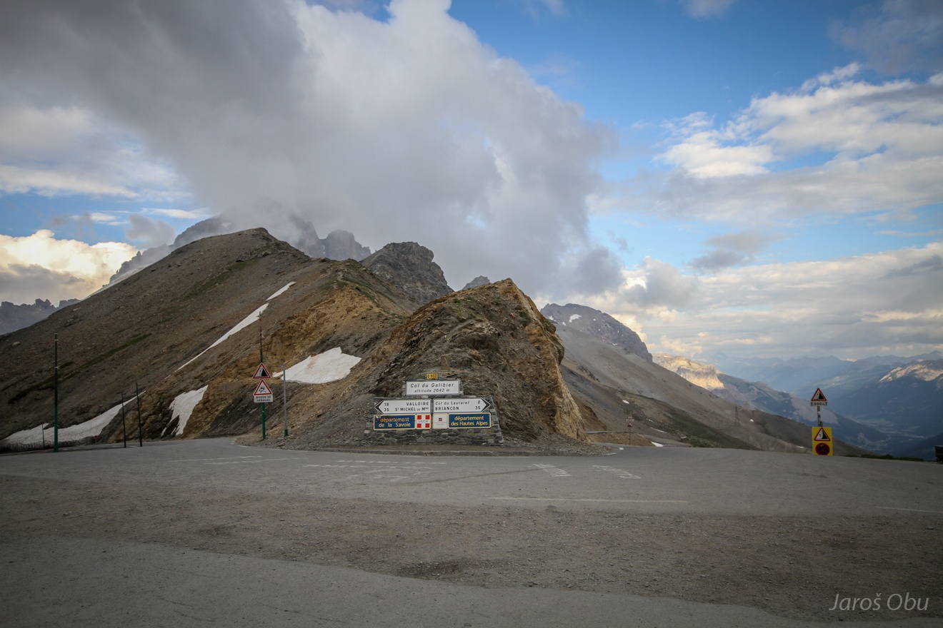
All the way to the Galibier Pass at 2642 m.
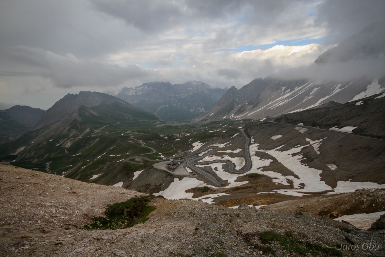
The road winds under the pass in a series of hairpin bends. in a series of long hairpin bends the road winds uphill in a series of long hairpin bends
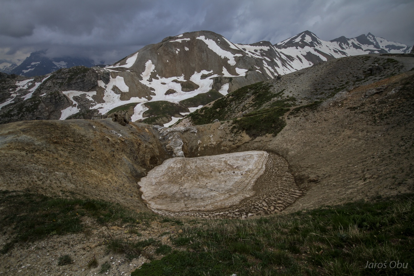
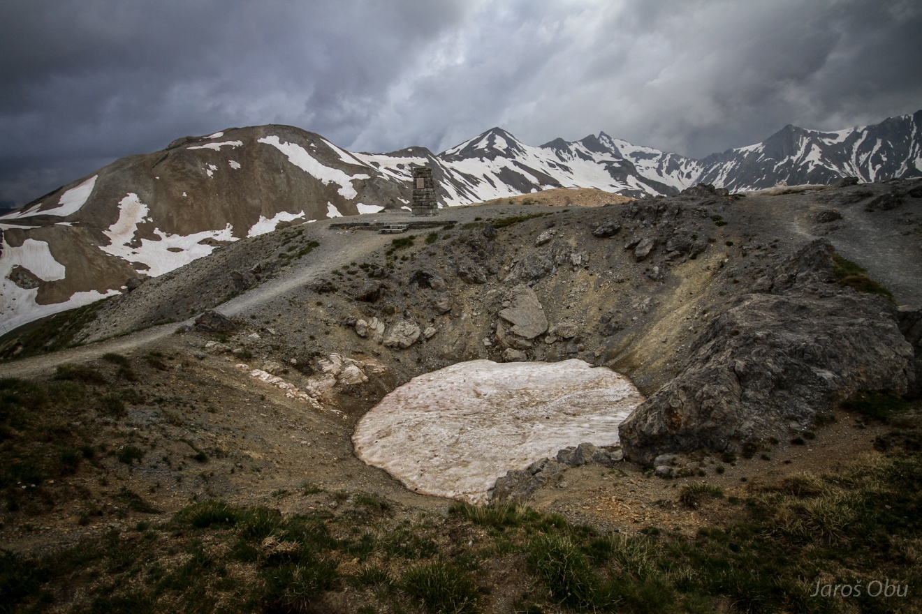
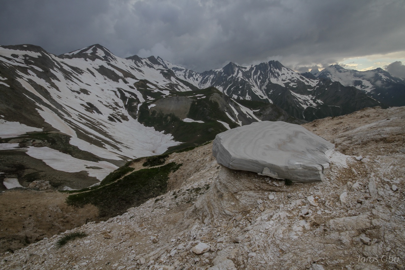
Dolines in gypsum karst just above the pass.
Still filled with snow in the beginning of July.
The EUCOP5 Ecrins Massif group at the viewpoint.
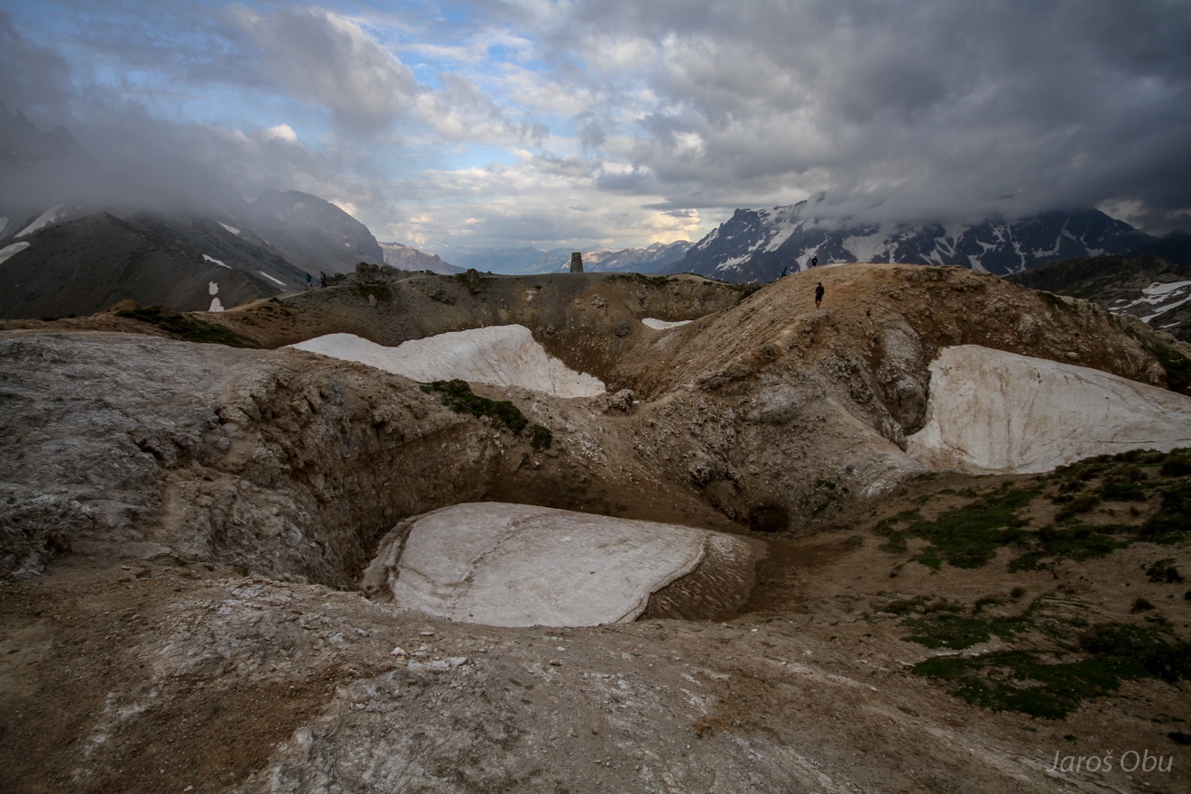
Complex karst depressions of several orders.
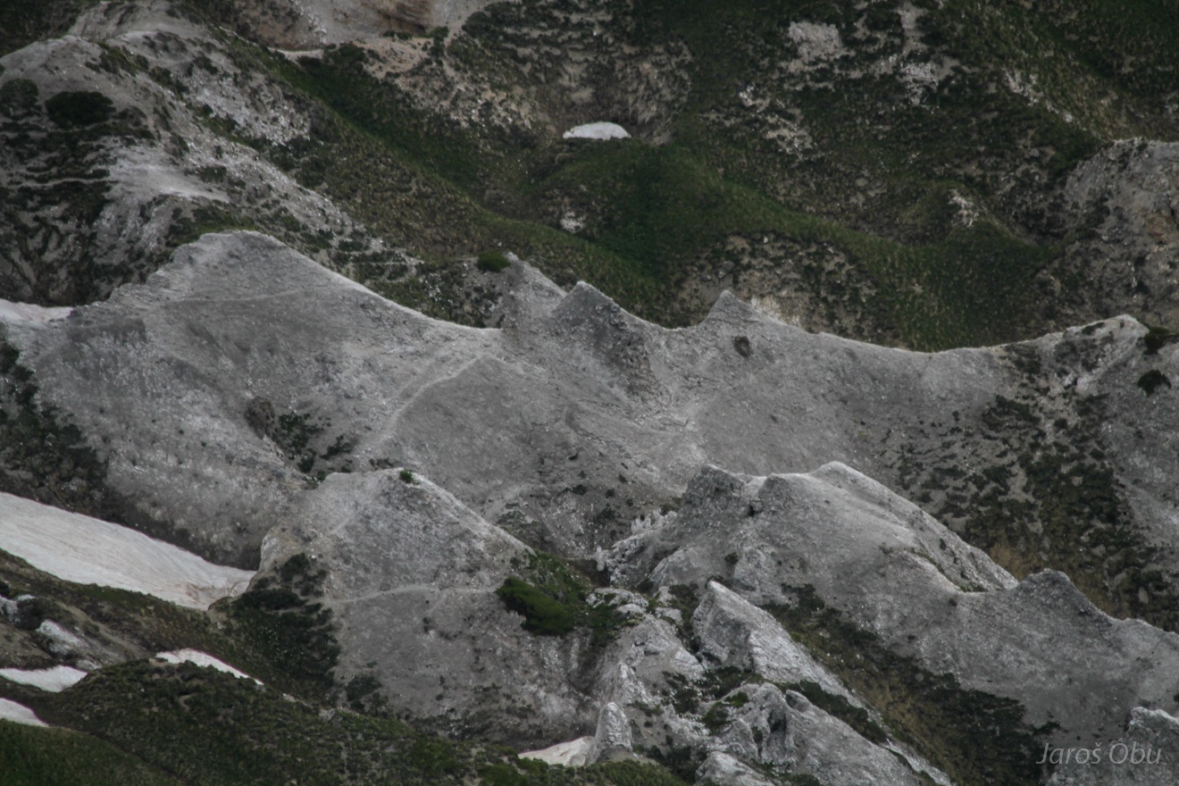
More gypsum in down the valley and it looks like a conical karst.
...
A harder block of anhydrite is protecting gypsum below.
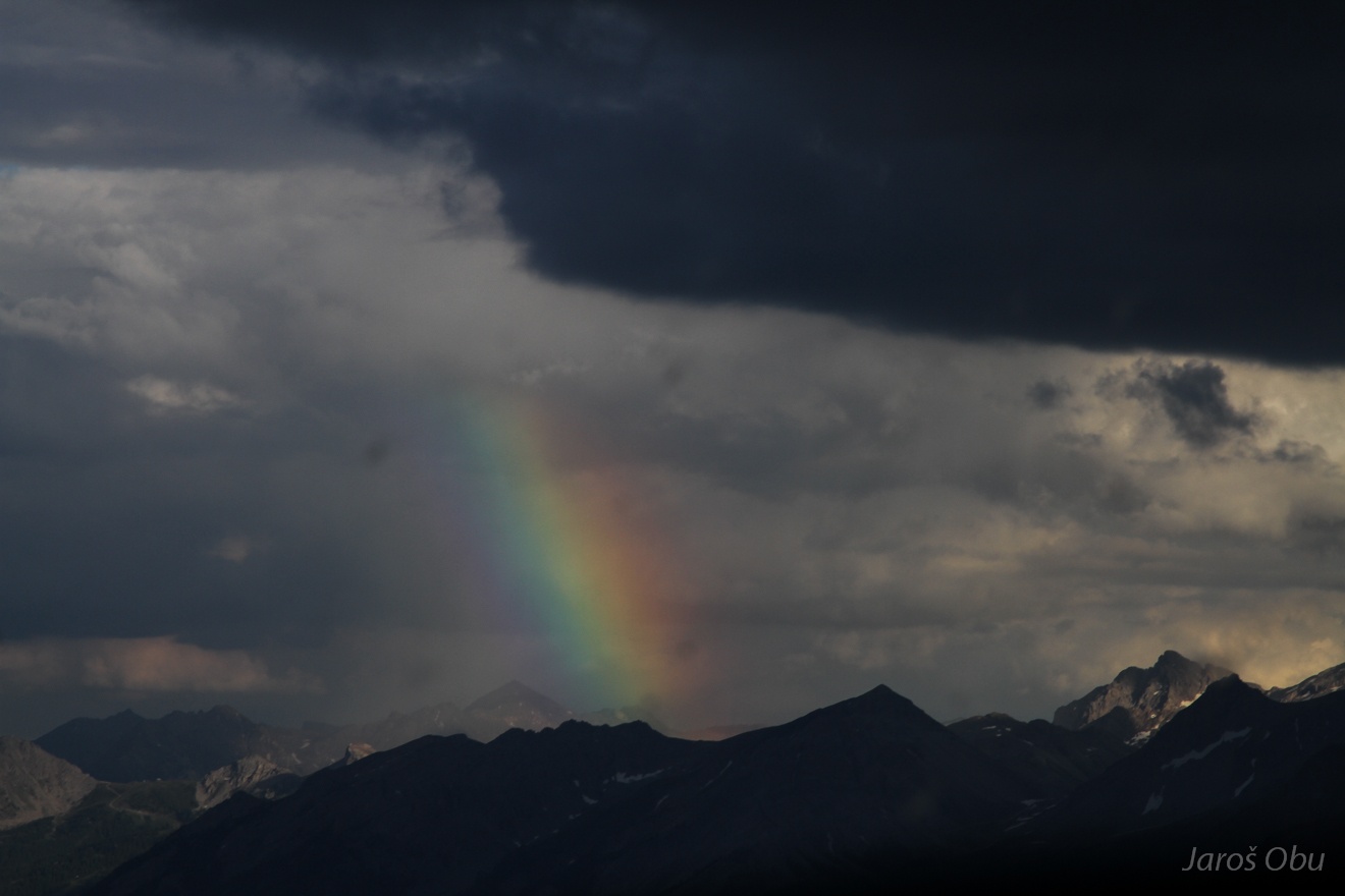
Afternoon shower and a rainbow as seen from the pass.
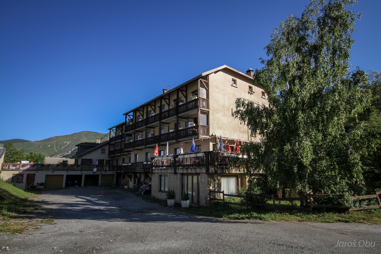
After the breakfast at the Le Faranchin hotel in Villar d'Arène ...
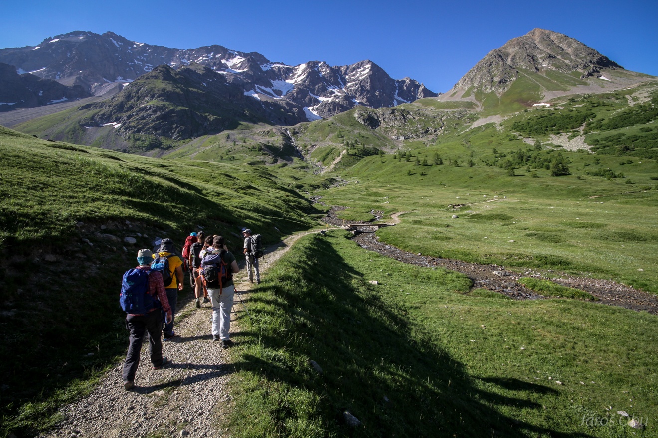
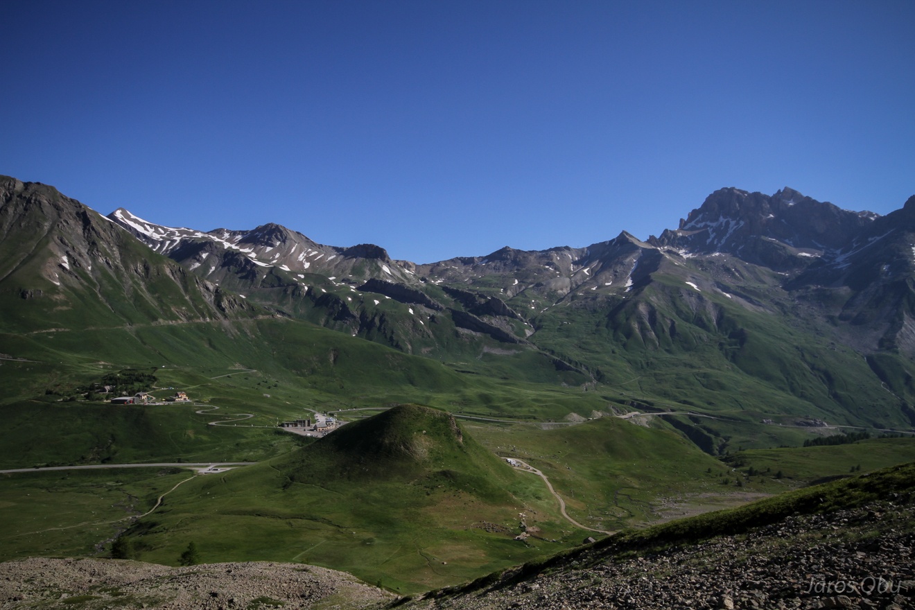
Start of the first-day excursion at Col du Lautaret (2000 m a.s.l.).
Solifluction lobes on a lateral moraine.
Lautaret Pass from little higher.
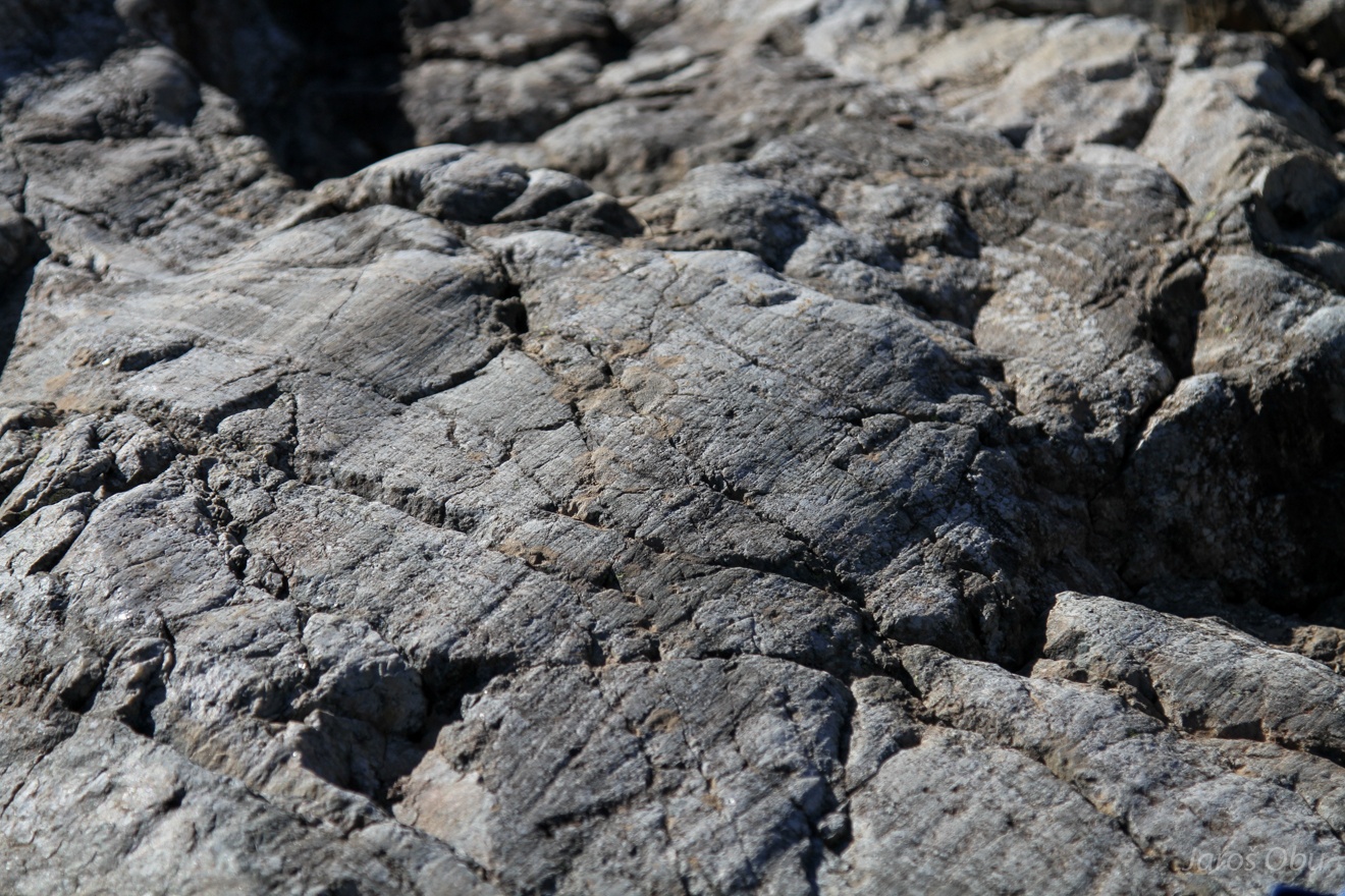
Glacial striations on bedrock.
A sort of a patterned ground on the slopes.
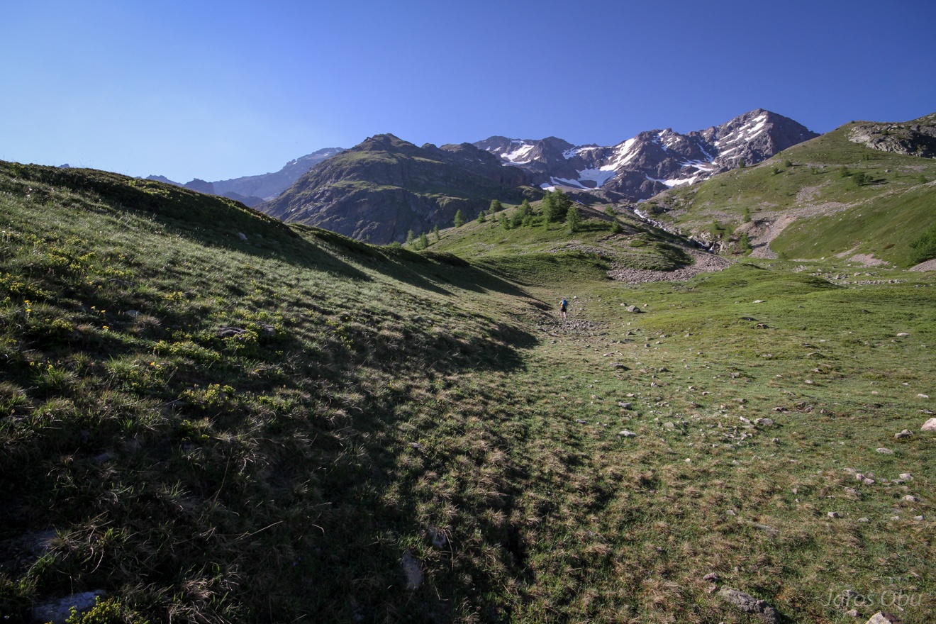
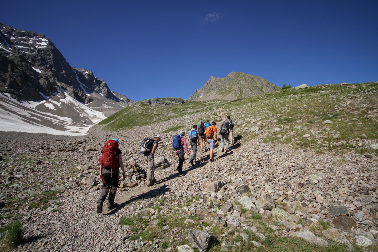
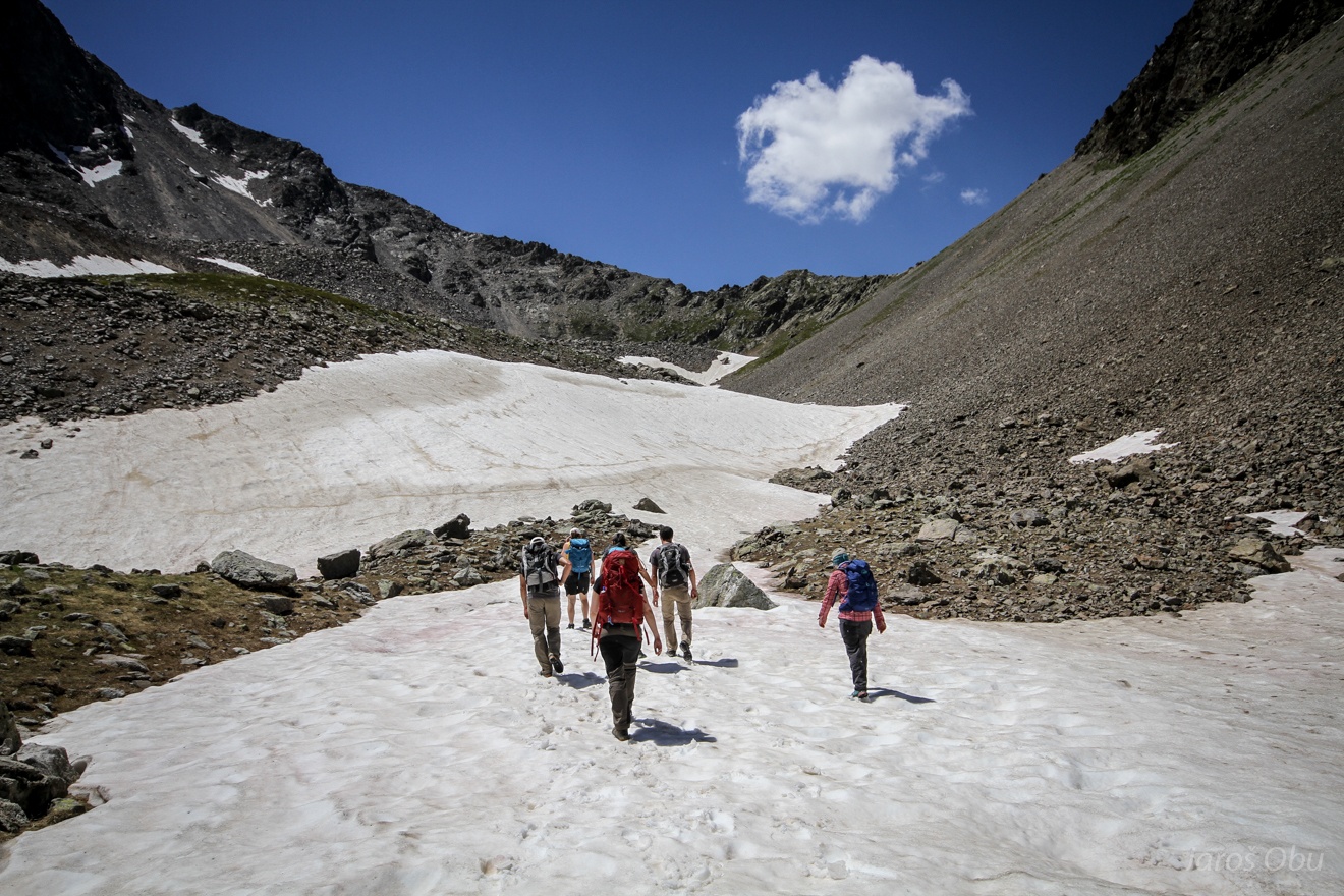
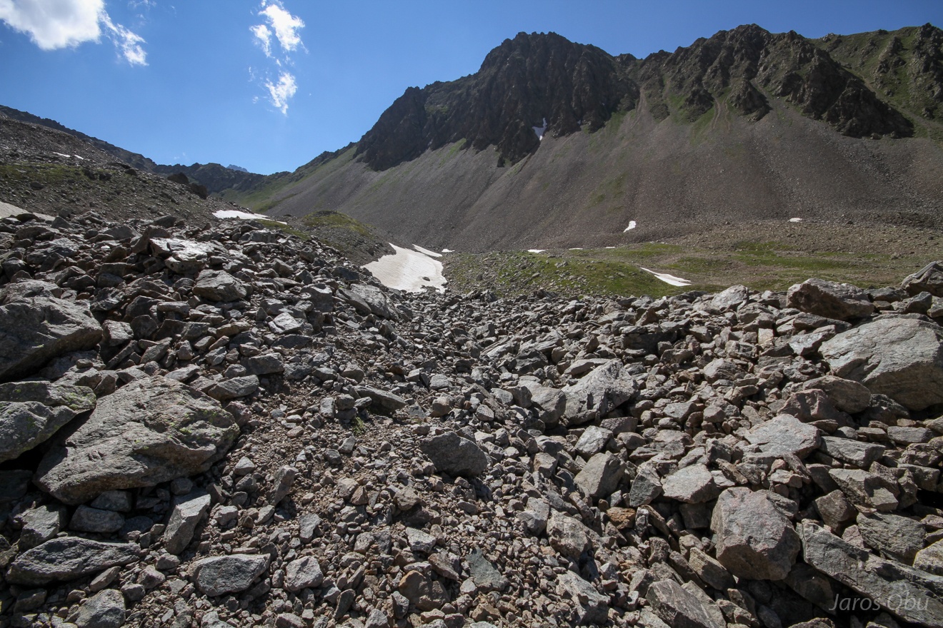
Hiking towards a rock glacier.
Several "lectures" about Laurichard rock glacier where first displacement measurements began in 1980's.
...
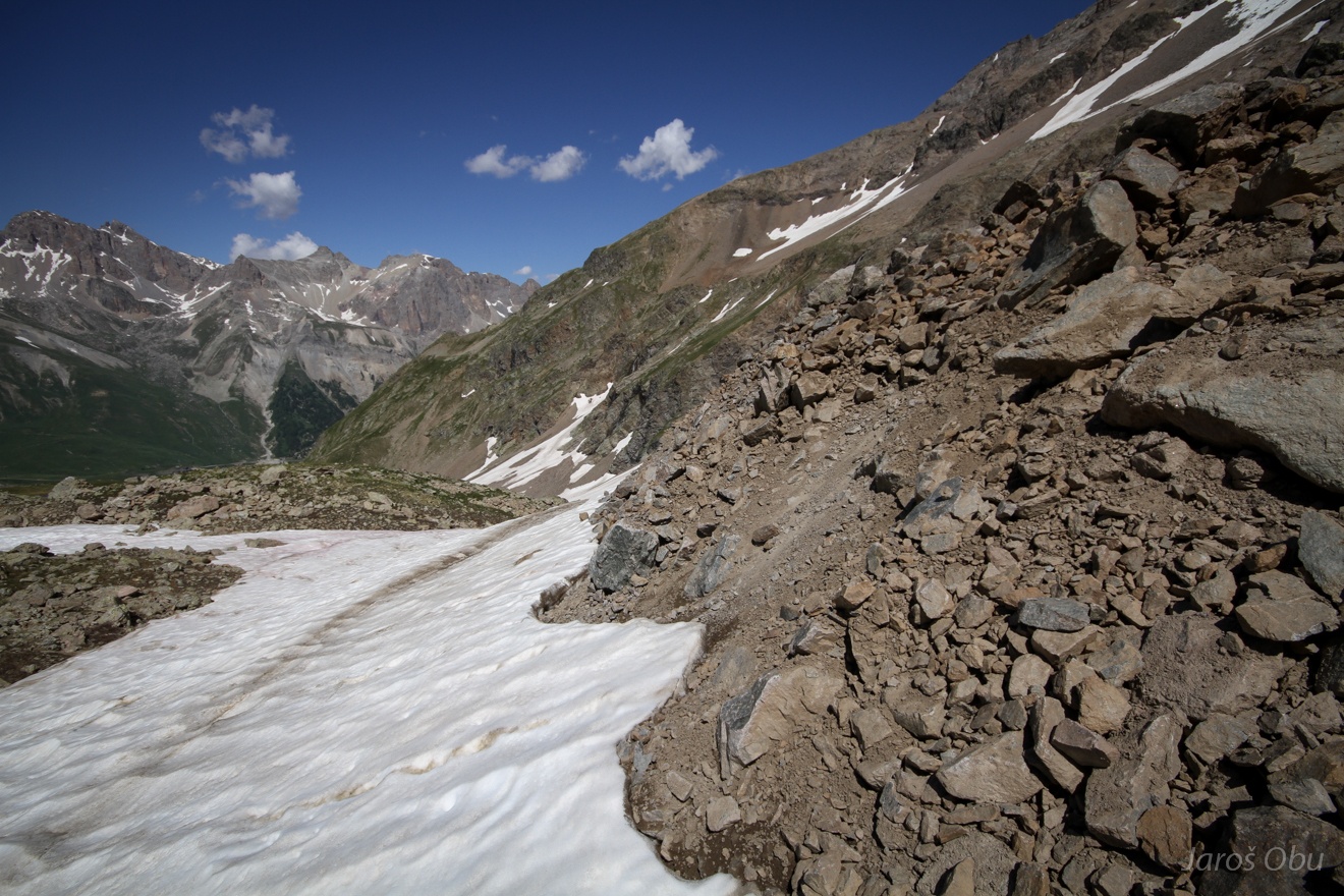
More rock glaciers and two interesting tongues on the other side under the Grand Galibier.
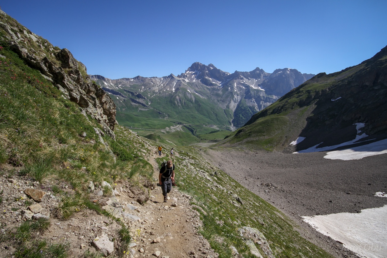
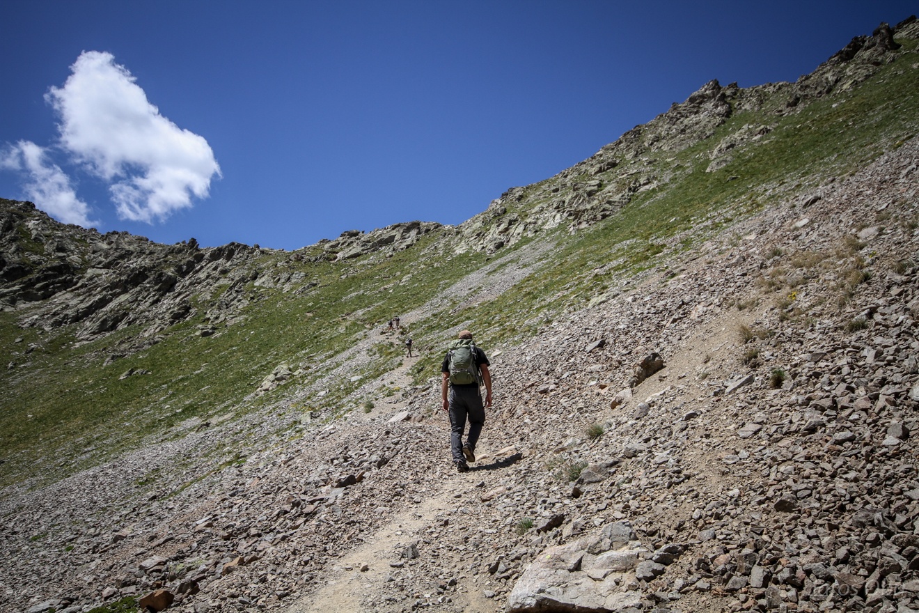
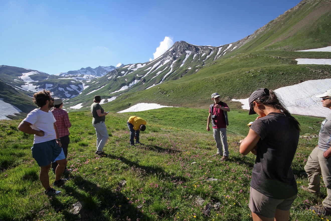
Most of us continued hike to a nearby pass.
Almost there.
At the pass.
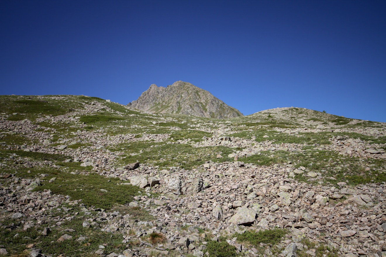
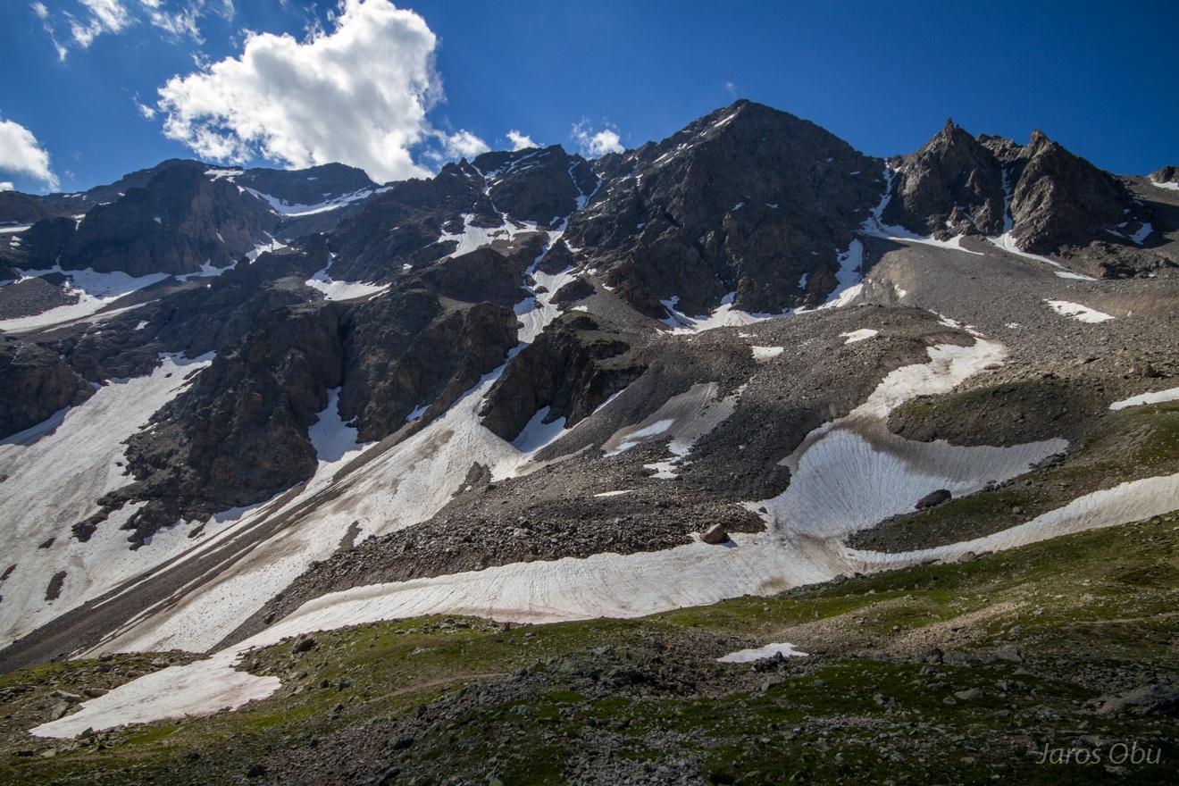
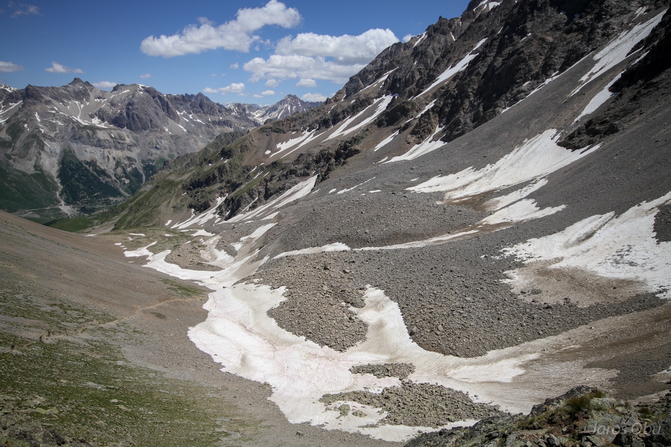
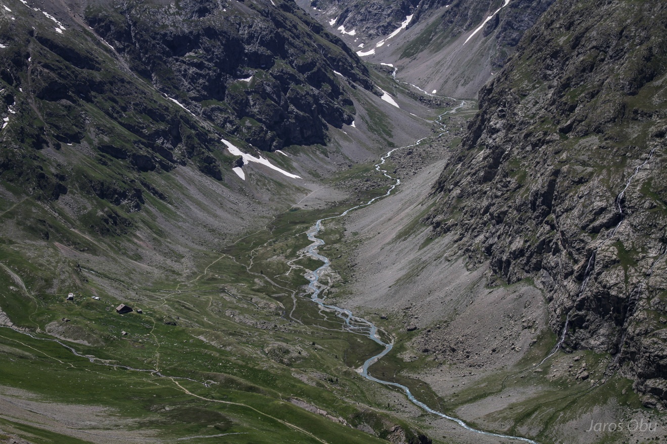
More rock glaciers up the valley from Laurichard.
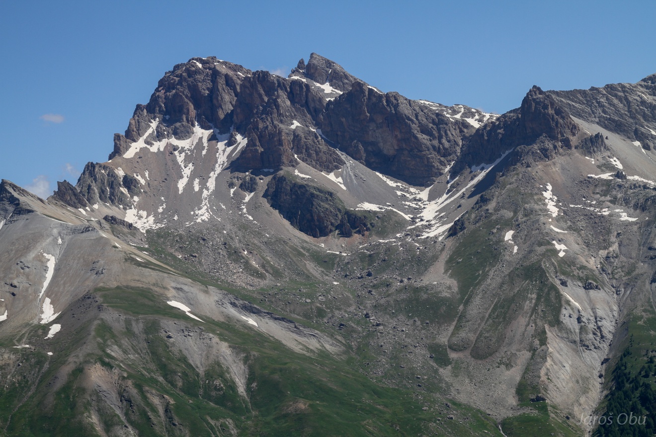
Meije Mountain with the highest peak Le Grand Doigt (3.764 m).
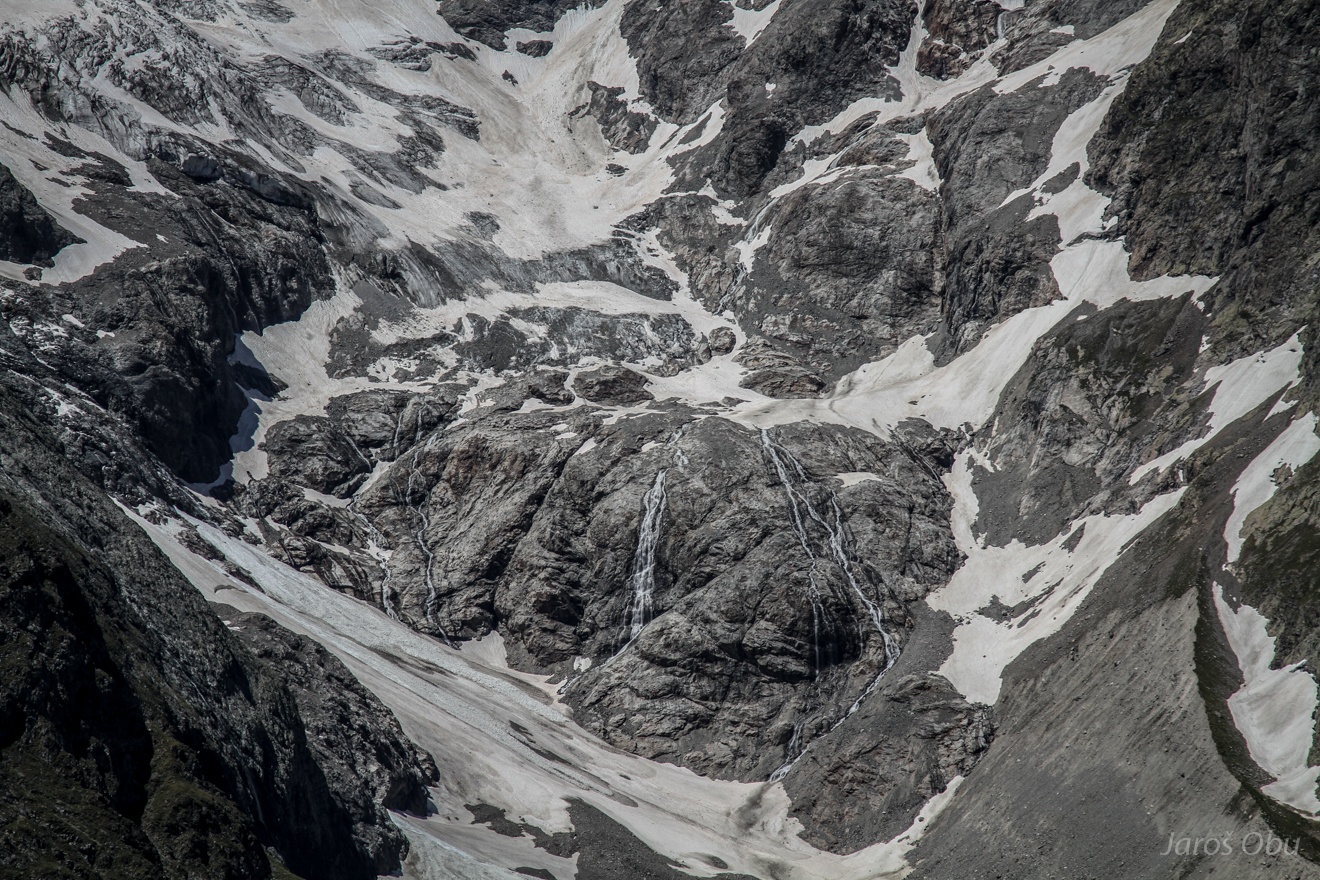
Where the Glacier du Lautaret retreated recently.
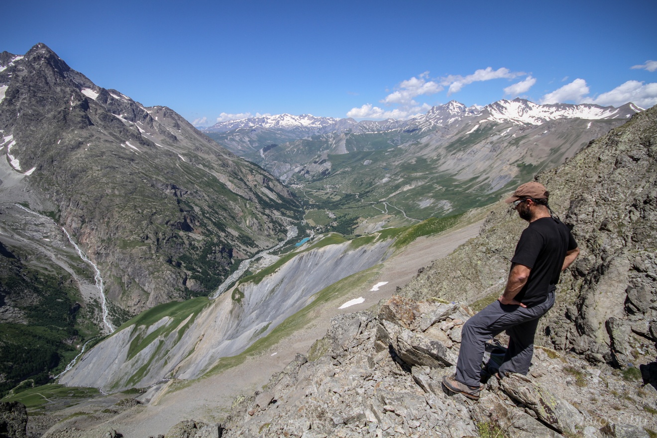
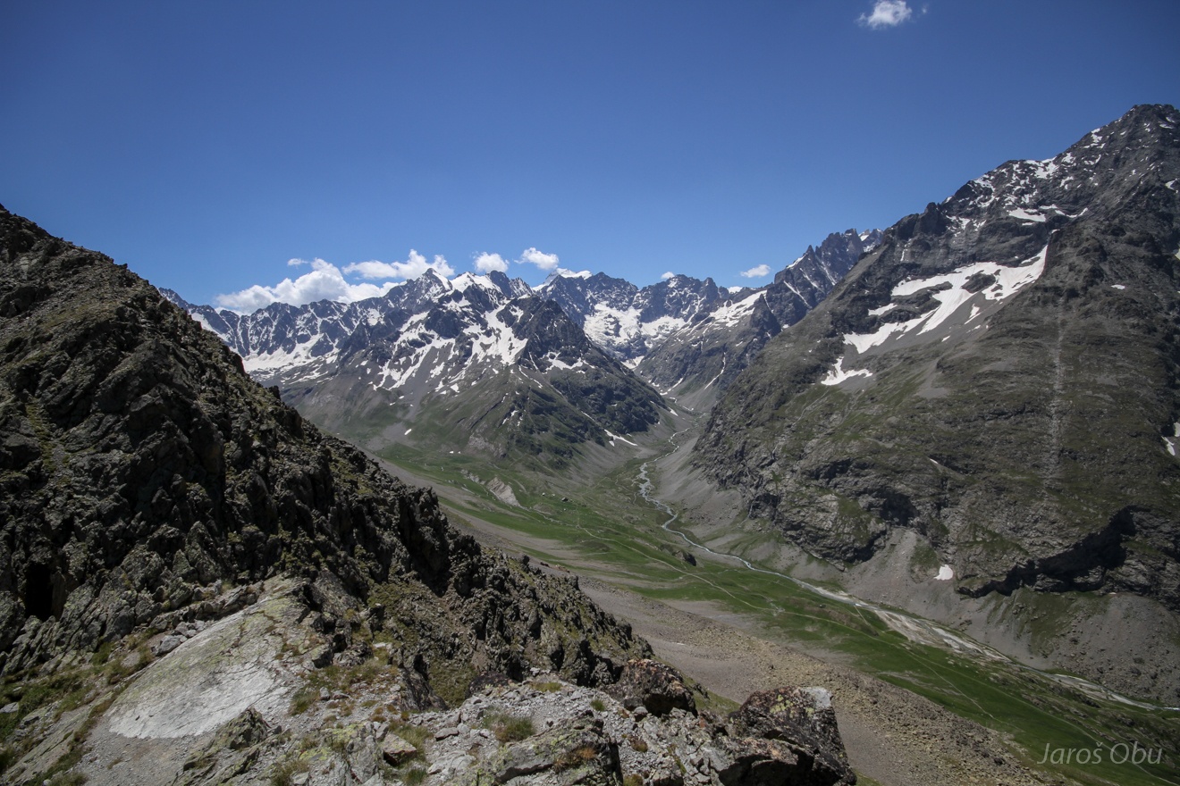
Romanche Valley.
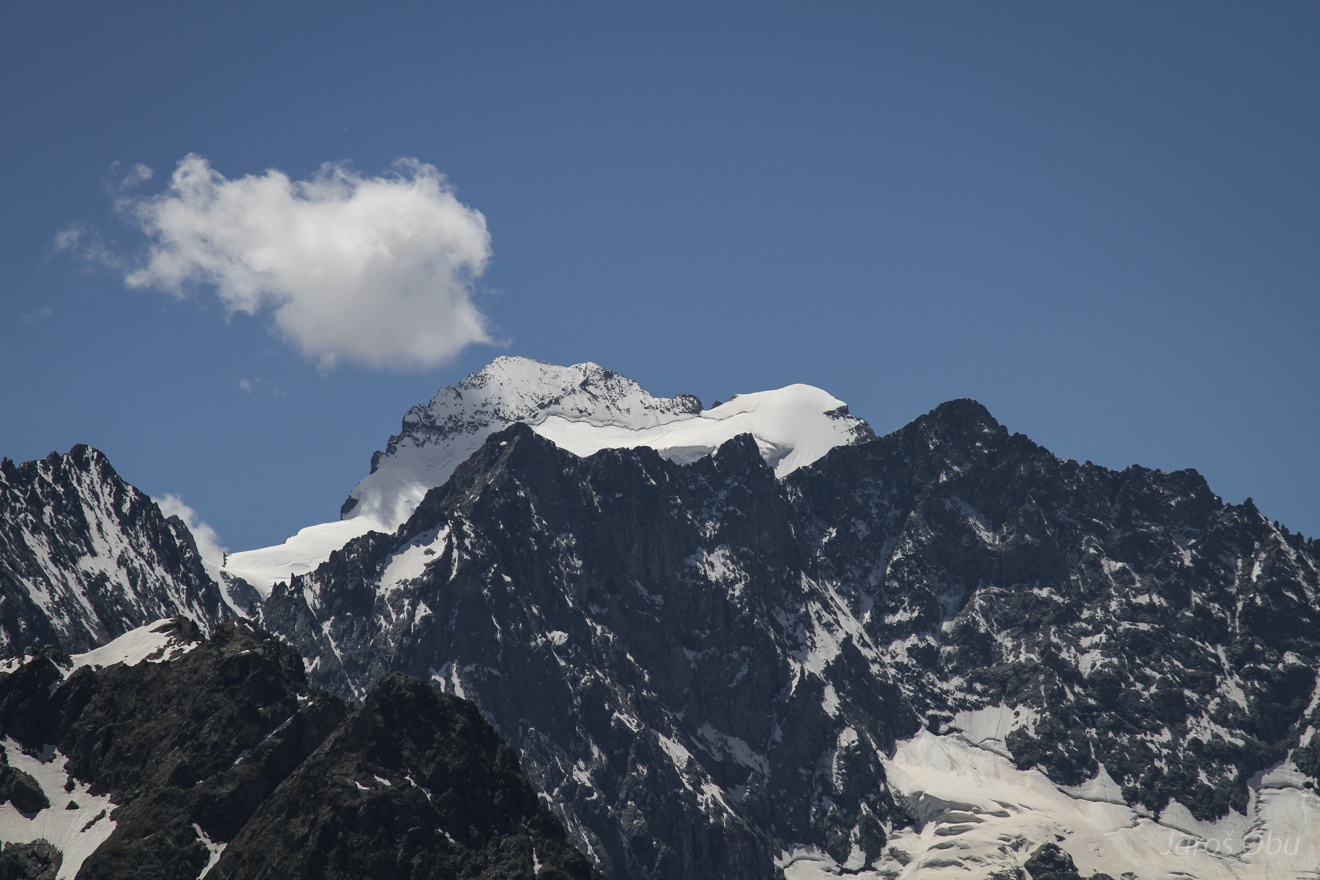
Barre des Écrins 4102 is the highest peak of the massif.
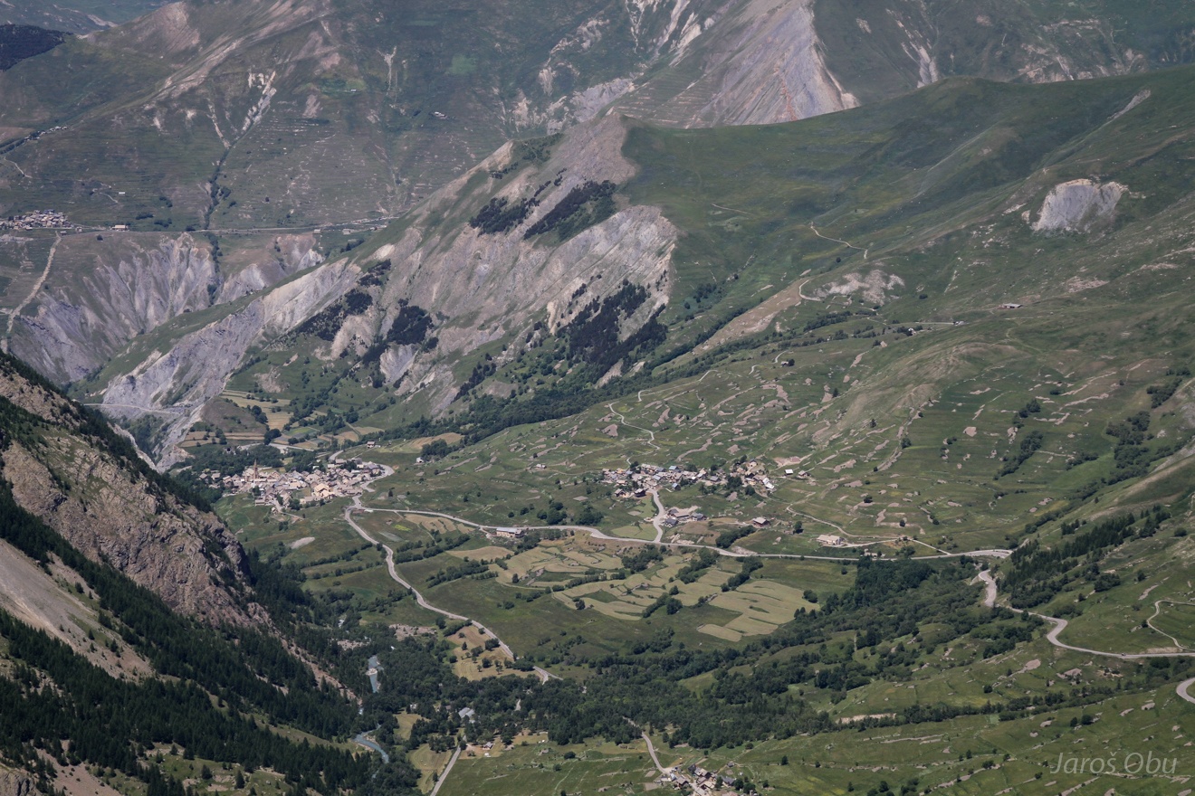
Chamossière hut on the left and braided stream of the river on the right.
Villar d'Arène and Les Cours villages.
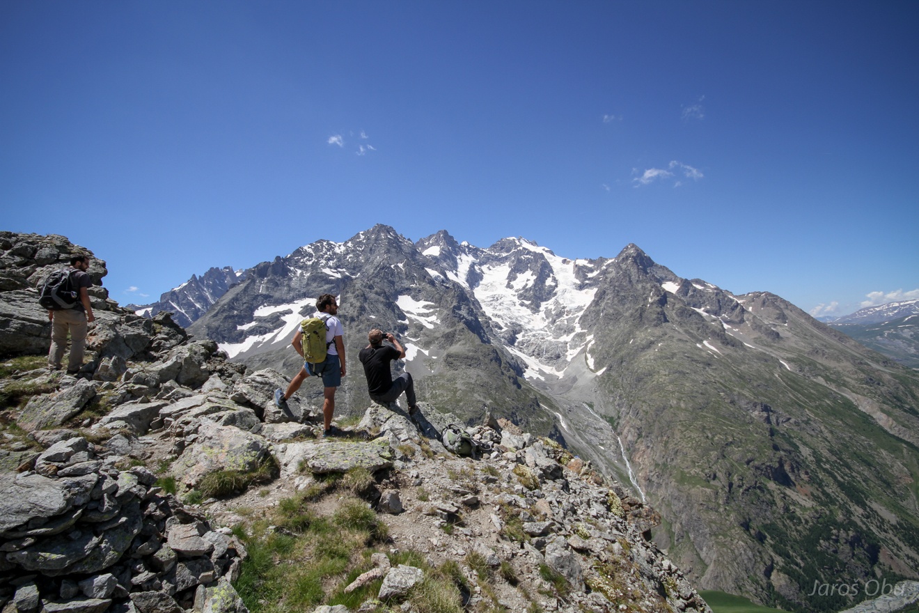
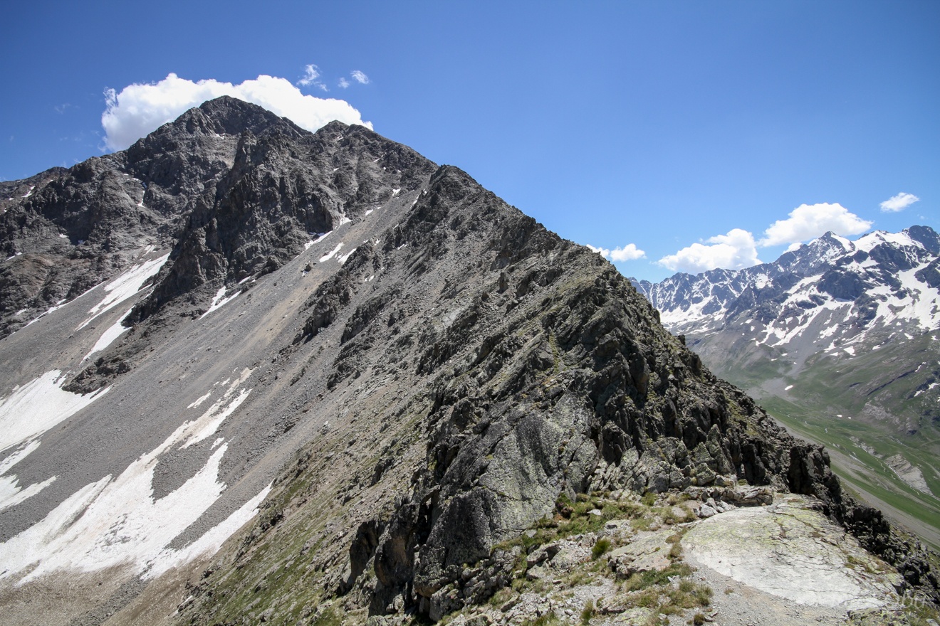
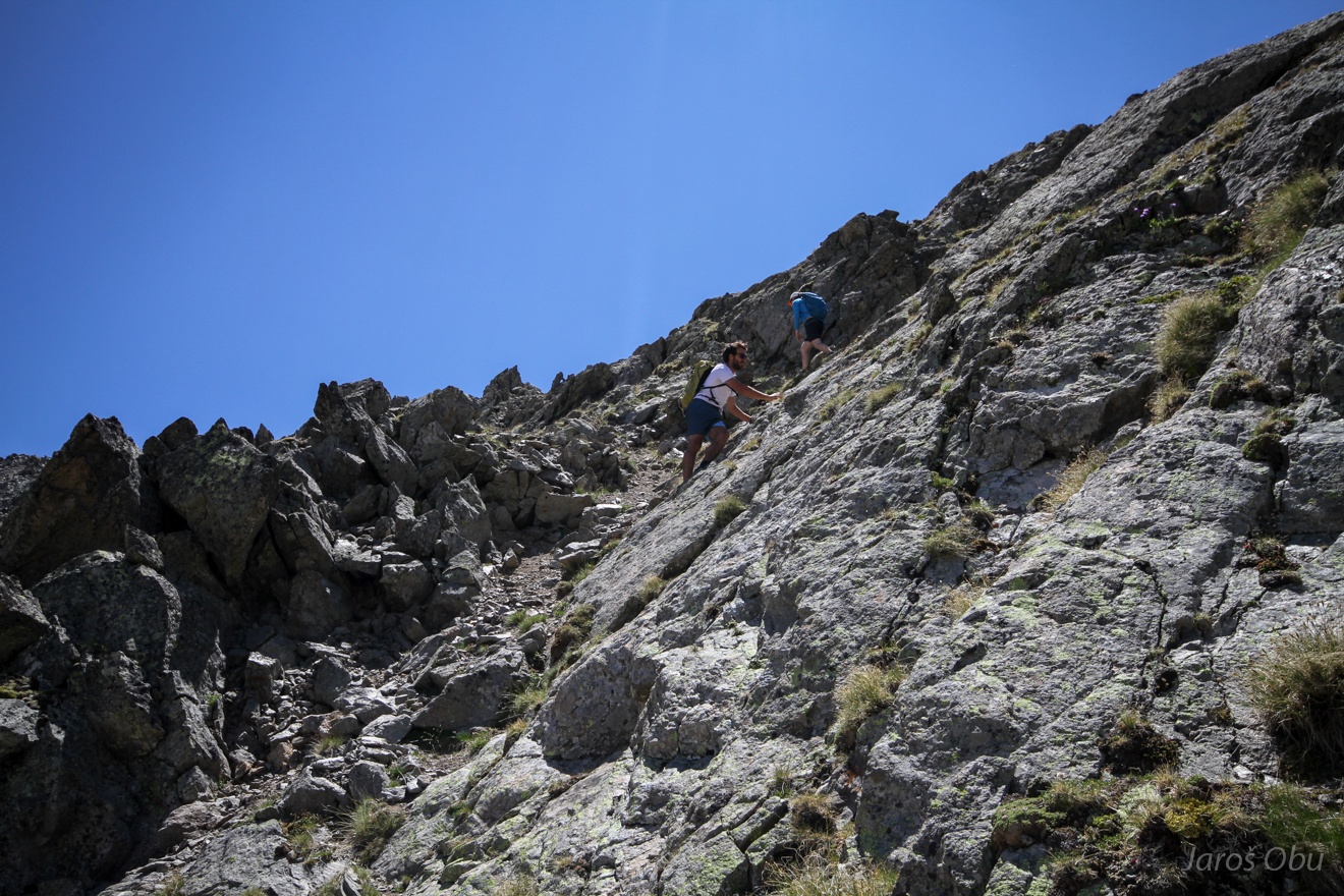
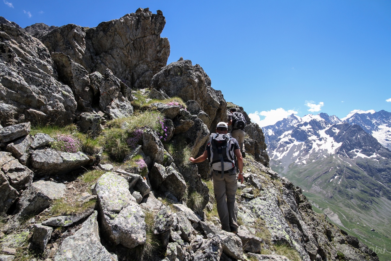
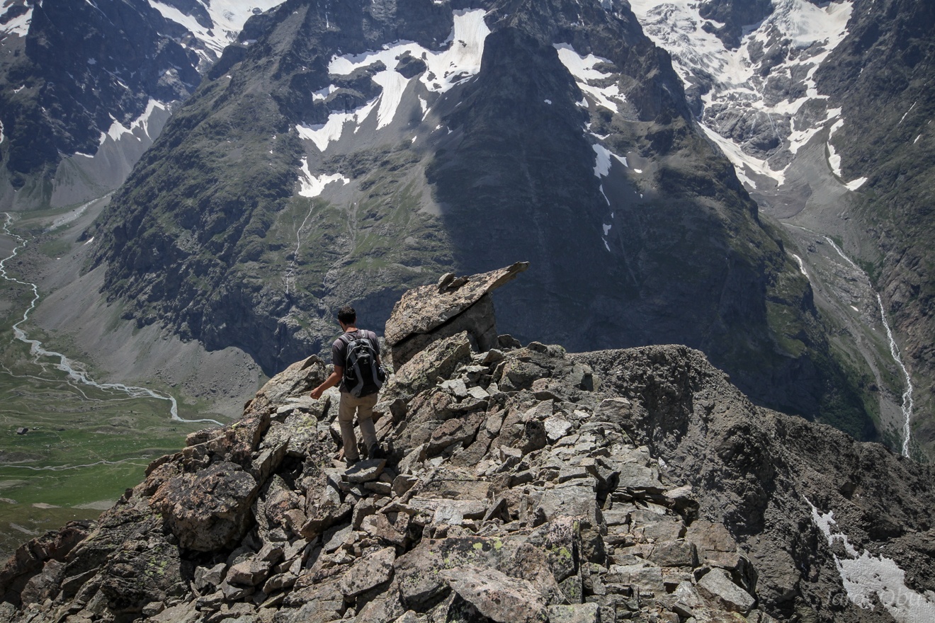
The most courageous participants continued the hike on this ridge.
A bit of rock scrambling.
...
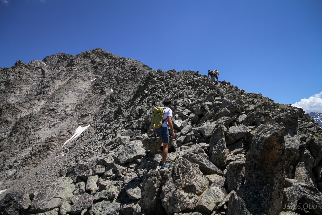
When the most unpleasant part was already behind.
The hike became easier.
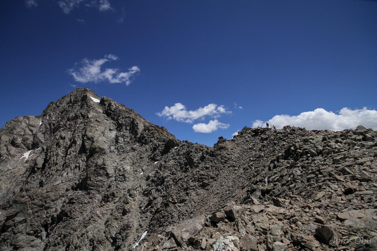
Very close to the summit.
A neat fossil rock glacier in the nearby valley.
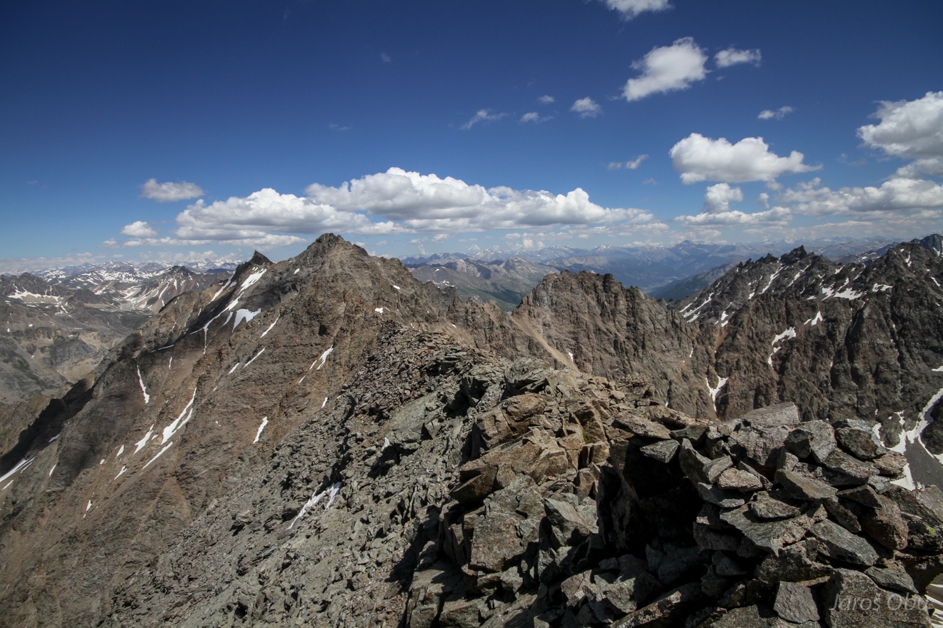
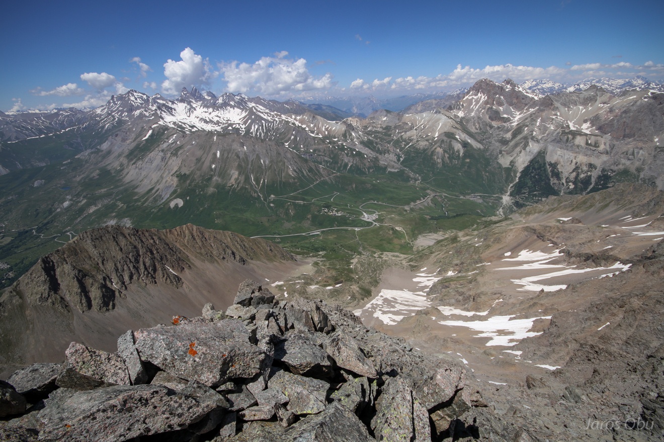
Group photo at the top of the Roc Noir de Combeynot (3112 m).
Ridge is continuing but is not really appropriate for a hike.
Moraine of a small glacier in nearby valley.
View back towards the Lautaret ...
... to where we are descending.
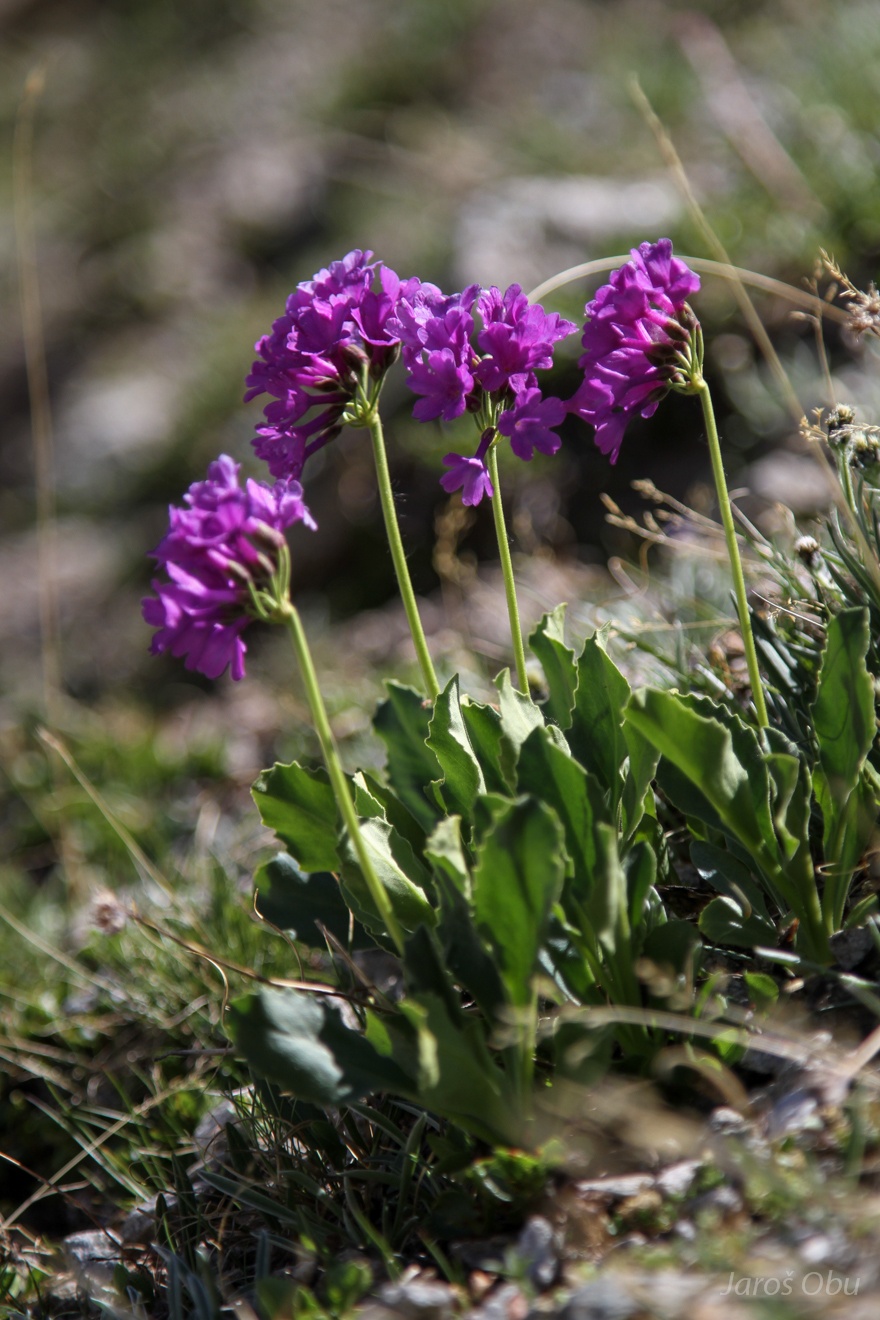
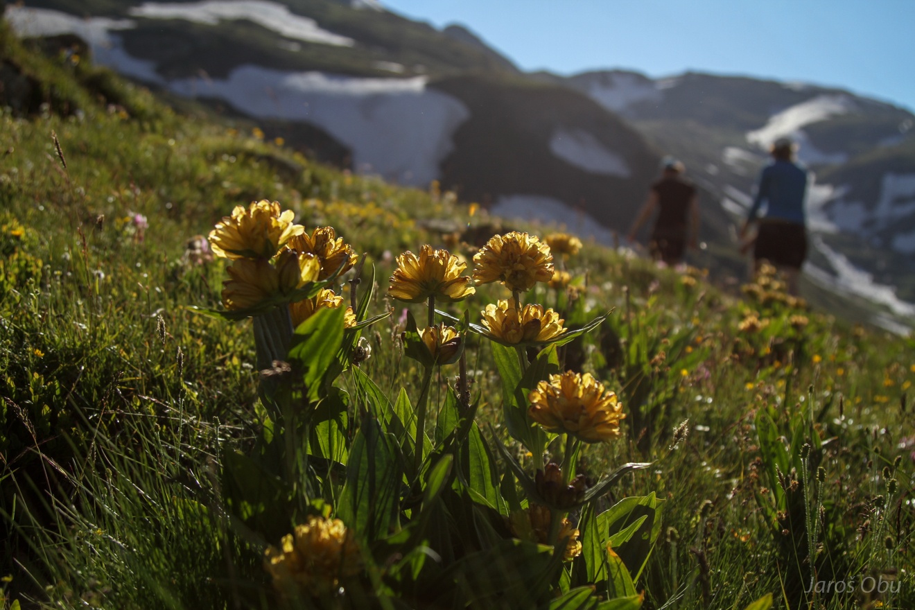
Primula latifolia.
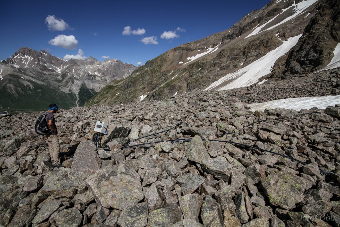
Instrumentation on the Laurichard rock glacier.
Between two of the rock-glacier folds.
Very steep front.
World cup match between Argentina and France. All the Swiss French and me were cheering for Argentina.
Seasonal frost measurement site with I buttons in the soil close to Lautaret Pass.
Gentiana lutea.
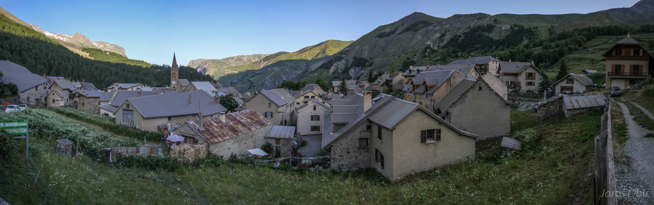
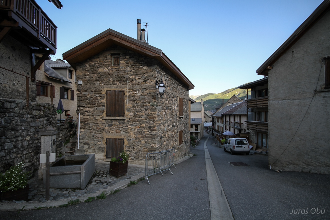
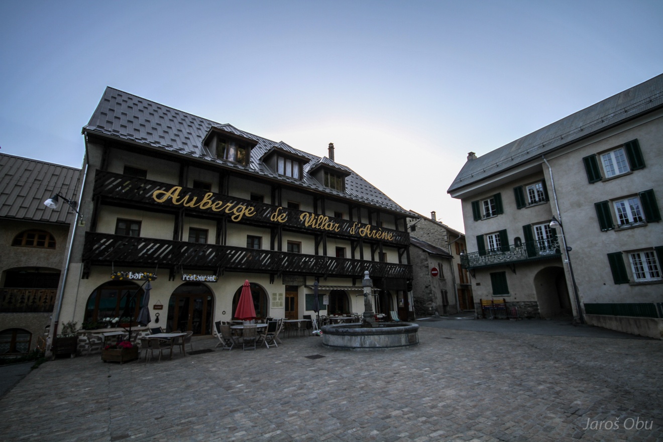
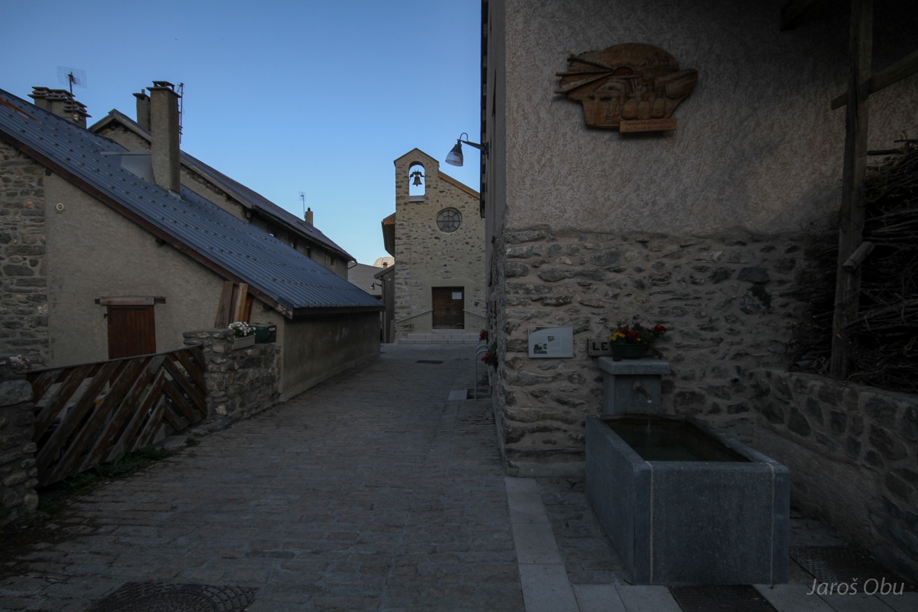
Idyllic Villar d'Arène village next morning.
With narrow streets and traditional architecture.
Main sqare.
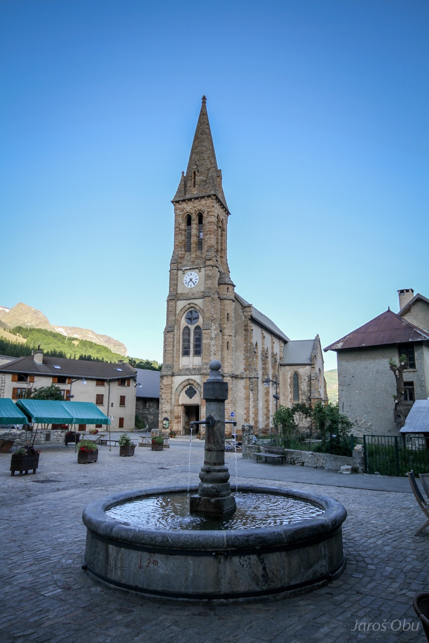
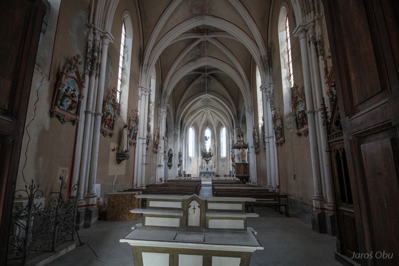
Saint Martin of Tours Church that was built in 1860.
Photo taken from behind the bars because the church is closed for entrance.
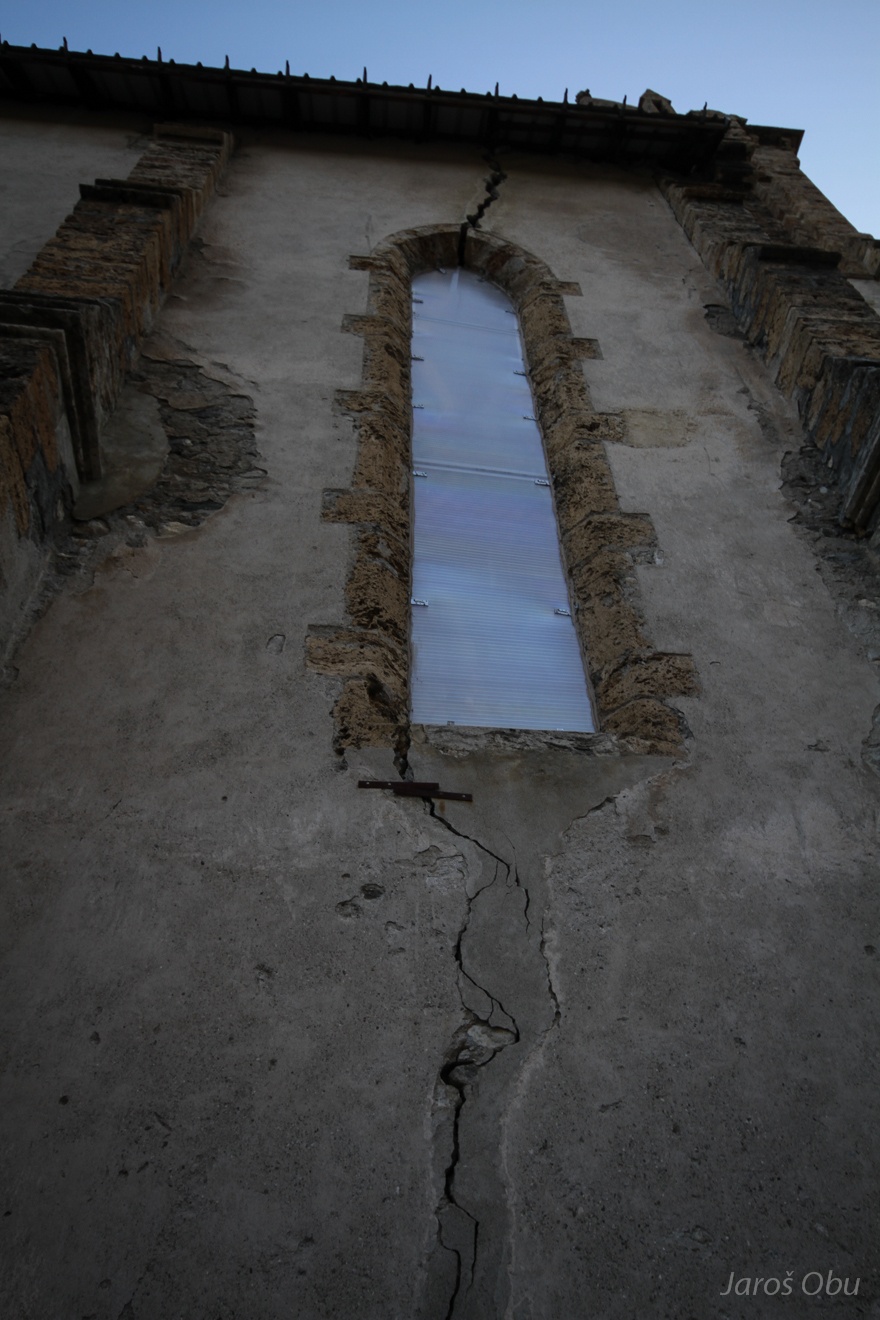
It is cracked all over. The reason is ground movement - village is situated an a slowly moving landslide.
That is probably the replacement church.
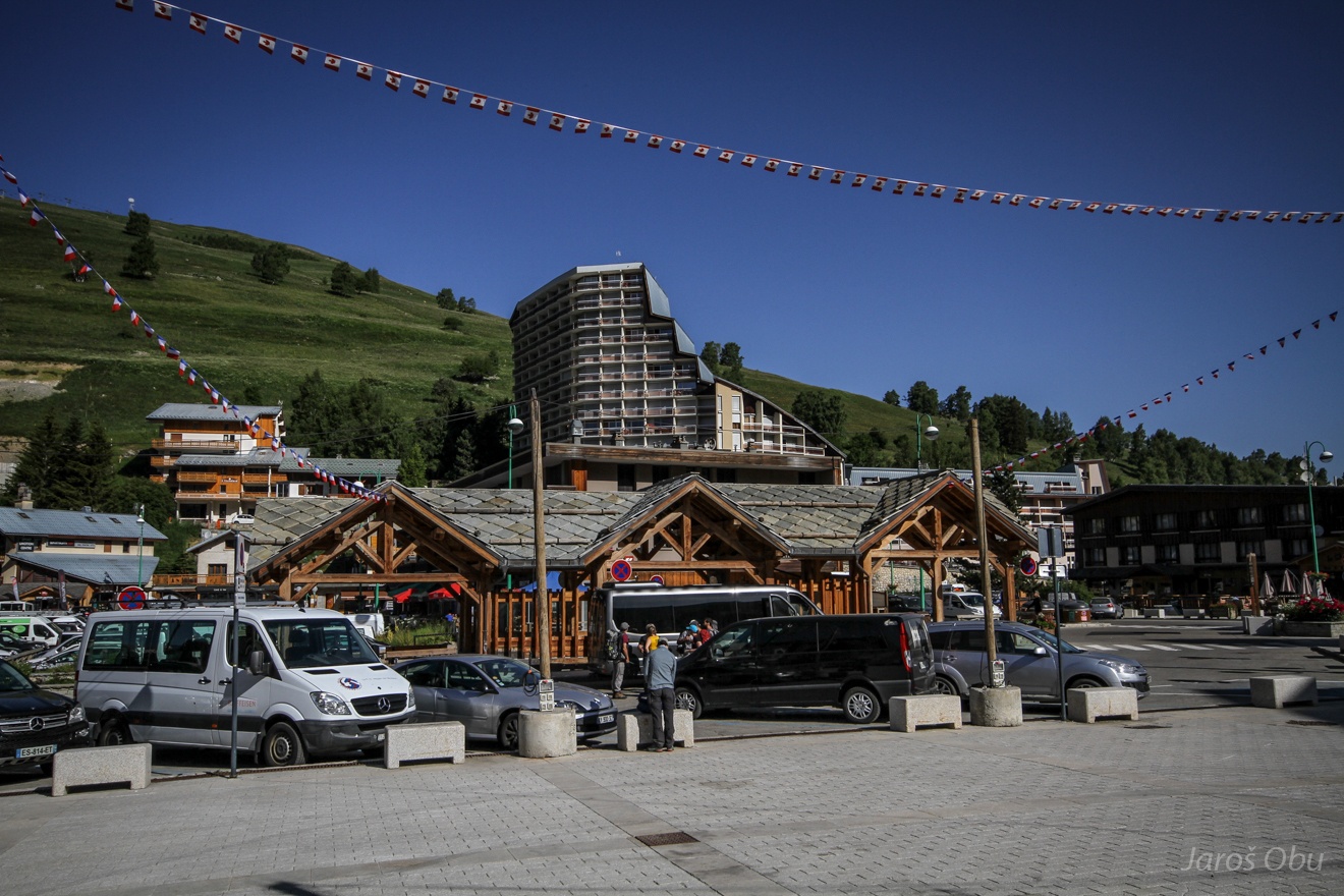
The next day's excursion took place in Les Deux Alpes ski resort.
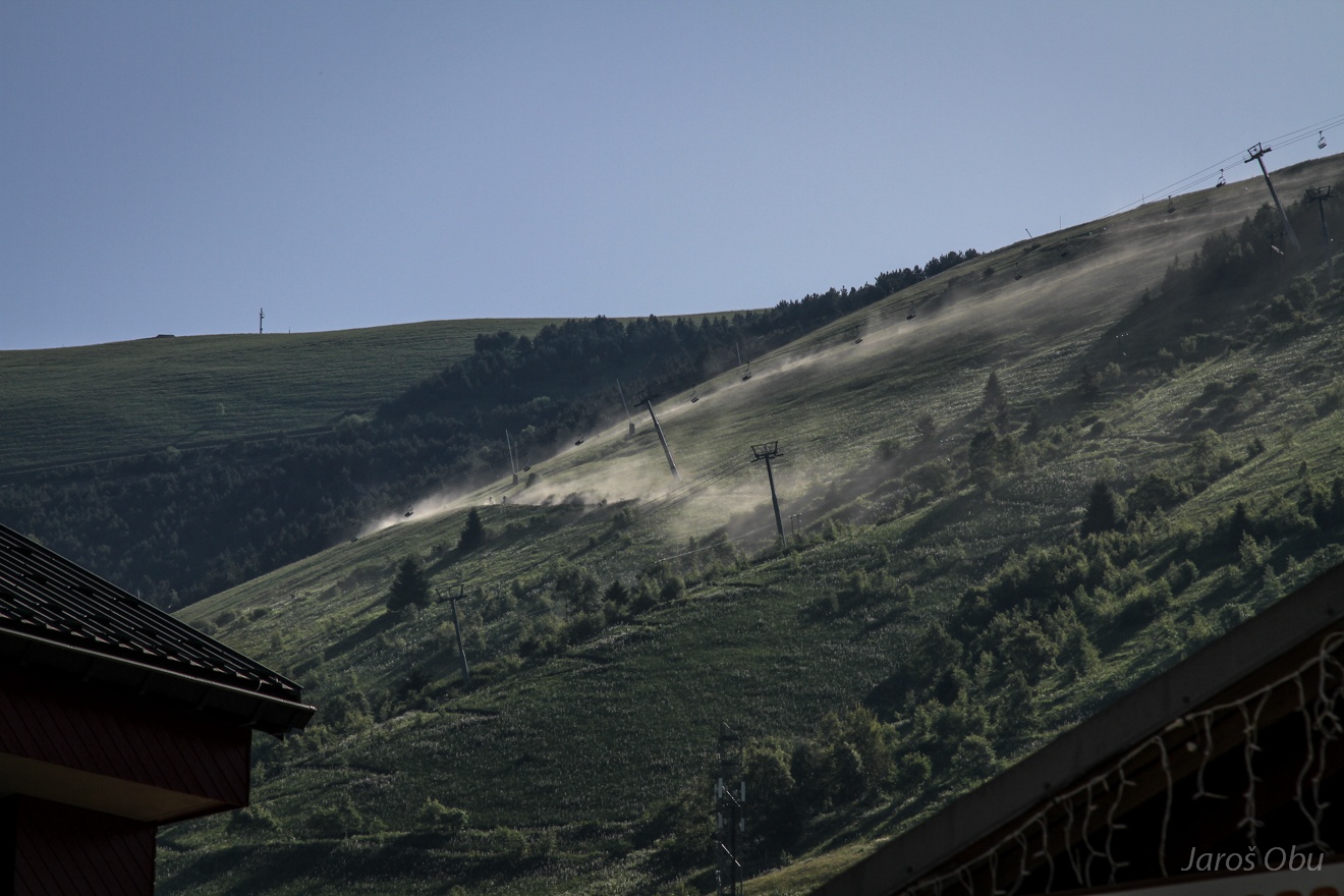
Ski slopes are occupied by mountain bikers in summer.
And by skiers as well.
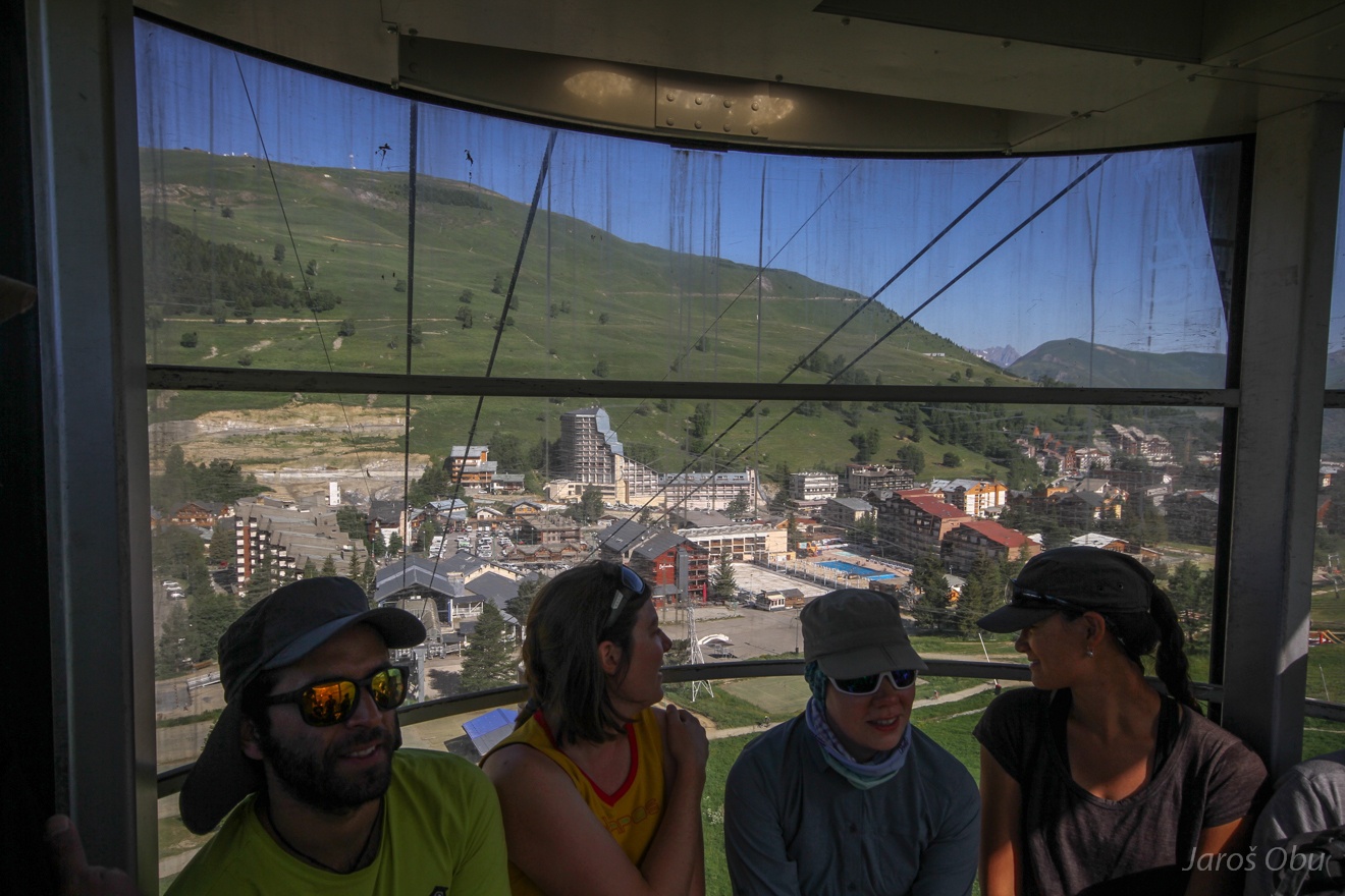
In the cable car overlooking the the resort settlement at 1650 m a.s.l.
Avalanche "vineyards" on the non-vegetated slopes.
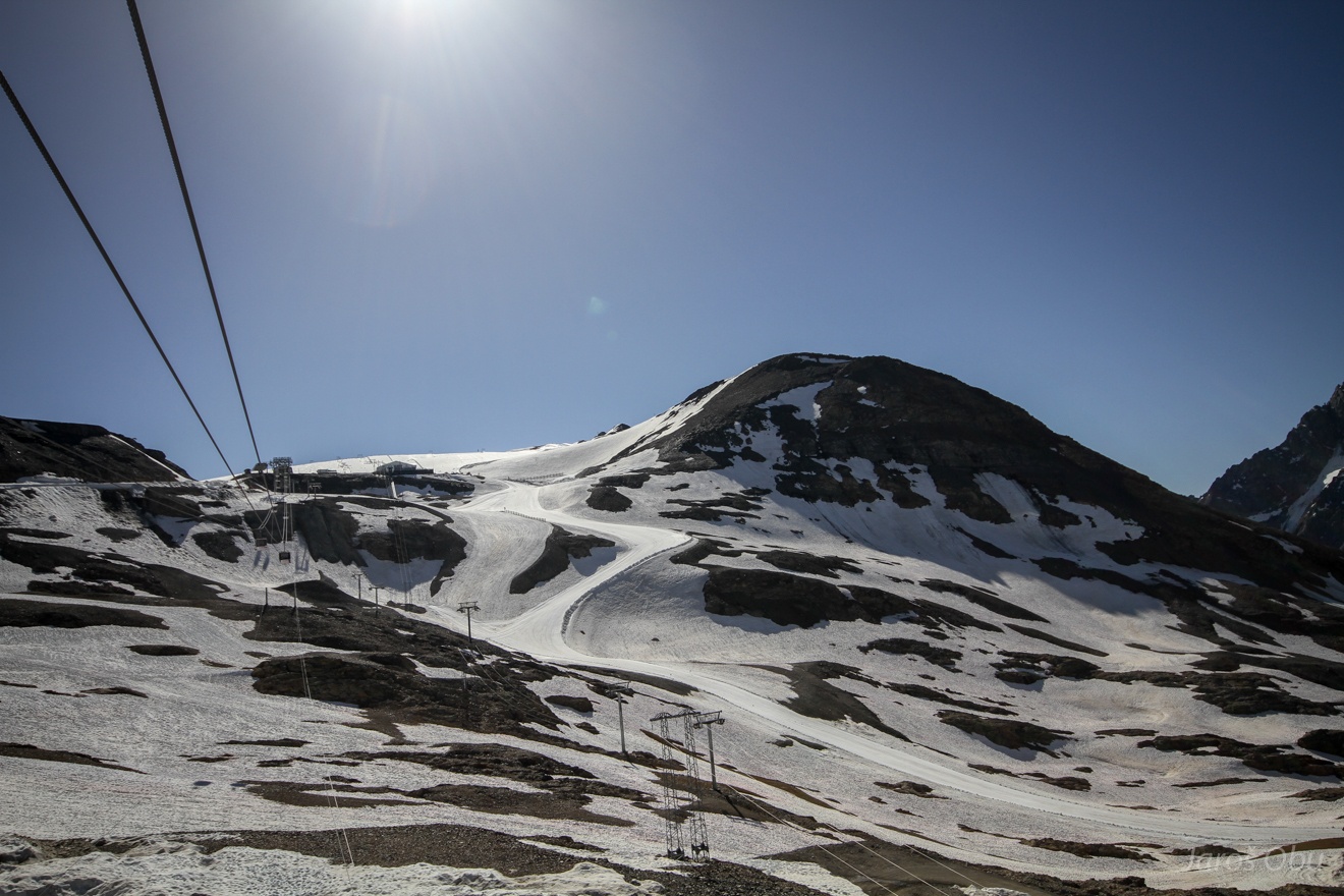
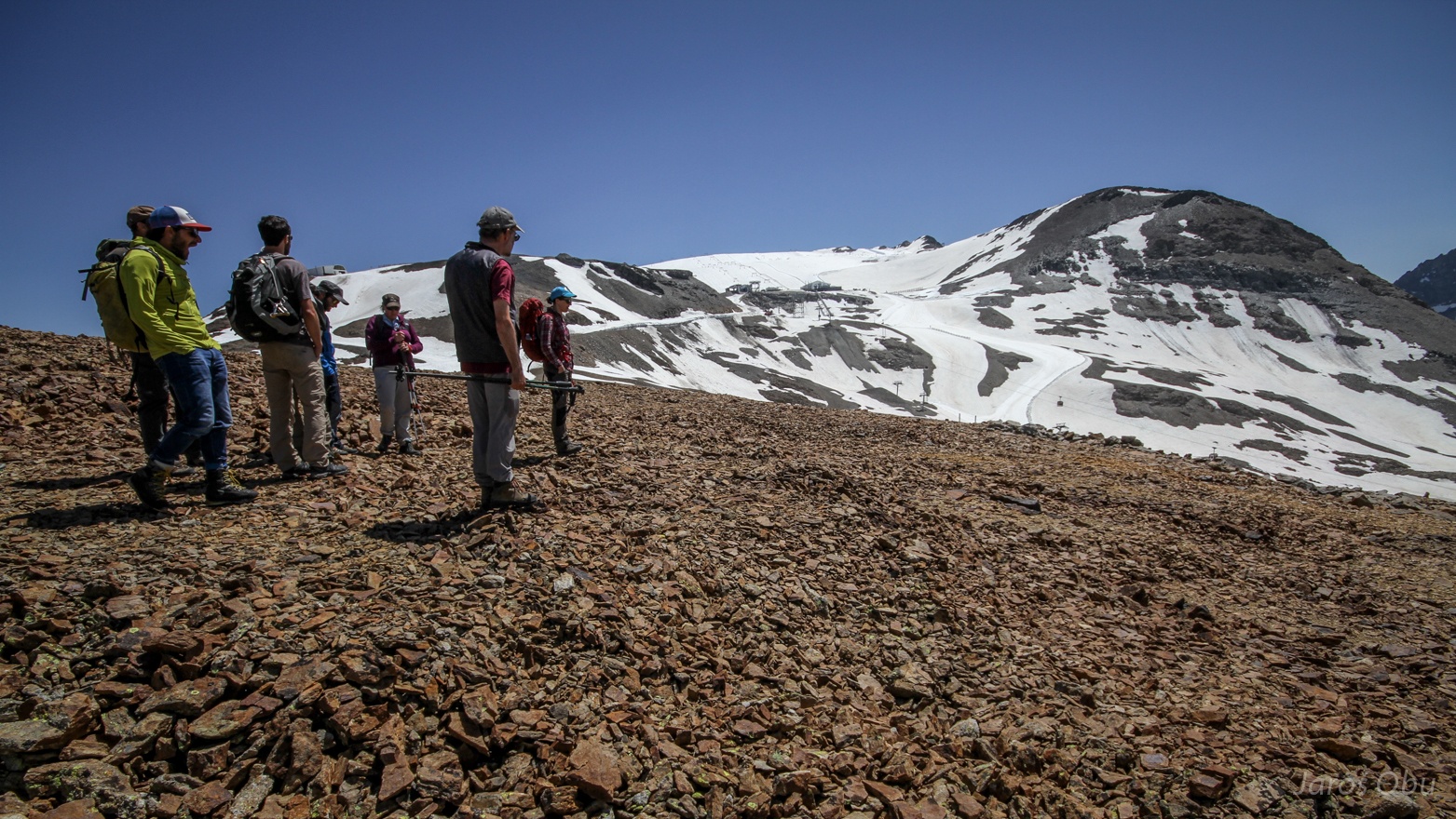
The cable car is going up to Jandri pass (3150 m).
And ski pists continue on Mont de Lans Glacier all the way up to Dome de Puy Salie (3417 m).
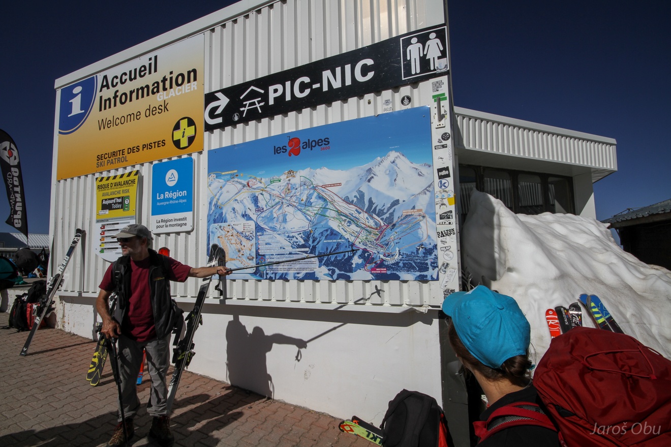
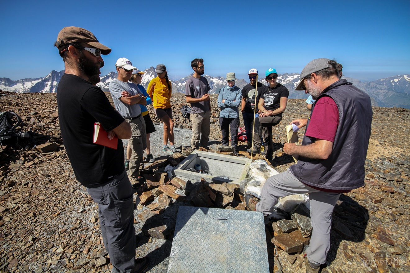
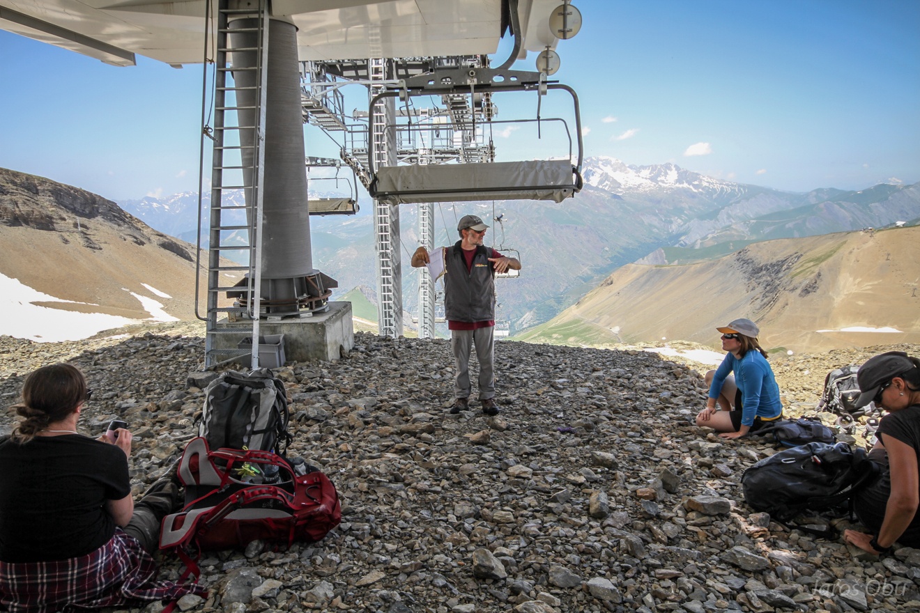
Philippe's introduction to the area.
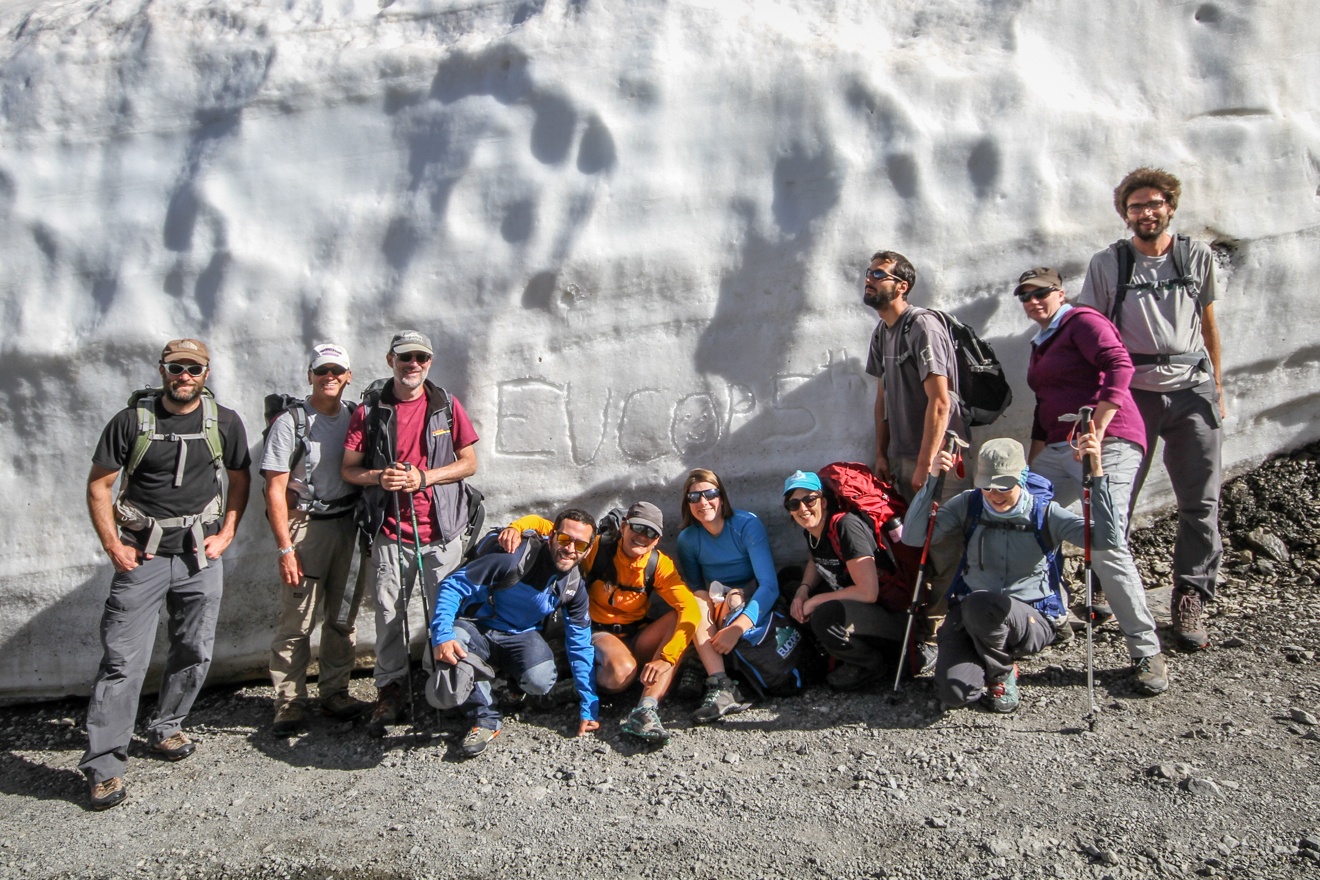
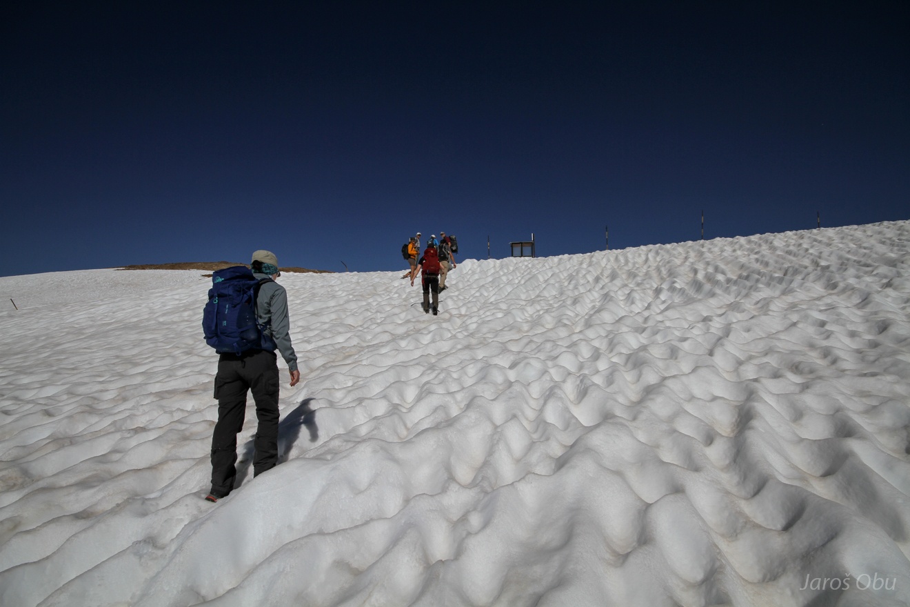
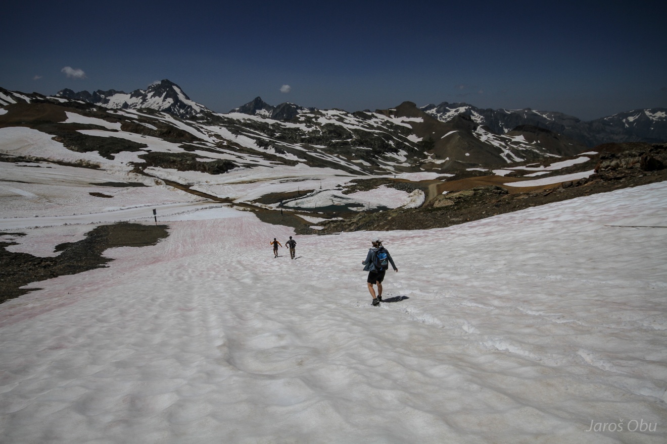
Descending down the road through several metres of snow.
A good oportunity for a group photo.
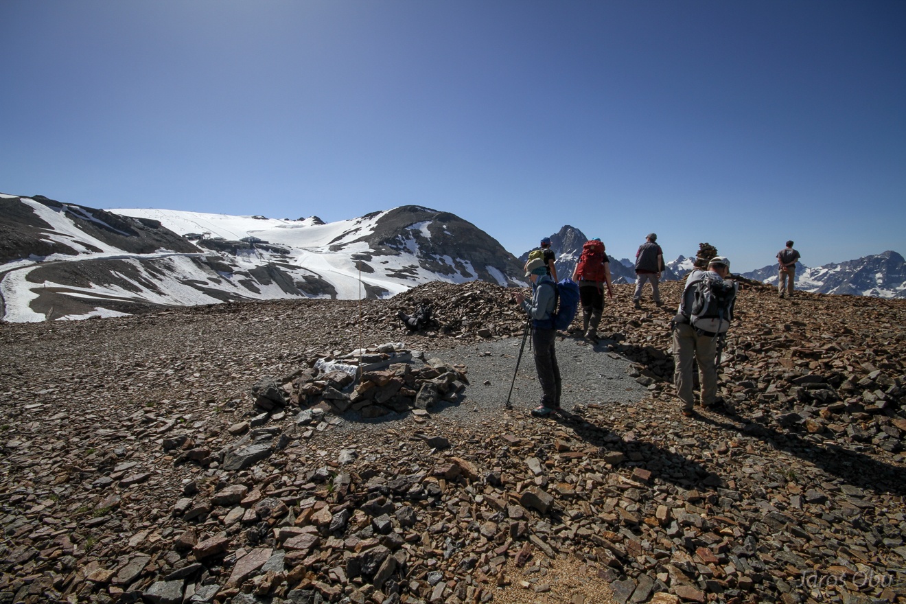
Nearby top with Deux-Alpes-3065 permafrost borehole.
The 100 m deep borehole is the southernmost borehole in the Alps and is equipped also with optical fiber temperature measurements.
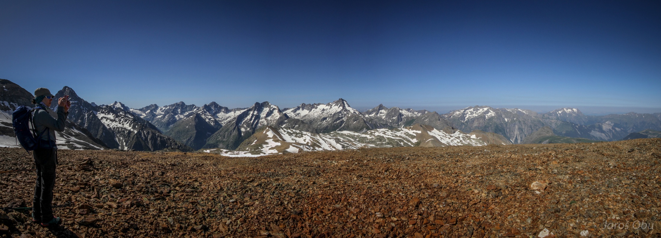
View towards the south.
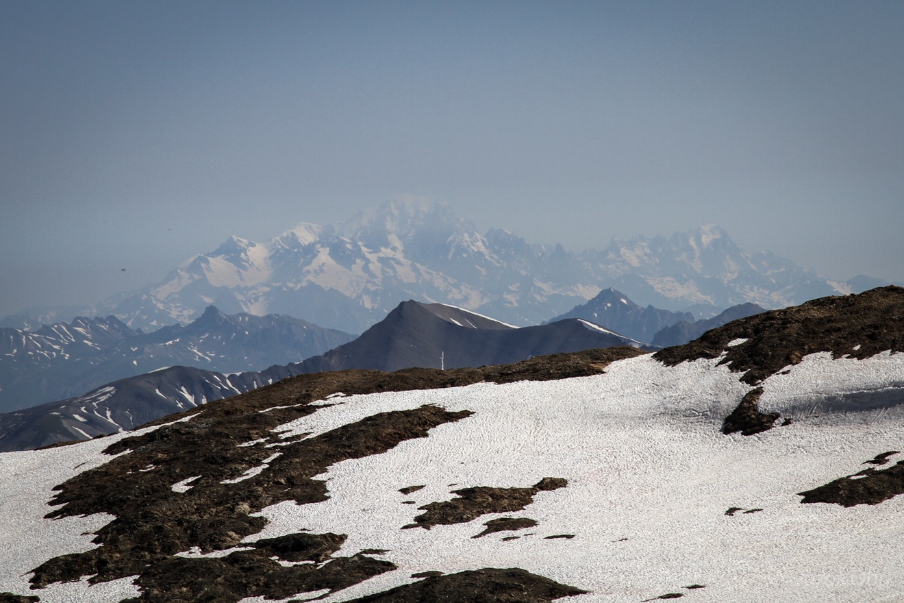
And towards north with Mont Blanc massif.
Patterned ground by the borehole.
Sorted circle.
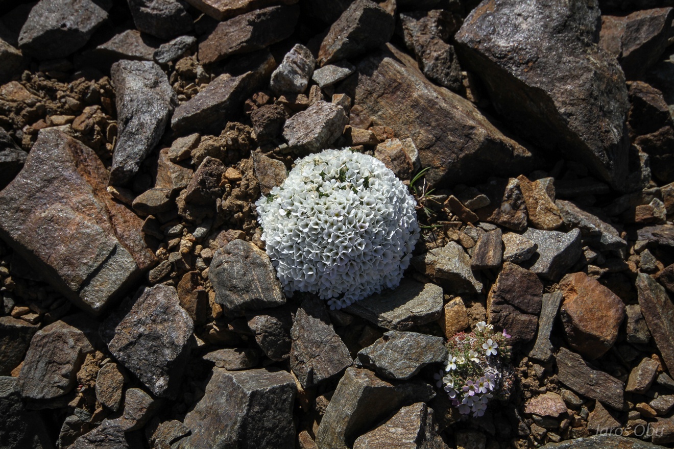
Only few plants are able to defy steady debris movement and low temperatures.
Sliding back on snow rills.
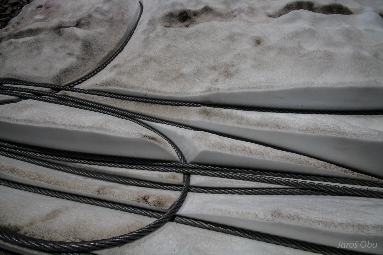
Ski lift wire ropes cuting through the snow with their lower albedo.
Julie and Mario.
More sliding on ski pists.
A quick last ascent to Bellecombes rock glacier.
They built a chair lift station exactly on it so it is consequently one of the most investigated in the French Alps.
Continuous structure adjustments are required due to ground settlement.