© 2024 Jaroš Obu
Photo gallery of Jaroš Obu
Cart
0
Items
Buy now
Excurson in Adventalen 9. 4. 2015
Thursday, 09 April 2015
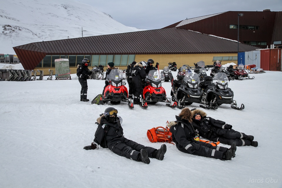
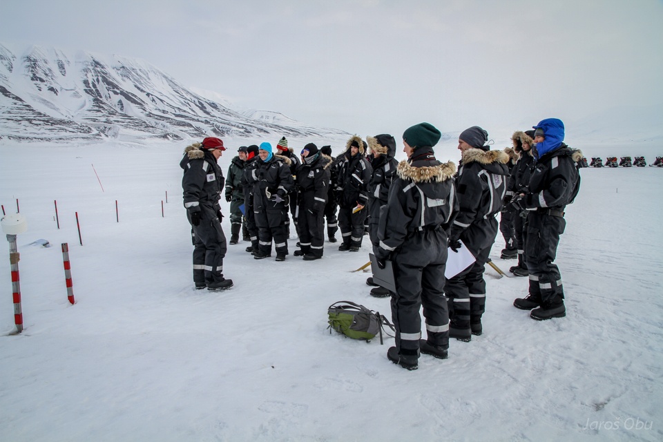
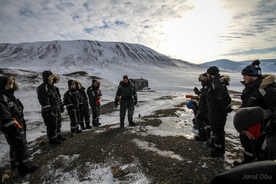
Waiting in front of the UNIS for everyone to get ready.
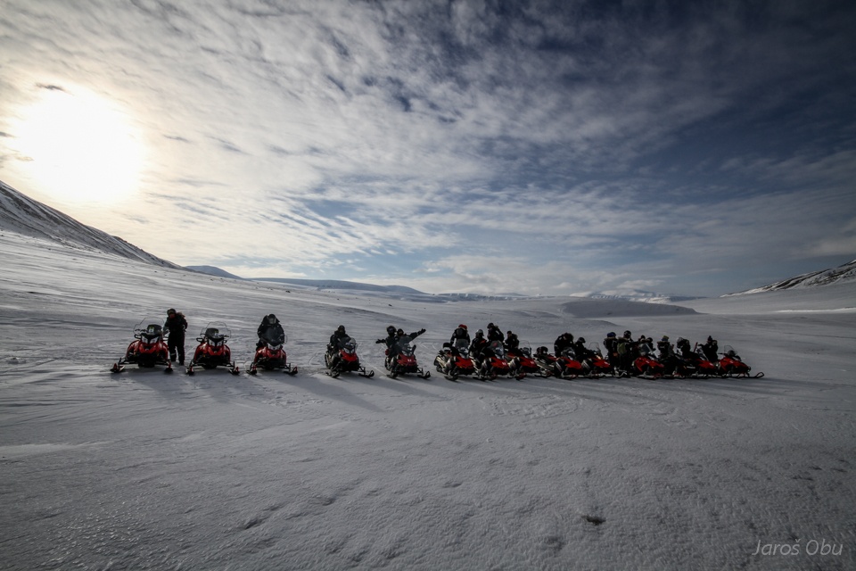
And lining up.
First stop in Endalen.
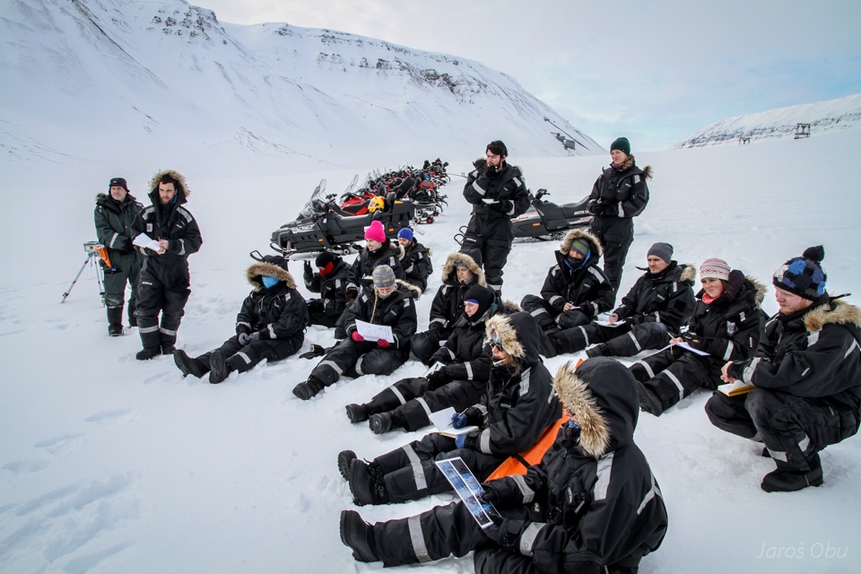
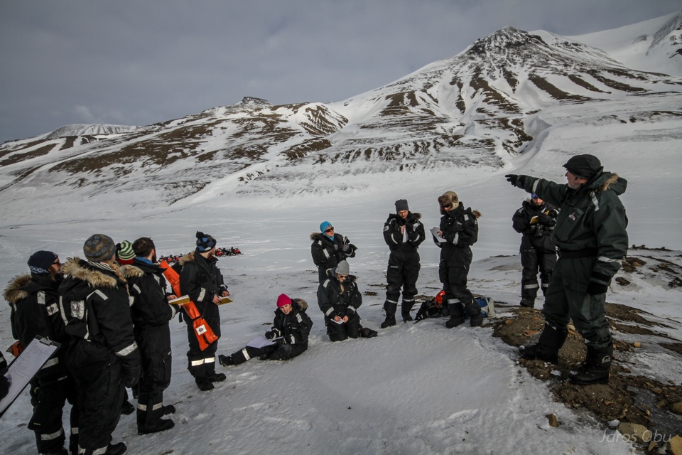
After some time ... when almost everyone was already sitting.
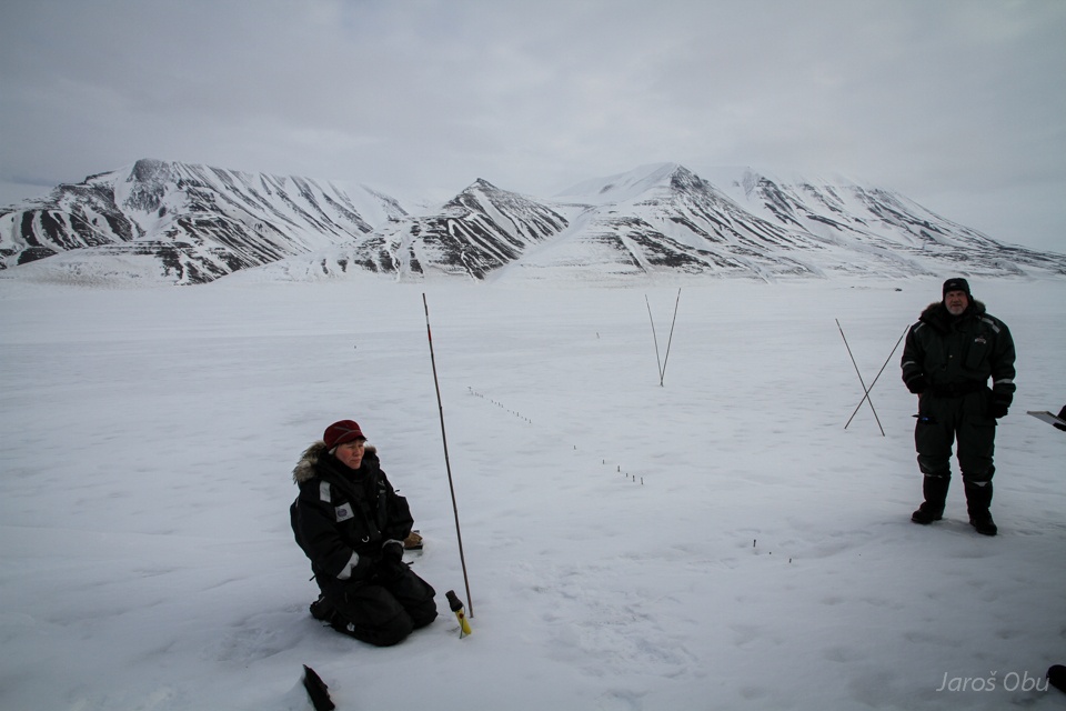
Solifluction measuring station and time-lapse camera.
Inclined poles show that there must be some ground movements.
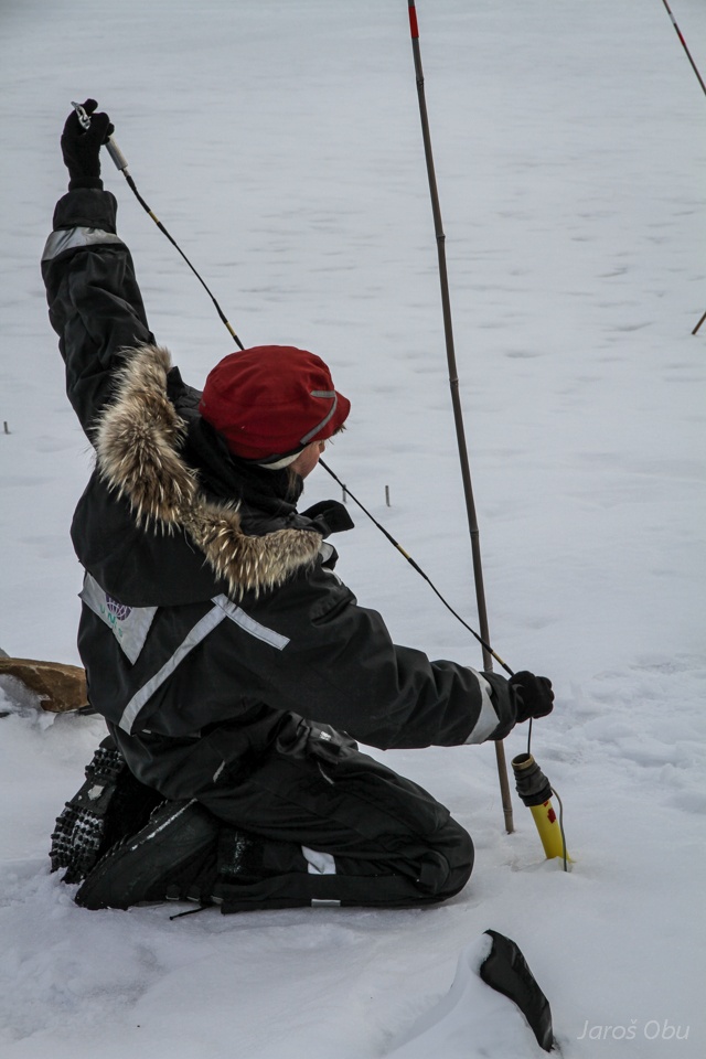
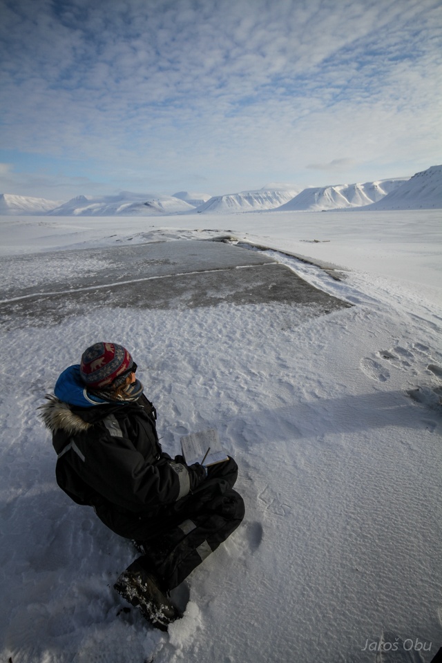
Solifluction measurement with earth magnets.
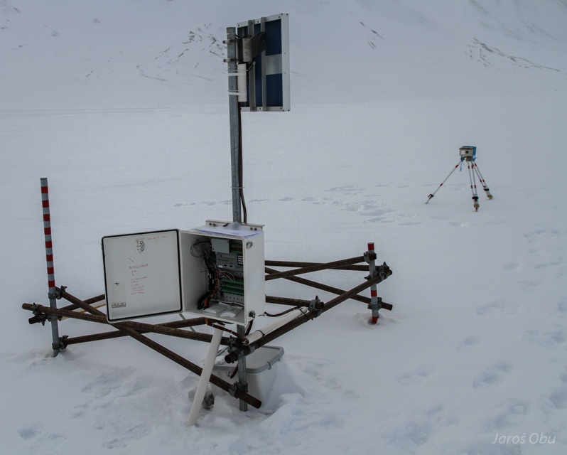
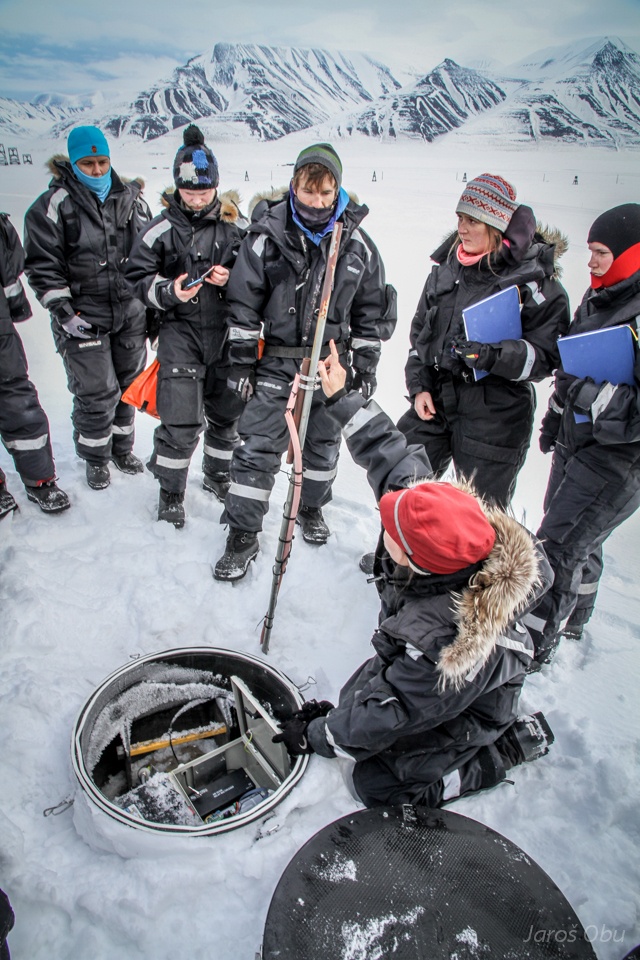
Permafrost station borehole.
Borehole of 20 m depth with 19 thermistors.
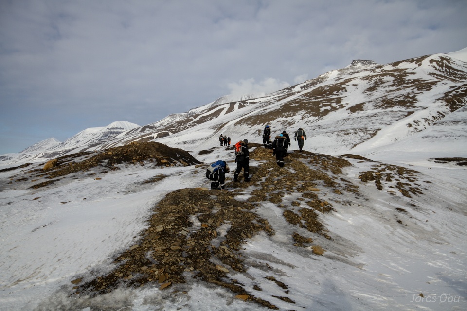
Towards another borehole.
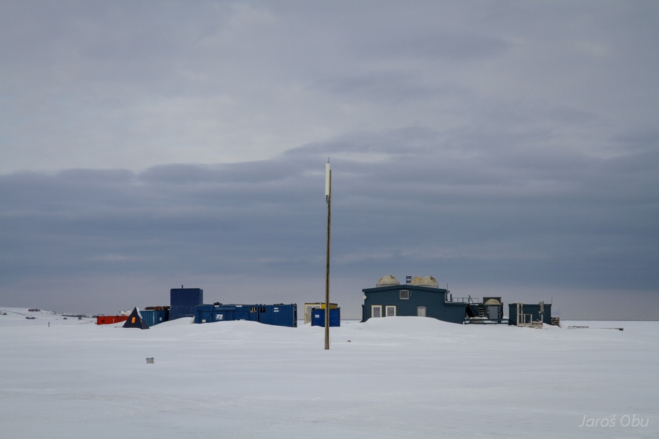
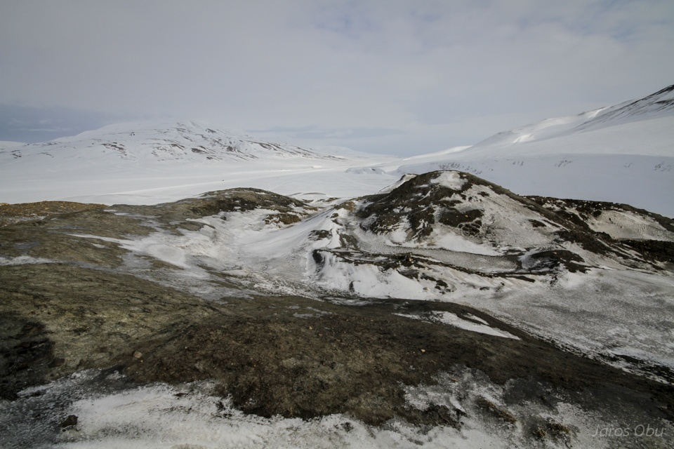
Another study site in Adventalen.
Close to the old auroral station is nowadays UNIS CO2 lab, where they are investigating possibilities of injecting CO2 in sedimentary rocks deep in the ground.
Another permafrsot borehole.
Thermistors on a string in air-filled borehole.
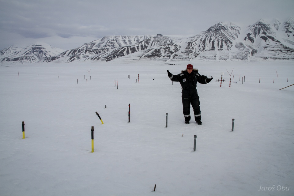
Six boreholes for comparison of measuring techniques. Three steel an three plastic tubes filled with air, diesel and antifreeze.
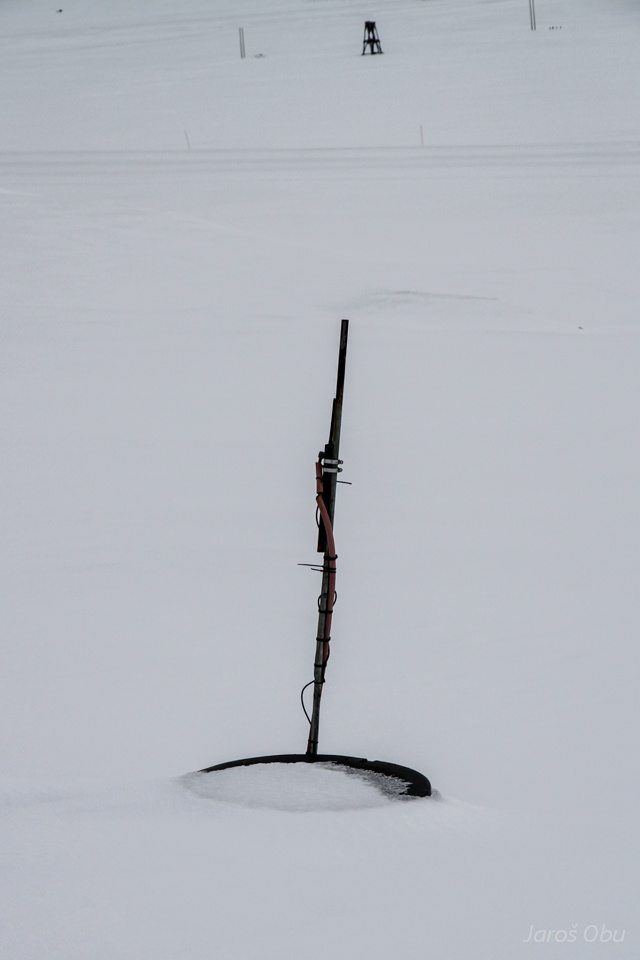
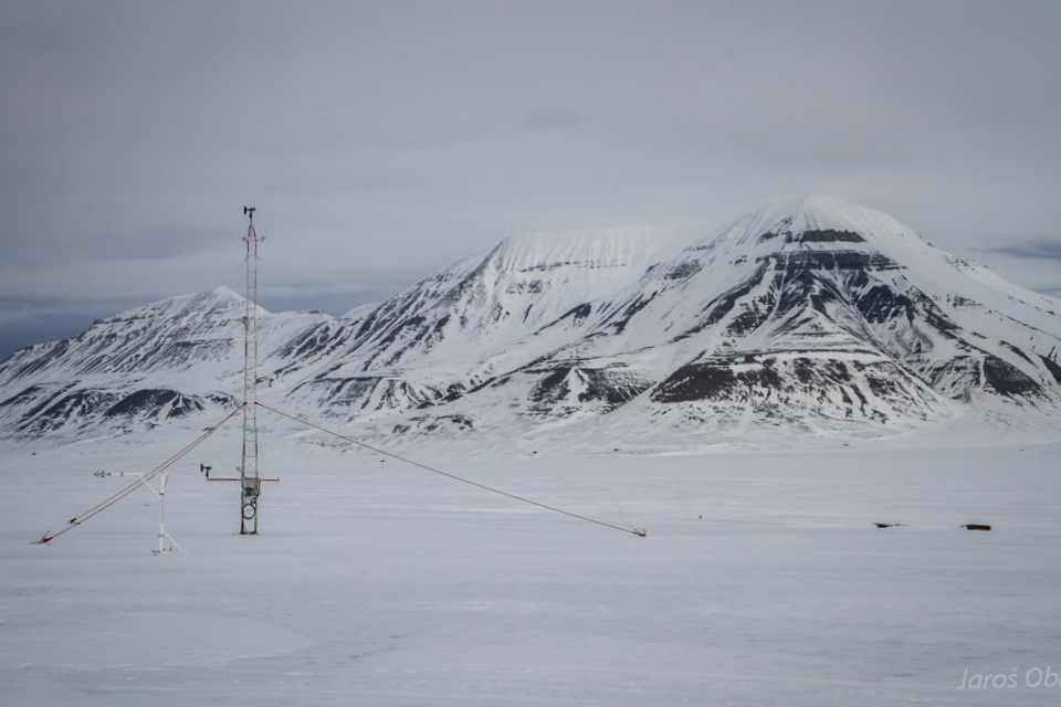
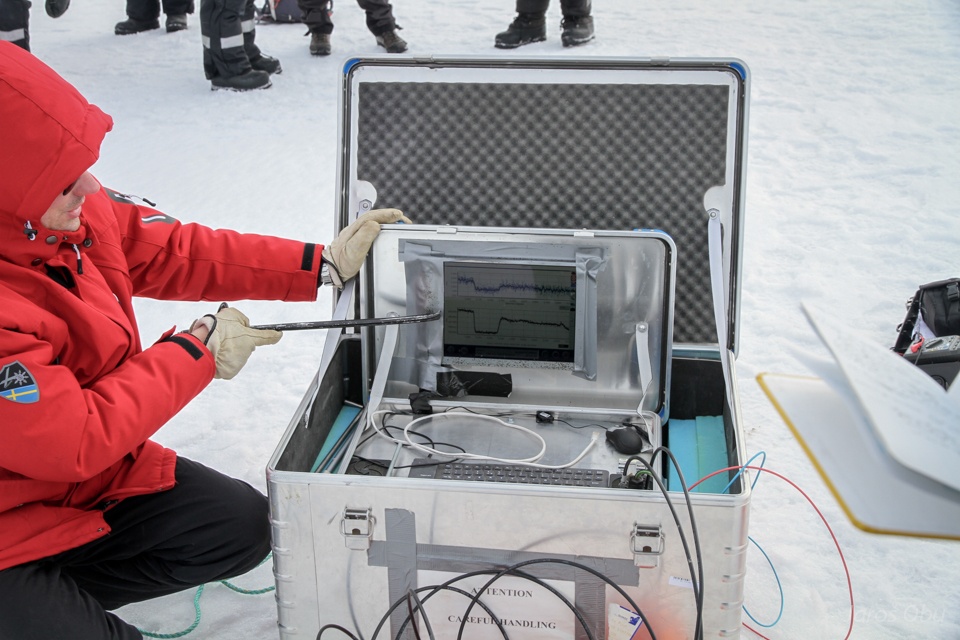
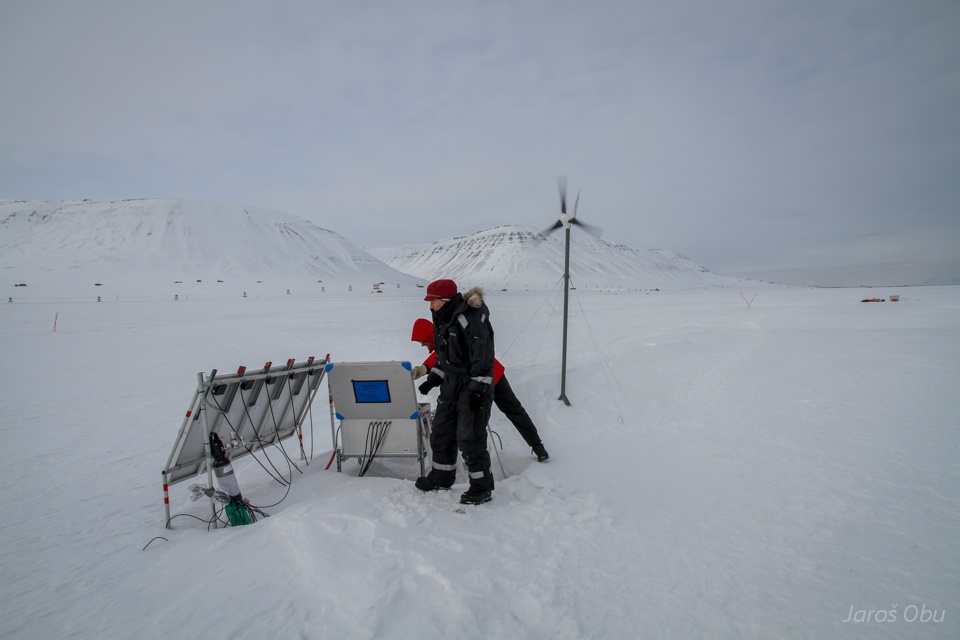
Weather station.
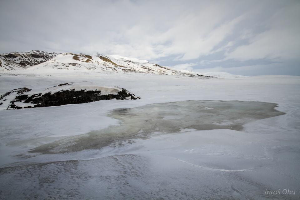
Ice wedge polygon study site nearby.
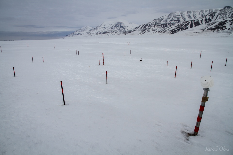
Ice wedges covered with snow and ice. Poles are used as a ground movement measuring references.
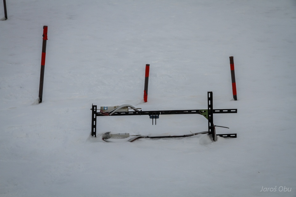
Automatic device that measures movements of ice-wedge trough.
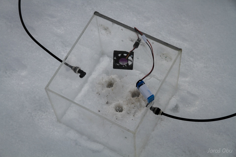
Methane measurements by Swedes.
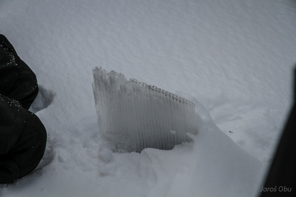
After drilling into the snow and ice layers ...
a methane that formed during Autumn and Winter is being released.
Power station.
And eddy covariance station for air methane fluxes measurements.
Time for a lunch on pingo.
Siesta.
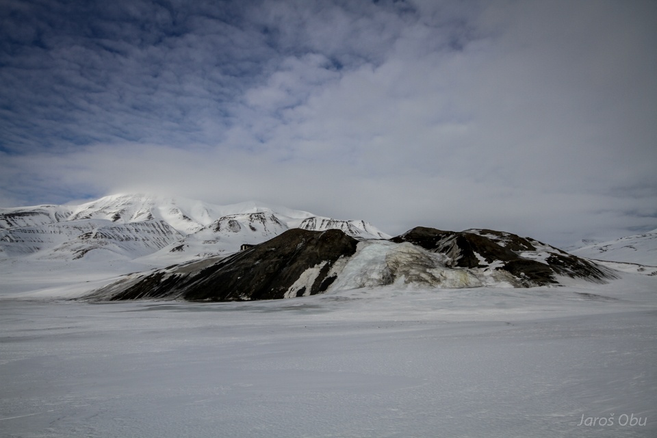
On the Hytte pingo.
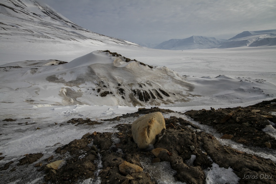
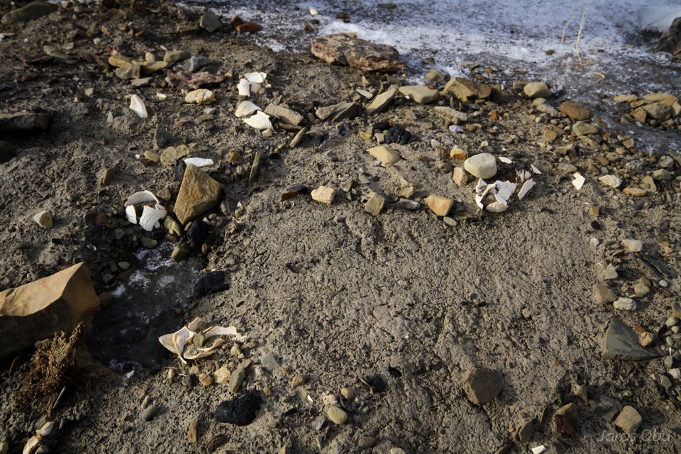
Marine sediments.
With some sea shells that are indicating that the material has been uplifted from the fjord.
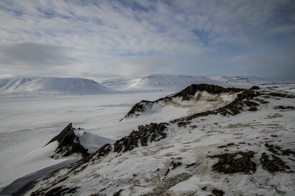
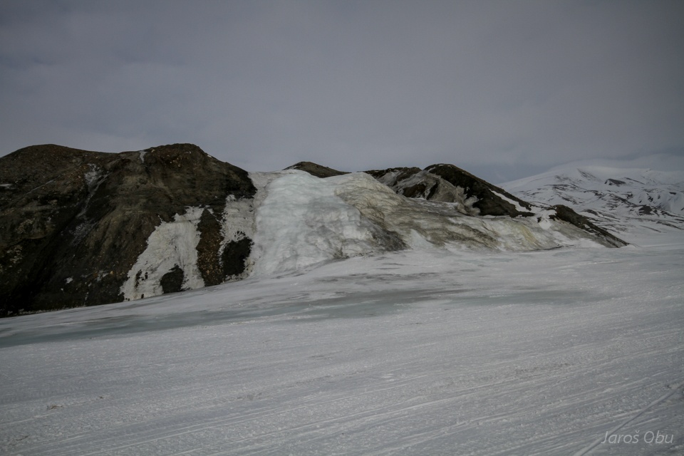
This part of pingo was actively collapsing only few years ago.
But other parts are actively growing.
Open system pingos form from groundwater that in this case probably penetrates permafrost close to alluvial fans.
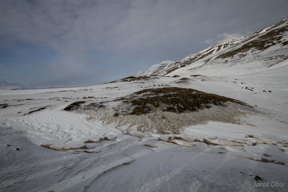
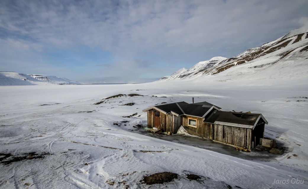
Hut that gave the pingo its name. Despite active changes happening on it, it was not yet damaged.
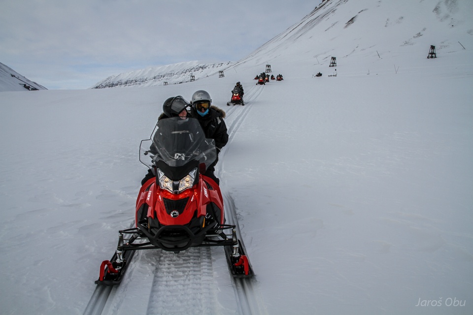
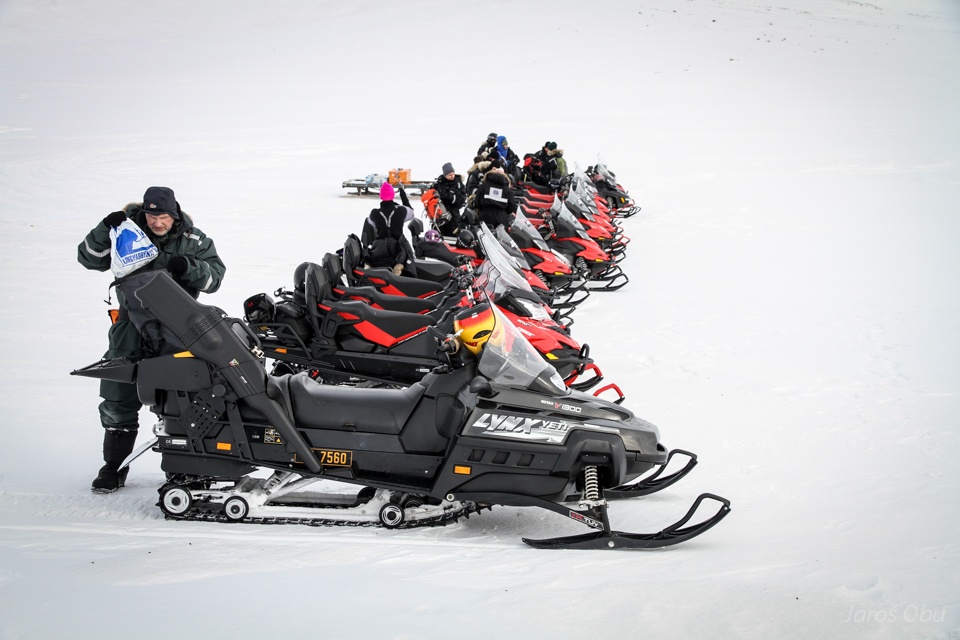
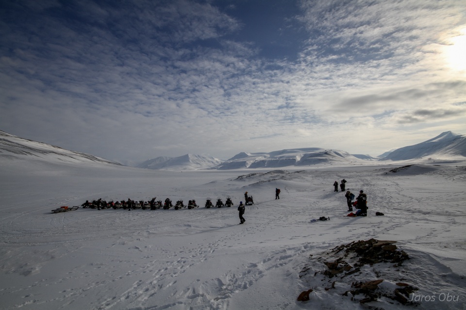
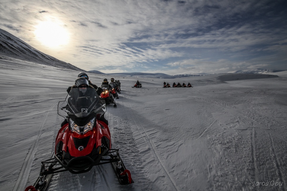
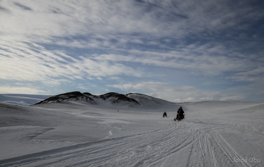
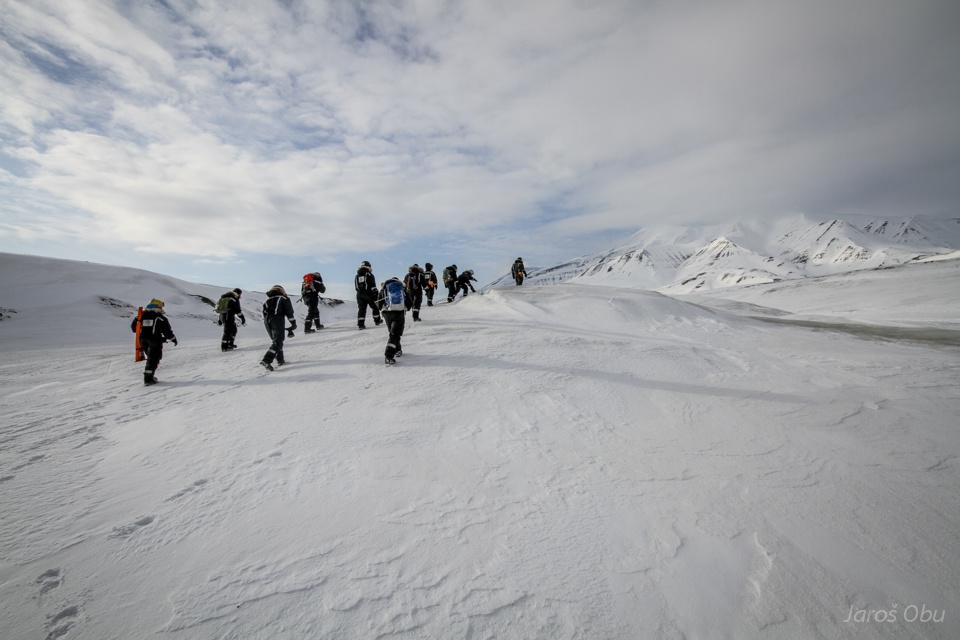
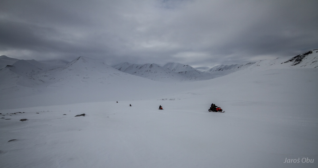
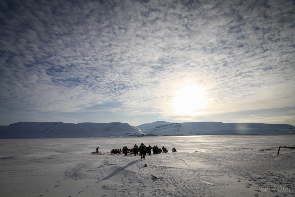
Returning back to snowmobiles.
And arriving in the upper part of Adventdalen.
Photostop.
For Innehytte or also Waterfall pingo.
The reason is of course the active saline water waterfall.
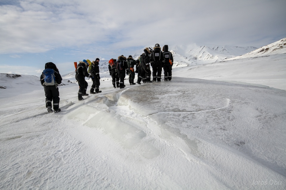
Let's drive close to the top if can.
Another permafrost borehole.
And "inner hut" that gave name to this pingo.
This one is made of shale.
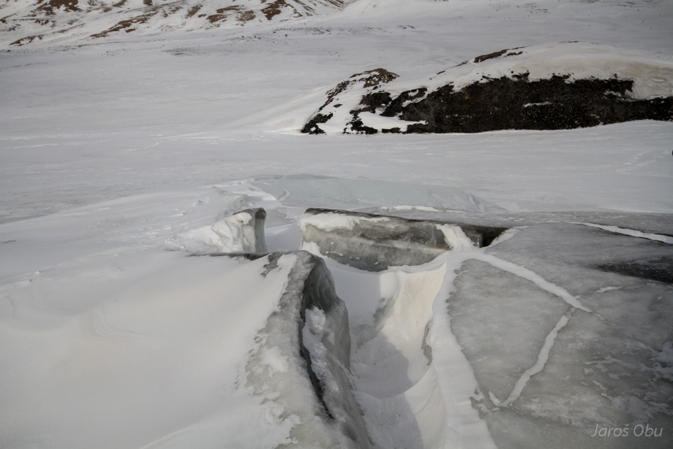
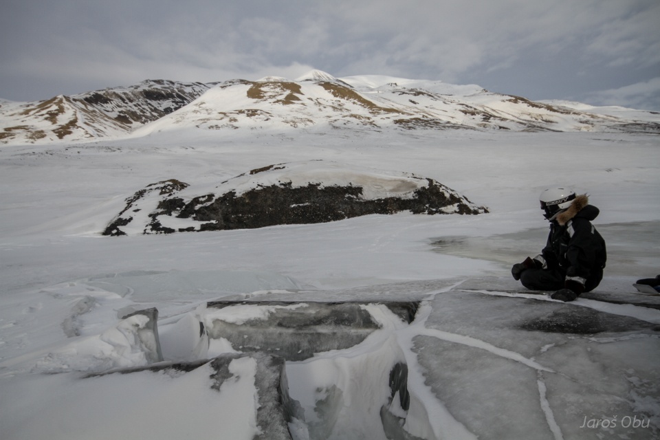
The "crater" where ice is melting and refreezing all the time.
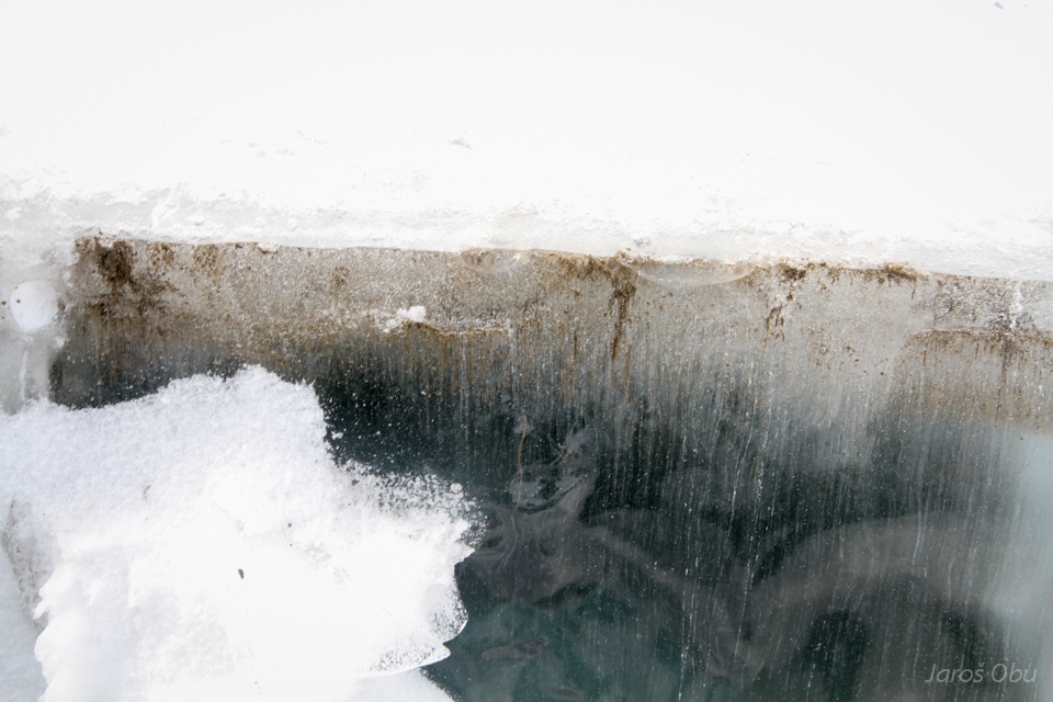
The spring of saline water is active through the whole year. How water becomes saline remains a mystery.
Waterfall from the upper side.
Frost weathering is very active in this environment.
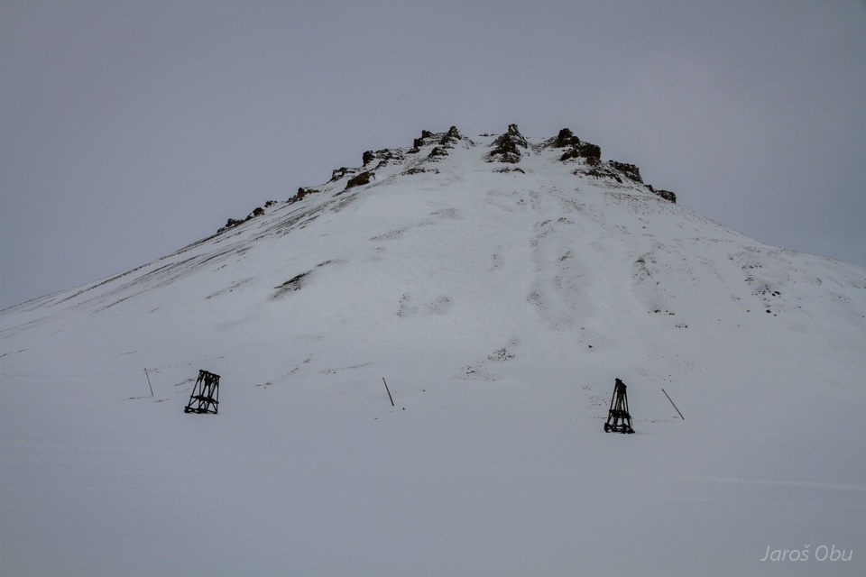
And a visit of frost blister a bit further up the valley.
Unlike pingo, these normally form from active layer groundwater and do not uplift much sediments.
Uplifting is causing ice to fracture.
But just in the vicinity the new pingo is being formed.
Expelled water.
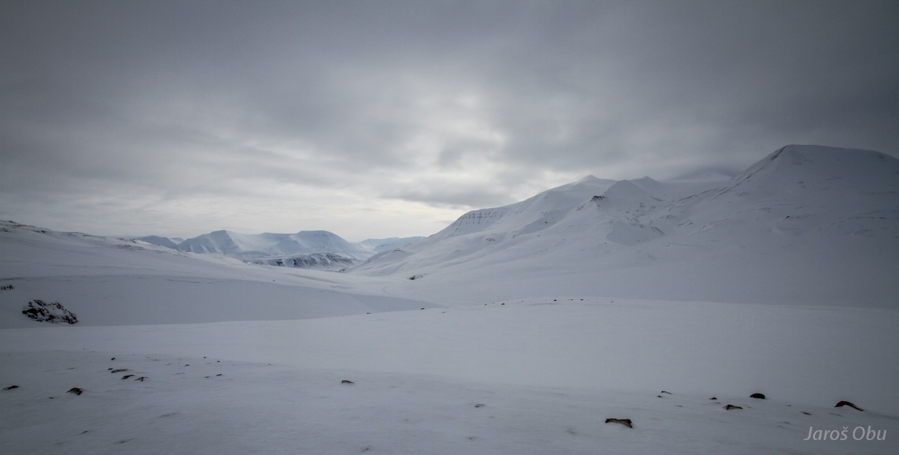
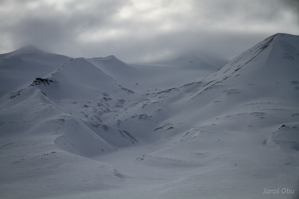
Up on the Krekling pass.
View towards the south.
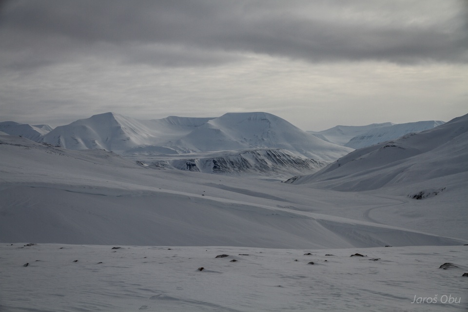
Hallwylfjellet and Janssonhaugen bellow.
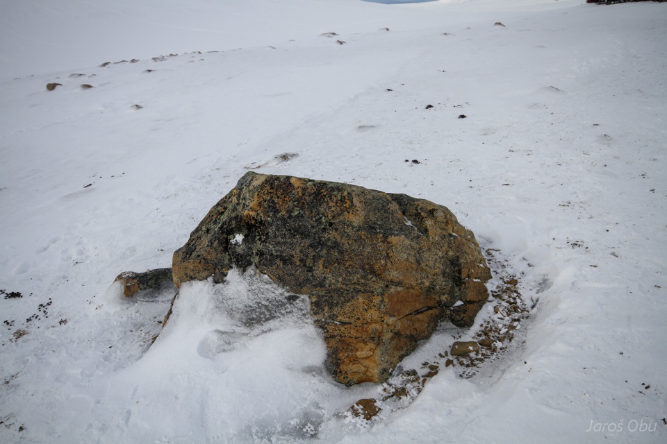
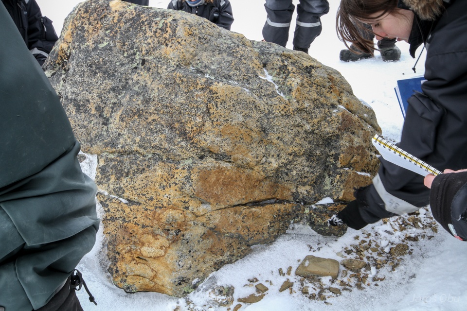
Wind polished boulder on the pass.
No lichens can grow on the side, which is being polished by ice crystals.
A glacier under Helvetiafjellet.
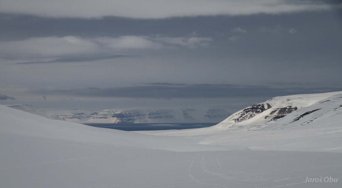
View towards the north into Sassenfjorden.
Cornices in Helvetiadalen.
And up on the last pingo.
Lis on Lagoon pingo.
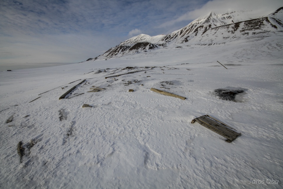
Driftwood and other anthropogenic clutter is showing that we are close to the sea.
And going home.