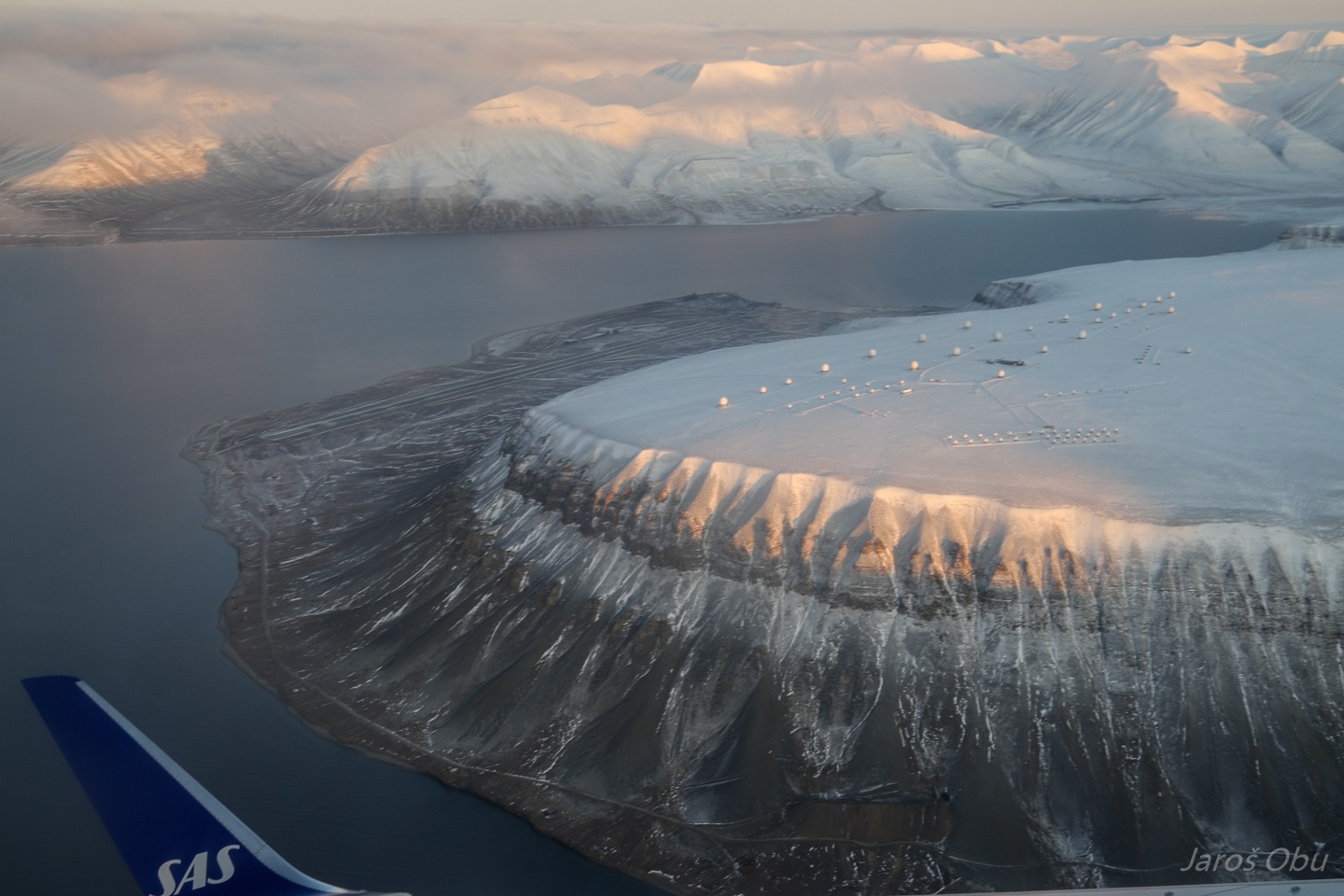
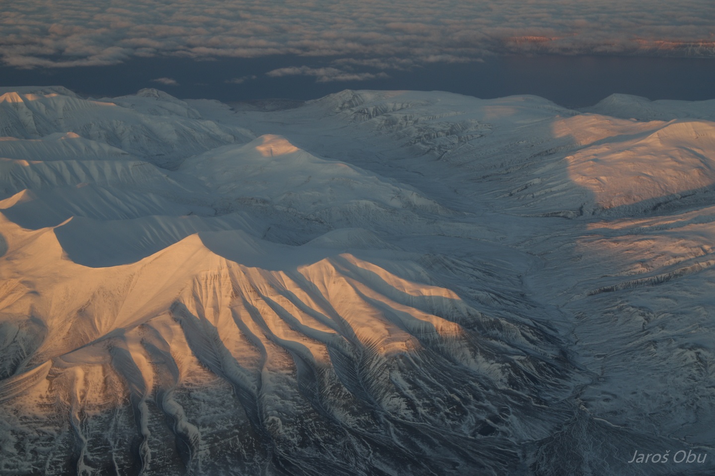
© 2024 Jaroš Obu
Photo gallery of Jaroš Obu
Cart
0
Items
Buy now
Field work in Svalbard glacier caves 3.-15.10. 2019
Wednesday, 09 October 2019
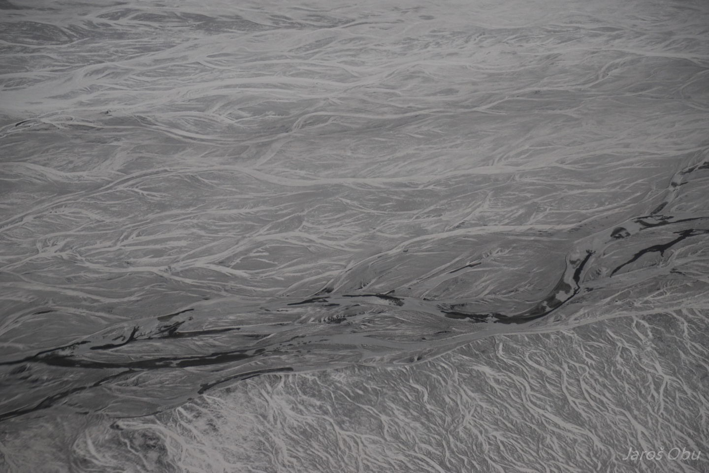
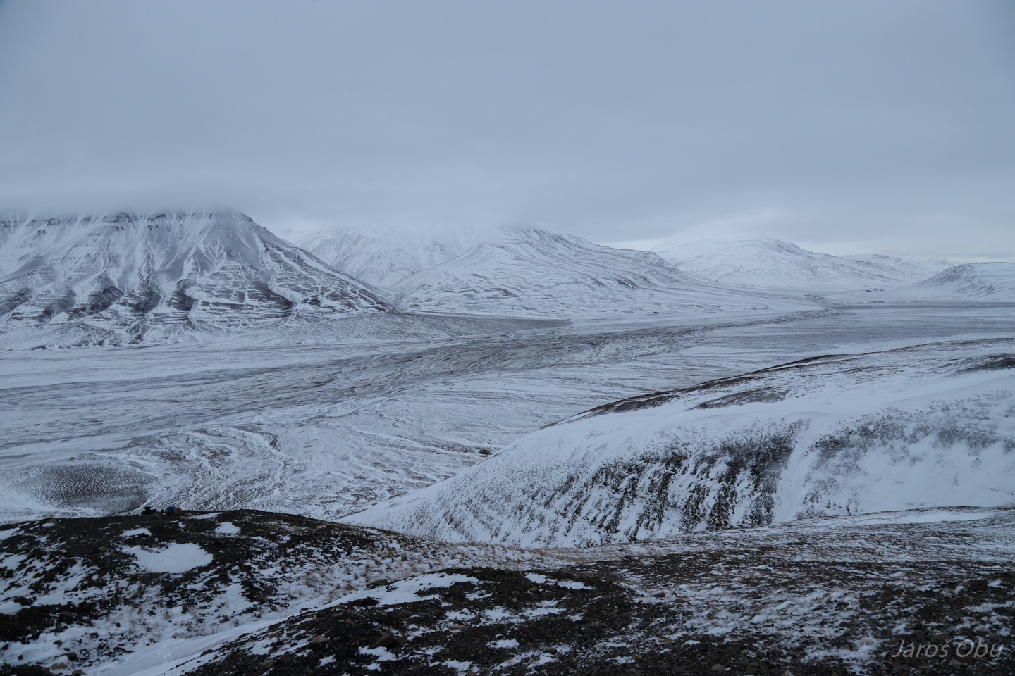
Braided streams of Adventdalen. A thin layer of fresh autumn snow makes the landforms very well visible.
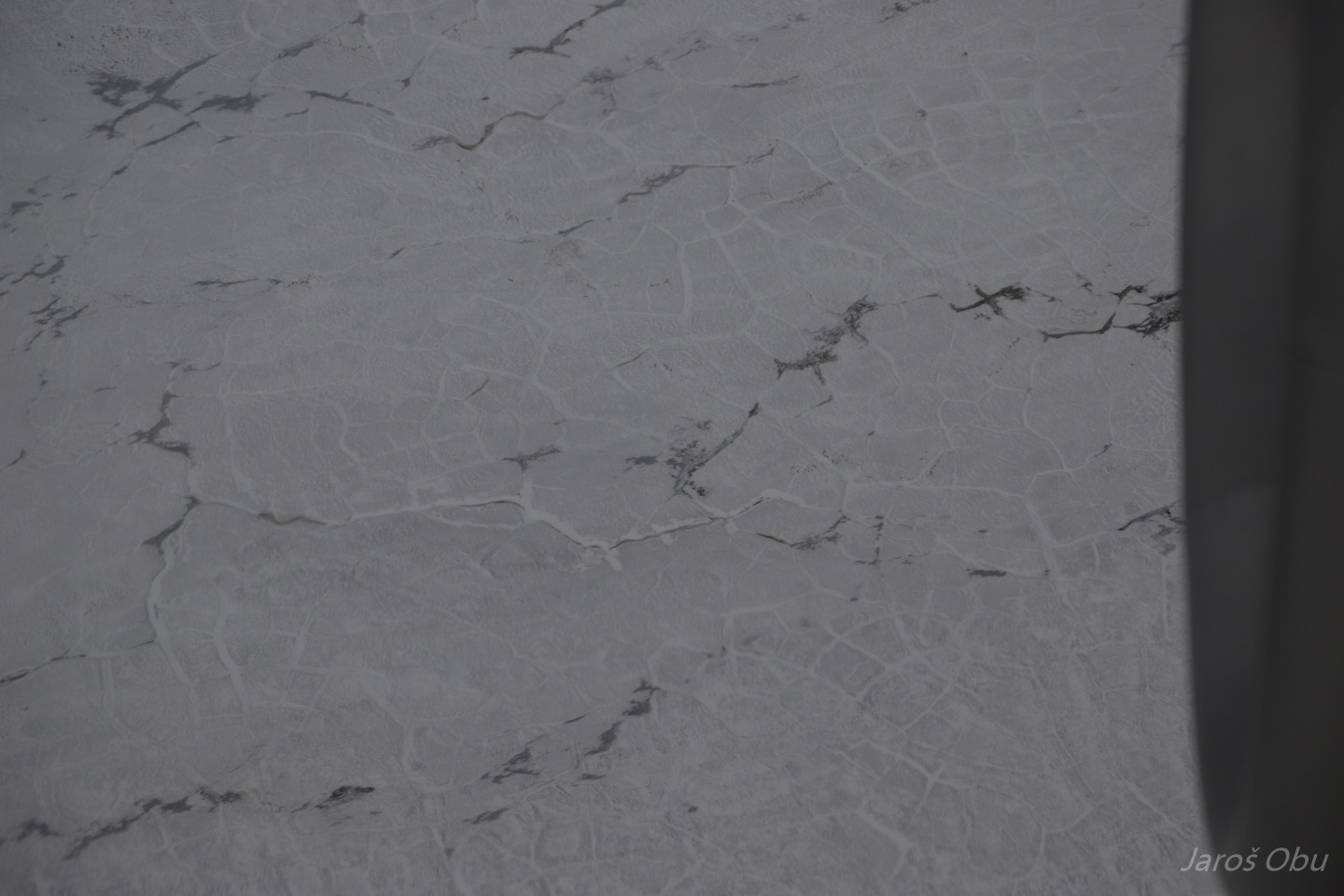
Ice-wedge polygons.
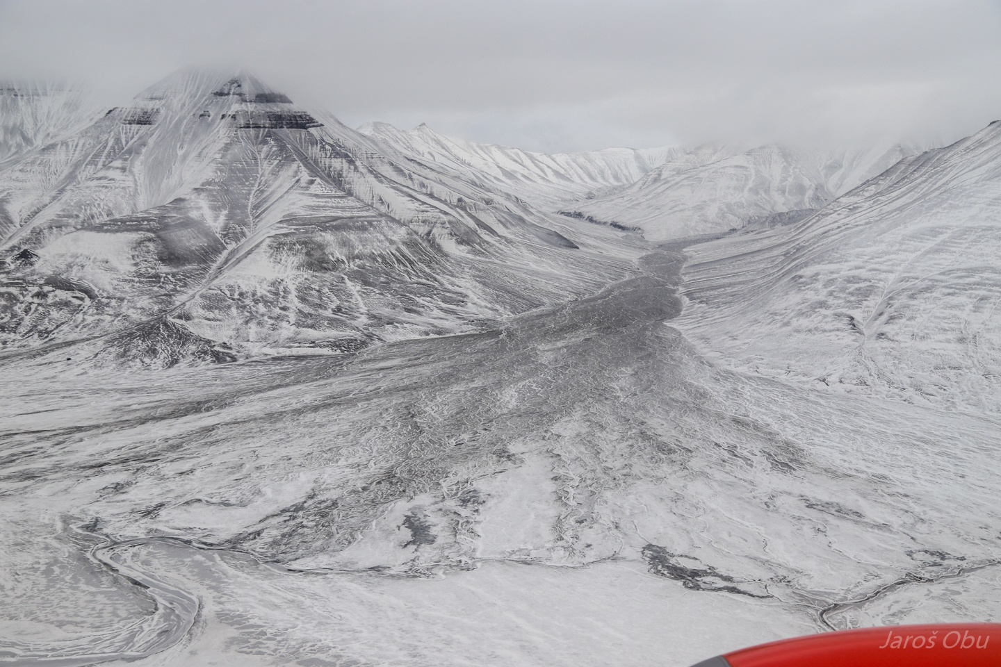
Alluvial fan of Mälardalen.
A product of very creative chambermaids at the UNIS guesthouse.
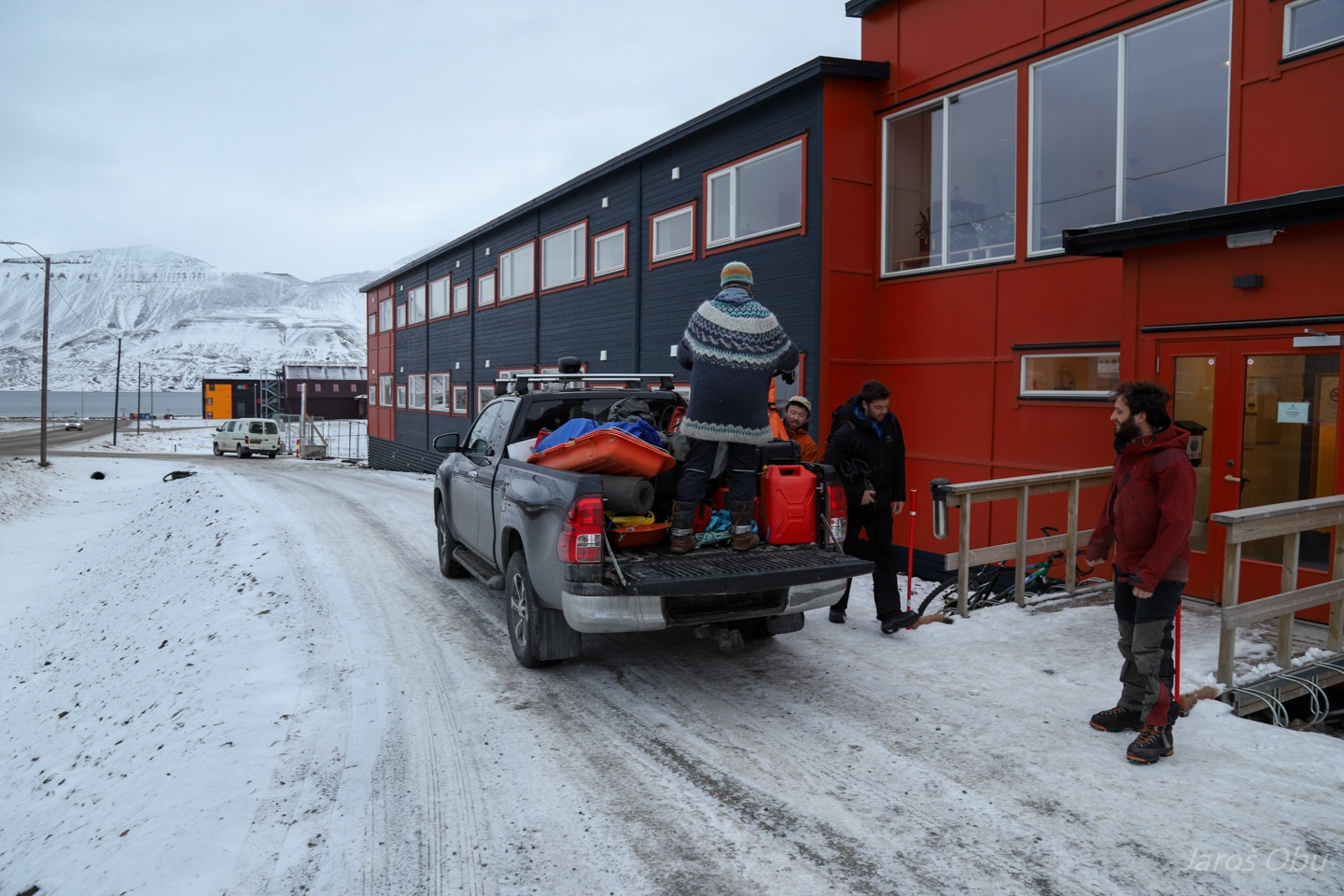
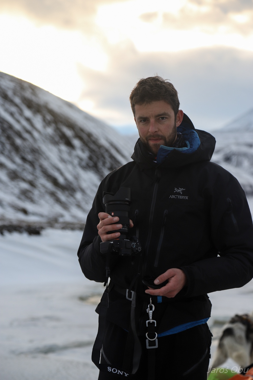
Ready for the adventure after two days of preparations. Irene is picking us up in front of the guest house.
Assessment of snow and ice conditions in Adventdalen.
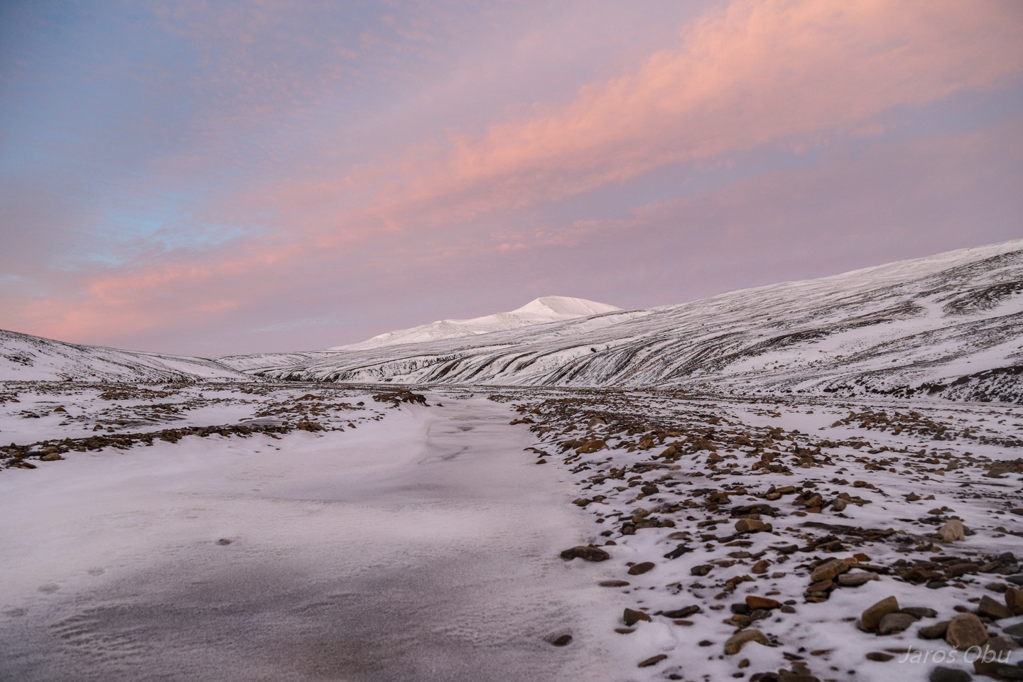
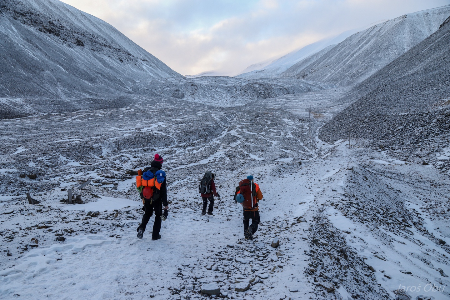
We are going up this valley and turning left to Helvetiadalen.
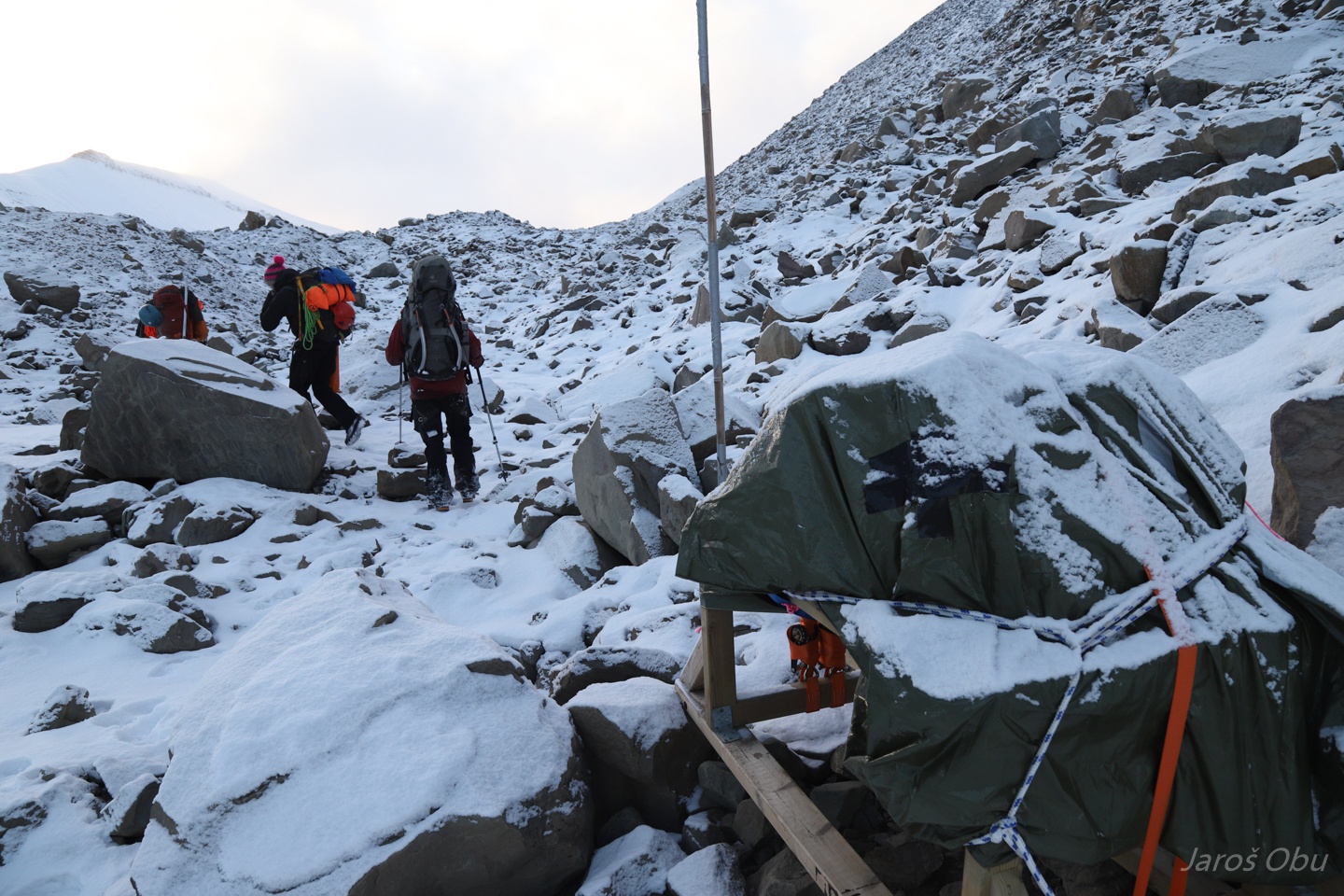
Packing our sledges at Camp Barentz.
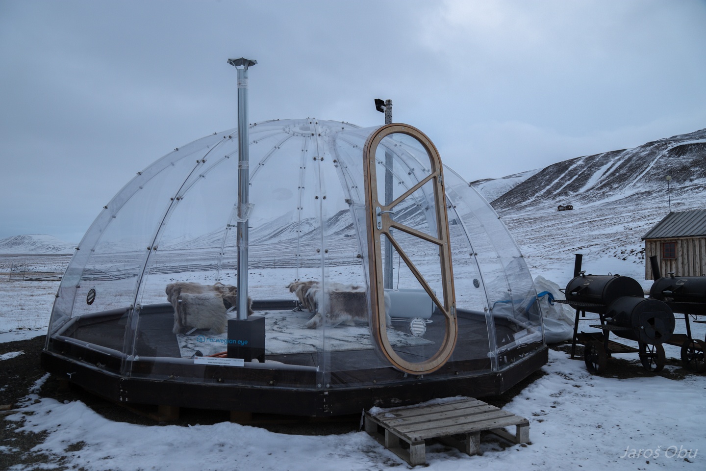
Northern lights observatory for tourists.
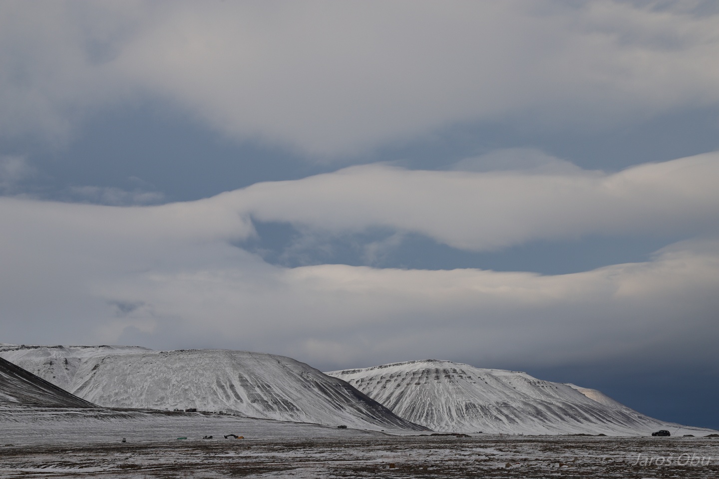
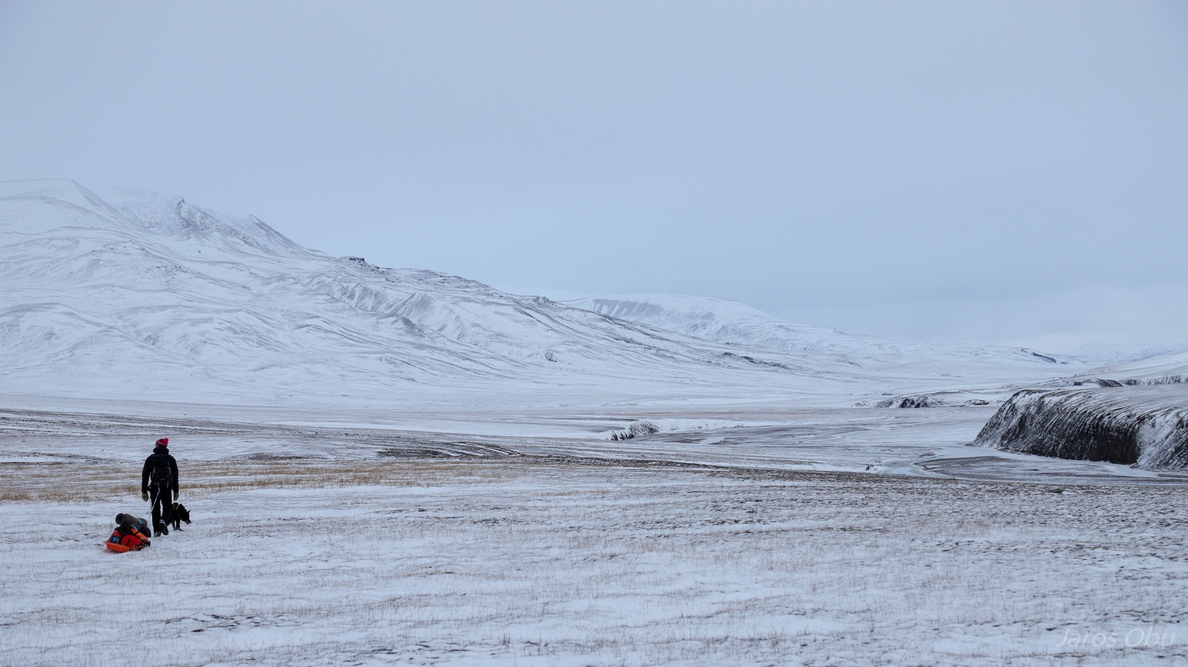
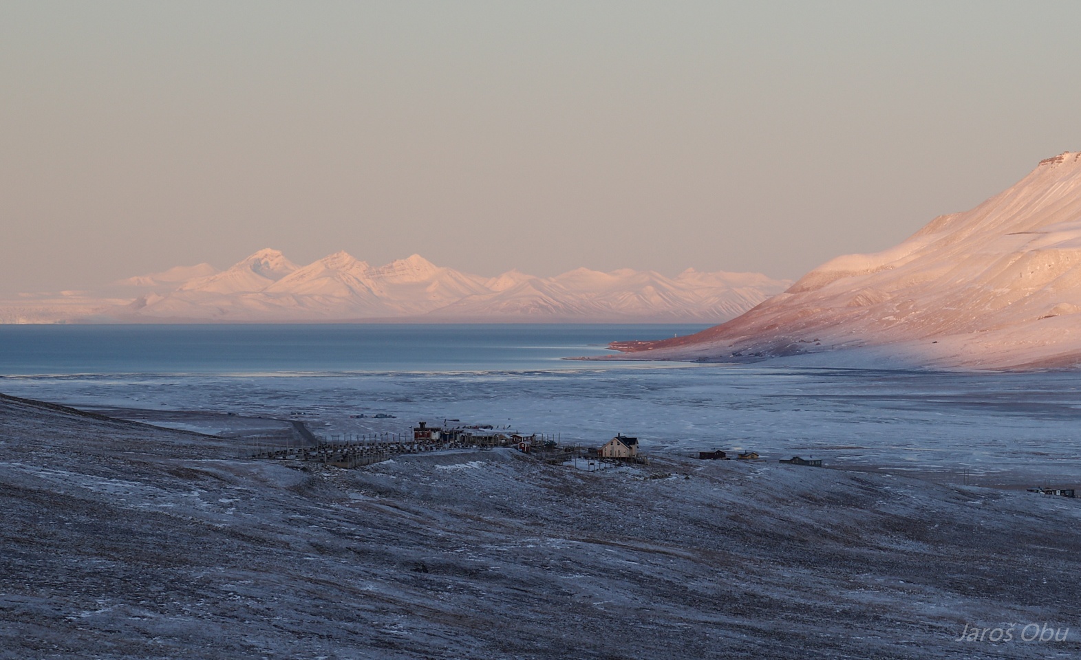
Autumn Adventdalen.
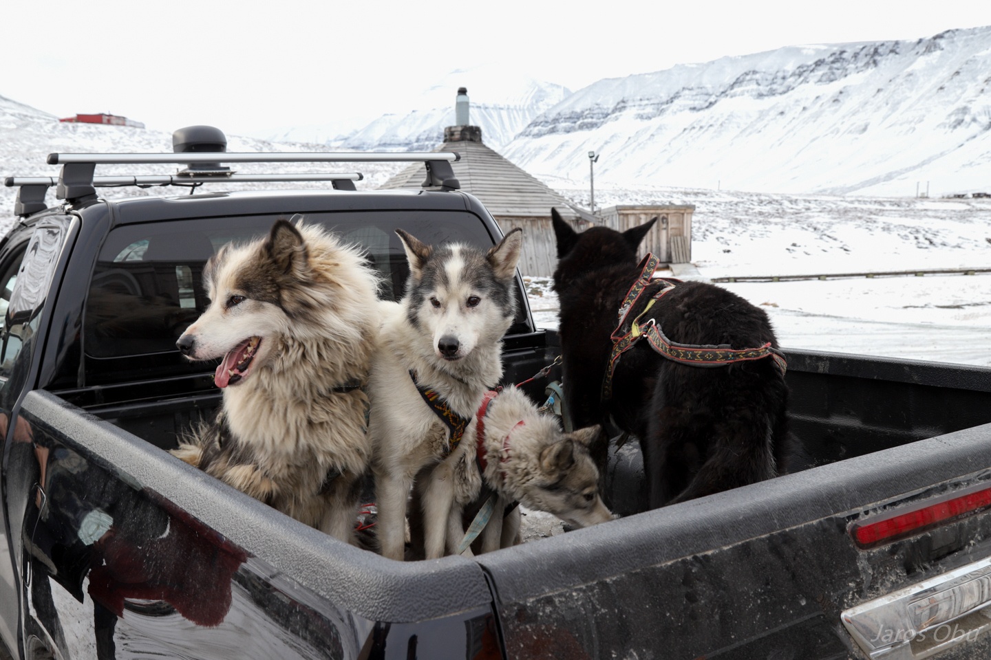
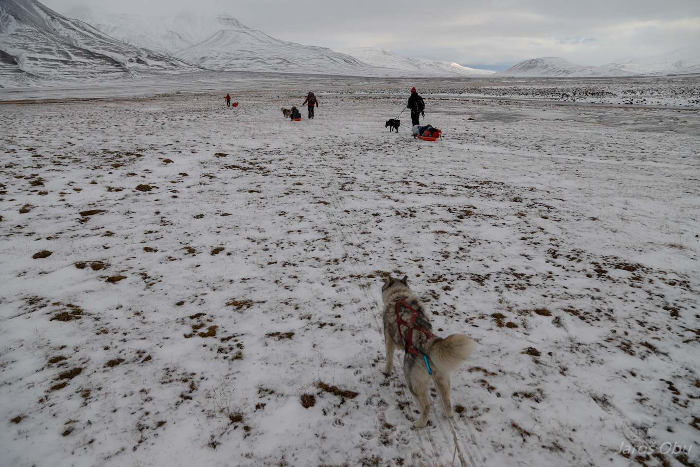
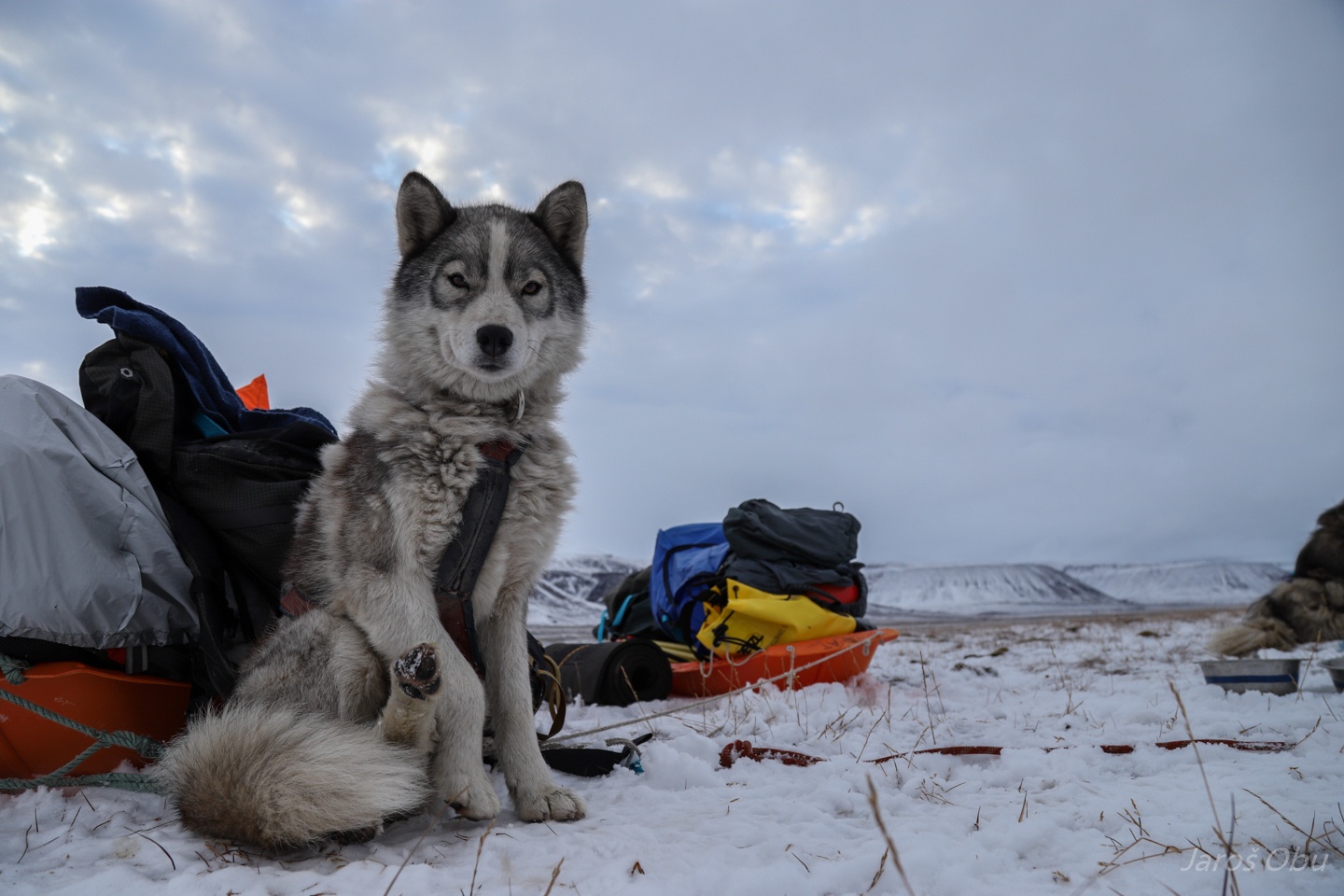
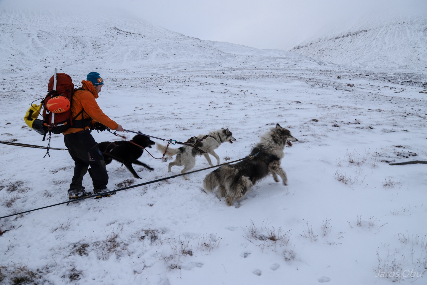
Here come our reinforcements. Irene borrowed us four of her best dogs.
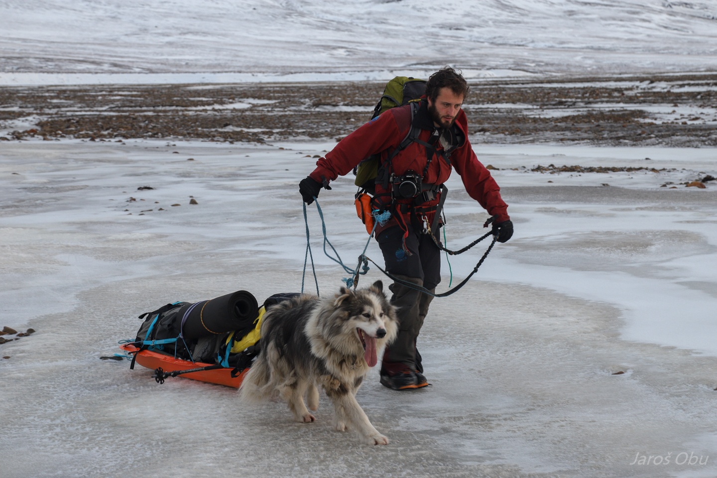
Providing additional dragging force.
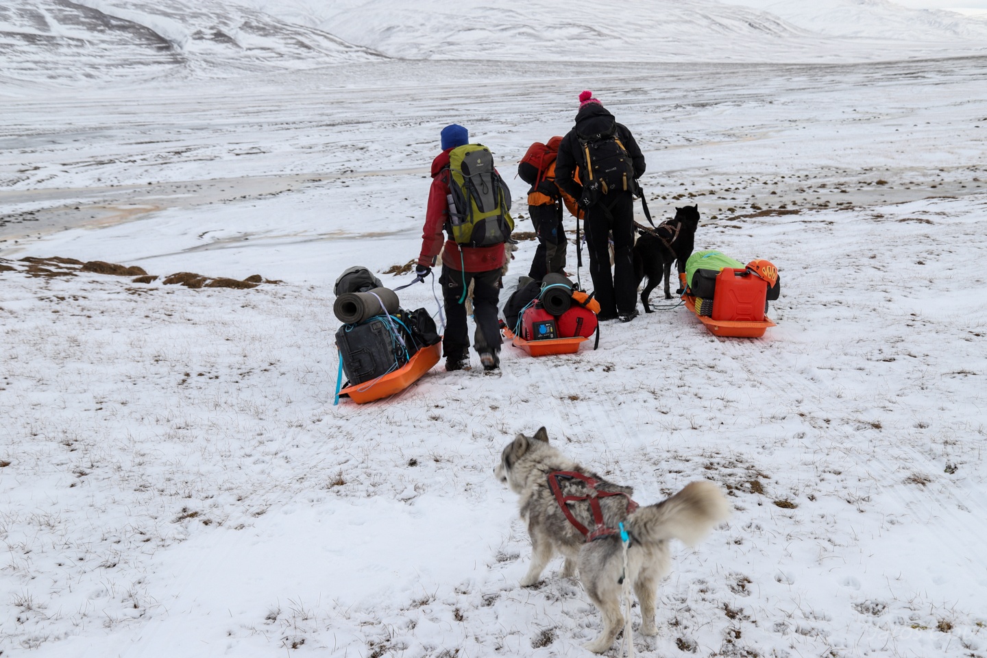
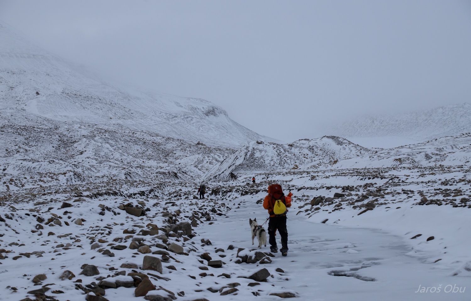
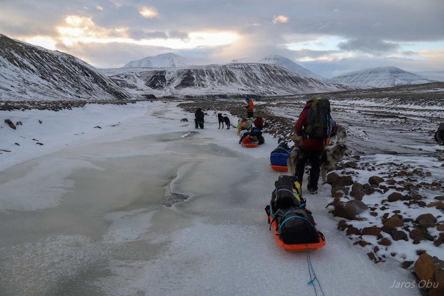
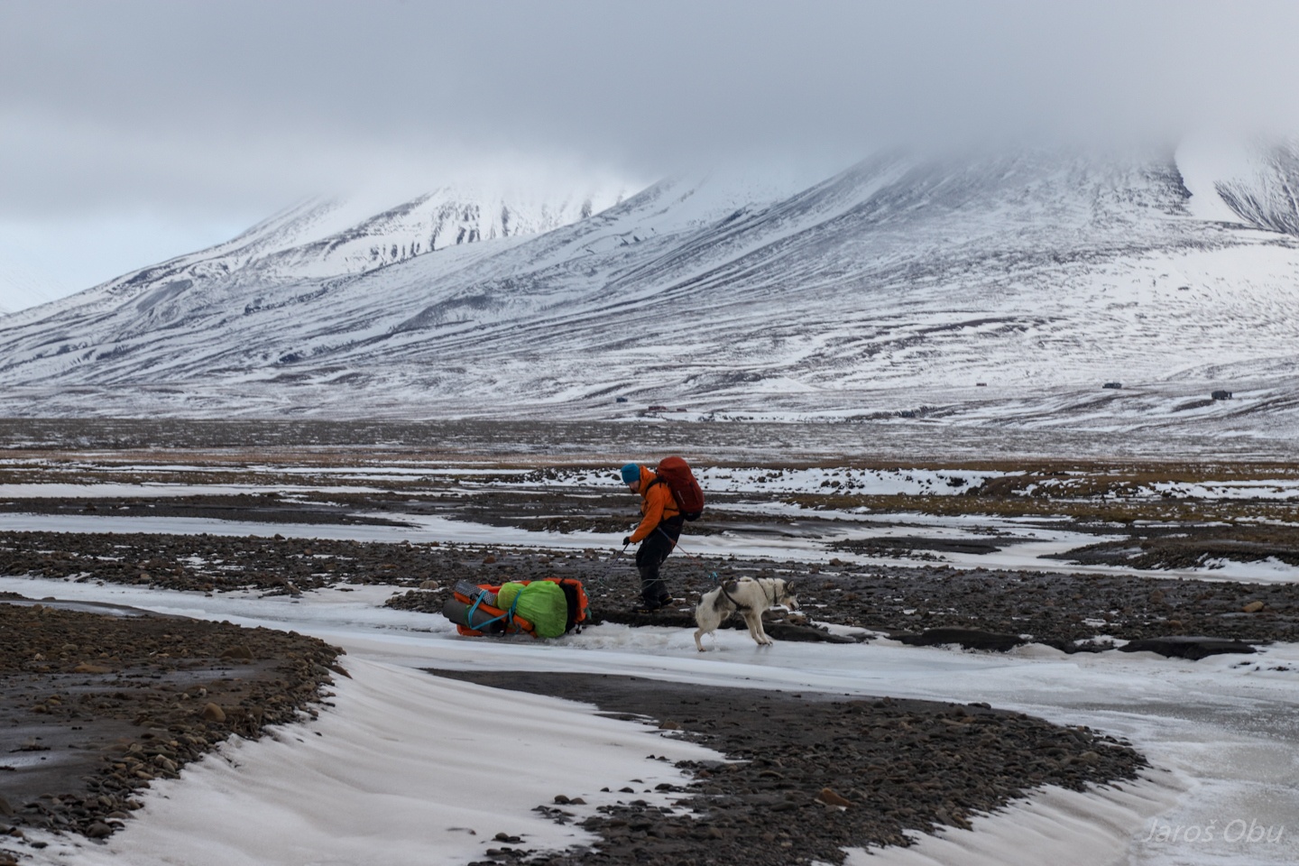
Each equipped with 40 kilograms of gear on pulkas.
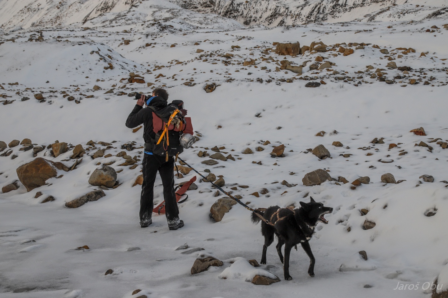
Andreas was struggling the most with laser scanner.
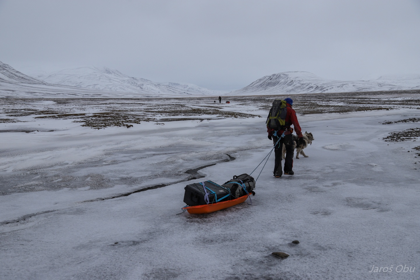
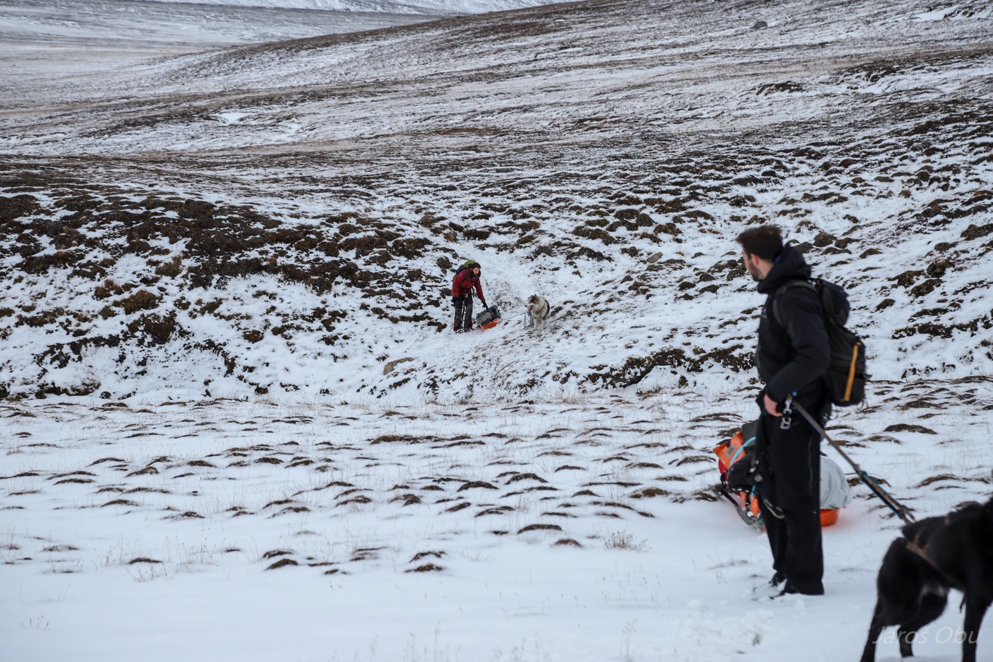
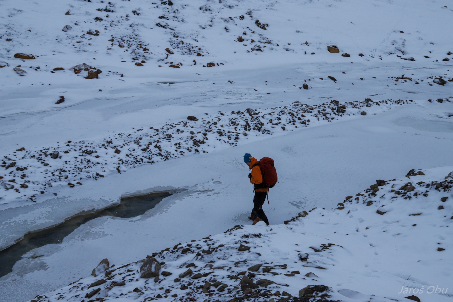
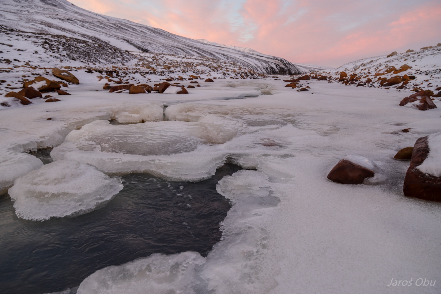
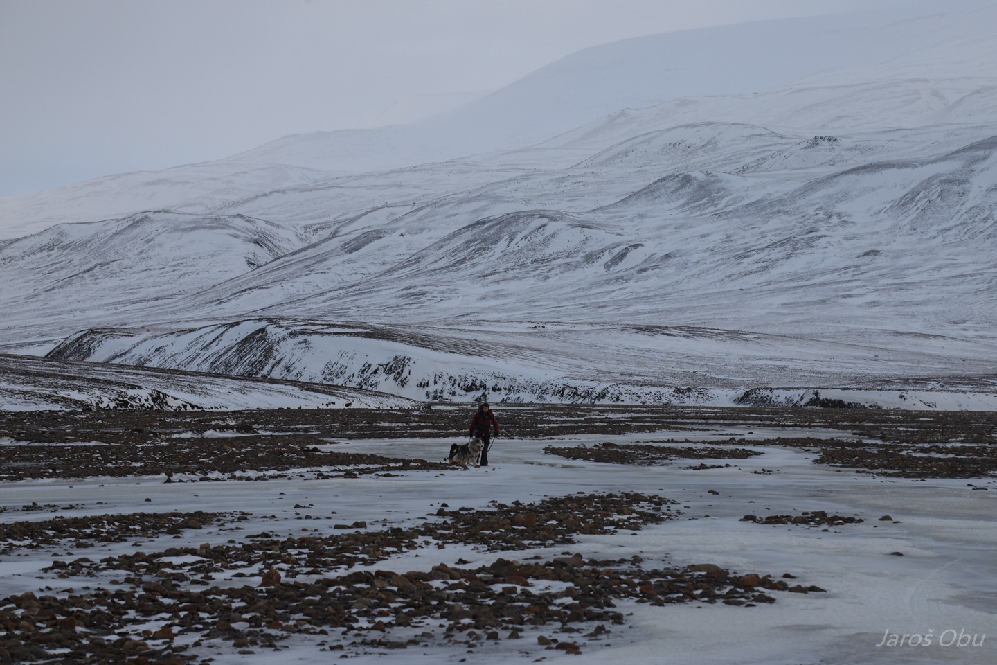
Mostly frozen Adventelva, but not passable everywhere.
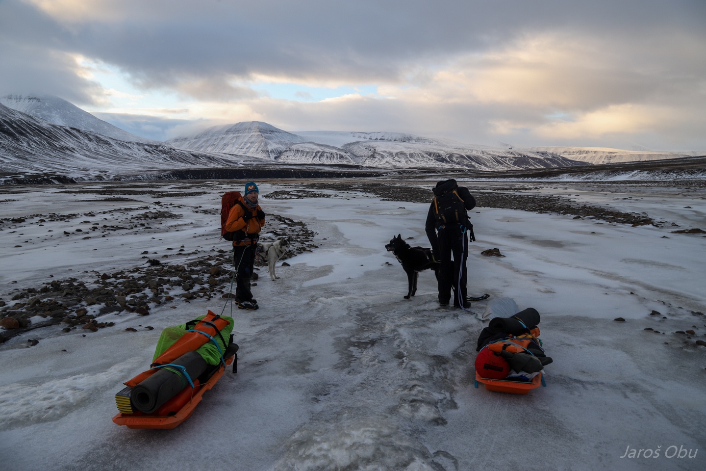
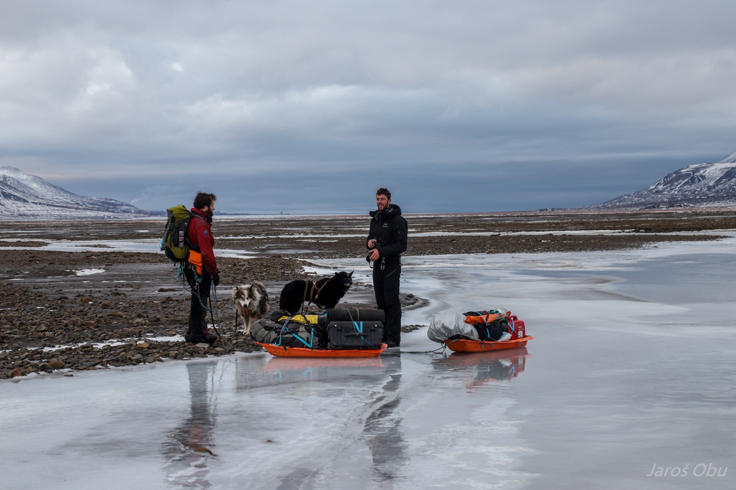
After redistributing the equipment.
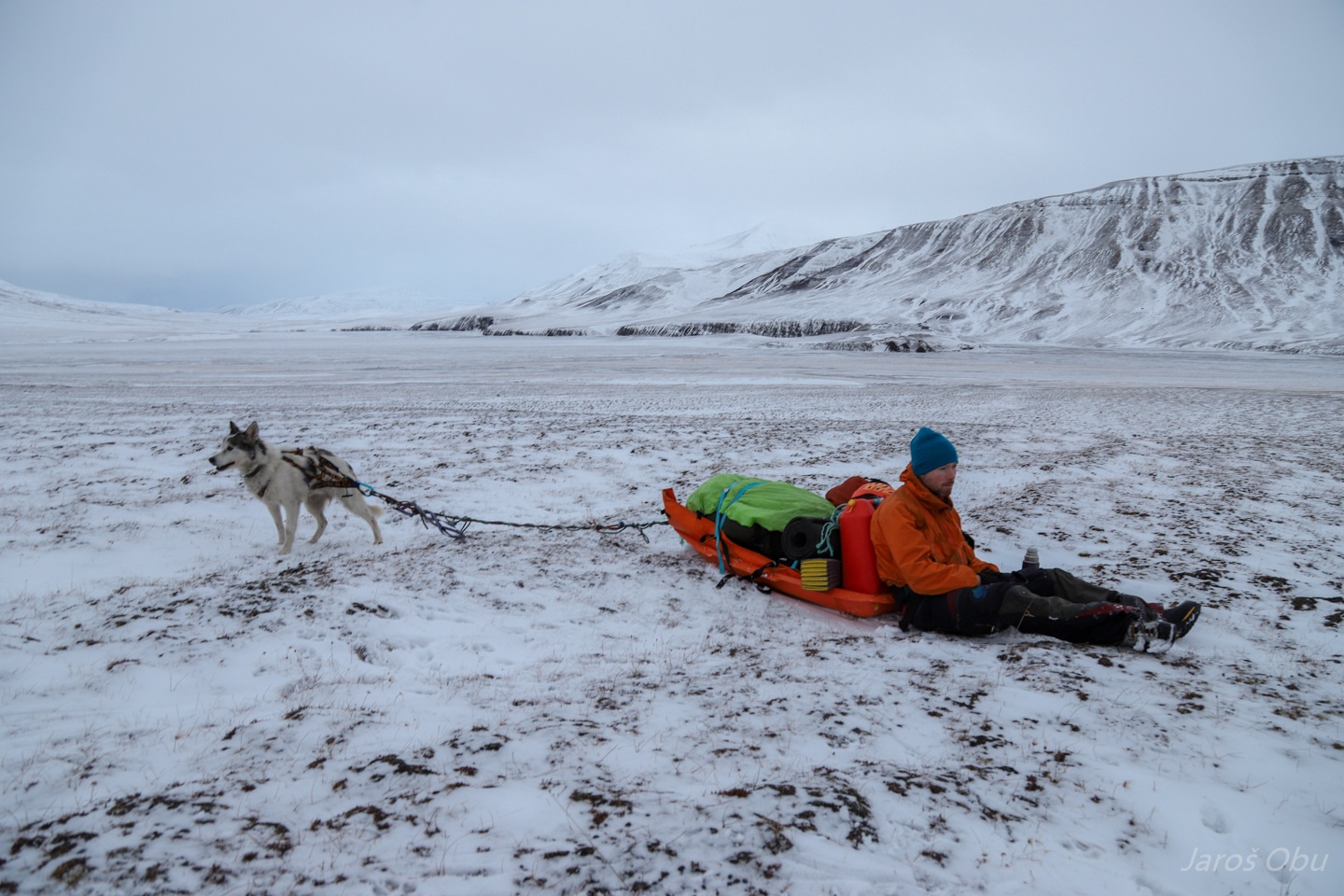
Lunchtime rest.
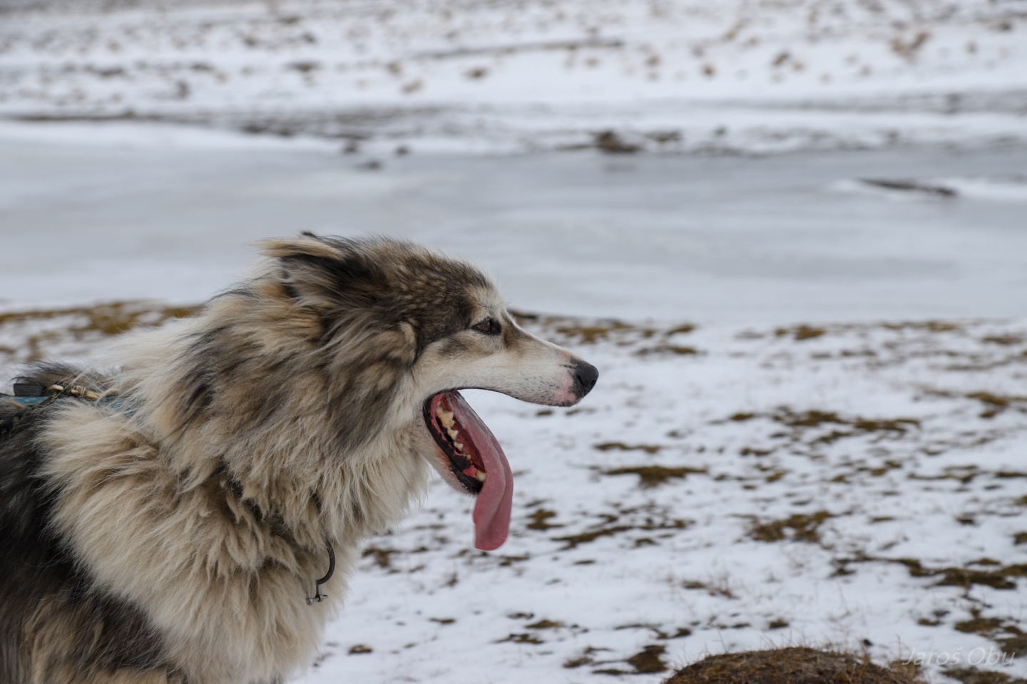
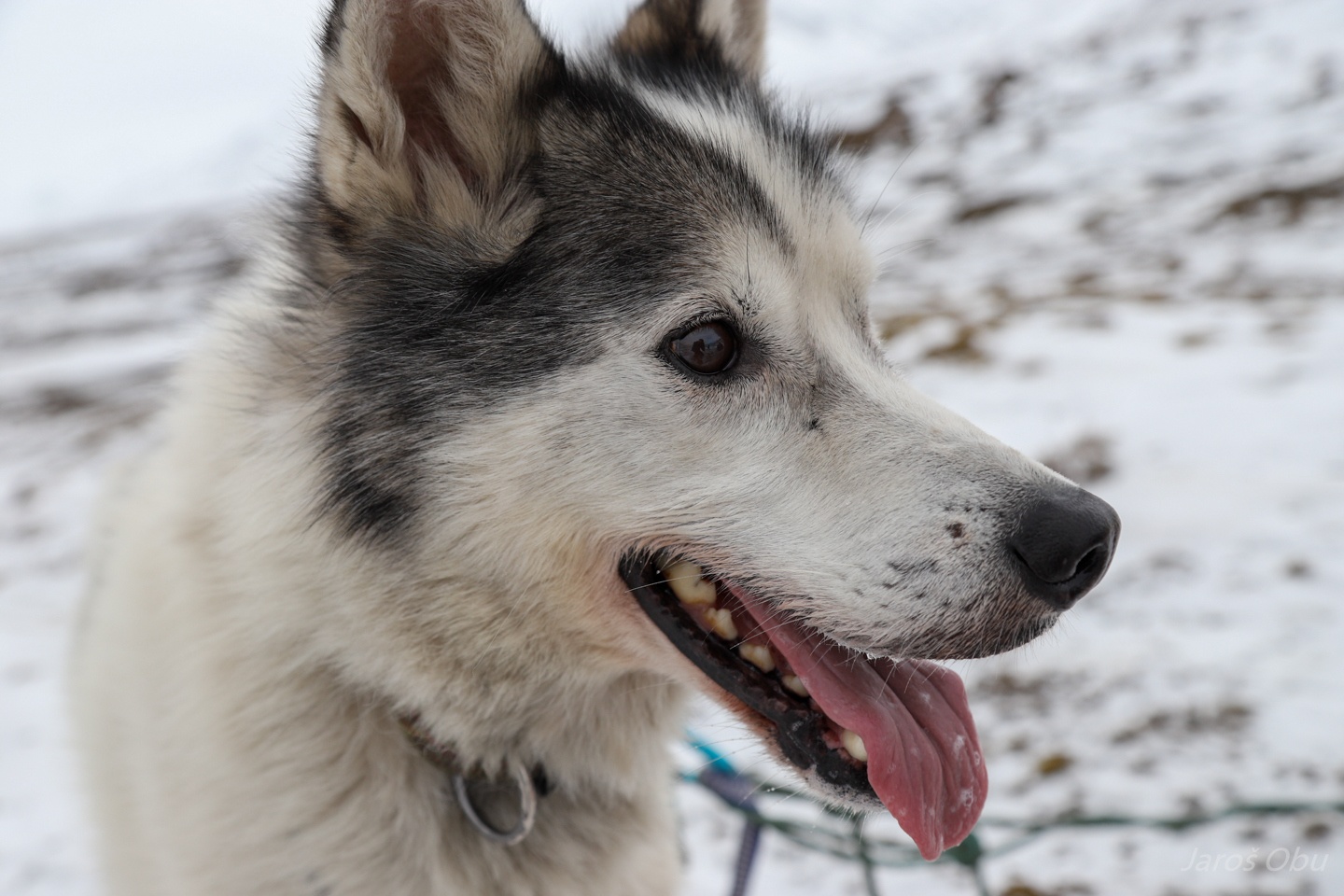
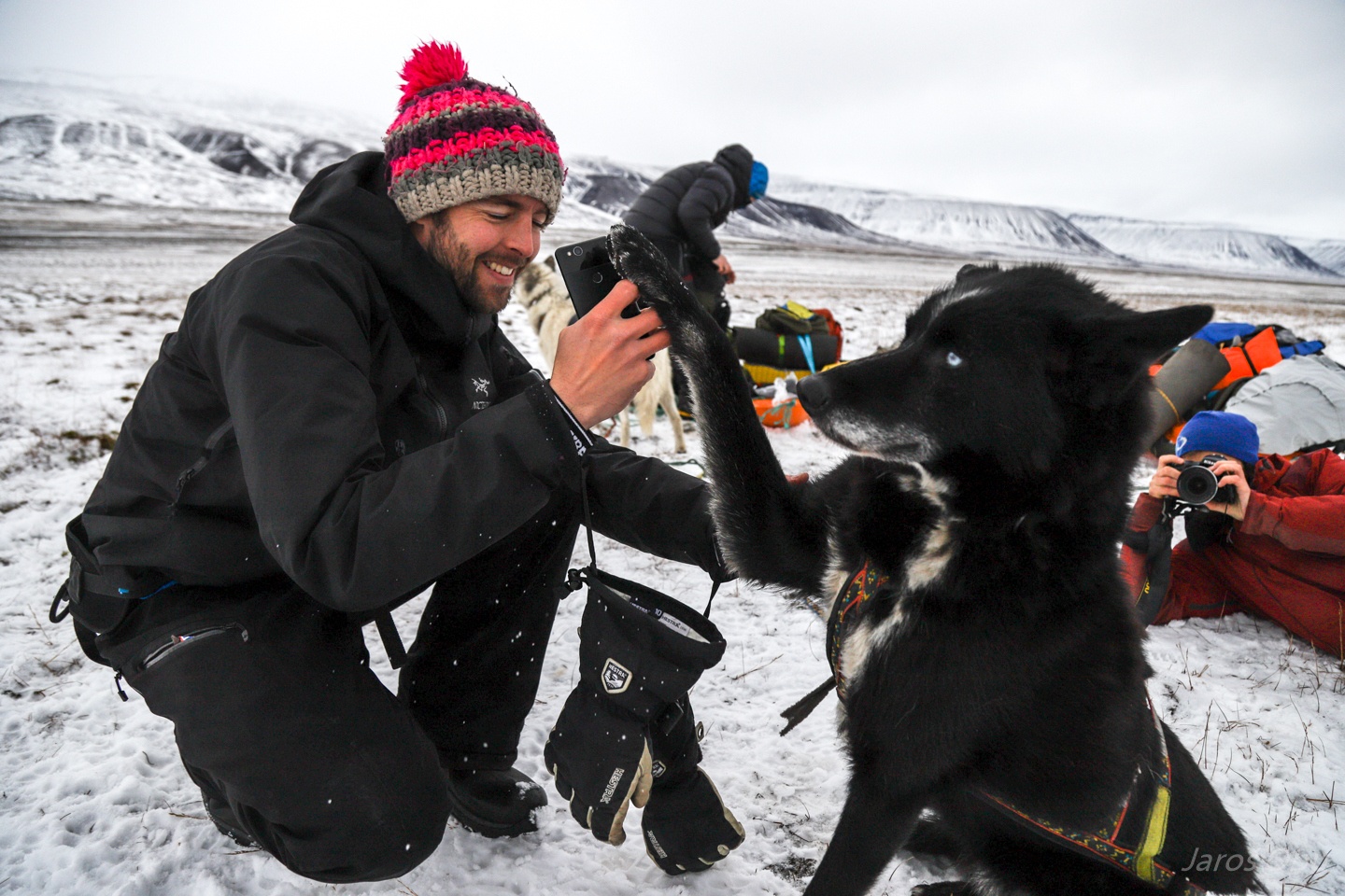
Meet the crew: Fenris
Aron
Bertha
And Runar, that doesn't like to be photographed.
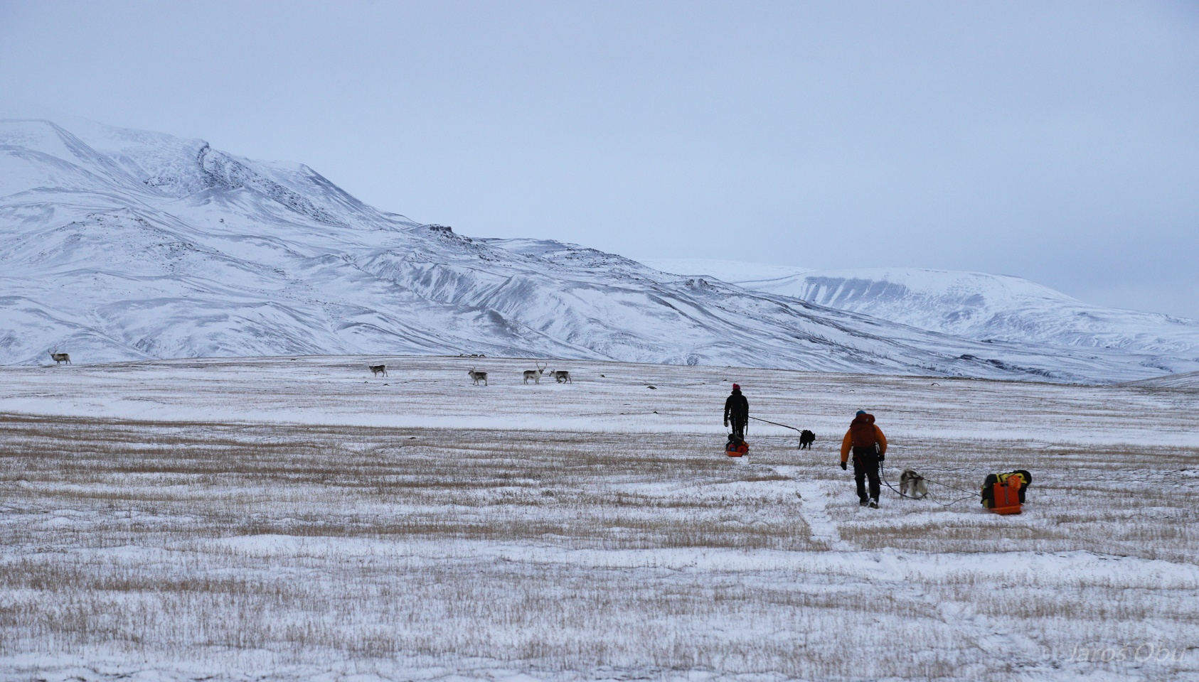
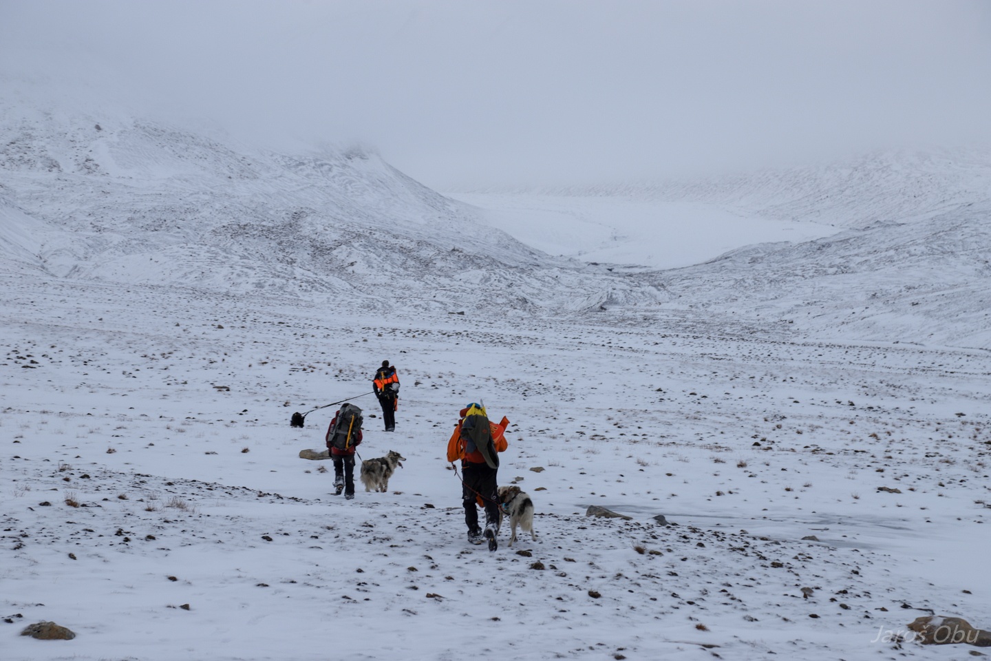
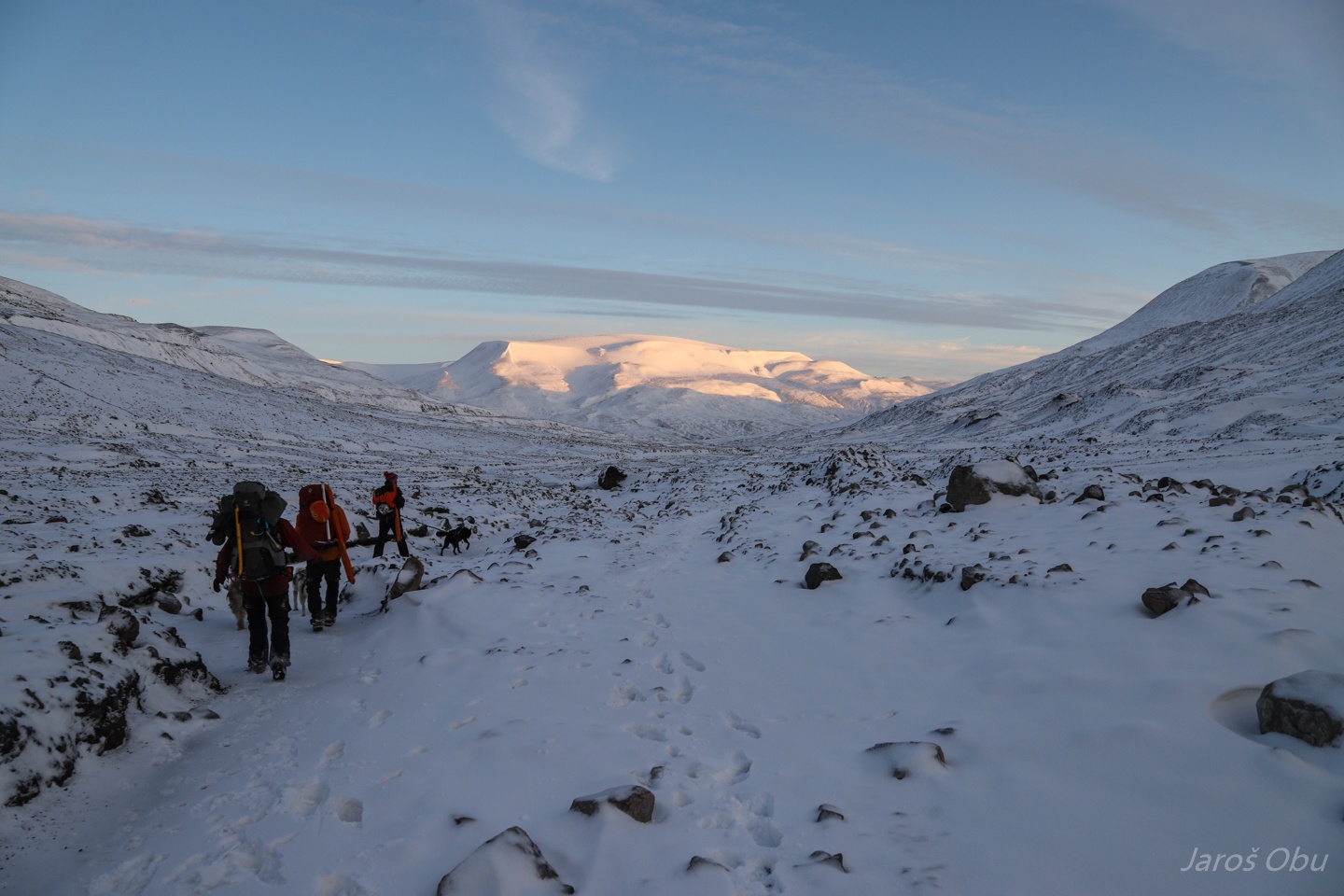
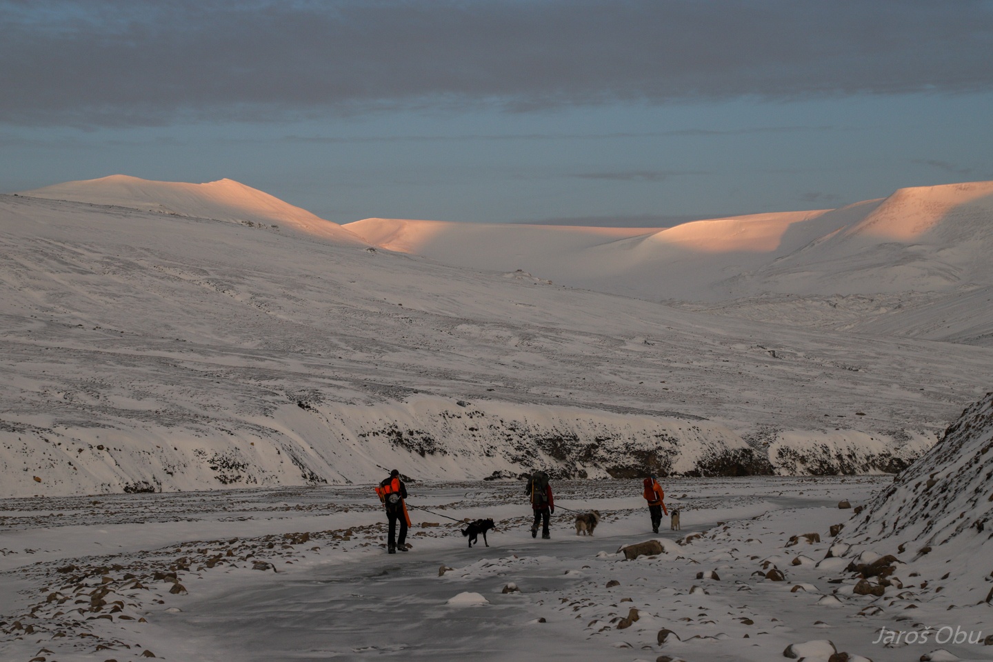
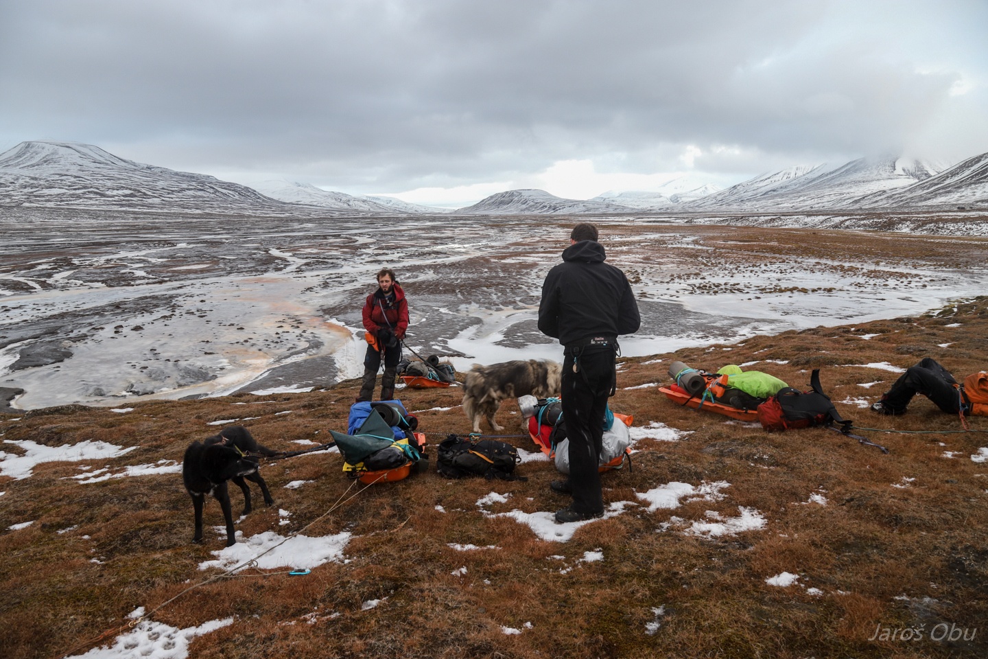
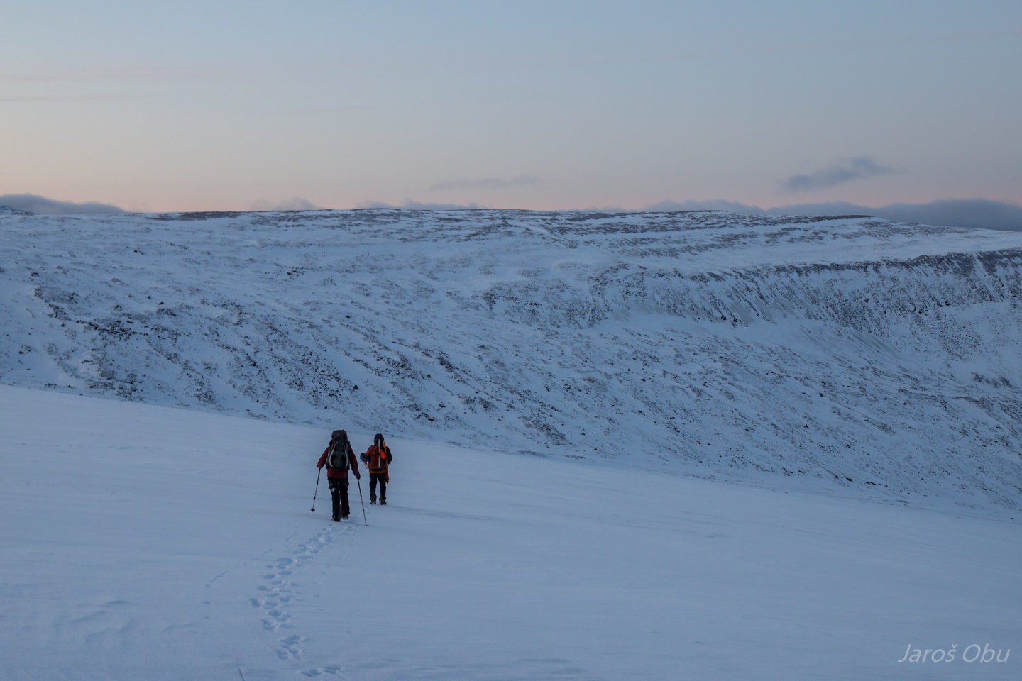
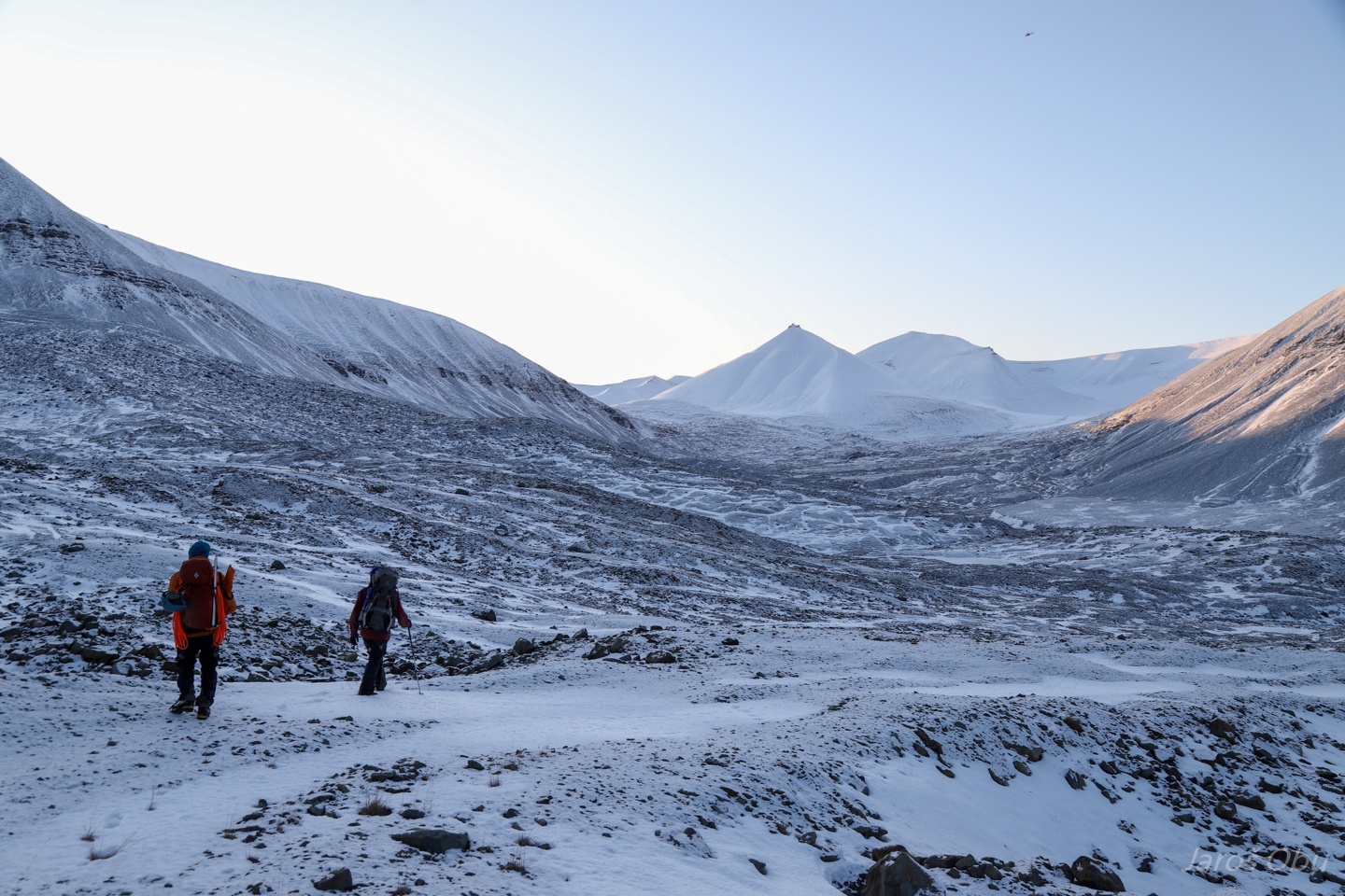
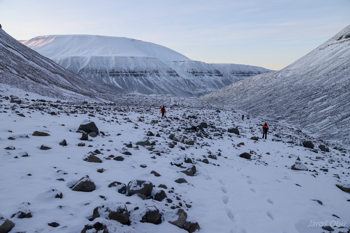
Across the tundra.
We are soon turning left to Helvetiadalen.
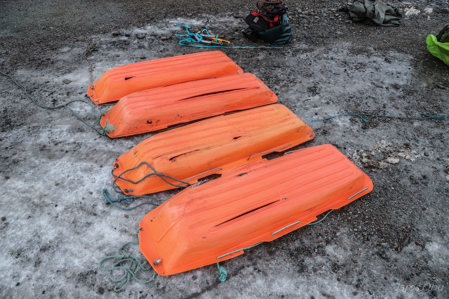
Heavy load took its toll. The first pulka was damaged and we had to leave the laser scanner here.
Very high morale.
A pingo with a hut visited four and half years ago: http://jarosobu.net/index.php/event/ExcursoninAdventalen
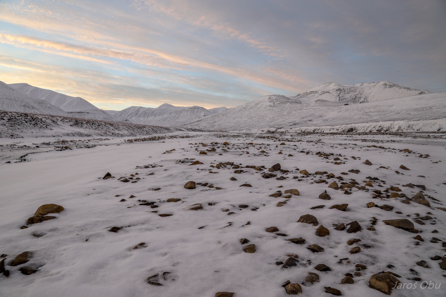
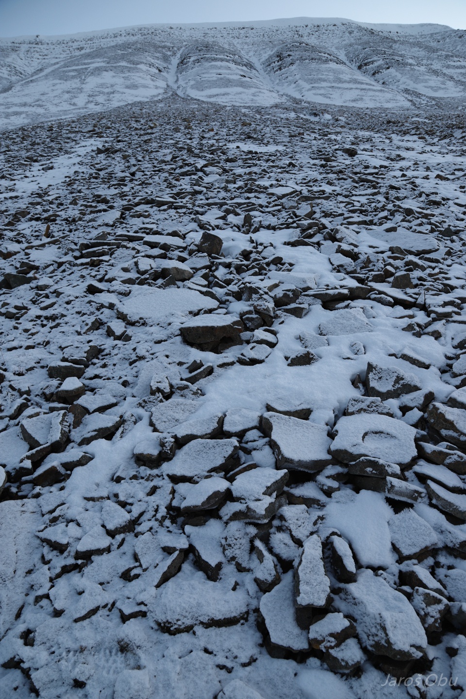
Stony alluvial fans also had to be crossed.
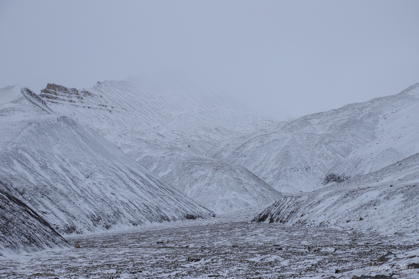
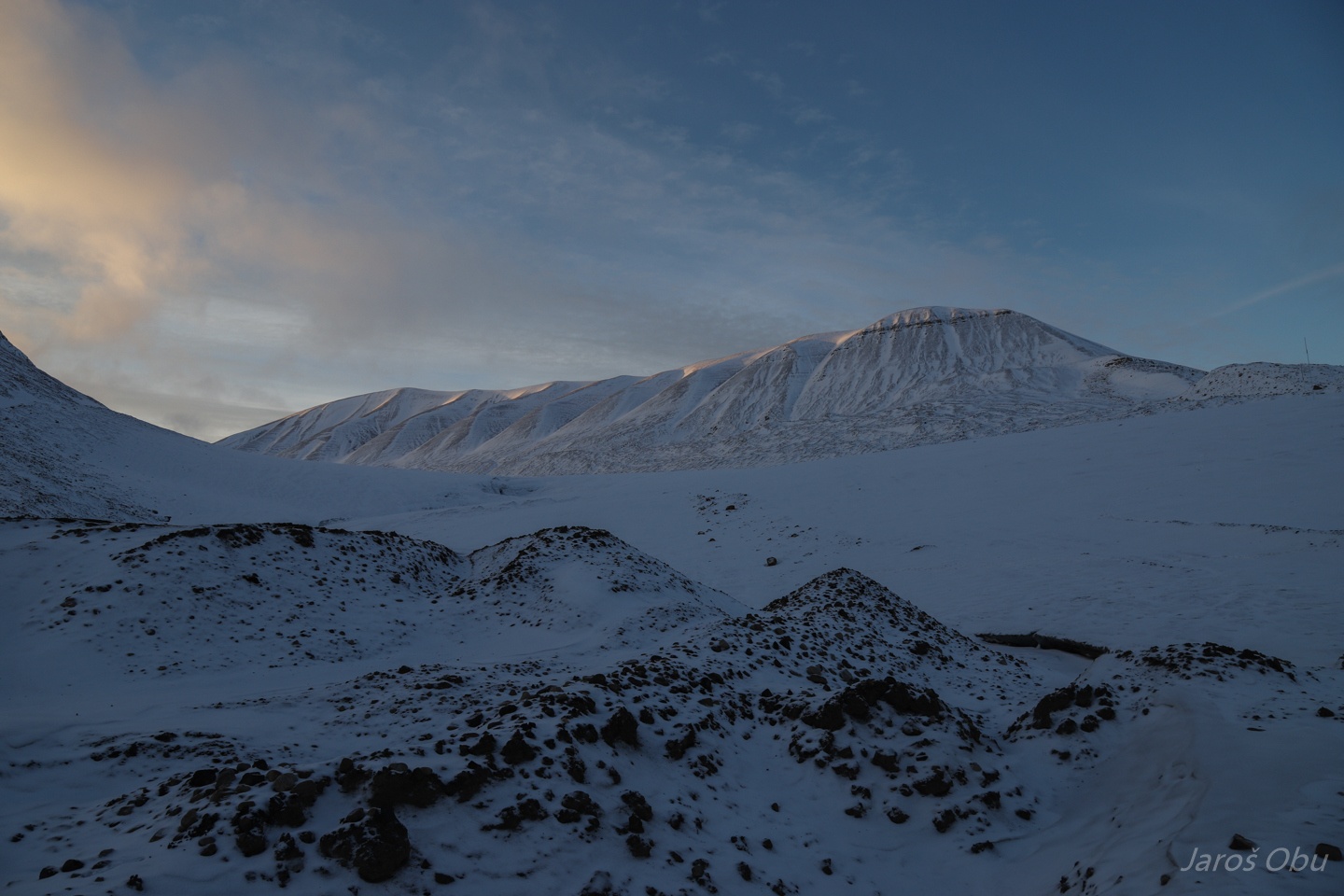
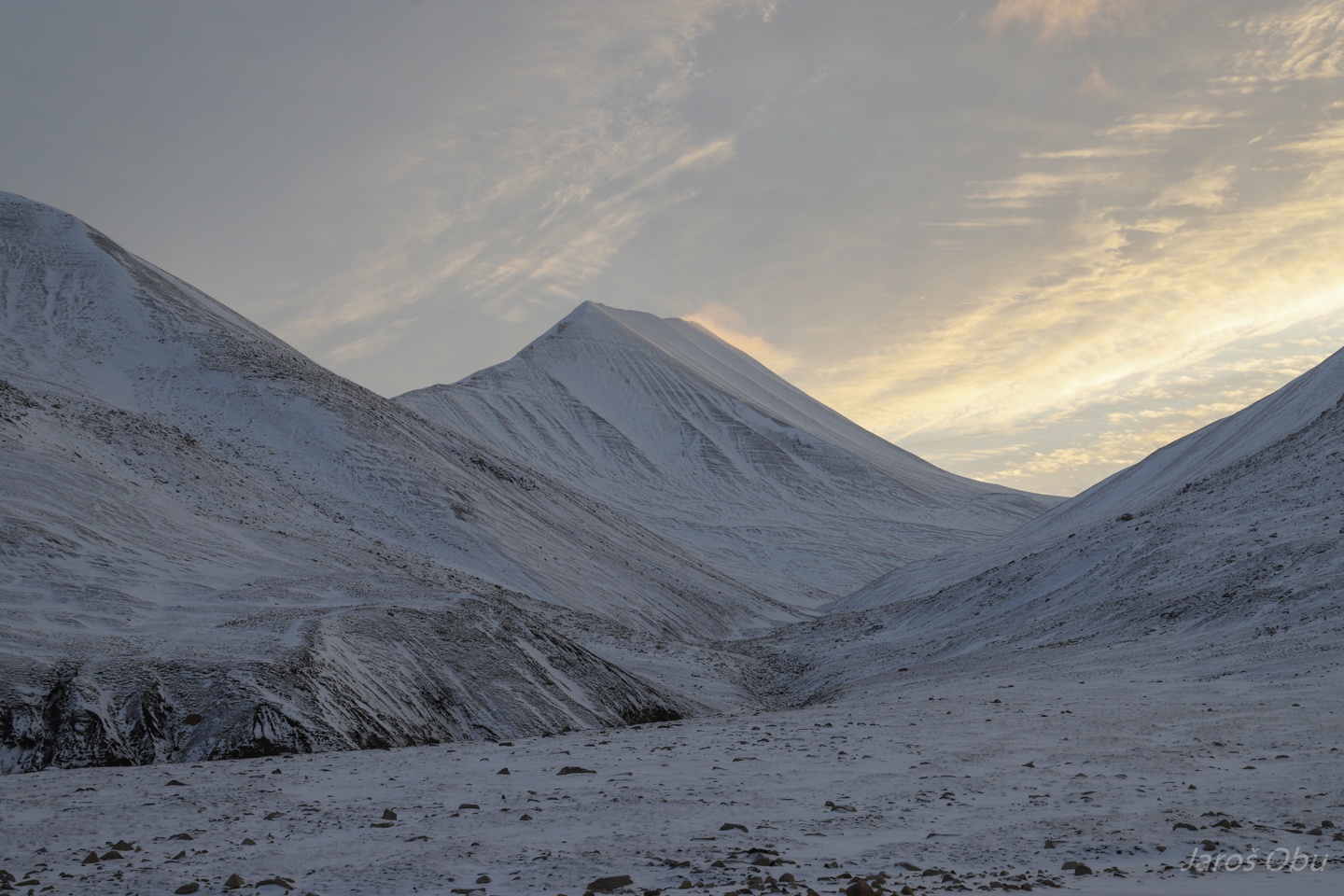
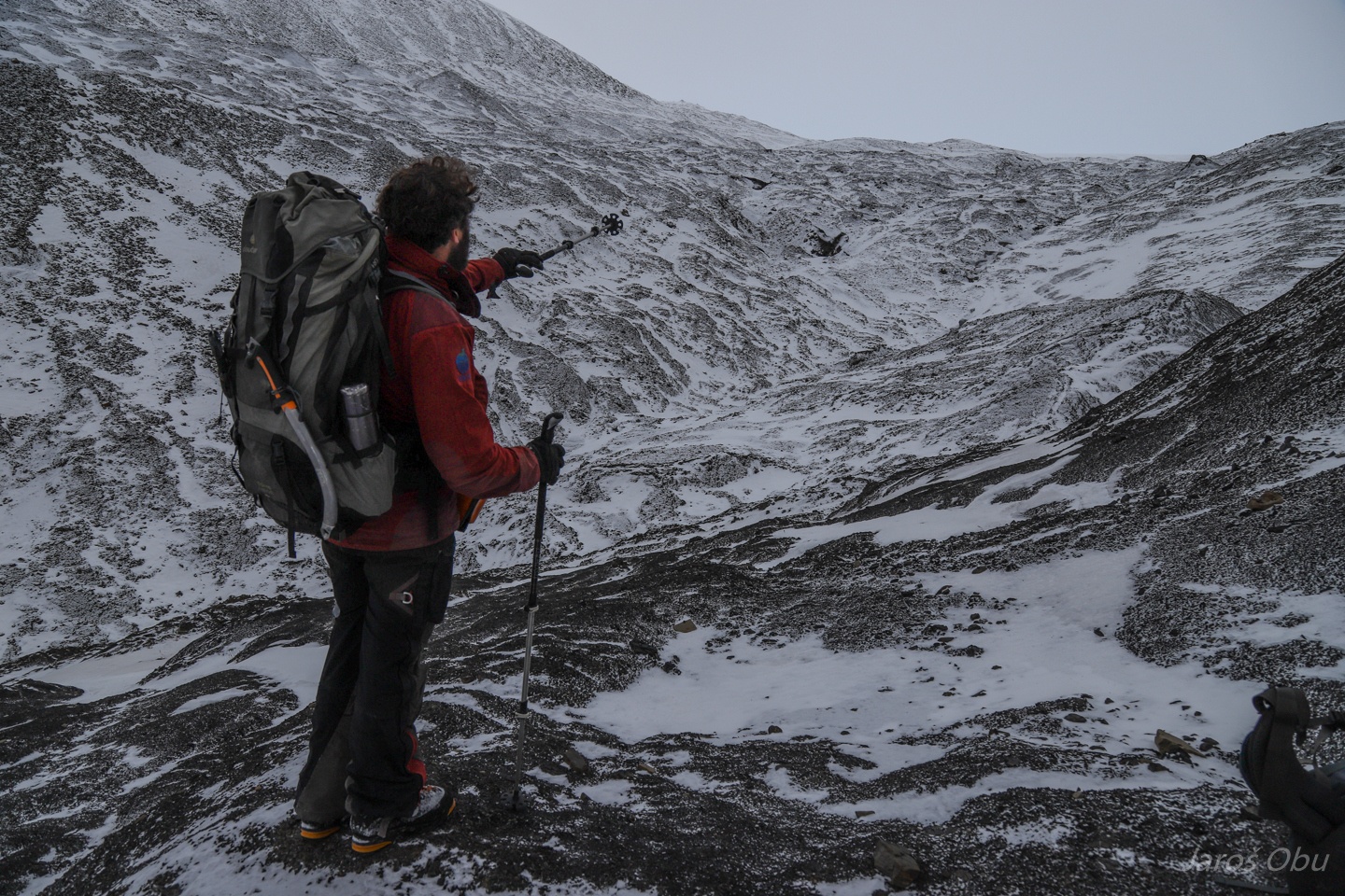
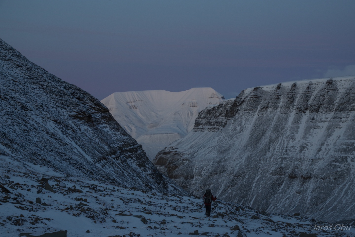
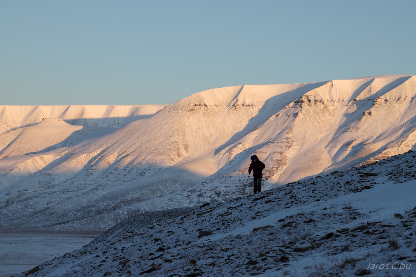
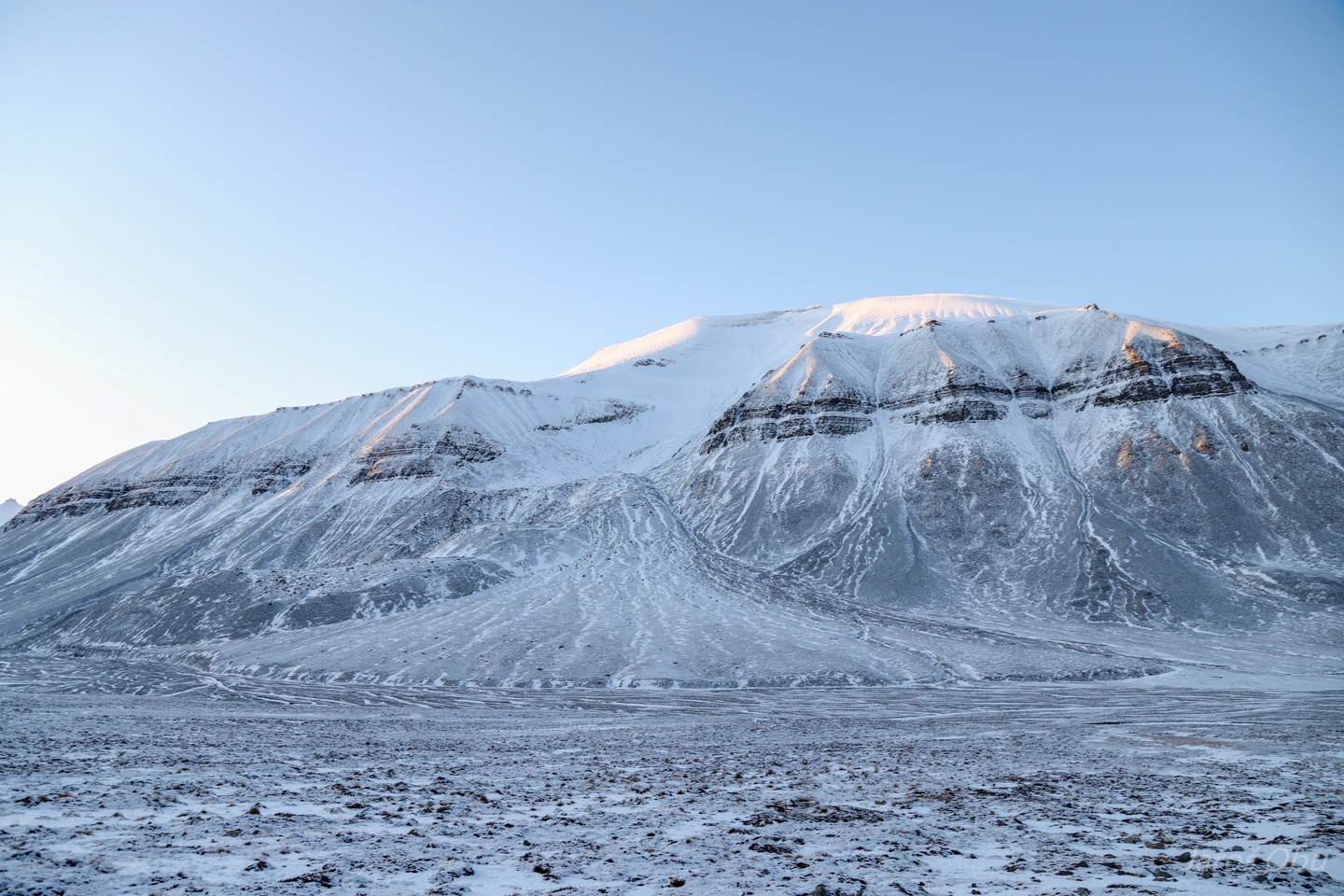
Slightly more spiky peaks of Helvetiadalen, which was named after Switzerland. Because of more alpine-like appearance of mountains.
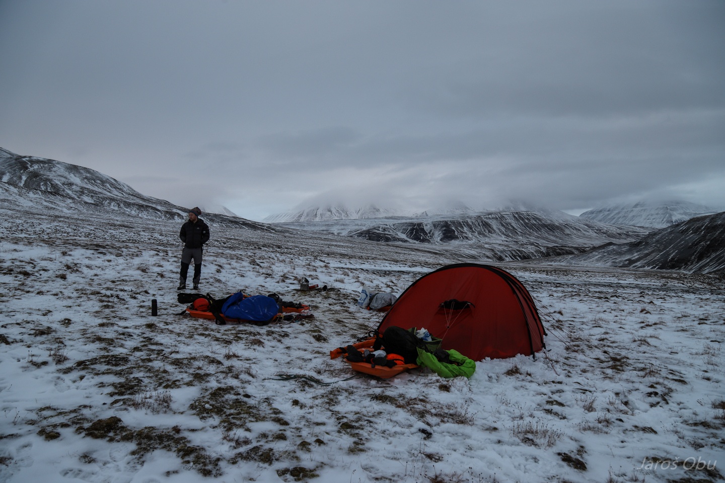
PiM's pulka broke soon after crossing the river. We found a place nearby to set up a camp.
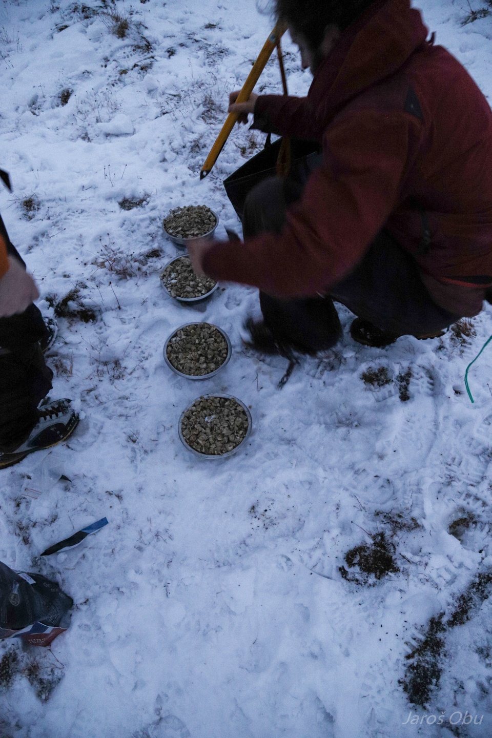
Utilizing ice axe to prepare dog food.
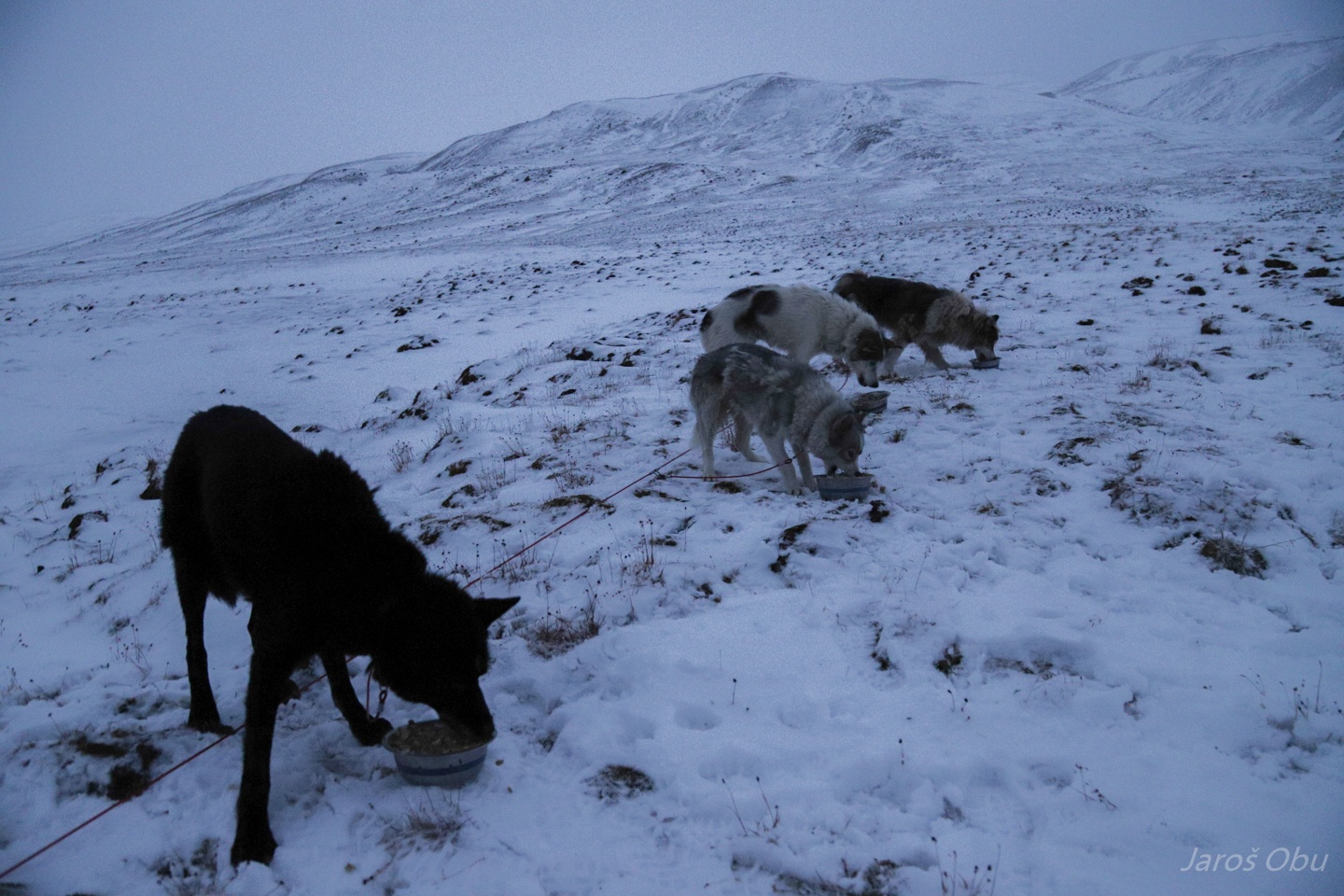
Bon apetit.
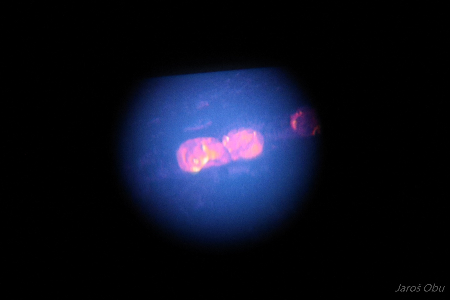
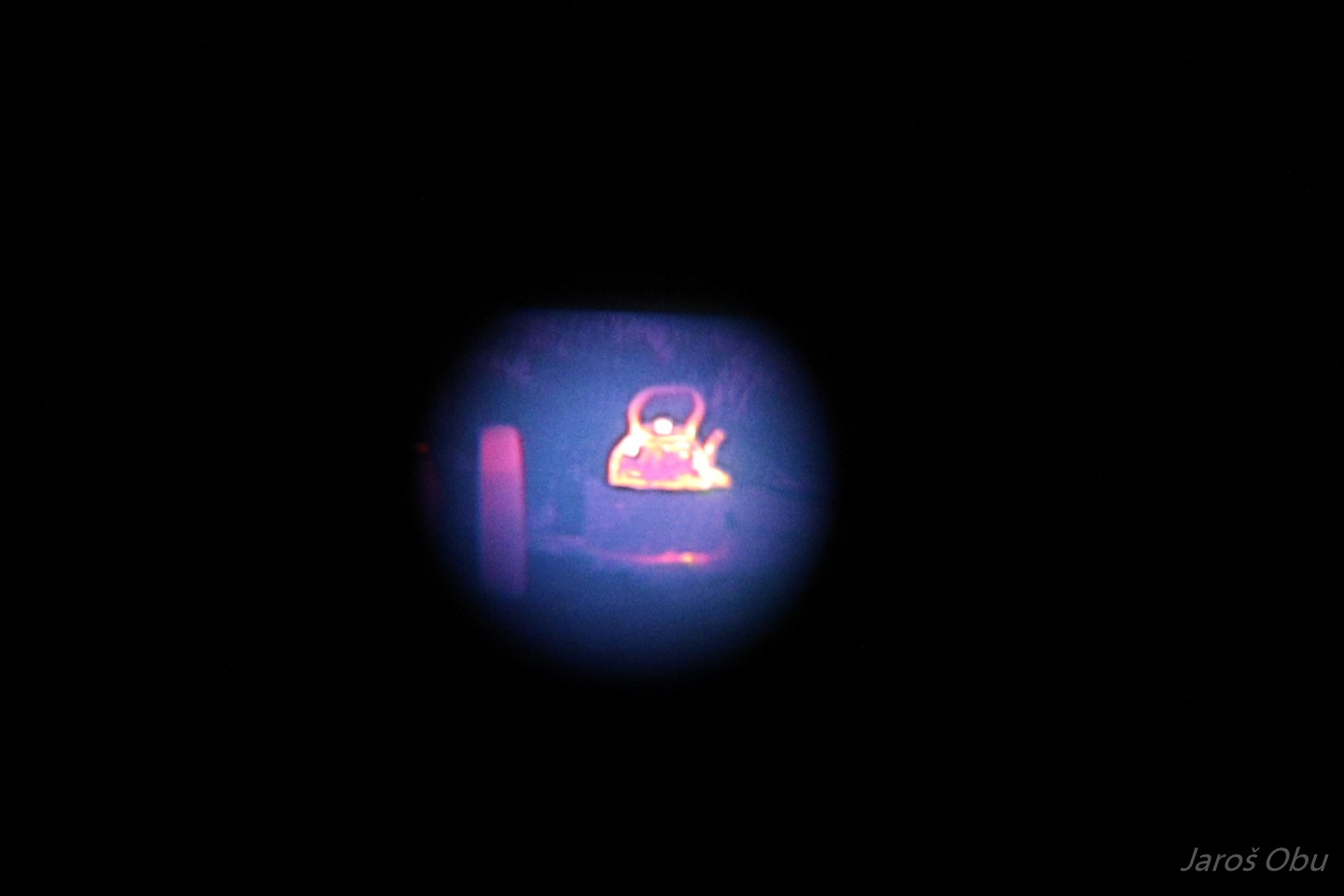
Each of us did a 2 hour bear watch shift. We had an infrared monocular, which made our task much easier. Photo of dogs through it.
Tea time.
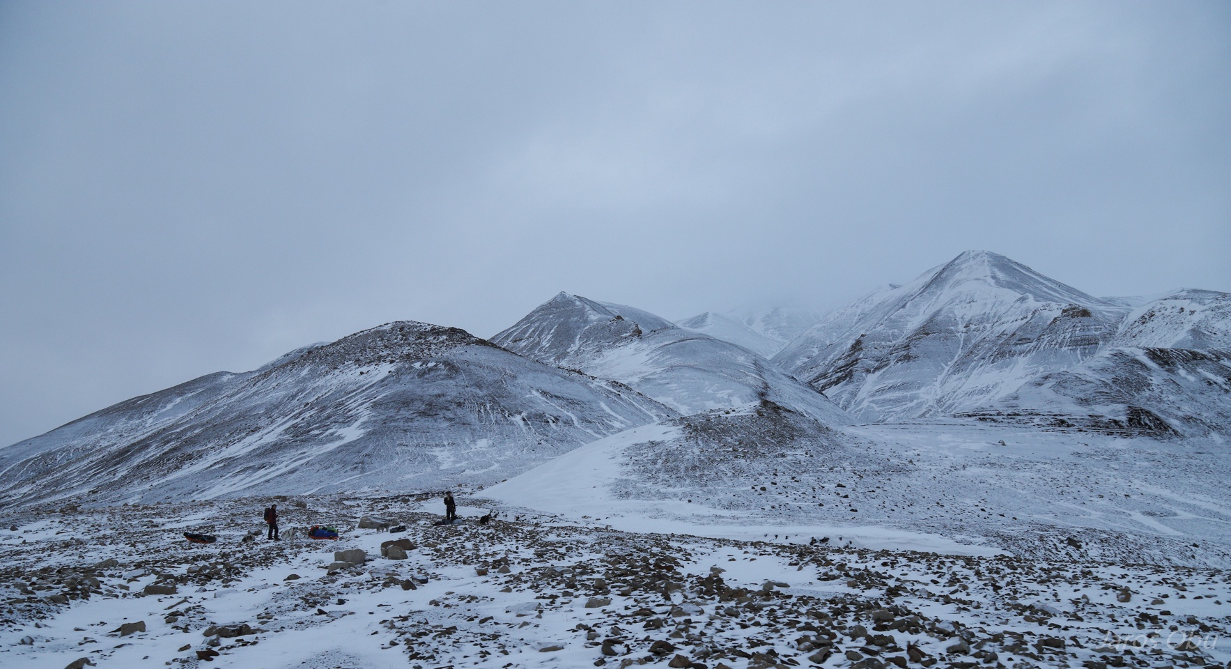
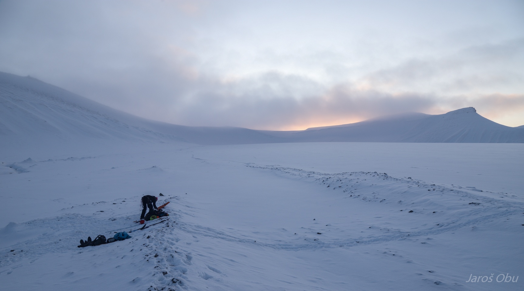
Our camp in the middle of Helvetiadalen next morning.
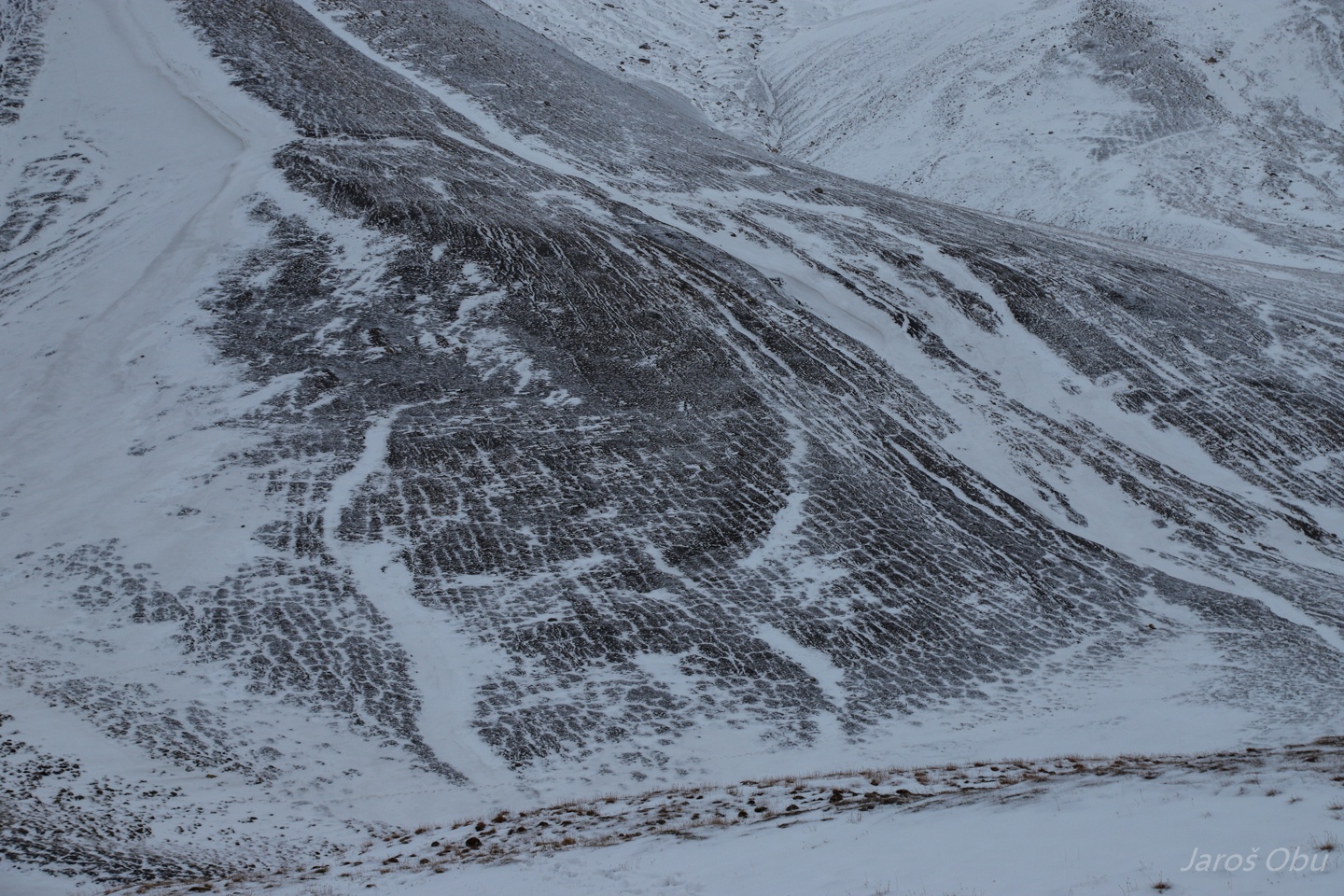
Patterned ground on slopes.
And ice-wedge polygons on slopes.
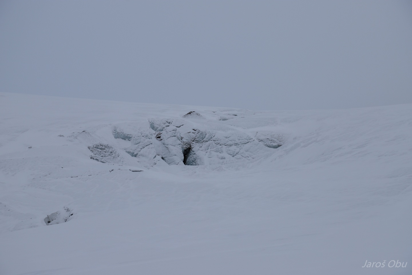
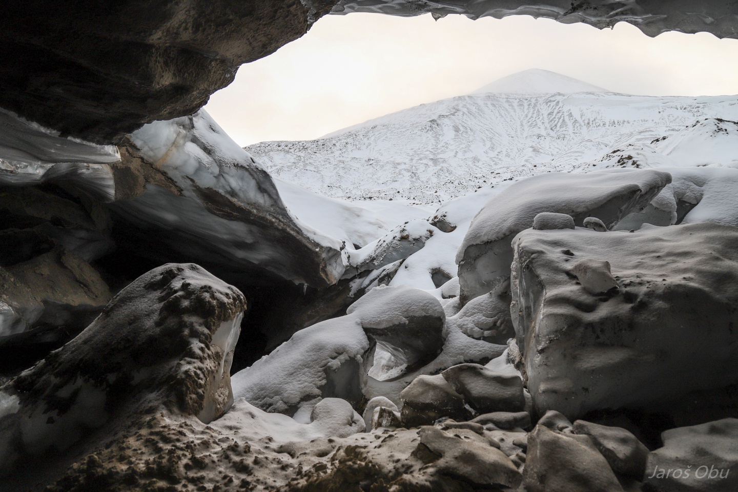
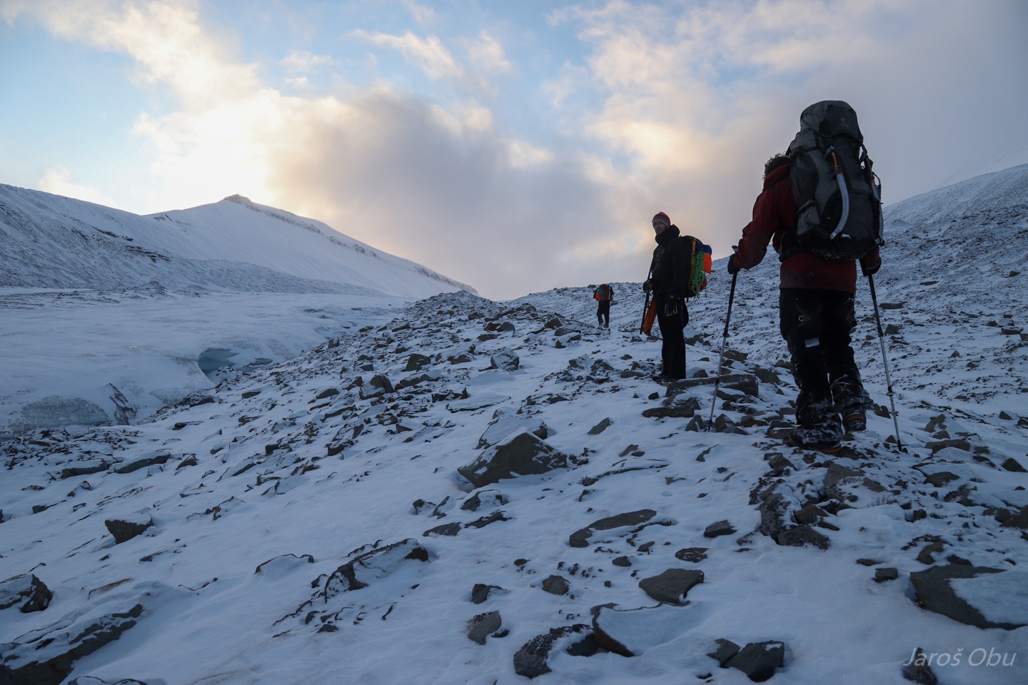
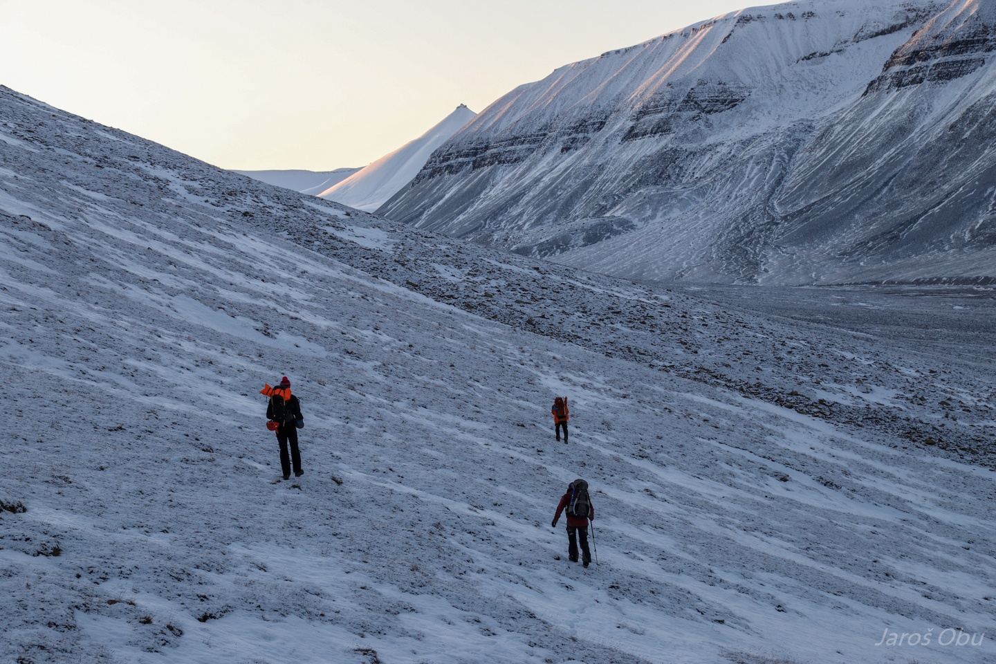
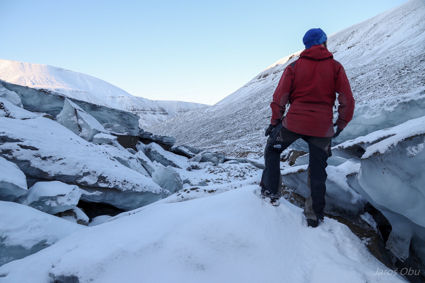
Debris-covered glacier Austre Helvetiabreen.
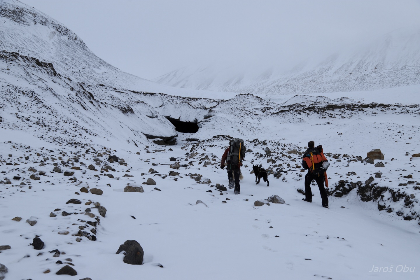
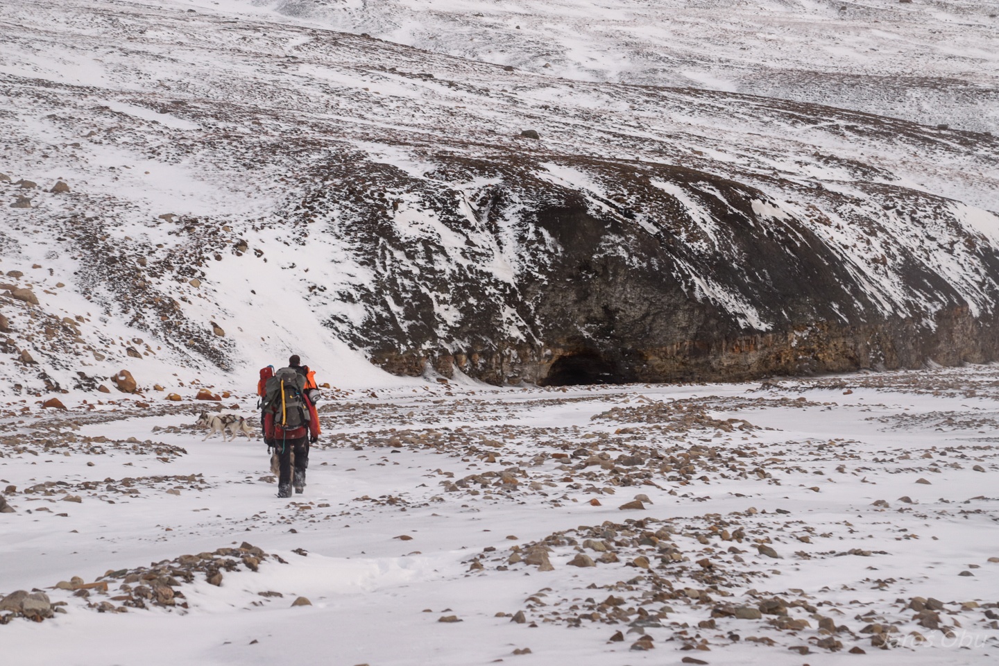
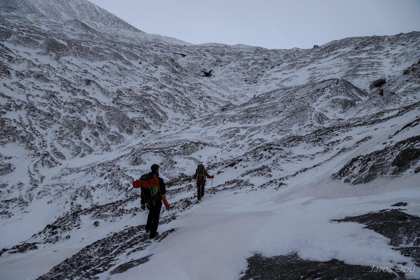
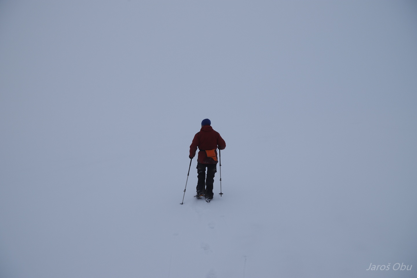
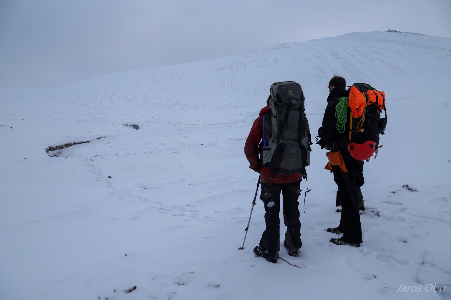
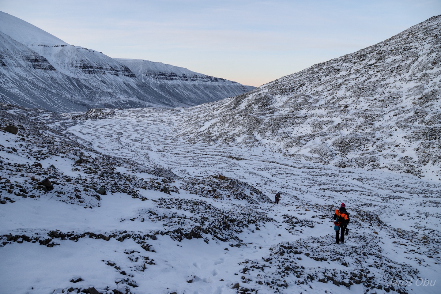
Making our way to Tellbreen, without sledges this time.
Dogs getting crazy as soon we showed that we will continue after a break.
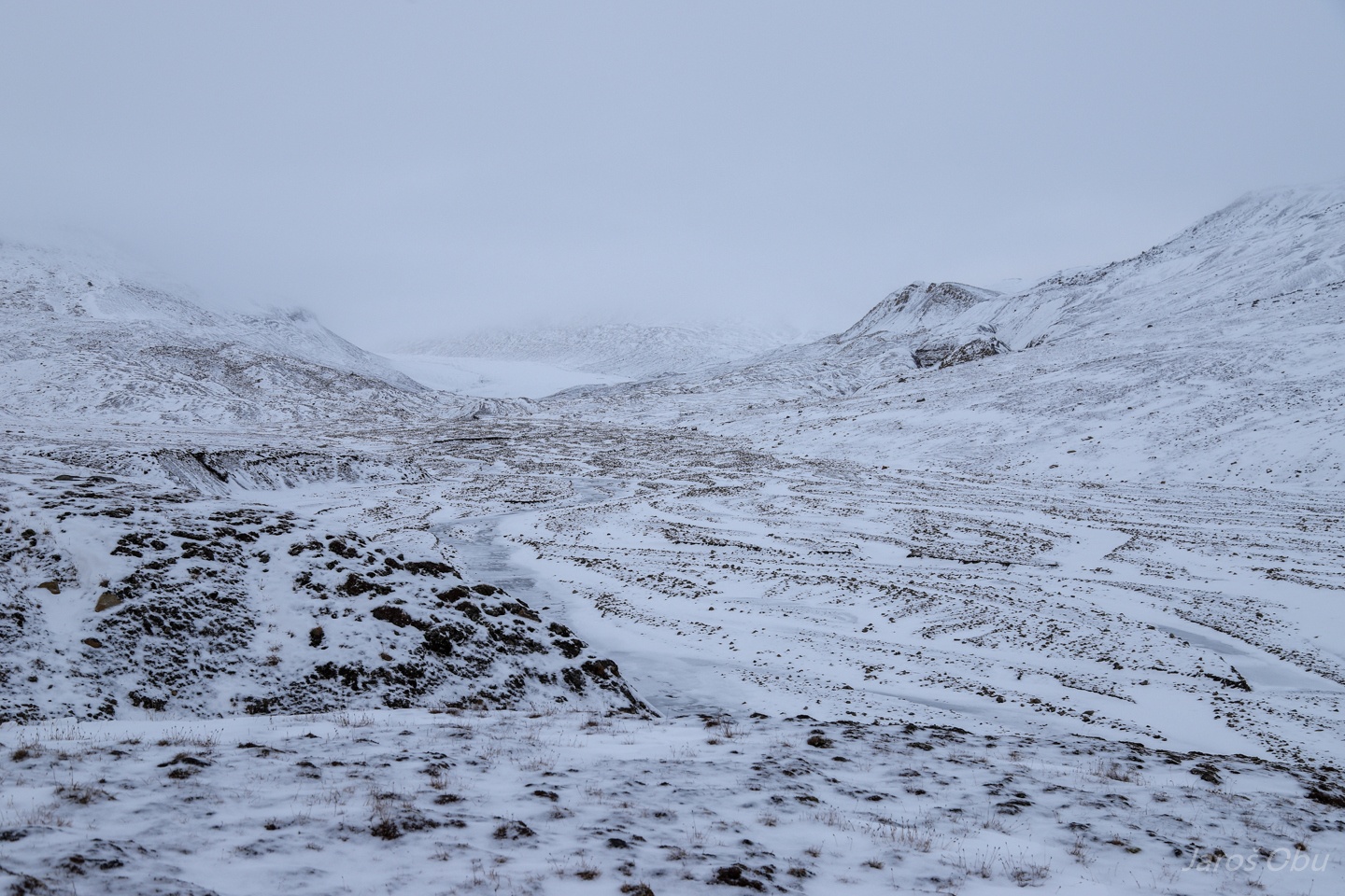
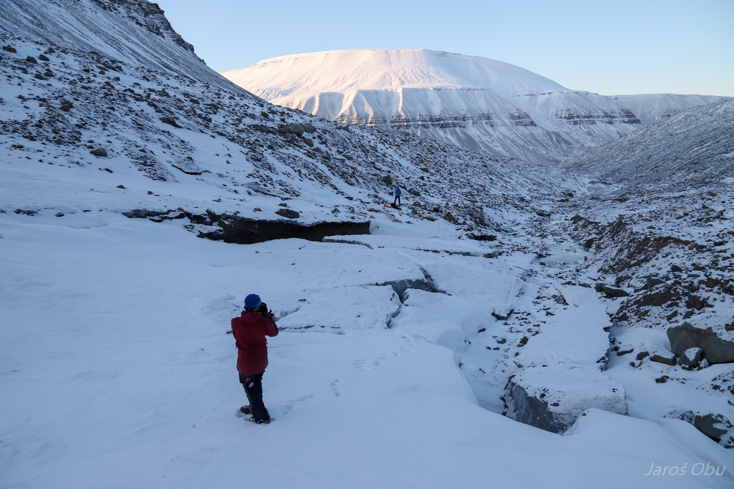
Glacial outwash plain.
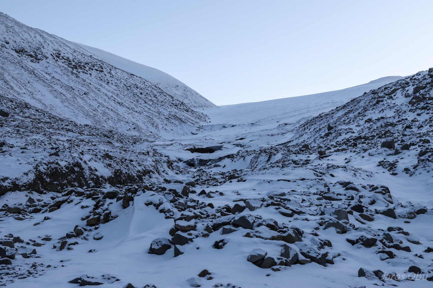
Entering moraine systems.
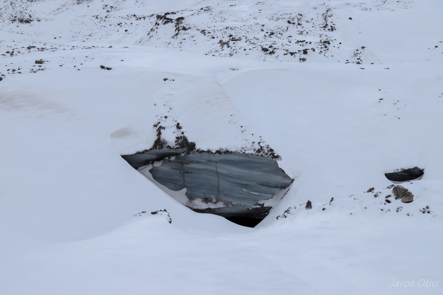
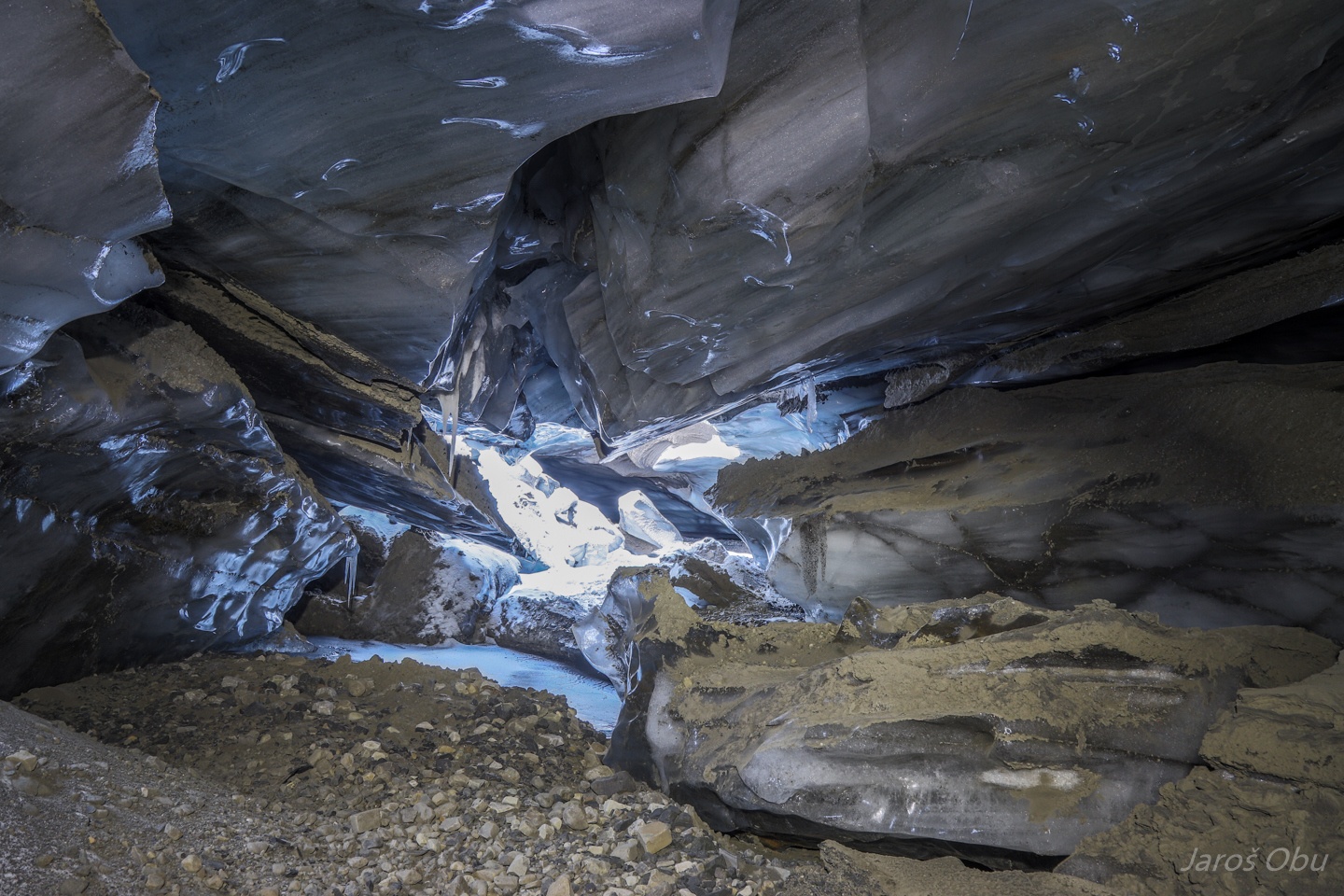
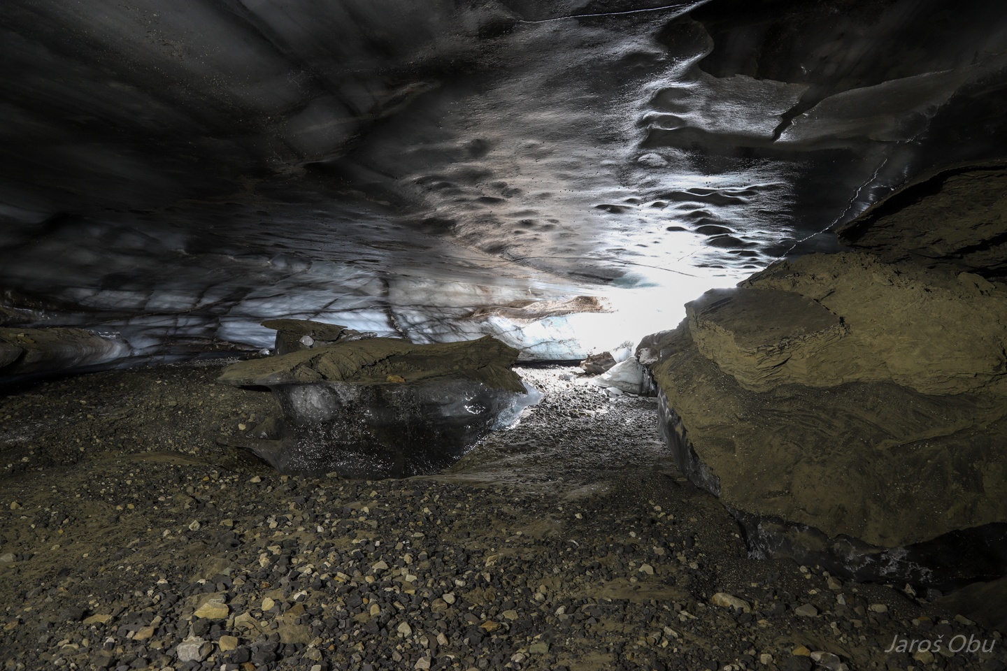
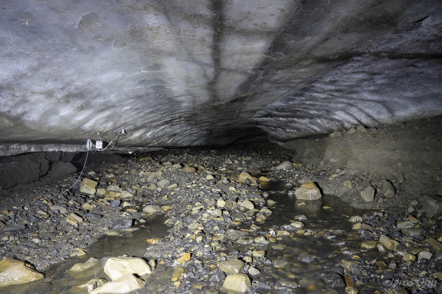
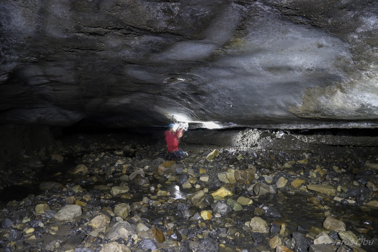
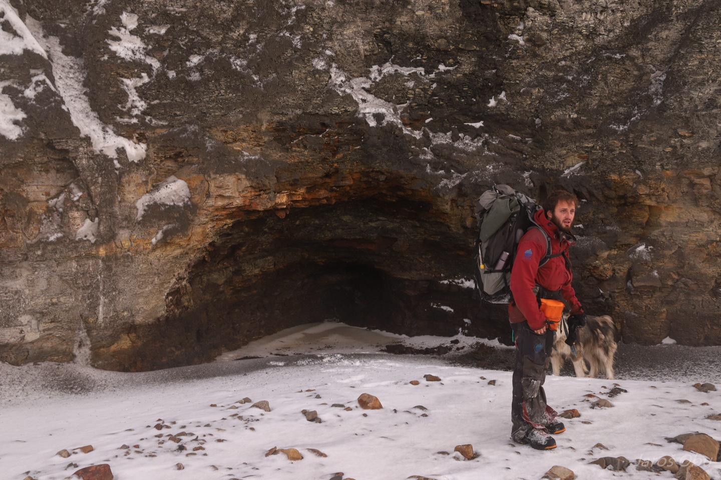
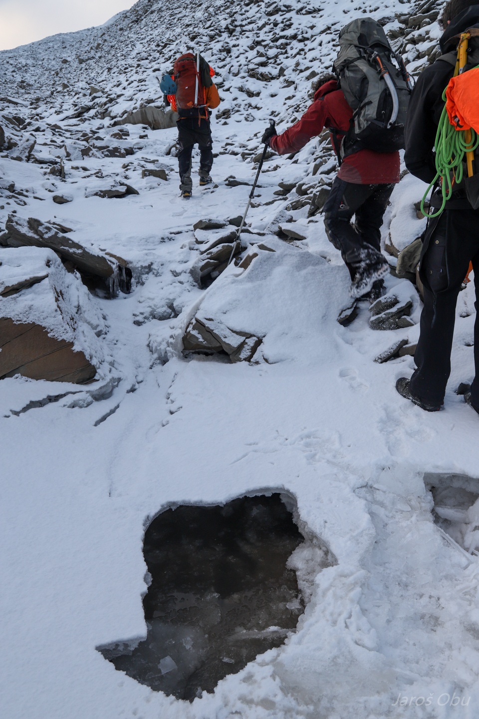
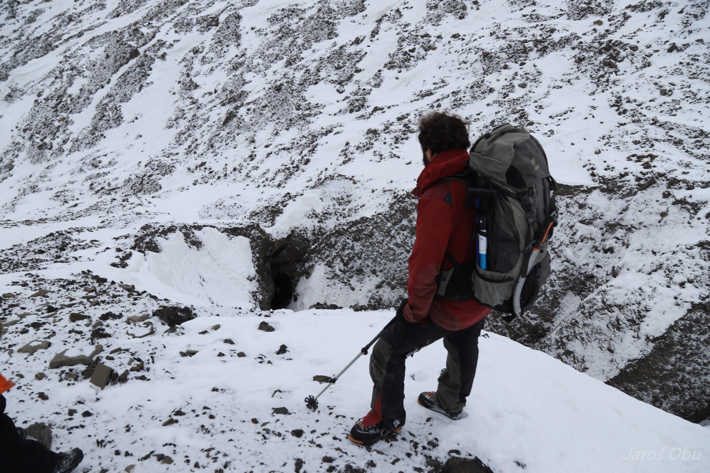
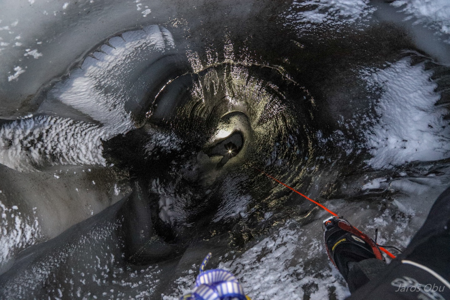
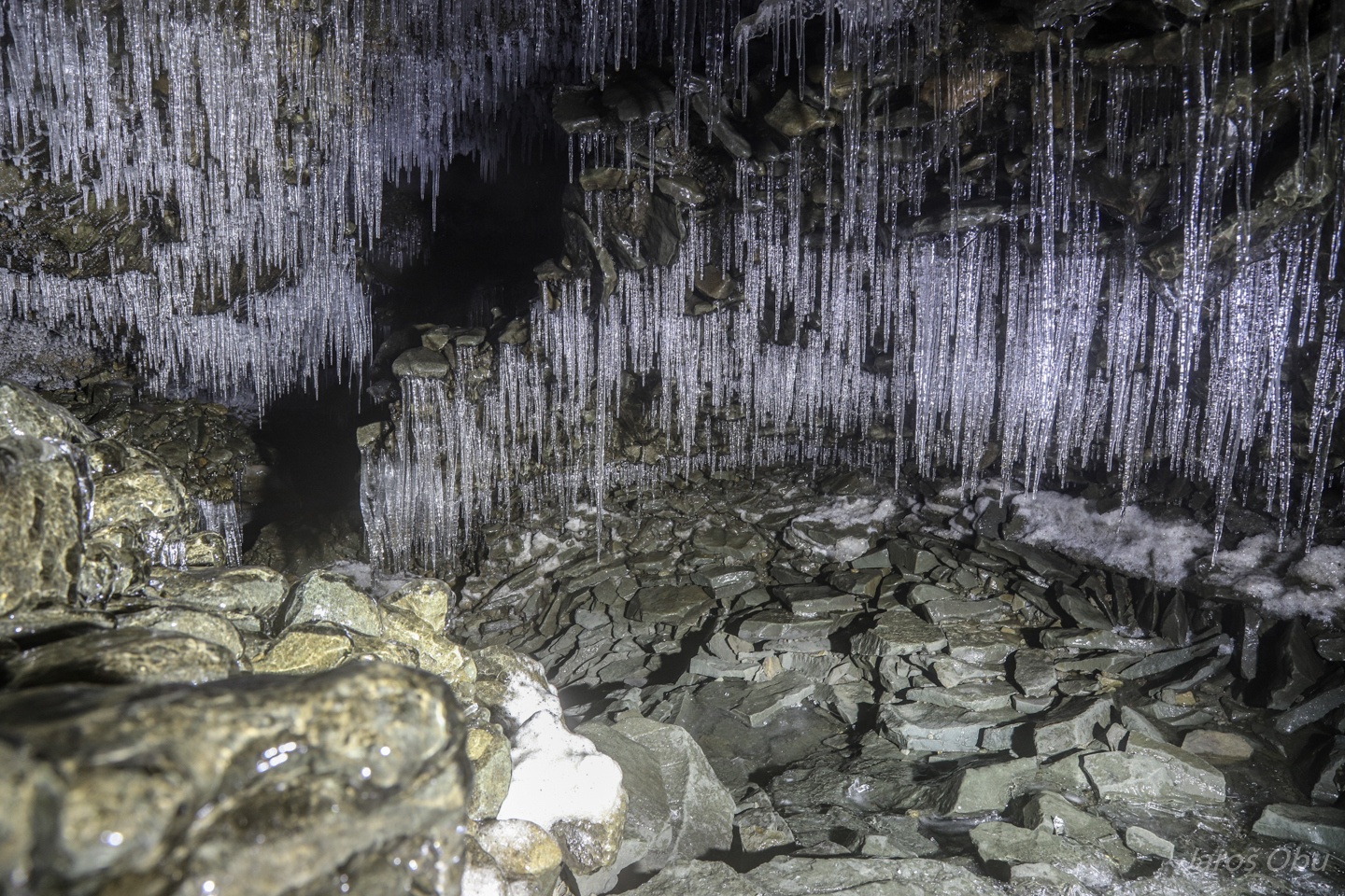
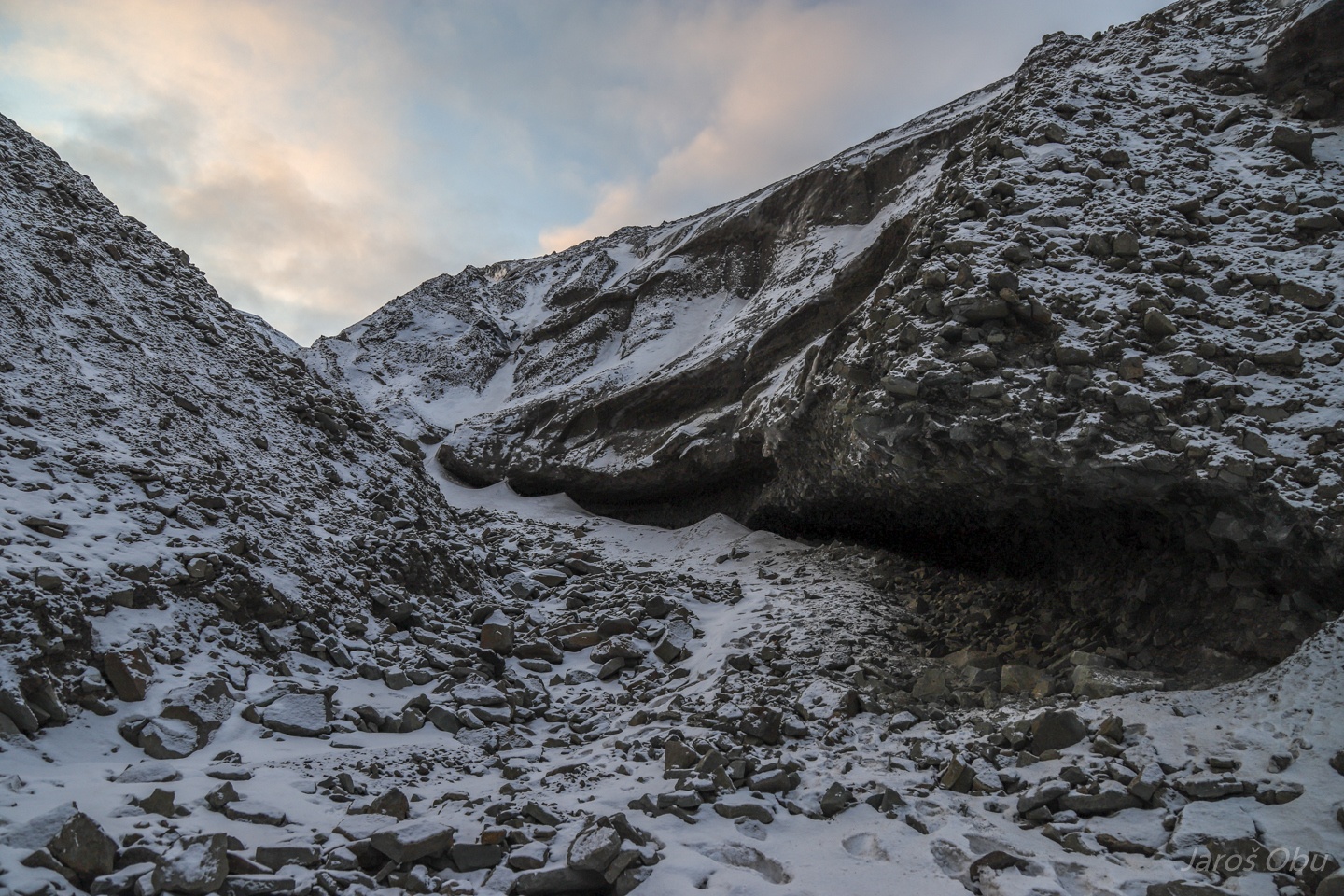
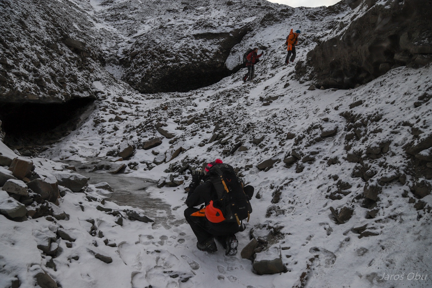
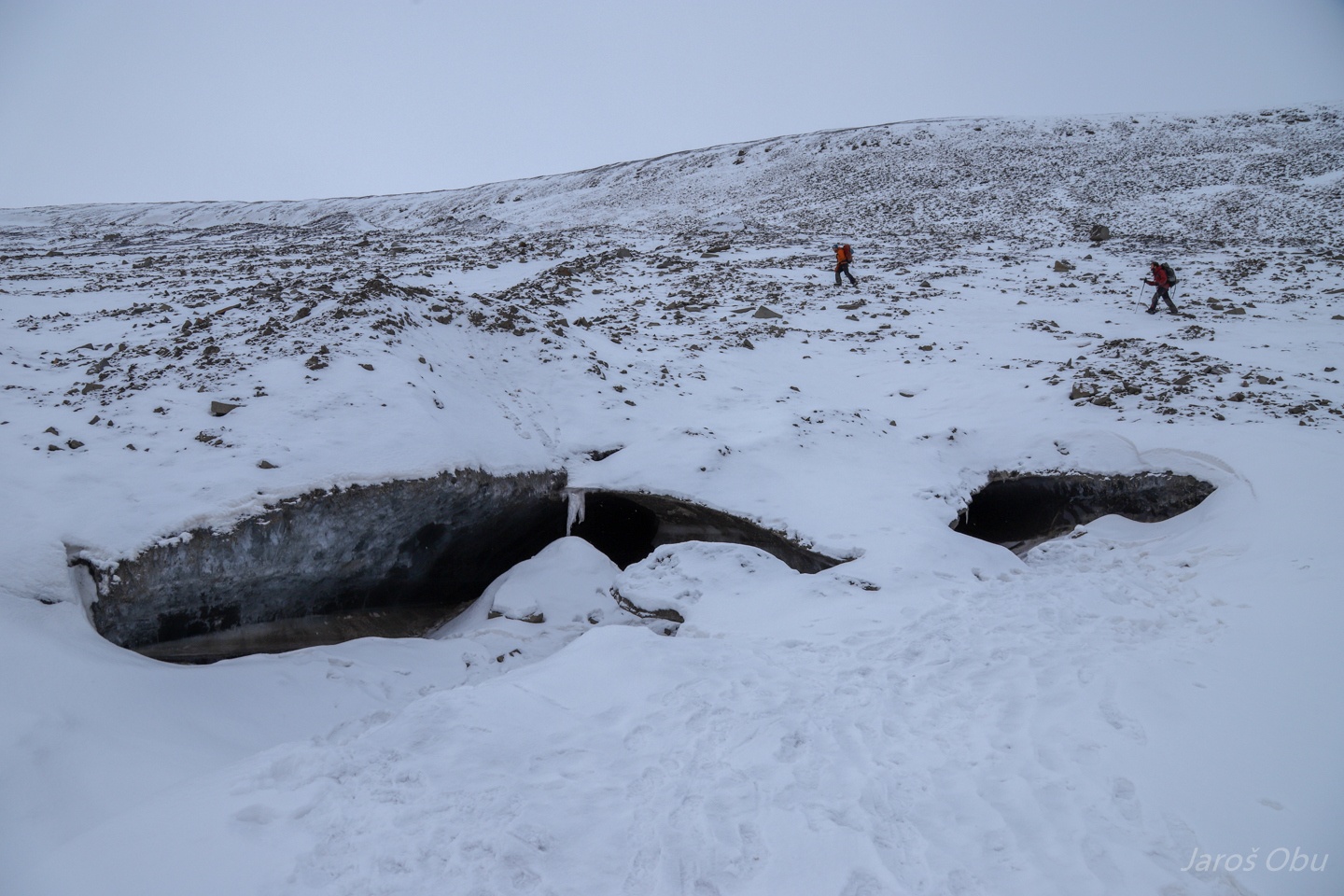
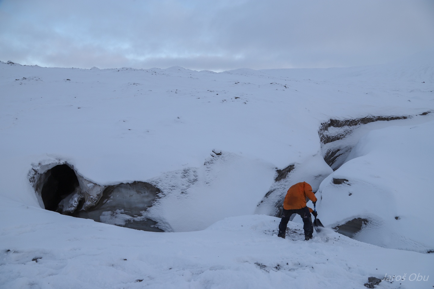
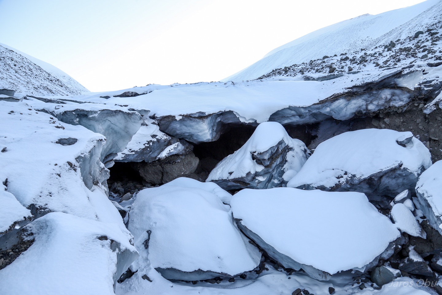
And here it is. The Tellbreen cave where we installed loggers in the spring.
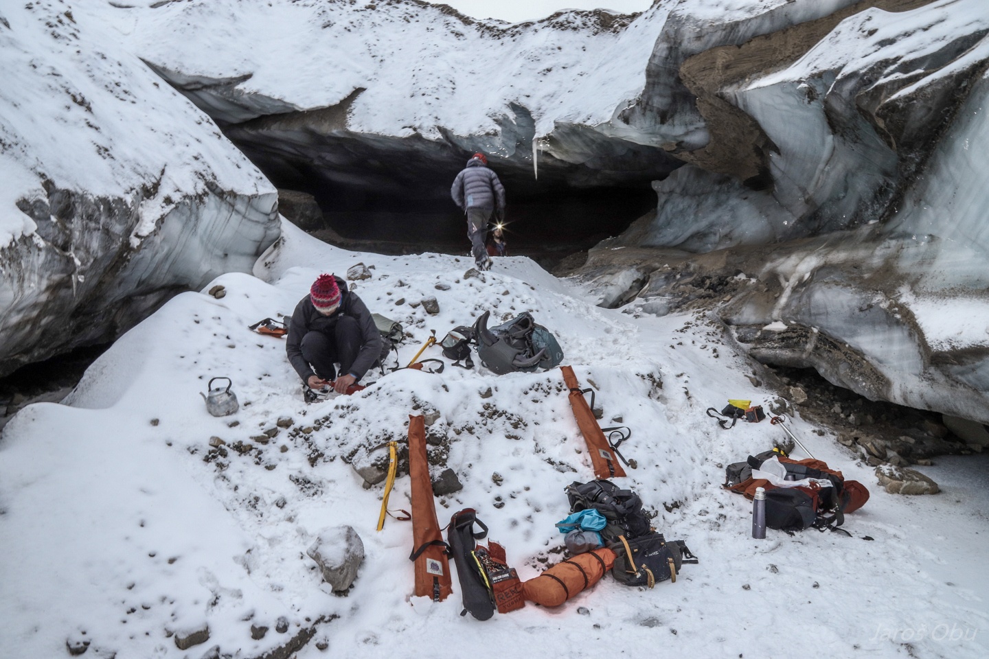
First task was to fix the dogs at the entrance. Ice screws seemed to be a perfect solution.
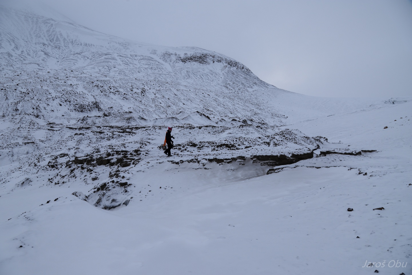
A walk around the entrance part ...
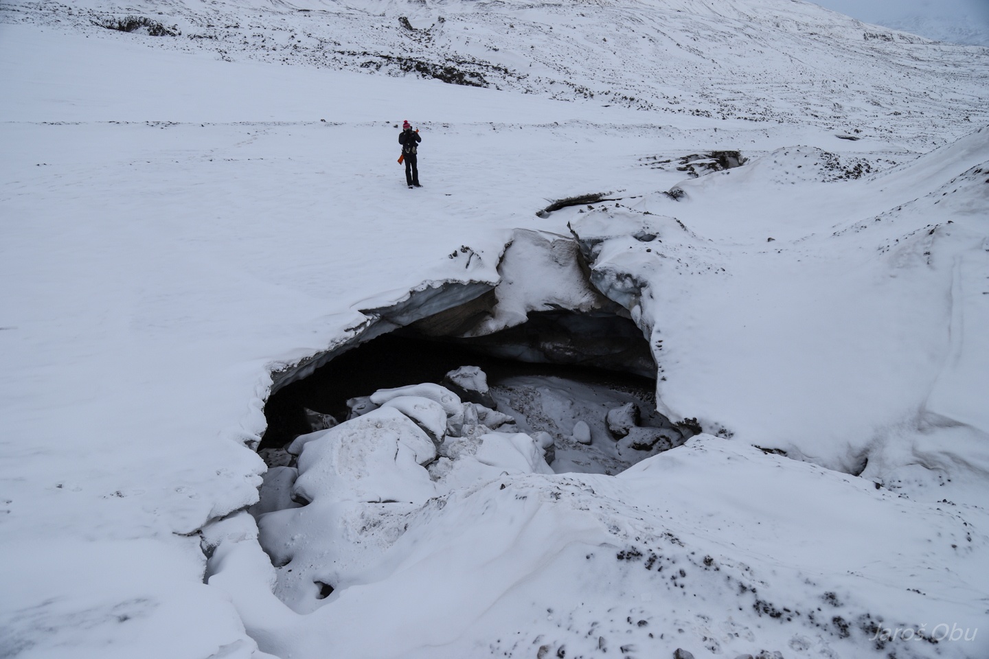
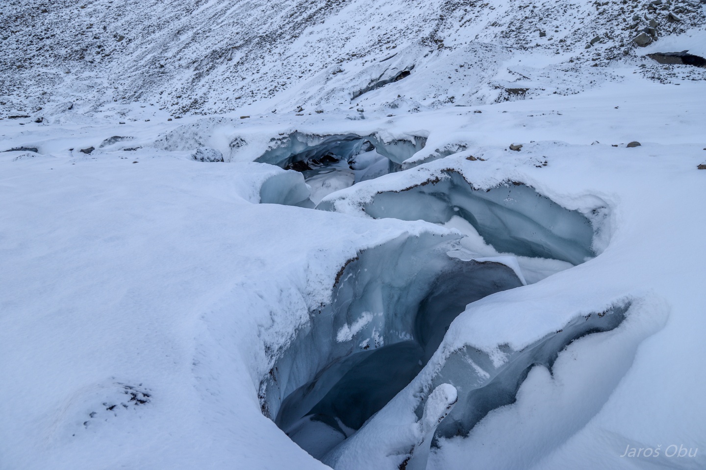
Revealed that some of the system collapsed.
Supraglacial streams up the glacier.
Checking the cave.
The entrance part didn't seem very stable so we didn't spend there much time.
Collapsed part just around the corner.
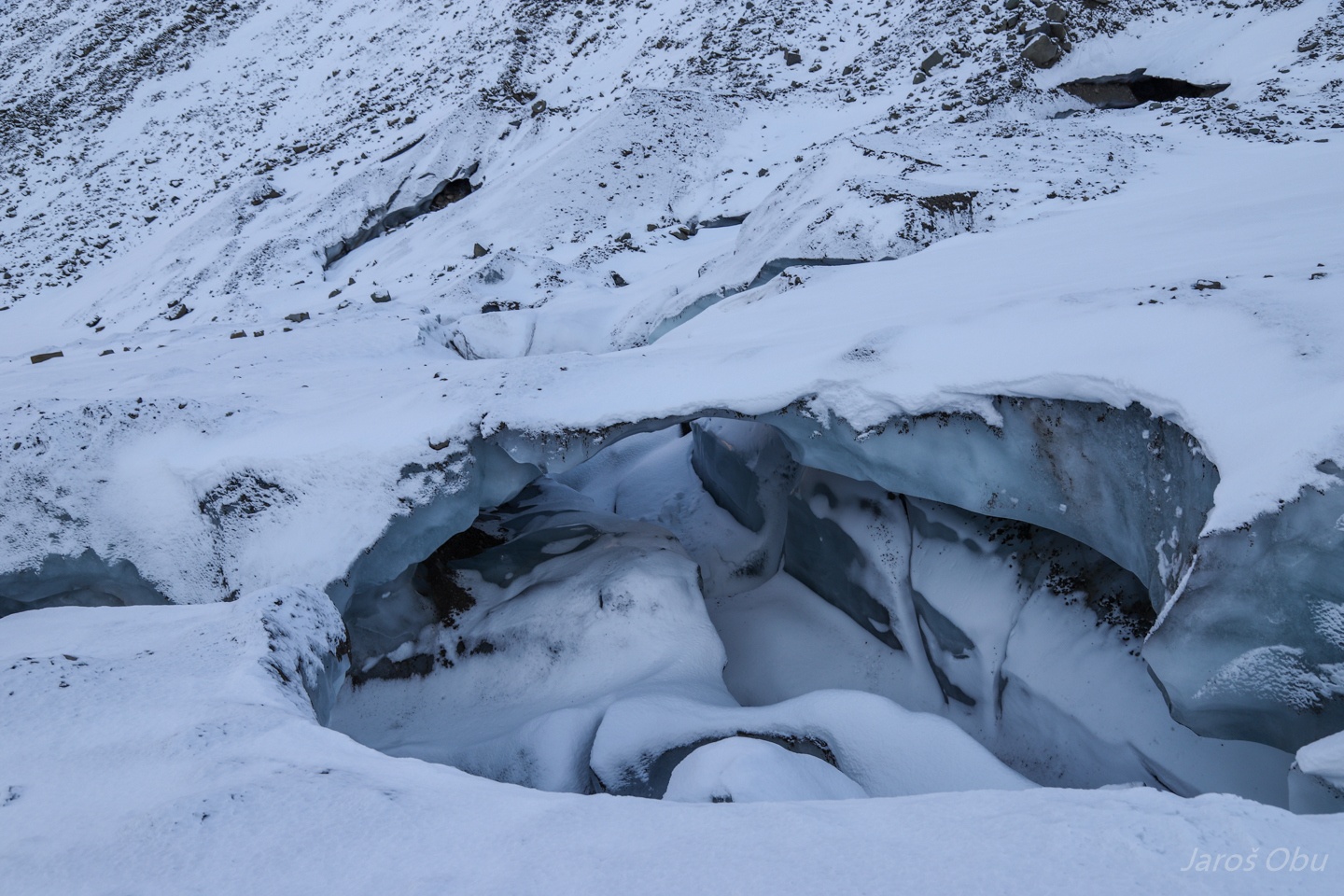
It probably collapsed just where the waterfall was: https://tinyurl.com/voe5x5v
The collapse.
Approaching the end of the lake in the spring.
The place of the "famous" LiDAR scanning from the spring: https://tinyurl.com/wqz39ou
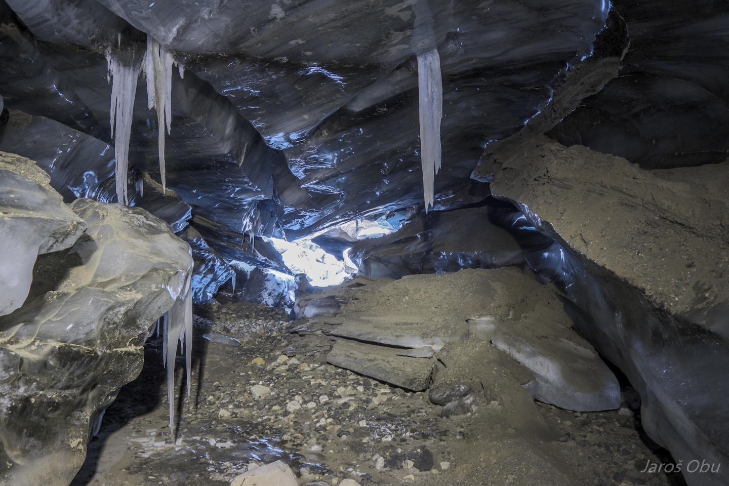
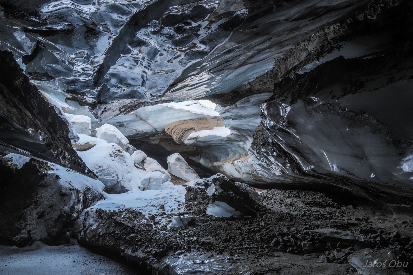
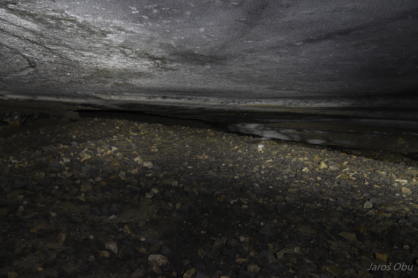
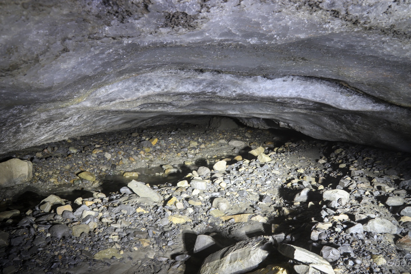
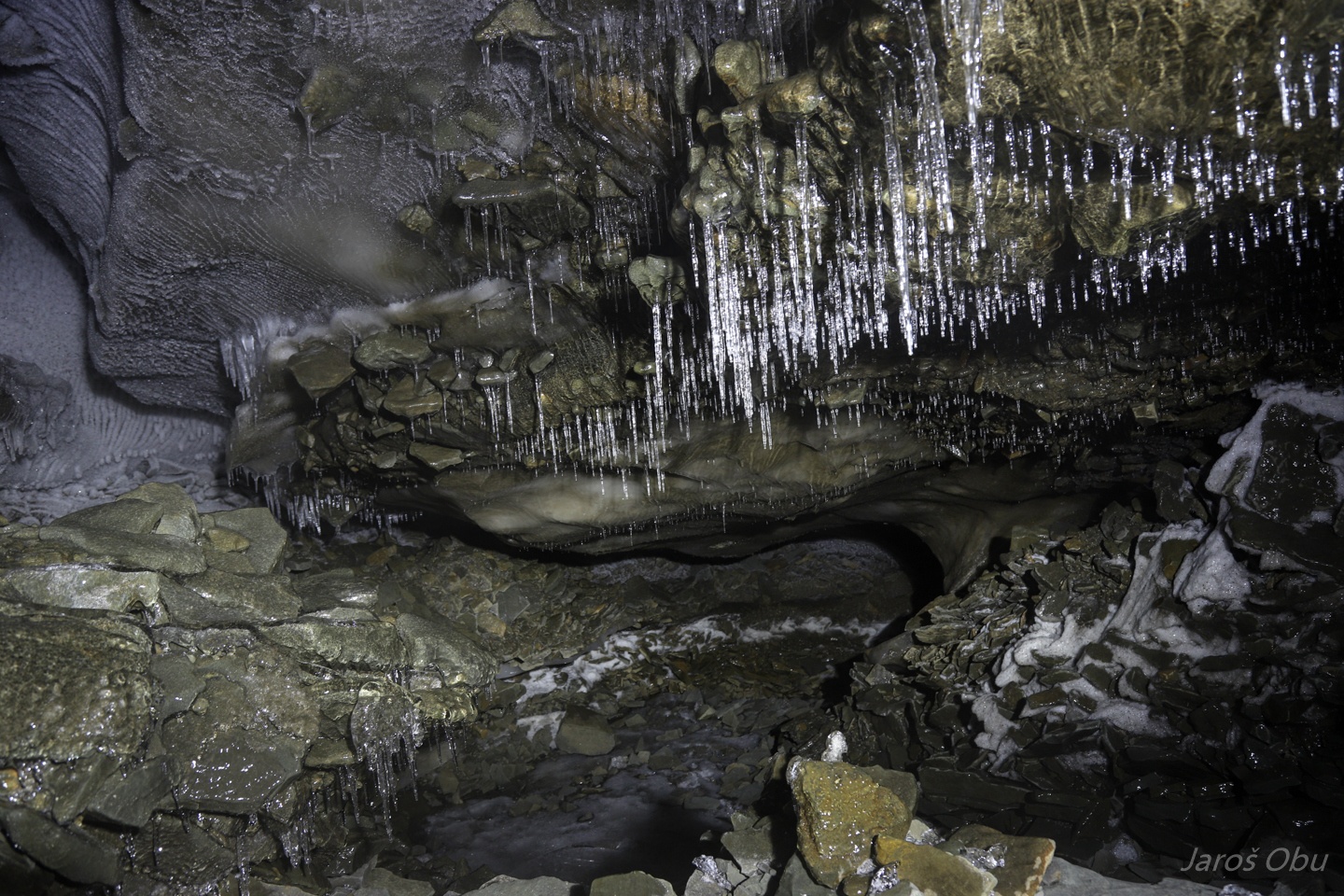
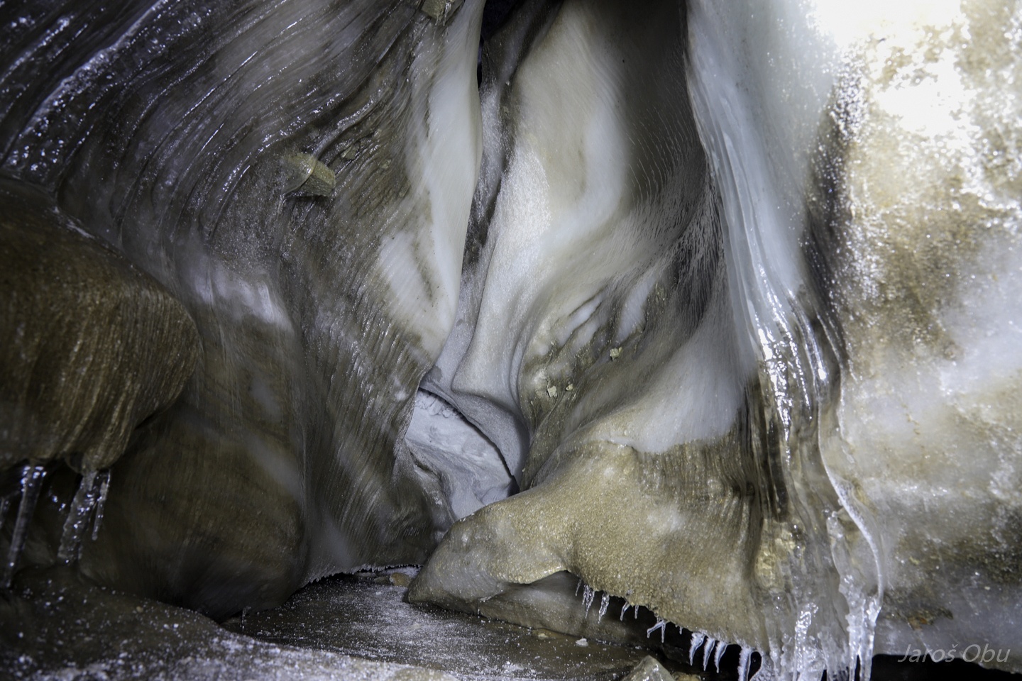
This part of the cave seems to be a bit more infilled with sediments.
The main stream is now flowing out now here.
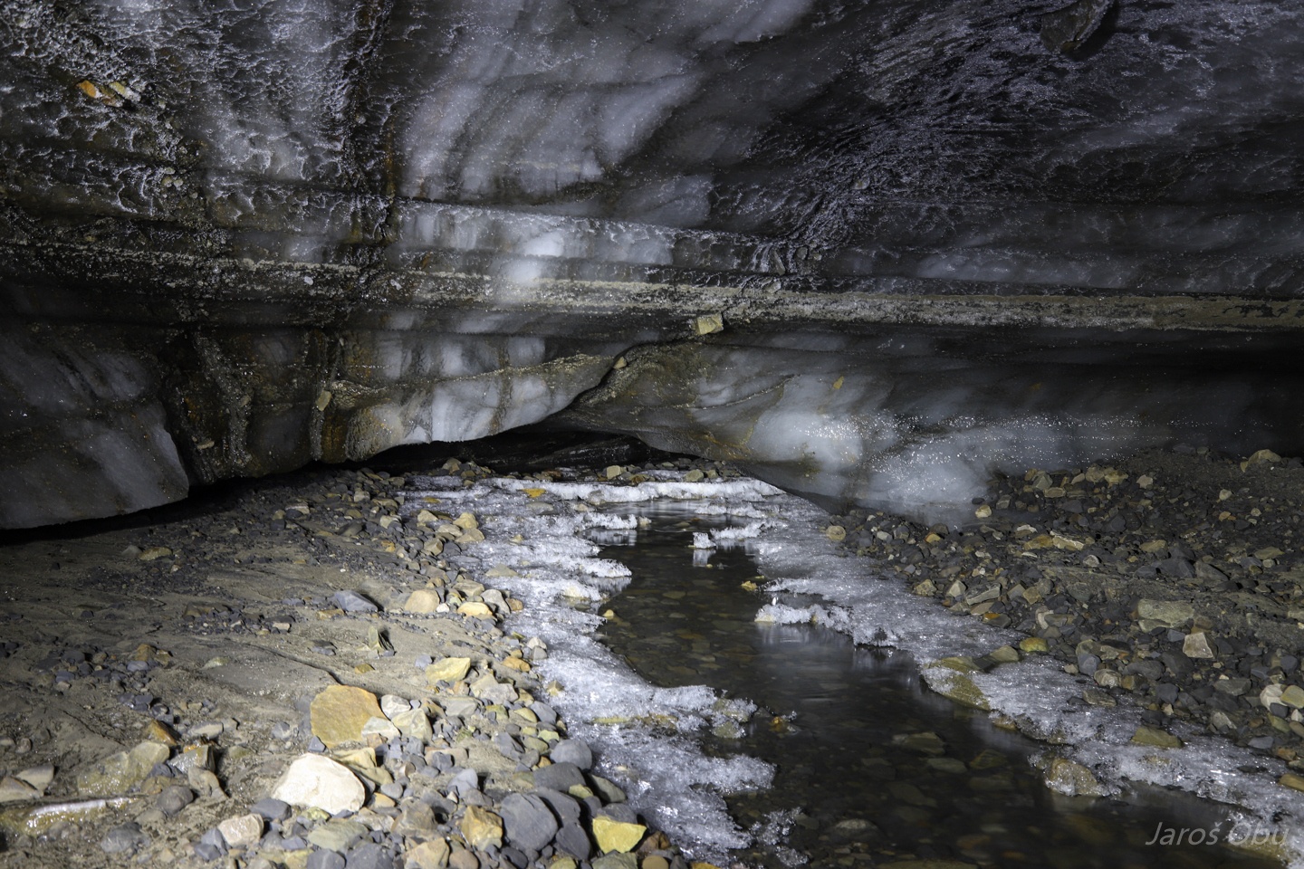
Up the stream.
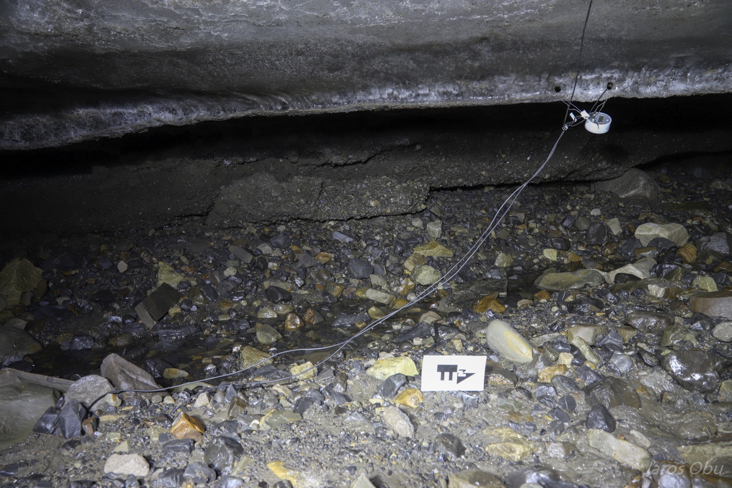
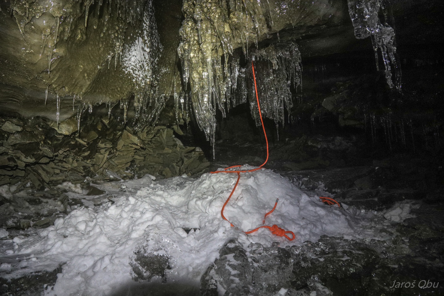
All the loggers were still there!
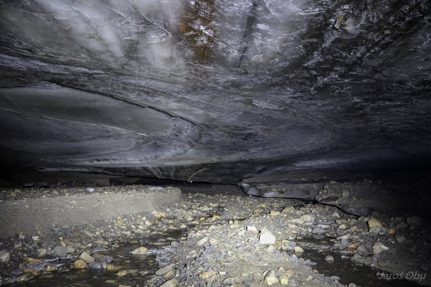
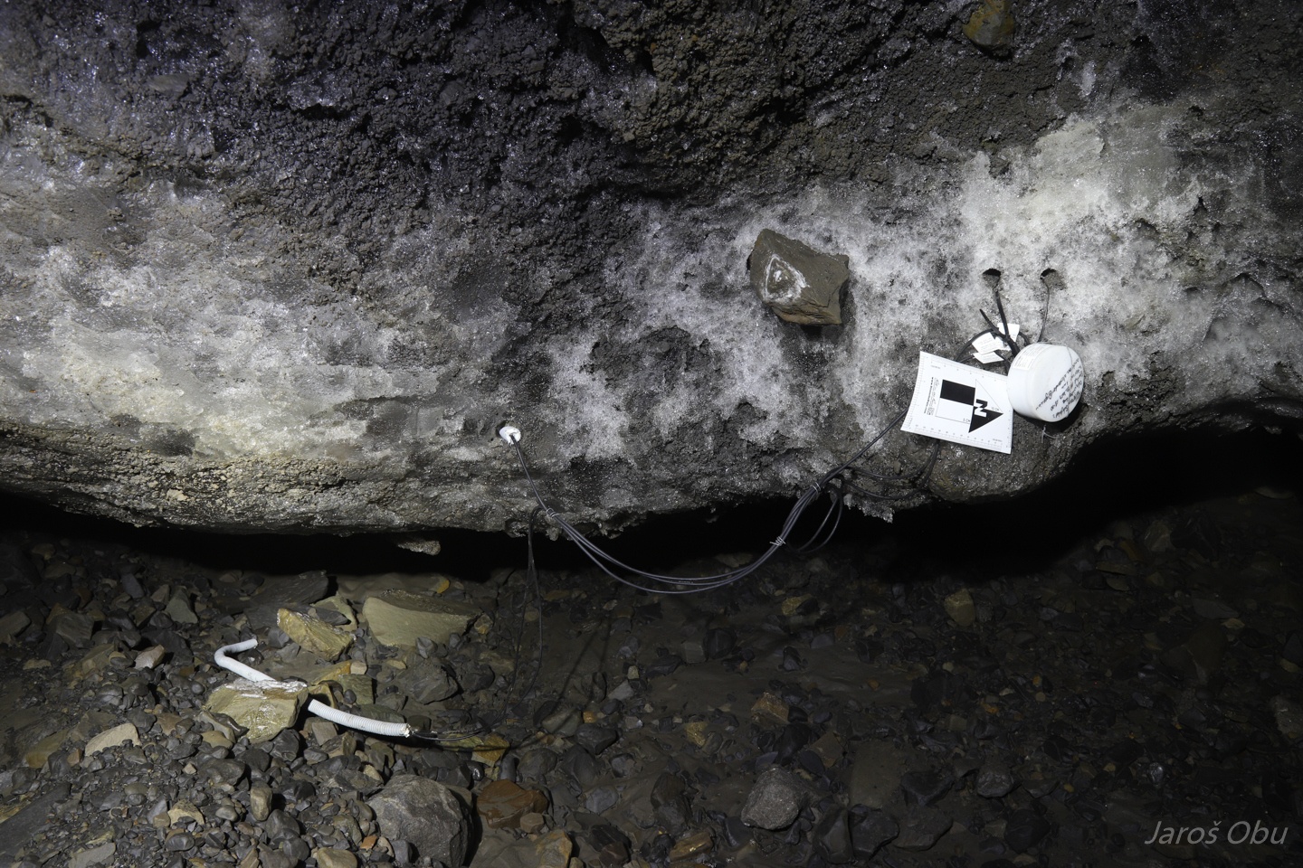
Ice temperature sensors remained in place but the ground sensors were excavated following the first flood.
The same happened with the second logger.
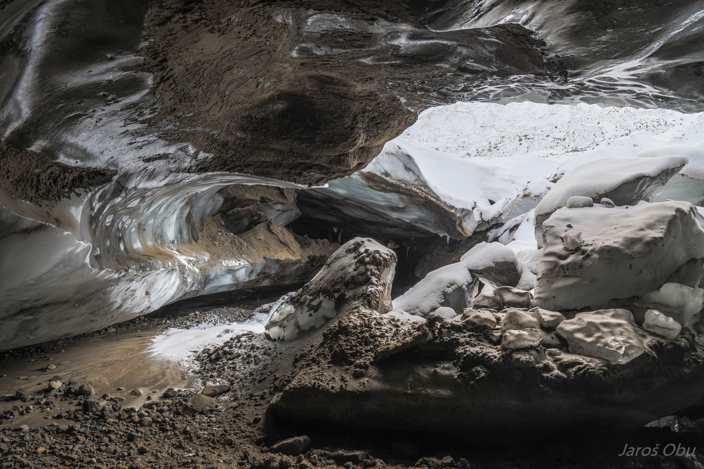
The very end of the cave opened up a bit.
Unmounting the unuseful waspmote ultrasonic water level meter.
Saluting PiM and Laurence were already waiting for us.
As well as our knitting experts.
The sky cleared up creating wonderful atmosphere for ...
our return back to the camp.
Runar can't stand it to be the last.
Helvetiafjellet
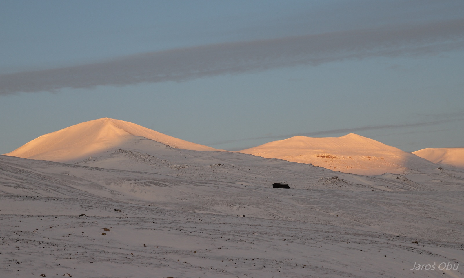
A brand new hut at Kreklingpasset.
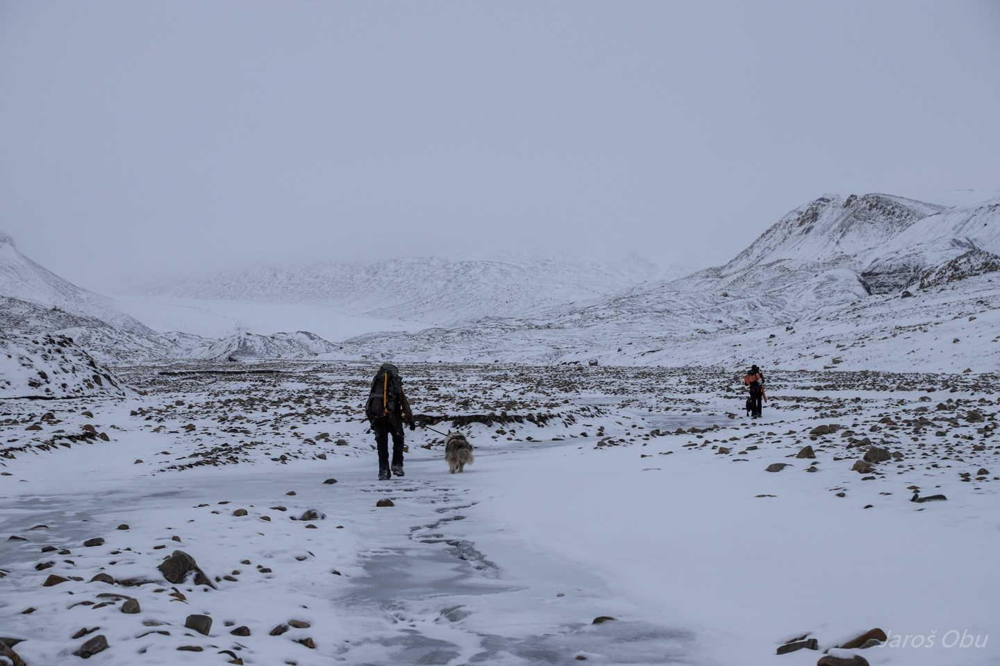
When we discovered that walking on the frozen river is pretty safe and fast way to move across landscape.
In the riverbed.
Towards another cave.
Just a small cavity eroded by the river.
Helvetiadalen turned in to warm evening colours.
Ice is stable despite some open water.
Tired PiM shortly before reaching the camp.
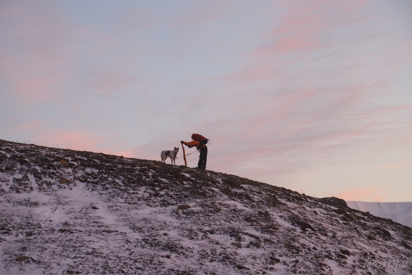
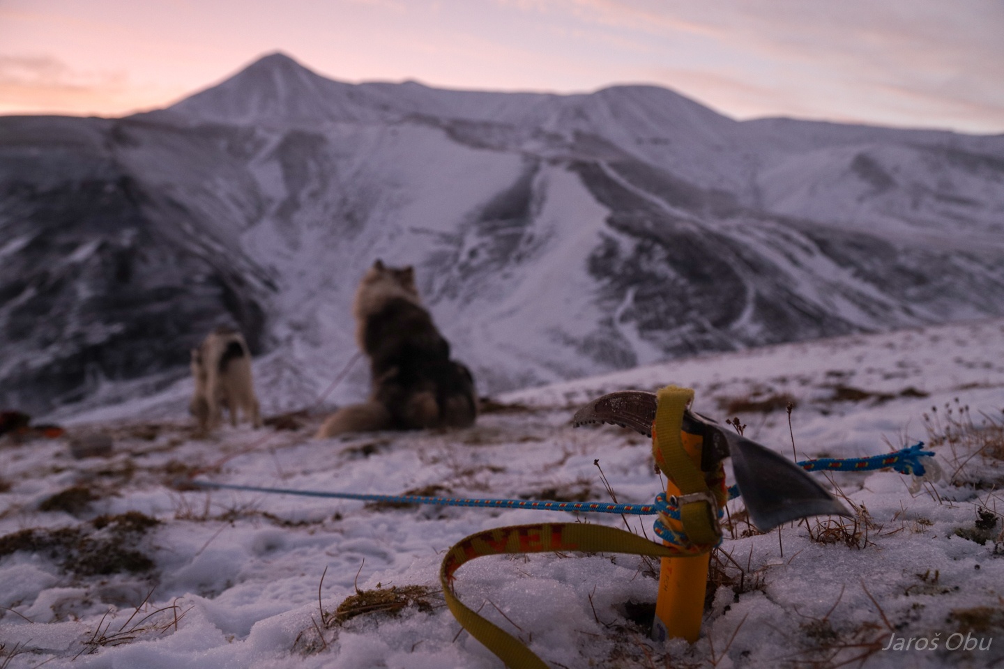
Dogs needed to be fixed more firmly. The ground has just started to freeze and ice axe was easily hammered into the ground.
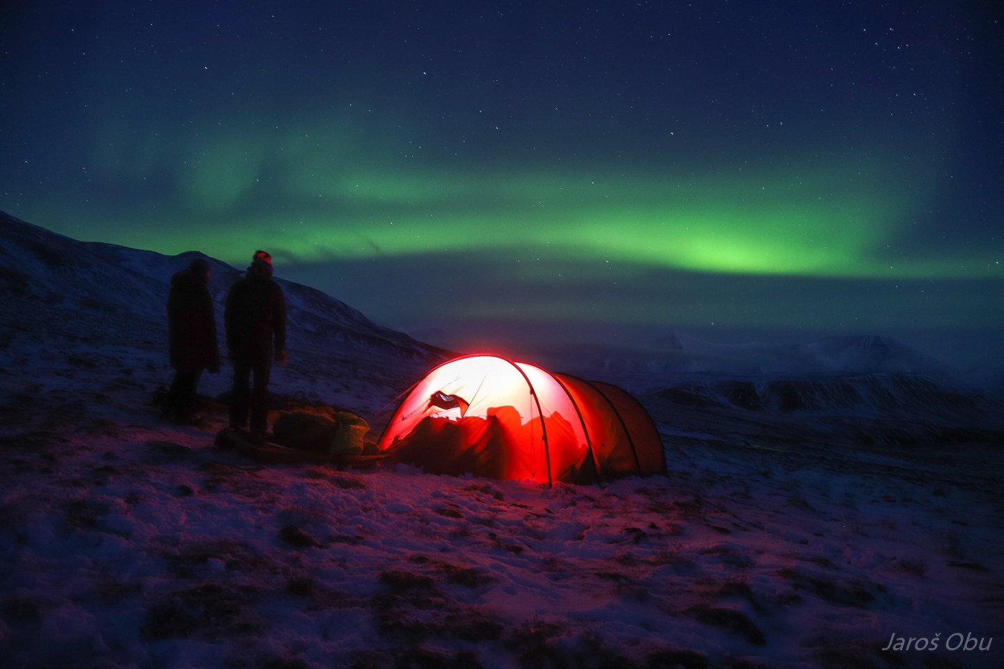
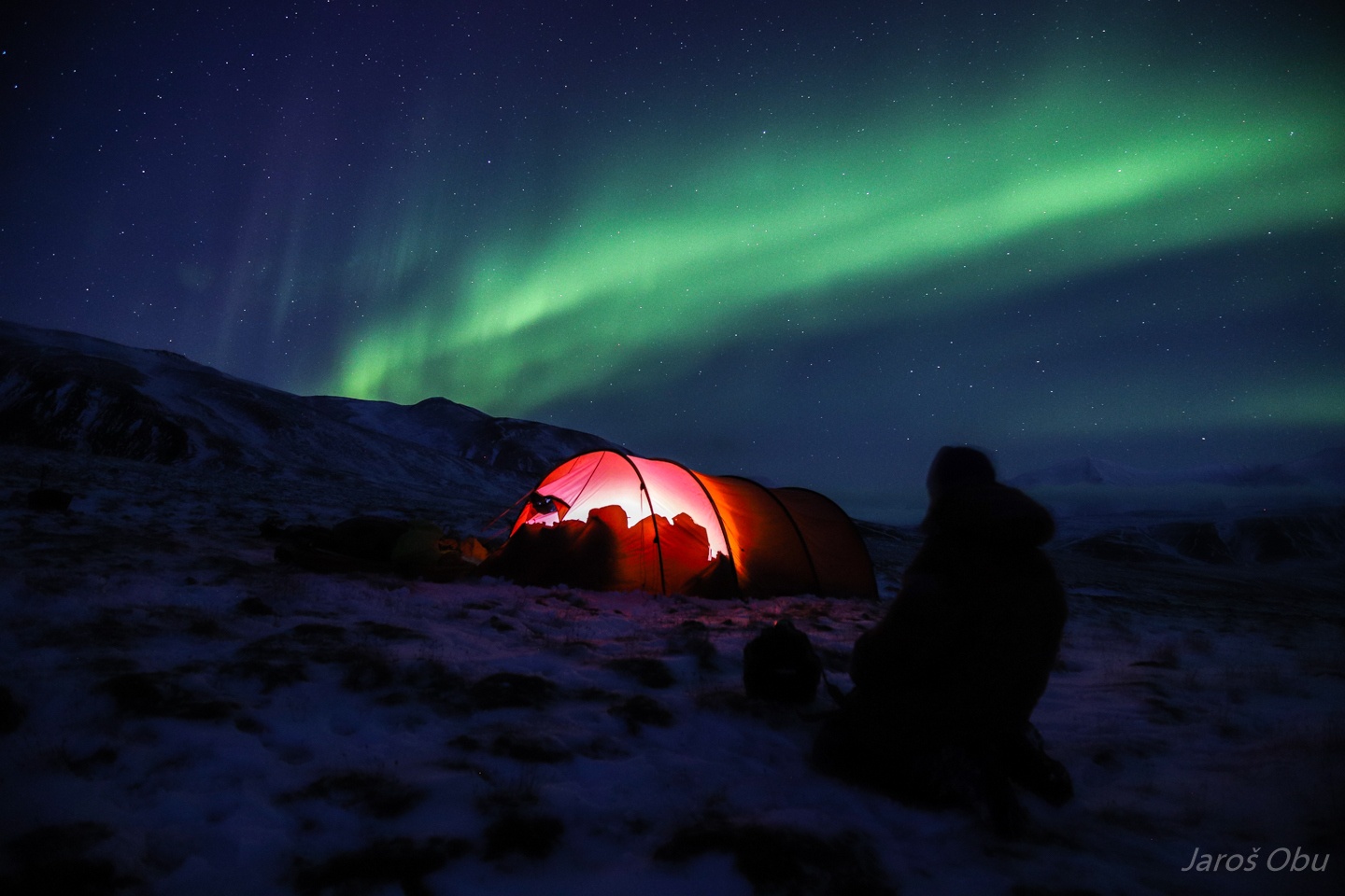
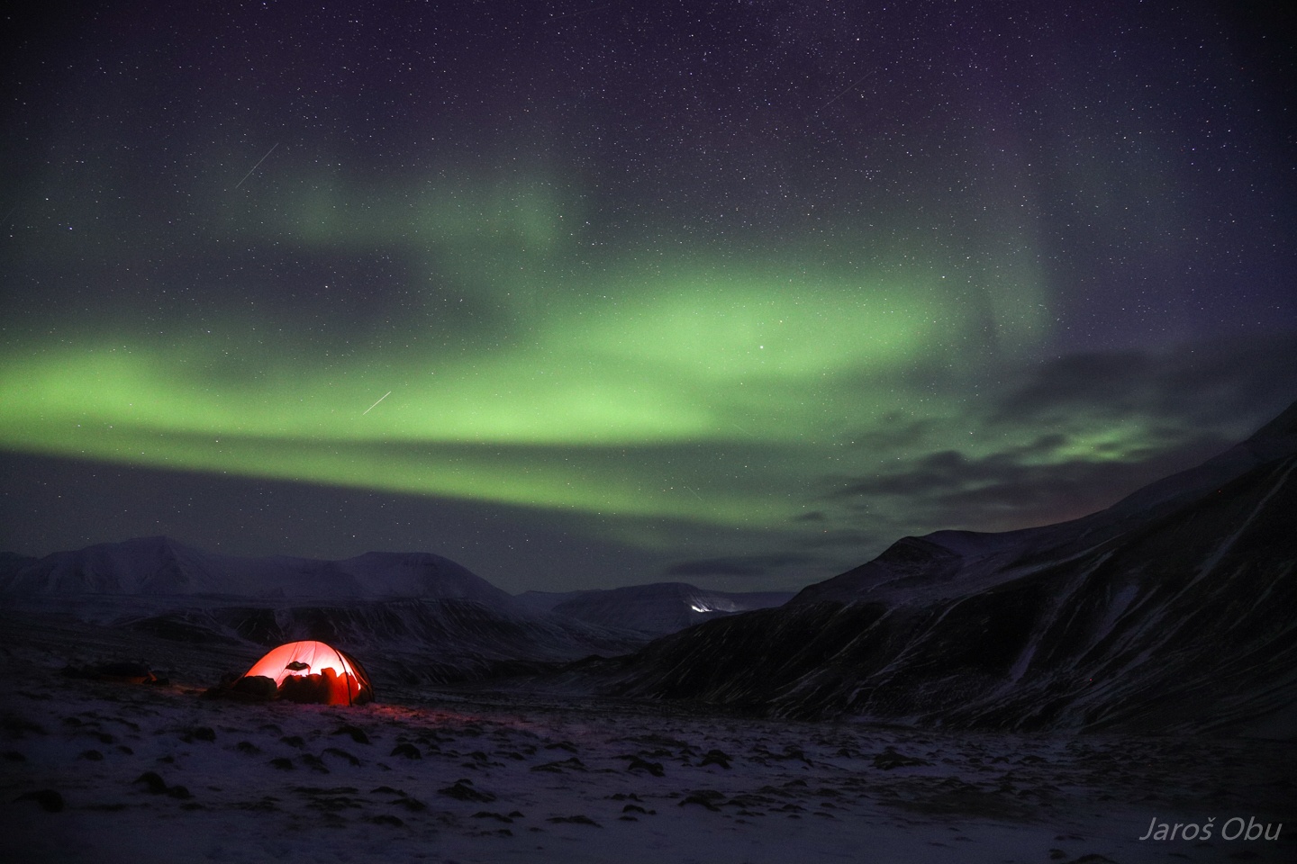
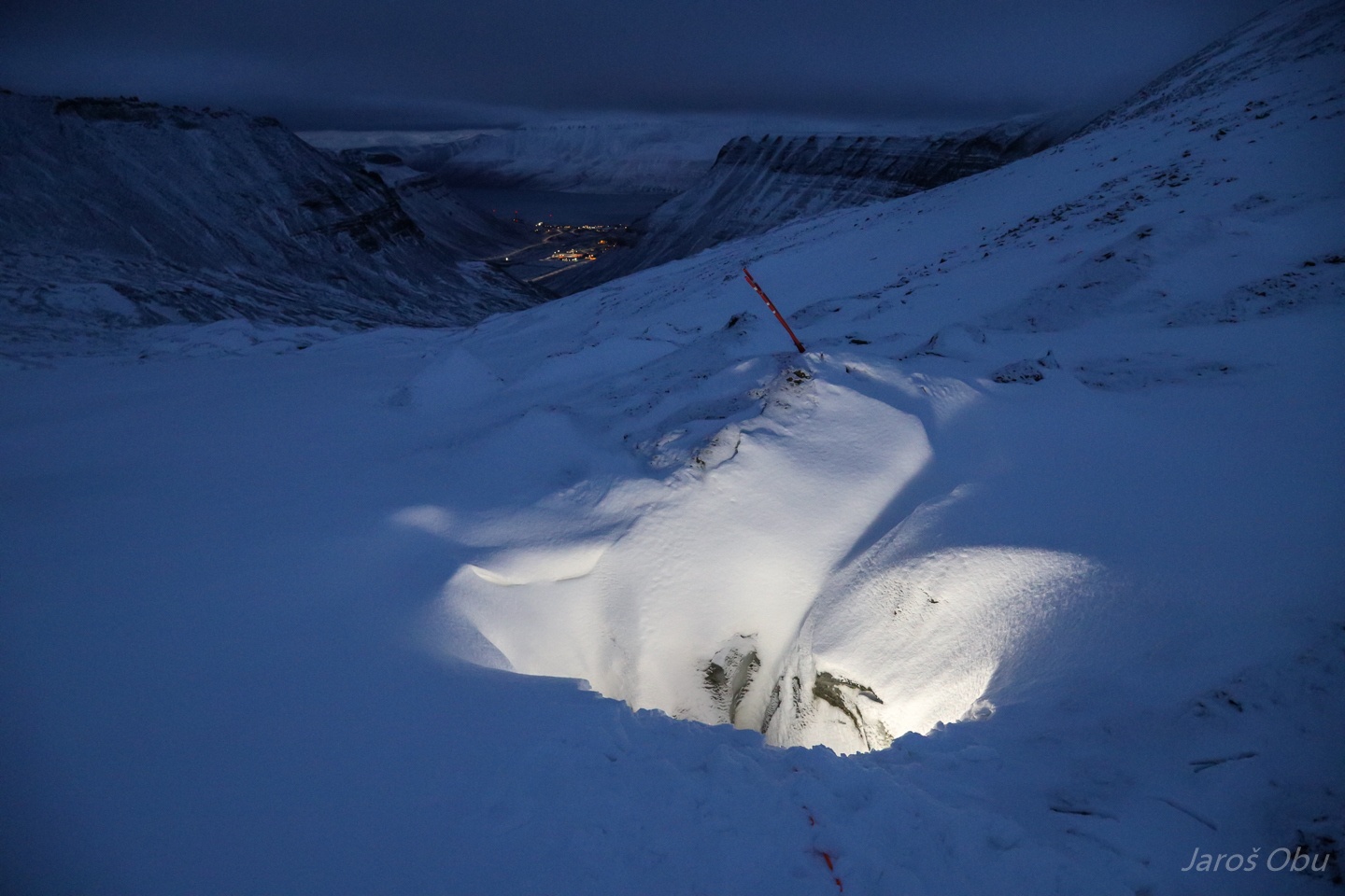
Northern lights visited us during the beginning of bear watch.
The first part of the night was very cold, which stabilised river ice very well.
Laurence getting ready for a long way back to Longyearbyen.
Andreas had a lot of issues with Fenris not being keen on walking on ice.
...
Runar was the most obedient.
The lidar was successfully recovered and mounted back on the sledges.
Aron and PiM pulling in different directions.
The ice is getting thinner and flooded with water.
We were incredibly lucky to make it back on river ice with all the gear!
Ruined pulkas.
We were up and ready to recover more loggers on Longyearbreen after two days of rest.
Somebody has got wet feet.
Geologists left some large fossils to be transported to the town in spring.
Following the usual scooter track.
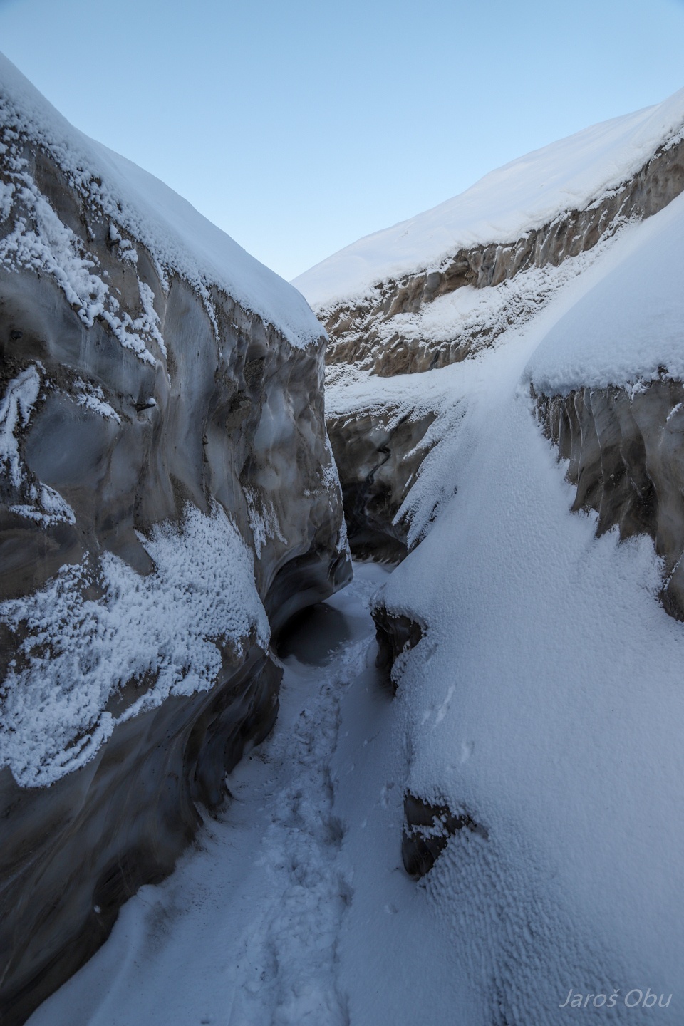
Meanders at each side of the glaciers.
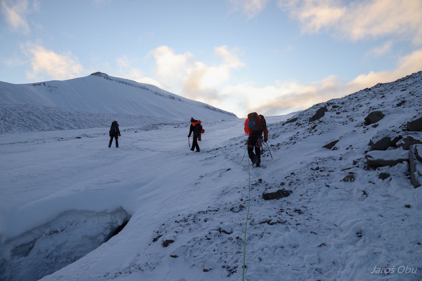
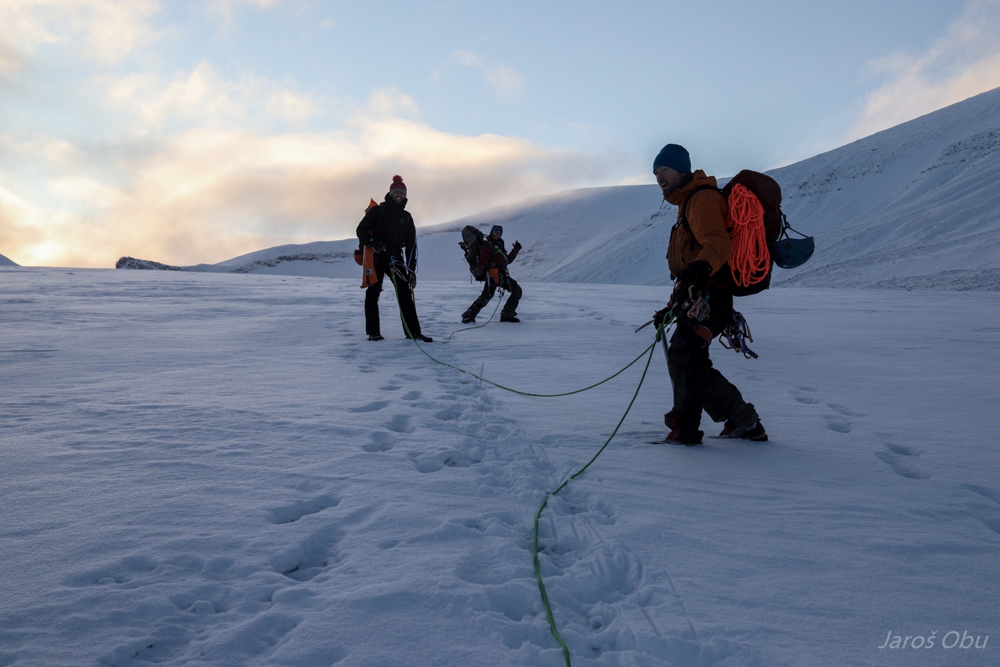
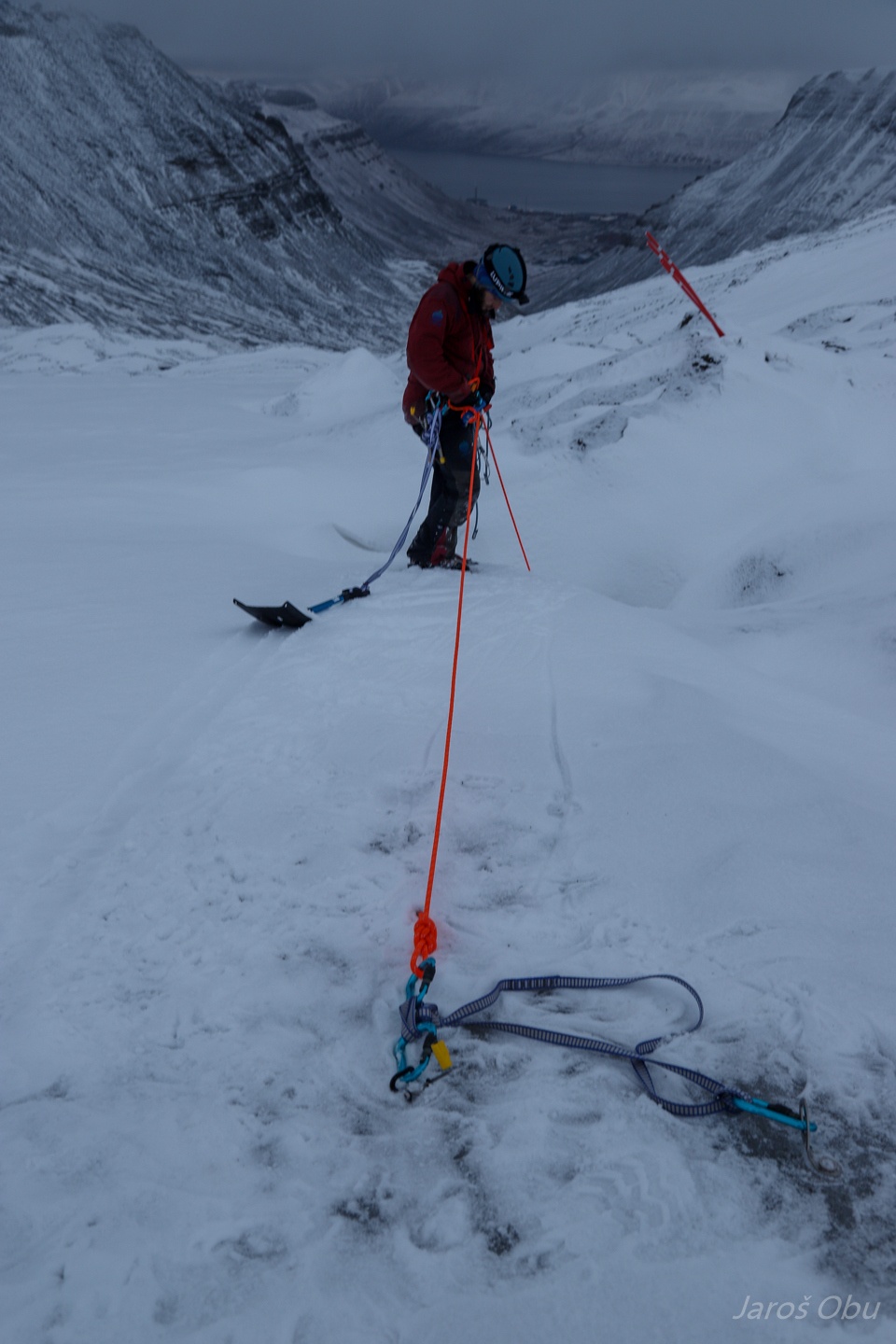
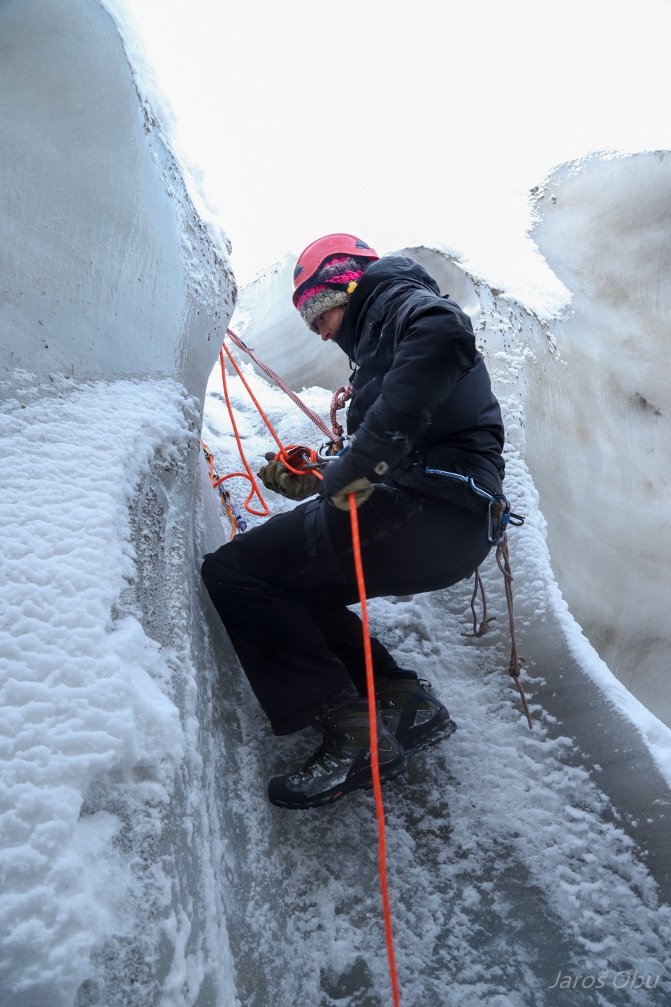
Roping up for crossing them.
Who's the man ...
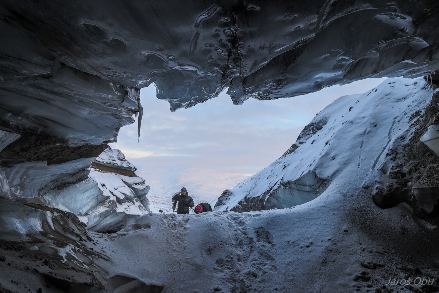
Arrving at the cave.
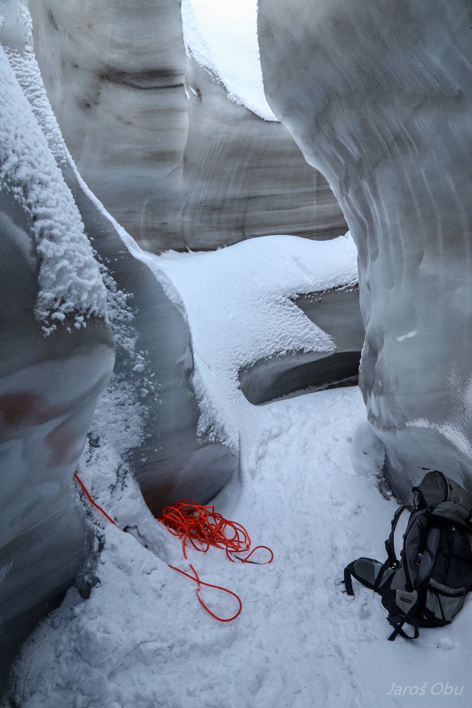
Preparing a belay point.
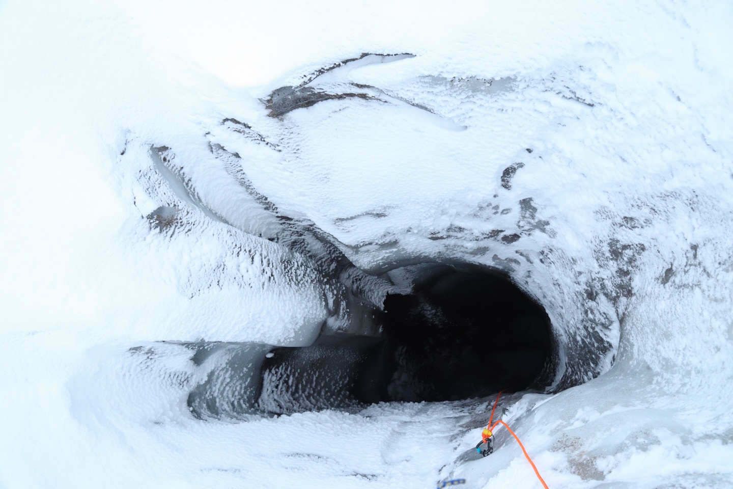
Andreas found the entrance with the probe.
The cave had rather thin ice and running water so it was not possible to explore downstream.
We recovered one logger at the entrance though.
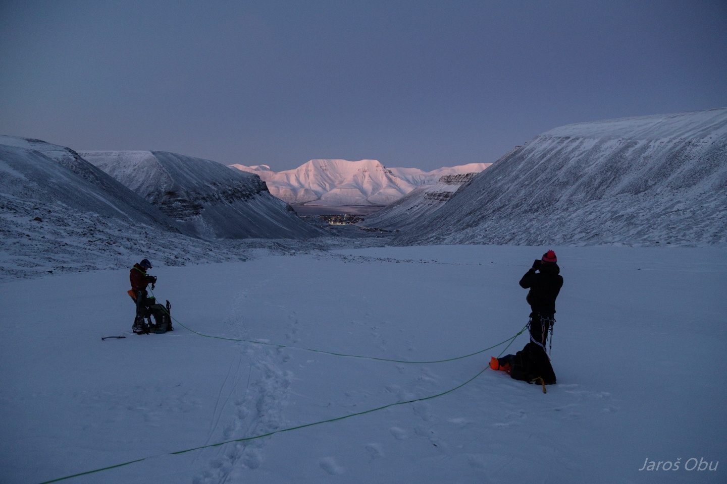
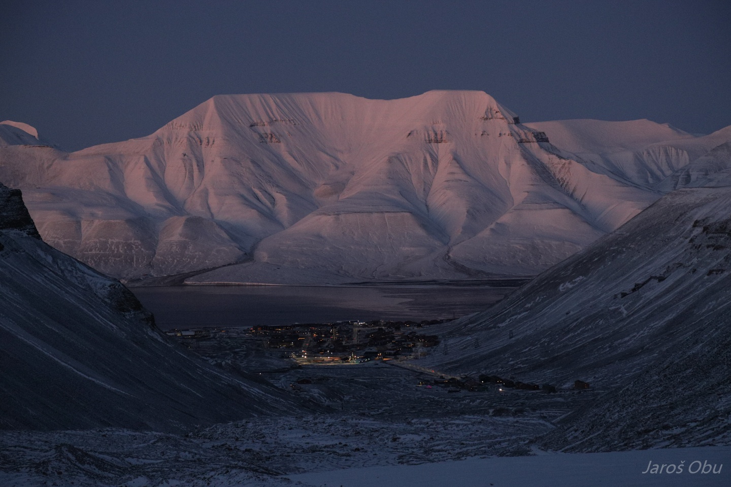
Twilight wedge at the departure time.
All of us are taking out our cameras for ...
the alpenglow.
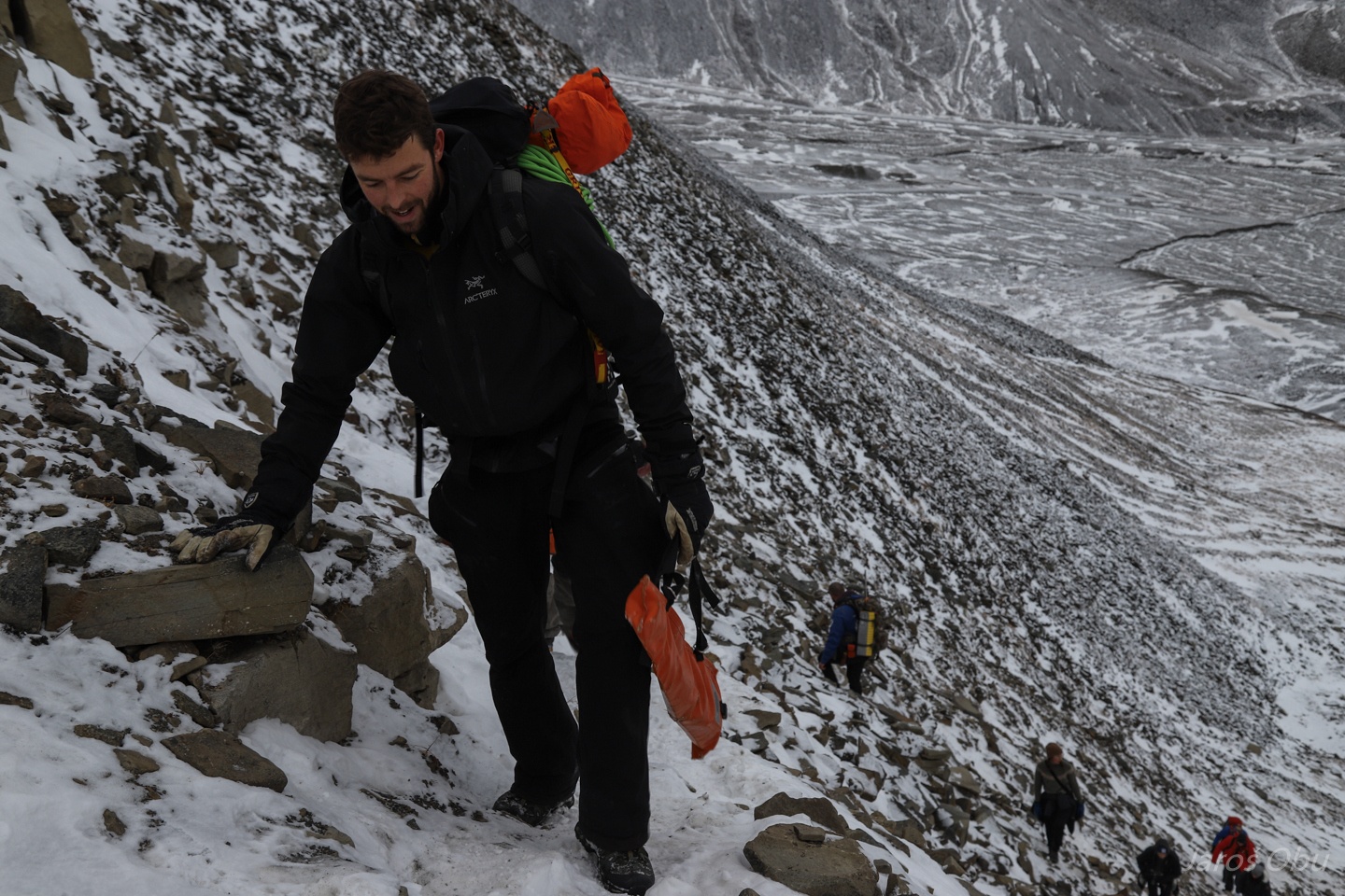
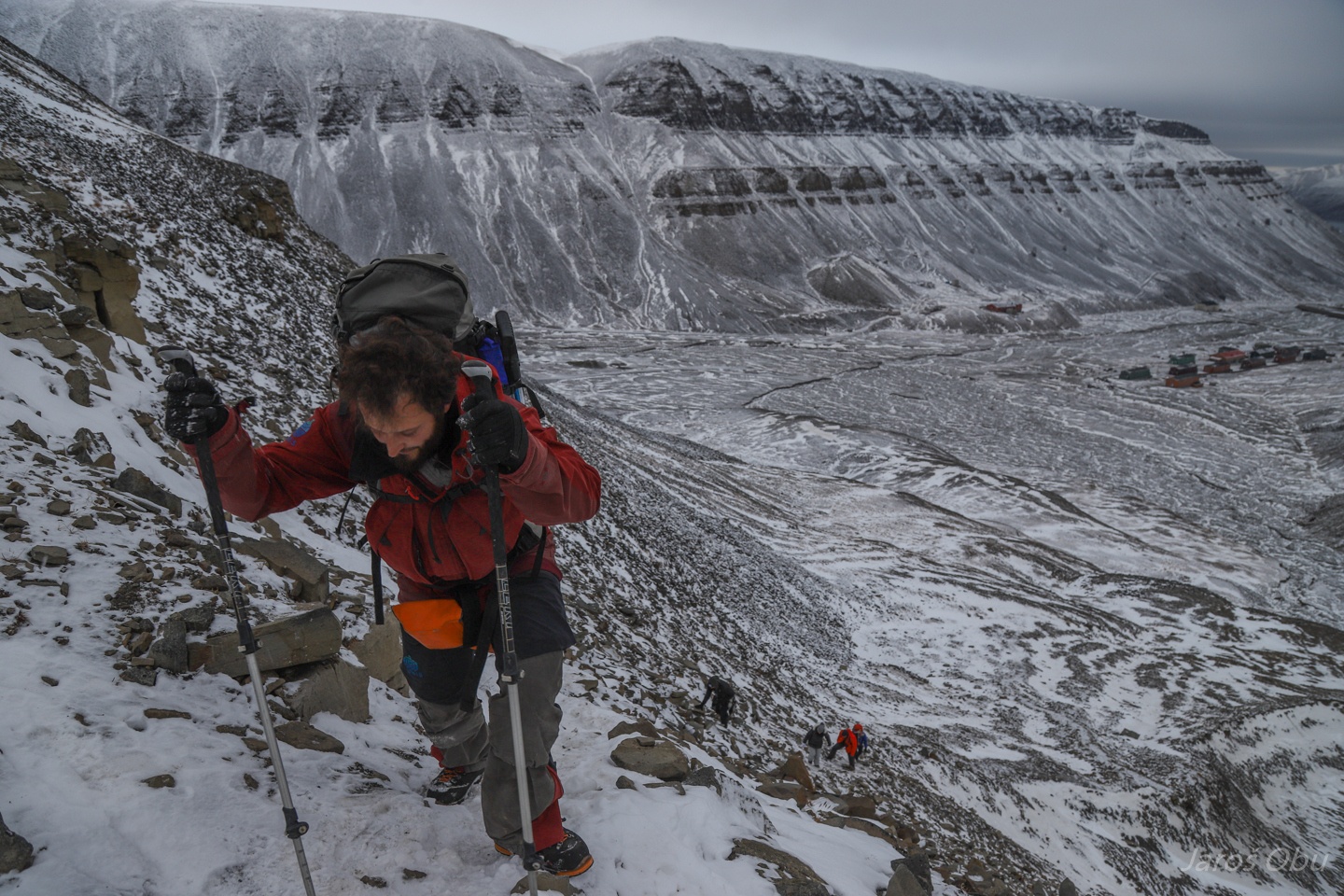
Climbing up the unpleasant slope towards the Larsbreen next day.
Small laedge that we could cross with skis in spring was eroded.
Andreas knows the caves in Larsbreen as his pocket.
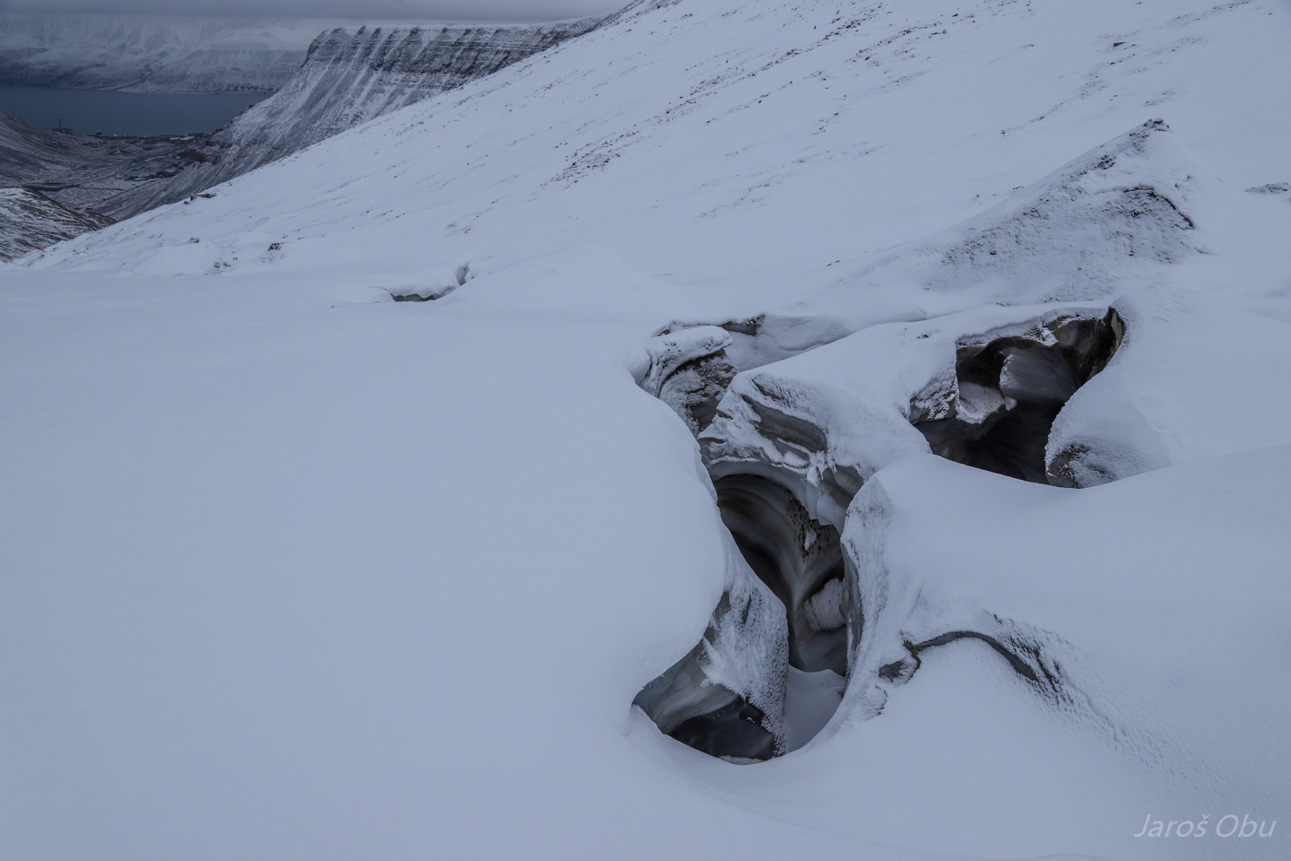
Exploring the swiss cheese area.
20 - 30 m deep shaft.
Interesting type of weathering.
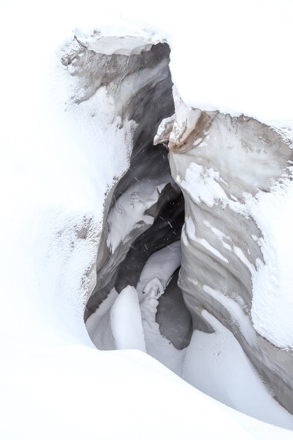
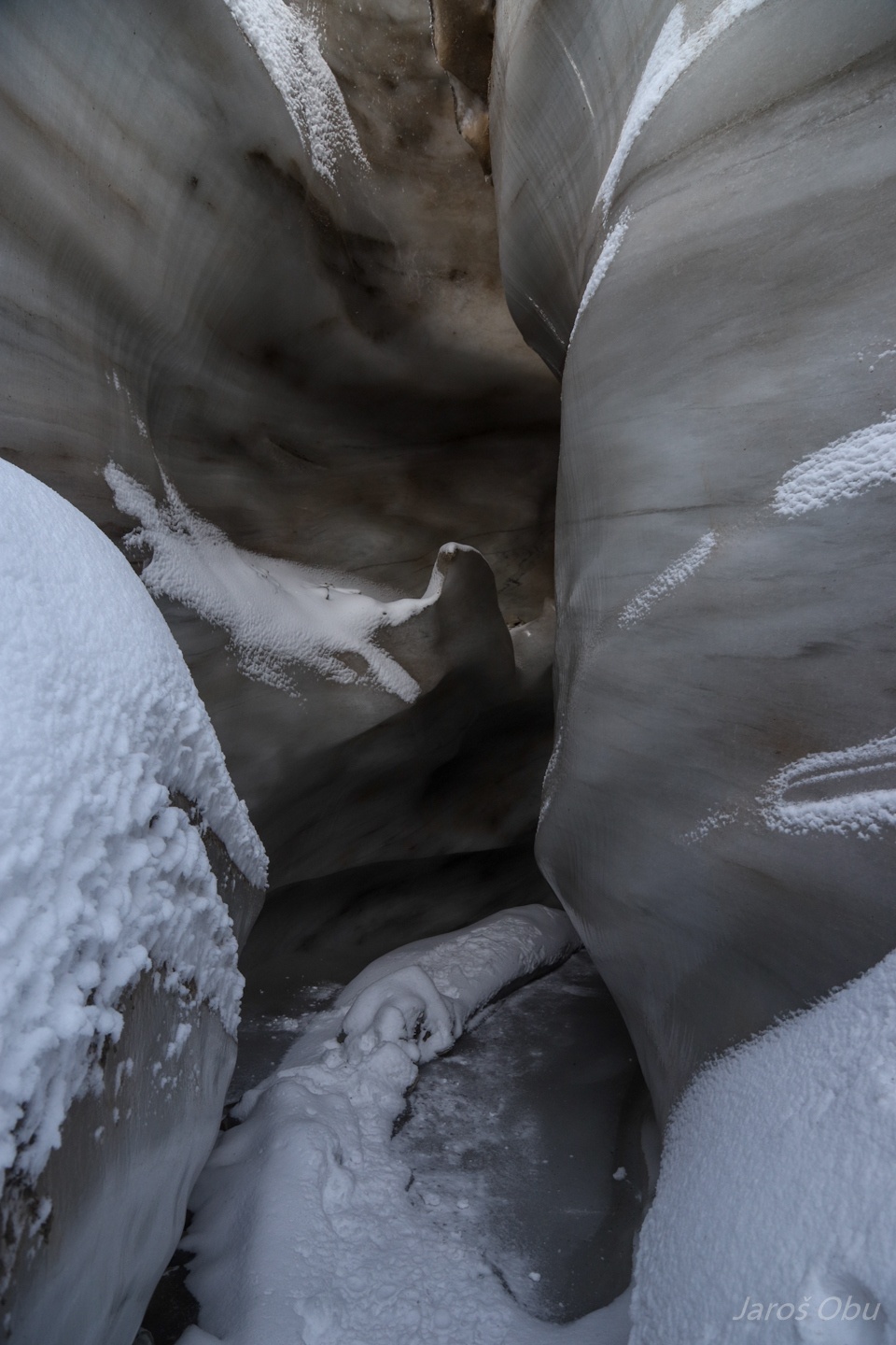
Another cave.
Up on the glacier.
Meanders turning into shafts.
Fog prevented us to find the entrance with our loggers.
Having a look in to one shafts back down instead.
About 20 m deep.
From the rebelay with Andreas underneath.
The shaft bottom that is continuing to subglacial cave system up and downstream.
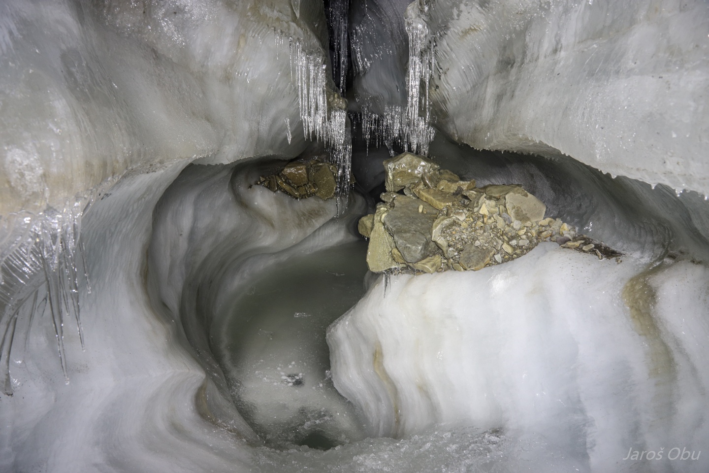
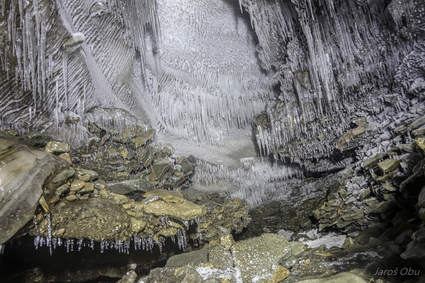
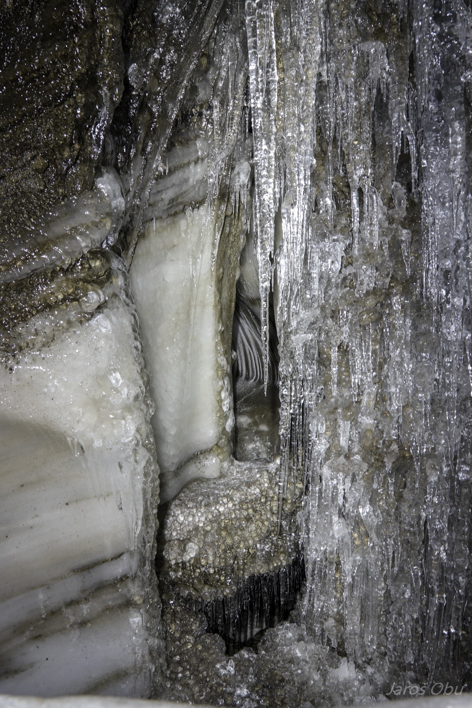
Many icicles.
Andreas for scale.
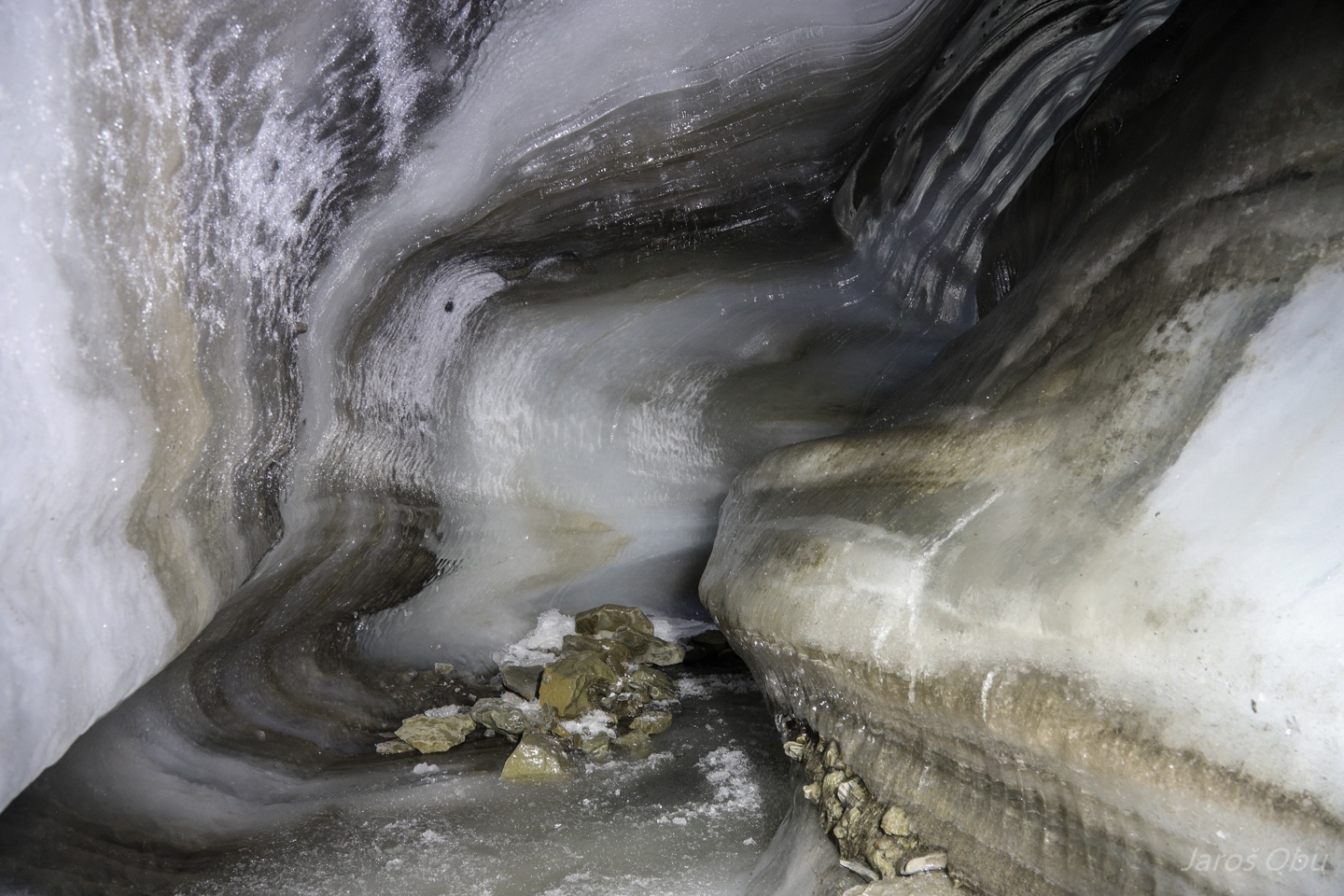
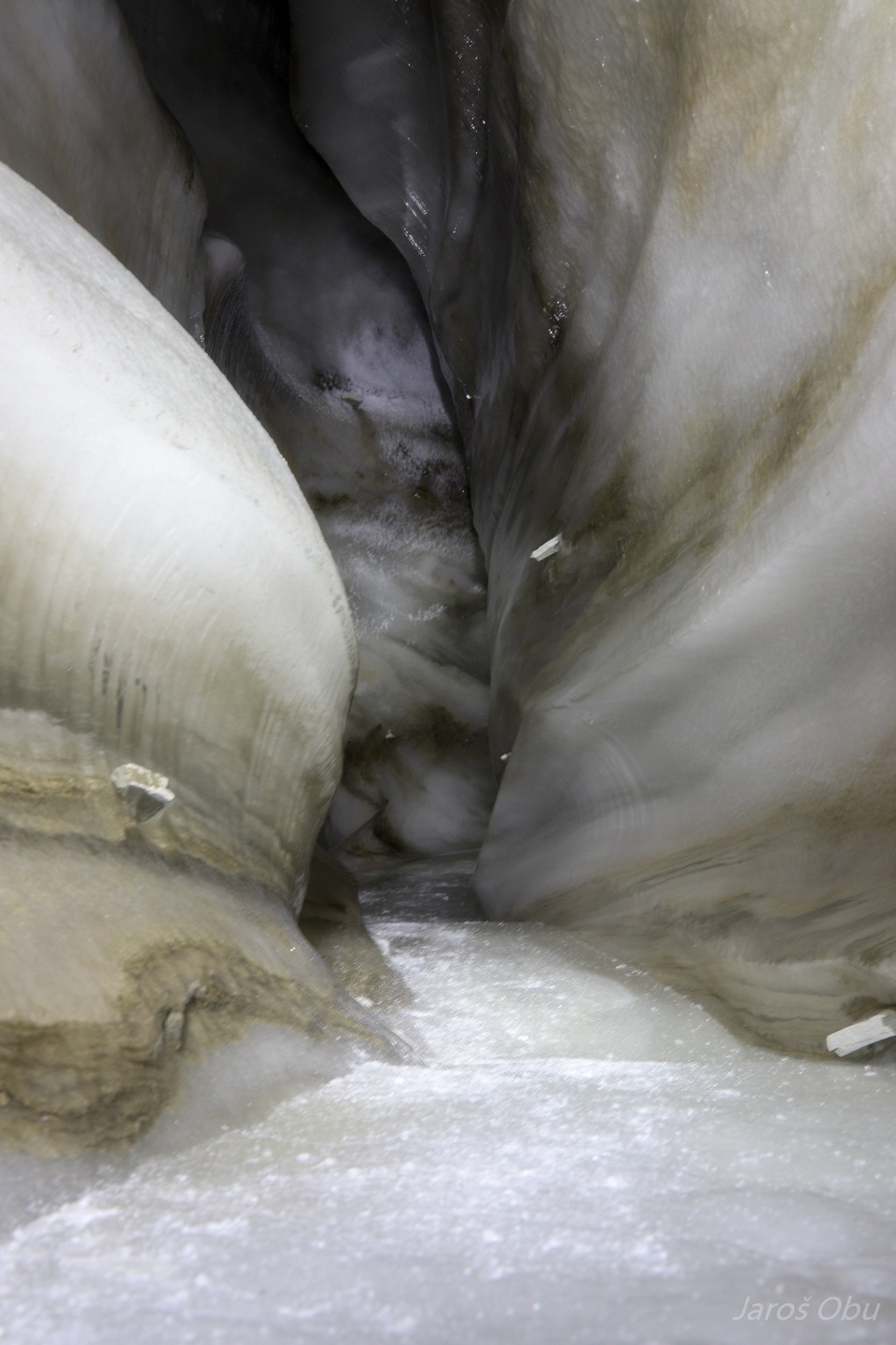
Shattered bedrock below and sediment-rich ice above.
Englacial meanders above the subglacial schannel.
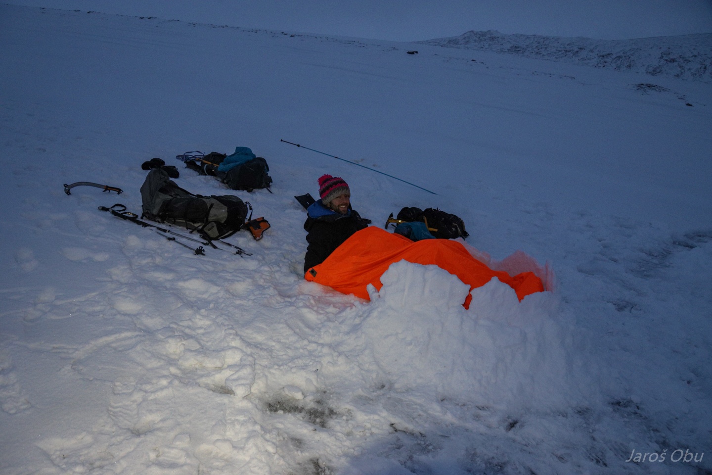
Laurence started building a fortress to keep himself warm.
Andreas coming out.
Returning to Larsbreen via the meltwater channel this time.
Ice-cored moraine.
Or sediment-rich ice?
Meltwater channel.
A cave with the other entrance upstream.
Locating the cave was easy this time.
Meanders turning underground.
The entrance.
The day is 20 min shorter each day an in the mid of October before the sun doesn't go above horizontal after October 26th. The mid of day looks already like an evening.
In the meander.
Laurence rappelling down.
At the entrance.
The ground was a bit more frozen here so we managed to find almost all the loggers.
Except for the one that we installed at the entrance. The stream incised 3 m into the bottom in comparison to the spring.
Returning home.
Nordenskiöldfjellet.
Dog kennels in Bolterdalen next day.
Heading towards Rieperbreen to check rumours about the glacier caves there.
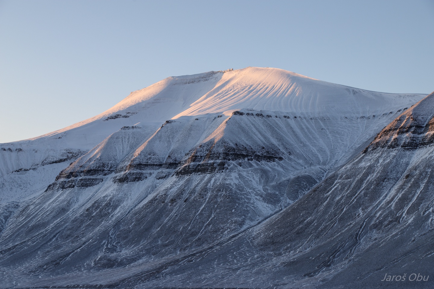
Carl Lundhfjellet (942 m).
Adventdalen and mountains of the eastern behind.
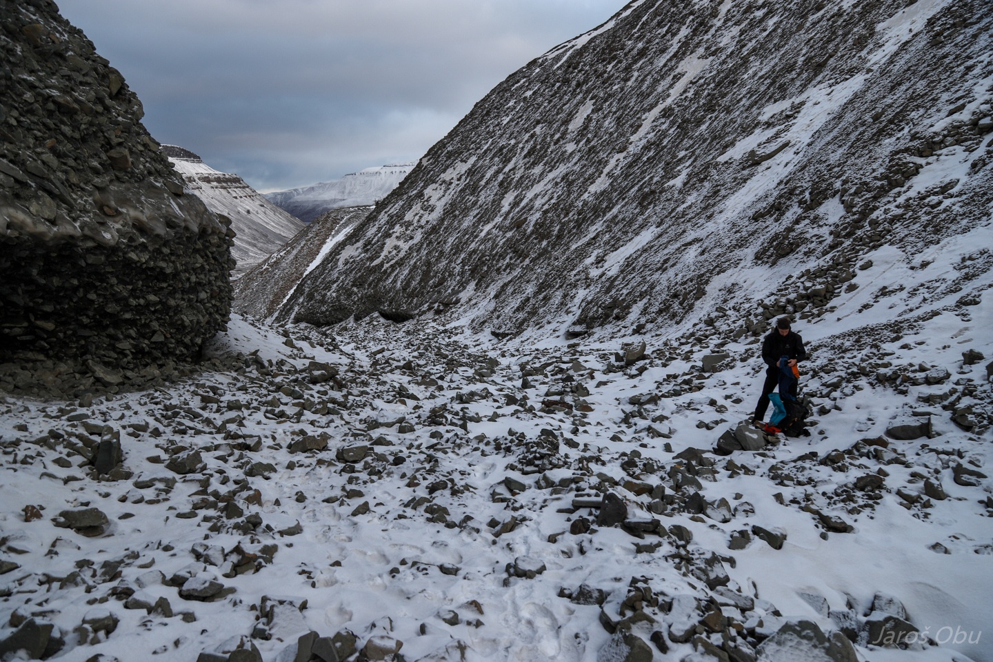
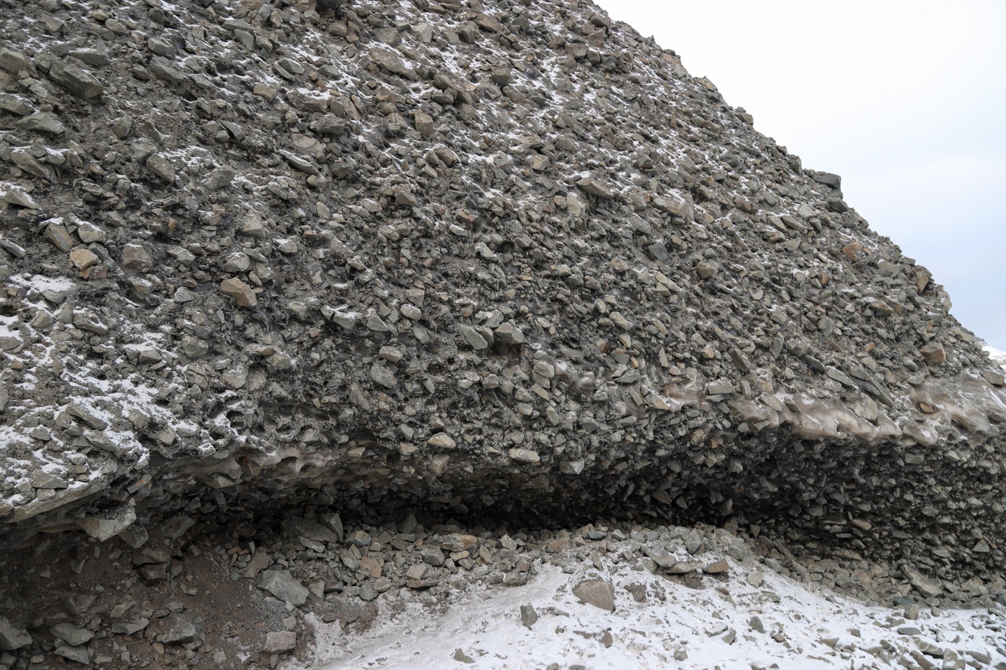
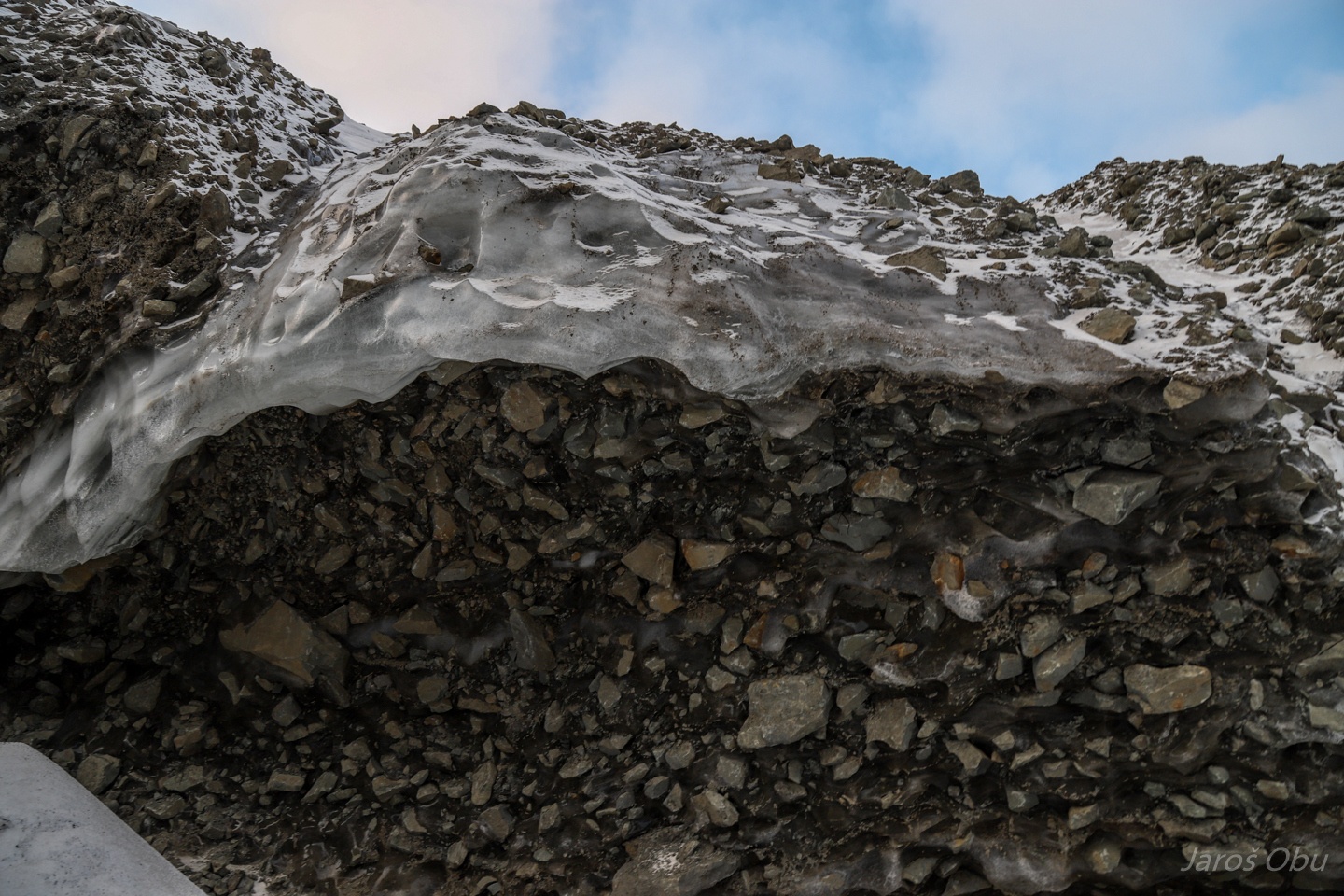
We crossed some relatively small talus slopes.
Which were probably already big enough to develop internal air circulation.
A strange hybrid between rock glacier and alluvial fan.
Bolterdalen and Scott Turnerbreen on right.
But we are turning left instead.
Freshly frozen water.
Rieperbreen.
With completely collapsed cave system at its terminus.
We are not going in there.
Collapsed part from above.
Checking out the glacier.
Meanders.
This seems to be the upper entrance to the system that collapsed.
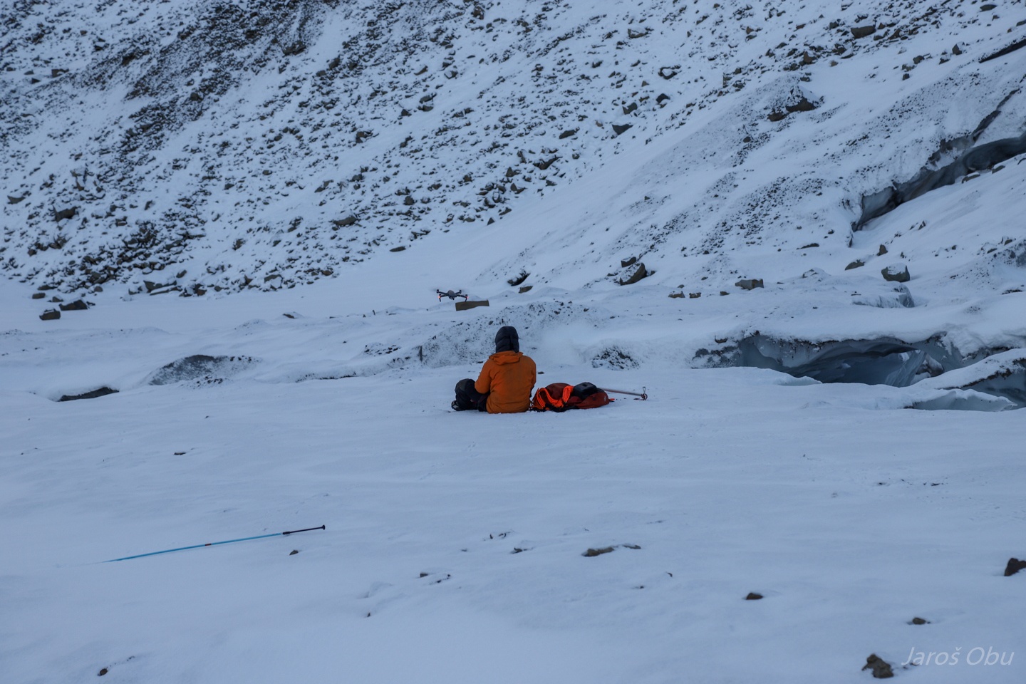
PiM is fying a drone. Check out his ultimate video at: shorturl.at/ceghG
Interesting parallel ridges downside the on a lateral moraine.
Going home.
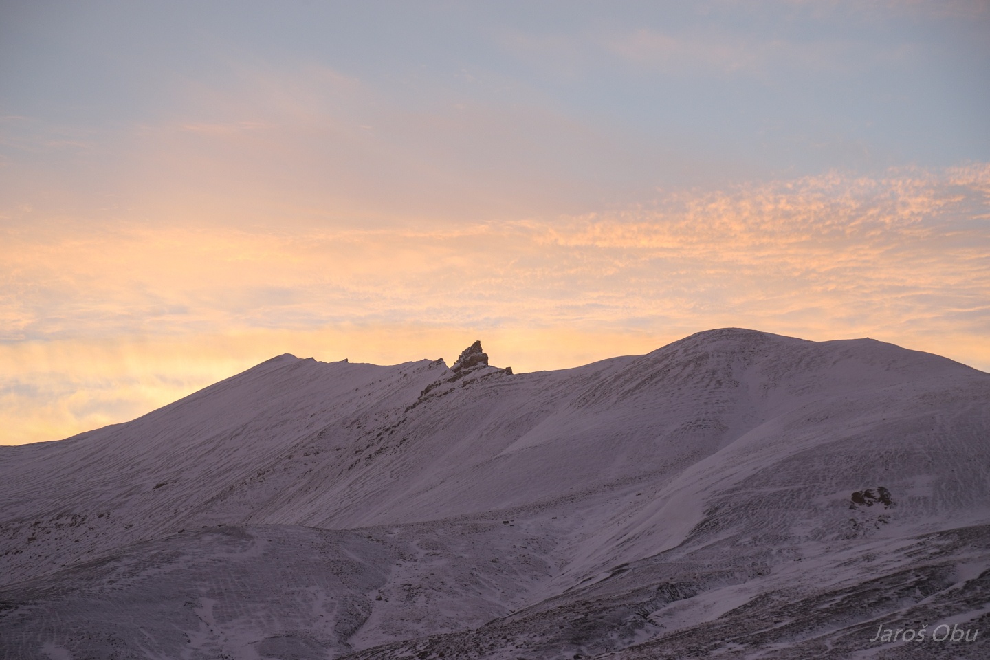
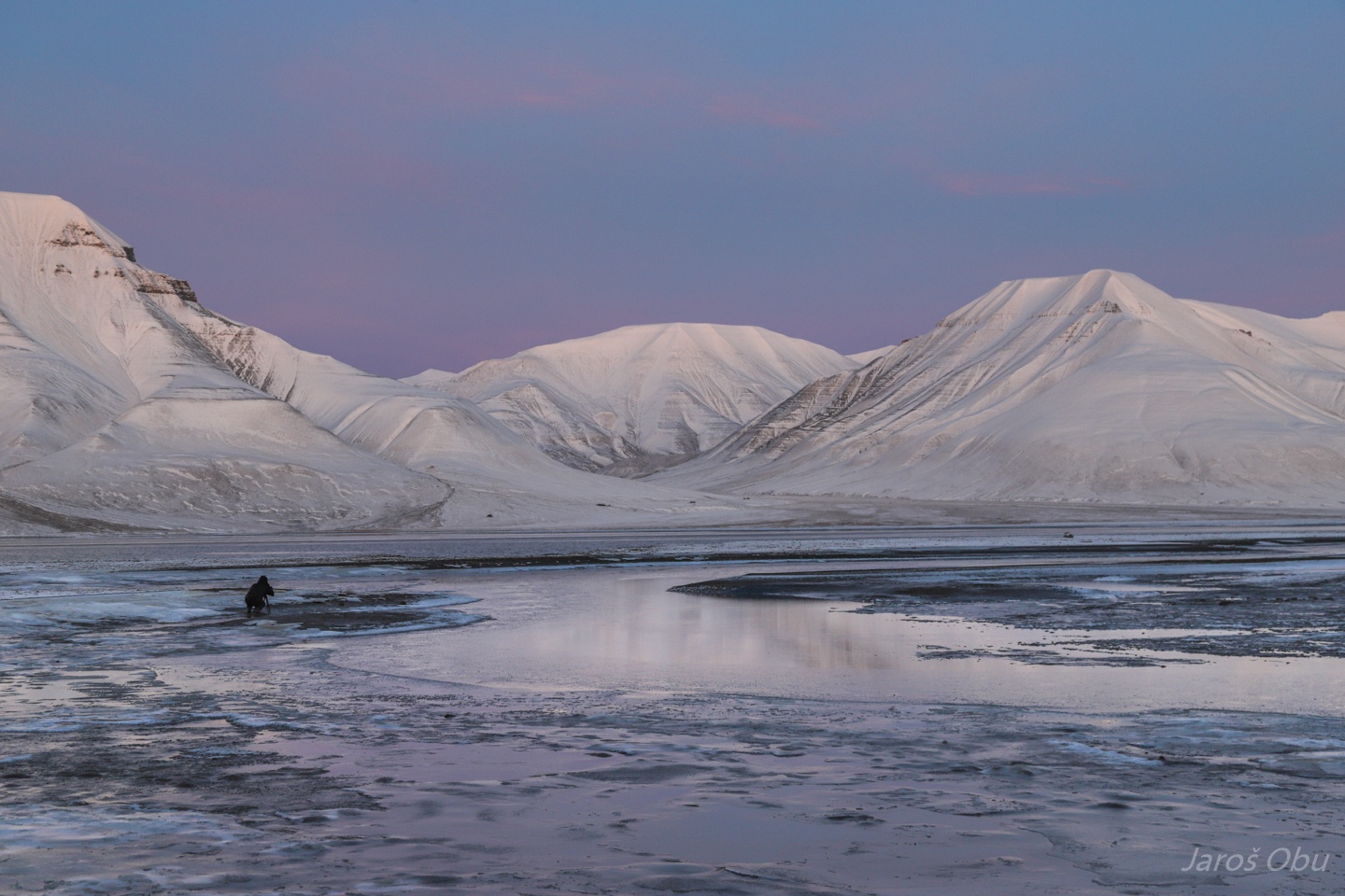
Probably the nicest sky colours I've ever seen. A blend of blue, purple and pink together with white landscape.
Farewell Svalbard, for some time.
Helvetiadalen, where we spent first two days of our trip.