© 2024 Jaroš Obu
Photo gallery of Jaroš Obu
Cart
0
Items
Buy now
Høgronden, Midtronden and Digerronden 25.-27.6. 2020
Friday, 26 June 2020
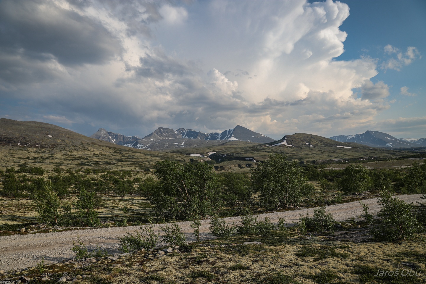
Slightly more than one month after we slept at -10 °C in Jotunheimen, we are planning a trip in hot summer temperatures in Rondane. Høgronden, Midtrondens and Digerronden are our destinations.
Starting at, and passing by Dørålseter hut.
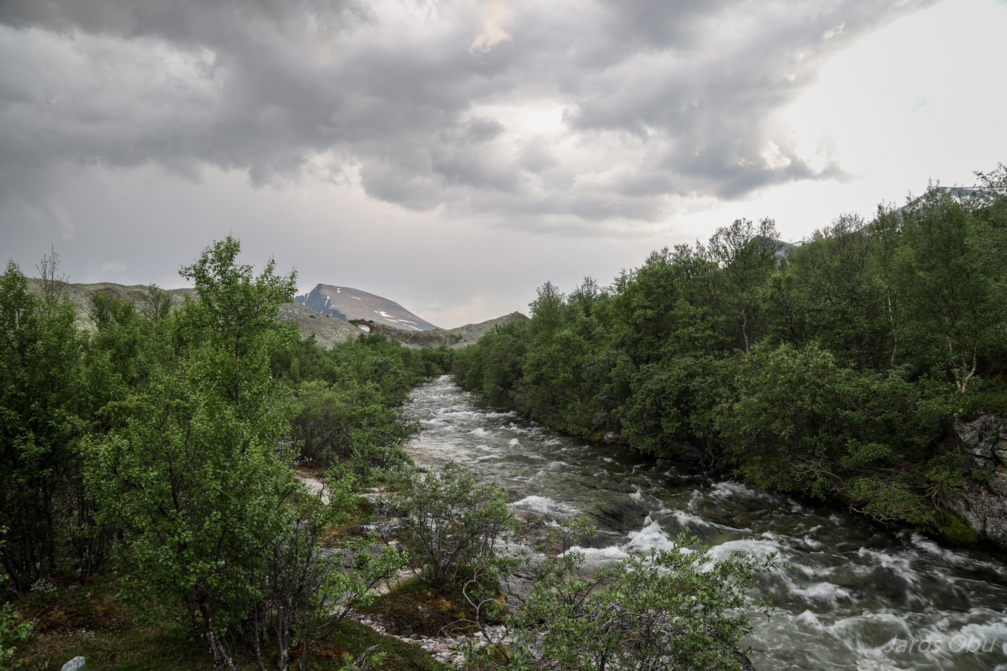
Over Atna River when it became clear that a thunderstorm is coming upon us.
After the rain passed we continued up on an glacier delta deposits.
With many depressions on top.
The depressions were formed by dead ice remaining after glacier ceased to move and melted.
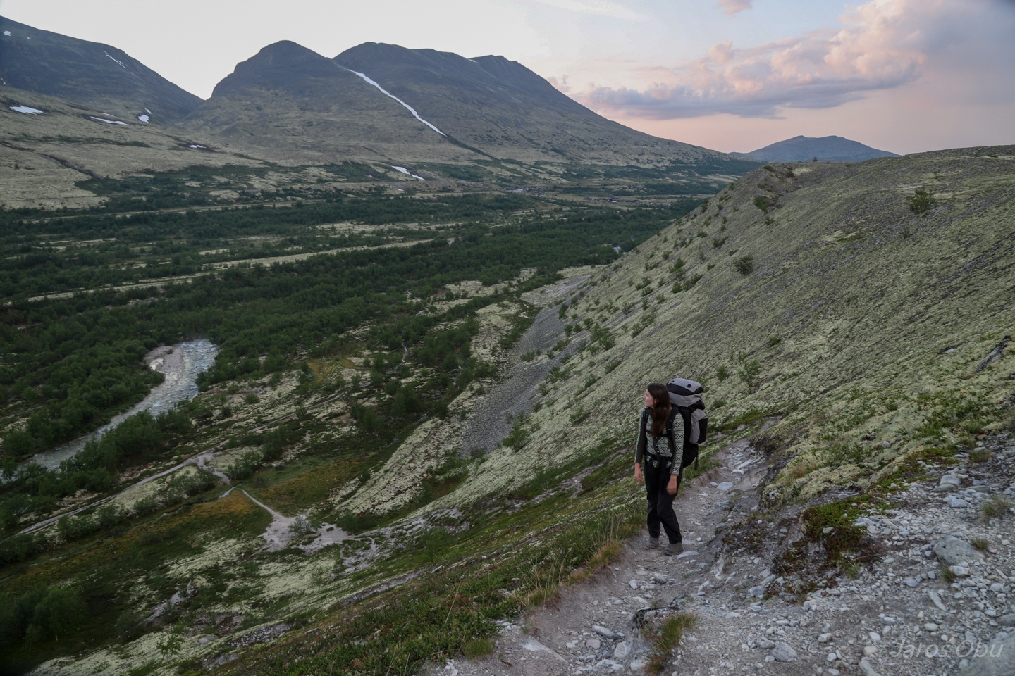
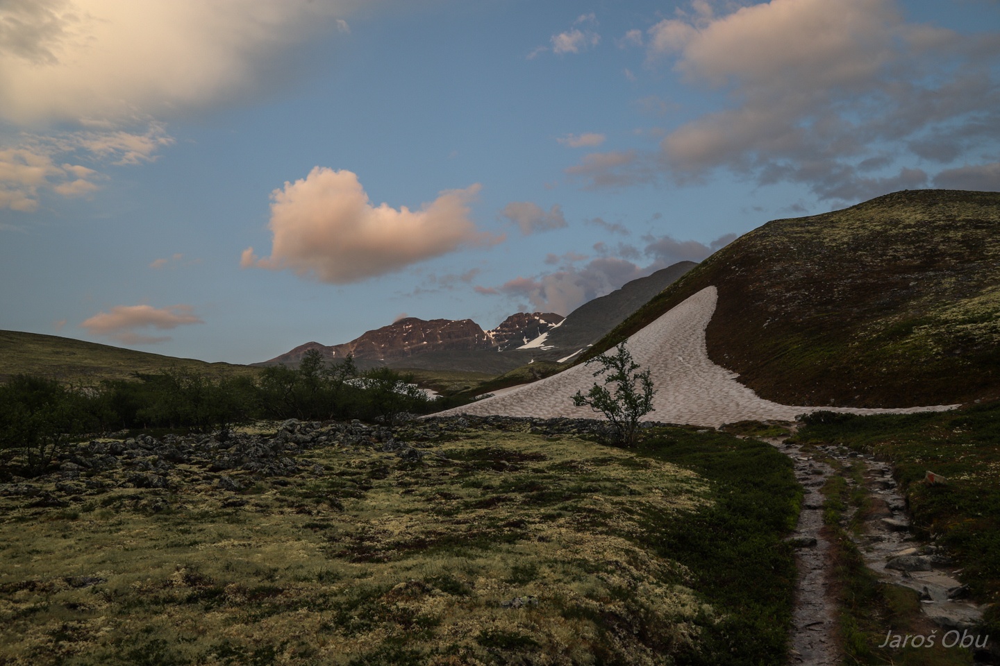
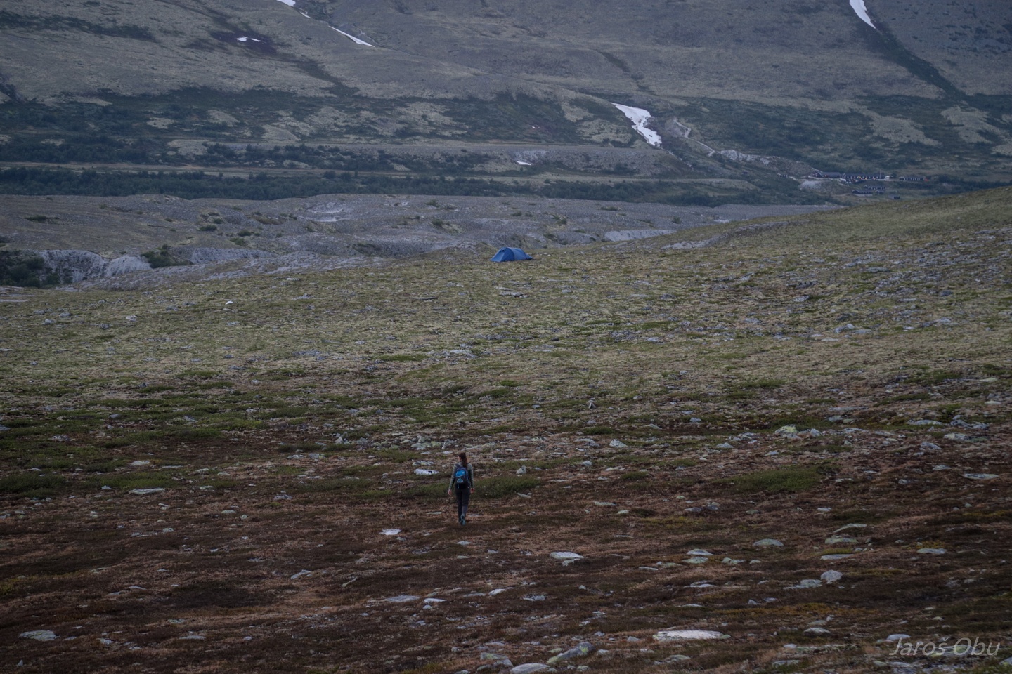
Vidjedalen
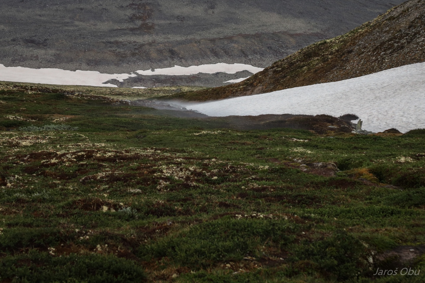
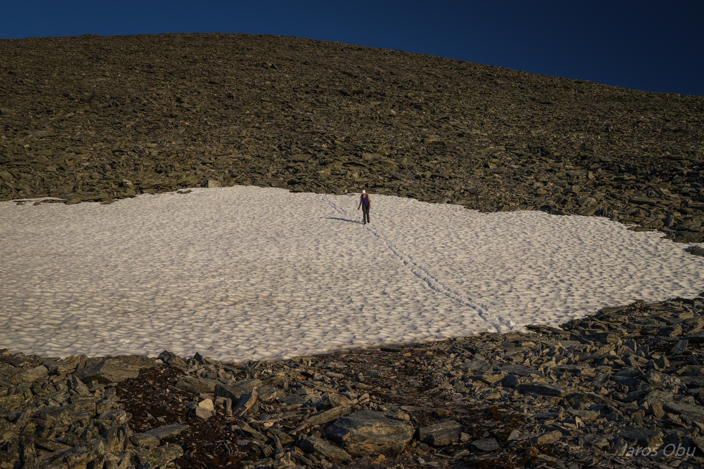
Mists forming at the edge of snow patch.
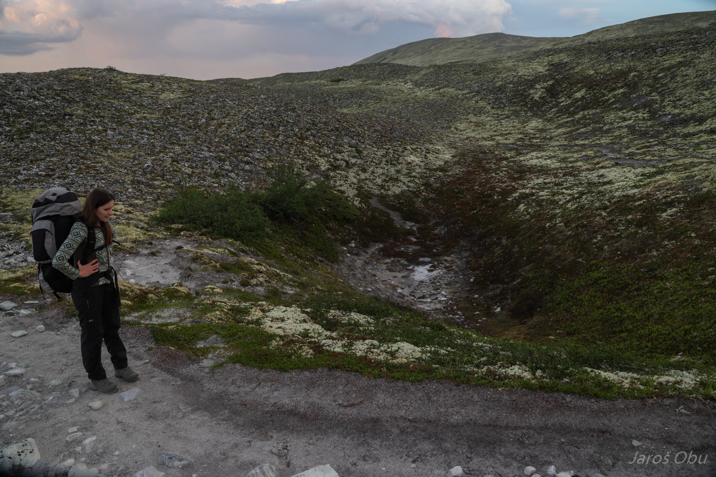
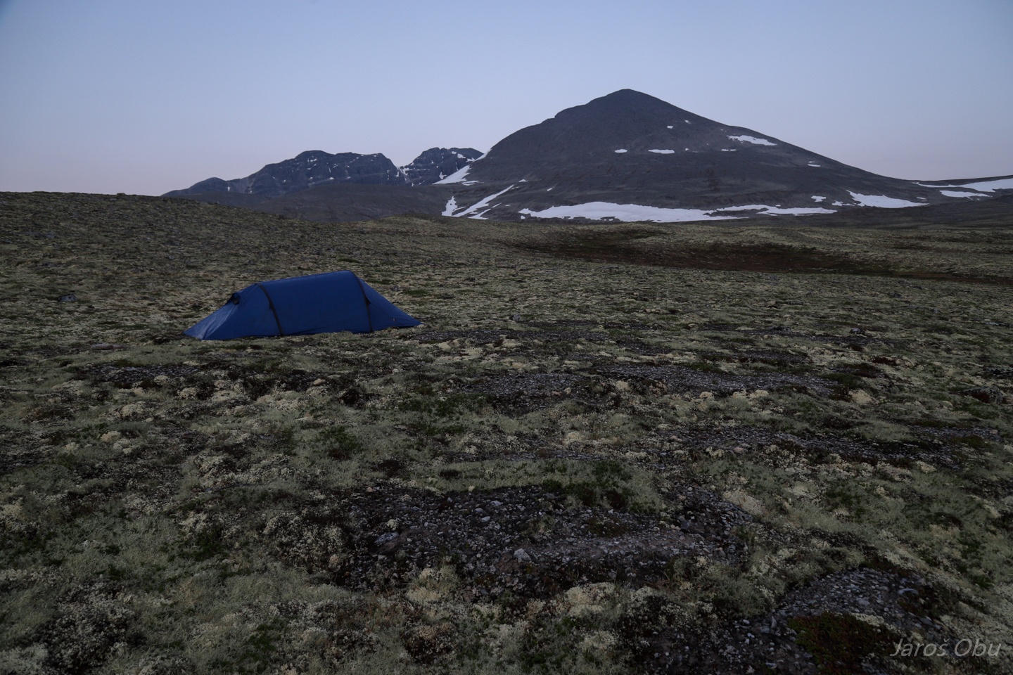
Solifluction lobes/mud boils seemed to be the most level ground to pitch a tent.
Good night.
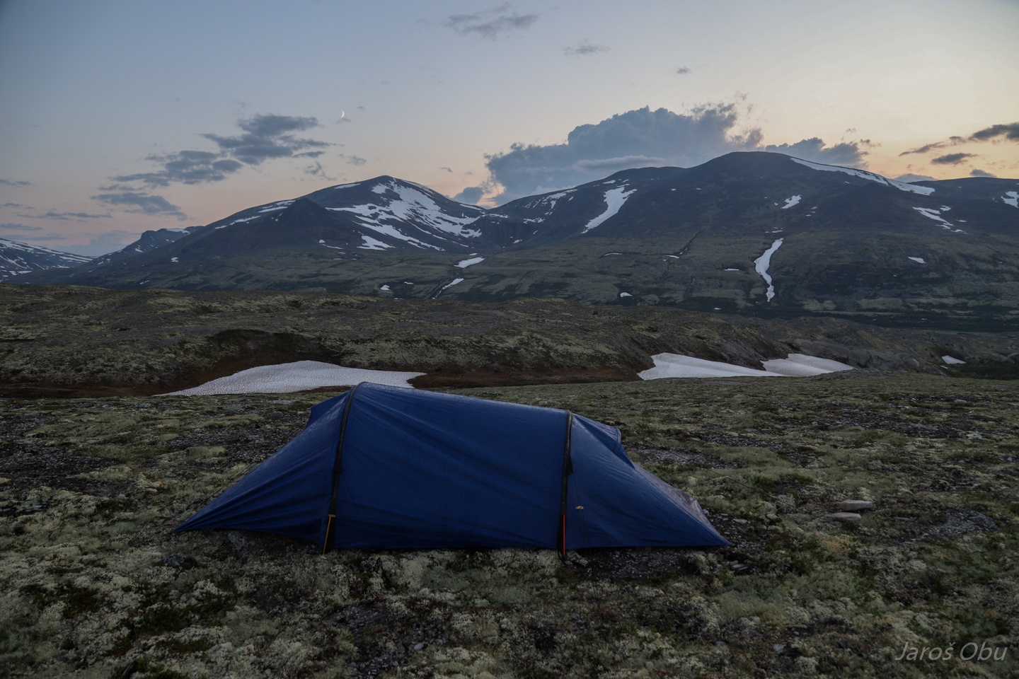
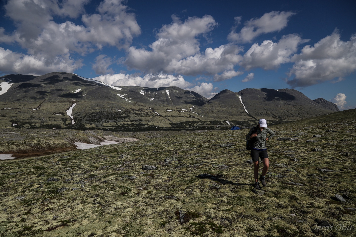
Setting off for long trip crossing the whole mountain range with 4 peaks above 2000 m elevation.
Nice solifluction lobes on a rather flat terrain.
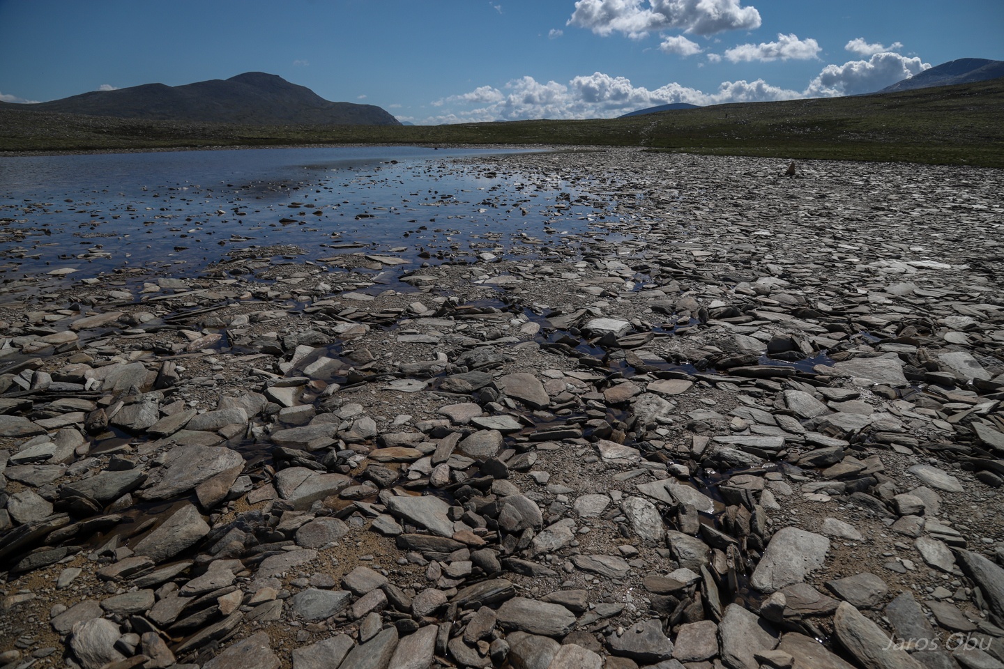
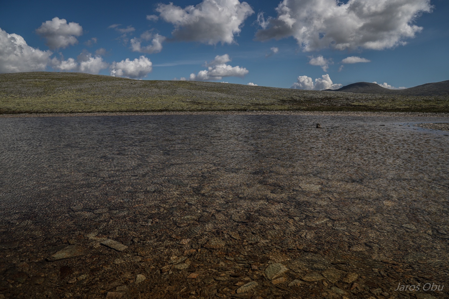
A lot of moisture is required for sorted circles to form.
Even under water ...
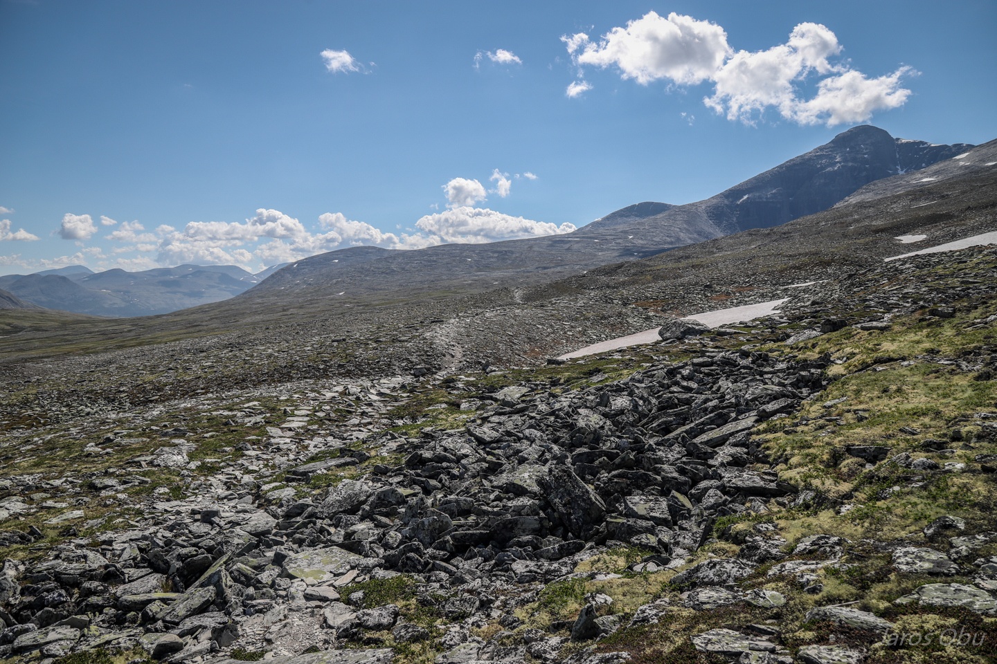
A long 7 km hike to the foot of the first mountain.
Høgronden and Midtronden on the right.
Remnants of debris flow.
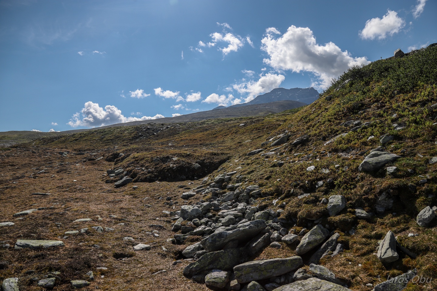
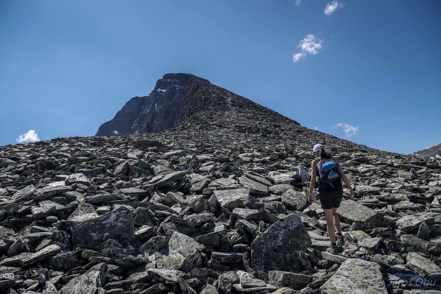
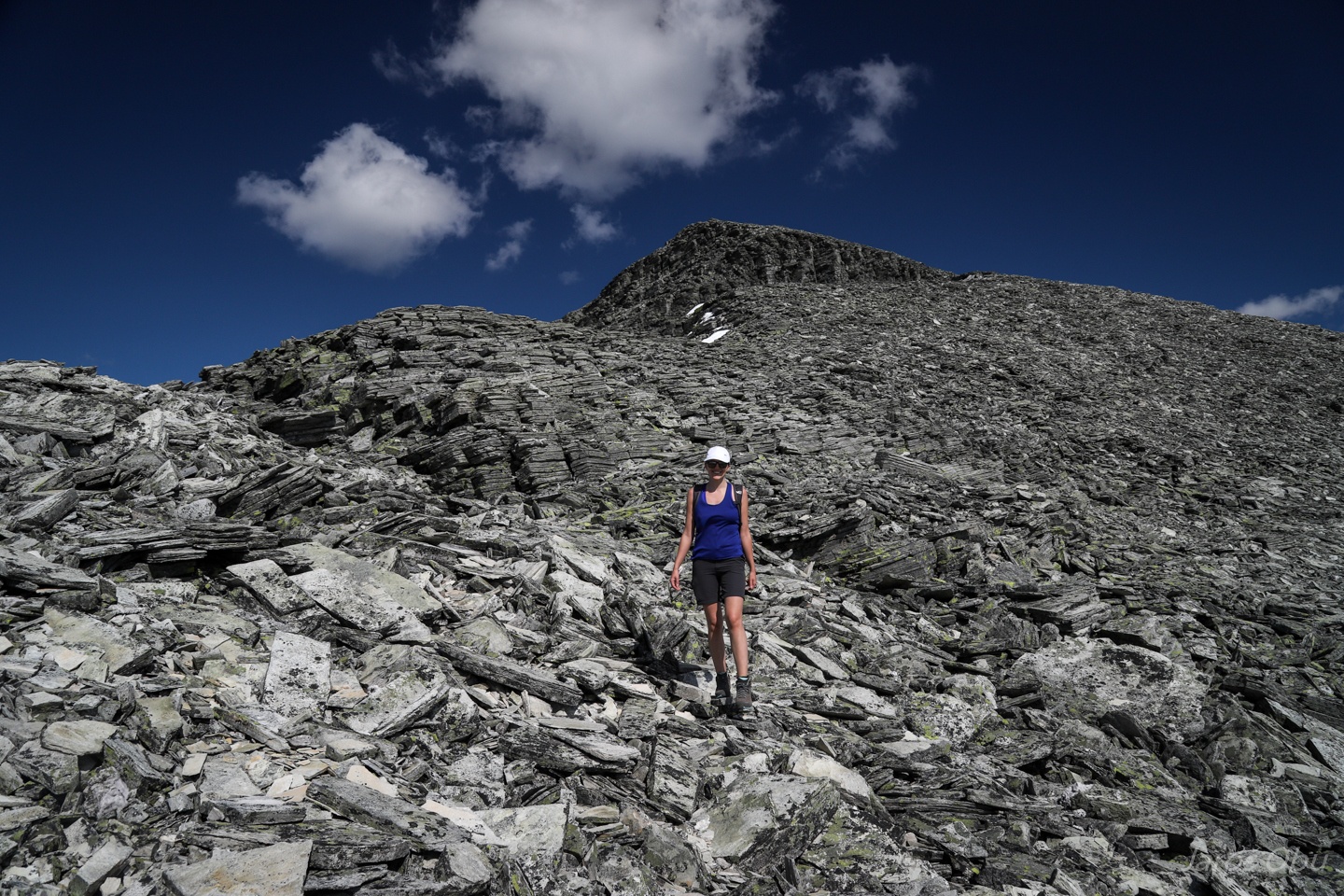
The trail goes up the slope covered with shattered material.
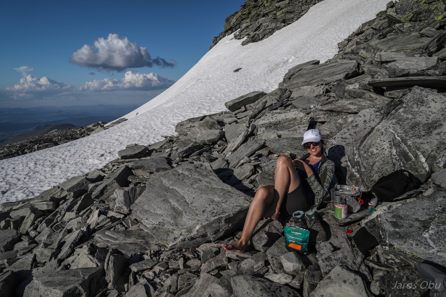
Lunchtime.
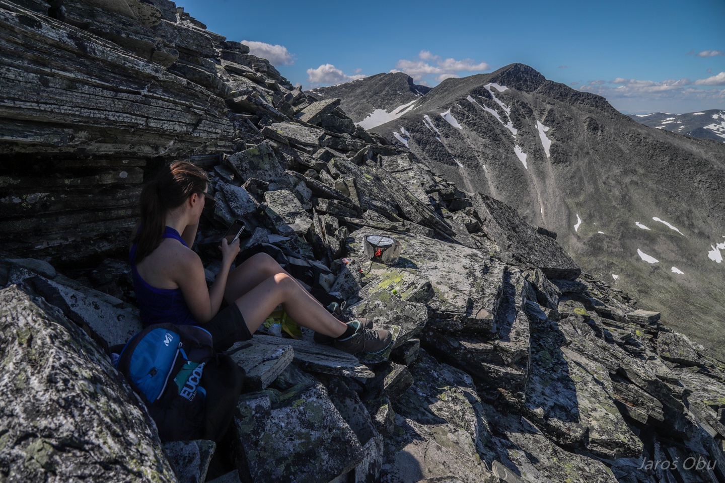
Justyna is diligently checking our elevation and the remaining distance.
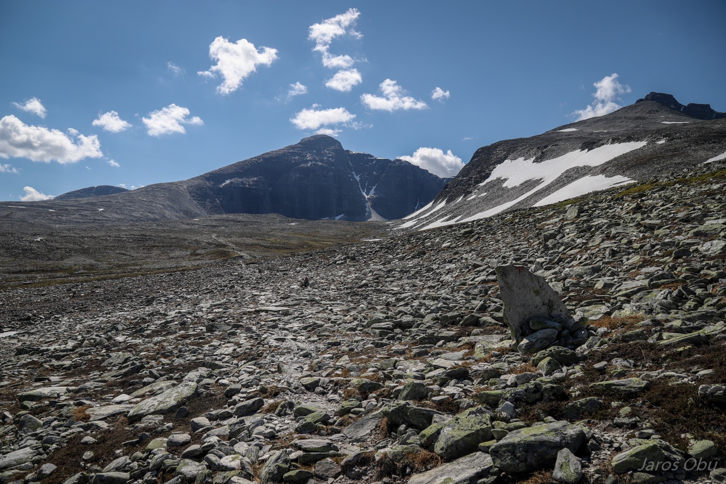
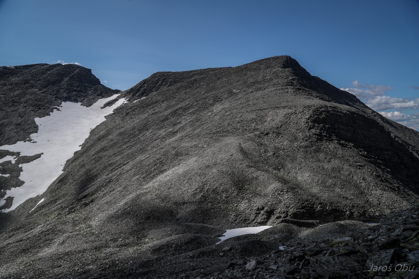
The ridge is quite wide with steep cirque slopes on each side.
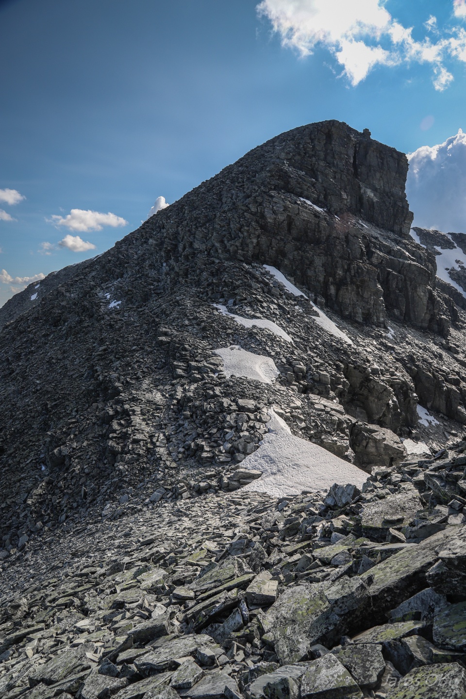
Not far from the summit.
...
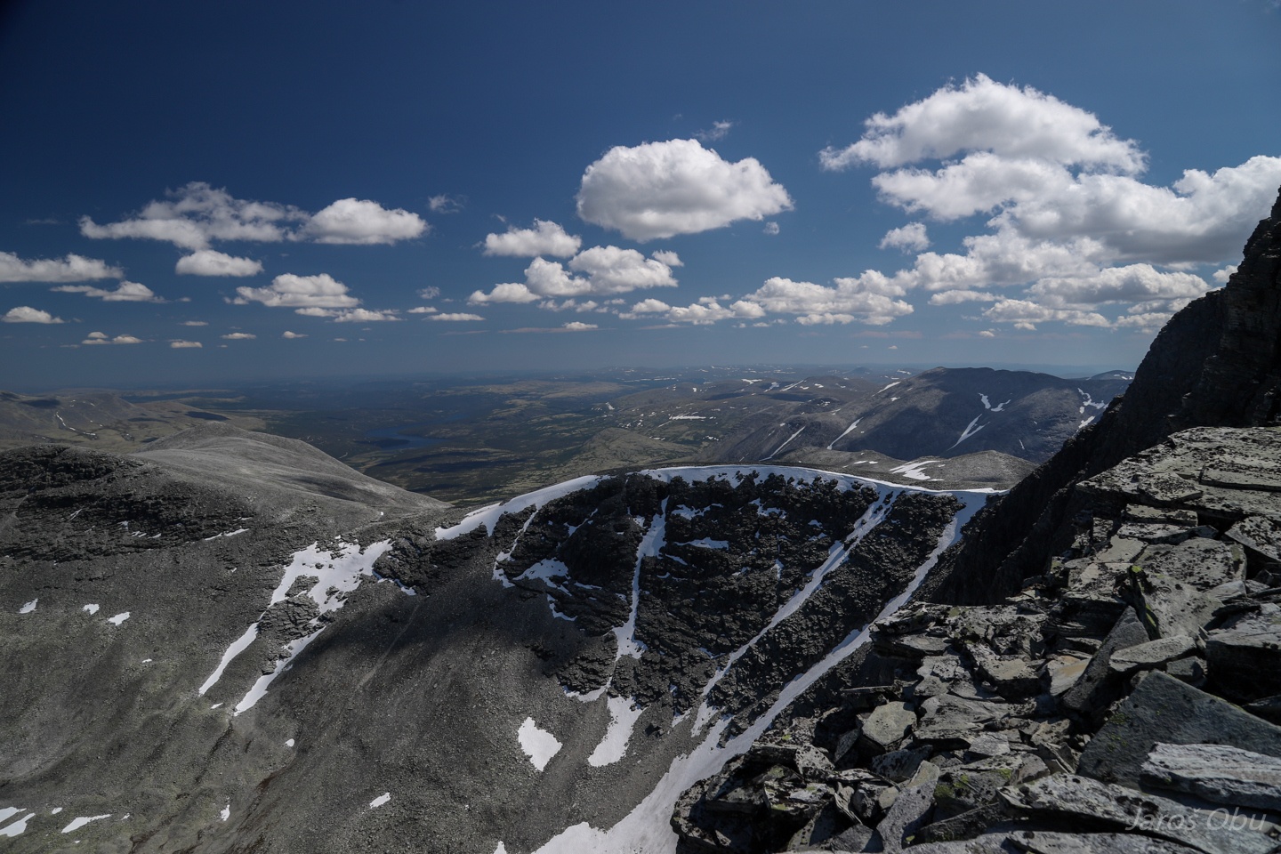
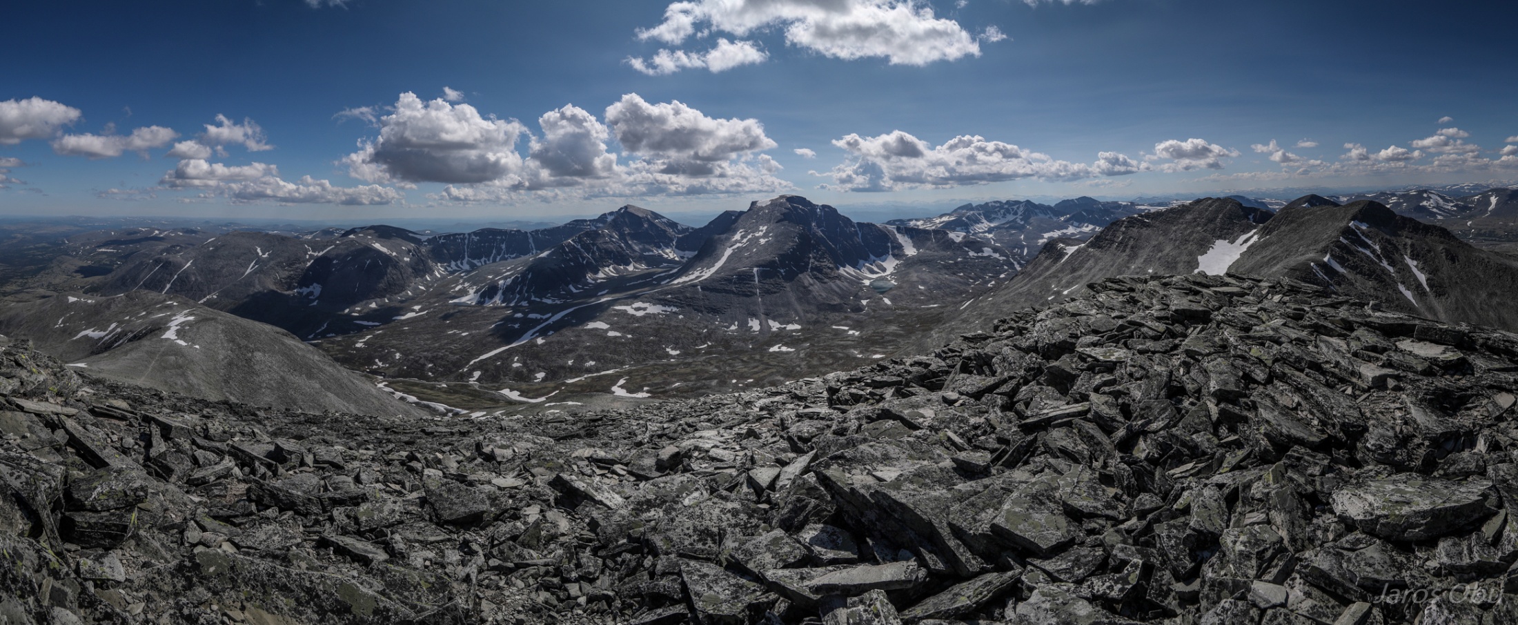
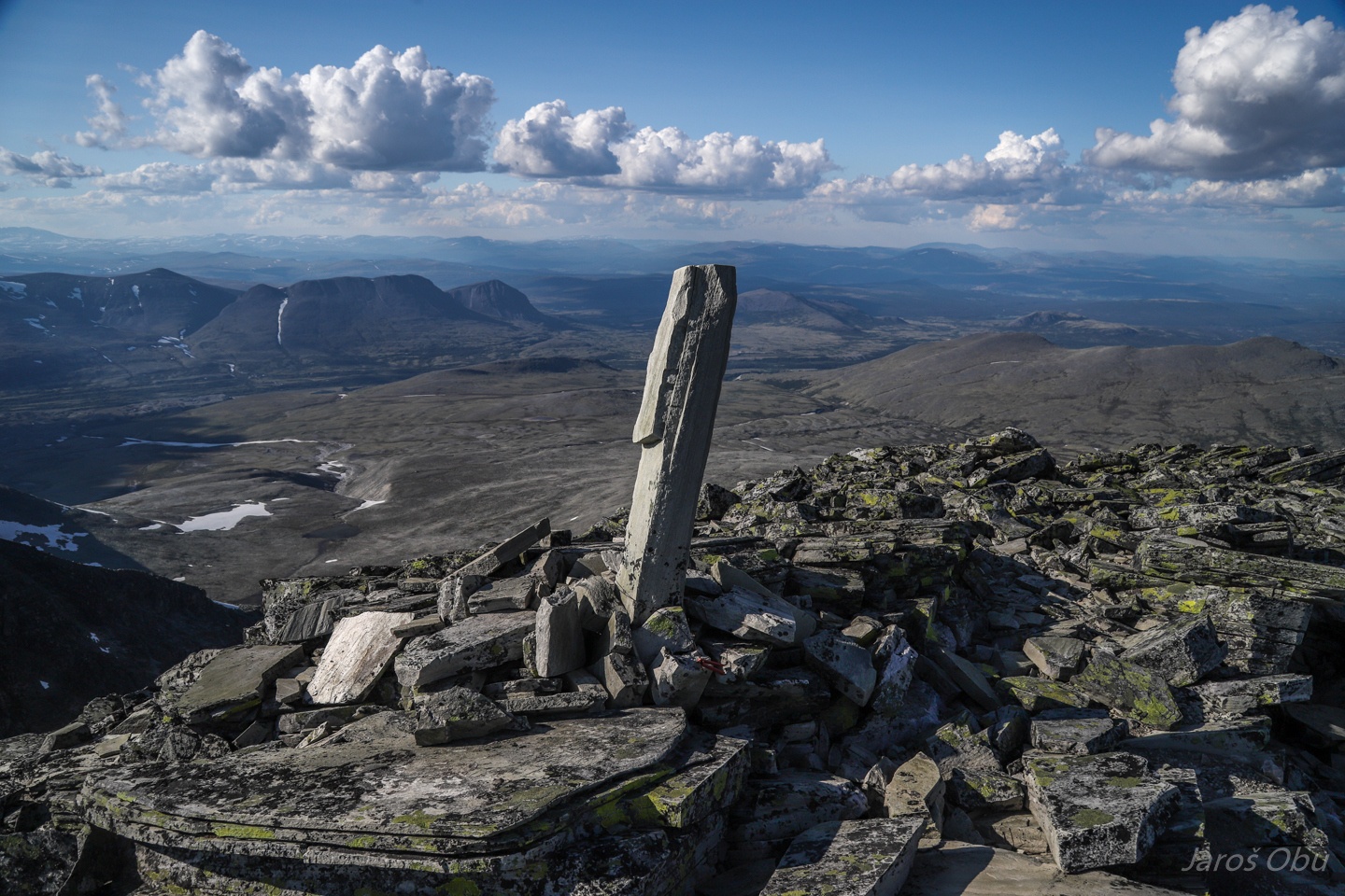
The summit of Høgronden (2115 m).
With a nice view on Rondane.
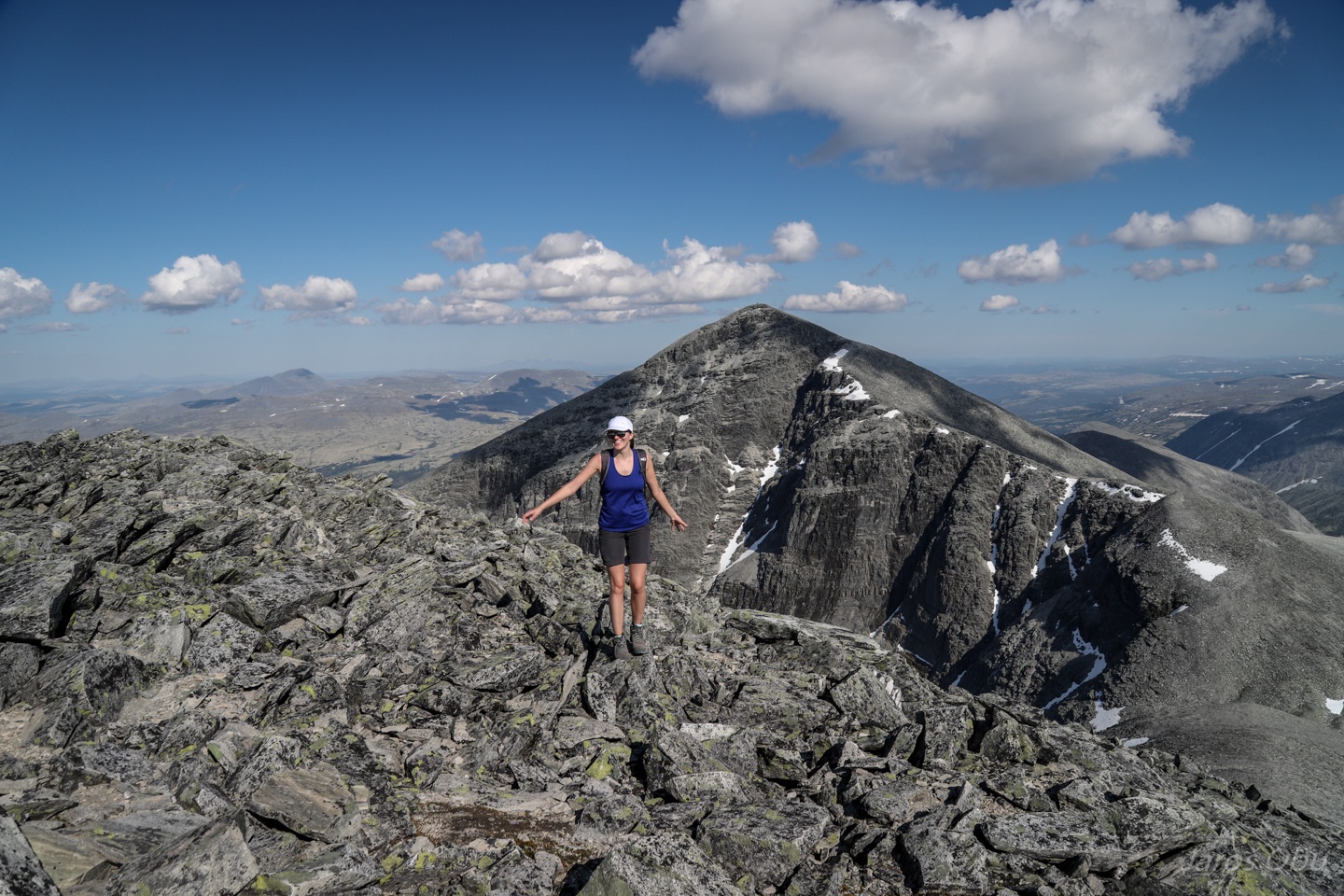
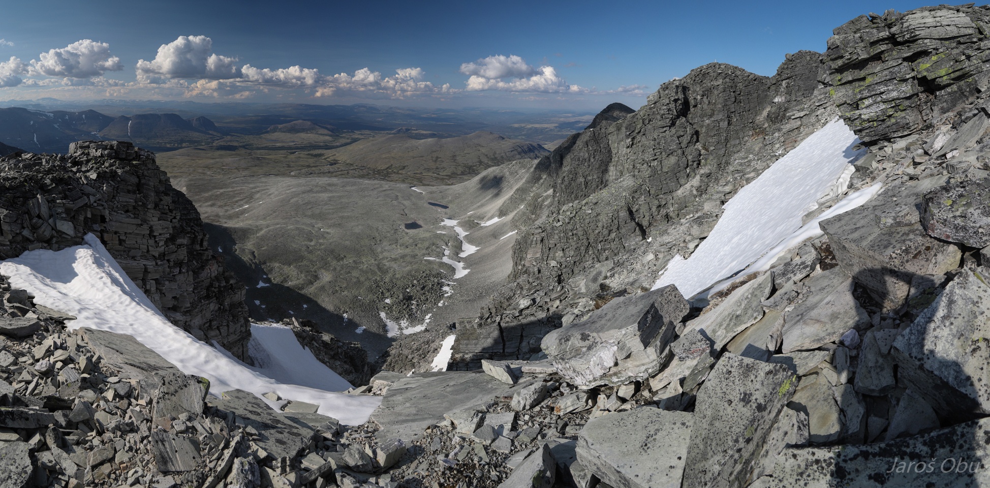
The trail turns left to Bjørnhollia hut. The peaks in the middle are left; Storronden (2138 m), visited 3 years ago and right; Rondslottet (2178 m), the highest peak of Rondane. We are continuing on the ridge to the right.
Rock glaciers under Rondslottet.
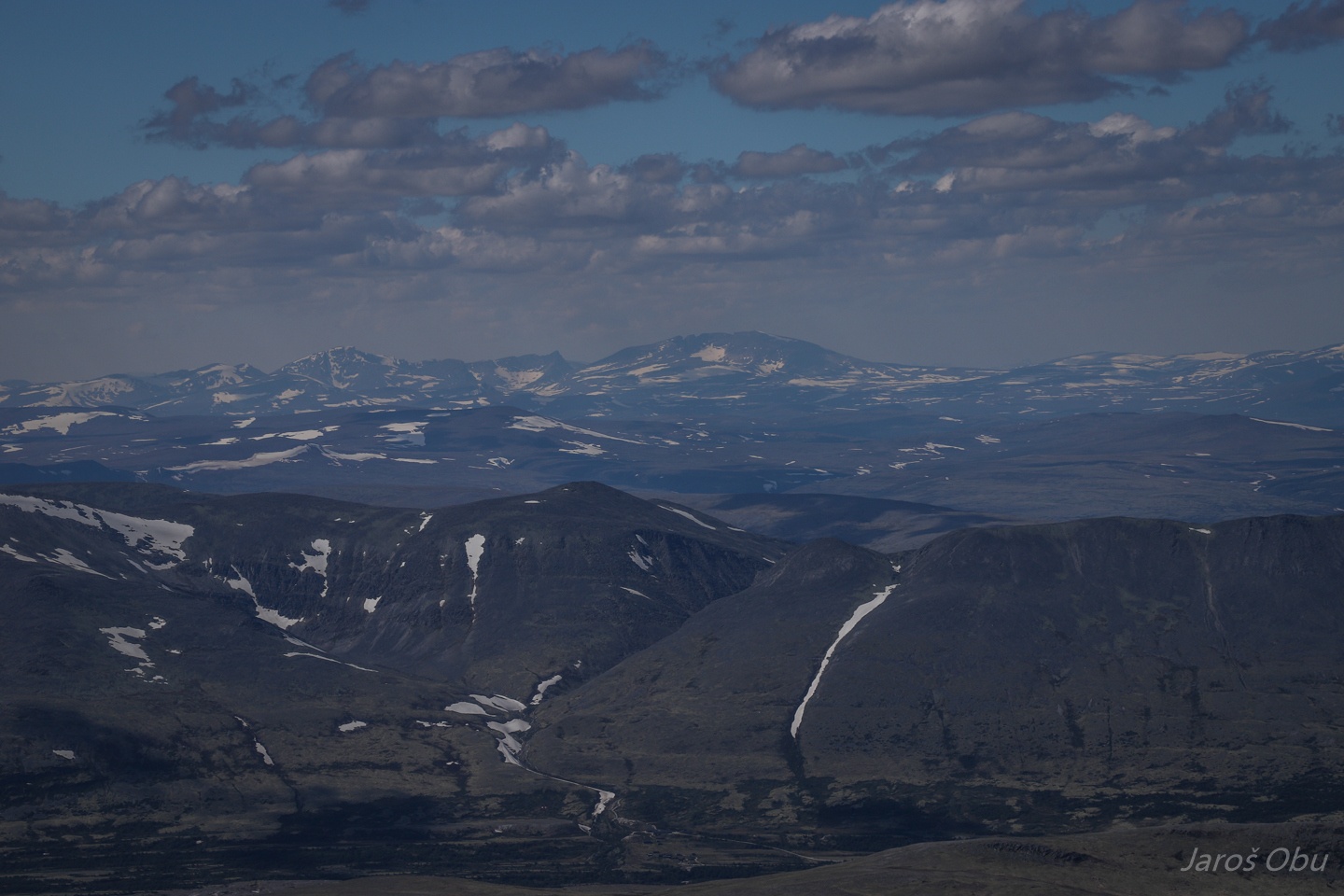
Snøhetta, hiked last autumn, in the distance.
Strange signpost showing in the direction where we came.
One checked, three to go.
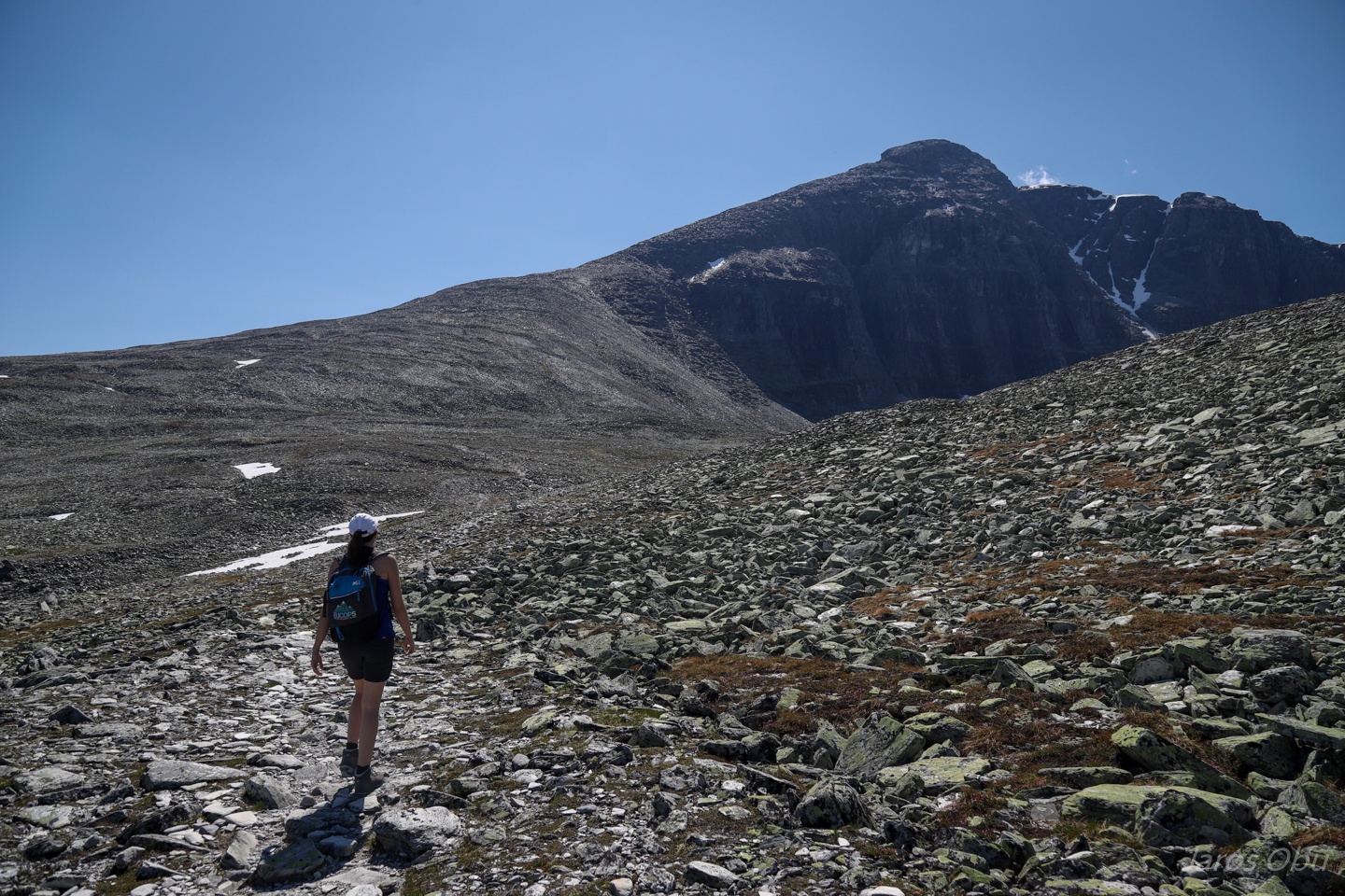
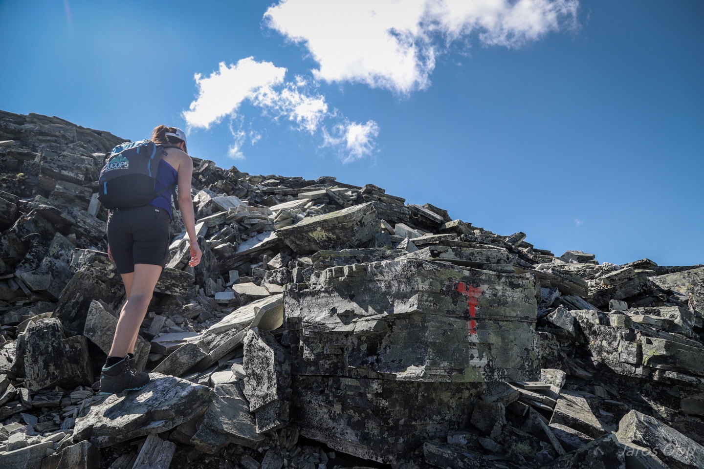
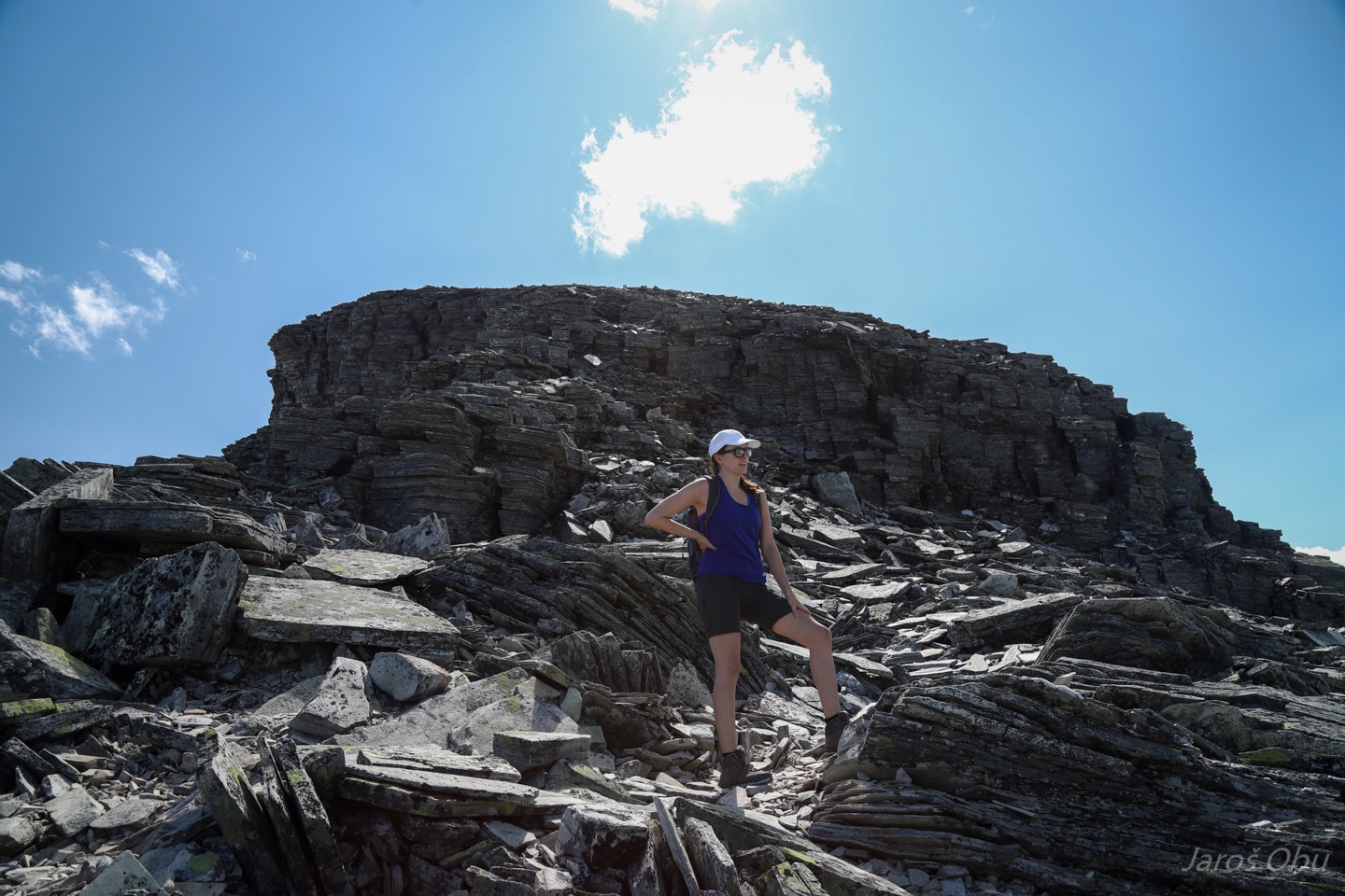
Tiring hike on shattered material continues.
All the way to the Midtronden peaks.
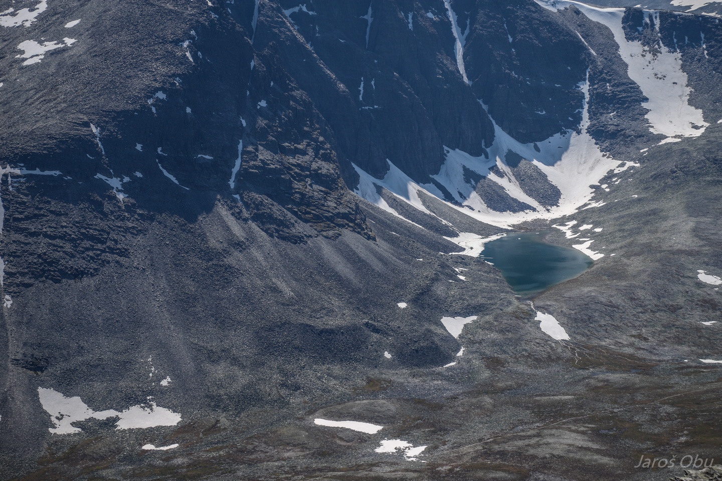
Midtbotn cirque, with Høgronden on the right.
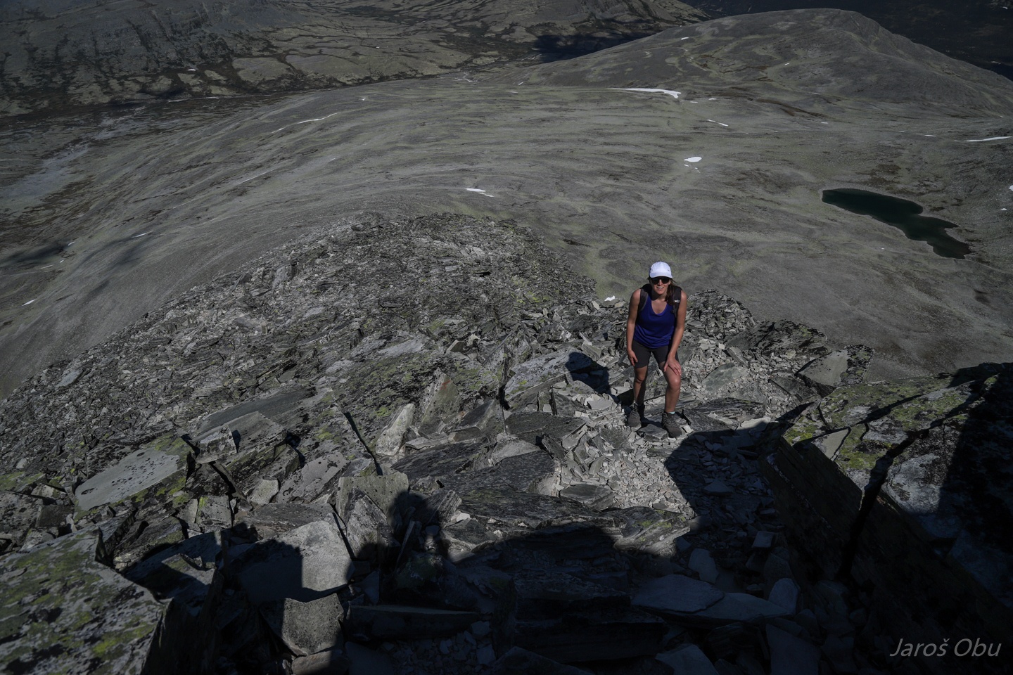
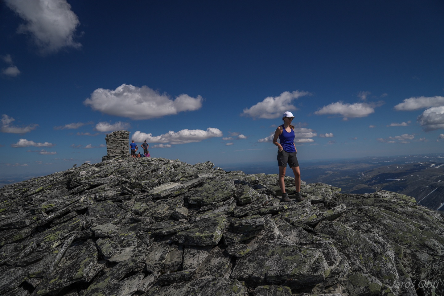
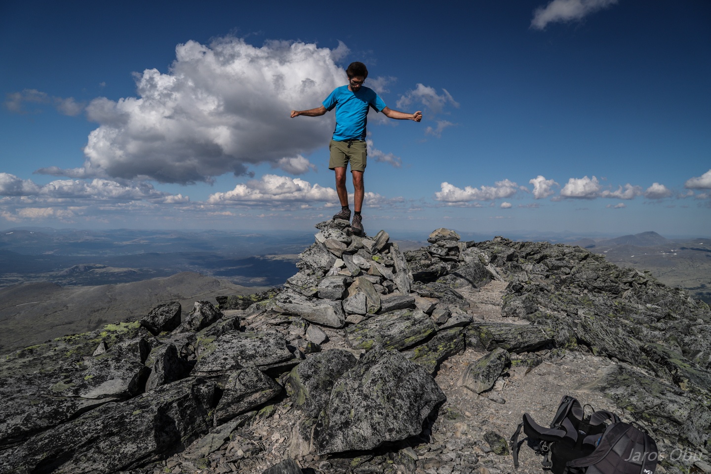
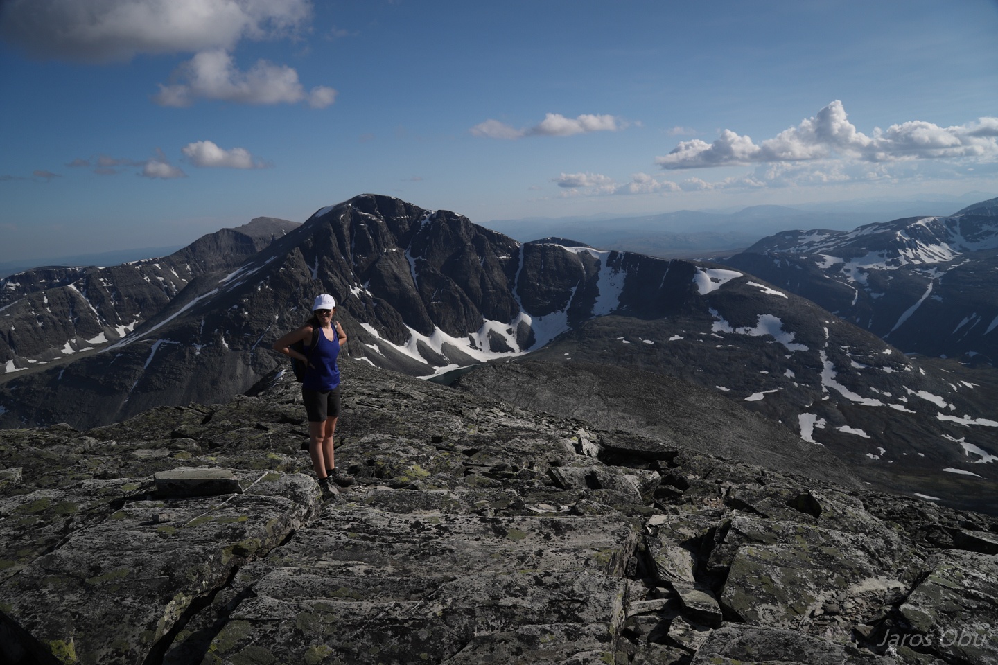
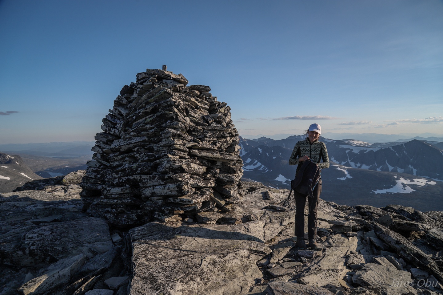
Summit of the Østre Midtronden (2042 m).
The better half is still in a good mood.
Frajer just before falling off the cairn.
The next peak seems a bit more challenging.
Justyna is worried.
Though, we climbed up without any special effort.
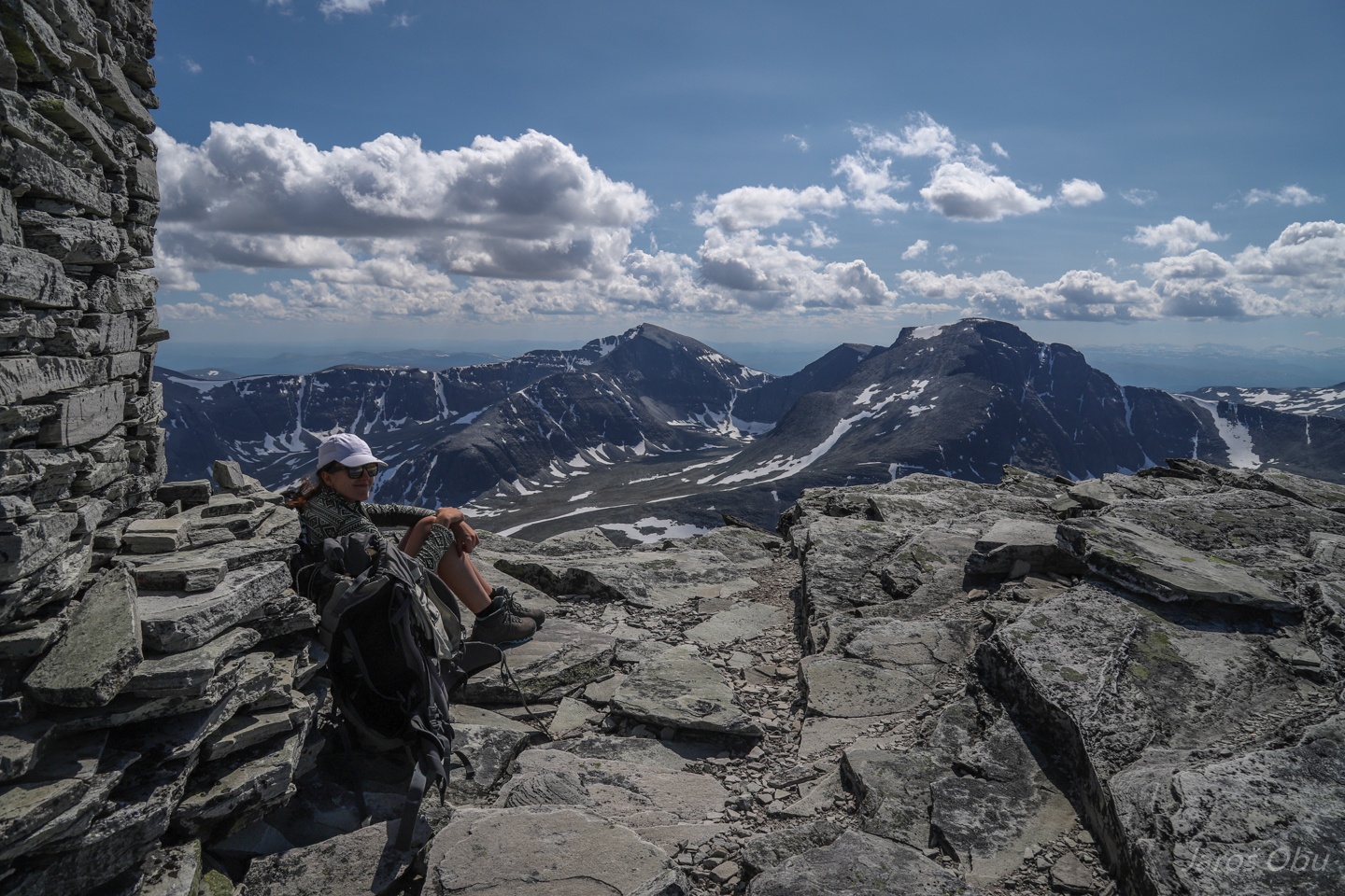
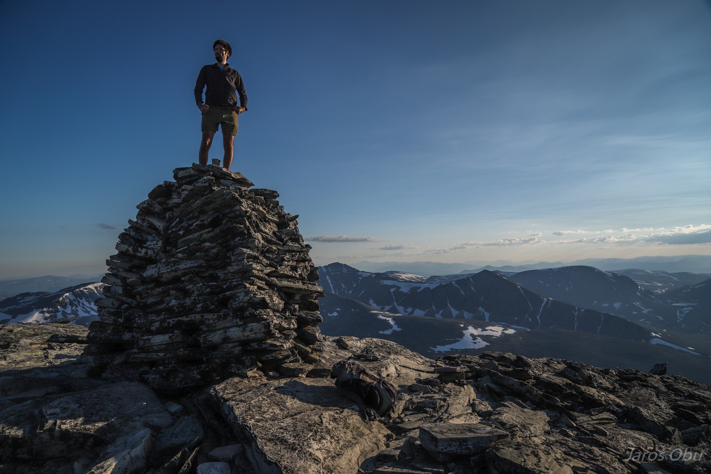
Vestre Midtronden (2060 m). Three checked one to go.
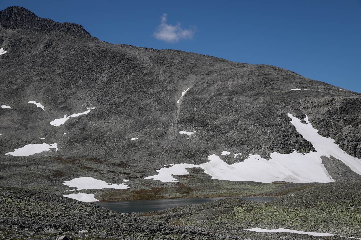
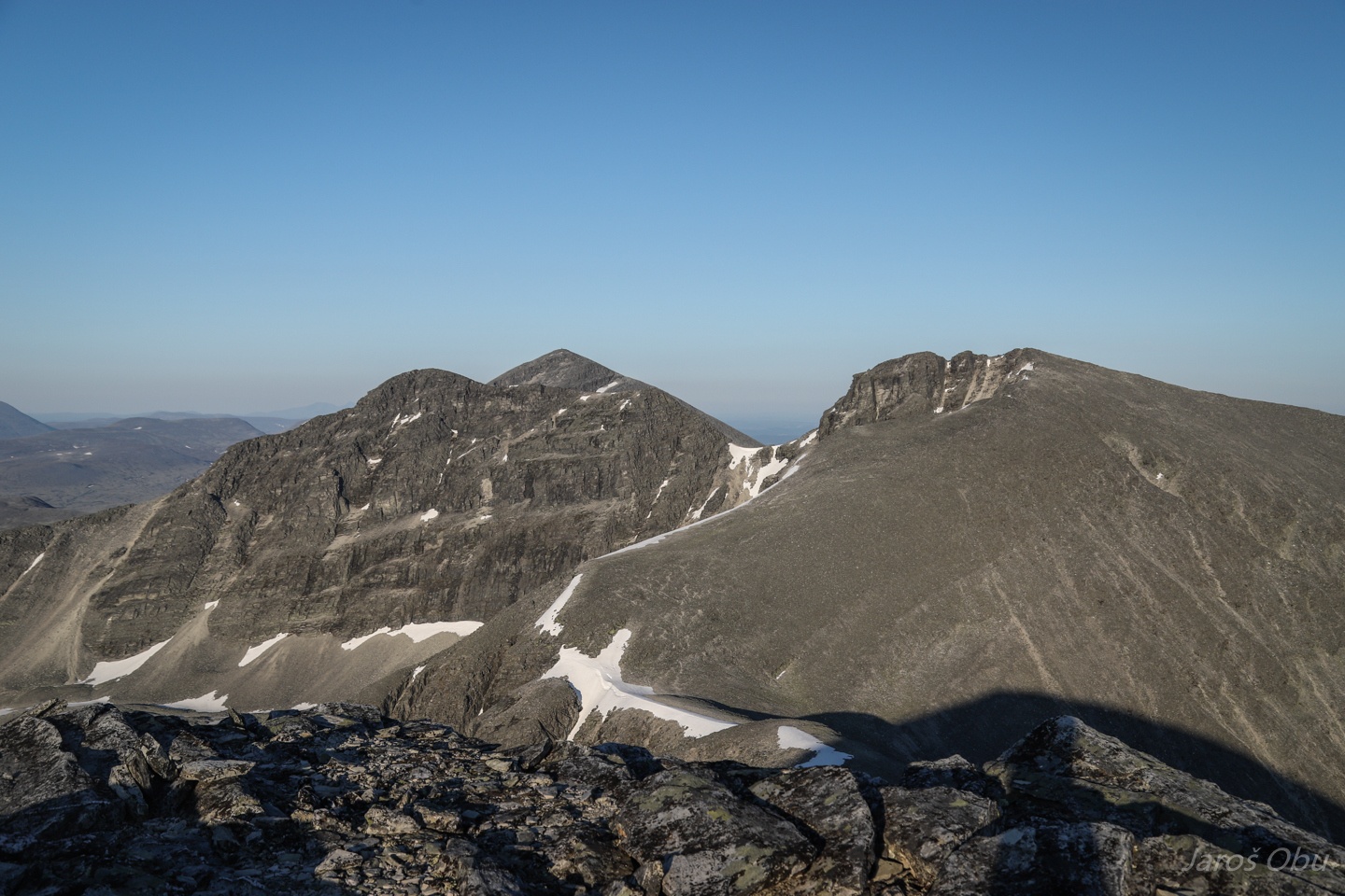
Rondeslottet already from completely different angle.
Another cirque below.
And yet another long ridge, ending with Digerronden.
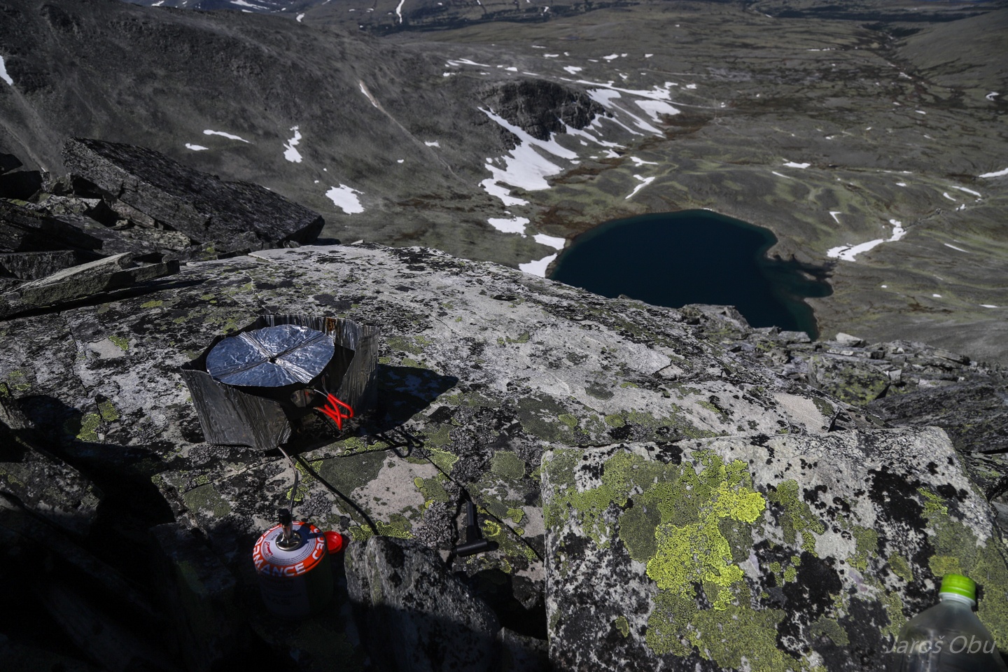
Dinnertime and time to check remaining elevation and distance.
The last slope up.
And we are there.
The better half seems to be satisfied.
The summit of Digerronden (2016 m) with another big cairn.
That Frajer climbed successfully this time.
The three hiked peaks.
Perhaps the most tiring was the walk down the north slope of Digerronden. Loose rock blocks were sliding down together with us.
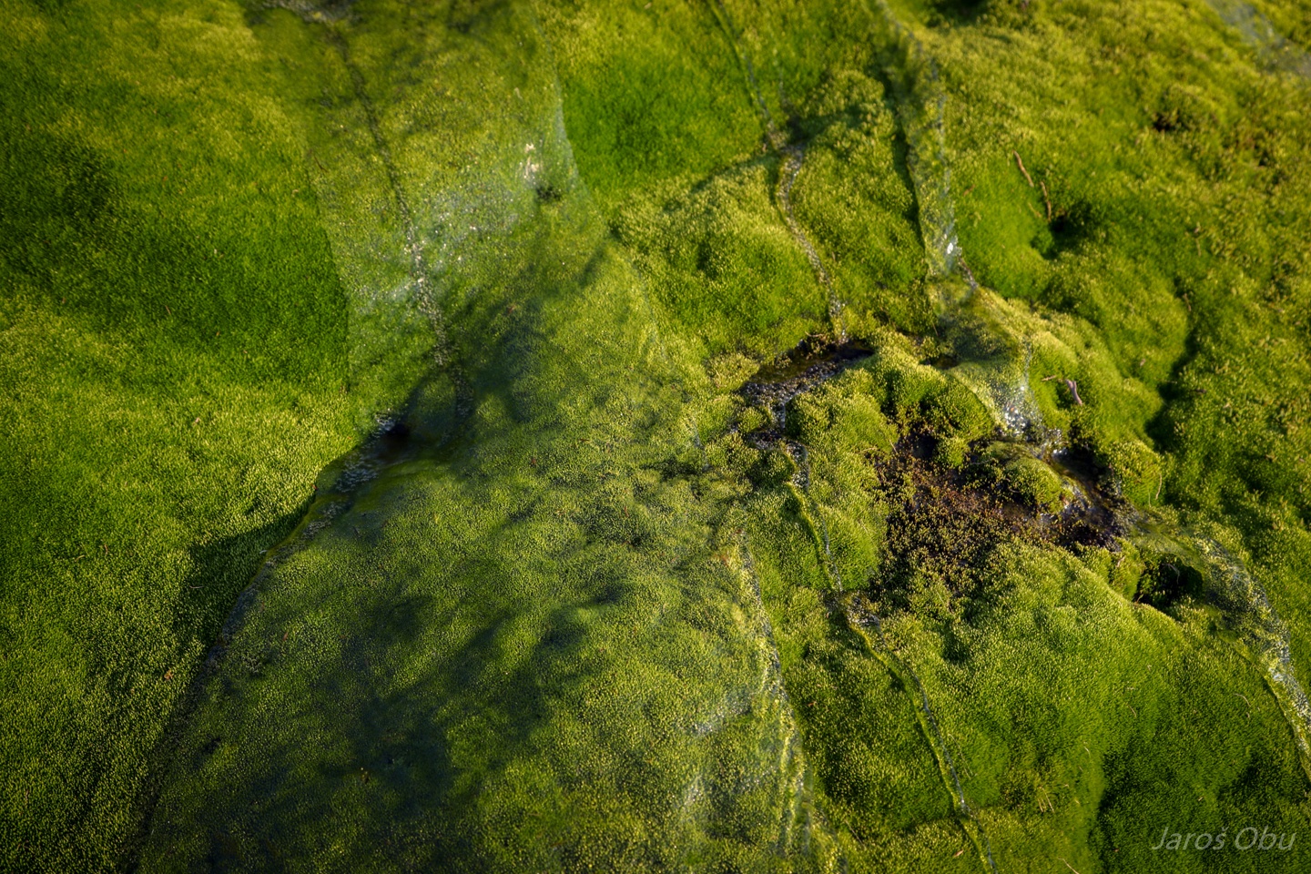
Moss by the stream source.
Returning back to the tent after 15 km distance and 1800 elevation difference, 13 hours after departure.
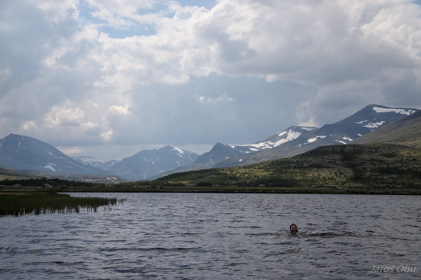
There is no happy summer hiking trip end without swimming.