© 2024 Jaroš Obu
Photo gallery of Jaroš Obu
Cart
0
Items
Buy now
Icelandic Highlands 26.-30.7. 2019
Sunday, 28 July 2019
Start of a 14-day trip around iceland combined with some field work. At circle road around the island not far from Rejkyavik.
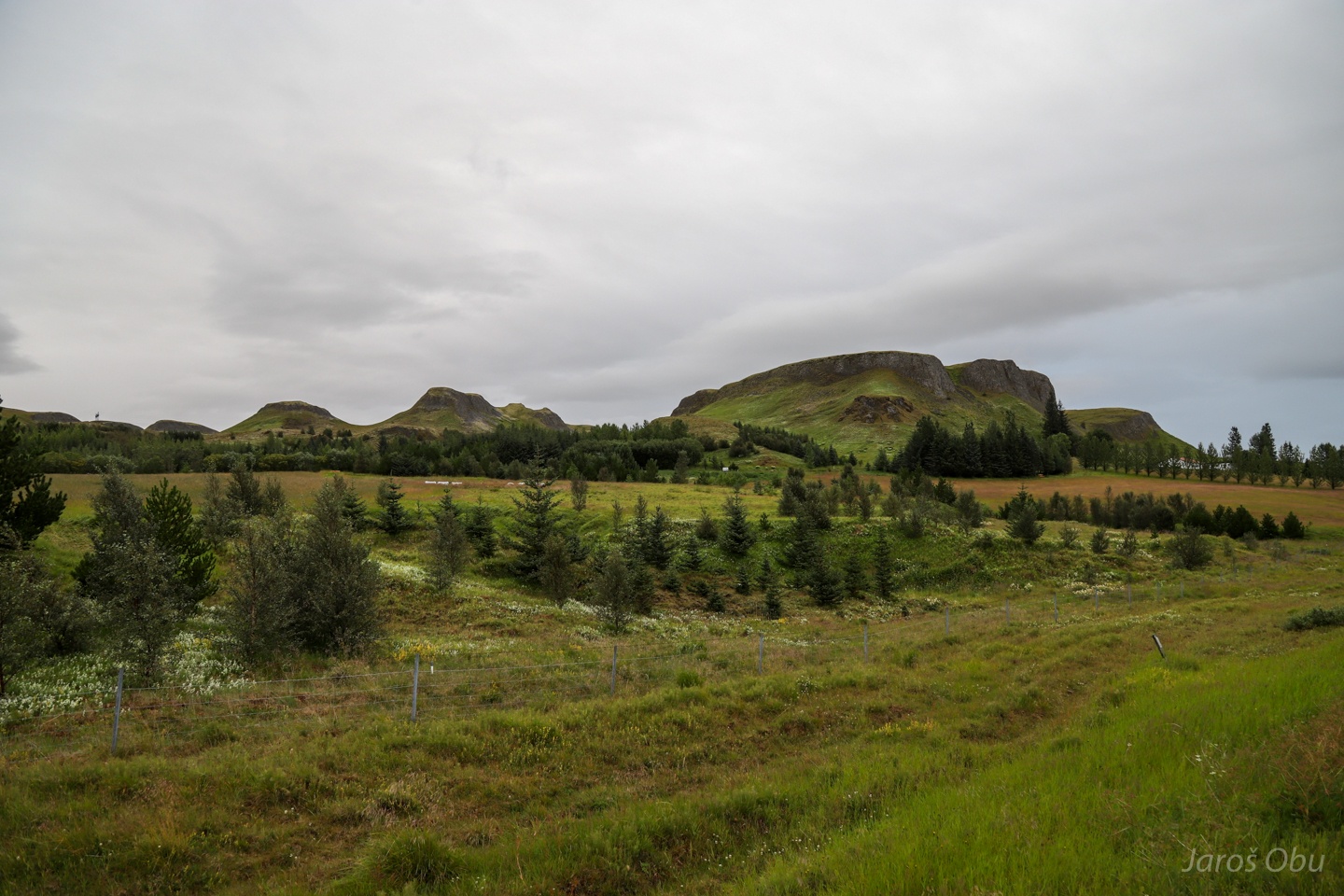
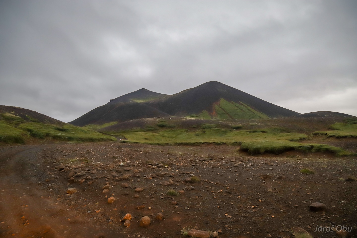
Many of the hills are remnants of subglacial volcanic eruptions on a way to the Iceland's interior.
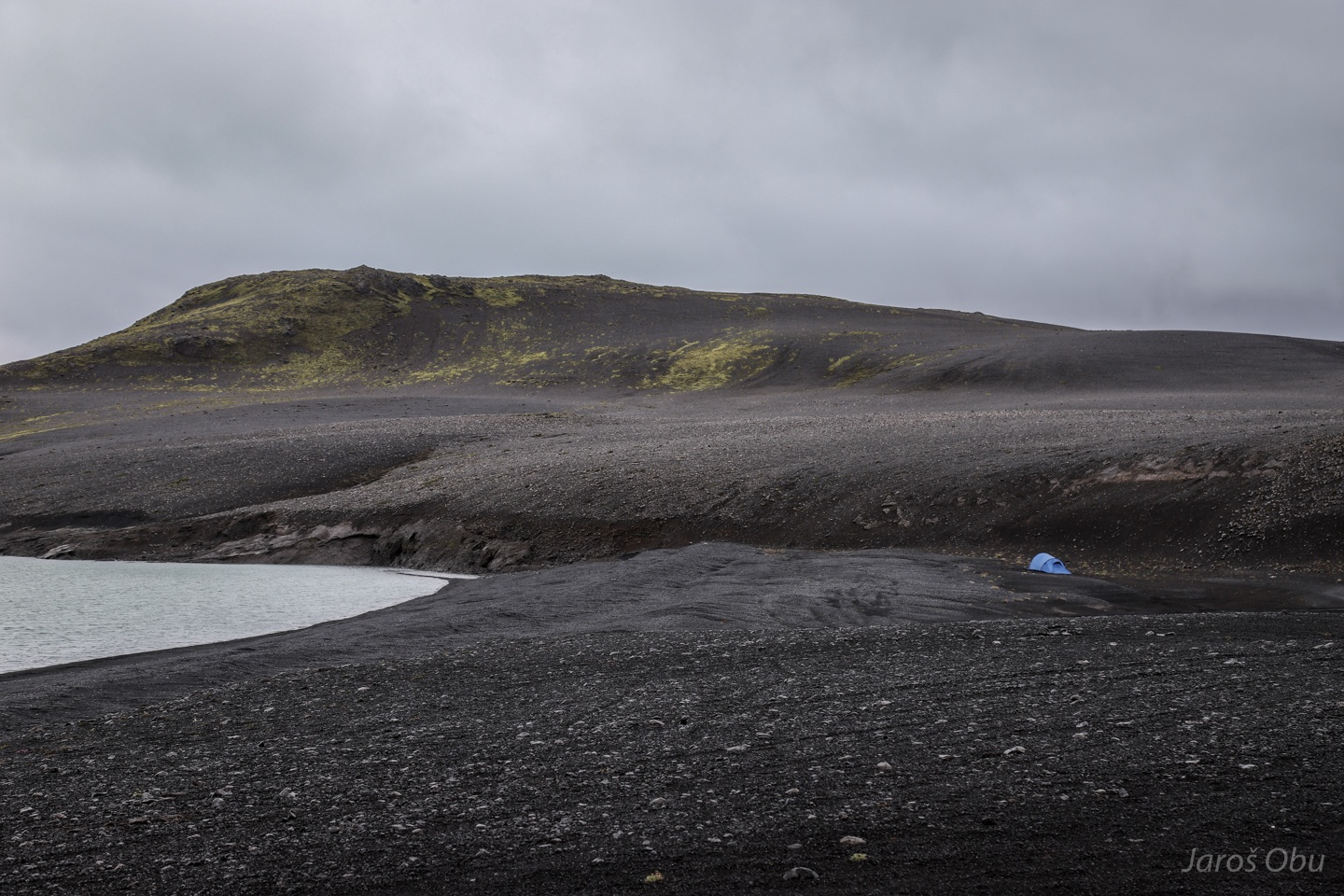
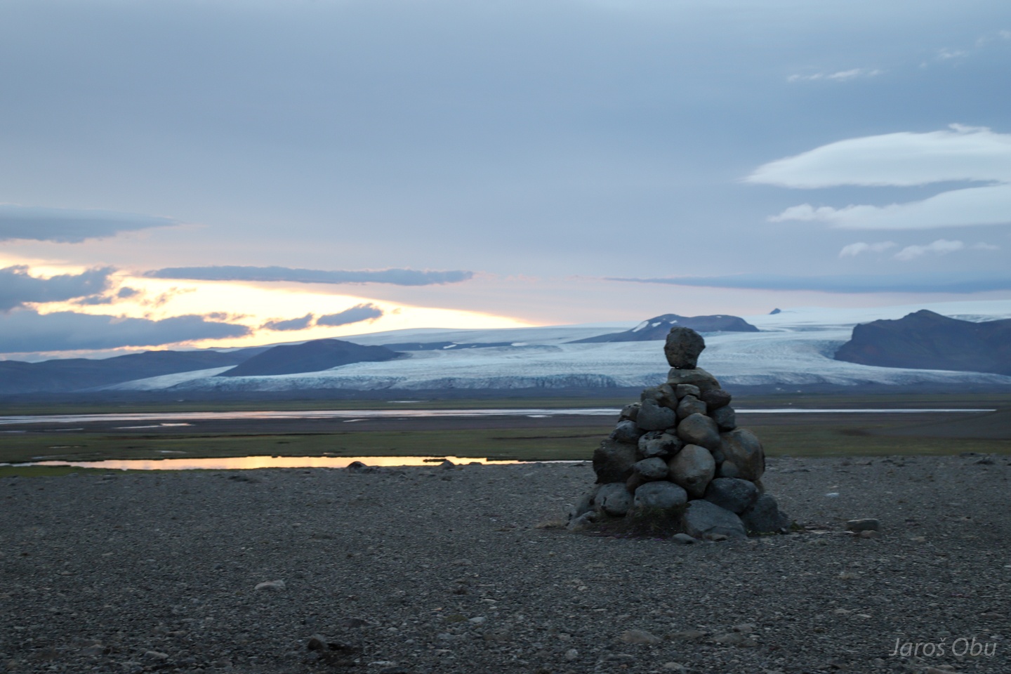
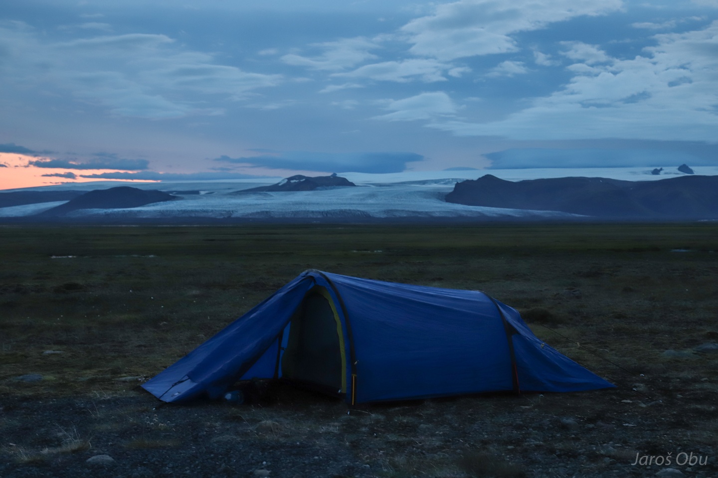
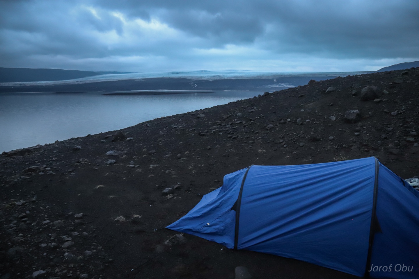
Overnighting already in the highlands at Thorisvatn, not far from the beginning of the mountain road to Sprengisandur.
Black volcanic material, green moss and blue tent.
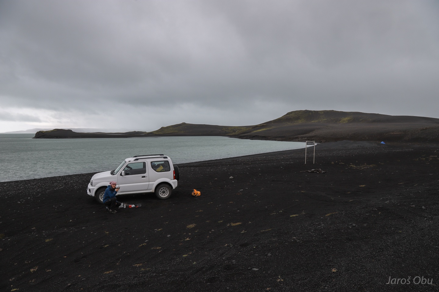
Drinking coffee behind the car's slipstream to avoid drizzle.
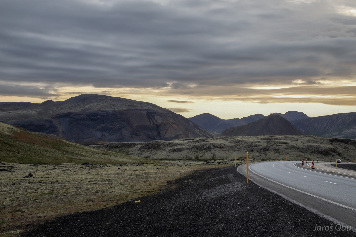
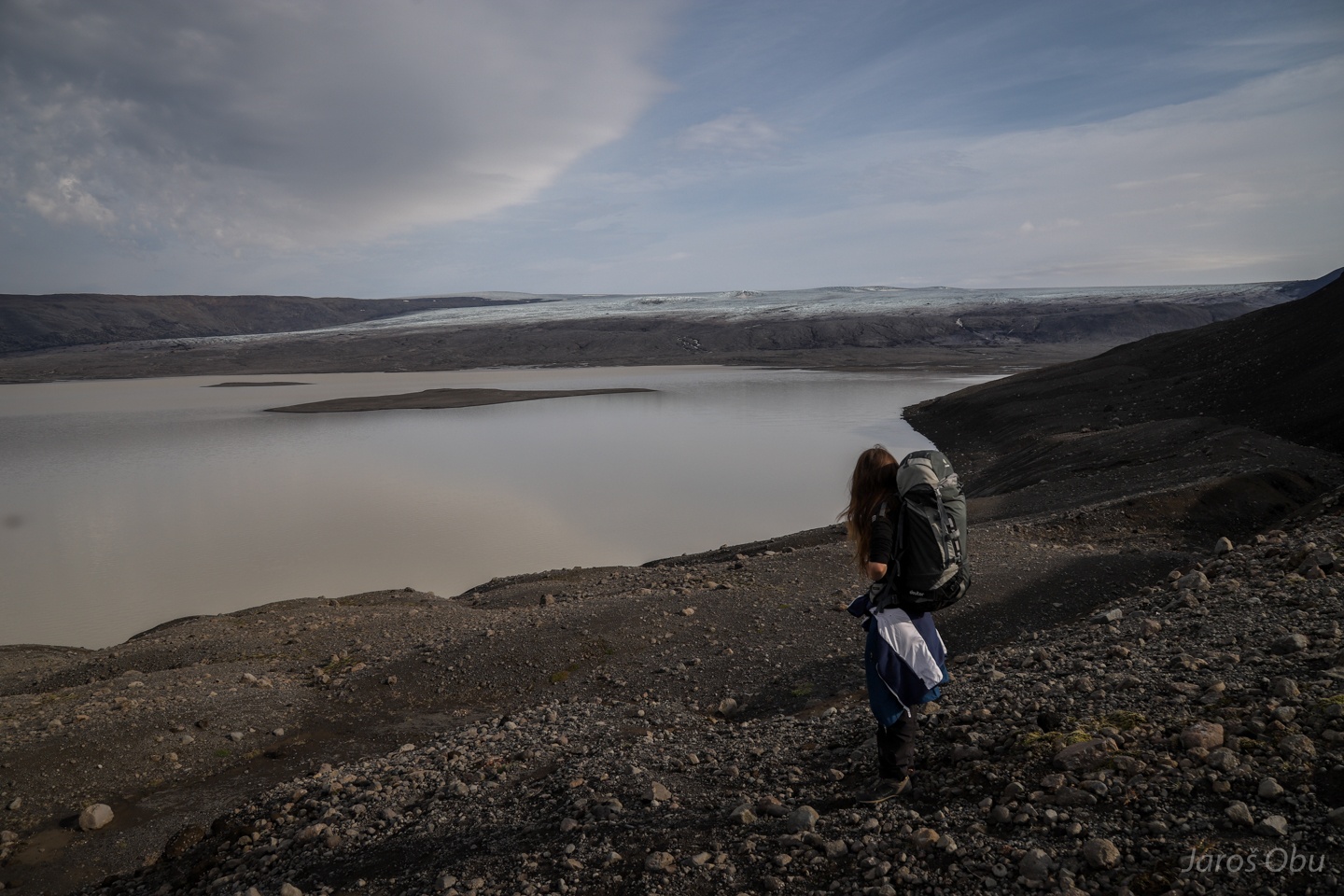
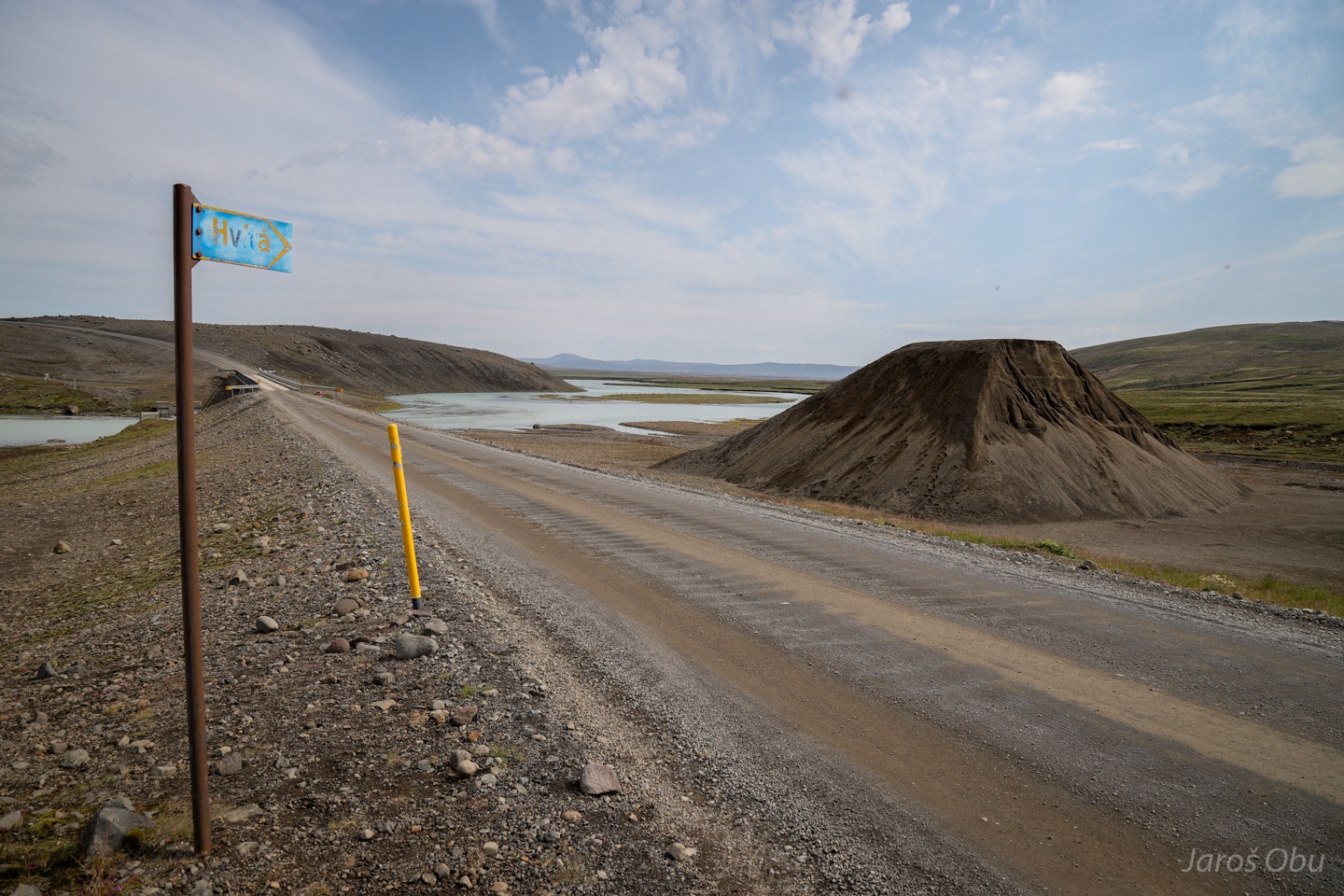
Continuing further north on F26.
Weather gradually improved with the increased continentality northwards.
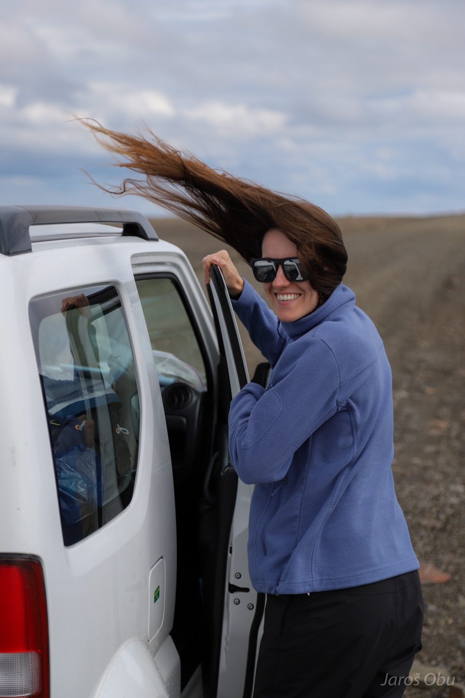
Justyna with a Leningrad Cowboys-inspired haircut.
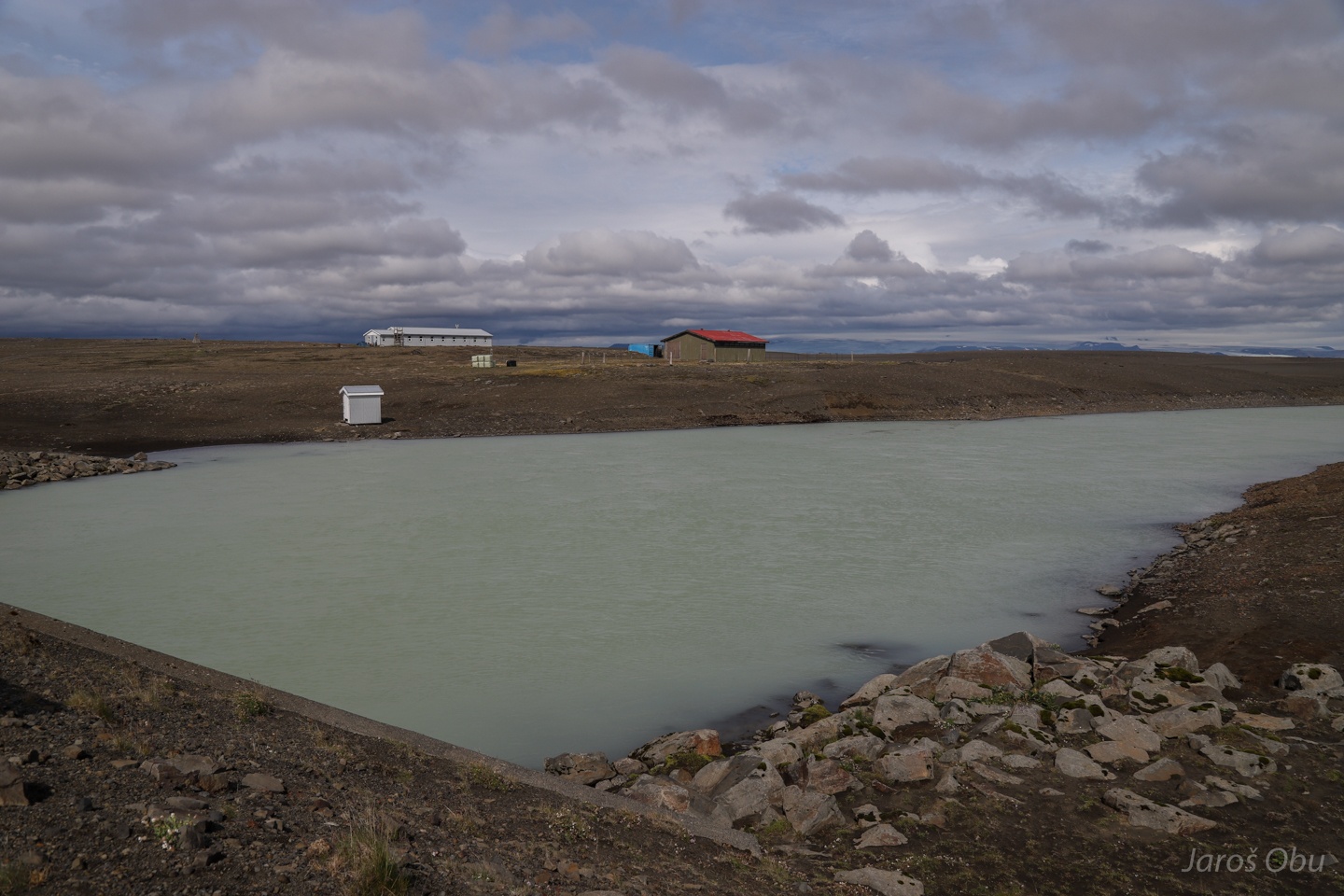
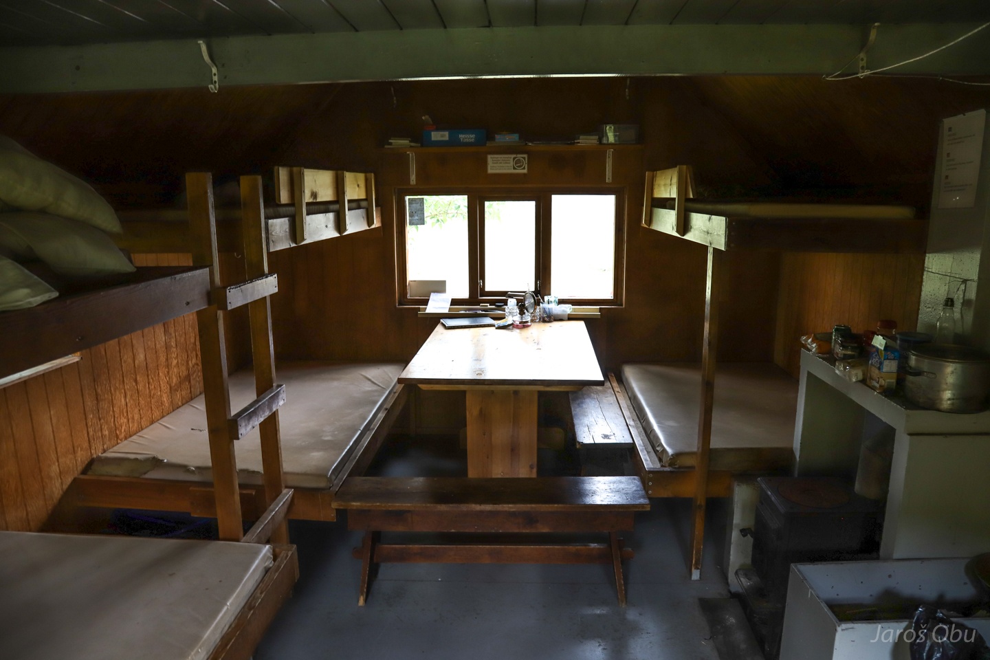
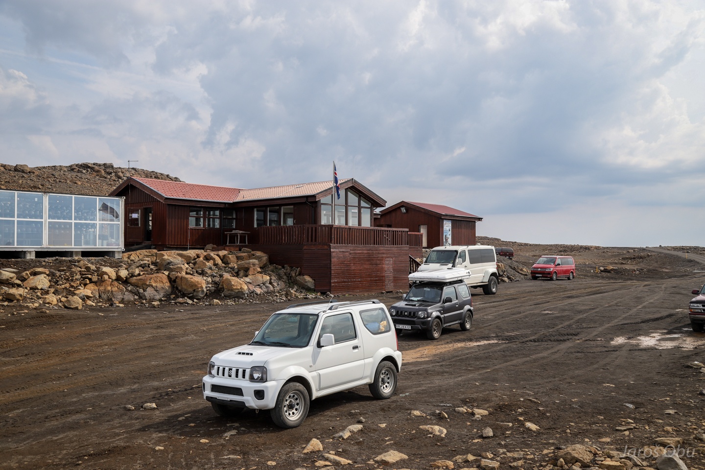
Versalir hut.
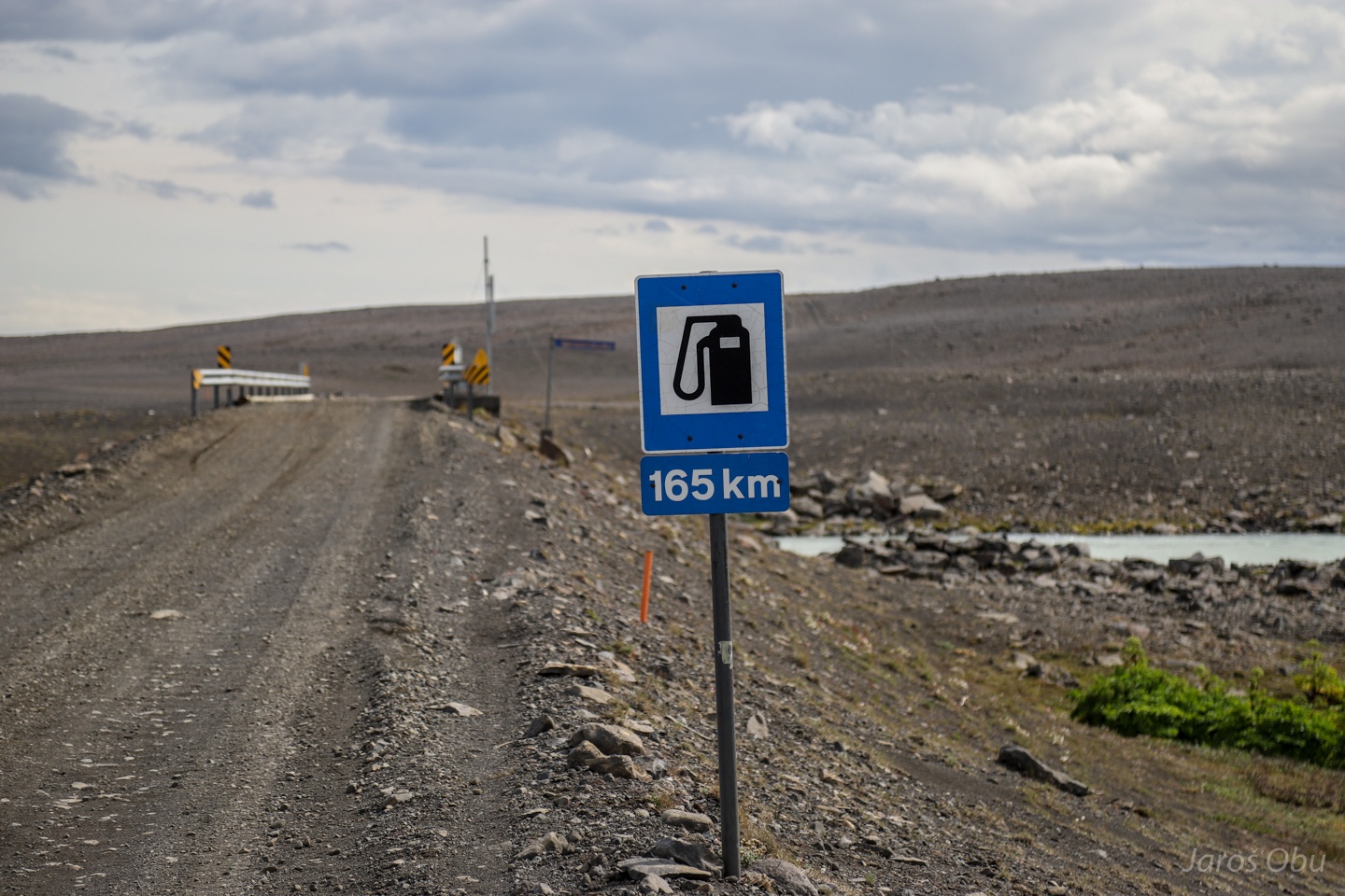
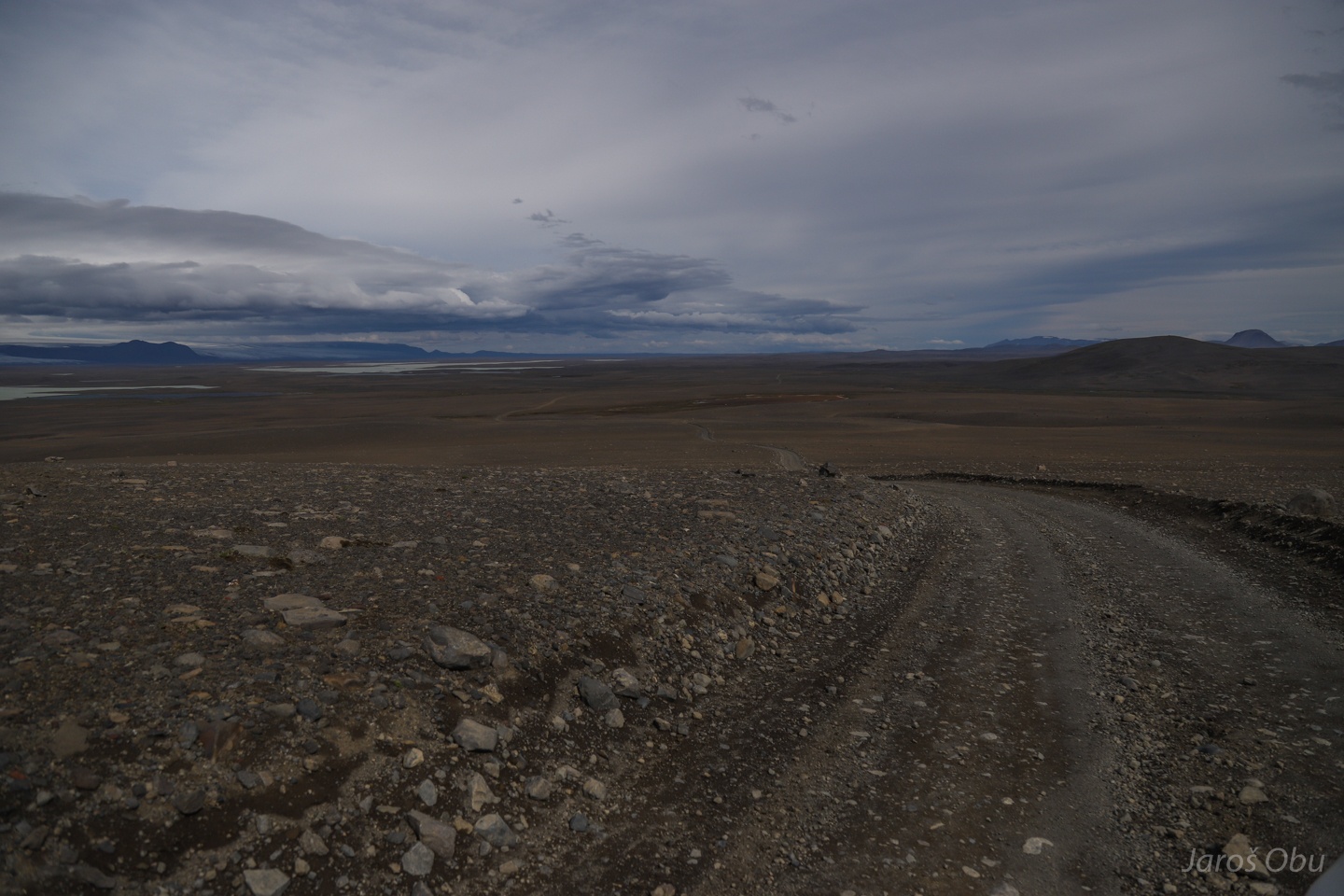
After already driving about 100 km on the mountain road.
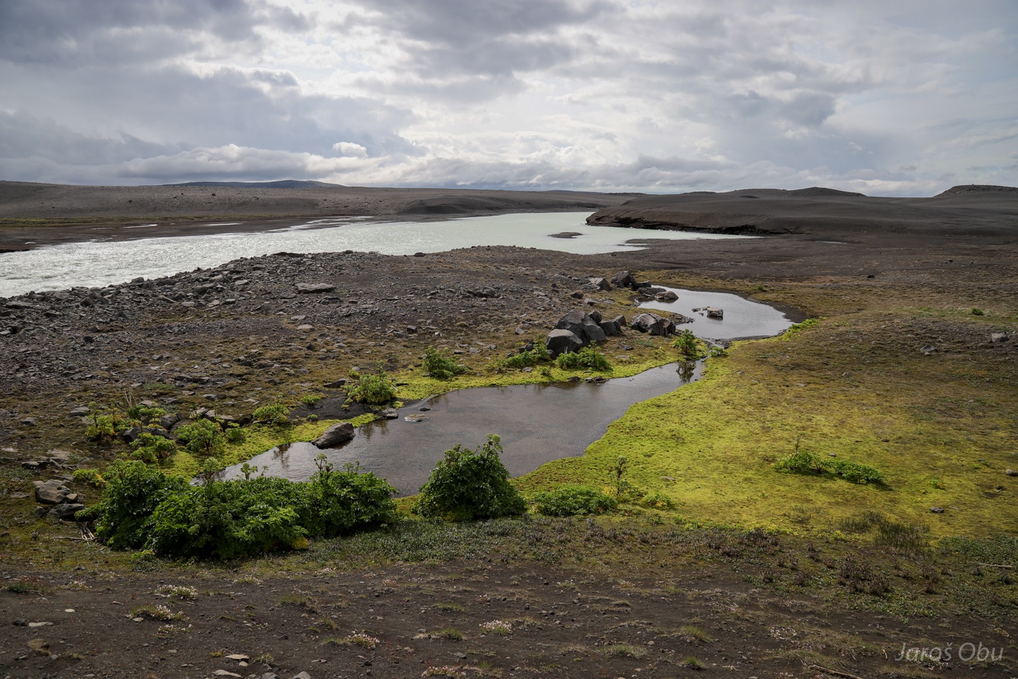
Availability of water brings barren landscape back to life.
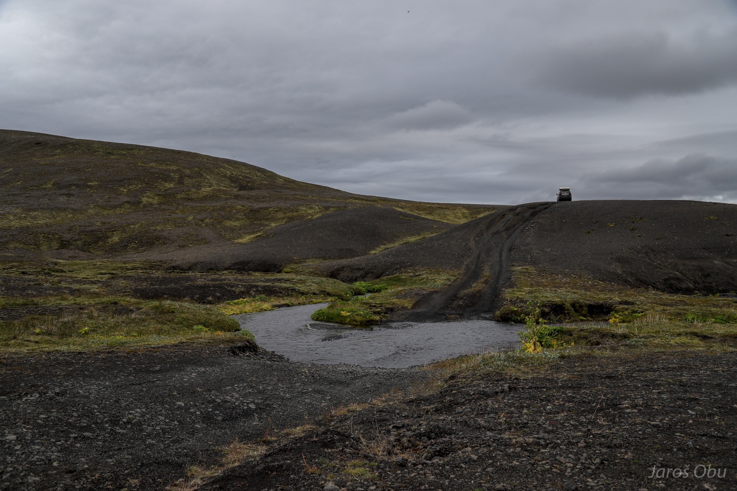
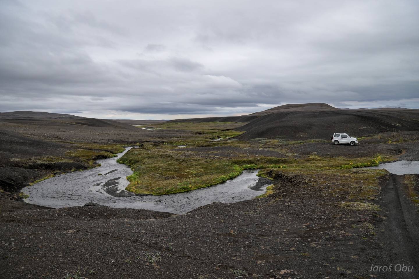
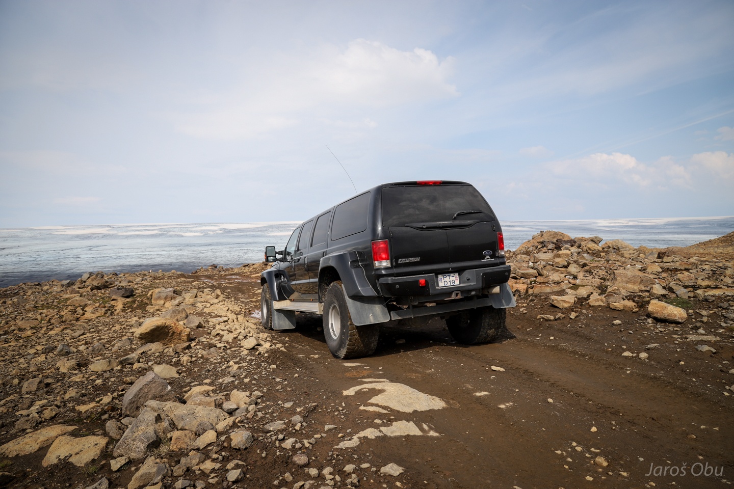
River crossings are very common on Icelandic mountain roads.
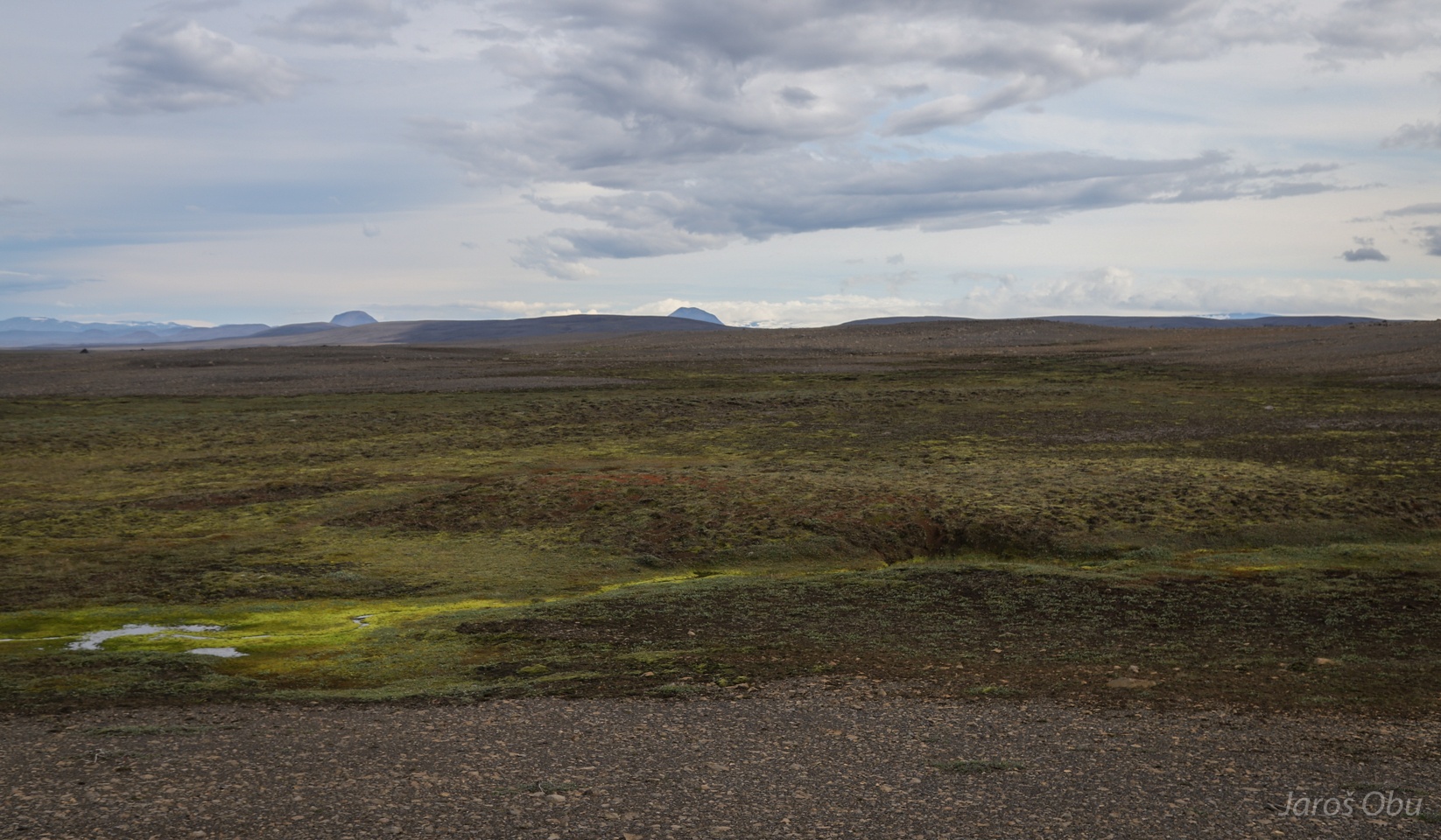
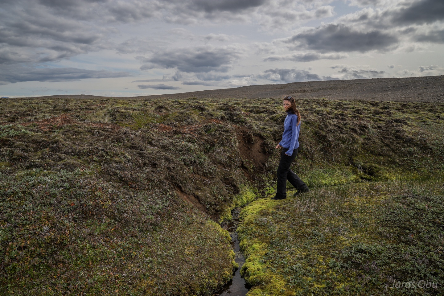
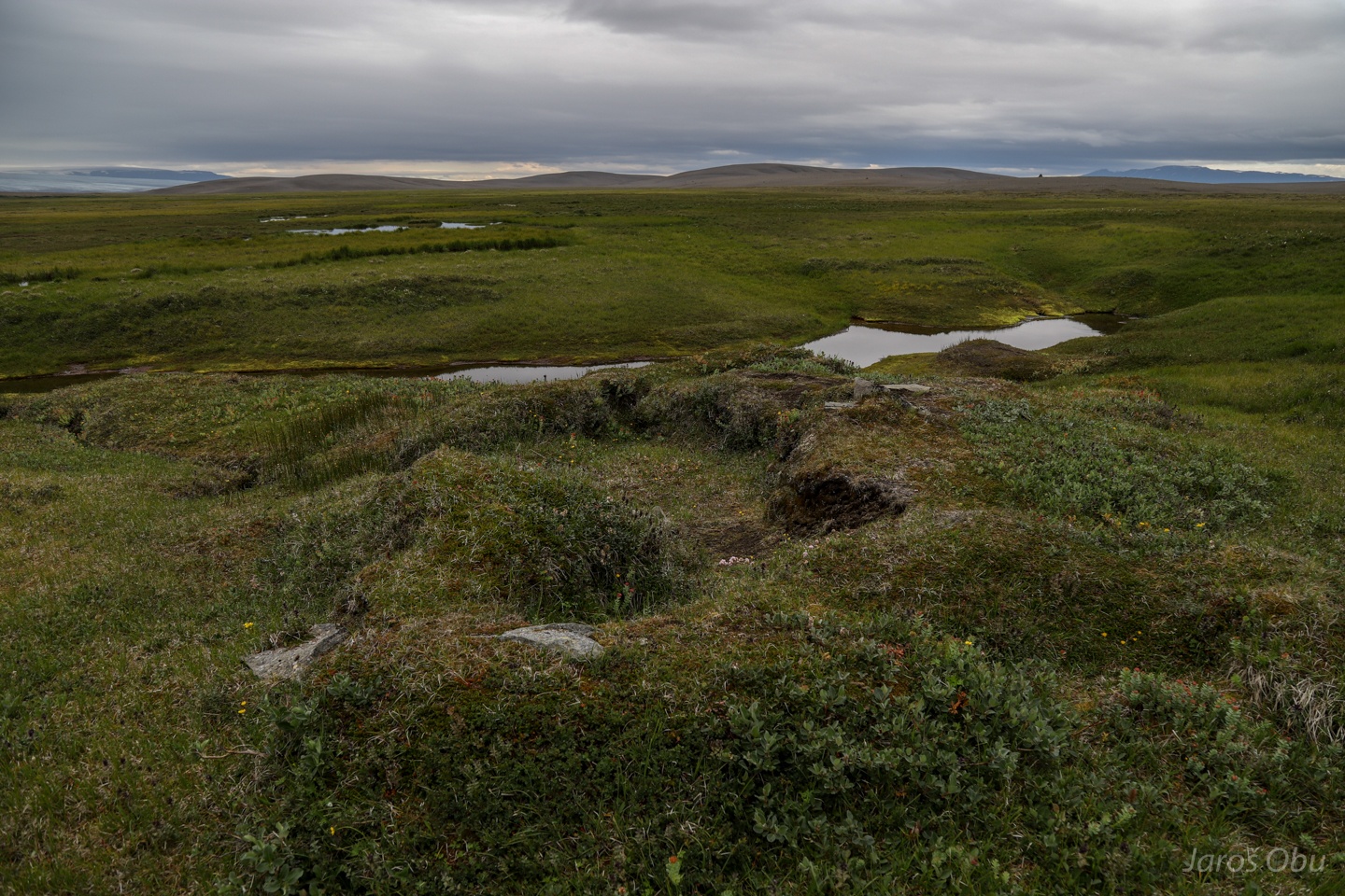
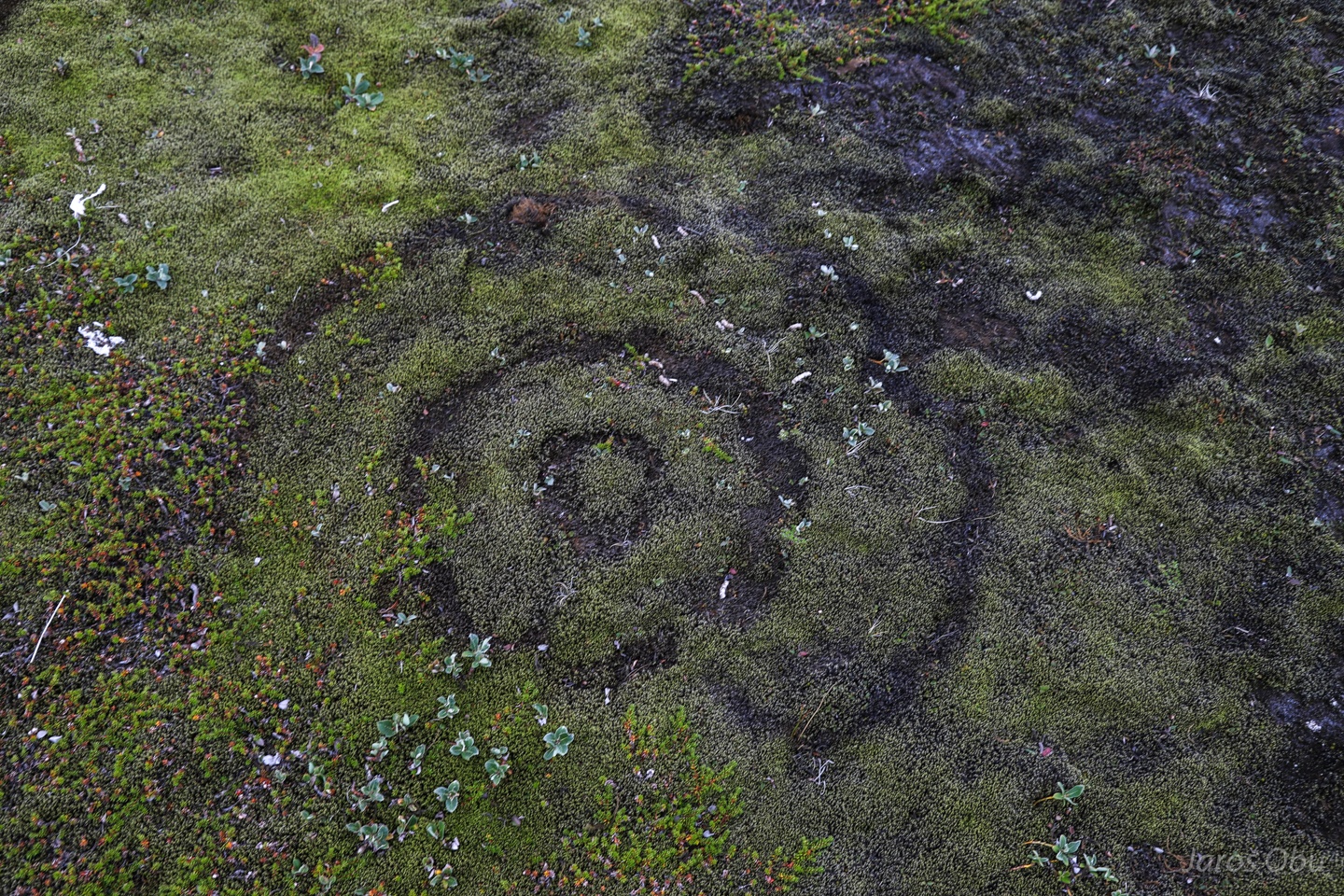
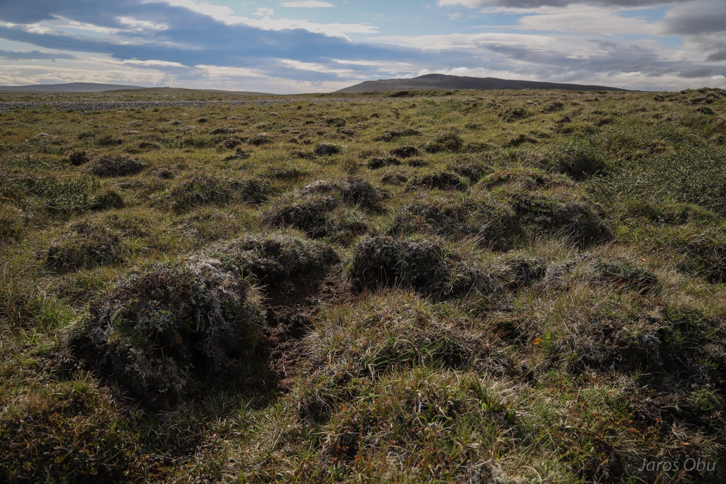
A palsa!
Organic matter is replaced by mineral material?
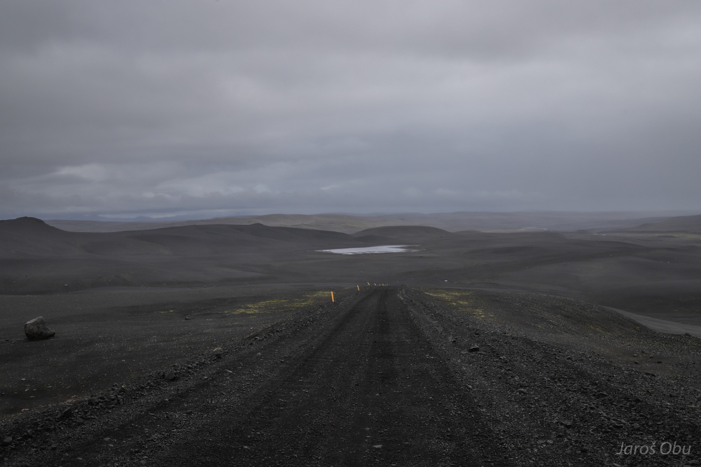
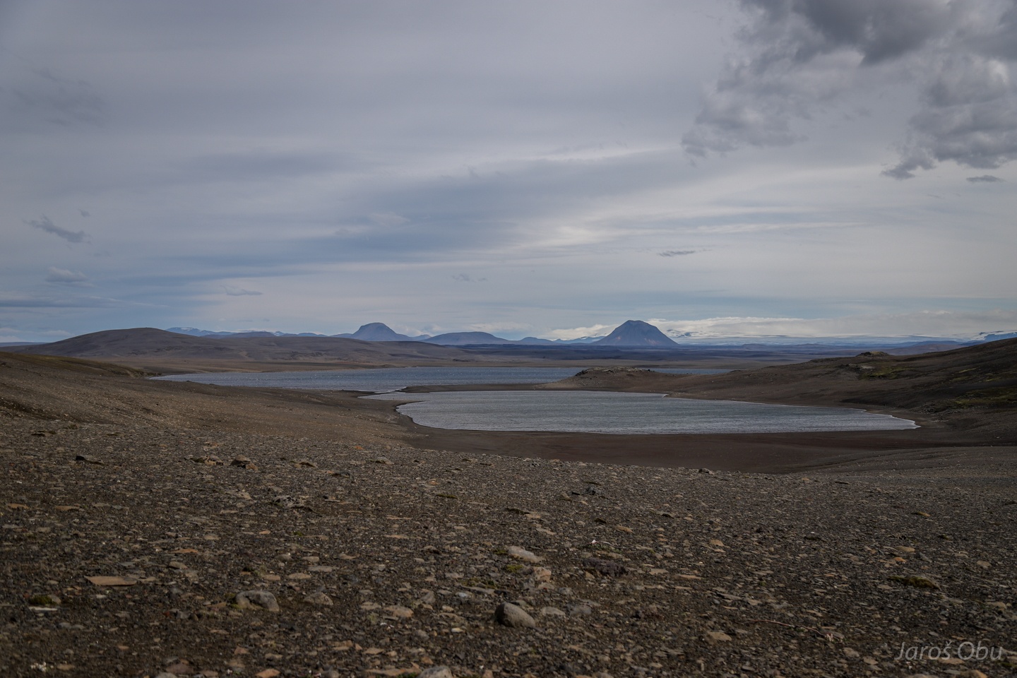
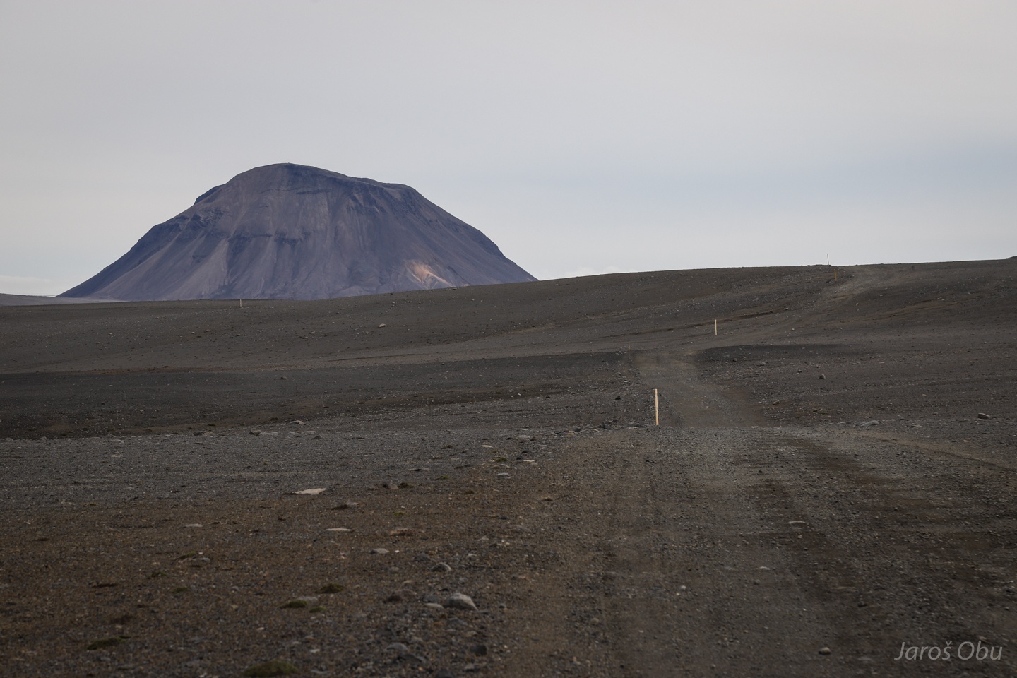
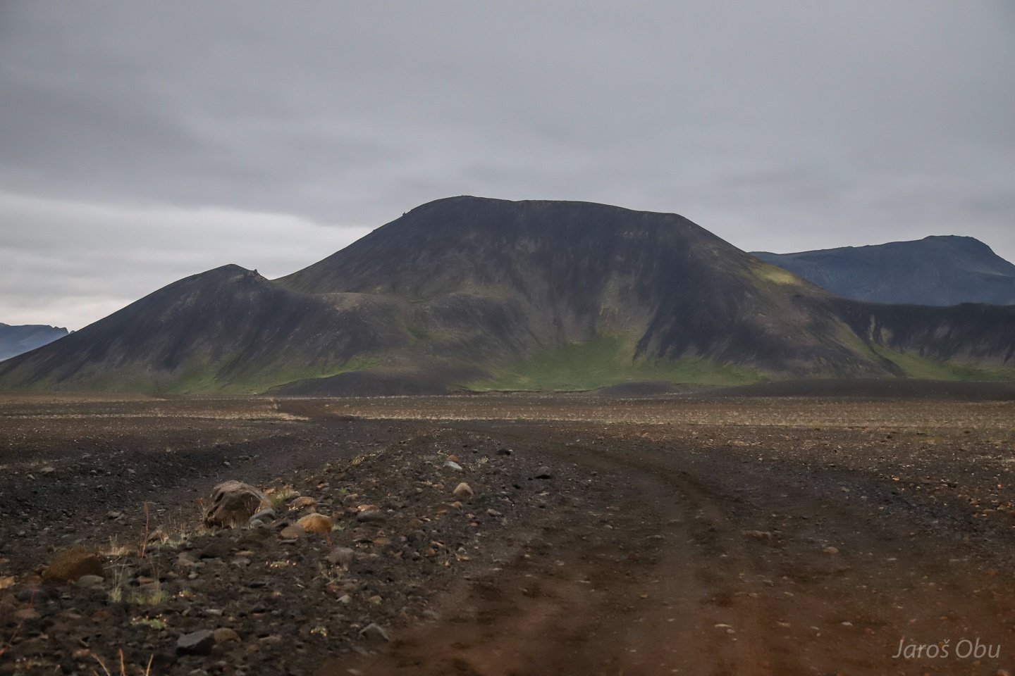
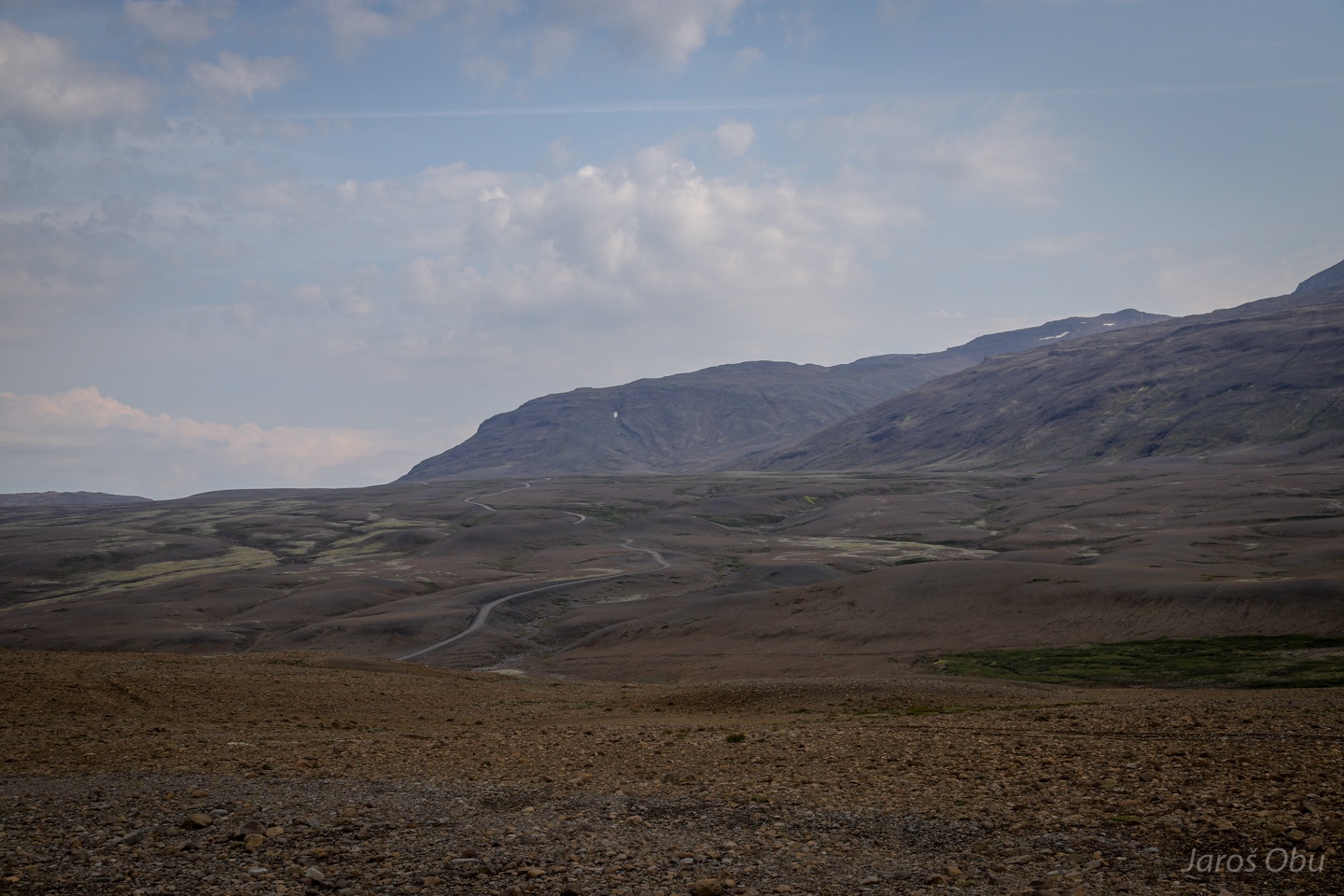
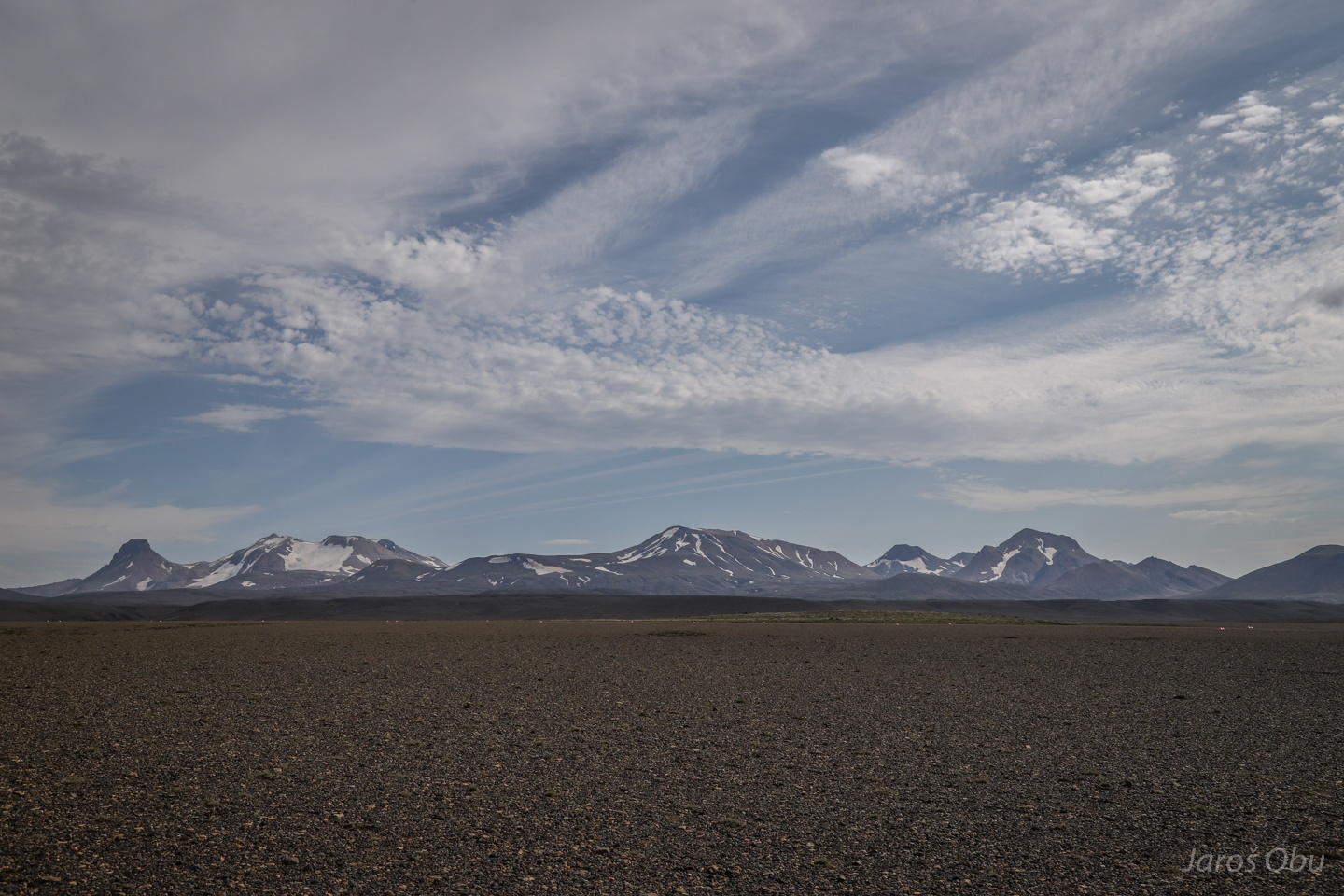
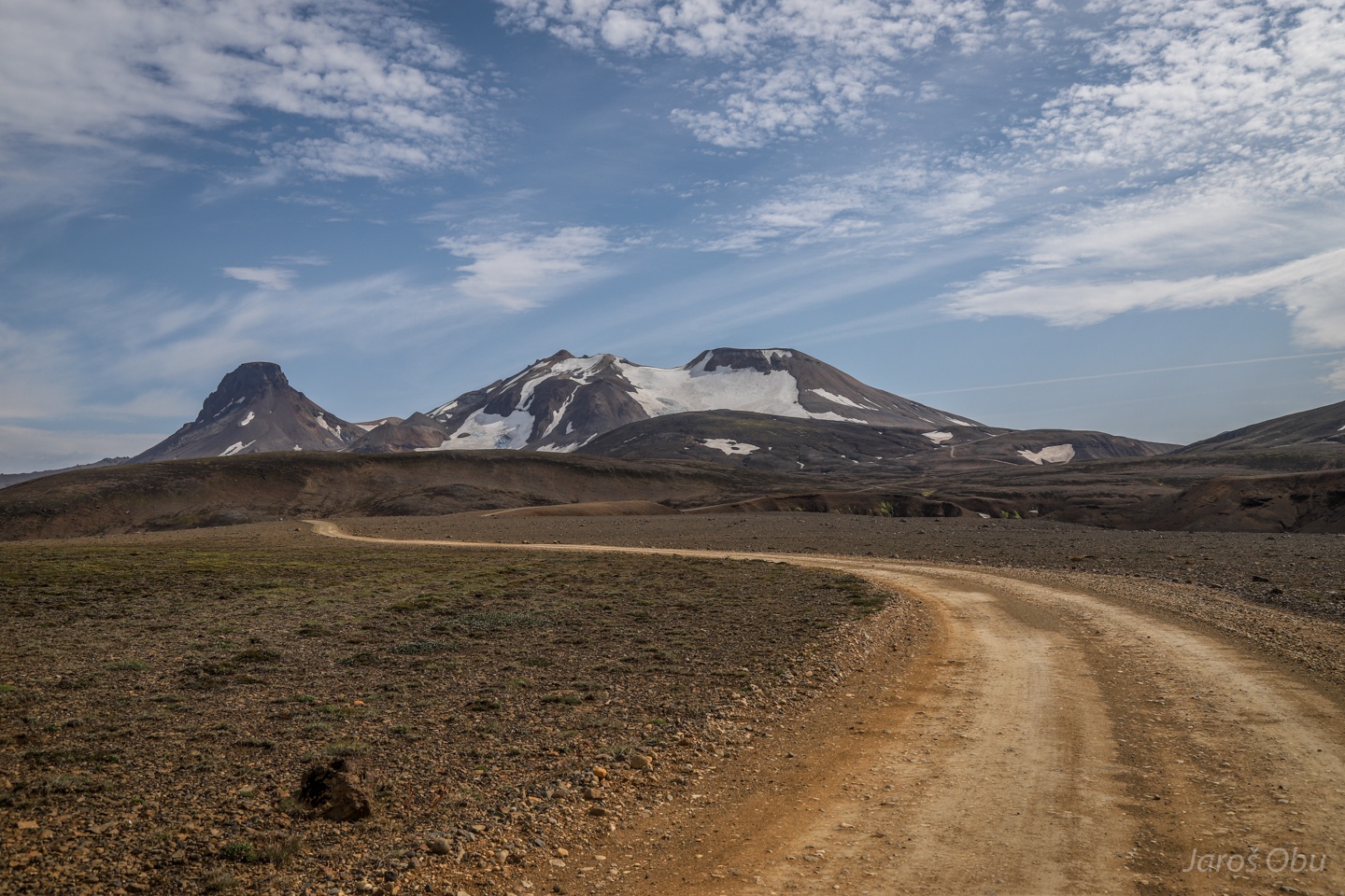
Two mountains in the distance are today's destination.
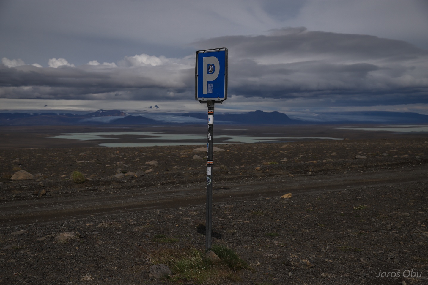
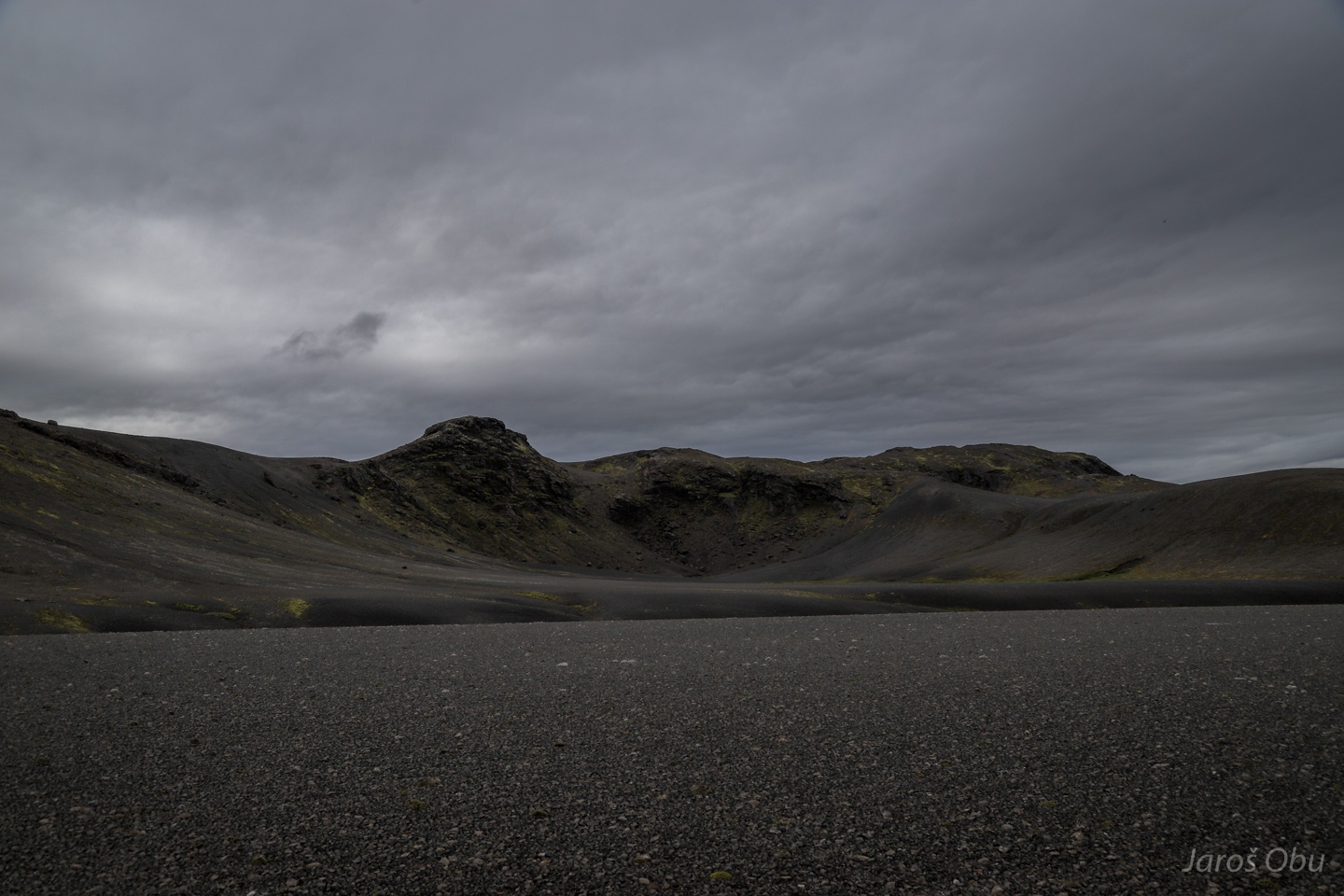
Parking spots in the middle of nowhere.
Roughness of the road depends mostly on the size of volcanic material.
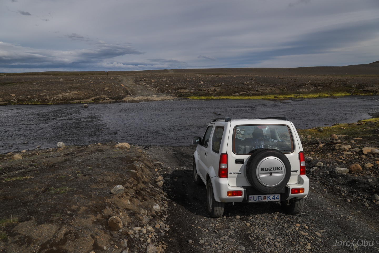
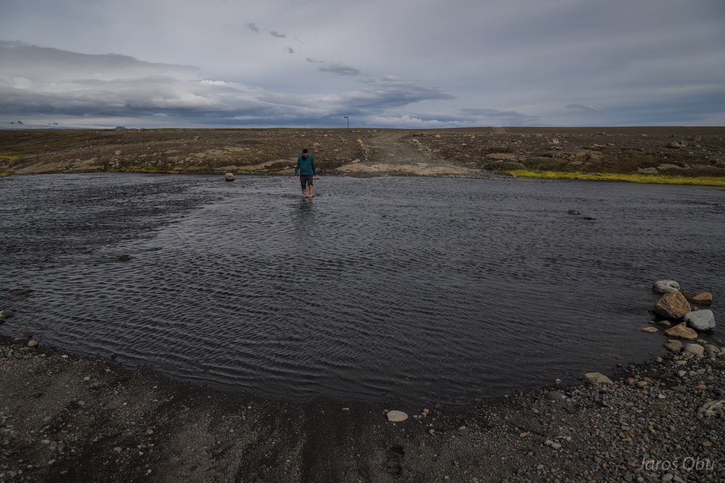
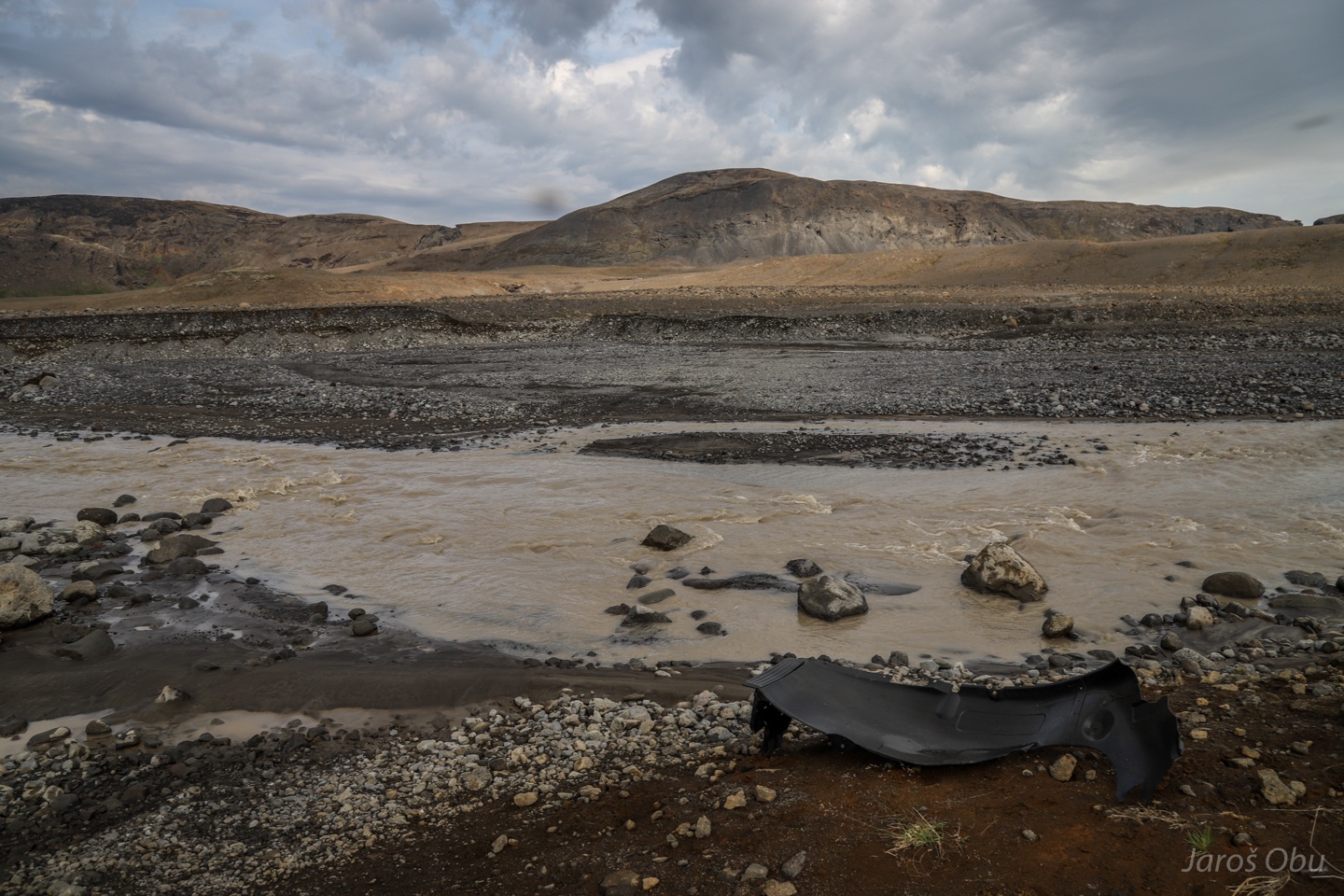
O-o. Here comes the river crossing.
Checking the depth. It shall be a piece of cake. Video: https://vimeo.com/358349719
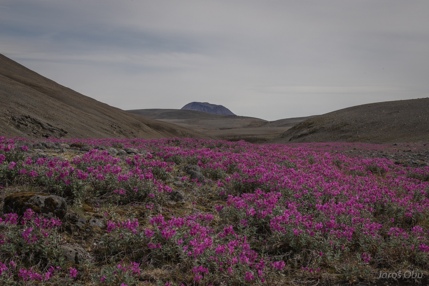
Mat of dwarf fireweed (Epilobium latifolium) covering a neighbouring valley that dried out.
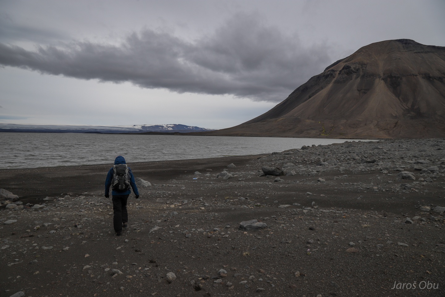
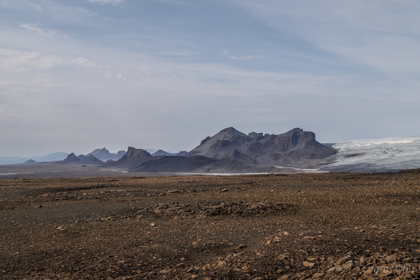
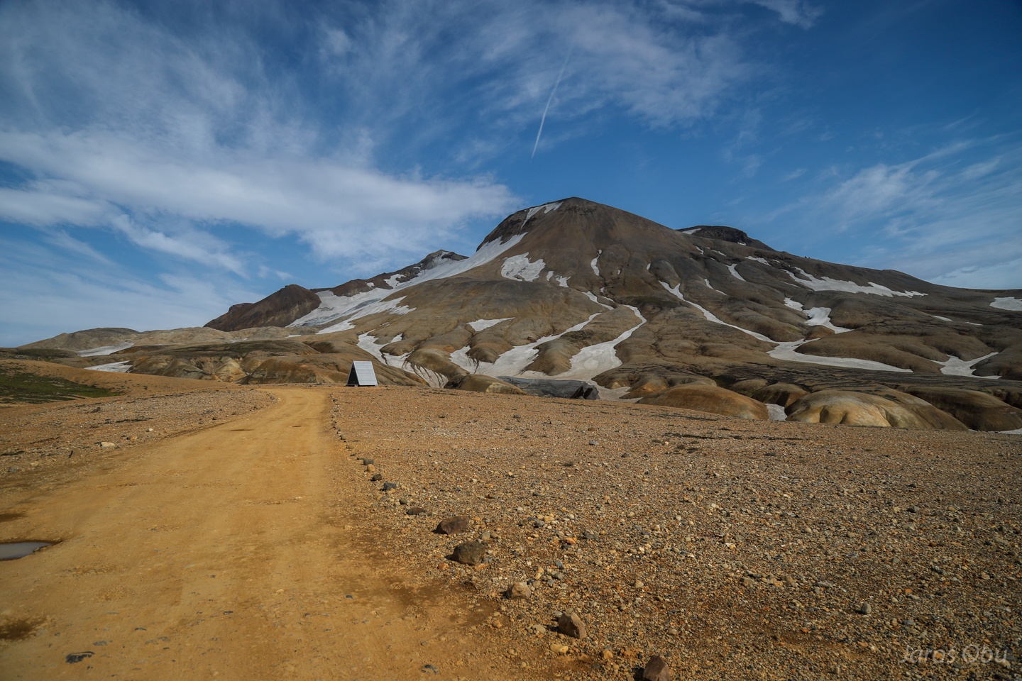
Approaching Hágöngur.
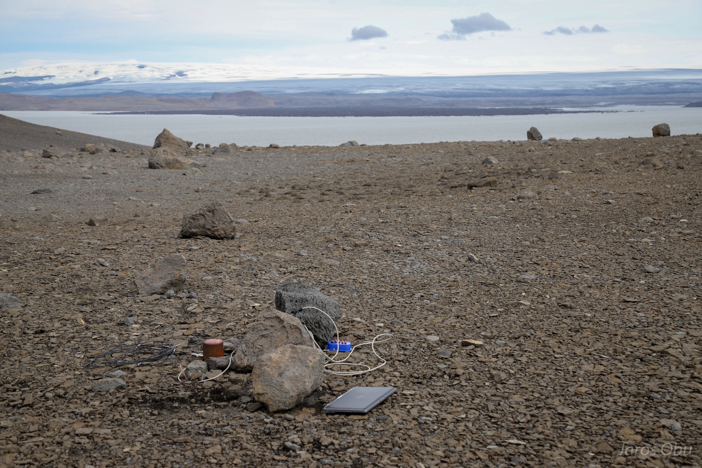
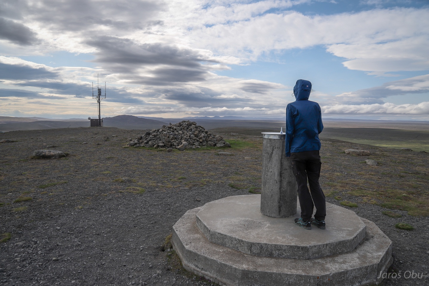
We are there.
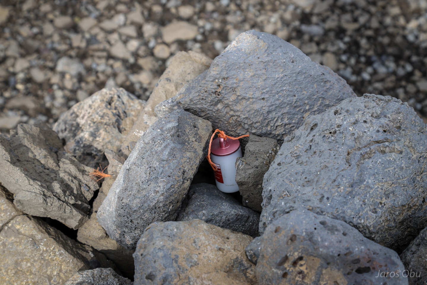
The permafrost borehole we had to read out.
And ground surface temperature loggers.
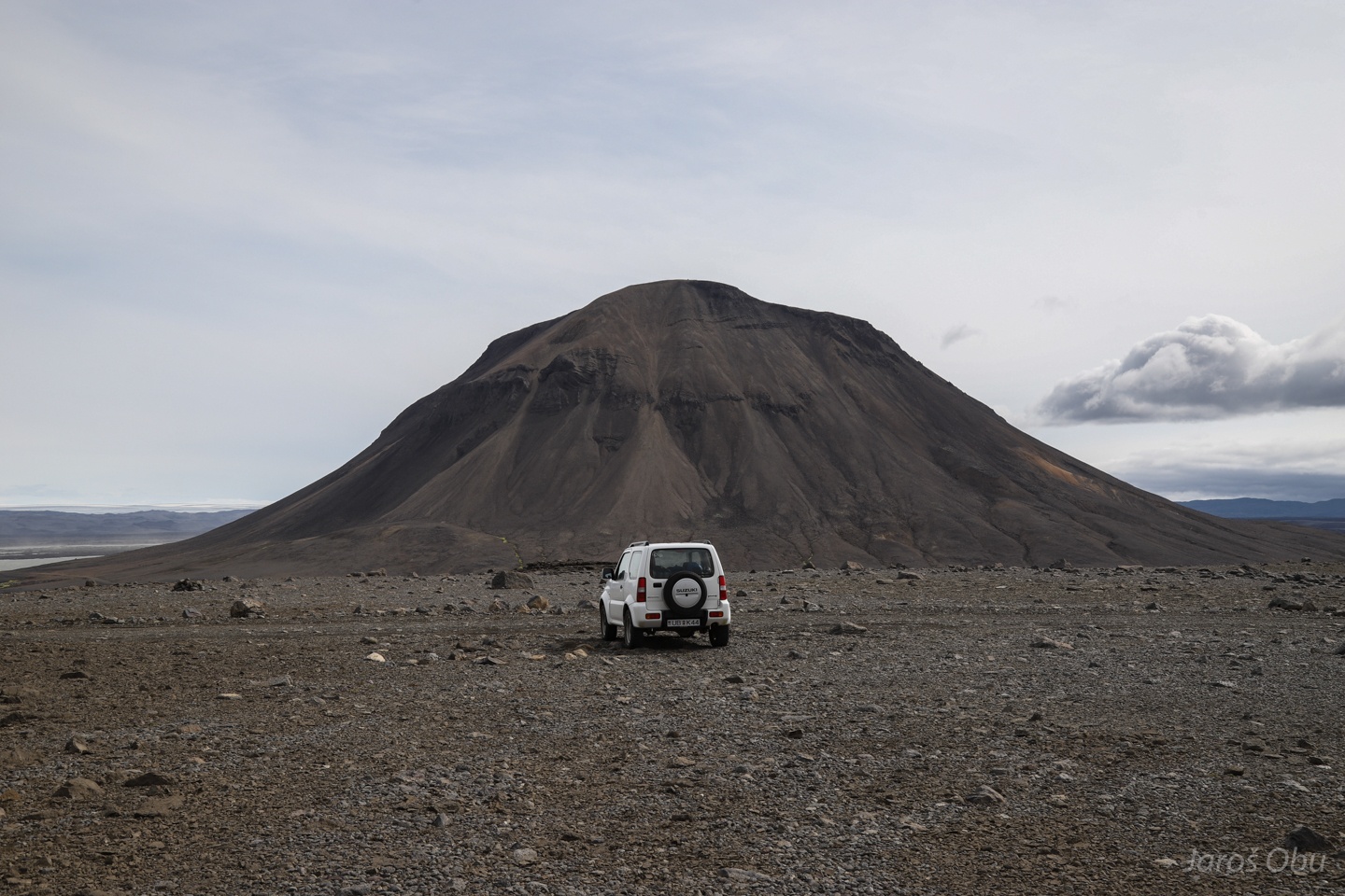
Syðri-Háganga, formed also from subglacial eruptions.
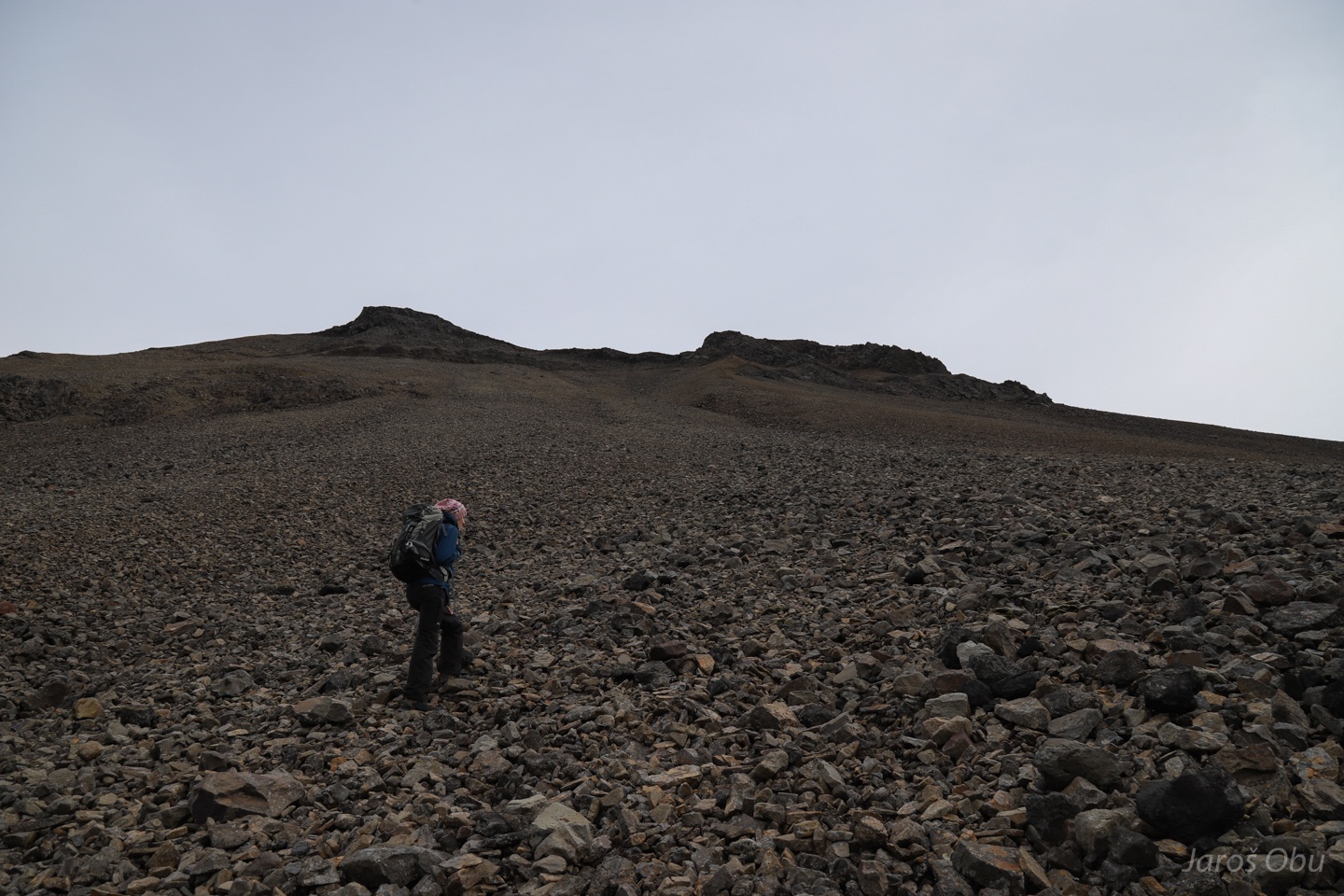
On a way up there.
One step up, two steps down. Bloody periglacial scree slopes.
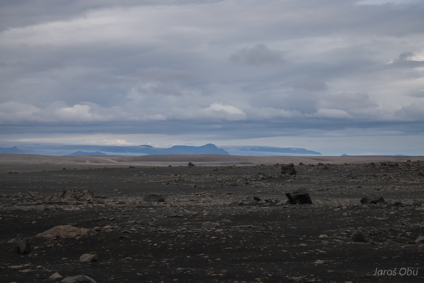
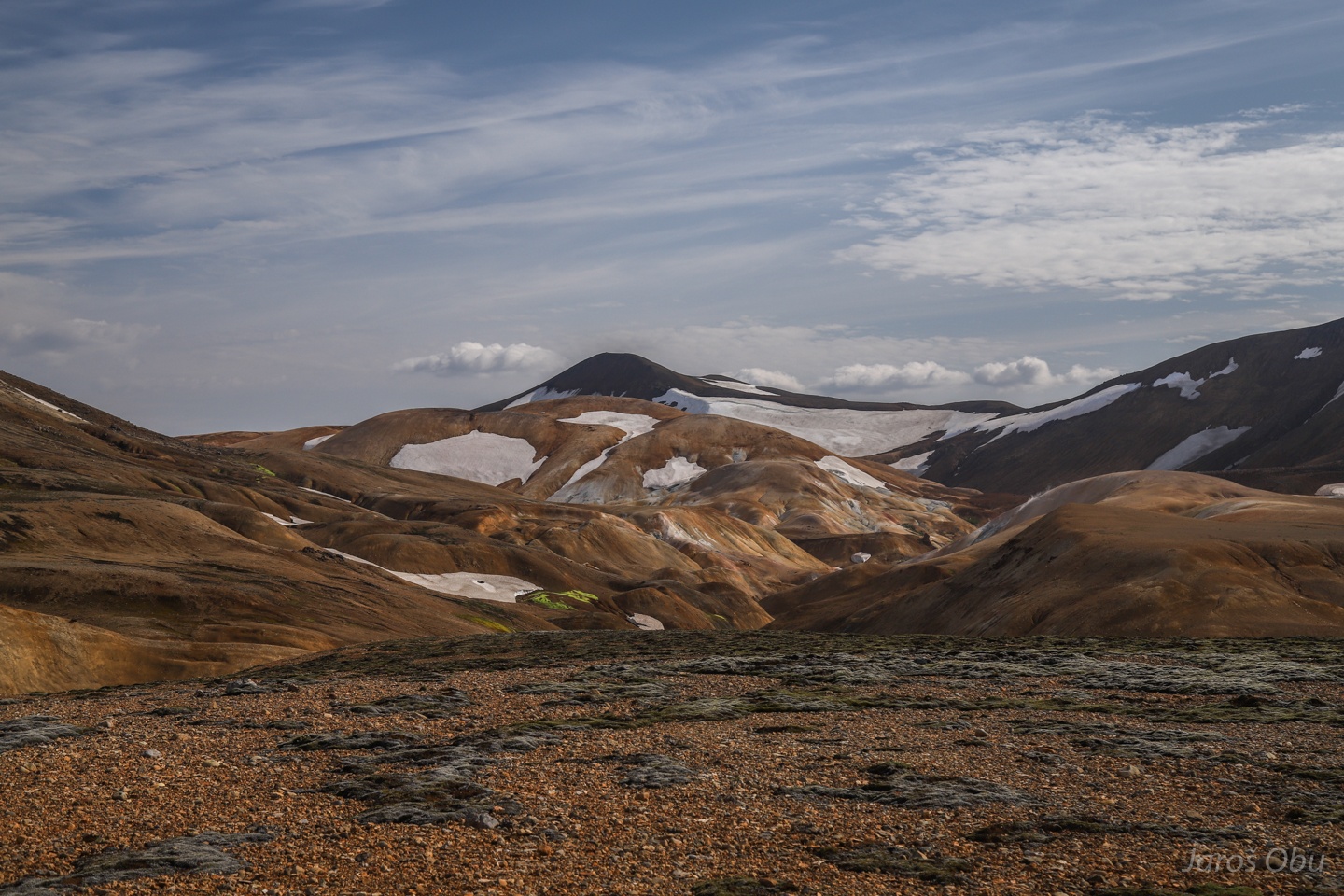
More consolidated upper part and large lava fields in the south and east.
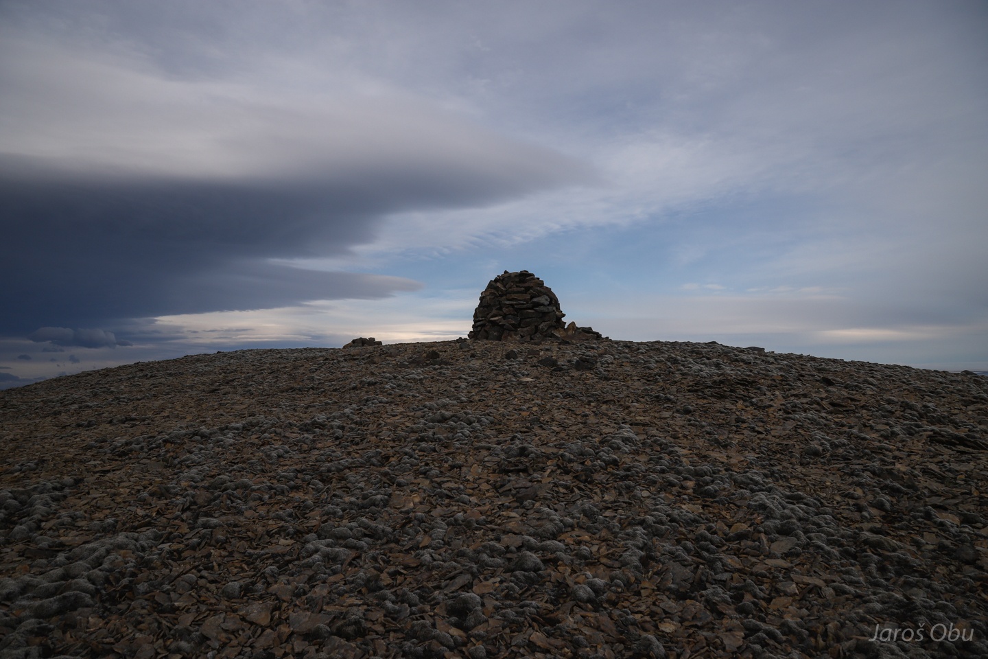
The summit.
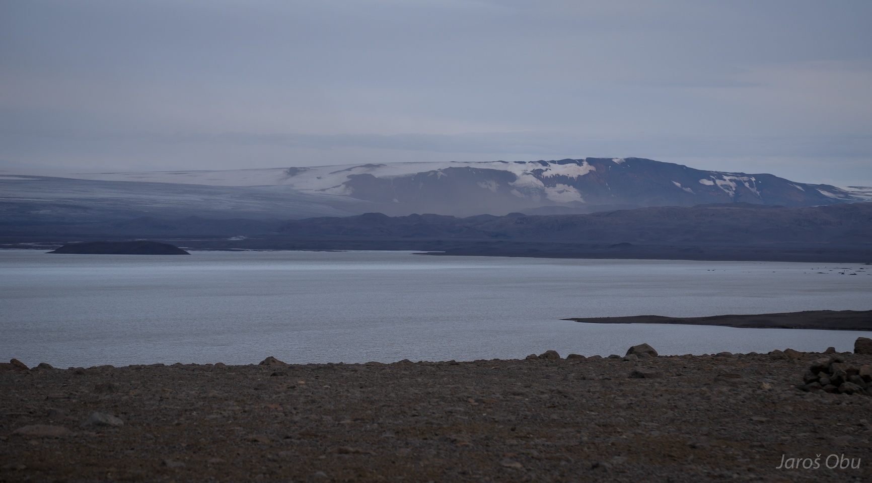
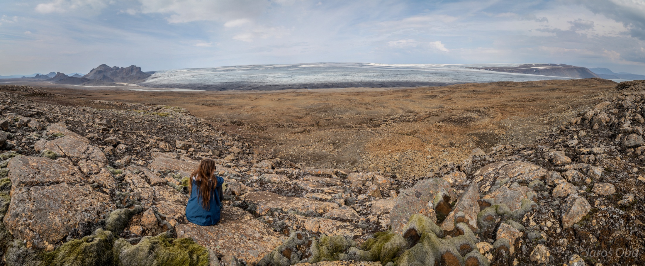
Look back towards the borehole. The small white dot is the car. Hofsjökull in the distance.
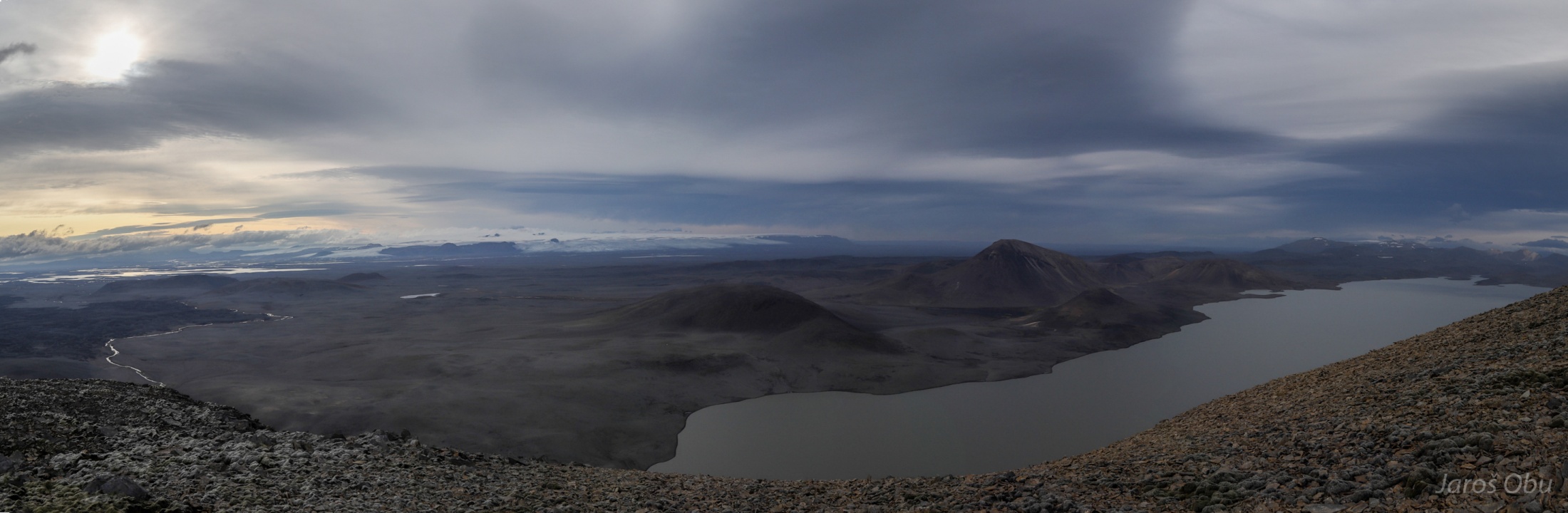
Panorama towards the east and north.
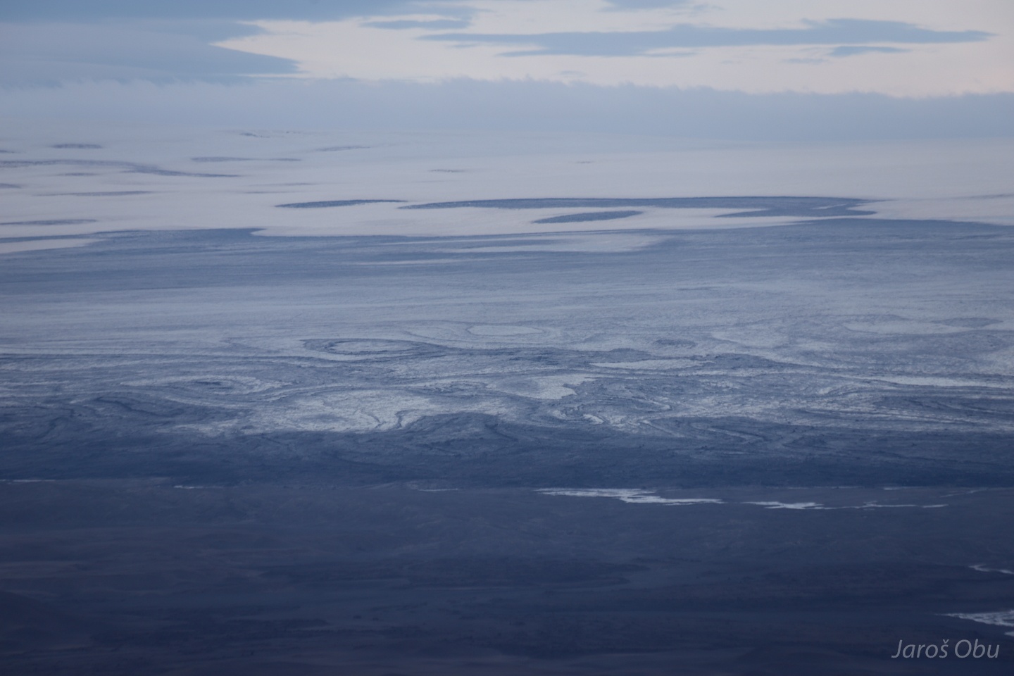
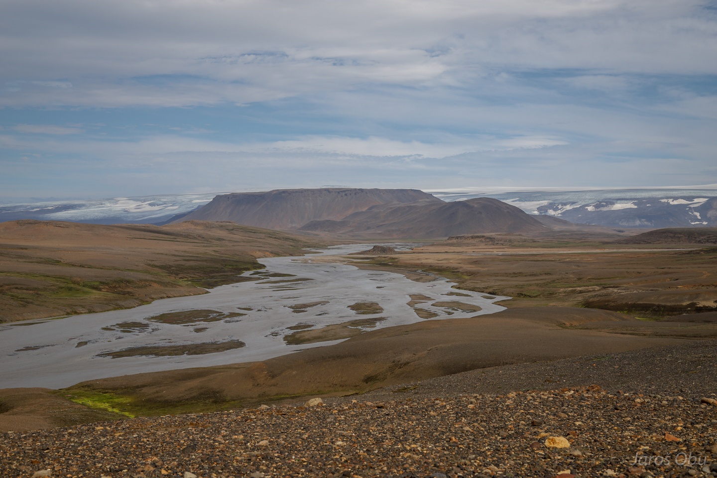
Panorama of Vatnajökul towards in the west.
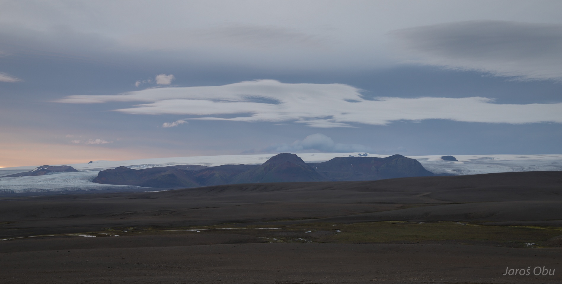
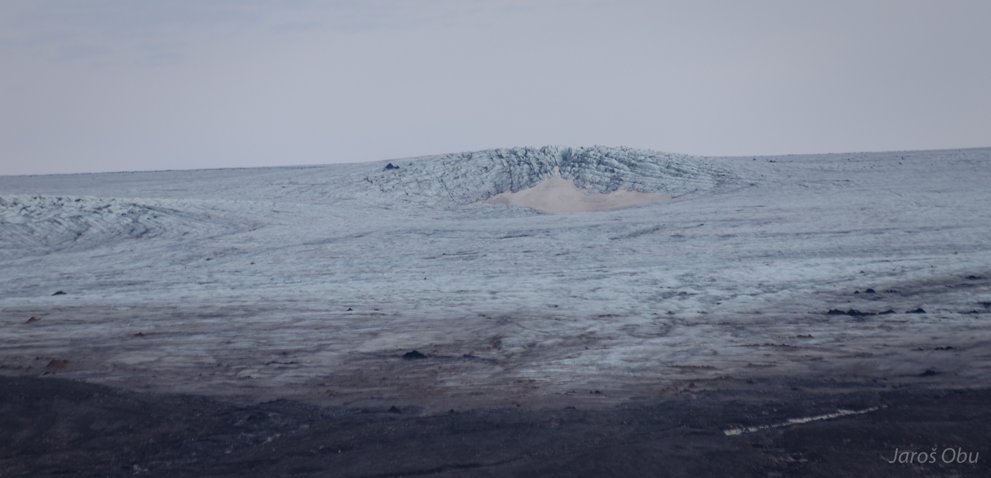
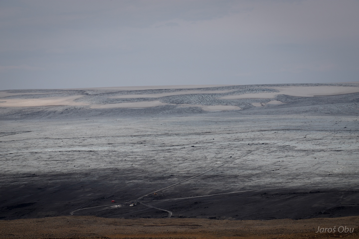
Darker volcanic ash creating patterns characteristic for Icelandic glaciers.
Dust storms at the foot of Vatnajökul.
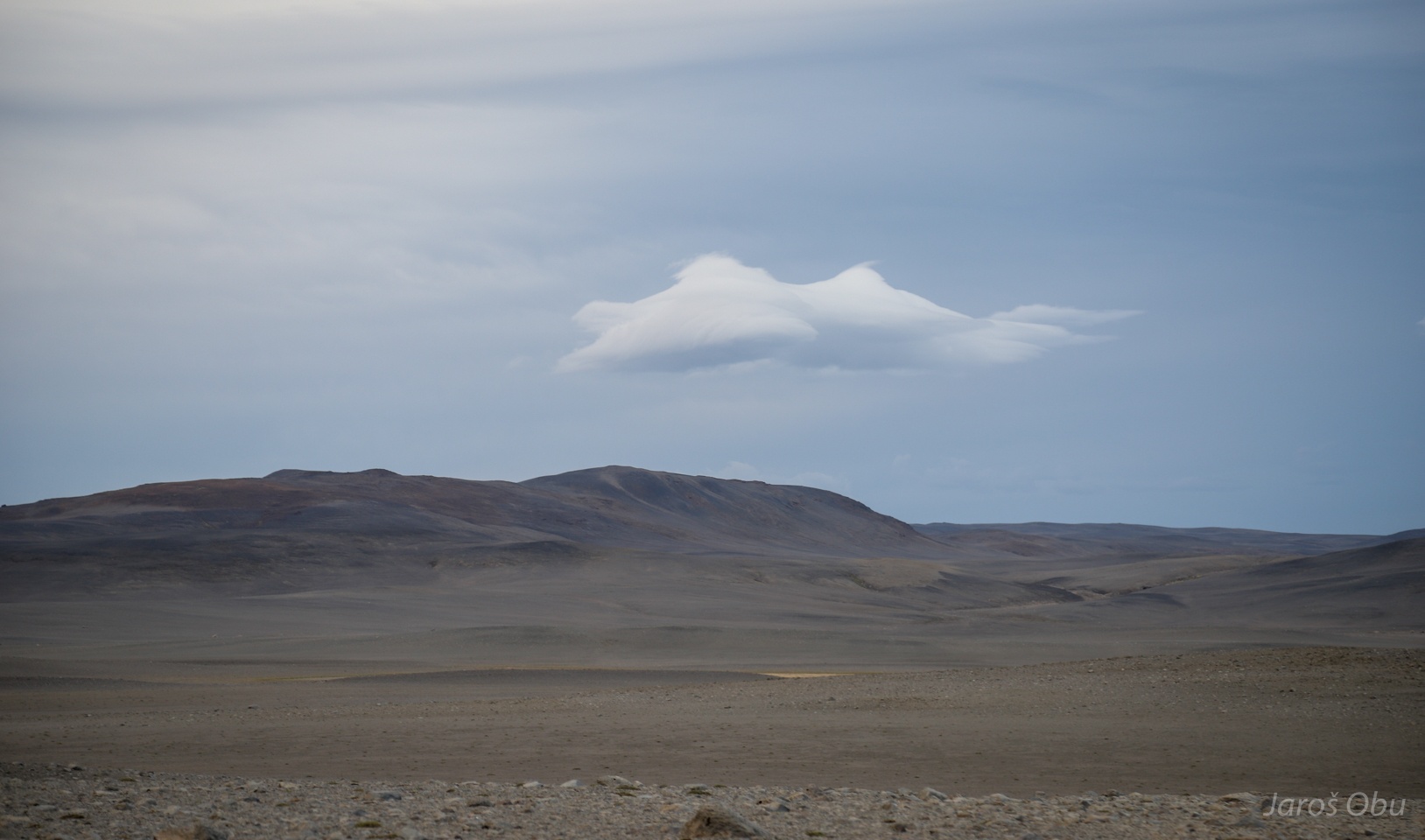
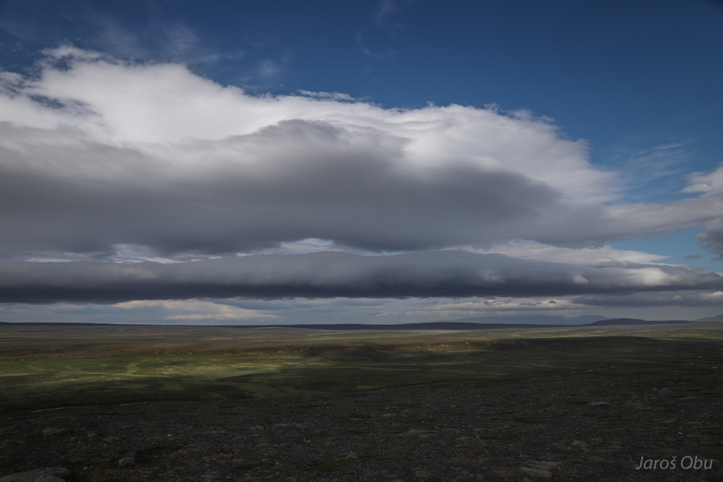
Strong winds created also nice-looking lenticular clouds.
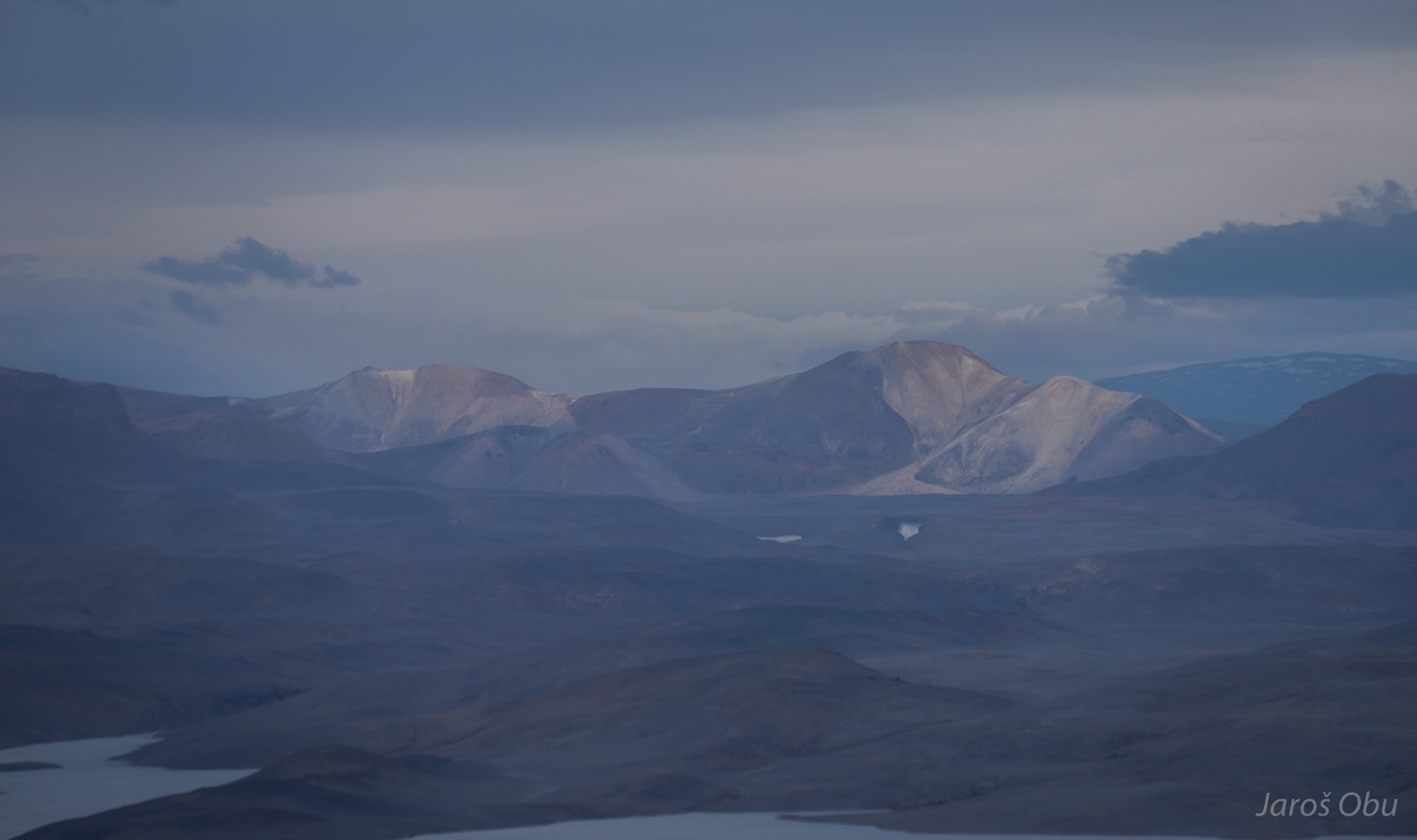
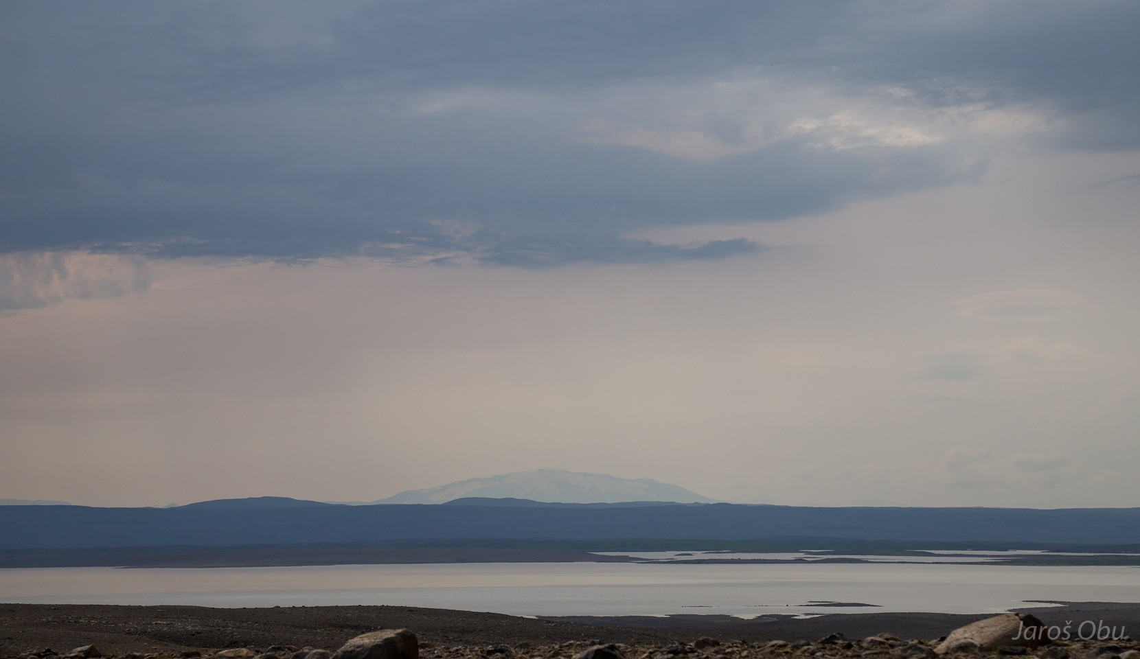
Towards Hofsjökull in a search for overnighting spot.
More lenticular clouds
Hai hai.
At Eyvindurkofa.
One of the most famous icelandic outlaw Fjalla-Eyvindur lived here in the highlands with his wife Halla for several years in 1770's. These are ruins of their houses.
Moss imitating unesco world heritage logotype.
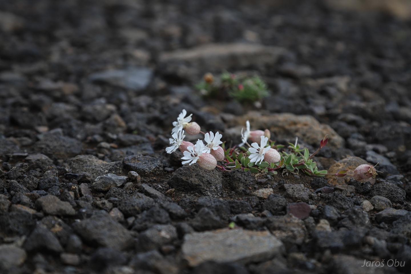
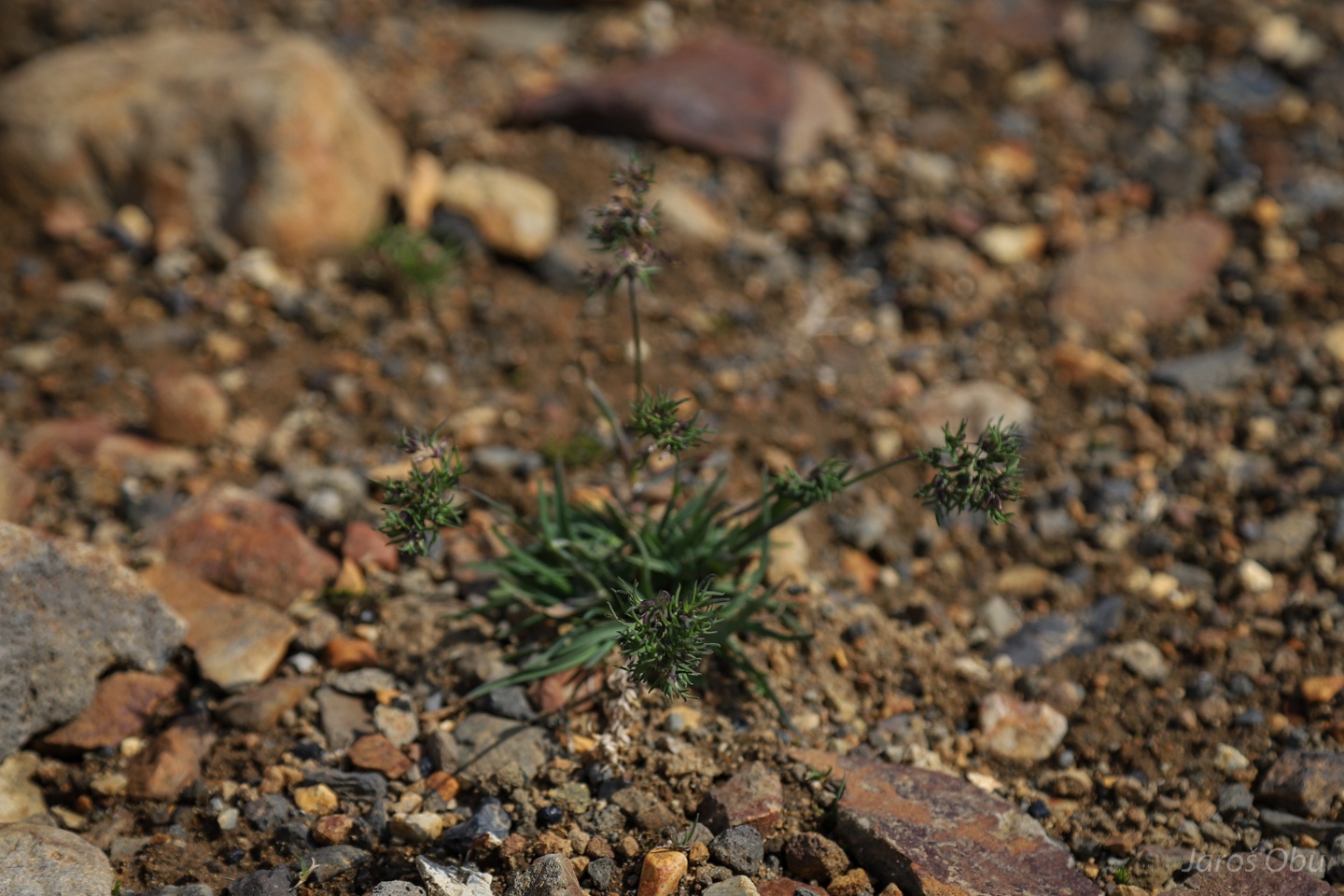
One of the few plants that is tolerating such bad volcanic soil conditions and cold temperatures is Silene uniflora, similar to bladder campion or poklica in Slovenian.
Probably a many years old willow.
Heading back south.
Visiting a waterfall.
And not following the car on the previous photo.
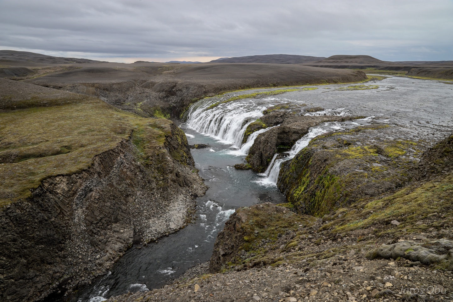
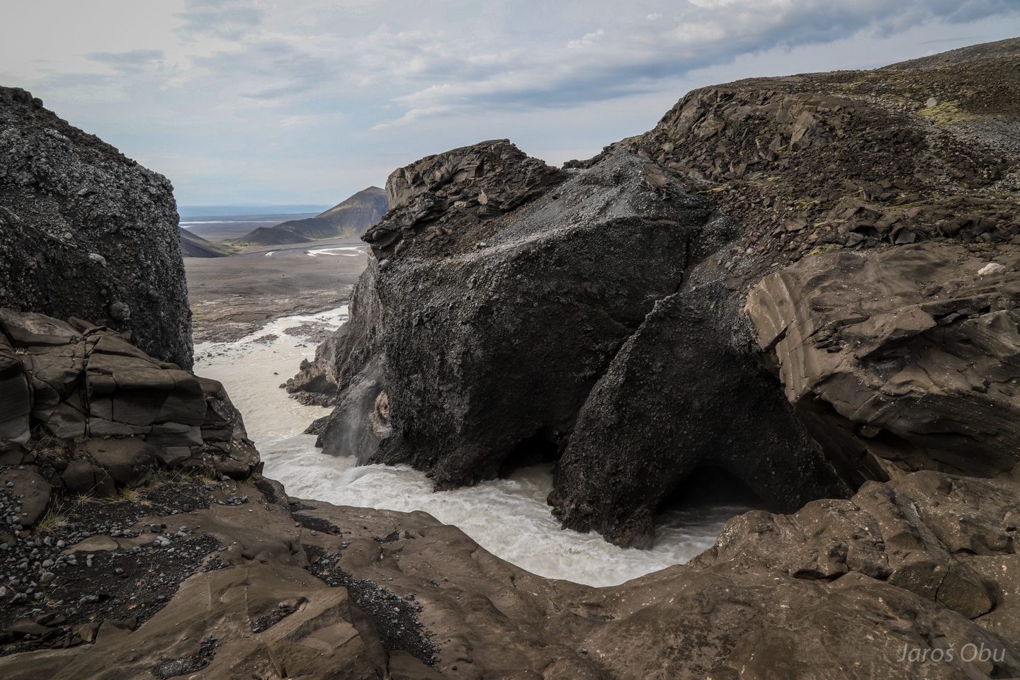
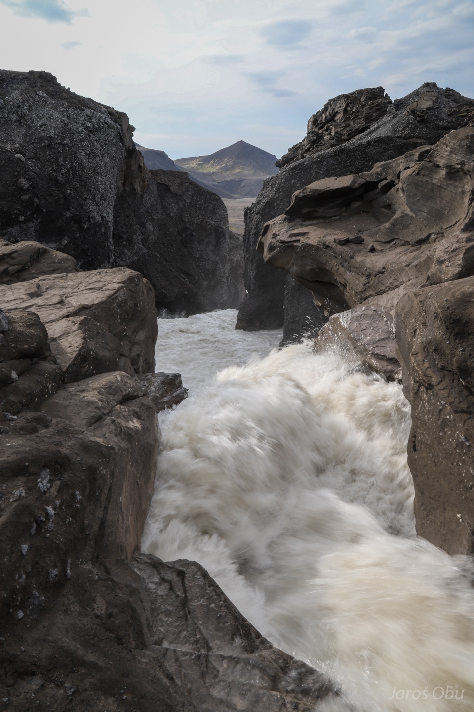
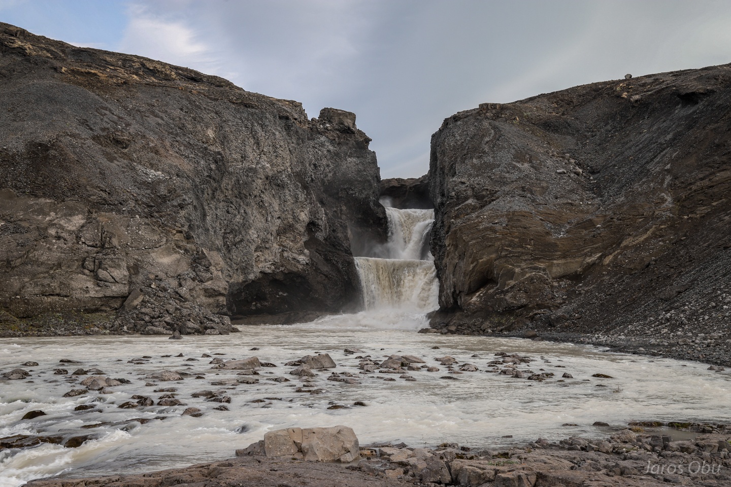
Fagrifoss no. 1
Incised valley through the retrogressive erosion.
Remnants of the old river bed are visible throughout the valley.
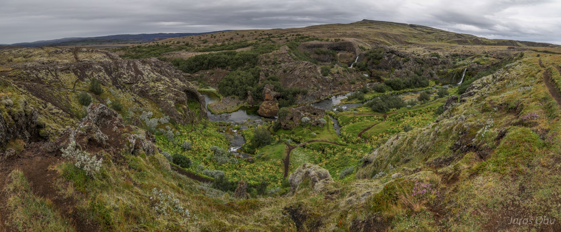
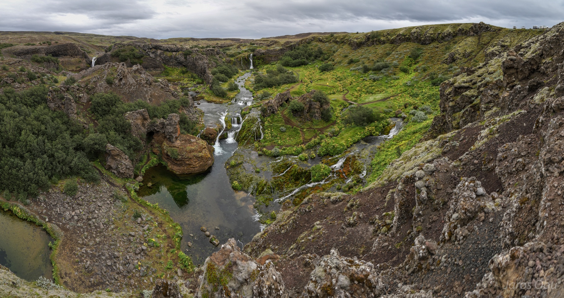
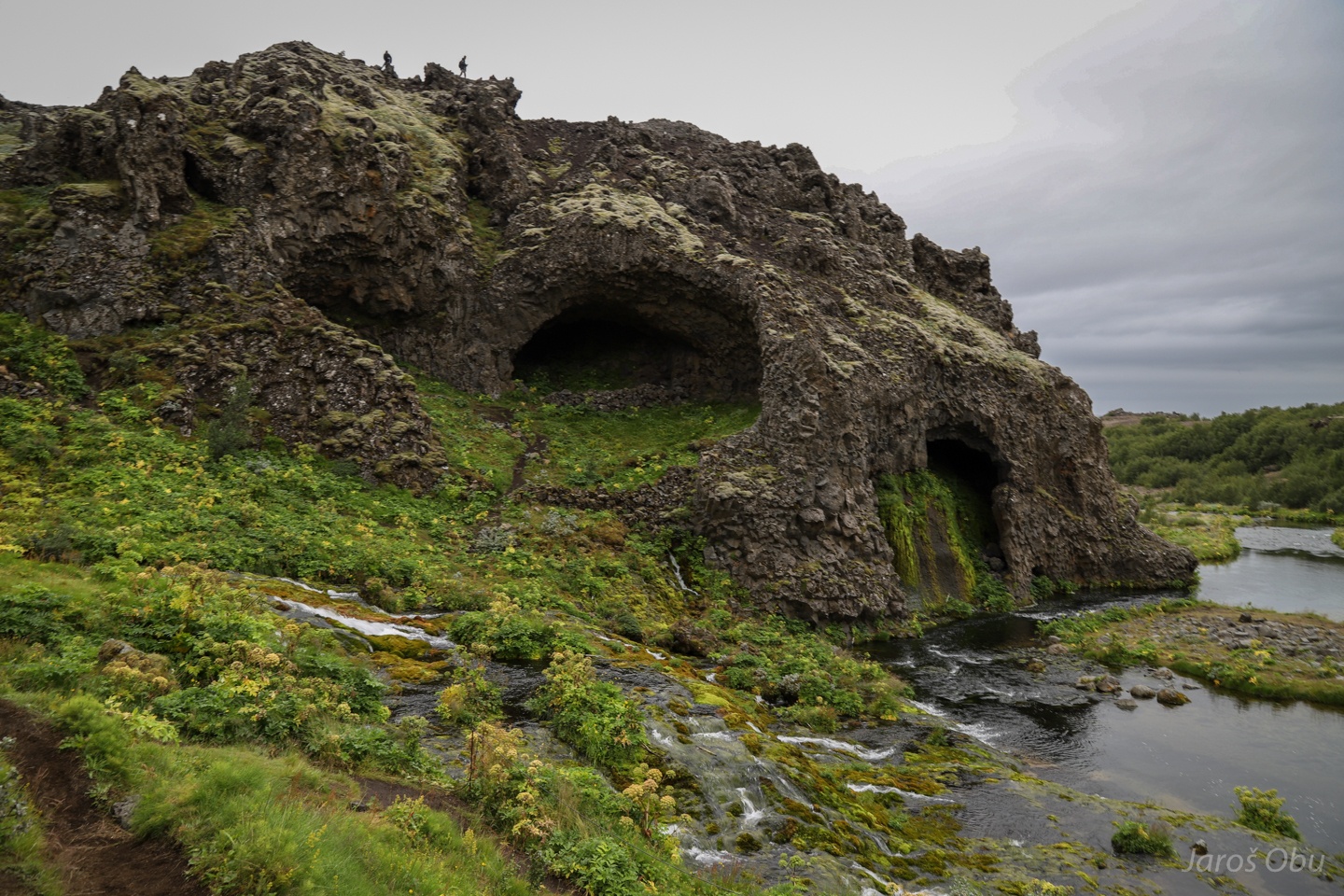
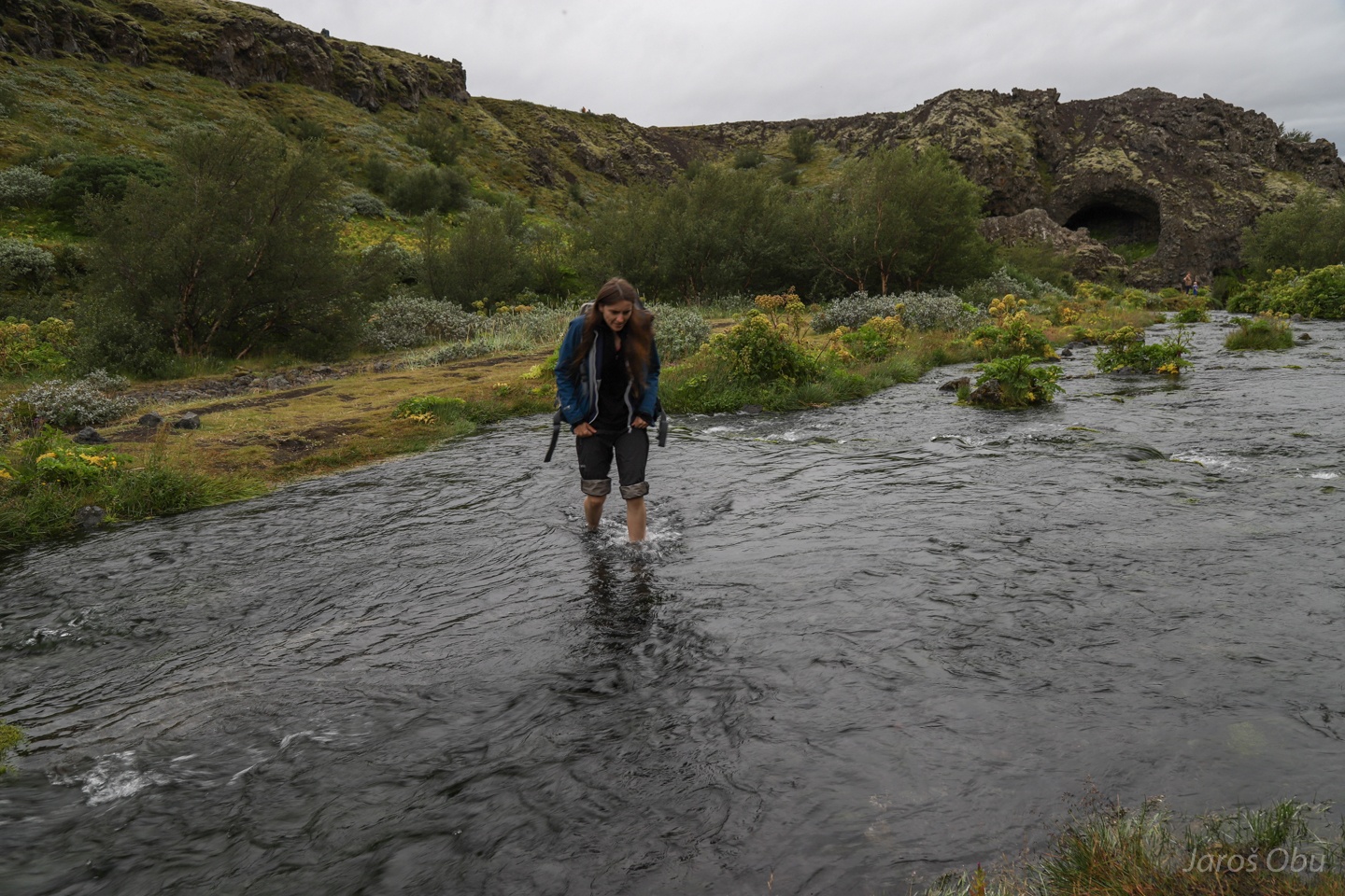
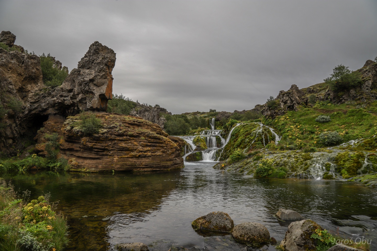
A small "oasis" called Gjáin further south.
Abundance of water and greenness in at the edge of the highlands.
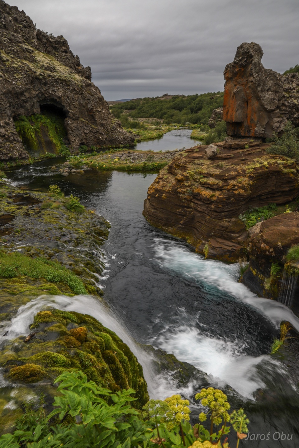
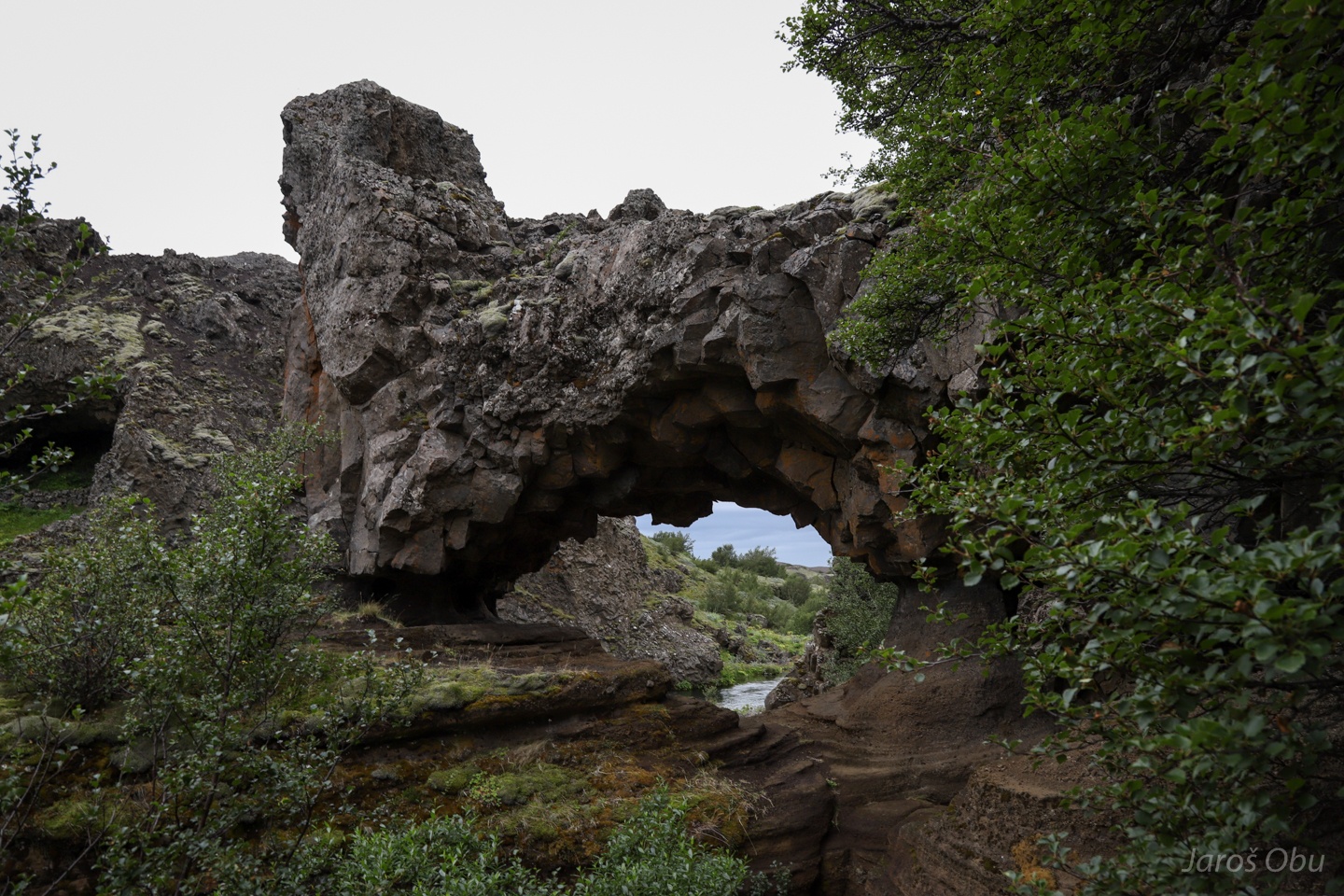
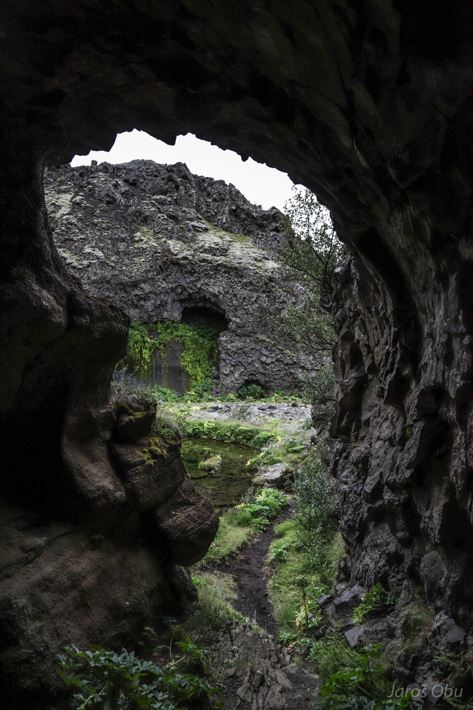
Lava tube caves are also found here.
Wading through cold water.
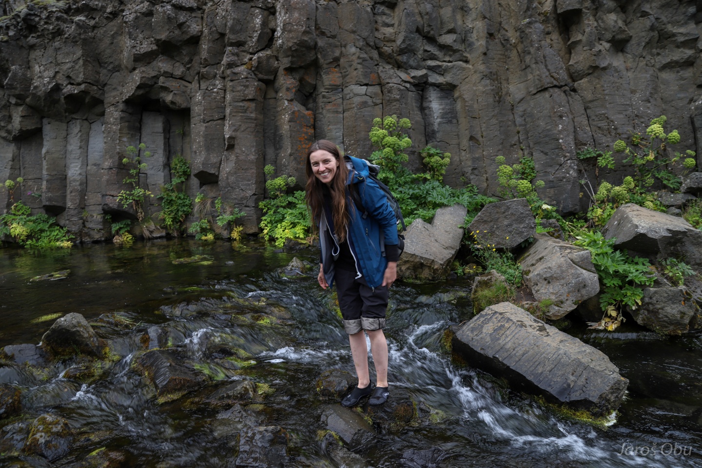
Basalt columns in the background.
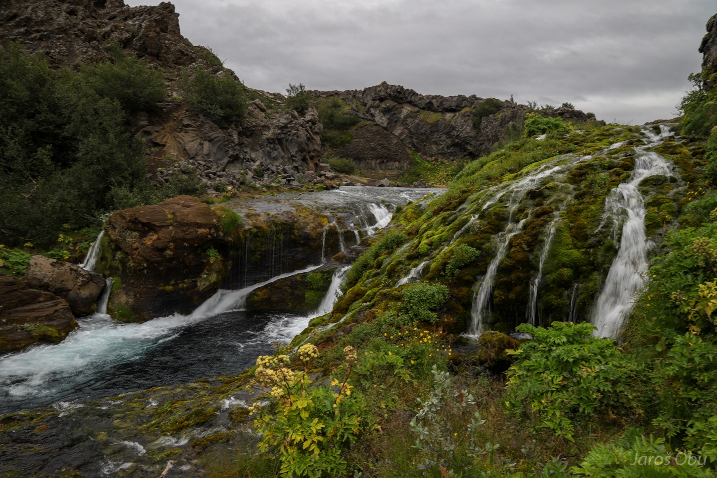
Gjárfoss following structures in the bedrock.
A remnant of lava tube.
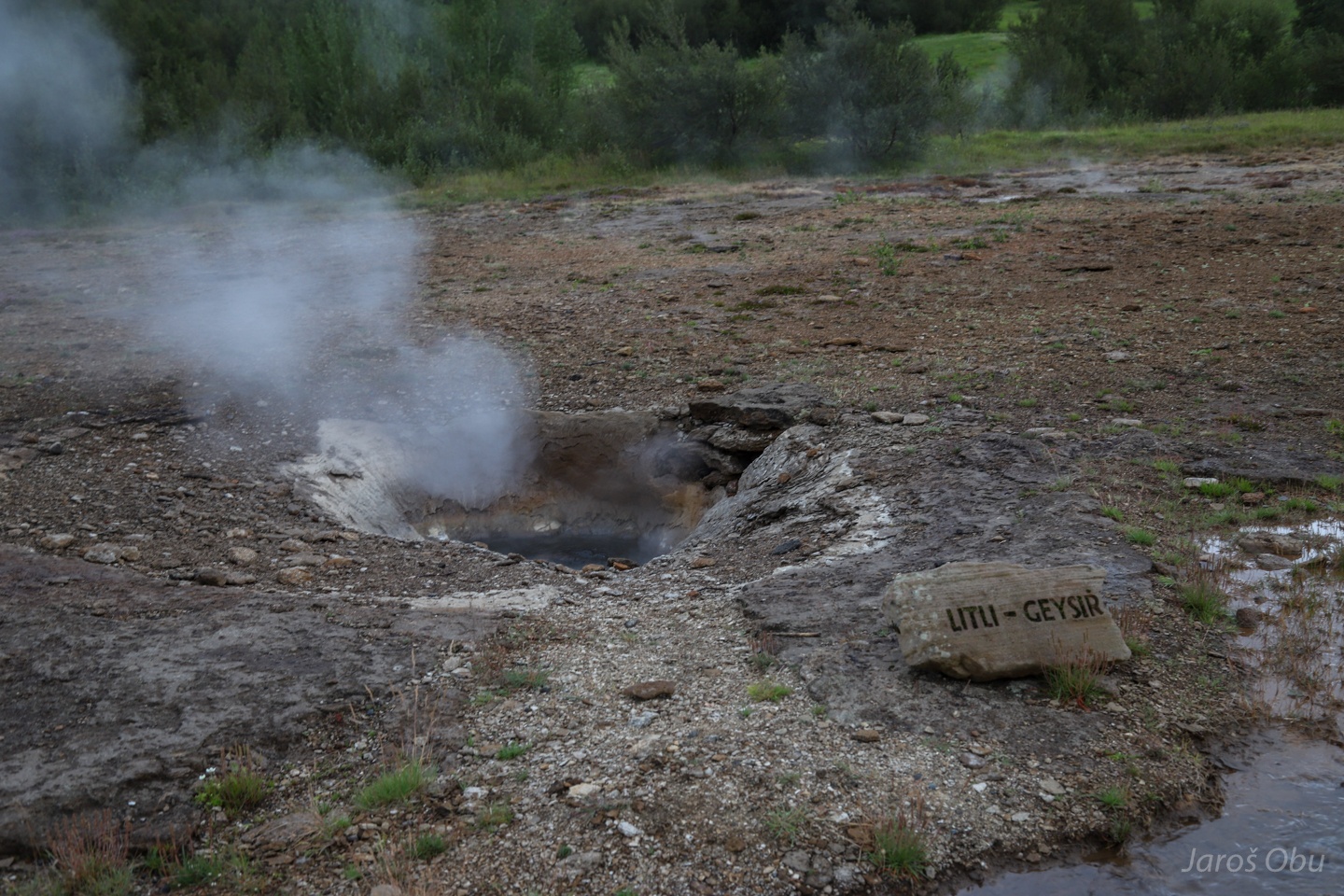
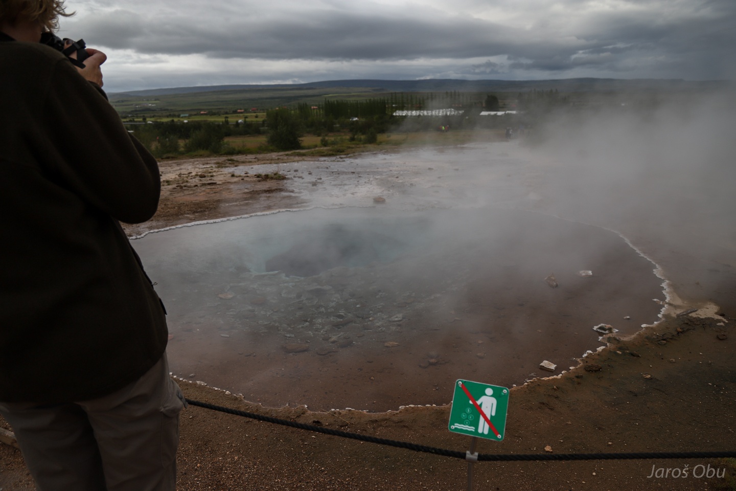
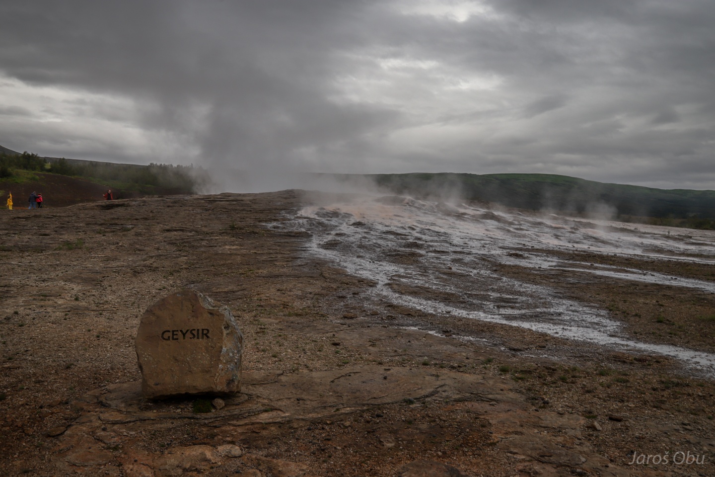
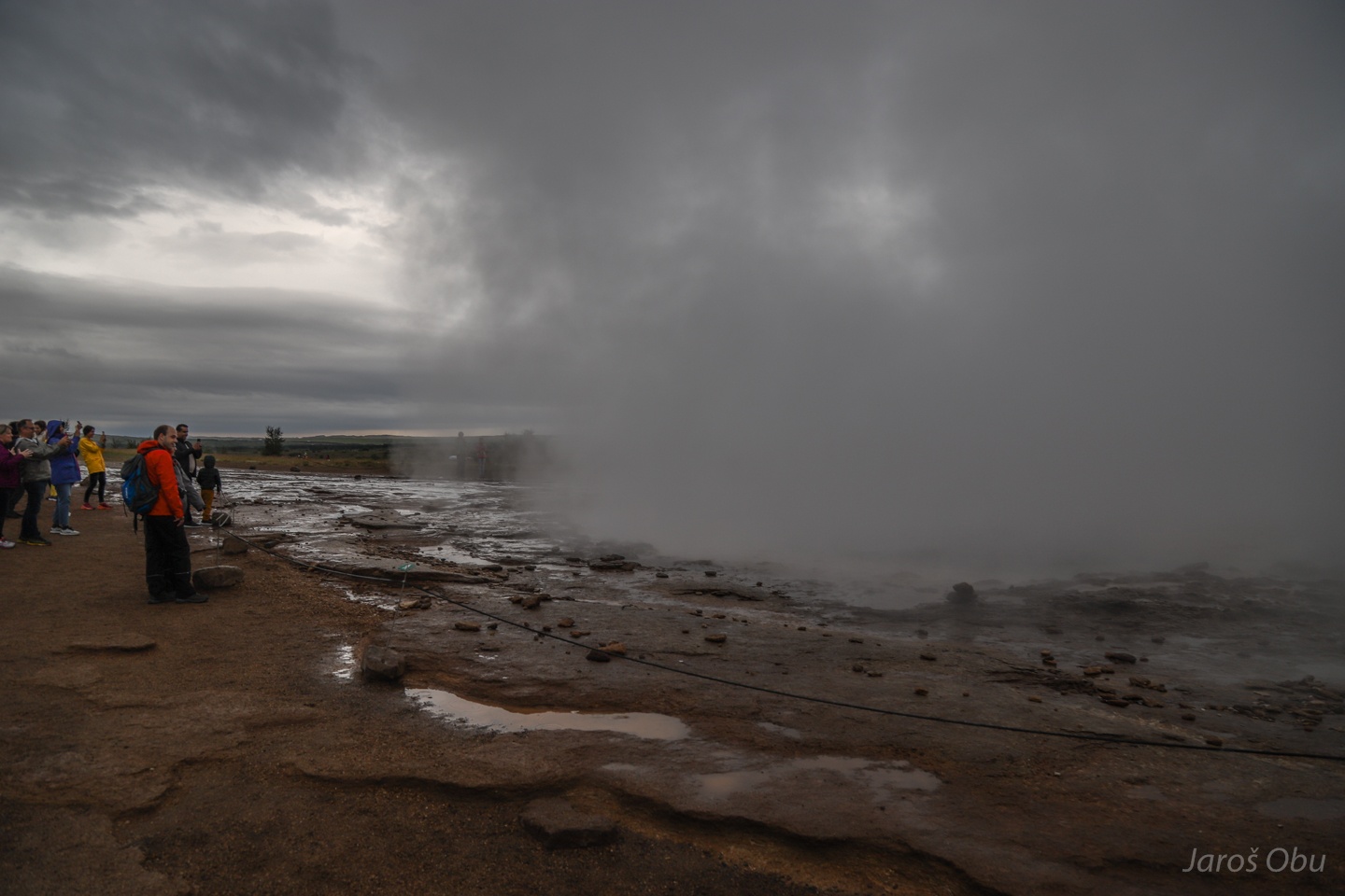
A short stop in Geysir thermal area before heading again back north tointerior Iceland.
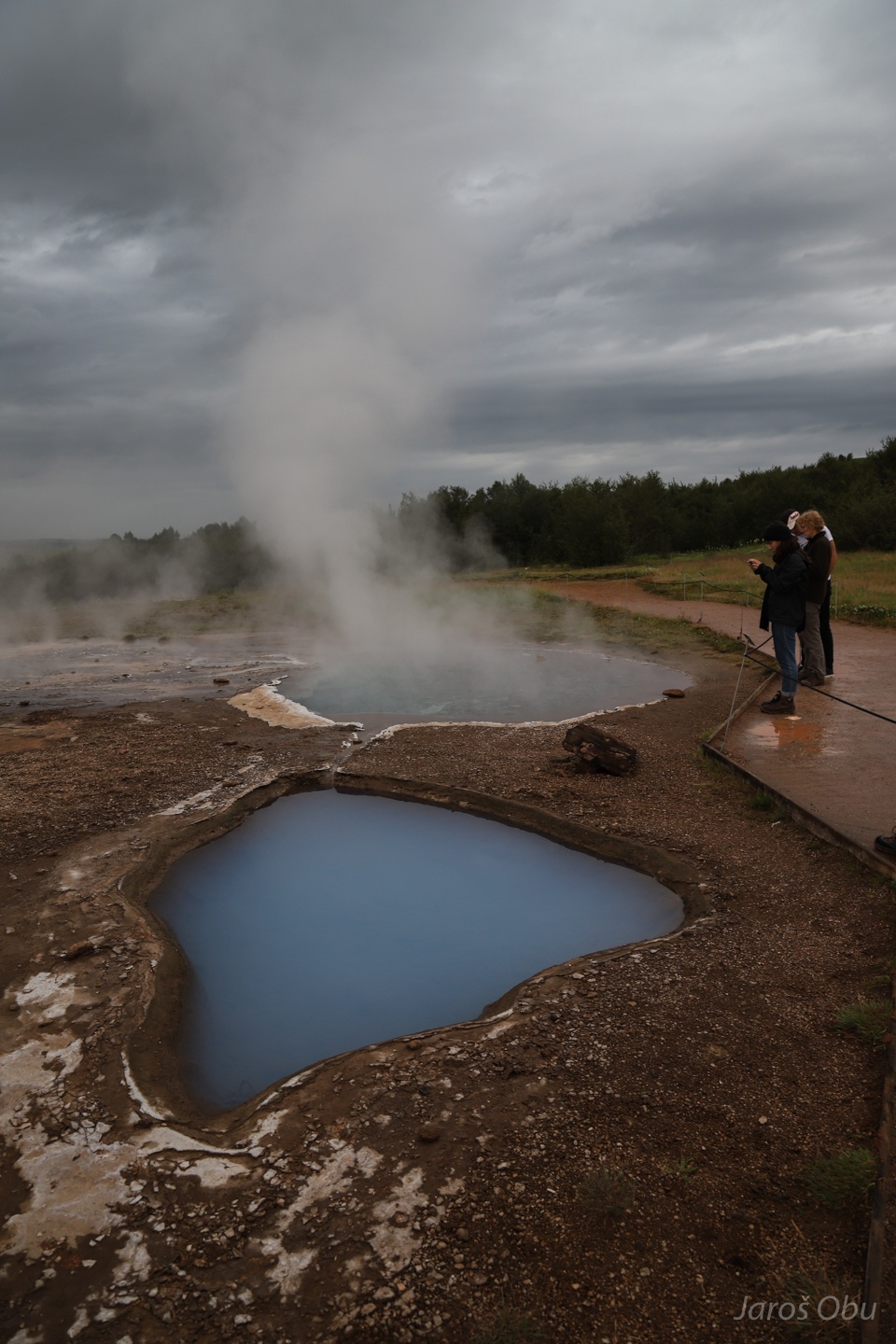
Several pools with thermal water.
Don't throw dollars, crowns, euros and yens. You may throw other currencies.
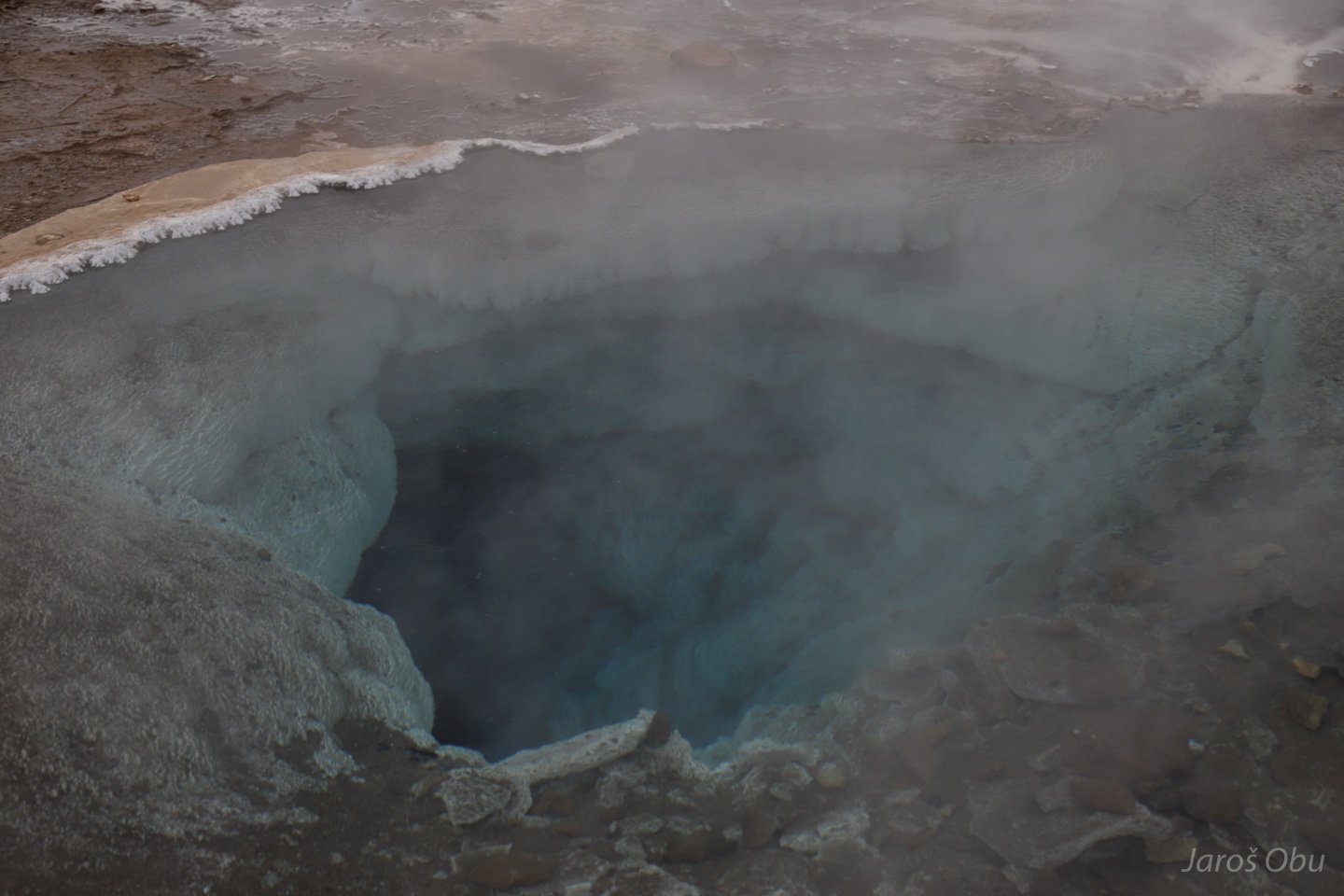
Geysir pool.
It erupts up to 80 m, but only after earthquakes. Last time in 2000.
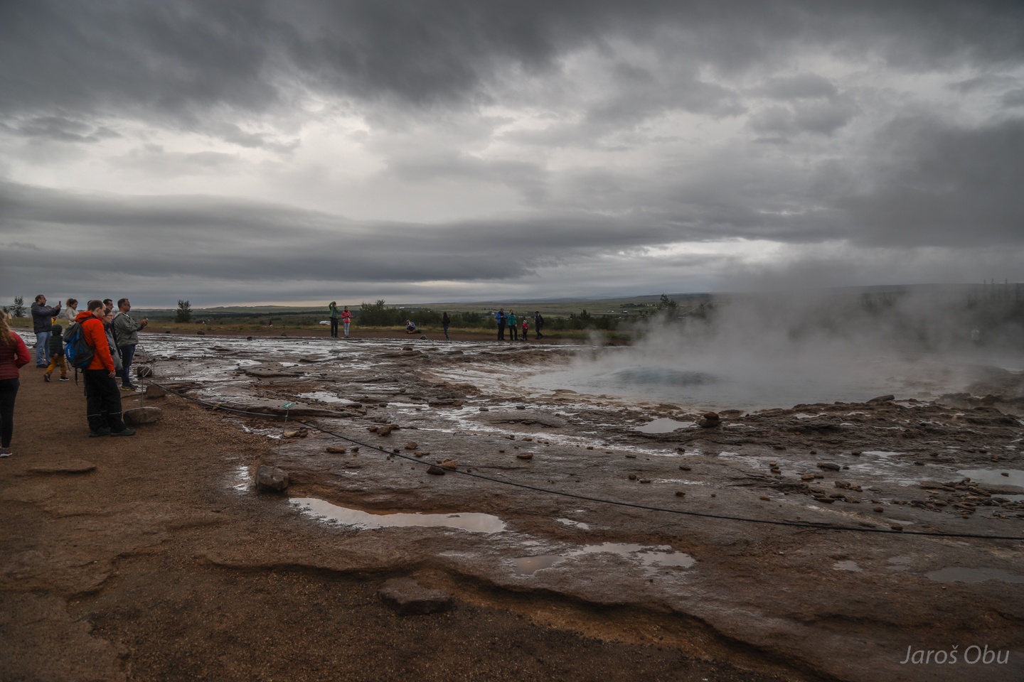
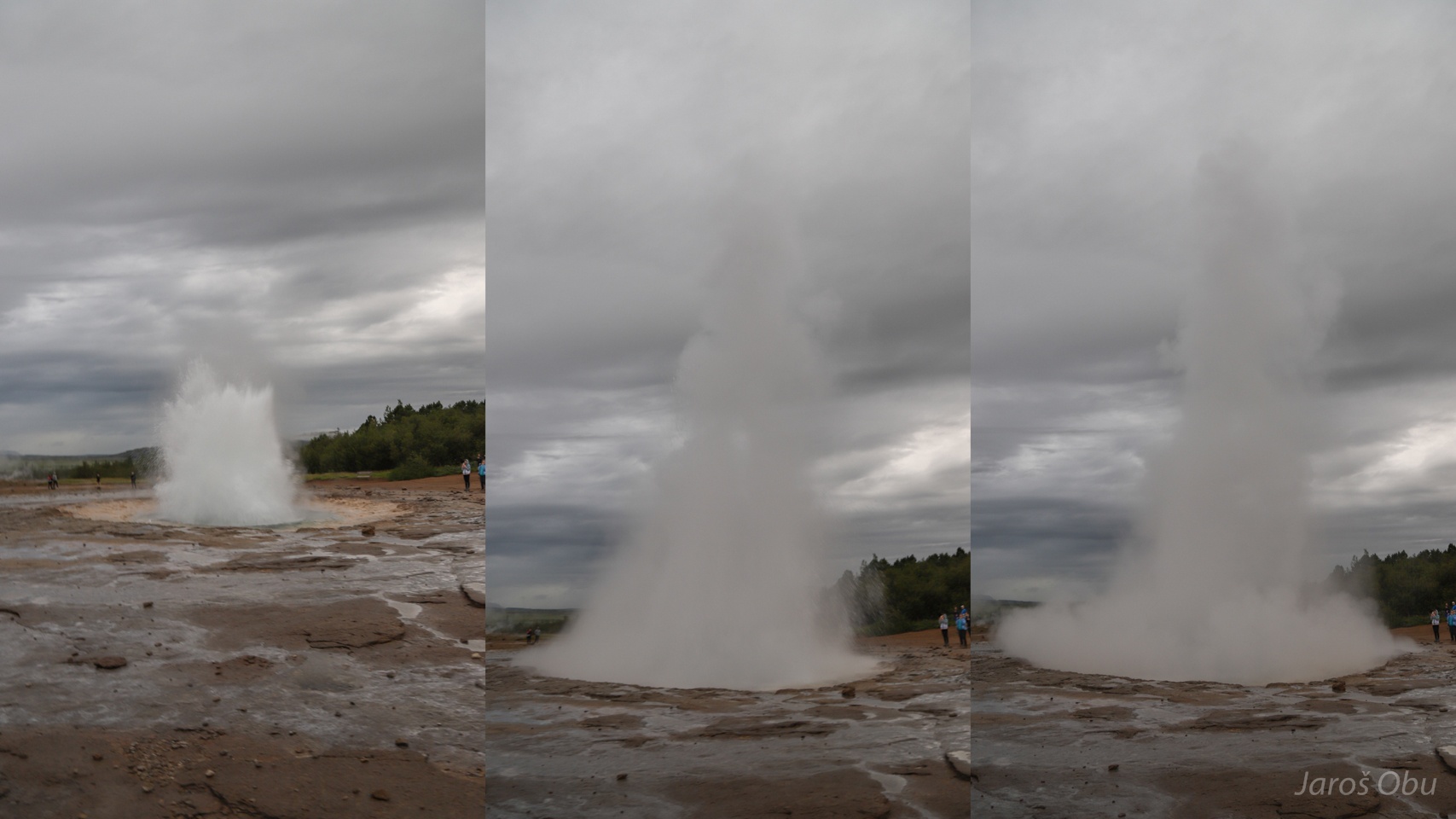
But no problem. There is Strokkur, which continuously erupts every 8-10 min up to 35 m. A bulge just before the eruption is visible.
And after.
The whole sequence.
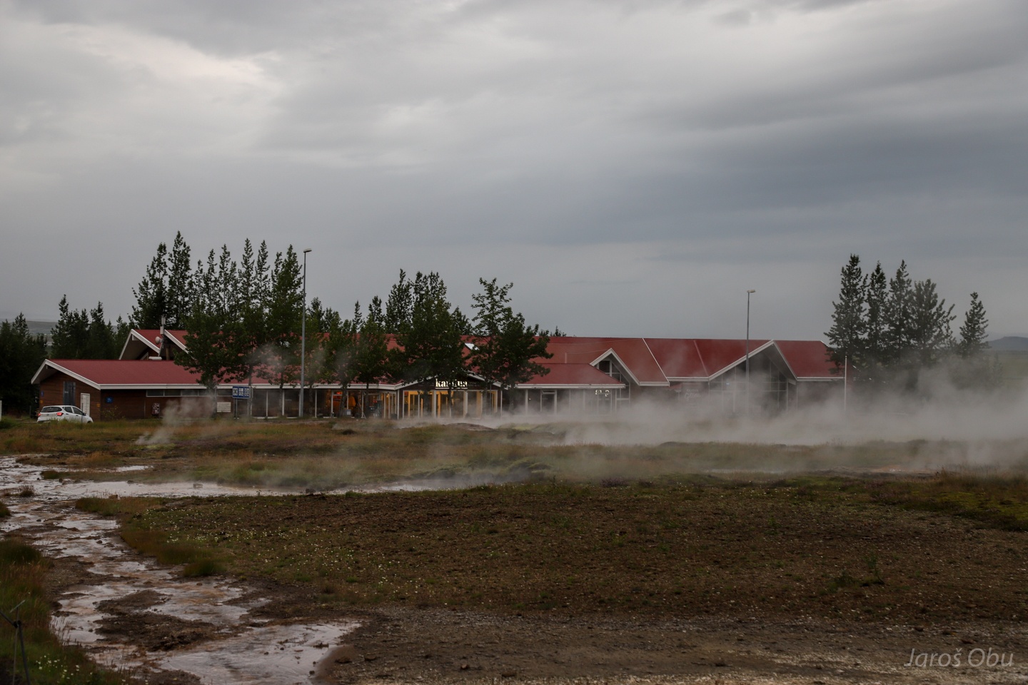
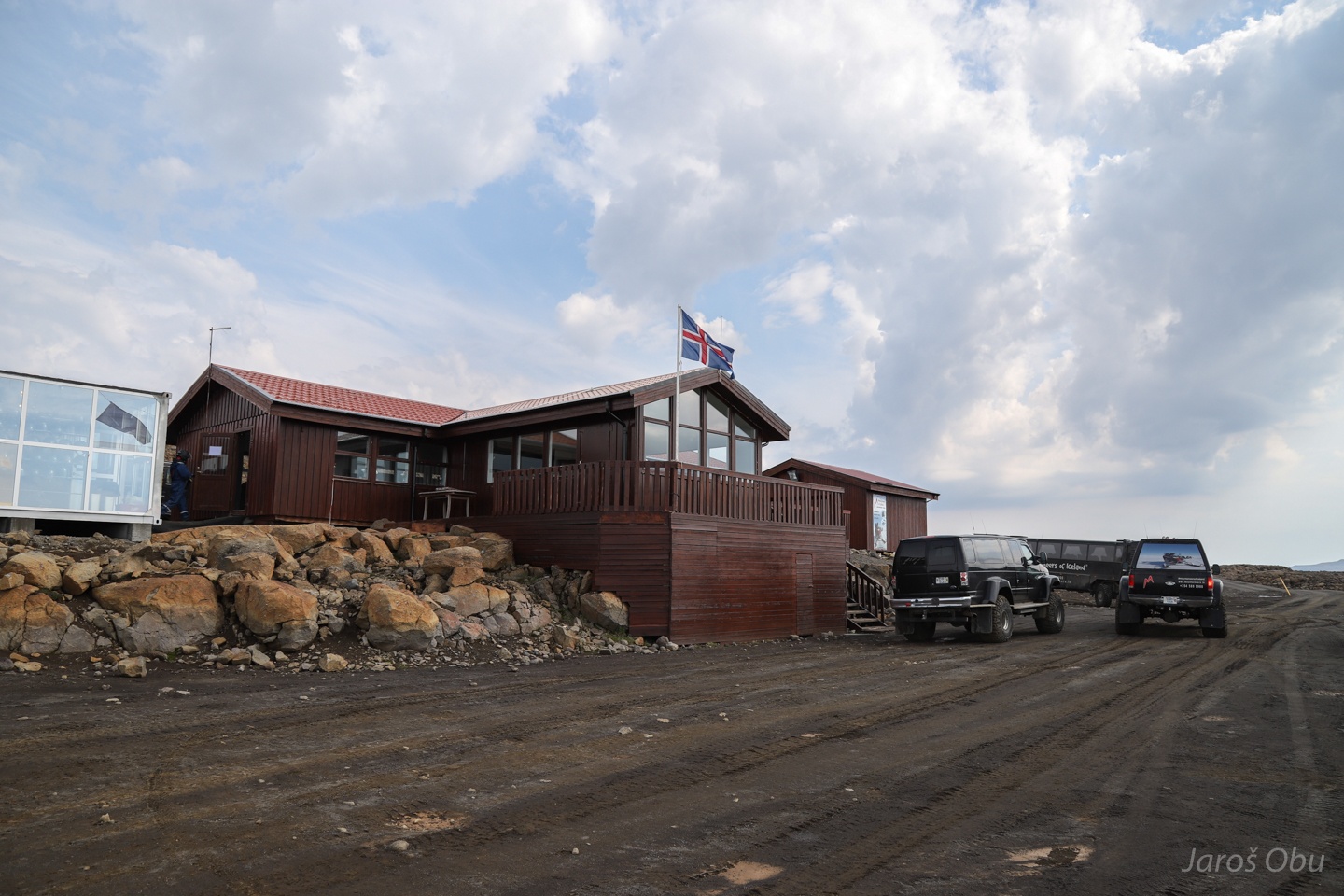
Huge Geysir turist center facilites built to digest all the tourists that come here.
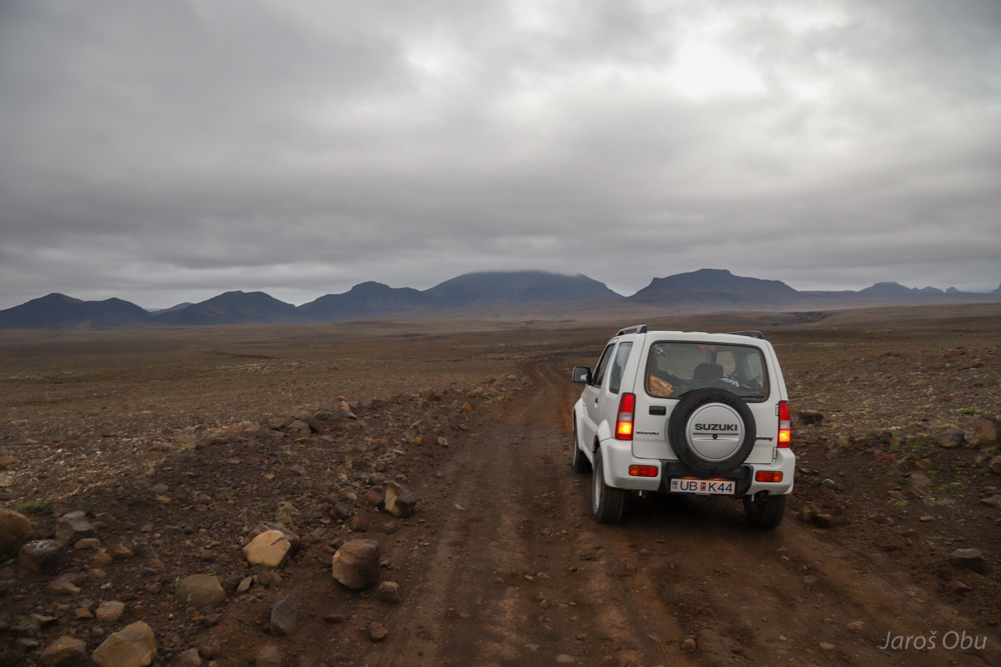
Driving away from the crowds in to the solitude of the Icelandic nature.
Jarlhettur Mountains.
Overnight stay at Hagavatn.
The lake fed from Langjökull glacier cap.
The glacier.
River outflow.
Didn't want to drive the last stretch after a scary river crossing in the evening.
Lake outflow in form of waterfalls.
:O
Somebody didn't get out with it so well. We only manage to detach the car plate in the evening when the water was half a metre higher. Video of the morning crossing: https://vimeo.com/358350197
Einifell.
And Hagavatn hut.
From the inside.
Nice examples of sheet wash erosion.
The Jarlhettur towards the north.
Hekla is the most active Iceland's volcano nowadays.
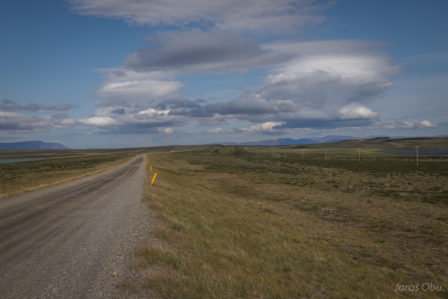
Heading north on 35 road.
A short stop by Skálpanes hut.
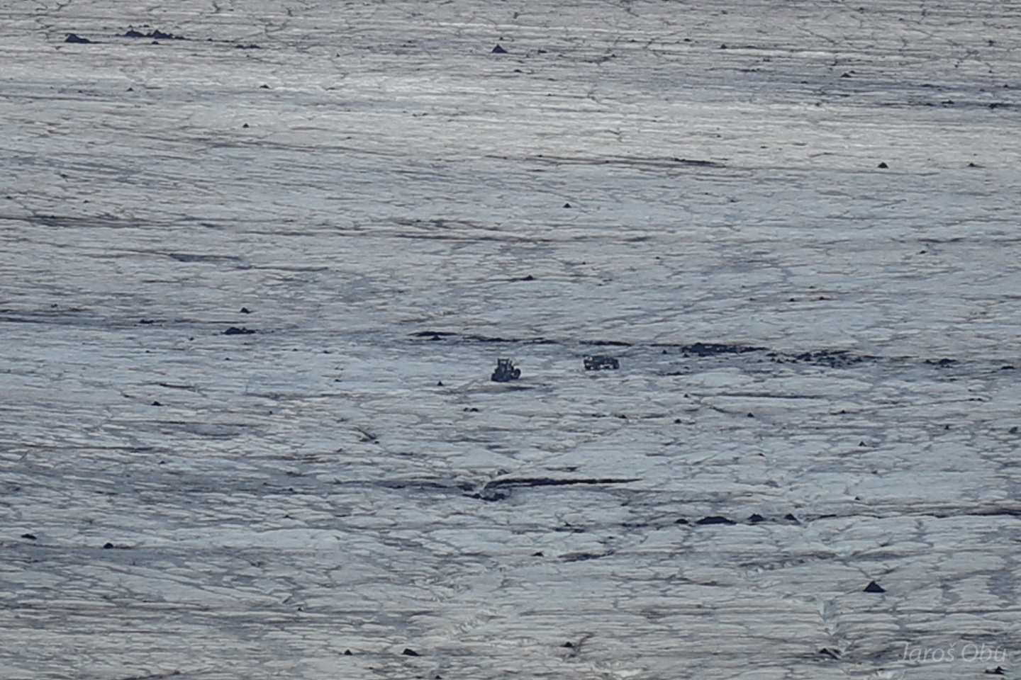
What are they up to?
A YUGE truck.
Heading towards Langjökull, where they do snowmobile driving.
And car driving.
Jarlhettur Mountains from the northern side.
Langjökull glacier.
Antropogenic pingo.
Again approaching Hofsjökull, but this time from the western side.
Thrift, Armeria maritima, pečnik in Slovenian, is another plant that also tolerates these harsh growing conditions.
Kerlingarfjöll mountains in the east.
Blágnípa and glacier rivers from the glacier cap.
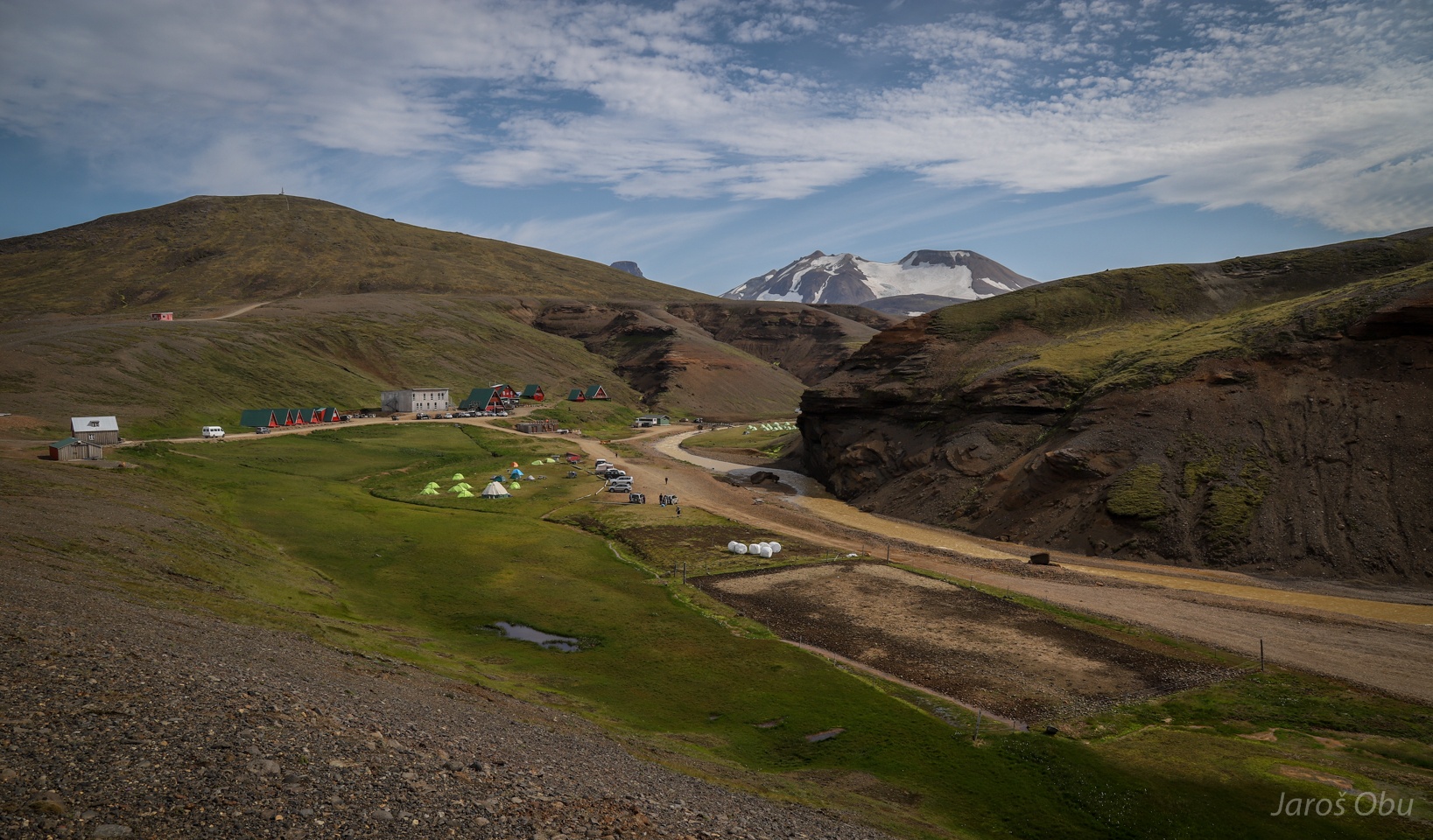
Asgardur campingsite.
Fannborg Mountain (1453 m) on the right is the highest in Kerlingafjöll. Messa-shaped Lodmundur is on the right and is only a few metres lower.
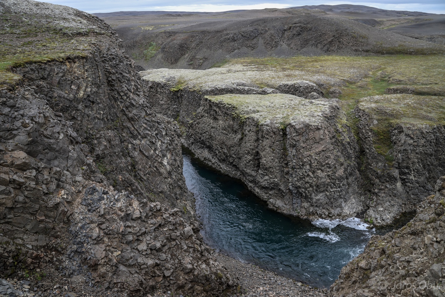
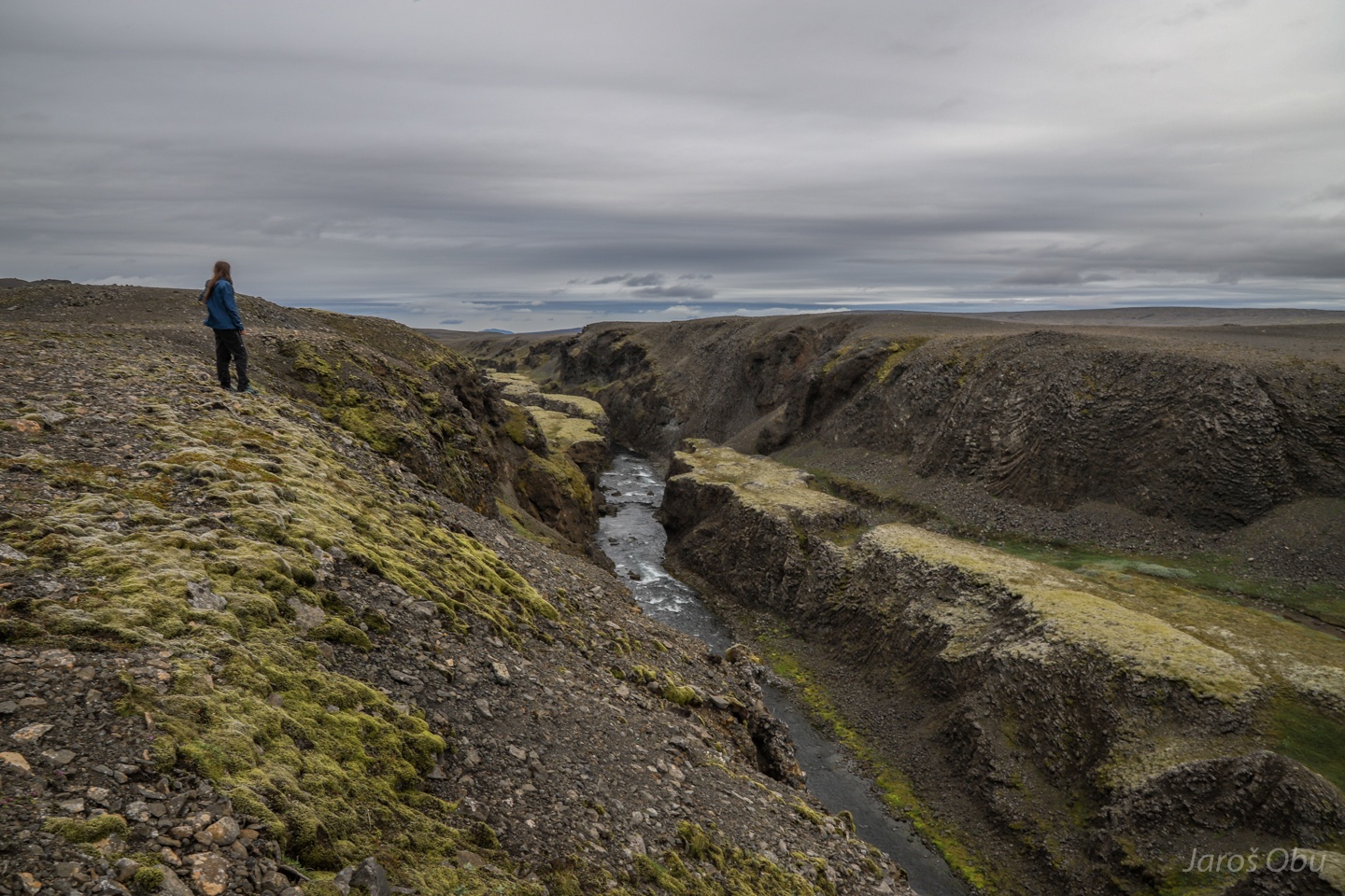
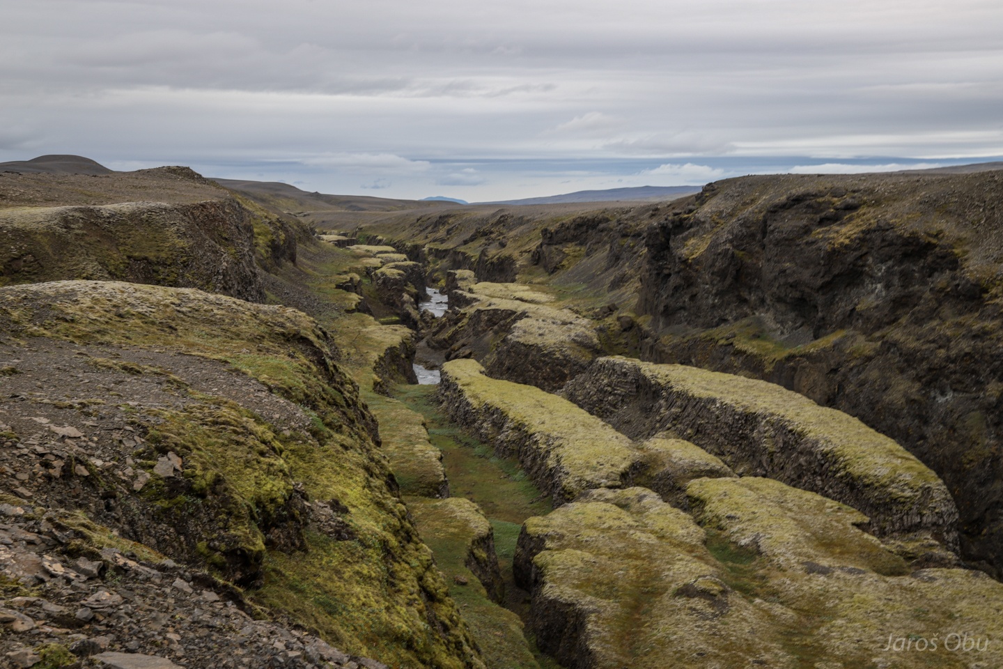
Passing the Ásgarðsgljúfur Canyon.
Alpine meadow-grass, Poa alpina, Alpska latovka in Slovenian, has adapted to these conditions with producing alive offspring instead of seeds.
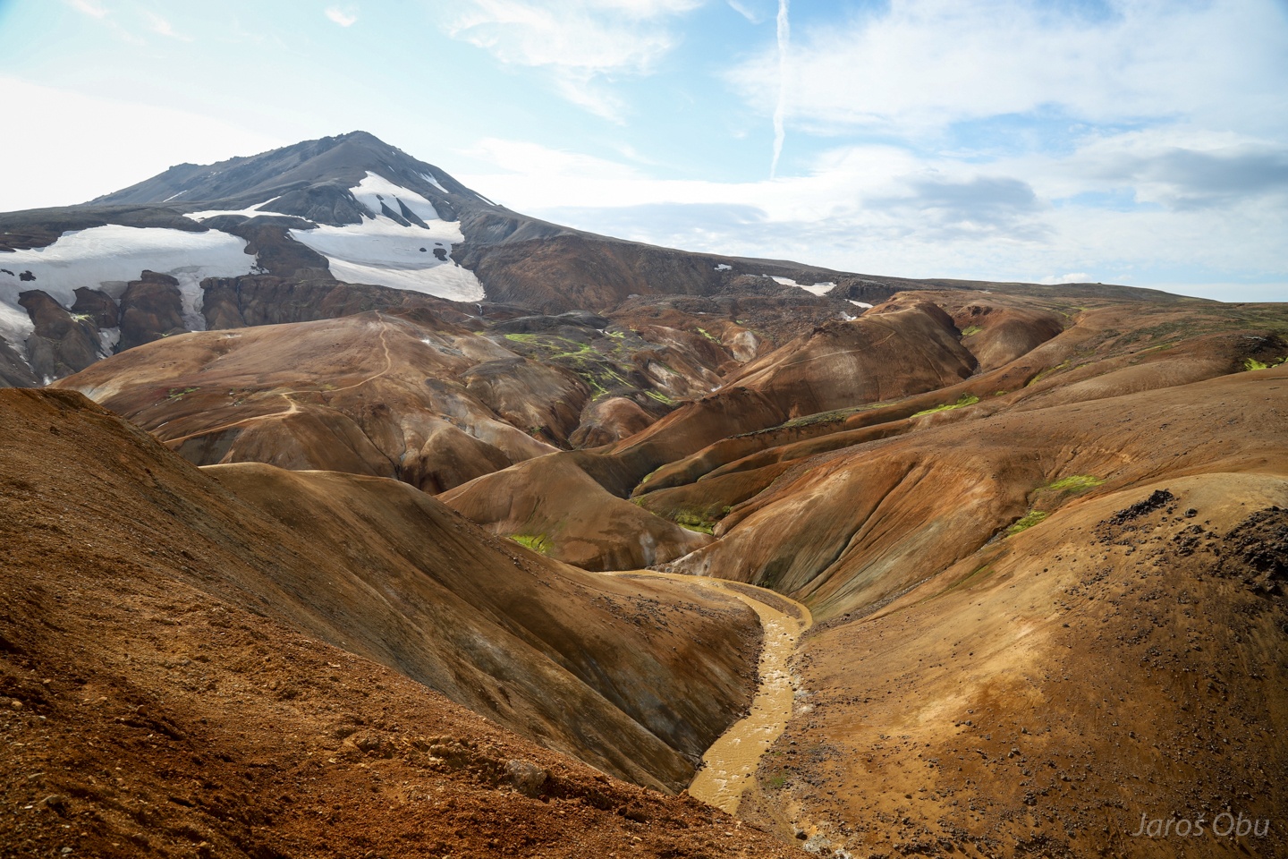
End of the road that goes up to 1000 m elevation. The mountains are remnants of subglacial eruptions during the later Ice ages and are composed of rhyolite.
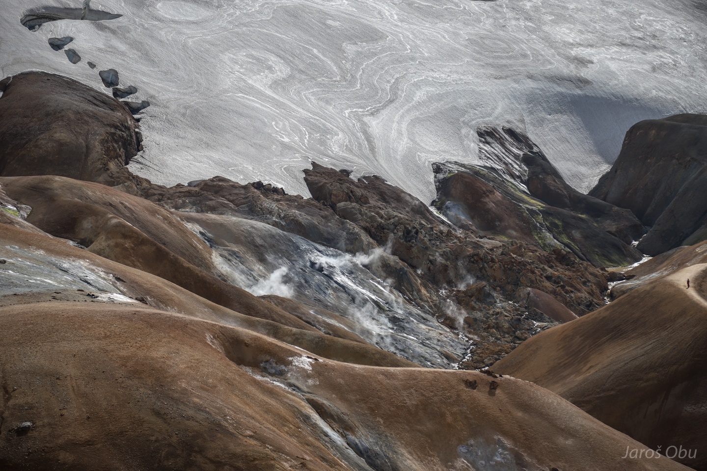
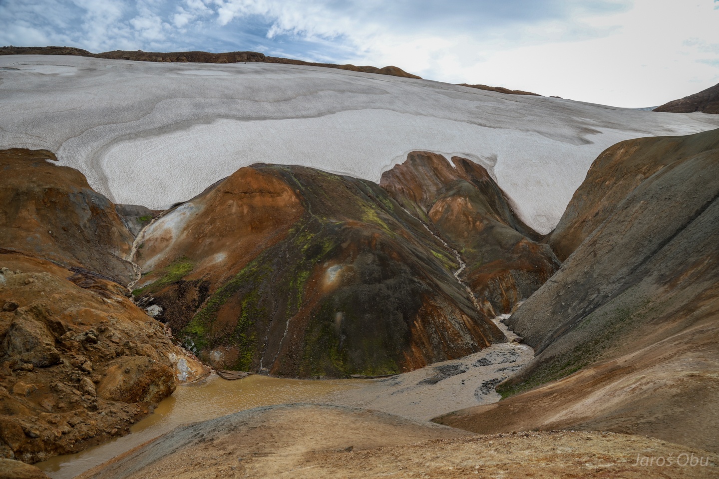
Remnants of the volcanic activity are still reflected in geothermal activity, which alters rock and creates vivid landscapes.
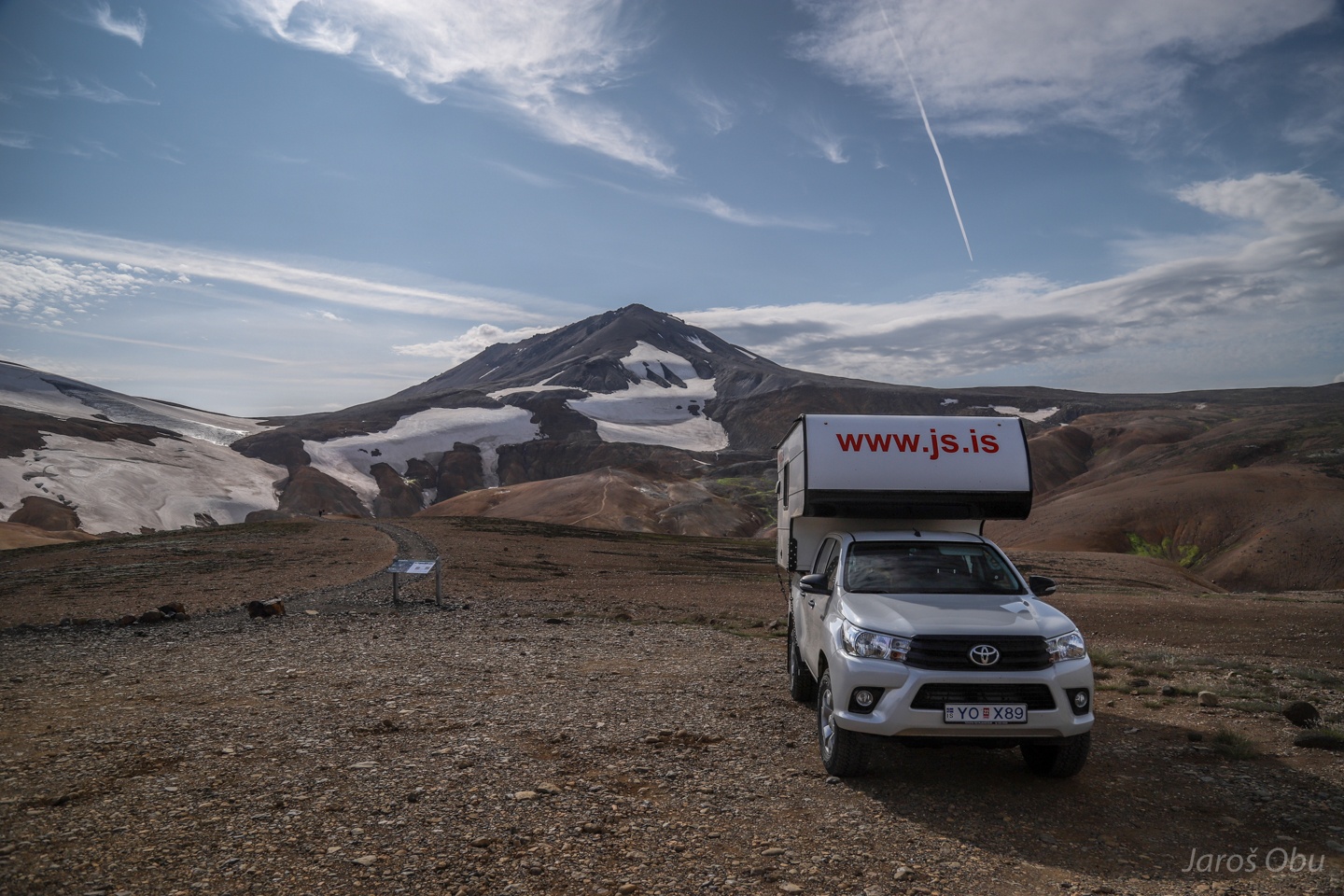
How to drive a camper on such mountain roads? Just put a container on Toyota Hillux.
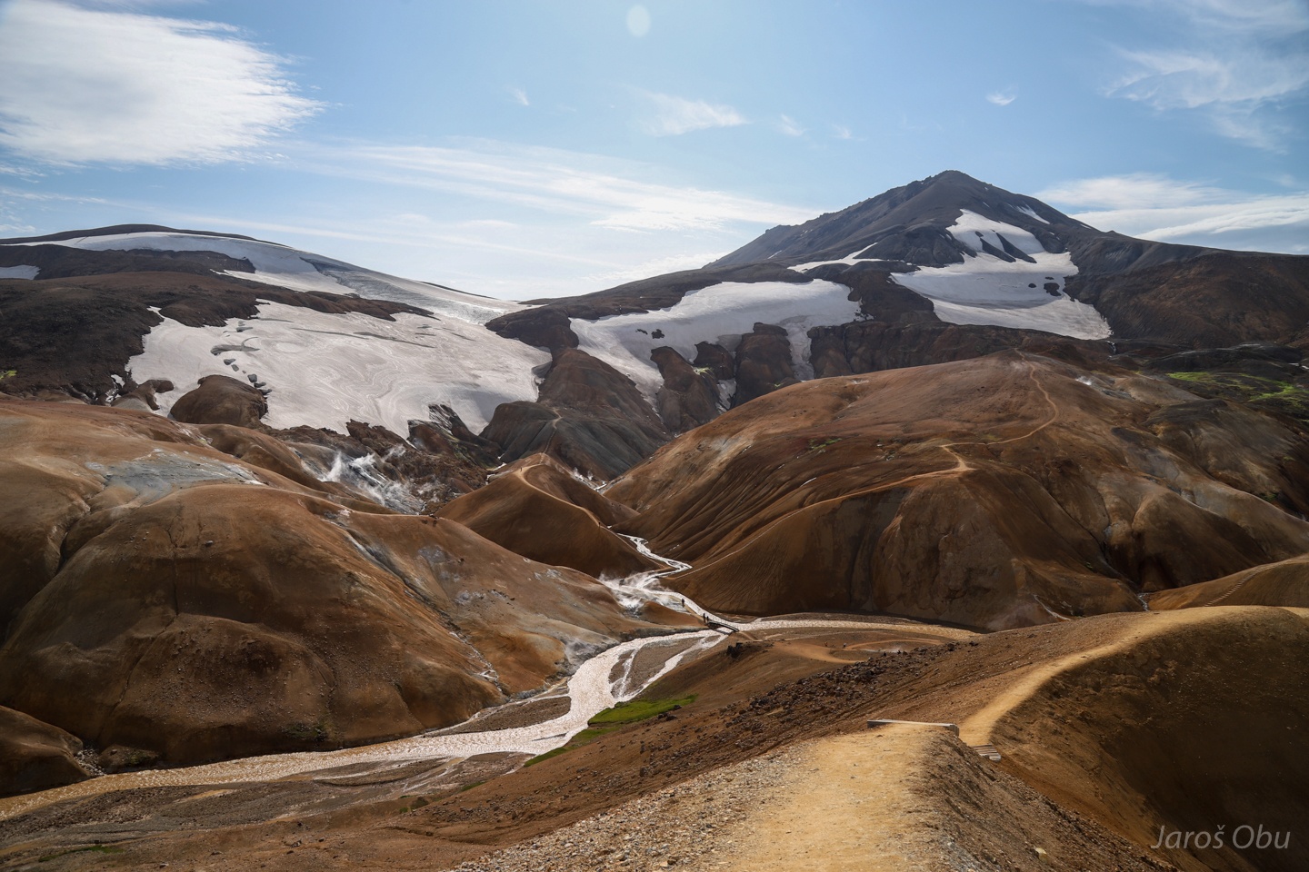
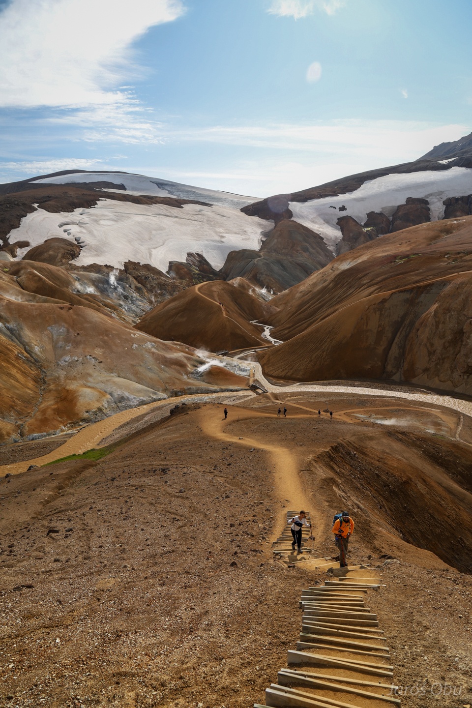
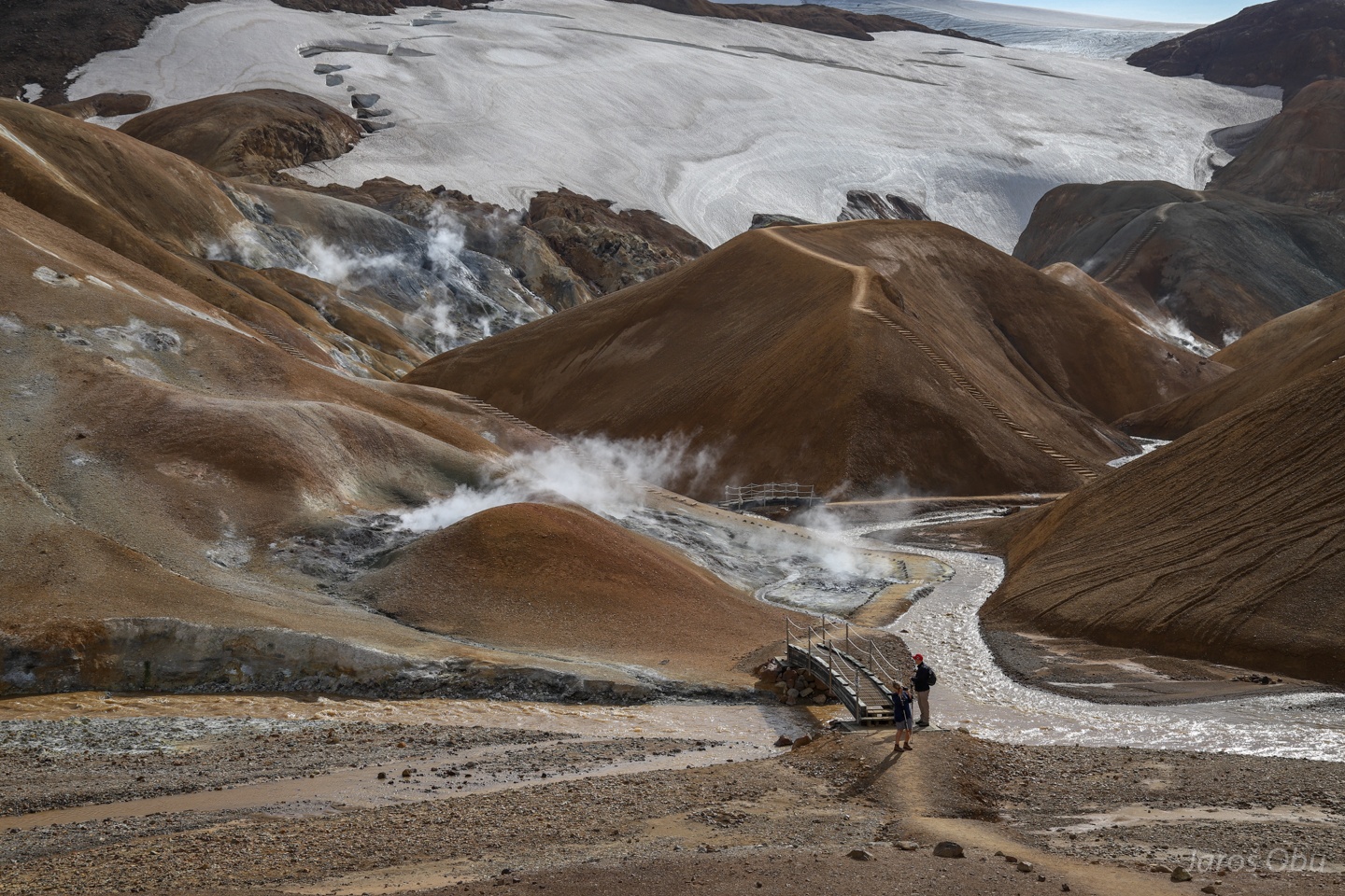
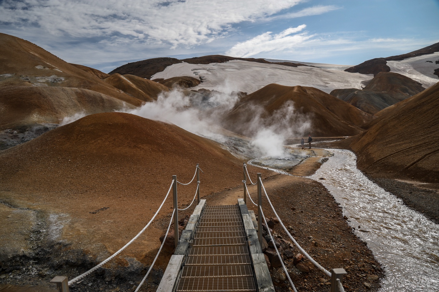
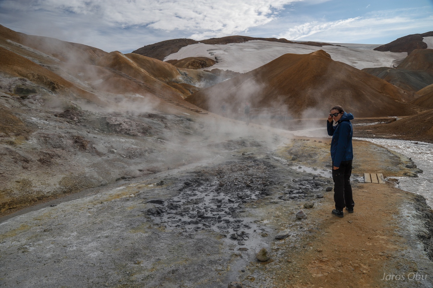
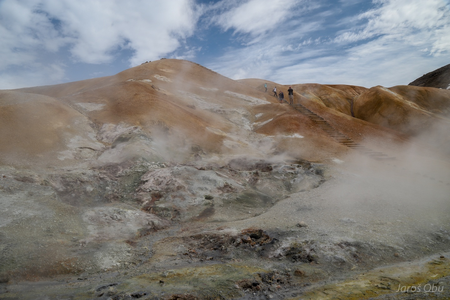
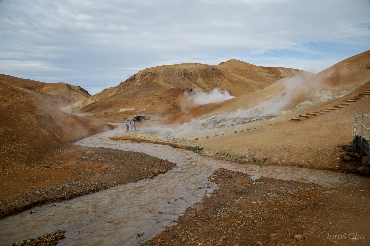
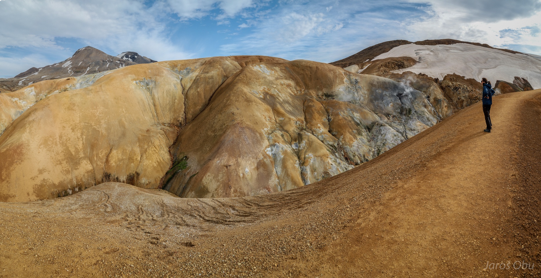
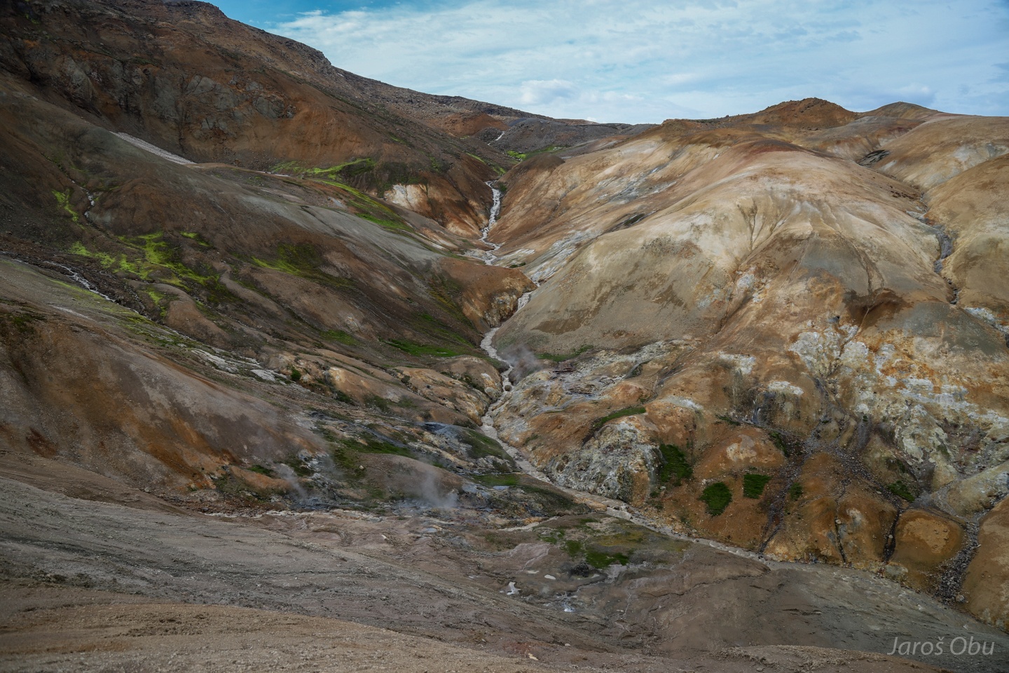
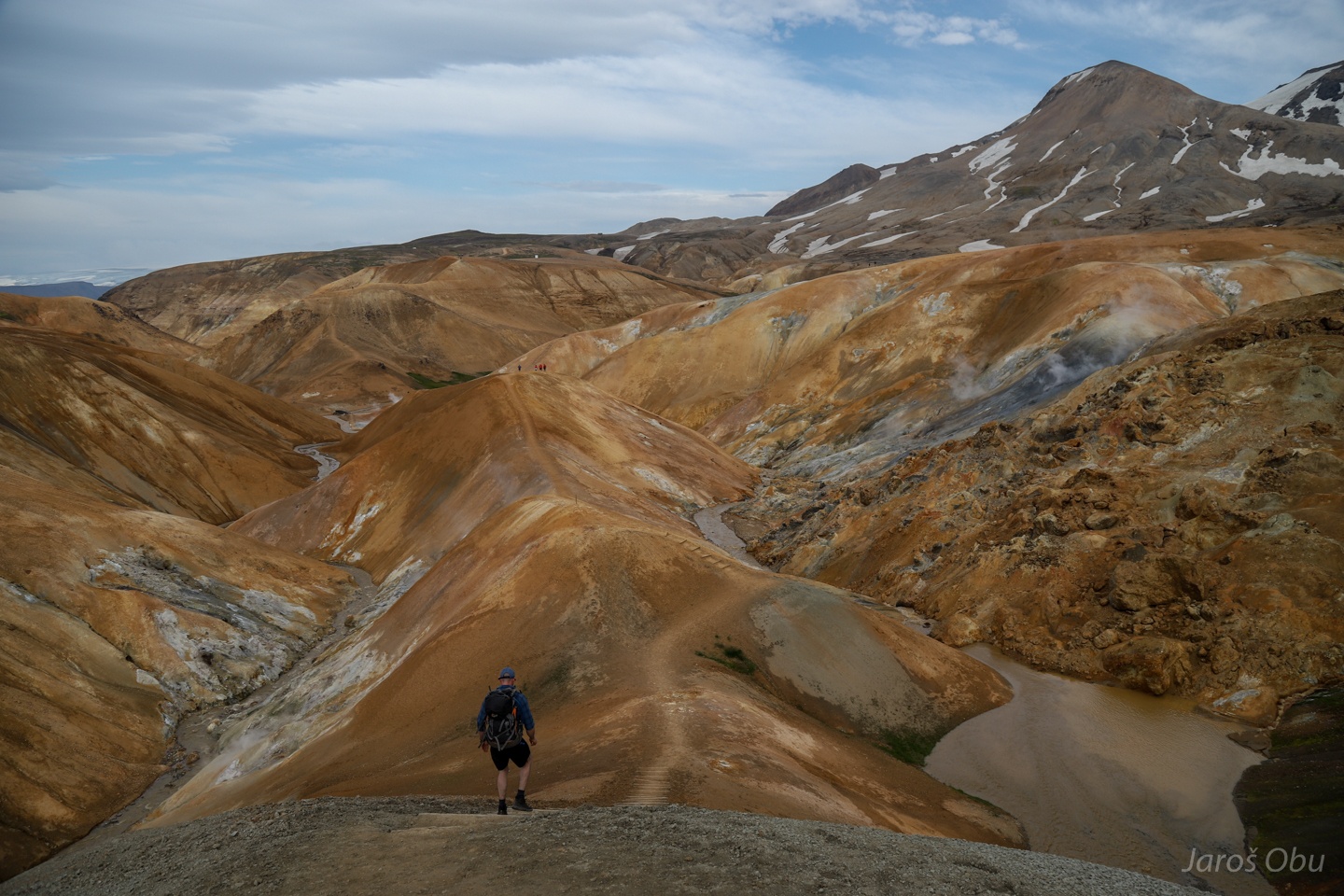
Hveradalir Valley is one of the most geothermally active in these mountains.
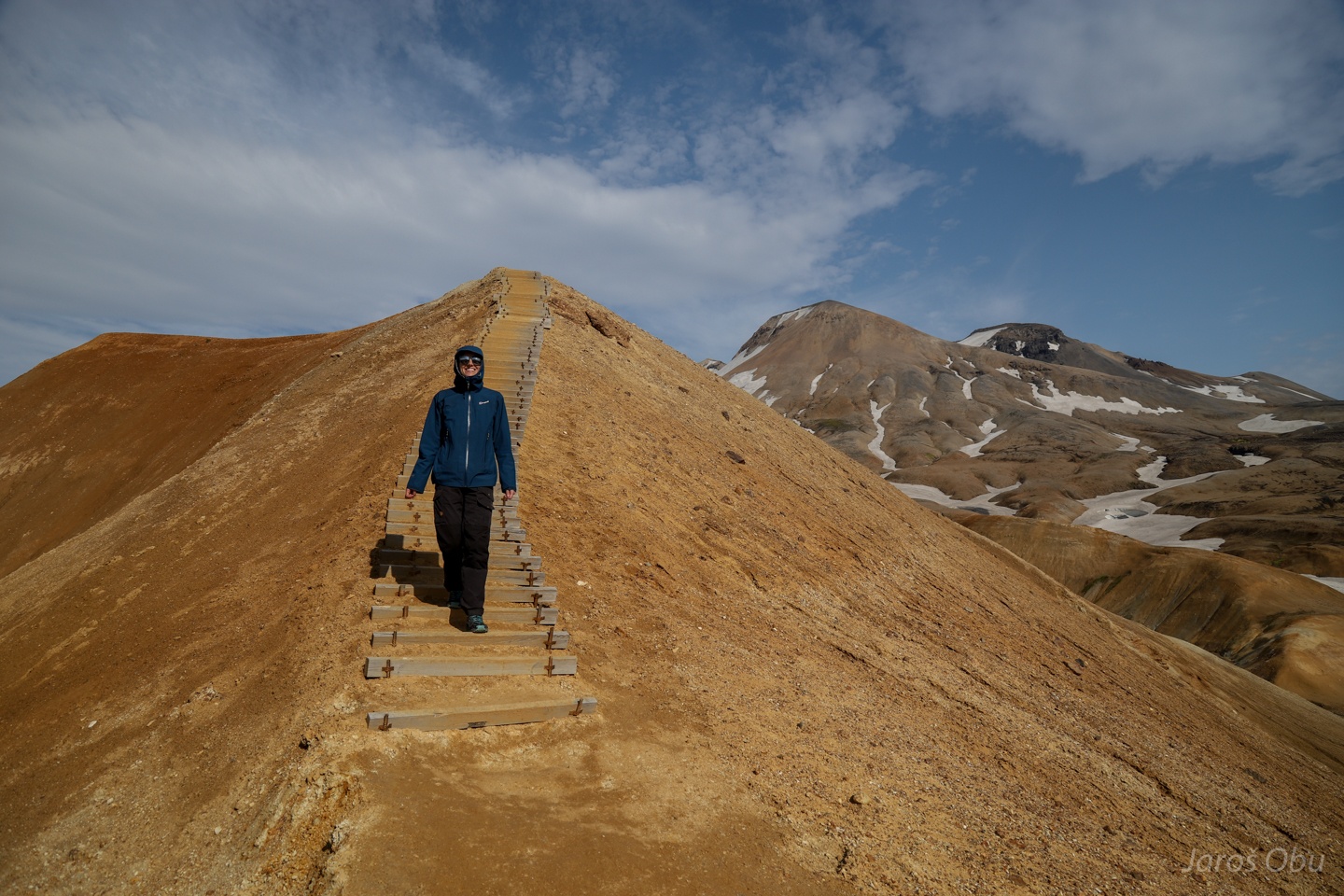
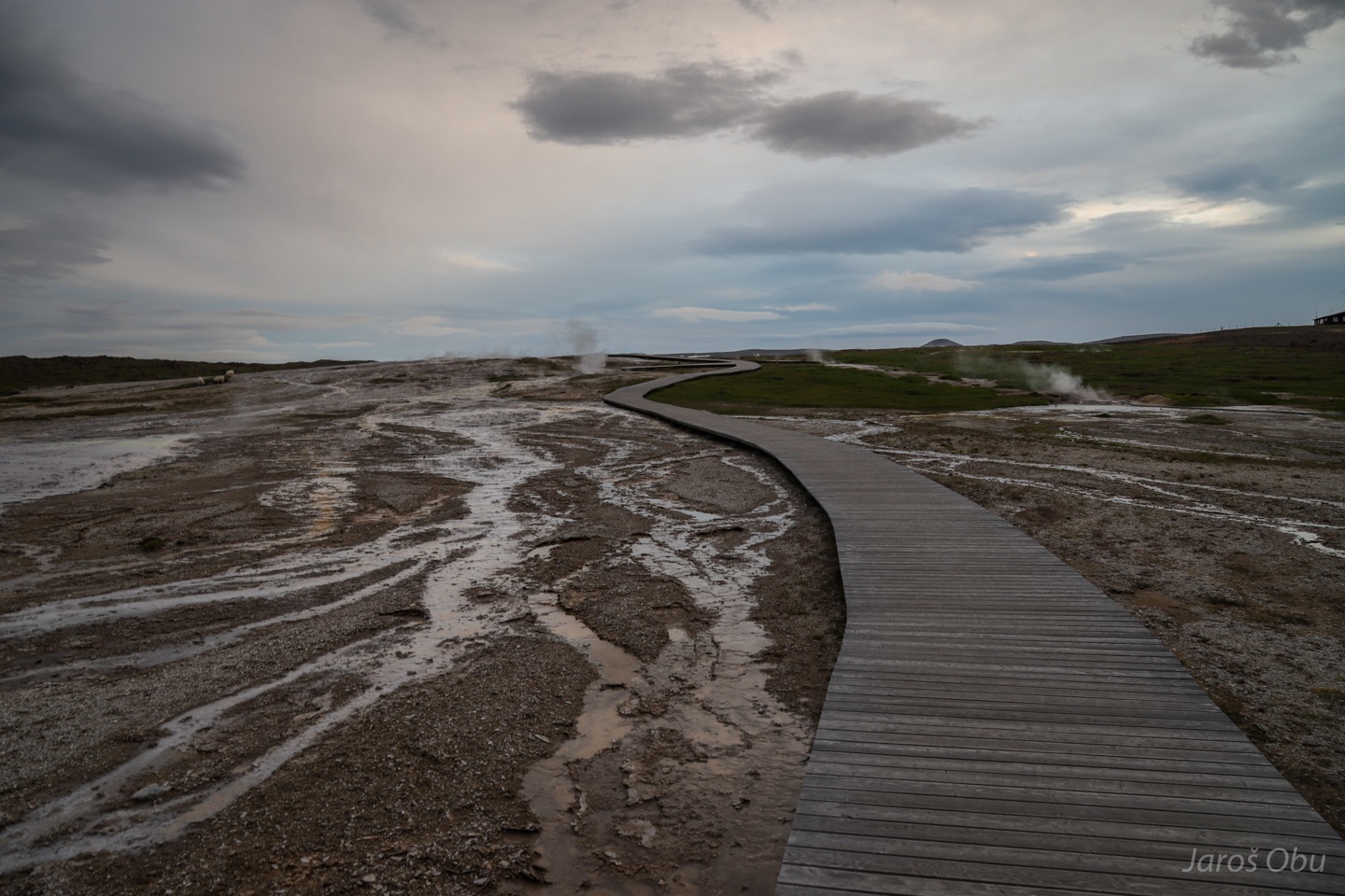
Paths through the nature reserve.
Where solfataras meet glaciers.
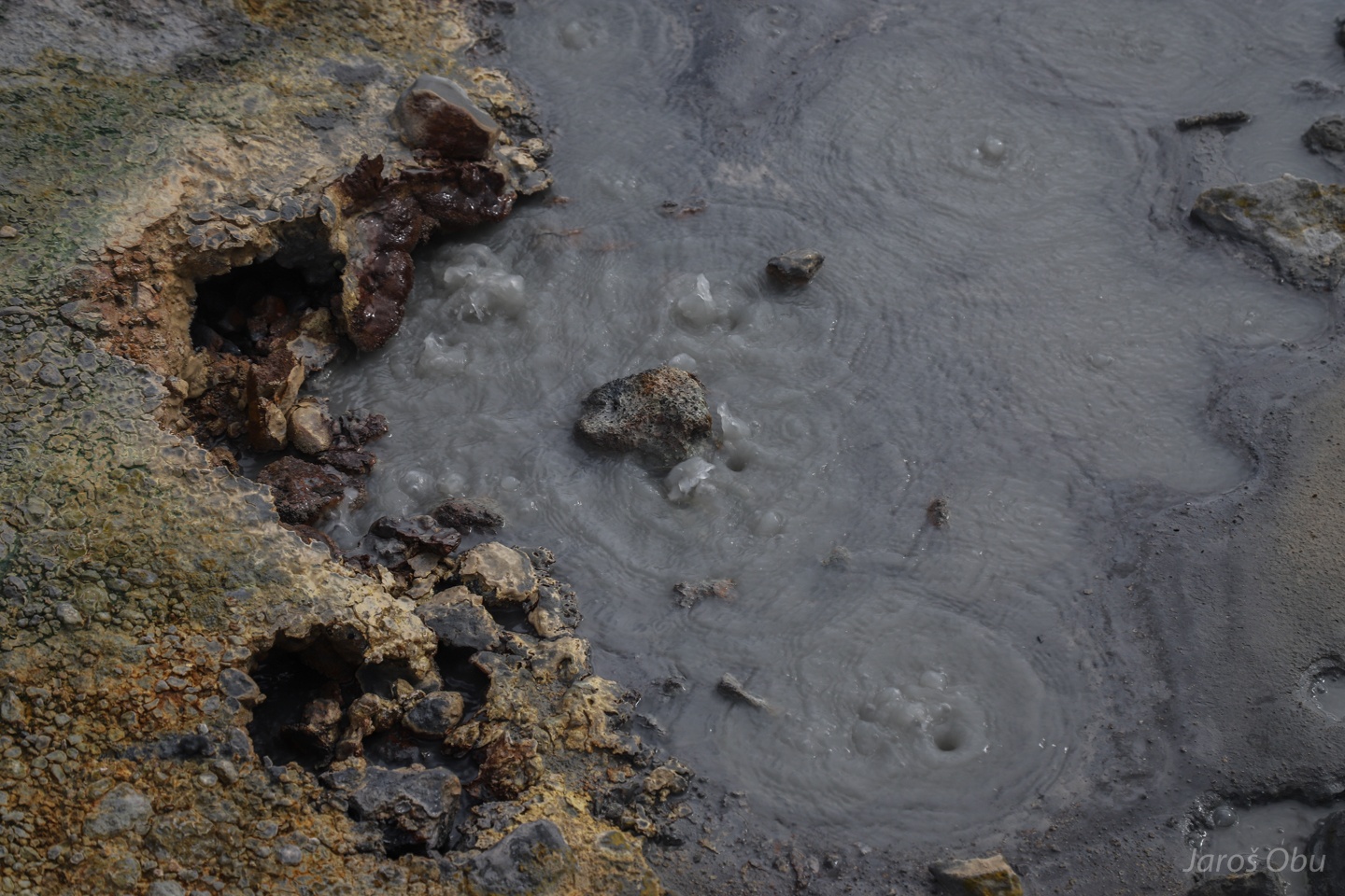
Mudboils.
Solfataras.
And hot springs.
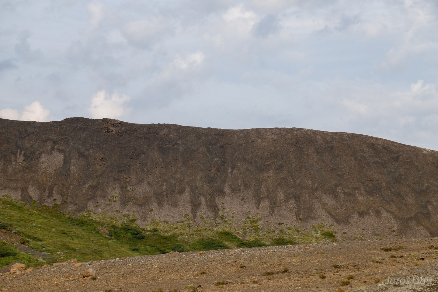
Colourful and soft geothermally altered clays that are very prone to erosion. Small gullies visible on the slope below.
Only moss is able to colonise some of the quickly changing ground under these harsh conditions.
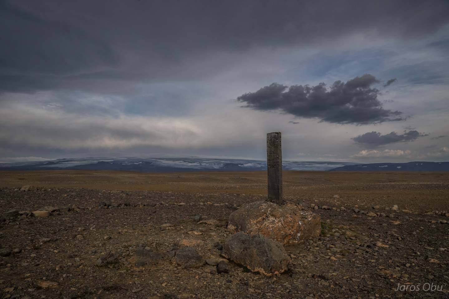
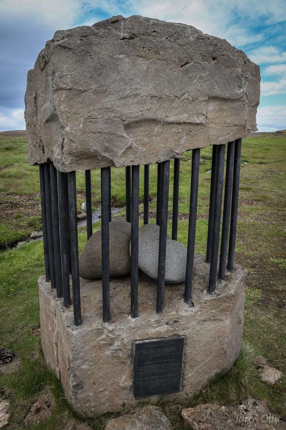
A memorial to somebody by the road 35.
And a memorial to view.
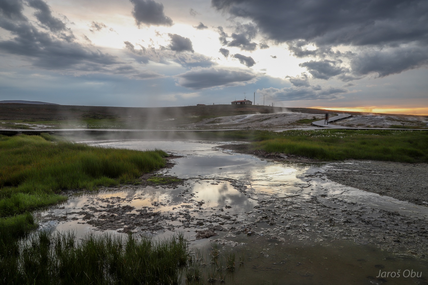
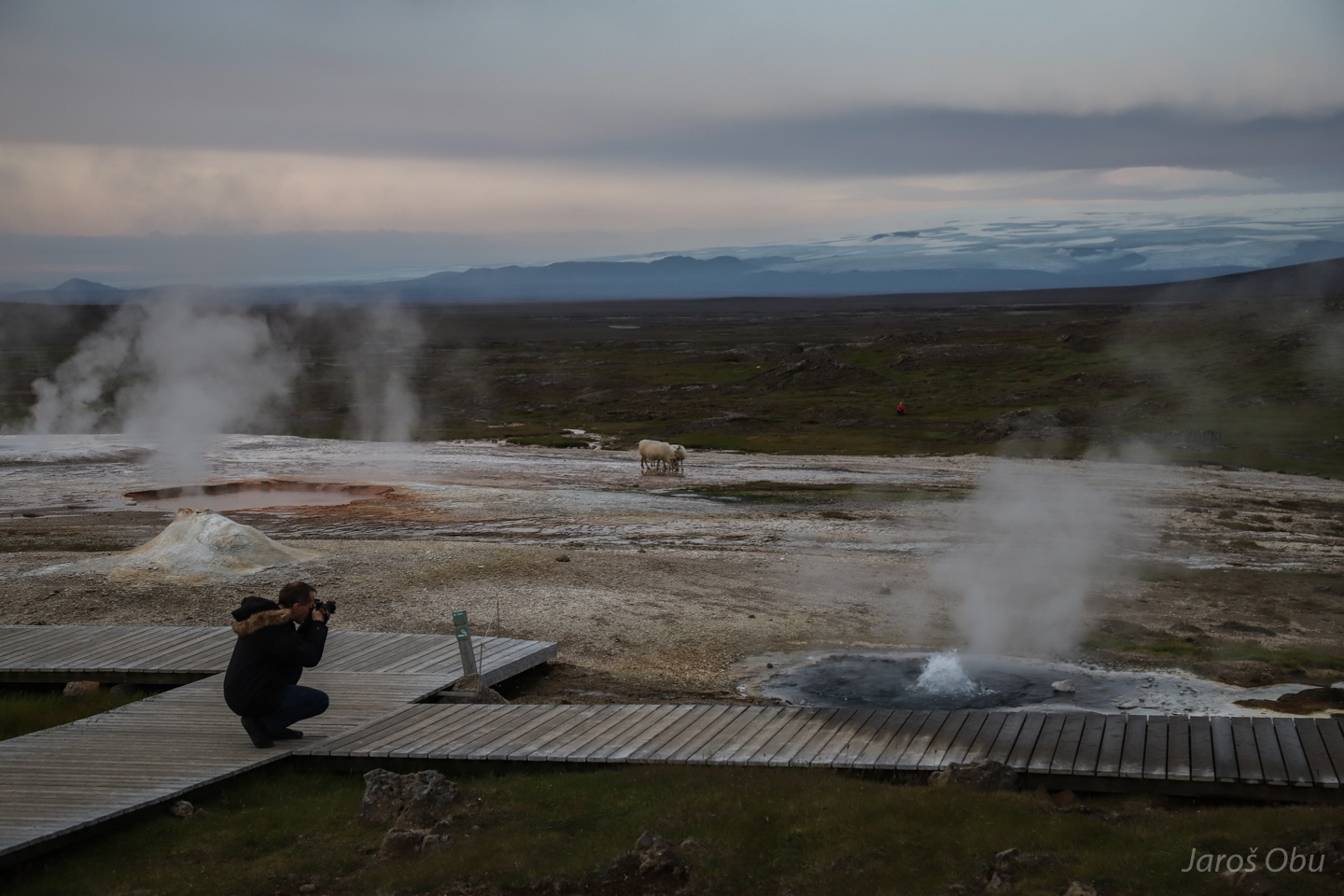
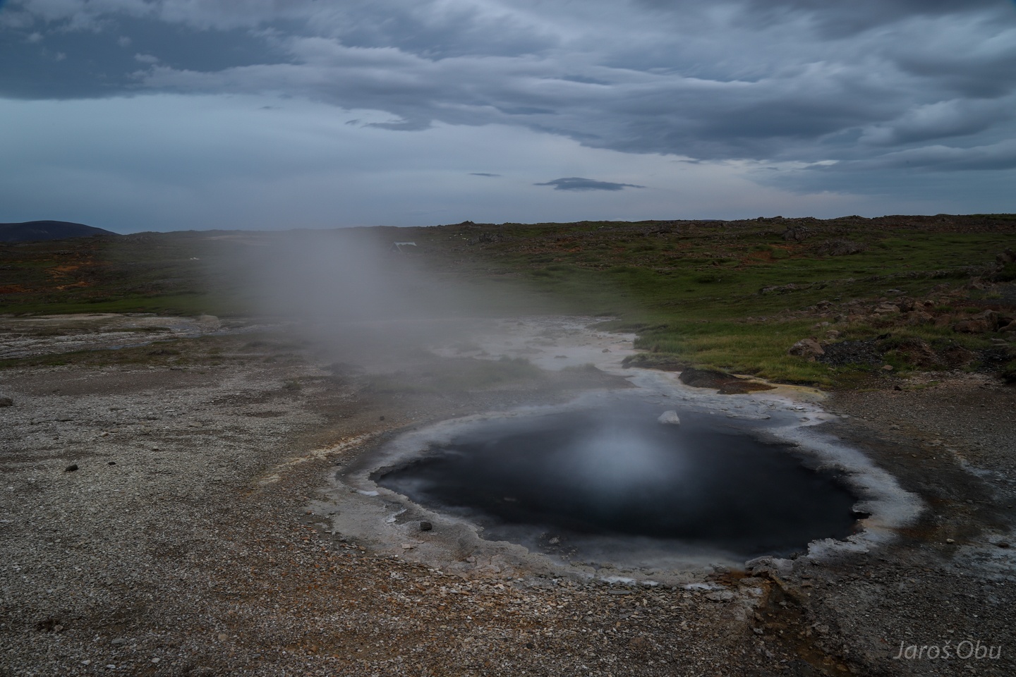
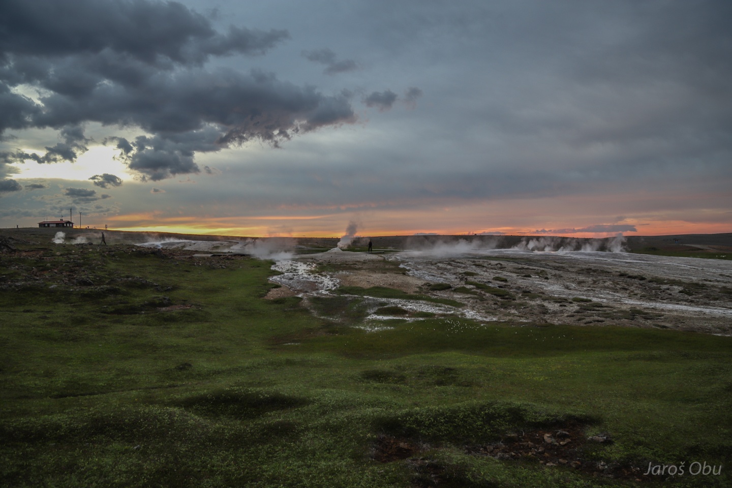
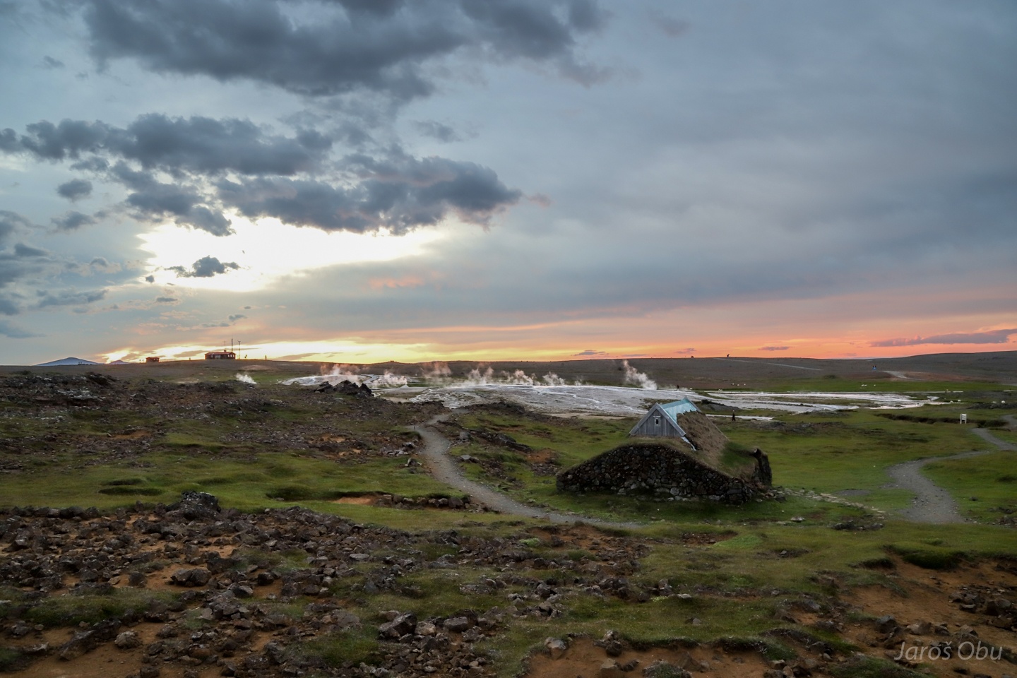
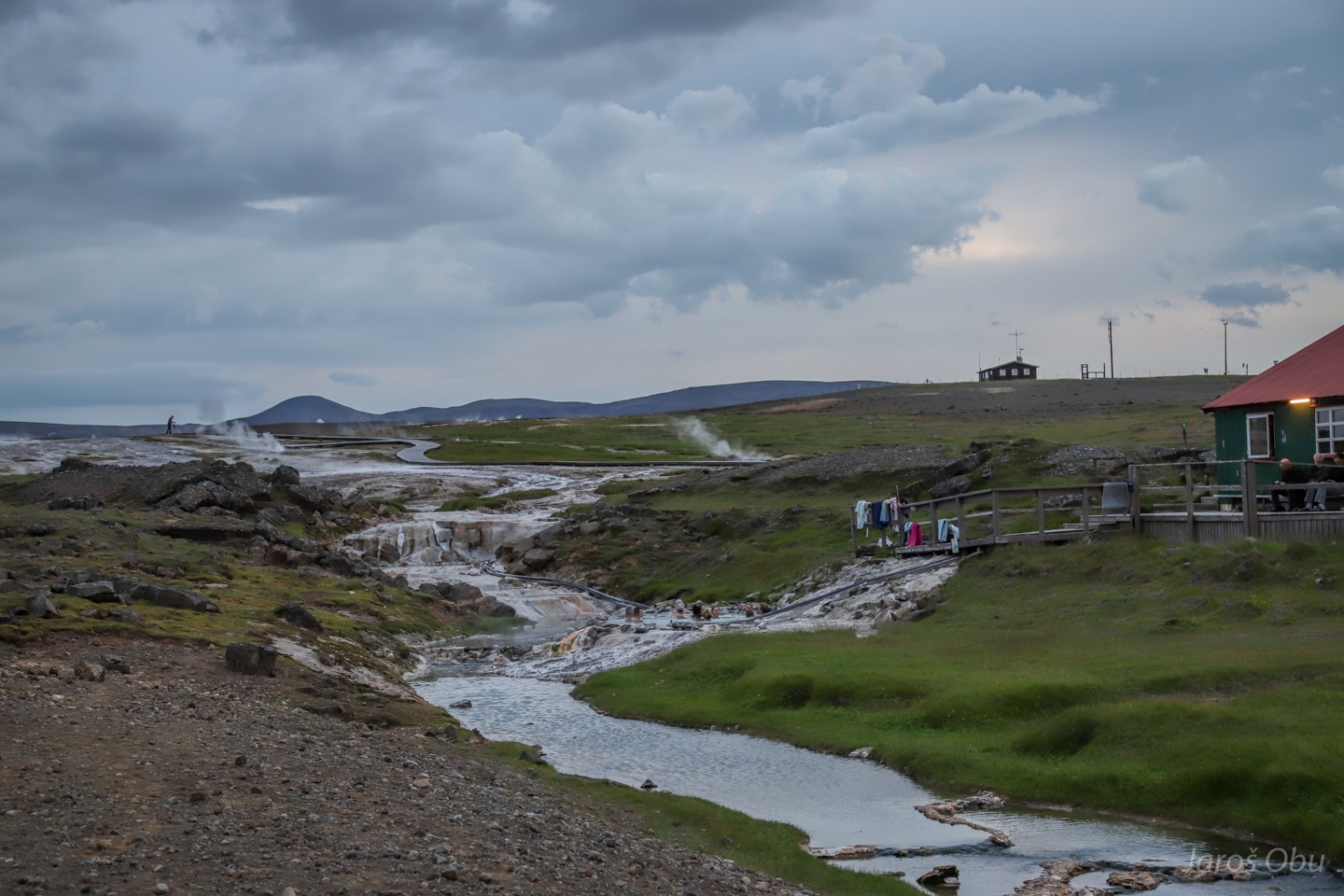
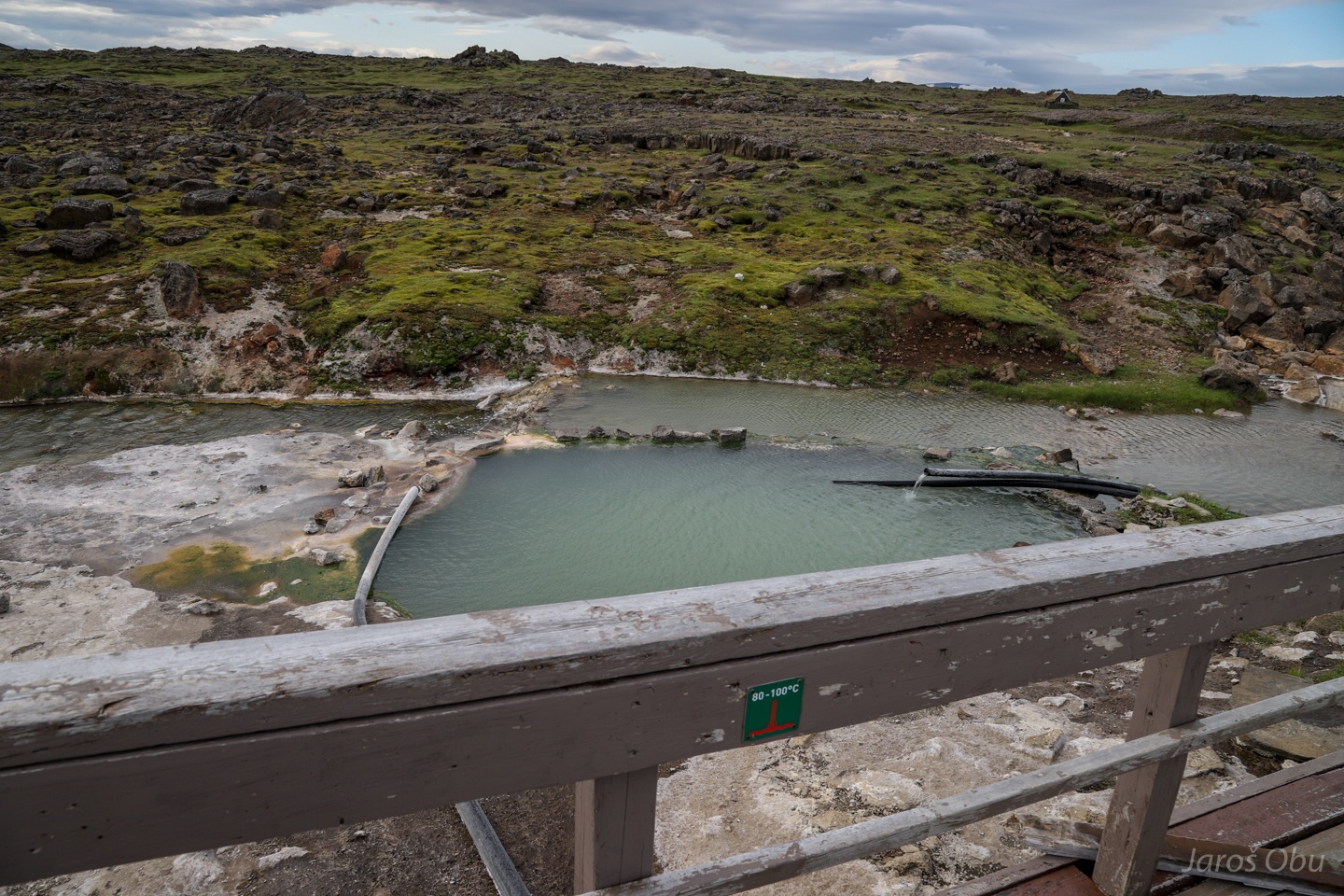
Another geothermal area called Hveravellir 40 km northwards.
With hot springs and fumaroles.
Babbling water.
Under long exposure.
Fumarole and the greatest Icelandic pests destroying natural heritage.
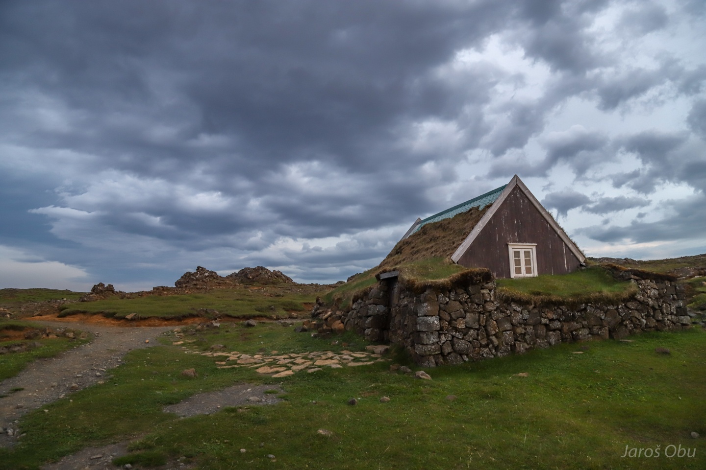
Traditional way of building houses in the north.
Overview of the area with one of the few weather stations in Icelandic highlands on the left side.
They divert some of the hot water to a pool.
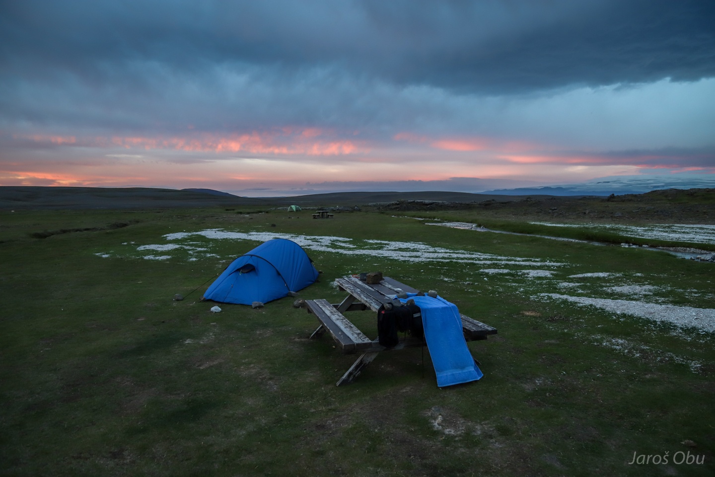
Red clouds before the night storm.
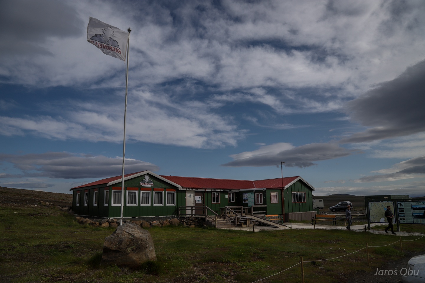
Hveravellir hut and facilities in the morning.
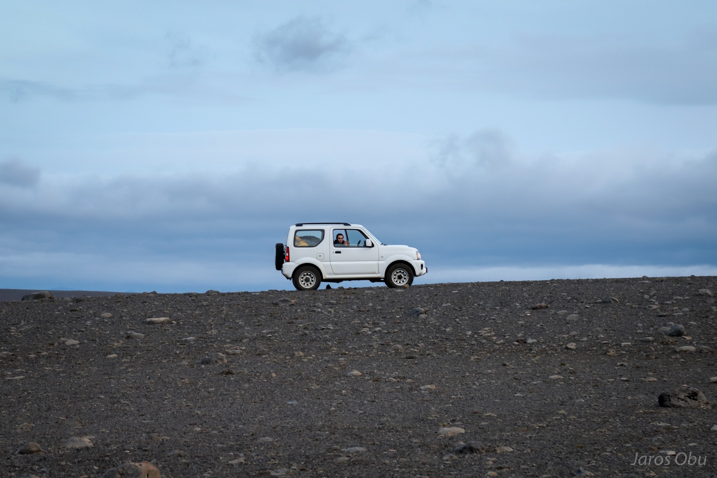
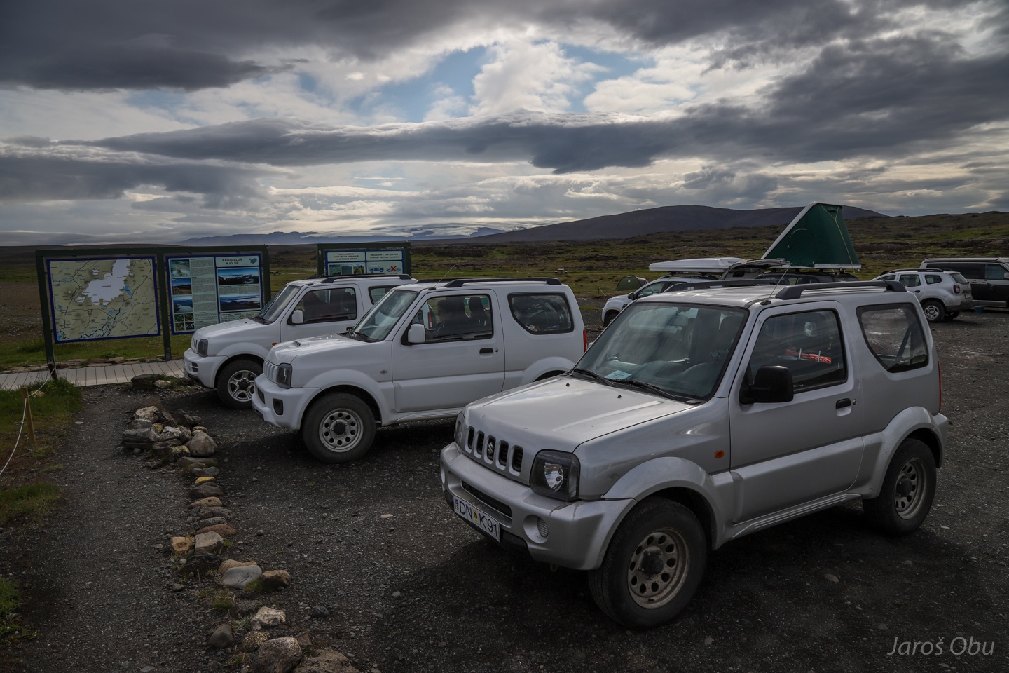
The prime parking spots reserved for Suzuki Jimnys.
The cooking pool with water temperature between 80 - 100 °C
Fjalla-Eyvindur and Halla also spent some time hiding at Heravelir.
Thufurs, icelandic name for hummocks, on a way to the north coast.
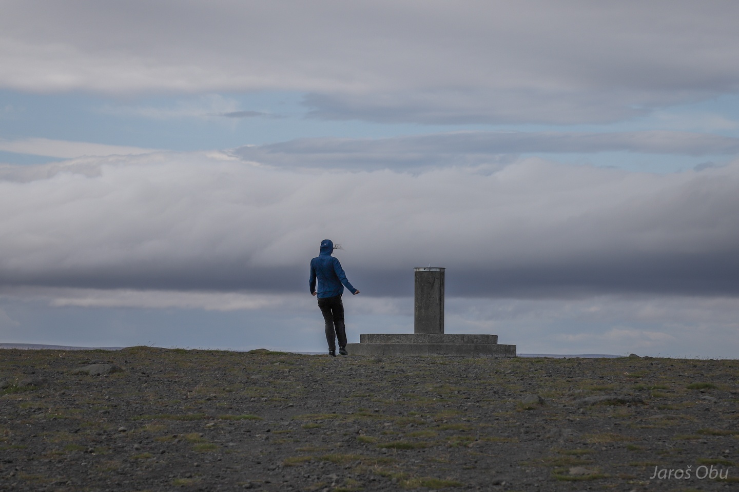
Strong wind on Afangafell view point.
Lenticular clouds forming again as a result of high wind velocities.
Nostalgic memories to bora chasings already almost 10 years ago.
The landscape gets again more and more green towards of the edge of the highlands.