© 2024 Jaroš Obu
Photo gallery of Jaroš Obu
Cart
0
Items
Buy now
Kolåstinden and Sunnmøre Alps 18.-20.5. 2019
Monday, 03 June 2019
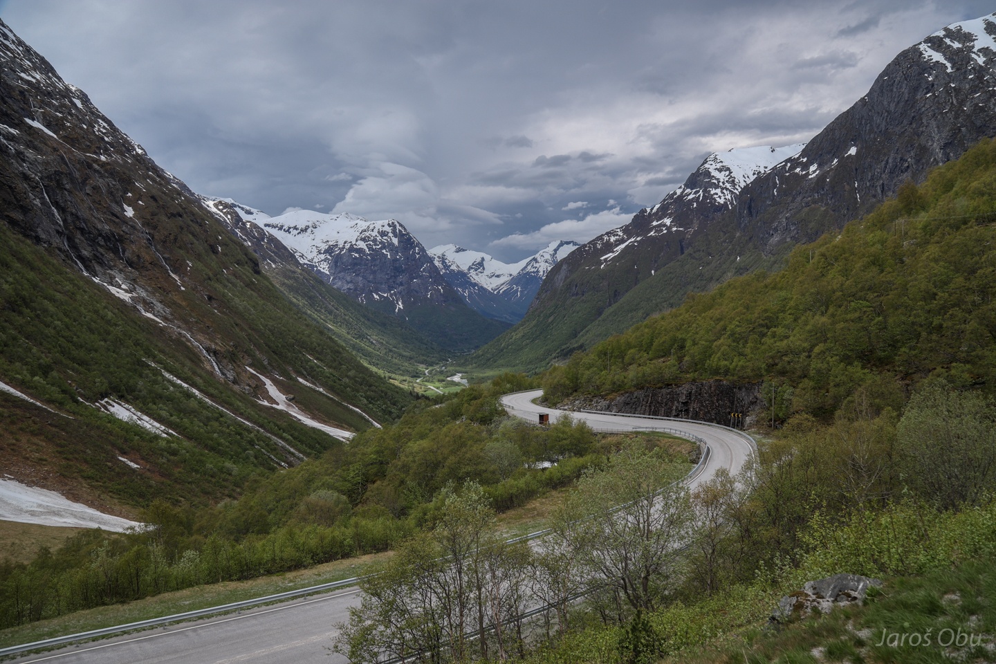
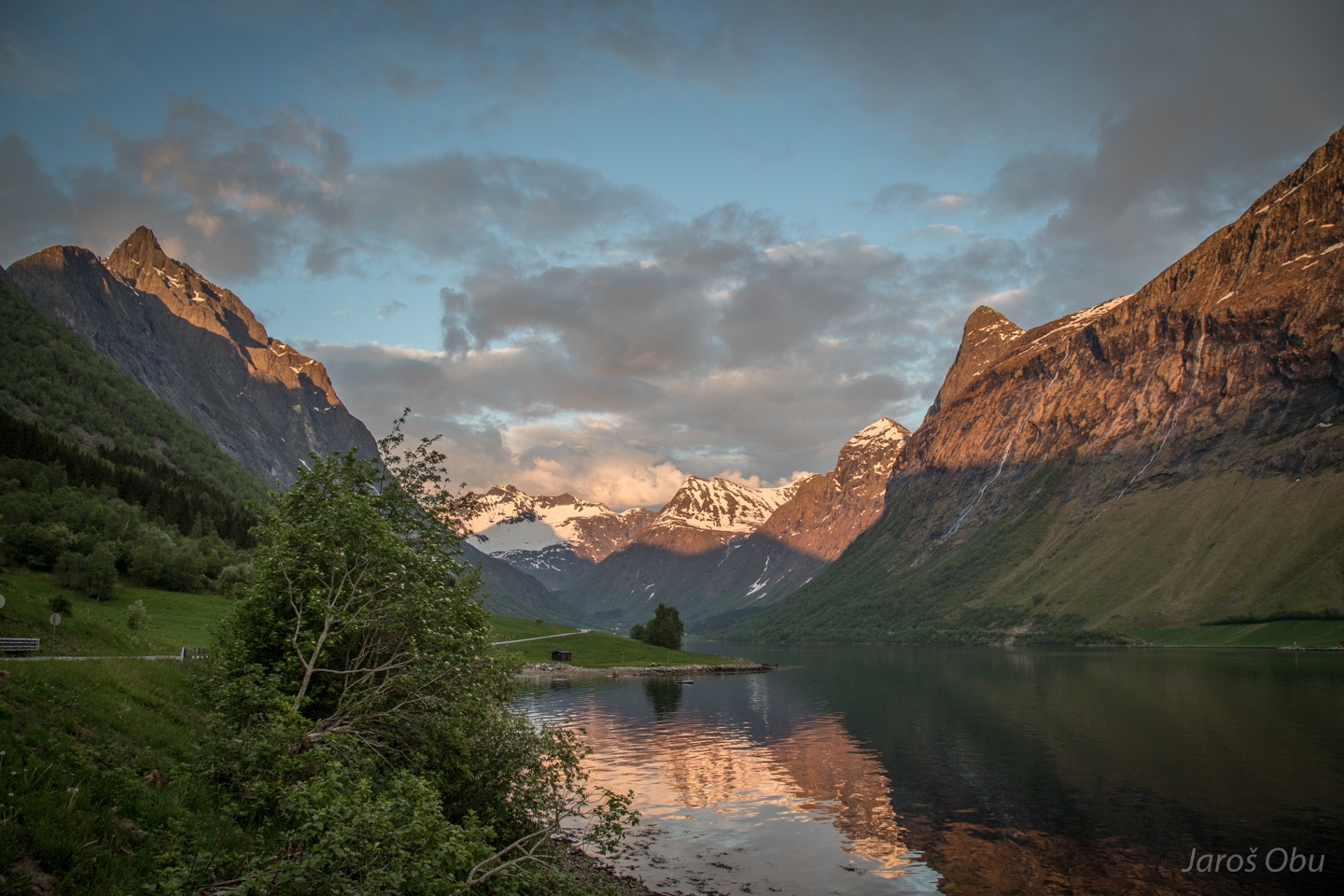
It was time to go to fjords after skiing in Jotunheimen. Hjelledalen is the first valley following a descent from Stryn Mountains.
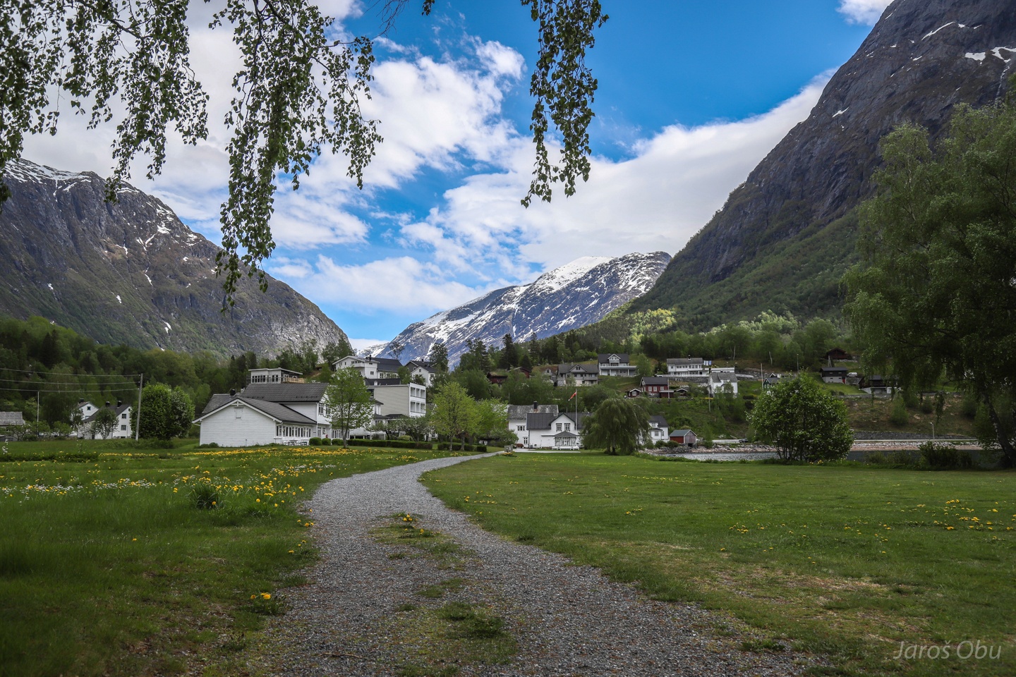
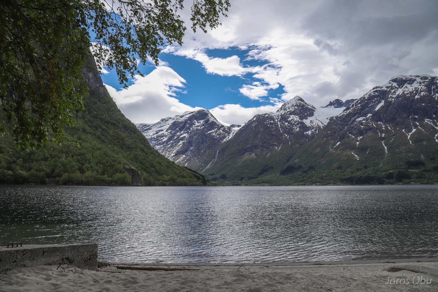
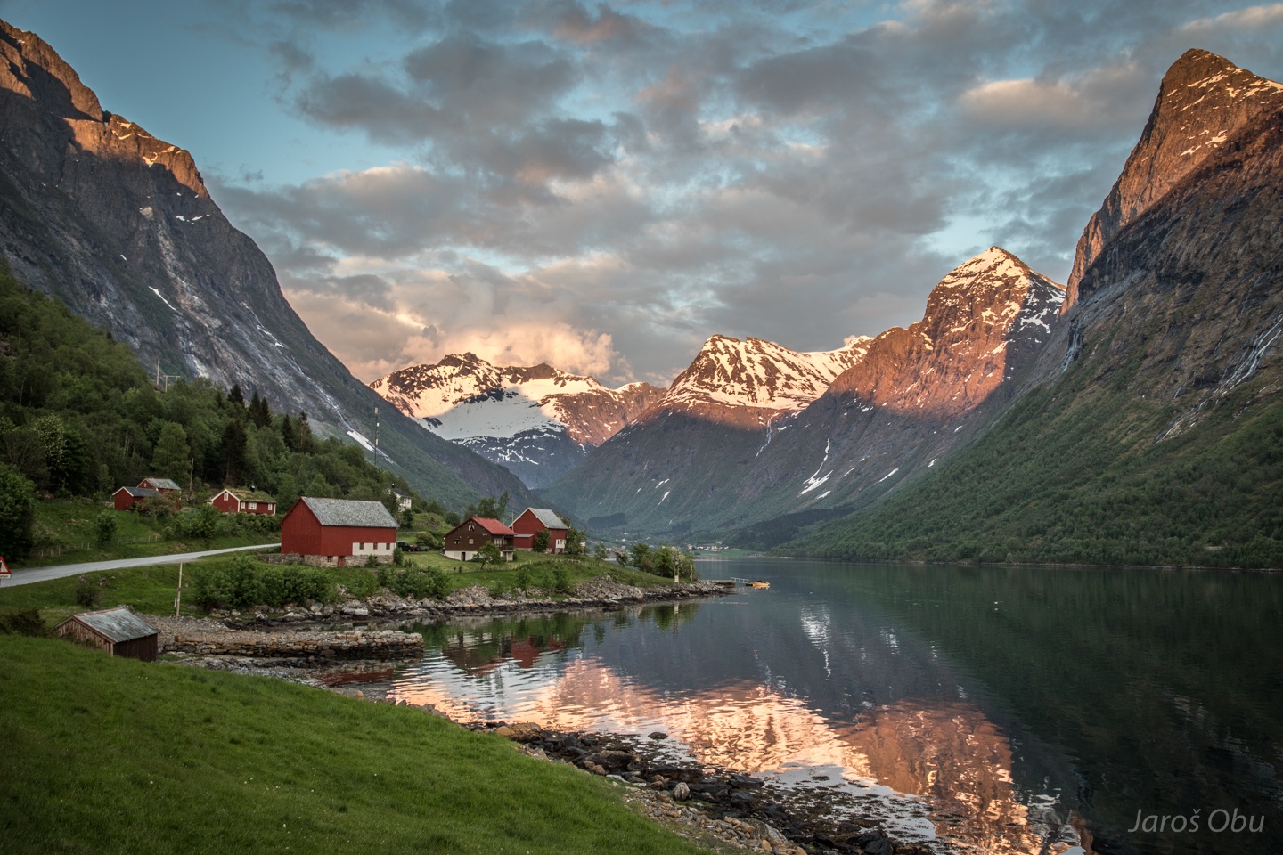
A sympathetic village of Hjelle by the Oppstrynsvatnet Lake.
Built on a terminal moraine.
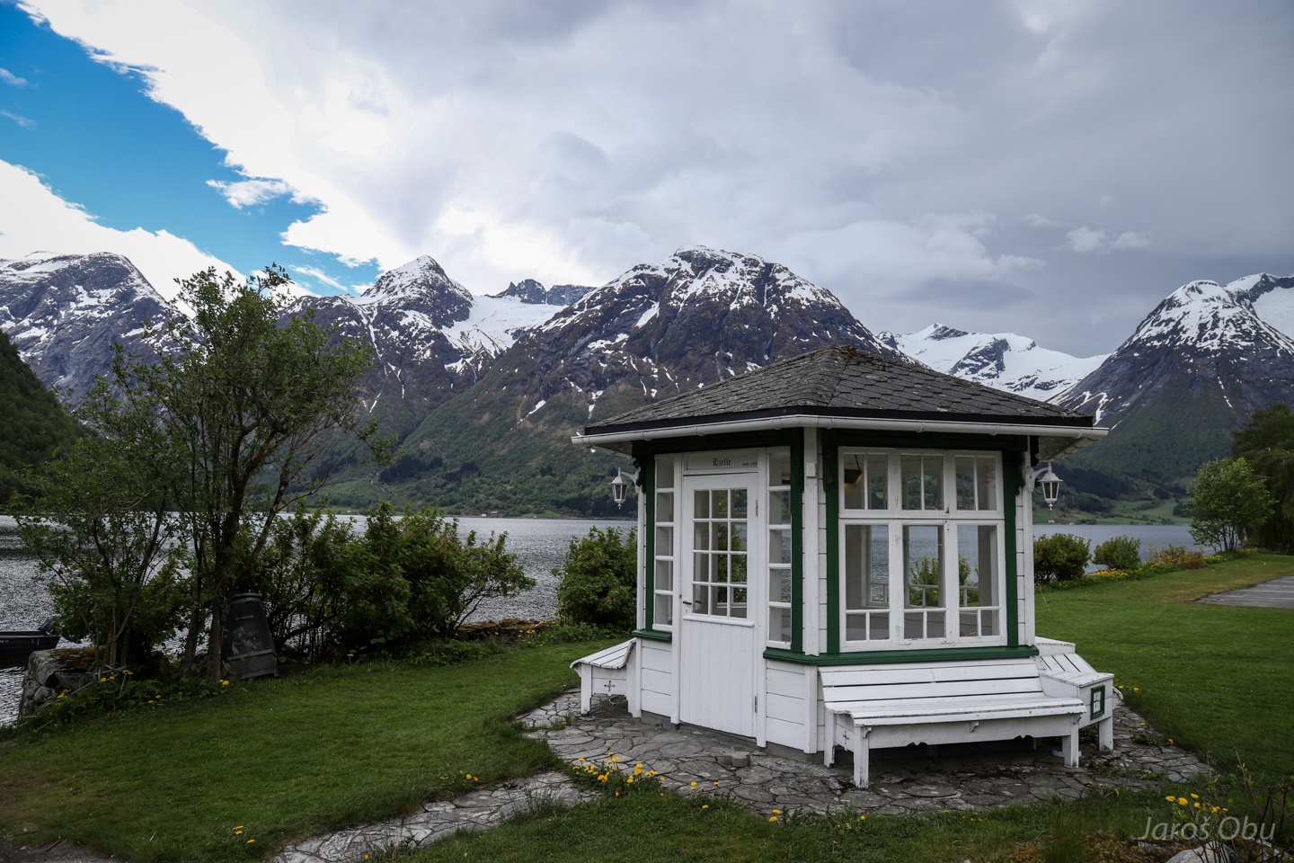
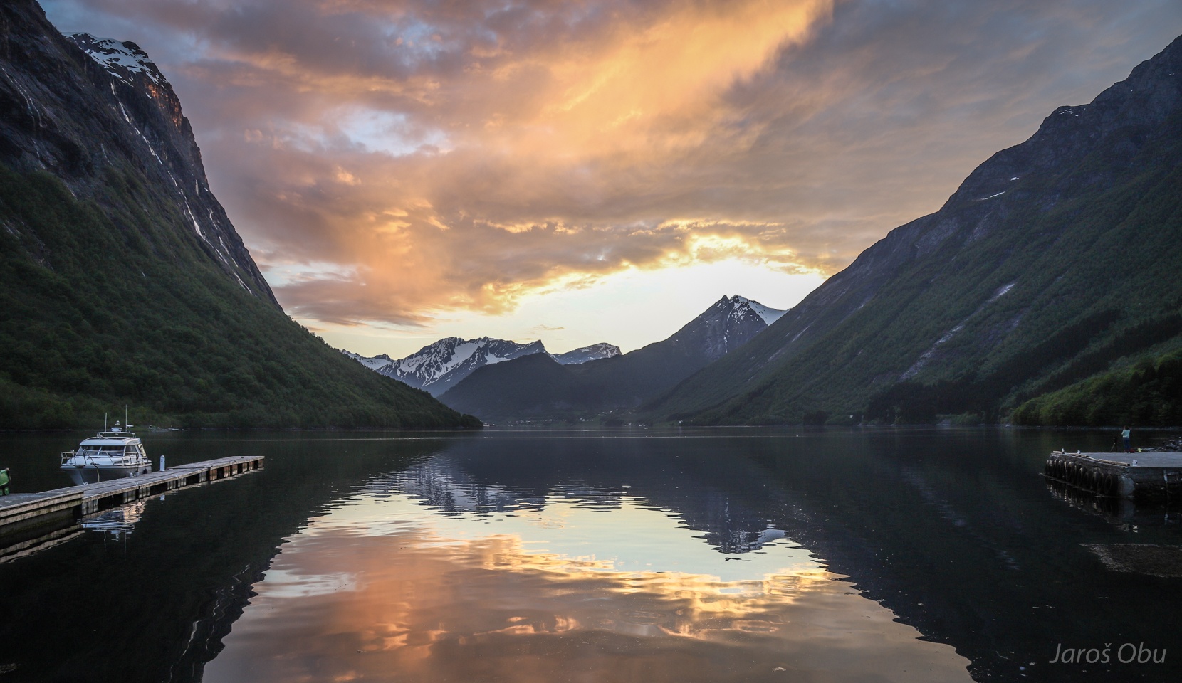
Gazebo surrounded by mountains.
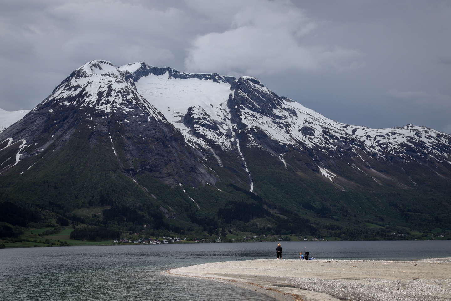
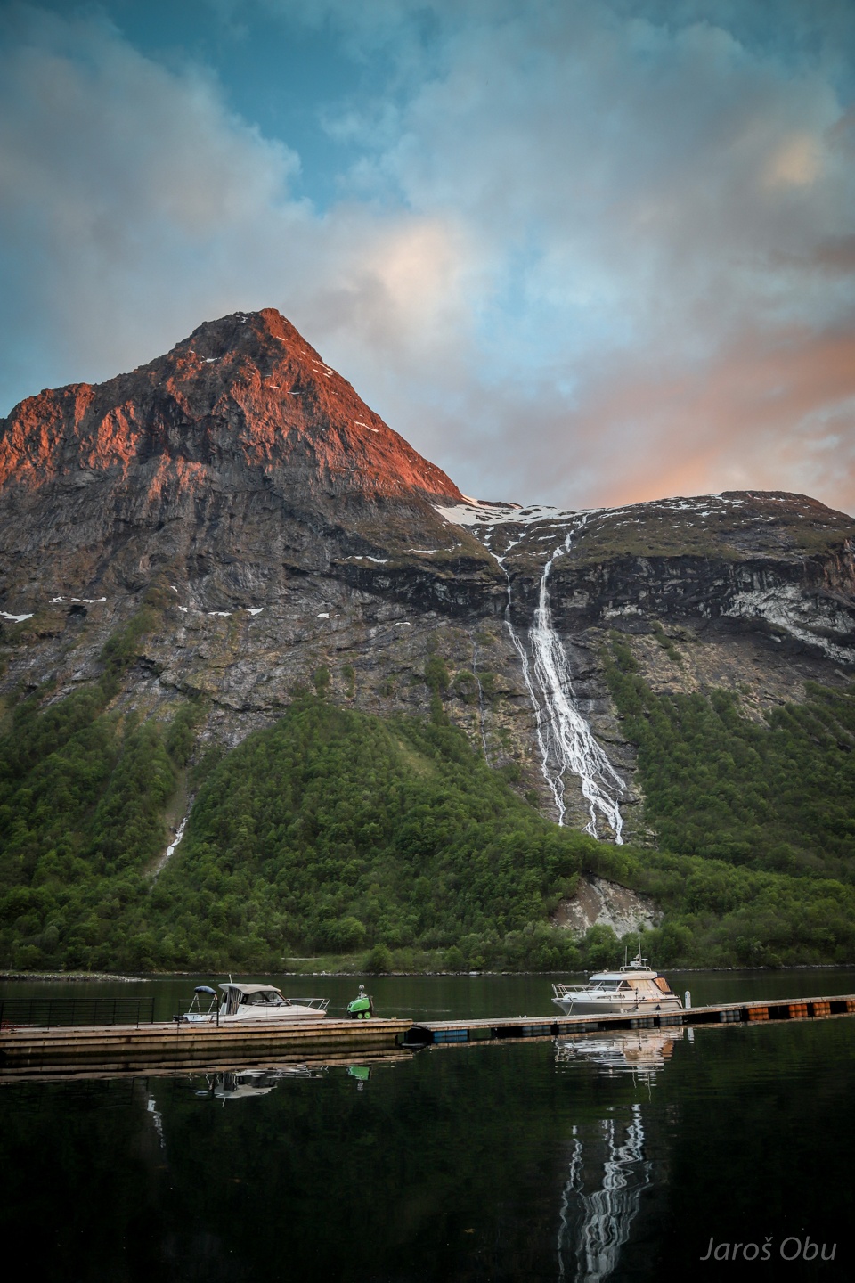
Nesjehyrna Mountain with Breifonna Glacier gives an impression of a volcano crater from this side.
Tindefjella and glaciers, which were probably part of Jostedalsbreen ice cap in the past.
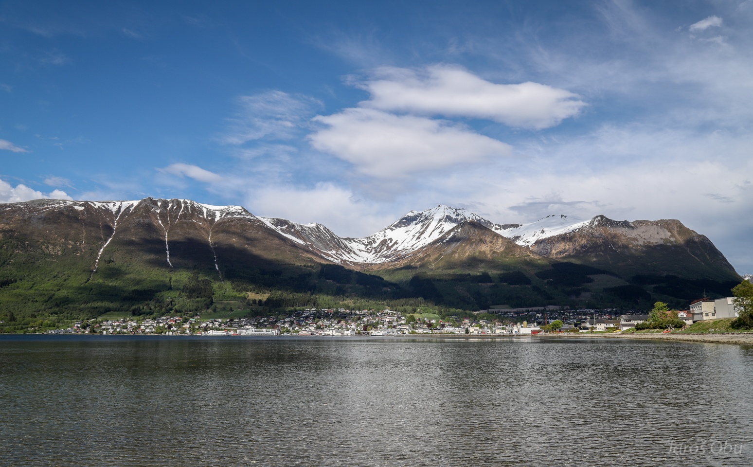
Already in Sunmøre Alps. Ørsta Town with Saudehornet (1303 m) behind it.
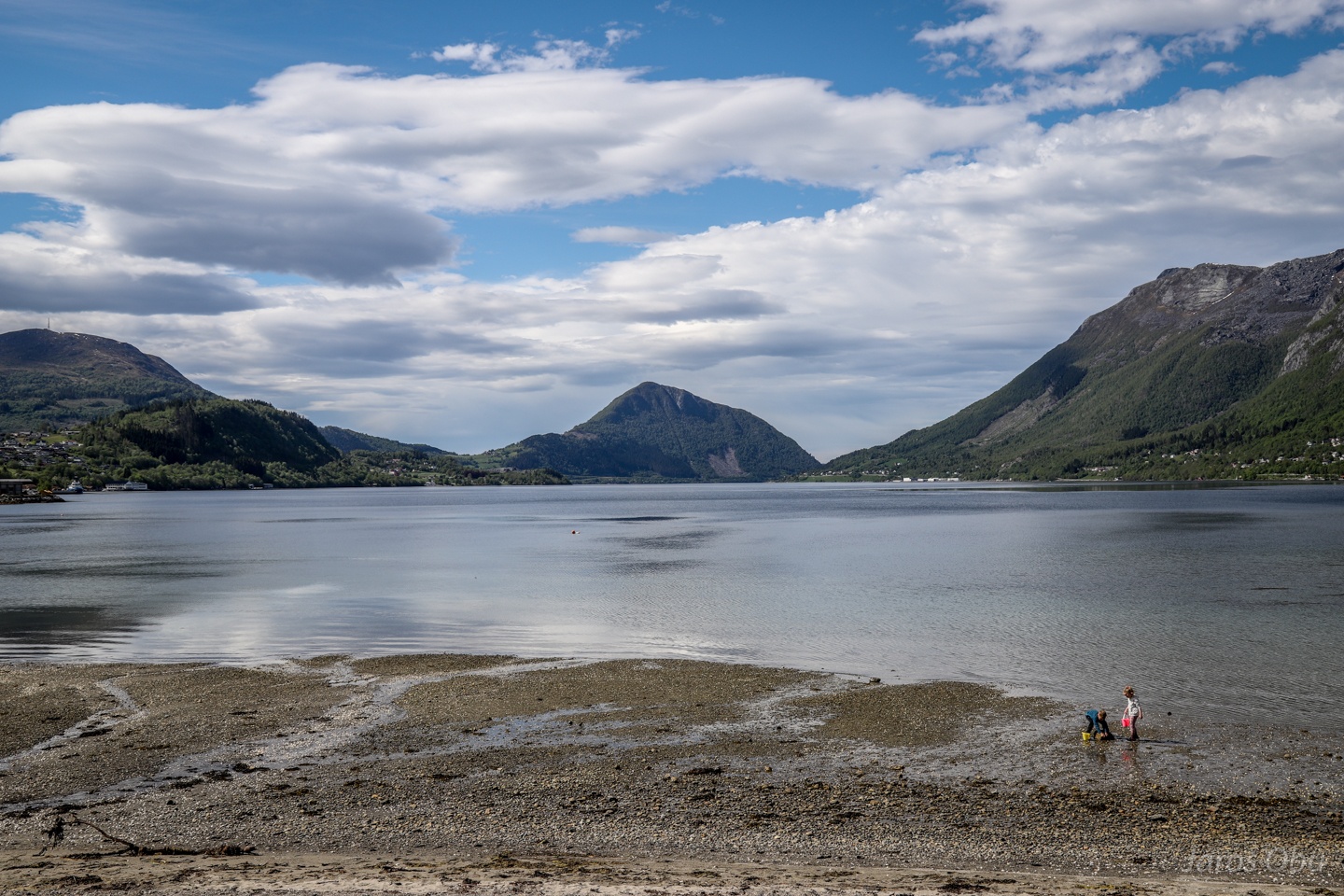
Ørstafjorden.
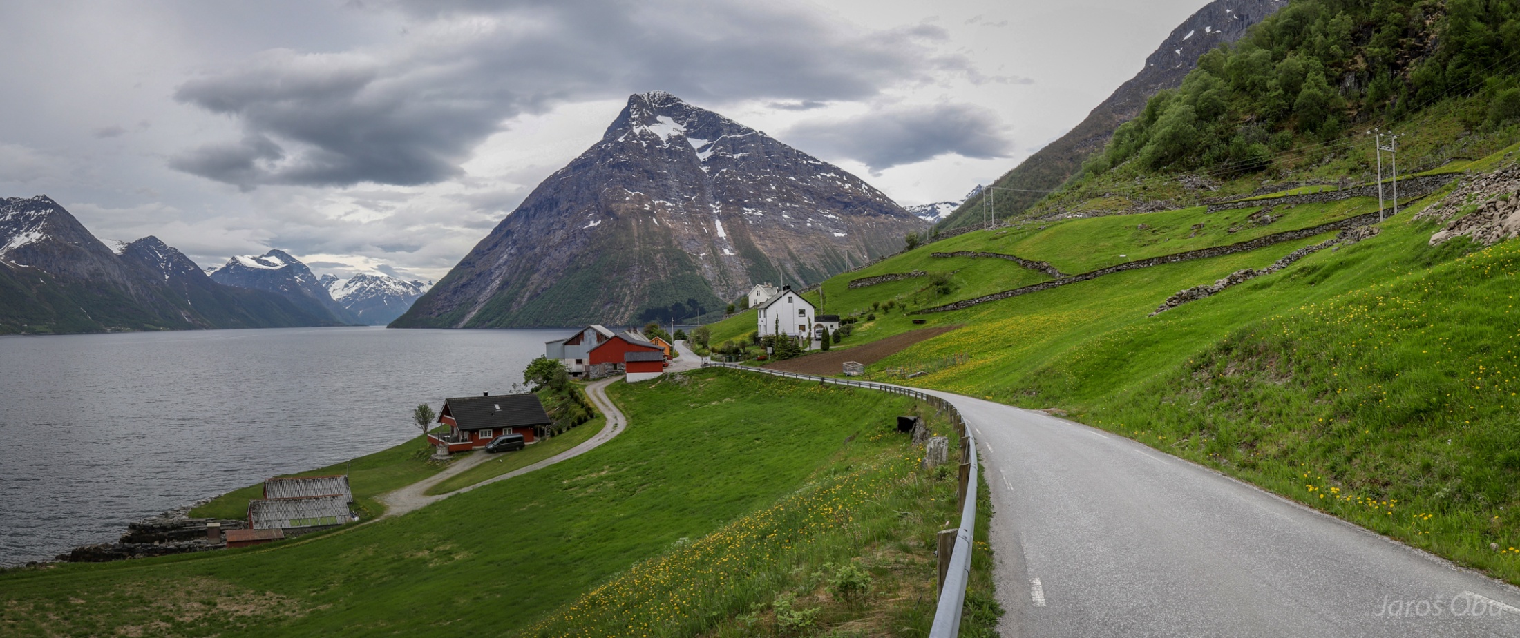
Stavset settlement on the other side of the peninsula at the side of Hjørundfjorden.
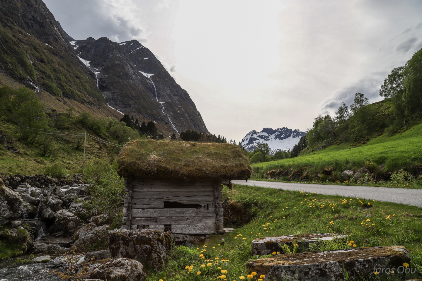
A river, a hut and mountains in Ytre-Standal.
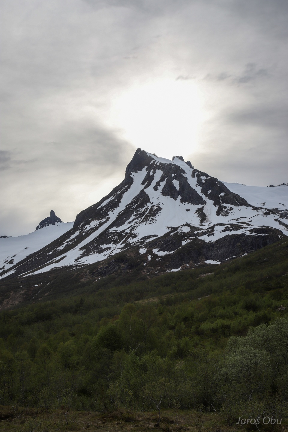
Noklane Mountain in the evening as seen from Standaldalen.
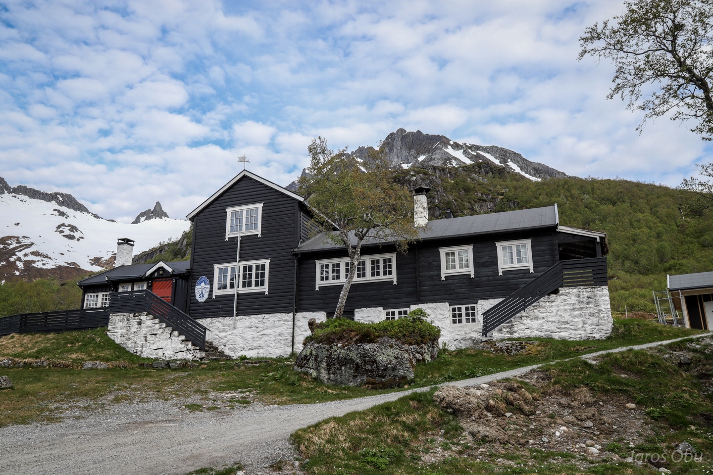
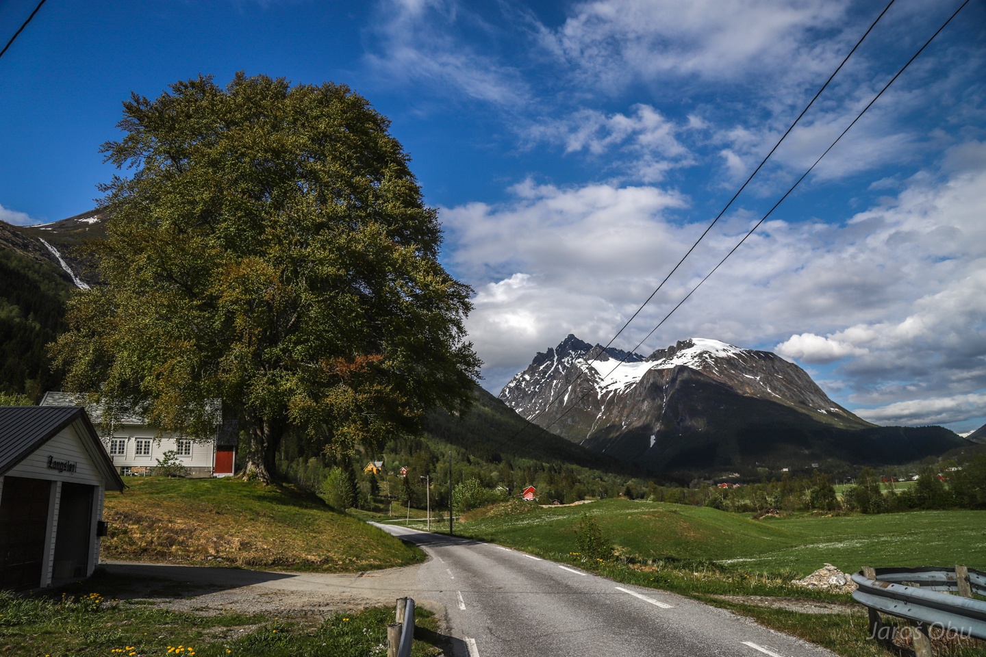
The next ski touring trip also started as hiking at Standalhytta next morning.
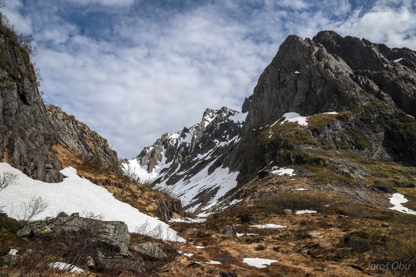
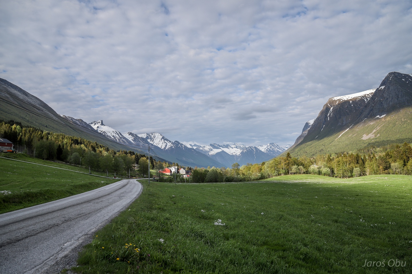
Entering Fossane after a traverse through beech tree forest. Søre Sætretind on the right.
Time to put on the skis after about 200 elevation meters of hiking.
Snow melting was already intense and the river was already quite big.
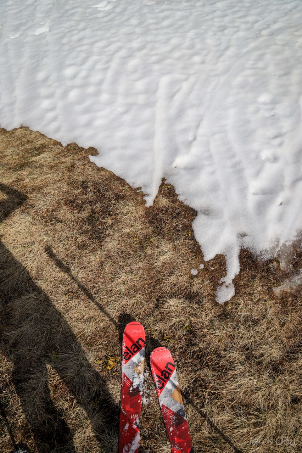
A short stretch of grass that was traversible on skis.
A small snowpatch bridge that made it possible to cross the river.
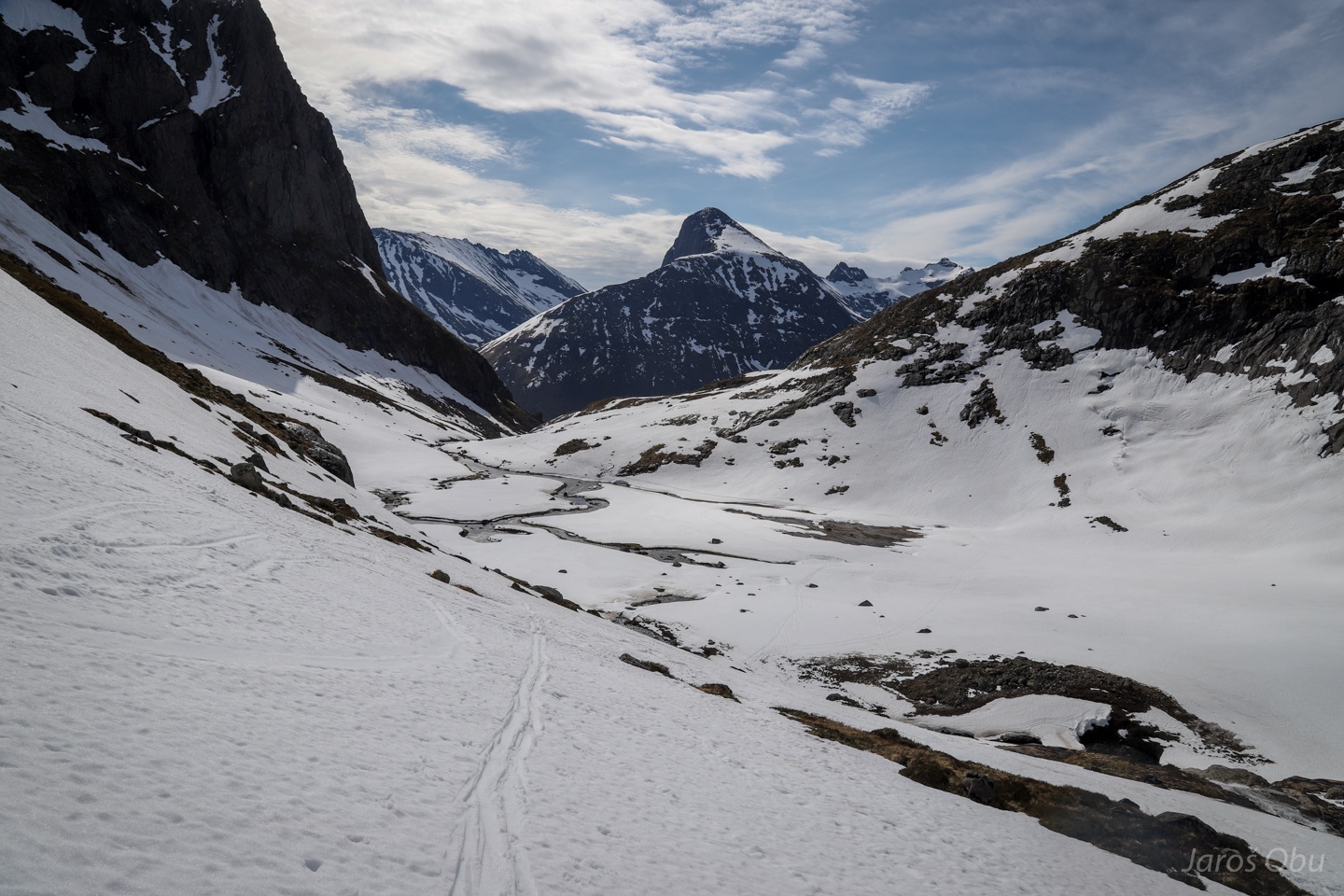
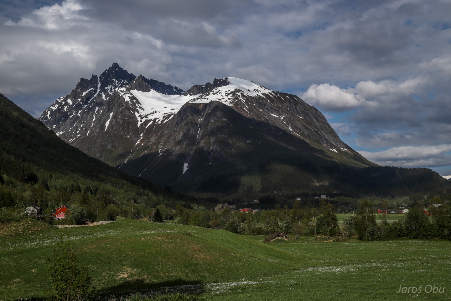
The view back to Kvanndalen and Nonshornet in the distance.
Slowly approaching Appelsinhaugen.
And gaining elevation to above 1000 m a.s.l. Sætretind peaks on the right.
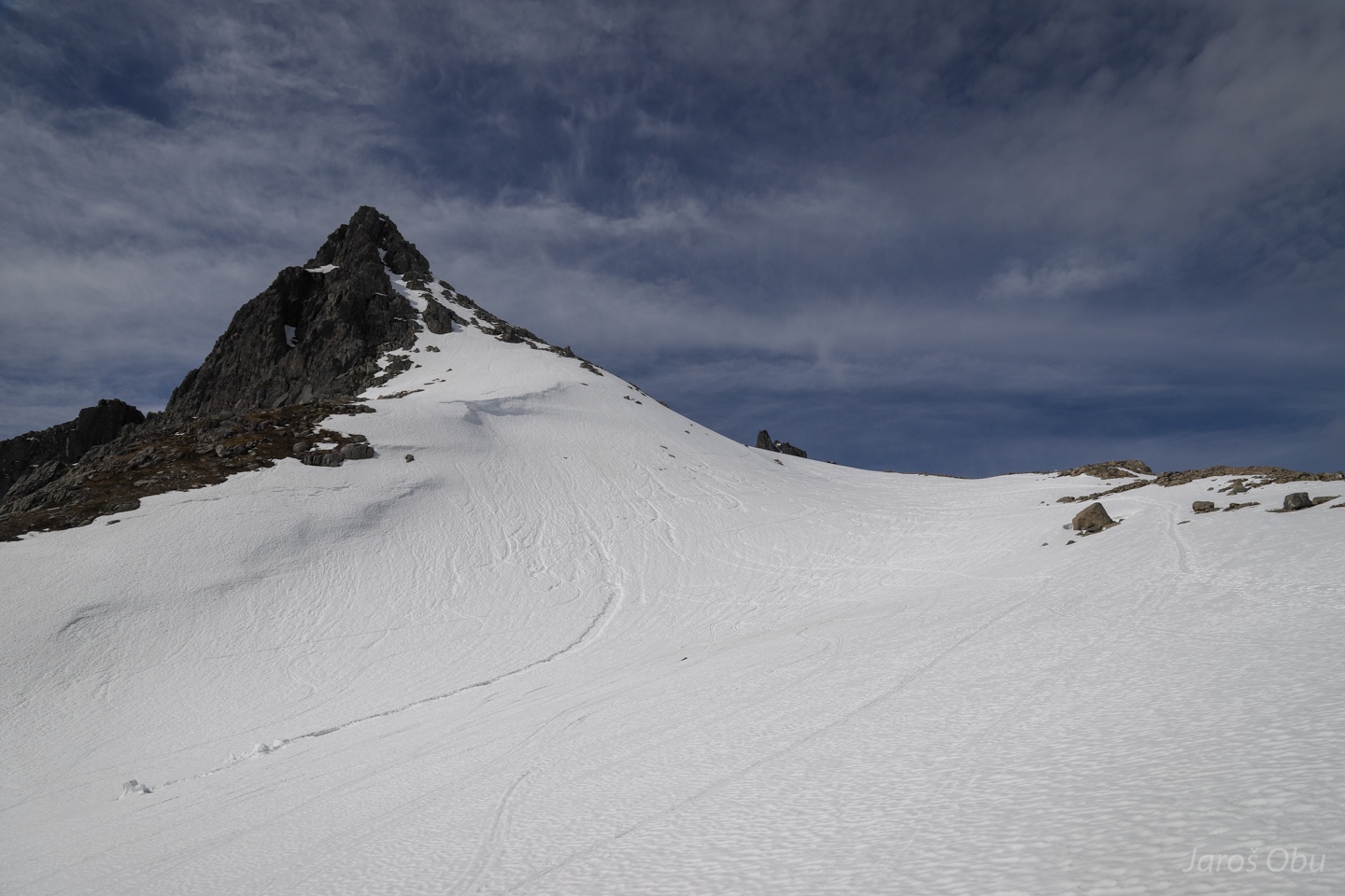
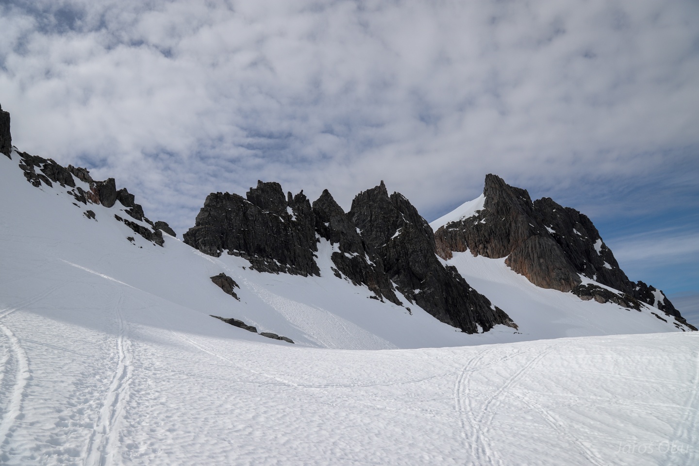
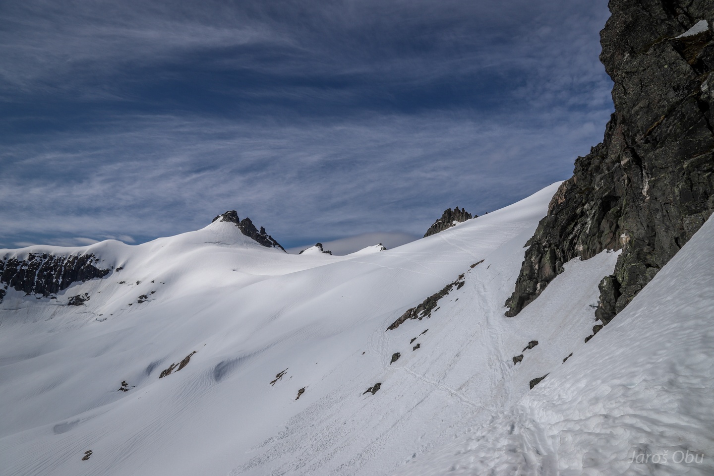
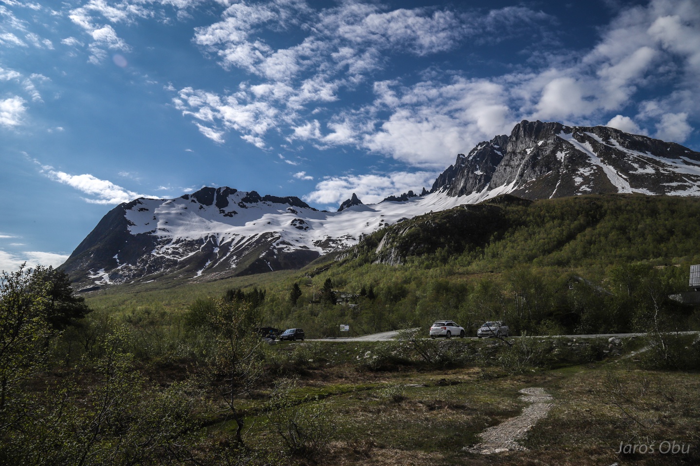
A view on spiky mountains in the vicinity of Kolåstinden opens up.
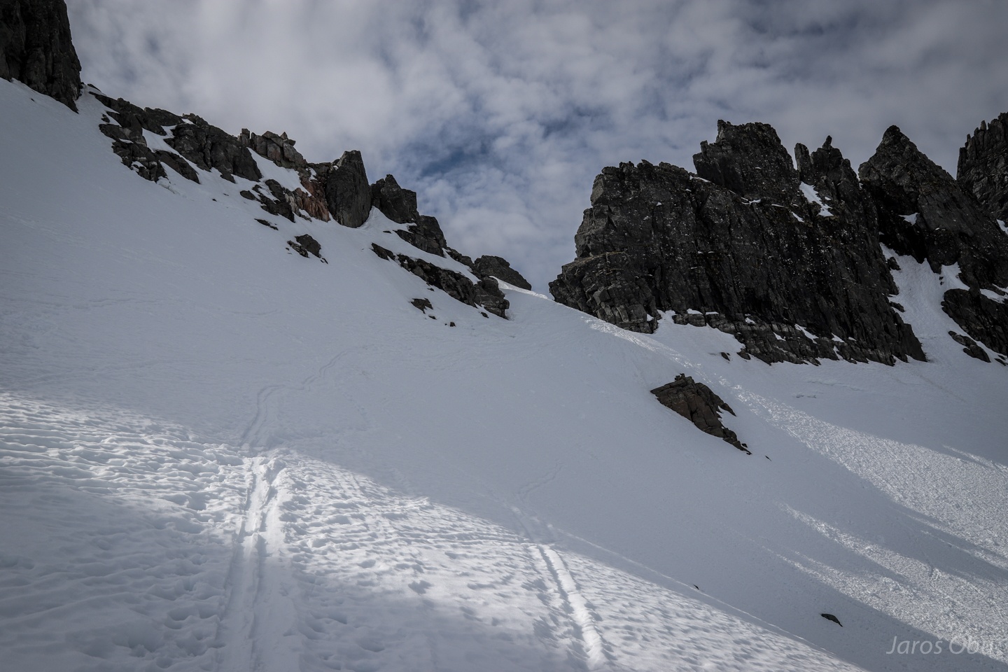
A steep traversa to Stretet, which leads to the other side of the ridge.
...
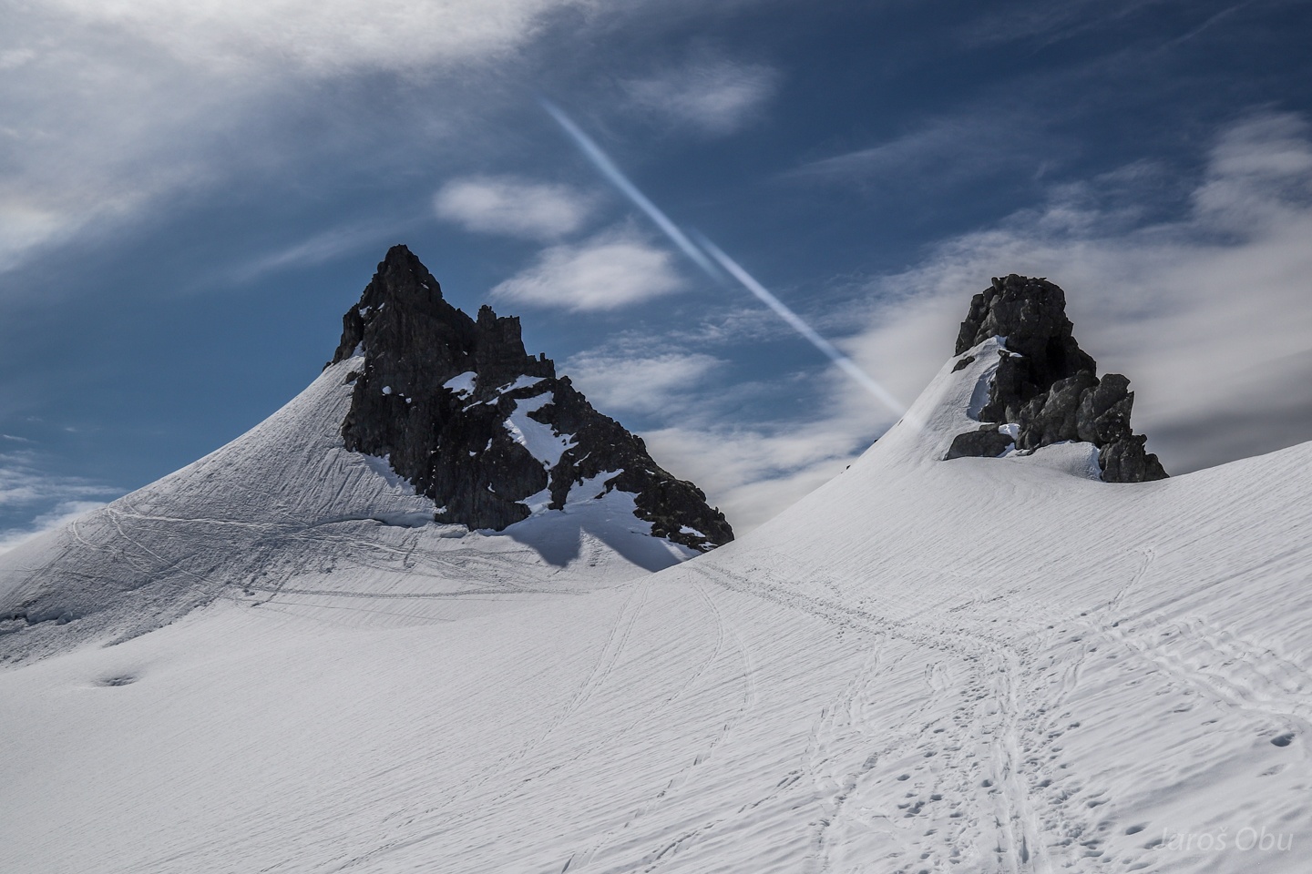
On the other side.
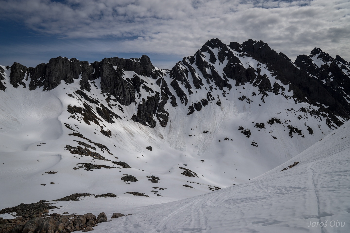
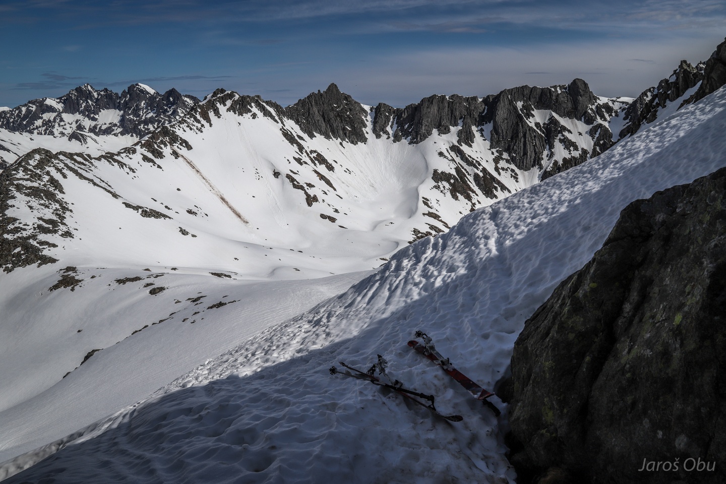
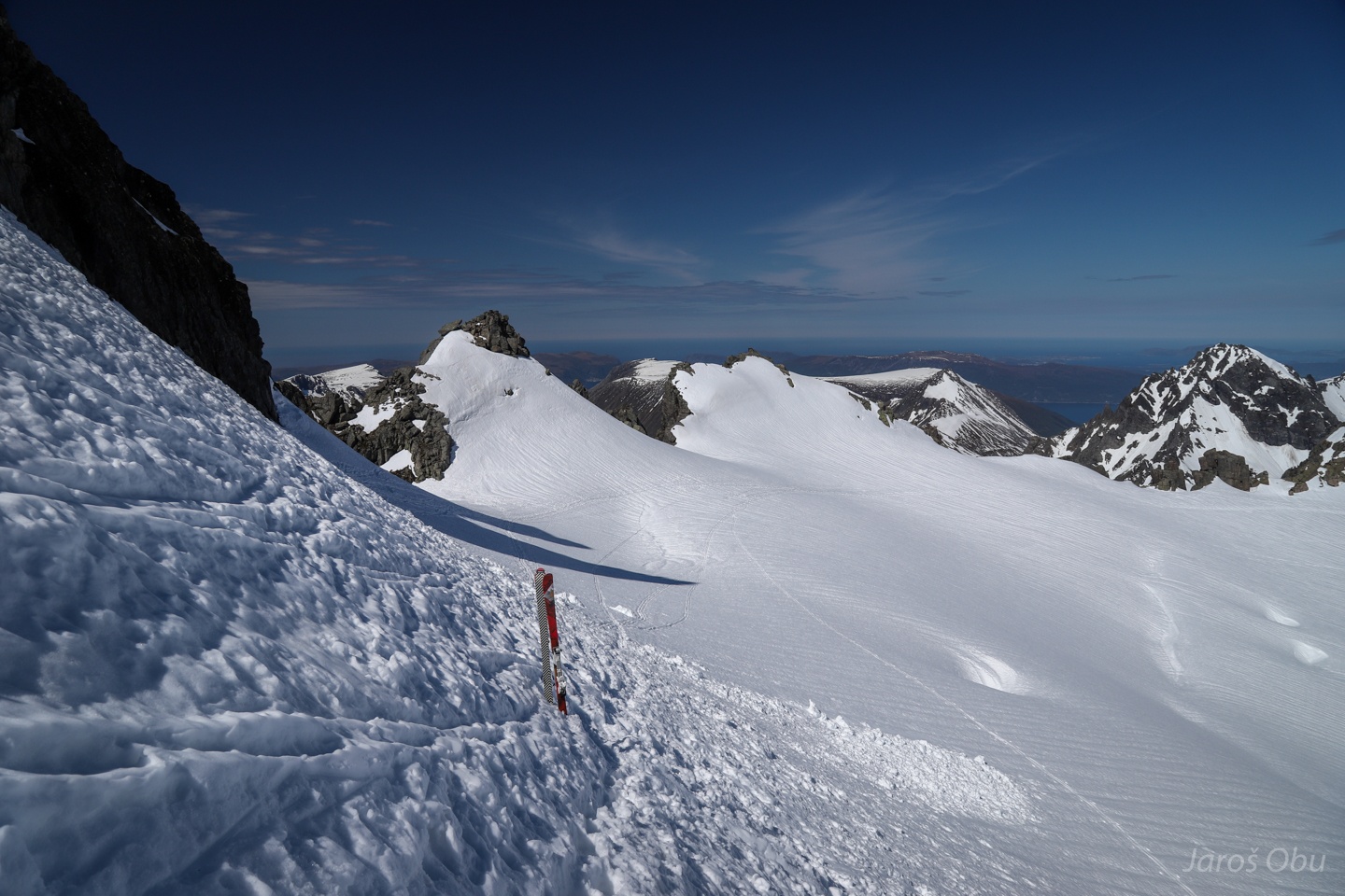
The last part with more gentle gradient on a glacier.
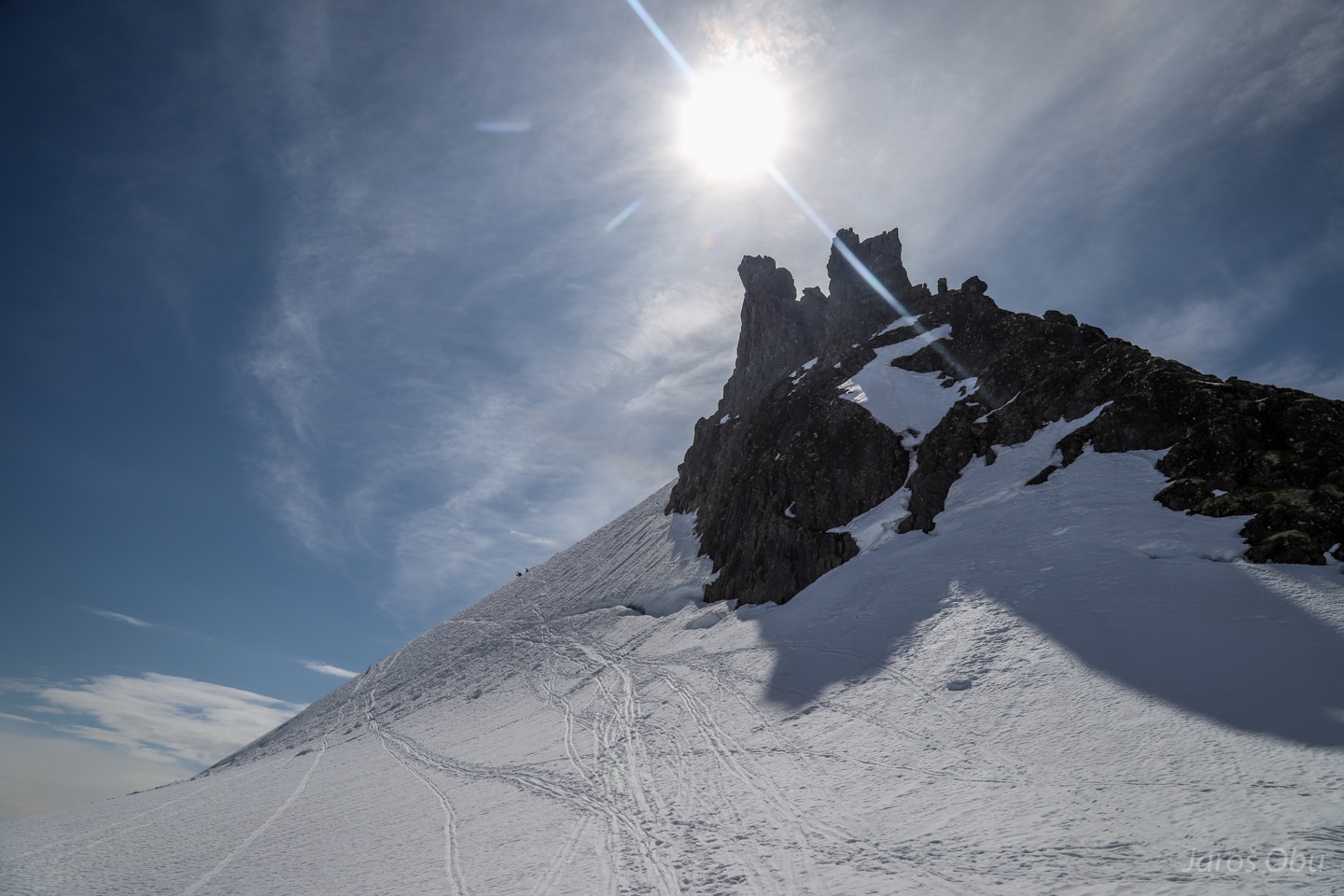
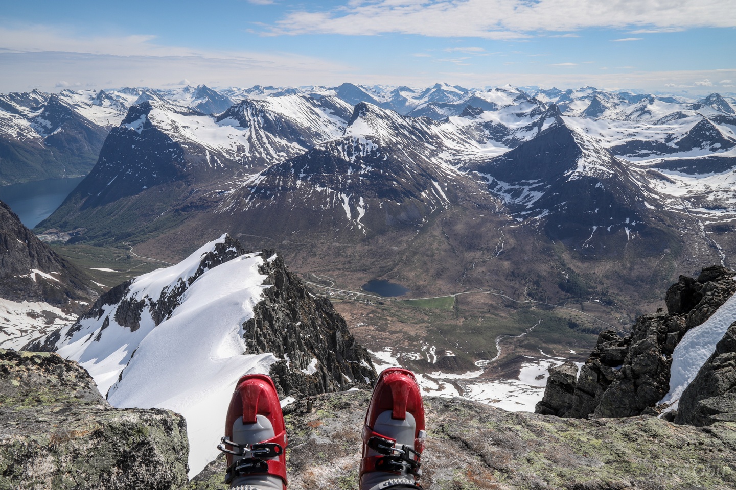
Kolåstinden (1432 m), which is the highest peak in this area, was the goal of this day.
...
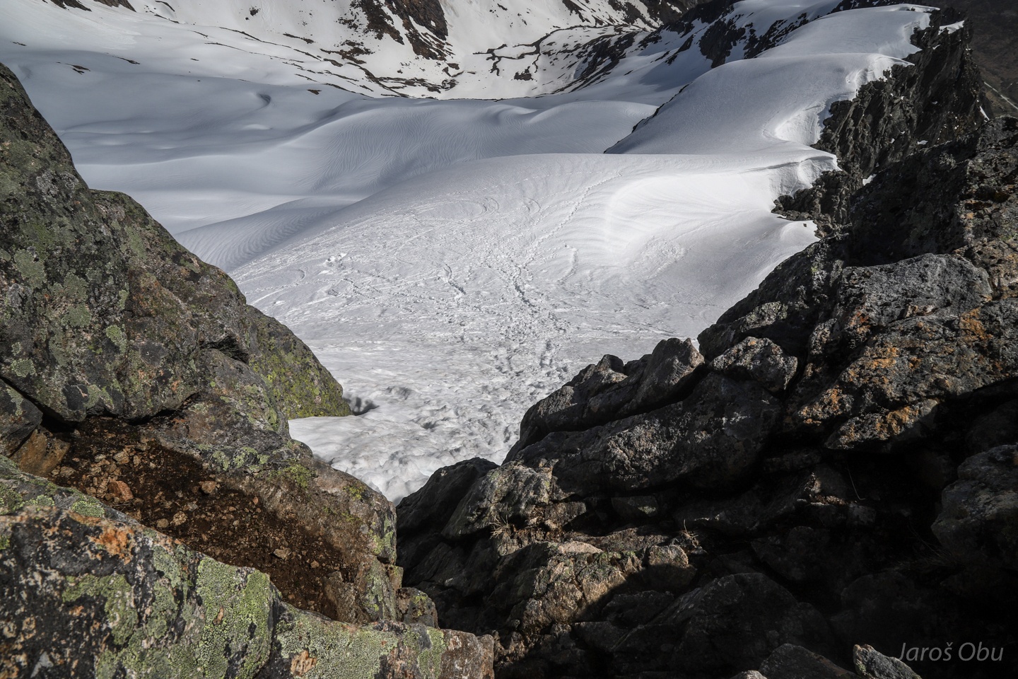
Traversing the last few meters over the fissures on skis.
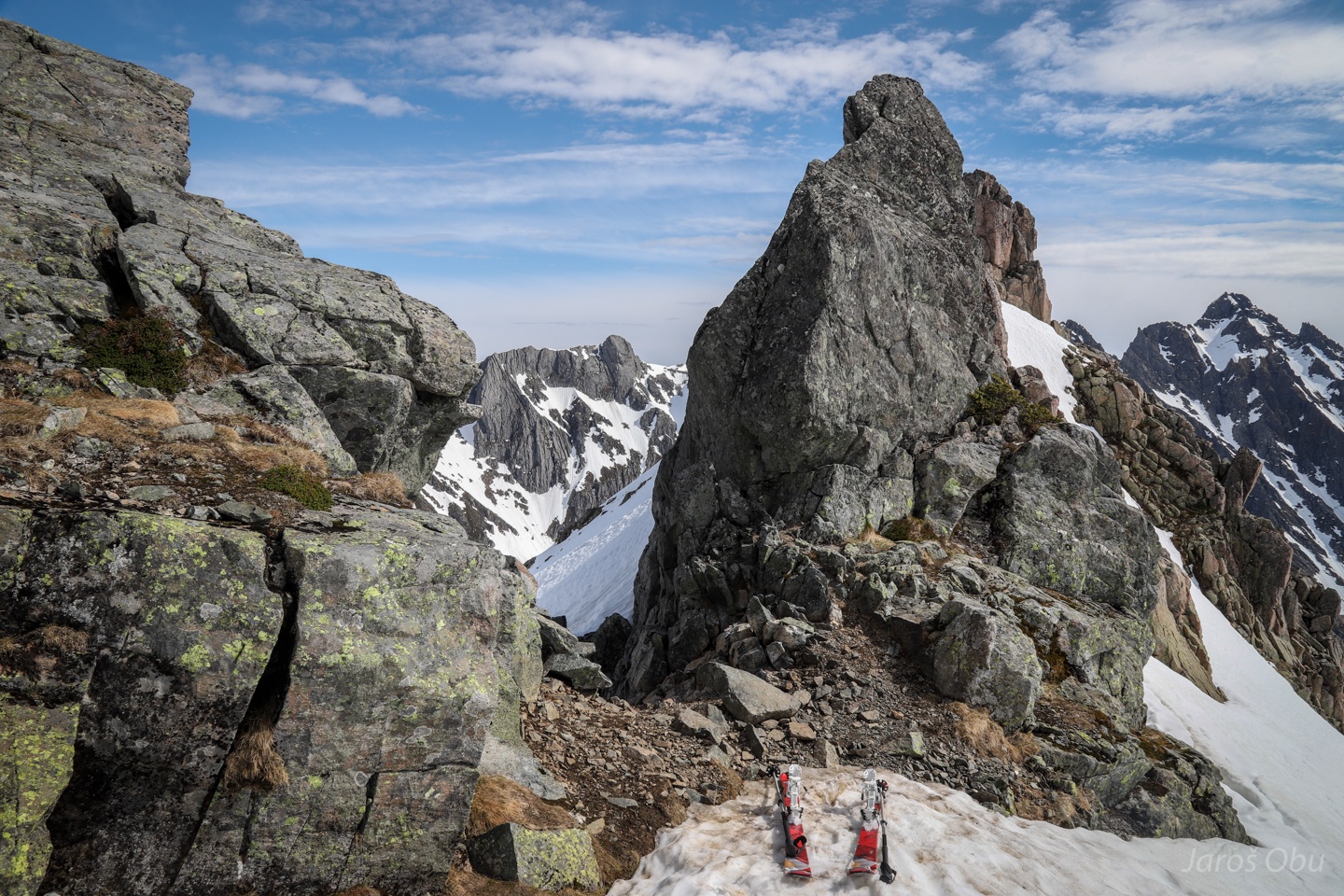
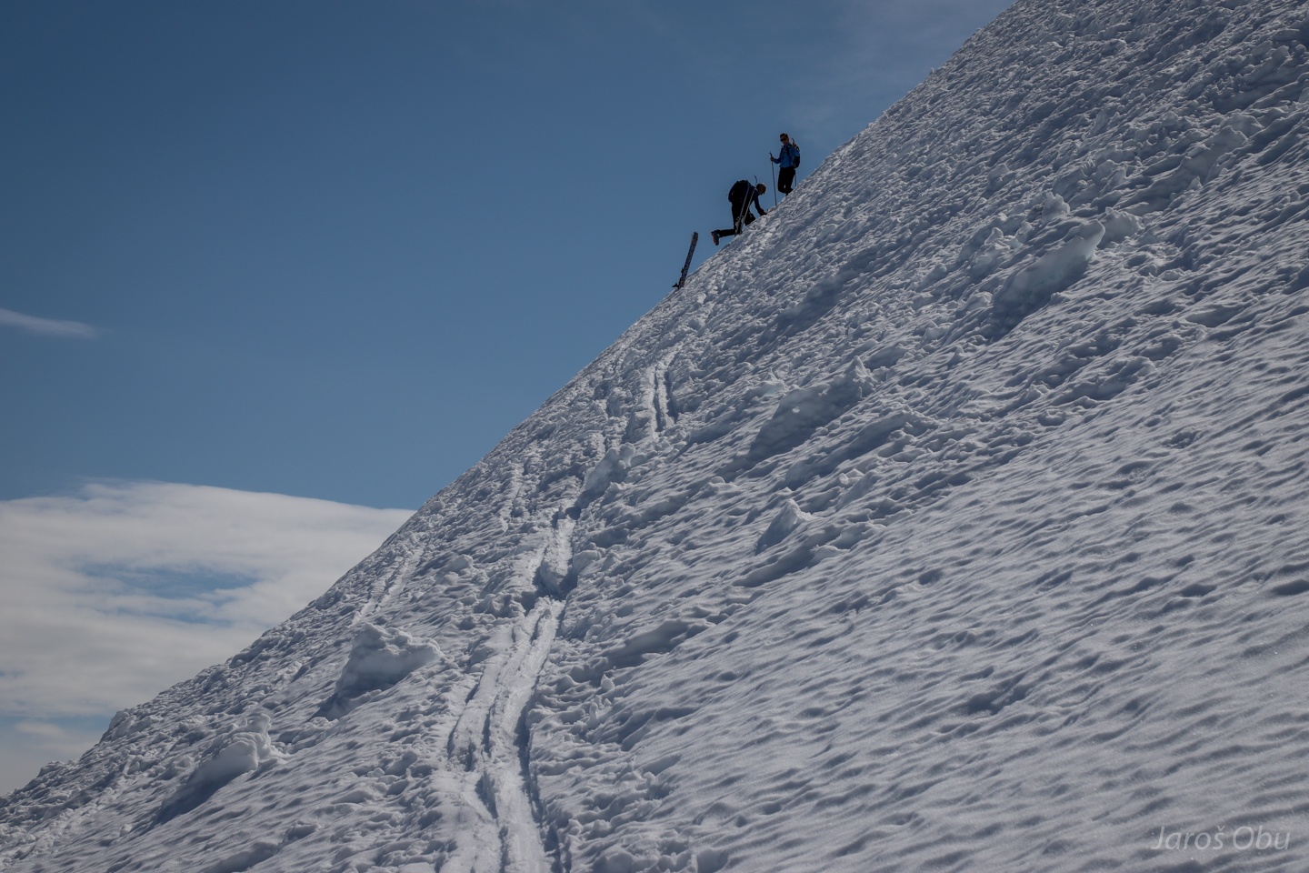
And the continuing on foot to the steepest part of the trip.
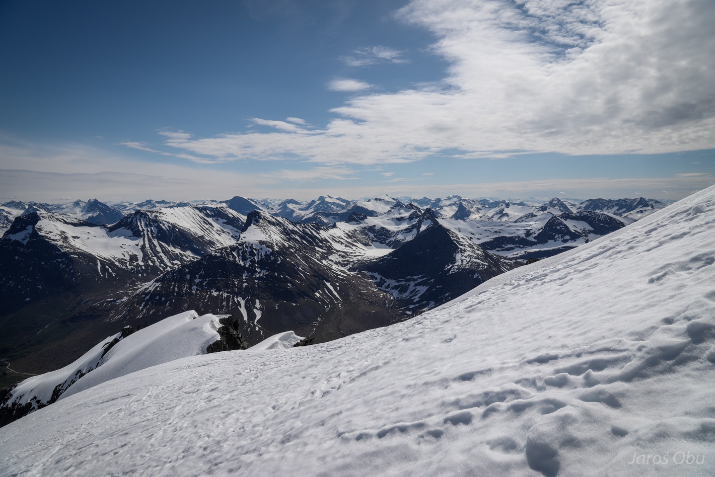
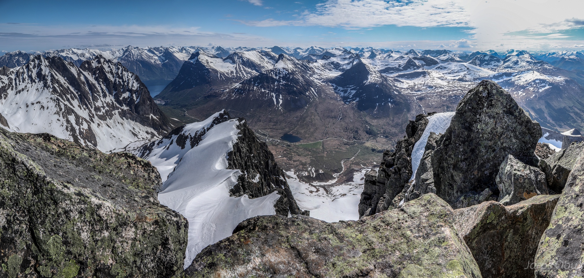
A nice view on Sunnmøre Alps opens up on the ridge.
The last stretch.
From above after some easy rock climbing.
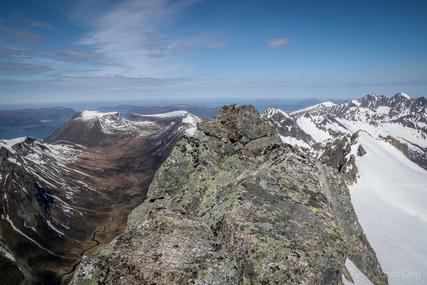
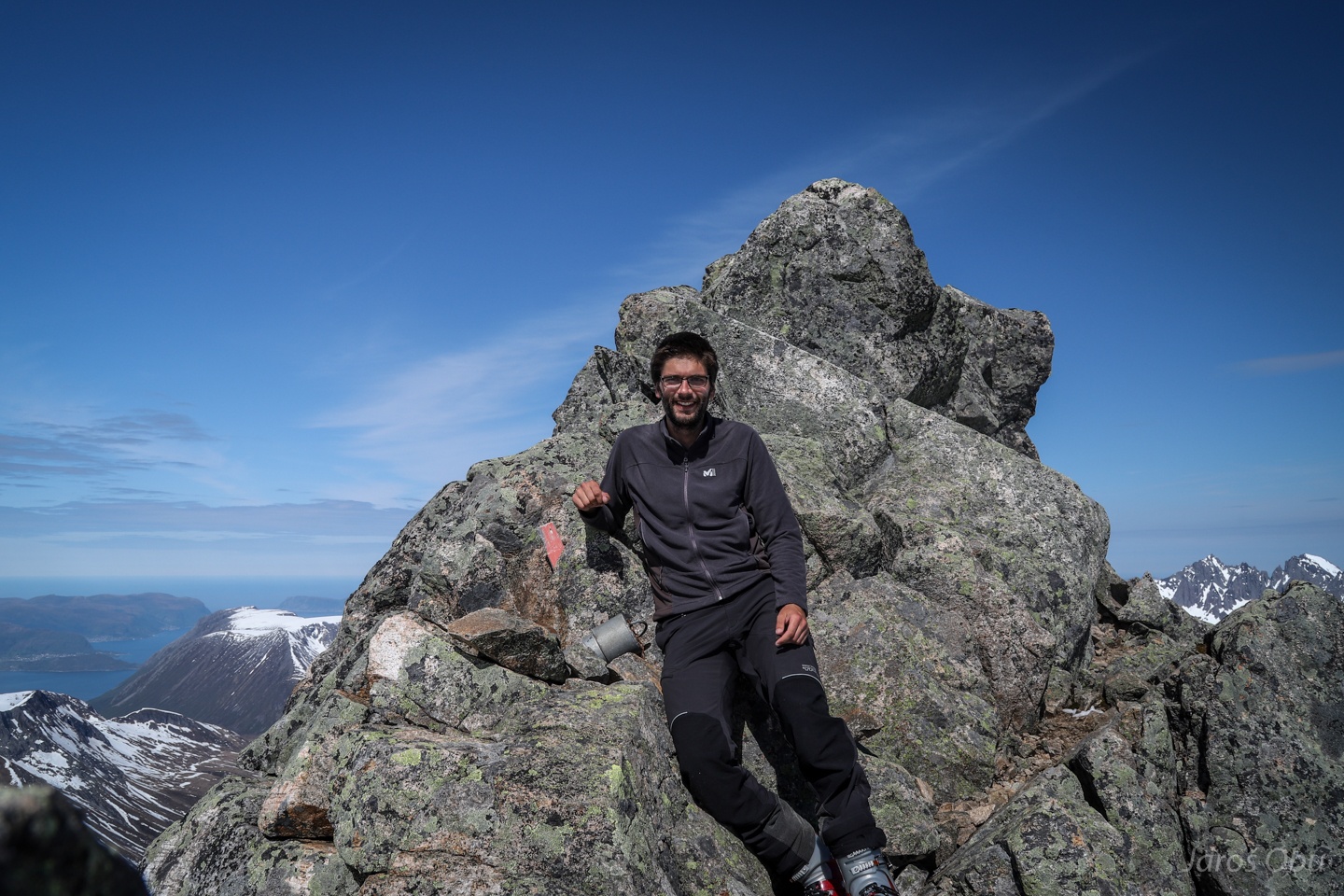
The peak of Kolåstinden.
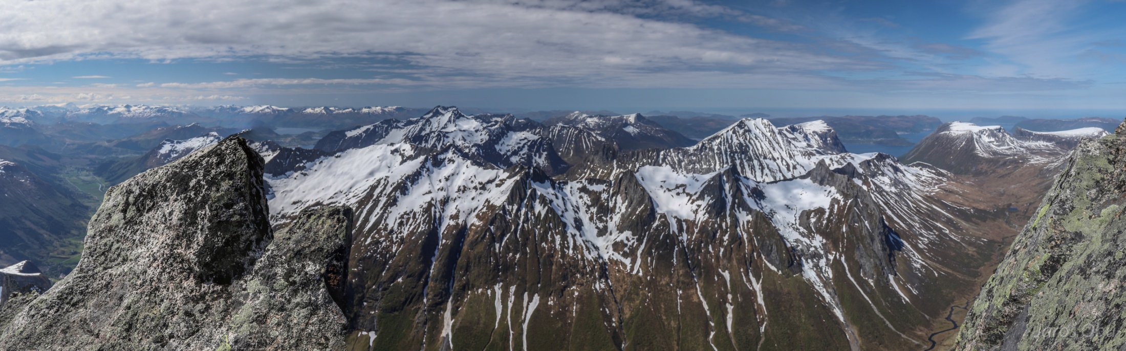
Panorama from the top towards the west. Høgehornet Ridge and Saudehornet in the distance.
Romedal
Klovekinn. Ålesund in the distance somewhere behind the mountains.
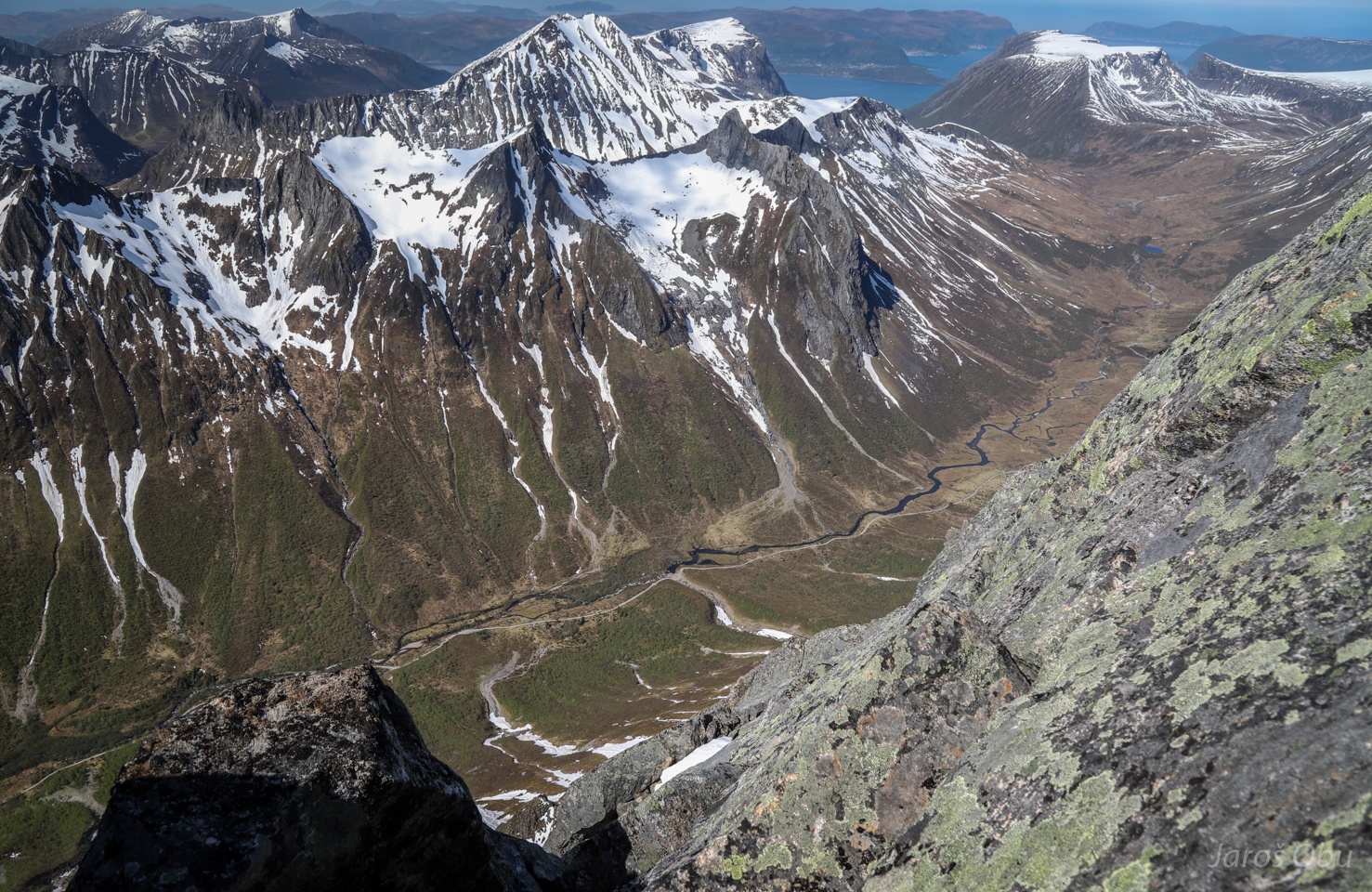
Panorama towards the south. Standaldalen and Sylvkallen, Nonshornet and Kopphornet above it. Sunmøre is one of the few regions in Southern Norway with apline-like peaks.
Content Slovene on the top.
Back by the skis.
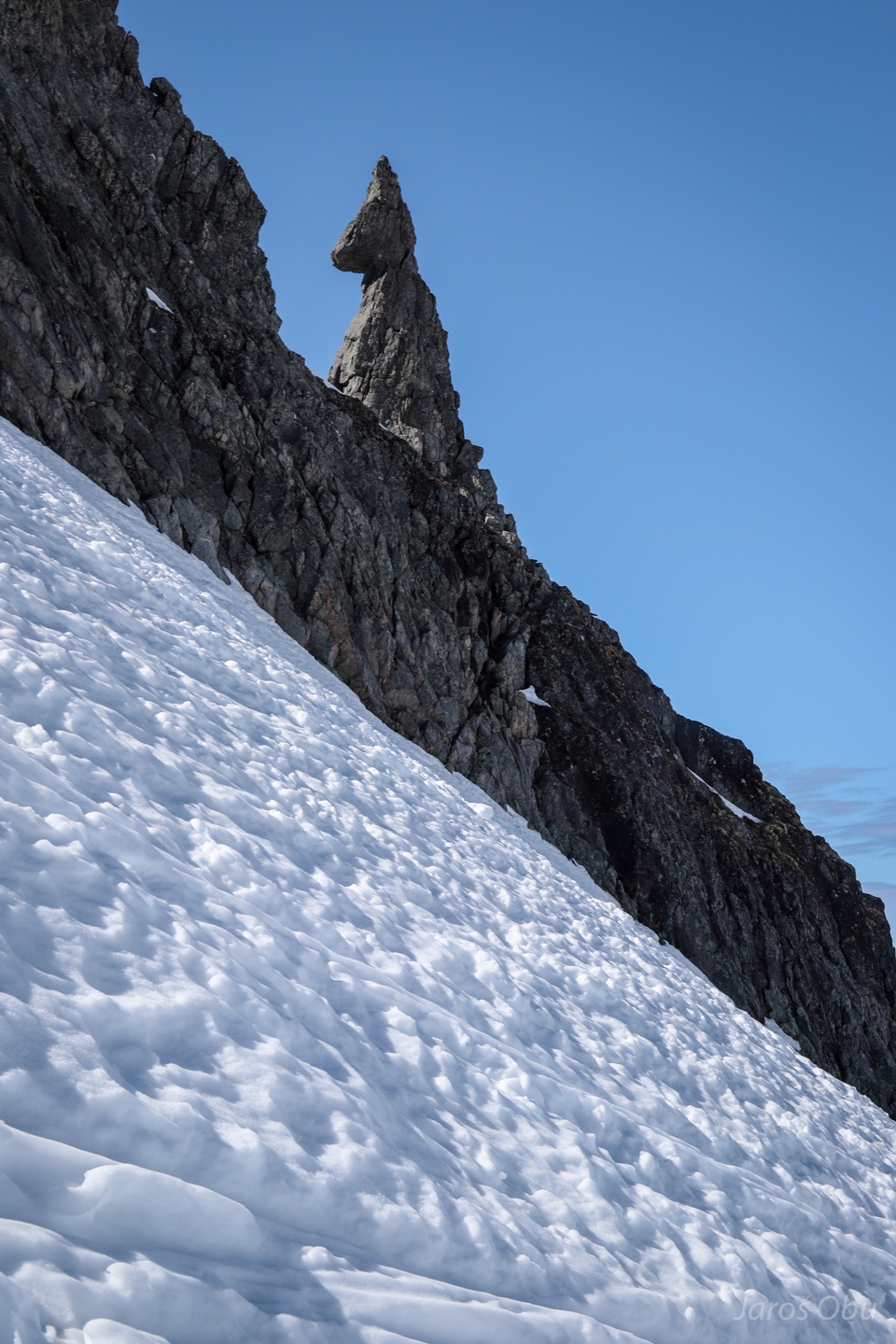
An interesting pinnacle in shape of bunny/donkey/horse/unicorn.
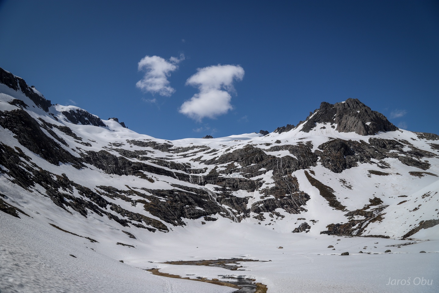
Back in Kvanndalen where water started to flow in waterfalls. Kolåstinden on the left.
Skiing on a frozen mountain water was followed by a swimming in liquid water of Standalvatnet.
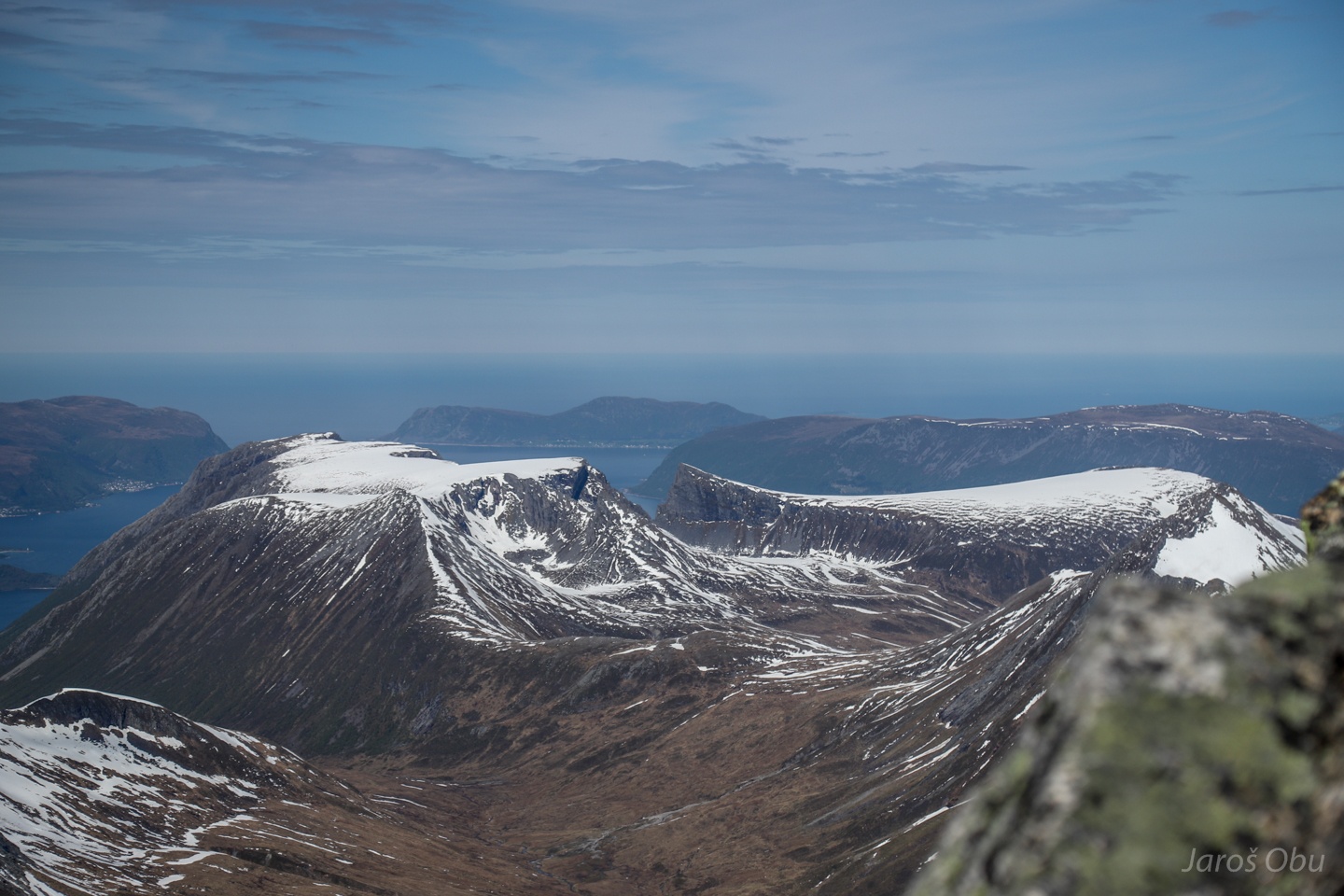
View back on Fingeren and Kolåstinden right of it.
Majestic beech trees can also be found here, although they don't grow naturally north of 60 °N
Kolåstinden from Follestad Valley.
Triangular-shaped landslide on Grøthornet.
Bondalen
Oh, what a lovely hay bale.
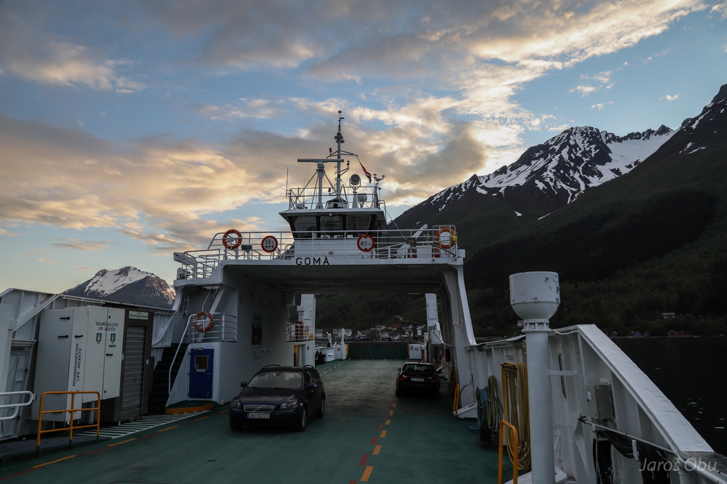
Wasting two hours in Hustadneset while waiting for a ferry in Sæbø.
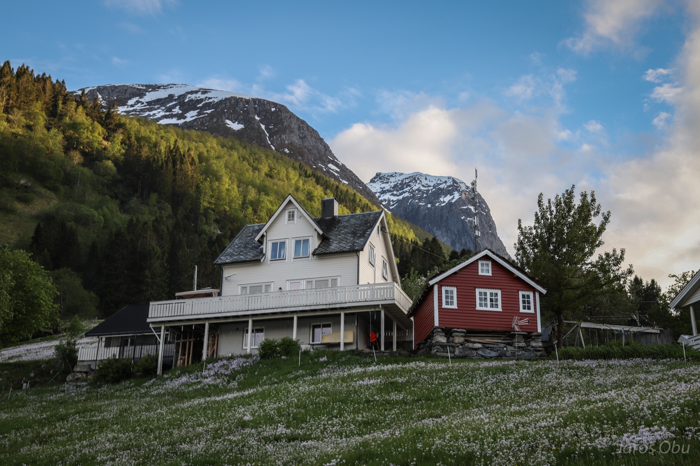
Houses and cabins with a nice view on ...
... Hjørundfjorden
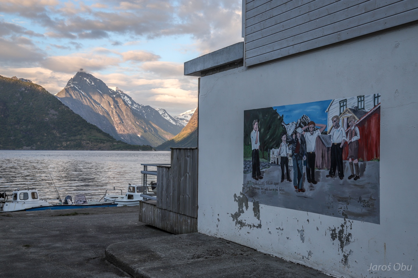
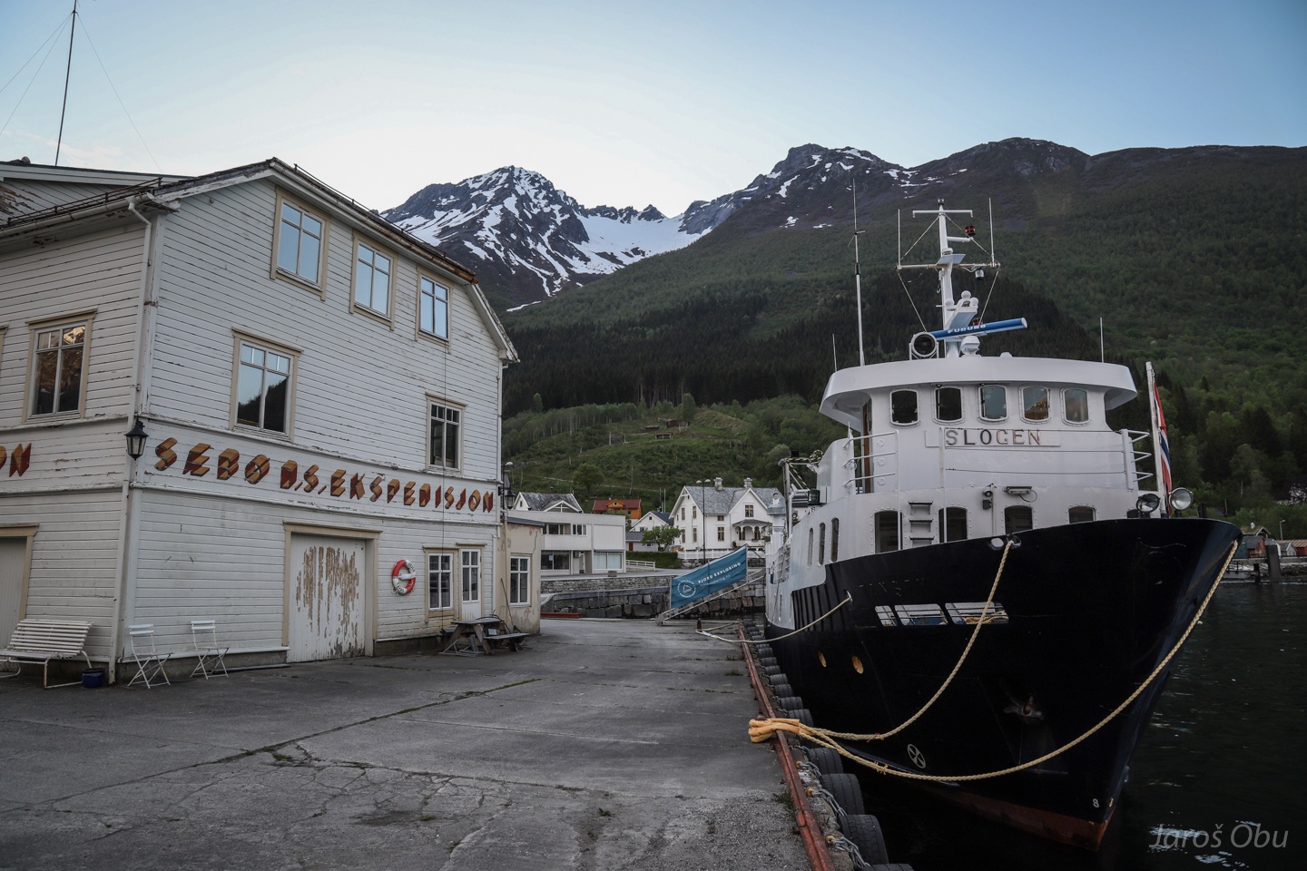
Wall painting in Sæbø.
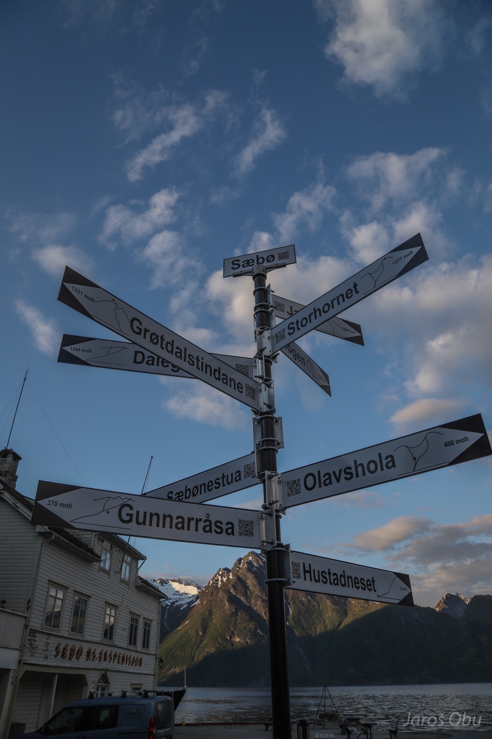
A signpost to many peaks around.
Slogen Ship and Dalegubben Mountain.
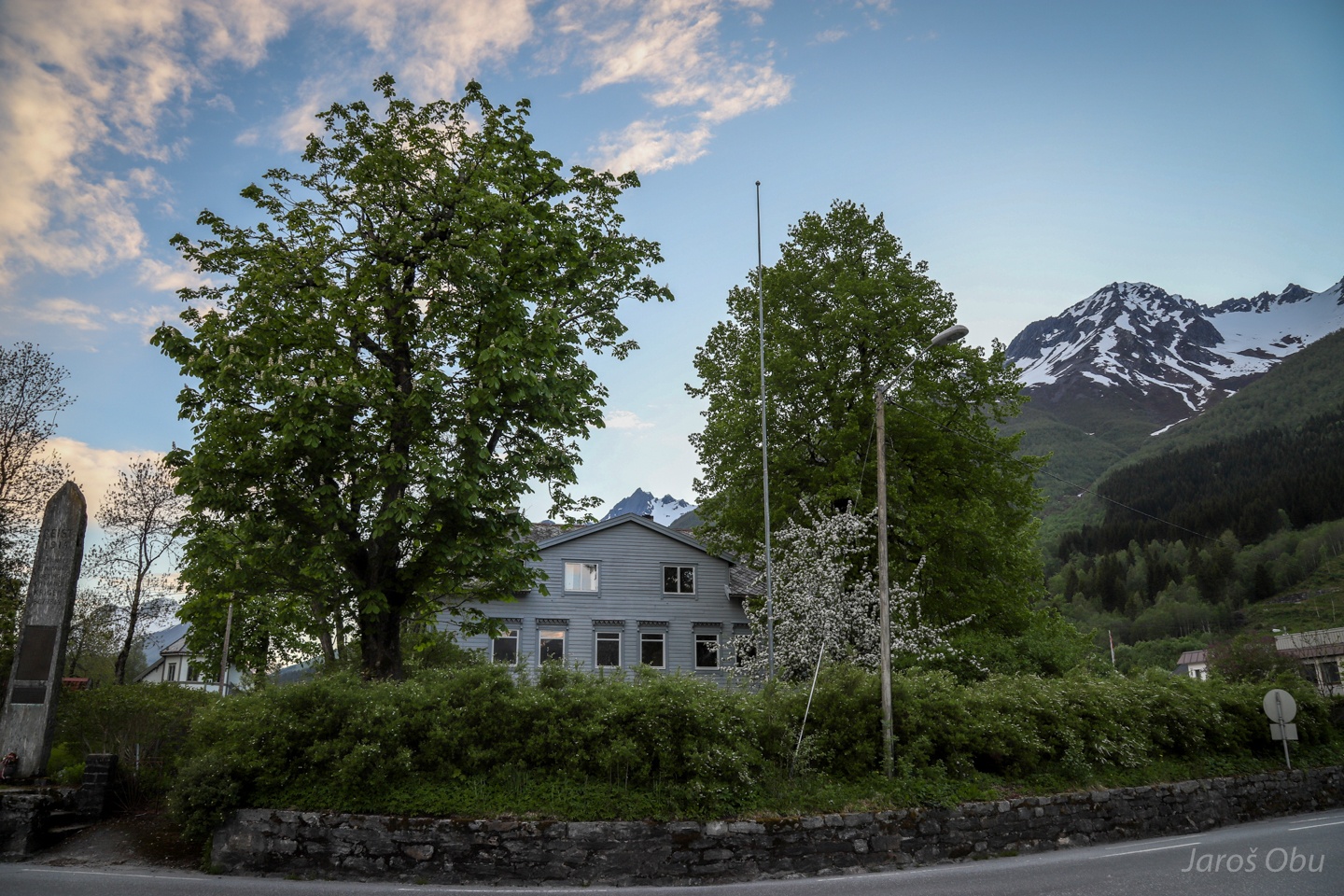
Spring in the fjords ...
The only passenger on the ferry to Leknes.
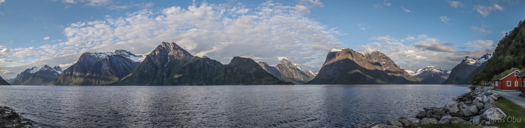
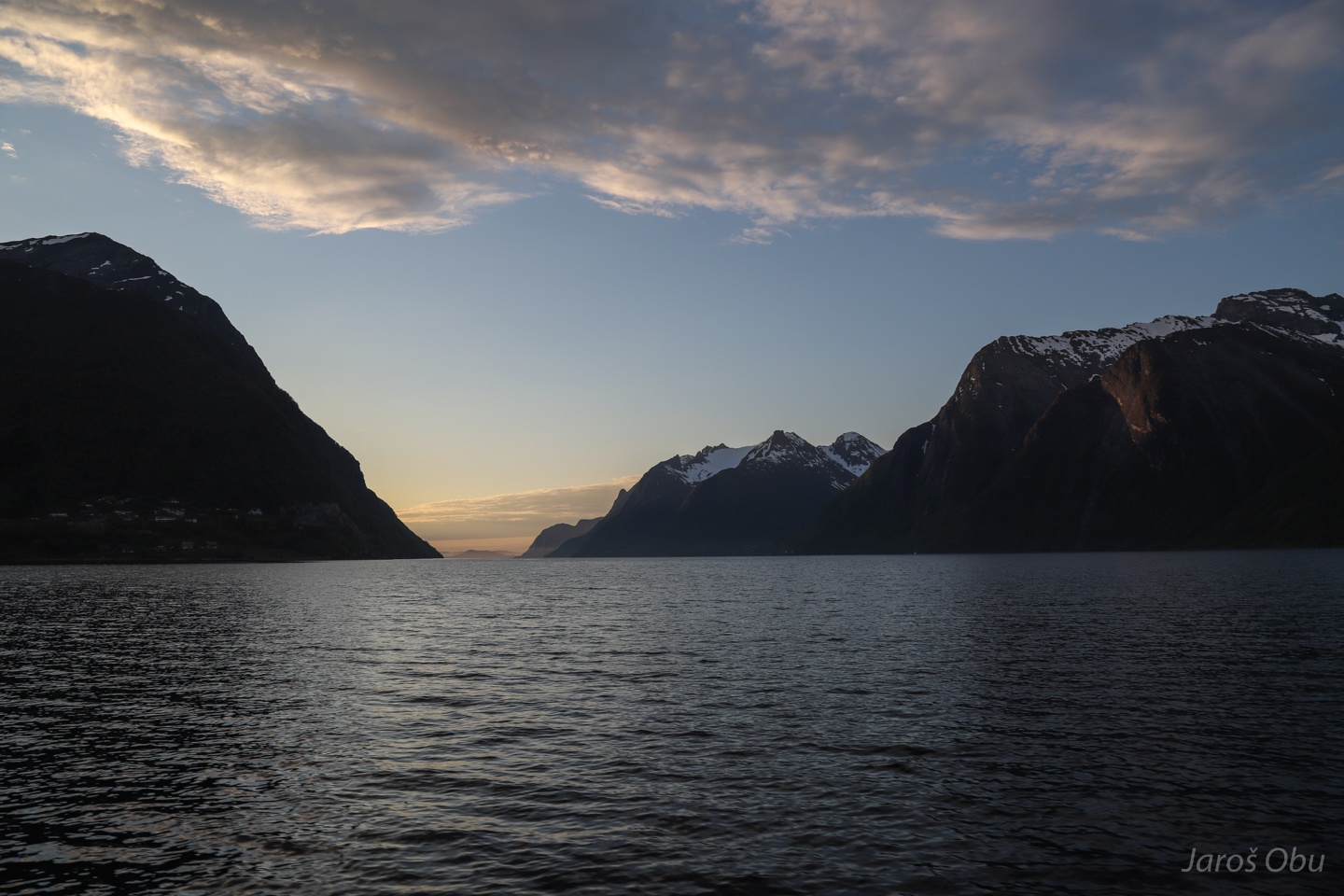
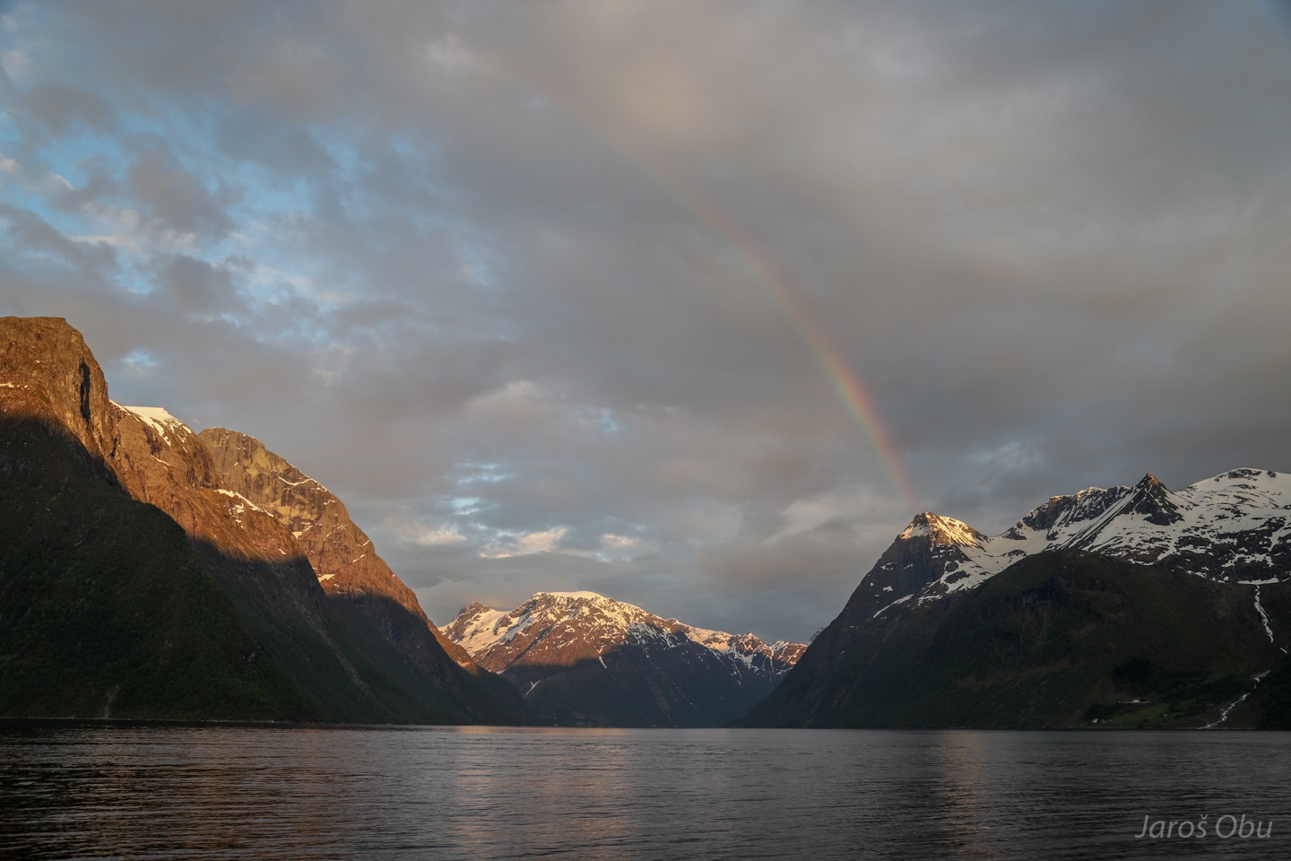
Hjørundfjorden towards the north.
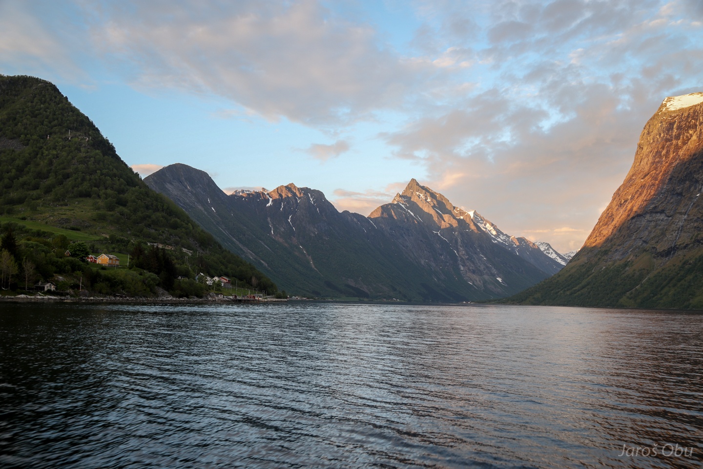
Storfjorden towards the south.
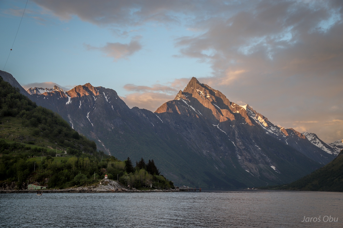
And Norangsfjorden in the front.
With a "holy mountain" of Slogen (1564 m).
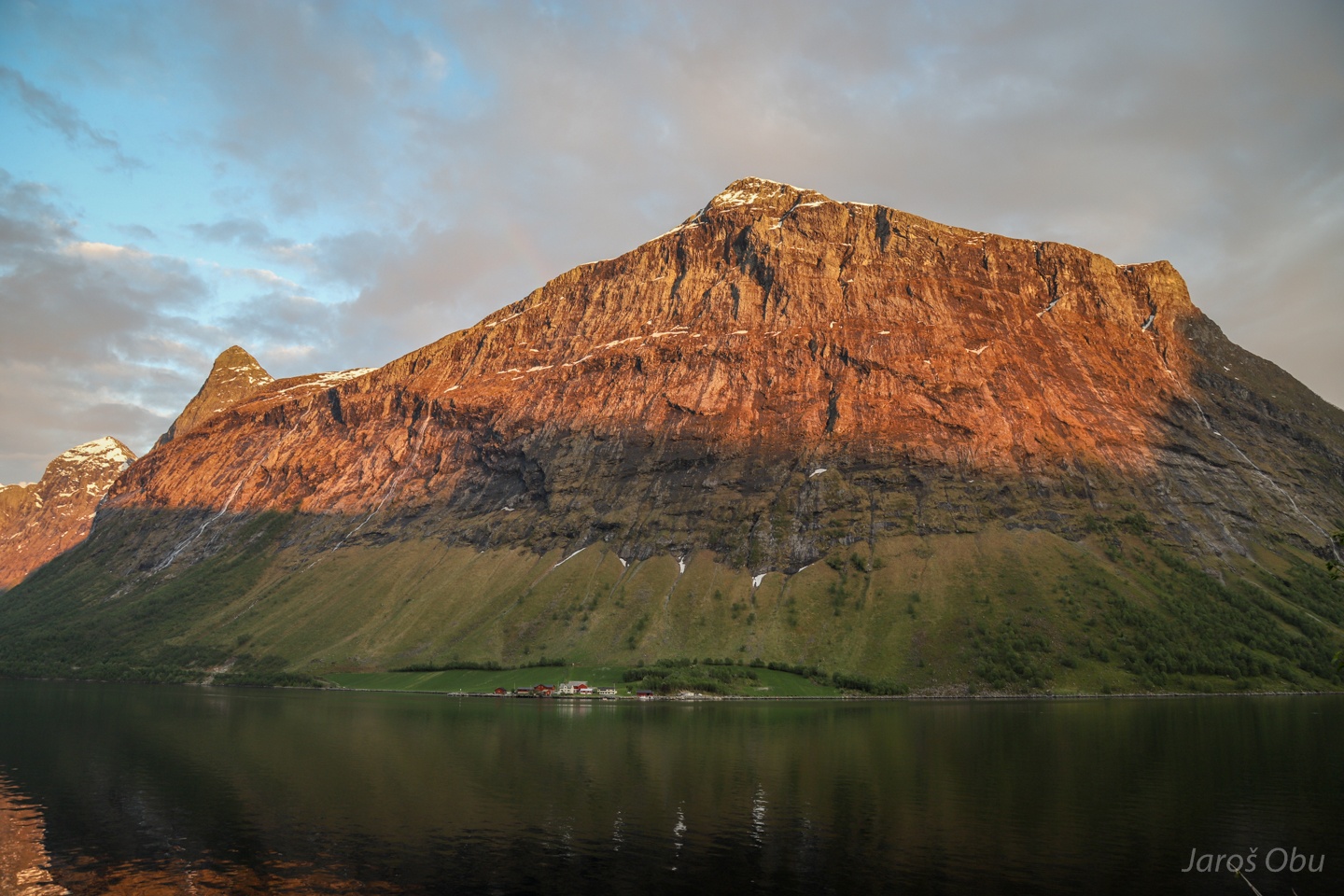
Stålberghornet with alpenglow.
Norangsfjorden from the land.
And together with the Maude settlement.
The fjord as seen from its end in Øye.
Konehornet with waterfall and alpenglow.
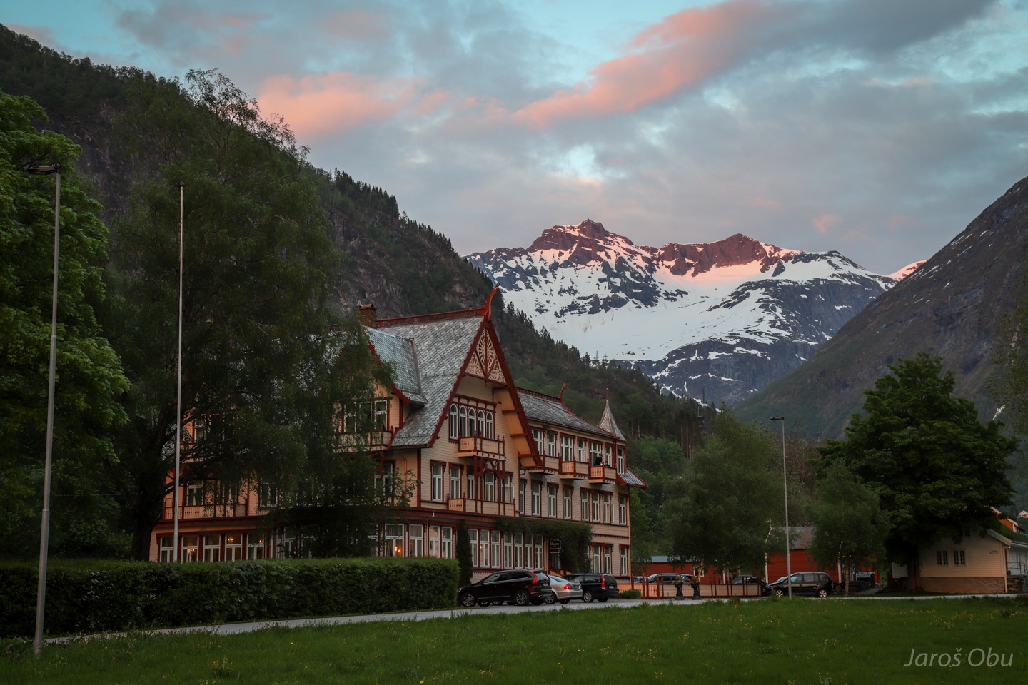
A fancy Hotel Union in Øye, built in 1891.
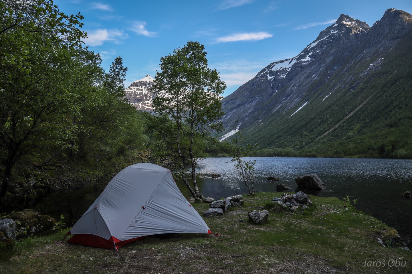
A less fancy tent built in 2019 at Lygnstøylvatnet up the Norangsdalen Valley.
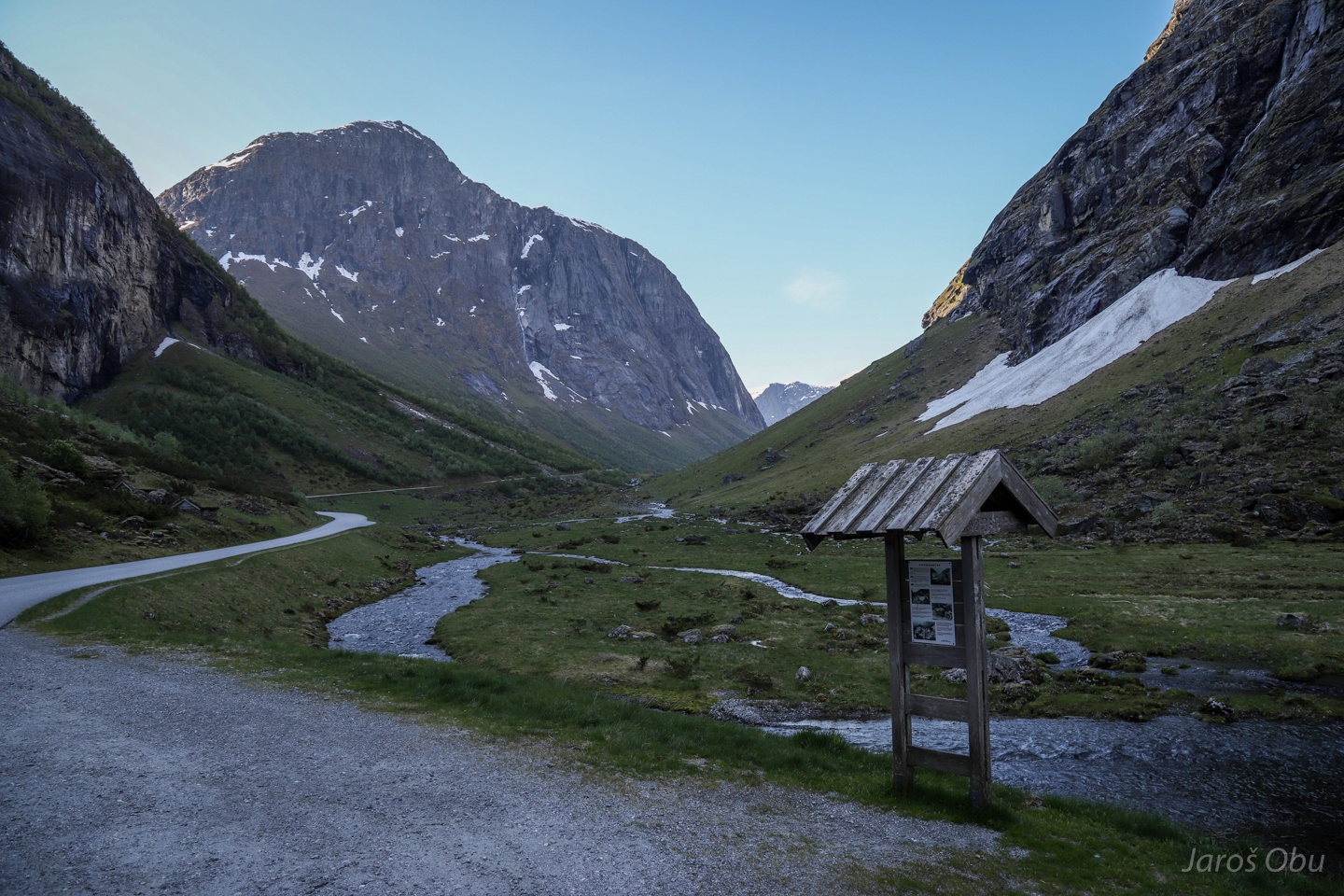
Up the Norangsdalen next morning before heading back to Oslo.
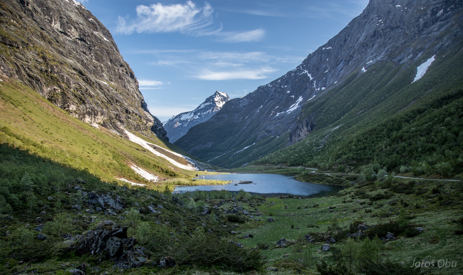
Urasætra and Smørskredtindane (1630 m) in the distance.