© 2024 Jaroš Obu
Photo gallery of Jaroš Obu
Cart
0
Items
Buy now
Laki 8.-9.8. 2019
Friday, 09 August 2019
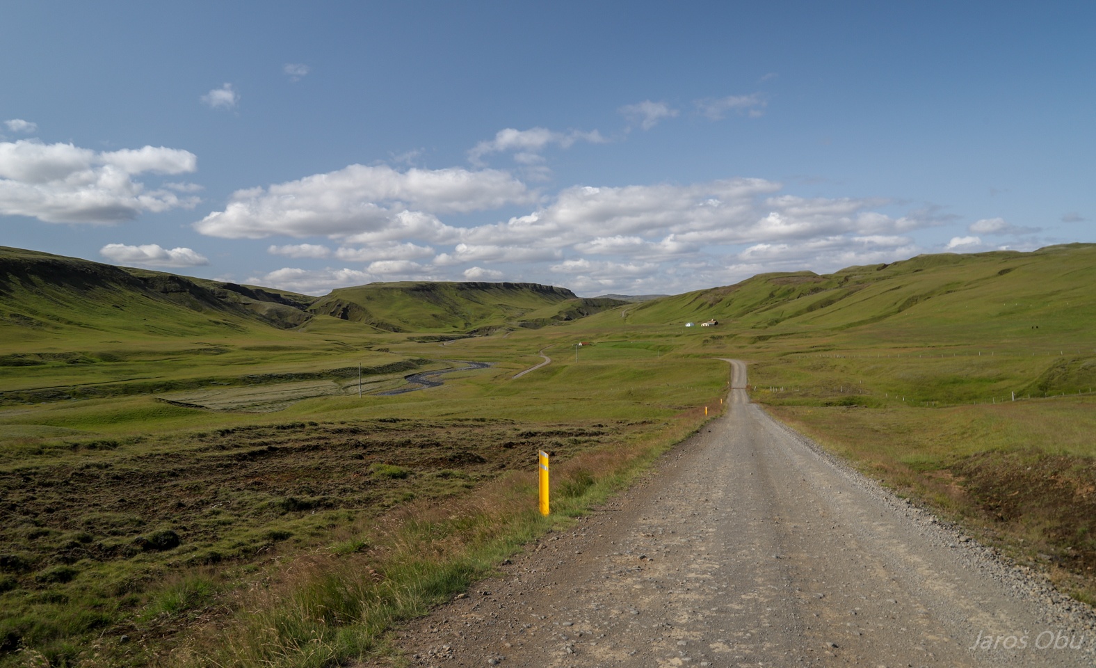
Returning to Highlands after spending few days at the coast. Beginning of the mountain road F206 close to Kirkjubæjarklaustur.
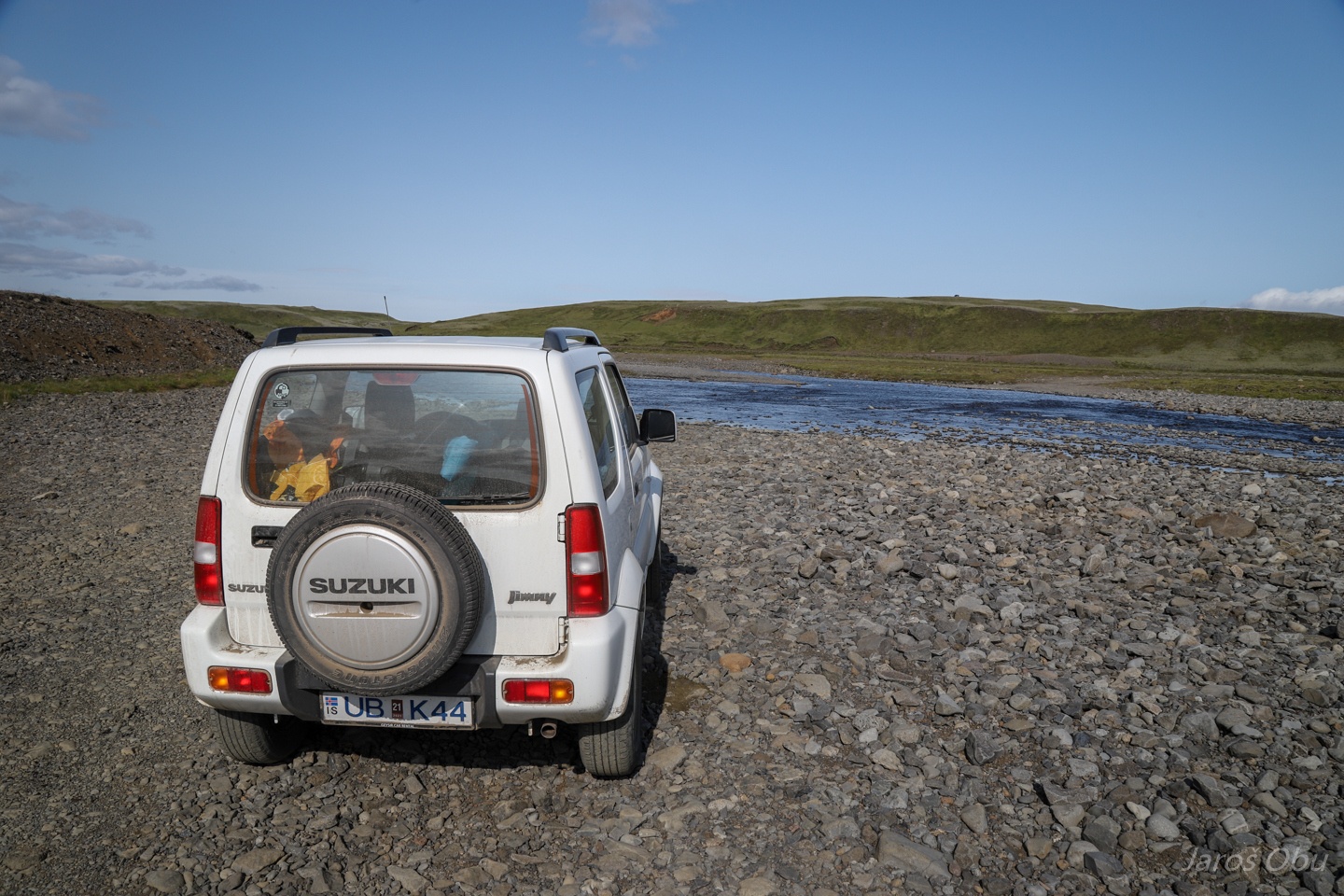
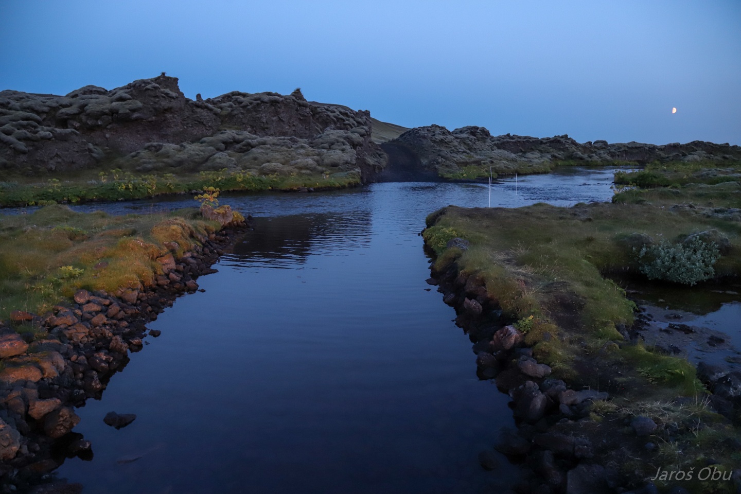
FIrst river to cross was Geirlandsá. The rivers were fairly low due to unusually dry weather.
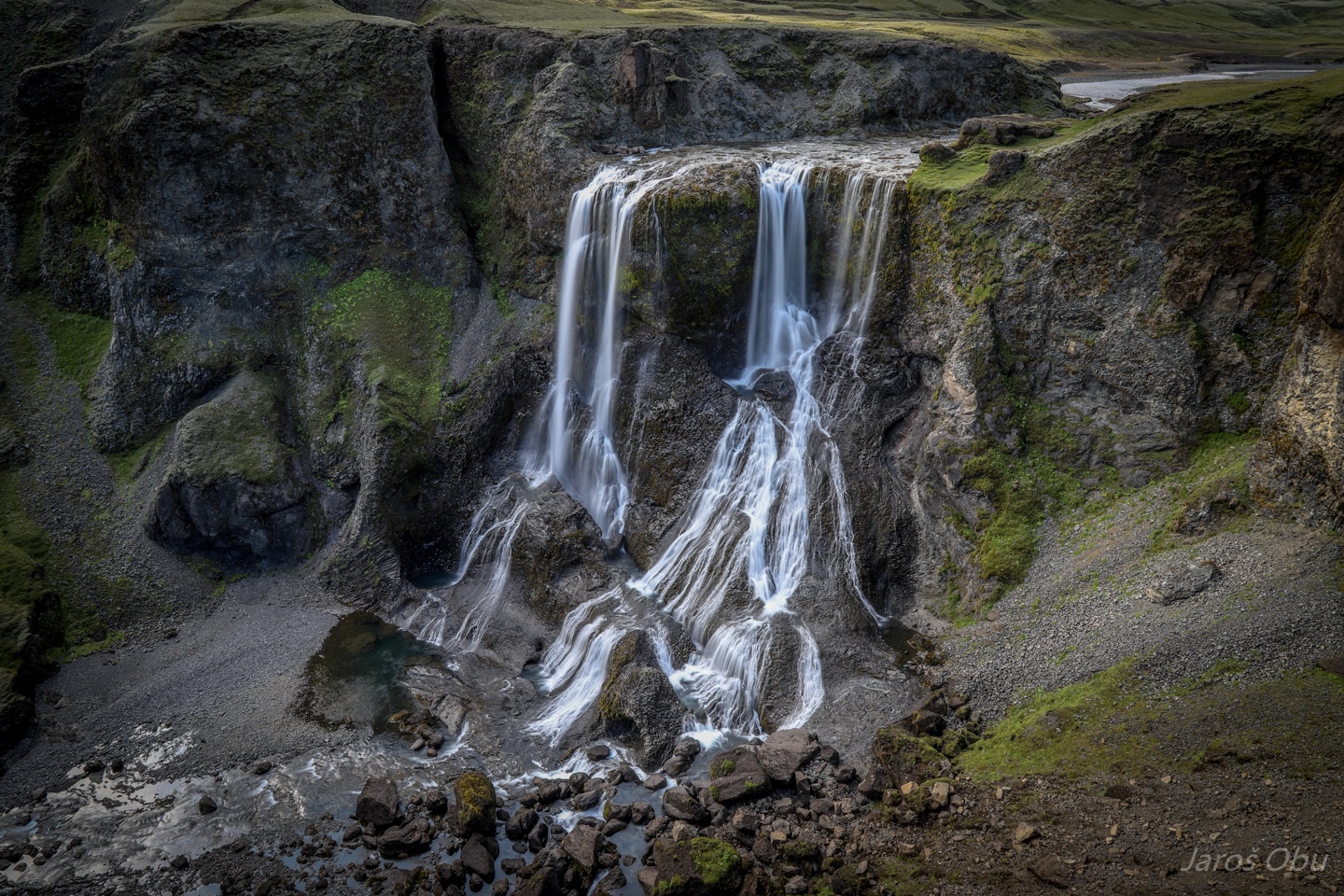
A few 100 m down the stream was Fagrifoss no 3.
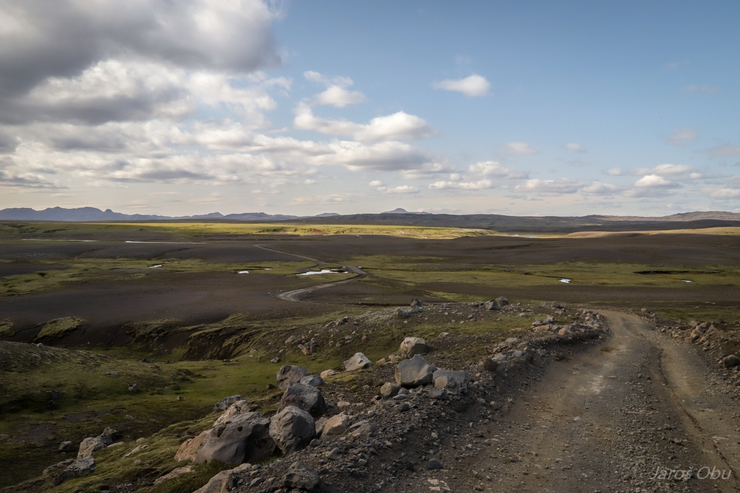
Mostly decent road except for a few stretches as this one behind.
And river crossings that require 4WD.
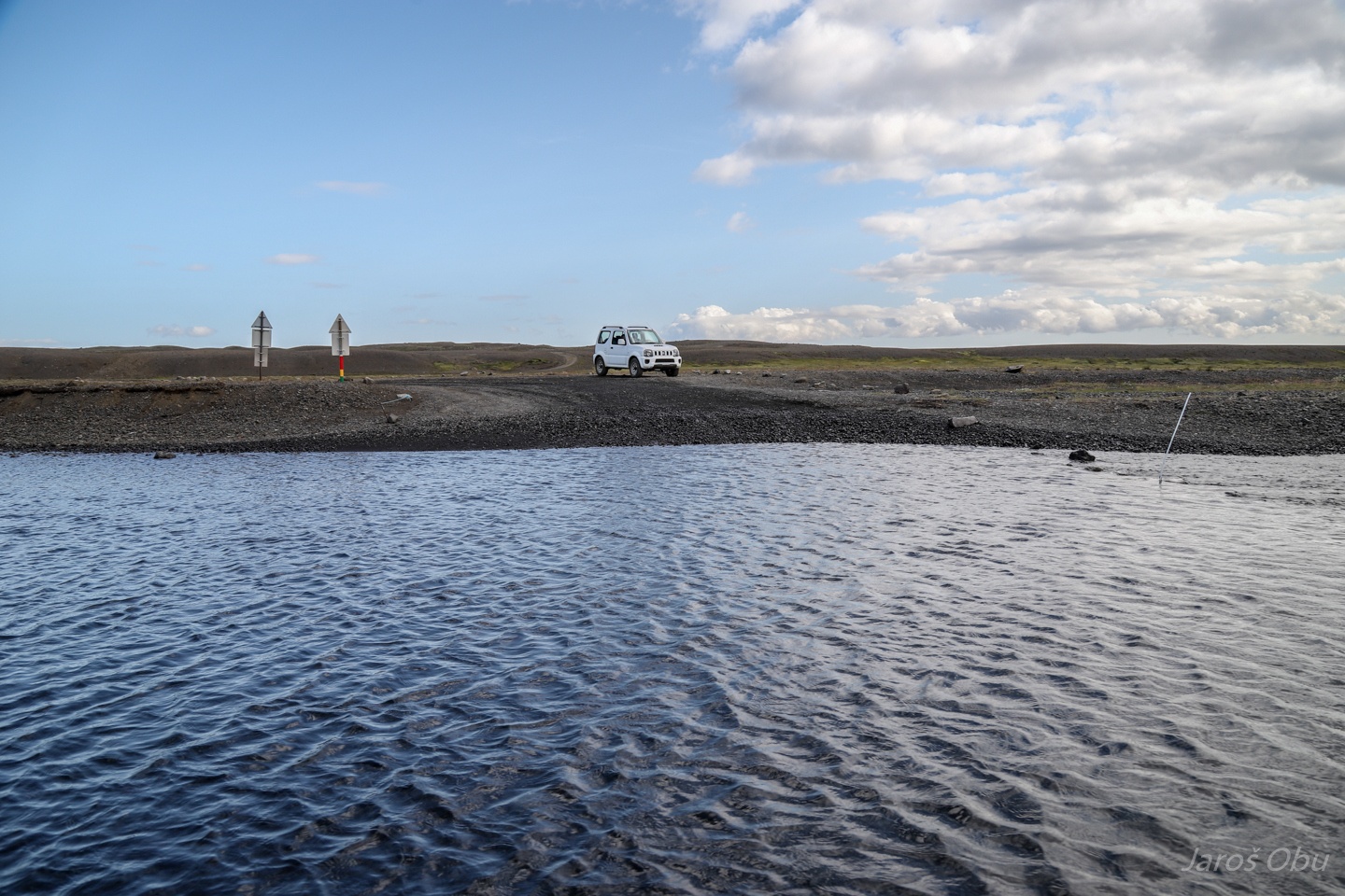
I had to check out water depth myself since there was no car crossing it beforehand.
Somebody comes as soon as I got my feet wet. A video of our crossing: https://vimeo.com/374463967
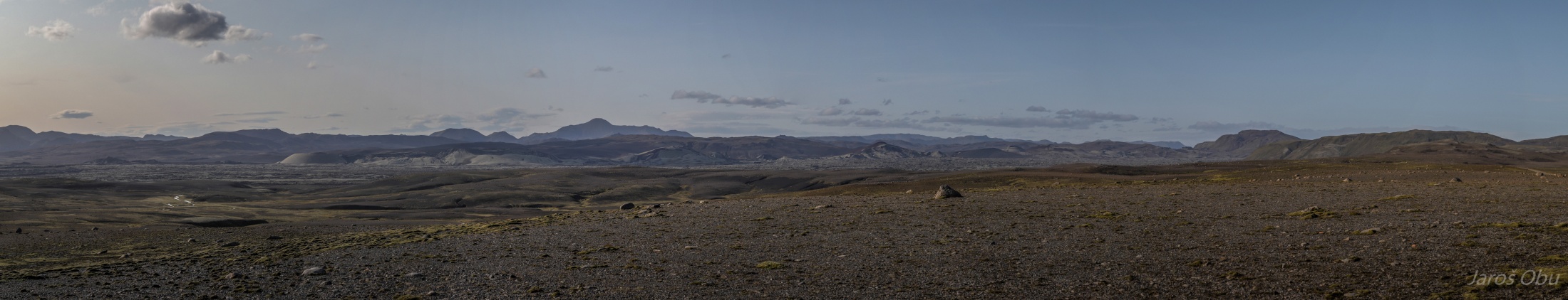
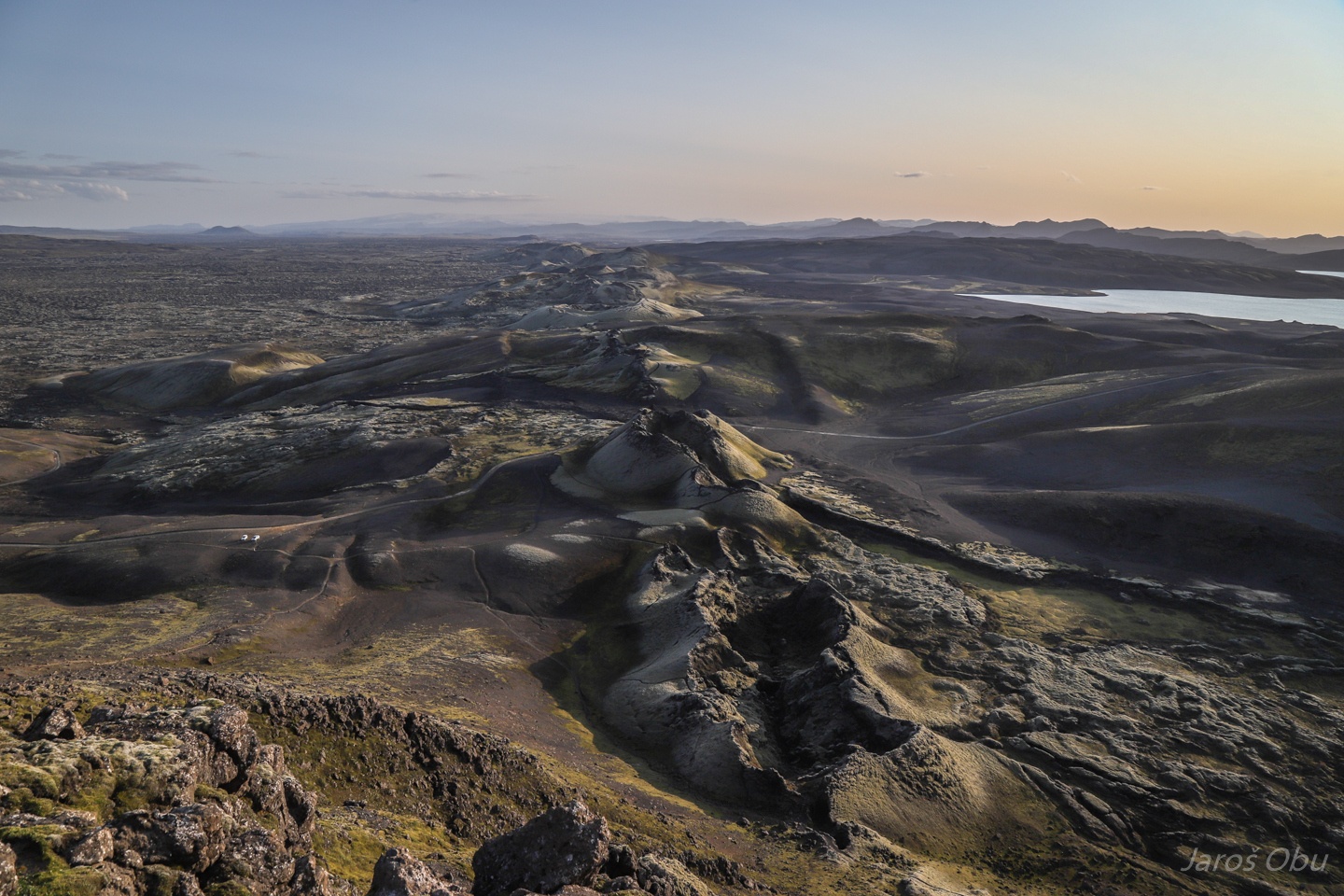
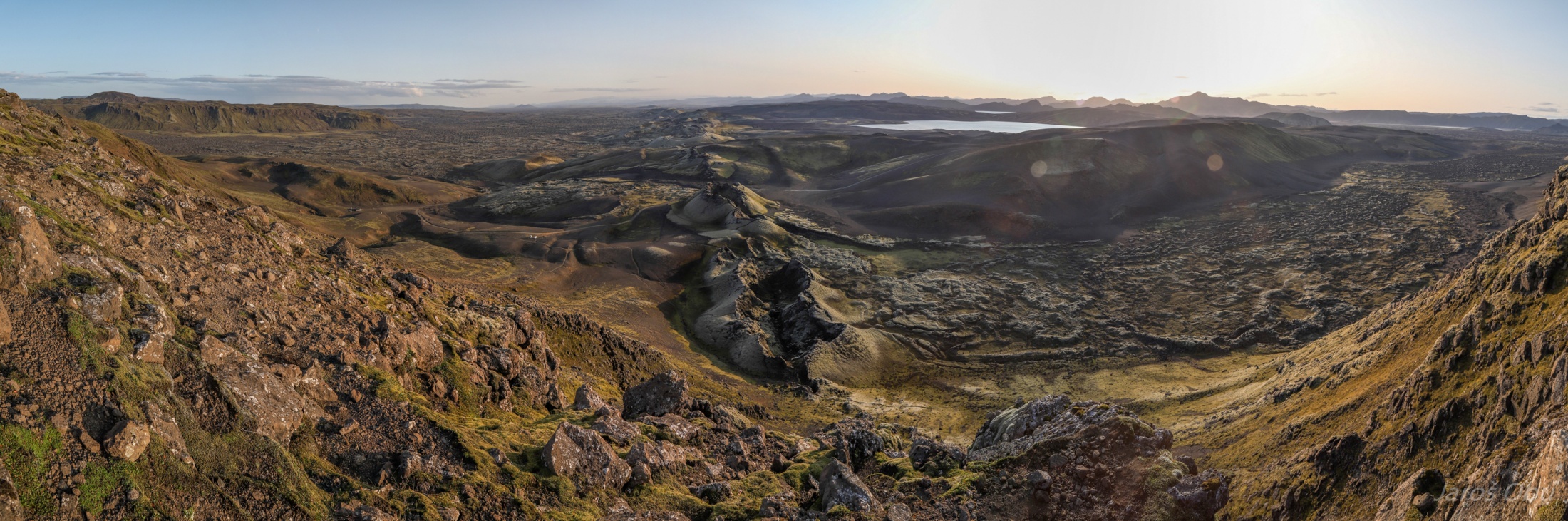
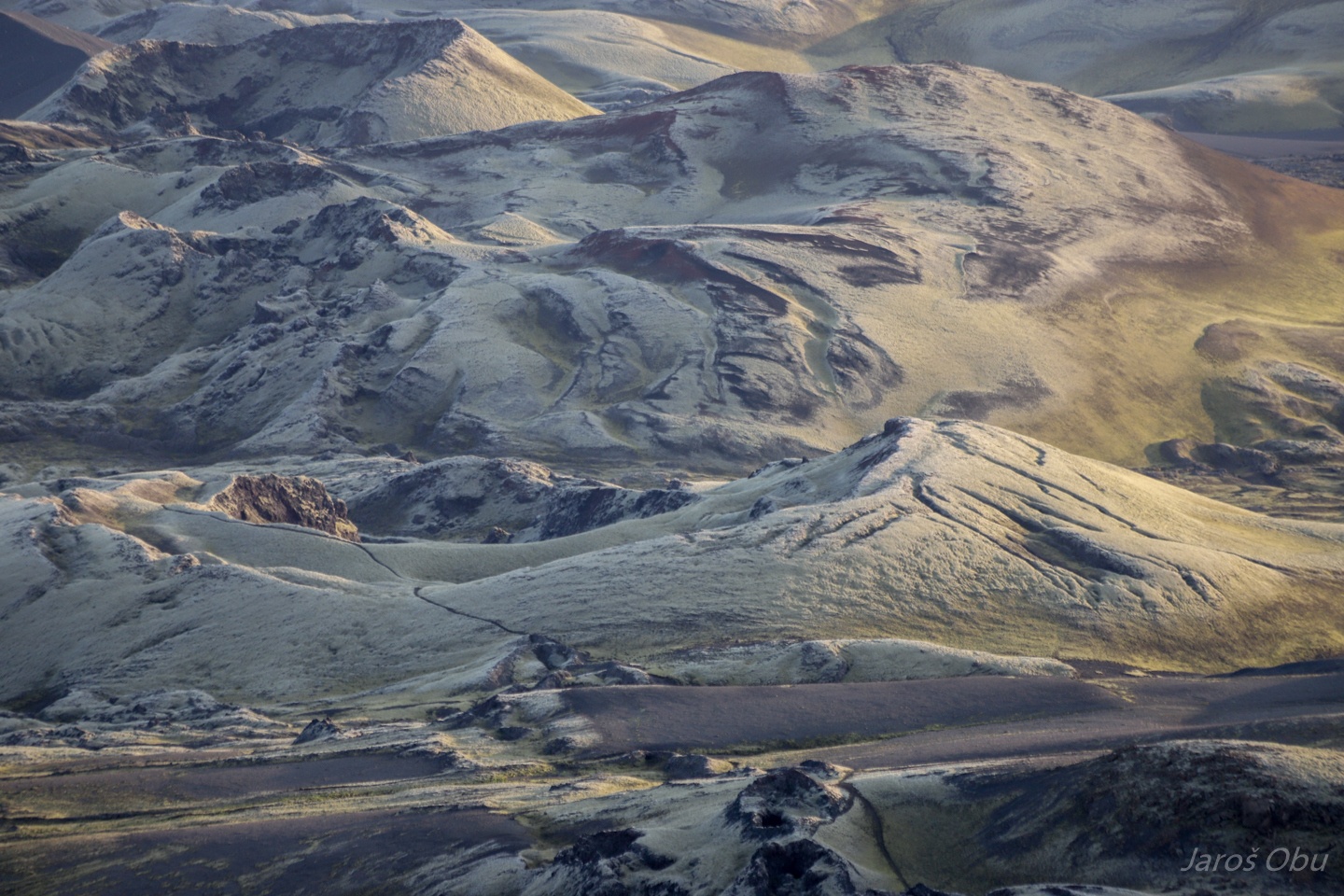
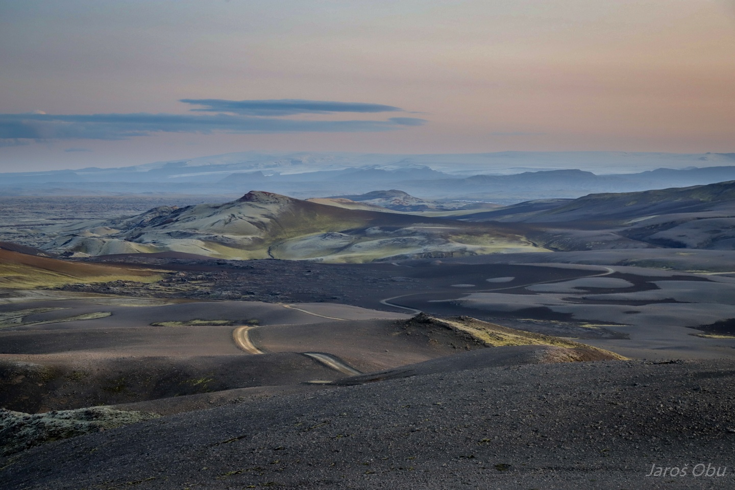
Panorama of Laki craters before entering Varmárdalur.
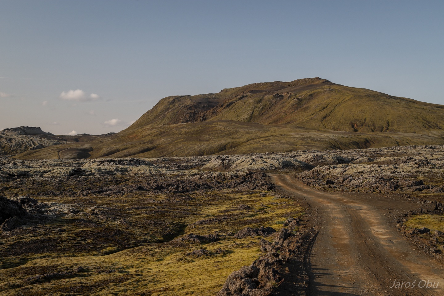
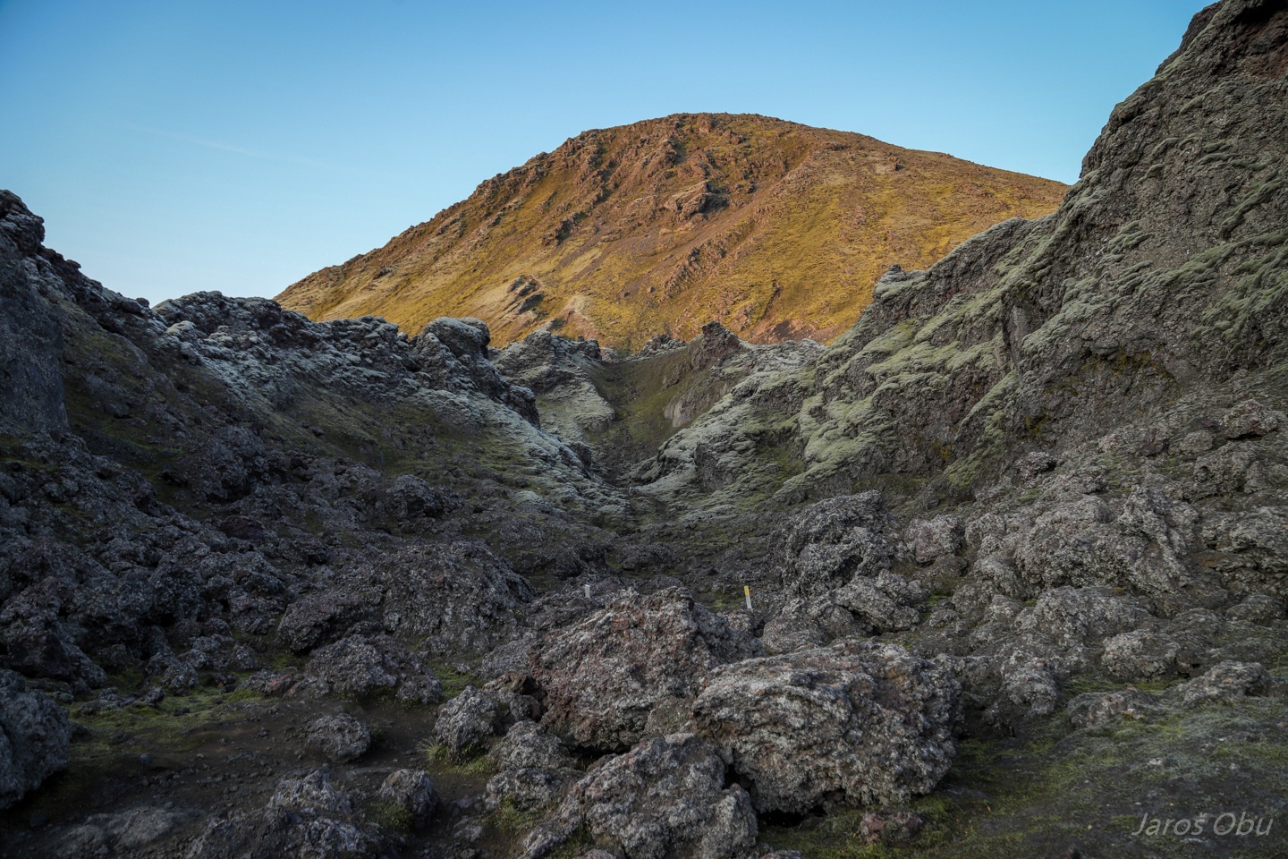
Lava fields inside the valley.
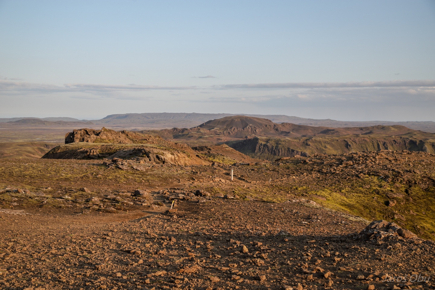
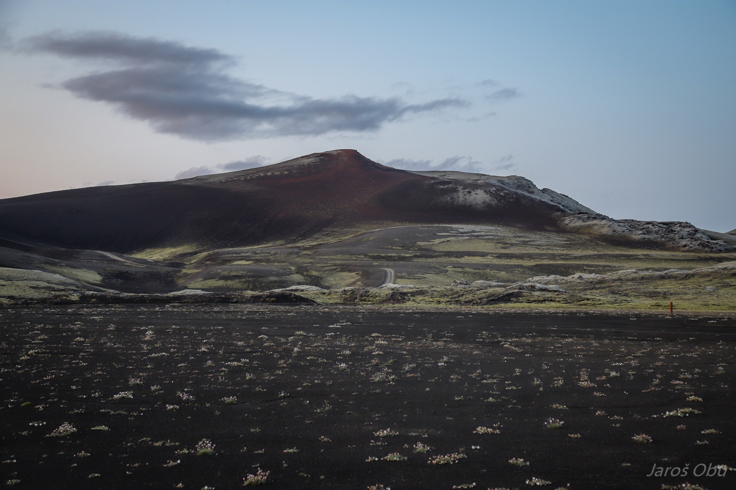
The whole crater area got named after the Laki Mountain in the front.
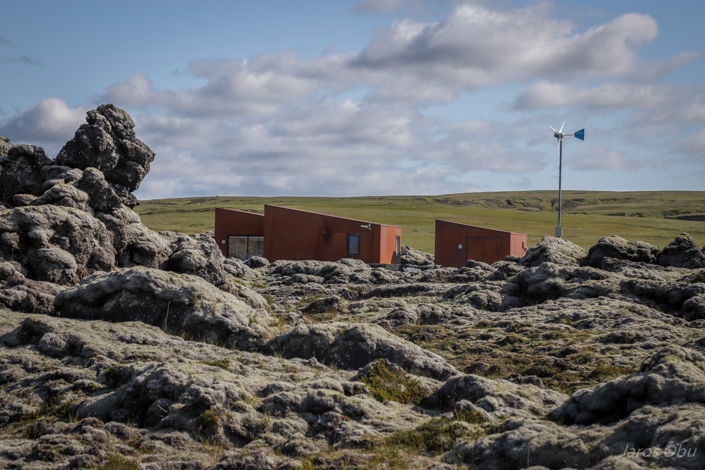
Laki ranger station.
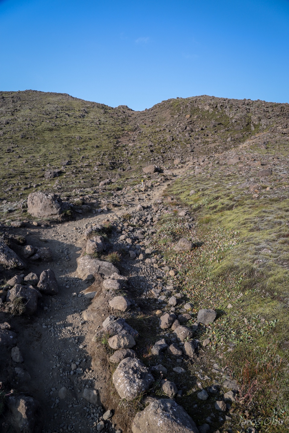
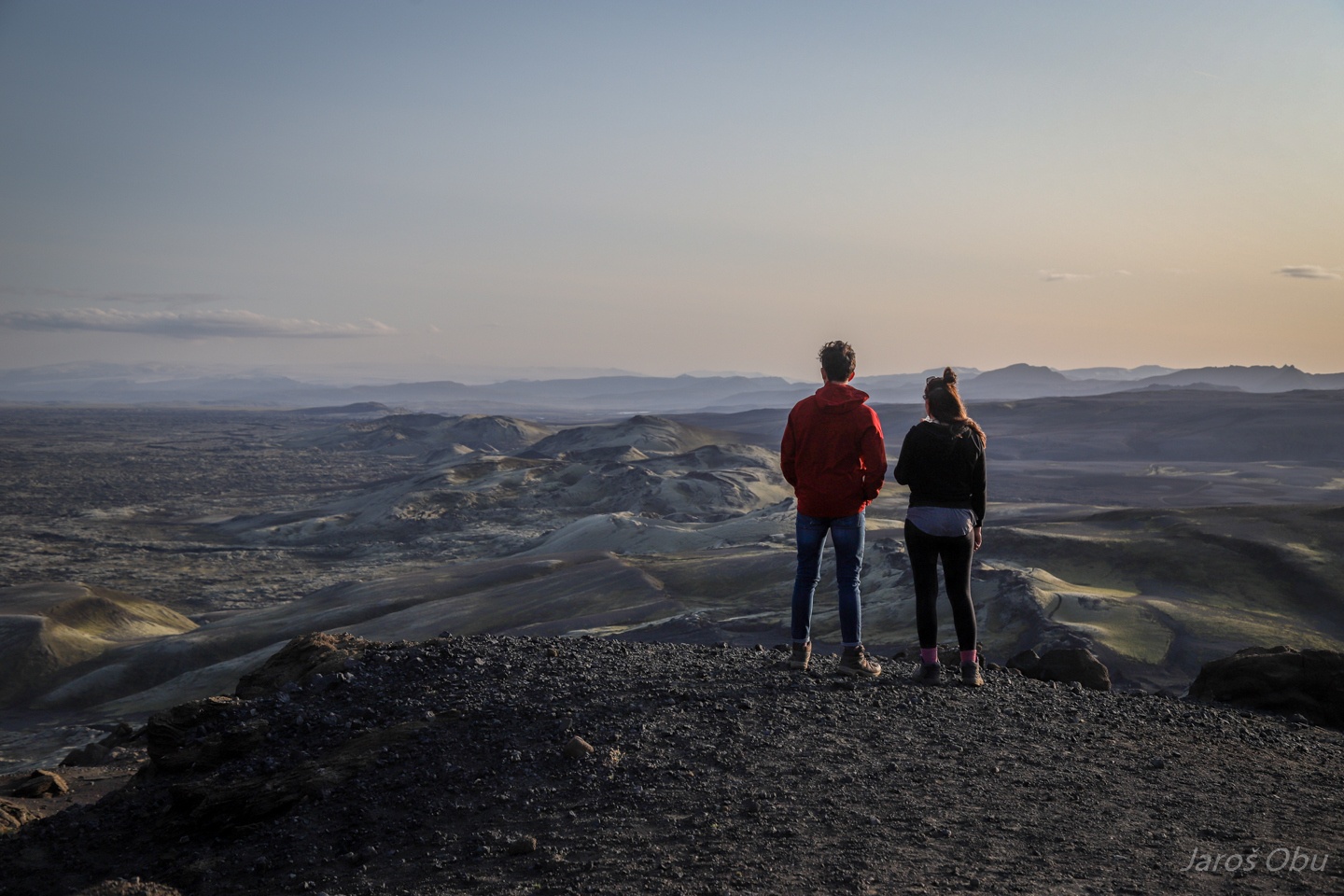
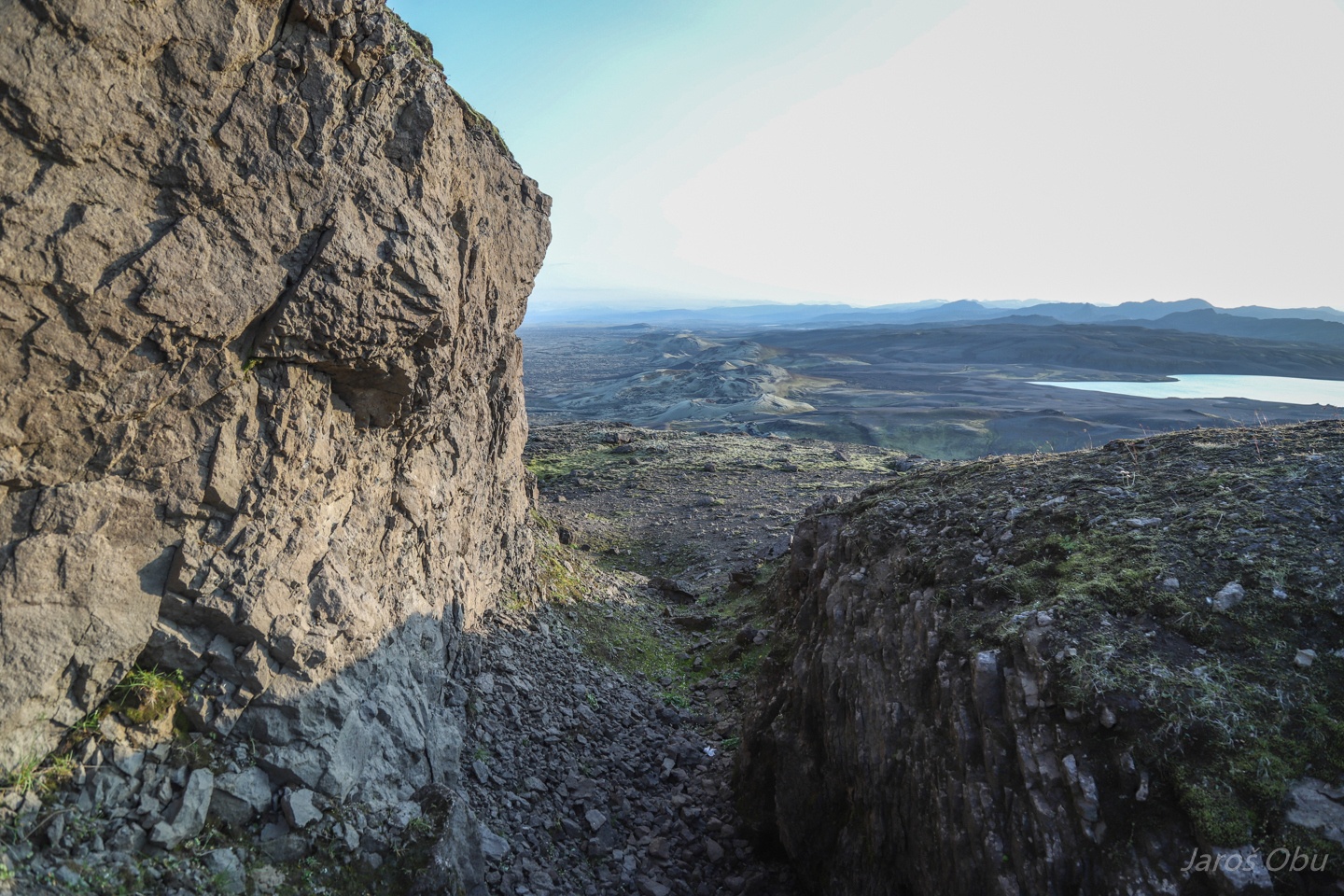
Hiking up the Laki in the late afternoon.
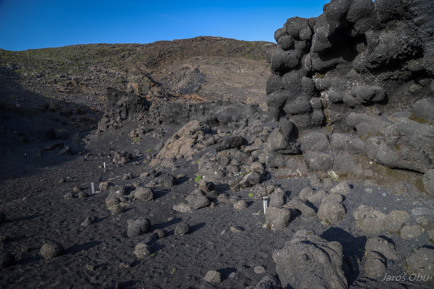
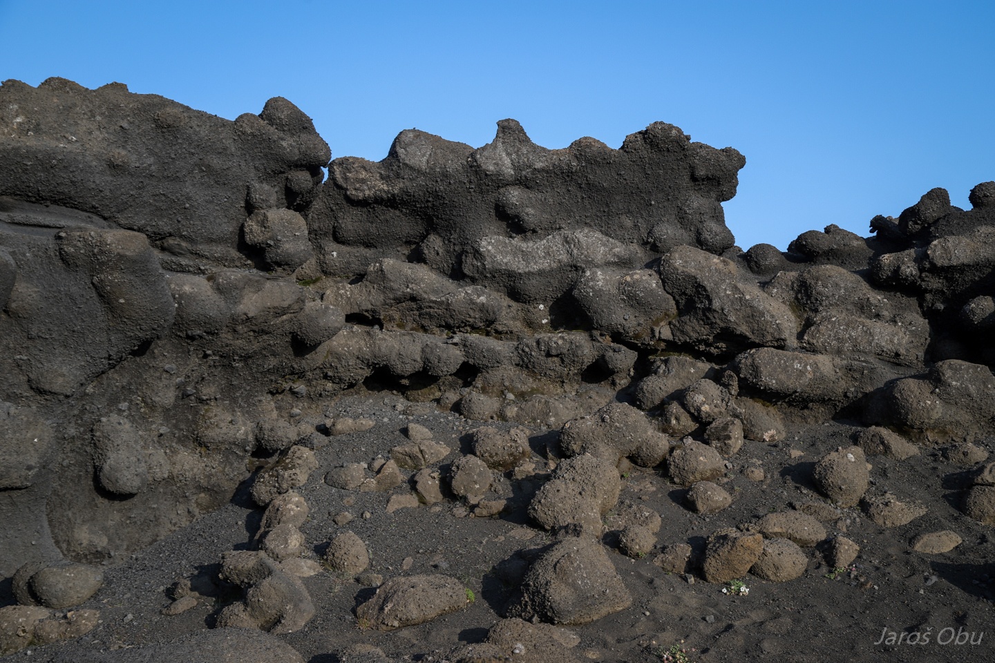
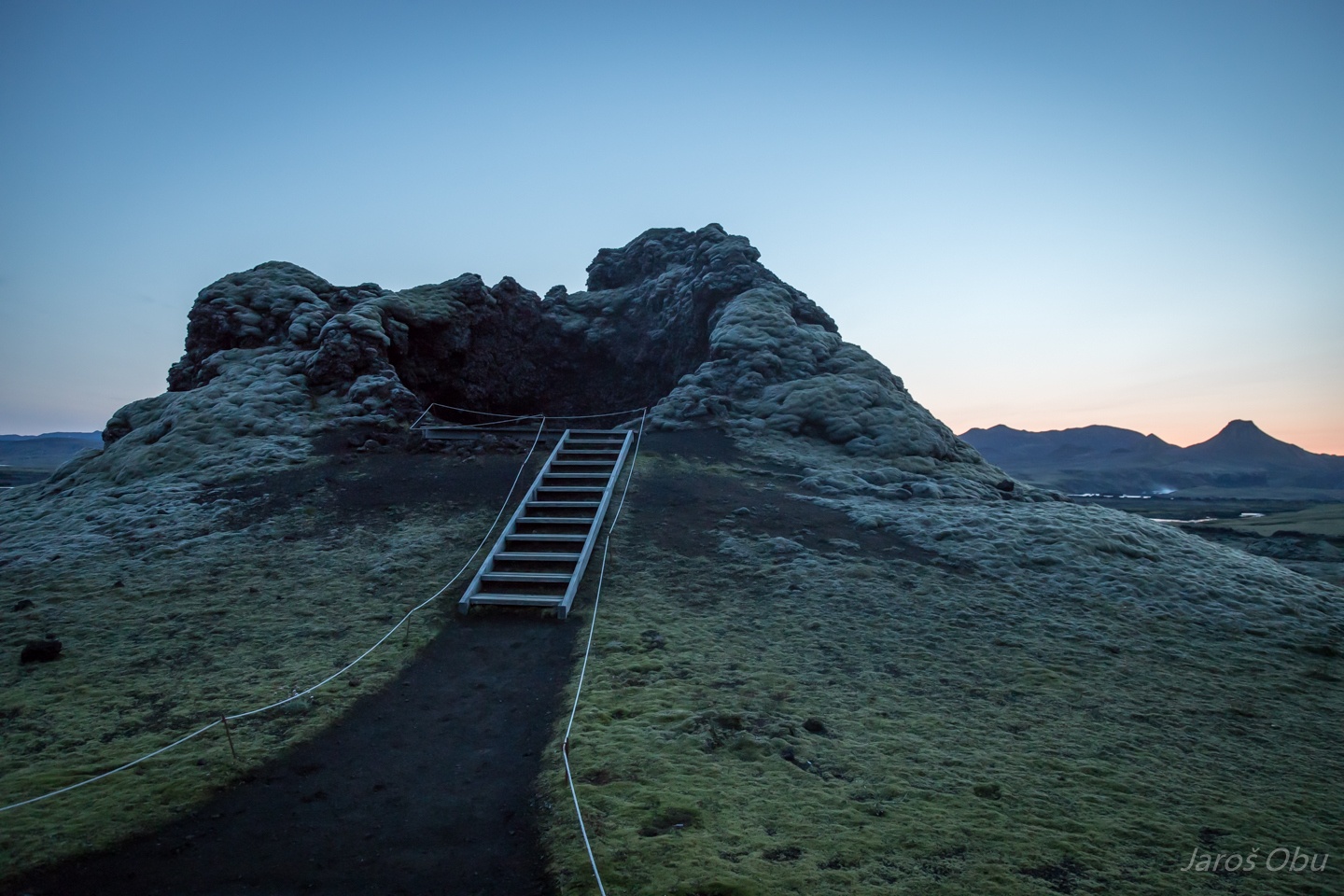
Interesting formations ...
... with spherical stones weathering out from less resistant matrix.
There were six Poles and one Slovene on Laki at that time.
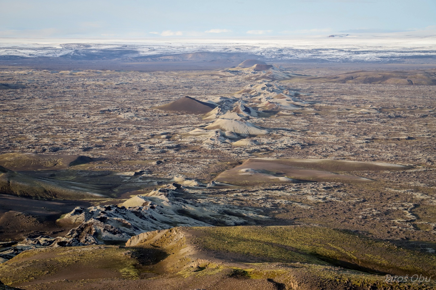
A 25 km long fissure opened in June 1783 pouring out vast amounts of basalt lava and clouds of poisonous hydrofluoric acid and sulfur dioxide. The eruption lasted until February 1784.
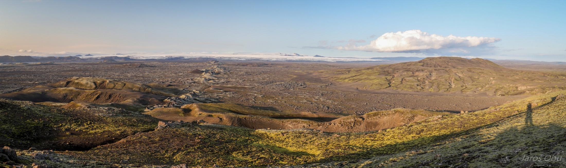
On the top of Laki.
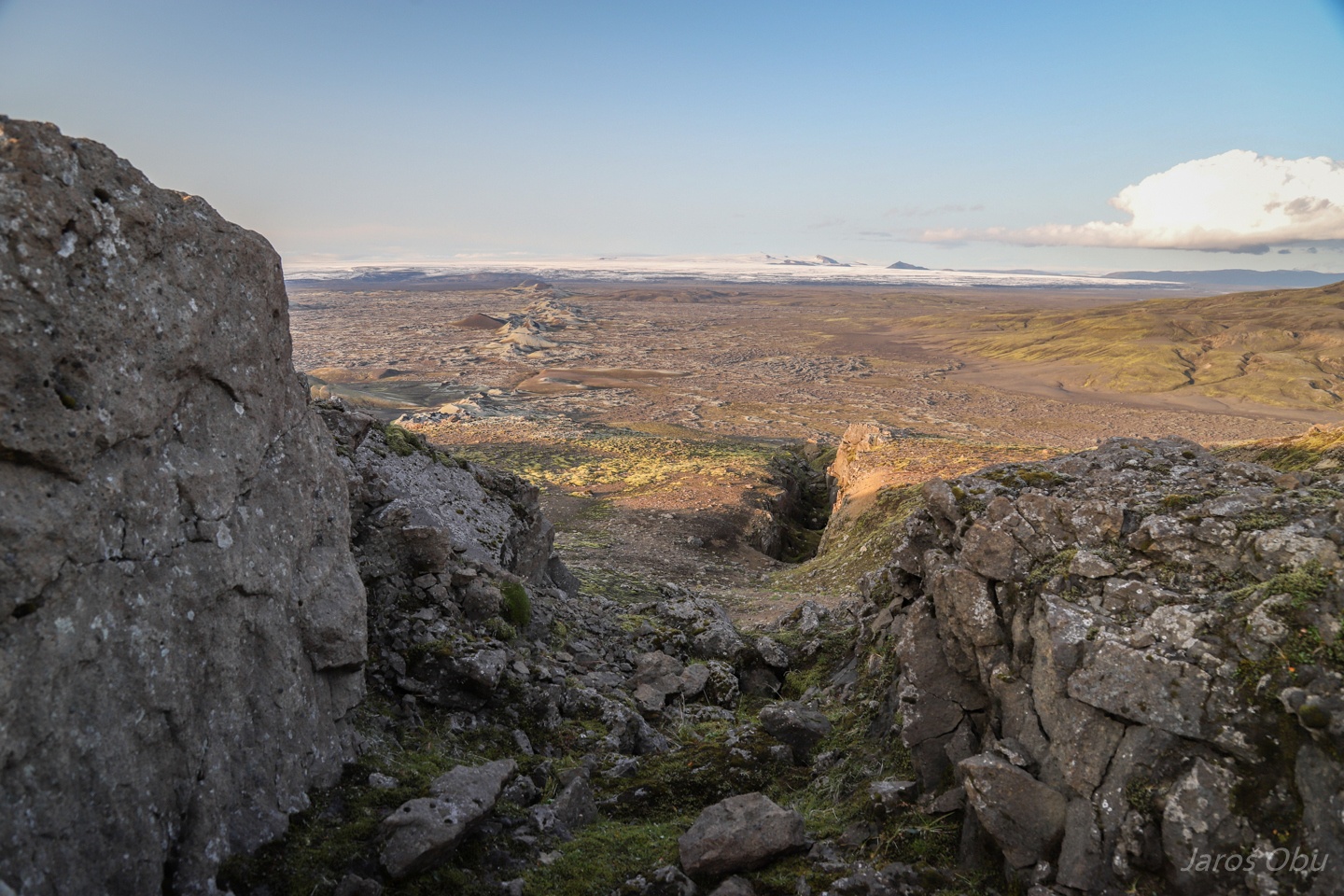
The fissure towards the south. All the lower-lying parts are completely filled with lava.
The fissure continues towards the north under Vatnajökull.
The Laki eruption was one of the most destructive in the recent history. The ash and gasses contaminated soil leading to destruction of most of the crops, 50 % of livestock and death of 25 % Icelandic human population.
The poisonous gasses spread around the Europe and killed dozens of people. The change in weather patterns caused famine worldwide.
The fissure on the mountain.
...
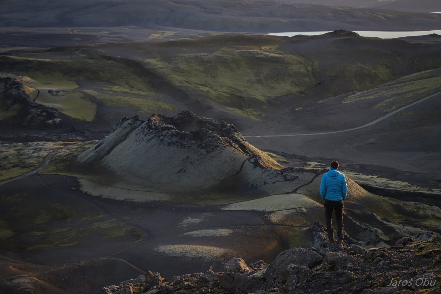
Jaroš and a crater.
Frajer and a crater.
His better half.
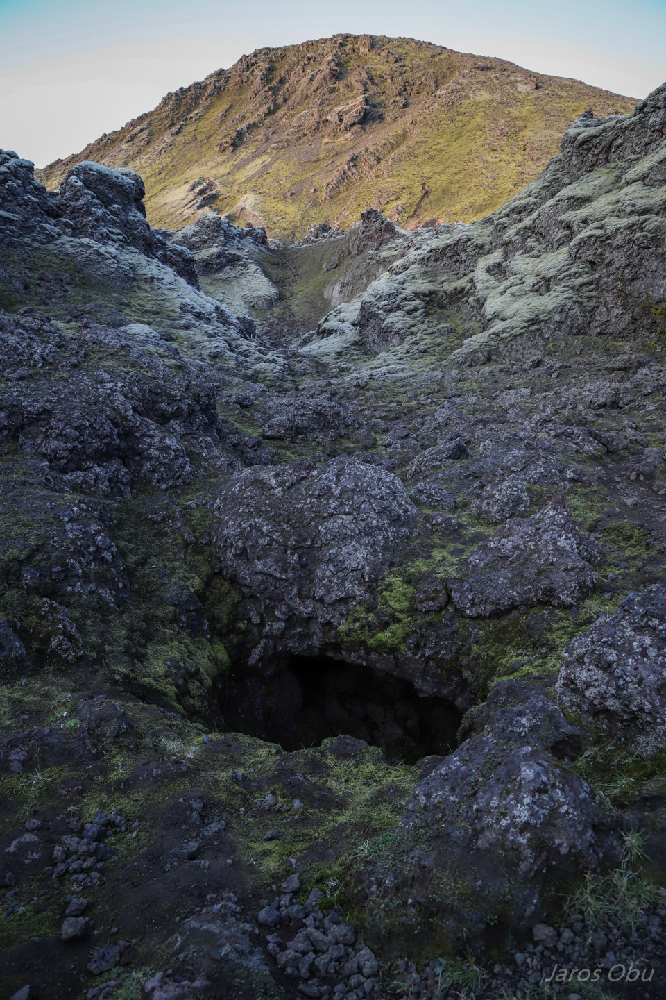
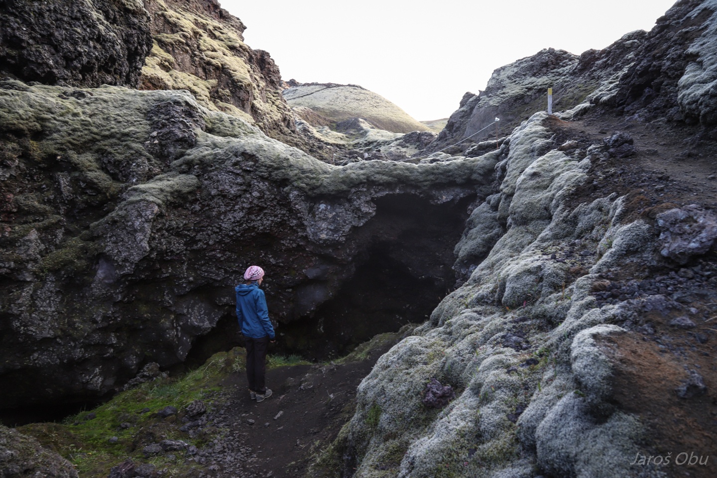
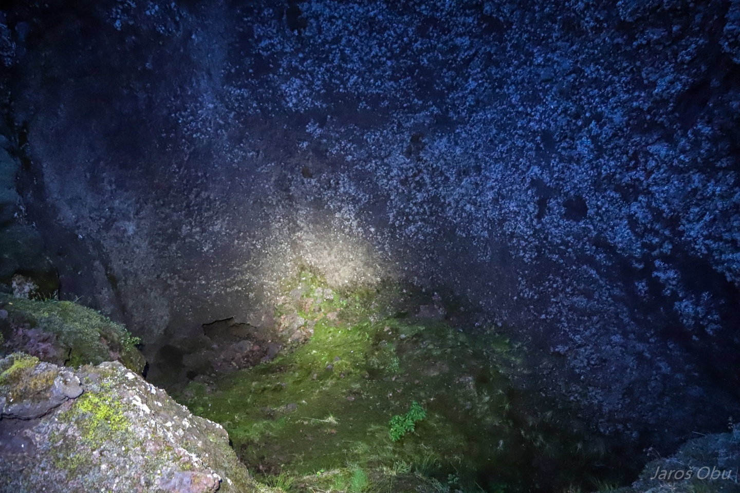
A peek in to a crater under Laki.
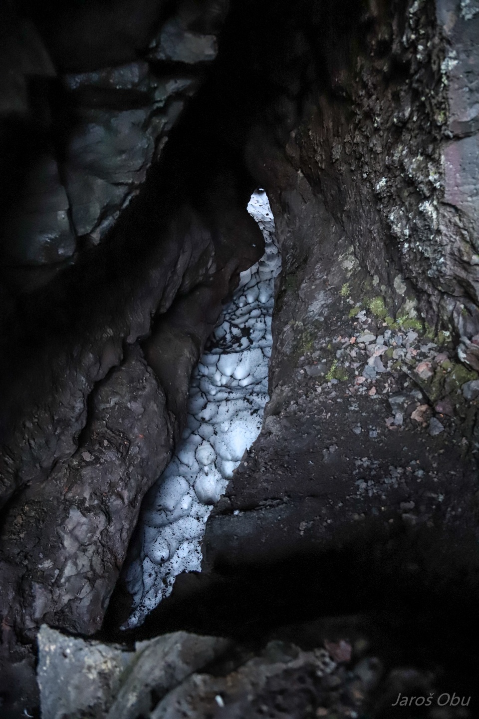
With caves underneath.
Some still hosting snow in the middle of the summer.
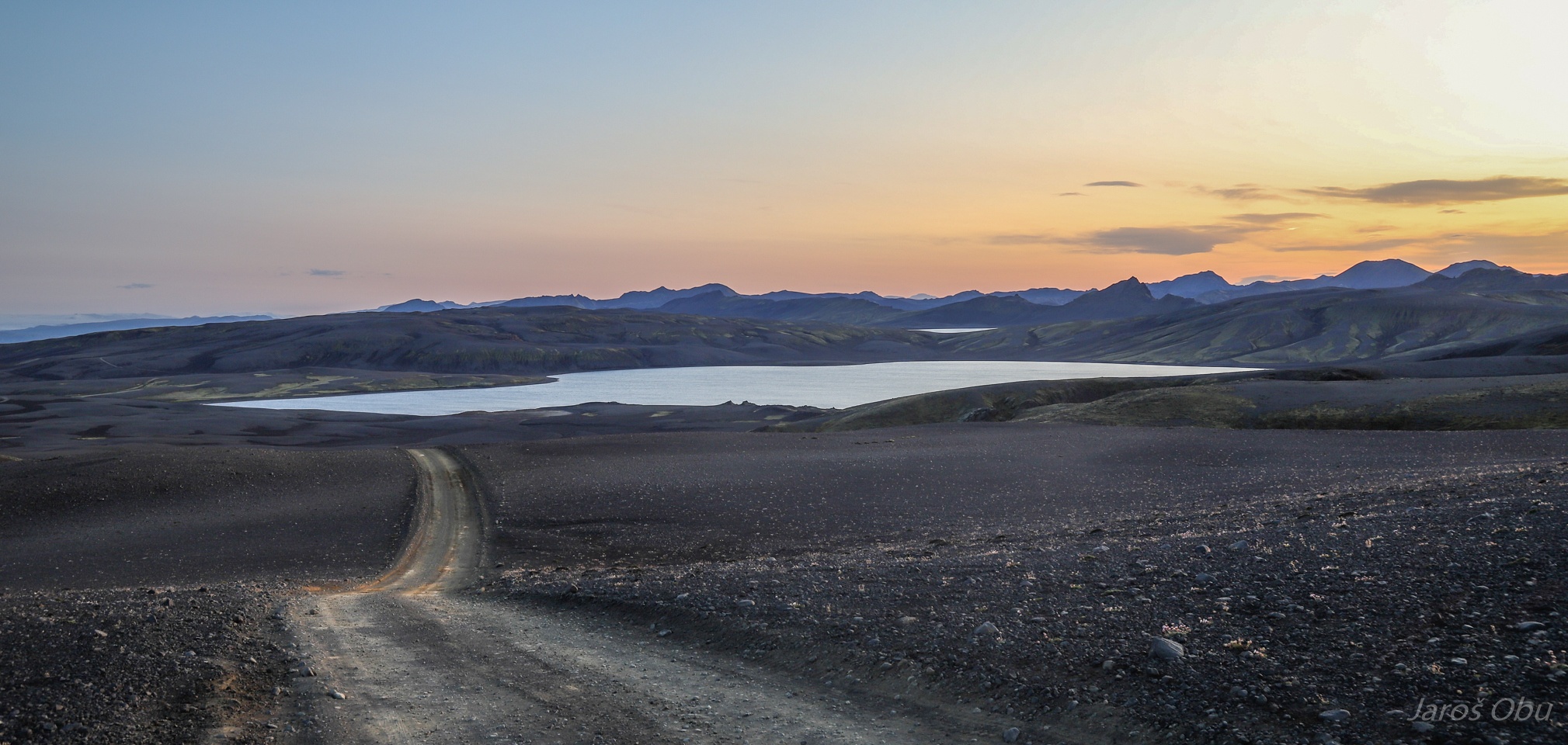
Driving back south on the Laki loop.
Surrounded by black ash.
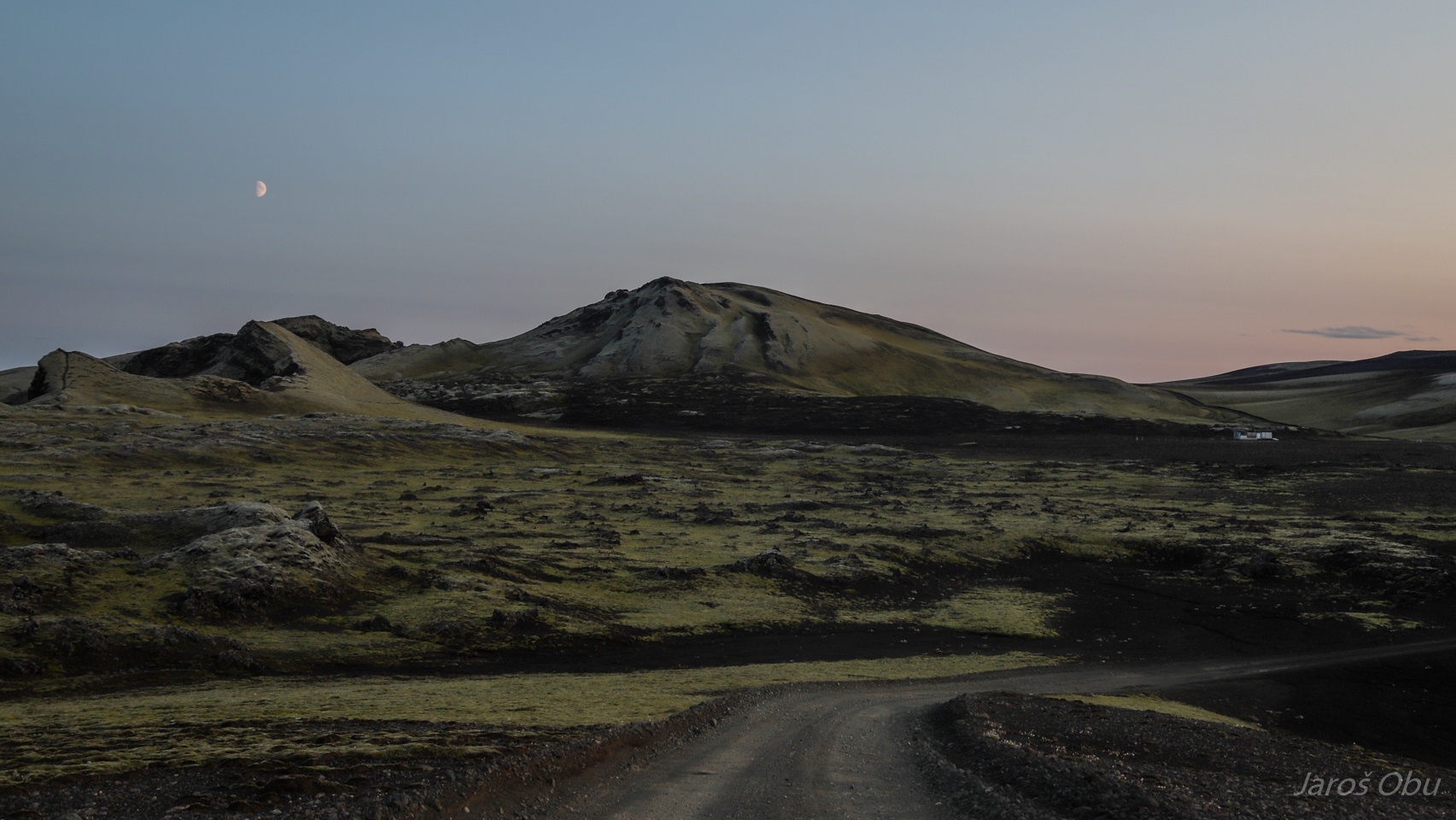
Approaching Tjarnargígur ranger station.
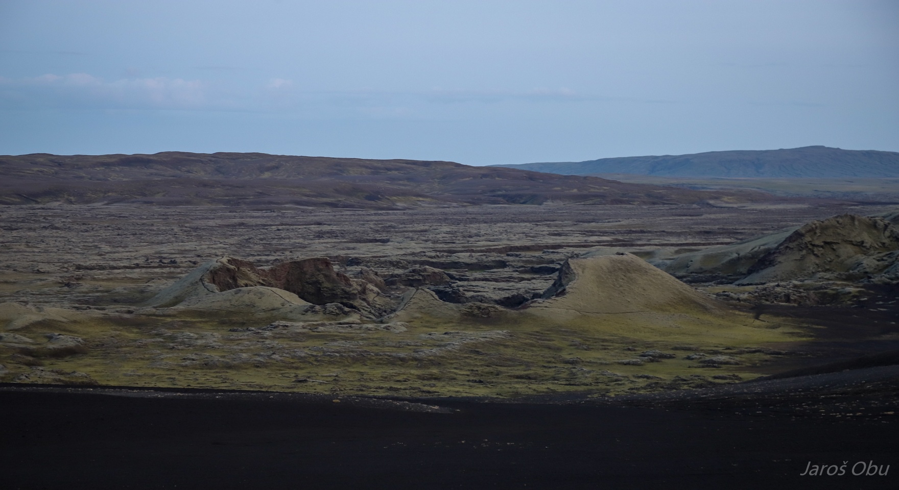
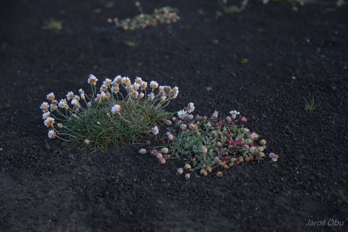
The newly created landscapes are very prone to erosion and were overgrown by moss.
And with Silene acaulis and Armeria maritima.
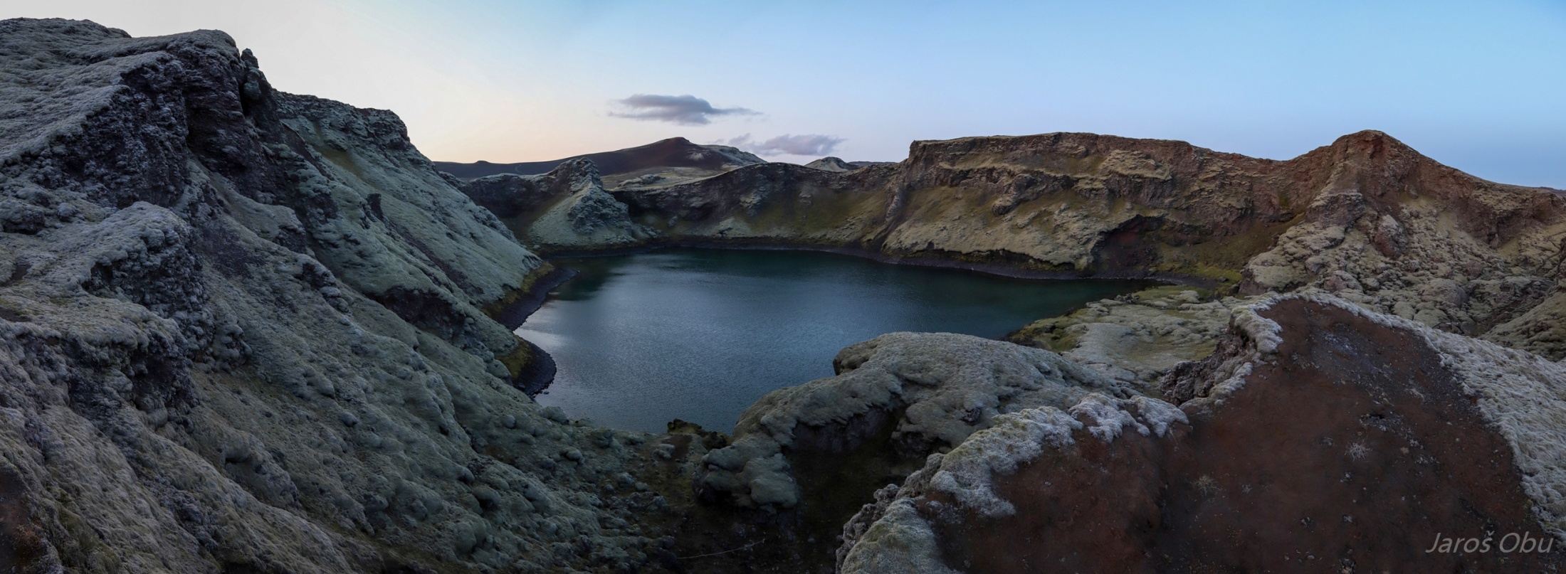
Tjarnargígur or Pond Crater is the only one filled with water.
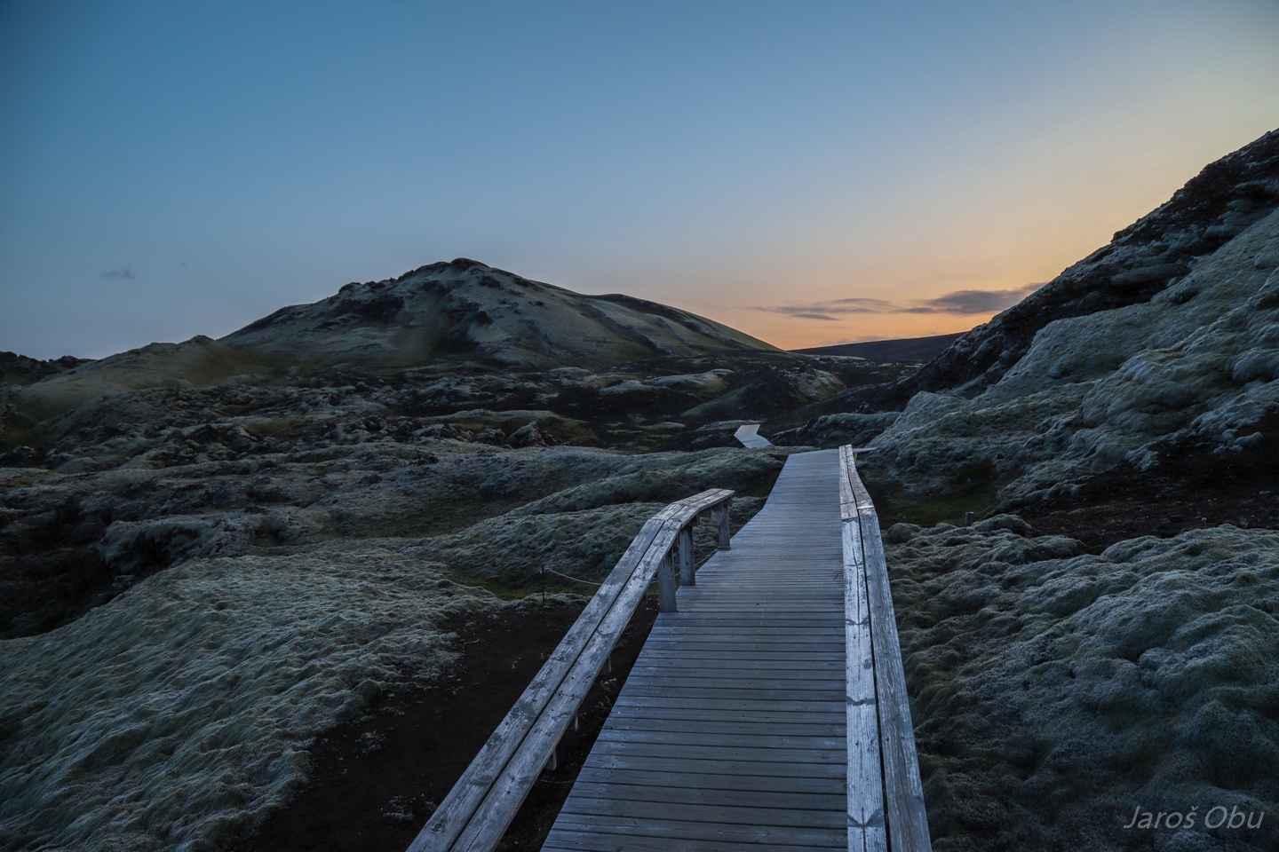
They are trying to protect moss by building wooden paths and transplanting moss on the already eroded parts.
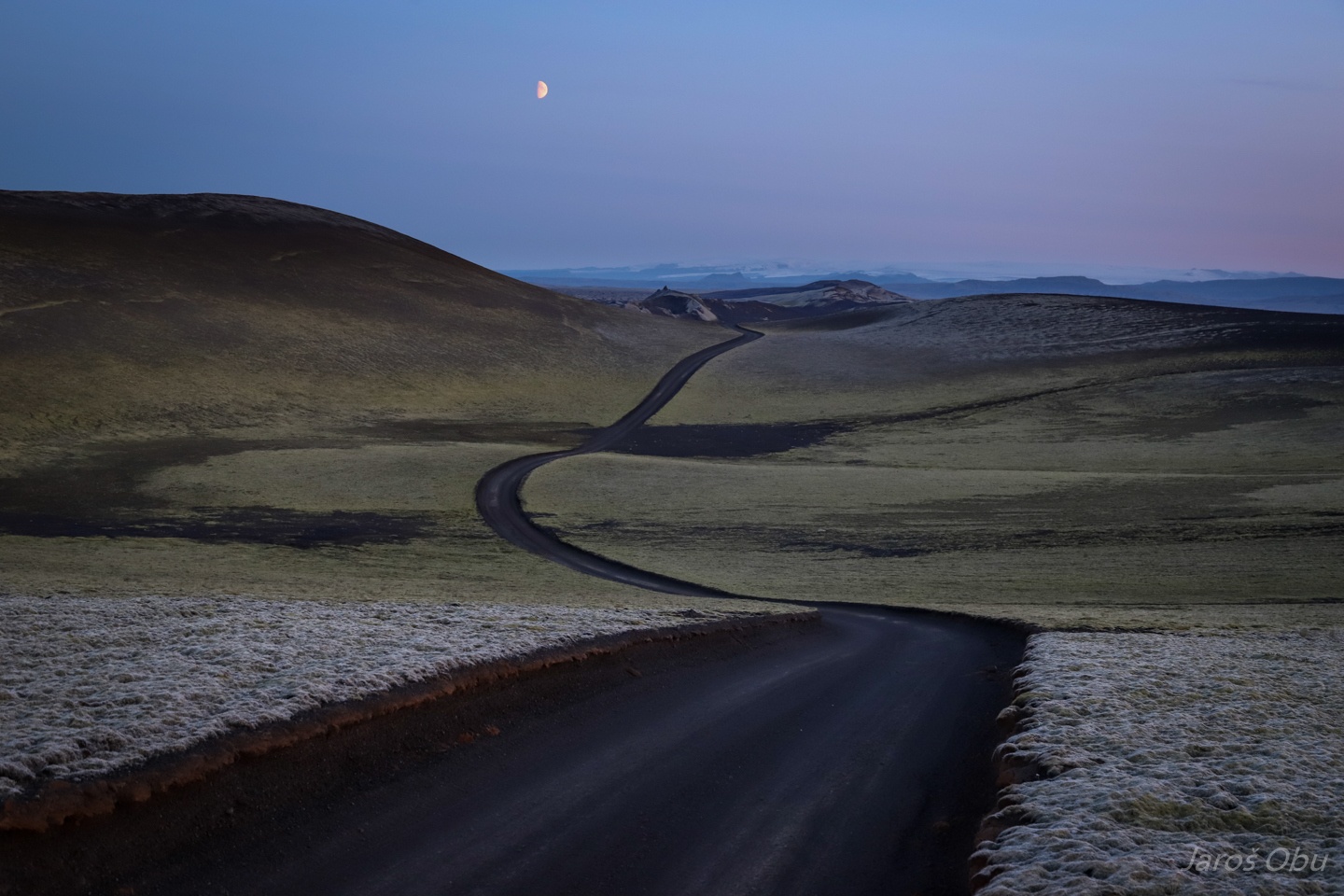
Black road through green-grey moss. It is usually greener, but there was very little precipitation this summer.
Another unexpected and unpleasant river crossing. Scared Jaroš driving over: https://vimeo.com/374465004
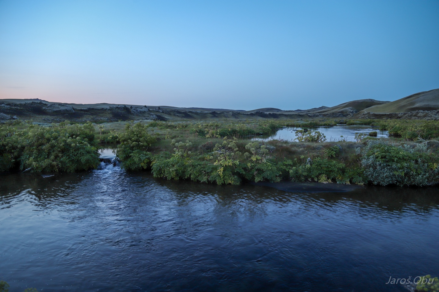
Angelica, Angelica archangelica, gozdni koren in Slovenian is thriwing by the river.
Another accessible crater.
Not particularly deep.
View back on the Ulfar Valley.
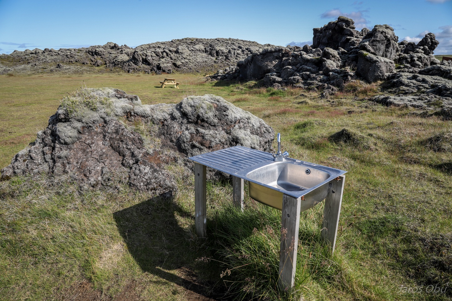
Waking up at a Laki campsite in the middle of lava field.
With the one and only camp facility.
And a ranger station. Crossing a river on the way back to the coast: https://vimeo.com/374466658