© 2024 Jaroš Obu
Photo gallery of Jaroš Obu
Cart
0
Items
Buy now
Mojave Desert and Joshua Tree Park 27.-29. 12. 2016
Wednesday, 28 December 2016
After driving 300 km with the spare tire, finally reached first mechanic that could patch the tire.
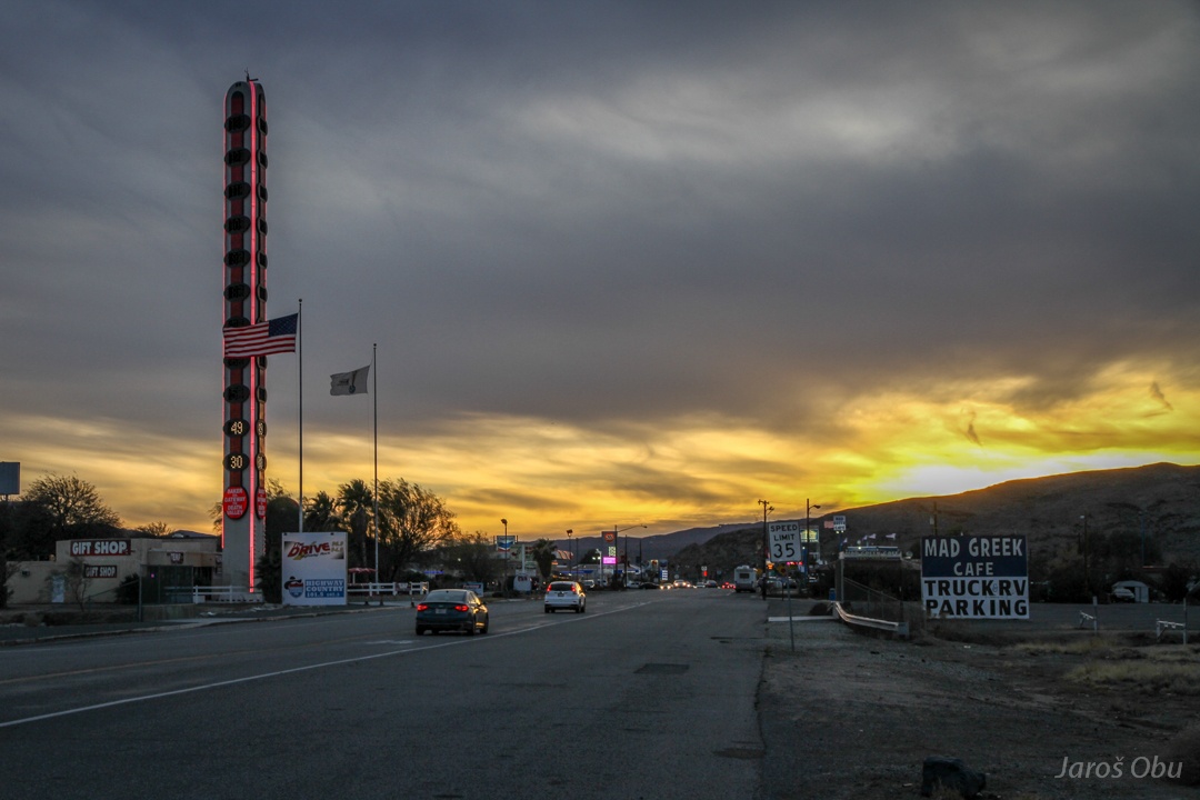
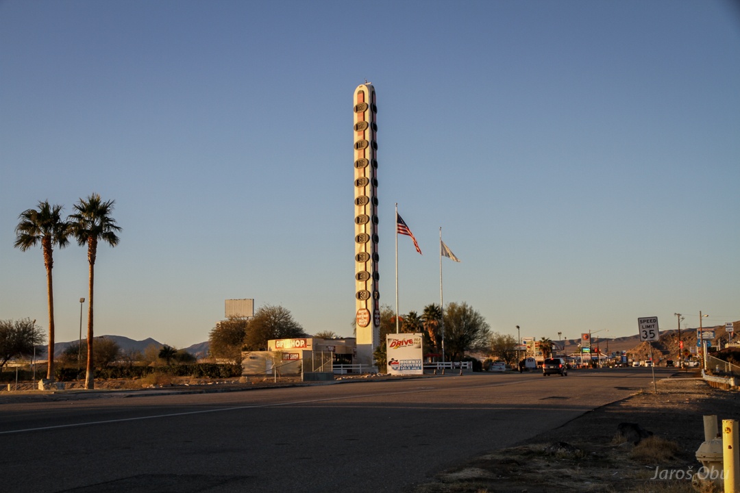
YUGE thermometer in Baker.
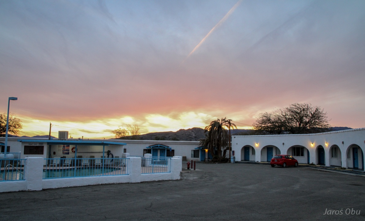
The only accommodation in Baker.
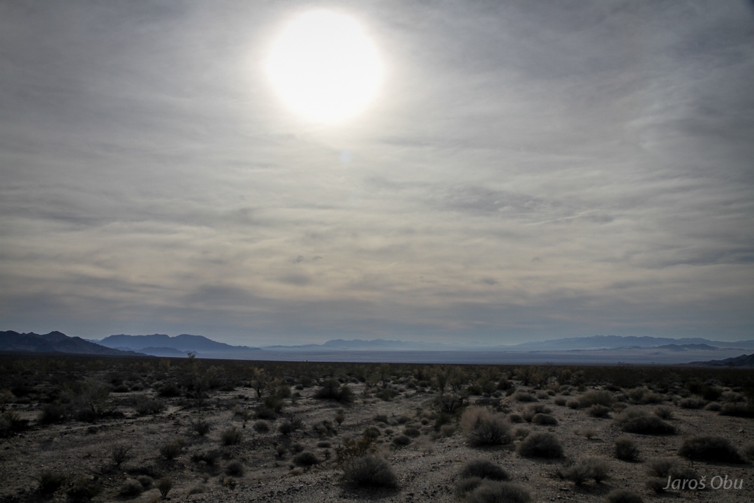
It was everything but baking hot next morning. The yuge thermometer showed only 3°C.
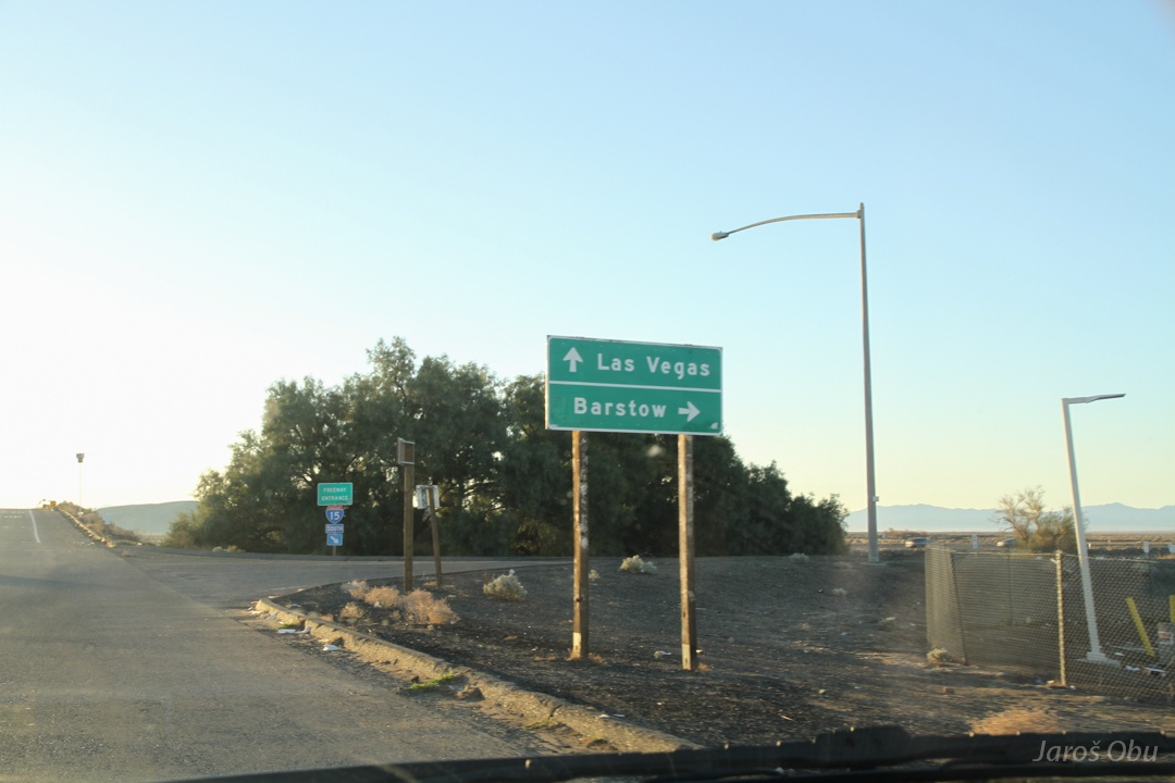
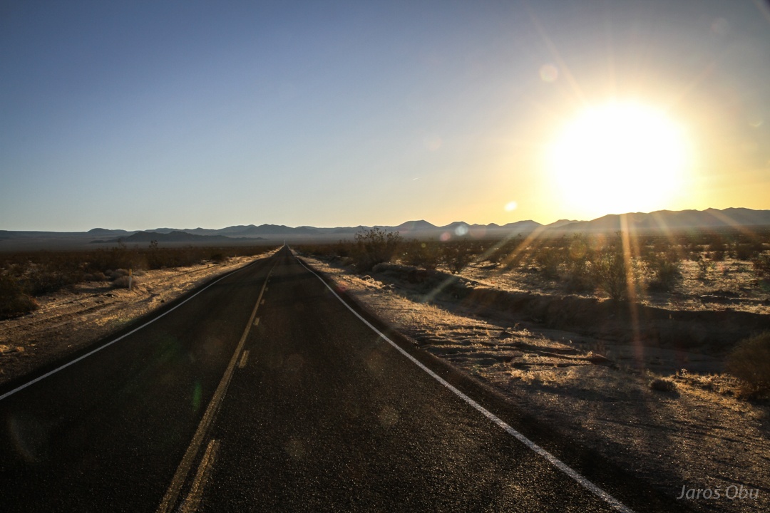
Driving straight but certainly not to Las Vegas.
Going to Mojave National Preserve instead.
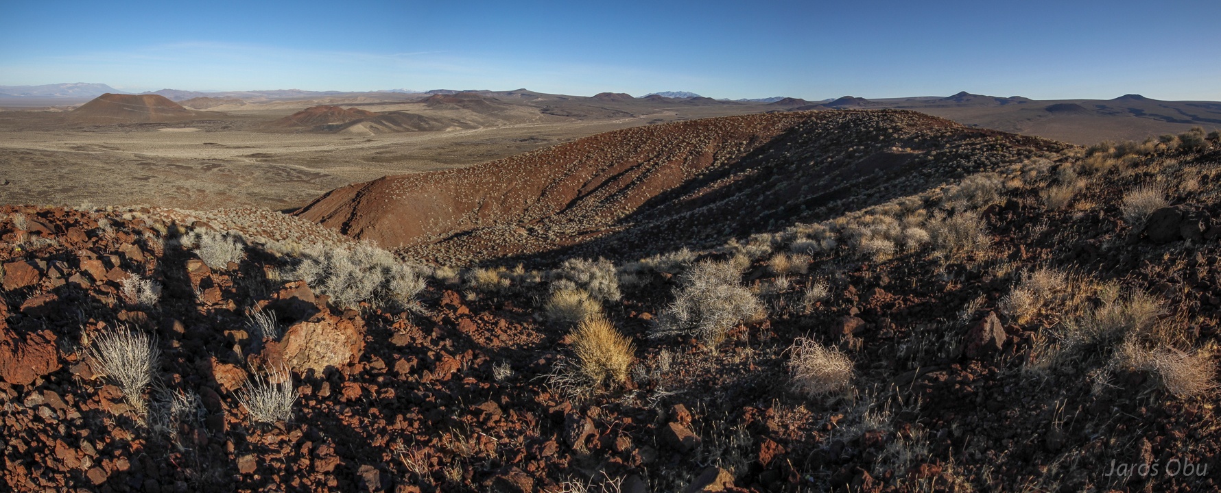
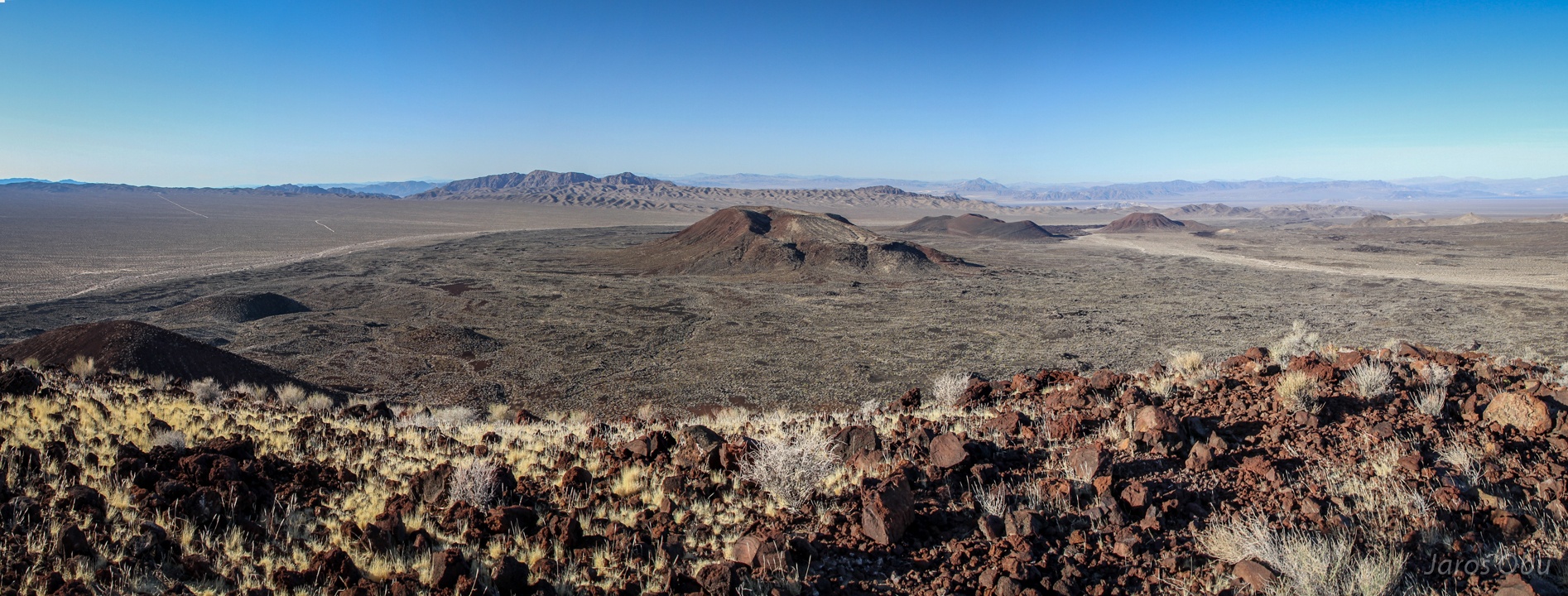
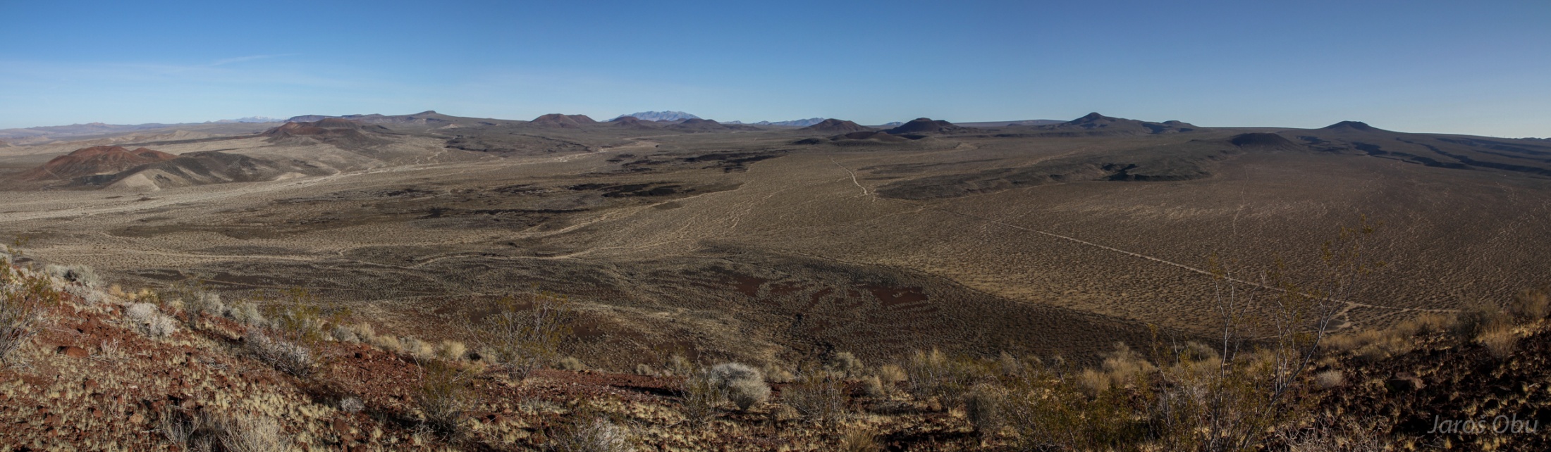
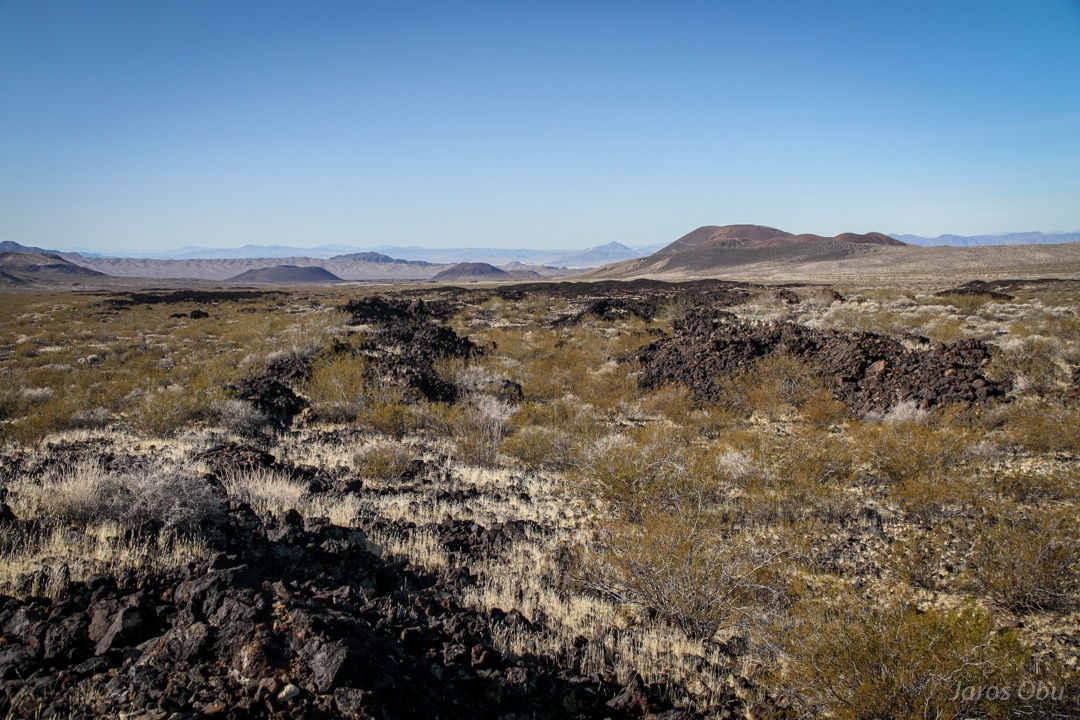
Cinder Cones and Lava Beds area not far from Baker.
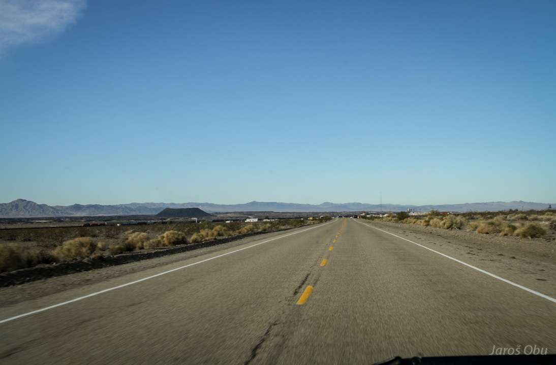
Immediately trying out the patched tire on new bad road.
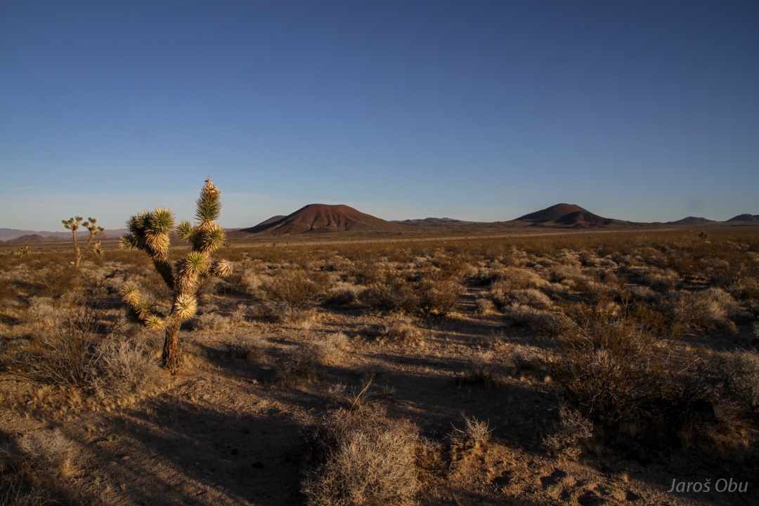
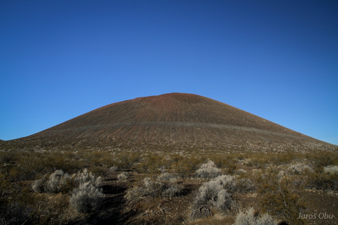
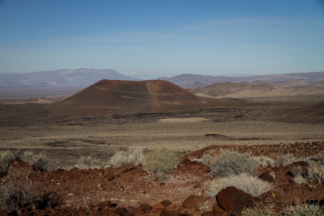
One of the volcanoes, or more correctly, cinder cones.
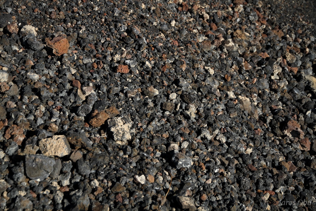
Cinder
Desert trumpet (Eriogonum inflatum), A succulent-like plant is one of the first that colonises the ground.
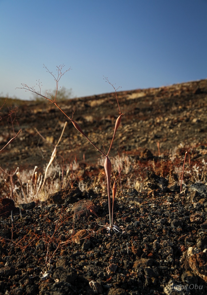
On the top of the cone.
Mojave Yucca (Yucca schidigera)
Other desert plants.
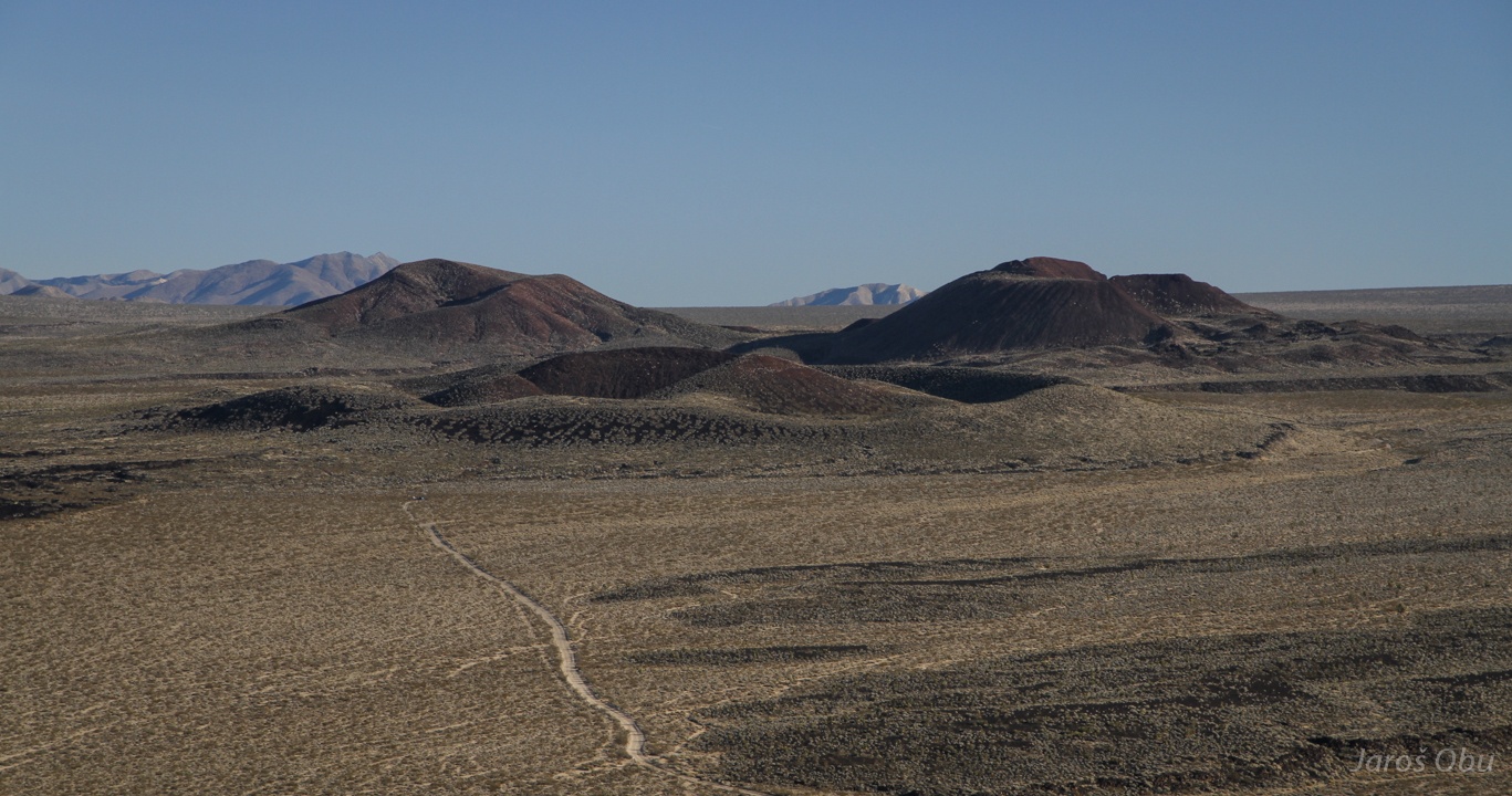
Unlike all restaurants and many attractions, cinder cone cannot be made drive-in. But it can be made at least drive-up.
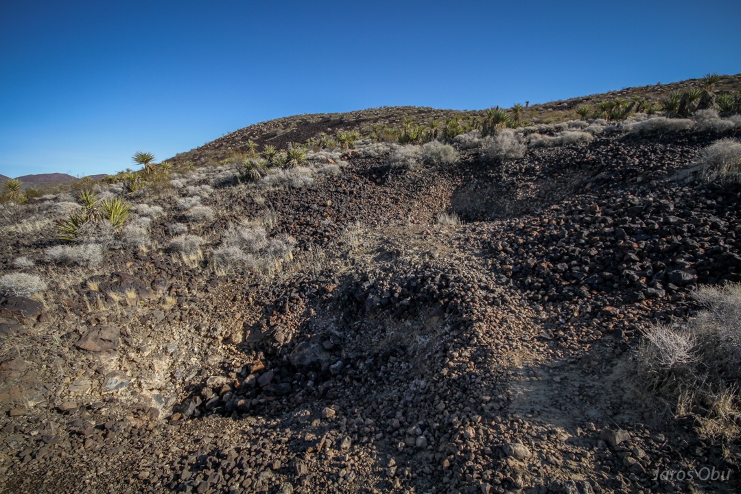
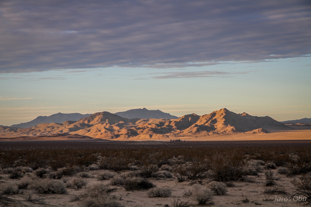
Lava flows and cinder cones in the south.
And in the north.
The foremost is next destination ...
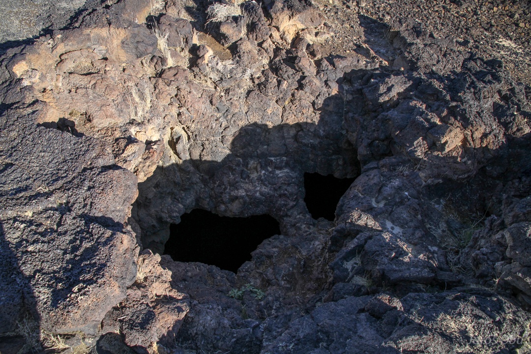
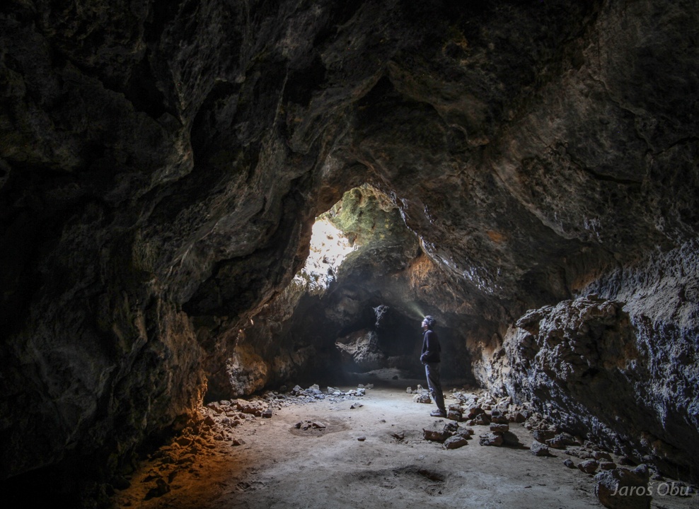
Where a lava tube cave can be found.
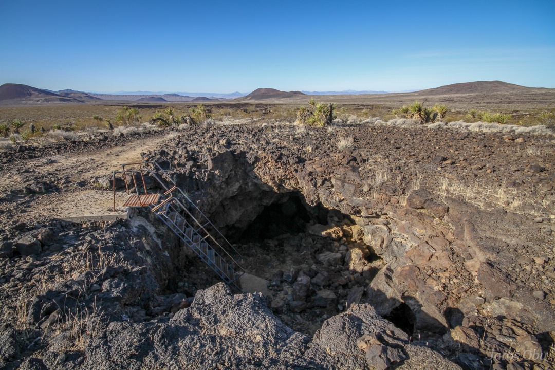
Two small holes.
An a big hole with the entrance.
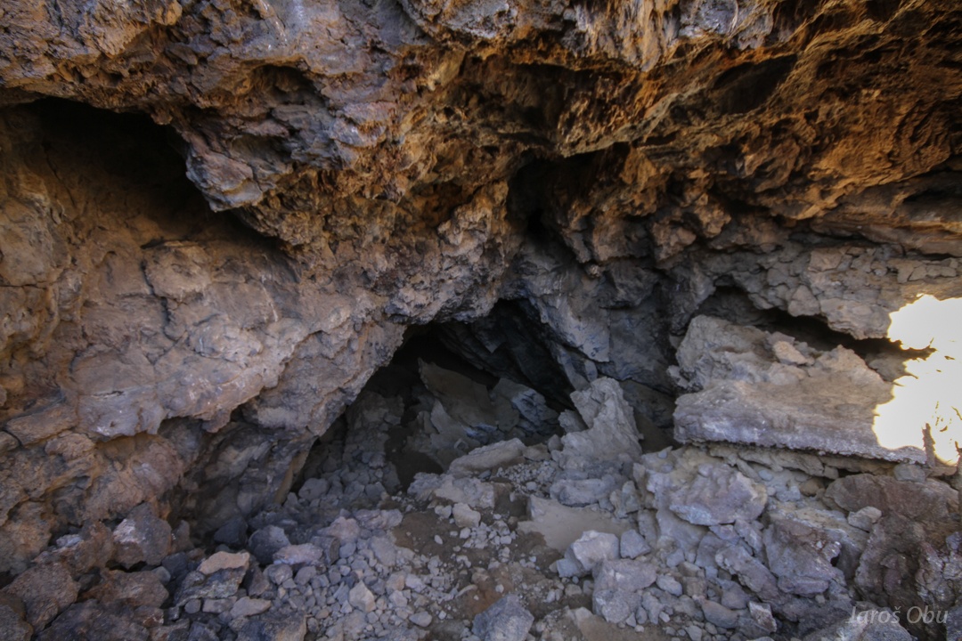
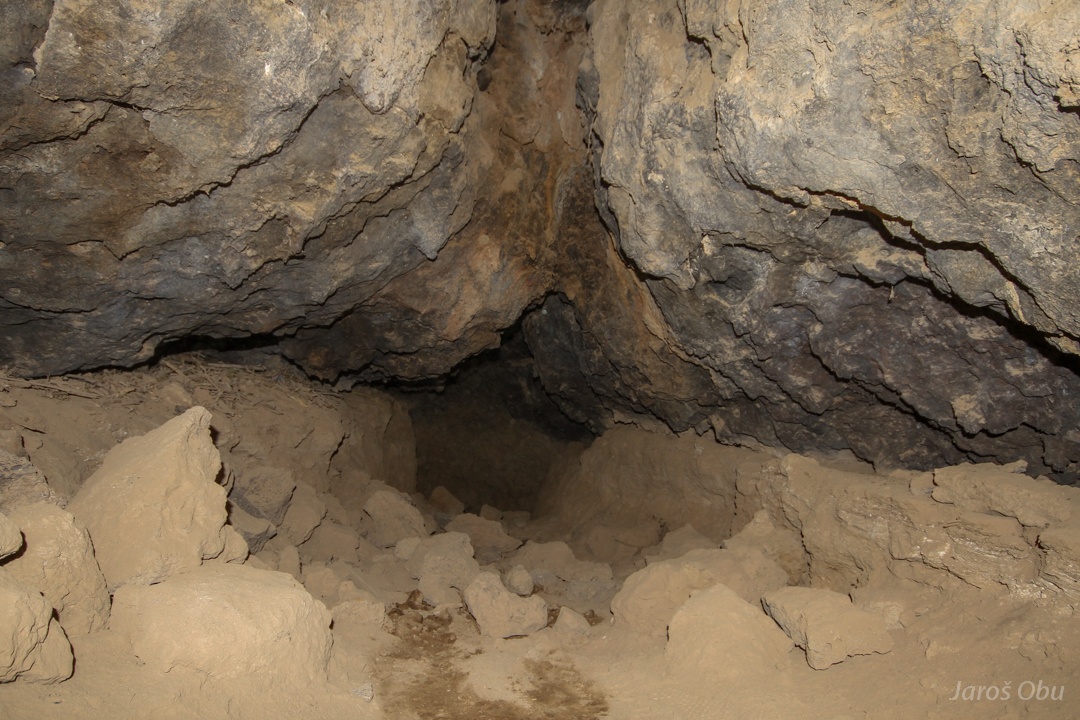
One passage closes quickly.
The other passage continues.
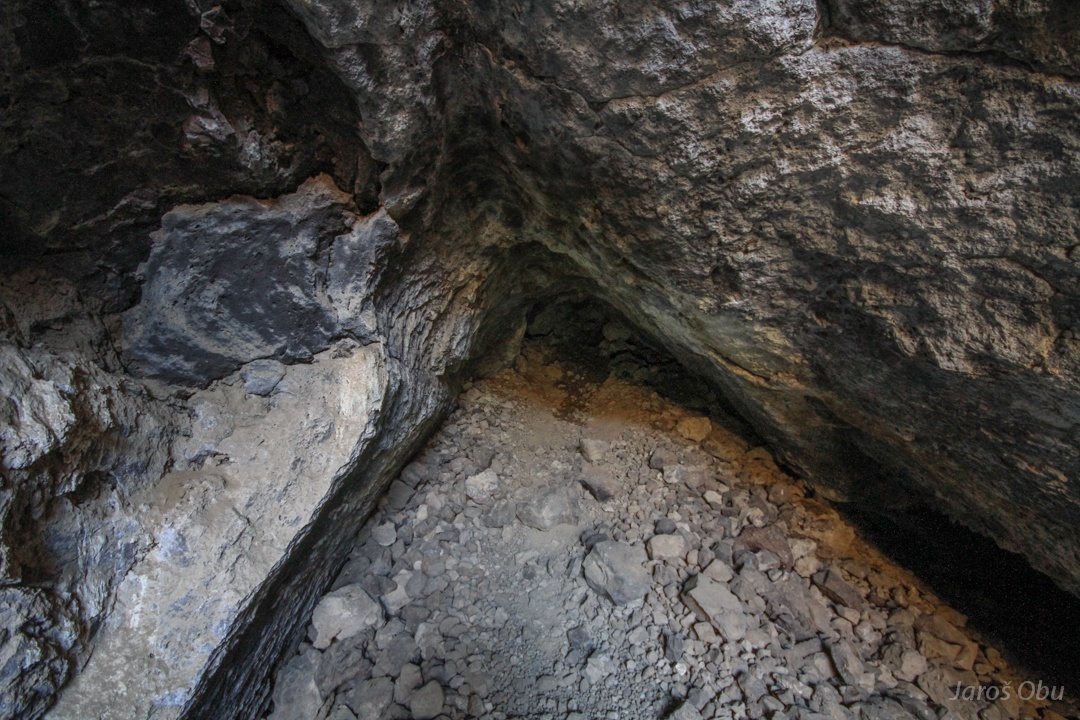
One has to go on knees.
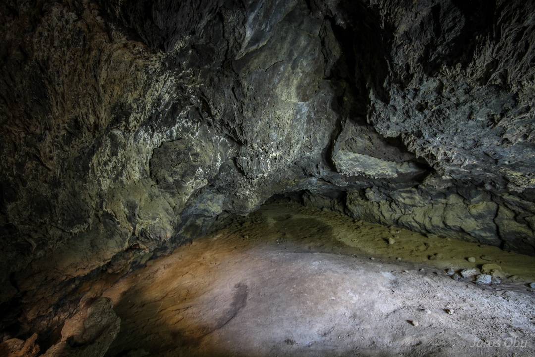
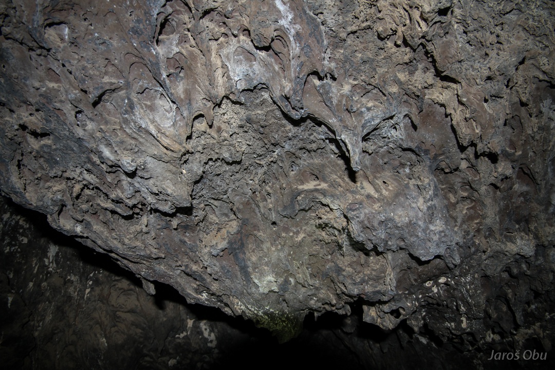
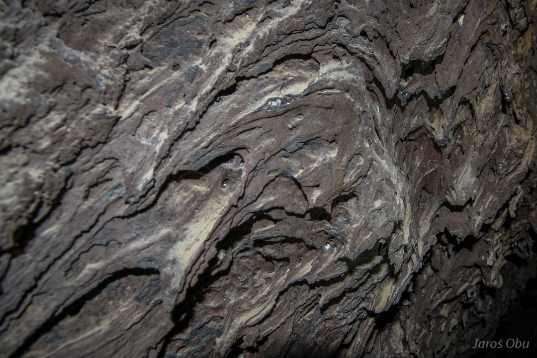
Stalactites look slightly different than in karst caves.
The chamber.
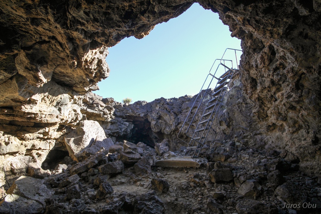
Here it ends.
Above-ground continuation of the tube.
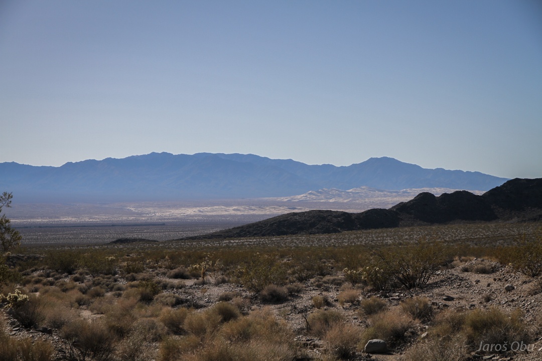
Heading south.
Three dunes in Death Valley were not enough.
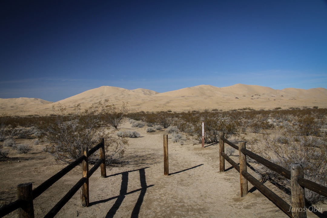
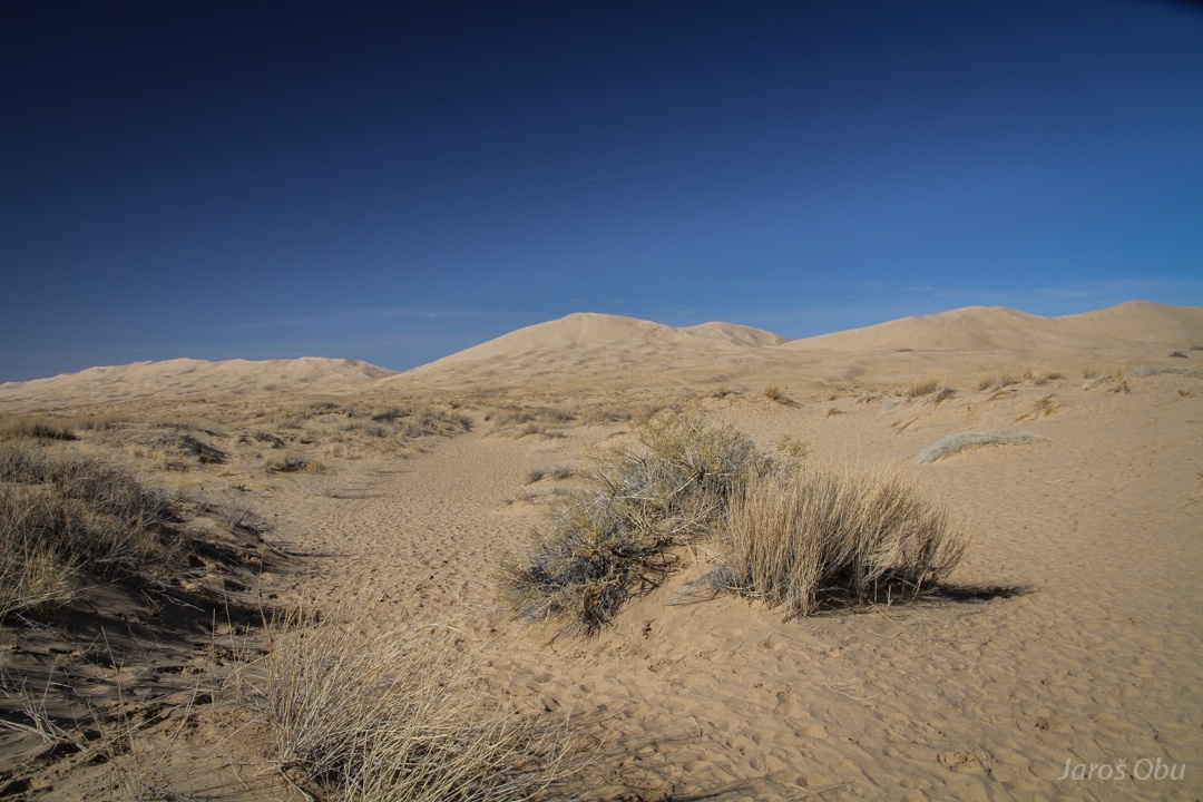
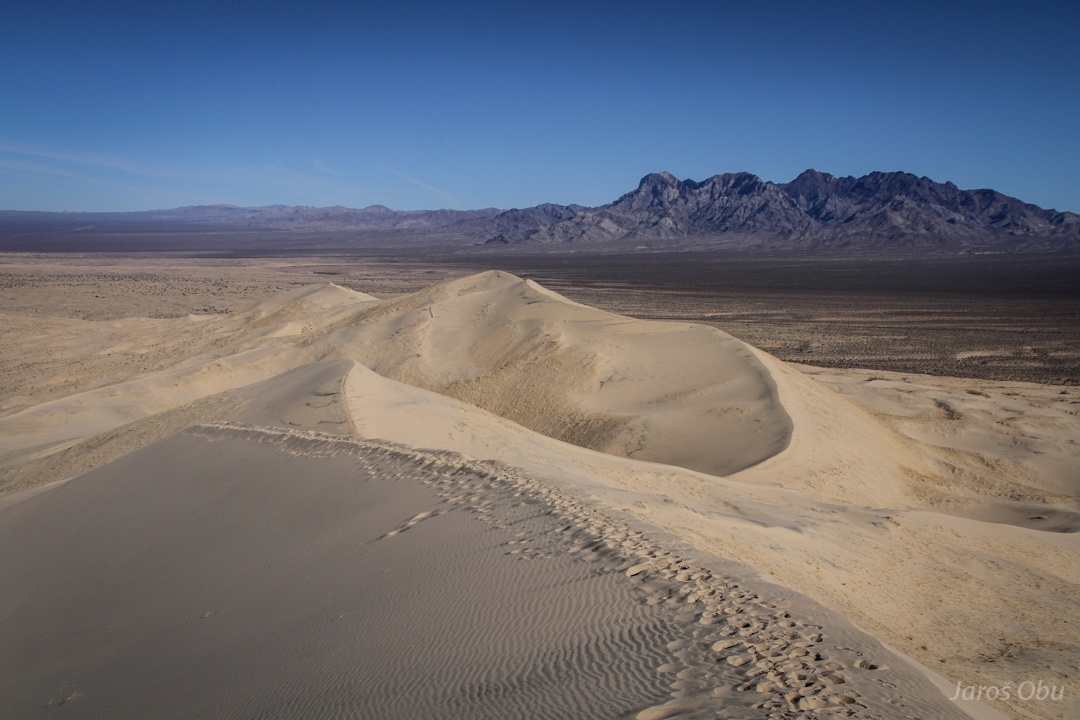
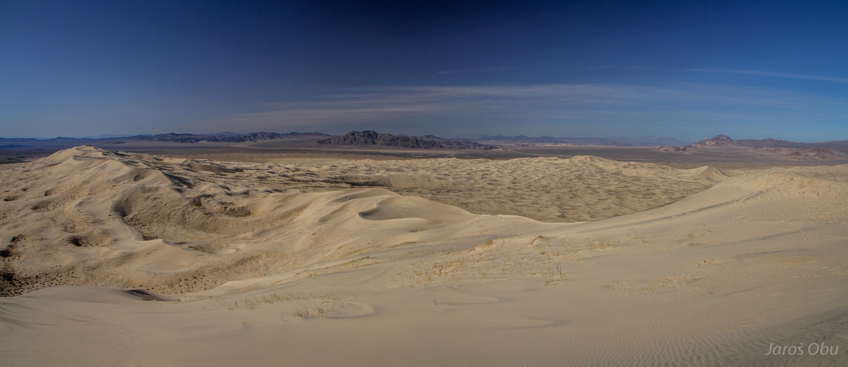
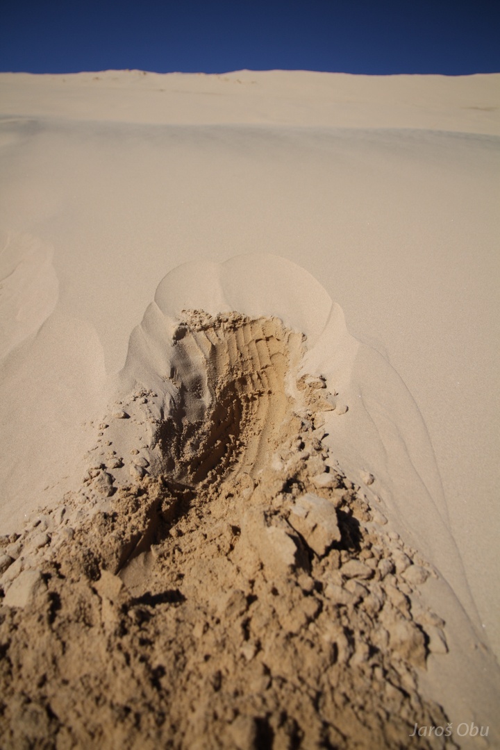
The Kelso Dunes.
Black sand is also present here.
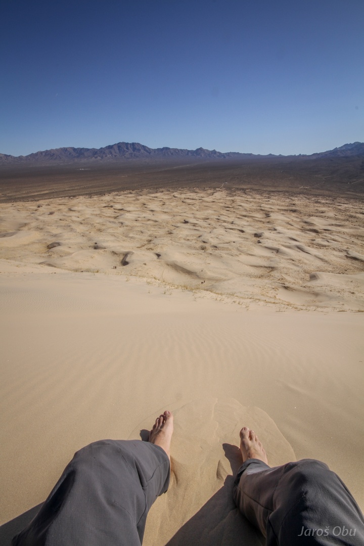
Taking a steep path is not always a good idea.
On the top of the highest dune.
Some climb Musala barefoot. I prefer to do it on sand dunes :)
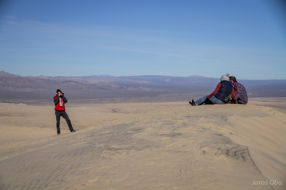
Tourists in action here as well.
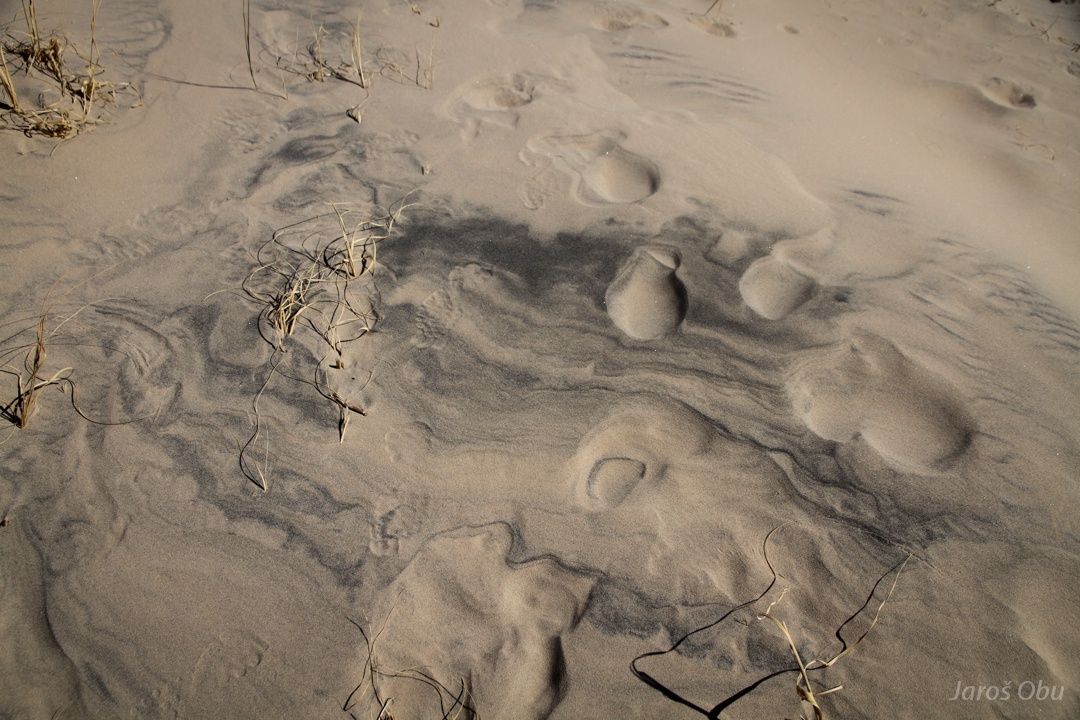
Few days after the rain the surface sand was finally dry, and the wet sand was under it.
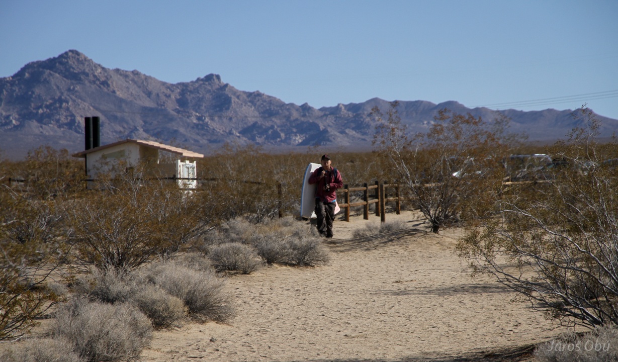
Kelso.
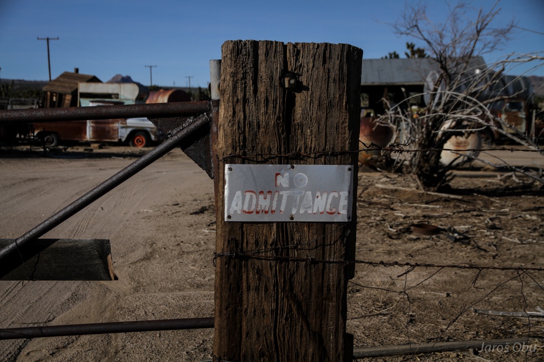
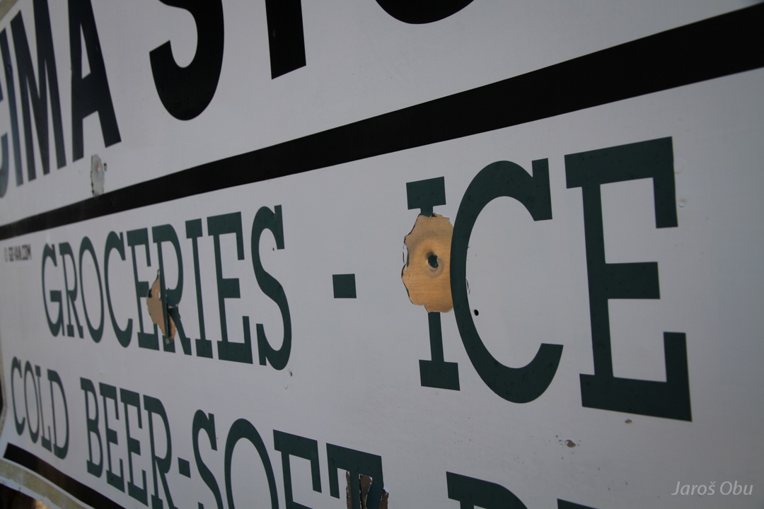
Abandoned PRIVATE PROPERTY.
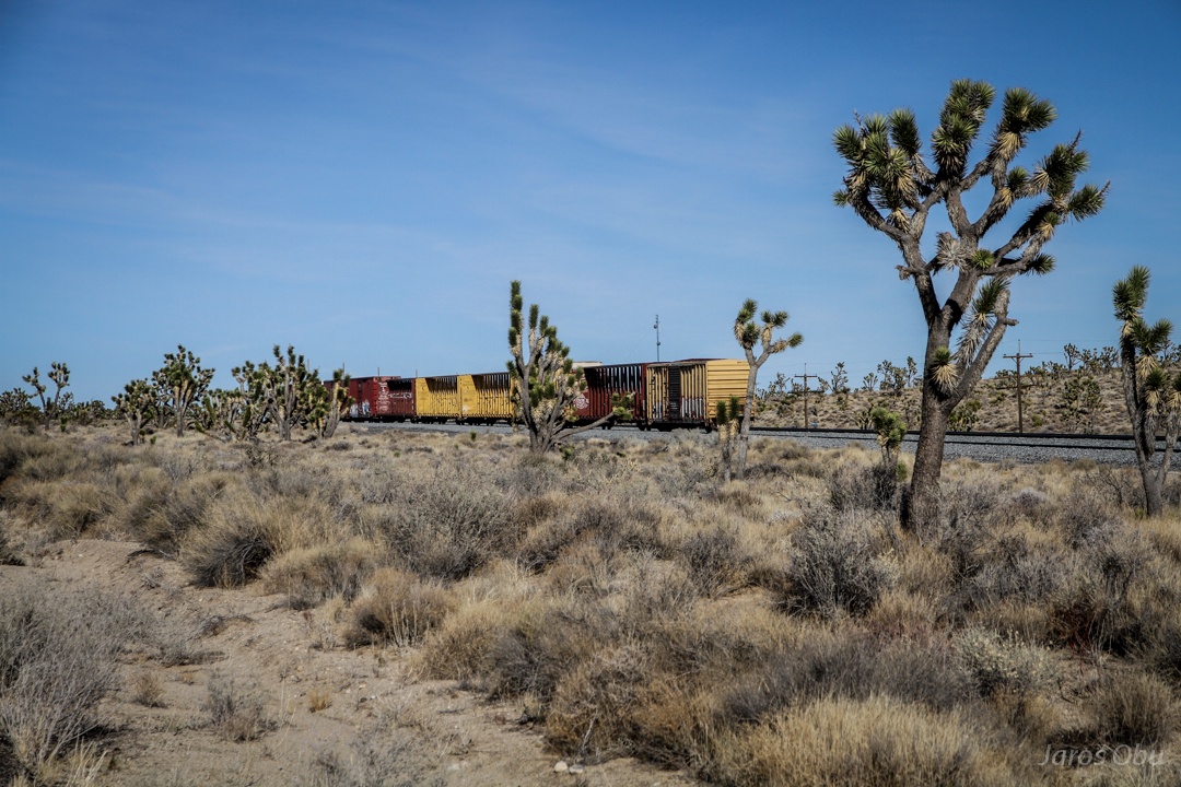
Union Pacific Railroad is the main reason for towns to be here.
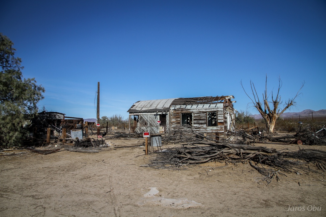
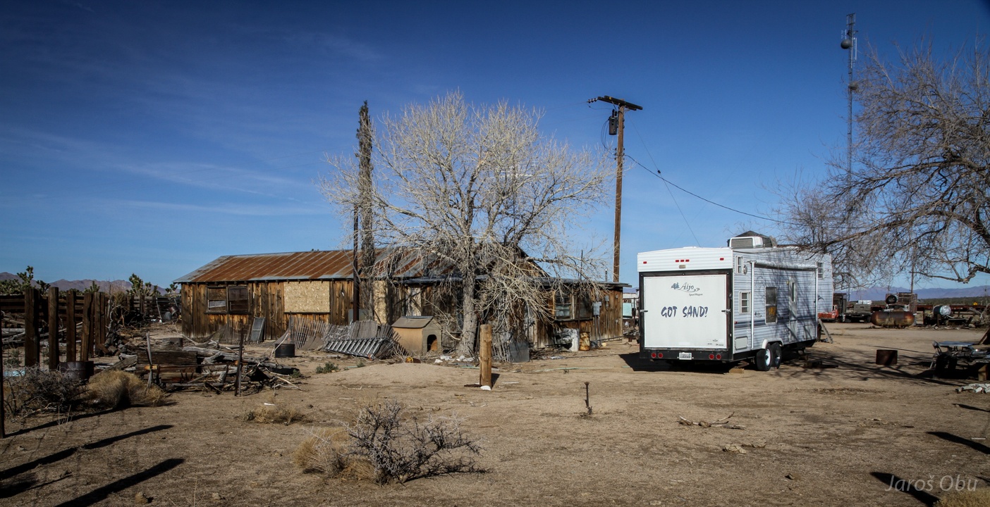
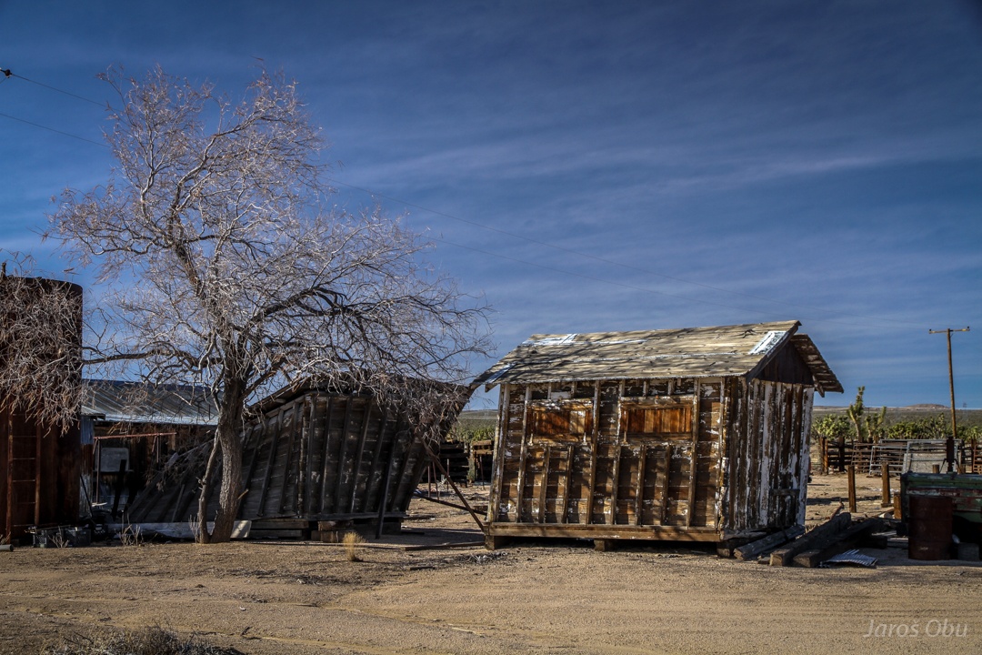
The same goes for the Cima, which is abandoned.
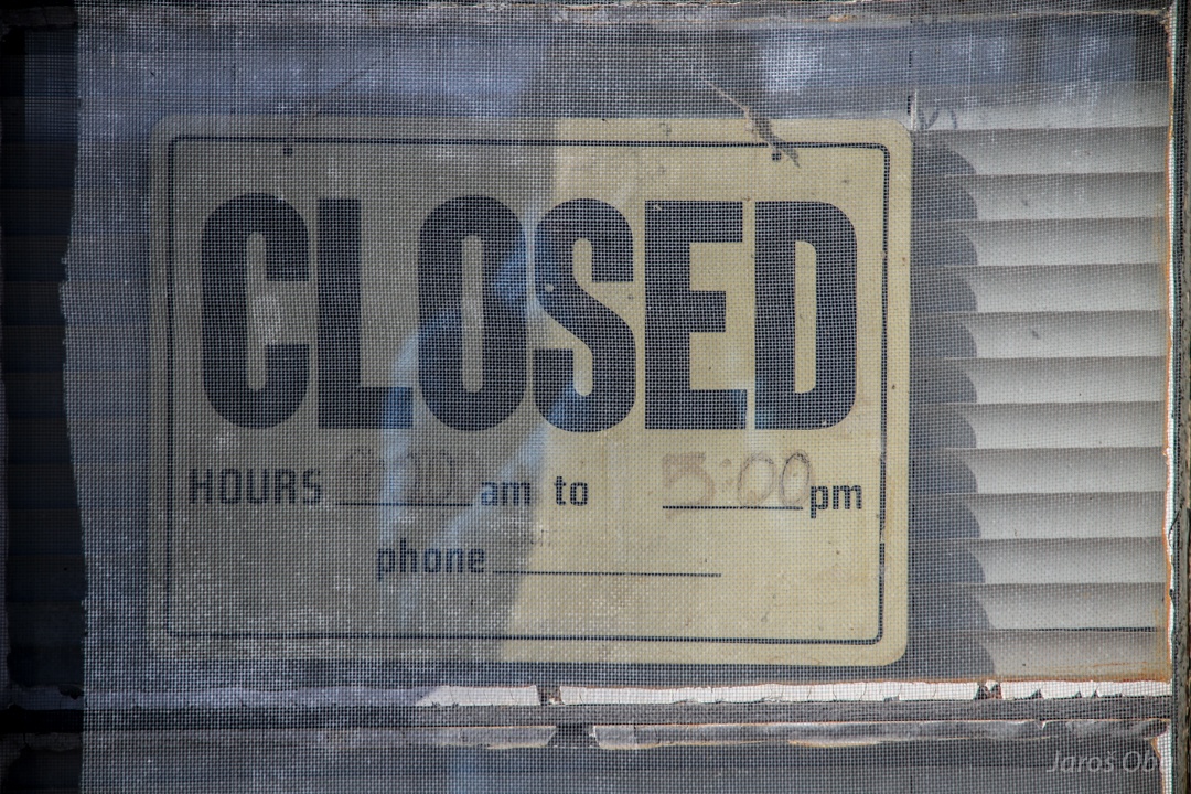
Closed indefinitely.
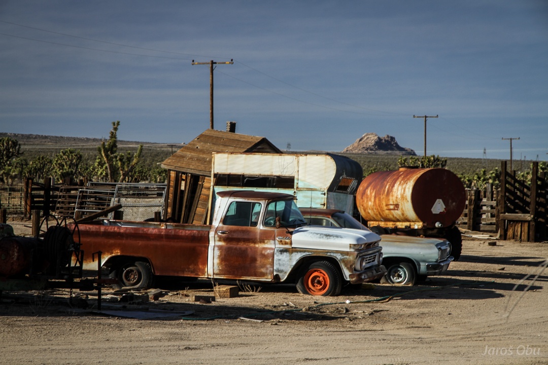
Rusting cars.
And leaning hovels.
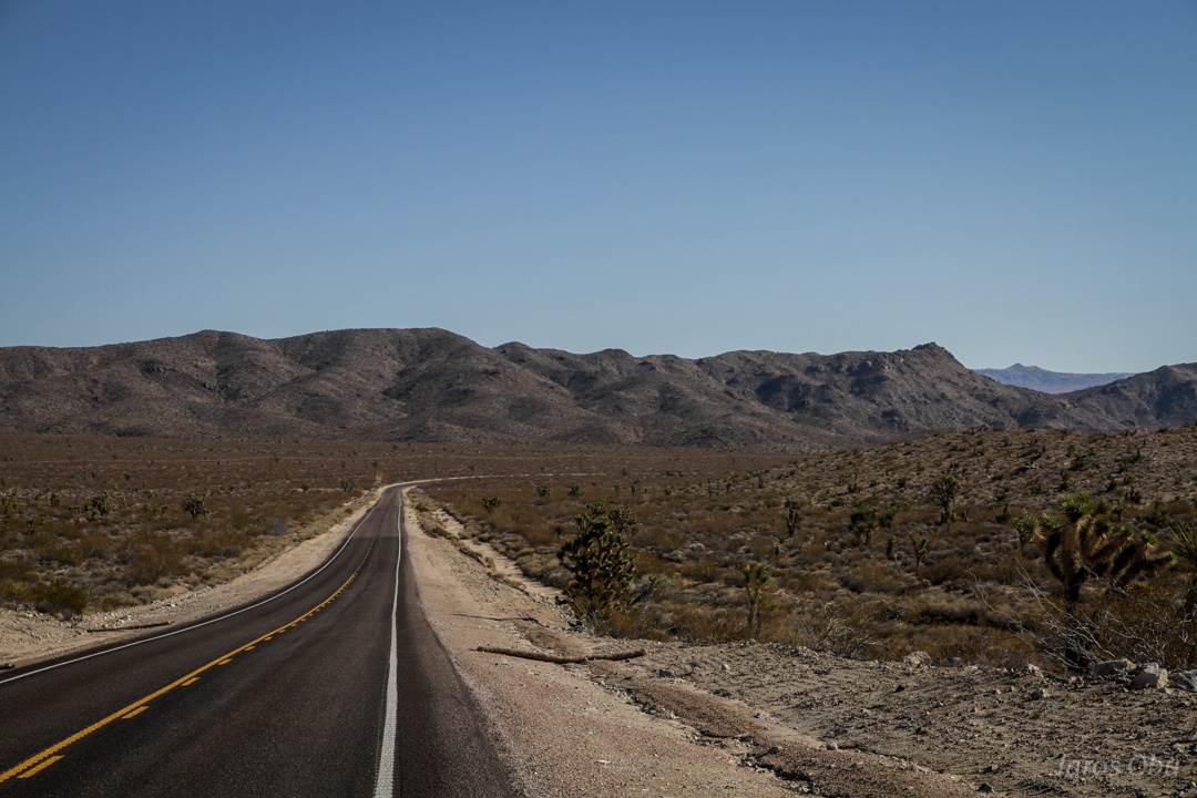
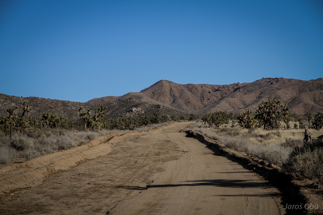
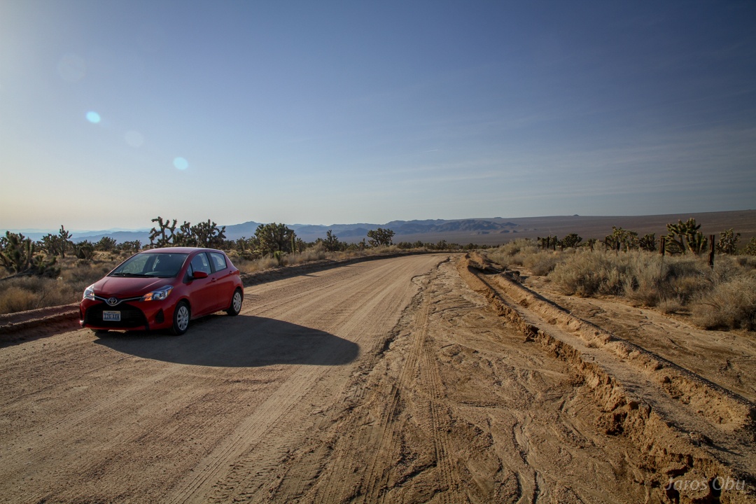
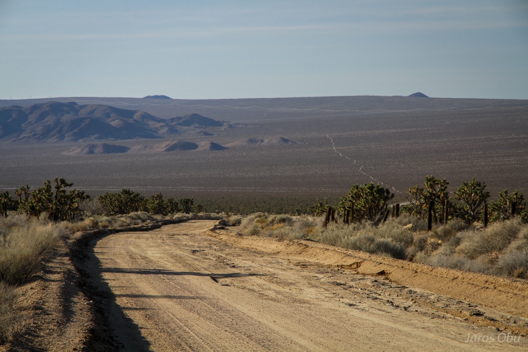
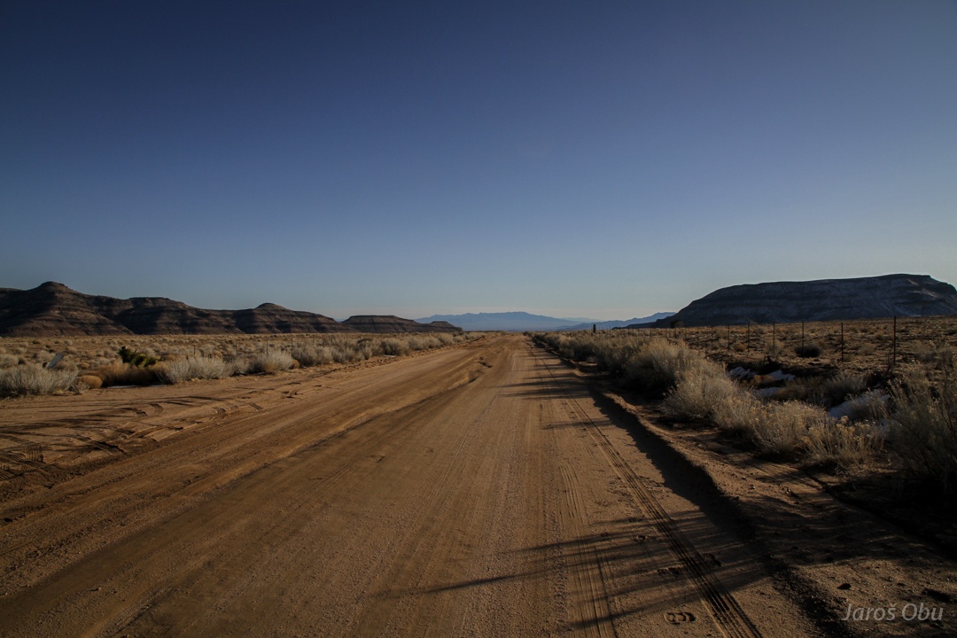
Rough road towards Mid Hills.
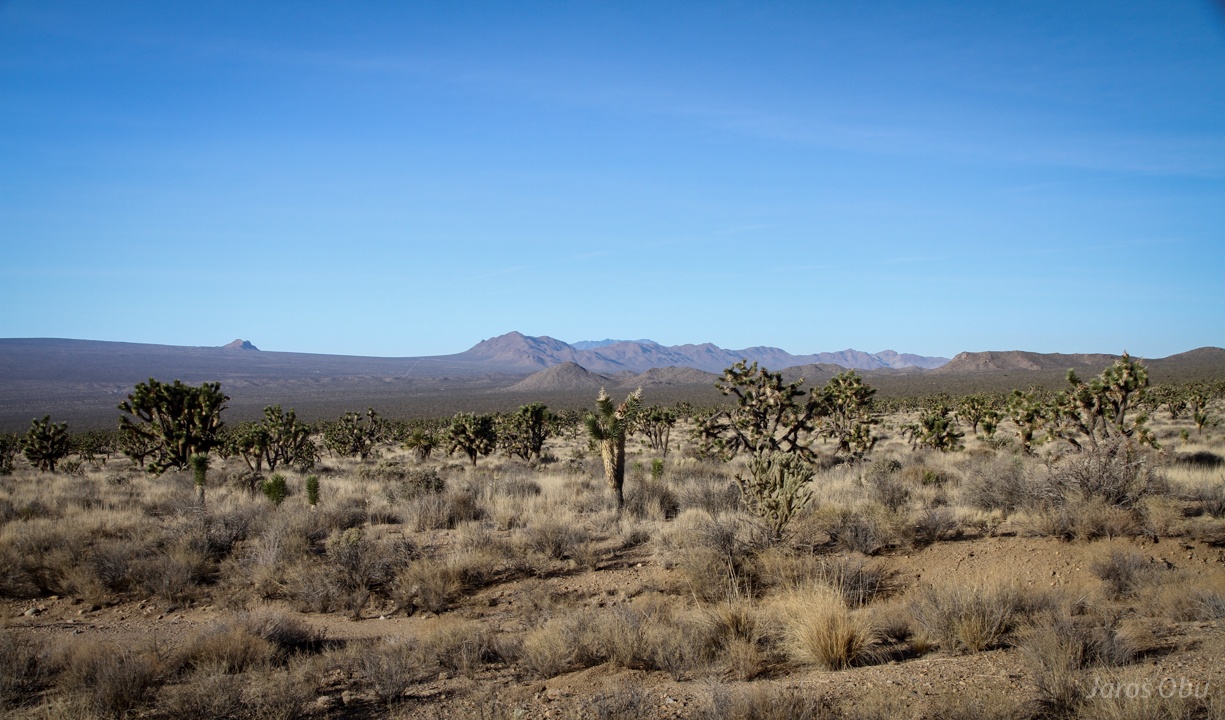
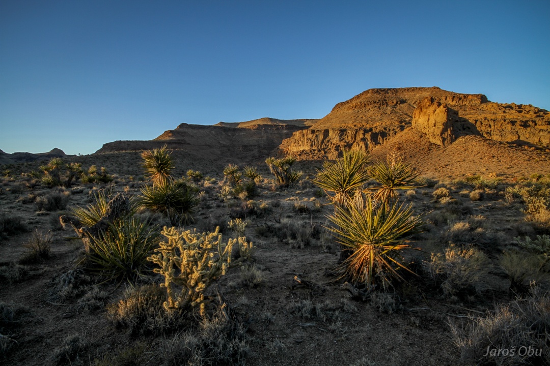
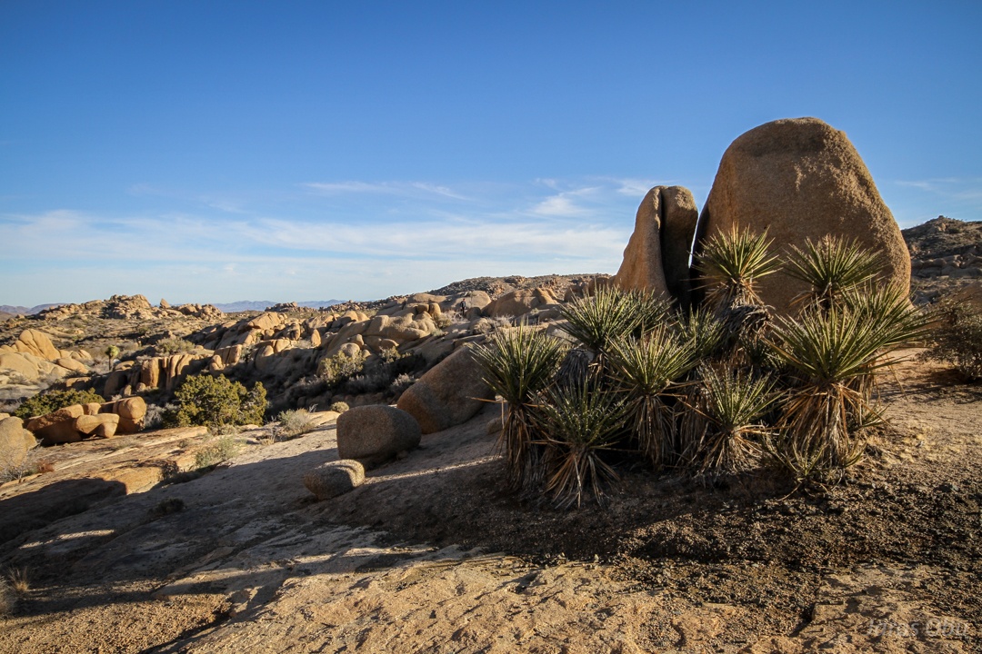
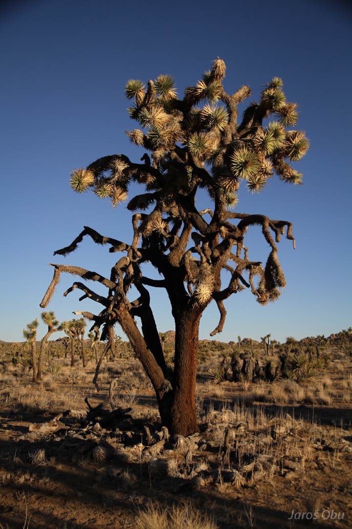
And many joshua trees (Yucca brevifolia), which can be usually found on slightly higher elevations.
It was named by Mormon settlers. It reminded them of Joshua reaching his hands in the sky to pray.
The desert.
Oh, thank you very much for this useful advice.
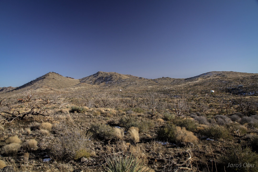
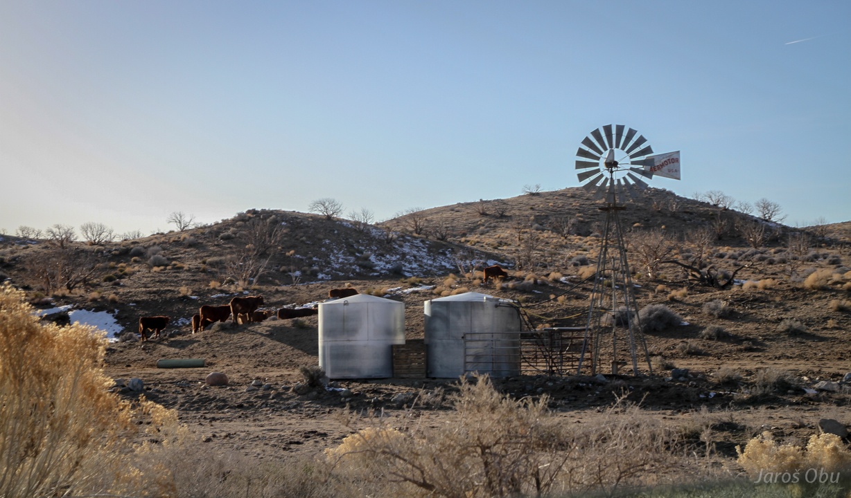
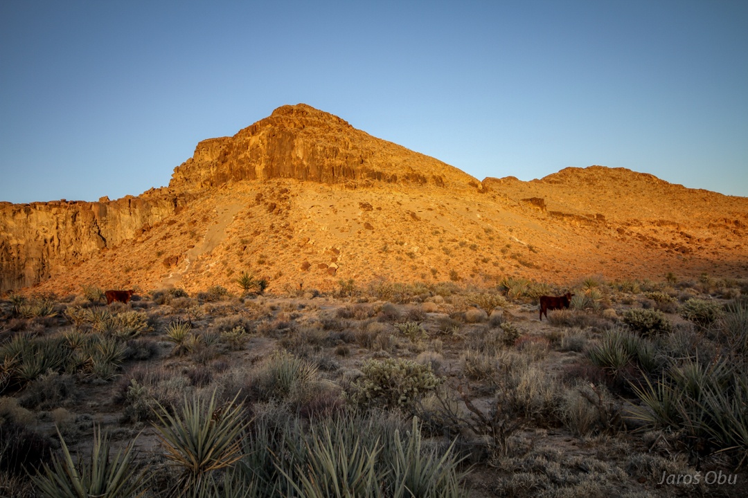
Round Valley in the Mid Hills.
It seems to be enough precipitation on the elevations above 1500 m to support a cattle.
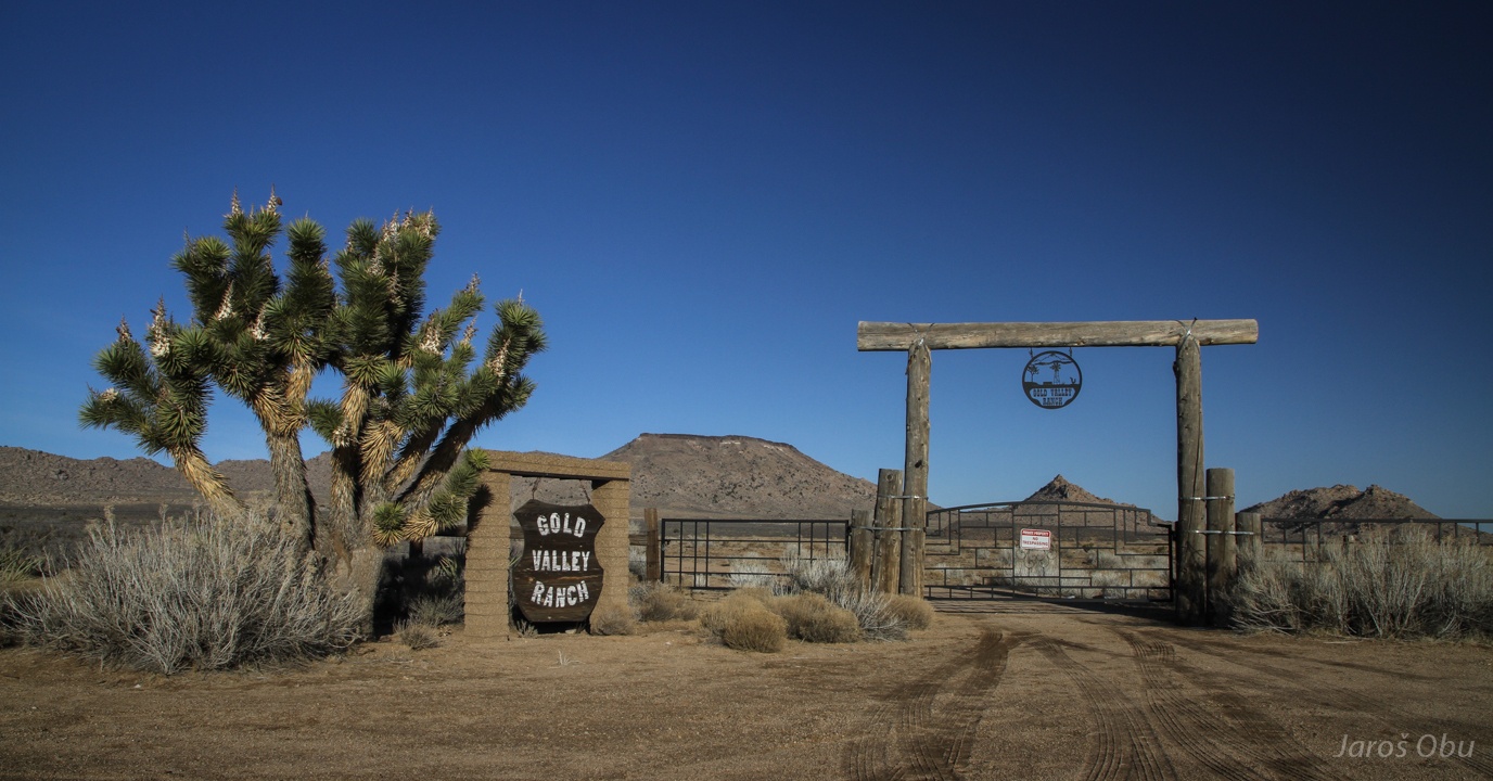
A pleasing entrance to Gold "Valley" Ranch.
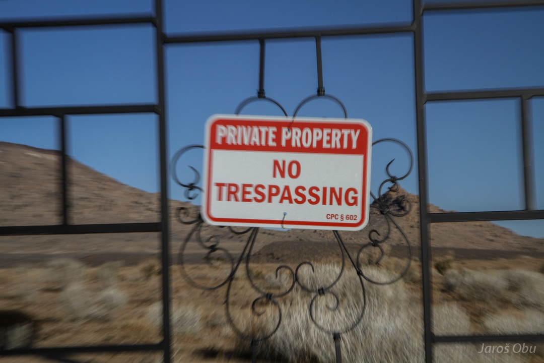
What is the point in decorating the entrance and hang a threatening sign?
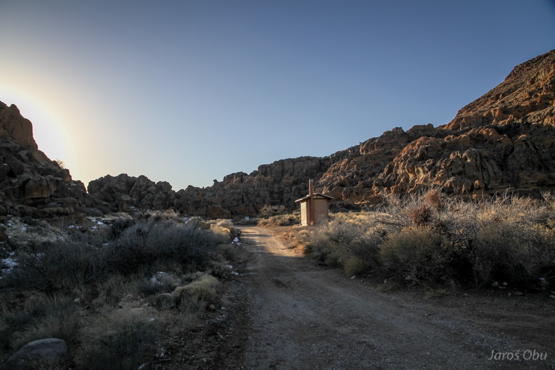
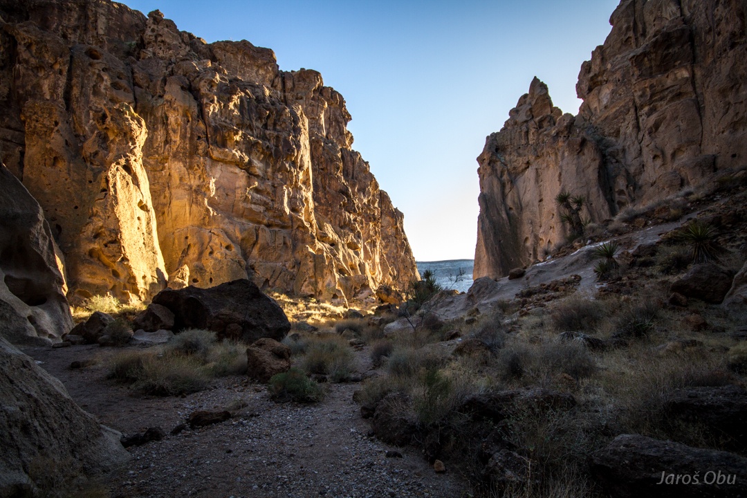
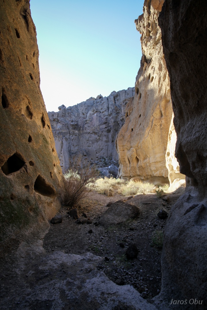
Approaching the Hole-in-the-Wall.
It is not only one, but many.
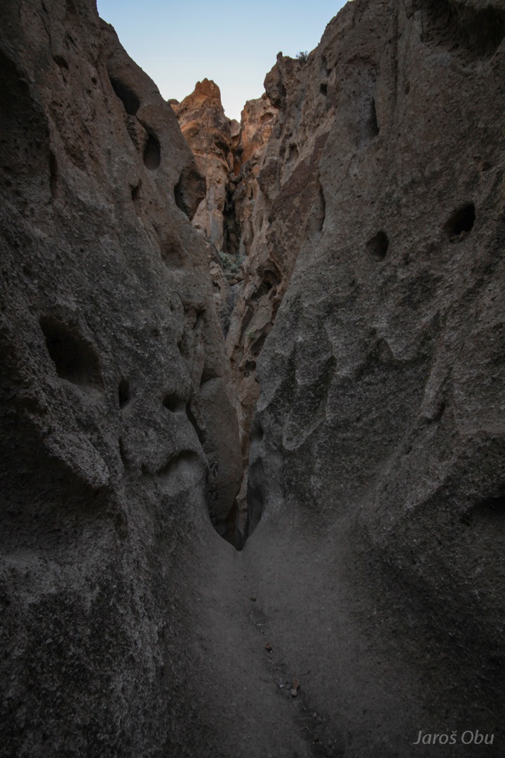
Trail through the rocks.
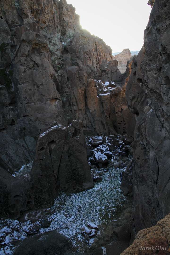
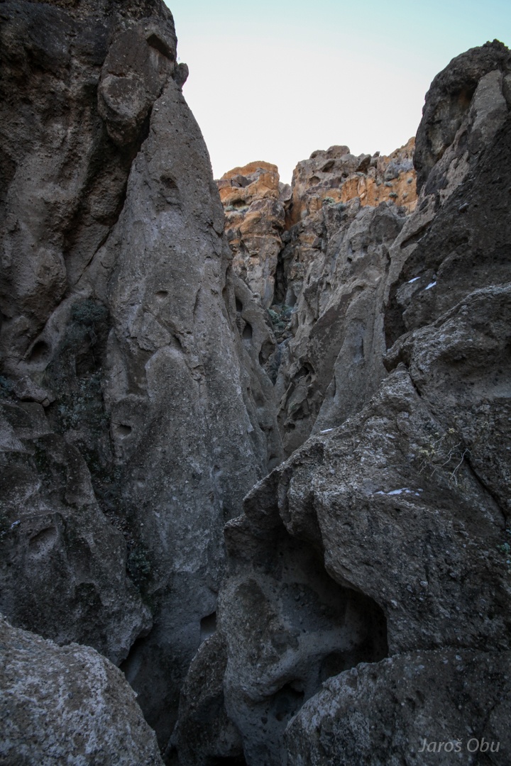
Banshee Canyon
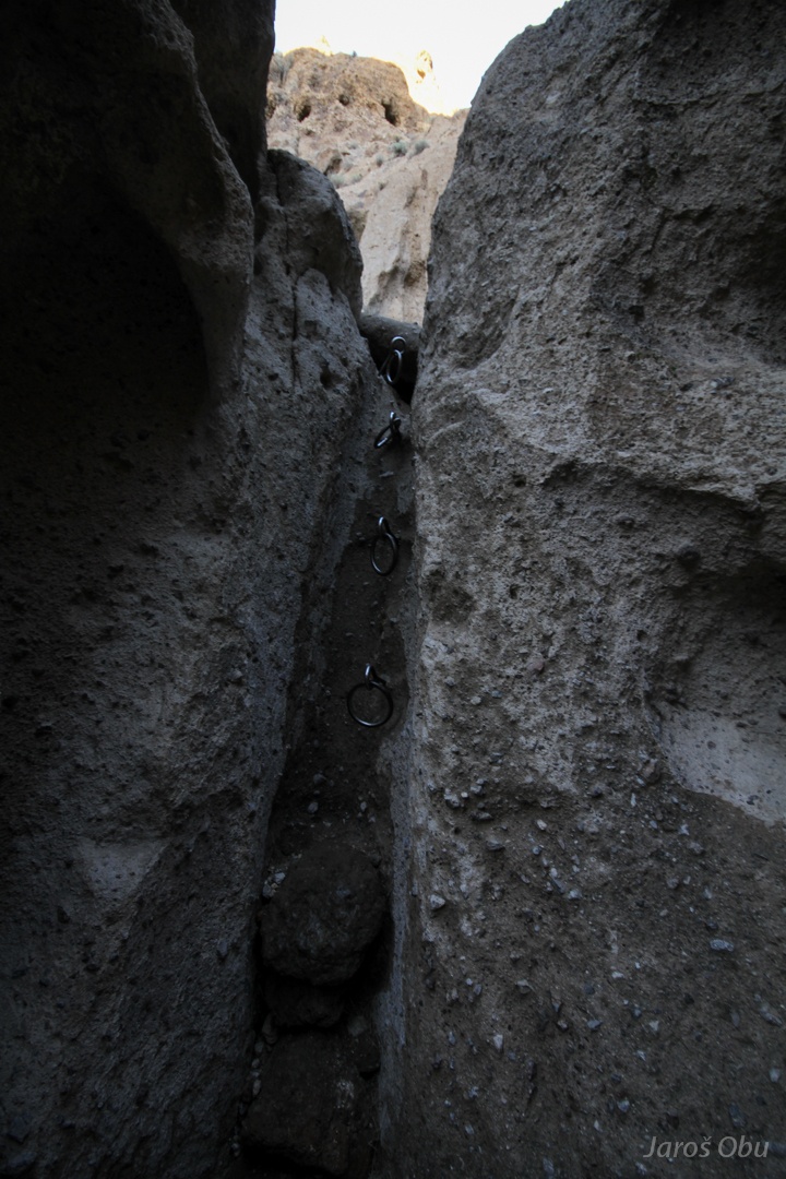
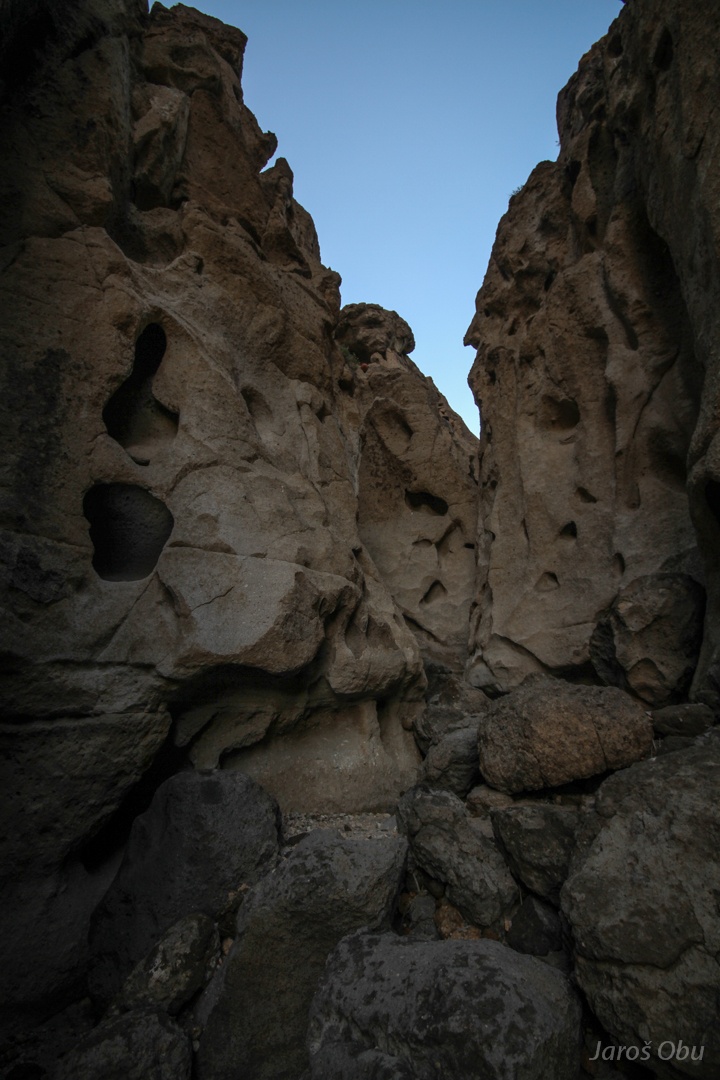
Rings on the Rings Loop Trail.
It goes through a narrow gorge.
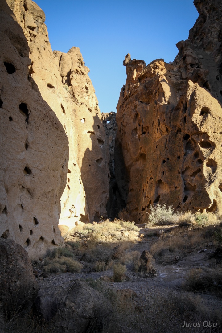
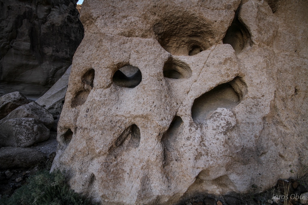
The holes formed in volcanic tuff rock.
Differential weathering of heterogeneous tuff resulted in formation of these holes called also tafoni.
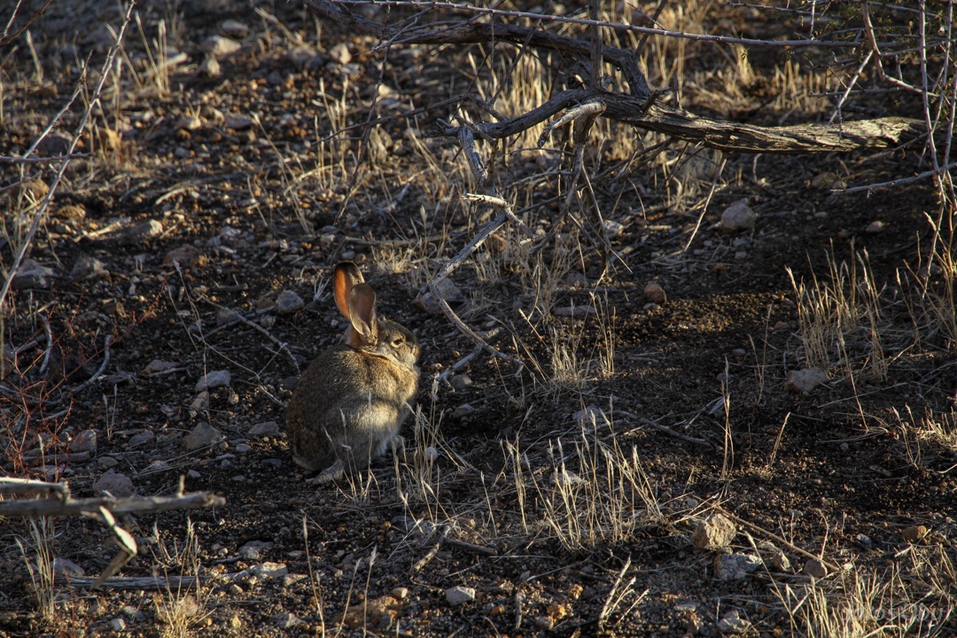
Zdaj pa vem v katerem grmu tiči zajec.
On the other side of the canyon.
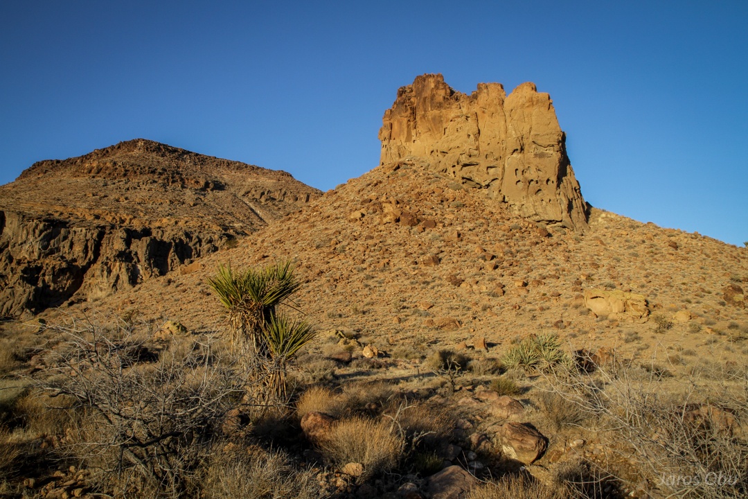
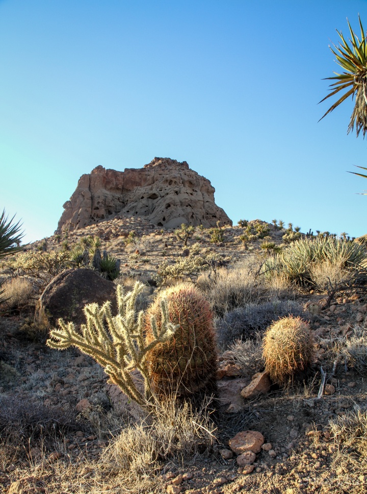
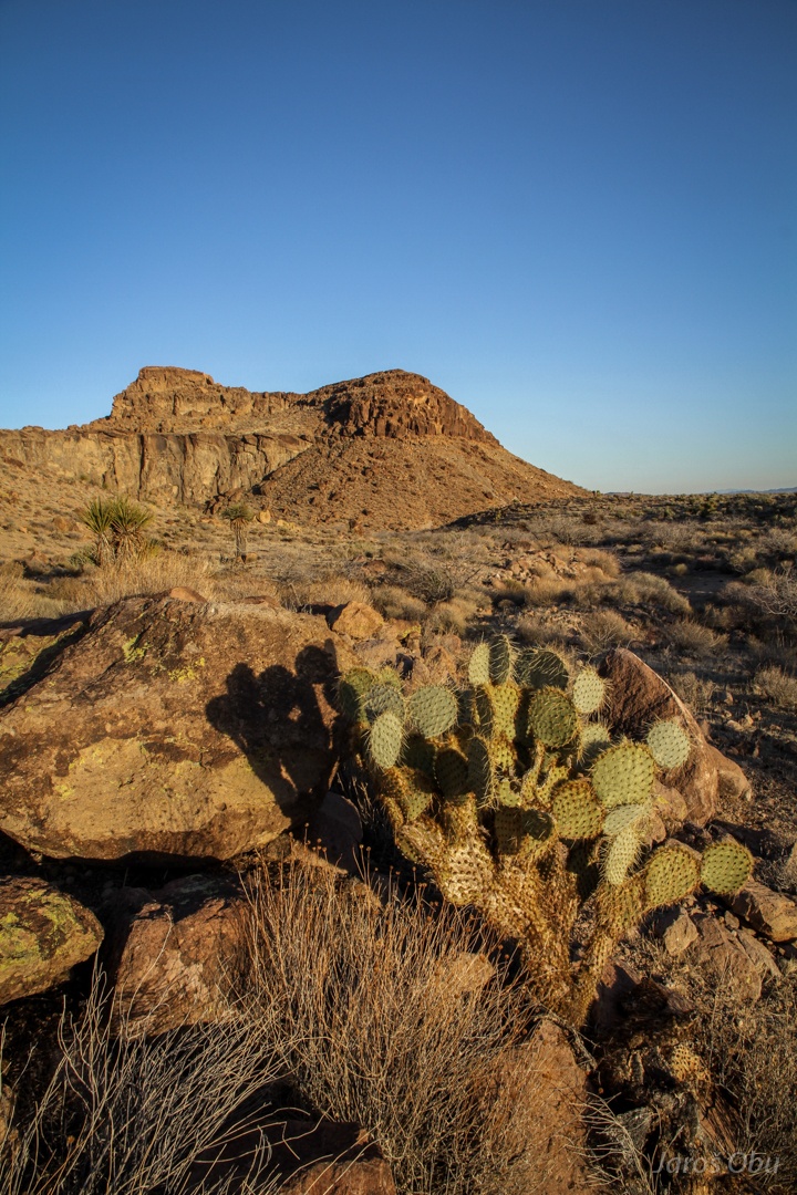
An example of bute.
Many succulents around.
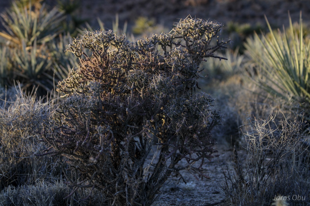
A cholla cactus (Cylindropuntia sp.)
Mojave pricklypear (Opuntia mojavensis)
Pencil cholla (Cylindropuntia ramosissima)
Silver cholla (Cylindropuntia echinocarpa) and yuccas.
Möööööööö.
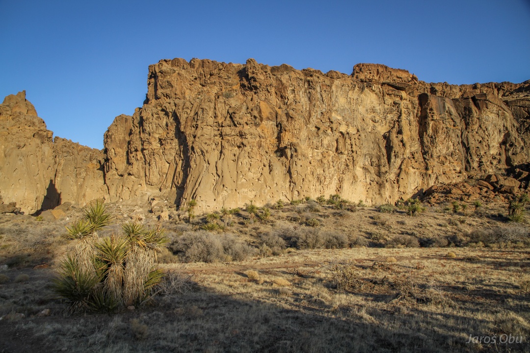
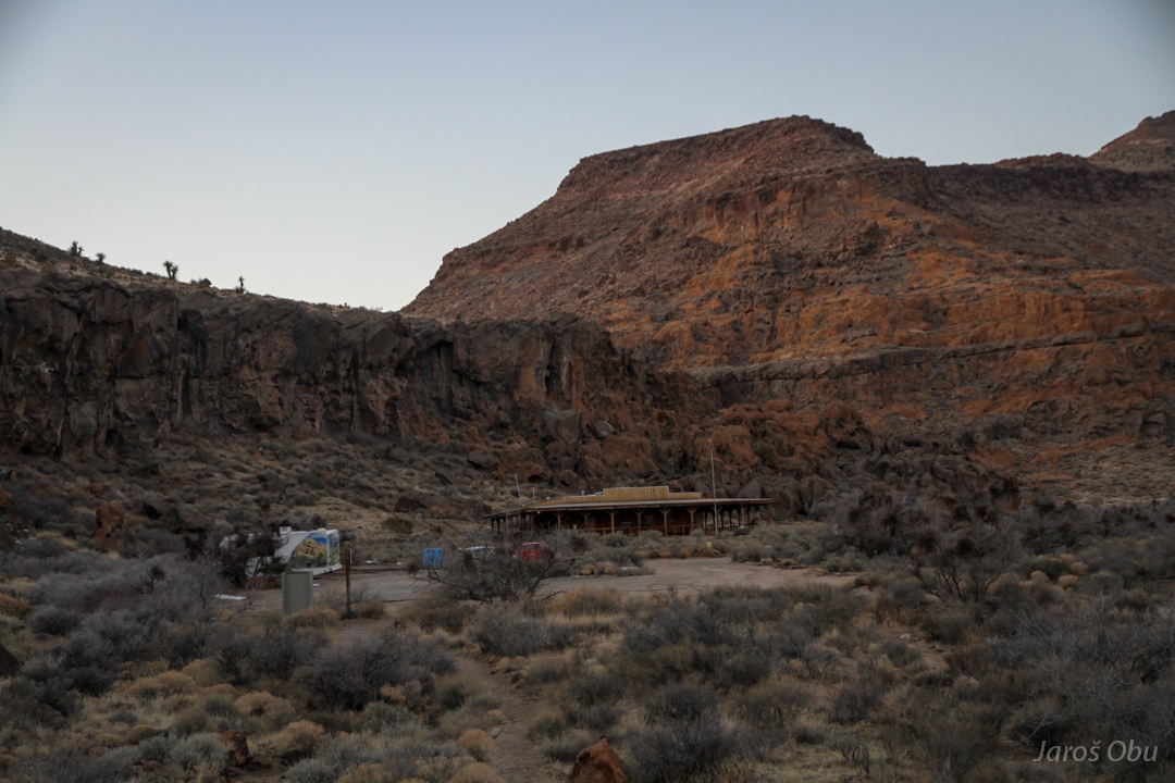
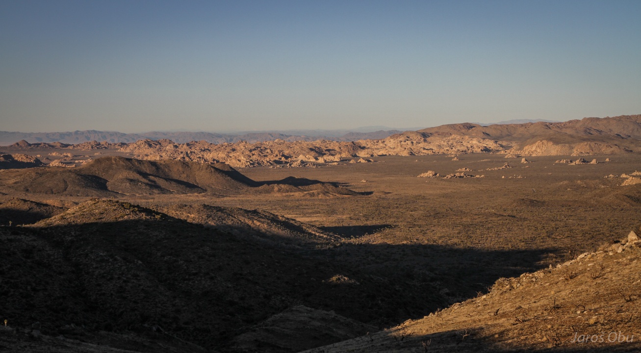
Providence Mountains.
Plateaus, valleys, mesas and butes.
A nice example of mesa.
Ancient scribbles on one of the rocks.
Back at the Hole-in-the-Wall visitor centre.
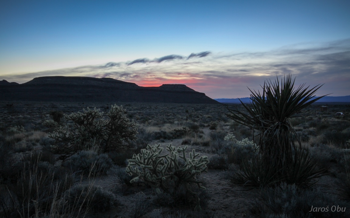
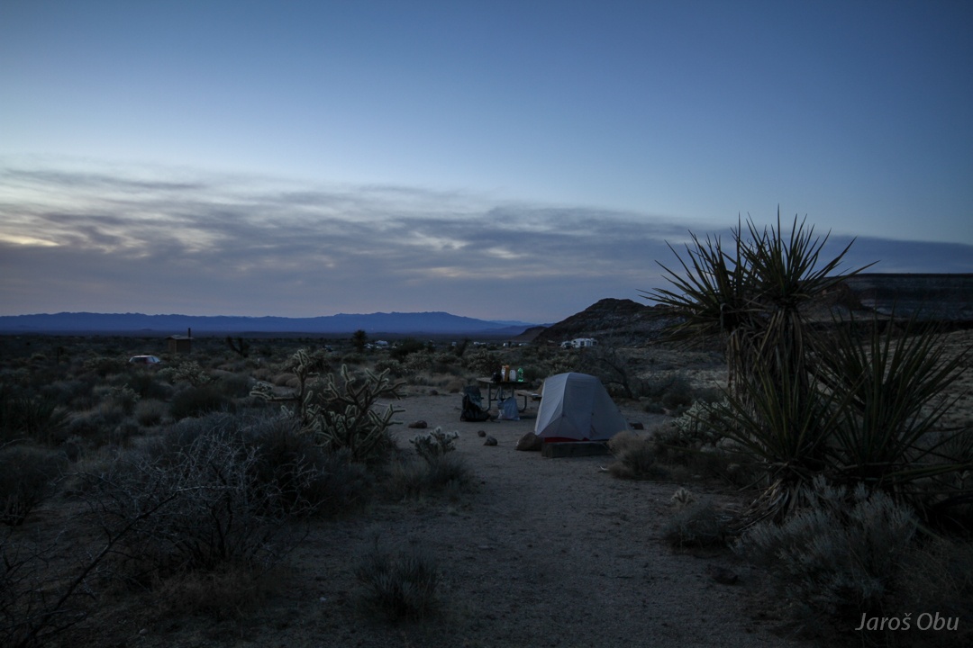
And overnighting in the nearby camping ground. The light pollution behind the tent probably comes from Las Vegas.
In the morning.
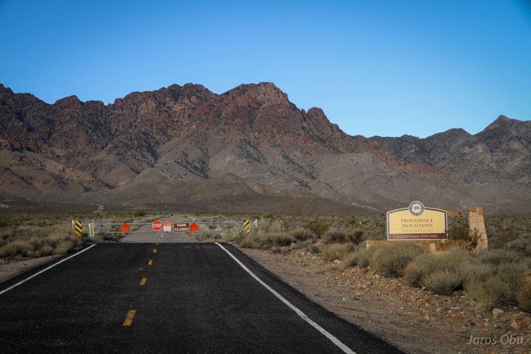
I wanted to check out the Mitchel Caverns. Not only the cave, even the area is closed. Violators will be prosecuted!!!
Heading south through the desert.
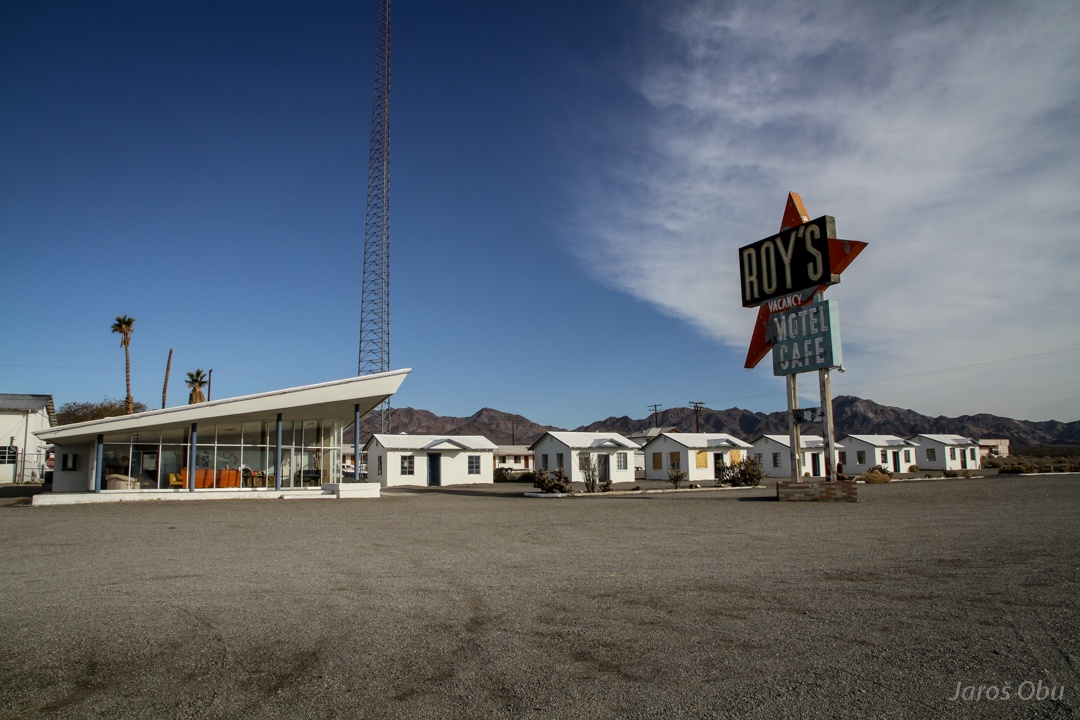
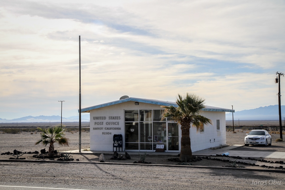
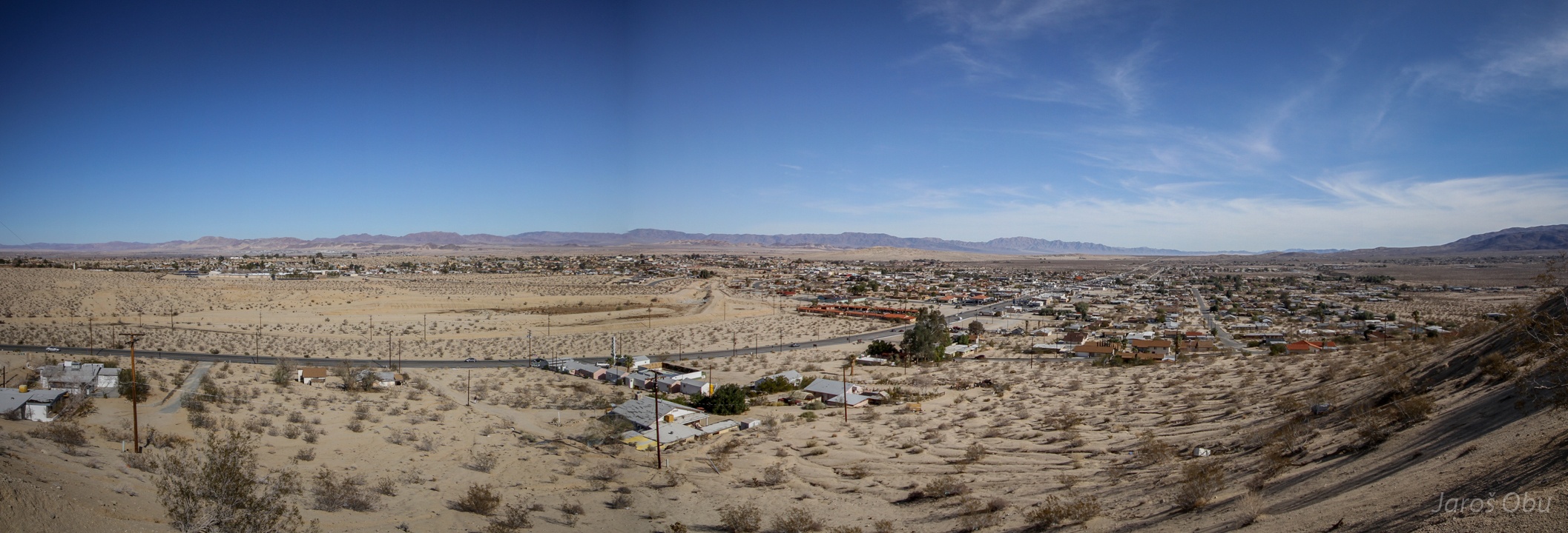
Approaching Amboy on the Route 66.
Town was established by the Atlantic and Pacific Railroad. It is now abandoned and the Roy's hotel doesn't seem to operate anymore.
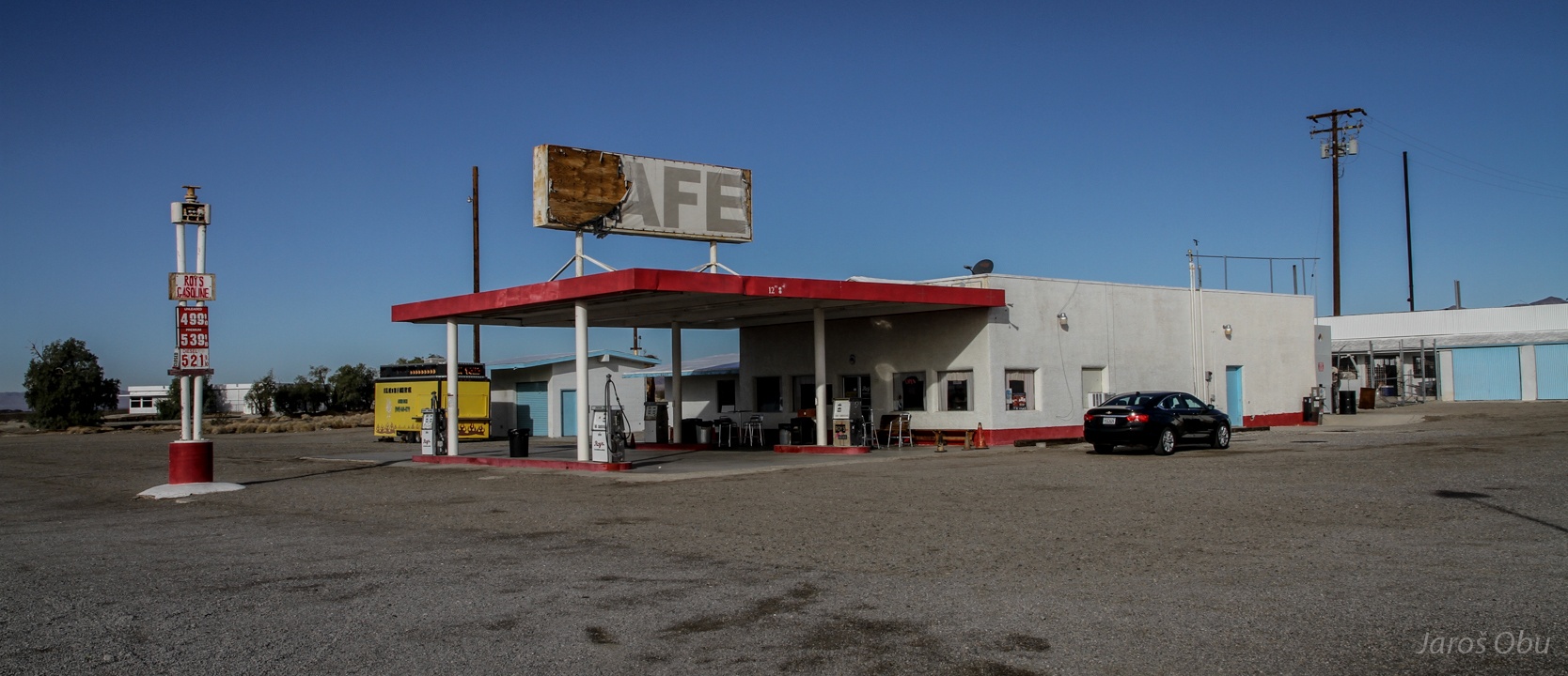
The same goes for the Cafe and petrol station.
But the Post office is still operating.
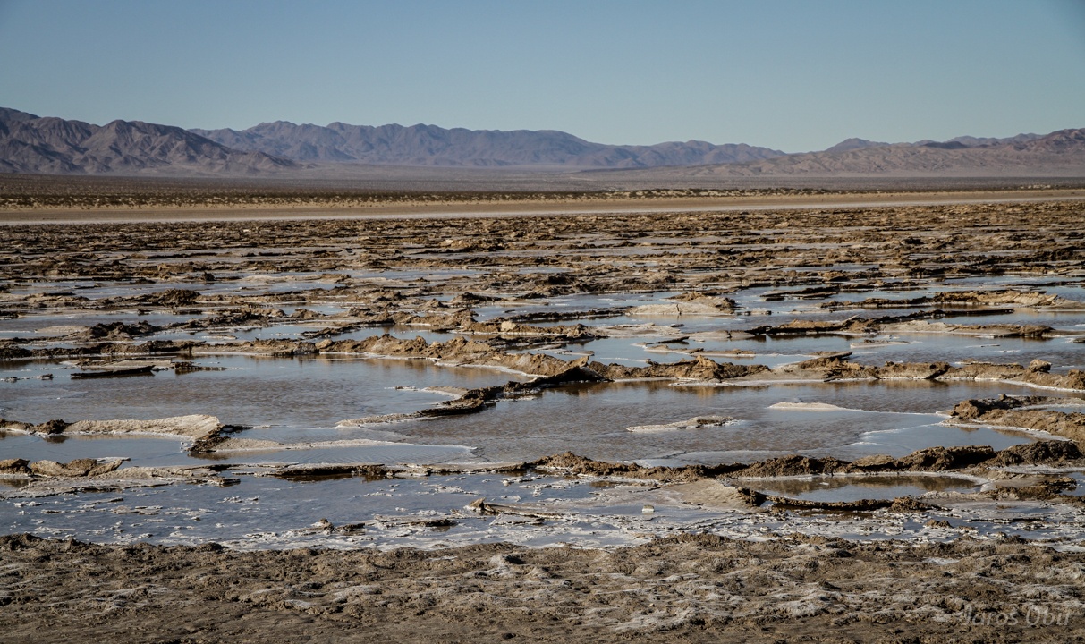
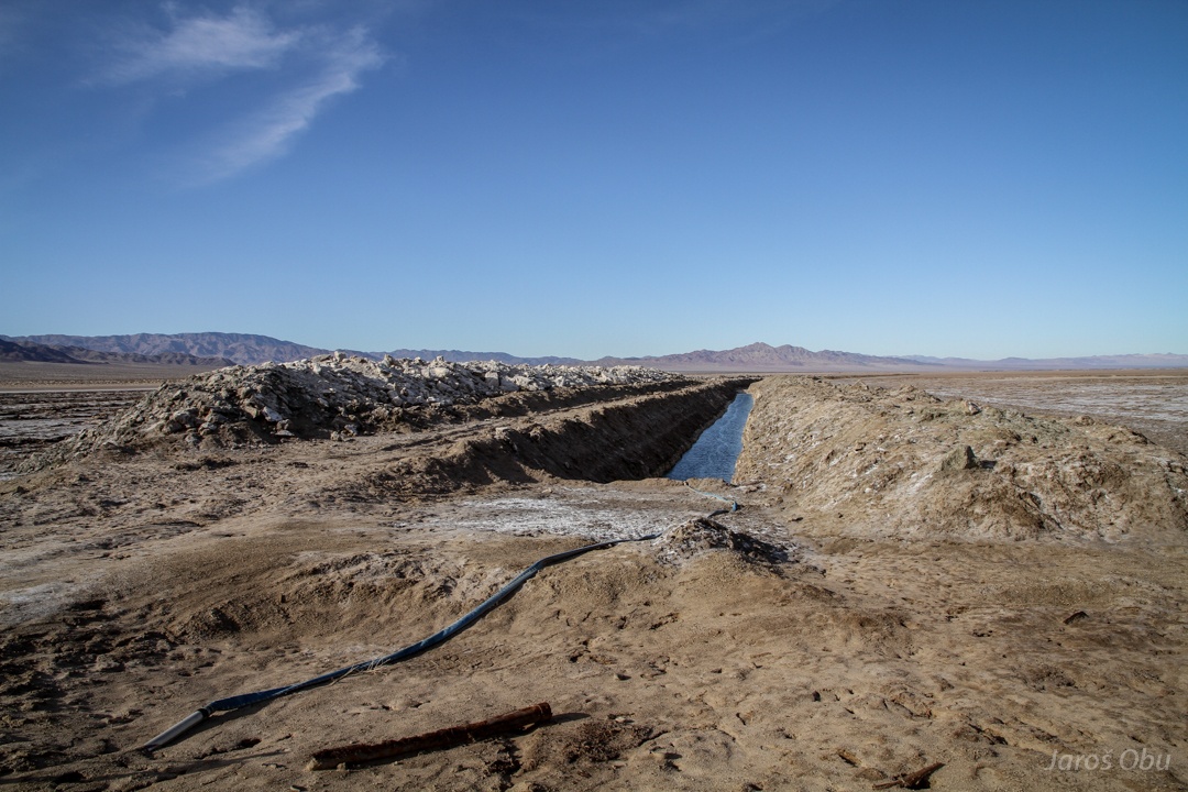
Bristol lake, which was due to the recent rain not completely dry.
It looks like they are evaporating water for salt.
Mailboxes close to Twentynine Palms. More available groundwater, more population.
The Twentynine Palms town on the northern side of Joshua Tree Park. It looks that there are now many more than 29 palms in the town.
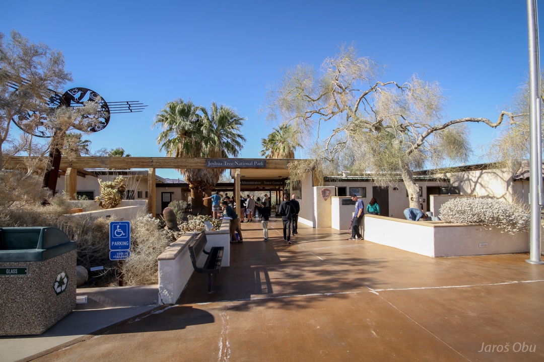
The park visitor centre.
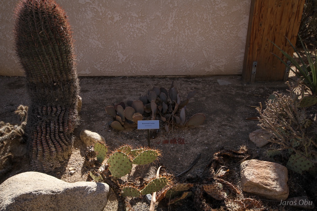
They have not only a botanical garden ...
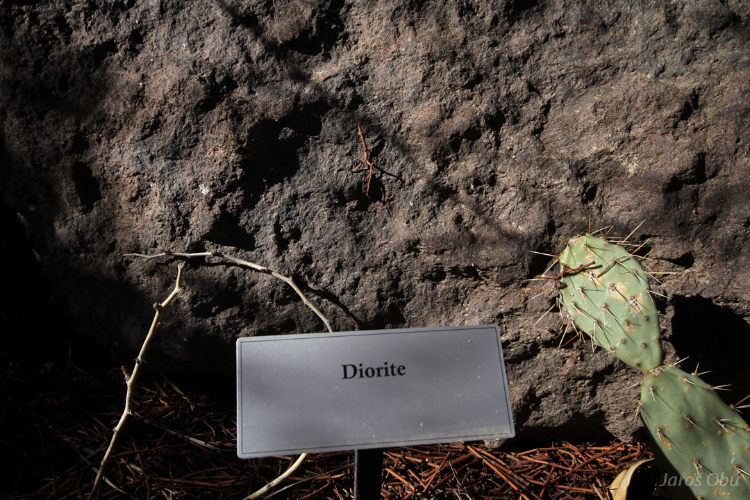
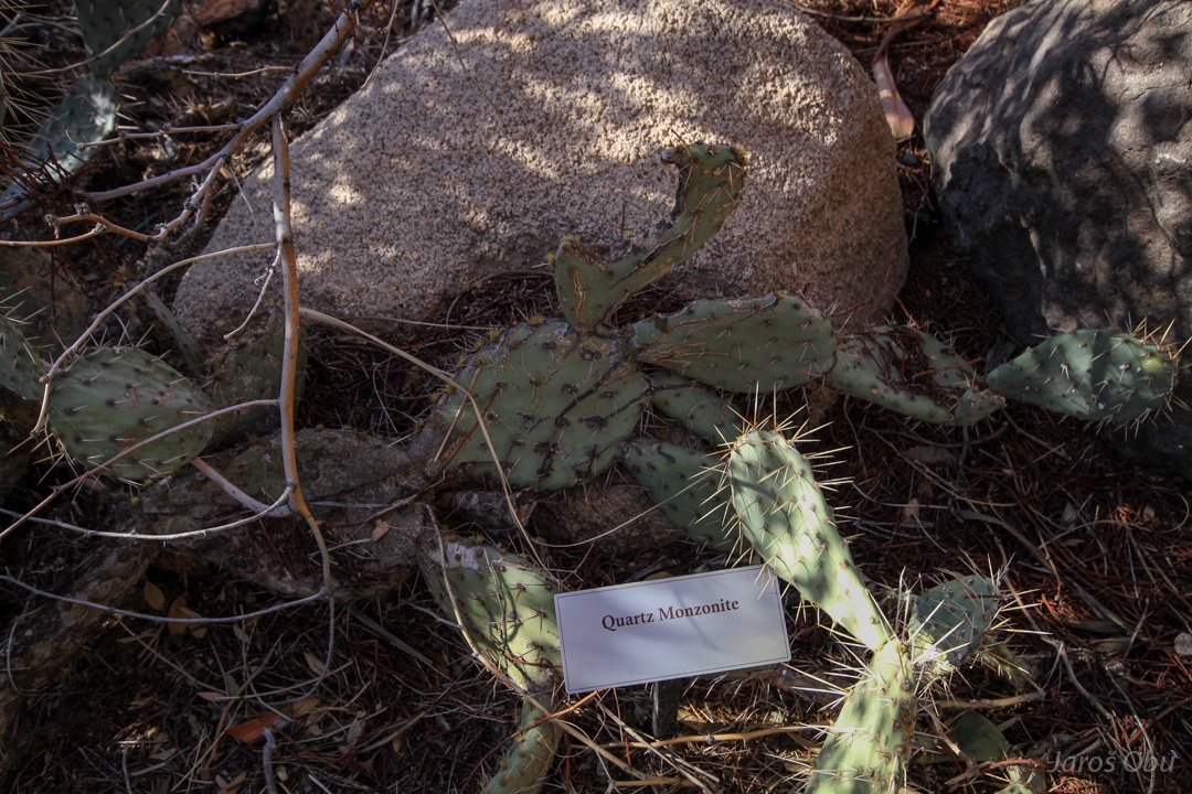
But also a stone garden.
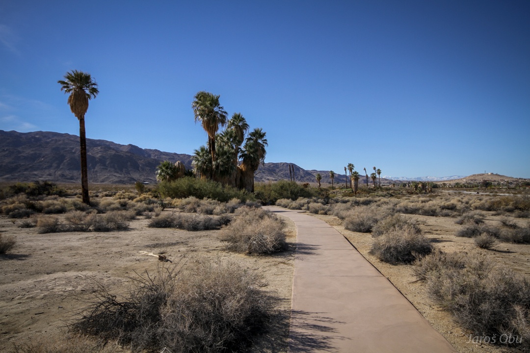
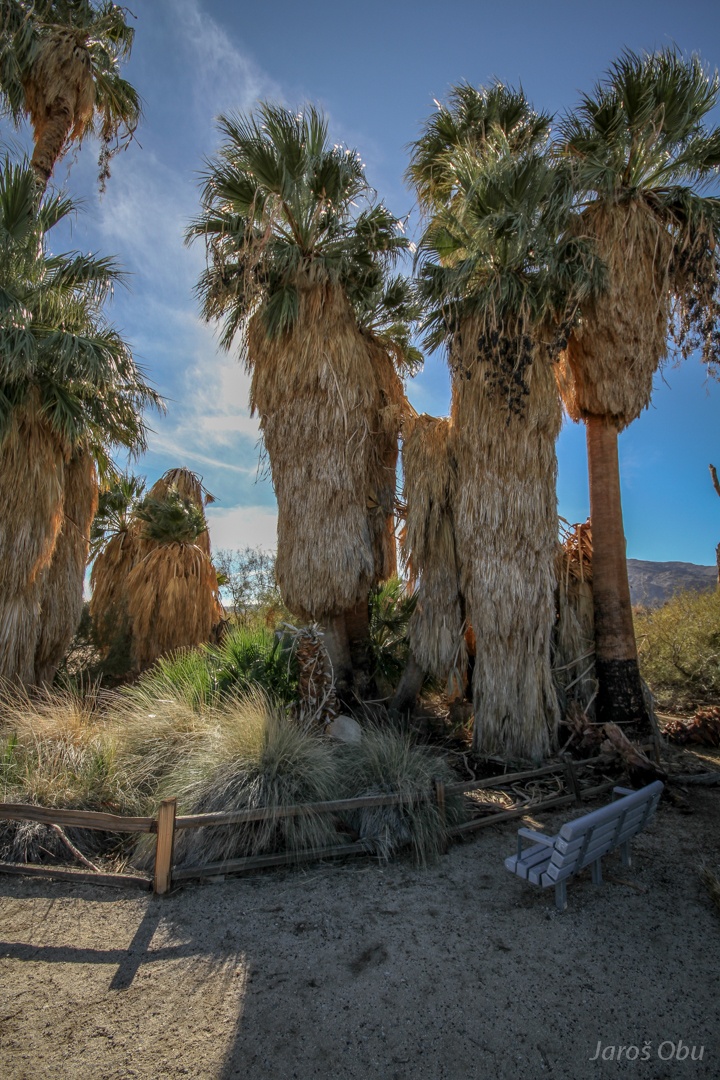
Oasis of Mara. Here, Serrano indians planted 29 palms, which provided them with food, clothing and other materials.
The indigenous inhabitants left soon after the land was invaded by Europeans.
The springs.
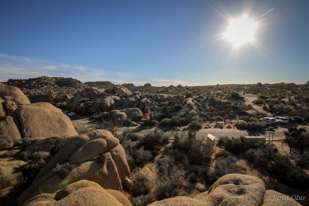
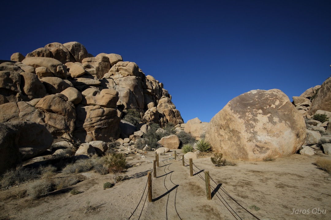
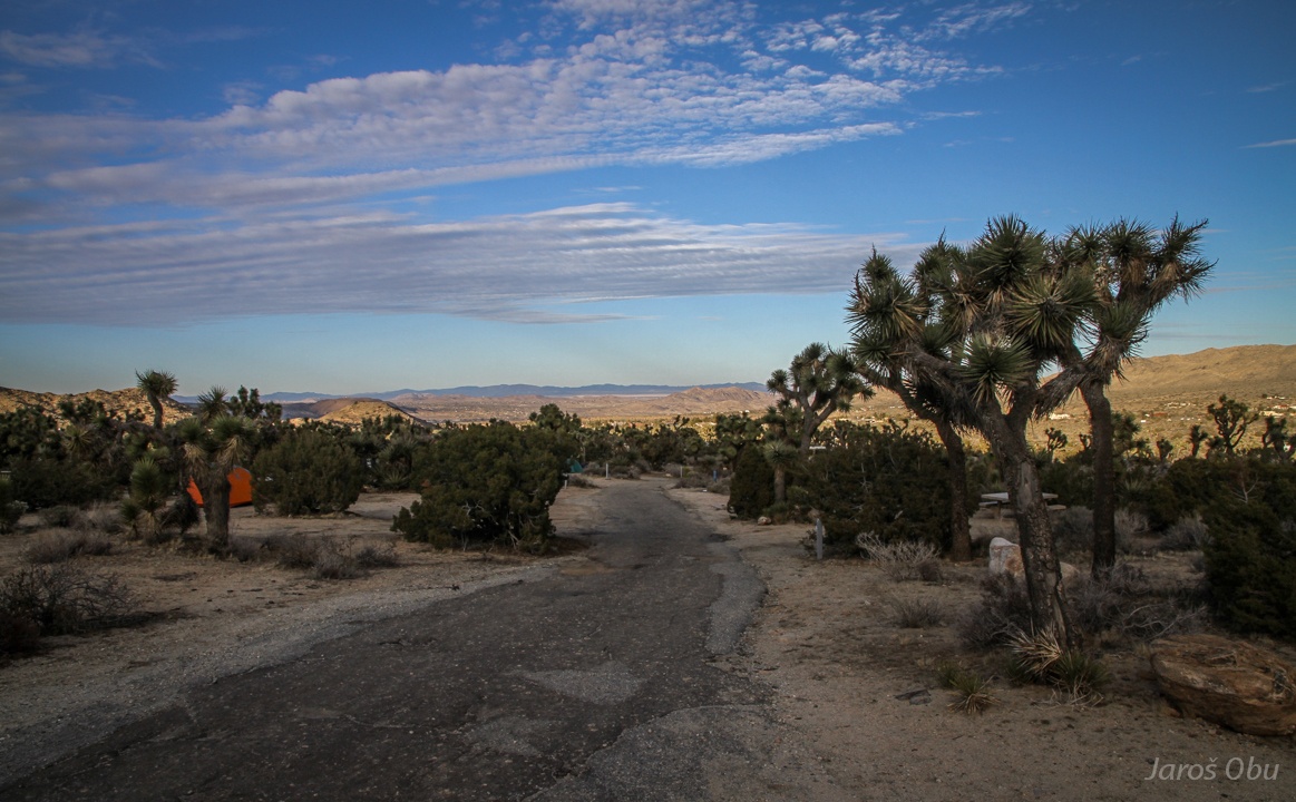
Packed camping site at White Tank in Joshua Tree Park.
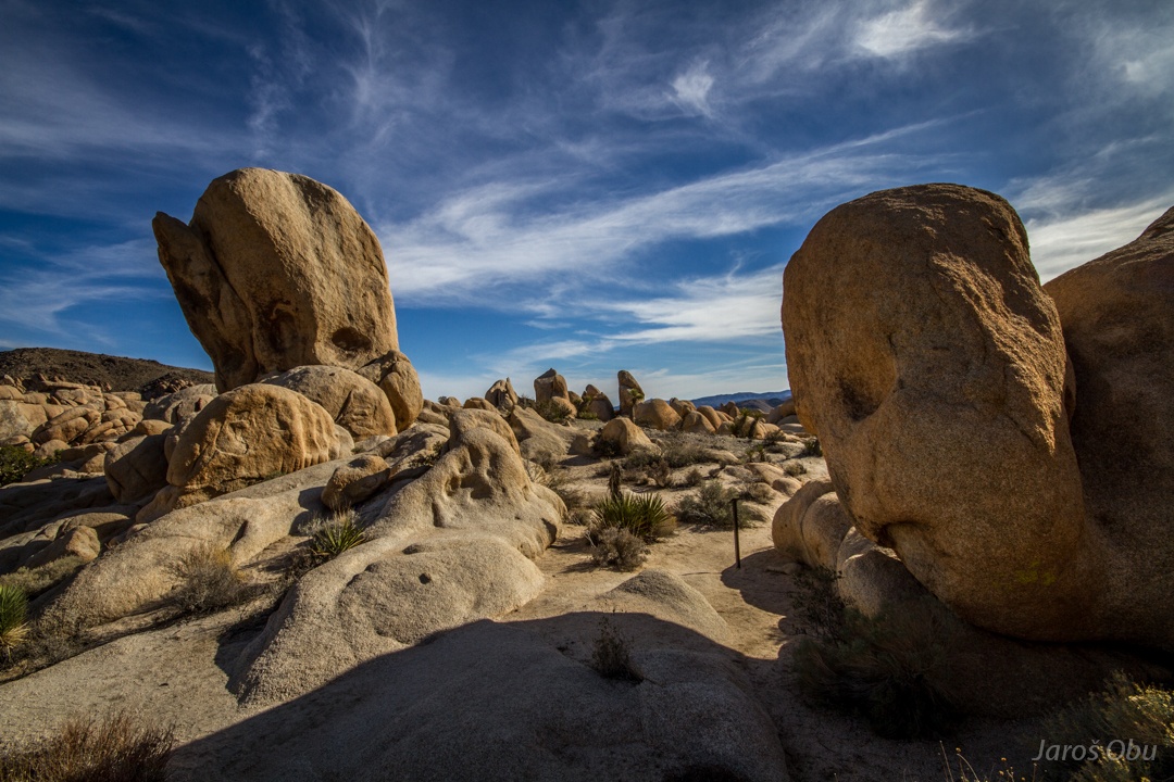
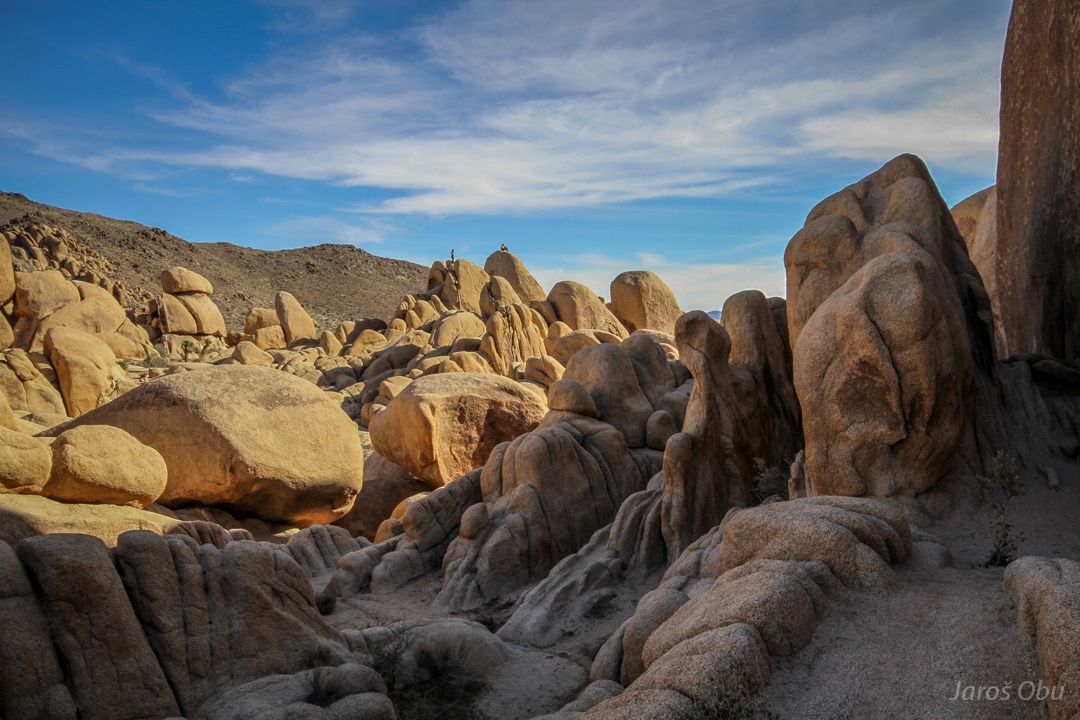
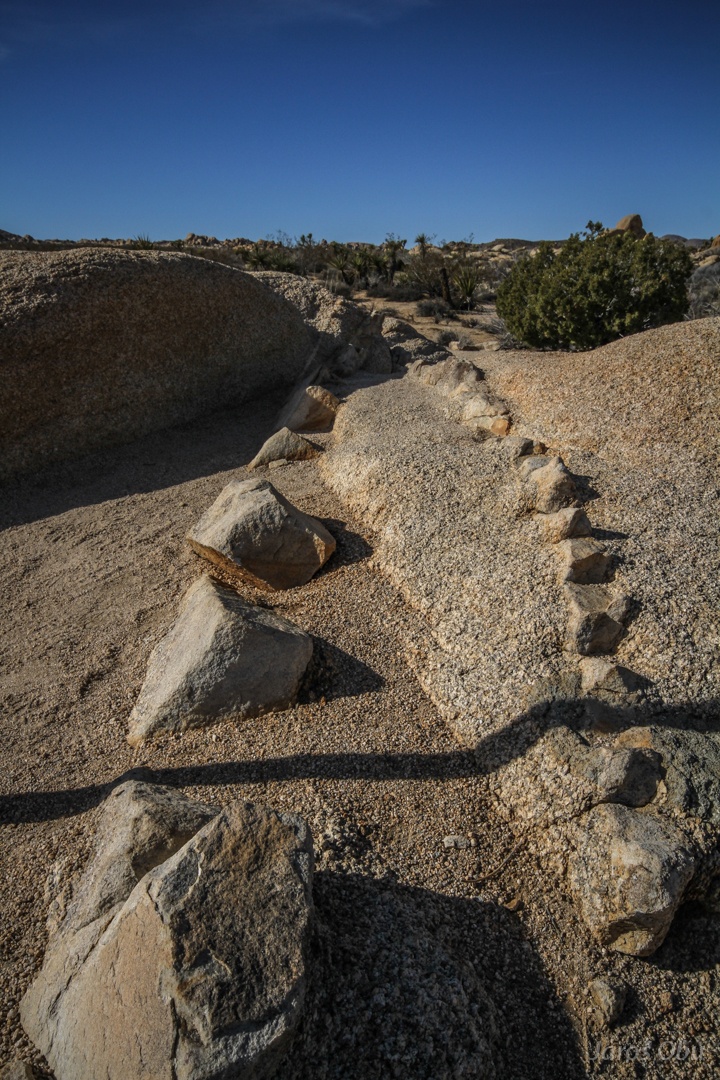
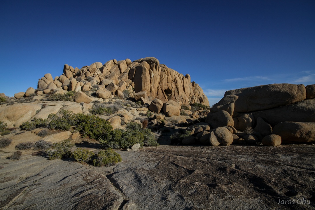
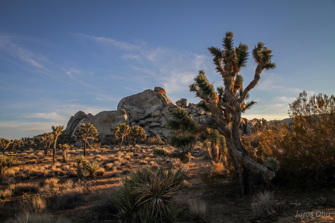
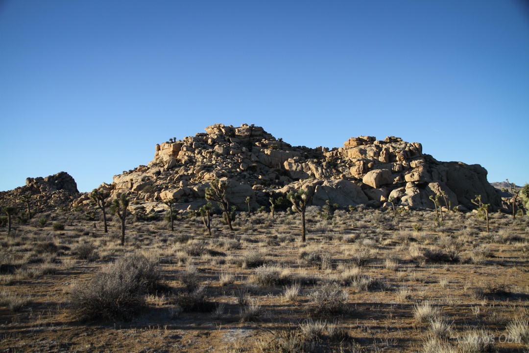
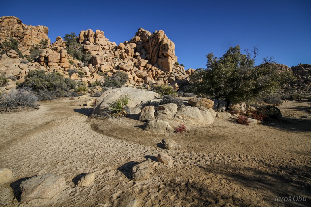
Despite the park name, the joshua trees don't grow everywhere. The park is also known for very spectacular granite rock formations.
Arches can also be found here.
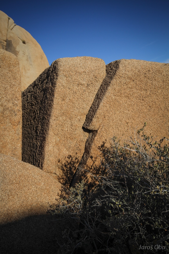
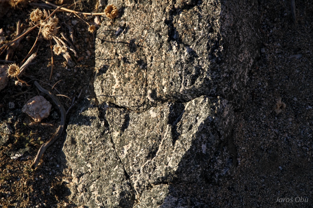
Veins in monzogranite.
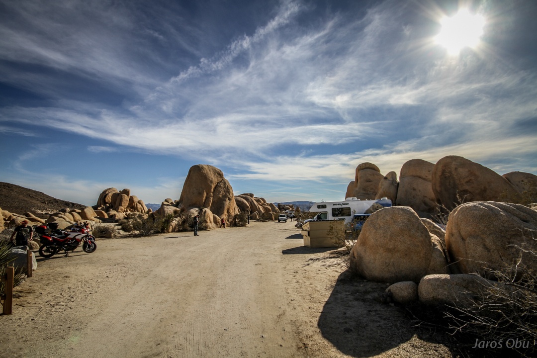
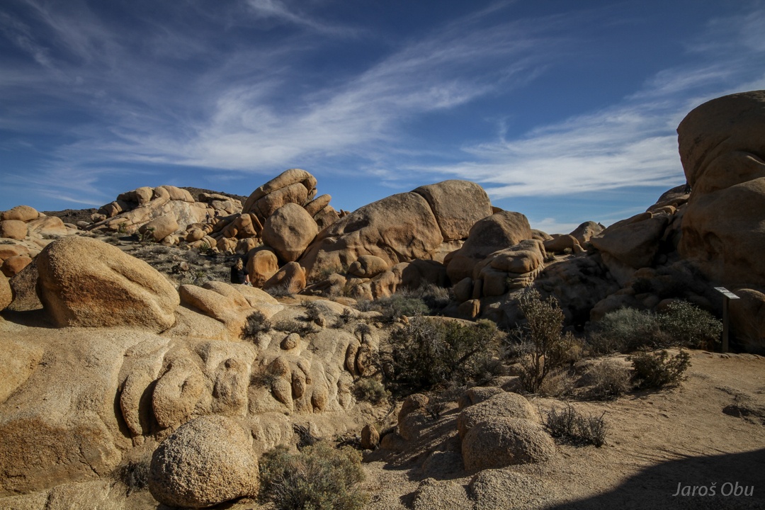
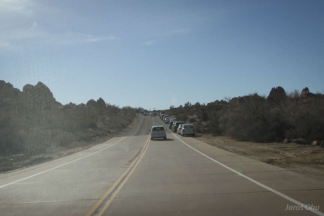
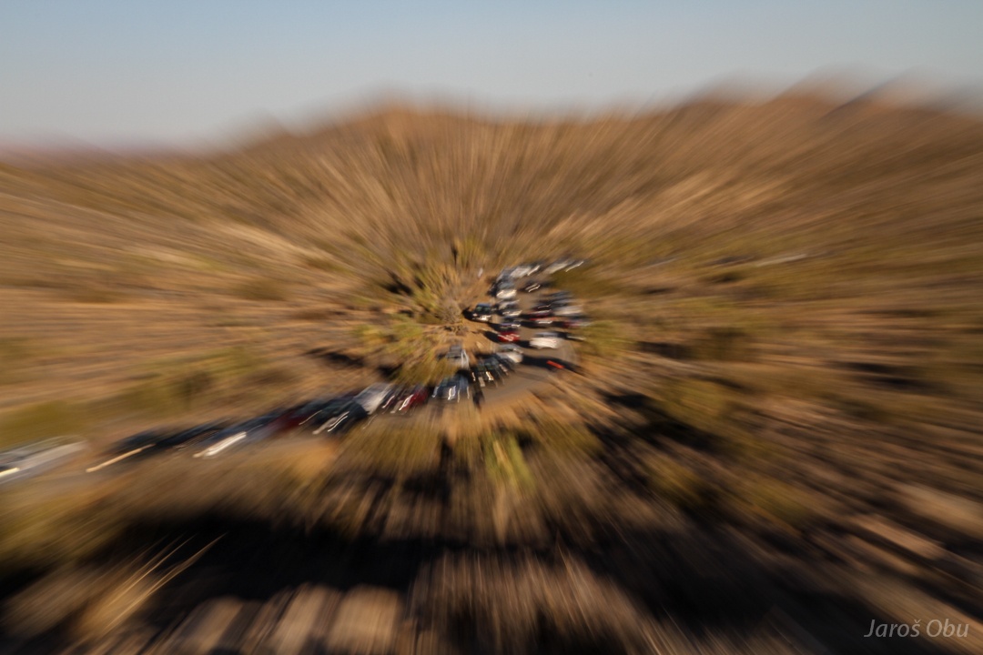
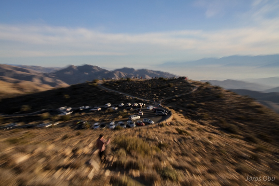
The park is terribly crowded in this part of year. Cars are parked far ahead of attraction.
Jumbo Rocks Campsite is also completely packed.
Jumbo Rocks?
AC/DC rock.
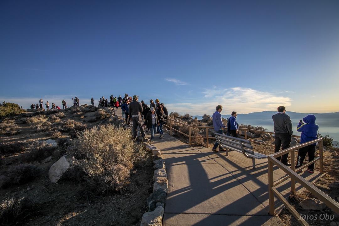
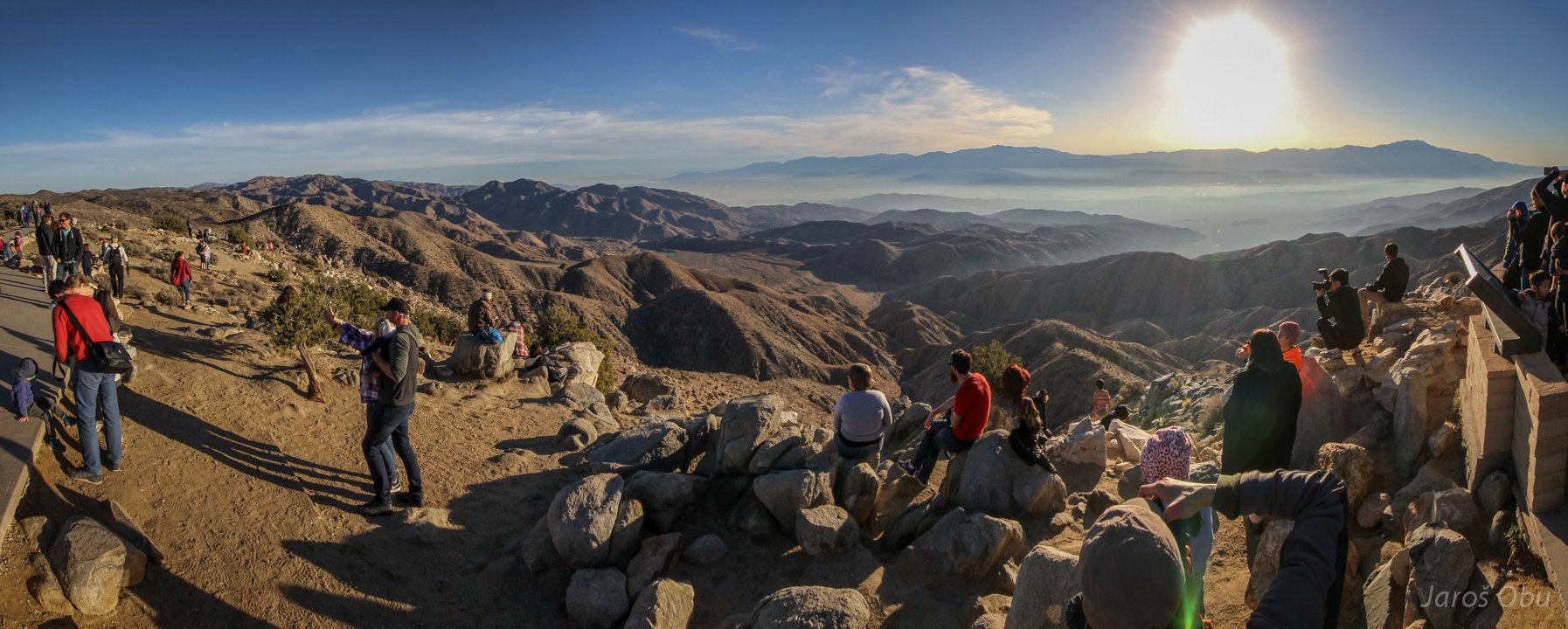
Keys View, completely crowded as well.
San Andreas Fault goes through Coachella Valley, here, south of the park.
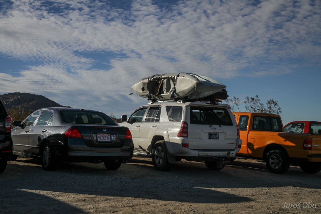
Complete mess with cars! I had to wait 20 minutes for a free parking place.
Running away from the crowd.
Easier to breathe.
Chislakite?
Granite rocks in the north where I'm returning to find a free camping spot.
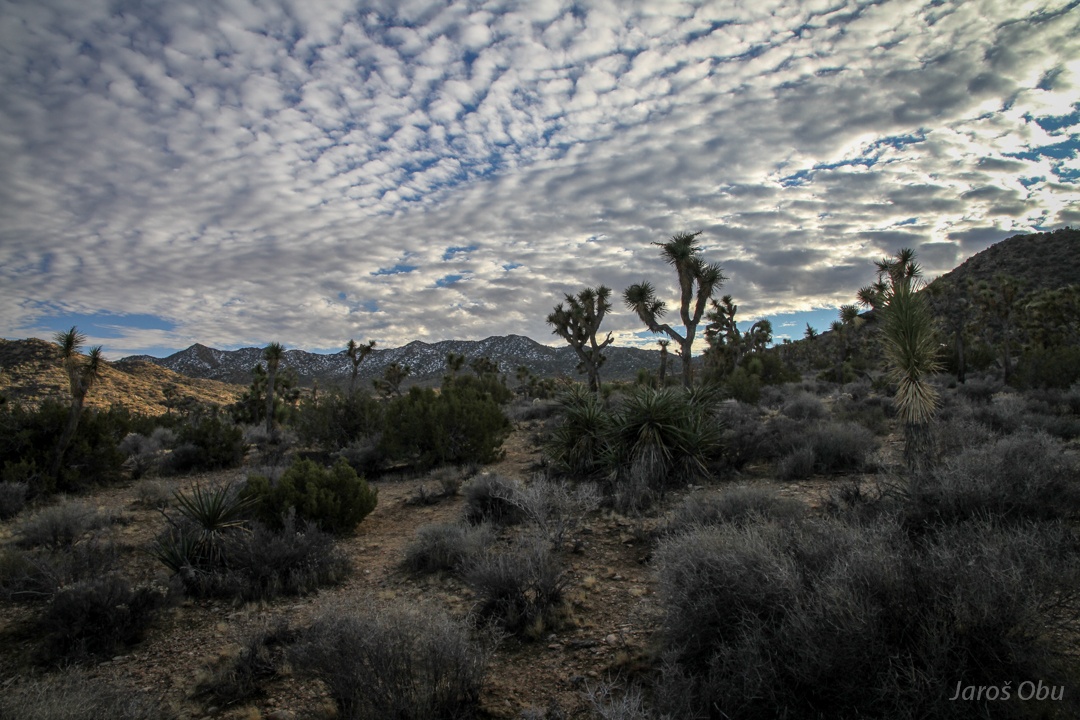
Joshua trees close to Hidden Valley. No camping spots also there.
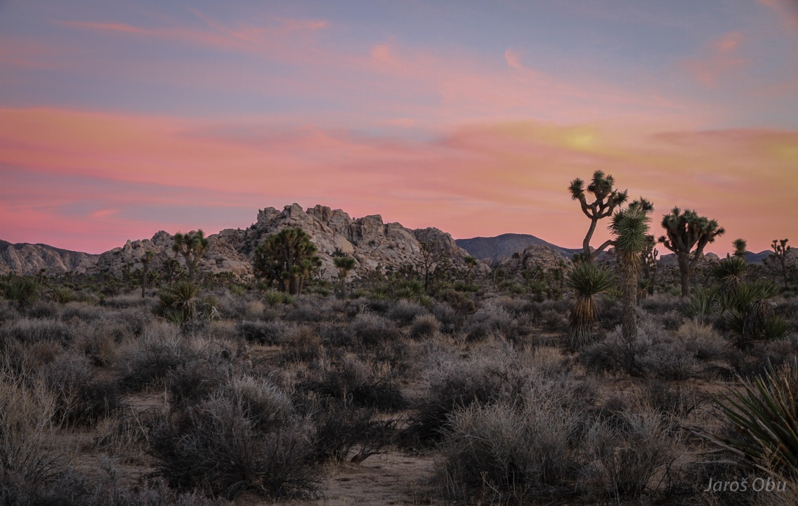
In the end, I was grateful that there were no free camping spots, because I eventually found that you can camp anywhere far enough from trails and roads. Dusk in the middle of joshua trees.
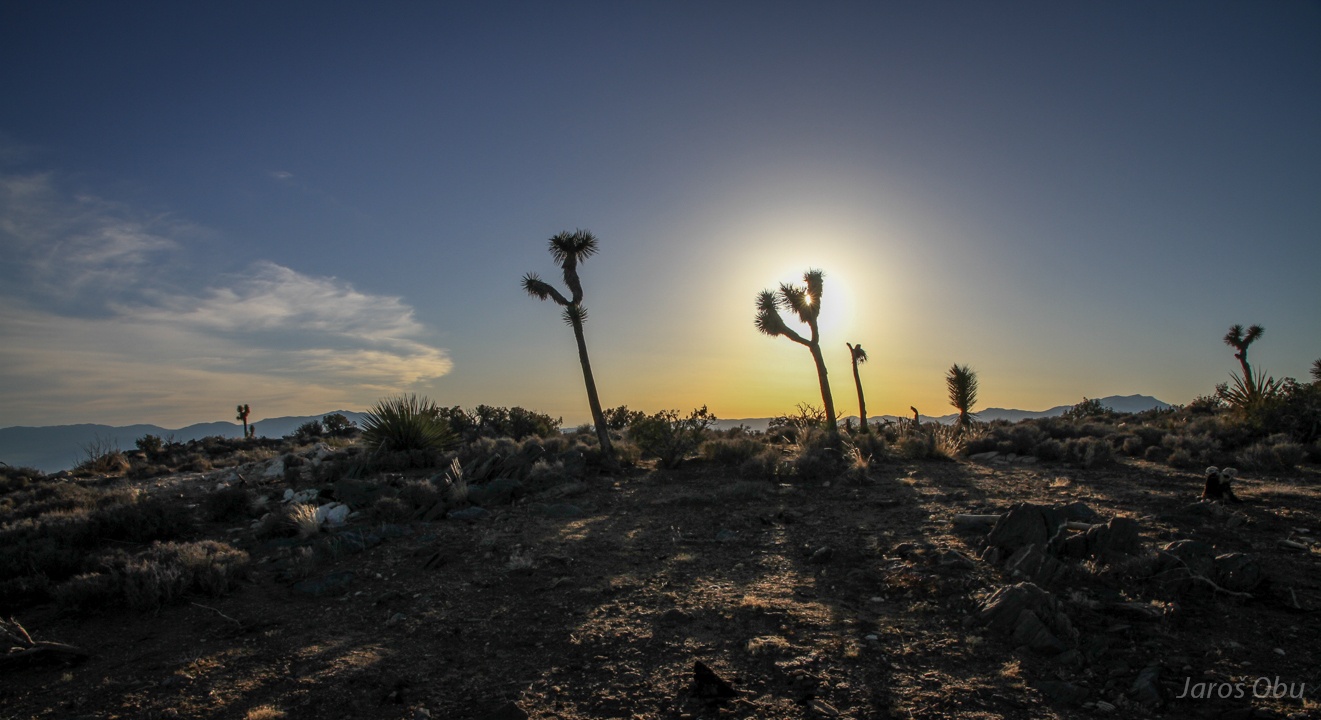
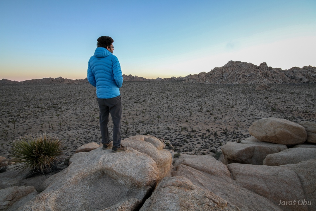
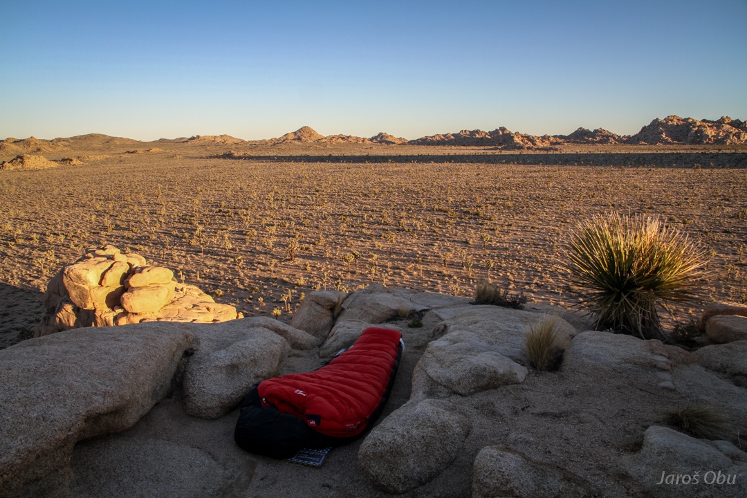
Clear sky in desert at elevation of 1200 m would mean a cold night on the plain. So I decided to overnight on one of the rocky hills.
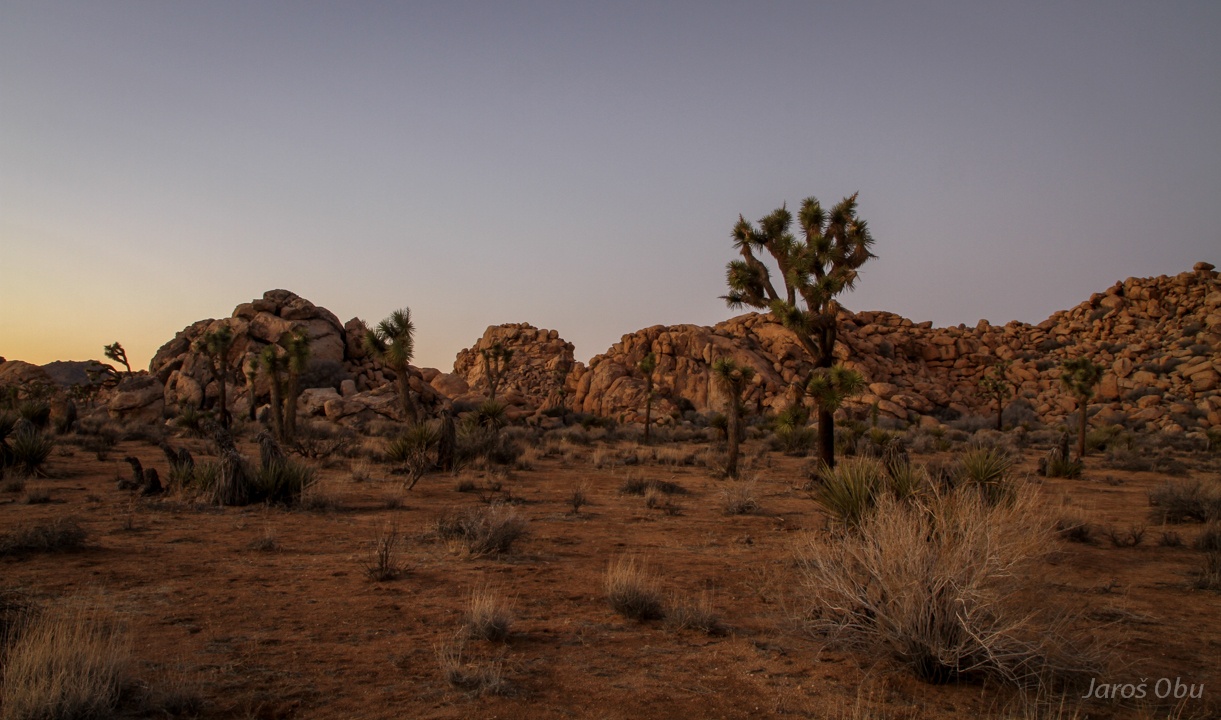
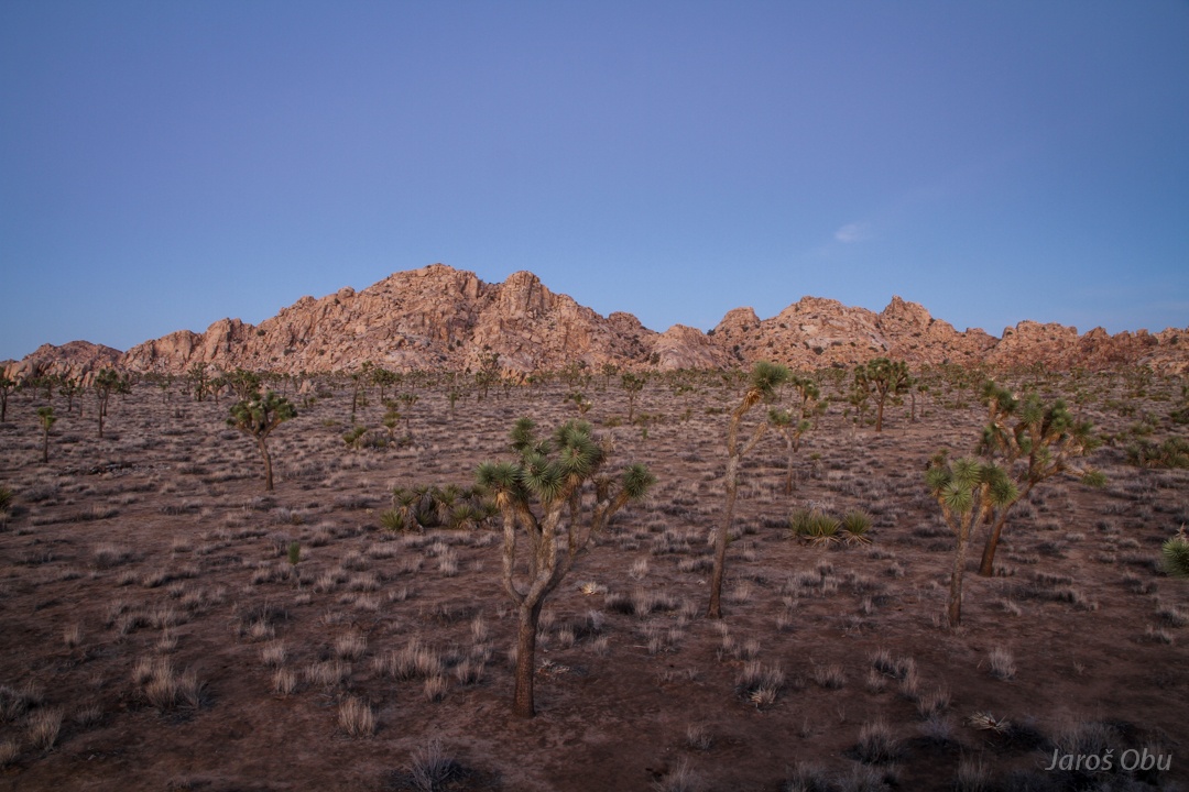
Next morning above the plain.
Awaiting the sunrise.
Cozy bedroom.
The bedroom hill. Indeed there was frost on the ground.
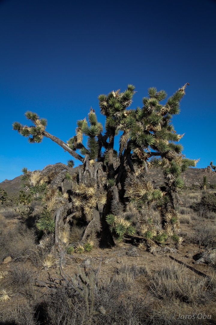
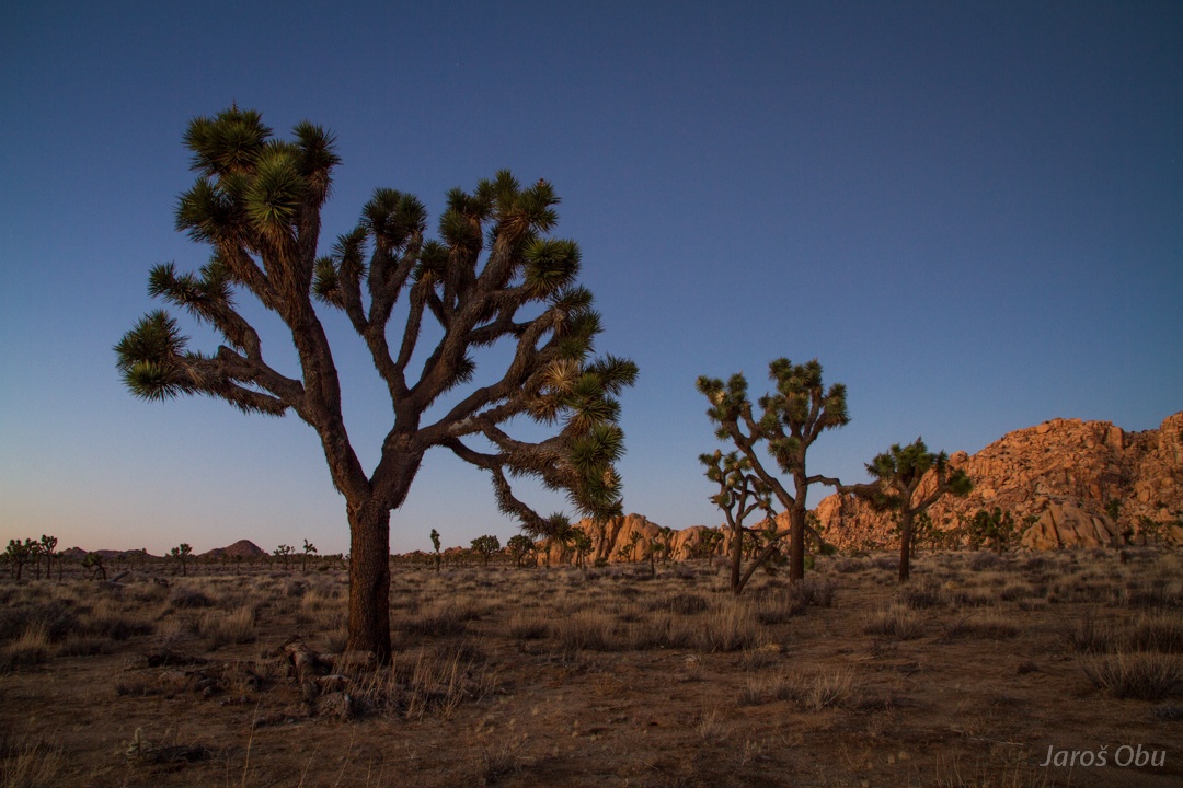
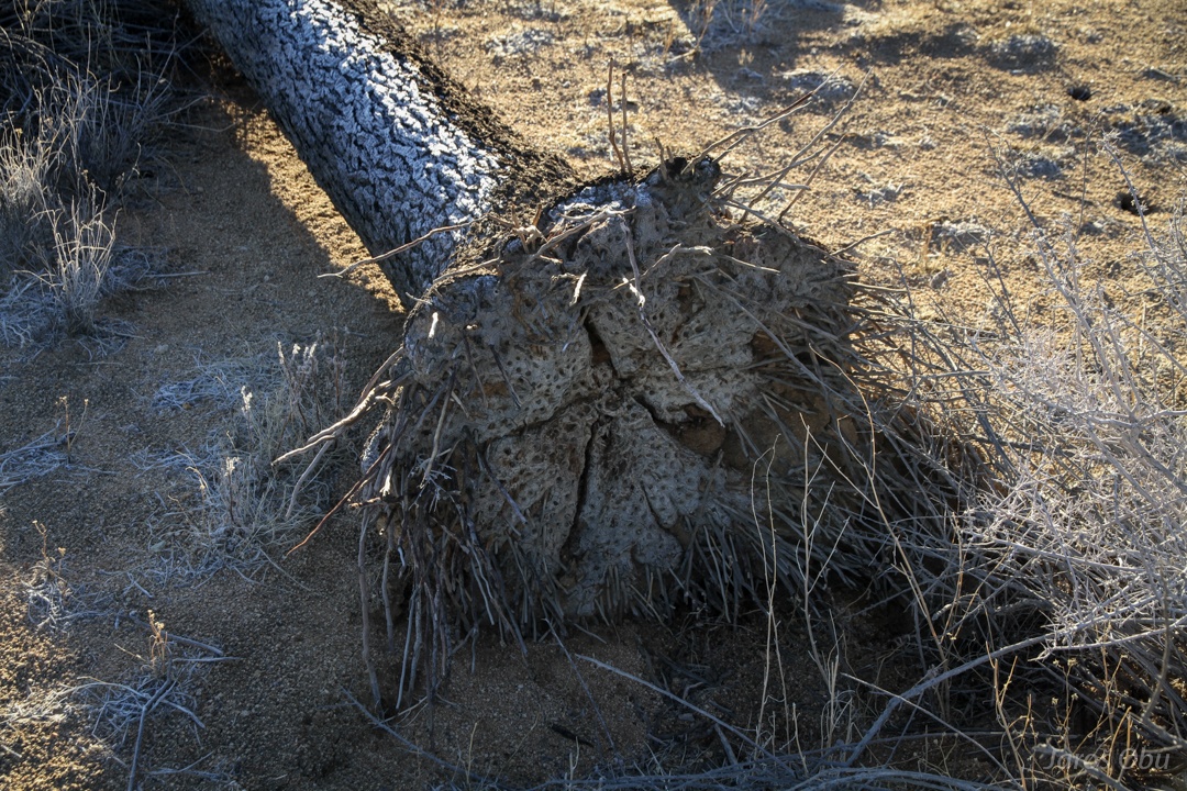
This joshua tree must be already very old.
They are actually not real trees, but yuccas. Bark forms after spiky leaves die away.
A dead one.
It has pretty thin roots.
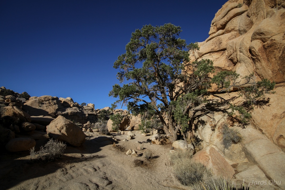
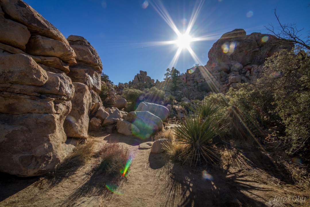
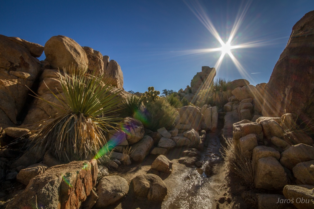
Quickly visiting the Hidden Valley, before it is invaded by hordes of tourists that probably still ate their breakfast at that time.
Pine and oak trees were common in this area during the last ice age. These can still be found in some sheltered places of Hidden Valley.
Desert scrub oak (Quercus turbinella)
A pinyon pine.
The relict vegetation keeps close to rocks and current desert vegetation grows on more exposed places.
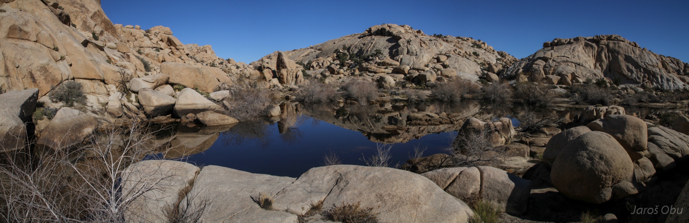
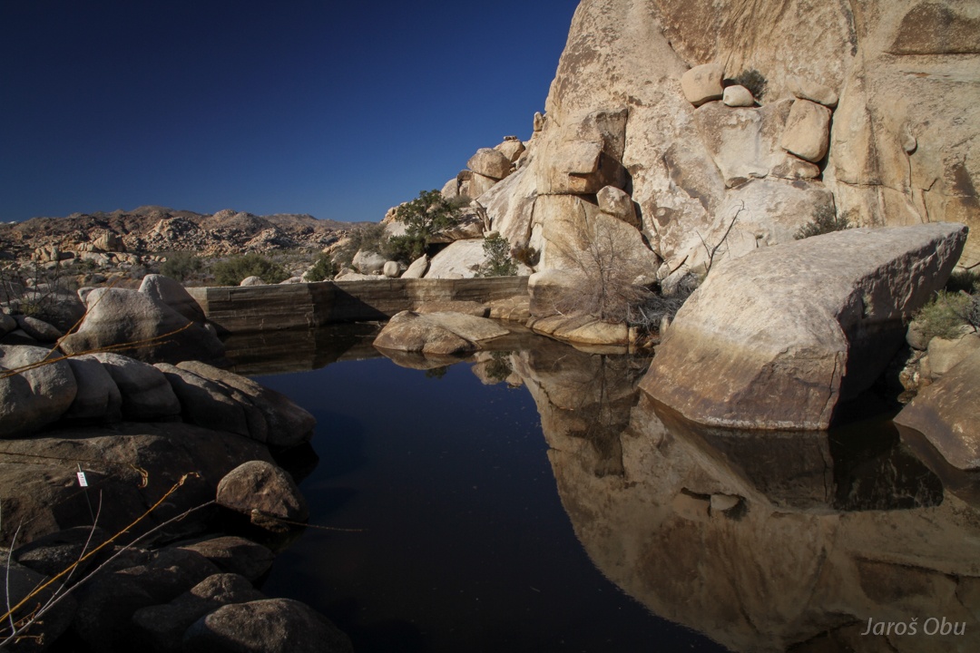
Lake at the Baker Dam.
The dam.
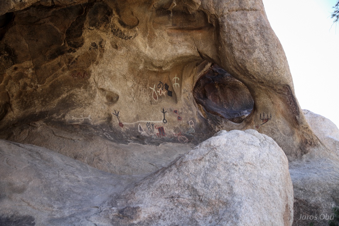
More petroglyphs in this cavity nearby.
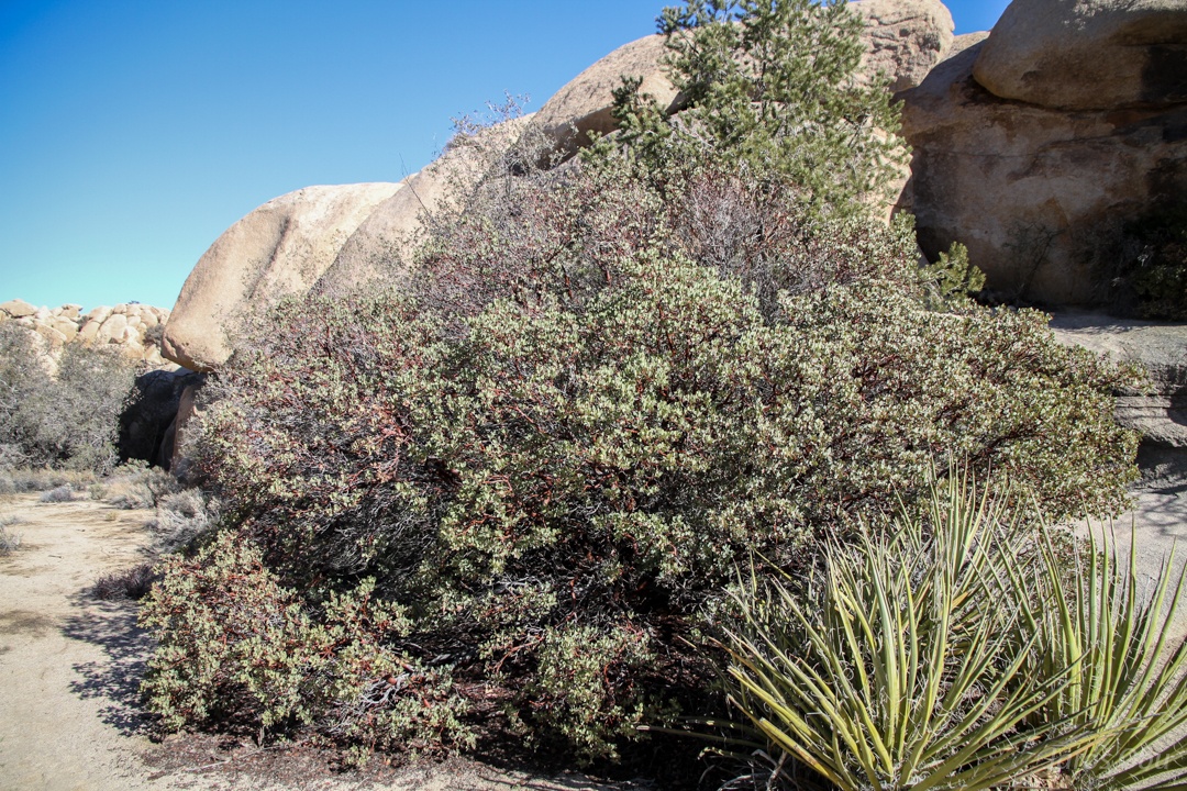
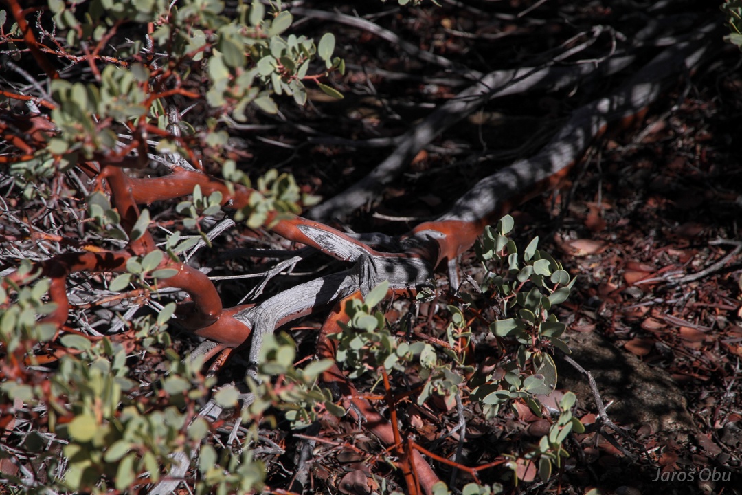
Bigberry manzanita bush (Arctostaphylos glauca) can drop all leaves and dry out and comes to life again when there is water available.
It has a distinct red bark, which is also showing that the plant is currently flourishing and has enough water.
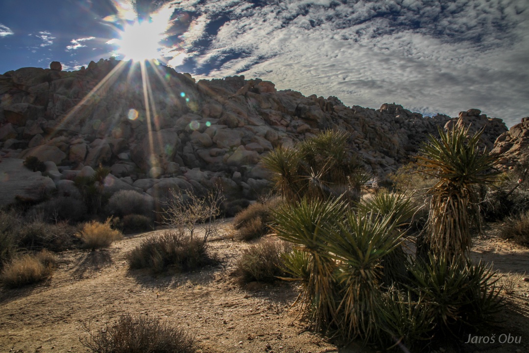
At Indian Cove
Solar power plants in the desert.
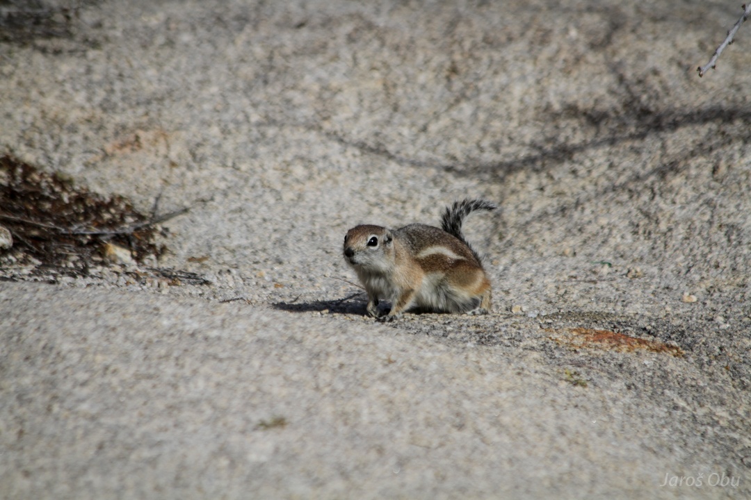
A hungry chipmunk wants to eat my lunch.
A boat in the middle of desert?
At Black Rock.
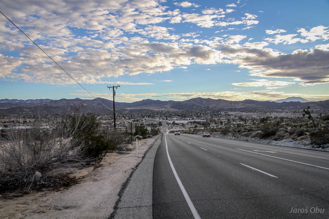
Camping site was full also here so I decided to head towards Barstow.
:S
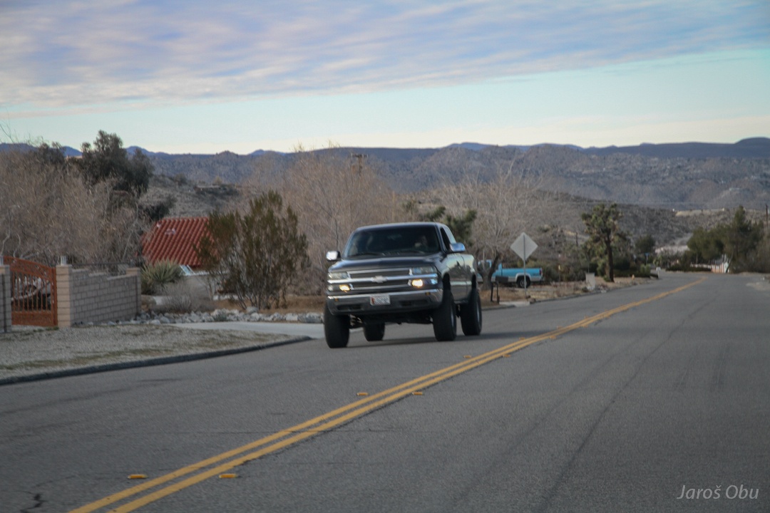
Yucca Valley.
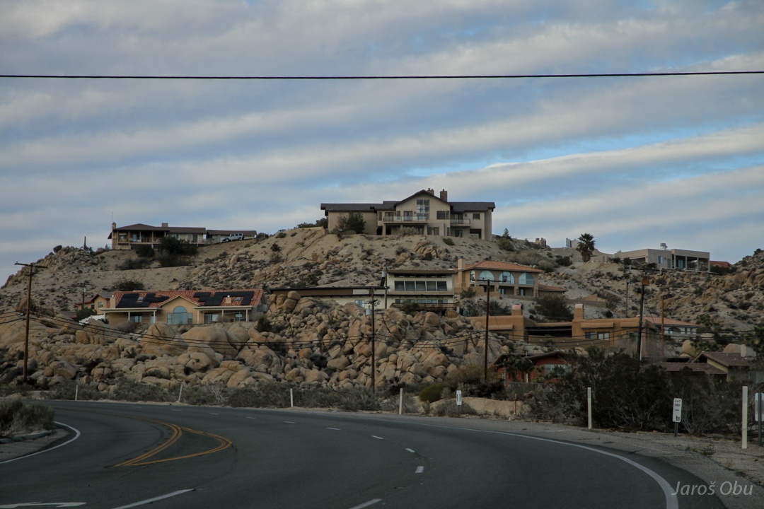
Posh residences with a nice view towards south.
Slightly less posh area behind the hill.
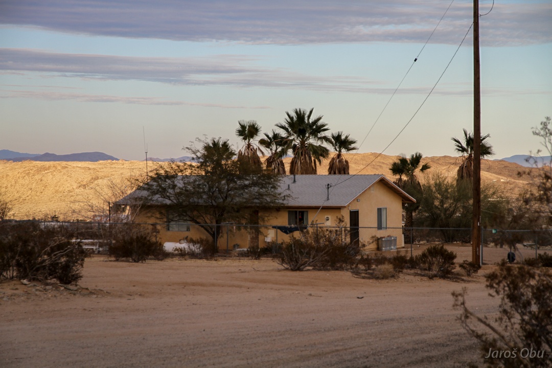
Modest houses nad trailers.
Hills close to Johnson Valley.
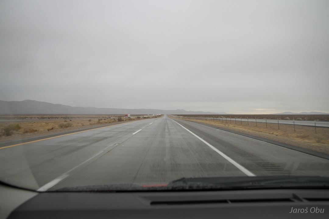
Managed to catch some rain just before leaving Mojave Desert.
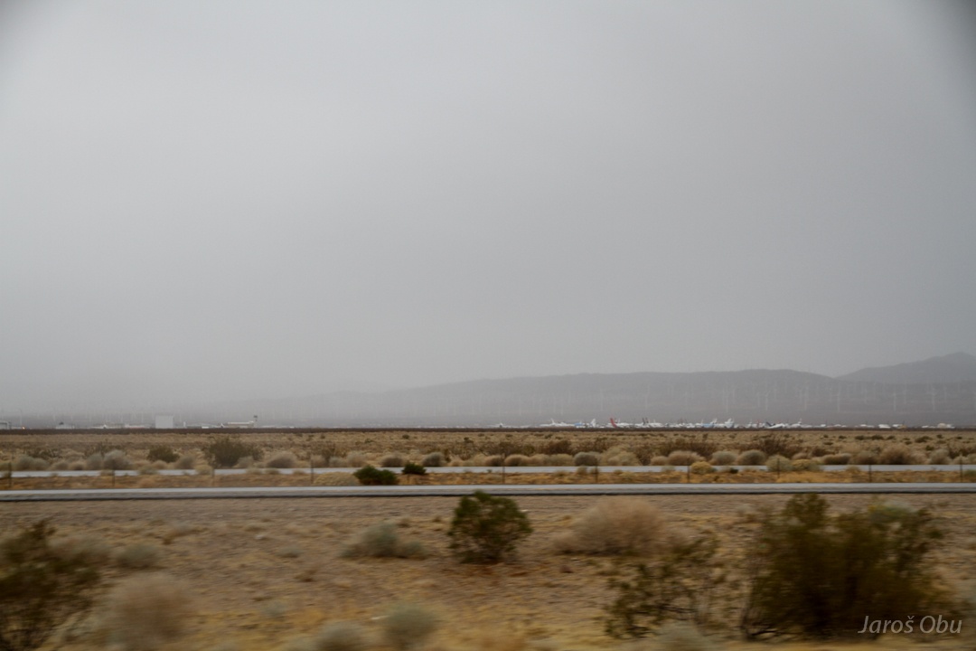
Aircraft boneyard close to Mojave town.