© 2024 Jaroš Obu
Photo gallery of Jaroš Obu
Cart
0
Items
Buy now
Mount Taranaki 1.-3.1. 2020
Thursday, 02 January 2020
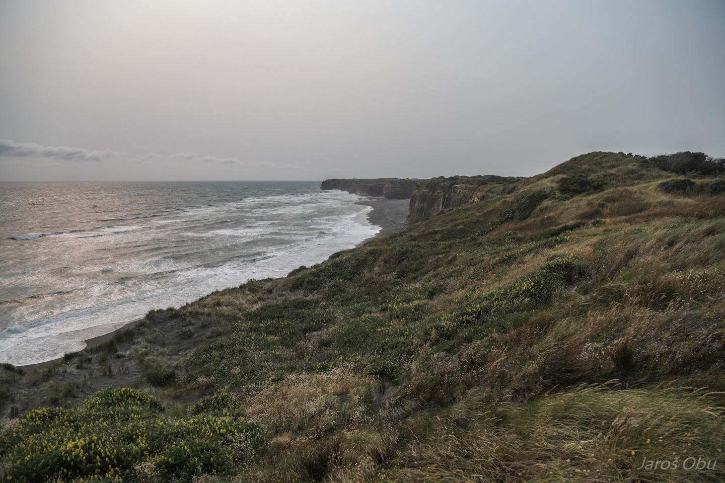
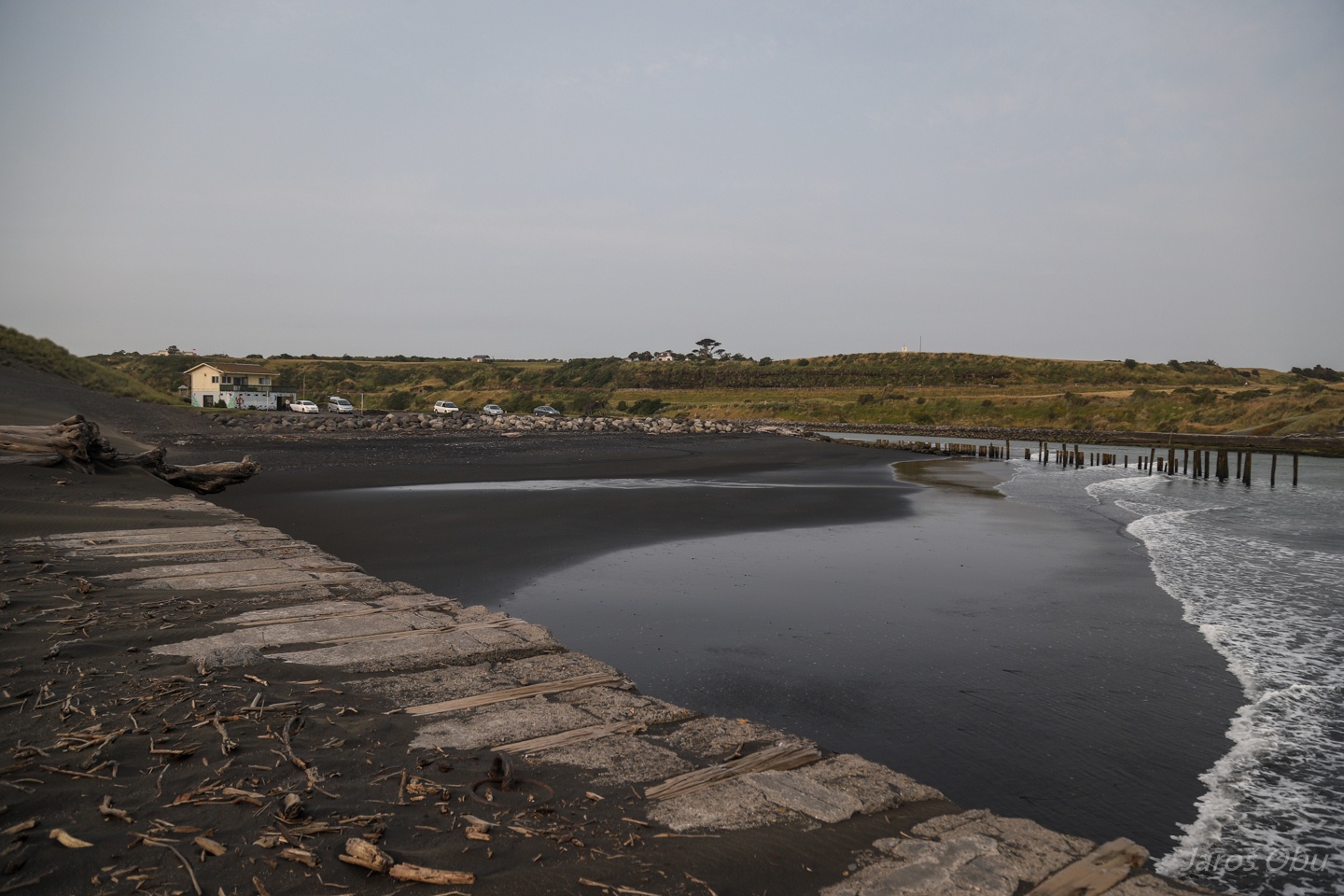
We stopped on Patea when our way down south became our way west.
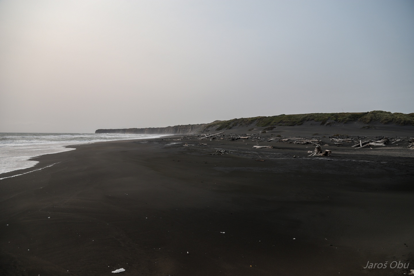
The beach is full of black sand as appropriate for volcanic areas.
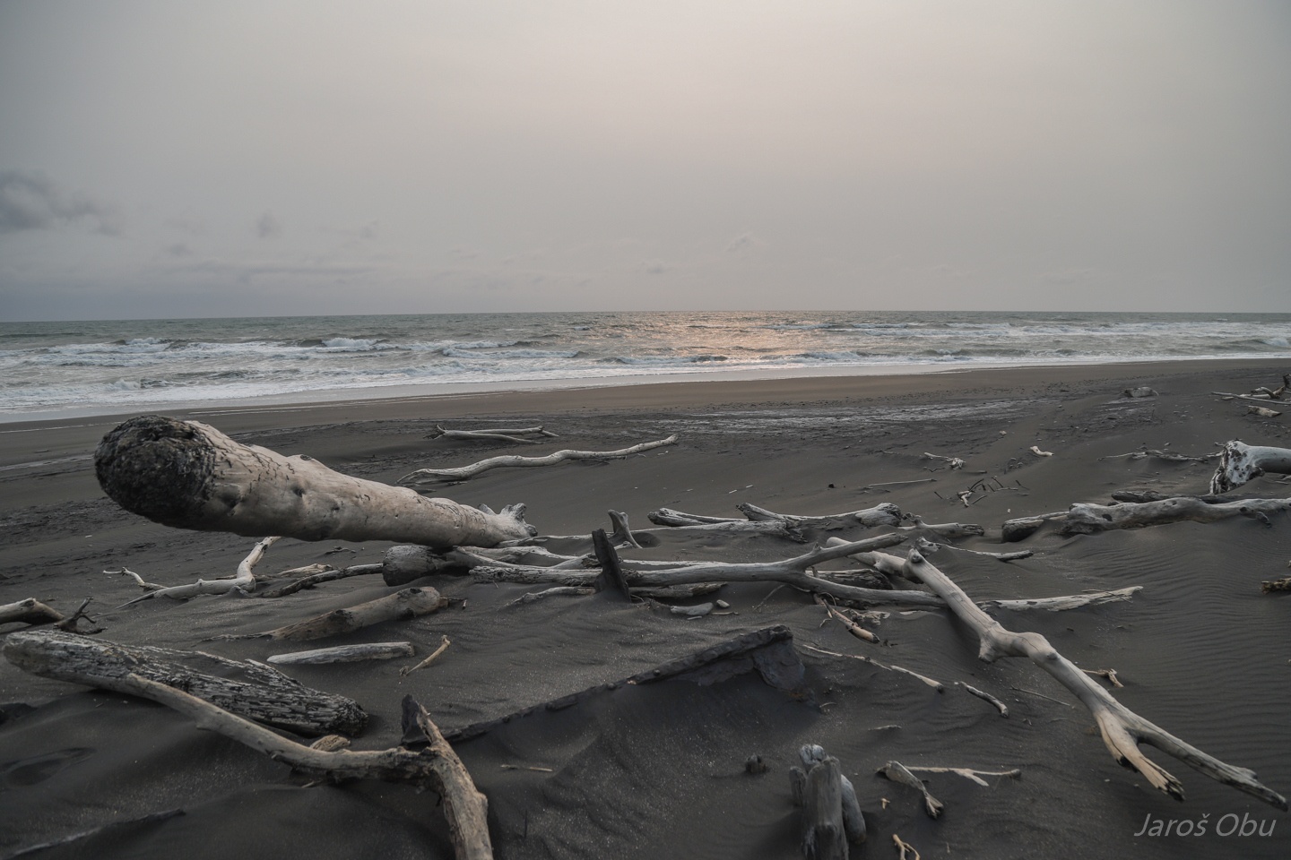
A plenty of driftwood.
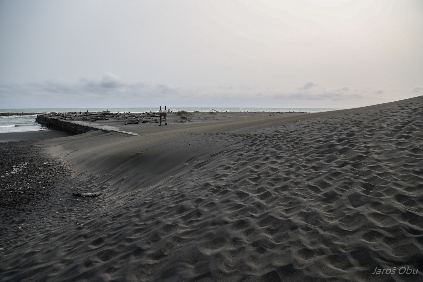
Recreation area by the Patea River Mouth.
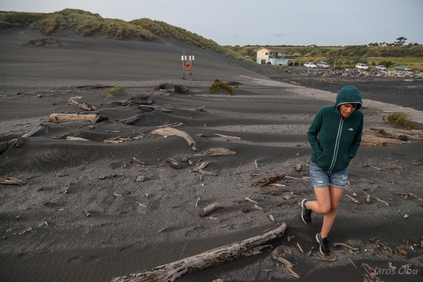
The whole pier is covered with wind deposited sand.
On such a windy day one can feel the force of blowing sand on own legs.
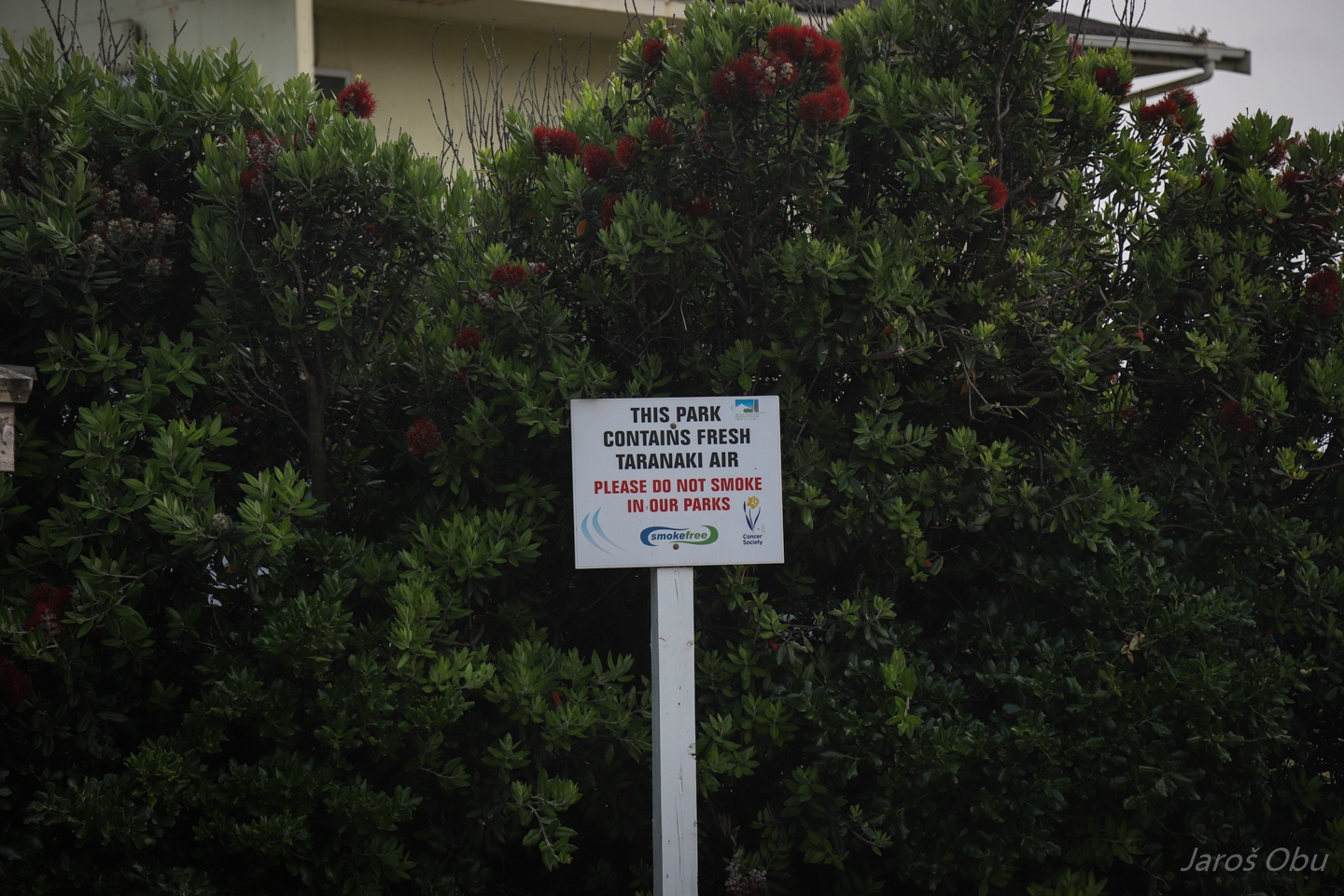
Unfortunately, I couldn't capture the exclusive smell of the fresh Taranaki air together with this photo.
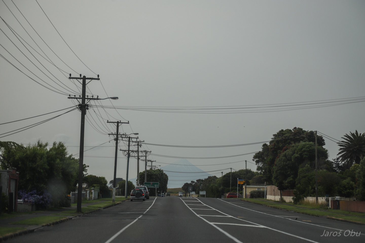
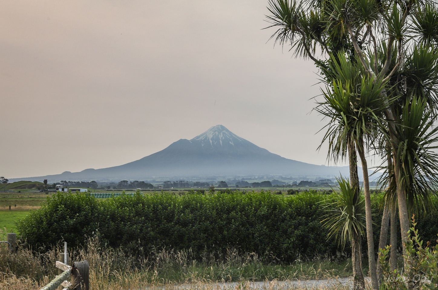
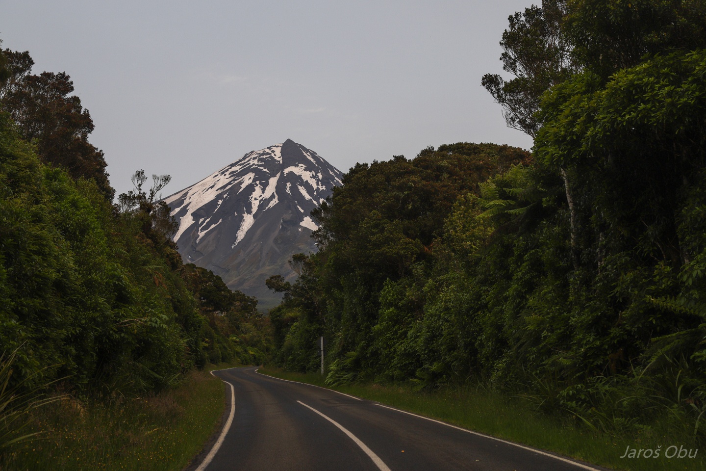
We are slowly approaching the main object of this gallery.
It is a stratovolcano, Mount Taranaki, that we were about to climb next day.
But first, going to a cozy place to stay overnight.
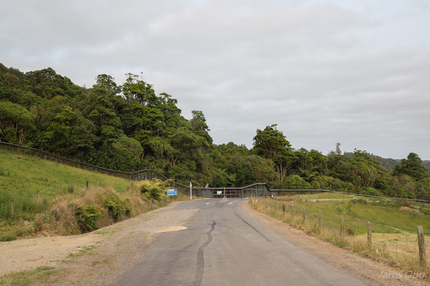
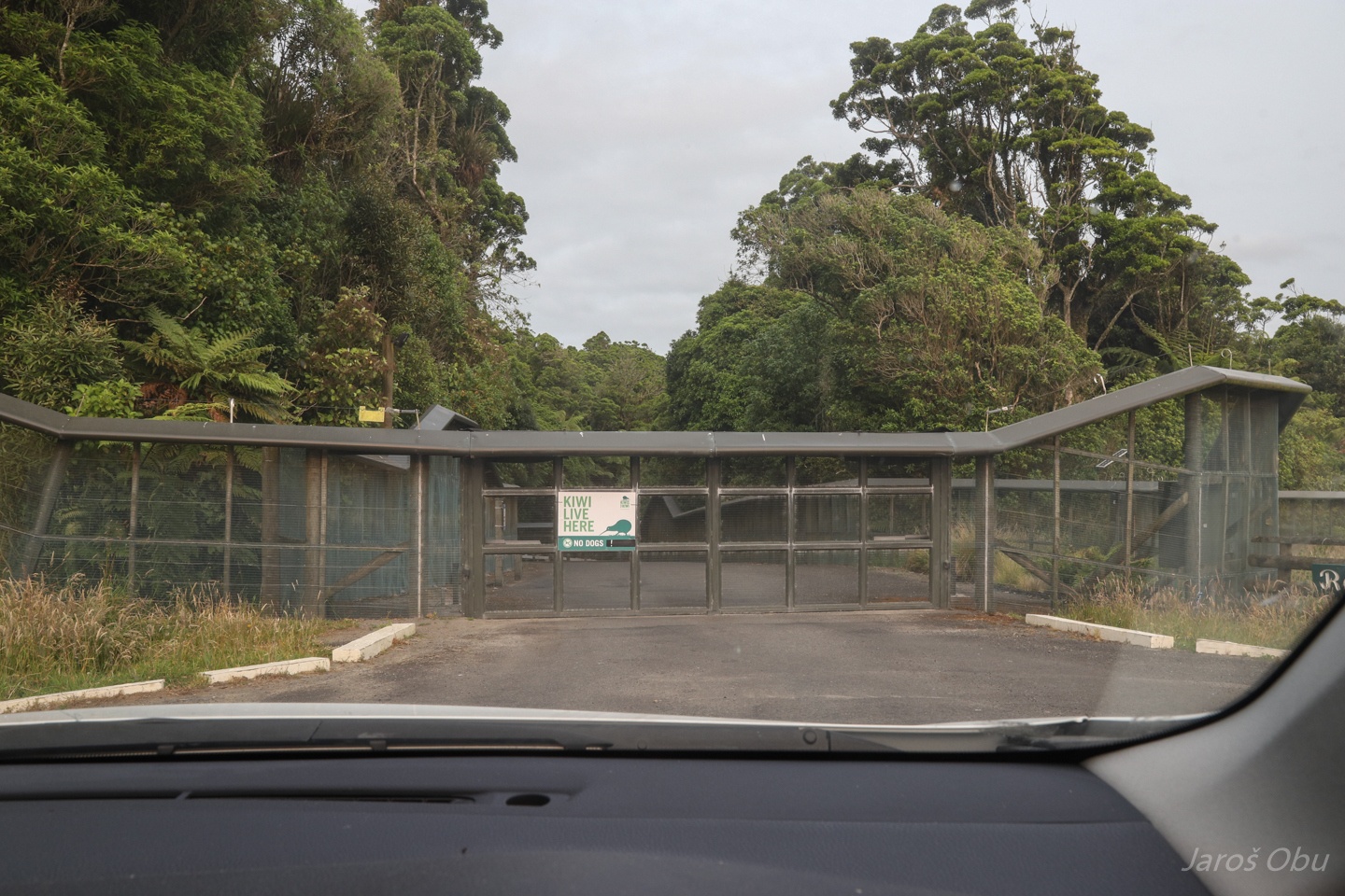
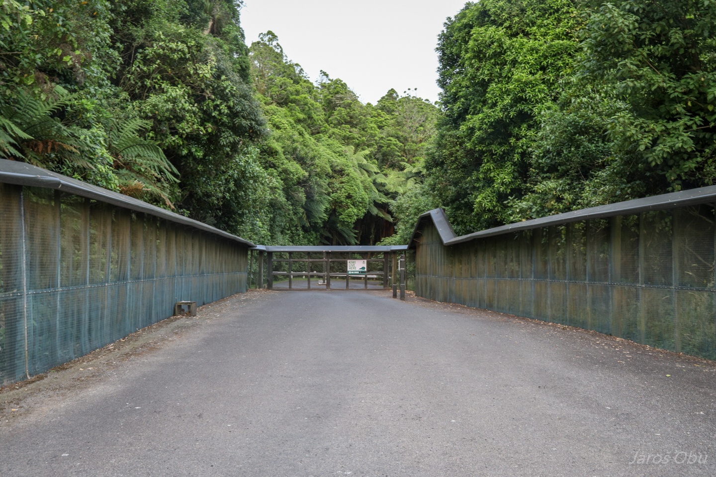
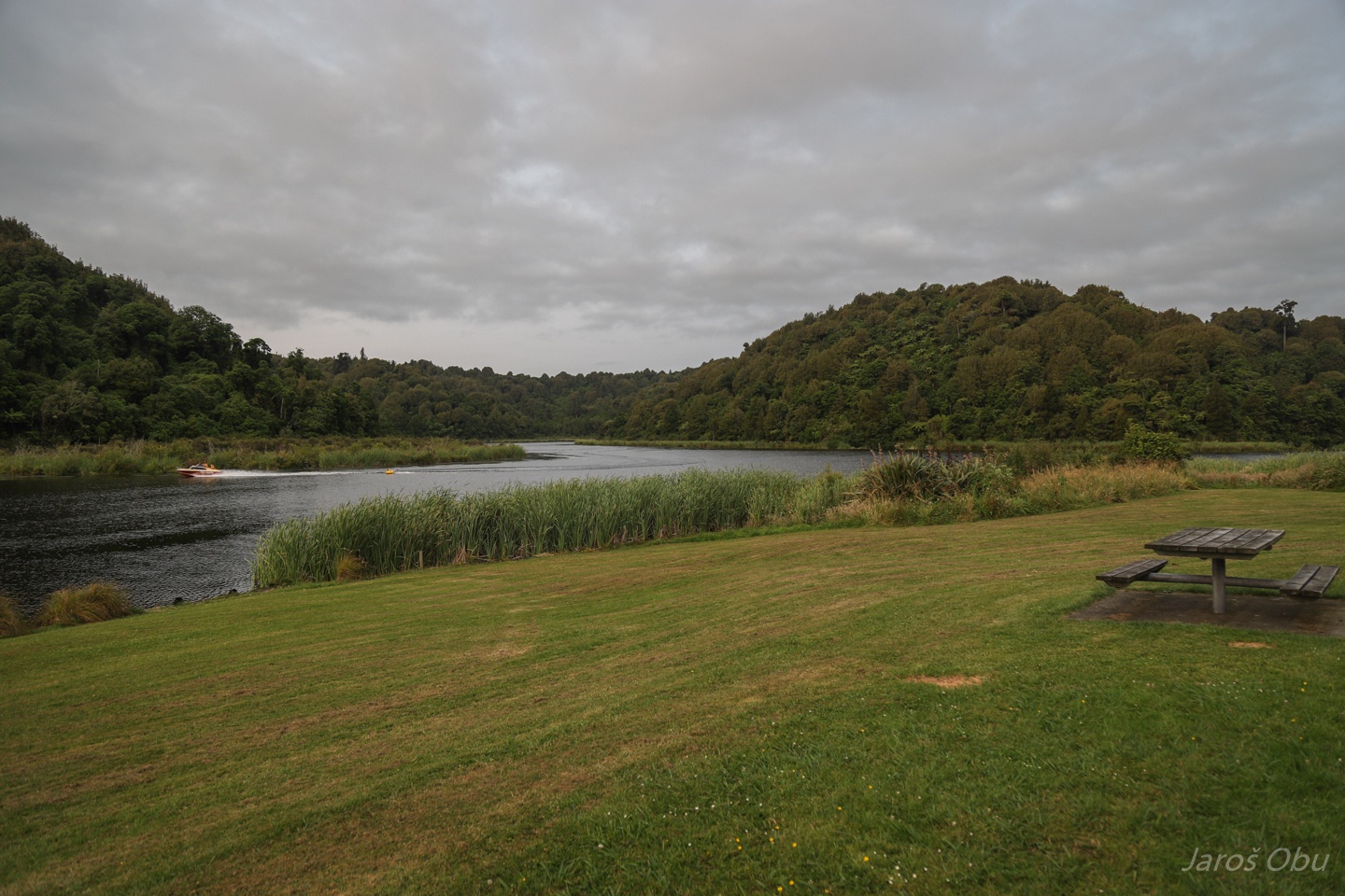
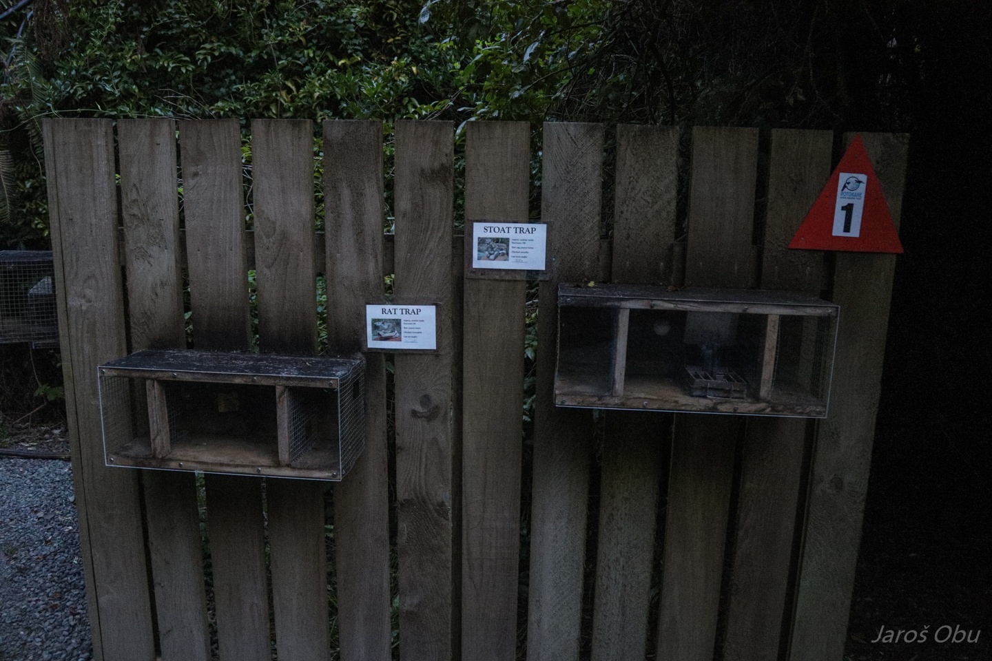
It is a Rotokare Scenic Reserve that they protected in 2007 with 8.2 km of pest proof fence that costed around 2 million of NZD. A fallen tree destroying the fence would cause alarm to go off.
Visitors enter through a double door. The second can be passed only after the first is closed. There are traps waiting for any pests entering.
The reserve now thrives with birds and kiwis after the pests were removed.
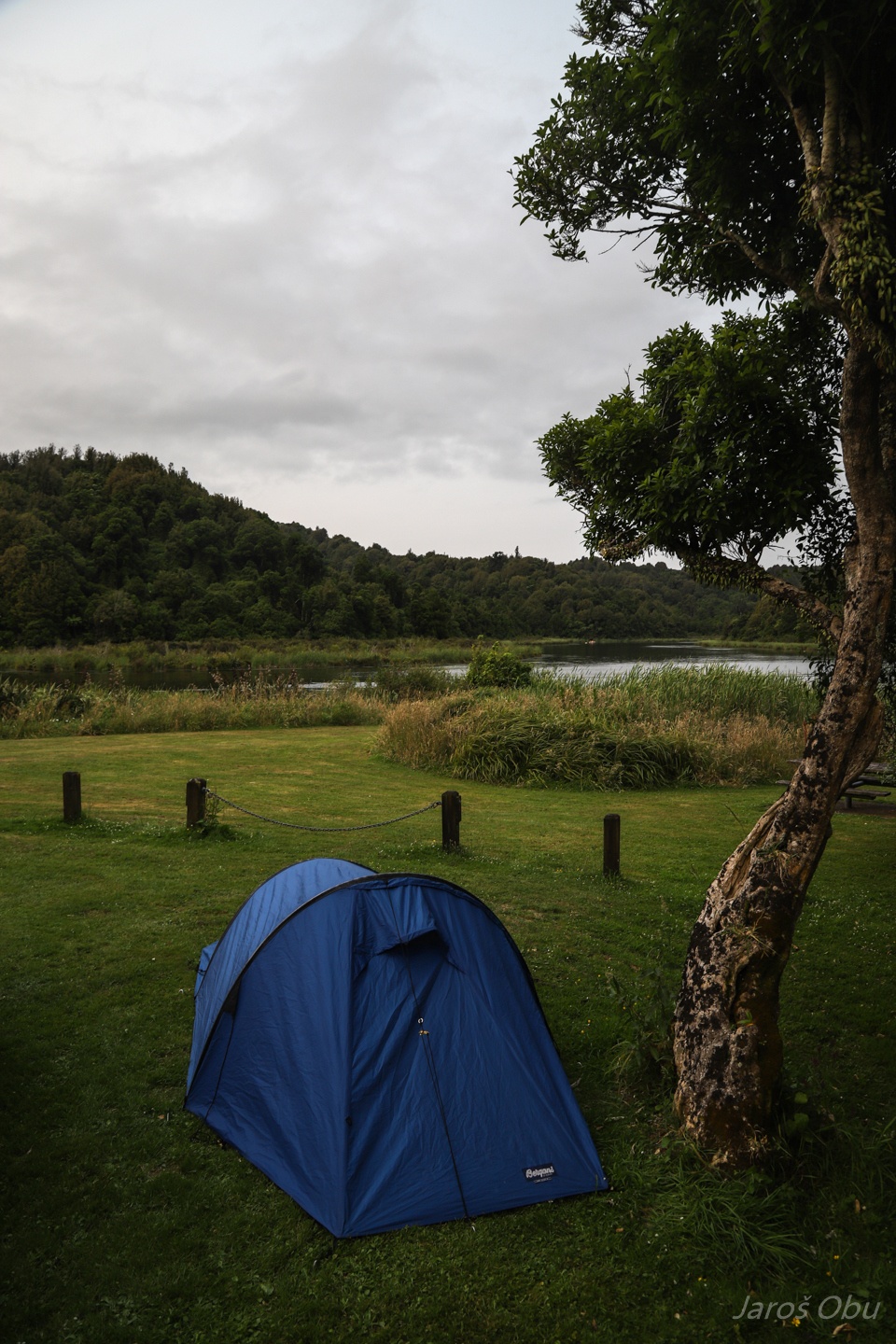
Our spot under a tree.
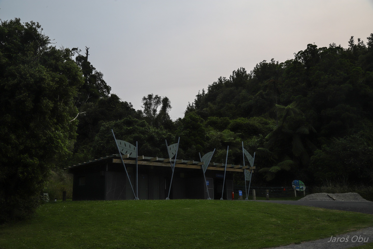
Information centre and camping facilities.
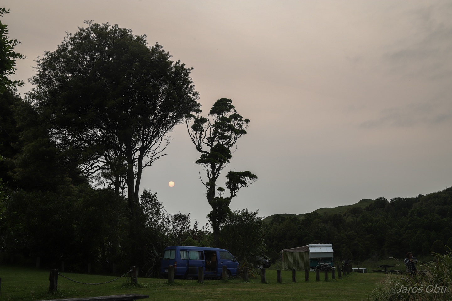
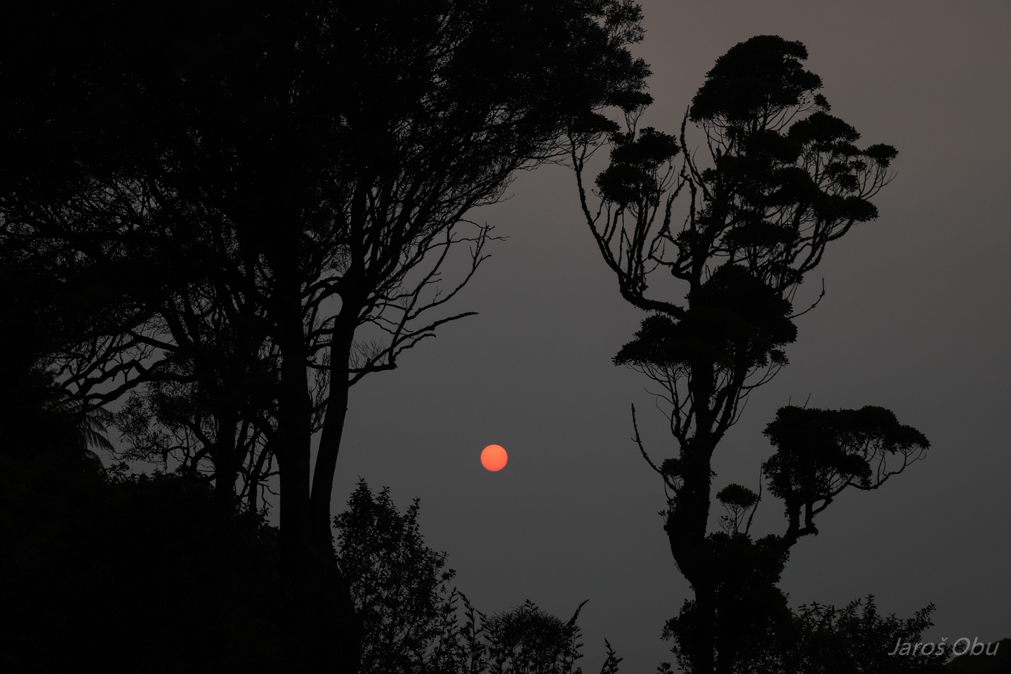
Evening sun started to shine in unusual colours.
It is the smoke from the forest fires in Australia that was brought over to New Zealand.
Demonstration of different traps. They removed around 4000 stoats, rodents and possums before the reserve became pest free.
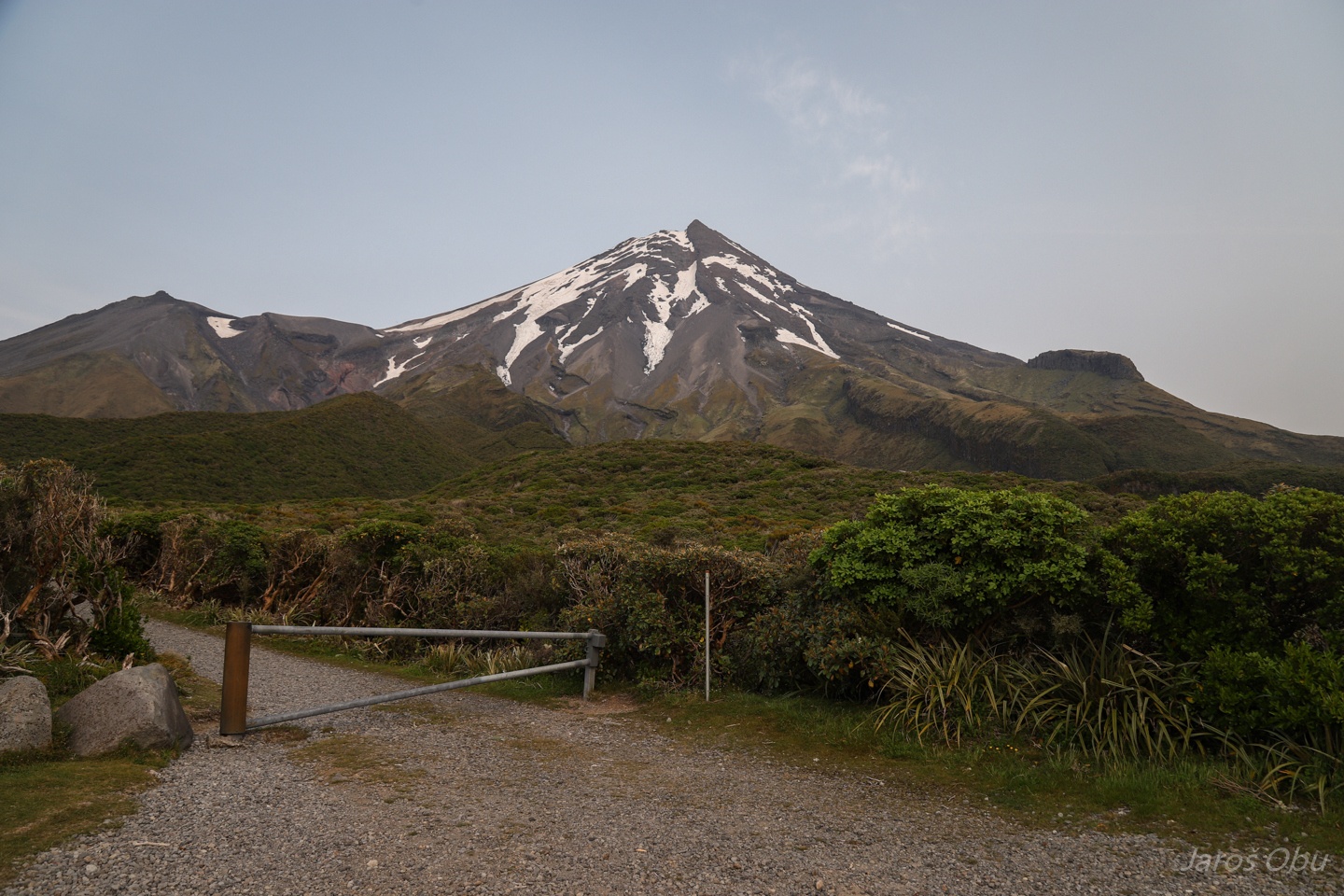
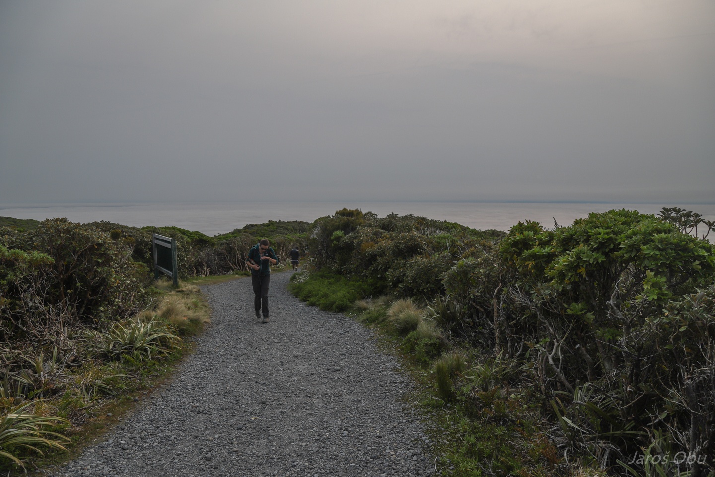
On the way to Mount Taranaki next morning.
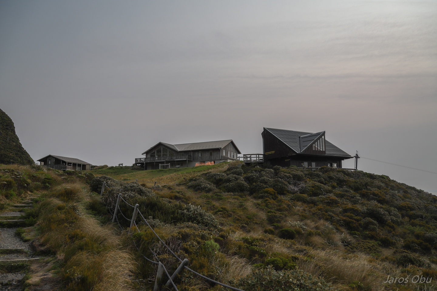
Starting at Stratford Plateau at 1150 m elevation.
Morning fog down on the flats.
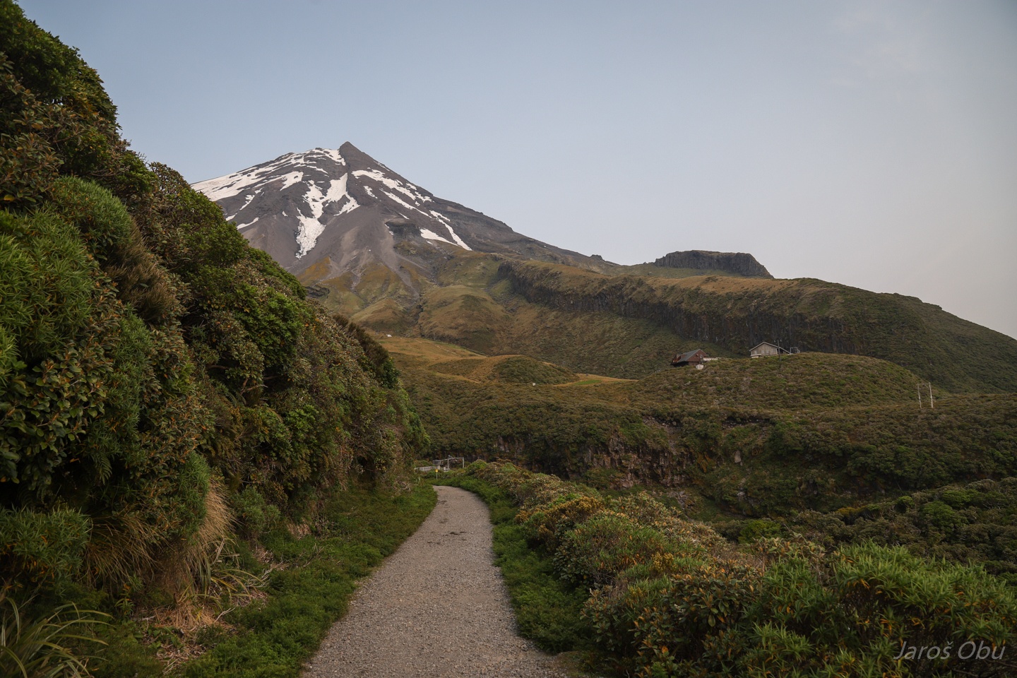
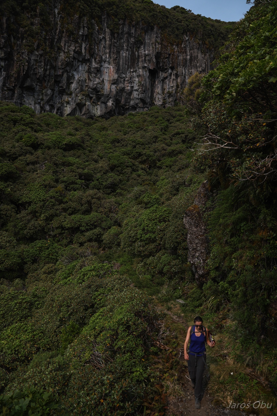
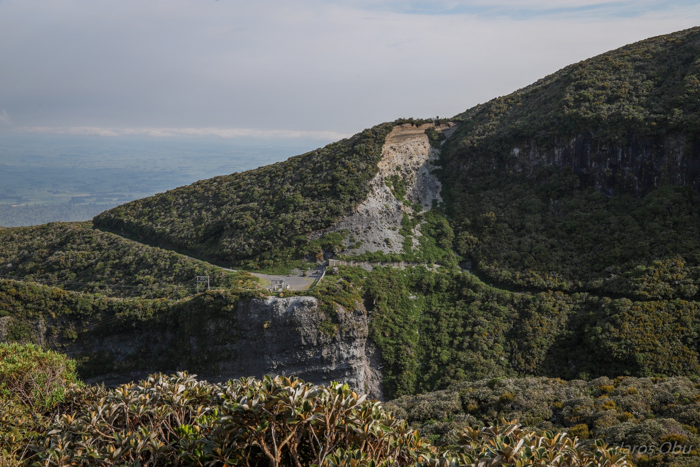
We are traversing around the volcano to the north before joining to the Summit Track.
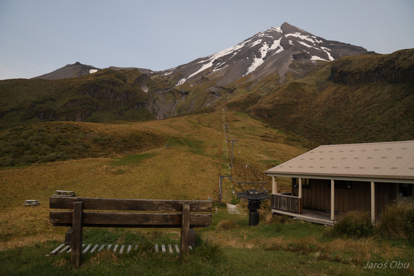
Manganui Hut.
And Manganui Ski Area.
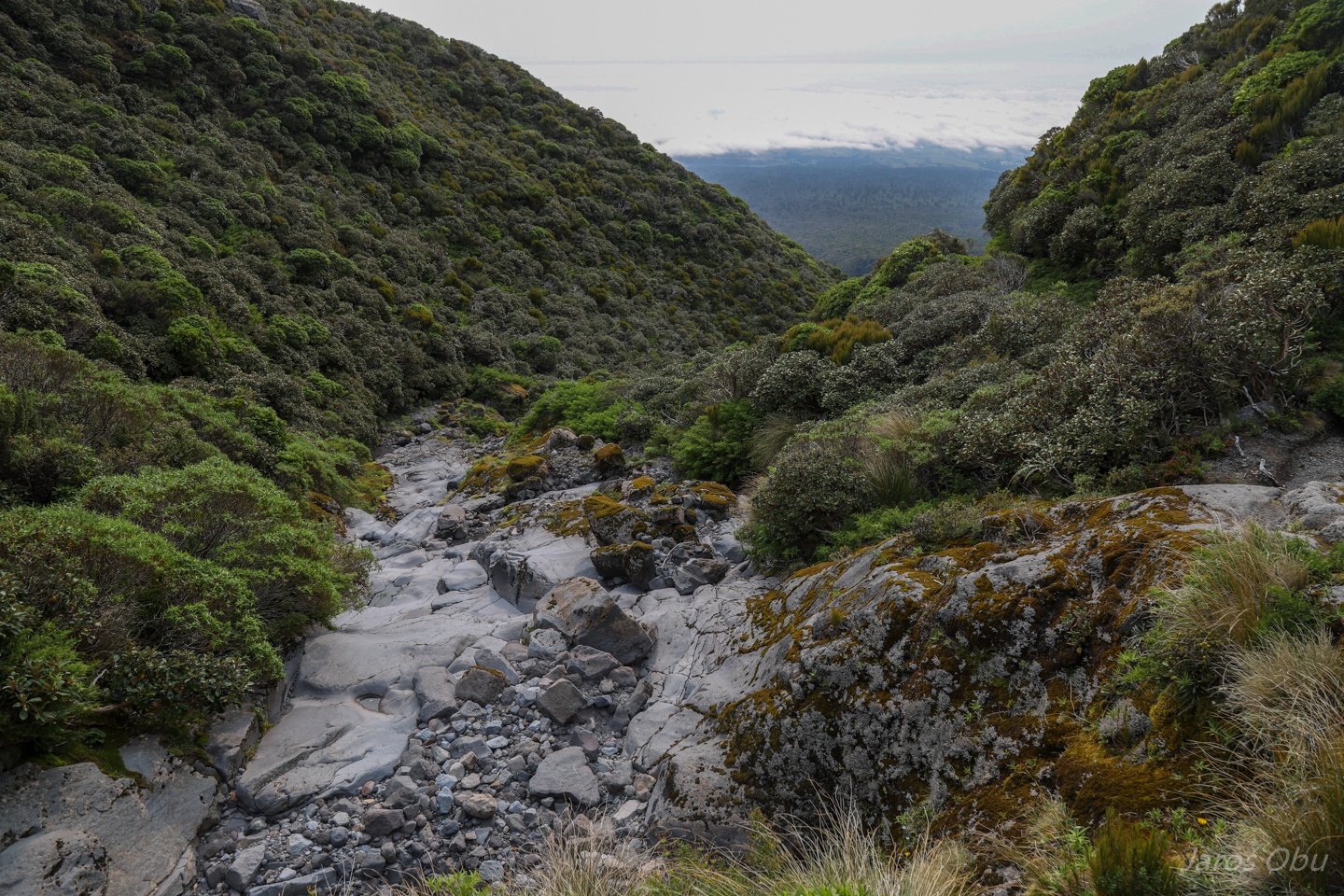
Traversing valleys.
Nicely polished torrent bed.
Still traversing ...
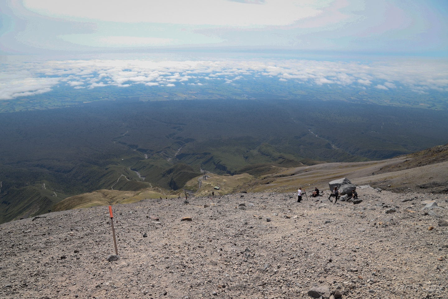
And finally on the Summit Track.
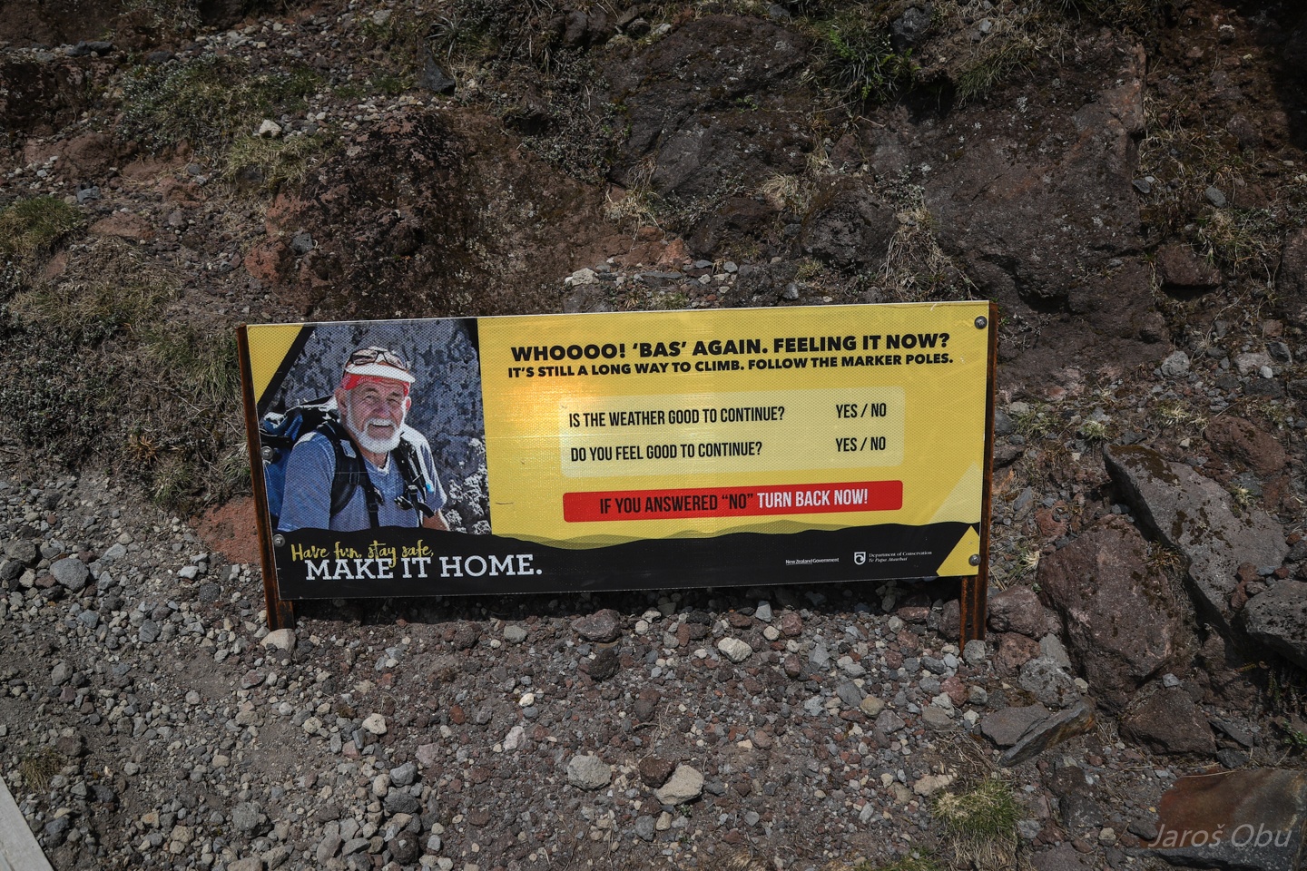
Hi Bas, thank you for your advice. We are not turning back now.
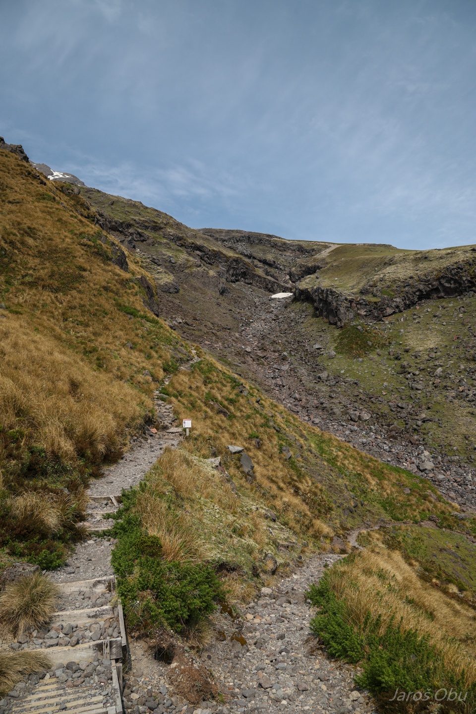
Pumice part starts soon after. They built stairs in the most exposed part ...
... and to slow down the erosion where vegetation is still present.
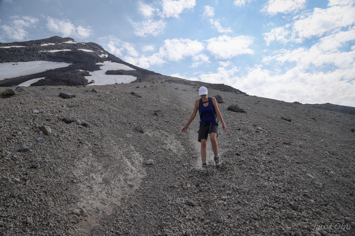
Only loose pumice above the vegetation line.
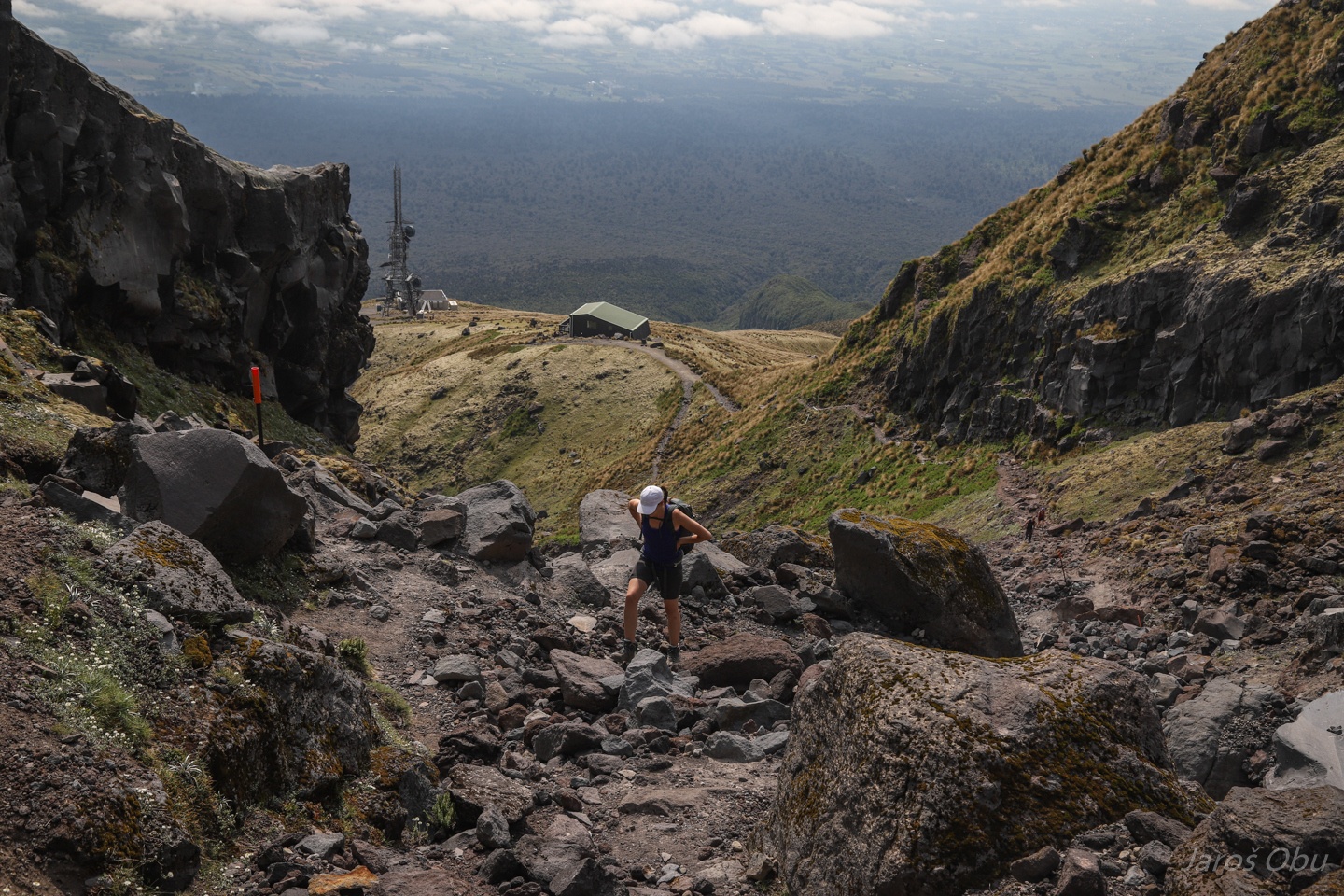
Two steps up, one step down.
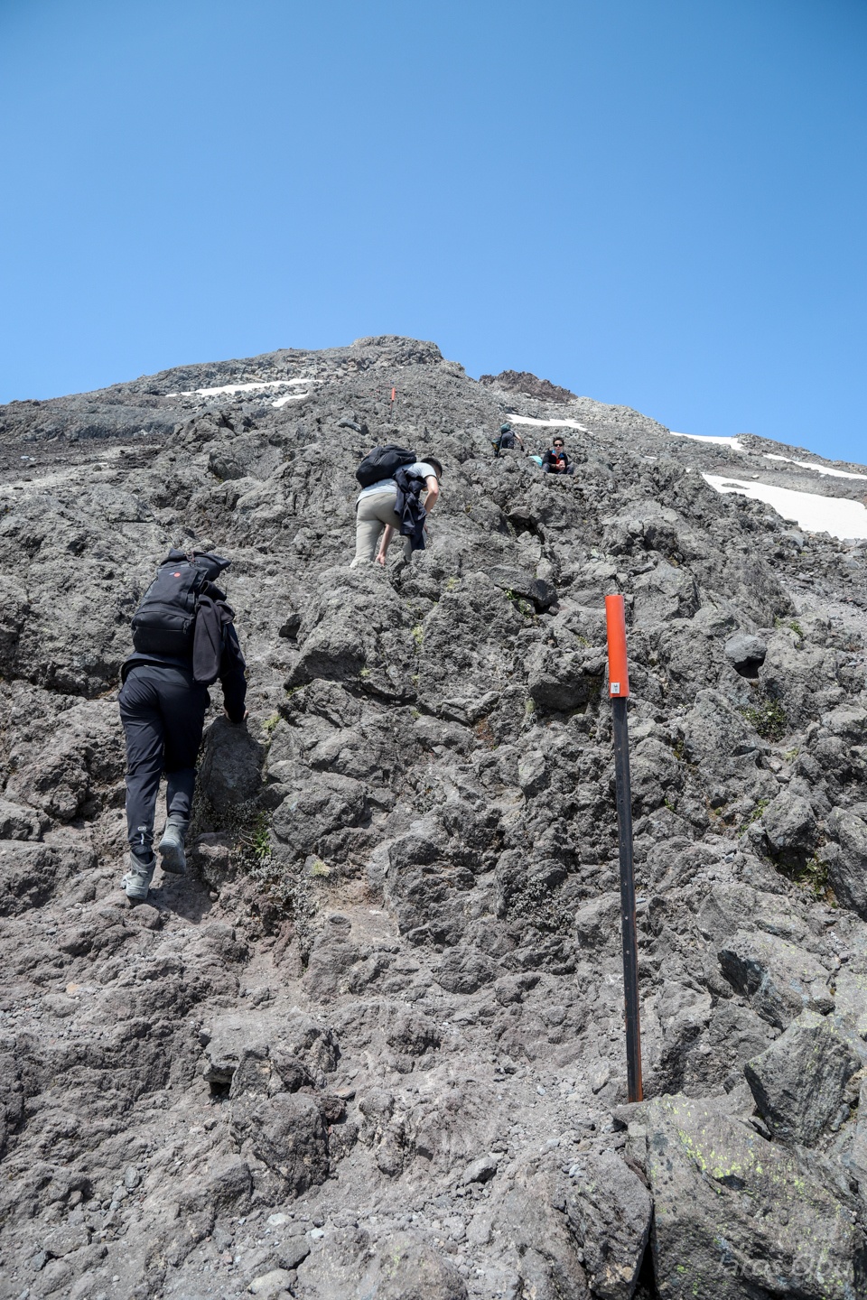
The hiking becomes scrambling but at least the ground is firm.
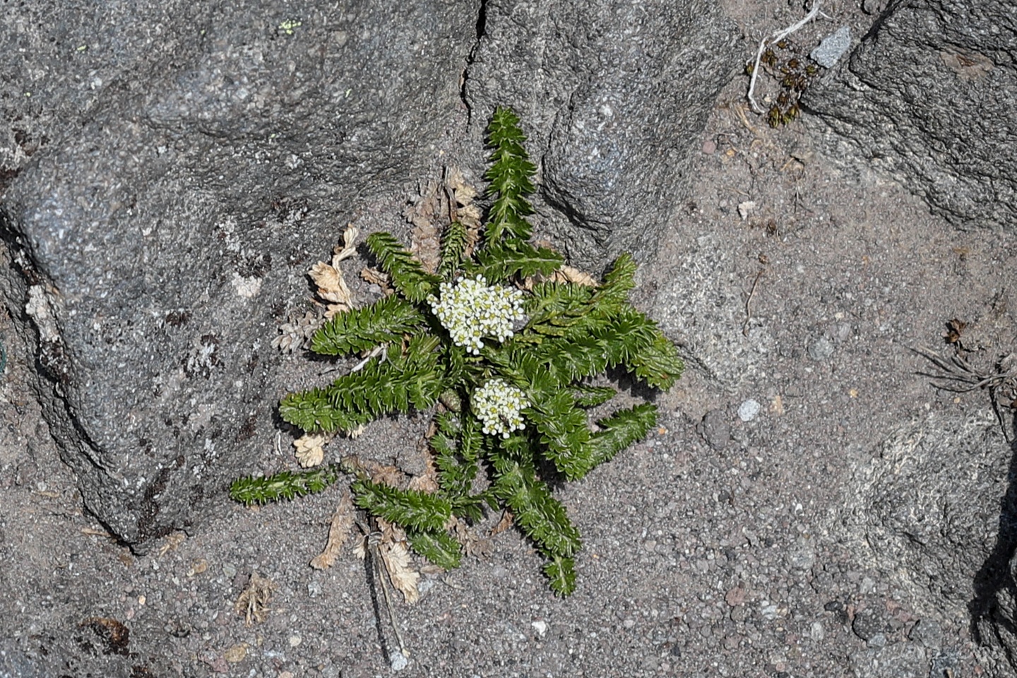
Some plants made it also up to here in these cold and dry conditions above 2000 m elevation.
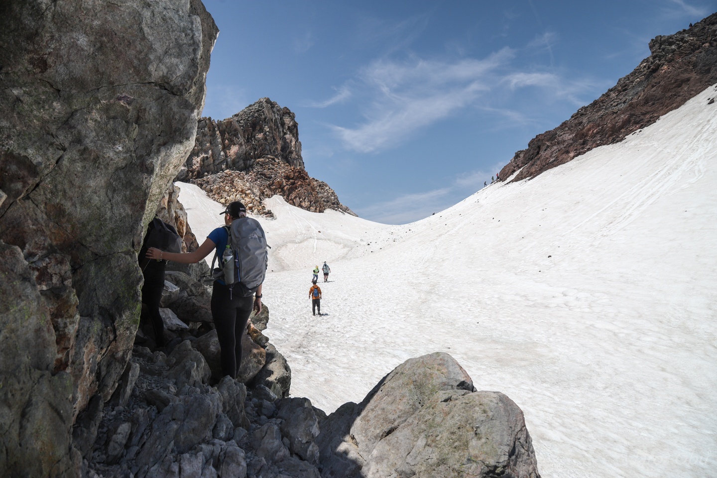
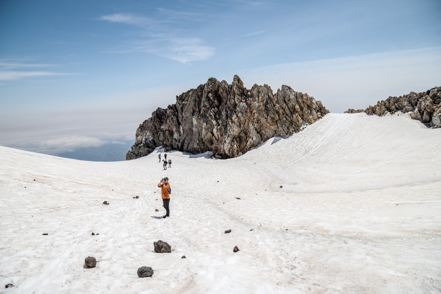
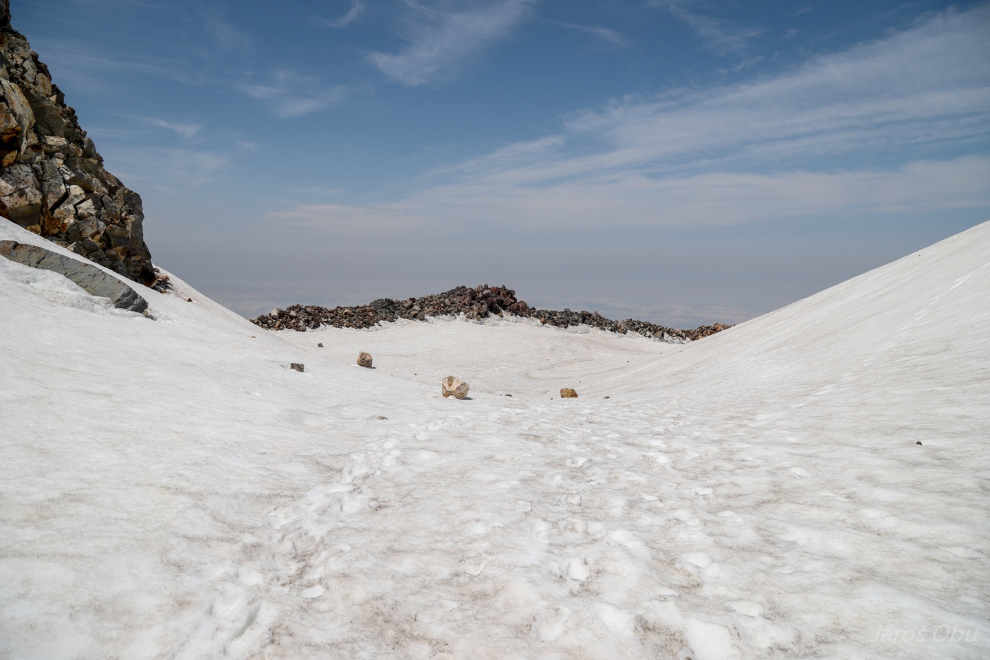
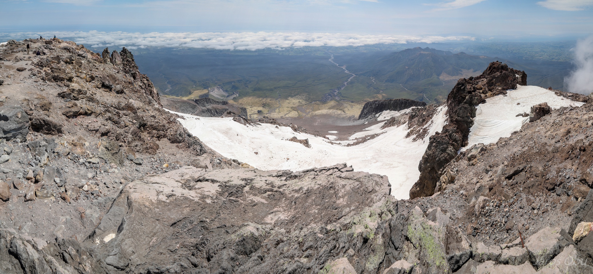
Reaching the crater that is still full of snow.
The volcano started forming around 135 000 years ago and the last major eruption occurred in 1655.
A lava dome formed in the crater around 1850s and soon collapsed on the mountain side.
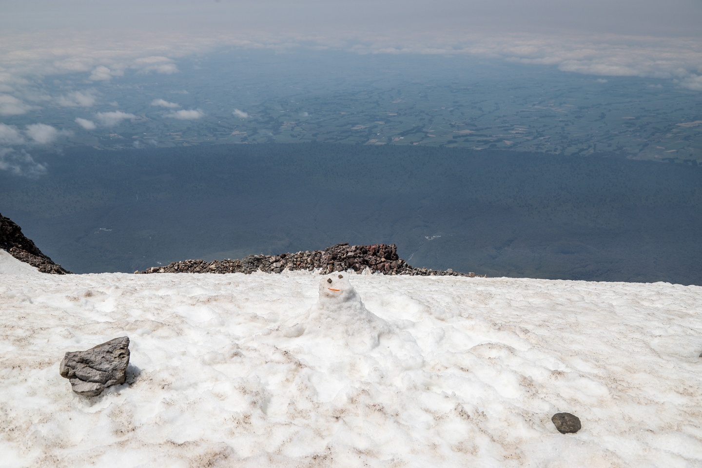
It is impressive how round is the vegetation circle around the mountain.
Even behind this snowman. It is of course a limit of Egmont National Park.
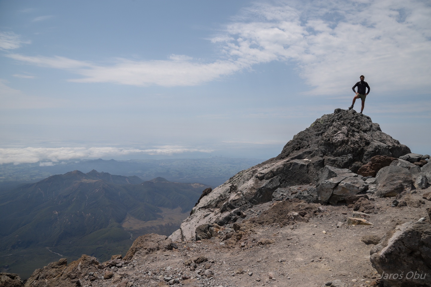
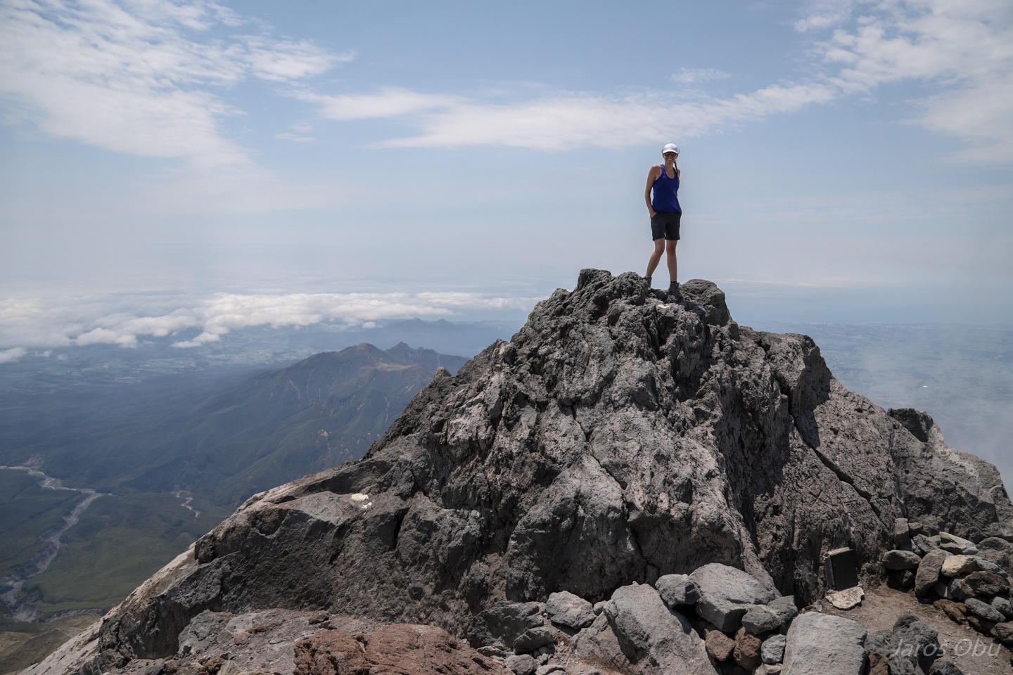
On the summit of the Mount Taranaki (2518 m), which was renamed back from Mount Egmont to the original Maori name.
It is a sacred mountain to Maori and climbing to the very top or cooking in the summit area is considered offensive to Maori.
Nobody seemed to have bothered about that and since Marodi don't climb the mountain anyway, we climbed to the very top.
Panorama towards the north where we came from.
New Plymouth with some rocks sticking out of the sea in the distance.
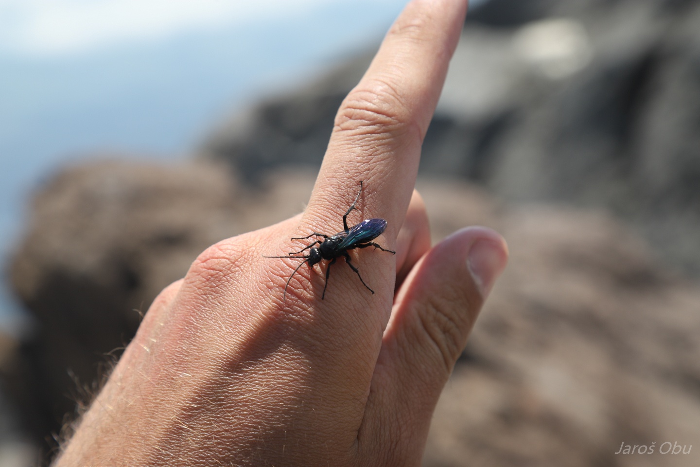
Black insect with colourful wings on the summit.
Some people had serious issues walking down the slope with loose pumice. But not the photographer's better half. She was generating a cloud of smoke while running down.
A landslide cutting the path that we crossed through a tunnel on the way up.
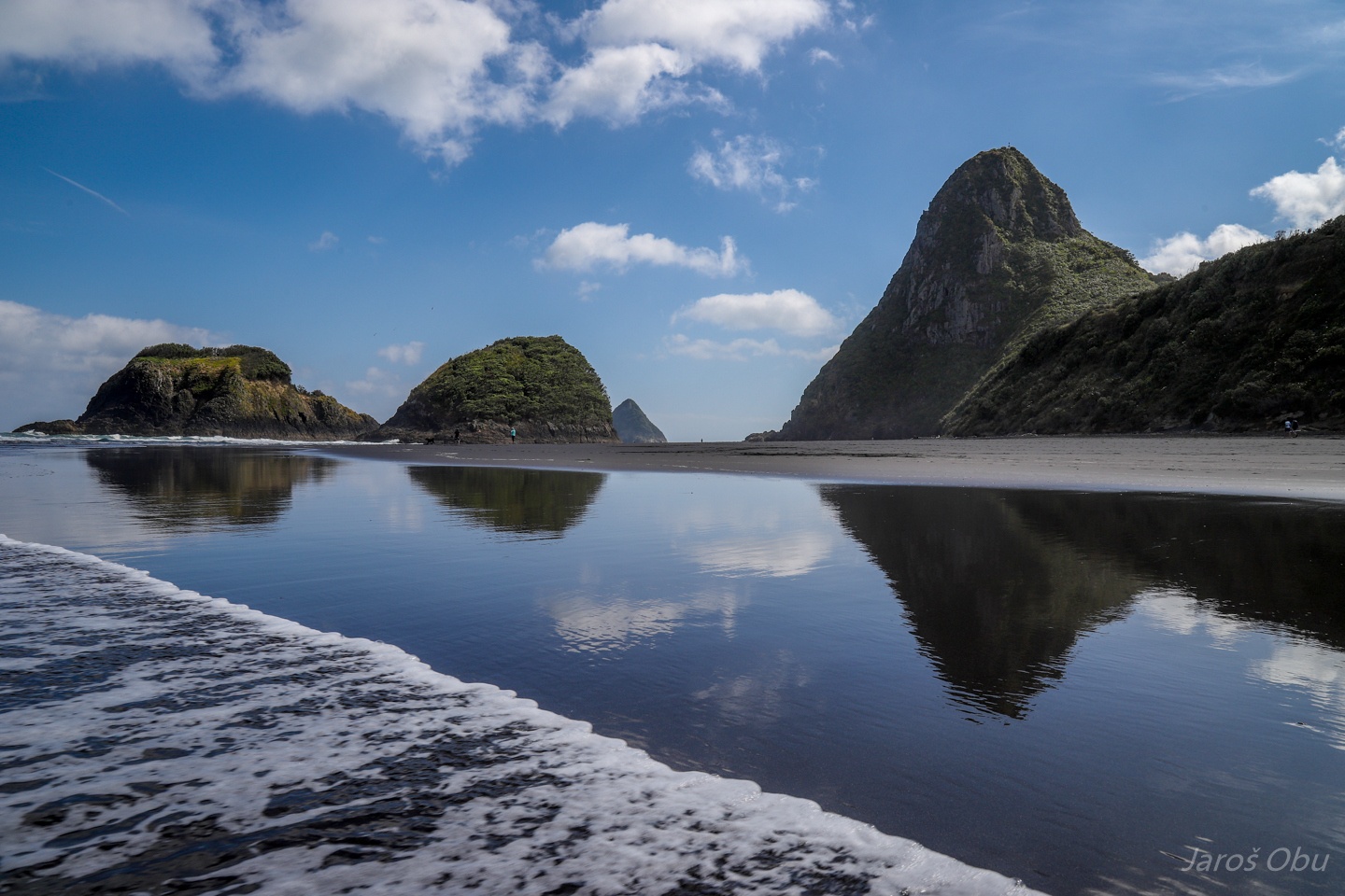
The black beach of New Plymouth.
Paritutu Rock is the one dominating the beach.