© 2024 Jaroš Obu
Photo gallery of Jaroš Obu
Cart
0
Items
Buy now
Mývatn 1.-2. 8. 2019
Friday, 02 August 2019
Returning back to volcanically active areas. Mývatn Lake and its surroundings.
The lake got its name from midges, which are very abundant in and annoying around the lake. I forgot to take a photo of organic coating on the front of the car.
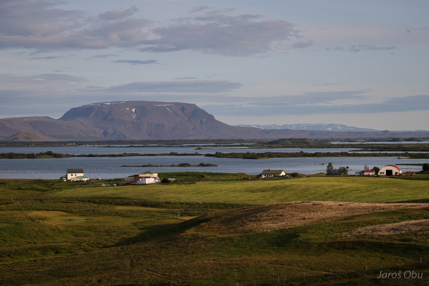
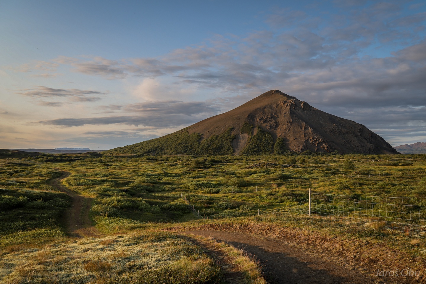
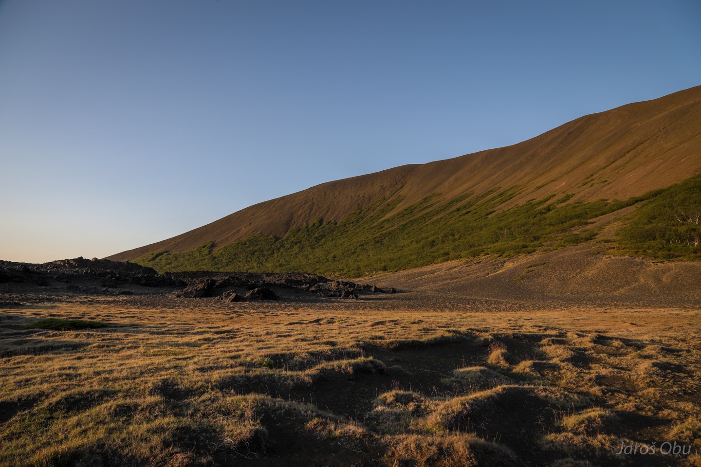
Bláfjall plateau mountain.
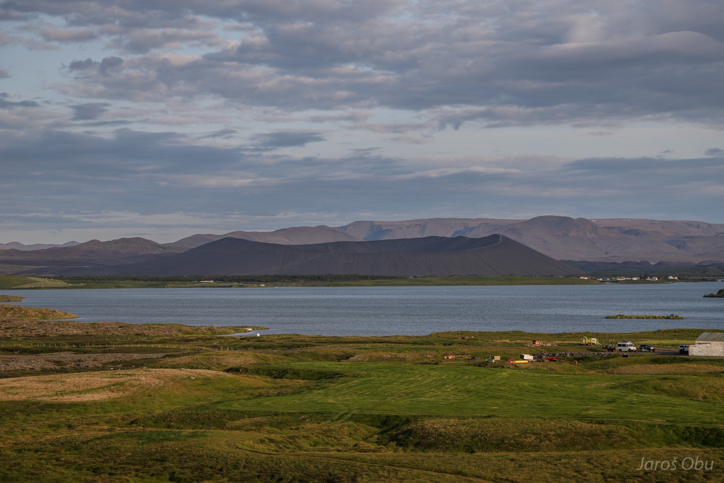
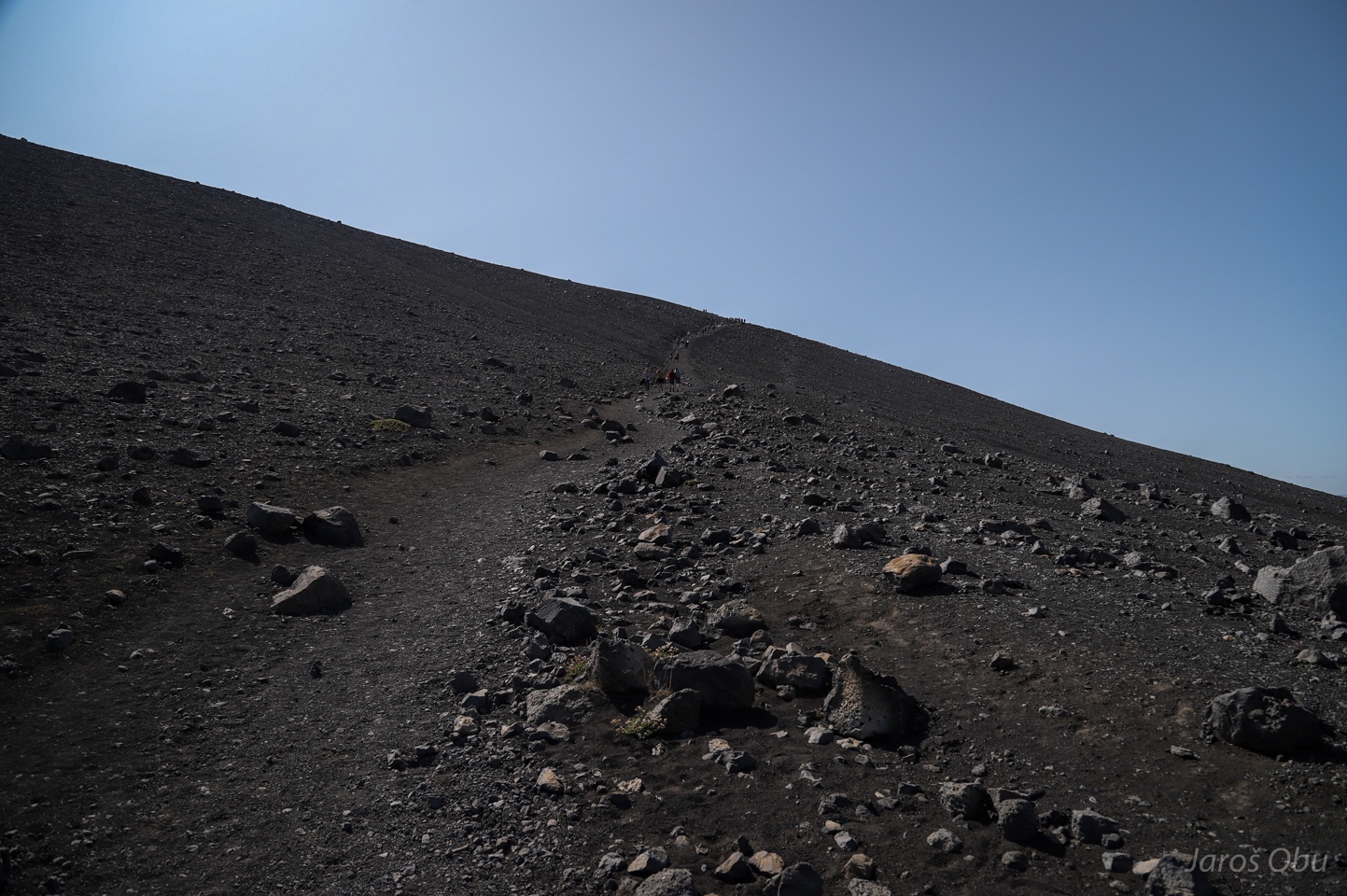
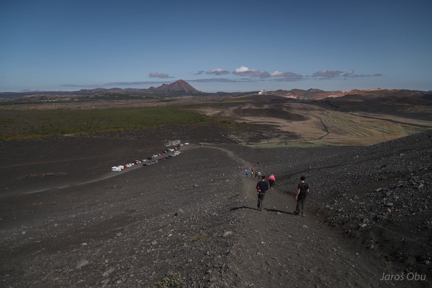
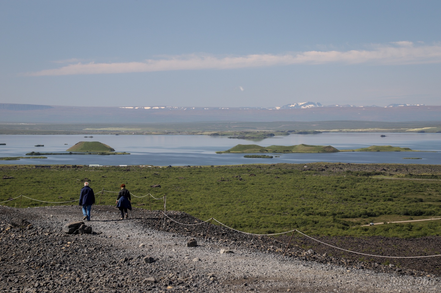
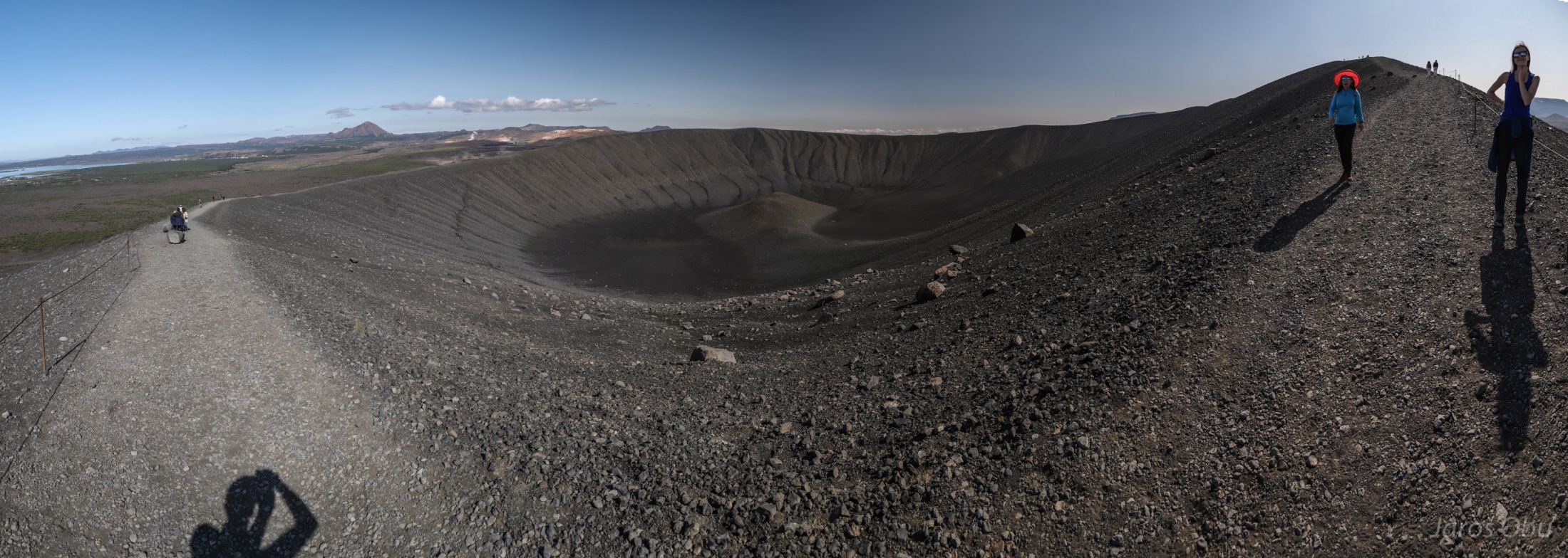
Hverfjall explosion crater.
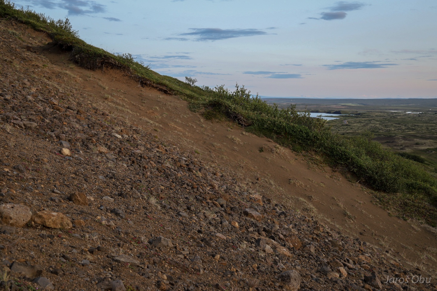
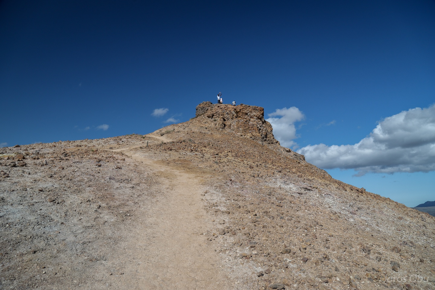
A late-evening hunt for a view on Vindbelgjarfjall (529 m).
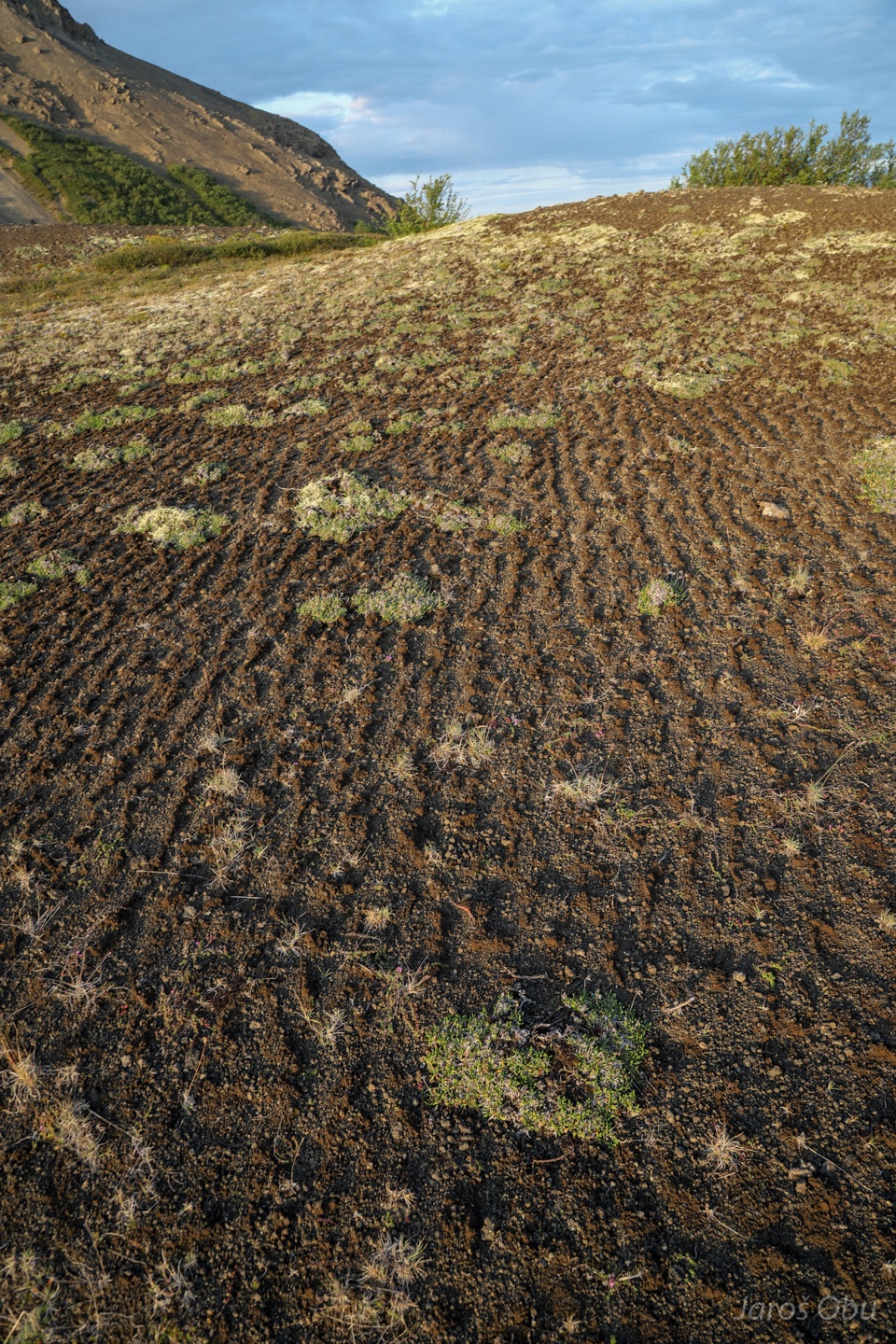
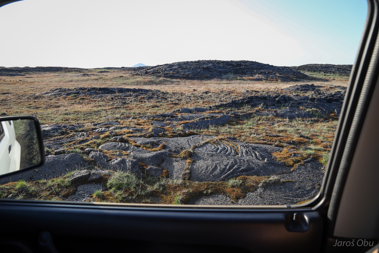
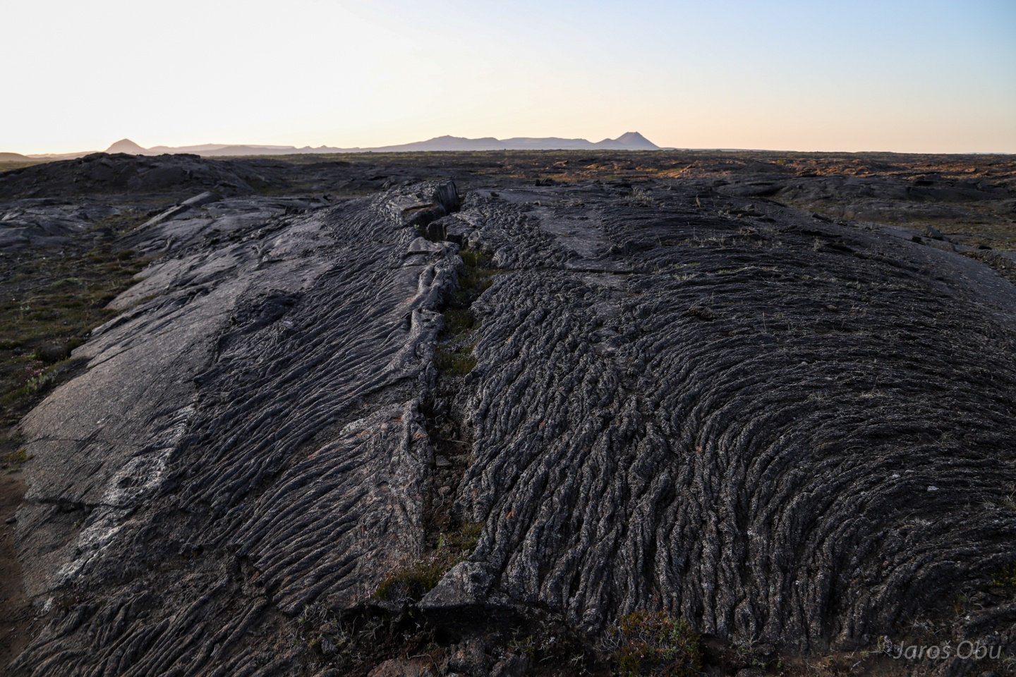
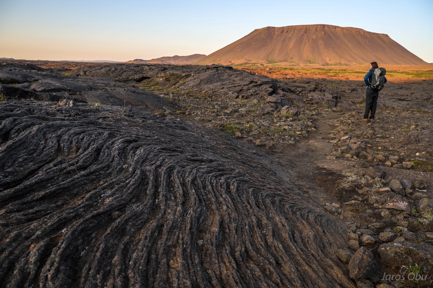
Interesting ground patterns.
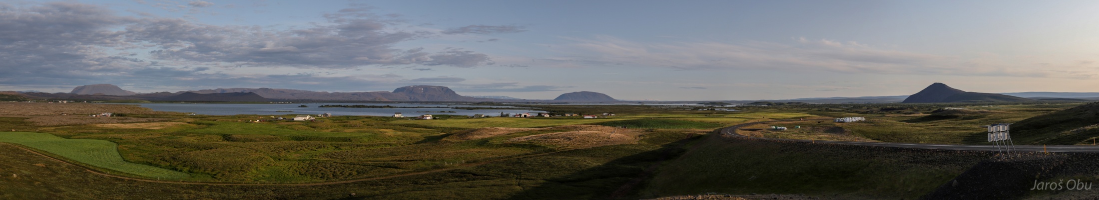
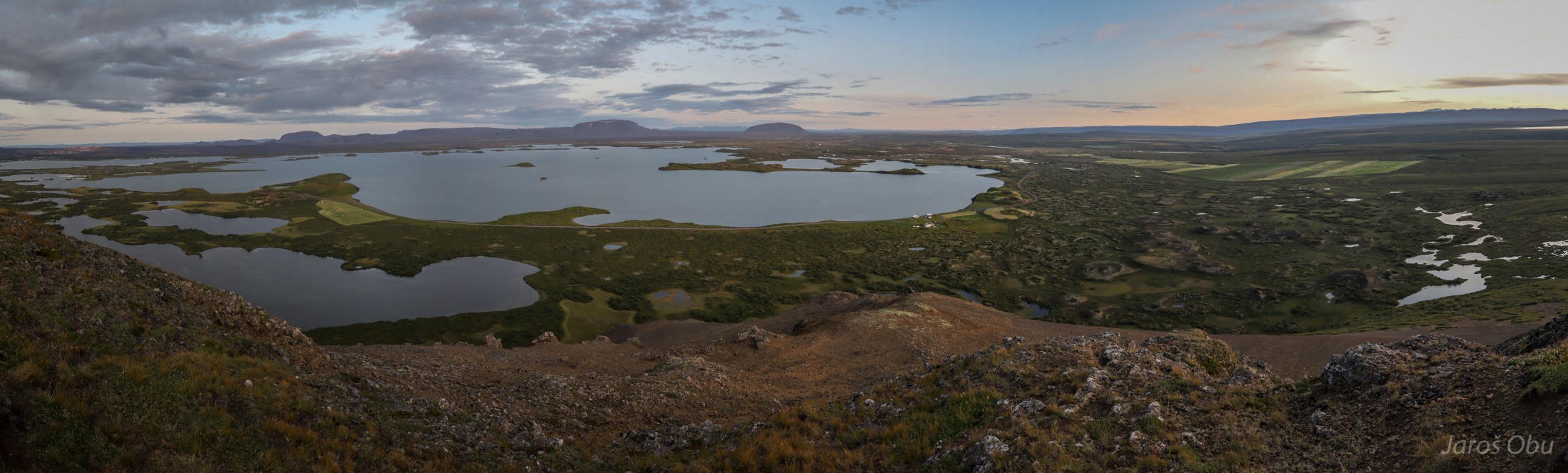
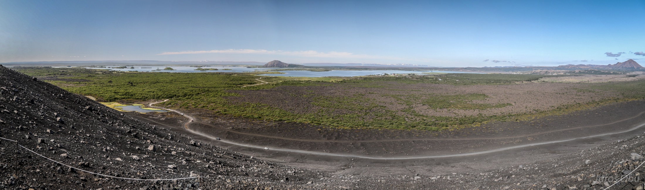
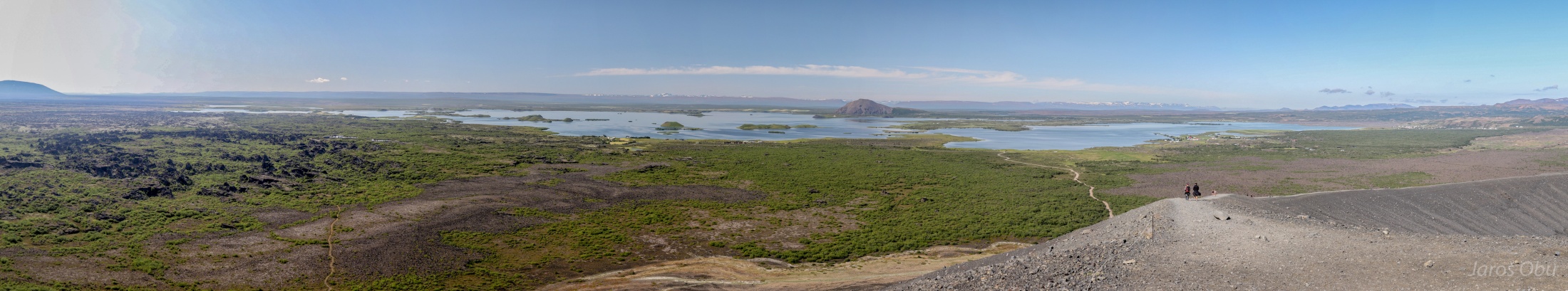
Panorama from the top.
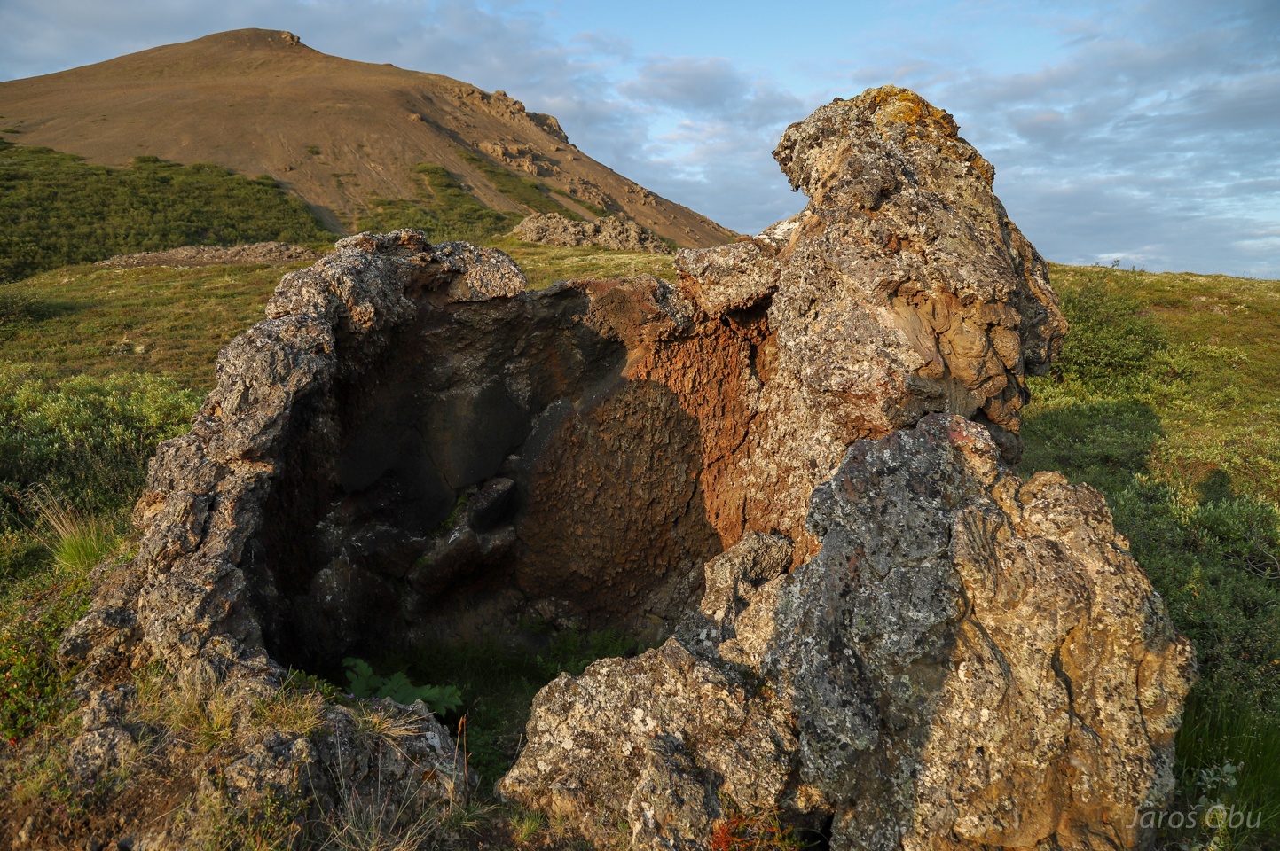
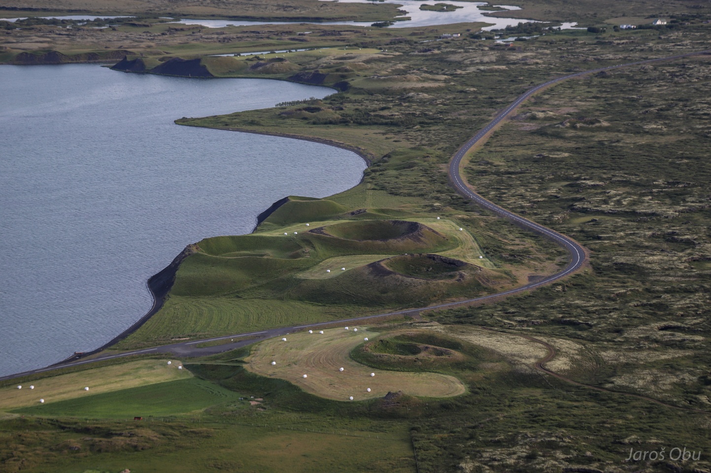
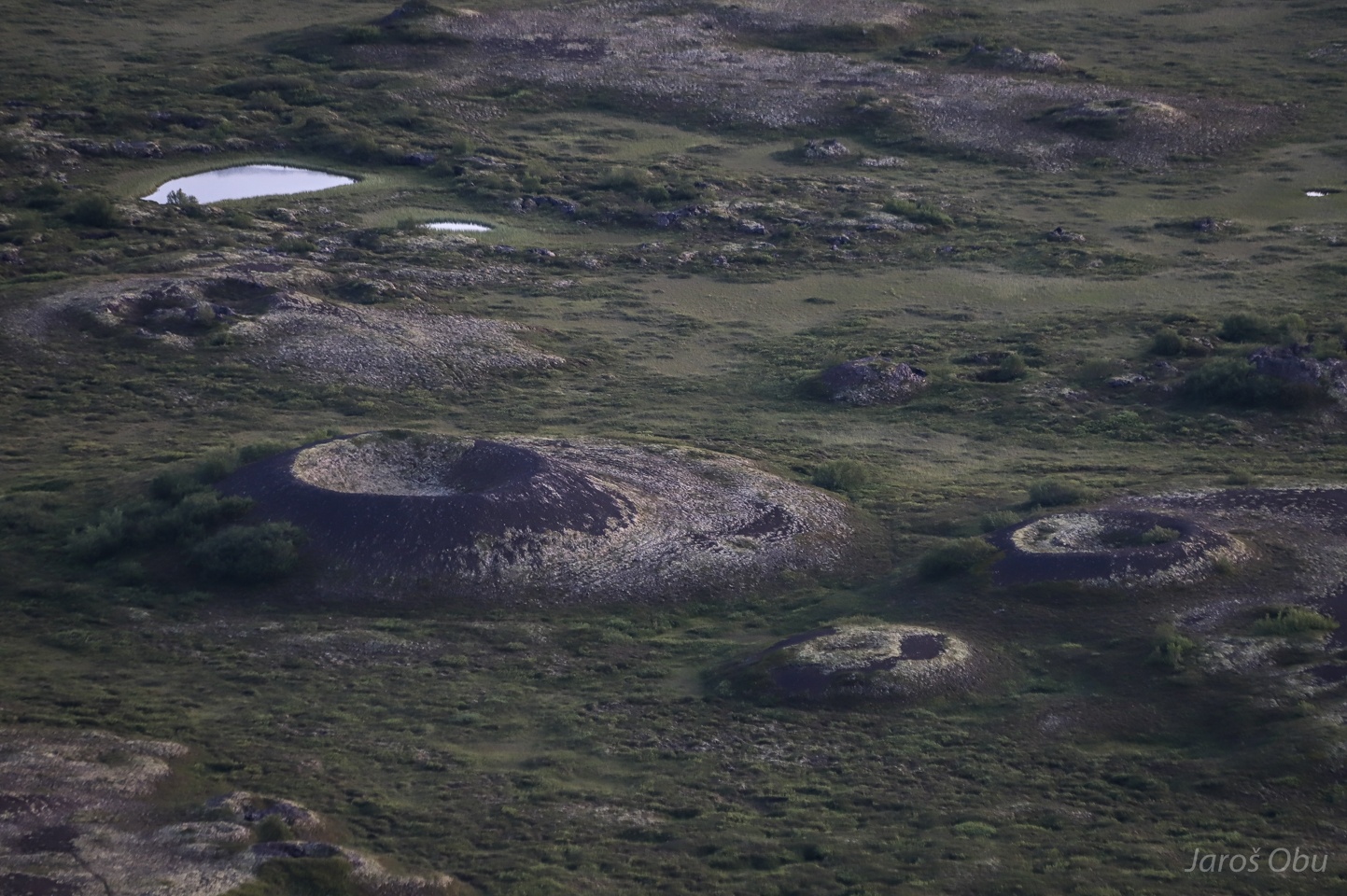
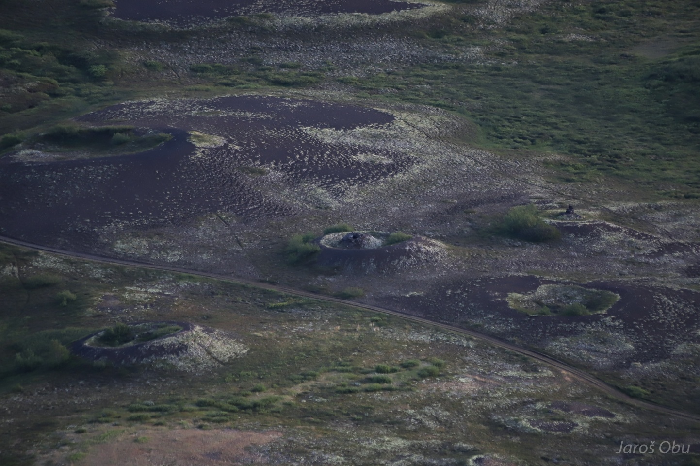
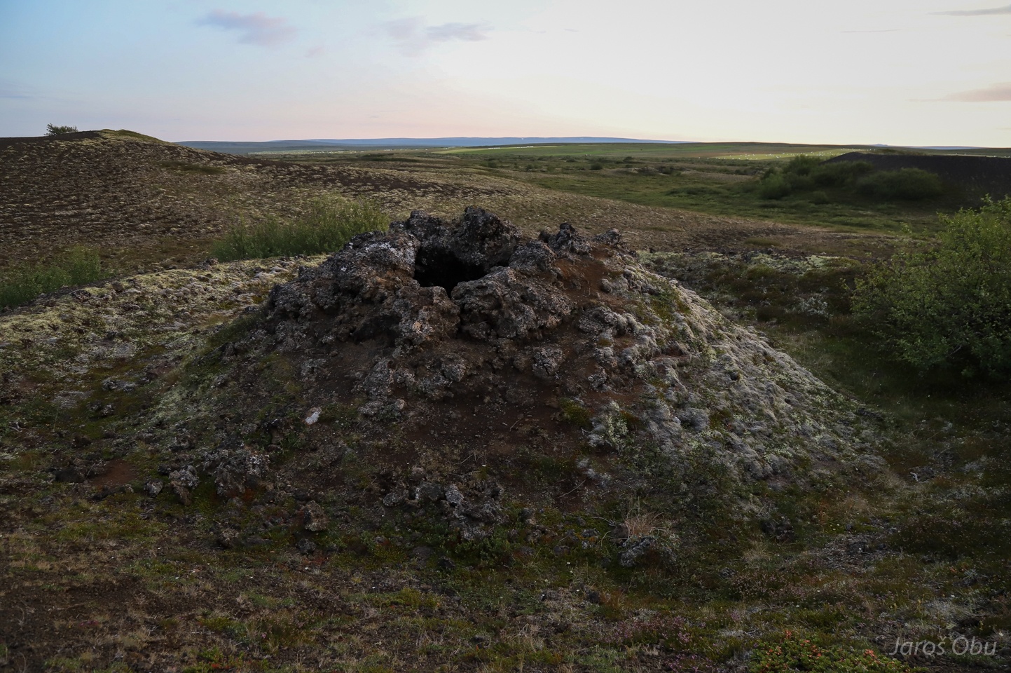
There are many small craters in the vicinity of the lake.
These are called pseudo volcanoes or rootless cones.
They formed when lava flowed over marshes or lakes and the steam underneath exploded.
Lake in the evening light.
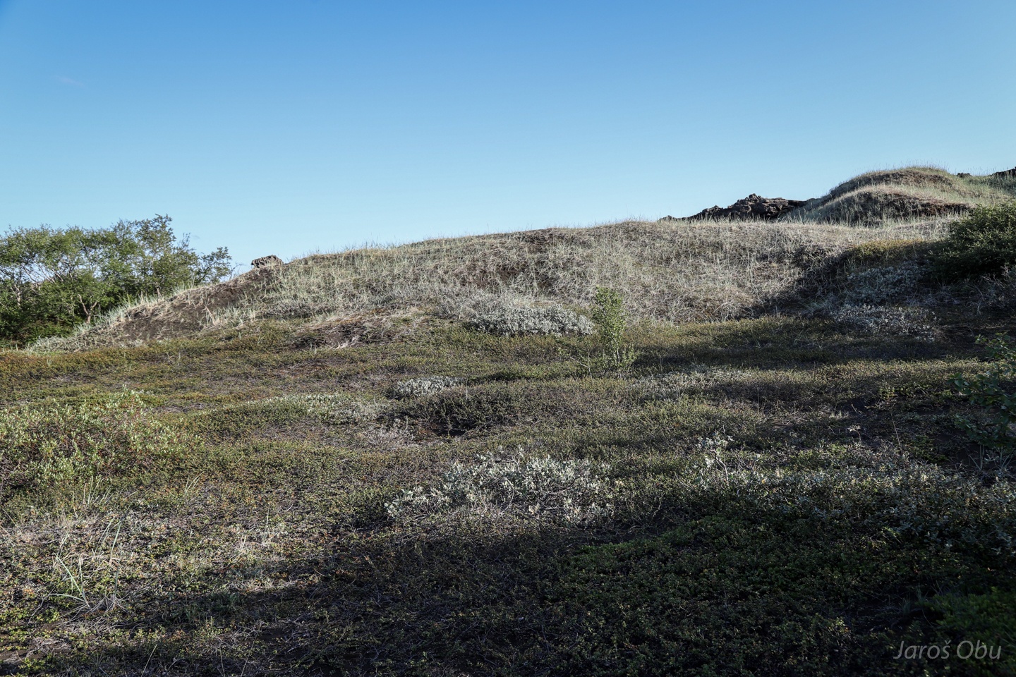
Soil erosion is a big problem in iceland. When vegetation is removed the underlying fine sediment is easily eroded by the wind.
The cone from photo 11 on a way back.
Visit of Hverfjall next day.
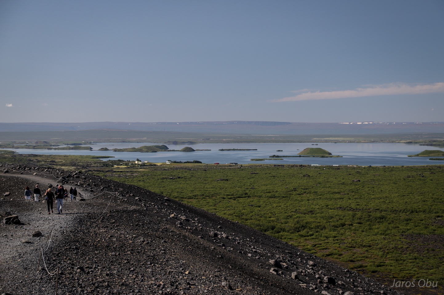
Many of the rootless cones also in the are middle of the lake.
...
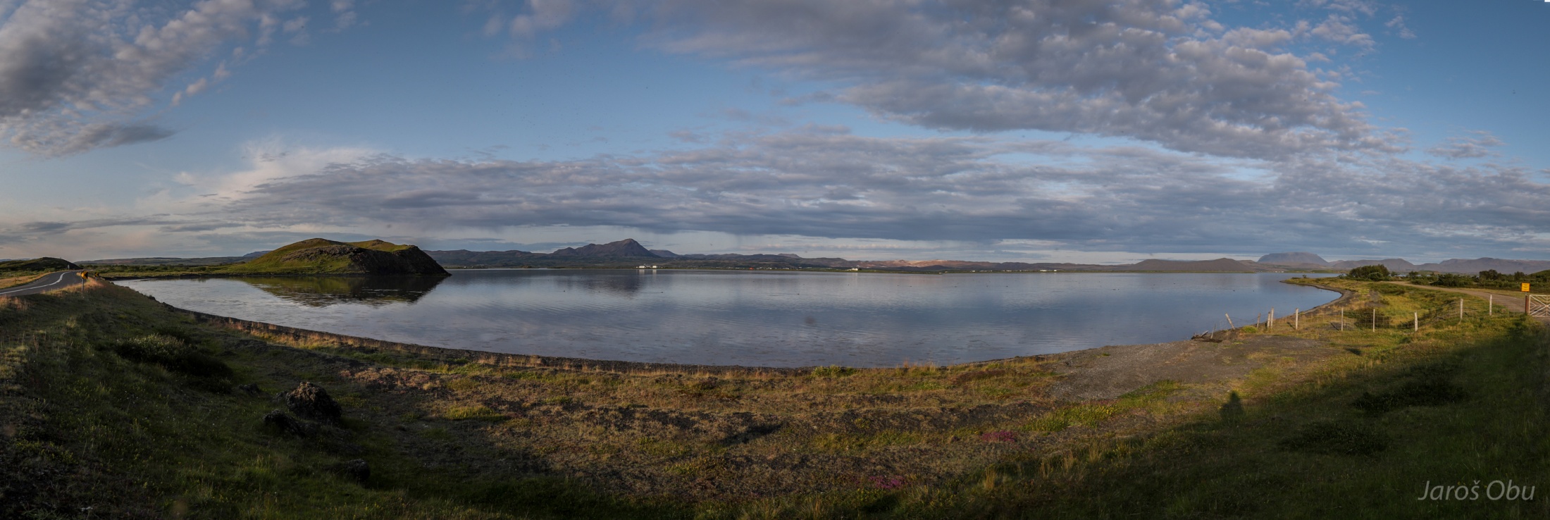
Another panorama towards the lake.
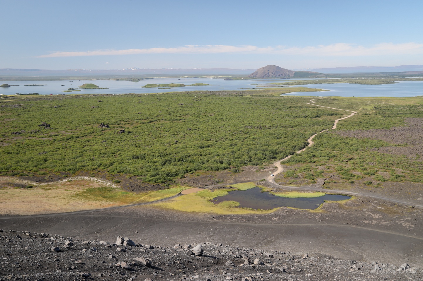
Mind the roads on the photo. The one turning on the left has a deep lake that has to be crossed. There is a bypass (unofficial?) road at the bottom of the photo.
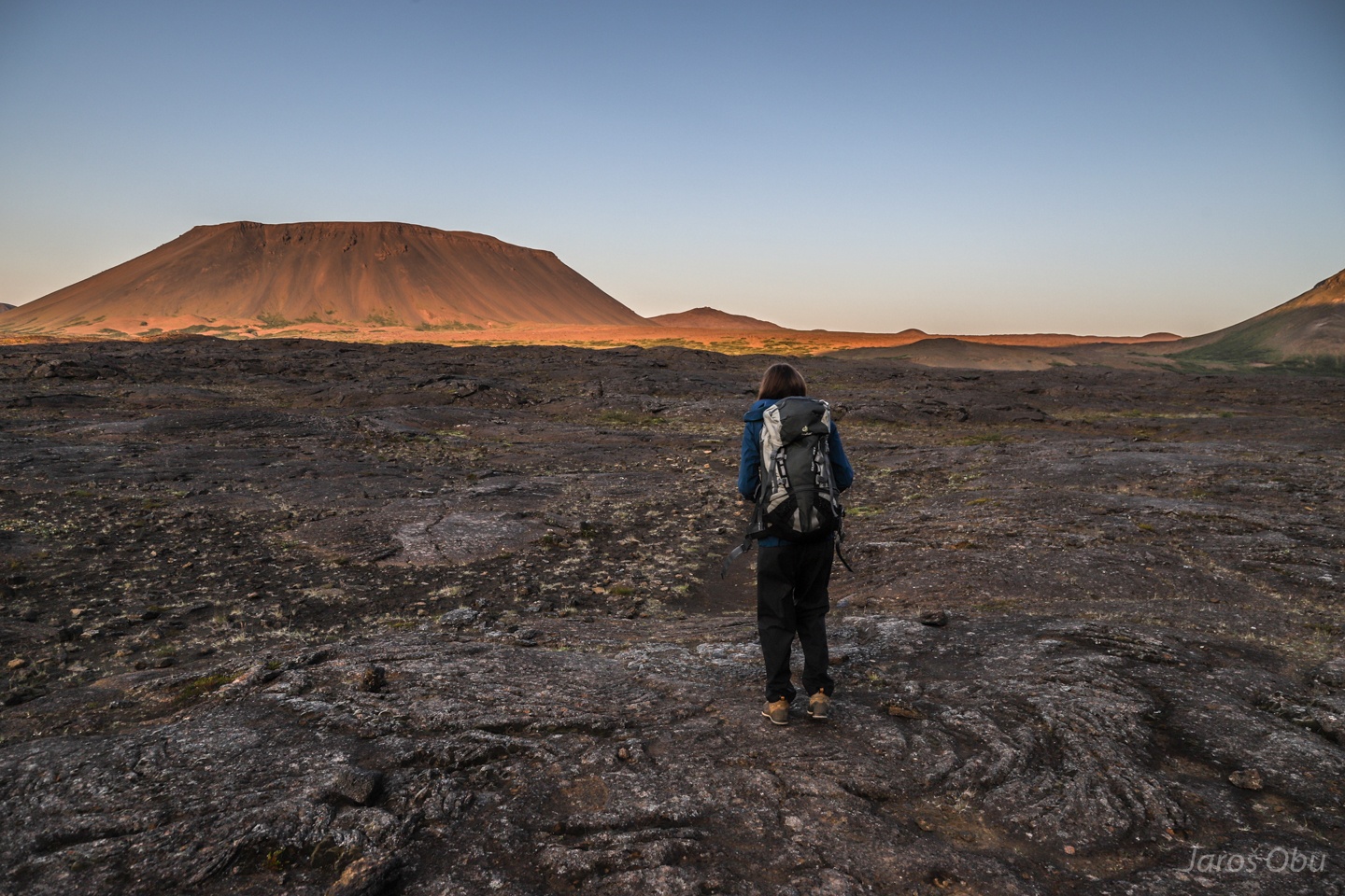
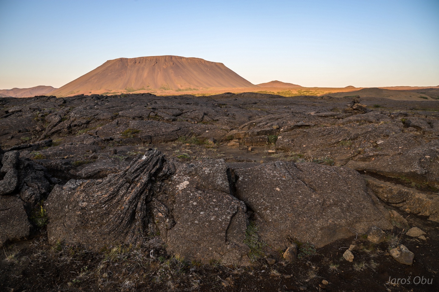
Panorama of the tephra crater that formed about 2500 years ago by steam explosion when lava vaporised groundwater.
Dimmuborgir visited later on that day on the left of the photo.
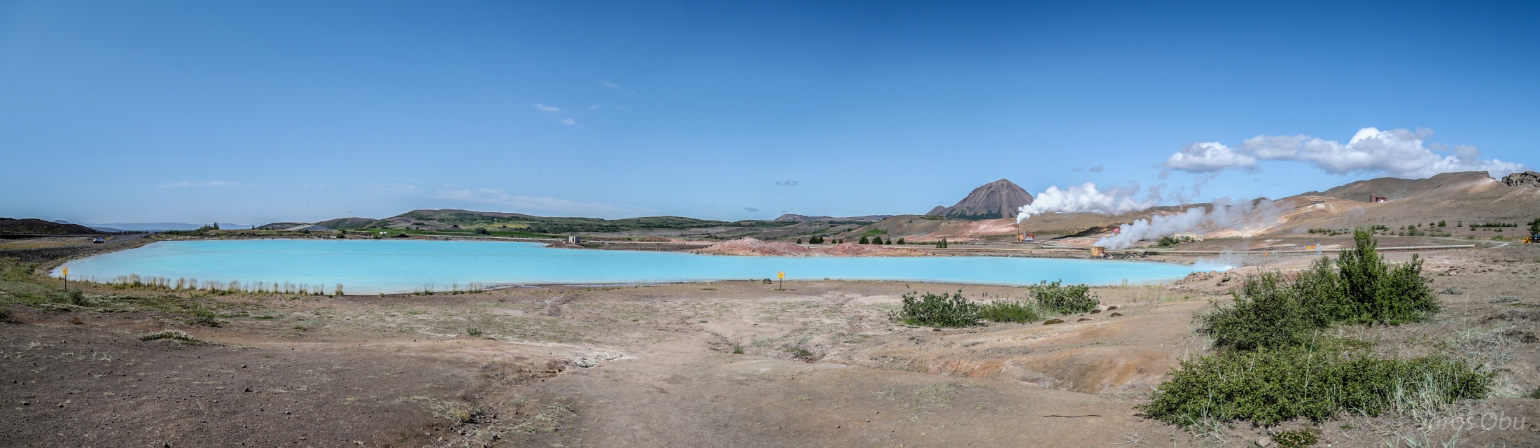
A geothermal lake north of Mývatn
Silica gives these lakes blue colour.
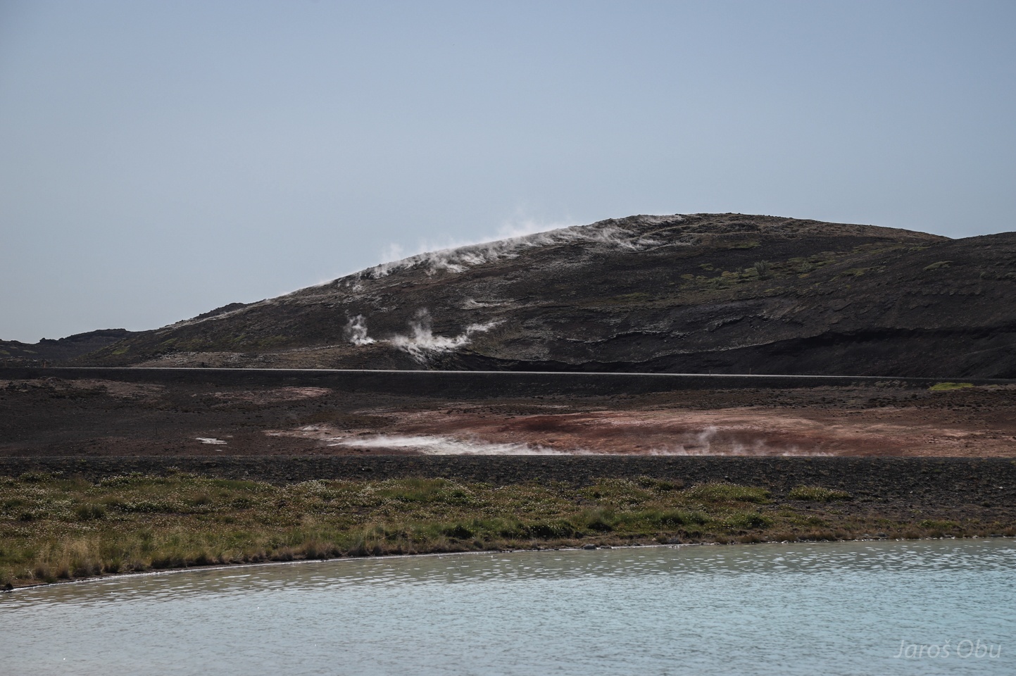
Smoke on the water and smoke on the hill.
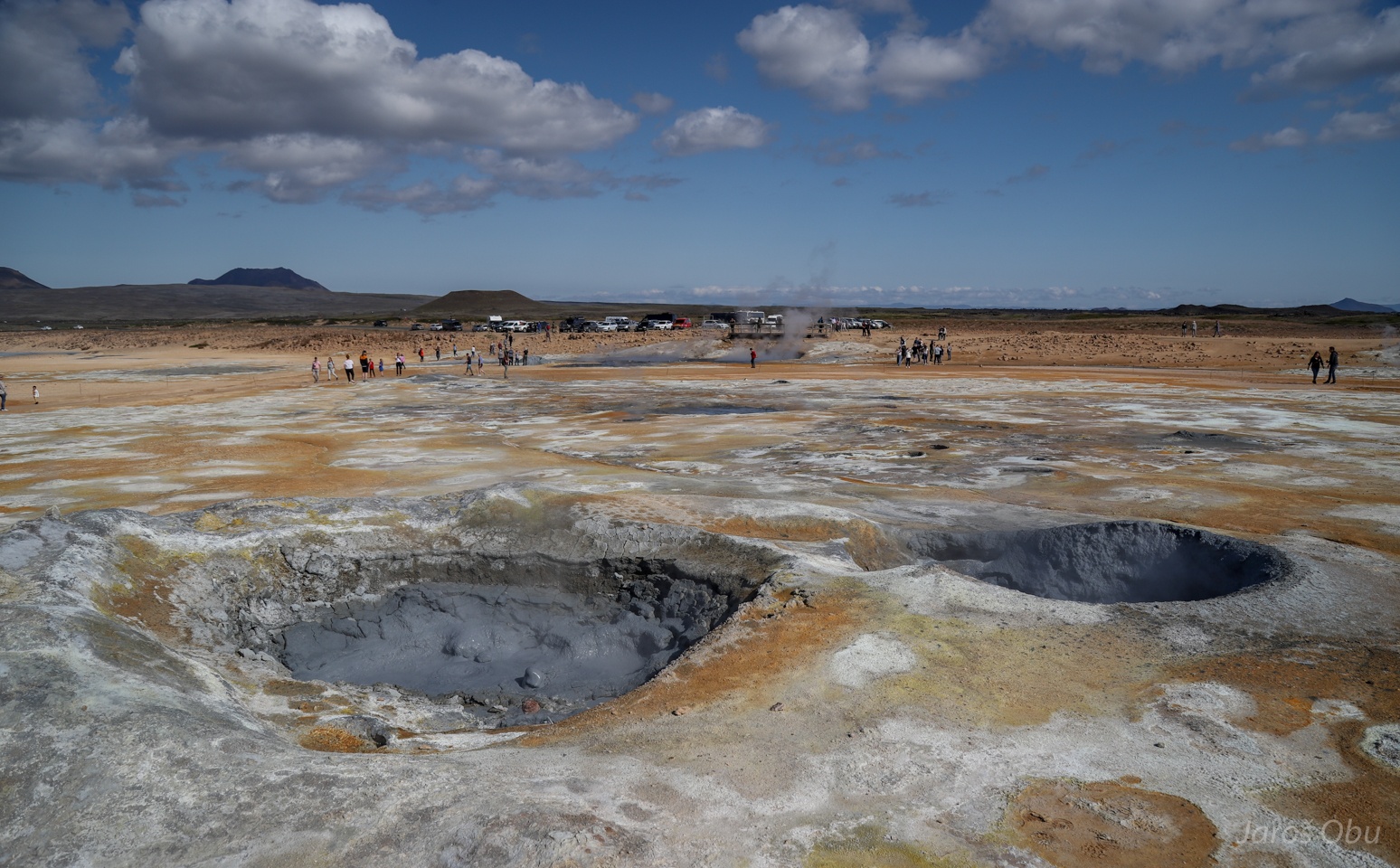
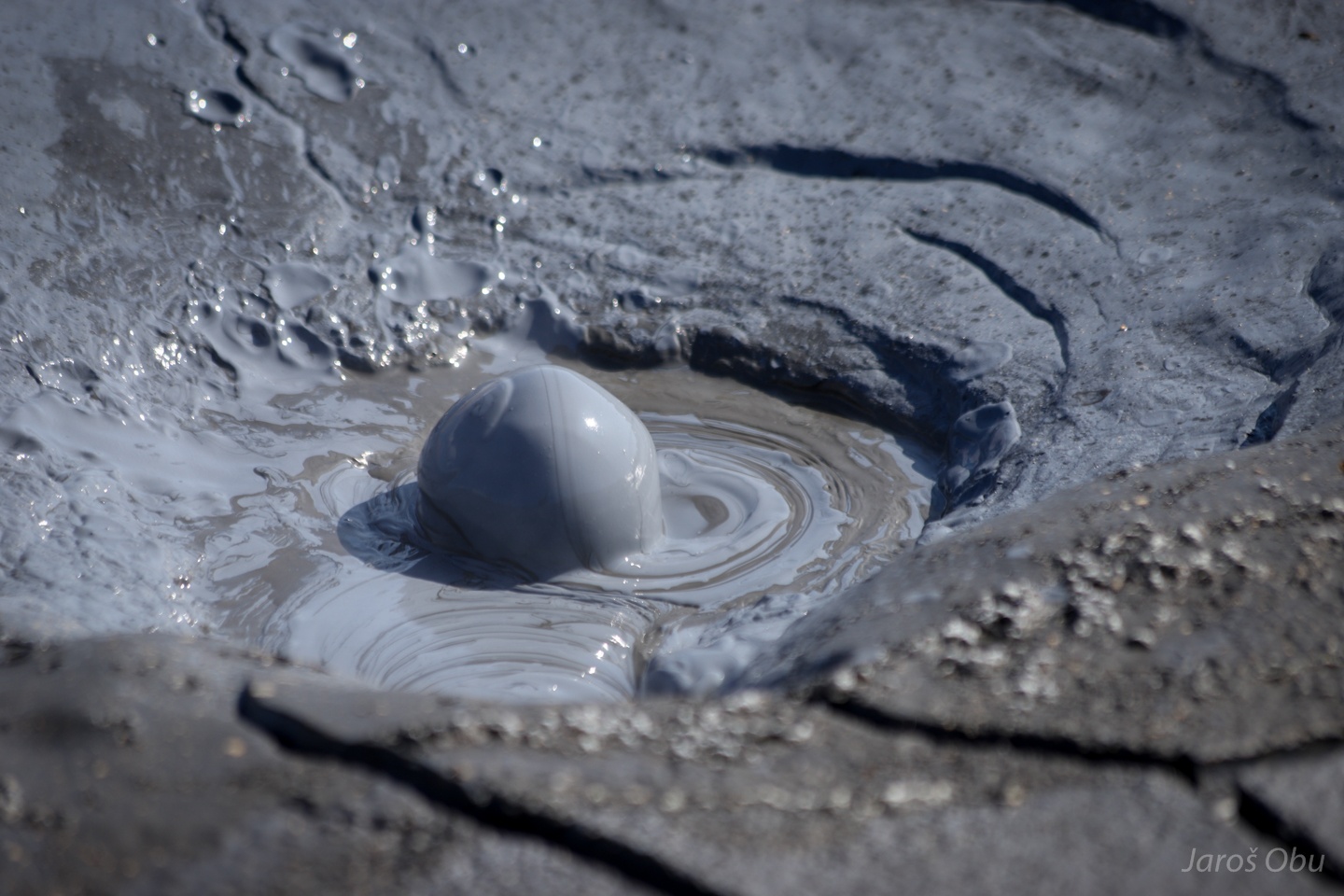
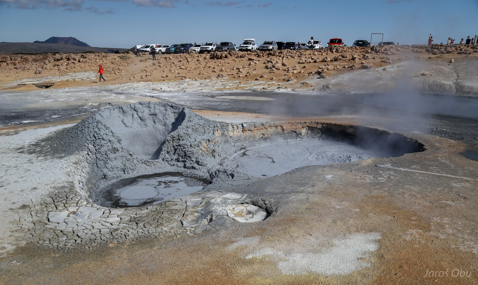
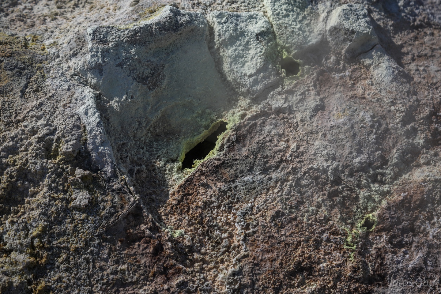
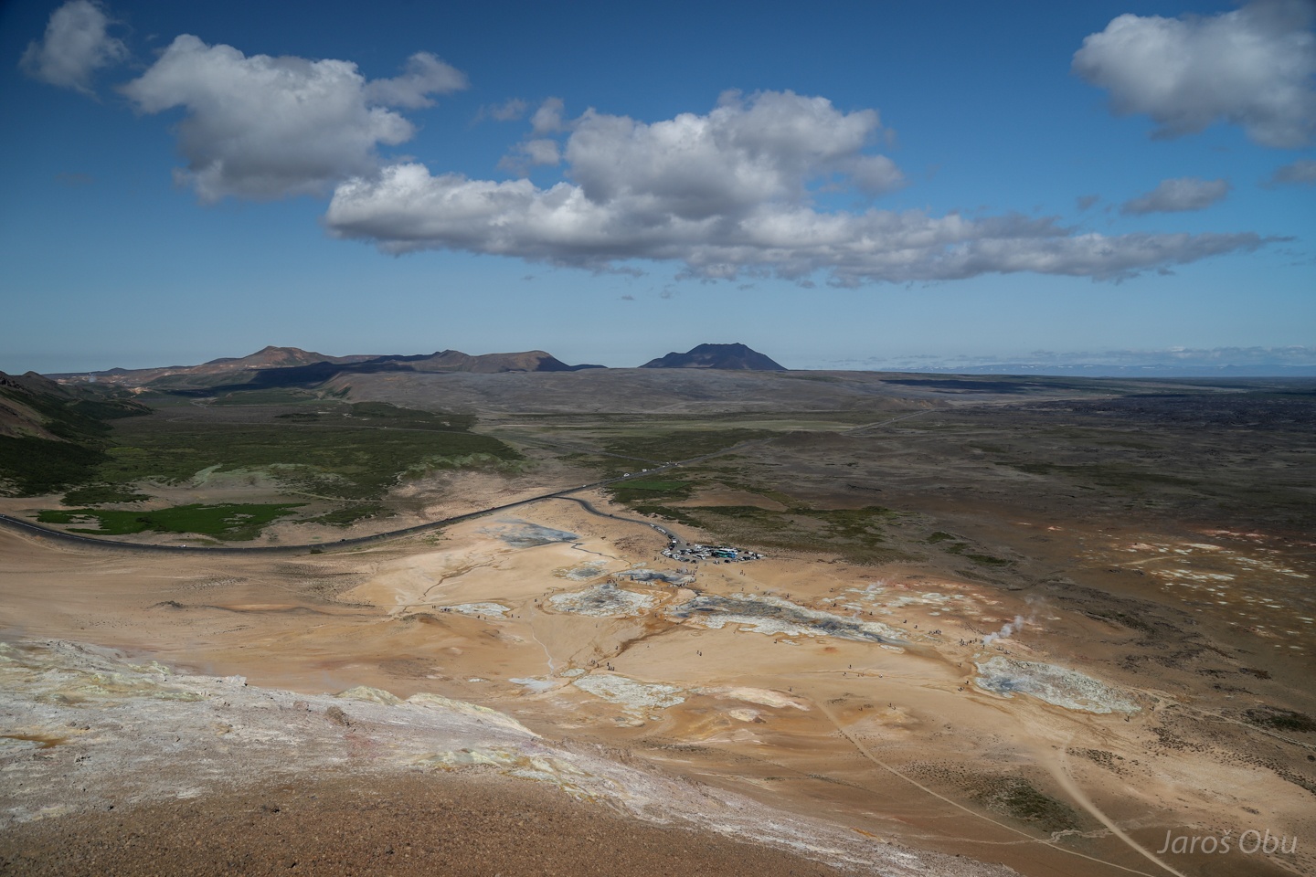
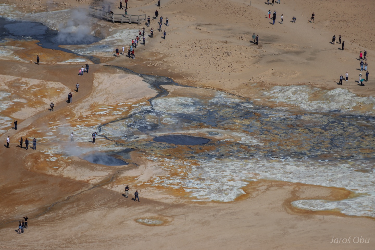
Hot spring area Hveraröndor Hverir located north of Mývatn lake is known for many mud pots.
The sulphur gasses present in the water forms sulphuric acid which dissolves rocks producing the mud.
Babbling mud.
Small cone is growing with each bubble.
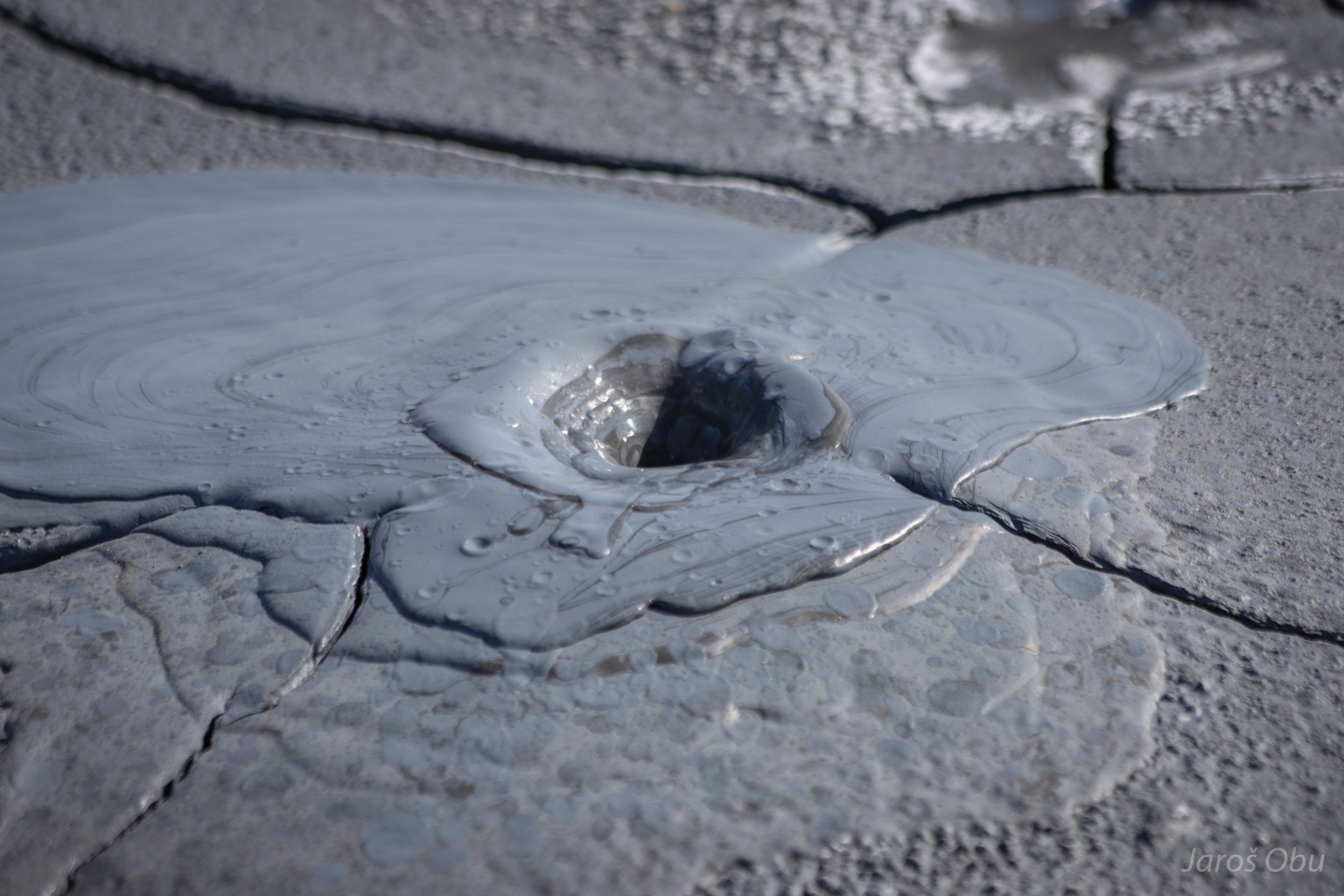
More violent babbling produces small craters.
...
Water only.
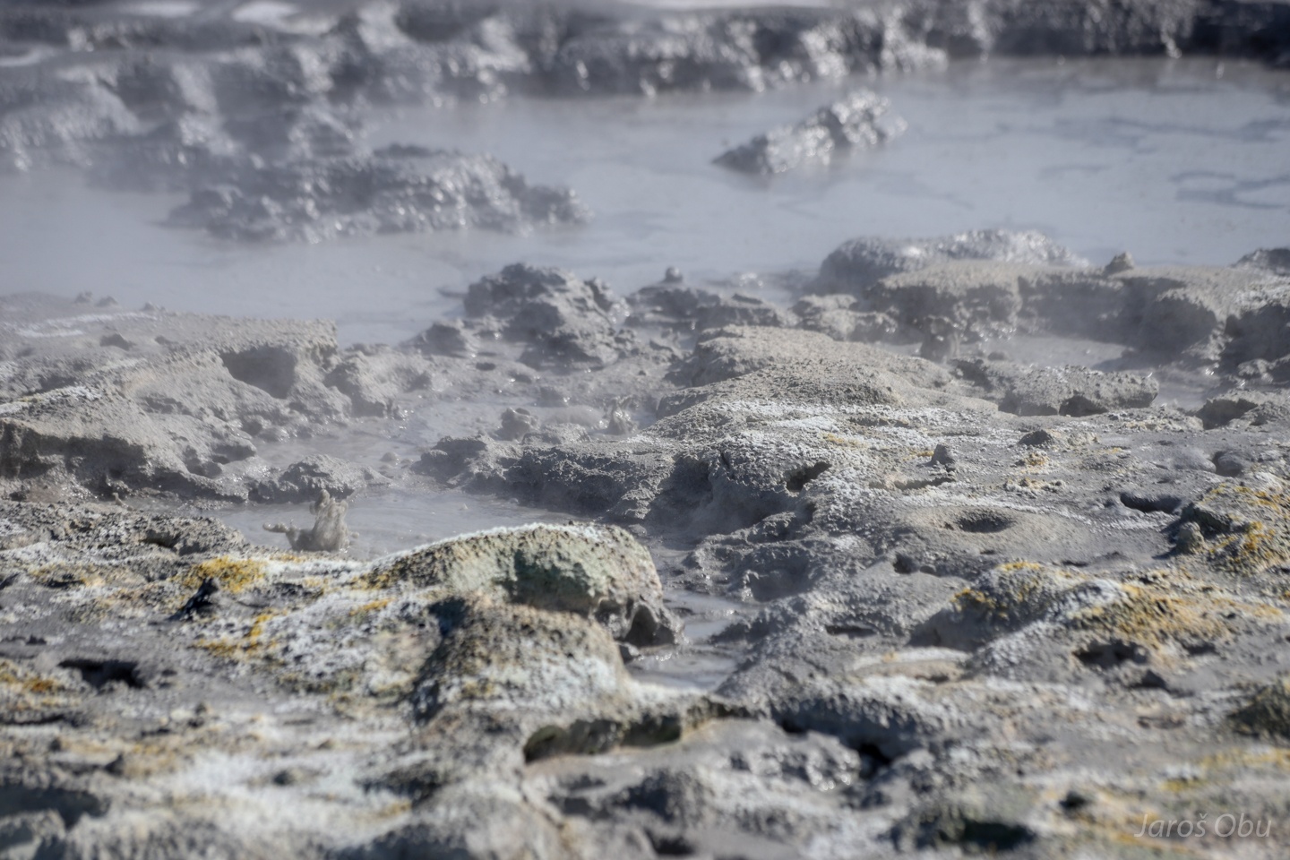
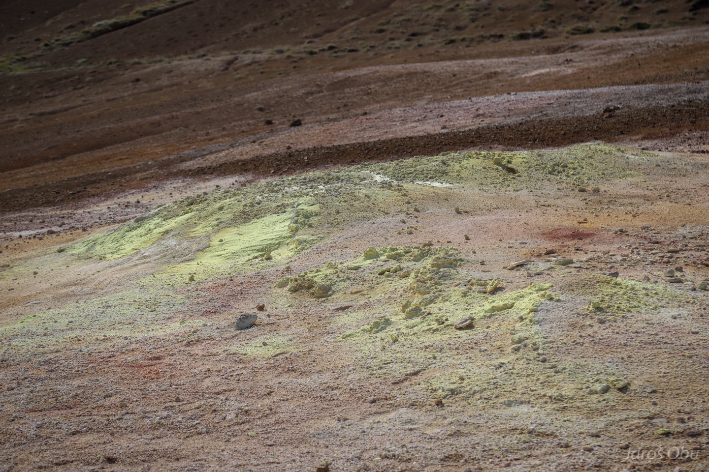
Sulphur is accumulating around solfatare.
Dying parts of the slopes yellow.
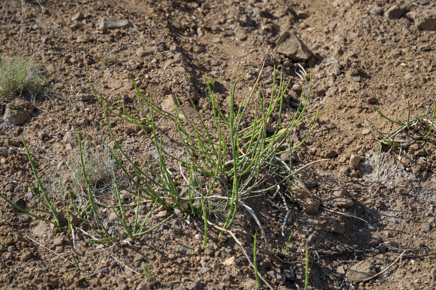
Horsetail (Equisetum sp.) is apparently one of the very few plants that tolerates these bad growing conditions.
The geothermal area as seen from above. The clouds form only here, probably because of the steam coming from fumaroles.
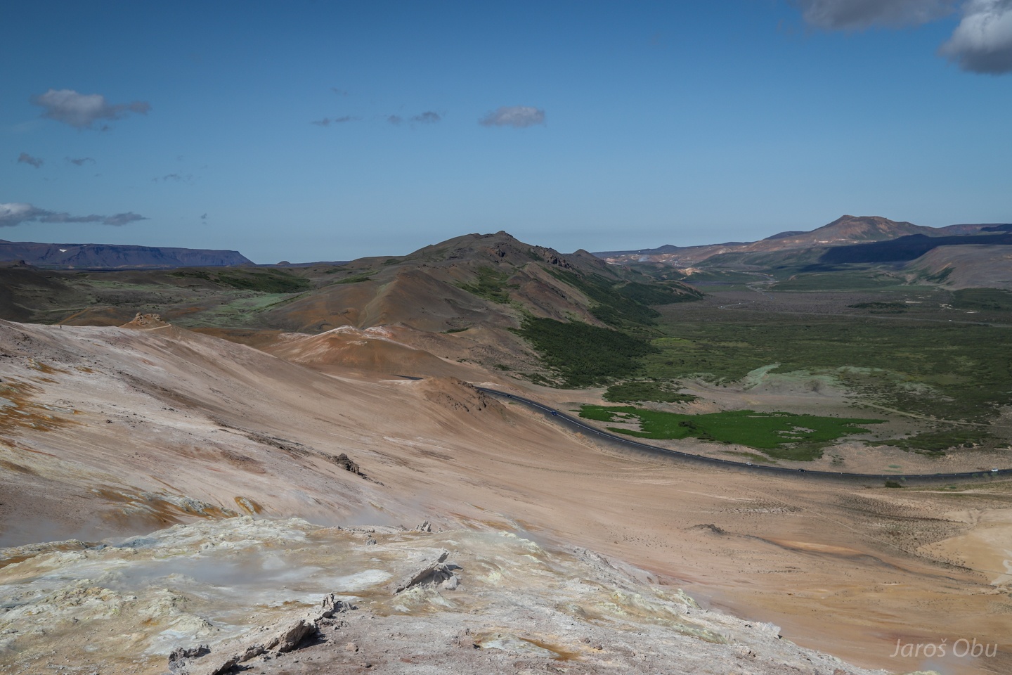
Námafjall mountain with typical geothermal colours.
Volcanic ridge continues farther north.
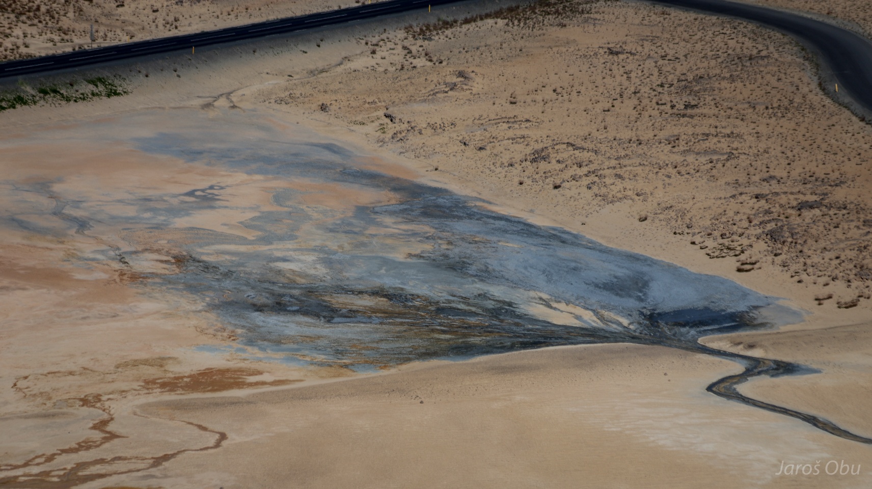
A sort of a delta forming from the geothermal excrets.
From above.
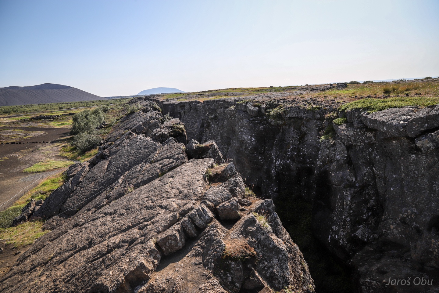
A fault line between Námafjall and Hverfjall.
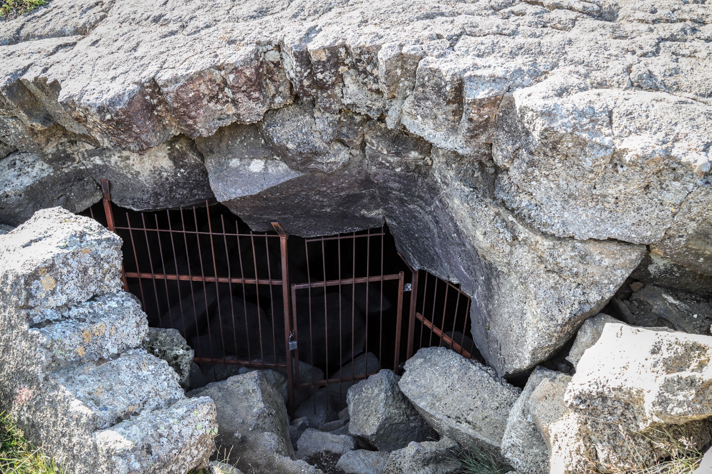
That hides an underground world beneath.
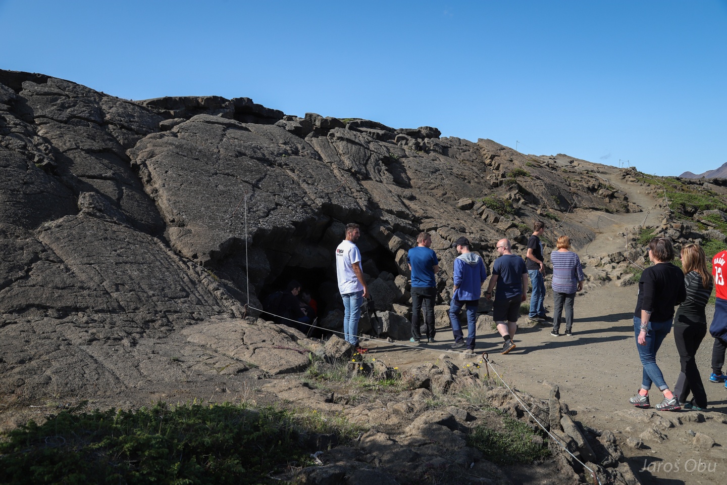
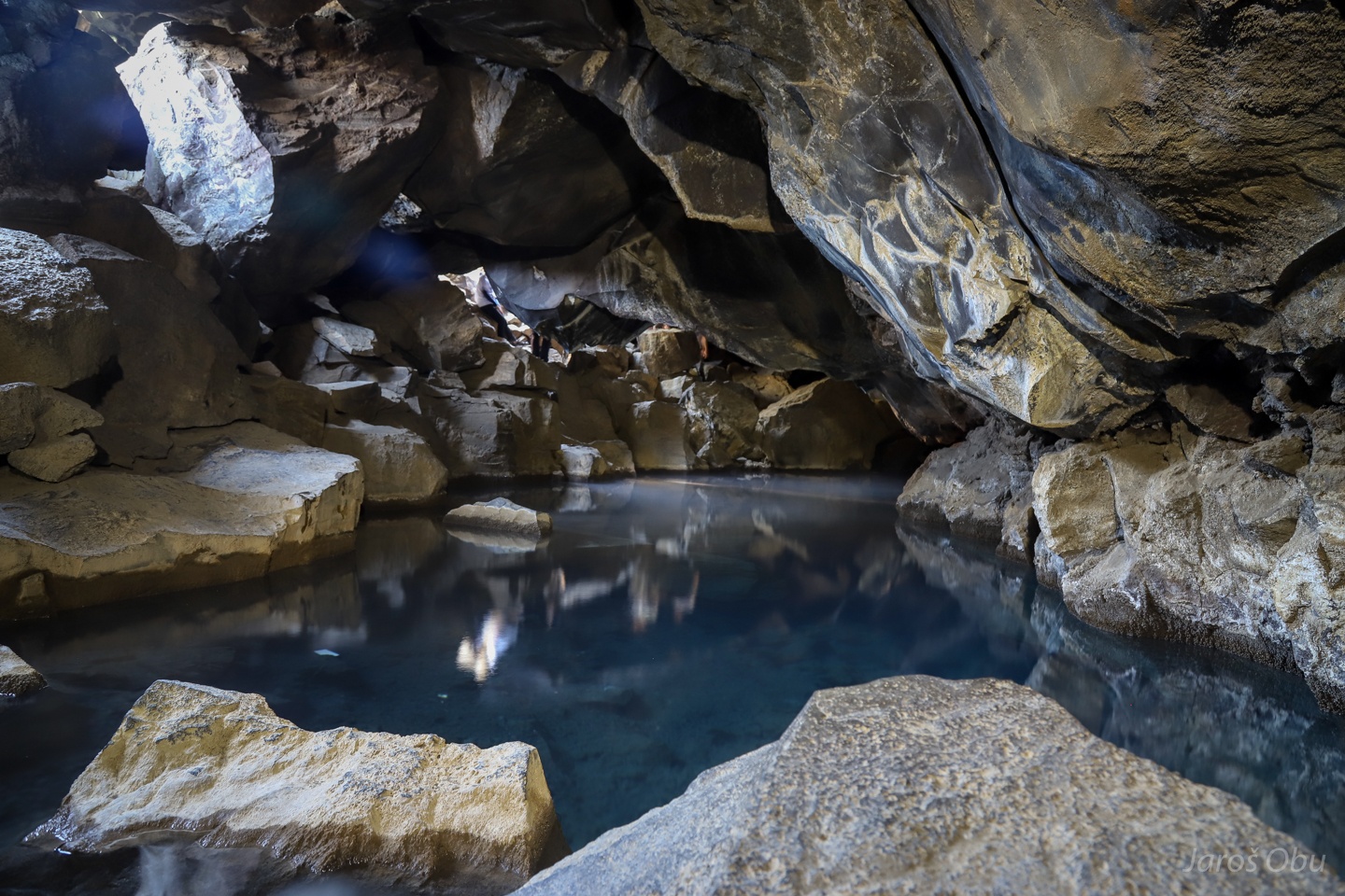
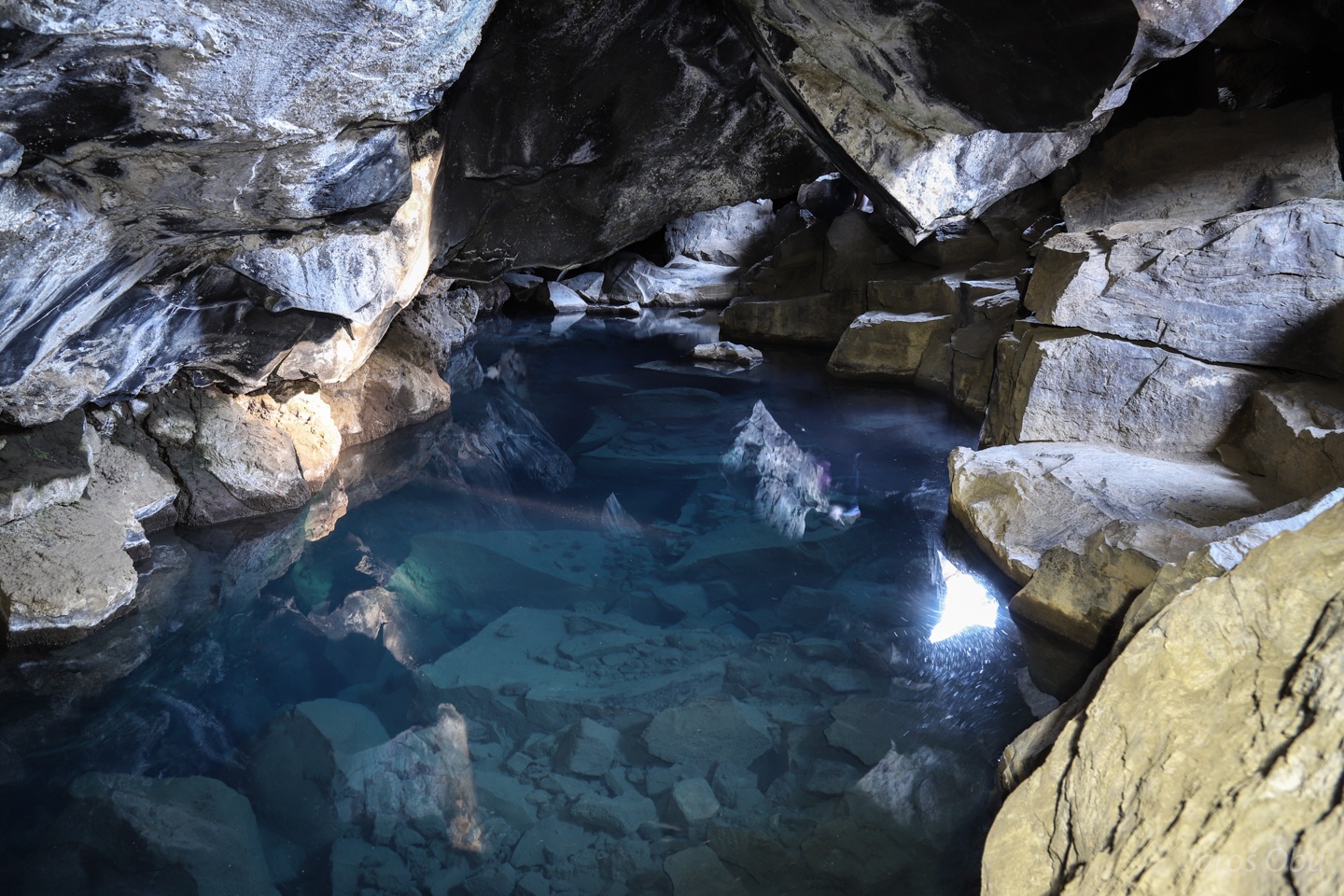
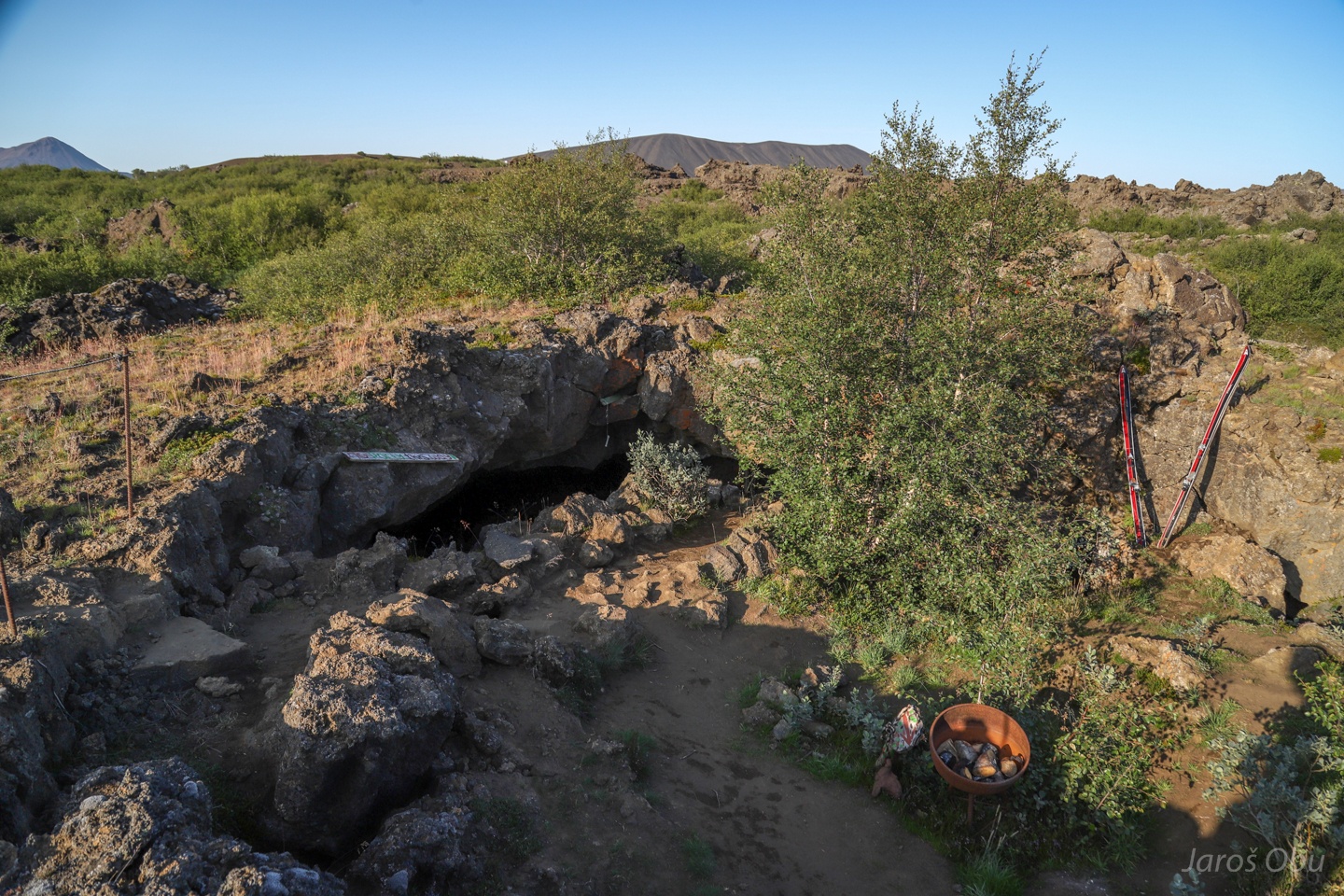
It is a cave called Grjótagjá.
A relatively small cave hosts a lake with geothermal water.
Locals used it as baths until the temperature rose above 60 °C after an earthquaqe.
They keep the other parts of the cave for themselves.
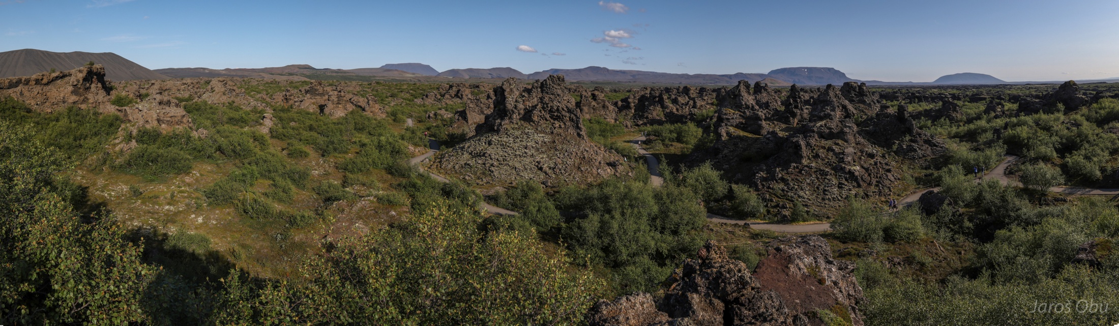
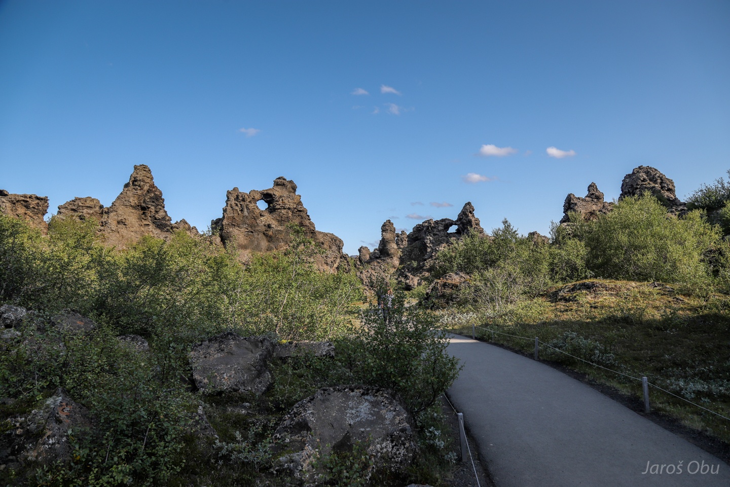
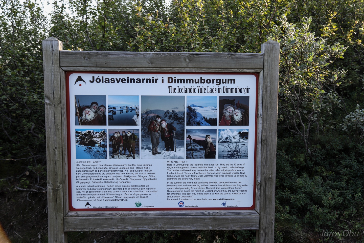
Dimmuborgir is another interesting place formed when lava flowed over moist ground. The name stands for dark castles in Icelandic. This name was also borrowed by famous Norwegian metal band.
The rock pillars formed when steam was venting through a lava lake and hardened it. The rest of the lava lake subsided after the water underneath was gone.
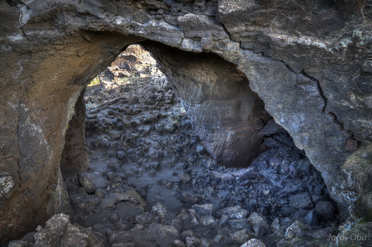
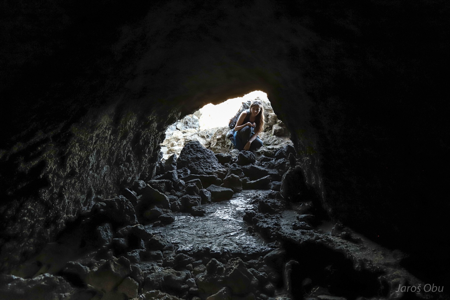
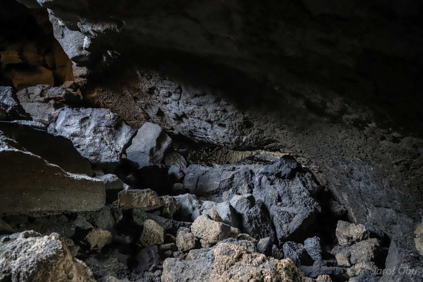
Many short lava tube caves.
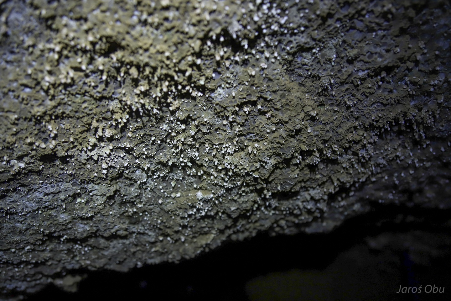
With strange decorations.
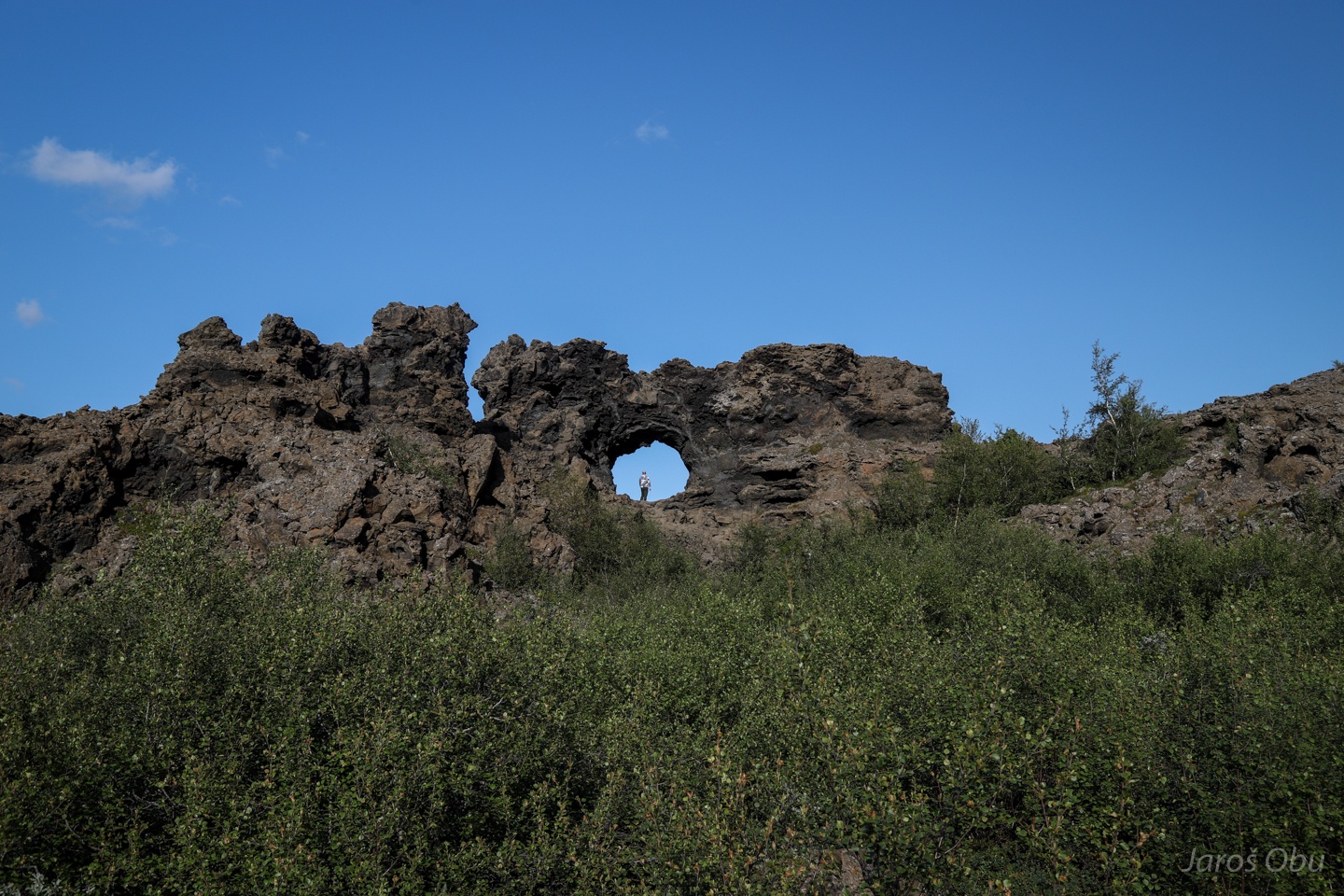
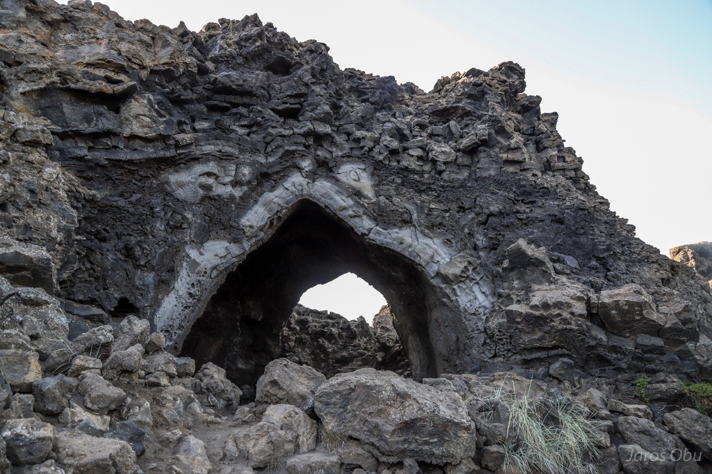
Gatklettur Arch.
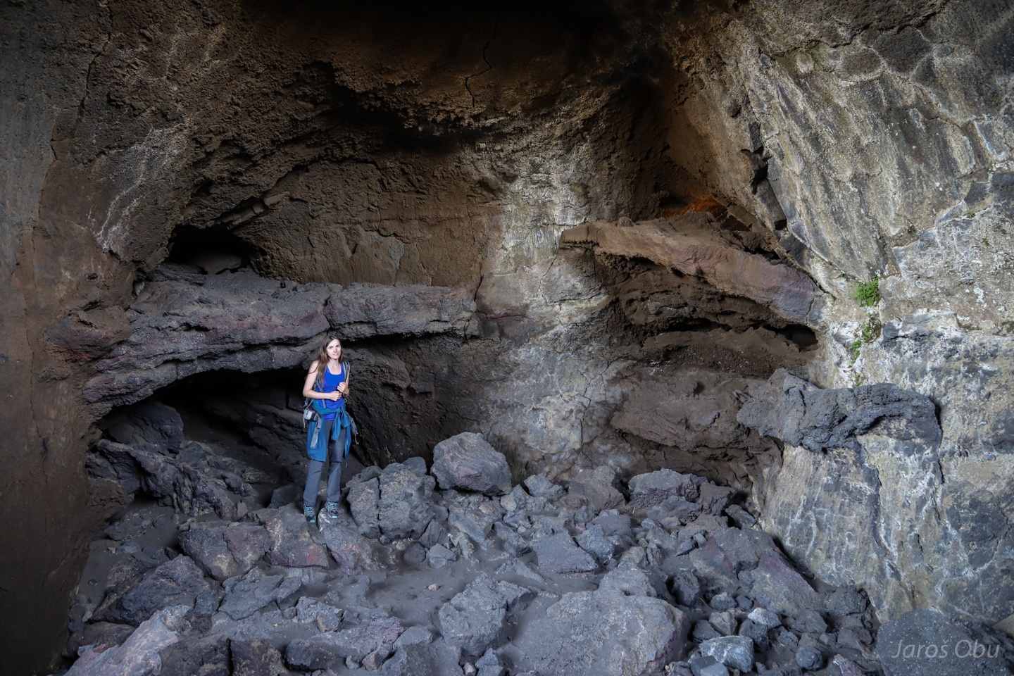
Kirkja Cave. Scandinavians apparently like to name caves as churches.
Two floor levels inside.
A small chamber in the upper level.
Also sand dunes can be found here. Dimmuborgir was threatened by sand accumulation due to deforestation and soil erosion in nearby areas.
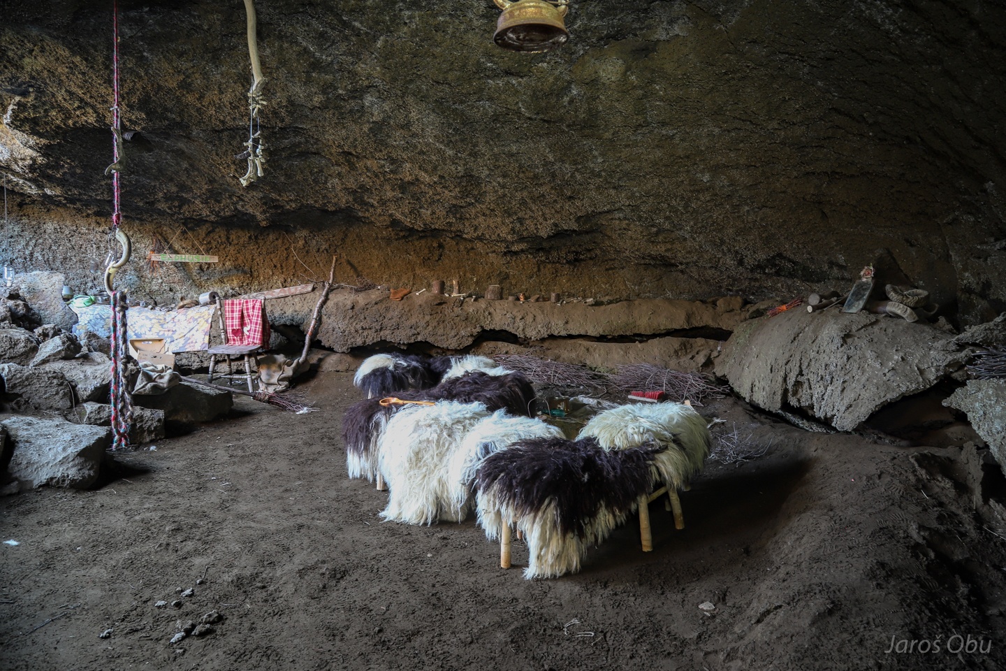
Another cave with many requisites lying around.
The lava tube "littered" with cloth and sheep skin.
Formations on the ceiling.
Living room.
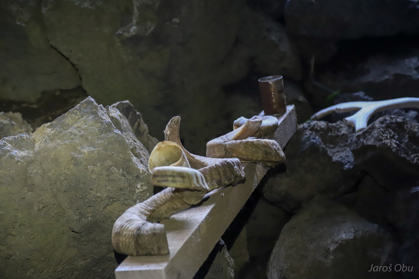
Sheep horns.
These trolls are what the cave is about.
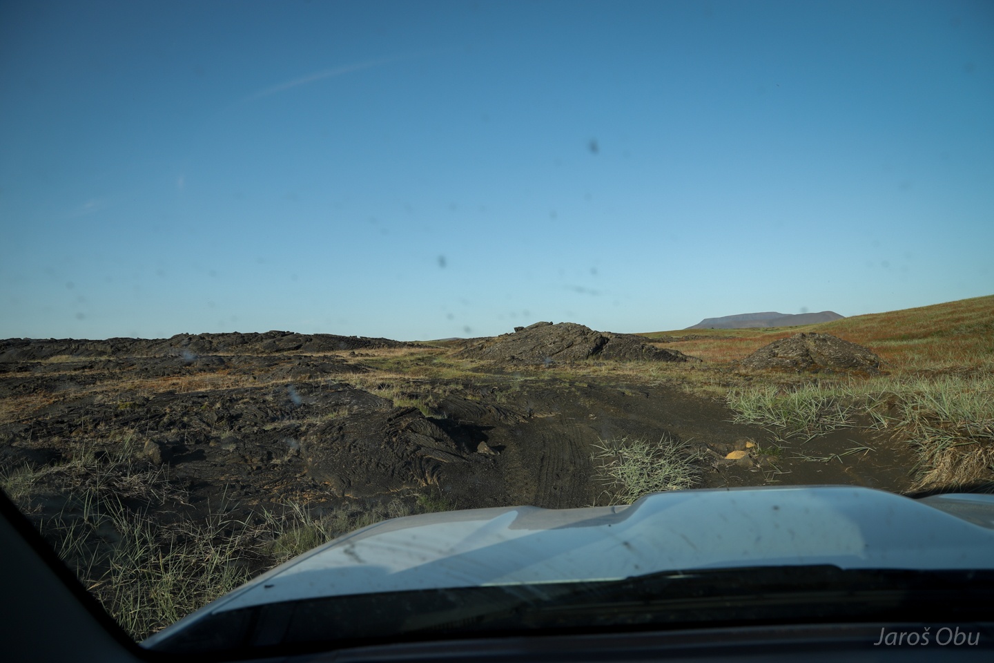
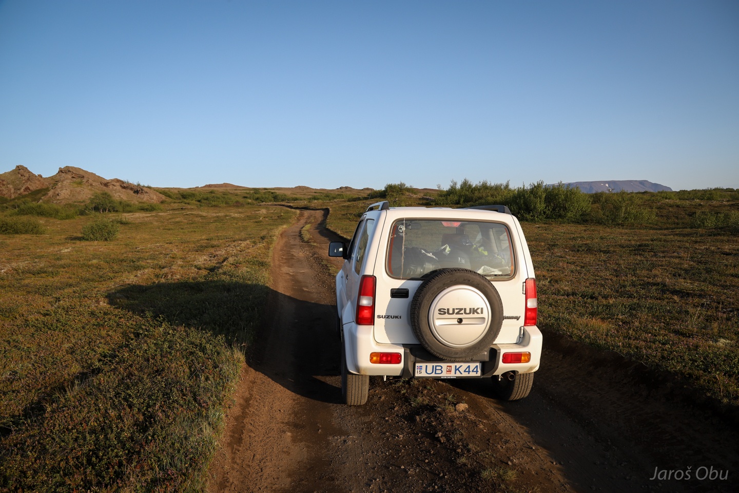
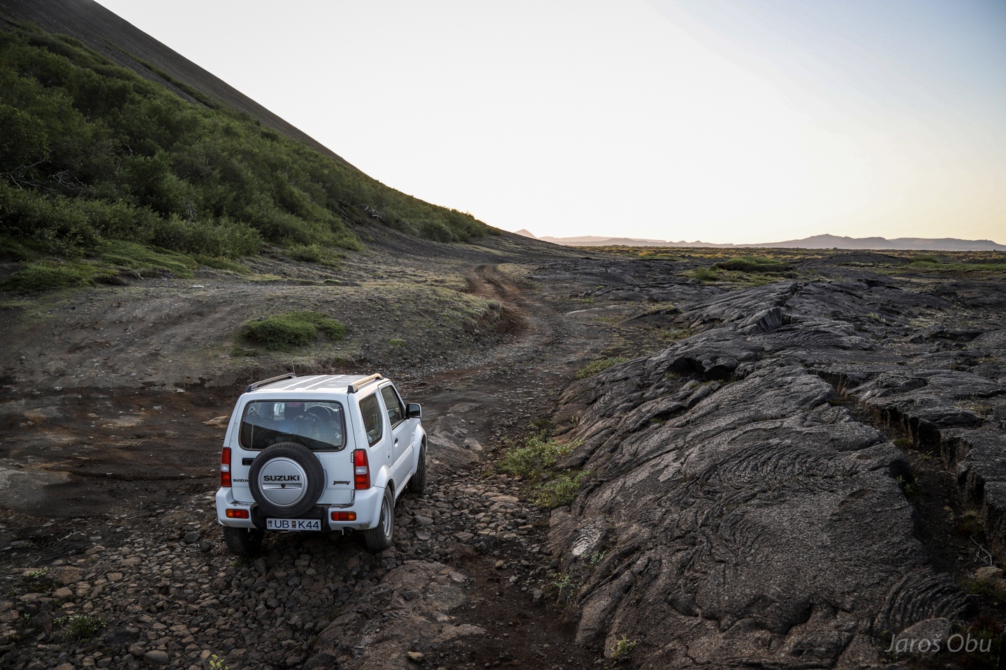
We set out on a journey to a secret location in the evening. Off-road driving is strictly forbidden in Iceland. This road is becoming very bad.
I didn't want drive through the lake or on the path on the photo 20, but the alternative road eventually became a lava field so we had to turn around.
Already on a safe distance from Hverfjall on a better road after driving where I didn't want.
Another crater.
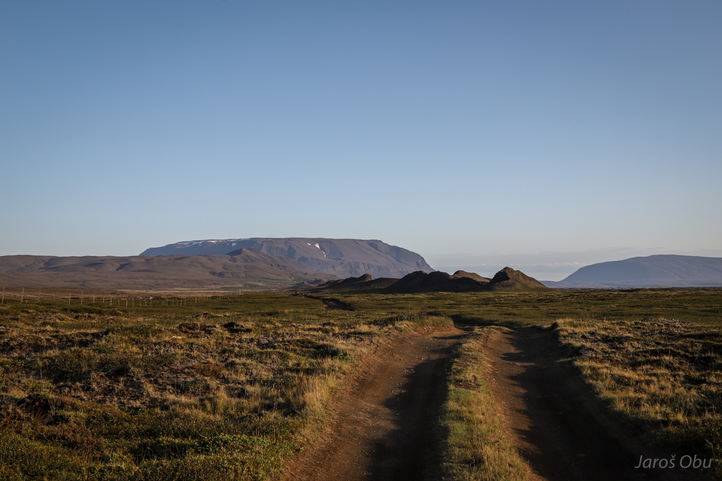
The road goes around Havannfell, which has even something growing there that could be called trees.
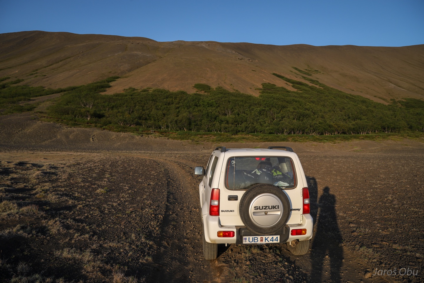
The road continues past lava fields.
It ends here.
And a half-hour hike starts.
Over the lava field.
Pahoehoe lava is relatively easy to cross.
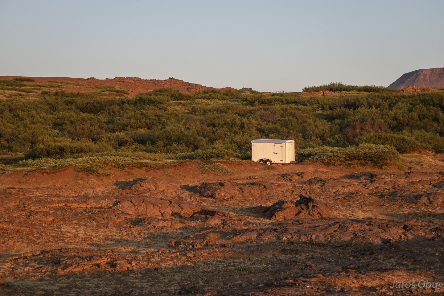
A trailer where tourists get their clothes and boots with spikes.
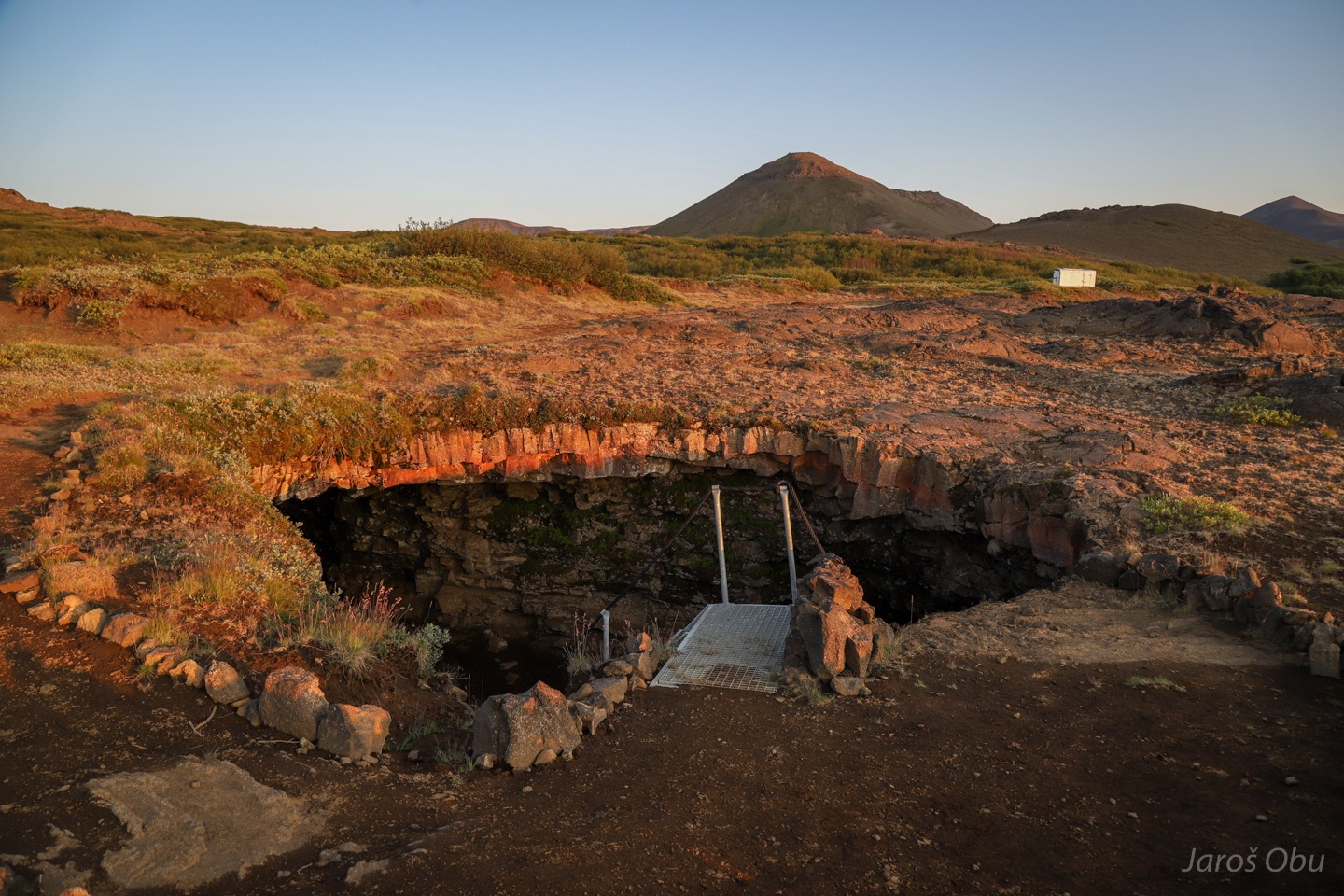
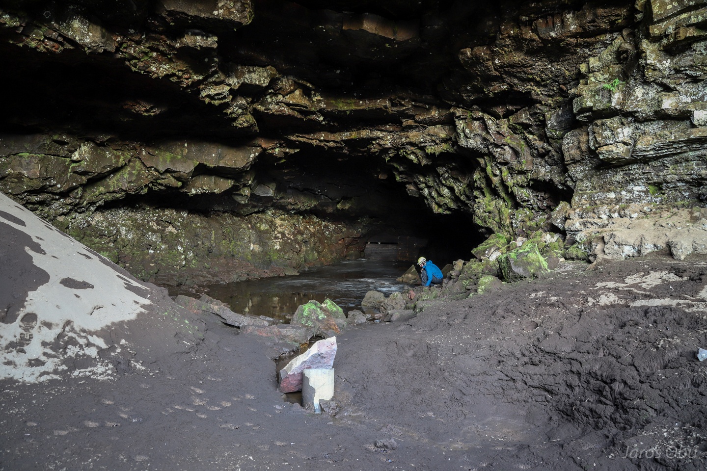
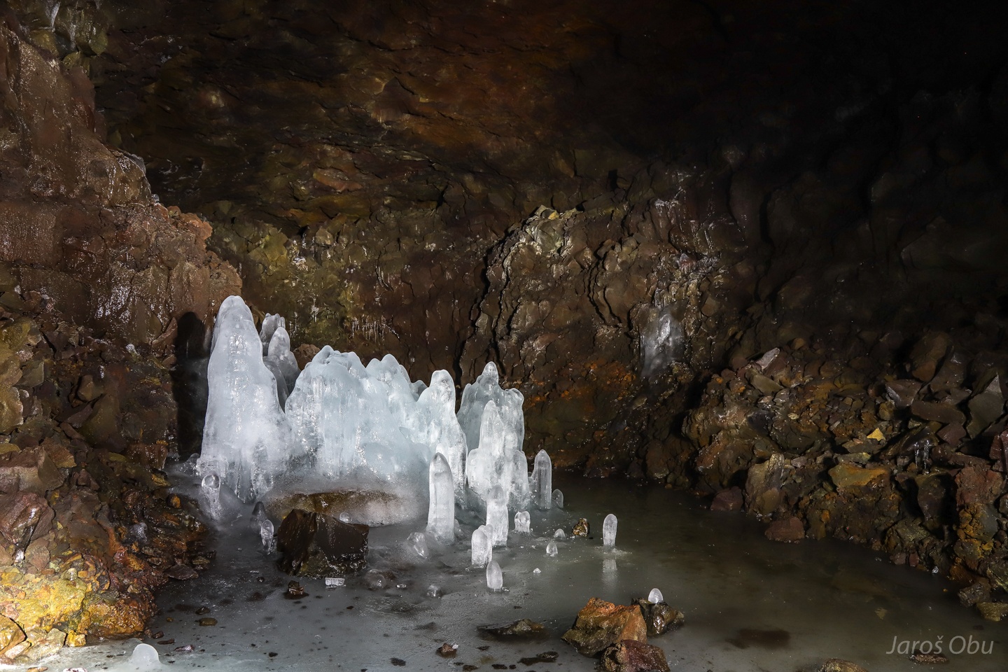
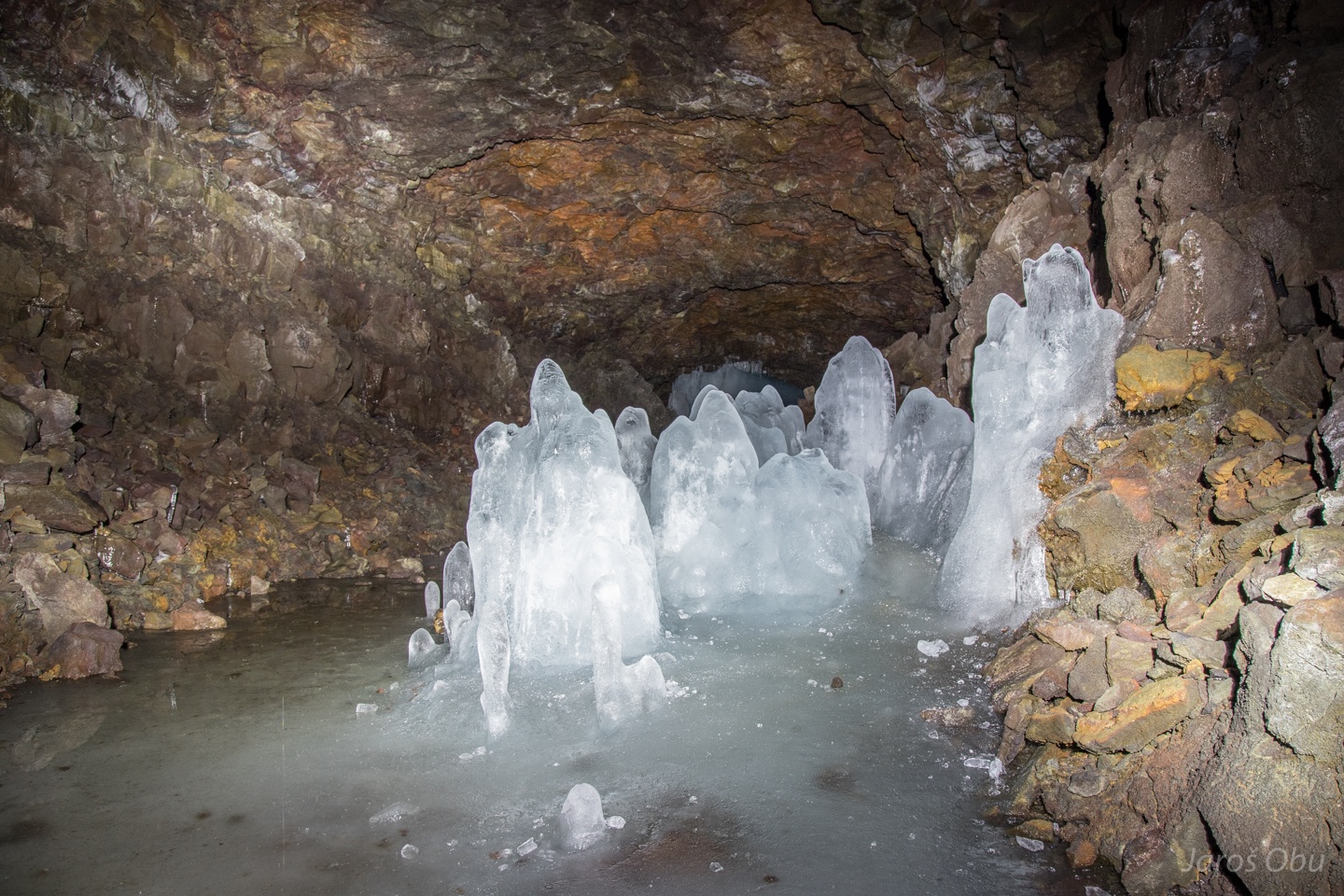
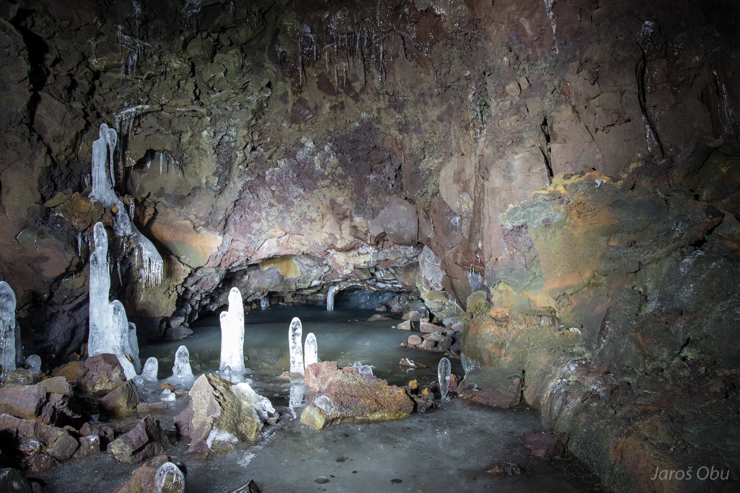
Entrance to Lofthellir Cave, which was discovered in 1989 after the roof collapsed during an earthquake.
It is a lava tube ice cave!
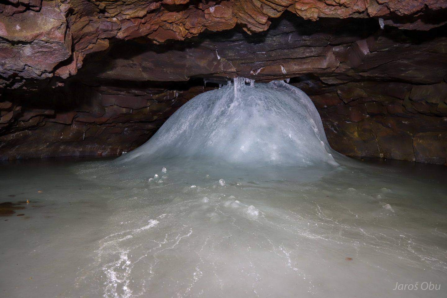
Filled with water on one side.
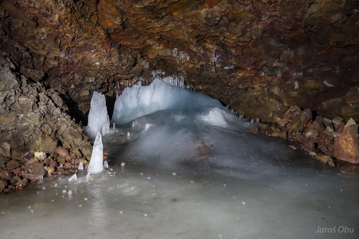
And filled with ice on the other.
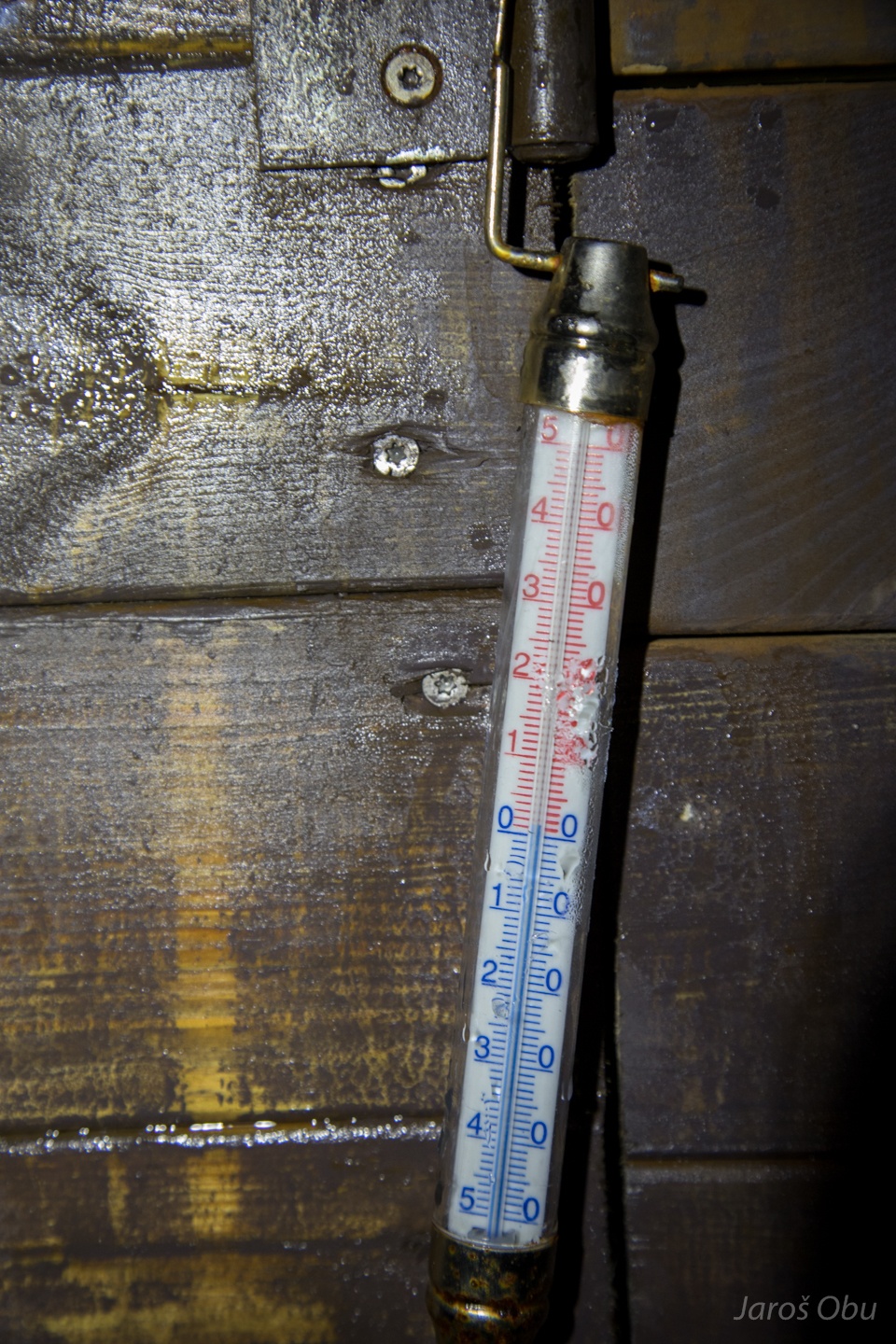
The temperature is just above the freezing.
A little help for visitors to crawl up the ice.
The cave opens up into more spacious passage.
Formed in the lava from eruptions 3500 years ago.
Ice stalagmites are melting during the summer.
From the other side.
The 350 m long cave and this photo gallery end here after the passage is closed by ice.