© 2024 Jaroš Obu
Photo gallery of Jaroš Obu
Cart
0
Items
Buy now
Ny-Ålesund 22. - 31. 8. 2017
Sunday, 27 August 2017
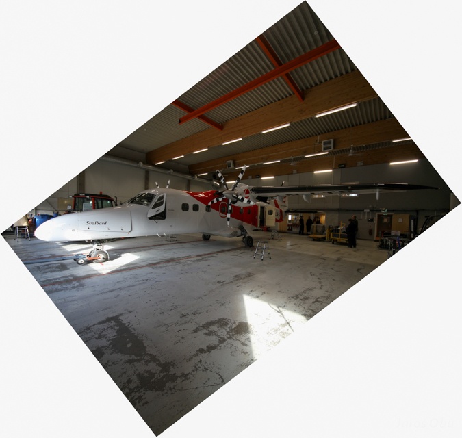
Dornier DO228 waiting for a flight to Ny-Ålesund.
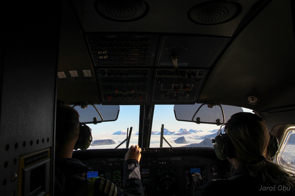
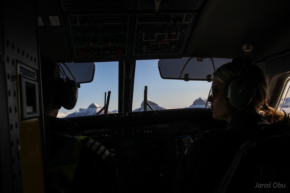
Embarking at the Longyearbyen airport.
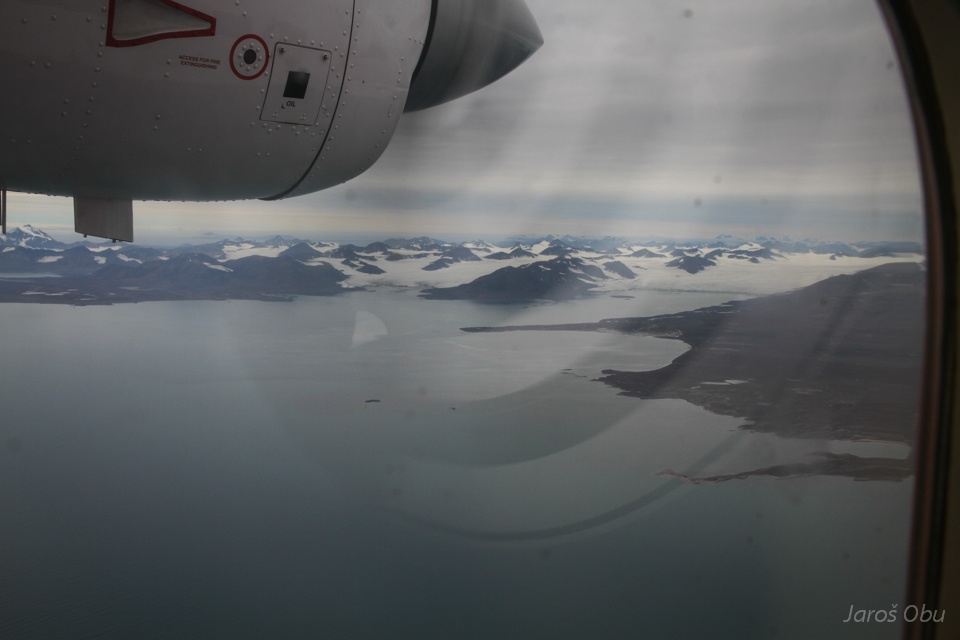
Flying north over Isfjorden. Oscar II Land in the west.
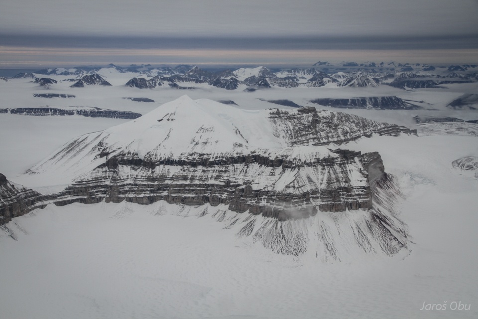
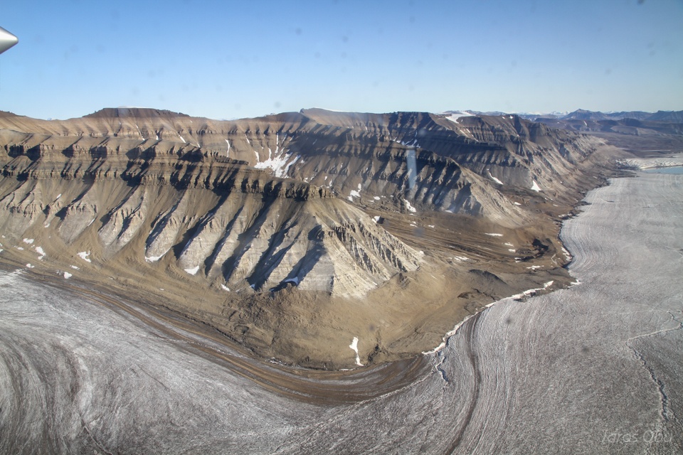
Mediumfjellet.
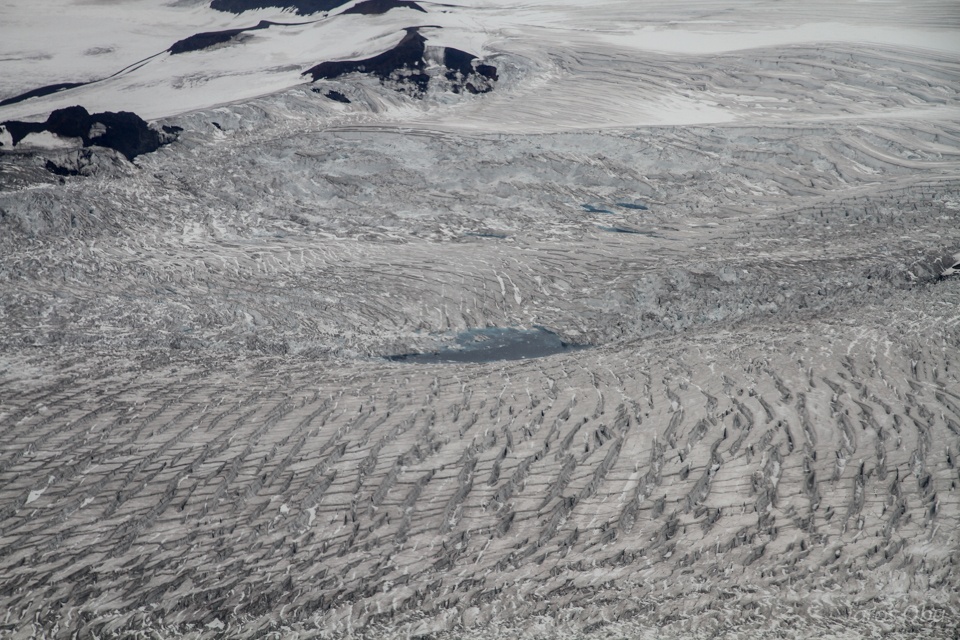
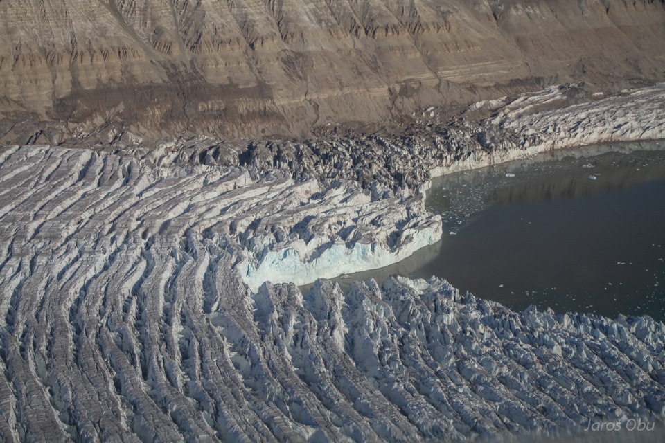
Crevasses on Wahlenbergbreen.
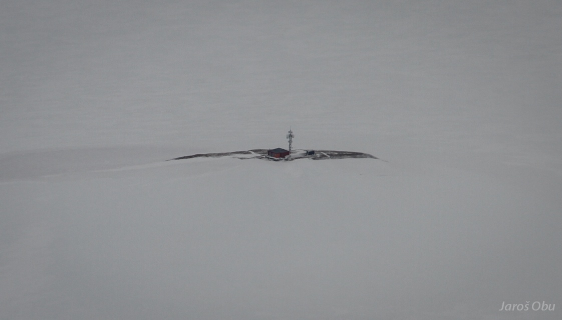
Vegvaktaren relay station.
Already close to Ny-Ålesund.
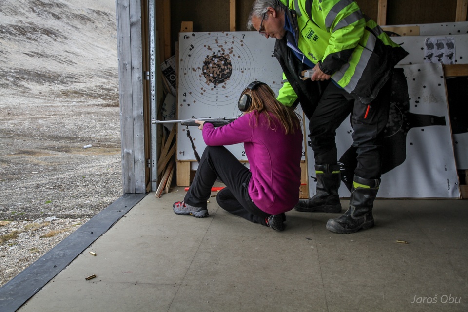
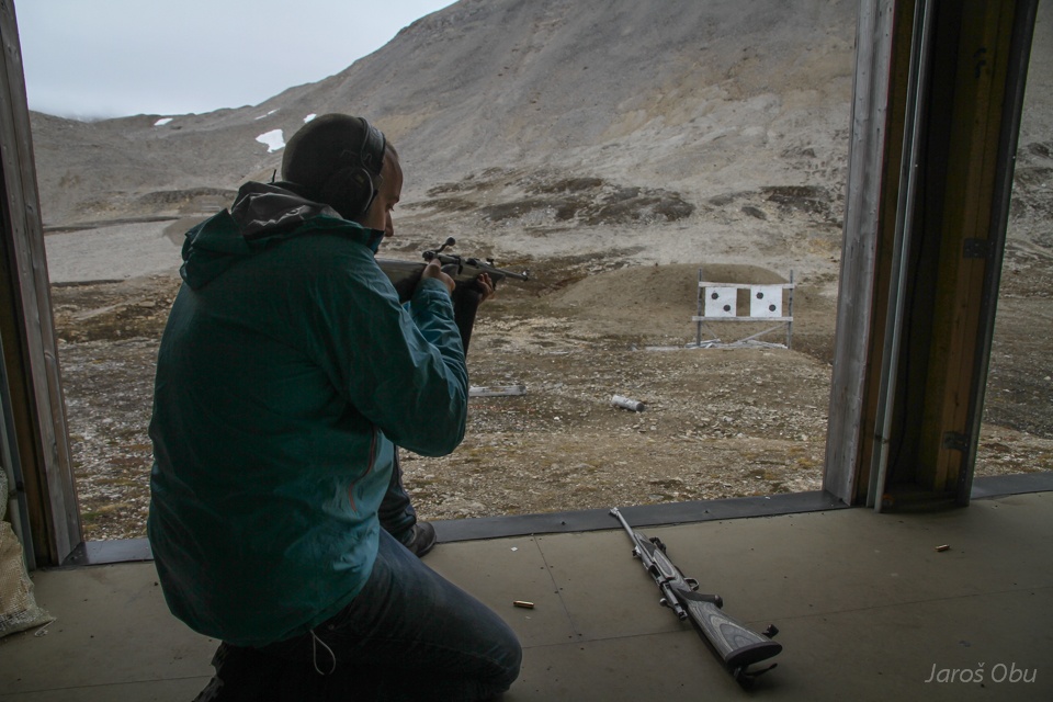
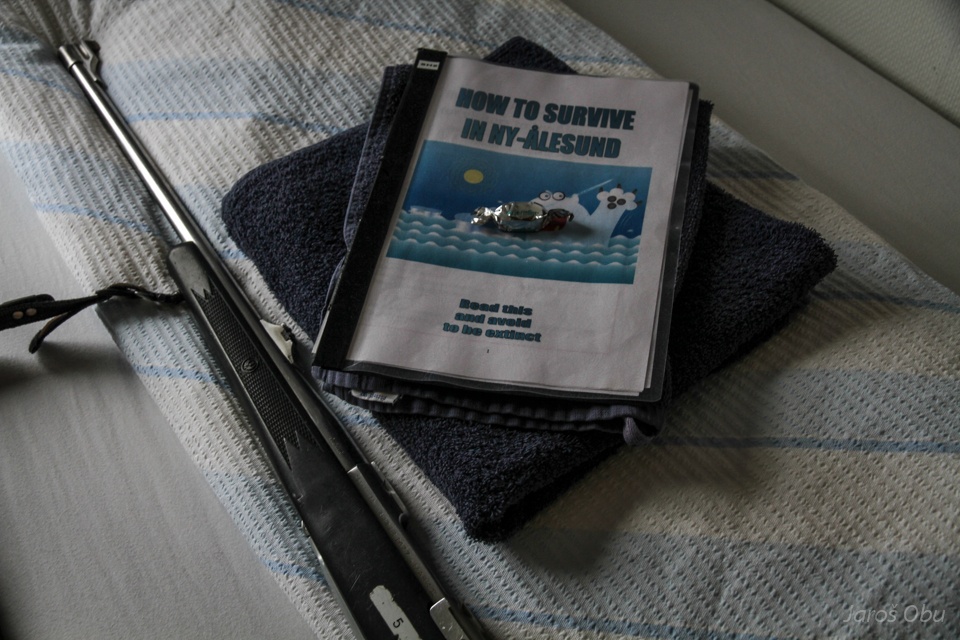
To the shooting range directly from the airport.
RIfle shooting first.
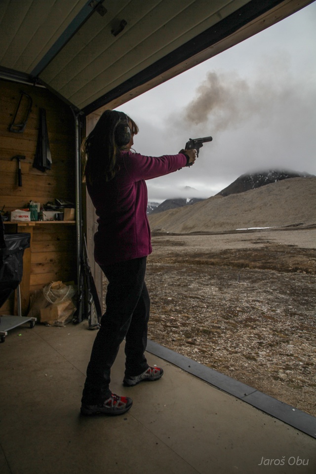
And then signal pistols.
http://bit.ly/1oj7yOn
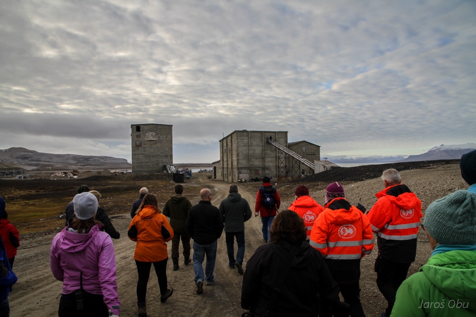
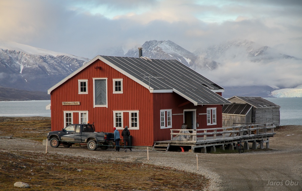
Guided tour around Ny-Ålesund by archaeologist. These two buildings were one of the last investments before coal mining stopped.
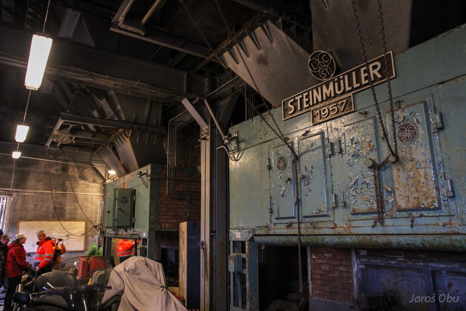
Coal power plant and central heating.
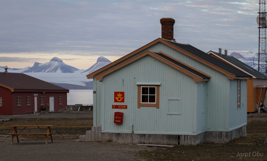
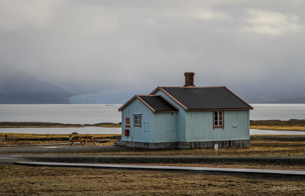
The famous northern-most post office.
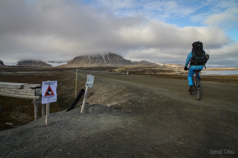
Same as in Longyearbyen, one is allowed to be without bear protection only inside the town. The black plastic tube is where you half load your rifle.
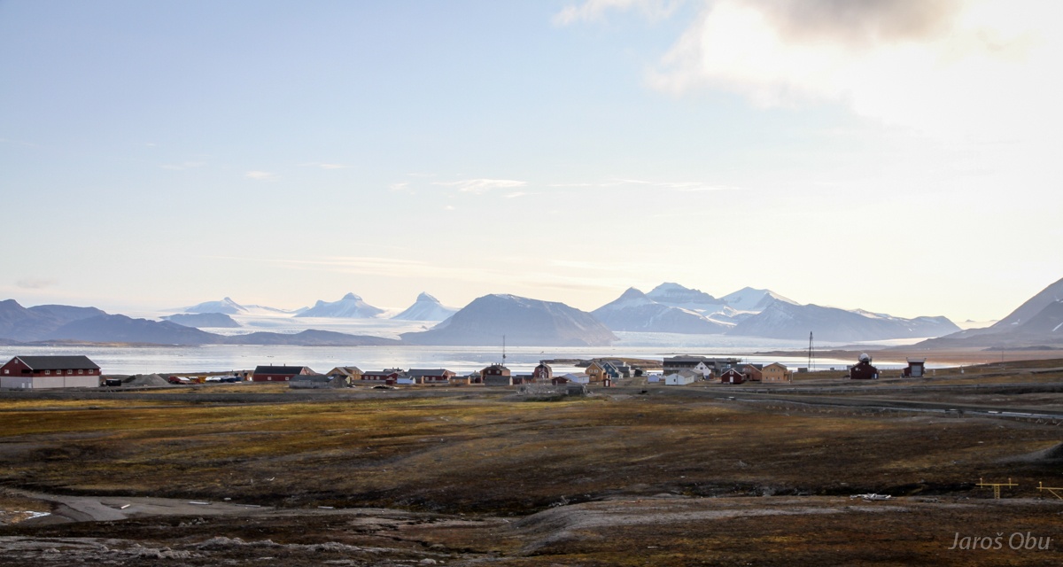
Sunny morning in Ny-Ålesund.
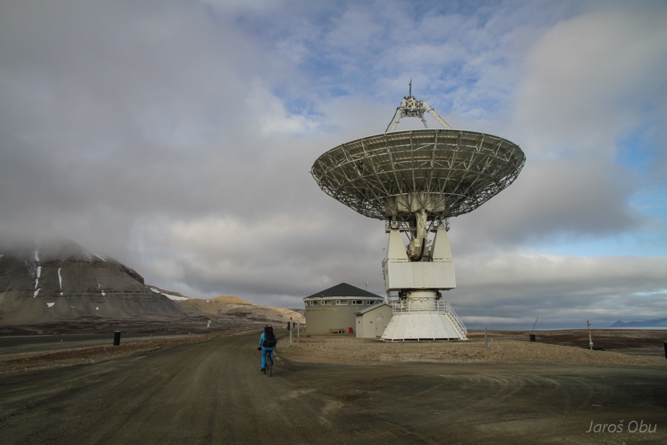
Norwegian mapping aurhority is measuring electromagnetic radiation from distant galaxies to determine Earth's exact loaction. No cell phone, Wi-fi andbluetuth are therefore alowed In and around Ny-Ålesund.
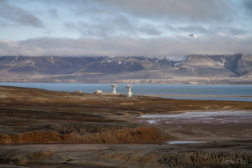
A brand new station further away from the town.
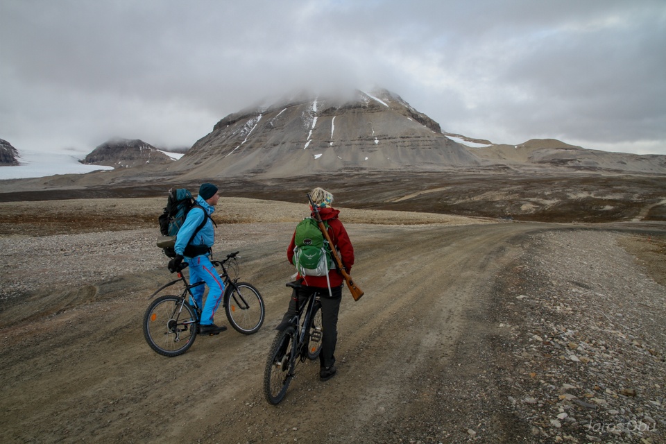
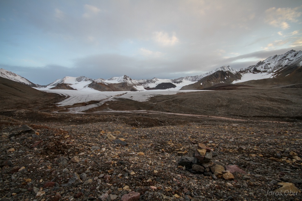
Today's goal is Schetelig Mountain. Elen joined for the hike.
Crossing sorted circles on a way to the mountain foot.
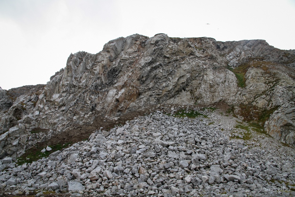
Limeston weathers mechanically here.
Creating a thick layer of slope debris.
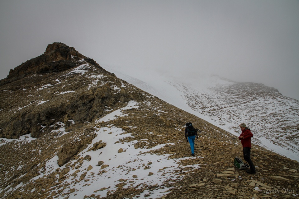
Which makes a walk up the mountain very challenging.
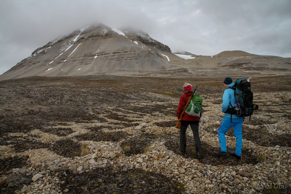
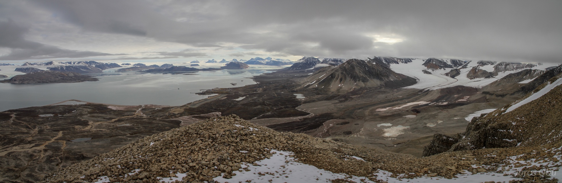
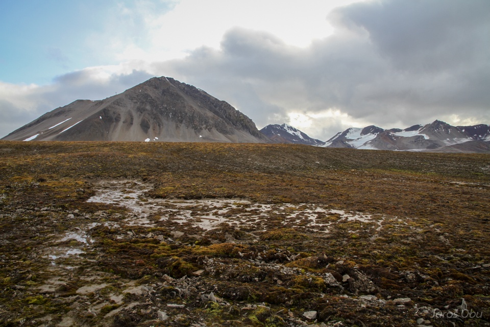
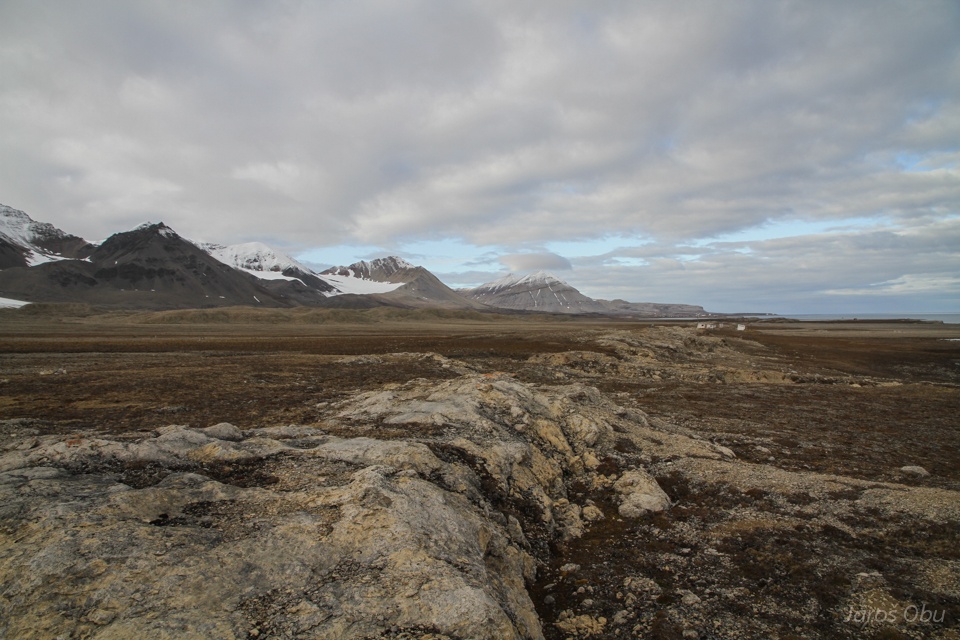
The area around the mountain and Ny-Ålesund is relatively flat.
We are continuing towards the top but Elen decided to return.
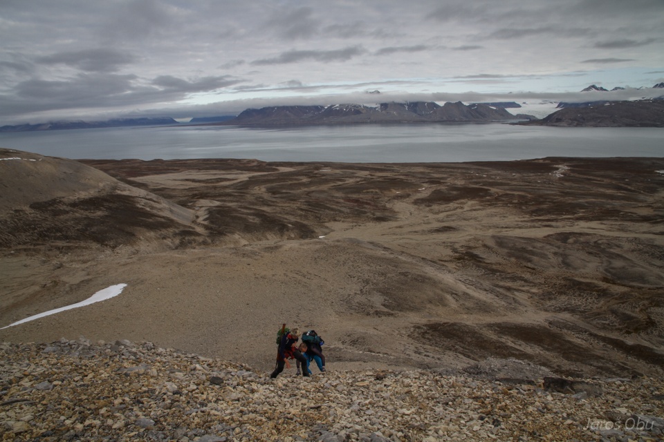
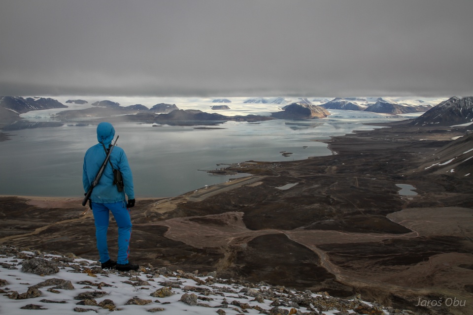
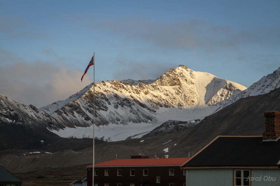
The town and its symbol in the distance - Three Crowns.
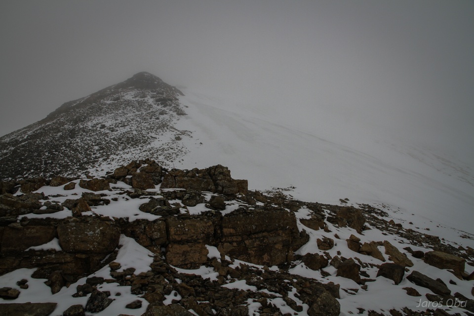
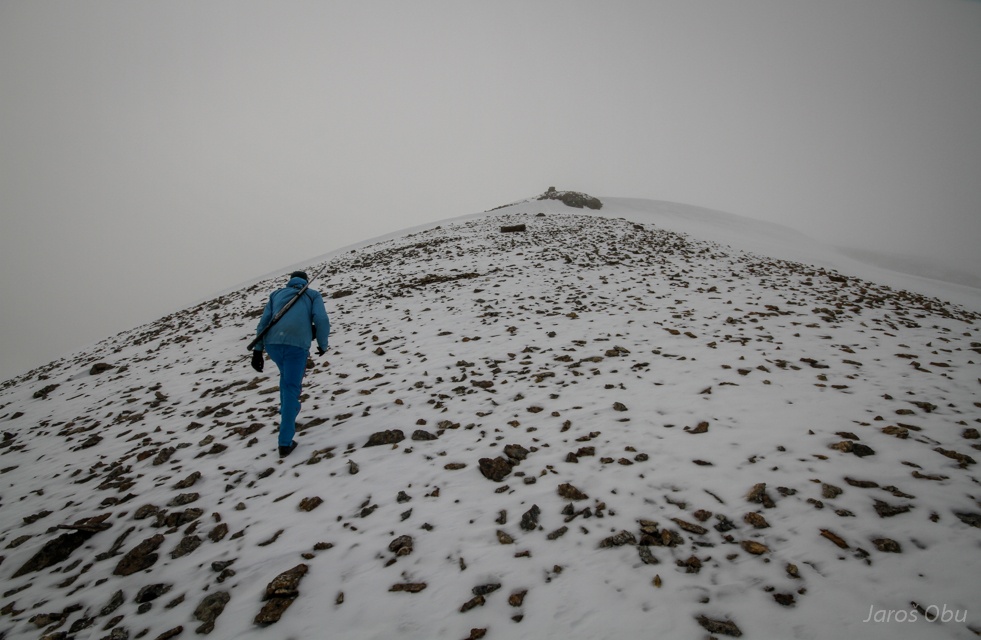
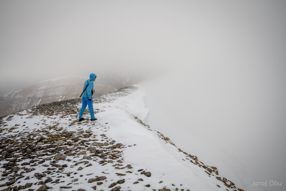
Reaching the cloud base.
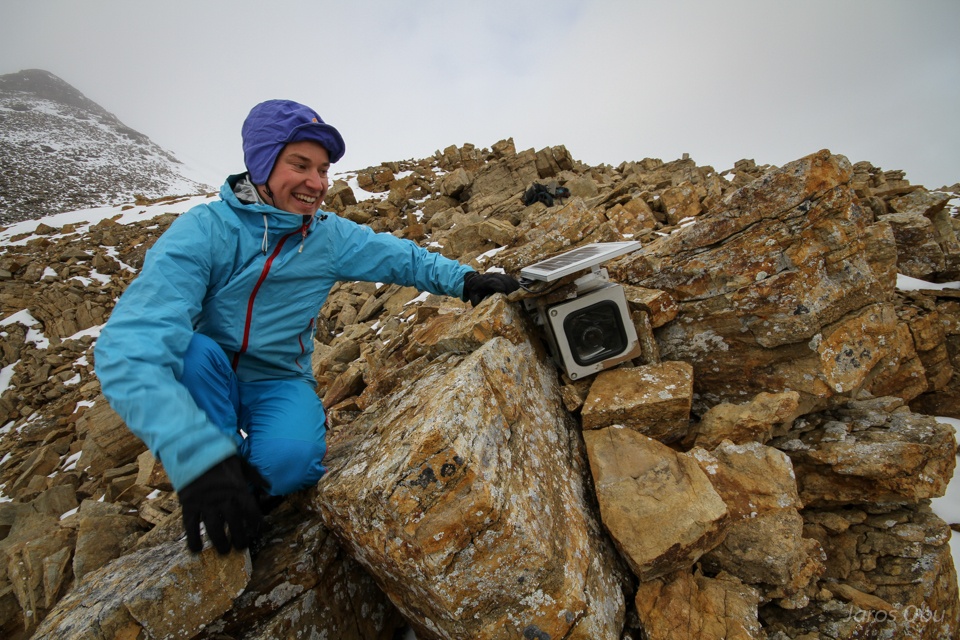
Håvard is trying to find a time-lapse camera.
»I found it!«
It is was recording snowmelt in Bayelva from May until August (Håvard took over the camera).
»The Adventurer« photo.
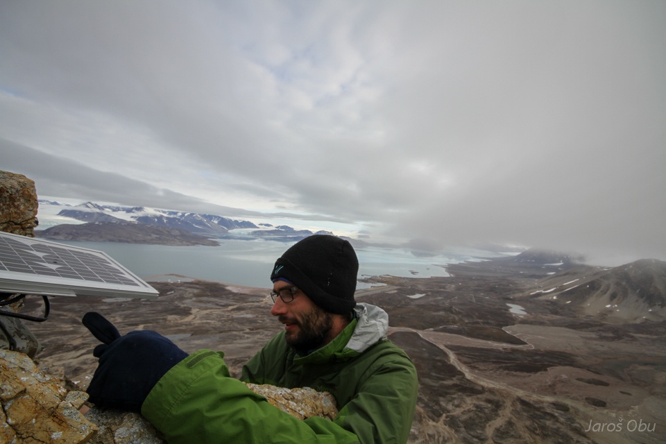
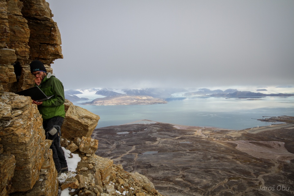
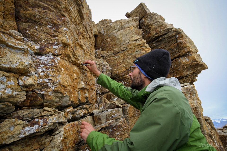
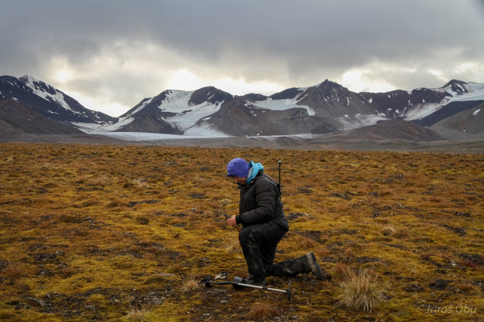
On a search for rockwall loggers nearby.
Reading out the iButton.
And putting it back to its place.
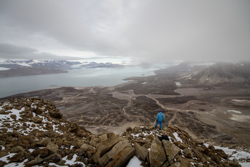
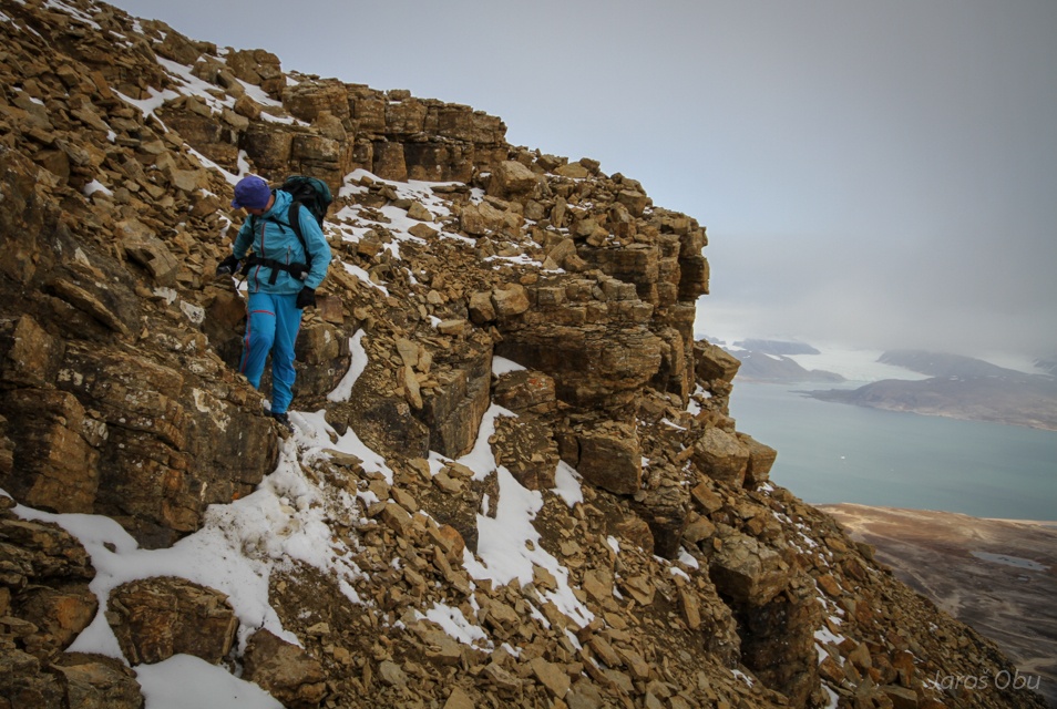
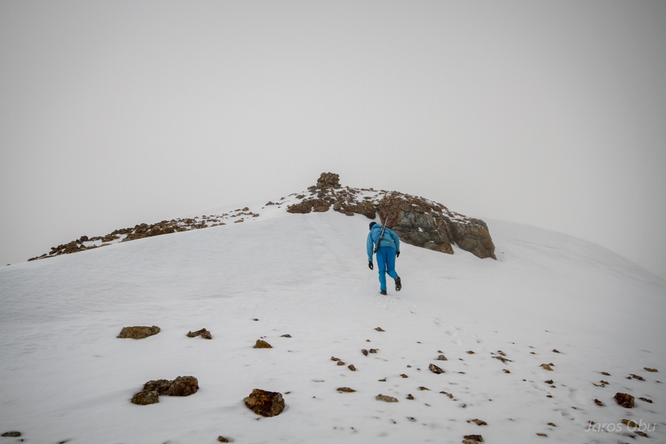
Hiking up to the summit after the work was done.
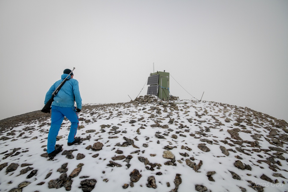
On the 694 m high side summit of Schetelig Mountain.
Small shed with a sort of measuring equipment inside.
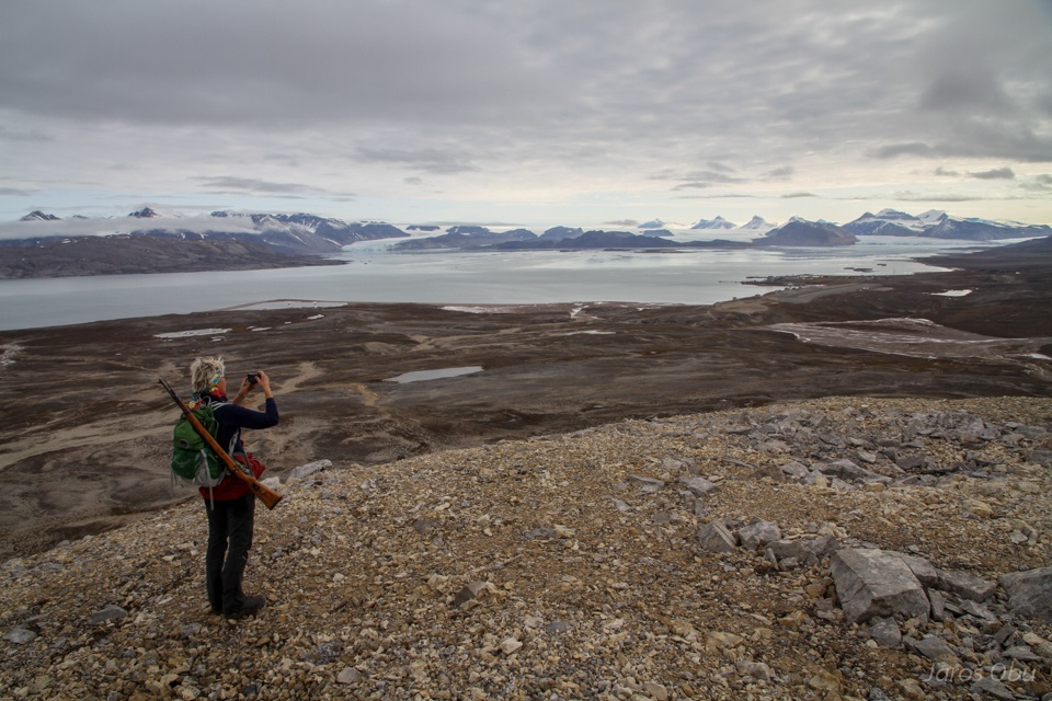
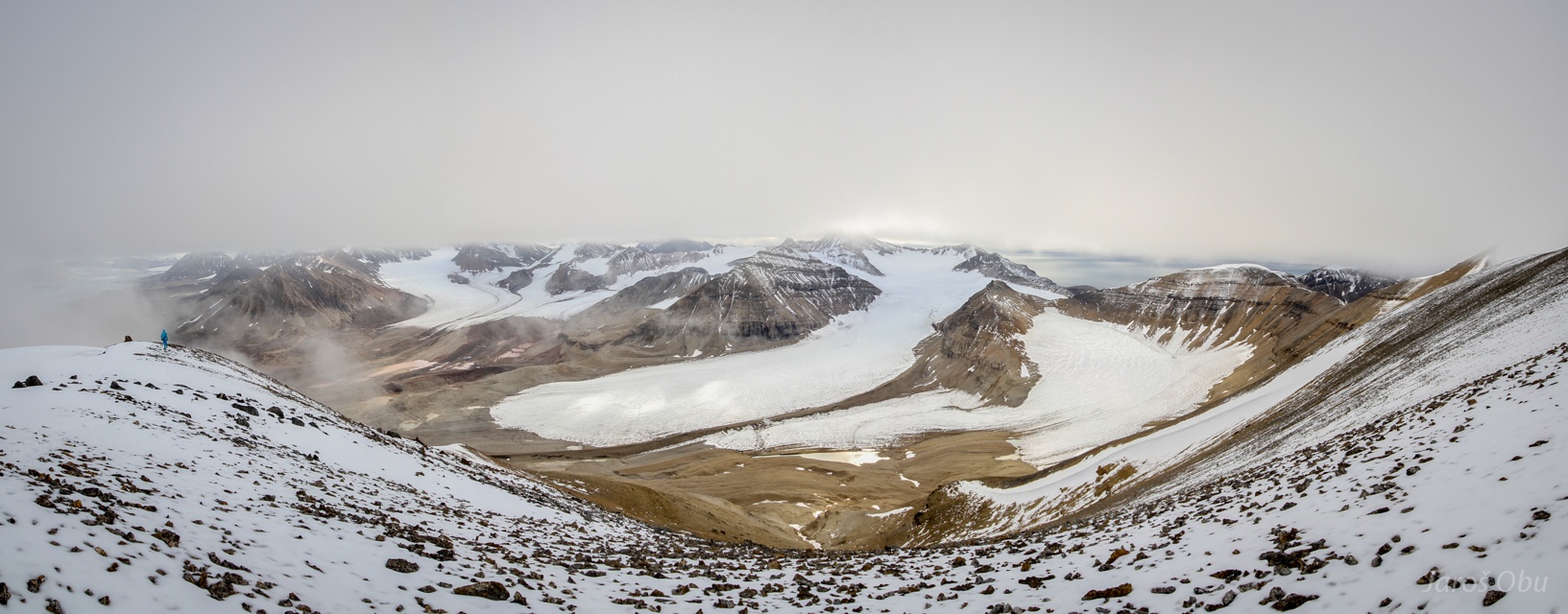
The cloud base rose and and made it possible to see the Vestre Brøggerbreen.
Bum sliding on on a small snowfield.
Håvard the polar adventurer.
Conwaybreen
The Crowns are disappearing in the clouds.
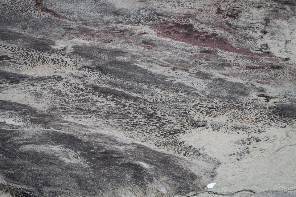
Patterned ground as seen from above.
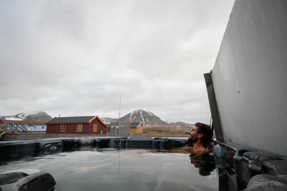
Relaxing after the long hike in open jacuzzi.
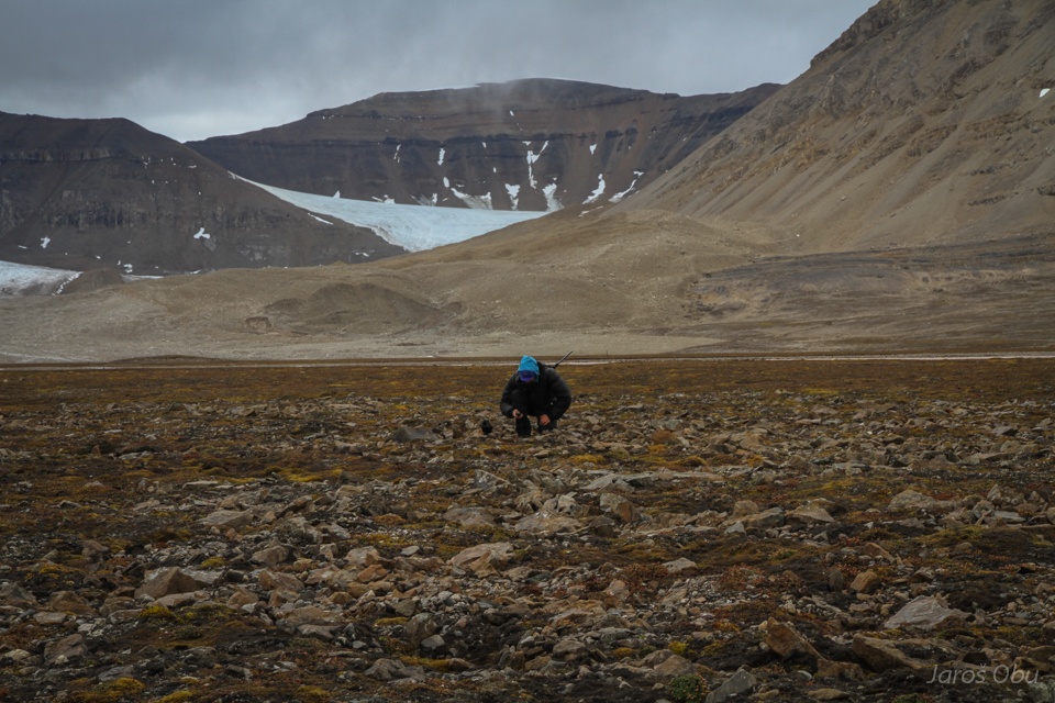
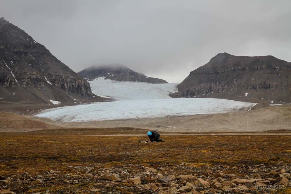
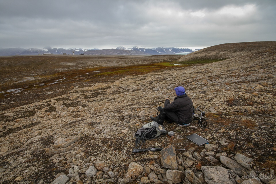
The field work continued next day close to Bayelva.
Finding and reading out iButtons. Brøggerbreen in the distance.
Metal detector can sometimes be helpful.
Lunch by patterned ground.
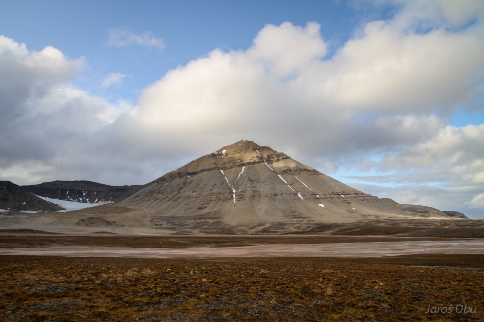
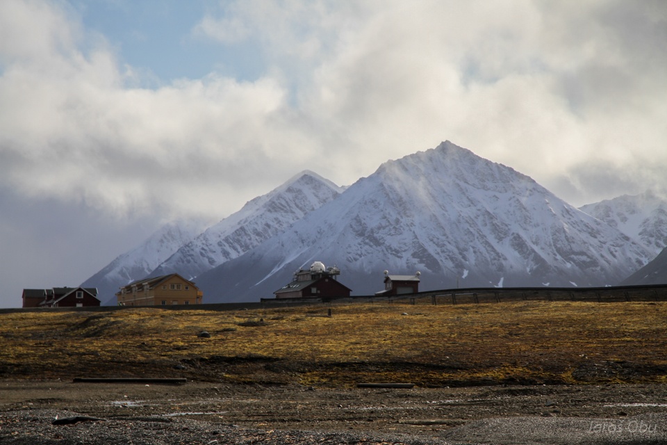
Schetelig from Bayelva in the moment when the weather cleared up for few seconds.
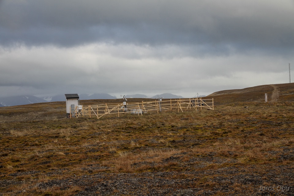
Bayelva measurement station.
Active-layer detachment.
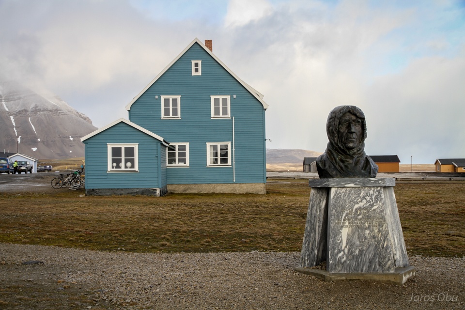
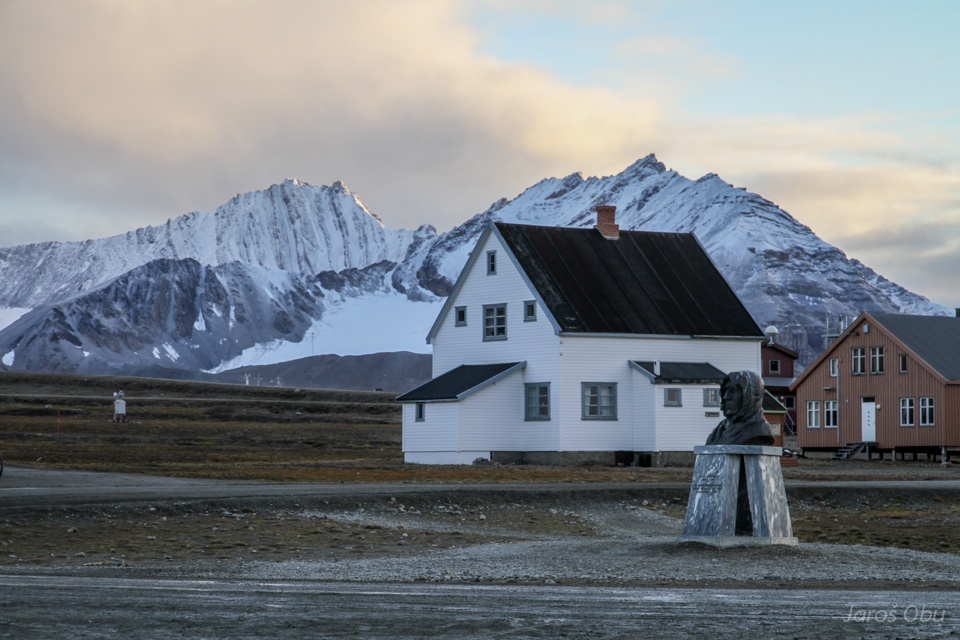
Statue of Roar Amundsen, who reached North Pole by airship from Ny-Ålesund in 1928. Blue house belongs to the Alfred Wegener Institute.
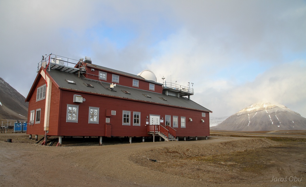
AWI's atmospheric observatory.
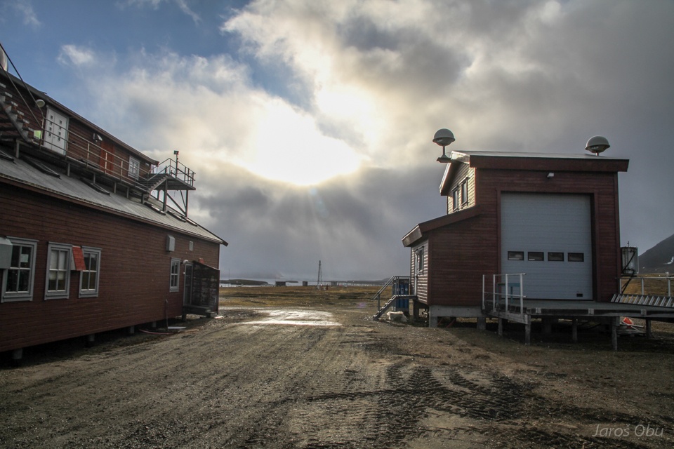
And adjacent building for launching balloons with radiosondes.
Italian staton.
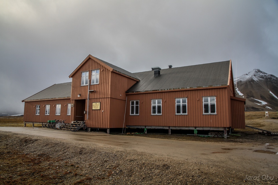
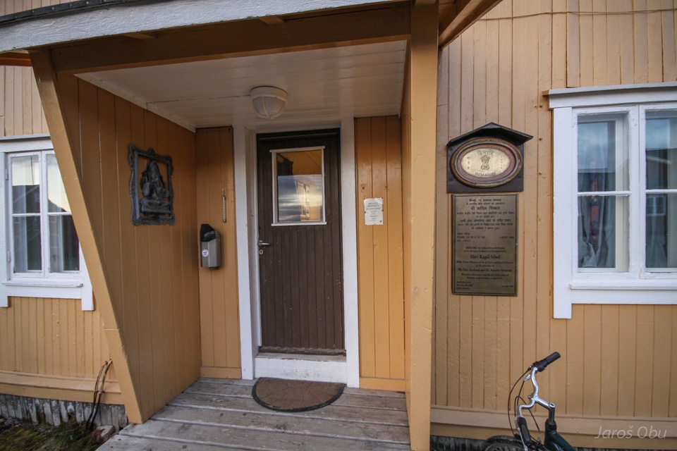
Indian station. The building was used as a school in the old mining days.
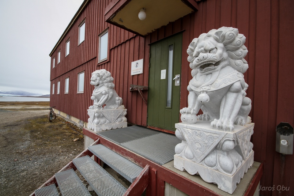
Chinese station.
The post office once again.
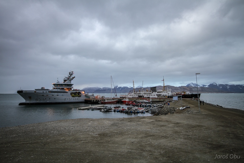
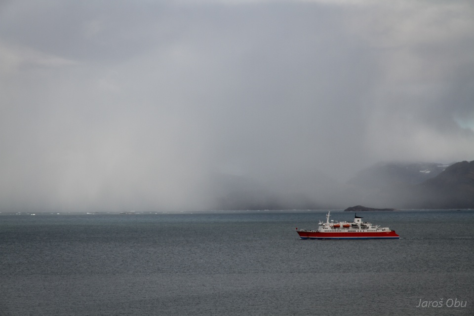
Norwegian coast guard and tourist ship in the harbour.
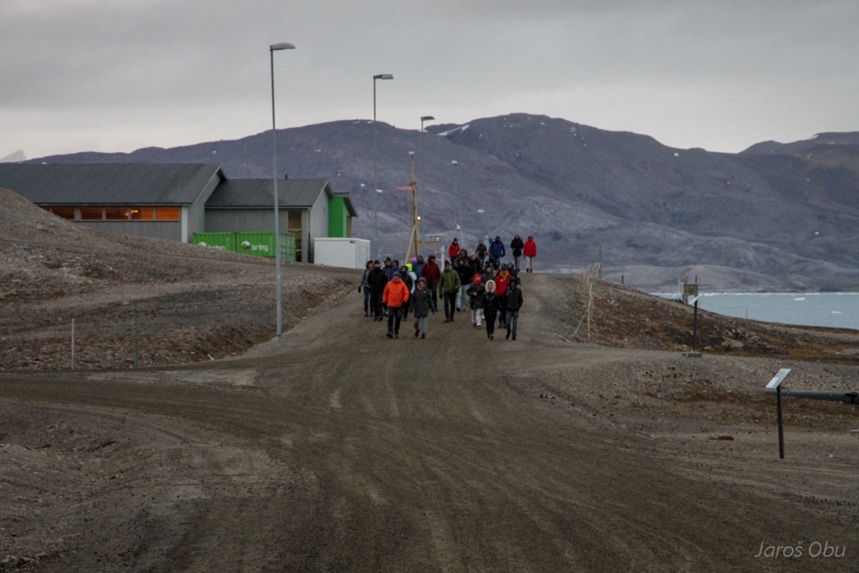
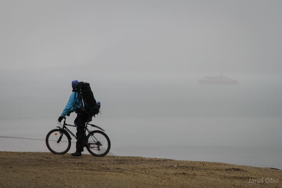
When tourists come in town the population usually increases by at least factor of two.
Yellow House is leased by norwegian artist association.
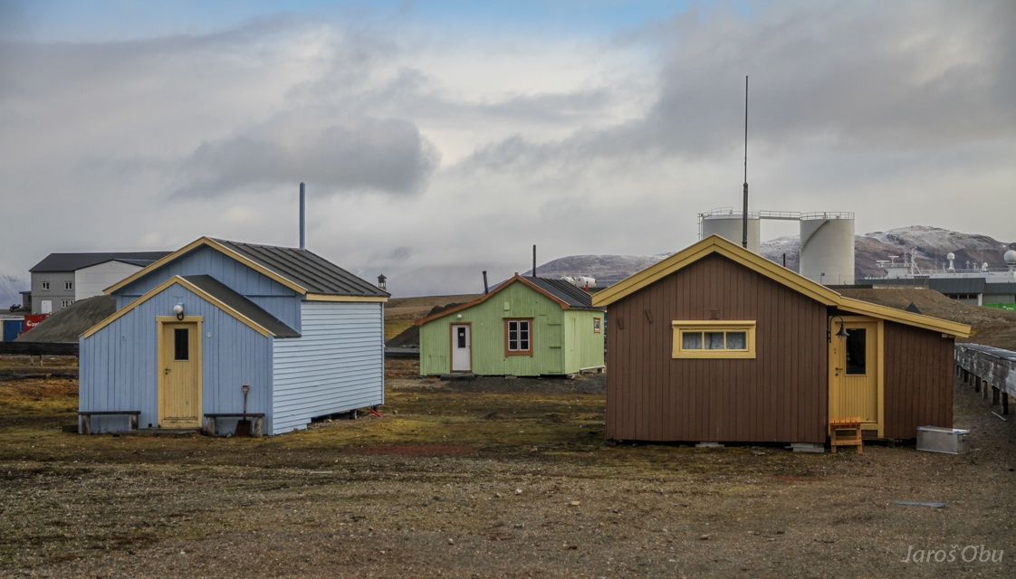
Cabins for the permanent residents.
Tourists and snow.
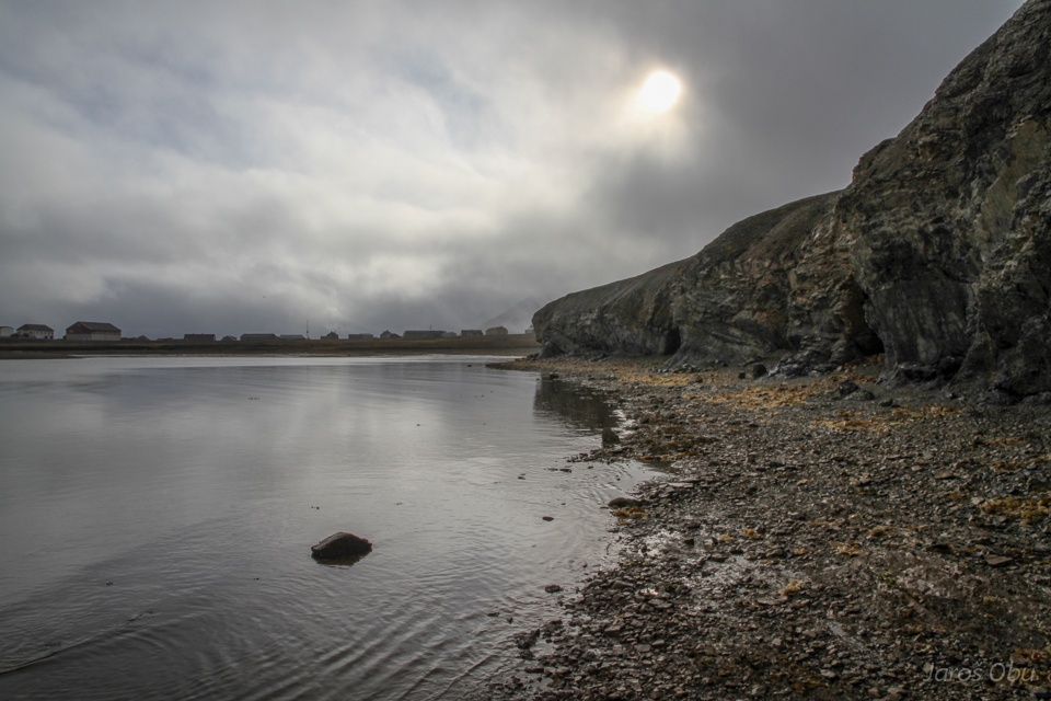
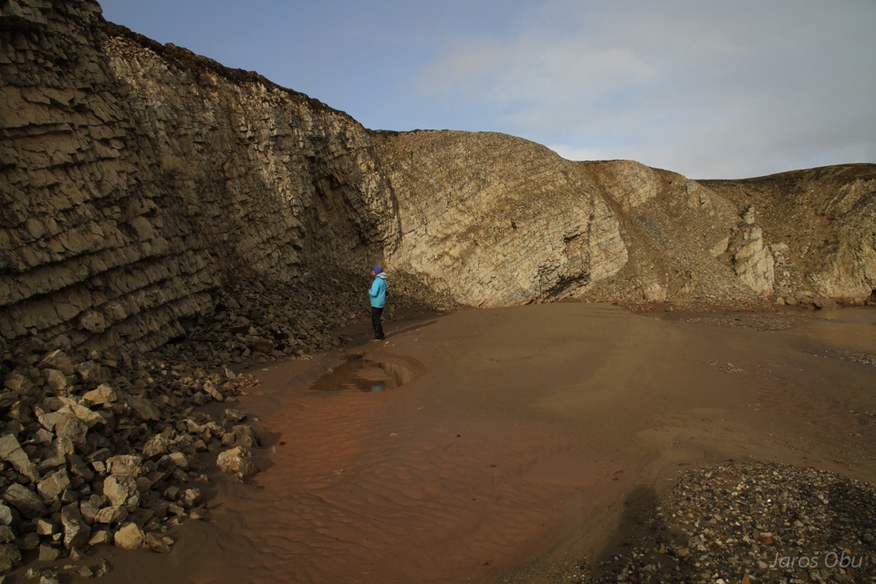
Coastal cliff by the town.
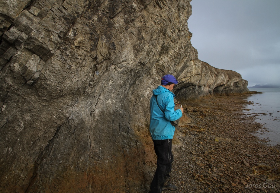
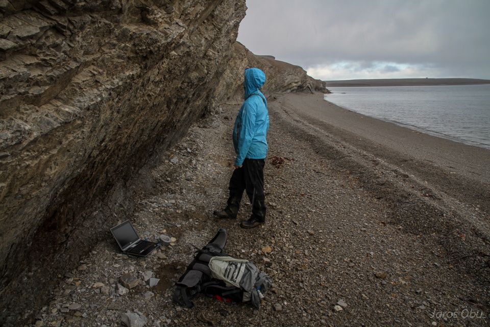
To relax from finding loggers in the ground ...
... finding and reading them out in the cliff.
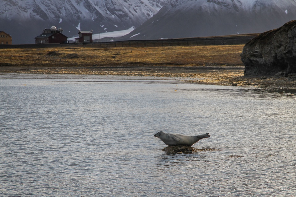
Under the seal's supervision.
Snow down to 400 m a.s.l.
Snow showers comming.
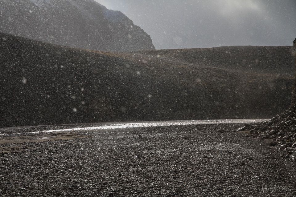
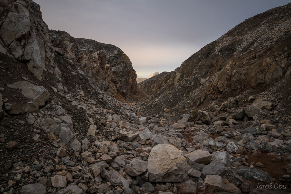
Caught us in Bayelva Canyon.
More loggers...
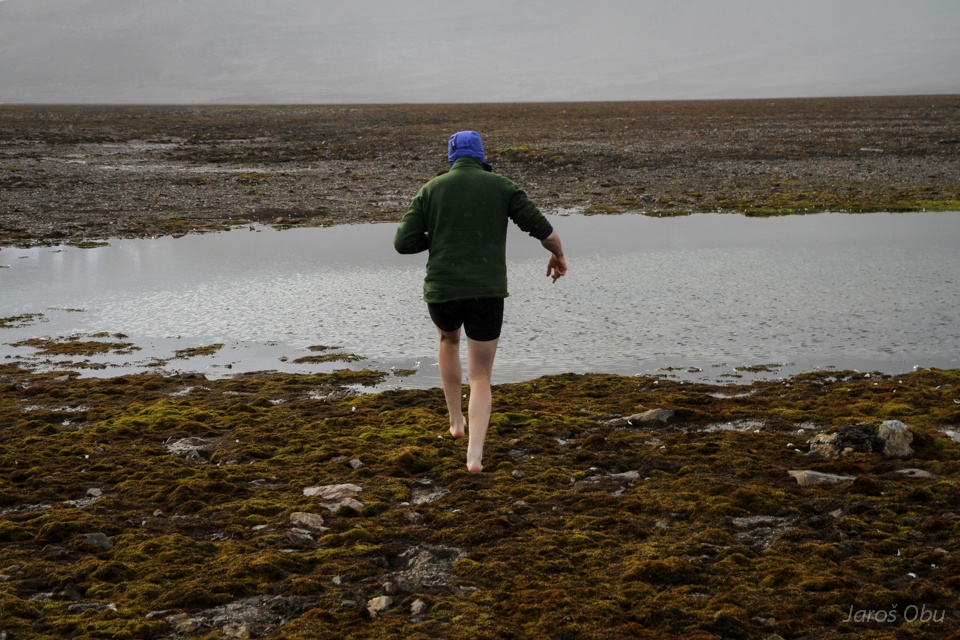
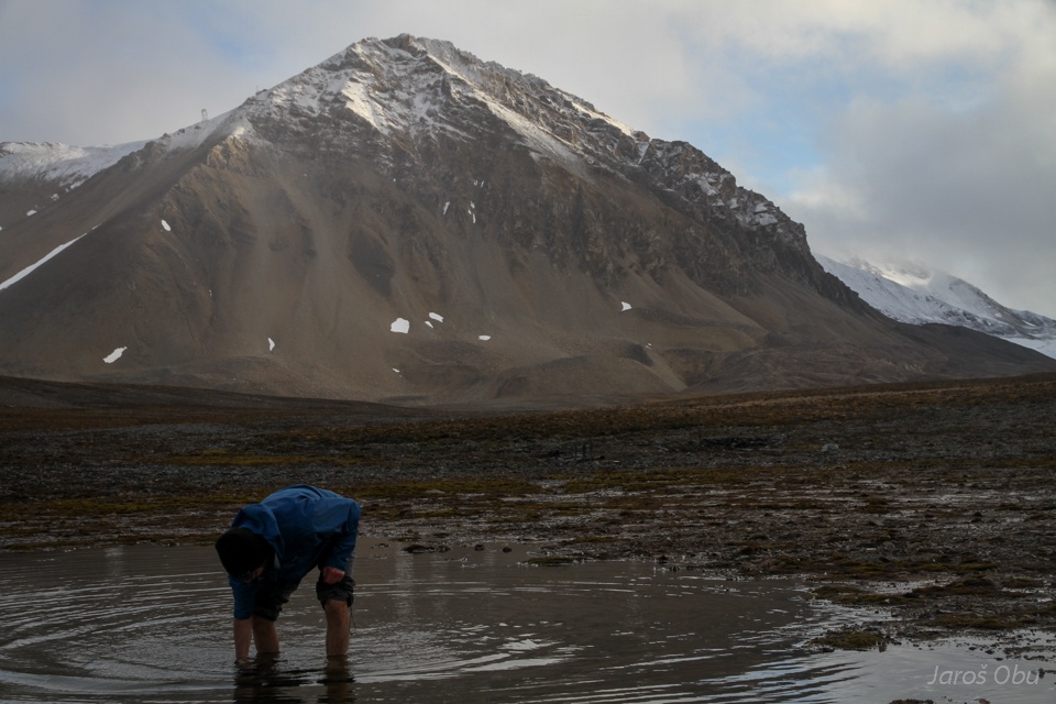
The last logger was waiting in the lake.
Håvard is trying hard but without success.
My turn.
Without success as well ... next time.
More snow showers...
...
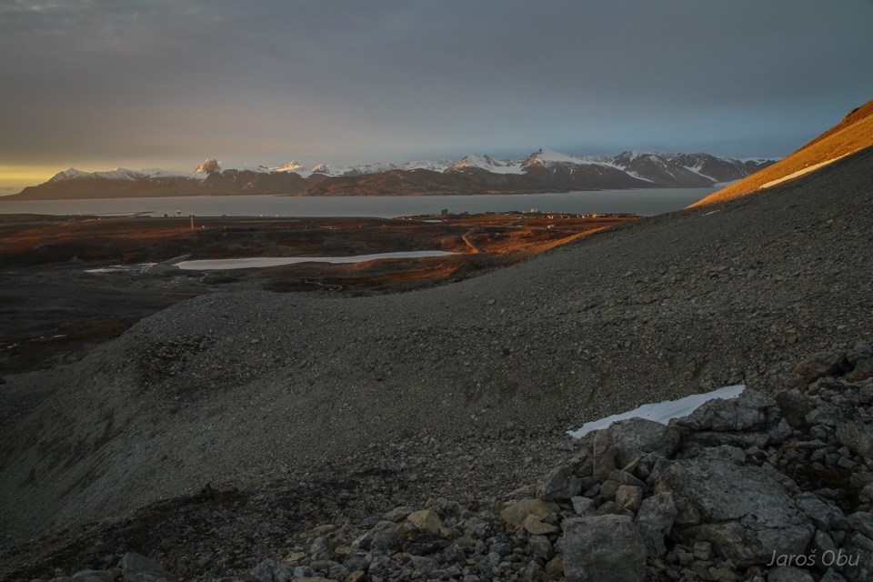
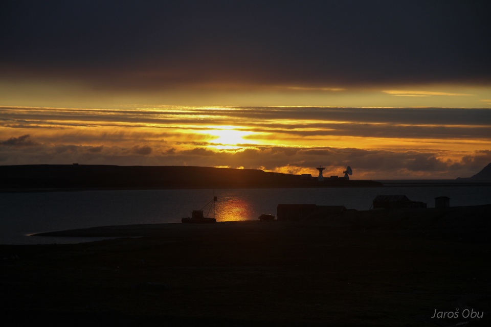
Sunny evening and beautiful colours.
Mellageret bar opens twice a week.
Tonight ...
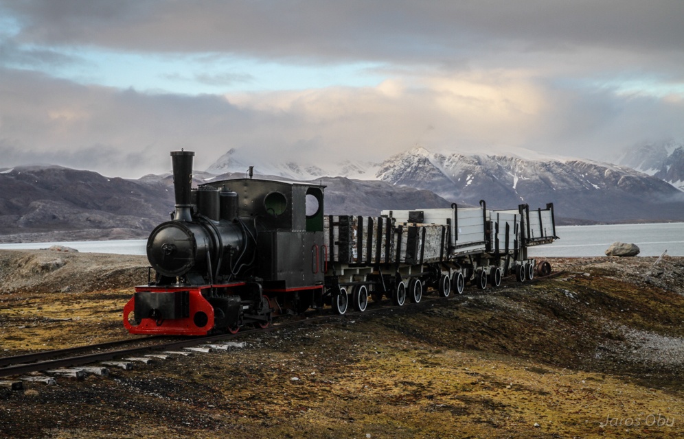
The famous train that was transporting coal from Zeppelin Mountain foot to harbour.
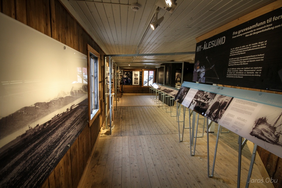
Muesum building.
Ny-Ålesund was founded in 1917 by a mining company from Ålesund.
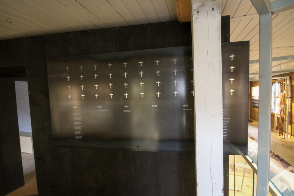
The mining accidents were frequent and the mining was eventually abandoned after 21 men died 1962.
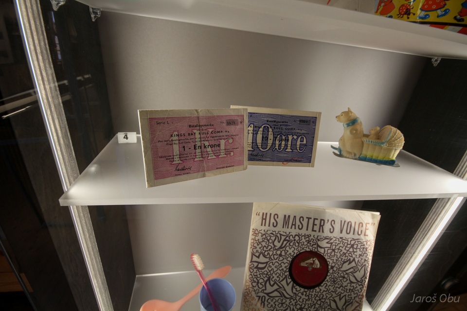
Accessories from the mining time.
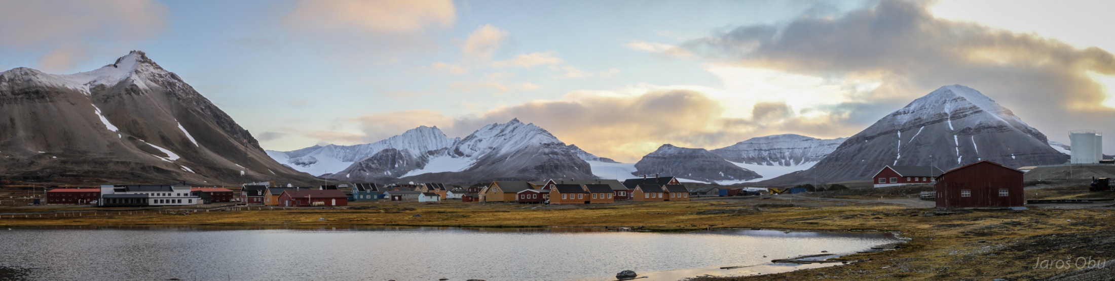
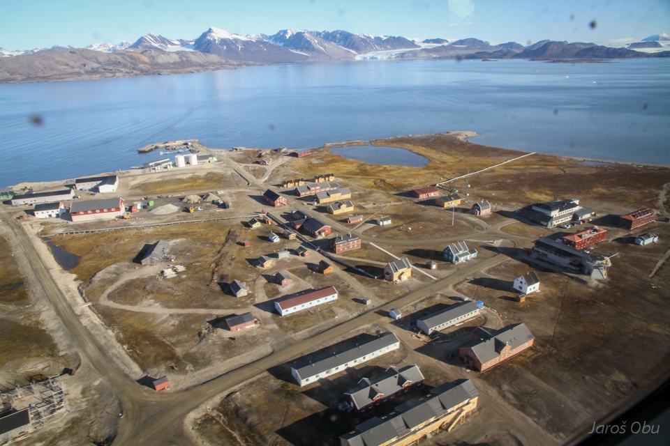
In 1967, Ny-Ålesund was devoted to scientific activity. Nowadays, there are 16 research stations from 11 countries. All the buildings and facilities are owned by Norway's government company King's Bay.
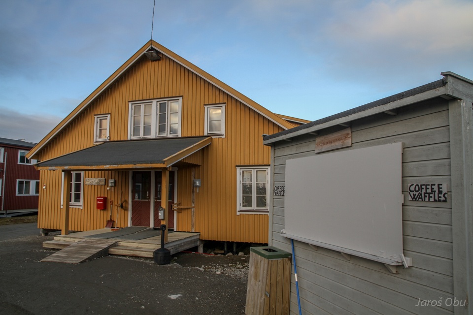
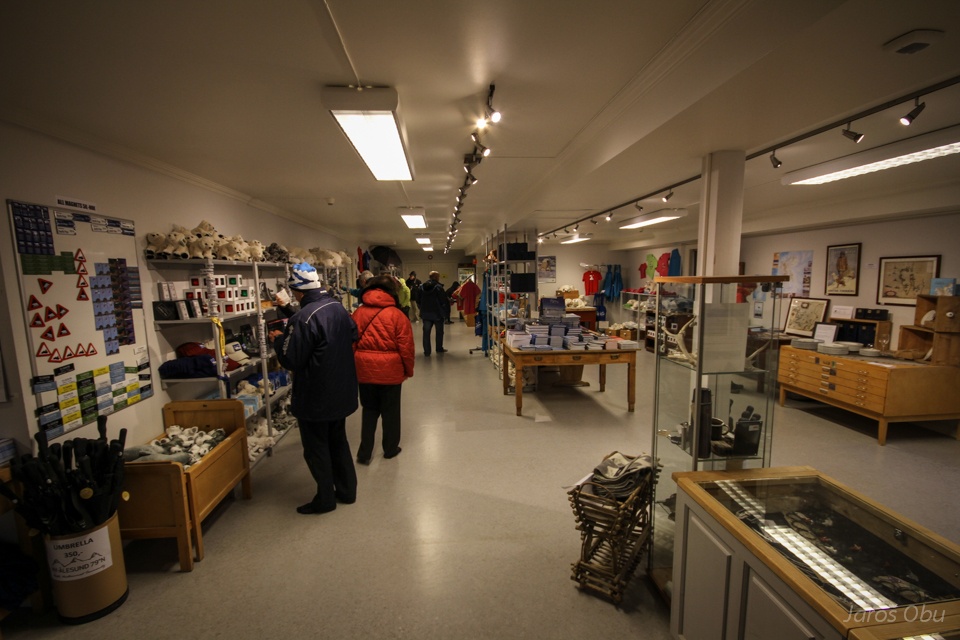
Kongsfjordbutikken - the grocery store is opened twice a week and when tourists come.
Mostly souvenirs ... and cheap alcohol.
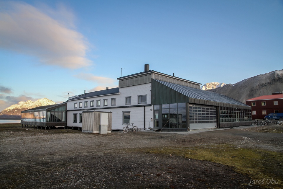
Service building.
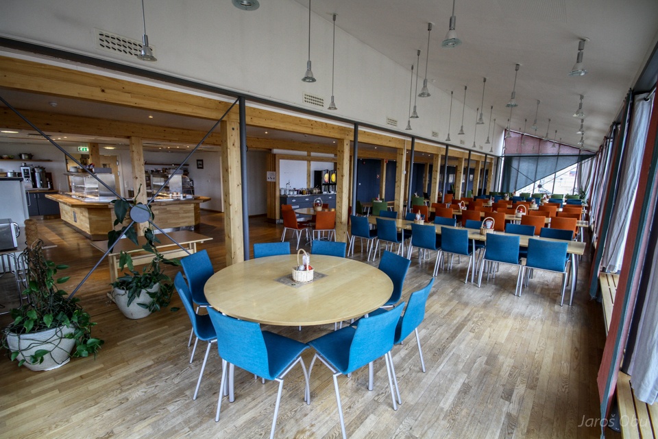
Canteen. Meals are served three times a day.
Elen's exposition of pictures from Ny-Ålesund.
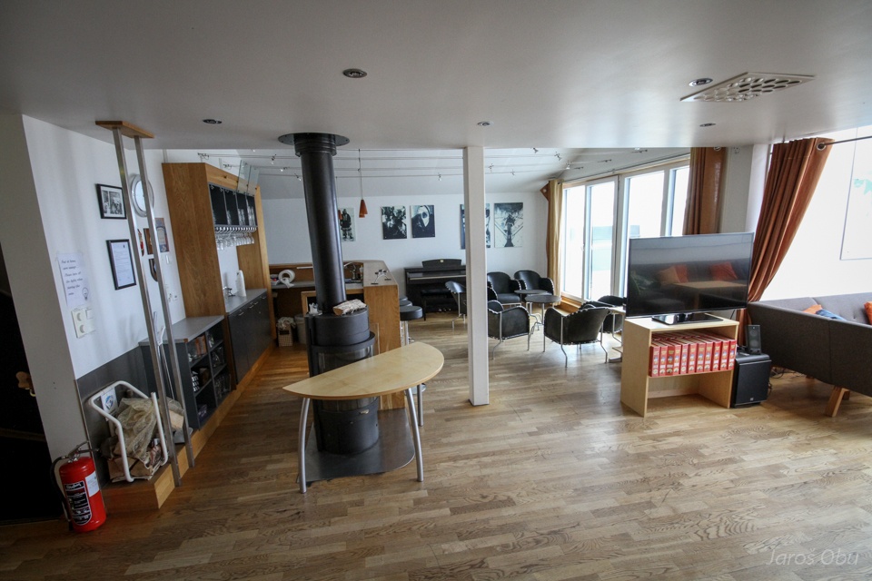
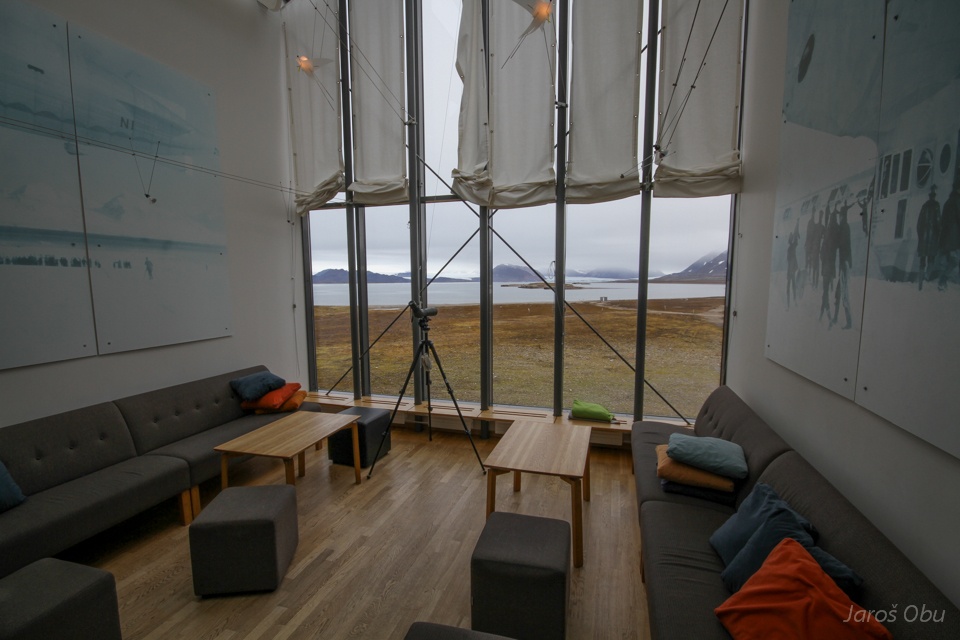
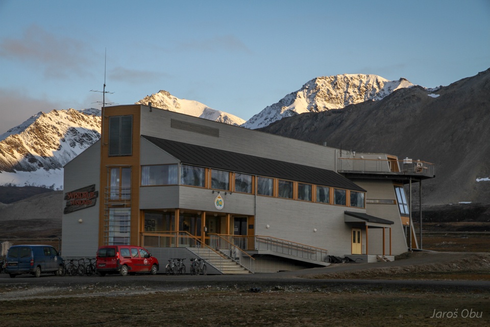
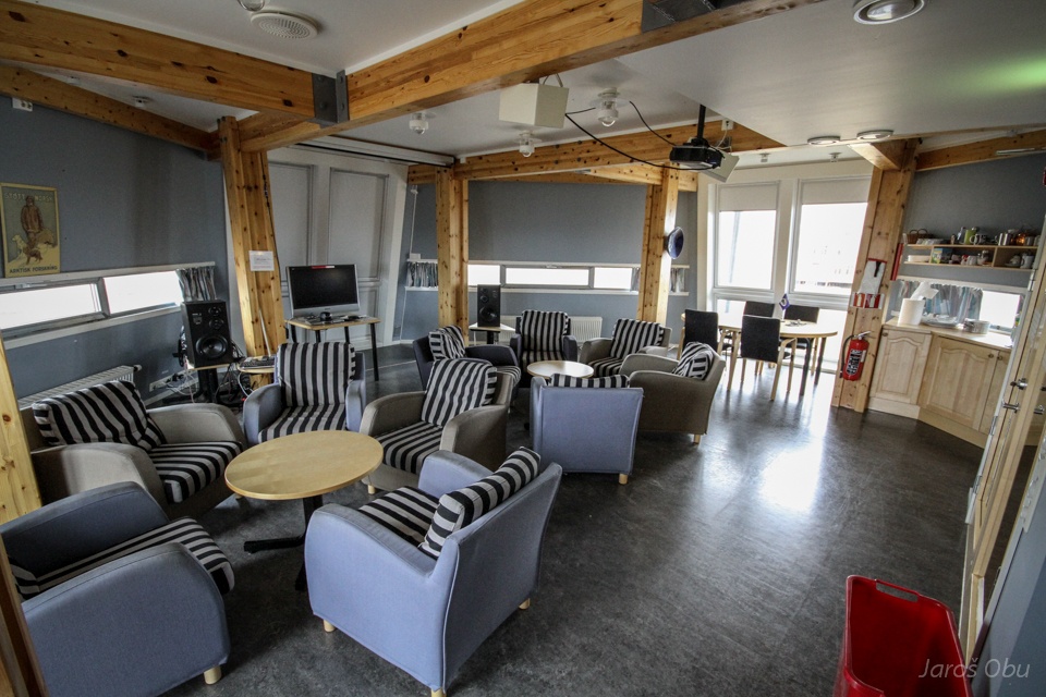
Entertainment room.
With a view on Kongsbreen.
A gym.
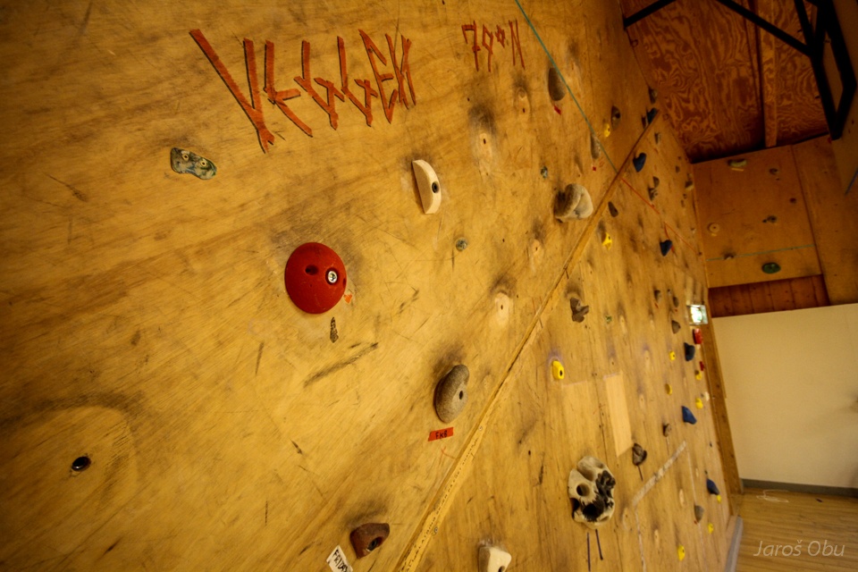
Climbing wall 79°N.
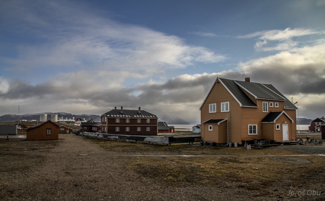
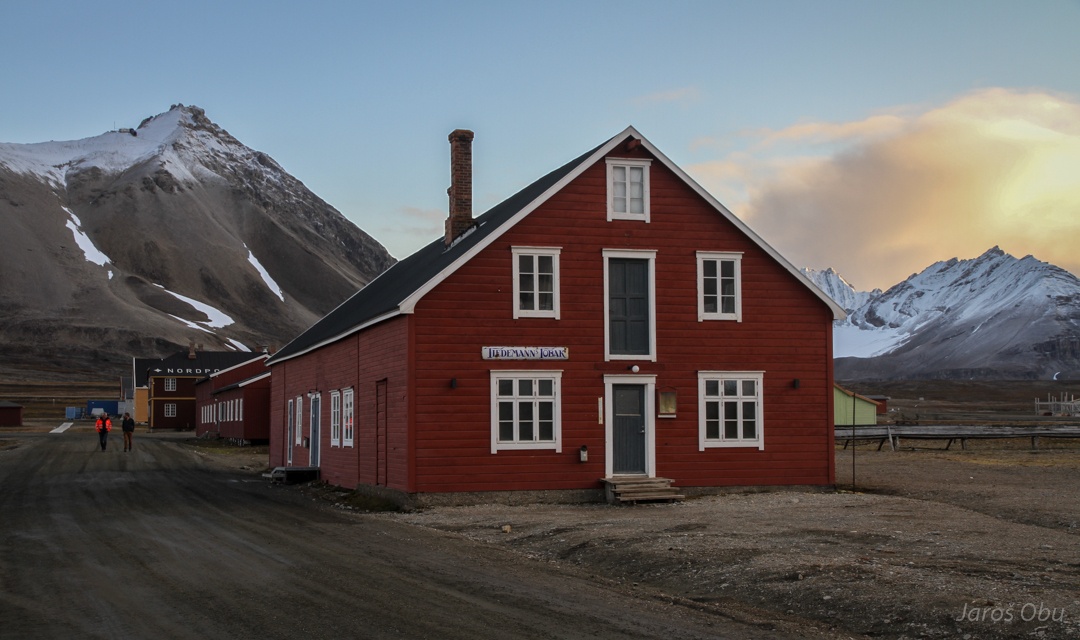
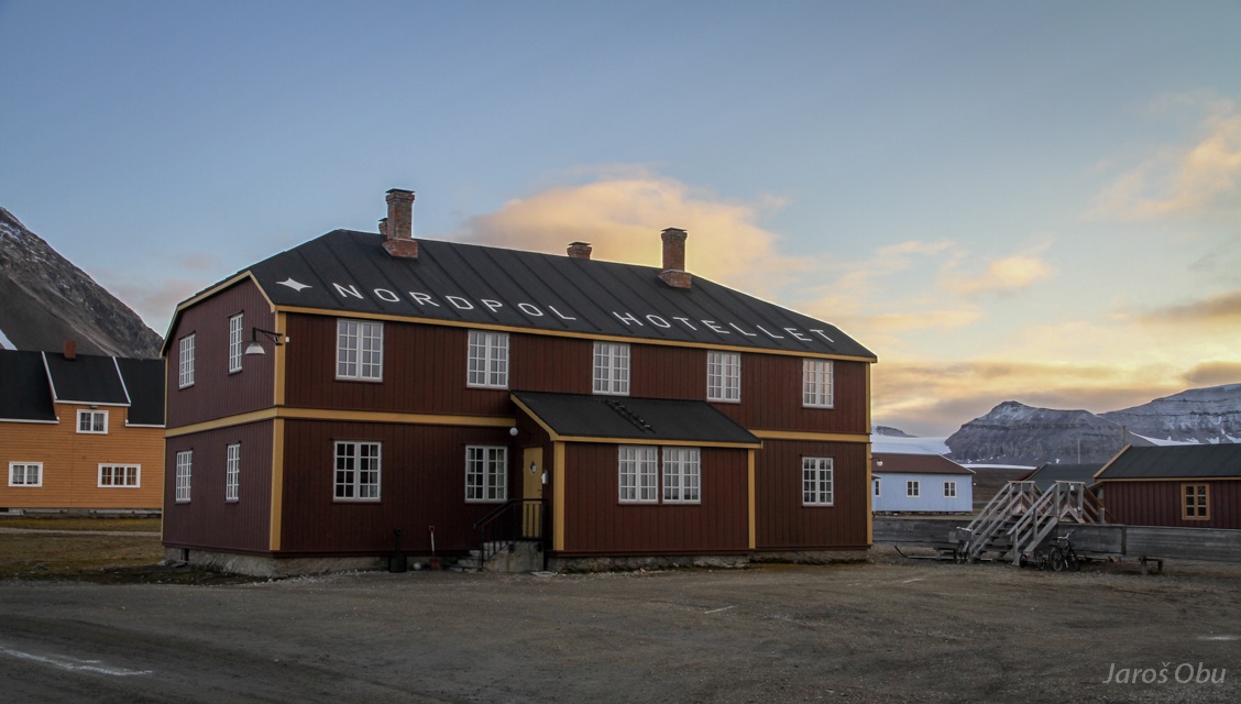
Nordpol Hotel, which is not used as real hotel anymore. Tourists are not alowed to stay overnight and don't have access to most of the buildings in the town. Thus they come only for few hours with ships.
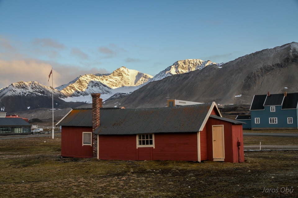
Green Harbour House is the oldest in town.
Norwegian Polar Institute.
From inside.
The meeting room.
The white house.
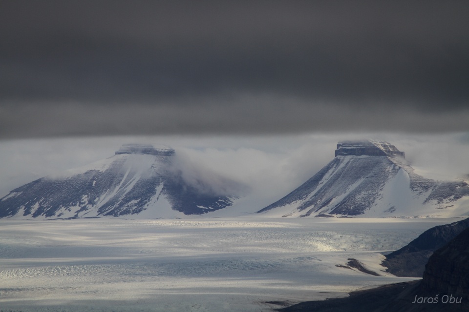
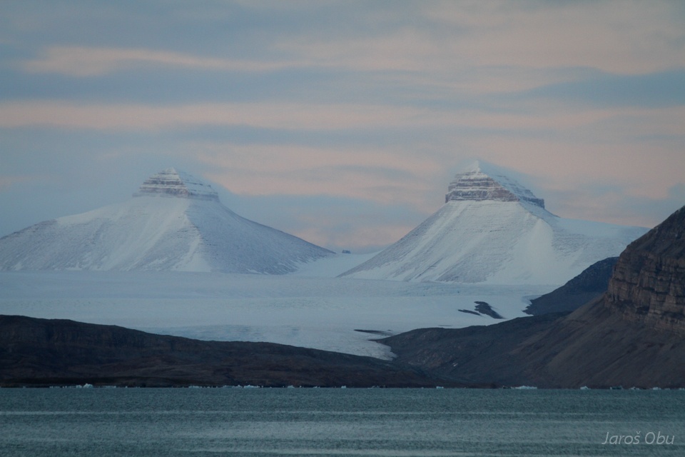
Two of the Crowns.
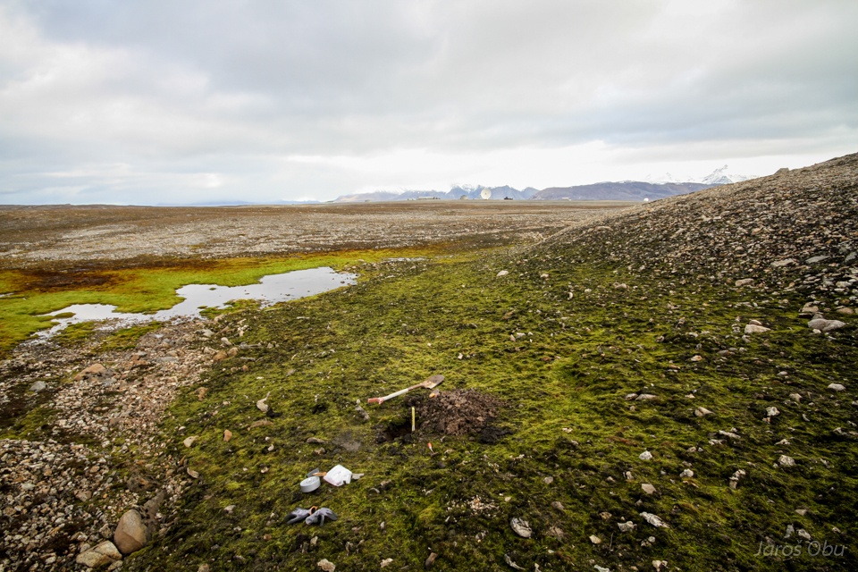
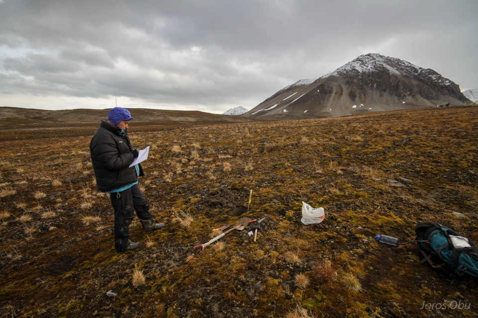
Soil pit digging on the last day of field work.
Mosses are one of the rare green things in Svalbard.
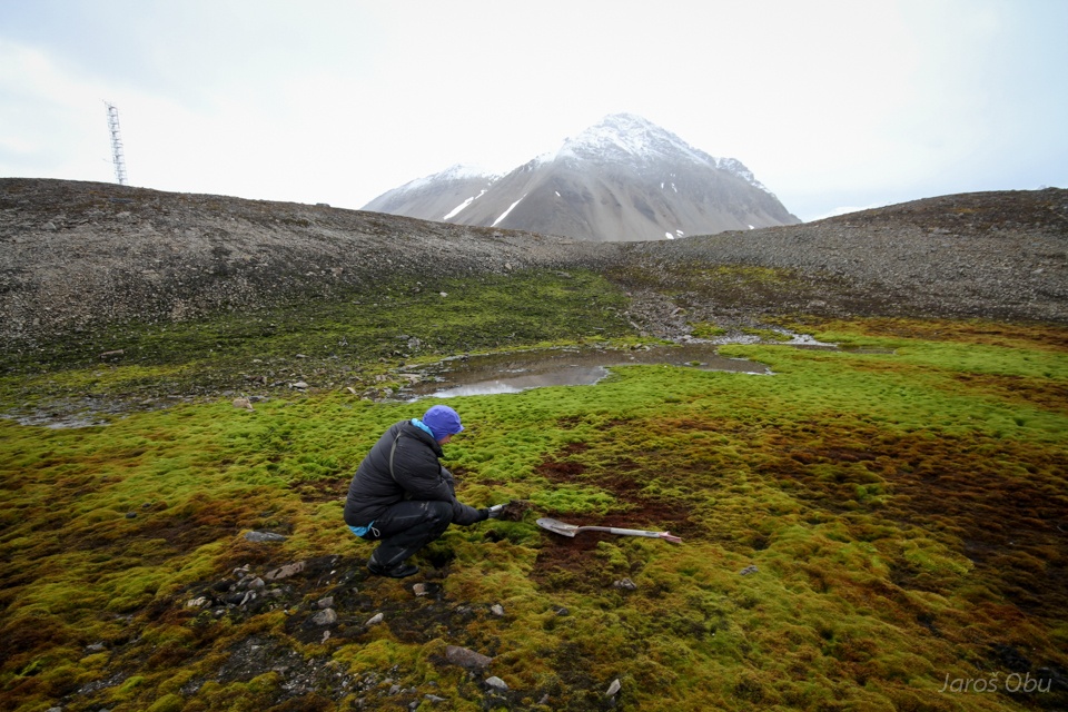
Håvard in action.
Artificial lake, which supplies Ny-Ålesund with potable water.
An evening hike through moraines in Brøggerdalen.
Red murky water is coming from red rocks.
Austre Brøggrebreen terminus.
On a terminal moraine.
On a medial moraine.
Glacier meltwater.
A dry valley where a the glacier river was flowing while glacier was thicker.
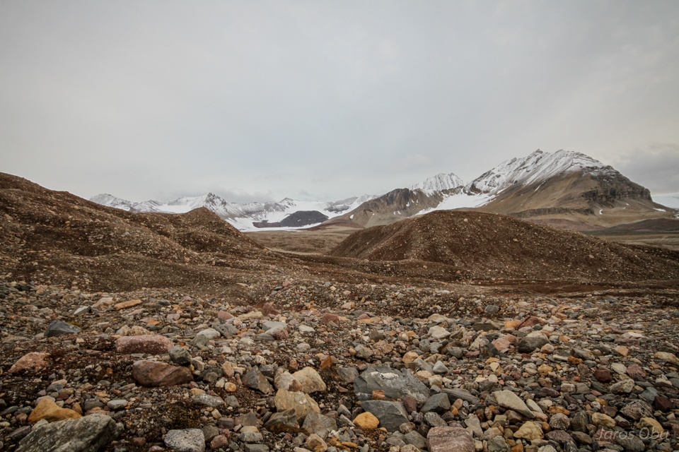
Talus-derived rock glacier under the Zeppelin Mountain.
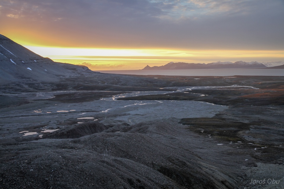
Bayelva outwash plain.
The sun will be touching the horizon for the first time in few days.
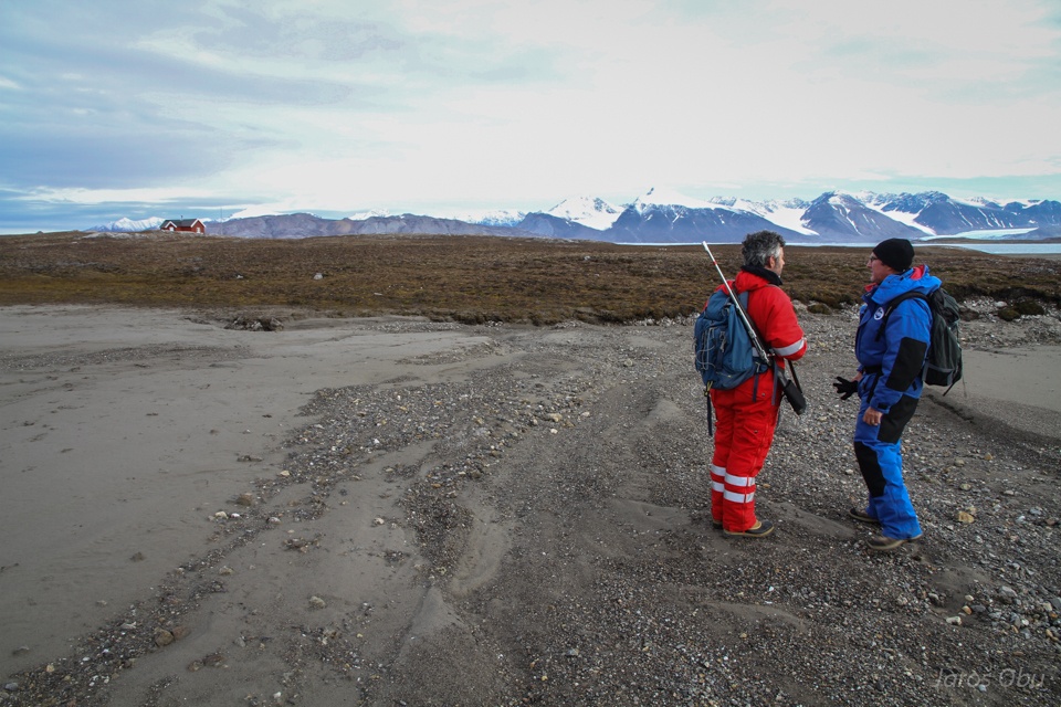
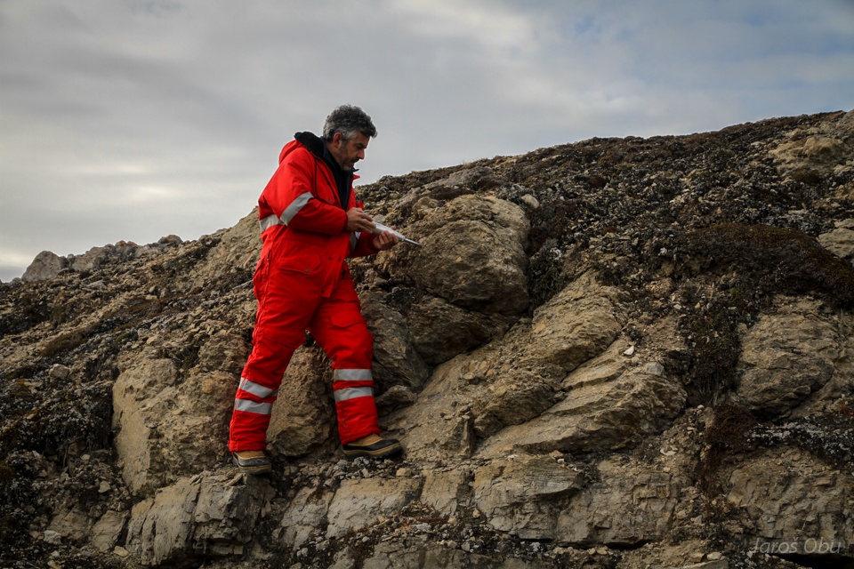
Visiting French scientists outside Ny-Ålesund next day.
Denis is measuring rock hardness using schmidt hammer.
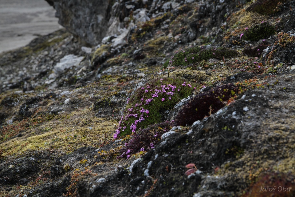
Silene acaulis.
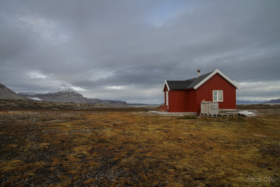
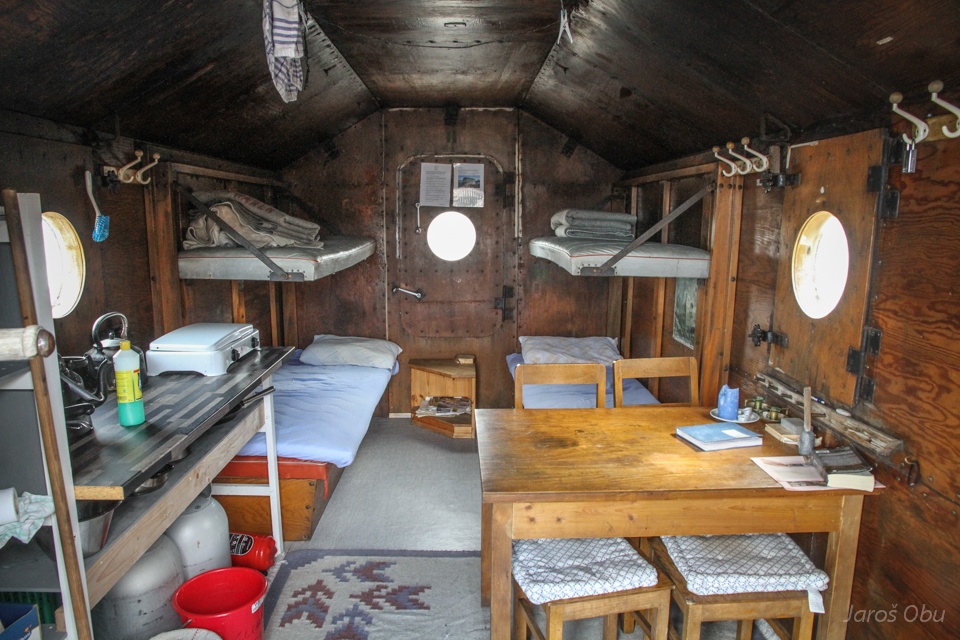
Gåsebu hut.
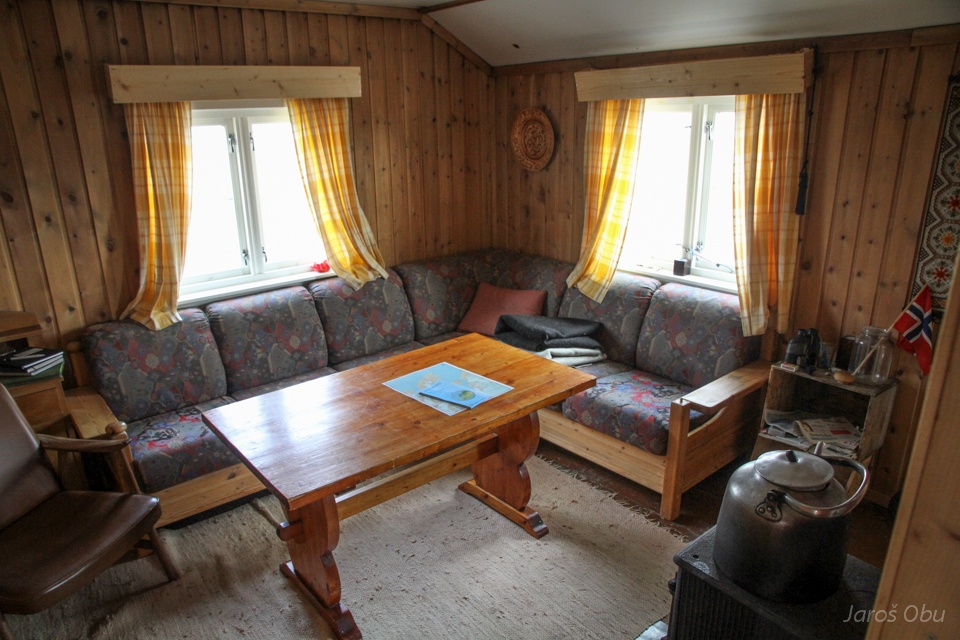
Interior.
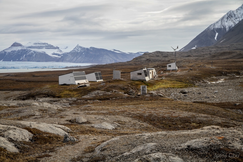
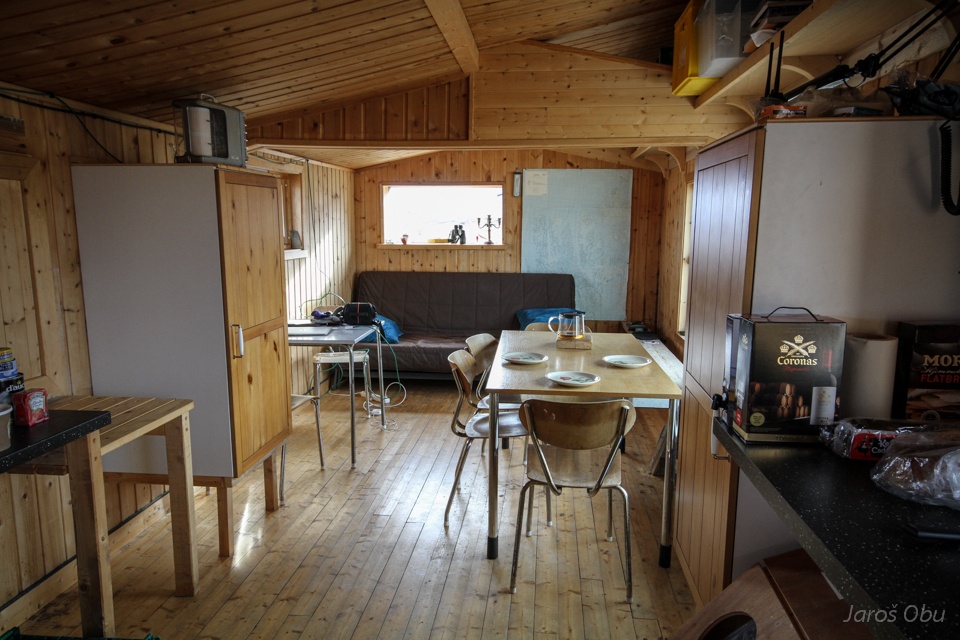
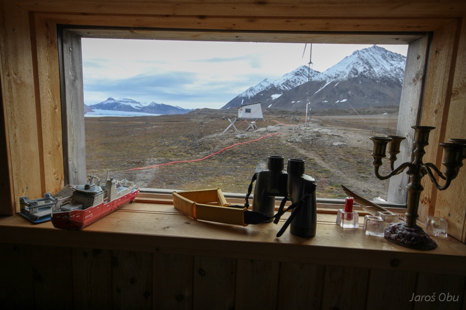
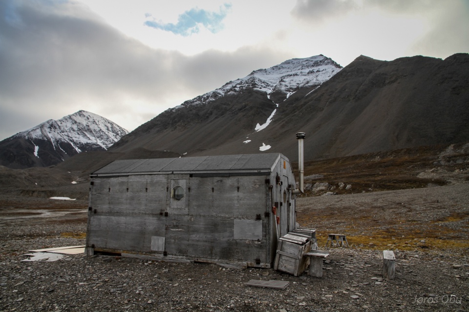
French station named after Jean Corbel, 5 km east of Ny-Ålesund.
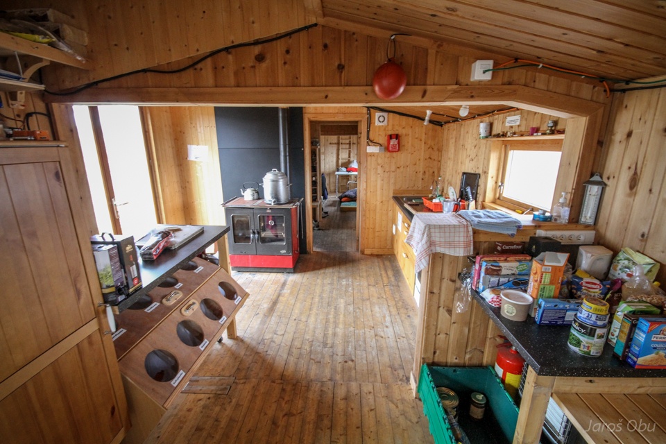
Kitchen
Dining room
Working room.
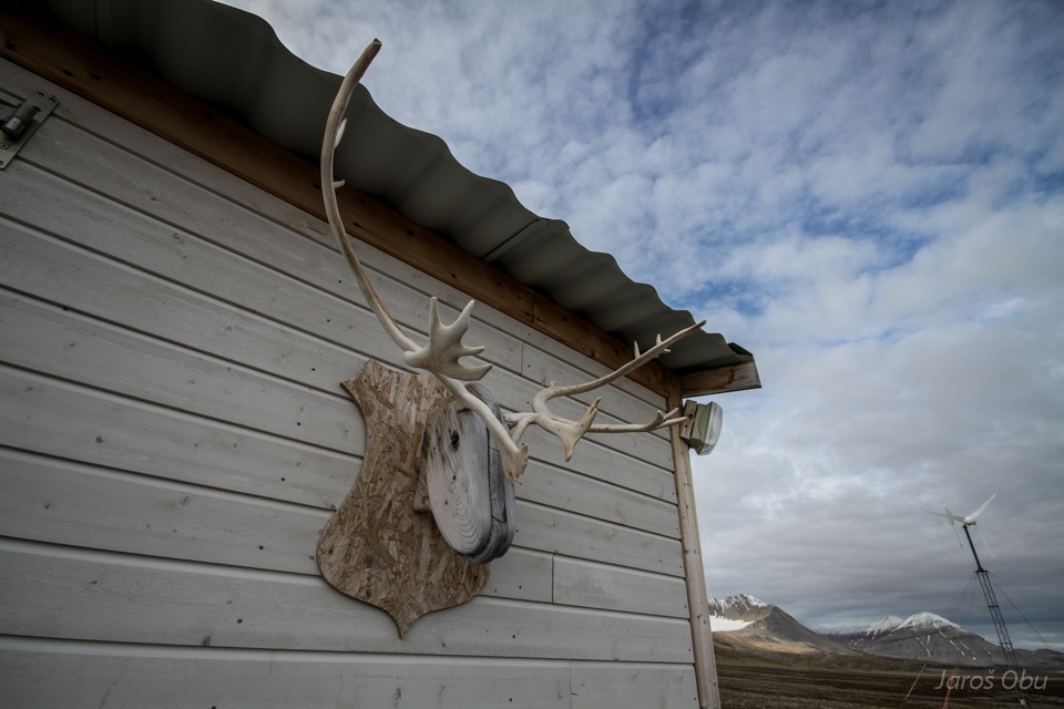
No reindeer died for it.
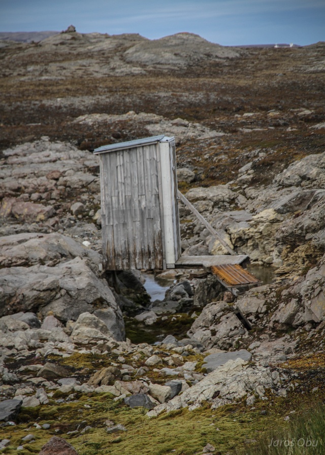
Toilet.
The station has internet connection via laser communication from Ny-Ålesund
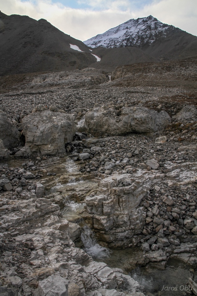
Continuing further toowards Kronebreen.
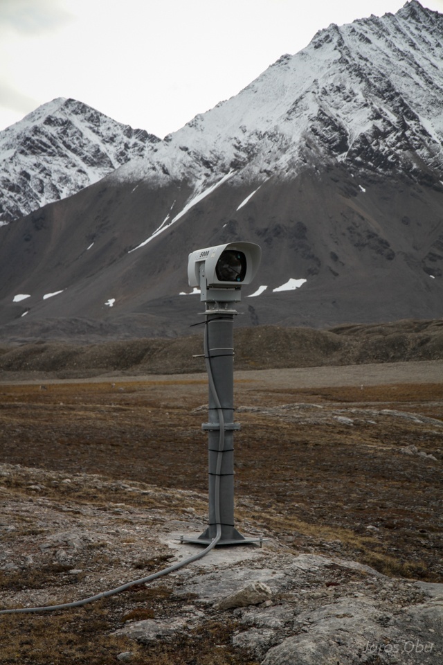
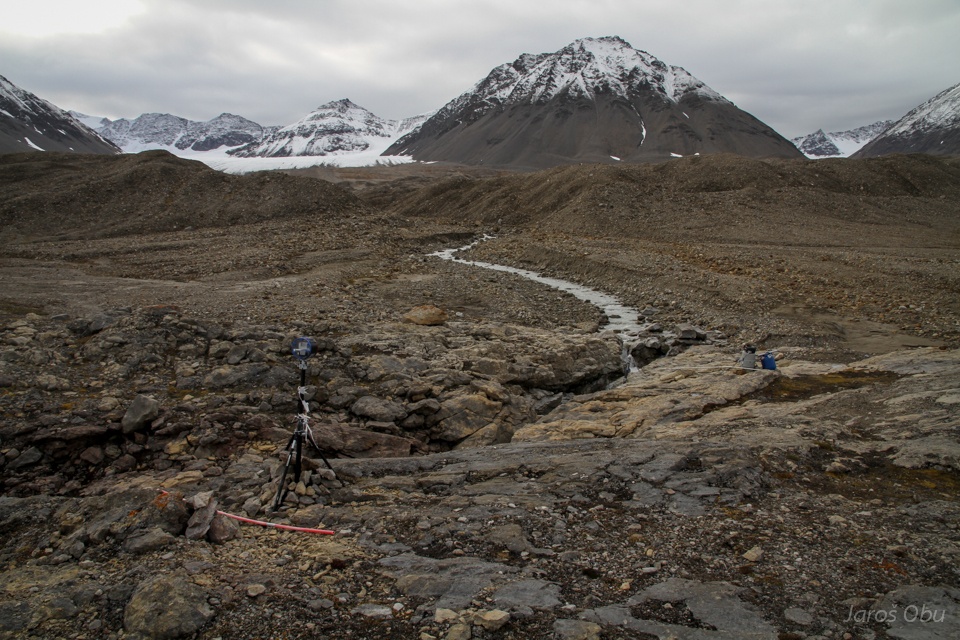
Various measurement devices at the glacier outflow stream.
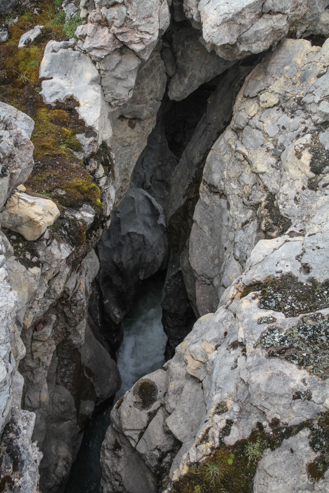
Which incised into the limestone ridge.
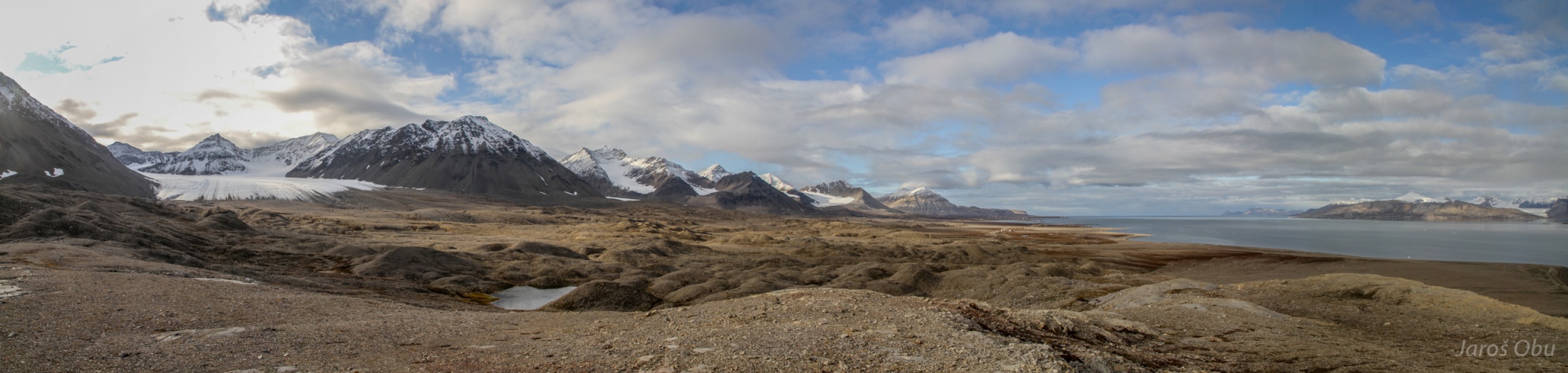
Panorama of Lovénbreen and its moraine complex.
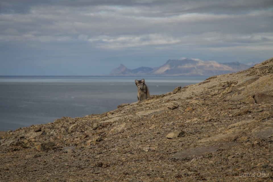
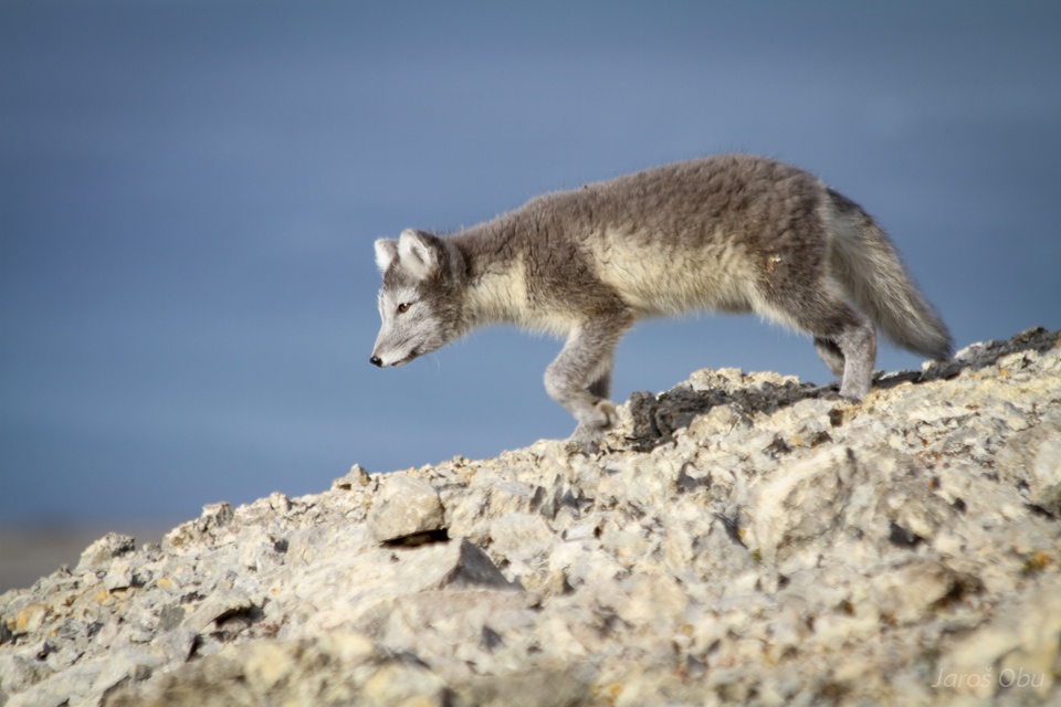
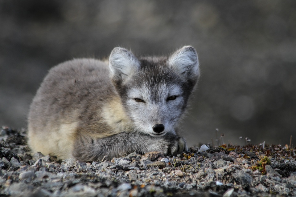
Polar fox visit.
It was curiously walking around me.
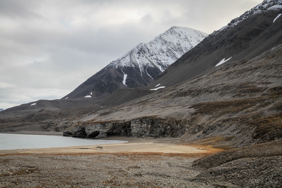
»Copacabana« beach further towards the east.
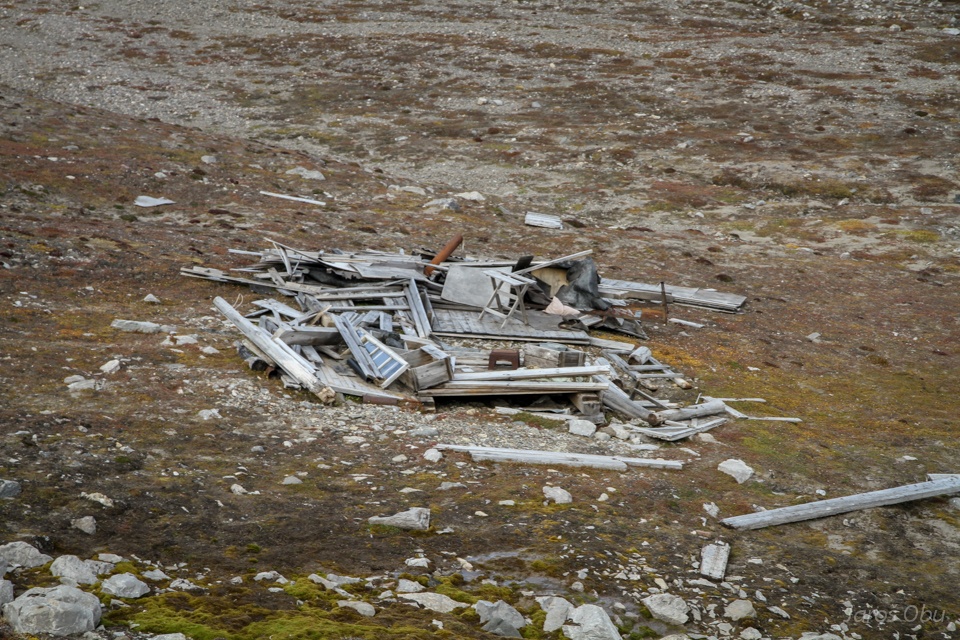
This was once supposed to be a cabin.
The cliffs.
This one is still standing.
And able to accomodate people.
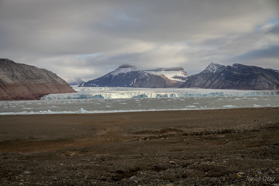
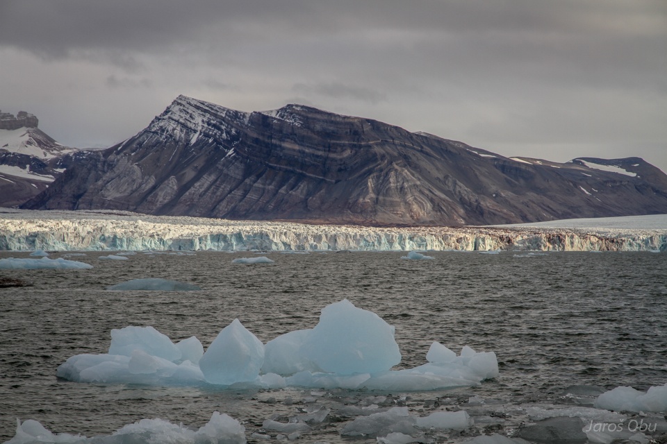
Getting closer and closer to Kronebreen.
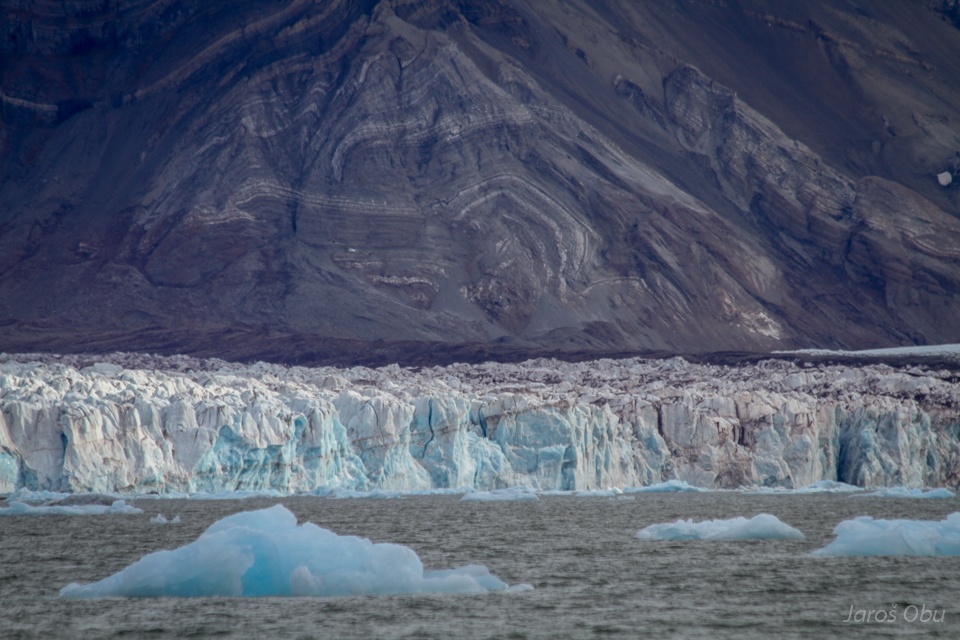
Calving front and folded rocks.
Ny-Ålesund is 10 km away.
Collethogda Mountain. The lower and brighter parts of slope show the glacier height not so long ago.
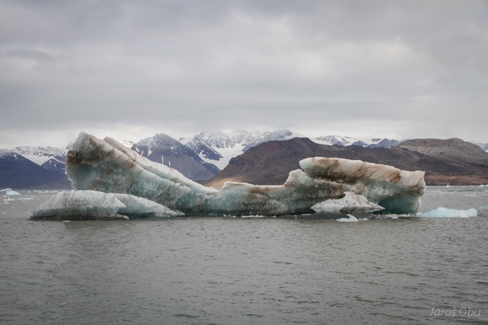
Glacier ice.
Returning back under the bird cliff.
Patterned gorund.
Lush and green vegetation comes from bird guano.
Birds are more or less safe from polar foxes.
Nevertheless, there are still many that catch the chicks, which don't make it to the sea.
The whole Ny-Ålesund gathered when I was leaving the town. ... But not because of me. It was for an employee that left the town after working there for several years.
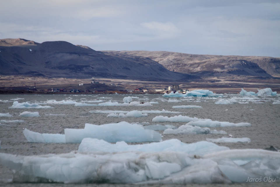
The town from above.
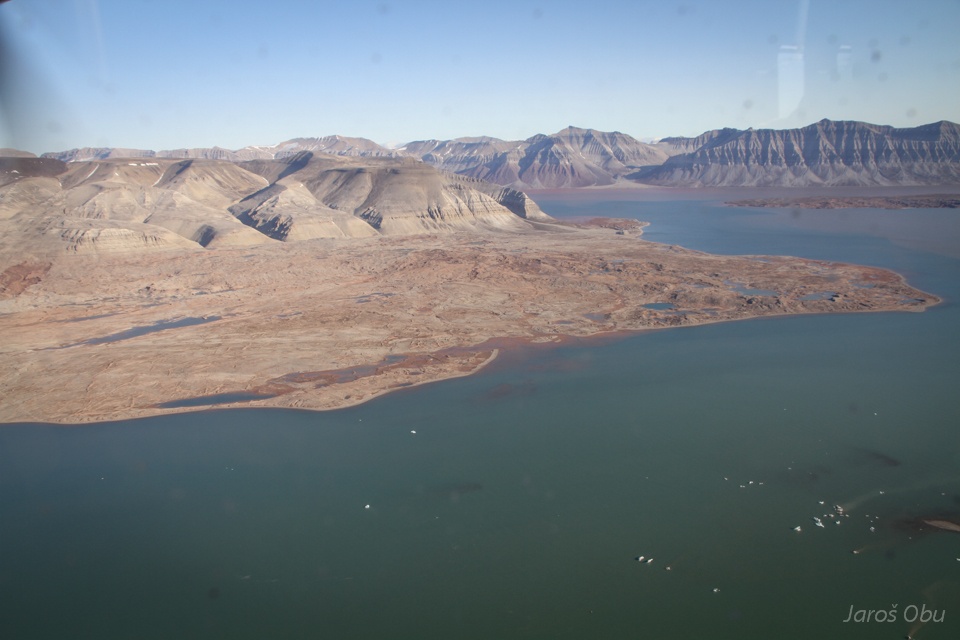
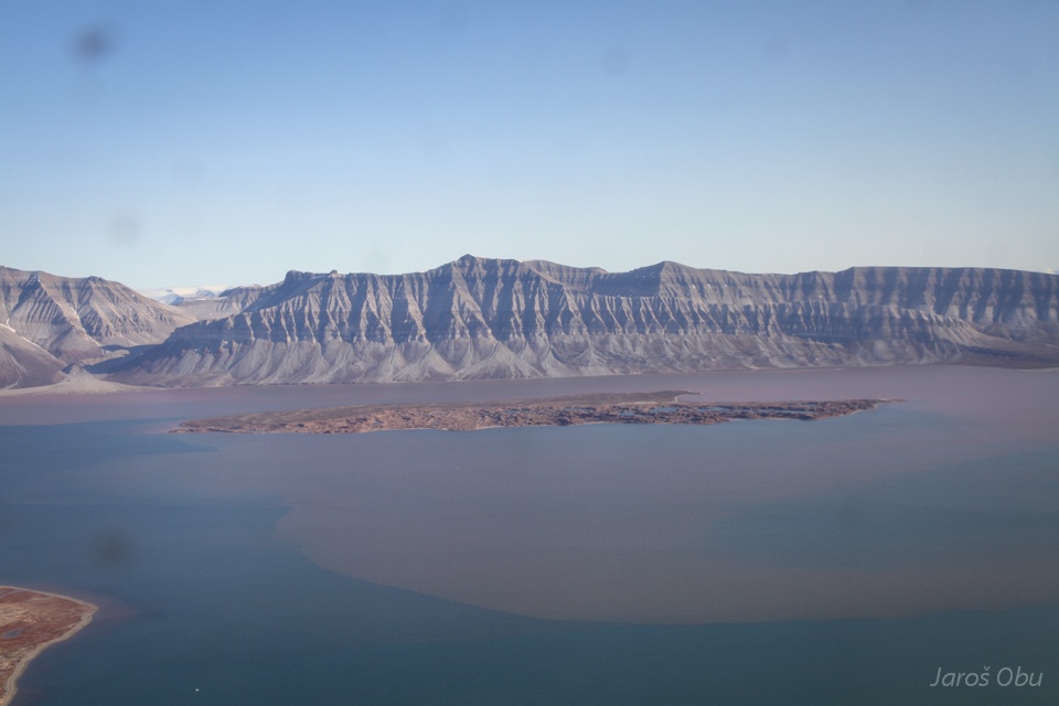
Returning back to Longyearbyen.
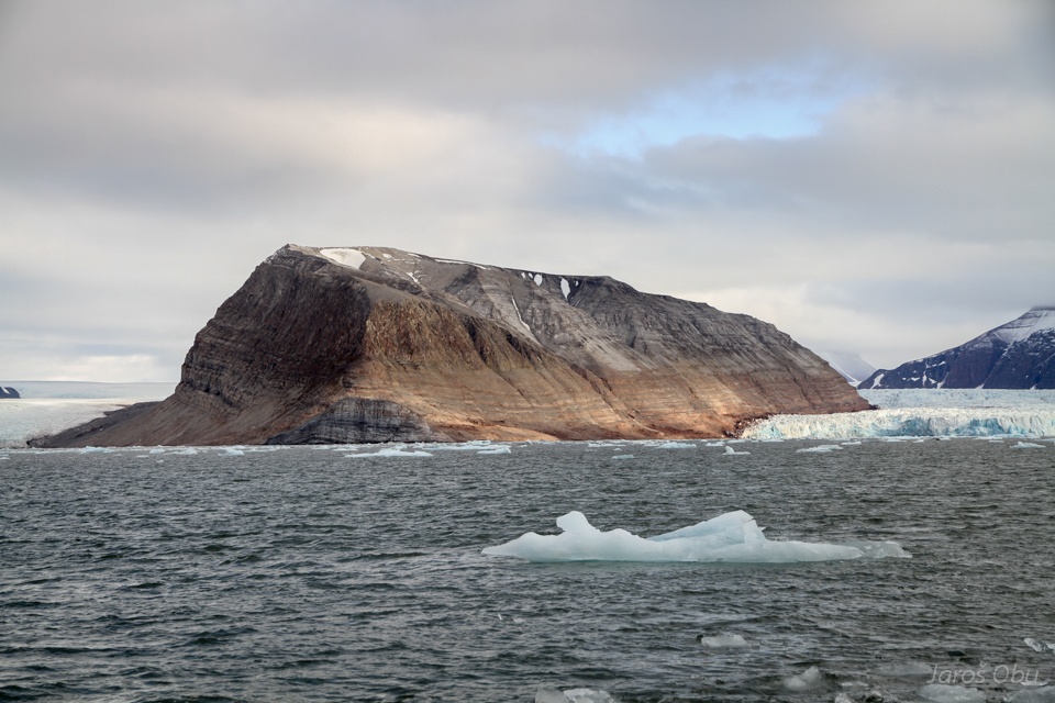
They once thought that Ossian Sarsfjellet was a peninsula. Retreating Kongsbreen showed that it is an island.
Kongsbreen
Pilot announced that we are flying between the Crowns.
There are more mountains with resistant rock overlying less resistant behind them.
Holmströmbreen
Gullied Palatiumfjellet.
Sefströmbreen calving front.
Kapp Wærn
Tchermakfjellet.
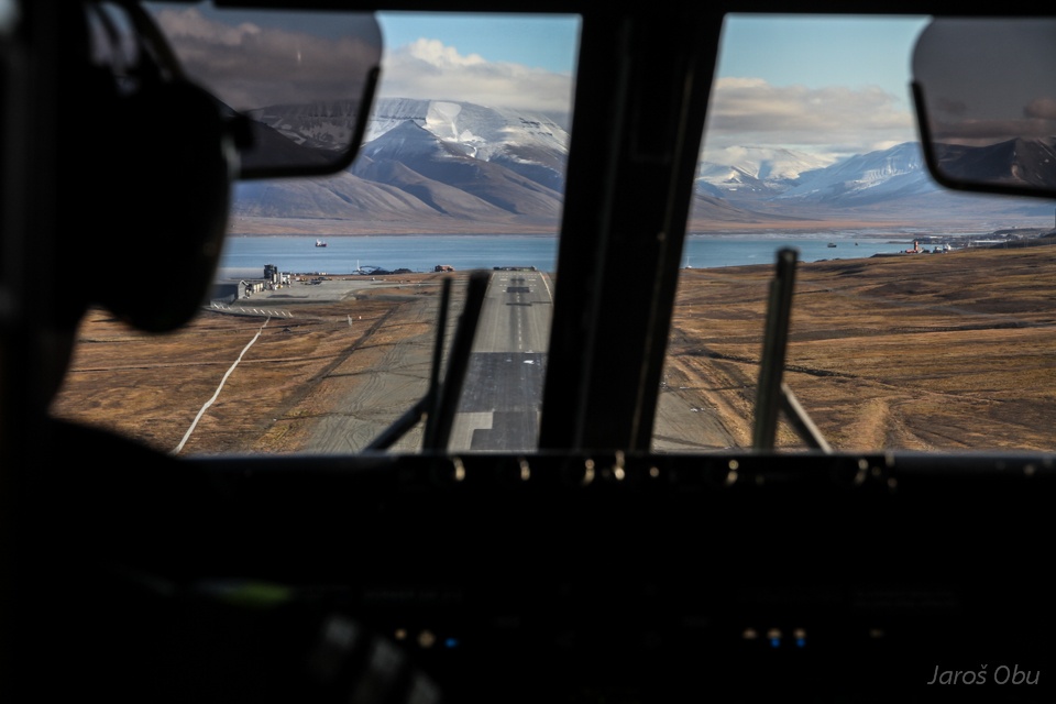
About to land back in Longyearbyen.