© 2024 Jaroš Obu
Photo gallery of Jaroš Obu
Cart
0
Items
Buy now
Preikestolen and Kjerag 22.-25. 7. 2018
Monday, 23 July 2018
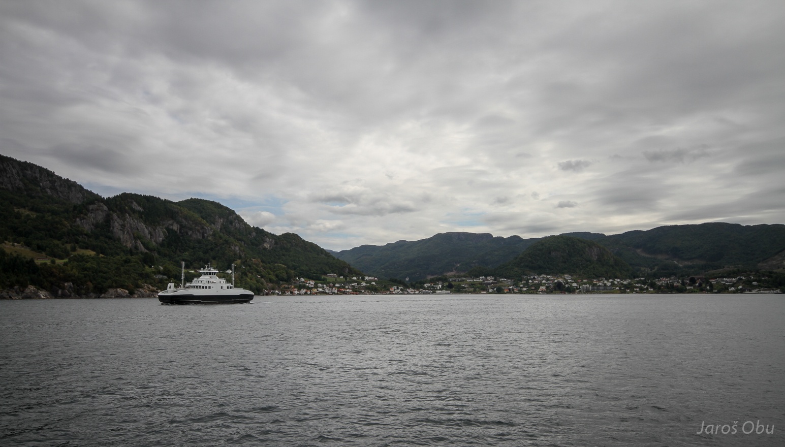
On a way south to visit more rock-formation tourist attractions. Crossing Jøsenfjorden with ferry. Hjelmeland in the distance.
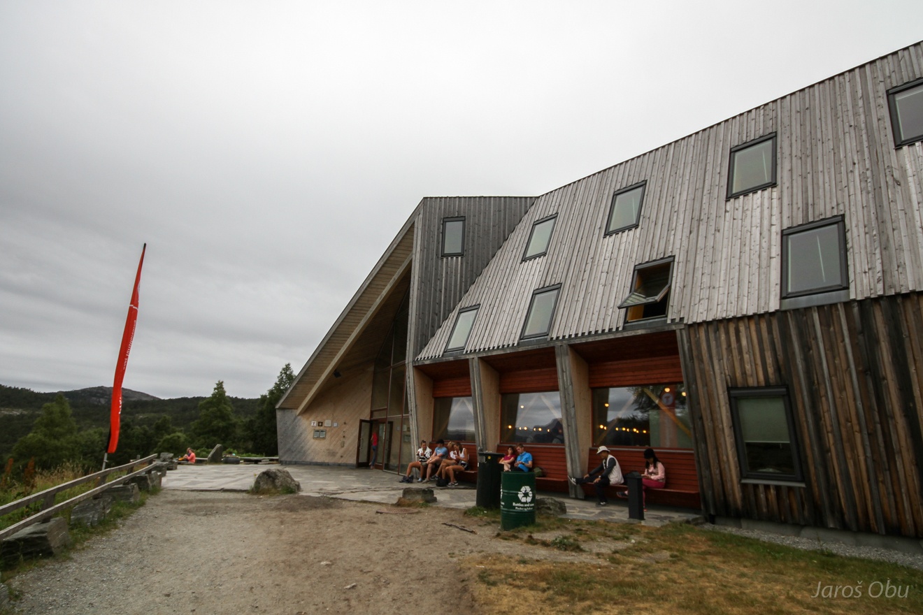
DNT Preikestolhytta at the starting point.
Paved trail to Preikestolen. The most "besieged" tourist attraction in Norway.
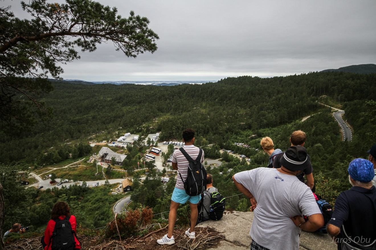
Parking lots and plenty of hikers.
...
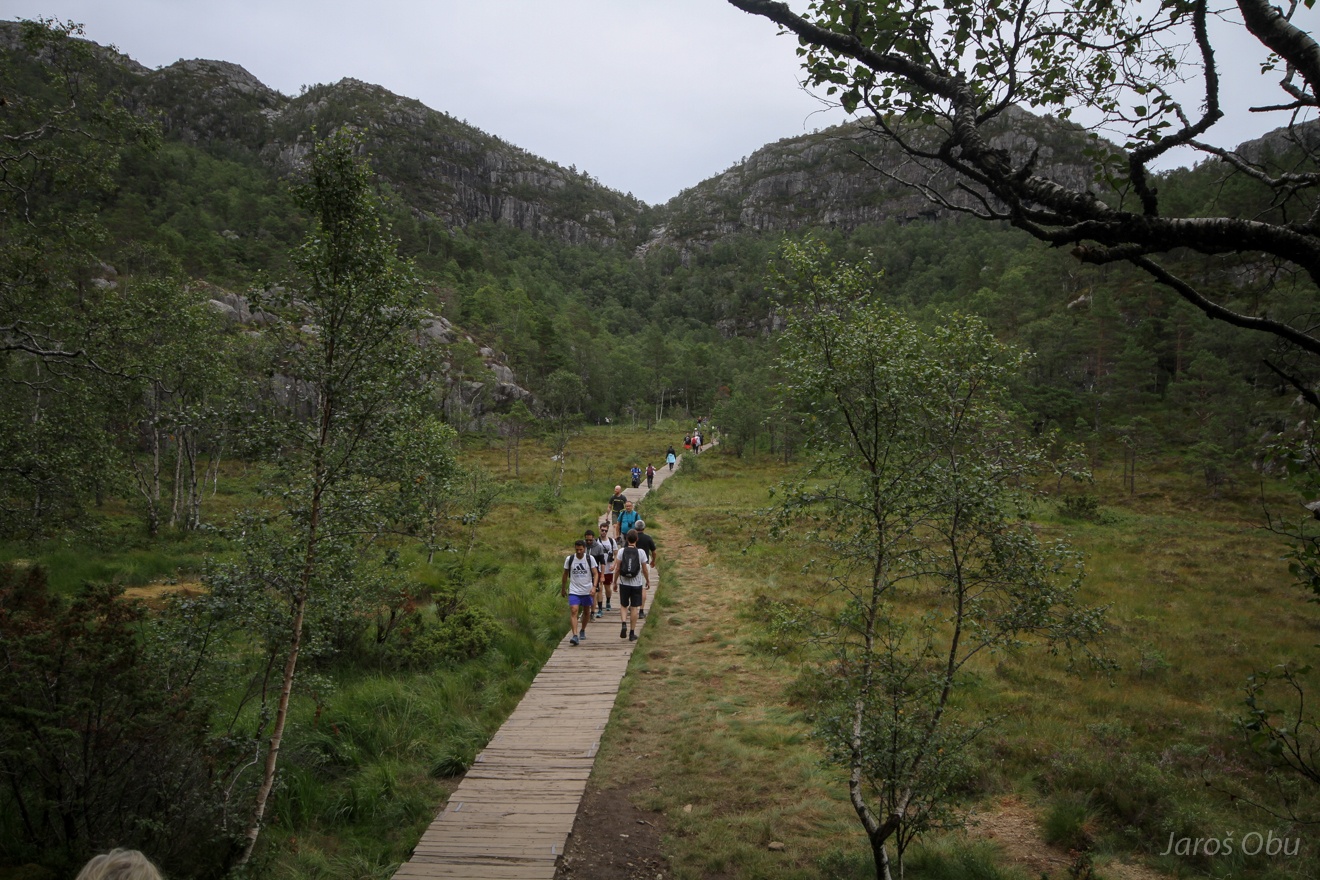
Crossing the marshes with a help of wooden path.
Surrounding wasn't really peaceful, despite the inscription on the T-shirt.
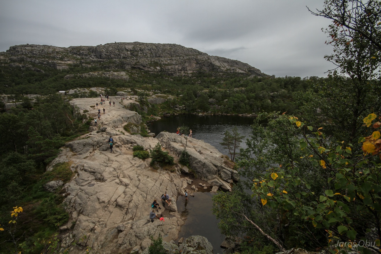
Tjødnane Lake by the trail. Some use the opportunity for bathing.
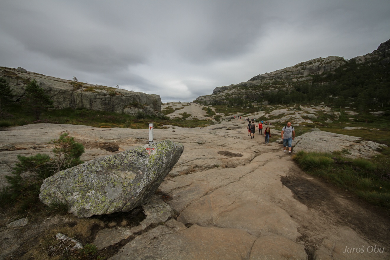
Hiking highway.
Late afternoon was a good option to hike up. It is necessary to walk in the queue during the rush hours.
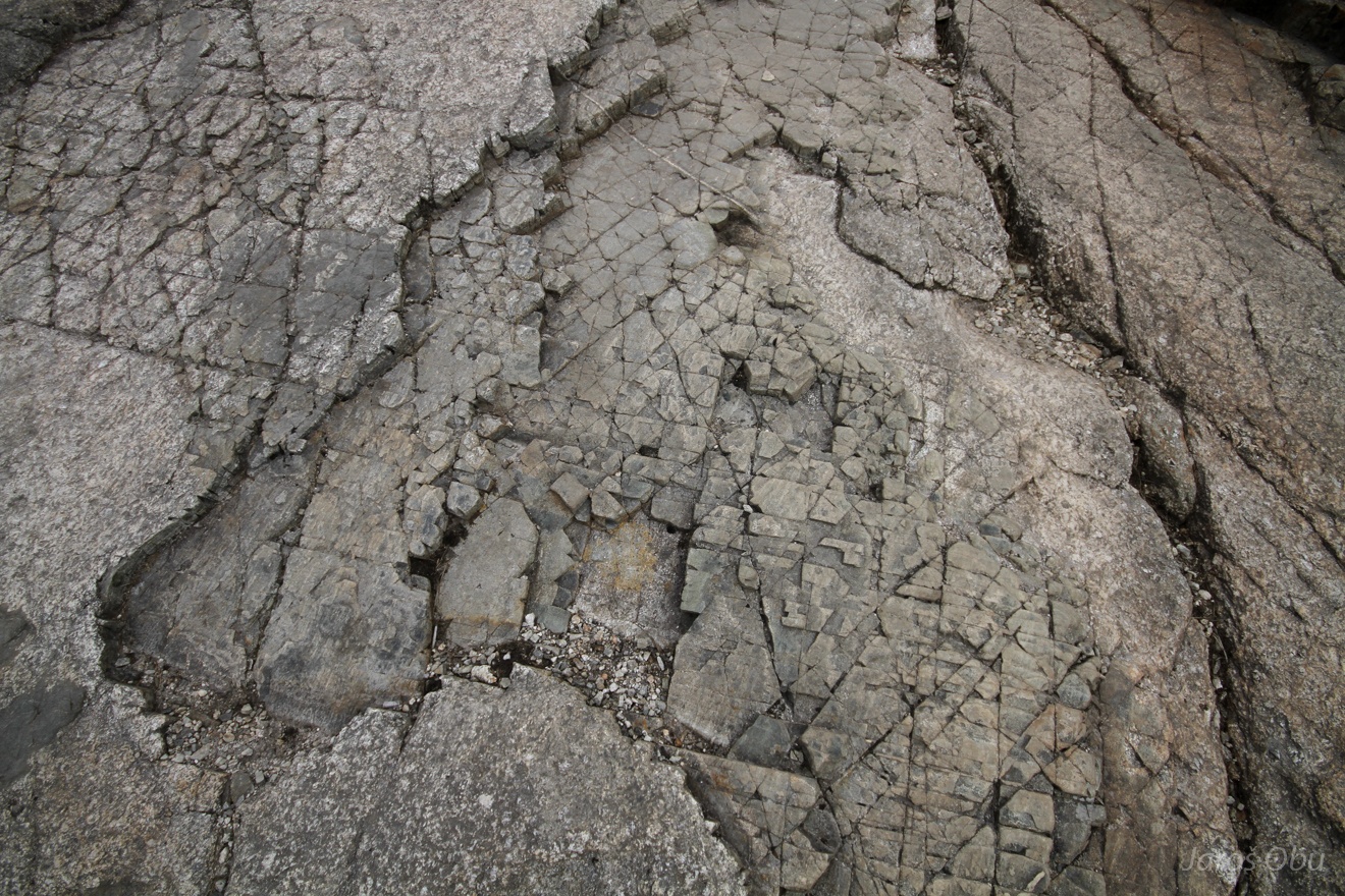
Interesting rock formations.
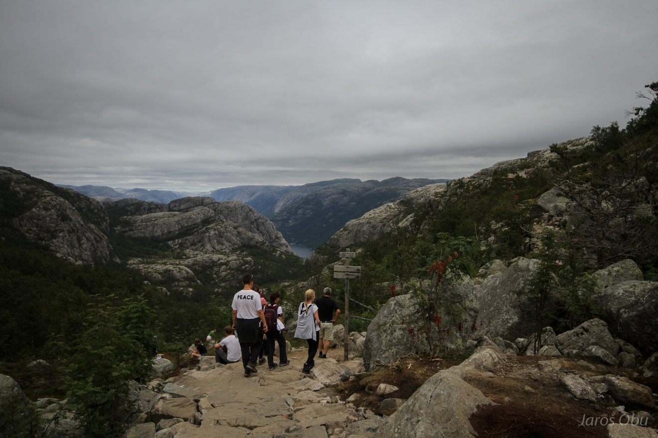
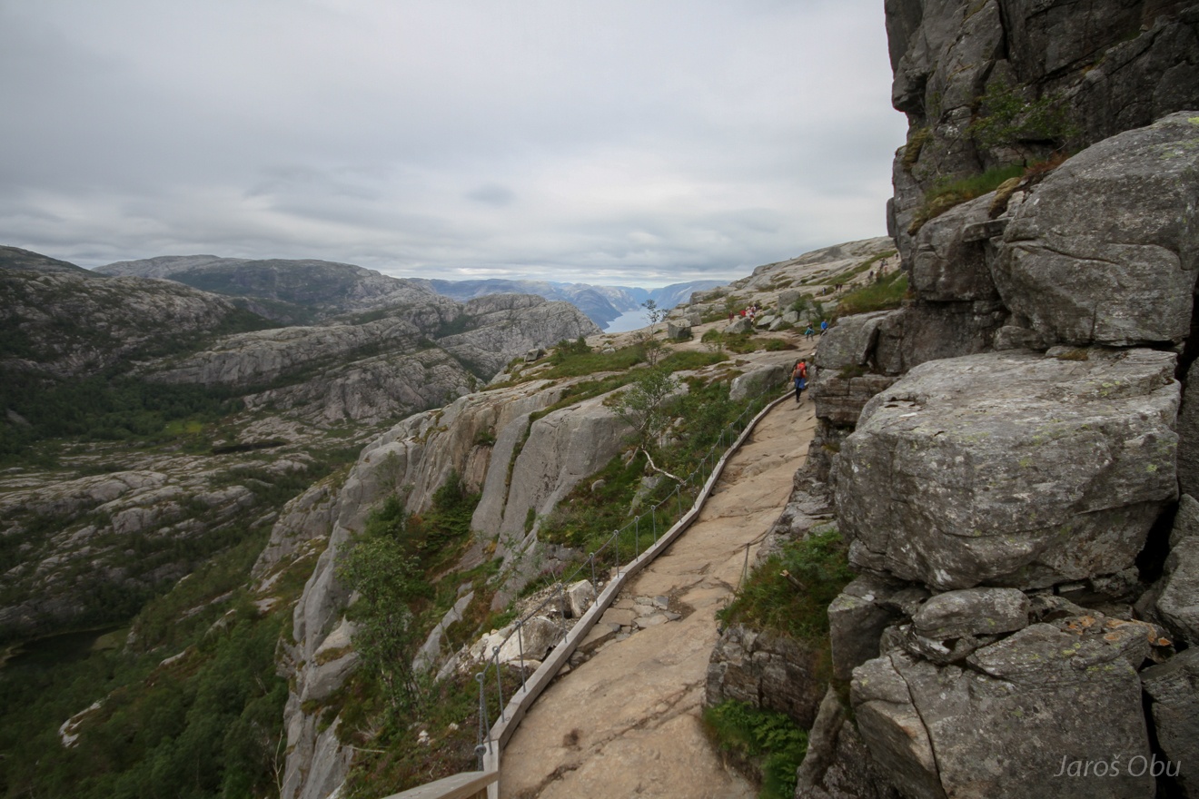
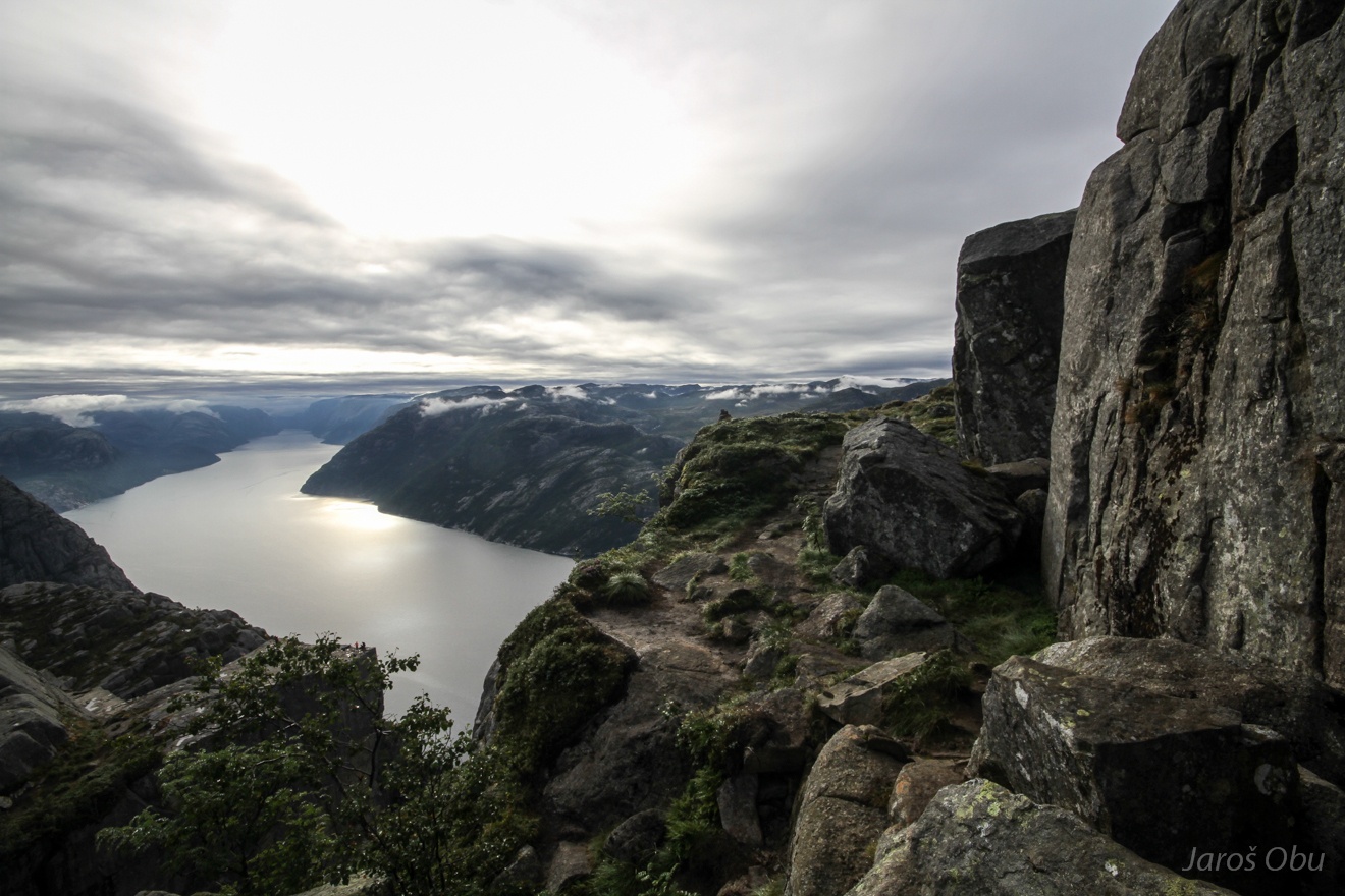
Reaching the Lysefjorden edge and the this day's destination is not very far away.
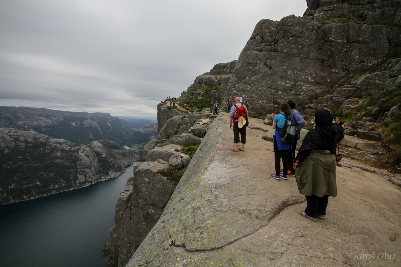
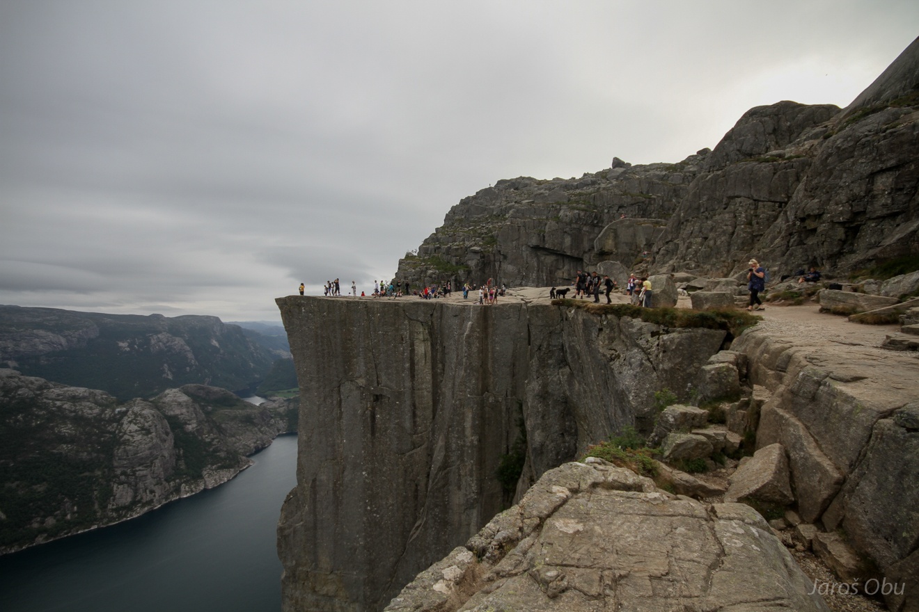
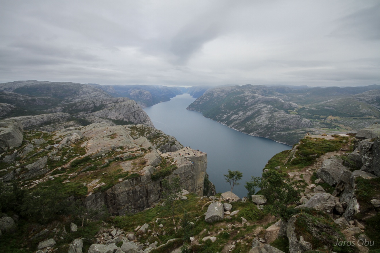
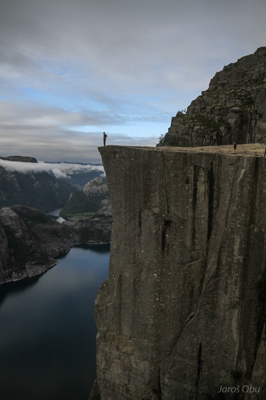
Preikestolen - Pulpit Rock. Similarly to Trolltunga, it gained so much attention during the last ten years. From 80.000 visitors in 2004 to almost 300.000 in the last year.
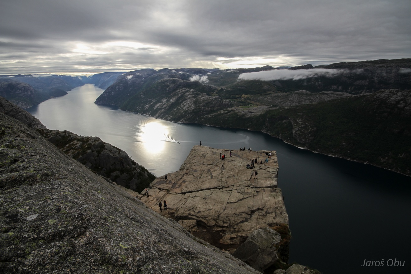
How is down there?
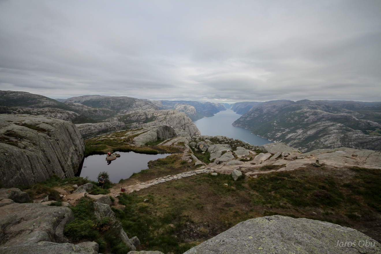
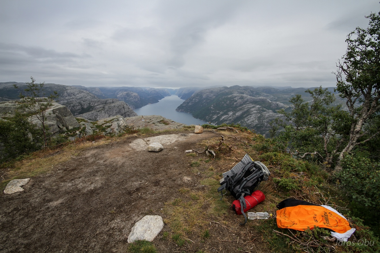
More peaceful places above the Preikestolen.
The camping spot for this night ...
With a view on the attraction.
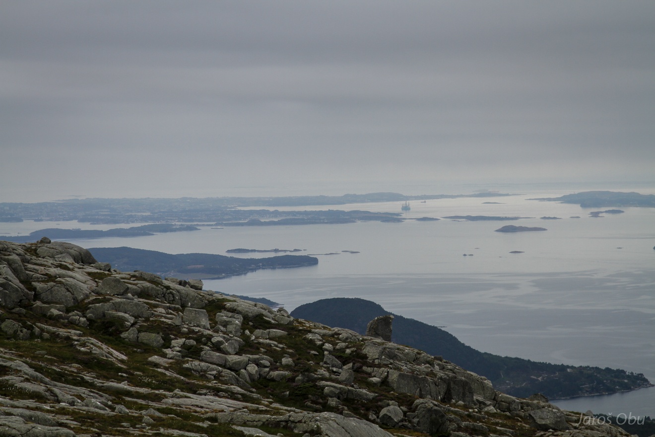
A top of the nearby mountain.
Stavanger in the distance.
Much nicer morning light next day.
And time to make the photo that everybody does. Before the queue is too long.
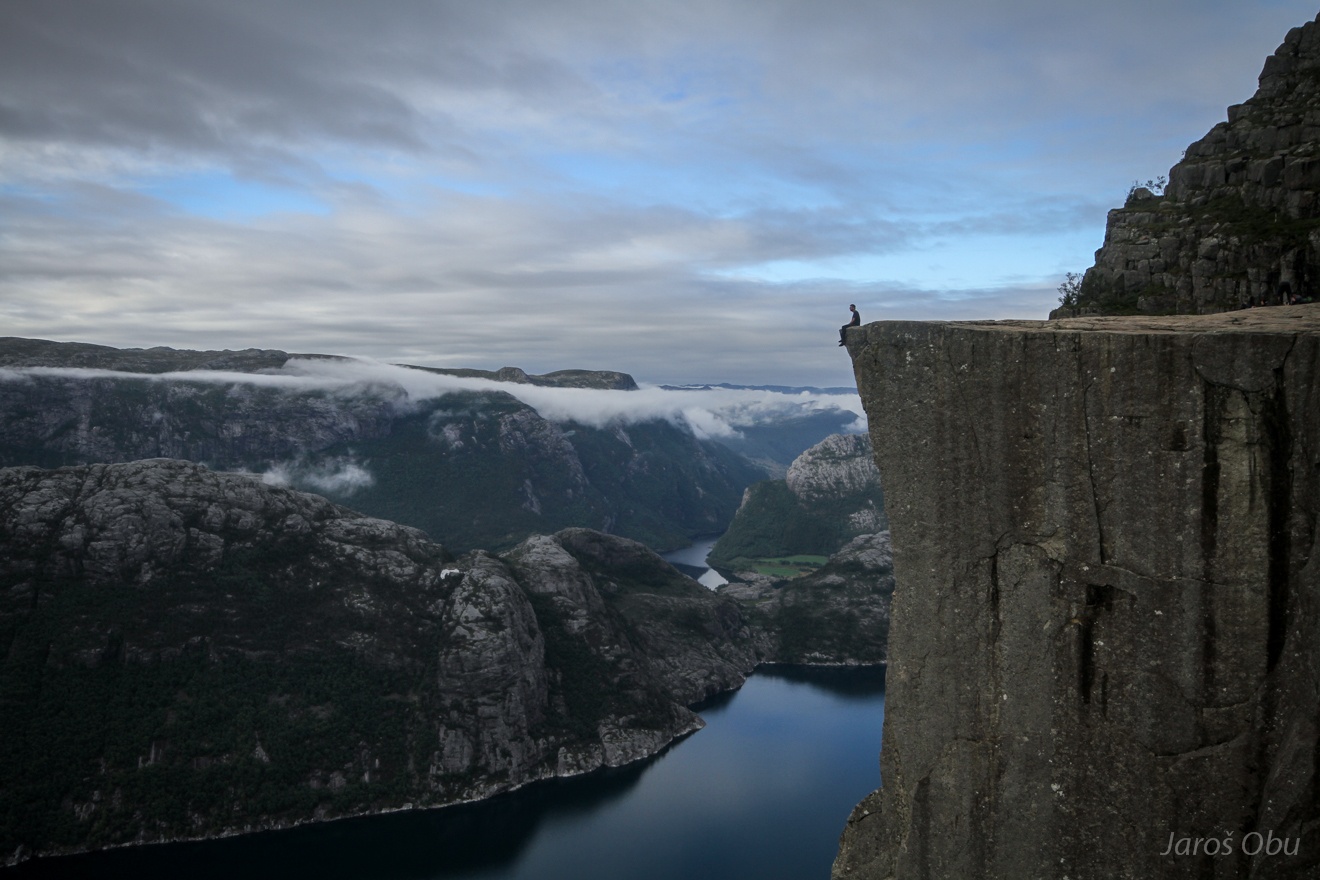
The sitting version.
The rock is likely a remnant of blocks that detached from the slope due to glacial unloading.
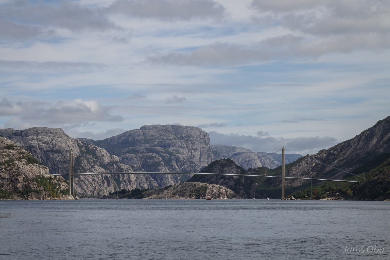
Bridge over Lysefjorden.
Taking a ferry for a short visit of Stavanger instead.
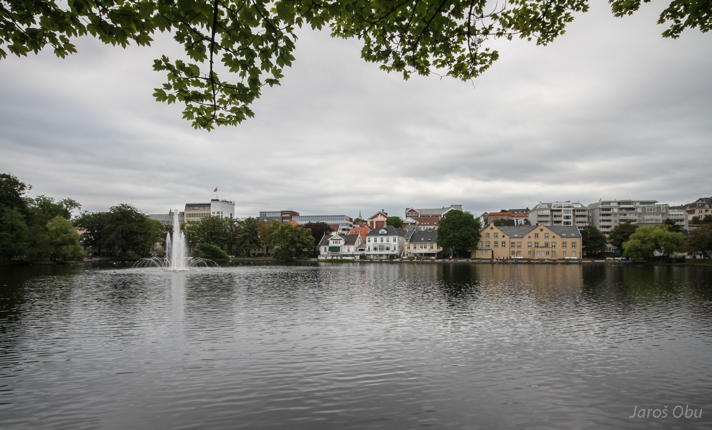
Breiavatnet lake in the middle of the city.
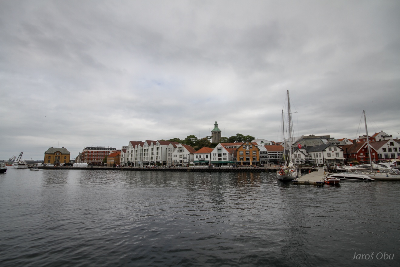
And the sea at Vestre Havn.
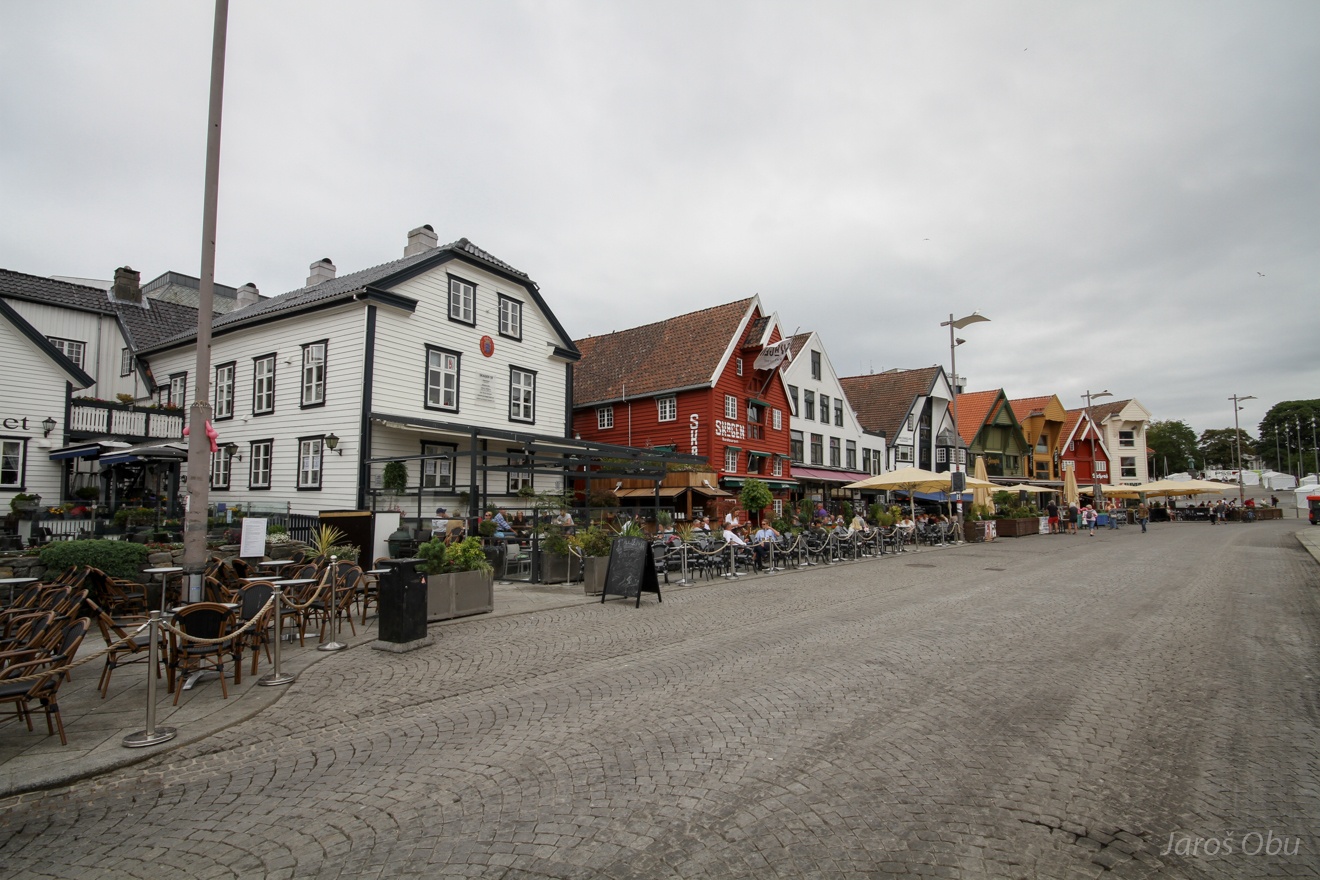
Nice wooden houses just across the bay.
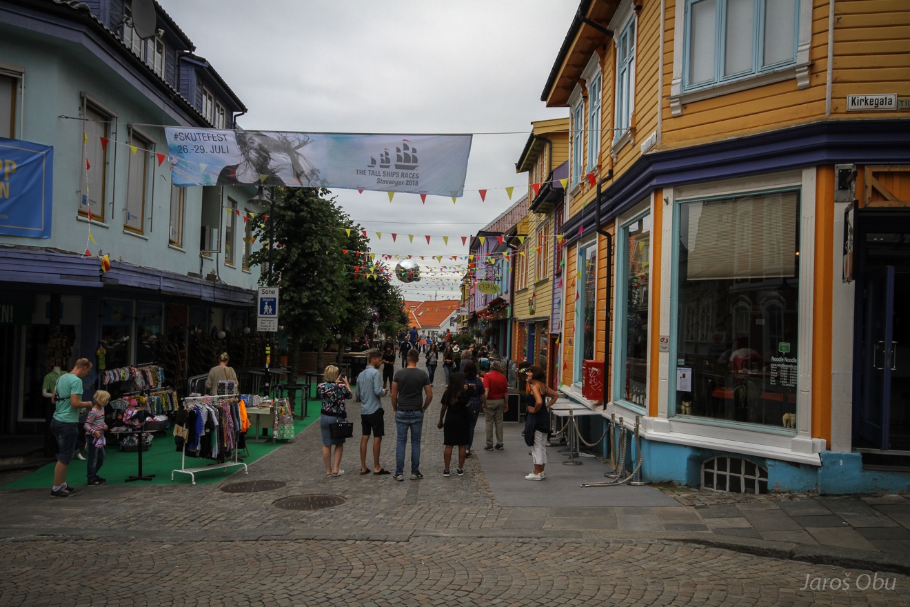
And colourful streets.
...
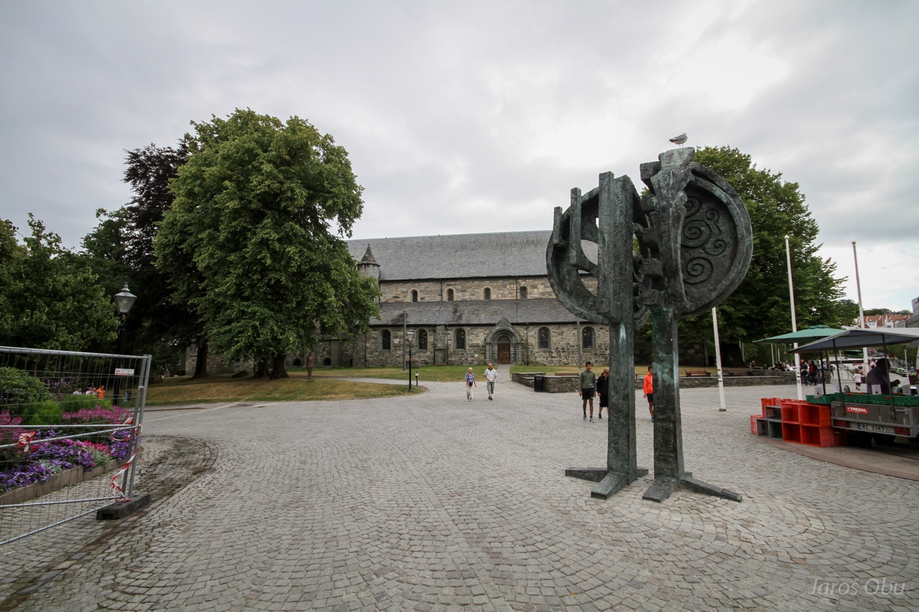
Stavanger cathedral hiding behind the trees.
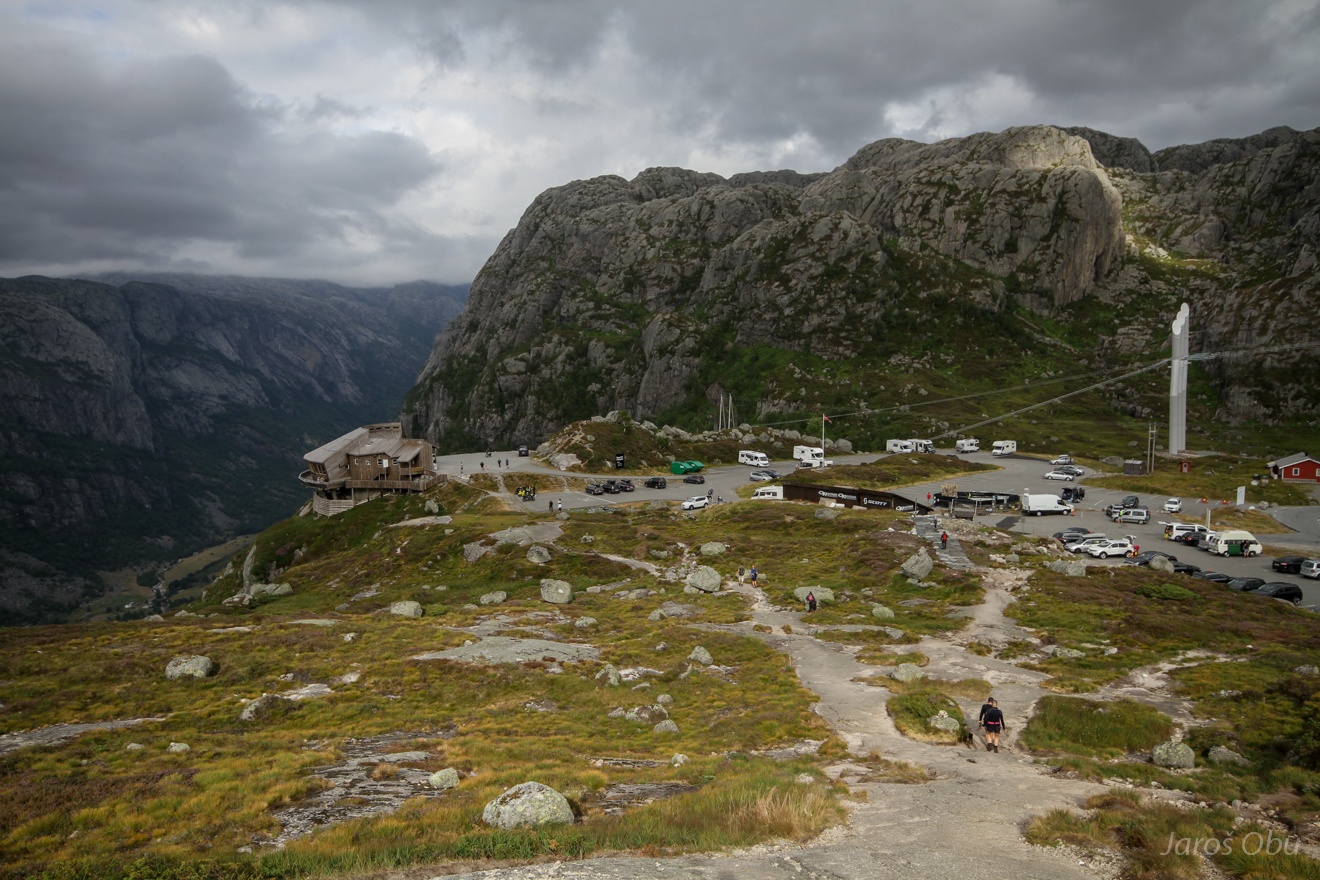
And after a while again above Lysefjord, this time on the southern side. Øygardsstølen is a starting point for a hike to Kjerag.
With many ups and downs and estimated hiking time about two hours.
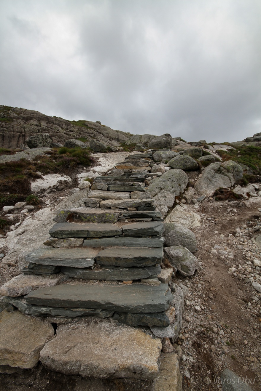
"Turistified" hiking path.
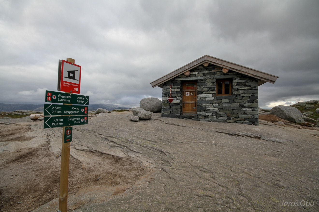
An emergency shelter on a half way there.
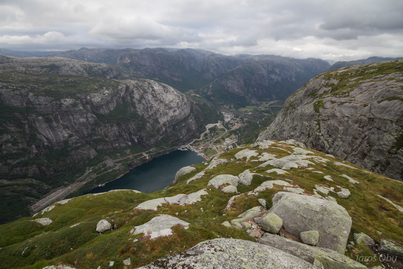
Lysebotn and Lysfjorden.
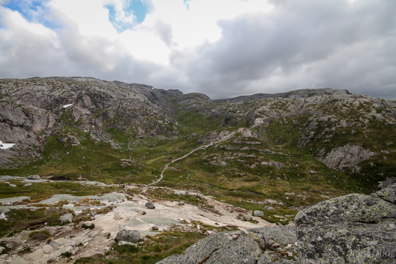
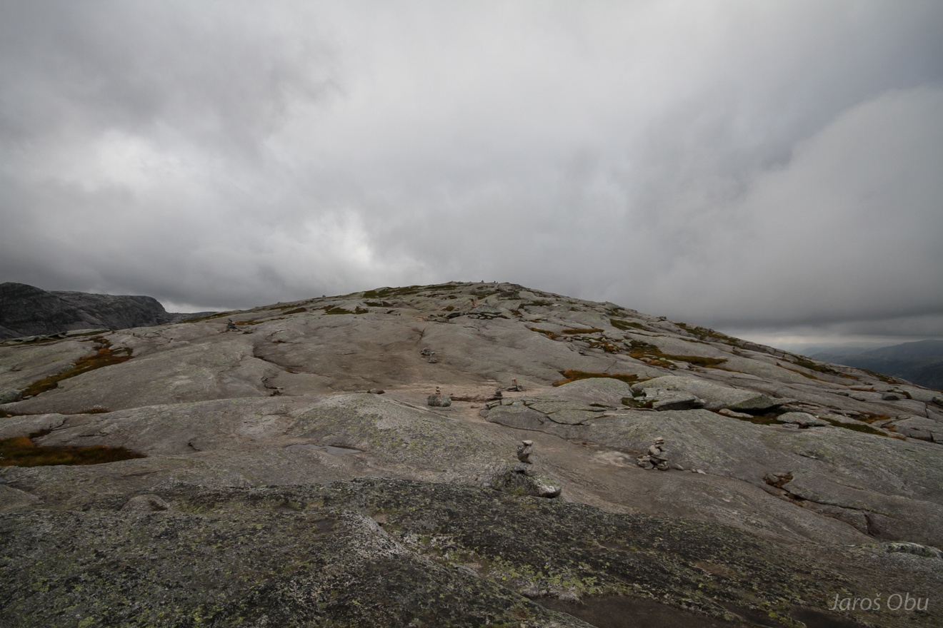
Well polished plateau.
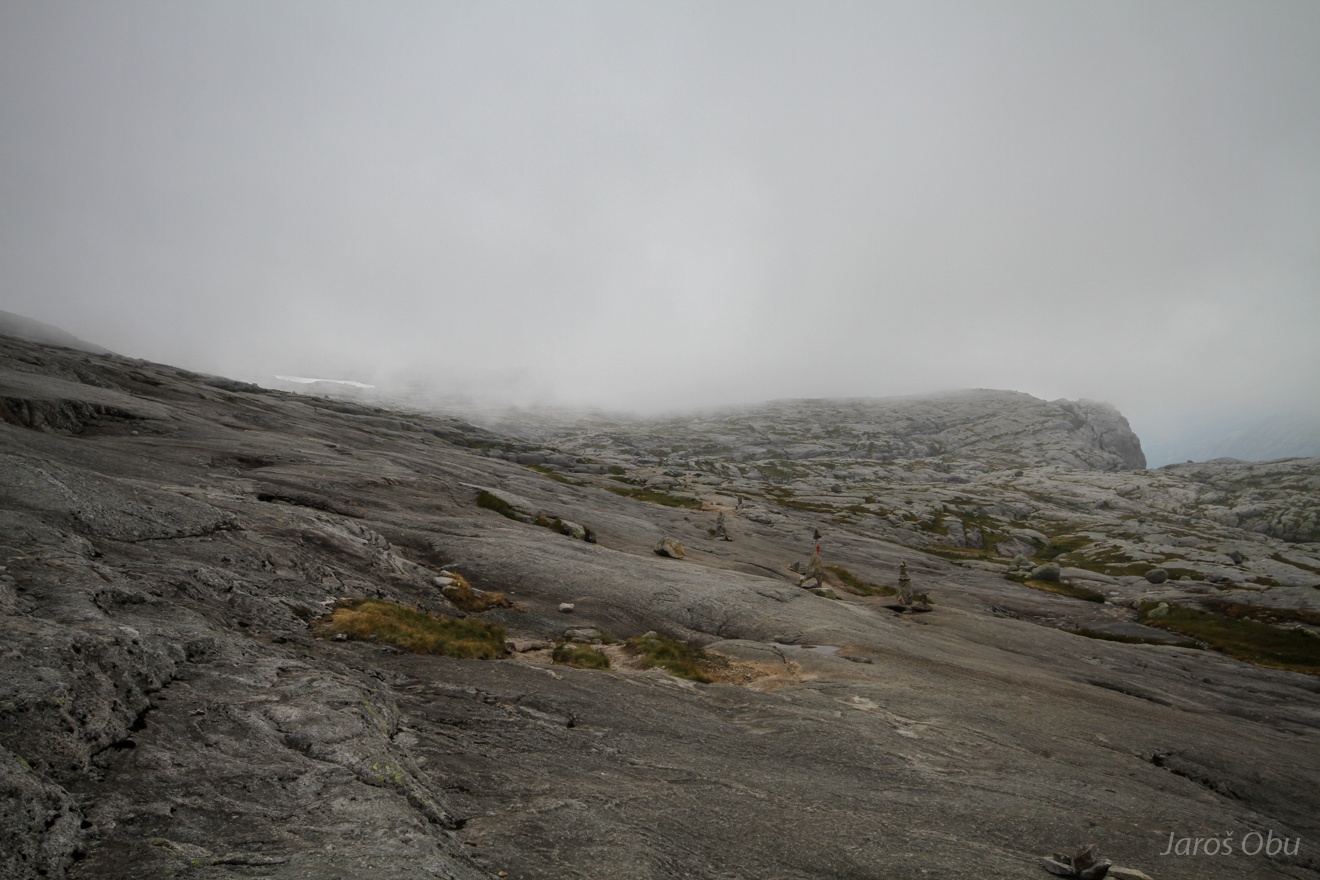
Cairns indicating the path into the clouds.
Some blue sky nevetheless.
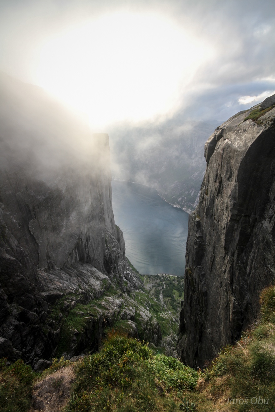
The gully indicates the vicinity of the destination.
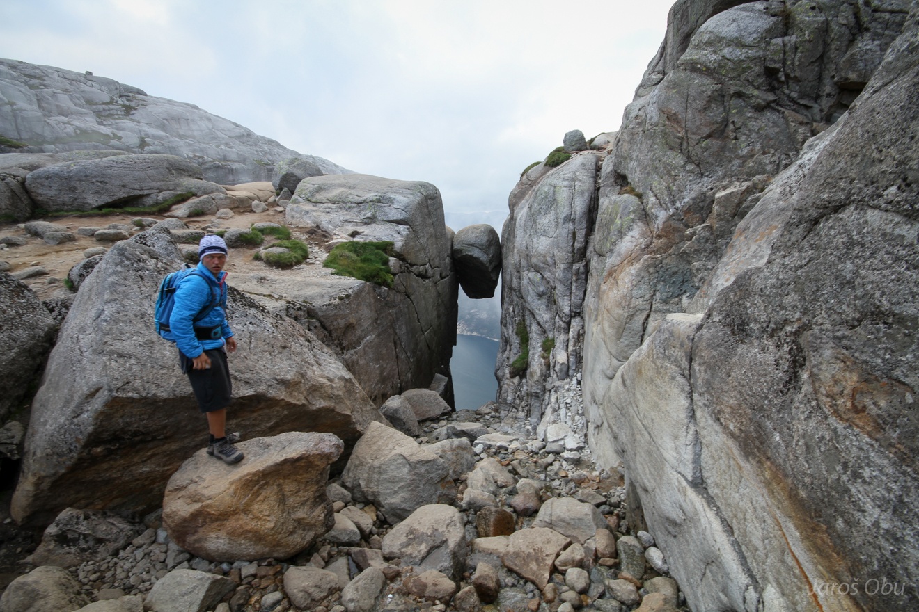
"Hey!, you brought the clouds with you to Kjerag!"
Around the corner ... the rock is awaiting a crowd. But at late evening hours I was there almost alone.
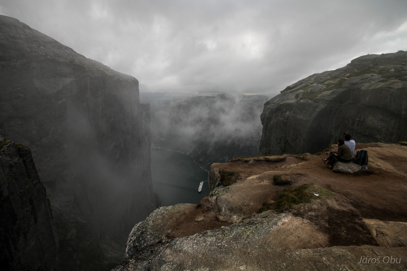
A view in the ravine below from the stone.
Almost an hour long waiting followed ... for clouds and fog to disappear.
Here is it. A short opportunity for the photo.
Standing on the last of the three famous rock formation tourist attractions during this trip.
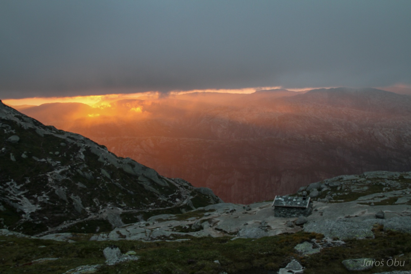
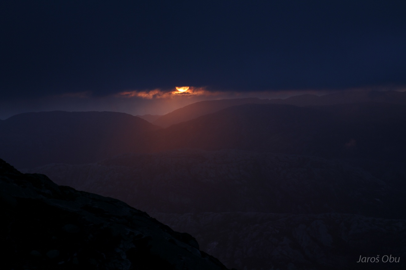
Sunset caught me on a way back at the hut.
...
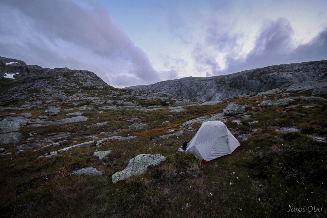
Managed to find not too wet and not too hard place to overnight.
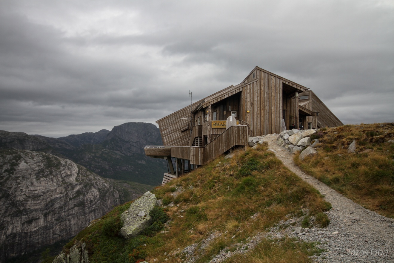
Øygardsstølen hut back at the parking lot next morning.
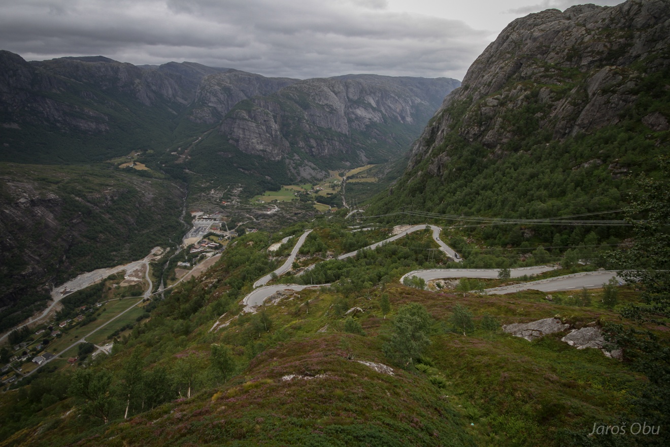
27 bends along the road down to Lysebotn.
"Hey! You are standing on the fake one!"
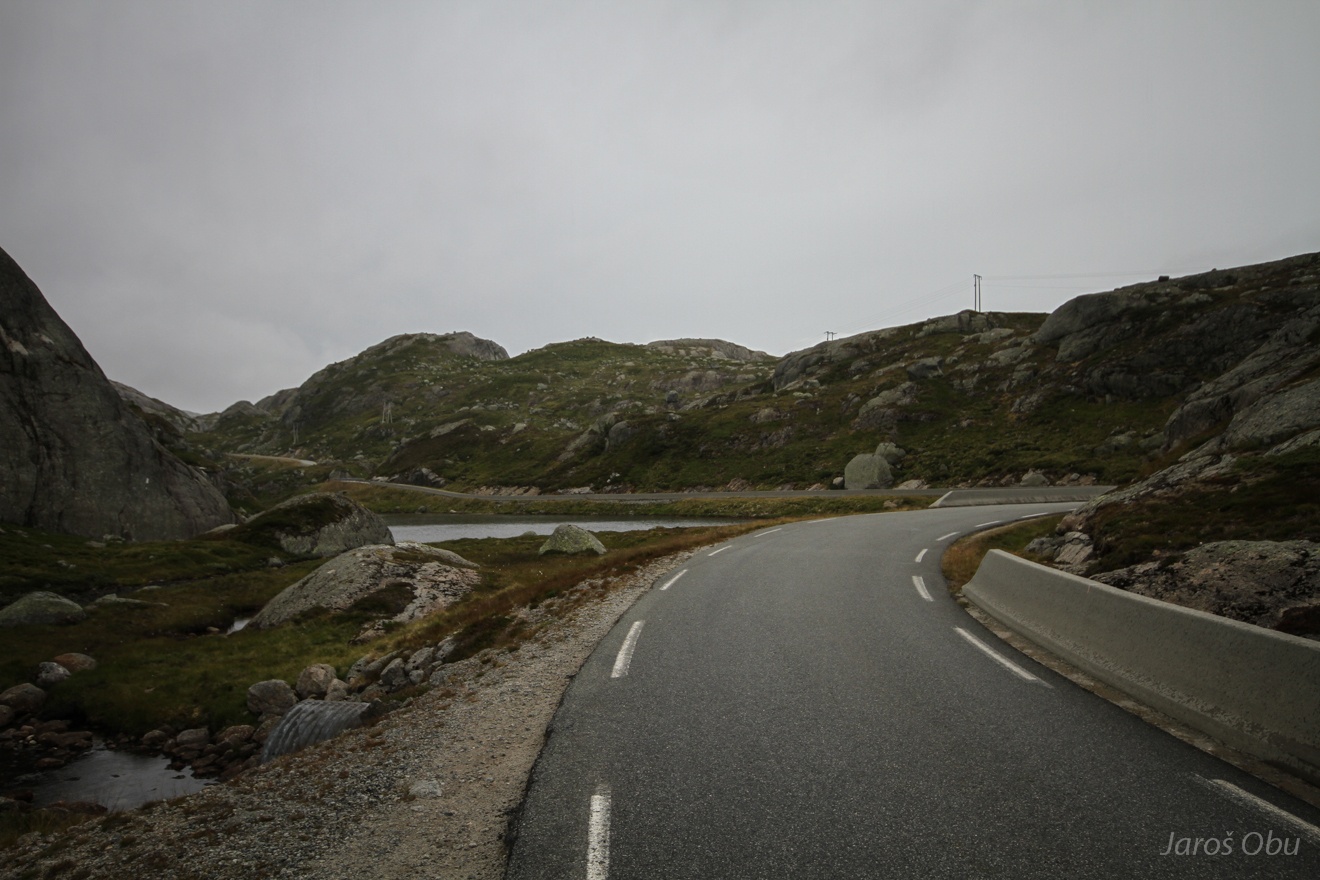
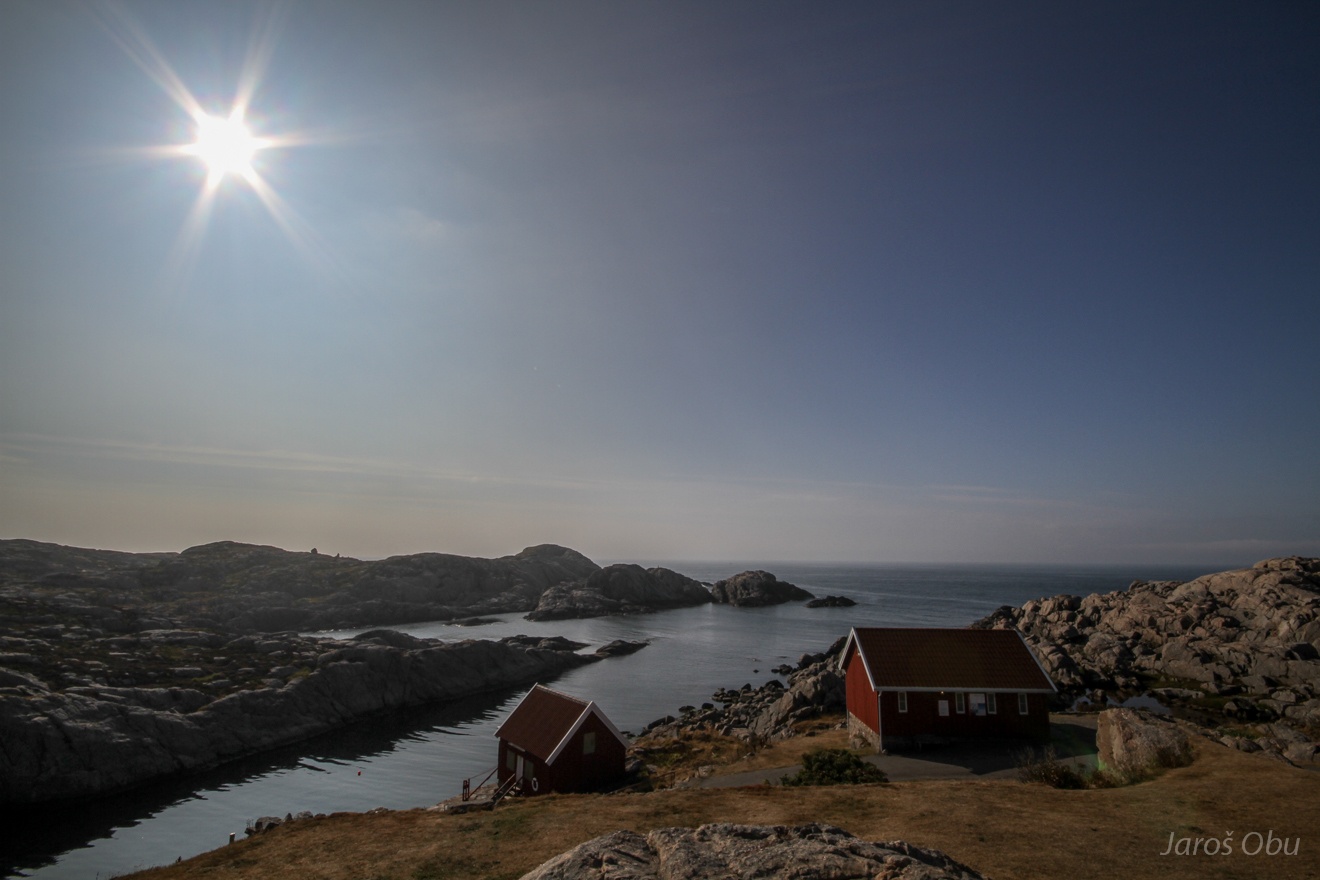
Instead of going to Lysebotn I took a scary narrow road over the mountain towards the south.
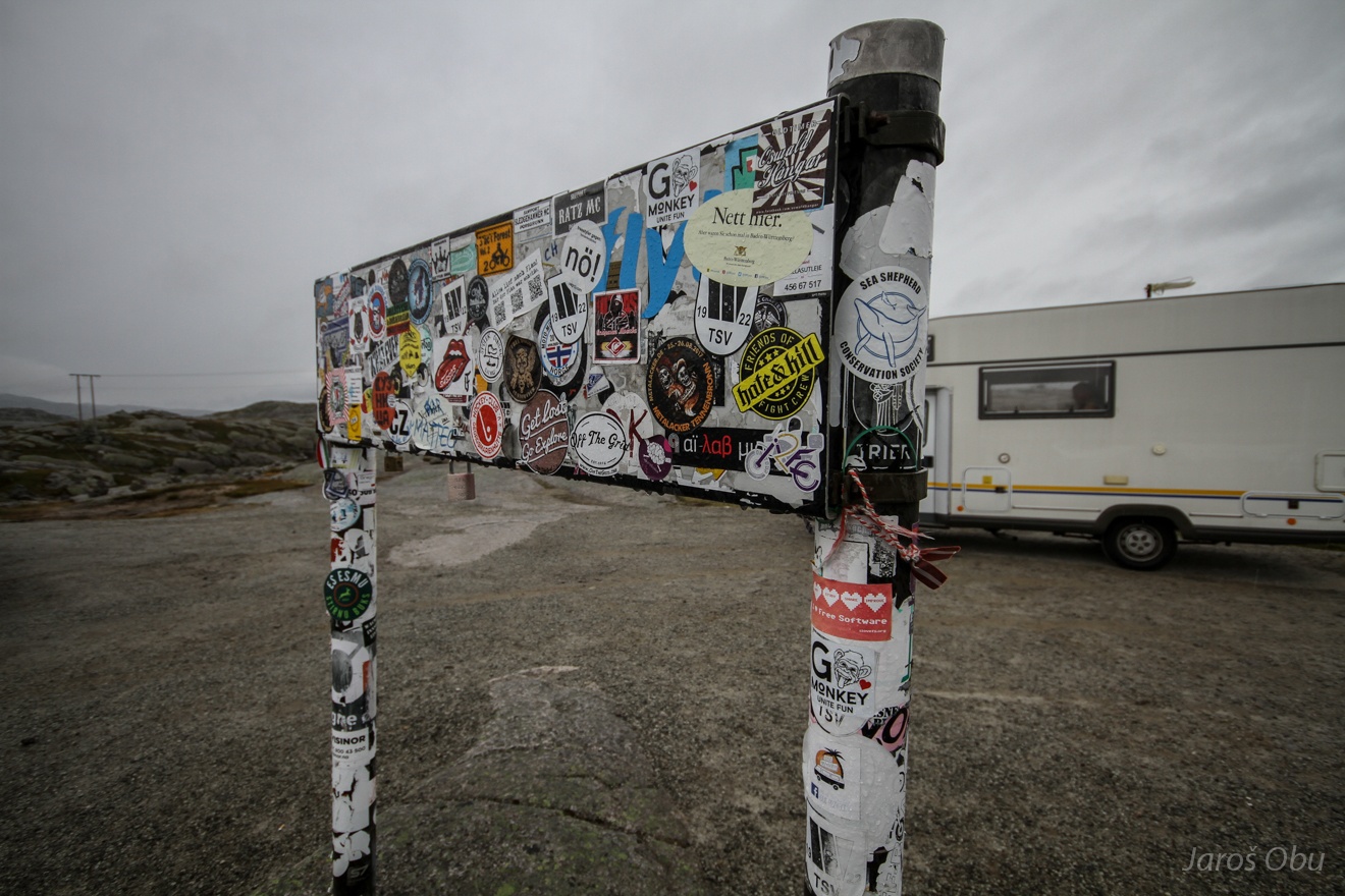
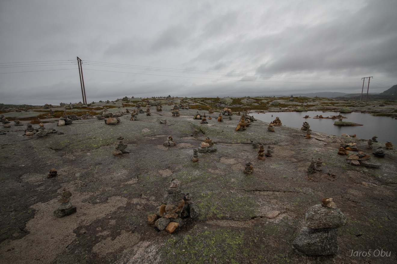
At resting area on the gently undulating mountains.
Freemasonery's paradise.
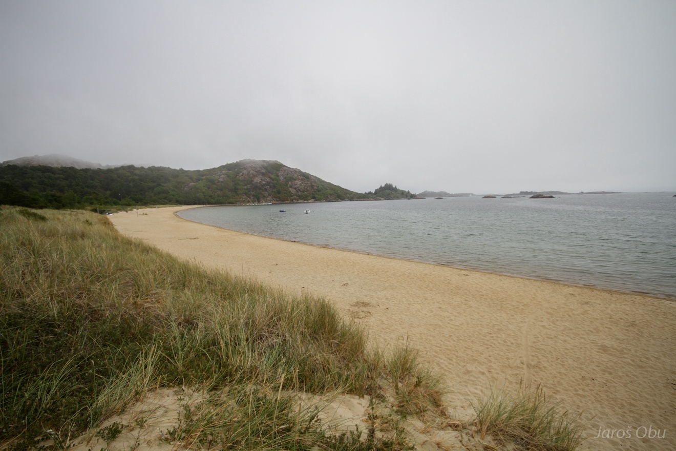
Sandy beaches close to Farsund in the South of Norway.
Einarsneset Peninsula is a protected sand-dune area.
Abundant shells on some places.
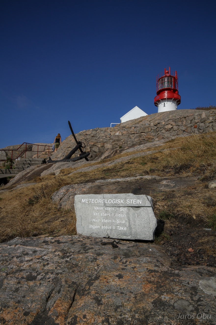
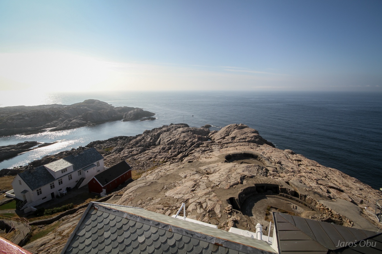
Visit of Lindesnes next day, which is the southernmost place in Norway.
The second meteorological stone during this trip.
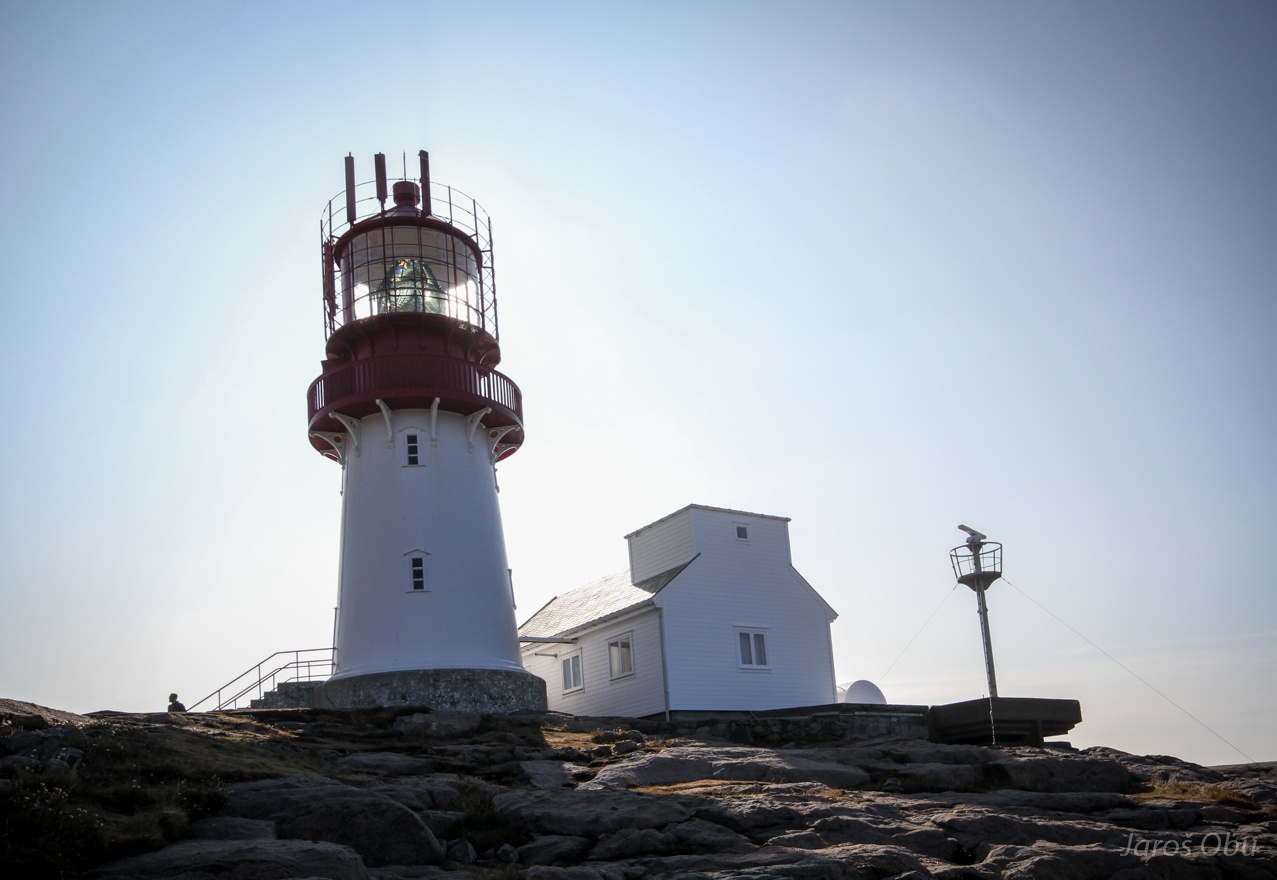
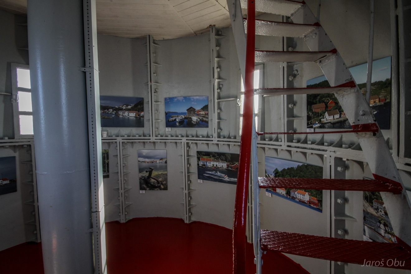
Lindesnes lighthouse.
It operated from 1656 until shut down in 1988.
Now turned into a museum.
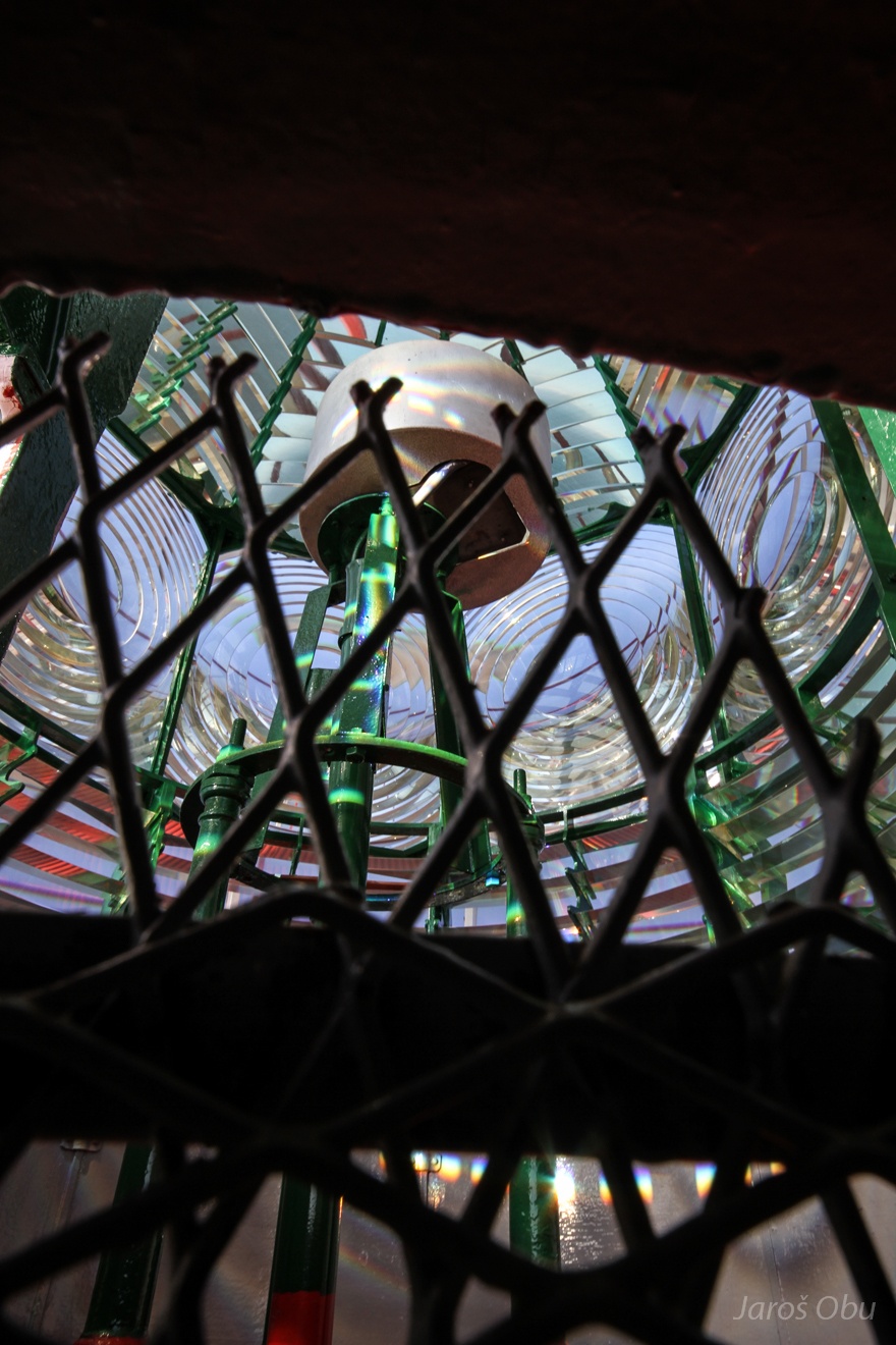
Fresnel lens ... used to efficiently disperse light horizontally.
Southernmost point of Norway from the lighthouse. And time to go home.