© 2024 Jaroš Obu
Photo gallery of Jaroš Obu
Cart
0
Items
Buy now
Queenstown 8.-12.12. 2019
Tuesday, 10 December 2019
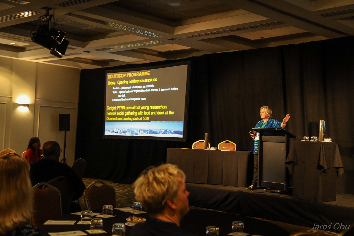
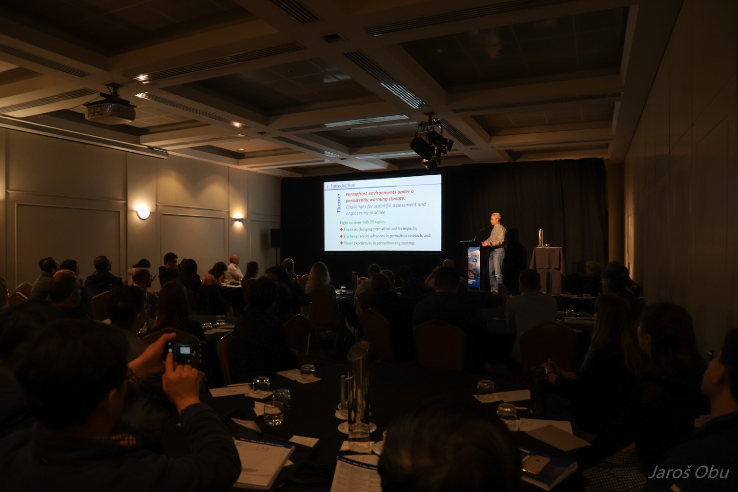
Megan Balks is opening the SouthCOP permafrost conference.
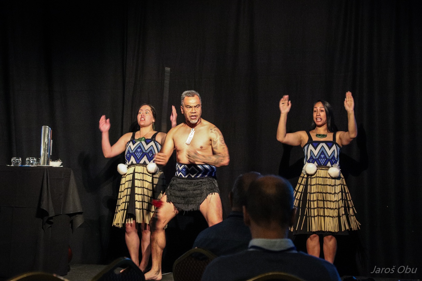
Maori people performing their traditional dance with scary face expressions during the opening ceremony.
And singing with more pleasant face expressions.
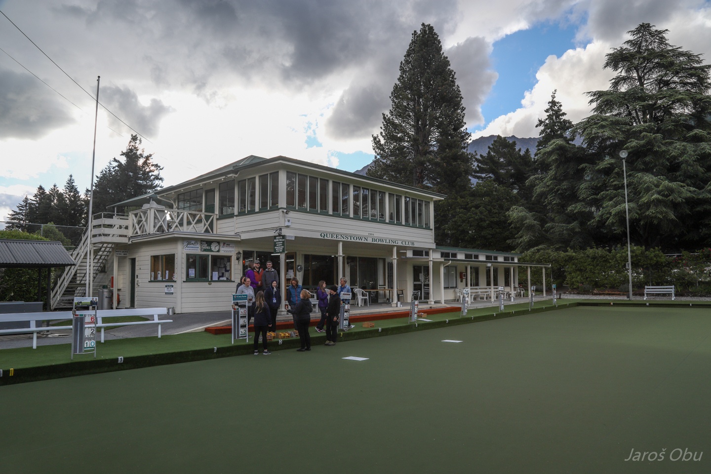
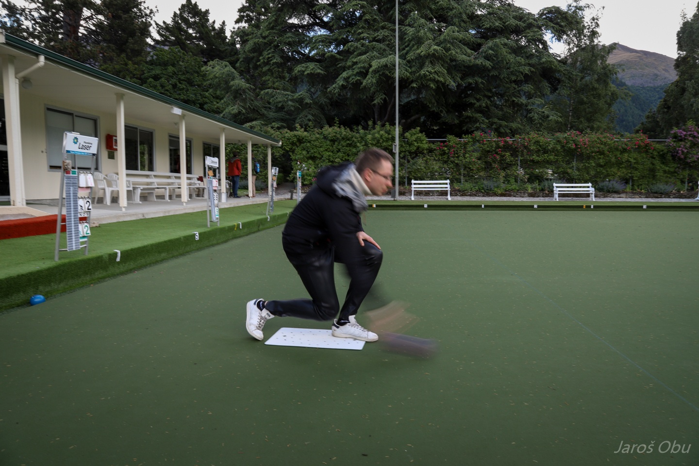
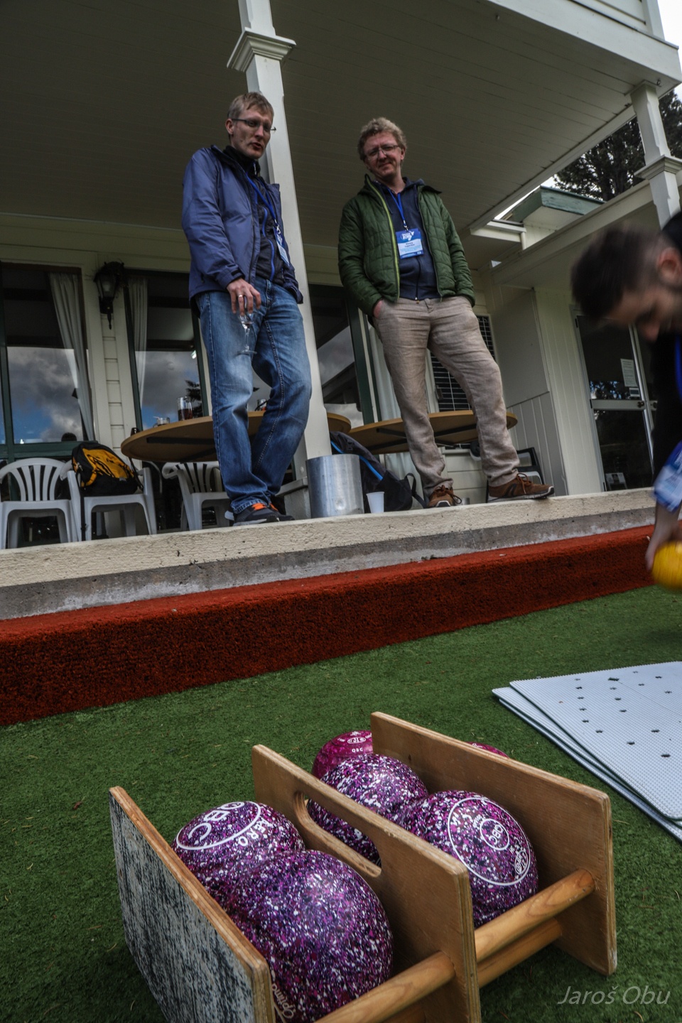
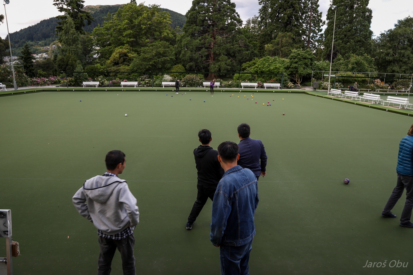
Ice-breaker for young researchers at Bowling Club in Queenstown Gardens.
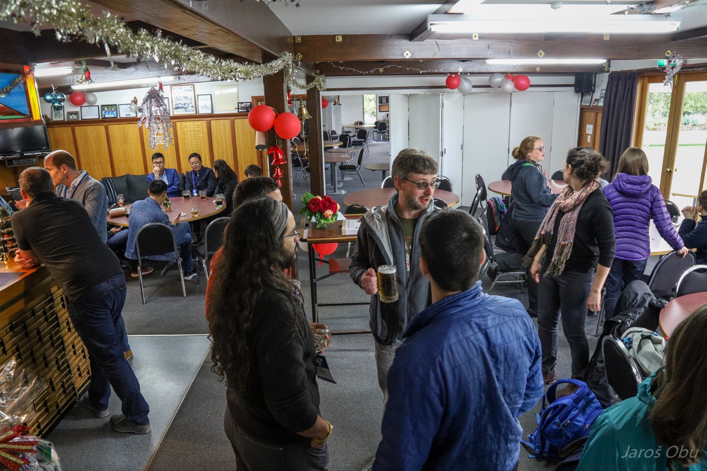
First beer and mingling ...
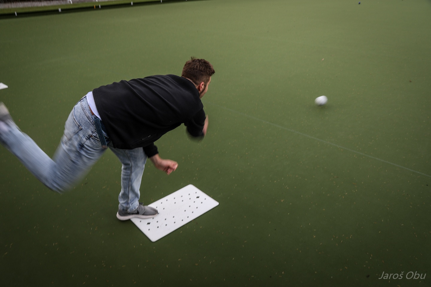
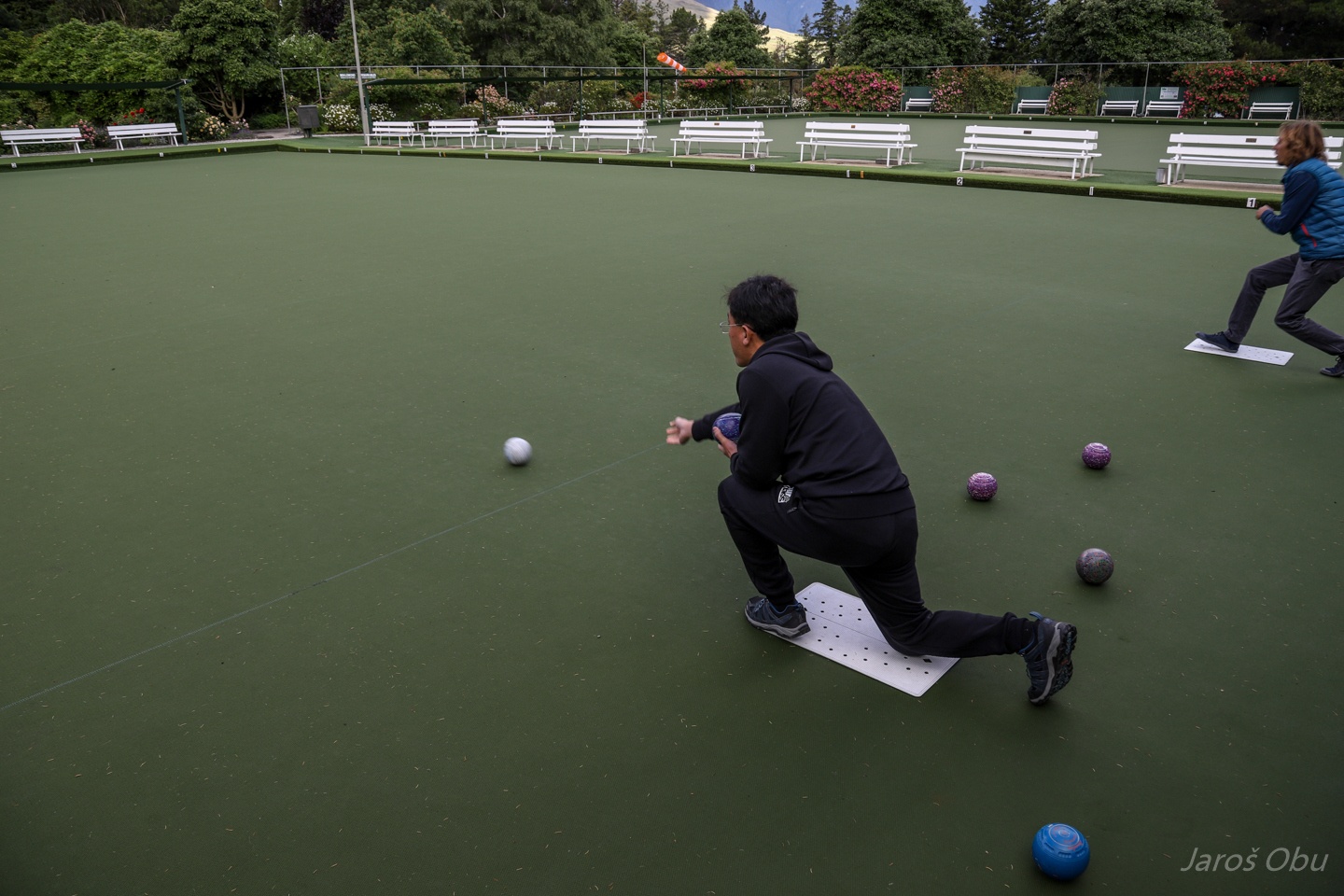
... and bowling afterwards.
Slightly different type of bowling. Asymmetrical balls with curved moving path.
It doesn't work with force.
But a more sophistcated approach is required.
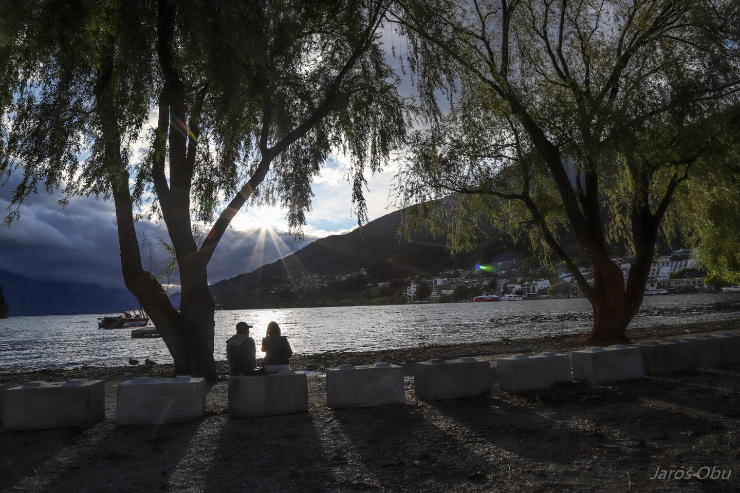
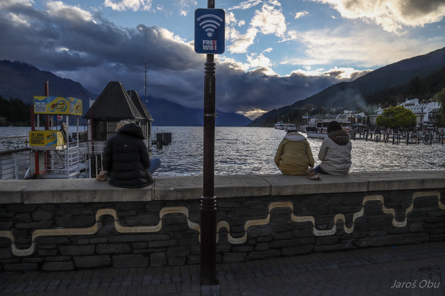
Queenstown over the Wakatipu Lake from Queenstown Gardens.
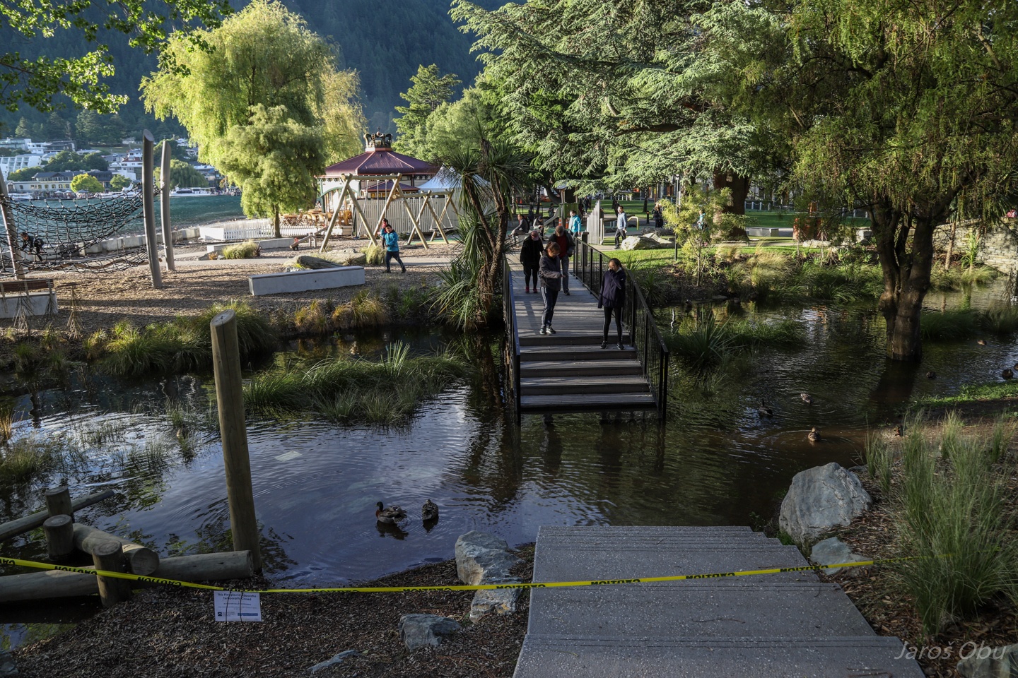
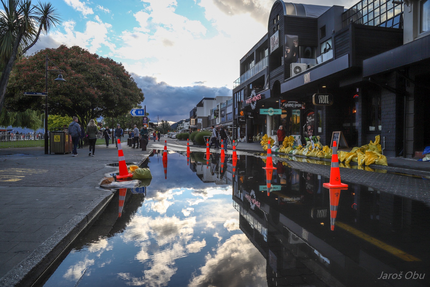
Flooded footpath.
By the lake.
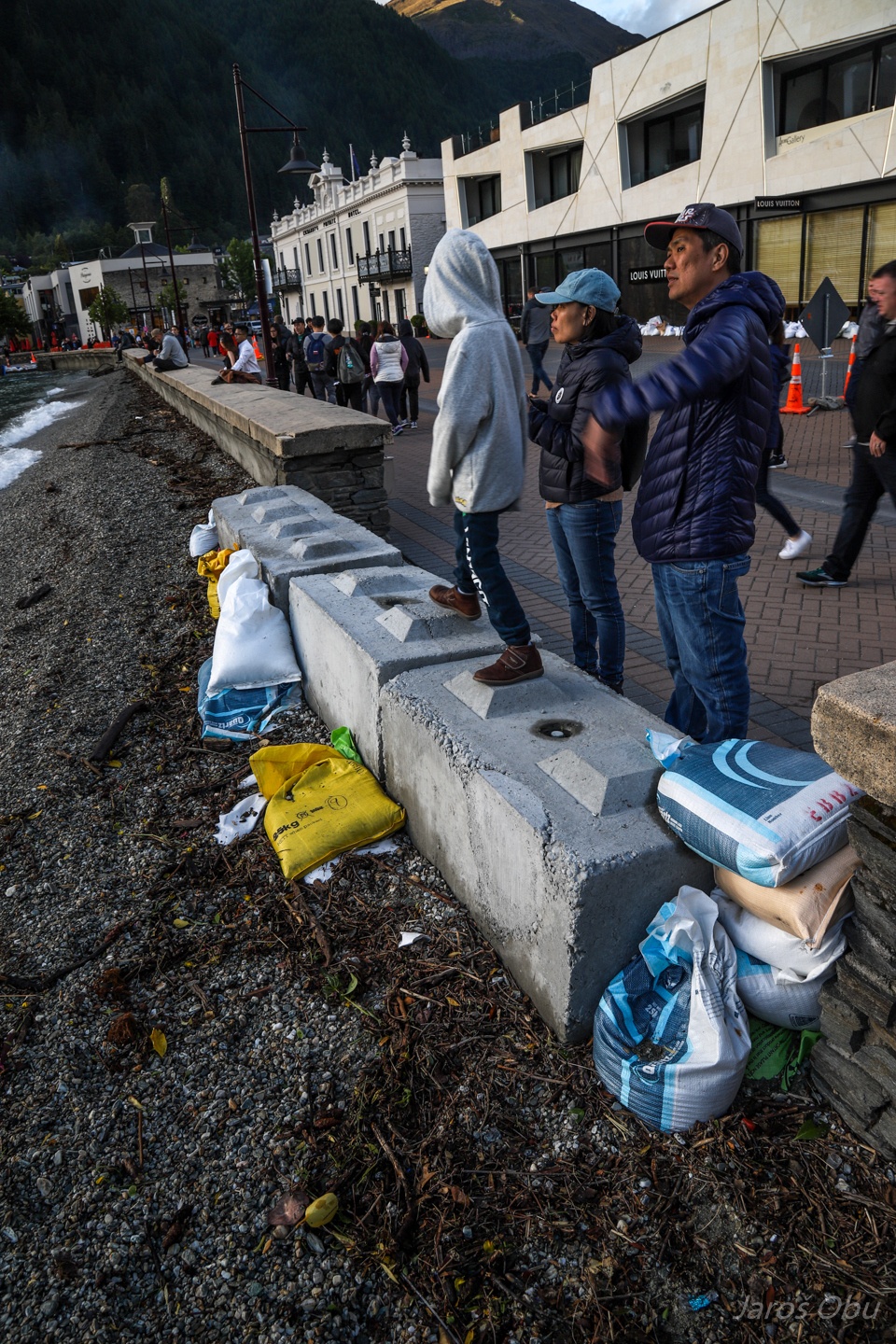
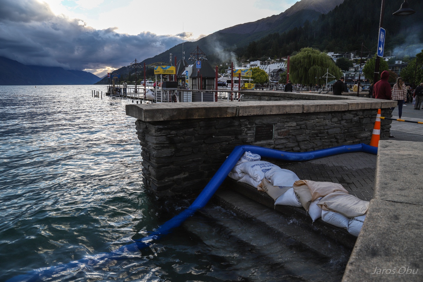
Fighting high lake water levels that are a result of long lasting rain from last week.
Queenstown waterfront.
More flooding from sewage.
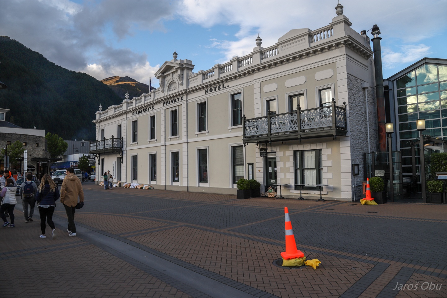
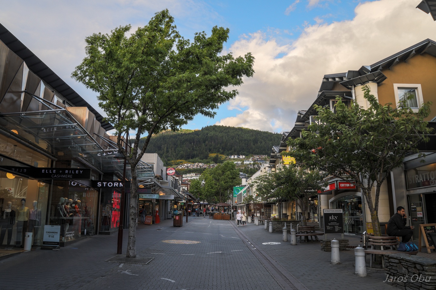
The Mall street with many restaurants.
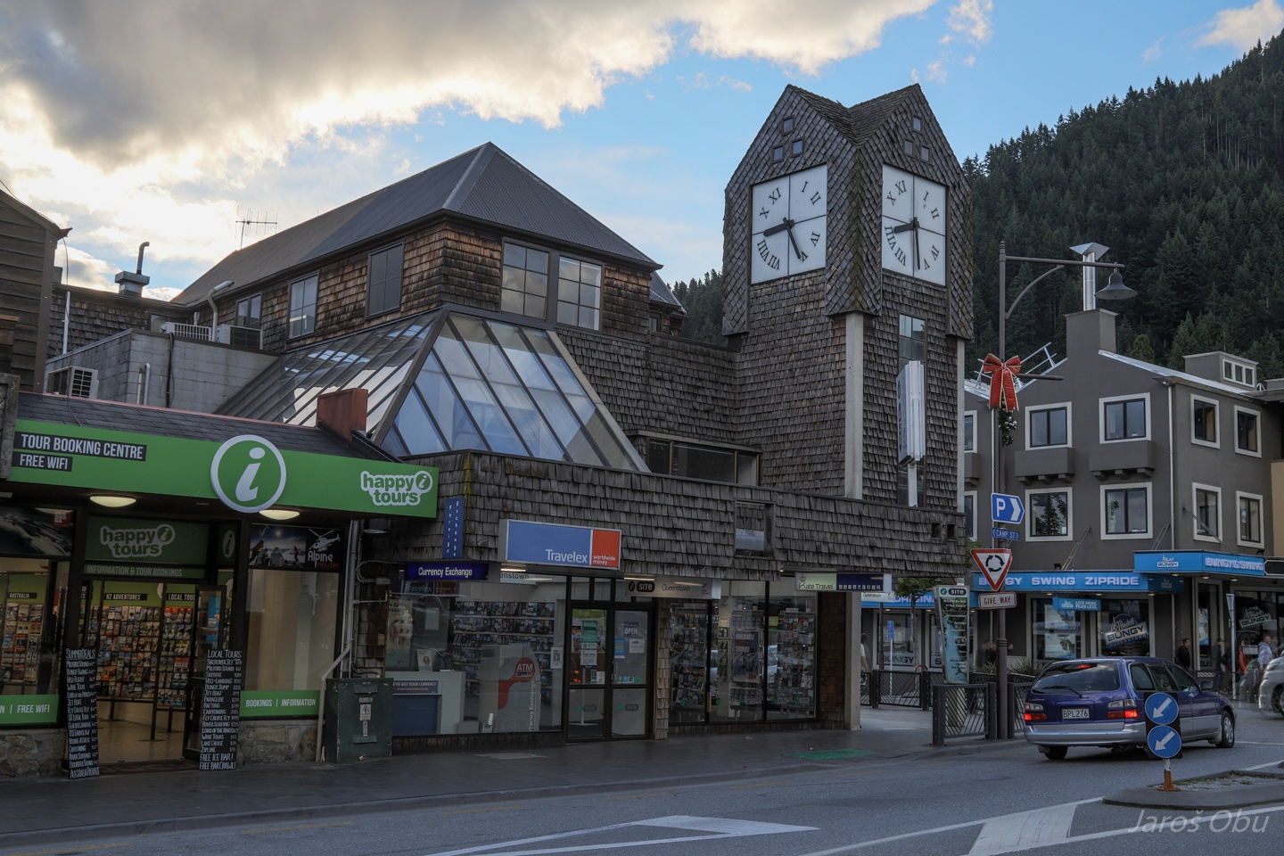
Queenstown Clock Tower.
Queenstown is full of such advertisements for all the possible activities.
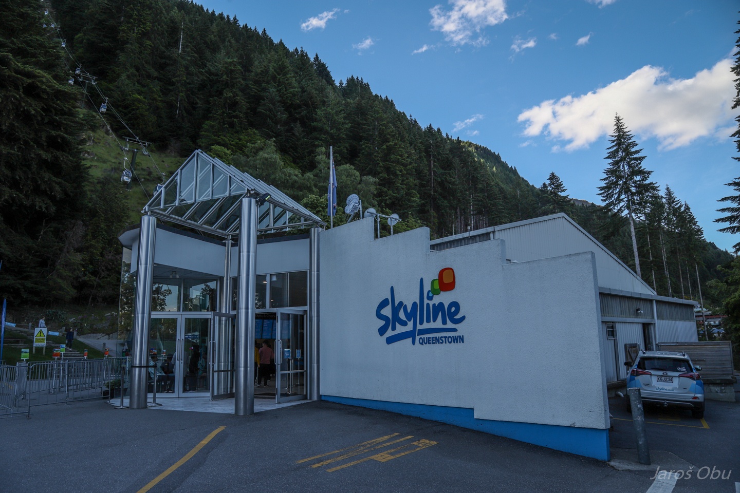
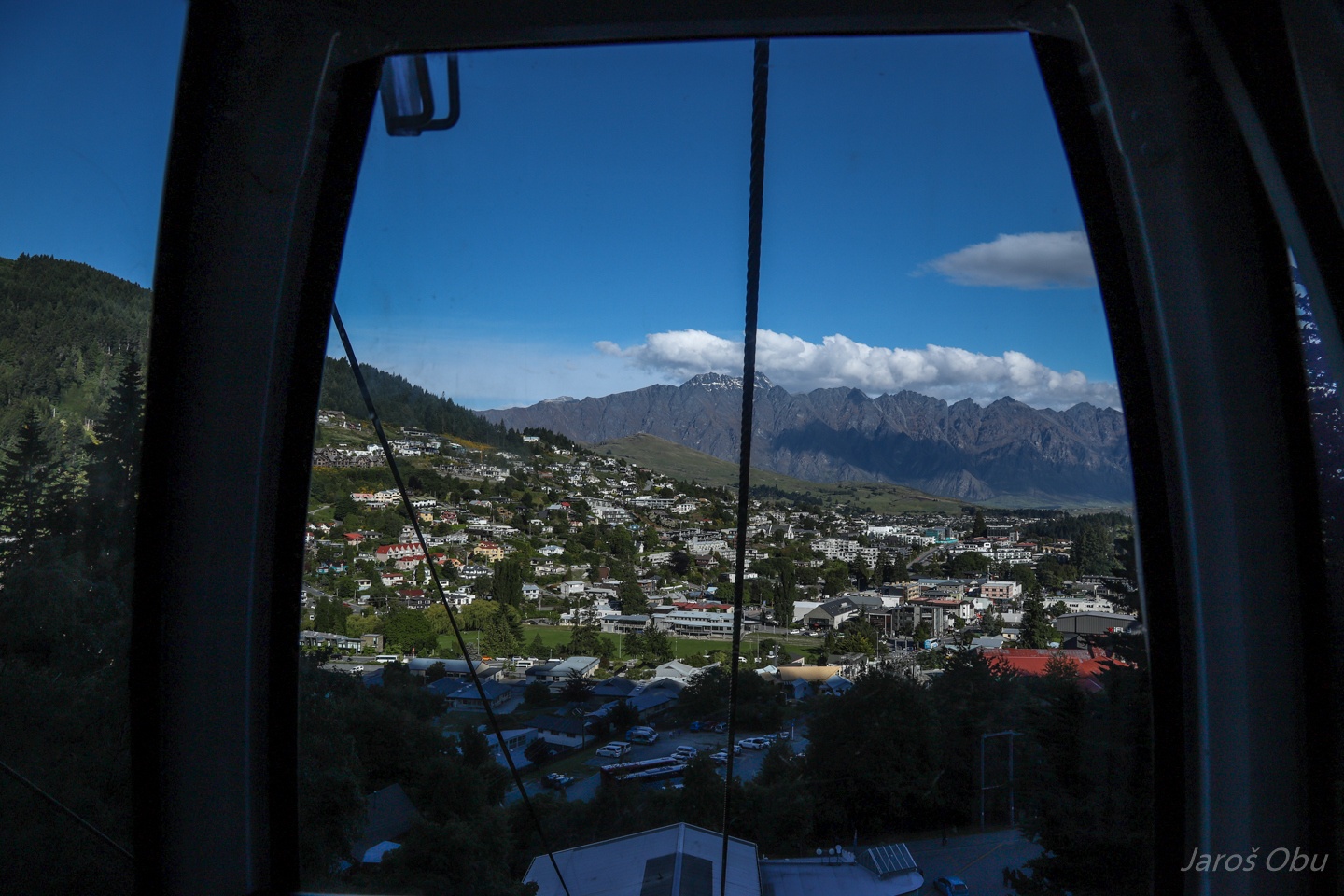
Skyline gondola takes you on the nearby hill.
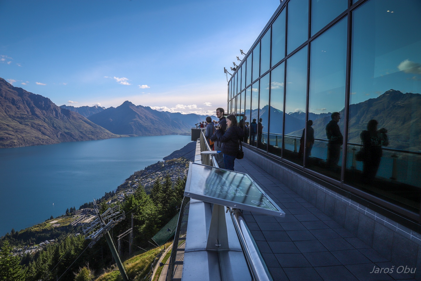
Inside a transparent egg.
Skyline Viewing Gallery.
With the conference participants.
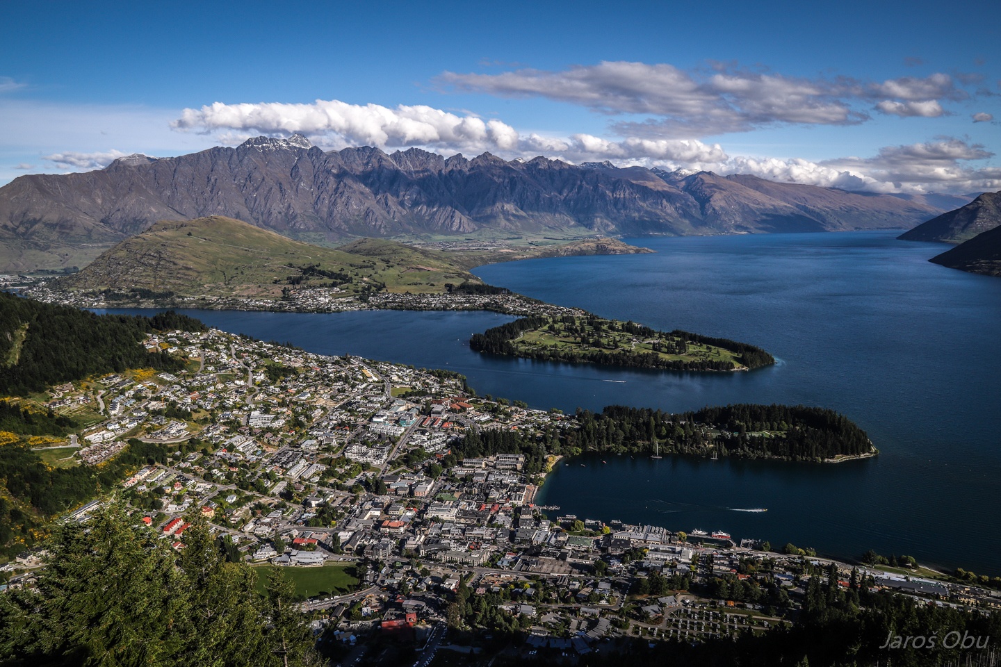
Queenstown with The Remarkables Mountain range behind is one of the most commonly shown photos of New Zealand.
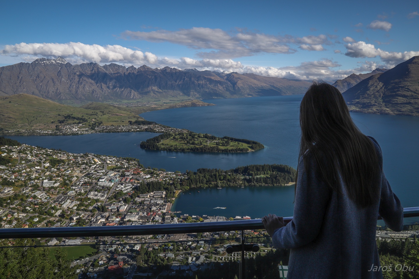
Justyna would like to visit The Remarkables.
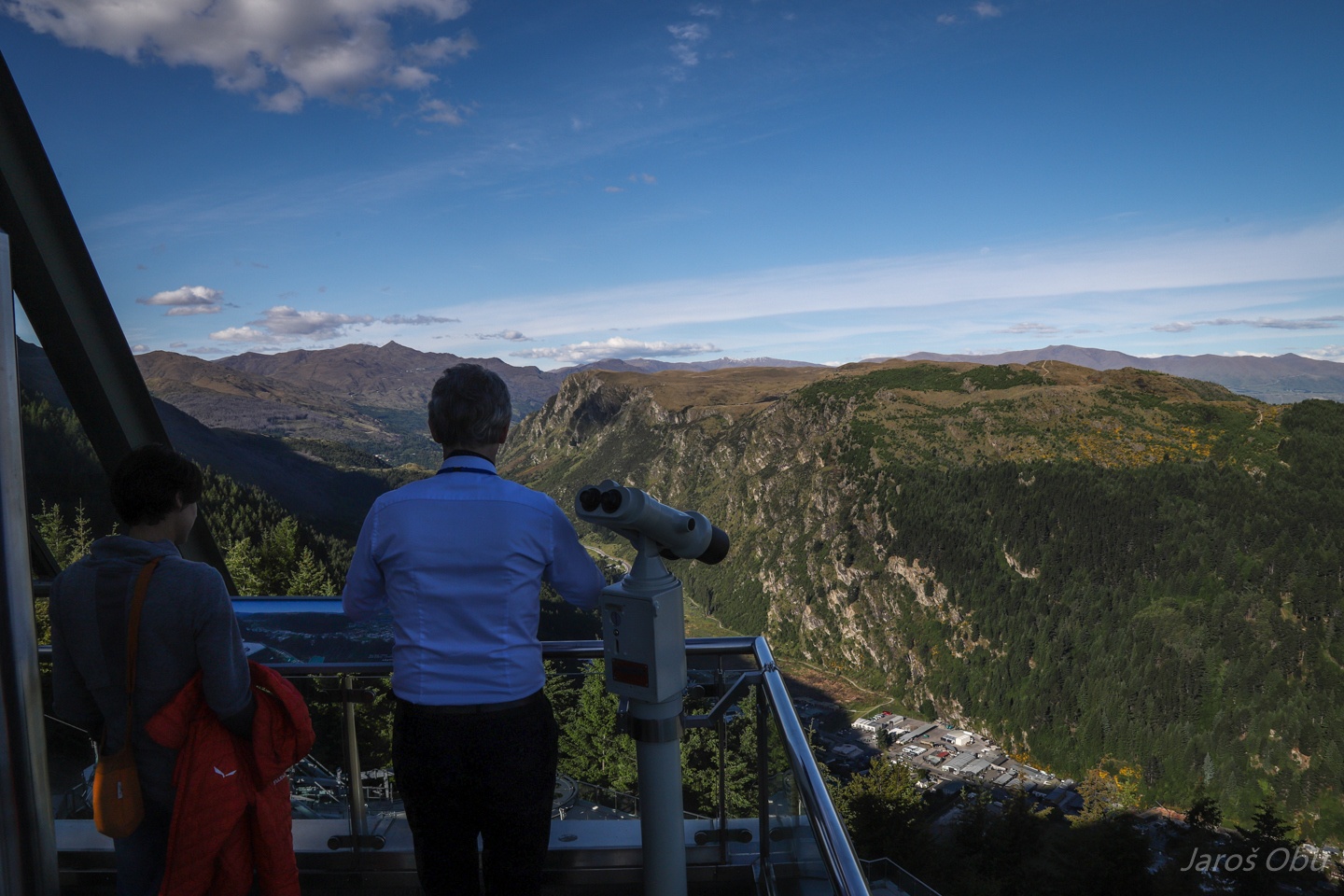
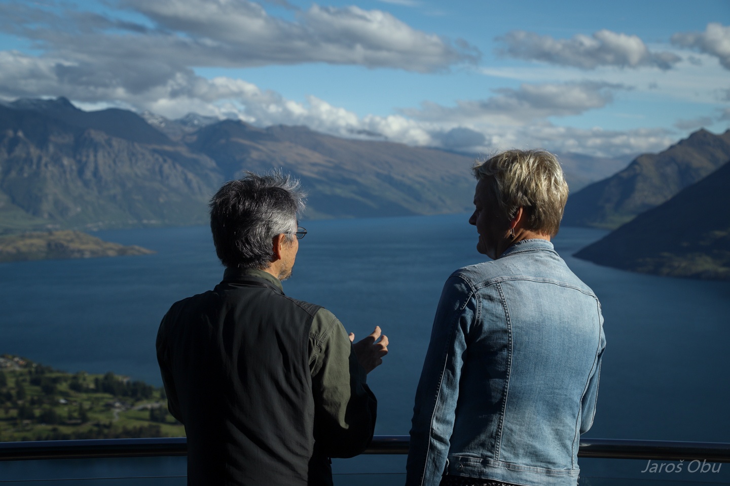
Debating science with a view.
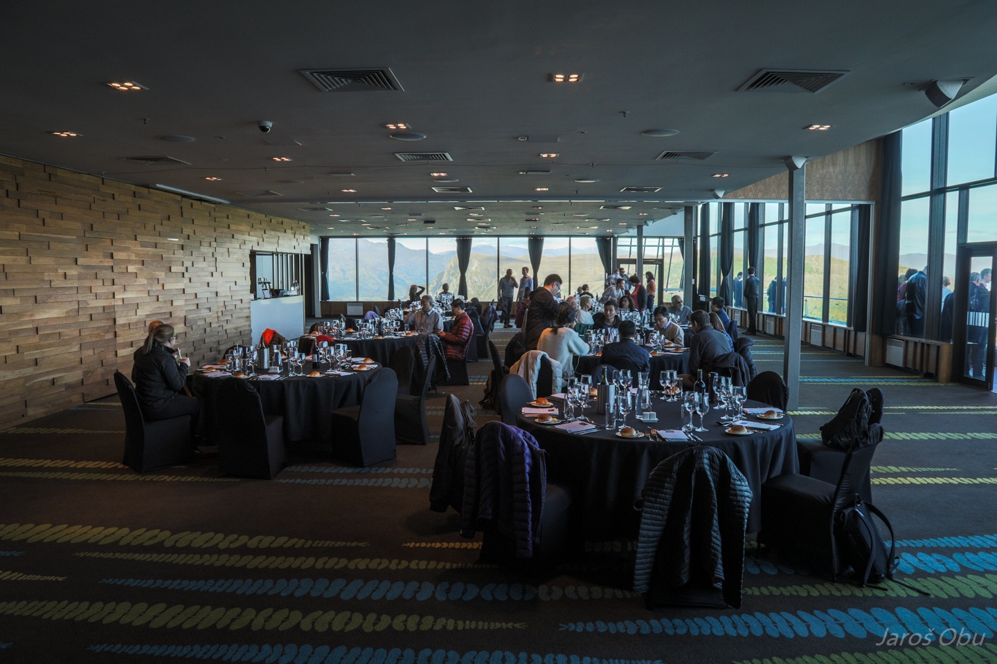
Fancy restaurant with the view.
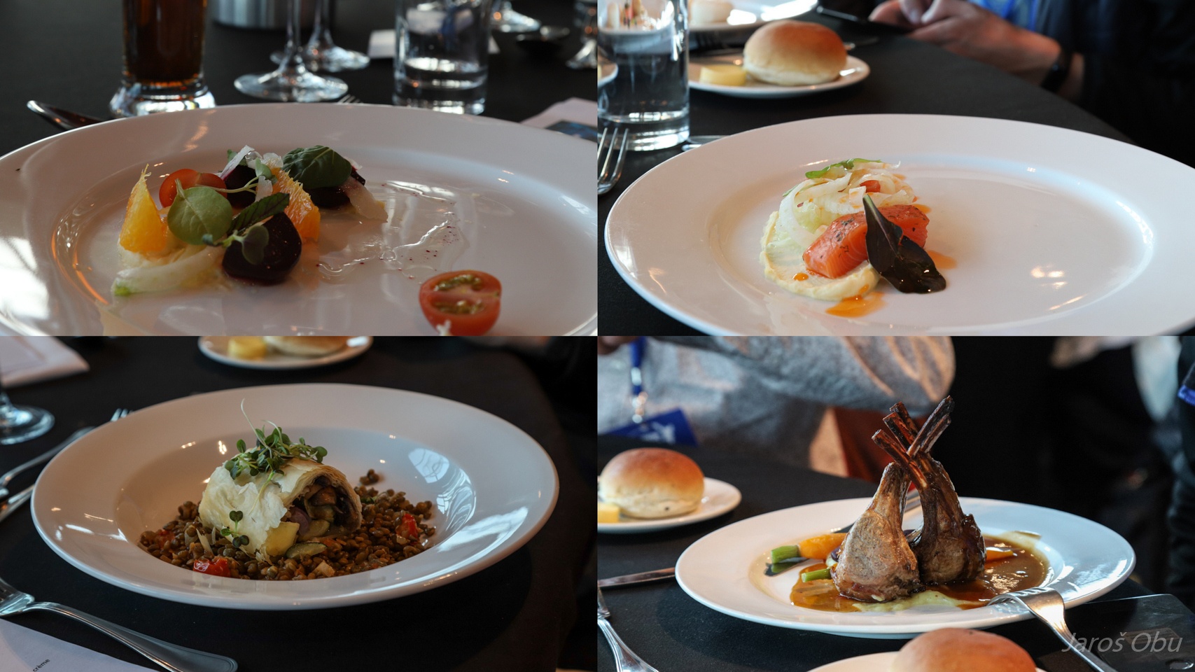
Vegetarian meal on the left and non-vegetarian on the right. Vegetarian starter is especially 'impressive'. The non-vegetarin is in the context. There are many more sheep in New Zealand than people.
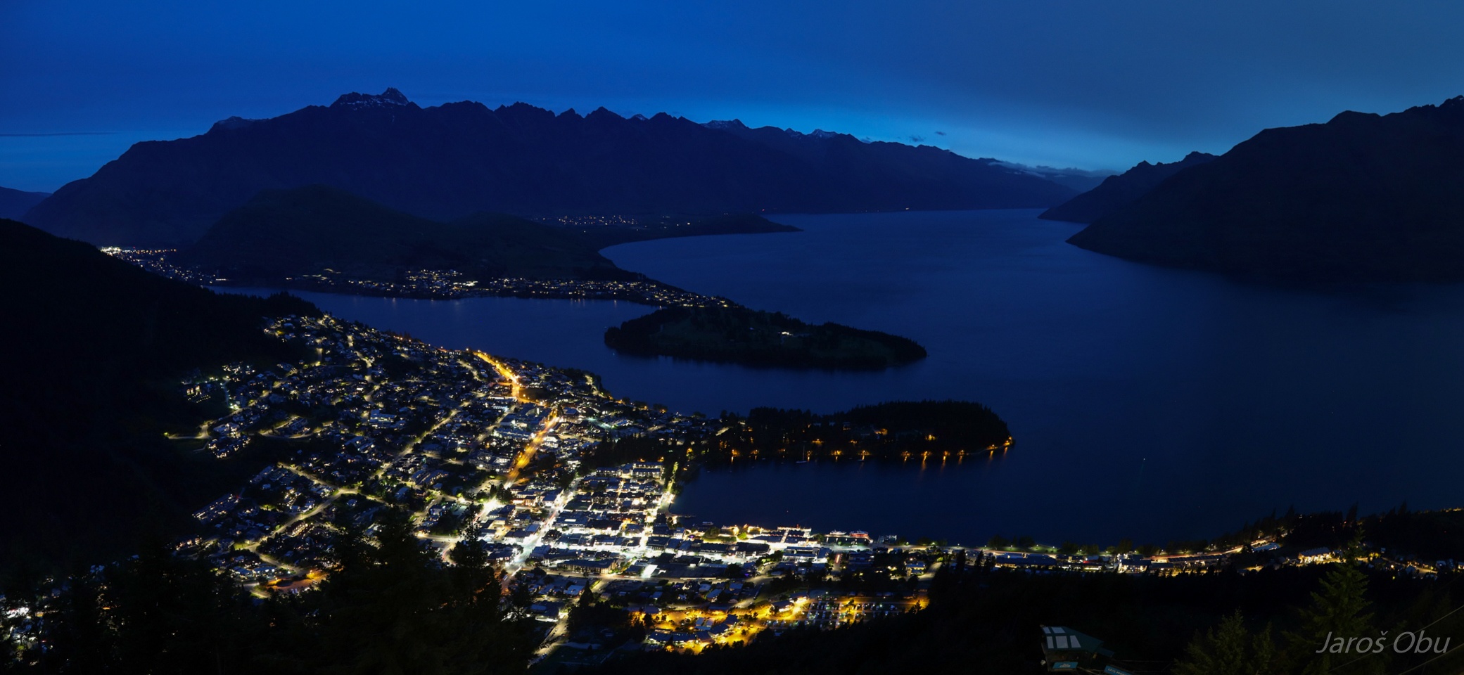
Evening panorama.
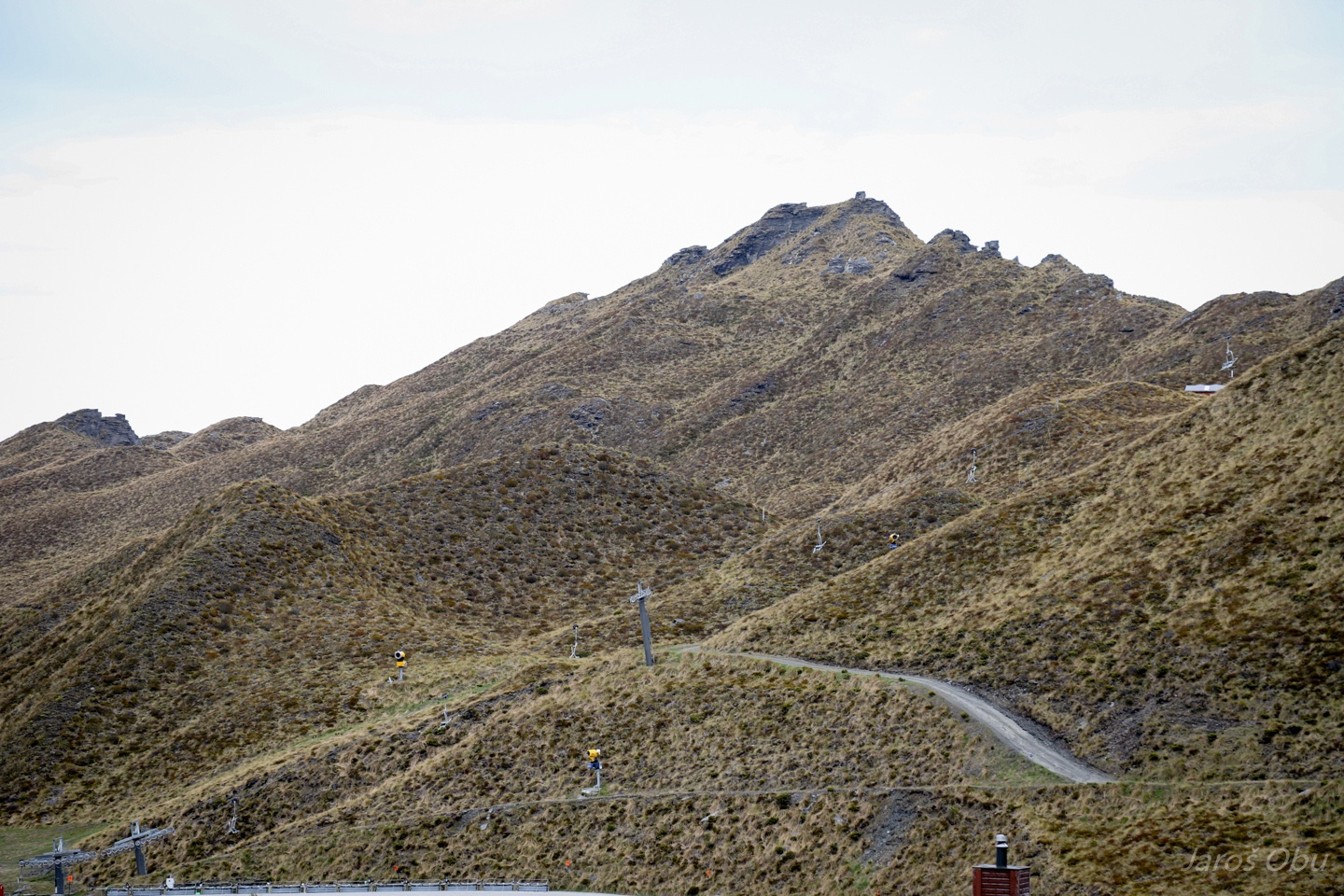
Start of the mid-conference on Coronet Peak. Rugged terrain is a consequence of landslides - whole parts of the slopes are moving down.
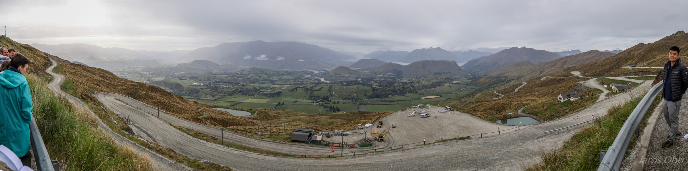
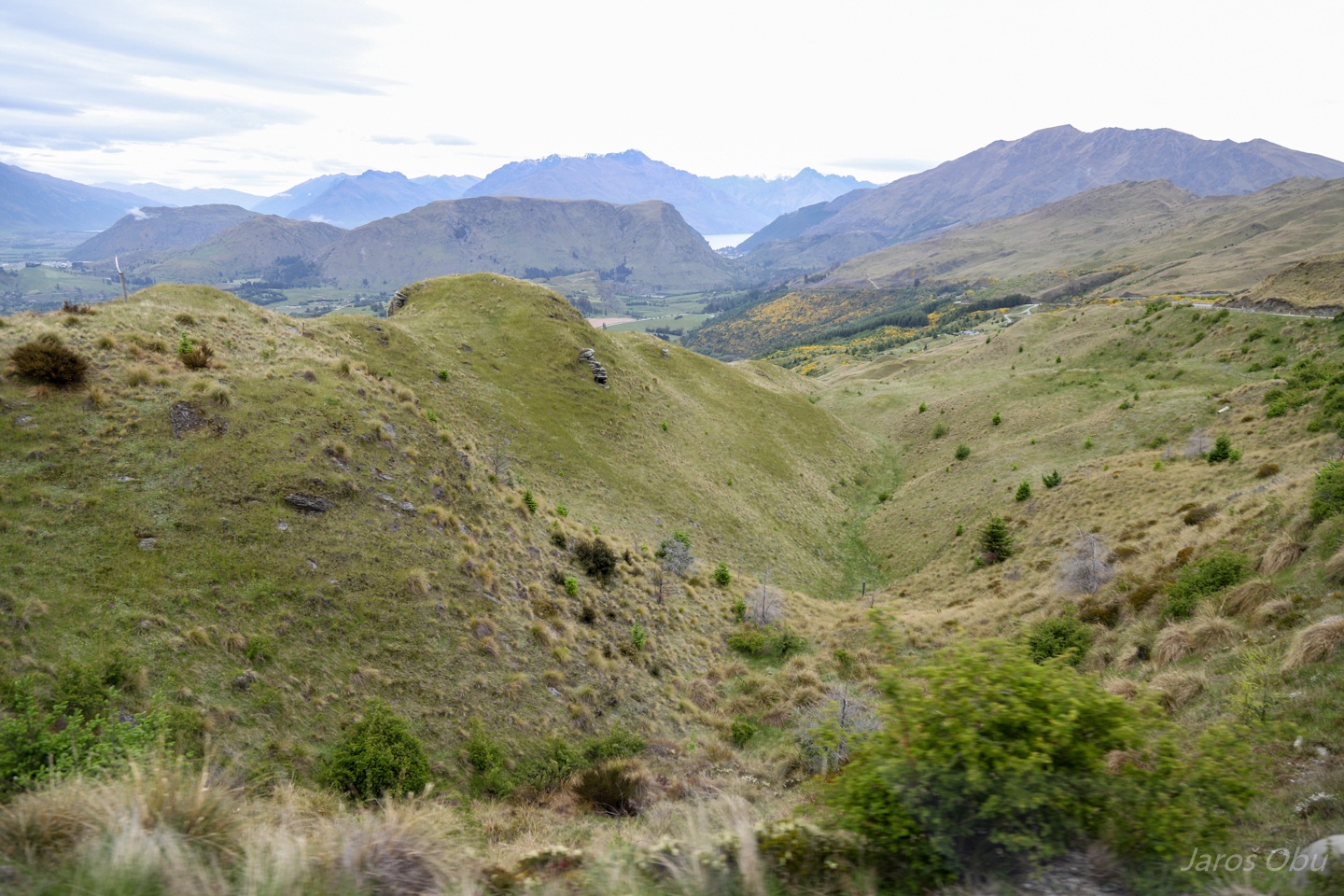
Panorama with Queenstown somewhere behind the small hills.
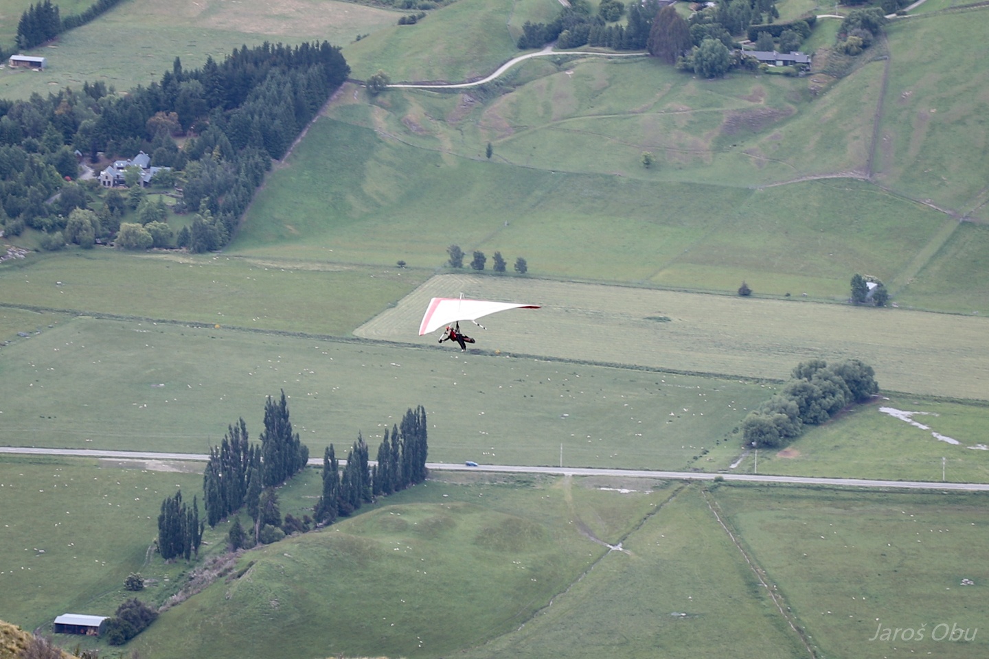
Hang glider just after launching.
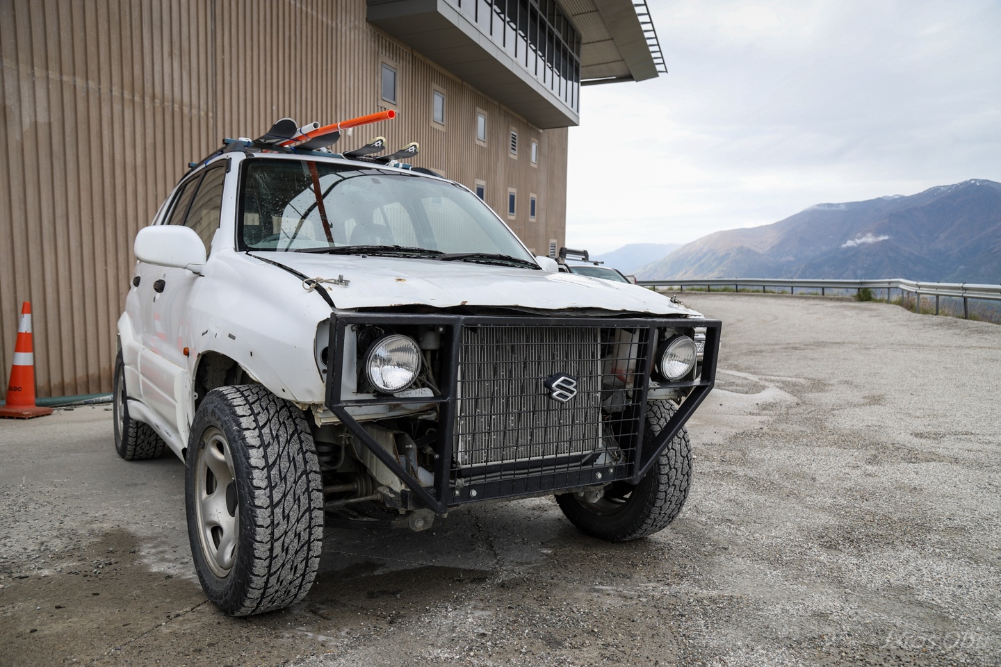
Slightly different Suzuki Jimny.
There are even some depressions behind the moving slopes.
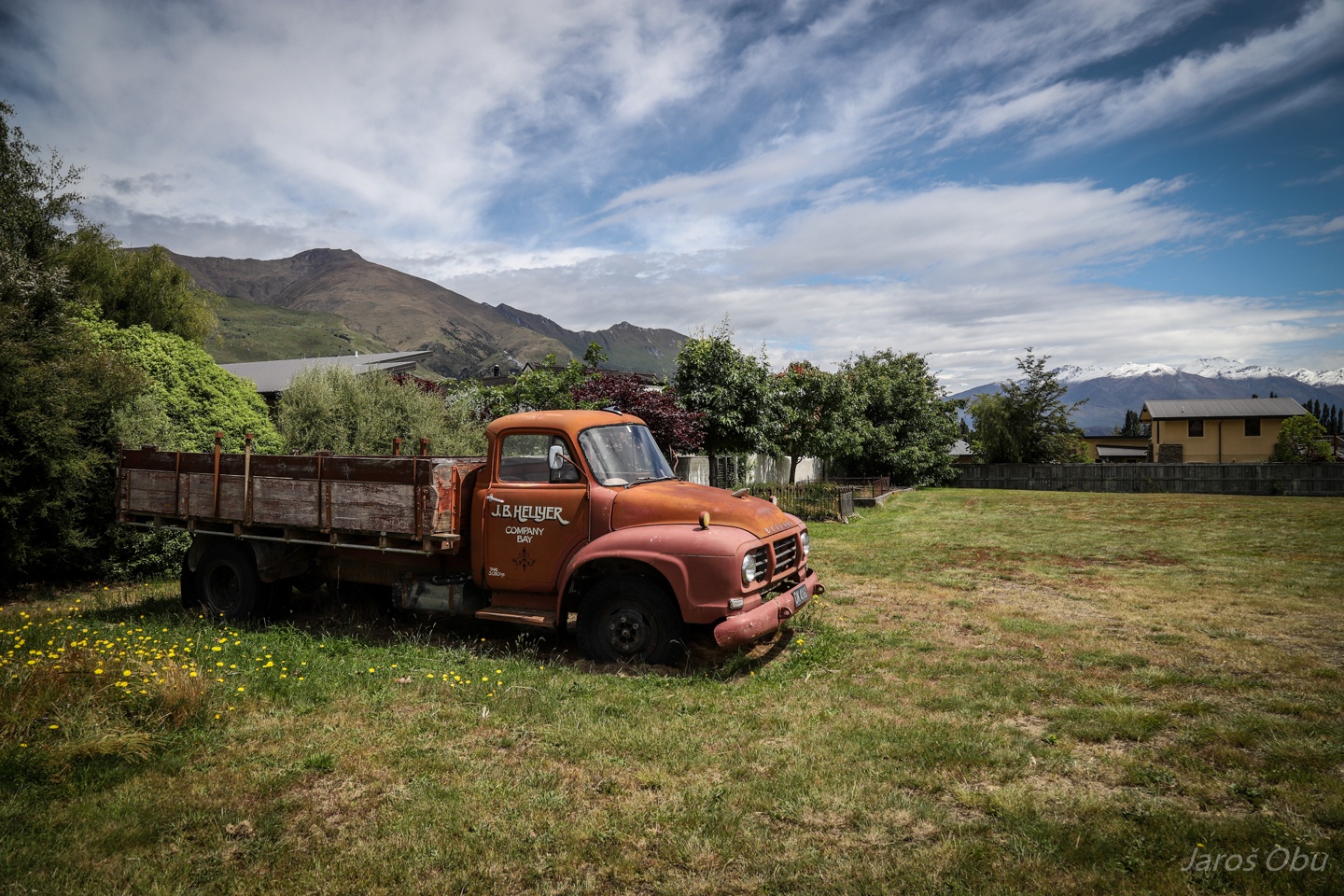
Park at the resting place between Queenstown and Cromwell.
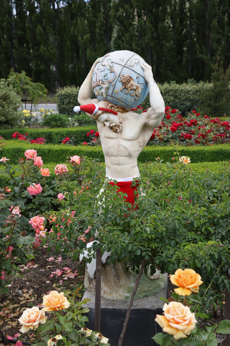
Atlas dressed as x-man.
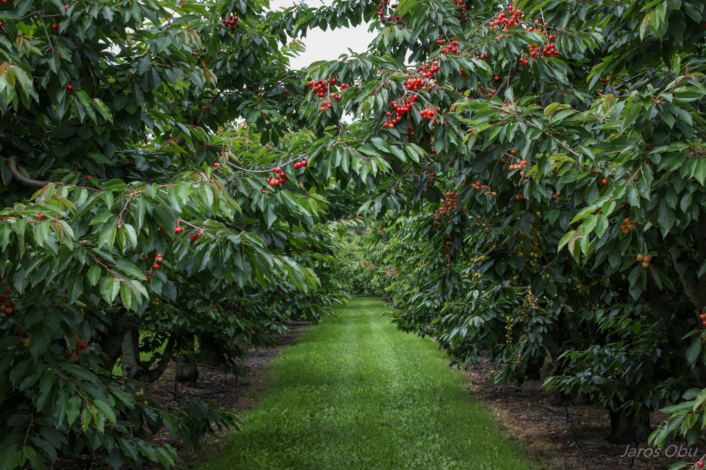
Fruits growing is, beside the wineries, common agricultural business in this area.
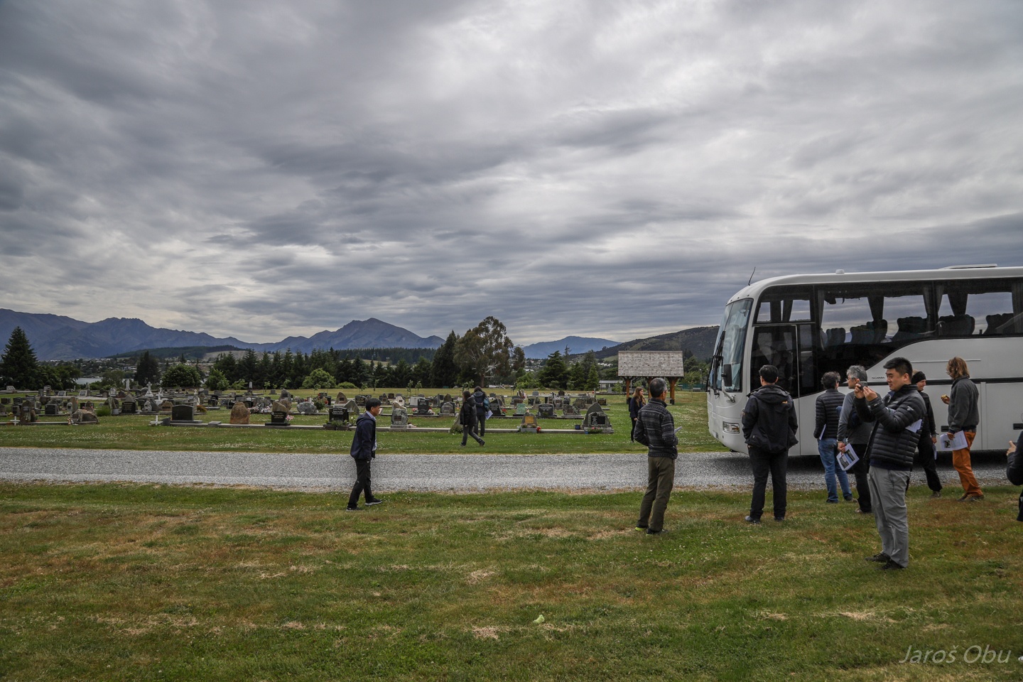
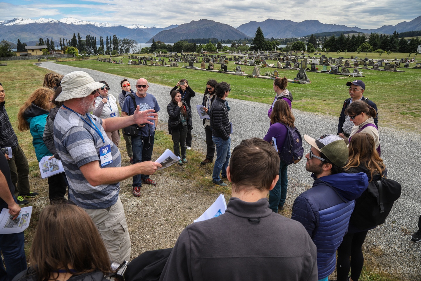
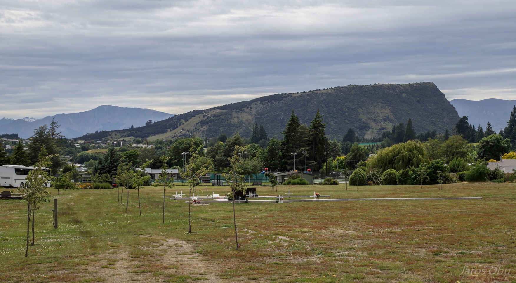
Next stop at Wanaka Cemetery.
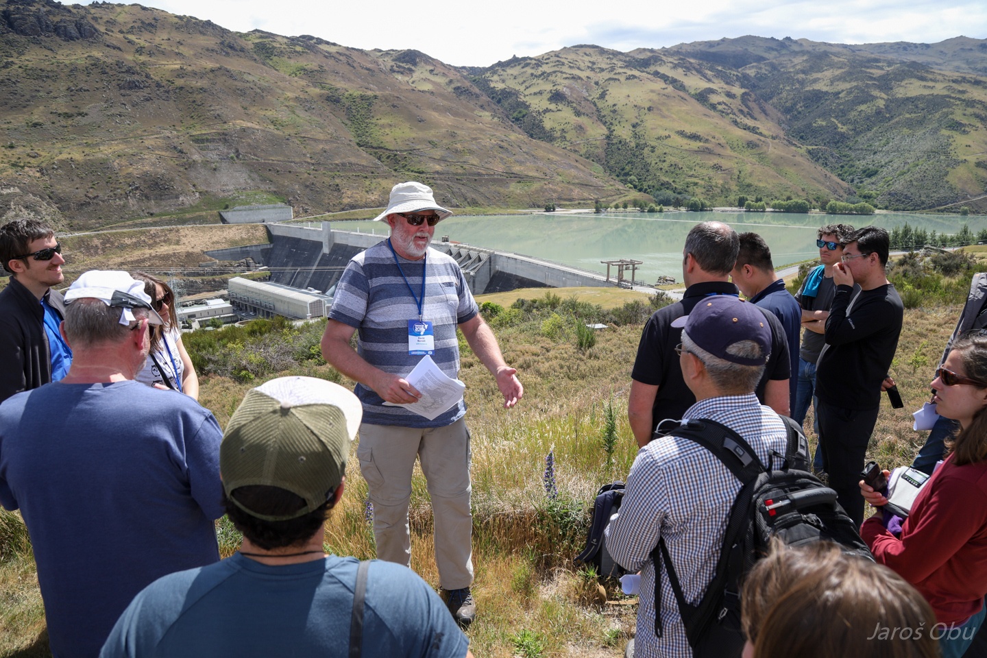
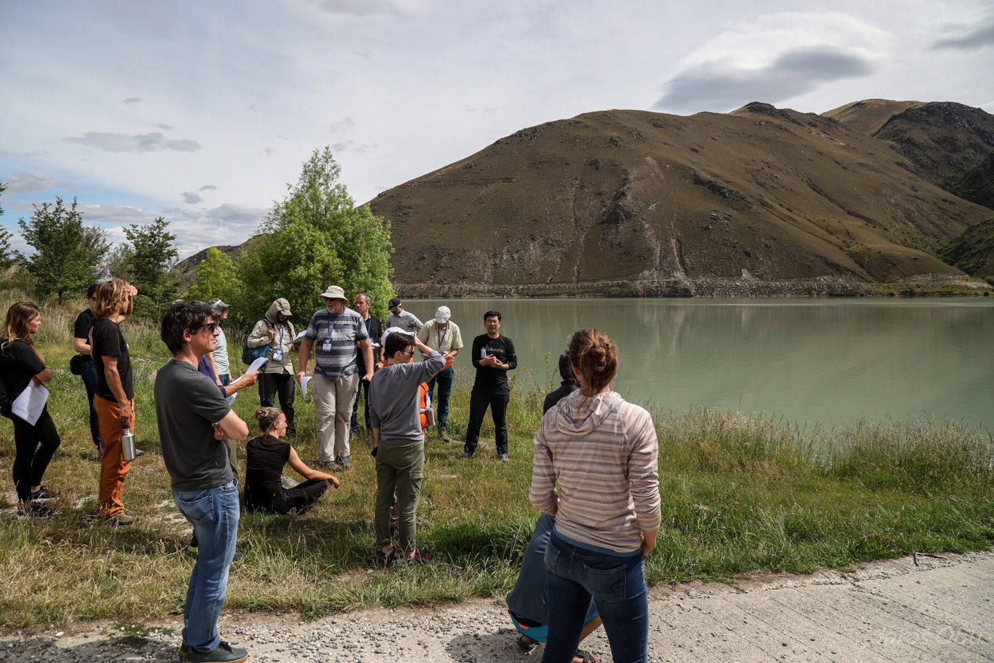
Excursion leader David Barrel is explaining the tectonics of this area.
Cemetery is situated on relict lakeshore beach ridges. These were deposited on the same elvation but there is a several metre difference between them nowadays, which is showing a fast tectonic activity.
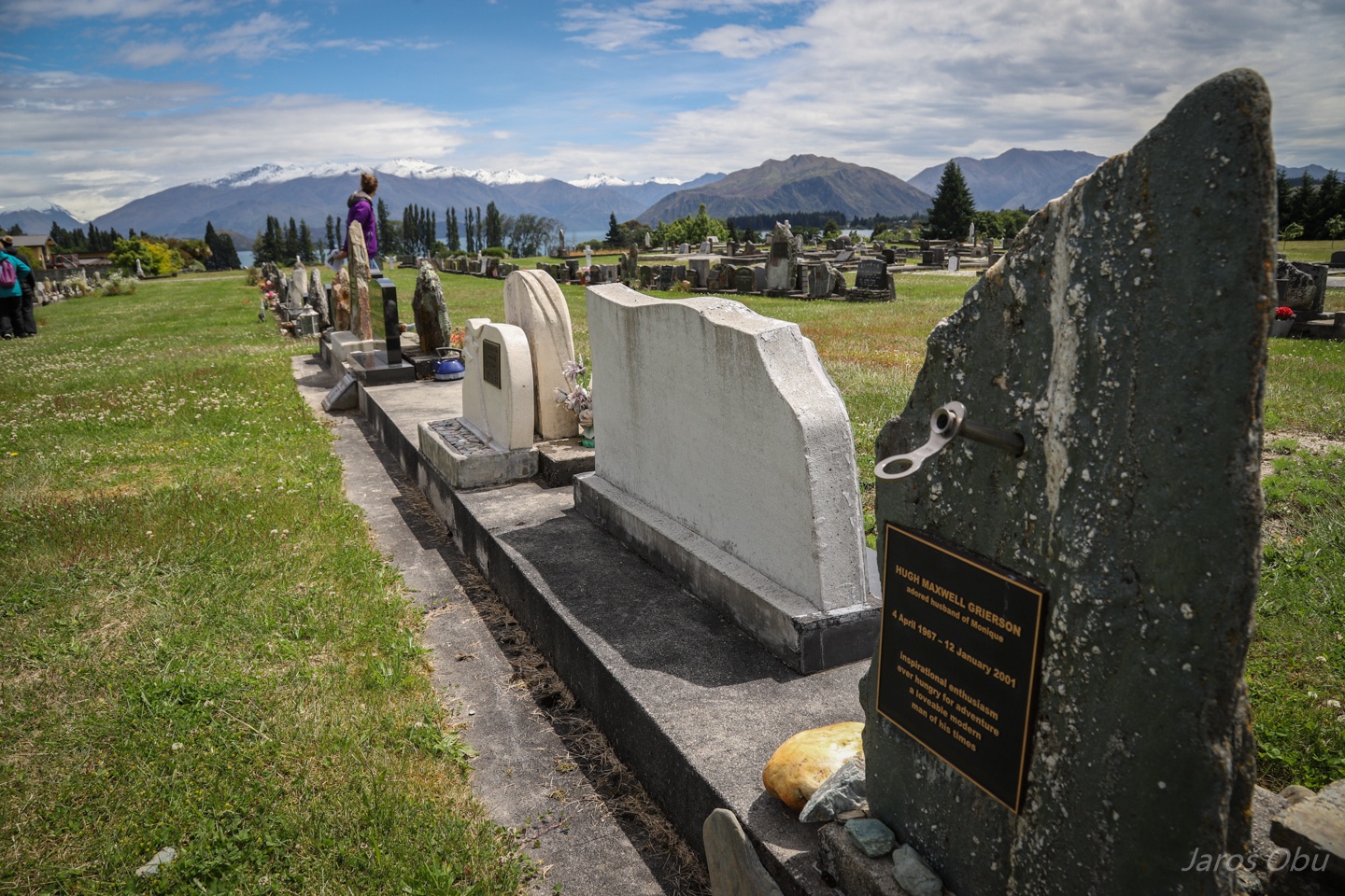
Some graves have their own "property".
Other graves are arranged along a concrete block. Hugh must have been a passionate climber.
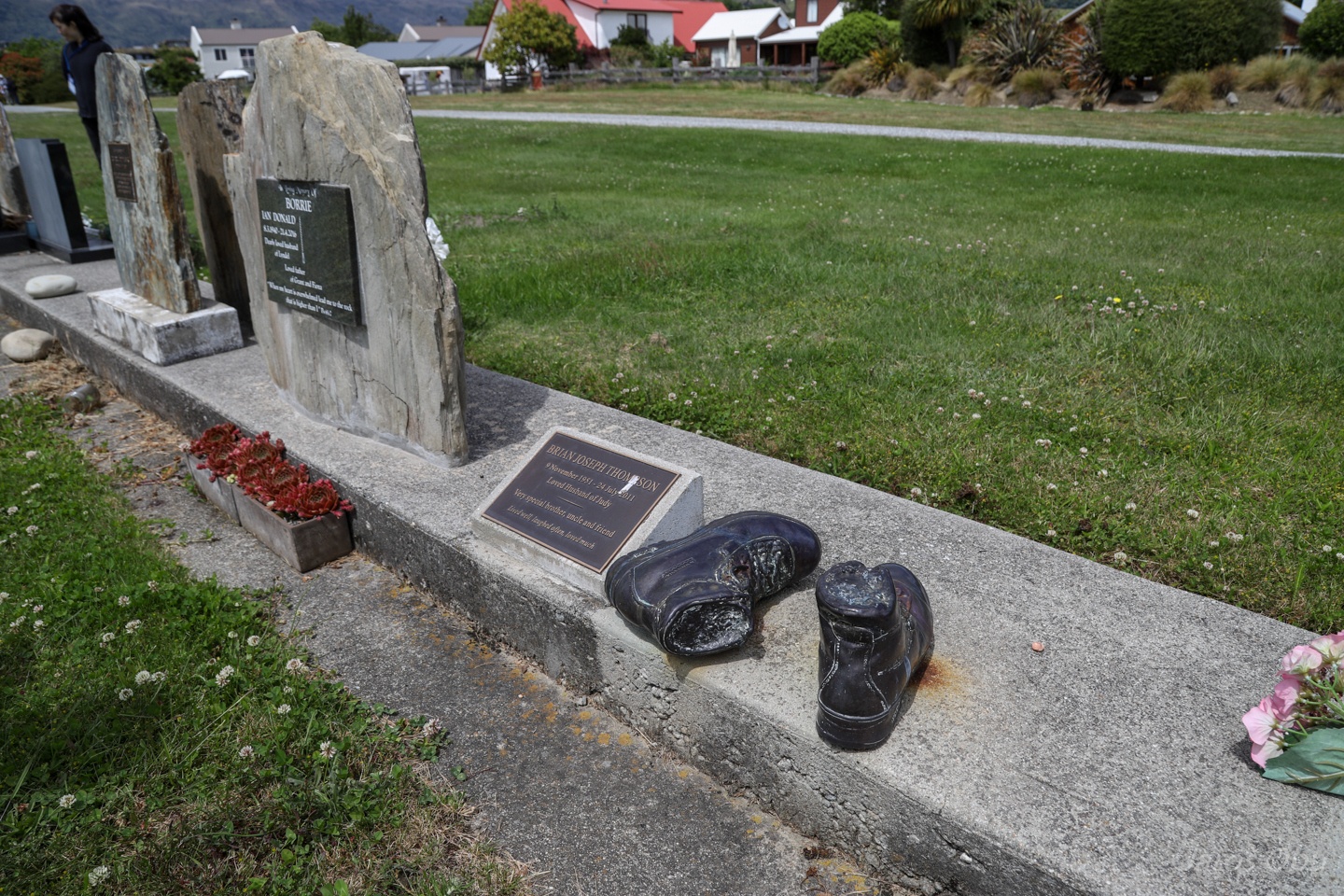
Casted hiking shoes in a function of a tombstone for another hiking enthusiast.
The cemetery apparently doesn't accept only people.
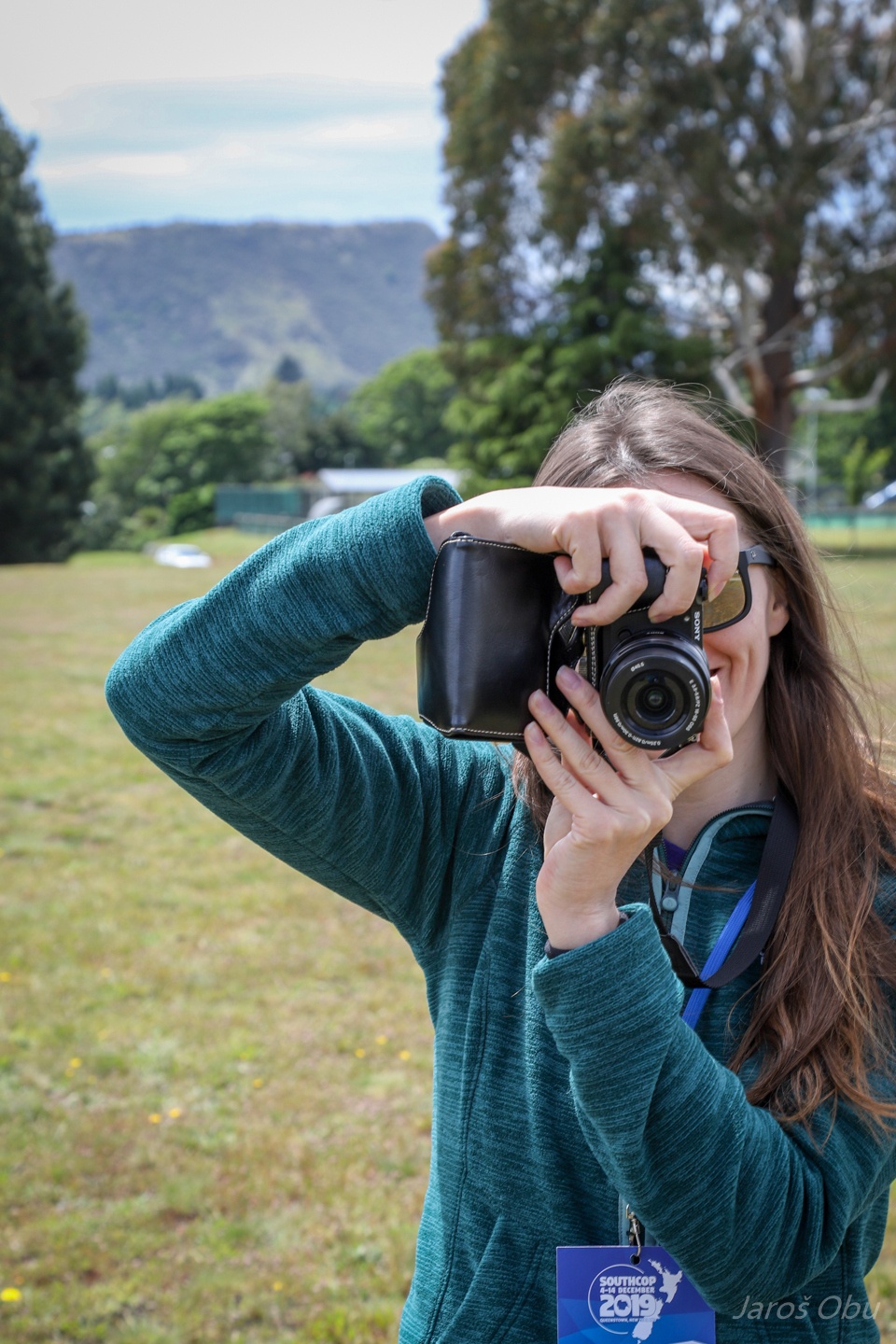
Photographer's better half is taking a photo of the photographer of this photo.
They prefer to have manual traffic signs for the roadworks.
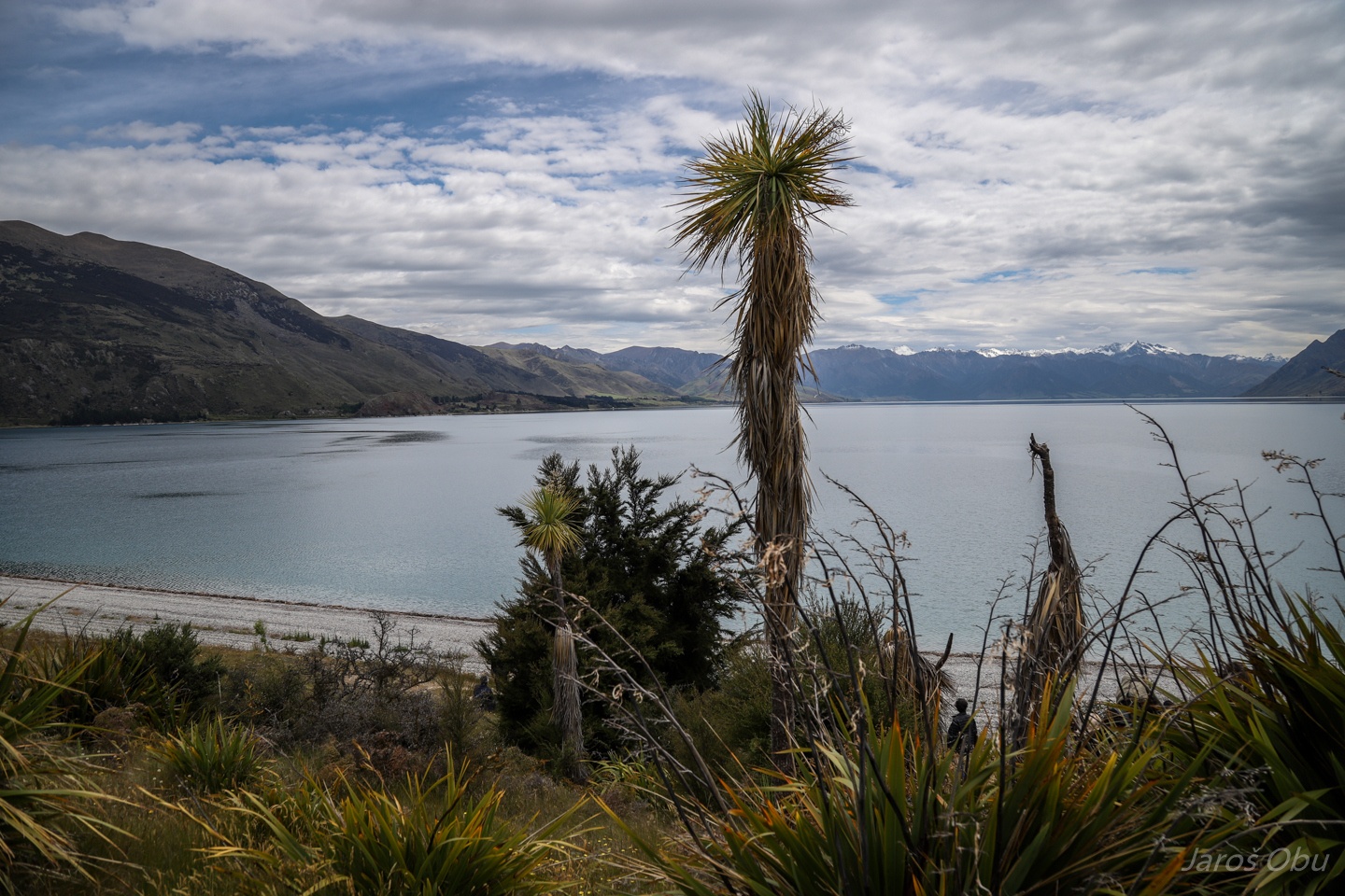
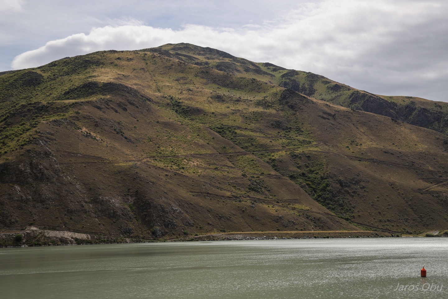
Lake Hawea from the terminal moraine of the Hawea Glacier slightly north of the Lake Wanaka.
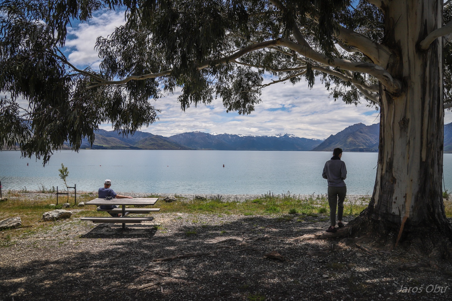
Lunchtime at the lakeshore.
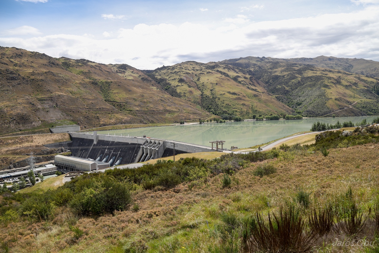
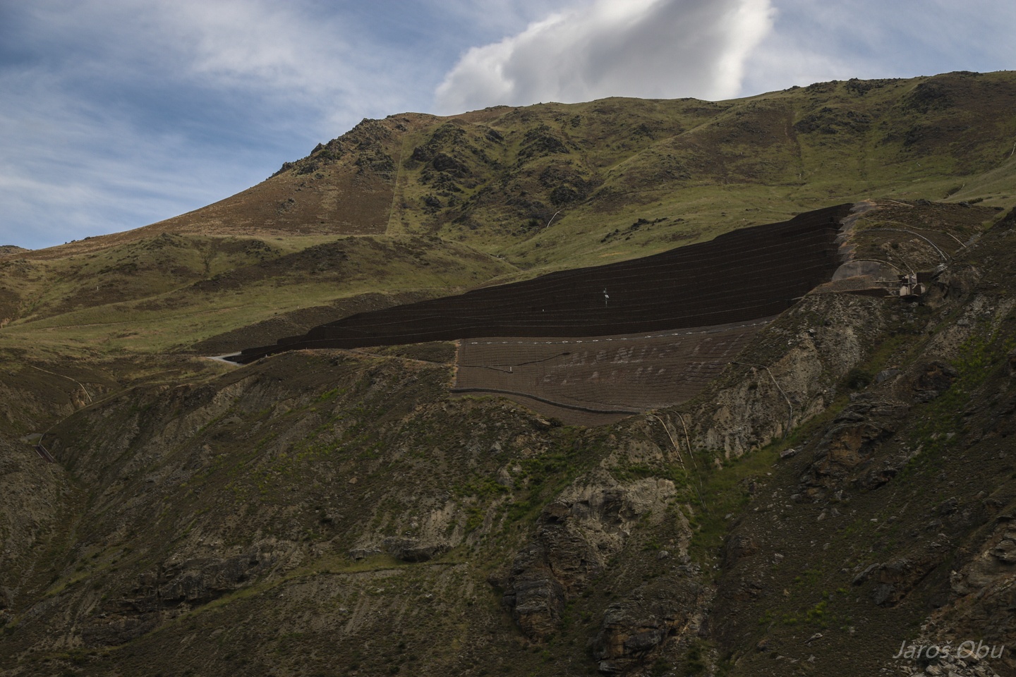
The last point was Clyde Dam.
The dam has a long history of its construction. The dam was a political decision to support aluminium industry.
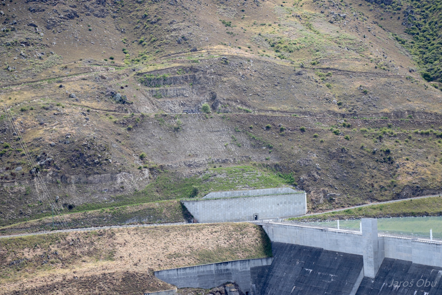
The slopes around the dam and the lake are very unstable and landslides were threatening to endanger many lives behind the dam.
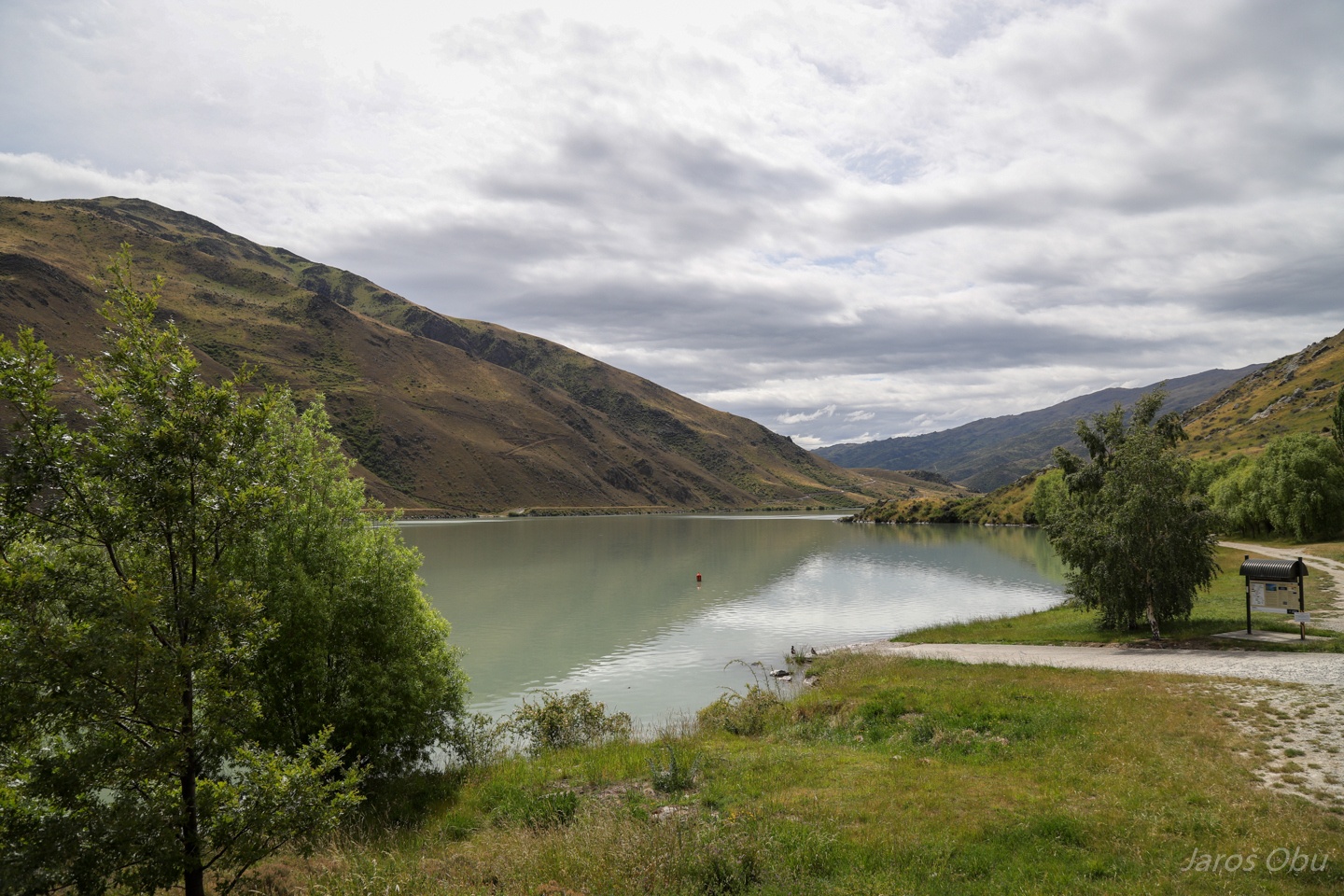
Champagne Gully upstream the dam.
Drainage systems had to be built inside many slopes around the lake to prevent landslides.
One of the many supporting structures upstream. They wanted to build a similar dam in Beaumont. A big inscruption "Hands off Beaumont" appeared on a structure on slopes above the lake.
End of the conference.
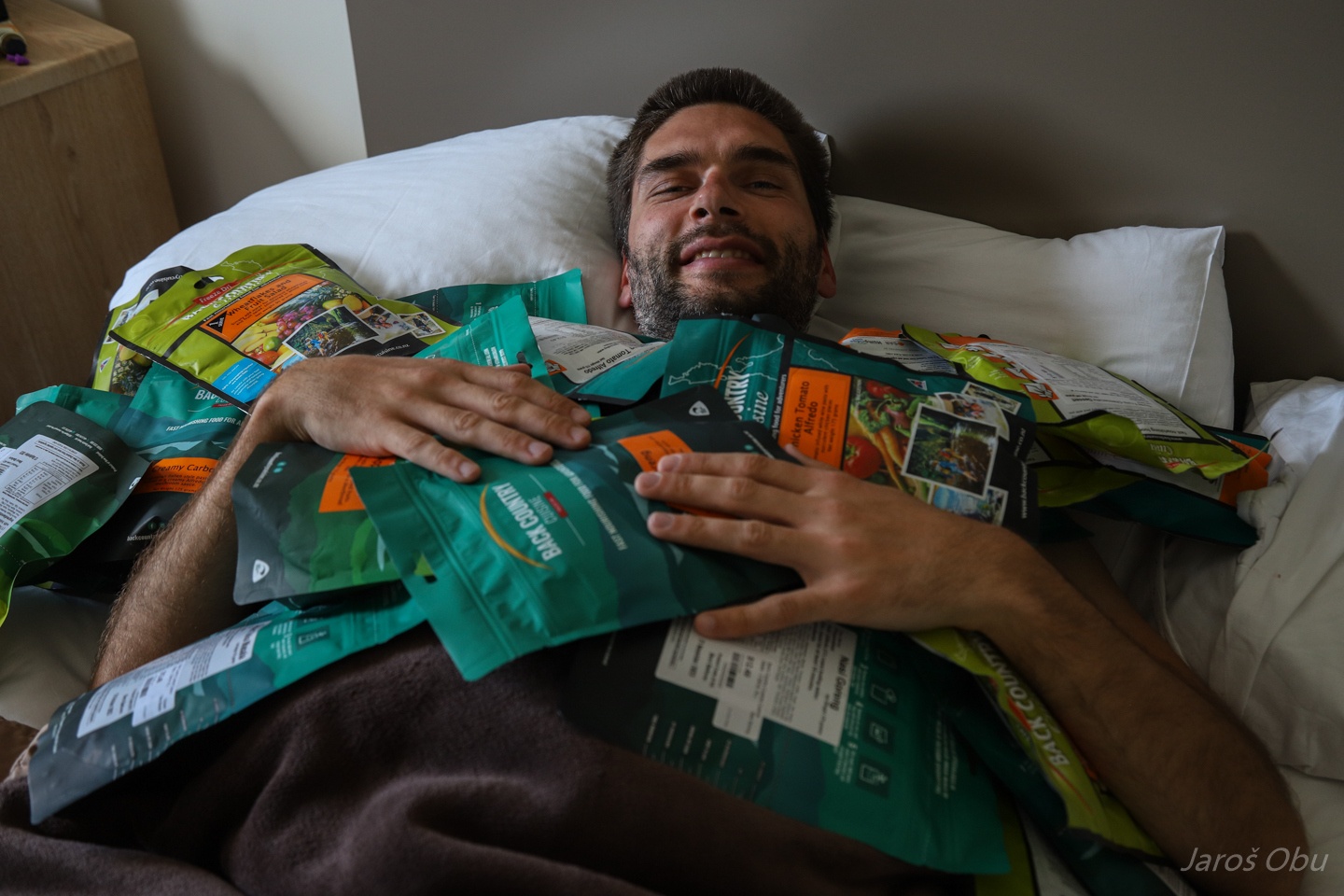
And a beginning of one month of travel around New Zealand. Abundant food supply for outdoor activities.
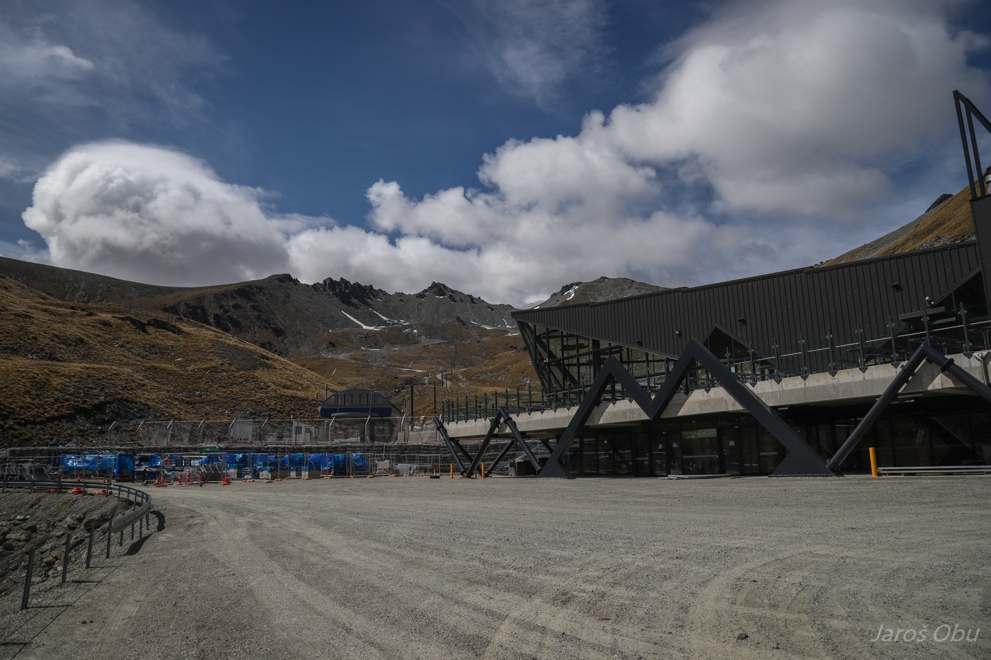
First destination - the mountains from the picture 27. The Remarkables.
A ski resort in winter and a hiking destination in summer.
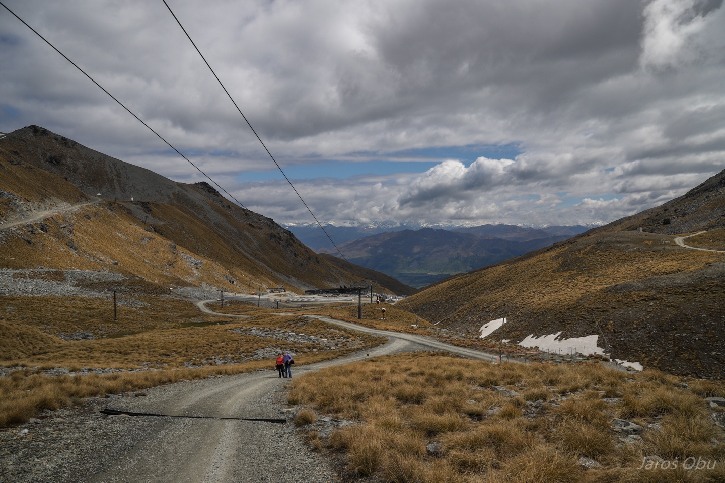
Trail to the lake.
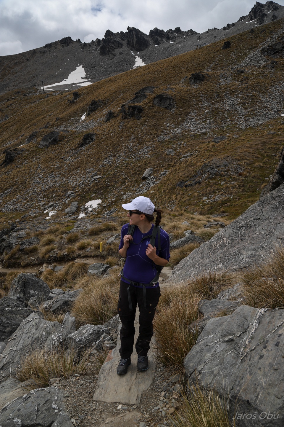
Glad to do some hiking after a rather passive conference and excursions.
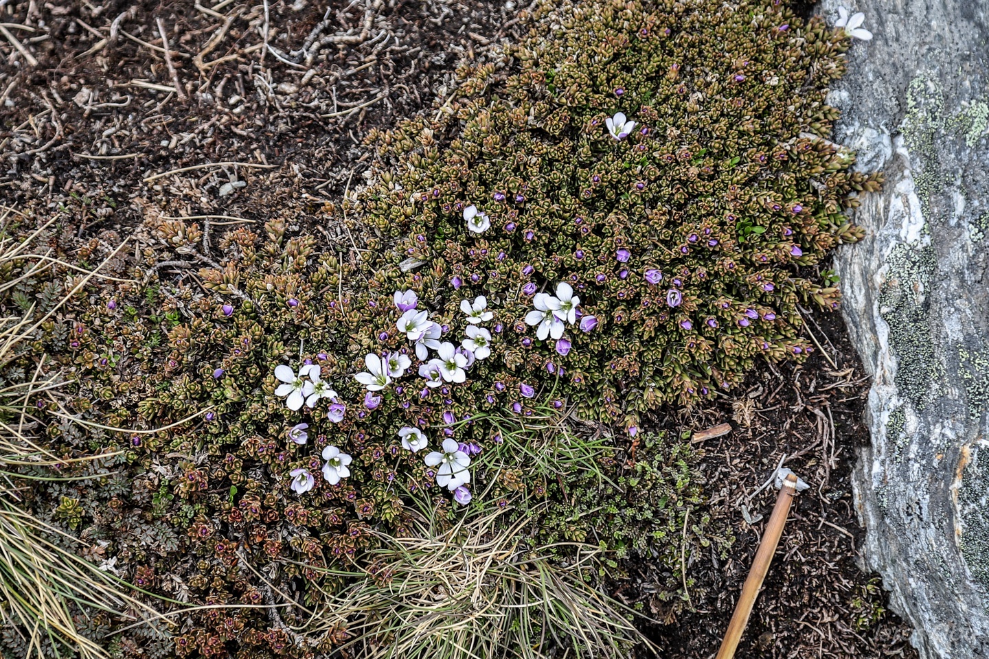
Mountain vegetation is starting to blossom. Hebejeebie (Veronica densifolia) is a native one.
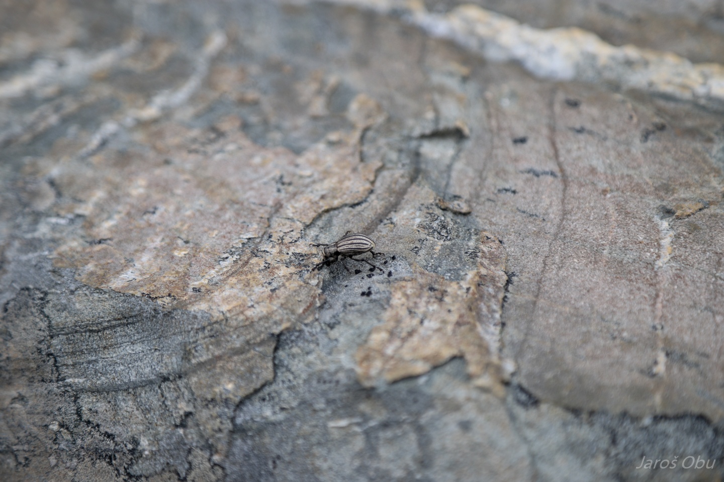
Fauna is waking up as well.
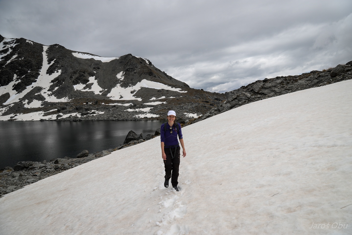
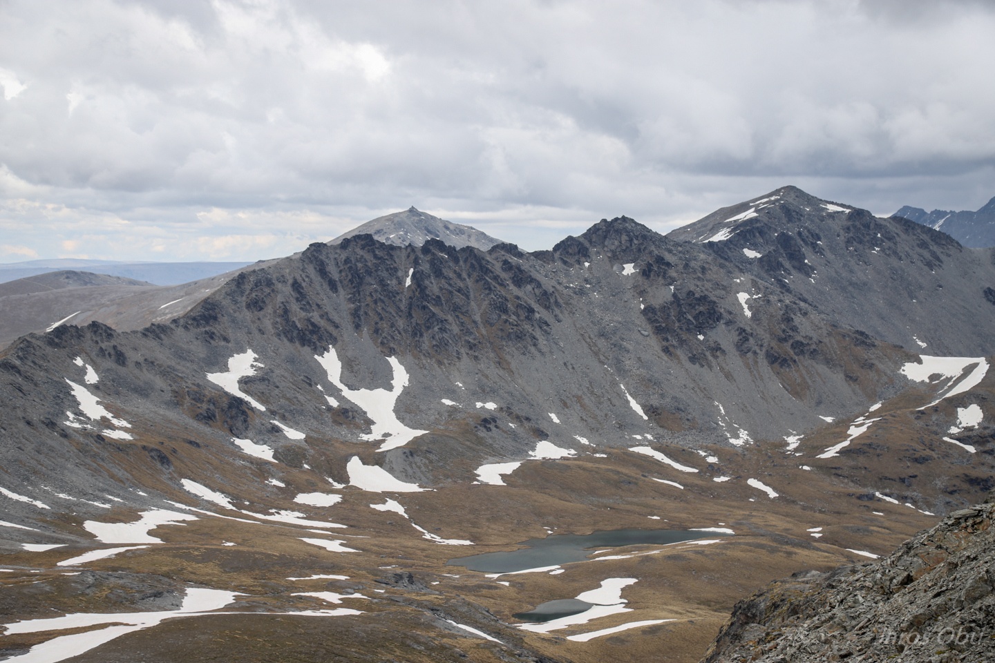
Still a lot of snow in snow patches in this part of the year.
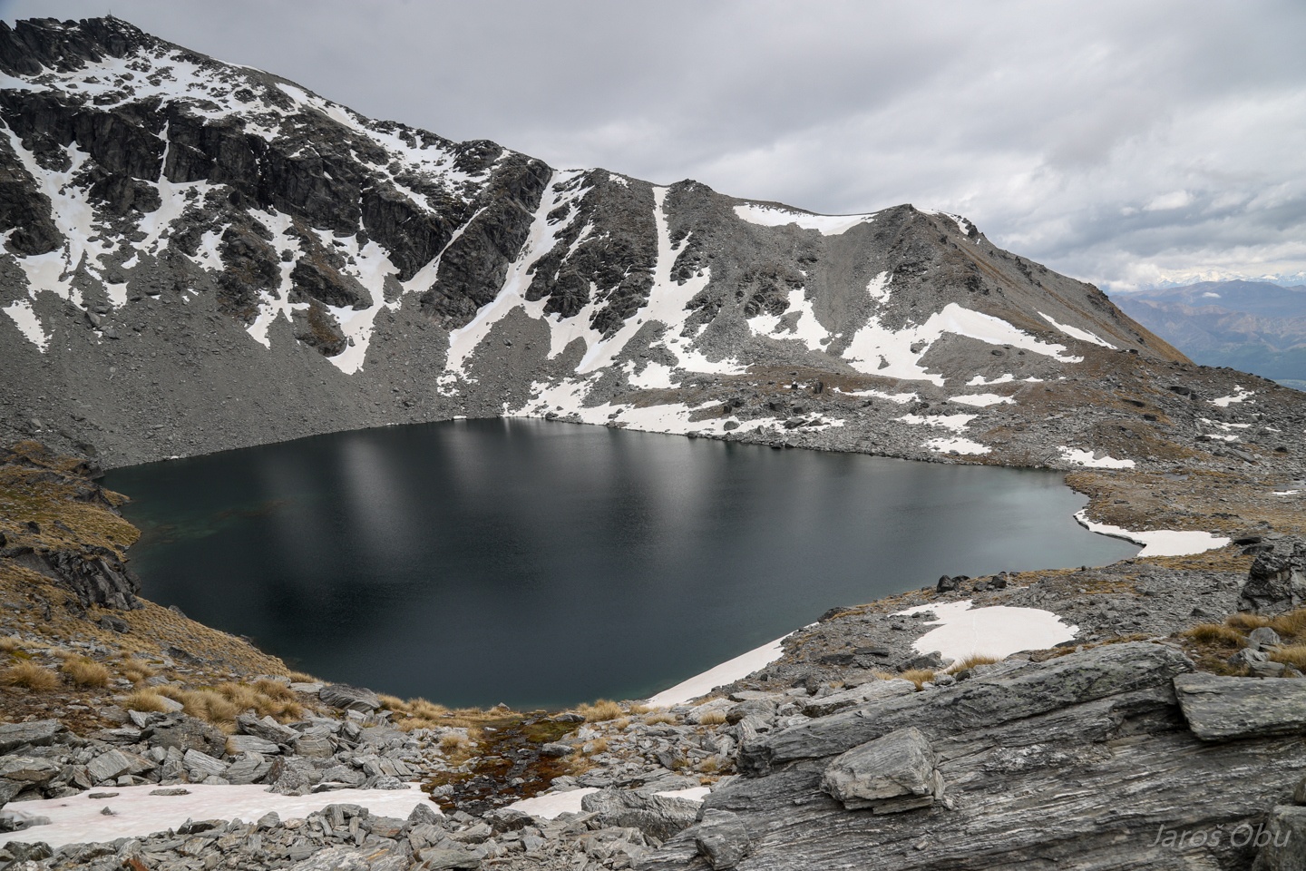
Lake Alta.
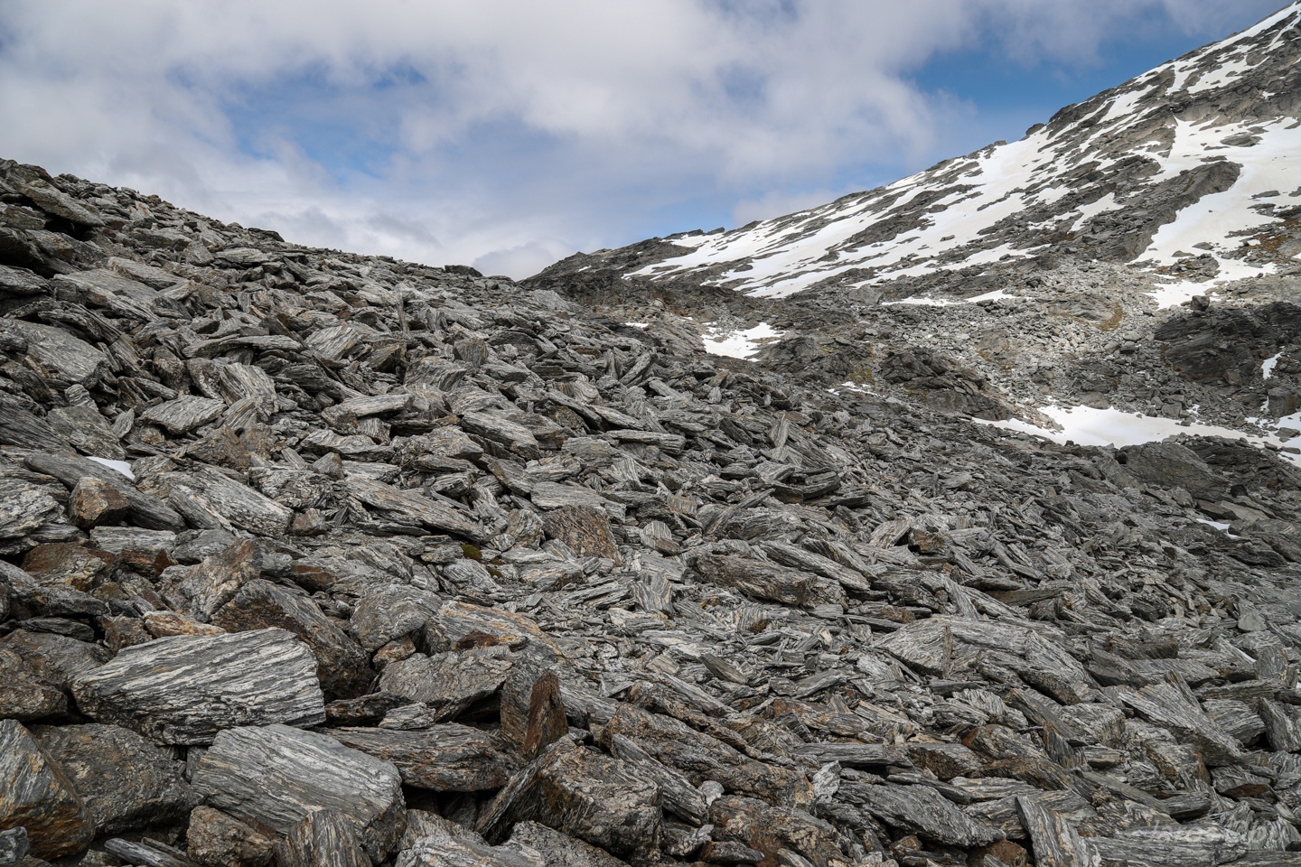
Blockfields on the ridge.
And solifluction lobes in the neighbouring valley.
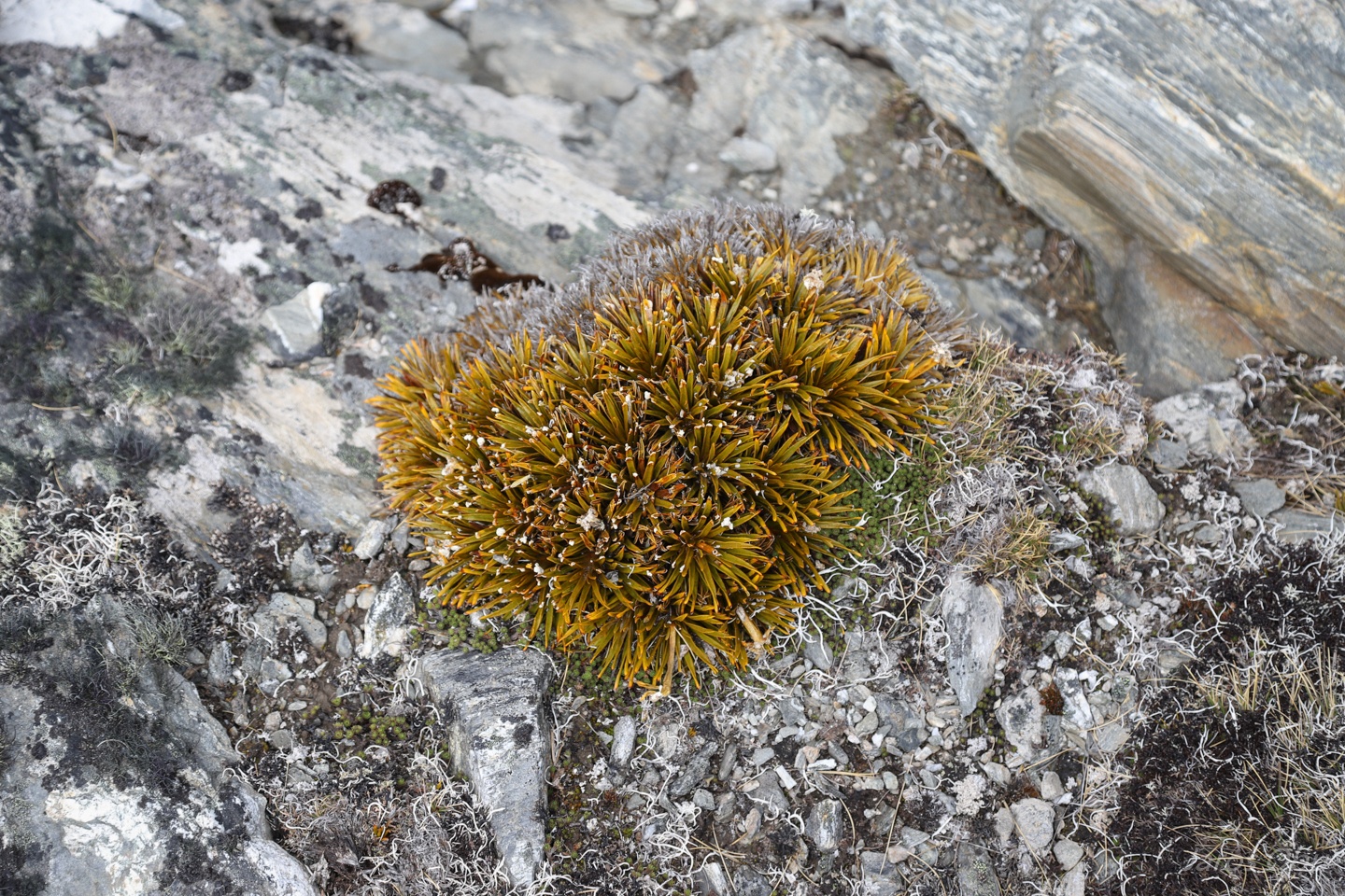
It looks like a miniature golden Spaniard.
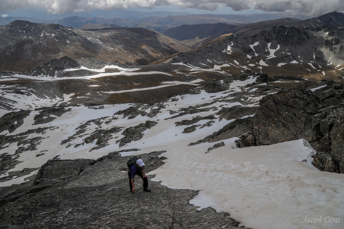
Progressing towards the highest part of The Remarkables.
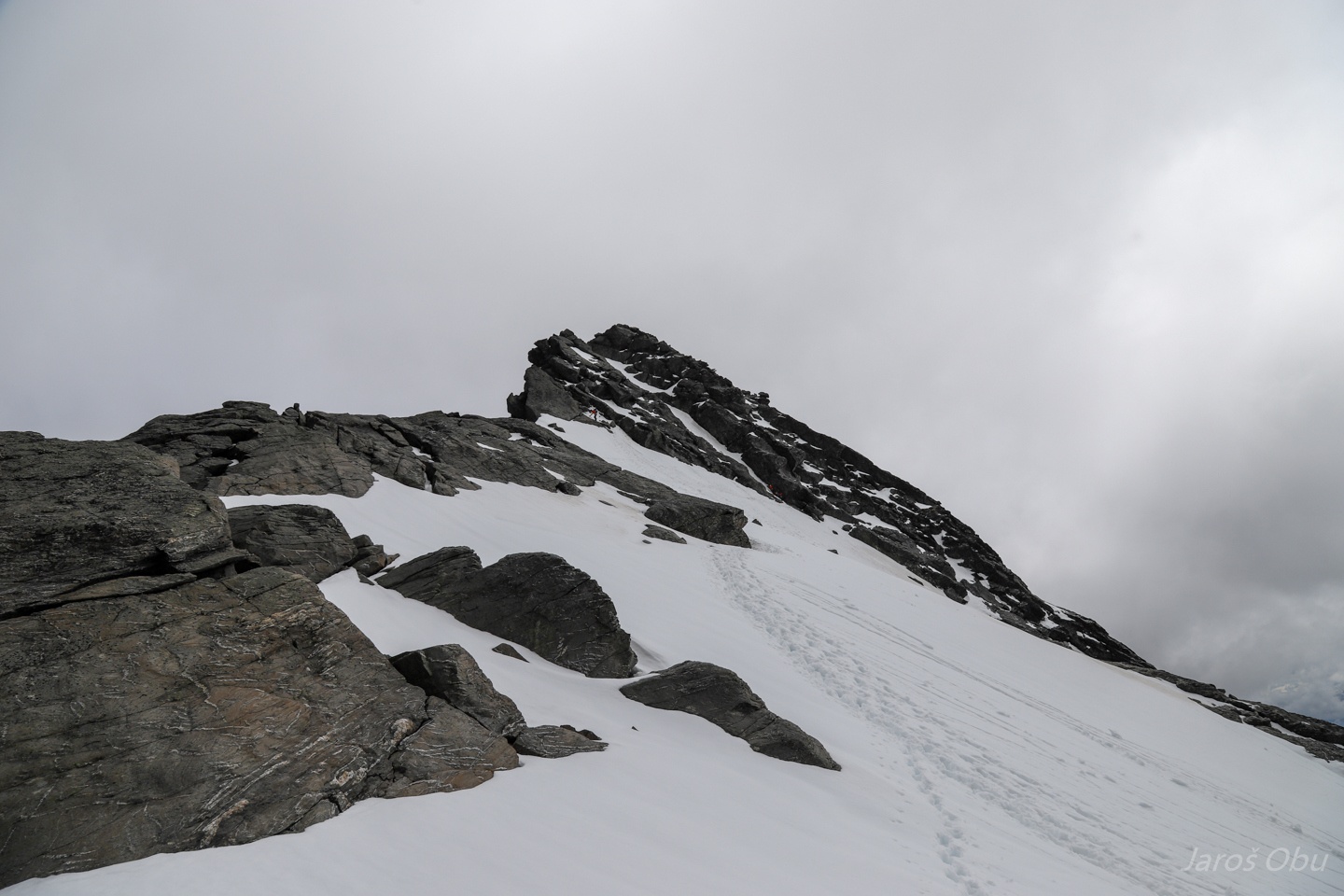
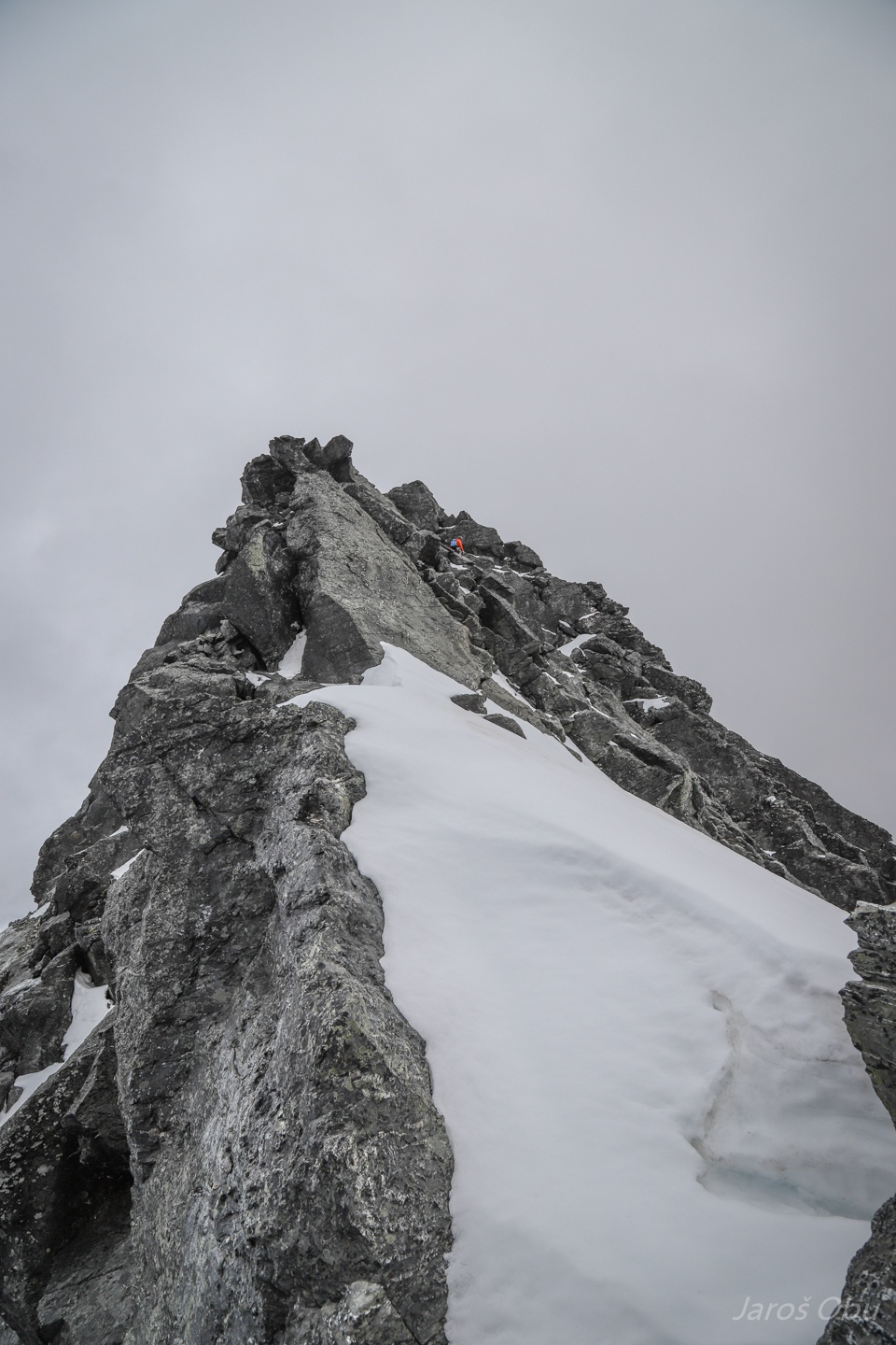
Just under the Single Cone (2319 m).
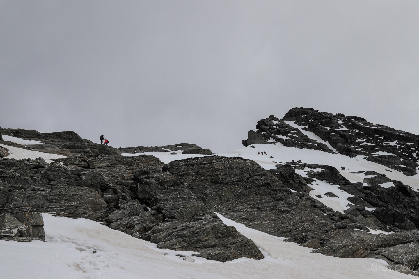
Too much snow and too little equipment to go all the way up. Two mountain guides barely managed to get one tourist up there.
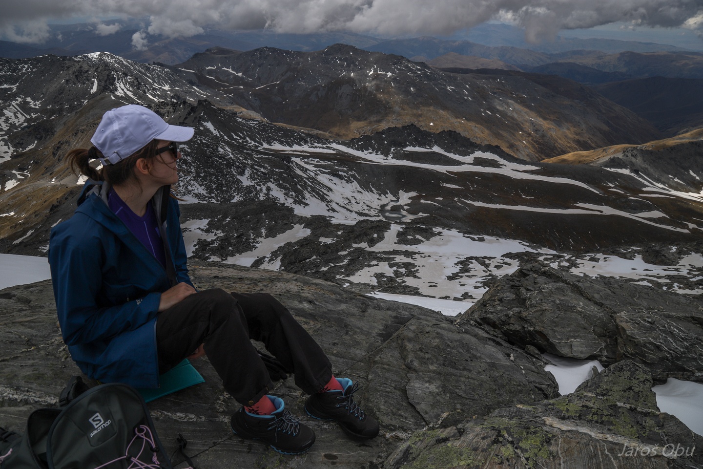
Stopped for a lunch with view.
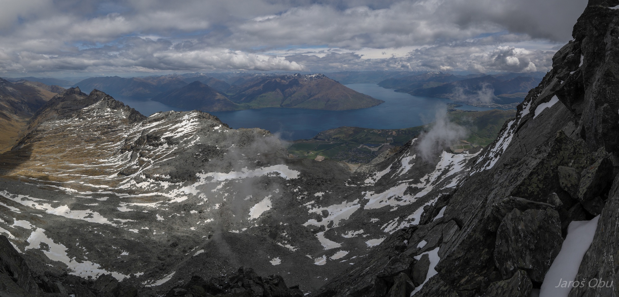
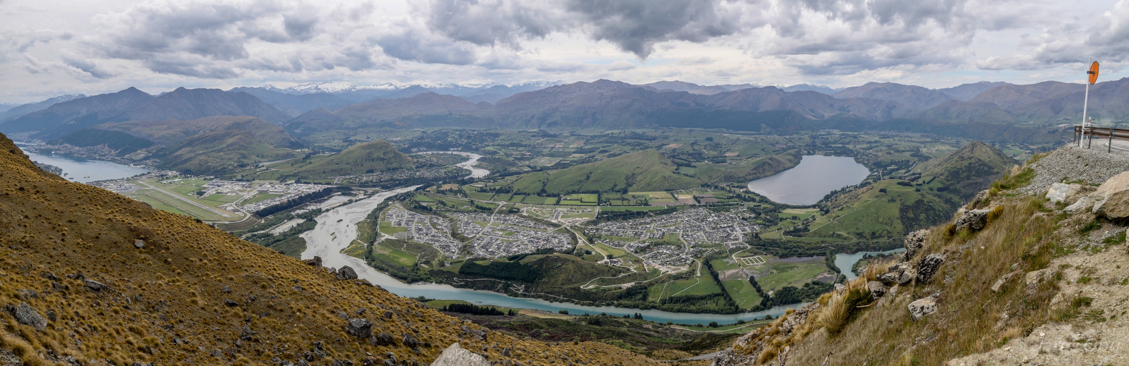
Lake Wakatipu with Queenstown on the right side of panorama.
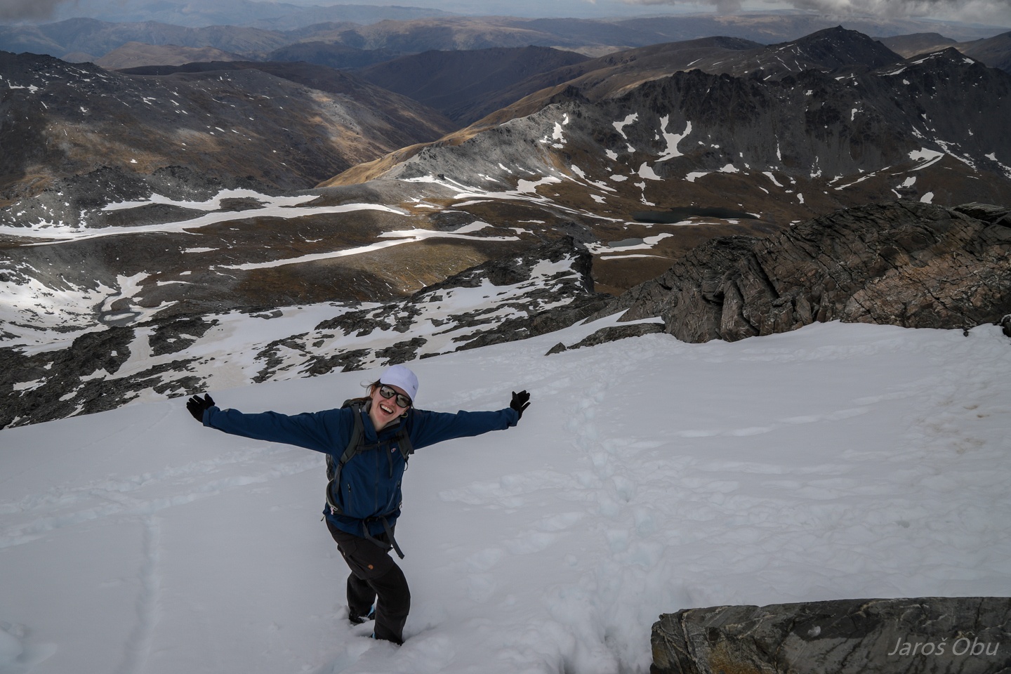
I believe I can fly.
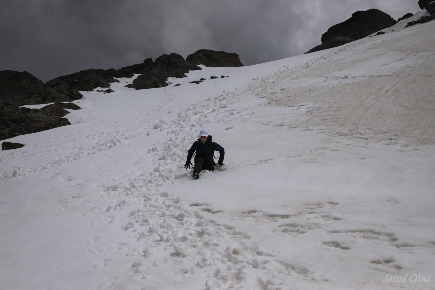
And bum slide down the snowpatch :)
The dark shades of the neighbouring mountains are from a black lichen that grows here.
Queenstown on left, Glacier delta with the airport in the middle and Coronet Peak from photo 33 rising in the middle.
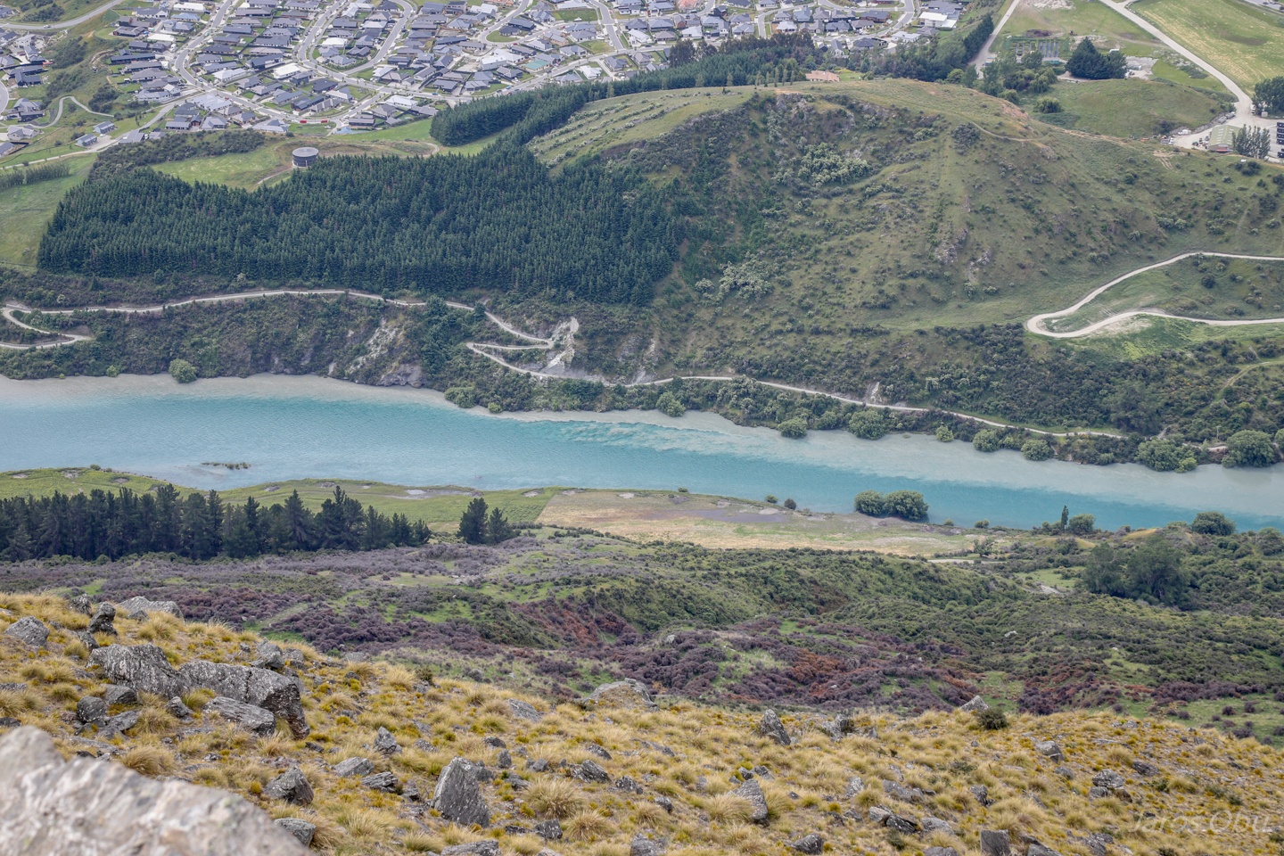
Mixing water from Shotover River and Lake Wakatipu join in to Kawaru River.
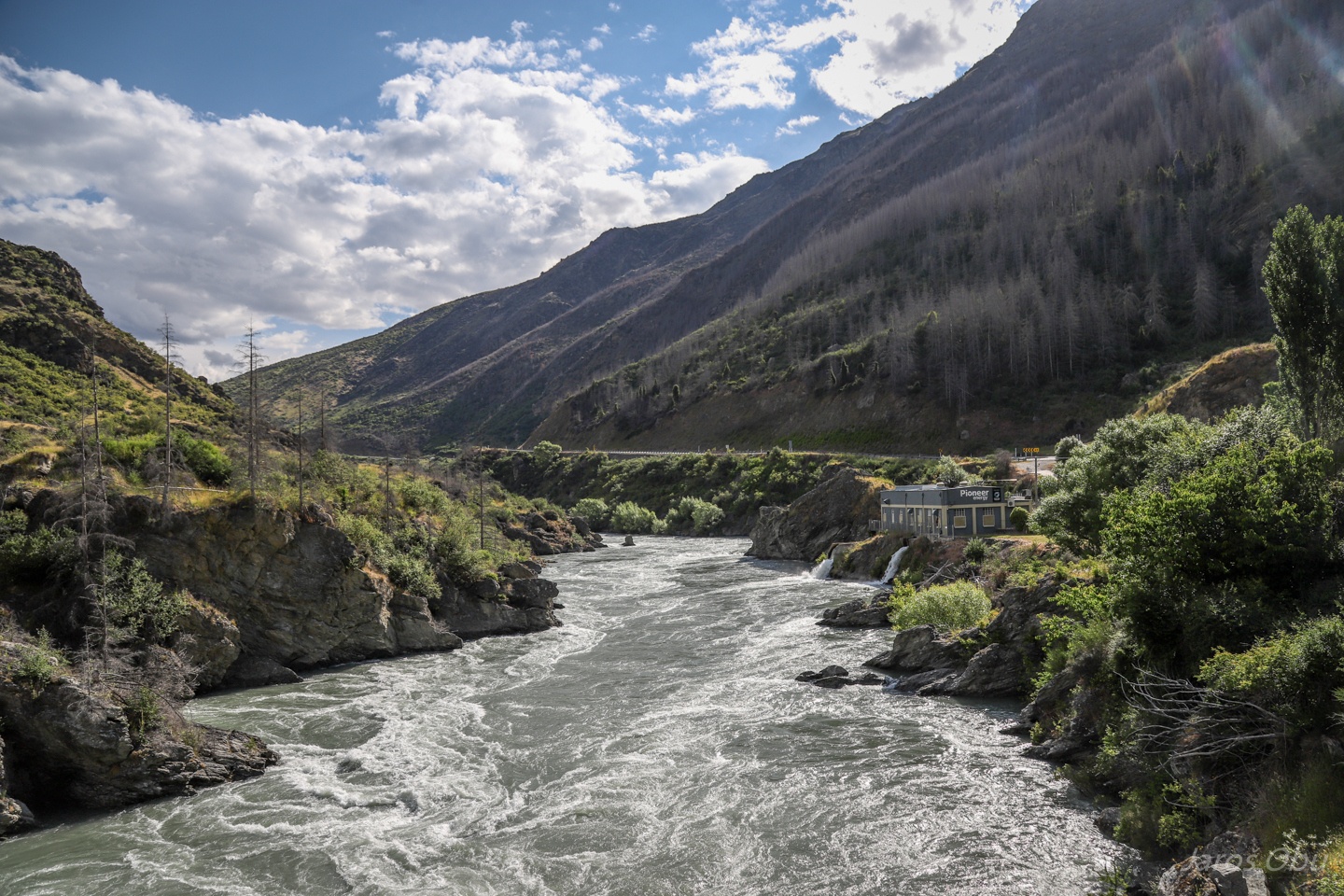
Downstream the Kawaru River in the Kawarau Gorge. Introduced trees planted for timber grow 3 times faster than indigenous trees thus spread quickly around the landscape. They are a great threat for the ecosystem thus being poisoned as the dead trees here on the slopes.
Heading towards the East coast to begin the long journey through New Zealand.