© 2024 Jaroš Obu
Photo gallery of Jaroš Obu
Cart
0
Items
Buy now
Skrove 9. - 10. 7. 2016
Sunday, 10 July 2016
One of few sunny summer days in Southern Norway should be spent for hiking.
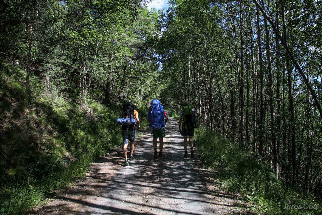
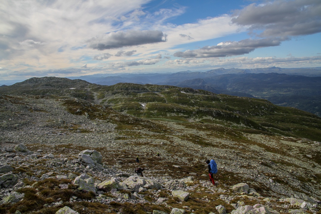
Skroven is our goal.
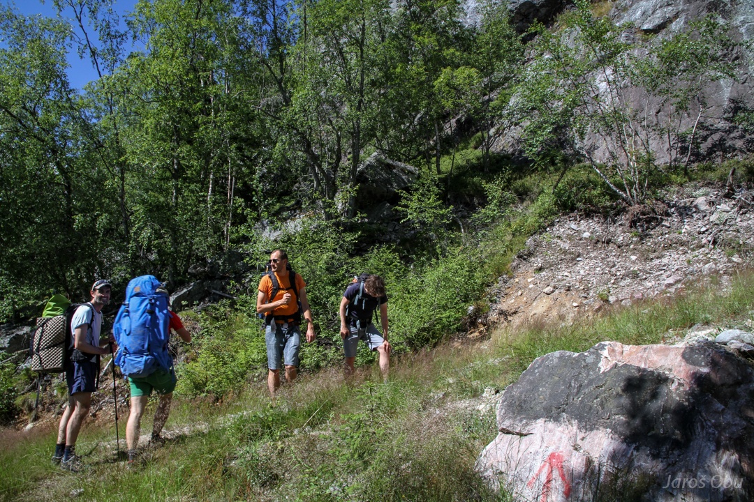
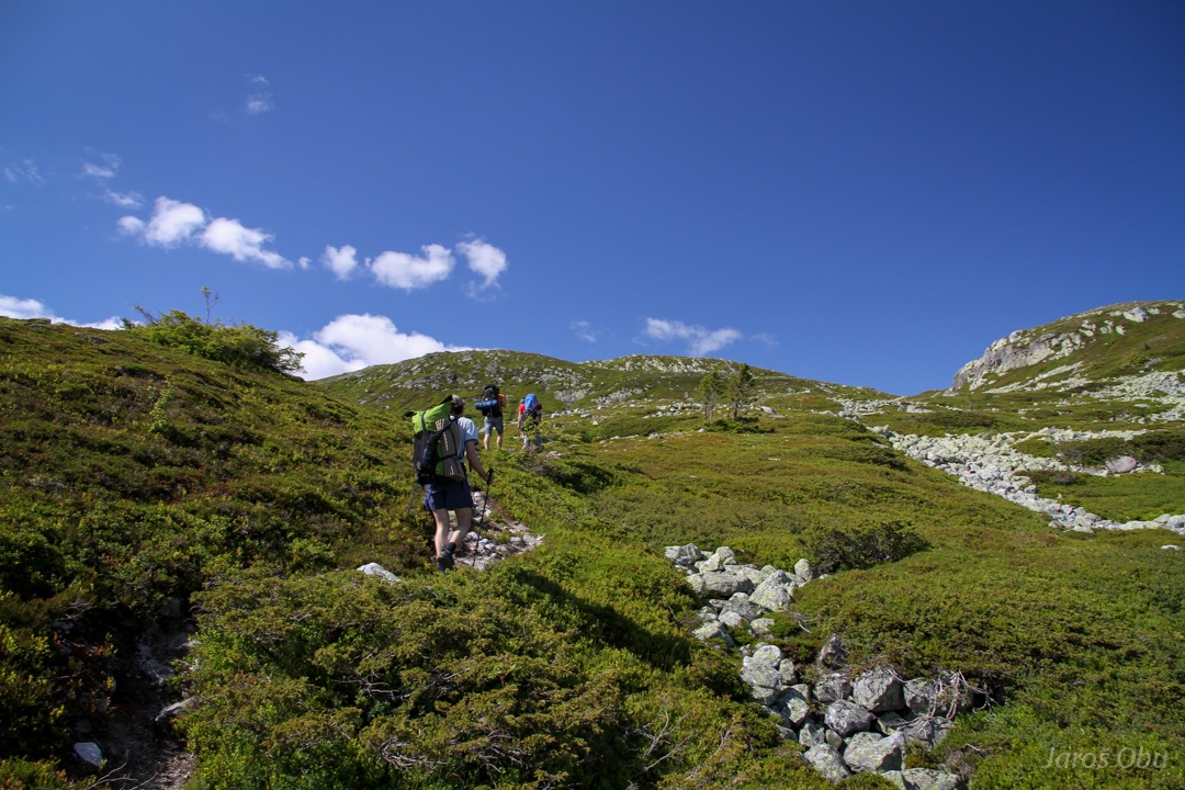
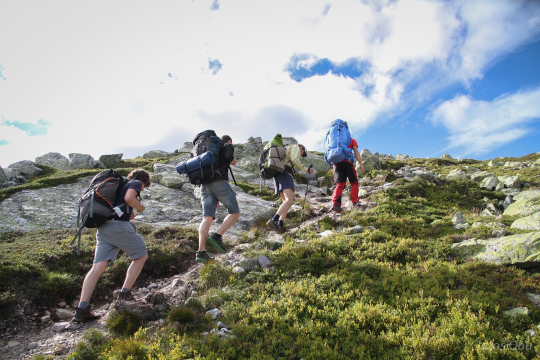
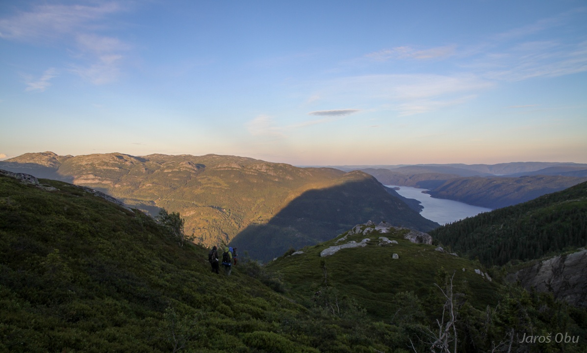
Over steep rut.
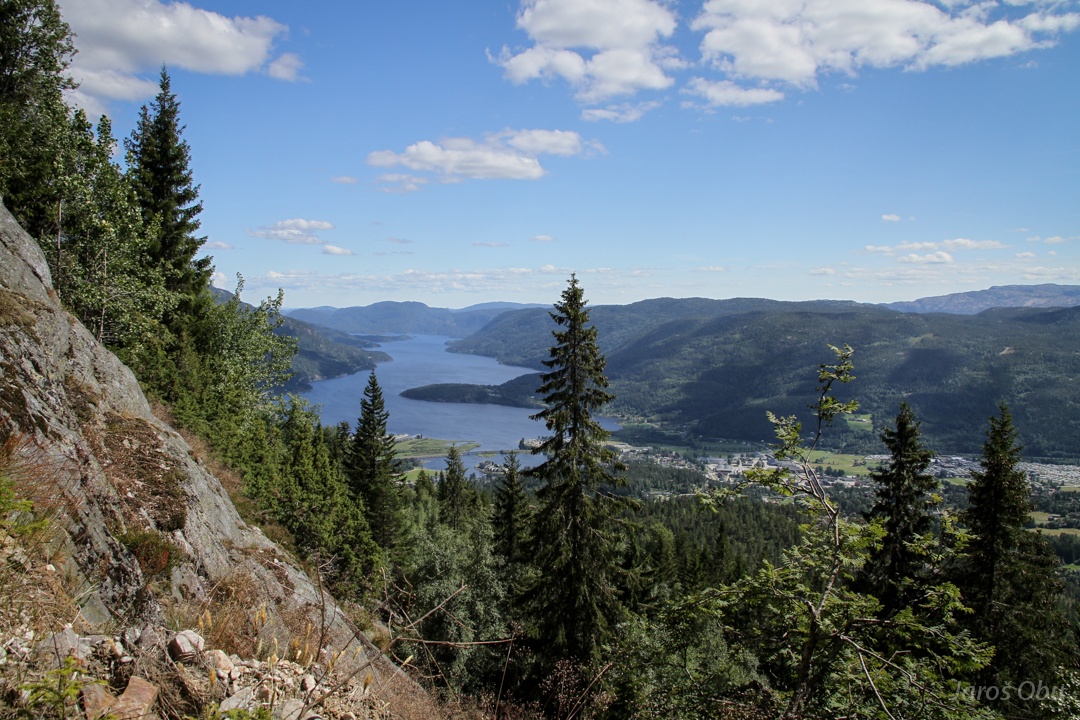
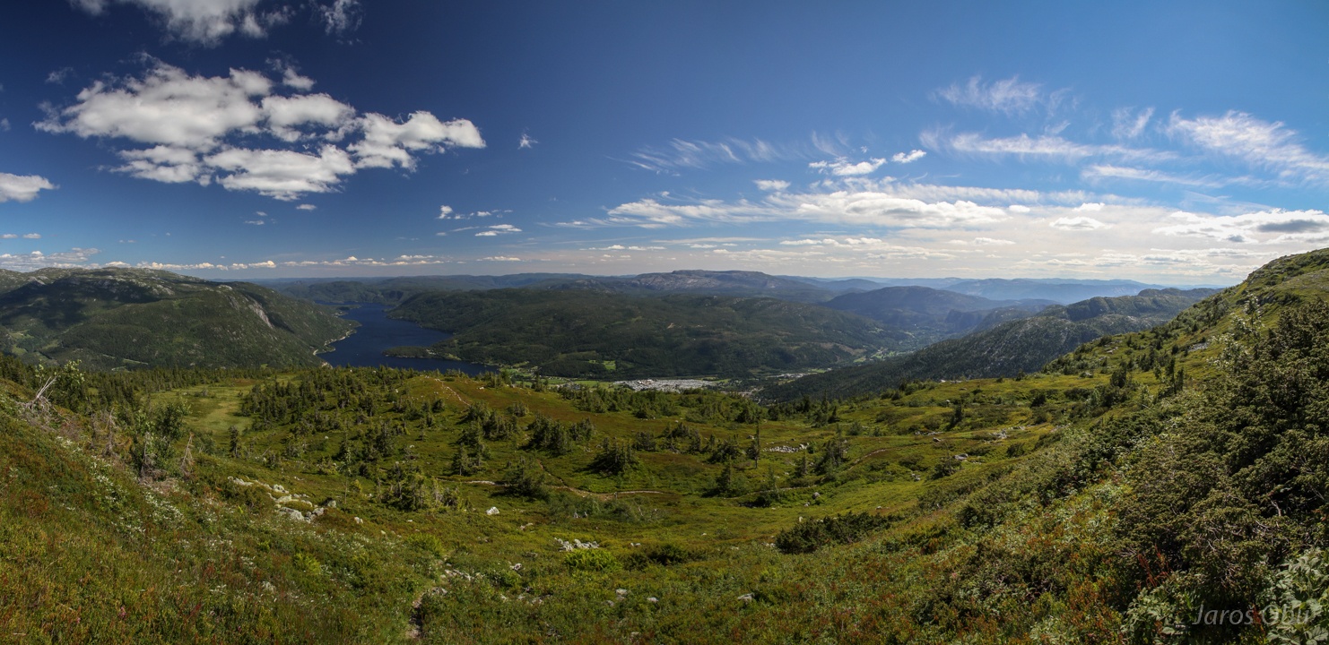
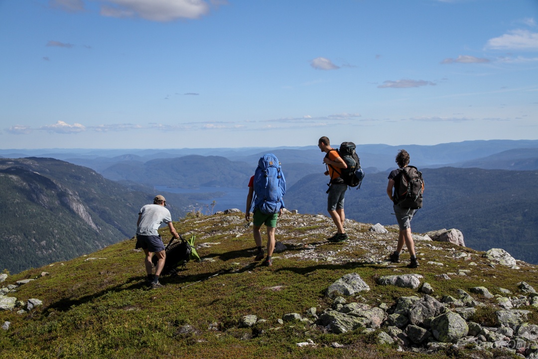
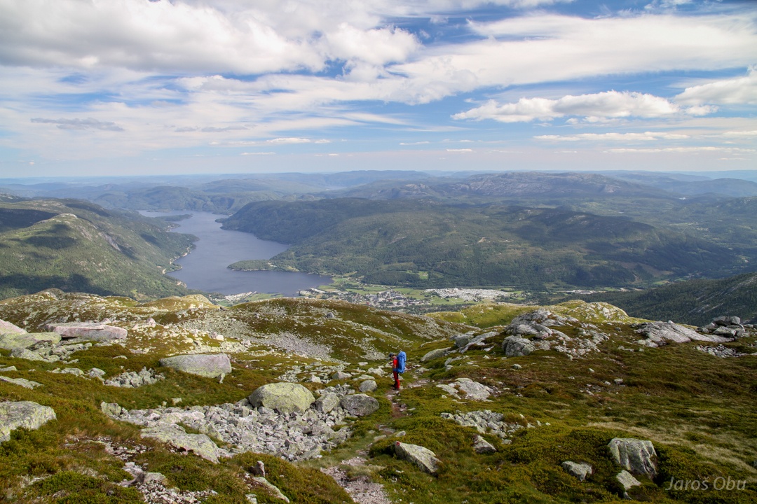
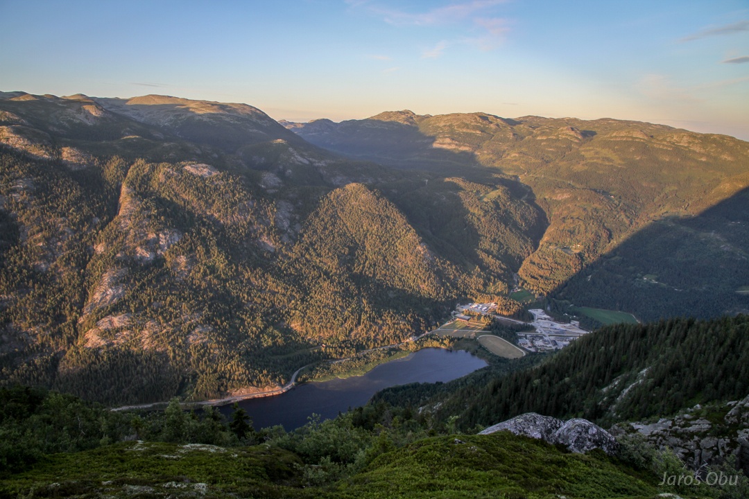
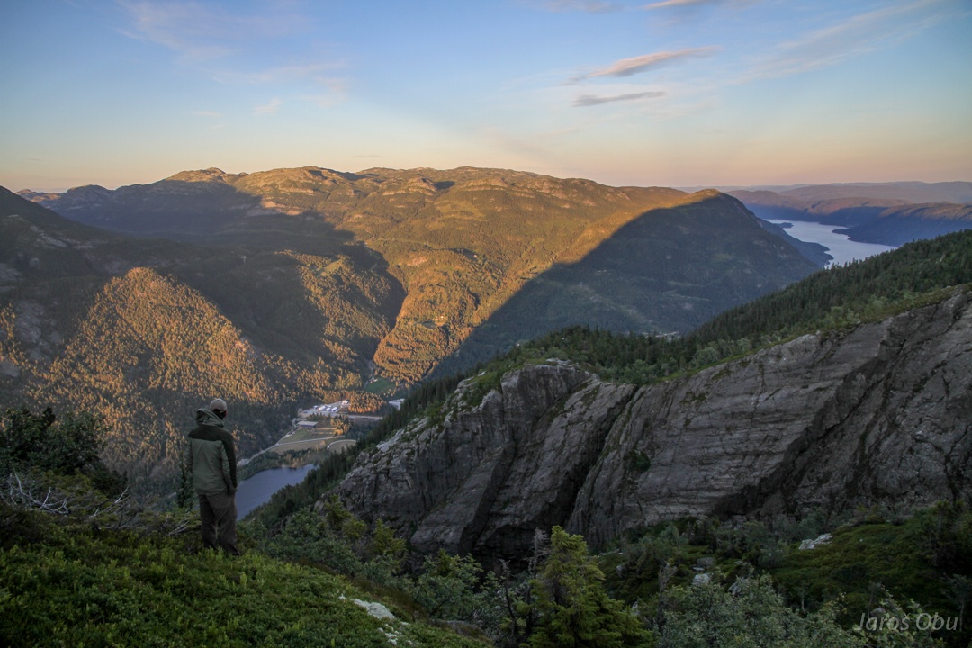
And a first view on Seljord town and Seljordvatn lake.
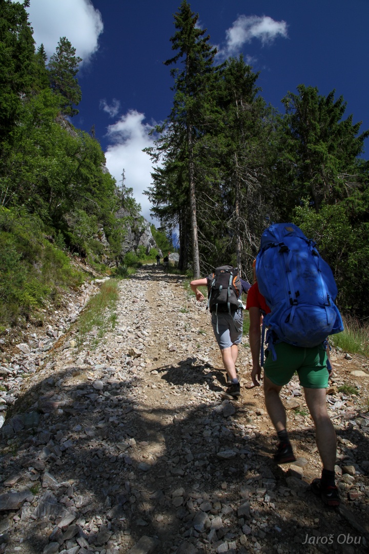
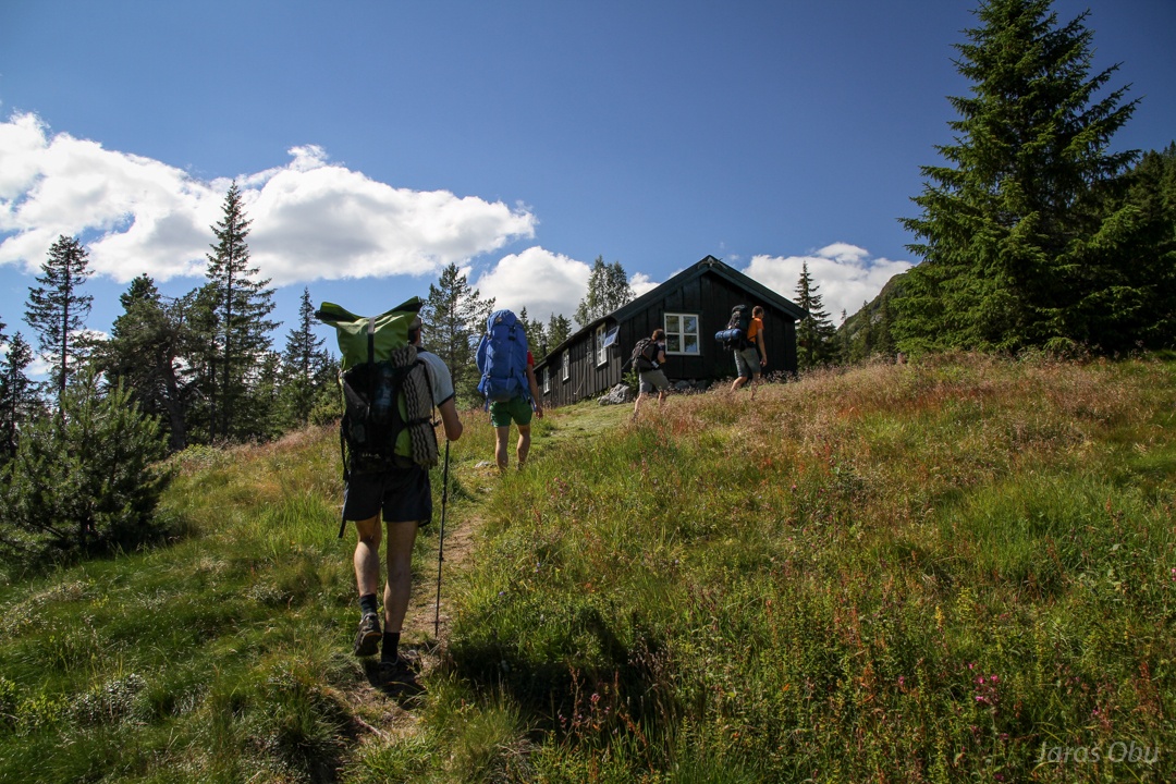
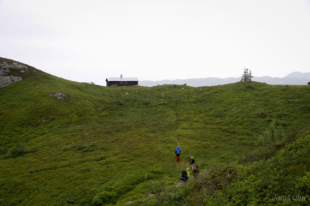
Passing a hut.
And already close to a treeline, which is here on around 900 m elevation.
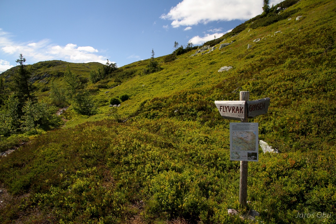
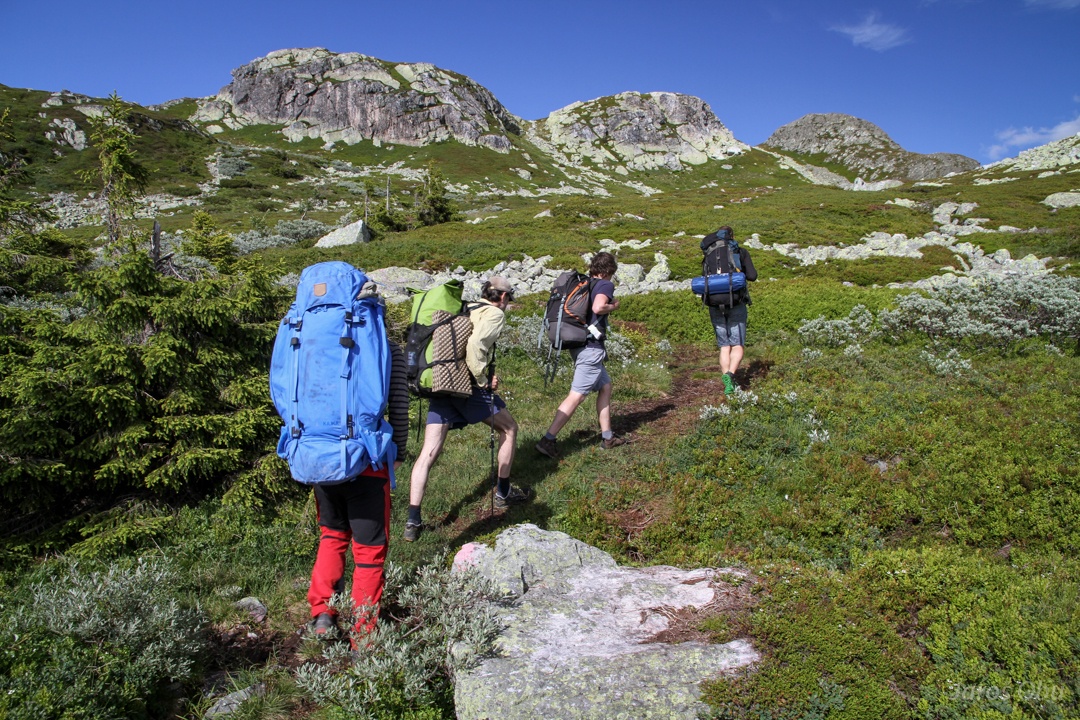
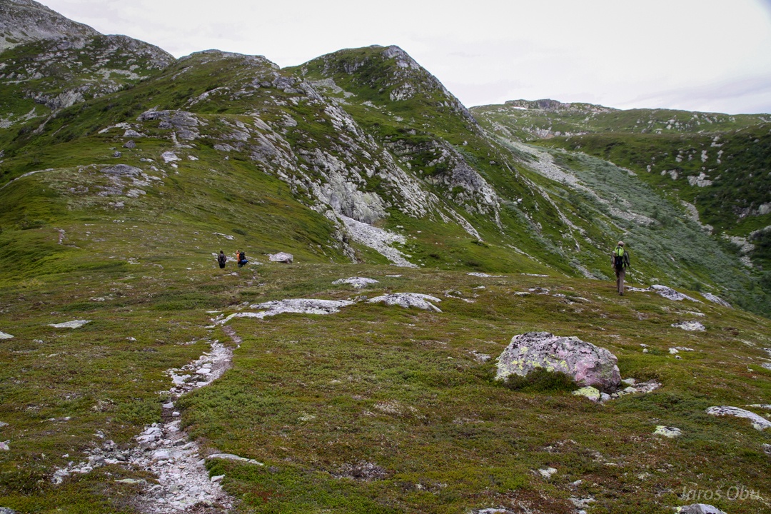
On crossroads.
We take the trail via Gøysen.
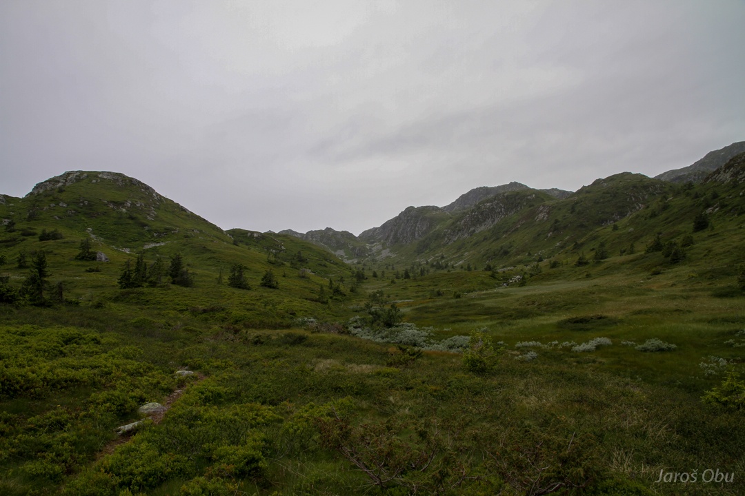
Hilly landscape of Telemark. Maybe should Simon Ammann come here and practice his landing technique.
Painter's touch of fresh summer greenness.
Fresh and vivid heather mat above treeline.
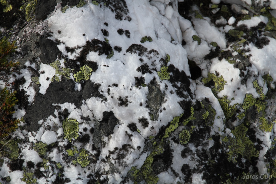
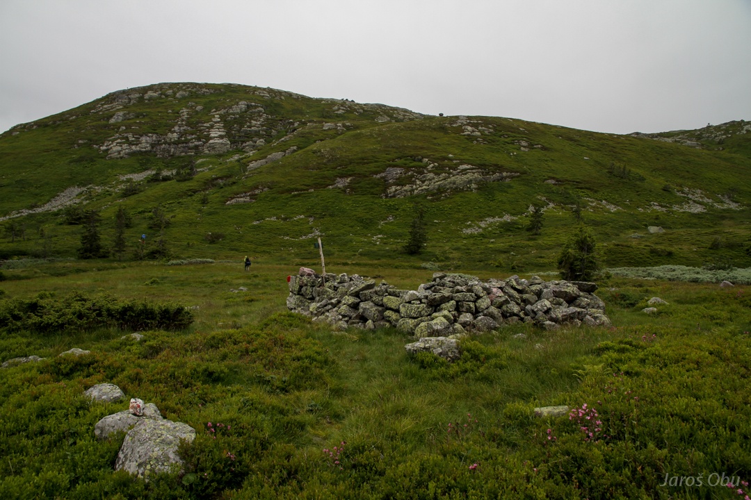
Interesting stone-and-vegetation-interaction pattern.
Lunch spot with a view.
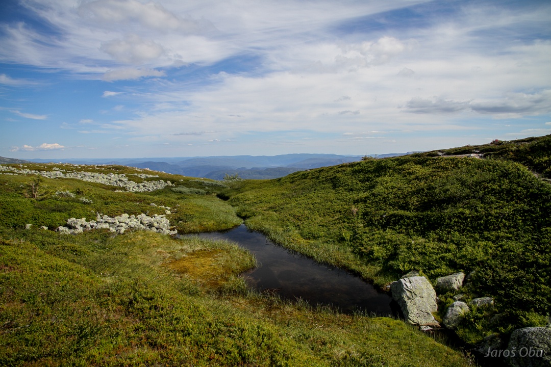
A lot of water everywhere.
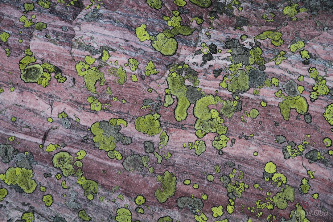
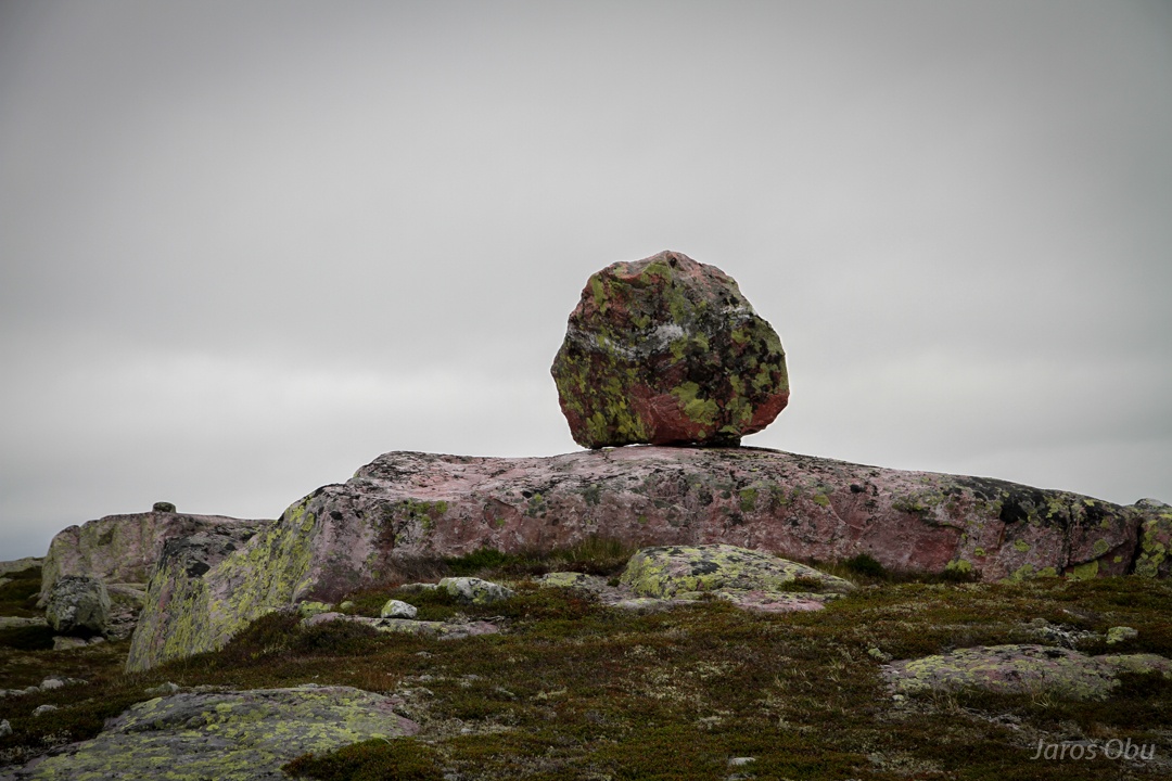
Lichens on red quartzite.
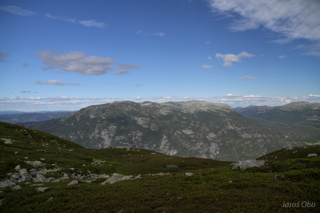
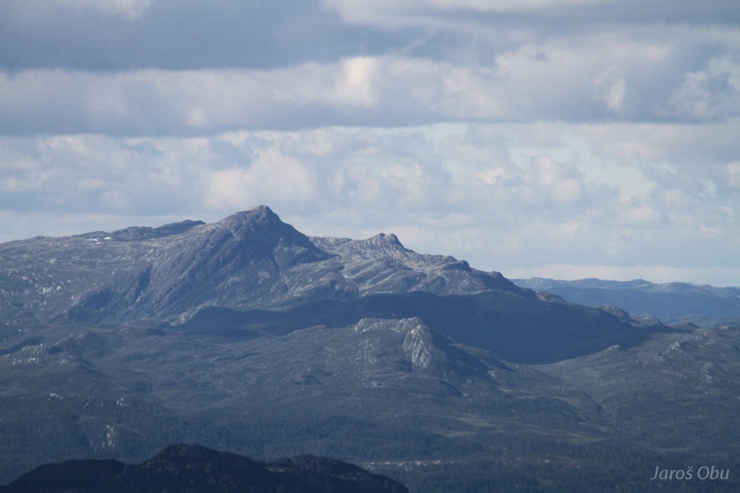
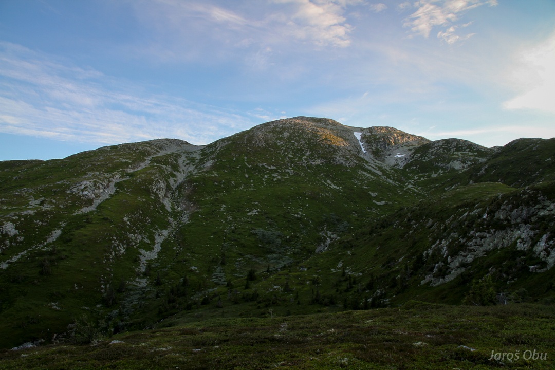
Nearby Mælefjell Mountain.
Crossing Gøysen.
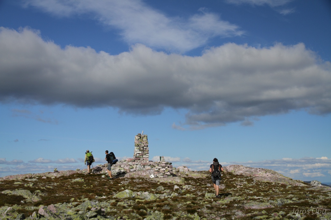
Almost there.
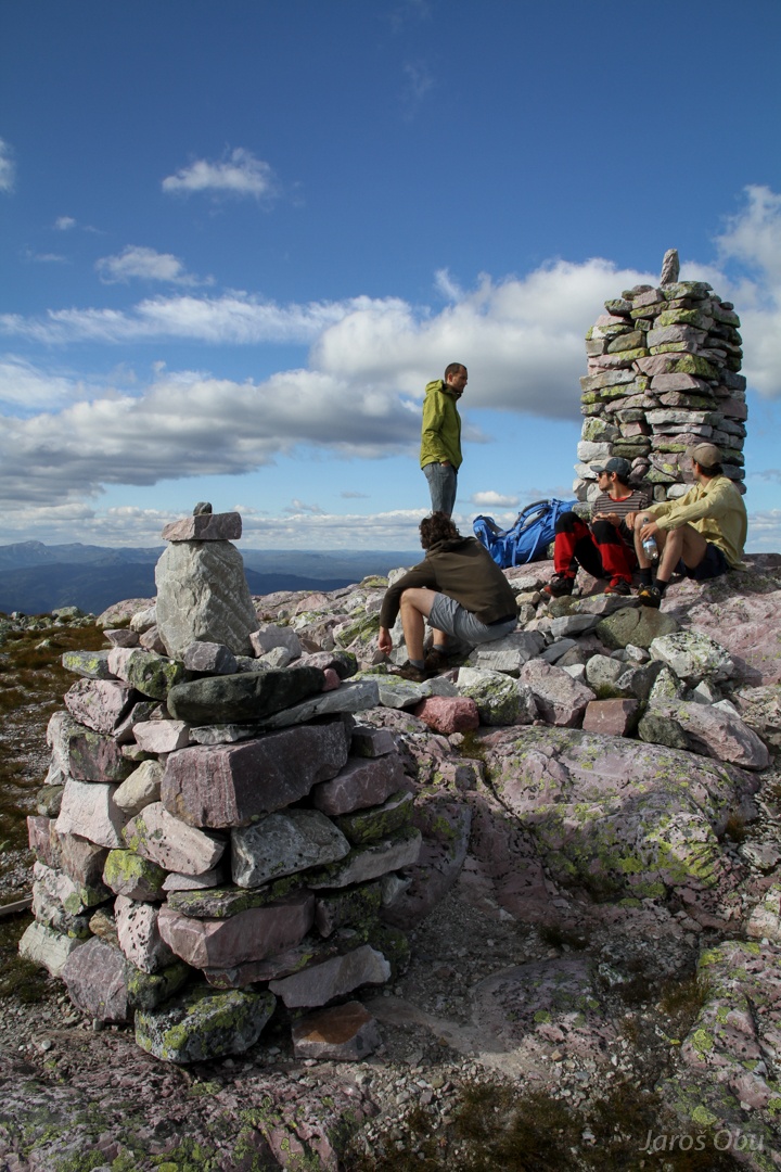
On the top.
Not a stereotypical norwegian fjord.
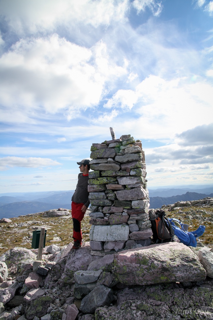
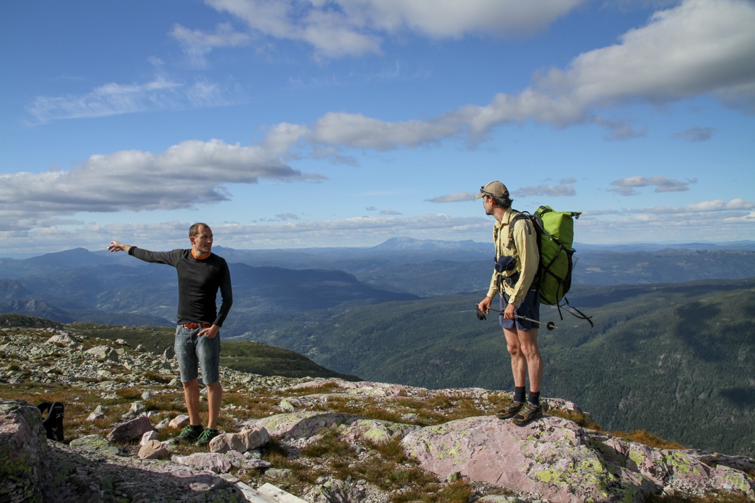
Felix is supporting the column so it doesn't collapse.
Brattefjell
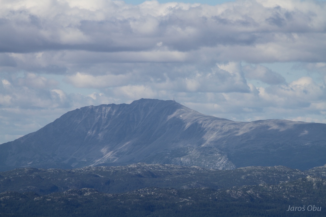
Gaustatoppen (1883 m) is the highest mountain in Telemark.
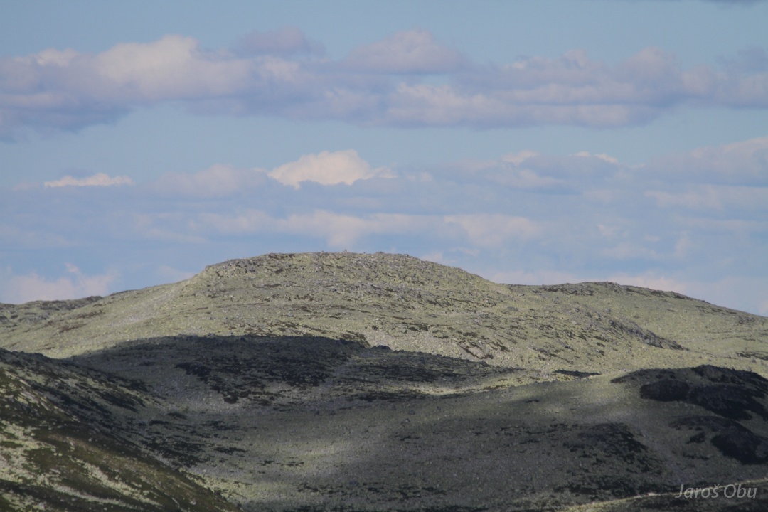
Mælefjell "summit" (1413 m).
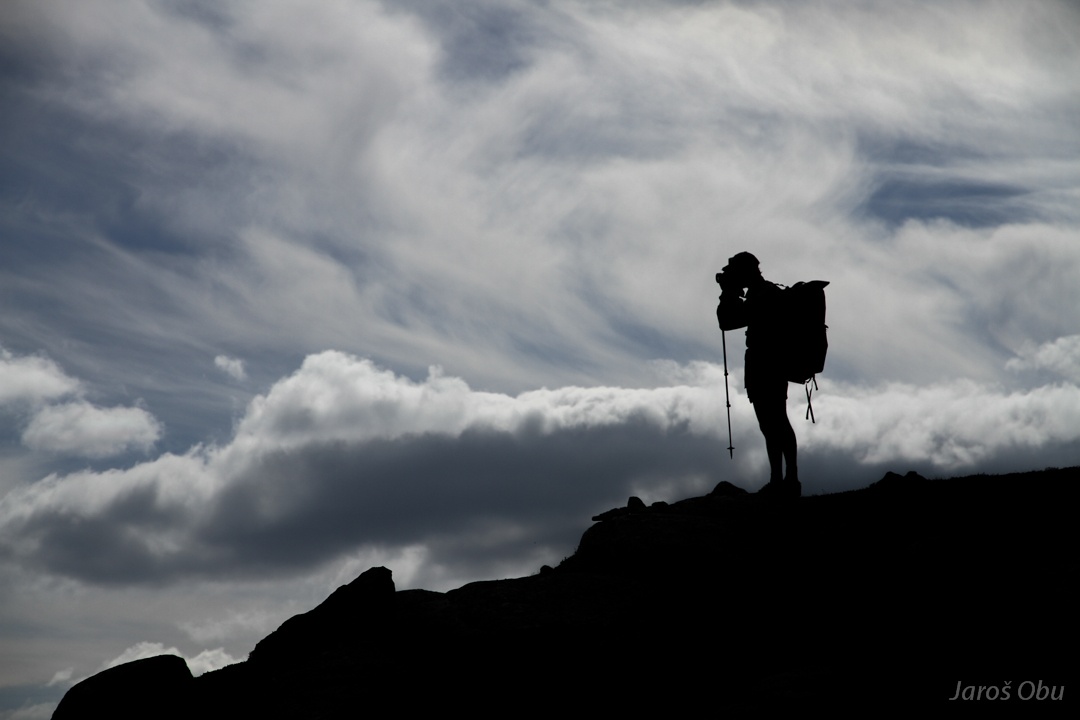
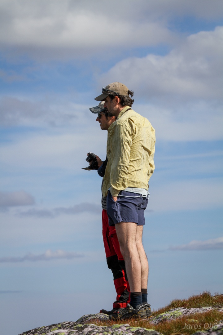
Enjoying views.
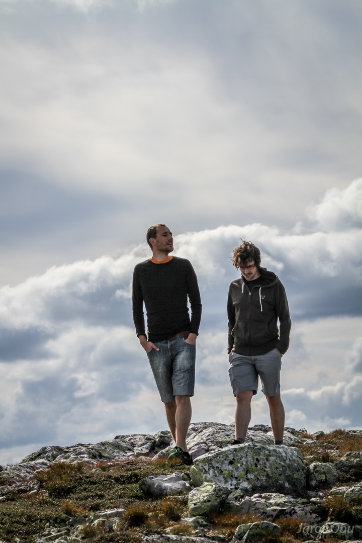
And time to go on.
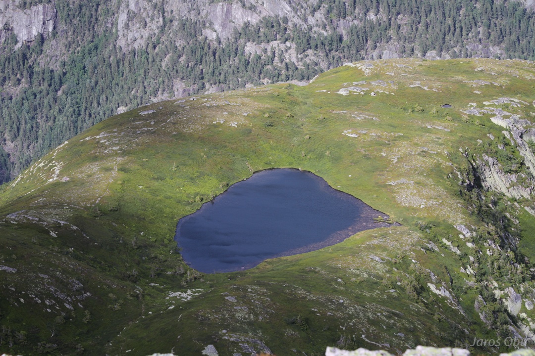
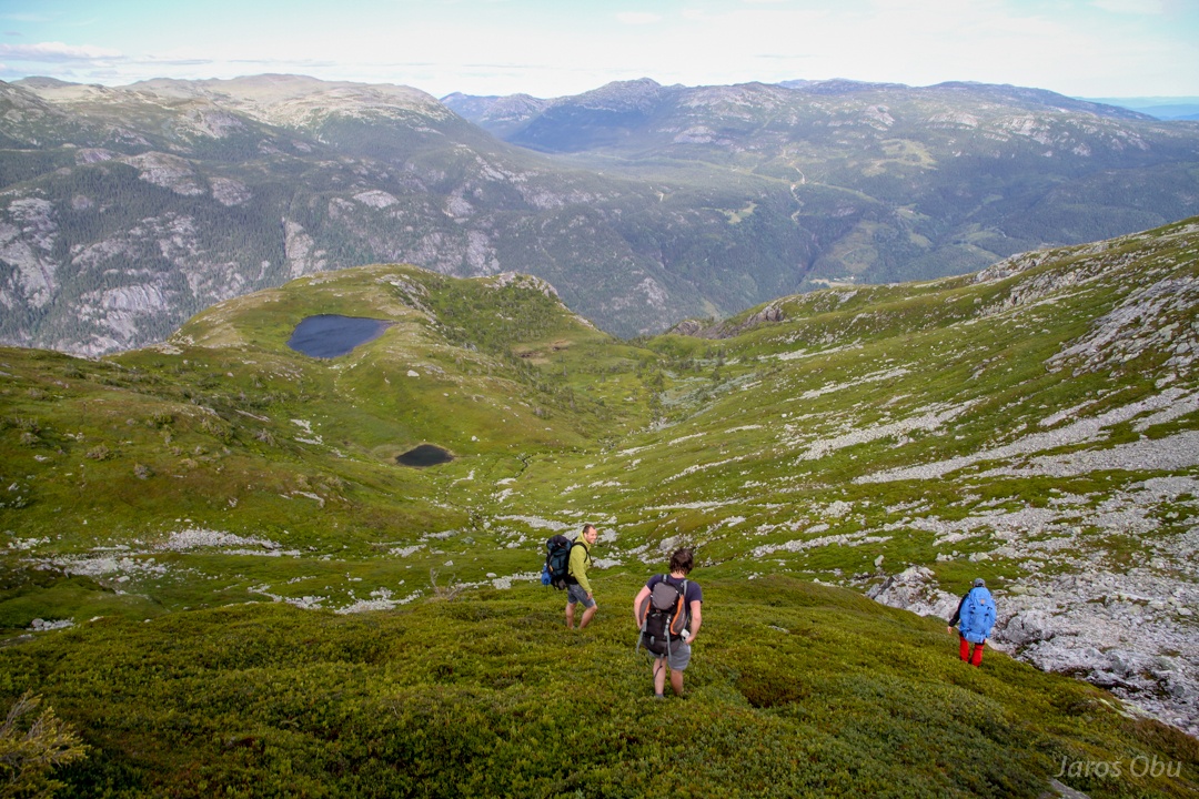
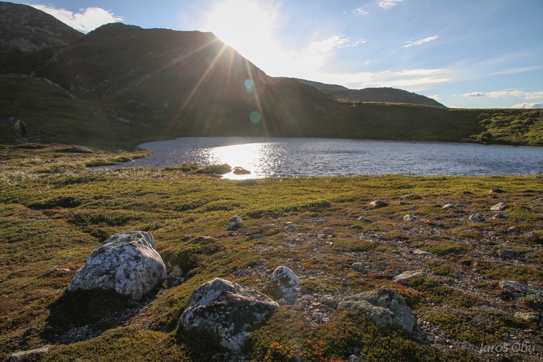
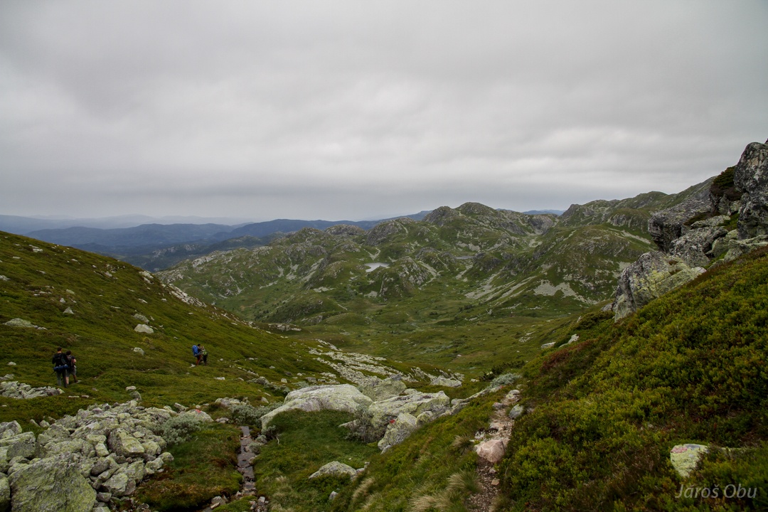
The lake where we planned to stay overnight.
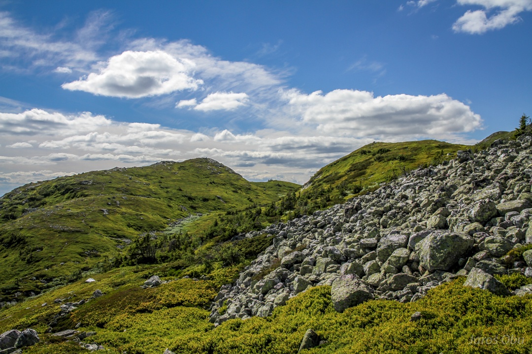
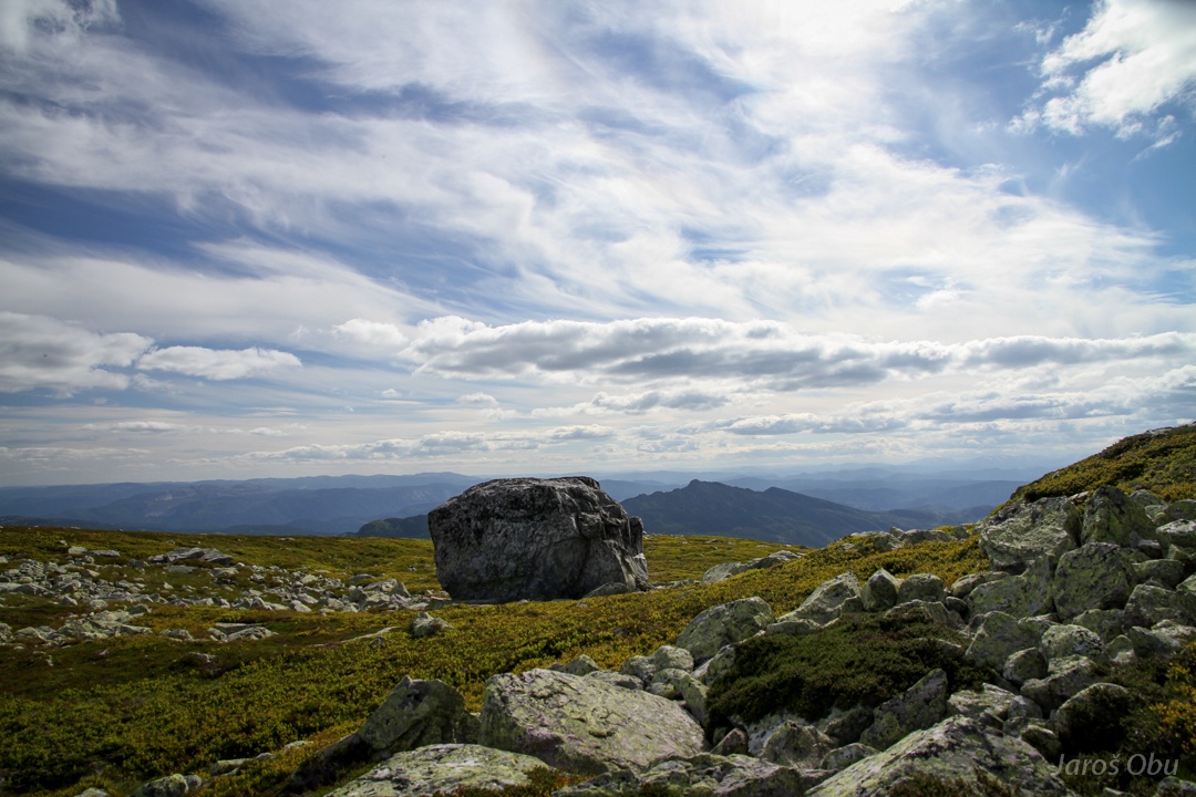
Relatively flat Skroven surface.
This time usually white quartzite.
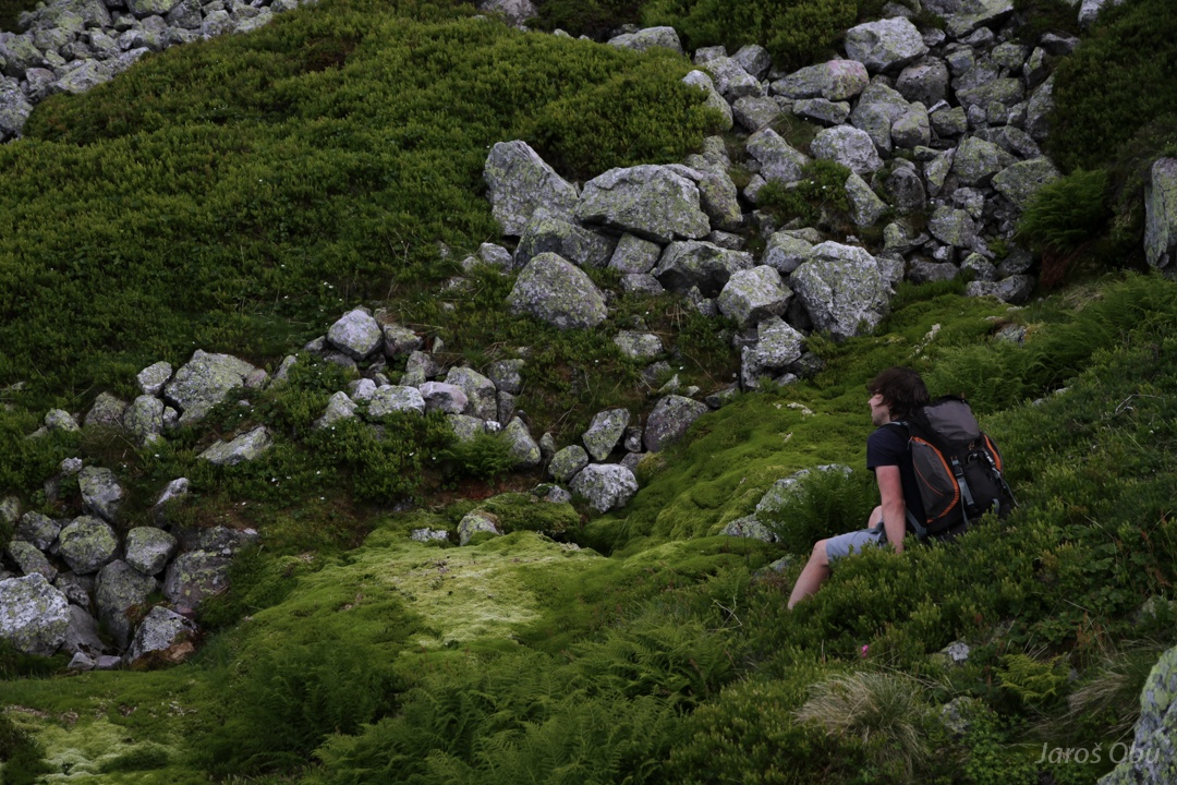
Pleasant walk on soft vegetation mat.
Humlenesfjellet
Crossing mosses.
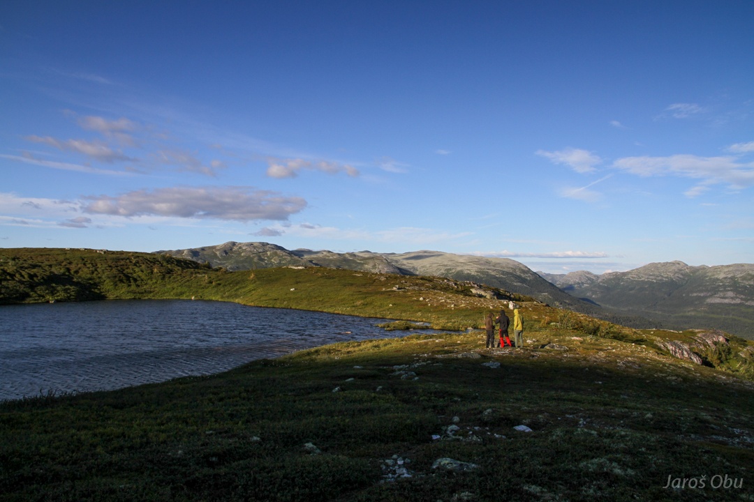
Evening is coming
and cold and wind with it.
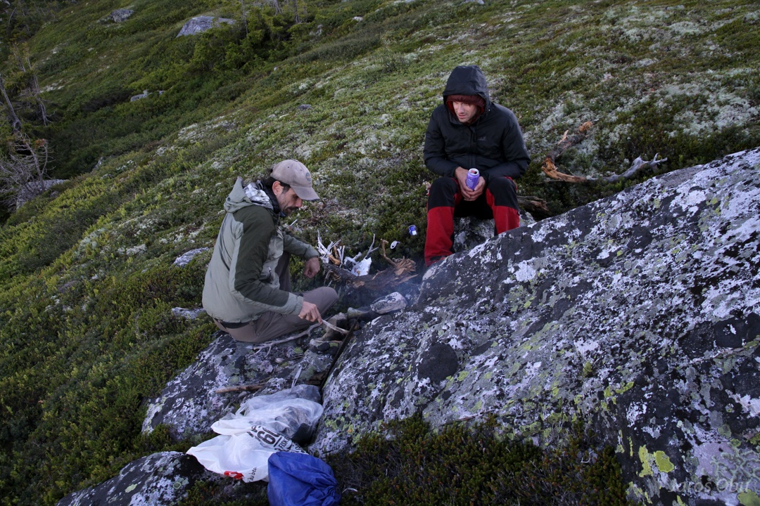
Dinner grill.
On a way to find more sheltered location.
Skrovetoppen in evening light (1370 m).
Flatsjå
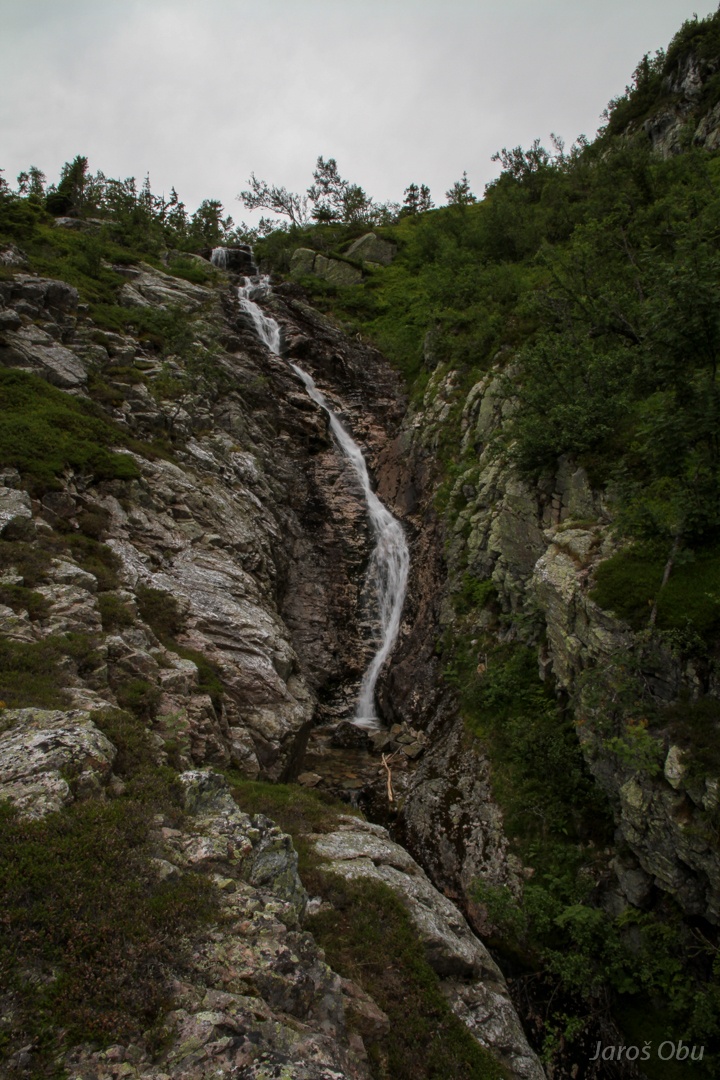
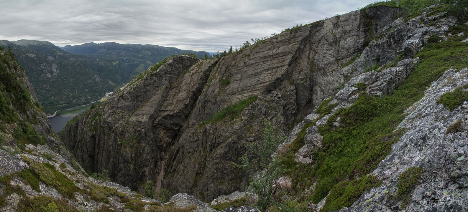
Over Spådomsklaven canyon.
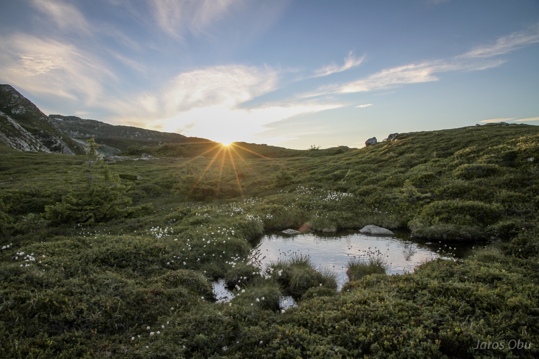
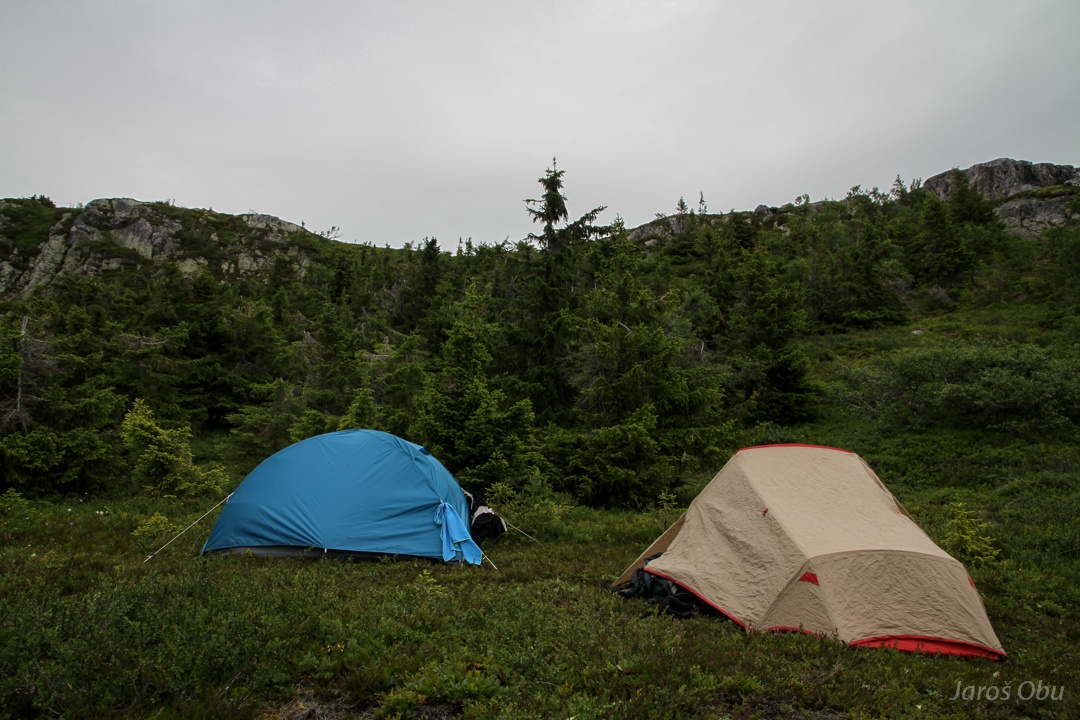
Sleeping place.
Tents after a mornign rain.
Surroundings.
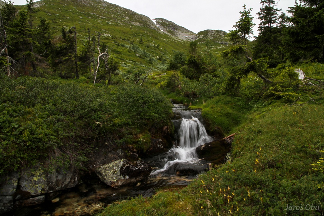
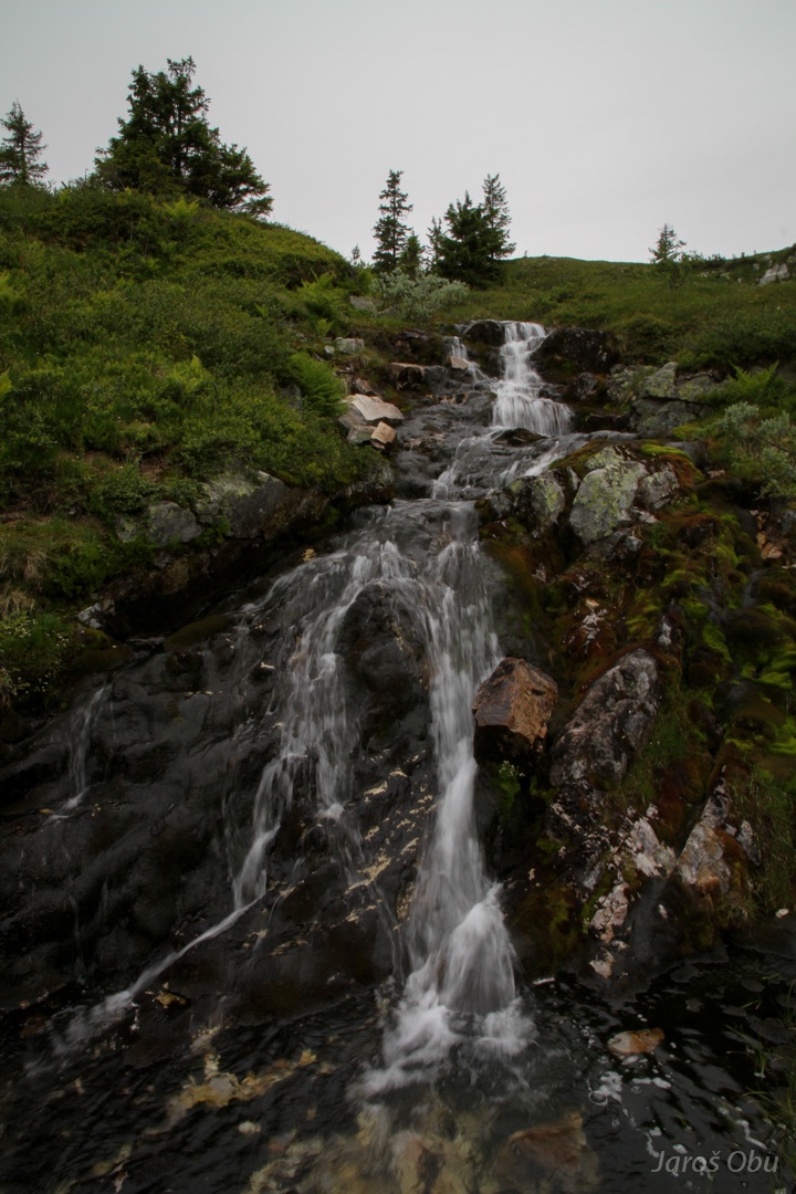
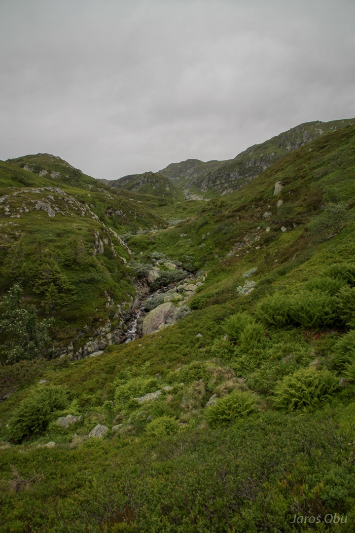
Nearby brook
with small and
bigger waterfalls,
which eventually end in the canyon.
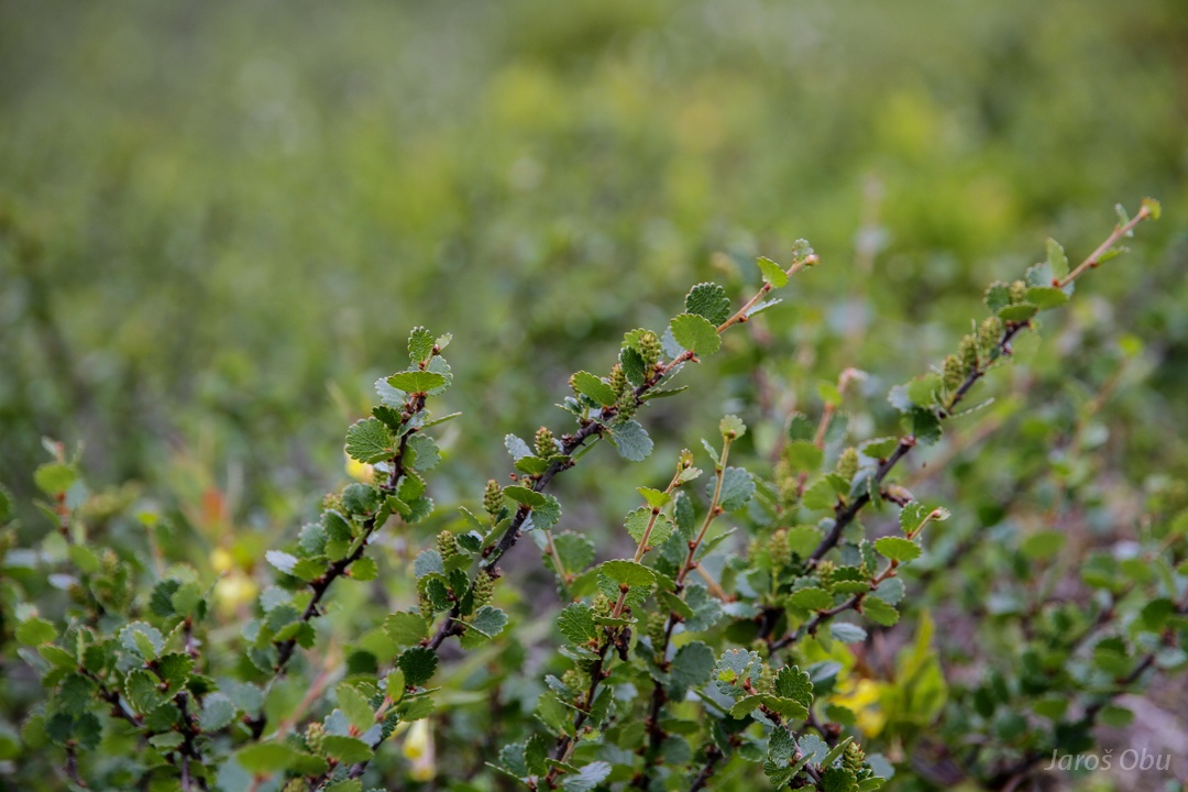
One of the smallest birch species; Betula nana.
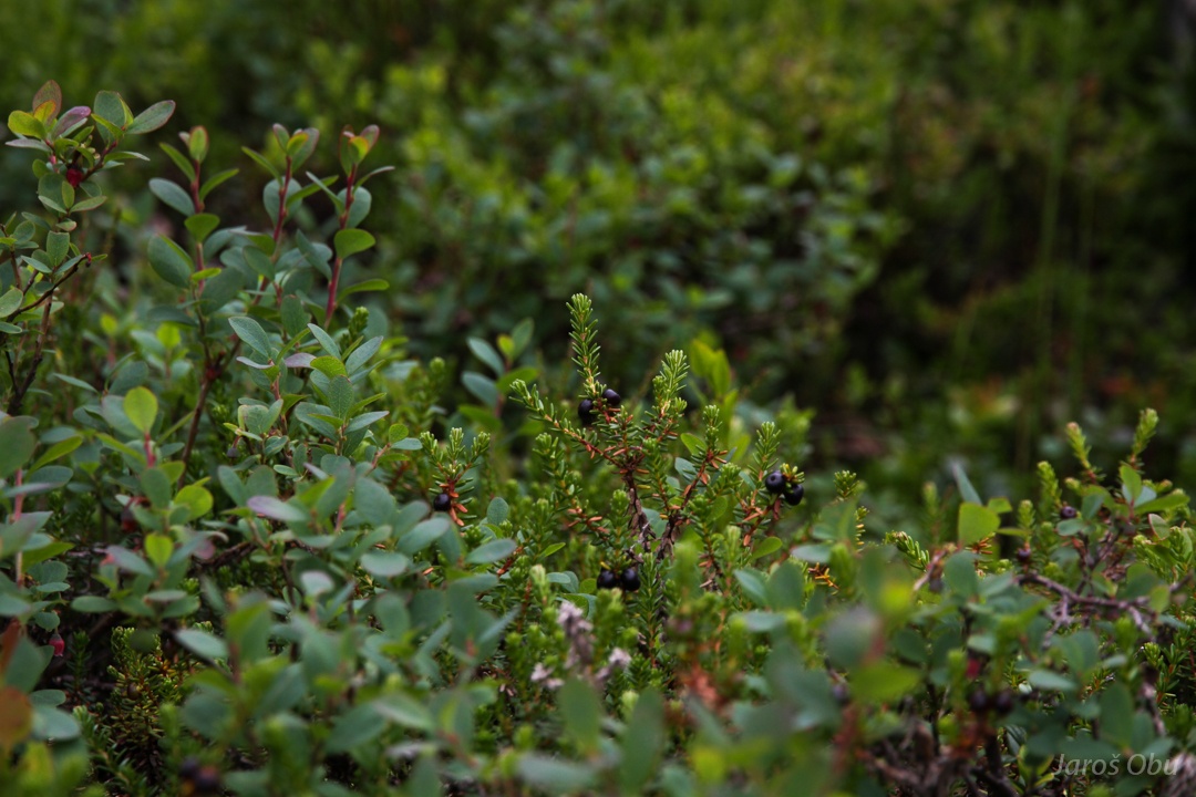
Black crowberry (Empetrum nigrum).
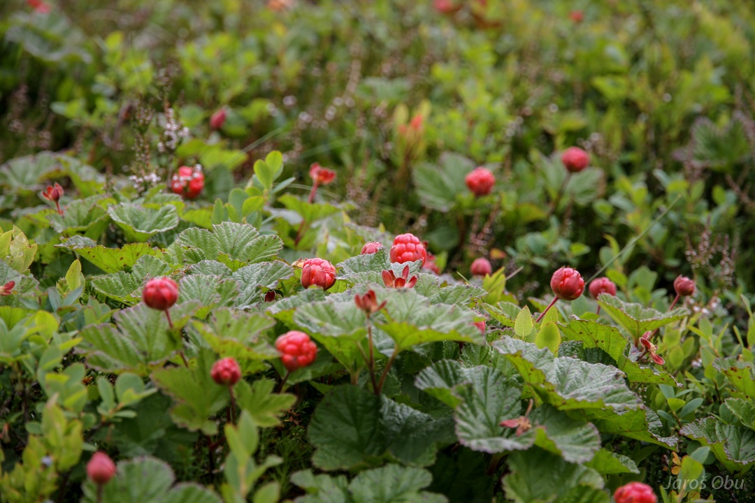
Ripe cloudberries (Rubus chamaemorus).
Back towards the plateau.
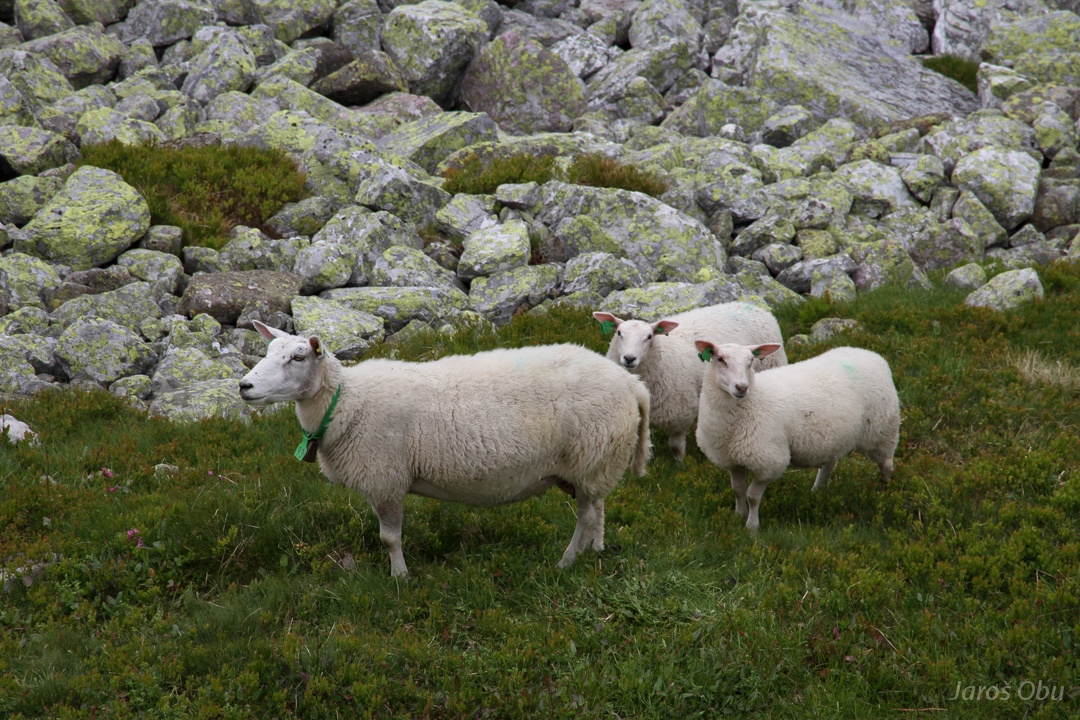
Summer mountain inhabitants with a latest fashion commandment; green necklace and earrings.
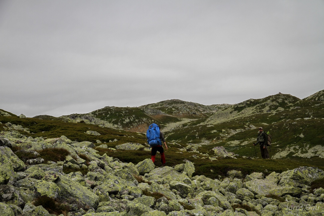
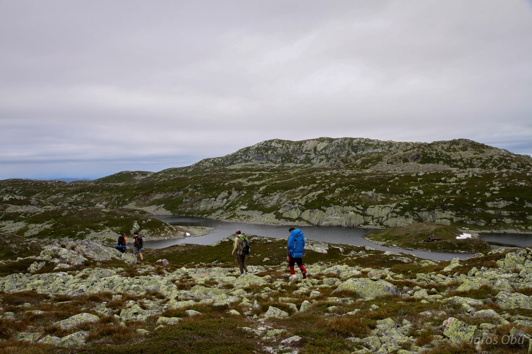
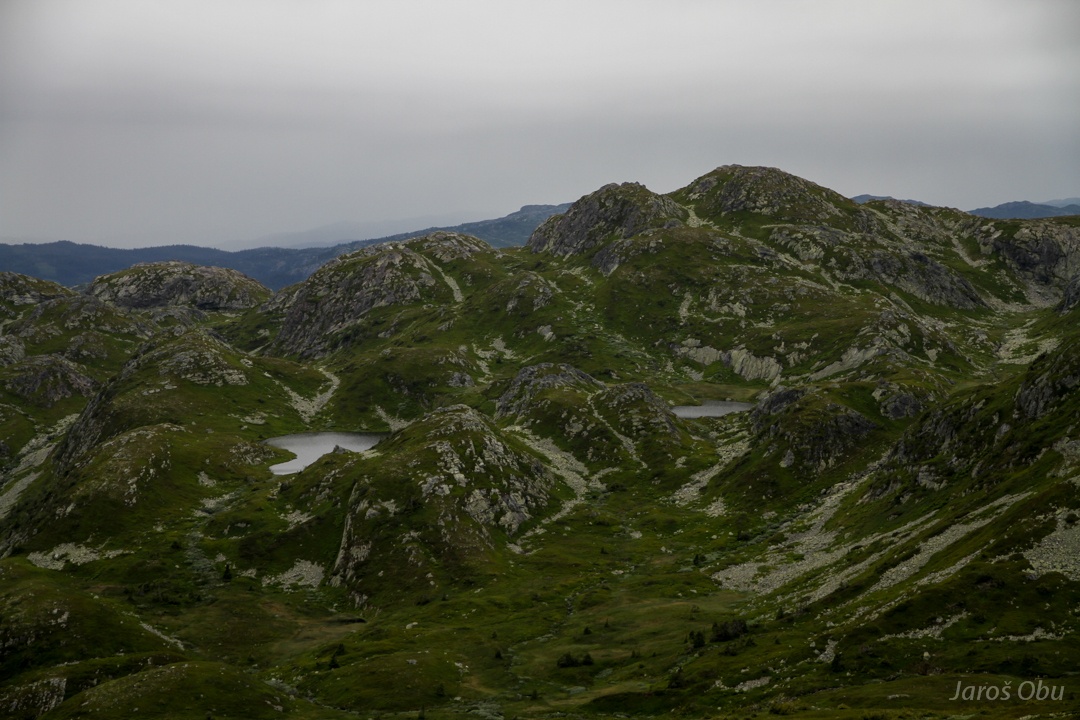
And back among stones and lakes.
...
Some sorted stripes.
Tveitjønn
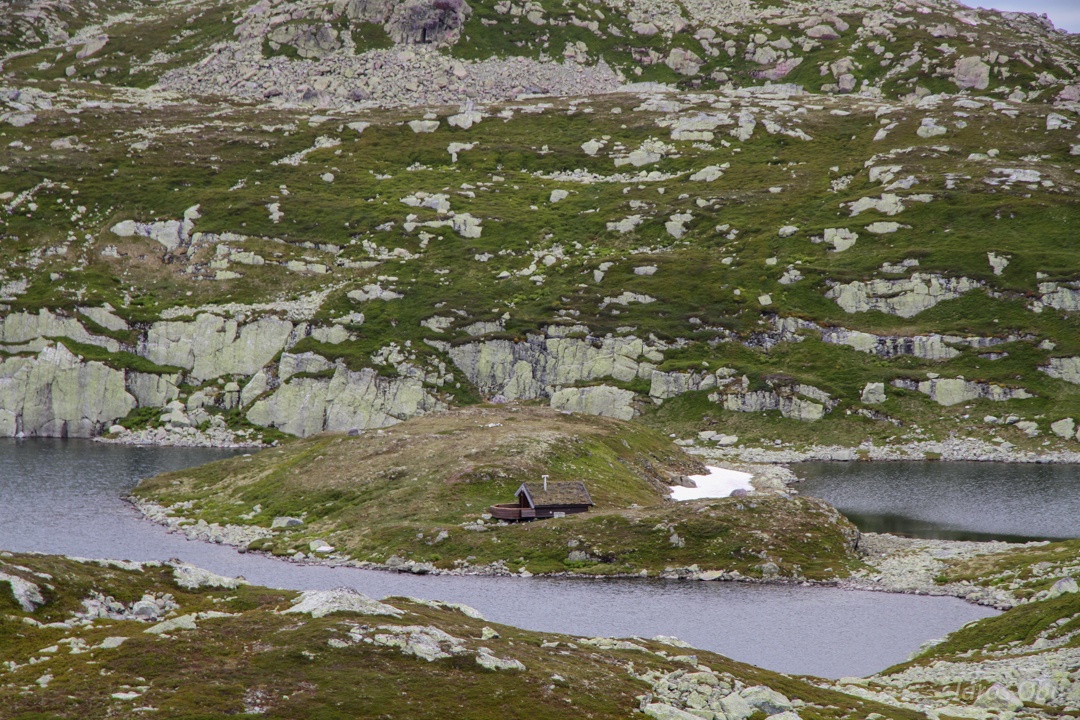
Shepherd's hut? on an island.
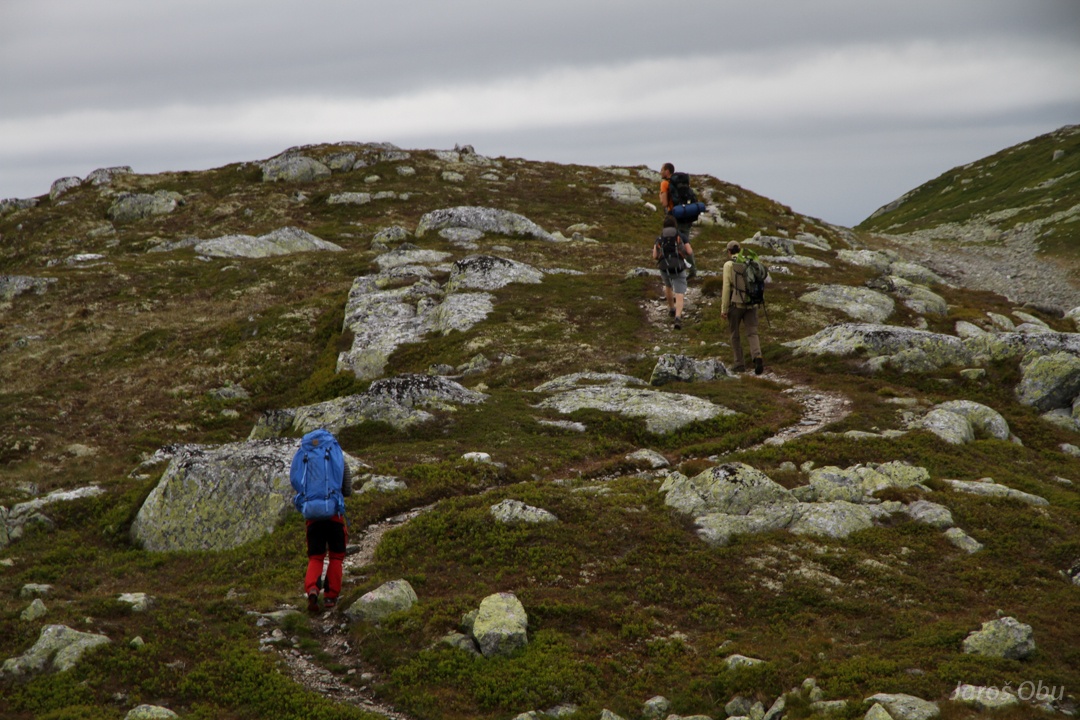
Long and winding path.
.. passing lakes.
Nordnibba is a place where we are not going.
Returning into the valley instead.
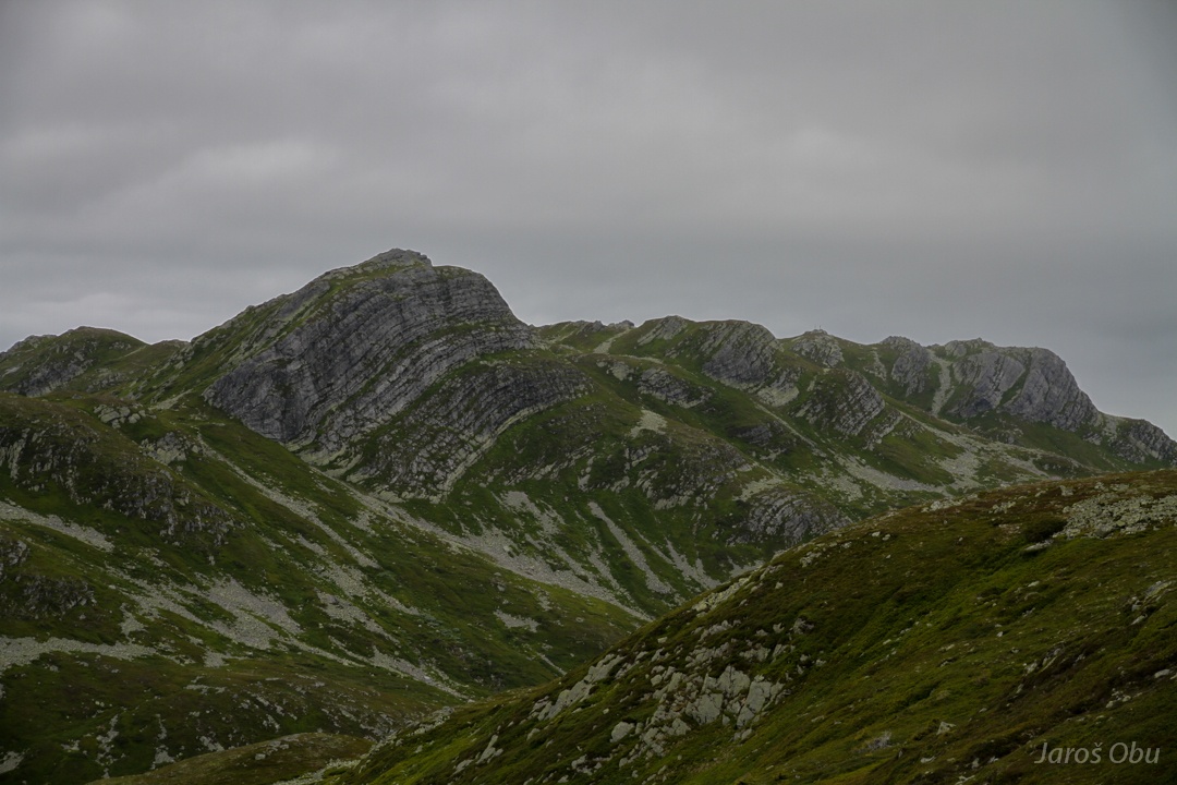
Hestenutan Mountains.
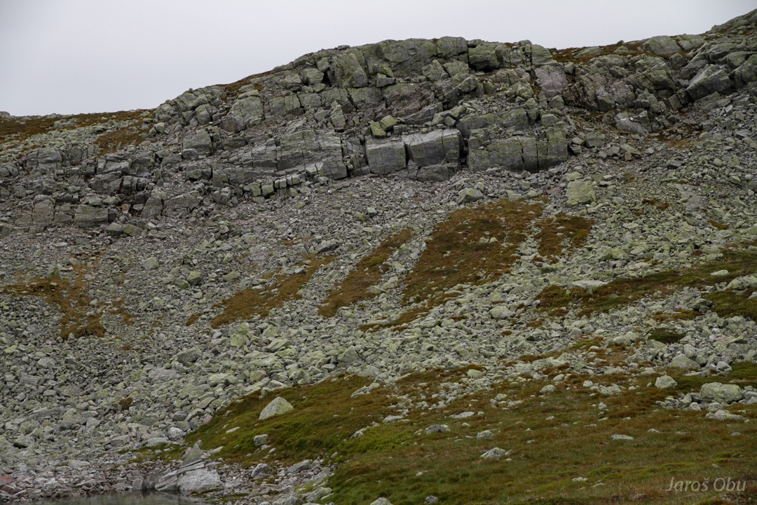
Photogenically bedded and folded rocks.
Reaching Finndalen bottom.
View up the Finndalen.
Rain is getting stronger but it is not far anymore.