© 2024 Jaroš Obu
Photo gallery of Jaroš Obu
Cart
0
Items
Buy now
Svalbard karst caves 28.8.-4.9. 2020
Tuesday, 01 September 2020
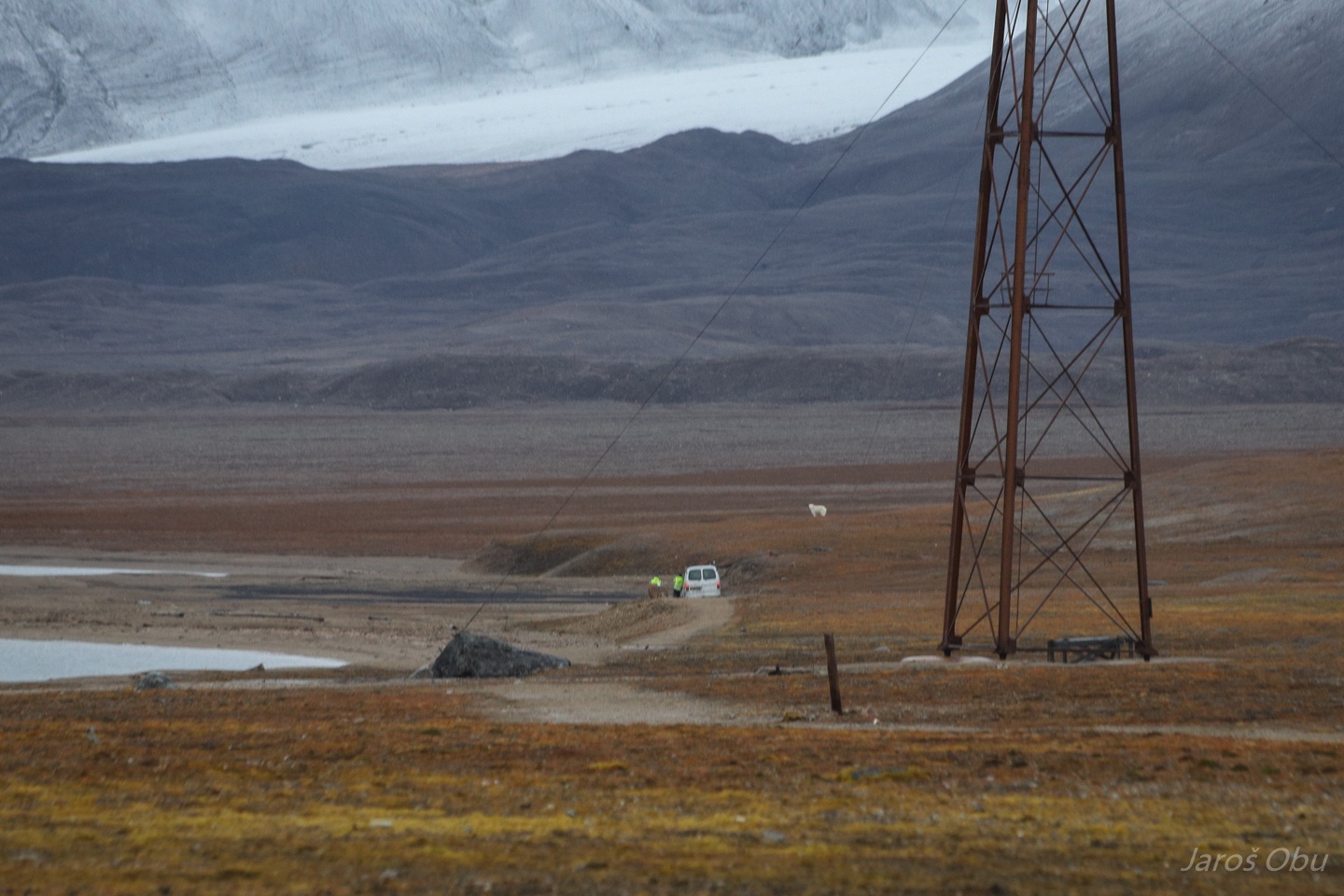
Back to Ny-Ålesund. Two polar bears came close to the town just after our arrival.
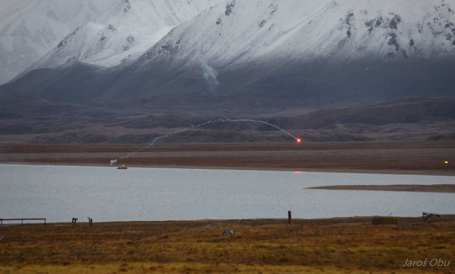
They had to put quite some effort into chasing them away.
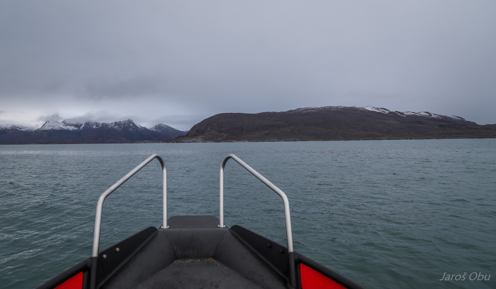
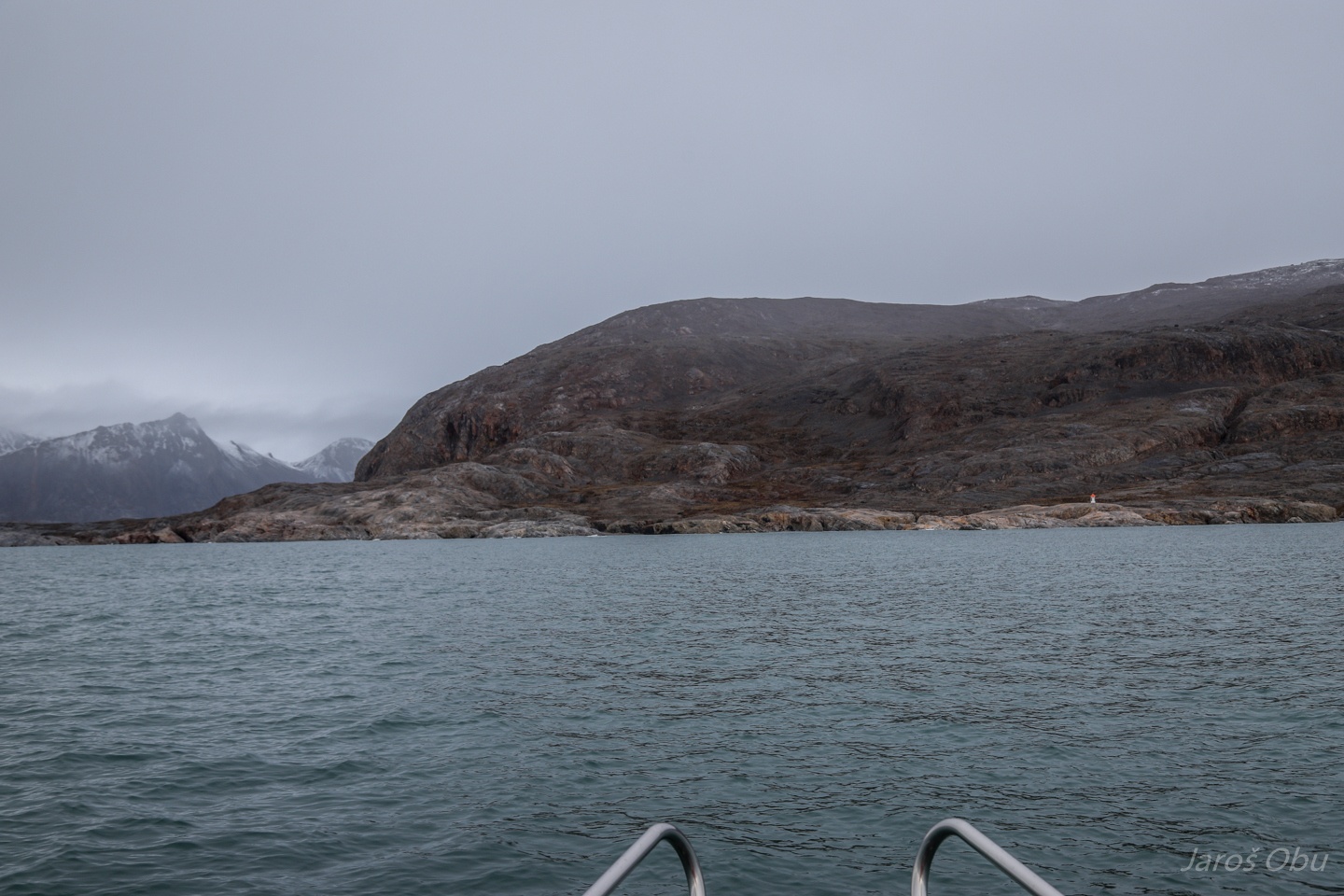
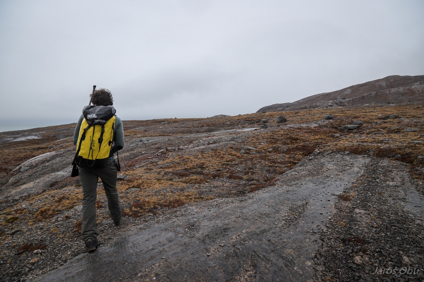
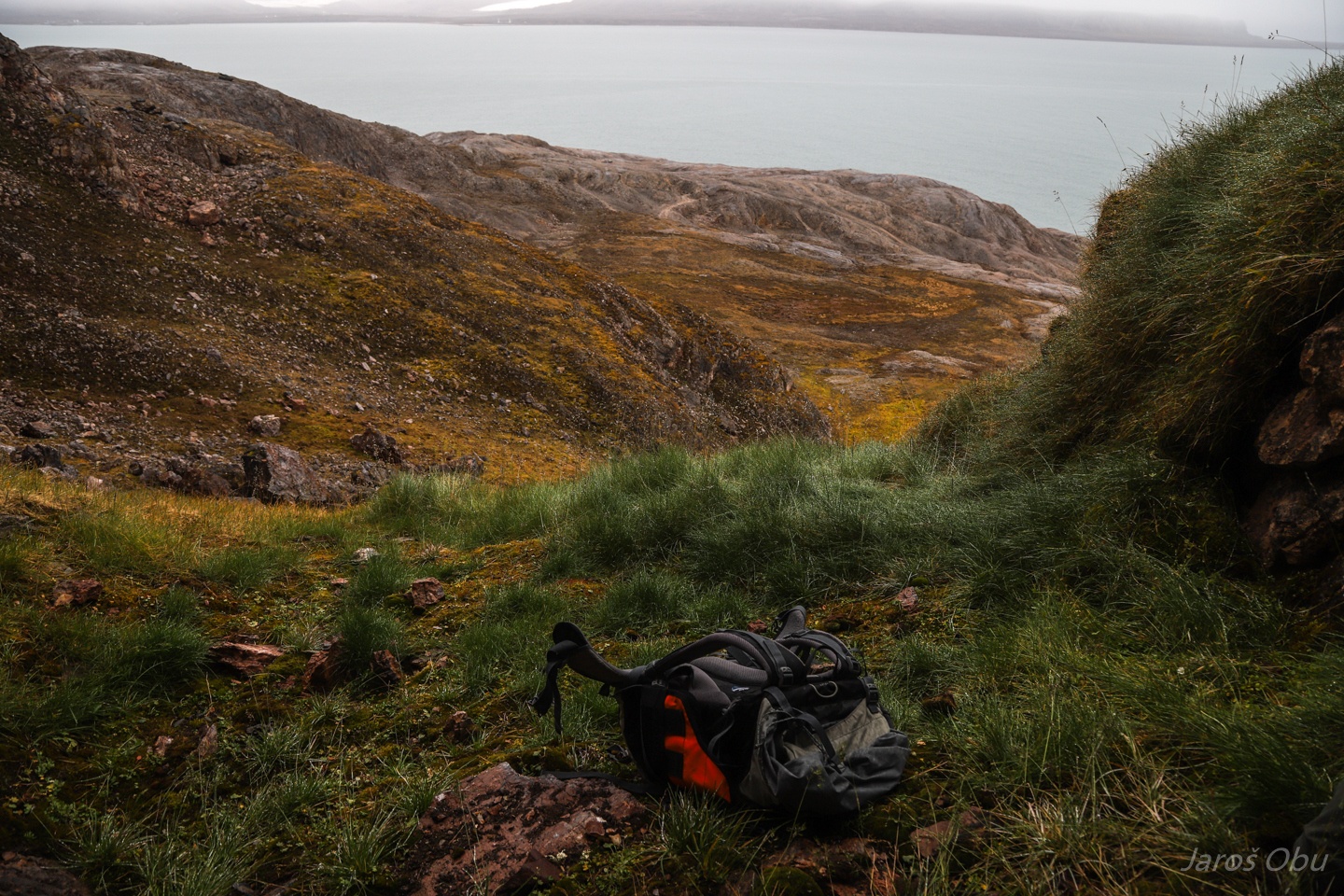
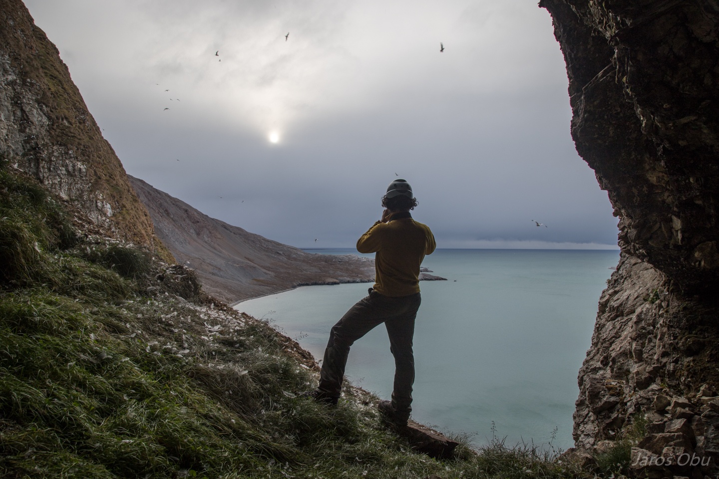
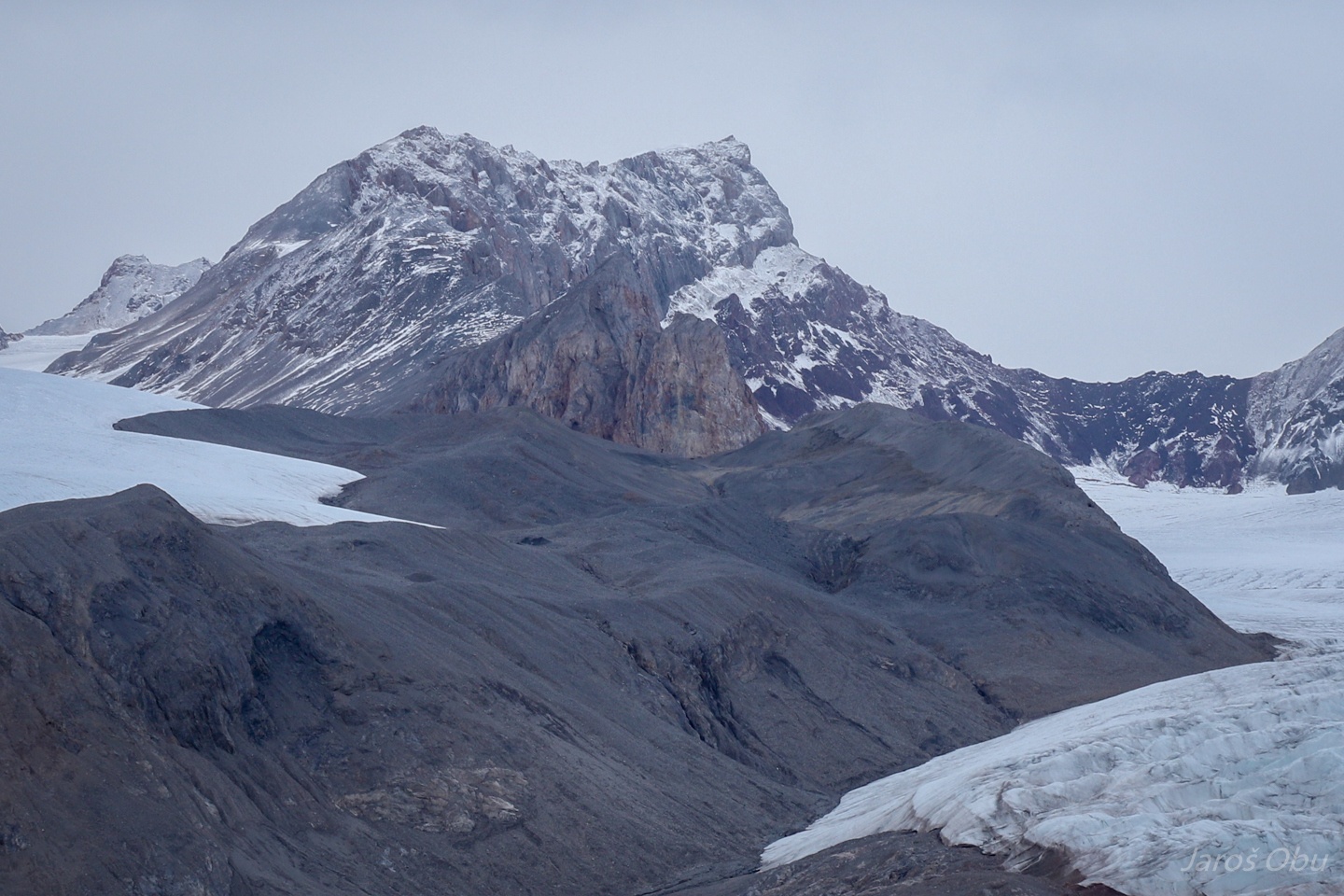
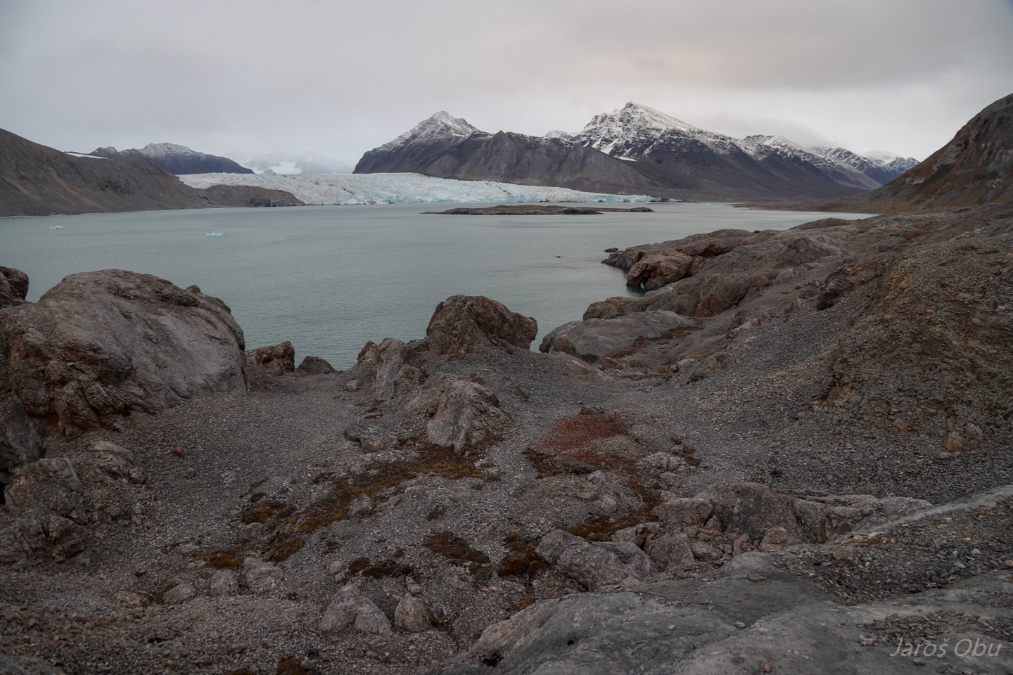
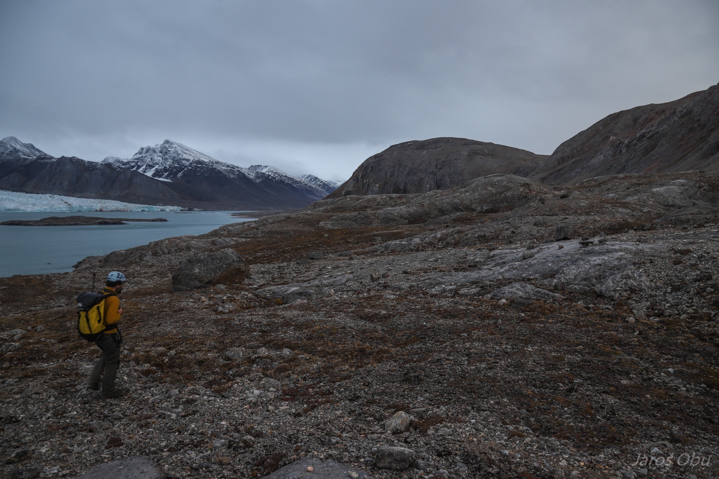
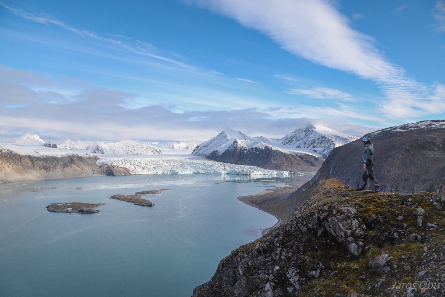
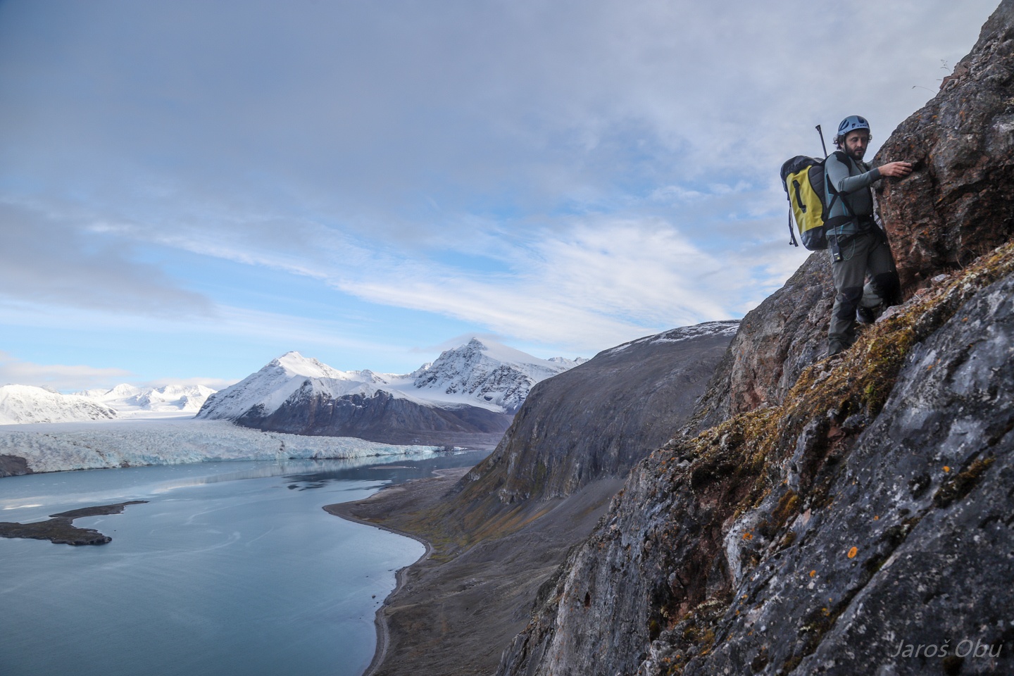
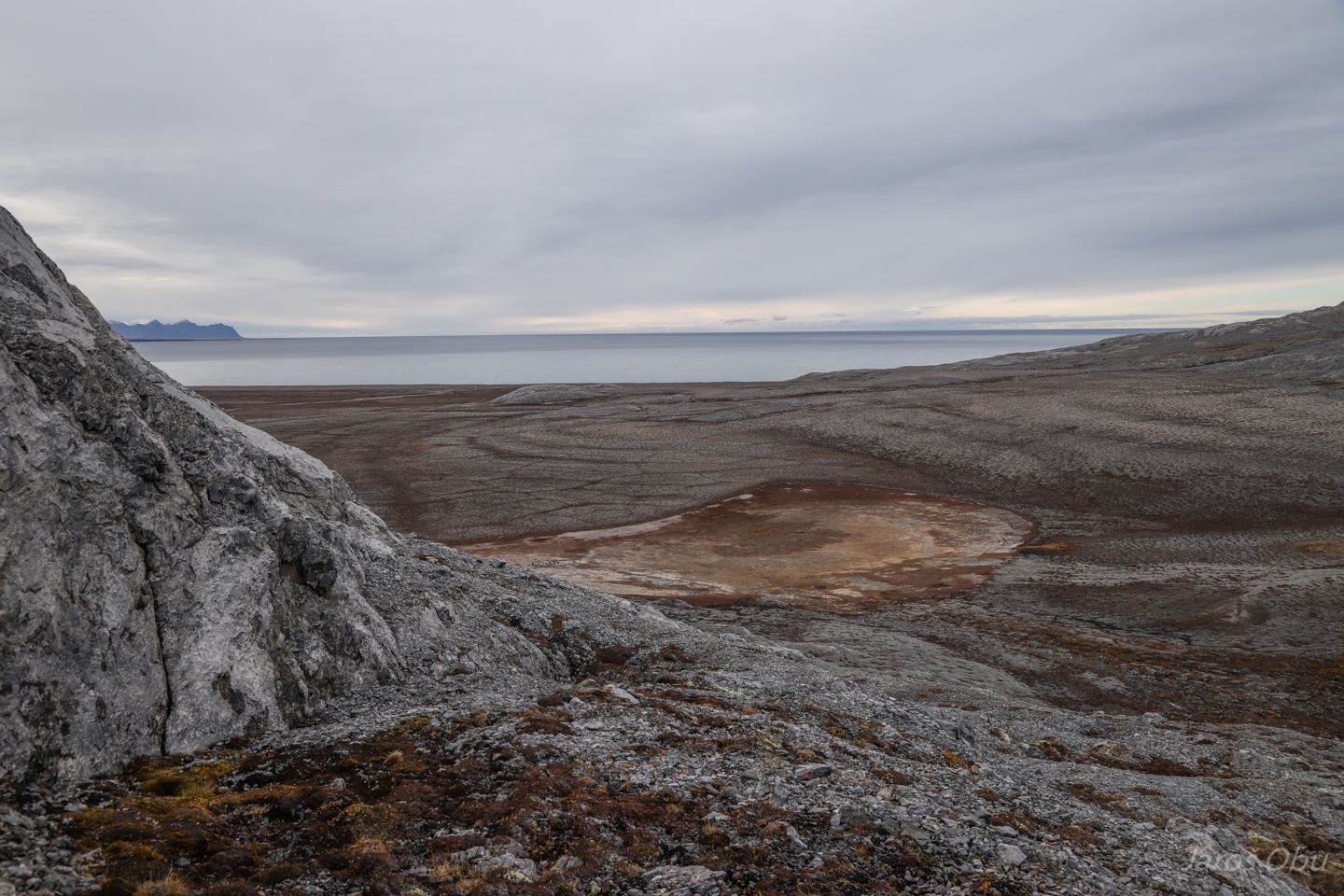
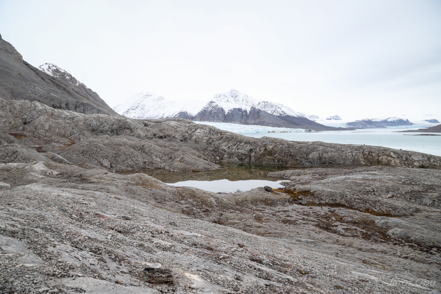
Blomstrandhalvøya at the opposite side of Ny-Ålesund was our working place for the next week.
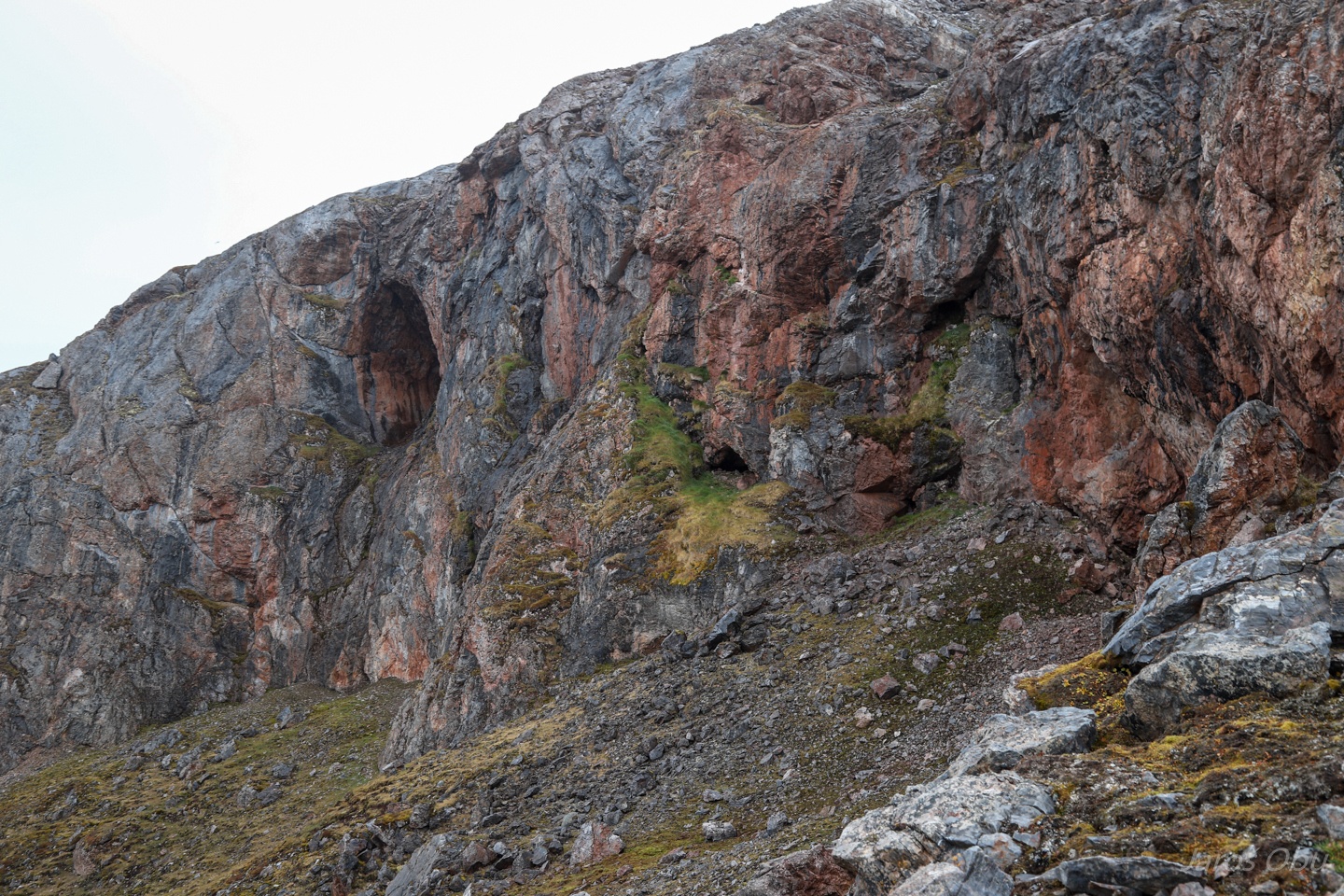
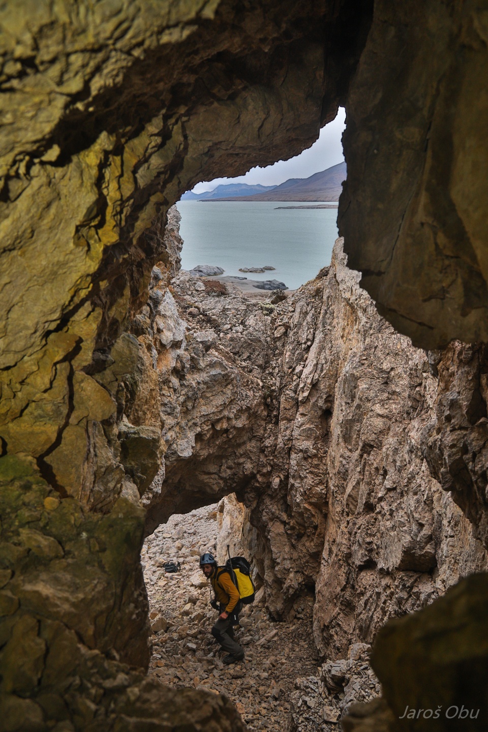
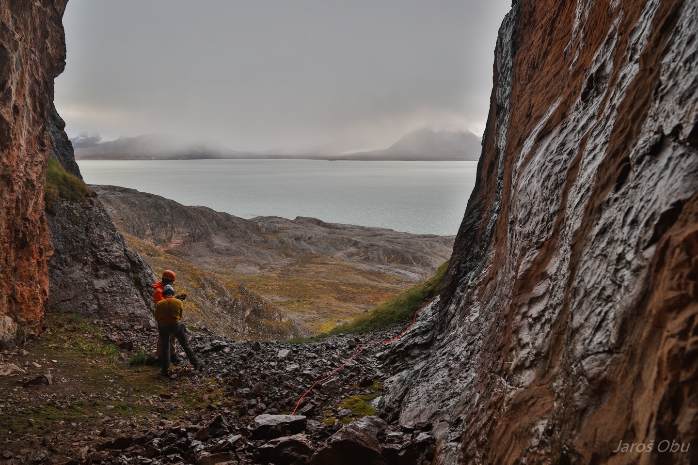
There are quite some karst caves on this island that we were aiming to explore. Grotteveggen with Portalgrotta on the very left side.
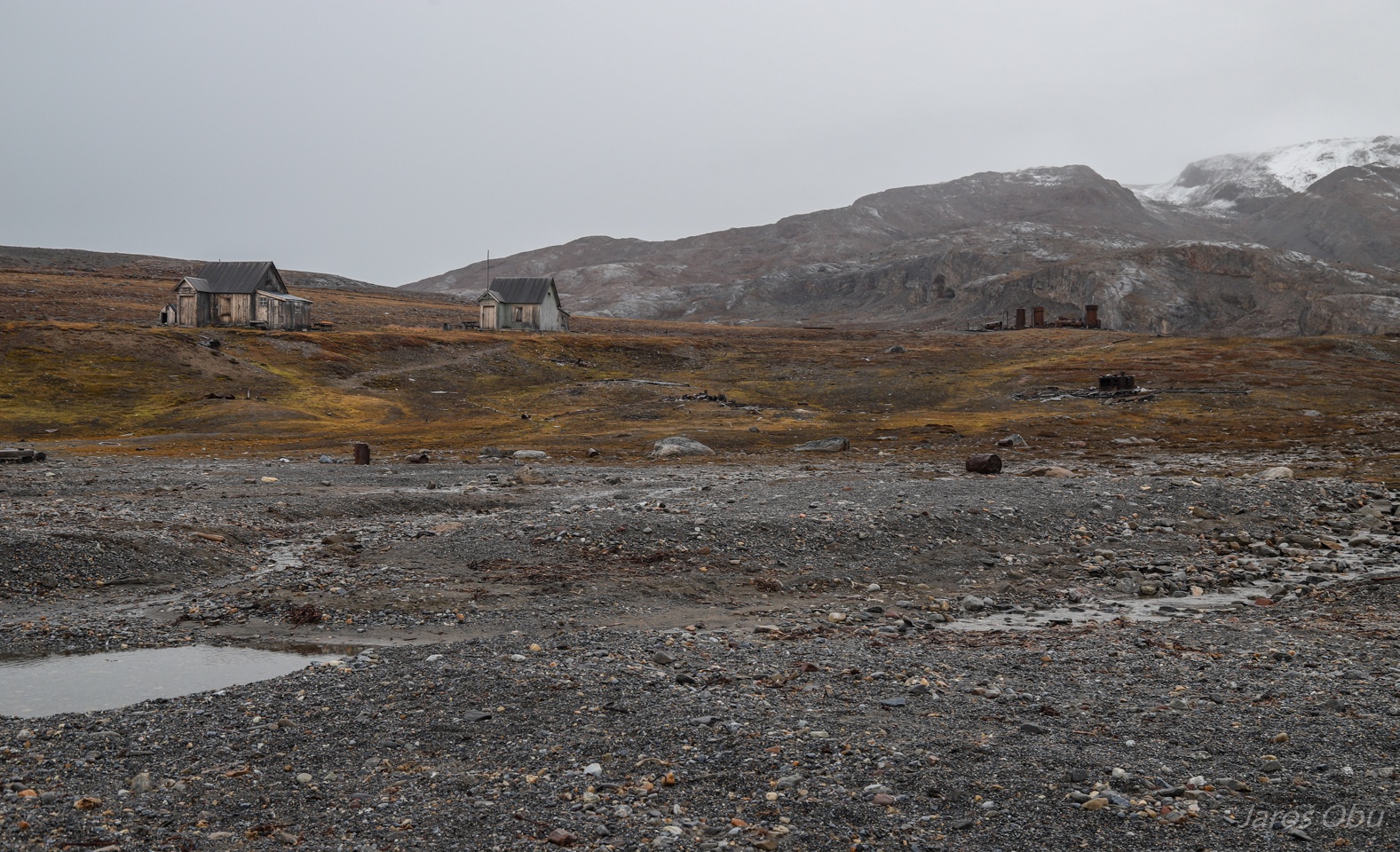
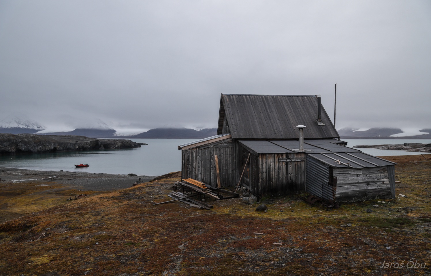
The sea was not particularly calm so we anchored in a bay by Ny-London.
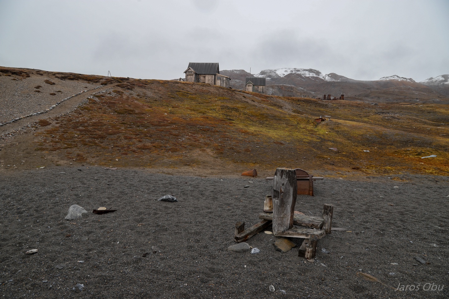
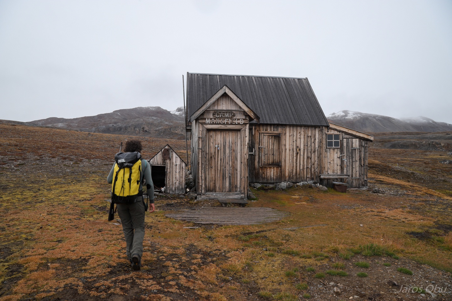
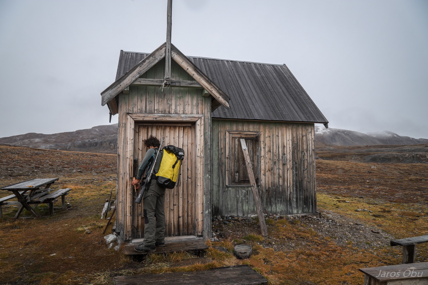
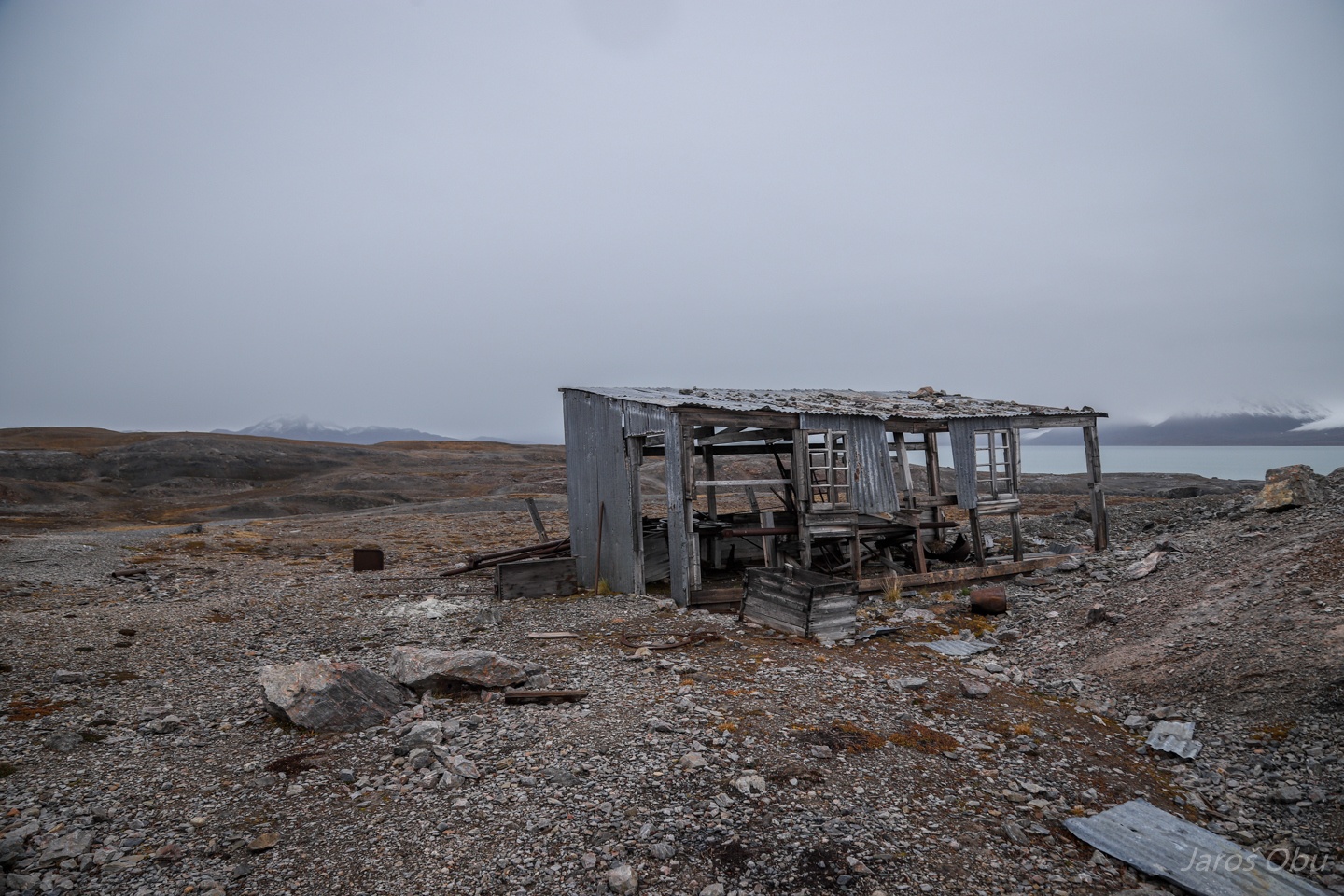
Two cabins and remnants of quarrying activity in Ny-London.
All the objects and ruins are nowadays protected.
The first cabin is being used by the field inspector from the Governor of Svalbard.
The second is a welfare cabin that inhabitants of Ny-Ålesund are allowed to use.
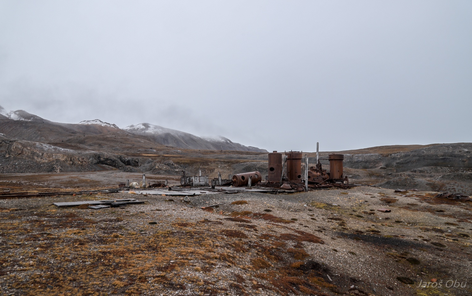
Ny-London was established in 1911 for the purpose of marble quarrying by Ernest Mansfield.
They even brought heavy machinery and built rails.
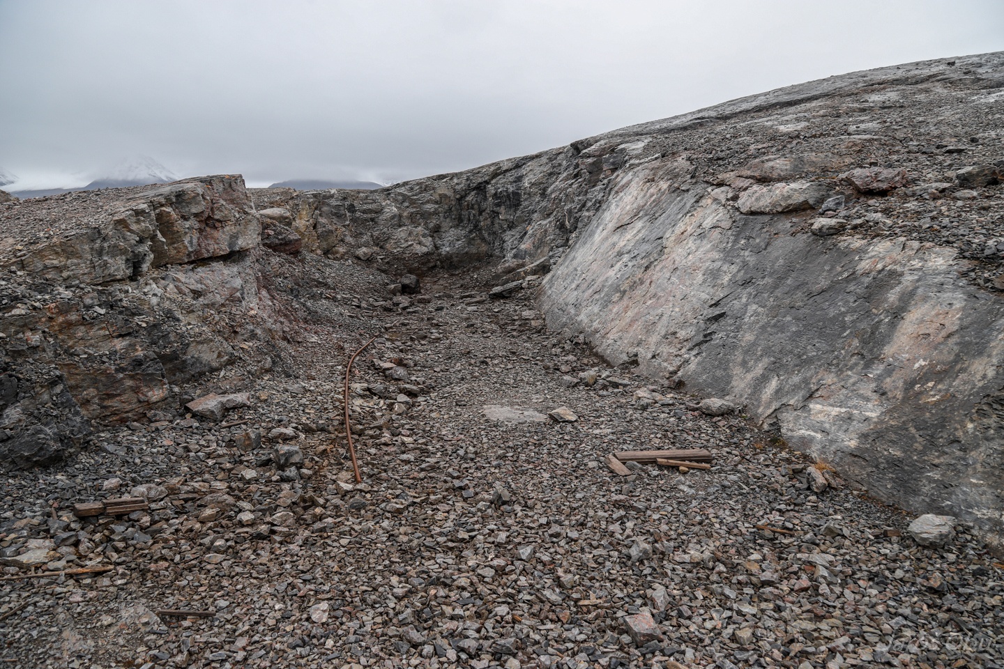
The quarry. This is how much of the marble was mined and shipped to London, where they found out that it was useless because of numerous cracks caused by frost weathering.
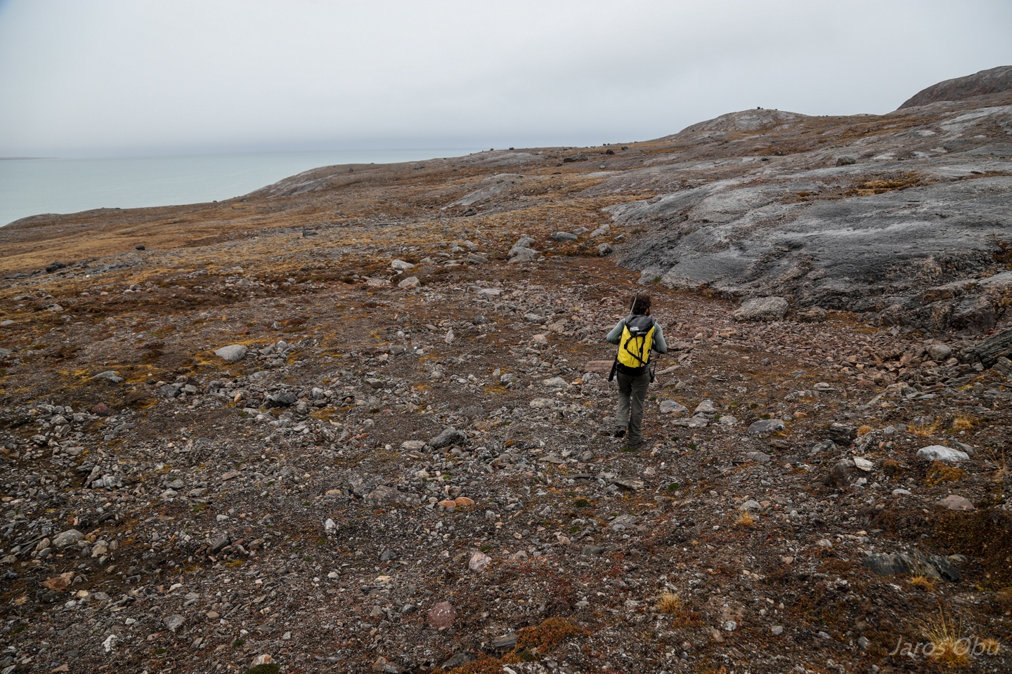
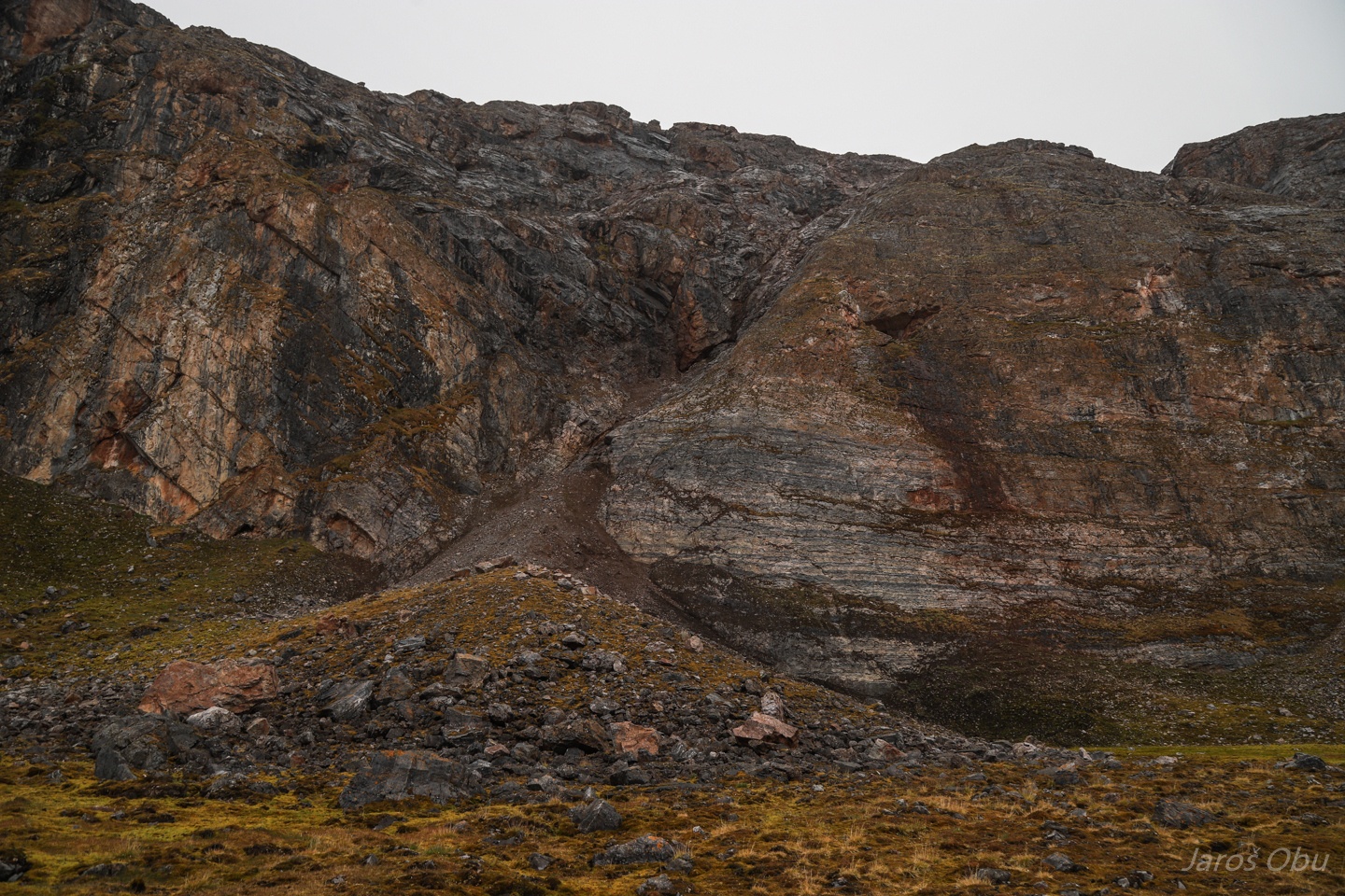
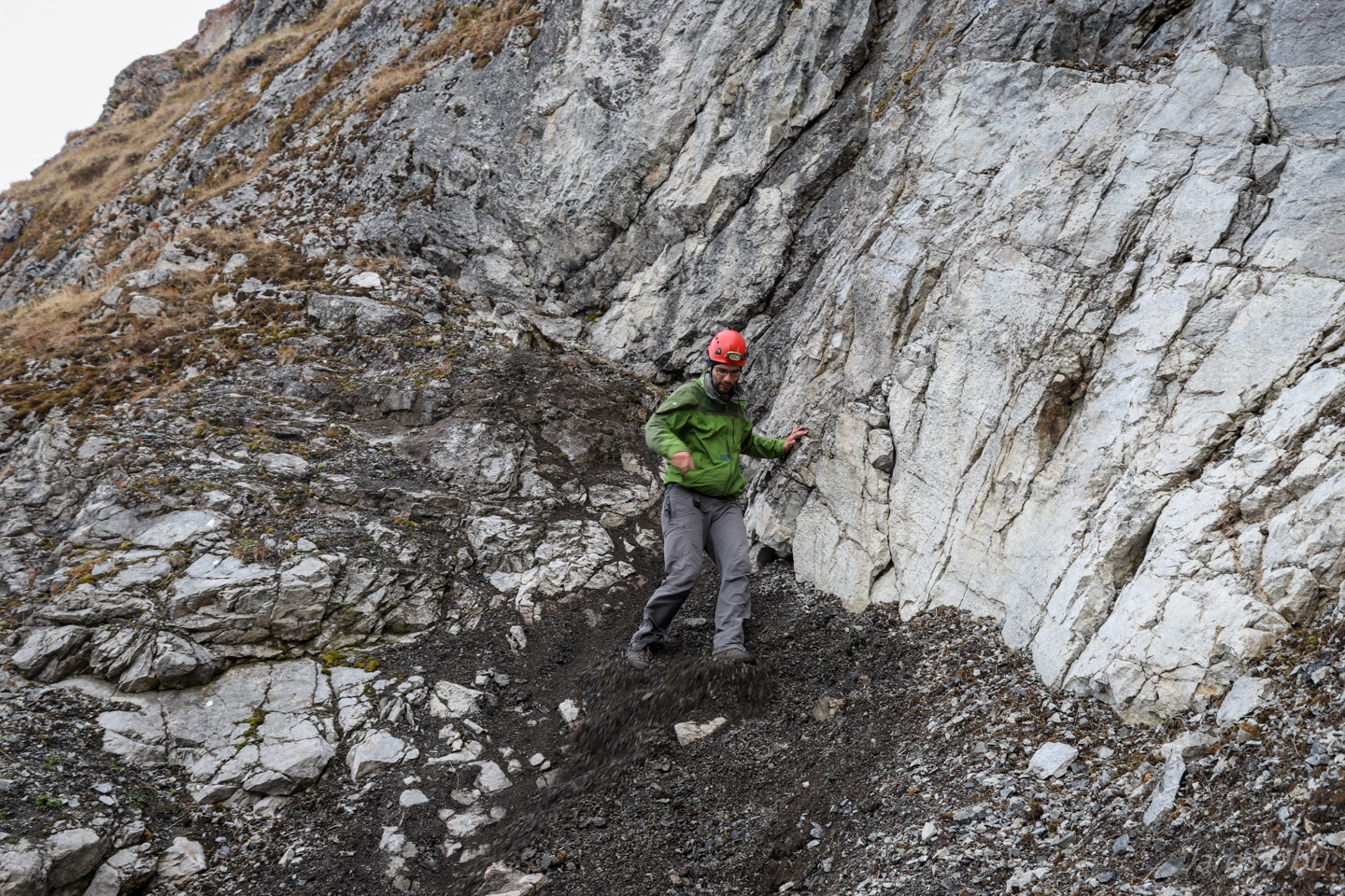
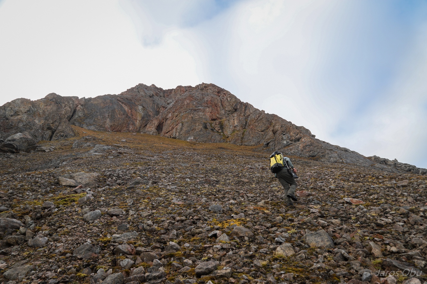
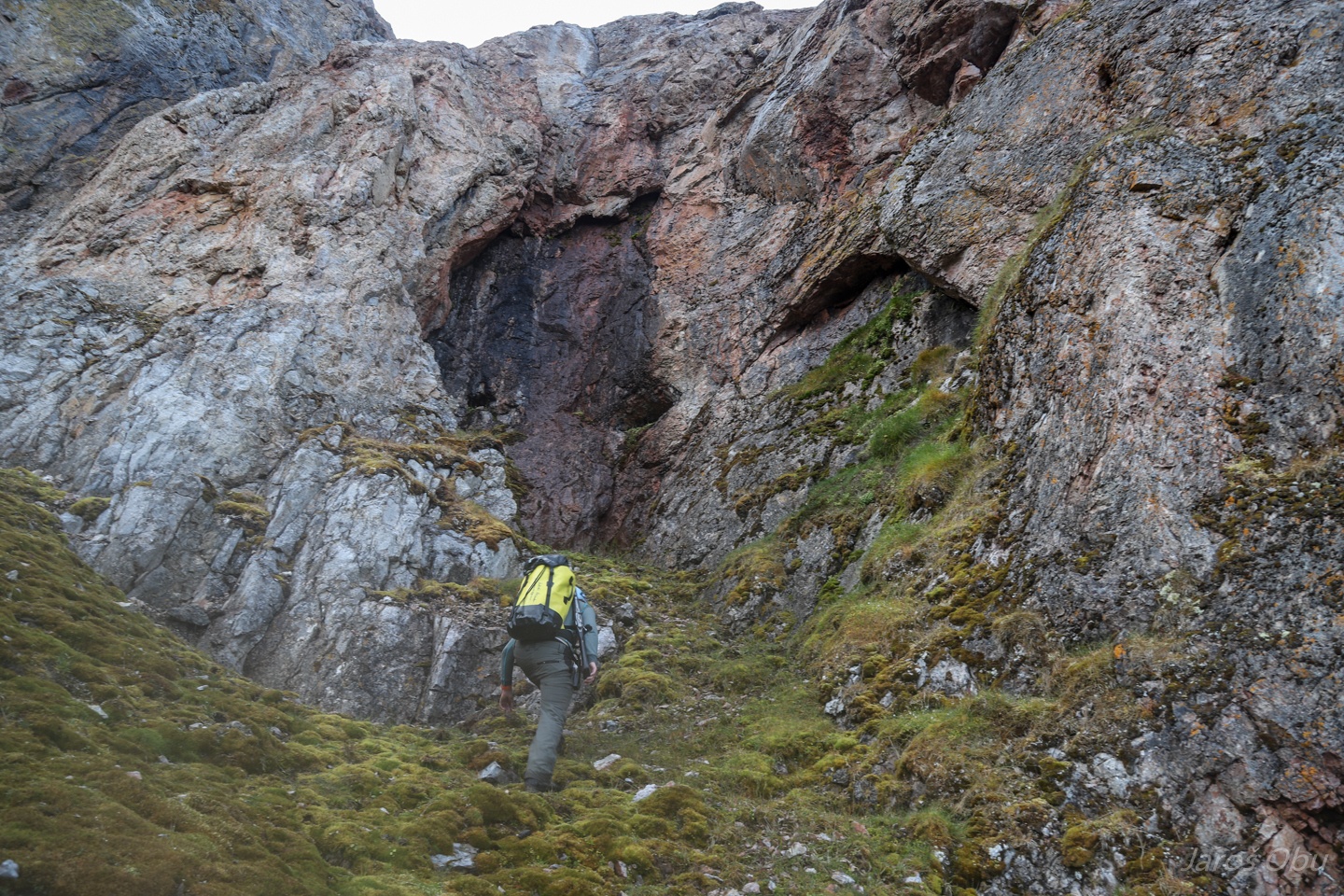
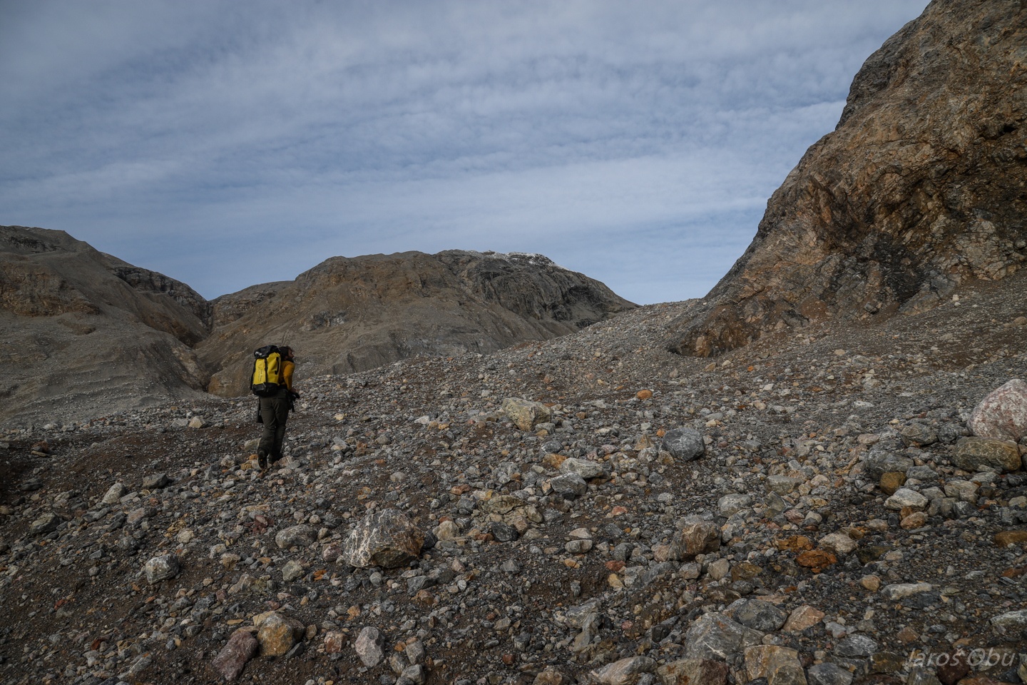
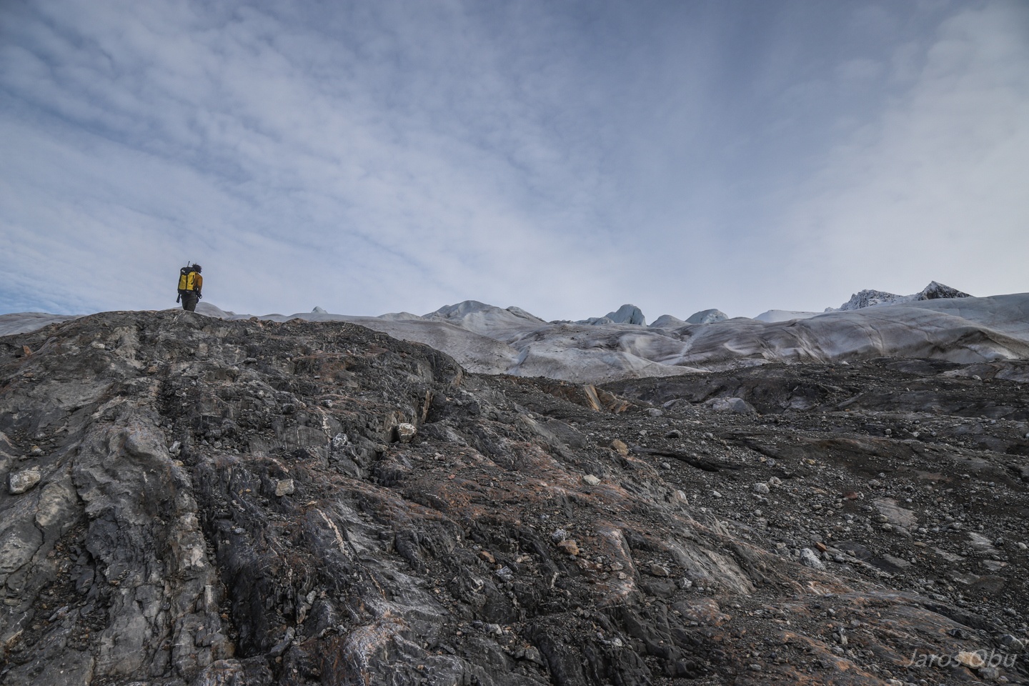
We are continuing towards the Groteveggen.
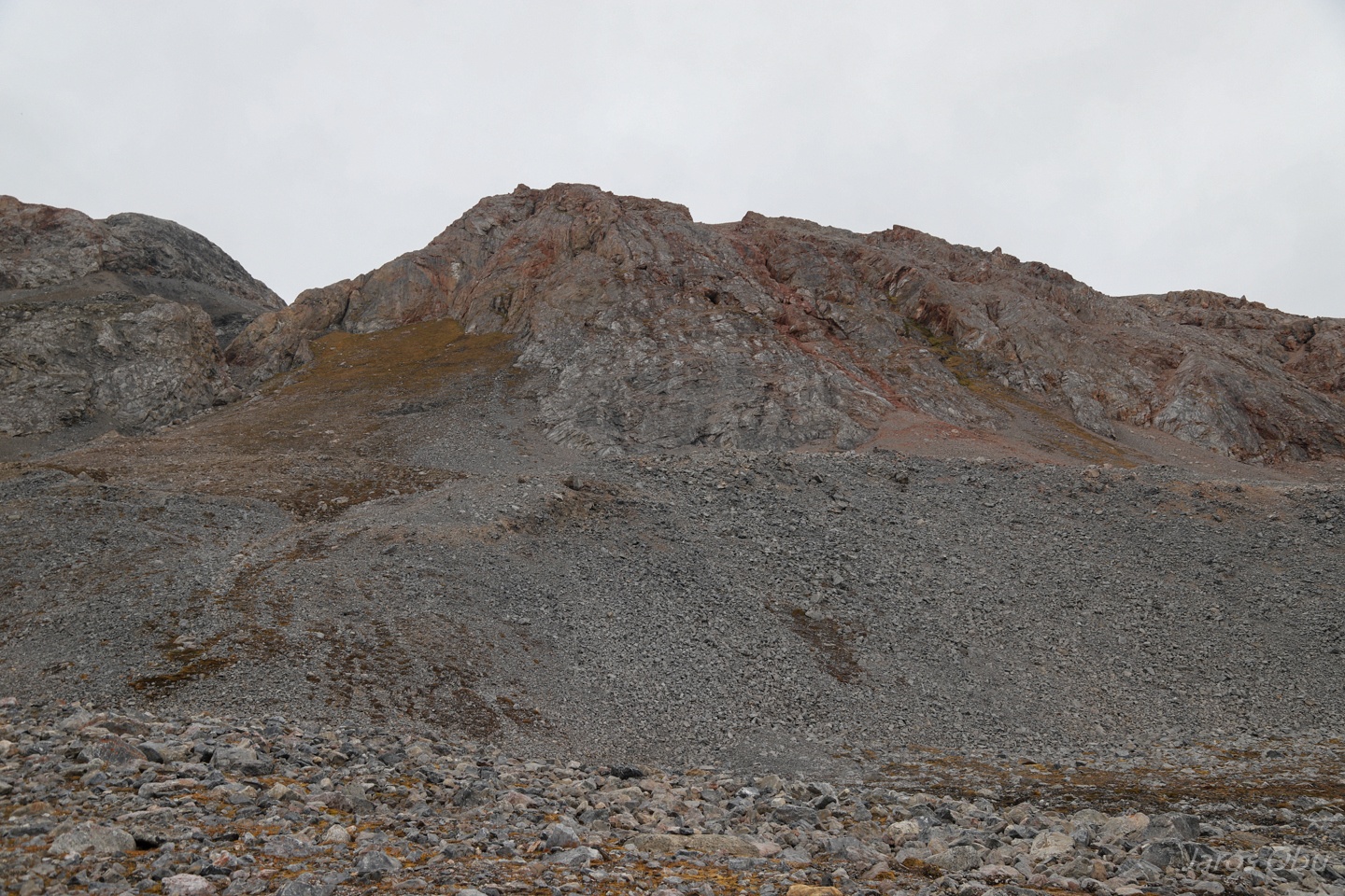
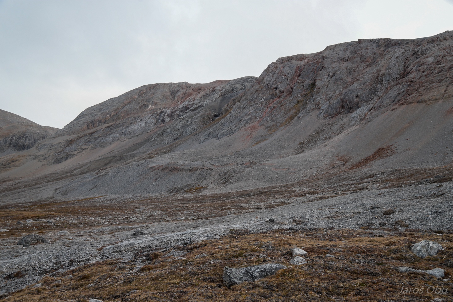
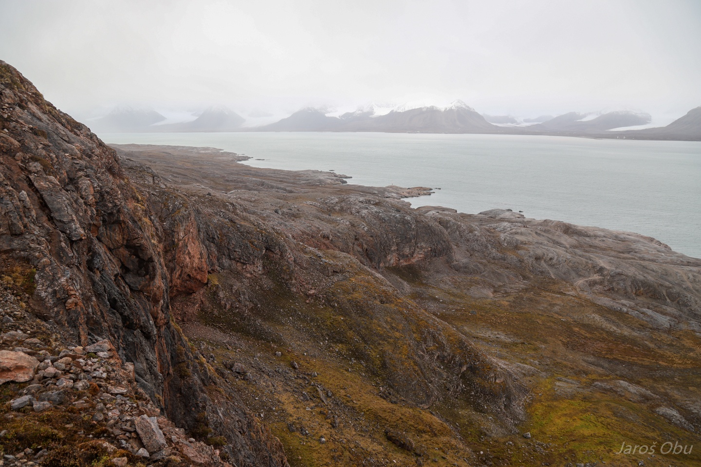
Glacially shaped landscape.
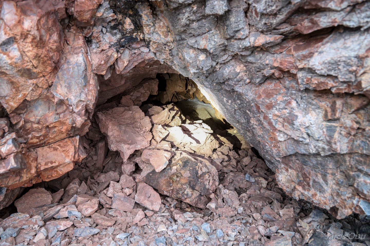
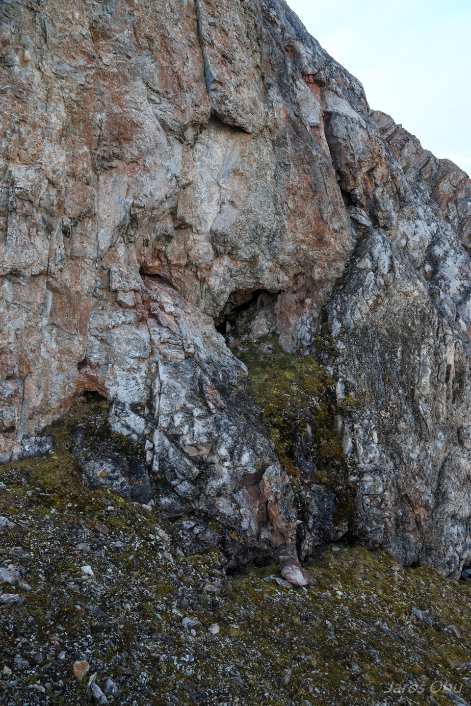
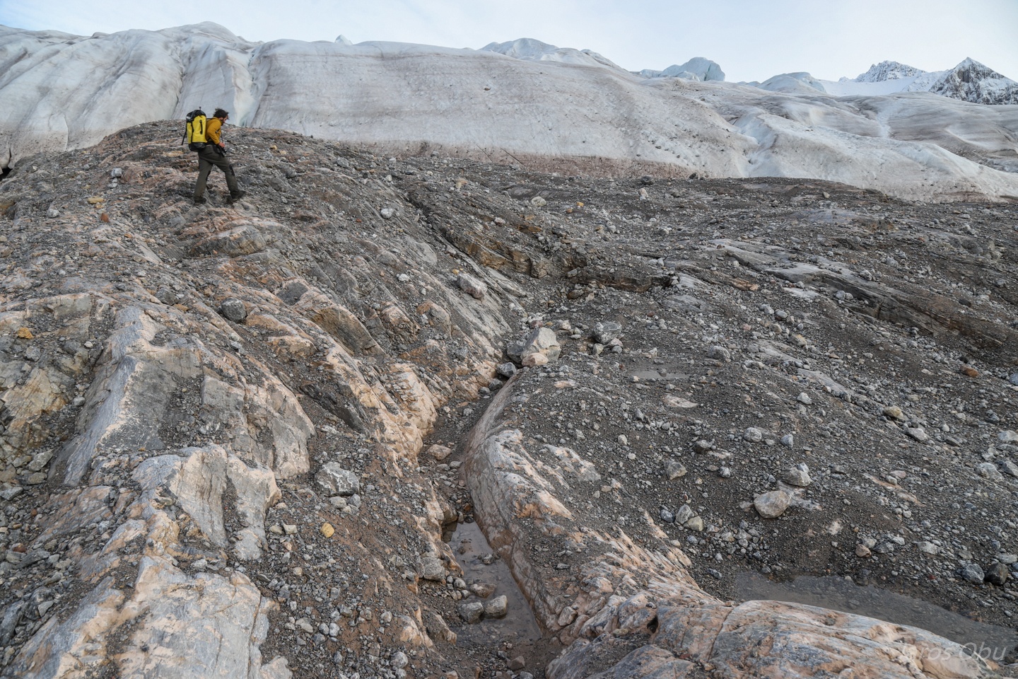
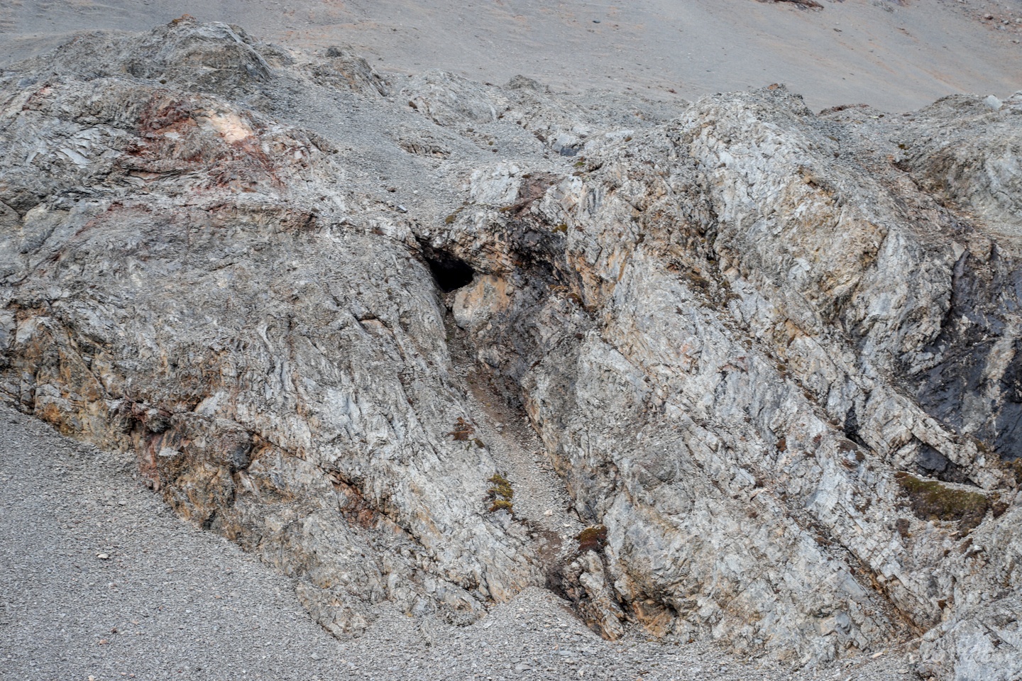
First signs of karst in Grottebekken.
Small conduits in the wall.
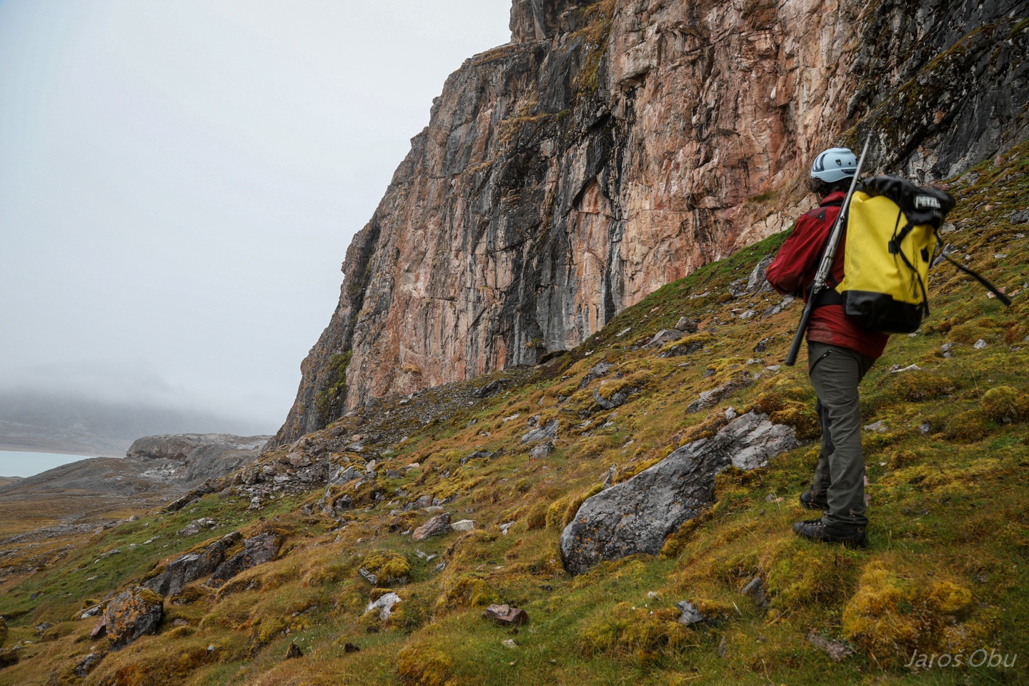
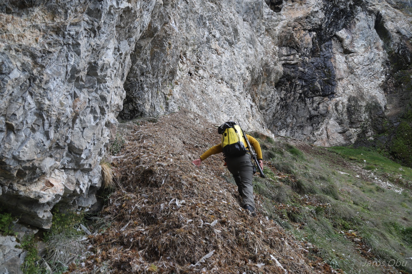
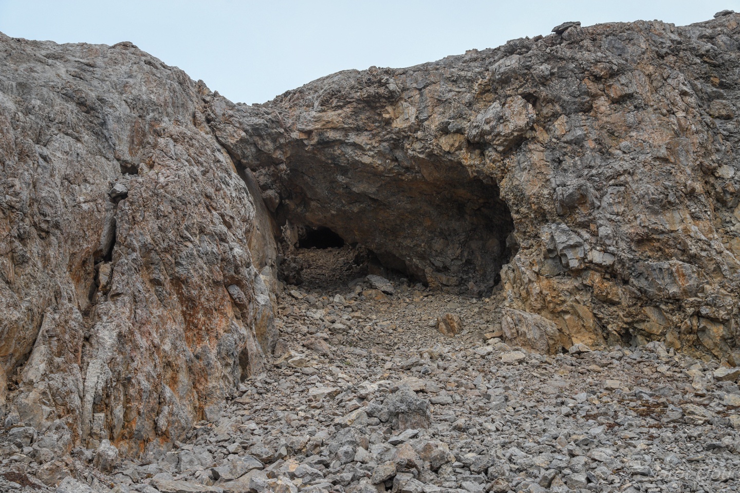
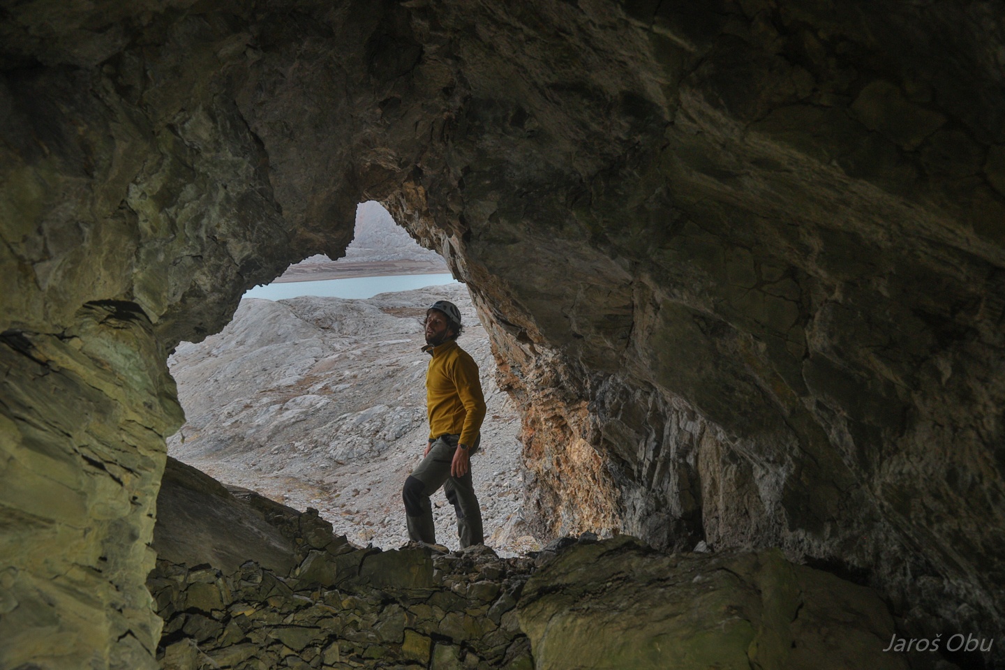
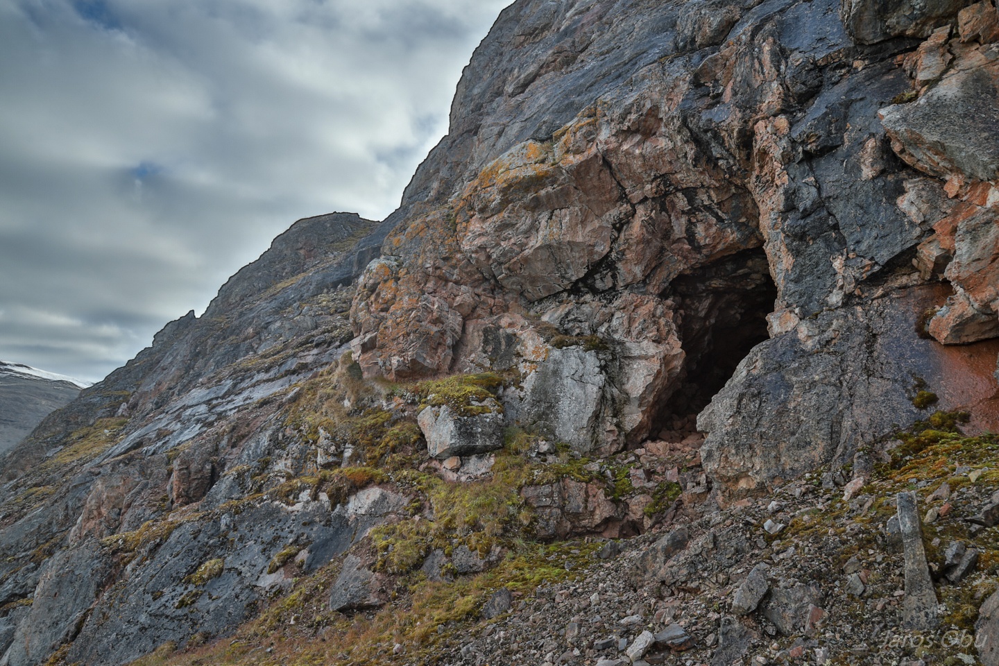
Beginning of Groteveggen around the corner. G5 - Portalgrotta is the cave with the largest entrance on the left.
Checking out G4.
It ends before it reaches 10 m.
Such green grass can be rarely observed in Svalbard.
Continuing the hike along the Grotteveggen.
Many caves on the wall that are difficult to reach.
Less than 2 m long one.
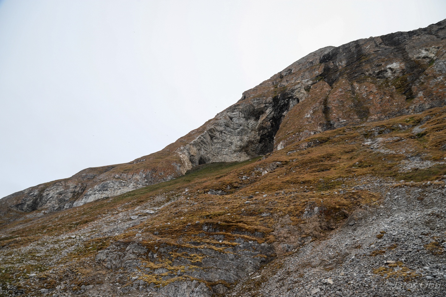
Northern part of Grotteveggen.
View back along the rockwall.
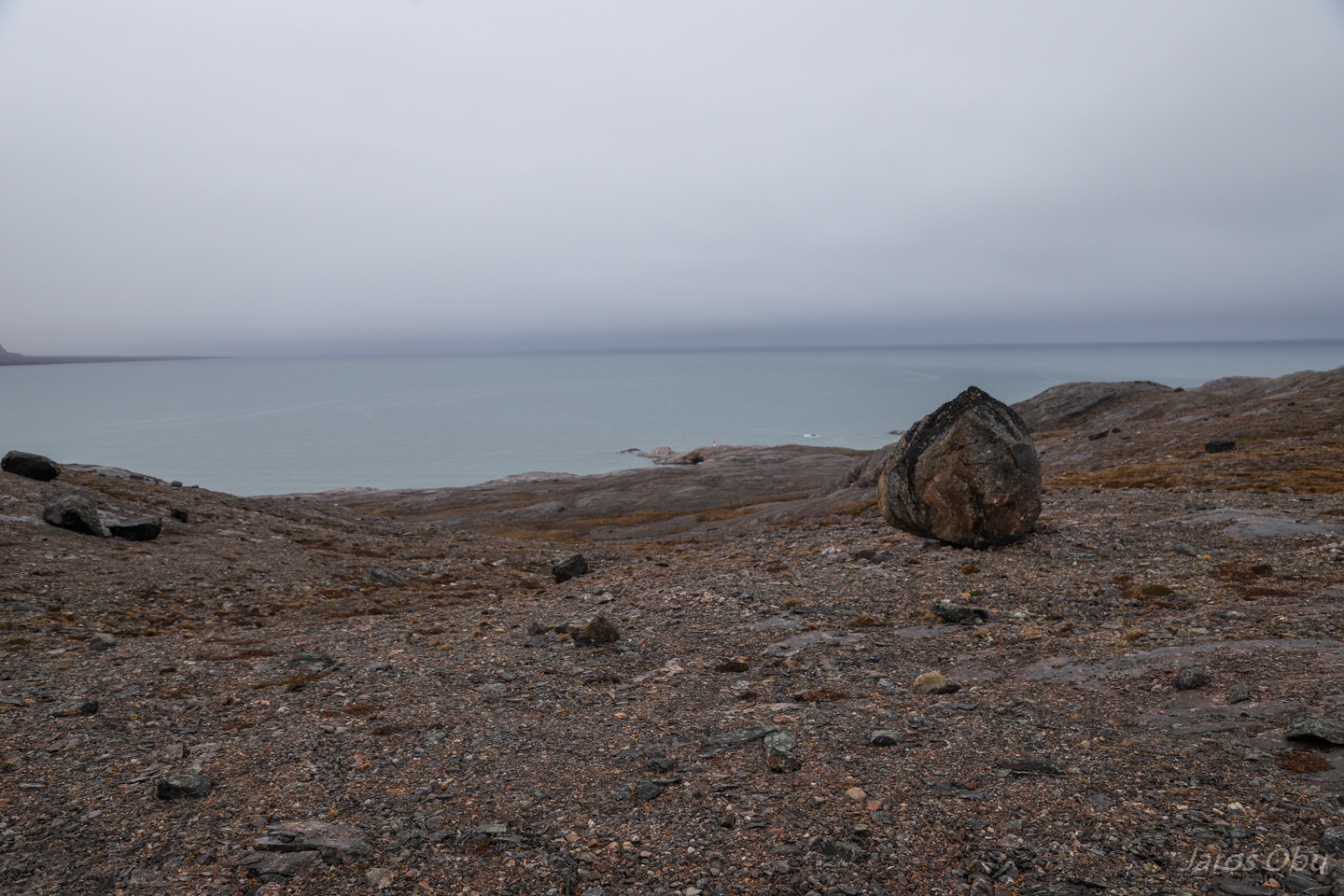
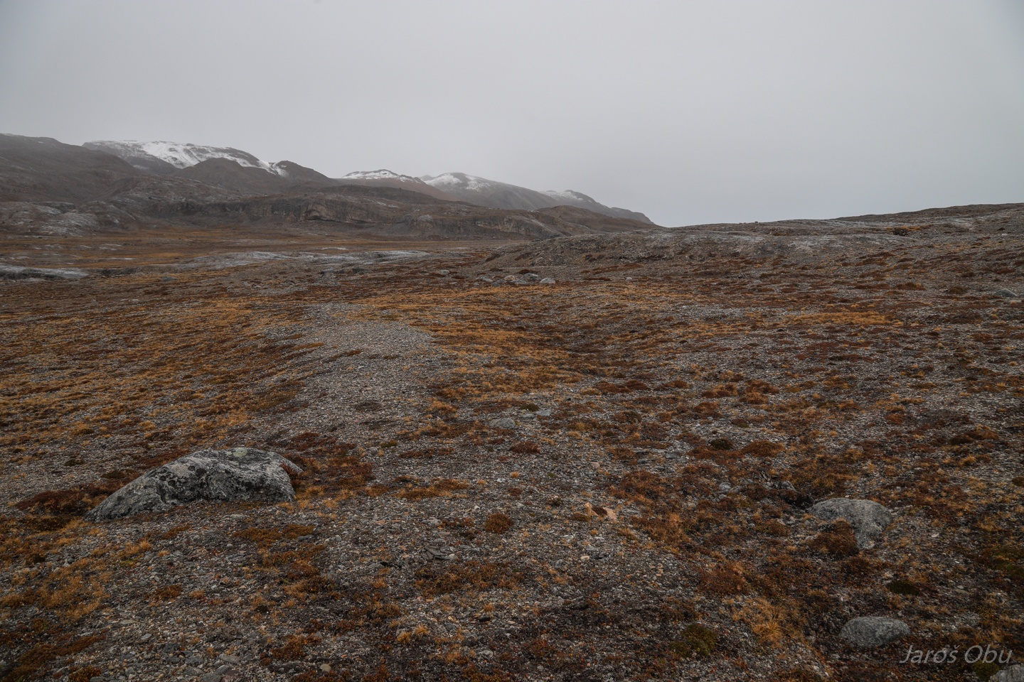
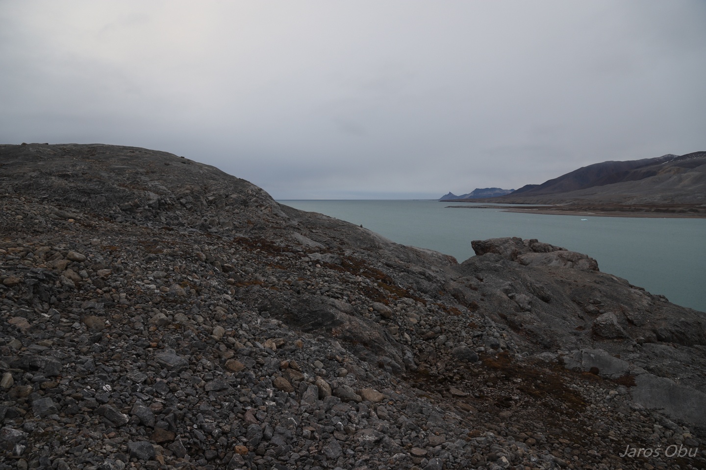
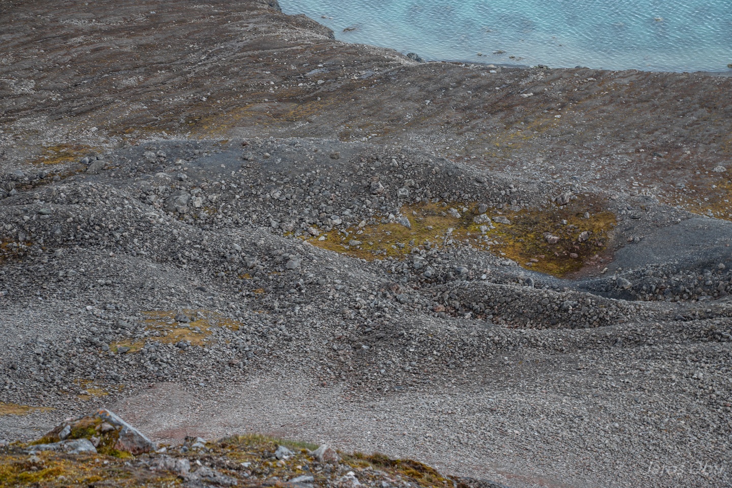
Raised beaches that we crossed on a way back to Ny-London.
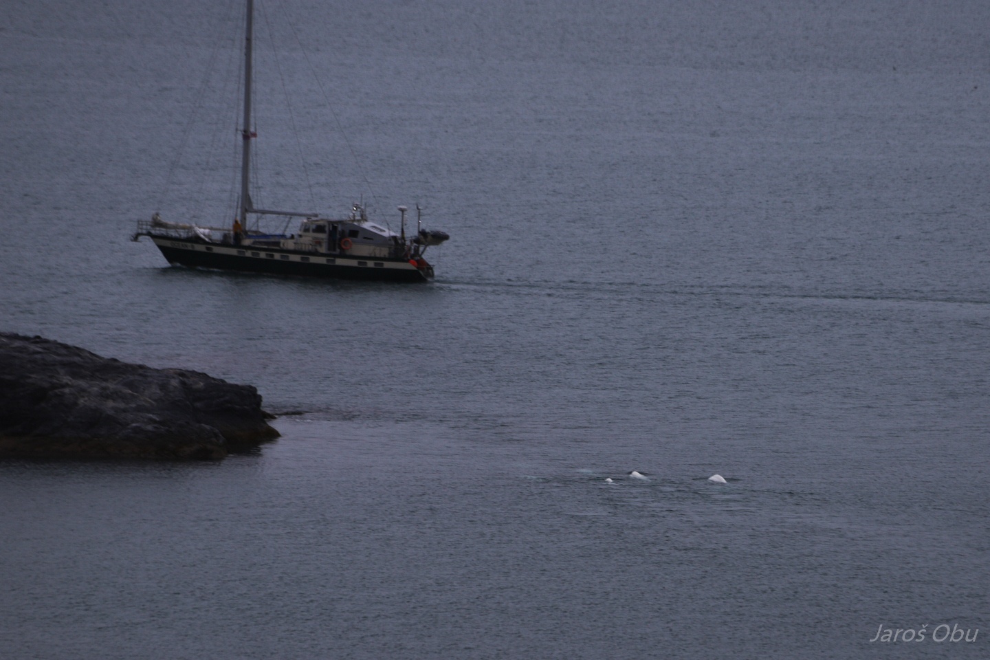
Beluga whales at the coast.
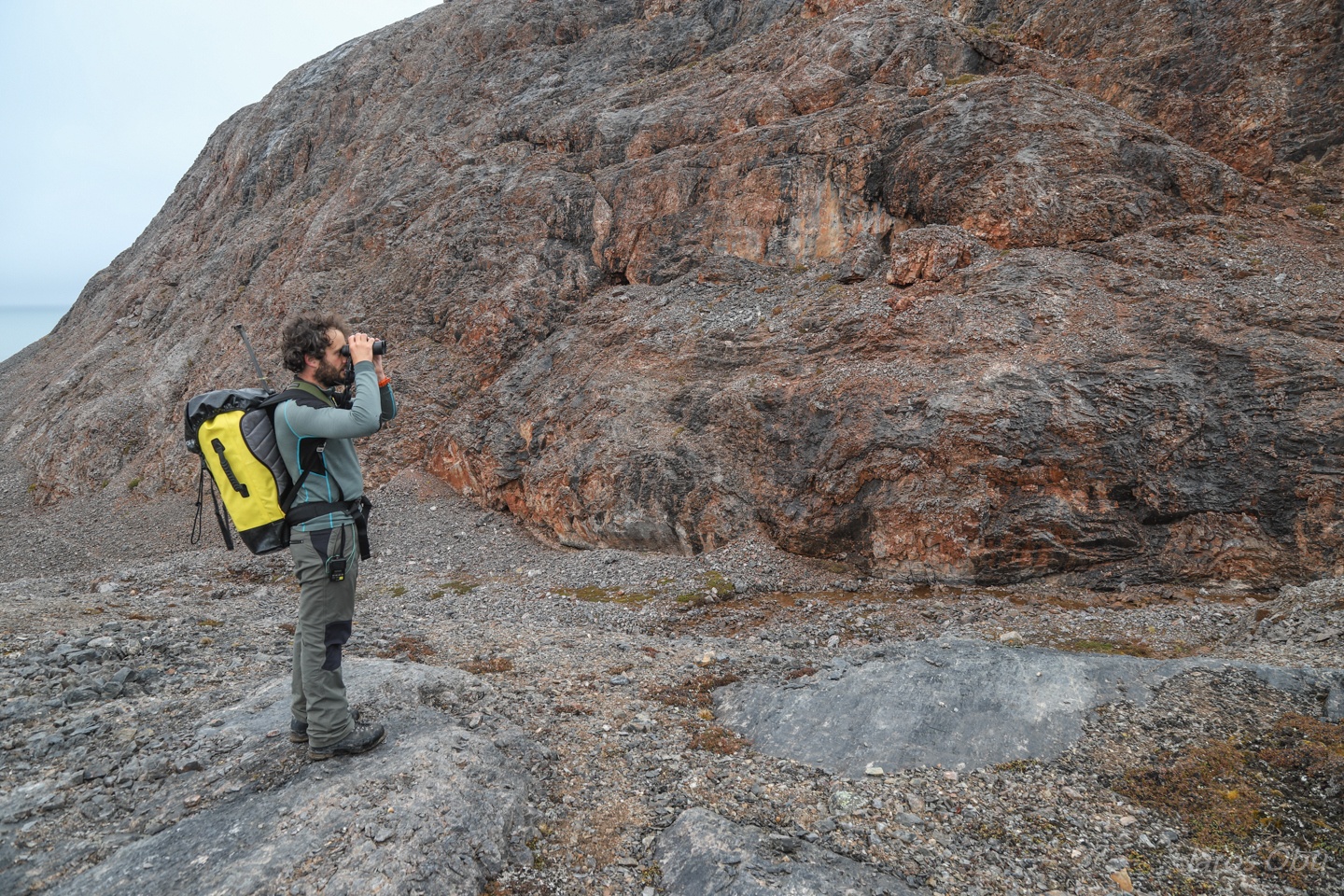
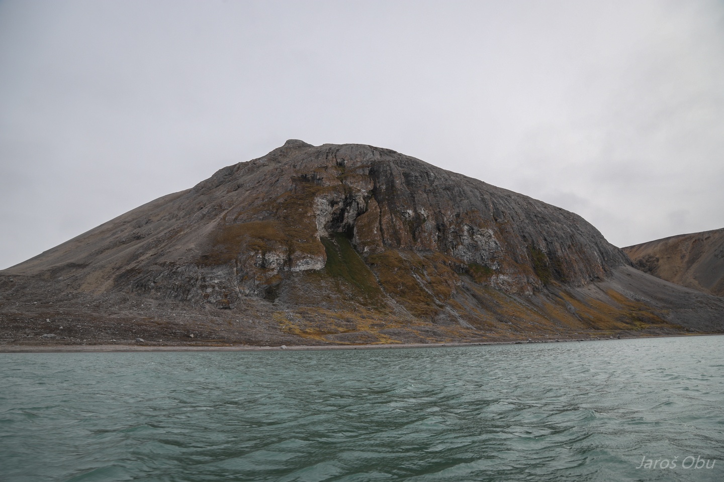
We used a slightly better weather next day to have a scout for more caves. Bratliekollen is quite rich with different holes.
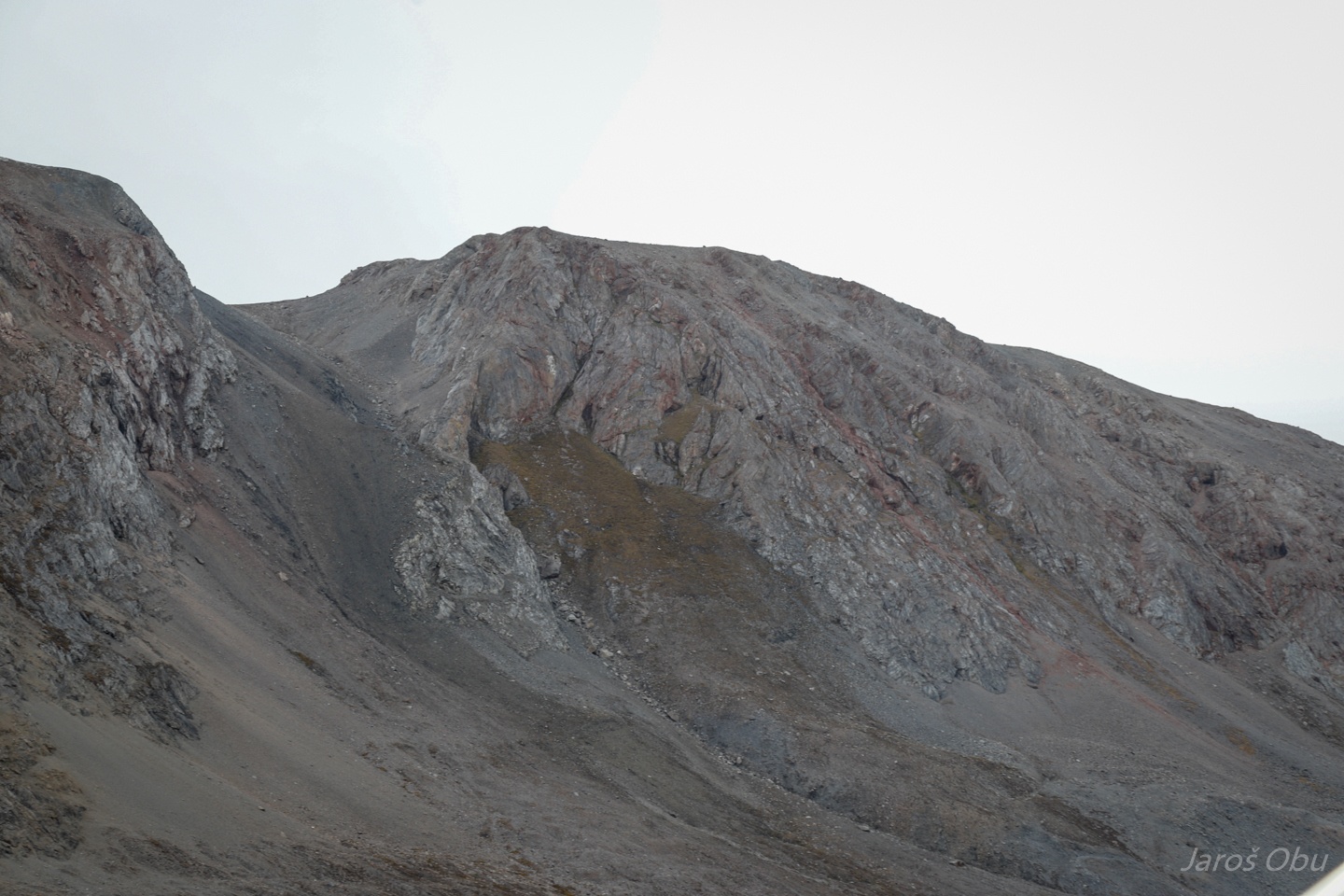
Irgensfjell more to the east.
Sørvågengrotta is with 40 m length one of the longest on this island.
Trying to reach it.
Without success.
So we returned.
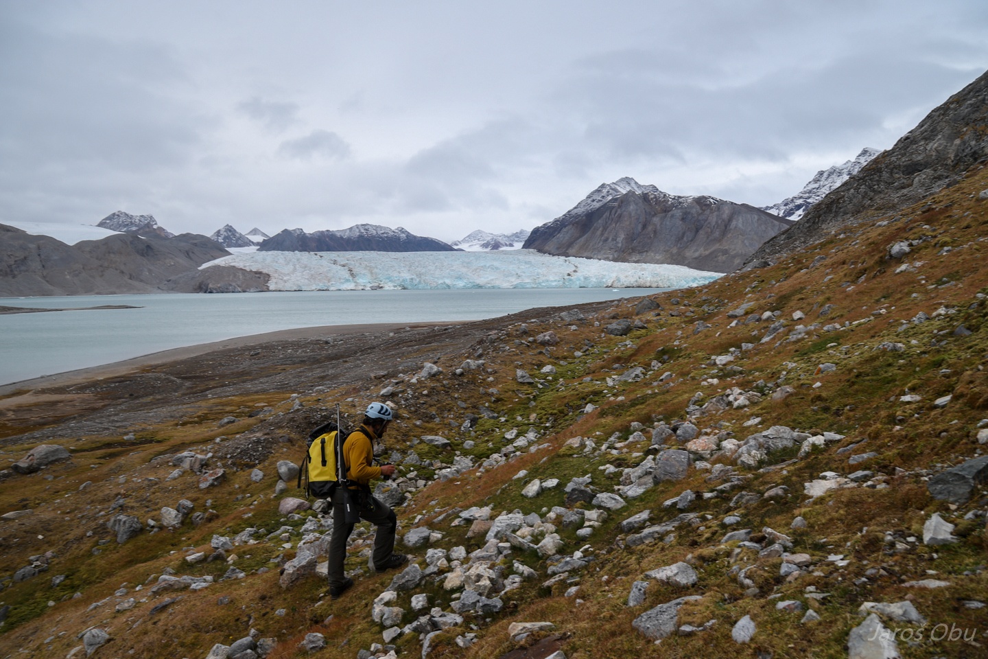
And continued to explore under Irgensfjell, where we had a look at another hole.
Blomstranden glacier in the back once spread around this island so they thought that it was peninsula.
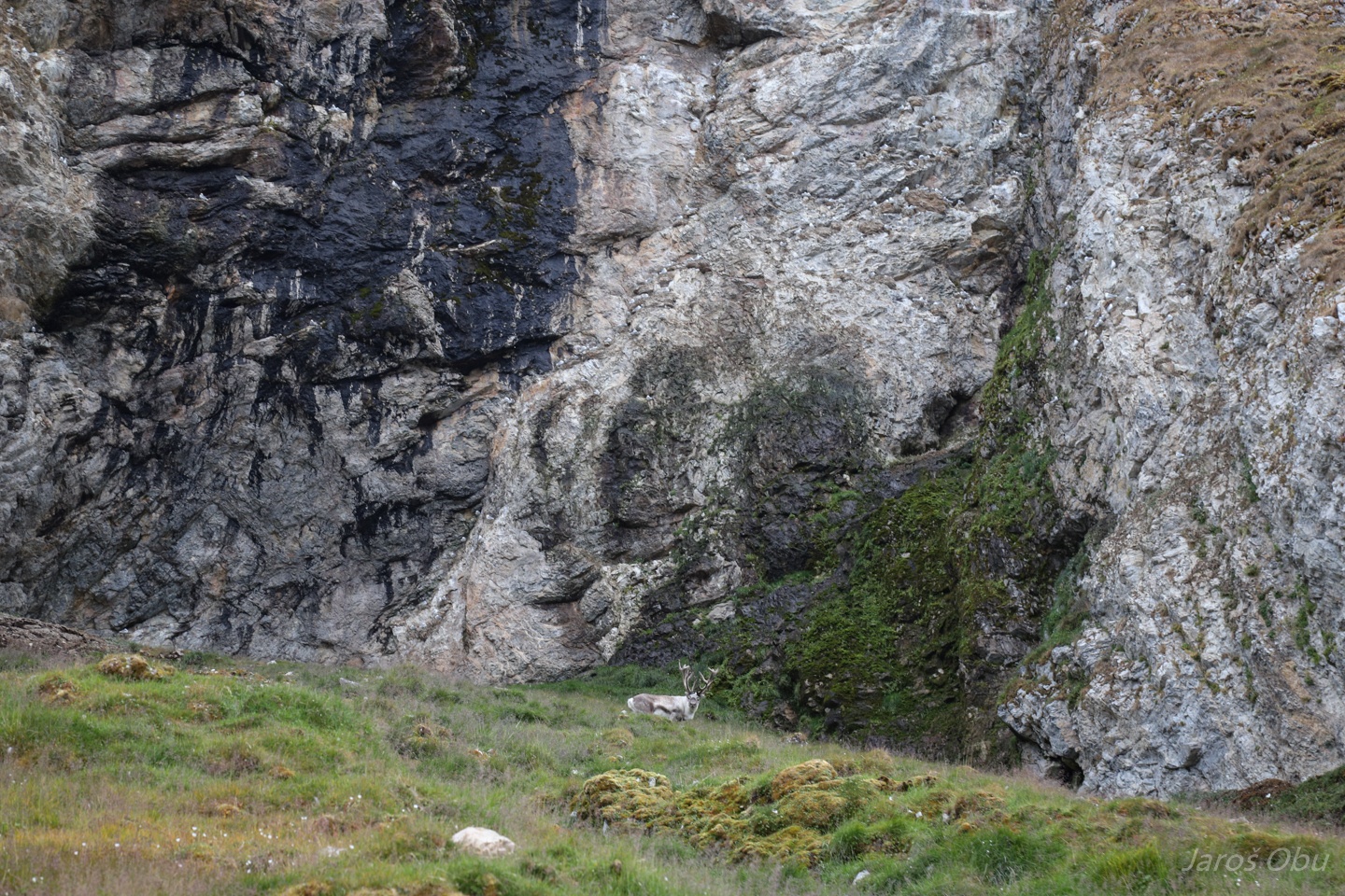
Oh deer, grazing on the green grass.
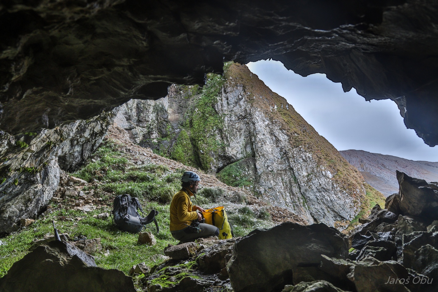
Making our way through guano.
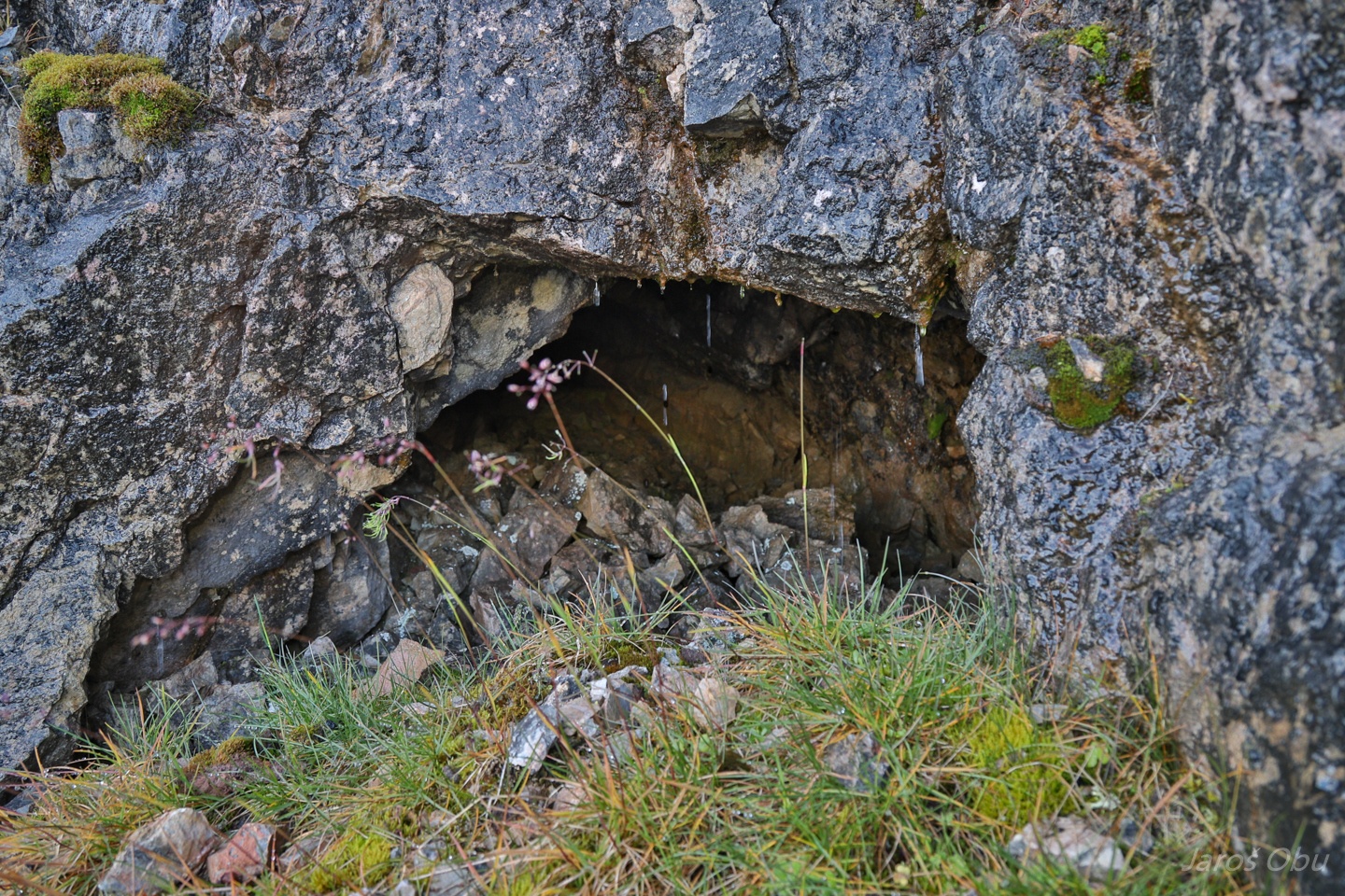
To another rather short cave (G19 or G20?).
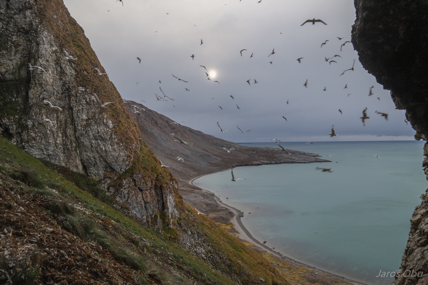
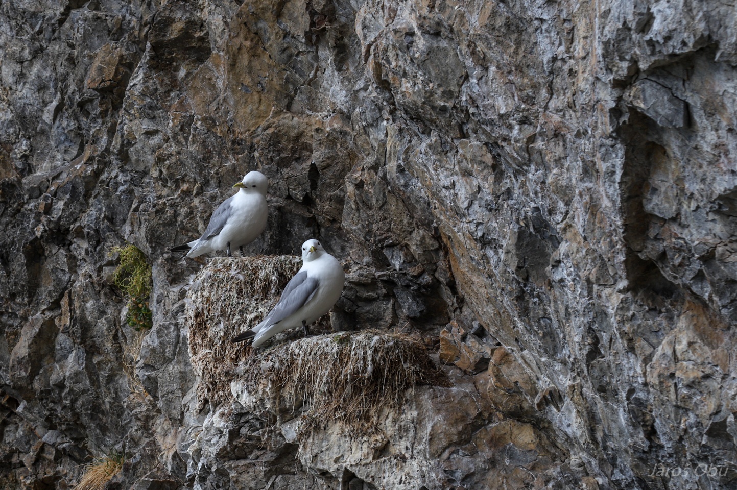
Still quite some birds around, although most of them leave nests by the middle of August.
Kittiwakes are those that are still here.
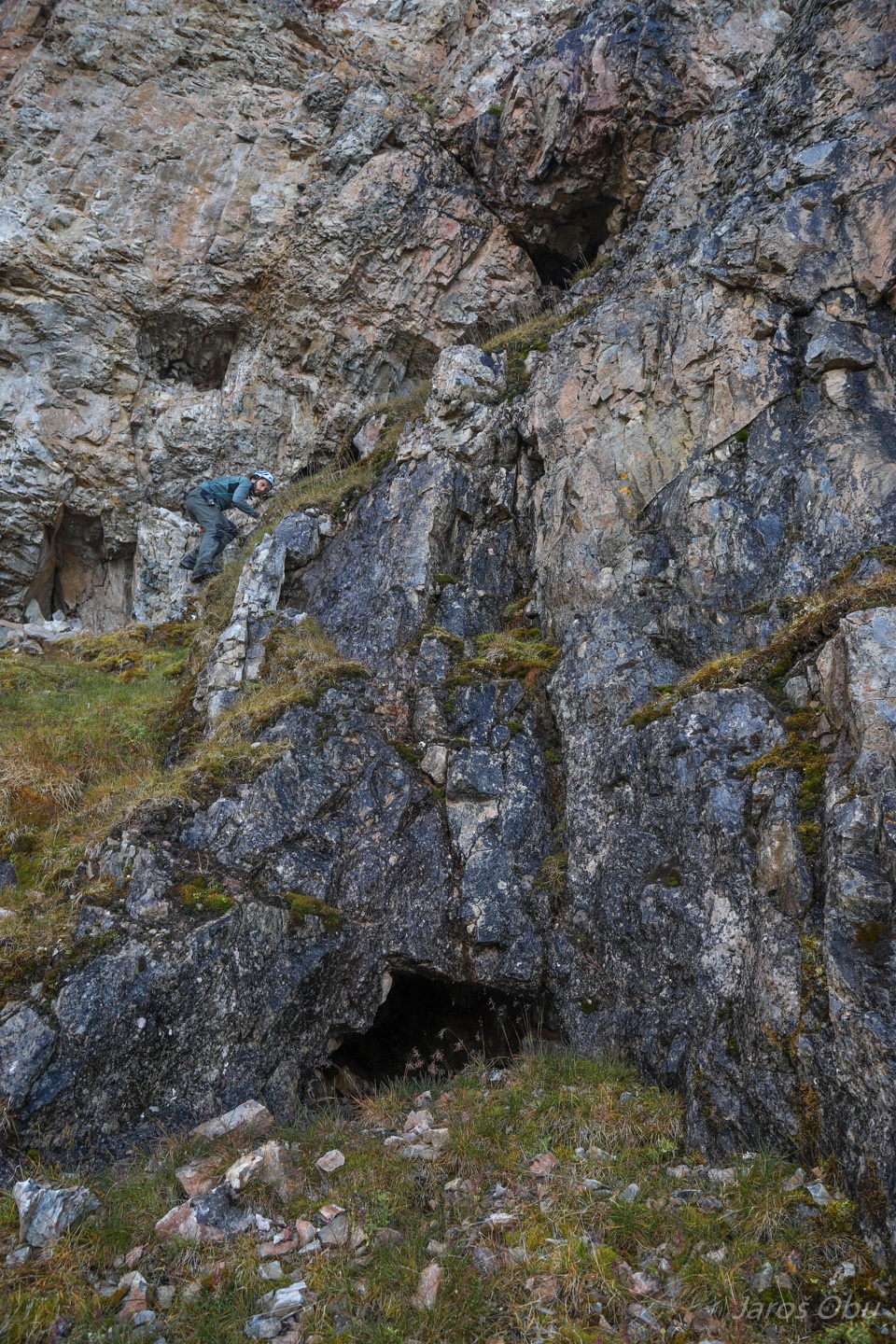
G28 - Buegrotta further along the north slope of Irgensfjell.
Even more towards the northwest.
G29 - Termalgrotta up on the slope shown on the previous photo.
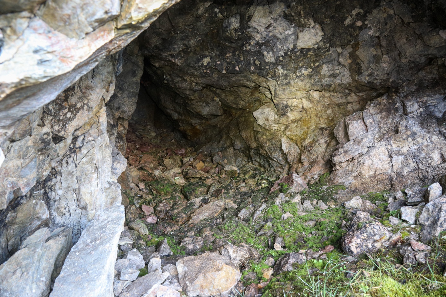
Backward climbing instead of squeezing through the narrow lower opening.
Patterned ground at the entrance.
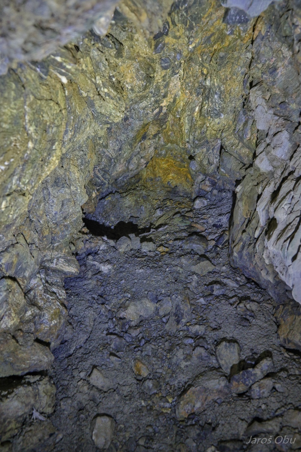
Hydrothermal calcite, which gave name to the cave.
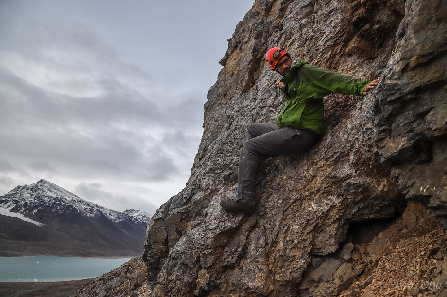
Andreas making his way up.
Trying not to destroy the patterned ground.
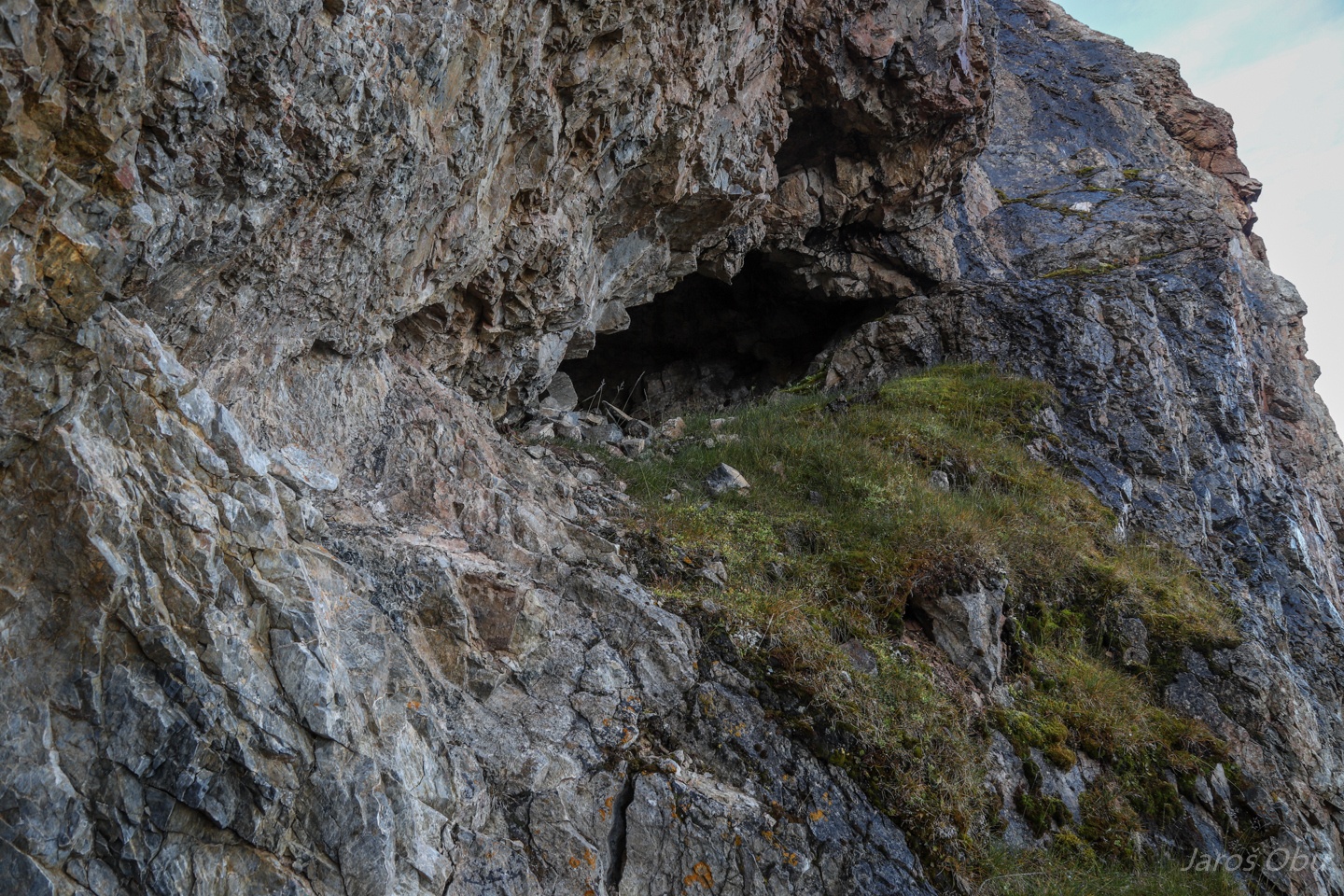
There is another entrance up there.
Presence of hydrothermal calcite is suggesting a hypogene cave formation.
The upper entrance.
Ridge leading to Løvlandfjellet is showing more cave entrances.
Hiking back under Bratliekollen towards Grotteveggen.
A small cavity along the way with some ice it.
Hansneset ...
...
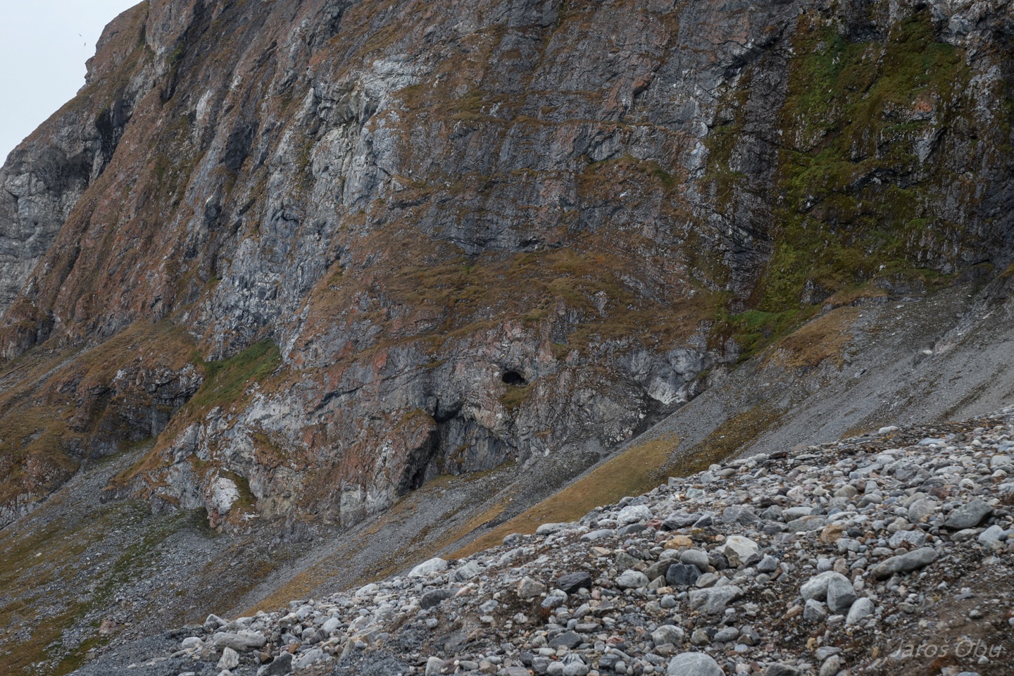
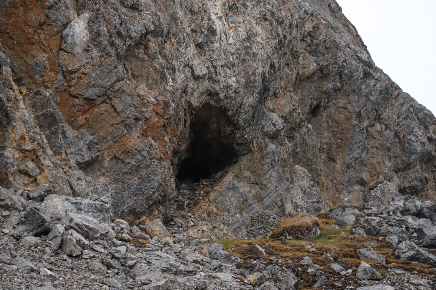
Two caves in a rockface there that we came to check.
The first is G18 - Dobbeltgrotta.
Which has two holes in the ceiling that collapsed along a fault plane.
Hello.
The cave terminus.
From the inside out.
G17 - Fissurgrotta on the right side. As evident from the name, it formed along a fracture.
Inside.
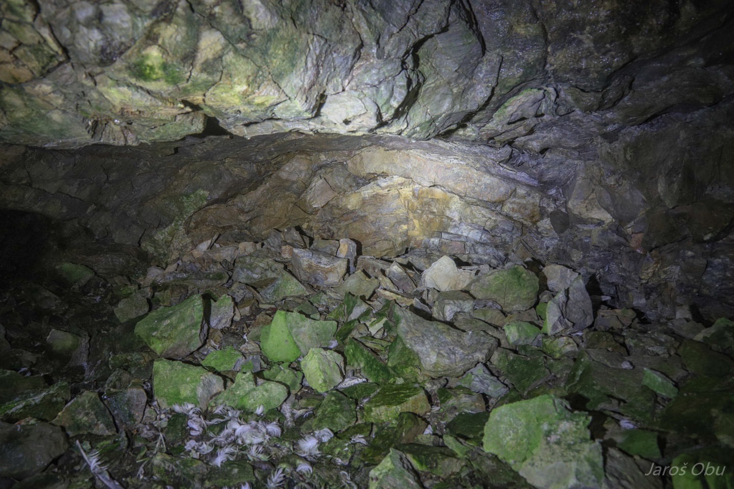
No sign of hoar or frozen sediment, which were identified more than 20 years ago.
Andreas is about to sneeze at the entrance.
Returning back to Bratliekollen, where the boat is anchored.
Rock glacier under Bratliekollen.
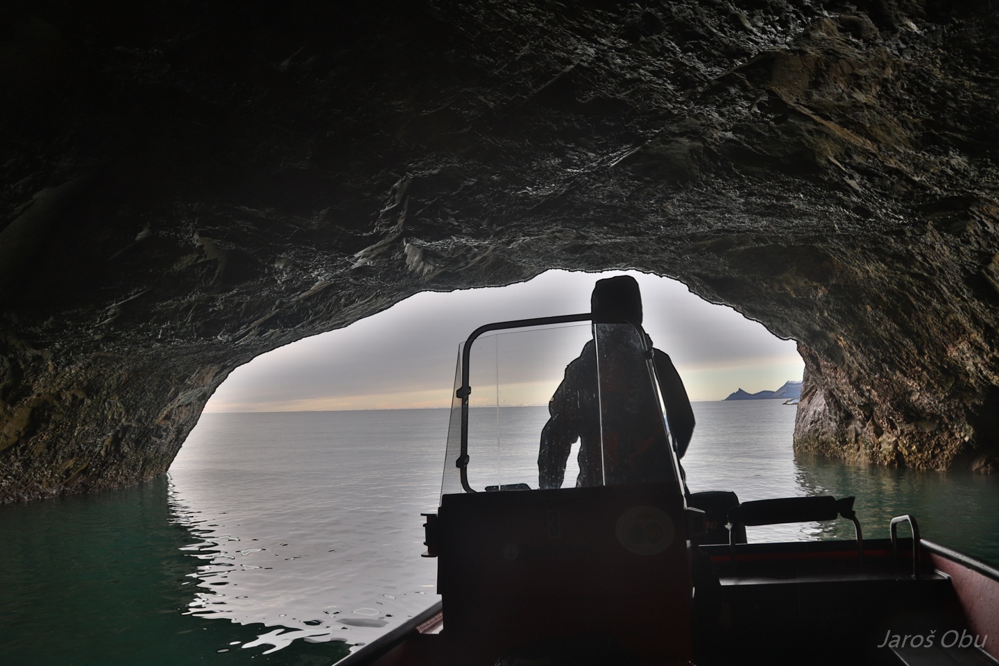
Dobbelgrotta and Fissurgrotta from the boat.
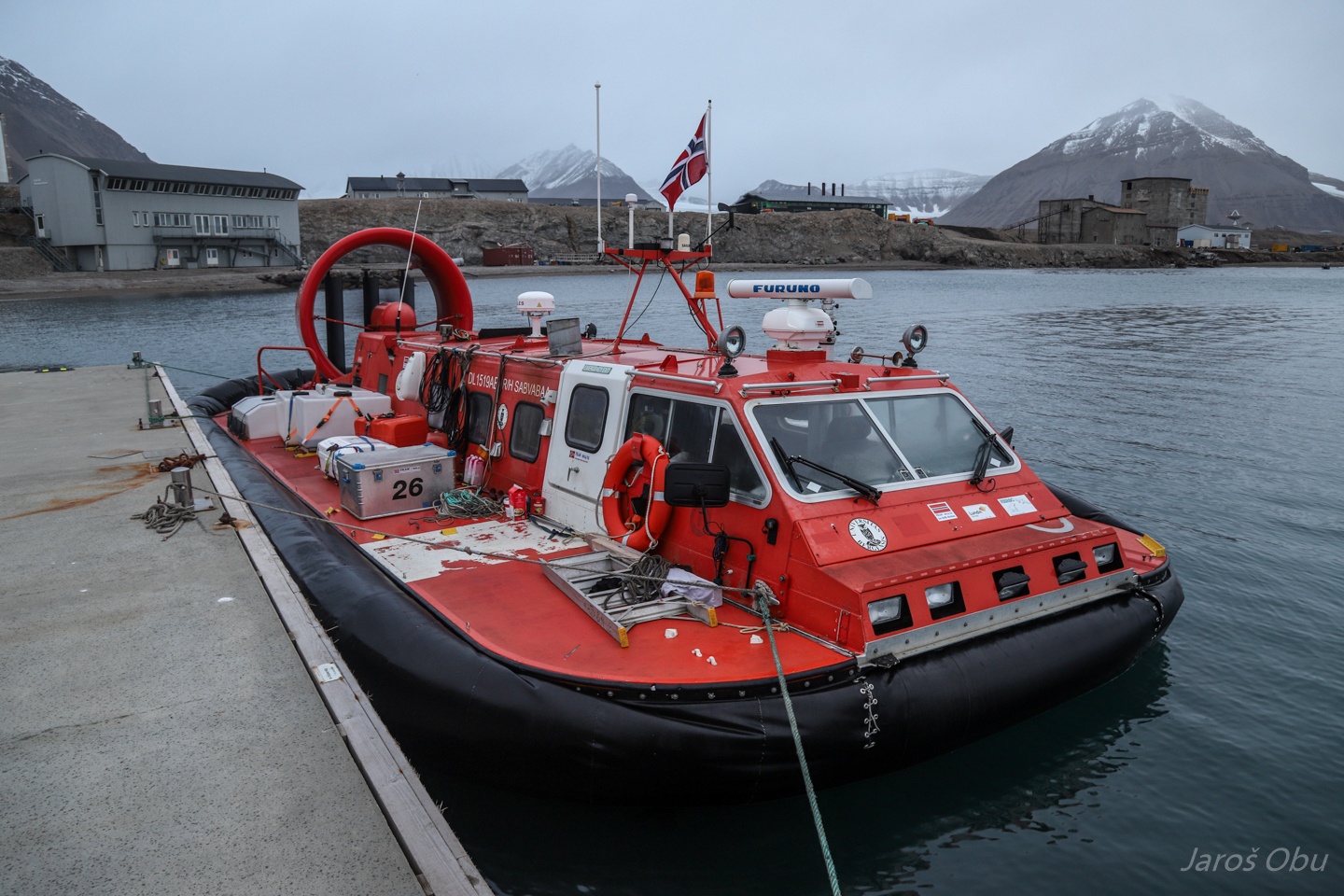
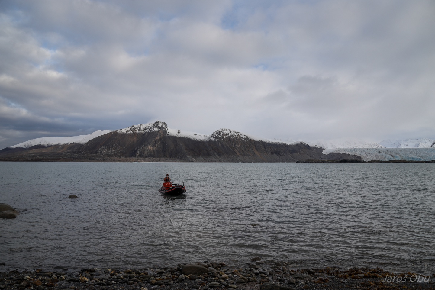
Hovercraft from the University of Bergen, returning from scientific mission on sea ice far in the north.
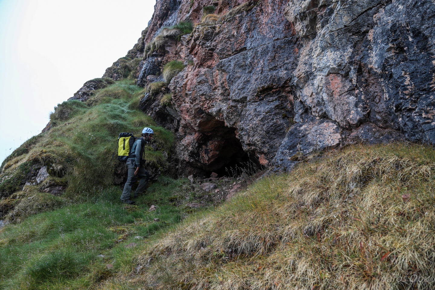
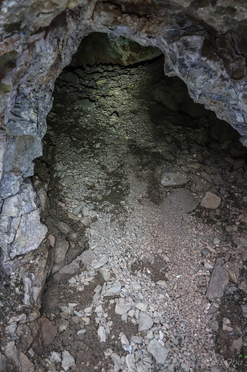
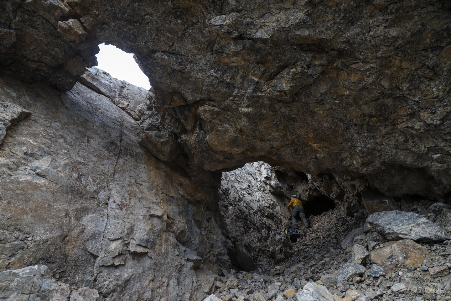
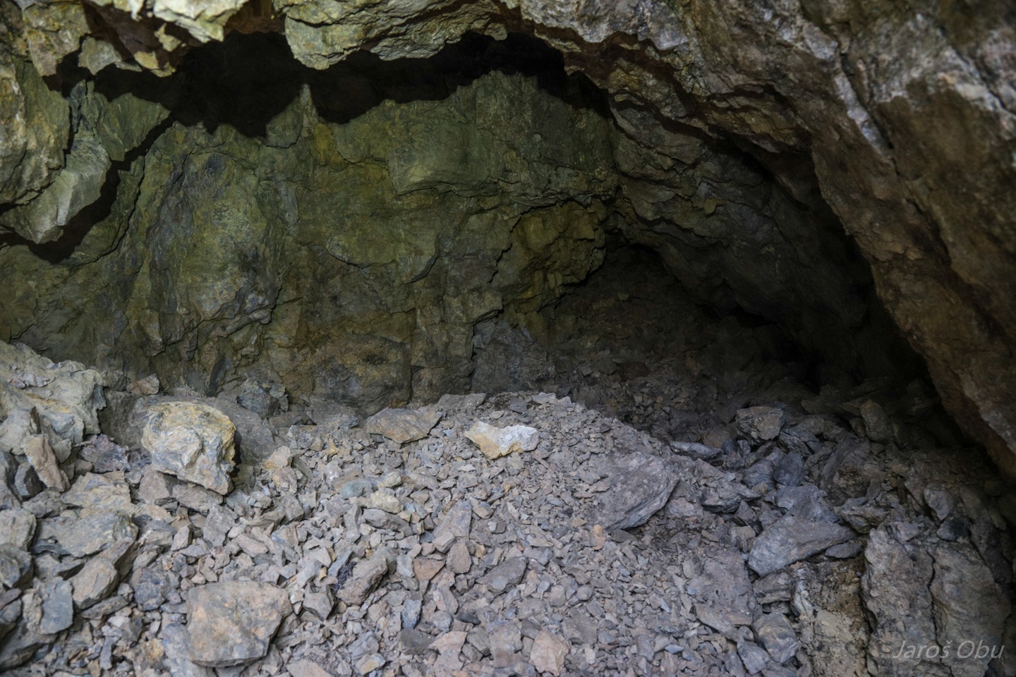
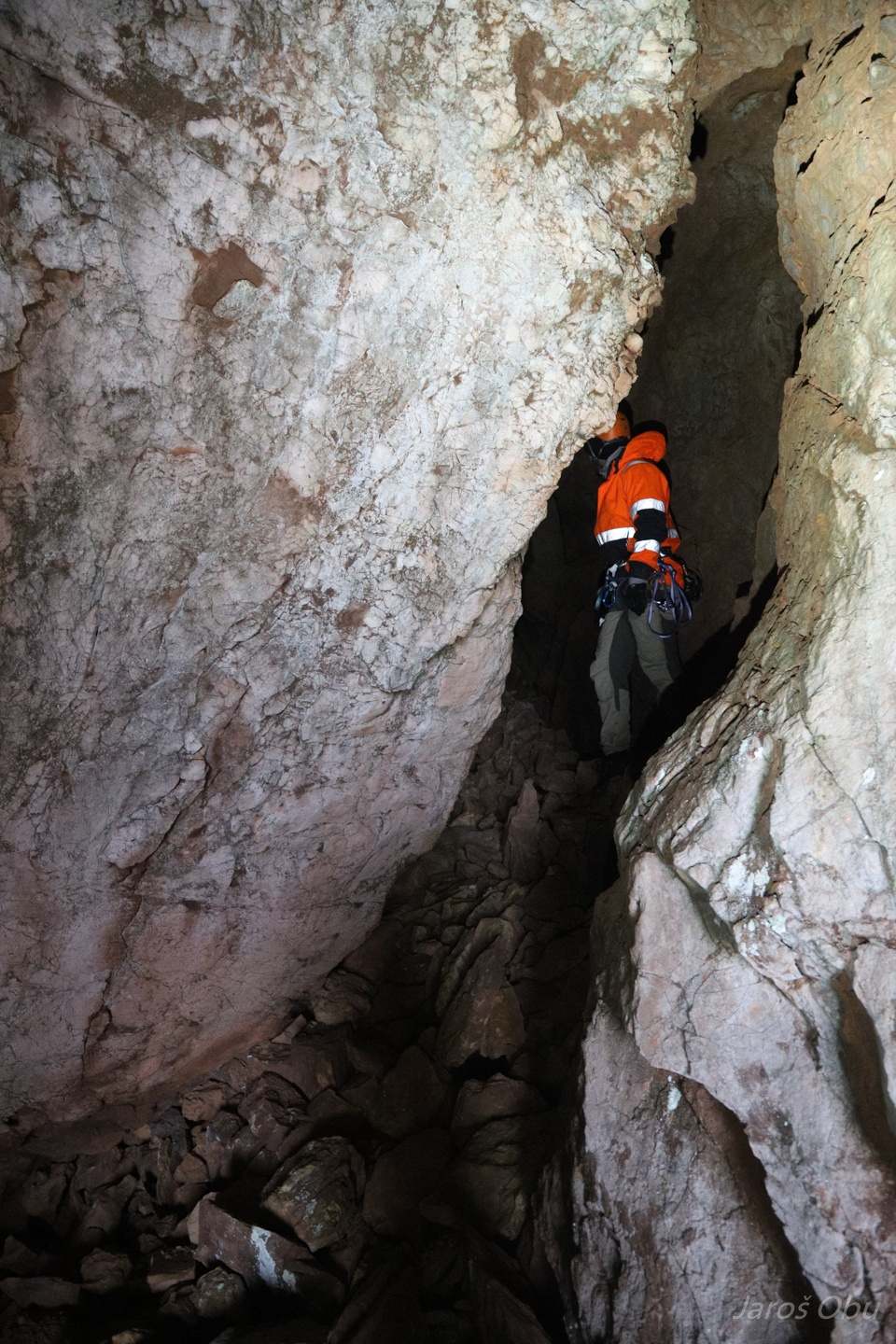
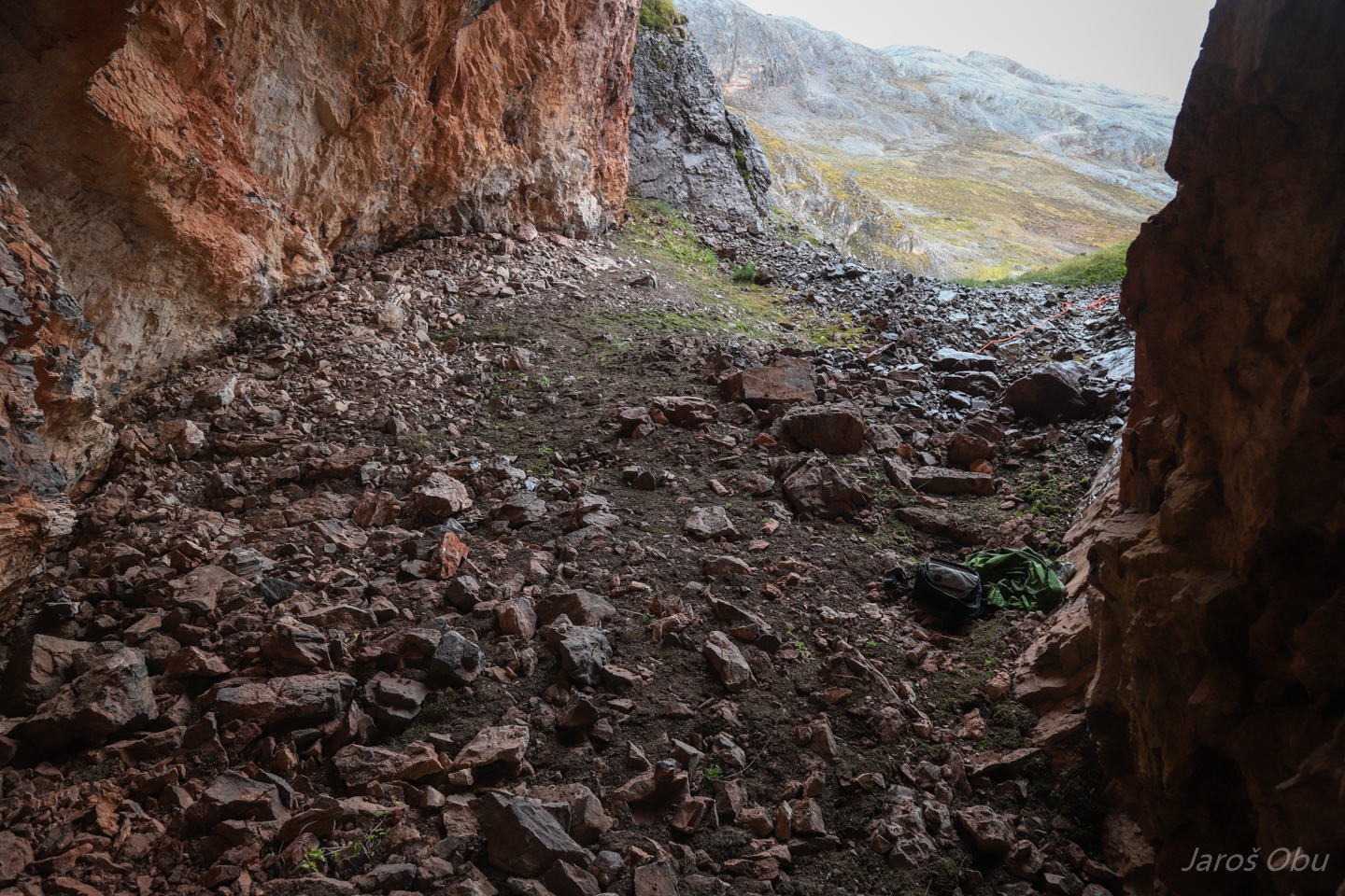
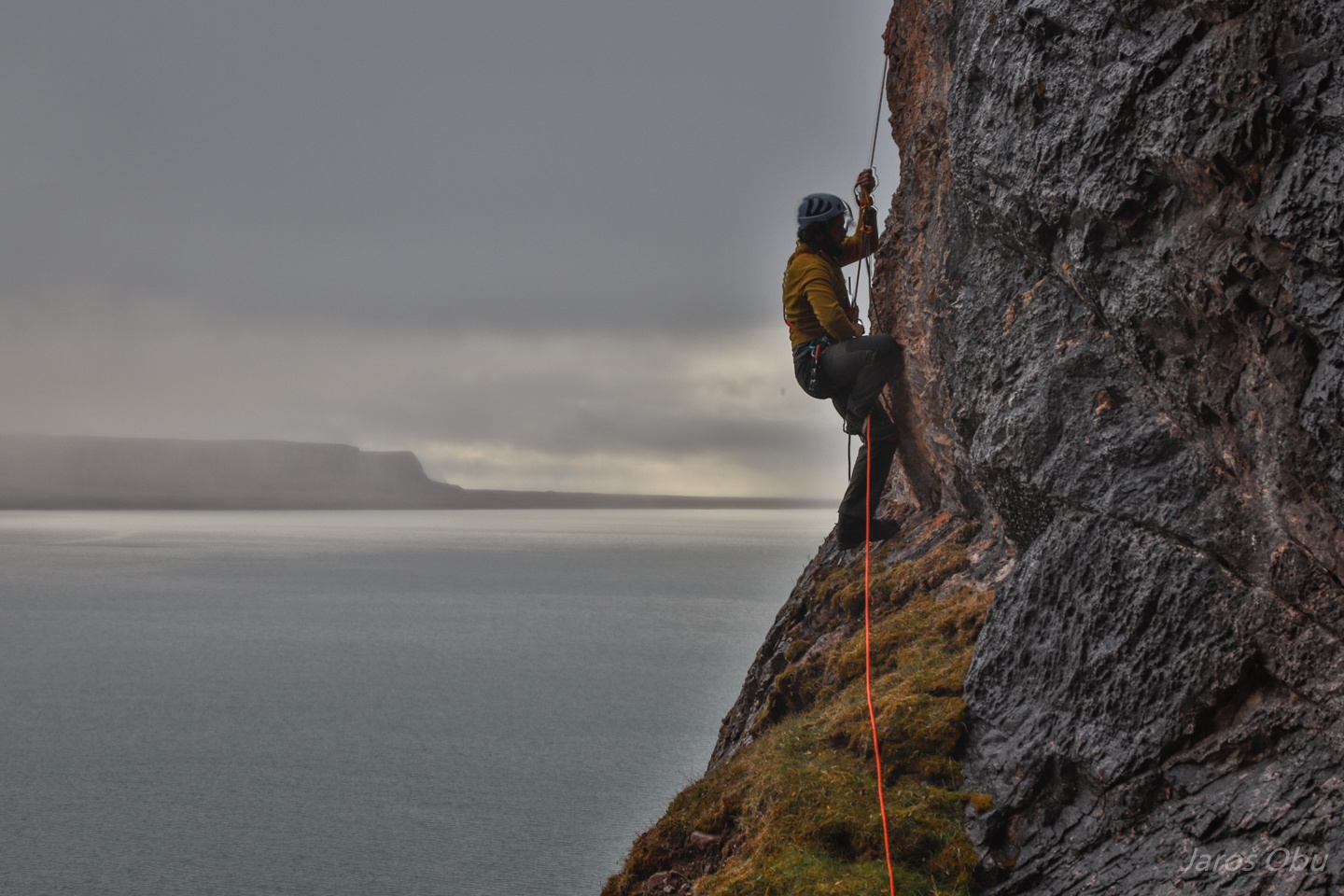
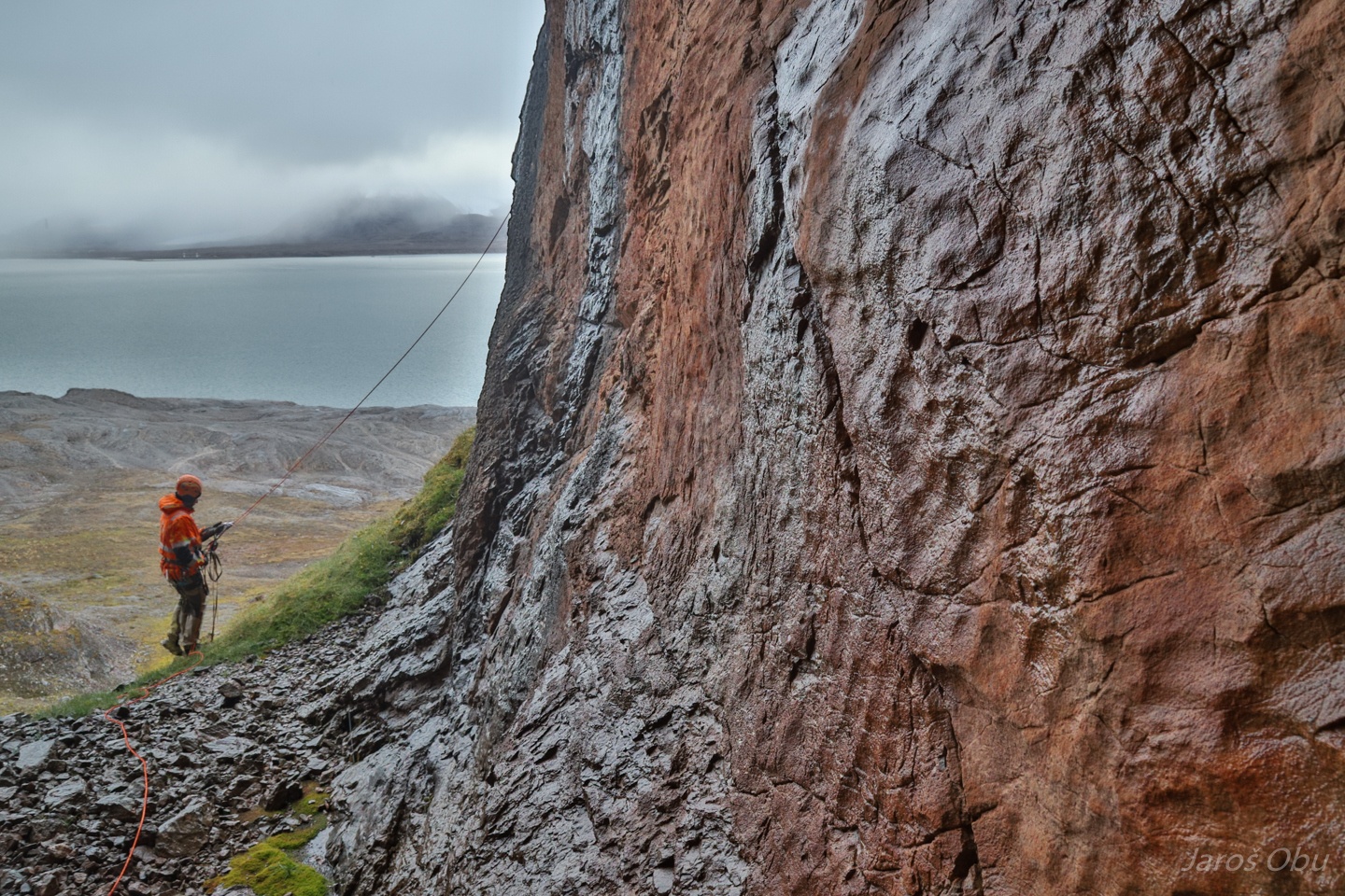
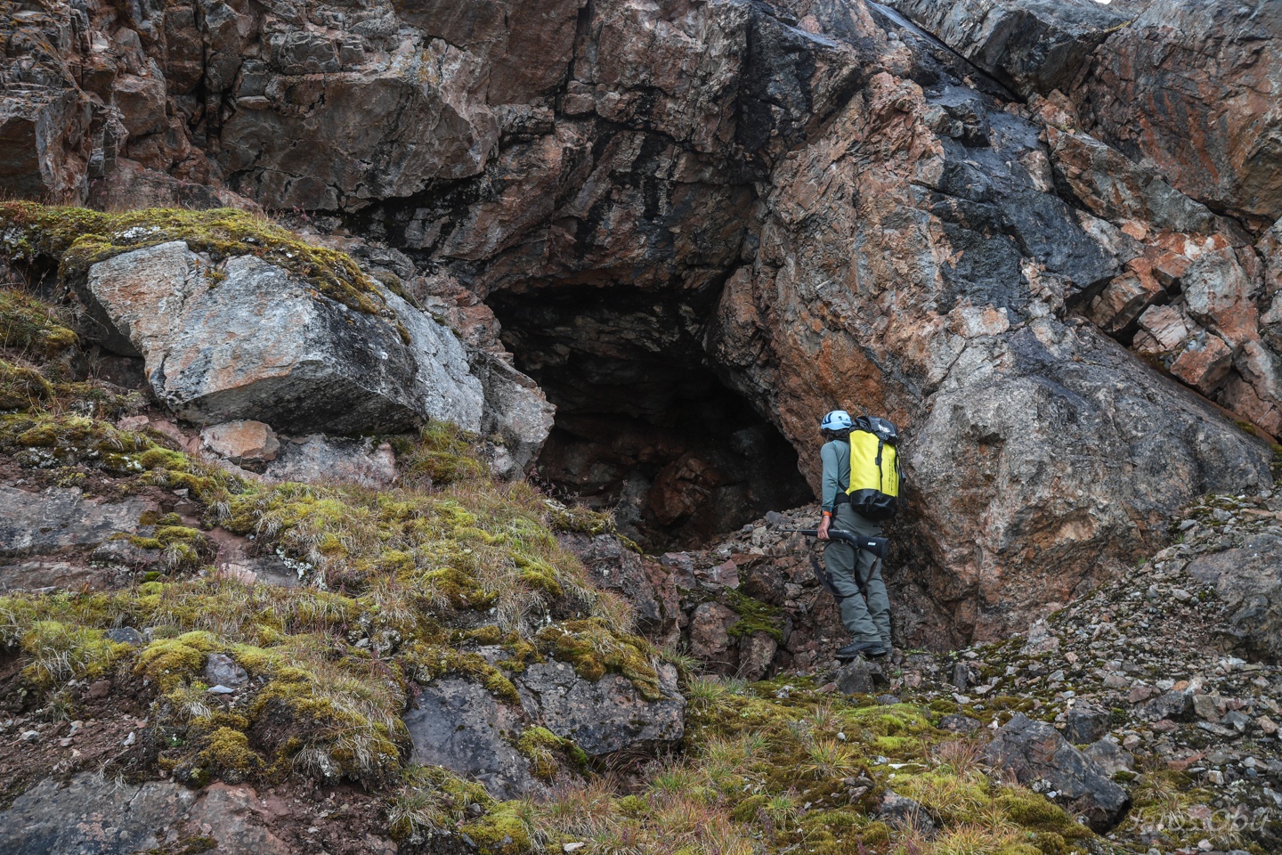
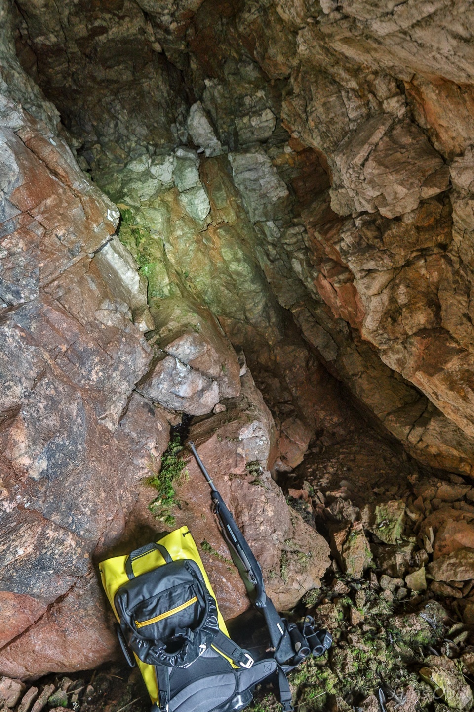
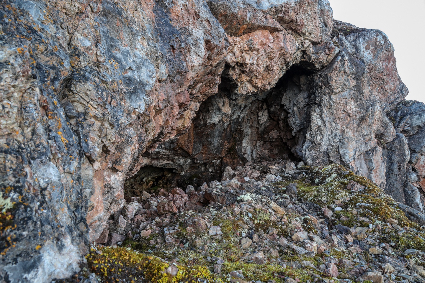
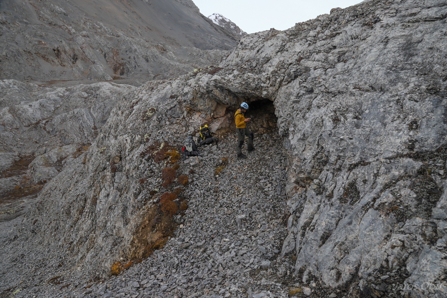
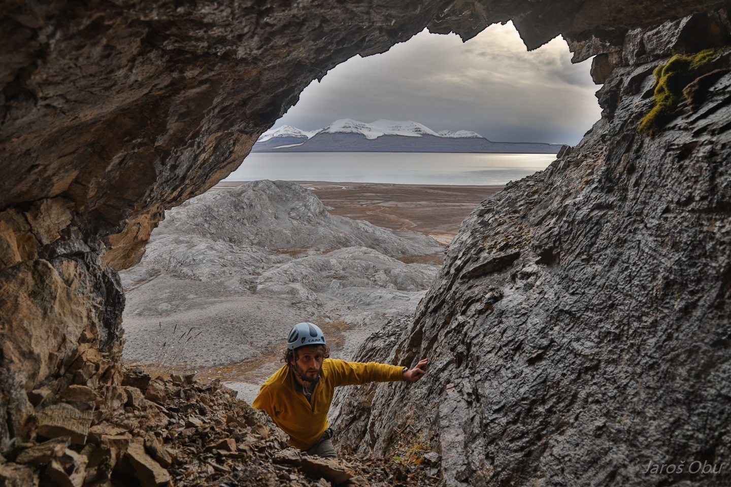
Back at Portalgrotta on the next rainy day.
With a rope and caving gear.
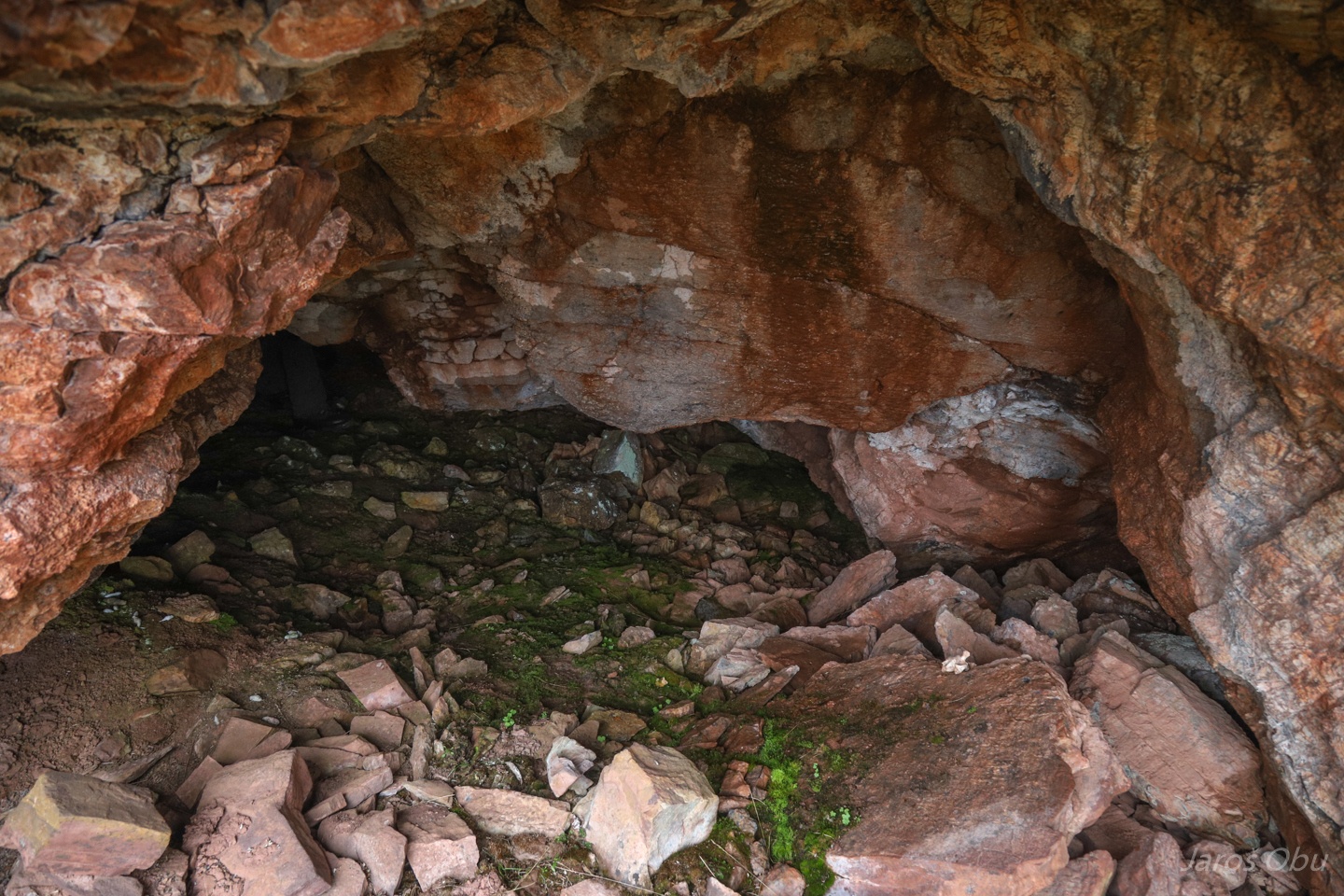
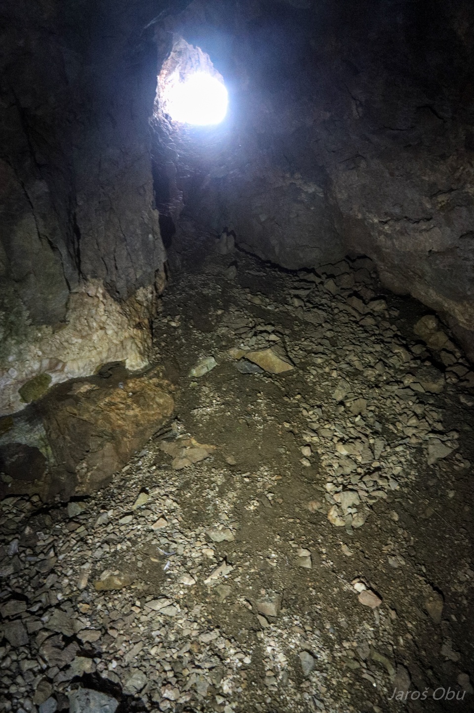
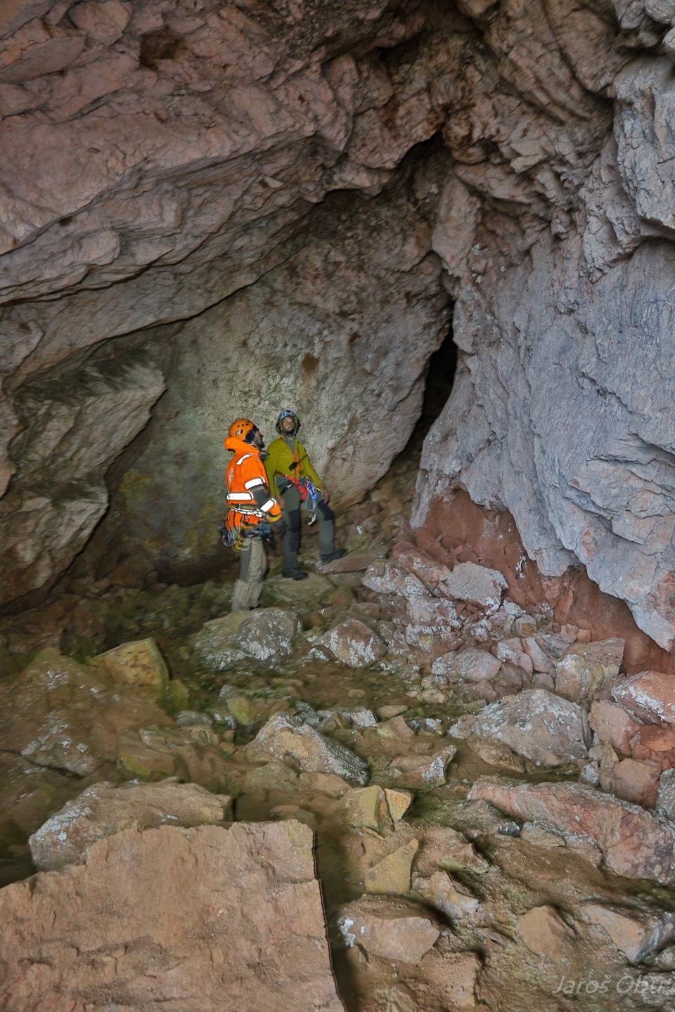
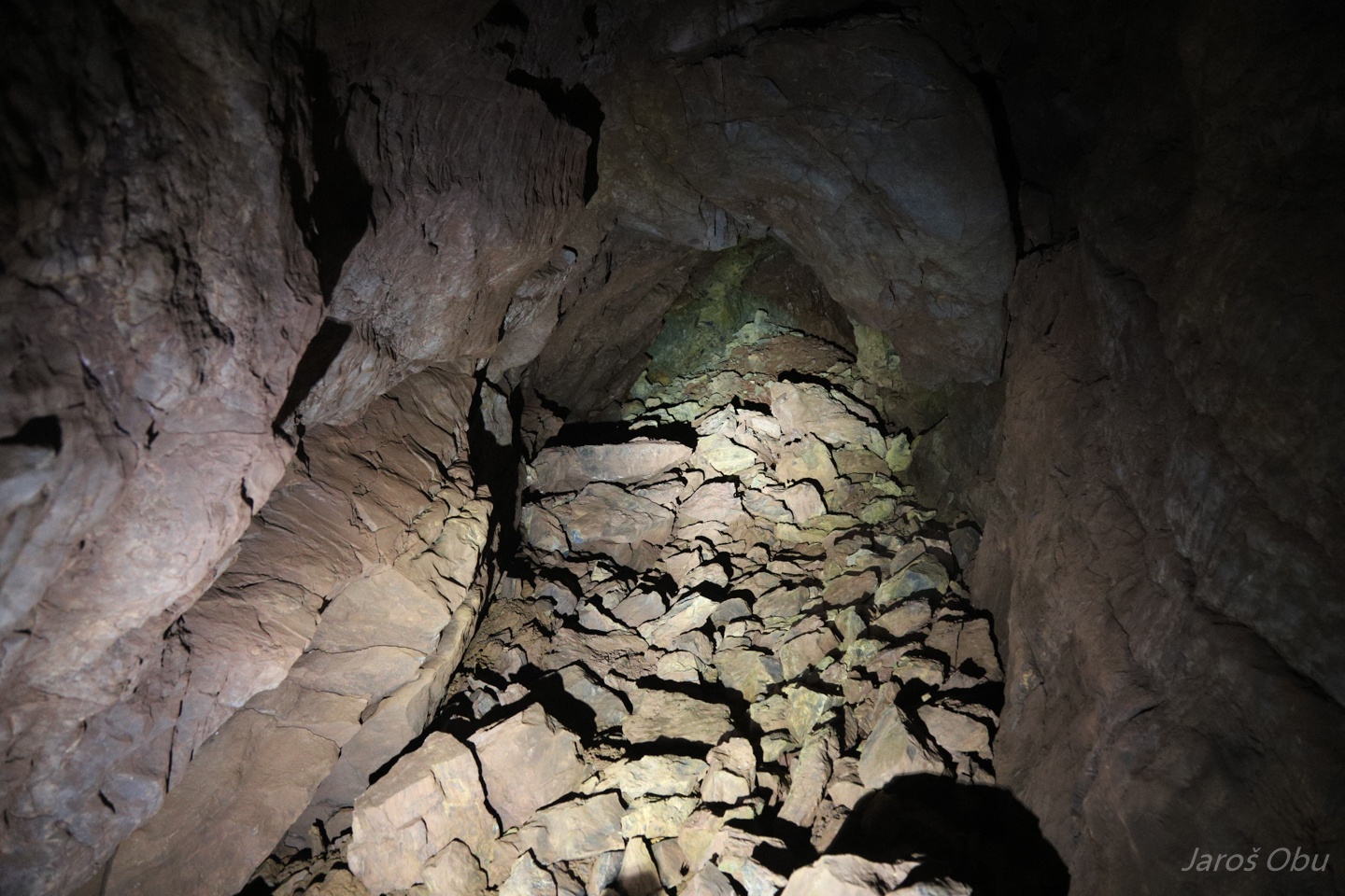
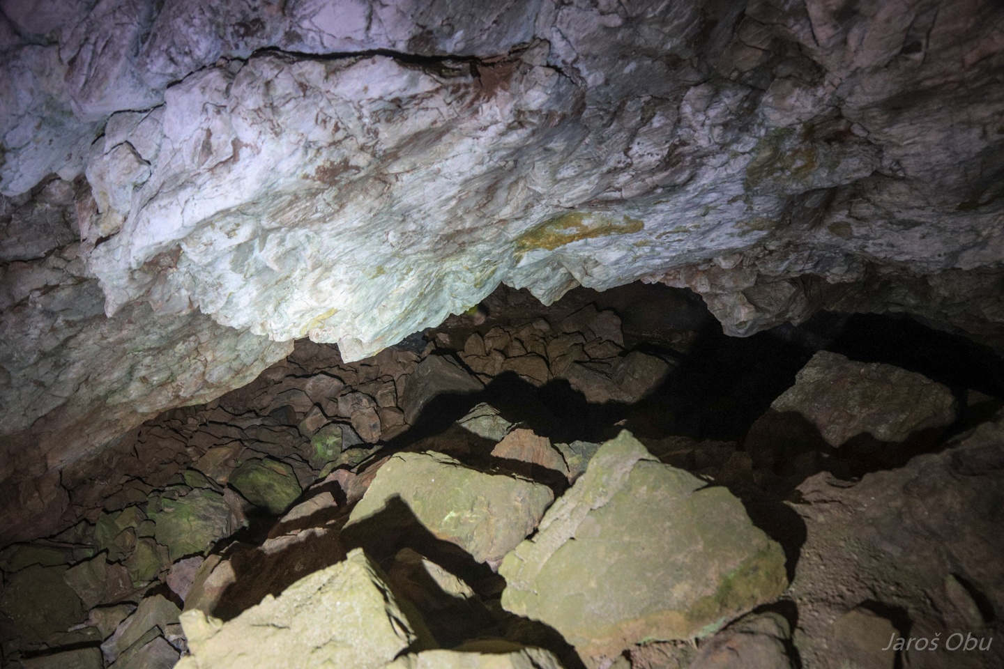
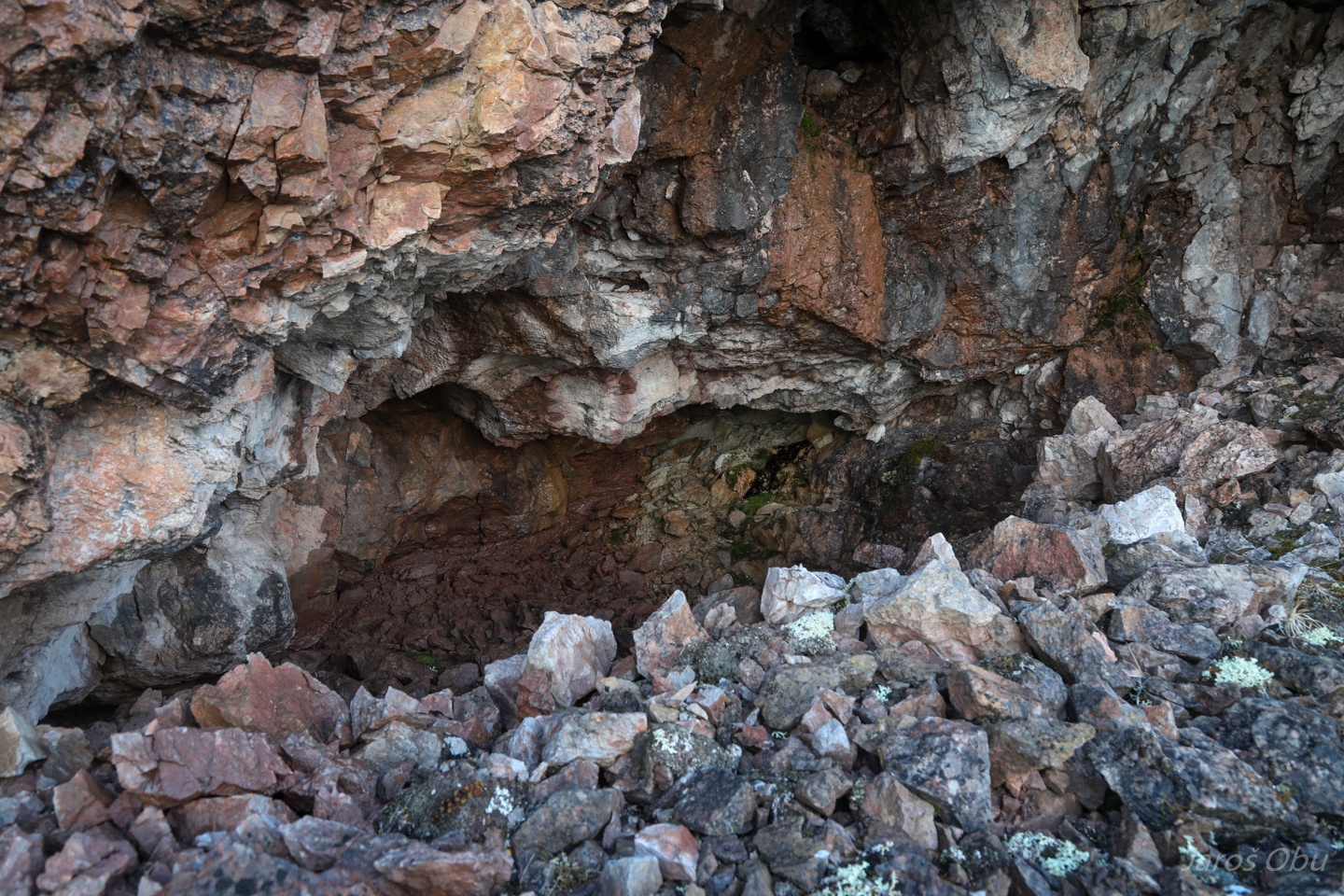
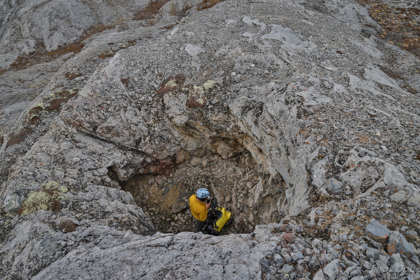
Inside the cave that formed along a vertical fault line.
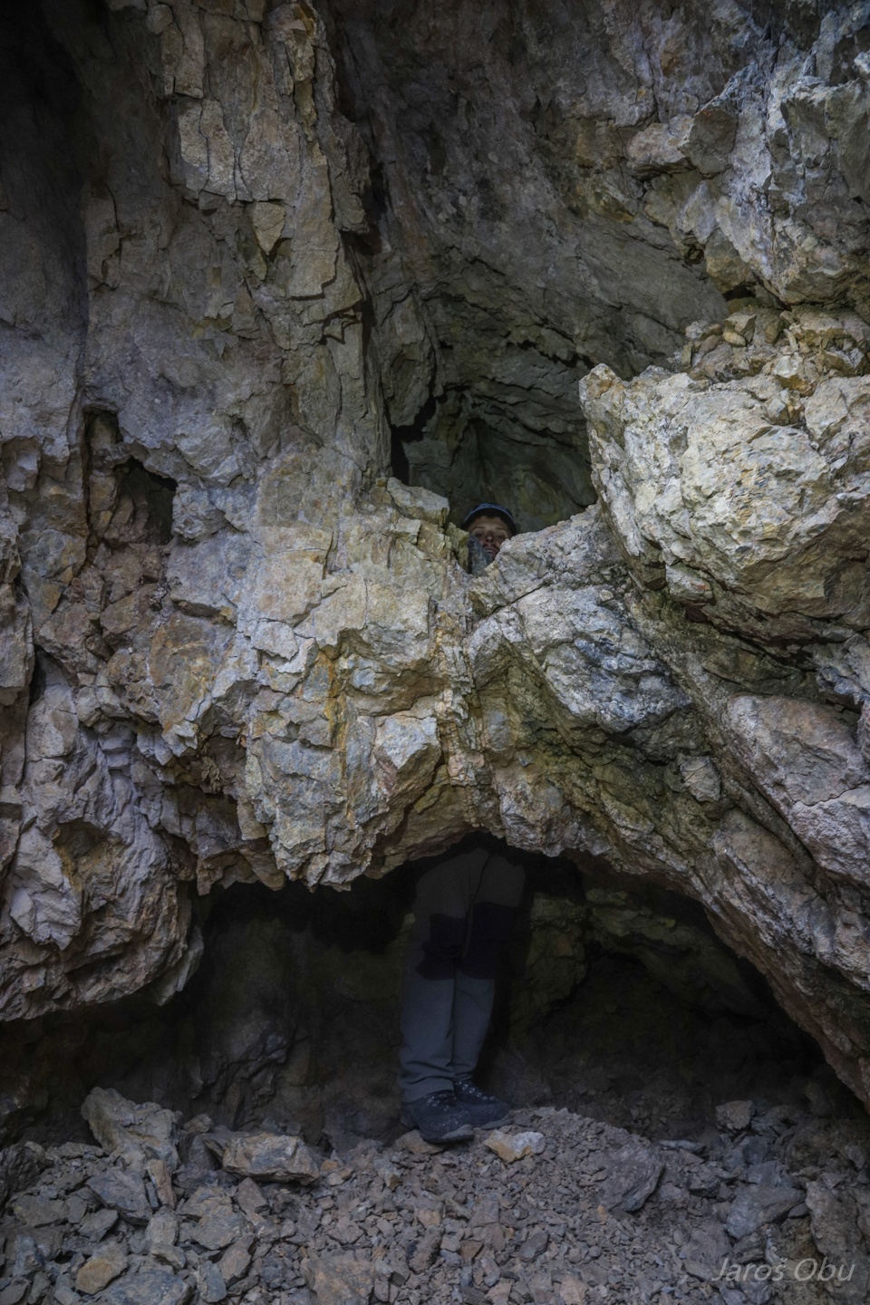
A narrower part.
And the cave behind it.
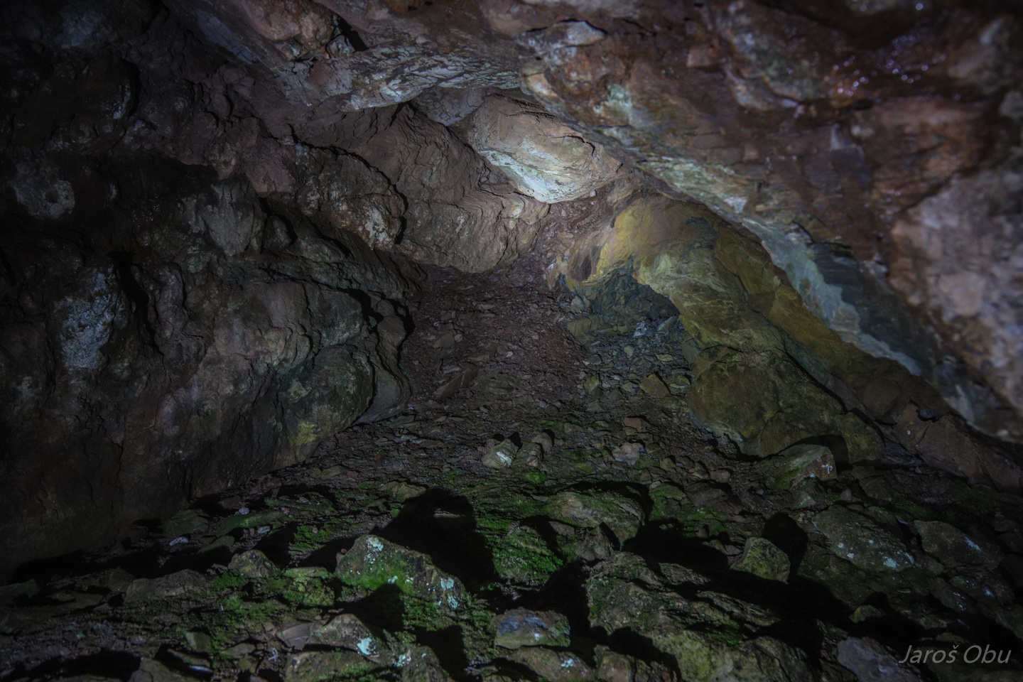
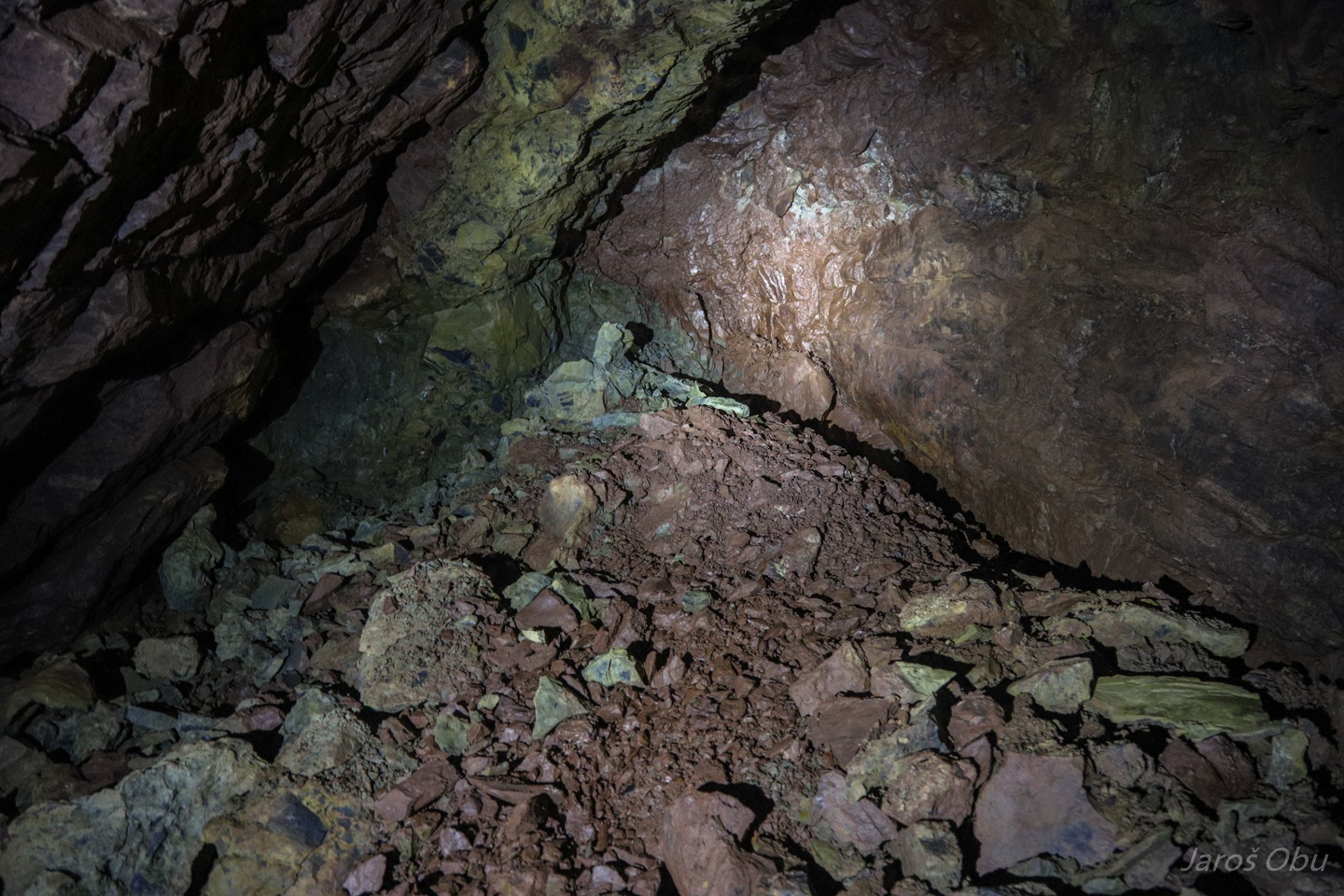
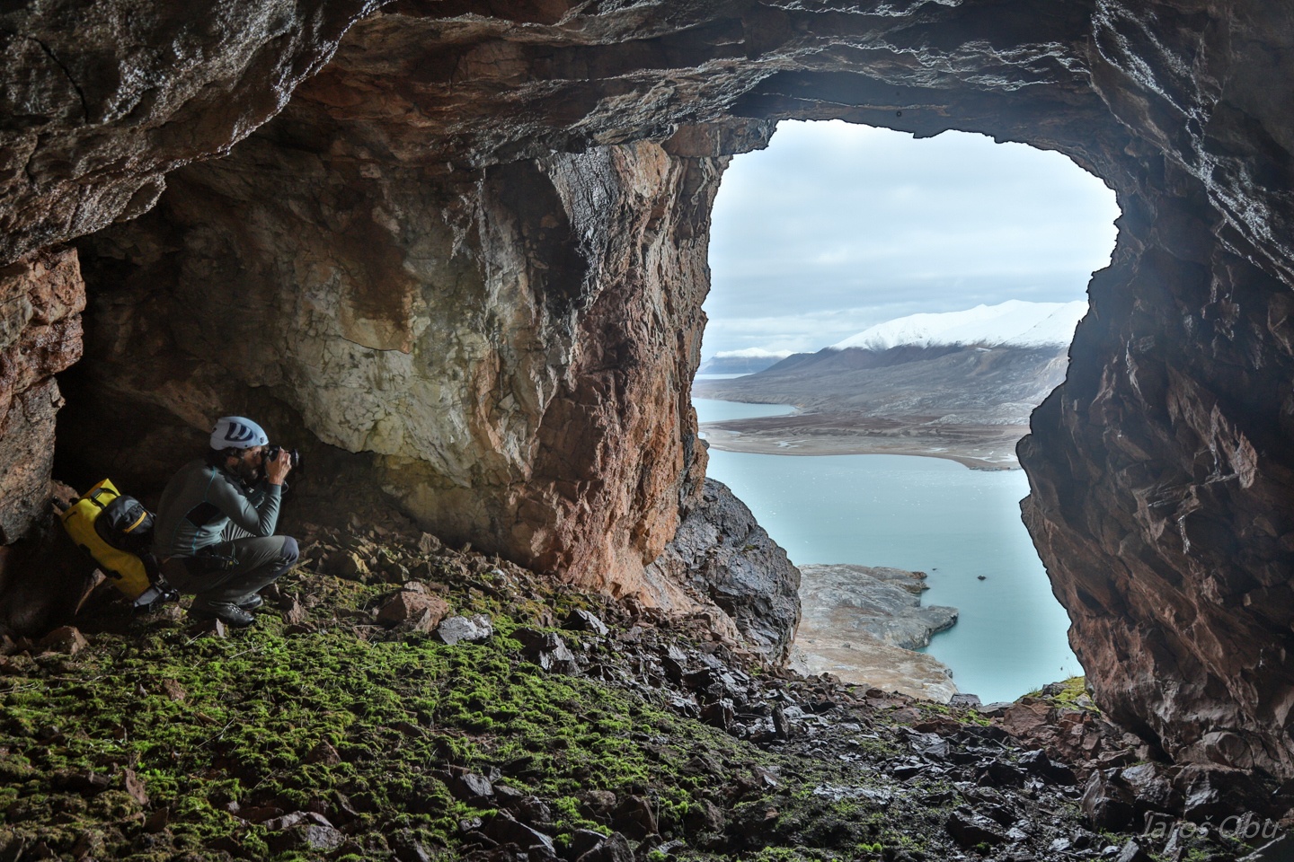
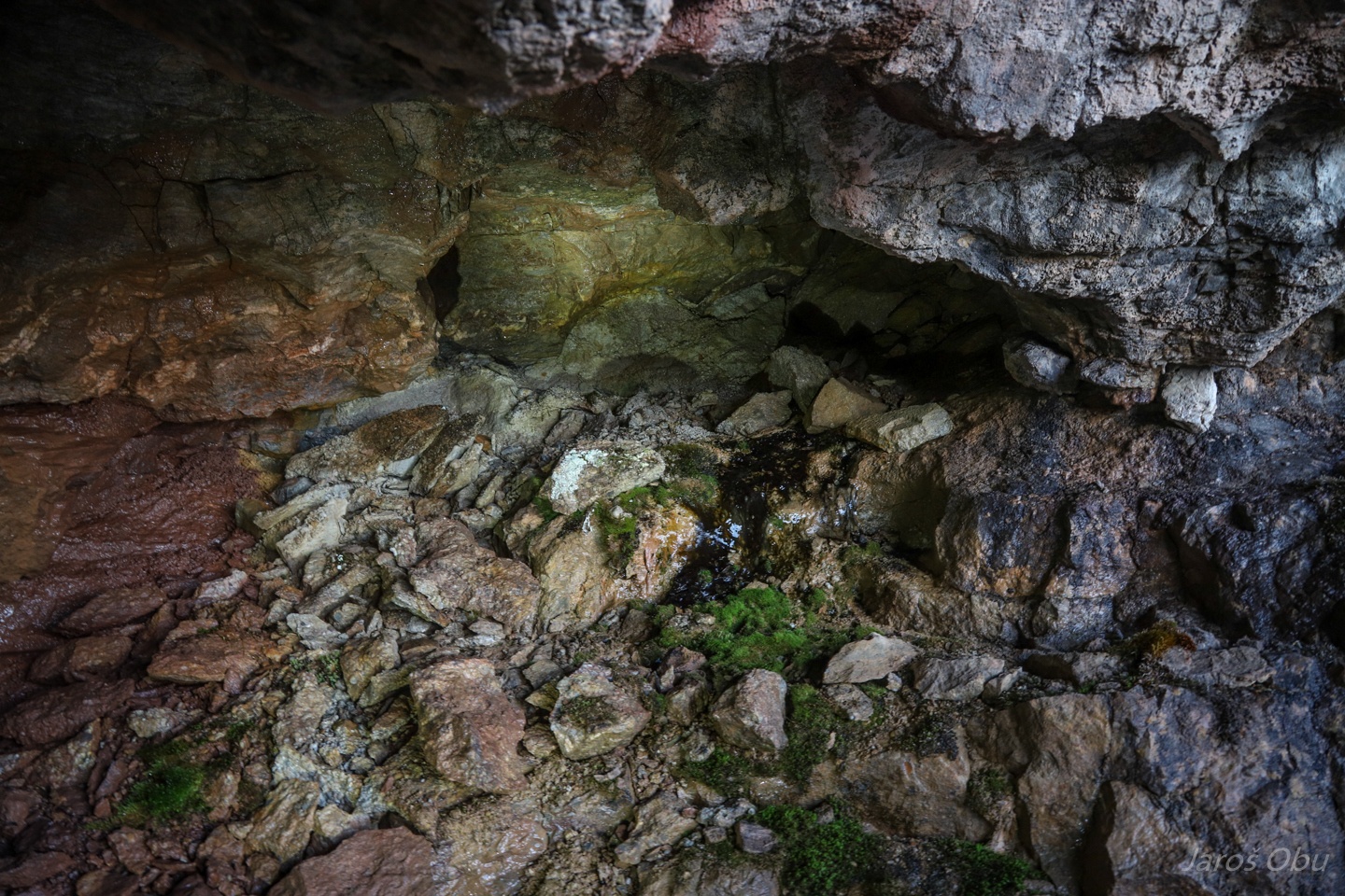
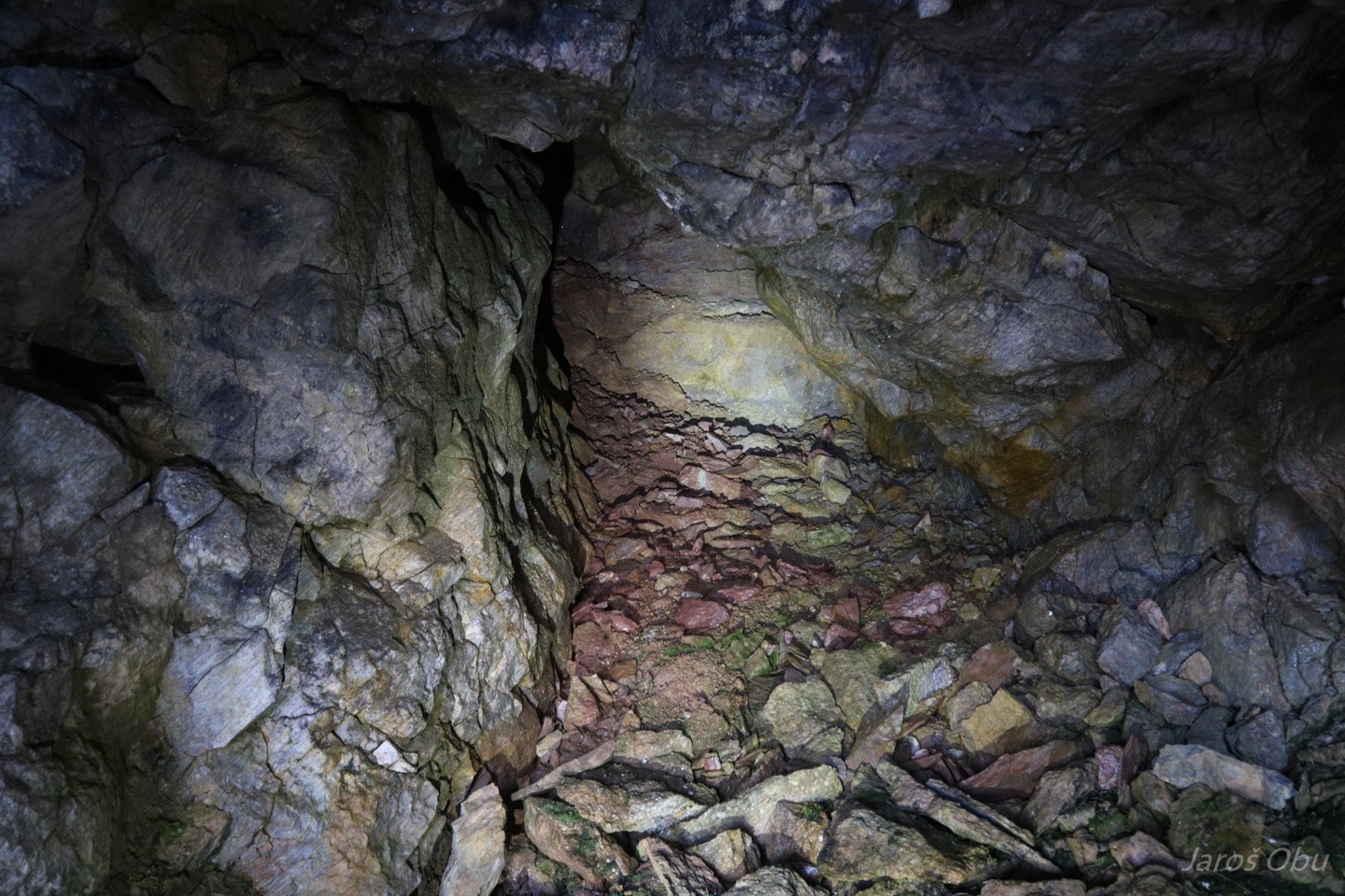
Terminus of the 42 m long cave. Again no sign of frozen rock as 20 years ago.
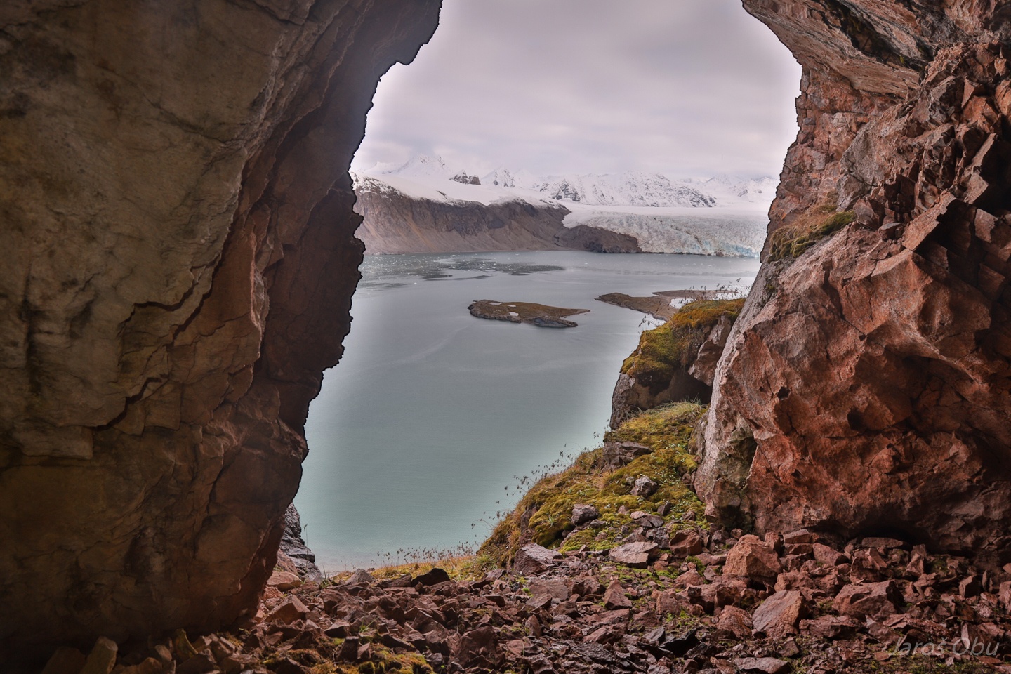
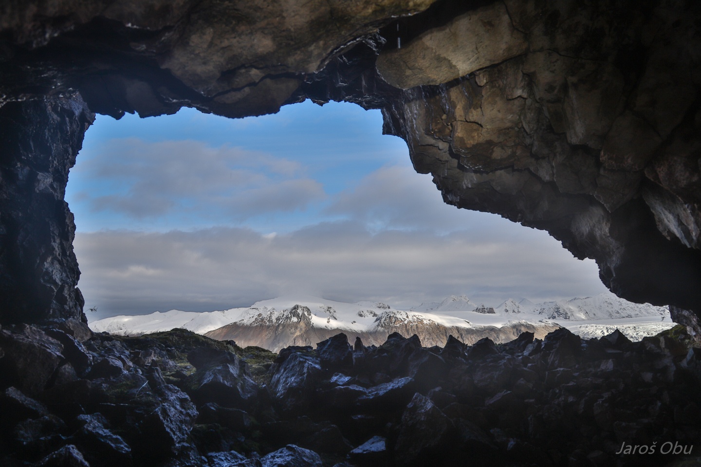
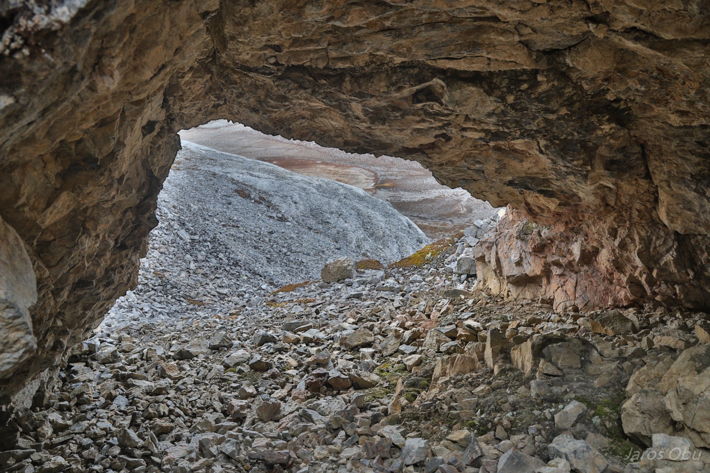
View back from the terminus towards the narrow part.
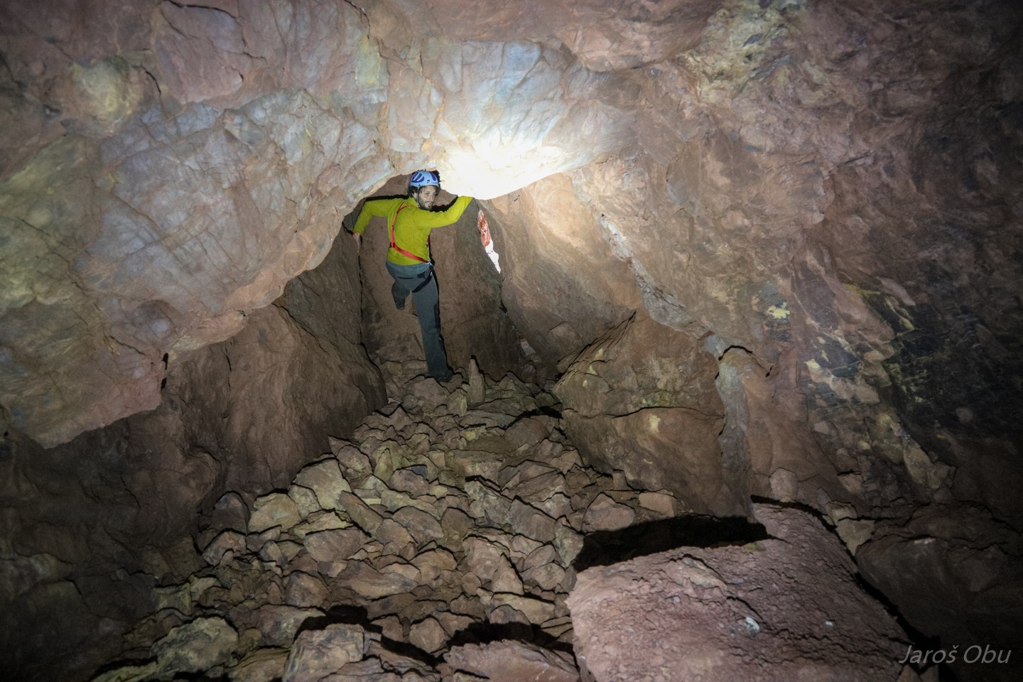
Towards the entrance.
A small side-chamber on the right of the entrance part.
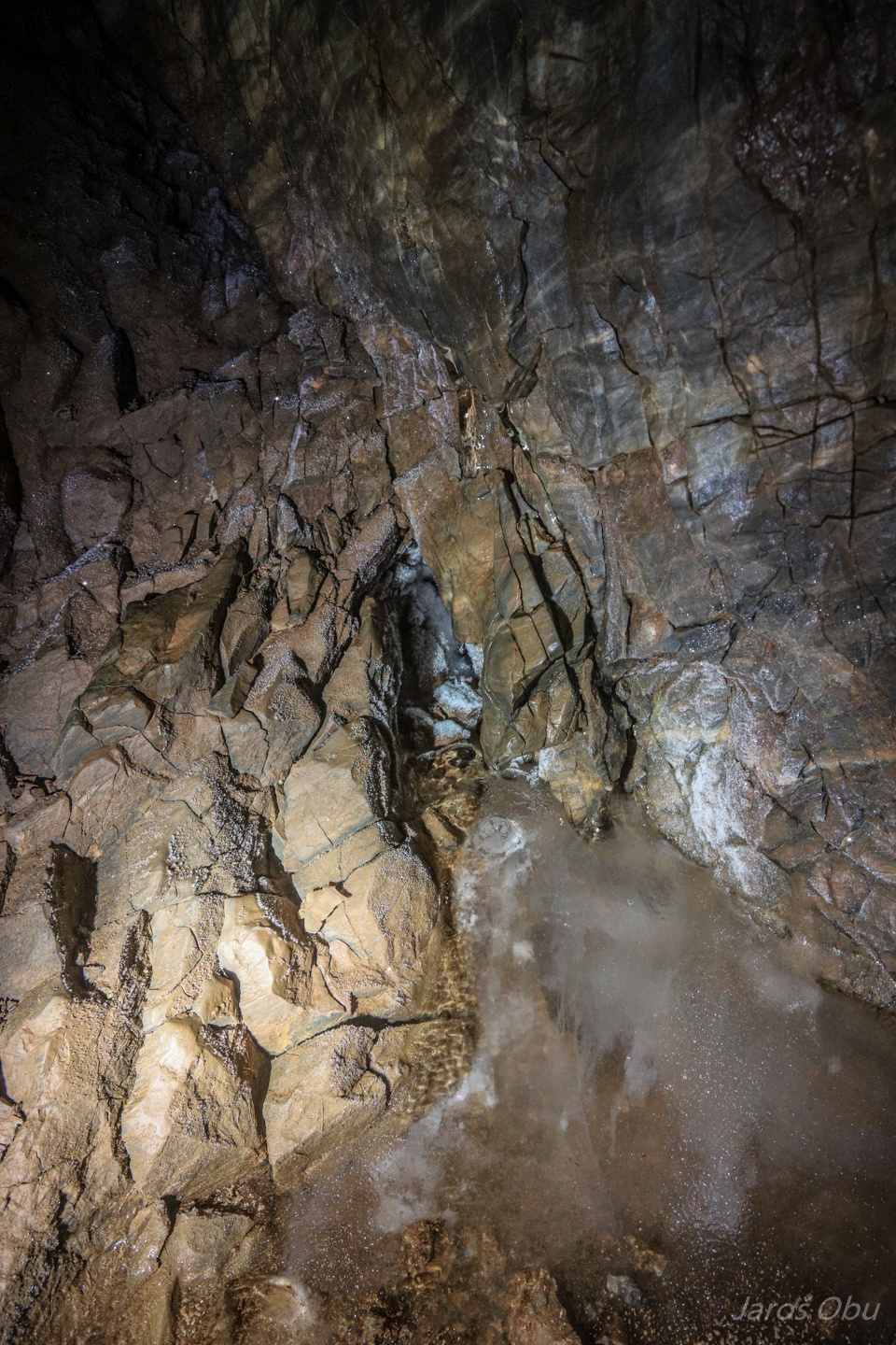
Where there is, however, still some hoar frost and ice accumulated from dripping water.
Andreas and Christer shot from the chamber.
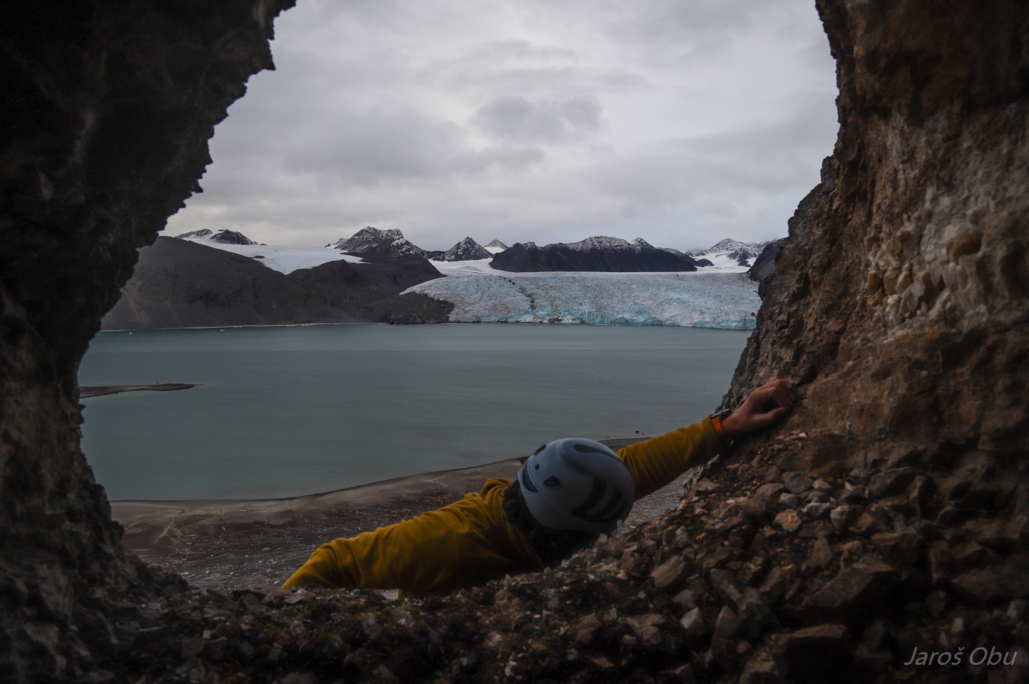
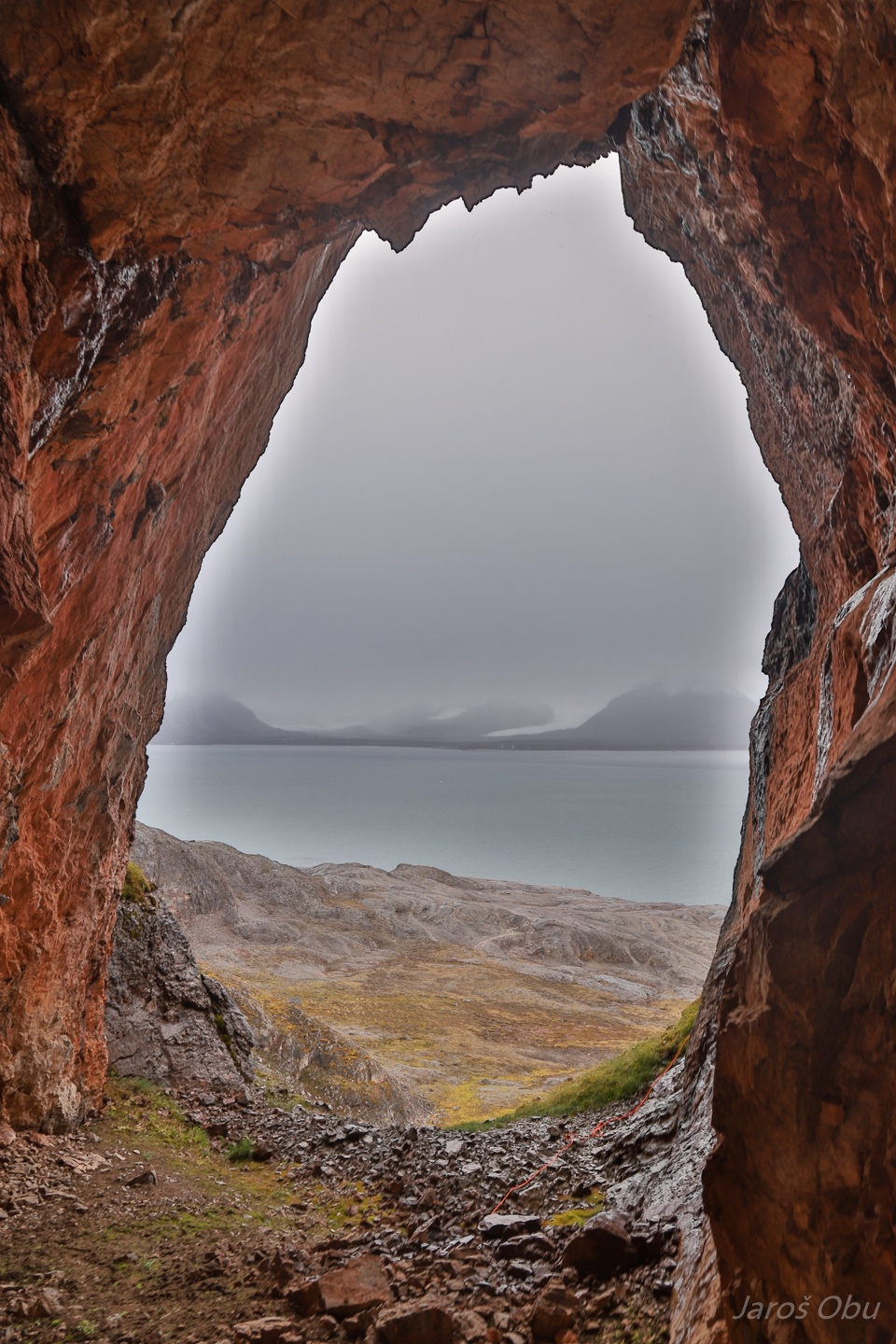
The high oval cave entrance.
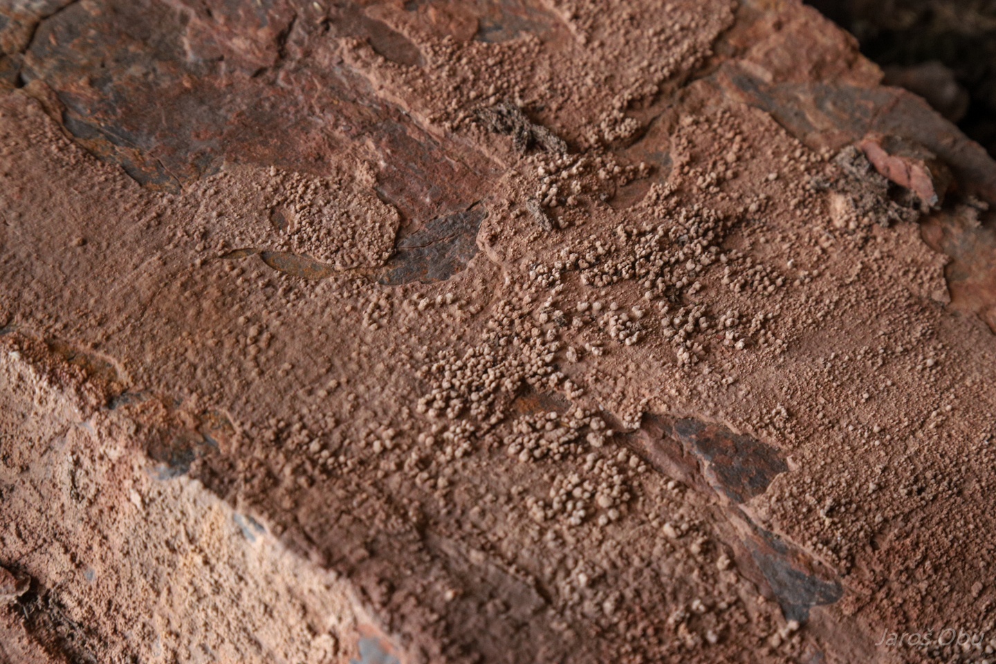
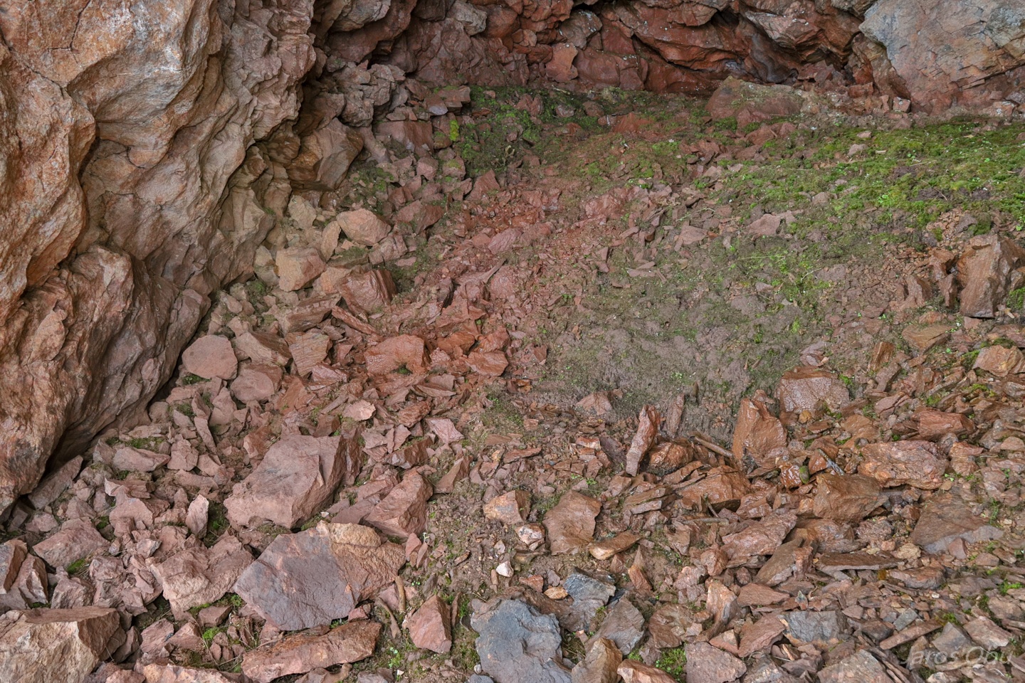
So-called popcorn on a rock lying on the ground.
There is some finer material present at the entrance.
That actually resulted in some ground material sorting.
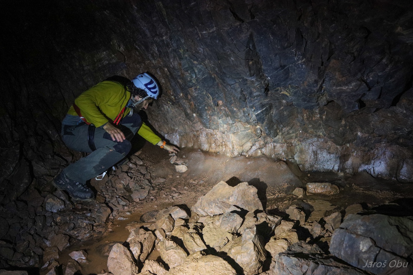
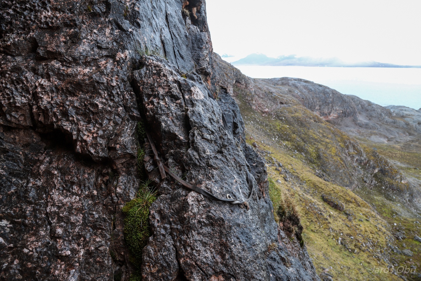
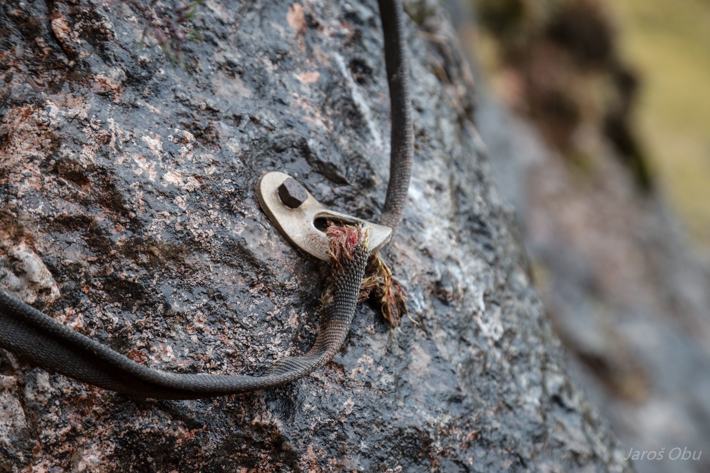
Remnants from the first exploration of this cave around 20 years ago.
Not to be used anymore.
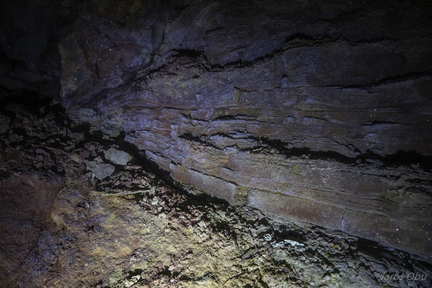
Very well developed scallops indicating water flow in the cave-inward direction during the cave formation.
Time to return.
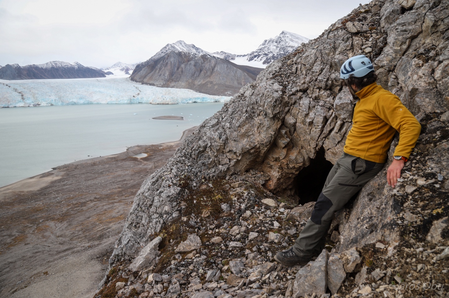
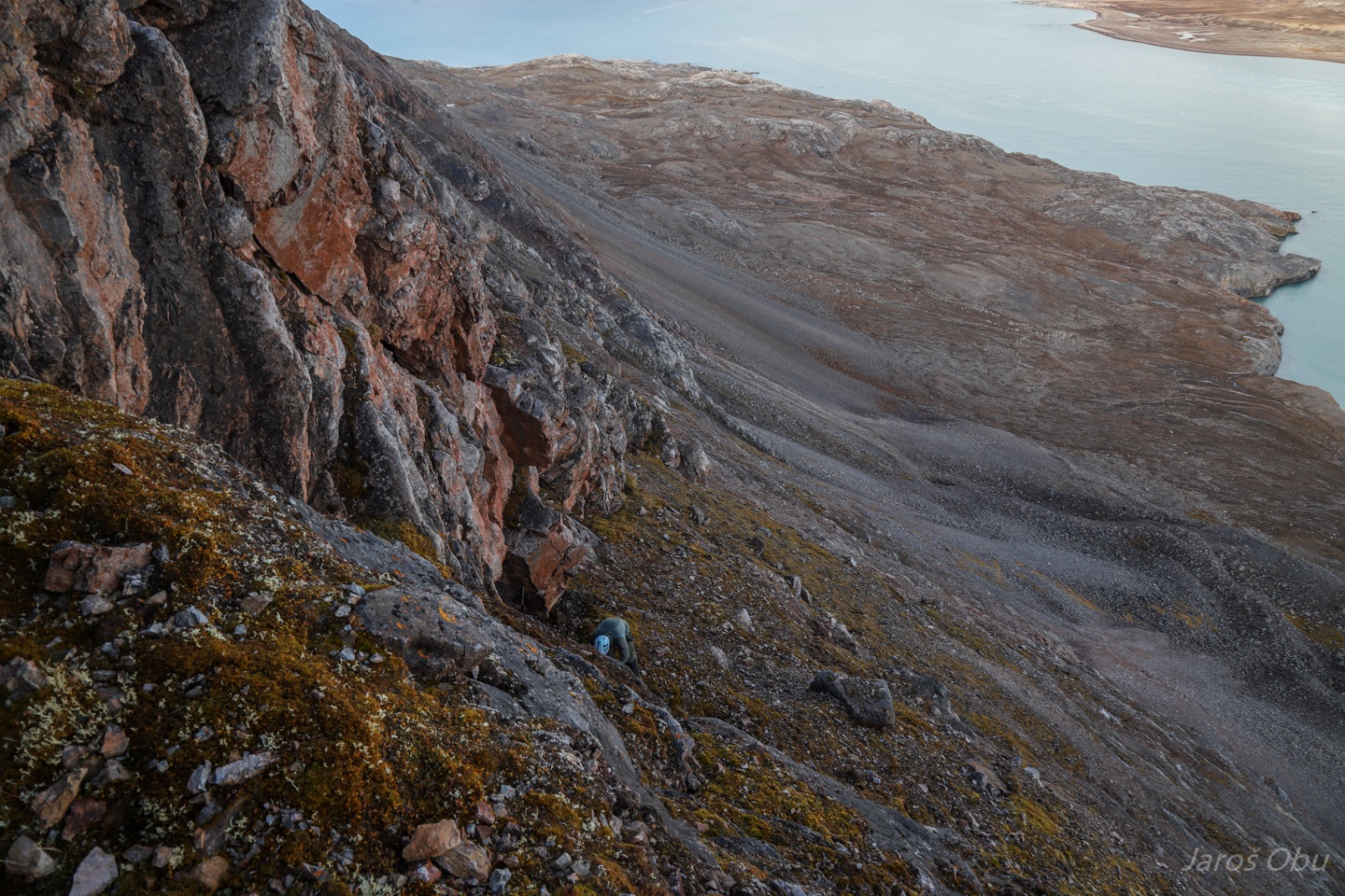
Finally one day with a bit better weather, was a nice opportunity to check out the caves on the slope of Bratliekollen.
Well sheltered "parking lot" under Bratliekollen.
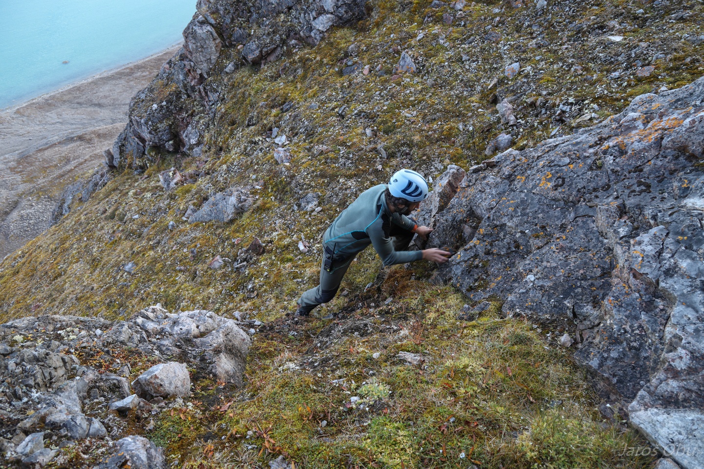
It was quite easy to hike up the talus slope.
Traverse to the caves was a bit more challenging in these wet and slippery conditions.
The largest entrance (as seen from photo nr. 101) is probably the G22 cave.
A rather short one.
But with some patterned ground.
A shot from inside.
Vertical fault line on the side.
More caves, more rock scrambling.
Entrance to one of the Bratlirør caves.
Some inaccessible conduits leading deeper.
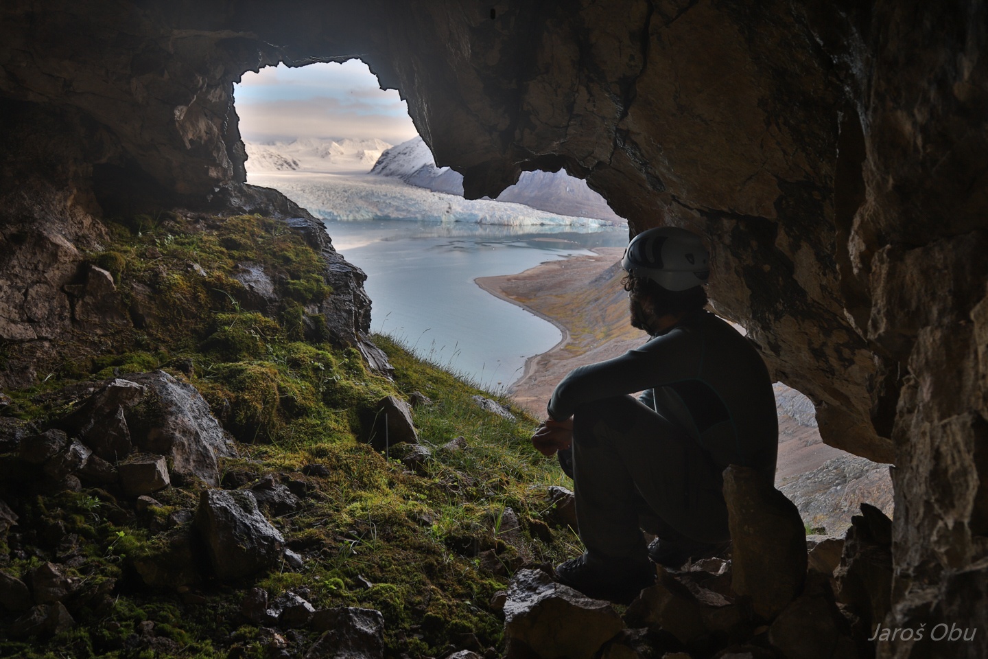
Enjoying the fabulous view.
G26 - Runderøret?
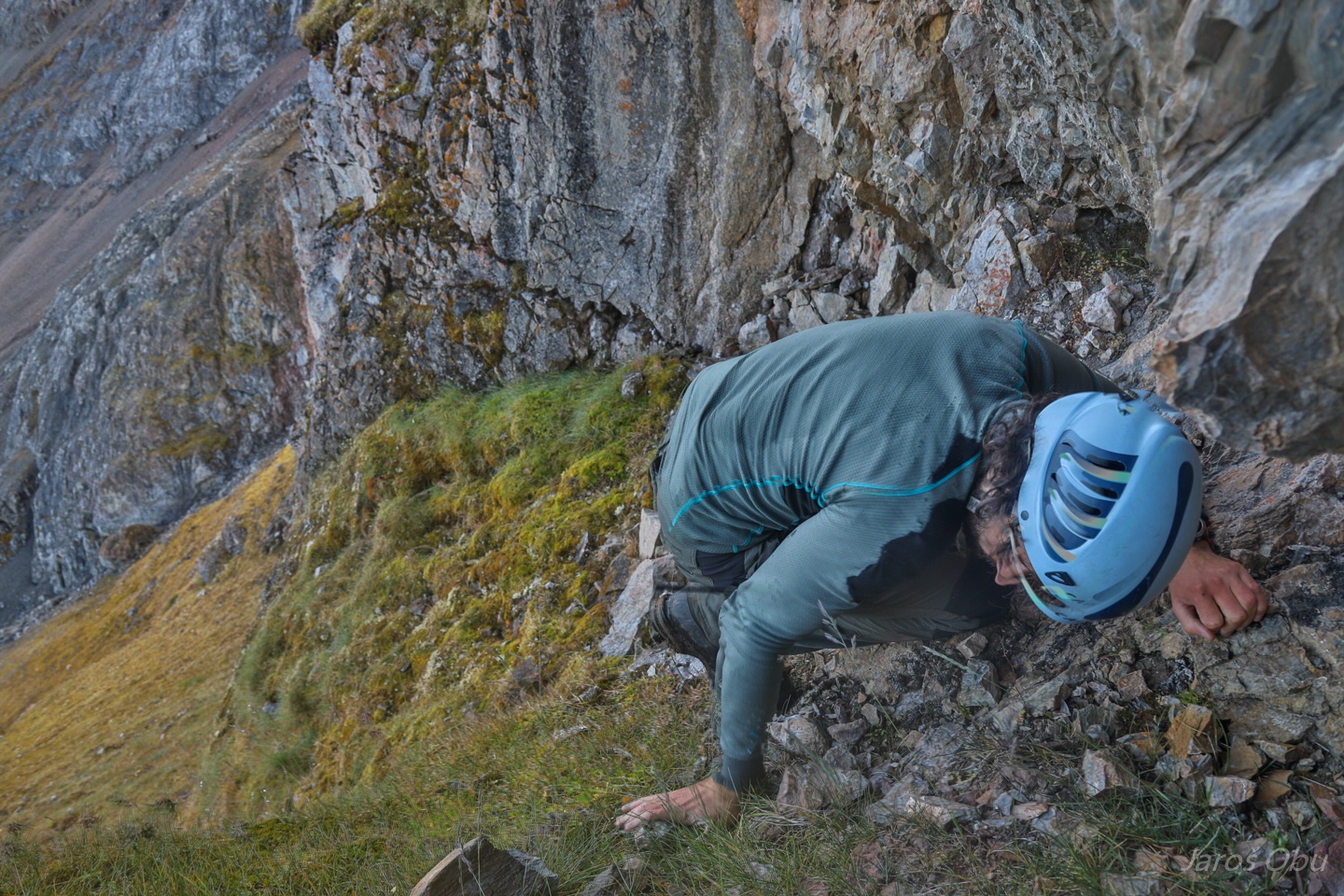
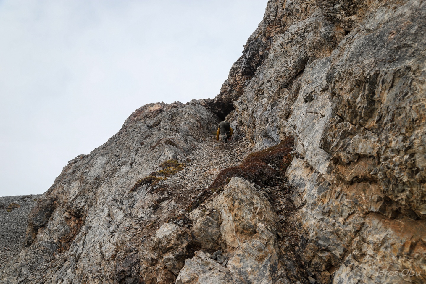
Andreas making his way up to the entrance.
It is a rather short through cave.
Another small hole up on the slope.
Above which Andreas is making his way up to the last one (G27 Kronegrotta ?) at elevation of 260 m.
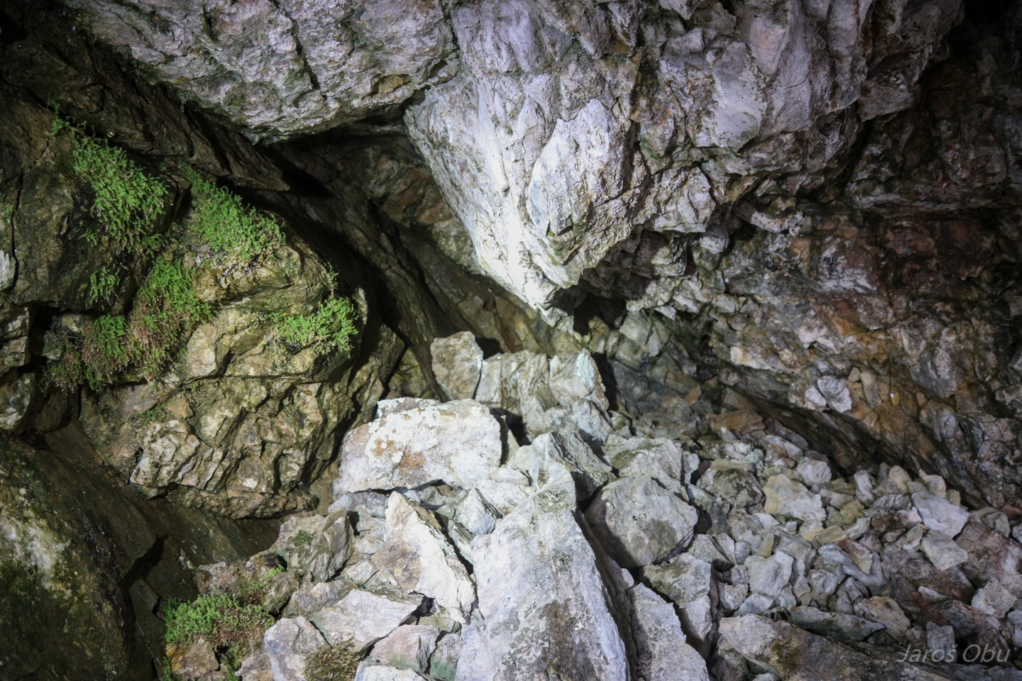
Entrance in form of phreatic tube.
Cave interior.
This one actually ends with frozen rock and hoar.
Not a bad view from the cave.
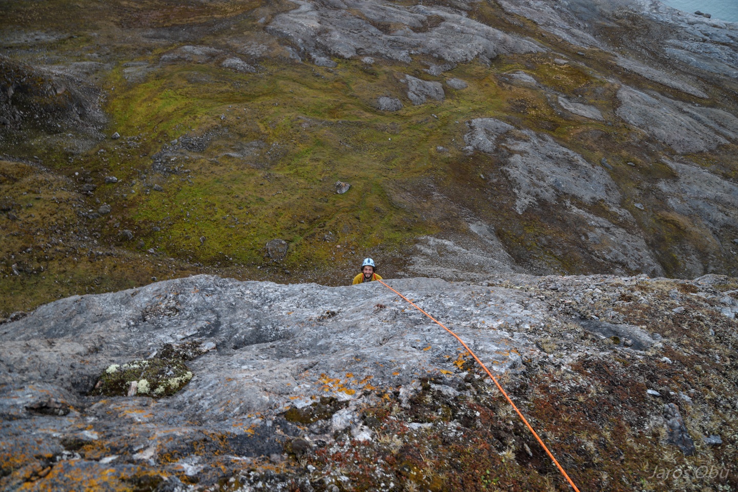
Some easy climbing on a way down.
The same rock glacier under Bratliekollenas as on the photo 75 but as seen from above.
Mountains of Haakon VII Land.
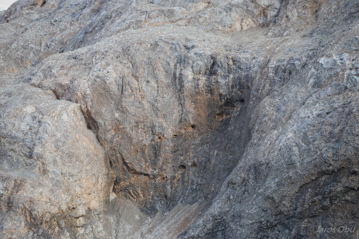
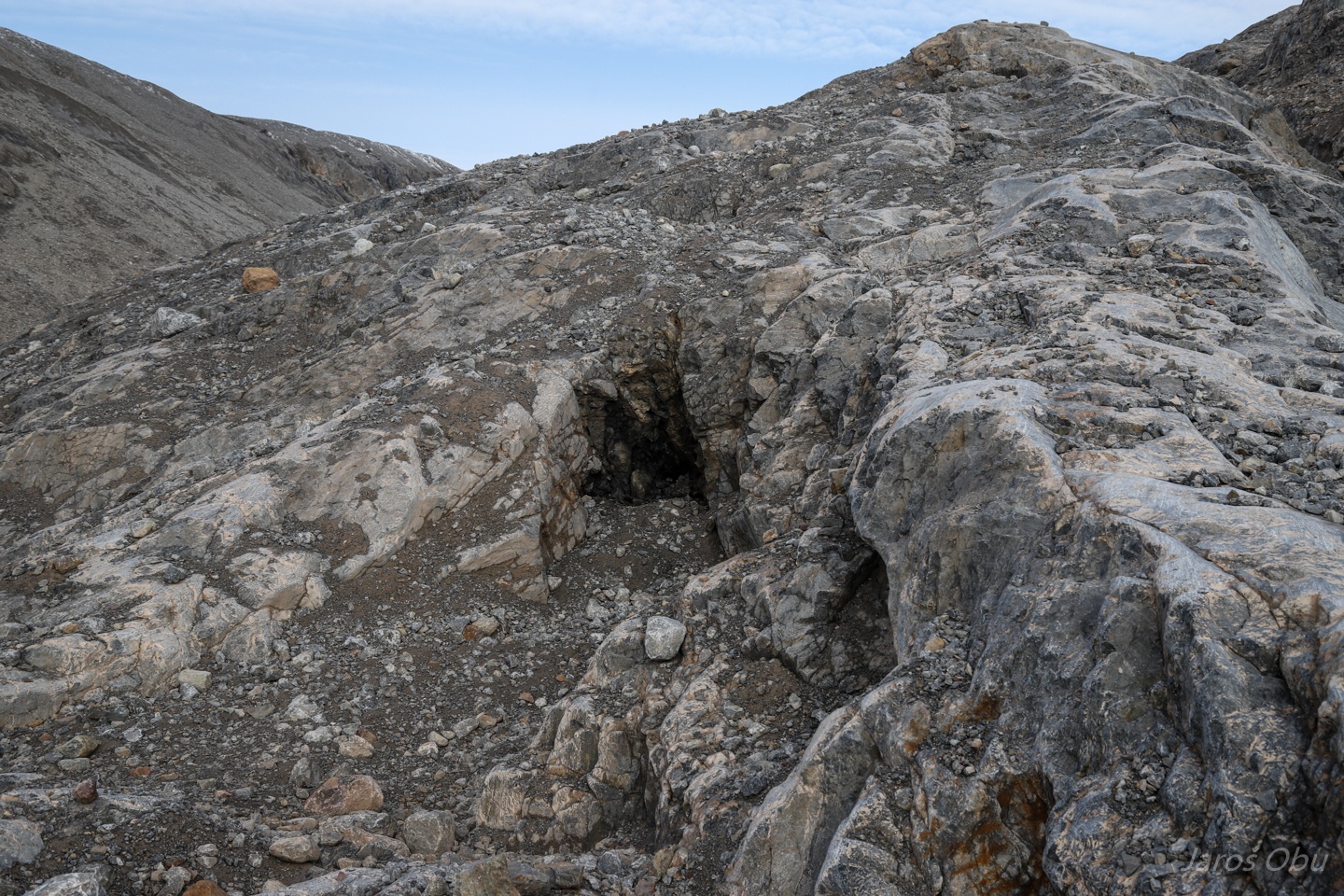
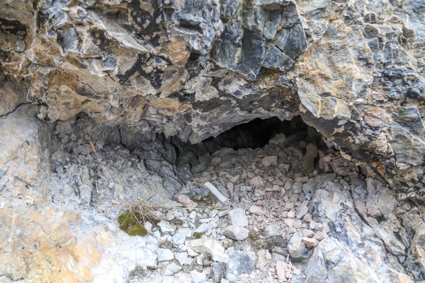
Several small tubes under the caves visited before.
This one is apparently a fox den.
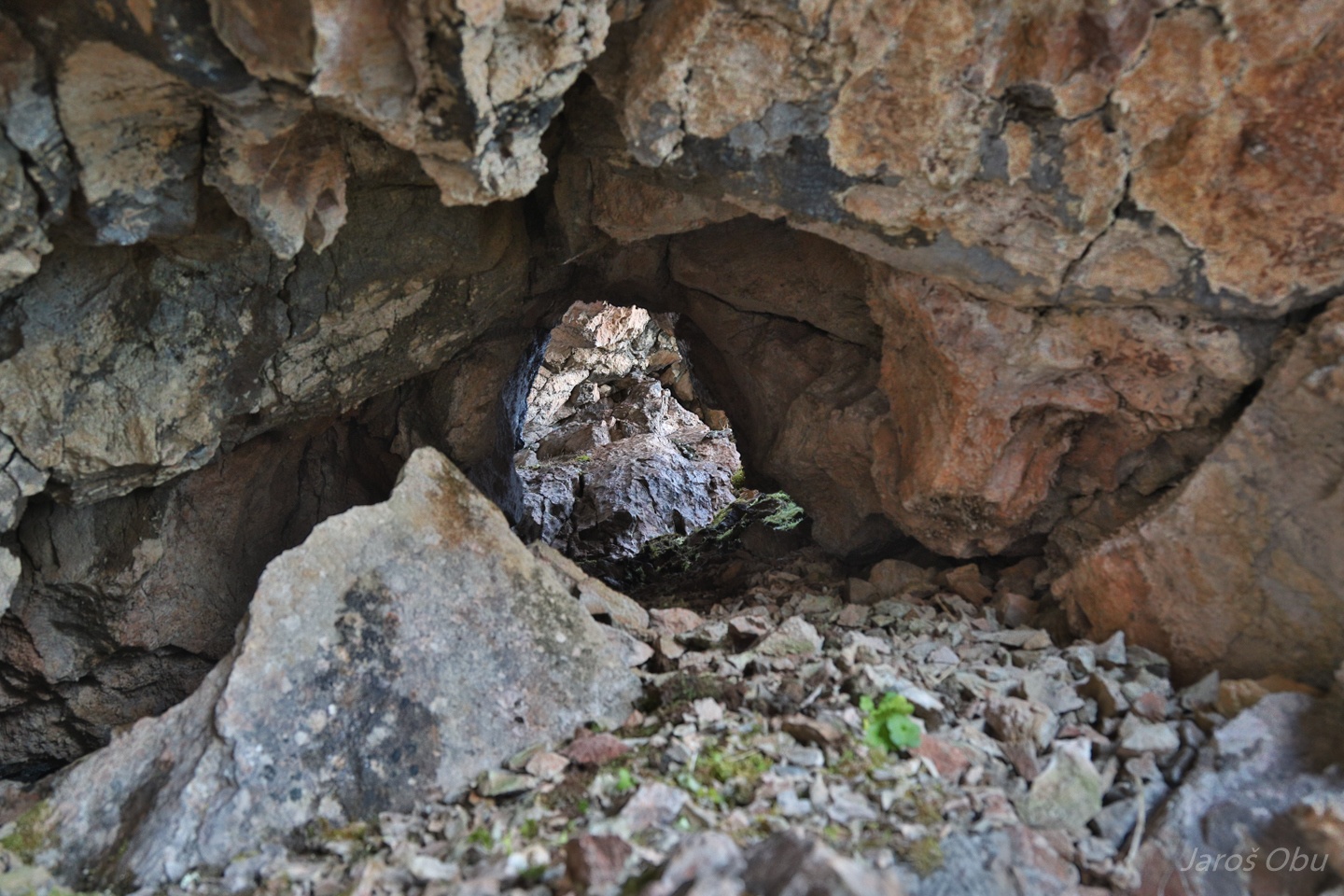
A small phreatic tube.
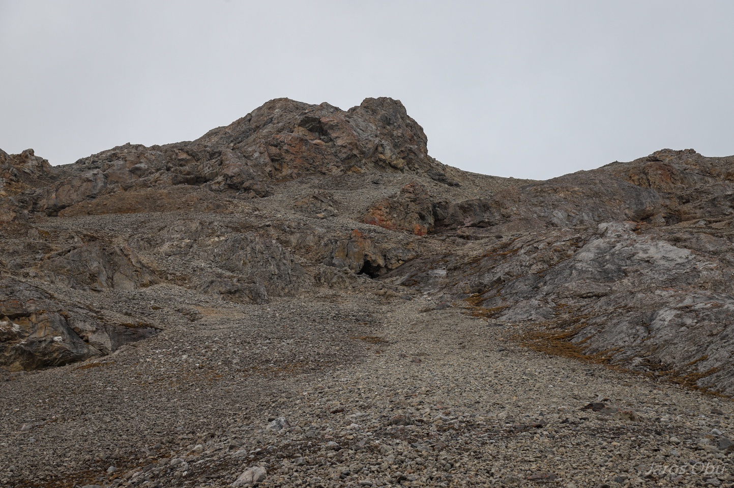
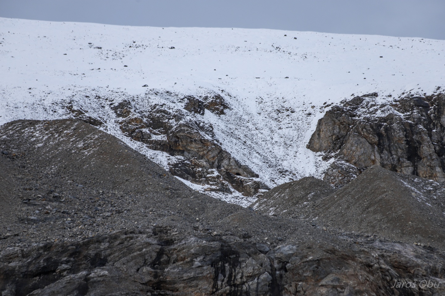
This small hill recently exposed from under the Blomstranden glacier.
It was our next destination.
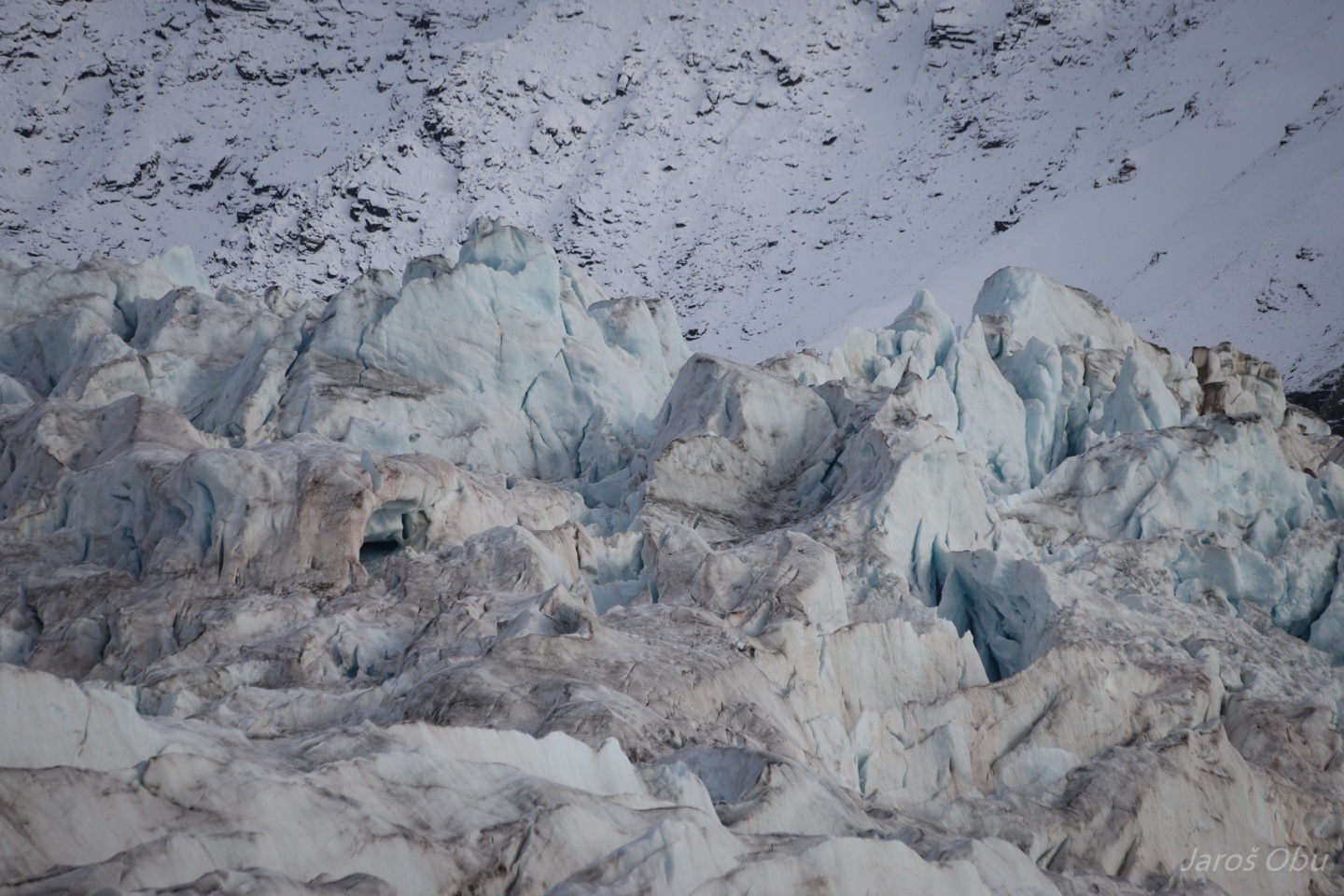
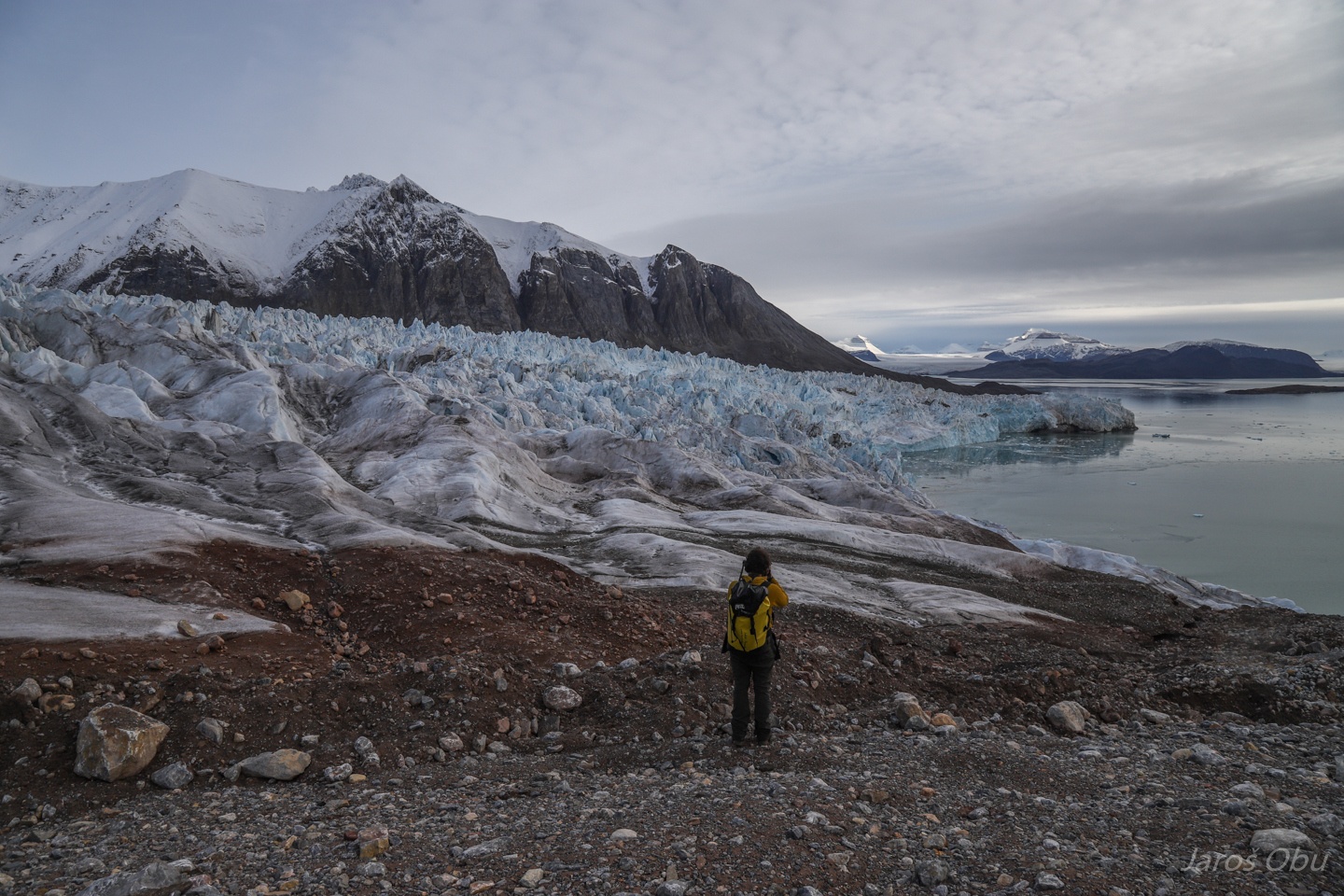
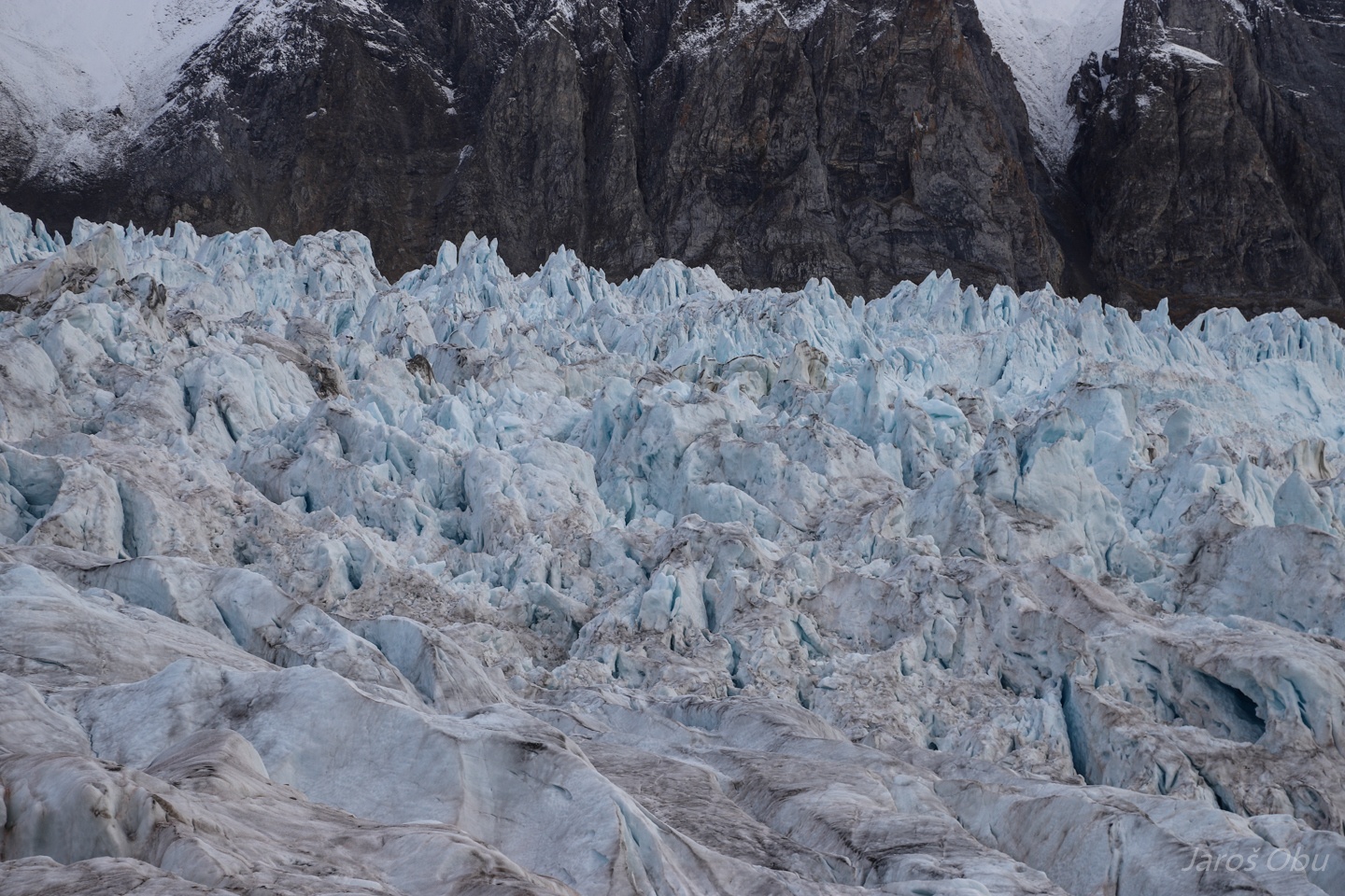
The calving front.
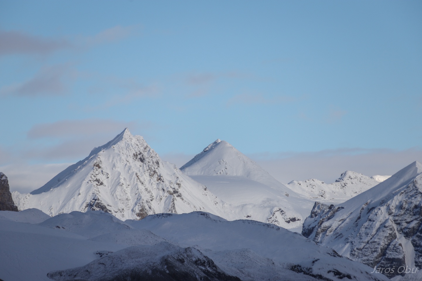
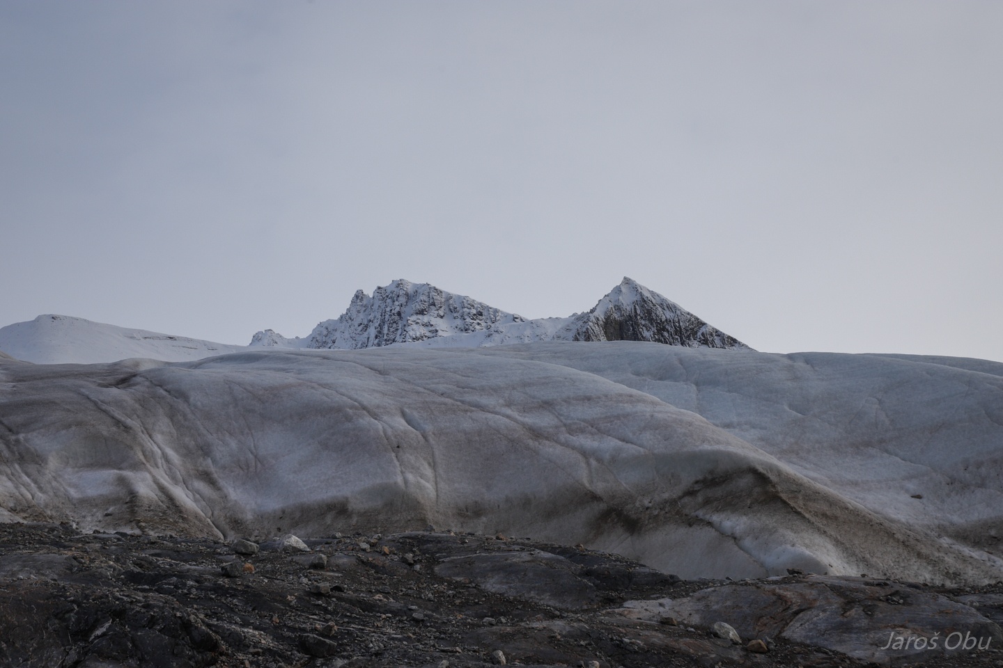
The Three Crowns visible for the first time during this visit.
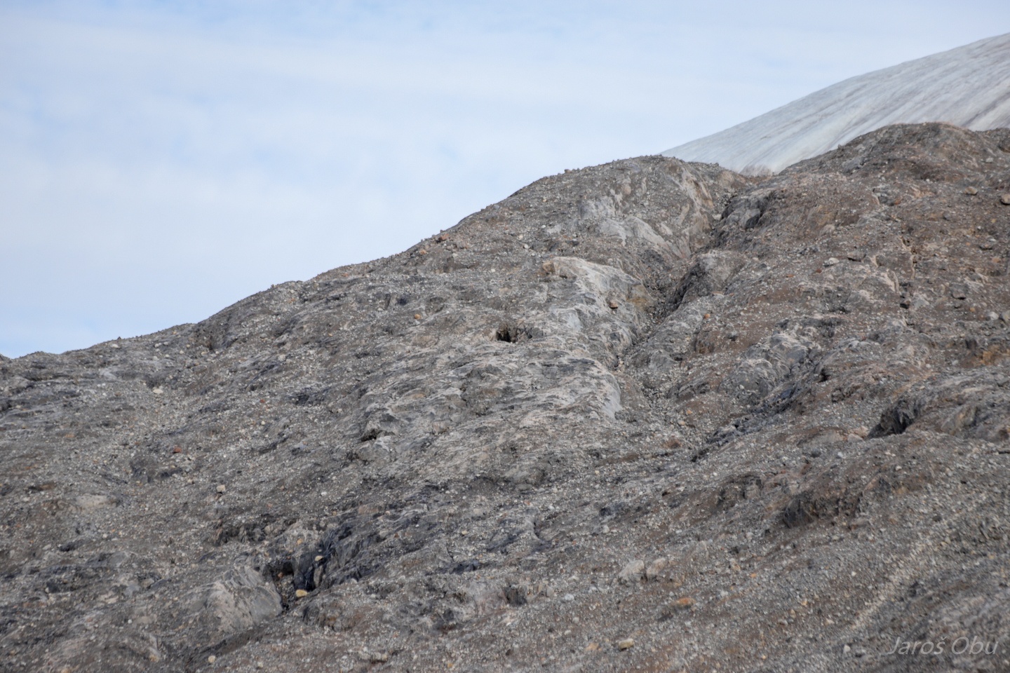
Again, many small tubes in the rockface.
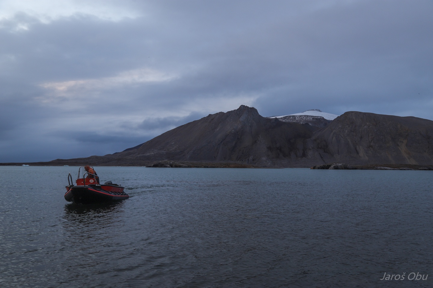
Parked in the bay.
A potential hole to visit.
If it was perhaps a cave, it is now infilled with glacier material.
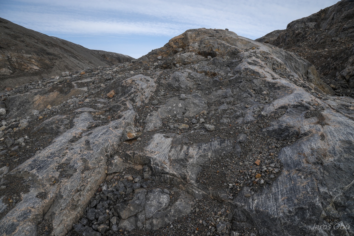
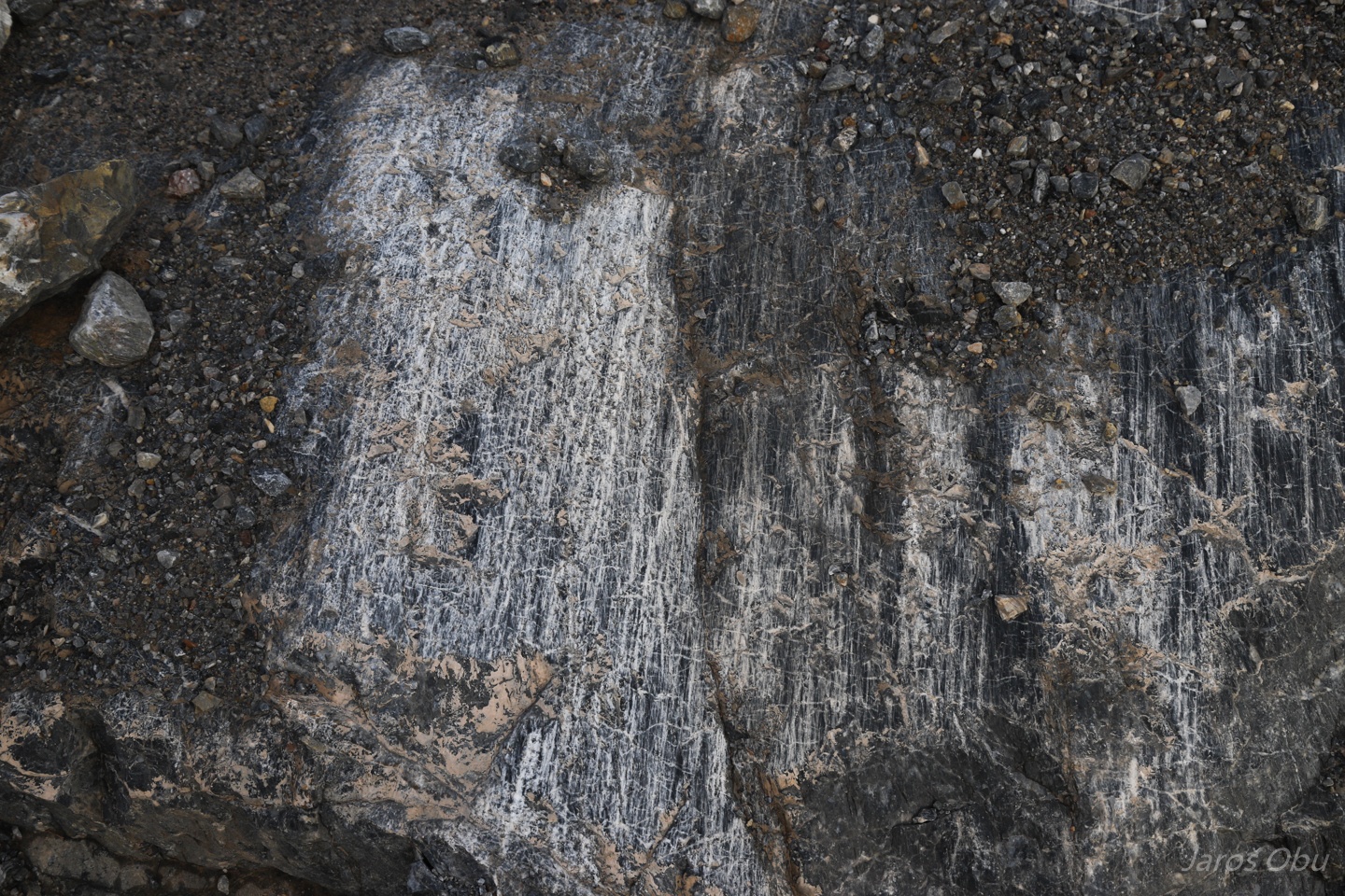
Fresh traces of glacial erosion.
Striations showing the glacier movement direction.
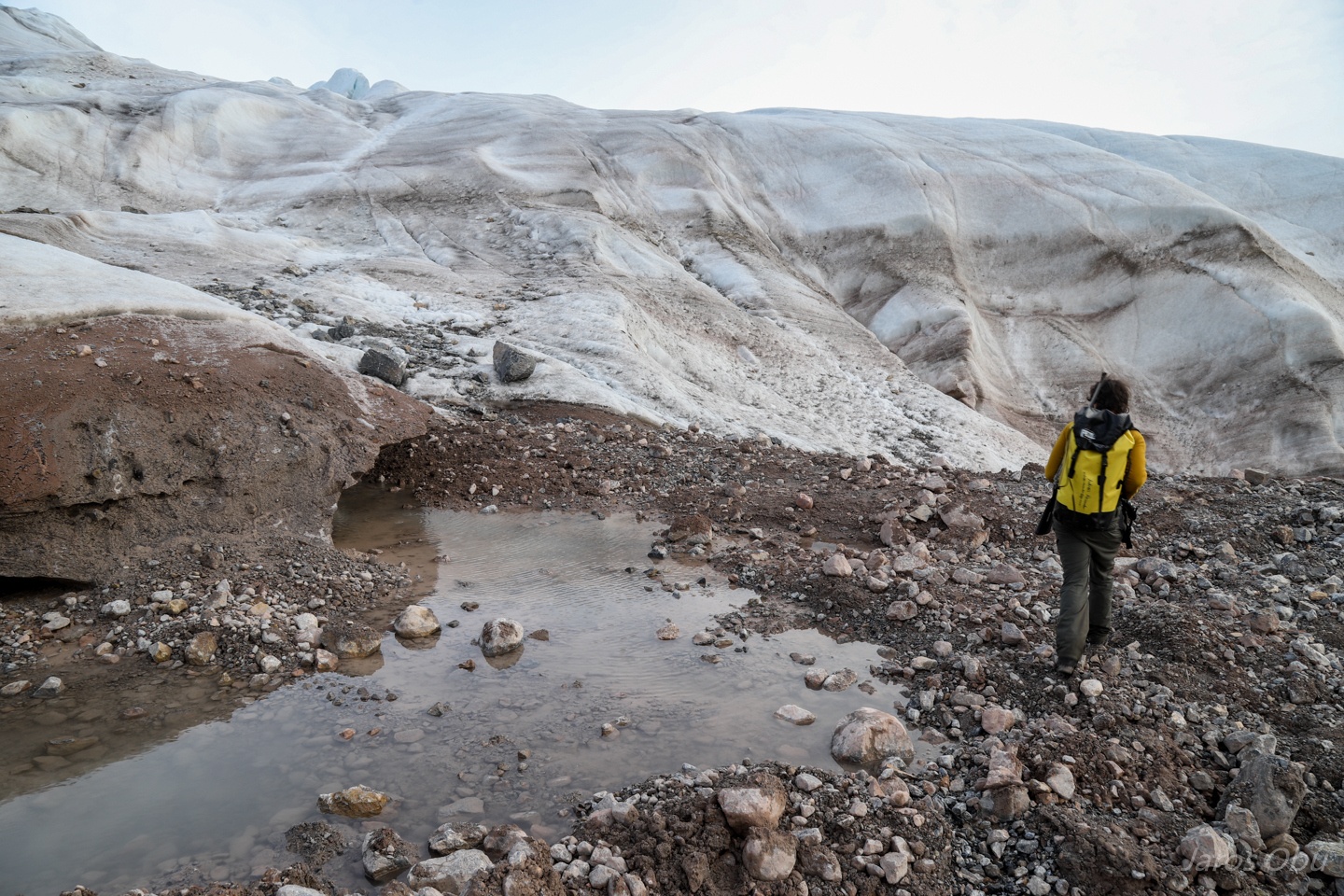
A short walk at the glacier front.
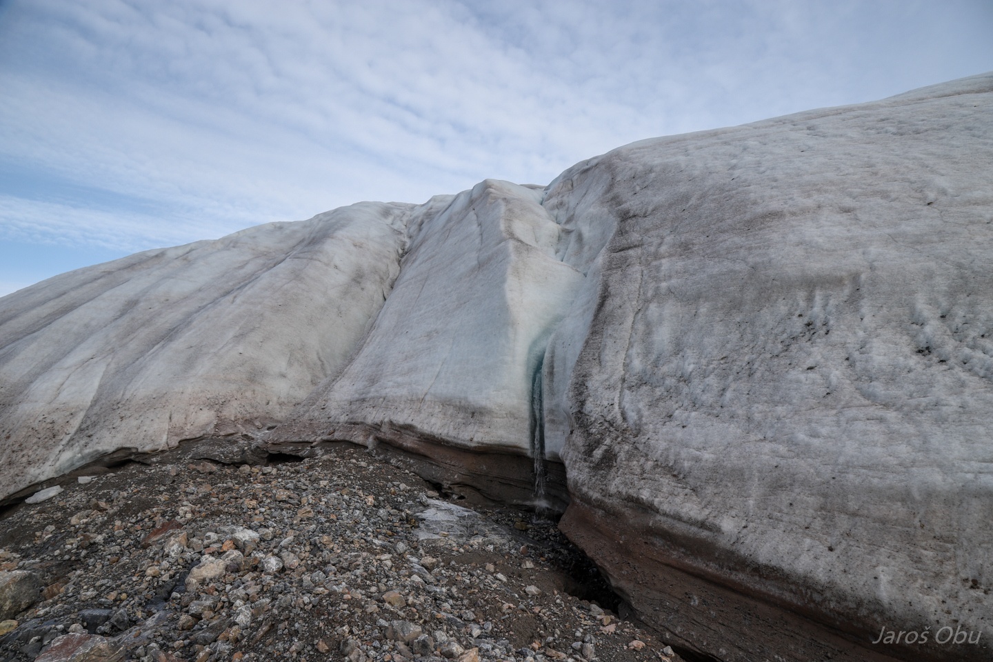
Supraglacial waterfall.
Freshly deposited lateral moraine.
Sightseeing the calving front from another angle.
Another cave filled with sediments.
More cave entrances up on the slopes of Nordvågfjellet to be visited in the future.
Heading to the other side of Nordvågen.
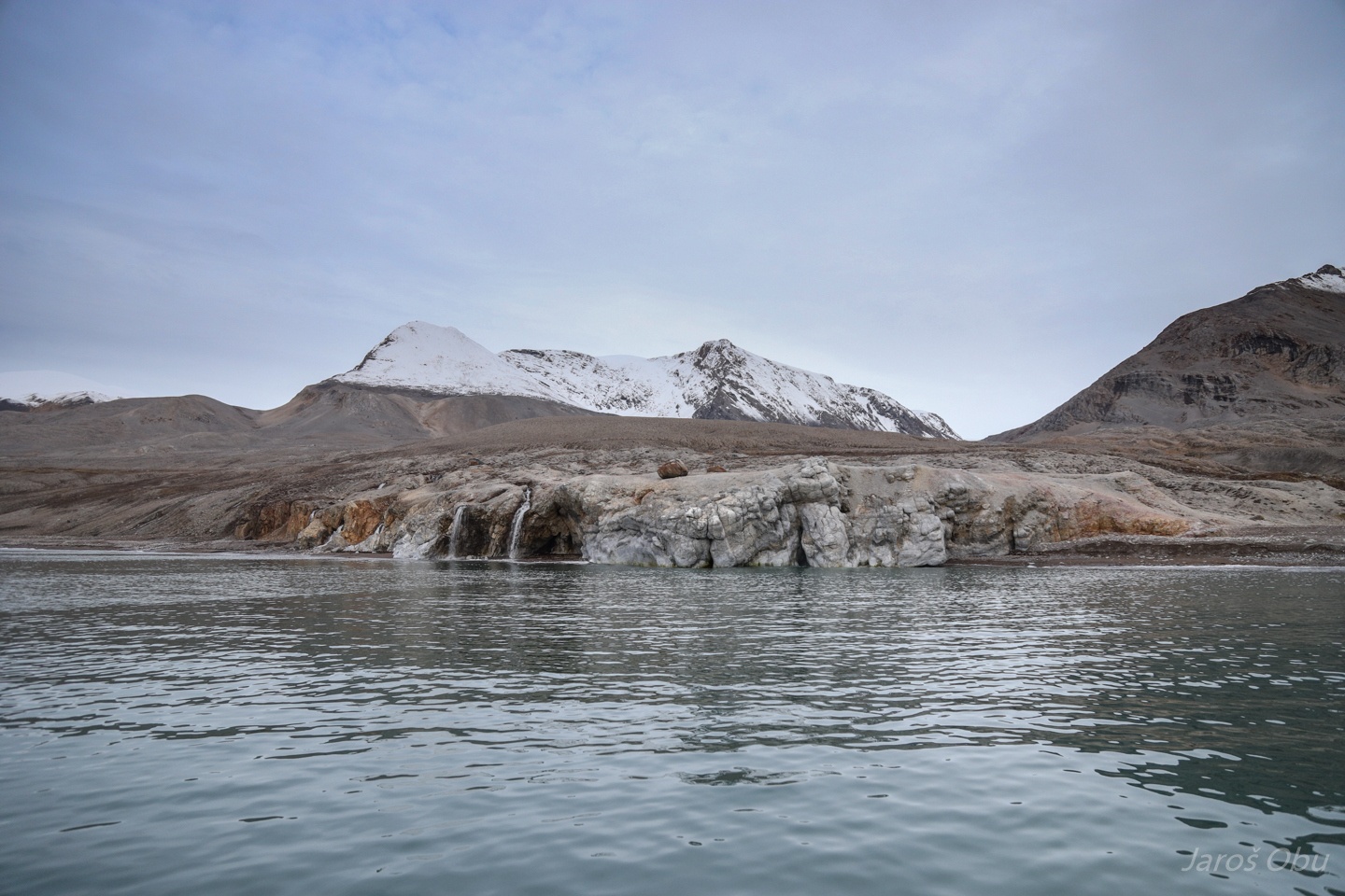
Tønsneset with idyllic waterfalls.
On the Nordvågen Peninsula ...
That is hiding more unexplored caves. The dark area there is not one of them, however, a nice solufluction lobe under.
Sequences of raised beaches that are dissected by ice-wedge polygons in the flatter parts.
We found a new cave on a slope of undulating terrain there.
It has a collapsed roof in the middle.
It ends in a loose material in soon after the collapse.
A small lake nearby.
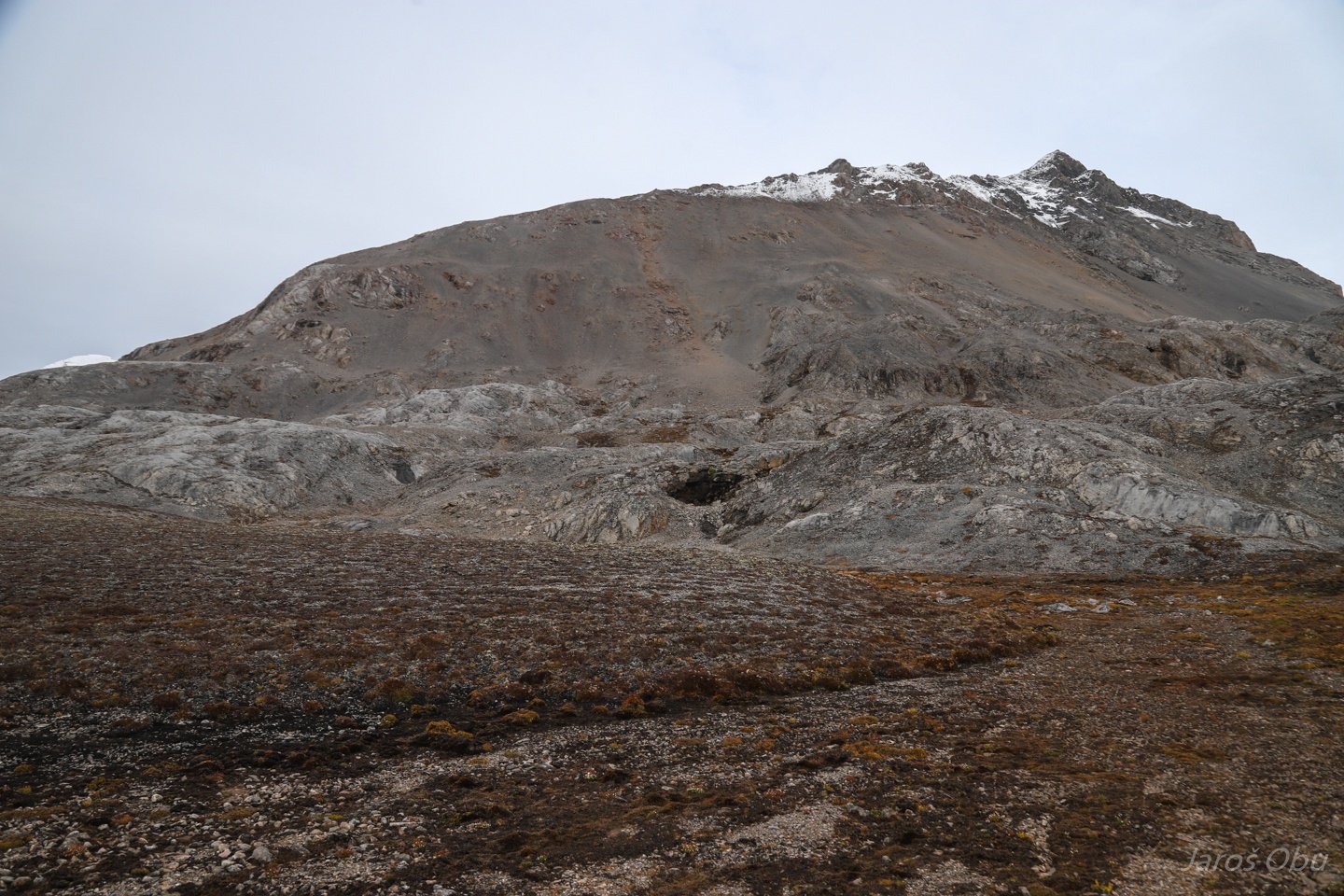
The rolling karst terrain under the Nordvågfjellet is hiding more caves.
As for example this one.
Accessible via this loose material.
Closing just after 5 metres.
View from the cave.
Several metres long conduit under the previous cave.
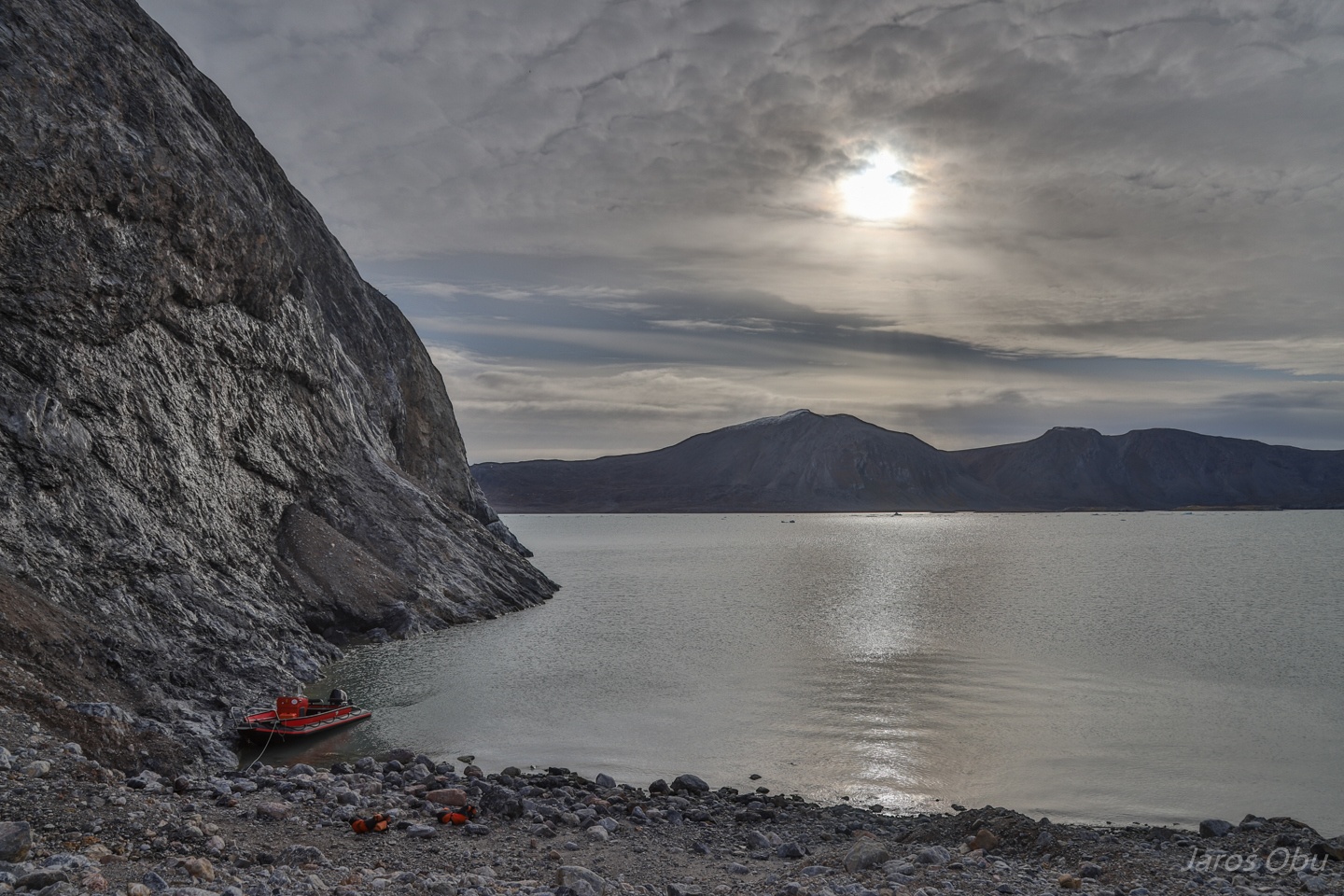
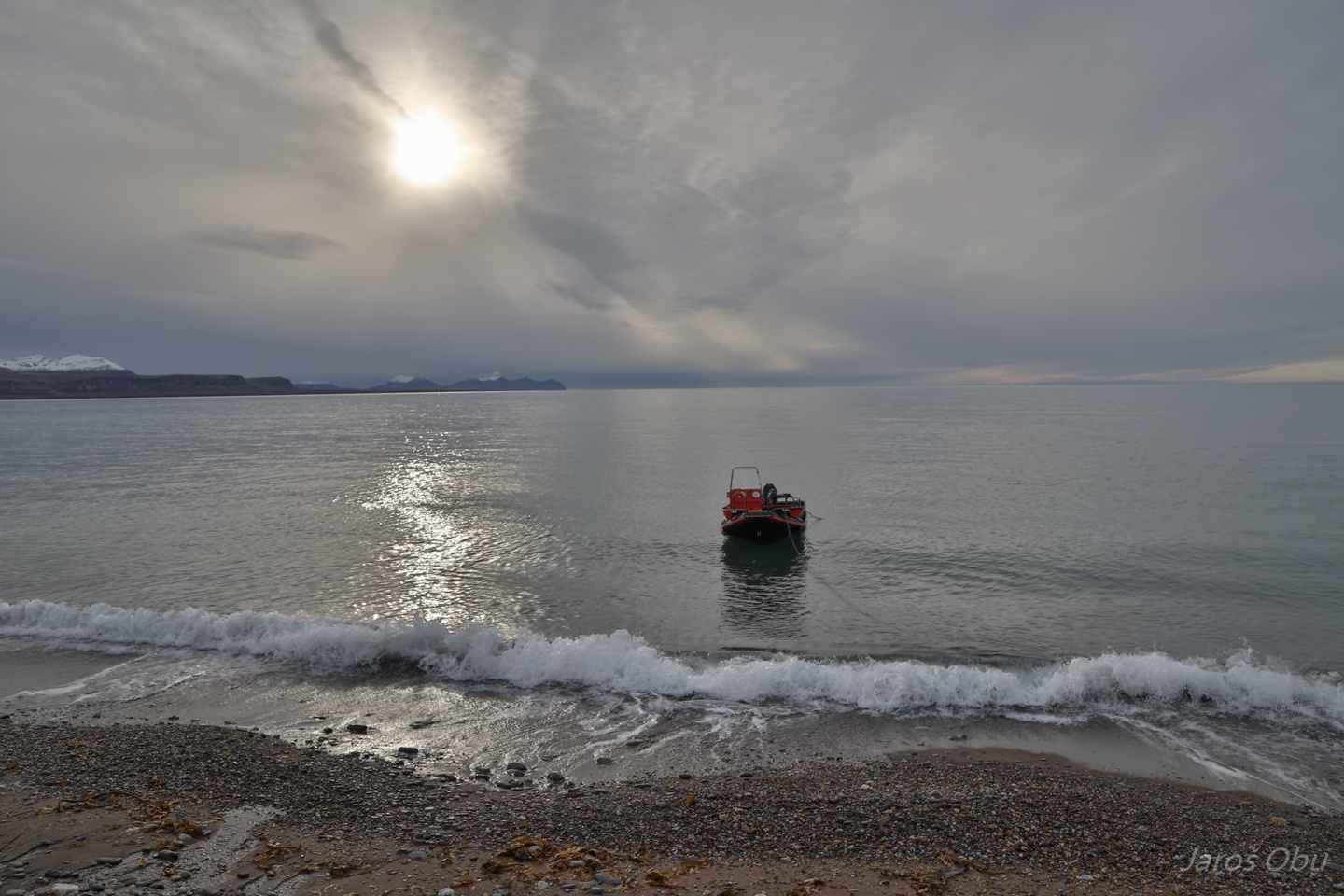
Anchored boat waiting for us at Tønsneset.
There are also a plenty of coastal caves on Blomstrandhalvøya.
Having a closer look ...
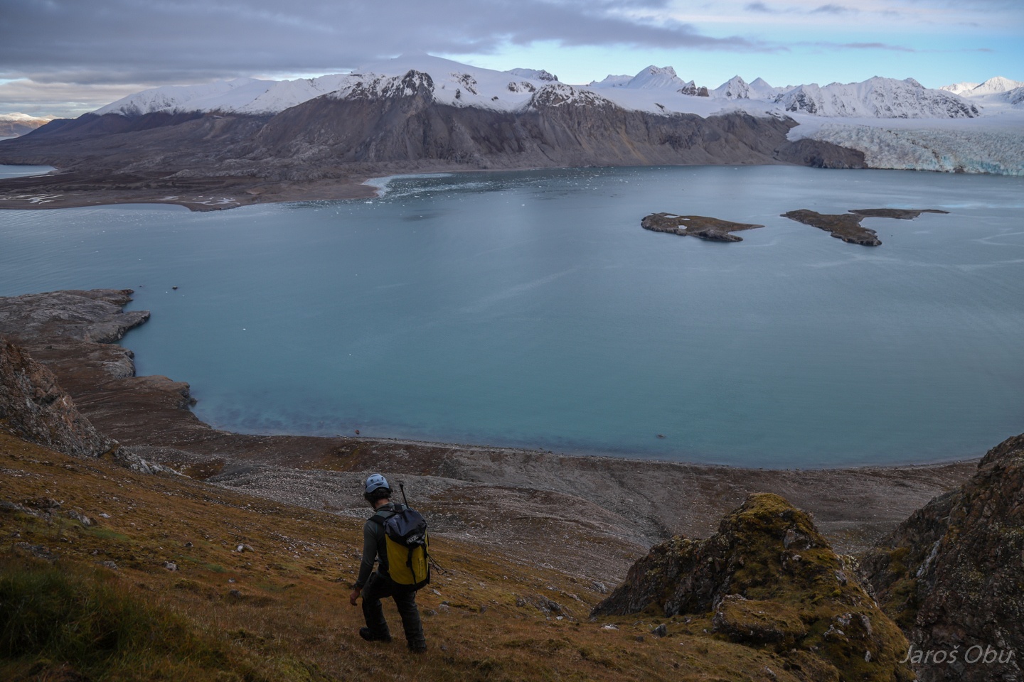
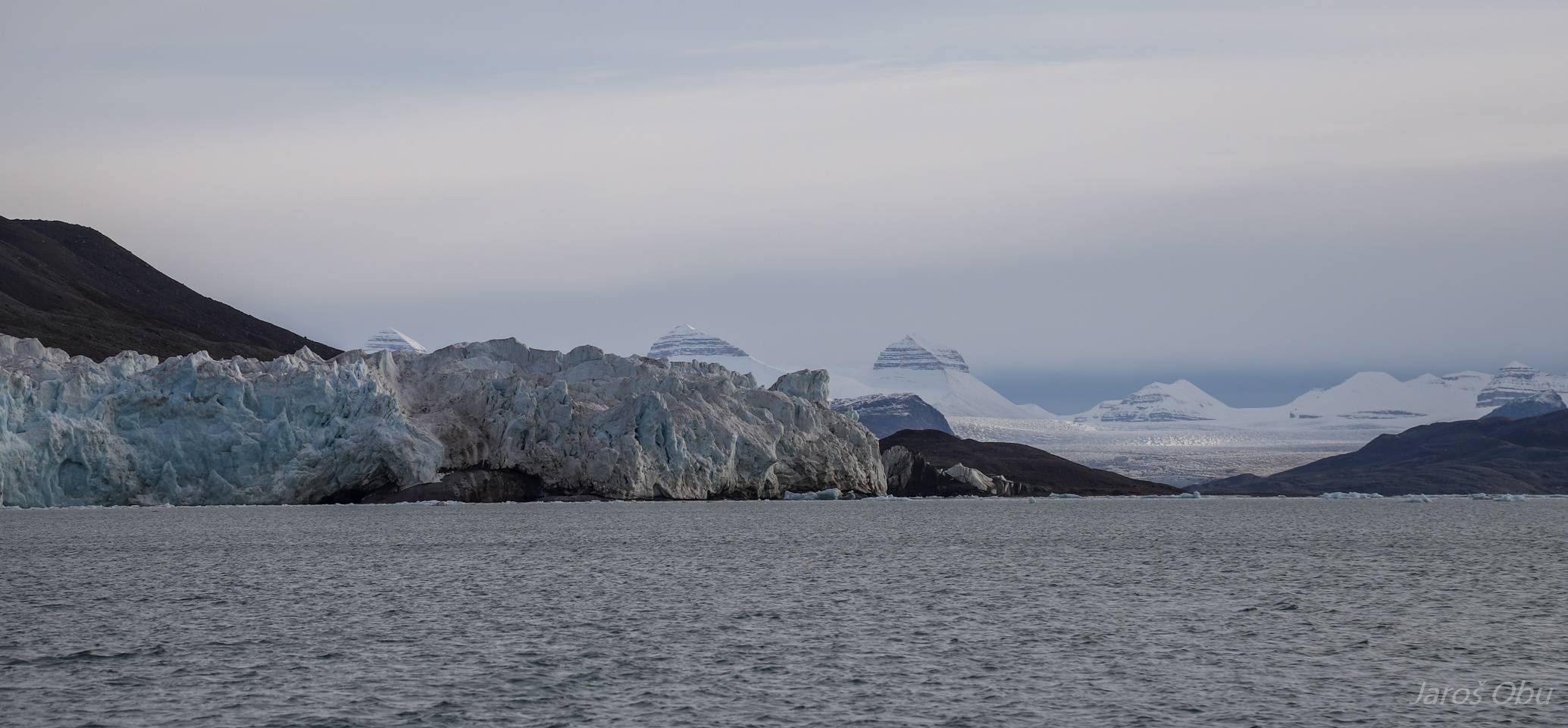
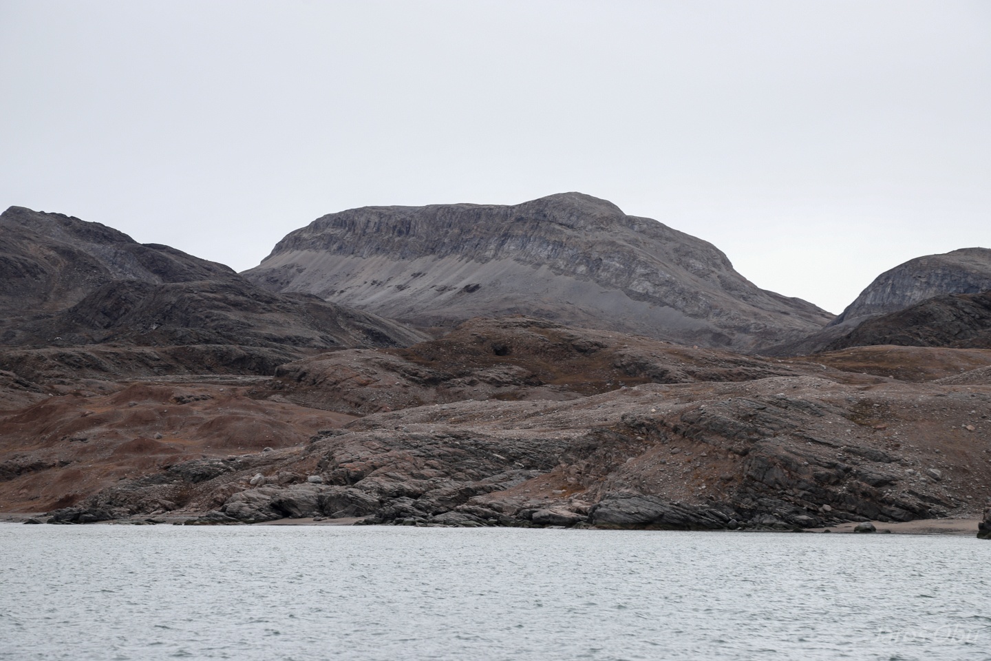
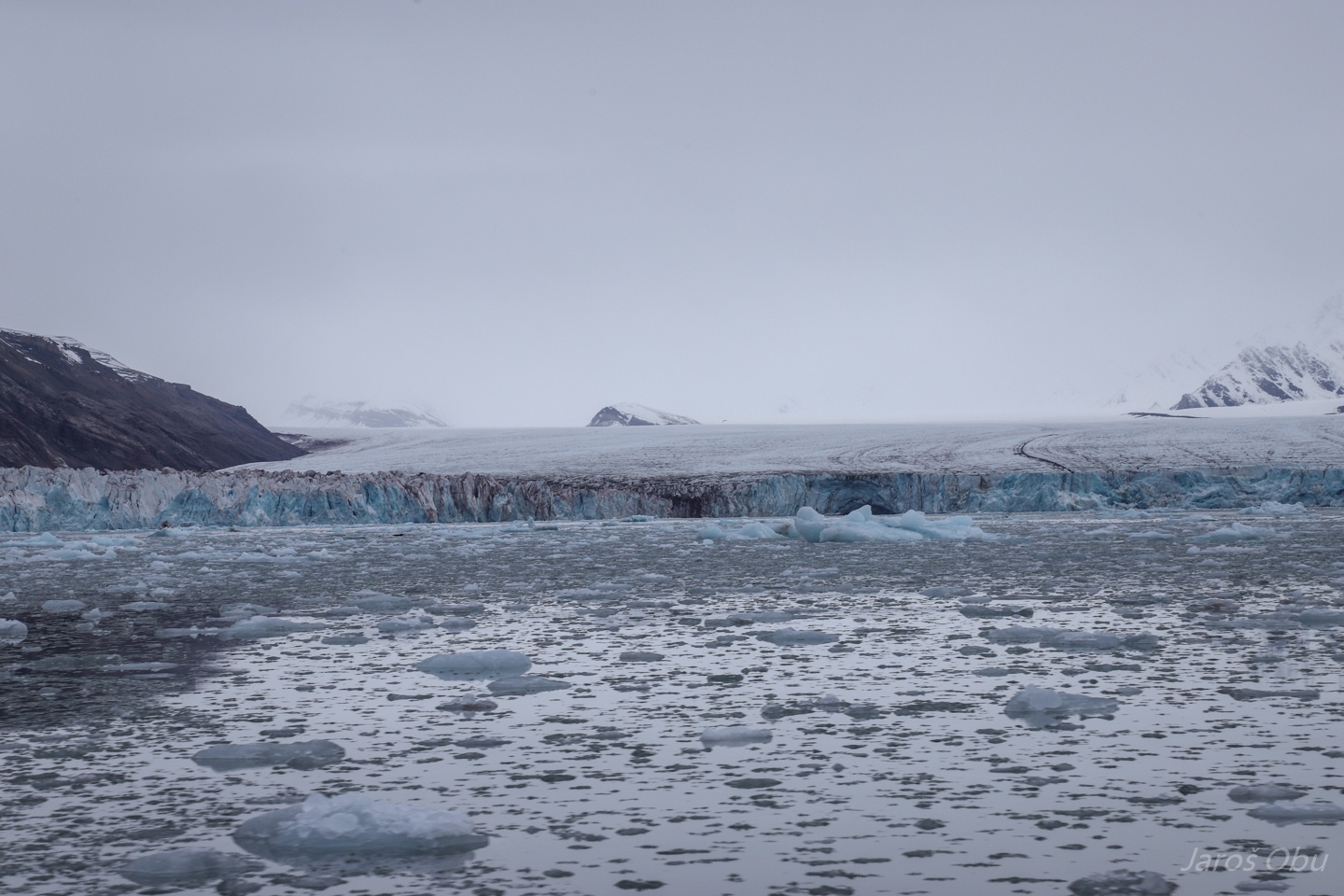
Finish the field work with a trip to the inner part of Kongsfjorden. There are probably caves also on Ossian Sars island.
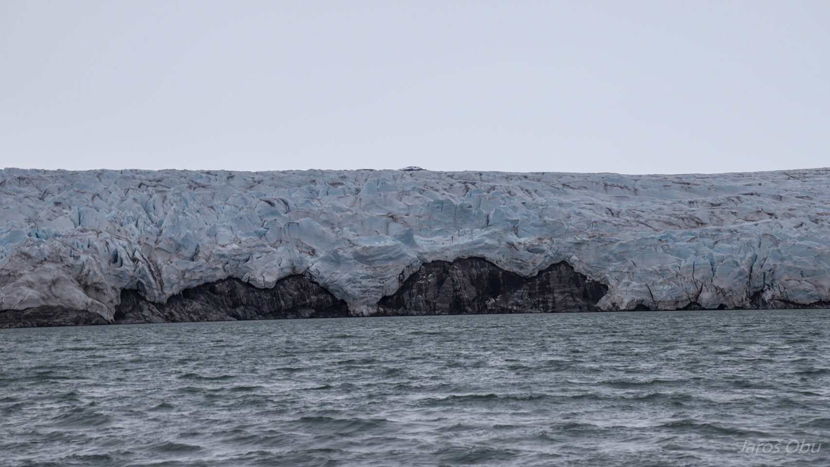
Kongsbreen is still touching the island, but this might not be the case in a few years time.
Collethøgda
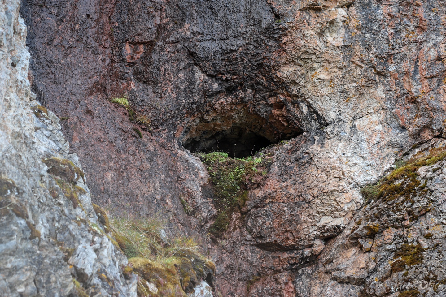
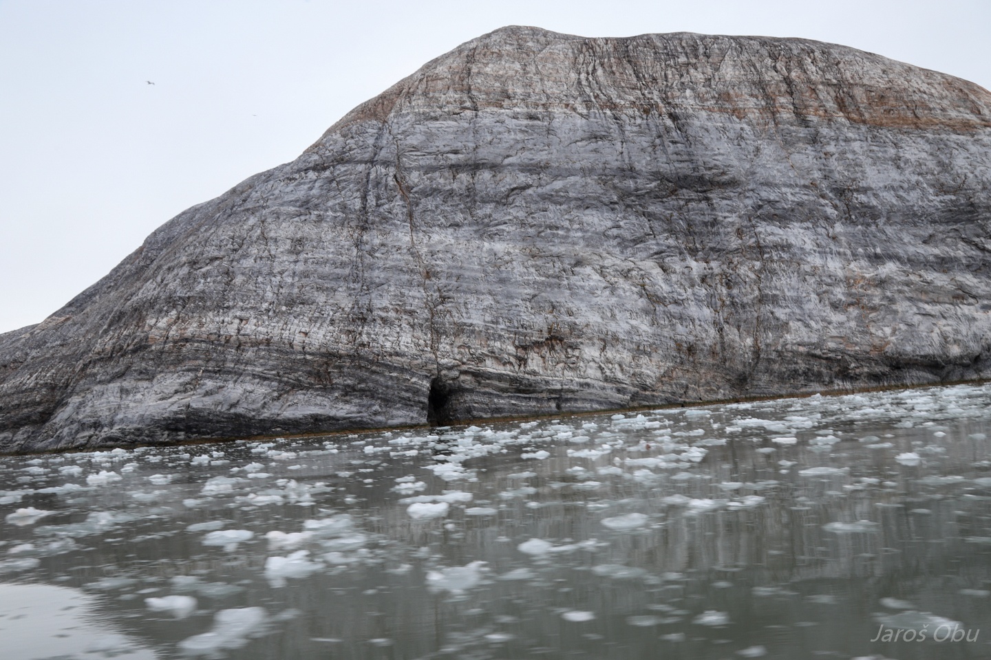
Some caves can also be observed there in the steep cliffs of limestone and dolomite.
Some coastal caves as well.
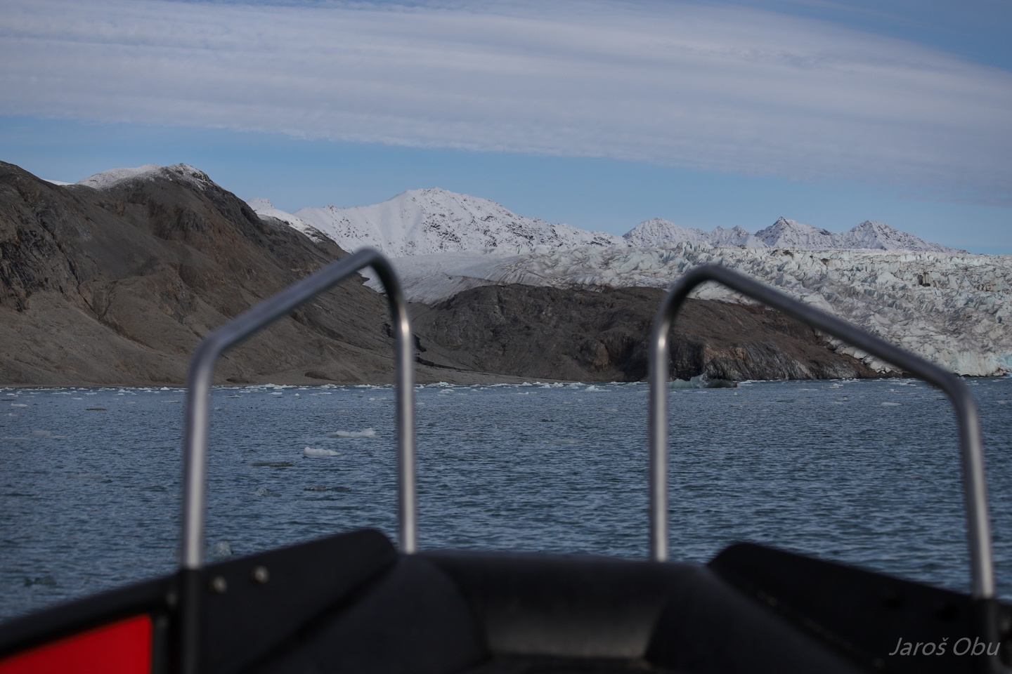
In front of Kronebreen.
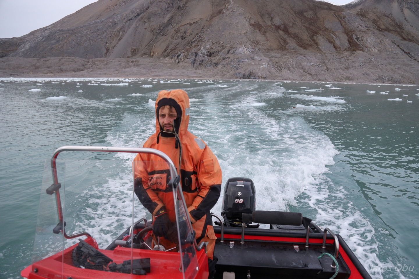
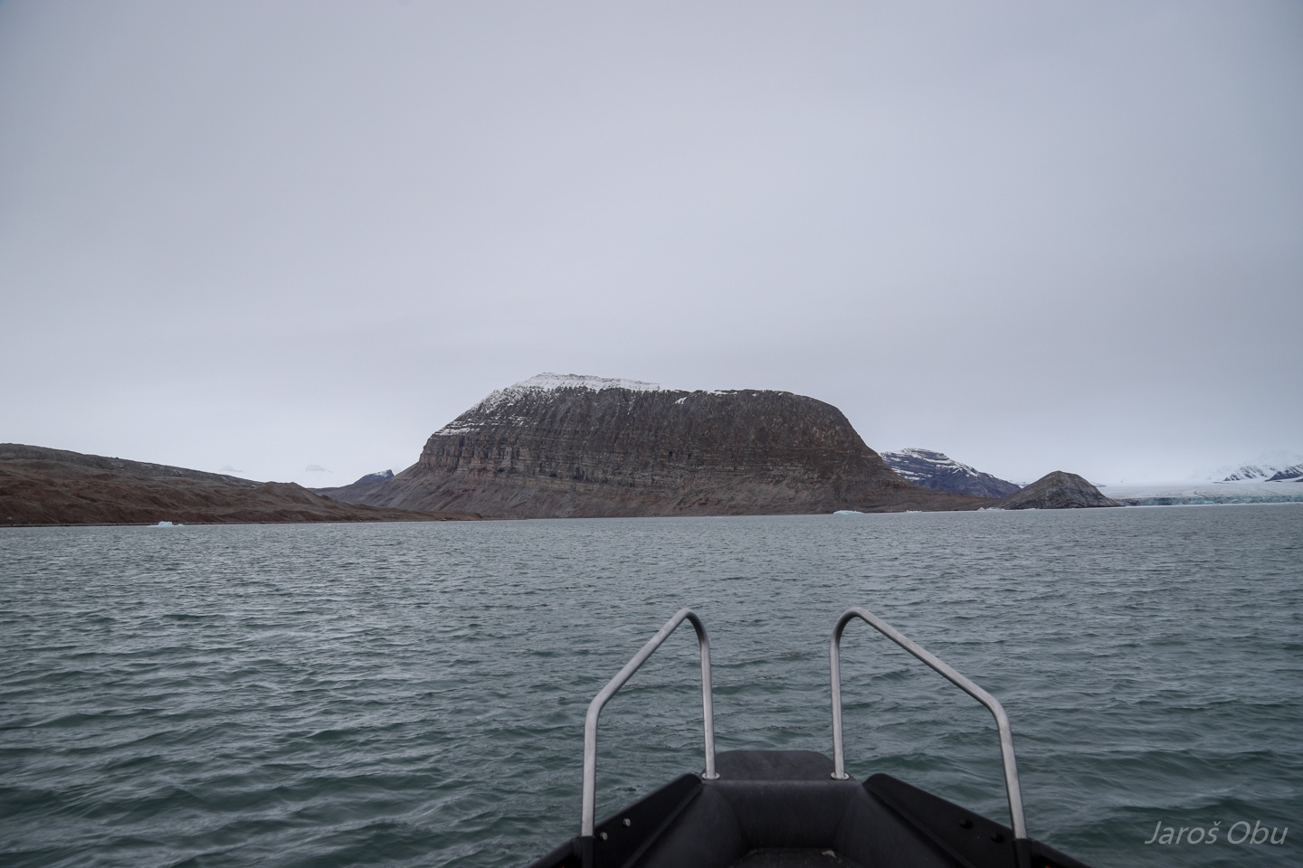
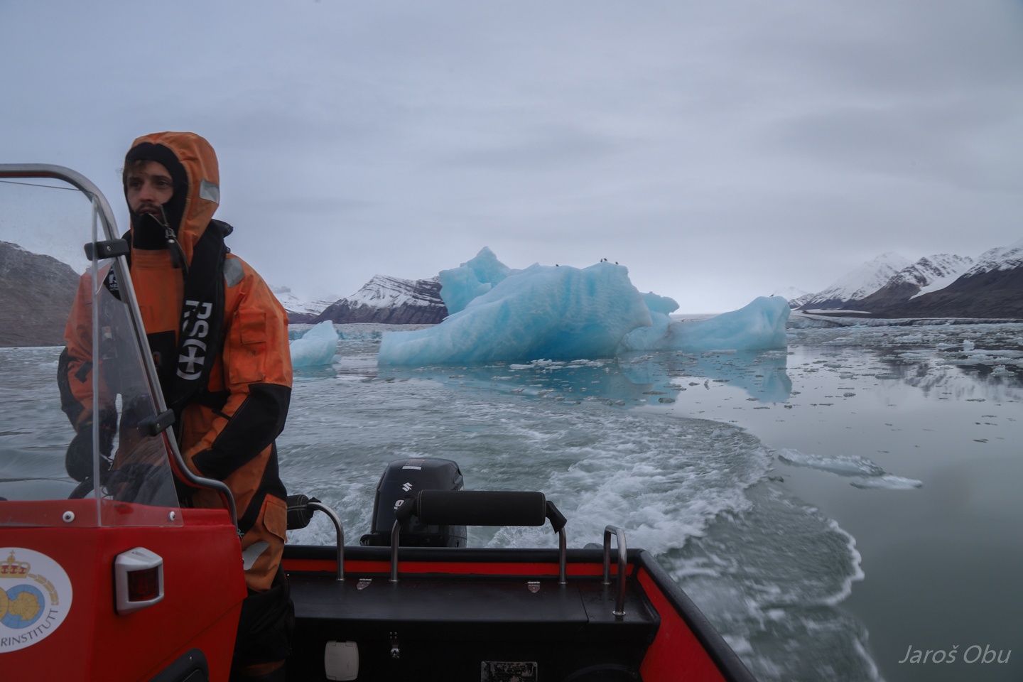
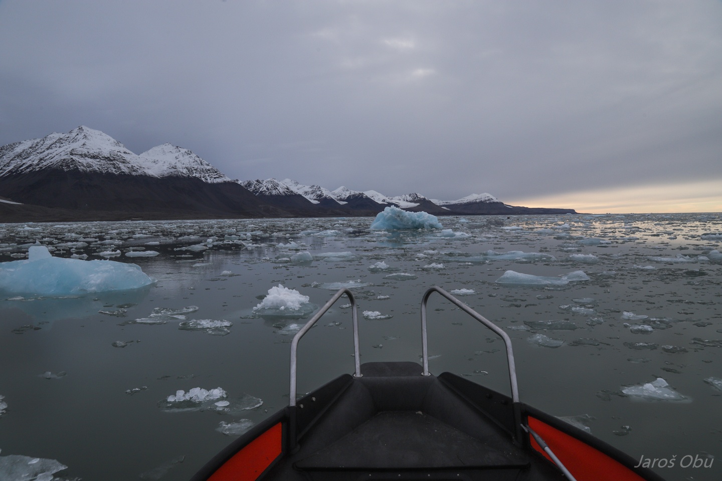
Andreas is showing off with his boat driving skills.
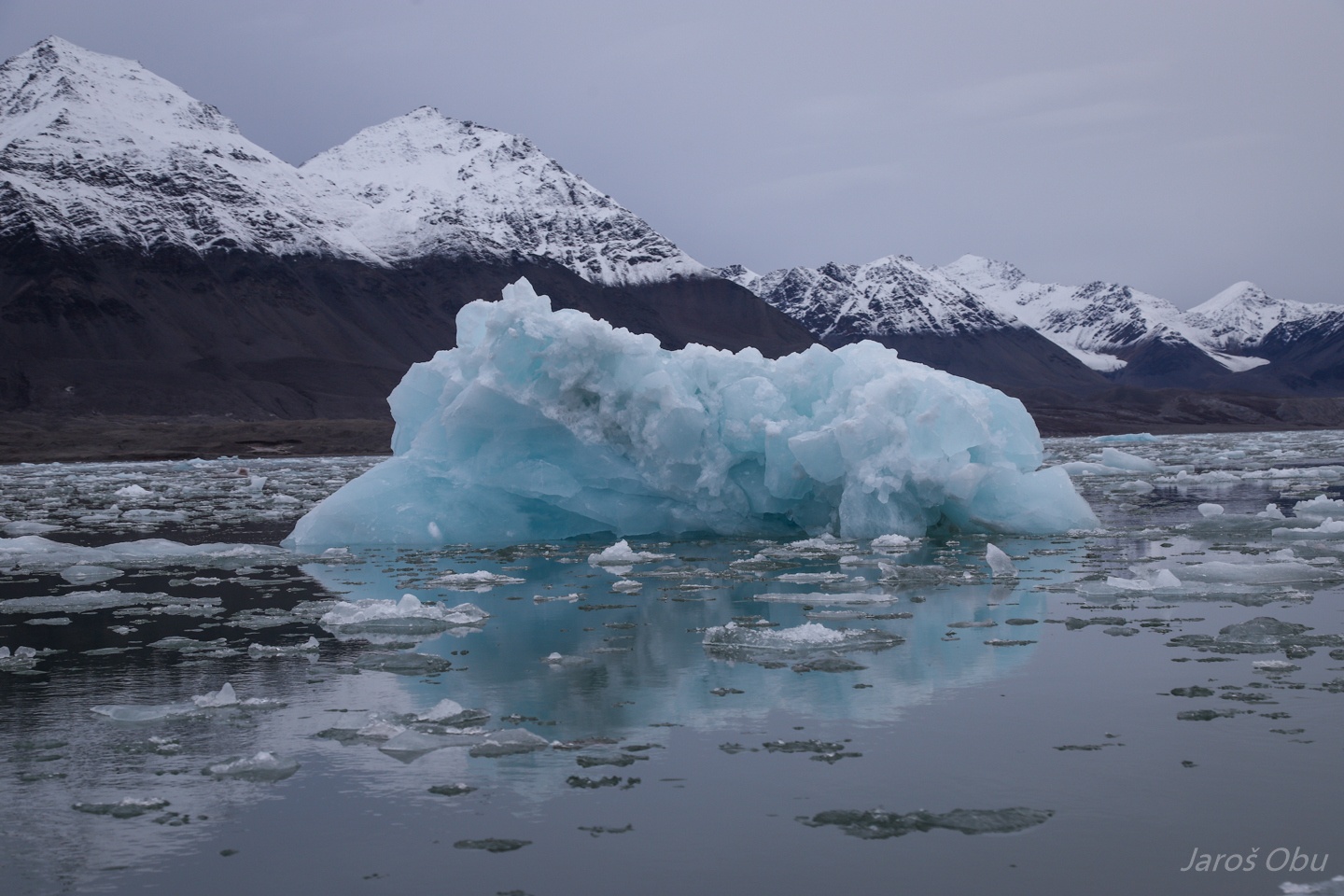
Slaloming between floating ice and icebergs.
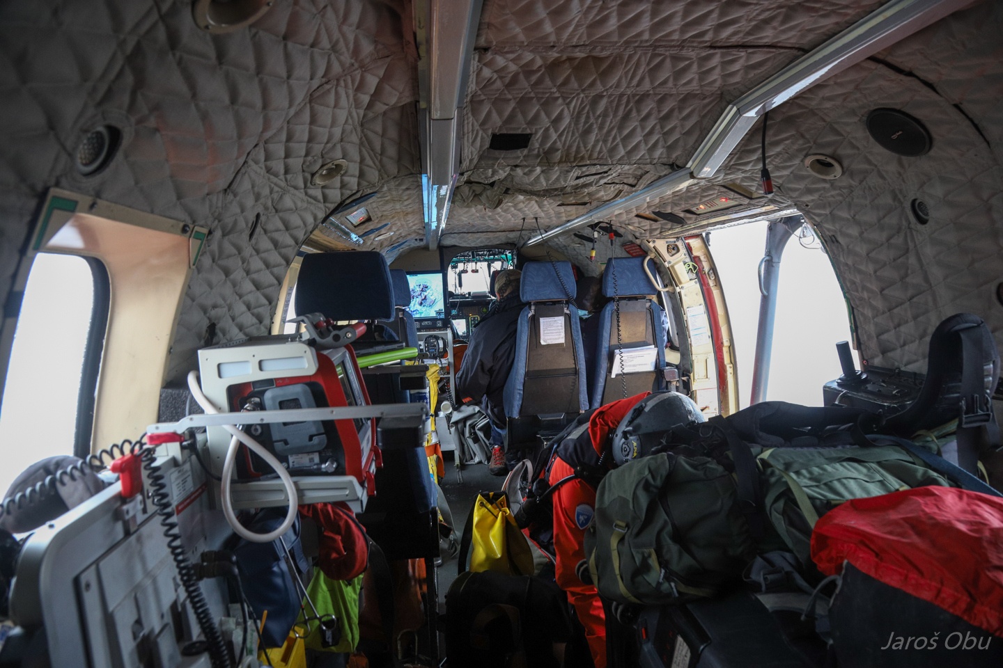
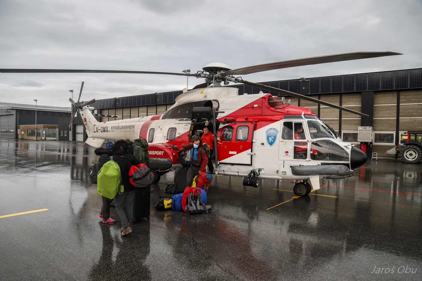
Even more rain followed next days so the runway was too wet for planes to land. We were lucky that King's Bay director had to leave to Lonyearbyen, so they arranged a helicopter from the Governor of Svalbard and took us with them.
Inside the loaded Super Puma.
That was it for this year.