© 2024 Jaroš Obu
Photo gallery of Jaroš Obu
Cart
0
Items
Buy now
Tasman 24.-27.12. 2019
Wednesday, 25 December 2019
And so we left the West Coast to explore the Northern Coast of the Southern Island. Entrance to the Takaka Hill trail.
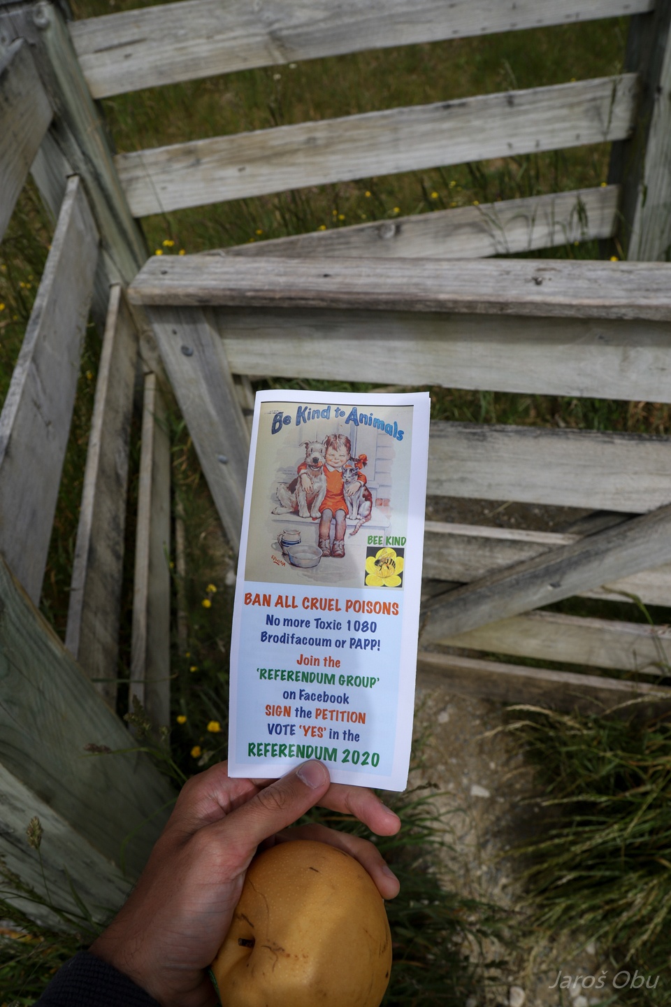
Some people don't like the conservation plan of the endangered endemic animals that are threatened by invasive introduced predators, which they are trying to get rid of with poisons.
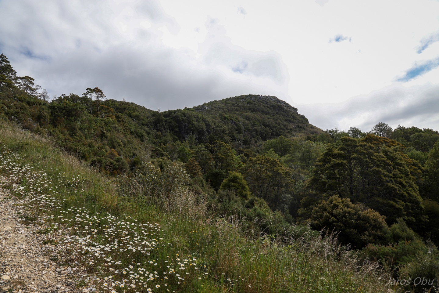
There are supposed to be well developed karst landforms up there.
And here they are with Takaka Hill in the background.
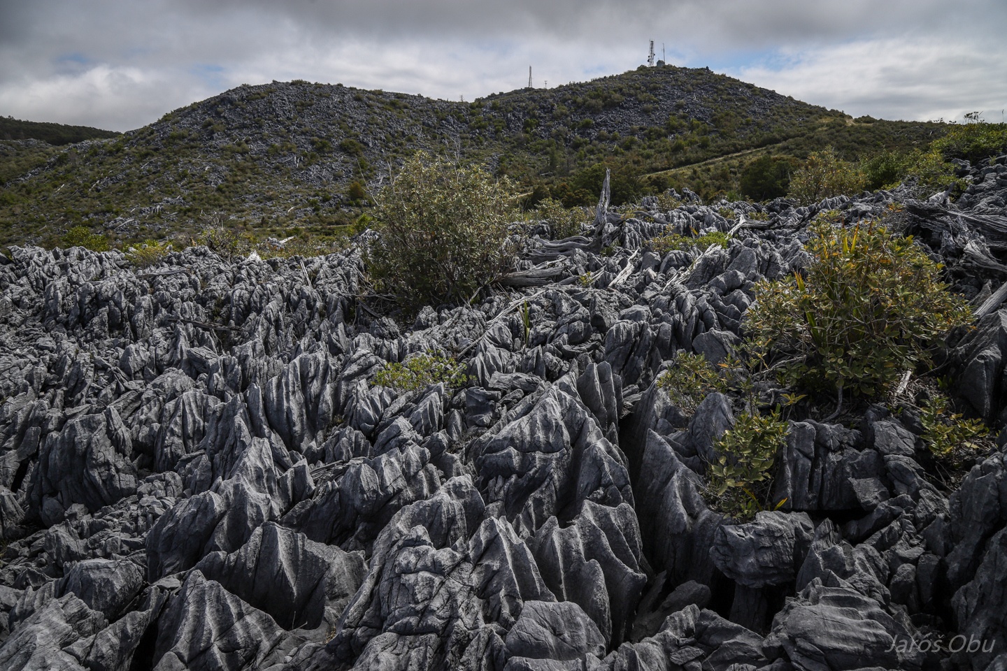
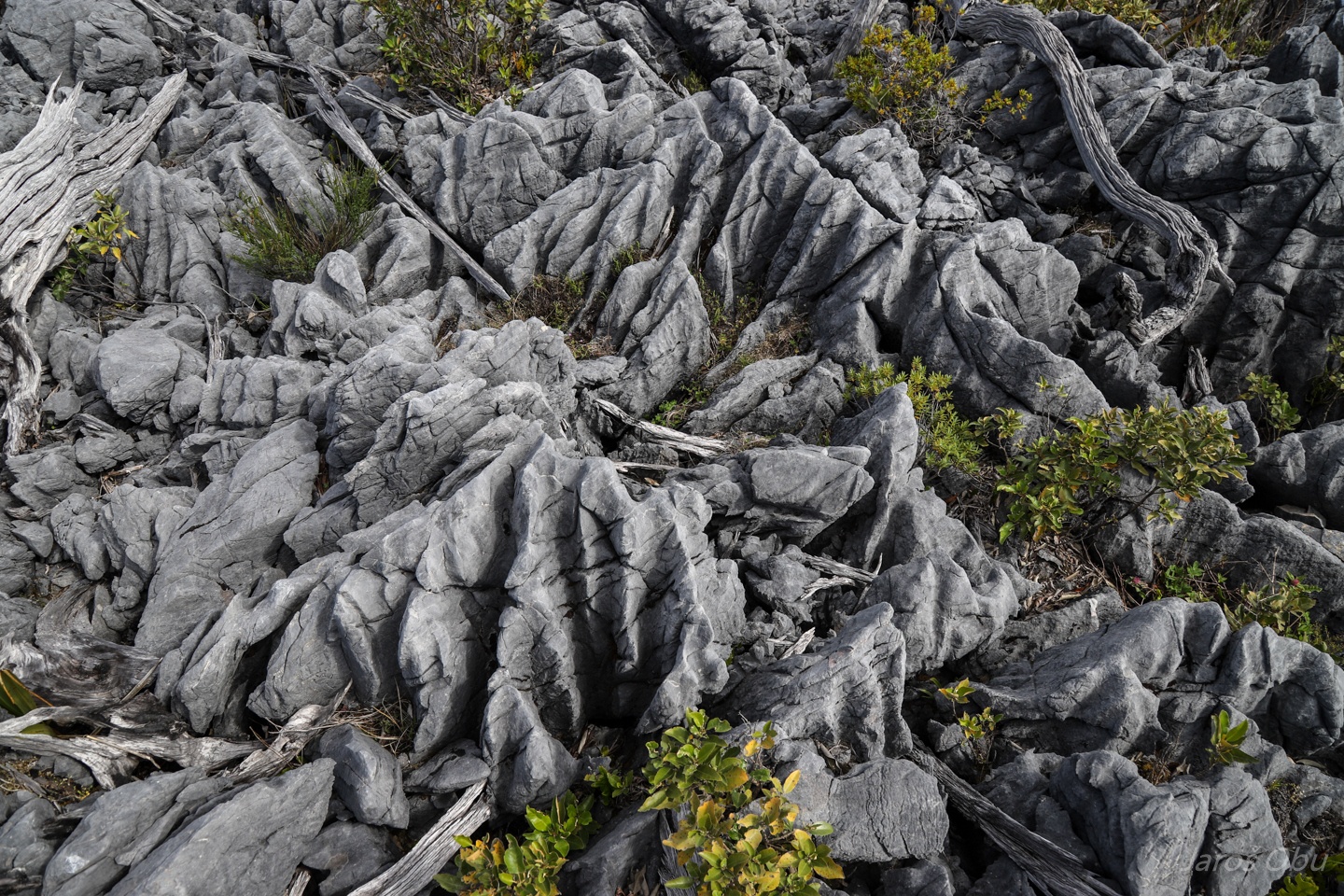
Quite impressive karrens and rills developed in ordovician limestone.
...
The photo of these landforms that we've seen, was under the forest, that was apparently cut not so long time ago.
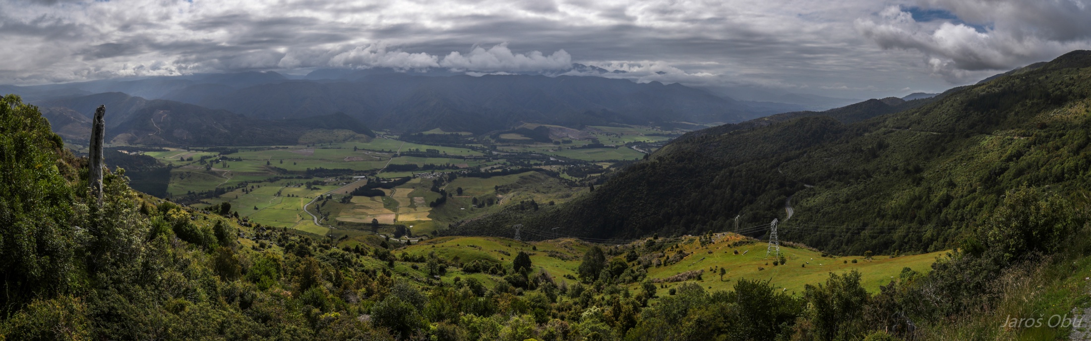
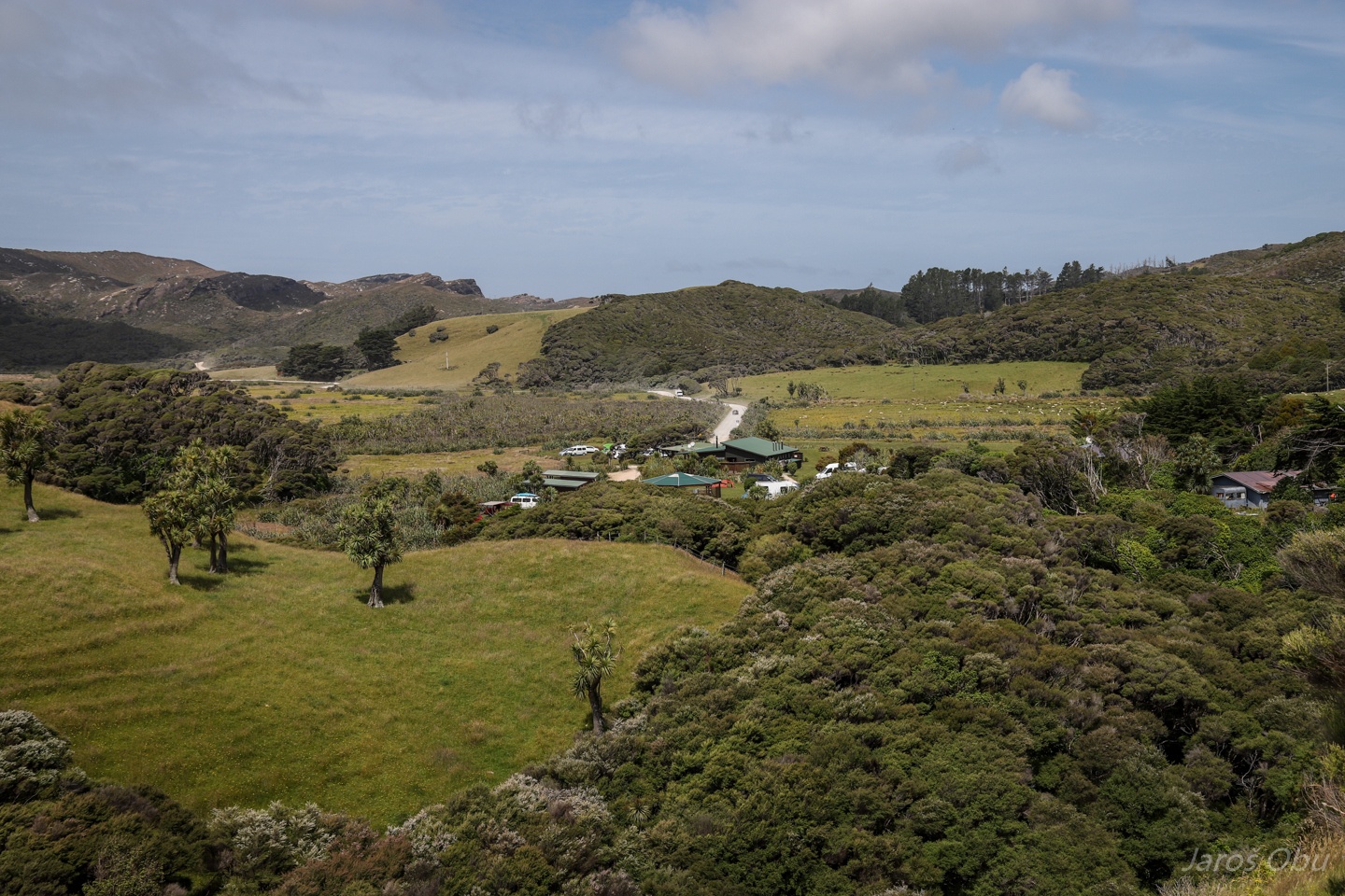
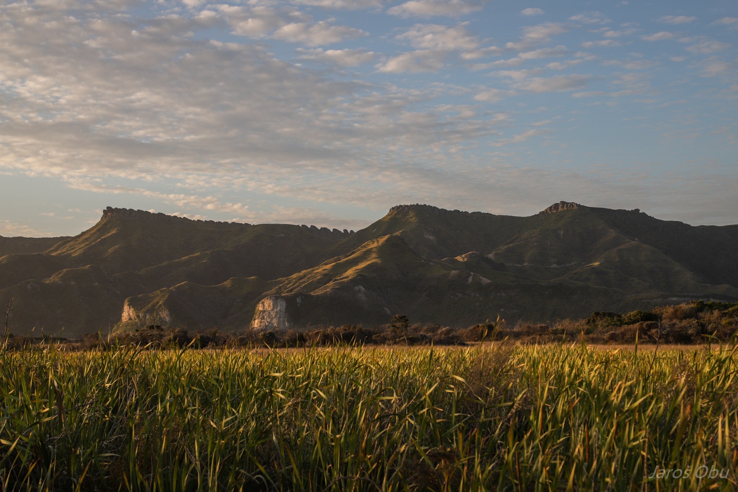
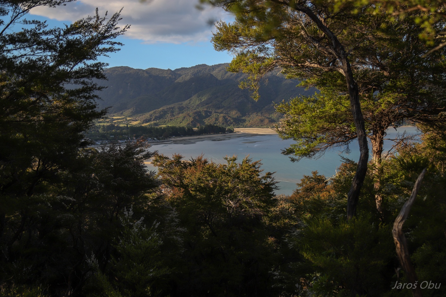
Takaka Valley from Harwood Lookout. The Northern Coast is much more populated as the West Coast.
Reddish sandstone and mudstone in the Takaka Valley revealed by this slump ...
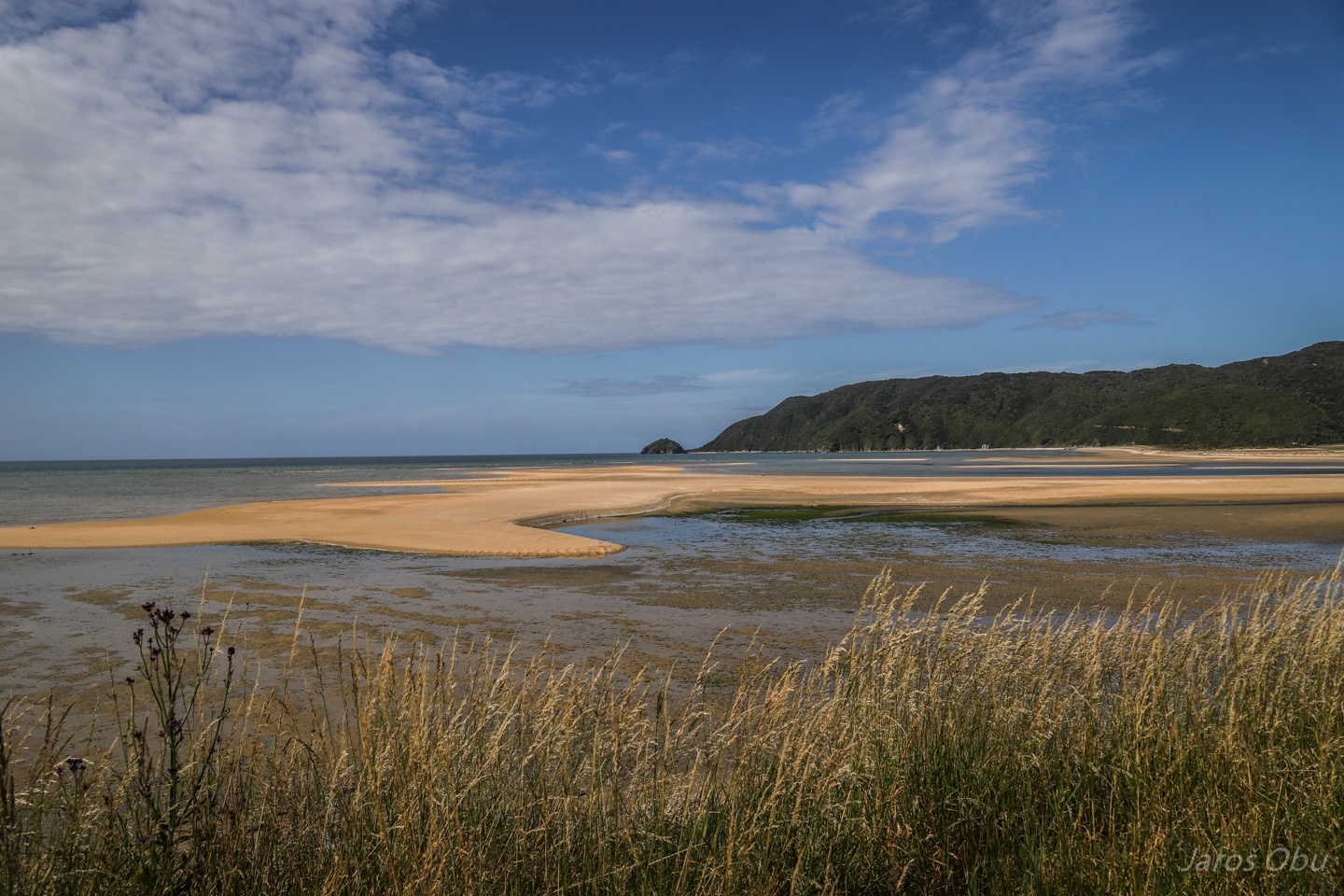
Give the colour to beach sand in the Wainui Inlet.
And on Totaranui Beach, where we hoped to stay overnight but all the camping places were overbooked. Tasman region on the Northern Coast is a popular vacation destination for locals.
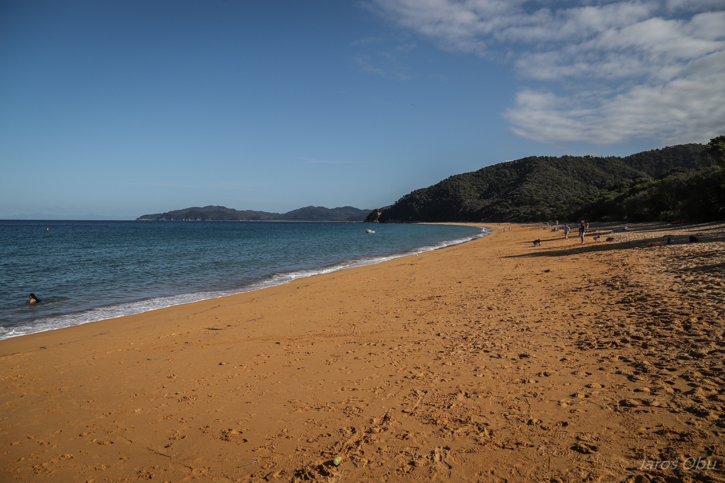
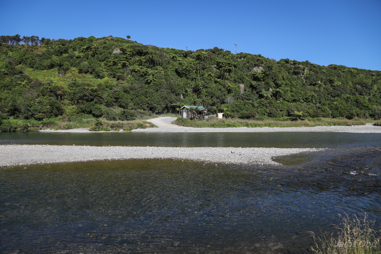
We got one of the last camping spots in Pohara, although the campsite there is rather spacious.
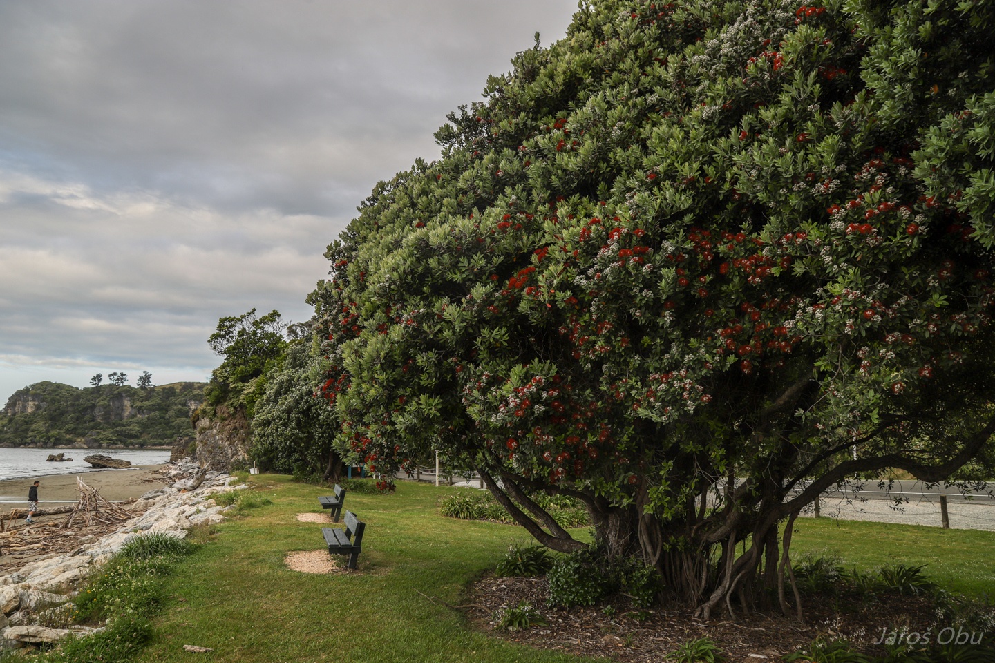
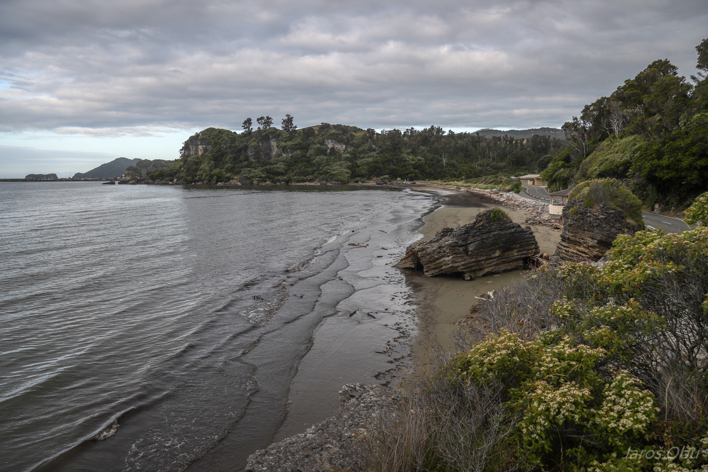
Southern Rata tree blossoming along the beach.
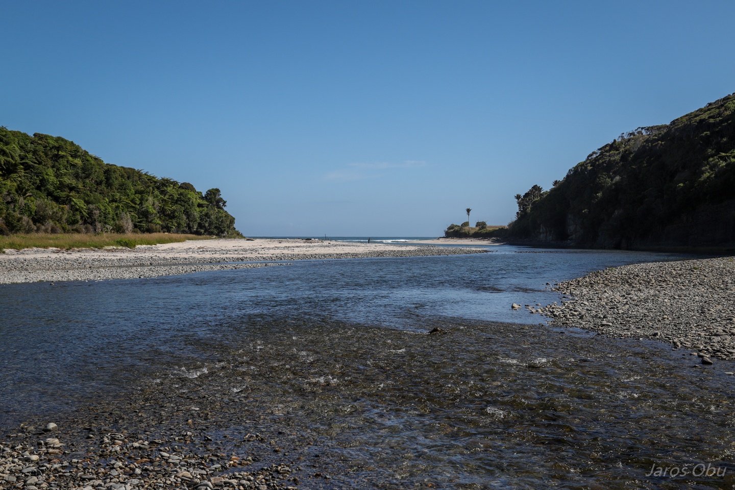
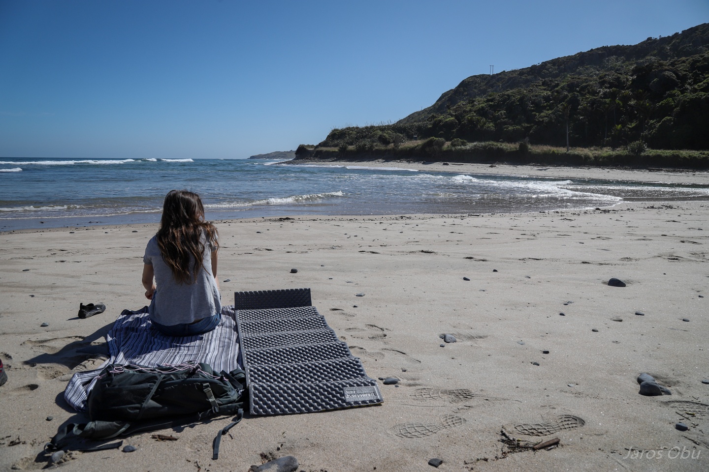
The beach and the rock where we spent christmas evening.
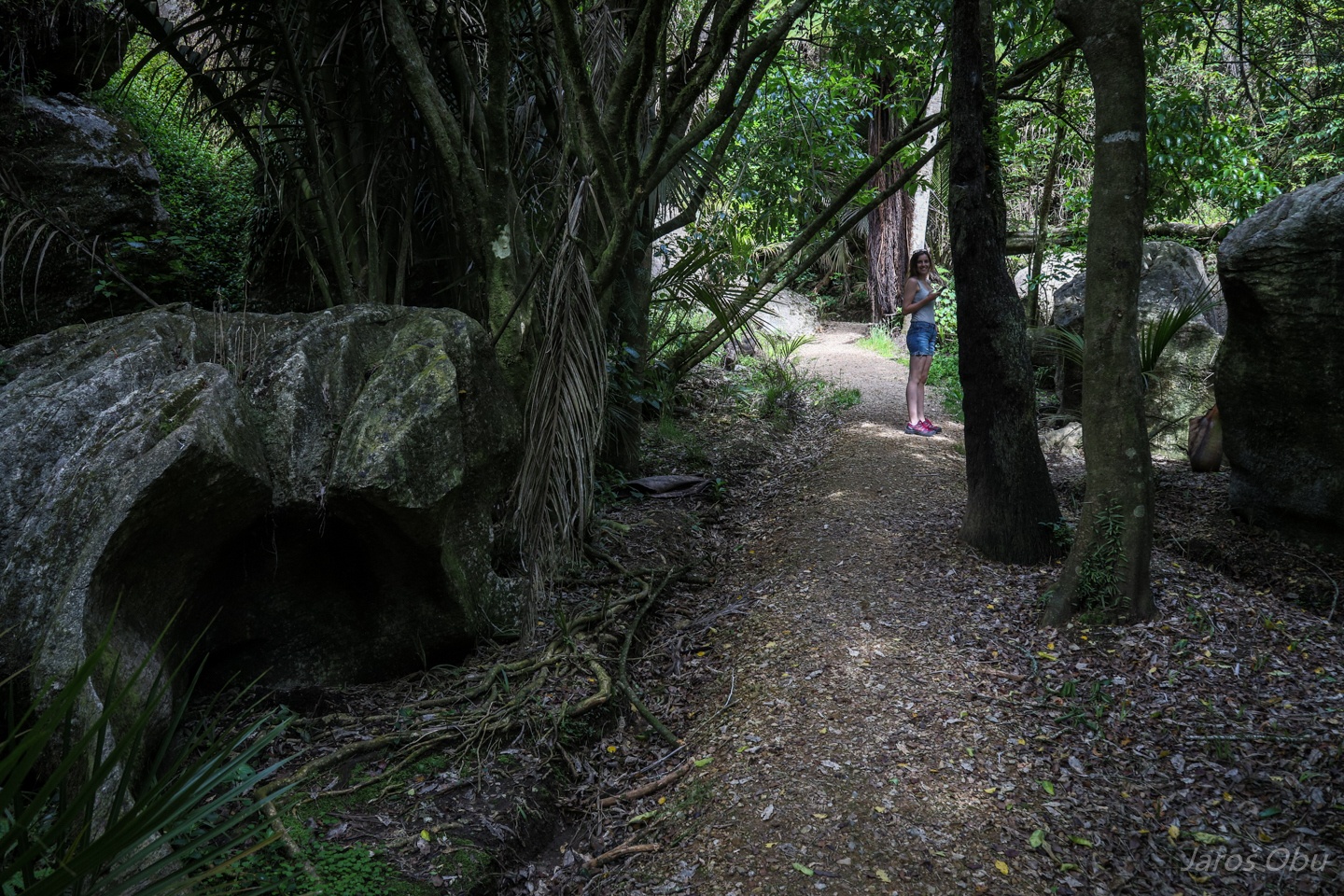
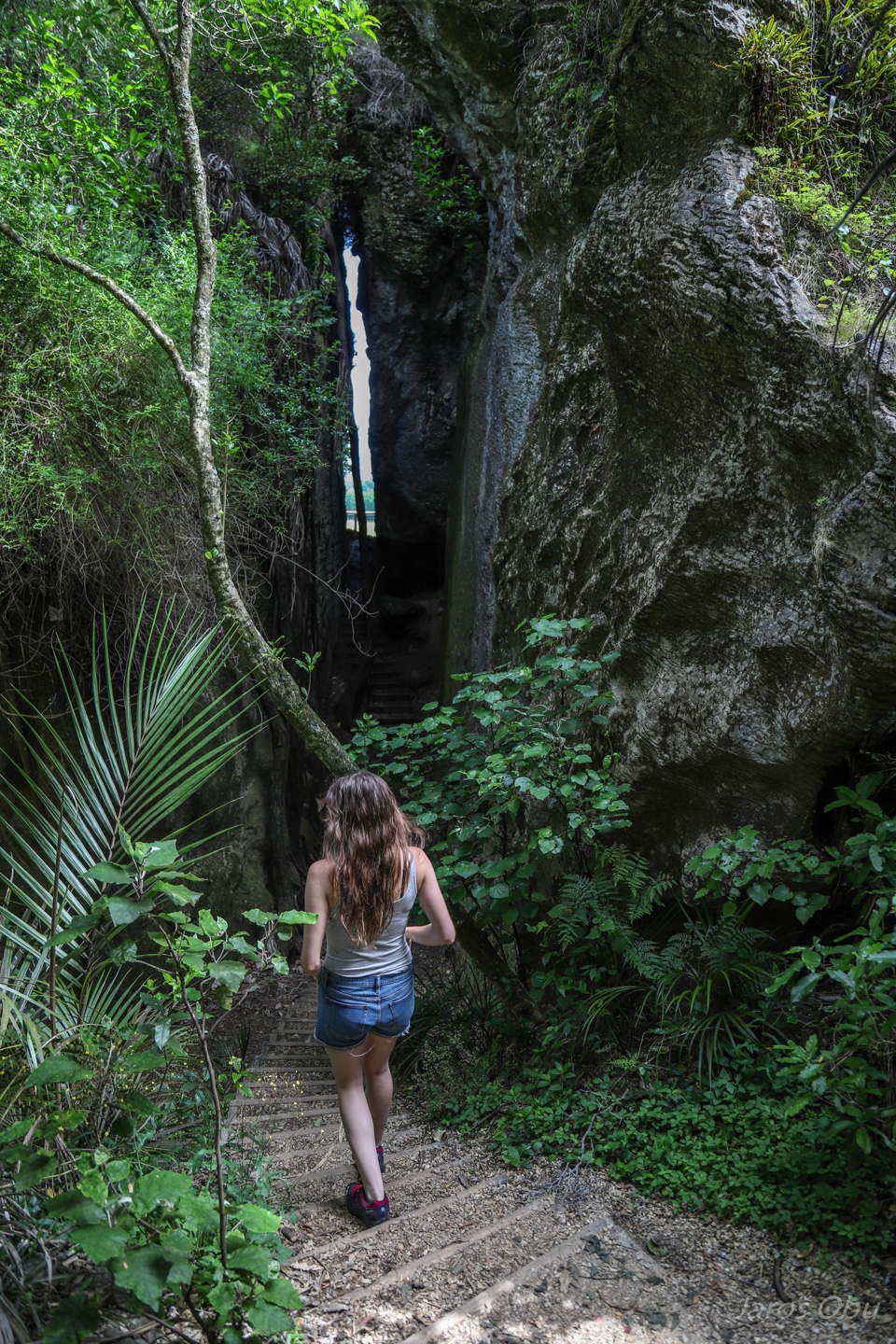
Ready for many new adventures next morning. On the trail to The Grove.
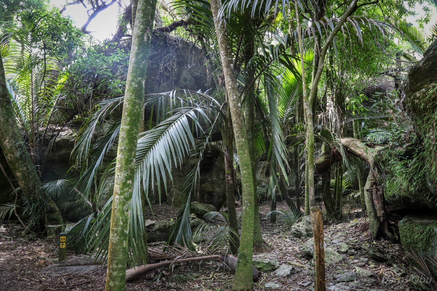
Lush vegetation between crystalline rock formations.
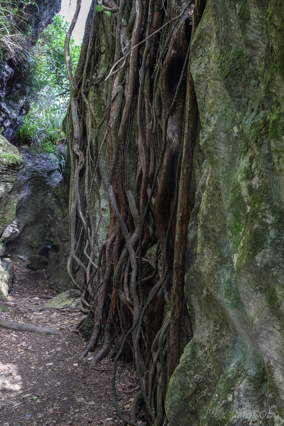
A tree is sending its roots over the cliff.
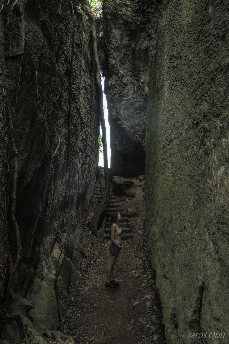
The main formation is this vertical crack called The Grove.
In The Grove
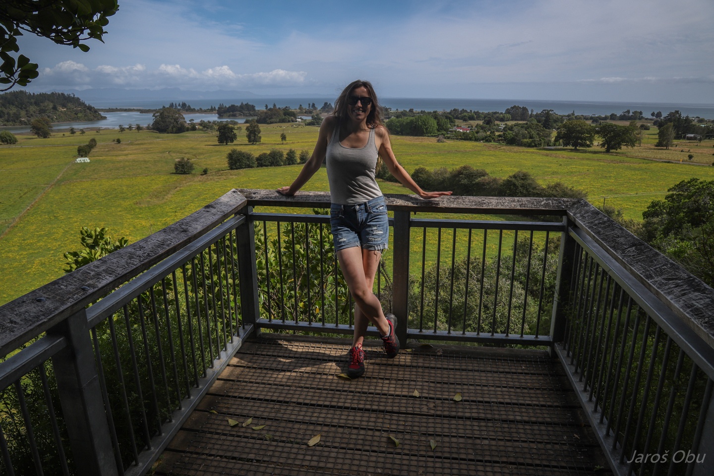
Viewing platform on the other side of The Grove.
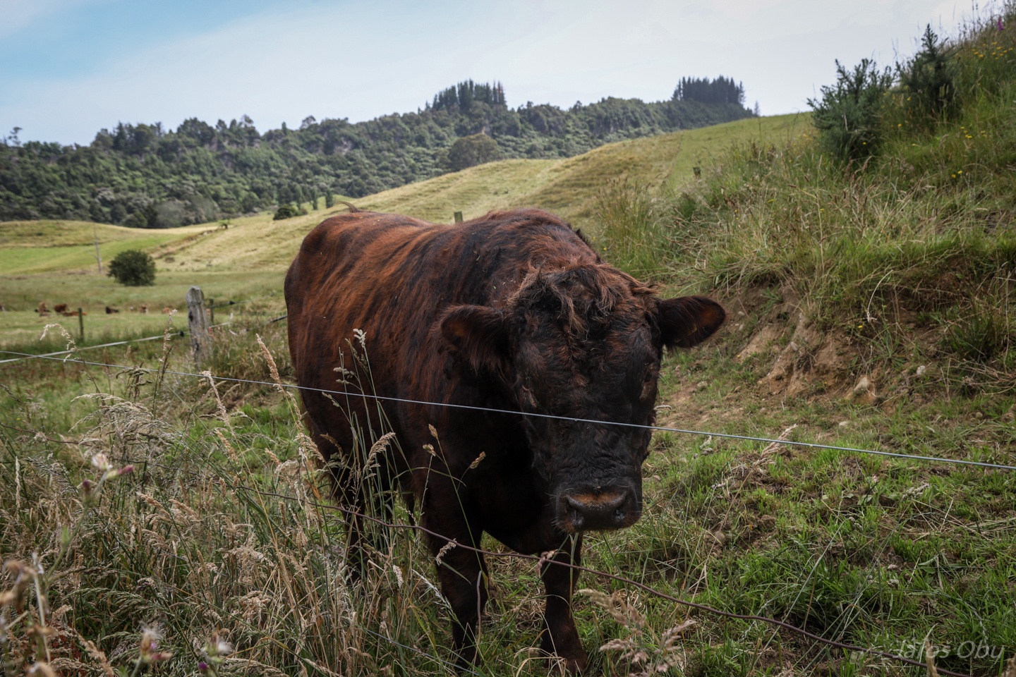
A bull full of testosterone close to another town with interesting name; Motupipi.
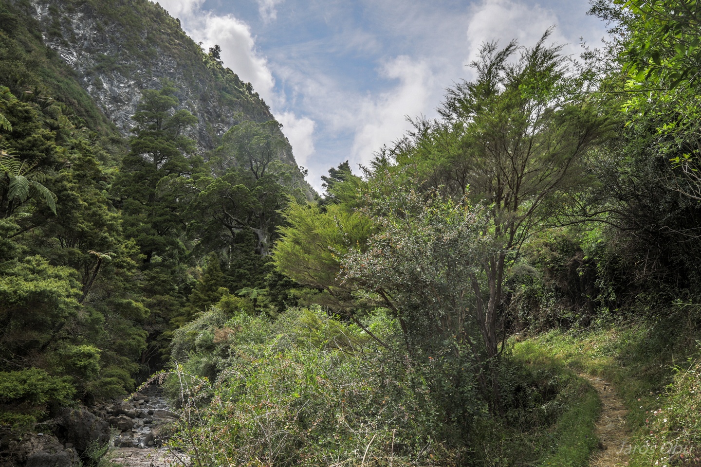
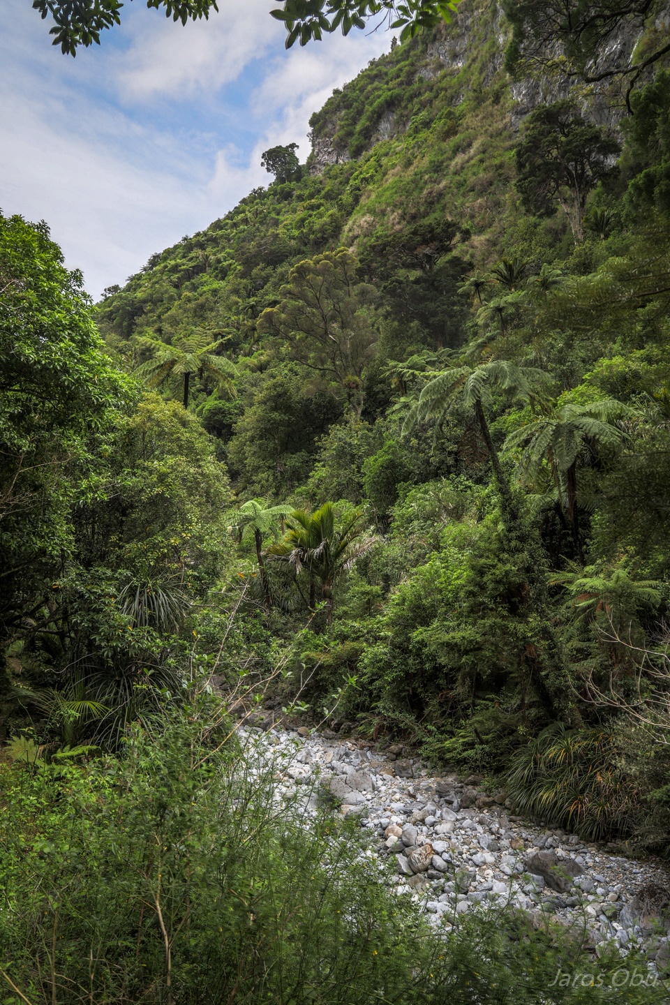
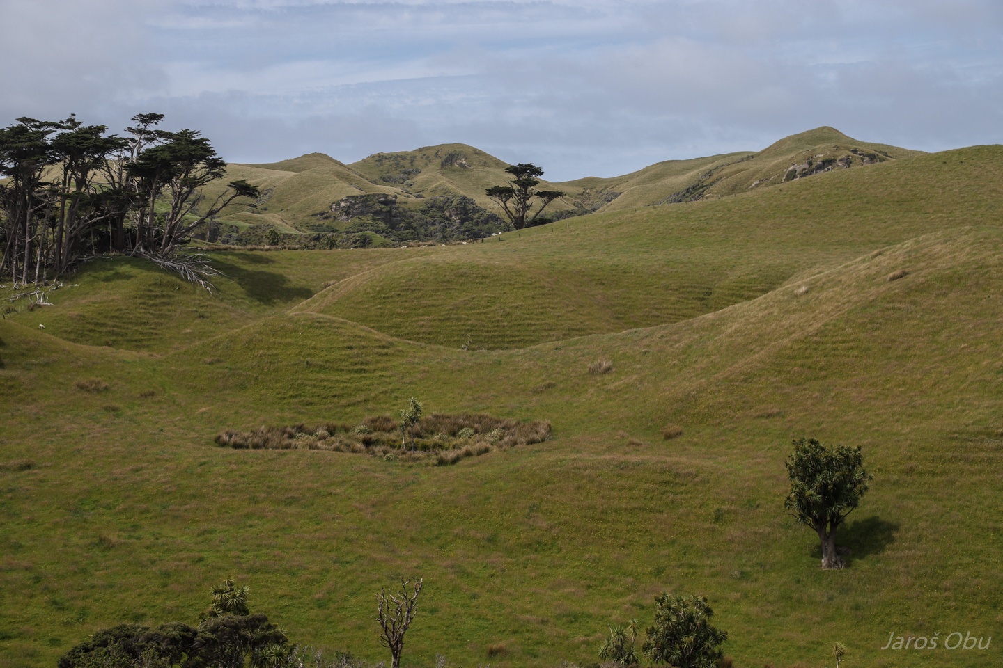
Setting off for another attraction from a dry valley called Dry River Valley.
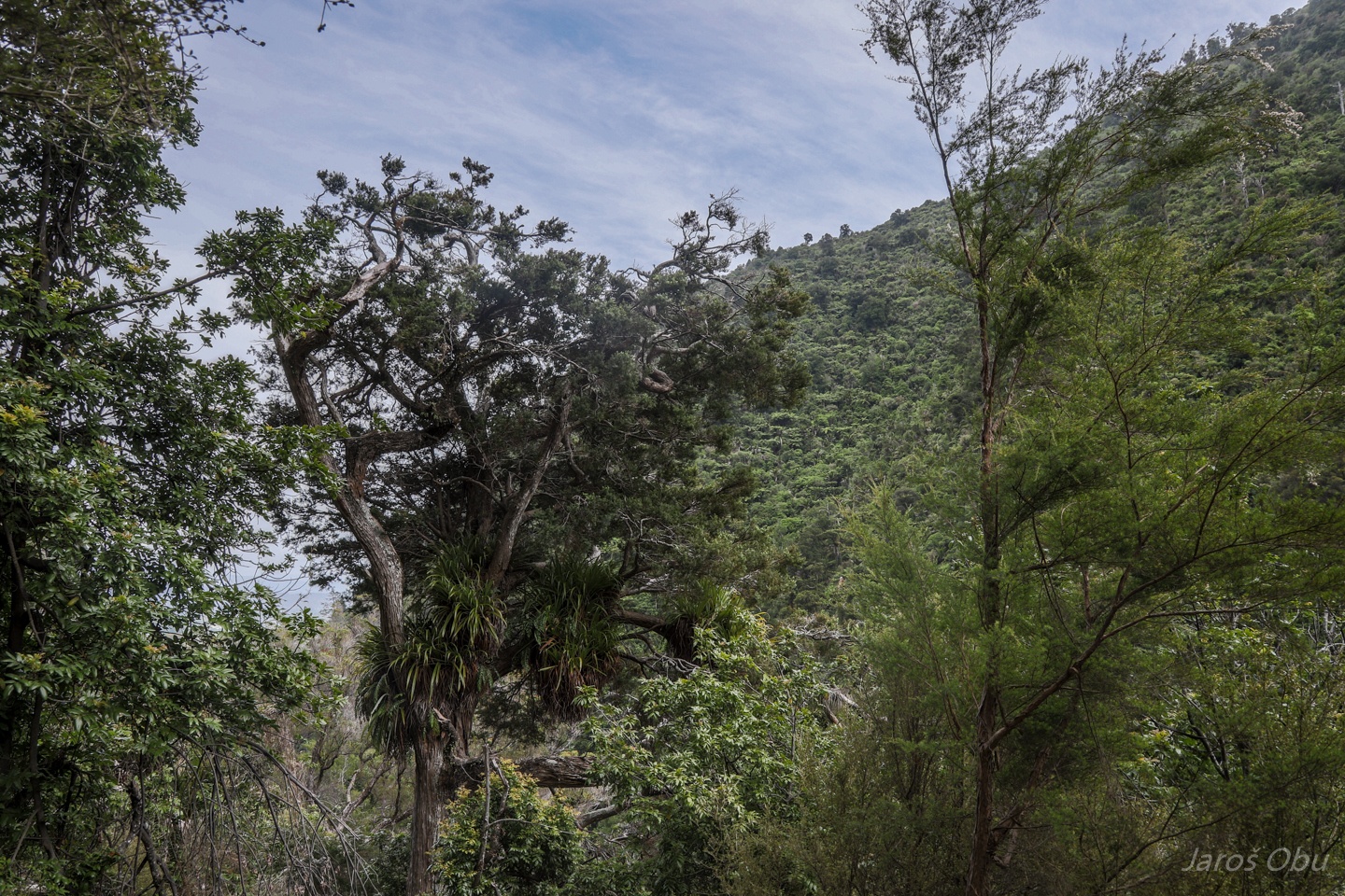
Again lush endemic vegetation.
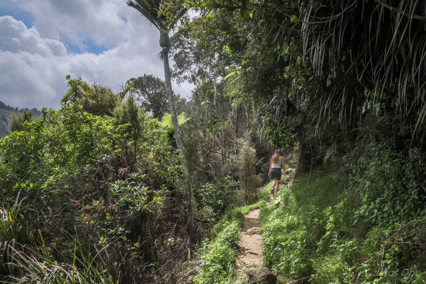
"Very challenging" path up the hill.
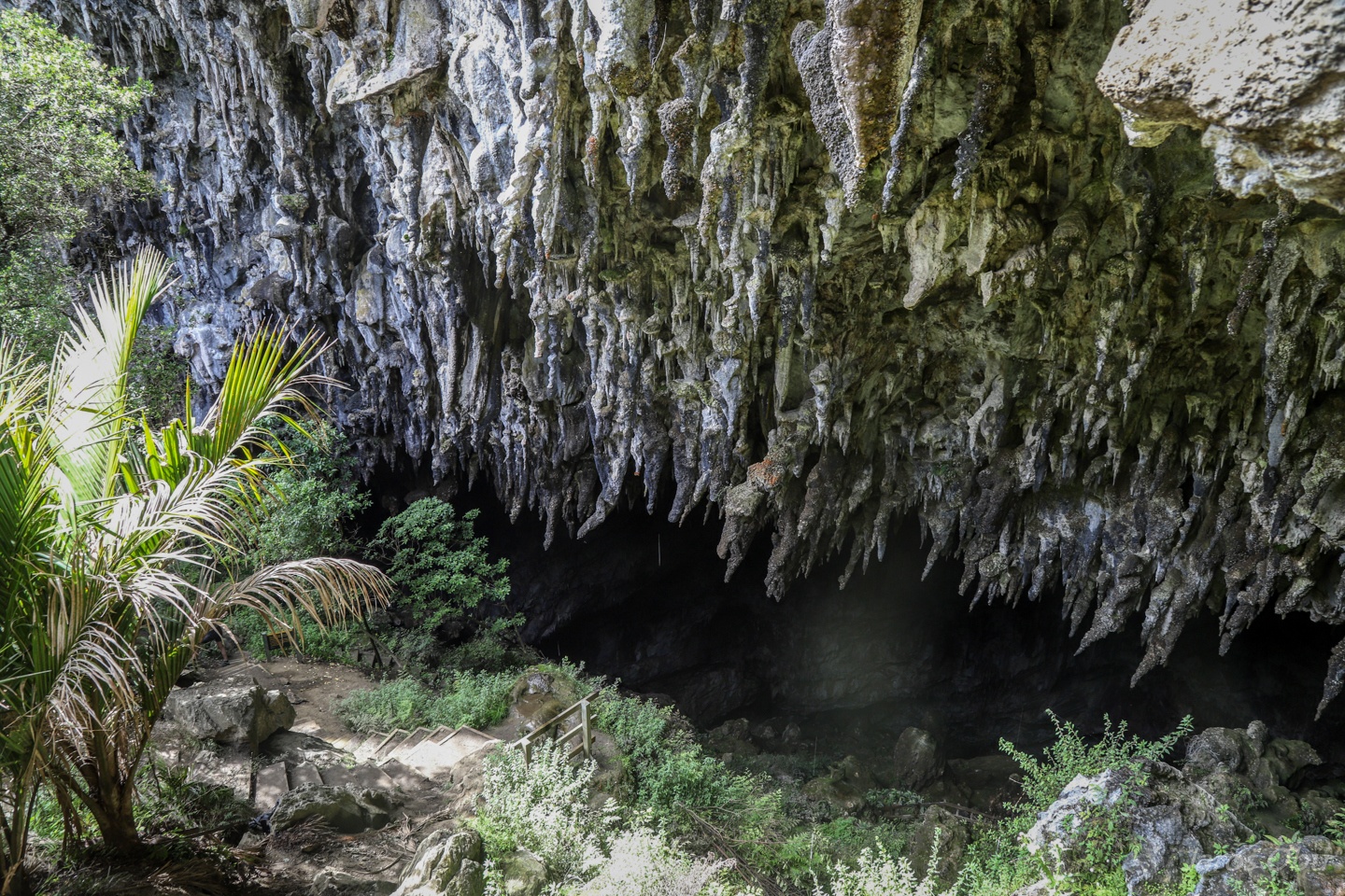
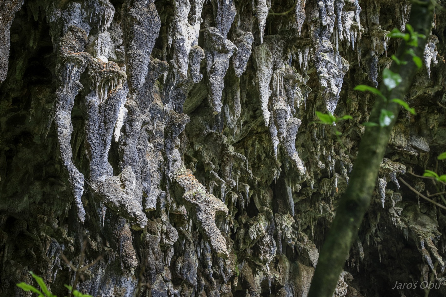
Where is located Rawhiti Cave 200 elevation m above the valley.
Is rather a short cave that is known for phytokarst.
It ptobably formed before the Dry River cut the valley and exposed it to surface.
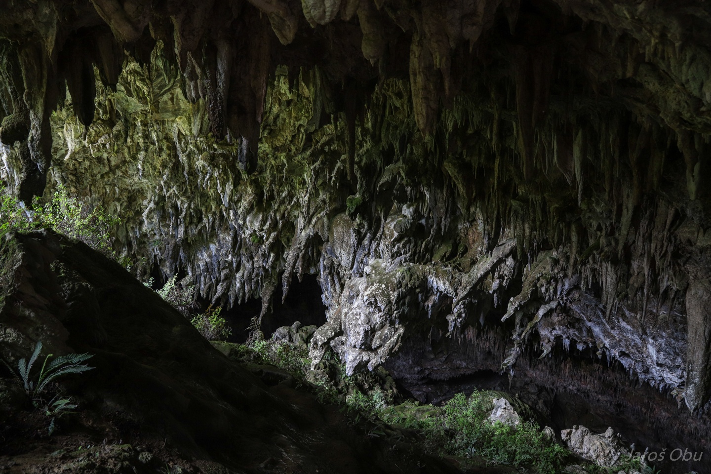
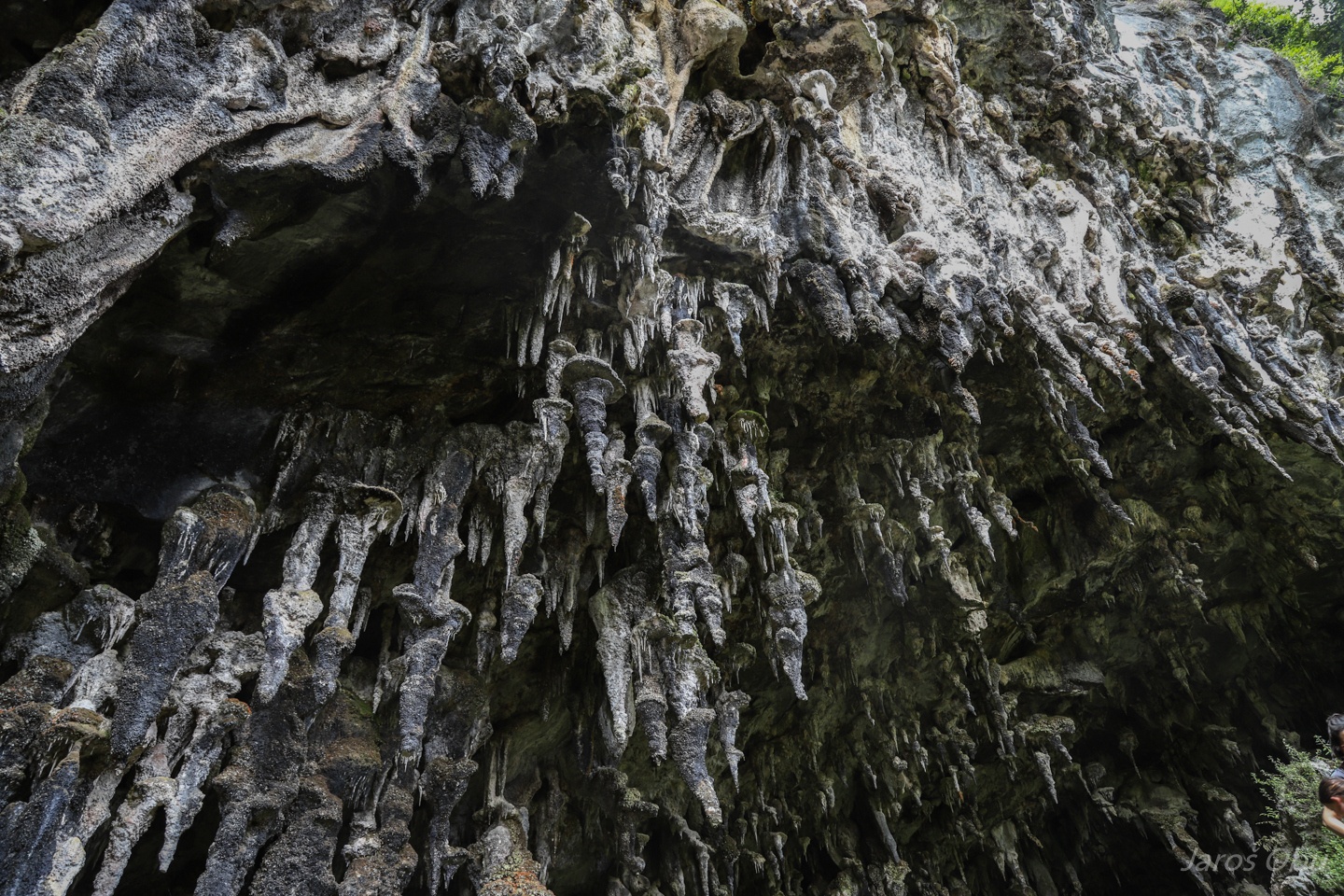
Viewing platform inside the cave under numerous ra(w)chitic stalactites.
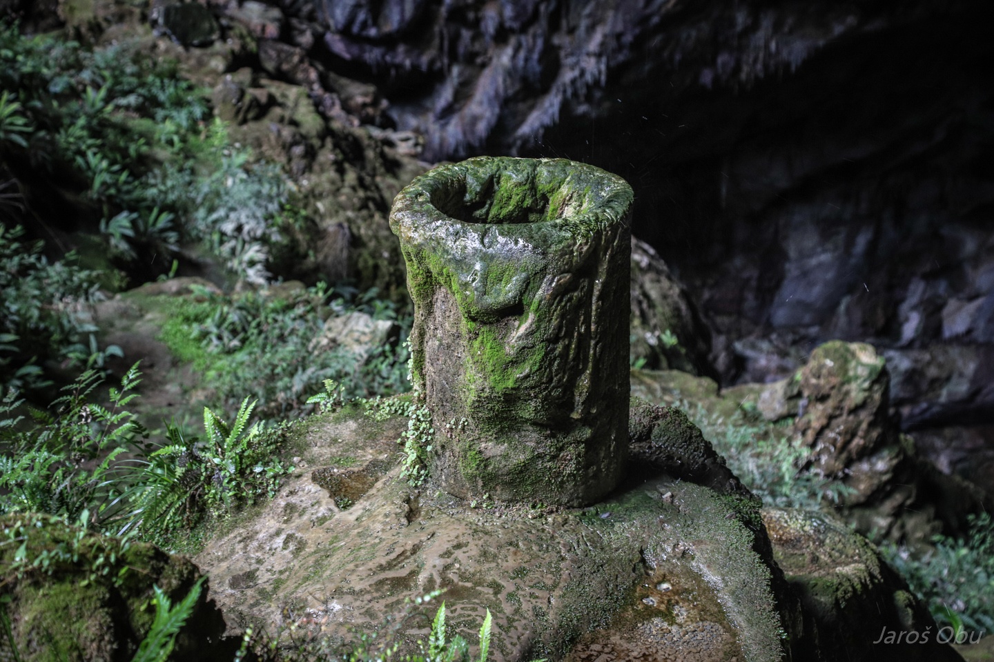
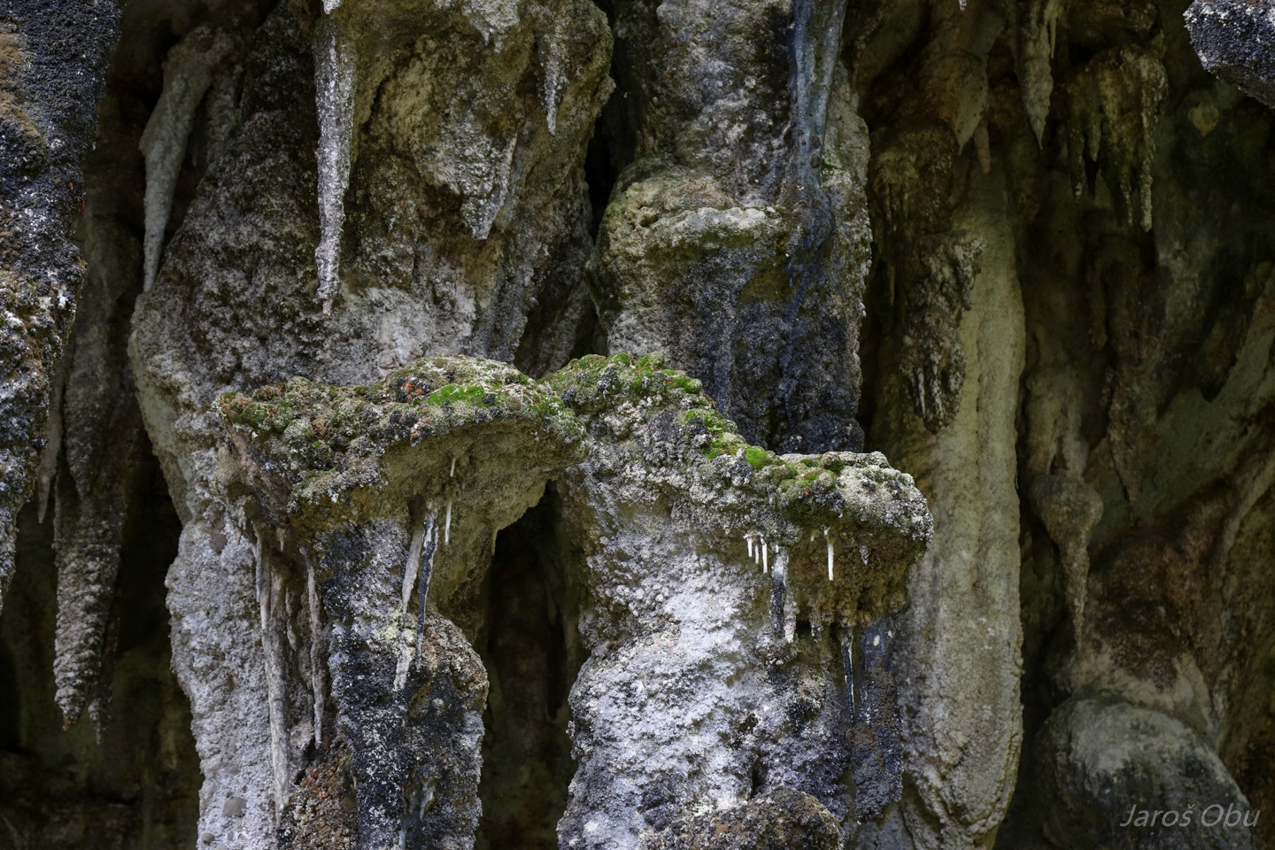
Water catcher covered with flowstone, They used it to collect water for filling carbide lamps and preparing tea for tourists in the early 1900s.
Phytokarst is reflected in the shape of stalactites.
They grow towards the light.
This is due to plants growing on the stalactites that are absorbing carbon dioxide and causing calcium carbonate to deposit where they grow.
Small "platforms" with moss are quite common.
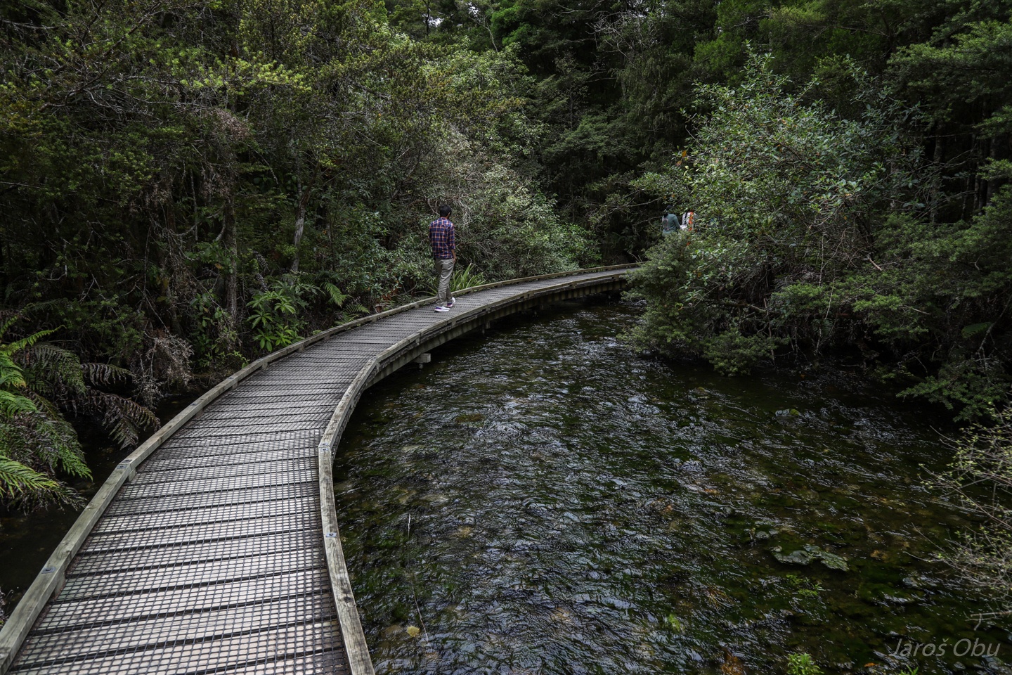
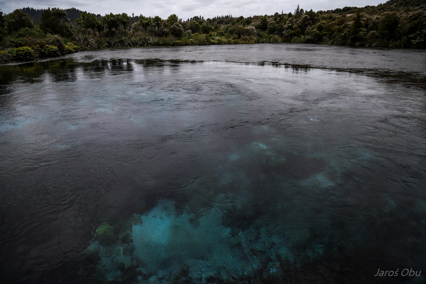
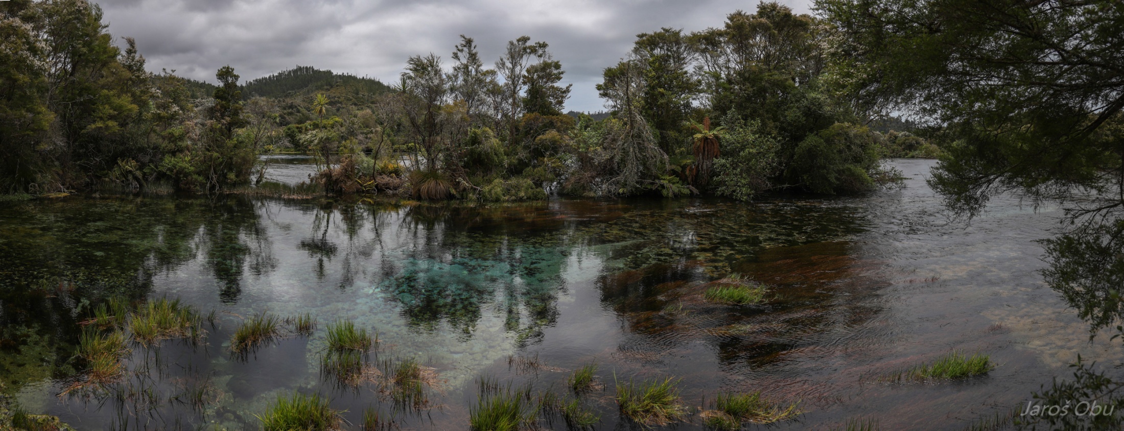
A quick visit of Te Waikoropupū Springs, still in Takaka Valley.
Water under artesian pressure rises on surface through a layer of sand.
The springs are sacred to Maori and visitors are asked not to touch or drink the water. Although the water is very clear they still call them Pupu Springs.
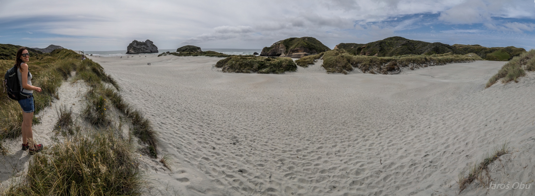
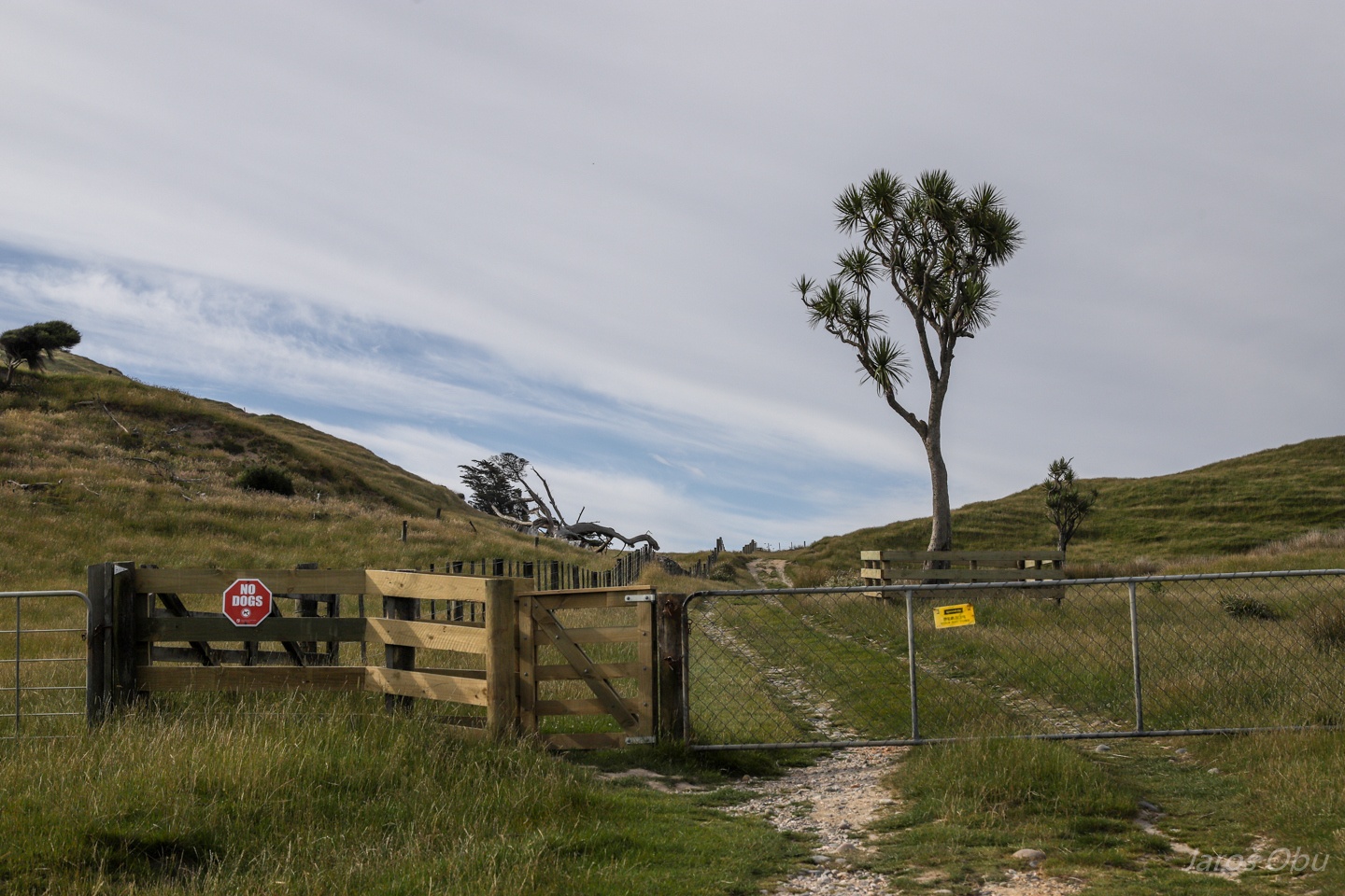
Wharariki Beach Holiday Park on the northern tip of the Northern Coast.
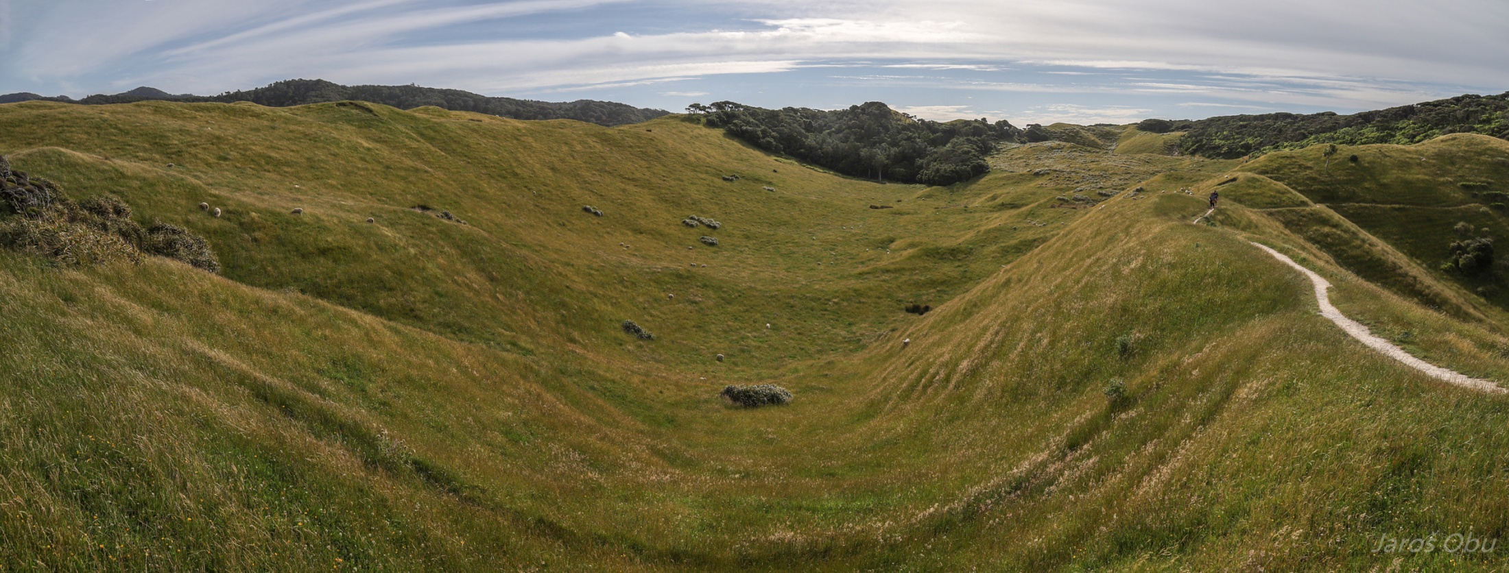
Numerous karst depressions on a sandstone.
As this uvala.
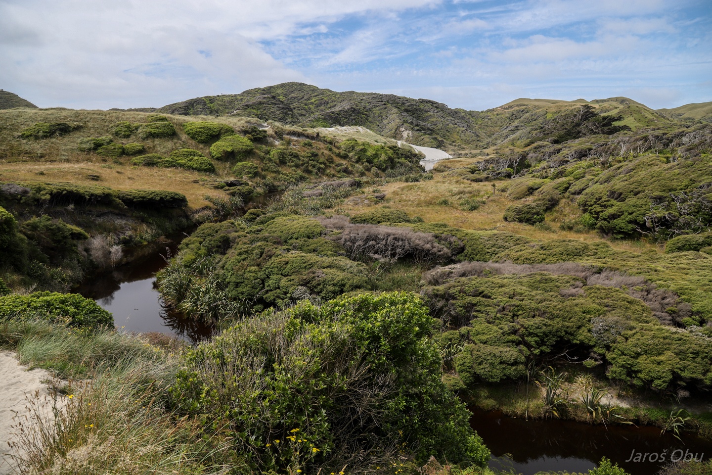
Wharariki Stream leading to ...
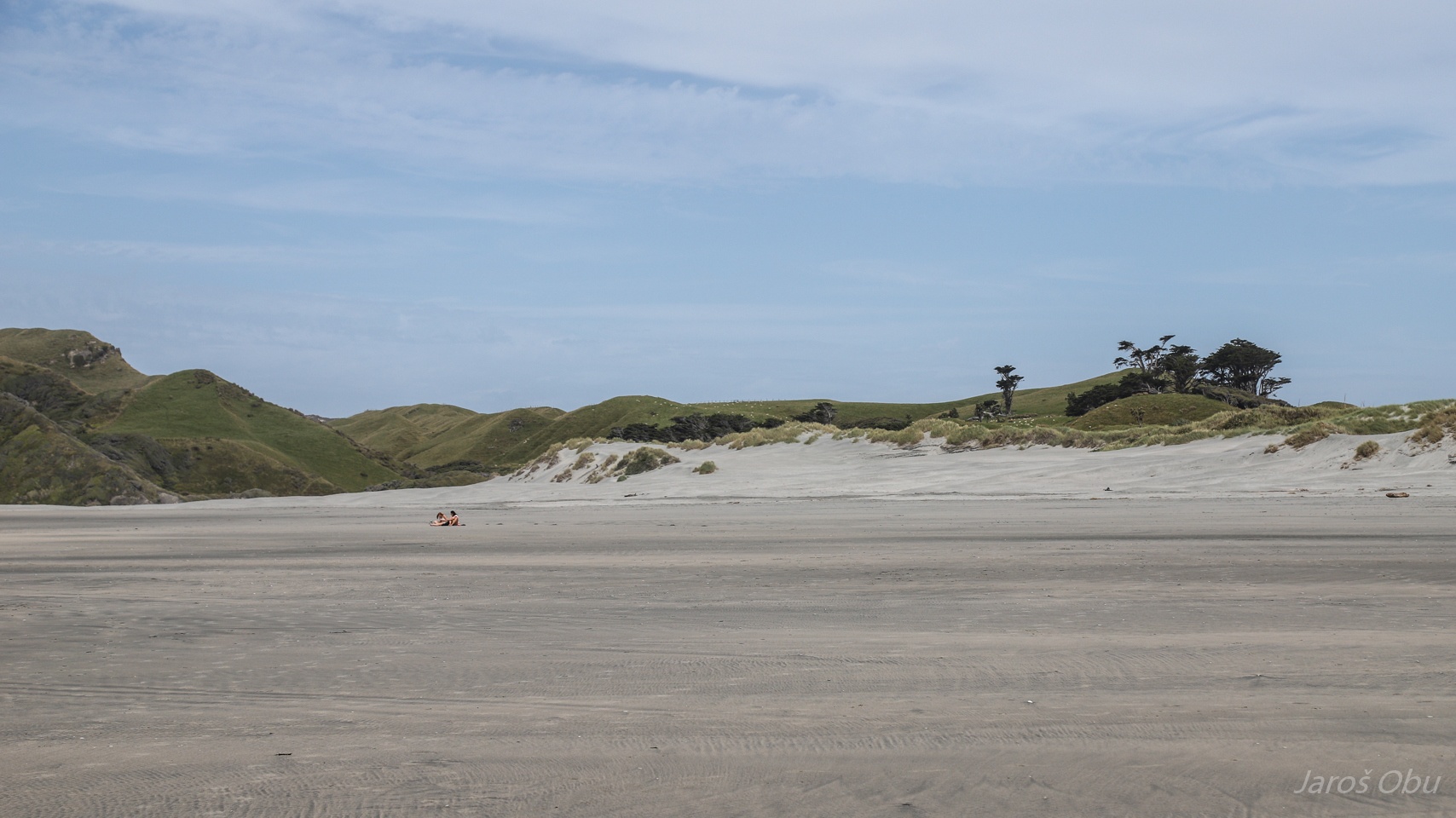
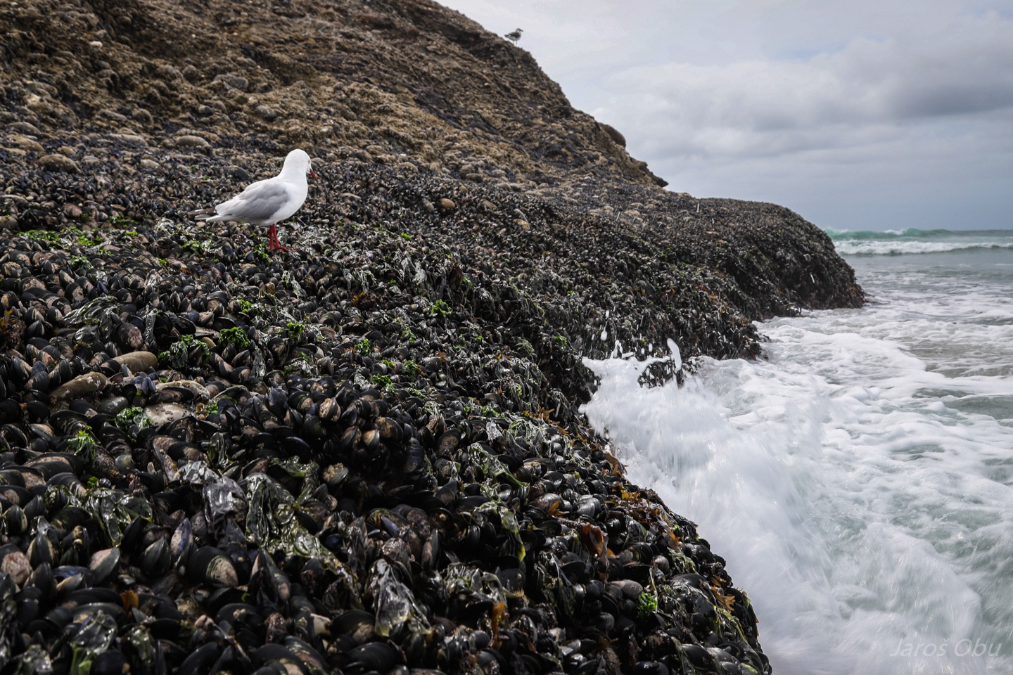
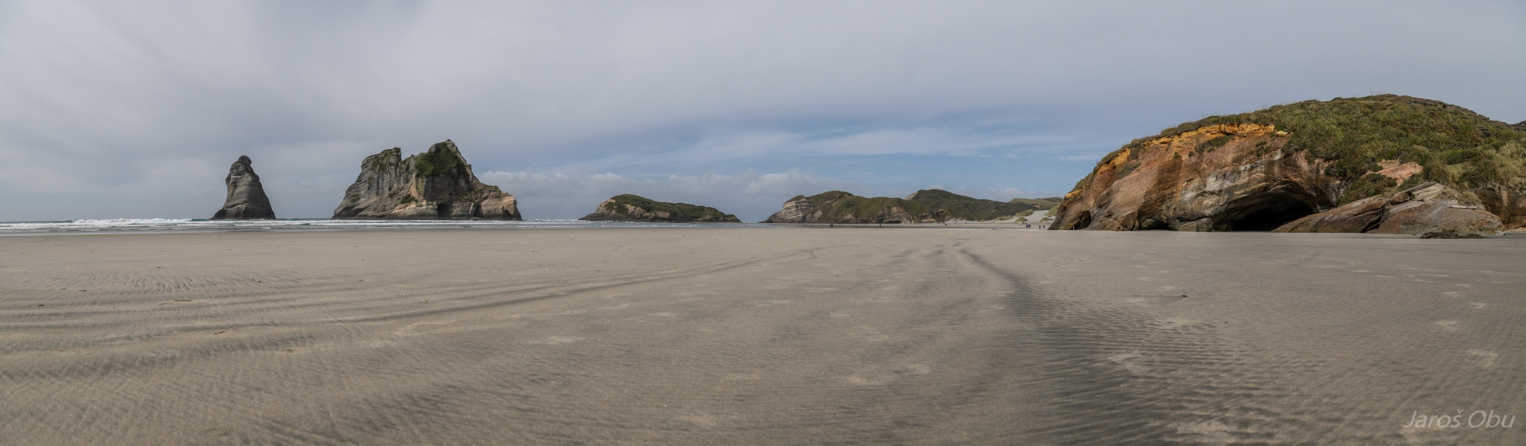
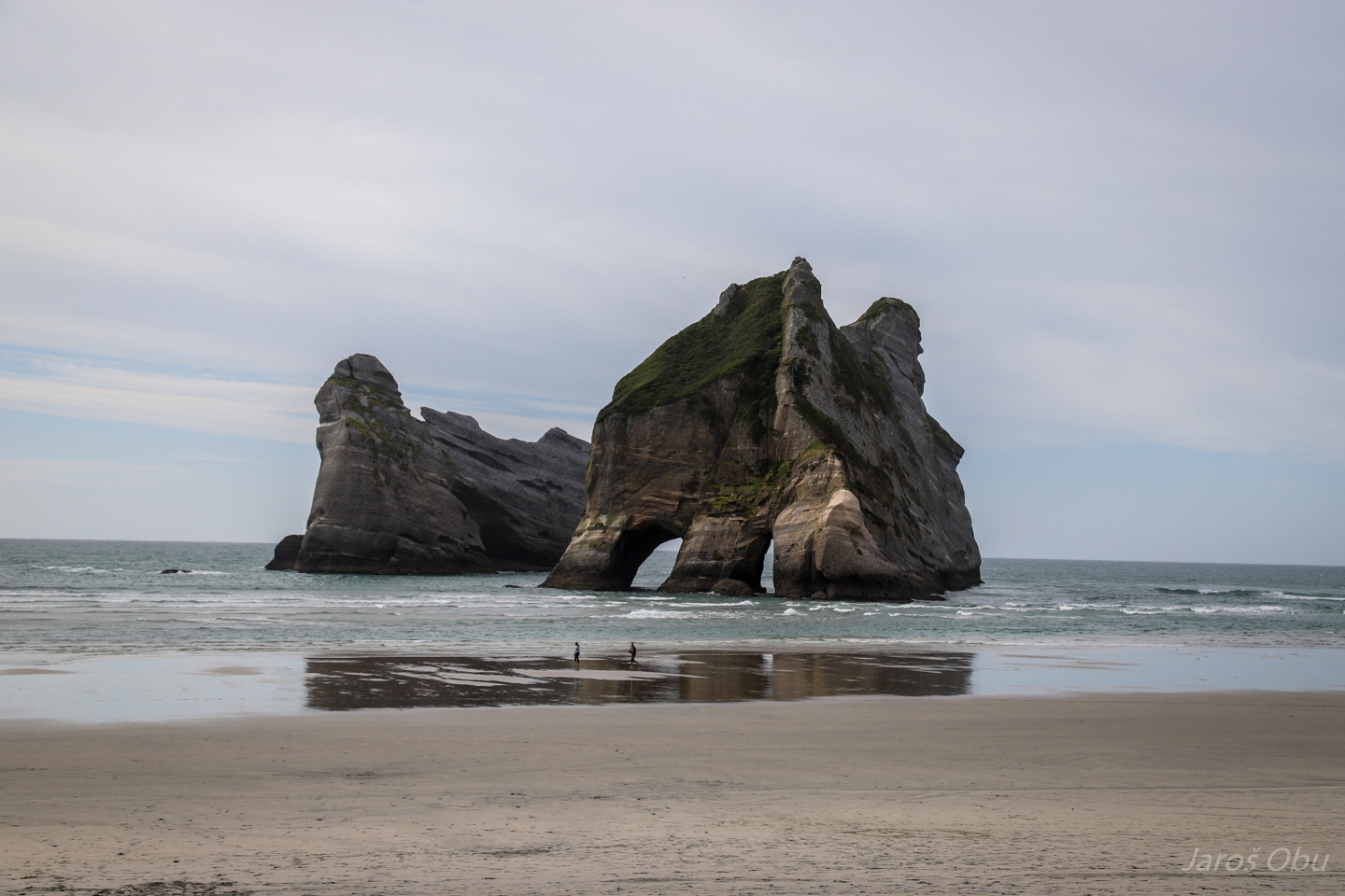
Wharariki Beach.
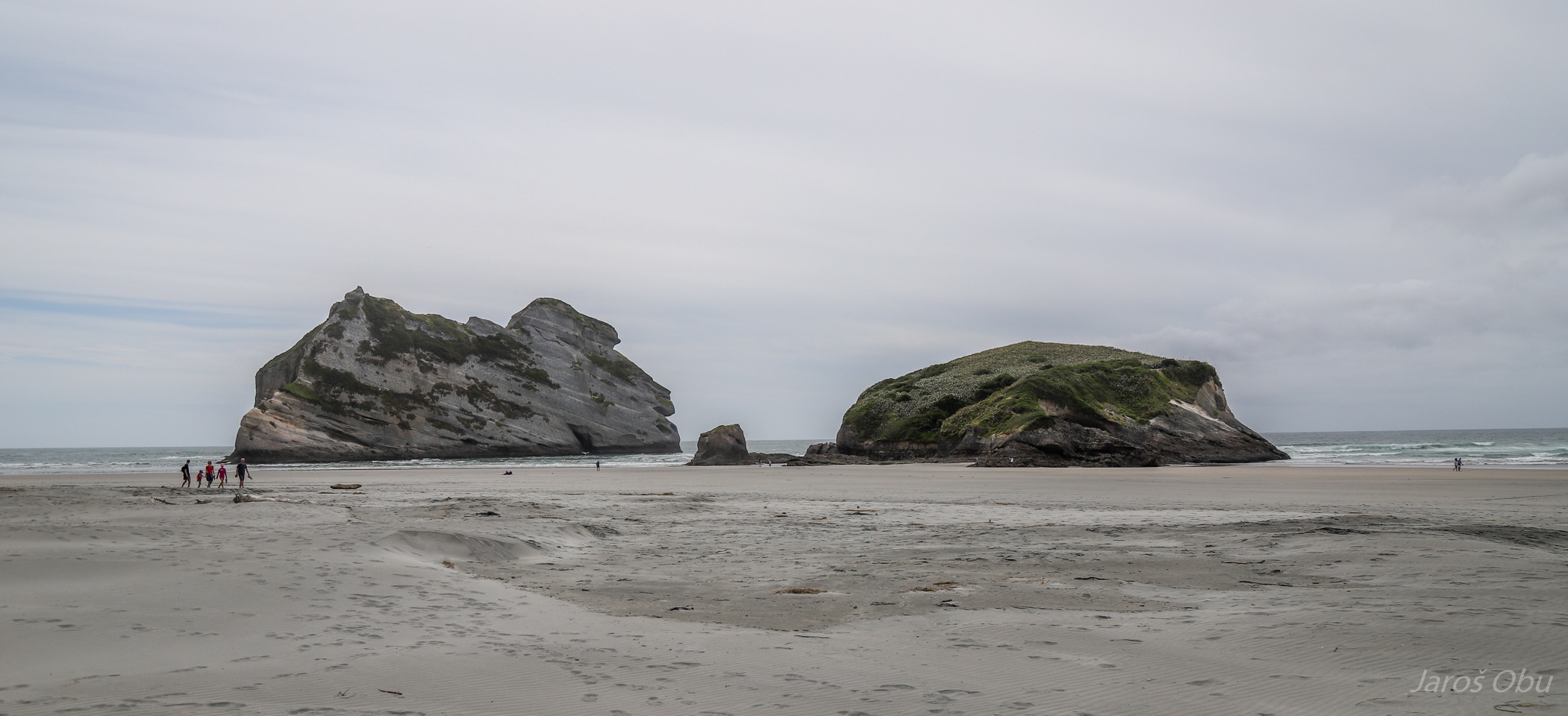
Famous for these rocks.
And a sea of sand.
Again high waves from the west.
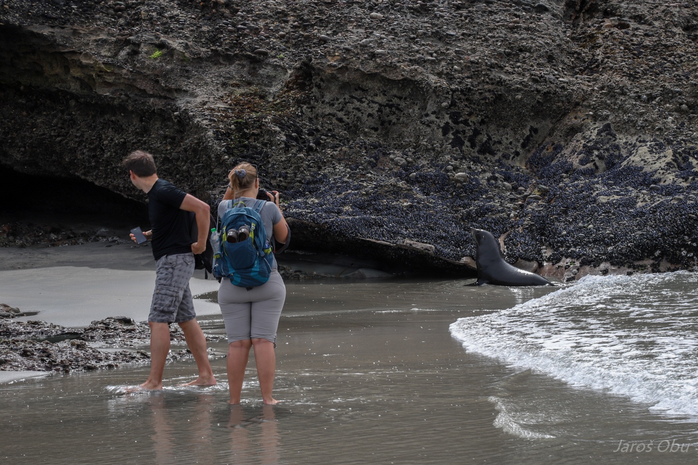
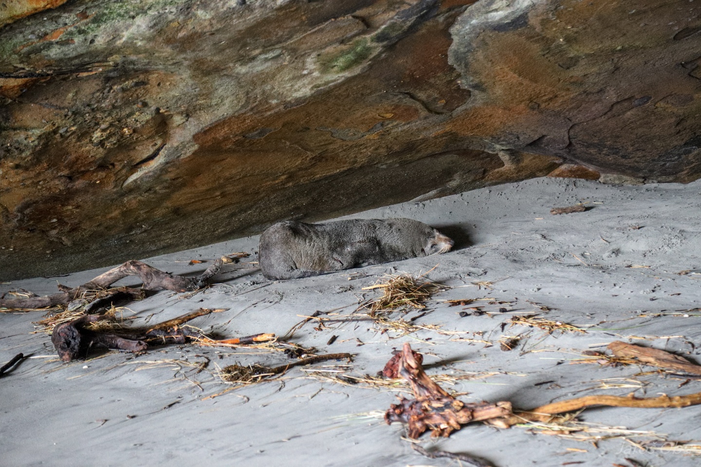
Tourists not respecting distance to the seals on the beach.
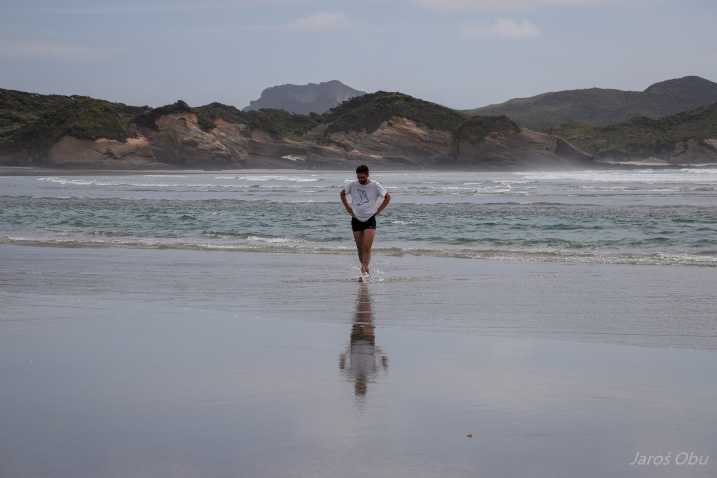
Should I swim or should I not? The rip current behind was fast enough that a decent swimmer could swim without changing position.
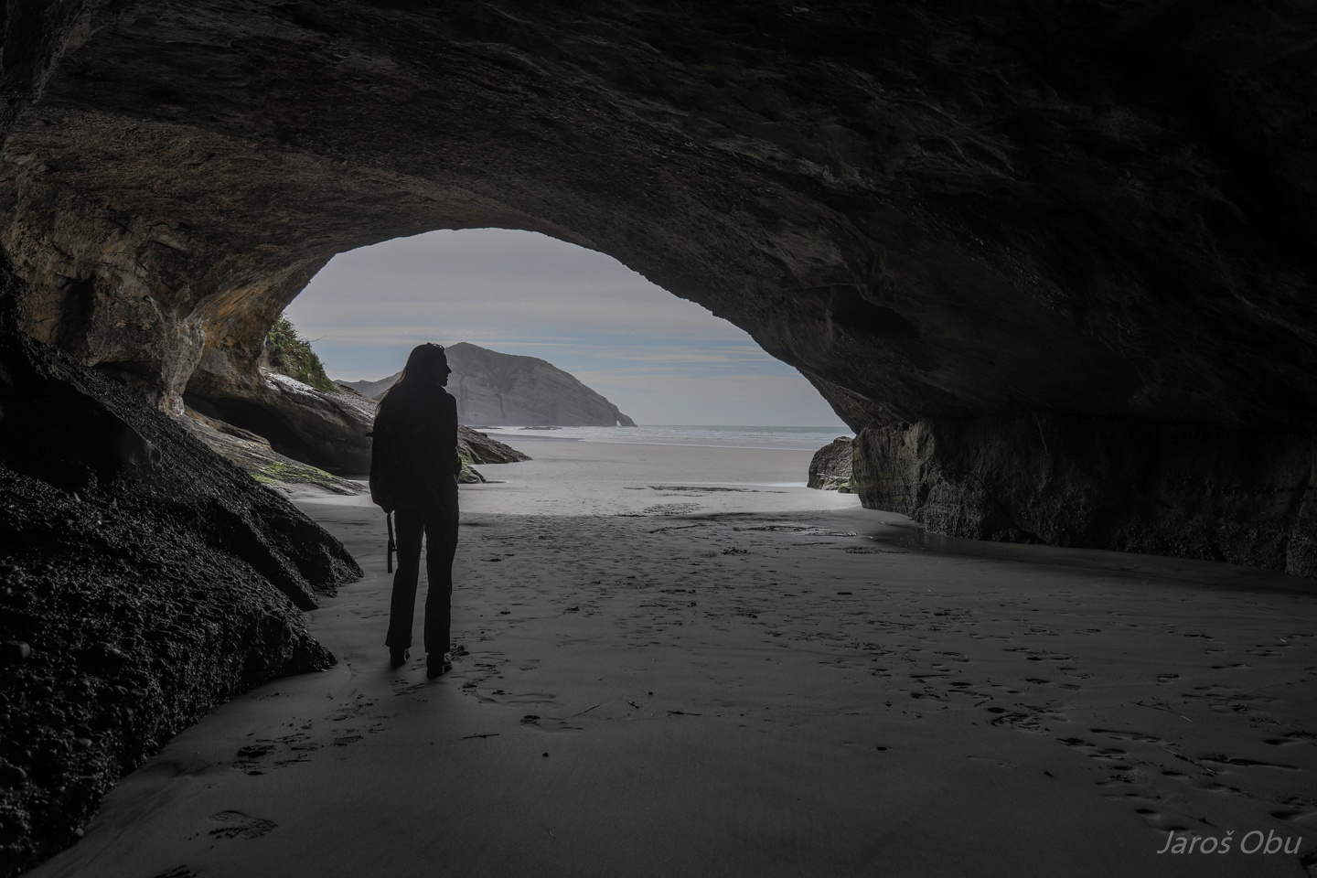
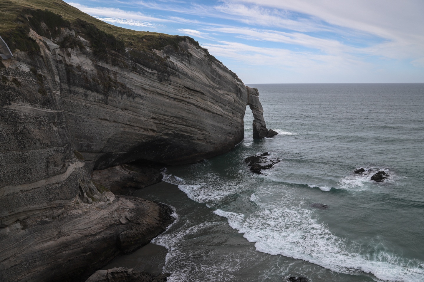
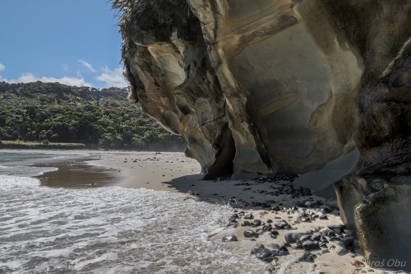
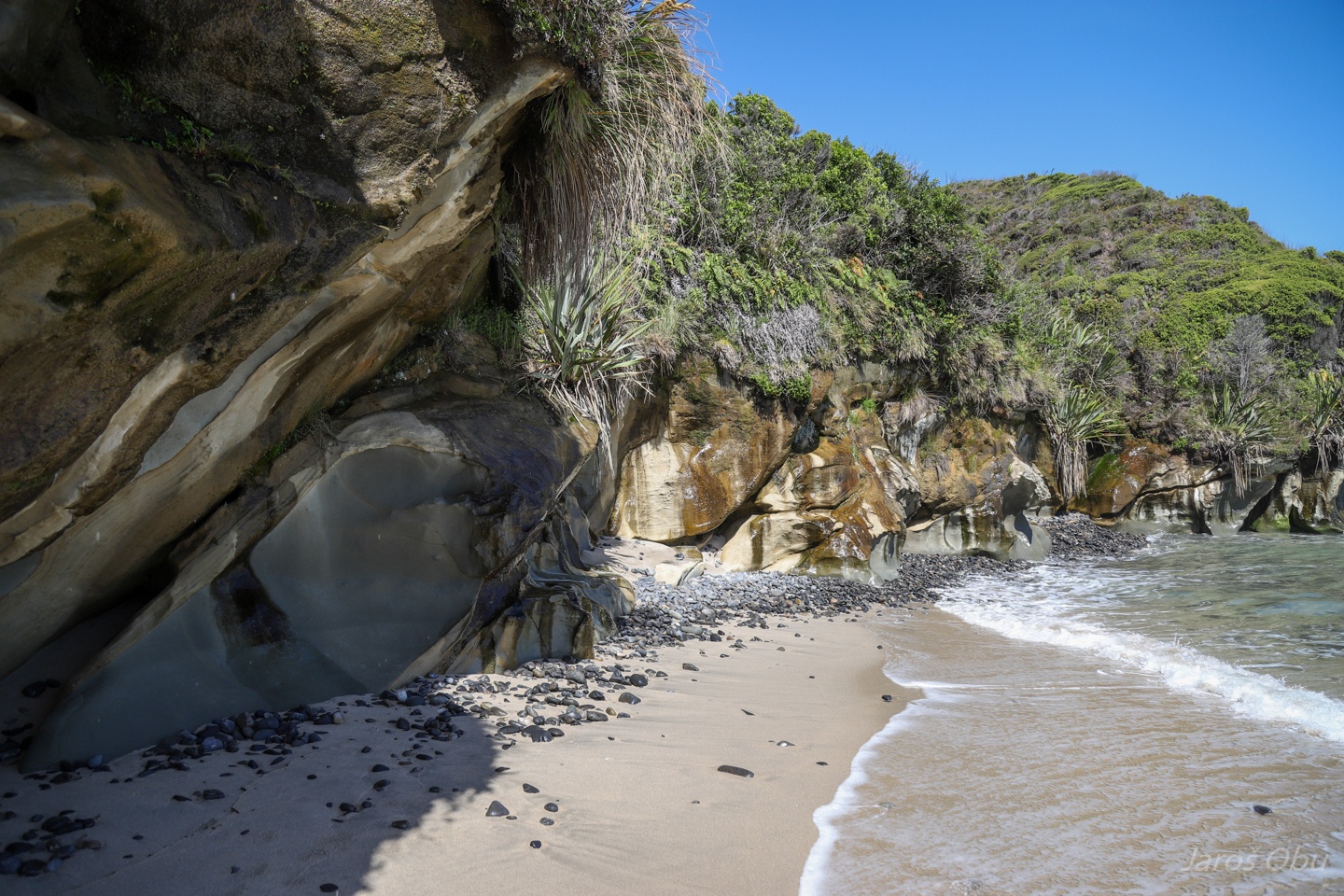
The solitary cliffs with holes.
Photo of this beach is a default background photo of Windows 10.
There is a short coastal cave on the right.
I didn't notice this seal at all and nearly shited my trousers after it started making sounds.
From the inside out.
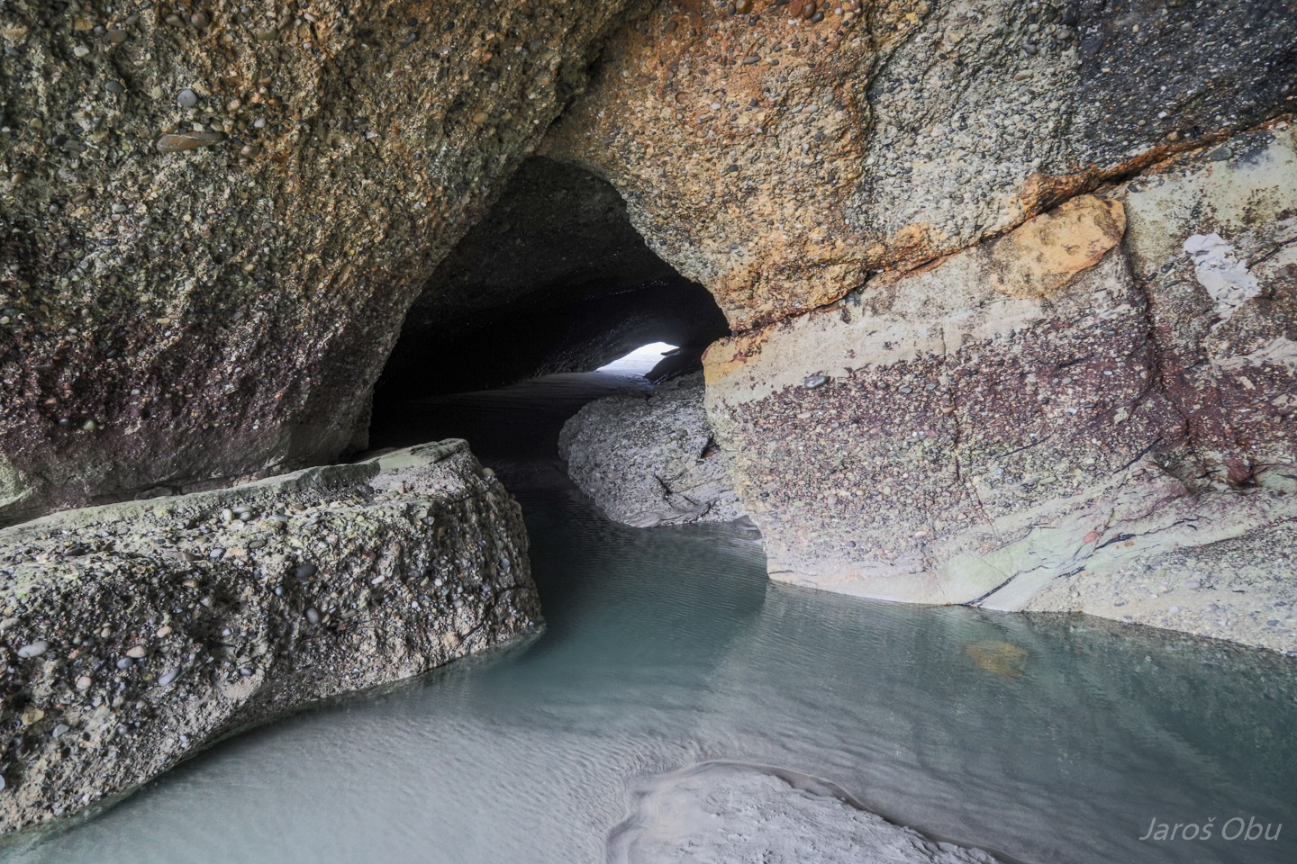
Many small cavities in conglomerate.
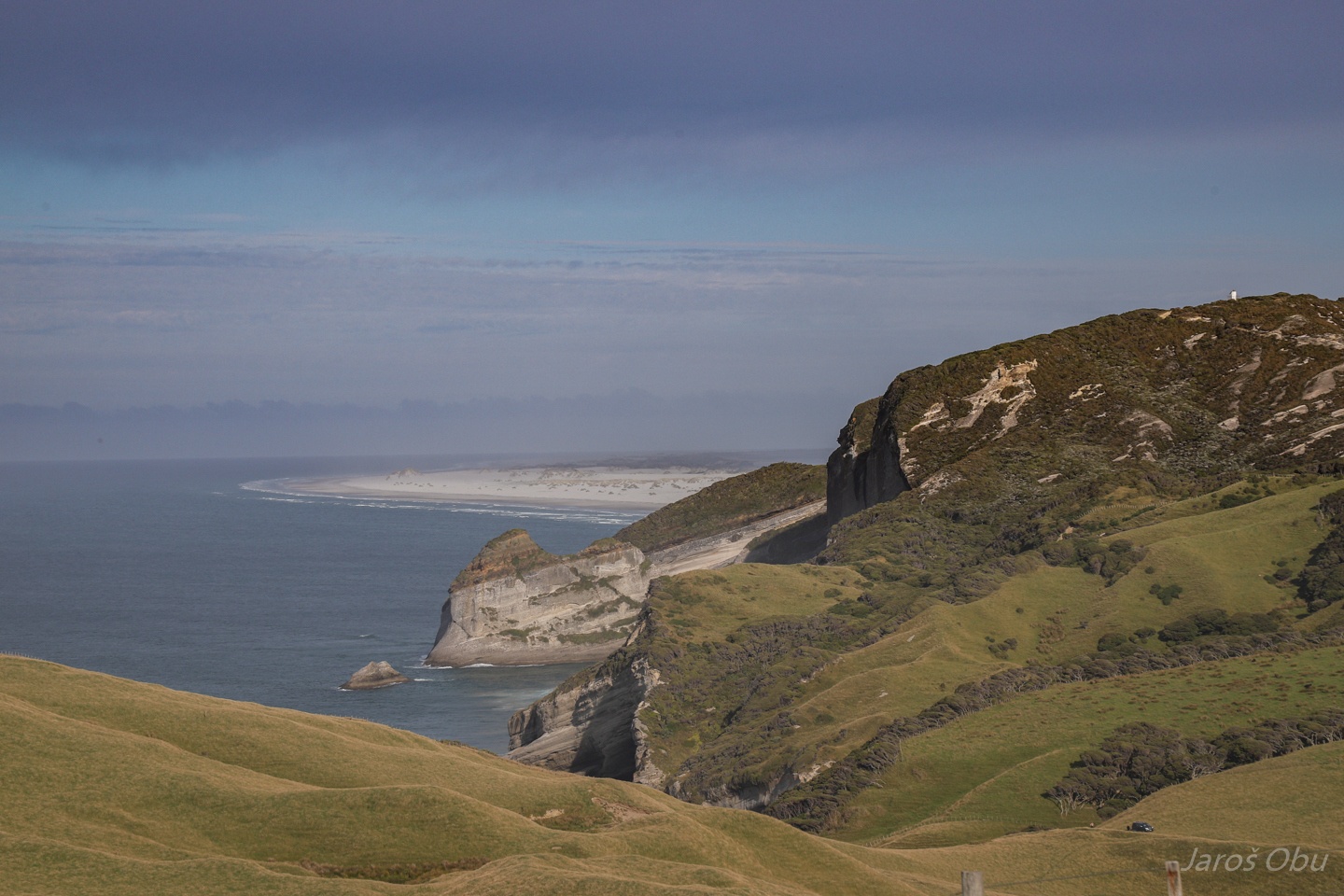
Just few kilometres away ...
... There is Cape Farewell, which is the northernmost point of the Northern Island.
Very talkative sheep: https://vimeo.com/424354778
Before-visited Wharariki Beach in the background.
Farewell spit in the distance that is protecting Golden Bay from the open ocean.
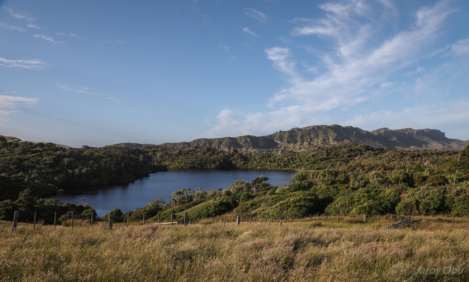
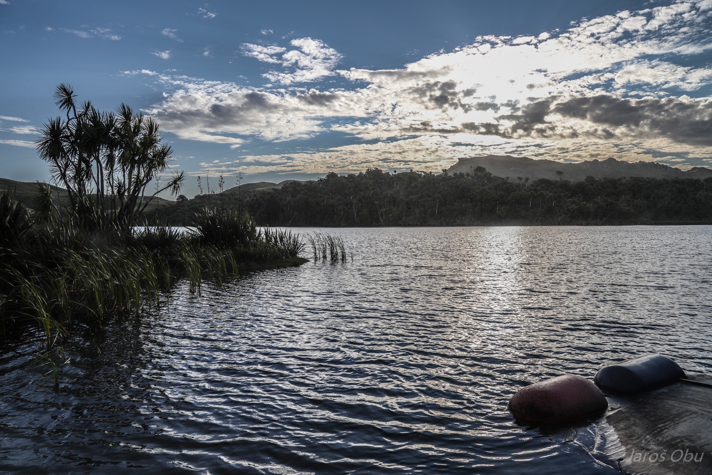
Kaihoka Lake a bit inland inland from the coast.
More swimming.
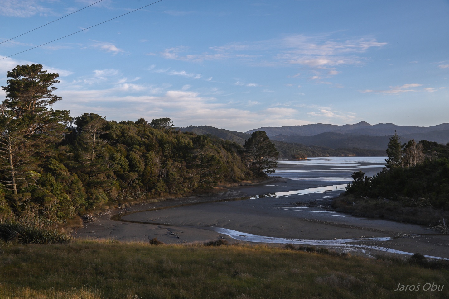
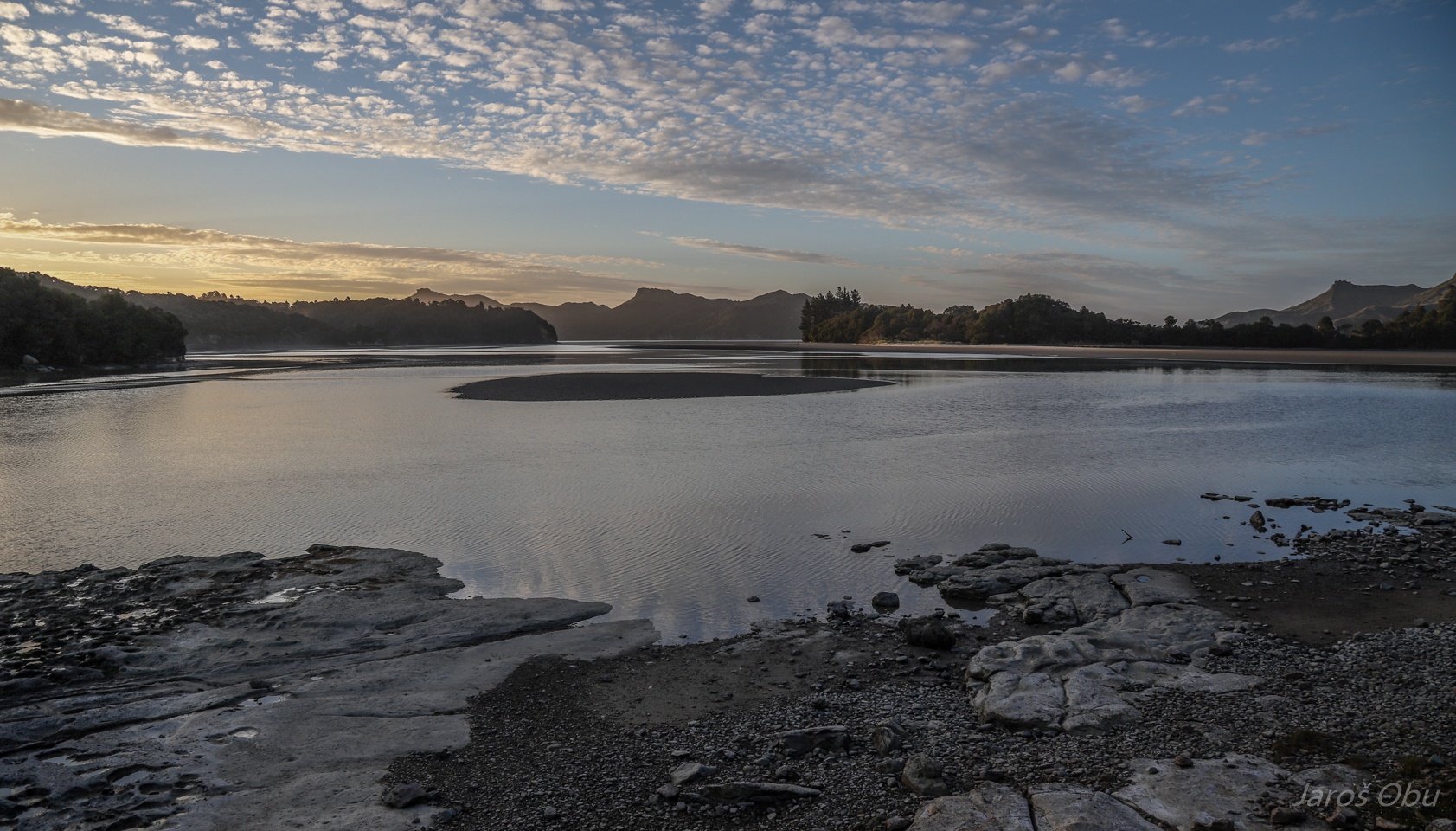
Tidal channels of Whanganui Inlet with tidal sandflats.
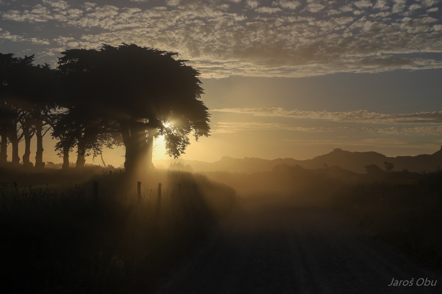
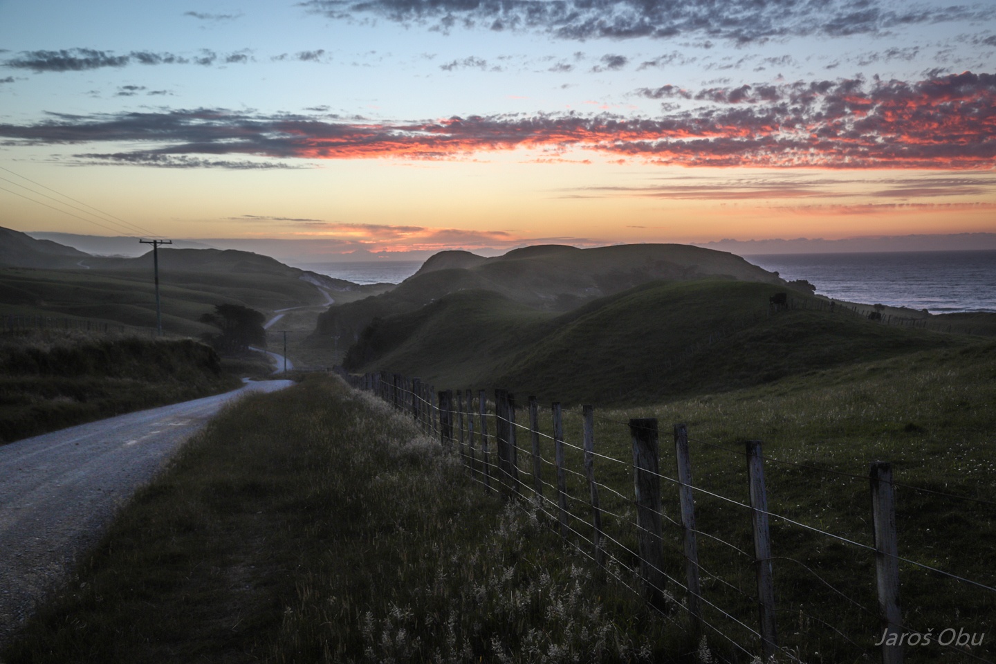
Evening trip to the southwest on dirt roads. Effect is coming from the dust of the car that has just passed.
The area is protected as Westhaven Marine Reserve.
Back at the coast after the sunset.
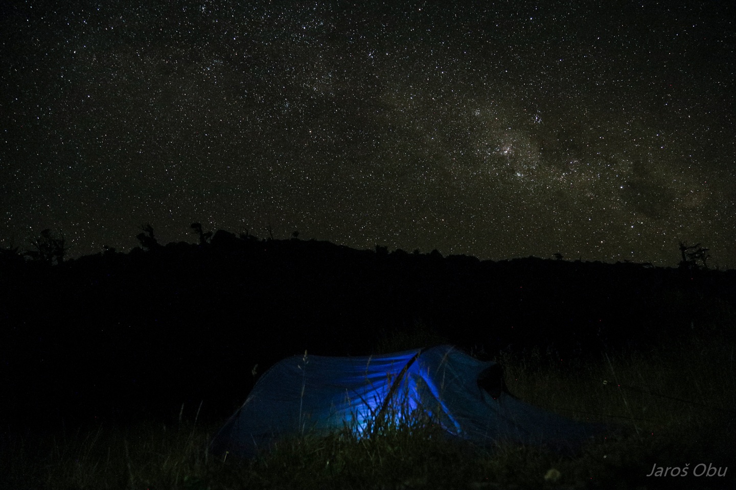
Far away from any light pollution sources at free Anatori RIver Campsite.
Surfers returning from the beach while others are enjoying the place on the car.
Anatori River is as far south you can get from the north.
The river was so cold that it was warmer to swim in the ocean.
It looks like large tafoni on the coastal cliffs.
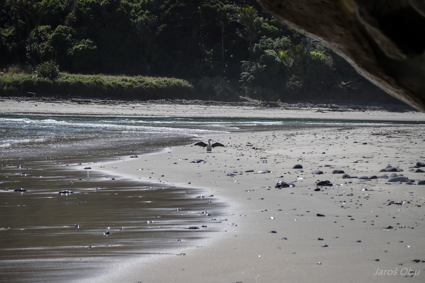
New Zealand Pied Shag showing off.
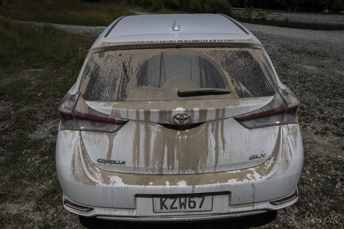
Toyota Caryola covered with dust.
Back in the north. We tried to find an entrance to a cave that was apparently filled up. Nevertheless, this rock was also interesting.
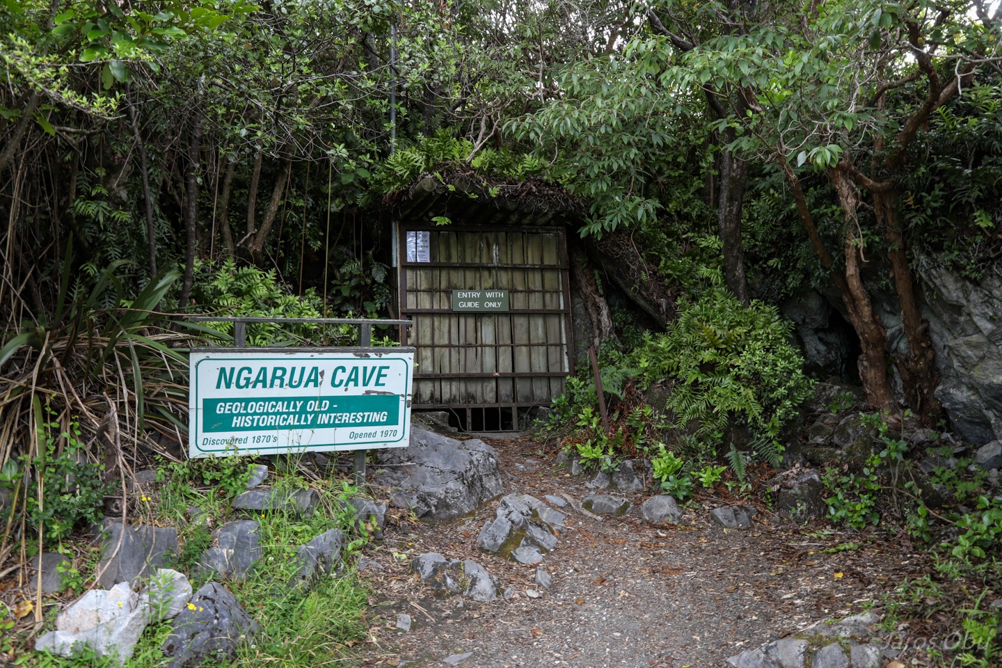
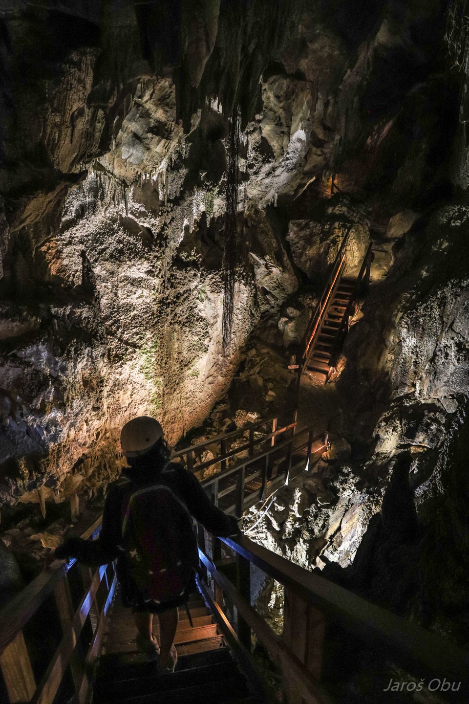
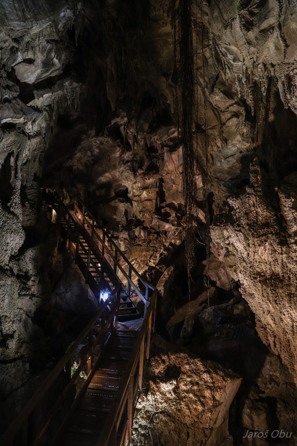
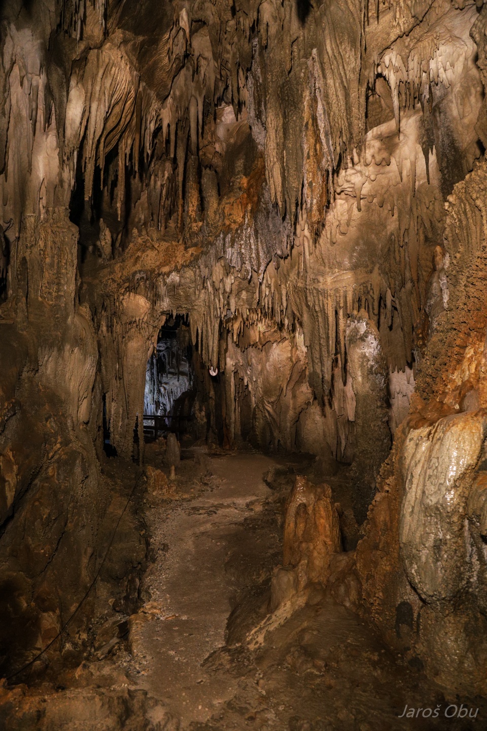
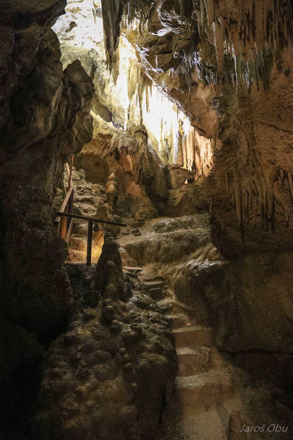
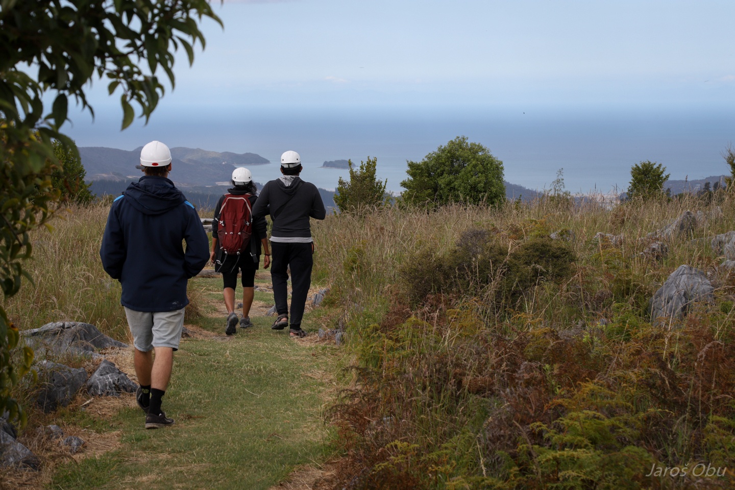
So we went for a guided tour in the Ngarua Cave.
Some plants grow their roots far down underground.
We were there with an Indian couple and a guide that seemed to be quite tired at the end of the day.
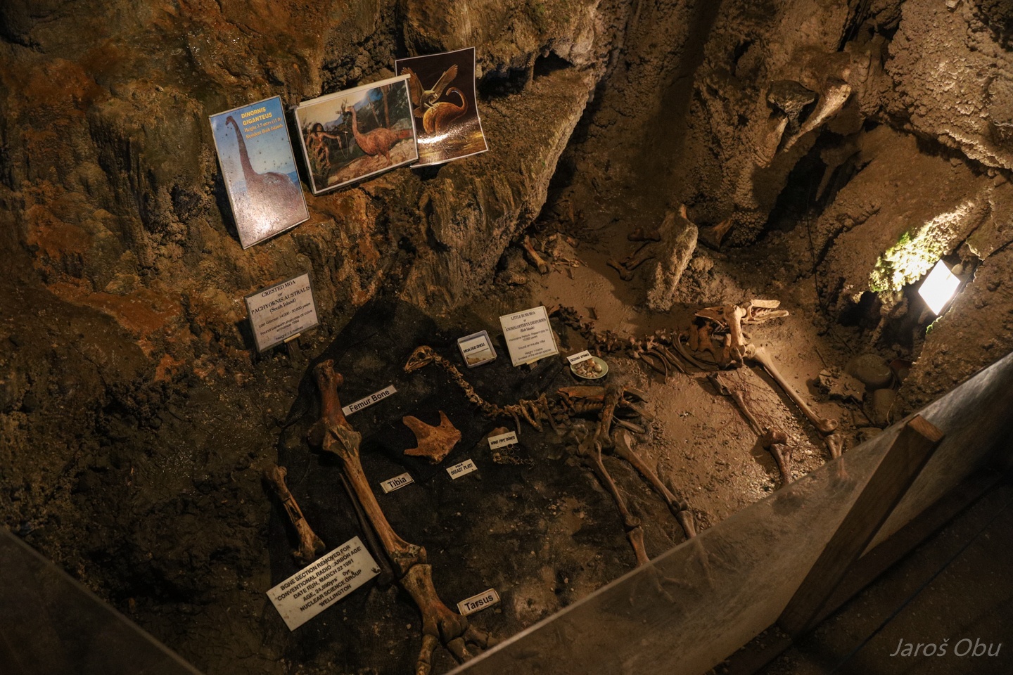
Collection of moa bones, some actually found on this site.
If we didn't manage to see a live one, we could see a dead one (or at least parts of it).
The cave is nicely decorated with flowstone otherwise.
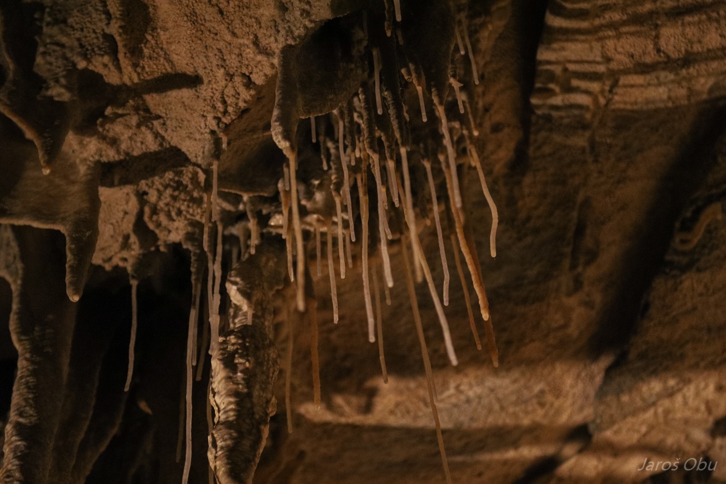
Spaghetti stalactites
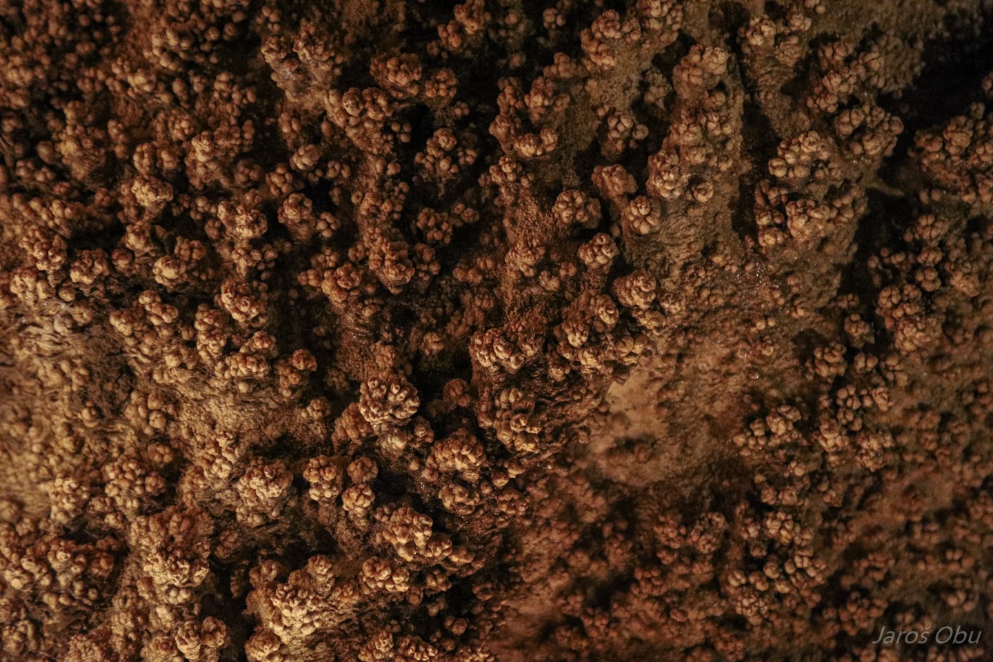
Popcorn is usually associated to draft in the cave.
Draperies
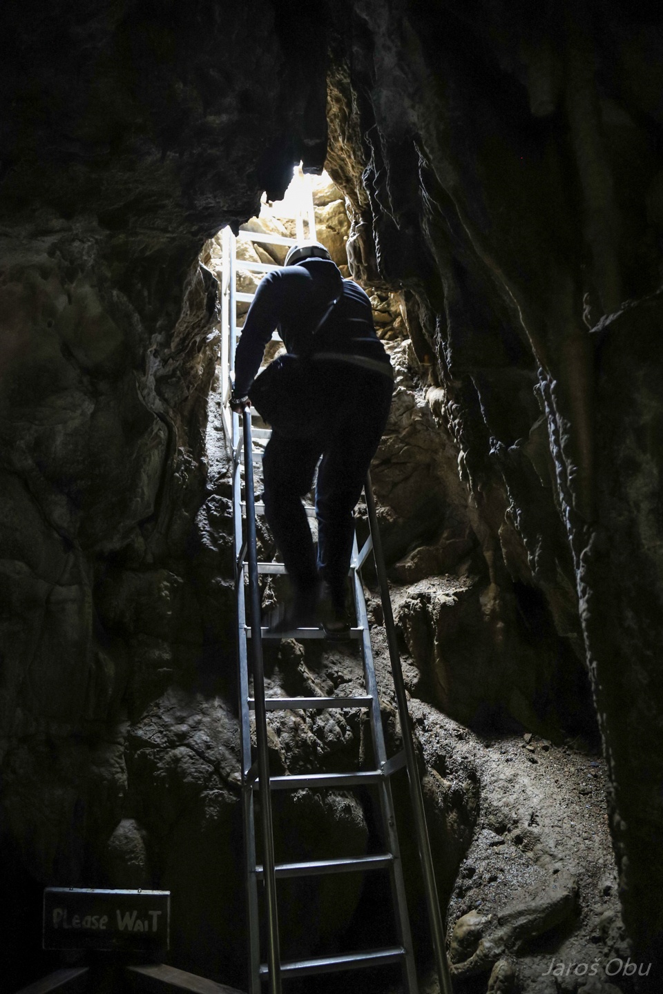
And please wait for the exit.
The exit from the the outside.
Returning back to the entrance.
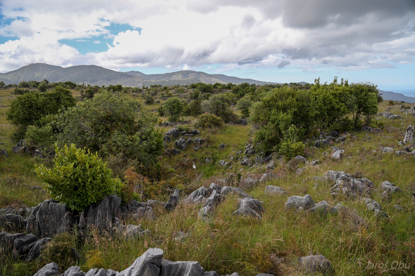
More karrens here as well.
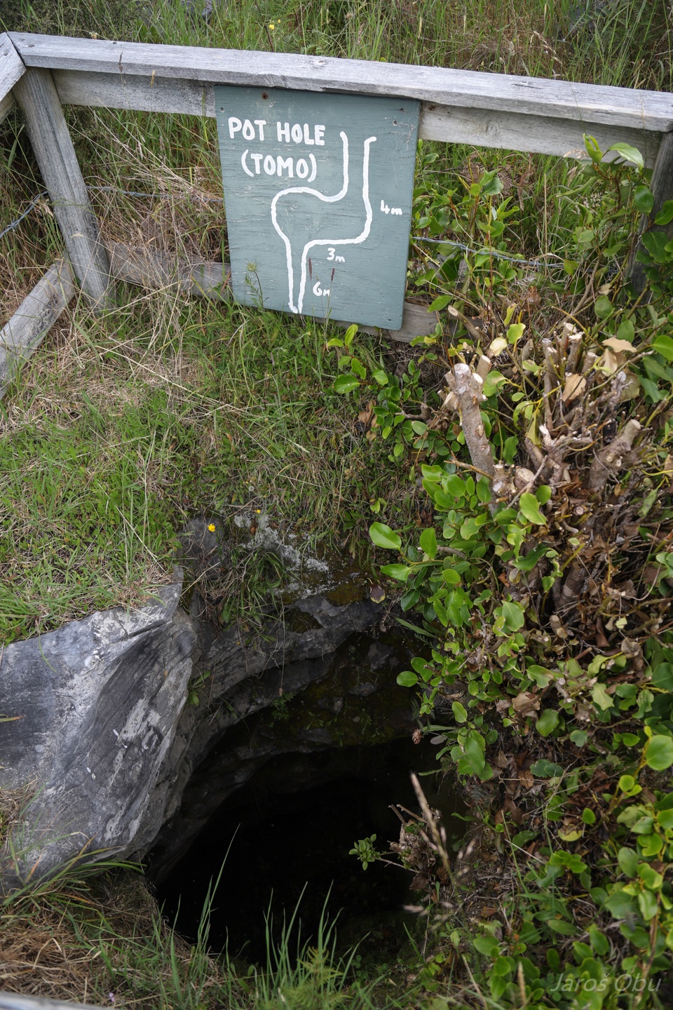
One of the holes above the cave.
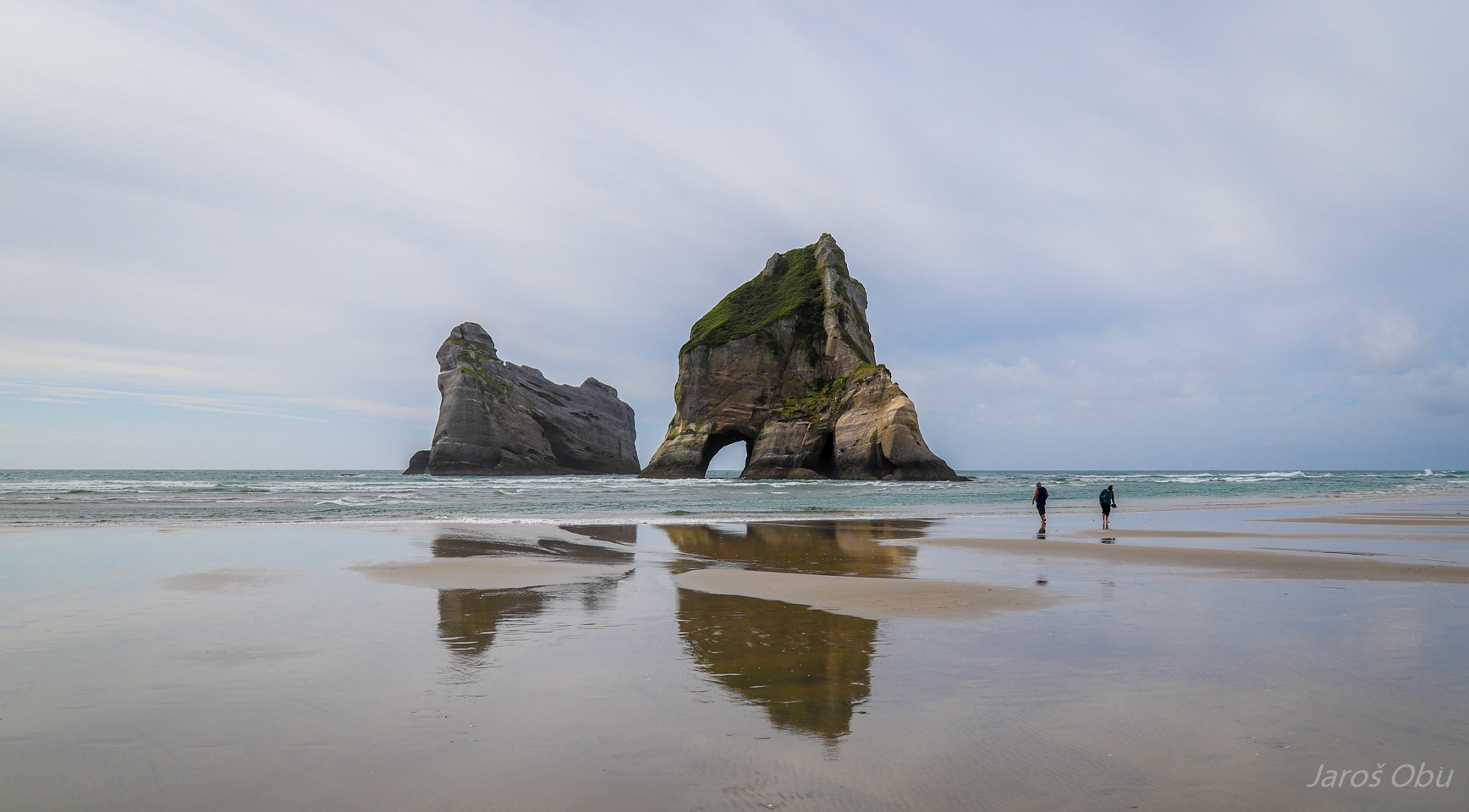
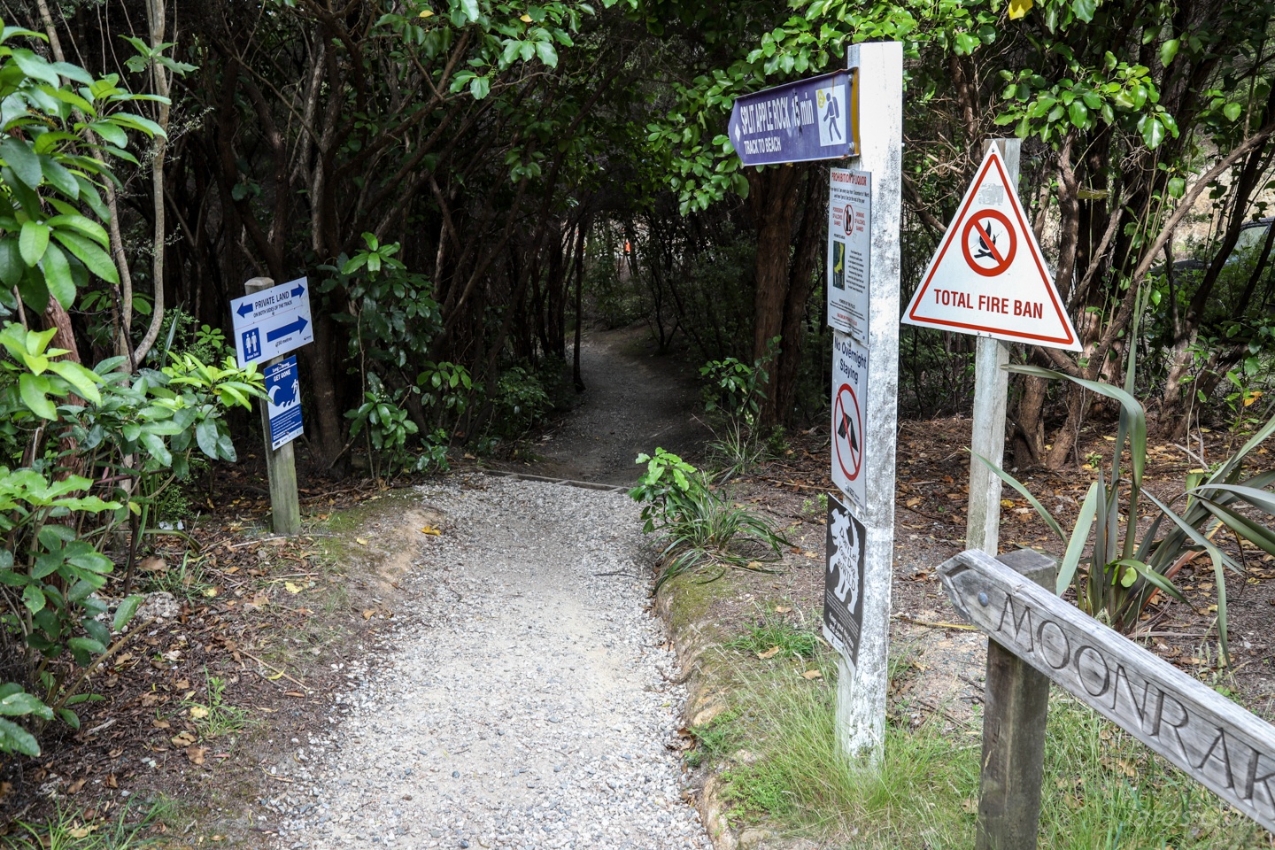
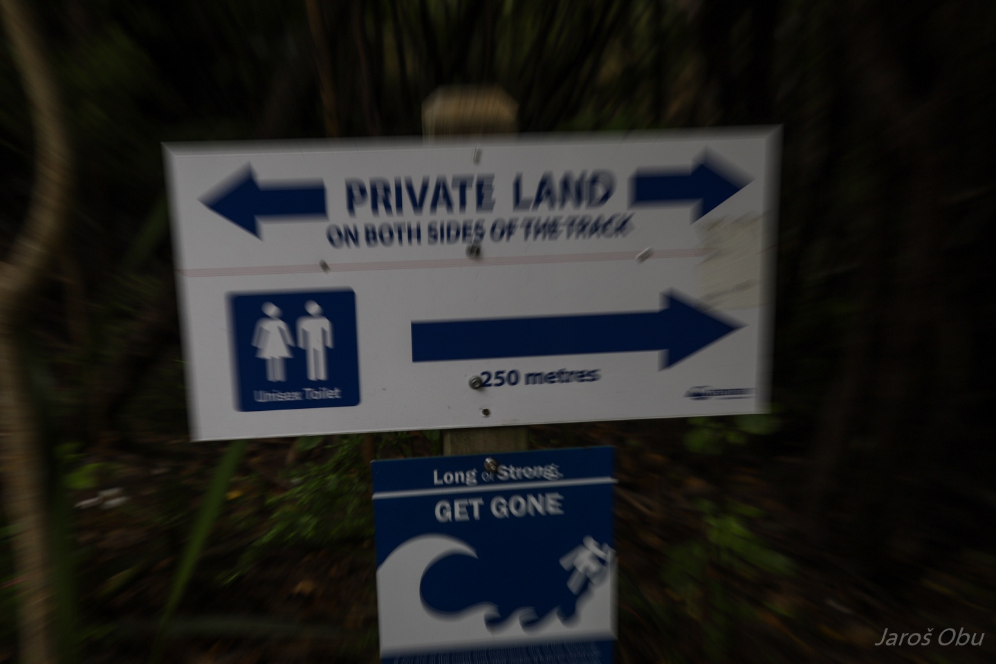
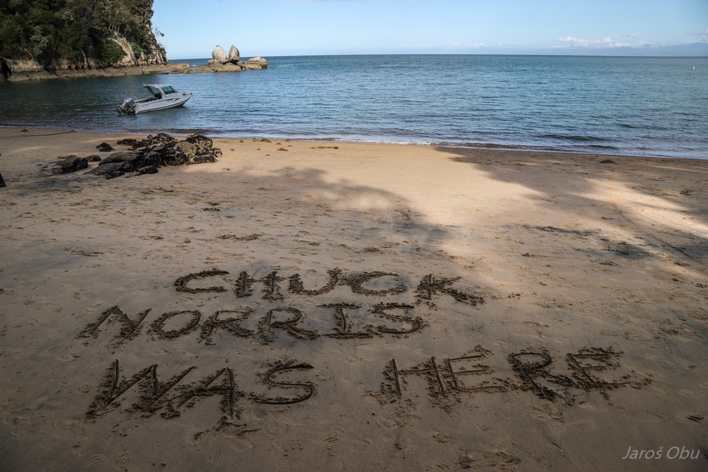
Visiting yet another beach.
One can be happy on the other hand that they didn't sell also the beach itself.
And here is the beach.
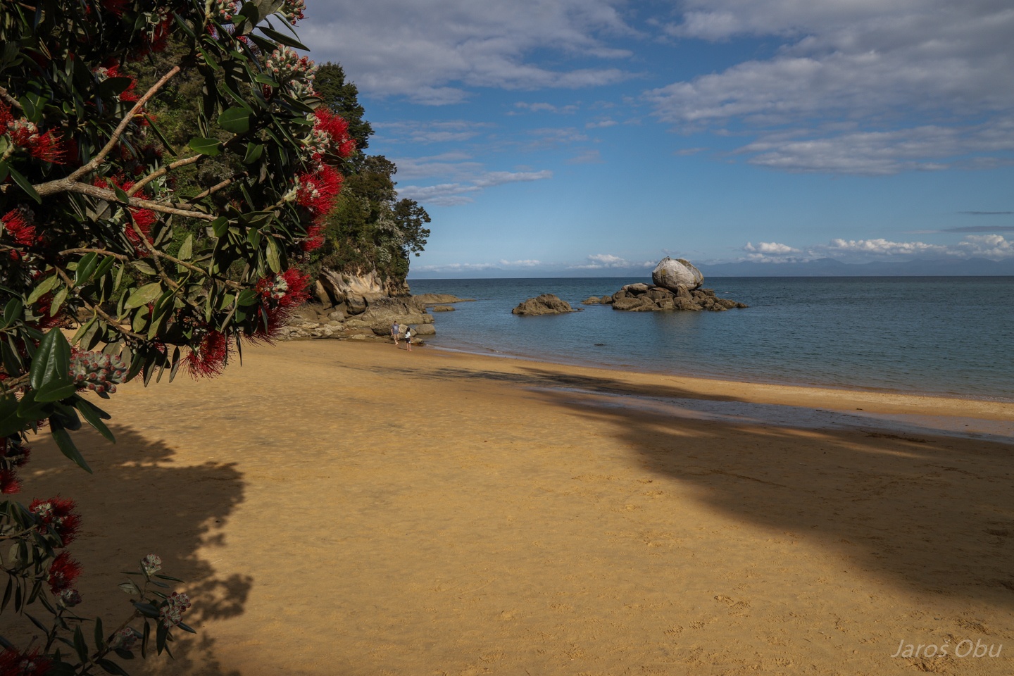
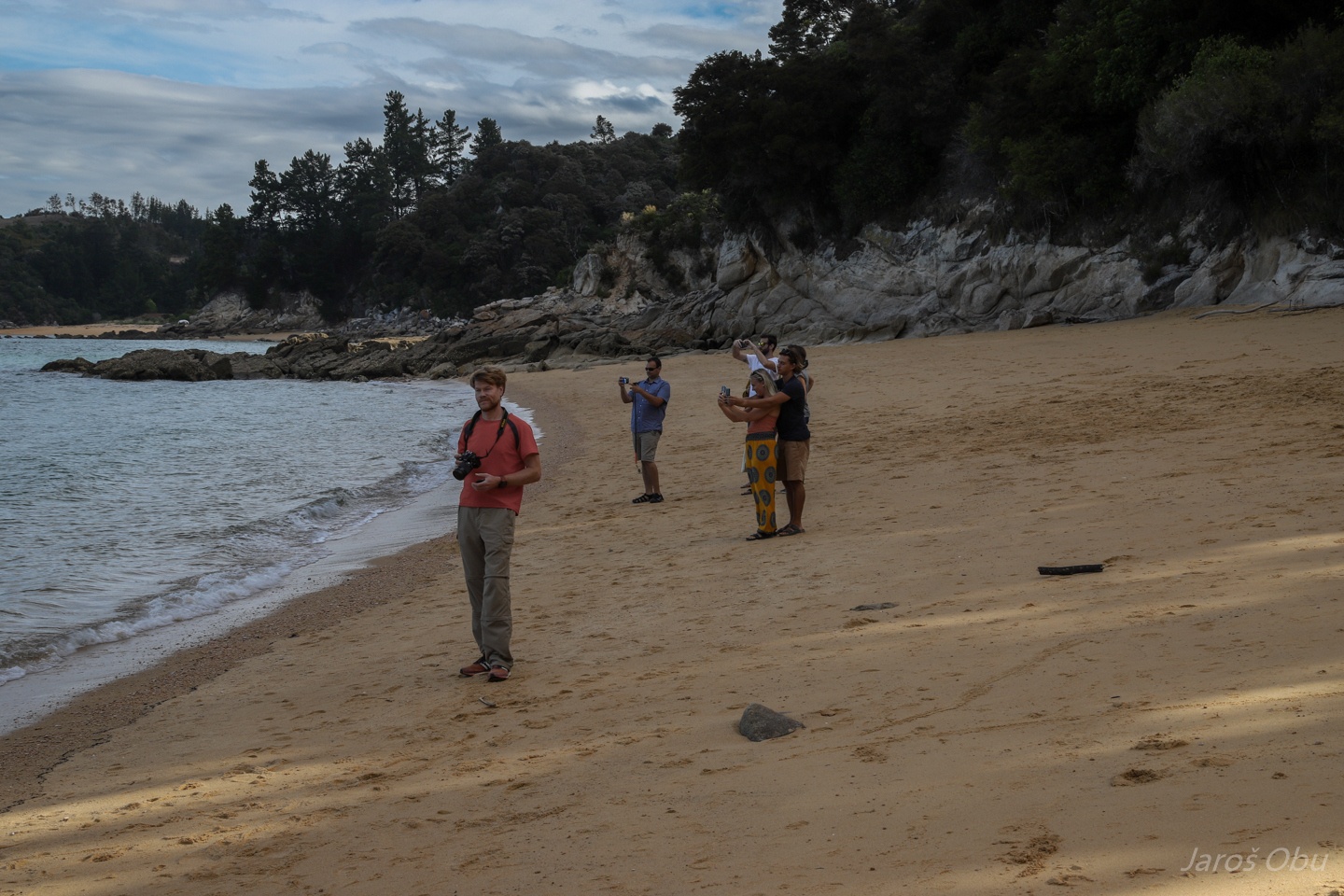
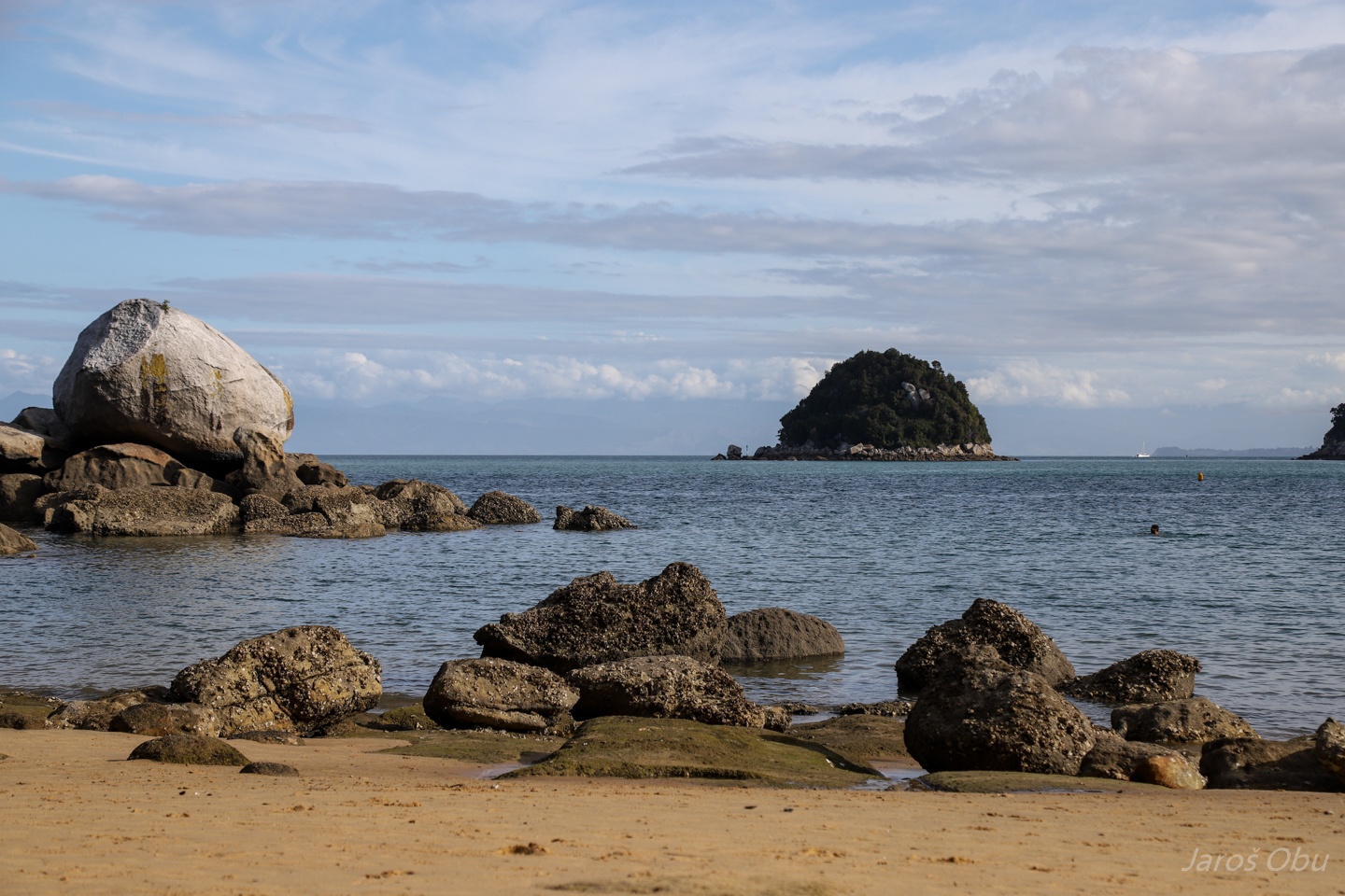
What are these people looking at?
It is an apple. A Split Apple Rock.
Somebody has a good sense of humour :) This granite boulder was probably cracked with a combination of salt weathering and thermal expansion.
It was somewhere around here that Abel Tasman first spotted New Zealand in 1642 but never landed.
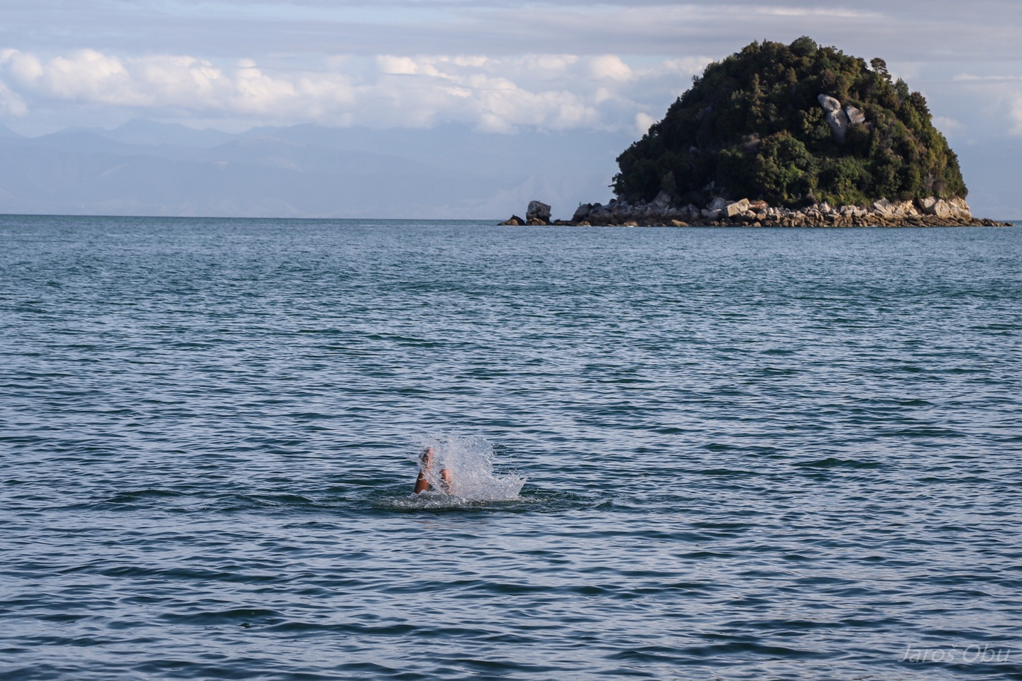
Jaroš went swimming again.
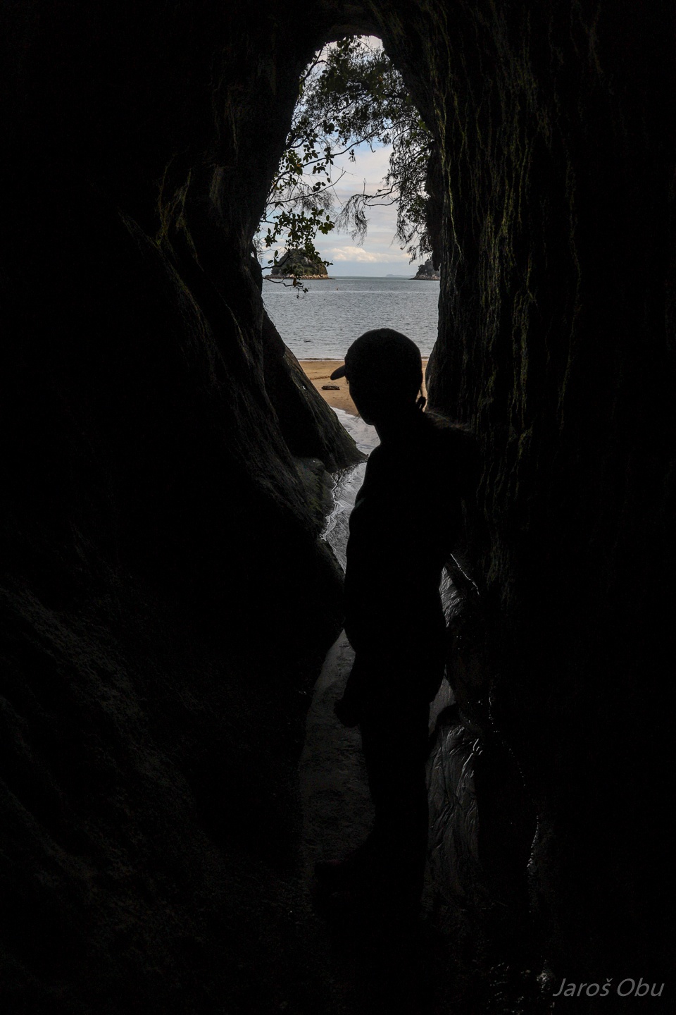
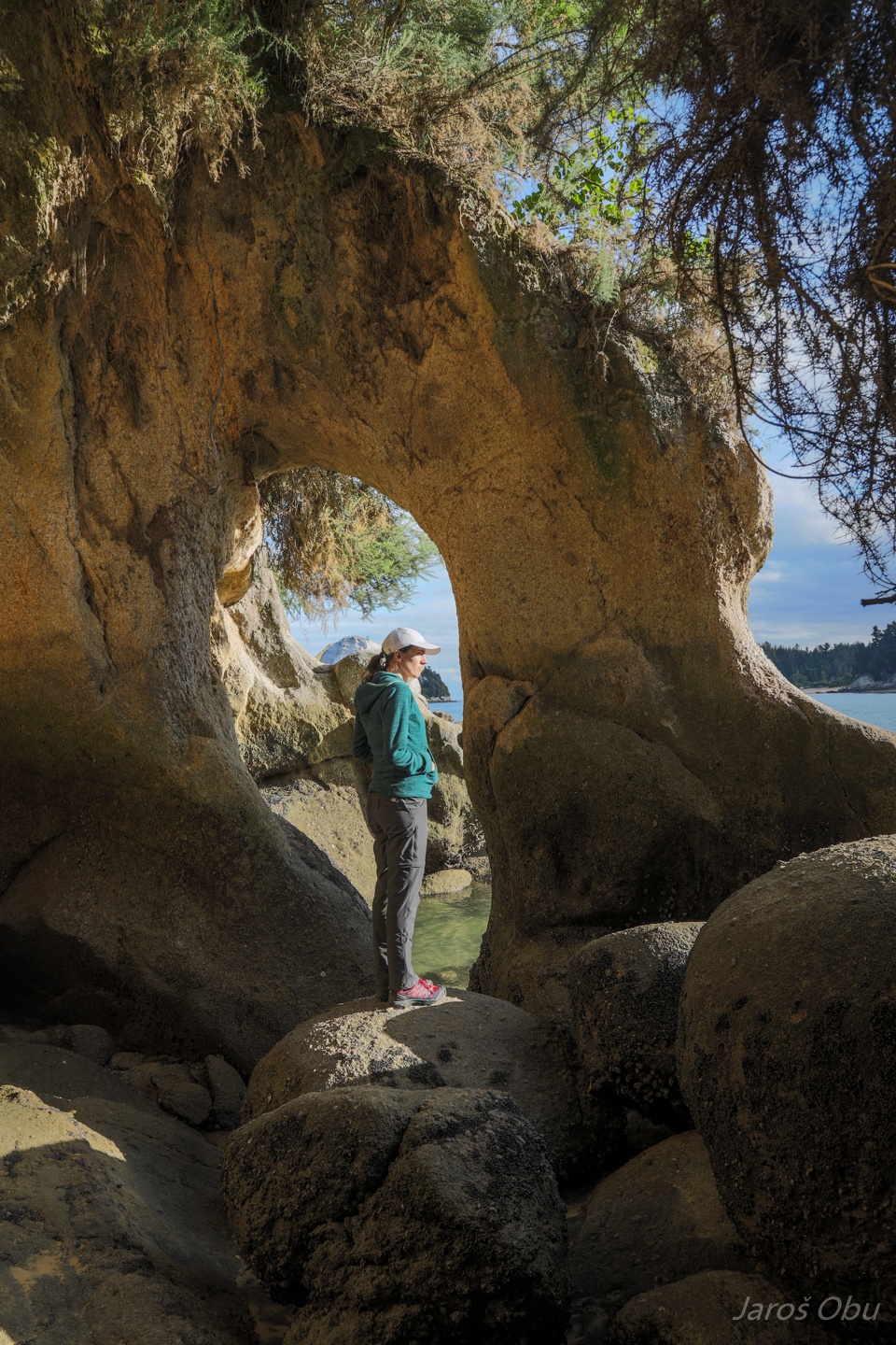
Many cavities around.
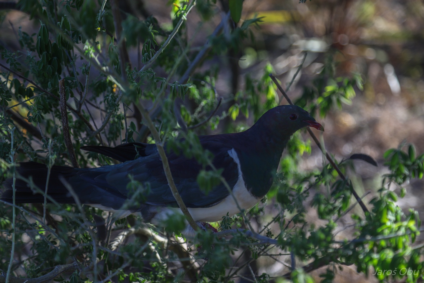
New Zealand pigeon is endemic and a bit bigger than European pigeons.
Marahau bay in the vicinity of the Split Apple Beach.
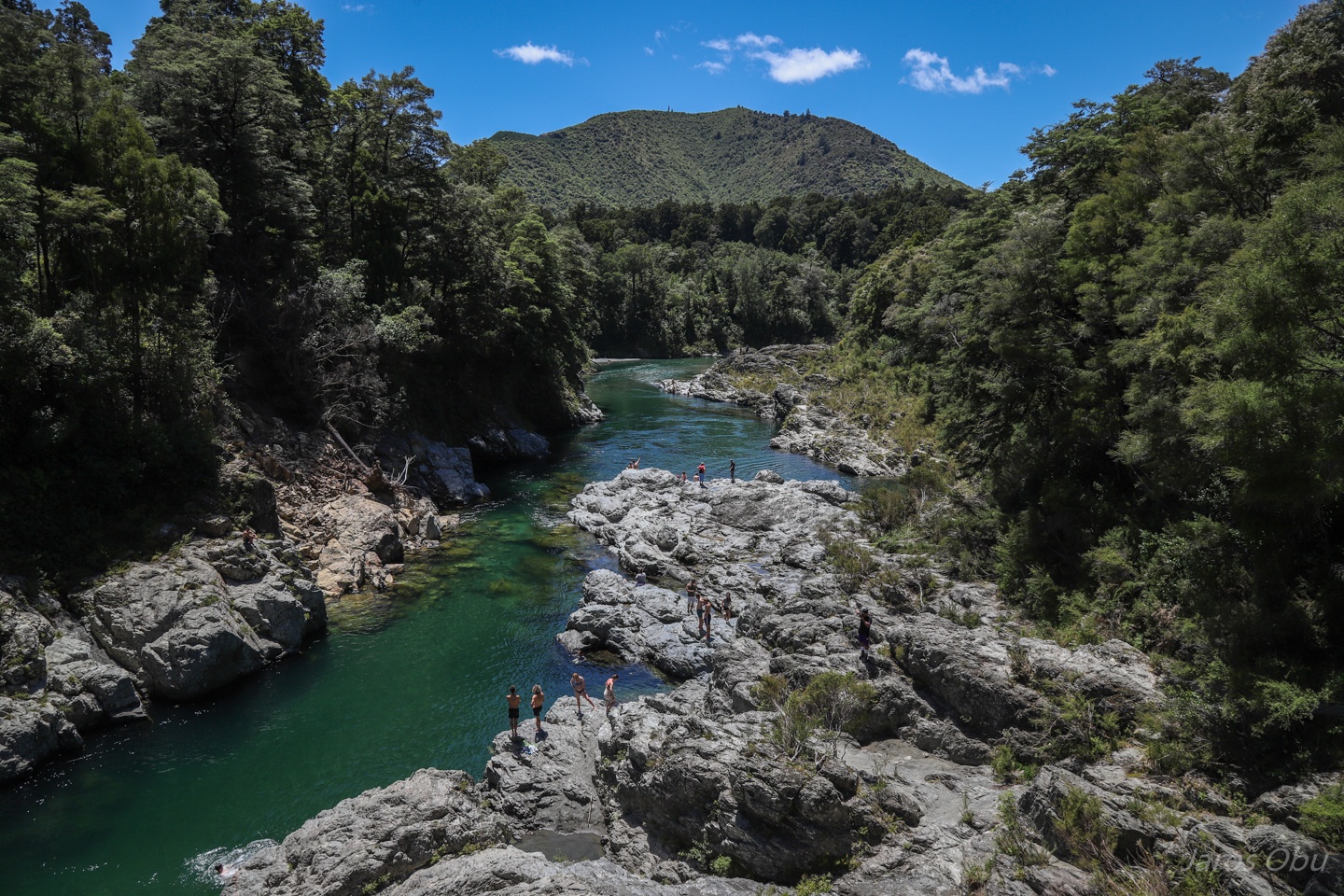
Crossing Pelorus River on a way to the west next day.
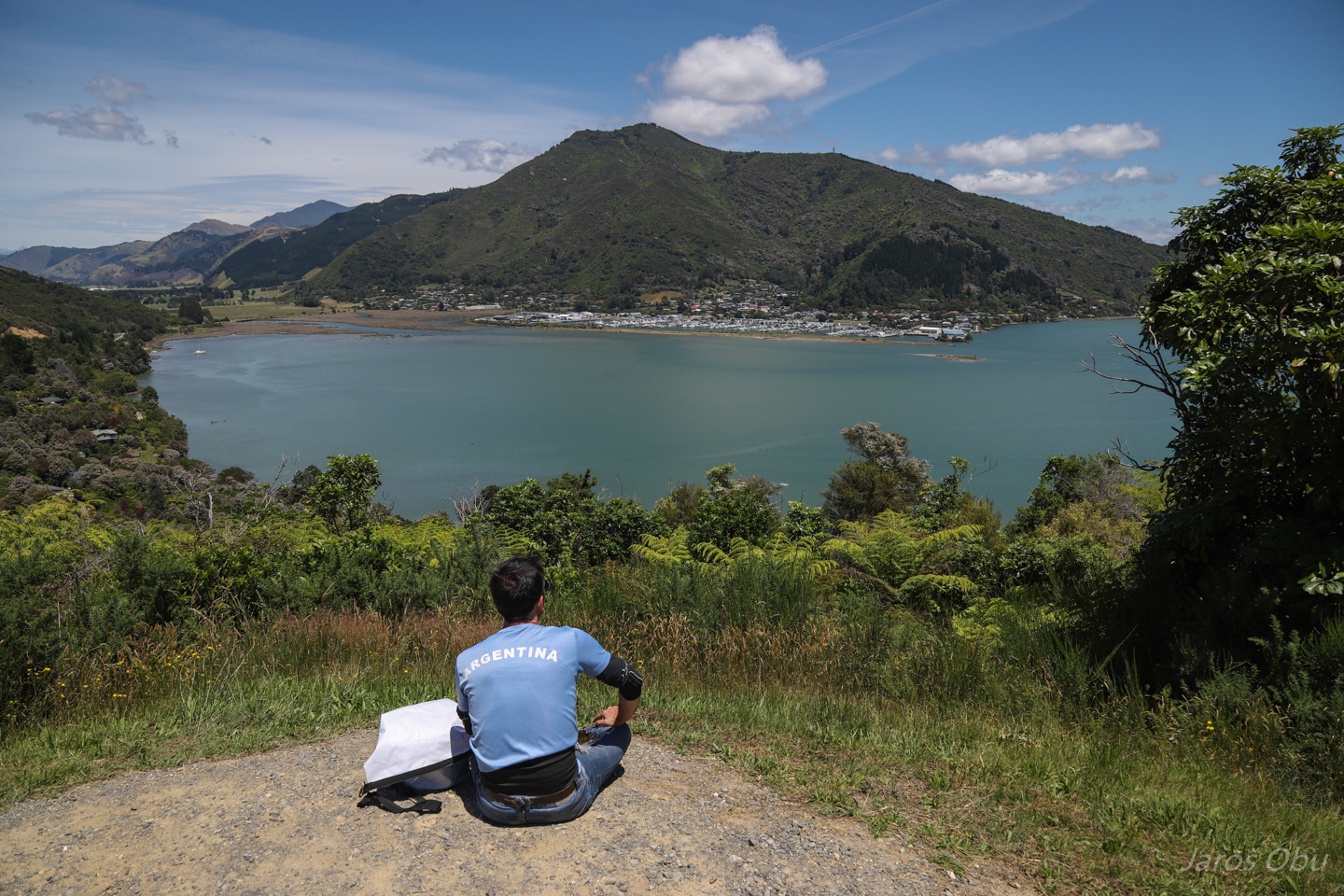
Havelock from Cullen Point Lookout in the Marlborough region.
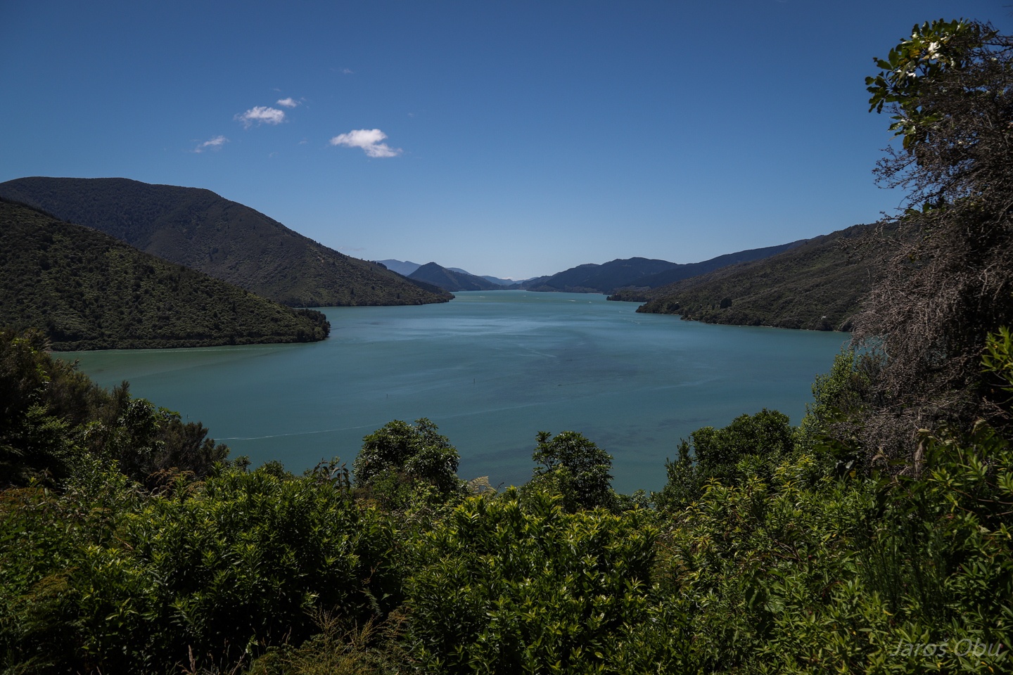
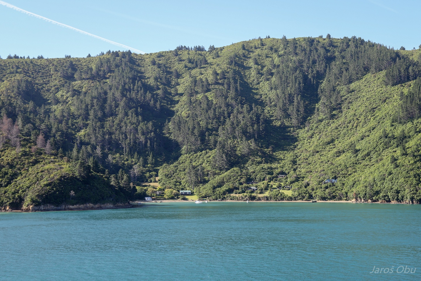
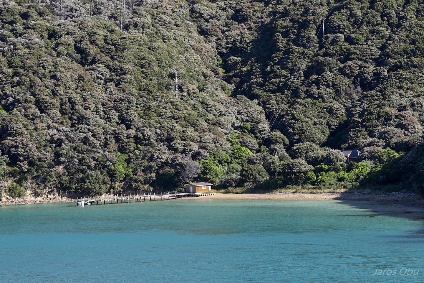
Marlbourough Sounds.
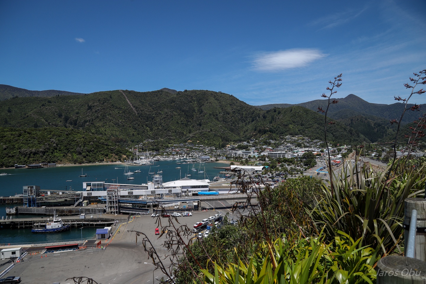
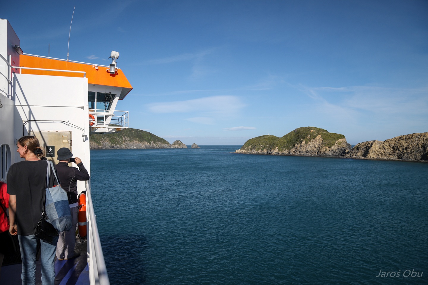
Picton is where our trip on the Southern Island finished.
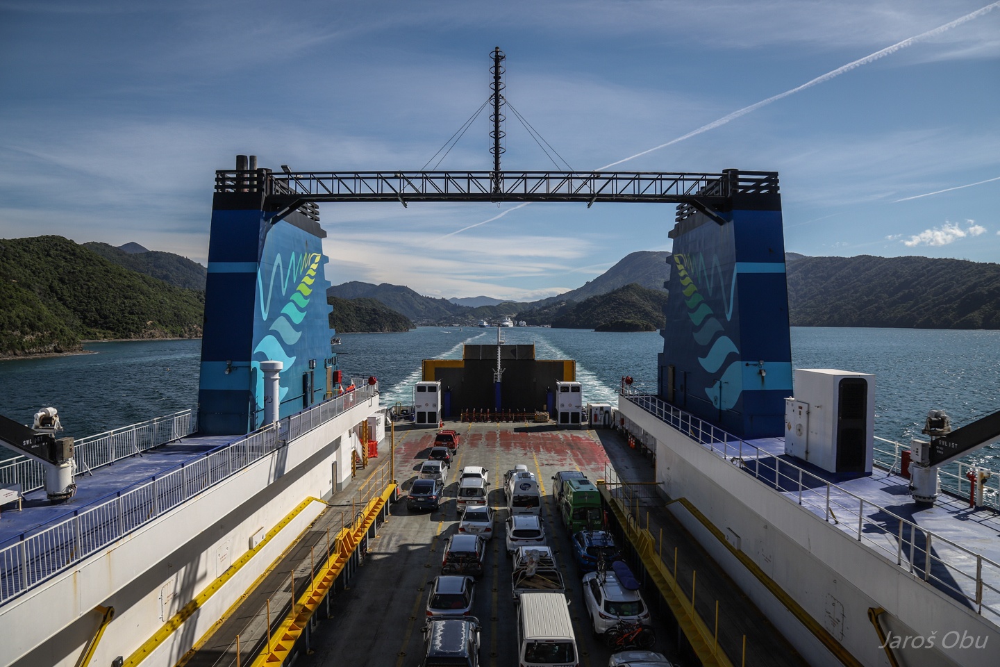
On a ferry to Wellington.
Quite some (vacation?) houses around on islands and inaccessible bays.
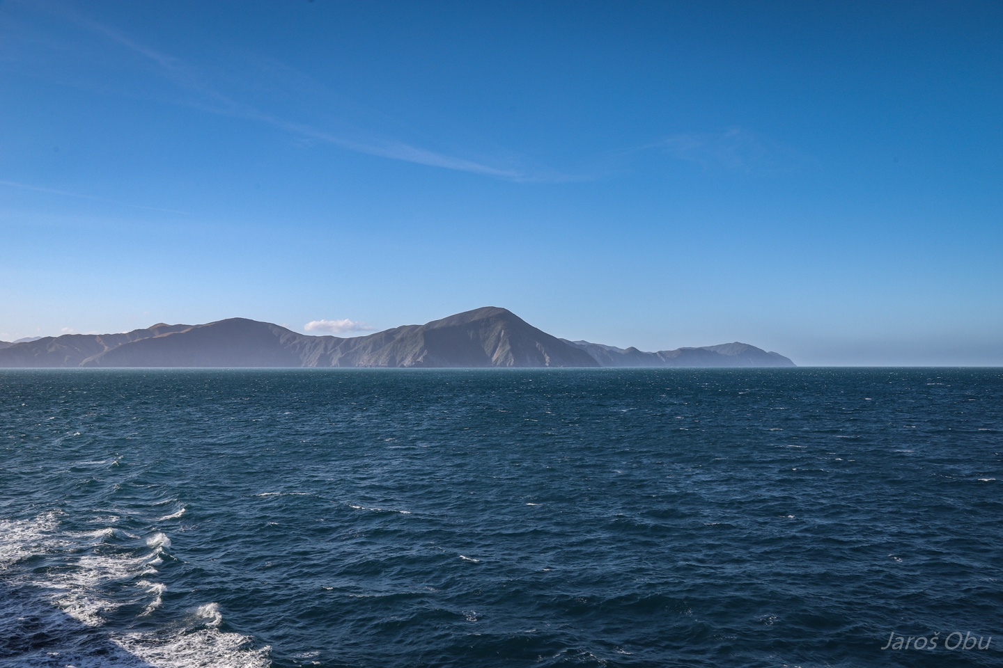
Approaching the Cook Strait between the South and North Islands.
Farewell Southern Island.