© 2024 Jaroš Obu
Photo gallery of Jaroš Obu
Cart
0
Items
Buy now
Tröllaskagi 30.7.-1.8. 2019
Thursday, 01 August 2019
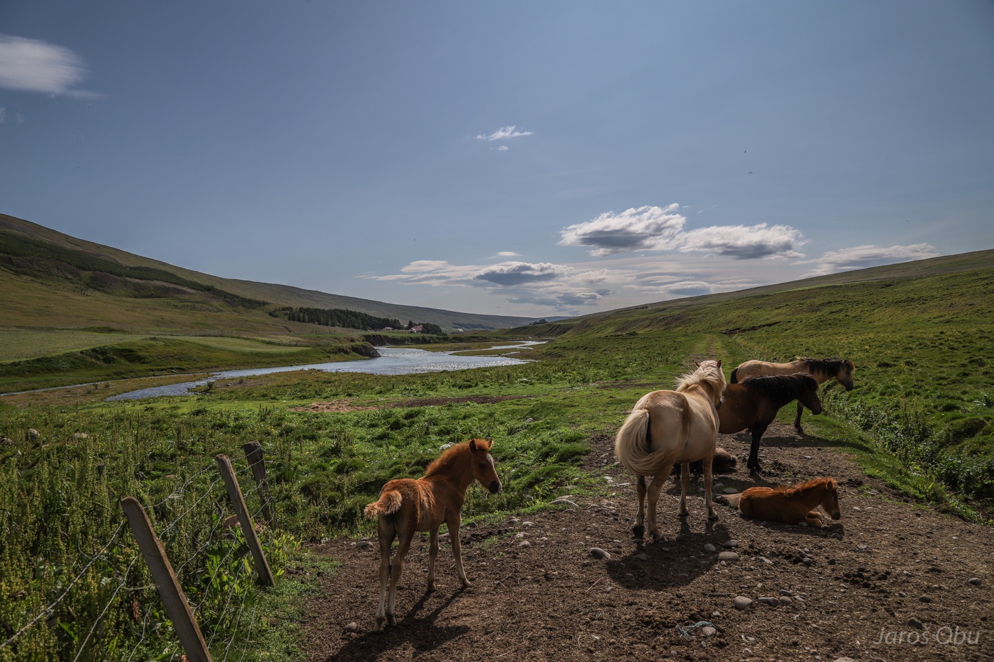
Blöndudalur following descent from the Highlands.
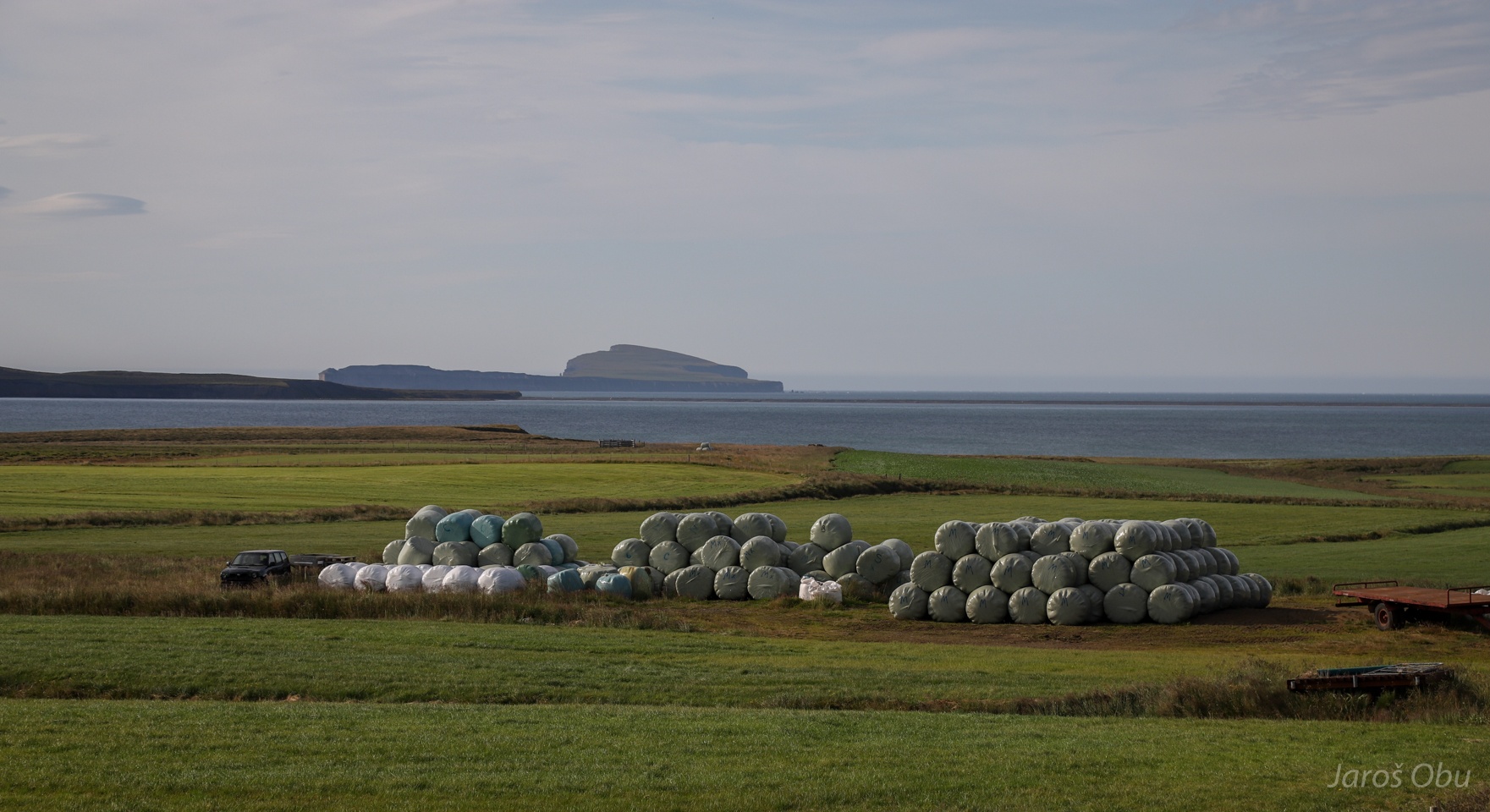
Sunny weather and temperatures of about 20 °C were a good opportunity for the local farmers to dry some hay.
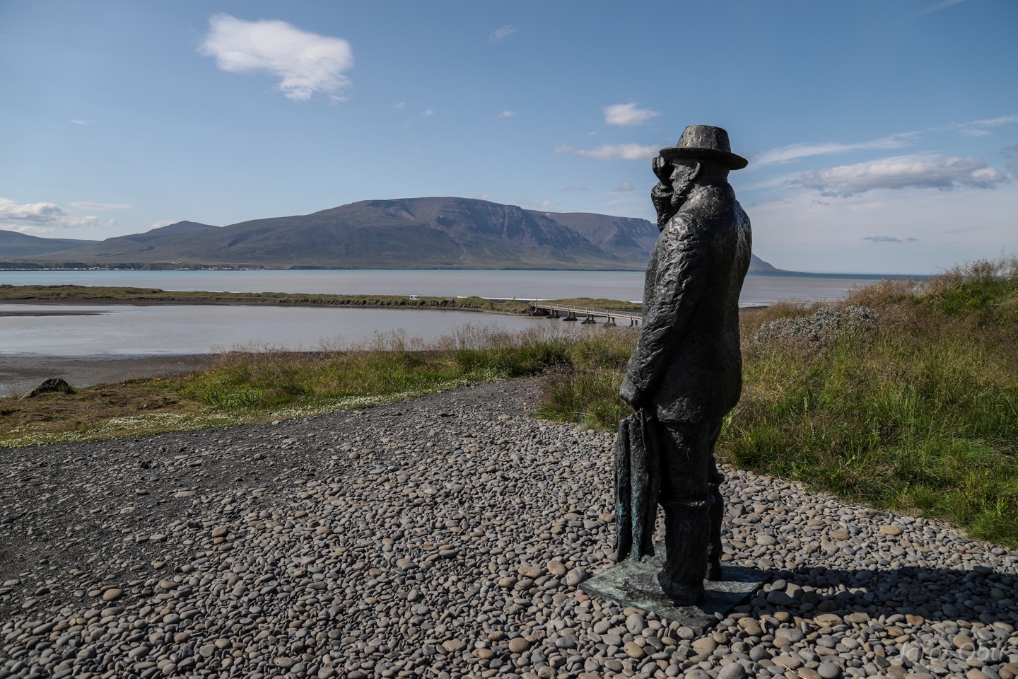
Memorial to Stephan G. Stephansson decorated by birds.
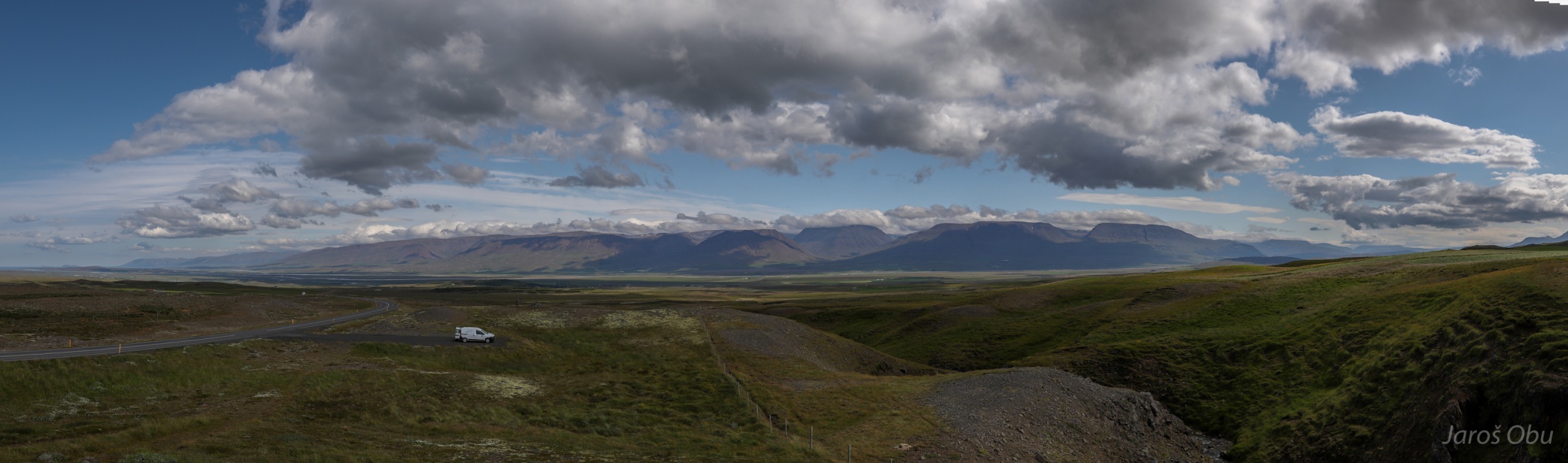
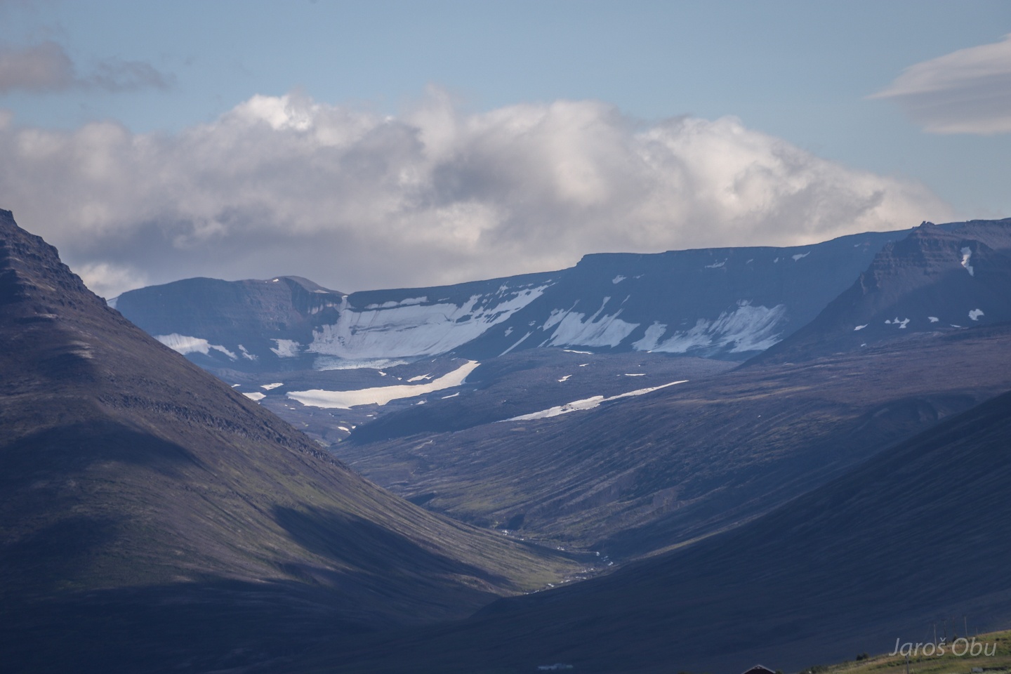
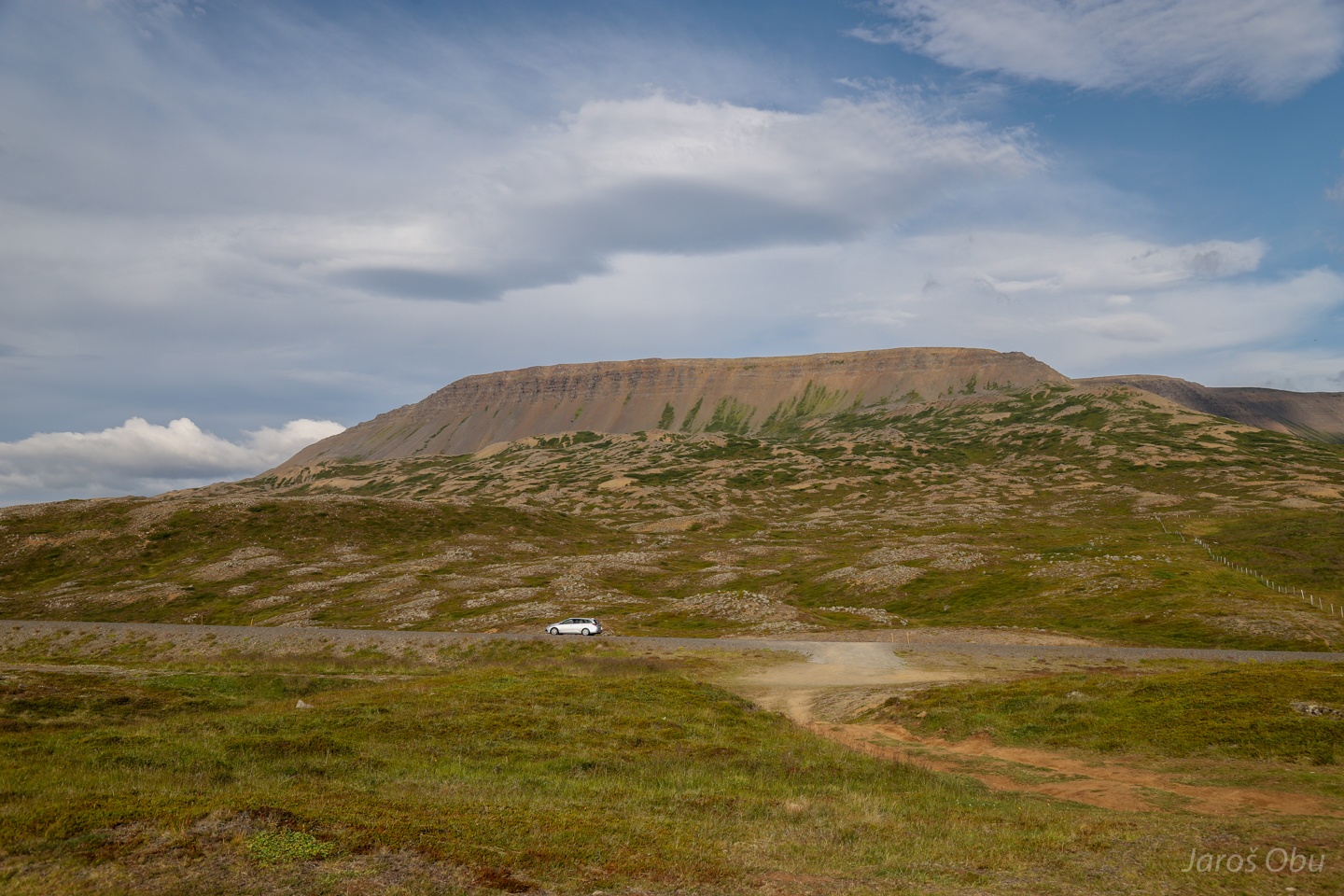
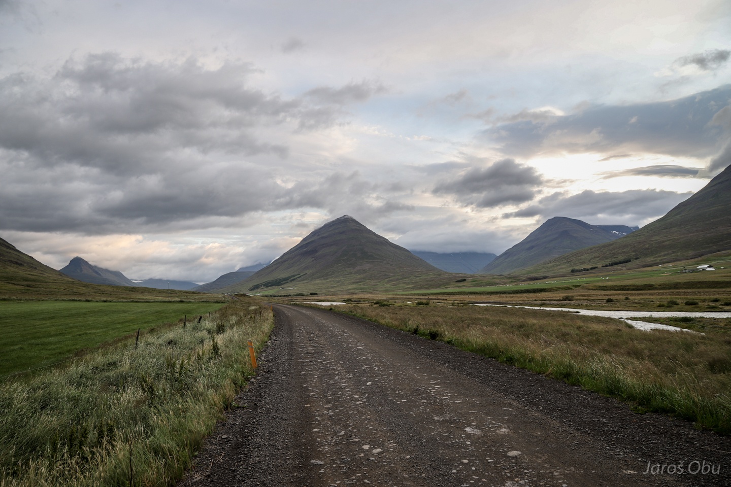
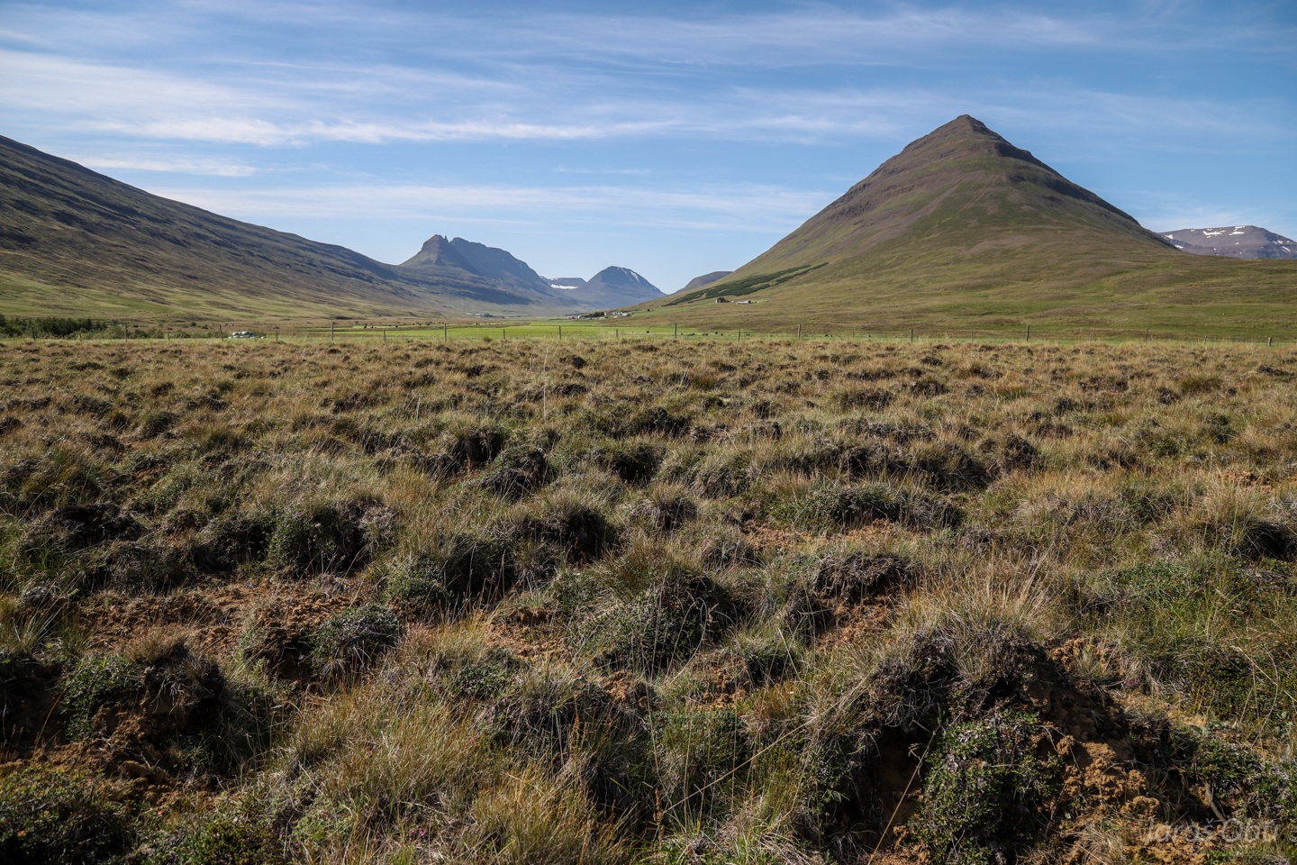
Tröllaskagi Peninsula and Mountains as visible from Vatnsskard Pass via Skagafjörður.
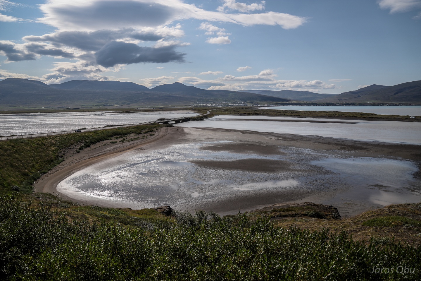
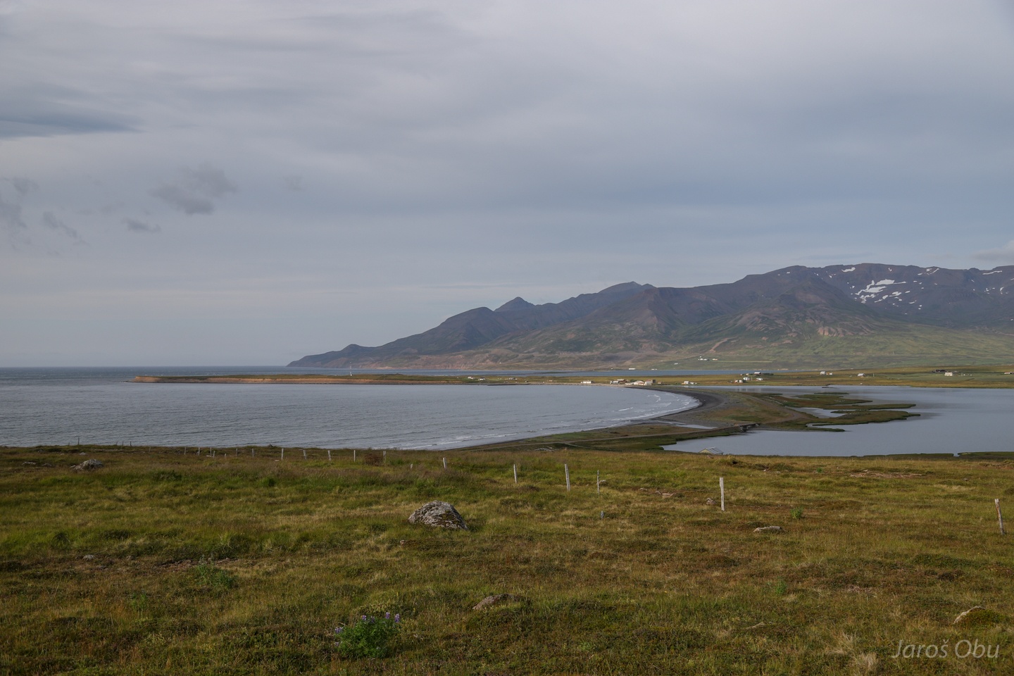
Sauðárkrókur Town in the distance at the northernmost part of Skagafjörður.
Fishery takes over sheep farming at the coast.
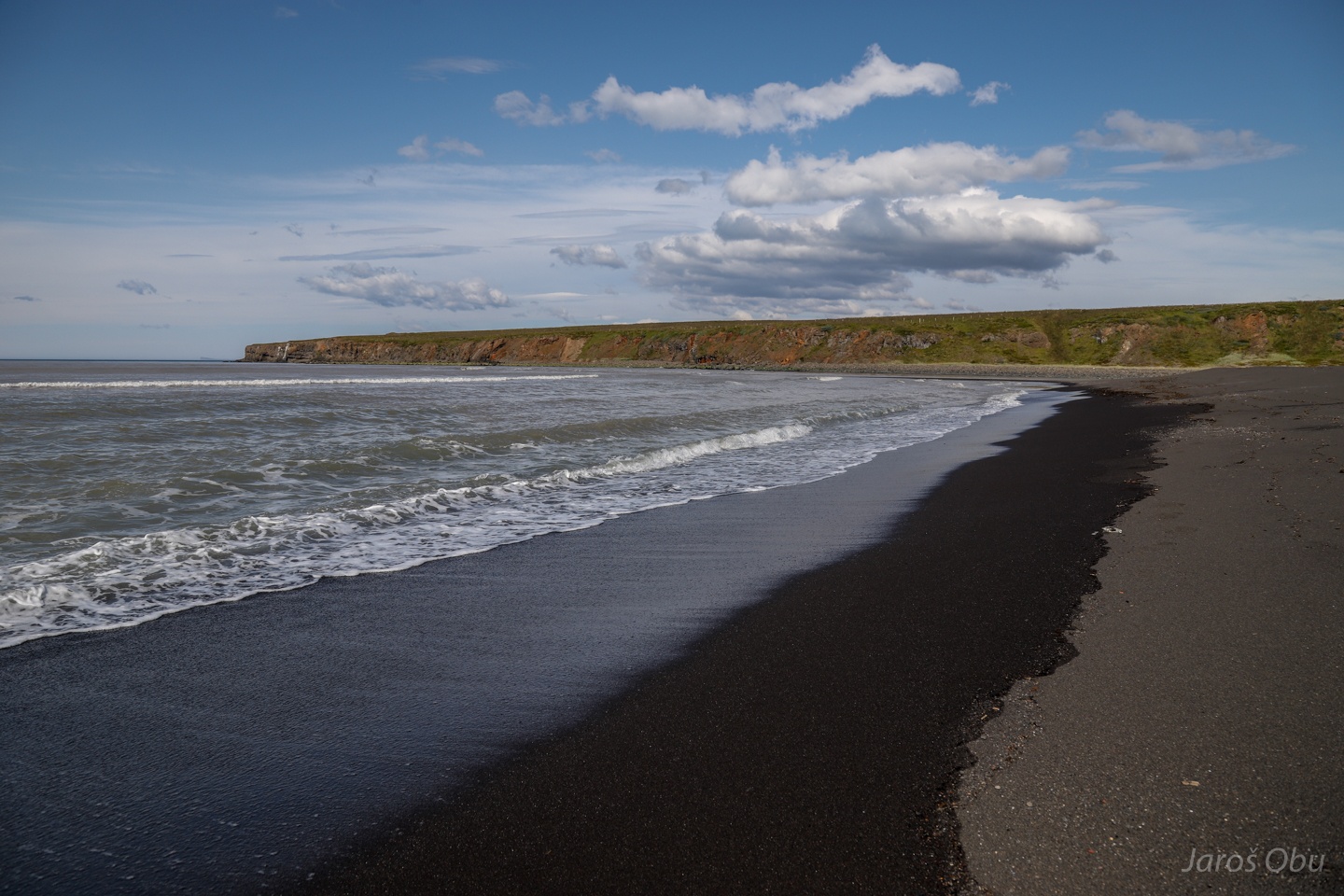
Black beaches made of weathered basalt.
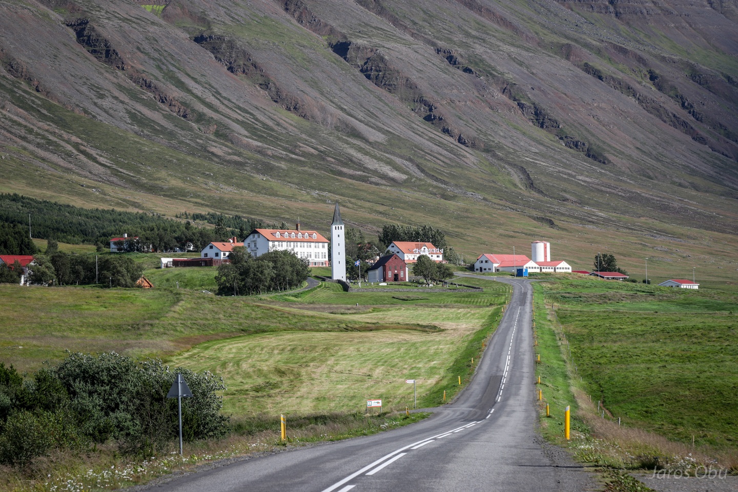
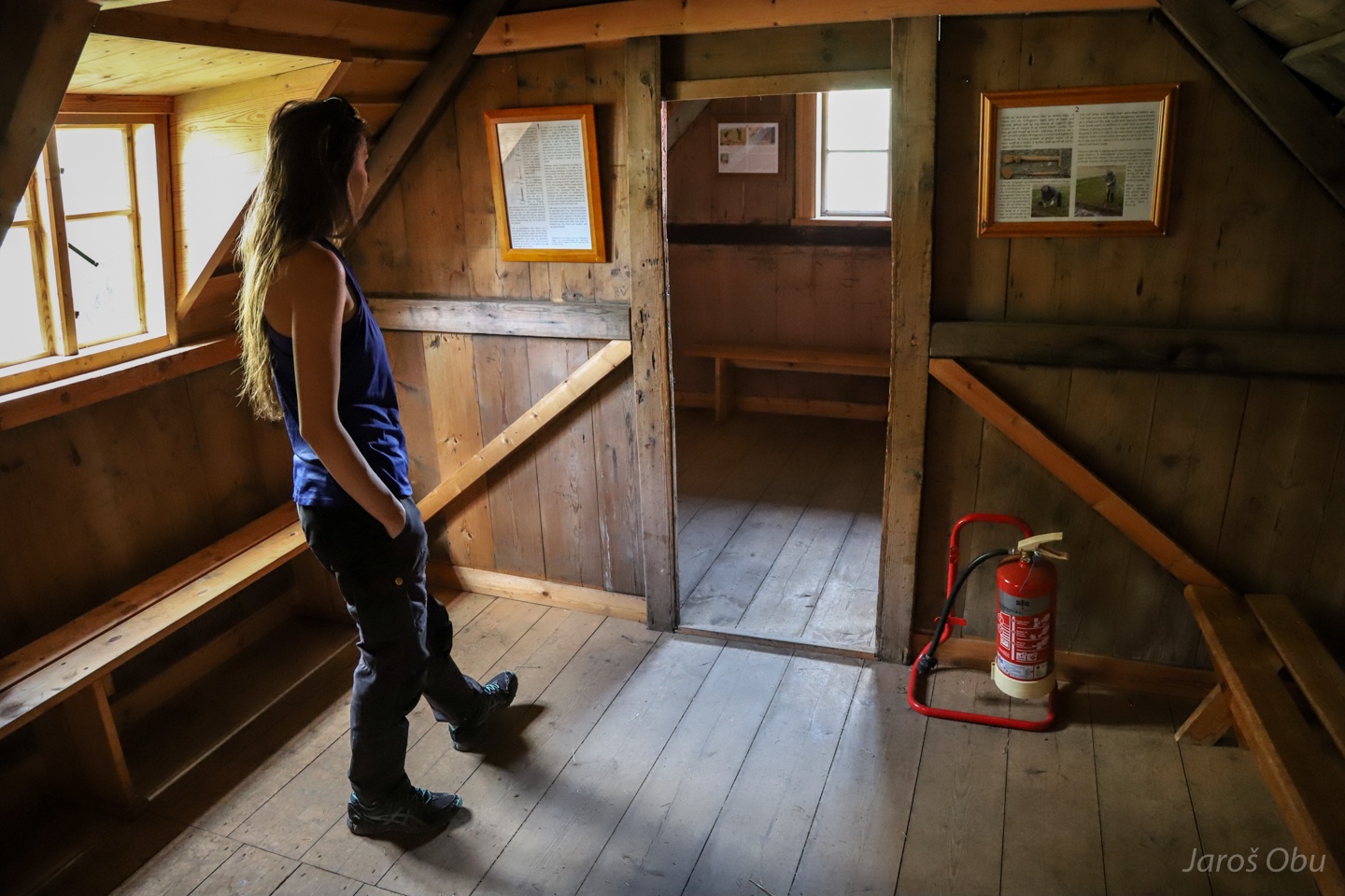
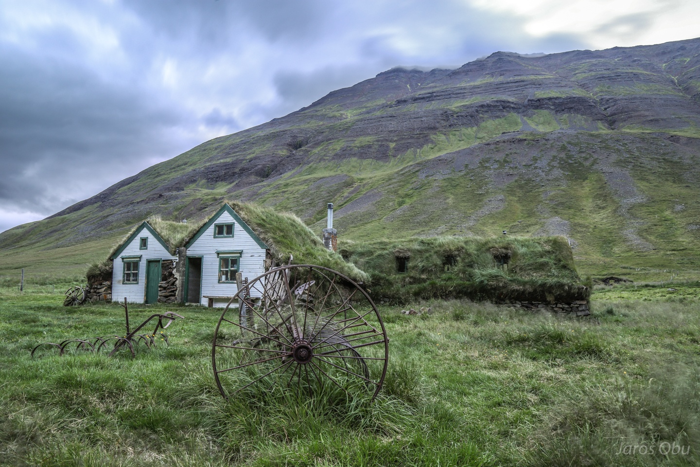
The Village of Hólar in Tröllaskagi Mountains.
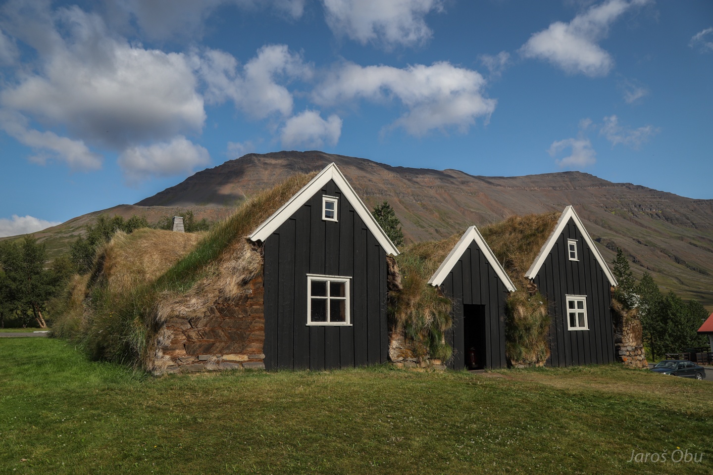
Traditional housing in this area from 18th century.
Timber was a very scarce resource in Iceland so they had to make use of the available material.
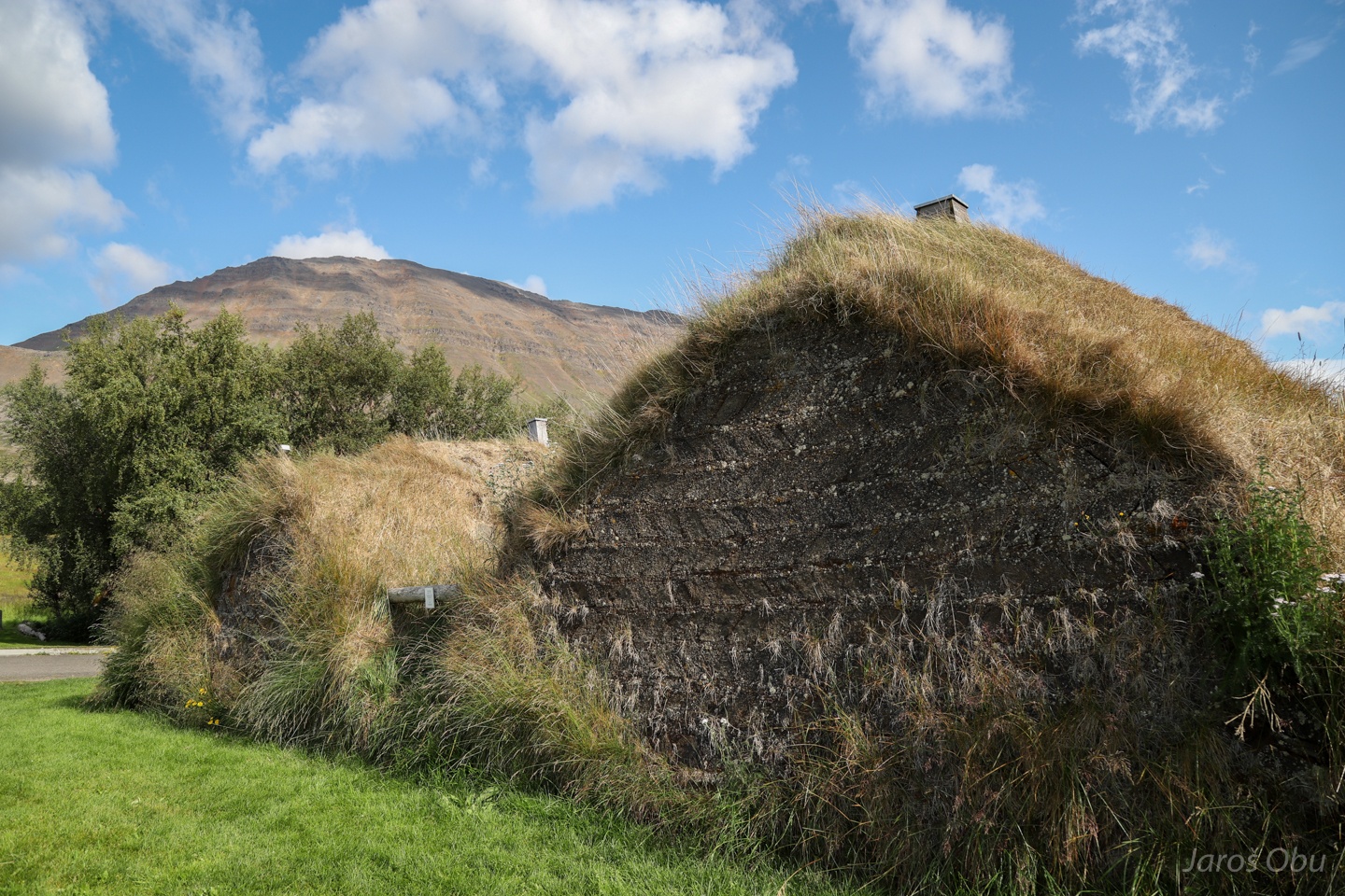
Outer walls made turf, which is a very good insulator.
The interior is however made of timber.
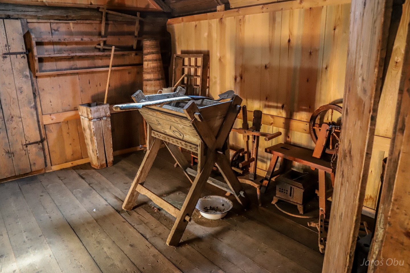
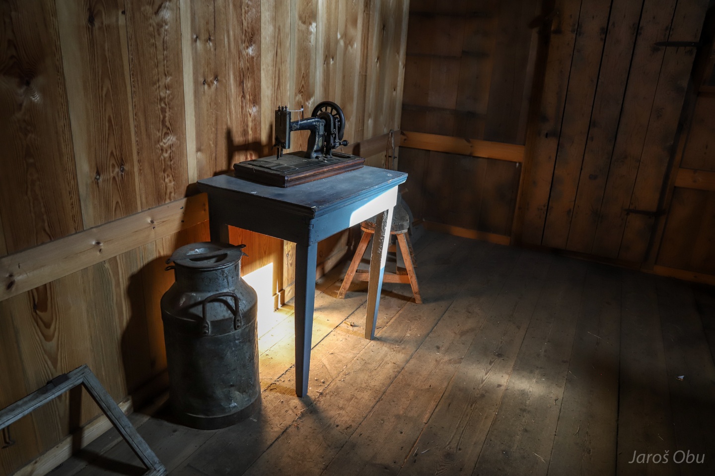
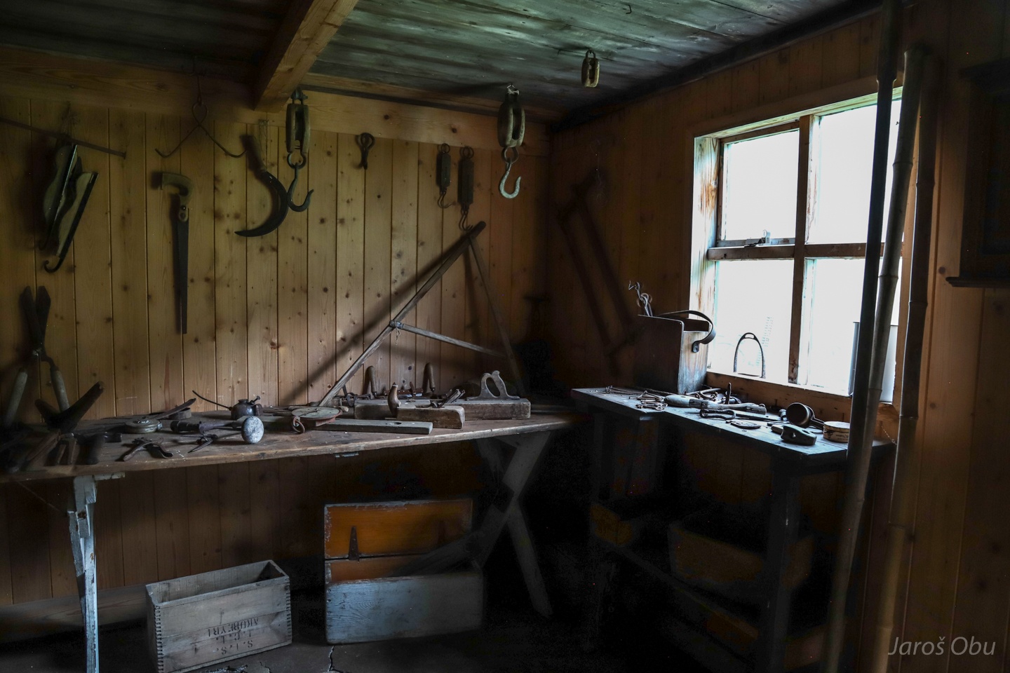
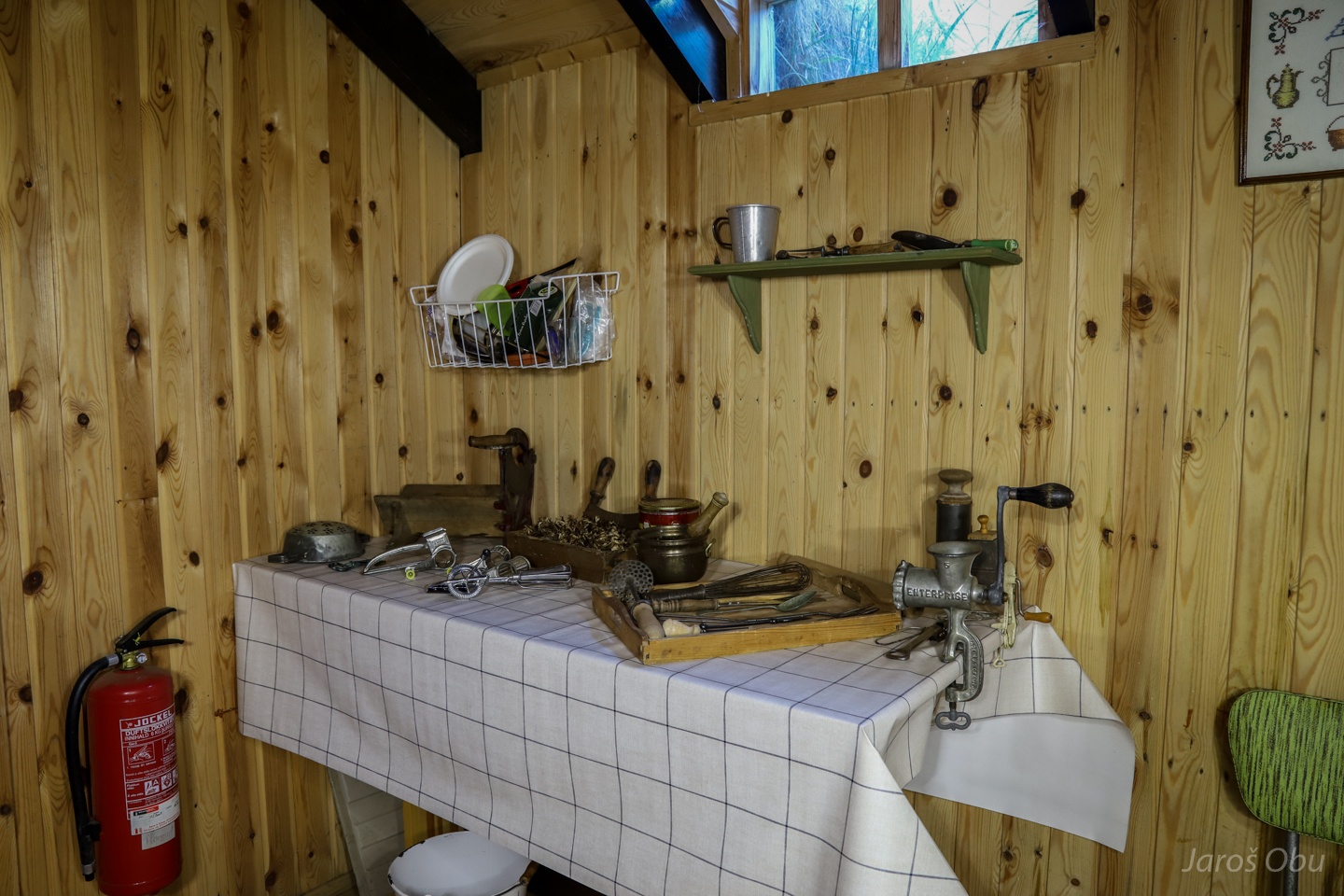
Exhibition of old tools and devices.
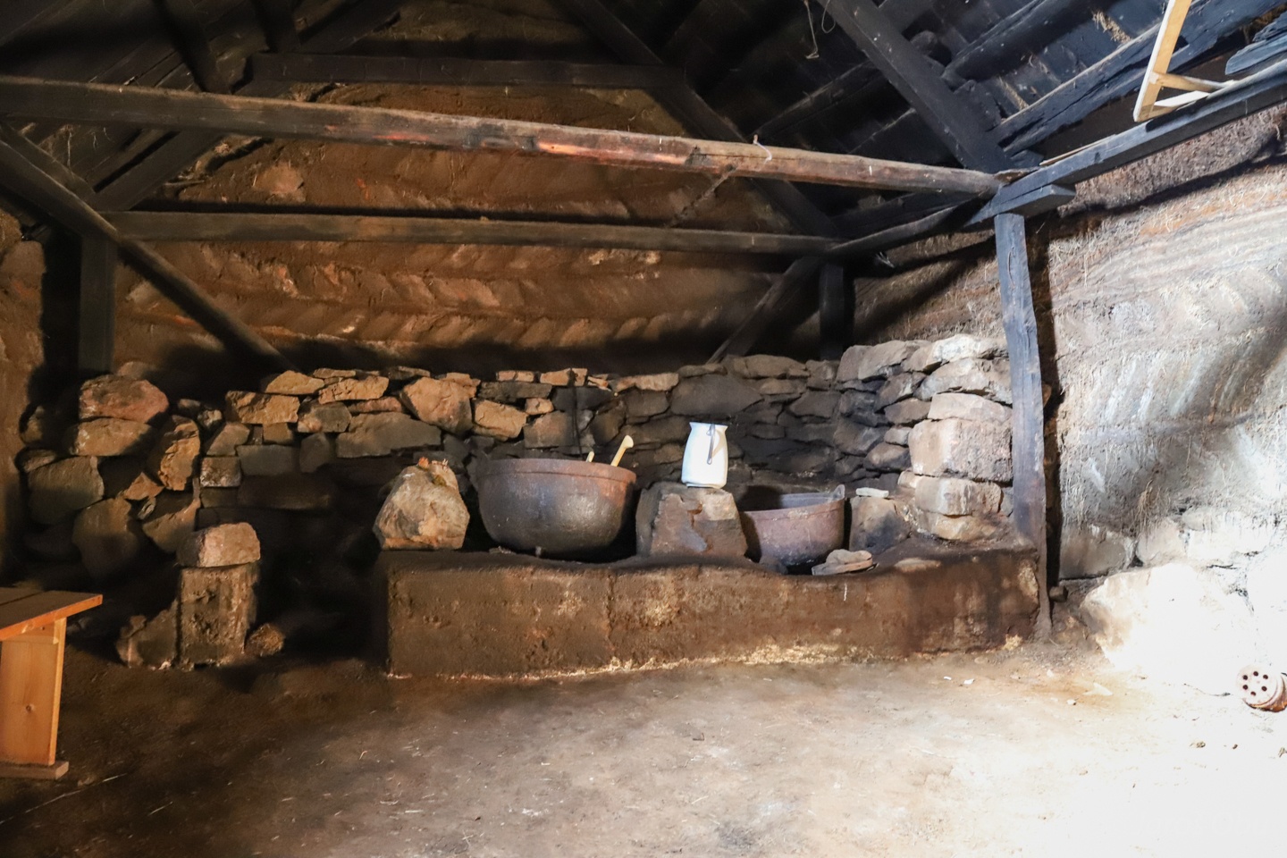
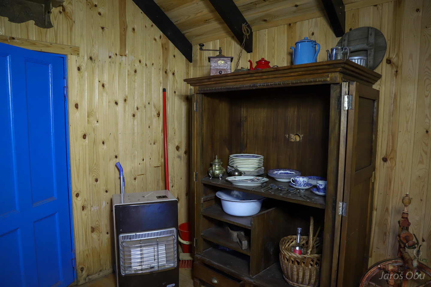
Kitchen.
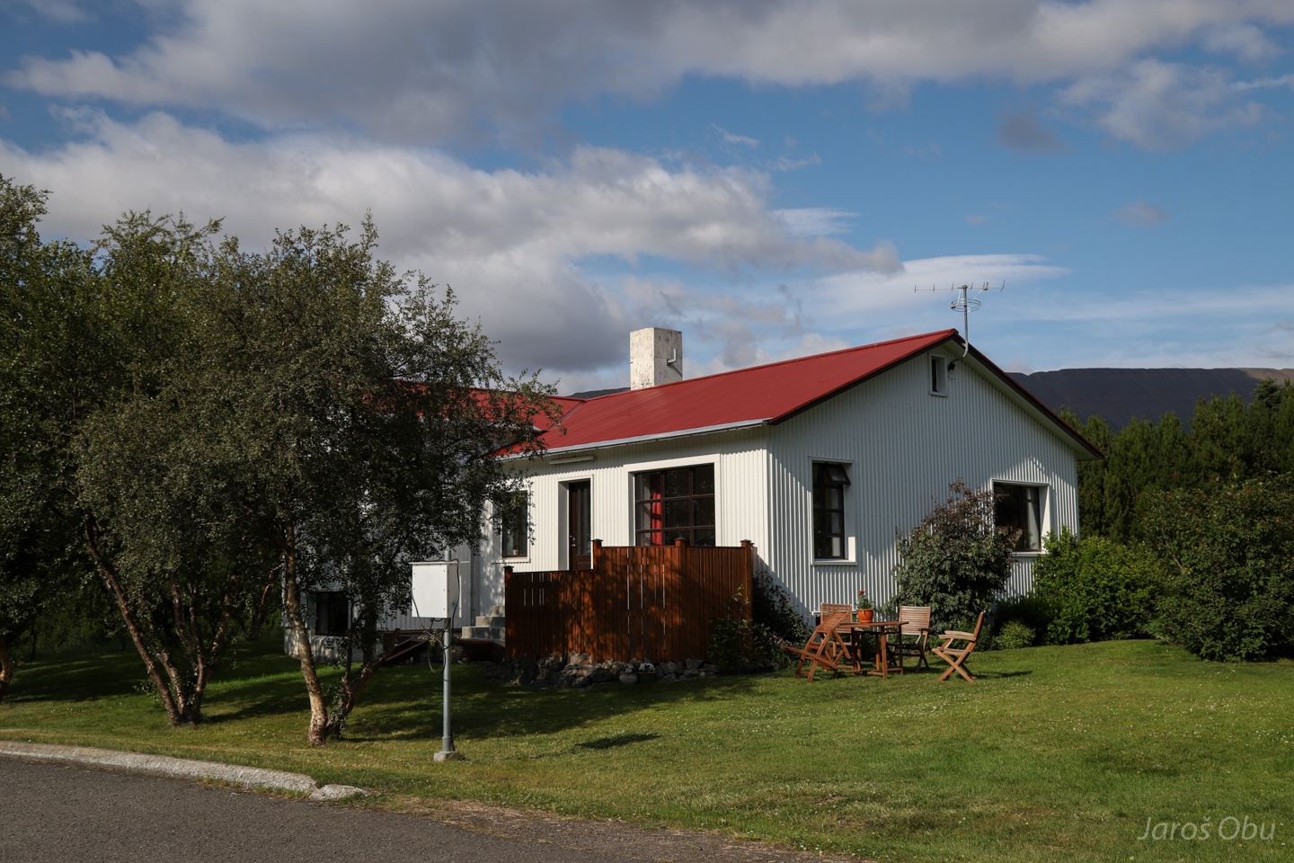
A more modern architecture.
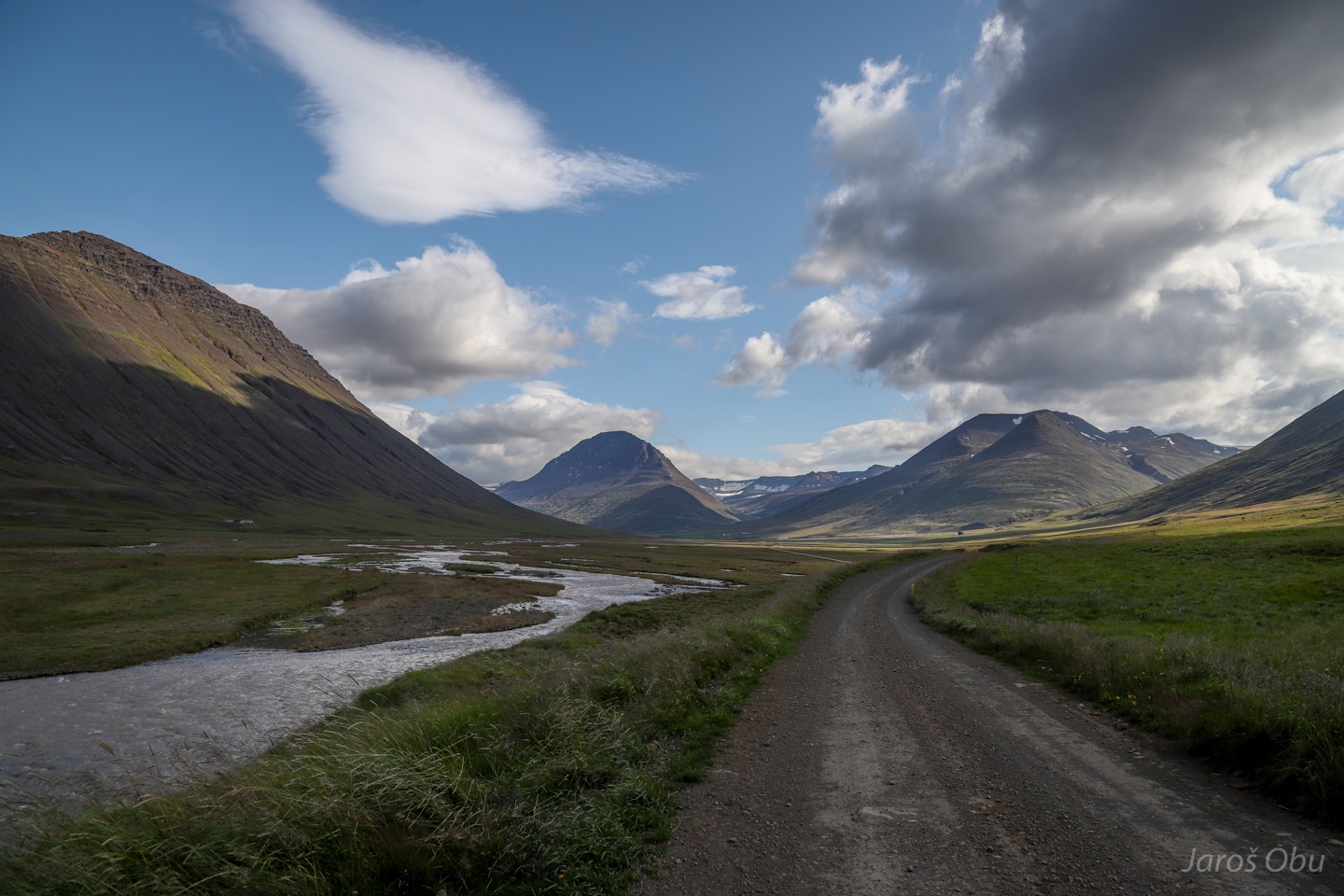
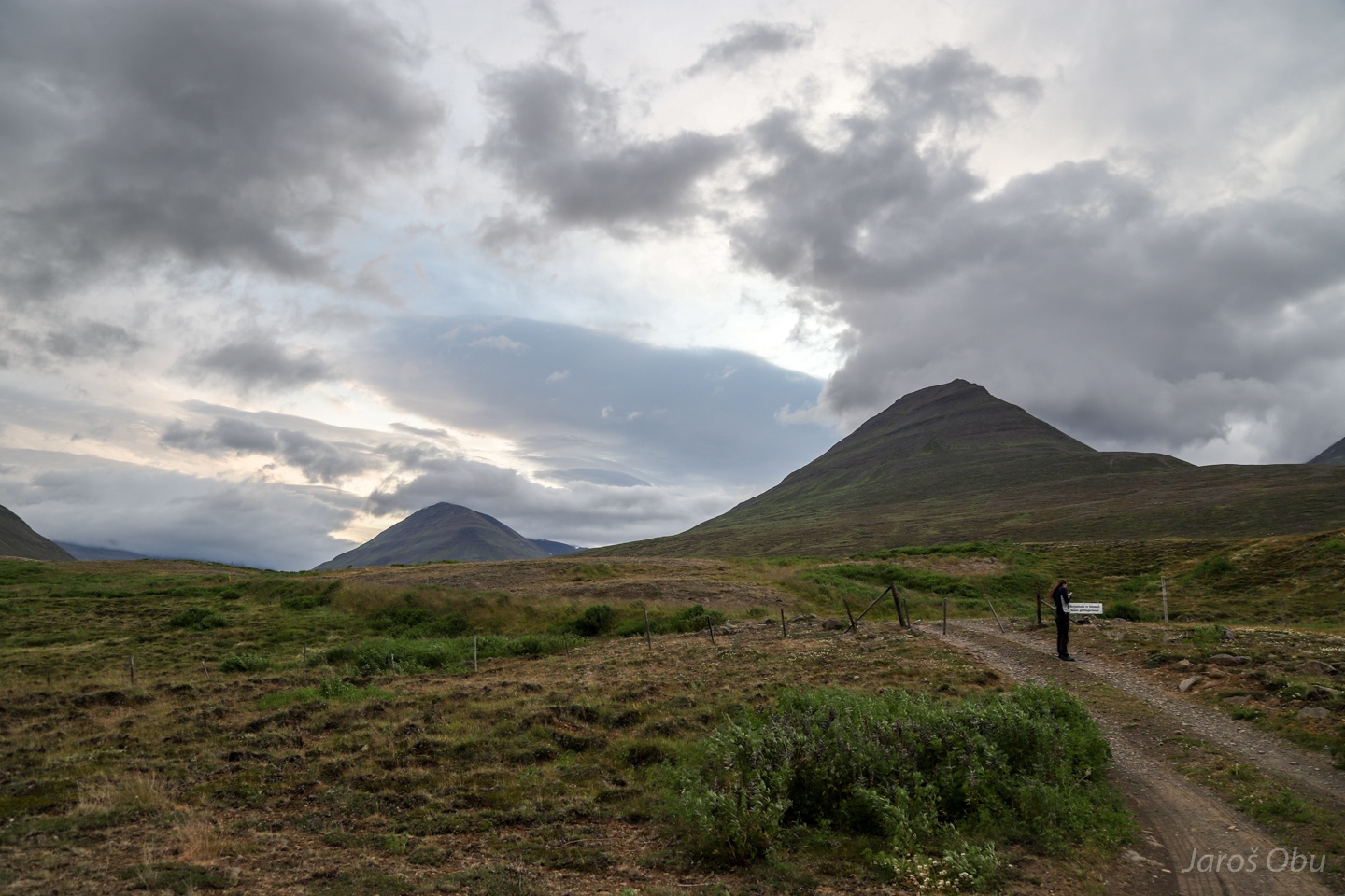
A short drive up the Hjaltádalur Valley.
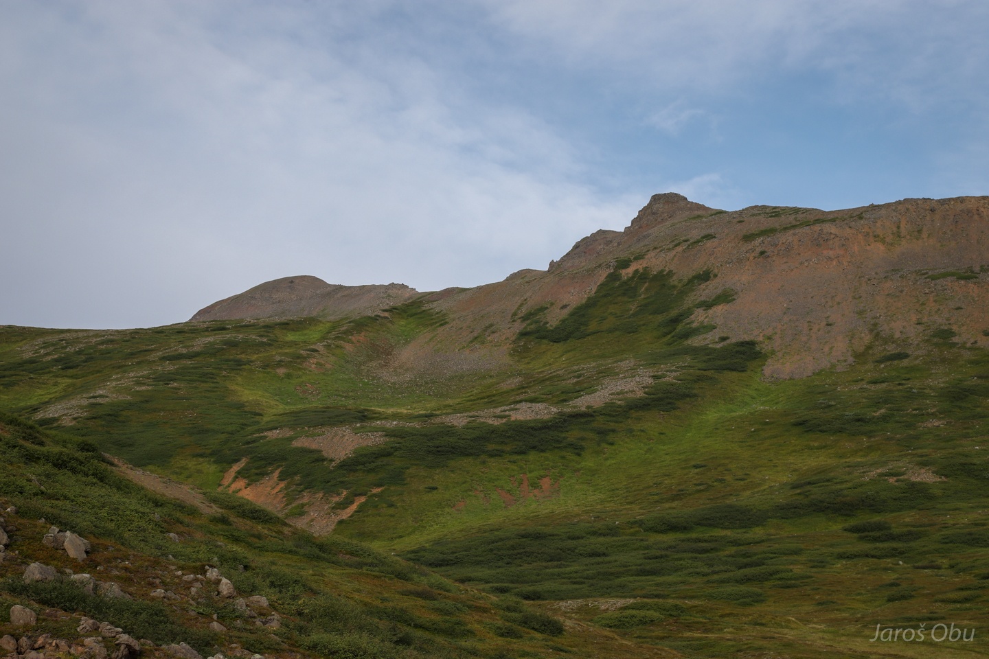
Many rock glaciers higher up in the mountains.
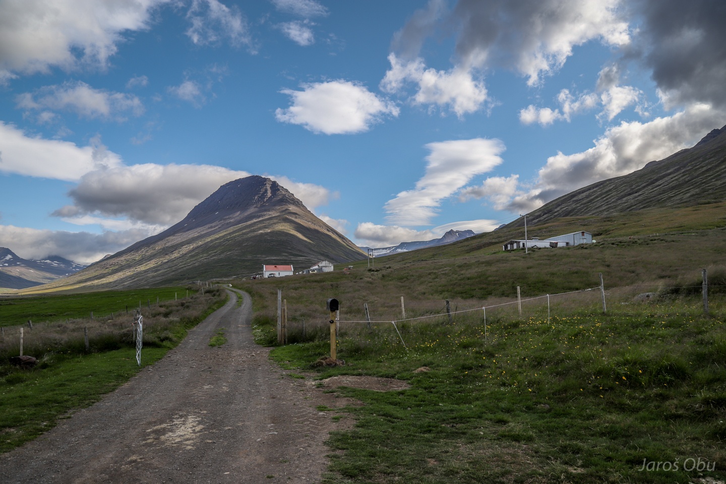
A farm.
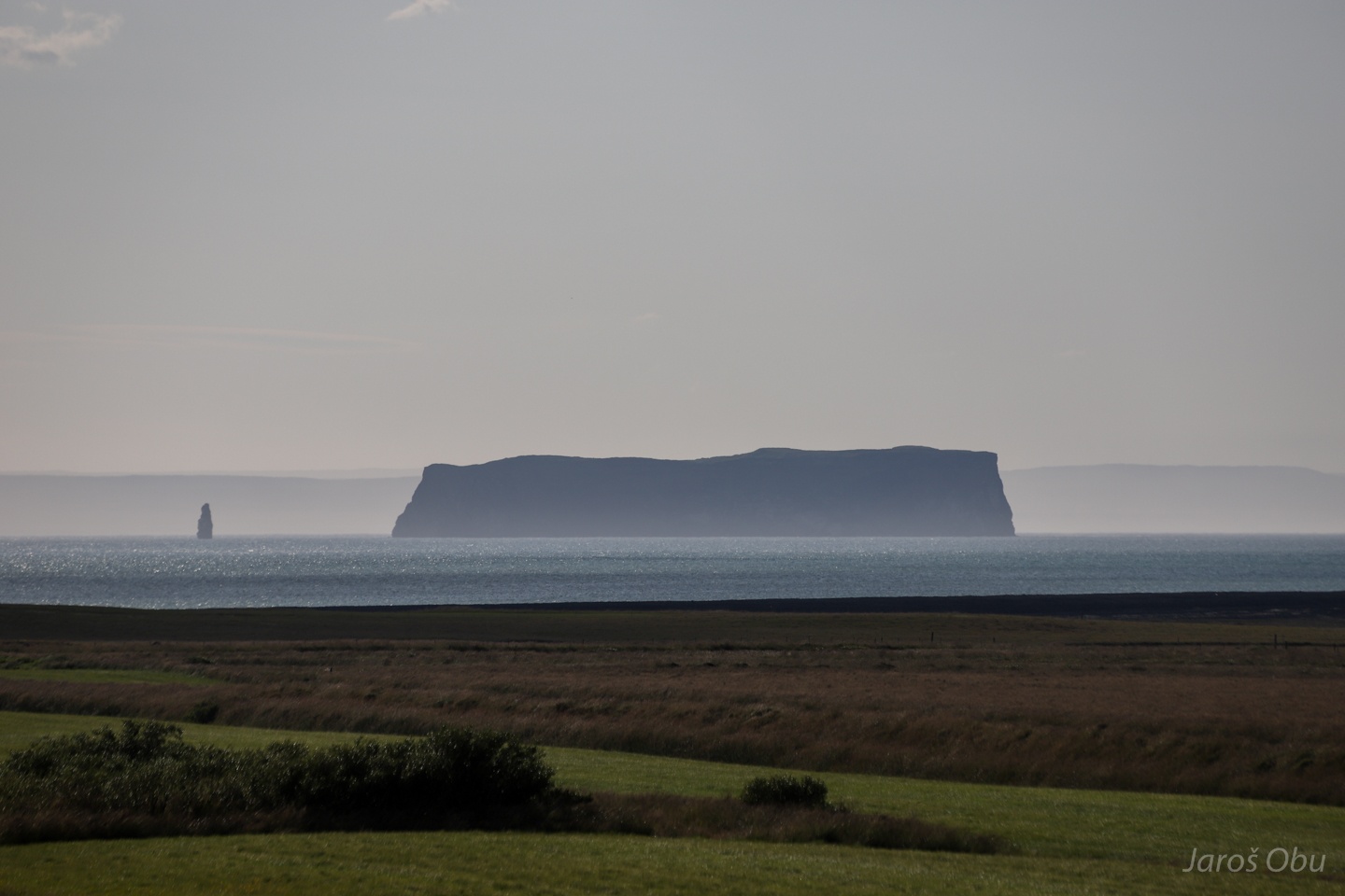
Driving around the peninsula's coast. Drangey Island.
If there is an abundant resource on Island it is grass.
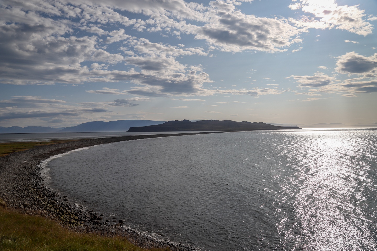
One side of a tombolo.
There are many rockslide deposits formed shortly after deglaciation.
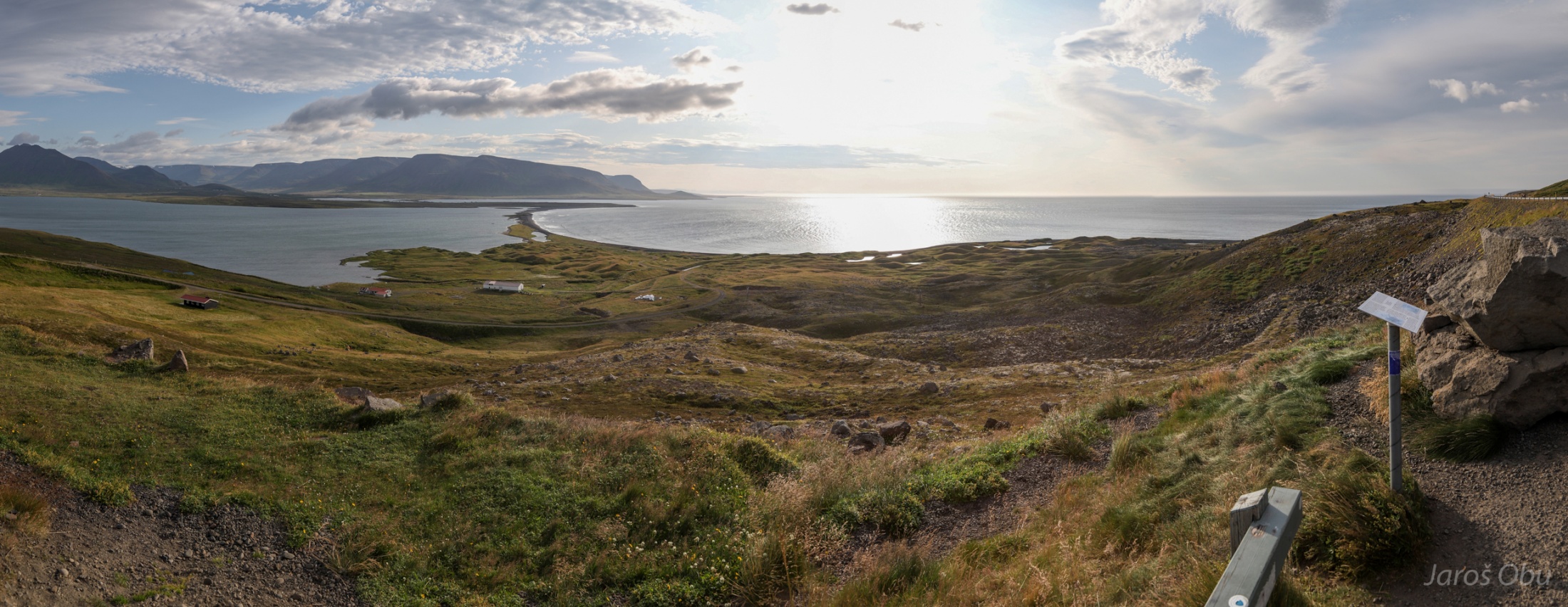
Haganes lagoon protected by small barrier islands.
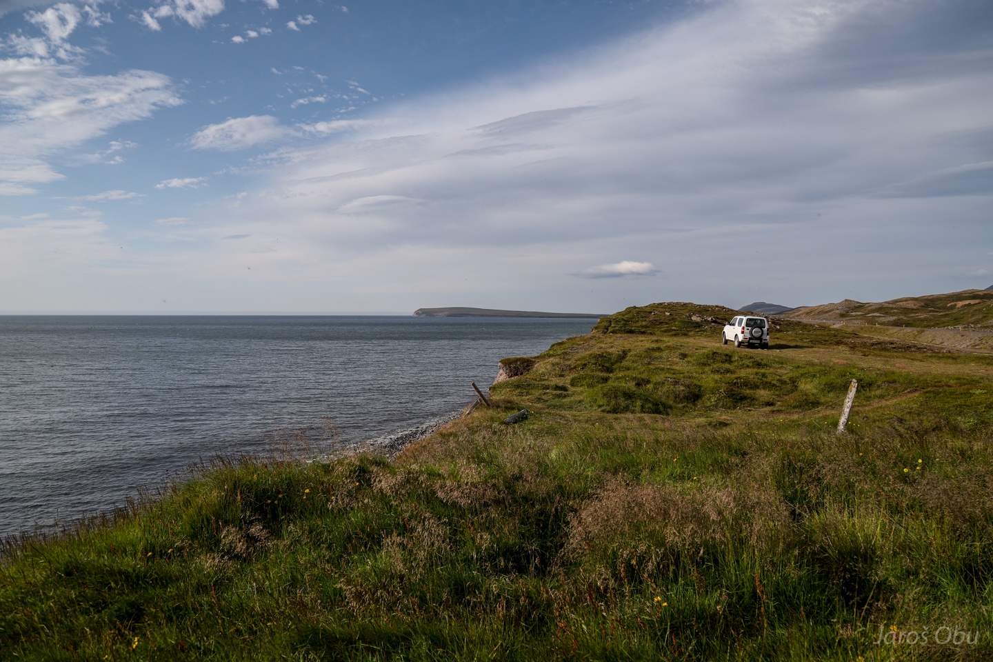
And from the northern side.
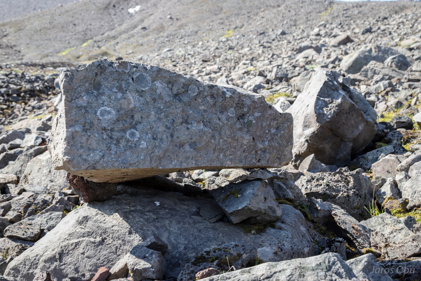
What are these landforms?
Rockslide, rock glacier, moraine or protalus rampart?
The northernmost point of the trip.
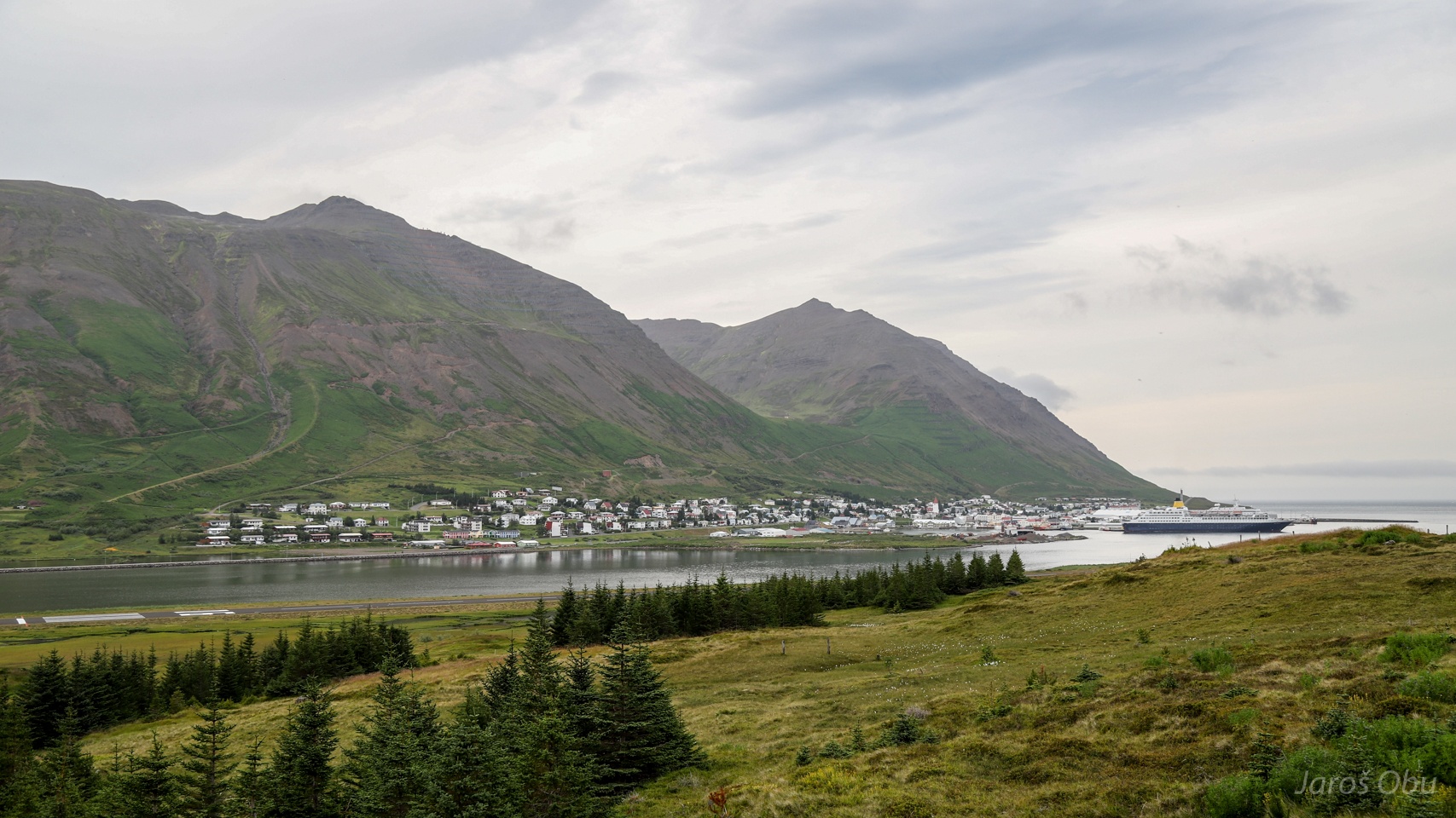
Reaching Siglufjörður after driving through one-lane tunnel with passing places.
The same town across the fjord.
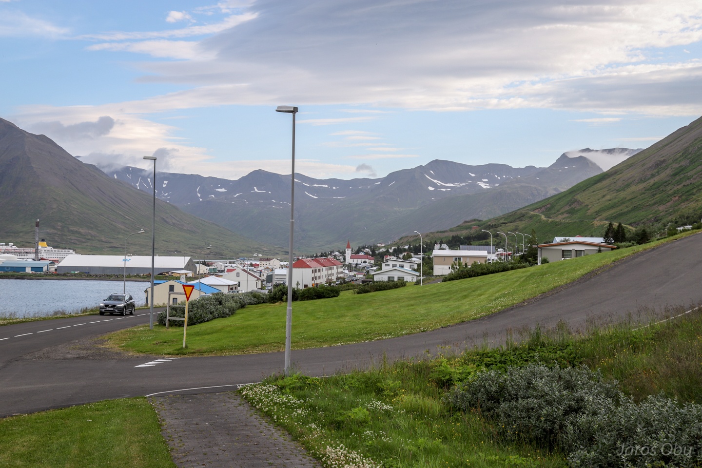
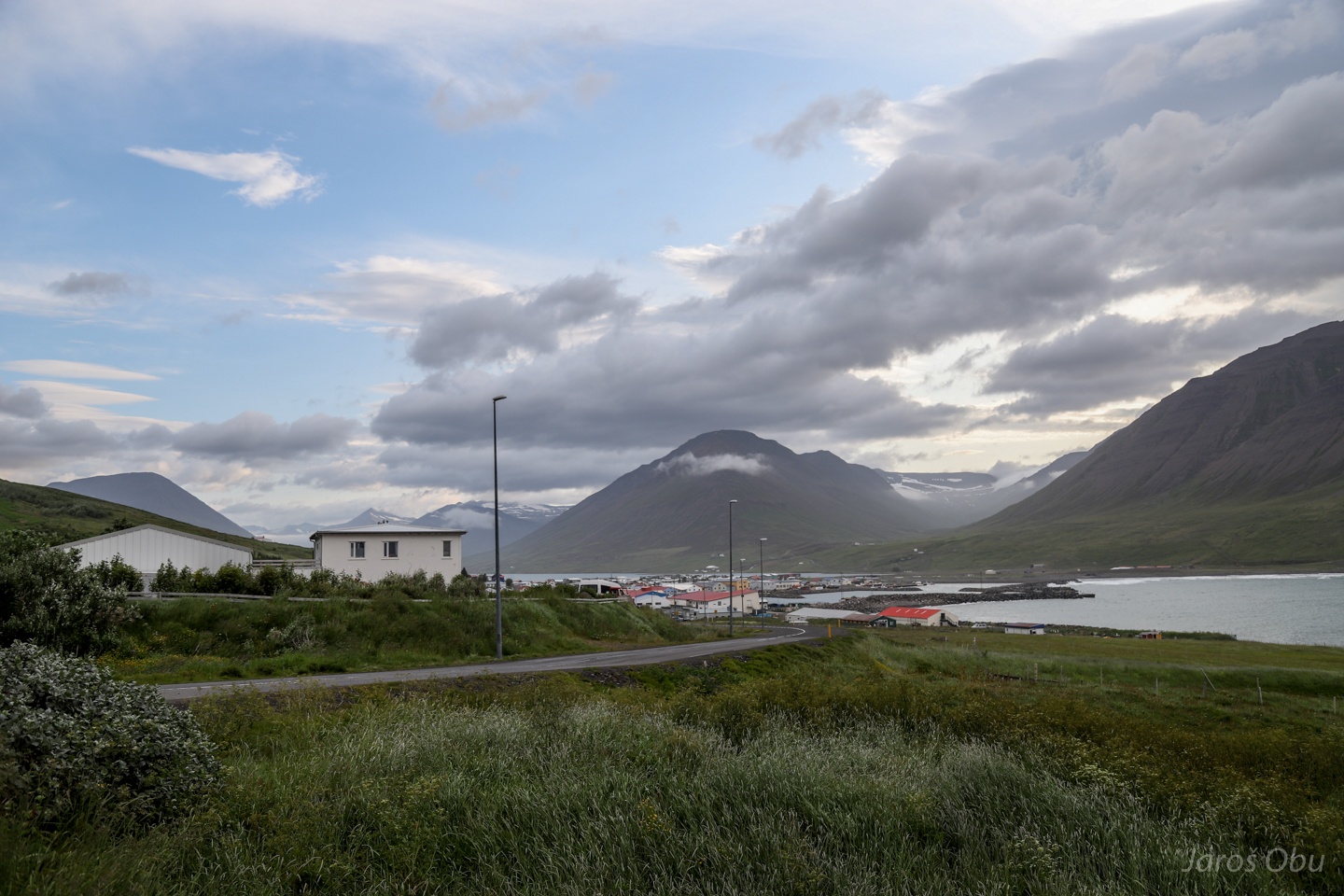
Ólafsfjörður town further towards the east.
Turning back into the mountains before Akureyri. Hörgárdalur.
The road to Barkádalur.
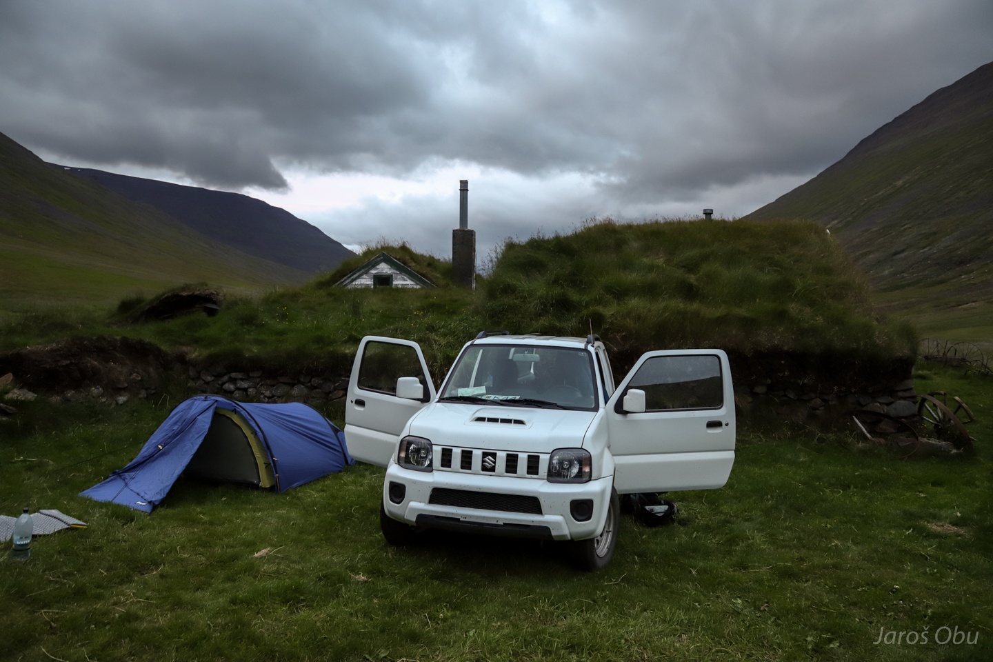
This was supposed to be a mountain hut.
But it is an old farm turned into a museum.
Workshop.
And kitchen.
...
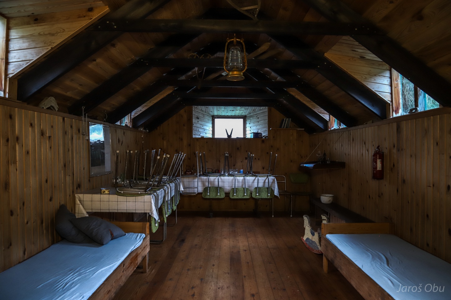
The "mountain hut" part with four beds.
We decided to stay outside.
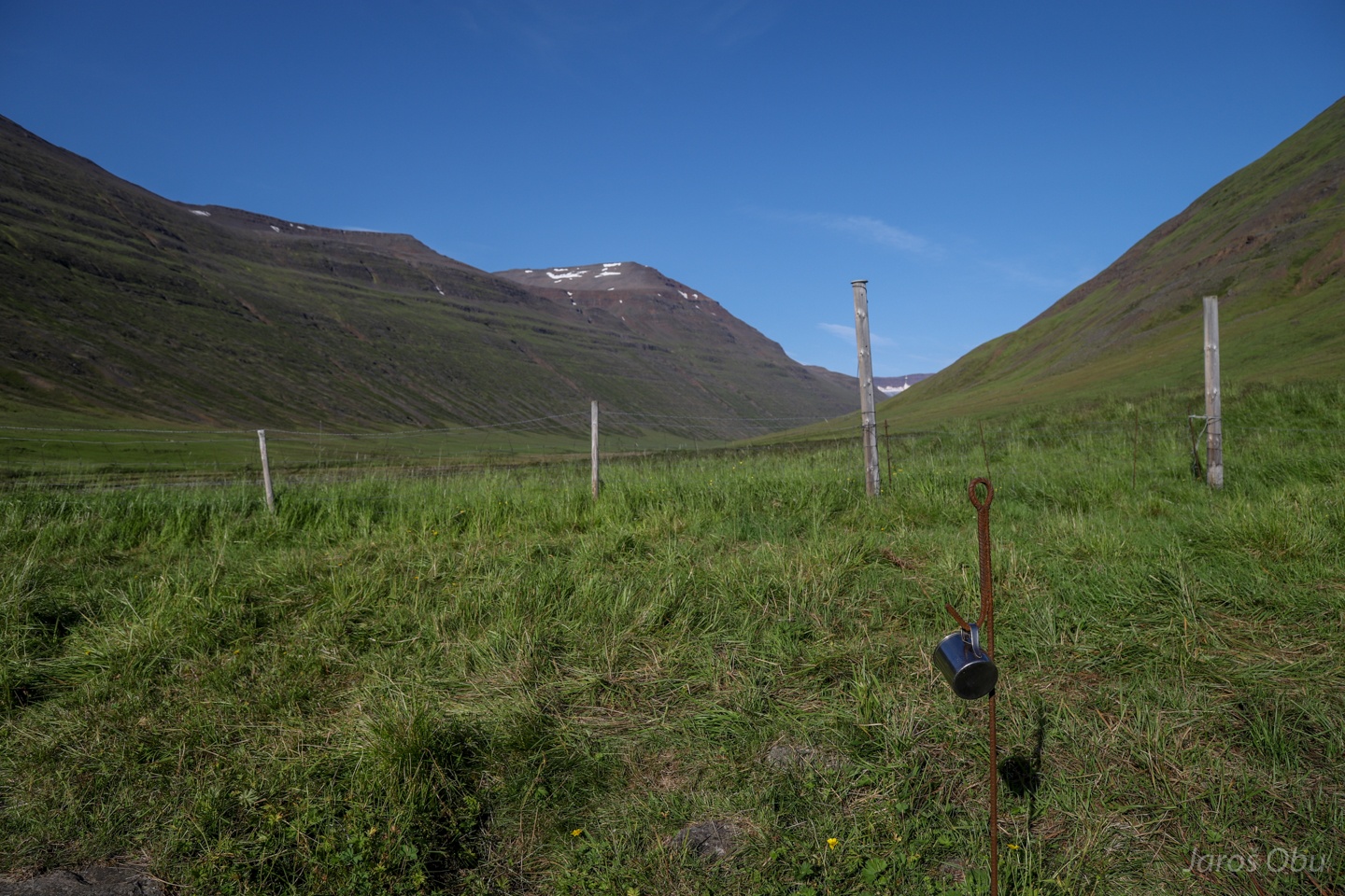
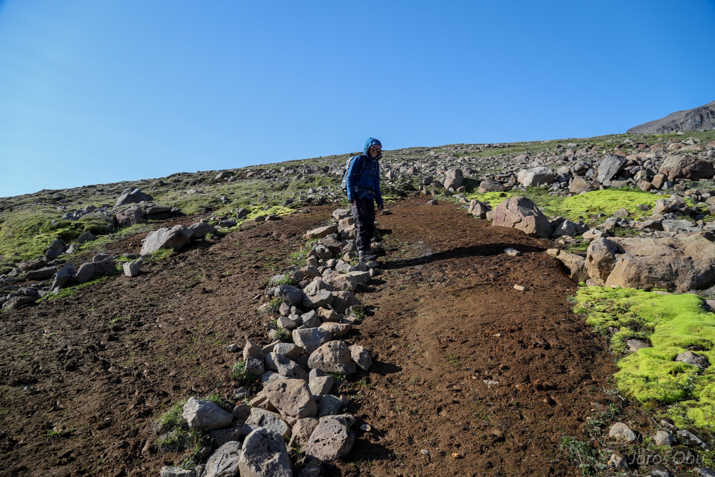
Start of the 14 km (one way) long hike next morning.
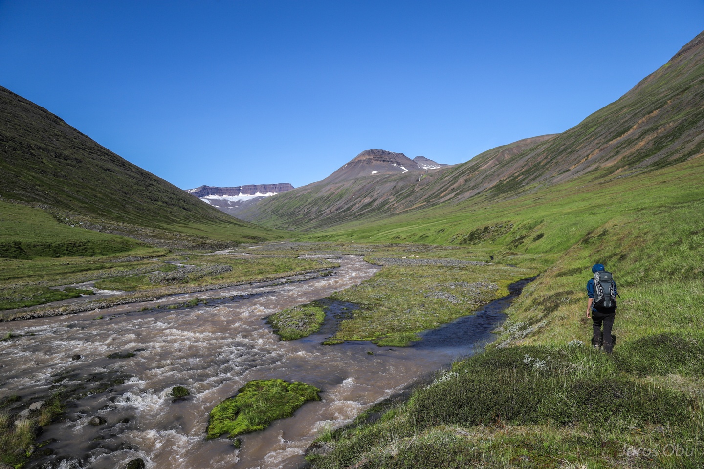
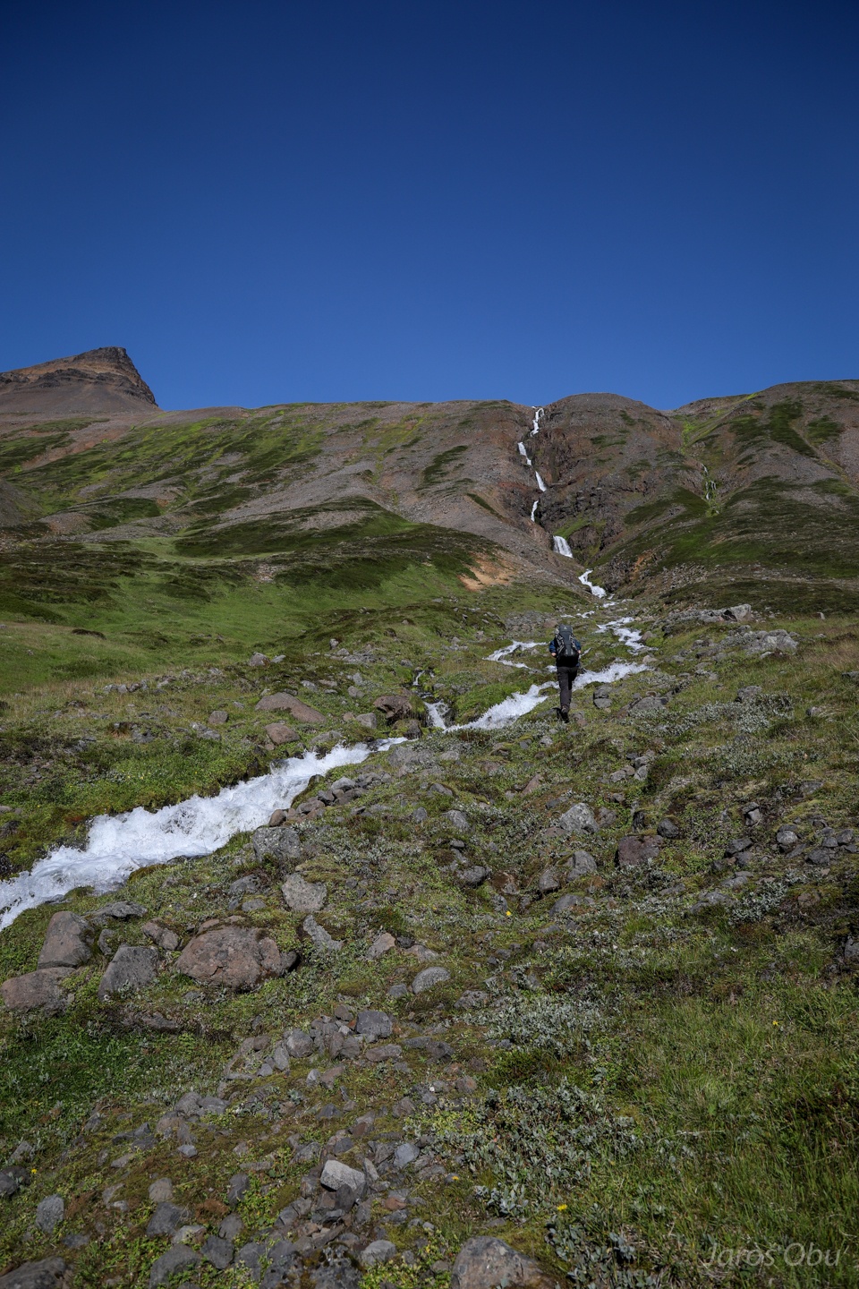
The path existed only on map. We had to make our own way through swamps and rivers.
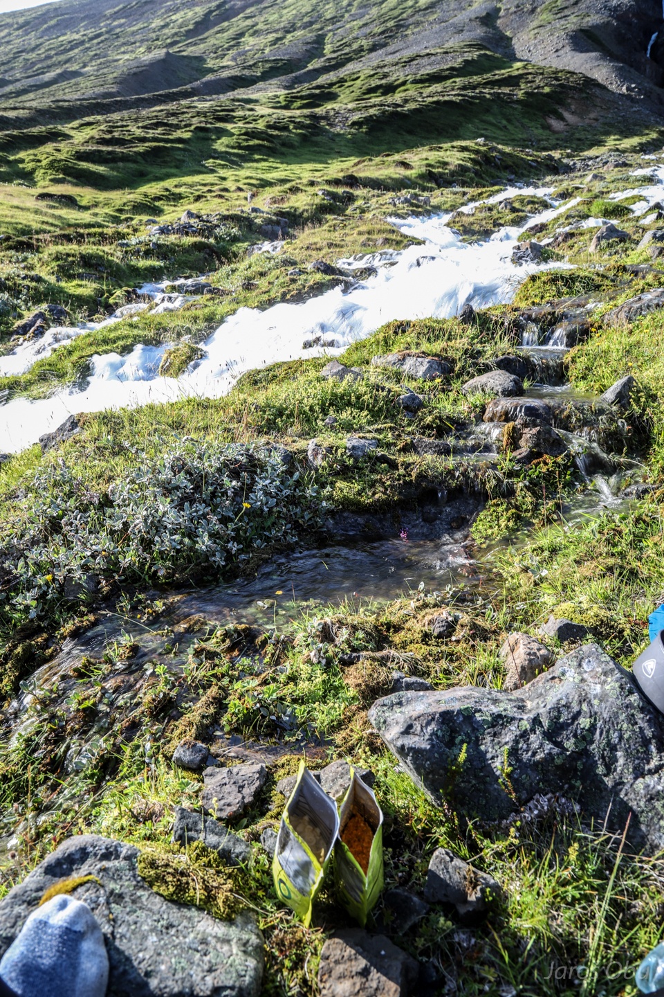
And side-torrents.
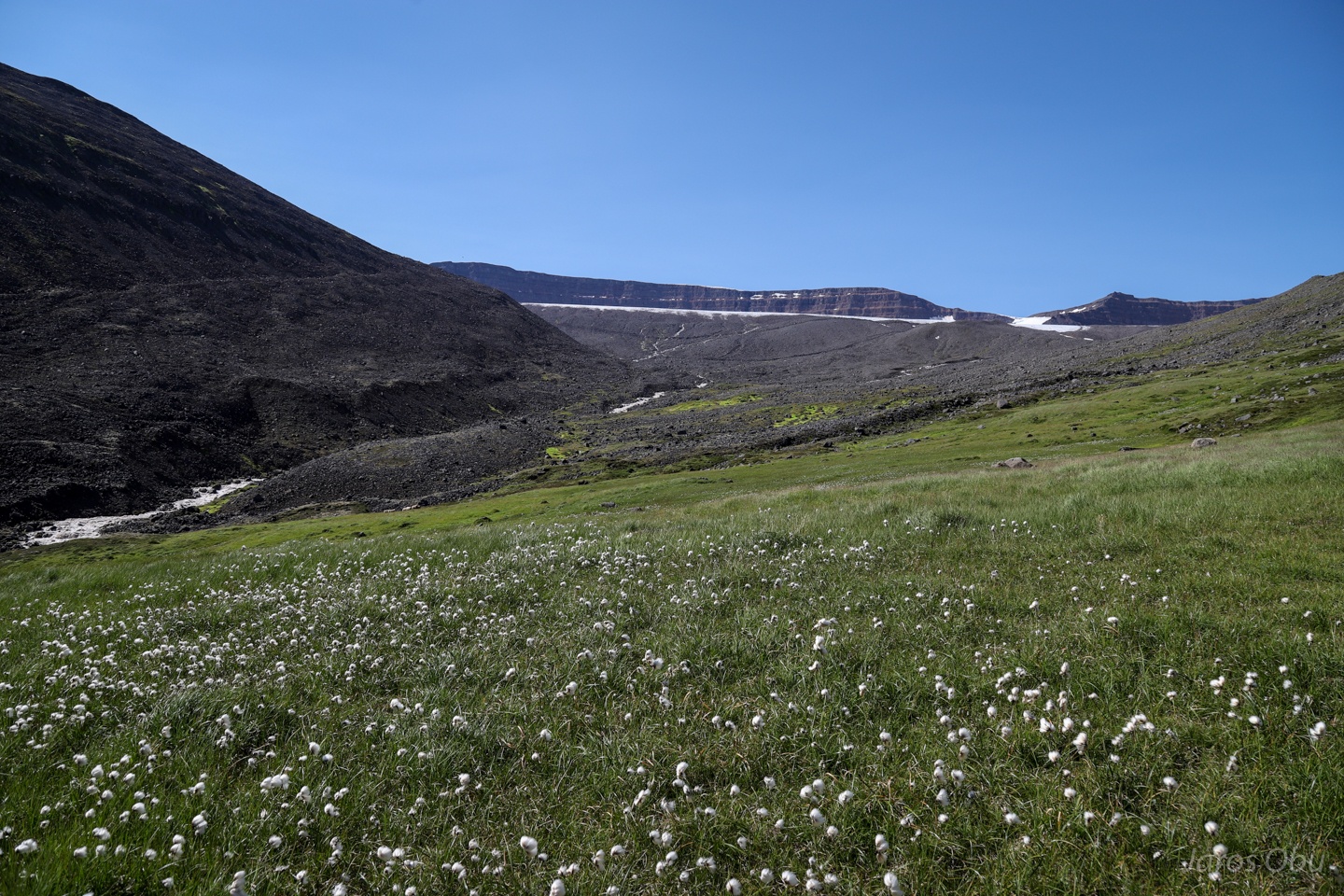
A mat of cottongrass, Eriophorum scheuchzeri, Scheuchzerjev munec in Slovenian below the stony areas.
The long Barká Valley behind us.
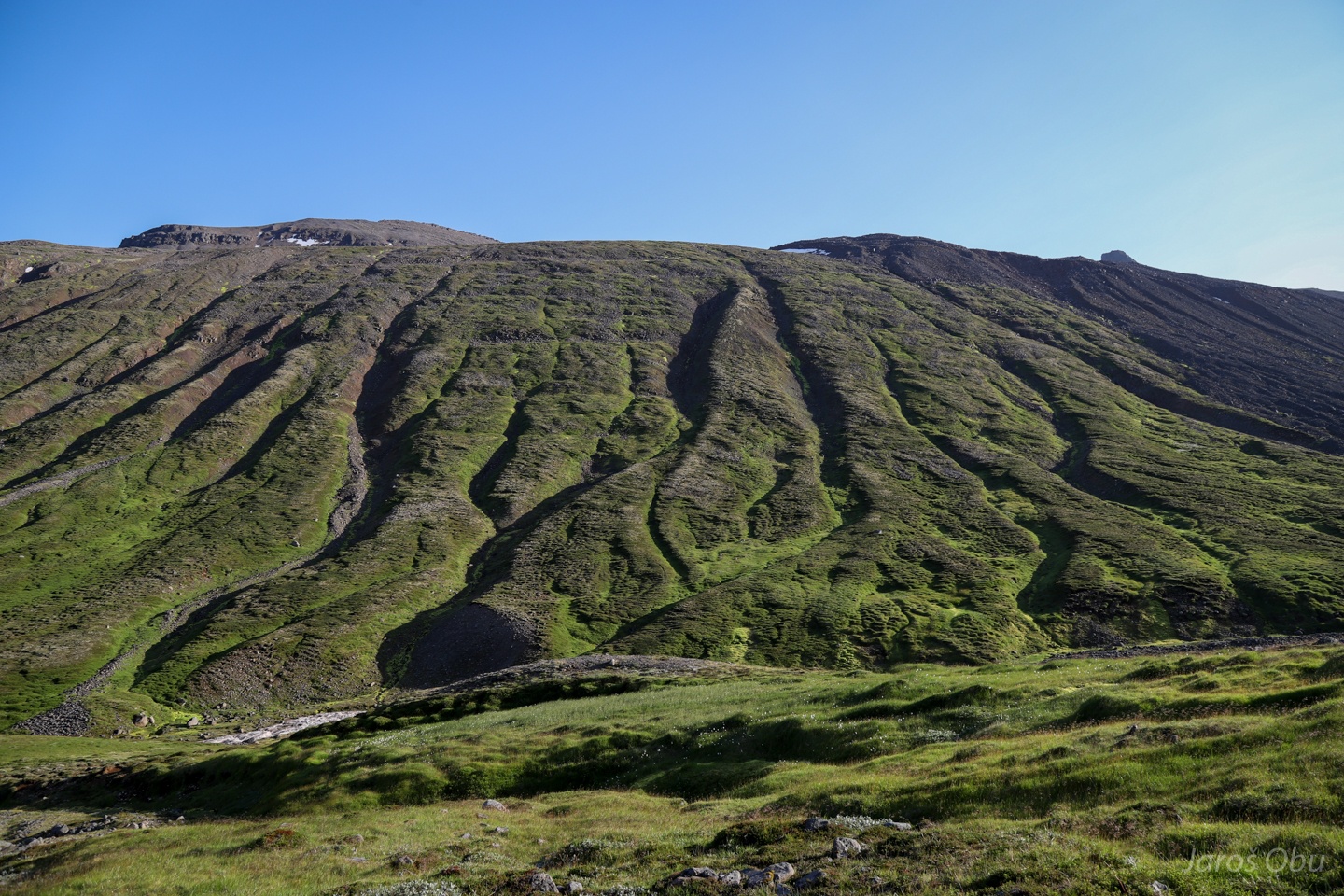
On the lateral moraine.
The game of nature.
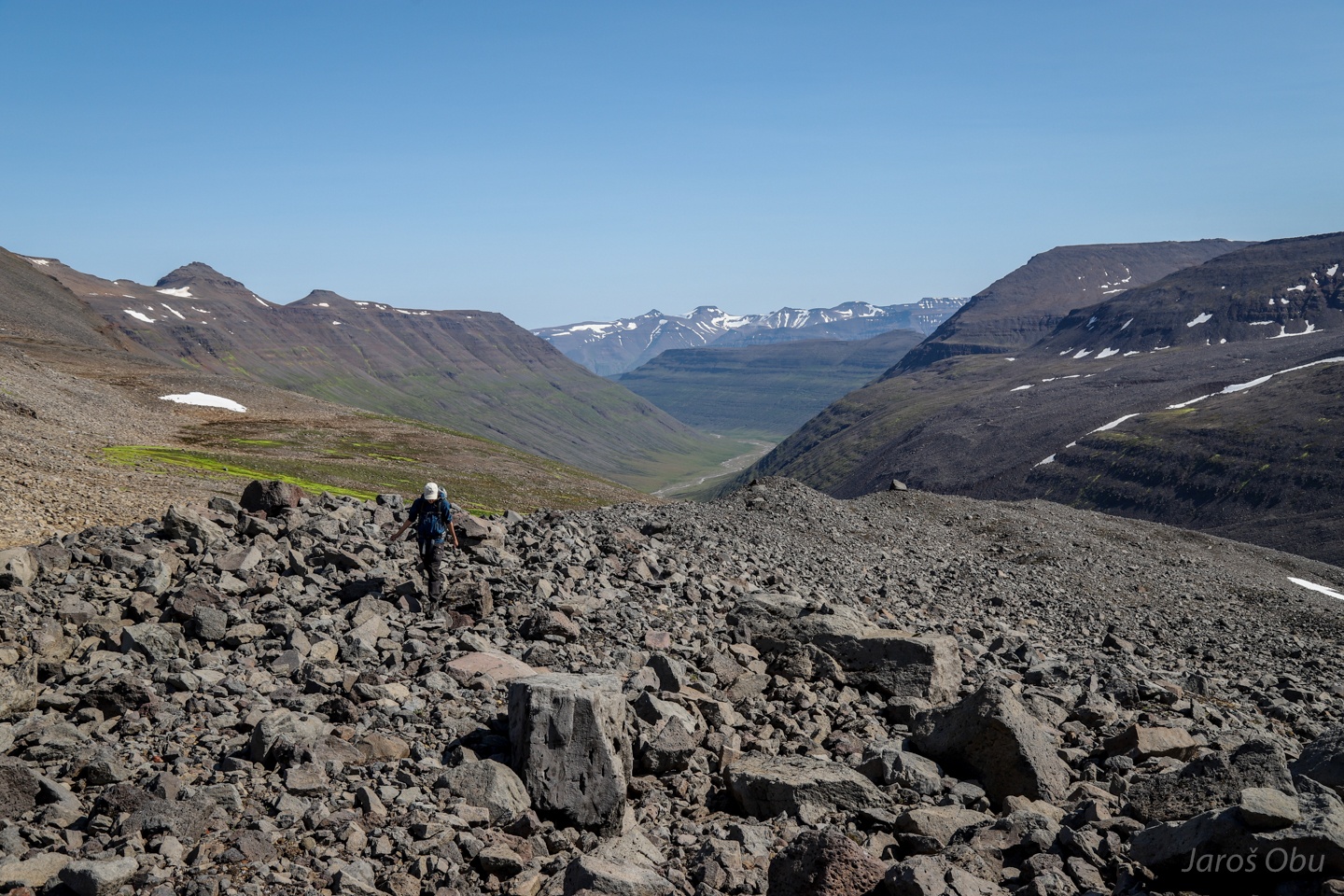
The summit on right left is where we are heading.
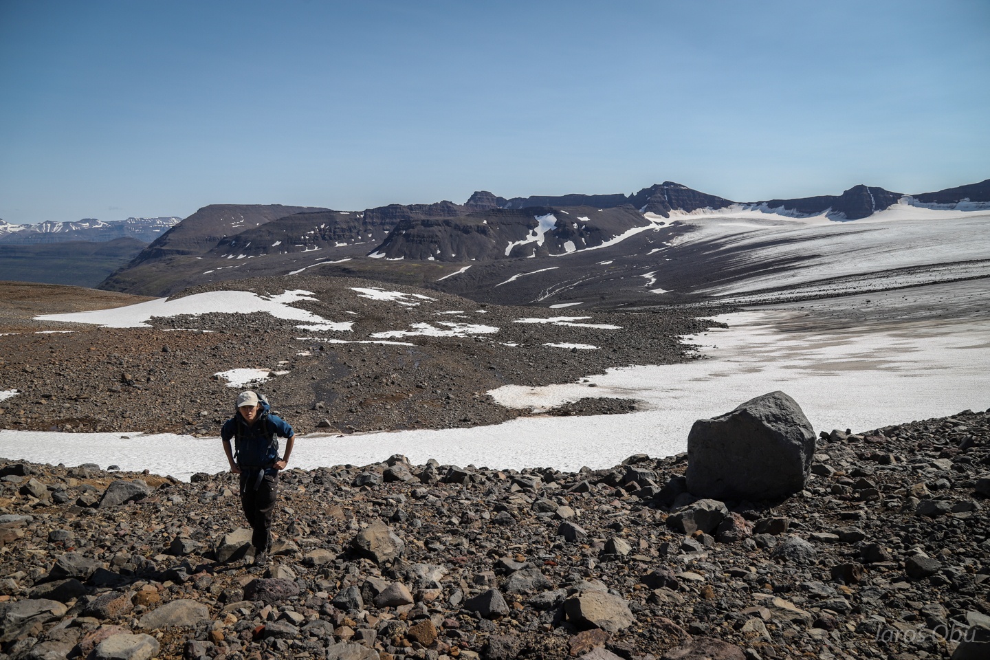
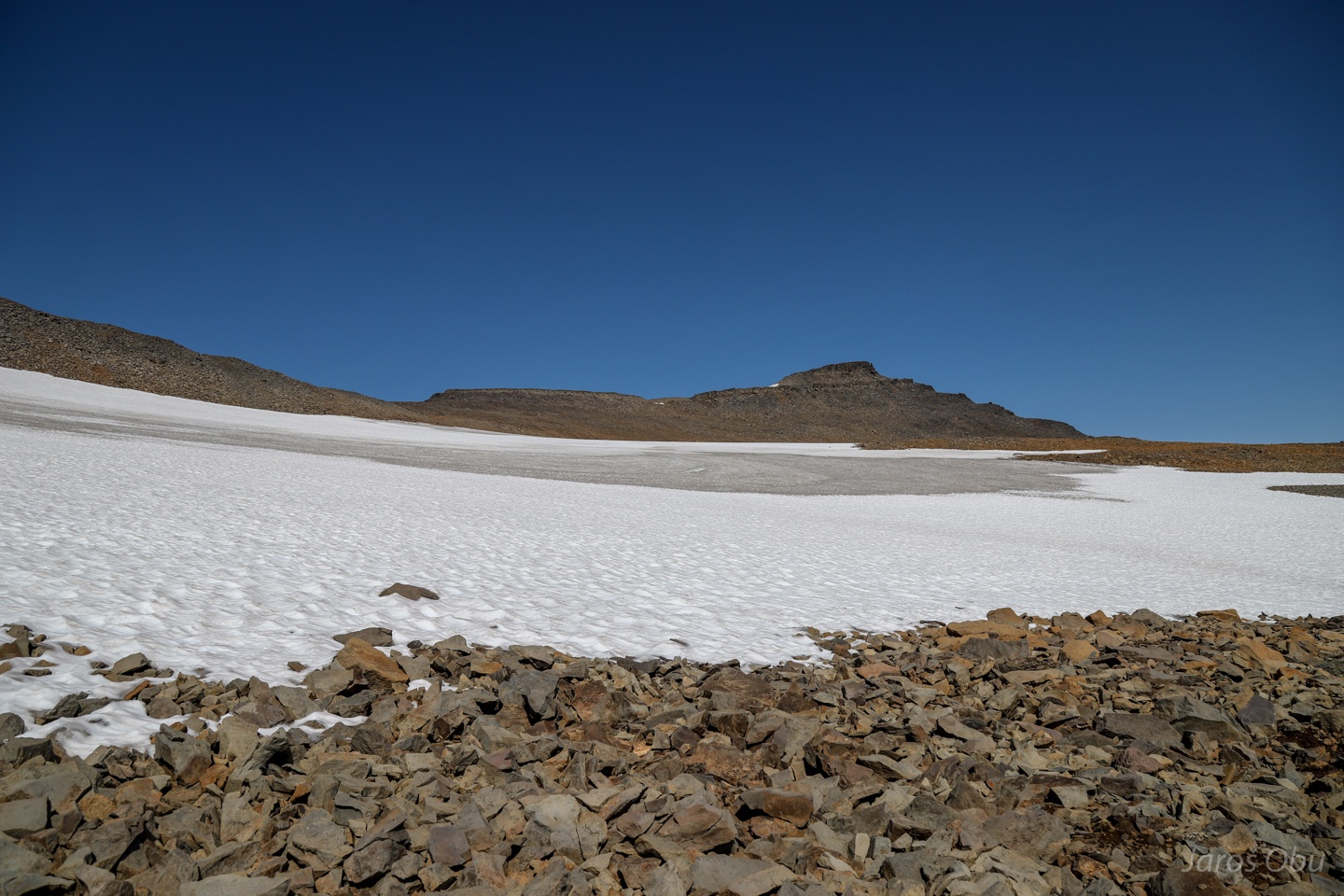
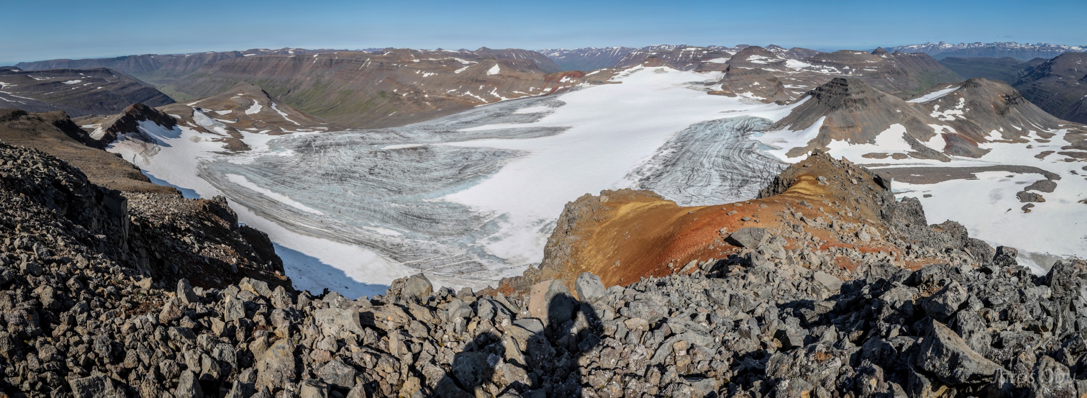
A short traverse of Barkárdalsjökull glacier.
High temperatures and strong wind turned ice in to a 5 cm thick slush.
Just a short crossing of snowpatch.
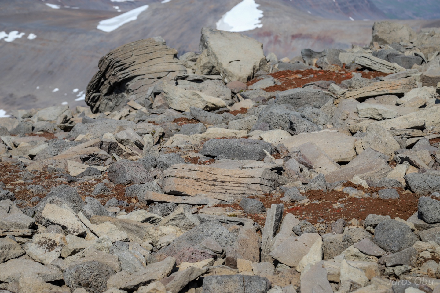
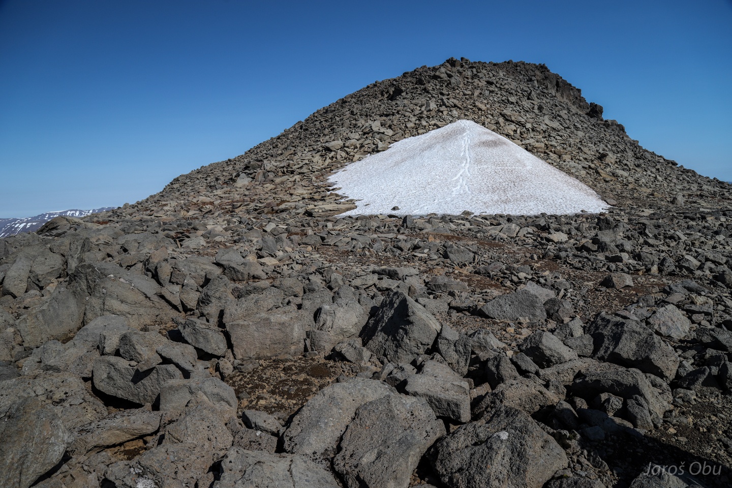
A plenty of frost shattered material.
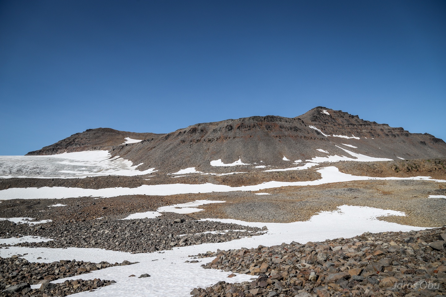
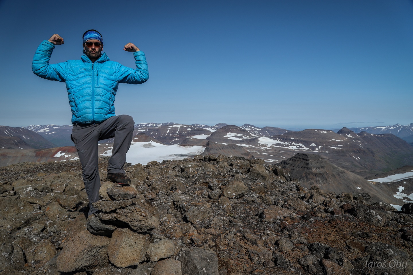
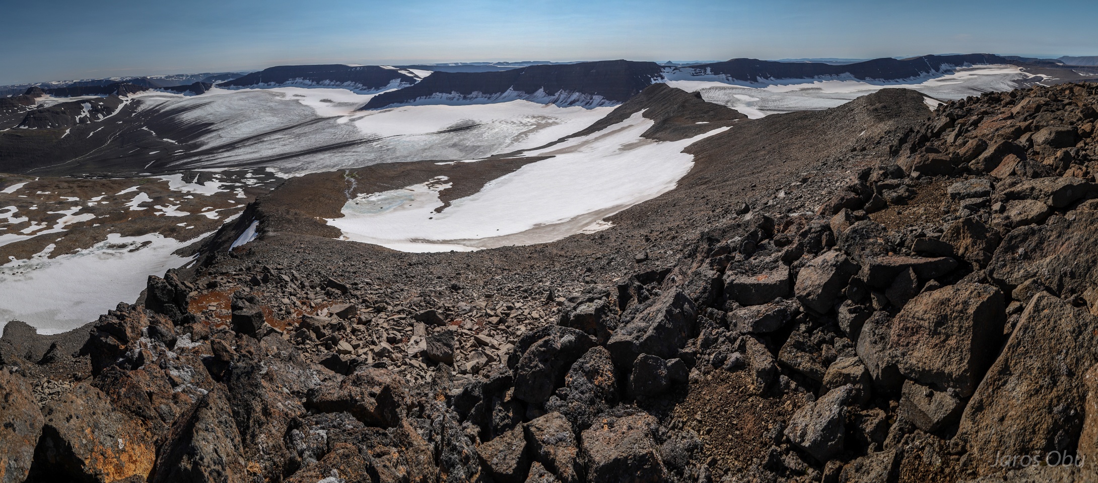
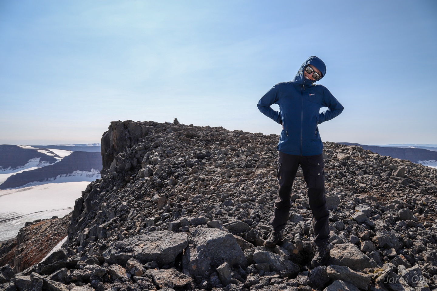
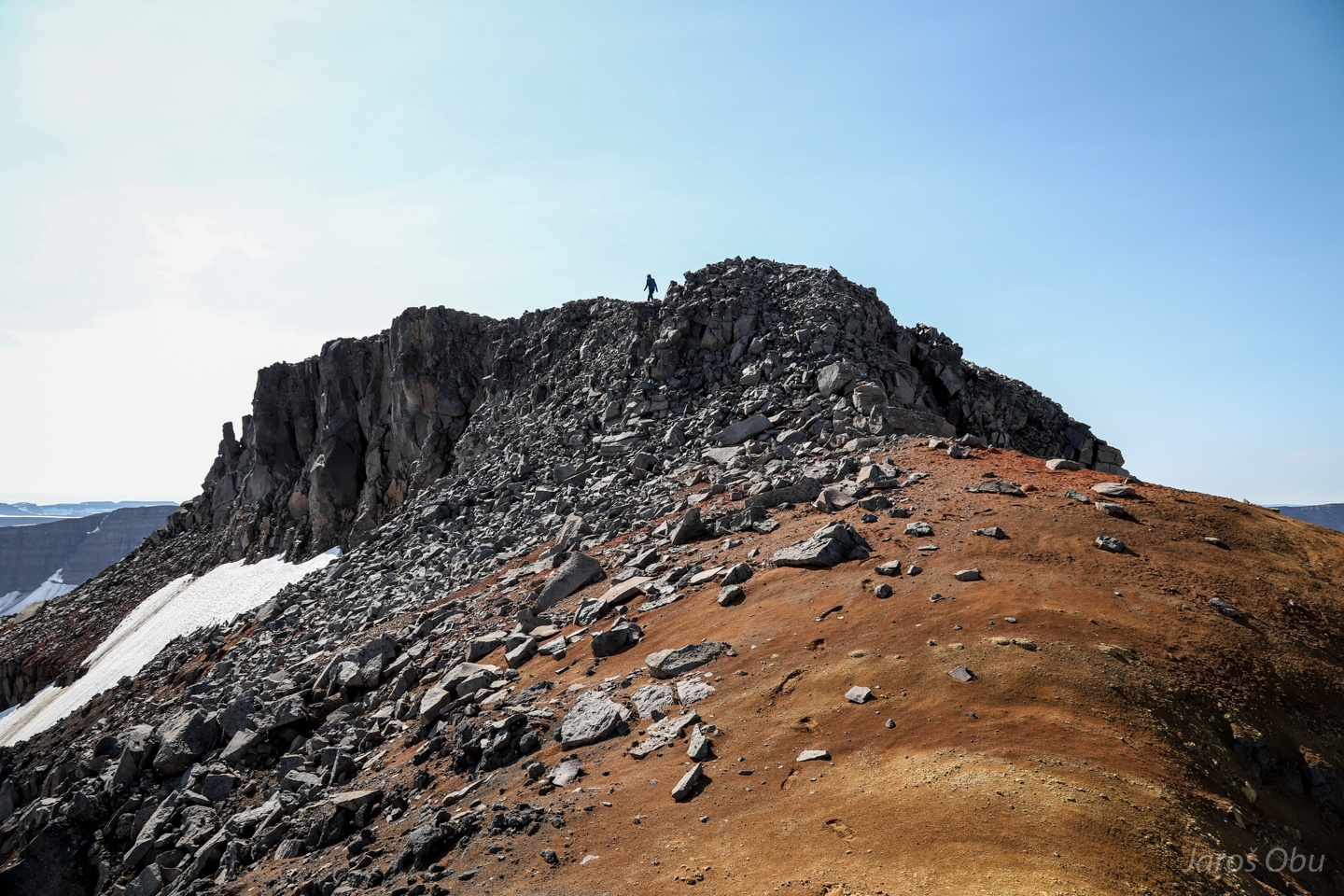
On the top of Péturhnjúkur (1406 m)
Frajer
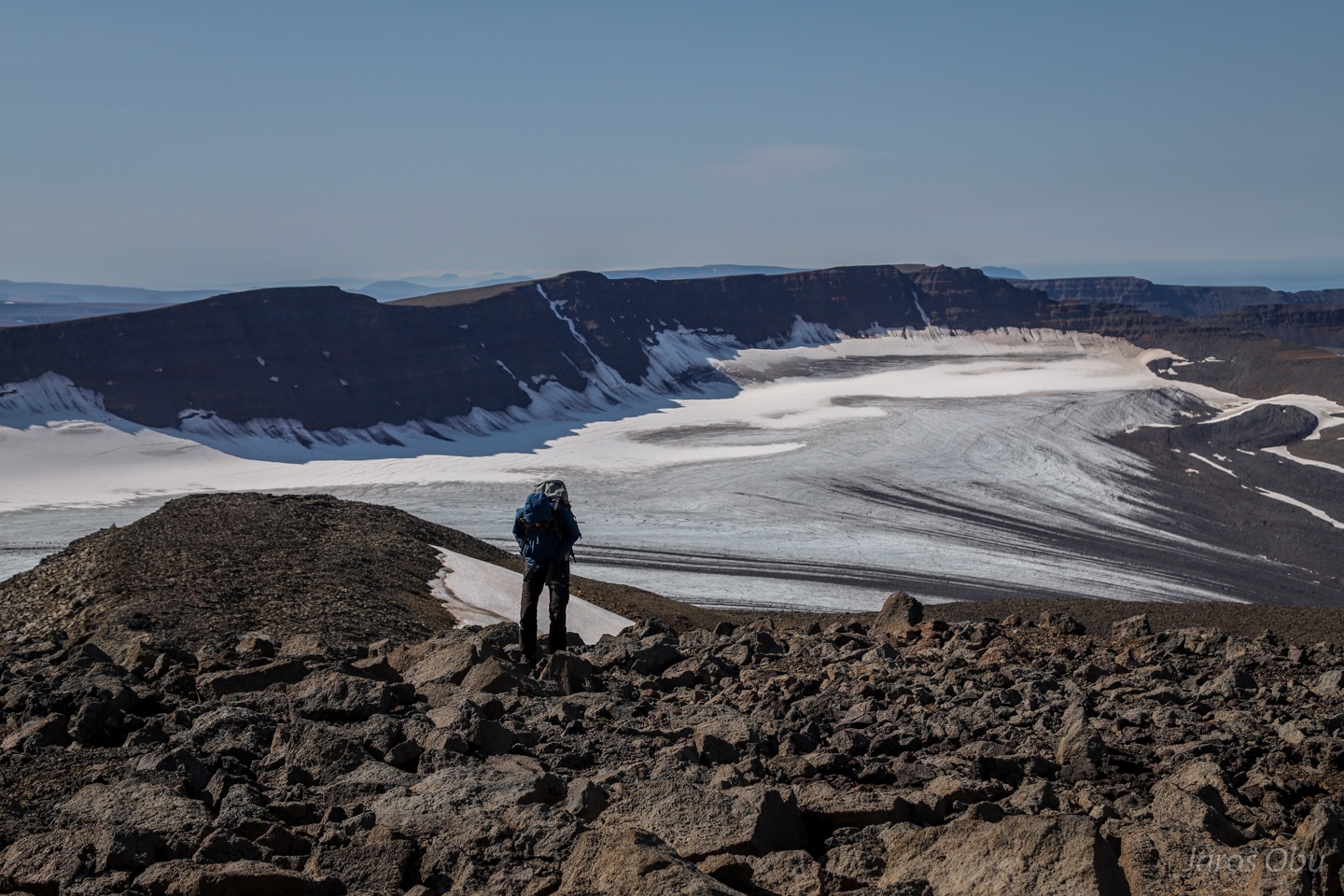
Panorama to the north with Tungnahryggsjökull.
And to the south with the crossed glacier and snow patch.
Still smiling despite a hike that lasted for six hours and will last for for another six.
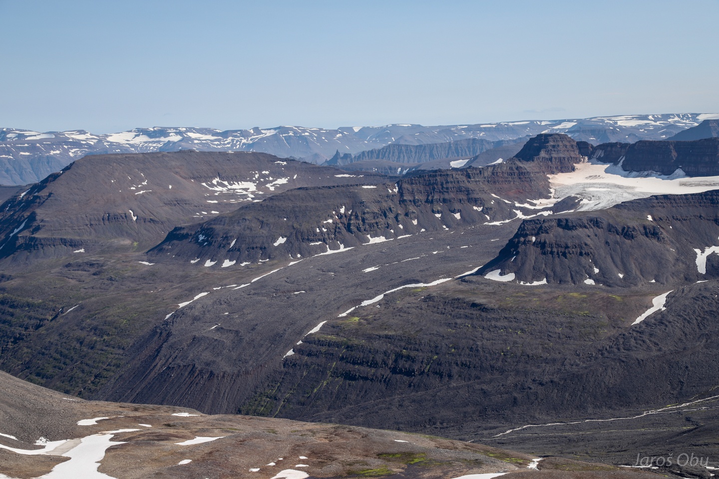
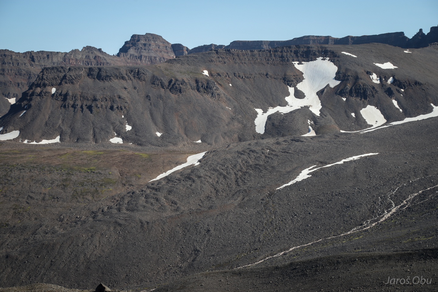
A brilliant example of glacier-derived rock glacier under Gíslahnúkur.
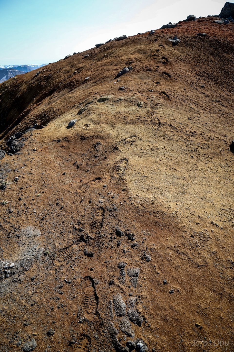
One small step for man, several big steps for sediment erosion (Obu, 2019).
Remnants of gethermally altered clays?
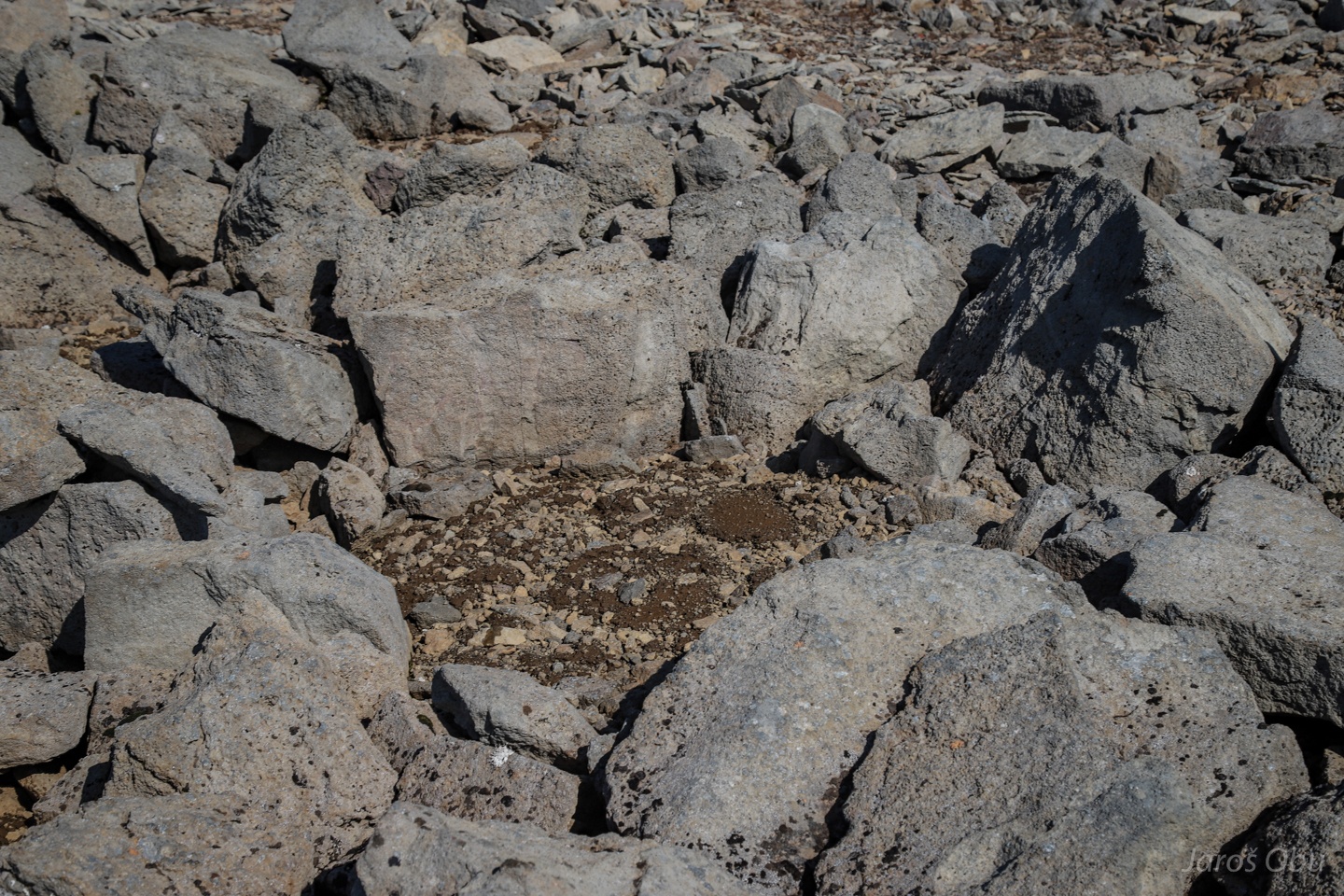
Patterned ground can also be found here.
And several secondary sorted circle inside a big one.
Another ice-cored landform that might be moving.
Unstable front of the rock glacier.
Just one sorted stripe.
Photographer's and his better half's afternoon snack after crossing the biggest torrent.
Many debris flows channels under the rock glacier.
Freshly gullied basalt slopes.
More thufurs next morning.
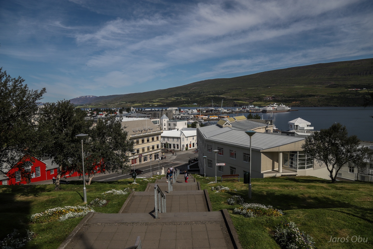
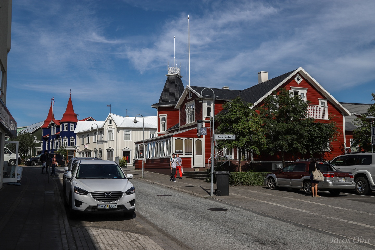
A short visit of Akureyri.
It is the second largest town in Iceland and important port and fishing centre.
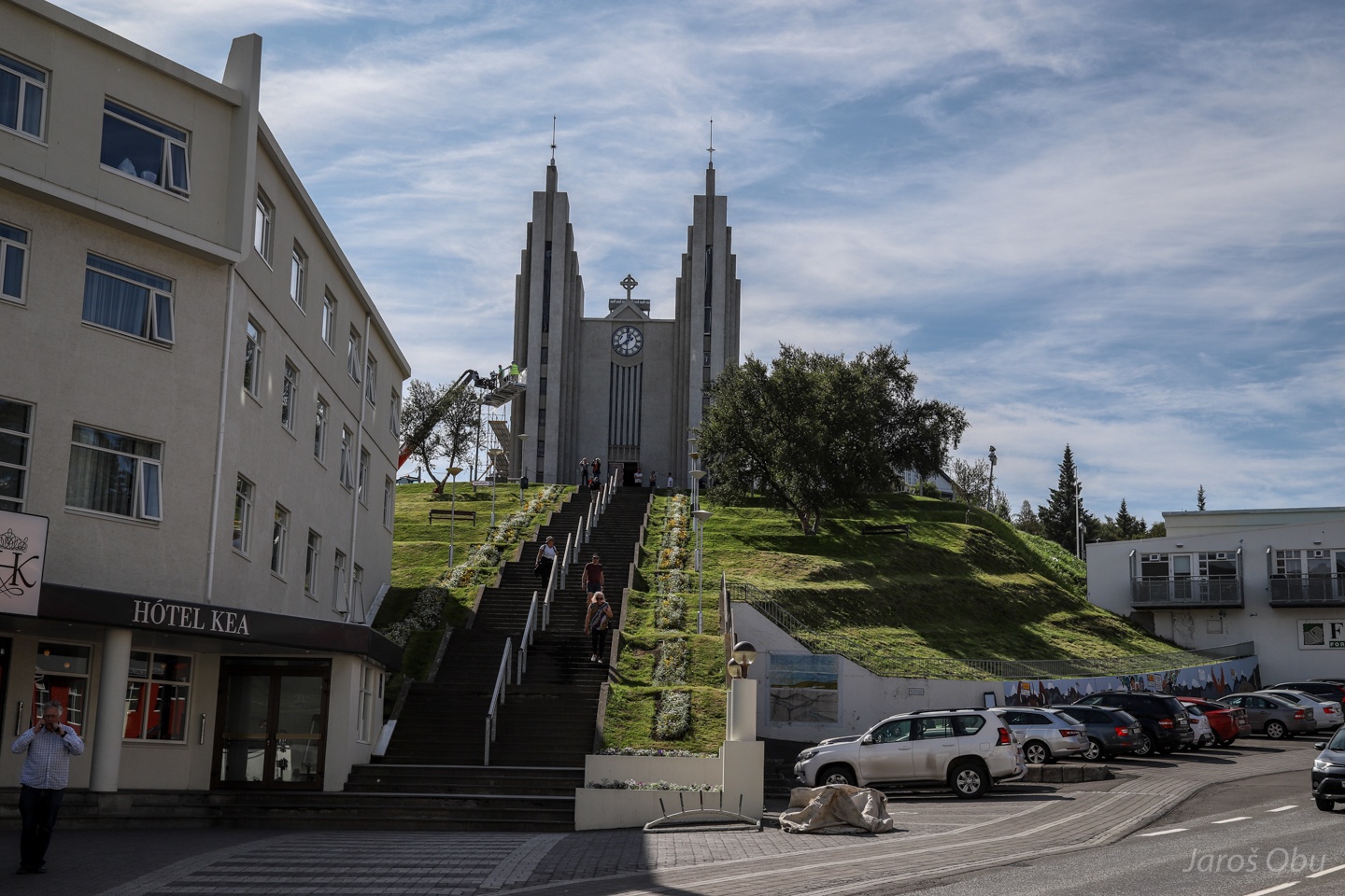
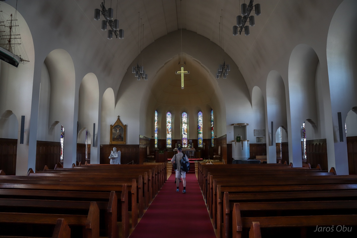
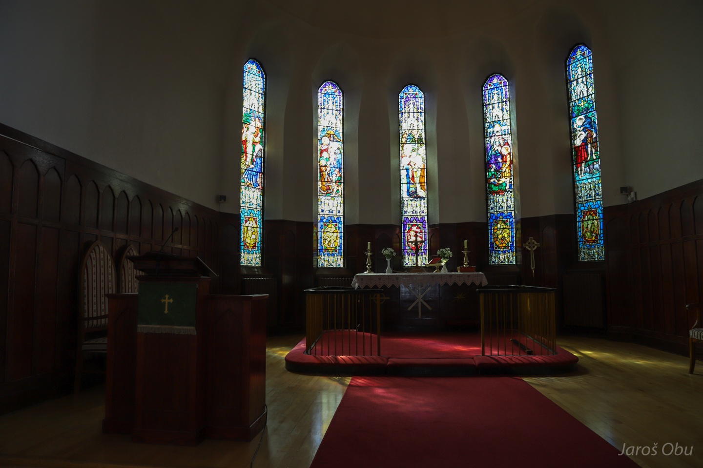
The Church of Akureyri built in 1940.
Lutheran church with a modest protestant decoration.
Pleasing look at the wooden houses.
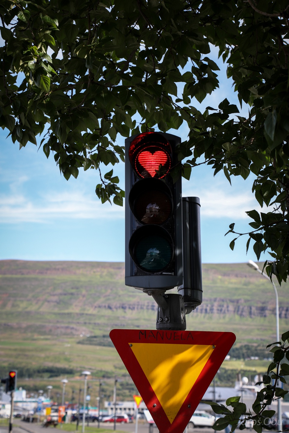
Even traffic lights are full of love in this town.
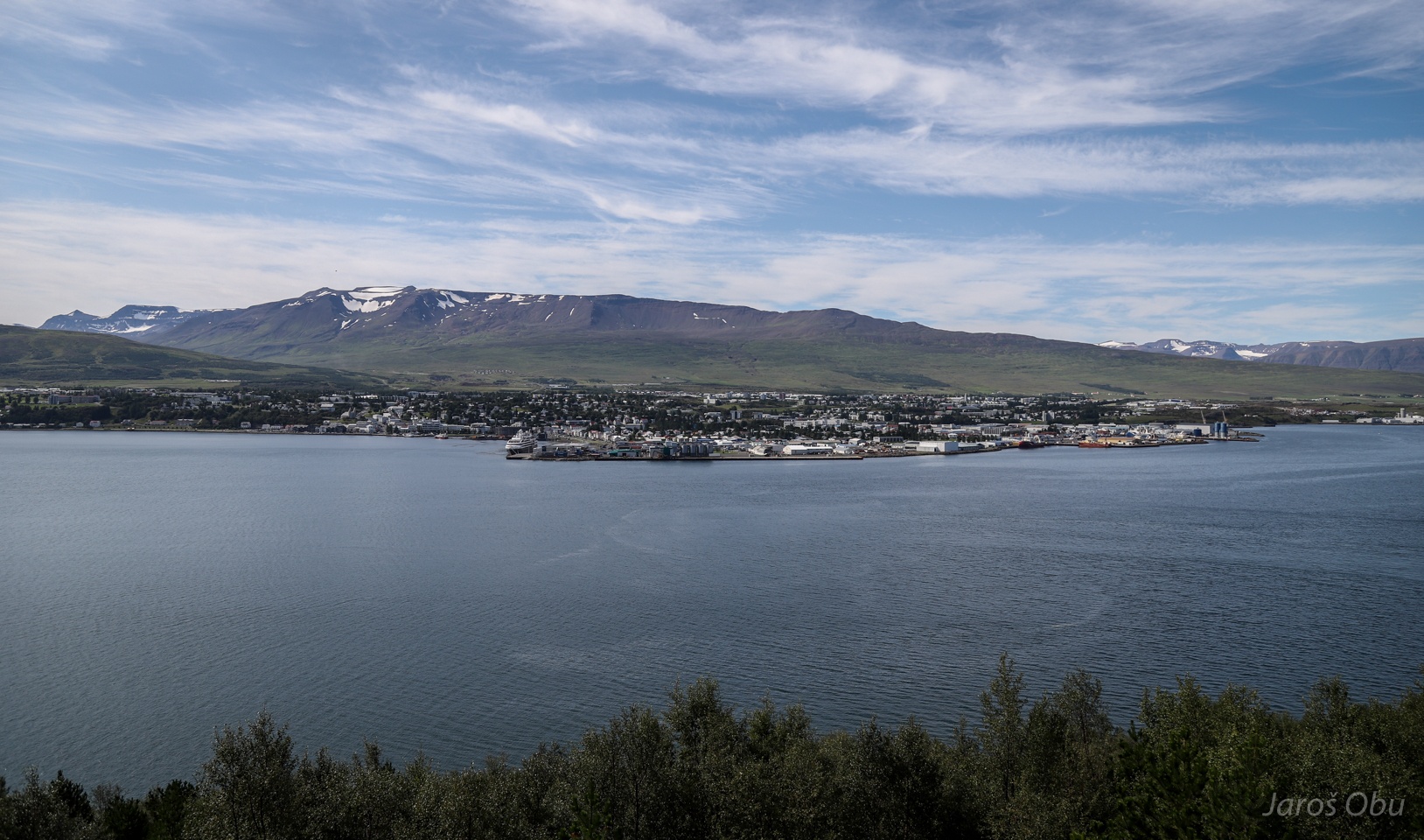
Akureyri from the other side of the fjord.
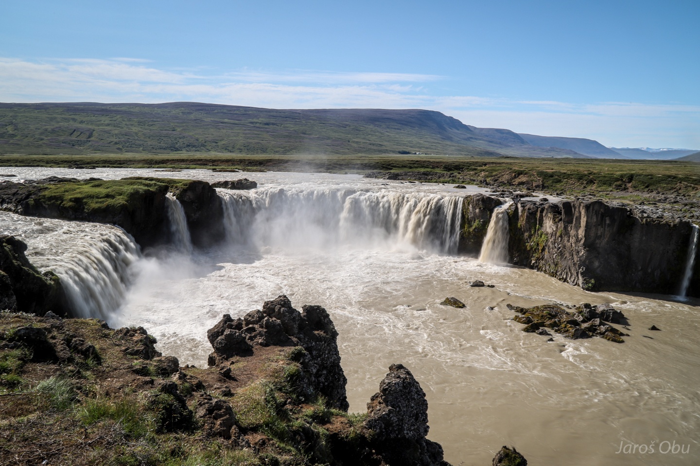
A quick visit of Geitafoss east of Akureyri.
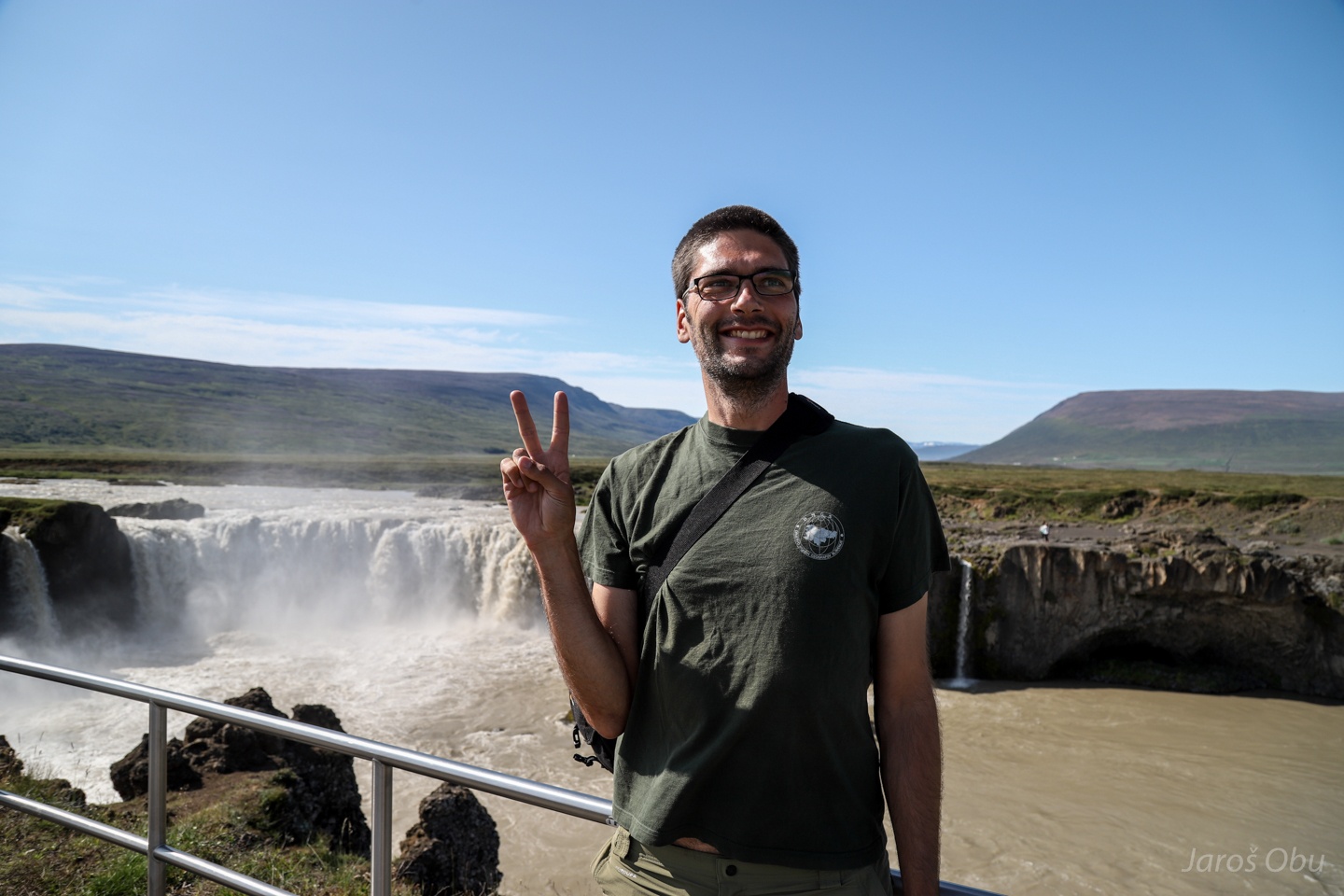
Happy little tourist.
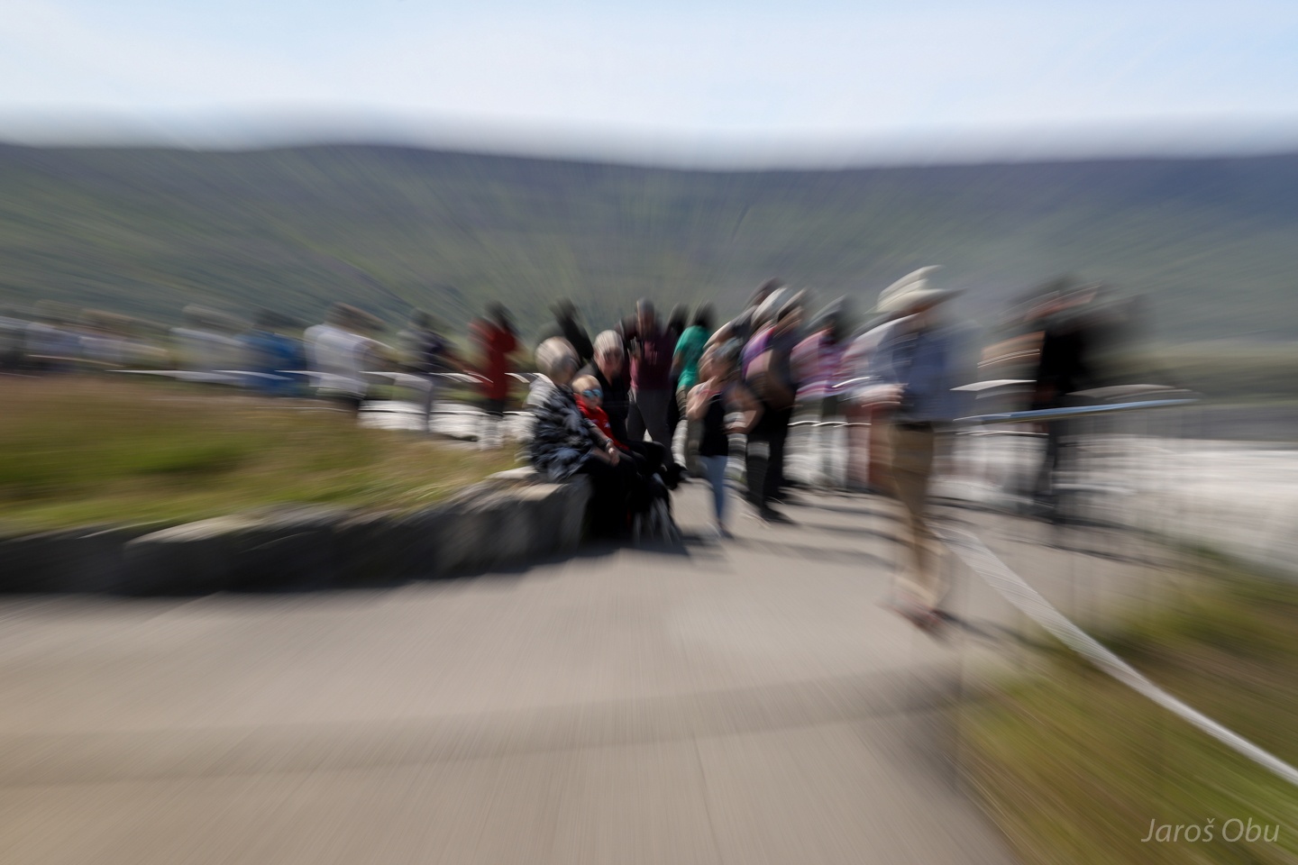
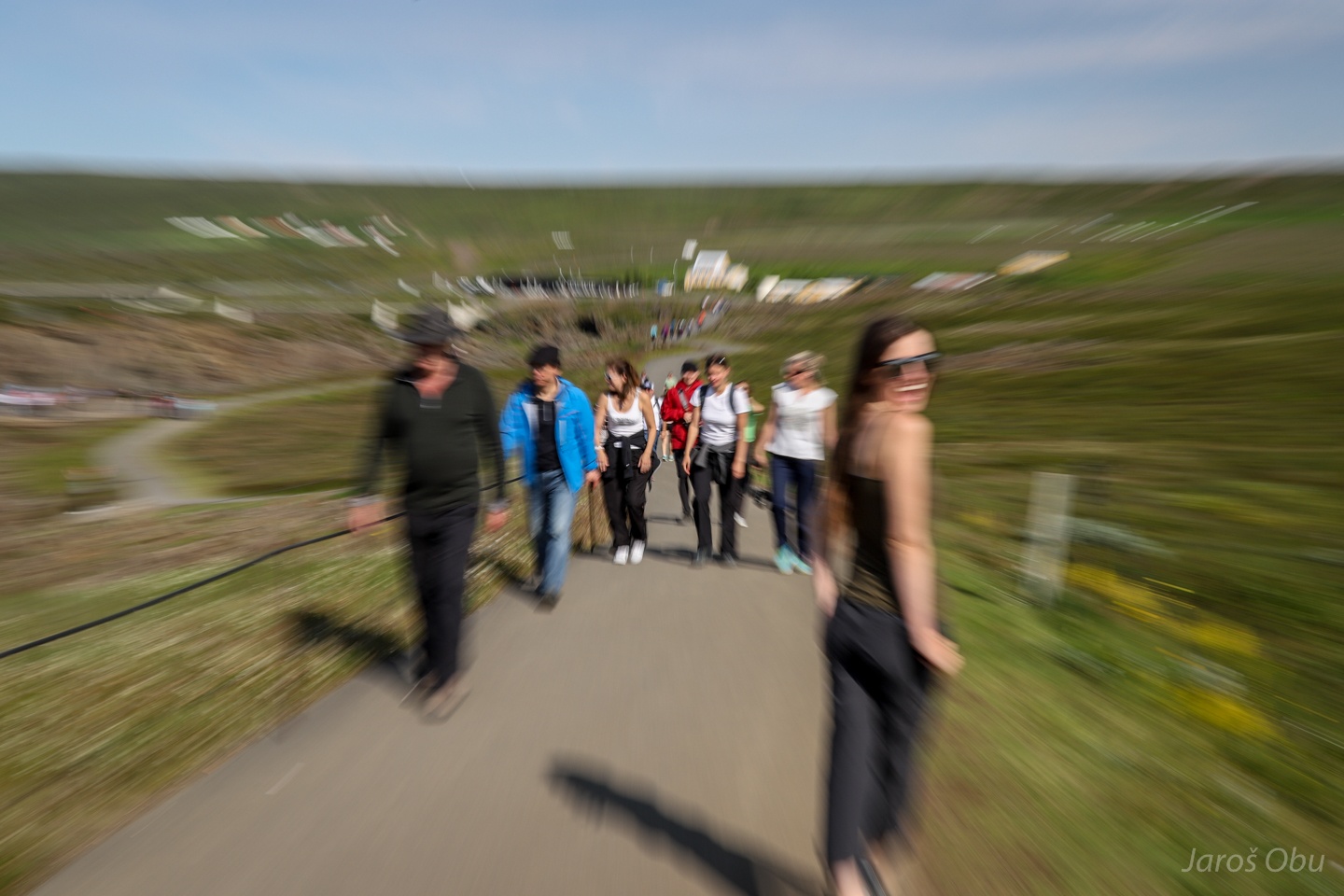
First attraction we visited that was flooded with tourists.
Justyna impersonating Munch's The Scream while retreating back to car.
Heading south through Bárðardalur. I could remember seeing this bridge before.
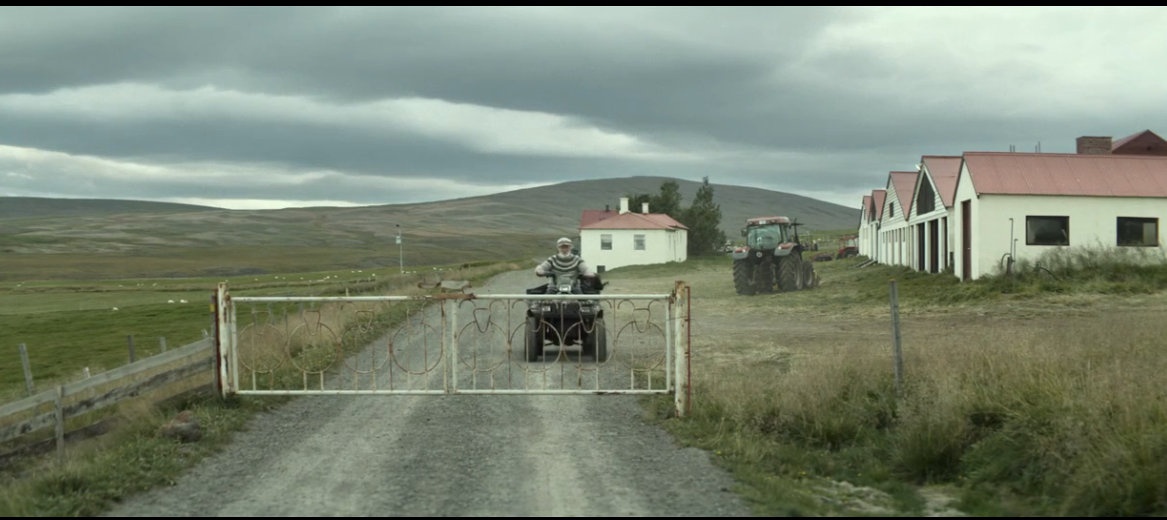
There were many hollywood movies and series shot in Iceland, which I have never seen and will never see.
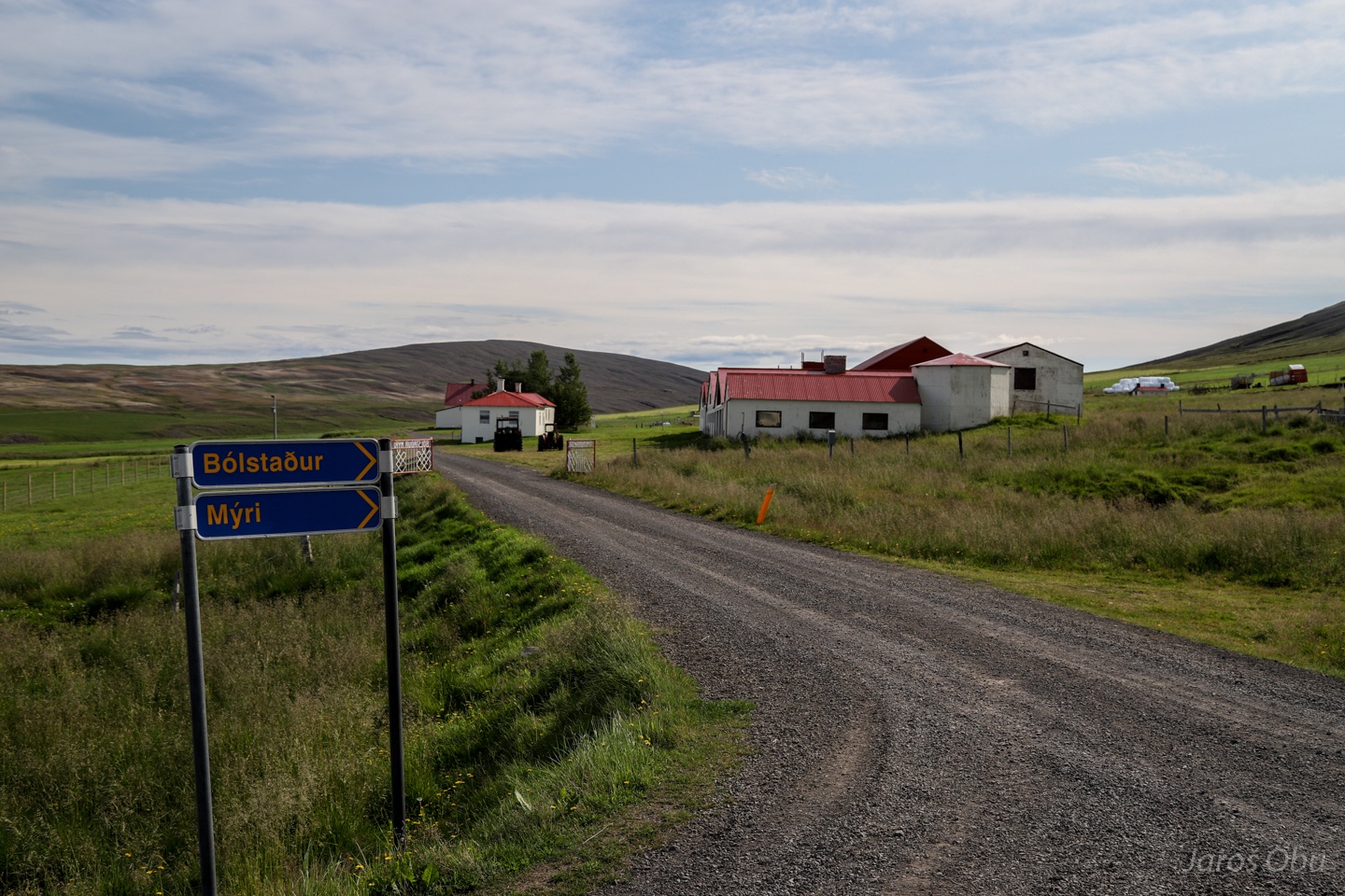
But I've seen and Icelandic movie Hrútar - Rams, winner of Ljubljana Film Festival in 2015, which was shot at this farm.
I forgot to ask them if they are allowed to have sheep again in the valley.
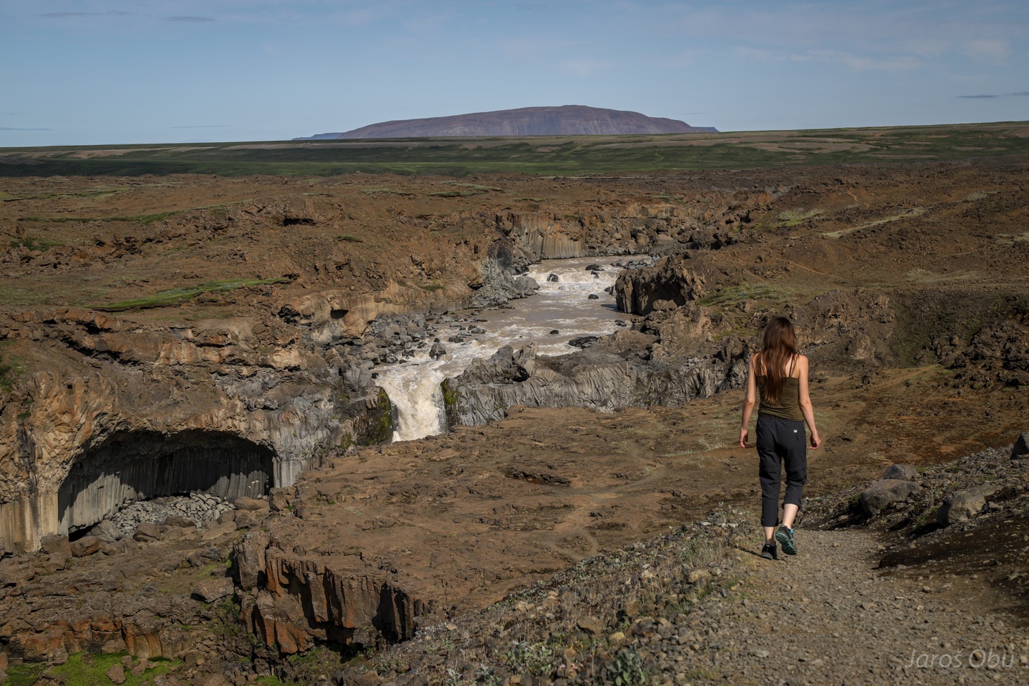
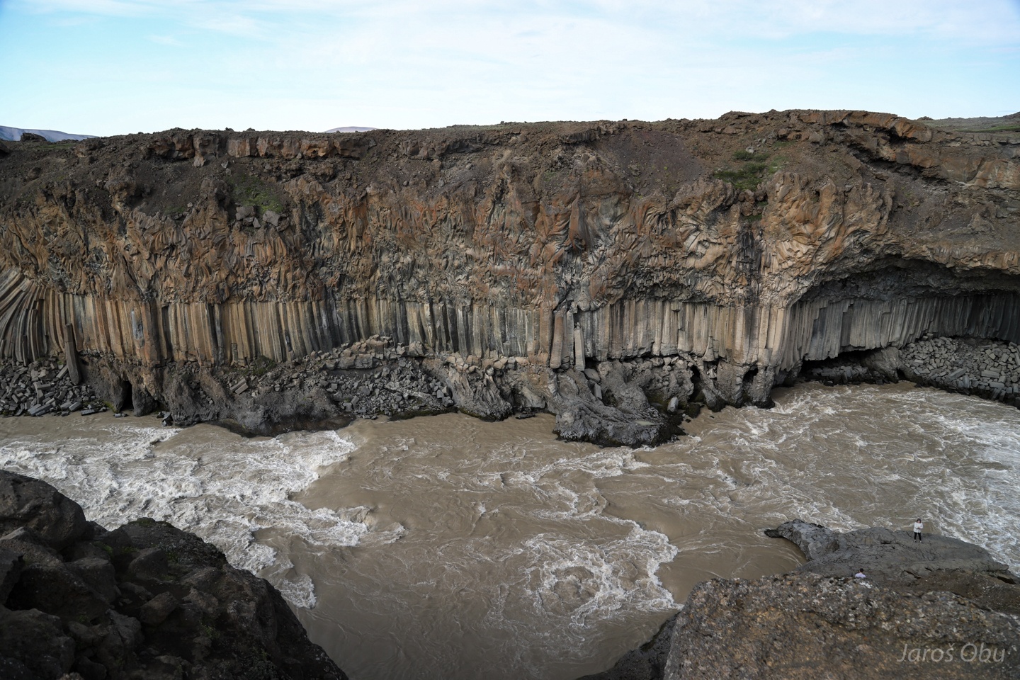
The farm was just on a way to Aldeyjarfoss, which we intended to visit.
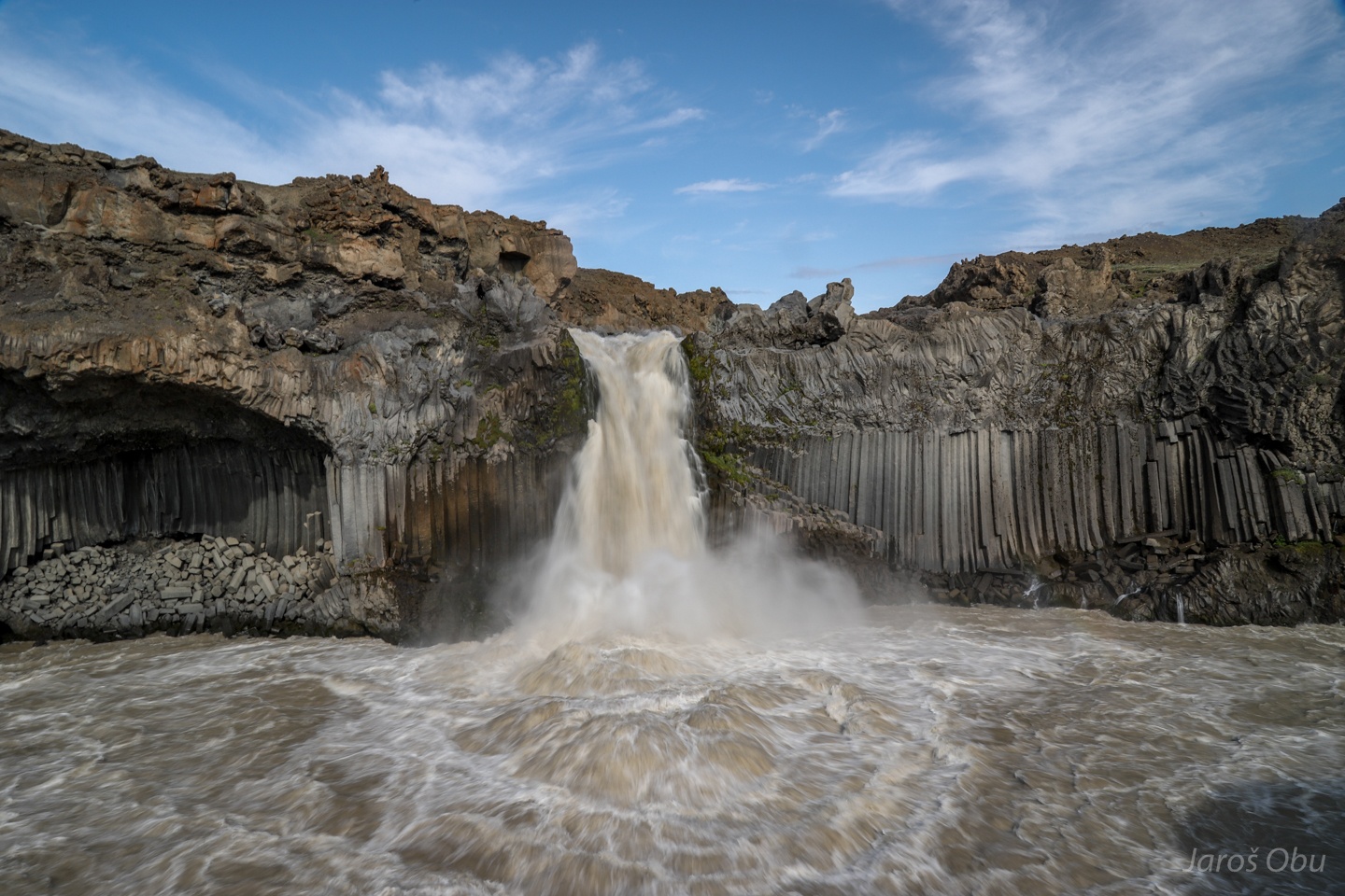
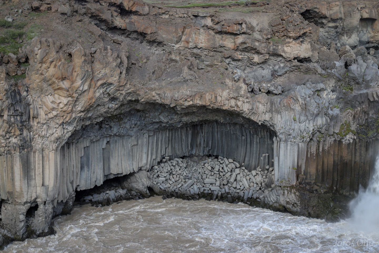
The waterfall formed on the former lava field.
The columnar basalt is showing slow cooling but the rest of lava cooled down faster.
The columns are eroded by undercutting of less resistant lava layers.
And from above before heading further towards Myvatn.