© 2024 Jaroš Obu
Photo gallery of Jaroš Obu
Cart
0
Items
Buy now
Trolltunga and Svartedalen 19.-21.-7. 2018
Friday, 20 July 2018
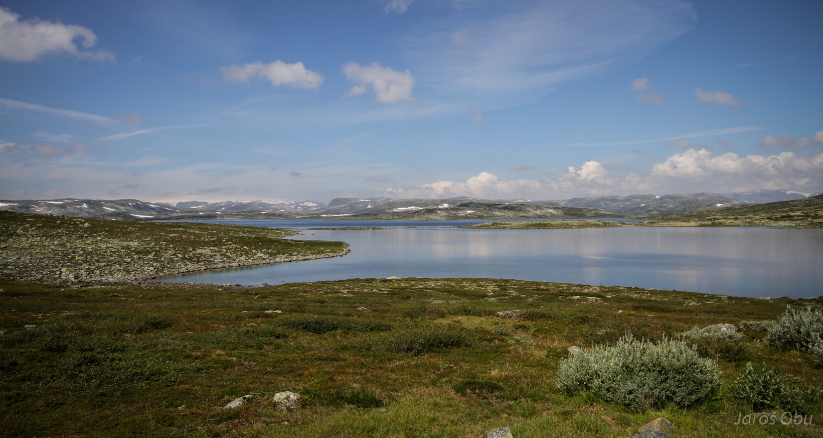
Hardangervidda ... on a way to the west coast of Norway.
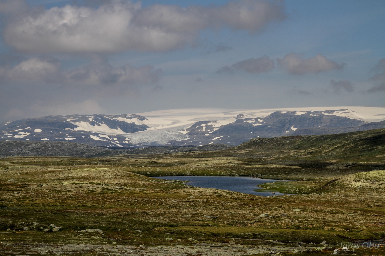
Hardangerjøkulen, from the southern side this time.
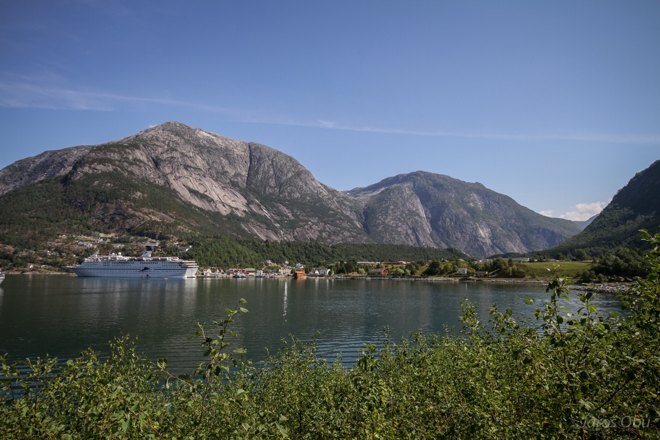
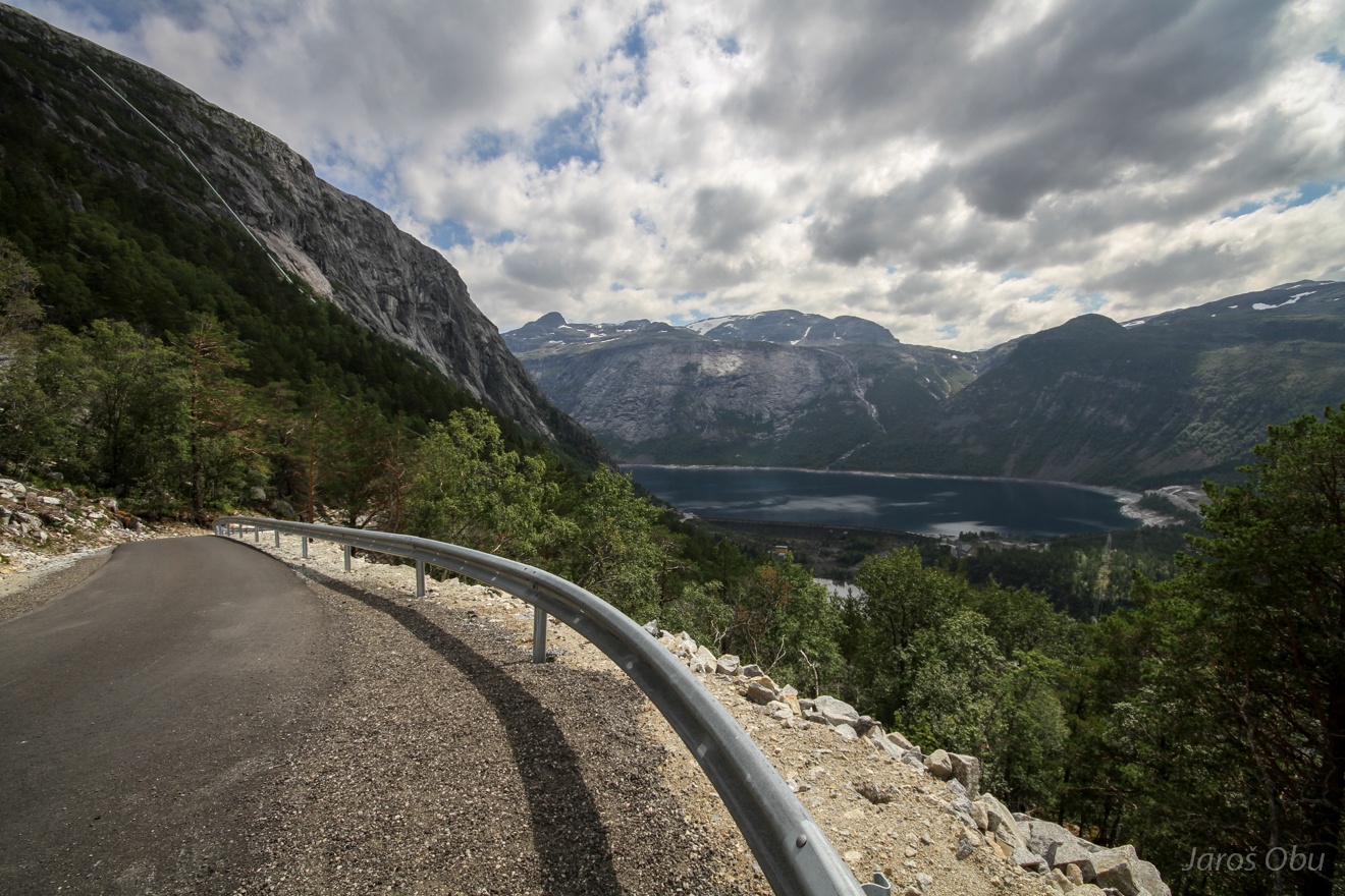
Passing Eidfjord on a way to Odda.
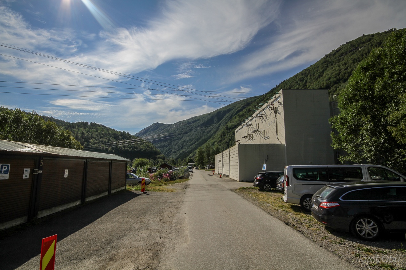
Hydro power plant and 500 kr/day parking in Ringedalen.
Artificial lake of Ringedalen and a long gravel road aside of it.
Floråna waterfall was almost dry because of extreme drought in the whole Southern Norway.
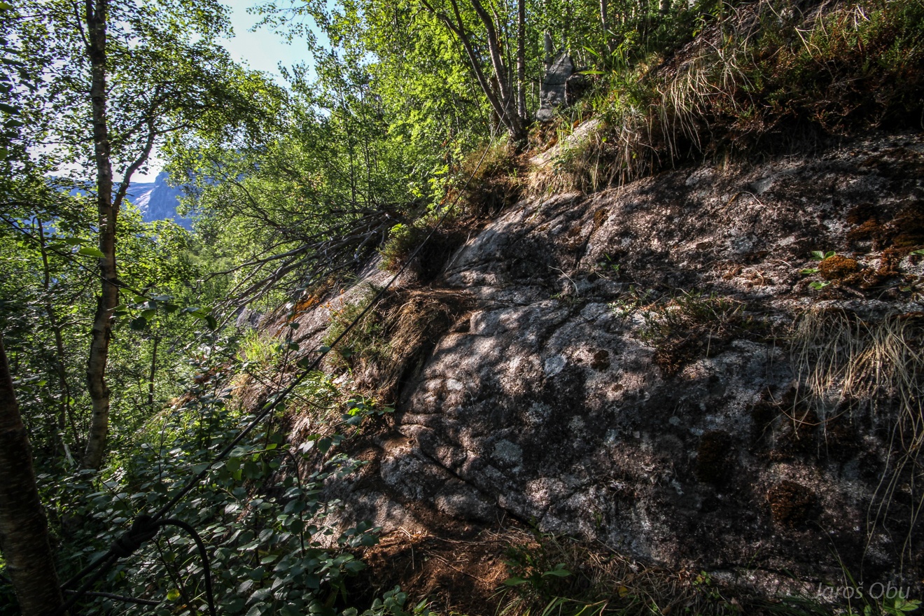
Secret path turns right in to the forest after 6 km long hike.
Already a bit exposed at some places.
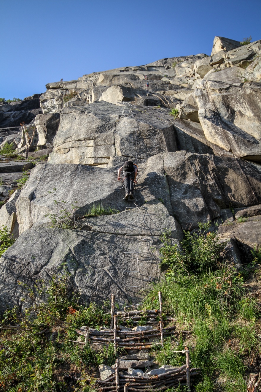
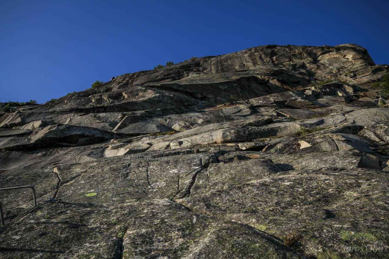
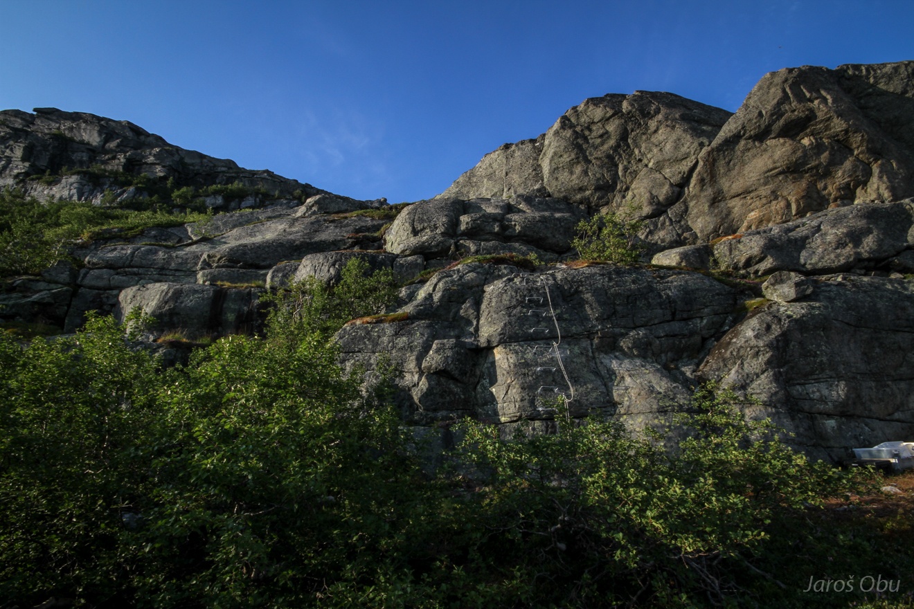
The path eventually leads to the start of the via ferrata.
Waiting for the last group to come down.
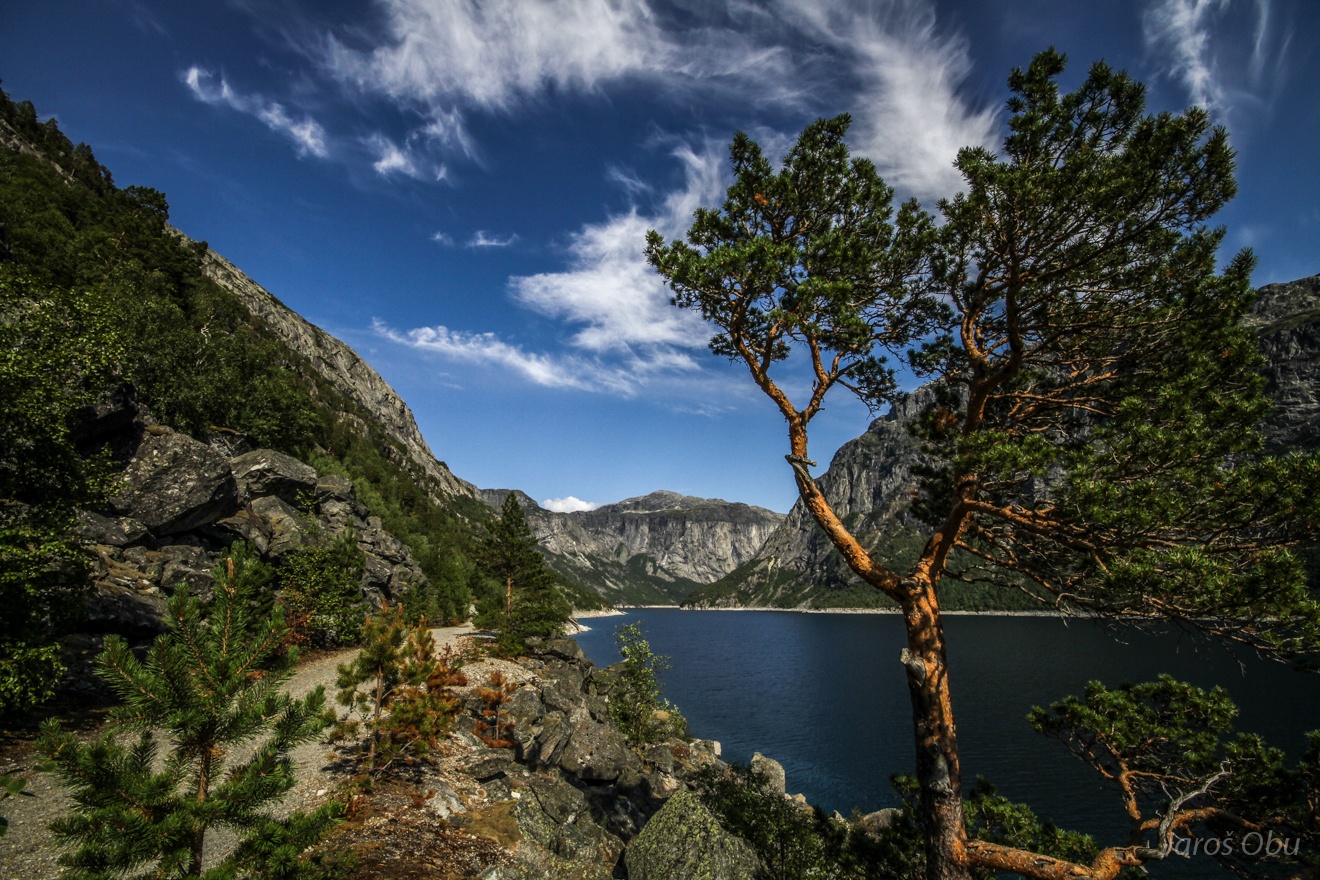
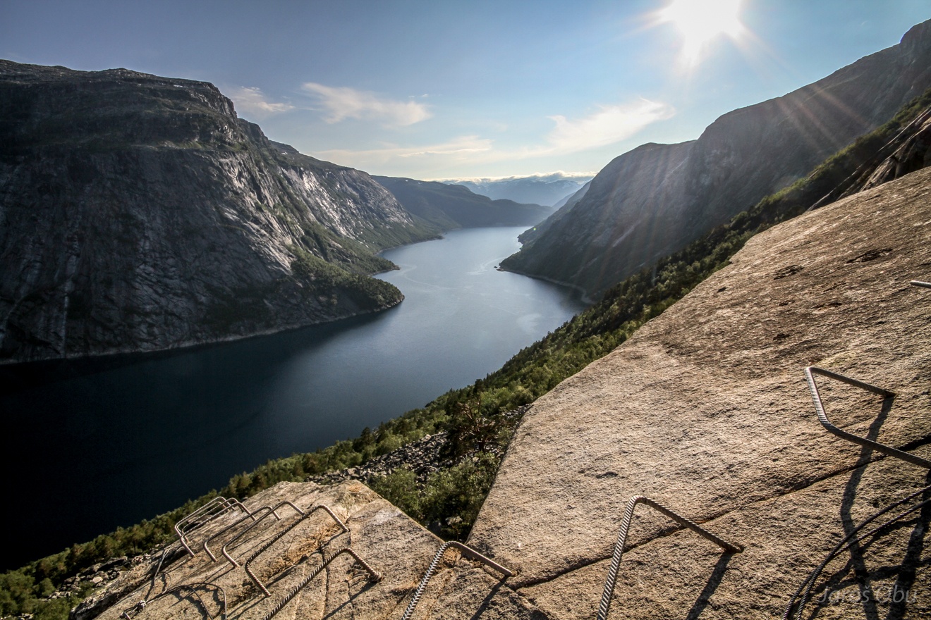
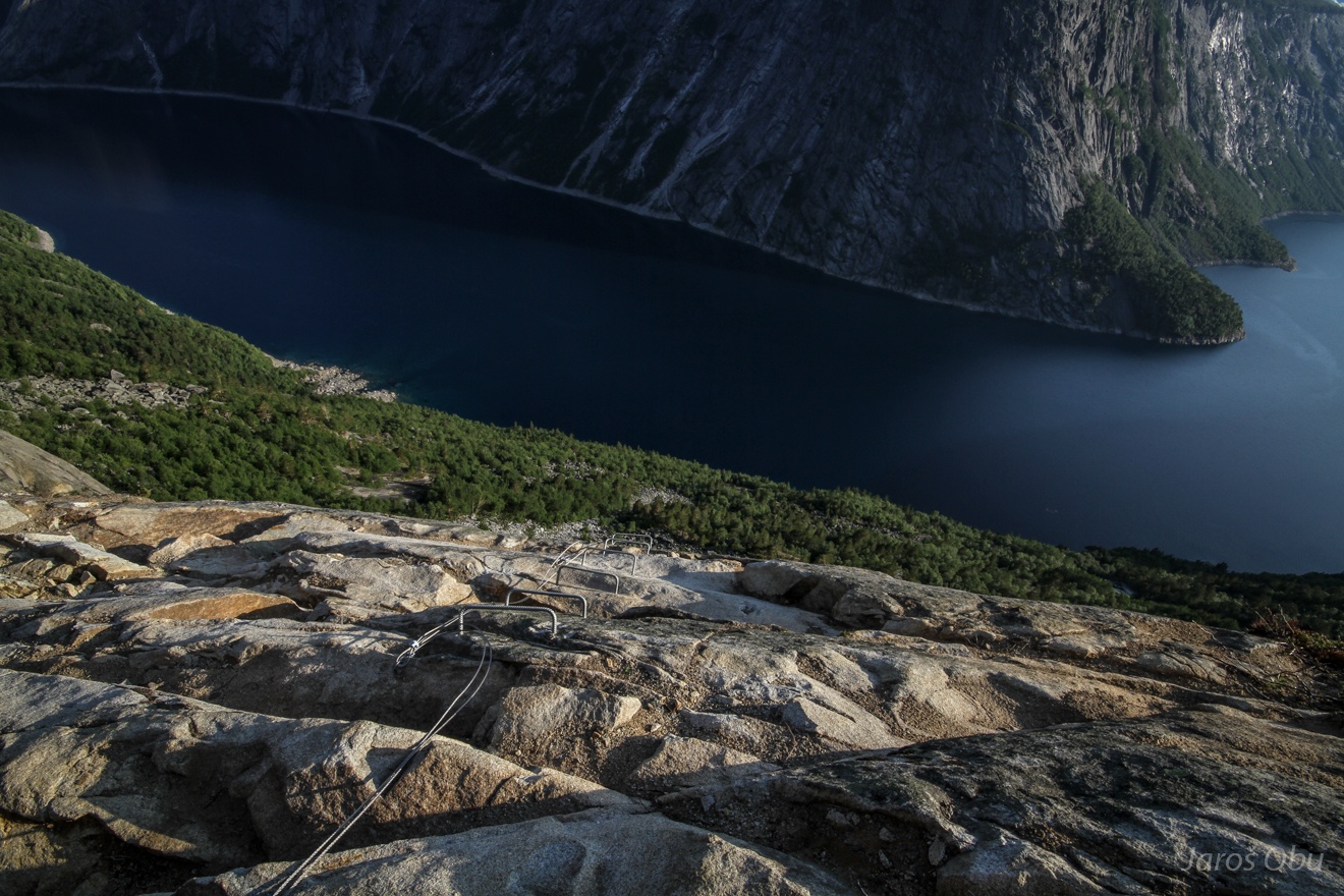
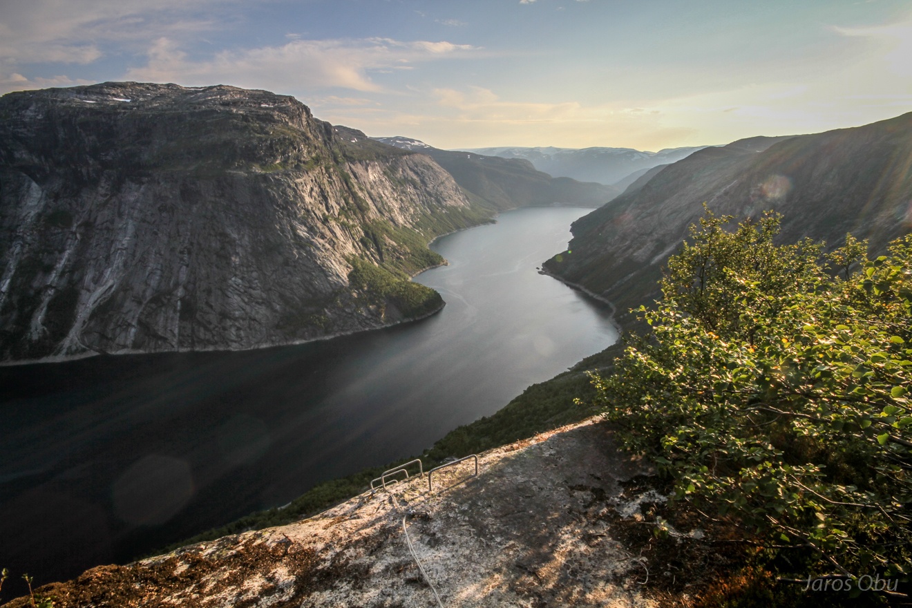
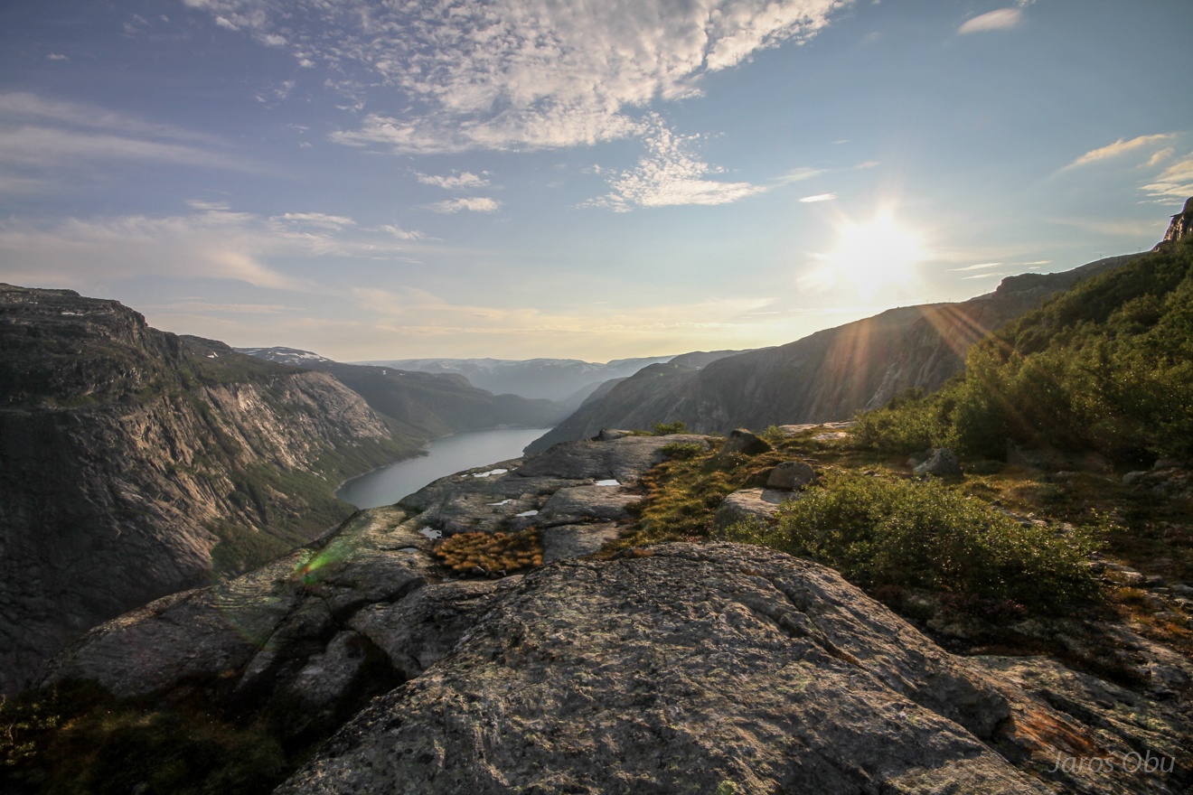
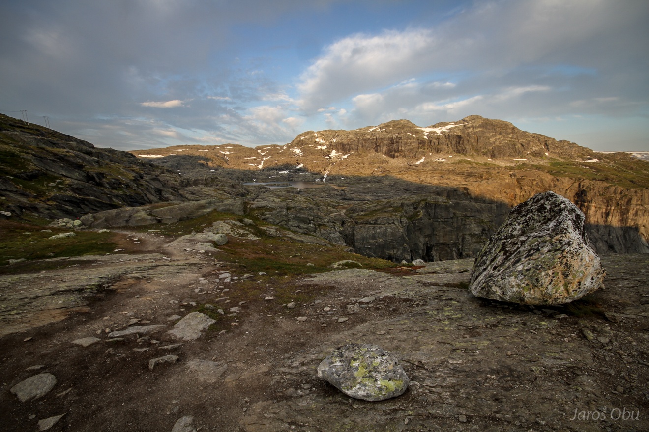
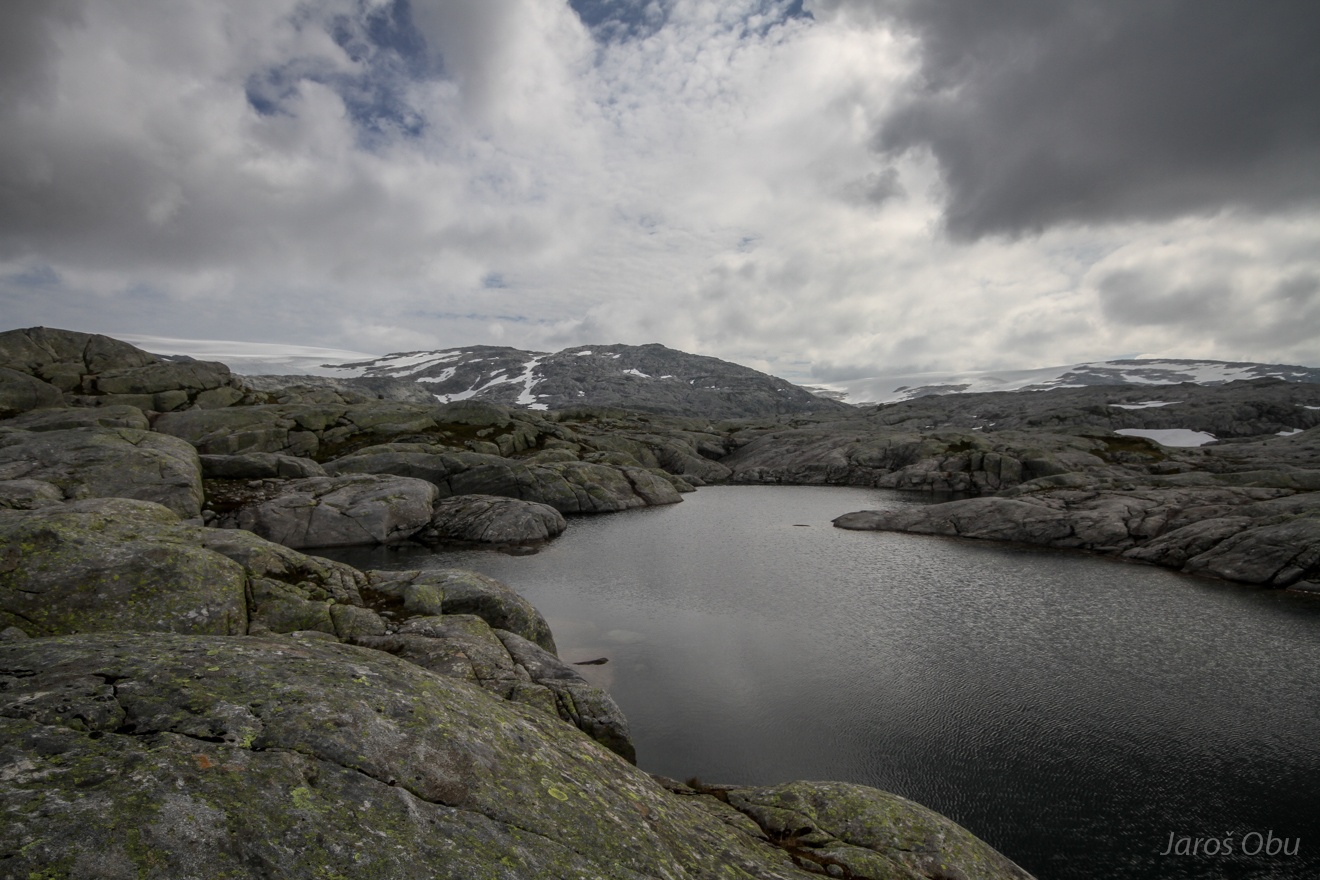
A nice view on the lake.
Slowly gaining elevation equipped with all the camping gear.
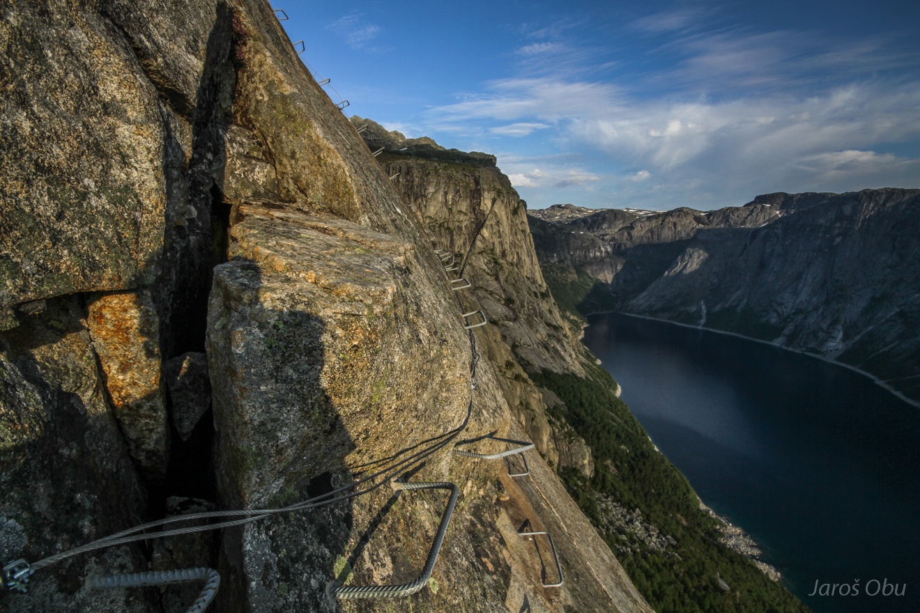
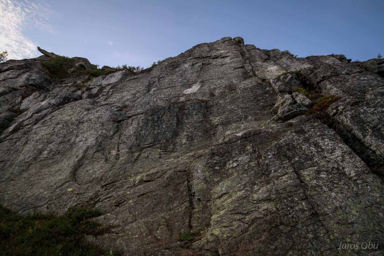
Iron rungs from beginning and all the way to the top on sometimes overhanging rock.
A traverse.
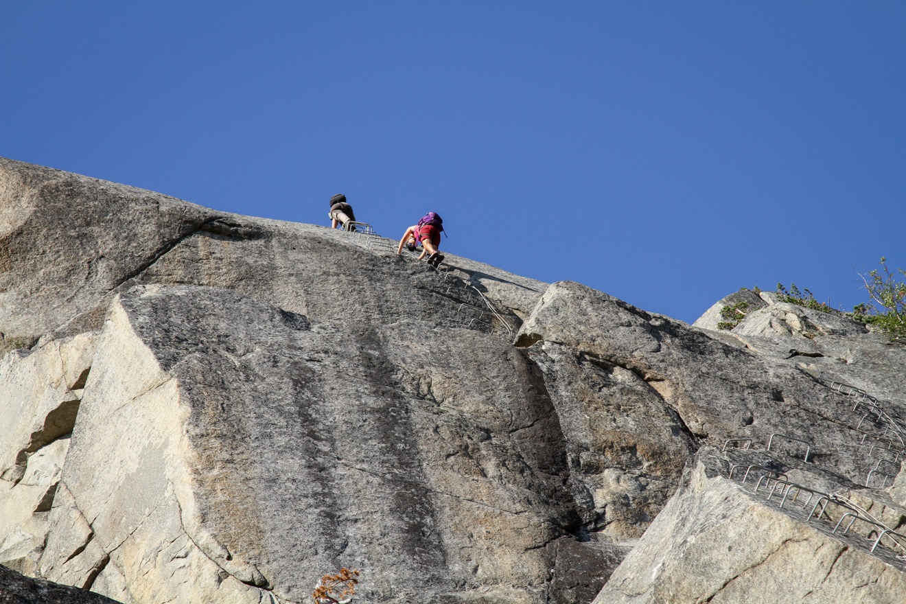
On the top of the first and most demanding section.
Few shorter sections still followed.
Panorama of Tyssebotn.
The last stretch of the ferrata.
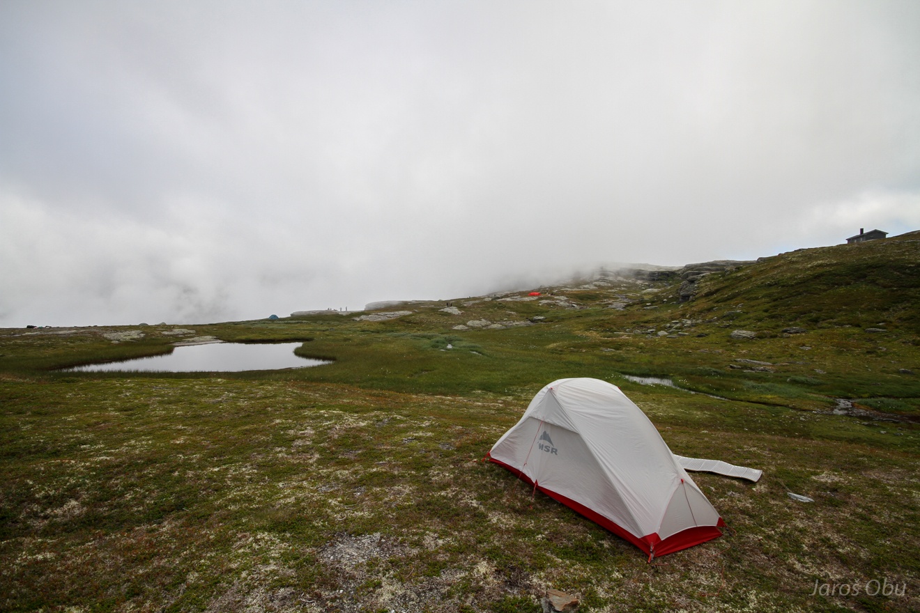
A tent on the top ... presumably for the guided ferrata tours.
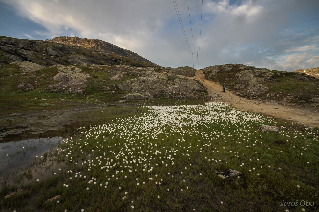
Cottongrass (Eriophorum) on flatter uplands.
The rest of the hike was on the regular trail that goes to Trolltunga.
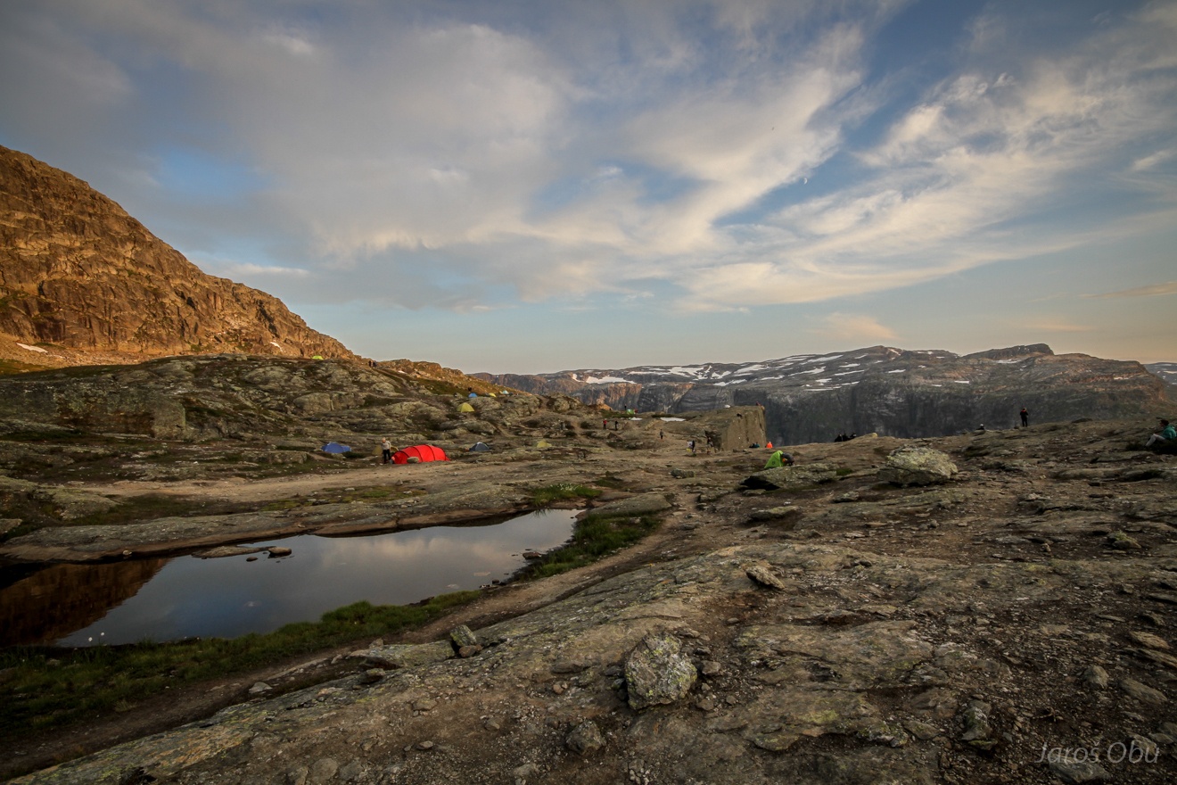
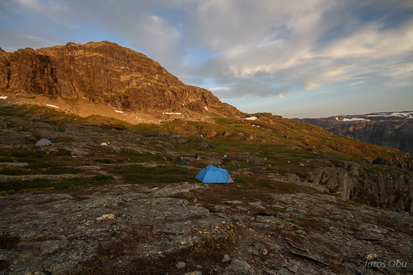
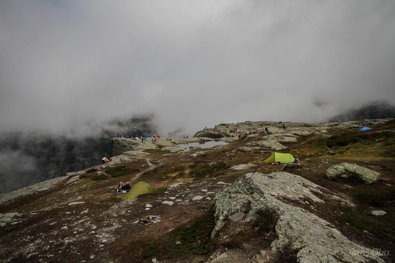
Plenty of tents already before the main "camping" ground.
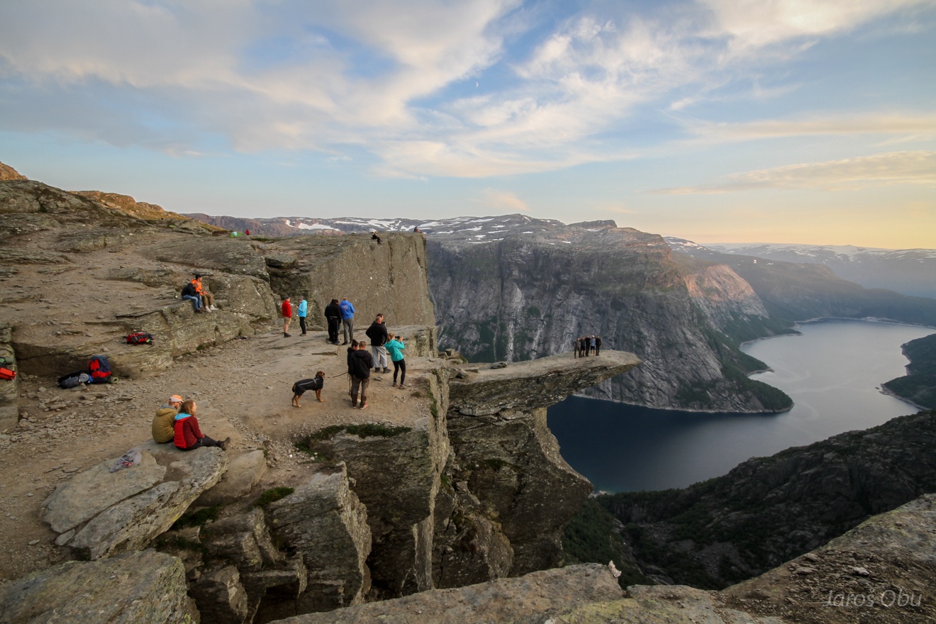
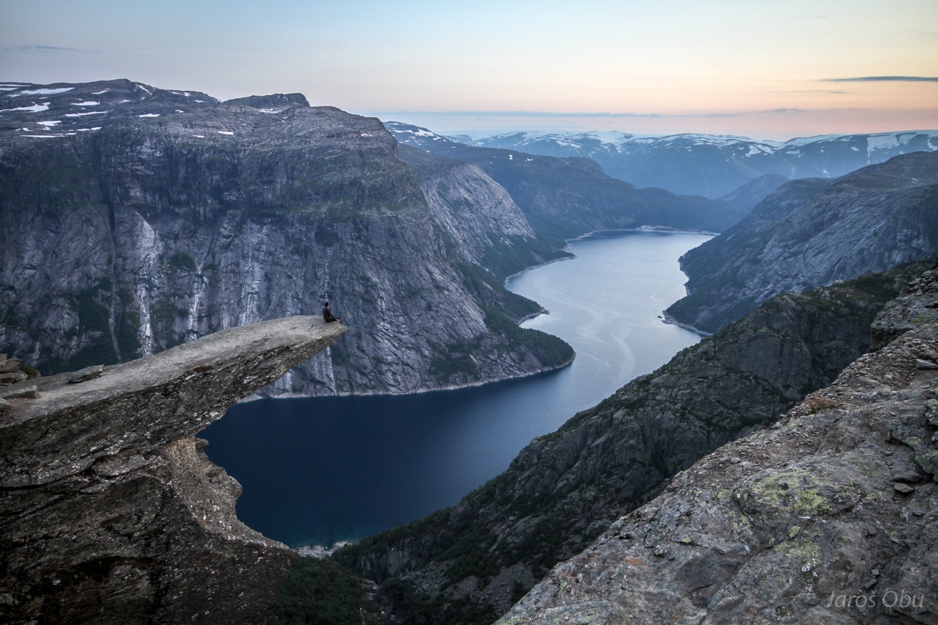
Trolltunga is one of the main tourist attraction of Norway nowadays. It had around 1000 visitors in 2010 and the number has risen to 100 000 during the last years.
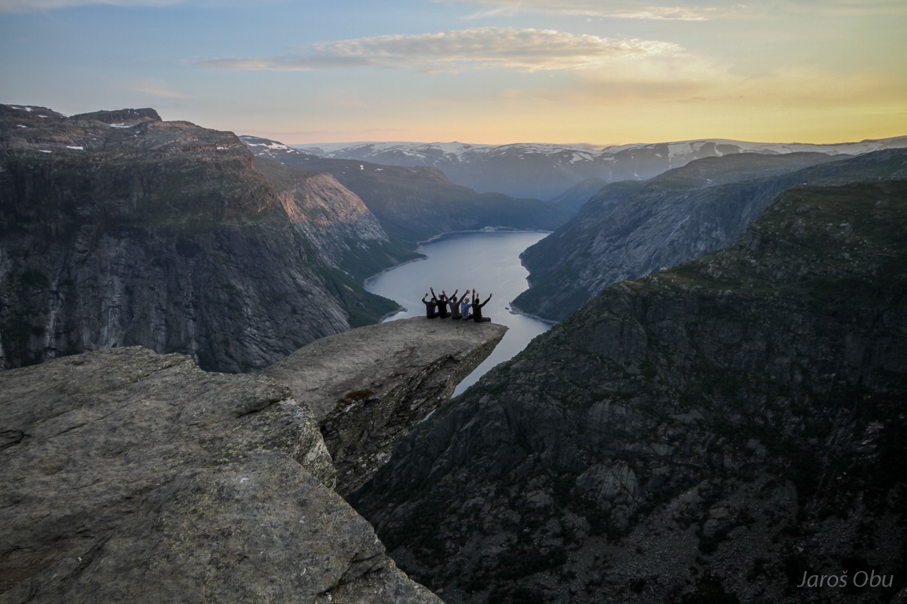
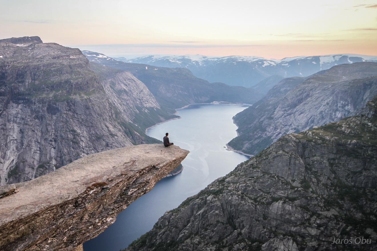
Photo is what most people come here for.
Access to the spectacular rock formation.
Many choose to stay here overnight.
It was also me who did the usual thing.
And from another angle.
Waking up in a cloudy morning after a long night with drunk and loud Brits nearby.
The place was already pretty crowded at 11:00.
With a long queue for the photo.
It seems that nobody cares about the safety.
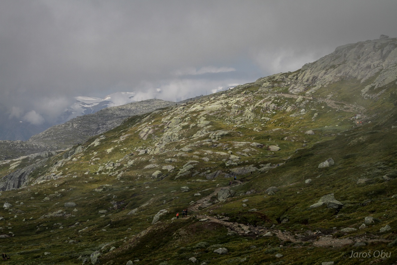
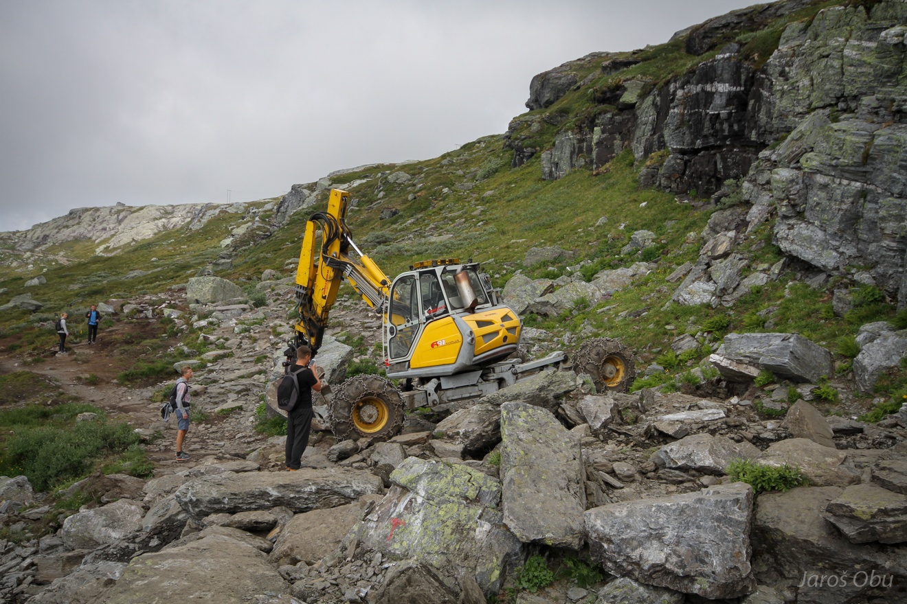
Returning back to the starting-point on the standard trail that has become 14 km long...
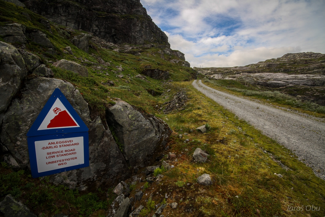
And was in process of being modernised by this vehicle.
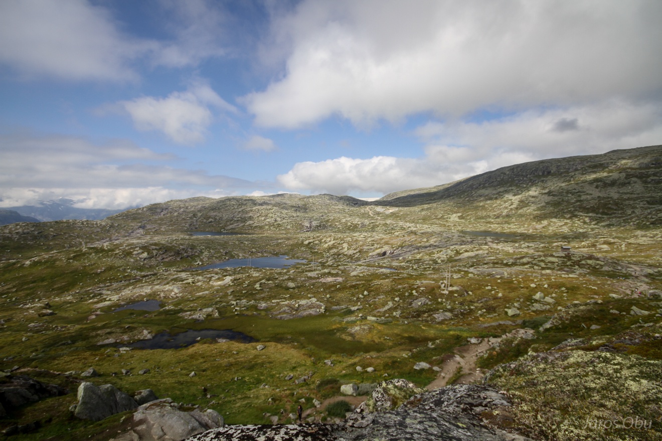
Hiking up and down and left and right.
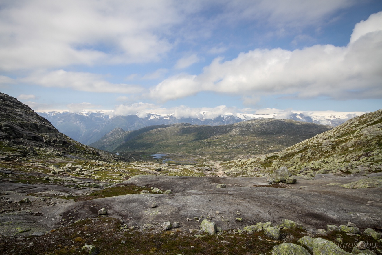
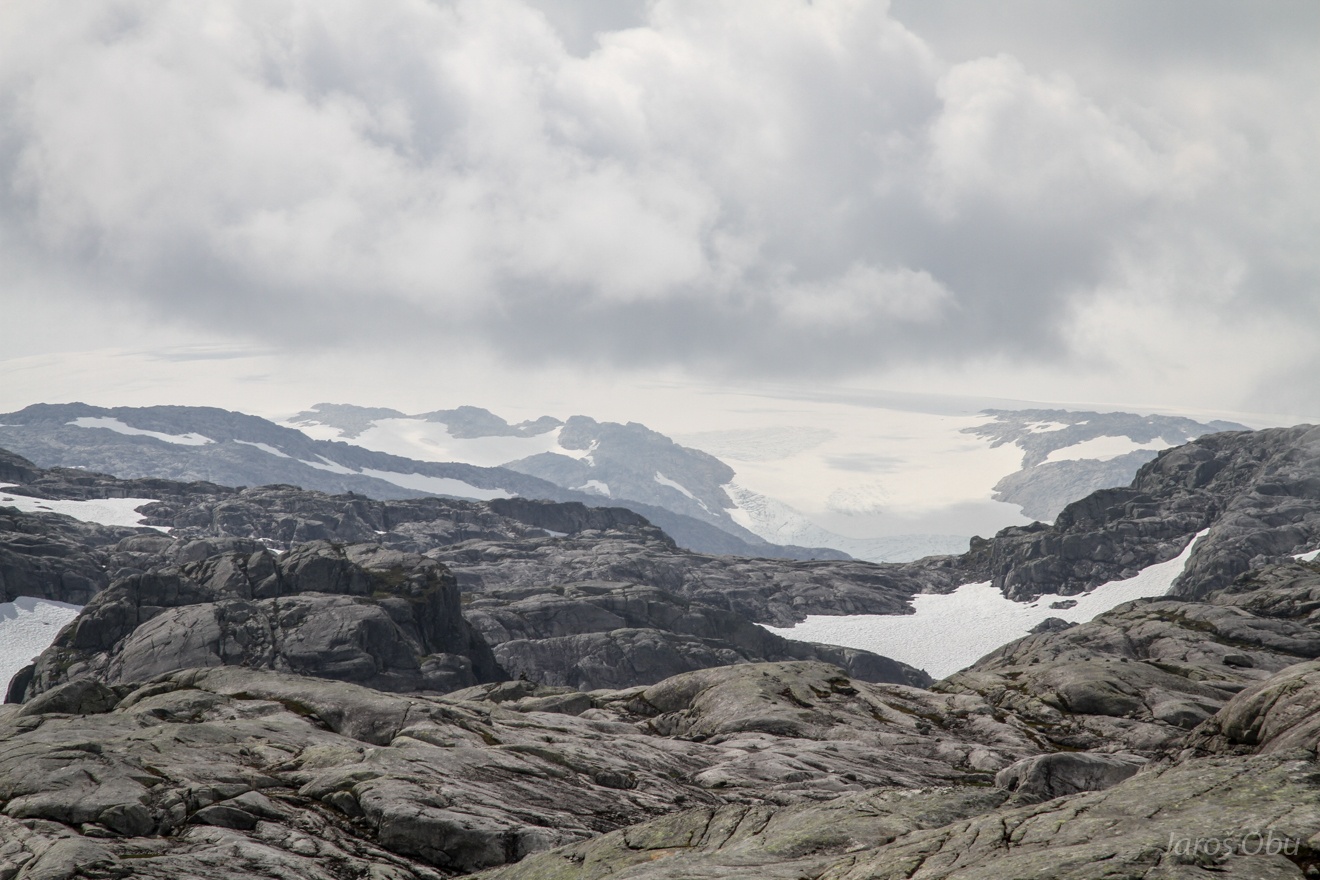
Finally descending back to the valley. Folgeføna ice cap in the distance.
Bridges on one of the recent detours that made hike 4 km longer.
The last detour was transforming the straight hiking path in to a winding road.
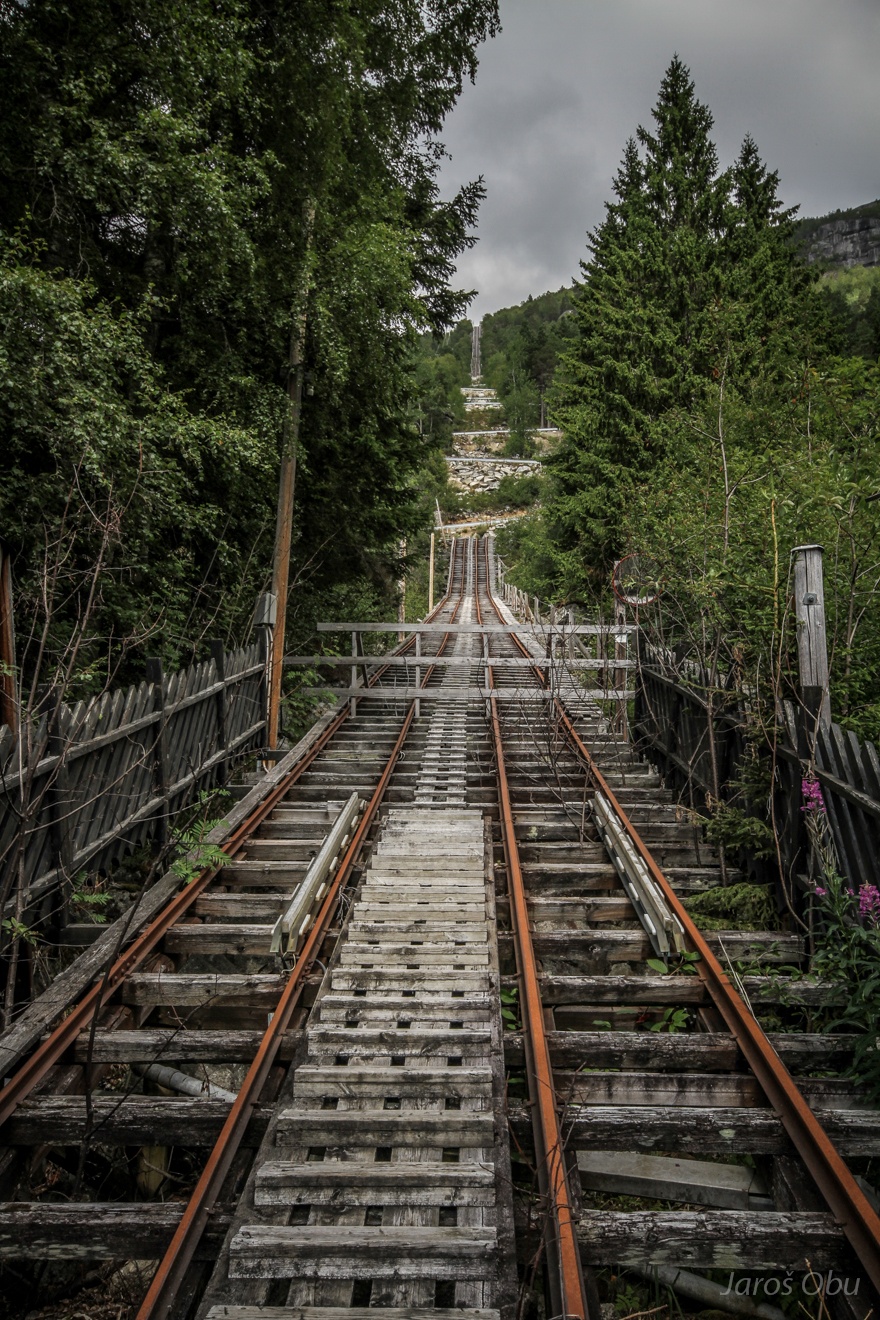
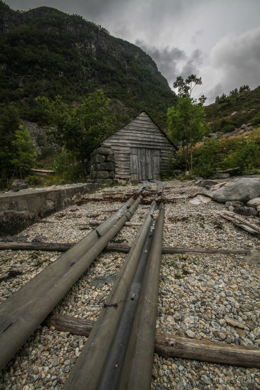
Former funicular that was cut through with the built road.
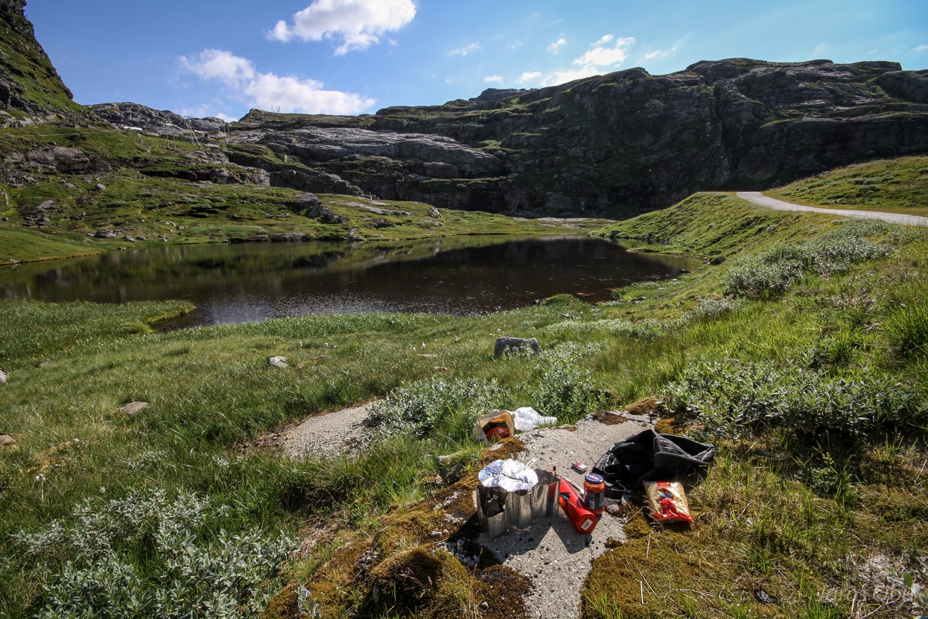
Finding a more quiet place to recover from the crowd of tourists in Fagerdalen.
Lunchtime.
Evening peace by the lake.
And the view from the tent in the morning.
A short hiking to Svartedalen and hoping to get a glimpse of Folgeføna.
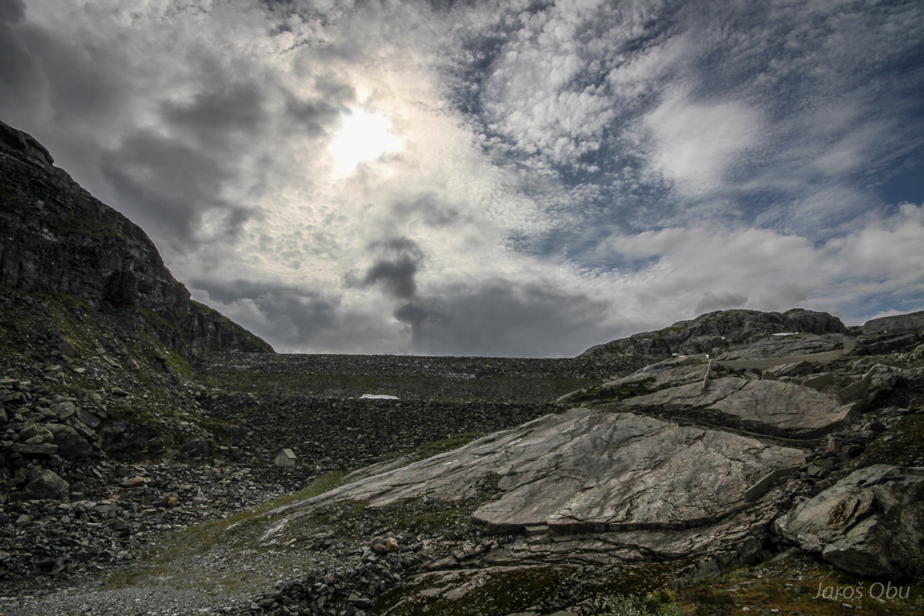
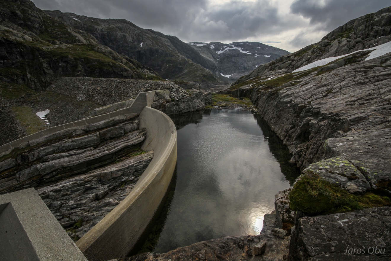
Svartedalsvatnet dam.
...
But almost no water in the lake.
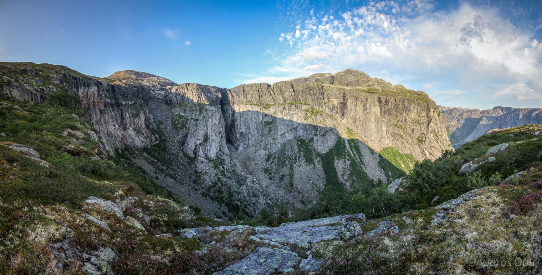
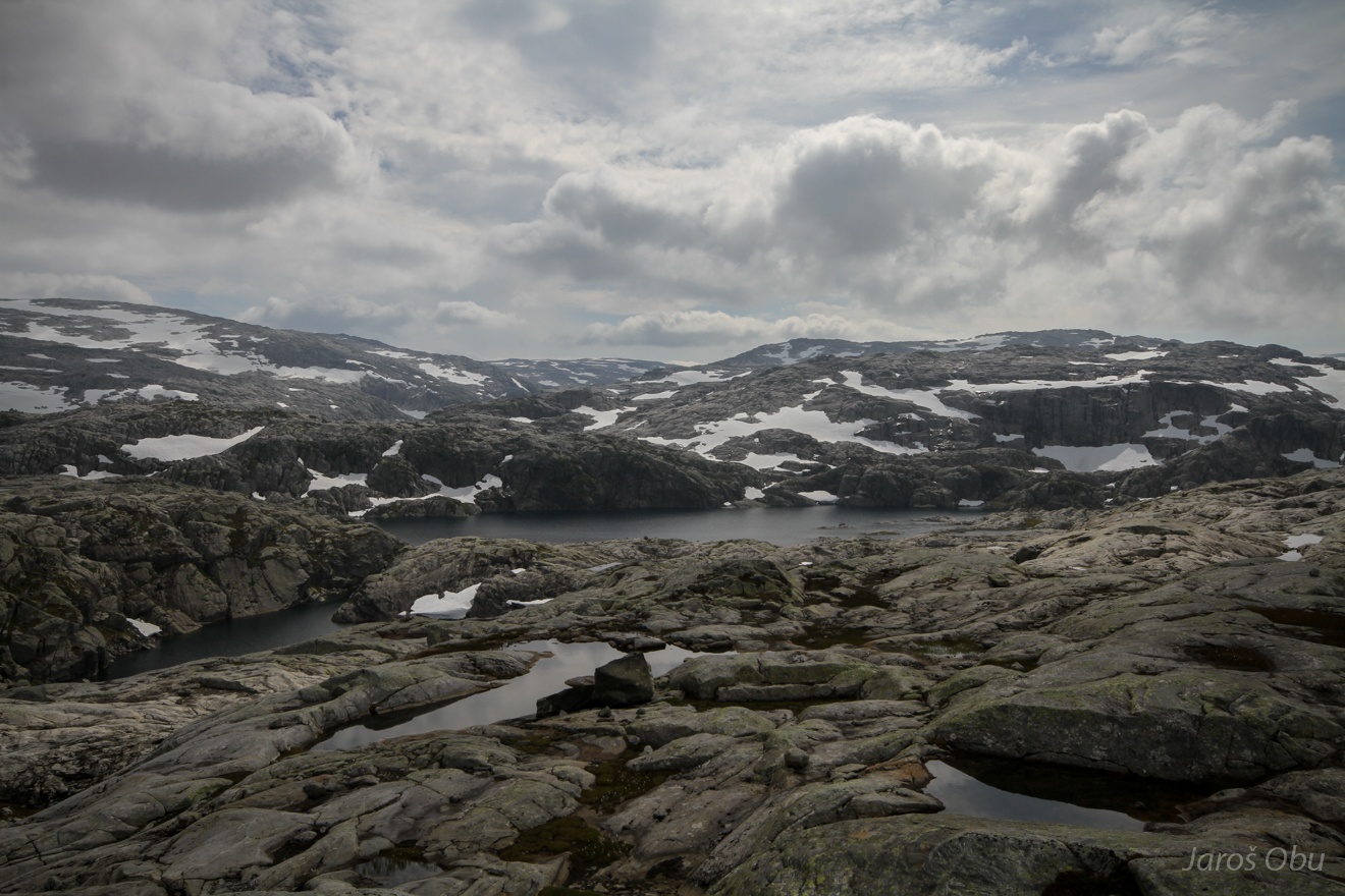
Recently deglaciated landscape where a glacier of Folgeføna was still half a century ago.
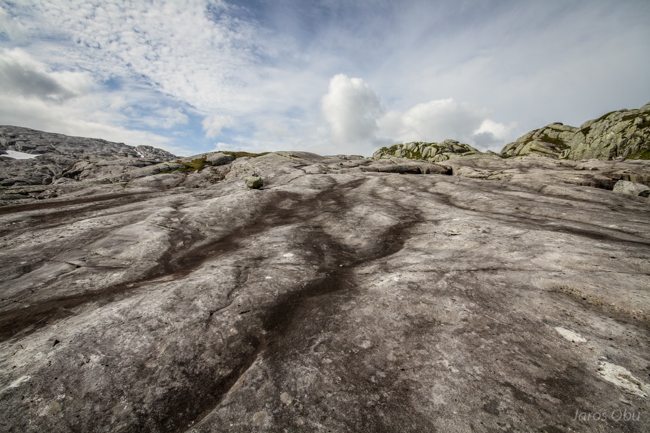
Very rugged landscape.
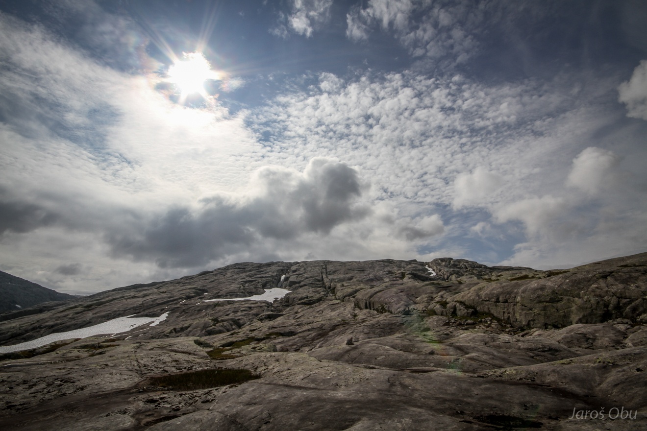
Folgeføna was still far.
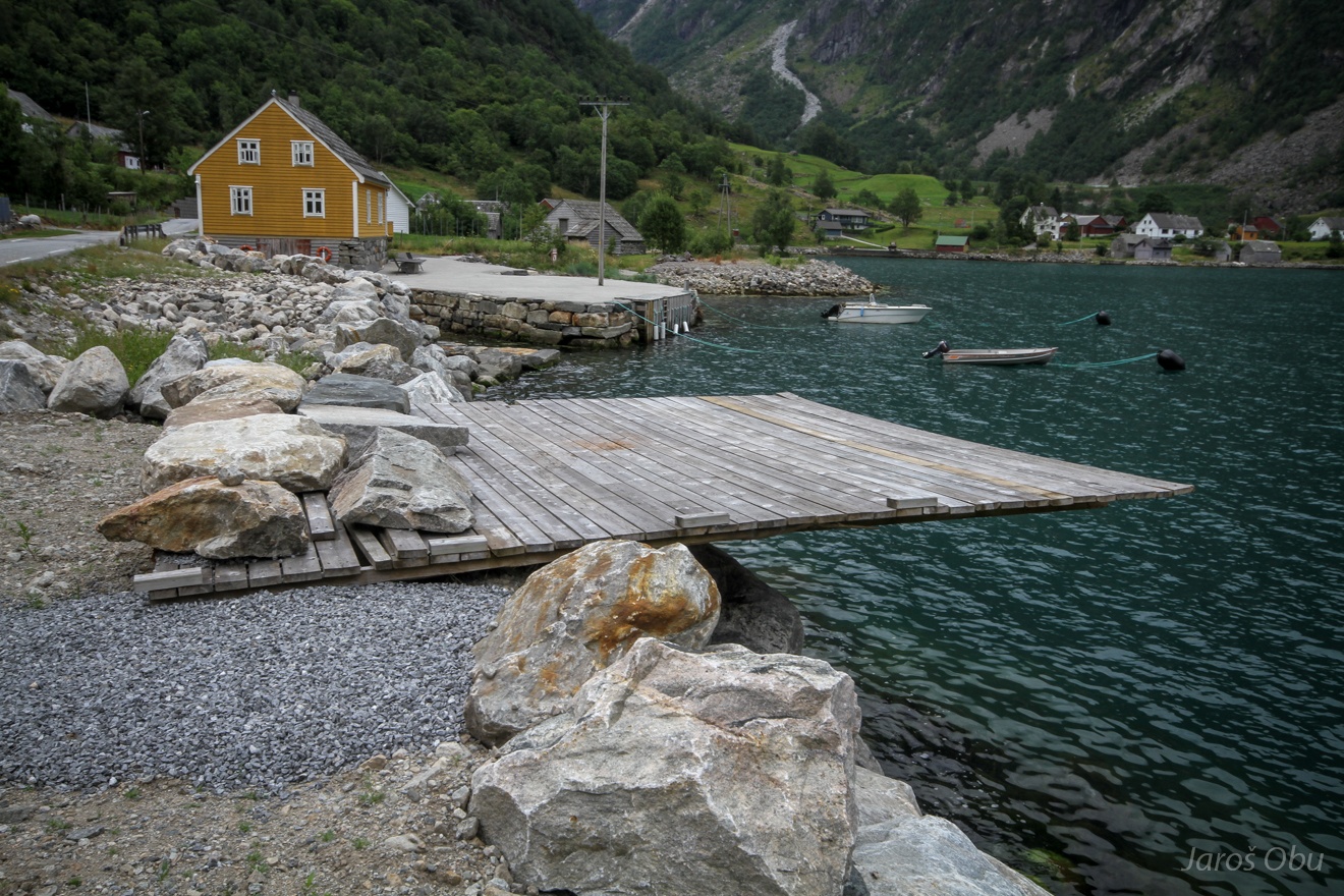
Interesting pier in Fflatebø.
Road fence used for getting a bot in and out of the sea.
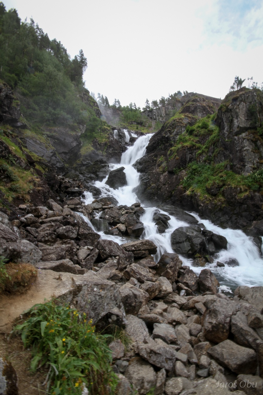
Låtefoss waterfall not so far from Odda.
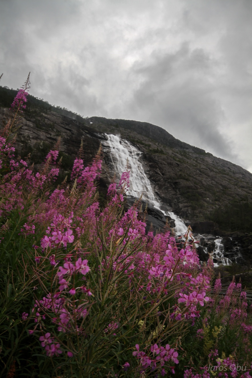
Langfoss in Åkrafjorden.
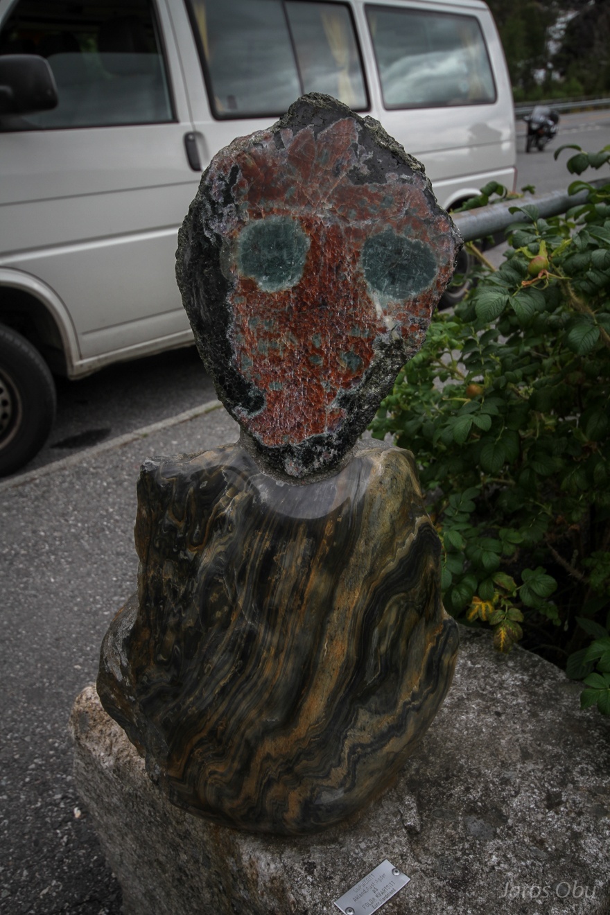
Cordierite from Akland also looking as John Lennon.
Oil rigs in Ølen.
A neat beach in a cove of Ålfjorden.
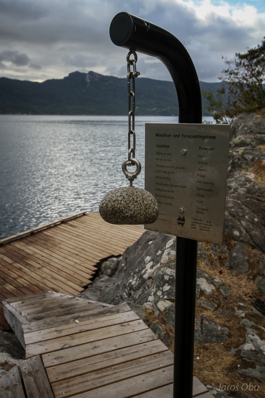
Forecasting stone for weather and other events.