© 2024 Jaroš Obu
Photo gallery of Jaroš Obu
Cart
0
Items
Buy now
Vardeborgsletta and Kapp Linne 6. - 7. 6. 2015
Sunday, 07 June 2015
Grønberget on a way to Kapp Linne. At this time it was stil more brown than green.
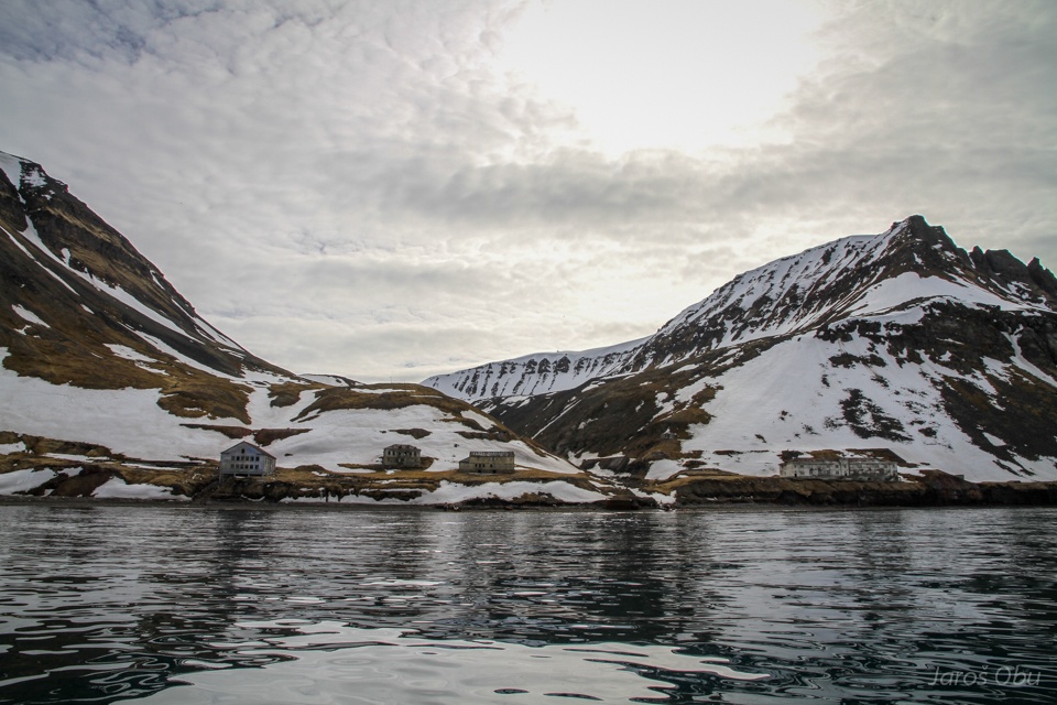
Grumantbyen. An abandoned Russian mining settlement.
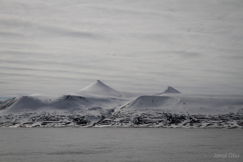
Kjeglefjella with Vesuv (741 m), which is the highest of both cone tops.
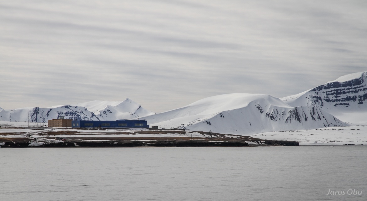
Heliport of Barentsburg.
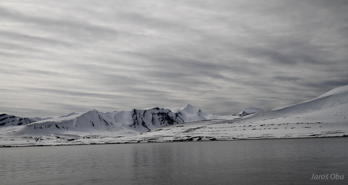
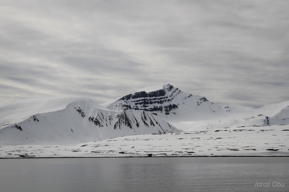
Mountains across the Barentsburg Bay.
Vøringen (676 m).
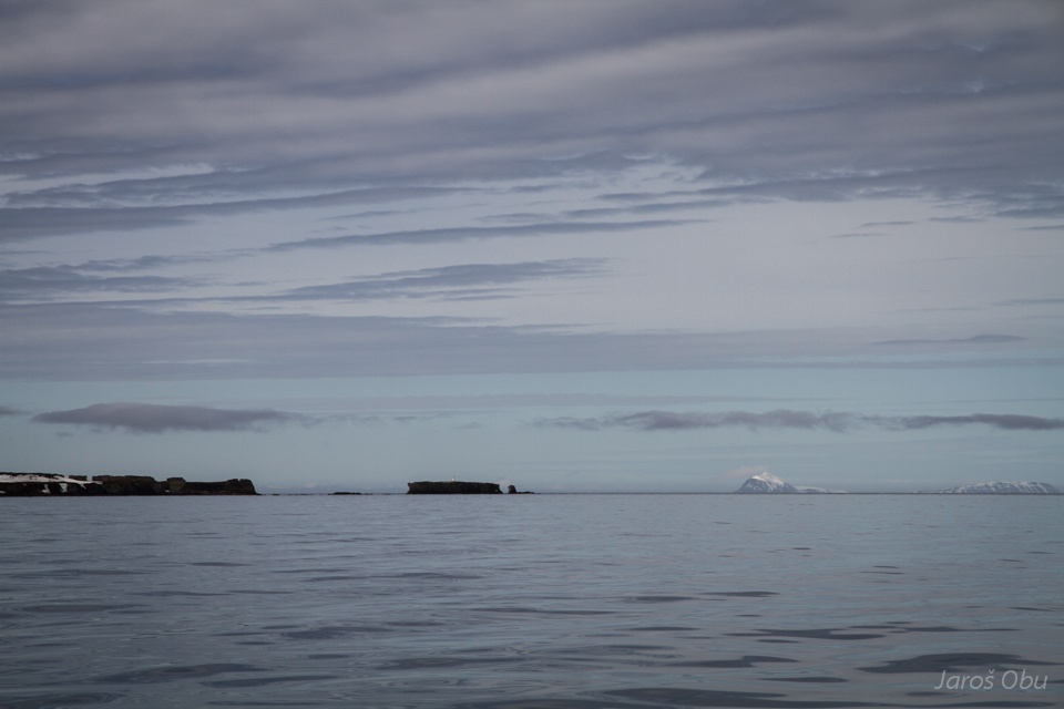
Isfjorden mouth.
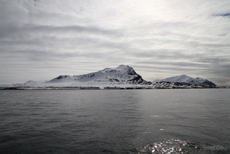
Griegfjellet.
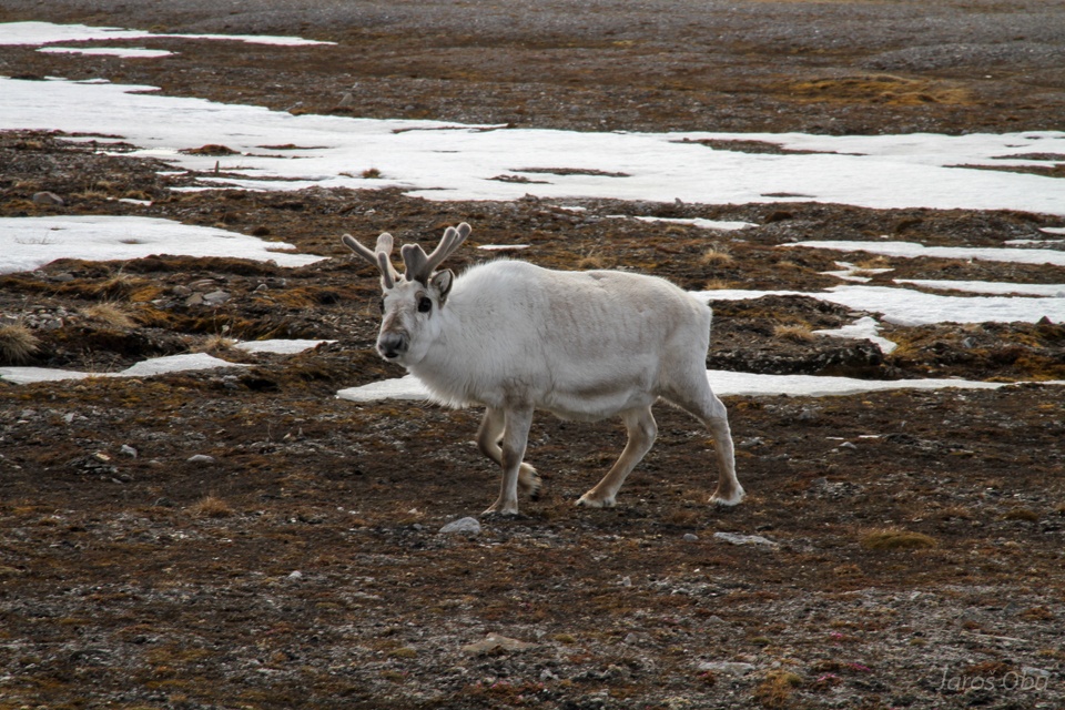
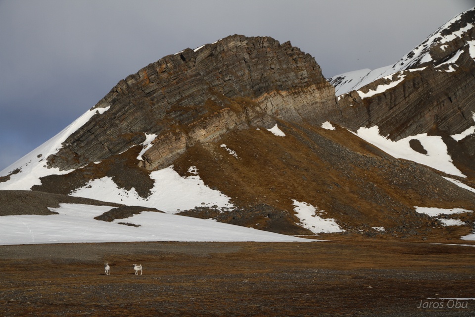
And reindeer under that silky mountain. The silk reflection is because of of phyllite bedrock.
Hello curious!
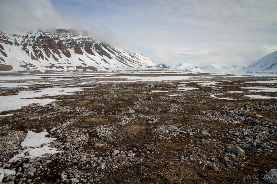
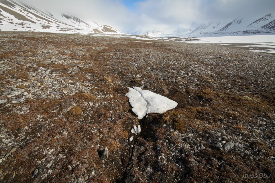
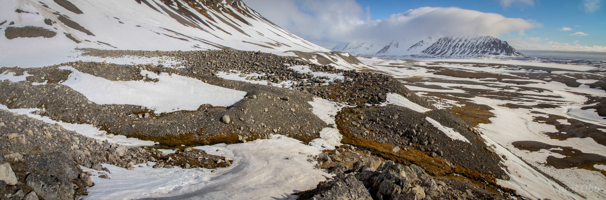
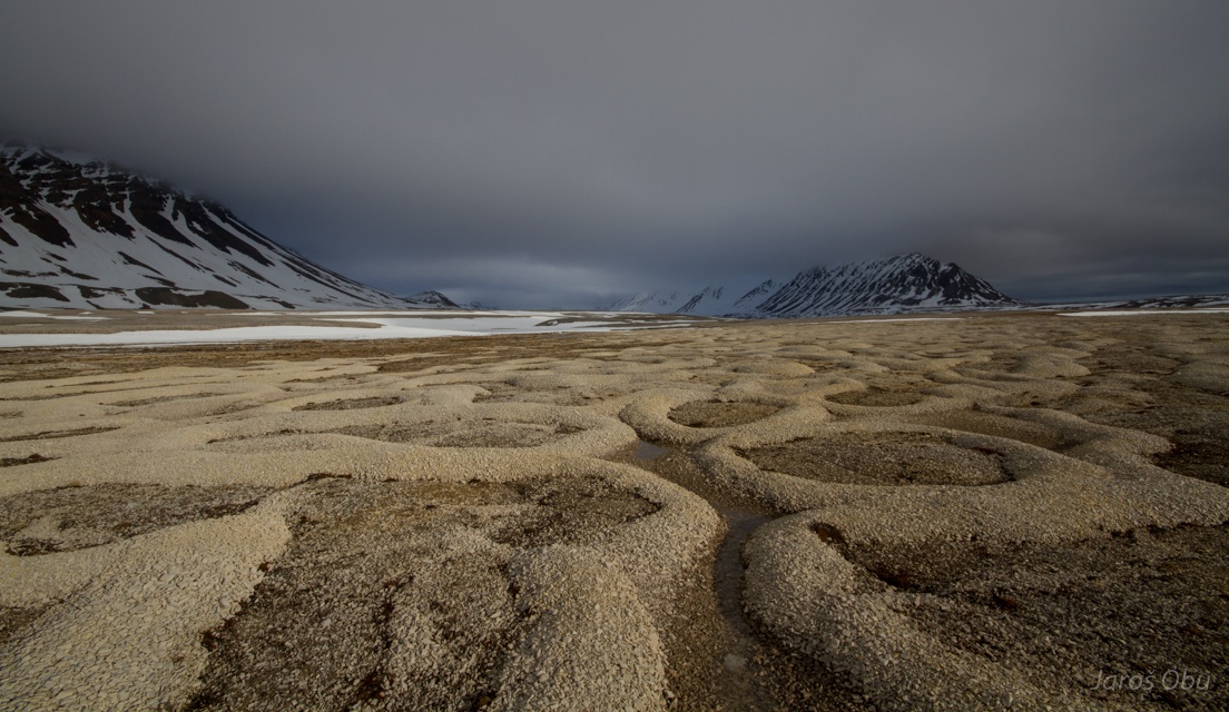
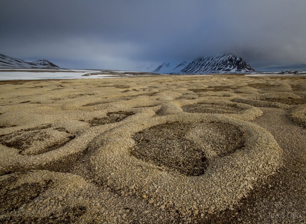
On a way to Vardeborgsletta soon after arrival. Already on patterned ground.
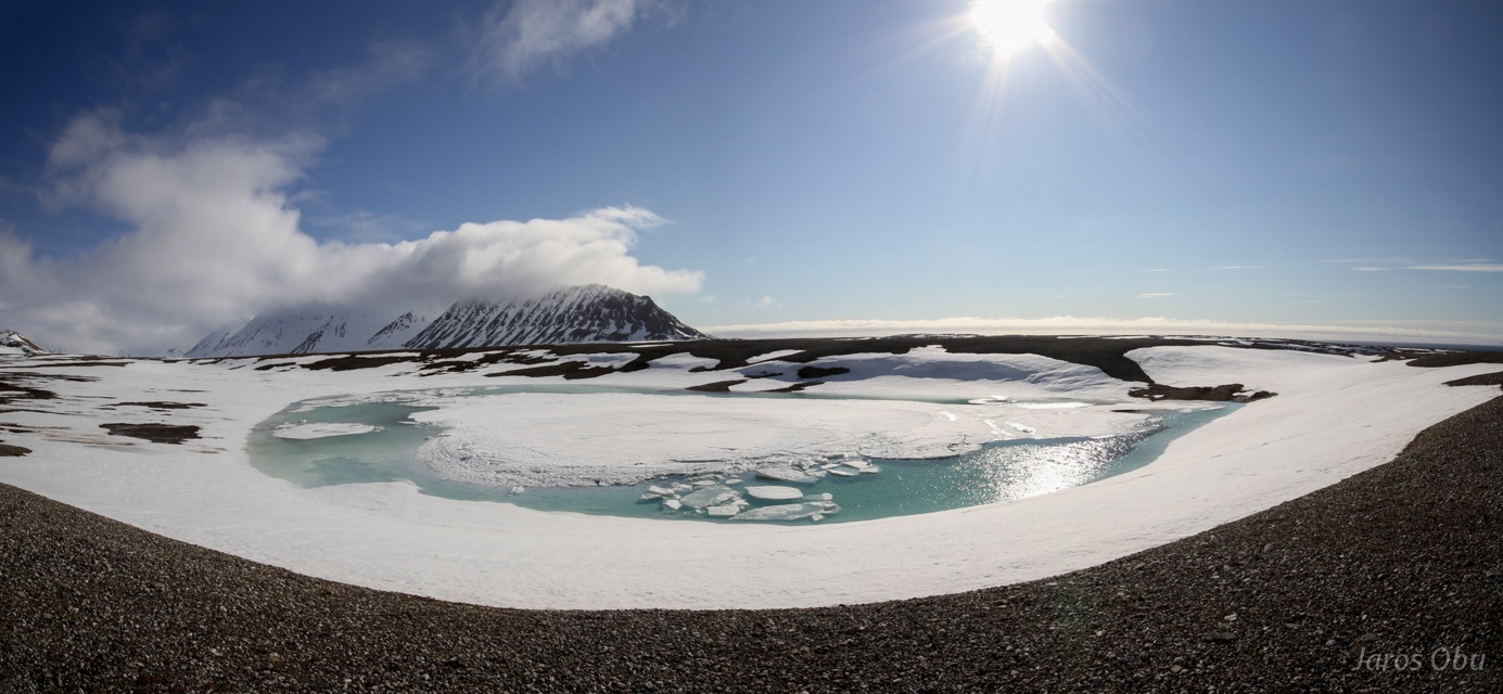
Very convenient natural bridge that will last only for few more days.
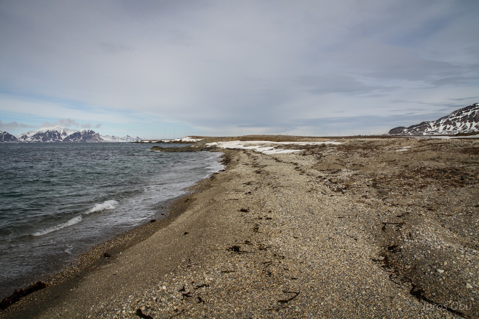
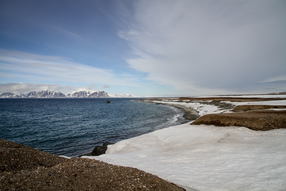
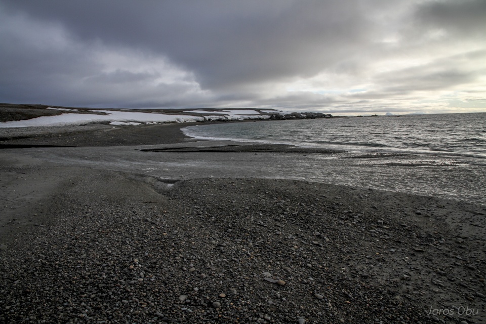
And Randvika beach.
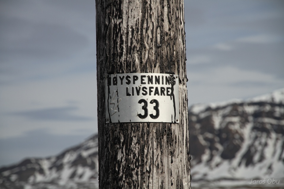
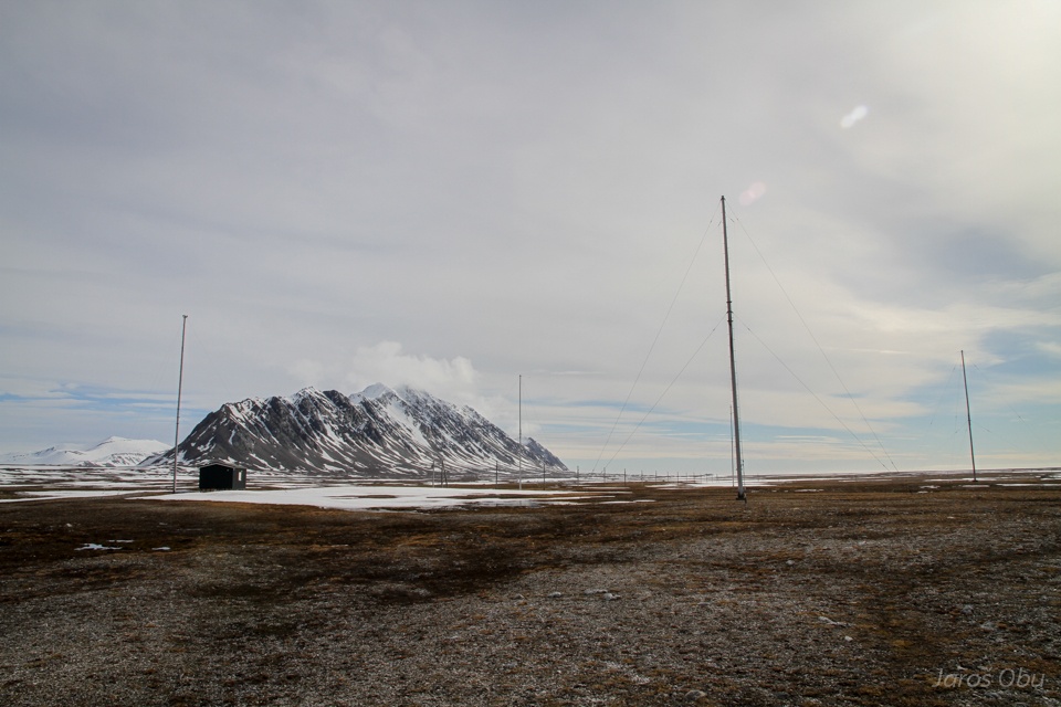
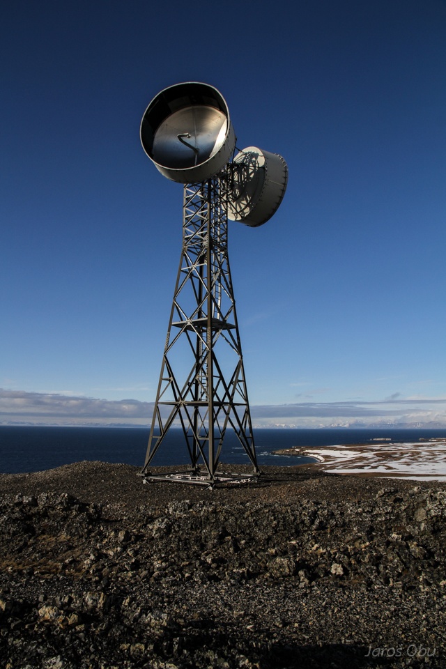
Long radio wave antenna.
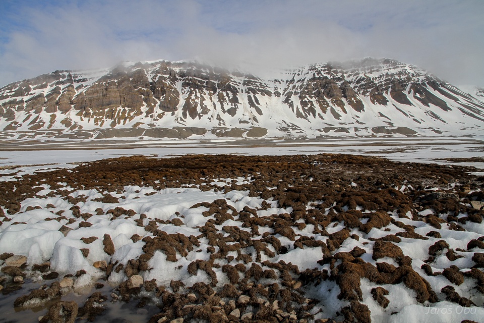
Bedrock is here covered with 1 to 2 metres of marine sediments.
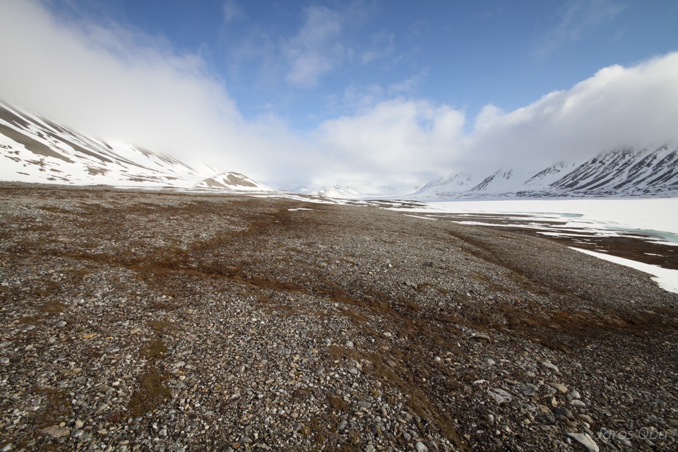
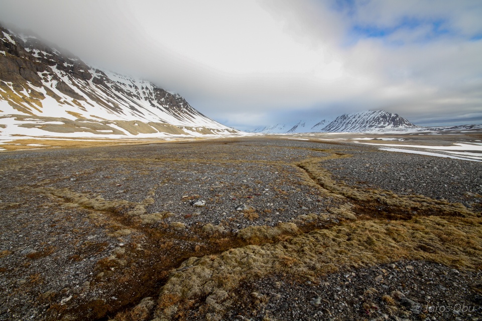
Some more patterned ground along the 5 km long way.
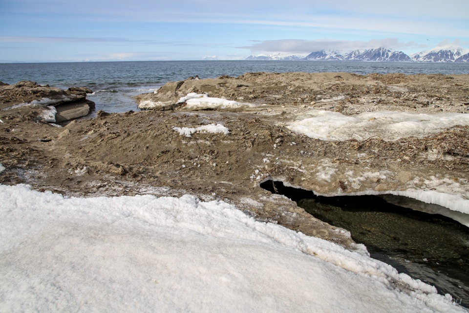
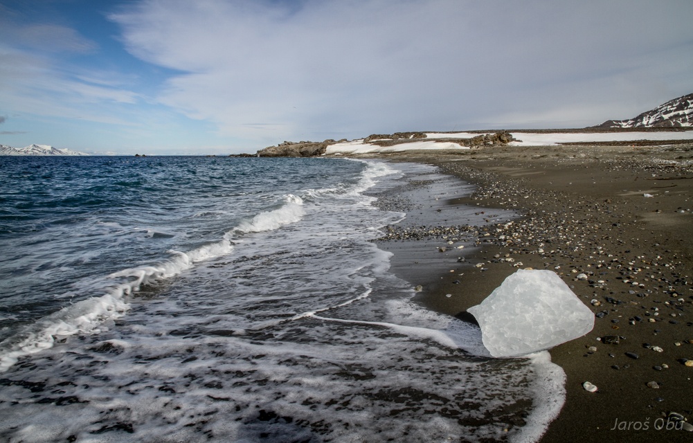
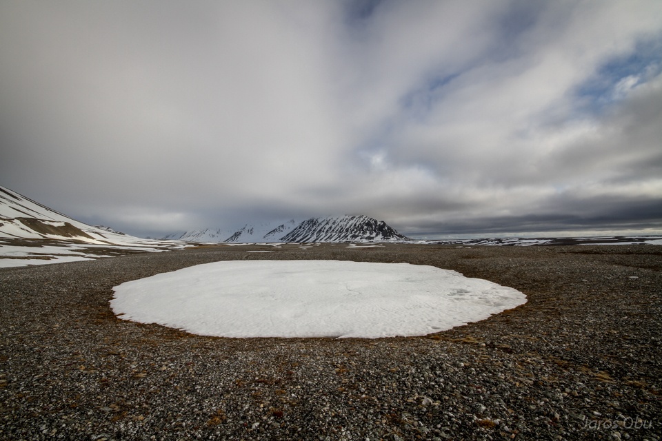
Ice.
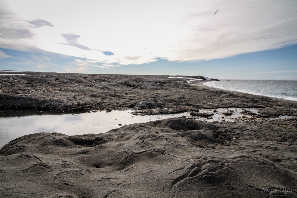
Interesting forms on the sand that is overlying the snow.
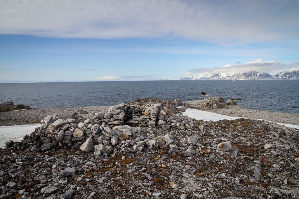
Remnants of some buildings at Cape Lewin.
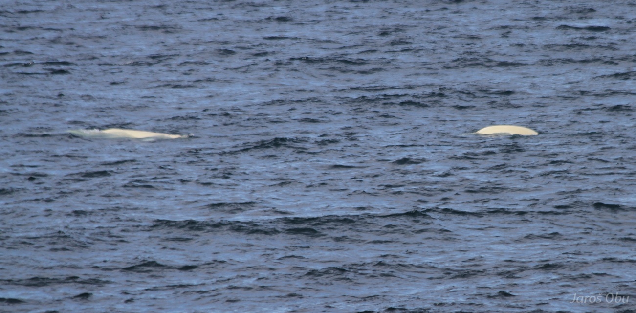
And Beluga whales nearby.
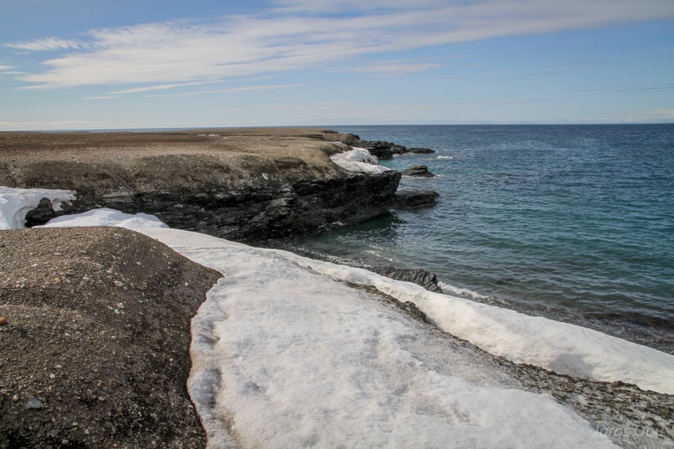
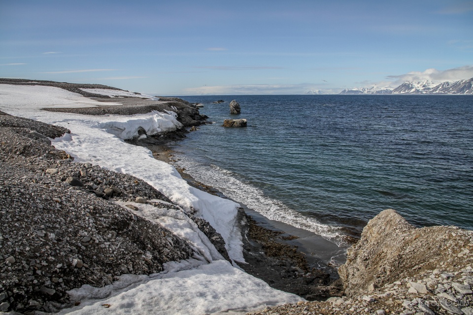
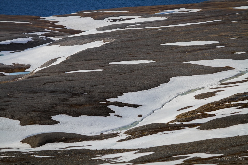
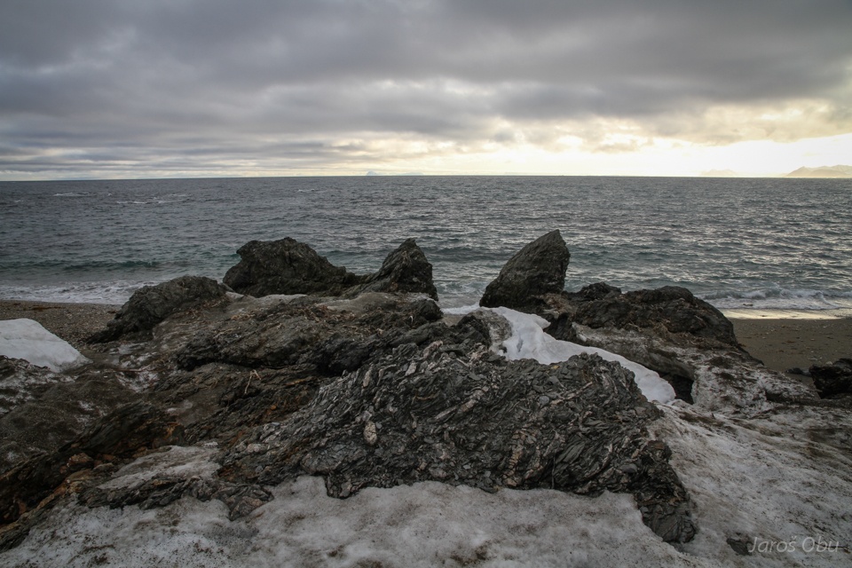
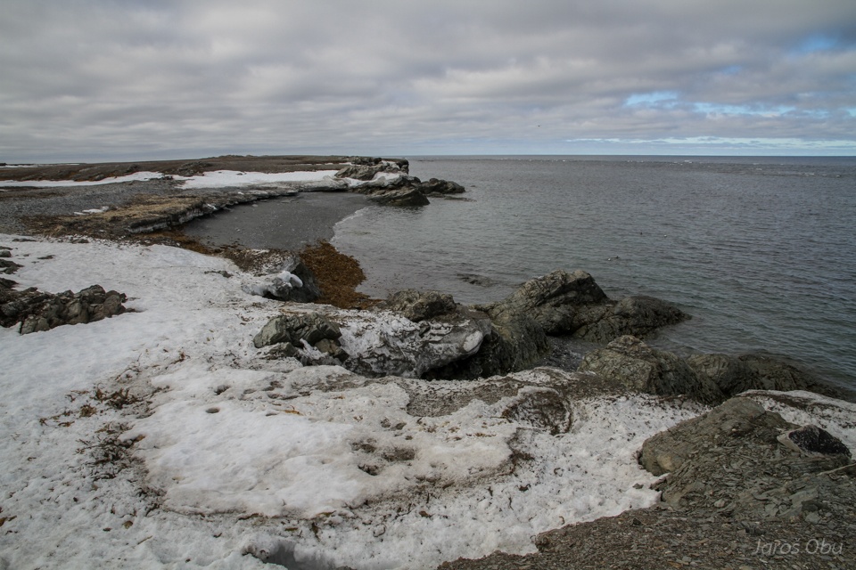
An interesting coast.
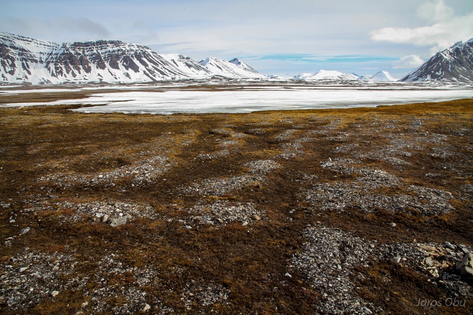
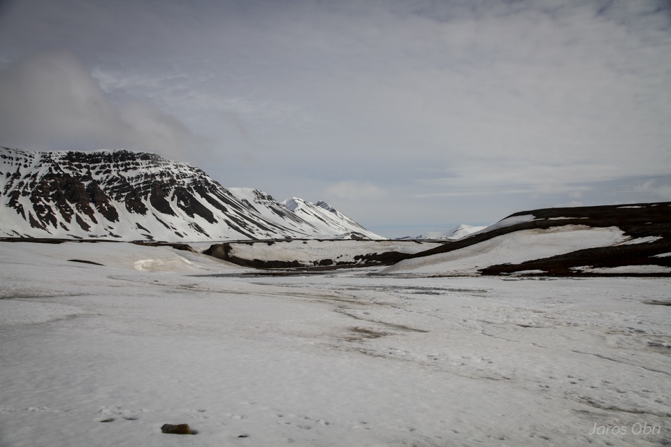
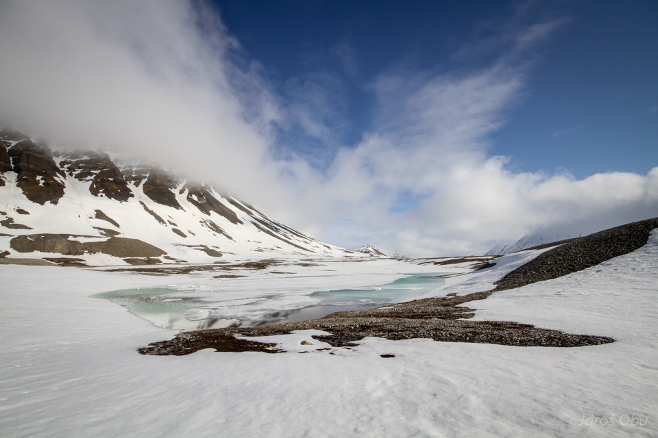
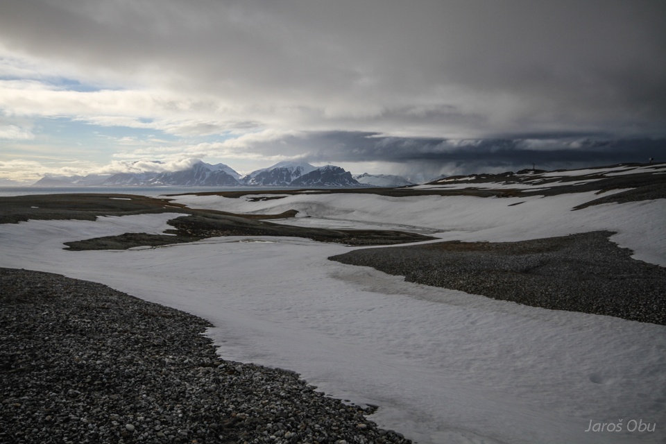
Linne Valley is still covered with snow.
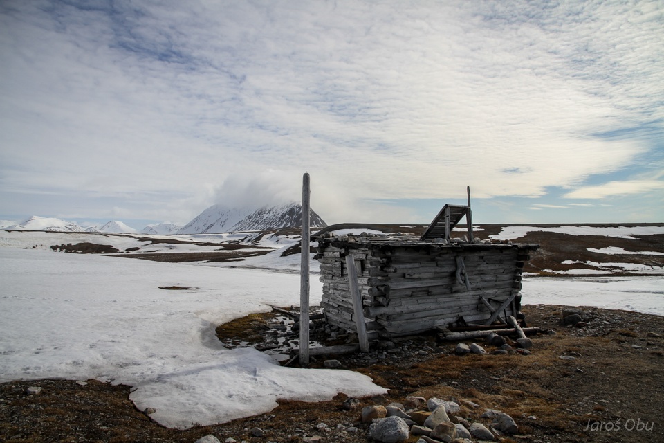
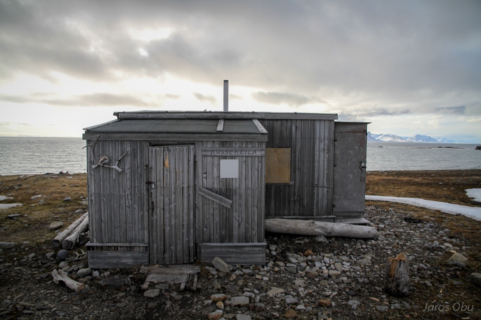
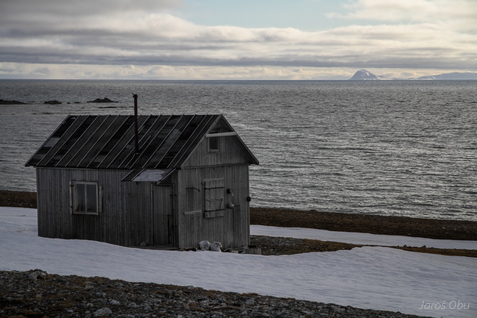
Russekeila; another former Russian settlement.
It was mostly used for hunting and fishing.
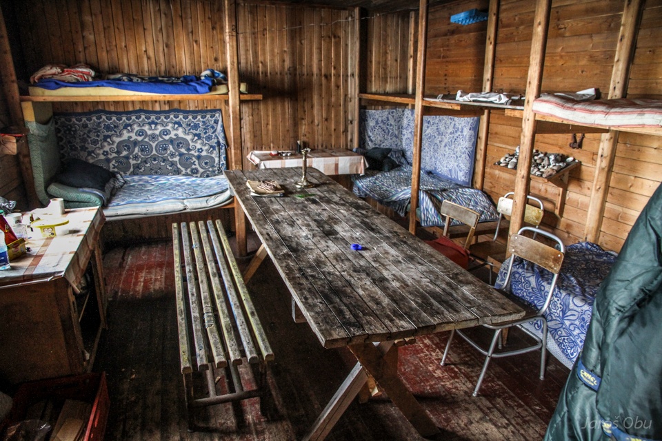
A cabin.
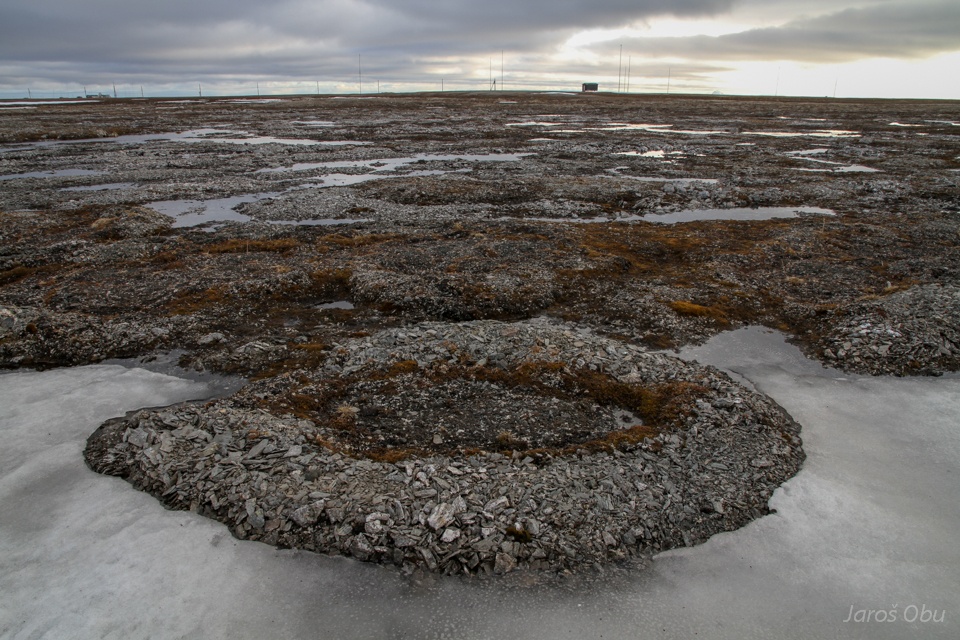
Ice wedge polygons.
Cracks in the ice wedge trough.
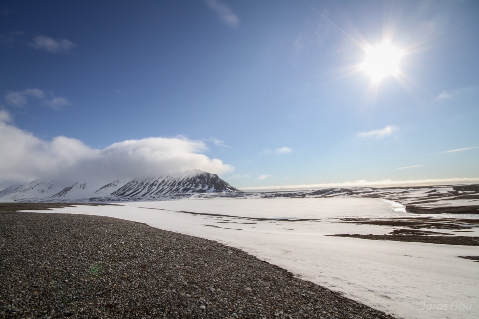
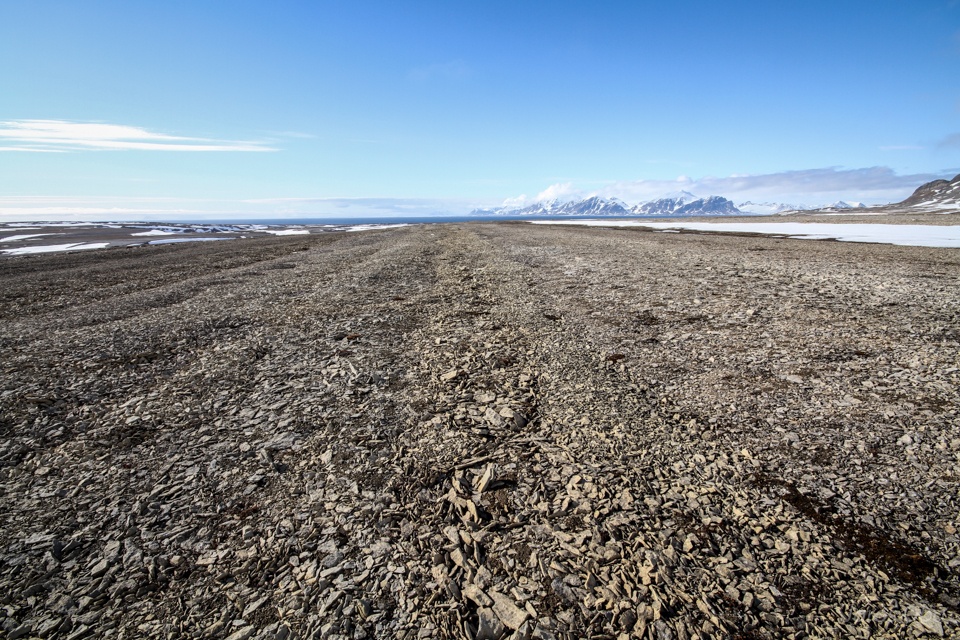
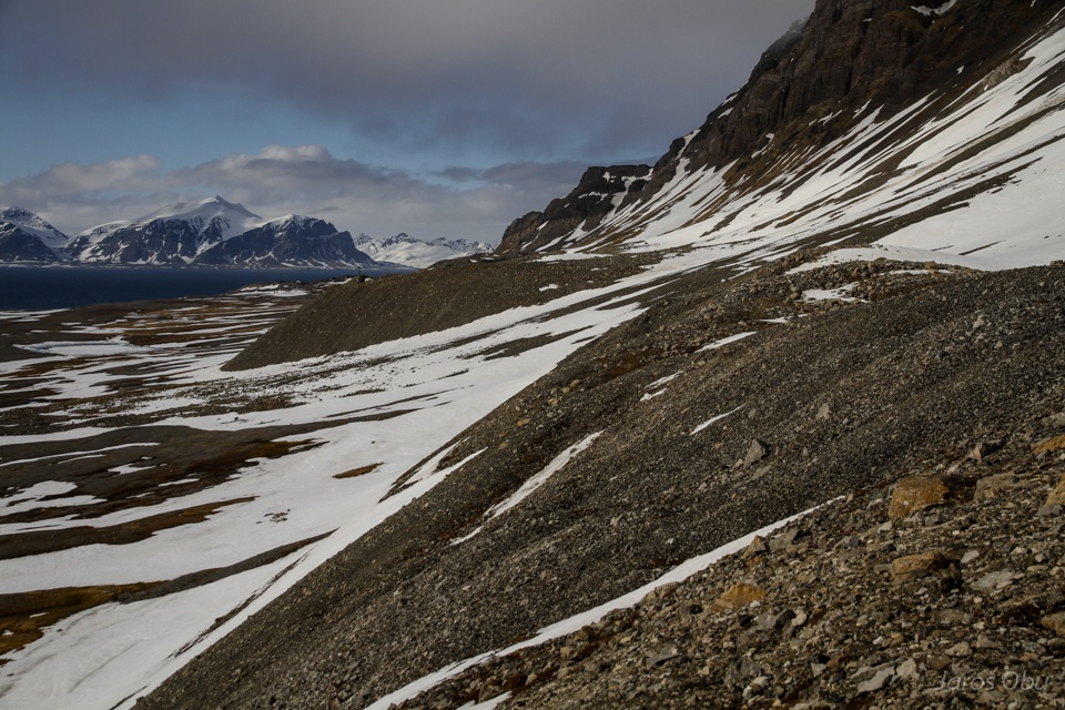
Continuing towards south.
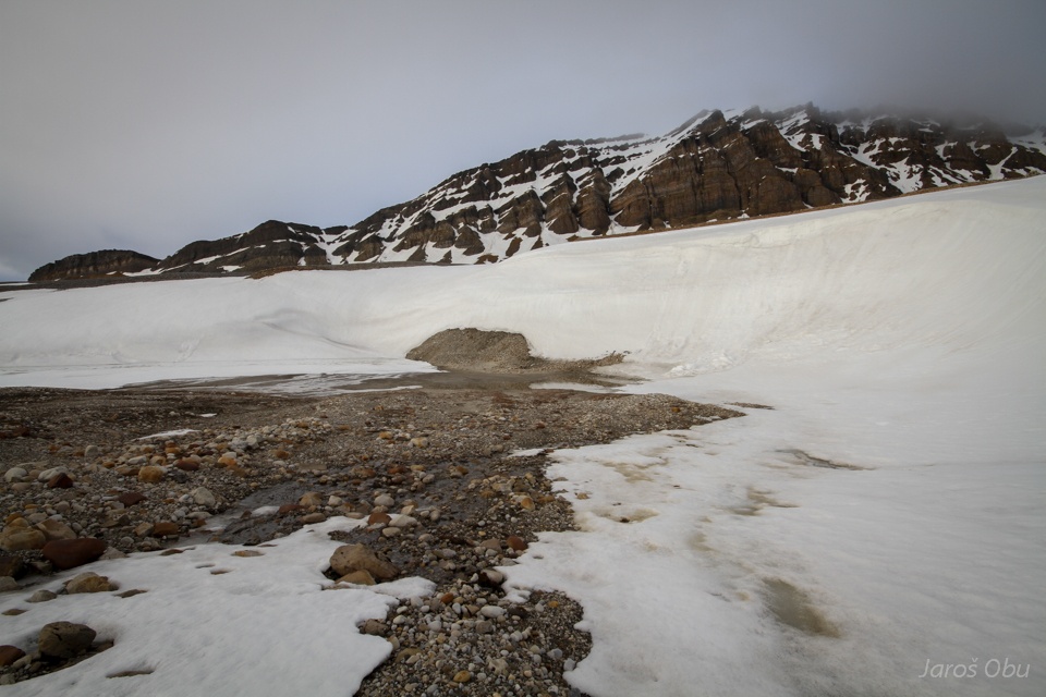
Melted frost blister.
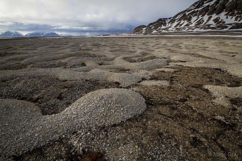
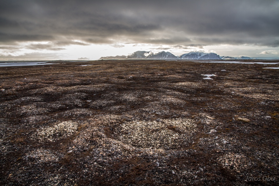
And something that almost looks like sorted circles.
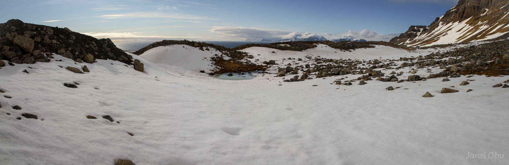
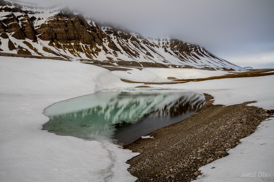
One of the numerous lakes in depressions.
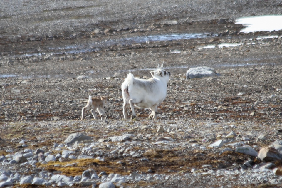
Just whelped reindeer.
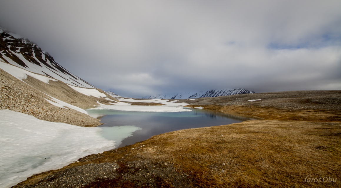
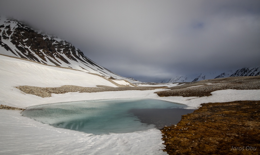
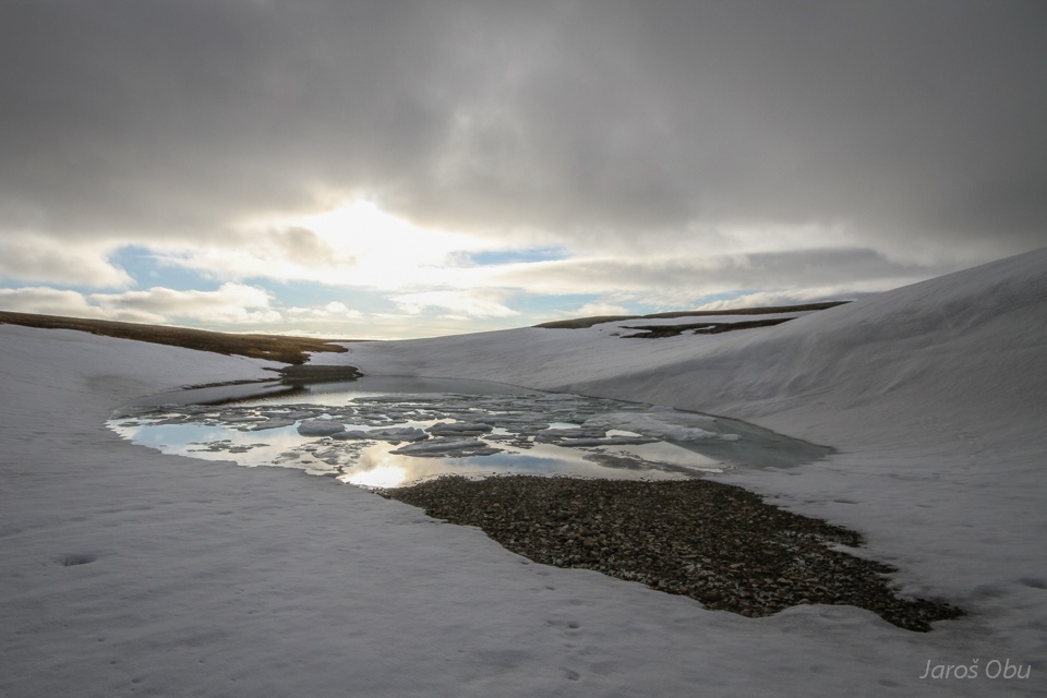
Linne lake is still covered with ice.
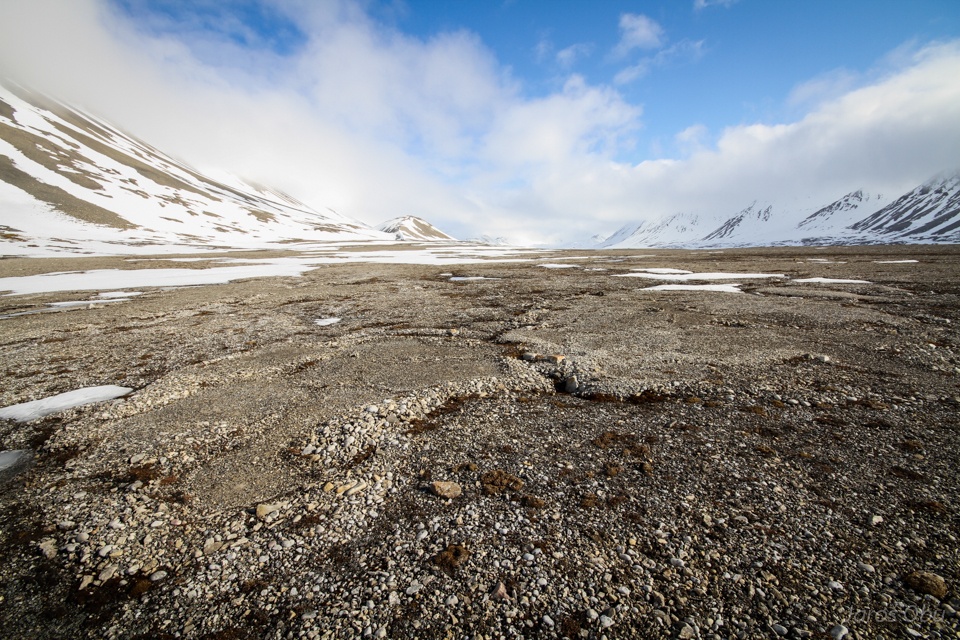
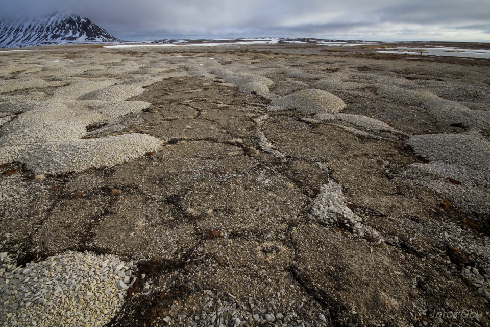
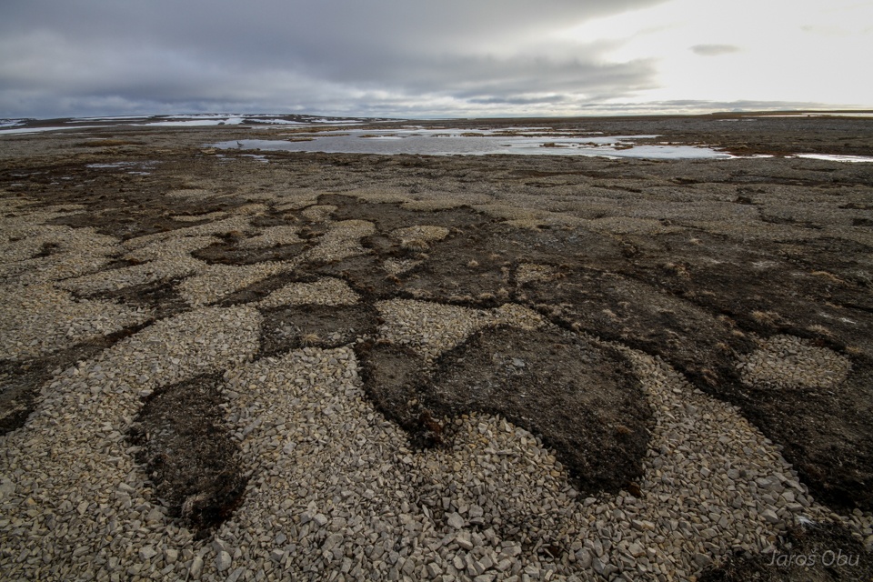
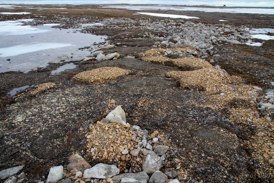
Some bedrock on Vardeborgsletta, although it is mostly covered with marine sediments.
Some more ice wedges in the sediments.
The first lake from the other side.
Another, together with snow, cracked ice wedge.
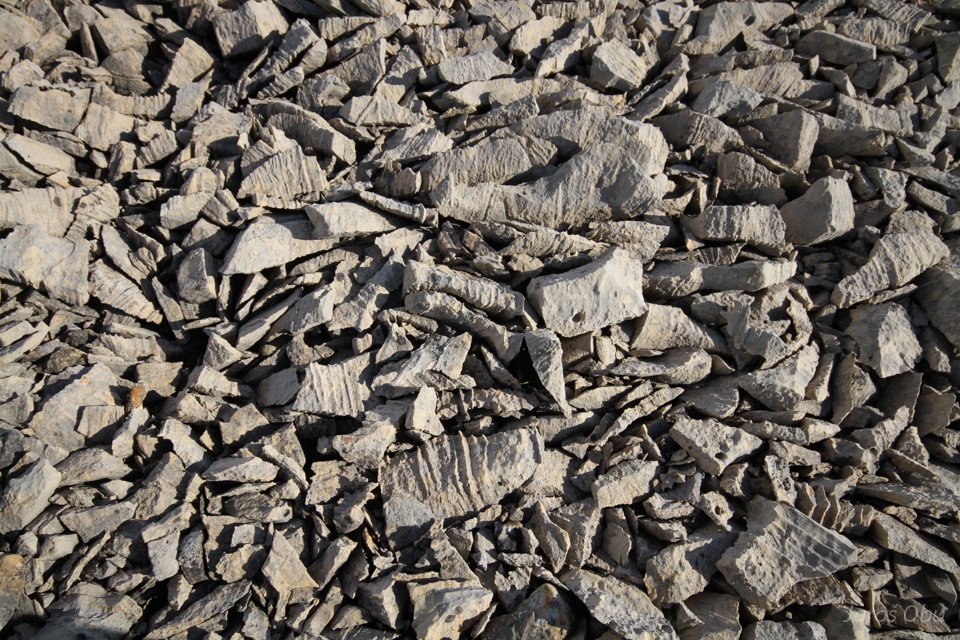
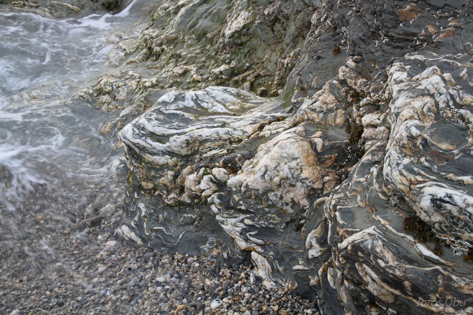
Some weathered carboniferous limestone on the surface.
Well corroded as well.
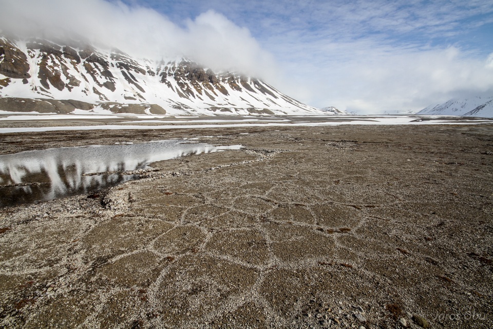
And interesting patterned ground in marine sediments just close by.
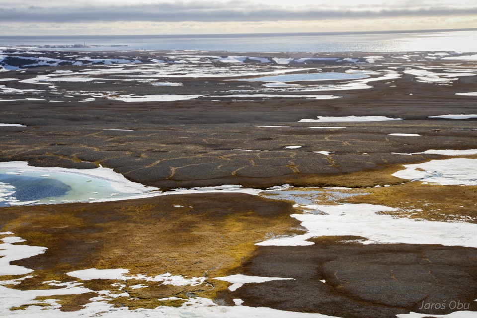
Another depression and a lake.
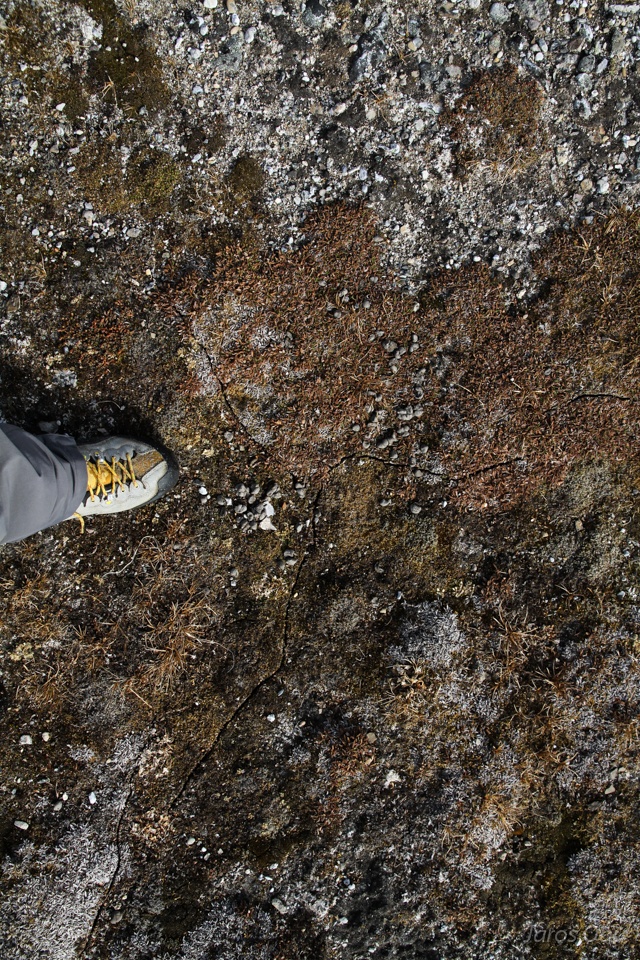
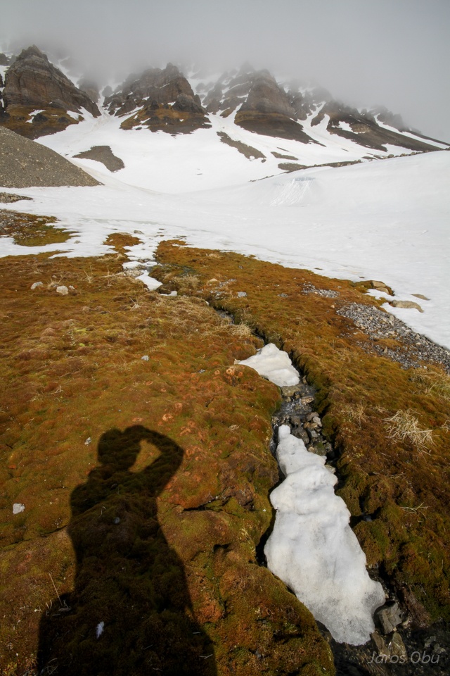
Self portrait with moss.
Interesting form under the slopes of Vardeborg Mountain.
With a bit of depressions under mountain slopes.
...
Protalus ramparts? Talus accumulations? Rock glaciers?
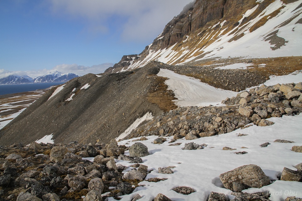
Very well expressed ridge on the outer side.
Limestone with brachiopods from permian silicified limestones.
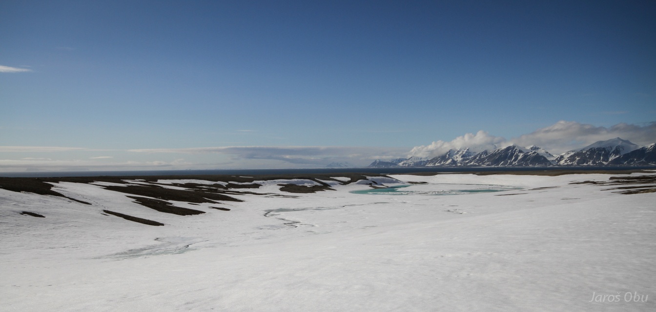
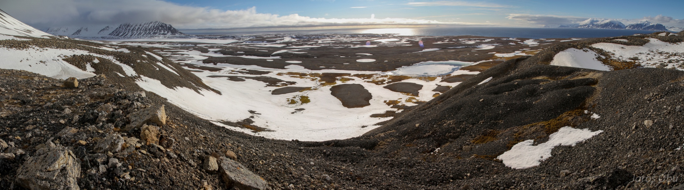
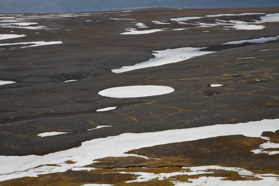
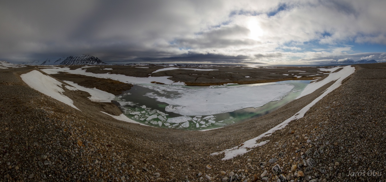
Panorama of Vardeborgsletta.
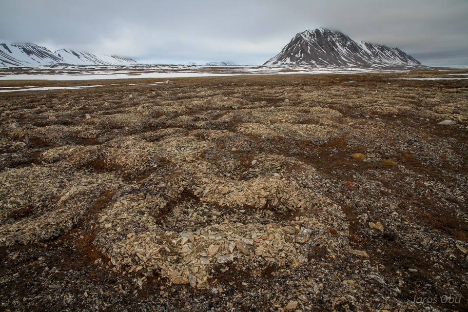
Plenty of karst landforms.
As these dolines covered with snow.
And other depressions filled with water.
Ice wedge polygons.
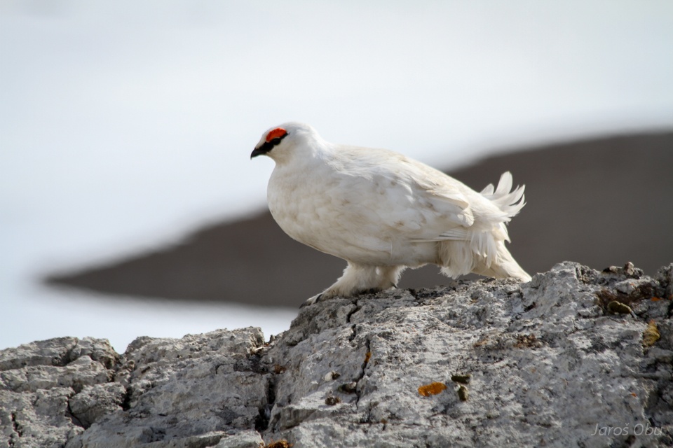
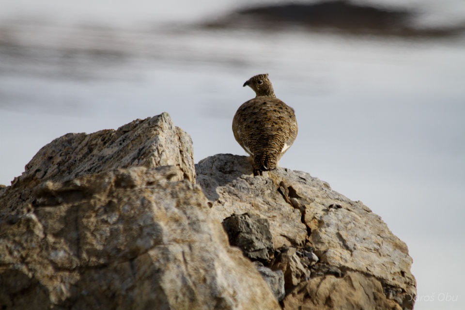
Rock Ptarmigan (Lagopus muta) on a rock.
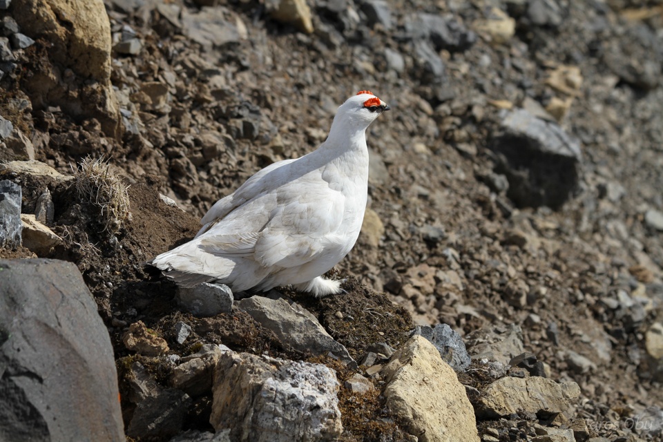
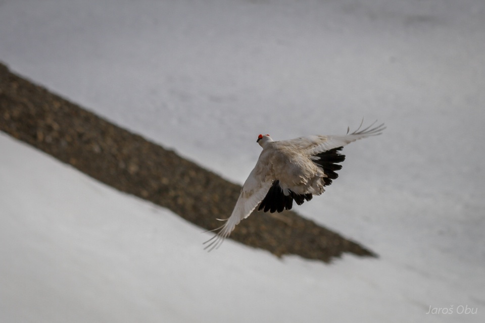
And not on a rock anymore.
And female.
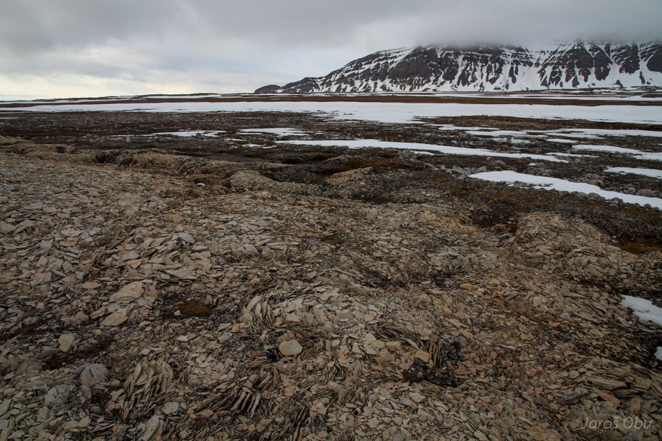
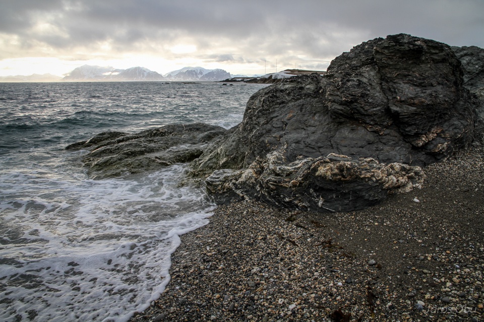
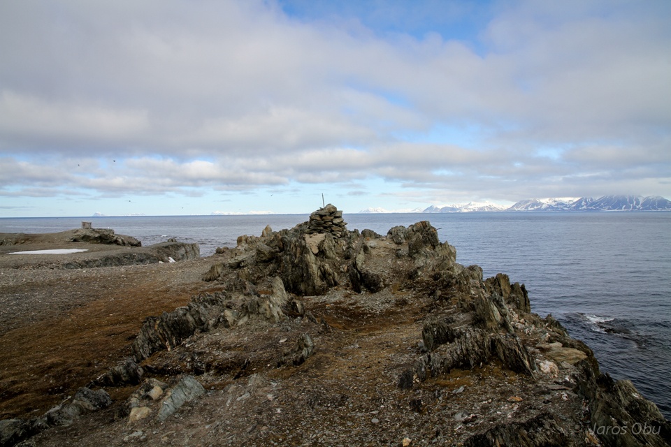
Kapp Starostin.
With some more antennas.
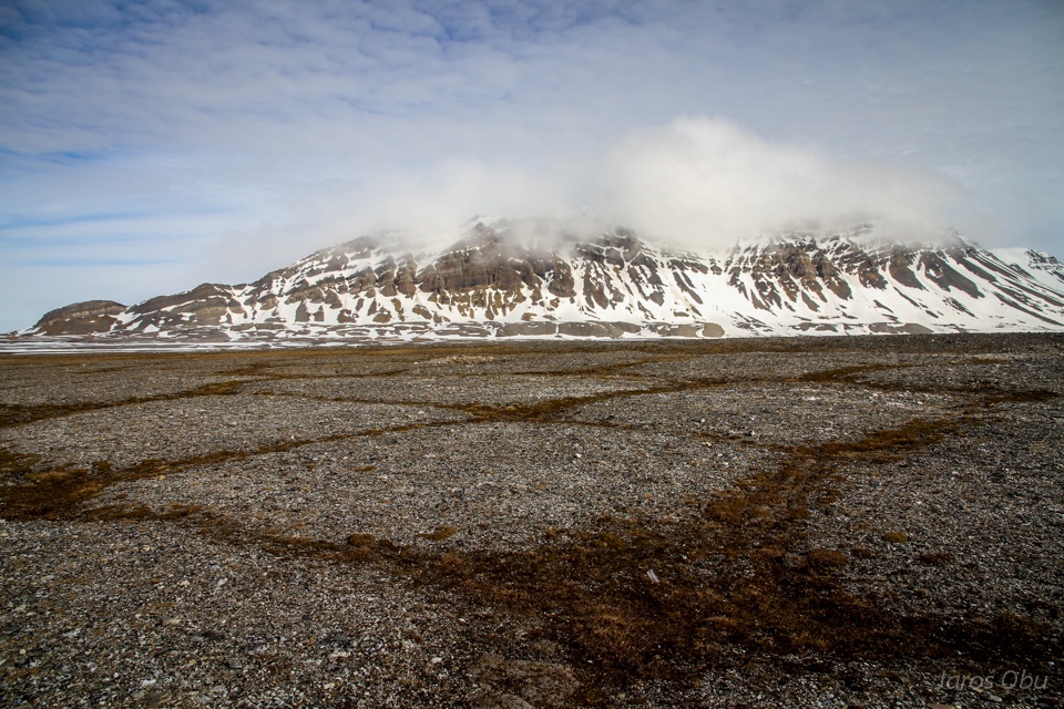
Vardeborg Mountain in clouds.
And again curious reindeer.
Ice wedge polygons from close.
A doline unfortunately still covered with snow.
And yet another lake.
...
And the next one in the row.
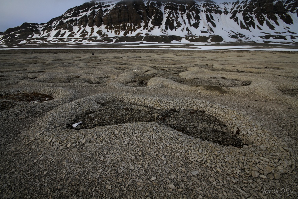
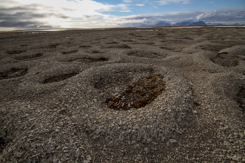
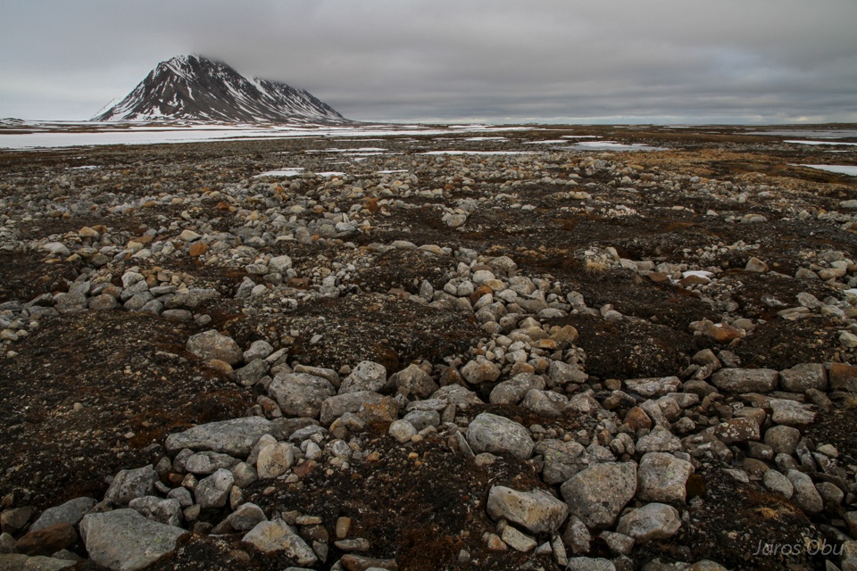
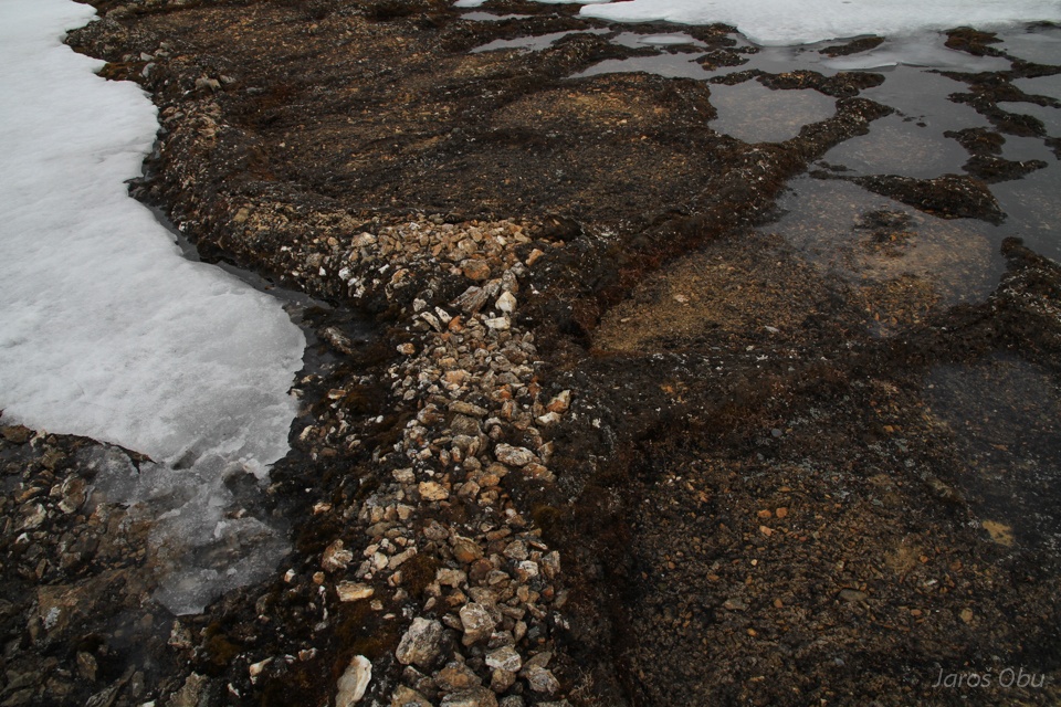
Nice evening light came and time to visit these sorted beauties.
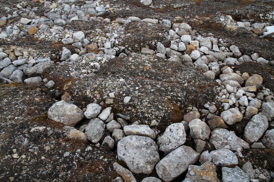
Fresh and brighter limestone material in sorted circles.
Some of them have secondary sorted circles growing inside them.
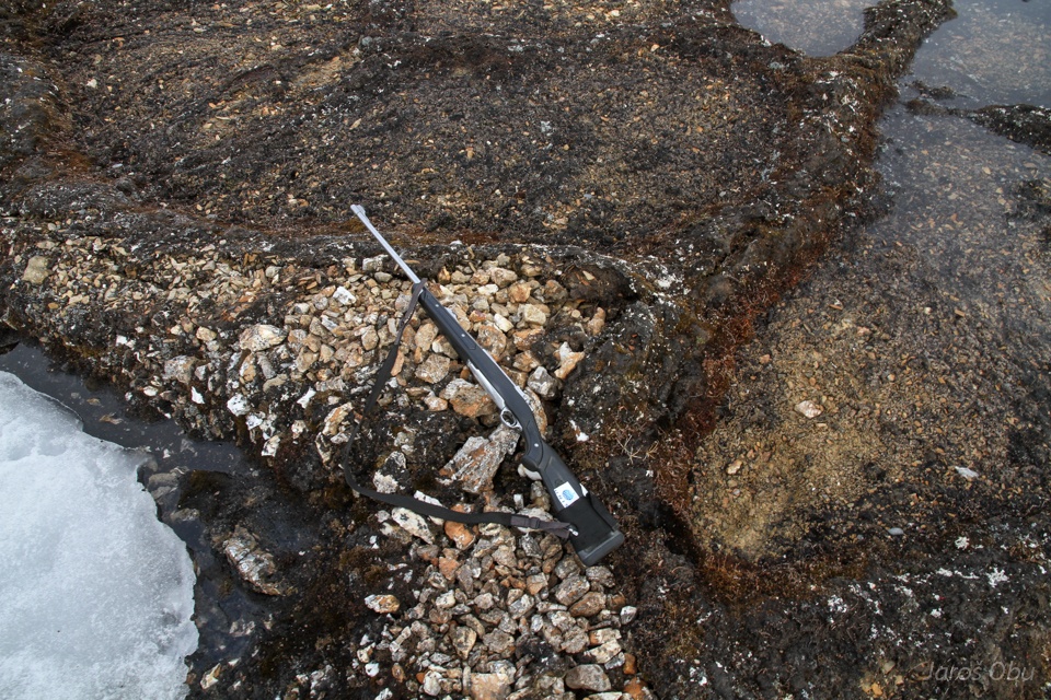
Backpack for a scale.
Butterfly.
A vertebrate found a place for eternal rest in one among them.
It looks like they have only started to develop here.
Making their way to the surface.
View back on the impressive nature playground.
And continuing further down the valley with lakes.
Here, under the snow, there is supposed to be a sinkhole.
And a lake on the other side.
And the last lake in the valley.
Which ends just few 100m before reaching the coast.
View back up the "semi dry" valley.
Coast and Kapp Starostin.
Back to Russekeila. Archaeological excavation showed that the establishment of the settlement dates back to 18th century.
But today the cabins are used for recreational purposes.
It looks bigger than from outside.
The time is approaching 23:00 so it is slowly time to go back to Kapp Linne.
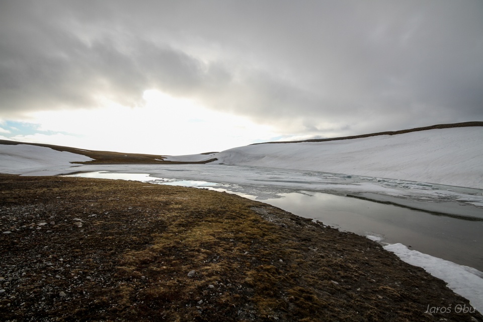
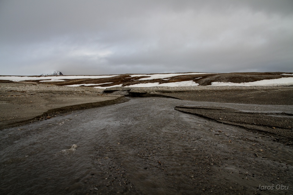
Crossing of Linne River.
Another sorted circles drew my attention and made me leave the path.
These are from sandstone gravel.
An just close by sorted circles made of cobbles.
Sorting forces must be very strong to move such stones.
Mixed material.
Sorted circles without gravel.
But it is here.
...
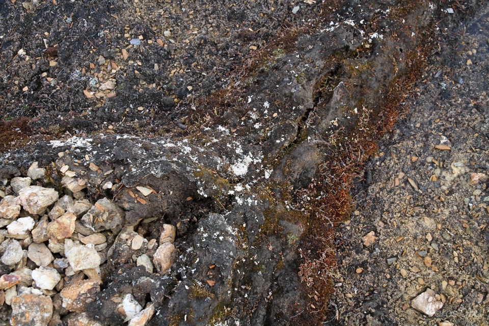
An it looks like something is pushing this material out of the cracks..
Some more circles. Because there were not enough photos of them already :)
Now with phyllite gravel.
Almost there.
Phyllite rocks.
With some quartzite inclusions.
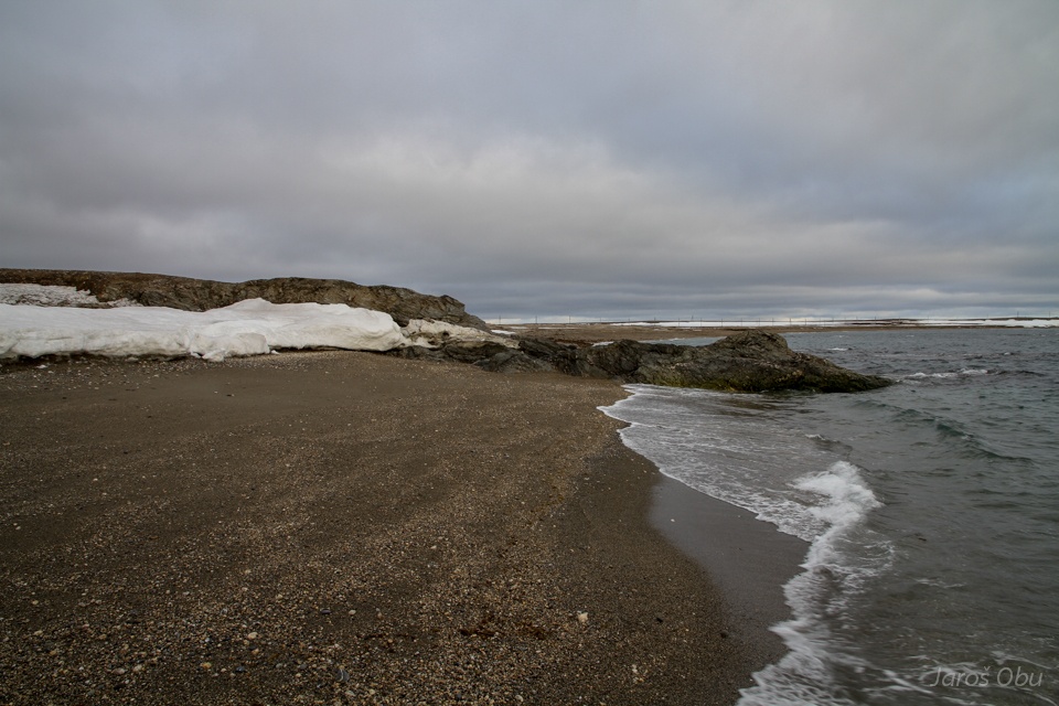
Quite a cozy beach.
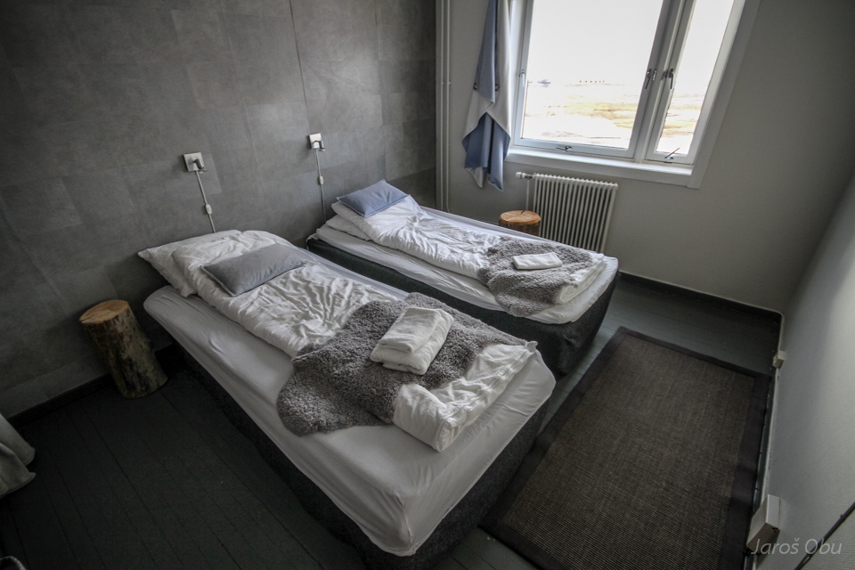
A warm bed after a 10 hour hike.
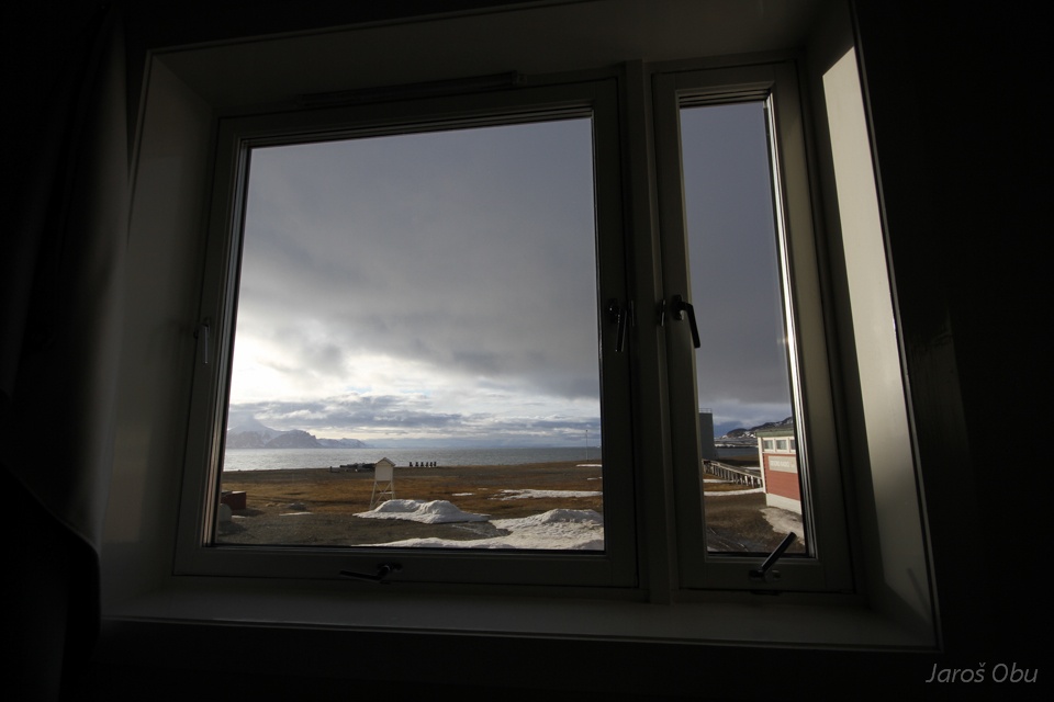
View from the window on the midnight sun.
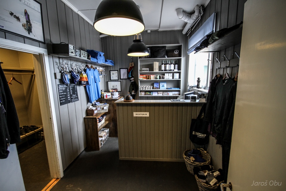
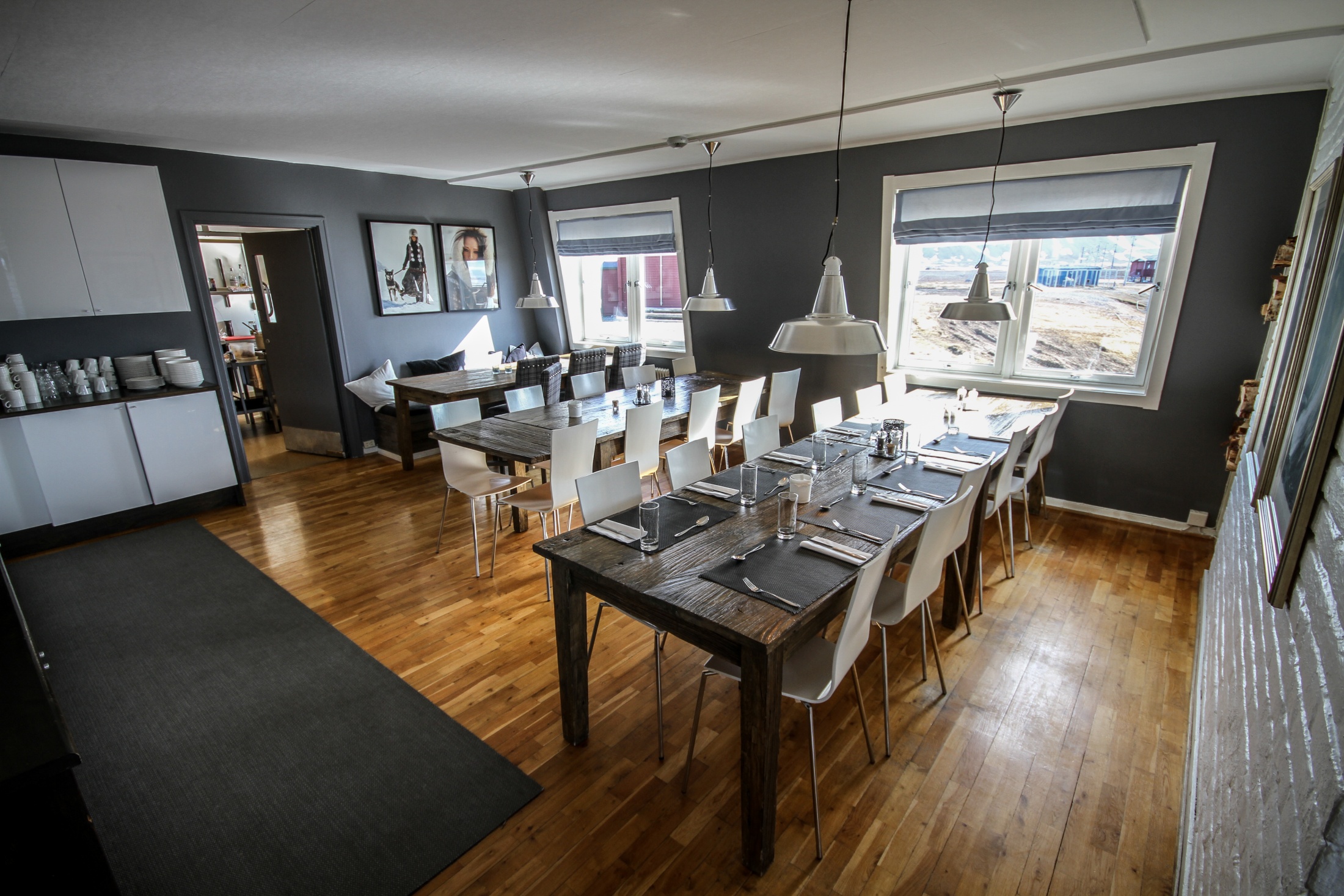
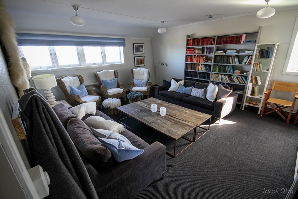
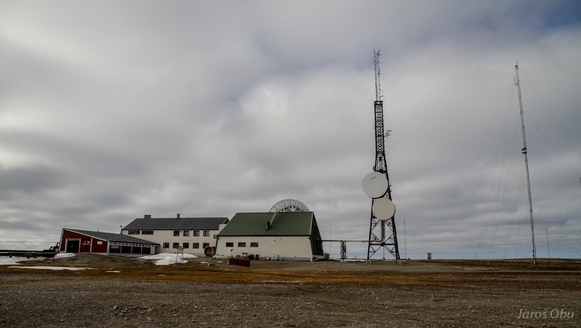
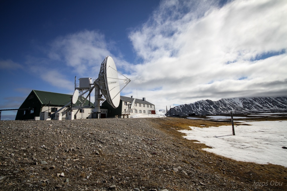
Isfjorden radio station hotel reception.
It was a radio station established in 1933 and in 1999 it was re-arranged in hotel. Now it is owned by Basecamp Explorer.
Modern and cozy interior.
...
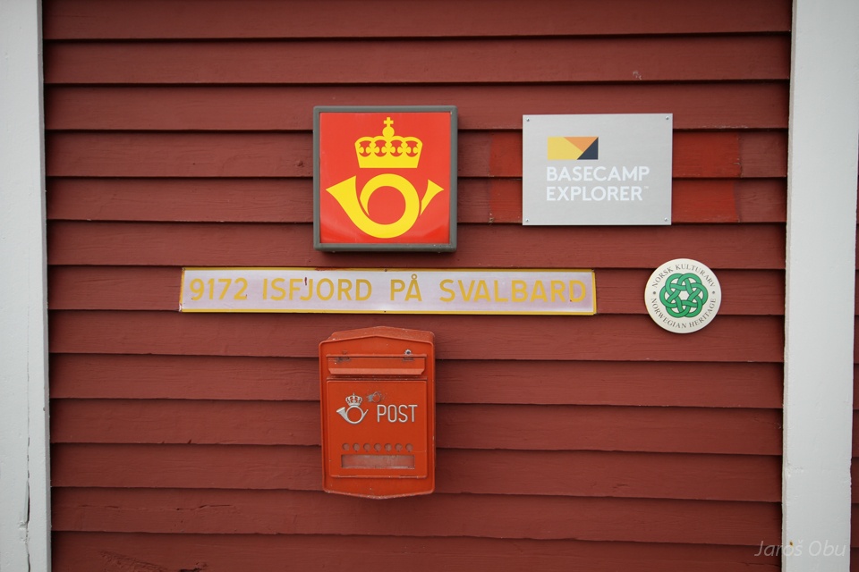
If you want to send a postcard ...
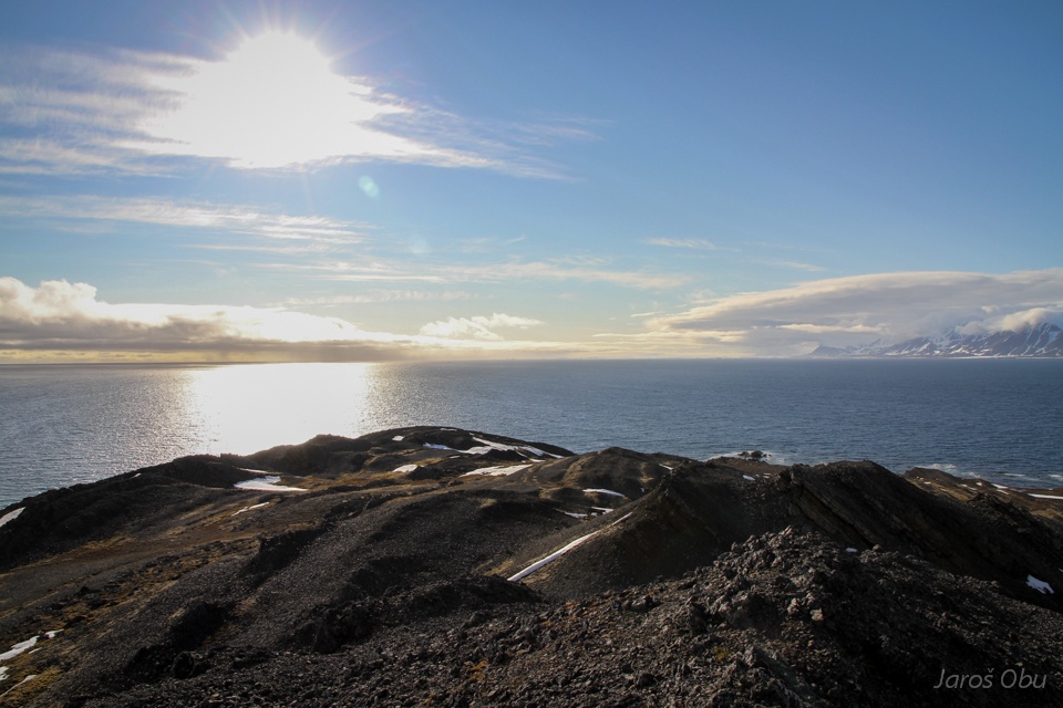
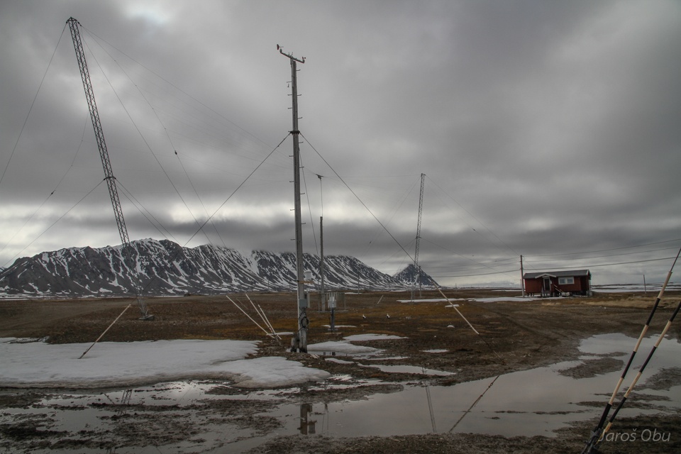
Automatic meteorological station and radio wave antennas.
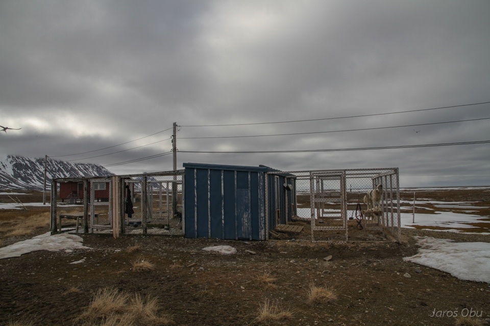
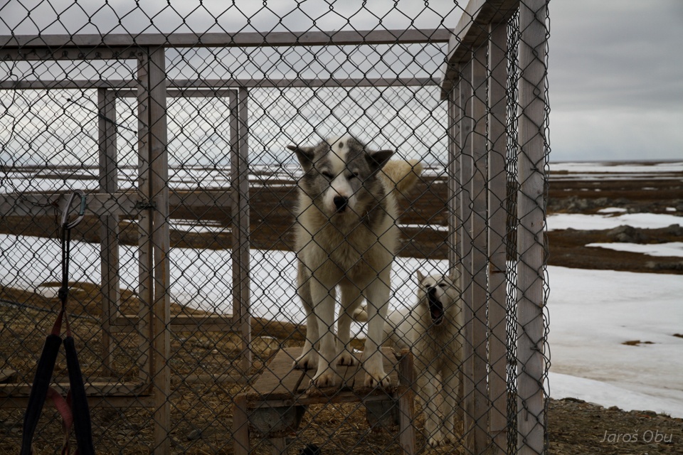
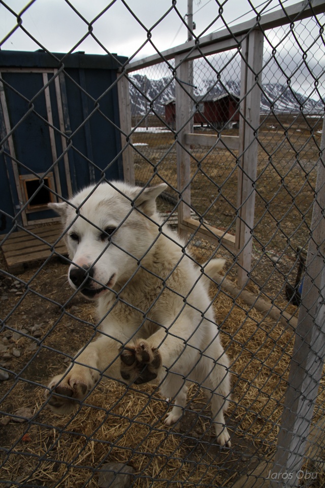
Dog kennels.
Hello.
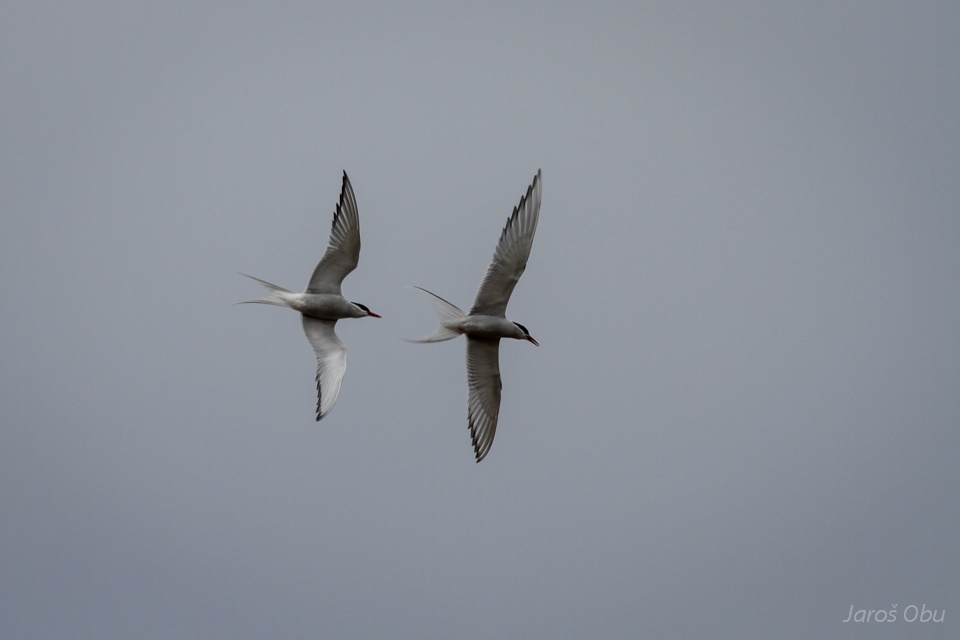
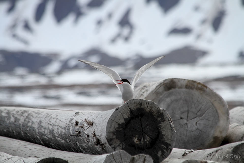
Arctic terns have just arrived.
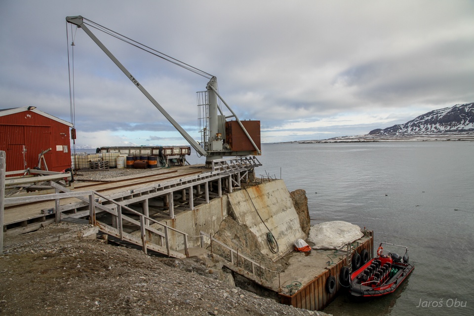
Loading dock.
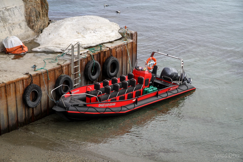
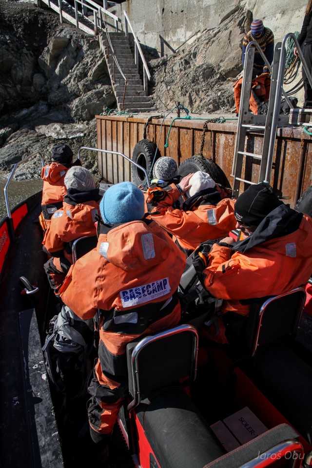
And Polarcirkel boat that brought us from Longyearbyen.
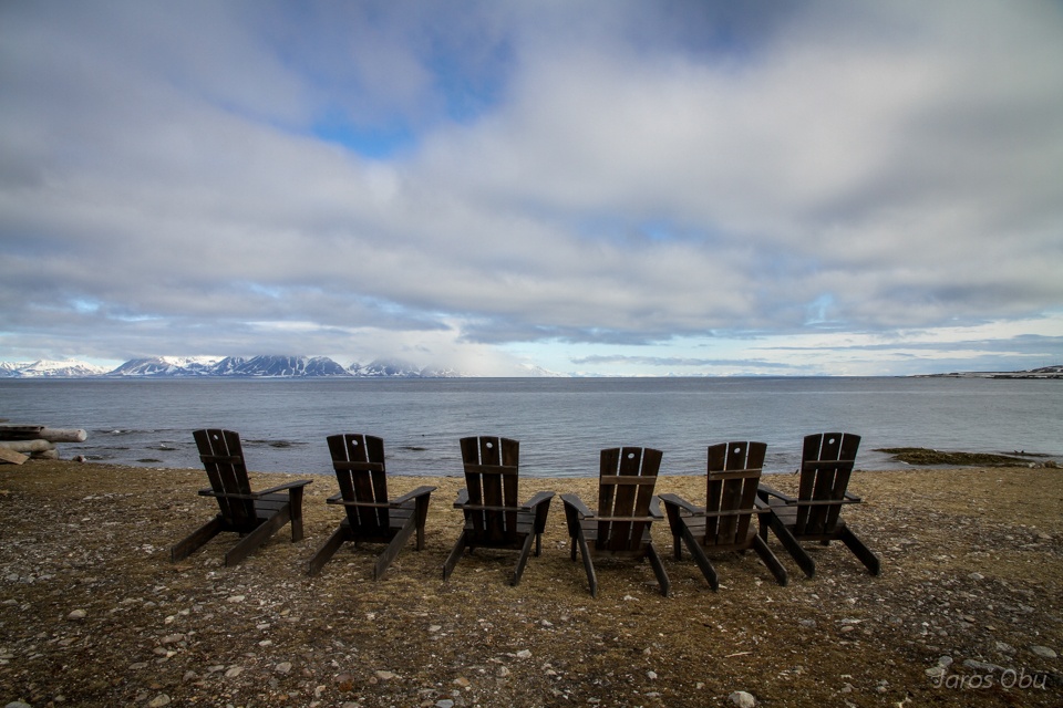
Atmosphere at the beach.
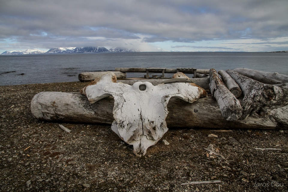
That supposed to be a whale, some time ago.
Location of Kapp Linne was ideal place to transmit radio waves from Norway to Longyearbyen, where mountains obstruct direct communication.
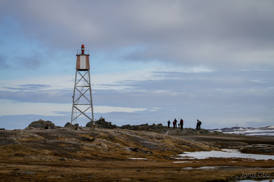
A lighthouse was important for many ships transporting a coal from Longyearbyen.
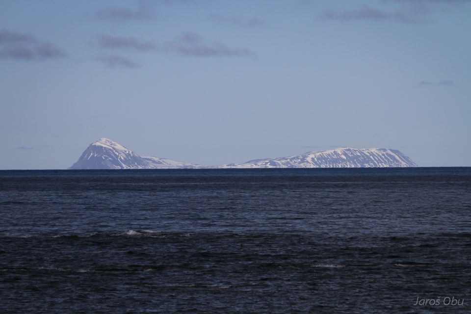
Prins Karls Forland.
Tourist visit of lighthouse.
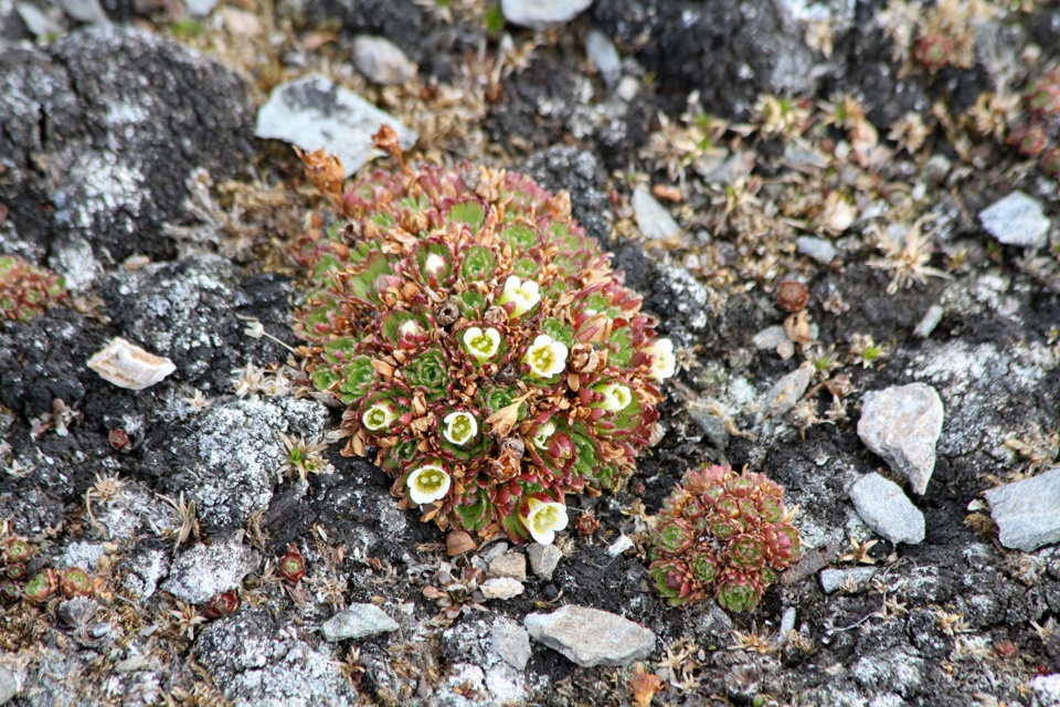
Tufted Saxifrage
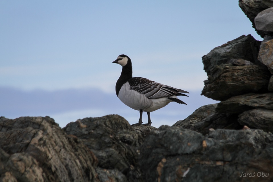
Barnacle goose.
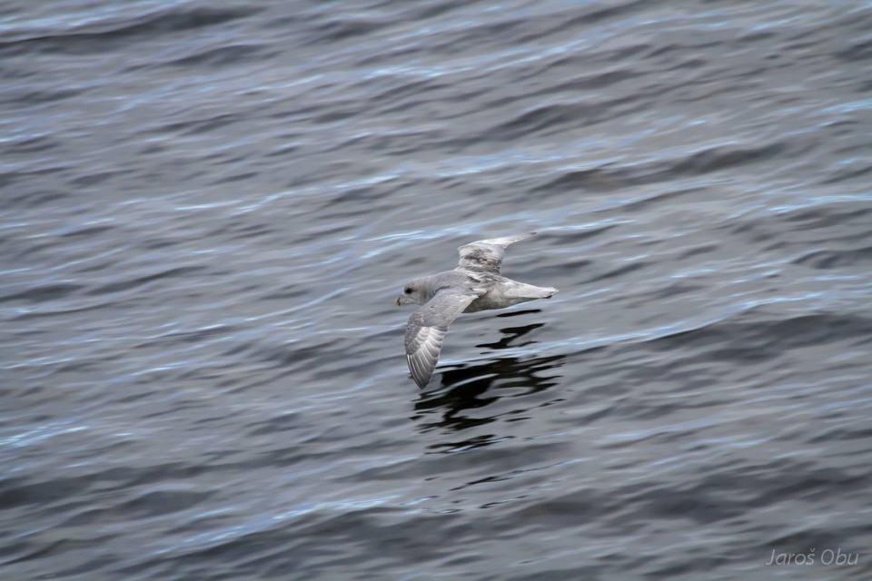
Northern fulmar.
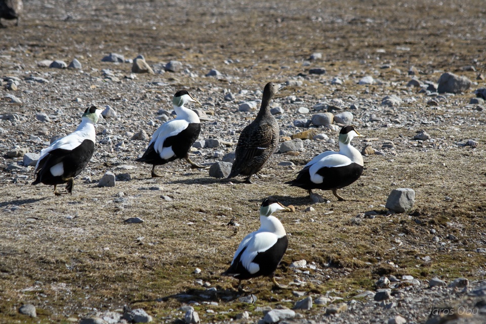
Miss ga-ga with bodyguards.
Last look at the station.
And time to leave back to Longyearbyen.