© 2024 Jaroš Obu
Photo gallery of Jaroš Obu
Cart
0
Items
Buy now
Vatnajökull 7.-8.8. 2019
Thursday, 08 August 2019
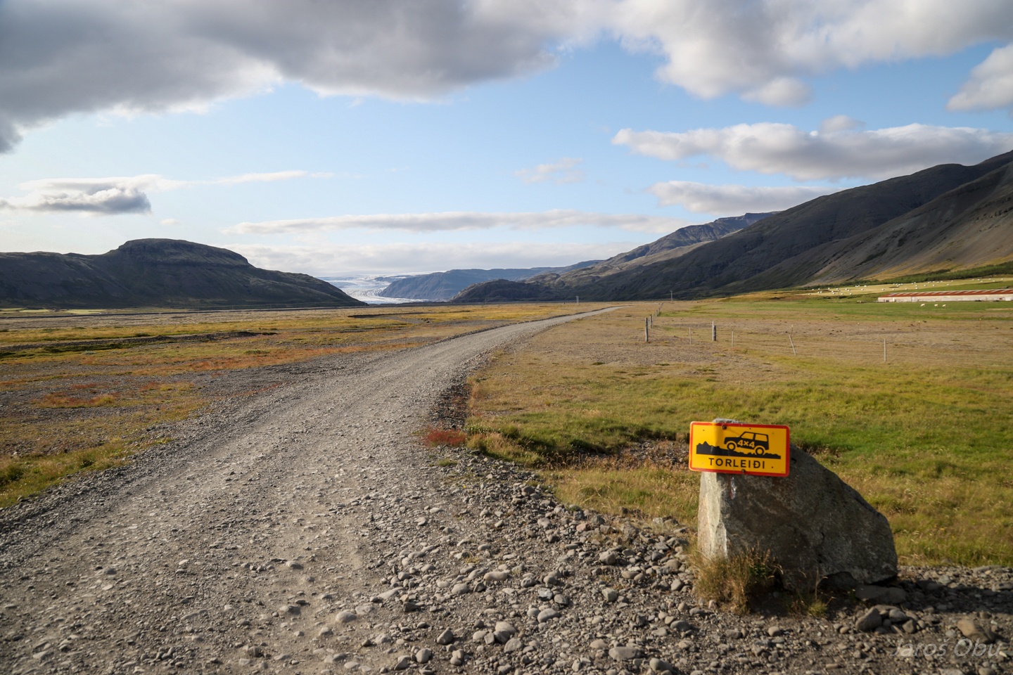
The southern part of the Iceland is the most touristic and apparently somebody didn't like them to drive on this NOT Torleiđi road.
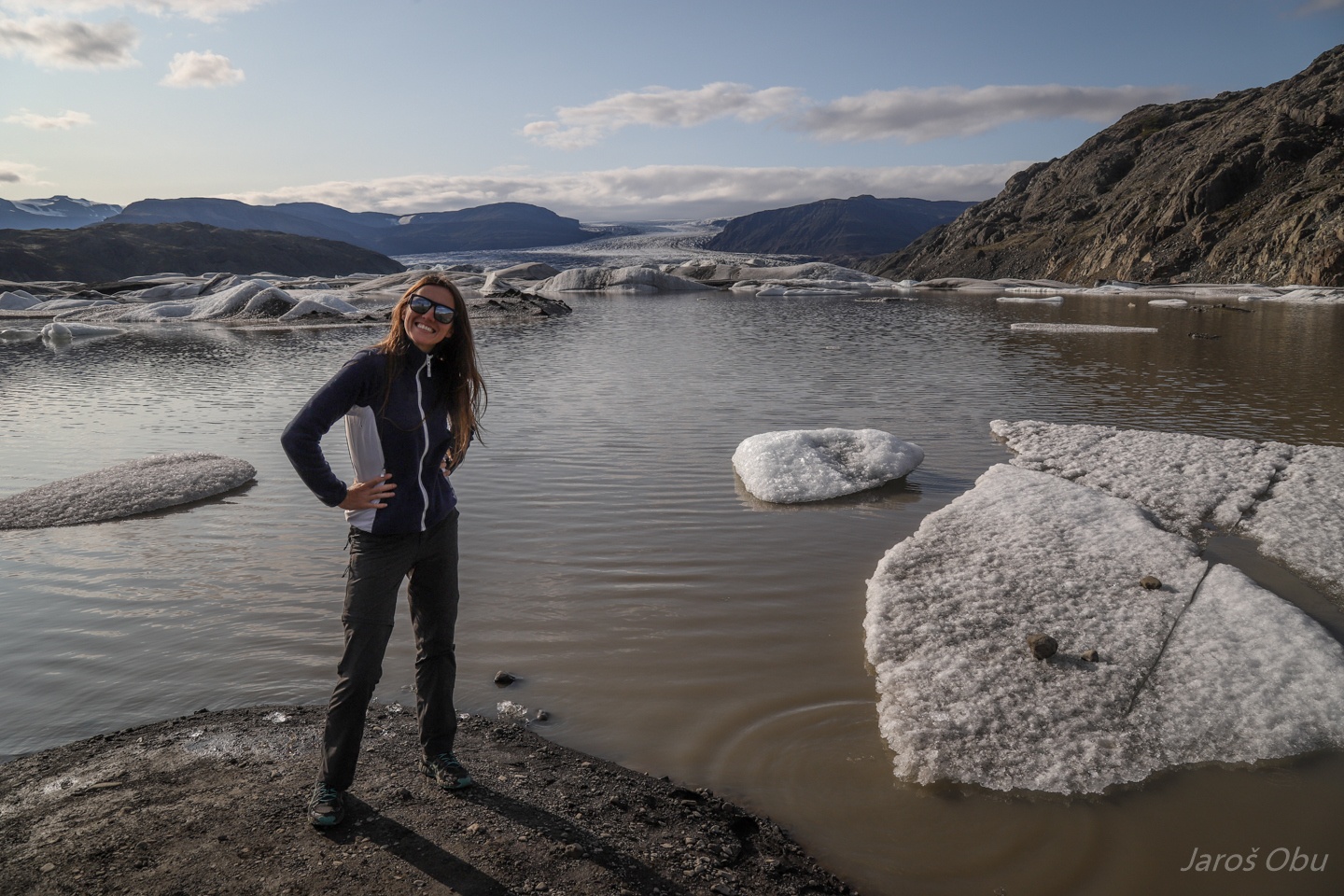
Hoffellsjökull if an outlet glacier from Vatnajökull, as all of the glaciers in this gallery.
By the icebergs.
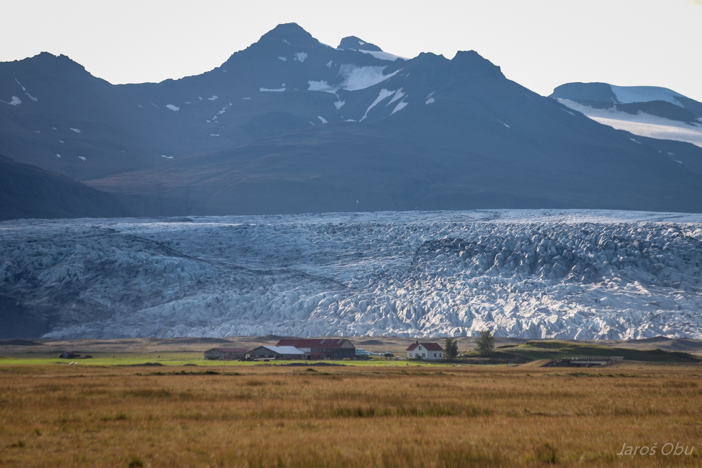
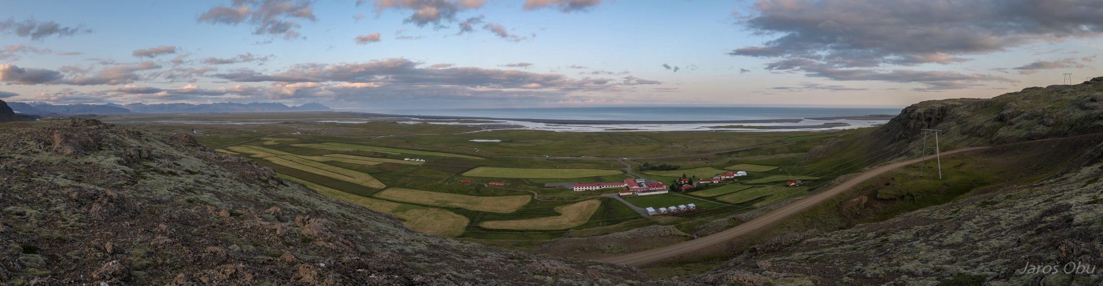
A farm in front of Fláajökull glacier.
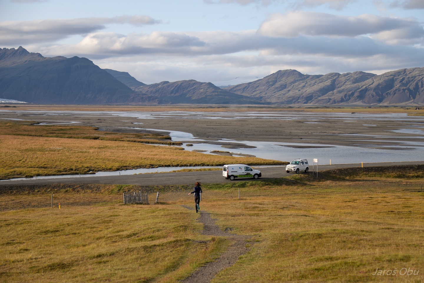
Who will be first by the car.
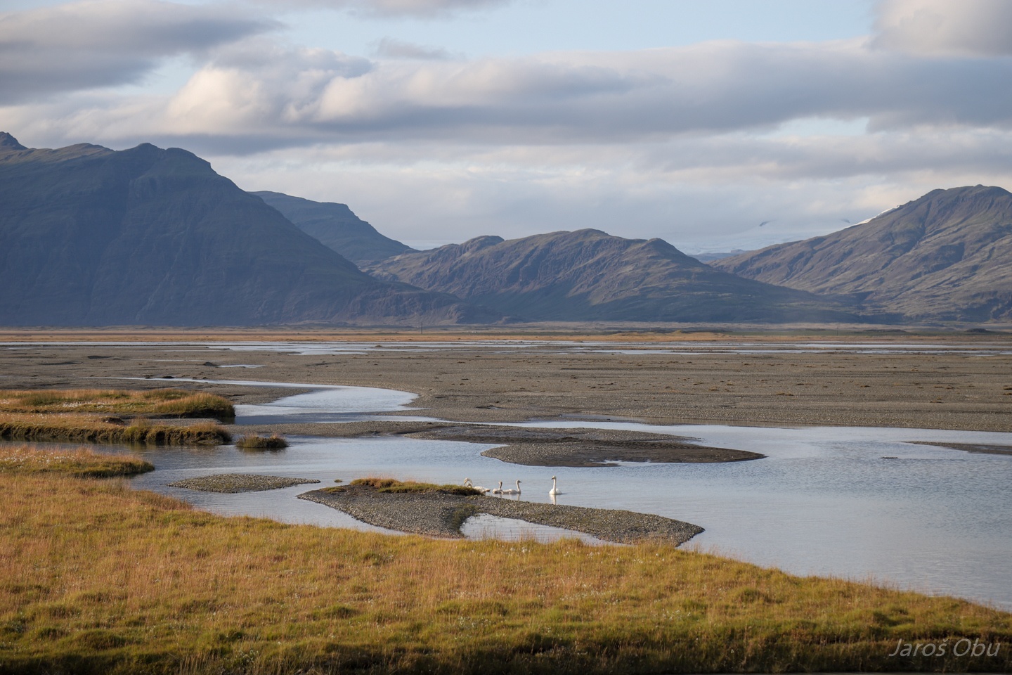
A plenty of swans around. Hólmsá River was often flooding in the past due to glacier outburst from dammed lakes.
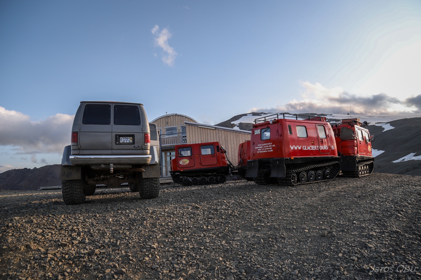
Caterpillars and oversized vehicles at Jöklasel hut.
No entry.
They take tourists up on Vatnajökull with various means of transport.
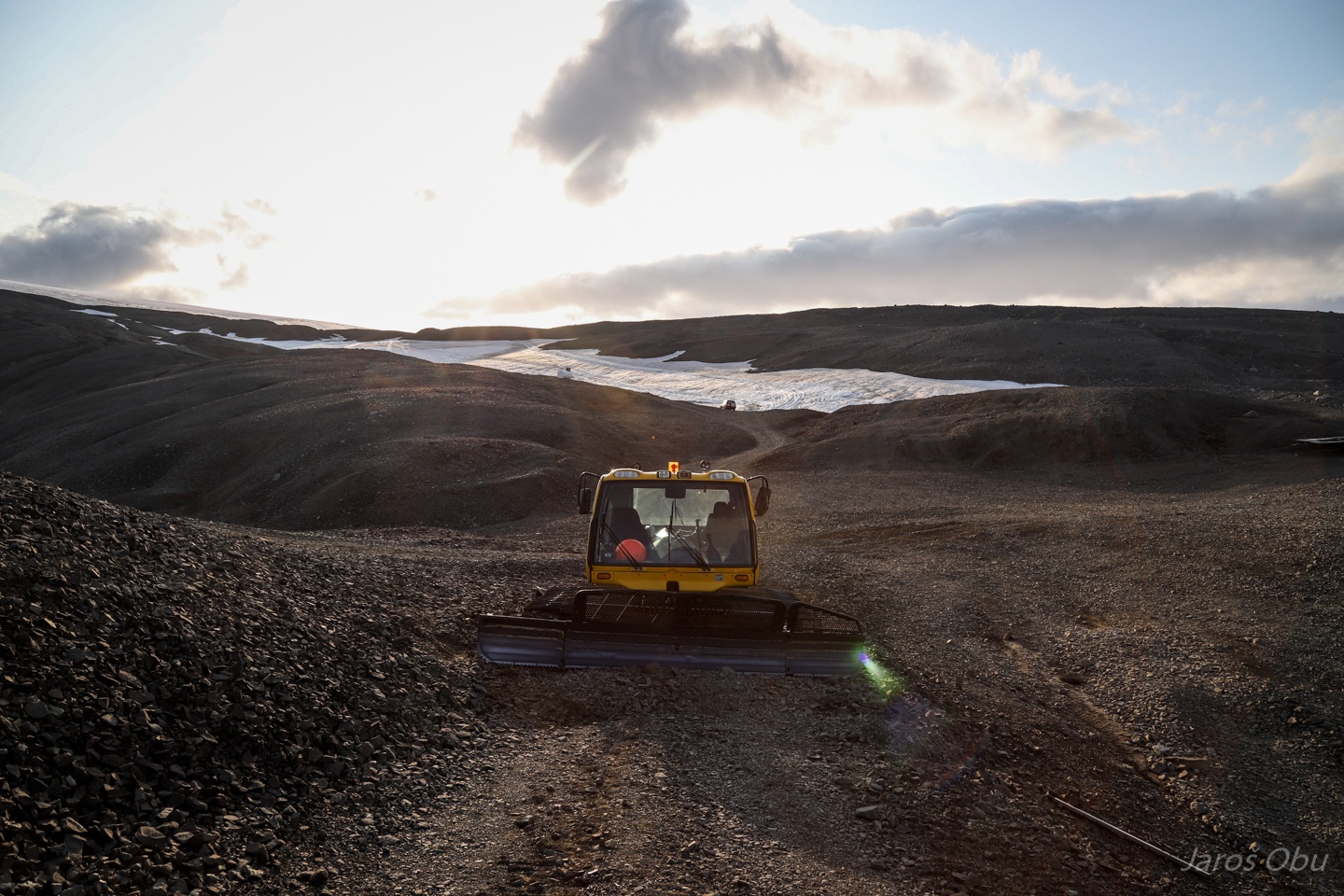
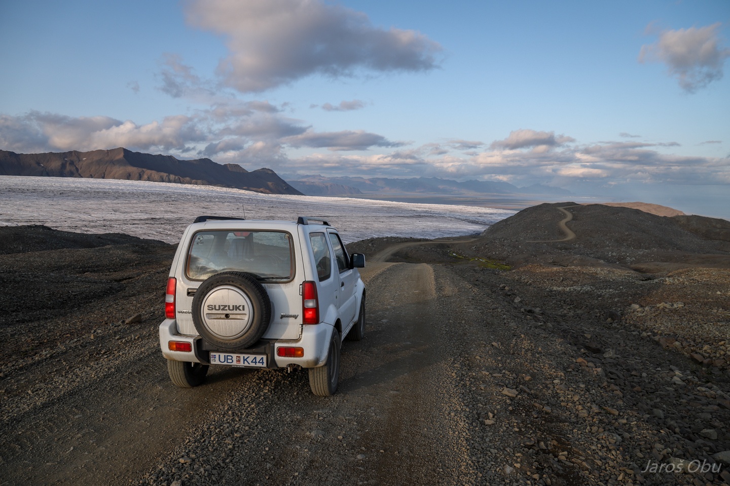
We were already content that our mean of transport can take us up here on 800 m above sea level.
The road is just by the glacier. It must have been much more spectacular when they built it and the glaciers were thicker.
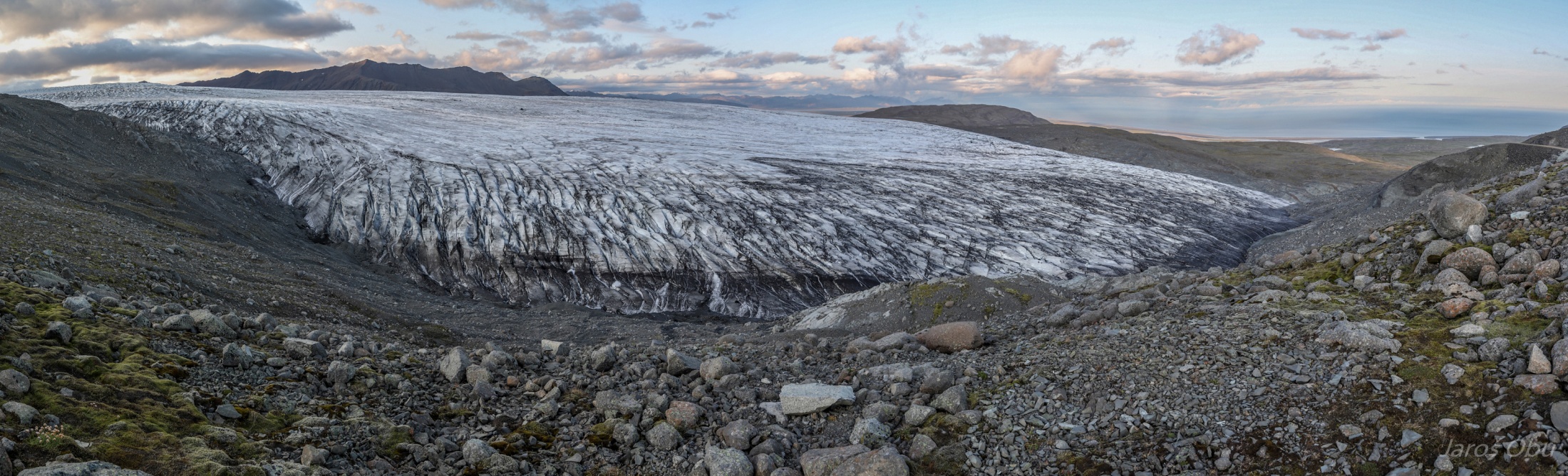
Skálafellsjökull.
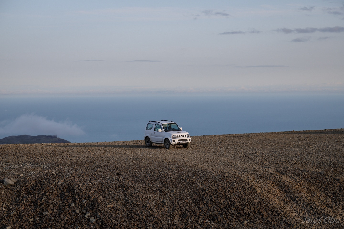
The road.
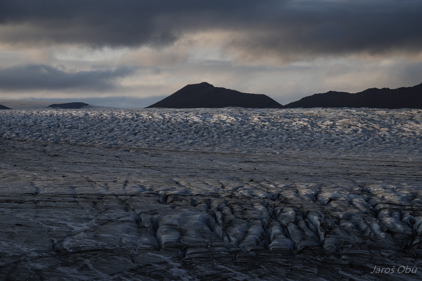
Terminus of a small side tongue.
Plateau under the glacier.
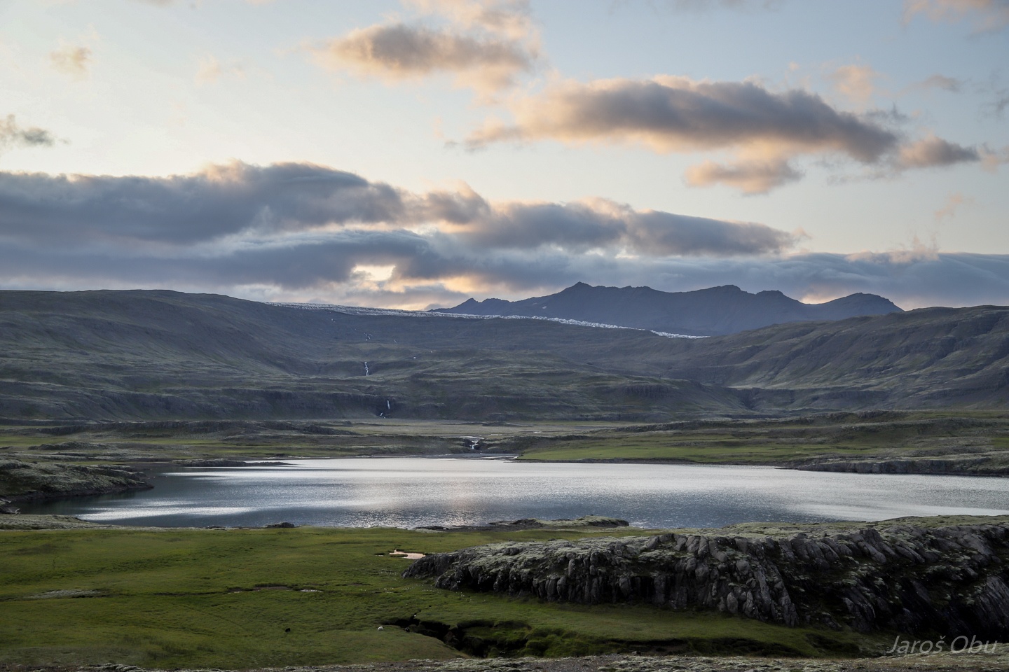
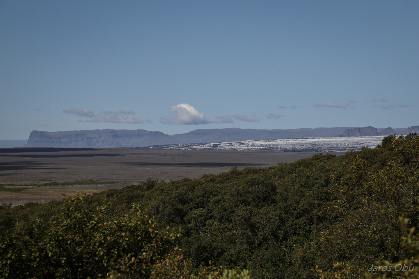
Mýrar plain.
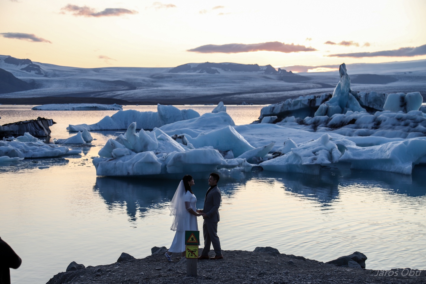
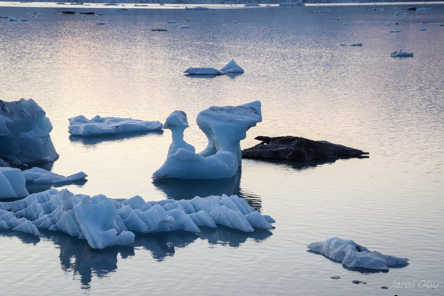
The famous Jökulsárlón lake with calving Breiðamerkurjökull that is delivering icebergs.
A marriage without drone and a hand sticking out of water.
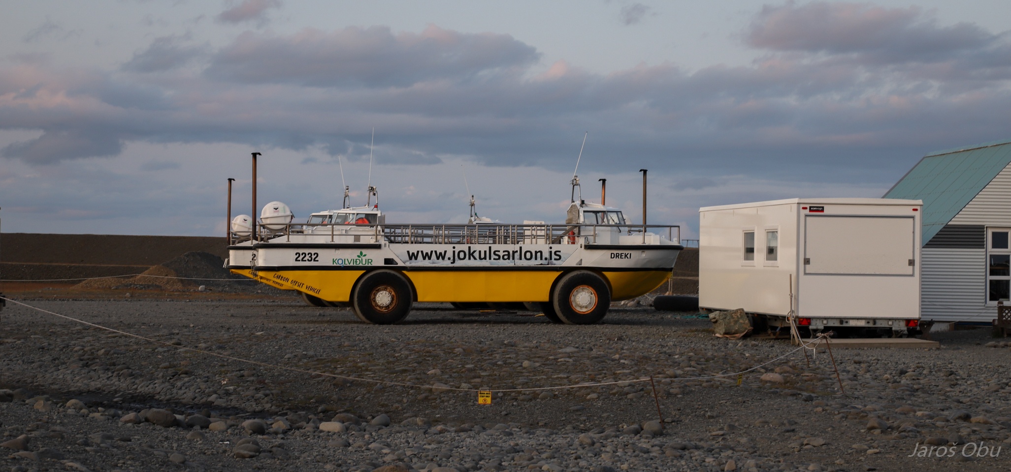
A boatcar that is taking tourists between the icebergs. Ne samo za en, ampak za več drekov.
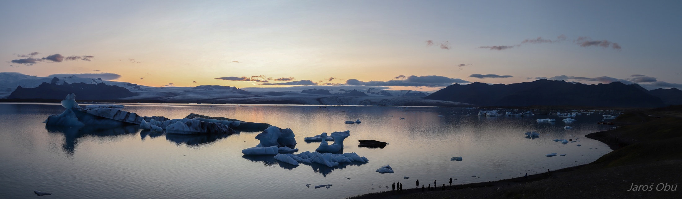
Breiðamerkurjökull glacier and the lake.
Turkey-shaped iceberg.
Fjallsjökull behind the icebergs.
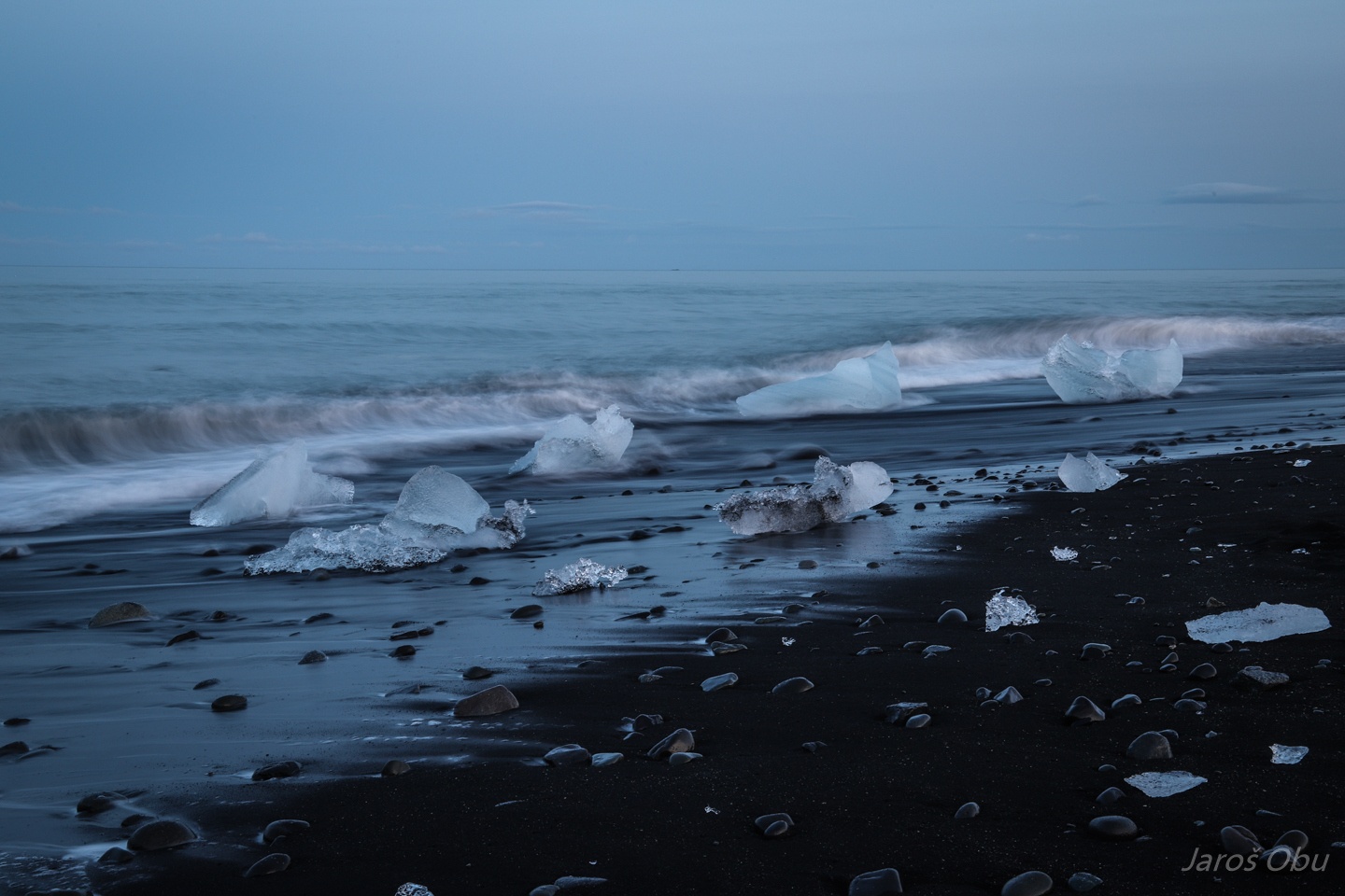
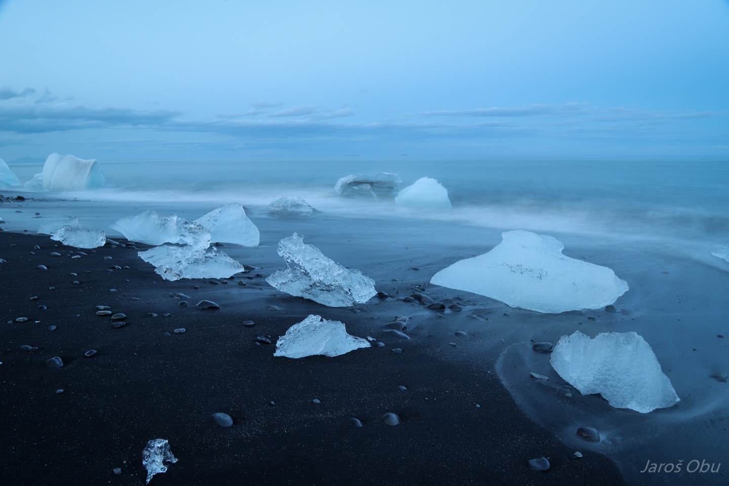
Ice chunks stranded on the nearby black beach are one of the most famous photographic themes in Iceland.
With a good reason.
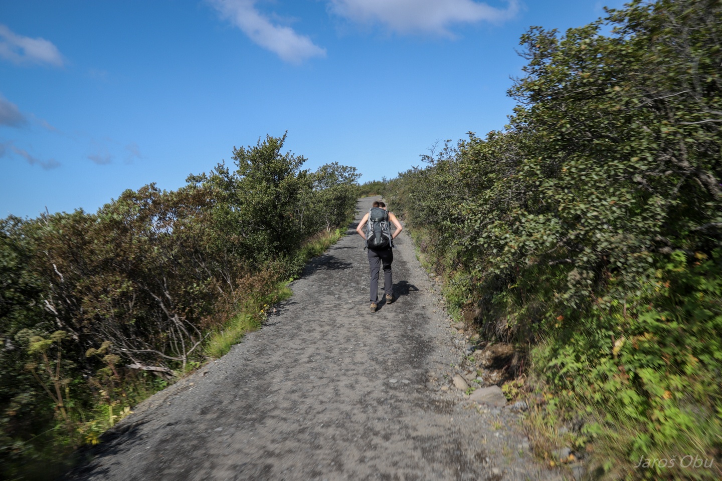
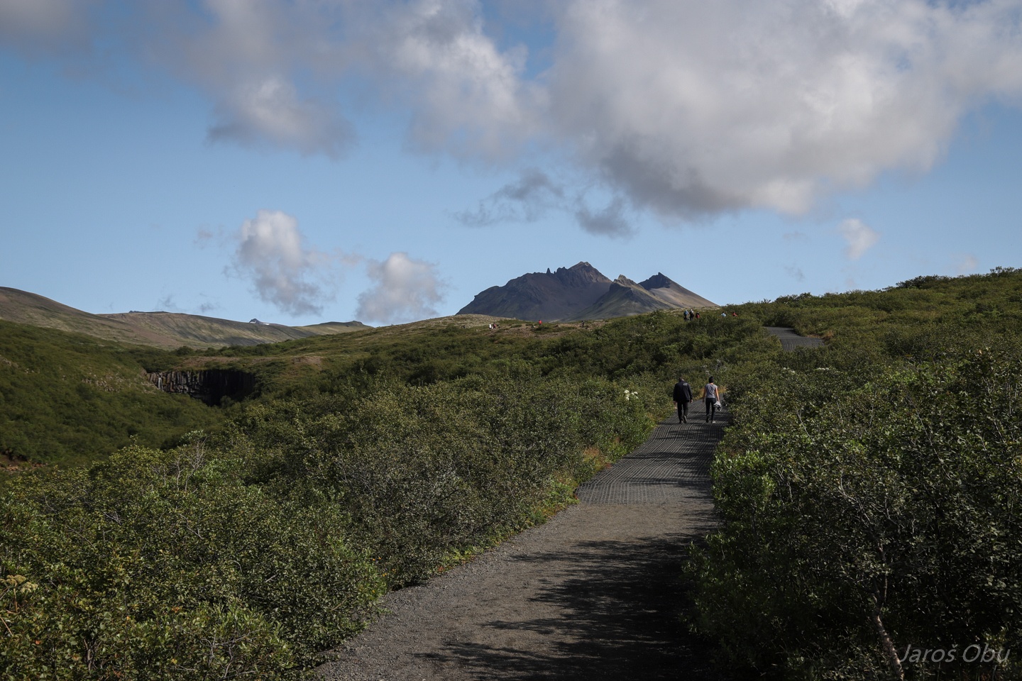
Rushing up on Skaftafell before it is flooded by tourists.
Skeiðarárjökull in the west.
Protection from glacier floods.
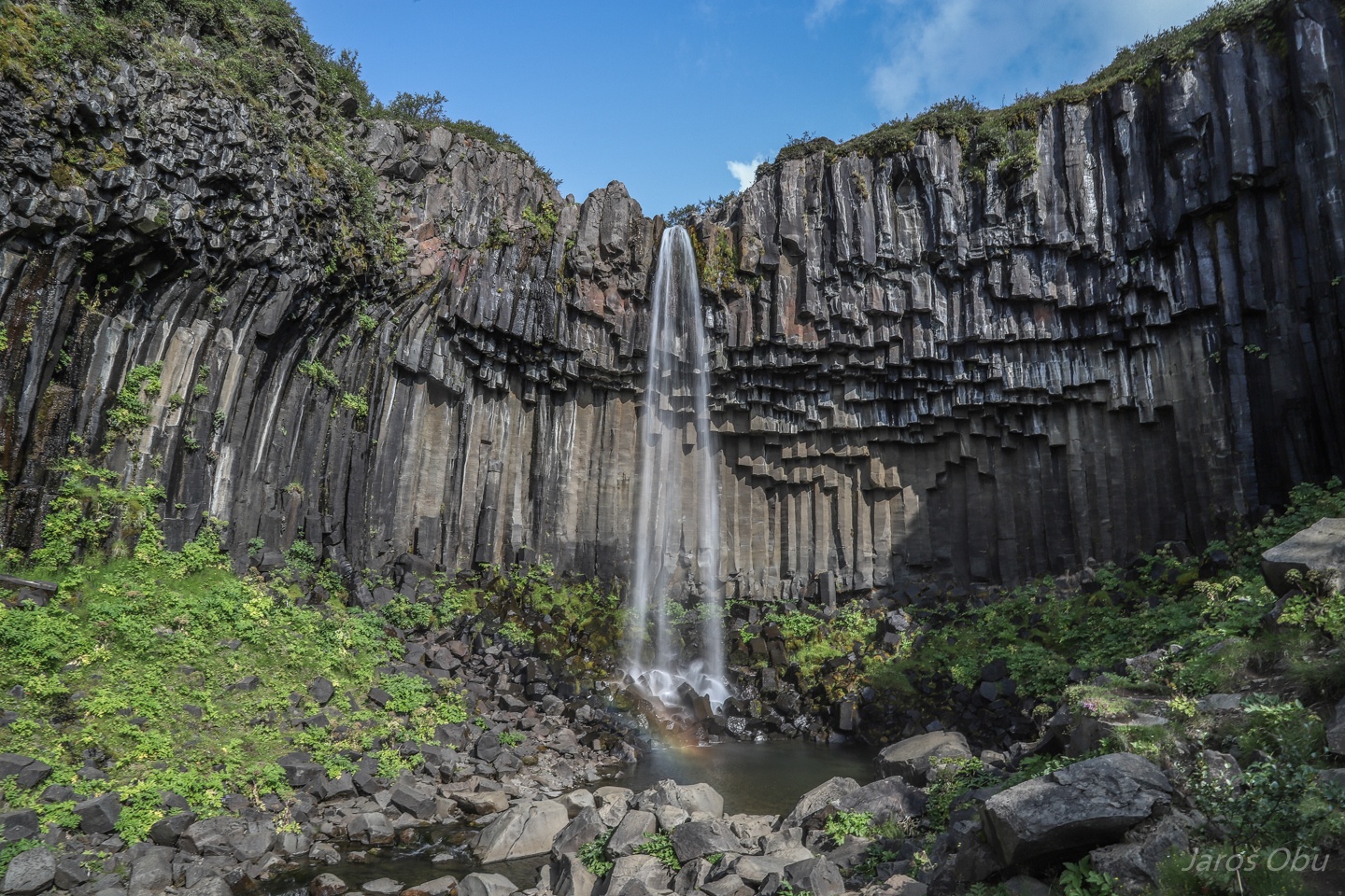
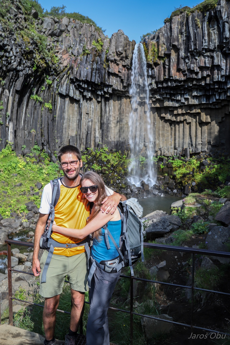
Skaftafell with a scenic waterfall on the left.
Svartifoss and undercut columnar basalt.
A Slovene and his better half.
The highest peak of Iceland - Hvannadalshnjúkur (2110 m) and a phone romance under it.
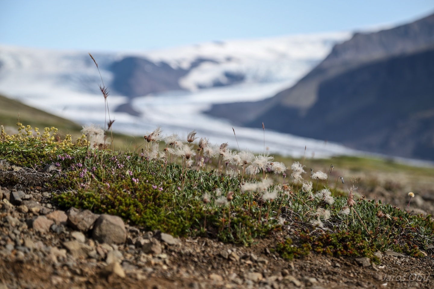
A grove of mountain avens, Dryas octopetala, alpska velesa in Slovenian.
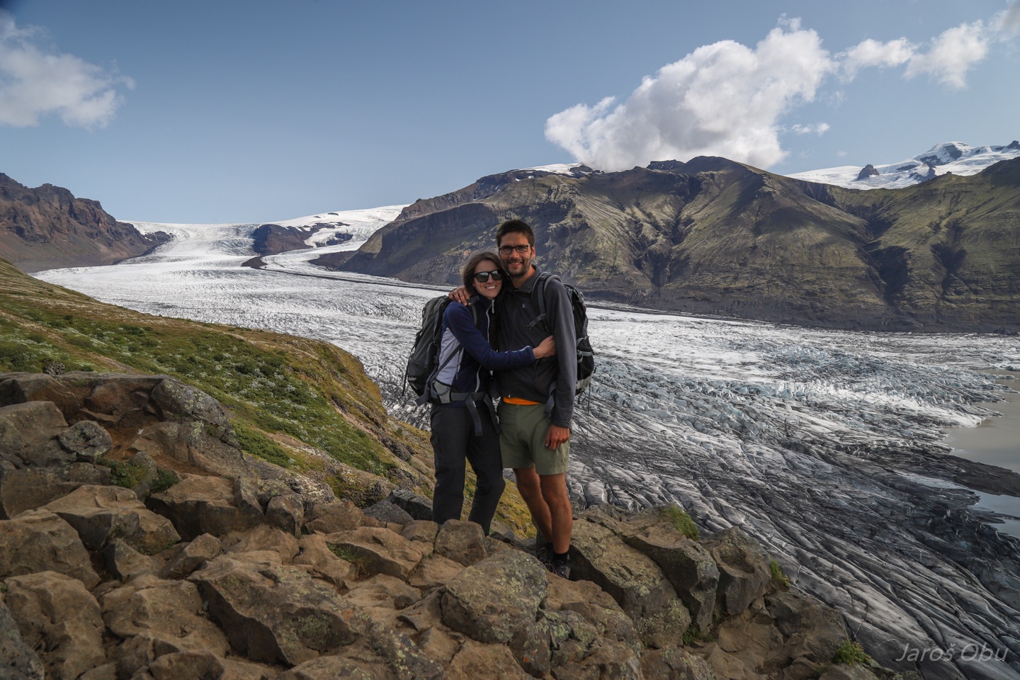
View from Skaftafell to eponymous glacier.
Subglacial water spring.
Happy tourists.
Overcrowded Skaftafell visitor centre upon return...
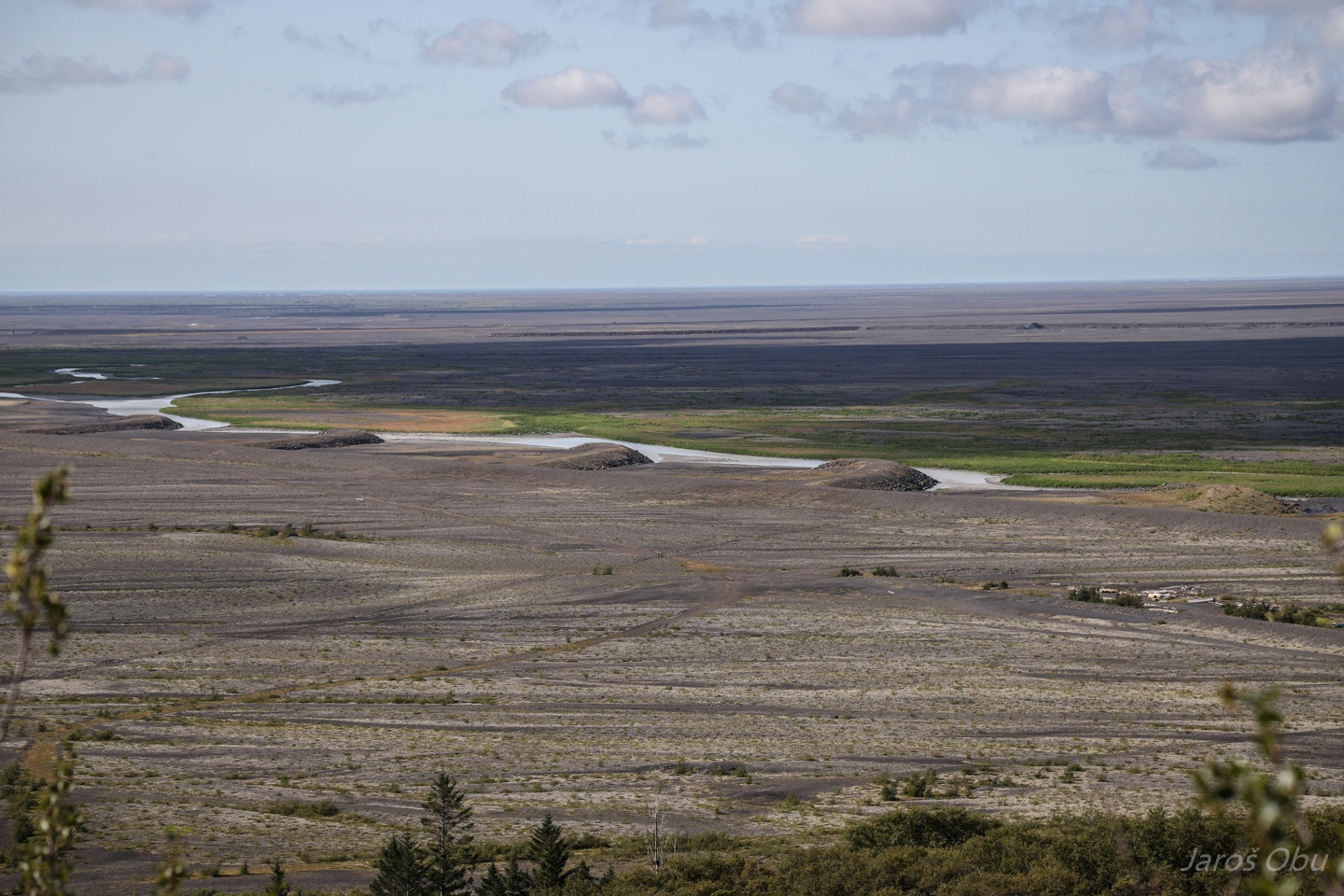
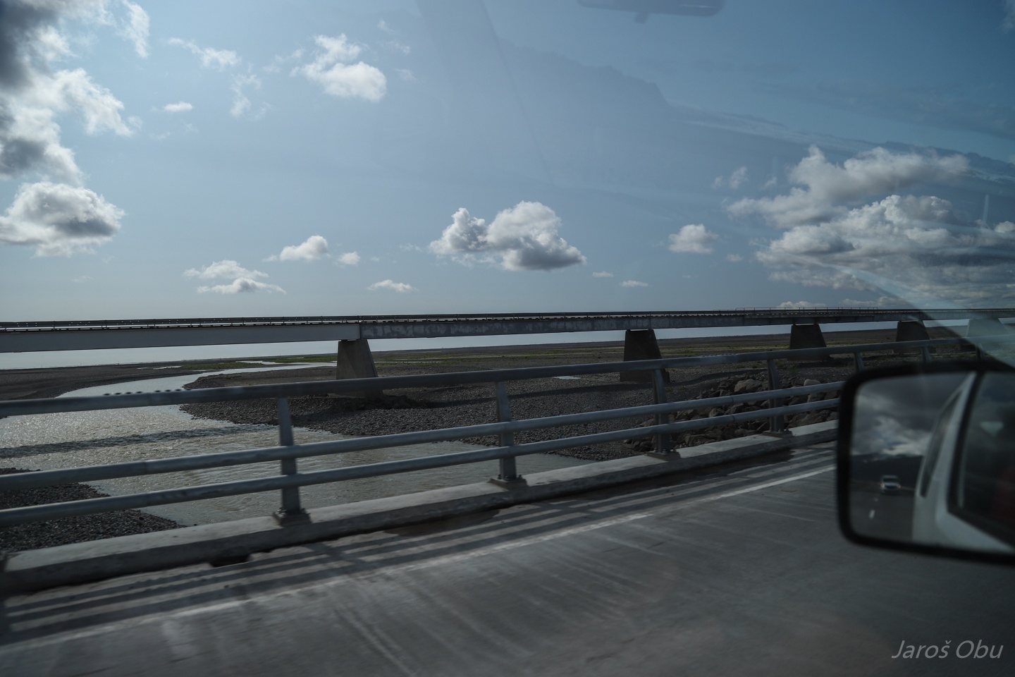
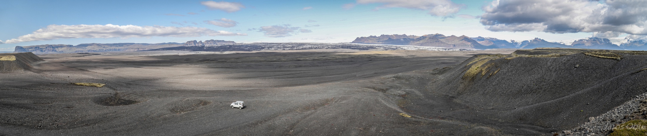
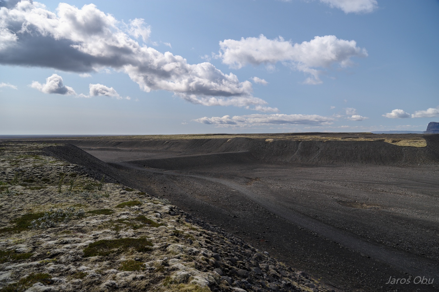
Outwash plain of Vantnajökull where most dramatic glacier floods (jökulhlaup) occur. The bridge on the left was a road before it was washed away a decade ago.
The name for outwash plains, sandur, came from Skeiðarársandur - as seen from the terminal moraine.
They are attempting to channel smaller floods elsewhere.
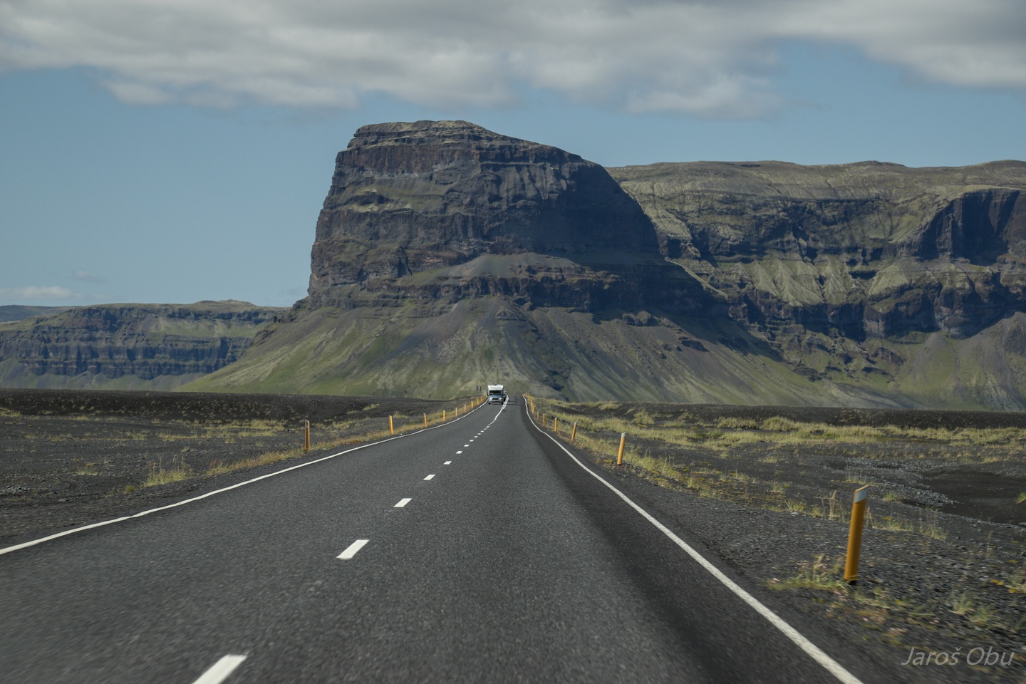
Road on the sandur.
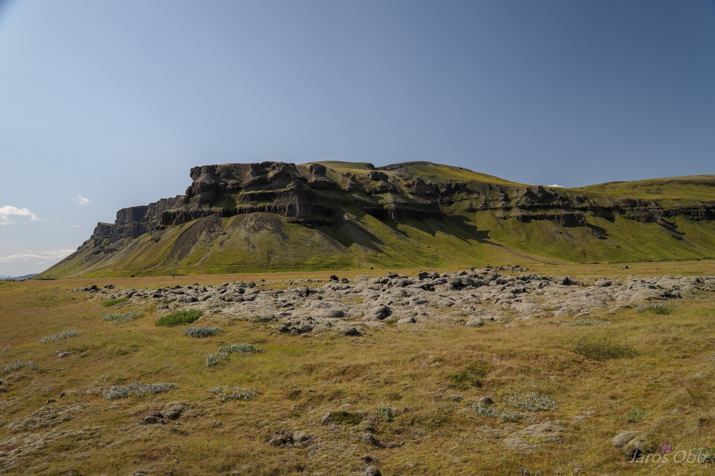
Lava field overgrown with moss.
...
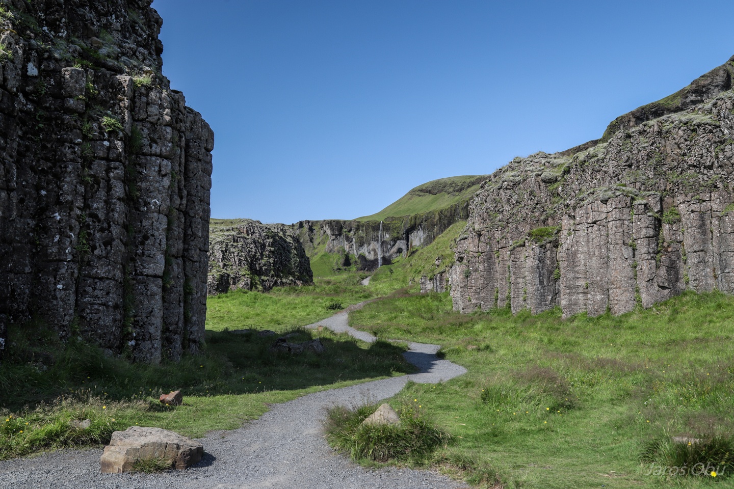
Dverghamrar (The Dwarf Cliffs) with more columnar basalt.
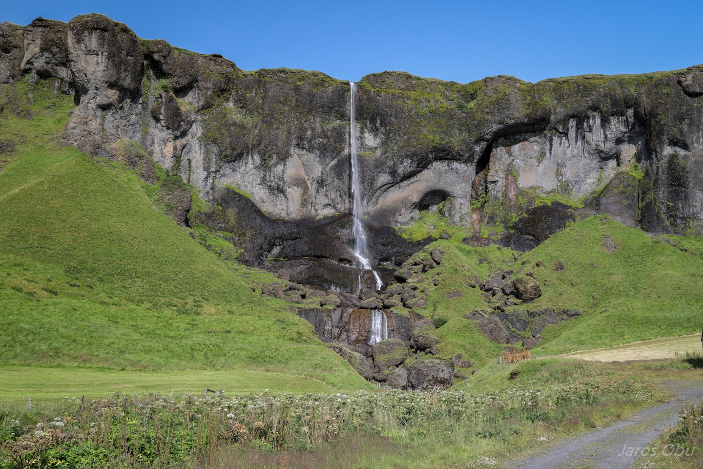
Fagrifoss no. 2, just before visiting no. 3