© 2024 Jaroš Obu
Photo gallery of Jaroš Obu
Cart
0
Items
Buy now
Venabygdsfjellet and Grøvelsjøen 23. - 25. 8. 2016
Thursday, 25 August 2016
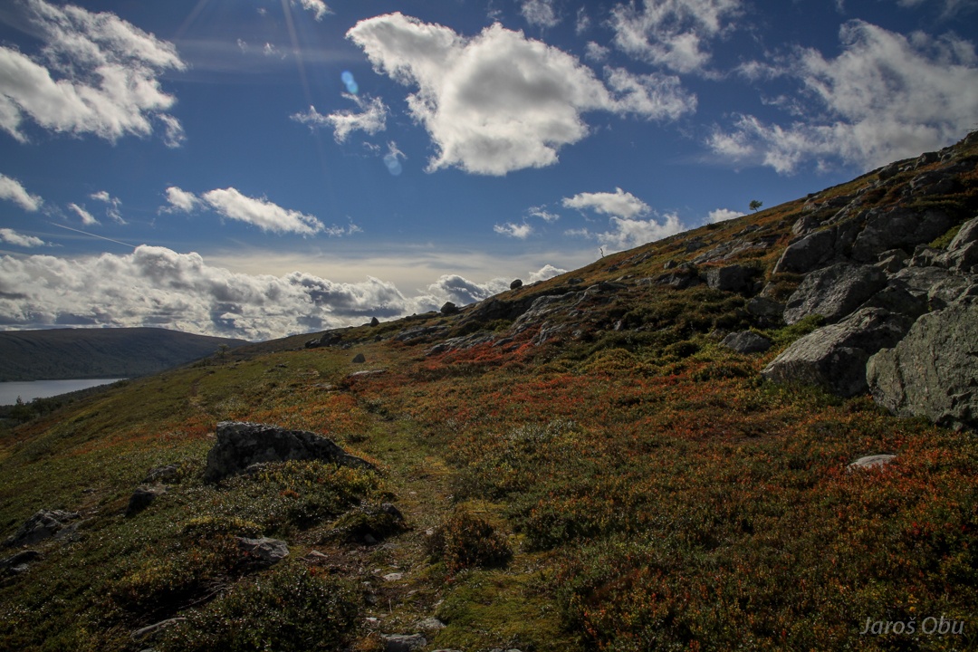
A trail leading to a blank hill.
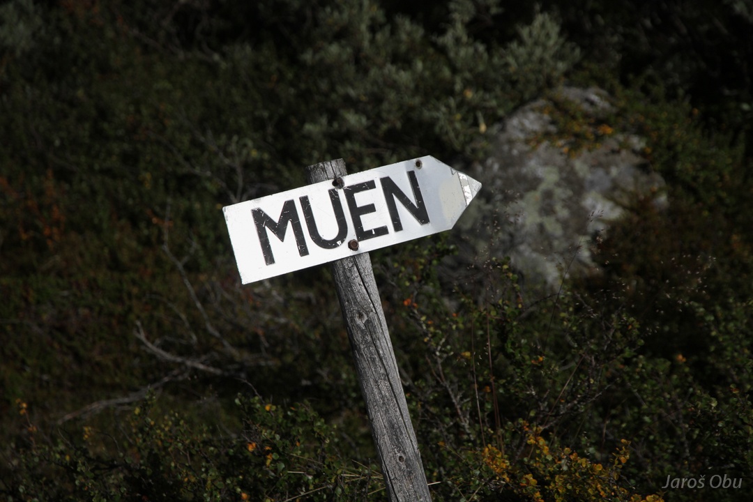
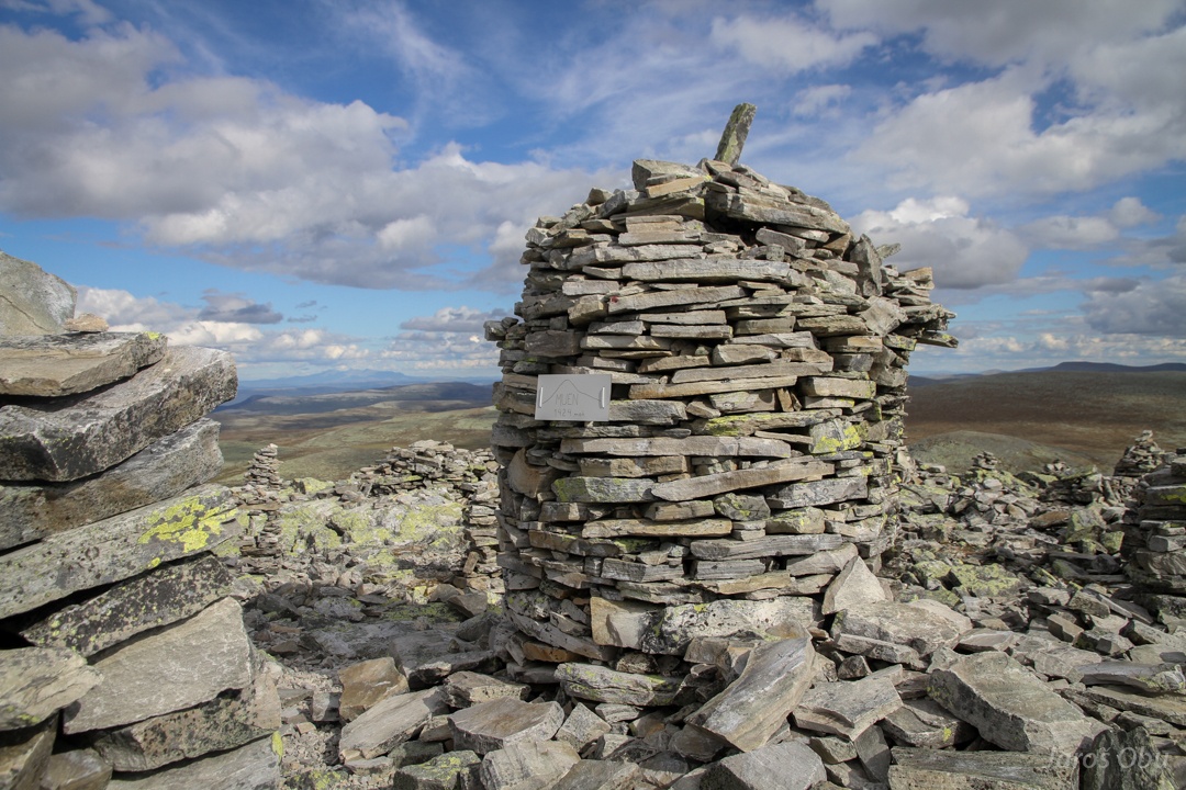
Oh, here, it says Muen.
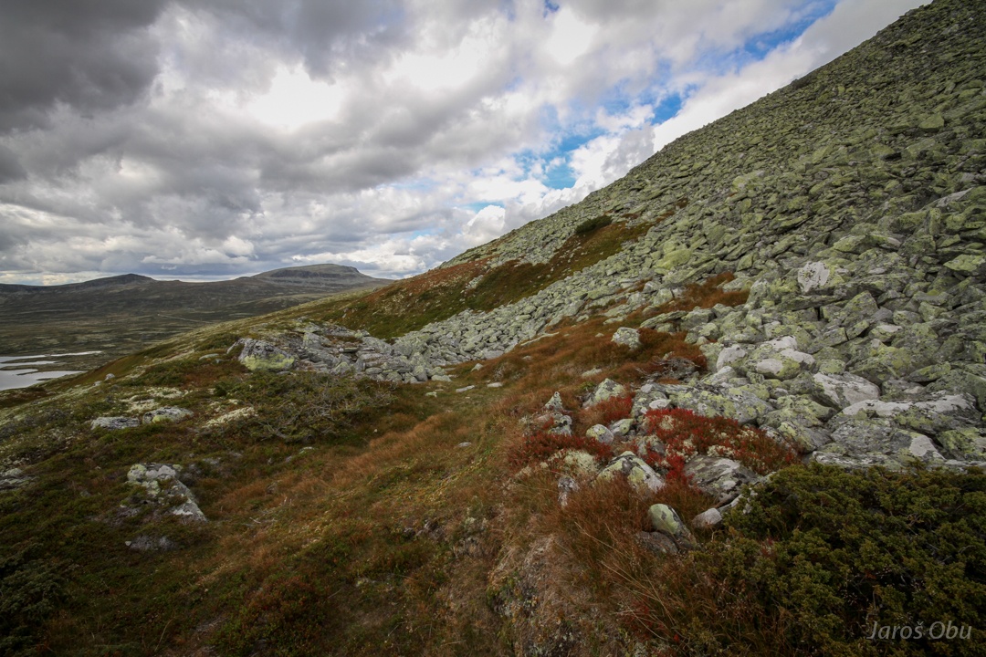
Typical mountain vegetation in the inner, drier part of Norway.
A sort of nivation hollow.
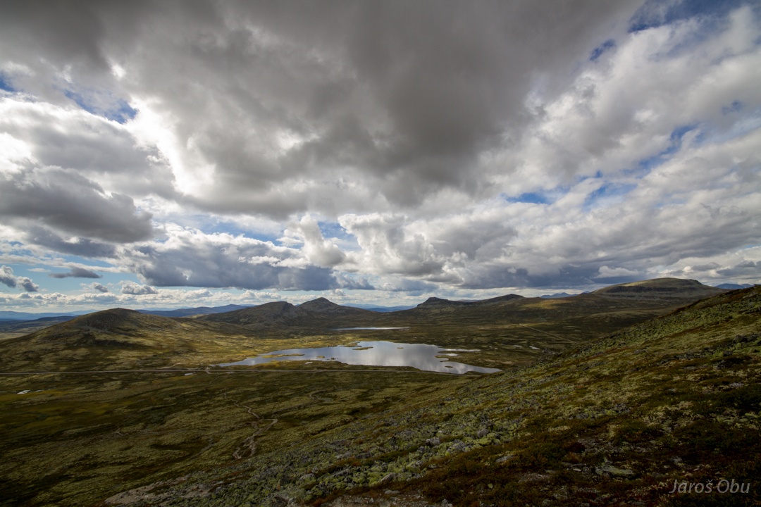
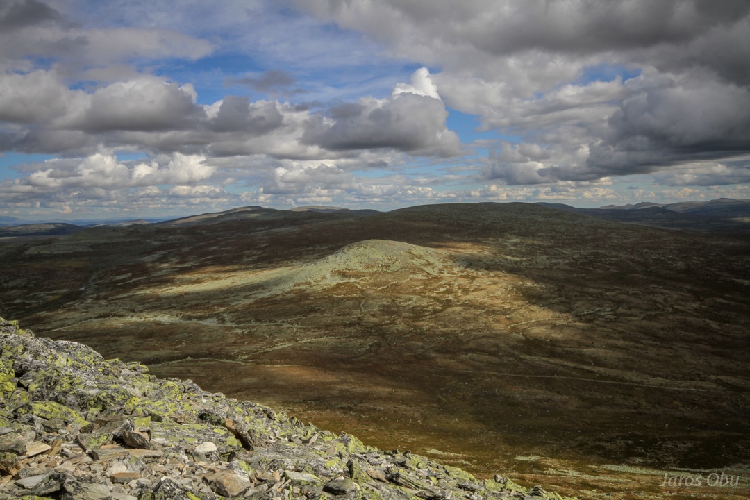
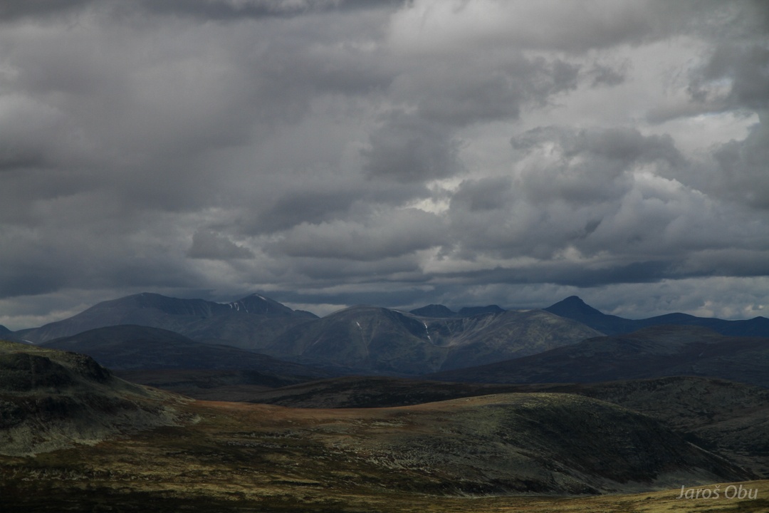
Leveled surface of Venabygdsfjellet with some hills sticking out.
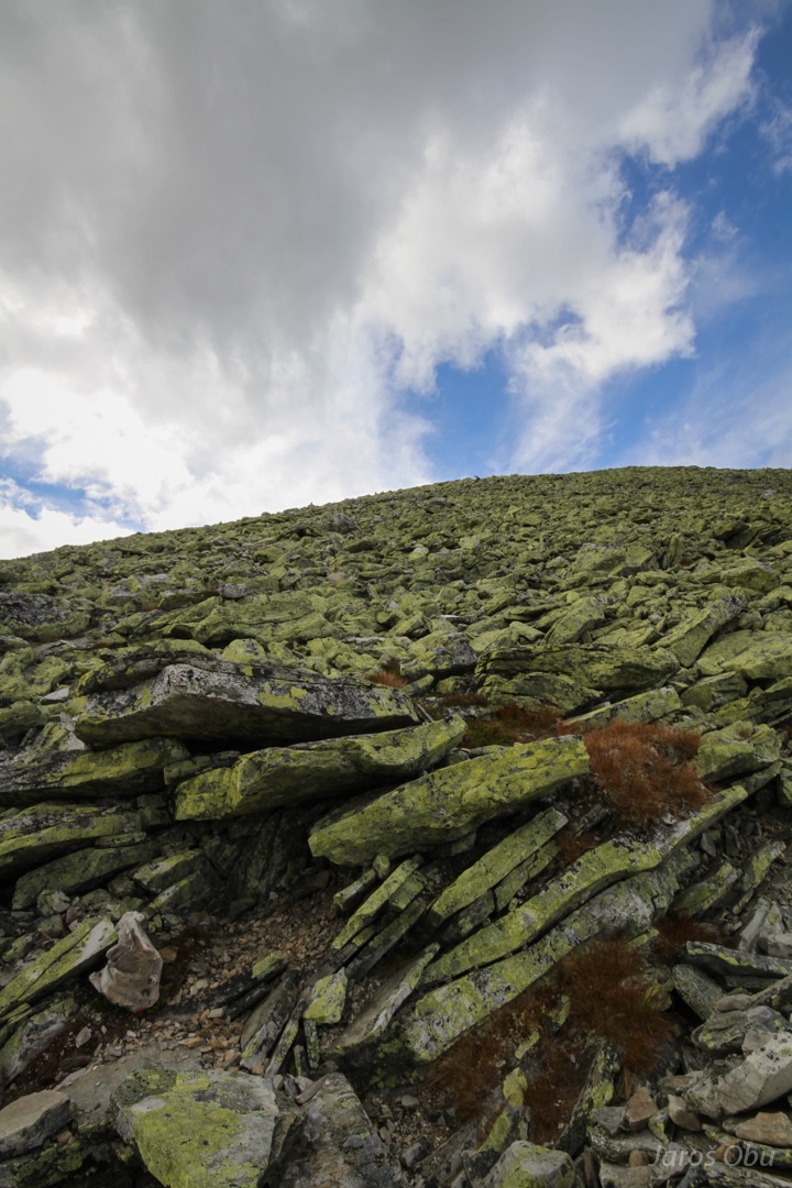
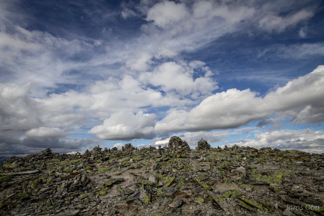
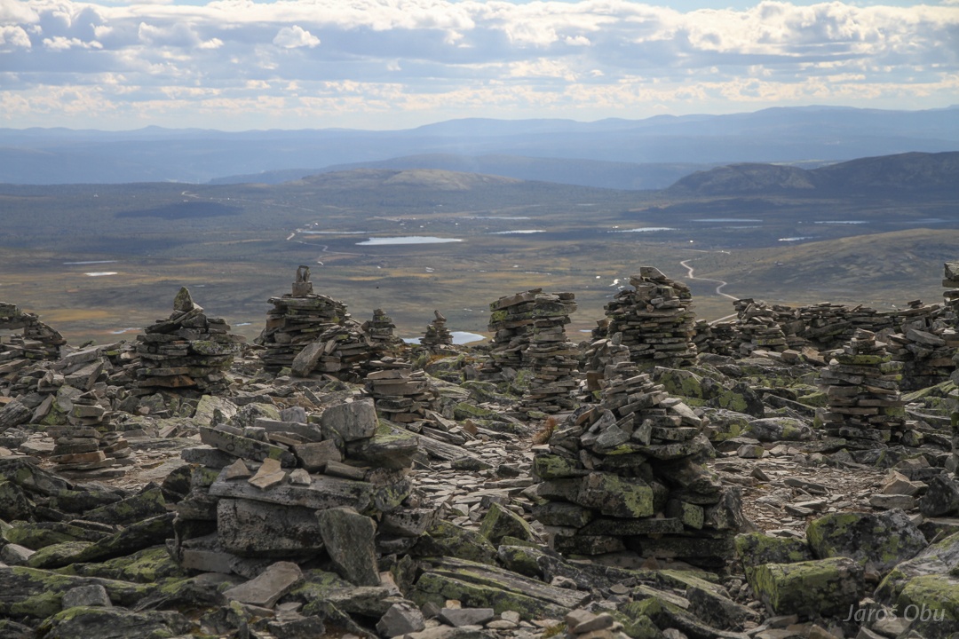
A lot of "slaty" stone on the surface close to the top.
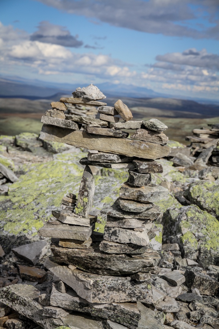
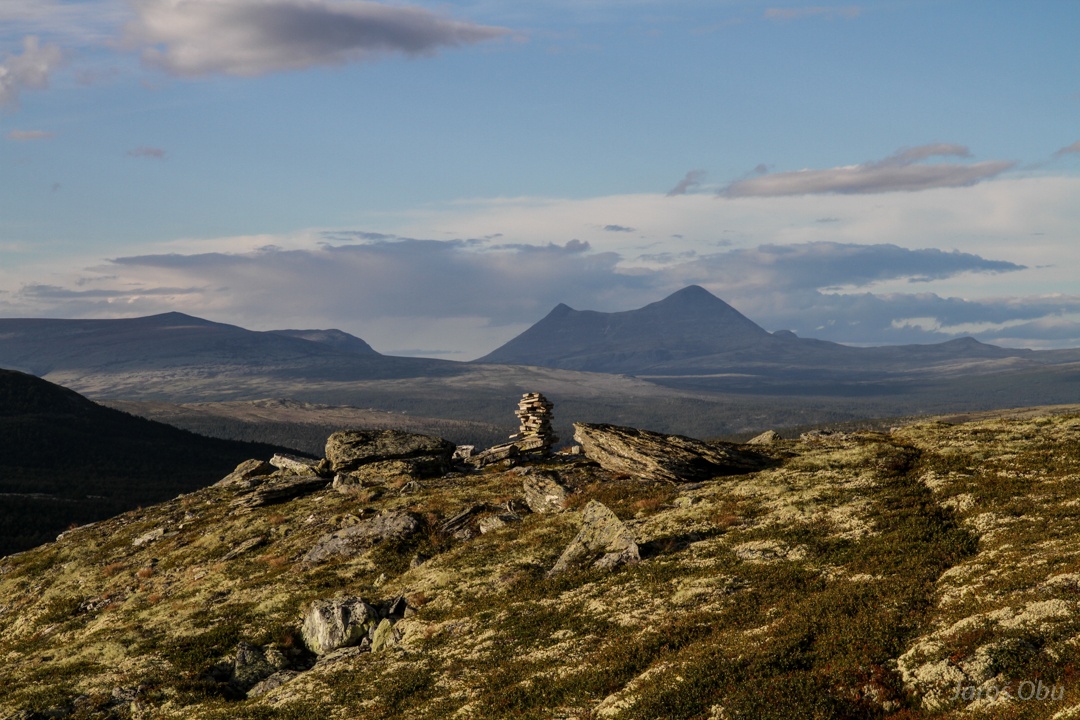
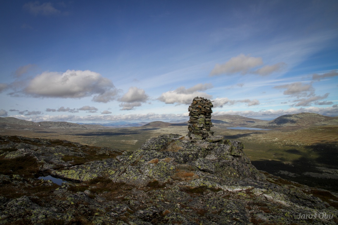
The top. A plenty of freemasonry creations.
Everybody wanted his pile to be a top of the hill?
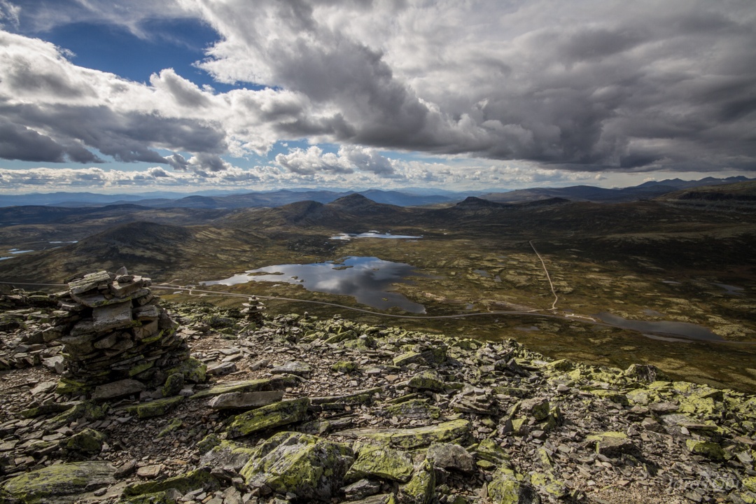
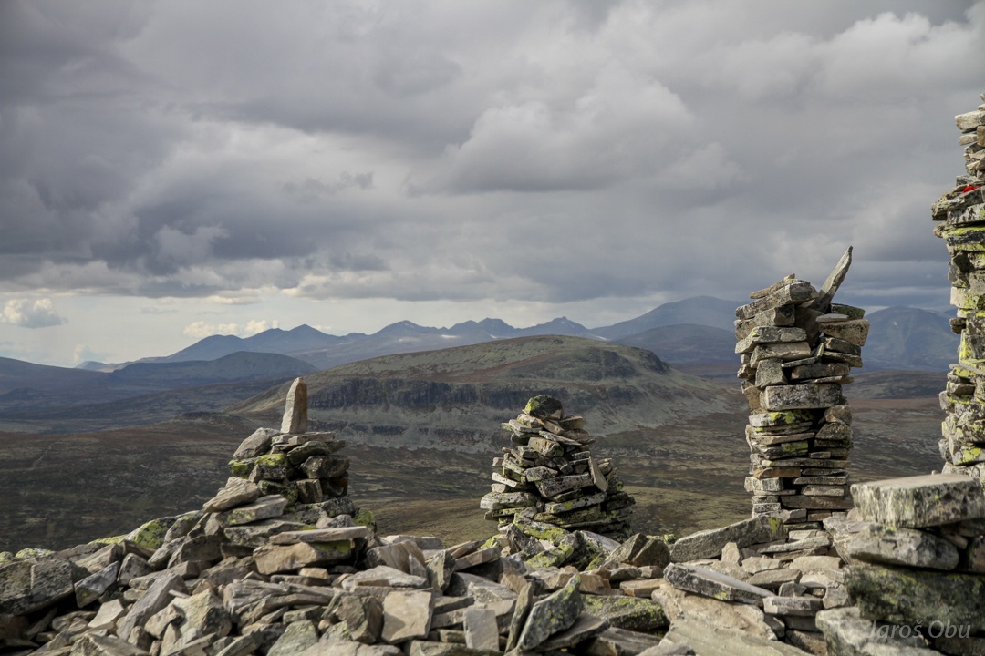
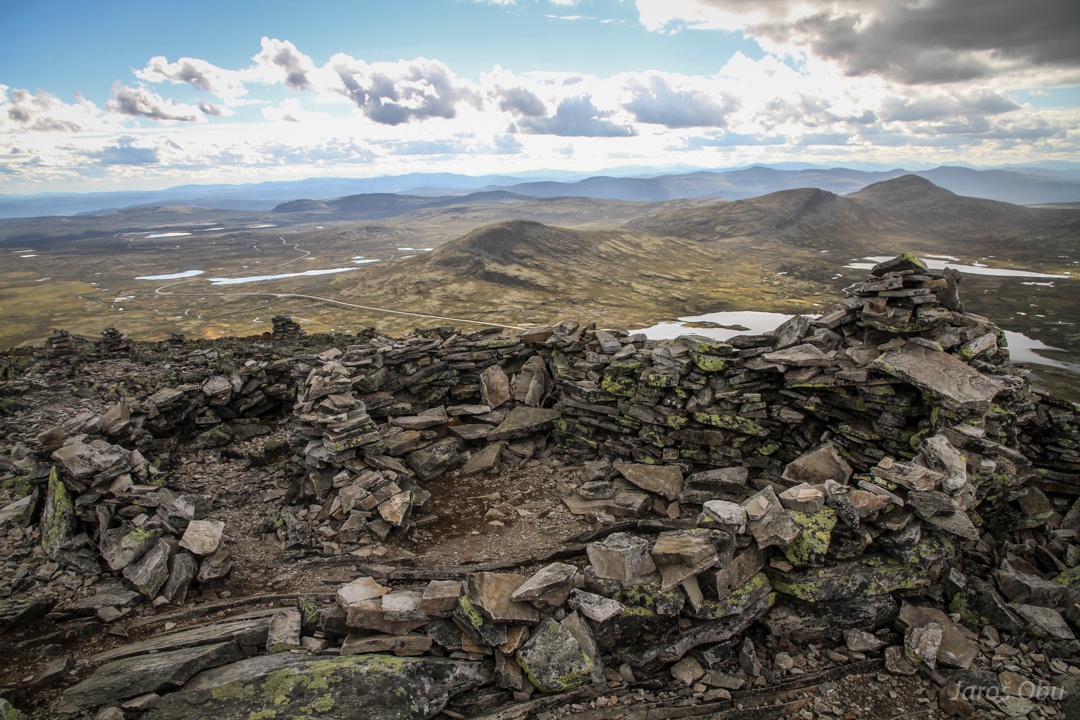
Again, Muvatnet from the top.
Rondane Mountains in the north.
Prominent two-cone Storsøln Mountain where Peter was currently mapping a treeline.
Here it says that the top is 1424 m high.
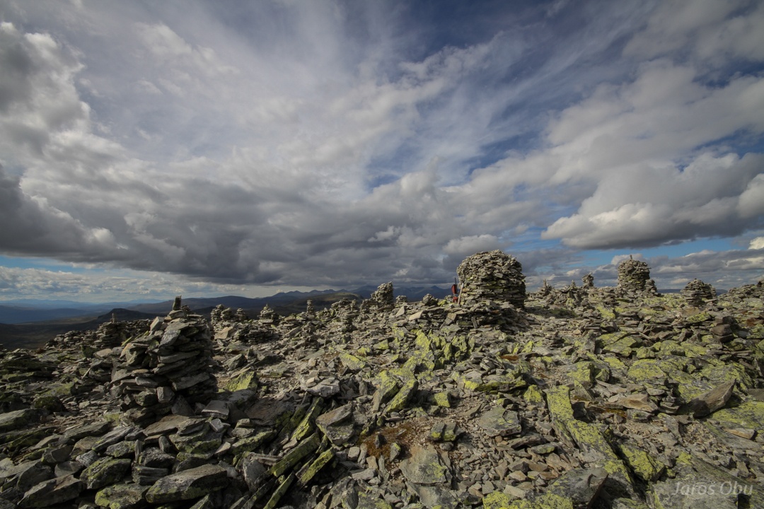
Some more artistic creations ...
with Venabygdsfjellet in the in the background.
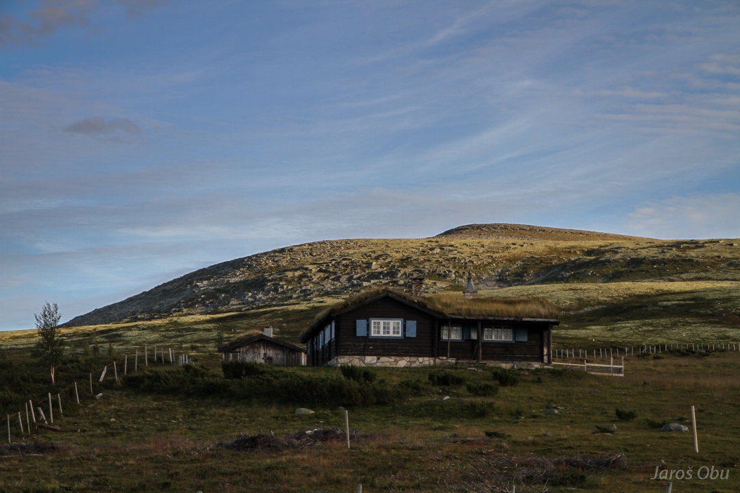
A shelter?
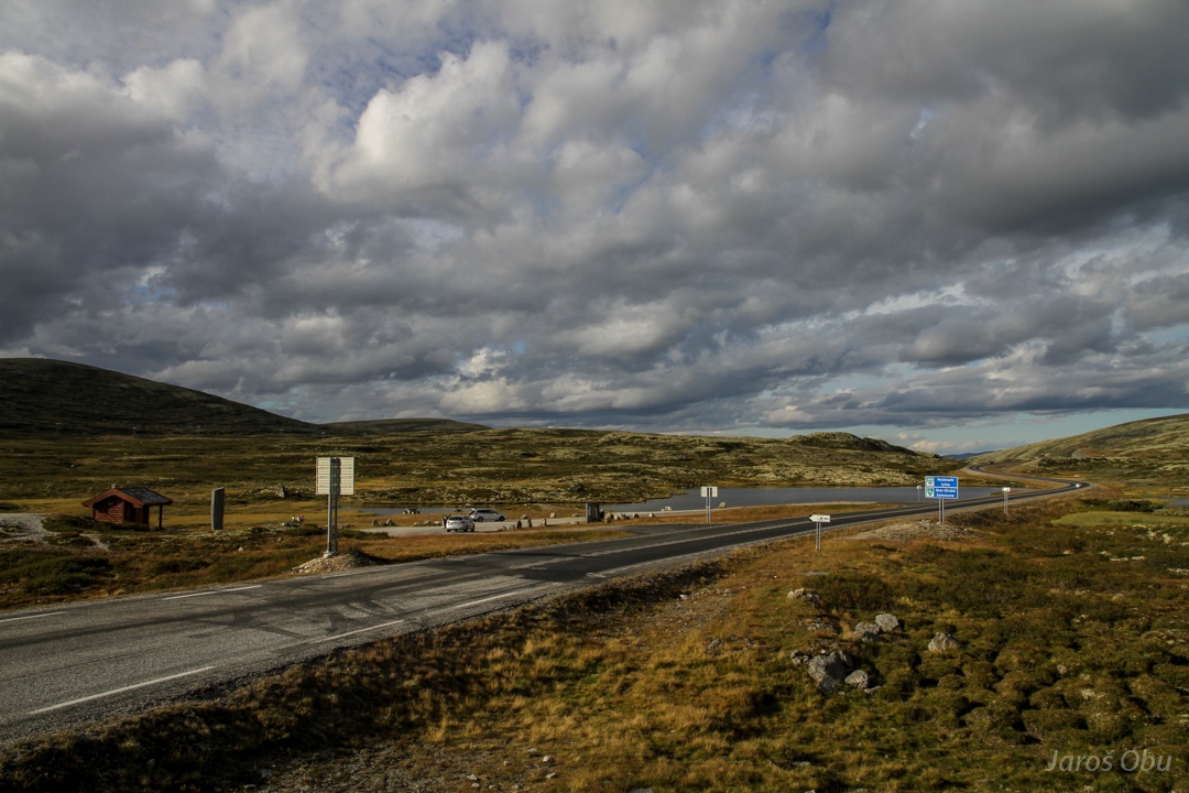
The municipality border is visible also on the road :)
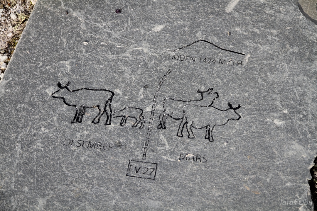
Interesting drawings on random stones around. It looks like that there really is a life on Mars.
Or maybe not anymore.
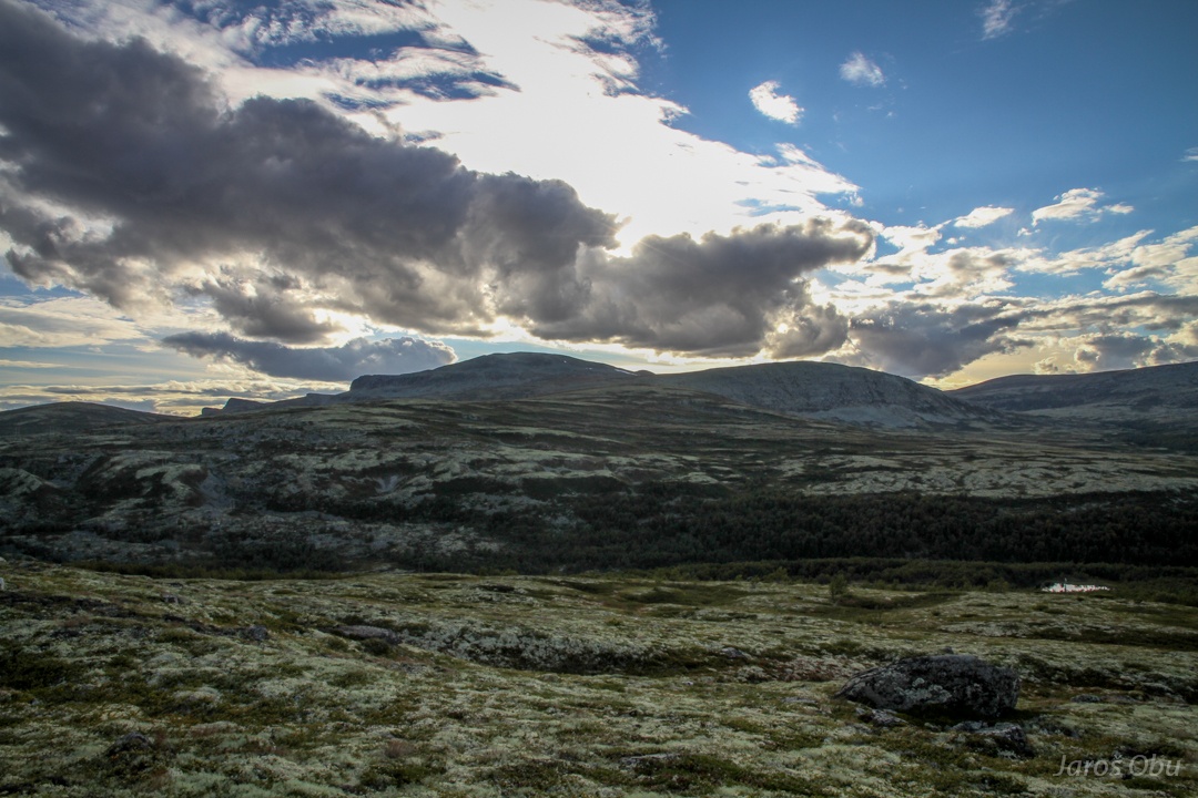
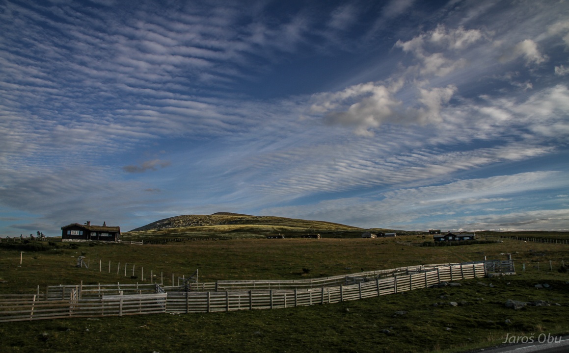
Late-afternnon shots ...
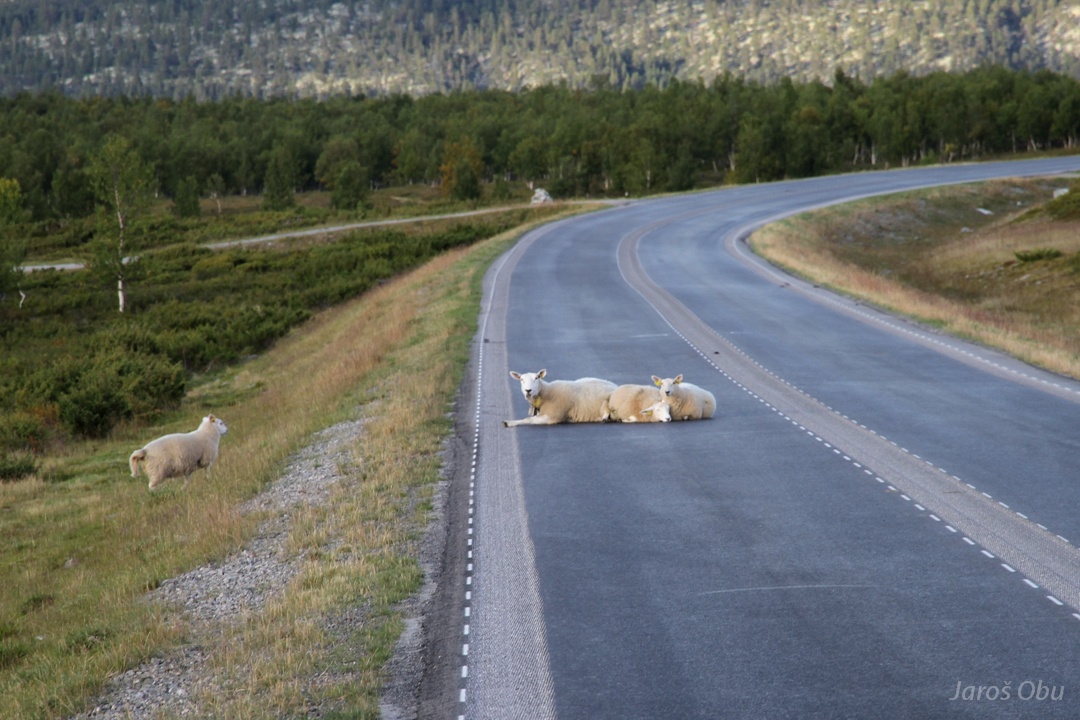
Stuntsheep waiting for cars.
Should rather move to the pasture instead.
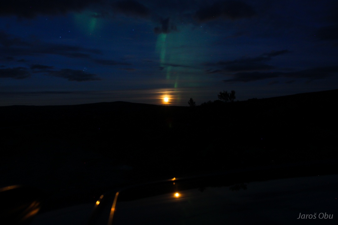
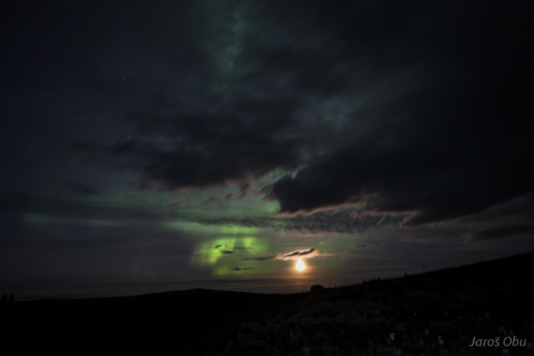
A geomagnetic storm that was not forecasted caught me without a tripod.
But the place could hardly be better.
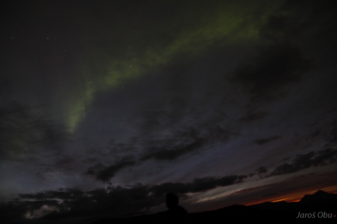
The aurora show was nice despite some clouds.
Green curtains around the rising full moon.
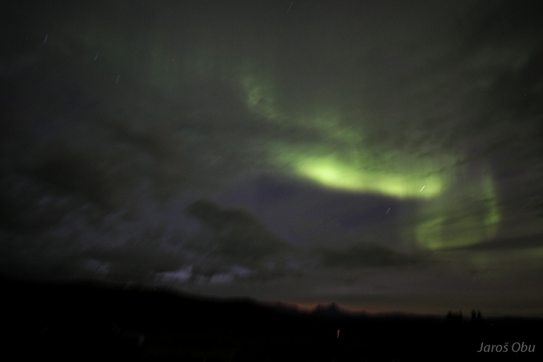
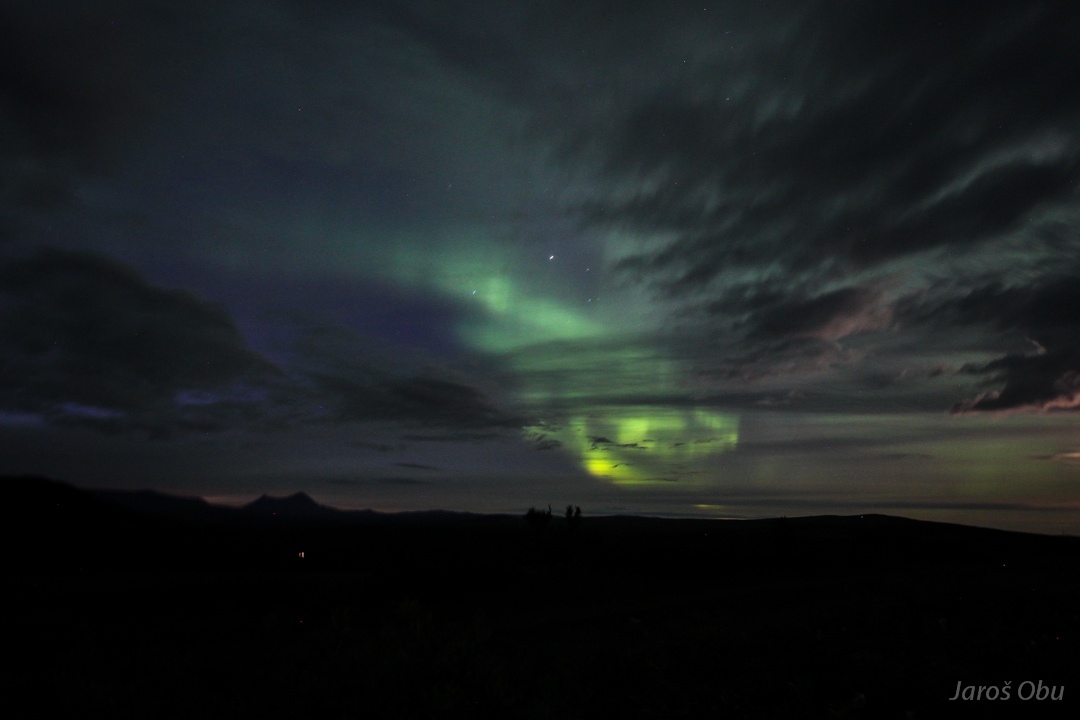
Dancing above us.
...
The sky kept glowing green until late in the night.
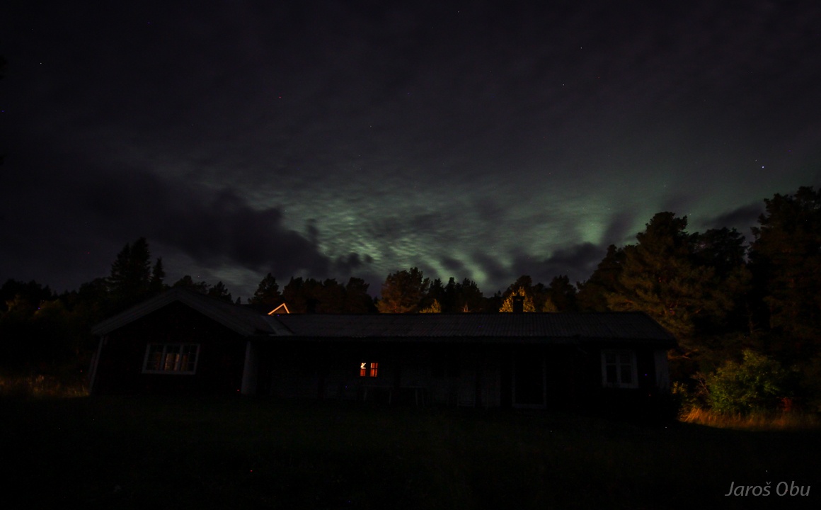
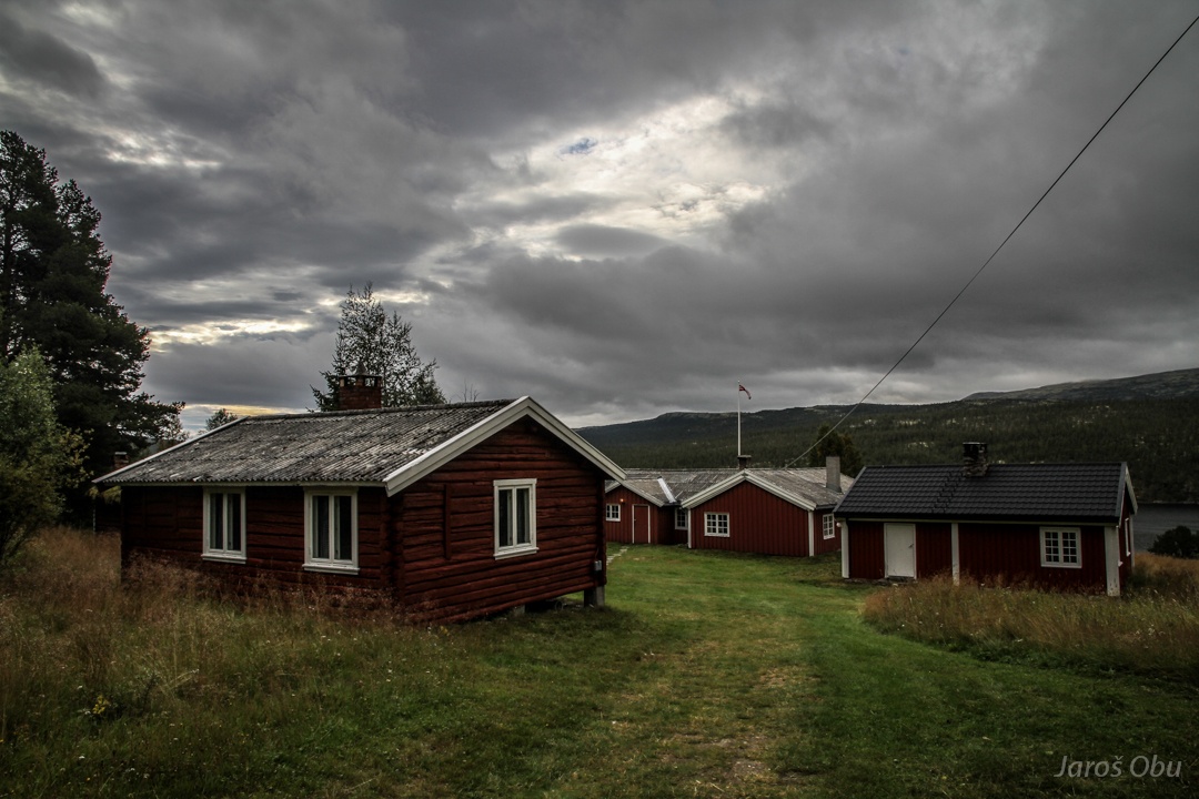
Some cabins of The Norwegian Academy of Science at Atnasjø next day.
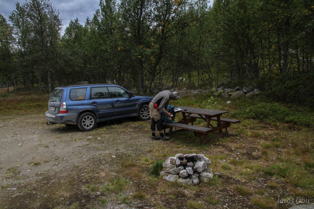
Few hours later at Nysæetra, right at the Swedish border.
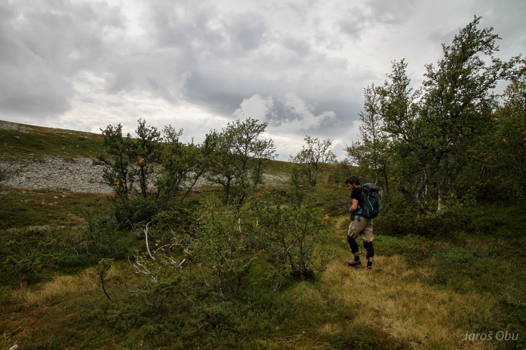
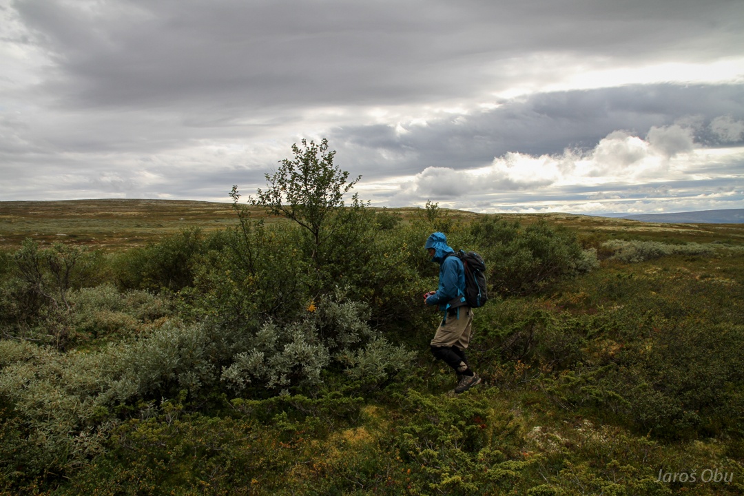
On a way to map a treeline at Vesterhogna slopes.
Gloomy and windy weather before the rain.
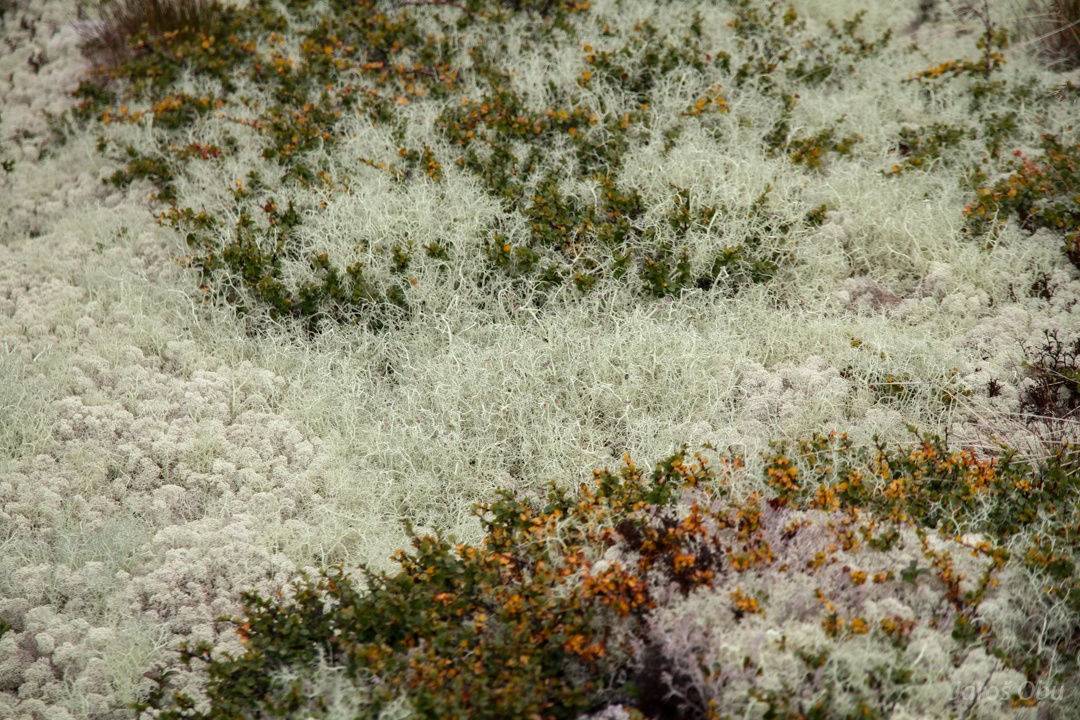
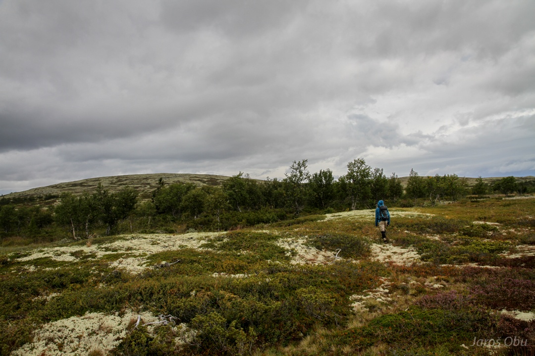
Cladonia stellaris and other lichens thrive because of relatively low precipitation. They are a common reindeer food in winter.
A shelter at Hongsjøen lake.
Peter is measuring the first tree.
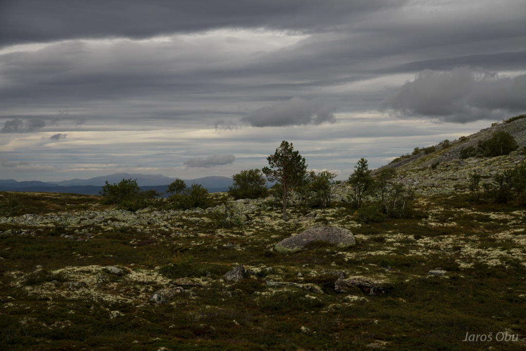
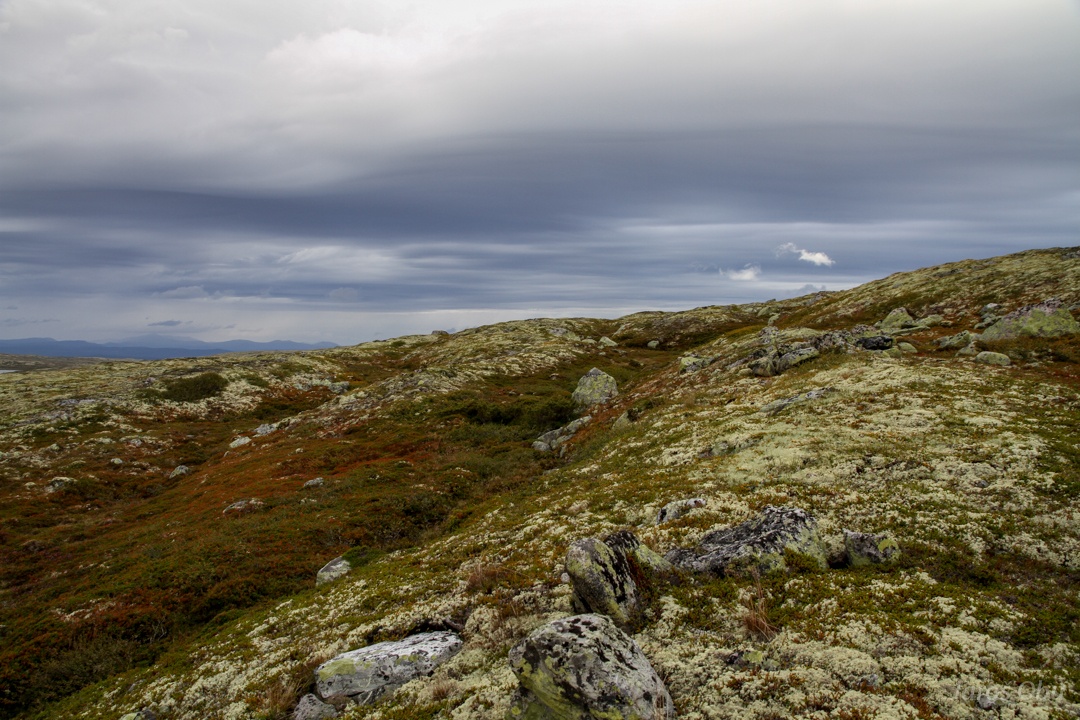
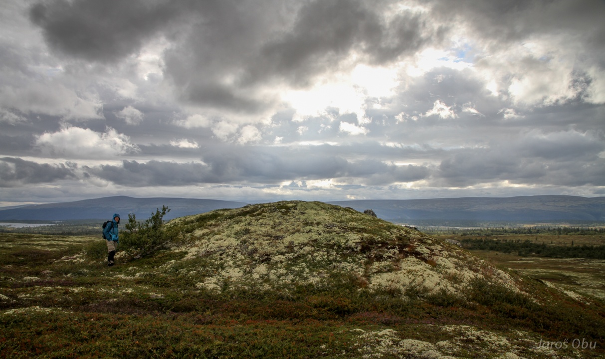
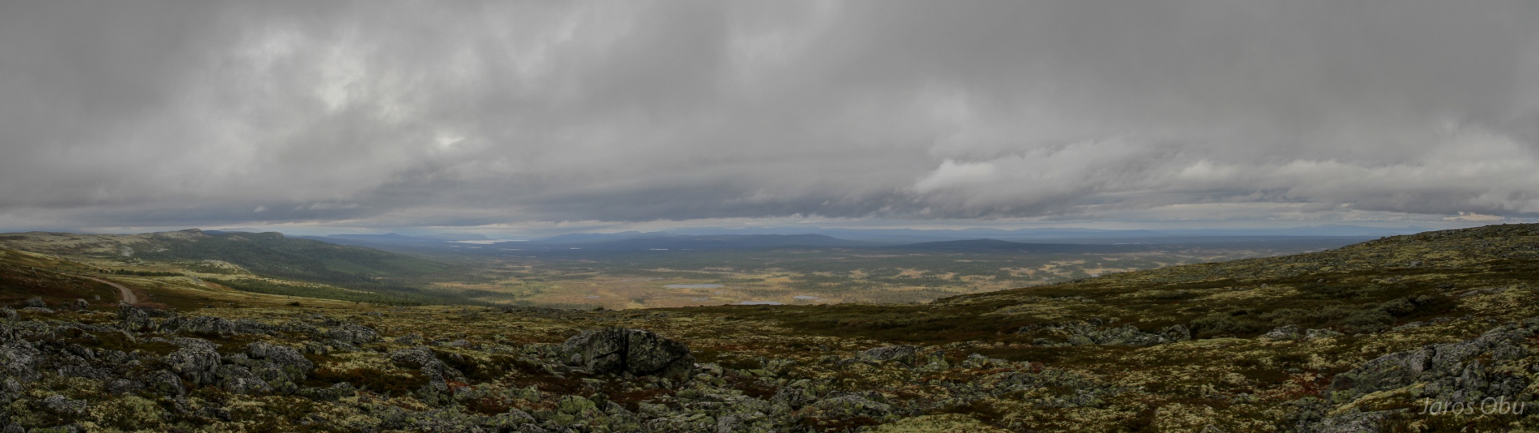
Licheny and shrubby landscape under heavy clouds.
Kvitkrullhatt :)
Peter thinks I'm funny.
Interesting mound.
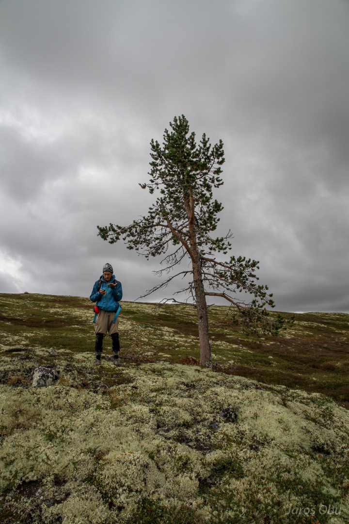
An impressive pine for the upper treeline limit.
And checking also the forestline.
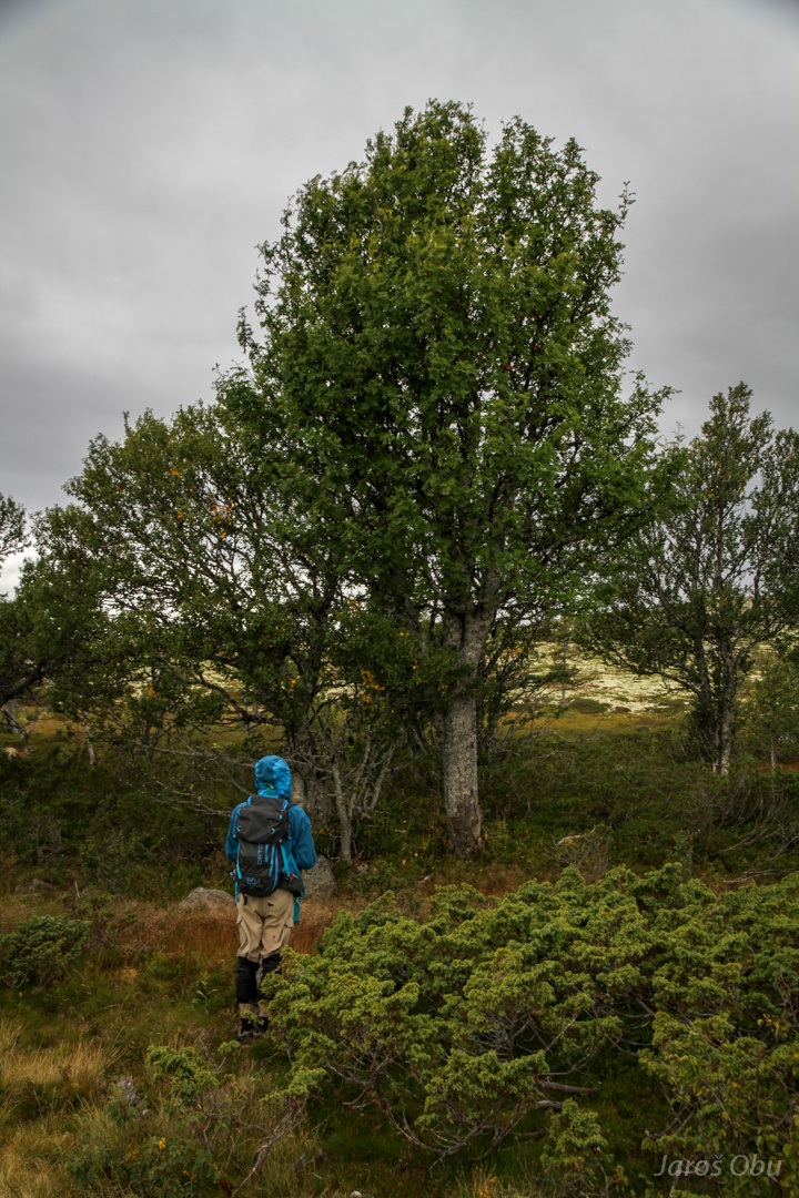
Admiring a mountain-ash tree (Sorbus aucuparia) specimen.
View across to the Swedish side.
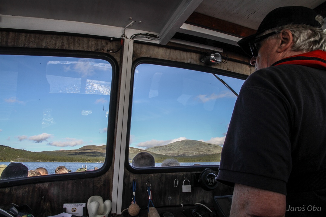
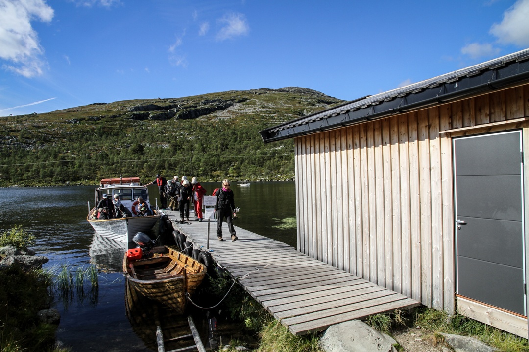
From Sweden back to Norway by boat to take a shortcut over Grøvelsjøen to next field sites.
Ryvang
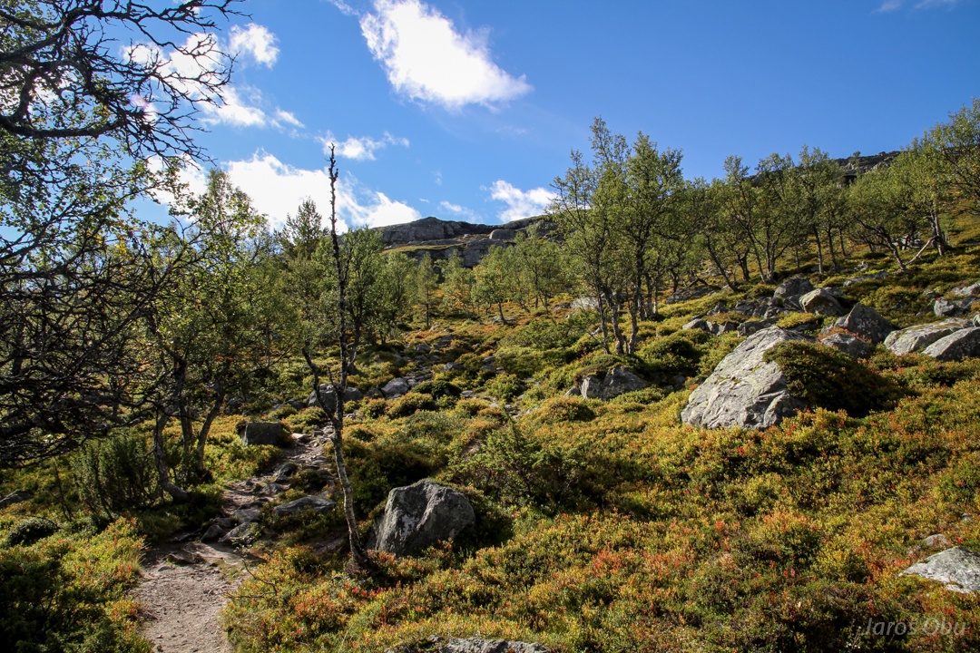
The forest of interest.
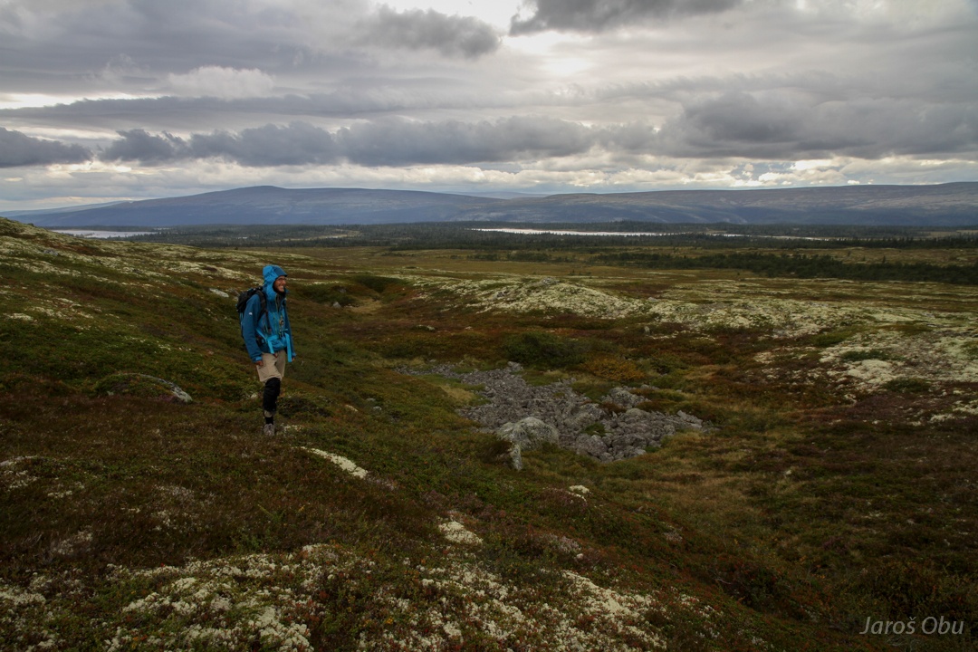
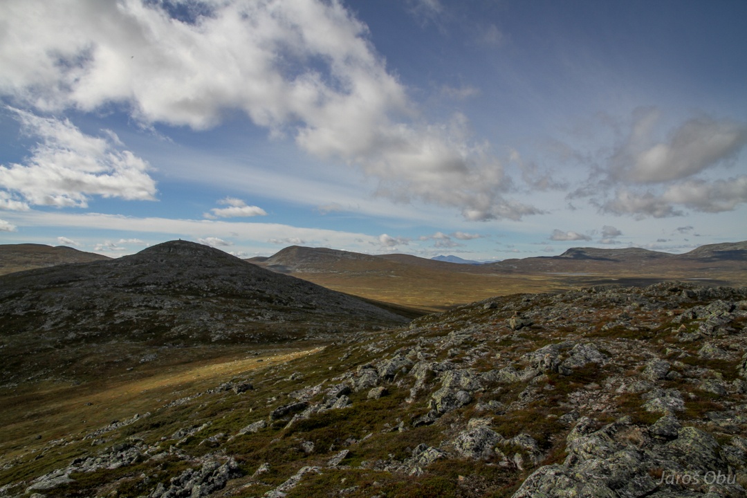
While Peter is surveying trees I went to the closest "mountain".
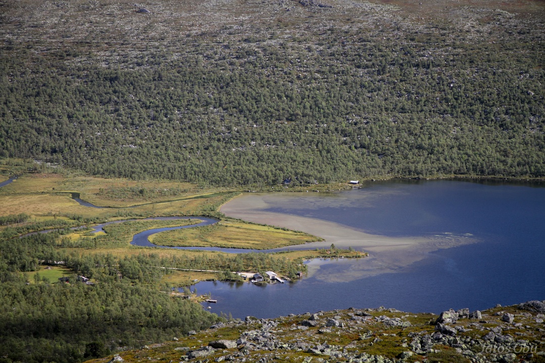
A river delta.
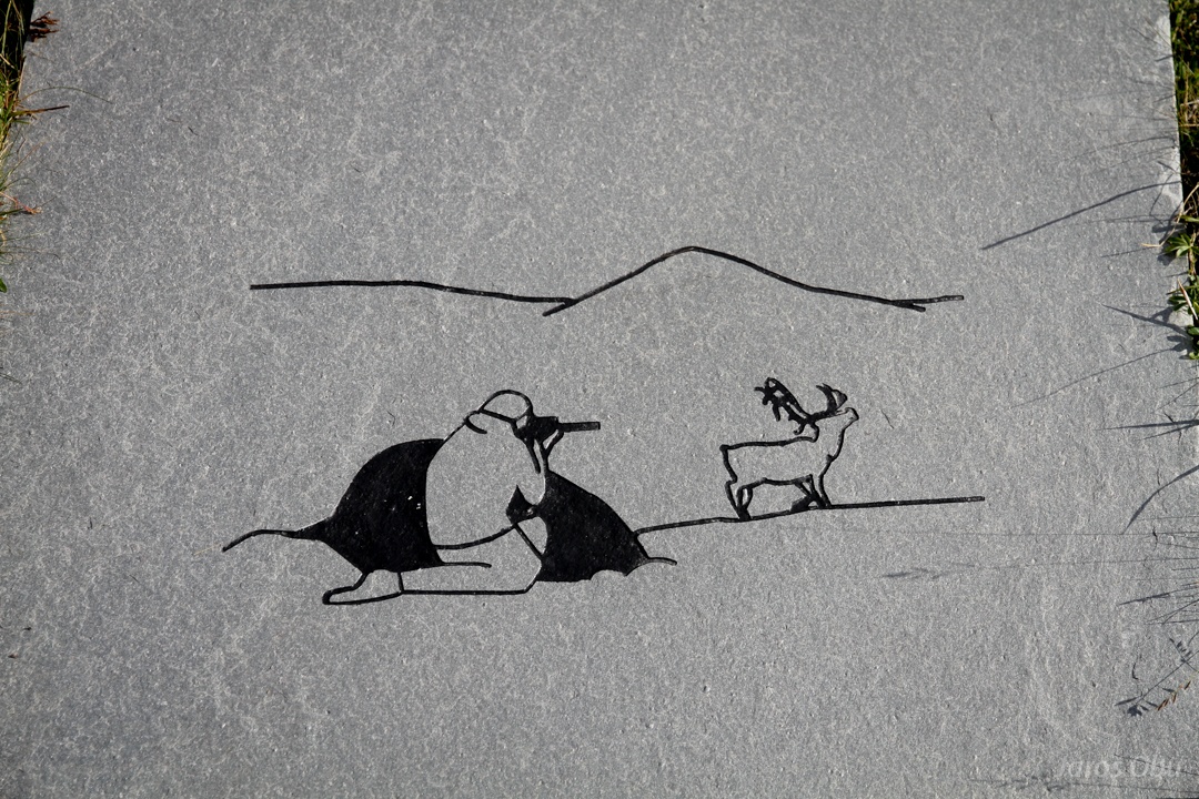
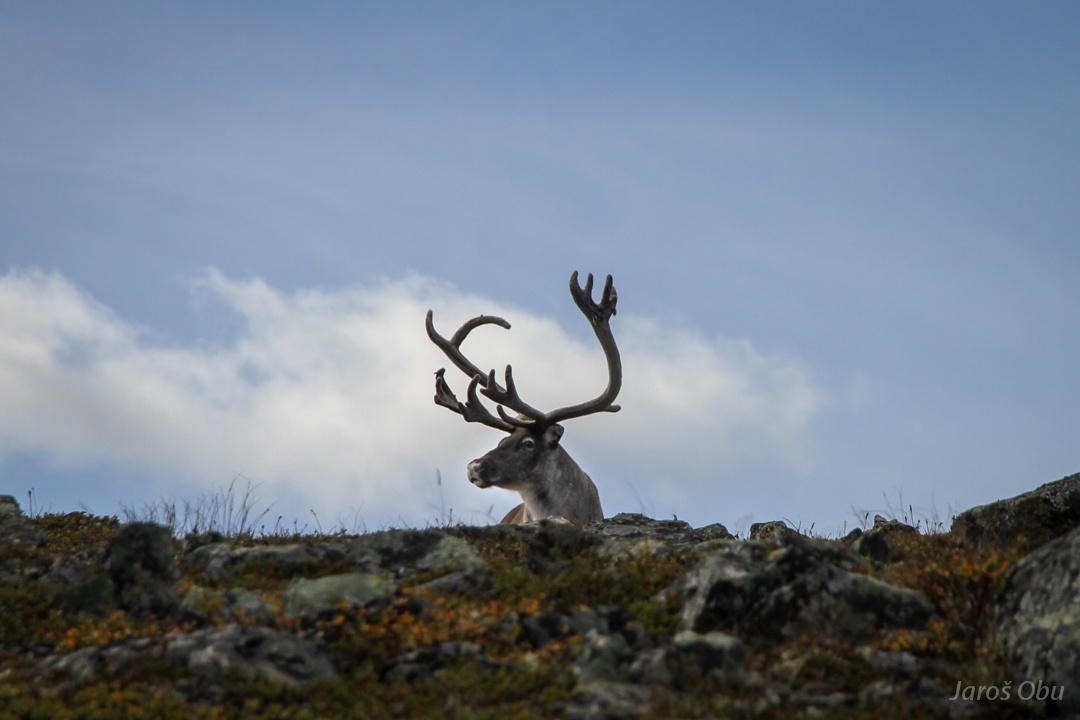
Oh deer!
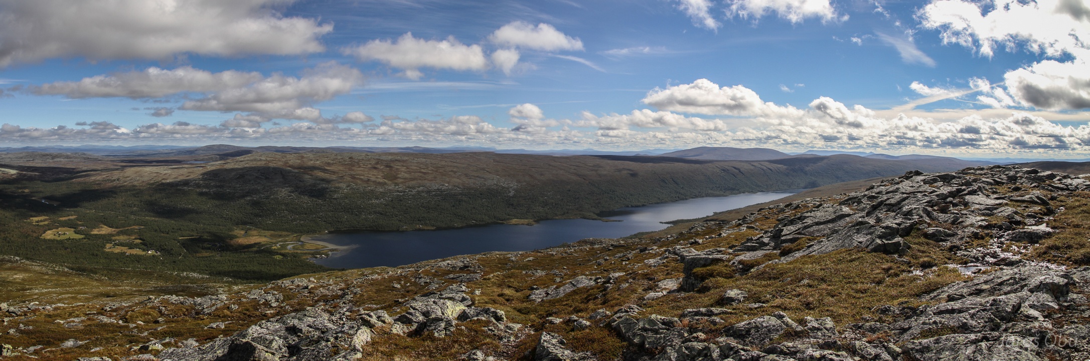
On the top at 1169 m.
Grøvel Lake.
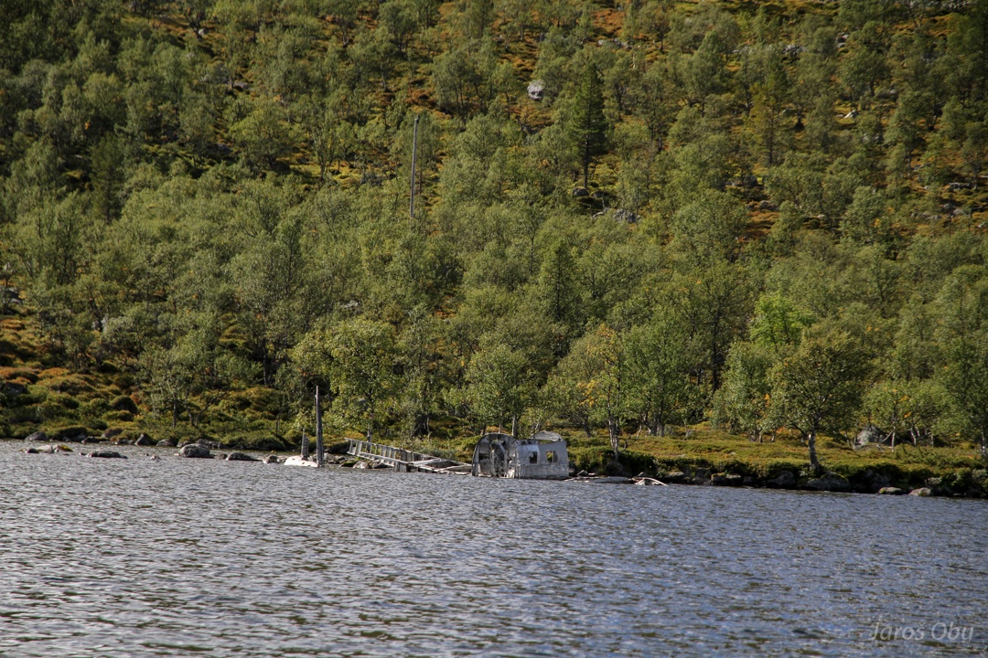
Soon after on boat ride back. A wreck of a plane from 2nd world war at the coast.
And crossing a border, that is visible in the forest, again on a way back.
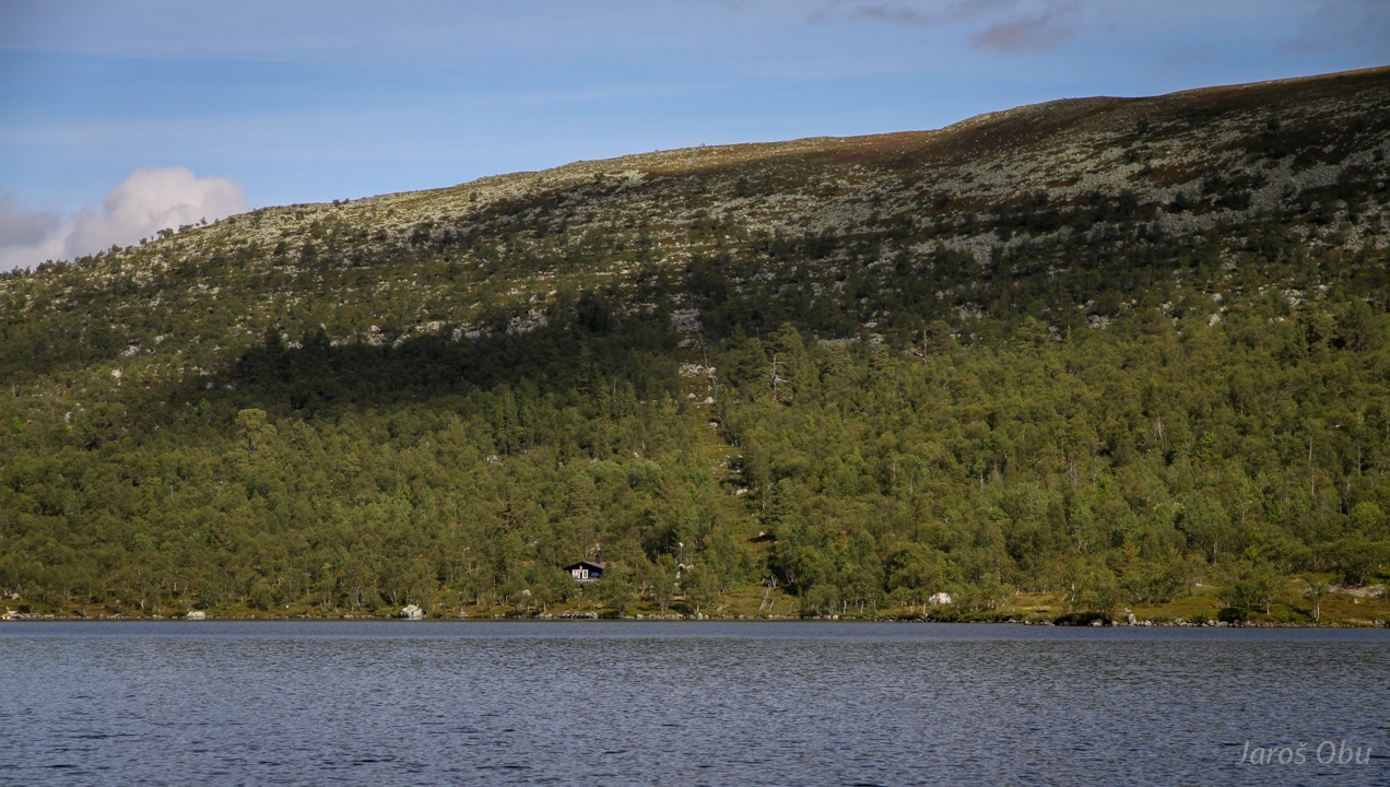
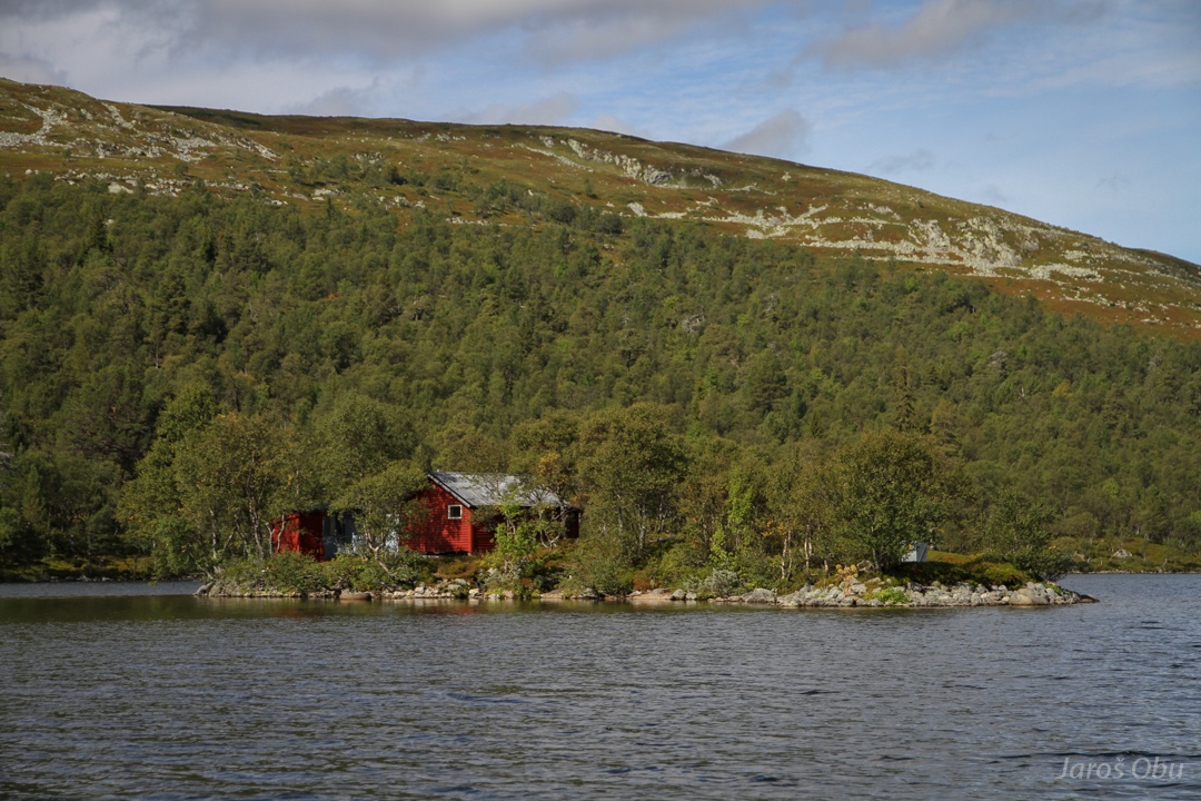
Not a bad place to have a cabin.
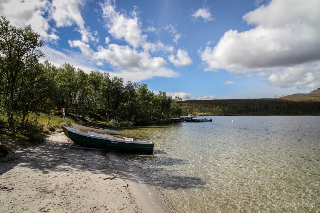
Very fresh but pleasant swim in the lake at tropic-like sandy beach at Swedish side at Grövelsjön .
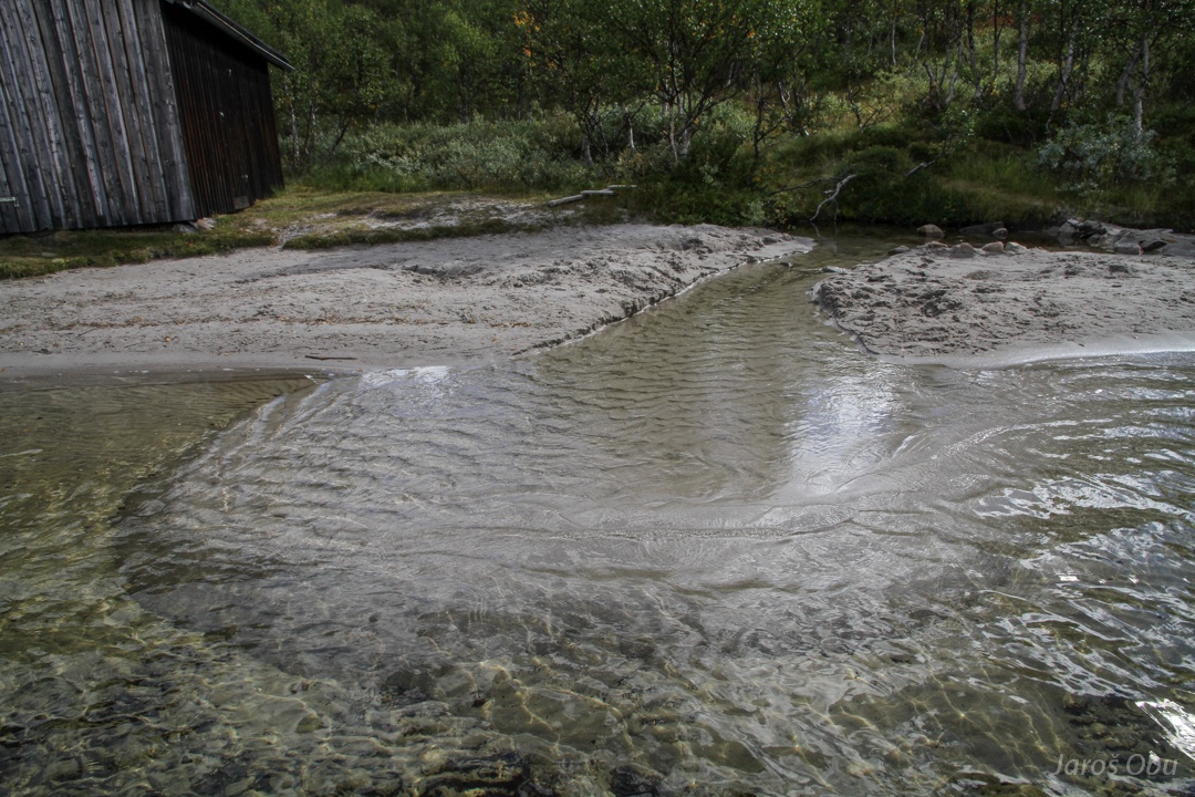
A brook the-sand-courier.
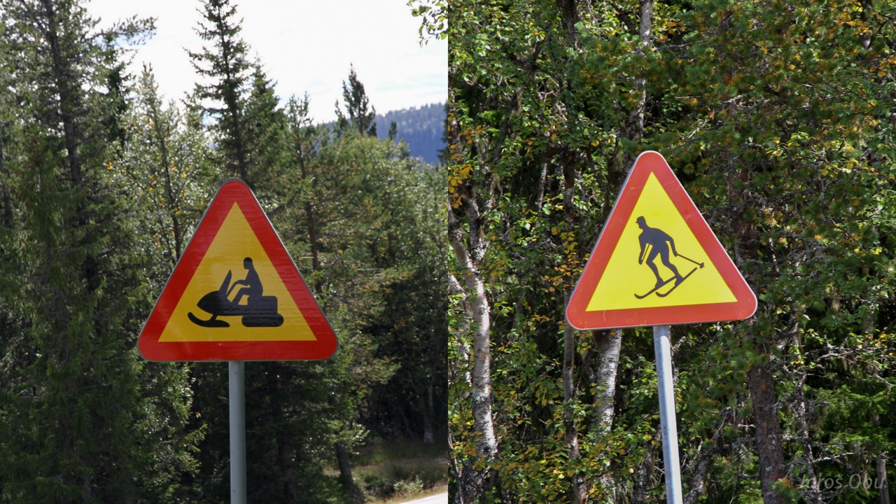
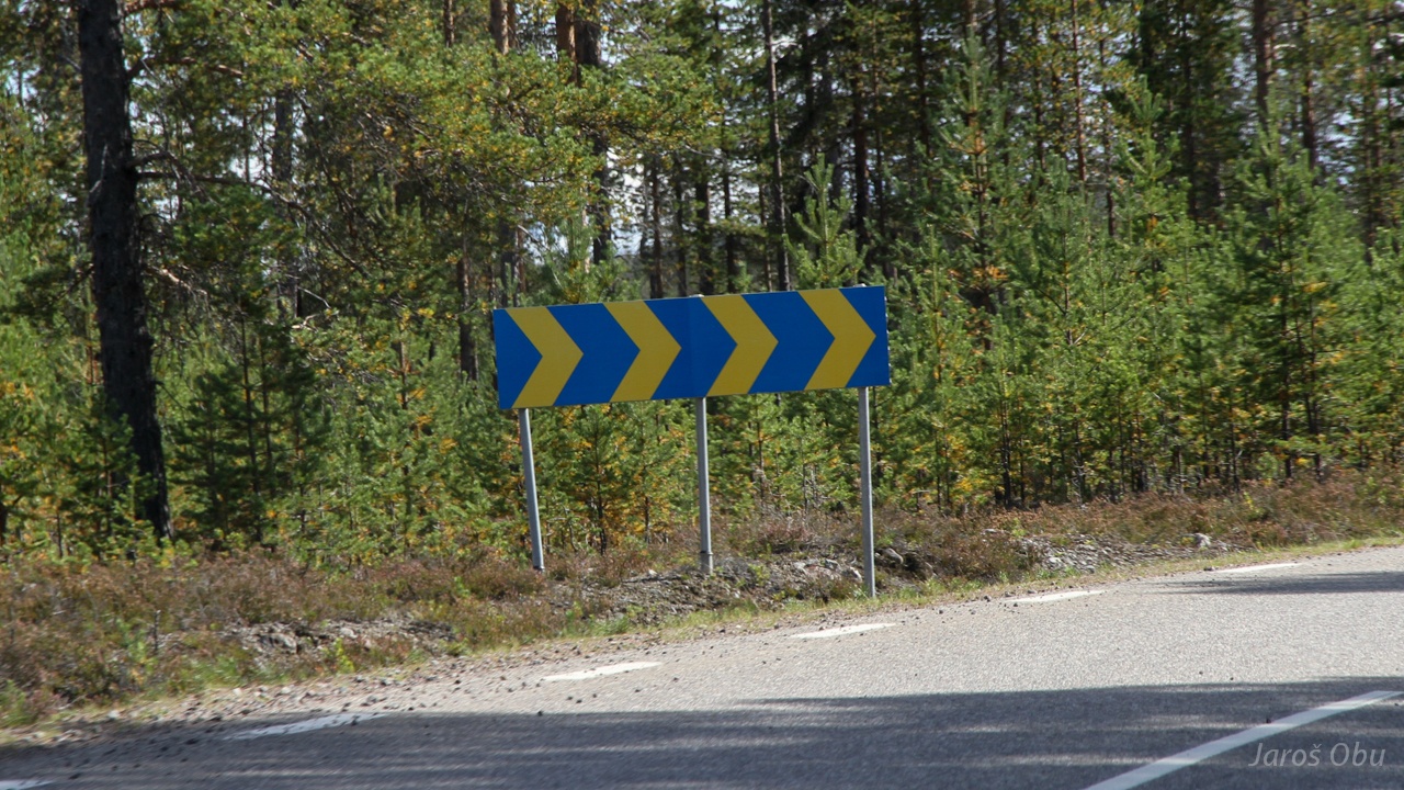
Very dangerous roads.
A patriotic road sign for sharp curve.