© 2024 Jaroš Obu
Photo gallery of Jaroš Obu
Cart
0
Items
Buy now
Yosemite 17.-18. 12. 2016
Sunday, 18 December 2016
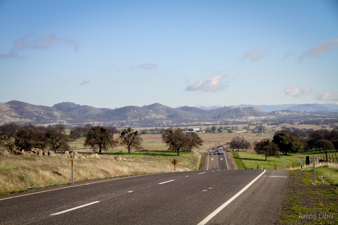
On a way from San Francisco, after crossing the Central Valley, first hills of Sierra Nevada.
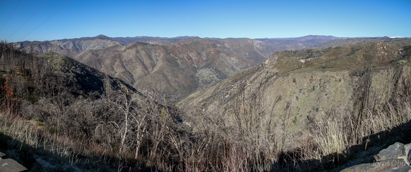
Long and winding way up.
Tuolumne River Valley before entering Yosemite National Park.
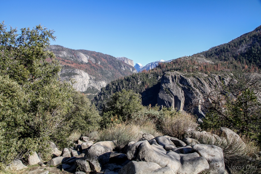
El Capitan and Half Dome in the distance.
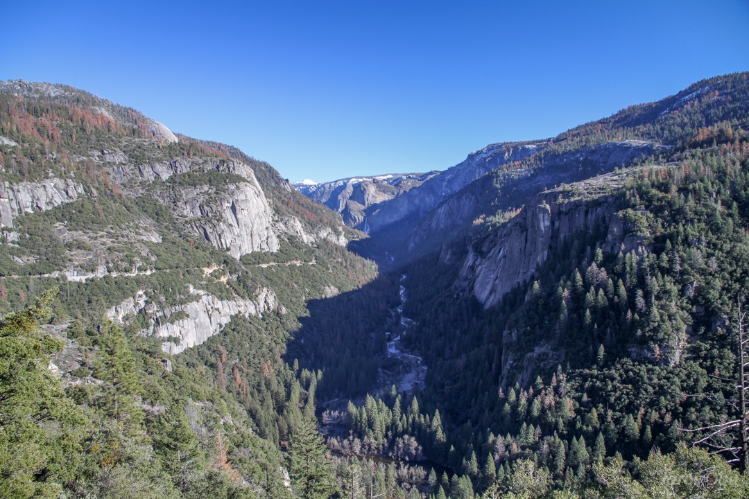
The lower part of the valley, which was not glaciated.
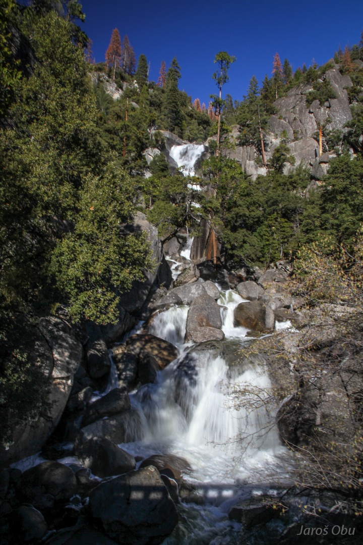
Wildcat falls before the Yosemite Valley entrance.
Two-lane one-way road through the valley can take all the traffic in the high-season months.
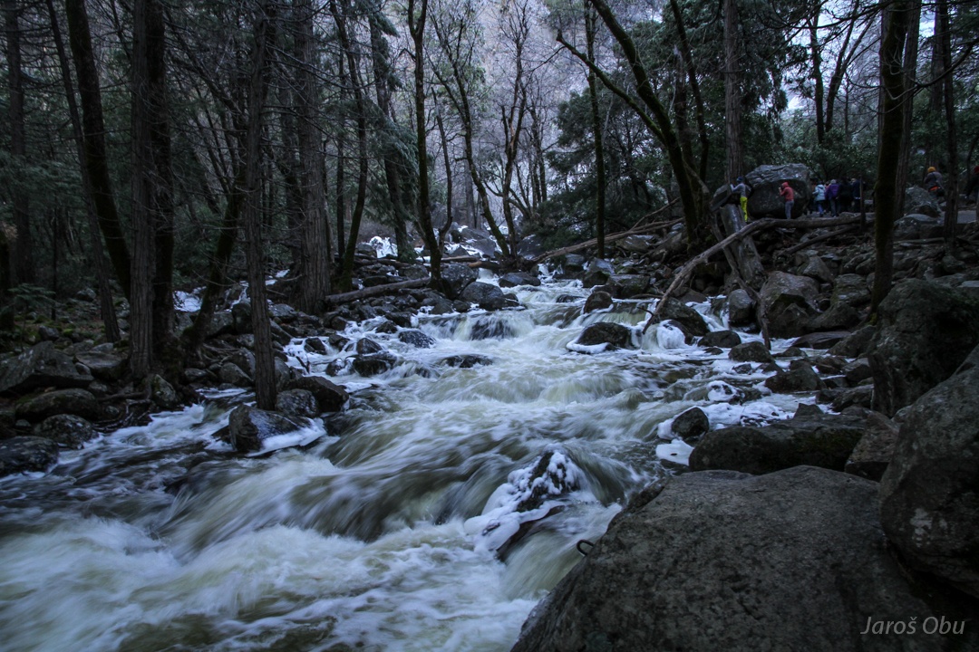
Following a river.
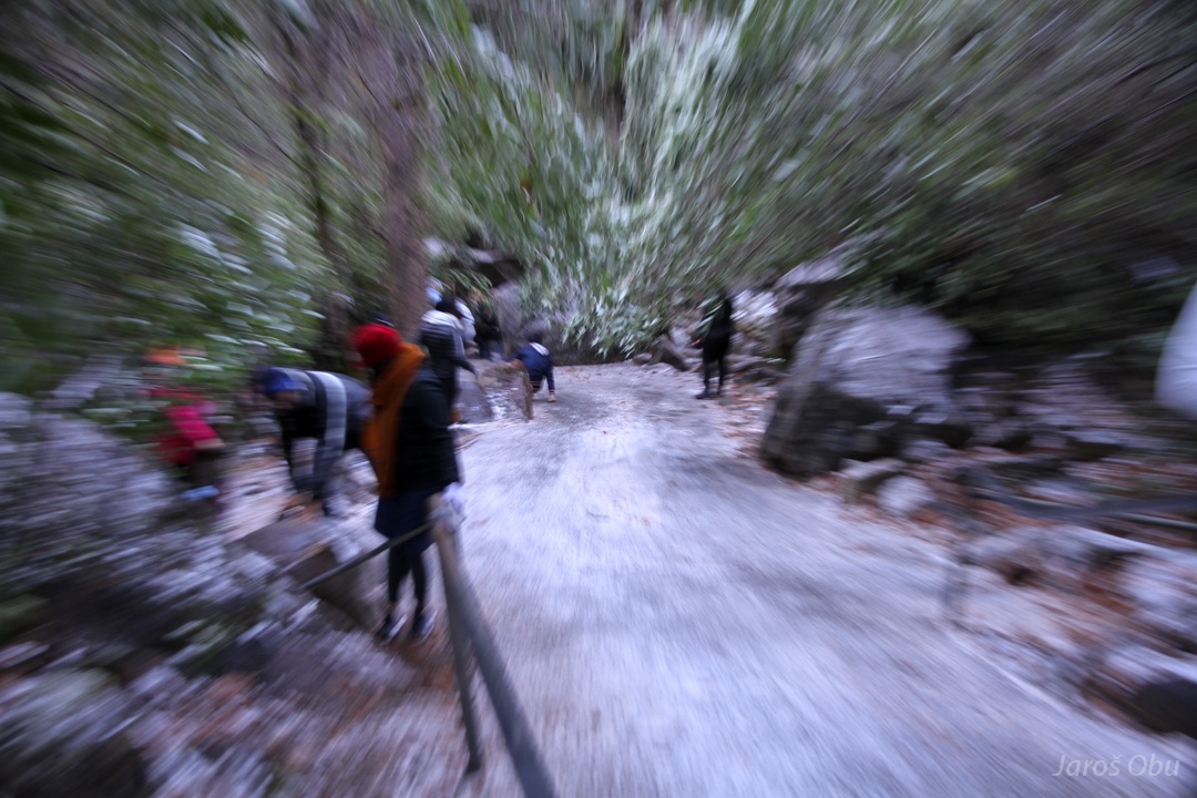
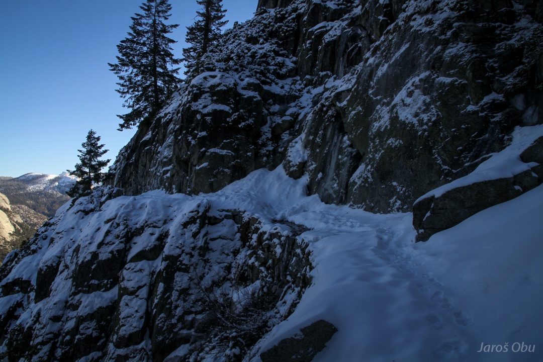
And reaching a completely icy path.
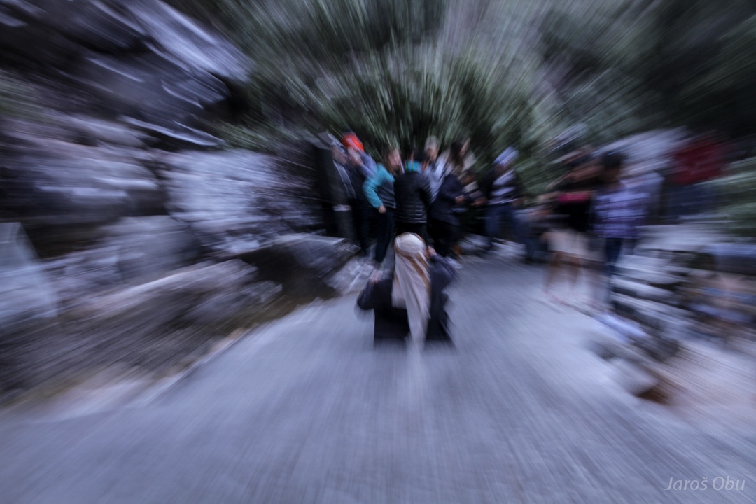
For some tourists fun, for others hassle.
https://youtu.be/Hr0XEIGbtuY?t=9s
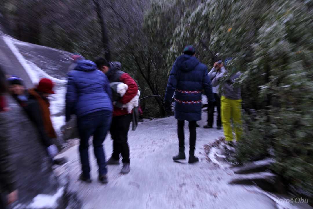
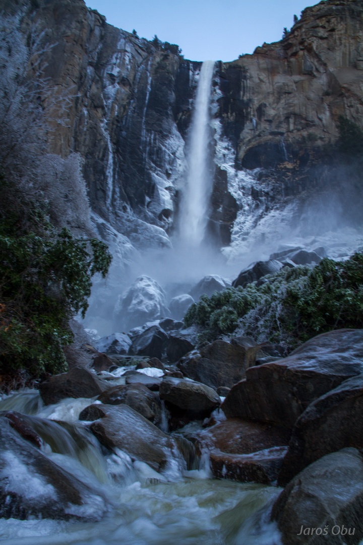
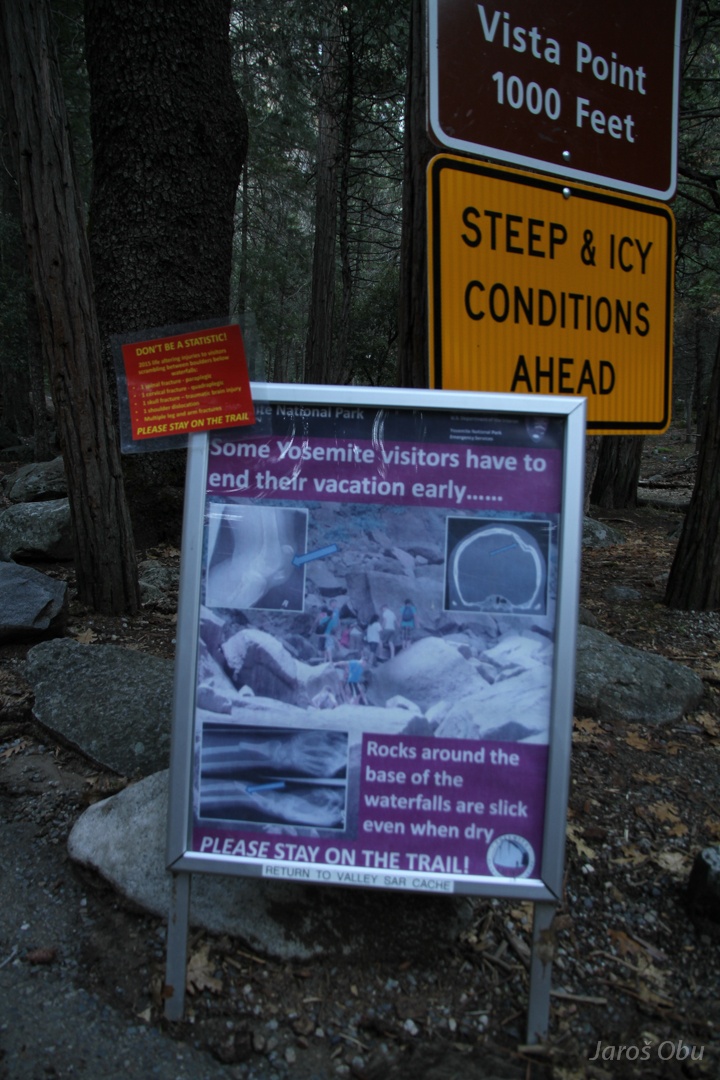
Bridalveil Fall ... takes care for the water spray that freezes on plants, stones and on the path.
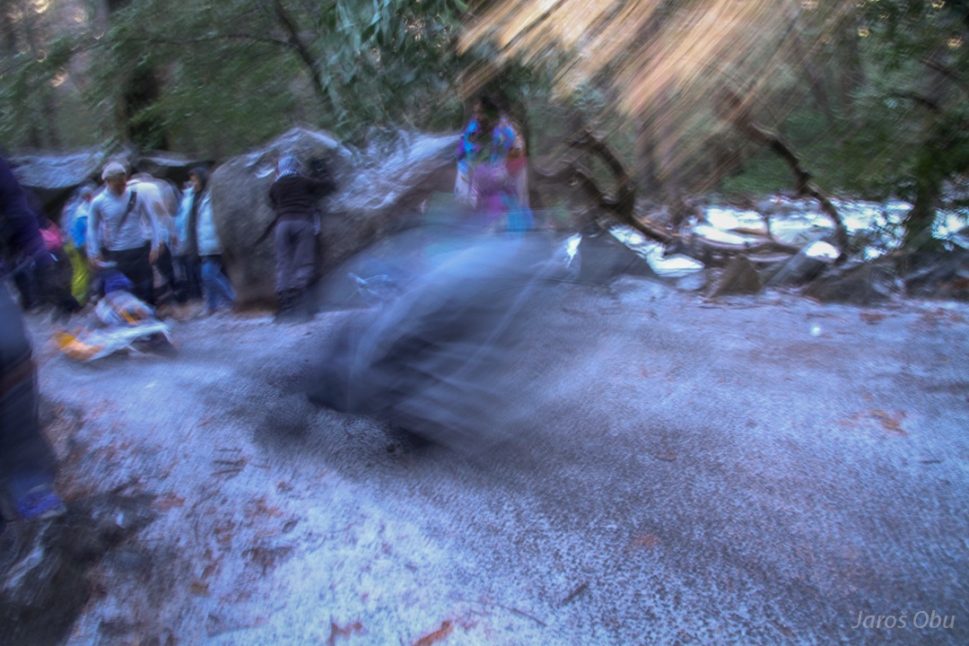
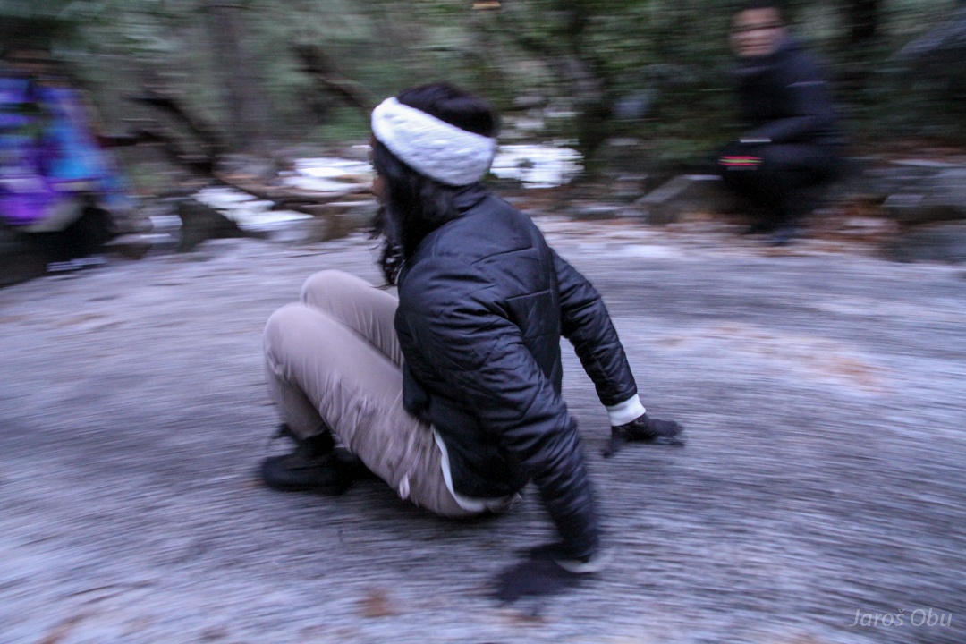
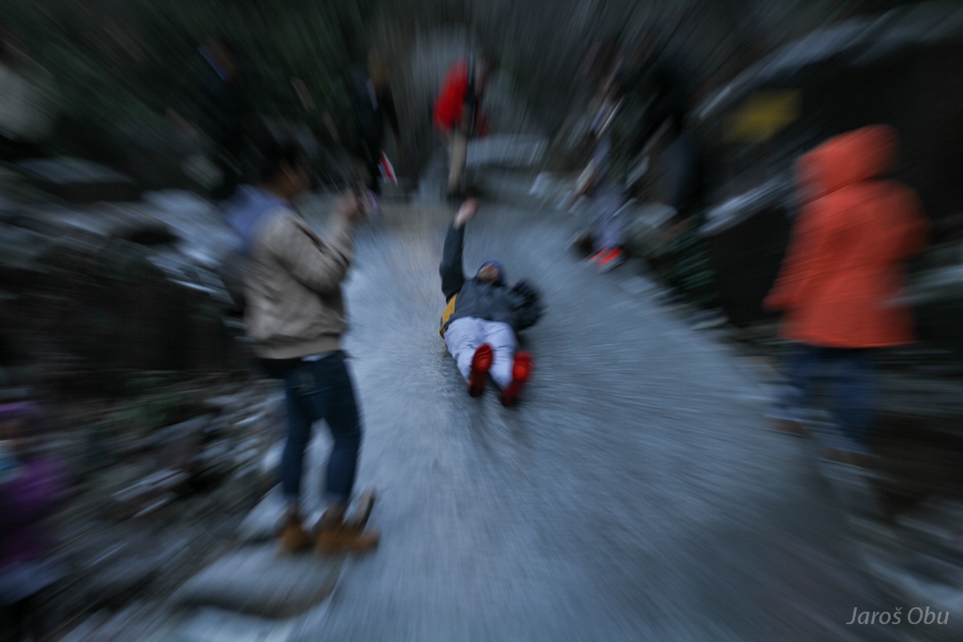
Bumsliding.
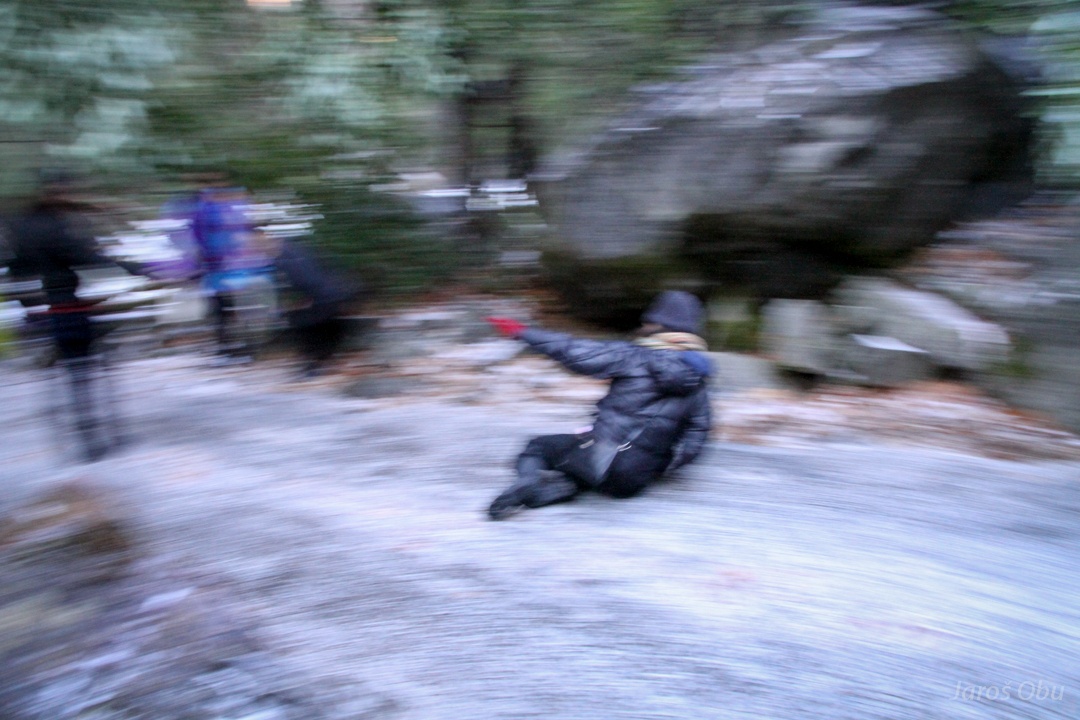
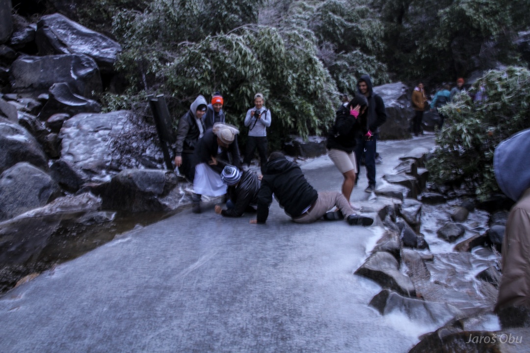
A less successful one.
Dear park rangers. Trails around the base of waterfalls are slick. SO PLEASE DON'T STAY ON THE TRAIL!
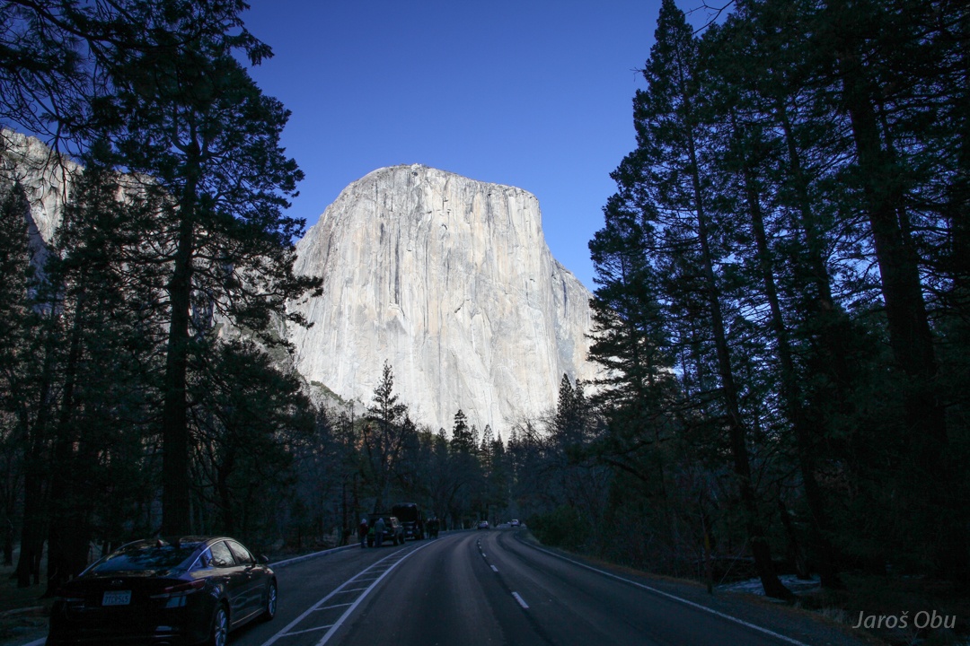
The famous El Capitan face.
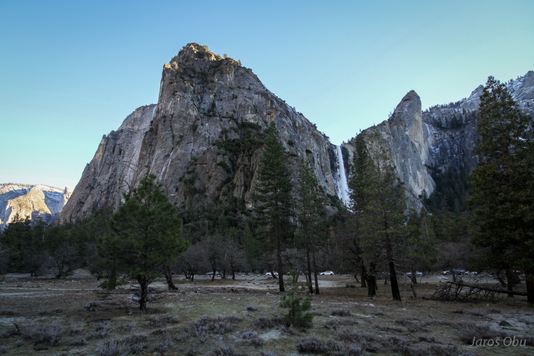
A look back on the waterfall.
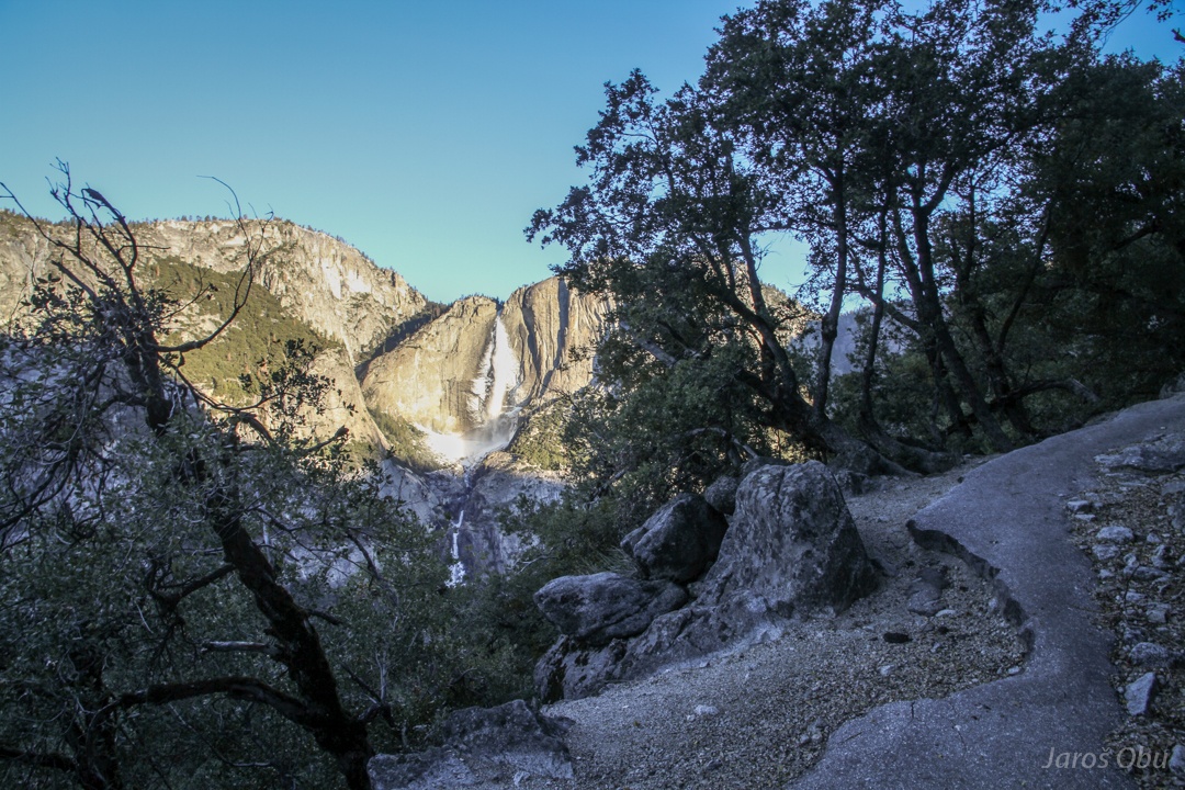
But these are the Yosemite Falls.
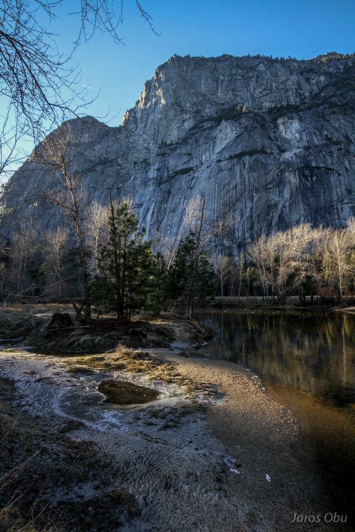
Merced River at Sentinel Beach.
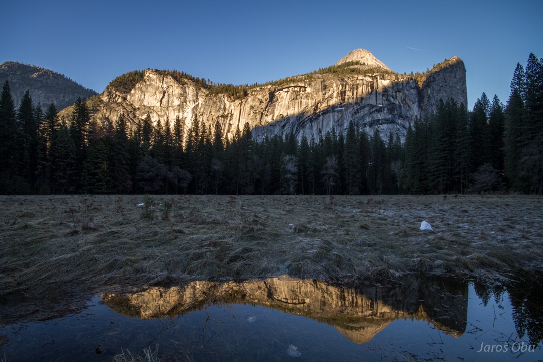
North Dome, Washington Column and Royal Arches below.
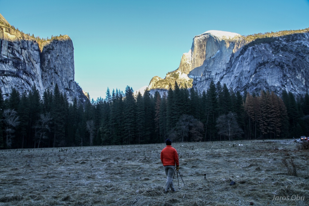
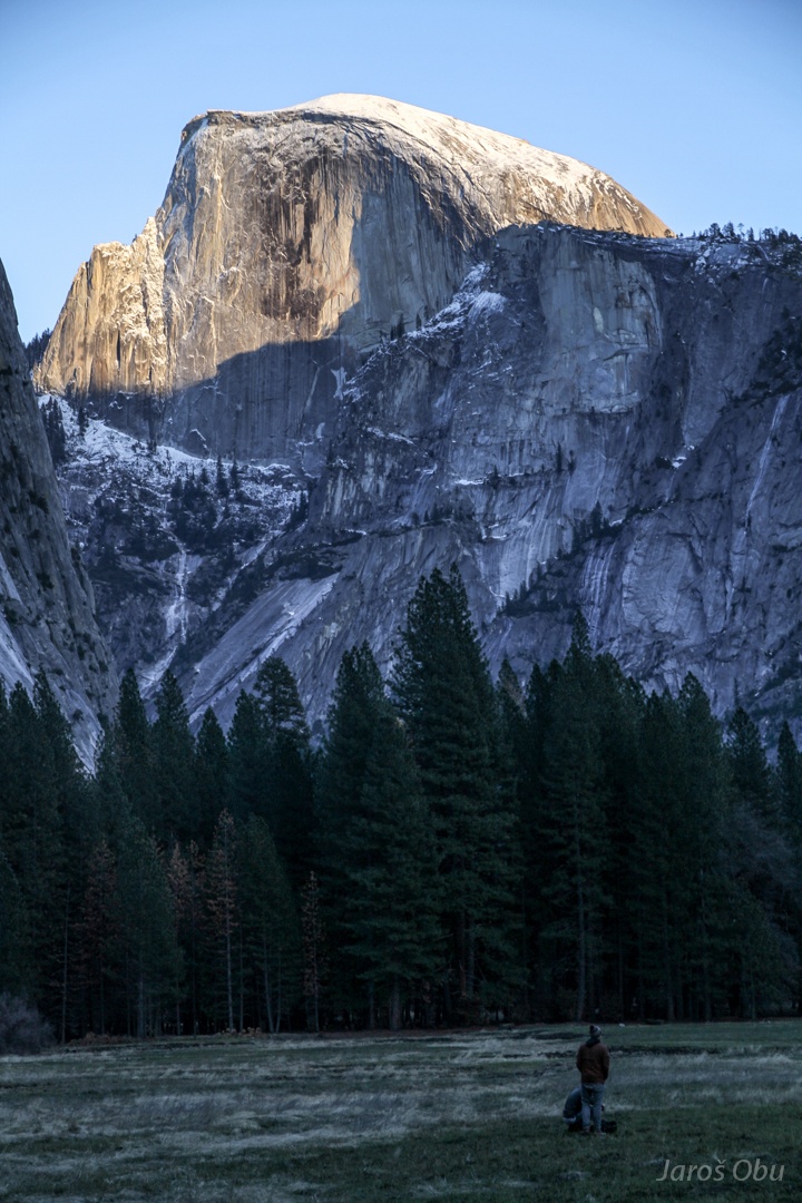
The Half Dome. The main photographing theme in Yosemite.
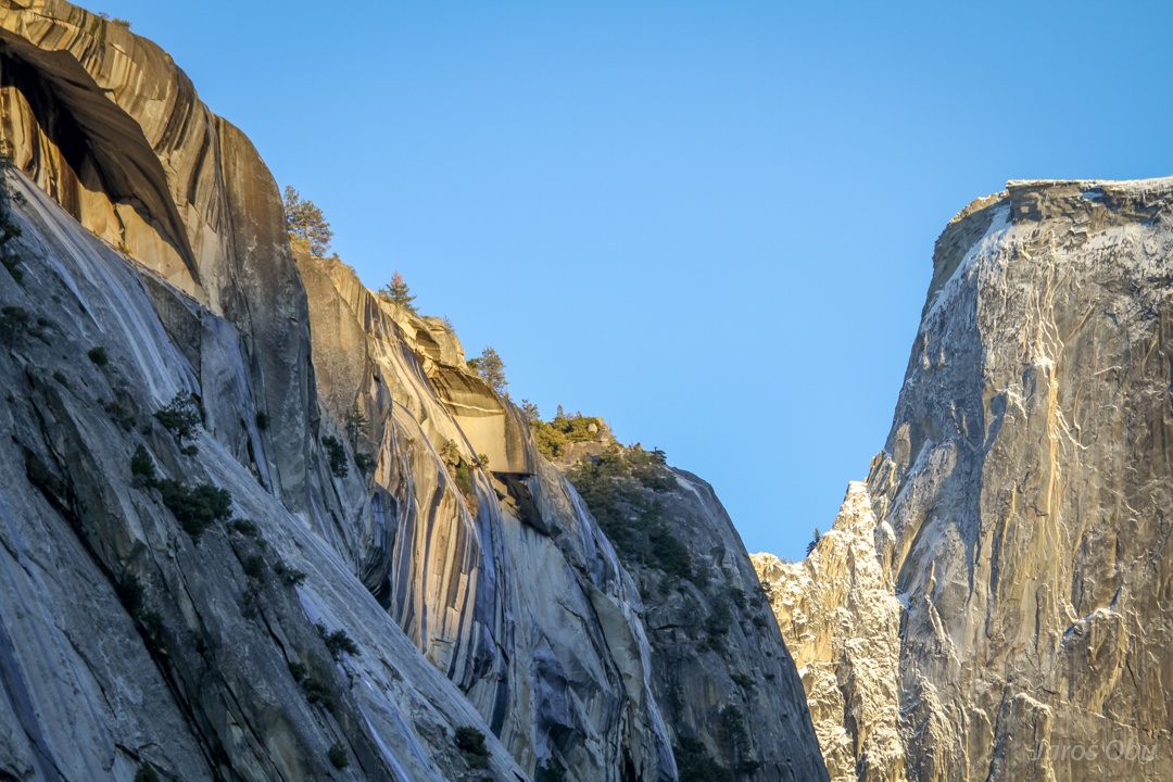
Side view on the Royal Arches. Formed due to especially active exfoliation in plutonic rocks.
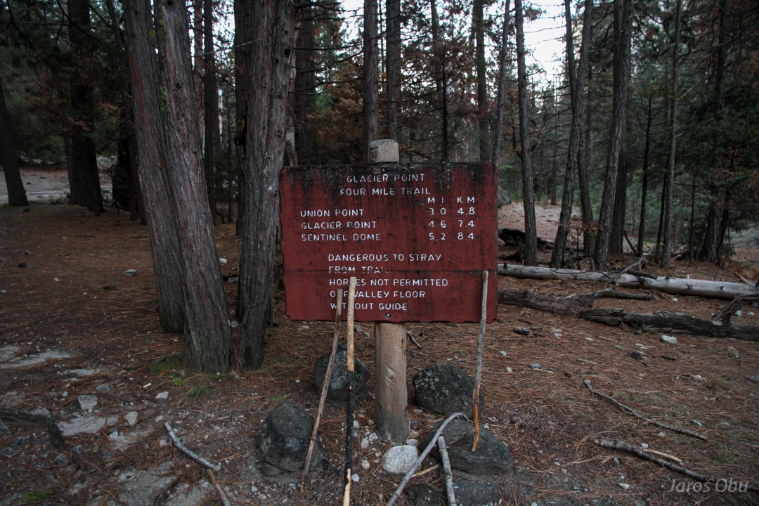
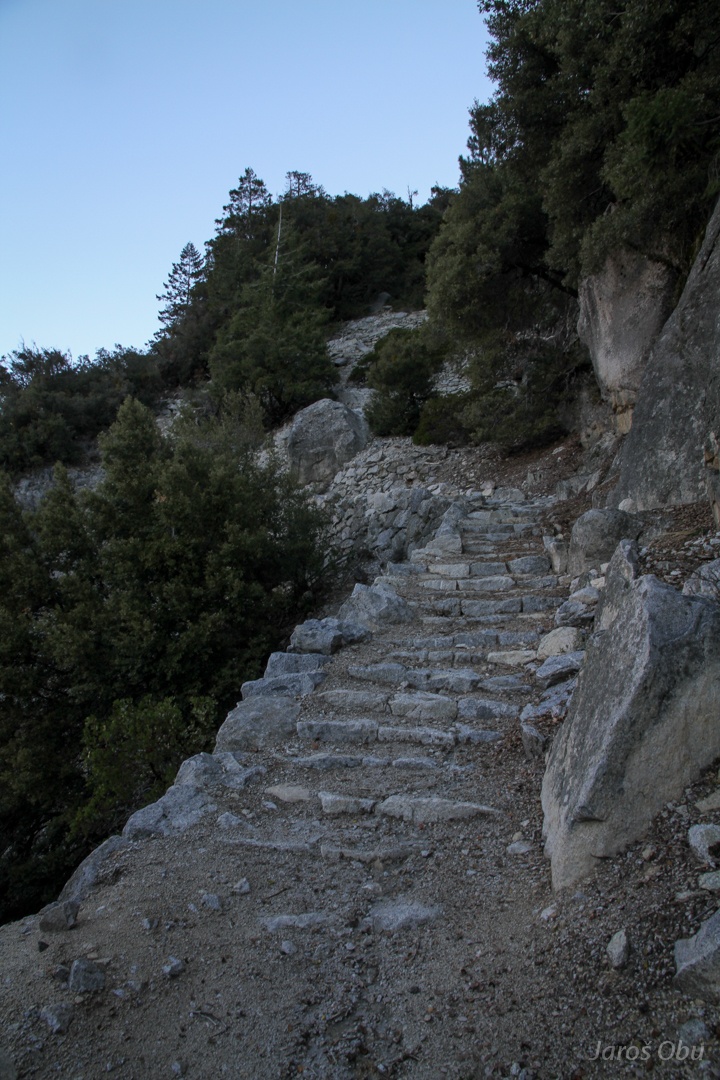
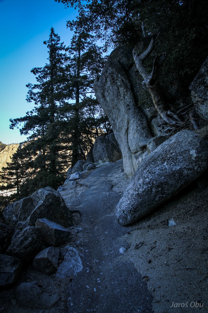
Taking a Four Mile trail to Glacier Point early next morning.
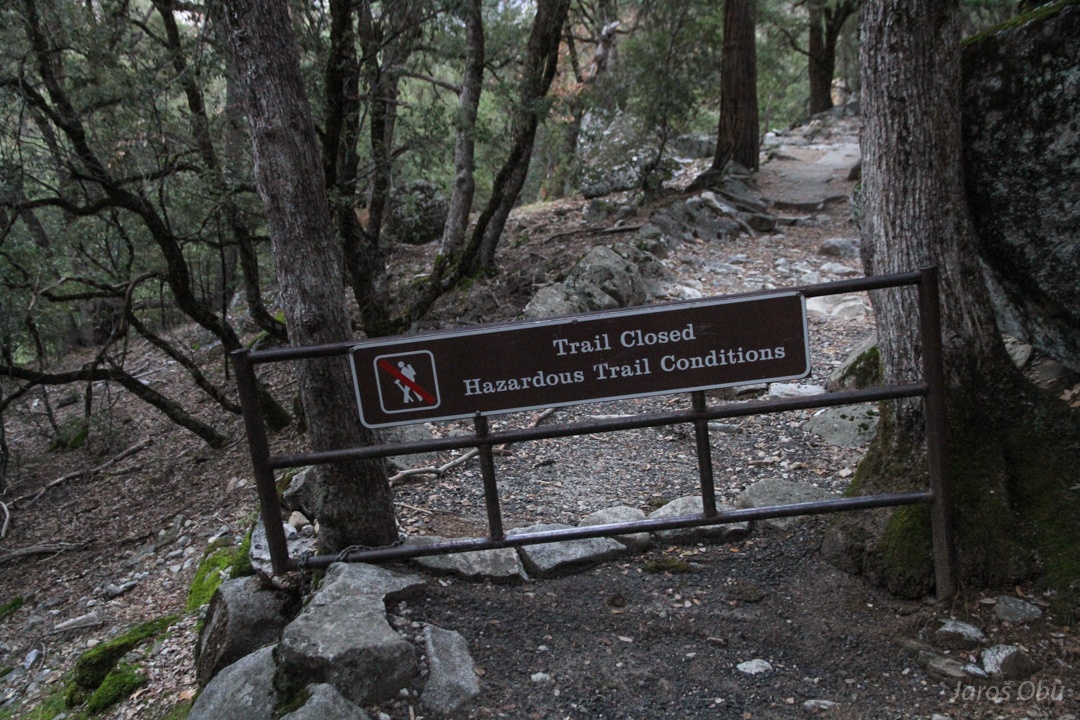
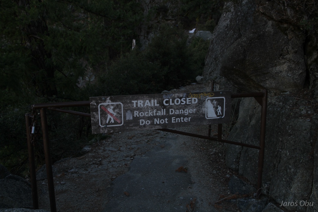
Oh-no. Hazardous trail conditions.
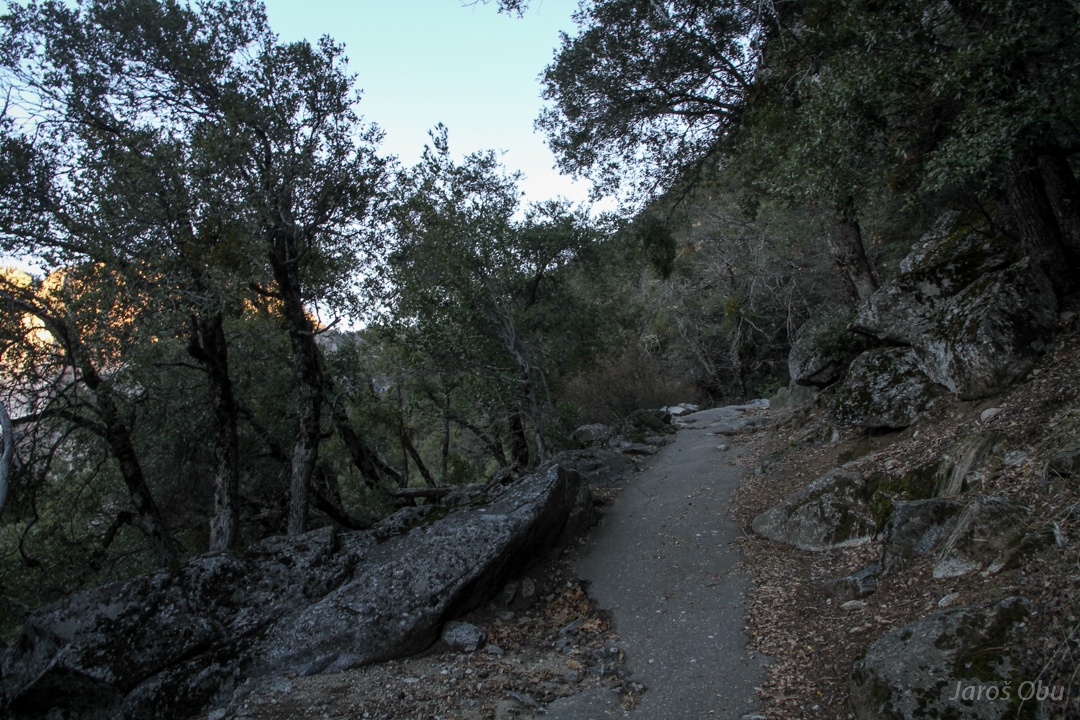
An asphalt trail ...
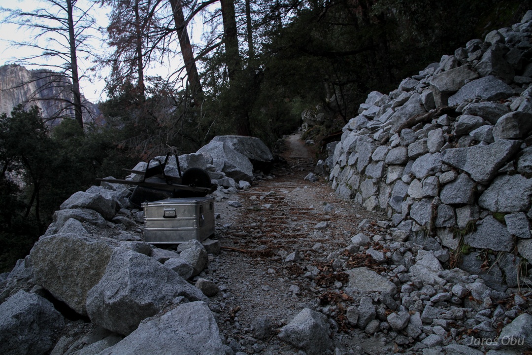
Roadwork.
After that the asphalt road continues.
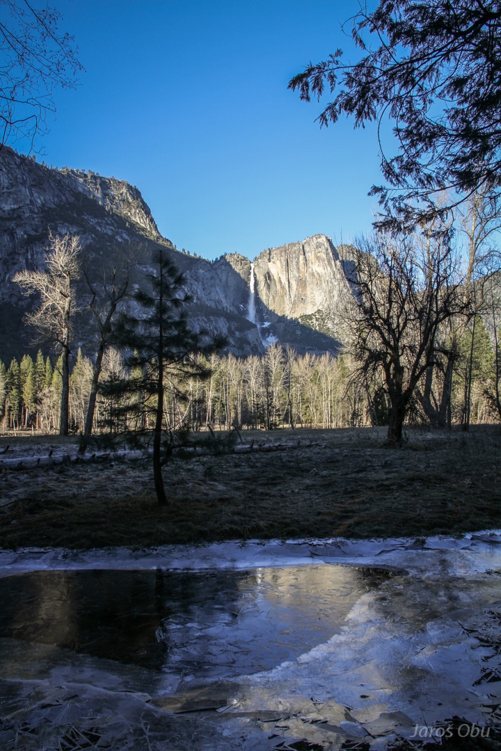
Yosemite Falls in morning light of rising sun.
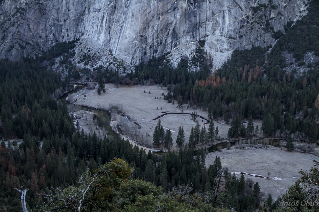
Cold morning in the valley due to strong temperature inversion after clear night. Some oxbow lakes on the bottom.
Escalators on slightly steeper curves.
And more asphalt.
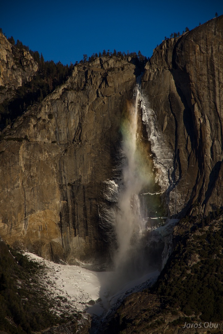
Rinbowed waterfall.
Rockfall danger? Do you mean a meteoritefall danger?
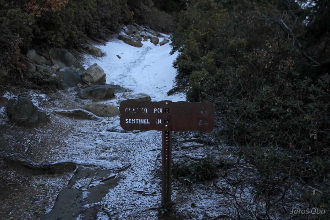
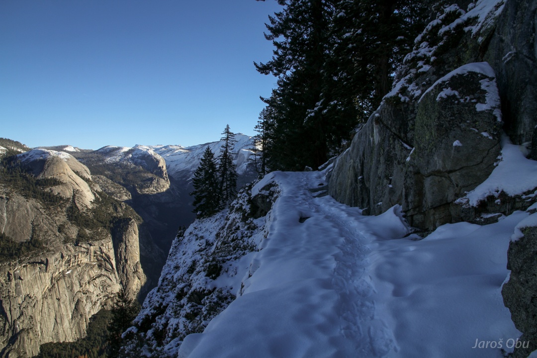
1.6 mile out of 4 left to glacier point and first non-hazardous conditions due to snow.
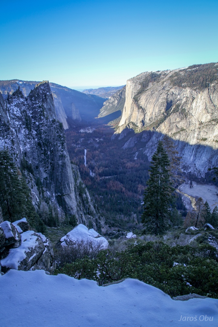
Western part of the valley aesthetically shaped by a glacier.
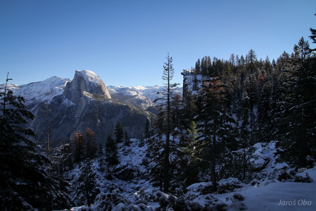
Thick snow started above 2100 m and winter landscape improved visual experience in comparison to slightly depressing autumn valley colours.
Royal Arches on the left as seen from above.
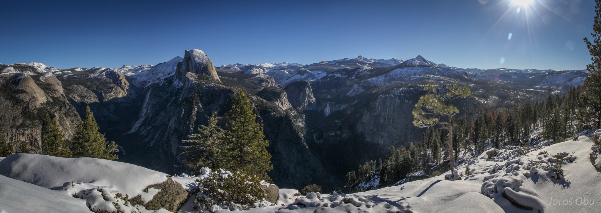
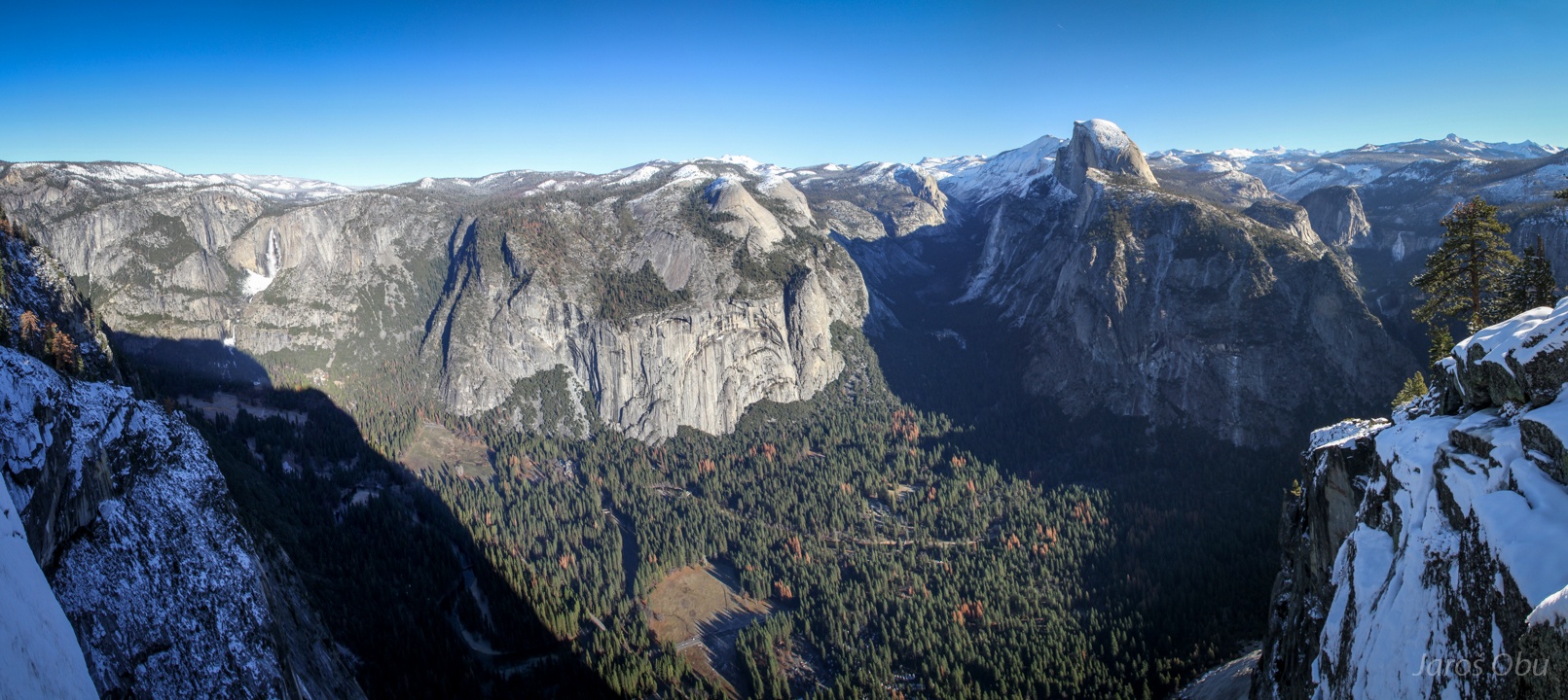
The Half Dome and the Glacier Point on the right.
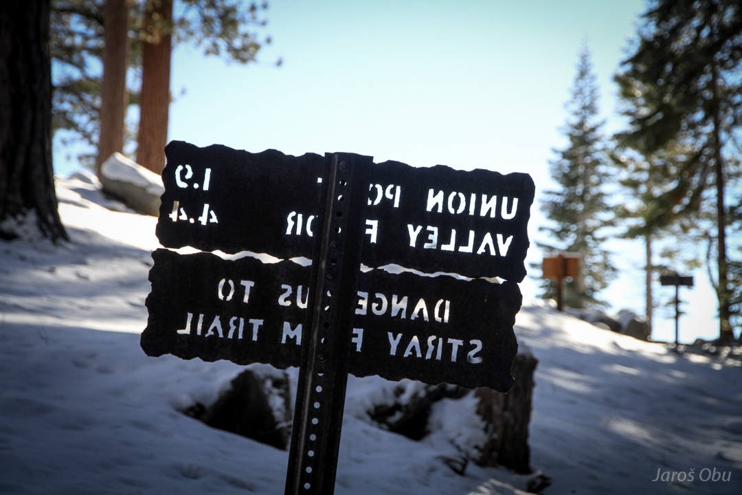
It seems like they made a mistake while printing the text.
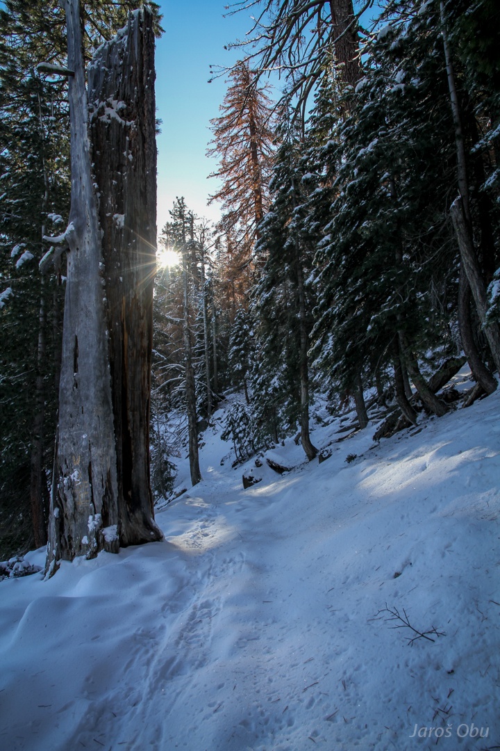
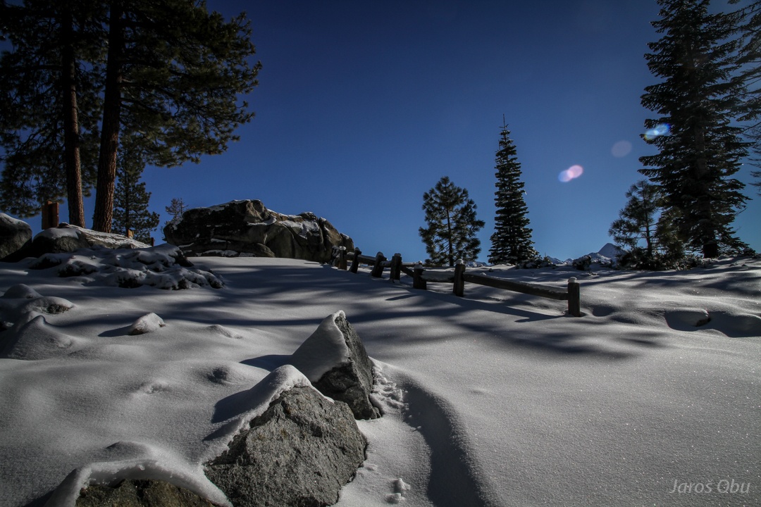
A virgin winter idyll ...
on a place which is probably very crowded when the road (actual road that goes up here) is open.
Yosemite Valley on the left, Half dome (which really looks halved from this side) in the middle, and Little Yosemite Valley on the right.
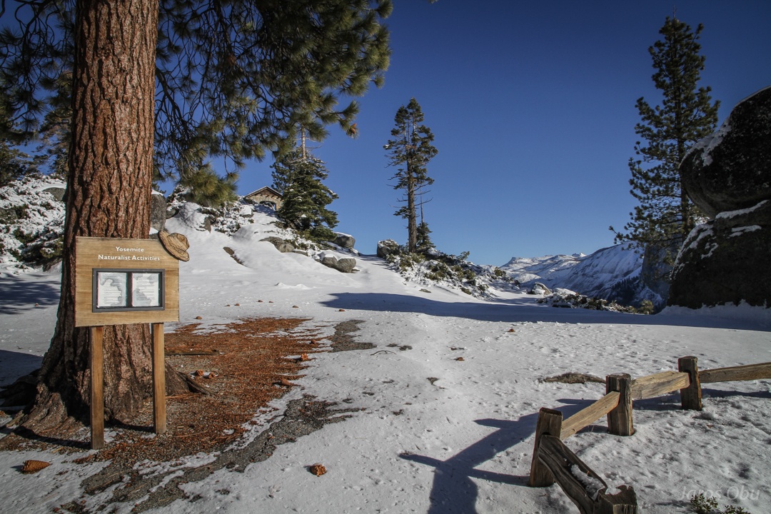
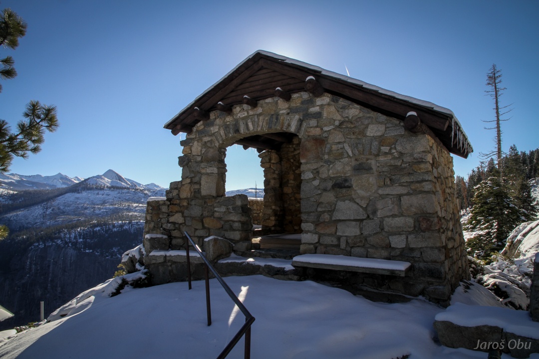
A geology hut.
The viewpoint. The landscape and rocks are well rounded outside the valley. Glaciers made so sharp scars.
Tenaya and Merced glaciers joined and created a big flat, where all the tourists can now camp.
A creek back in the valley.
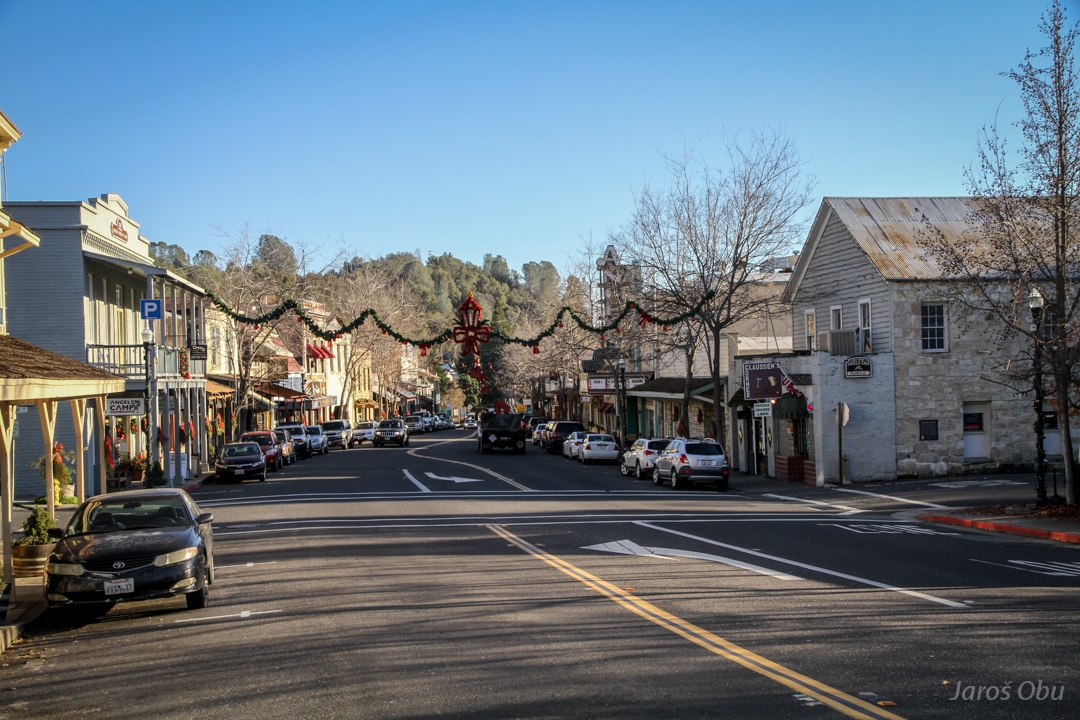
Angels Camp Town on a way to Eastern Sierra Nevada - all the mountain passes close to Yosemite are closed in Winter.
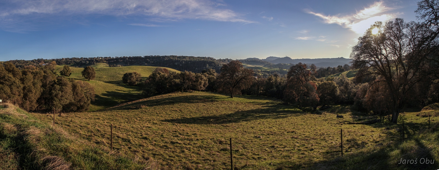
Landscape close to Mokelumne Hill.
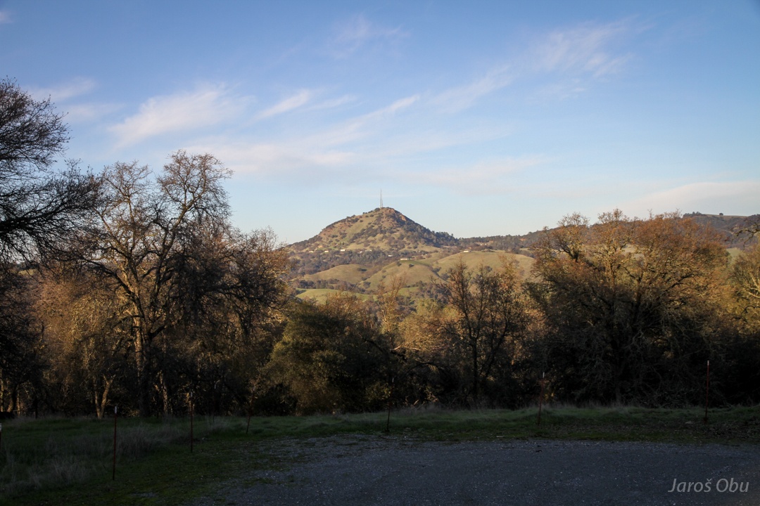
Jackson Butte is sticking out of the surroundings.
Let's clean American roads. Volunteers get a free "advertisement".
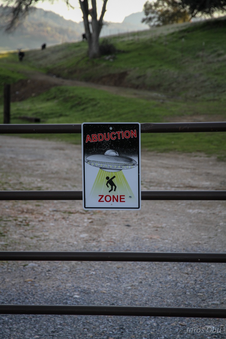
One of the more witty NO TRESPASSING signs ... actually the only one witty that I've seen.
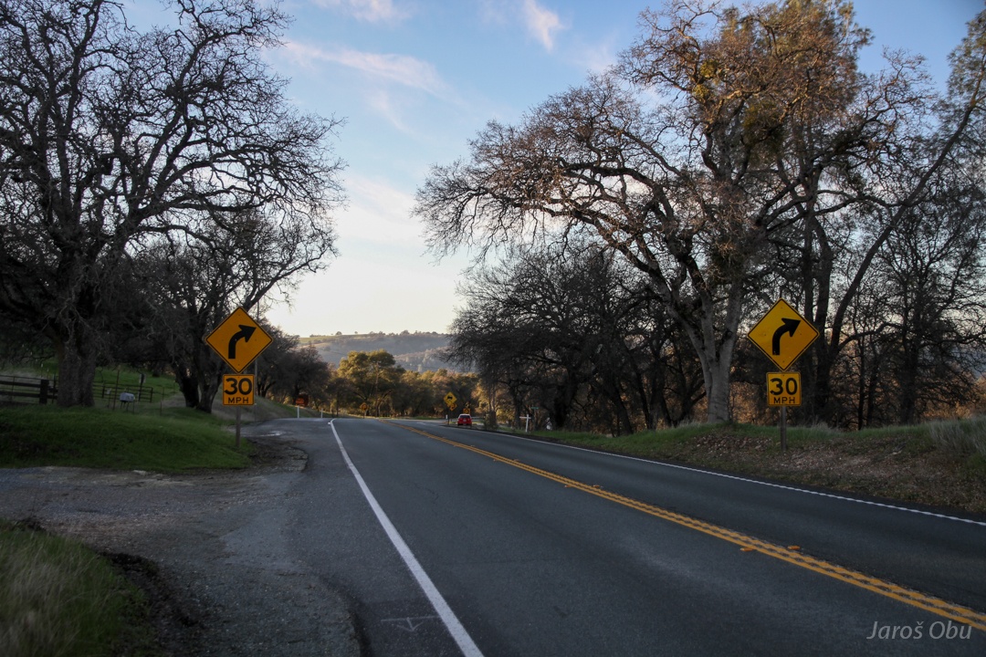
A lot of yellow road signs where road becomes a bit winding.
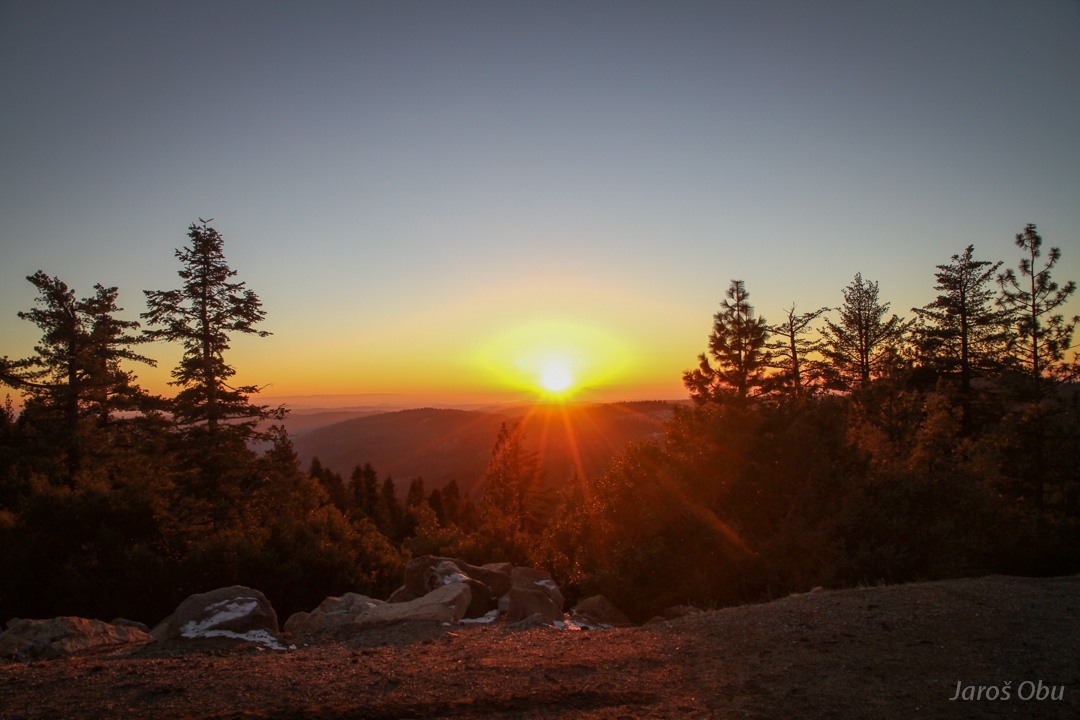
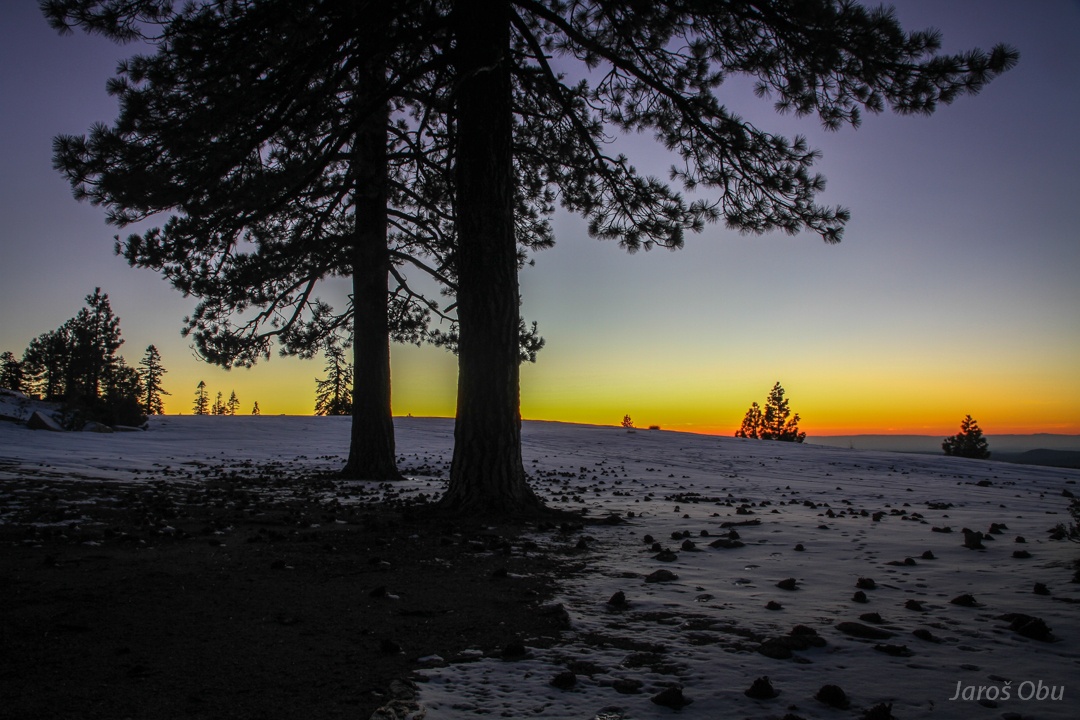
Carson Pass was the first to be opened. Sun set before reaching it.
On Peddler Hill. Higher parts of Sierra are still to come but night is quickly catching up.
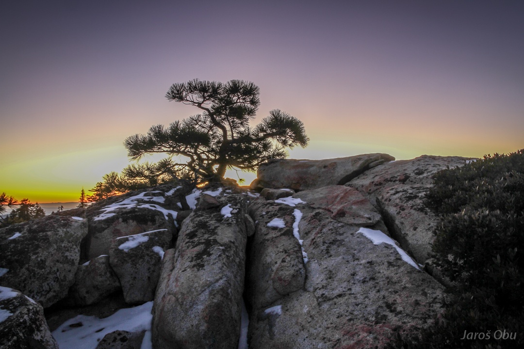
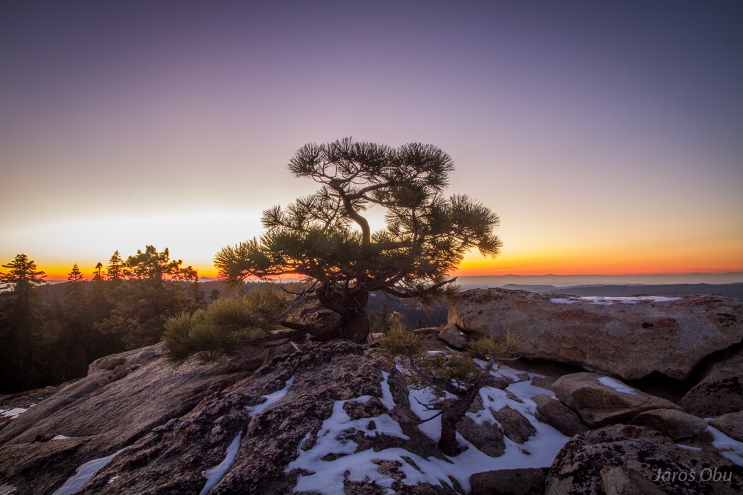
Few evening shots.
Haze far down in Central Valley.
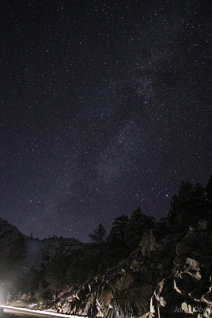
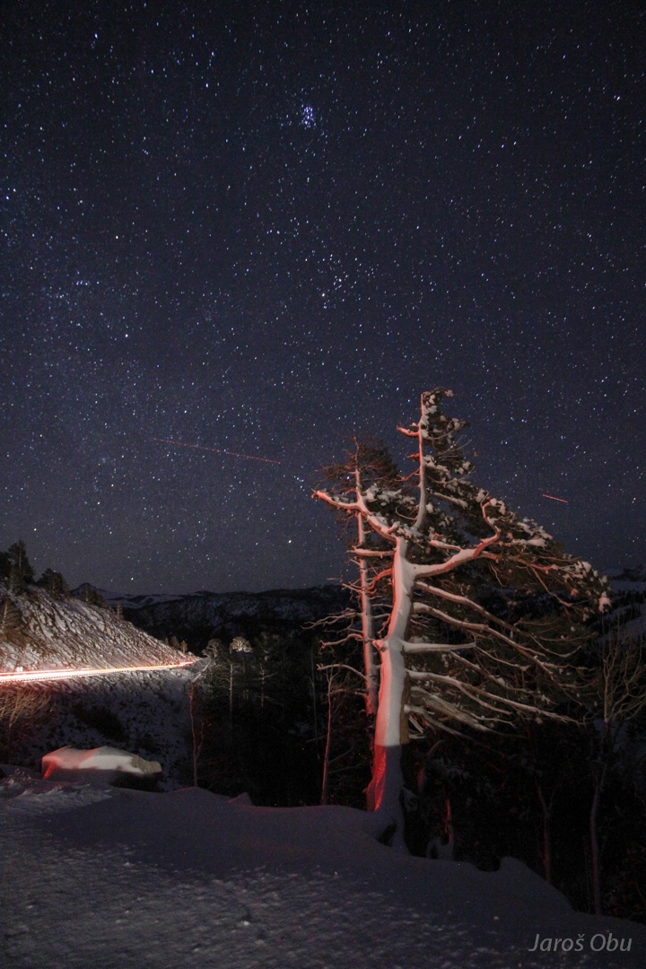
Night photos close to Kirkwood ...
when already descending from Sierra. The only way down went through Nevada, because some more roads were closed.